Tag: Friday Fitness Hike (page 28 of 36)

Friday Fitness Hike

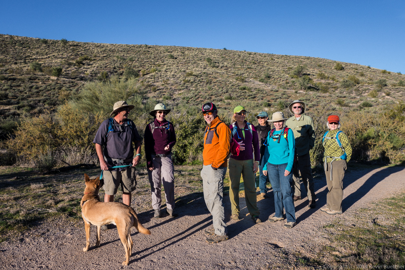
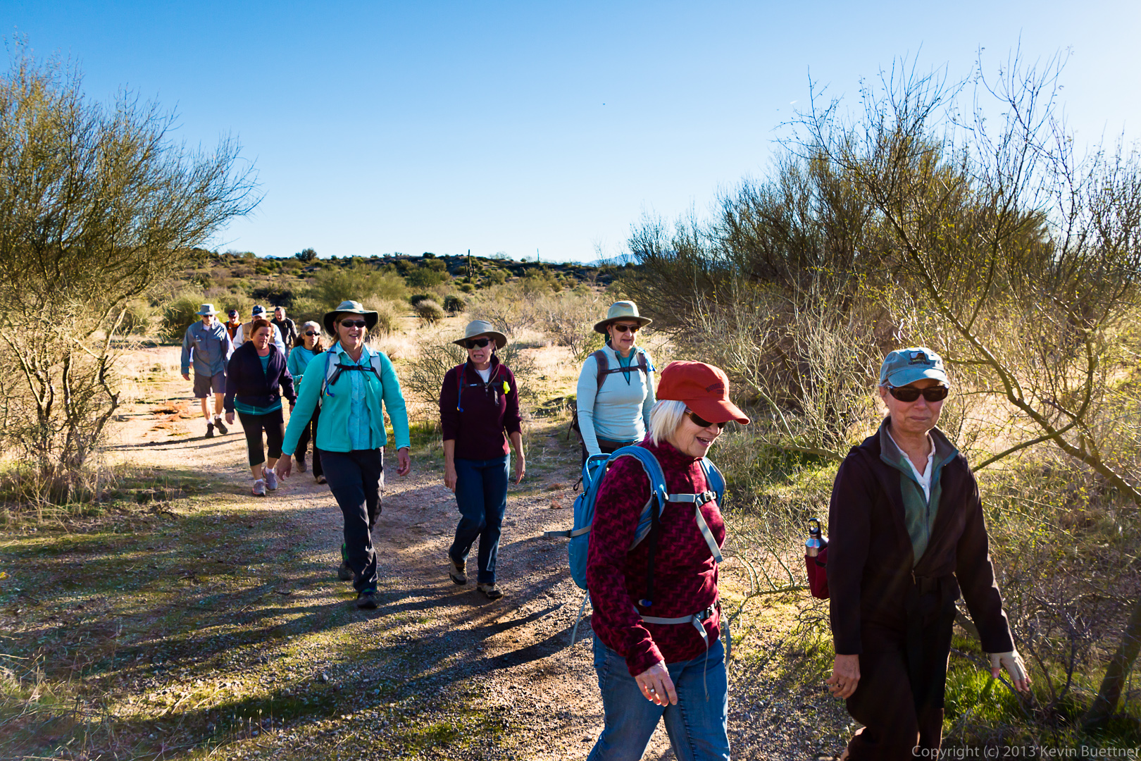
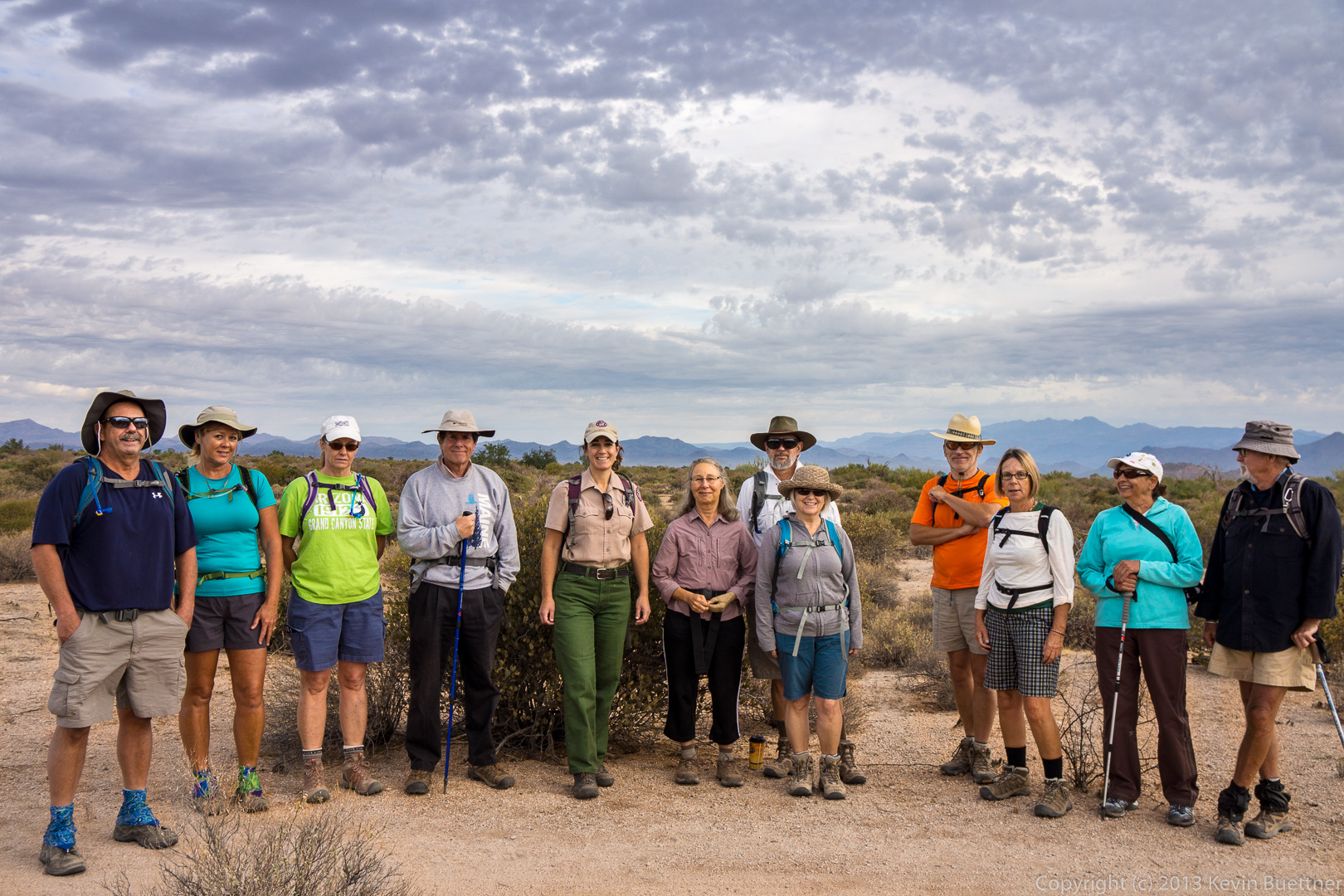
Six of us hiked from the Tom’s Thumb Trailhead up to Tom’s Thumb last Friday.  We took a circuitous, little used route which provided us with views that most hikers to the area do not get to see.

A view of the Sven Slab area prior to starting the hike.

20140117-_DSC4424-medium

A view of Gardener’s Wall at the far left and Tom’s Thumb, more towards the middle.  Our route took us up to the ridge right of Tom’s Thumb.

20140117-_DSC4438-medium 
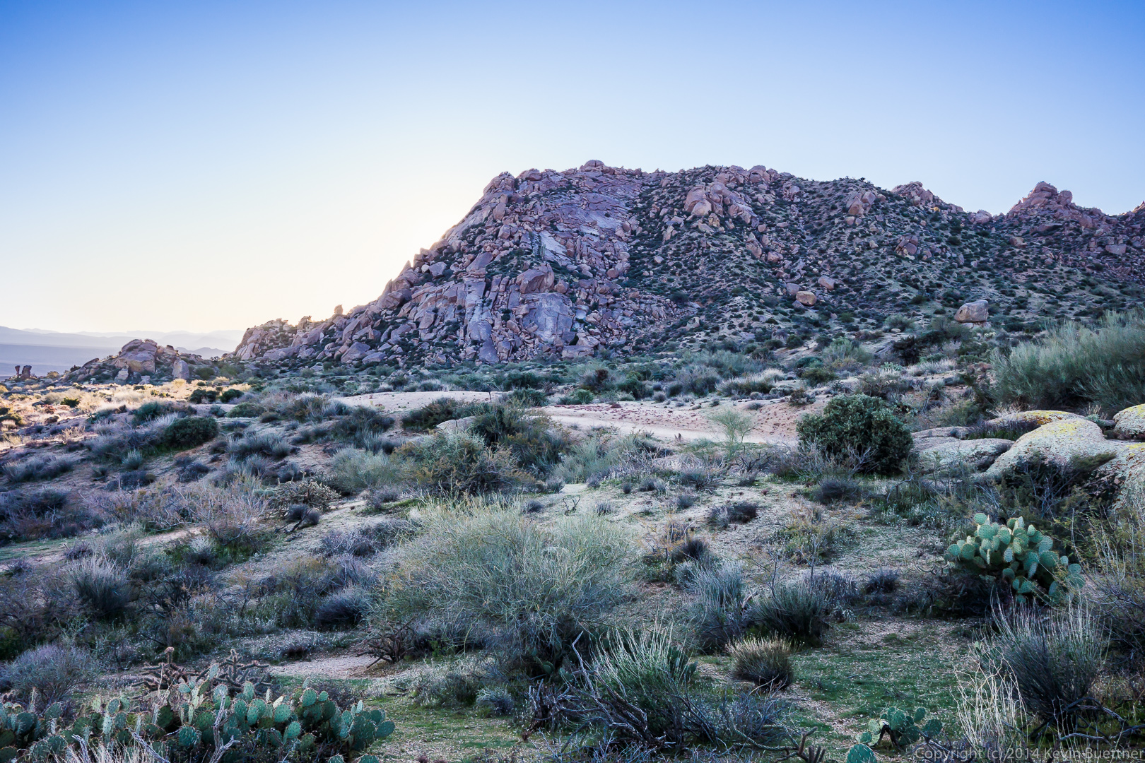
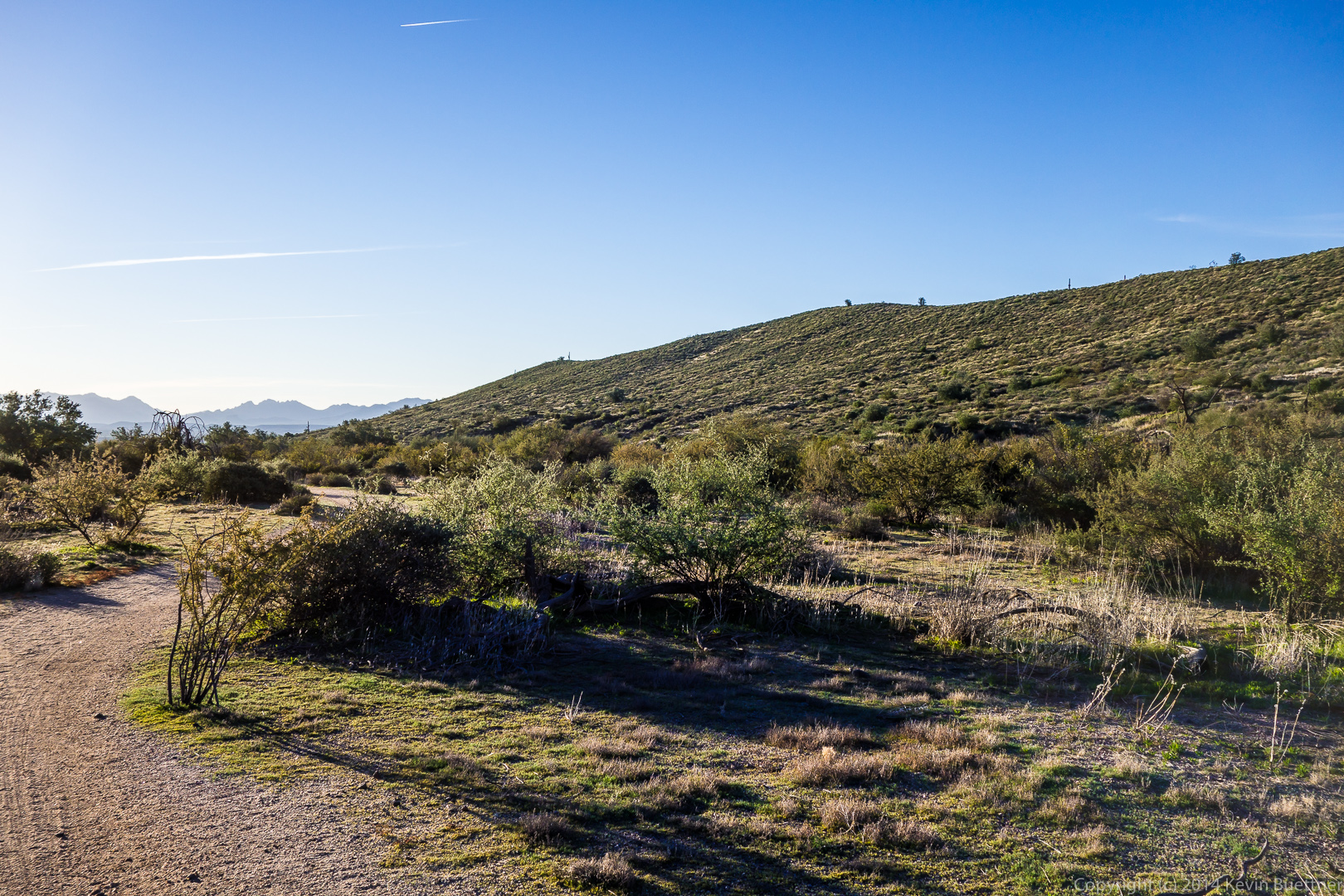
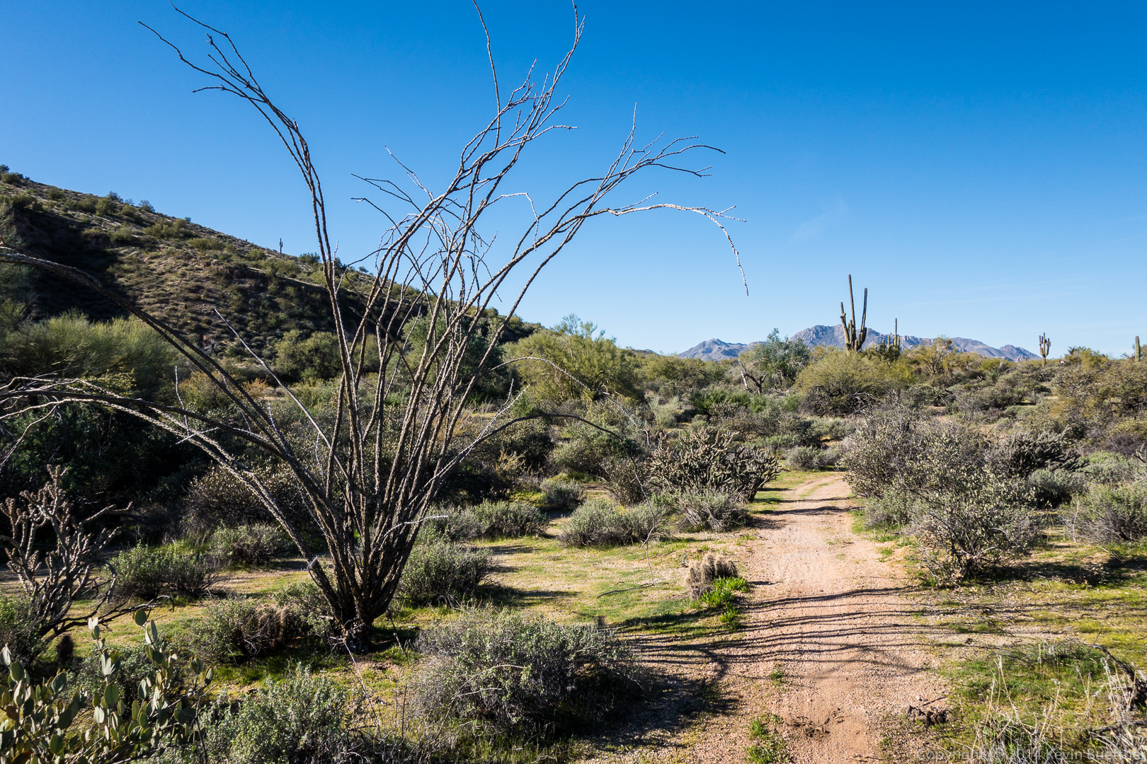
A view to the northeast as we began to make our way up to the ridge.

20140117-_DSC4442-medium
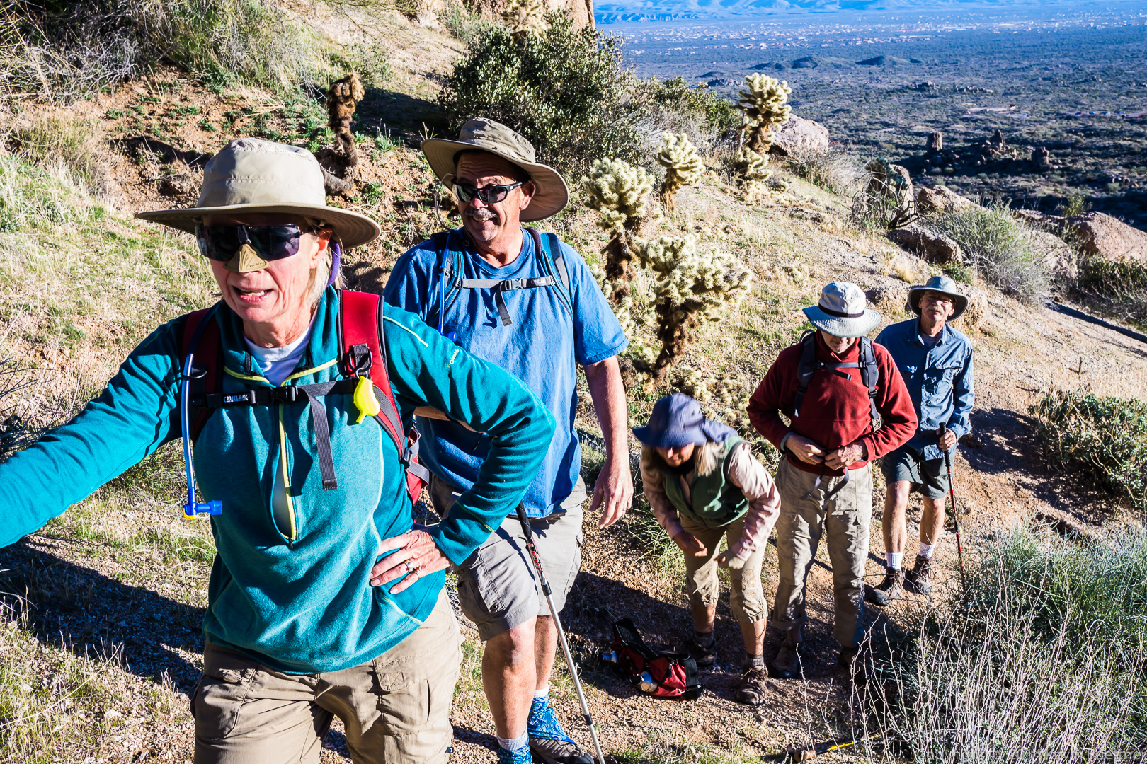
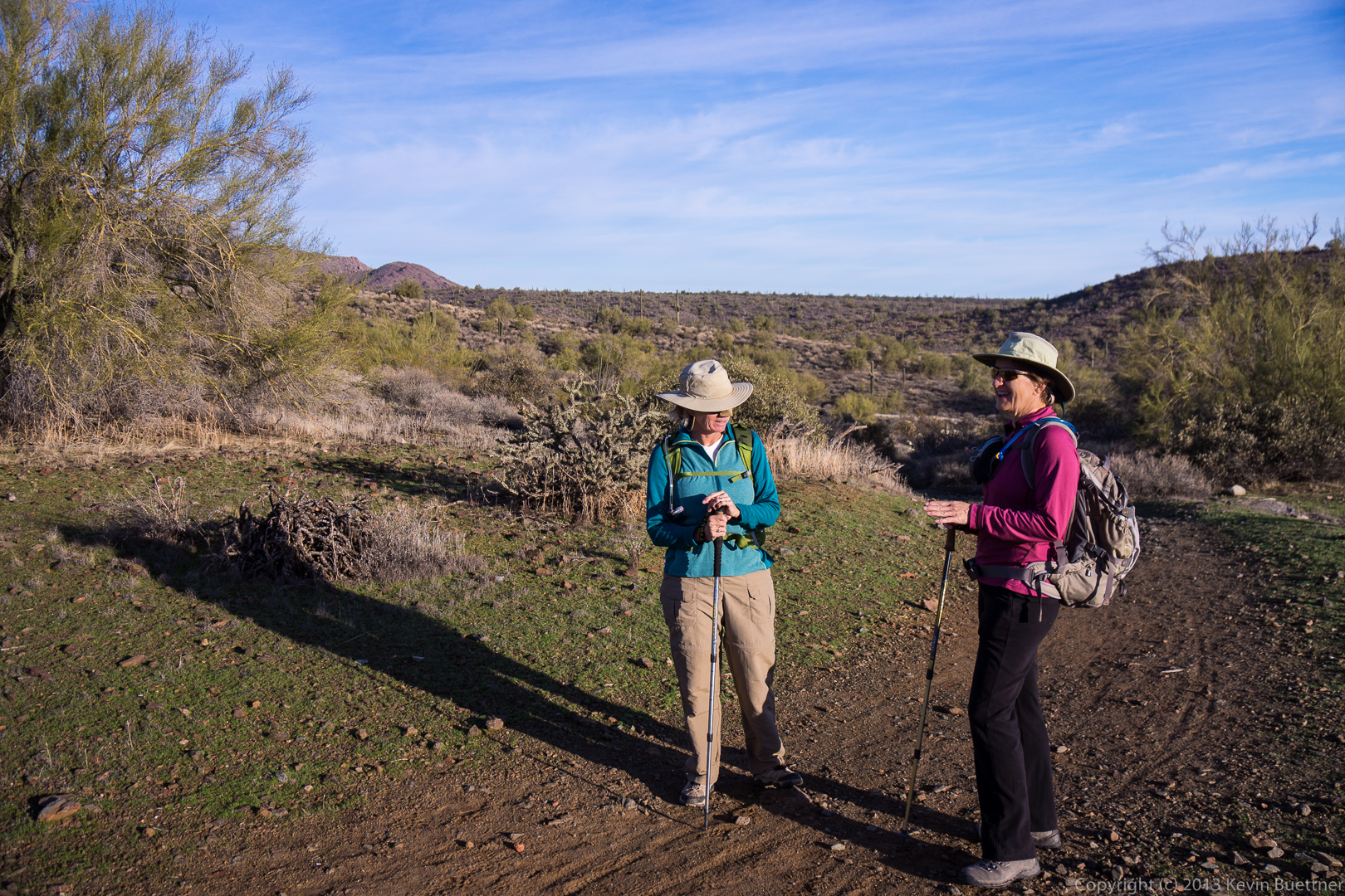
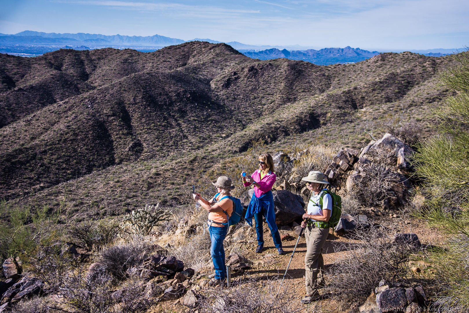
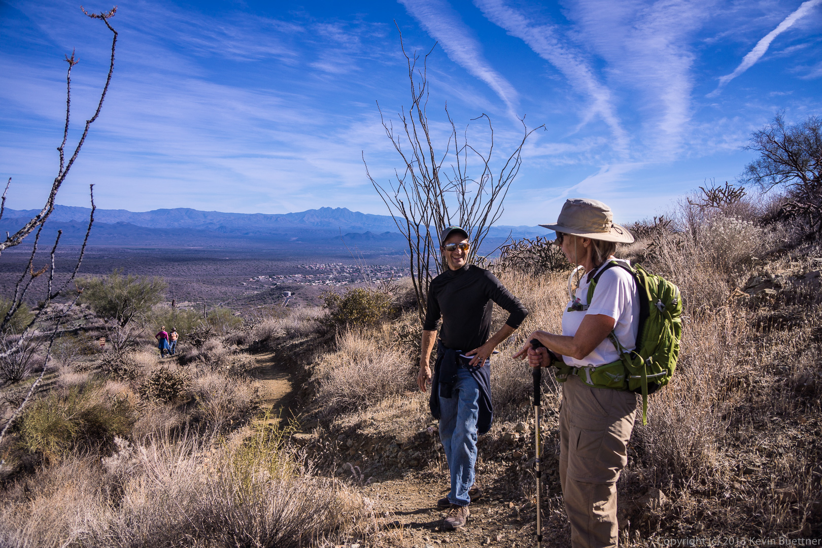
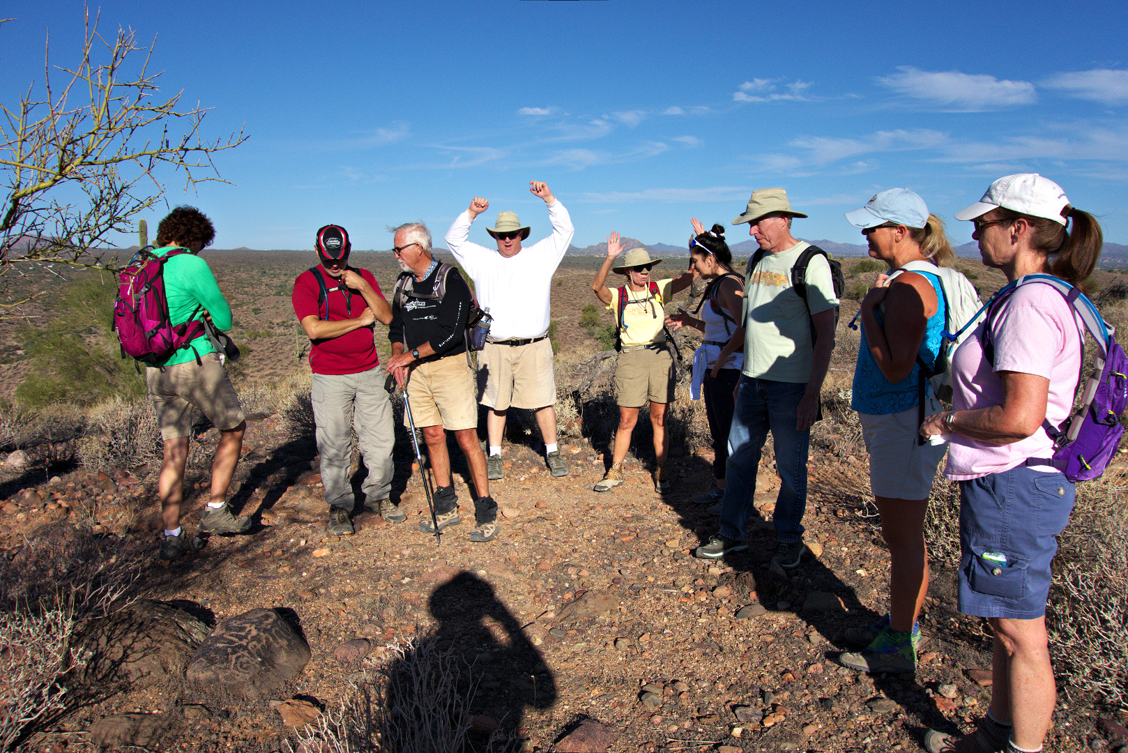
Taking a break and removing some layers…

20140117-_DSC4447-medium 
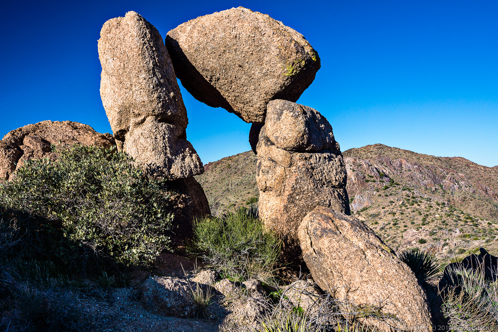
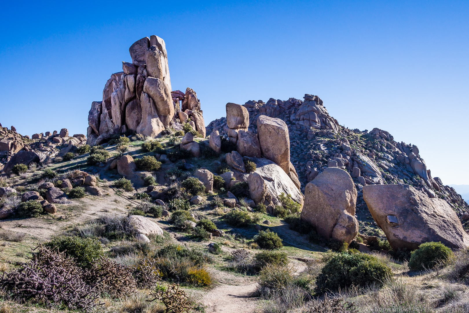
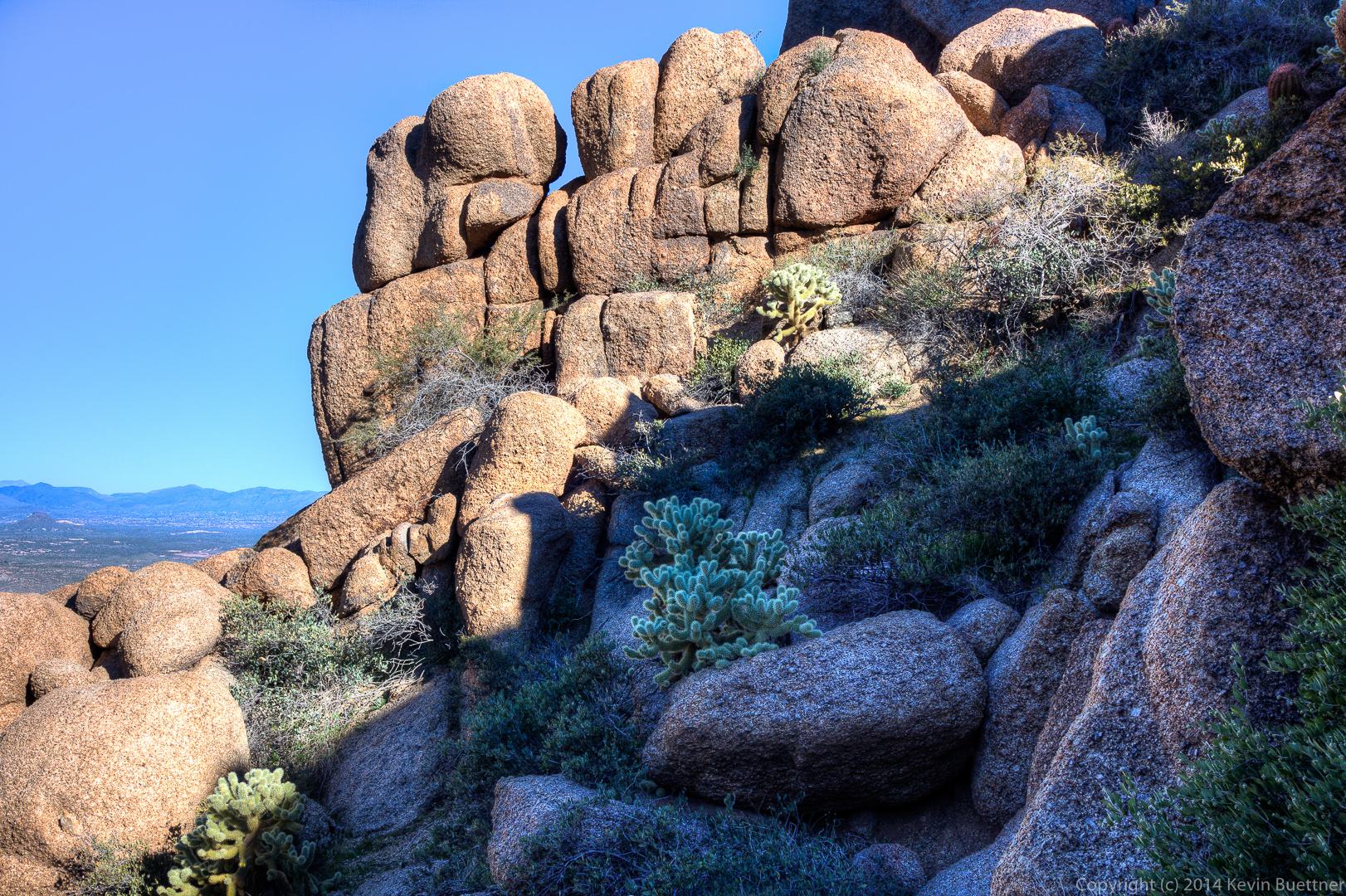
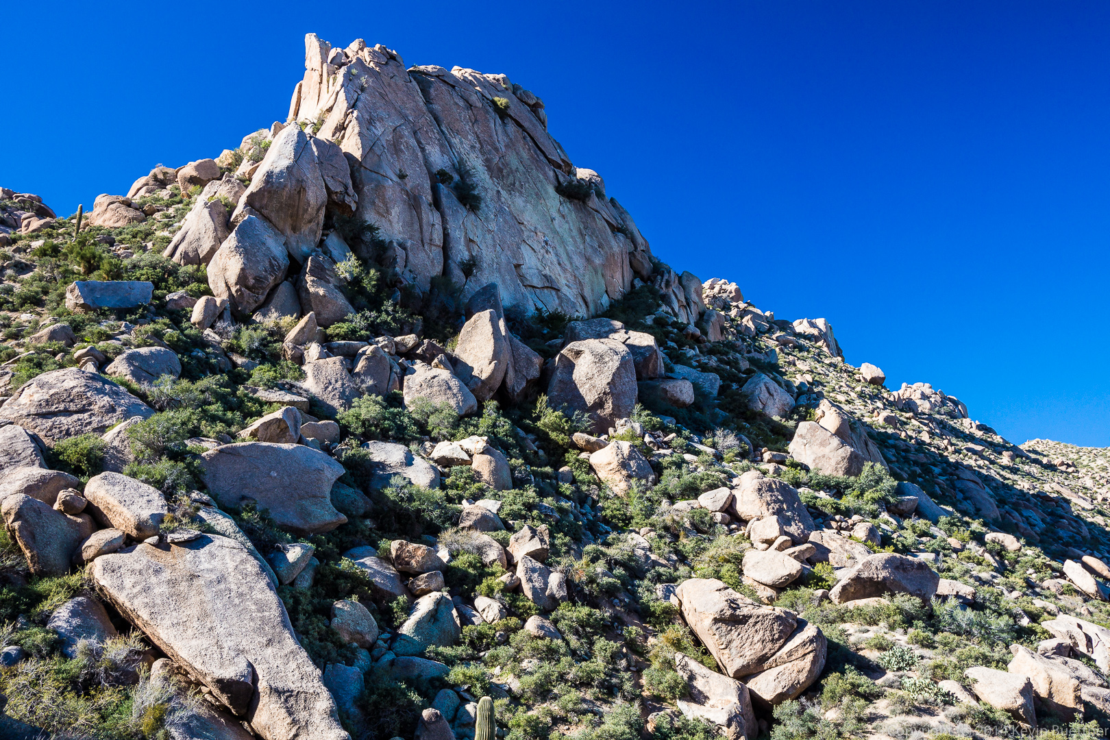
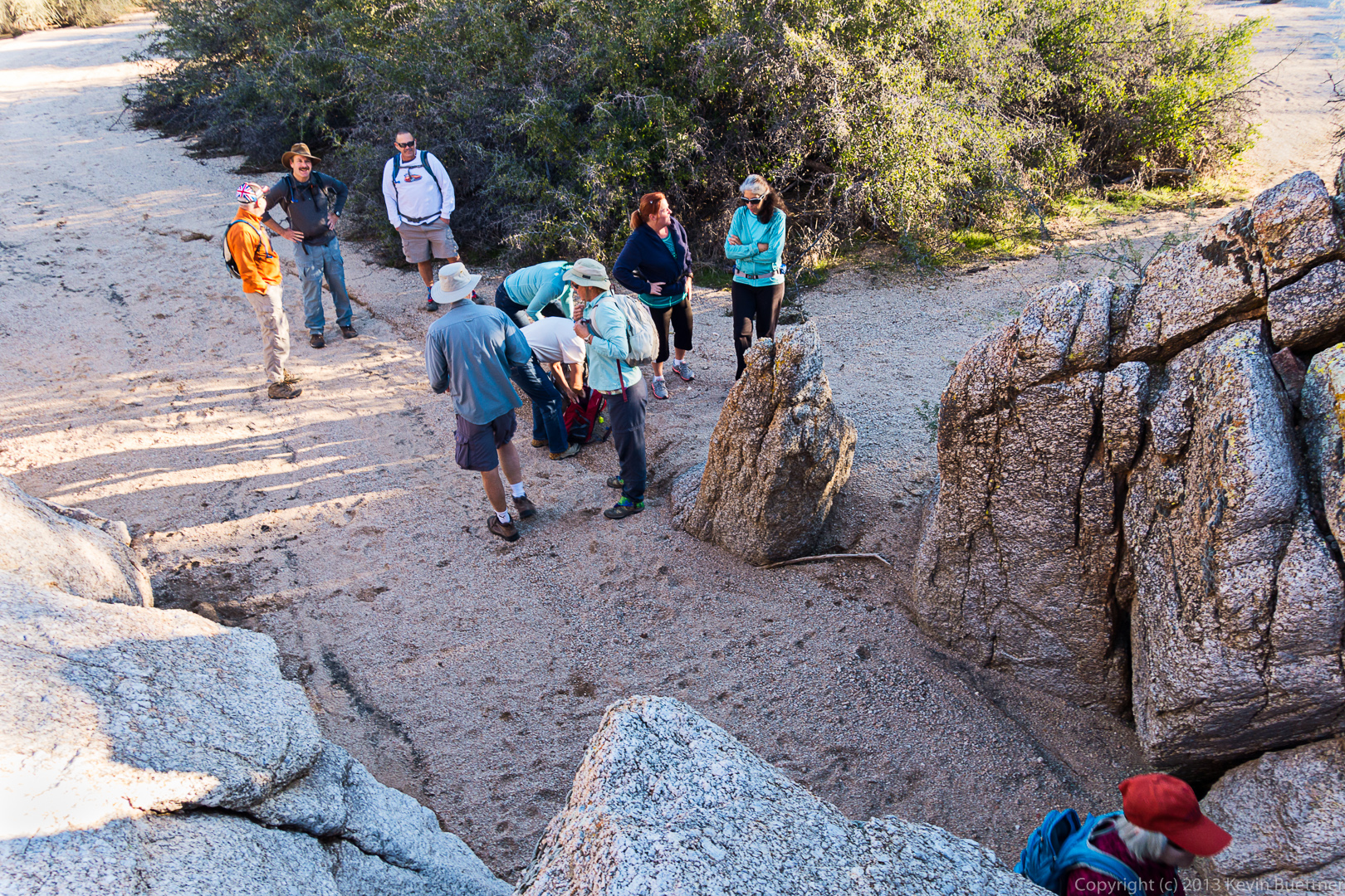
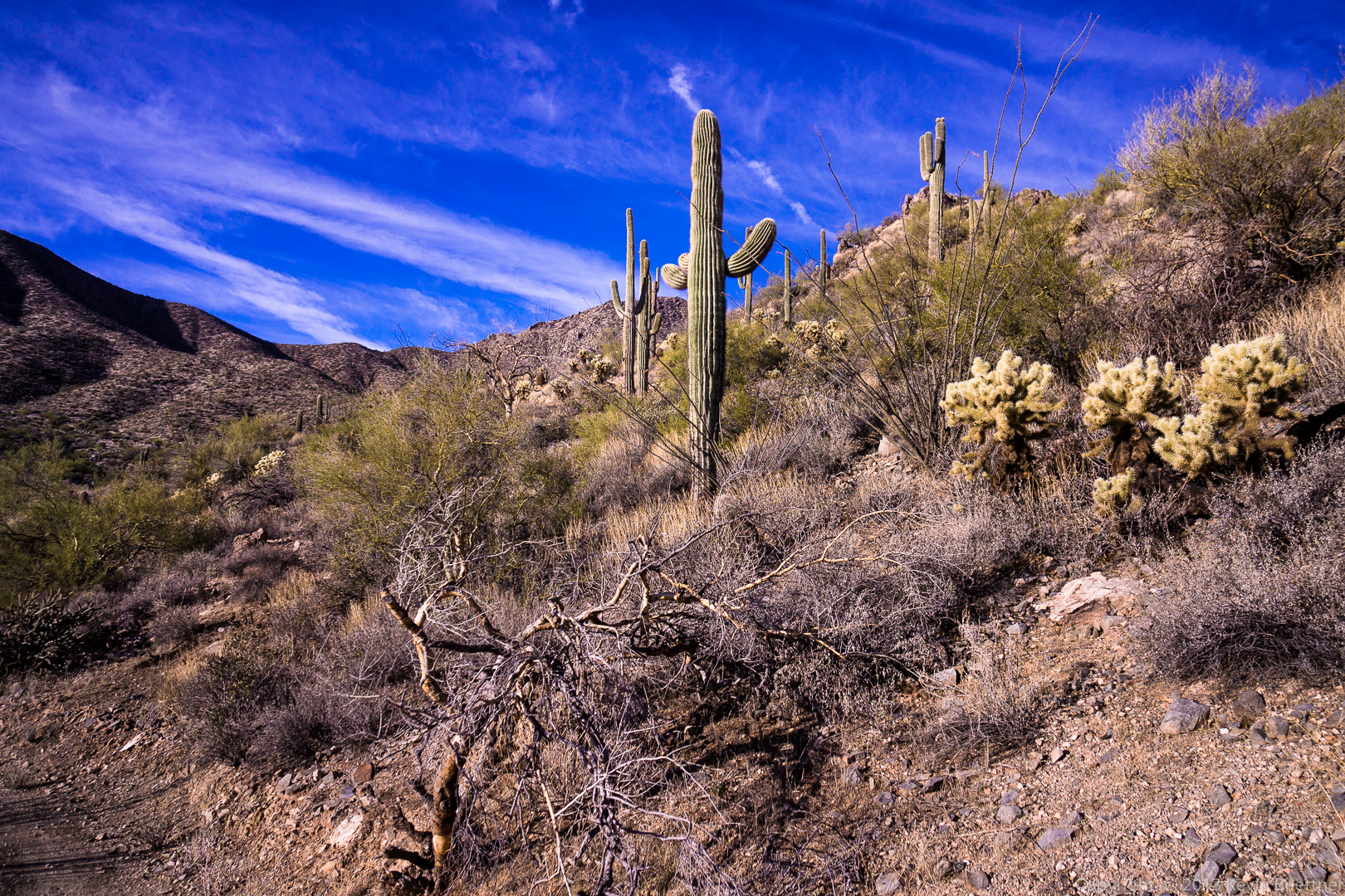
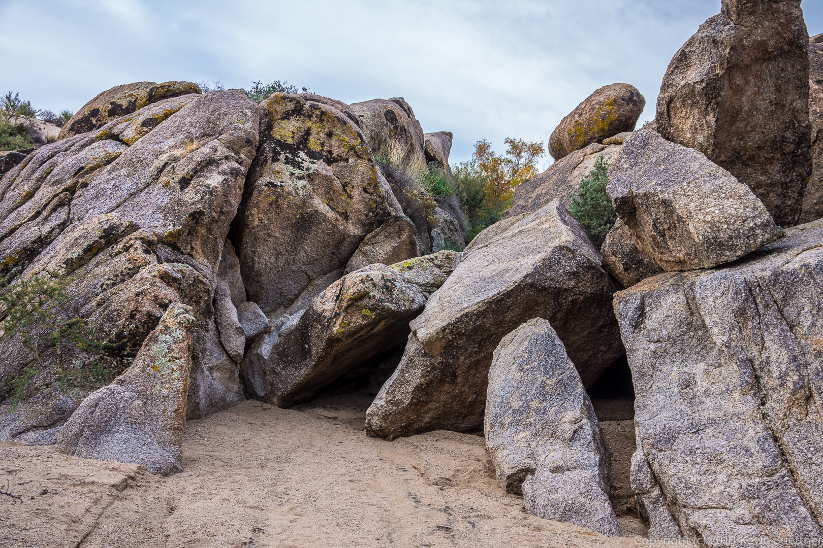
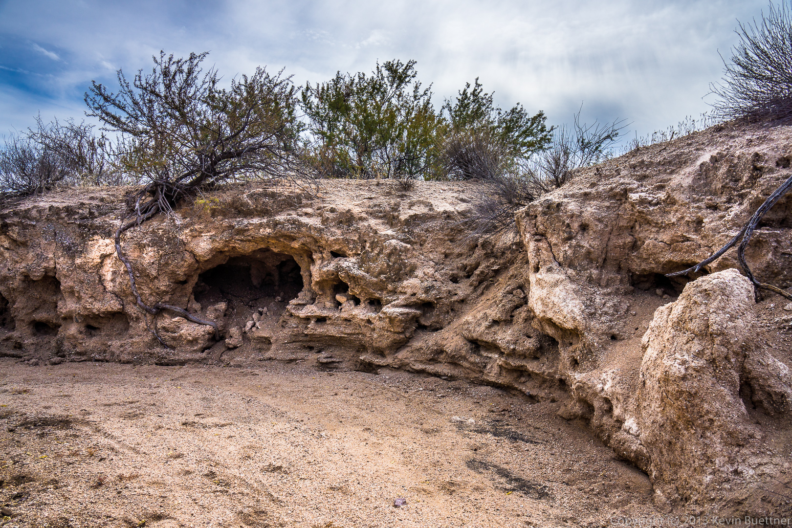
One of the rock formation we encountered on our way up:

20140117-_DSC4451-medium

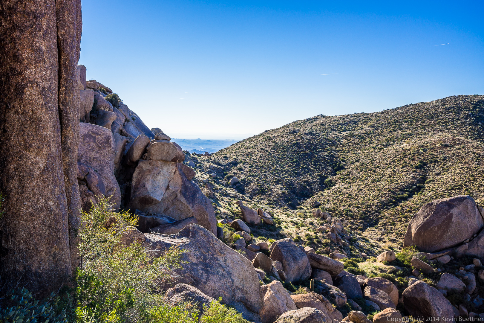
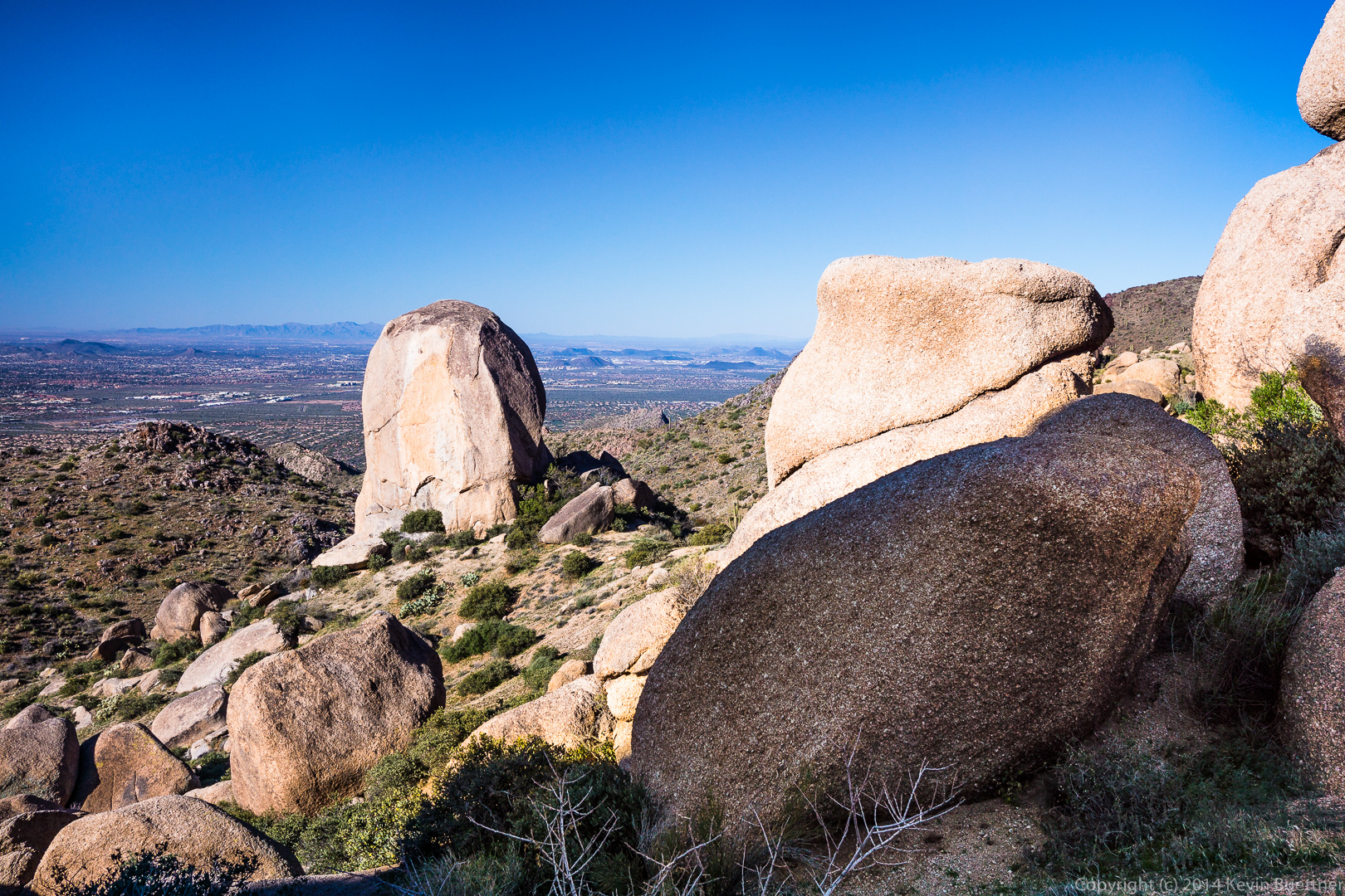
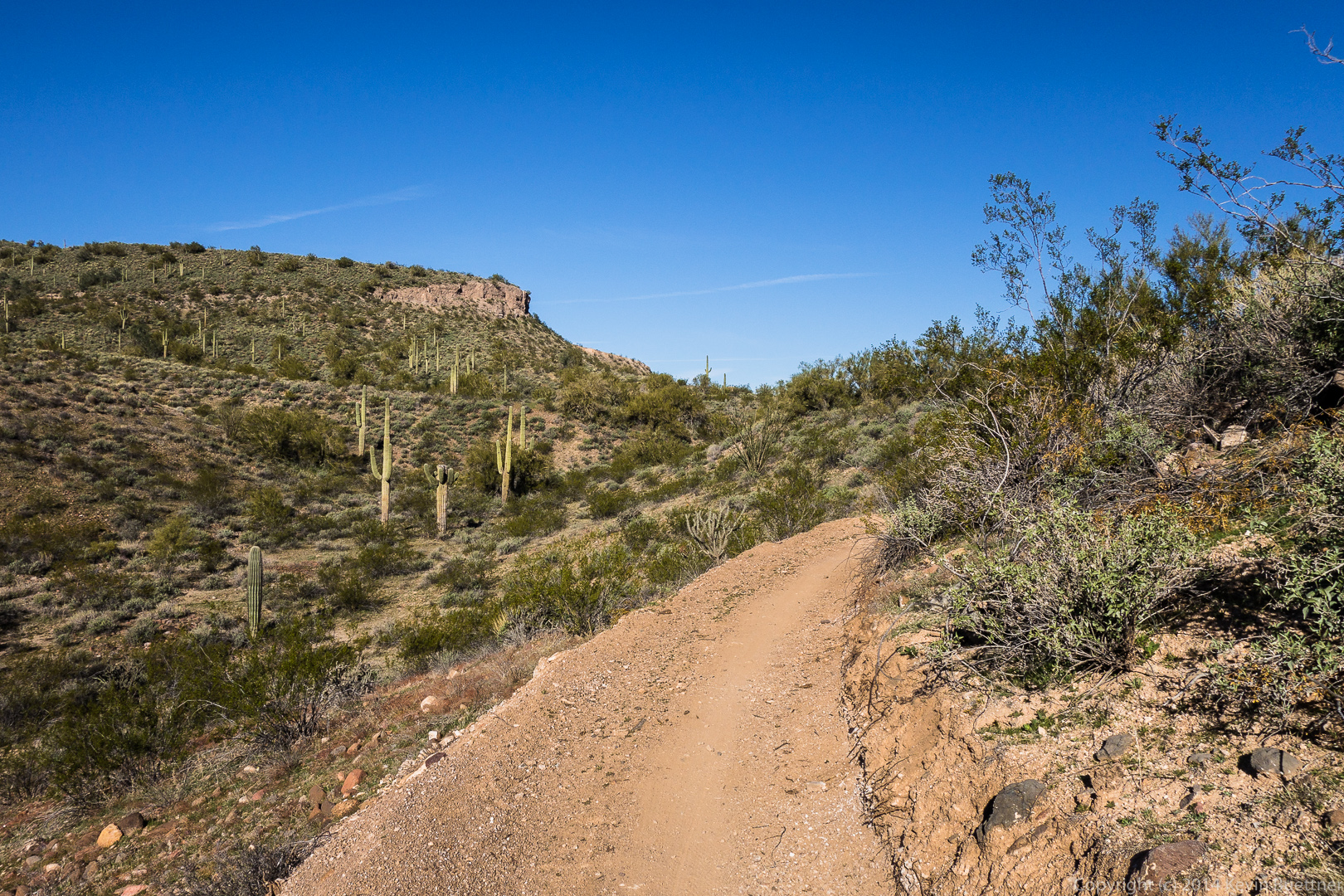
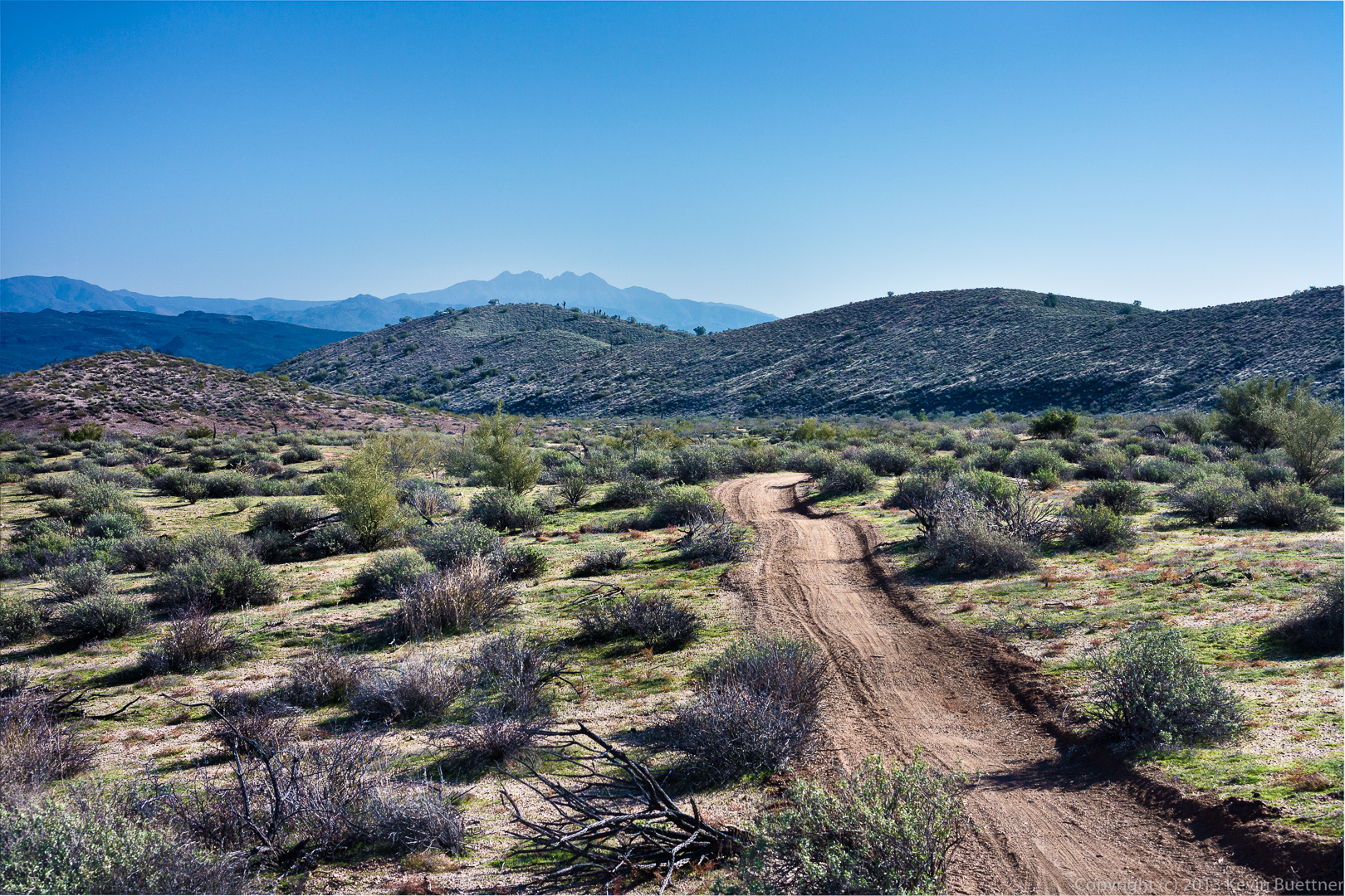
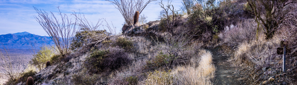
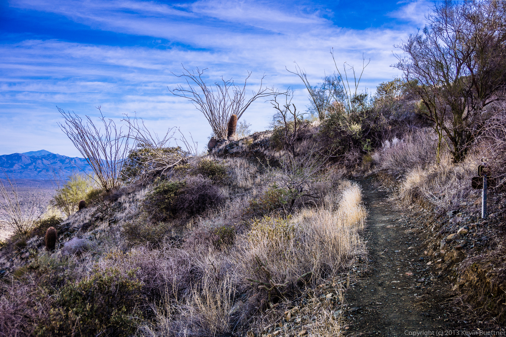
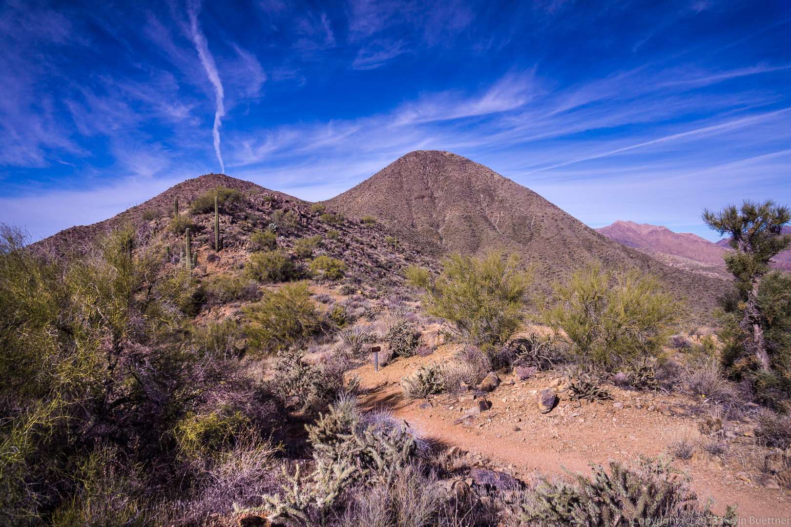
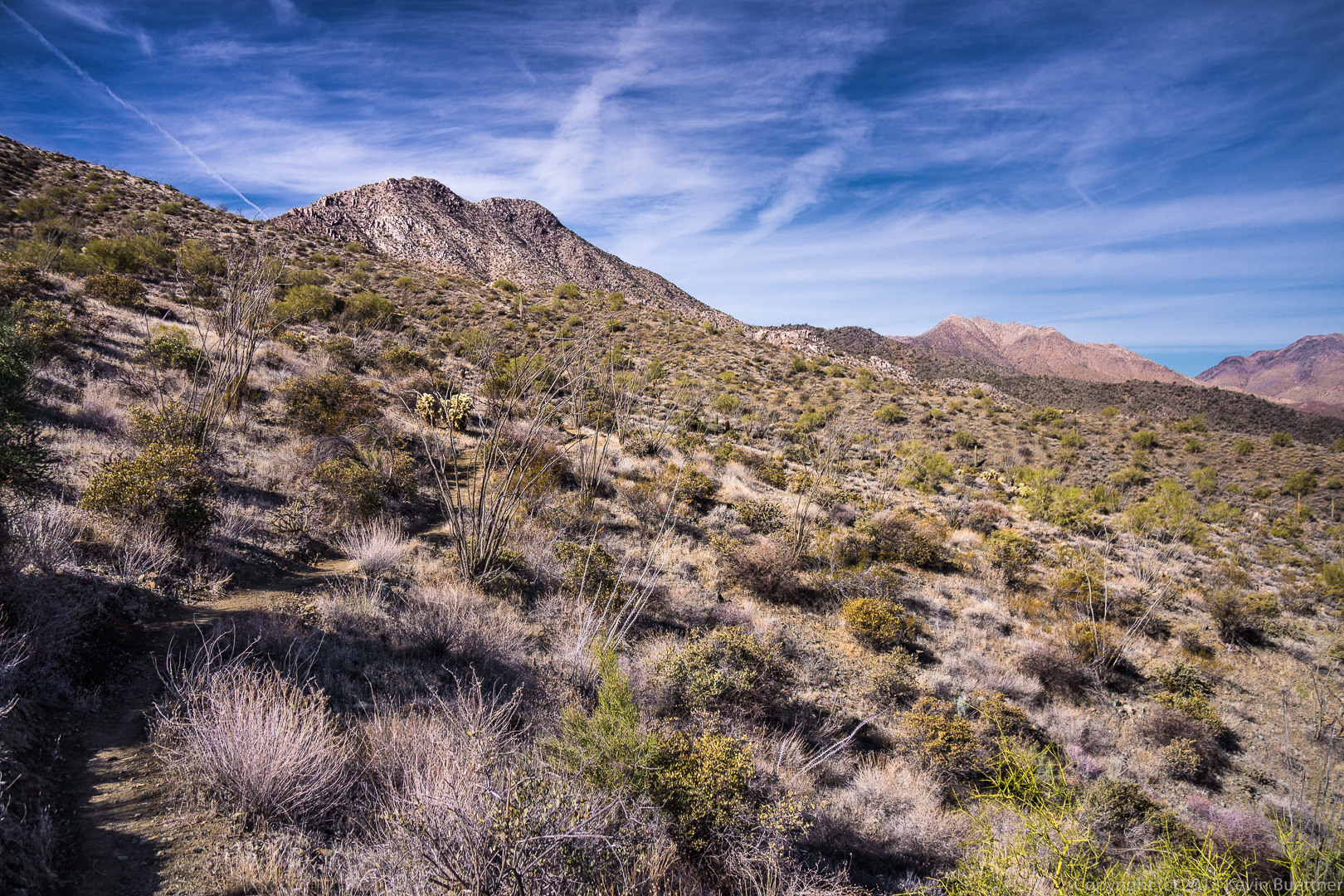
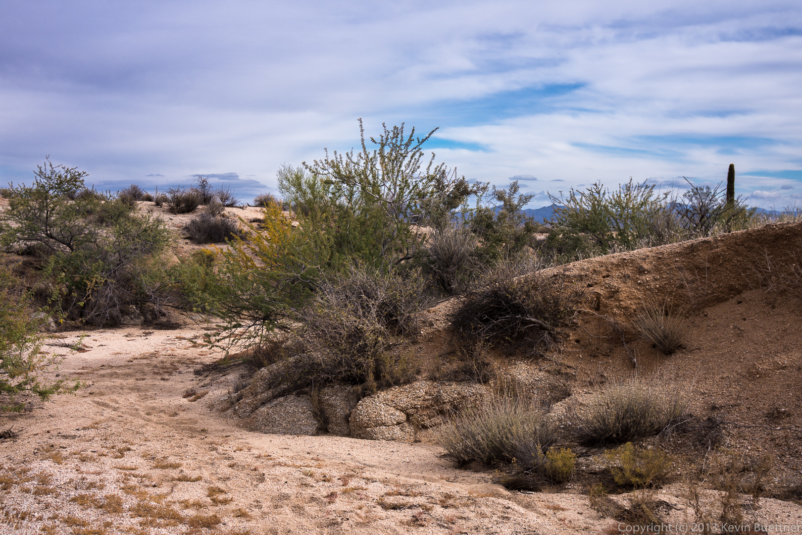
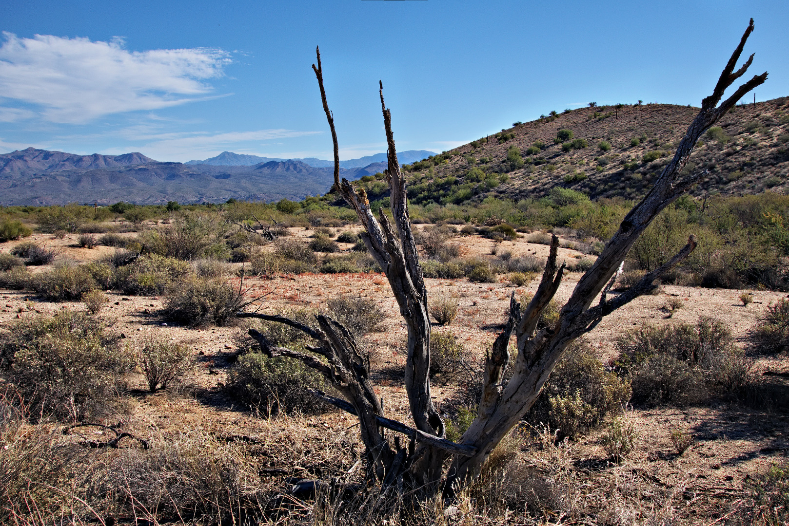
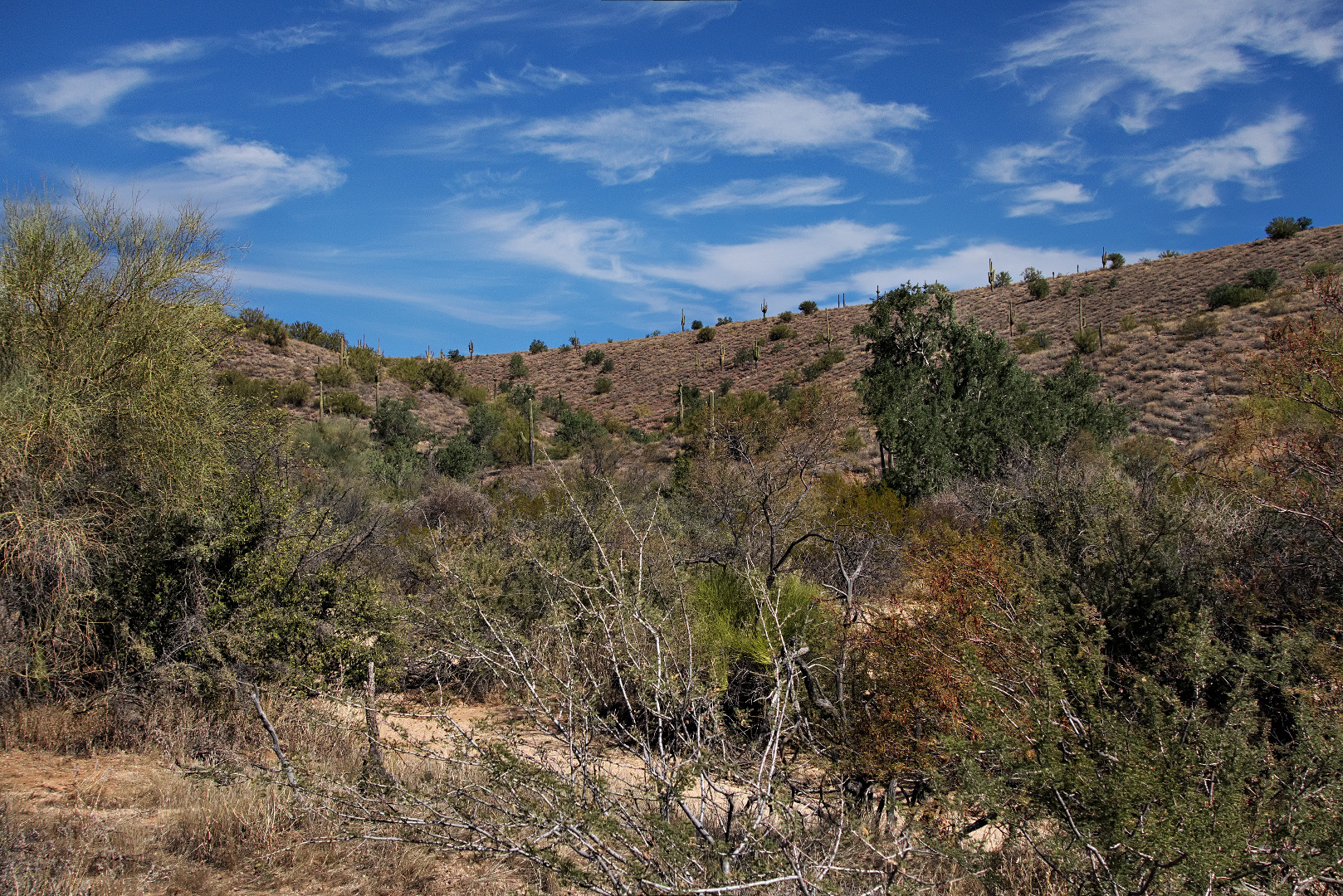
The trail up was steep and loose!20140117-_DSC4457-medium 
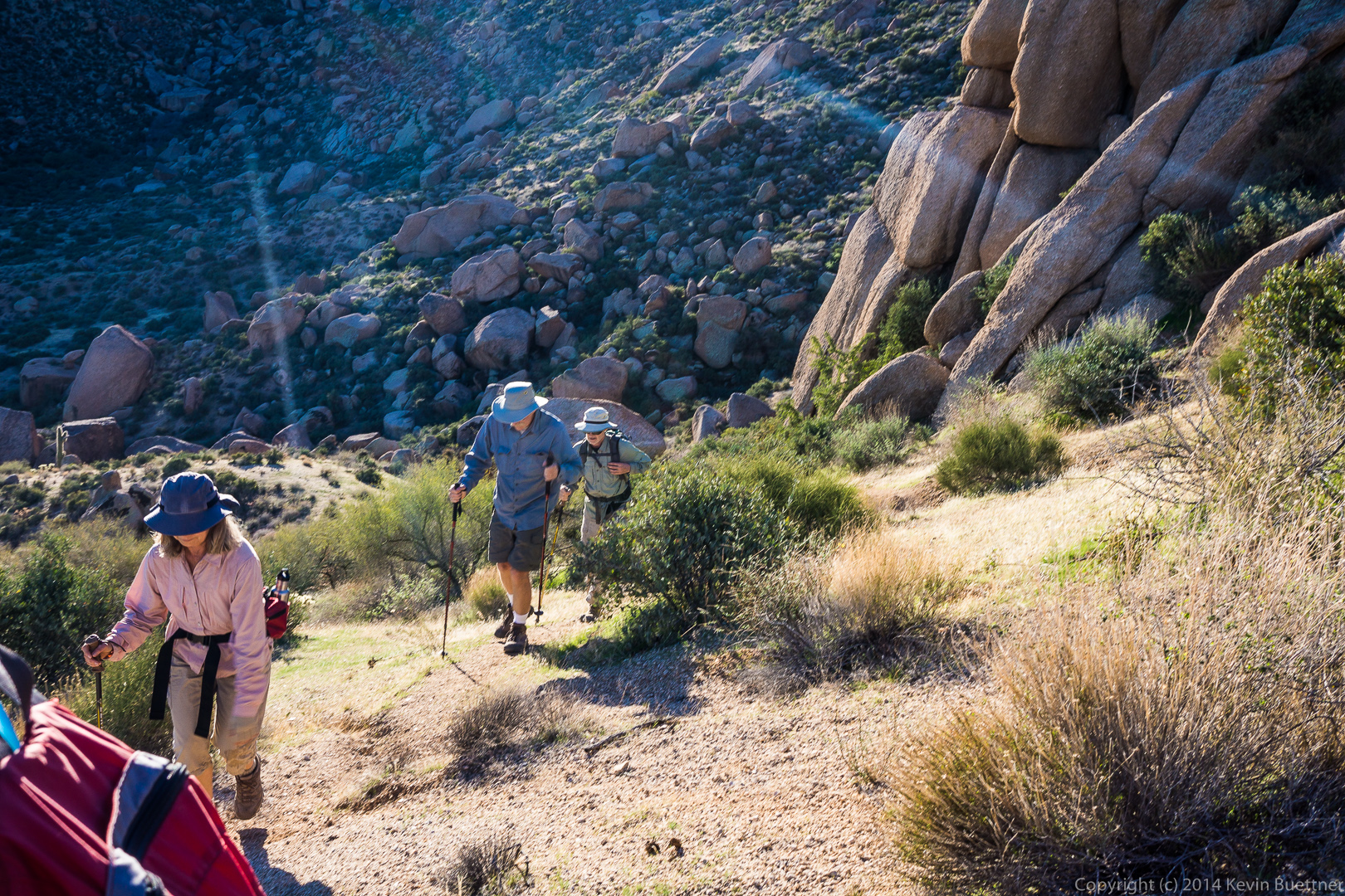
A view to the north as we continued up to the ridge:

20140117-_DSC4463-medium 
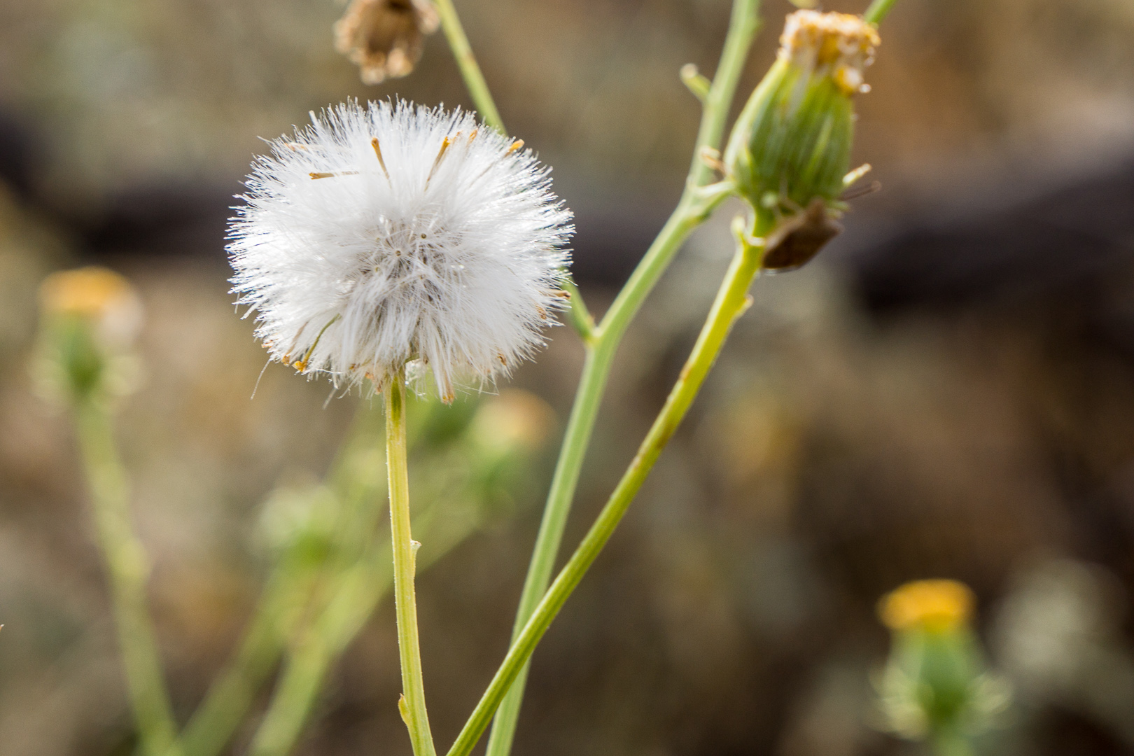
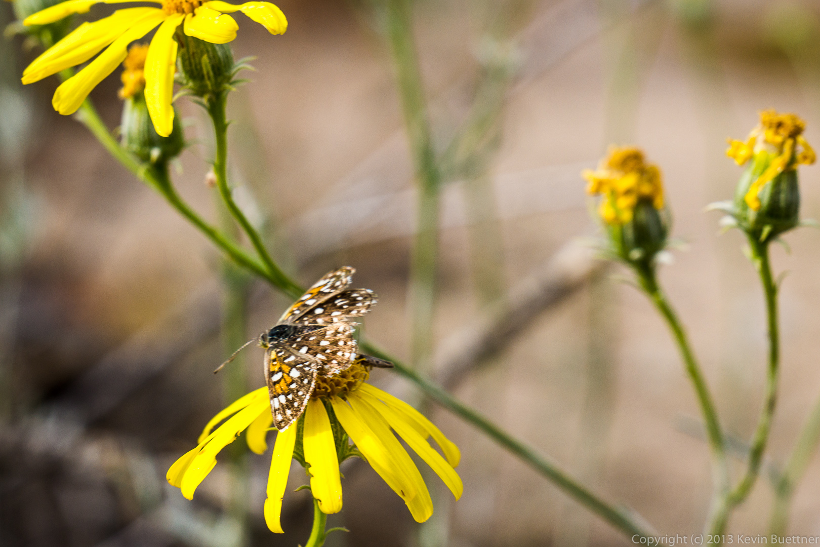
We saw these flowers along the way:

20140117-_DSC4484-medium

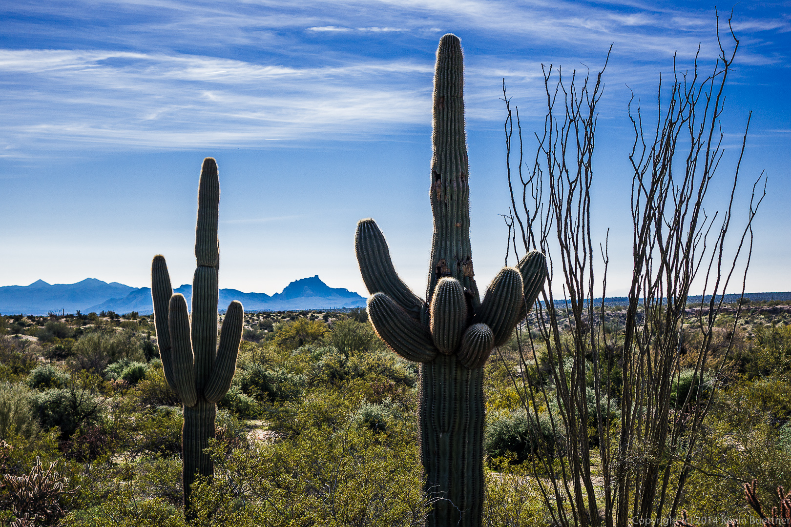
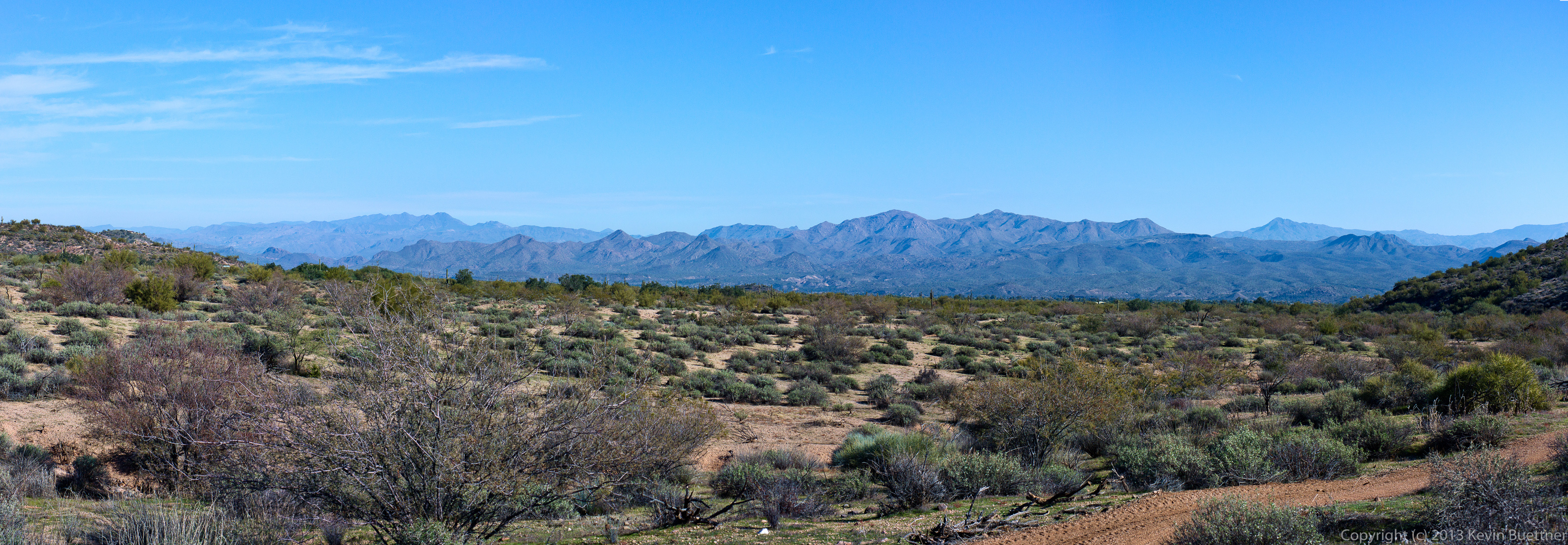
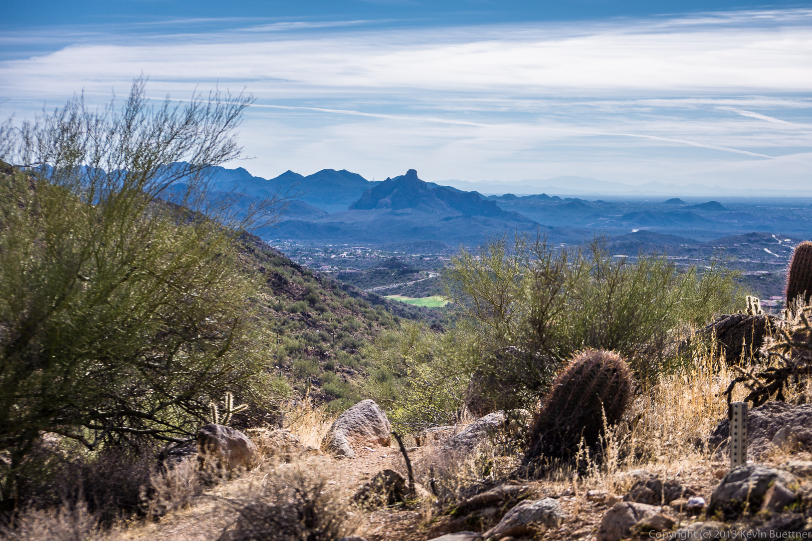
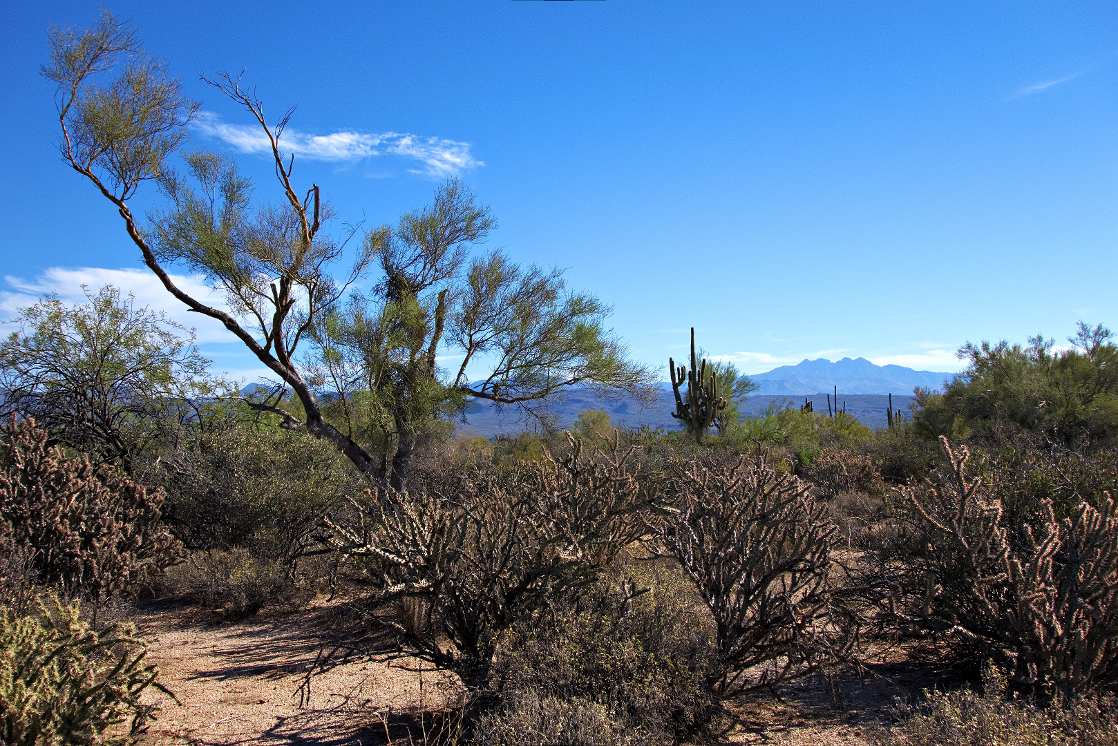
A view of Troon and Pinnacle Peak:

20140117-_DSC4490-medium 
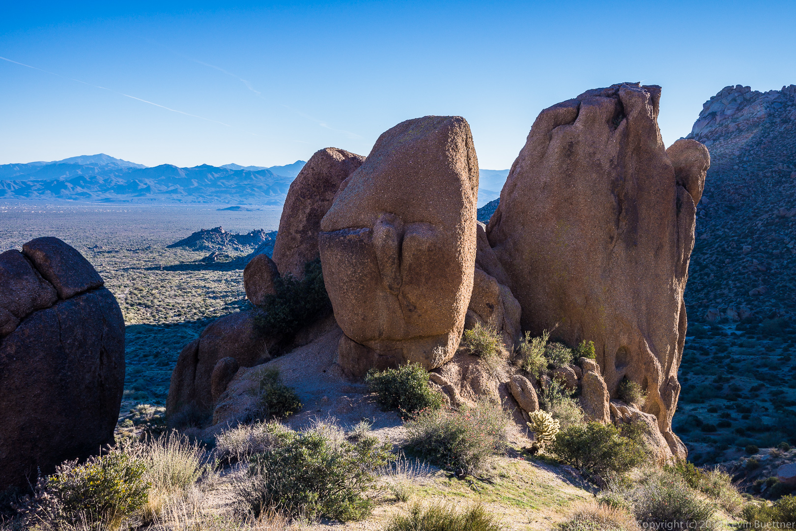
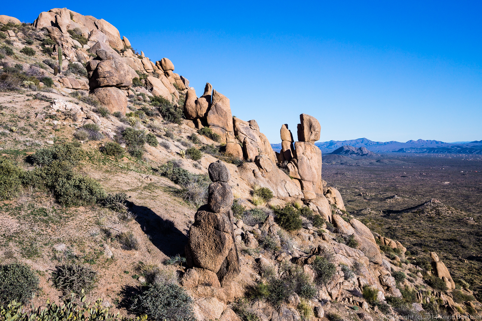
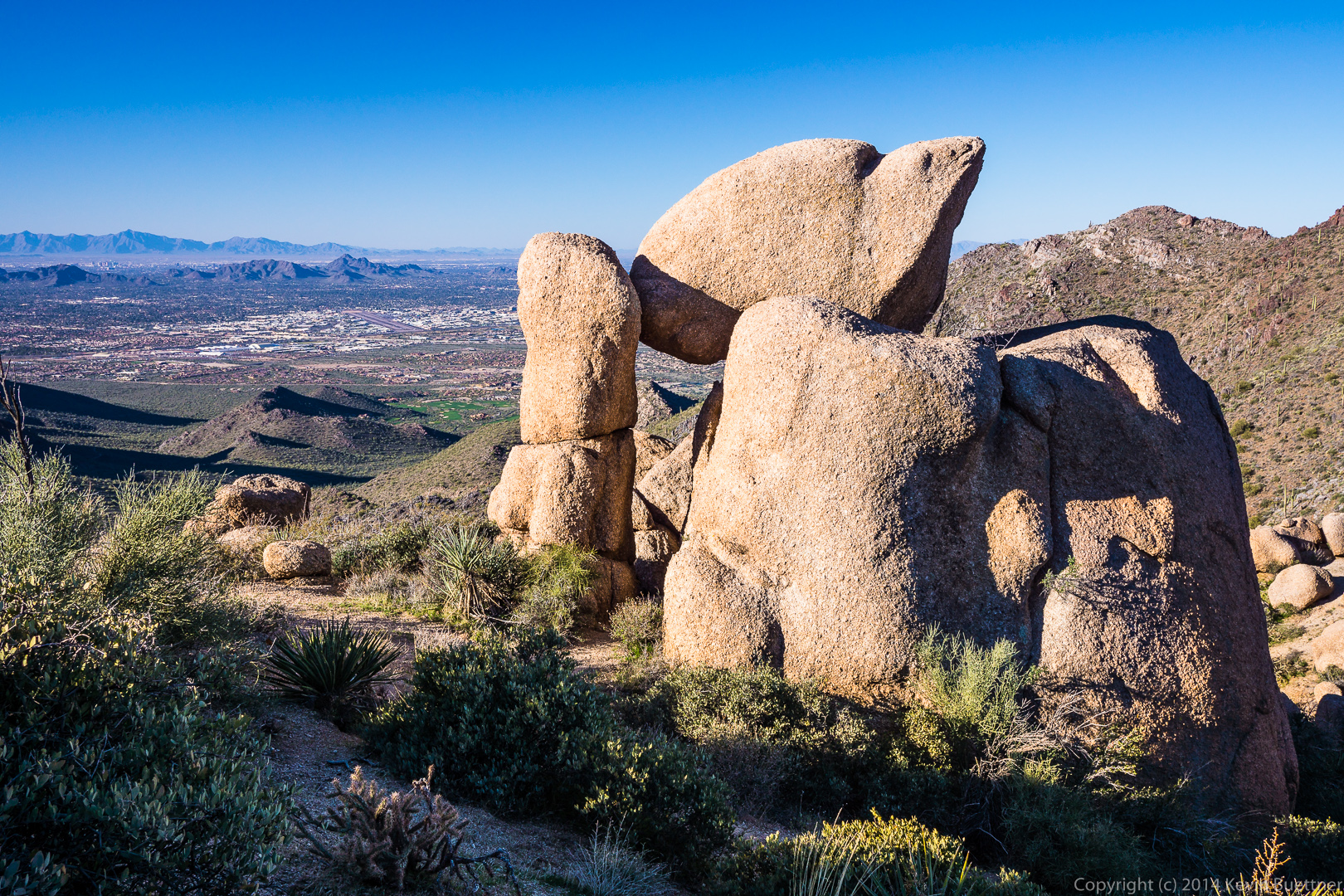
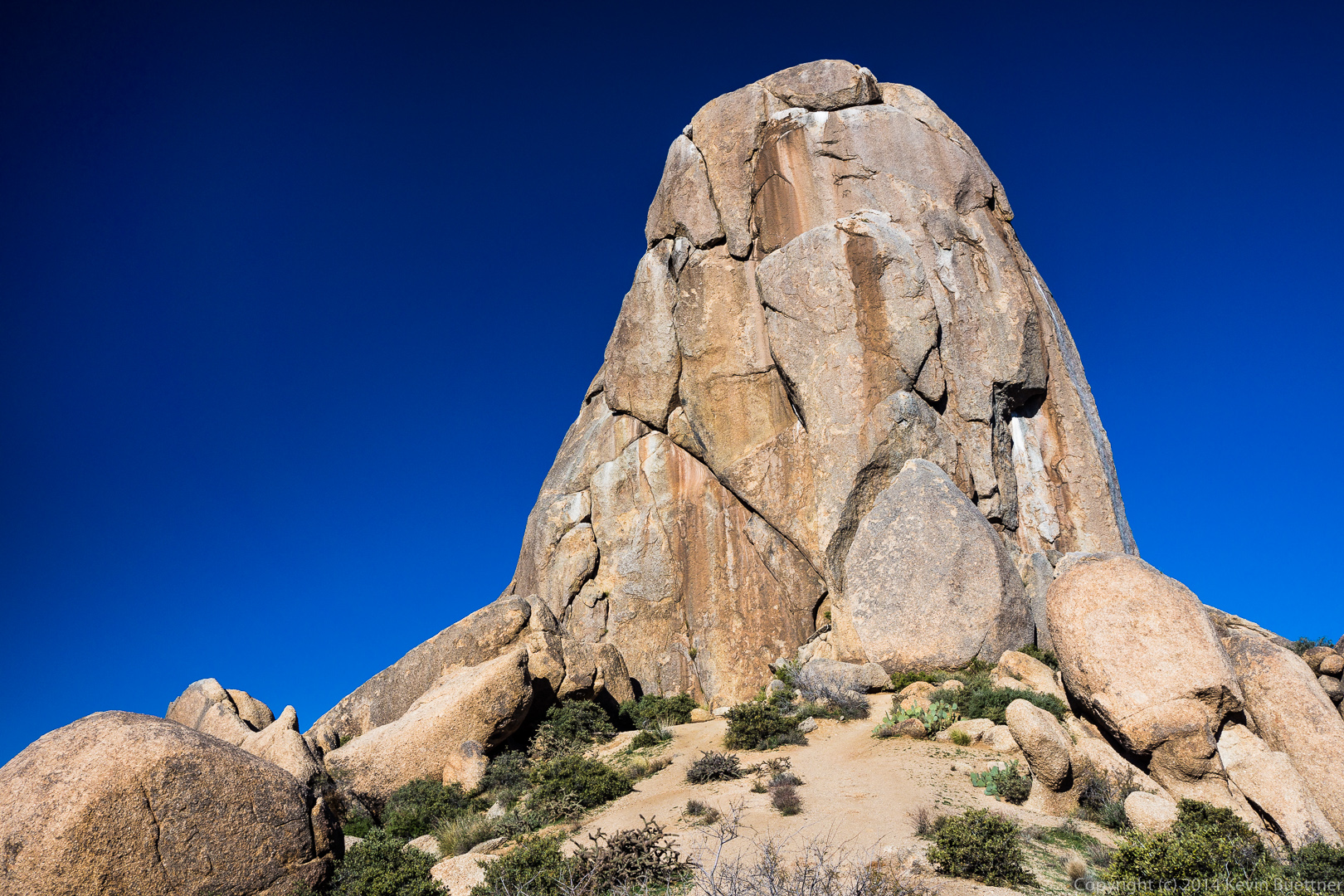
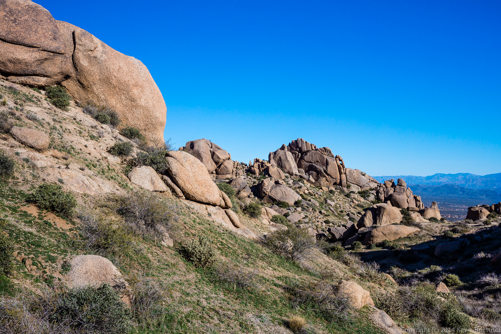
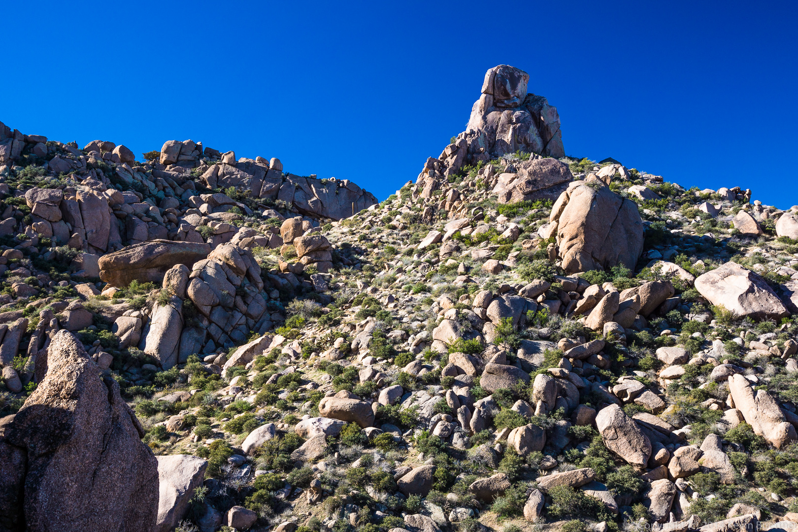
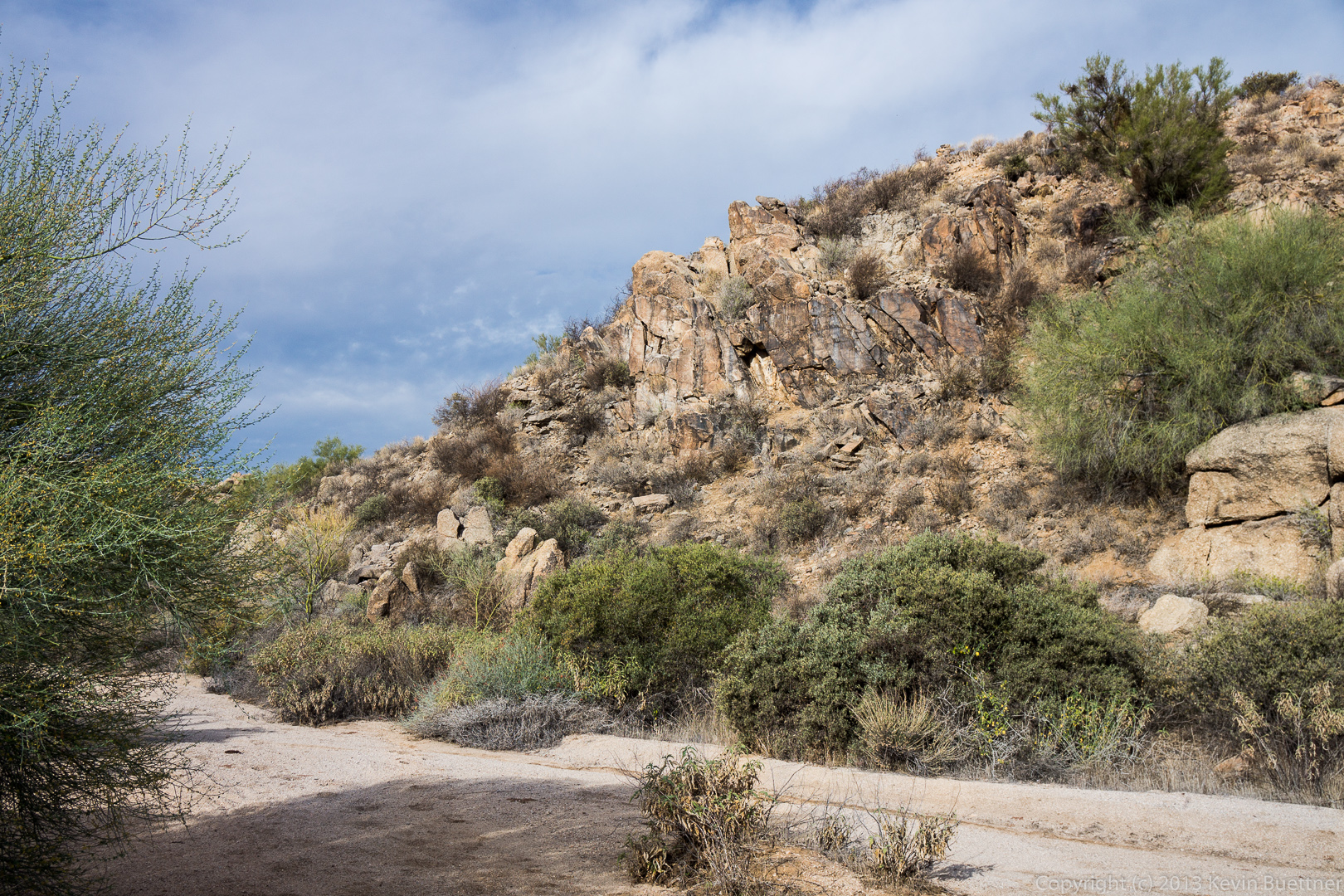
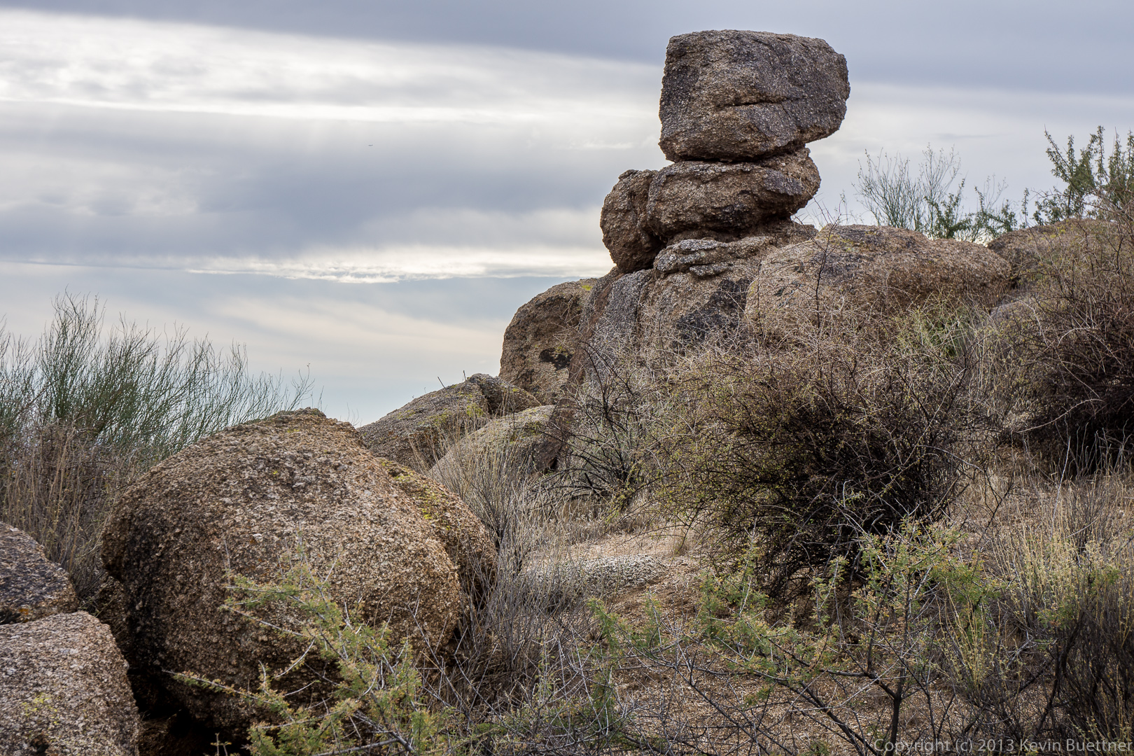
A rock formation along the ridge:

20140117-_DSC4496_7_8-medium 
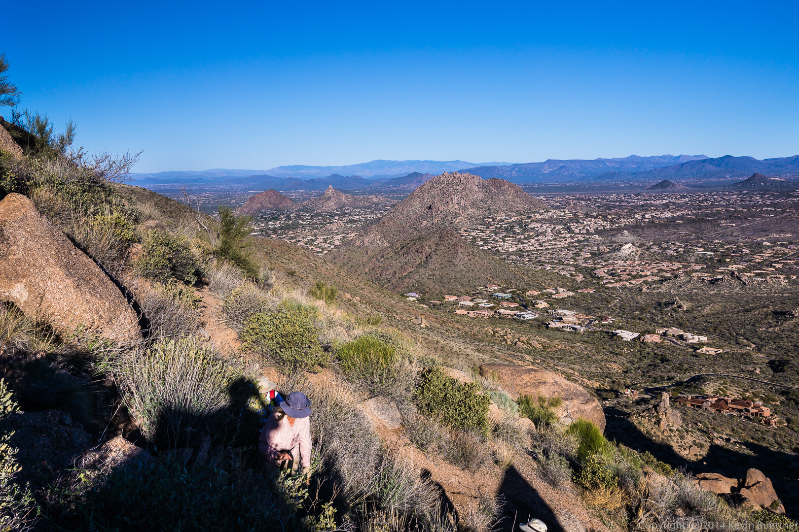
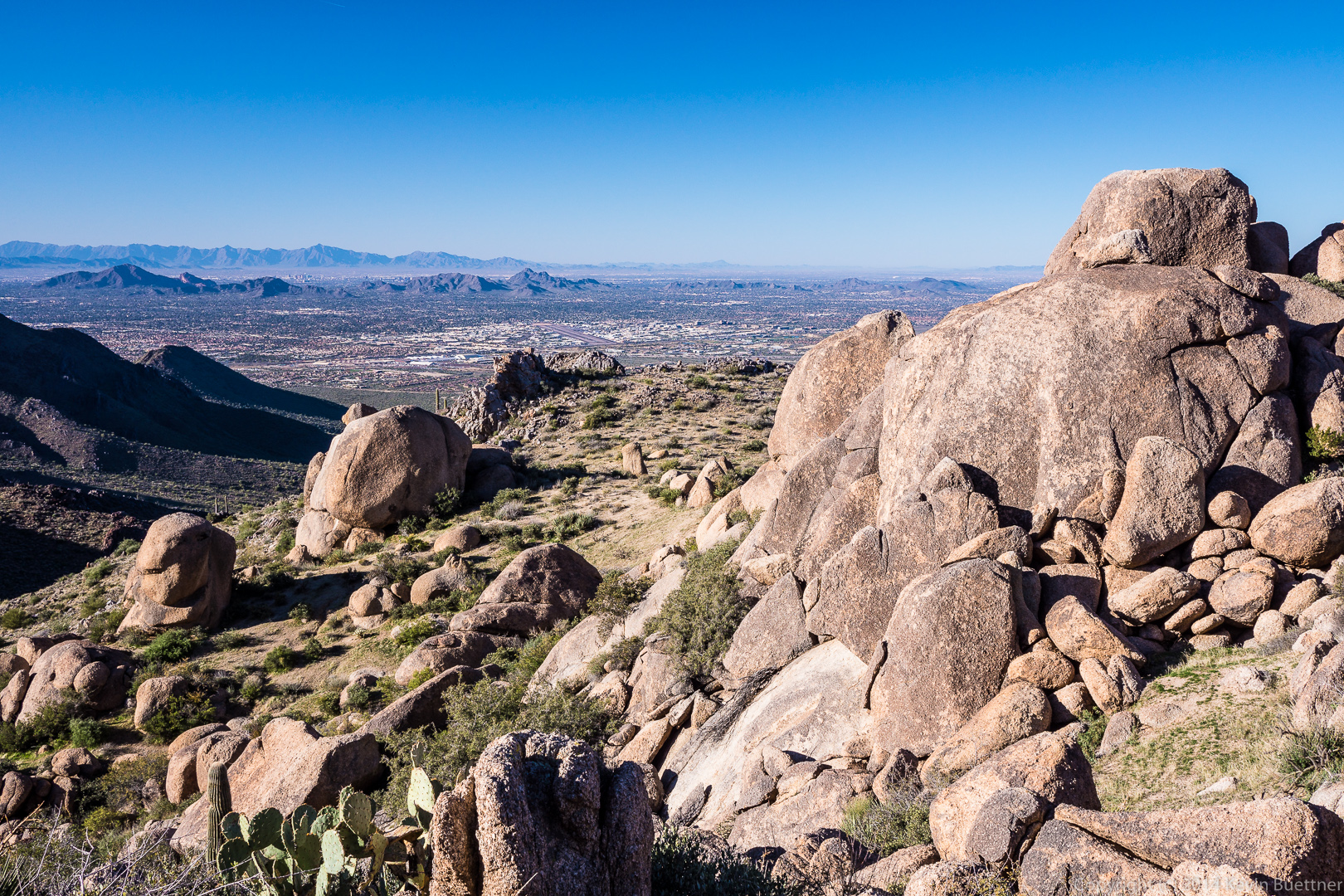
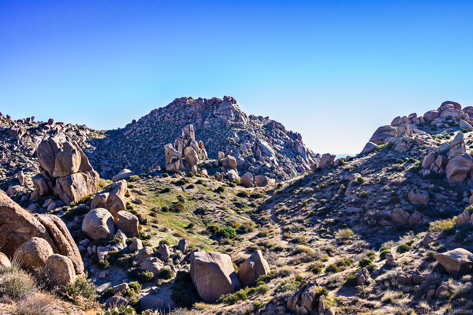
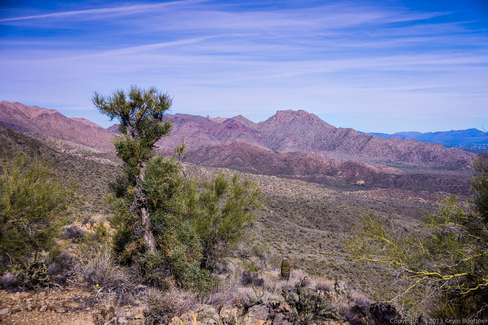
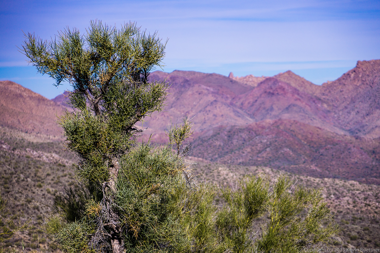
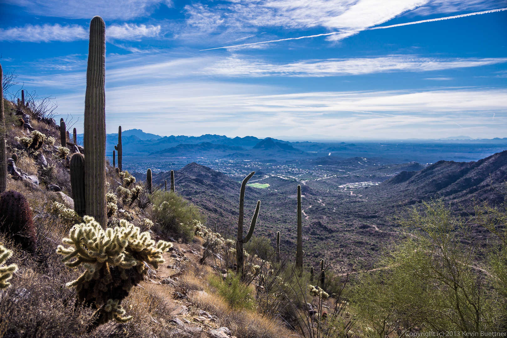
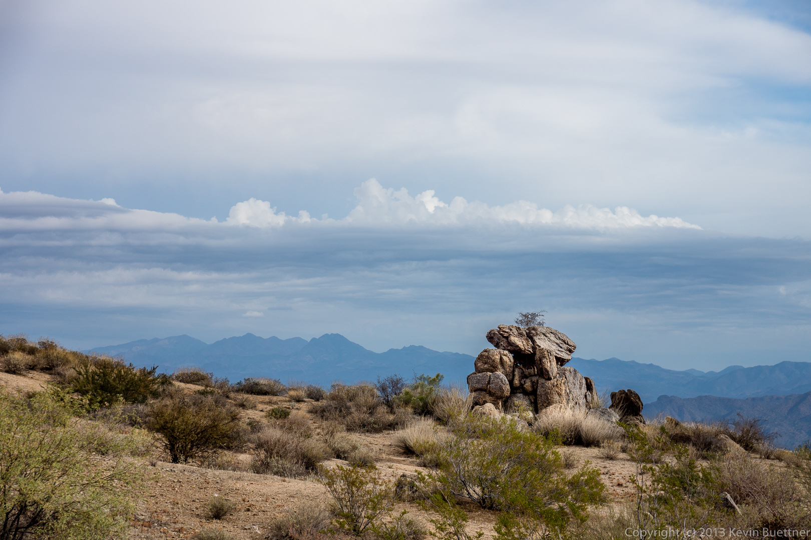
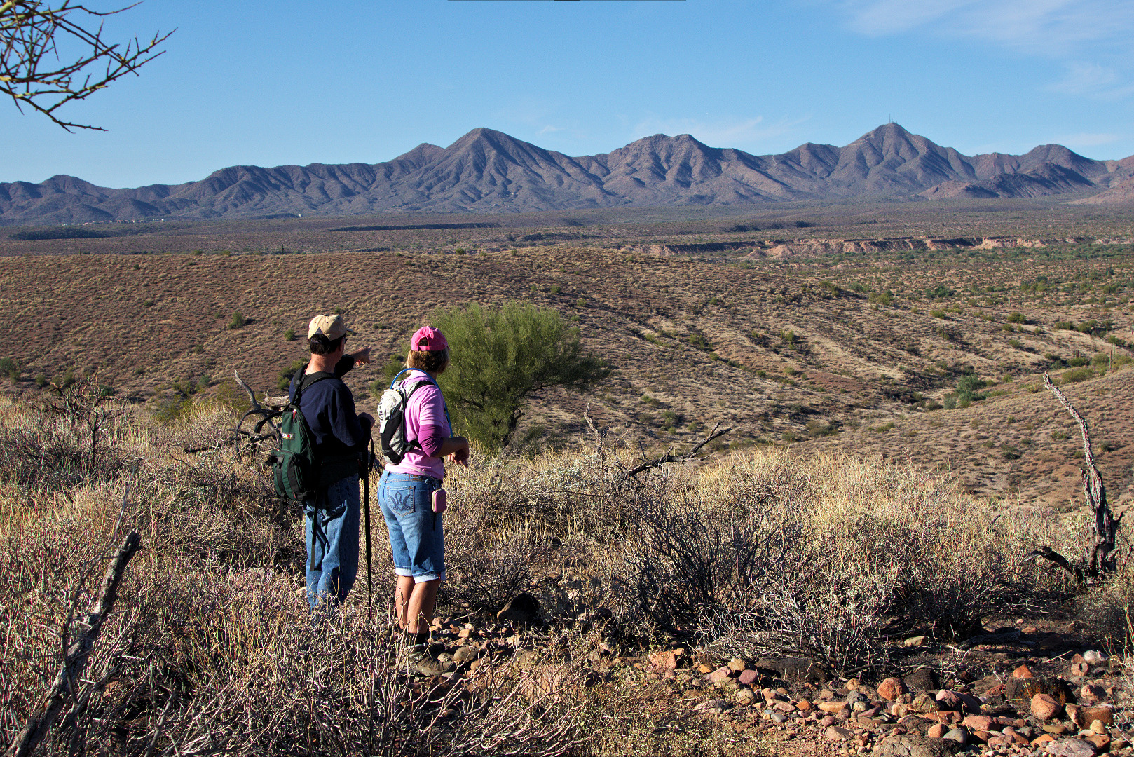
More views from the ridge…

20140117-_DSC4508-Edit-medium 20140117-_DSC4517_8_9-medium 20140117-_DSC4523-medium 20140117-_DSC4532-medium
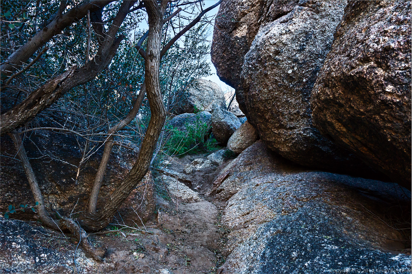
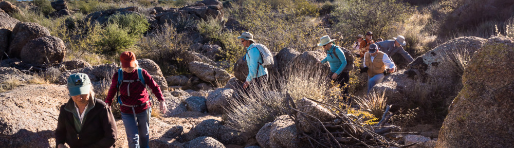
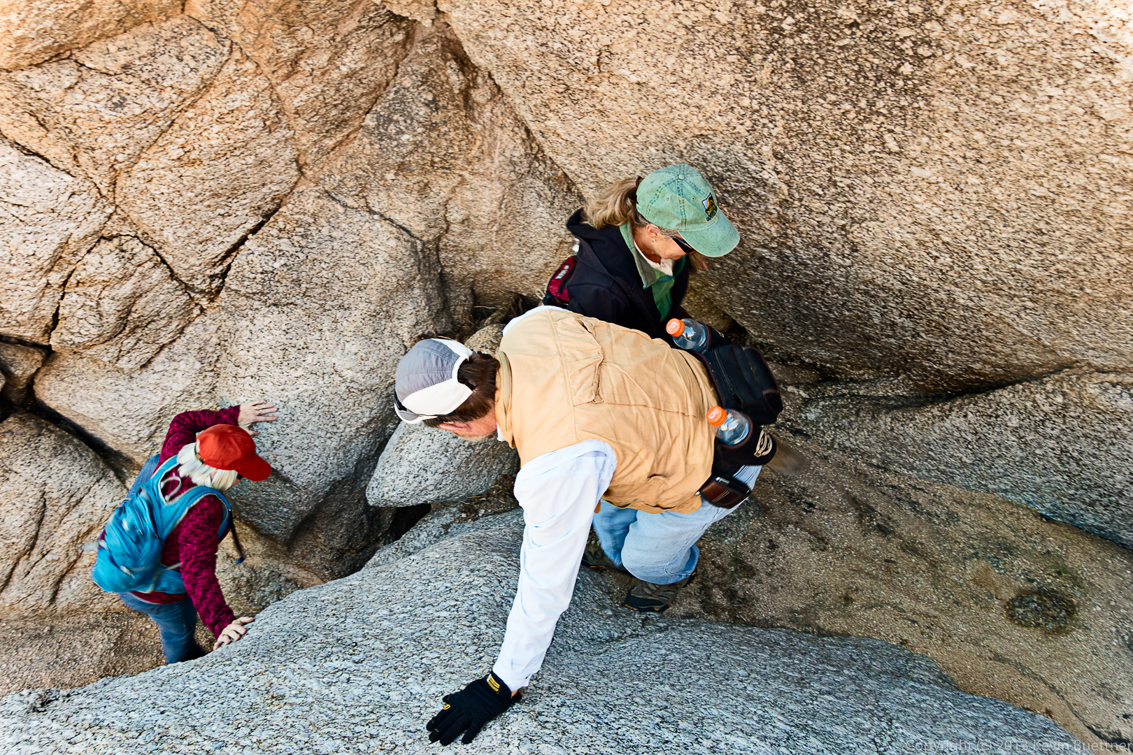
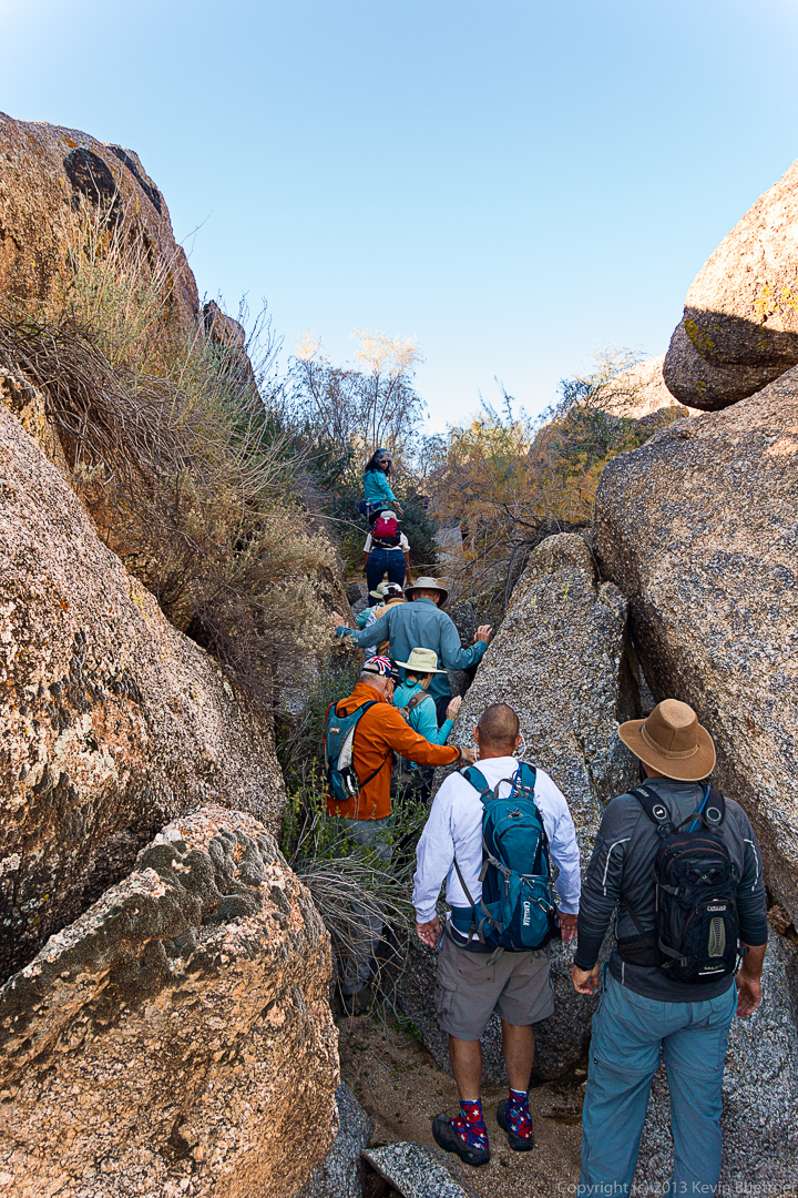
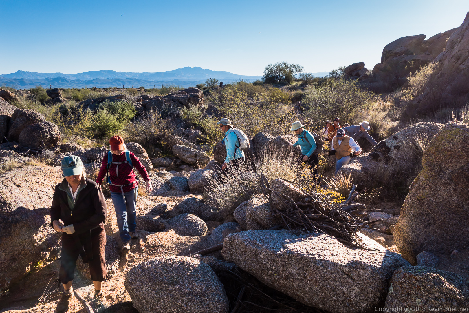
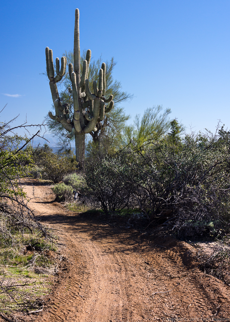
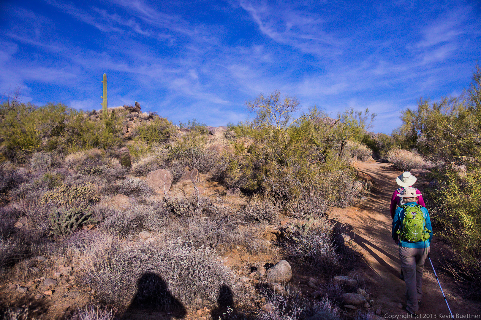
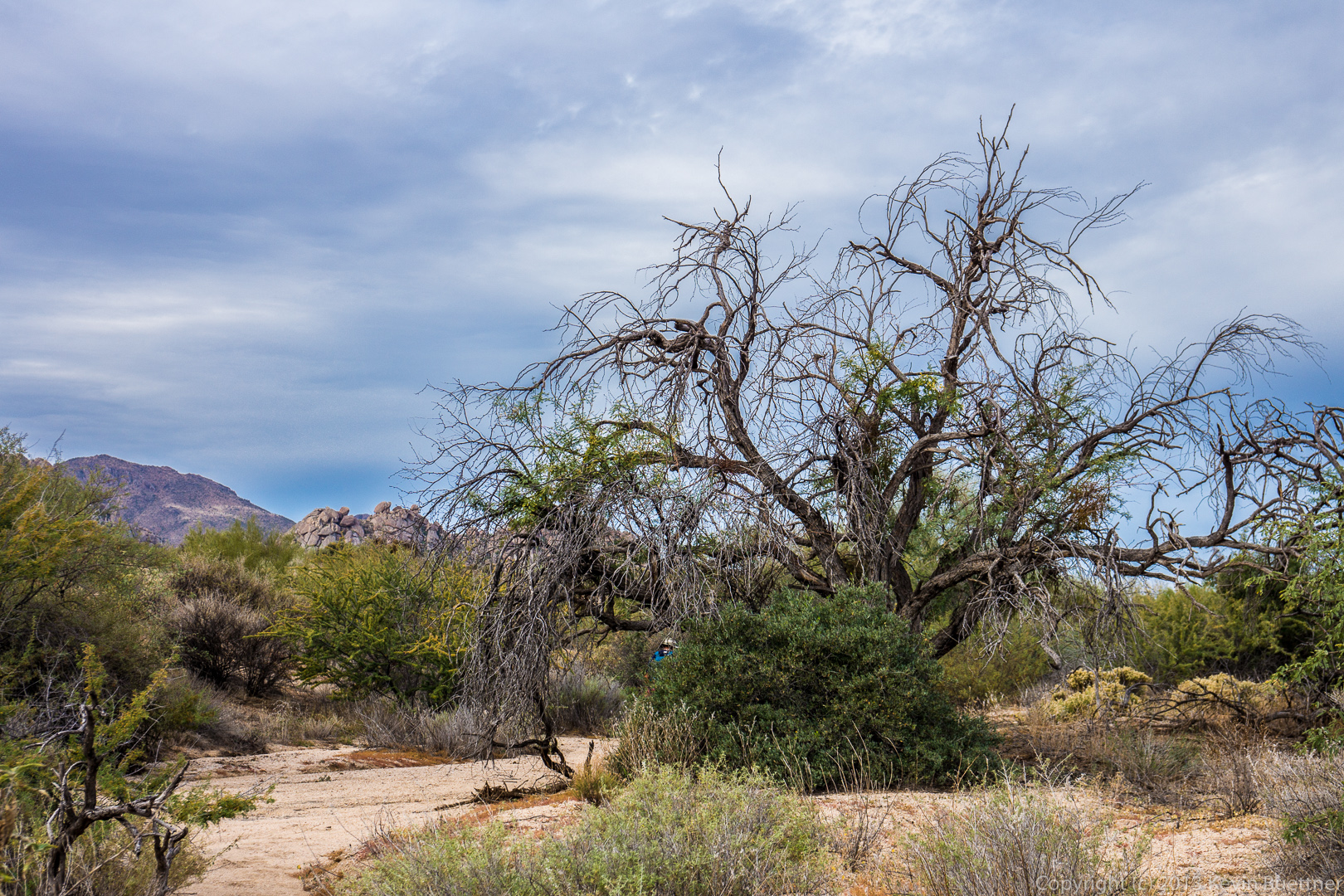
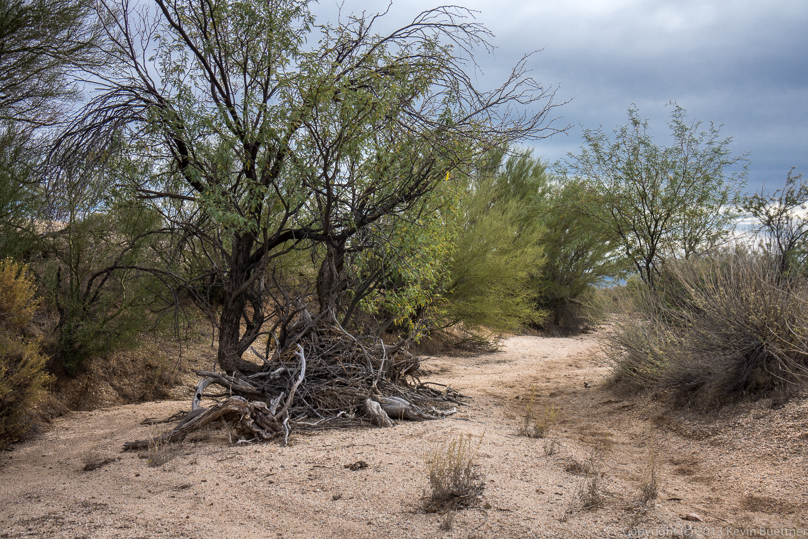
The trail up to Tom’s Thumb took us up a steep path through granite boulders and vegetation.
20140117-_DSC4538-Edit-medium
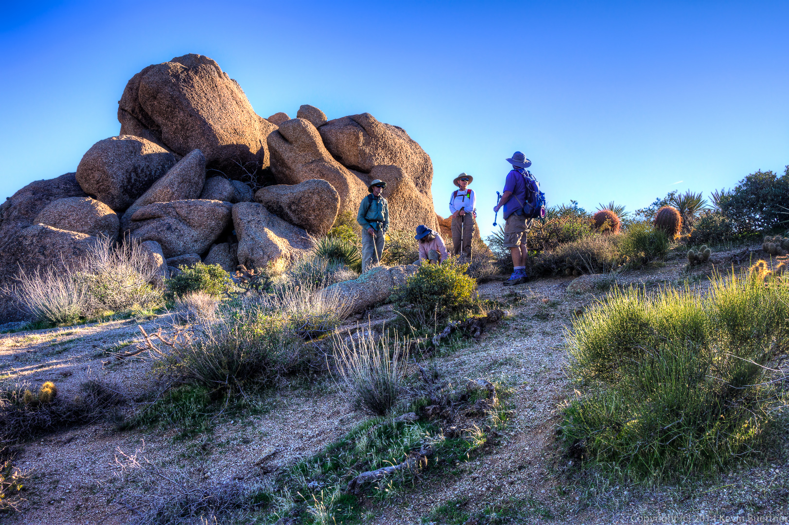
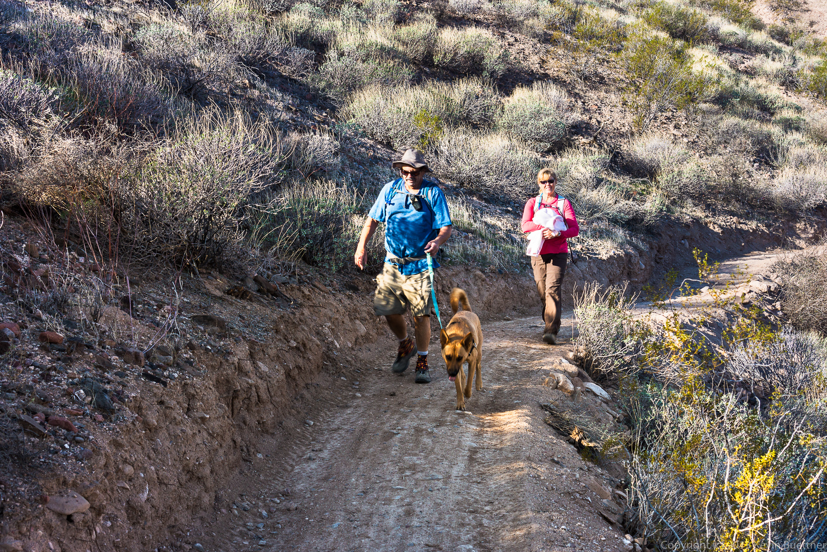
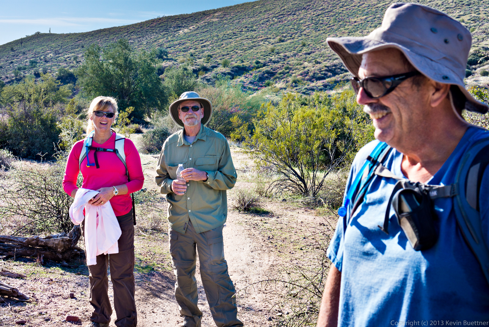
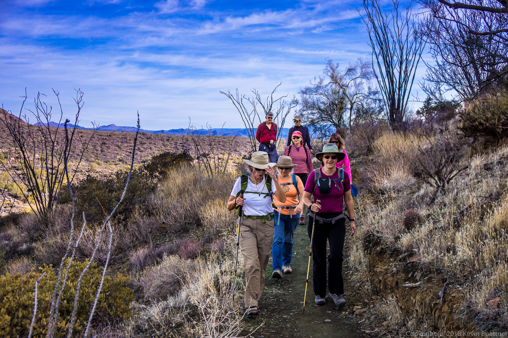
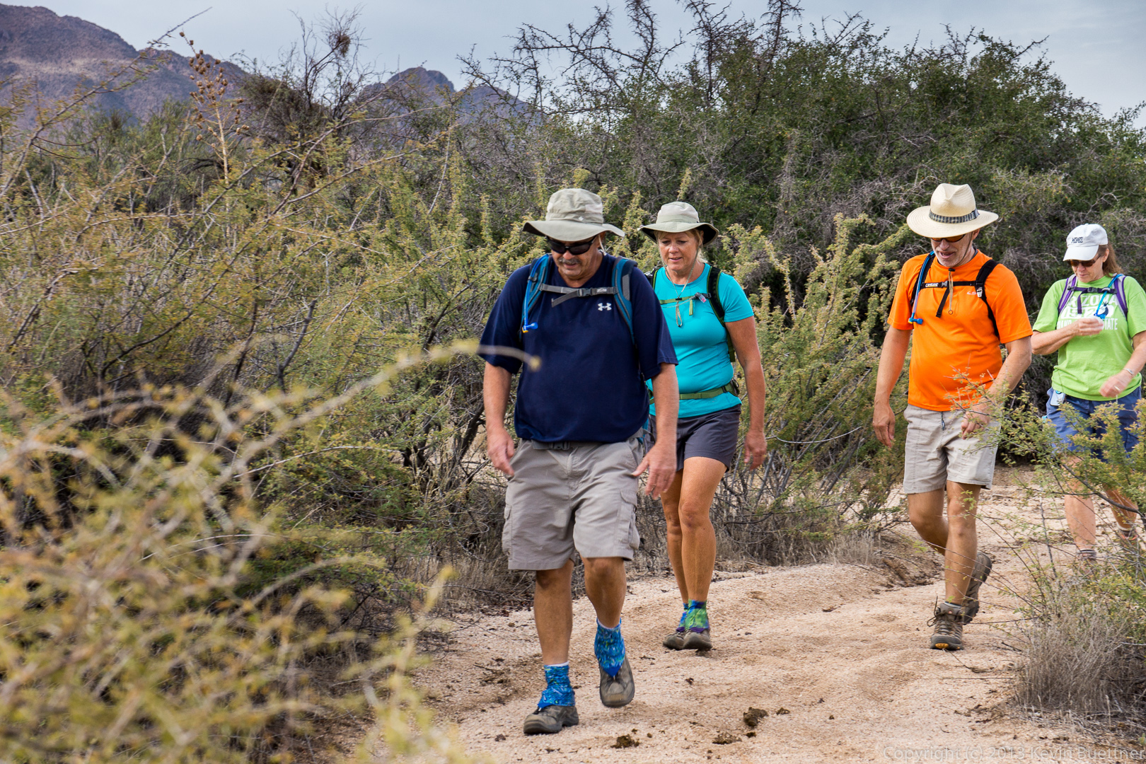
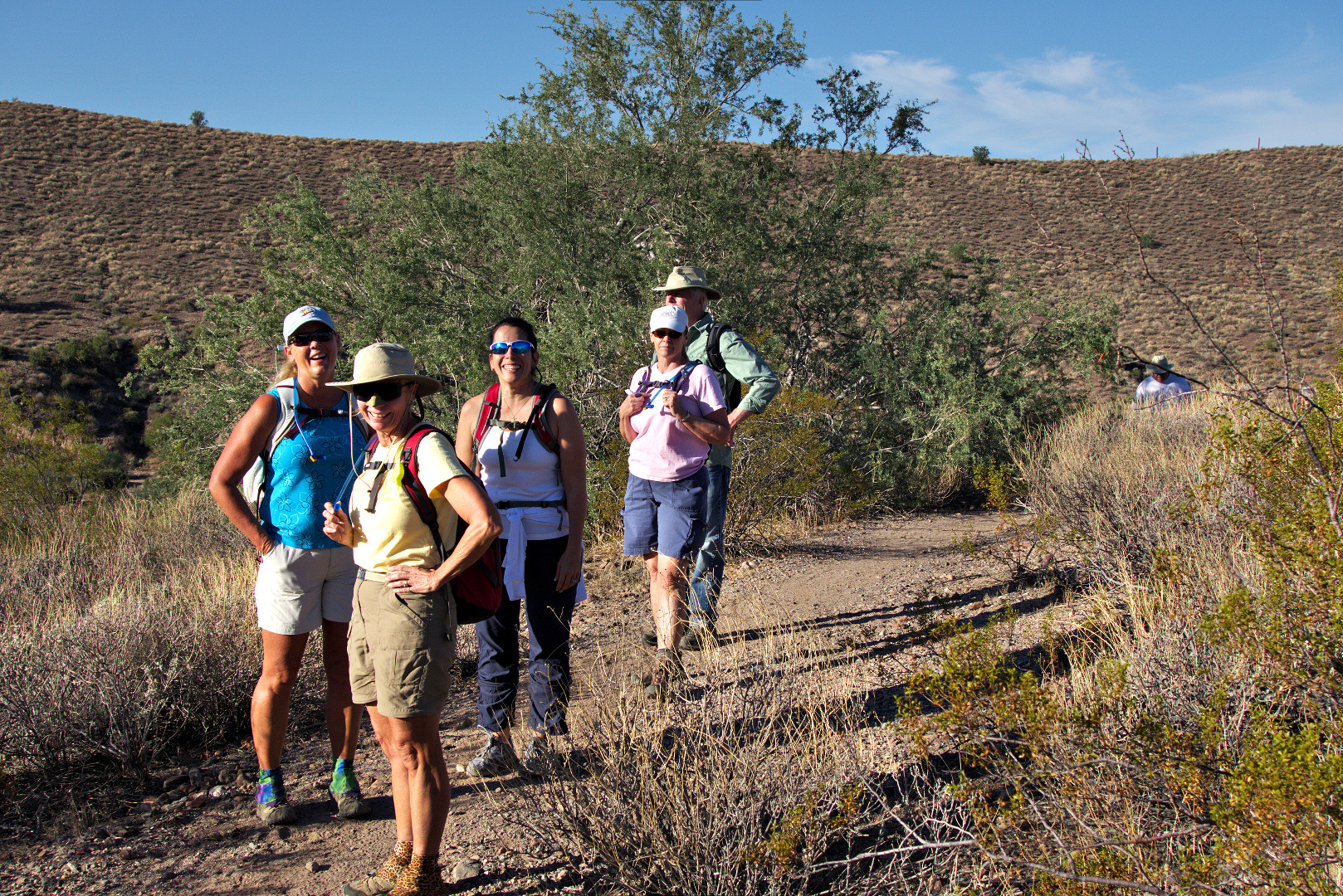
Bob, Linda, and Ellen:

20140117-_DSC4543-medium

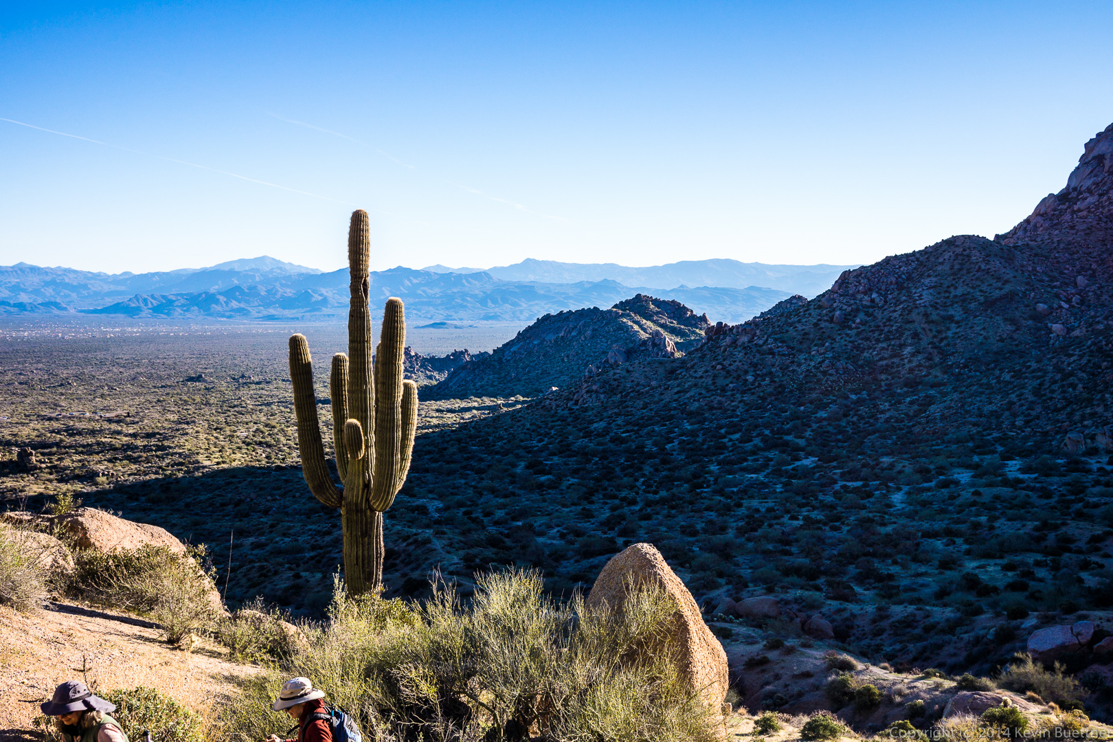
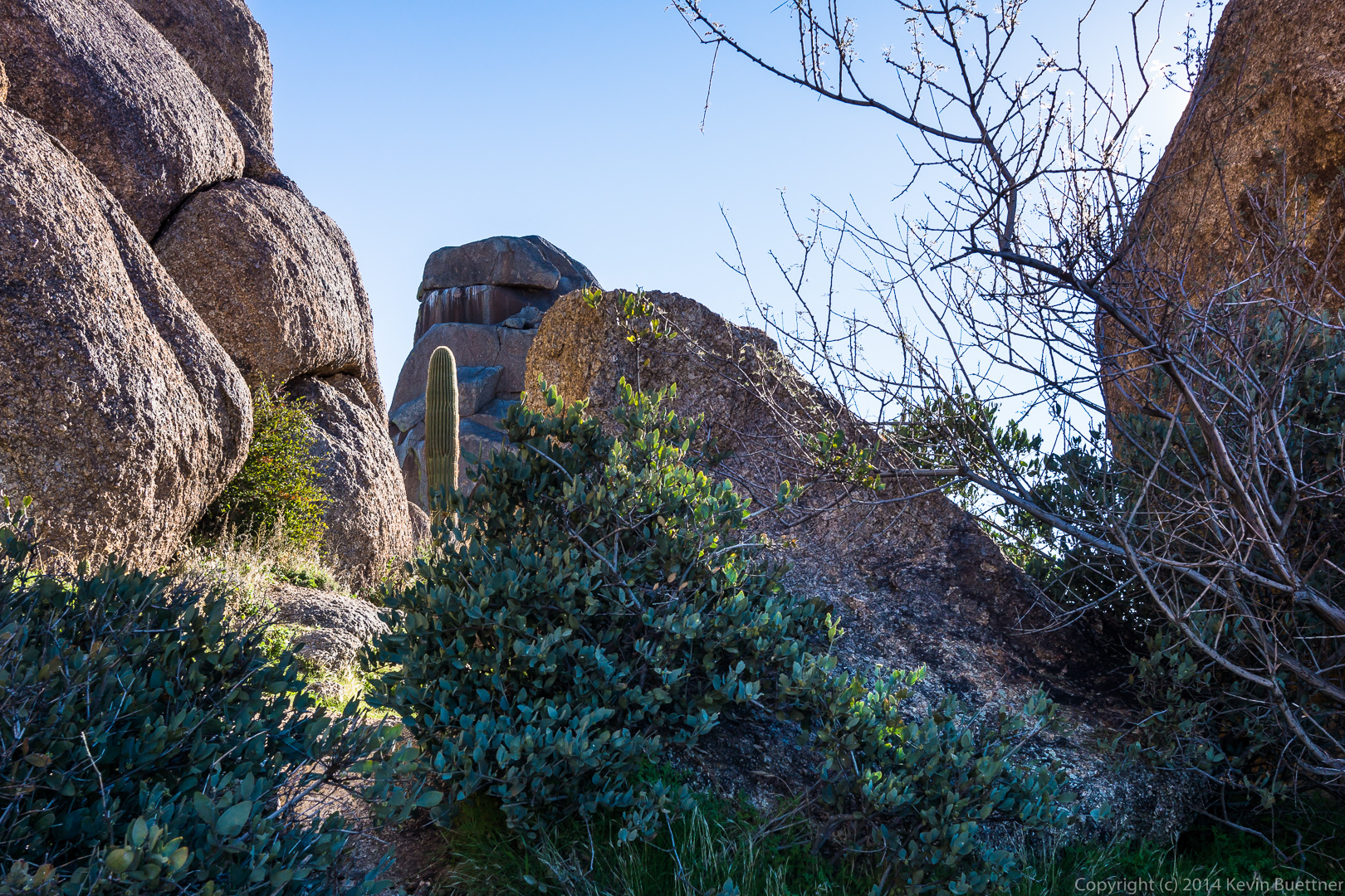
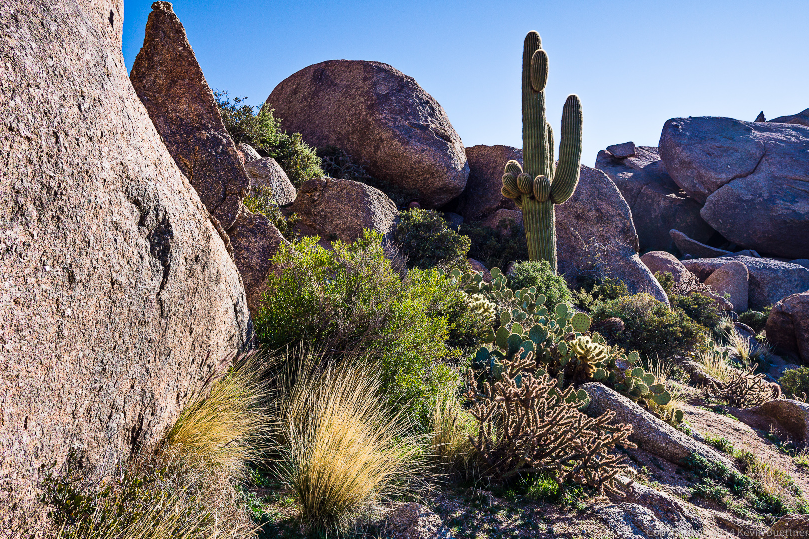
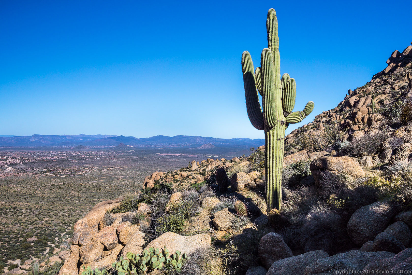
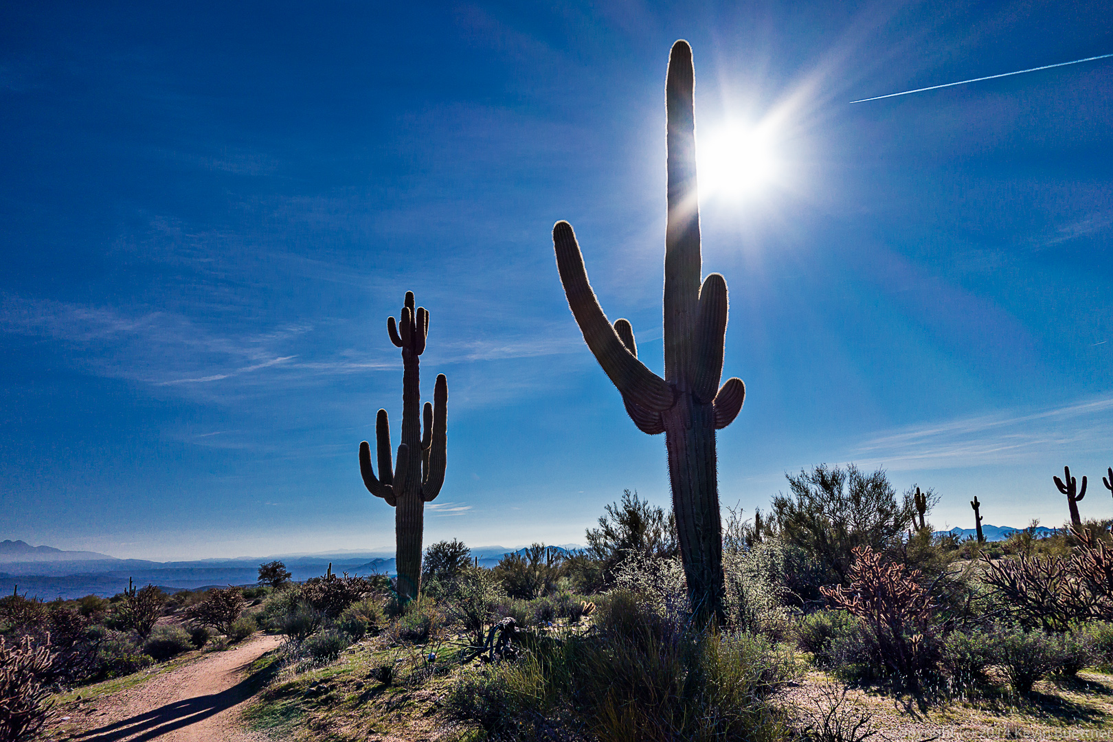
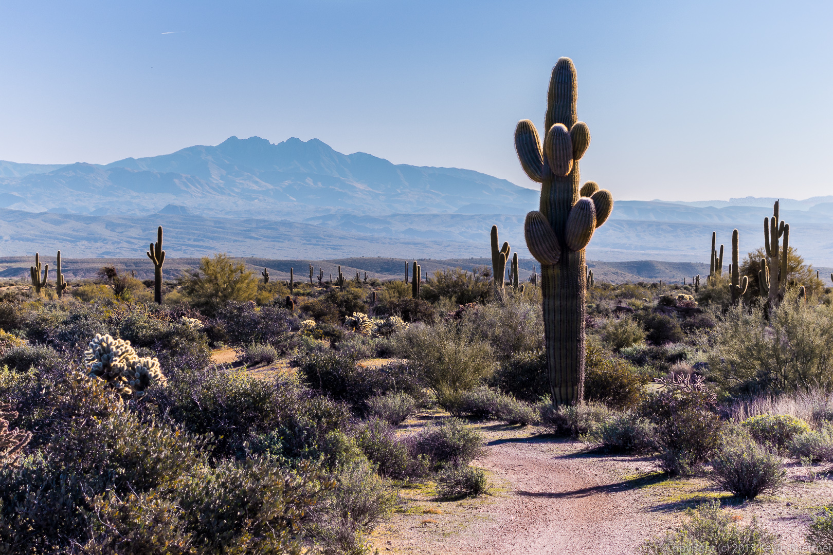
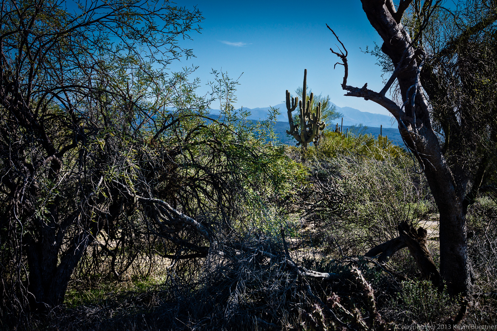
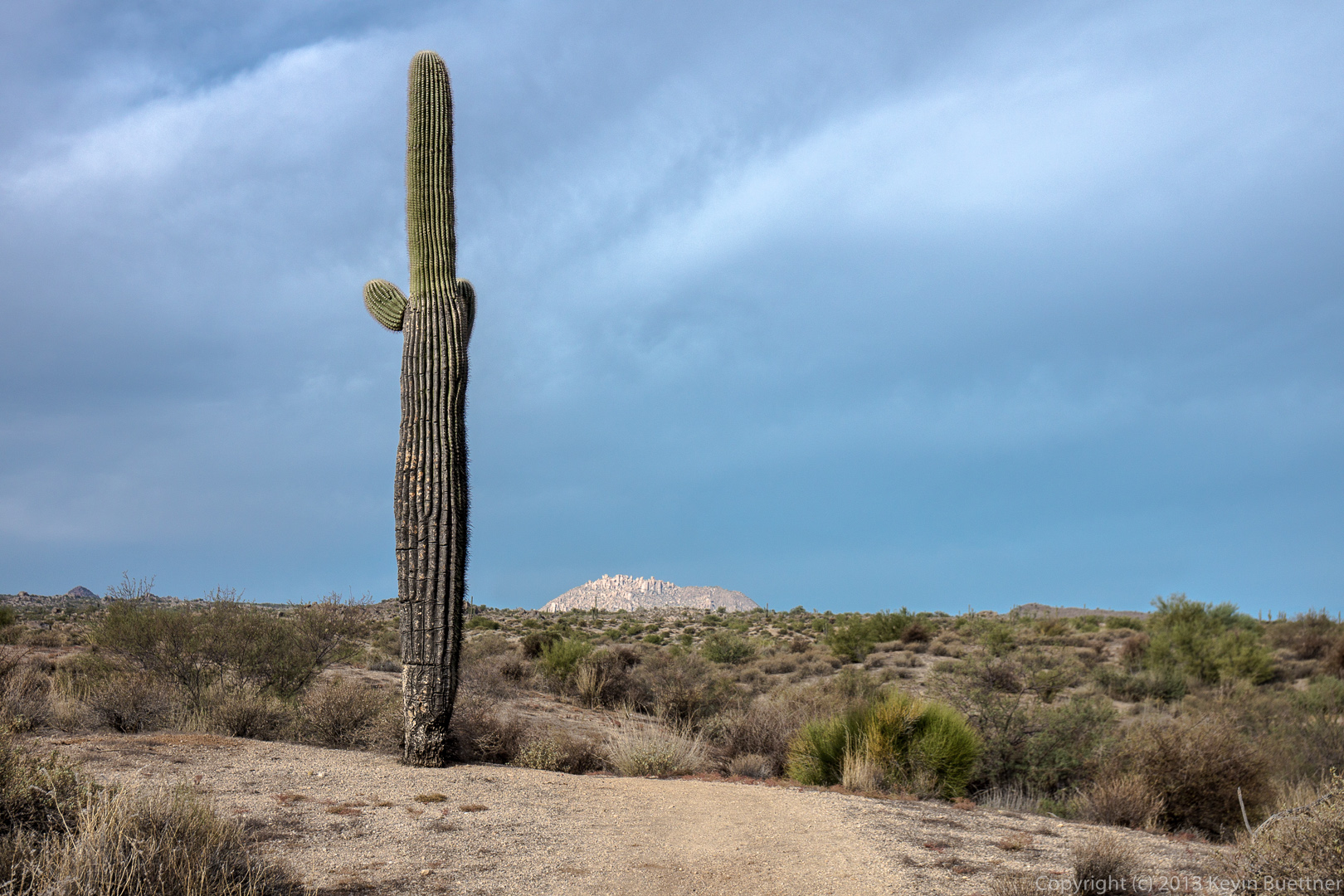
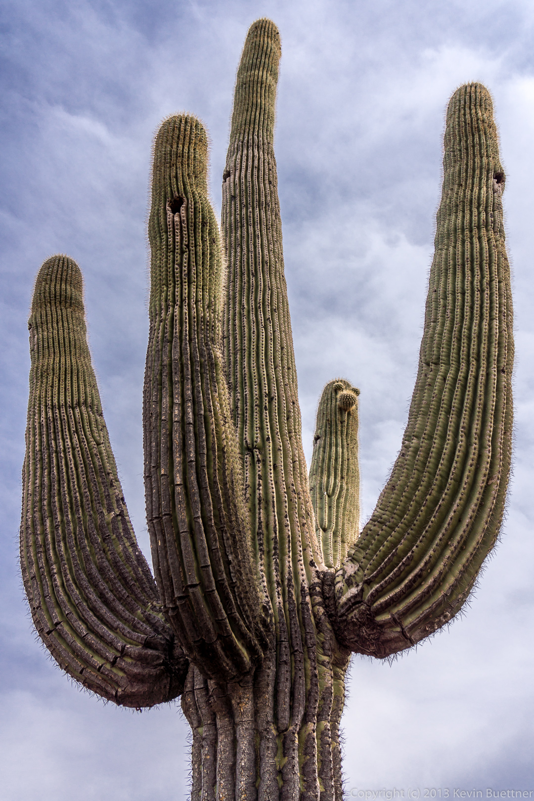
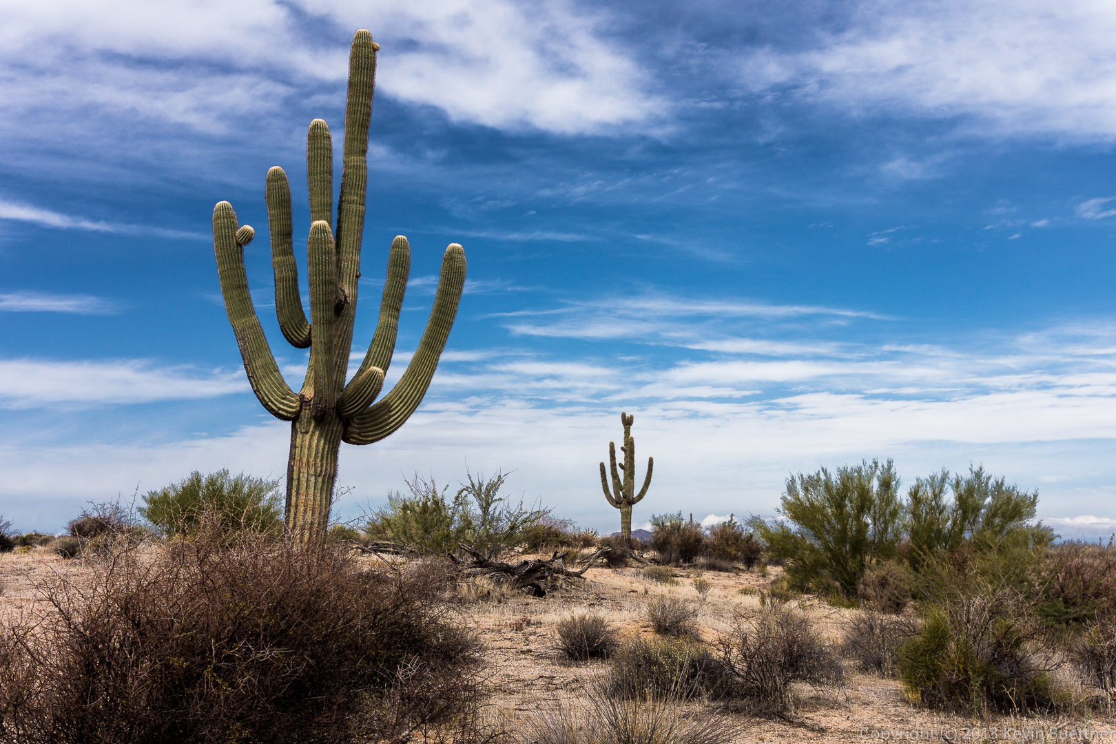
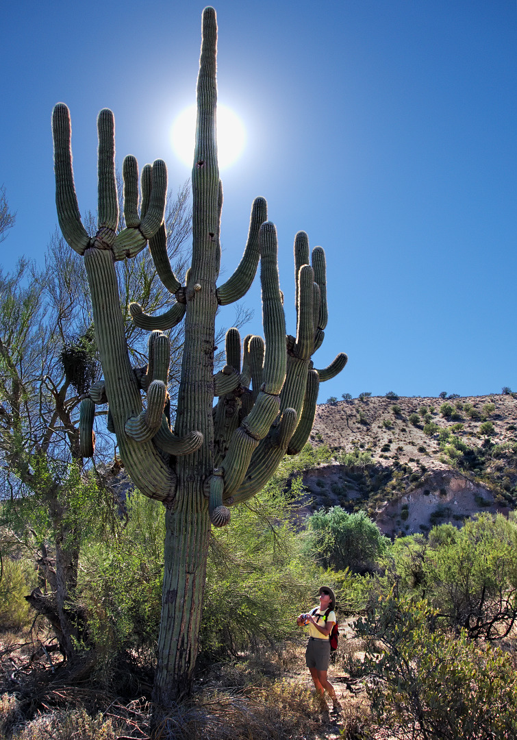
A glimpse of Tom’s Thumb behind the saguaro:

20140117-_DSC4544-medium

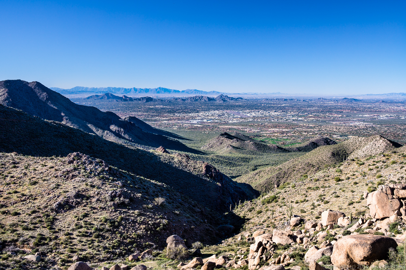
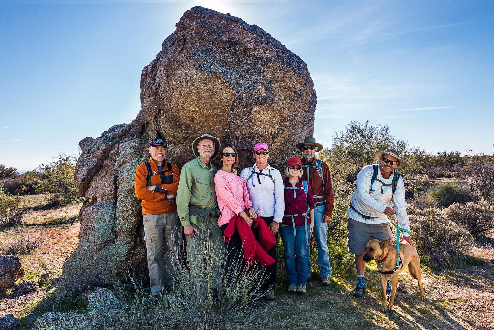
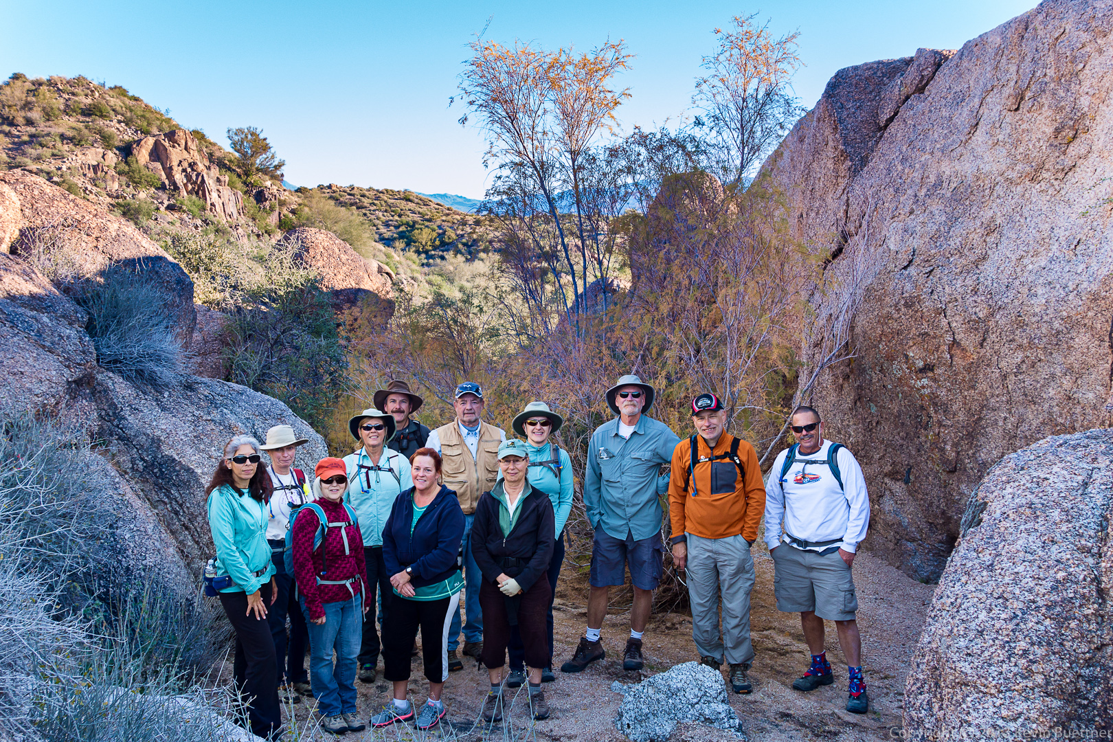
Doug, Bob, Linda, Ellen, and Alex pose for a photo on the northwest side of Tom’s Thumb.20140117-_DSC4564-Edit-medium 
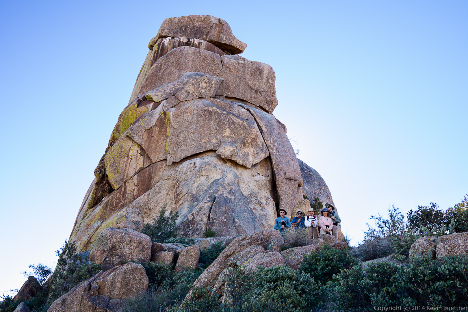
A view of Scottsdale and Phoenix to the west:

20140117-_DSC4568-medium
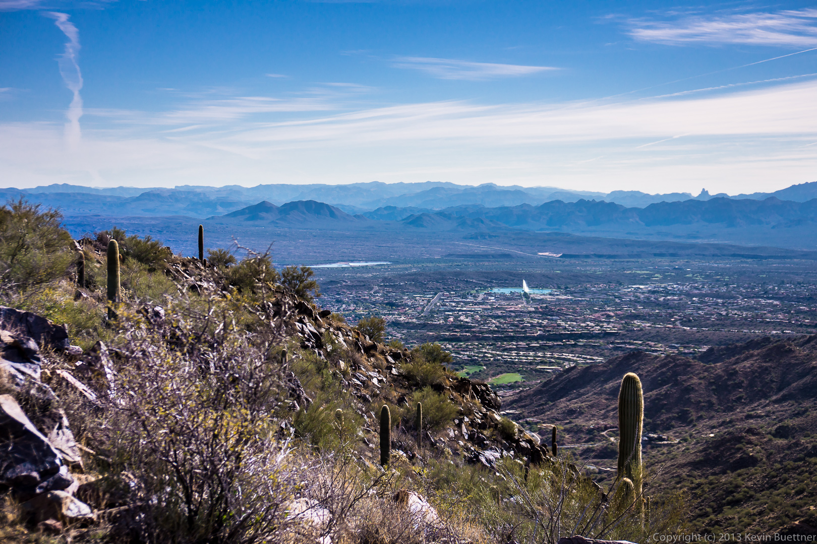
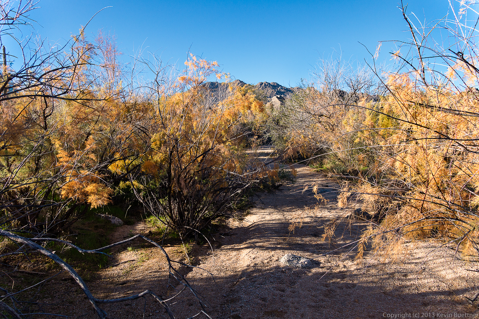
As we made our way around Tom’s Thumb, we were able to see the Tom’s Thumb snake its way along the hillside ahead of us.

20140117-_DSC4583-medium
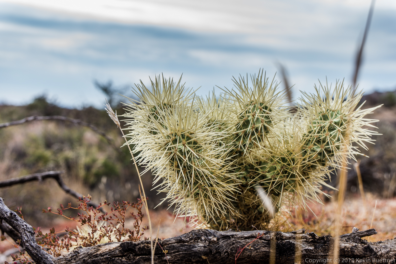
Cacti and boulders ahead of us as we make our way around to the southeast side of Tom’s Thumb:
20140117-_DSC4589-Edit-medium A view of the southeast side of Tom’s Thumb:

20140117-_DSC4592-medium As we hiked away from the thumb, we saw another pinnacle to the west:

20140117-_DSC4598-medium 
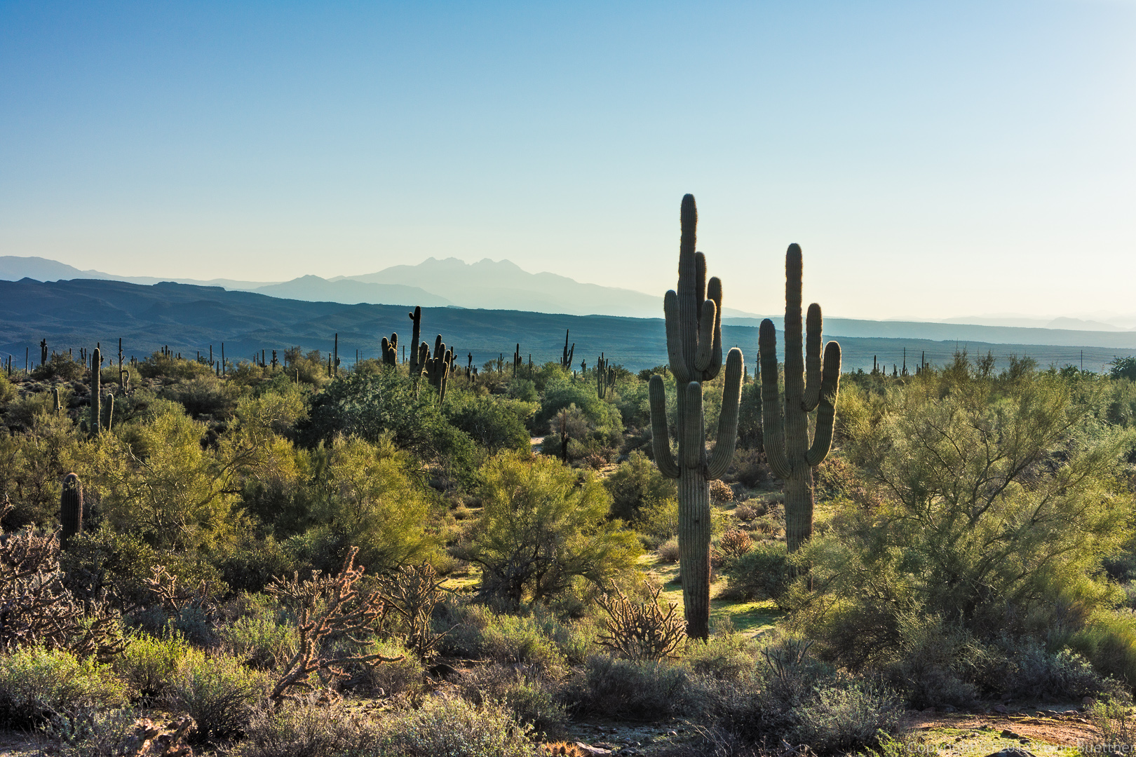
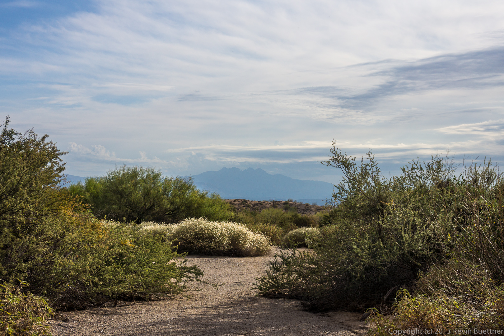
A view of Glass Dome with the East End behind it.

20140117-_DSC4603-Edit-medium
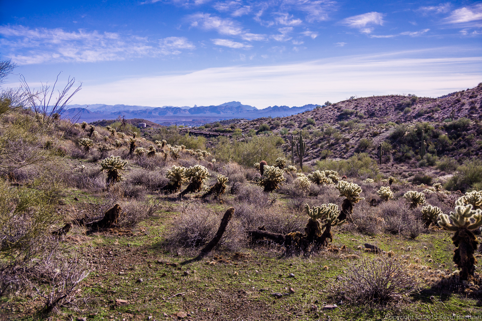
The grass is still fairly green from the rain we got in December.  If we don’t get rain soon though, it’ll turn brown.

20140117-_DSC4604-medium Getting closer to Glass Dome:

20140117-_DSC4610-medium
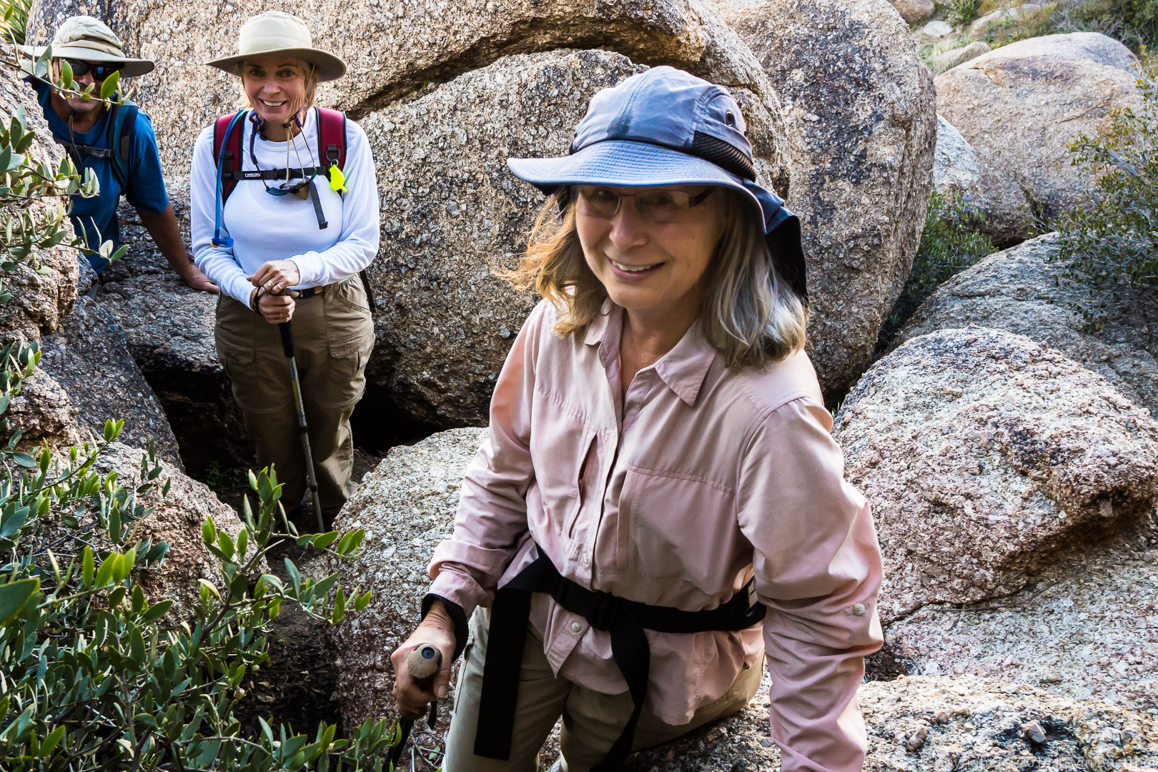
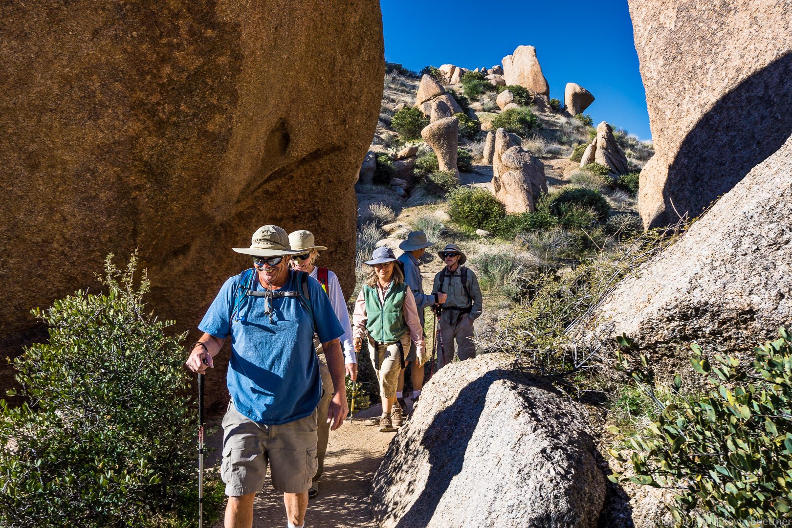
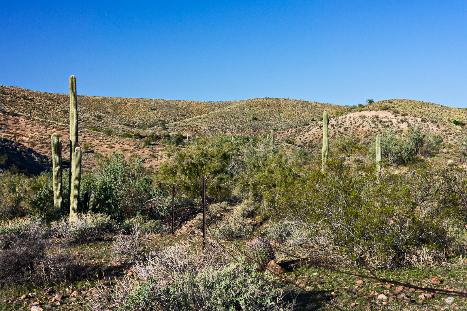
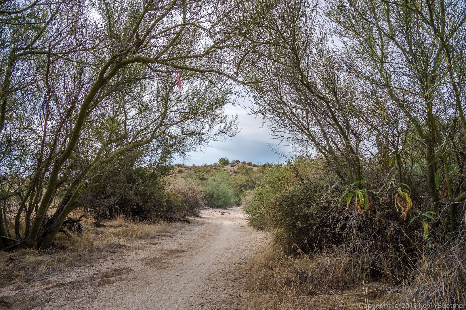
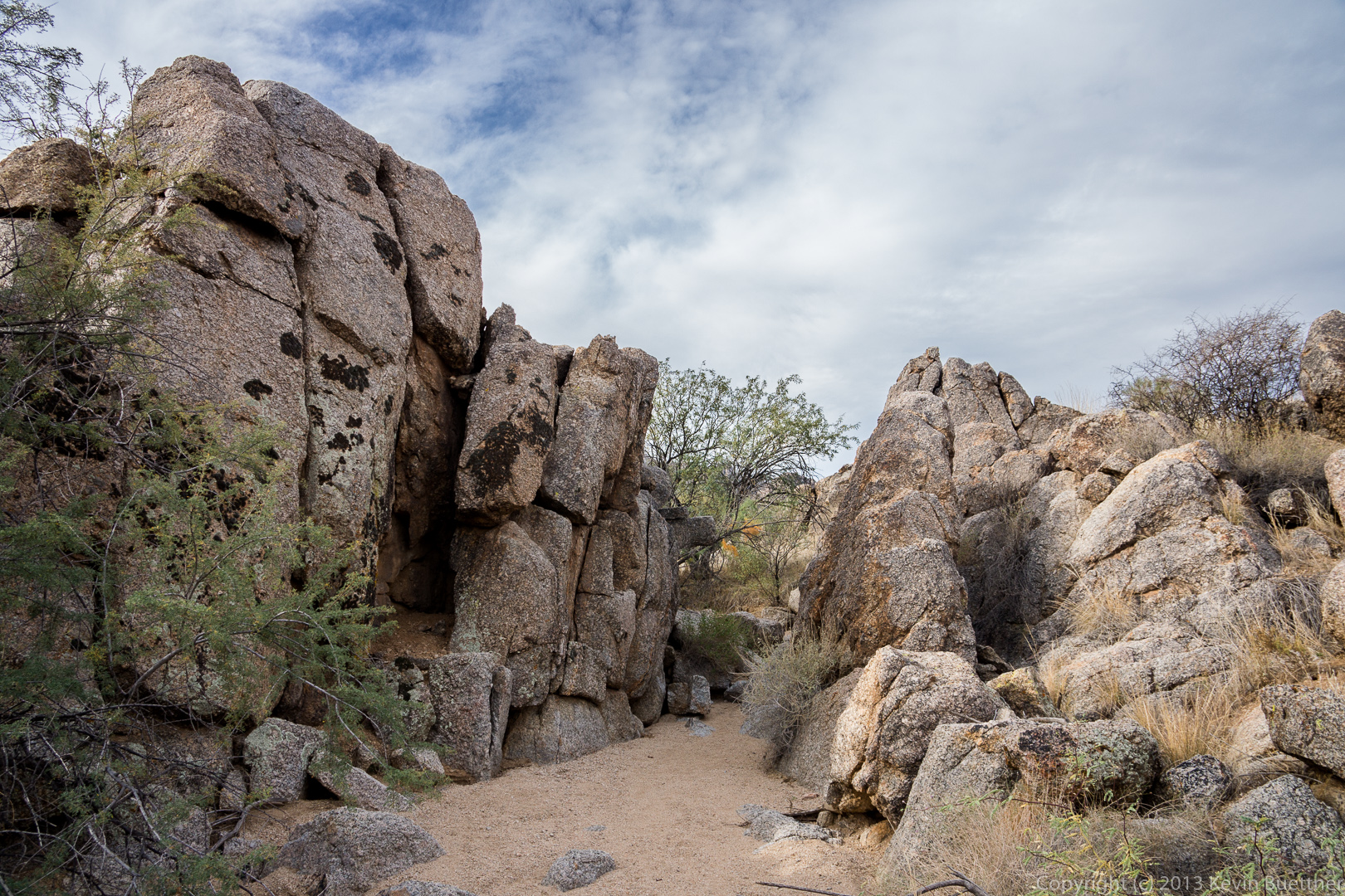
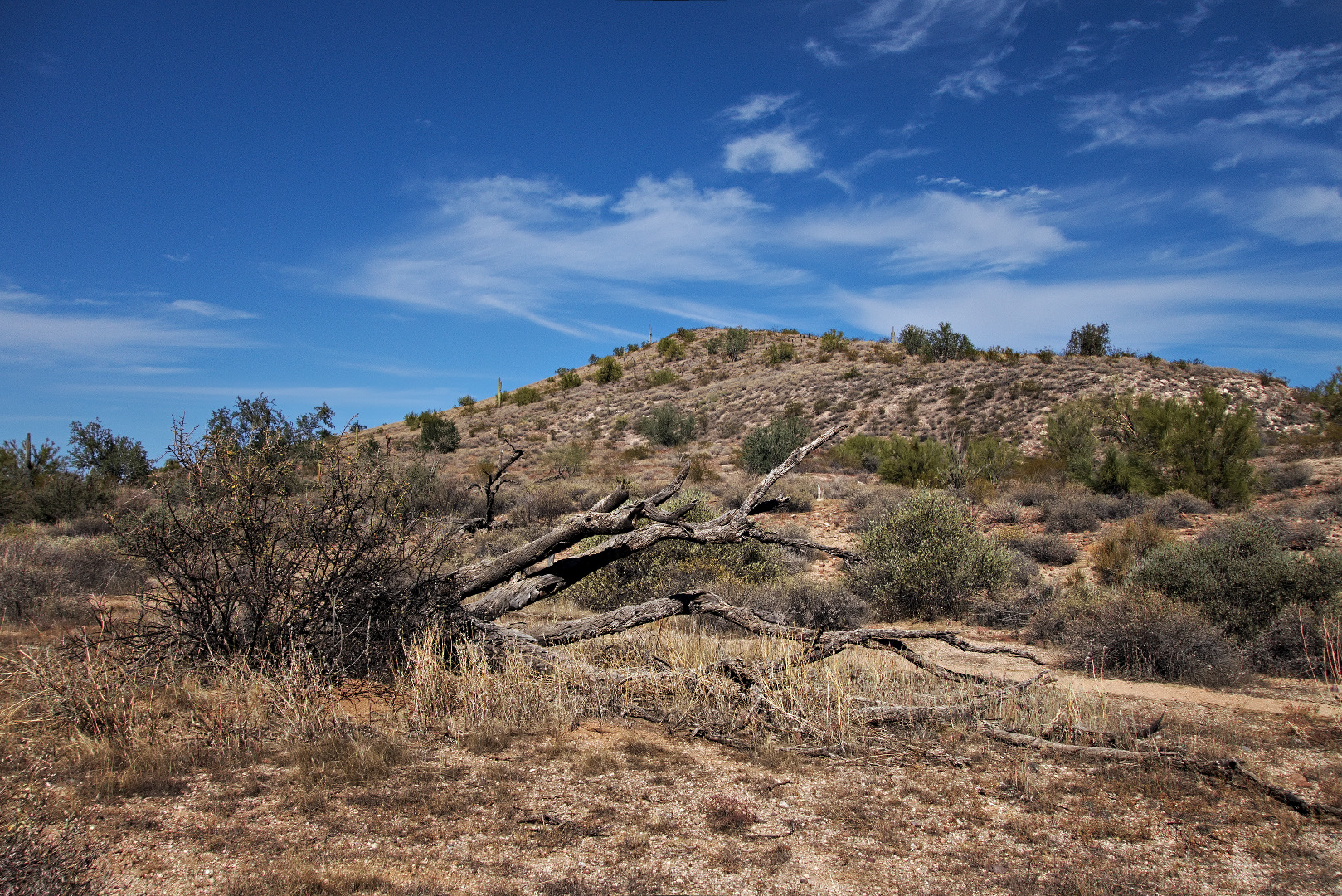
We passed through these boulders as we made our way down the Tom’s Thumb Trail:

20140117-_DSC4622_3_4-Edit-medium A look back as Bob, Linda, Ellen, Doug, and Alex pass by the boulders shown in the photo above:

20140117-_DSC4628-medium 
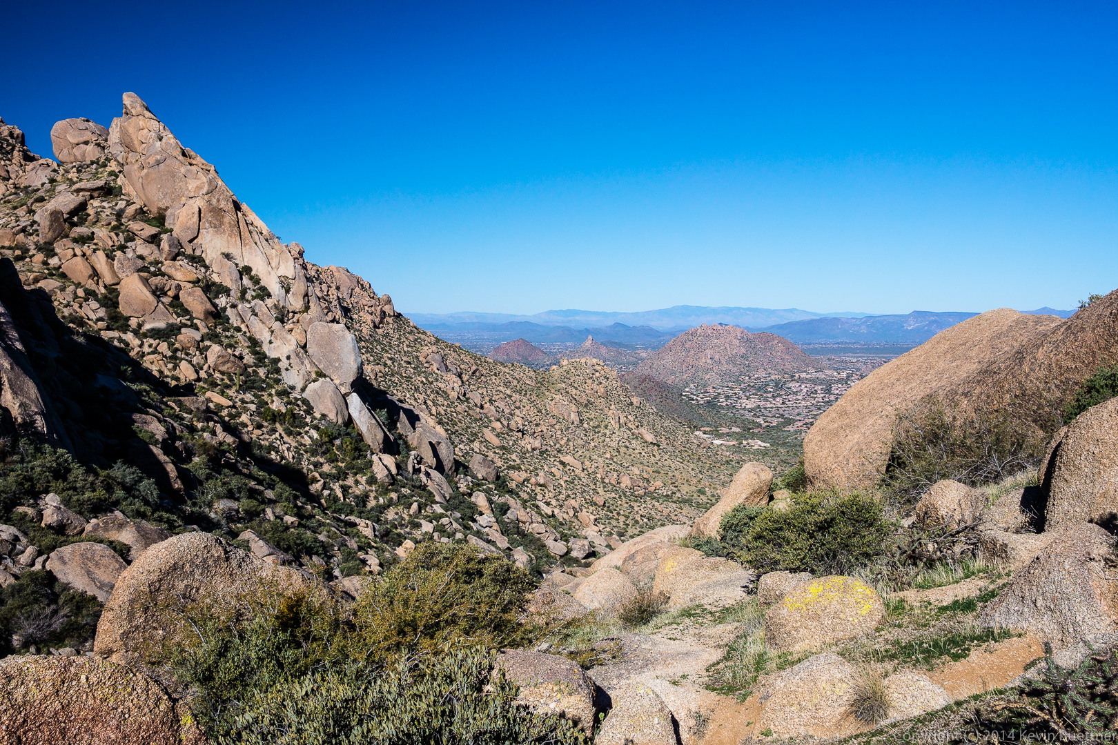
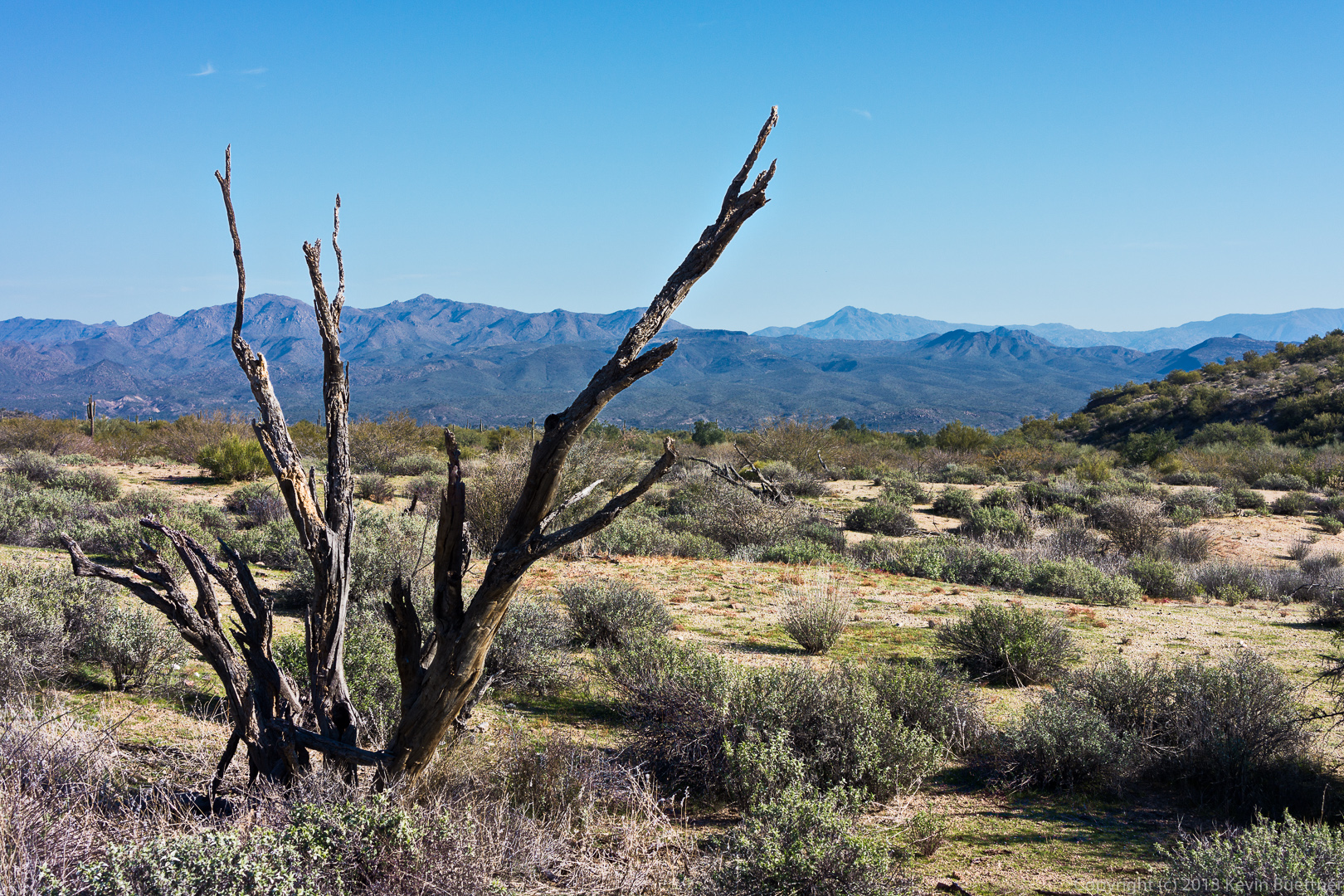
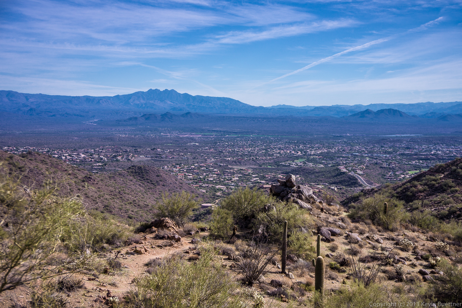
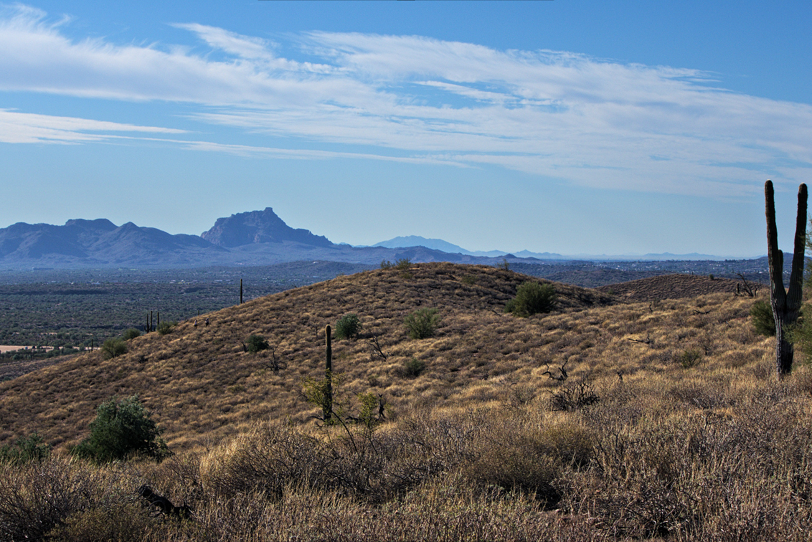
A view to the northeast:

20140117-_DSC4637-medium A view of Troon and Pinnacle Peak in the center with the edge of Gardener’s Wall on the left:

20140117-_DSC4646-medium Another view of Glass Dome, this time from the west:

20140117-_DSC4649-medium20140117-_DSC4655_6_7-medium 
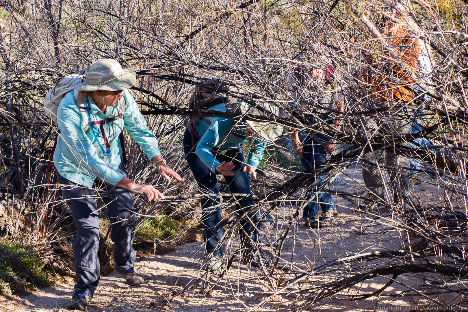
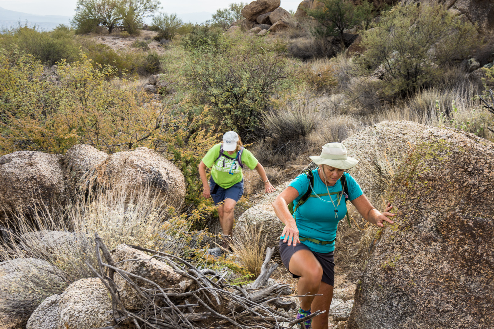
Linda, Bob, Doug, Ellen, and Alex make their way through and across granite boulders on the way back:20140117-_DSC4666-medium
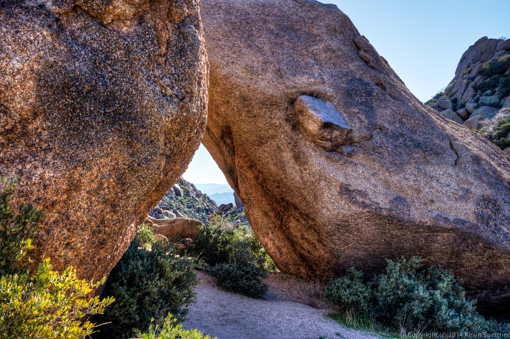
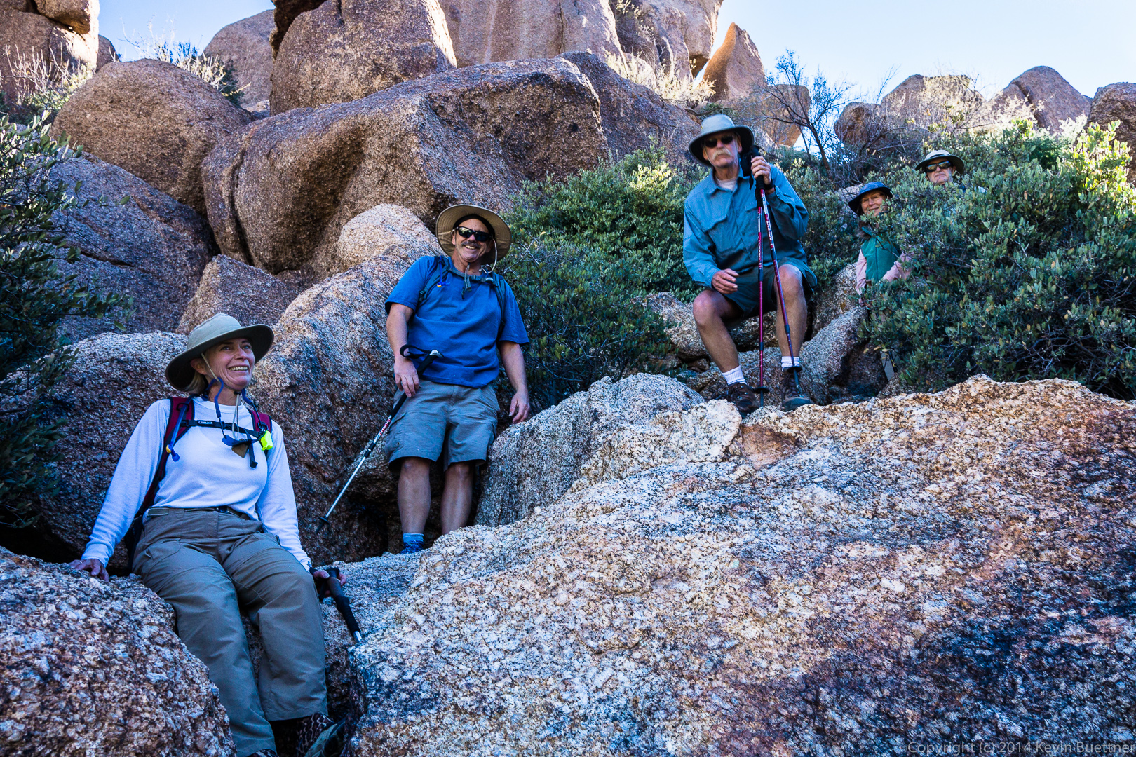
I think that this large boulder sort of looks like a dinosaur head:

20140117-_DSC4669-medium 
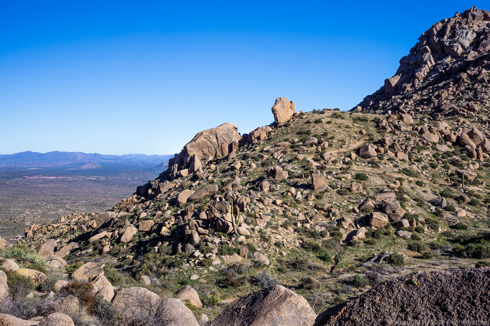
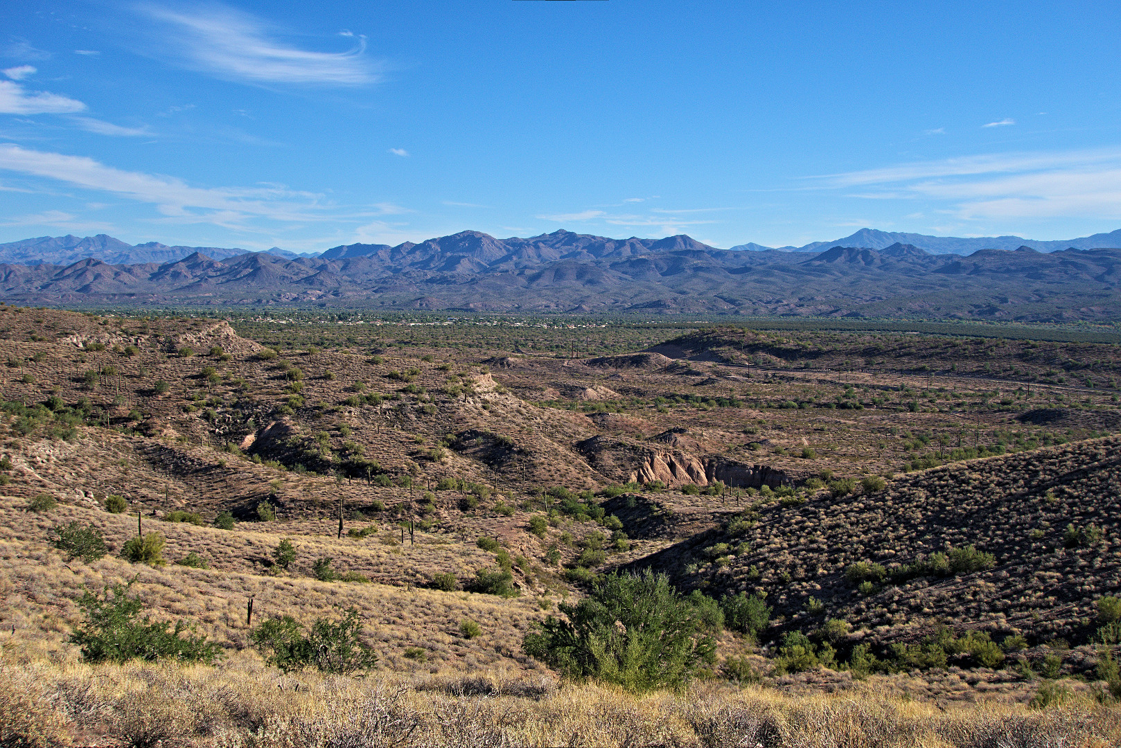
A view to the northwest:
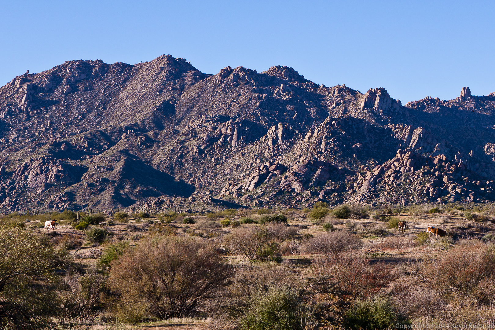
20140117-_DSC4675-medium Gardener’s Wall:

20140117-_DSC4687-medium 
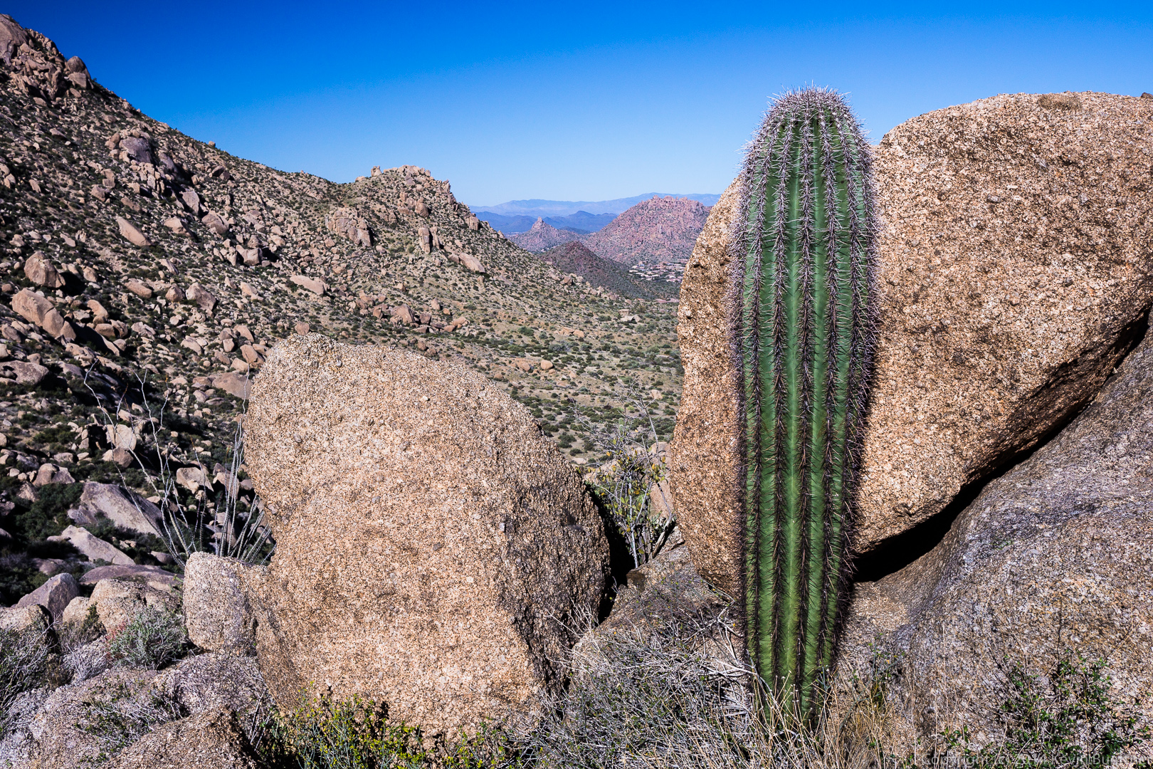
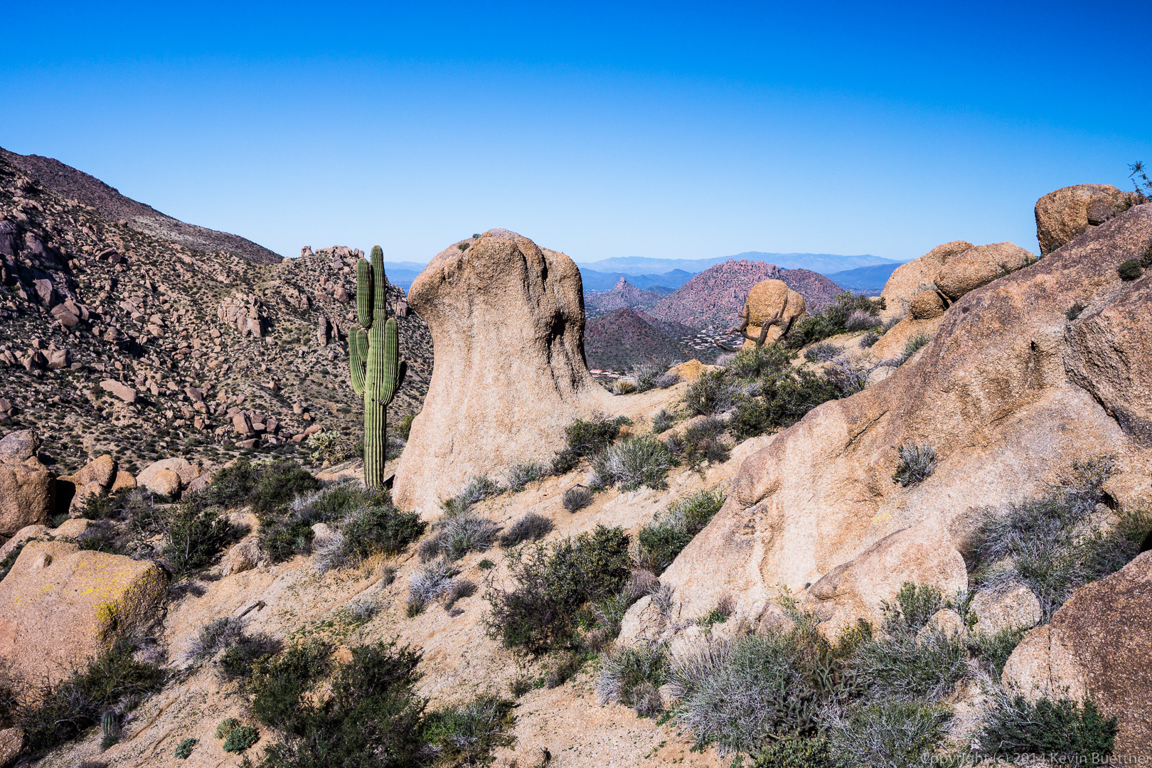
Another view of Pinnacle Peak and part of Troon in the distance with a saguaro and some boulders in the foreground:

20140117-_DSC4693-medium Gardener’s Wall on the left and Tom’s Thumb on the right.  If you look closely, you can see the path up to Gardener’s Wall in this photo.20140117-_DSC4696-medium
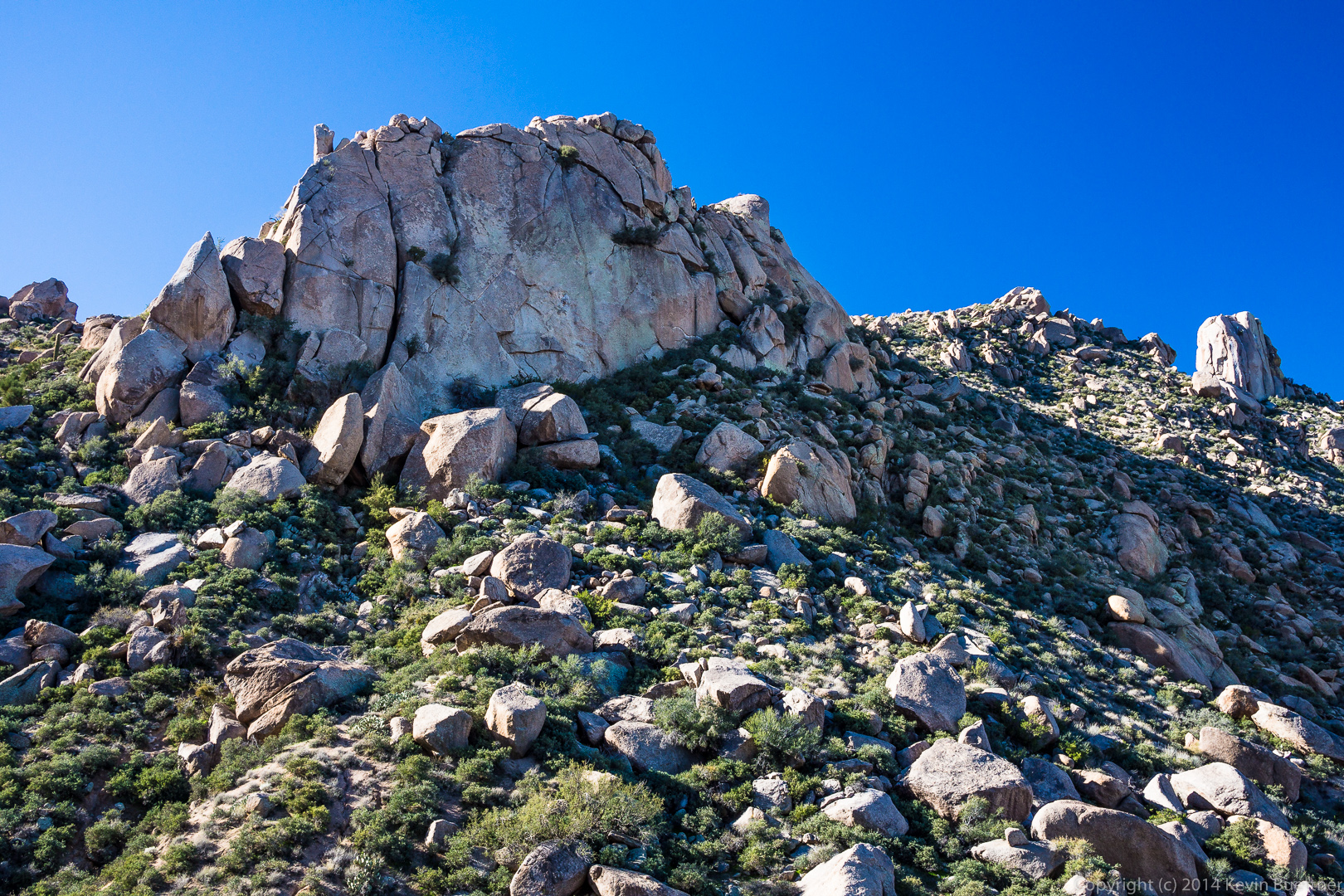
A large boulder with a saguaro on the left and Pinnacle Peak off in the distance to the right:

20140117-_DSC4729-medium 
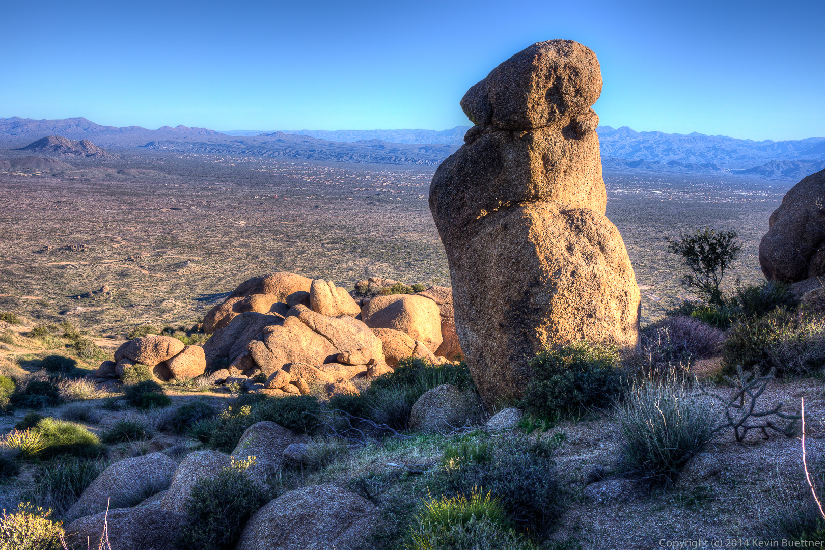
Sven Towers I, II, and III in the foreground with Four Peaks in the distance at the far right:
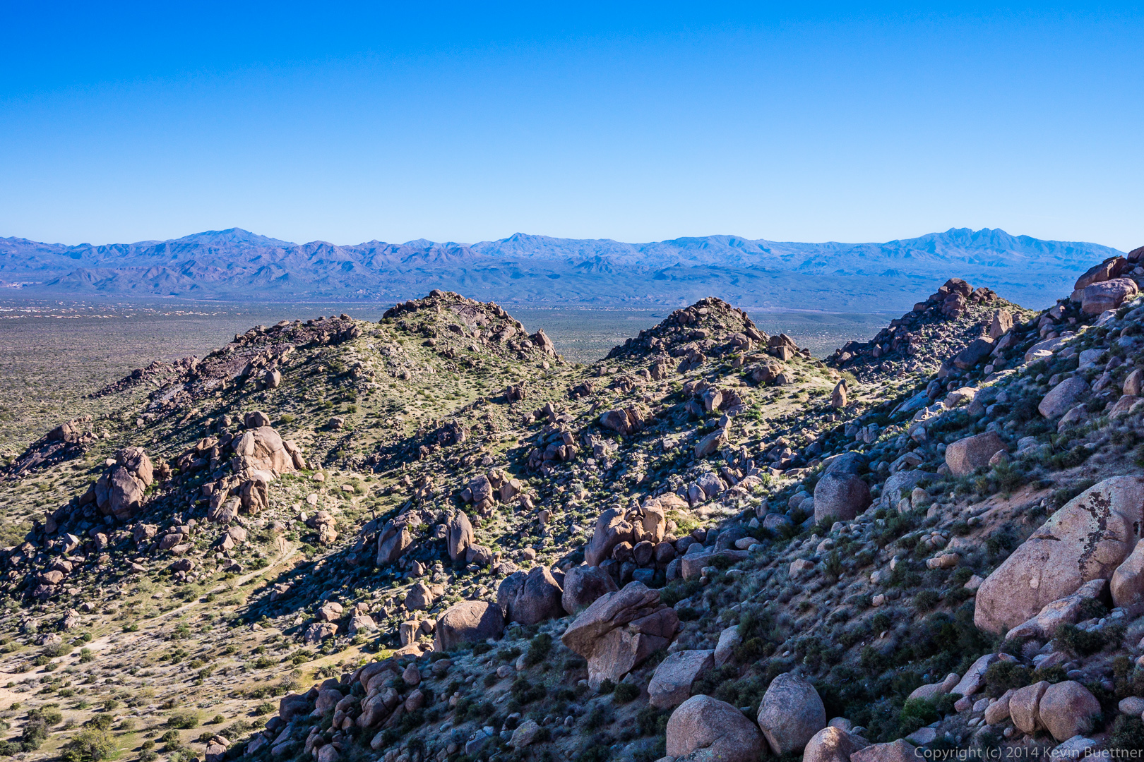
20140117-_DSC4741-medium

Friday Fitness Hike

Friday’s hike started at the Wagner Trailhead.  We hiked the Wagner Trail to Granite, Granite to Delsie, Delsie to Pemberton, Pemberton to Lariat, Lariat to Granite, Granite to Wagner, and Wagner back to the trailhead.  Total distance was 9.7 miles with minimal elevation gain.

We saw some cattle from the Delsie Trail.

20140110-DSC01634-Edit-medium

A view of Tom’s Thumb, between two saguaros, from the Delsie Trail.20140110-DSC01649-Edit-medium

Nick, Doug, Leslie, Janet, Venie, Phil, Bob, and Sarge pose for a photo on the Pemberton Trail.20140110-DSC01659-Edit-1050

A pair of saguaros on the Pemberton Trail.20140110-DSC01682-Edit-medium


A water break for Sarge!20140110-DSC01691-medium

A view of Red Mountain from the Granite Trail.

20140110-DSC01702-Edit-medium

Friday Fitness Hike

Last Friday’s hike started from the Trailhead Staging Area.  We hiked out on Pemberton and almost immediately turned off onto the Scenic Trail.  We hiked Scenic to Cinch, Cinch to Escondido, and then followed Escondido back to Pemberton.  Total distance was just over nine miles with six hundred feet of total ascent.

A view from the Scenic Trail shortly before turning off onto the Cinch Trail.20140103-DSC01450-medium A group shot on the Scenic Trail.20140103-DSC01453-medium

Bob and Sarge, leading the way:20140103-DSC01475_6_7-mediumA water (and conversation) break on the Escondido Trail.  Sarge was too interested in all that was going on to drink much at this stop.

20140103-DSC01525-medium We encountered a pair of mountain bikers on the Escondido Trail.  (The second biker is just visible in the distance.)20140103-DSC01555-mediumAnother view from the Escondido Trail.  Lousley Hill can be seen at the left.
20140103-DSC01561-medium An ocotillo in the foreground and the base of Lousley Hill behind as seen from the Escondido Trail.20140103-DSC01564-medium

Friday Fitness Hike

Friday’s hike started at the Wagner Trailhead.  We hiked Wagner to Granite, turned left on Granite, and then hiked up the wash paralleling the Bluff Trail until we got to Pemberton. From there we hiked a short ways on Pemberton, hiked down Bluff, turned left on Granite, and returned on Wagner.

We had a fairly large group.  This is a view from the Granite Trail (I think):

20131227-DSC01205-Edit-mediumIt was a chilly morning (for Arizona).  Some of us shed some layers just before scrambling into the rocks.

20131227-DSC01208-Edit-medium Bill helps Ellen and Vinnie through the most difficult section.

20131227-DSC01213-Edit-medium The wash stays narrow for a time prior to opening up.

20131227-DSC01226-Edit-medium From left to right are Deanne, Linda, Vinnie, Janet, Allen, Sandy, Bill, Ellen, Marilyn, Doug, Nick, and Bob:

20131227-DSC01235-Edit-medium Janet holds a branch aside for Marilyn through the brush.  (It’s not necessary to go through the brush — that’s just the way I went and most of the others followed.)

20131227-DSC01243-Edit-medium Hiking through more rocks in the wash…

20131227-DSC01253-medium A view of the wash looking towards the McDowells:

20131227-DSC01256-Edit-medium A view of Four Peaks from the Bluff Trail:

20131227-DSC01279-medium

Panorama from Last Friday’s Hike

Today’s hike was rained out, so here’s a panoramic photo from last Friday’s hike:

20131213-_DSC2273-Edit-medium


Friday Fitness Hike

Ranger Amy had scheduled two consecutive Friday hikes at the North Trail.  She suggested that I and those wanting to do a longer hike take a look at the newly opened Escondido Trail.  We started our hike from the Lousely Trailhead while Ranger Amy lead the scheduled hike on the North Trail.

Bob, Sarge, Janet, Doug, and I did a 9.2 mile loop.  We started at Lousely Trailhead and made a left on the Escondido trail which now crosses the Lousely trail perhaps 200 yards from the Trailhead.  We followed Escondido to Cinch, took Cinch to Scenic, Scenic to Pemberton, Pemberton to Escondido, and Escondido back to the Lousely.  The Cinch Trail has been around for a while, but I didn’t know the name until recently.

The map below shows our route.  If you look at the top (north) part of the map, you’ll make out a short spur coming off the loop; this is where we started.  The Escondido Trail zigs and zags a lot, but the first leg of our journey lead us generally southward.  The Cinch Trail heads northwest to join the Scenic Trail.  If you zoom the map, and you know what you’re looking for, it’s possible to see where Cinch intersects the Scenic.


View hike-131213-track-only.kml in a larger map

This is a view from the Escondido Trail, shortly after turning off of Lousely:

20131213-_DSC2163-Edit-2-medium A view to the west (I think) while traveling south on Escondido:

20131213-_DSC2202-Edit-medium

Bob, Sarge (the dog), and Janet on Escondido.  The trail is set in from the road somewhat, but has minimal elevation gain or loss.  In order to achieve this, the trail builders cut the trail into the sides of the many hills in the area.  There was an old road nearby which used to follow a much straighter path.  It, however, went fairly close to the McDowell Mountain Road.  Satellite photos show that this old road briefly crossing McDowell Mountain Road.  20131213-_DSC2232-Edit-medium Janet, Doug, and Bob, at the intersection of the Cinch and Scenic Trails.20131213-_DSC2255-Edit-medium

A view of the newly cut Escondido Trail near Pemberton.

20131213-_DSC2267-Edit-medium

This area was ravaged by the Tonto Fire of the mid-90’s.

20131213-_DSC2284-Edit-medium

We encountered two cyclists on the Escondido Trail.

20131213-_DSC2297-medium

A glimpse of a saguaro with lots of arms:

20131213-_DSC2308-Edit-medium

A closer view of this same saguaro:

20131213-_DSC2323-Edit-medium

Updated Storm Photo from September 7, 2012

Below is a newly edited photo of the impending storm taken during a hike on September 7, 2012.  Those of us on the hike got very wet that day!  I was new to editing RAW files back then.  I don’t think my initial effort was very good.

20120907-DSC04328-1050

Friday Fitness Hike

Friday’s hike was nearly ten miles in length with over 2,000 feet of total ascent.  Eight of us hiked Dixie Mine out to the Sonoran Trail, followed the Sonoran Trail to its end, and then hiked a short ways out on the Promenade Trail.  From there we hiked up the Western Loop Trail, stopped briefly at the overlook at the top, and then continued on the Western Loop Trail until it intersected with Promenade.  We then hiked back along the shortest route using the Promenade, Sonoran, and Dixie Mine Trails.

Marilyn and Linda wait for everyone to pay up at the iron ranger at the start of the Dixie Mine Trail.

20131129-DSC01940-medium

Marilyn and Linda lead the way on the Dixie Mine Trail.

20131129-DSC01946-medium

Linda, Marilyn, Vinnie, Renee, Janet, Rob, and Michael on the Sonoran Trail.  (Someone correct me if I have any of the names wrong.)

20131129-DSC01964-medium A view from the Sonoran Trail.

20131129-DSC01970-medium Another view from the Sonoran Trail.  I did this one in Photomatix, but did not like it, so I redid it in Lightroom and Photoshop.

20131129-DSC01988-Edit-medium

I think this is still the Sonoran Trail.

20131129-DSC01991-medium

A view of Tom’s Thumb in the distance.

20131129-DSC01994-medium

This was supposed to be another view of Tom’s Thumb.  Unfortunately, I shot everything on Friday at f/4, so there was a significant amount of background blurring due to the focus being on the tree.

20131129-DSC01997-medium A view of Fountain Hills from the top of the Western Loop Trail.

20131129-DSC02000-medium Taking photos from the Western Loop Overlook…

20131129-DSC02003-medium

Several views while descending the Western Loop Trail:

20131129-DSC02015-medium 20131129-DSC02018-medium 20131129-DSC02021-medium 20131129-DSC02024-medium I think this was taken from the Promenade Trail.

20131129-DSC02030-medium Taking a break on the Sonoran Trail…20131129-DSC02036-mediumThe rain that we got last week is starting to make things green again:

20131129-DSC02042-medium

Friday Fitness Hike

Thirteen of us started from the Wagner Trailhead for Friday’s hike, but over the course of the hike, we broke up into three groups.  Janet, Michelle, Nick, and Bob accompanied me through the Bluff Trail Wash to Pemberton and then down Stoneman Wash to Granite at which point we returned on Wagner and Granite.  (We took Wagner and Granite on the way out too.)

Group photo; unfortunately, I could not remember the names of everyone who joined the hike this week.

20131115-DSC01660-medium Troon Mountain is lit up off in the distance.

20131115-DSC01672-medium

A view of Four Peaks through vegetation along the trail.

20131115-DSC01679-medium

This is where Janet, Michelle, Bob, Nick, and I turned off the Granite Trail.

20131115-DSC01684-medium

We wait for a time for Robert to catch up with us.  While we waited I took this photo of the Granite Trail.  The rest of the group that was hiking with us went this way and perhaps those who followed later on did too.

20131115-DSC01708-medium

We scramble up these boulders to hike up the wash.  (I’ve posted similar photos in the past, but I processed all of this week’s photos with Adobe Lightroom 5 and wanted to see what it was like to edit this photo using LR5.)

20131115-DSC01717-medium

A dead tree in the wash…

20131115-DSC01735-medium Janet and Michelle scramble over boulders on their way up the wash.

20131115-DSC01741-medium

A narrow passageway through some rocks:

20131115-DSC01760-medium

Flowers…

20131115-DSC01766-medium 20131115-DSC01780-medium

This rock pile is visible from the Pemberton Trail somewhat north of the Bluff Trail intersection with Pemberton.

20131115-DSC01786-medium I saw this small cholla as we hiked the Pemberton over to Stoneman Wash.

20131115-DSC01795-medium

A large saguaro just off of the Pemberton Trail.  Michelle noticed that there were three buds on one of the arms that sort of looked like eyes and a nose.

20131115-DSC01822-medium

A rock formation in Stoneman Wash:

20131115-DSC01849-medium

Bob, Janet, Nick, and Michelle hiking Stoneman Wash:

20131115-DSC01867-medium

Views of Stoneman Wash…

20131115-DSC01871-medium 20131115-DSC01879-medium 20131115-DSC01885-medium 20131115-DSC01891-medium 20131115-DSC01904-medium

Friday Fitness Hike

Twelve of us met on Friday to hike the Scenic Trail.  Nick, Janet, Linda, and I continued on, eventually getting in a total of eleven miles for the day.

Midway up the first hill on the Scenic Trail:

2013-11-08-DSC00852-medium

Yay!  We’re at the petroglyph.2013-11-08-DSC00879-medium

Looking out at the McDowells…

2013-11-08-DSC00885-medium

Red Mountain:

2013-11-08-DSC00888-medium


Looking east from the Scenic Trail’s ridgeline.2013-11-08-DSC00900-medium

A view to the northeast…

2013-11-08-DSC00923-medium An interesting palo verde tree with Four Peaks in the background:

2013-11-08-DSC00956-medium

Linda looks up at a saguaro with lots of arms:

2013-11-08-DSC00973-medium

Returning to the Scenic Trail:

2013-11-08-DSC01052-1-medium A view of the ridgeline that we had hiked earlier in the day:

2013-11-08-DSC01070-medium

Eleven miles total!

2013-11-08-DSC01079-medium