On Saturday, Janet, Alan, Bob, Nick, Marilyn, and I hiked the Siphon Draw Trail up past the slick rock basin to the top of the Flatiron. This was an arduous hike – we were all very tired afterward. According to the trail description, the round trip distance is only 5.85 miles, but it has 2,900 feet of accumulated elevation gain, or roughly 1,000 feet of gain per mile. The first mile isn’t very steep. It gets steeper as you go up; most of the elevation gain occurs in the last half mile.
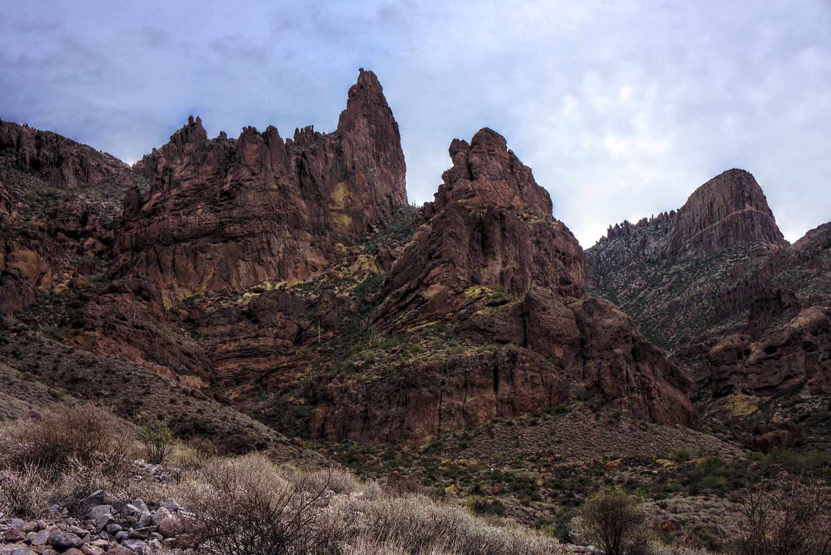
I took this photo, below, early on. The Flatiron is at the far right.
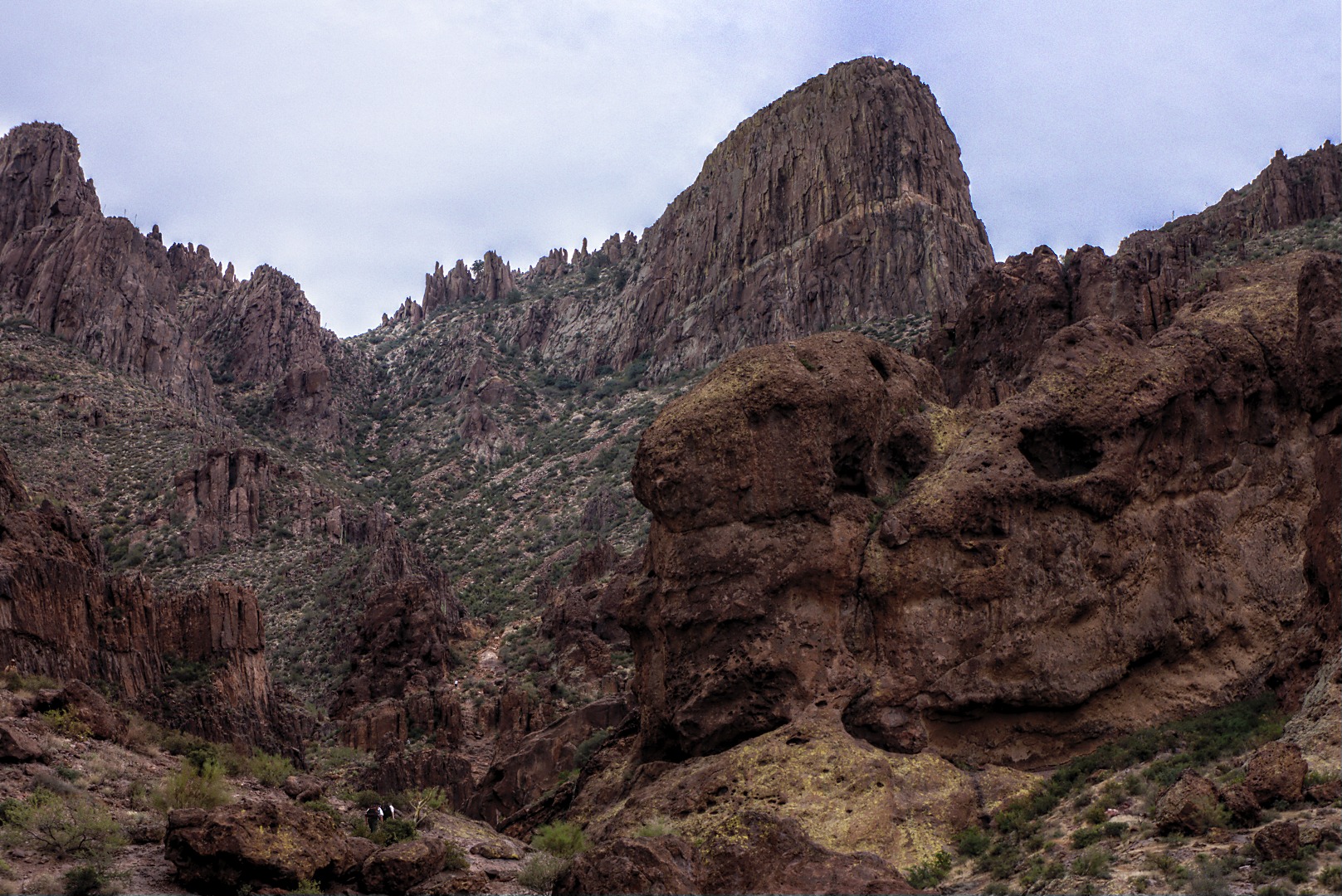
Another photo of the Flatiron from early in the hike. Also of interest is the the big rock at the right which looks like a head with empty eye sockets. If you look closely, you can see another hiking party ahead of us at the lower left.
Nick strikes a grandiose pose on a wall of the slick rock basin. This basin is 1.9 miles into the hike. Many hikers turn around at this point. I’ll show more photos of this basin later on.
A view looking back shortly after passing the basin and scrambling up the wall just past the basin. There were a large number of boy scouts out that day. Some would pass me as I was taking photos (i.e. resting), but I would often pass them during their rest breaks. There were a few kids who probably didn’t need much of a rest, but the scout leader reined them in to give the others a chance to catch up. There’s a group of kids hiking the trail in this photo.
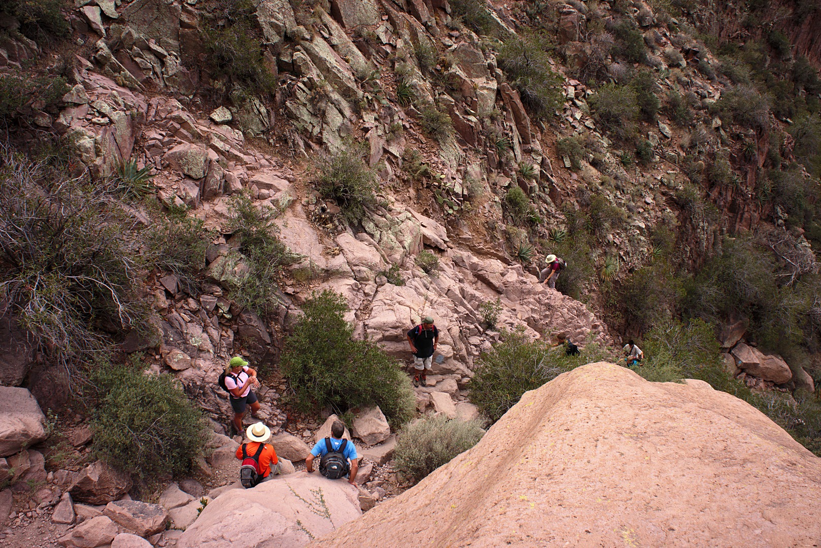
From left to right in the photo below are, Janet, Nick, Alan, Bob, and Marilyn, who is still scrambling up some rocks somewhat lower down. (Someone else is below her too.) I was standing on a large boulder twenty-five feet or so above Nick and Alan. There are steep sections to this hike, but there are reasonably large areas such as that shown in this photo where you can rest. Even though this hike is steep in a few spots, there’s not much exposure.
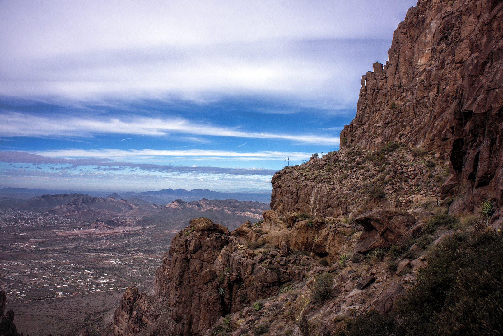
A view looking to the northwest. Red Mountain is barely visible at just under a quarter of the way over from the left edge of the photo.
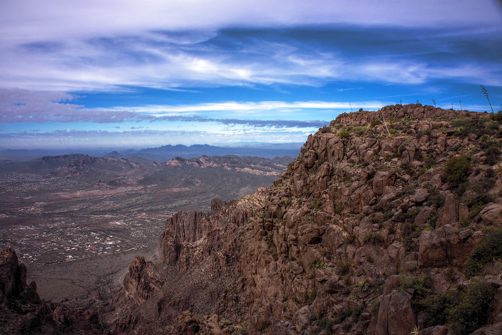
Another view looking in the same direction, but this time, I’m through with the really steep part of the hike and am nearly at the Flatiron.
I saw this spider on my way along the easy portion of trail leading to the Flatiron.
There are still some small hills set back from the edge of the Flatiron, to the northeast. I hiked around the hill to the right to get a few of the later photos.
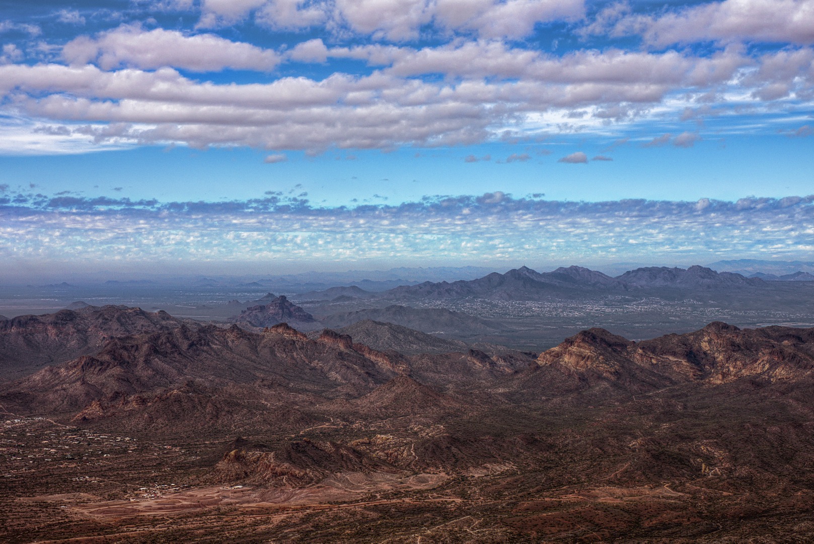
A view of Lone Mountain, Pass Mountain, Usury Mountain, Red Mountain, the McDowells, and the Goldfields from atop the Flatiron. (I think I have this right – I may even be missing one or two…) A small portion of Apache Junction is visible in the lower right hand corner of the photo. Fountain Hills can be seen in the right center of the photo.
Marilyn, Nick, Janet, and Alan on the easy section of trail leading to the Flatiron:
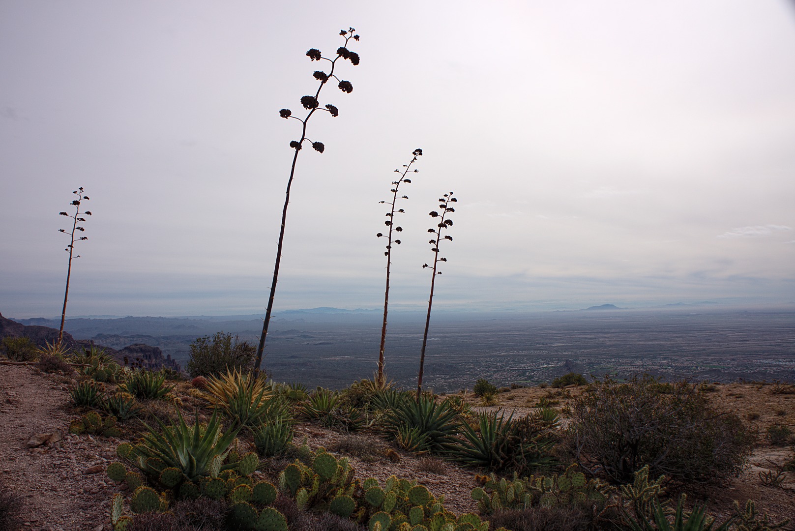
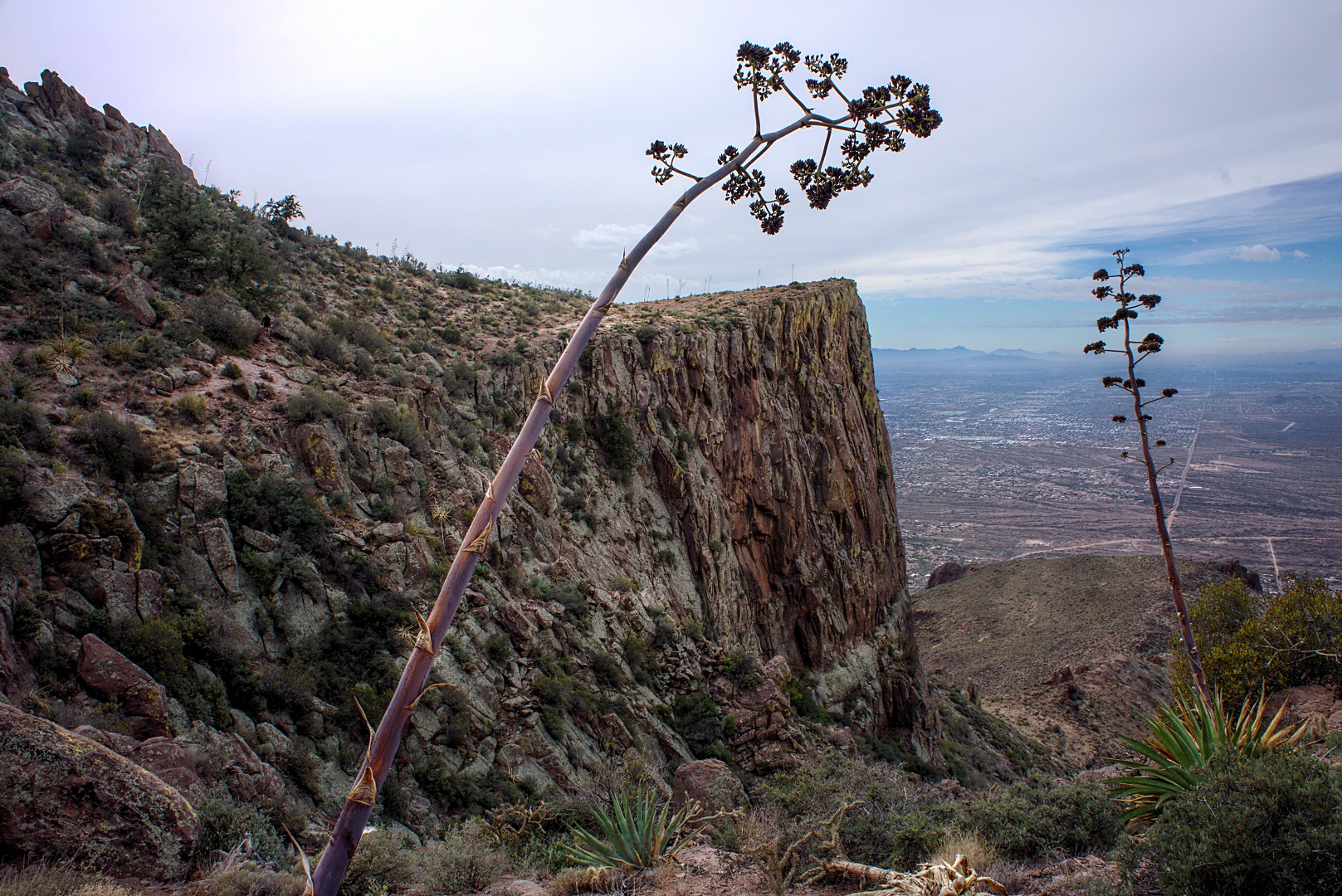
There were a lot of Agave plants atop the Flatiron and the other mesa to the north. More than a few of them sported dead flower stalks. I didn’t see any live agave flowers, but I did see one during a recent hike at Little Saddle Mountain.
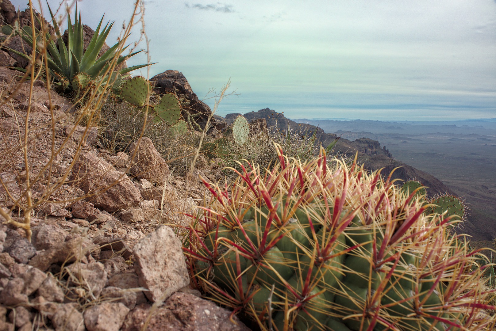
A barrel cactus, looking into the heart of the Superstition Wilderness to the west:
A dead agave with flower stalk. I’ve heard that they die after they grow the stalk and bloom.
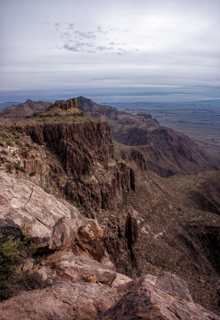
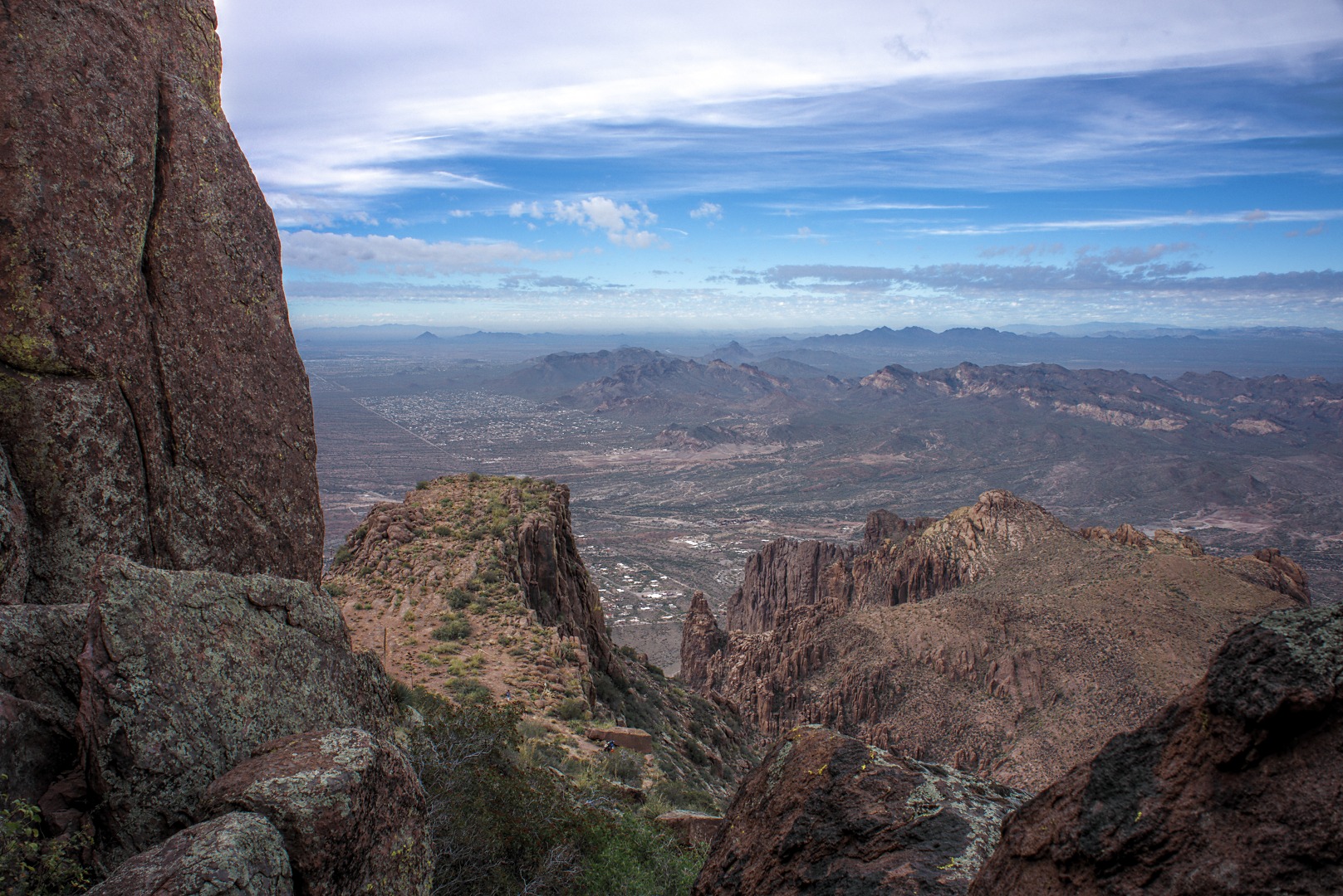
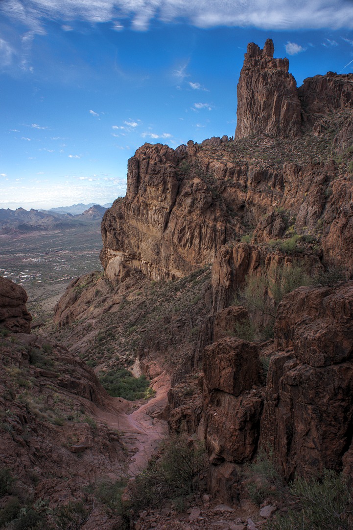
Another view looking west. I started out for that near peak, but the trail that I followed became less distinct as I went. I eventually turned back as I had been away from the rest of the group for quite a while.
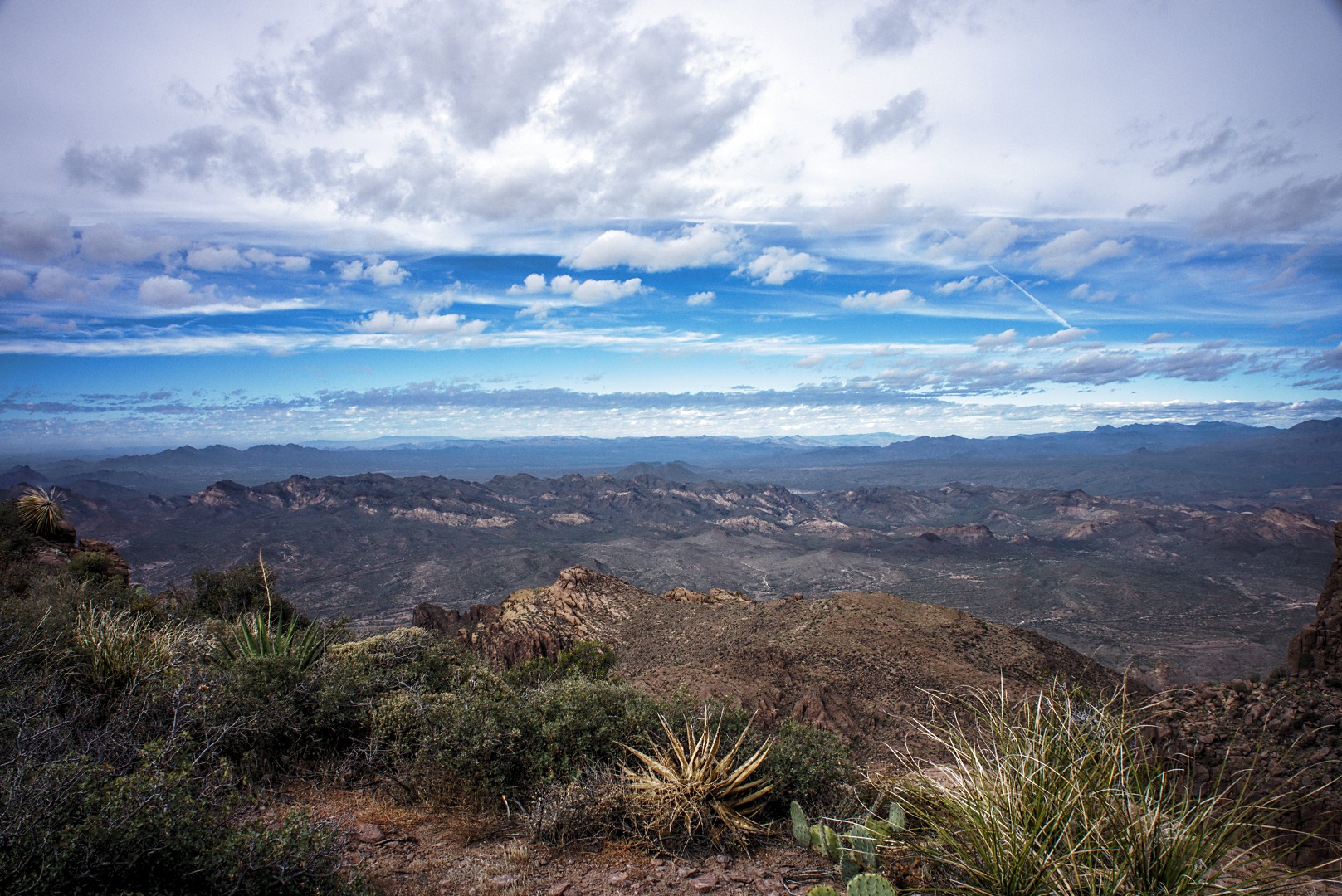
I think this is a view to the southeast. I like the clouds in this photo.
Once I finished my explorations of the eastern part of the Flatiron, we headed back to the trail junction. The right path leads to the Flatiron, which we had just visited; the left path leads to the “top” We didn’t really get to the top of anything, but Bob and I got pretty close. We would have had to climb / scramble some more to get to one of the actual peaks. It was starting to get late, however, and we still had a long way to descend to get back to our vehicles.
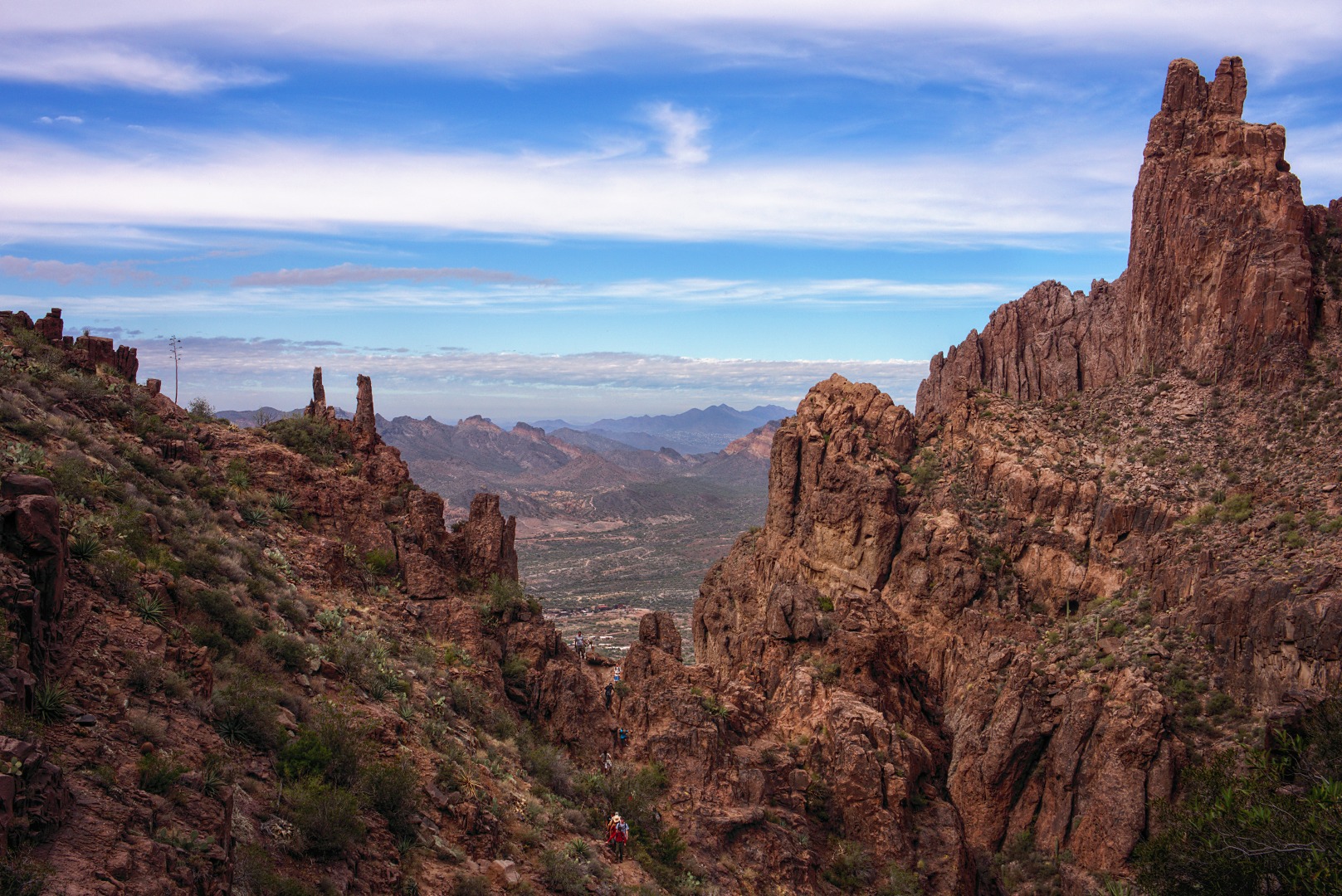
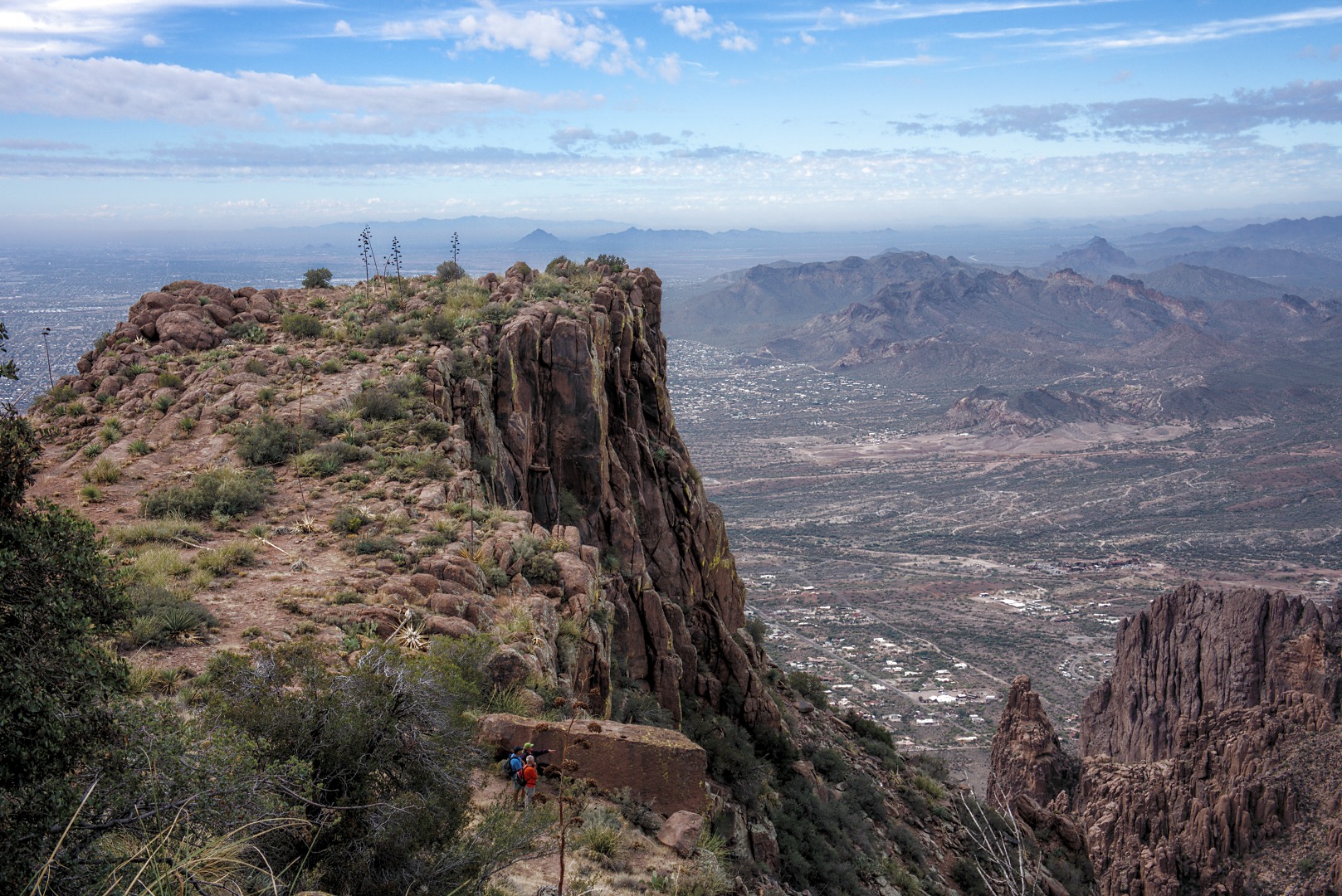
This photo, below, was taken from that left path that lead to the “top”. You can see the side of the Flatiron with the town of Apache Junction far below.
Bob and I followed another steep path that lead even higher, while the others enjoyed the scenery from the Mesa below. Nick, Alan, and Janet are visible in this photo. I’m guessing that Marilyn is behind one of the trees.
Another view from even higher up. We went even higher though and ended up circling around to rejoin the others. (It was steep and loose in spots; I didn’t want to return the same way unless I absolutely had to.)
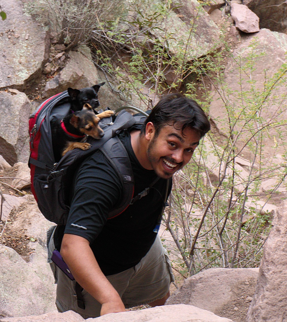
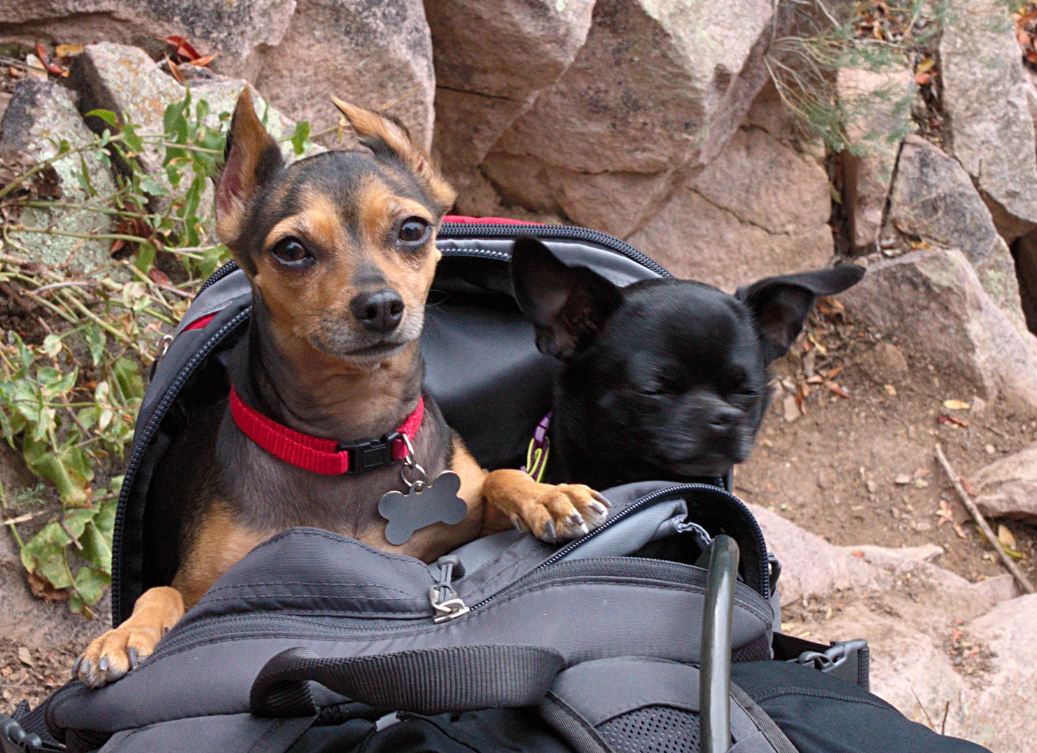
Not long after starting down, we met a fellow carrying two chihuahuas in his backpack. We also saw a larger dog at the Flatiron who carried her own pack.
An better view of the dogs:
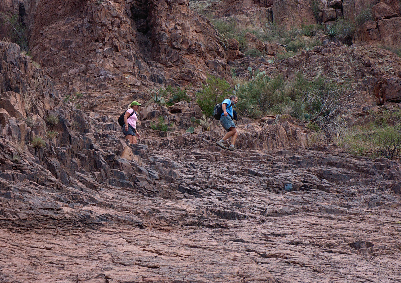
A view looking back up at Flatiron and at the other, smaller, mesa to the left at around 3:30 in the afternoon. (We had started our hike at around 9:30am.) We were still a long way away from the bottom when I took this photo. In fact, we still had quite a ways to descend just to reach the slick rock basin.
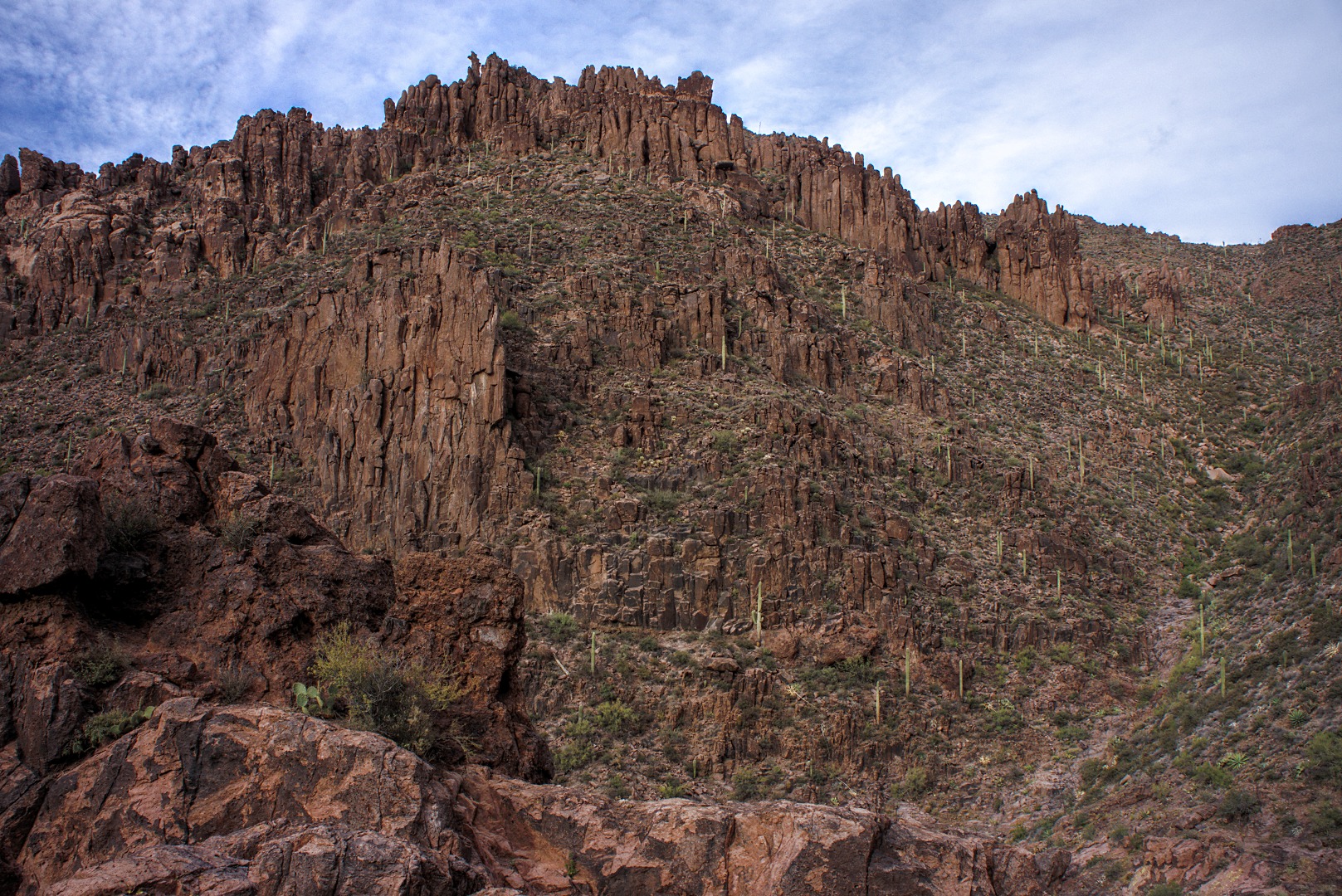
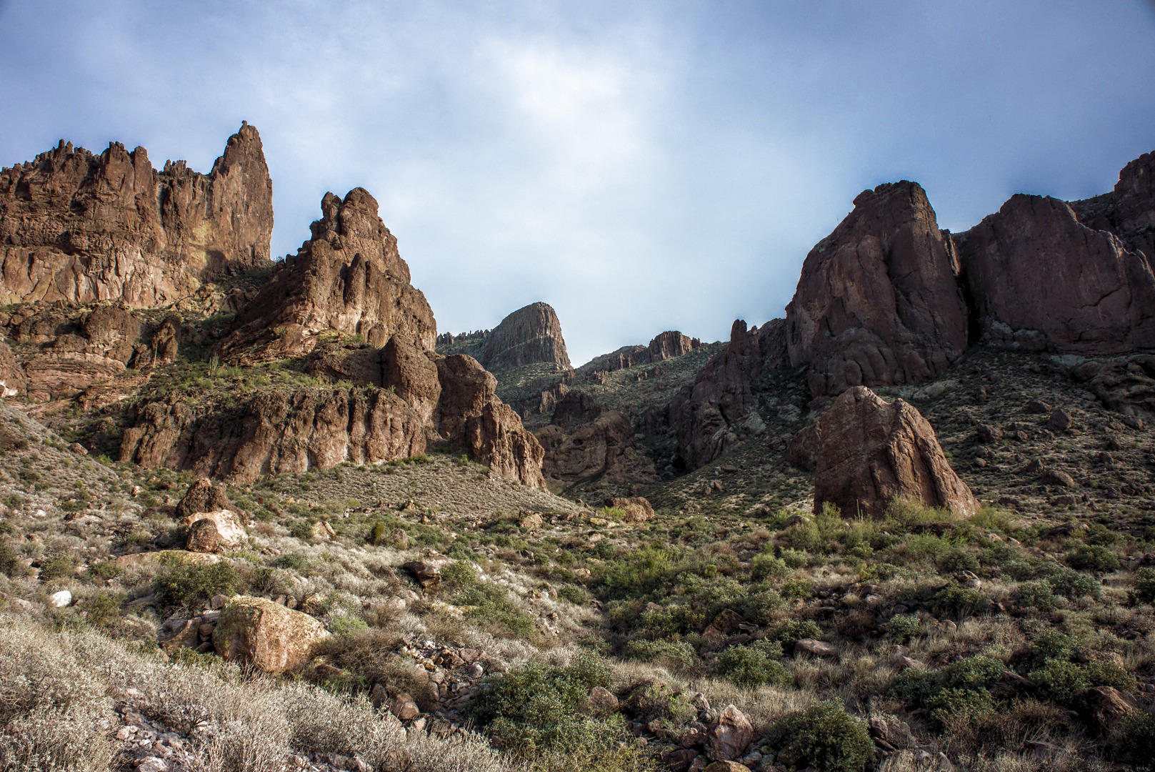
A view of one of the canyon walls as we were descending:
The pinkish area of rock is the slickrock basin area. It’s hard to see at this resolution, but there are actually two people down there, one of whom is Bob. Bob was much quicker at descending the steep terrain than the rest of us. He stopped there and took a nap while he waited for us. Bob is the small dark spot on one of the left slopes of the basin.
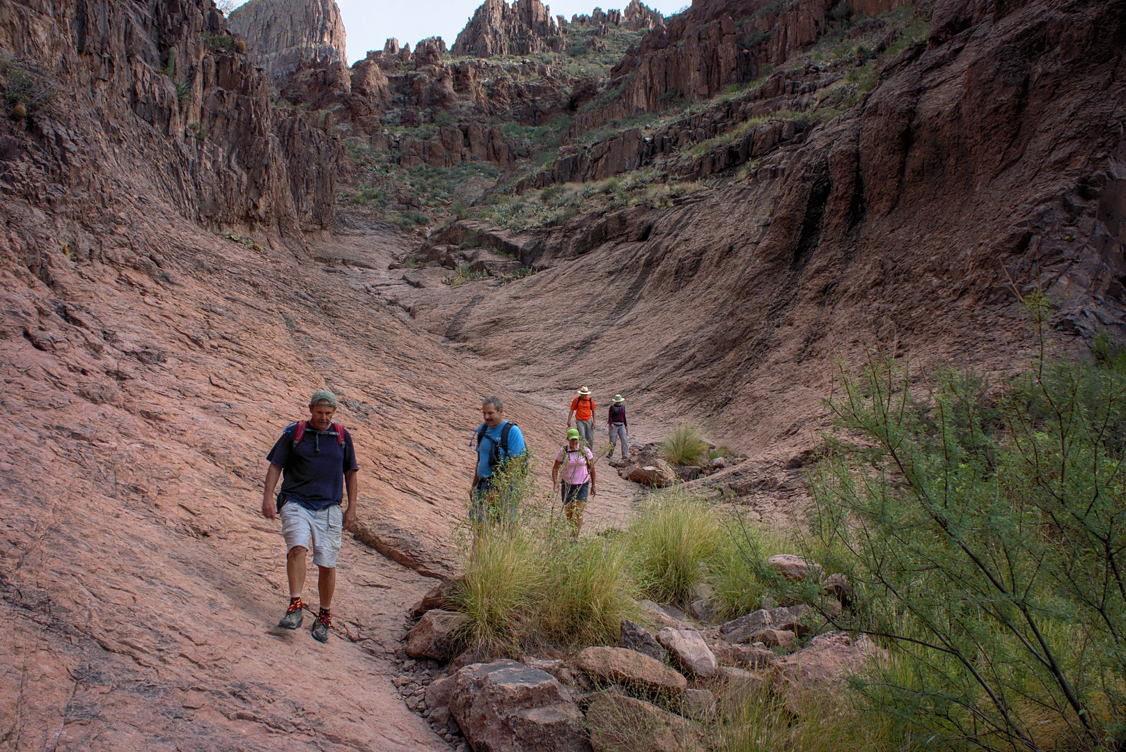
Alan and Janet beginning their descent into the slick rock basin:
Bob, Alan, Janet, Nick, and Marilyn hiking in and along the slick rock basin:
One last look back at the Flatiron. Even at this point, we still had over half an hour of hiking ahead of us before we were back at our vehicles.





Mary says:
I really enjoyed the Christmas lights on the Fountains. What a wonderful way to end my day!
Mary
December 5, 2012 — 7:38 pm