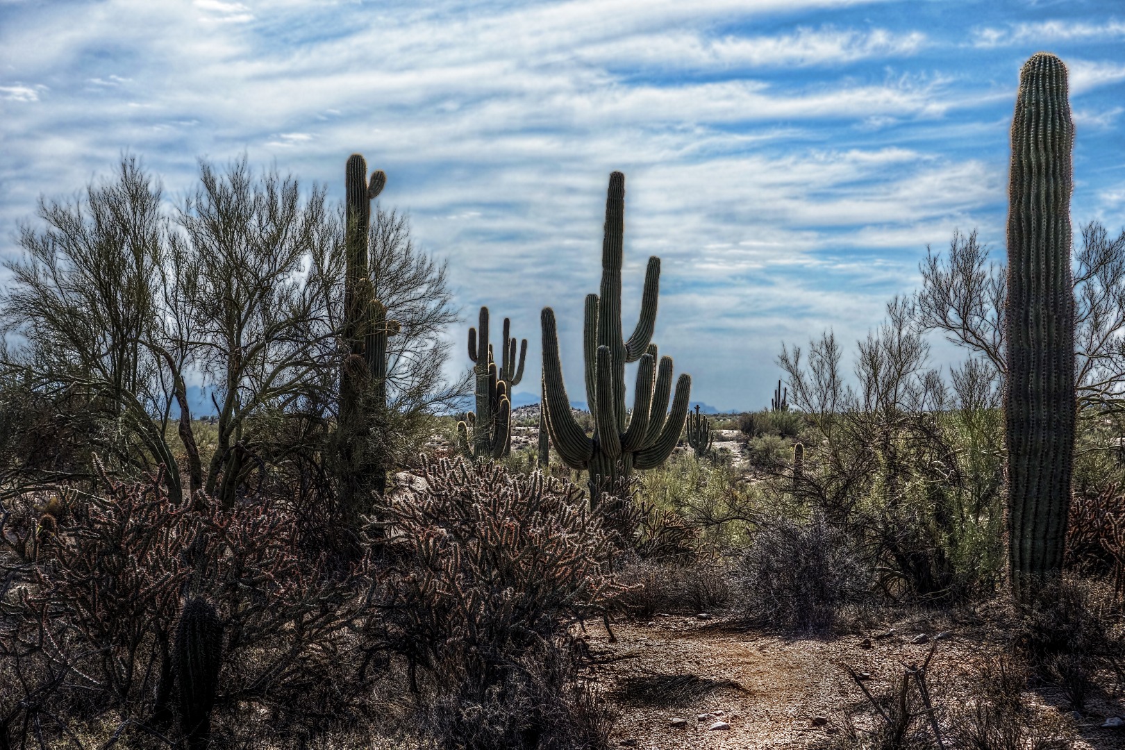
Month: November 2012 (page 2 of 2)

Tiger on a Ladder

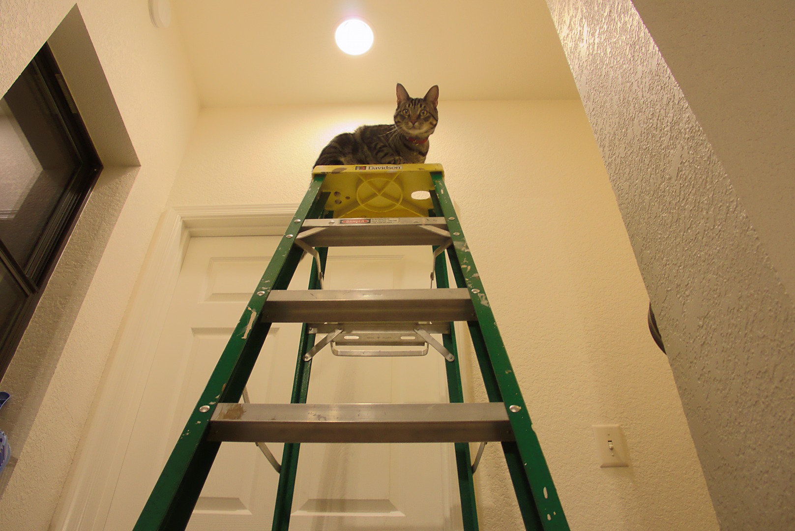
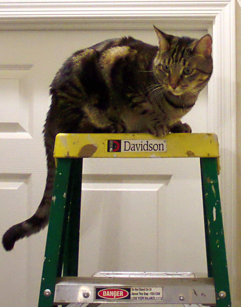
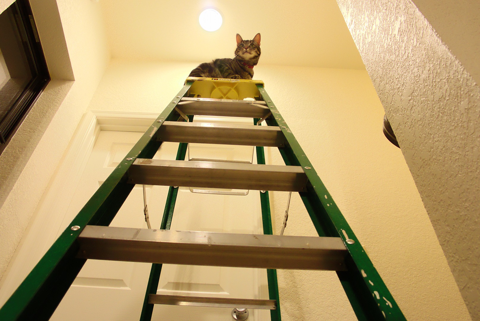
Marilyn got out a ladder for changing a light bulb late this afternoon.  Tiger climbed the ladder while she was disposing of the old bulb…

The exposure I used for this photo was shot at f/8, 1/15 sec, ISO 1600.

I processed the RAW file from the camera three times, once with a very low exposure compensation setting for the lightbulb, another time with a somewhat higher setting for the bright areas of the ceiling and the walls, and a third time for everything else. I created a tone map layer, but ended up not using it as it had too much noise due to the image being shot at ISO 1600.  I could have processed created the image with noise reduction on the RAW file conversion, but it didn’t look to me like it’d add enough interesting detail to bother.

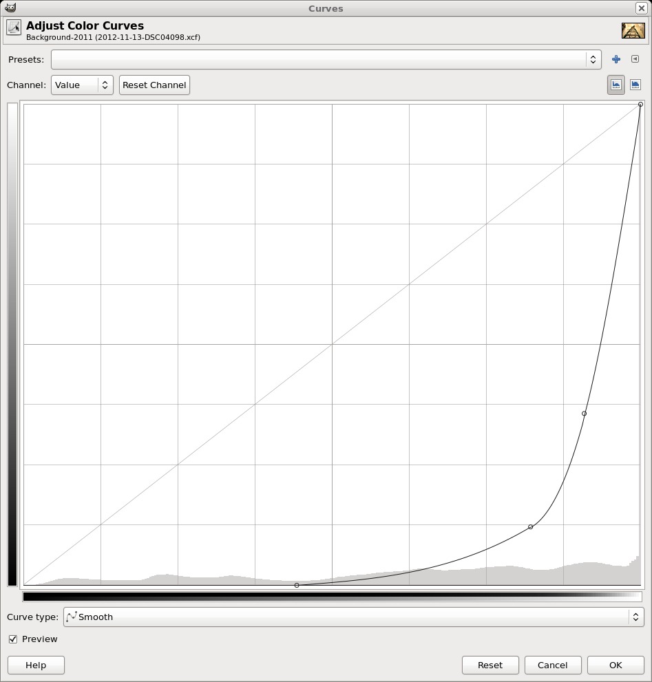
I blended the two brightest layers by making a copy of the very brighest one and running curves on it.  I used this curve:

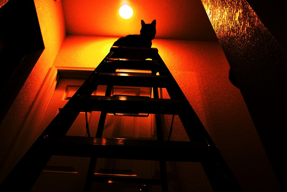
With that curve in place, the (copy of the) bright layer looked like this:

This is an interesting image in its own right, but I wanted to use it to create a layer mask for the second brightest layer.  To do that, I created a layer mask using a grayscale copy of the layer.  This is one of the options when creating a layer mask.  I then converted that mask to a selection and used that selection for creating a layer mask on the second brightest layer.  This removed most of the blown out areas of the image and gave it a more even tone.  It’s still bright on the ceilings and walls, but the texture is now evident.

For the light bulb layer, I adjusted the exposure compensation so that the right end of the histogram was entirely contained in the graph.  According to ufraw, there were no overexposed areas.

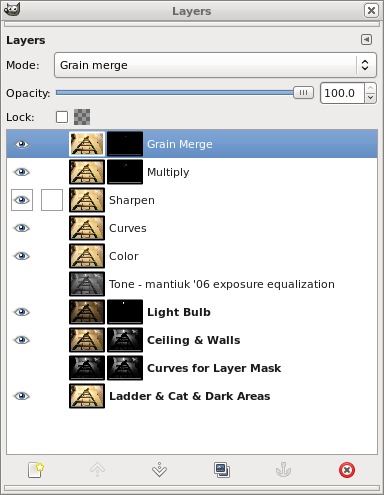
This is what the layers window looked like when I was finished:

The fourth layer down, a Curves layer, was used to eliminate an empty spot at the left edge of the histogram.  This improved the overall contrast somewhat.

I duplicated the Curves Layer and ran the unsharp mask filter to sharpen the image.

I usually stop after sharpening, but I thought that the cats face was too washed out, especially on the left side (his right side) due to the light.  So I created the Multiply layer to darken that area and then a Grain Merge layer to add even more contrast to certain parts of his face and body.  I simply painted white into a transparent layer mask where I wanted extra darkening or contrast.  I used a fuzzy brush with the opacity set at only 10% so that each brush stroke would only have a small effect.  If I didn’t like the result, it was easy to undo that stroke or even several strokes preceding.  (If I really hated it, I could have deleted the layer mask and started over with a fresh mask.)

The only layers that directly contribute to the final image are the top three layers.  The other, lower, layers were important as intermediate steps, but I could disable the visibility of these layers without affecting the displayed result.  I keep them enabled when I save the XCF file, however, so I know which layers are important when I open the file back up again.  I will sometimes tweak some of those lower layers and then recreate the upper layers with the new settings.

A similar shot, but taken from slightly higher up:

Cats do not heed ladder safety warnings:
Tom’s Thumb Trail

Marilyn and I hiked the Tom’s Thumb Trail on Sunday afternoon.  We parked in the new parking area – this adds a bit of distance to the hike.  I ended up with five miles exactly, though I did have to add a few extra steps in the parking area to arrive at that exact number.  We hiked up to Tom’s Thumb and back down, taking only a few excursions along the way.

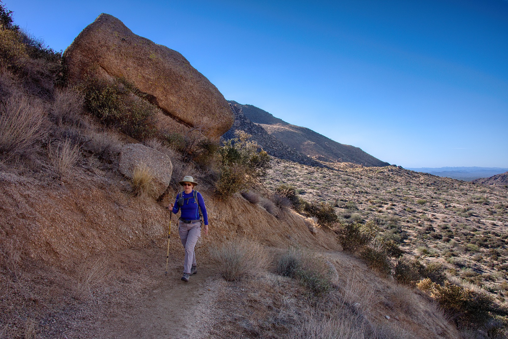
Marilyn, near the beginning of the hike.  The trail is fairly steep with lots of switchbacks.  Elevation is gained quickly.

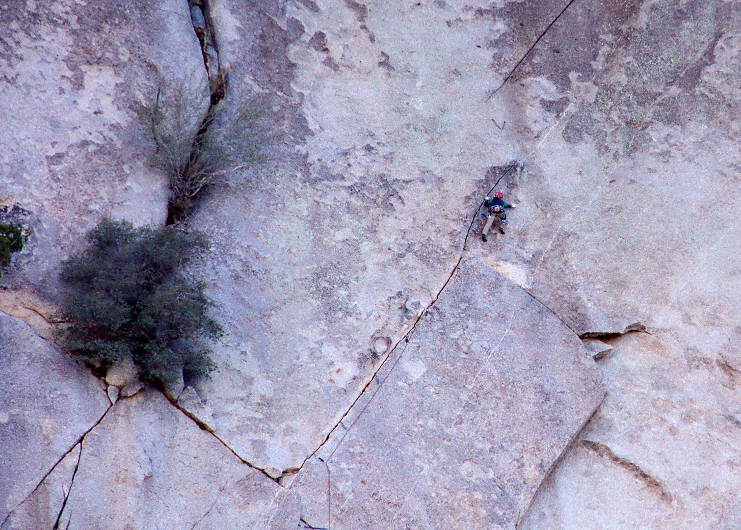
I took the climber’s access trail towards Gardener’s Wall.  Along the way, I got this photo of a climber approaching the belay station on Hanging Gardens (5.5).  If you look closely, you can see a pair of connected chains about seven feet above the climber’s head.  The guy leading it really sewed it up – I think there are at least eight pieces of protection visible in the photo.

A side view of Gardener’s Wall, off to the left:

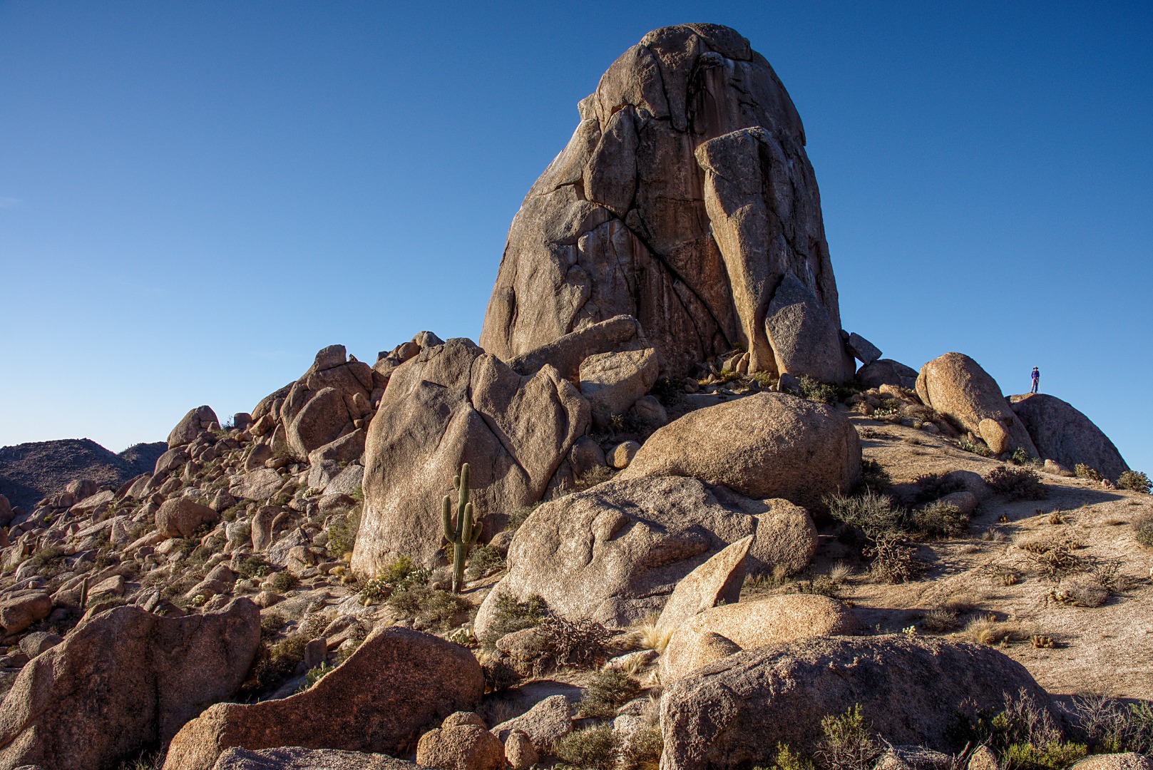
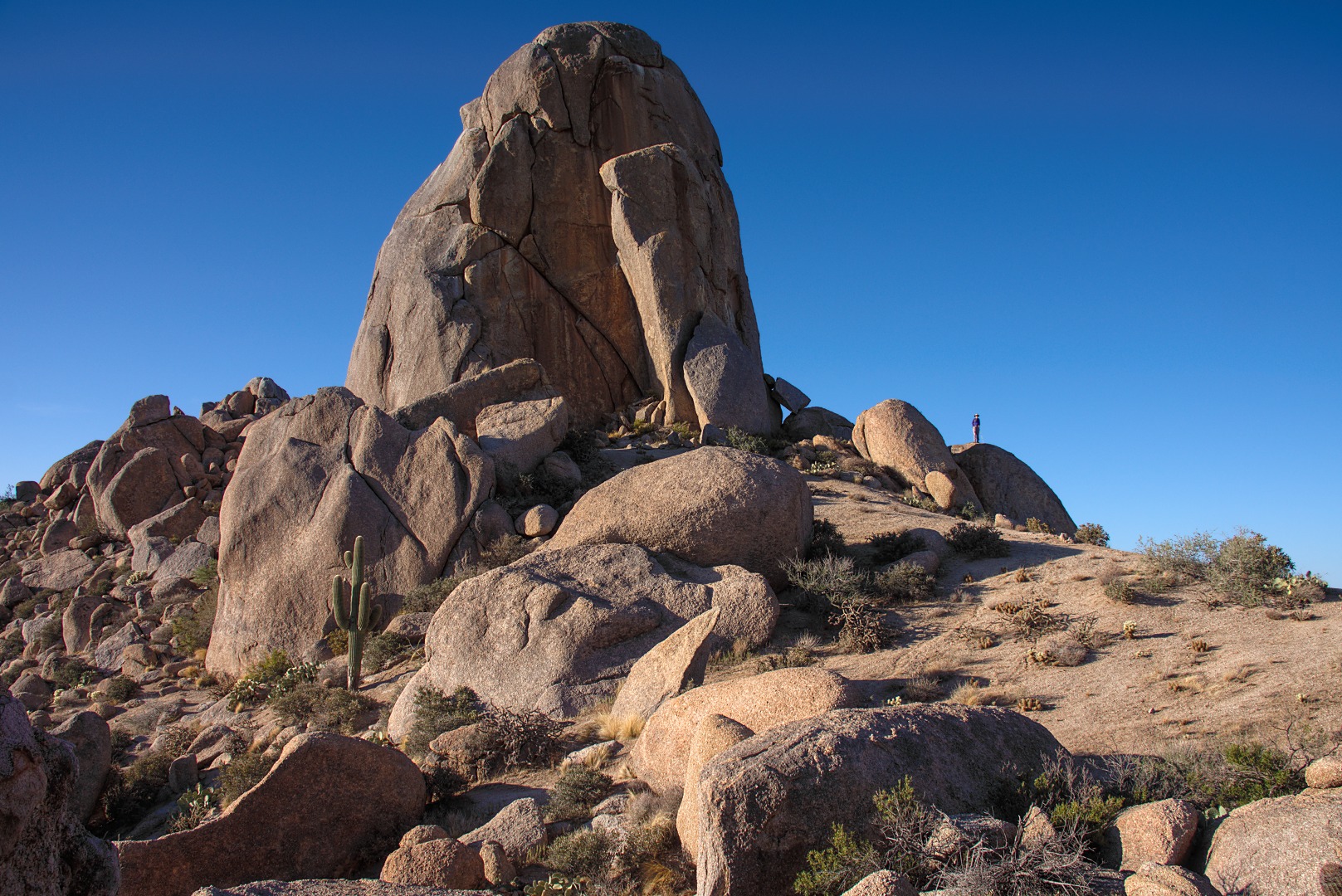
Marilyn stayed on the Tom’s Thumb Trail and got to Tom’s Thumb ahead of me.  In the photo below, Marilyn is standing on a rock to the right of Tom’s Thumb.

Another photo of Tom’s Thumb taken from a different location and framed so that the “thumb” is on the left rule of thirds line.  The RAW file for the photo below was converted using a custom color profile for the Sony NEX-7.  The NEX-7’s “Daylight” white balance setting was used for the majority of the photo, but a layer using “Shade” was used for the shady areas given them a somewhat browner look.  The opacity of a Mantiuk ’06 contrast equalization tone layer was set at only 20%.  The tone layer helps to explicate some of the detail in the various rock formations.

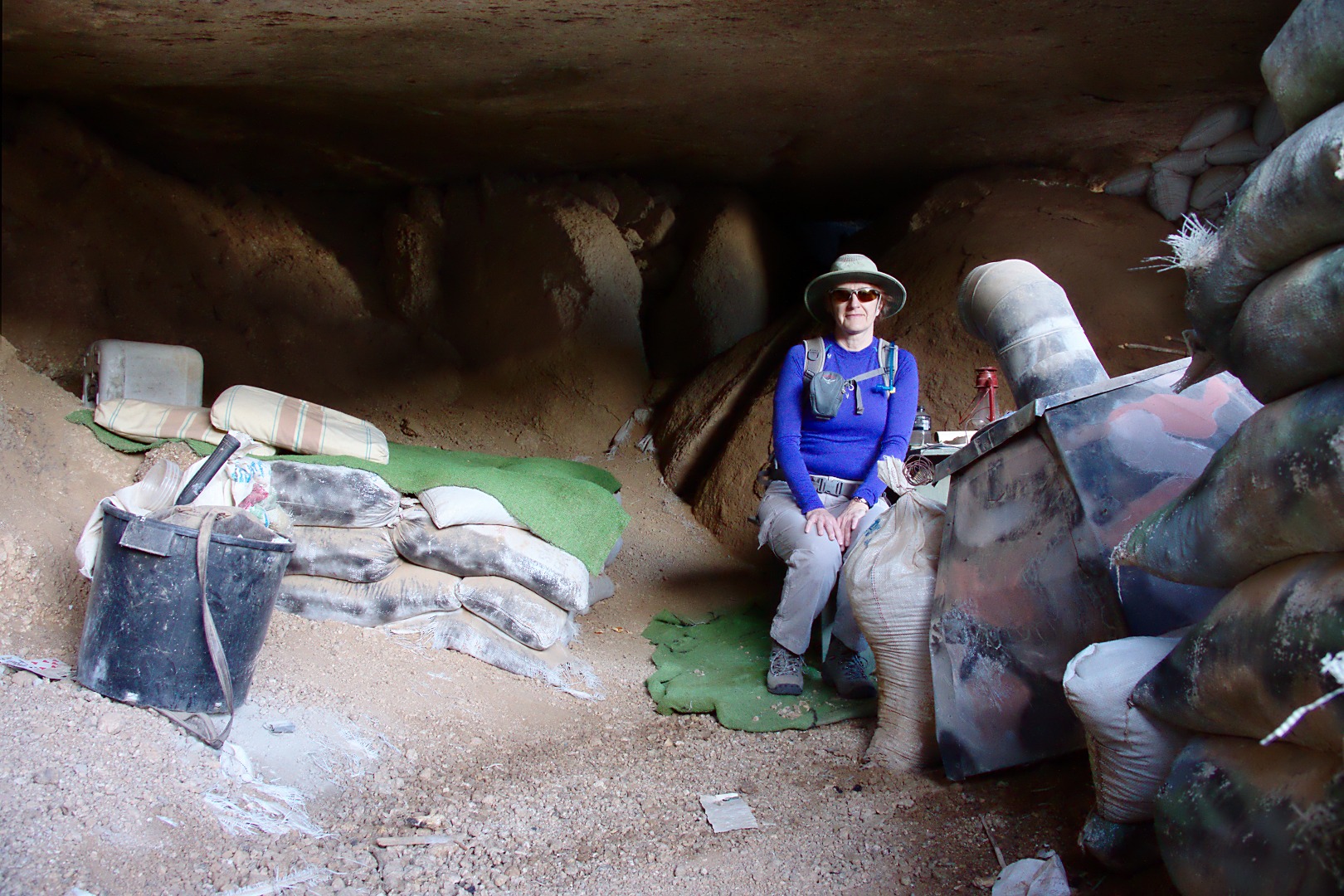
On the way back, we stopped by a cave dwelling complete with stove, picnic table and a bed made out of sand bags with a blanket spread over the top.  There are additional sand bags filling in a hole in the back of the cave and more near the entrance, probably intended to block wind and rain.

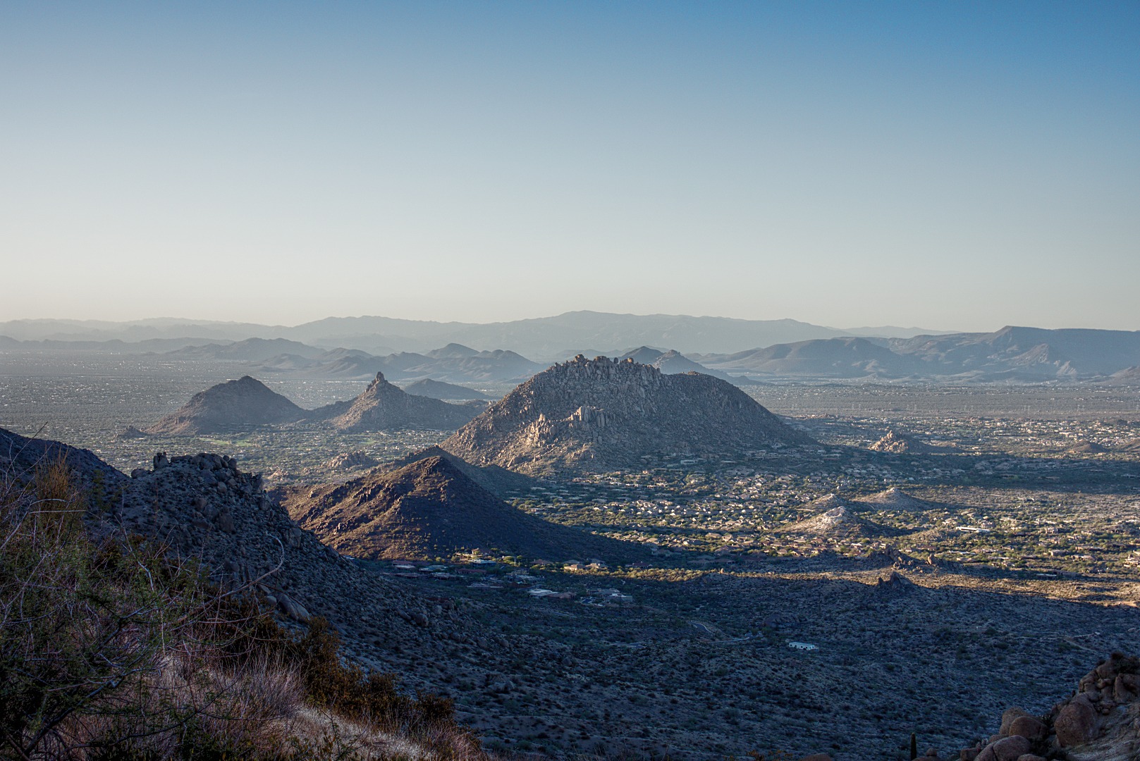
Pinnacle Peak, Troon, and some other small mountains (of which I do not know the names):

One of Marilyn’s photos, taken with the RX100:

A photo of me photographing Tom’s Thumb:

A photo of me with Tom’s Thumb in the background:

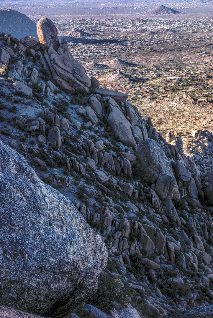
Below is a photo of “Glass Dome”.  I’m not sure how it got its name as it’s not really a dome and it’s made from granite instead of glass.   It’s just off the Tom’s Thumb Trail somewhat before the turn off for the climber’s access trail to Tom’s Thumb proper.  It’s a fairly large formation, but is quite a lot smaller than Tom’s Thumb.  (Tom’s Thumb requires two ropes to descend (rappel) from the top.  Glass Dome only requires one.)


Friday Fitness Hike

Friday’s hike this week took us out to the Marcus Landslide Trail in the McDowell Sonoran Preserve.  Eleven of us started out from the Wagner Trailhead.  We hiked through the campground, using one of the campground trails to get to the Granite Trail.  From there we hiked, in succession, portions of Bluff, Pemberton, the Rock Knob Trail, the Marcus Landslide Trail, the Boulder Trail, Pemberton, Tonto Tank, and Pemberton.  We ended up hiking the main park road back to our vehicles at the Wagner Trailhead.

Amy and four others split off from the long hike group on the Bluff at the upper Granite Trail Intersection.  Nancy, Linda, Janet, Nick, Mike, and I continued on up the Bluff to finish the route sketched out above   Below is the map of our hike.  My GPS reported the distance as 11.4 miles, but Google Earth reported the track as being only 11.2 miles.


View Marcus Landslide Hike in a larger map

Here’s a group photo just after hiking up the short, but steep hill at the beginning of the Bluff Trail:

Linda took the photo below in which Amy had us all kneel (or squat) down to better see the rays of the sun streaming through the clouds.

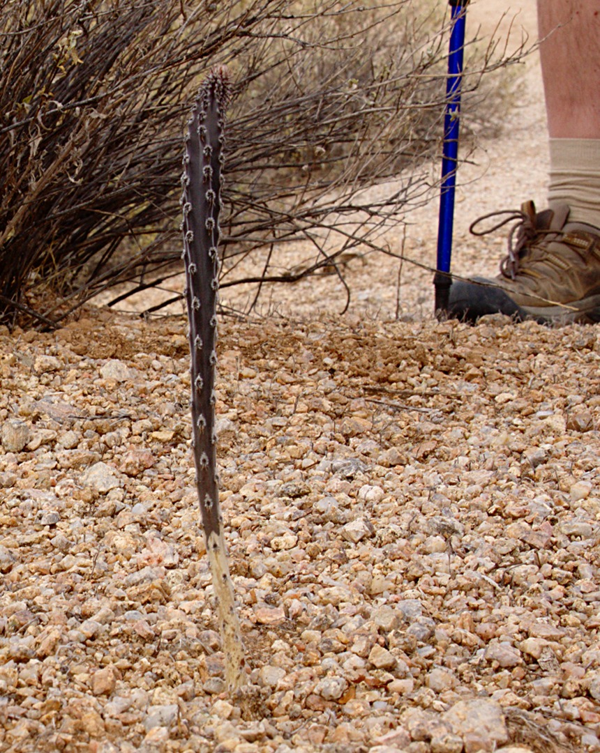
We saw this young Queen of the Night cactus as we hiked up the Bluff Trail:

A view of Rock Knob near the end of the Bluff Trail:

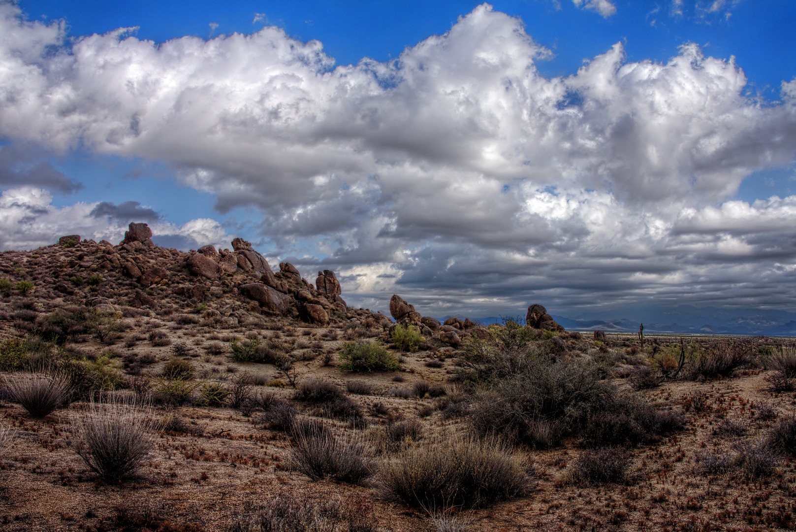
A view from the Rock Knob Trail:

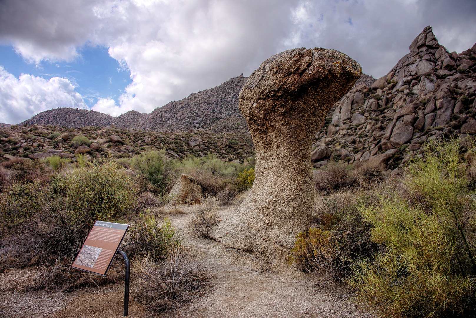
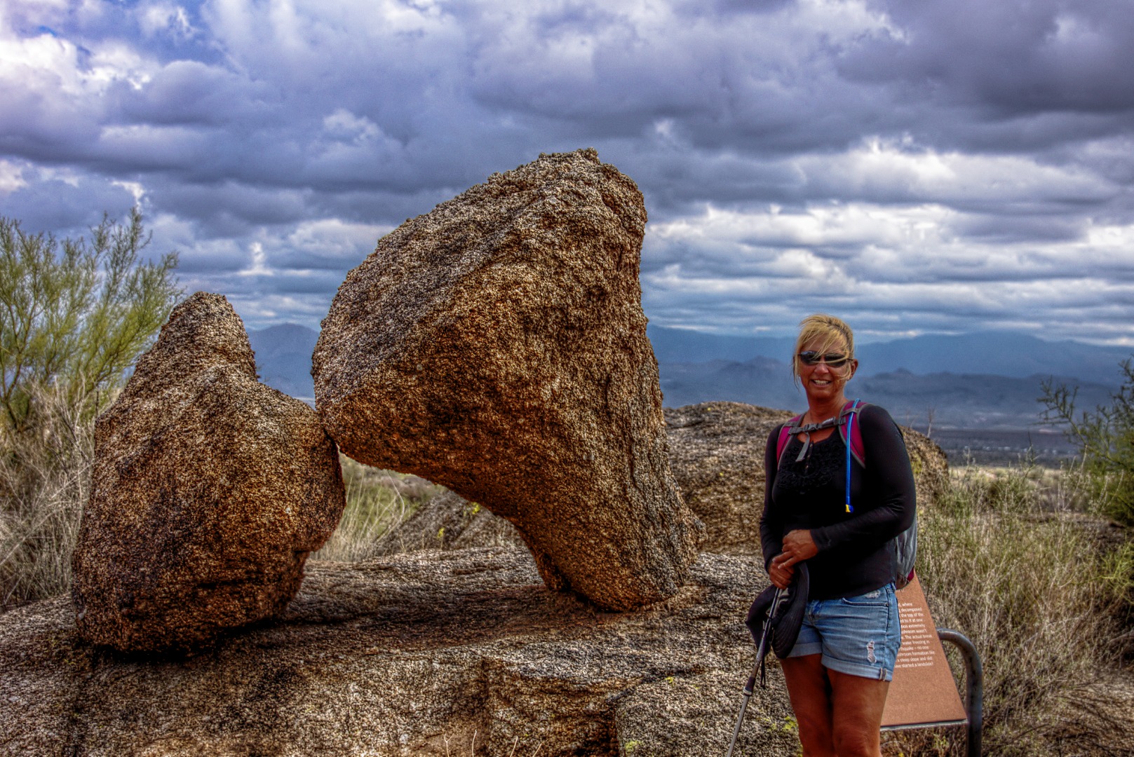
One of the mushroom shaped rocks on the Marcus Landslide Trail.  The sign had been put in since I was last out there perhaps a month ago.  The signs are informative, but in some cases, I think they were placed too close to the feature being described.  (In my opinion this photo, below, would have been better without a sign in it.)

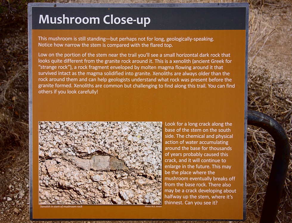
Here’s what the sign says:
Nancy poses in beside a pair of mushroom boulders leaning against each other.  I took several shots here, but hated the fact that the sign was in the picture.  Finally, I asked Nancy to come stand in front of the sign.  I think it’s a much better photo as a result.

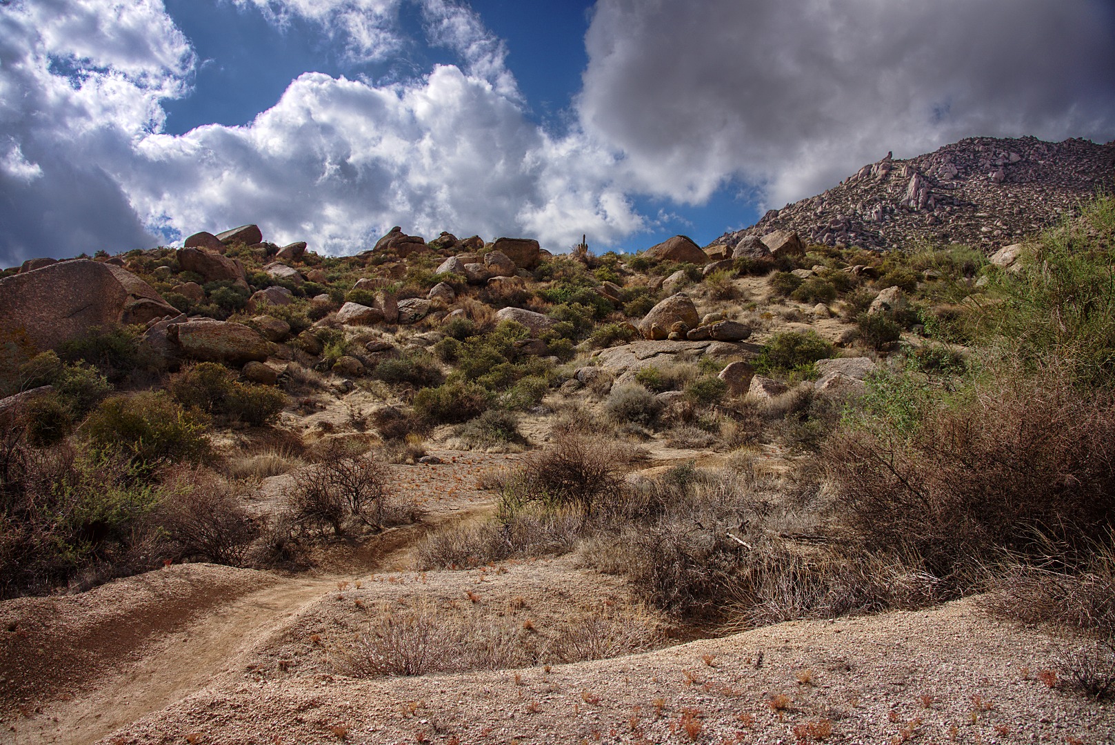
The hill in the foreground is a portion of the slide mass of the Marcus Landslide.  It extends for quite a distance from the preserve into McDowell Mountain Park.

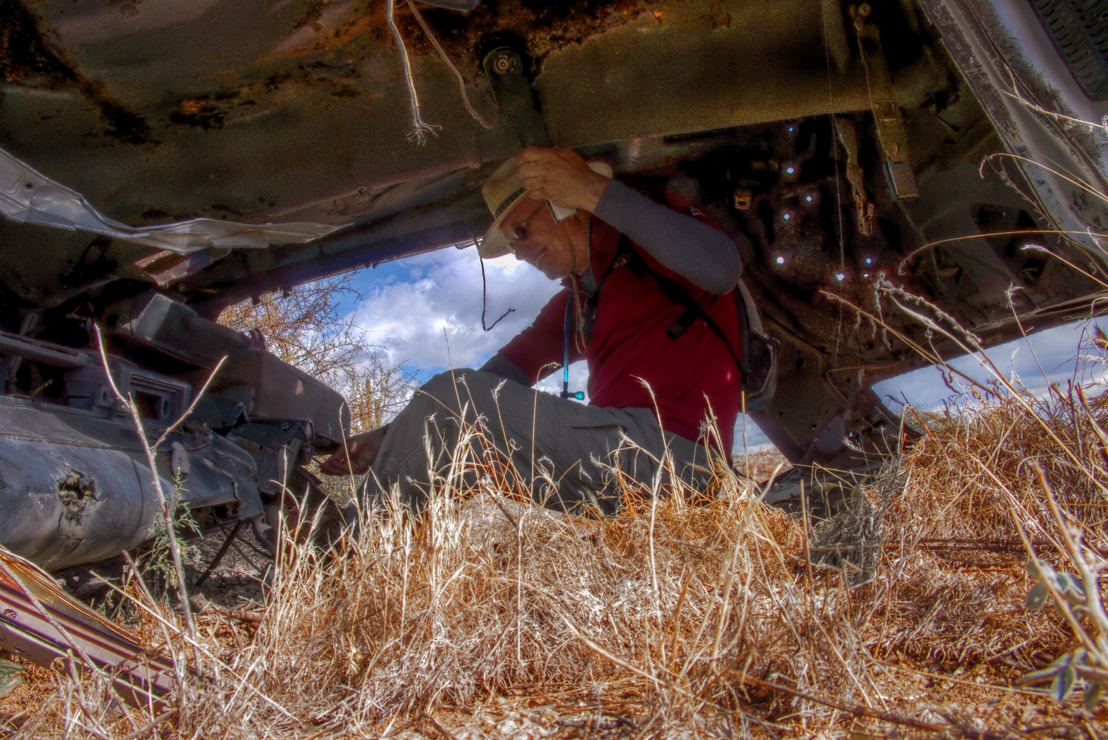
Nick sits in another abandoned and, this time, overturned vehicle that Linda spotted a short ways off the Boulder Trail.

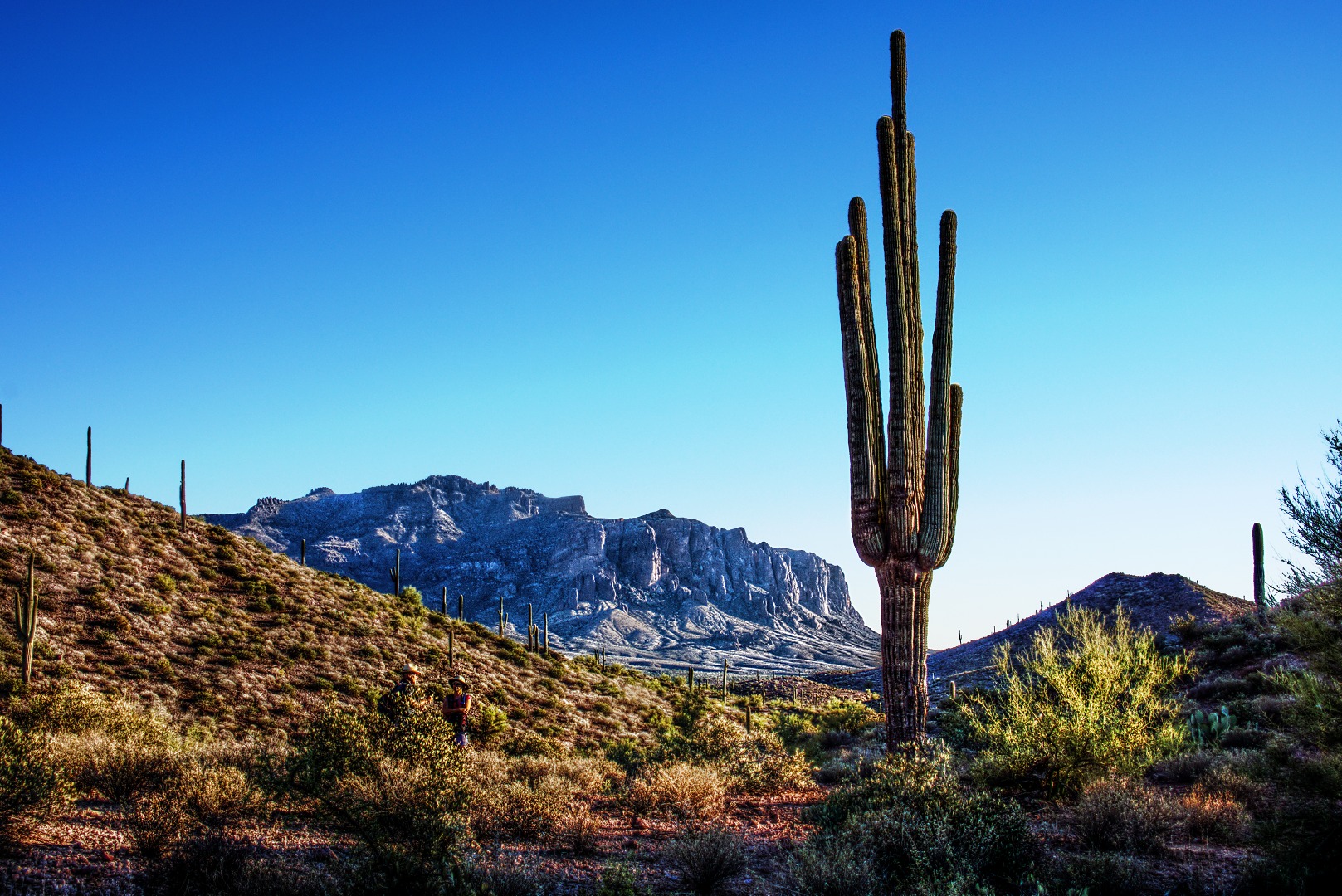
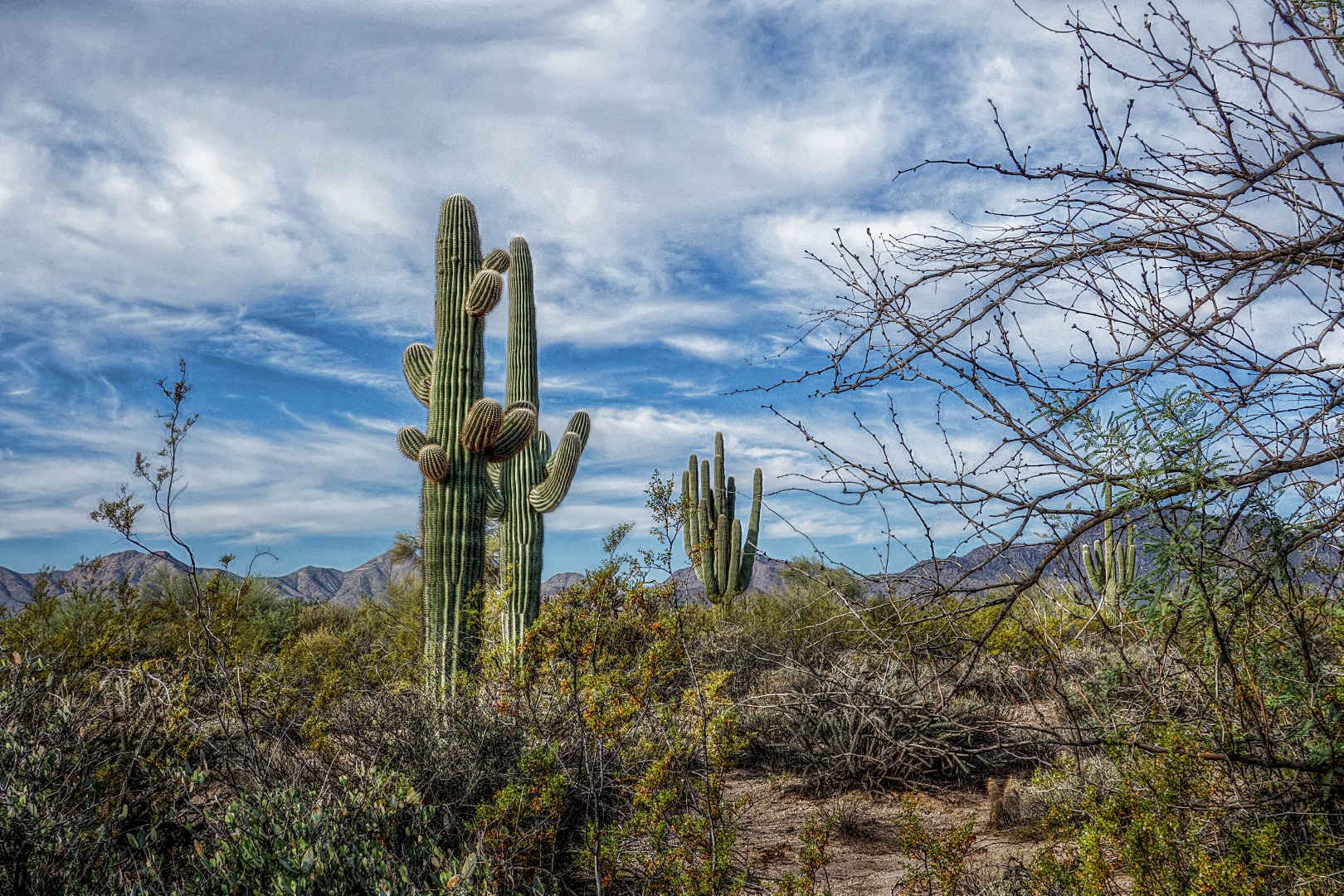
A pair of saguaros just off the Pemberton.  We saw these near the end of the hike just before crossing Stoneman Wash.


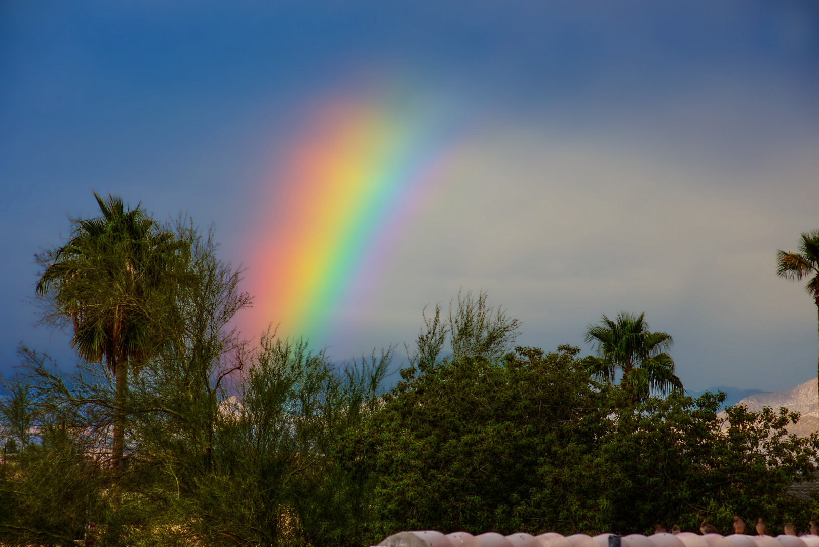
Thursday Afternoon Rainbow

It rained for a while this afternoon, leaving behind a partial, but quite wide and brilliant rainbow.  I did boost the saturation of the sky in the RAW file conversion.  That was a lot quicker, easier, and more effective than my earlier attempt at photographing a rainbow.

Javelina Mine Trail Photos

Marilyn, Nick, and I hiked the Javelina Mine Trail in the Goldfields last Sunday.

There is a maze of jeep roads at the beginning and it would be easy to get off track.  We thought we must have somehow taken the wrong fork at one point because we couldn’t find the actual trail.  We ended up high on a hill and spotted a trail not far away, but its location didn’t match the trail description.  Still, it was a trail – we made our way over to it and started hiking.  We came to a wash and hiked in the wash for a while, losing the trail along the way.

I spotted some tracks leaving the wash. It was a faint trail, but I checked it out and found that they lead to a well defined trail.  I think it’s likely that the trail crossed the wash and we simply missed seeing the spot where the trail exited the wash on the other side.  We continued on along the trail and it eventually intersected another trail which was the Javelina Mine Trail.  On the way back, we took that other fork and found that we had walked right past the start of the trail without even knowing it.  The HAZ hike description for the Javelina Mine Trail mentions a “rusted old hulk of a vehicle” which is supposed to mark the start of the trail.  We never saw that hulk, but,  on our return, we found the place where the hulk probably once sat.  There are three cairns near the singletrack entrance, but we missed seeing those too.

Here is a map showing our GPS track. If you zoom in, you can see the roads and the trail we followed on the map.


View Javelina Mine Trail in a larger map

Nick thought that this rock formation, below, looked like an elephant head.  I think we saw this shortly after joining the Javelina Mine Trail from the other singletrack that we started on.

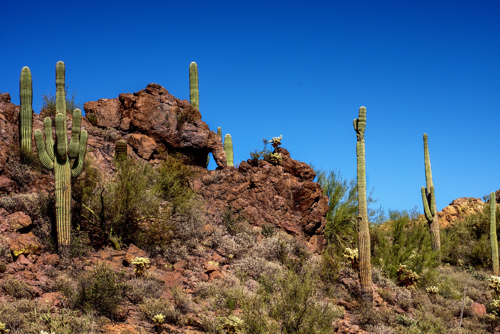
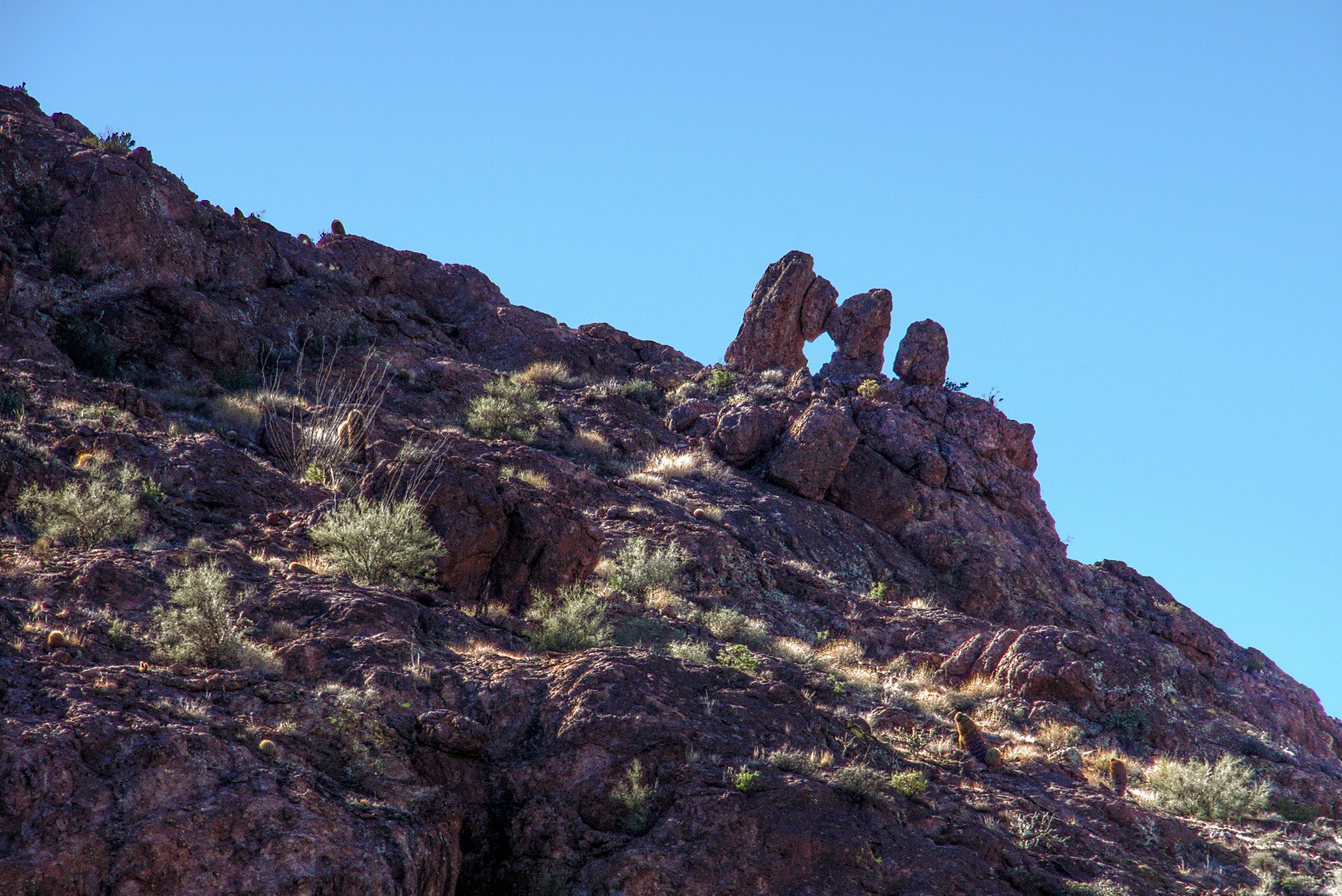
This formation (below) is known as Checkmate Arch.  I had my camera fully zoomed at 200mm to get this shot.

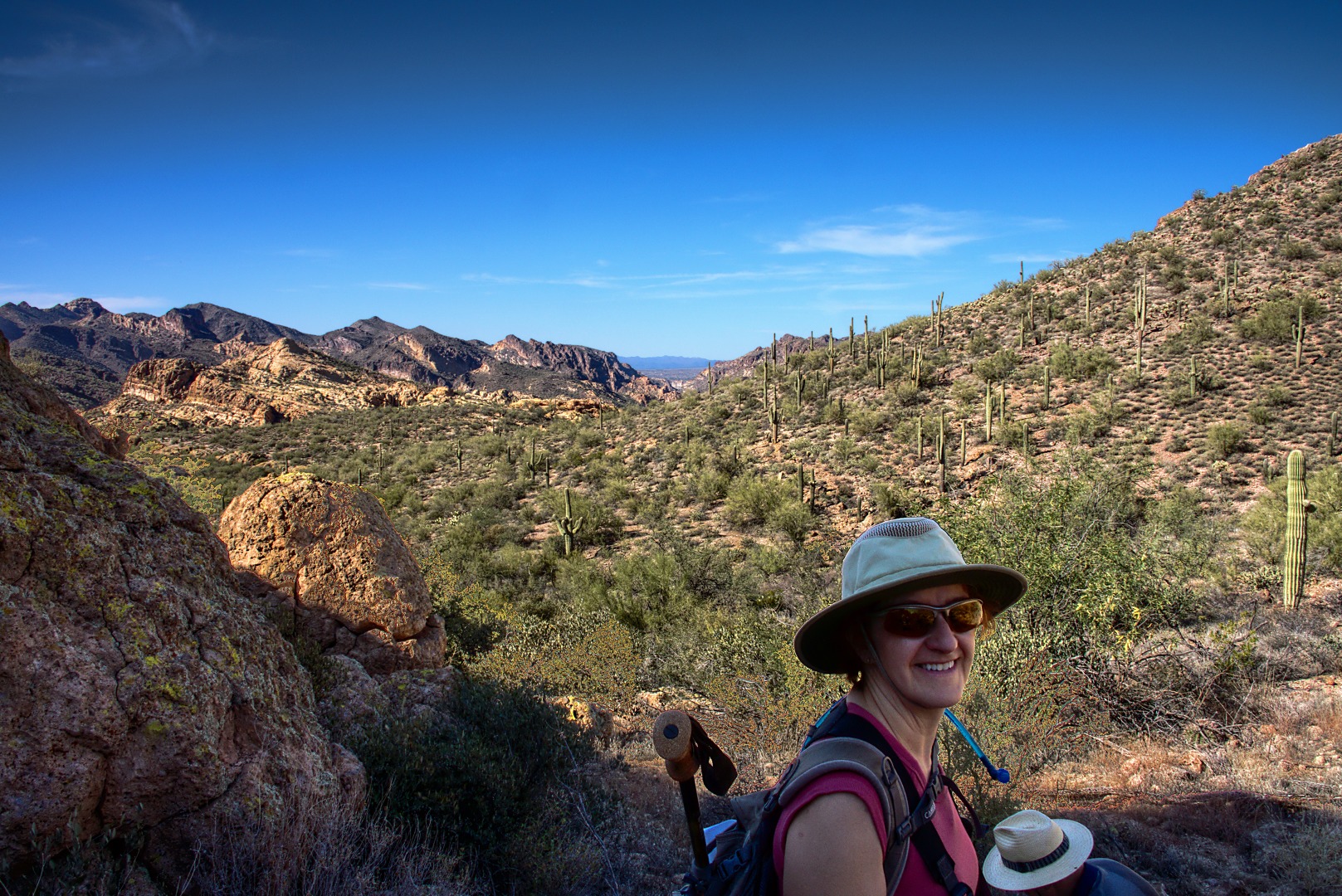
A view of the terrain ahead.

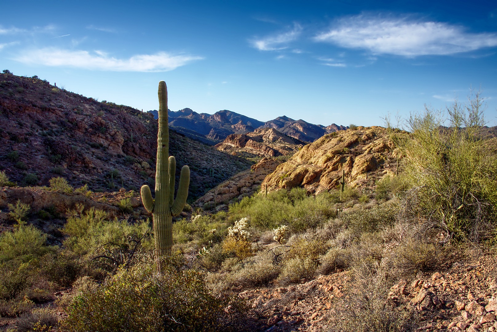
Another shot, below, of the hills and mountains in the photo above.  That big rock behind Marilyn in the photo above is part of the big yellow looking rock to the right in the photo below.  I got this photo on the way back.

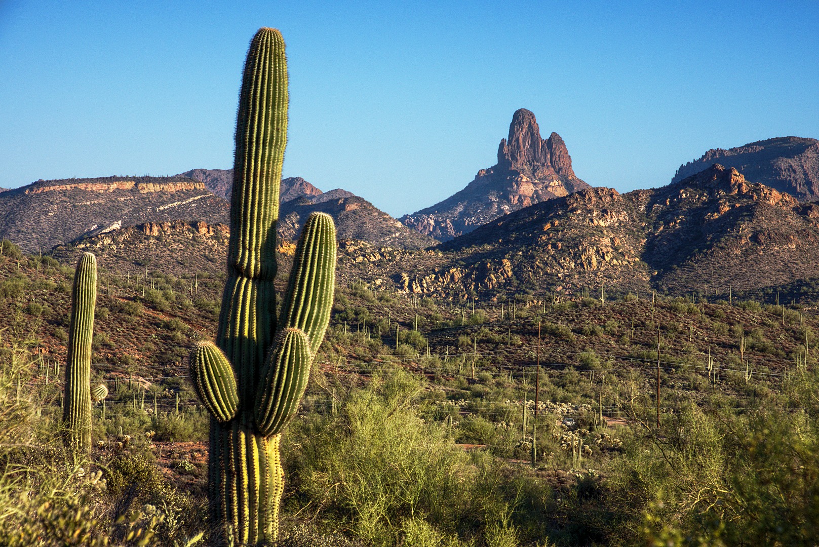
A tall saguaro that we passed on the way back:

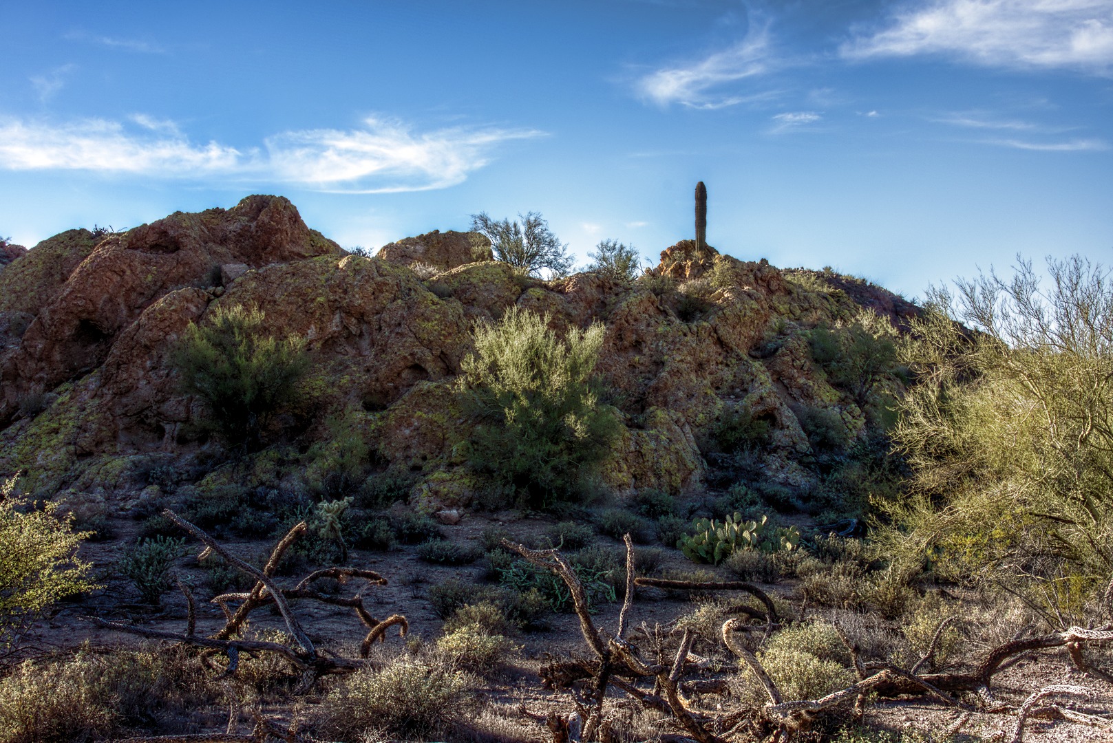
A lichen covered rock formation with burnt cholla remains in front:

Weaver’s Needle:

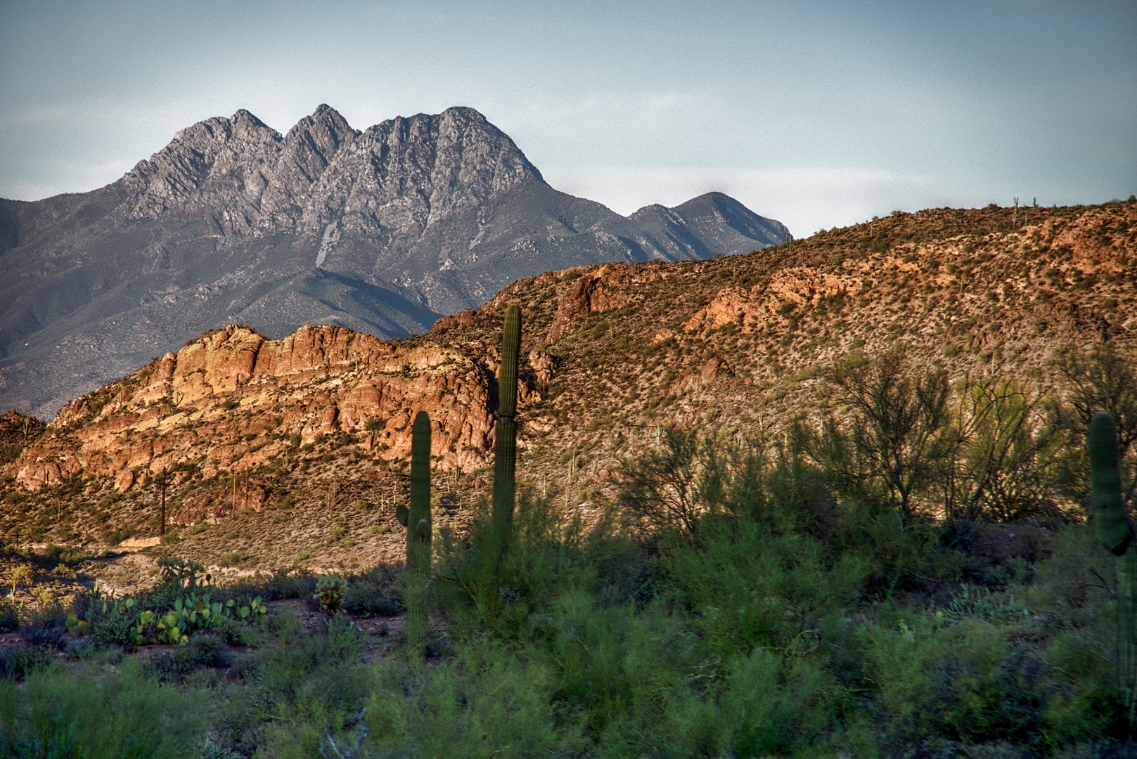
Three of the Four Peaks – I think the fourth one is hidden behind the others.  I had my 18-200mm lens fully zoomed for this shot.


Friday Fitness Hike

We had a total of thirteen people on today’s hike.  We started at the Trailhead Staging area and hiked out to Stoneman Wash.  At that point, we split into two groups.  Amy’s group continued on to the pond and then returned to the parking area.

My group hiked up Stoneman Wash, veering off to explore several feeder washes along the way.  We eventually wound up on the Pemberton Trail.  We returned via the Delsie, Granite, Wagner, and Tortoise trails.  Total distance was twelve miles.

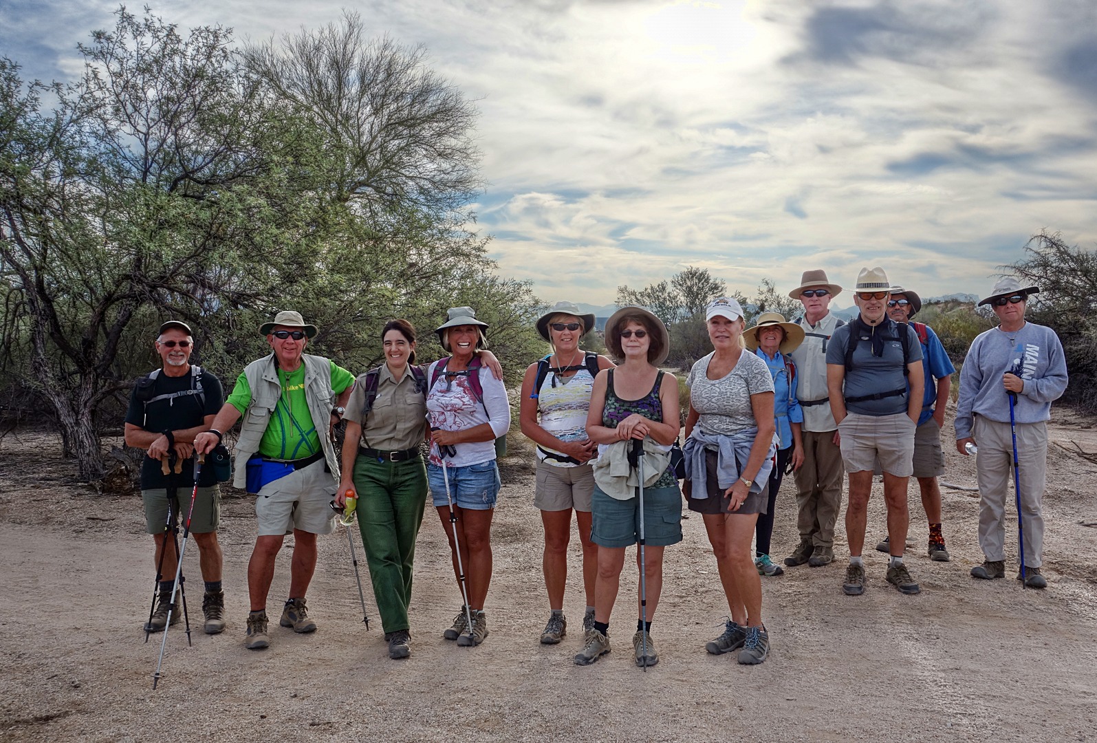
Here is a group photo just prior to splitting into two groups:

I took this photo just as we were starting up Stoneman Wash:

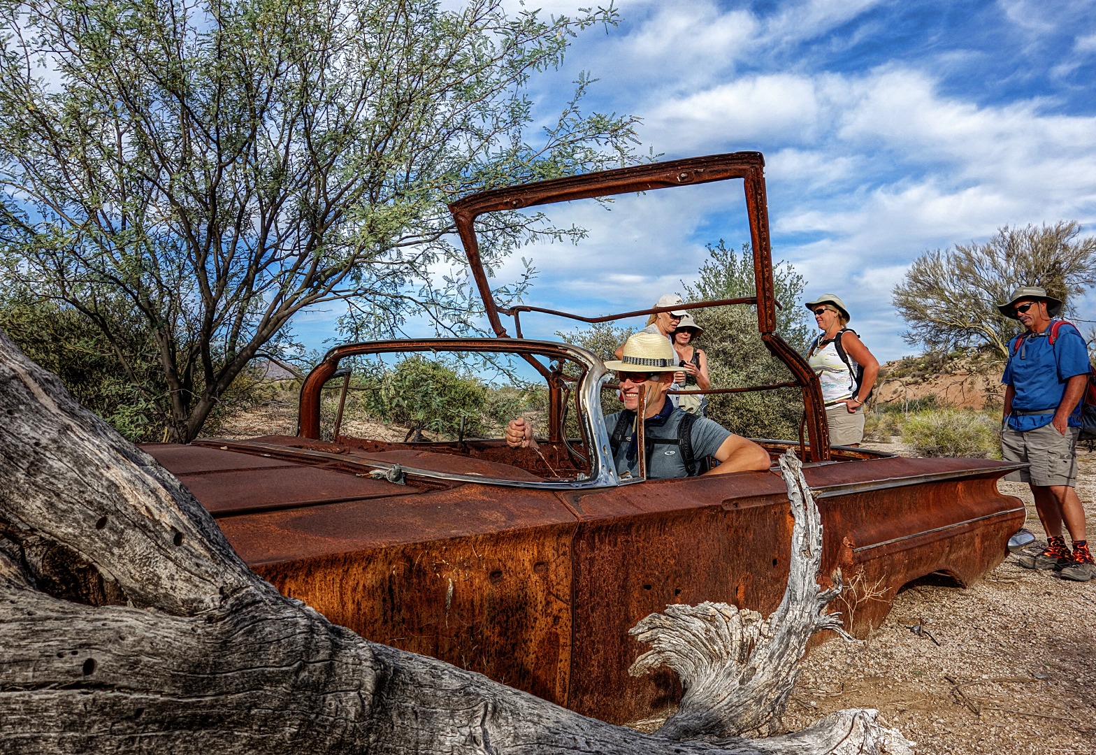
Nick imagines what it might have been like to drive the old Chevy convertible.  There are other photos of the car in the July 27 write-up.

 The remains of a dead tree, probably burned in the Rio Fire back in 1995:

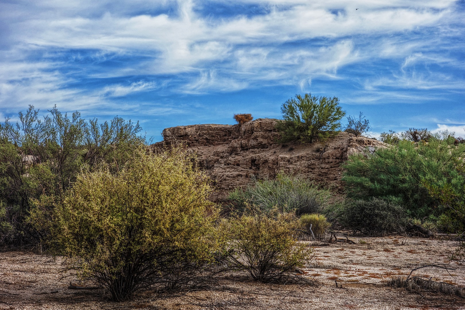
A small bluff along Stoneman Wash:

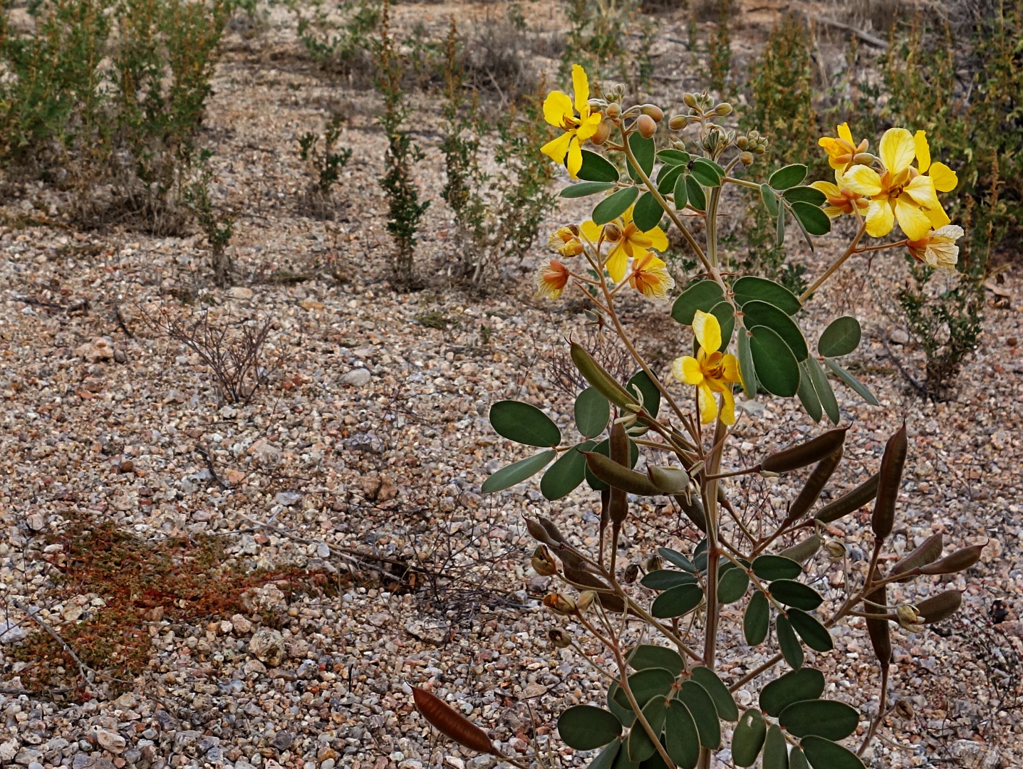
We saw these flowers in one of the feeder washes:

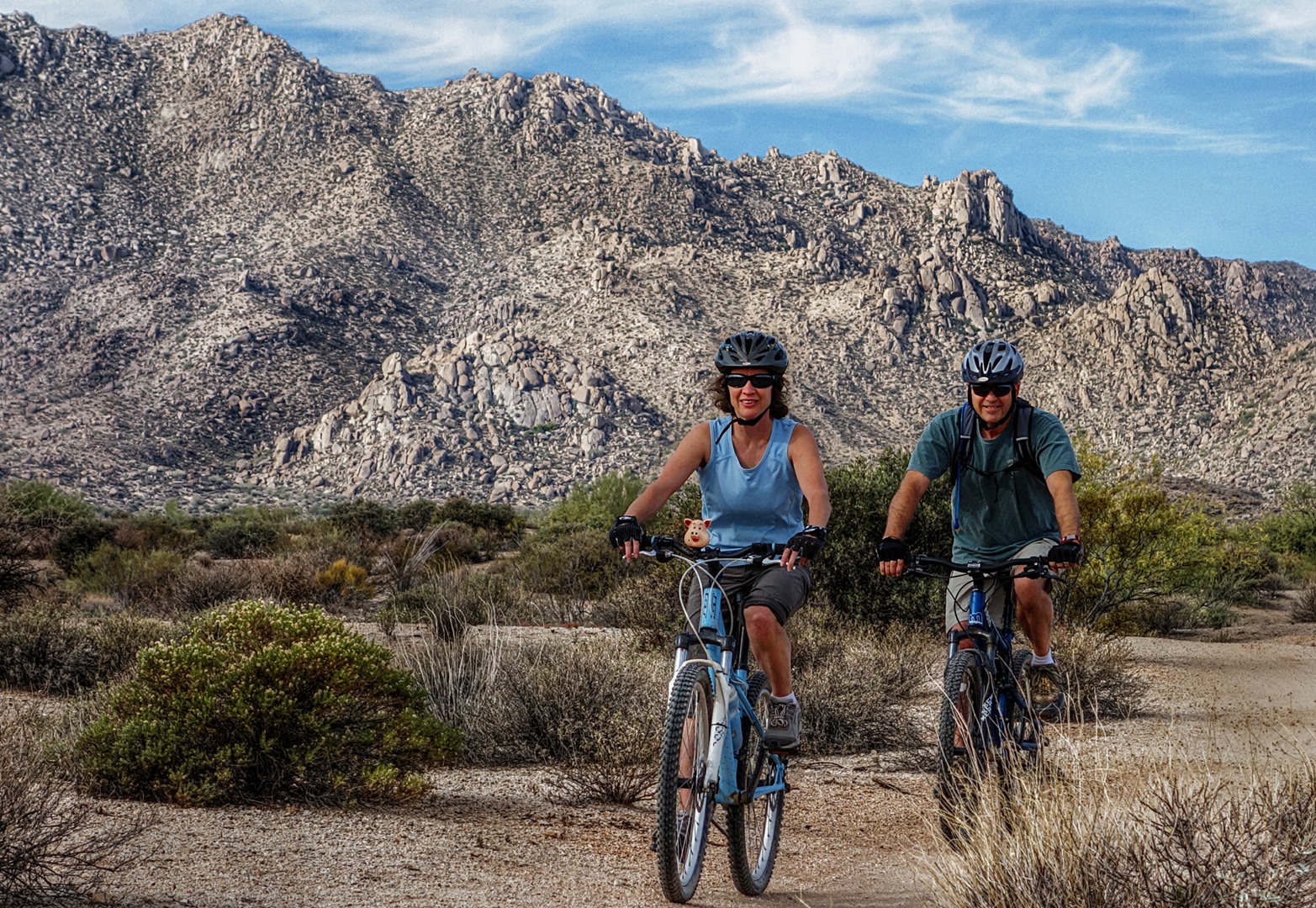
We hiked some of the Bluff Trail where we encountered these cyclists.  Note the pig ornament on the handlebar of her bike.

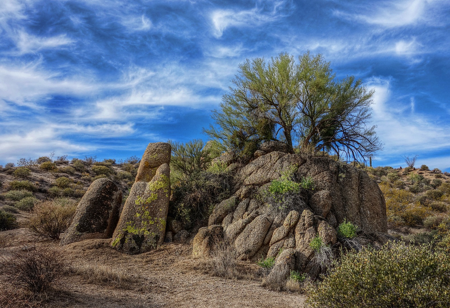
As we were hiking along the Granite Trail, we saw a Palo Verde apparently growing out of a rock outcropping.  Nick and I walked around the back of the rock and convinced ourselves that it really was growing out of the rock and not just from behind the rock.

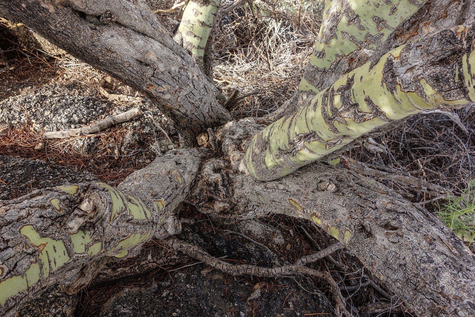
But that wasn’t good enough for Nancy.  She convinced me to climb to the top where I took this photo showing the trunk of the Palo Verde growing out of the top of the rock.

A view from the top of the rock.  From left to right are Susan, Sharon, Bob, Nancy, Gary, Nick, Janet, and Mike (who is also taking a photo).  Some of the limbs from the Palo Verde are hanging down in front of me.

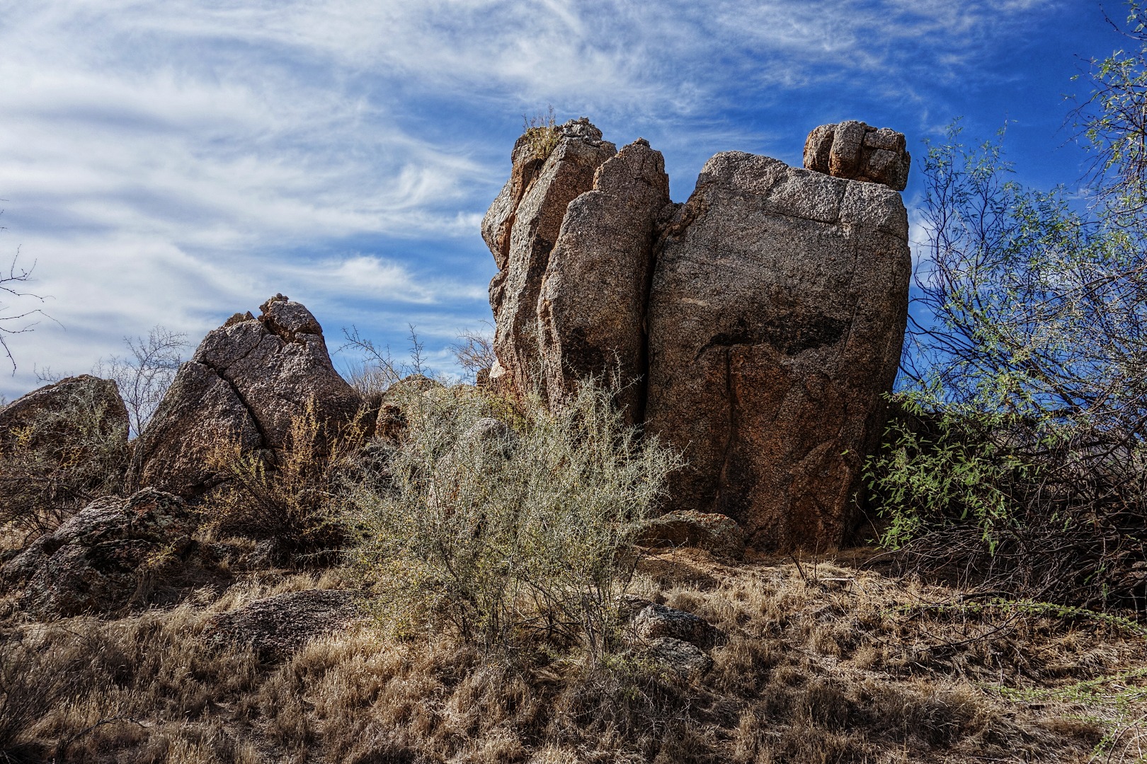
Another rock outcropping on the bank of one of the many washes we hiked:

Saguaros along the Delsie Trail.  Information about how the Delsie Trail got its name can be found in the August 17 post.

A view of the McDowells from the Delsie Trail.  Tom’s Thumb, Morrell’s Wall, Rock Knob, Sven Slab, and all three of the Sven Towers are visible in this photo.