Tag: Tonto National Forest (page 8 of 9)

July 4 & 5 Hikes

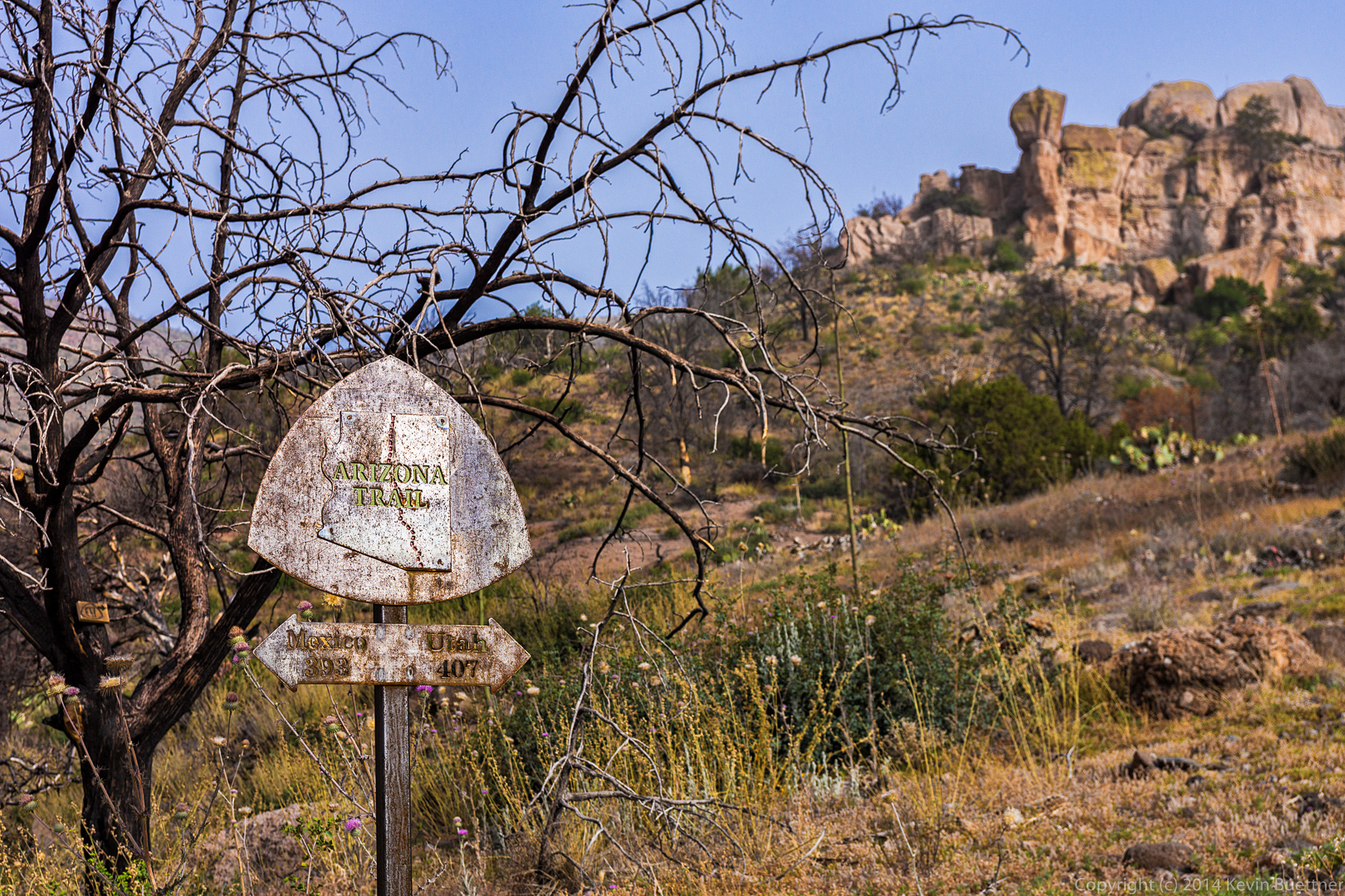
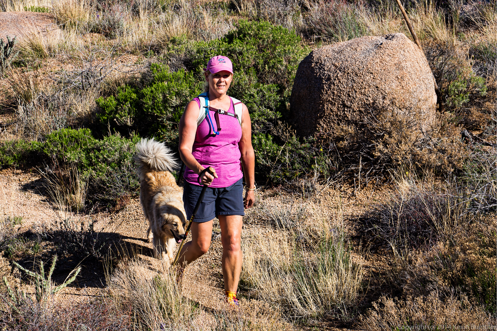
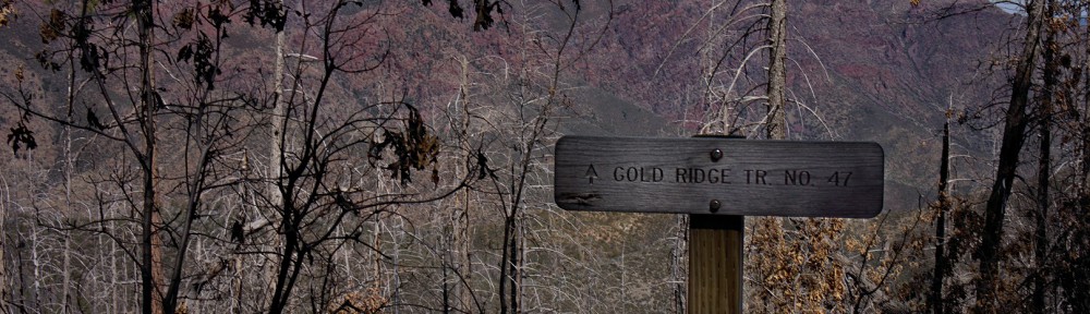
Bob and I hiked out to the top of Apache Leap on July 4.  On July 5, we returned to the area and approached Apache Leap from the west side.  We hiked up some old roads and eventually started following some cairns to the base of Apache Leap, but turned back before we got there because, without climbing gear, it looked doubtful that we would be able to proceed much further once we arrived at the base.  We then went on to do a short hike in Upper Devil’s Canyon.

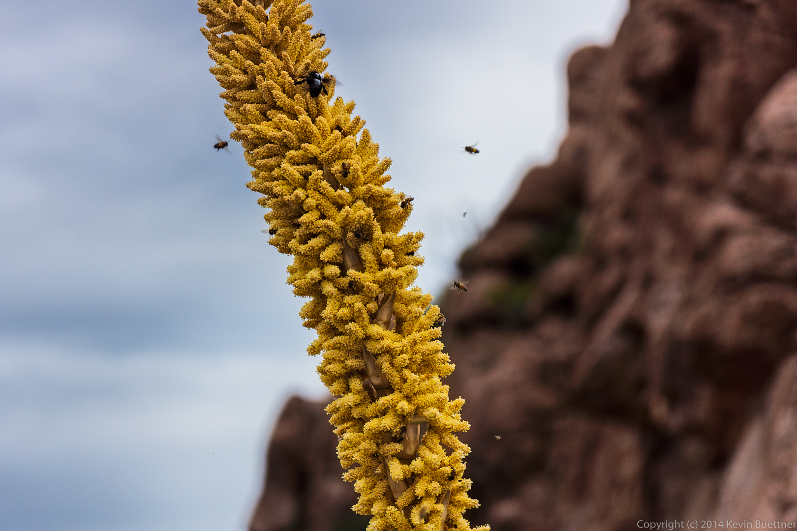
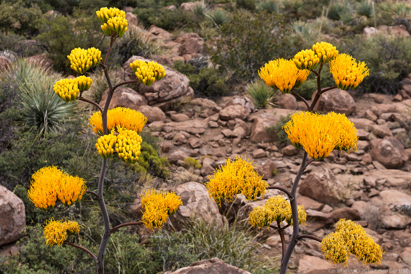
Bees and other insects around an agave flower.

20140704-_DSC6094-Edit-medium 
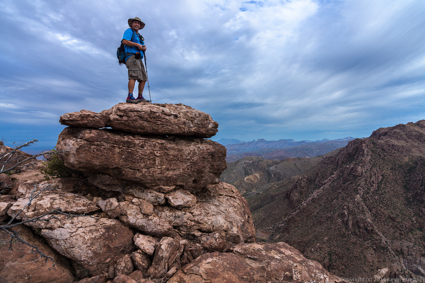
Bob standing atop a boulder at the northern edge of Apache Leap.

20140704-_DSC6130-Edit-medium 
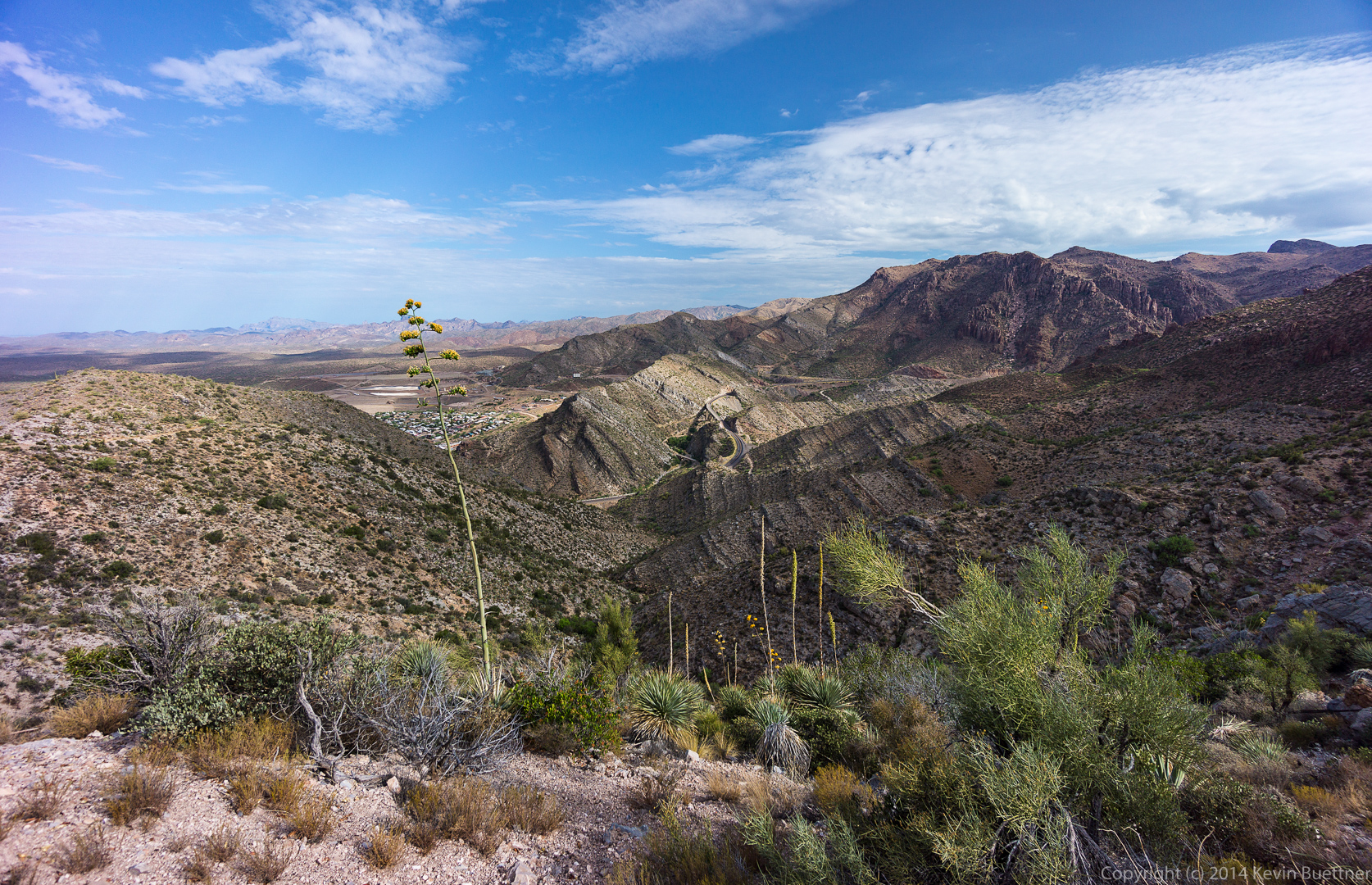
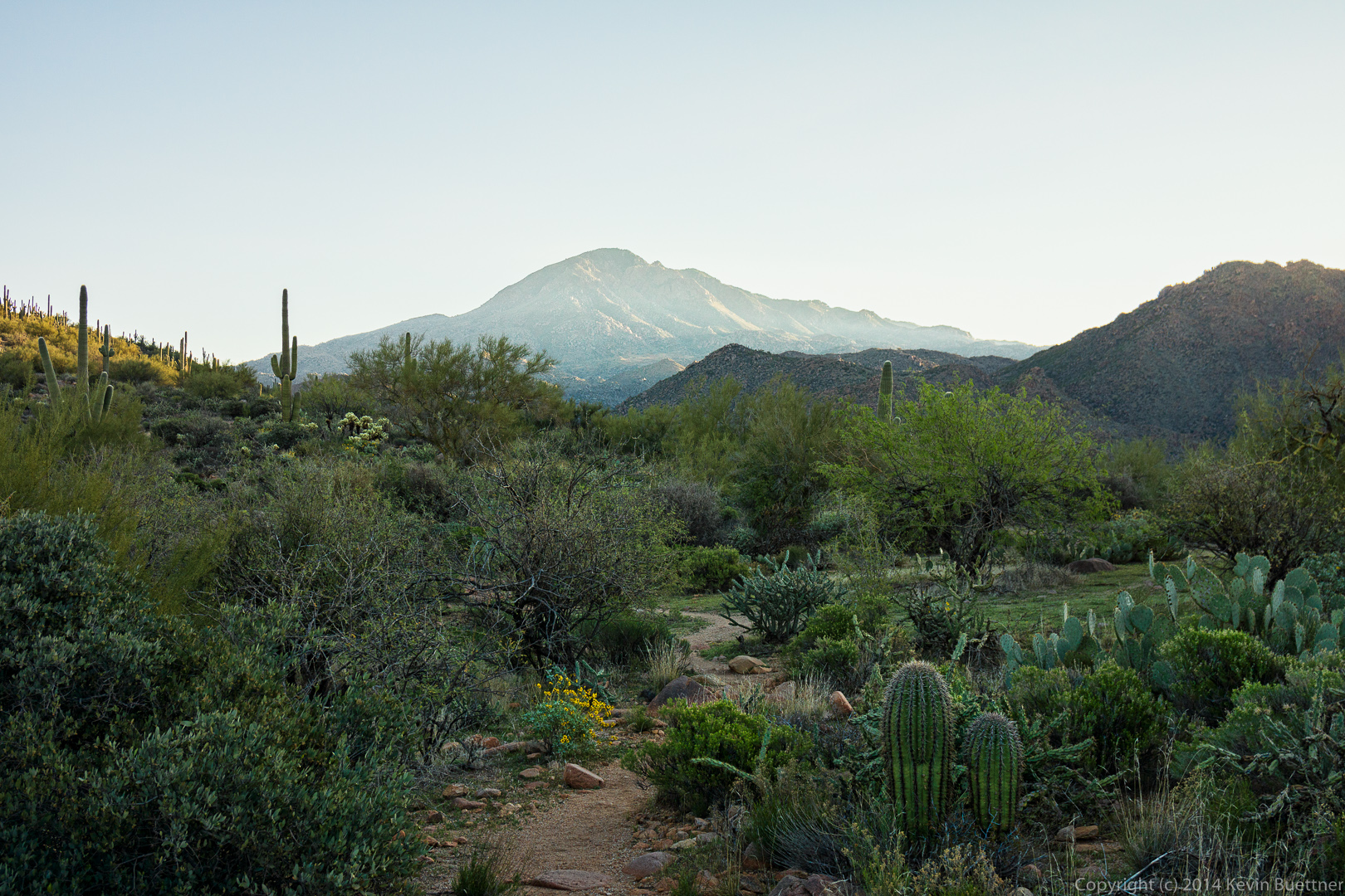
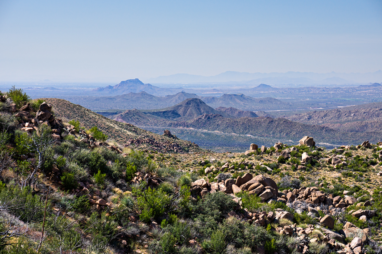
A view of Superior with Picketpost Mountain in the distance.  We’ve added Picketpost Mountain to the list of hikes we want to do.  There is a hike which goes to the summit.20140704-_DSC6157-Edit-medium
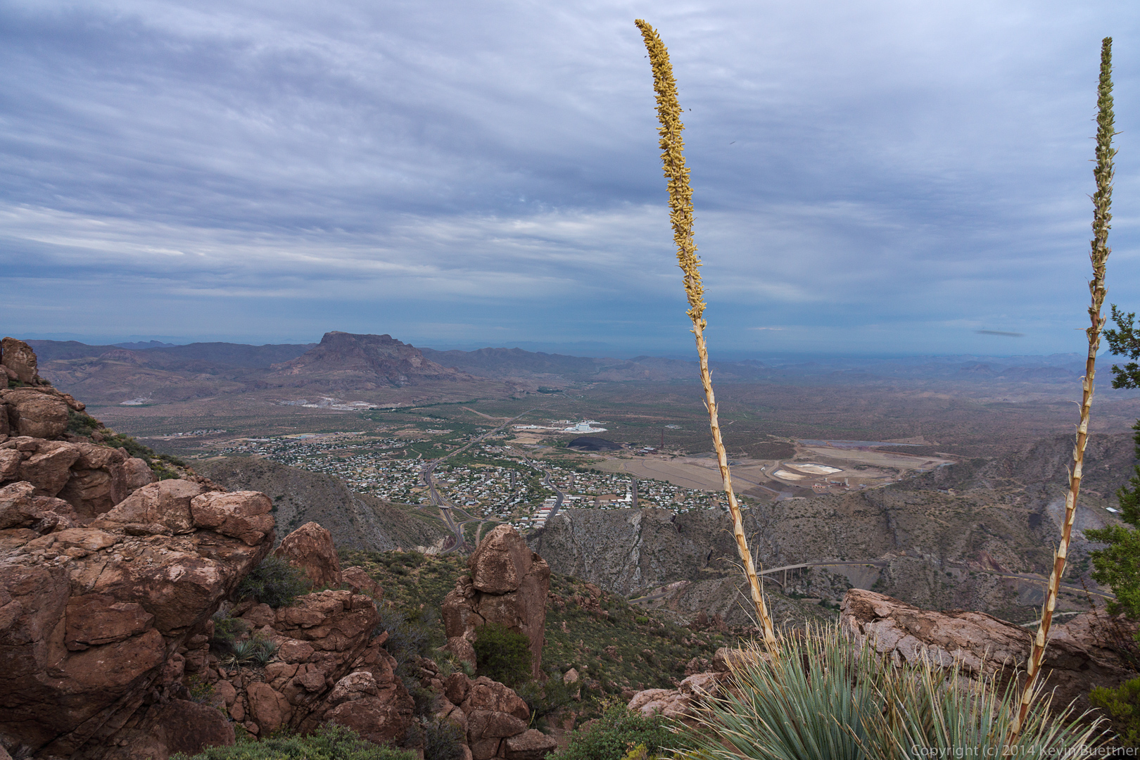
We could see Weaver’s Needle from this vantage point too.

20140704-_DSC6193-Edit-medium 
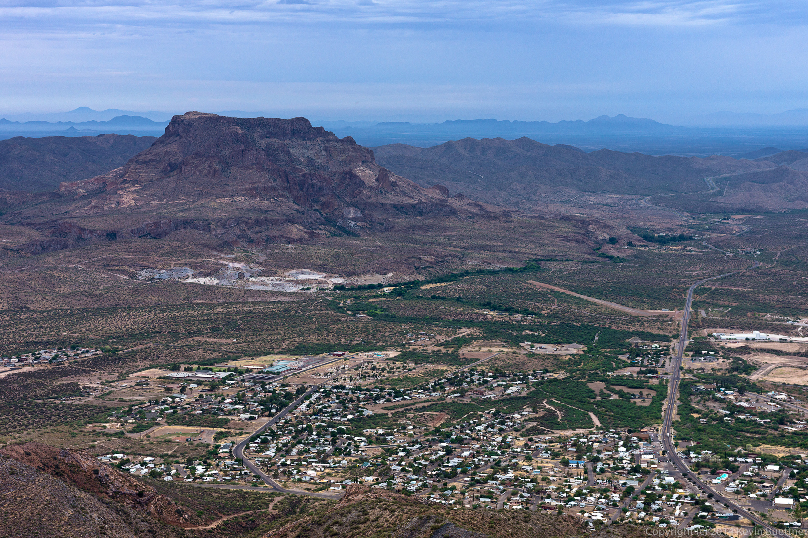
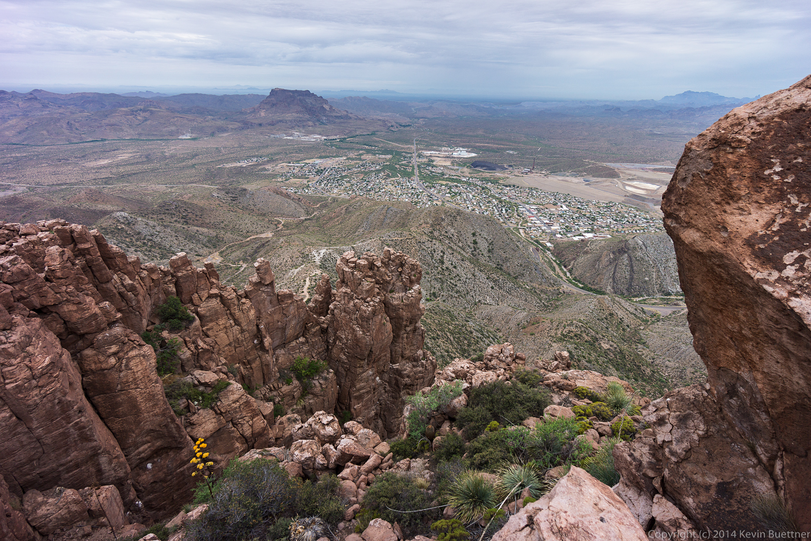
Another view of Picketpost Mountain with the town of Superior in the foreground.

20140704-_DSC6223-Edit-medium 
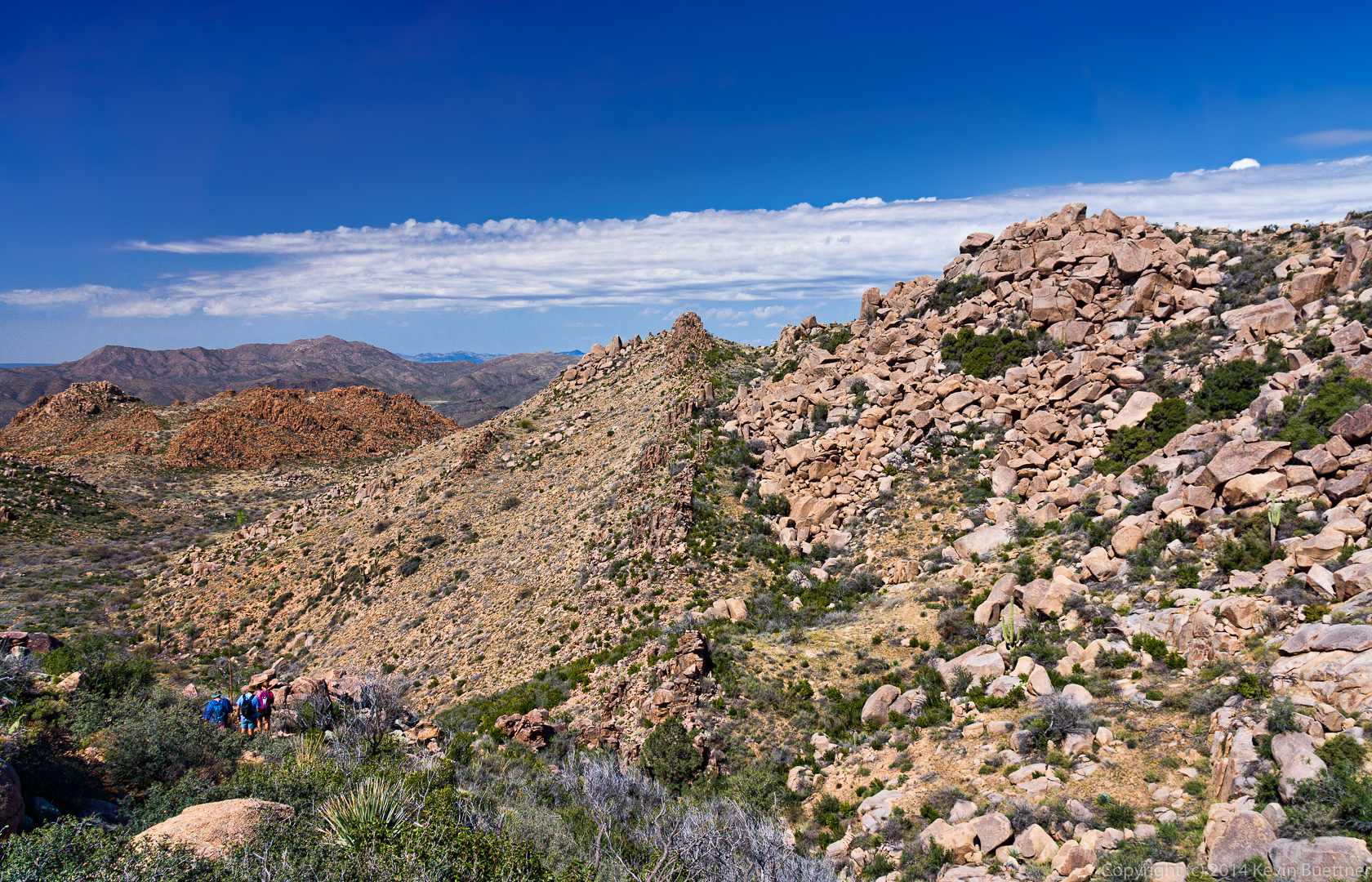
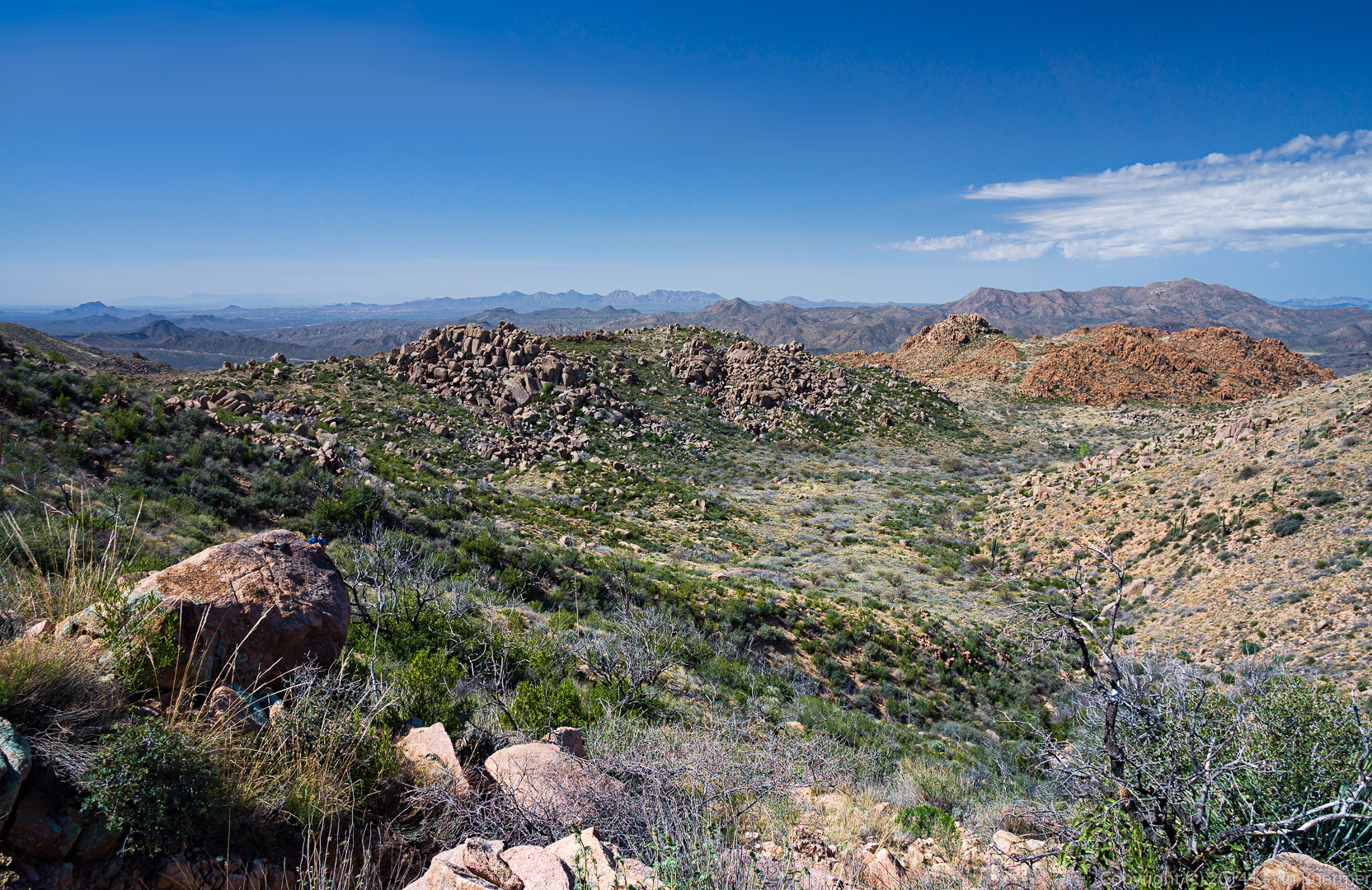
We hiked further south along to reach another view from the top of Apache Leap.

20140704-_DSC6241-Edit-medium 
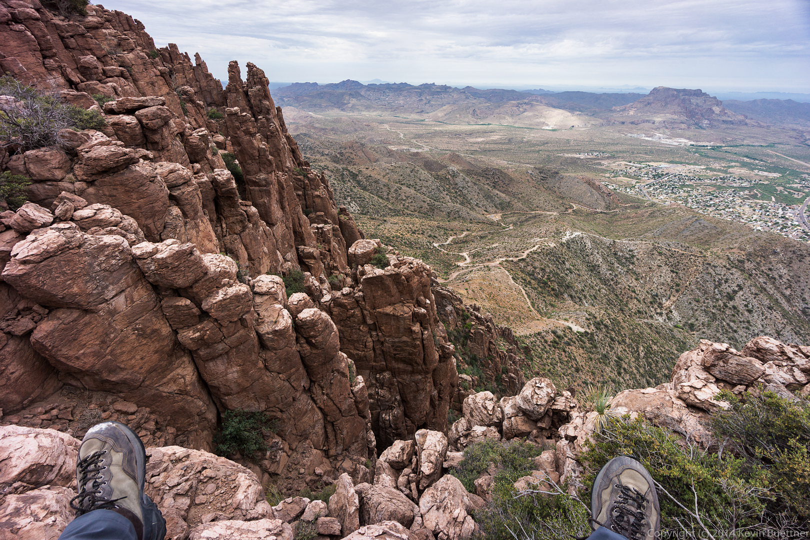
This shot, taken at a 10mm focal length (on an APS-C camera) gave a wide enough angle to include my feet.

20140704-_DSC6253-Edit-medium 
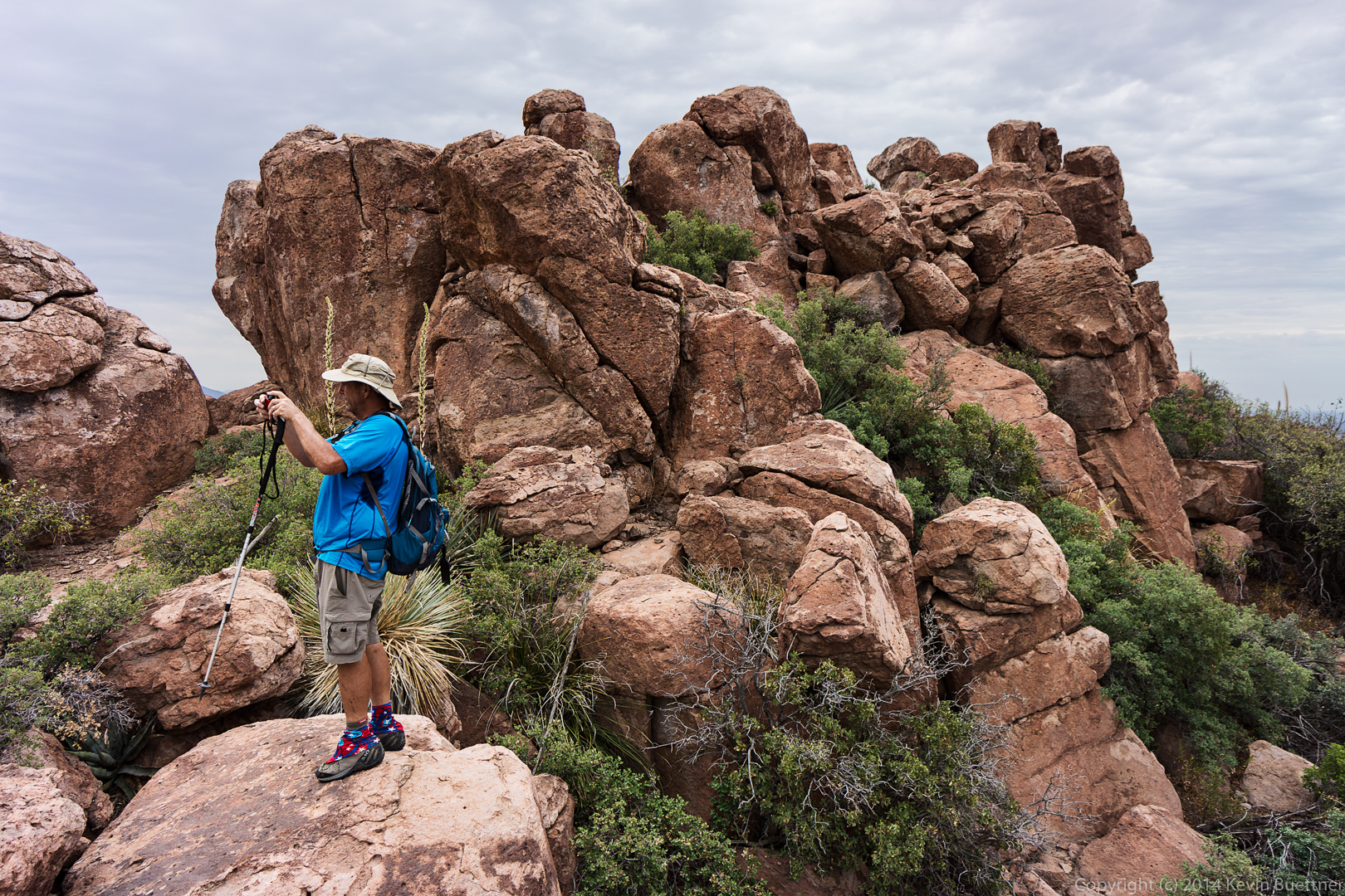
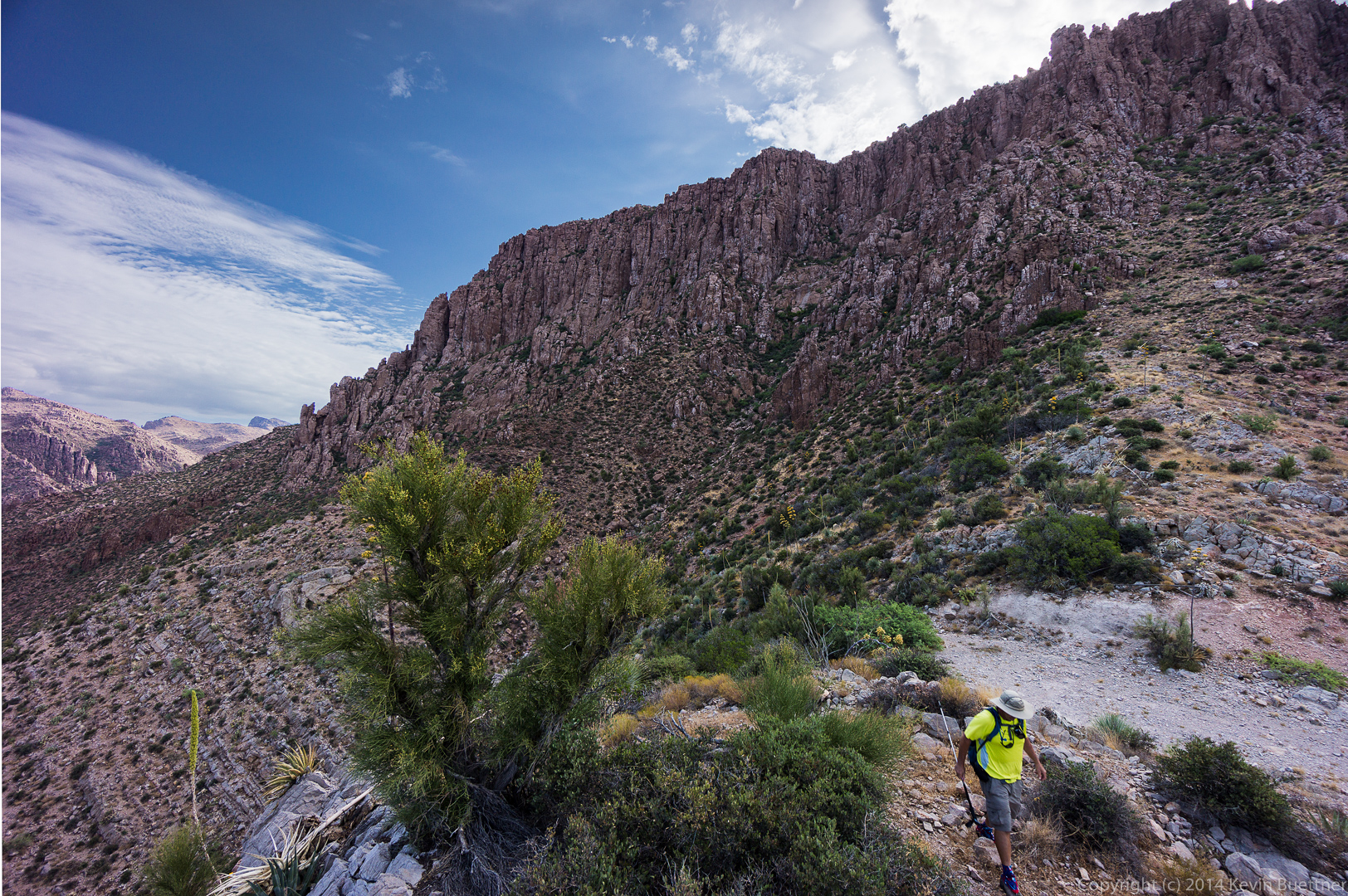
Bob is taking a photo of the terrain towards the mine.

20140704-_DSC6280-Edit-medium 
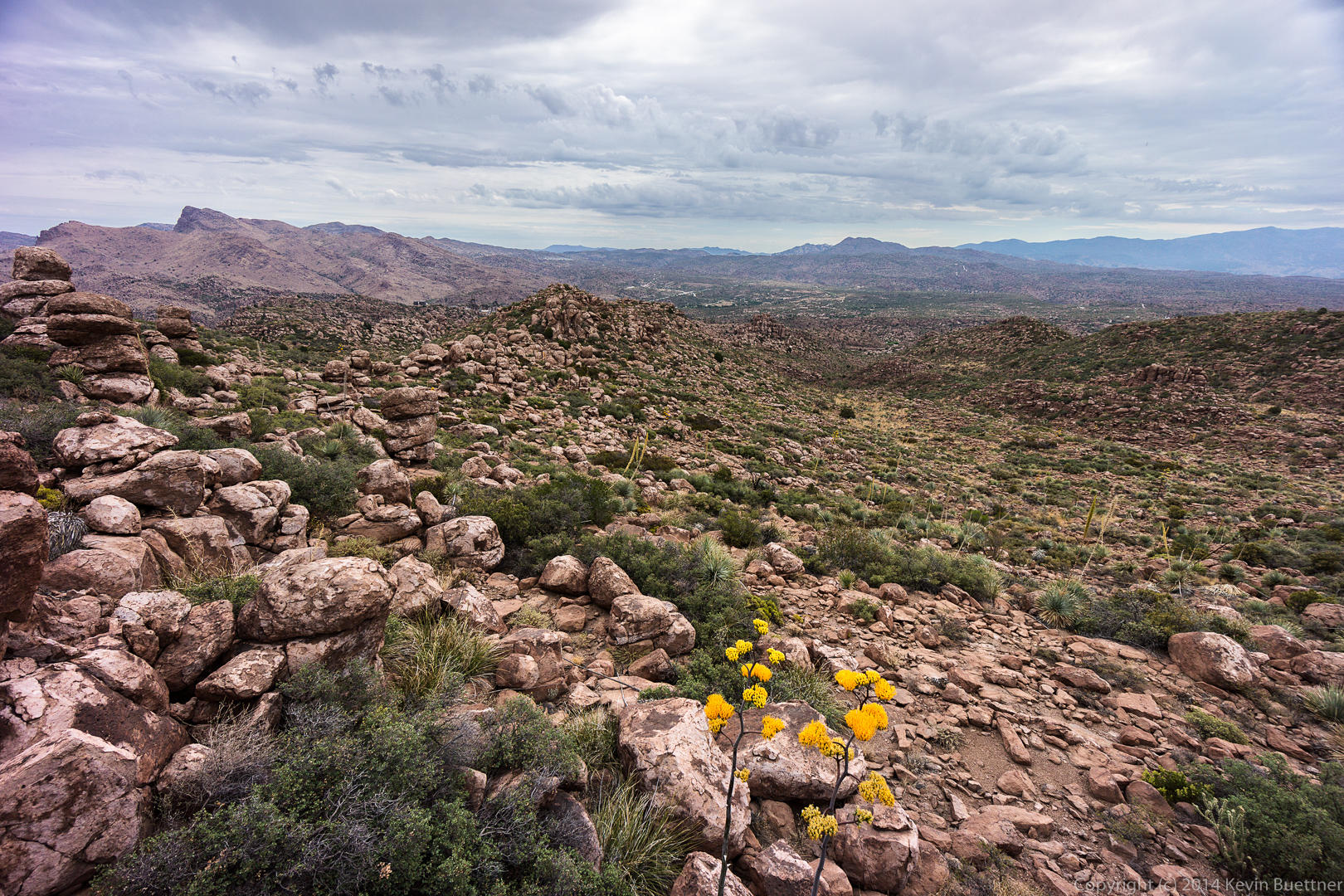
Yet another view from the third (and last) area at the top that we visited.

20140704-_DSC6325-Edit-medium
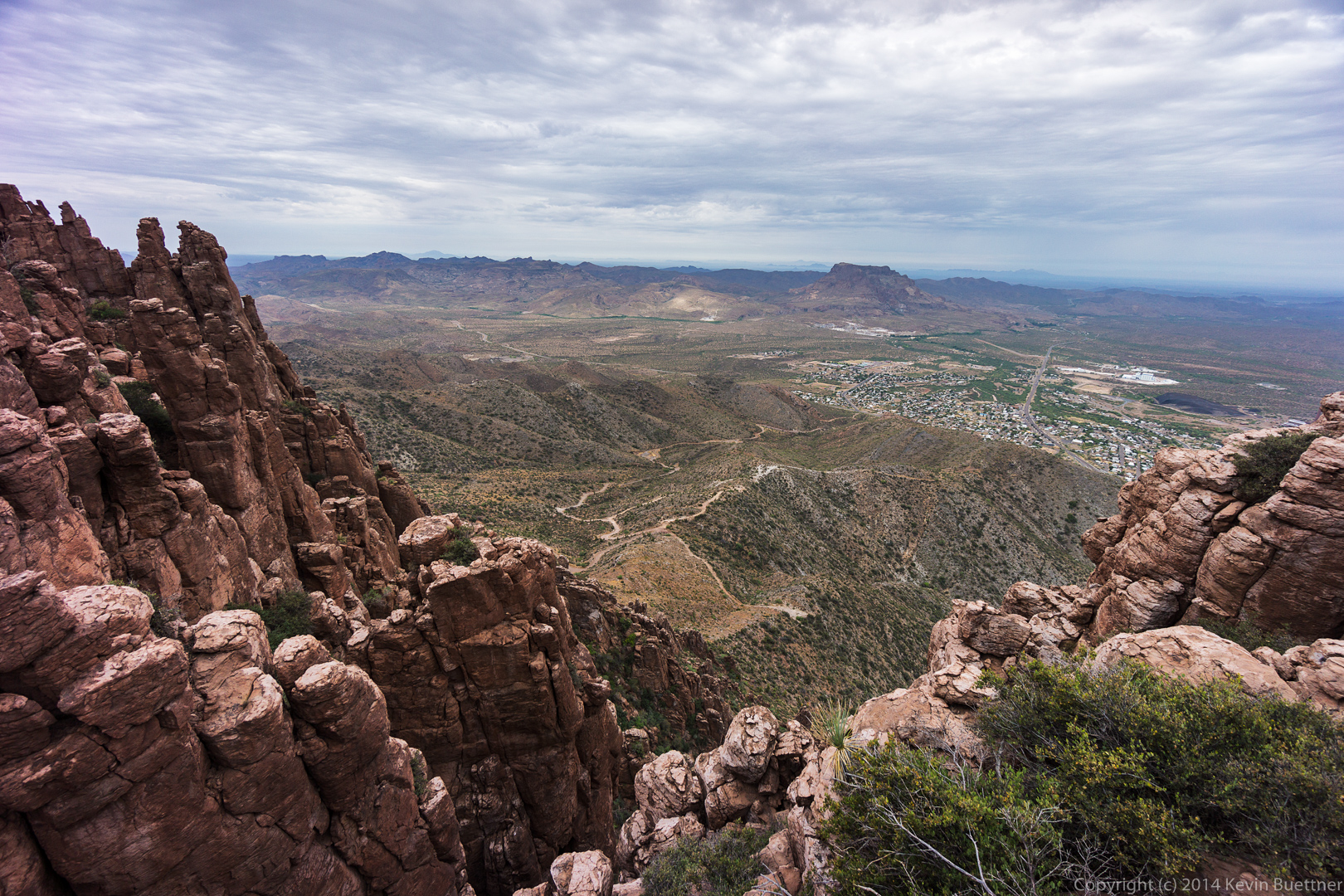
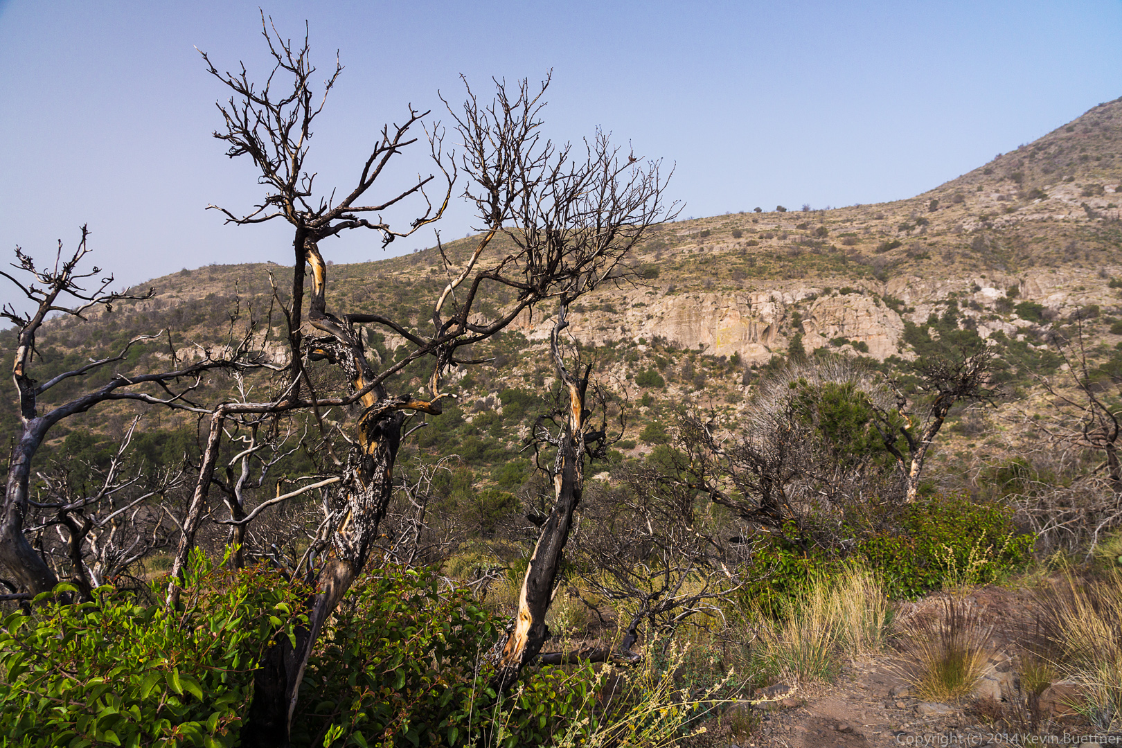
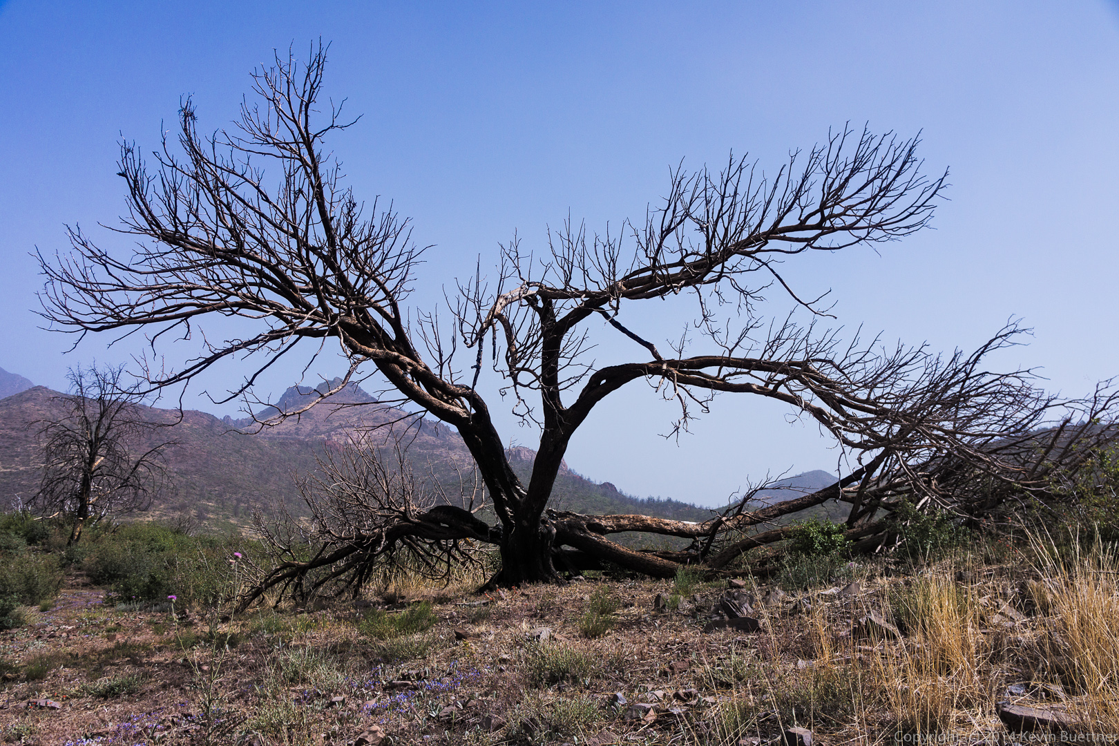
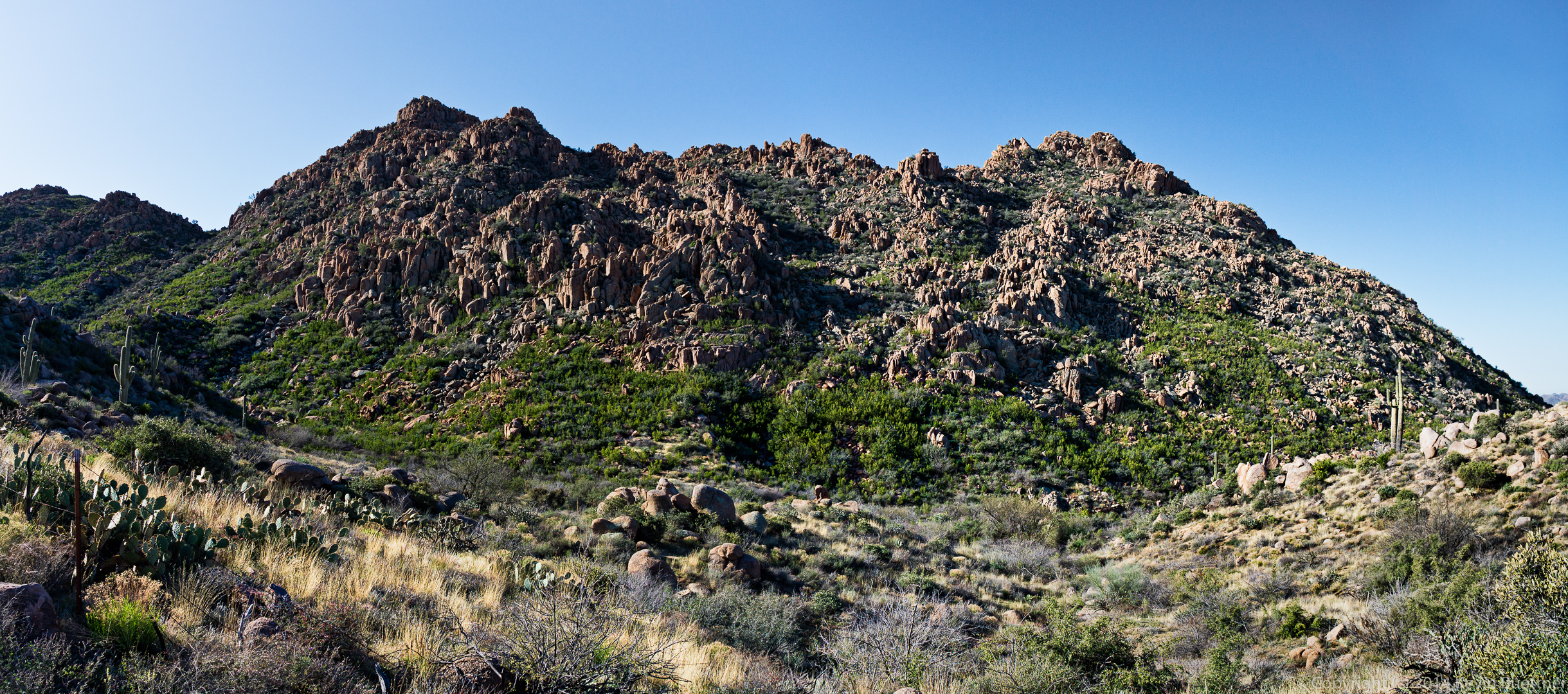
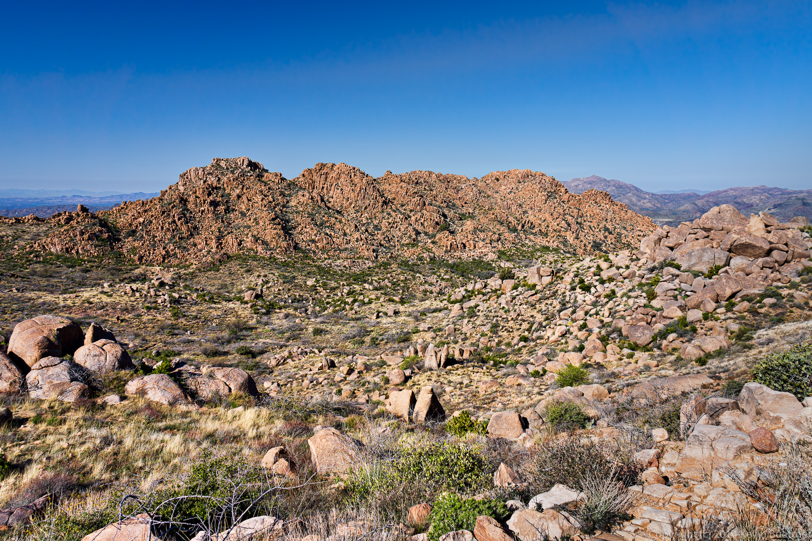
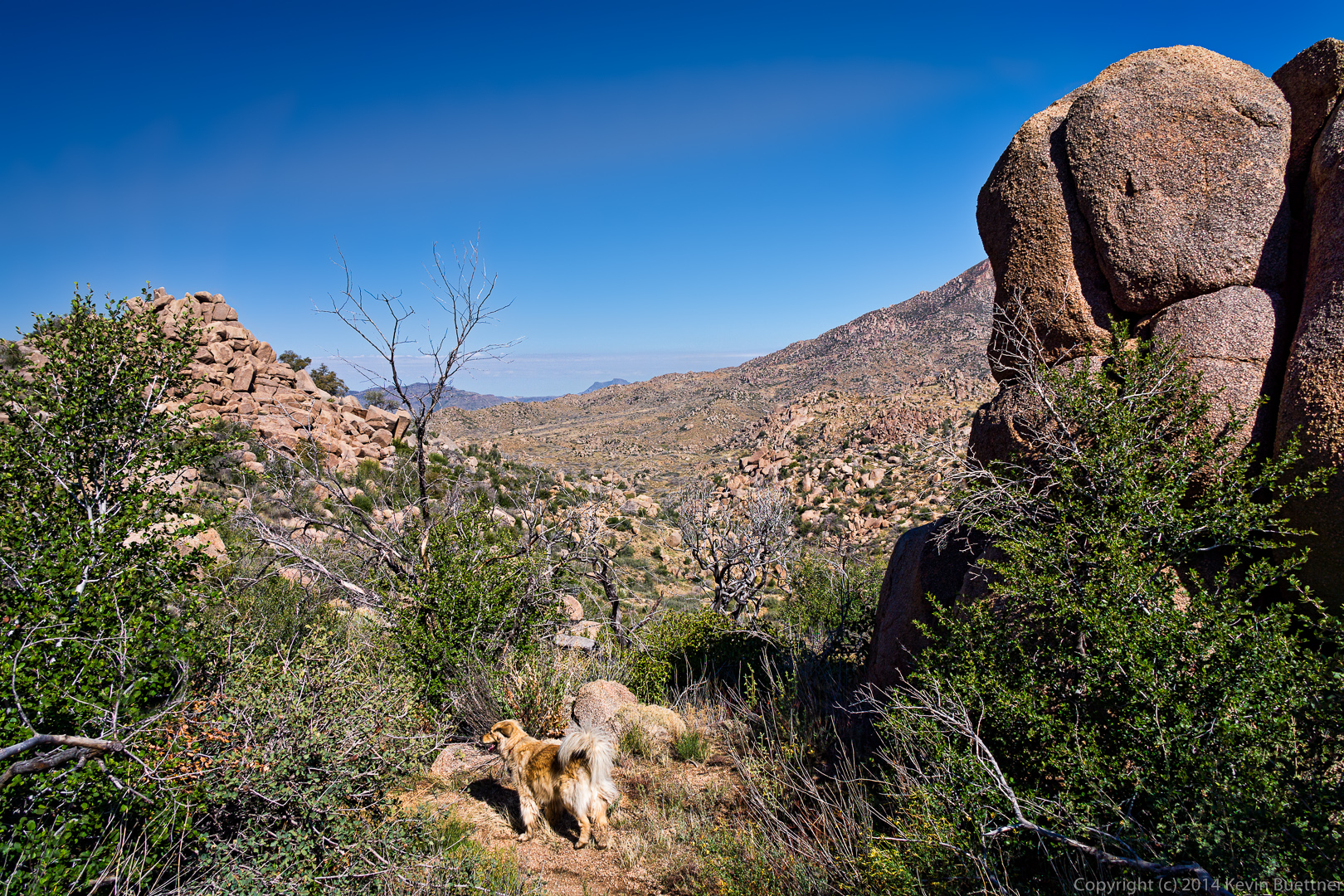
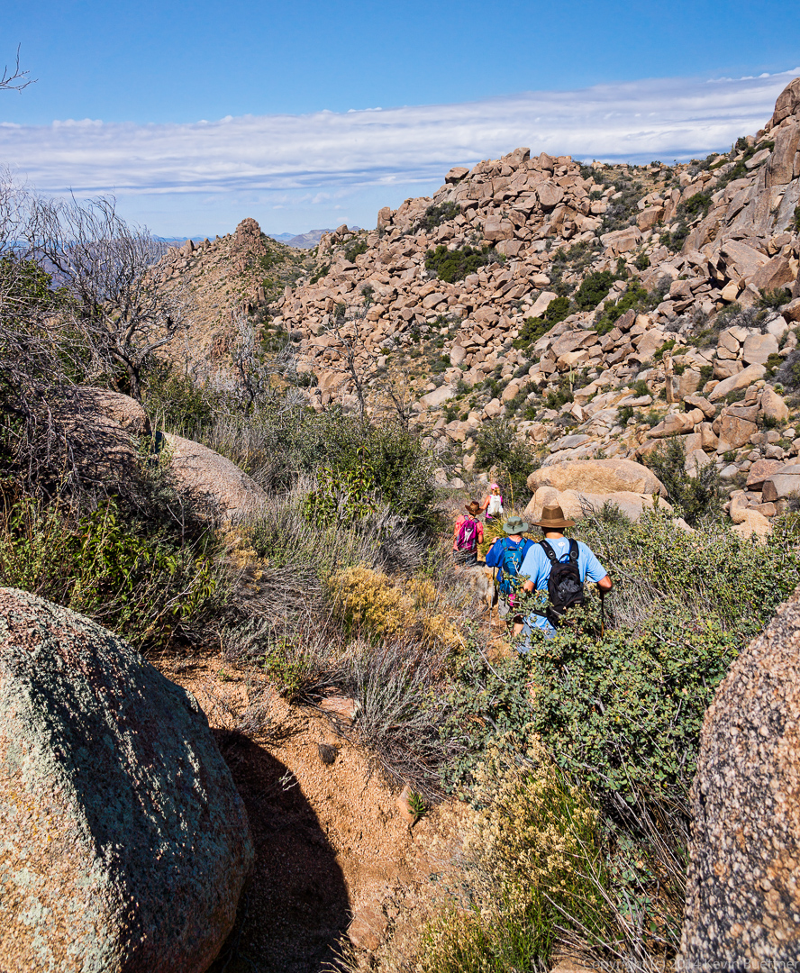
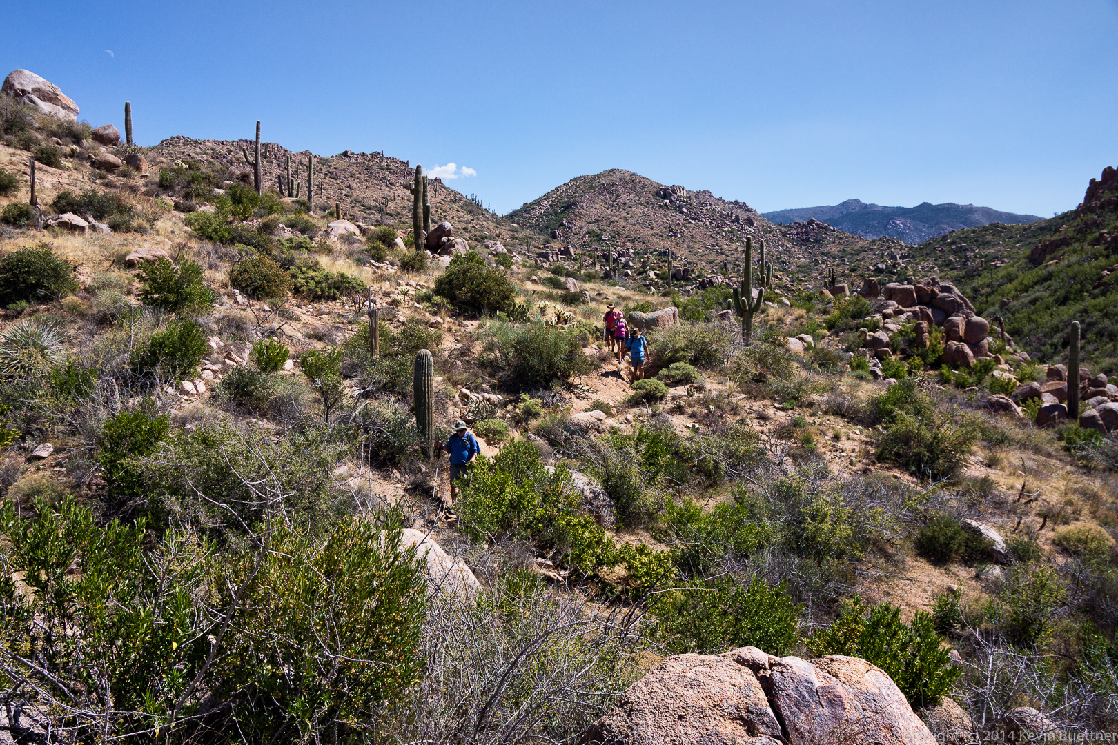
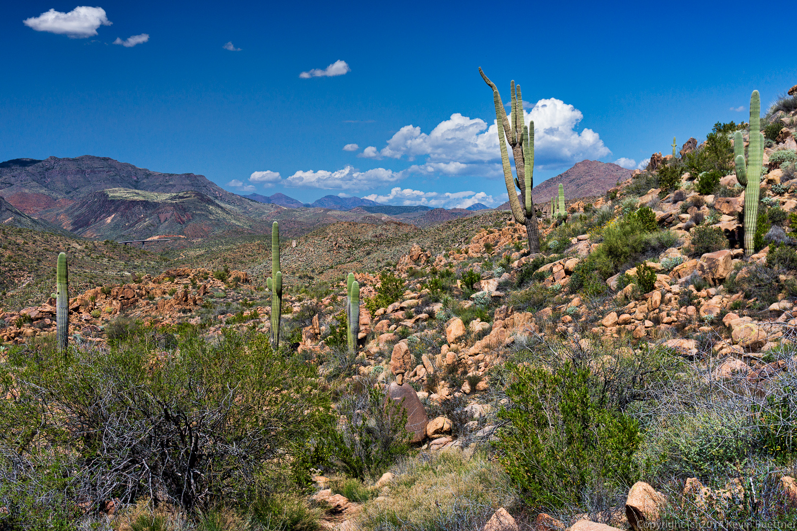
A view looking back towards where we had come.  The terrain is quite rough; we only hiked 3.5 miles in 5.5 hours, though our moving time was about 3 hours.  There were cairns leading us out and back, but spotting them was difficult.  We would frequently stop for a minute or two and try to spot the next cairn.  We’d then have to figure out a reasonable looking path over to(wards) the cairn.

20140704-_DSC6331-Edit-medium 
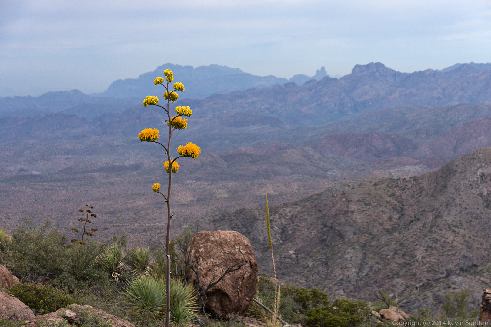
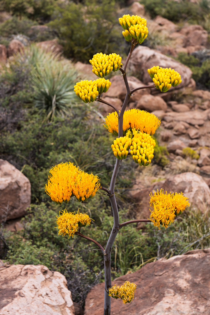
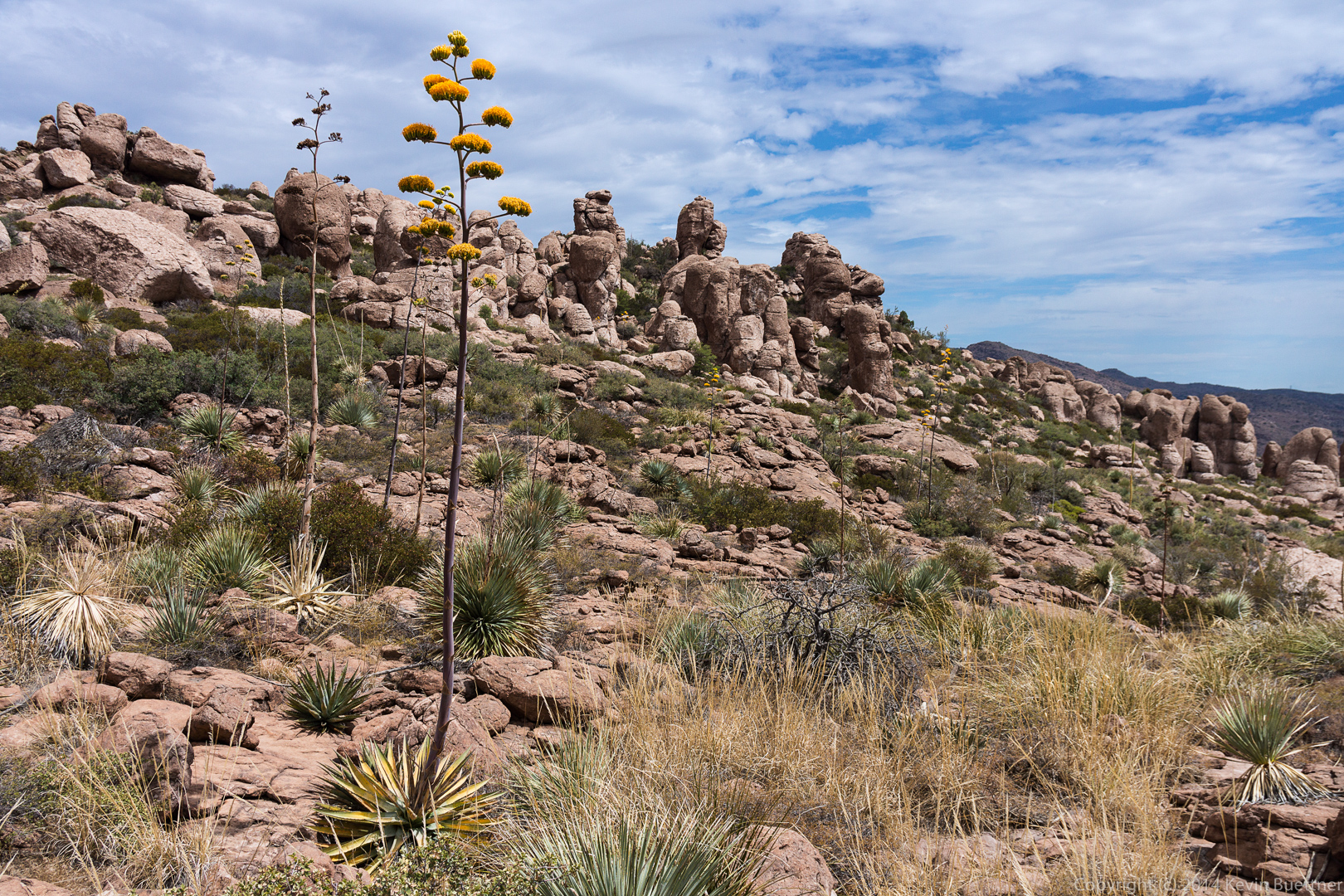
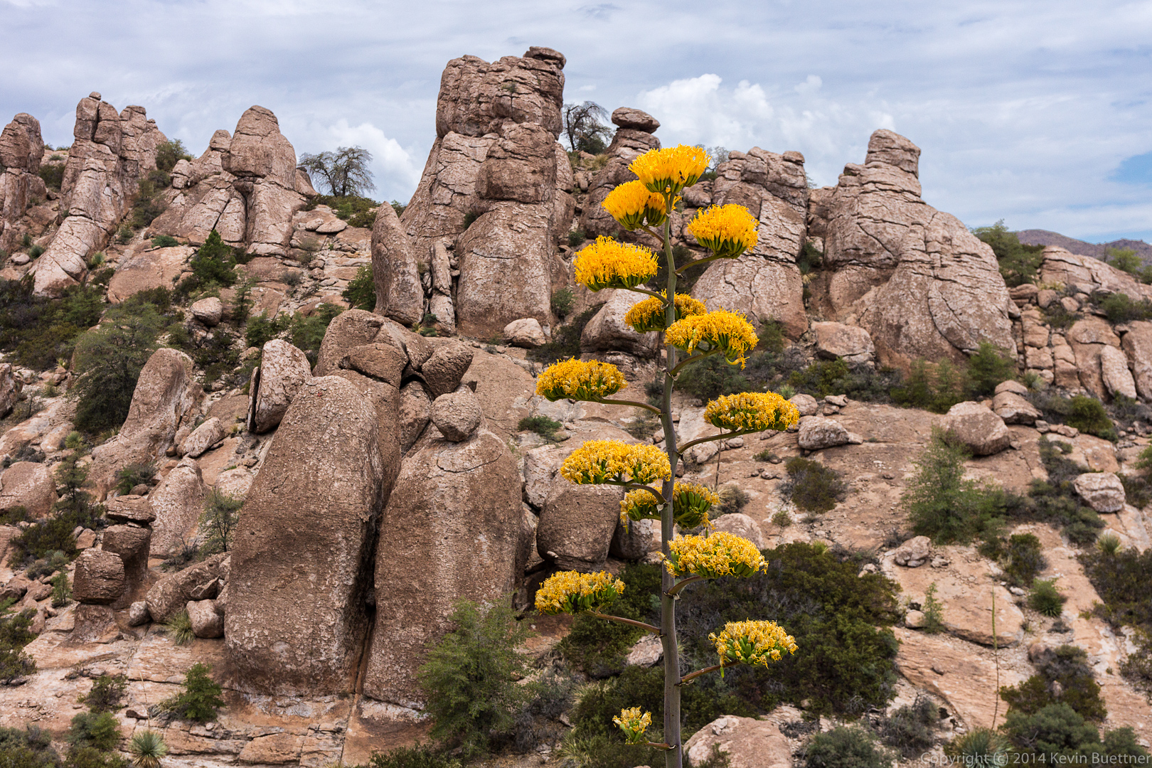
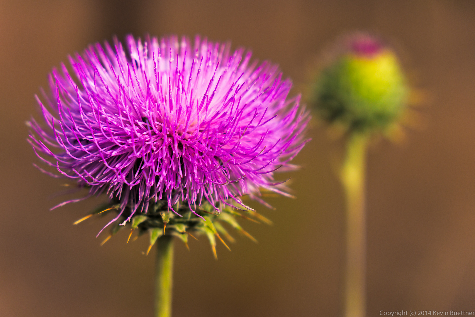
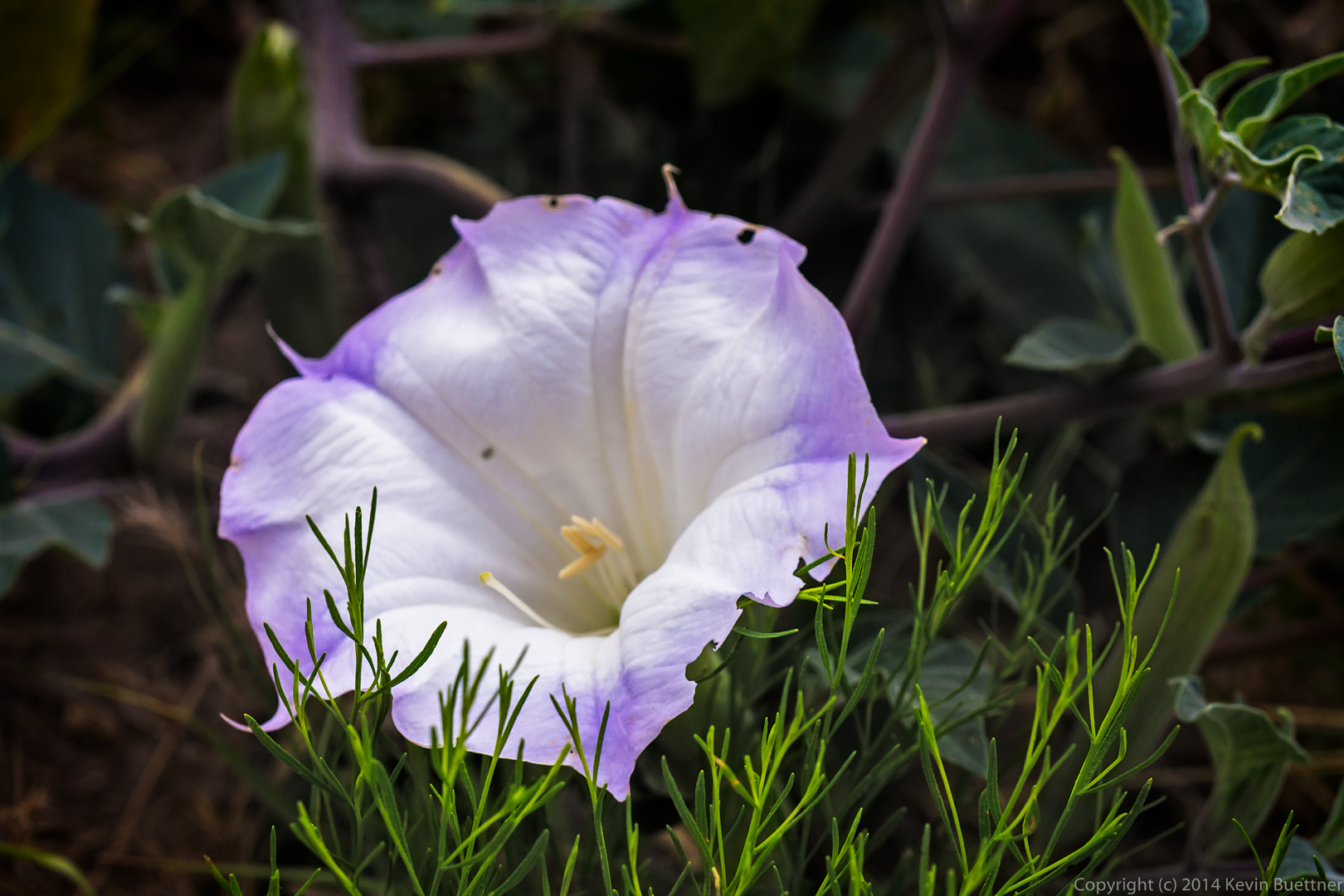
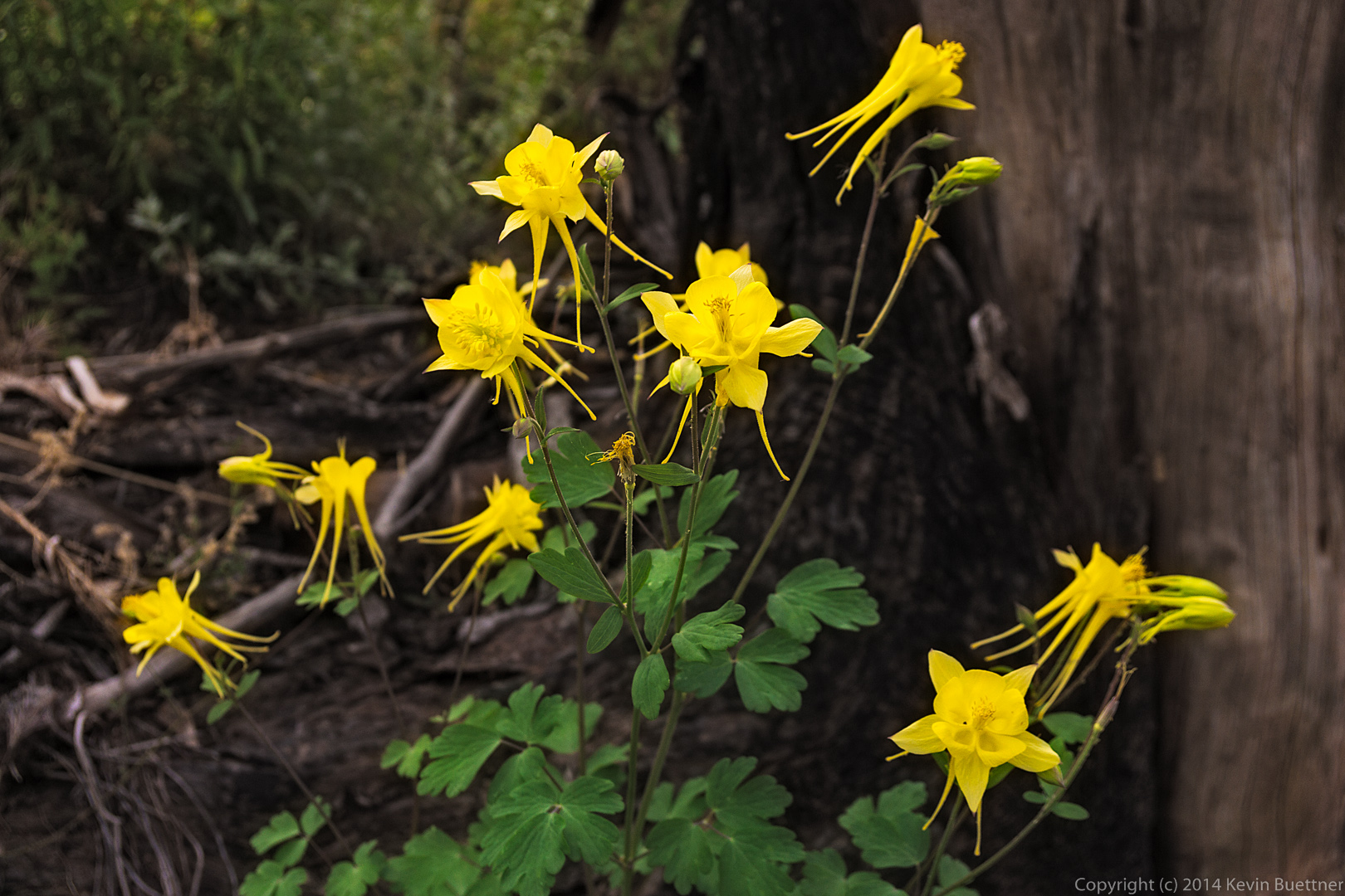
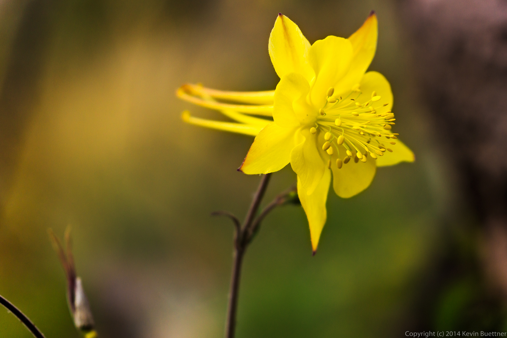
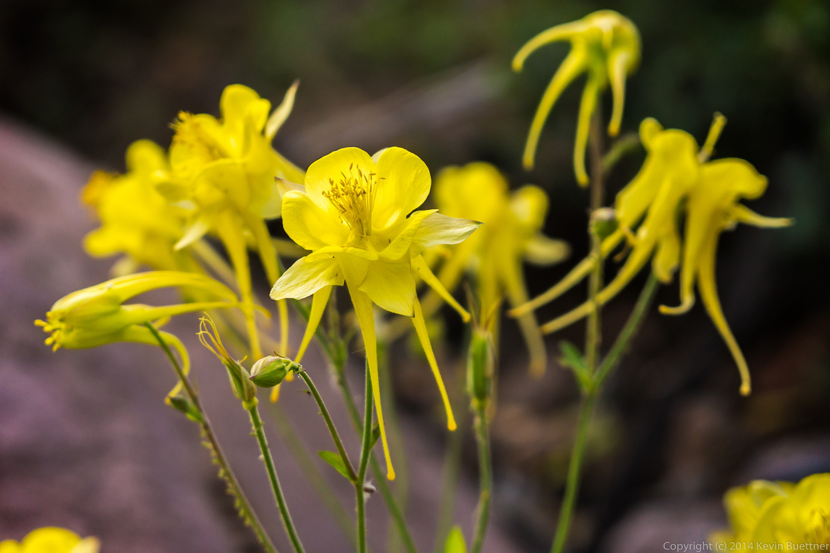
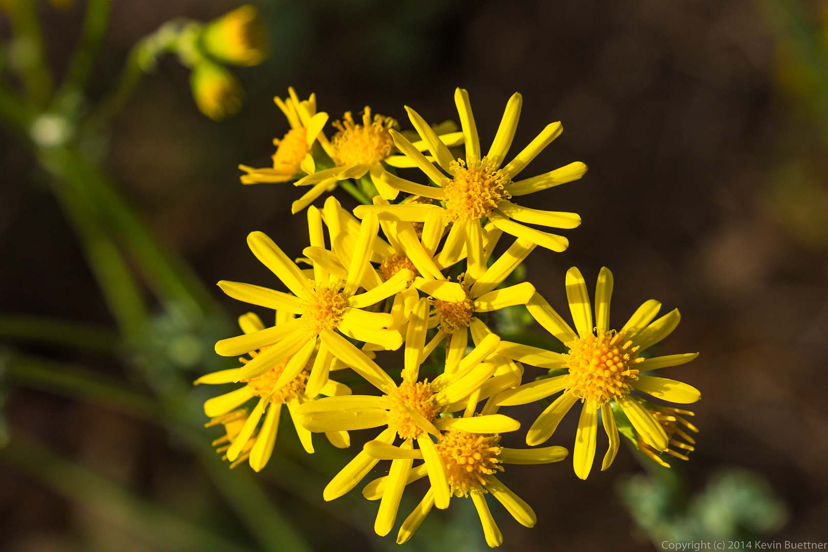
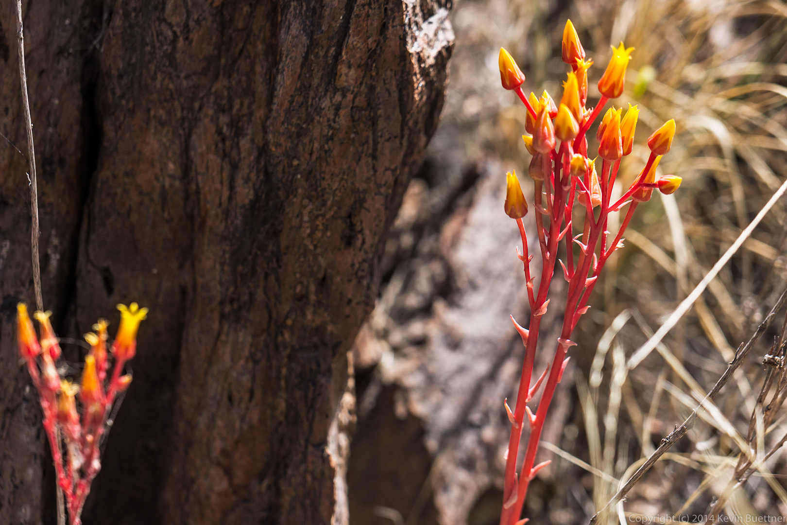
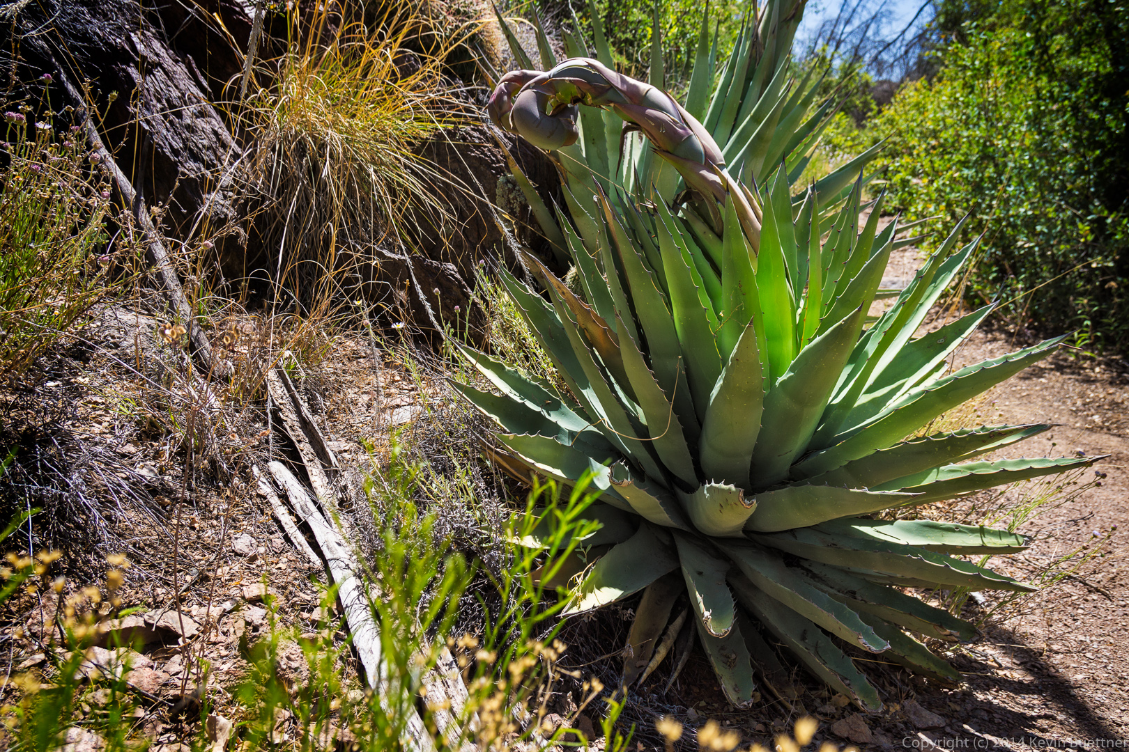
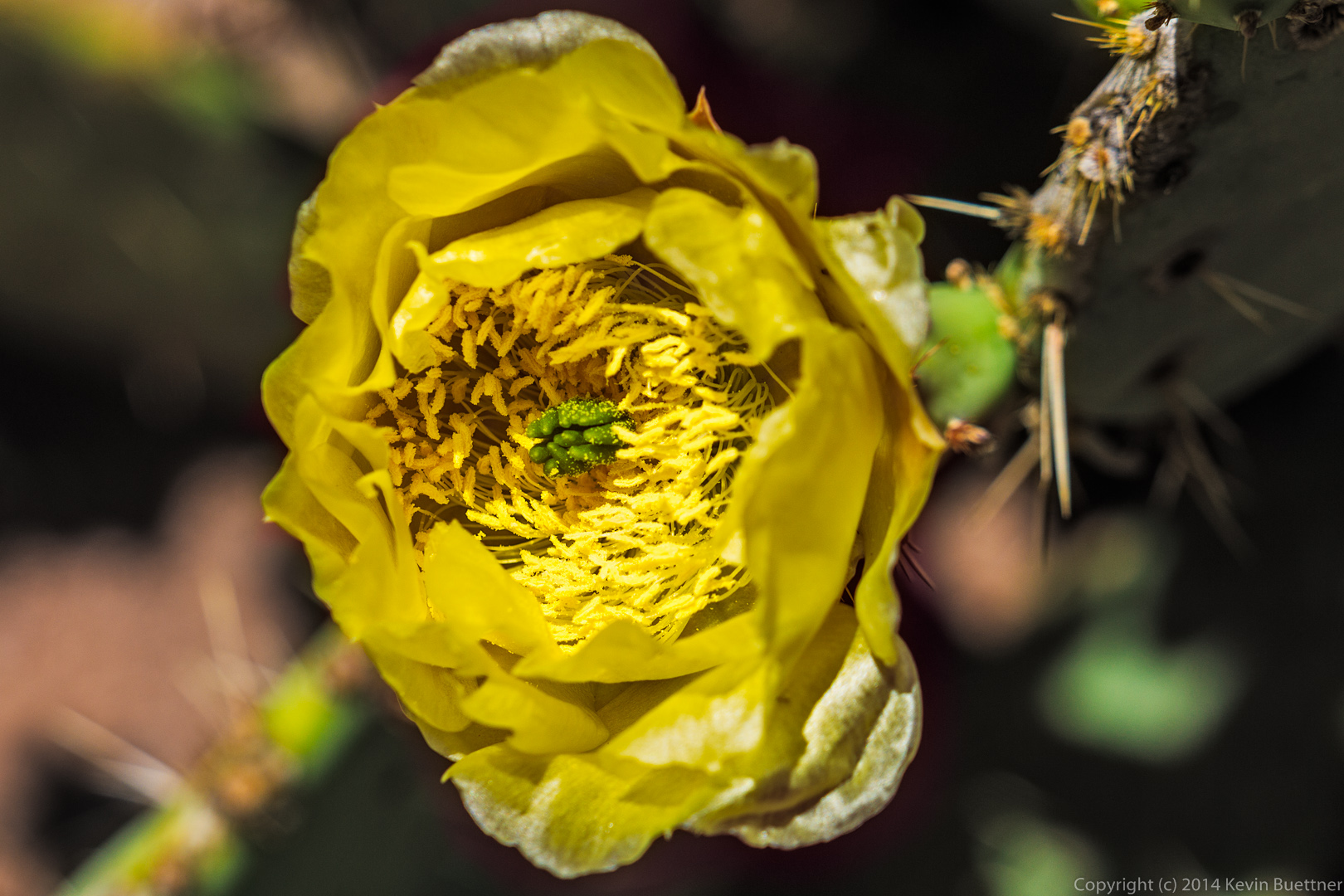
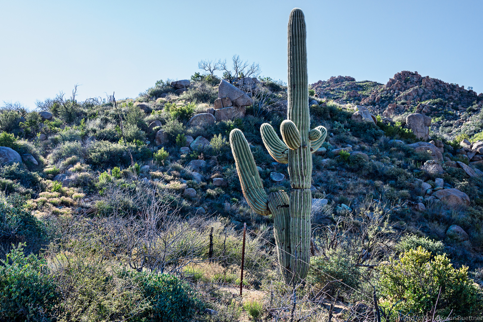
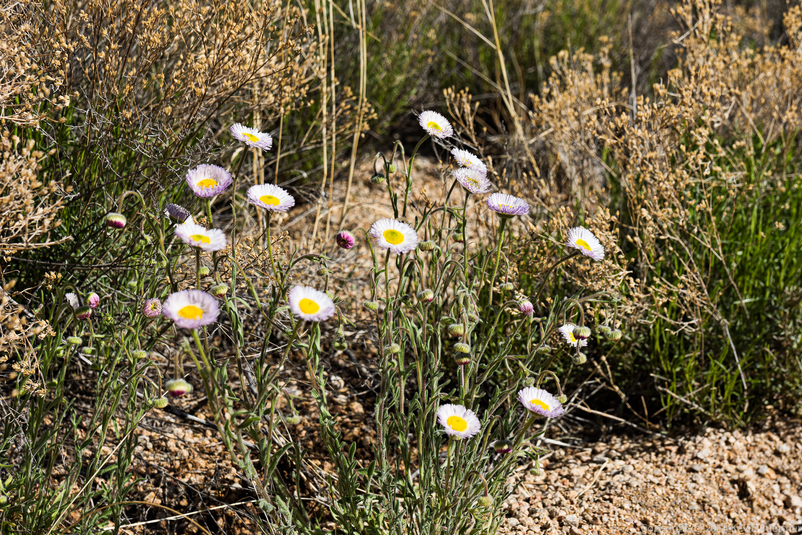
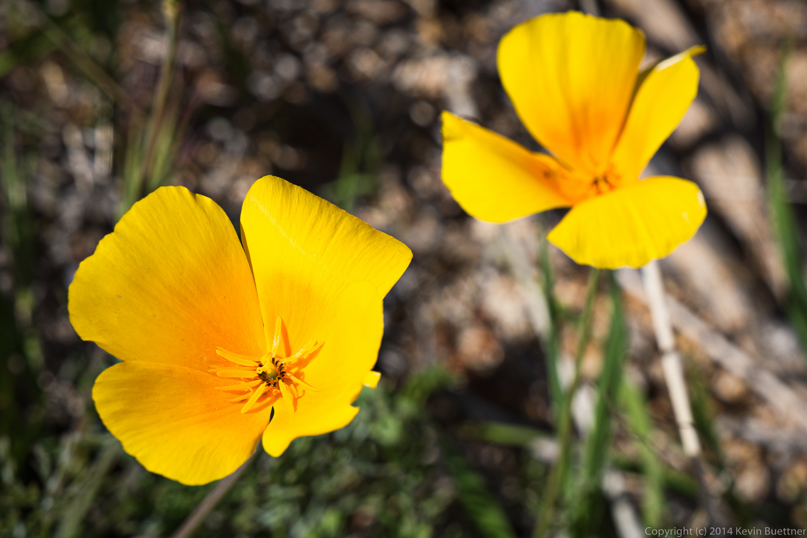
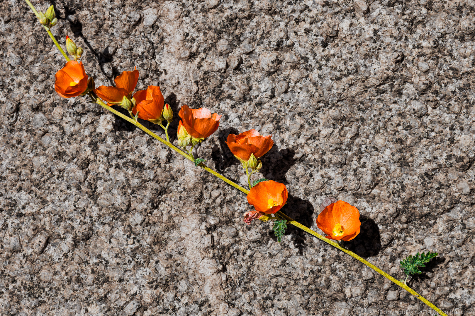
We saw many agave flowers on our hike.  Near the edge of the leap, I noticed a flowering agave plant just below one of (the many) boulders.  That particular boulder as fairly close to the flowers and placed me and my camera about level with it.

20140704-_DSC6343-Edit-medium 20140704-_DSC6373-Edit-medium
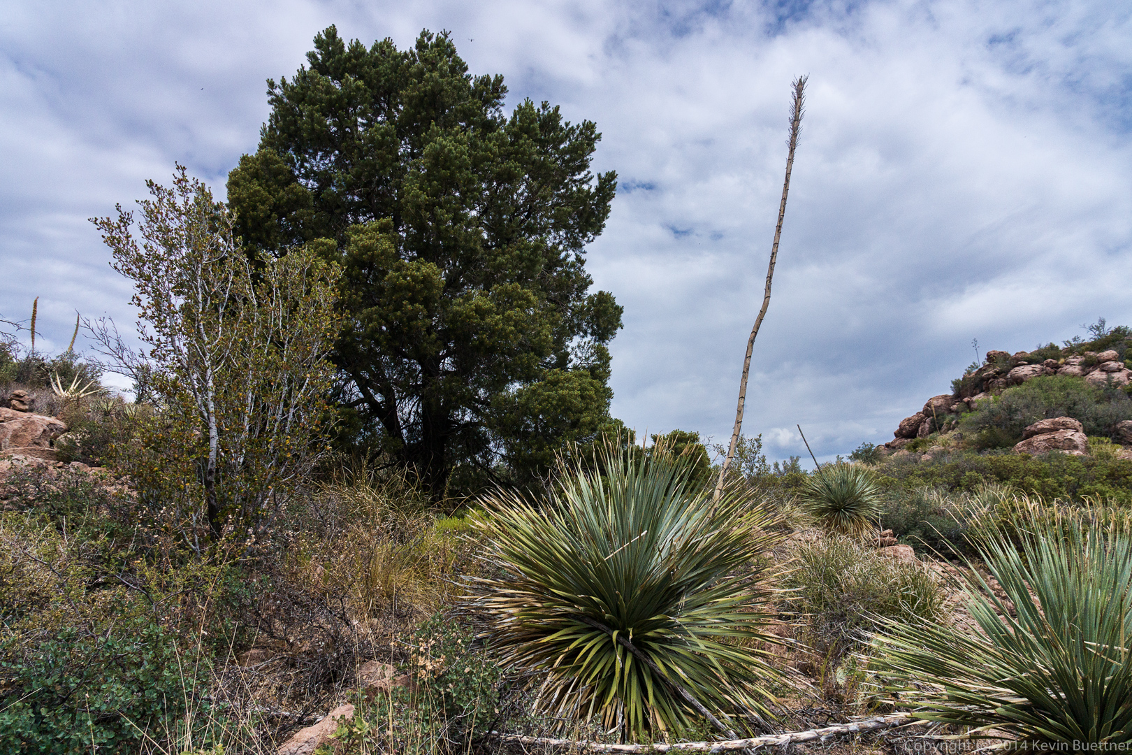
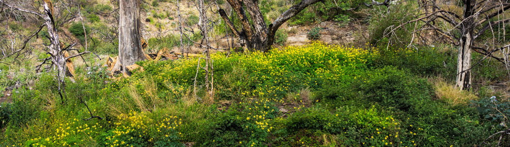
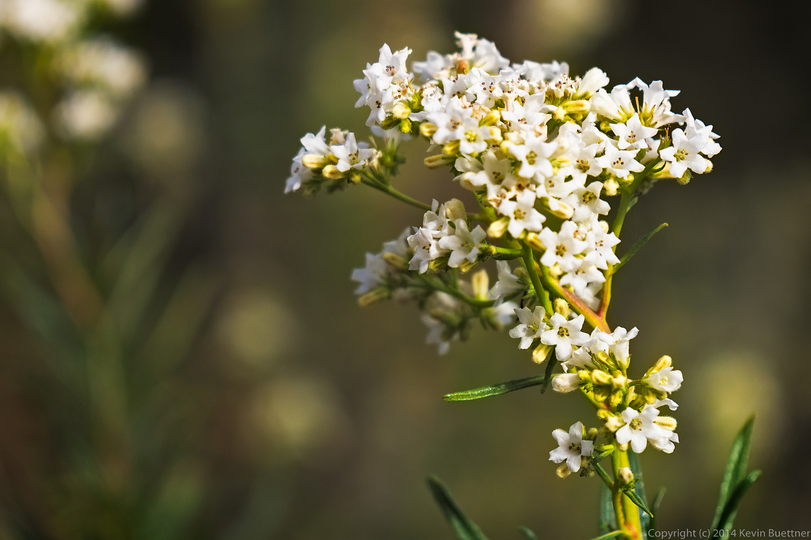
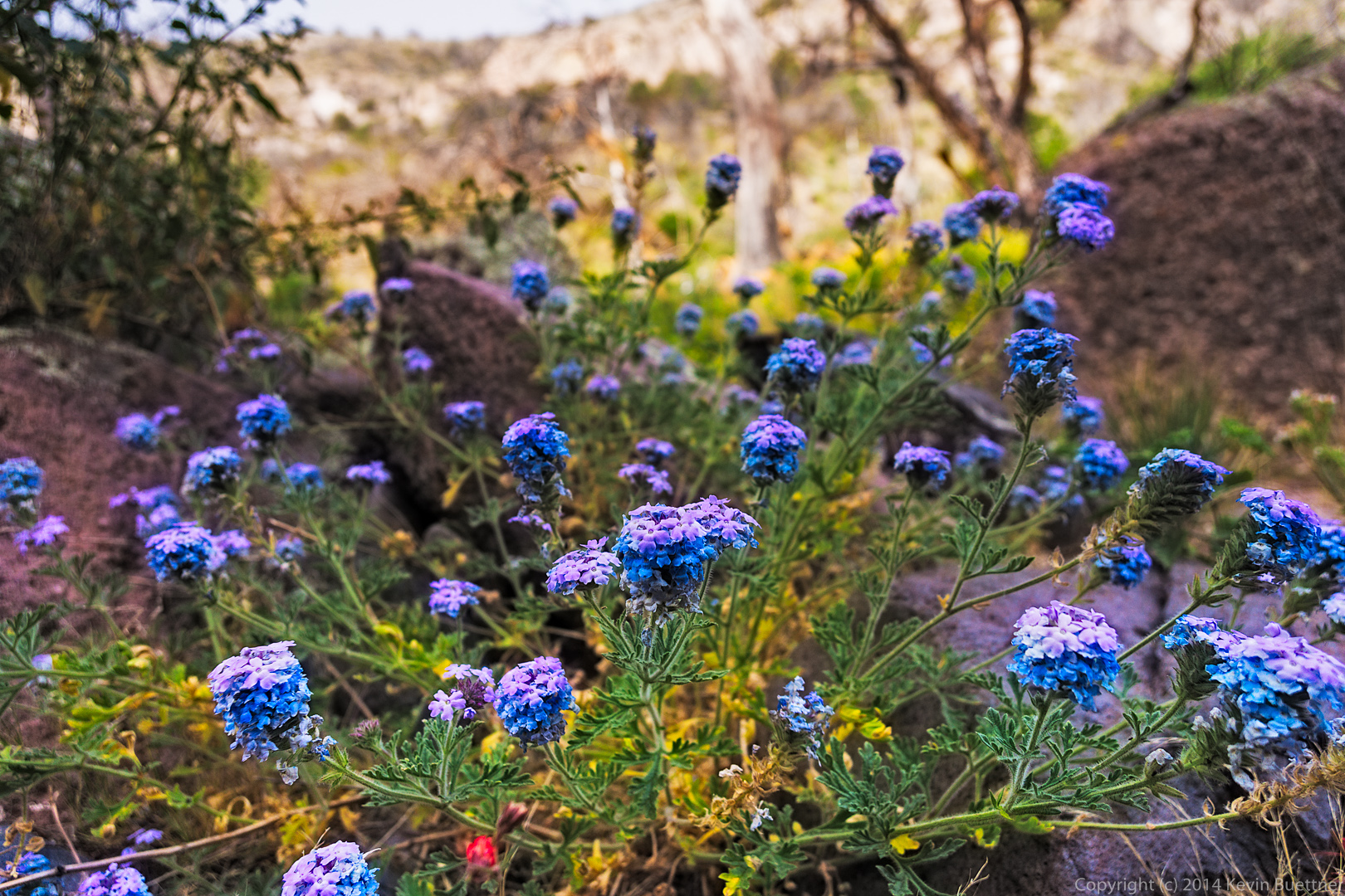
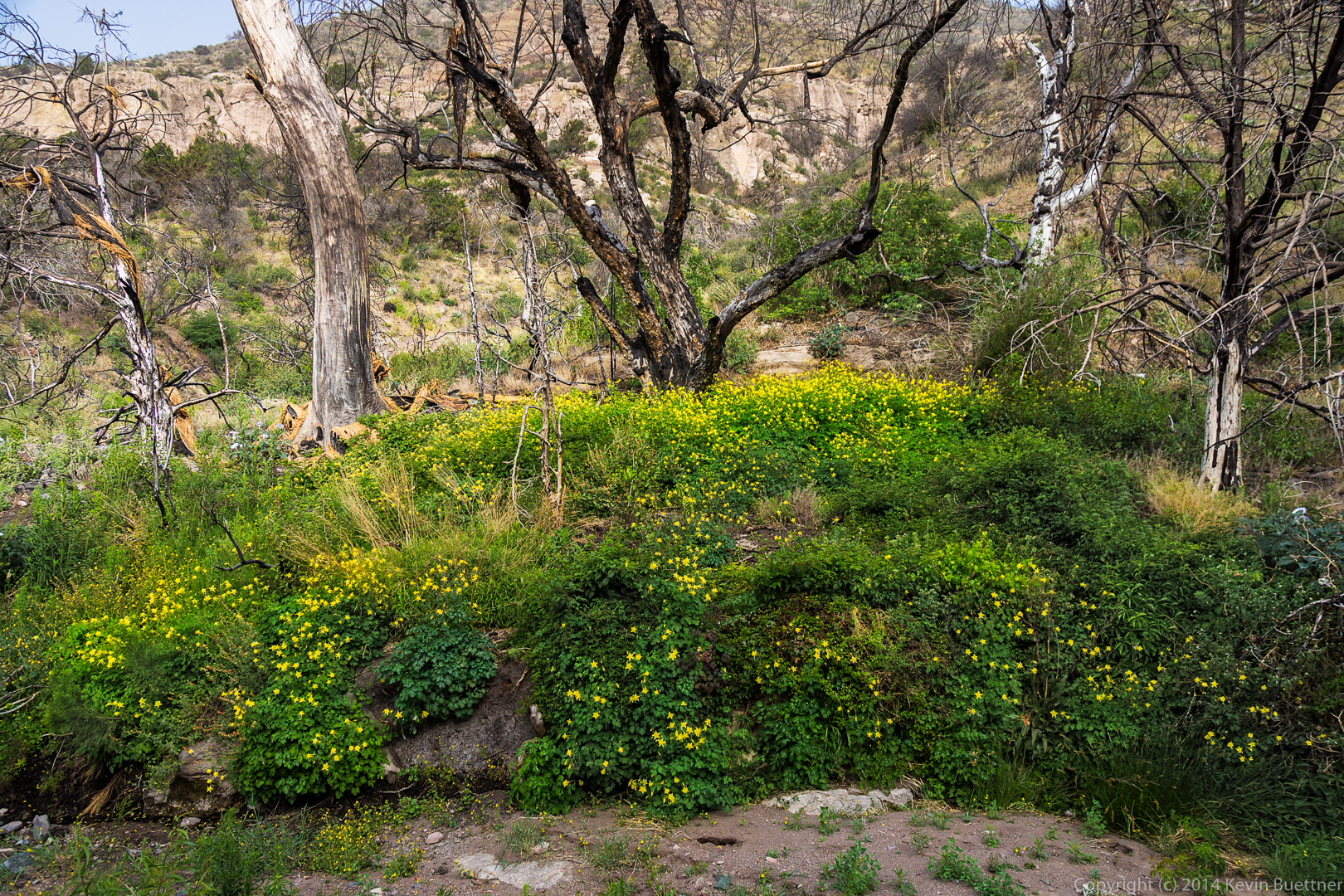
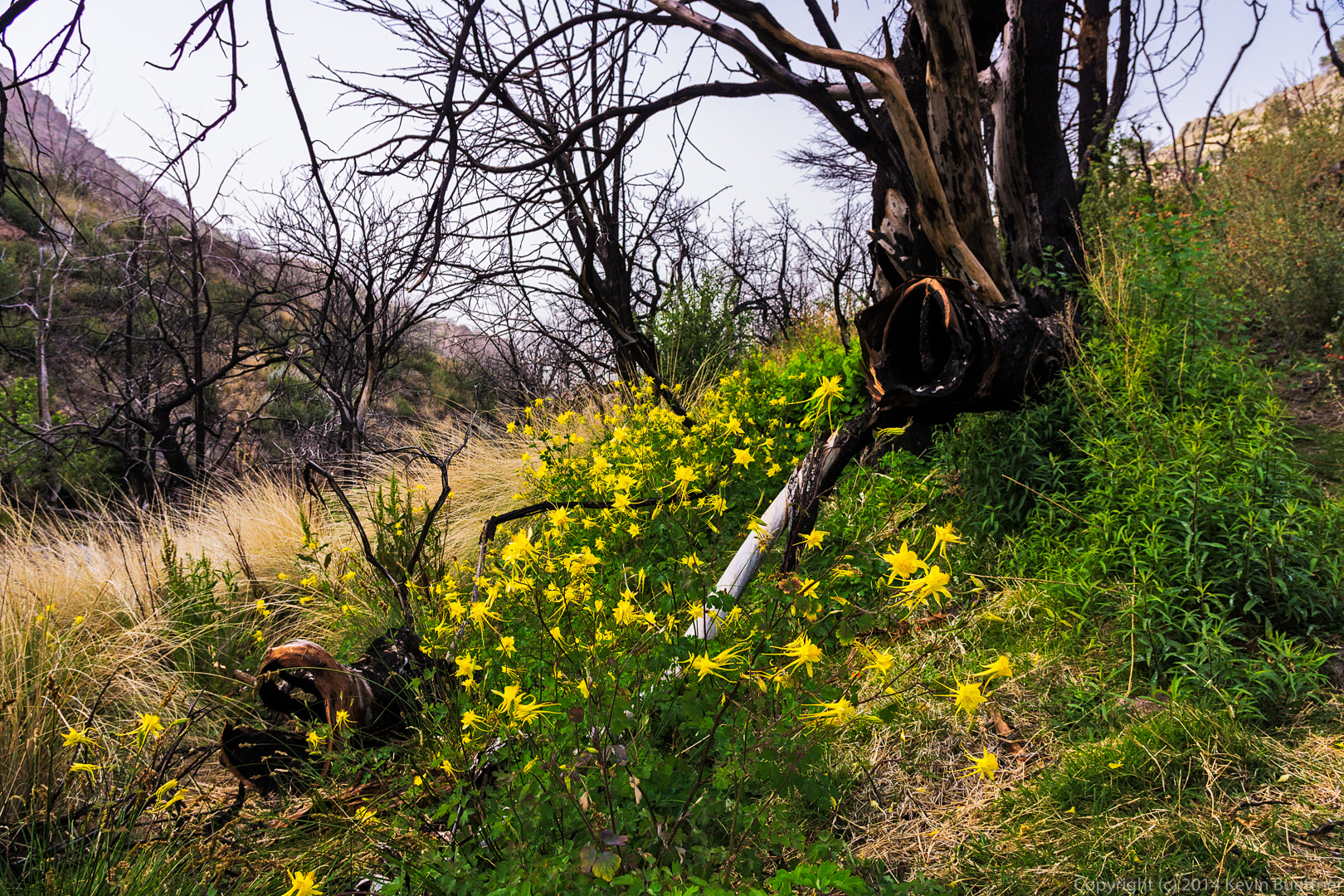
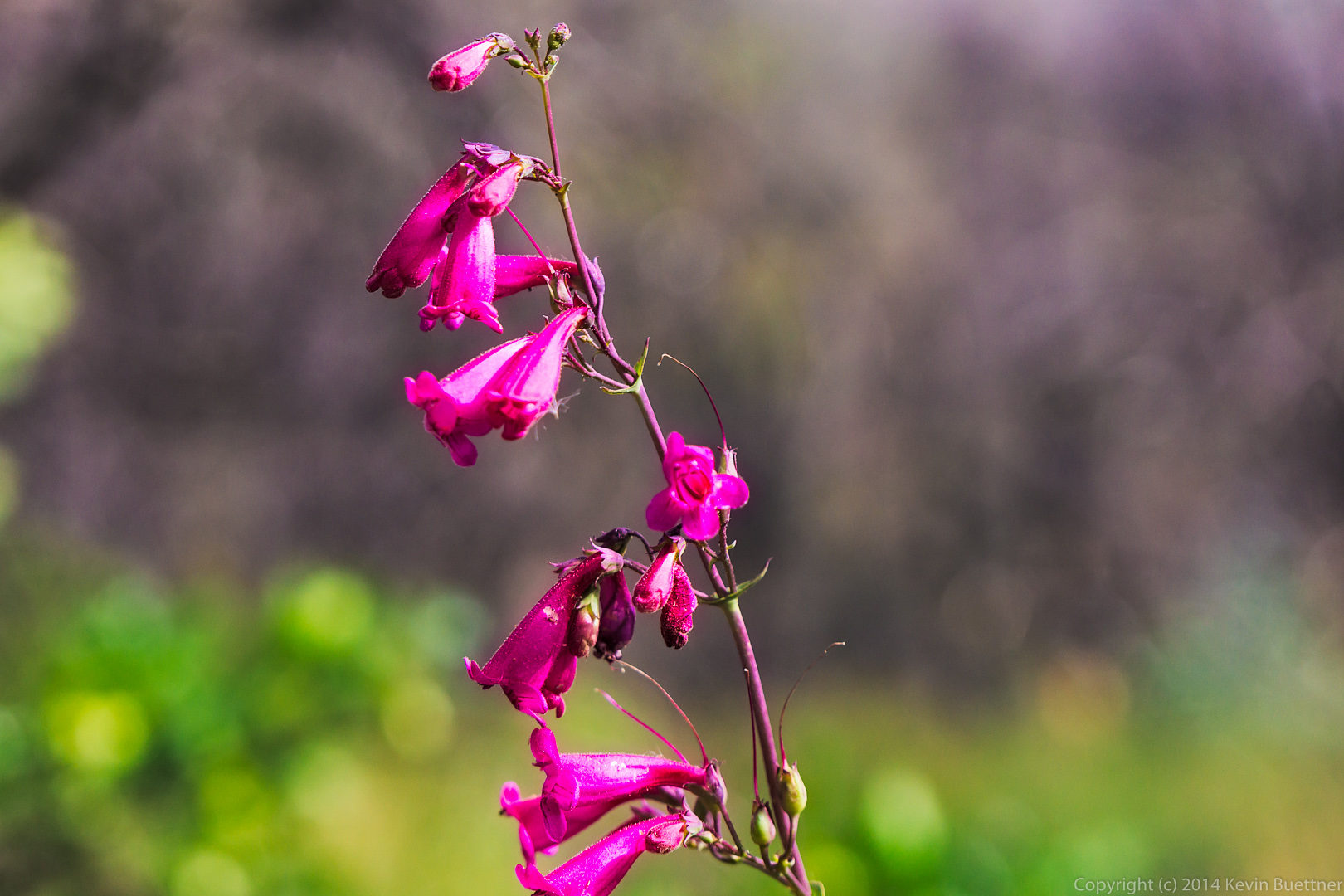
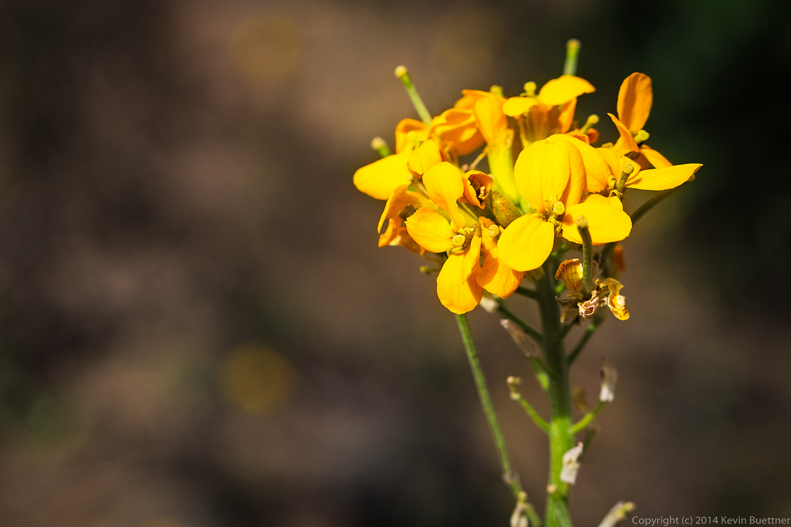
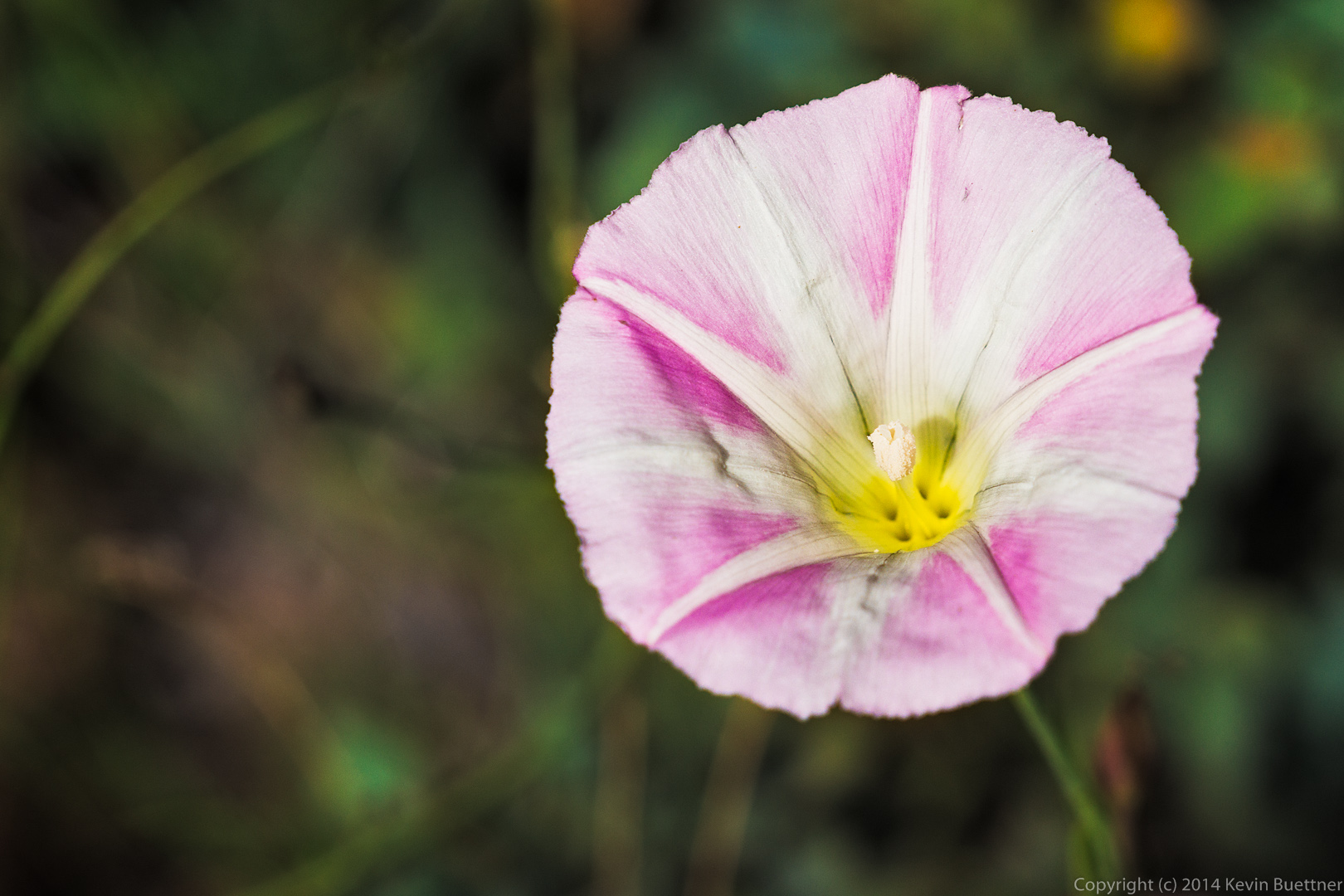
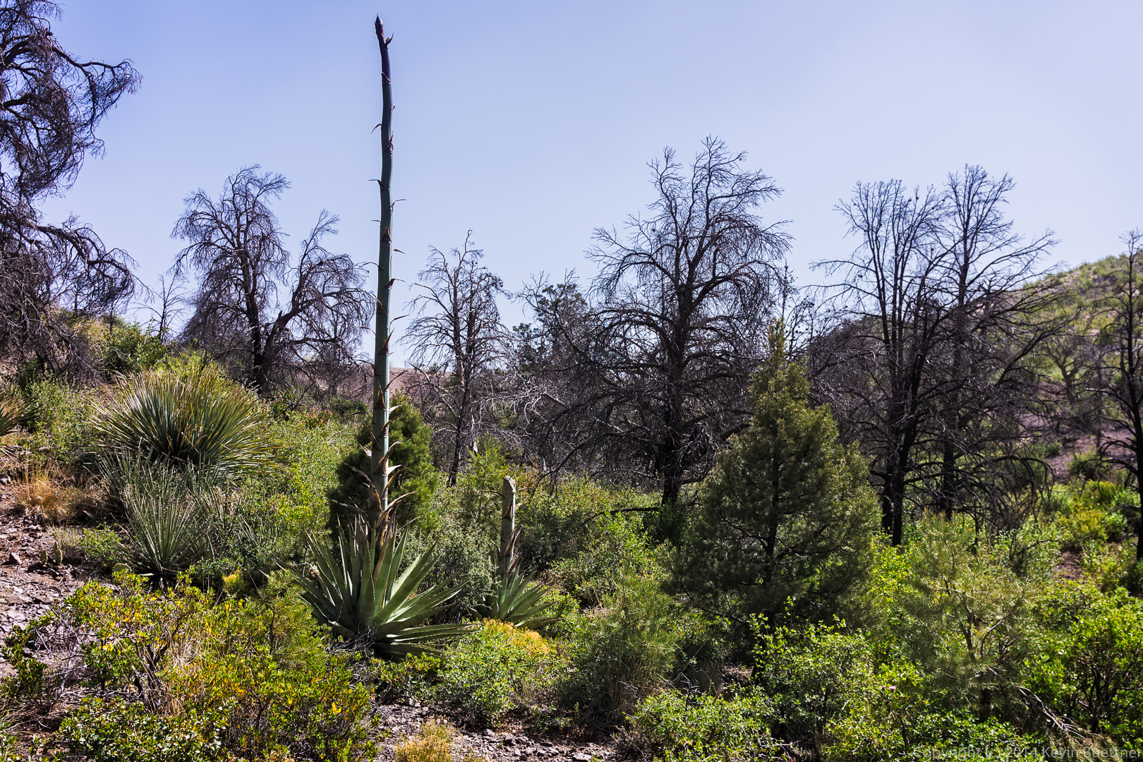
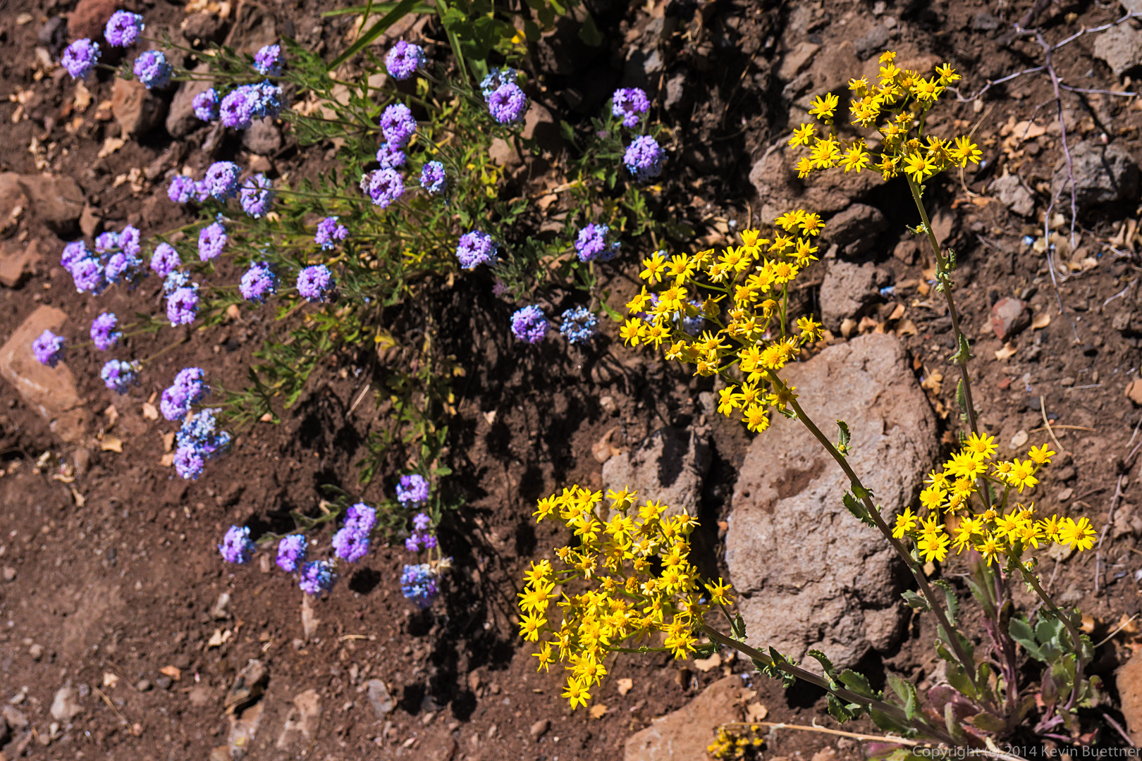
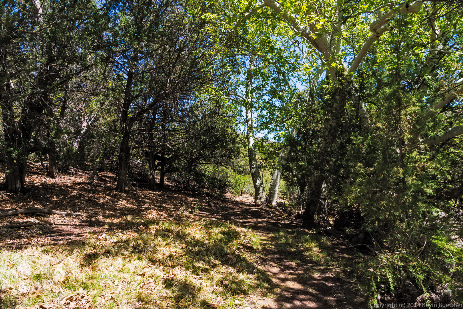
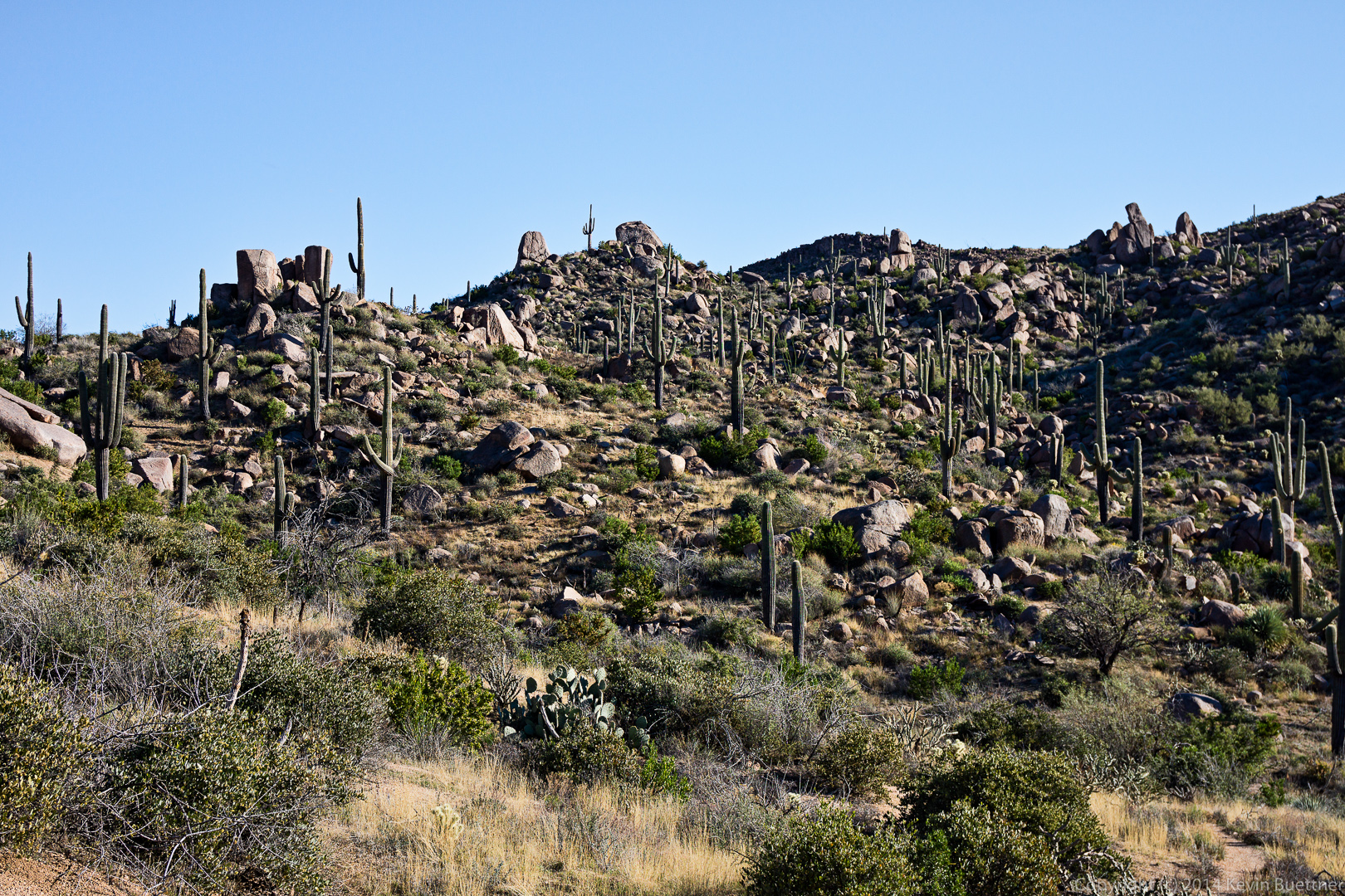
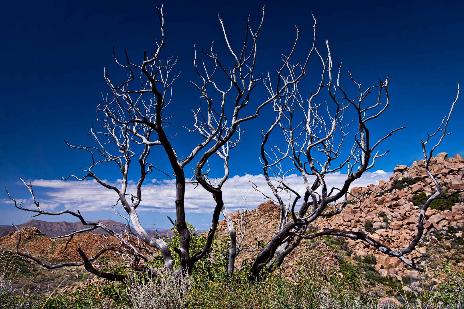
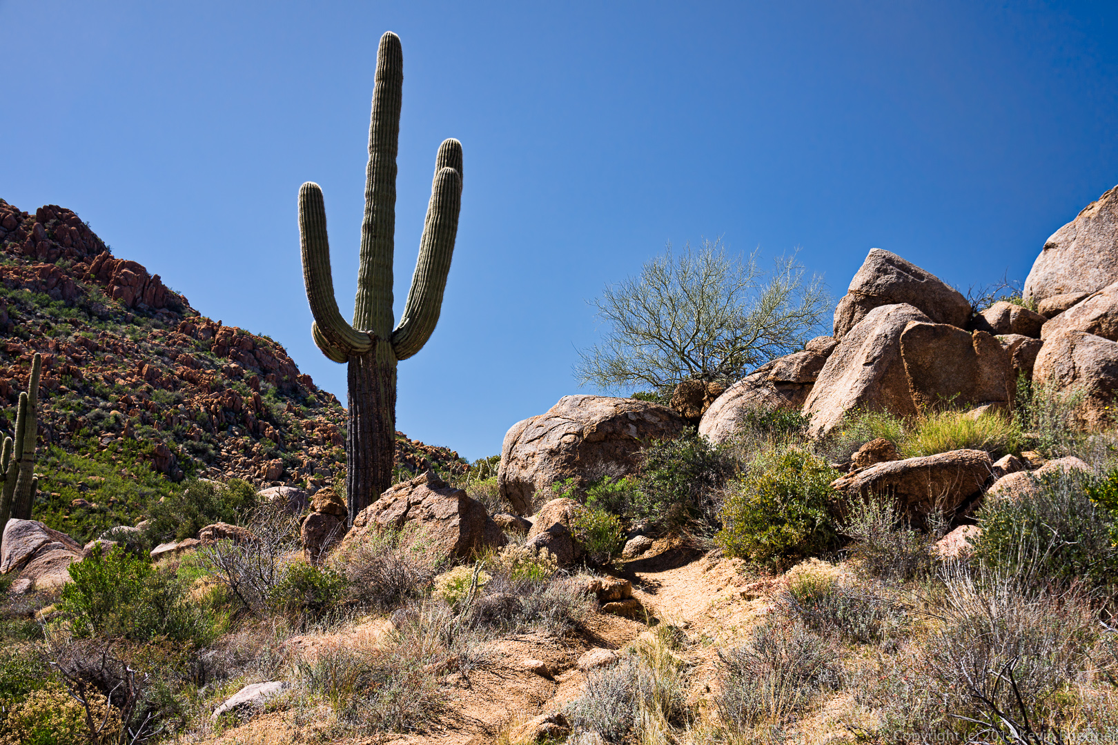
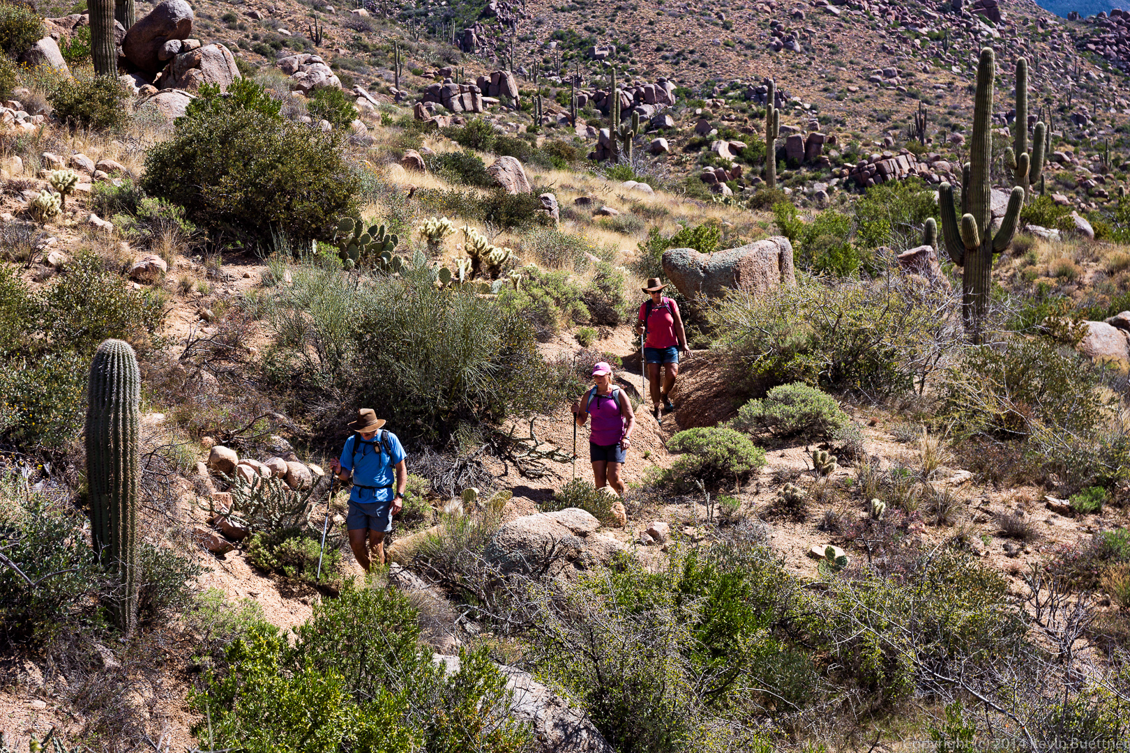
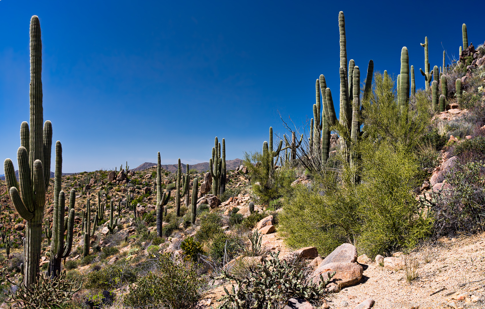
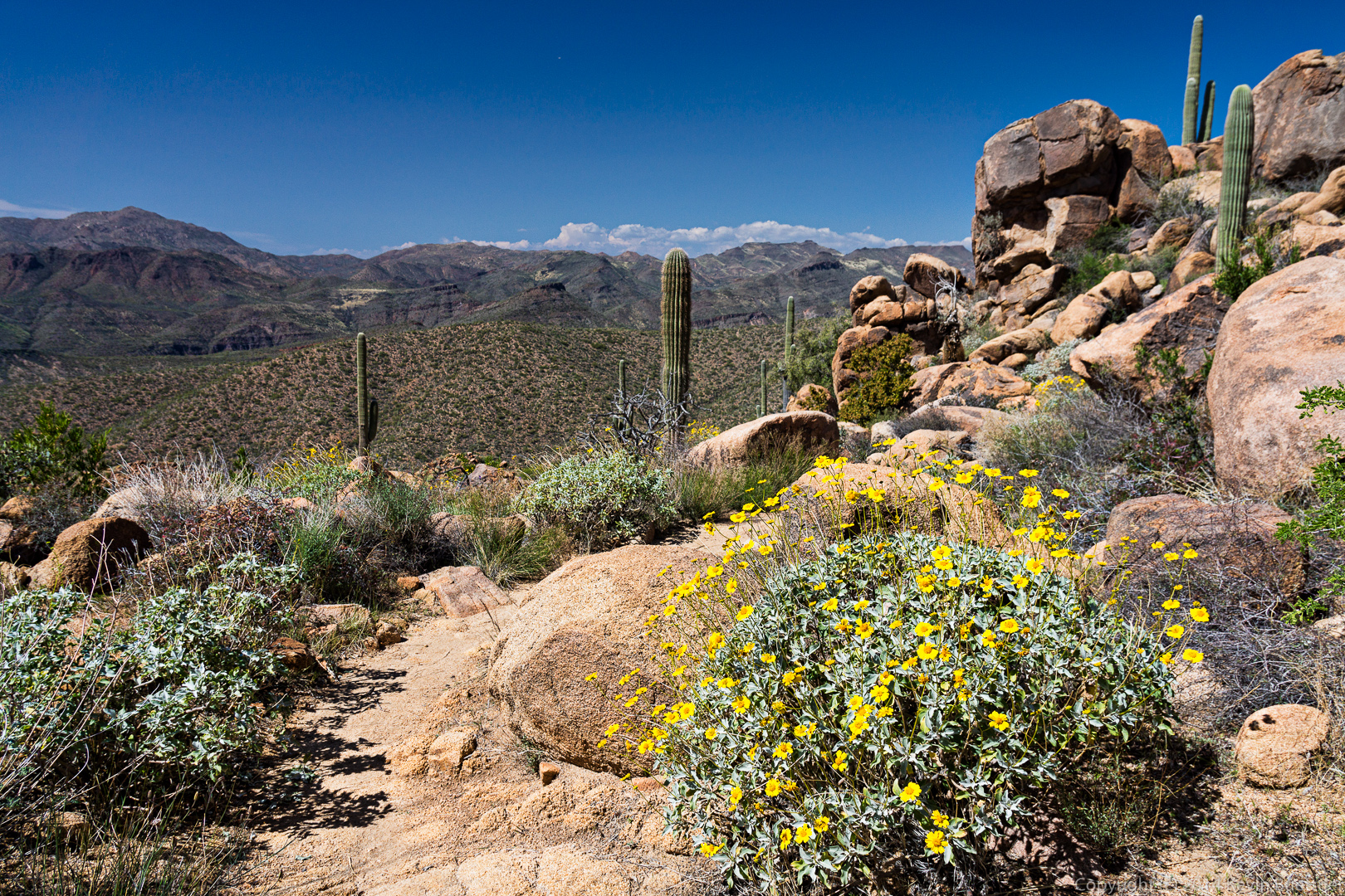
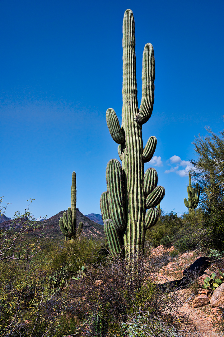
Examples of some of the vegetation that we saw along the way.

20140704-_DSC6394-Edit-medium 
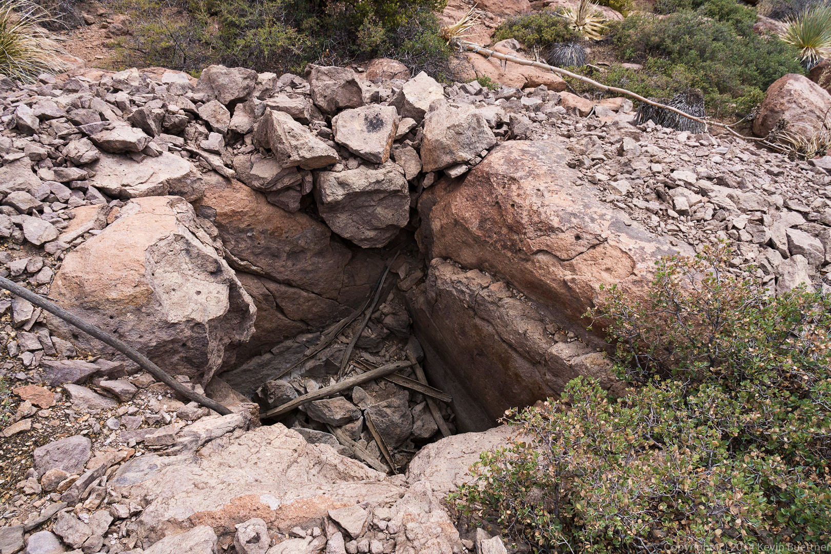
We came across a hole dug into the ground.

20140704-_DSC6397-Edit-medium 
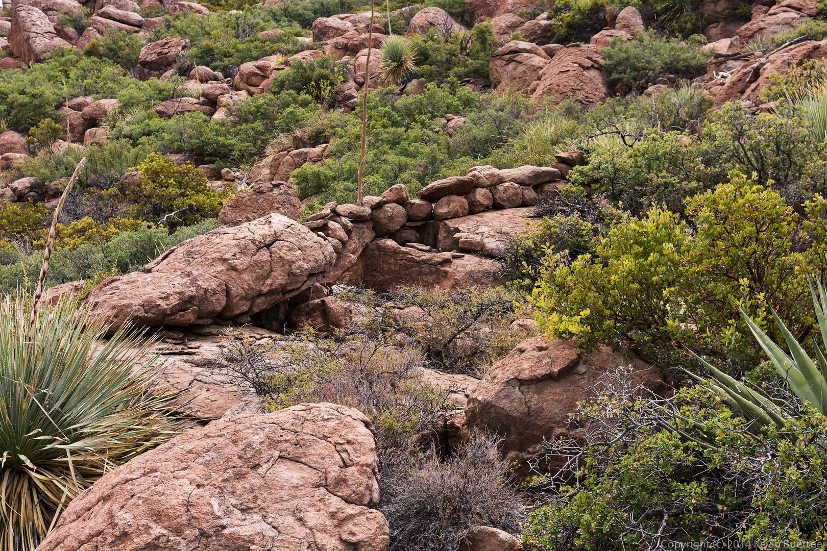
A short ways further on, as we were hiking back, we saw what looked like a stone wall. We have no idea what its purpose might have been.

20140704-_DSC6400-Edit-medium
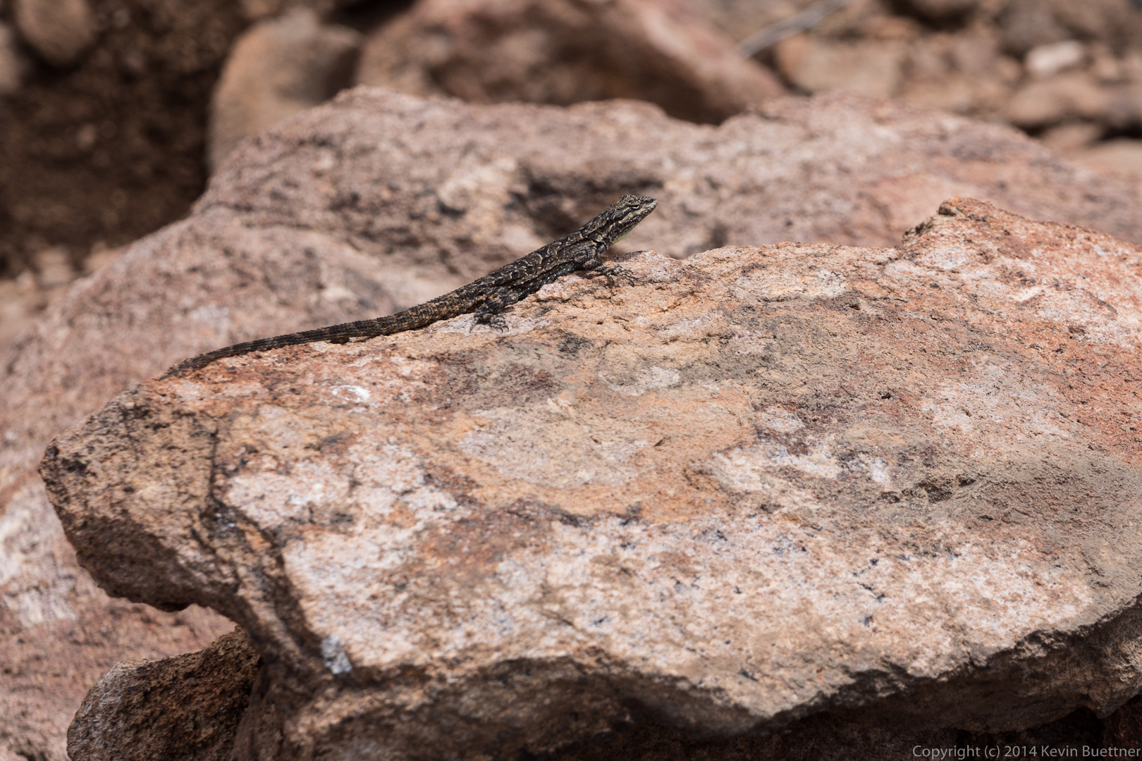
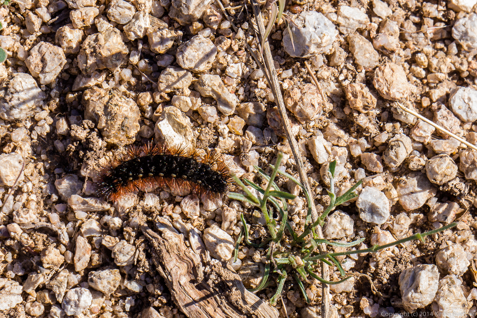
A lizard that stayed still long enough for me to get this shot.

20140704-_DSC6418-Edit-medium 
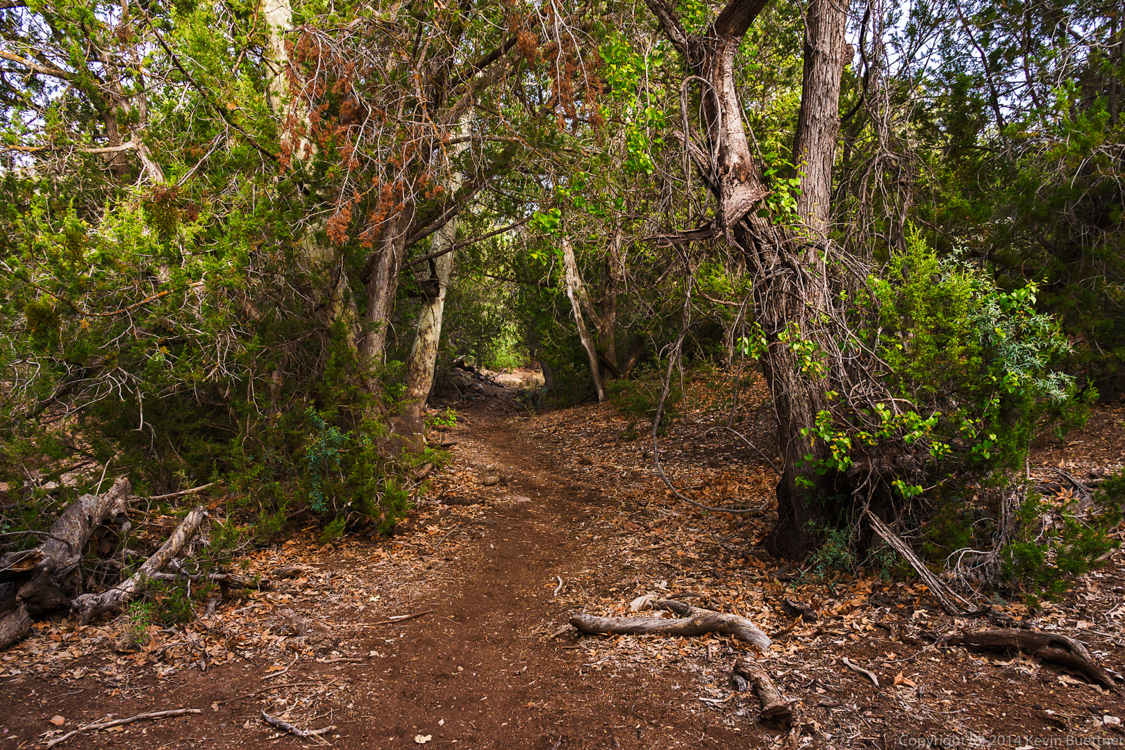
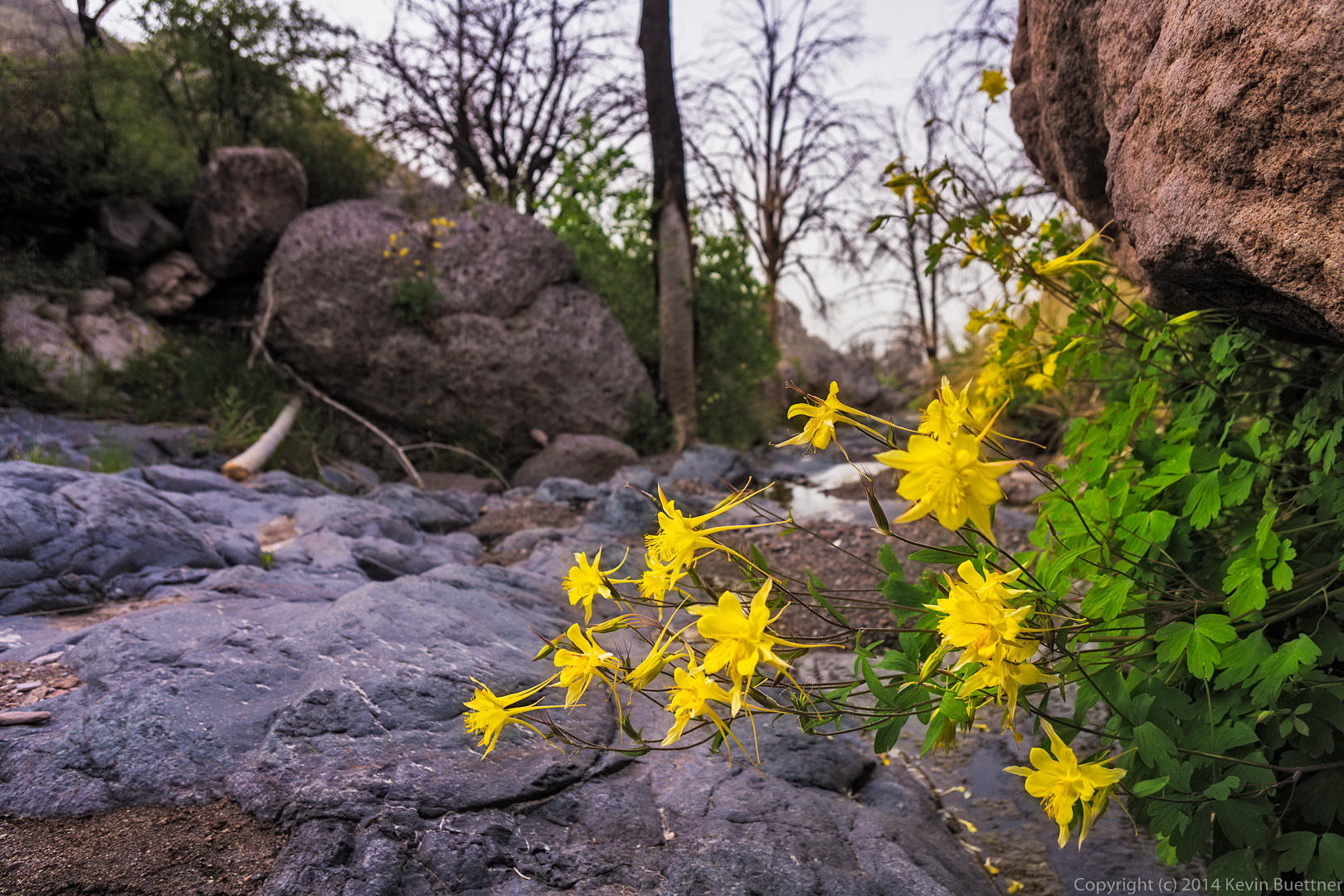
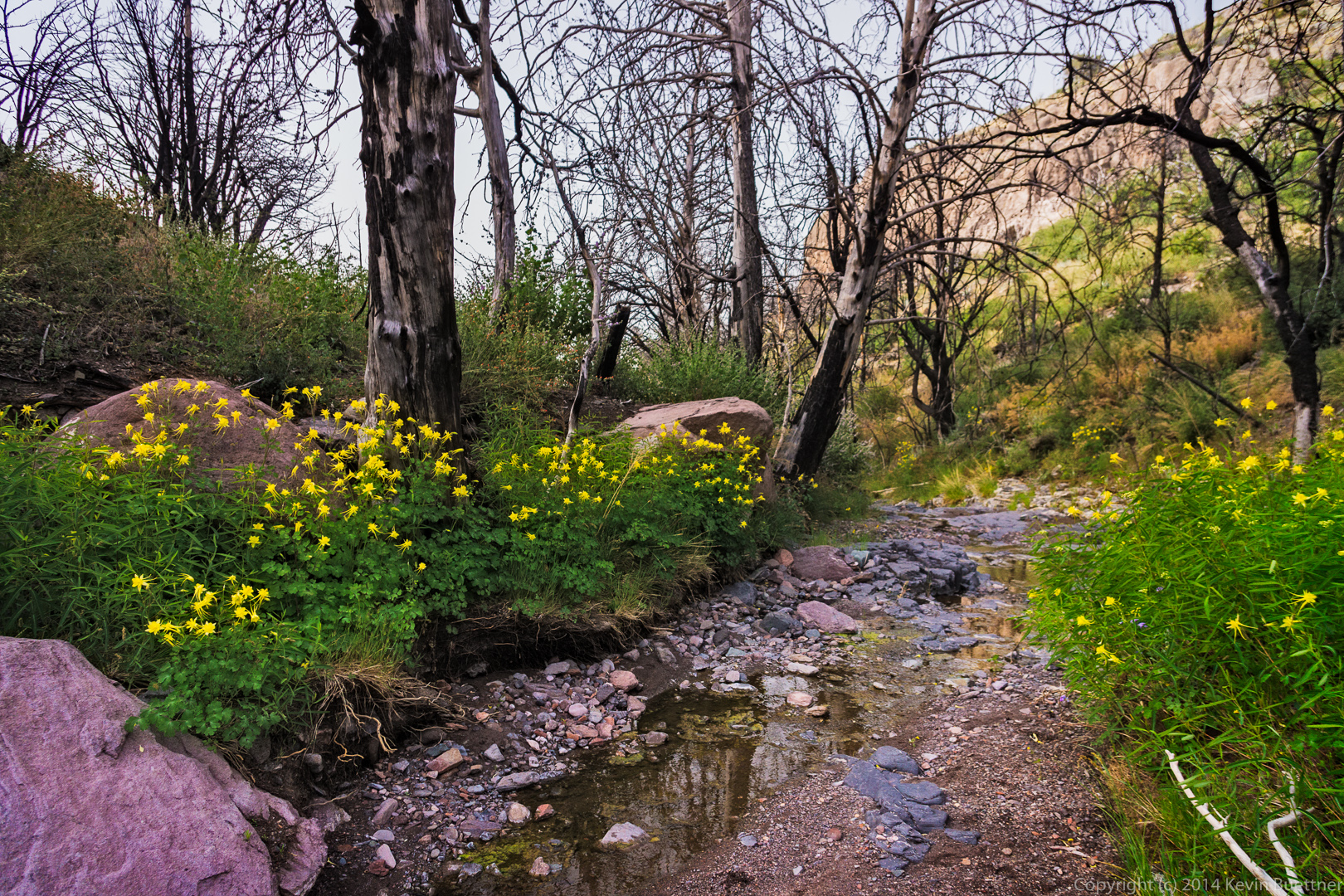
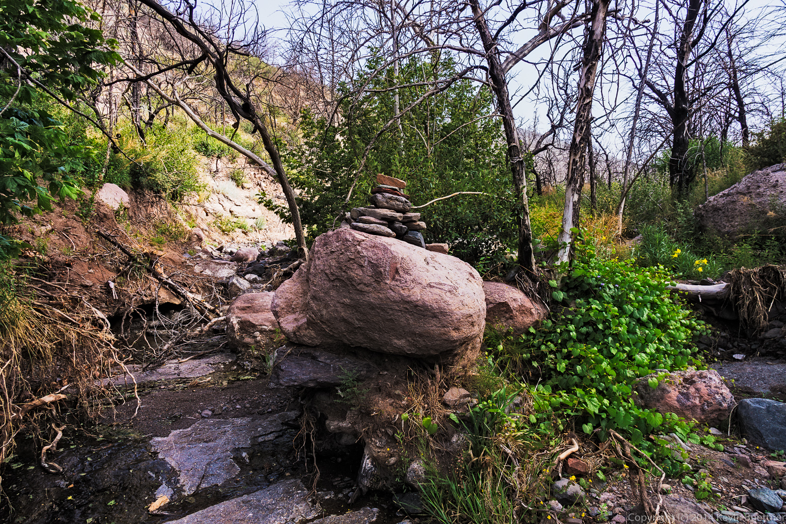
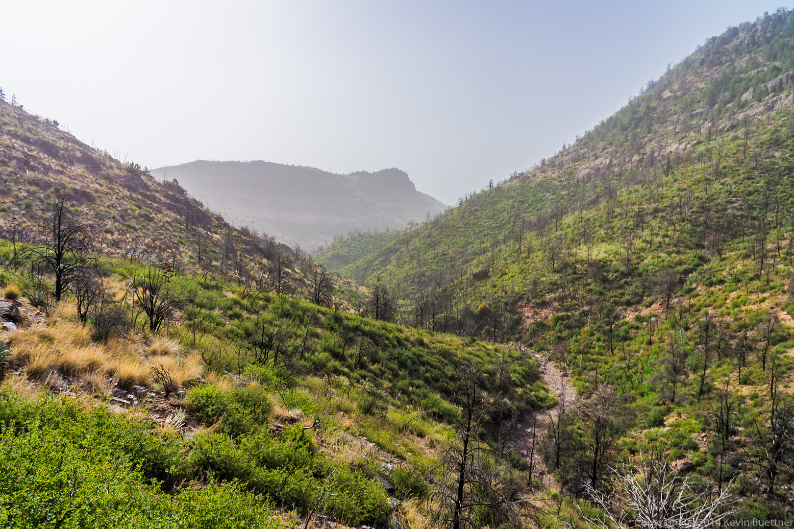
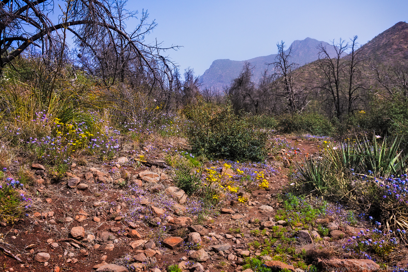
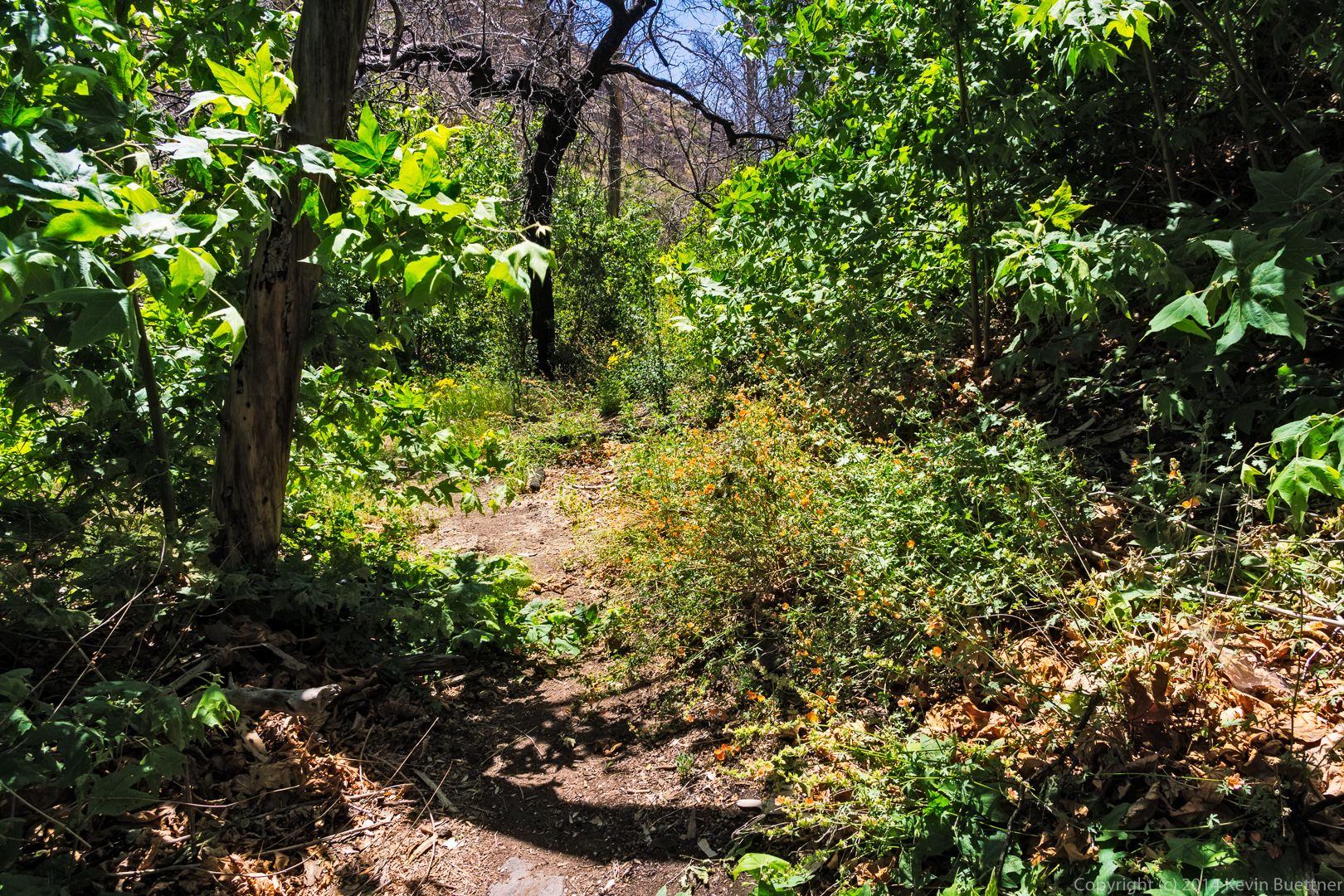
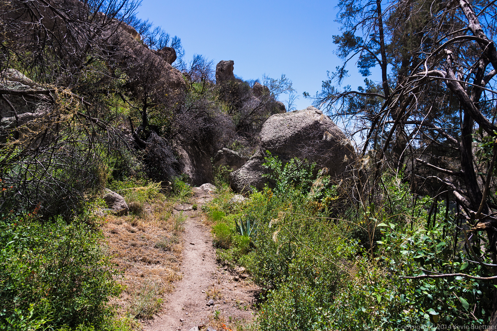
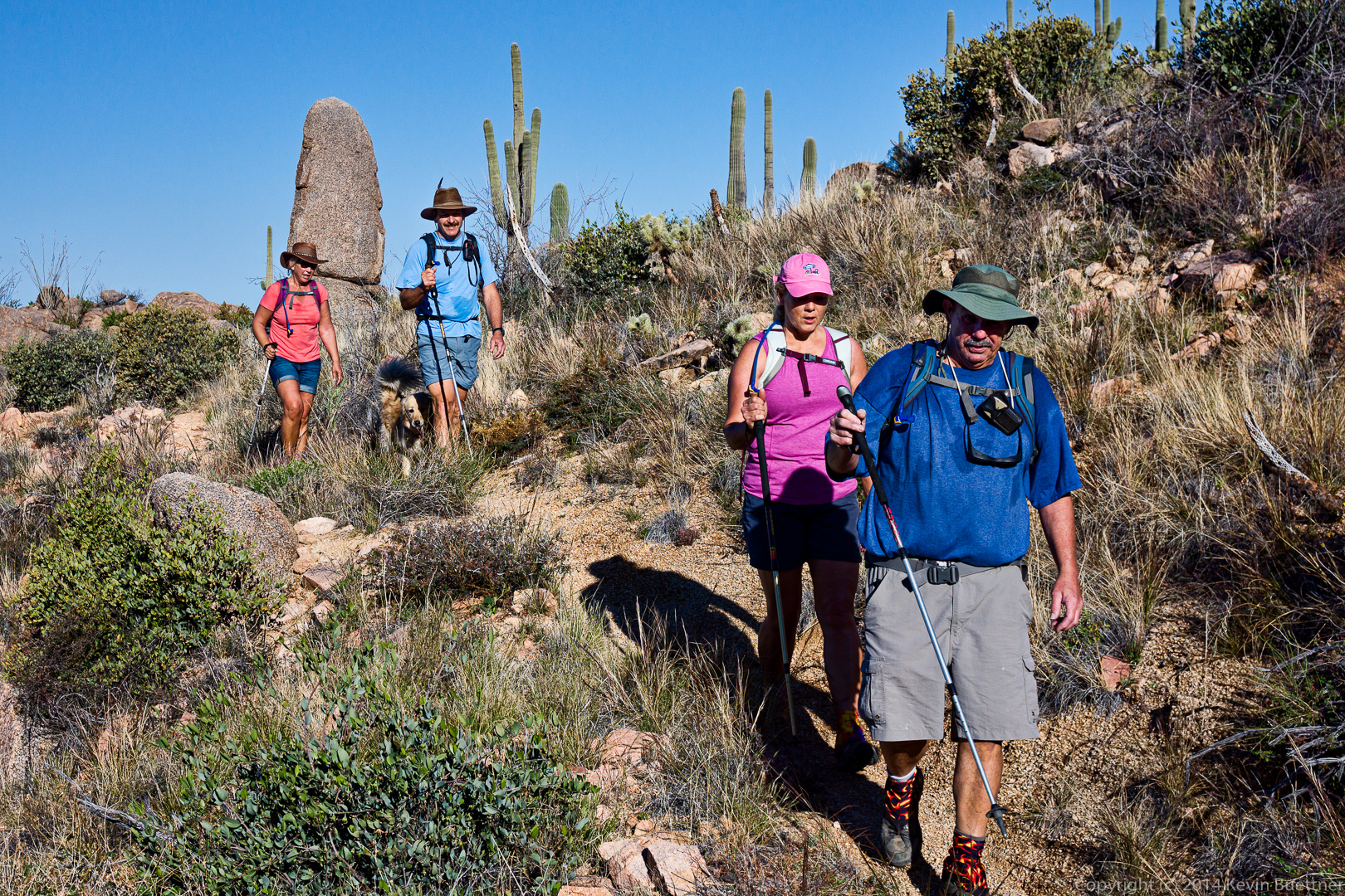
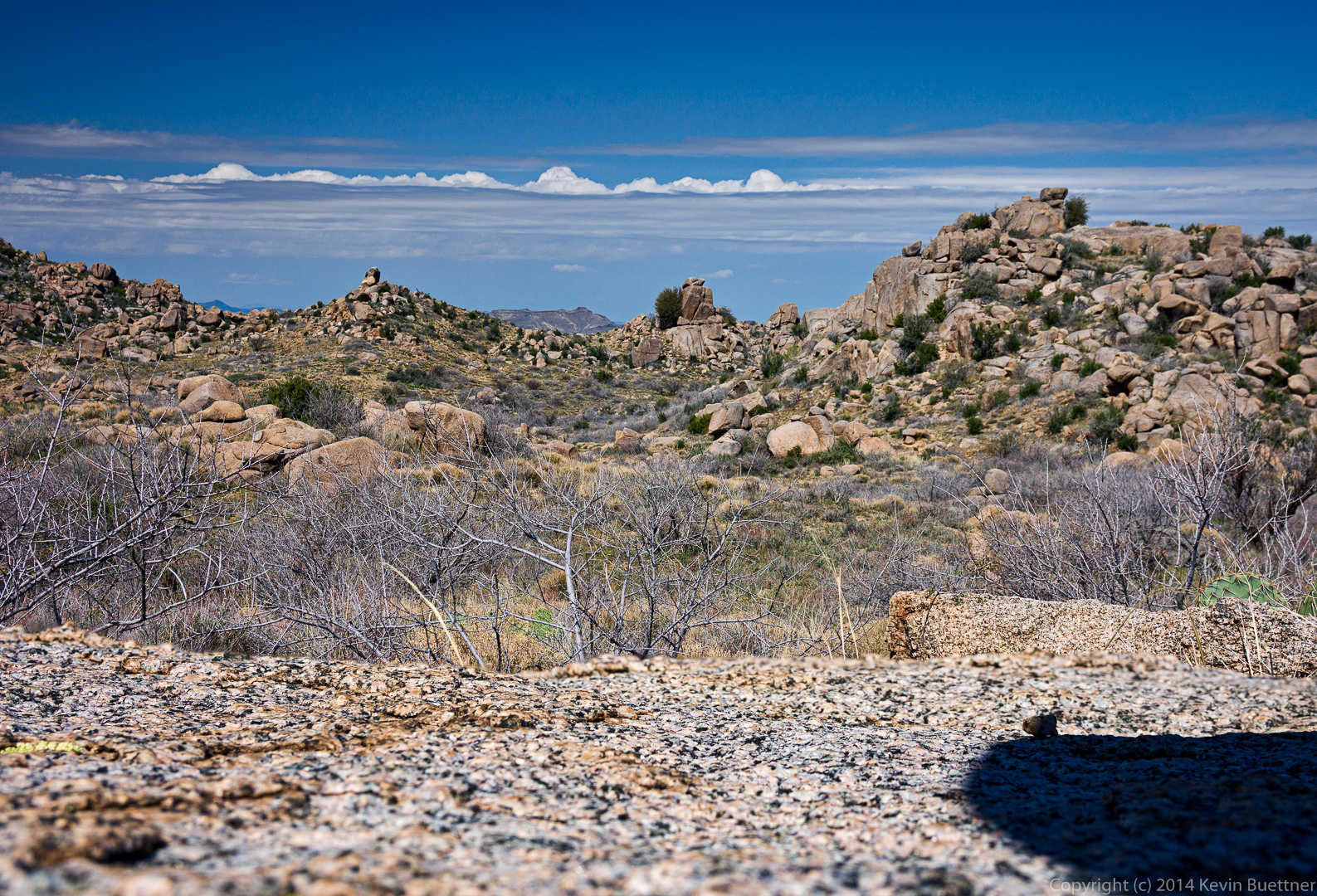
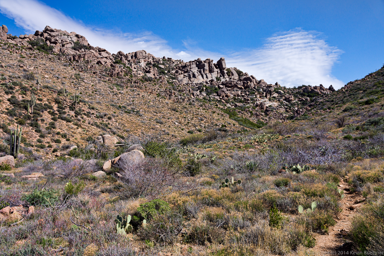
Views from the wash that we hiked on the way back…

20140704-_DSC6424-Edit-medium 20140704-_DSC6430-Edit-medium
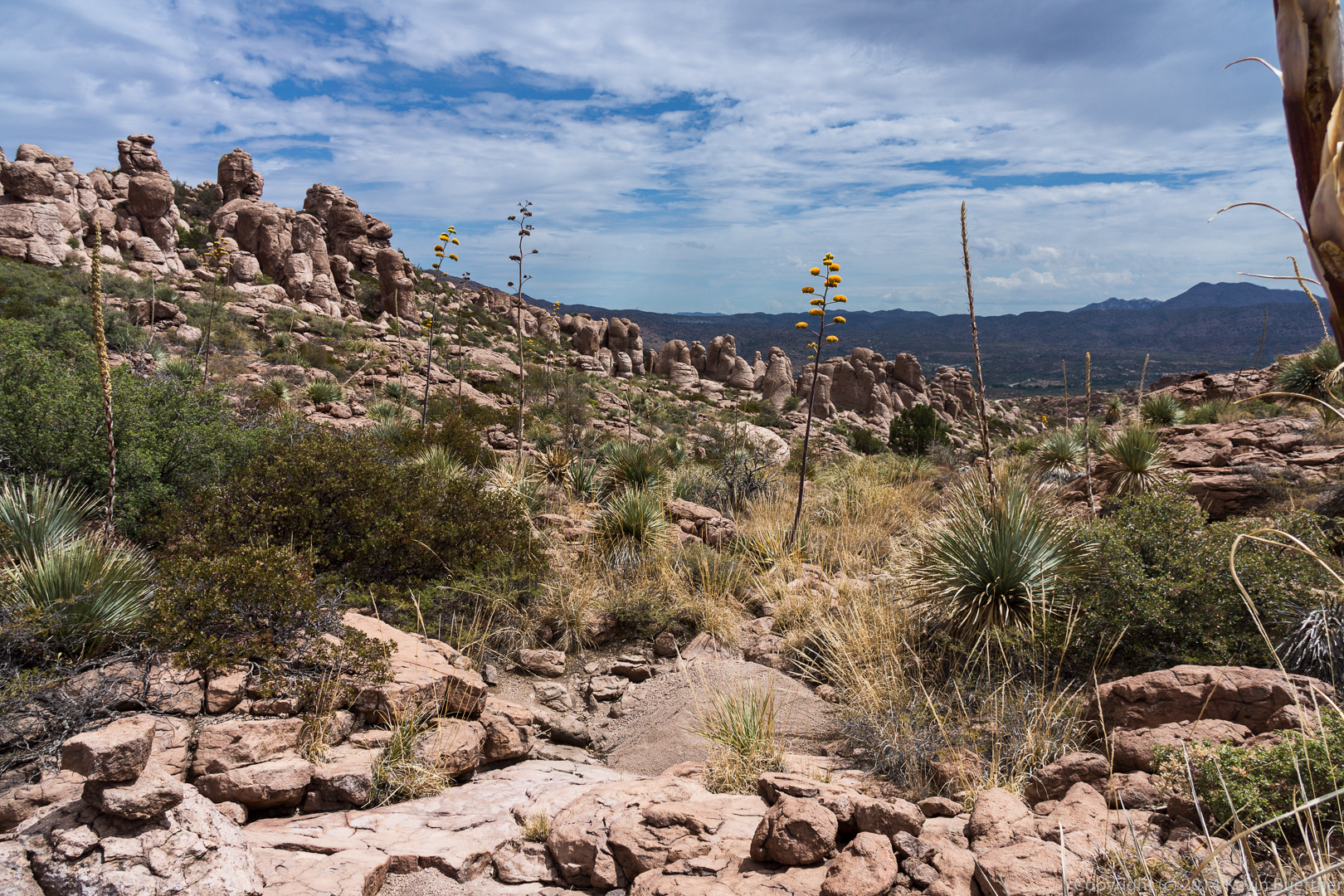
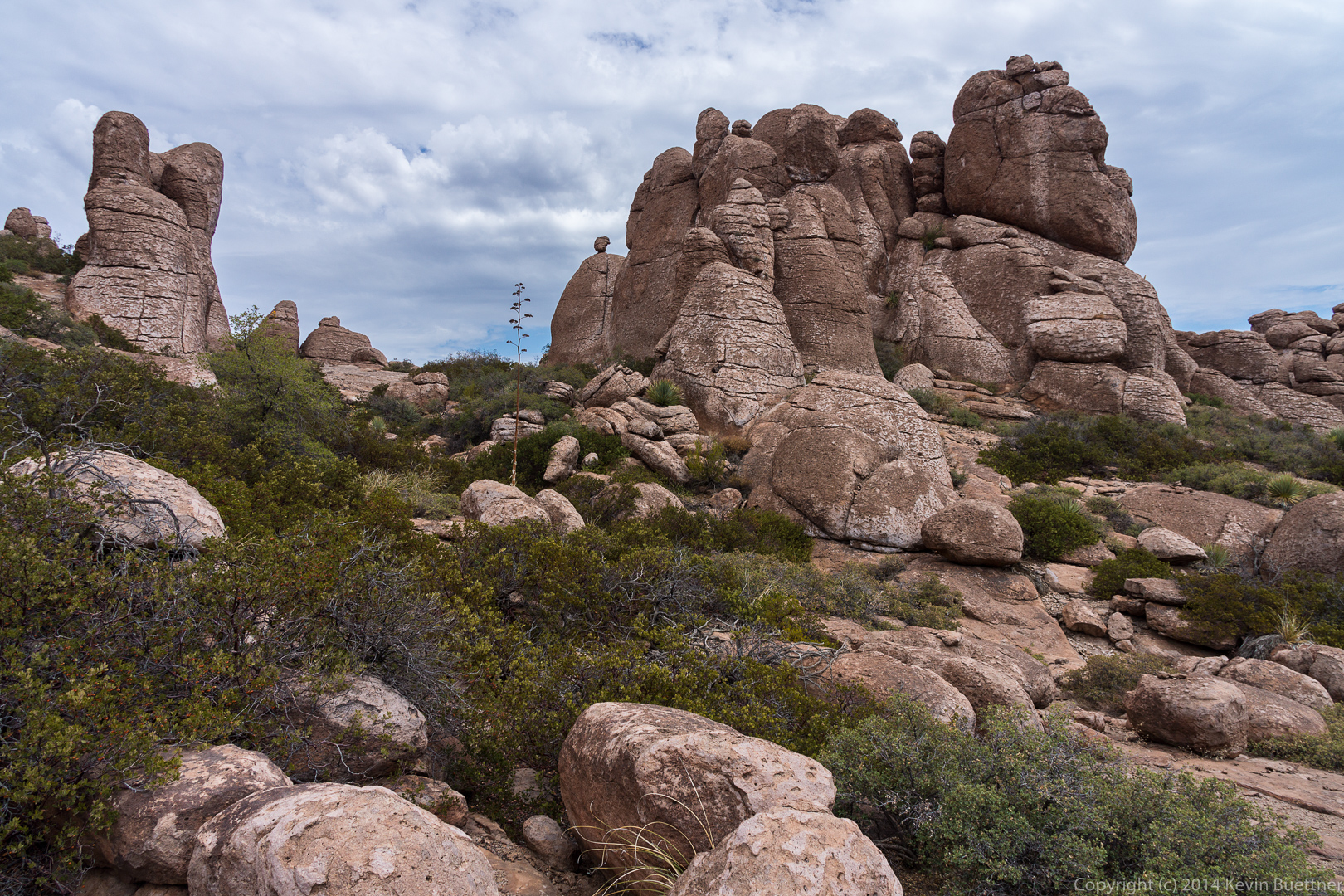
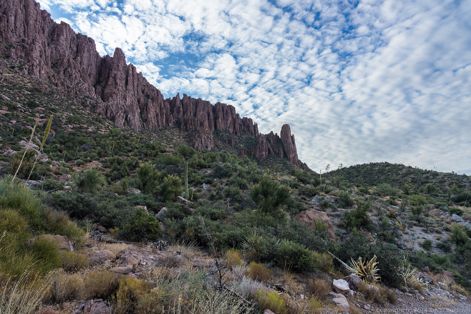
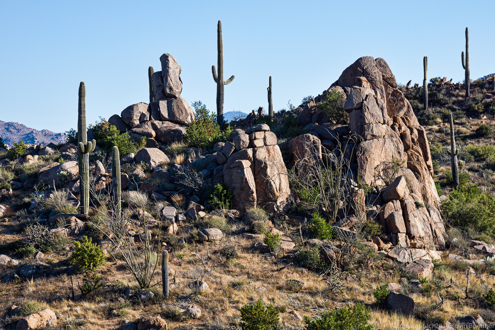
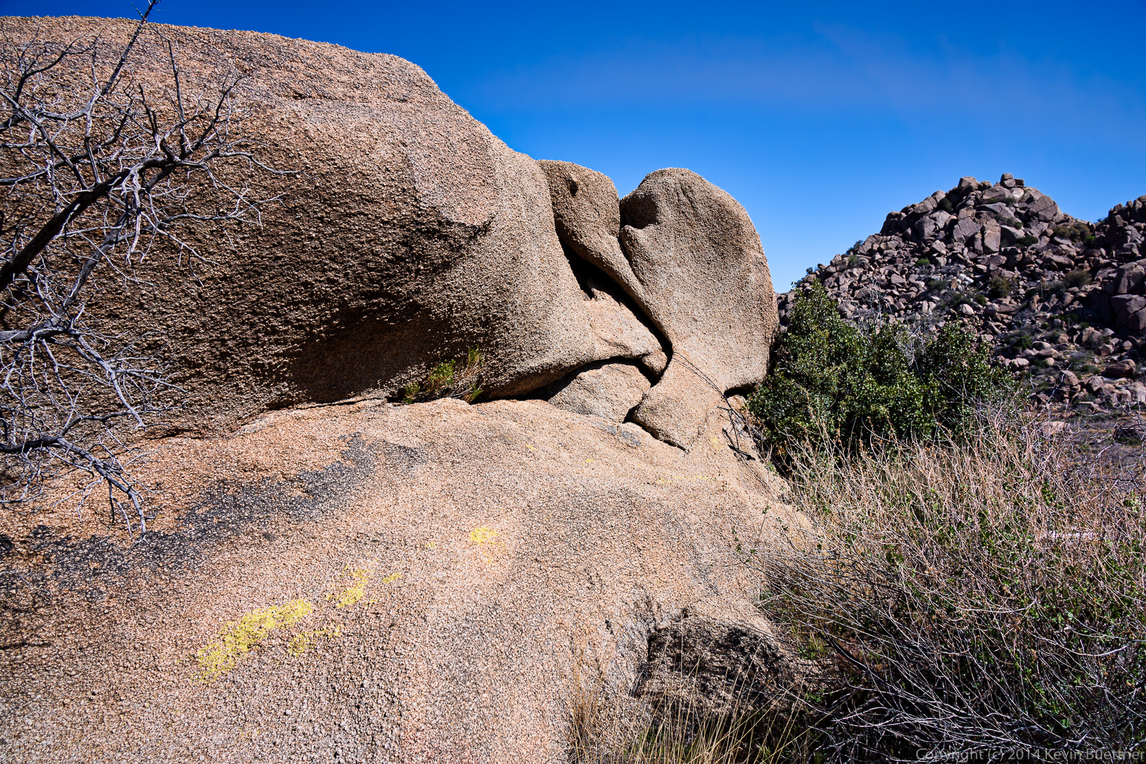
These rock formations are part of the climbing area known as the “Mine Area”.  I think these might be in Lower Looner Land.

20140704-_DSC6448-Edit-medium 20140704-_DSC6463-Edit-medium
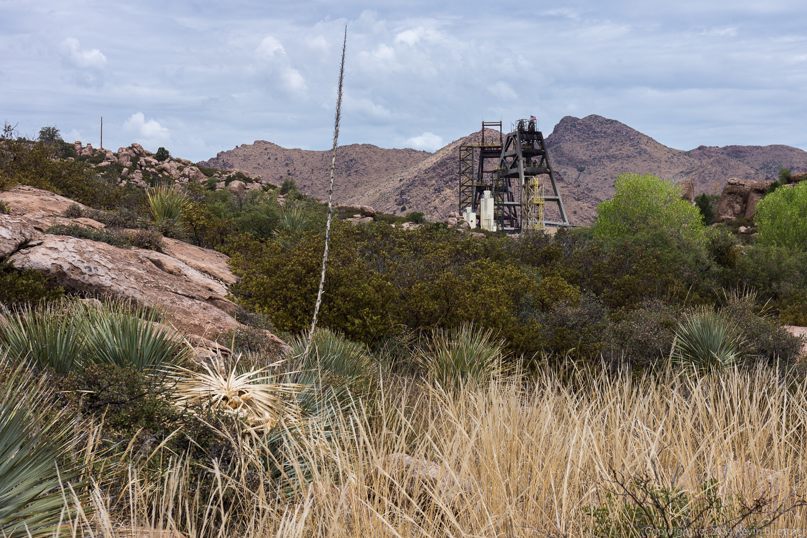
A view of the mine.  It’s expanded a lot since I used to climb in the area.  There’s a lot of exploration and drilling going on elsewhere in the area too.  We saw thick black hoses snaking along the road and across the terrain.

20140704-_DSC6469-Edit-mediumAfter we finished our hike, drove as close as we could from the west side.  We hiked a short ways up one of the roads where I got this picture (stitched together from several shots).

20140704-_DSC6478-Edit-medium


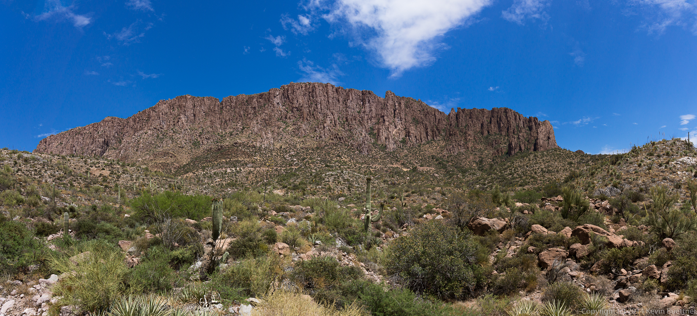
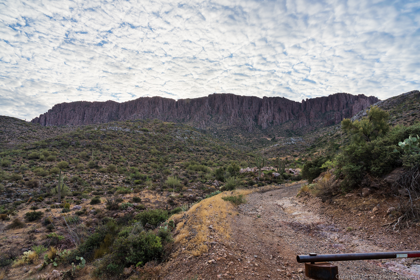
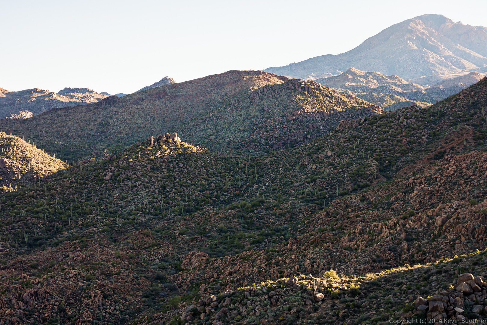
This is what the west side of Apache Leap looked like on Saturday morning.  You can see the old road that we hiked in the foreground.

20140705-_DSC6508-Edit-Edit-2-medium 
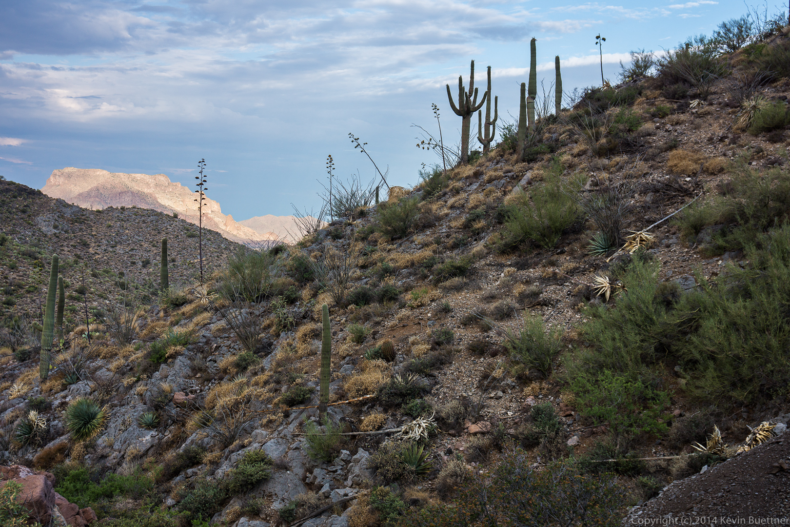
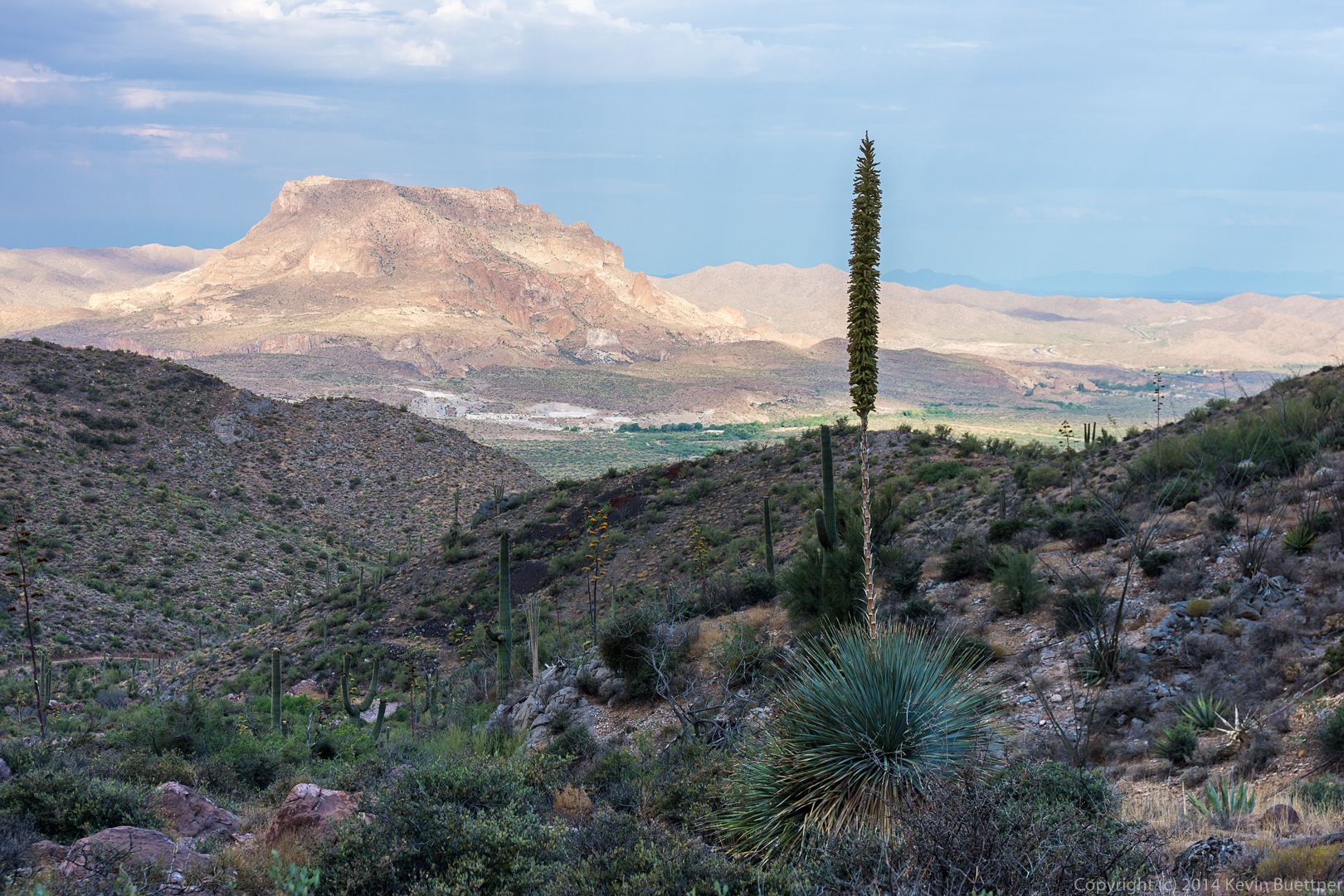
A look back towards Picketpost Mountain in the early morning light.
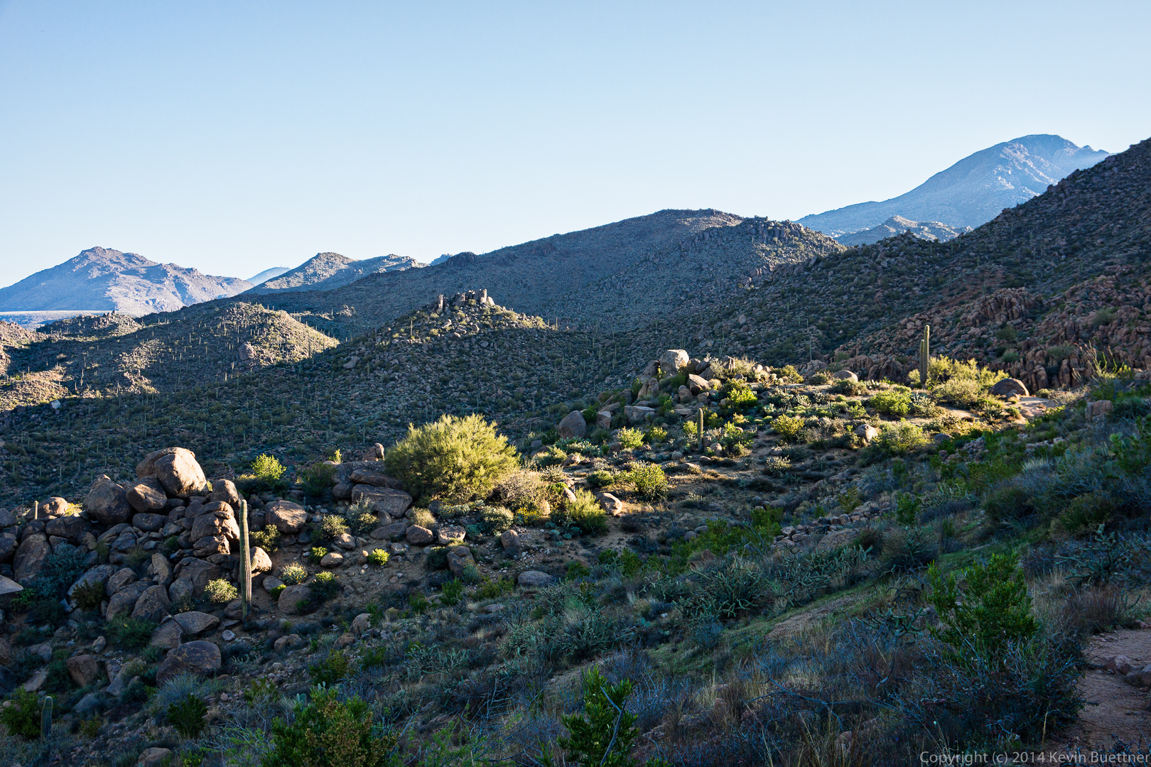
20140705-_DSC6517-Edit-medium Ditto:

20140705-_DSC6532-Edit-medium 
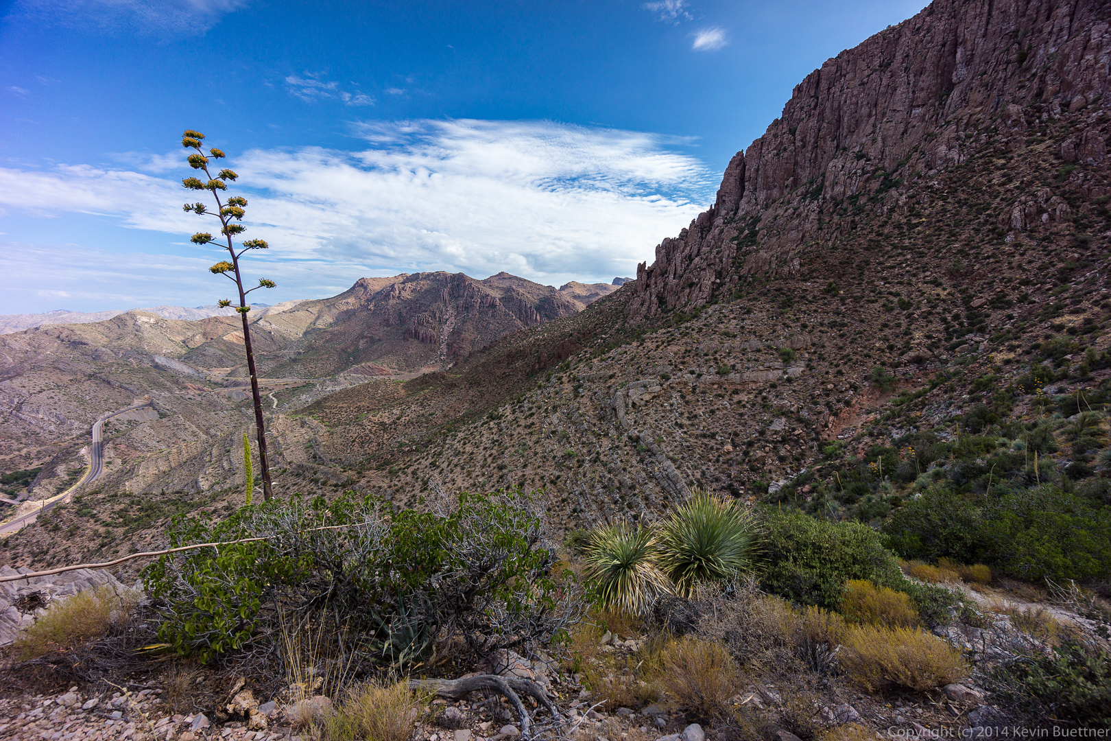
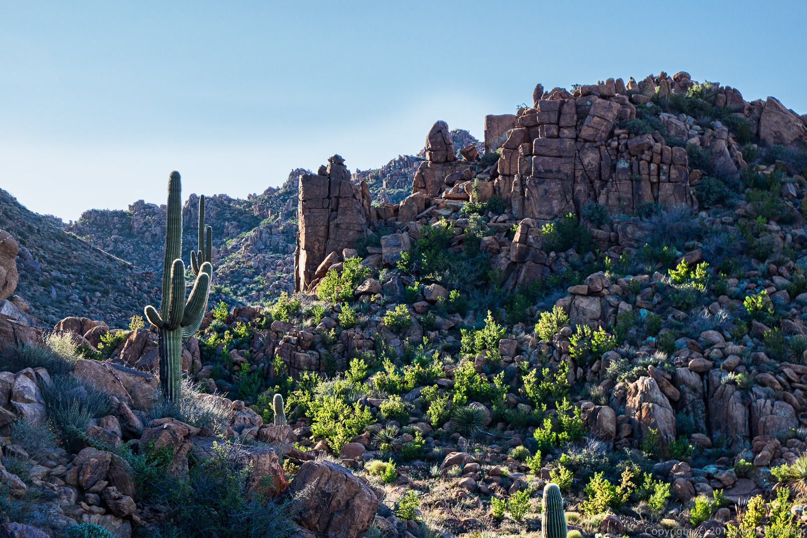
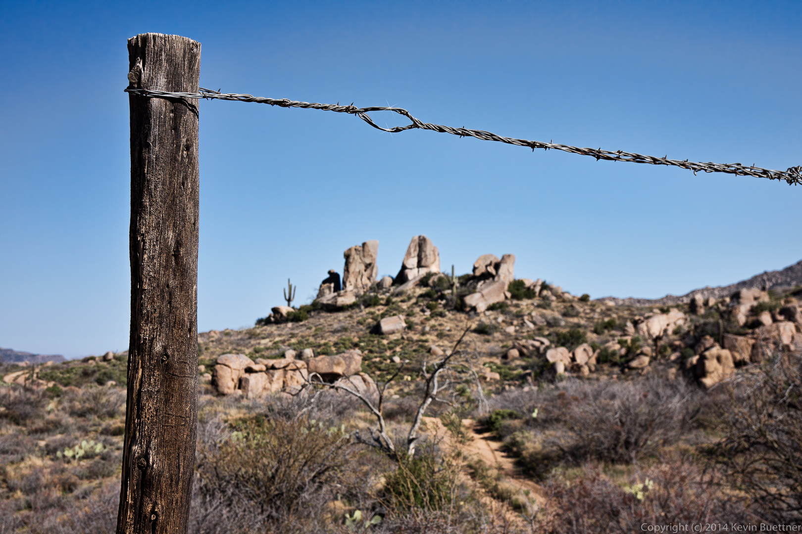
A view of the southwest portion of Apache Leap.  (Though it’s possible that there’s more that can’t be seen here.)

20140705-_DSC6535-Edit-medium This is the northwest corner of Apache Leap.

20140705-_DSC6583-Edit-medium 20140705-_DSC6595-Edit-medium Views towards the north.

20140705-_DSC6601-Edit-medium 
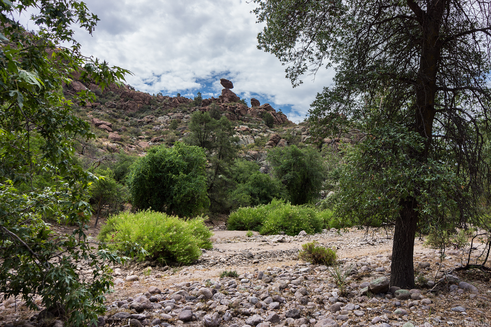
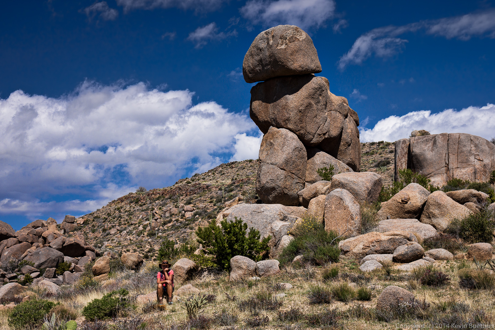
A view of a balanced rock formation from the bottom of Upper Devil’s Canyon:

20140705-_DSC6625-Edit-medium 
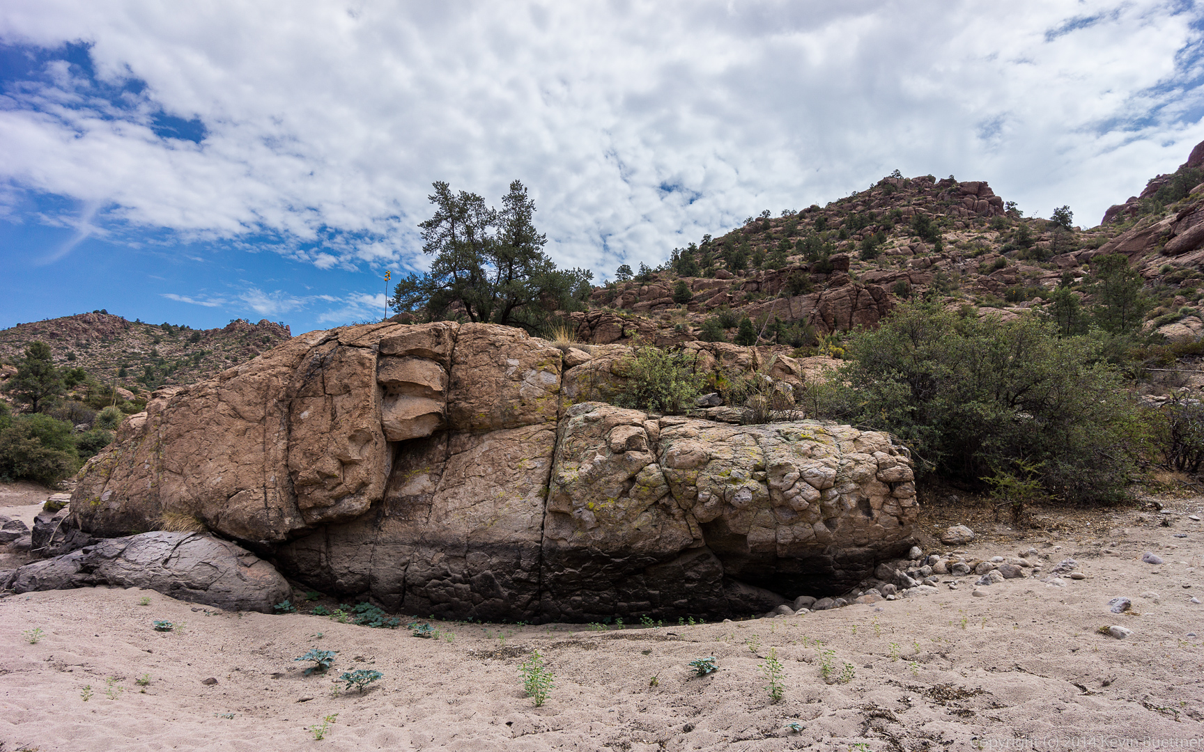
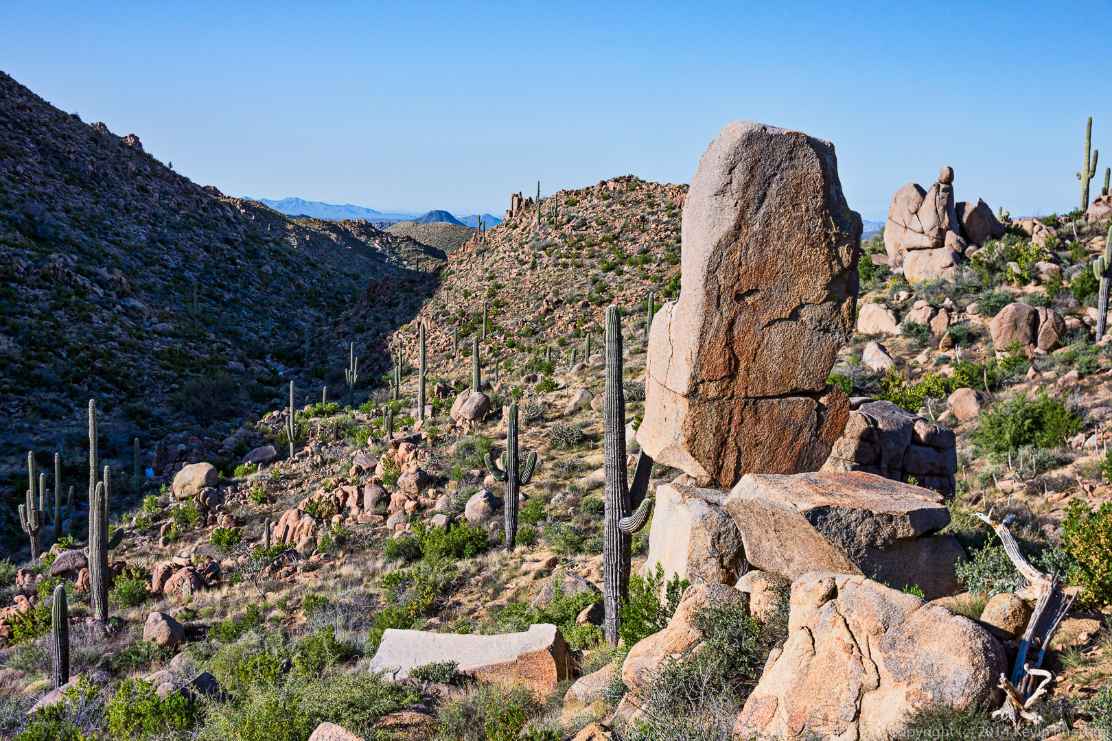
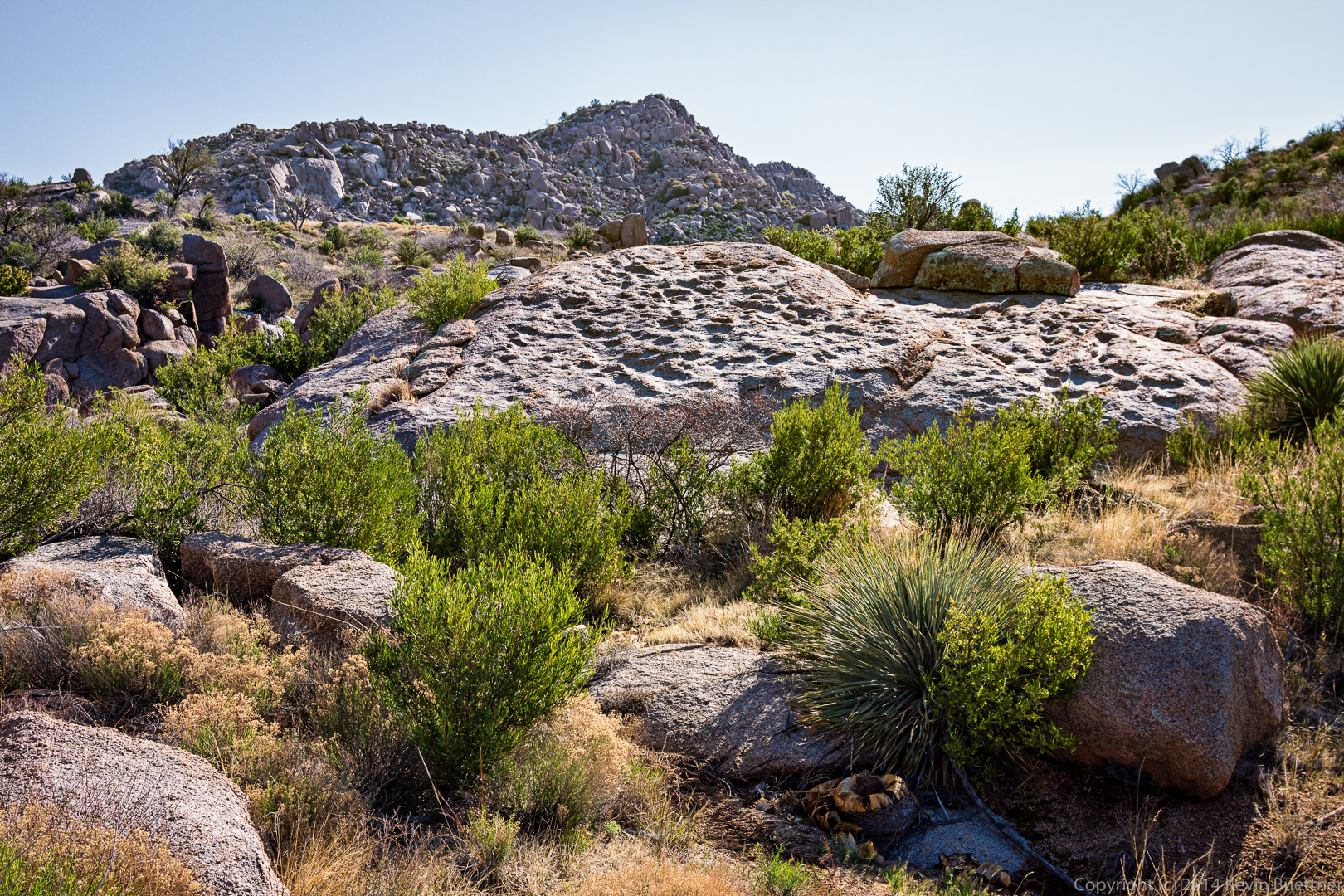
A large and textured boulder in the wash at the bottom of Upper Devil’s Canyon:

20140705-_DSC6628-Edit-medium

Little Saddle Mountain Trail

Bob, Marilyn, and I hiked the Little Saddle Mountain Trail on Sunday.  This was my second time hiking it after the Sunflower Fire of 2012.  Marilyn, Joe, and I had attempted to hike it roughly six months after the fire, but had difficulty due to the trail disappearing under new growth and washed out areas.  The Little Saddle Mountain Trail is now part of the Arizona Trail; it was in very good condition.

It was cool and hazy during most of our hike.  There were still wildflowers growing alongside the trail and in and around the creek.  The haze forced me to take more flower pictures than I might otherwise.

We made it all the way up the the Saddle Mountain Trail.  Distance from the Trailhead to the Saddle Mountain Trail was about 4.2 miles.  Bob and I hiked a short ways on the Saddle Mountain Trail, bringing our distance up to 4.5 miles for a 9 mile hike total.  Total ascent was just over 2200 feet according to my GPS.  (Bob’s GPS showed an additional 200 feet or so of ascent.)20140511-_DSC1662-Edit-medium 20140511-_DSC1668-Edit-medium 20140511-_DSC1689-Edit-medium 20140511-_DSC1704-Edit-medium 20140511-_DSC1710-Edit-medium 20140511-_DSC1713-Edit-medium 20140511-_DSC1722-Edit-medium 20140511-_DSC1728-Edit-medium 20140511-_DSC1792-Edit-medium 20140511-_DSC1803-Edit-medium 20140511-_DSC1826-Edit-medium 20140511-_DSC1892-Edit-medium 20140511-_DSC1901-Edit-medium 20140511-_DSC1913-Edit-medium 20140511-_DSC1919-Edit-medium 20140511-_DSC1946-Edit-medium 20140511-_DSC1949-Edit-medium 20140511-_DSC1979-Edit-medium 20140511-_DSC1997-Edit-medium 20140511-_DSC2003-Edit-medium 20140511-_DSC2009-Edit-medium 20140511-_DSC2024-Edit-medium 20140511-_DSC2030-Edit-medium 20140511-_DSC2045-Edit-medium 20140511-_DSC2102-Edit-medium 20140511-_DSC2117-Edit-medium 20140511-_DSC2123-Edit-medium 20140511-_DSC2126-Edit-medium 20140511-_DSC2138-Edit-medium 20140511-_DSC2150-Edit-medium 20140511-_DSC2153-Edit-medium 20140511-_DSC2156-Edit-medium

Friday Hike – Ballantine Cabin & Corral

Nancy, Bob, Janet, Allen, Savannah, and I did the Ballantine Cabin & Corral hike on Friday. When we were done, my GPS showed a distance of eleven miles with over 2300 feet of total ascent.

For many of my hikes, I simply use the GPS as a trip computer, however, for this one, we used it to find our way for several miles of the hike.  If you do this hike, I recommend using one of the GPS tracks for this hike as it is easy to miss a turn past Ballantine Cabin.

We started just after 7:00am; we got to see the sun rise as we drove to the trailhead.  This was one of the views as we hiked up the Pine Creek Loop.20140307-_DSC6181-Edit-medium Another view from the Pine Creek Loop.  We went up the steep way so that we’d have an easier descent on the way back.

20140307-_DSC6208-Edit-mediumAnother view from the Pine Creek Loop.

20140307-_DSC6214-Edit-medium The Pine Creek Loop is about 2.5 miles long.  The Ballantine Trail intersects the Pine Creek Loop halfway around the loop.  We took the Ballantine Trail out toward Boulder Flat.

20140307-_DSC6226-Edit-mediumMore areas of sun and shade.

20140307-_DSC6229-Edit-medium 20140307-_DSC6232-Edit-medium 20140307-_DSC6274-Edit-mediumOne of many interesting rock formations along the hike:

20140307-_DSC6292-Edit-medium This rock formation can be seen at the 2.5 mile point in the hike.

20140307-_DSC6325-Edit-medium Nancy, Savannah, Allen, Janet, and Bob:

20140307-_DSC6364-Edit-medium 20140307-_DSC6367-Edit-medium Bob, Janet, Allen, and Nancy.  (I’m sure Savannah is in there somewhere too.)

20140307-_DSC6373-Edit-mediumThis prominent rock formation is just on the other side of Camp Creek.

20140307-_DSC6385-Edit-medium

A fence can occasionally be seen while hiking.  I always marvel at the fact that there are fences out here. This hike is quite strenuous. The ranchers who constructed these fences must have been in excellent physical condition.

20140307-_DSC6397-Edit-medium Savannah hiking with Janet:

20140307-_DSC6418-Edit-medium A view of that same reddish rock formation from high on the hill that we had to climb to get to Ballantine Cabin.20140307-_DSC6421-Edit-mediumWe got our first view of the cabin shortly after reaching the top of the hill.  From there, we had to descend a steep(ish) trail with occasional loose rock.

20140307-_DSC6448-Edit-medium

A view of Ballantine Cabin. I didn’t take many photos of it this time and I had gotten more than a few from last year’s hike out to the cabin.
20140307-_DSC6454-Edit-medium

We continued on our way to the corral crossing through an opening in the fence in the process.  There was probably a barbed wire gate here at one time.20140307-_DSC6466-Edit-medium We saw a lot of black caterpillars on a short (1/2 mile to 1 mile) of the trail.  The caterpillars looked much darker than this; I used the +2 EV exposure for this photo in order to get a better look at it.

20140307-_DSC6477-medium We saw this large flattish slab of rock along the way.

20140307-_DSC6478-Edit-medium I think this is Fleabane:

20140307-_DSC6484-Edit-medium Savannah waits for the rest of the group to ascend the steep, thorny path on our way to the corral.

20140307-_DSC6499-Edit-medium An interesting rock formation somewhat past the corral.

20140307-_DSC6541-Edit-medium I took this photo from a large granite slab.

20140307-_DSC6568-Edit-medium This is the start of another steep, loose, and rocky descent.

20140307-_DSC6577-Edit-medium But the views are great from this location!  I took several photos here…

20140307-_DSC6598-Edit-medium I think this is the same reddish rock formation that we has passed earlier on the way out.

20140307-_DSC6607-Edit-medium A view of Red Mountain off in the distance.  Fountain Hills is off to the right.

20140307-_DSC6610-Edit-medium20140307-_DSC6628-Edit-medium I saw this dead tree as I was making my descent.

20140307-_DSC6637-Edit-medium

Poppies:

20140307-_DSC6643-Edit-medium A look back at where we had come from:

20140307-_DSC6646-Edit-medium Looking ahead again as I try to catch up with the rest of the group.

20140307-_DSC6655-Edit-medium Globemallow:20140307-_DSC6658-Edit-medium Nancy waits by the prominent rock formation at the intersection with the trail leading over to the cabin (which we had hiked earlier in the day).

20140307-_DSC6676-Edit-medium We had some big puffy clouds for a while, which made the sky more interesting.

20140307-_DSC6682-Edit-medium A saguaro at the top of a small rise on the way back.

20140307-_DSC6724-Edit-medium A look back as Bob, Allen, Savannah, Janet, and Nancy make their way along the Ballantine.

20140307-_DSC6730-Edit-medium 20140307-_DSC6736-Edit-medium We had some great views on the way back too…

20140307-_DSC6745-Edit-medium 20140307-_DSC6766-Edit-medium Brittlebush (and a great view):

20140307-_DSC6787-Edit-medium Another great view…

20140307-_DSC6793-Edit-medium A saguaro with lots of arms crowded together.  It has even more on the other side.  This saguaro is on the Pine Creek Loop with less than half a mile to go to the parking area.

20140307-_DSC6820-Edit-medium

Weaver’s Needle

A view of Weaver’s Needle from the Probrecito Staging Area, near Saguaro Lake.

20140301-_DSC6025-Edit-medium

A View of Four Peaks from the Lost Dutchman State Park

I took this photo in November, 2012 when we hiked Siphon Draw to the Flatiron.

I took this one near the end of the hike.  I looked at it when I was processing the other photos from that hike, back in November, but it kind of looked blah to me then, so I didn’t do anything with it.  I’ve been experimenting a bit more with setting the color temperature to match certain parts of the scene.  This is what I came up with.

Goldfield Ovens Hike with Joe

Back in late November of 2012, Joe and I hiked the Goldfield Ovens Loop near Saguaro Lake.  The hike ended up being over eight miles long, most of which was through sand of one type or another.

A view of the Salt River near the beginning of the hike:

A saguaro with a lot of twisty arms:

A lichen-covered wall in the wash:

A view of the oven.  We were surprised to see a large oven in the wash a great distance from the water or anywhere else of interest.

A closer look at the front of the oven:

Looking down the chimney of the oven…

We saw saguaros, rocks, and other desert vegetation in the wash.

Saguaro Lake with Four Peaks in the distance:

The trail sees a lot of horse traffic and was very eroded in spots:

A view of Horse Thief Wash:

Joe:

Another view from Horse Thief Wash as we’re getting closer to the road:

A close glimpse of the cliffs through dense vegetation:

We walked through this tunnel to continue our hike on the other side:


A view of the river with a better view of the tall cliffs:

The path wended its way through dense trees and other vegetation near the river:

It even ran along the road embankment.   We didn’t hear much traffic though because the road was far above us.

The path eventually climbed up to road level where we got some more distant views…

Friday Hike: Butcher Jones Trail

Friday’s Hike started at the Butcher Jones Recreation Site near Saguaro Lake.  Nine of us hiked the Butcher Jones Trail: me, Joe, Bob, Sarge, Janet, Linda, Michaela, Nick, and Jen. We hiked out to Burro Cove and returned the way we came.

Starting out…

An early morning view of the prominent rock formation next to Butcher Jones Beach:

Fishermen in boats were out early too.

My memory of the Butcher Jones Trail was “mostly flat”, but it does have its ups and downs:

Another view of the lake and the rock cliffs containing it.  Butcher Jones Beach, which is near the parking area, can be seen at the far right.

Nick and Janet engage in conversation while Michaela looks on.

Sarge:

Sarge is a big and playful dog!

Linda, taking her own photo of Sarge:

Linda, Michaela, Bob,Sarge, Jen, Nick, Janet, and Joe:

Linda took this photo of me:

The Flatiron can be seen in the far distance:

Brittlebush flowers:

Another view of some craggy cliffs:

Fairie Duster (Calliandra Eriophylla) flowers:

A very tall saguaro:

Desert plants and flowers combine with a view of the lake and enclosing shoreline:

Yet another view of the lake and shoreline:

Burro Cove with Four Peaks in the distance:

Michaela and Linda at Burro Cove:

Jen and Nick:

Joe:

On the way back, we heard and then saw a rattlesnake.  There are actually two snakes in this photo; we think they might have been trying to mate prior to walking by.  If you look closely, you can see two tails.  I tried to get a better photo of the second snake, but most of it was well hidden by a bush.

Another view of the snake who alerted us to its presence.


Friday Hike: Gold Ridge Trail

Friday’s hike was up (and then down) the Gold Ridge Trail.  We started at the Deer Creek Trailhead, hiked a short way on the Deer Creek Trail and then hiked up, and up, and up even more on the Gold Ridge Trail.  We split up into several groups for this hike.  Bob and I hiked 12.3 miles with a total ascent of just over 3,000 feet.

View hike-130315-goldridge-track.kml in a larger map

A look in the general direction of where we’d be going as seen from the Deer Creek Trail:

A small cactus seen in the early morning light:

A view to the southeast from the Gold Ridge trail, early on:

Bob, Marilyn, Janet, and Nick taking a break at the gate.  We had to hike uphill to get to this point, but that section was easy compared to what was ahead of us.

A view to the northwest:

The view to the northeast; Marilyn, Janet, and Nick are in this photo, but you have to look very closely to see them.

A similar view, but this time with a boulder in the foreground:

One of many hills visited by the trail.  From where I’m standing, it looks like the hill at the left is the “top”, but when you get to the top of that hill, it becomes evident that you go down a short ways and then up an even higher hill beyond.  This occurs repeatedly throughout the hike.

Bob, topping out on the hill in the previous photo:

A dead, and toppled, agave stalk:

Another view towards the east.  Note the lake – Nick says he thinks it’s Roosevelt Lake – towards the upper right of the photo:

A view to the northeast after we’d hiked up several of the large hills:

We saw a patch of melting snow on the trail.  My hands were sticky on the way back from consuming some gels and a Power Bar.  I used some of the snow to wash my hands.

As we were hiking out, we looked back and saw this rock outcropping on the top of one of the hills:

This area had been burned by the Willow Fire back in 2004.  We saw a lot of dead trees, some standing as shown in the photo below, but others fallen, some of which we had to cross over or under during our hike:

At around the six mile point, I saw this sign pointing back the way we came:

The Gold Ridge Trail meets up with the Mazatzal Divide Trail.  We didn’t hike this trail; we instead turned around and went back the way we came.

Another look at the rock outcropping through some colorful vegetation:

Another view of the distant lake, this time through some trees.

A closer look at the rock outcropping:

A dead tree intermixed with new growth:

Poppies and other vegetation:

Poppies, purple flowers – I don’t know what they are – along with a big clump of grass with a rock behind it.

I saw this boulder field, intermixed with dead agaves and some trees as I approached the gate where Marilyn, Janet, Nick, and Bob were waiting for me.

A colorful flowering bush:

Almost done!  My GPS showed that I had hiked 12 miles at this point.  It was only 0.3 miles back to the parking area.

Friday Hike: Ballantine Cabin

The Friday Fitness Hikes at McDowell Mountain Park have been suspended for a month so that Amy can lead wildflower hikes instead.  I and several other Fitness Hike regulars are taking the opportunity to visit other areas.

This week, we hiked half of the Pine Creek Loop to the Ballantine Trail.  There is another trail that crosses the Ballantine Trail at the Boulder Flat area.  We took that trail left, up to the top of the ridgeline to the north of the Ballantine Trail and then down the other side to an old cabin built out of galvanized corrugated sheet metal.

Below is the track we took.  We started out on the red track at the west (left) side of the map.


View hike-130301-Ballantine_Cabin.kml in a larger map

The area is incredibly rocky.  These are some of the rock formations (and vegetation) that we saw shortly after turning off the Pine Creek Loop onto the Ballantine Trail.

Nancy and Linda on the Ballantine:

Saguaros and rocks on the Ballantine:

A view looking back to the northwest.  If you look closely, you can see Beeline Highway (State Route 87) in this photo.

This monolith can be see on the south side of the trail at just over two miles into the hike.

Linda climbed up on the big flat boulder next to the monolith for this photo:

The monolith looks quite different when looking back at it from a short ways further along the trail:

We heard water flowing down Camp Creek during sections of hike along the Ballantine Trail.  From where we stood up on the ridge though, we had to look very closely to see any water.

Another view looking back to the west.  Linda and Nancy can be seen hiking the Ballantine in the upper right of this photo:

Nancy, standing by a one-time gate atop the ridge to the north of the Ballantine Trail.  Red Mountain can be see in the far distance at the upper left in this photo.

I had visited the north side of this ridgeline only once or twice before and had forgotten what it looked like on the other side.  This is a view looking to the northwest.

This is the view to the northeast.  If you look closely, you can just make out the cabin which was our eventual destination.  If you refer back to the map, the cabin is located slightly south of the little “Y” at the northwest end of the tracks.  (I explored a short ways beyond the cabin prior to returning.)

We were surprised to see a few patches of snow as we made our way down to the cabin:

Nancy and Linda standing in the cabin’s doorways:

We thought the skull hanging on the wall was a nice touch:

An even closer look at the skull:

When we got inside the cabin, we saw a cot.  The mattress and bedding had been balled up and suspended from the ceiling to keep it dry and to keep critters out.  (I didn’t take a photo of this.)  Some supplies, mugs, and a small pot could be see along the west wall.  I found it interesting that brake fluid had been positioned next to the cooking oil.

We saw a stove and more supplies along the north wall.  There was also a storage bin, half of which can be seen at the far left in this photo, which contained plates and eating utensils.

This is the view out of the east window:

The photo below shows Linda and Nancy taking a break near the cabin.  When I had last visited the area, perhaps eleven or twelve years ago, I saw an enclosed corral near the cabin.  Up high, stretched between two poles was the skin of a medium sized animal.  If you look behind where Linda is standing, you can see, lying on the ground, an animal skin which I believe to be the same skin that I saw those many years ago.

This gate, below, leads to the Pipeline Trail.  I explored a short ways to the north along the Pipeline Trail, but also to the east along another trail that was, I think, once the main Ballantine Trail.

Back when I first started hiking in this area, I noticed that the track on my GPS map went to the north, the way that the three of us took on Friday to go to Ballantine Cabin.  The trail then continued to the east and eventually went up to the same corral that the present day Ballantine trail goes through further to the east.  Back in 2001, this trail was very difficult to follow as a lot of brush had grown up over the trail.  I remember crawling on my hands and knees under some of the brush and climbing up and down boulders in other sections to get past it.  The section that I hiked on Friday, present day, was amazingly clear and easy to follow.

I saw this granite boulder with an arch in it as I was hiking out along that section of trail leading east from Ballantine Cabin.

I went a short ways further along the trail leading east before returning to explore a small section of the Pipeline Trail heading north.   The trail crosses a creek, probably Pine Creek:

I saw another corral as I hiked out along the Pipeline Trail.  There is a sort of corridor or chute constructed with metal pipe, shown towards the left edge of the photo.  Note that the near end of it narrows down so that a cow (or bull or steer) driven down the chute won’t be able to go any further.  I think this mechanism serves the same purpose as the head gate that we used to use on the farm.  The animal would be driven down the chute and would get jammed up at the narrow end of the chute at which point the ranch hand could possibly employ some other kind of restraint for working on the animal – vaccinations, branding, etc.  Once the animal was processed, that narrow end of the chute would be opened up to let the animal out.

Another view of the corral looking east:

A view looking southwest from the top of the ridge as we were heading back to the Ballantine Trail:

Another look at the very textured rock formation to the southwest from lower down:

Nancy and Linda on their way back to the Ballantine Trail.

A rock formation near the intersection of the trail leading over to the cabin and the present day Ballantine Trail.  (I think the section of trail that we hiked also used to be the Ballantine Trail.  But perhaps now, it’s a continuation of the Pipeline Trail?)

One of the views as we were hiking back on the Ballantine:

And another:

Nancy and Linda descending a section of the Ballantine.  It’s largely uphill on the way out and mostly downhill on the way back.  We had over 2100 feet of total ascent for the day.

The trail goes right under the arm of the large saguaro:

We saw poppies alongside the trail on the way back:

We saw this saguaro as we were nearing the end of our hike on the other half of the Pine Creek Loop.  The hike was only a little over nine miles, including the exploration that I did beyond the cabin.

Little Mount Ord

Marilyn and I hiked to the top of Little Mount Ord yesterday.  We parked at the junction of forest service roads #626 and #1688.  We hiked #1688 until we got to a trail leading to the top of Little Mount Ord.  The latter trail was easy to follow in the beginning, but it had a lot of brush.  We alternated between bushwhacking and hiking what appeared to be infrequently used trails between the brush.  We found an area where cattle had congregated at one time; it’s possible that we were following cow trails during some of our ascent of Little Mound Ord.

FS #1688 had a mix of mud and snow, though most of it was reasonably dry and in good condition.  There were several spots that would’ve been challenging for me in our truck, but it would be no trouble at all for someone familiar with OHV travel.

A view of Mount Ord.  There is a lookout tower and a bunch of antennae on top.  Little Mount ord is off to the right, but is not visible in the photo below.

The moon, seen through the branches of a pine tree:

Marilyn, hiking FS #1688:

A view looking towards the Phoenix Metro area.  There was so much haze that we had trouble seeing Red Mountain.  (Red Mountain can be see slightly below the horizon, one third of the way over from the left edge of the photo.)  SR 87, also known as Beeline Highway, can be seen in this photo.

A view as we were hiking up Little Mount Ord.  The Mogollon Rim can be seen between gaps in the vegetation.

Four Peaks had snow on at least three of its peaks.  FS #1688 can be seen cutting across the hillside in the foreground.  If you were to follow that hillside leftward to the top, you’d end up at the summit of Mount Ord.  (There are easier ways to get there though.)

After we descended Little Mount Ord, we hiked a ways further on FS #1688 where I got this picture of a peak in the Mazatzals.  A portion of Little Mount Ord can be seen in the foreground.

I stopped partway down FS #626 on the way back, got out of the truck, and took a few more photos.  This one is looking across Beeline Highway into the Mazatzals.

The loading chute of a corral just off of FS #626:

Another View of the Mazatzals: