Tag: McDowell Sonoran Preserve (page 8 of 11)

Granite Mountain Big Loop

Marilyn, Nick, and I did a big loop out in the Granite Mountain area on Sunday.  We did a loop starting at the Granite Mountain Trailhead just off of 136th St.  We rode Bootlegger to Granite Mountain Loop Trail, and turned left.  From there it was Granite Mountain loop Trail to Balanced Rock Trail; Balanced Rock Trail to Chuck Wagon Trail; Chuck Wagon Trail to Powerline Road #2; turn right; Powerline Road to Vaquero Trail; turn right; Vaquero Trail to Wrangler Trail; Wrangler Trail to Cone Mtn. Trail; Cone Mountain Trail to Upper Ranch Trail; turn left; Upper Ranch Trail to Brown’s Ranch Road; turn right; Brown’s Ranch Road to Corral Trail; turn left; Corral Trail to Dry Gulch Trail; Dry Gulch to cholla Mtn Loop Trail; turn left; Cholla Mtn. Loop Trail to Branding Iron Trail; Branding Iron to Granite Mountain Loop Trail; turn left; Granite Mountain Loop Trail to Bootlegger; Bootlegger back to parking area.  Total distance was somewhat over 16.5 miles.20140216-DSC02478-Edit-medium 20140216-DSC02484-Edit-medium 20140216-DSC02499-Edit-medium 20140216-DSC02529-Edit-medium


Linda’s Photos from Friday’s Tom’s Thumb Hike

Linda sent me these photos from last Friday’s hike at Tom’s Thumb:

002 004 008 010 013 015

Friday Fitness Hike

Six of us hiked from the Tom’s Thumb Trailhead up to Tom’s Thumb last Friday.  We took a circuitous, little used route which provided us with views that most hikers to the area do not get to see.

A view of the Sven Slab area prior to starting the hike.

20140117-_DSC4424-medium

A view of Gardener’s Wall at the far left and Tom’s Thumb, more towards the middle.  Our route took us up to the ridge right of Tom’s Thumb.

20140117-_DSC4438-medium A view to the northeast as we began to make our way up to the ridge.

20140117-_DSC4442-mediumTaking a break and removing some layers…

20140117-_DSC4447-medium One of the rock formation we encountered on our way up:

20140117-_DSC4451-medium

The trail up was steep and loose!20140117-_DSC4457-medium A view to the north as we continued up to the ridge:

20140117-_DSC4463-medium We saw these flowers along the way:

20140117-_DSC4484-medium

A view of Troon and Pinnacle Peak:

20140117-_DSC4490-medium A rock formation along the ridge:

20140117-_DSC4496_7_8-medium More views from the ridge…

20140117-_DSC4508-Edit-medium 20140117-_DSC4517_8_9-medium 20140117-_DSC4523-medium 20140117-_DSC4532-mediumThe trail up to Tom’s Thumb took us up a steep path through granite boulders and vegetation.
20140117-_DSC4538-Edit-mediumBob, Linda, and Ellen:

20140117-_DSC4543-medium

A glimpse of Tom’s Thumb behind the saguaro:

20140117-_DSC4544-medium

Doug, Bob, Linda, Ellen, and Alex pose for a photo on the northwest side of Tom’s Thumb.20140117-_DSC4564-Edit-medium A view of Scottsdale and Phoenix to the west:

20140117-_DSC4568-mediumAs we made our way around Tom’s Thumb, we were able to see the Tom’s Thumb snake its way along the hillside ahead of us.

20140117-_DSC4583-mediumCacti and boulders ahead of us as we make our way around to the southeast side of Tom’s Thumb:
20140117-_DSC4589-Edit-medium A view of the southeast side of Tom’s Thumb:

20140117-_DSC4592-medium As we hiked away from the thumb, we saw another pinnacle to the west:

20140117-_DSC4598-medium A view of Glass Dome with the East End behind it.

20140117-_DSC4603-Edit-mediumThe grass is still fairly green from the rain we got in December.  If we don’t get rain soon though, it’ll turn brown.

20140117-_DSC4604-medium Getting closer to Glass Dome:

20140117-_DSC4610-mediumWe passed through these boulders as we made our way down the Tom’s Thumb Trail:

20140117-_DSC4622_3_4-Edit-medium A look back as Bob, Linda, Ellen, Doug, and Alex pass by the boulders shown in the photo above:

20140117-_DSC4628-medium A view to the northeast:

20140117-_DSC4637-medium A view of Troon and Pinnacle Peak in the center with the edge of Gardener’s Wall on the left:

20140117-_DSC4646-medium Another view of Glass Dome, this time from the west:

20140117-_DSC4649-medium20140117-_DSC4655_6_7-medium Linda, Bob, Doug, Ellen, and Alex make their way through and across granite boulders on the way back:20140117-_DSC4666-mediumI think that this large boulder sort of looks like a dinosaur head:

20140117-_DSC4669-medium A view to the northwest:

20140117-_DSC4675-medium Gardener’s Wall:

20140117-_DSC4687-medium Another view of Pinnacle Peak and part of Troon in the distance with a saguaro and some boulders in the foreground:

20140117-_DSC4693-medium Gardener’s Wall on the left and Tom’s Thumb on the right.  If you look closely, you can see the path up to Gardener’s Wall in this photo.20140117-_DSC4696-mediumA large boulder with a saguaro on the left and Pinnacle Peak off in the distance to the right:

20140117-_DSC4729-medium Sven Towers I, II, and III in the foreground with Four Peaks in the distance at the far right:20140117-_DSC4741-medium

Granite Mountain Ride

Photos from last Sunday’s ride with Nick and Marilyn:

20140105-DSC01586-medium 20140105-DSC01592-medium 20140105-DSC01598-medium 20140105-DSC01607-Edit-medium 20140105-DSC01610-medium 20140105-DSC01613-medium 20140105-DSC01616-medium 20140105-DSC01625_6_7-medium

Granite Mountain Ride

Marilyn and I rode with Linda at Granite Mountain last Saturday.

20131228-DSC01313-medium 20131228-DSC01316-medium 20131228-DSC01321-medium 20131228-DSC01339-medium 20131228-DSC01343-medium 20131228-DSC01358-medium 20131228-DSC01361-medium 20131228-DSC01367-medium 20131228-DSC01370-medium 20131228-DSC01379-medium 20131228-DSC01382-medium 20131228-DSC01385-medium 20131228-DSC01388-medium 20131228-DSC01391-medium 20131228-DSC01397-medium 20131228-DSC01400-medium 20131228-DSC01403-medium 20131228-DSC01409-medium 20131228-DSC01418-medium 20131228-DSC01438-medium 20131228-DSC01444-medium

Little Granite Mountain

I took these photos while riding with Nick and Marilyn and Little Granite Mountain.

A view from the Bootlegger Trail:

20131116-DSC01106-medium

The Bootlegger Trail wends its way in between some large rocks:

20131116-DSC01115-medium

This large boulder is called Balanced Rock.  (There’s a more famous rock formation also called Balanced Rock in Arches National Park.)20131116-DSC01127-medium Another view of Balanced Rock:

20131116-DSC01139-medium The view as we hiked back down to our bikes:

20131116-DSC01156-medium Nick enjoys the view from the Granite Mountain Loop Trail.20131116-DSC01169-medium Another view from the same location.  The prominent boulder at the top of the rocky hill is called the “Pasta Pinnacle”.  The “Lost Bandana Area” is behind that hill.

20131116-DSC01180-medium

Friday Fitness Hike

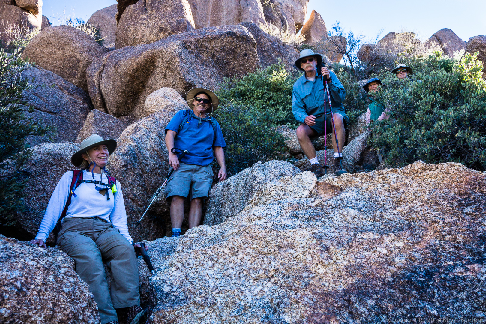
Friday’s hike started from the Tom’s Thumb Trailhead.  Ranger Amy lead four others (including Bill and Kathy from last week’s hike) on a hike of the Marcus Landslide Trail.

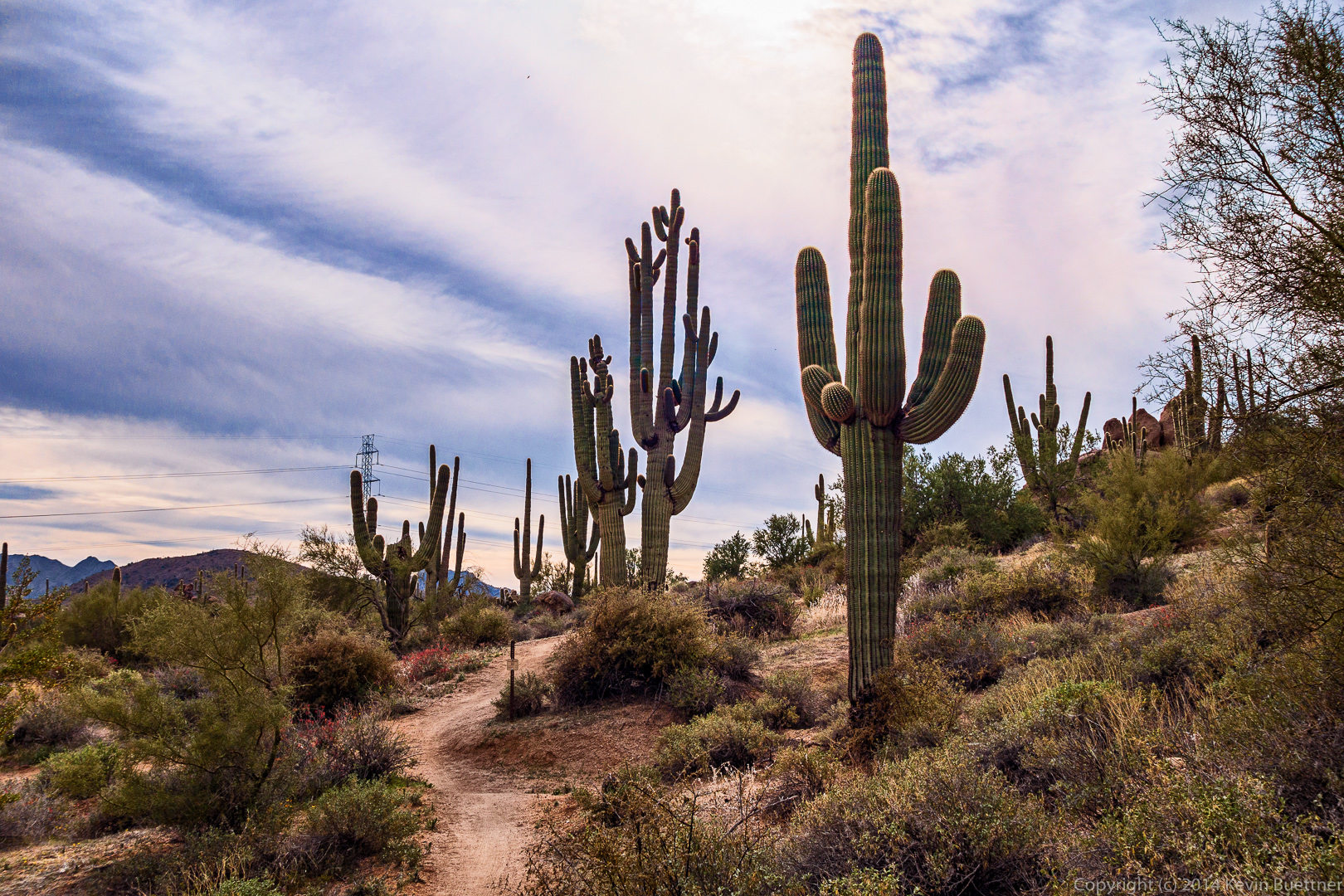
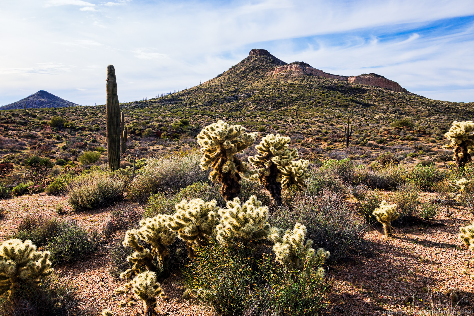
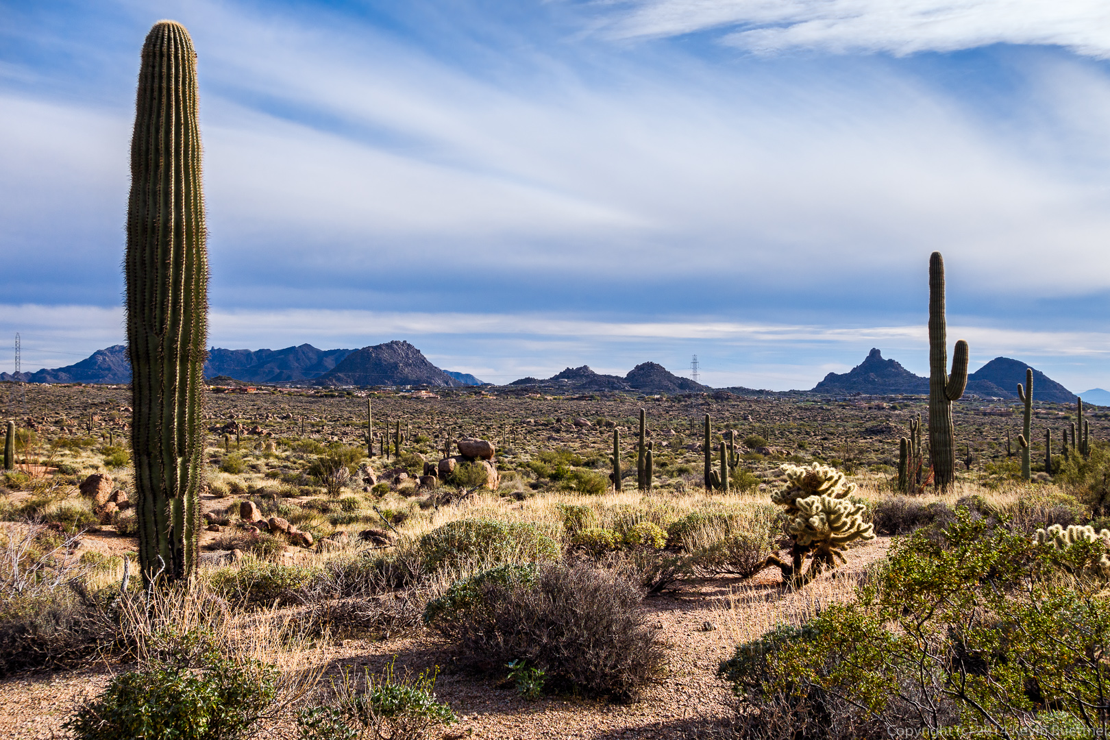
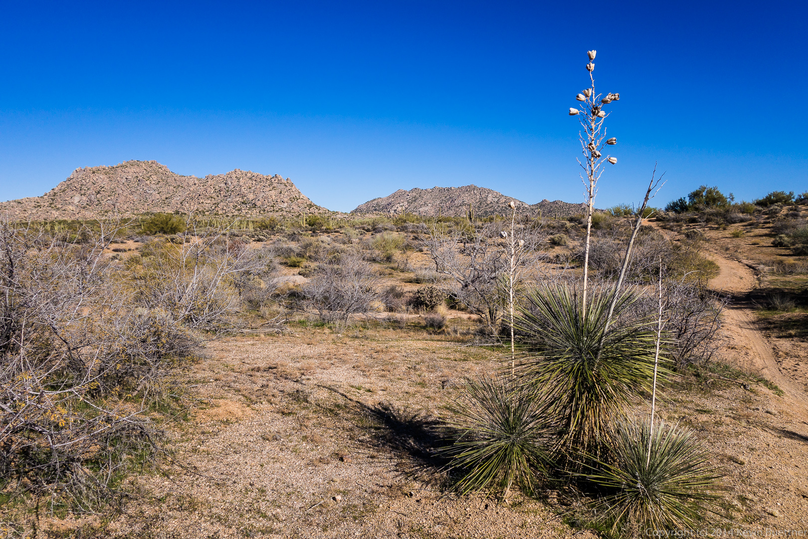
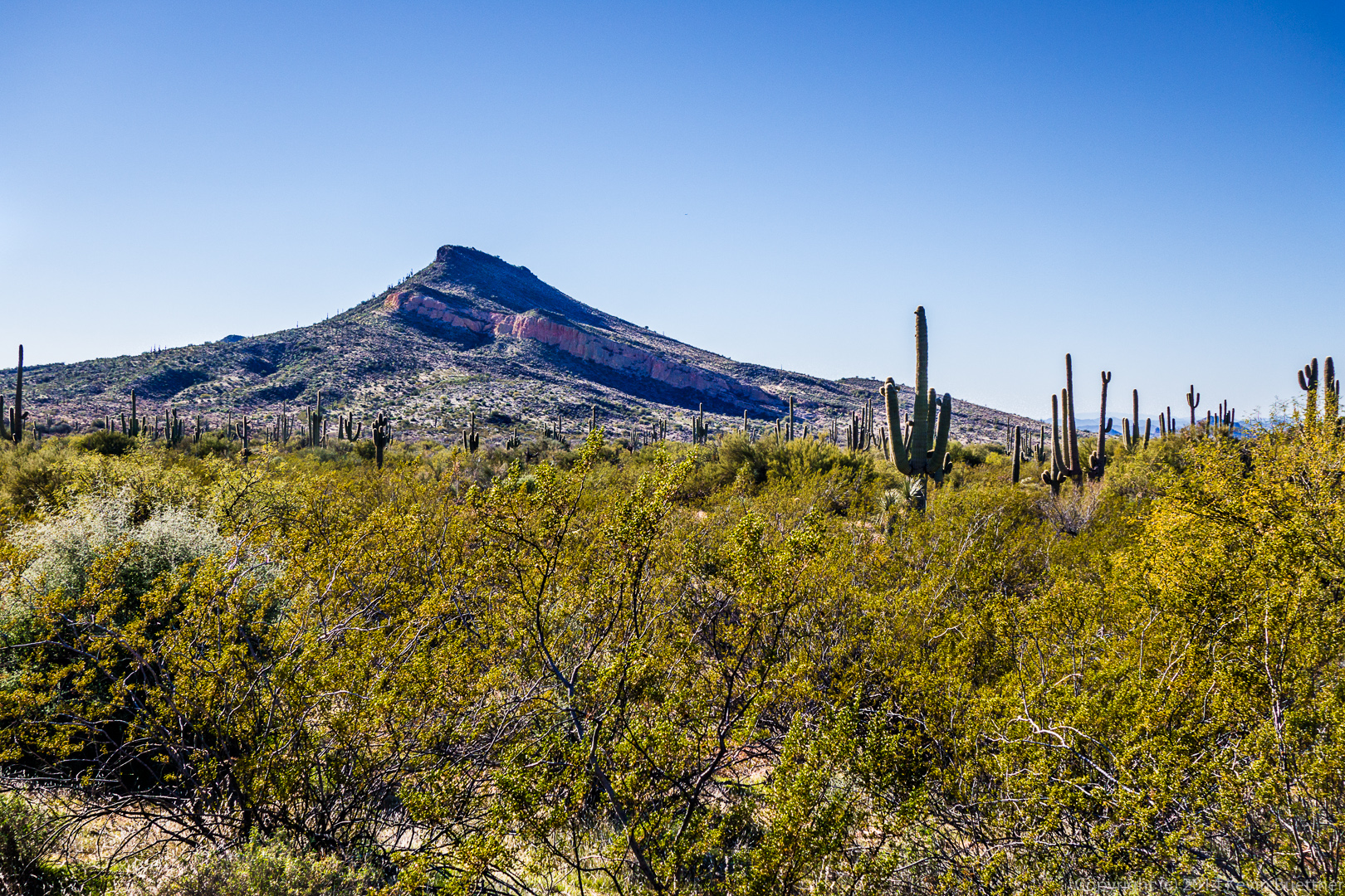
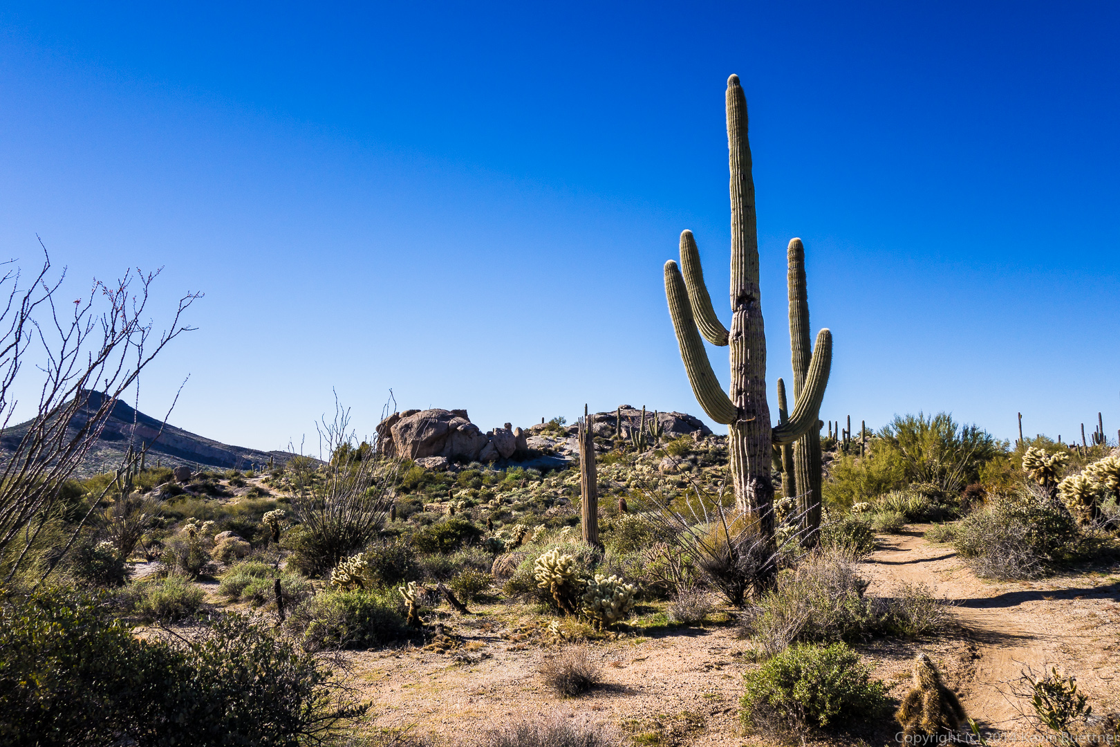
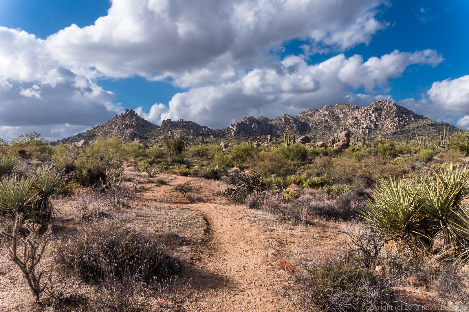
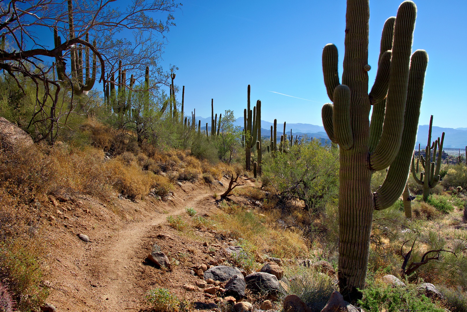
Bob, Linda, and I hiked less than a half a mile with Amy and her group.  We parted ways when we got to the Feldspar Trail.  I had hoped to hike to the top of Morrell’s Wall.  We made it as far as the base of the wall, but seeing no easy way to the top, we made our way over to Mesquite Canyon instead.  From there we followed the trail leading to Hog Heaven.  We hiked up past Hog Heaven to the Thumbnail Pinnacle and continued on to the East End, which is the highest point in the McDowells.  We finished our hike by taking the Tom’s Thumb Trail back to the trailhead.  We hiked only about five and a half miles but had well over 2,000 feet of total ascent for the day.

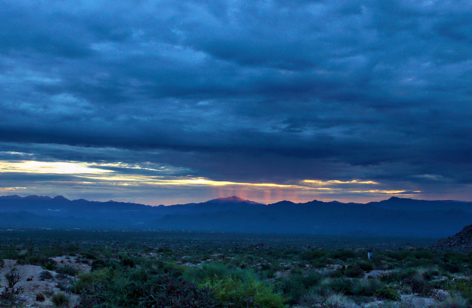
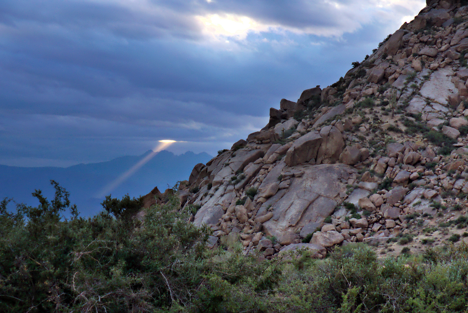
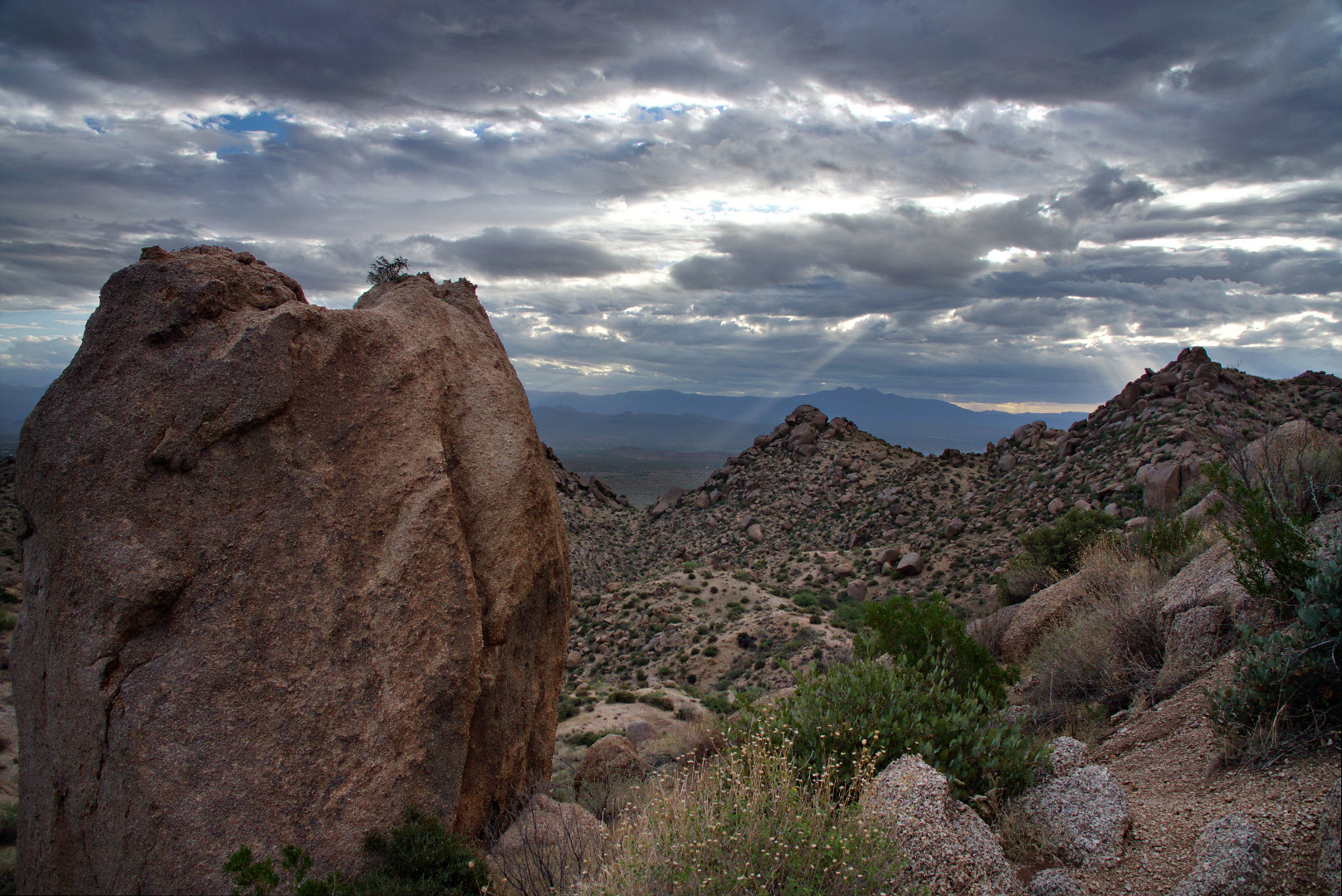
The day started out cool and cloudy.  We saw this beam of light shining through the early morning clouds.

2013-09-27-DSC09562-medium
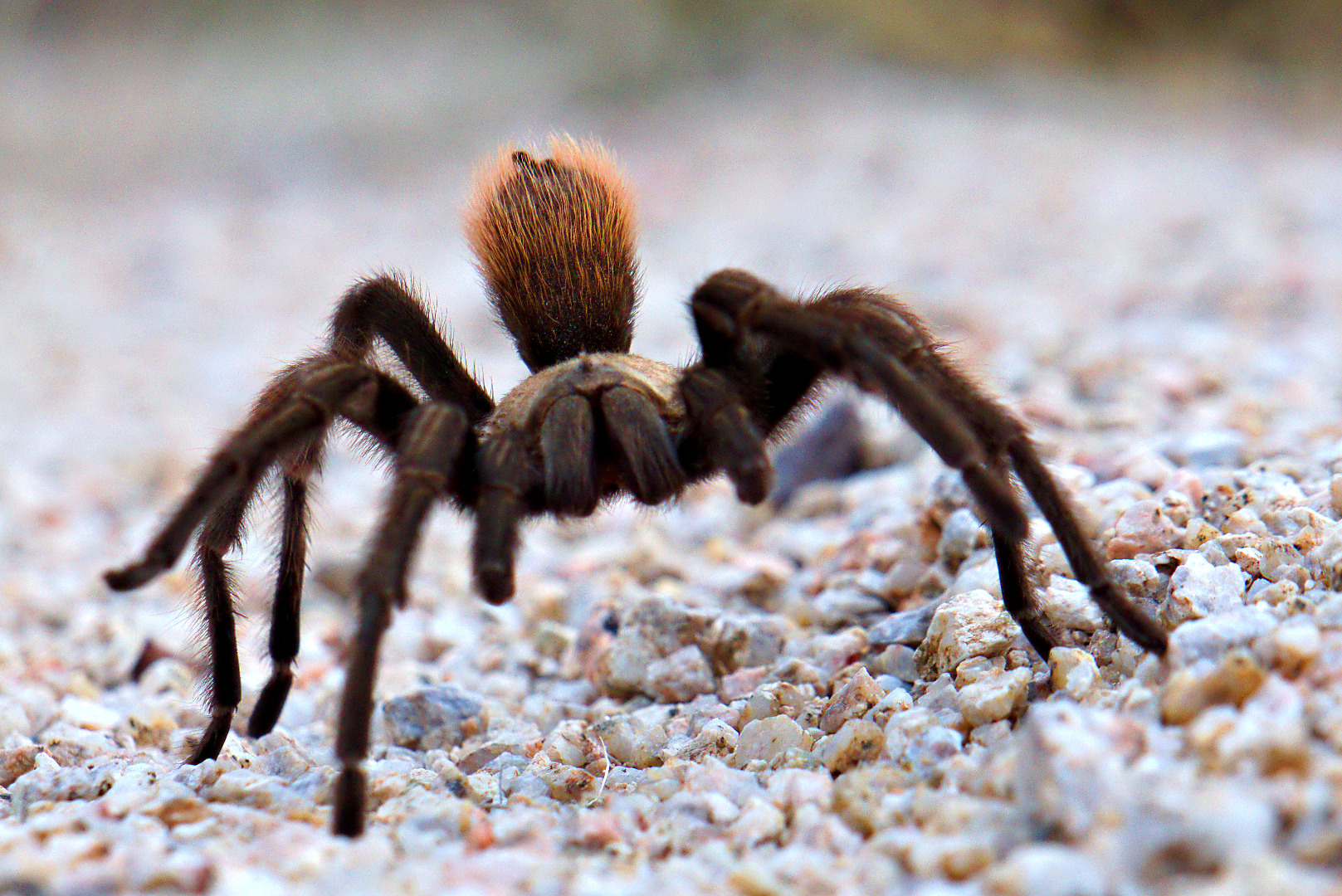
Shortly after we got on the Feldspar Trail, we saw this tarantula.  I took lots of pictures, but am only including three of them here.

2013-09-27-DSC09594-medium 2013-09-27-DSC09601-medium

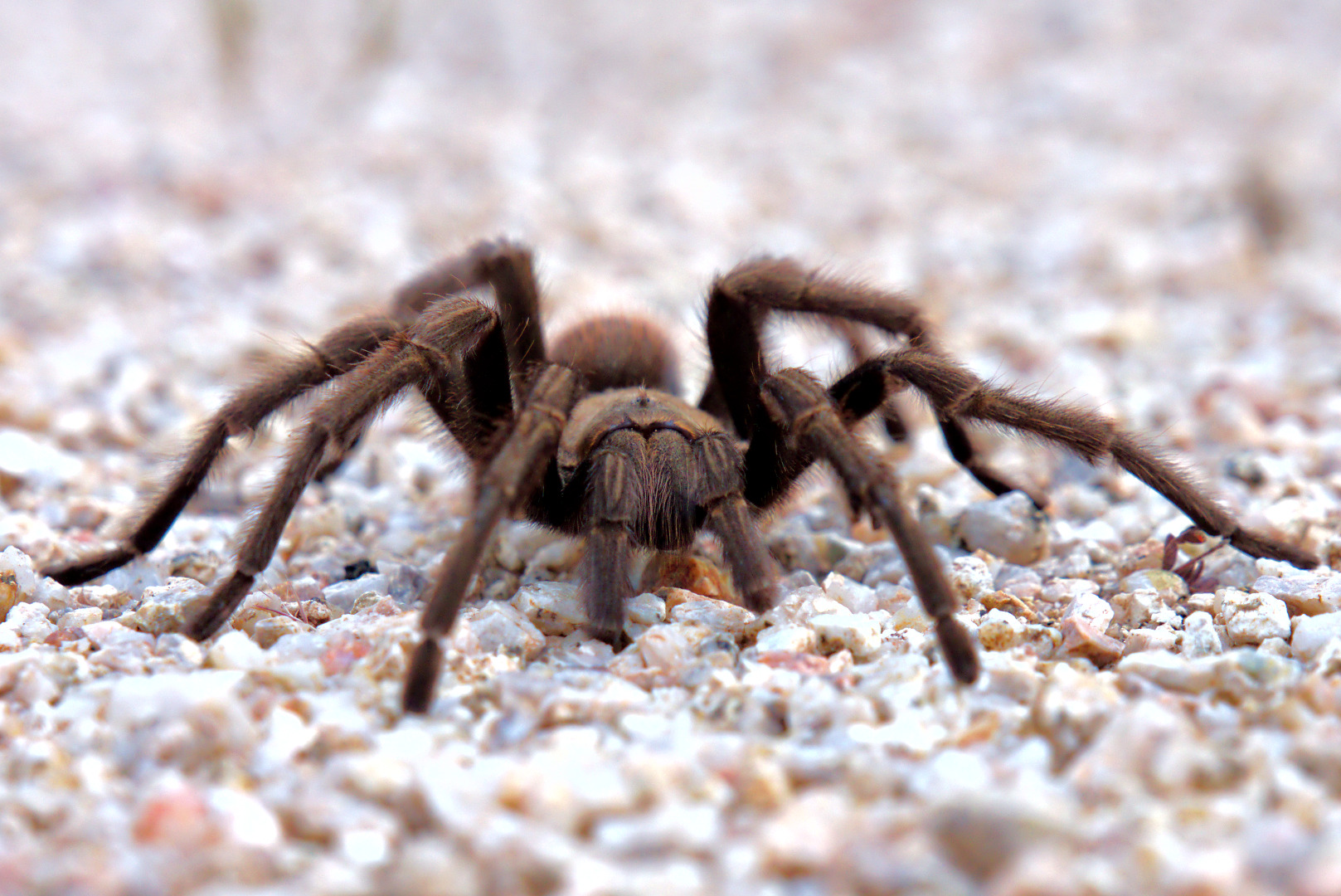
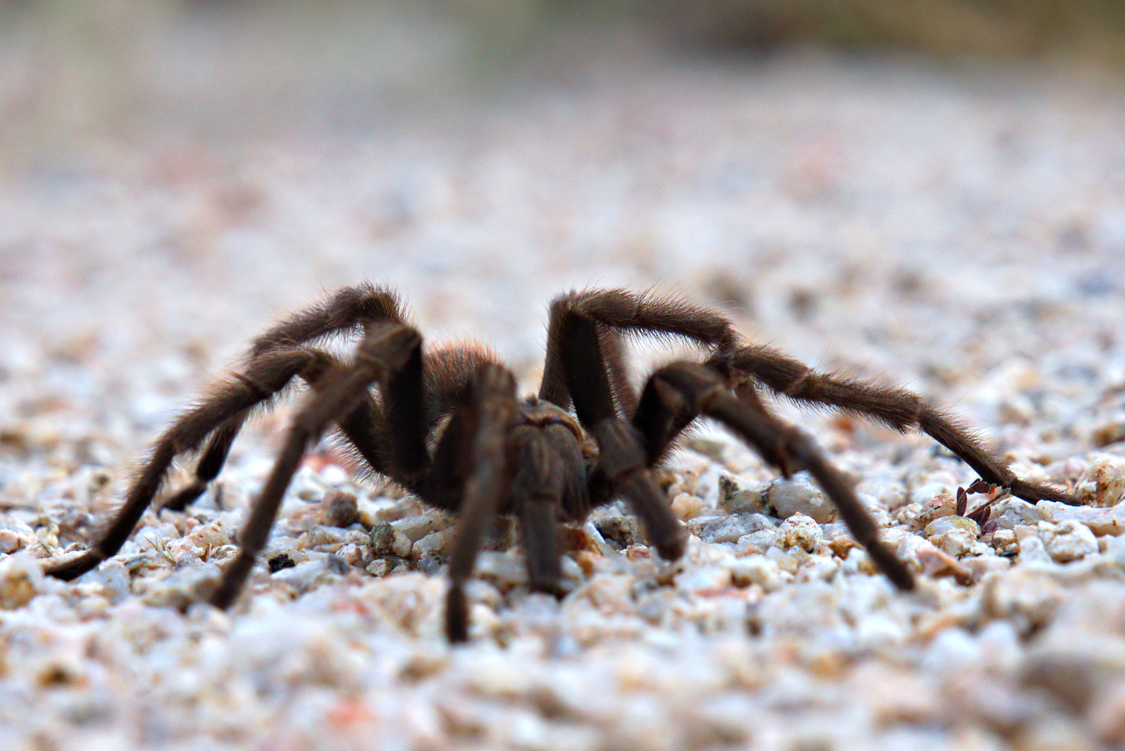
In this shot, it had woken up and was starting to crawl towards me.

2013-09-27-DSC09604-medium
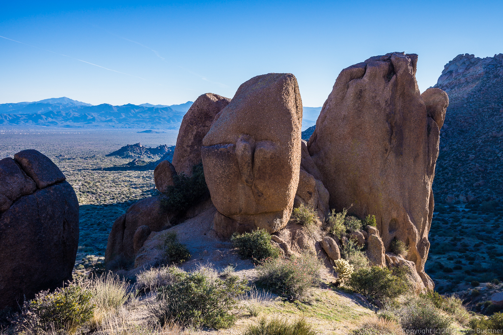
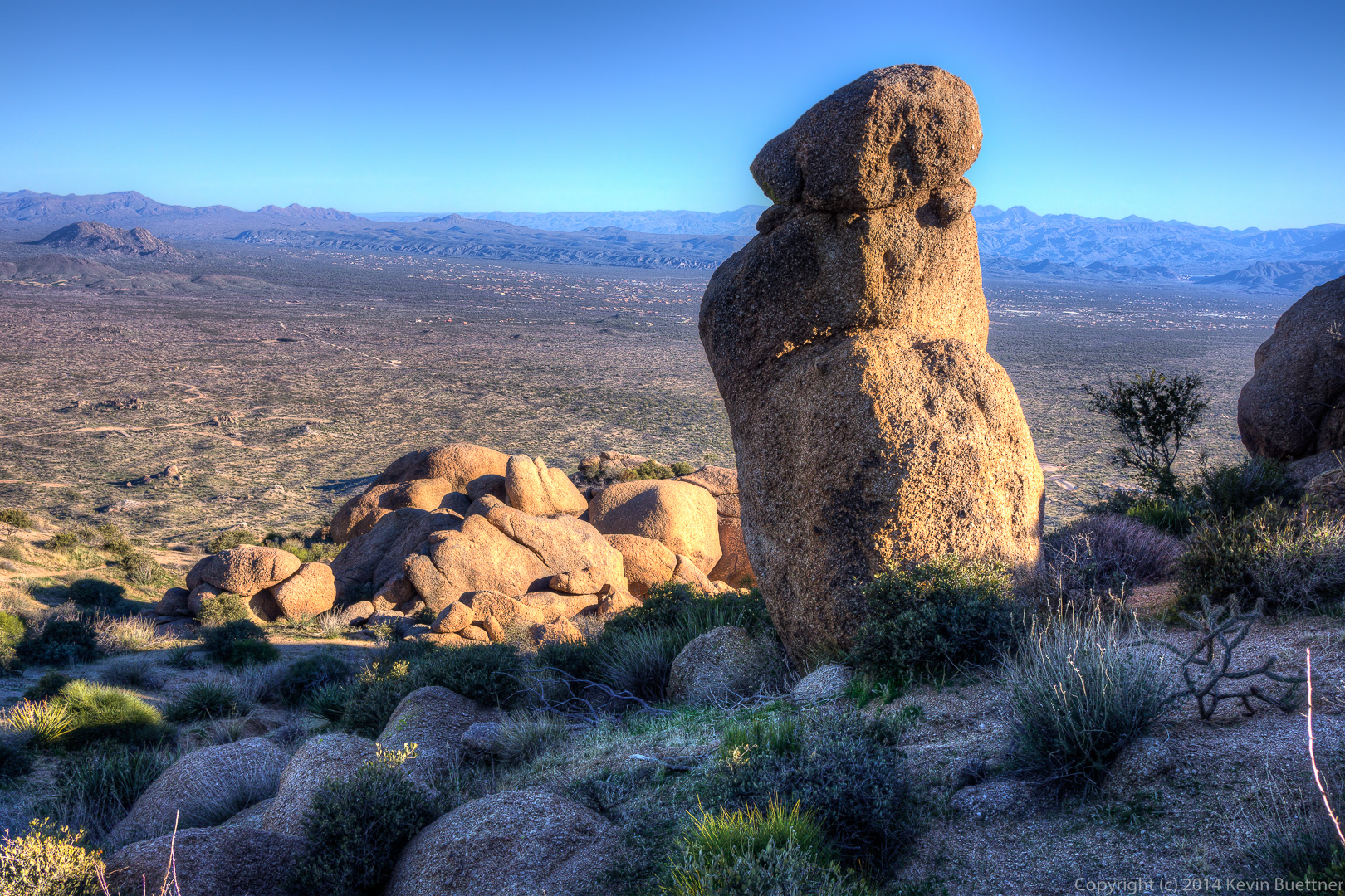
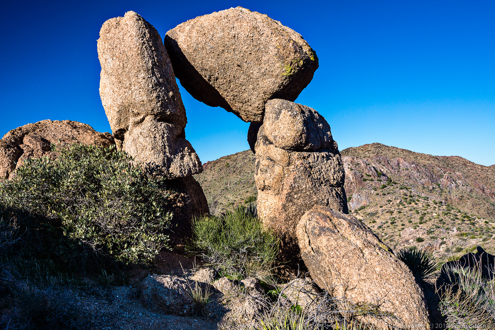
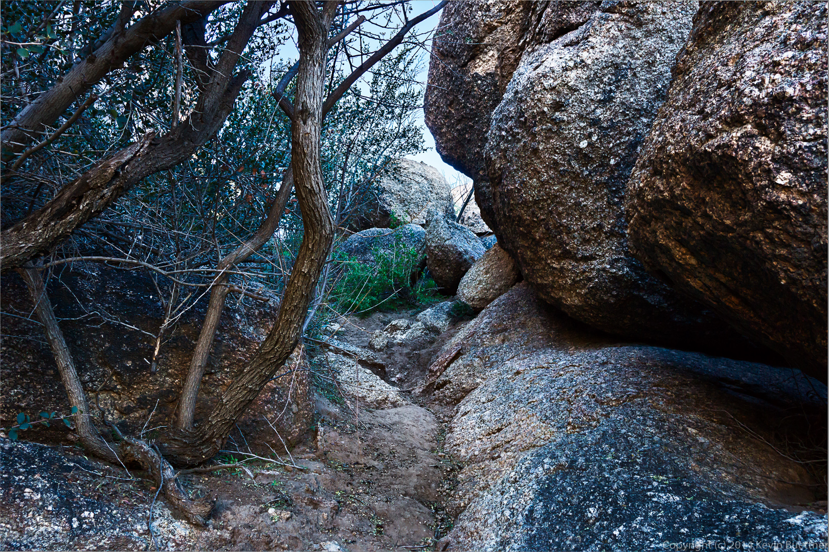
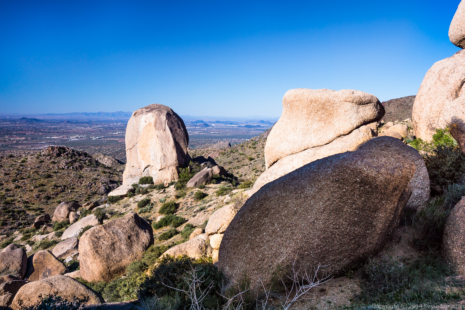
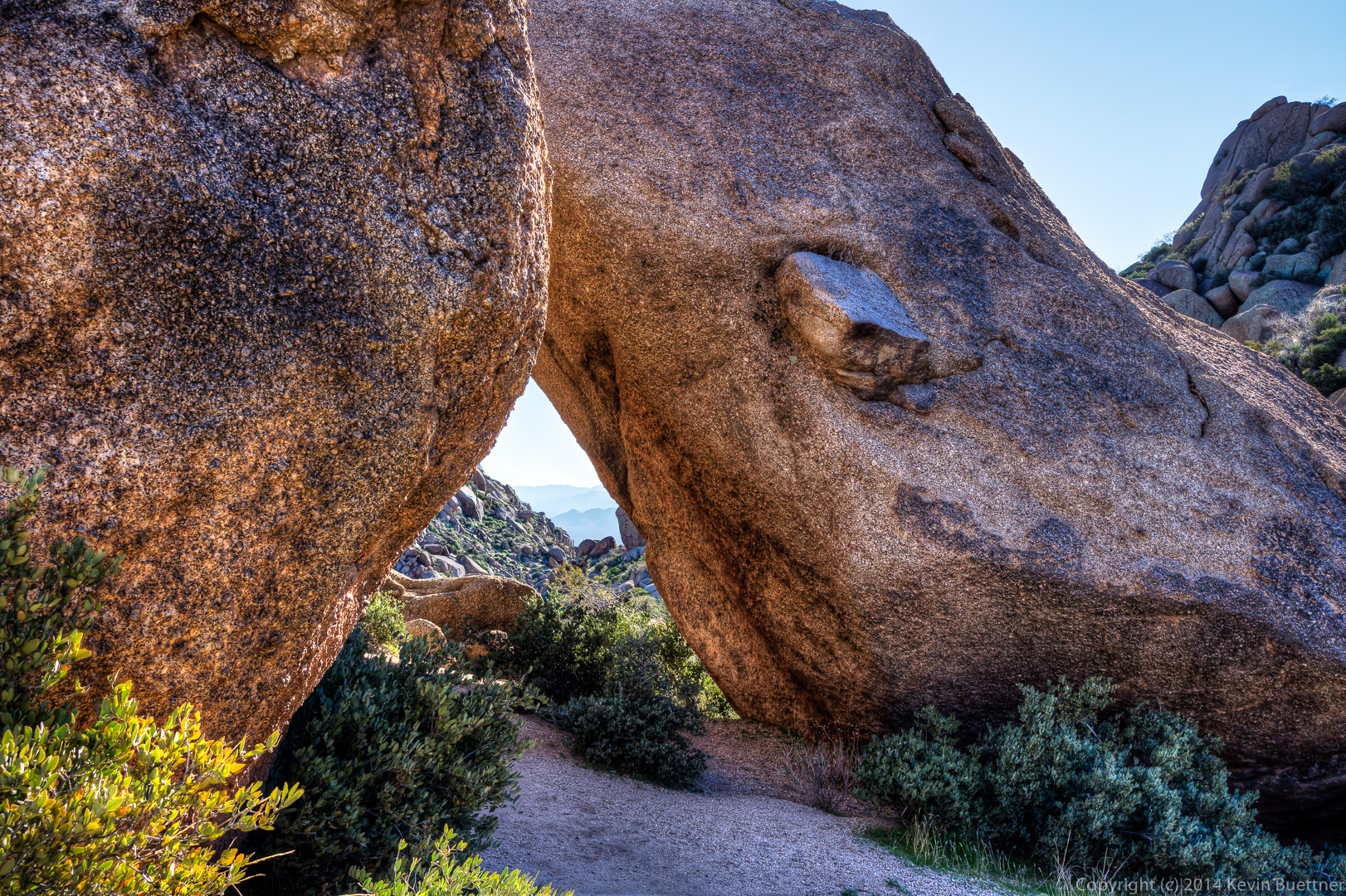
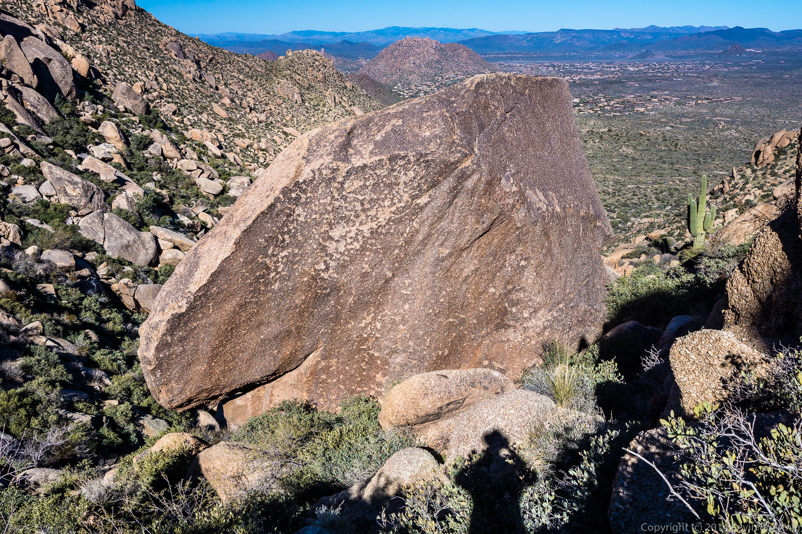
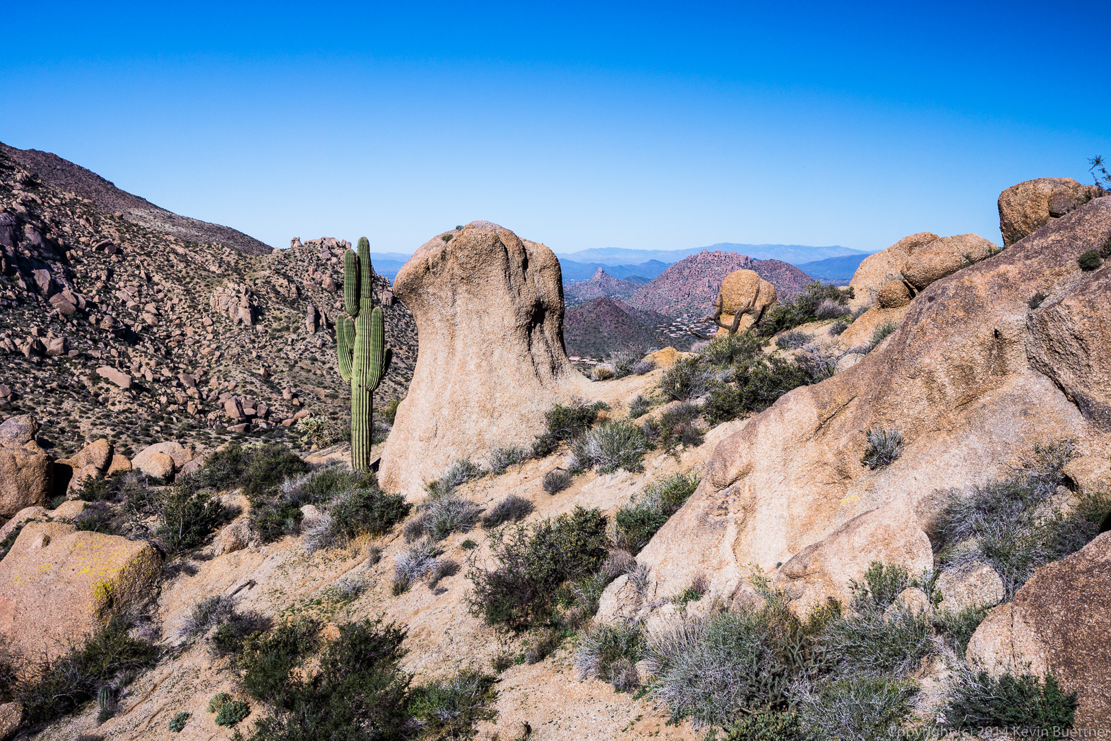
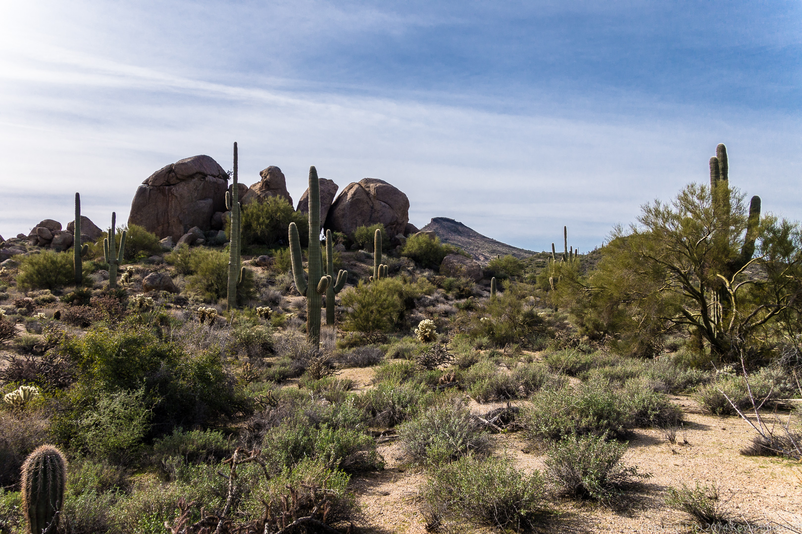
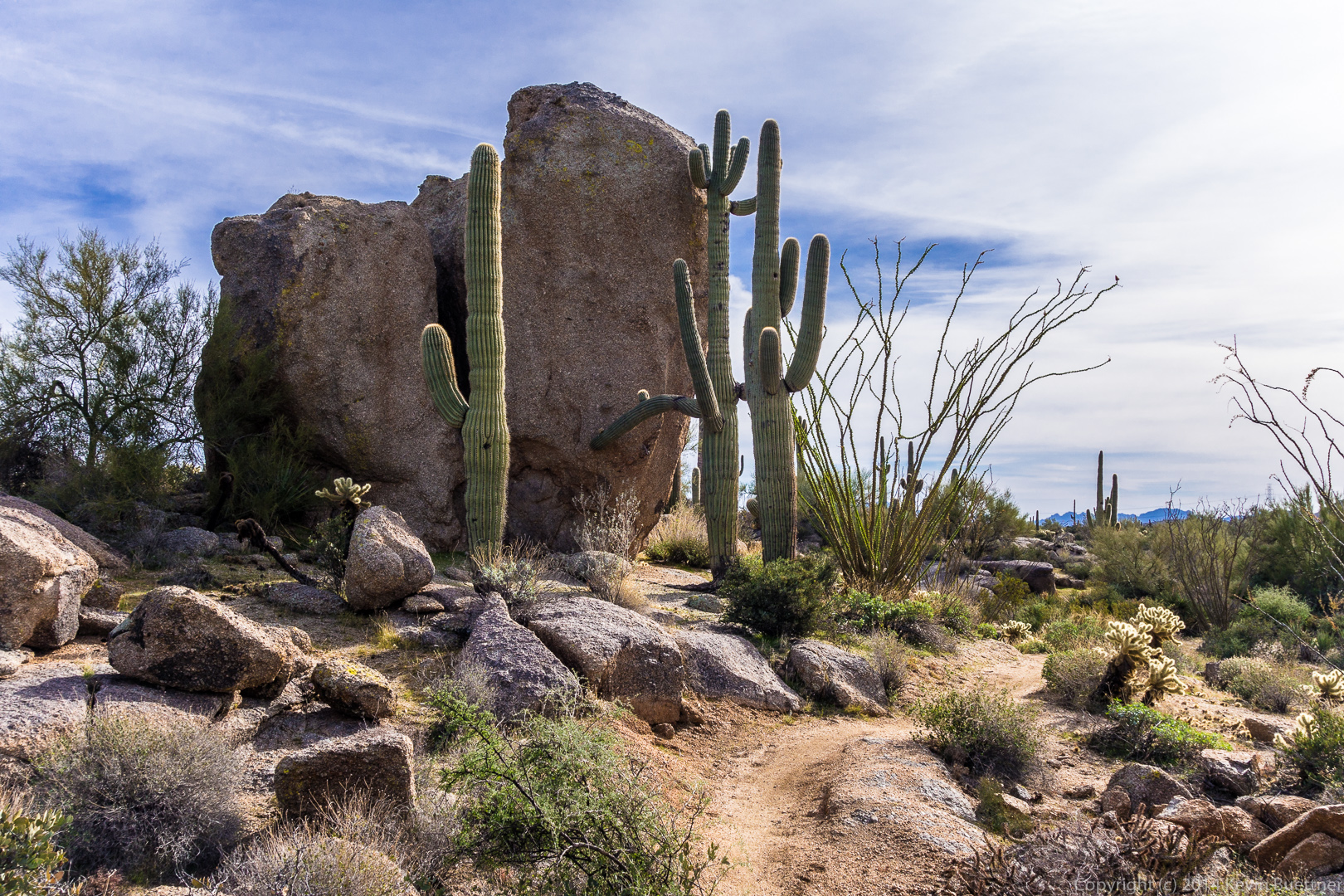
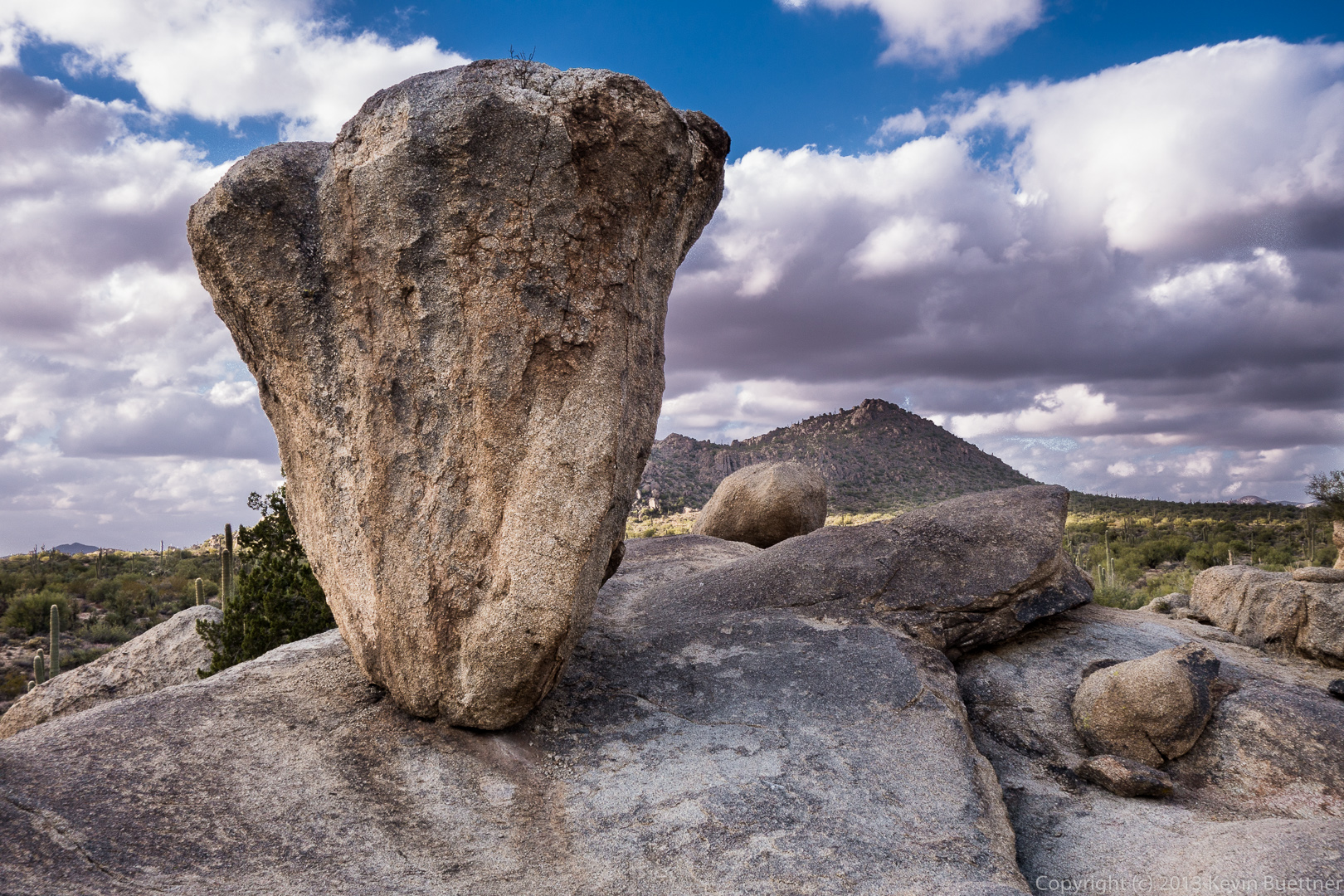
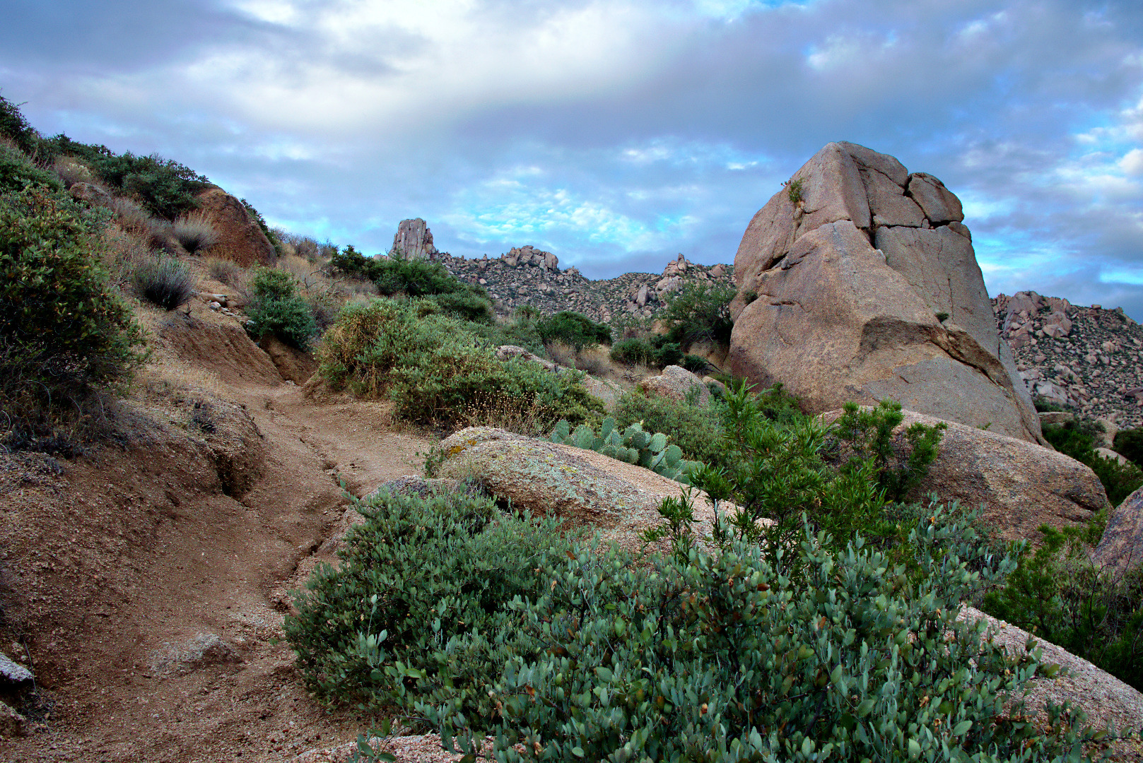
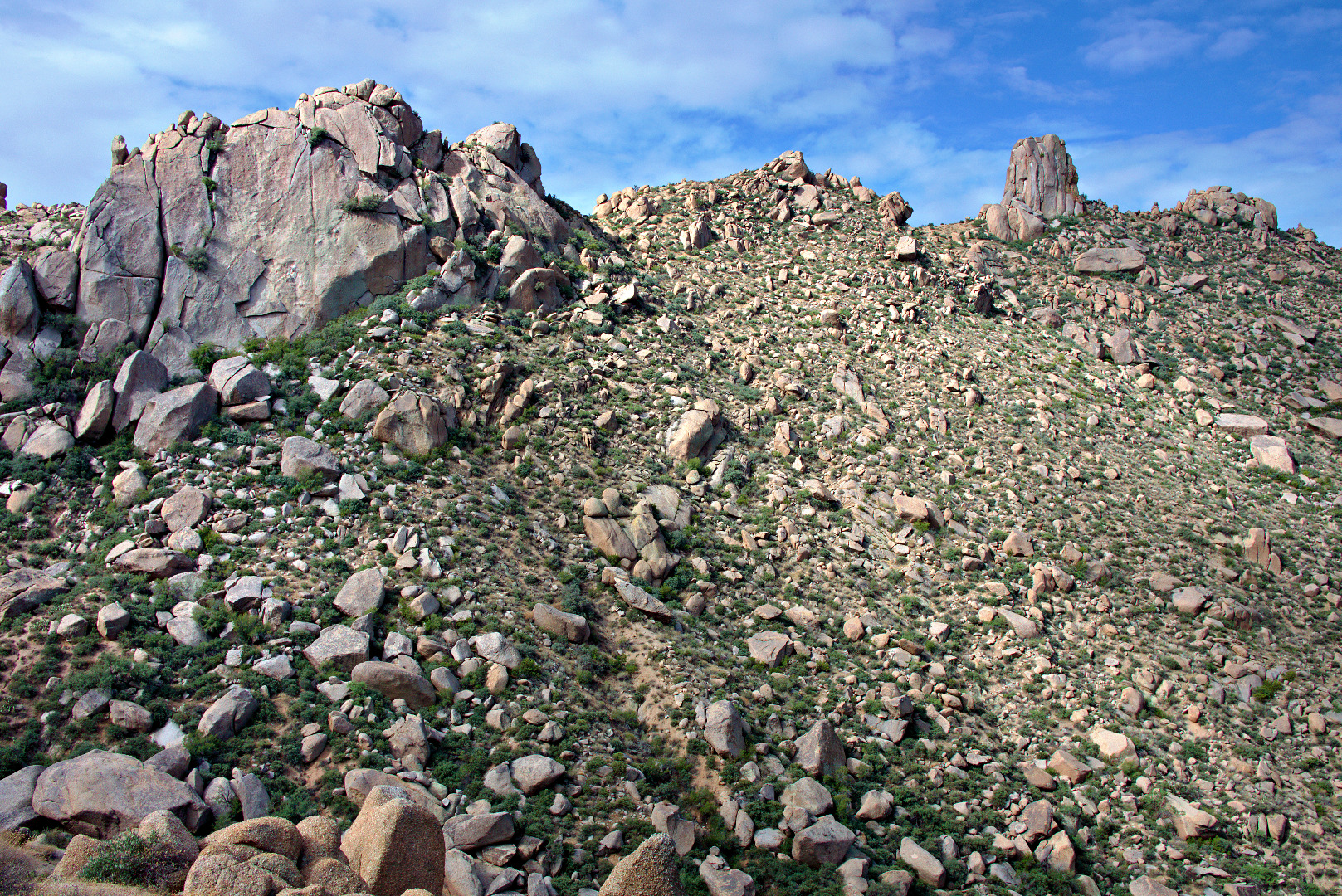
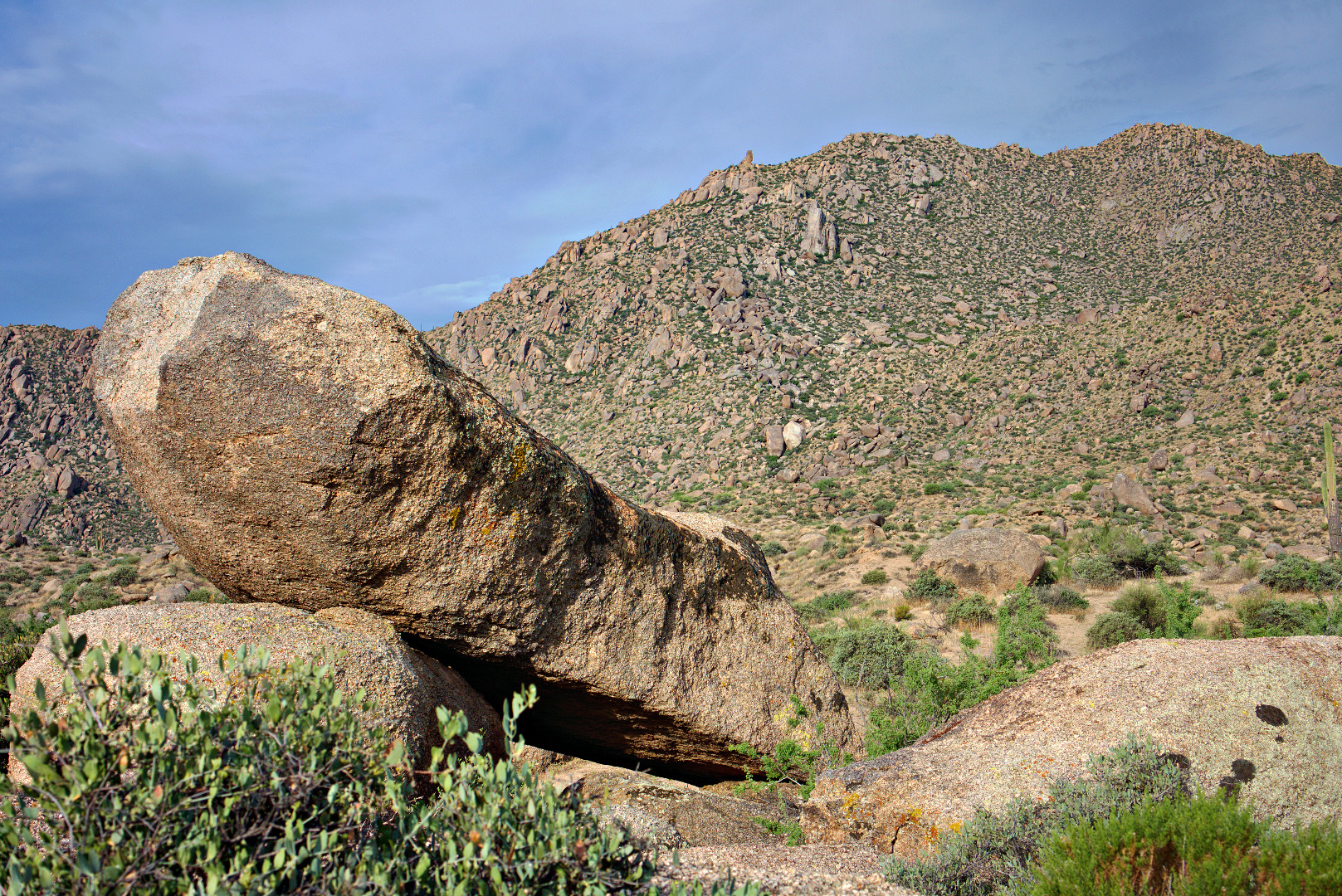
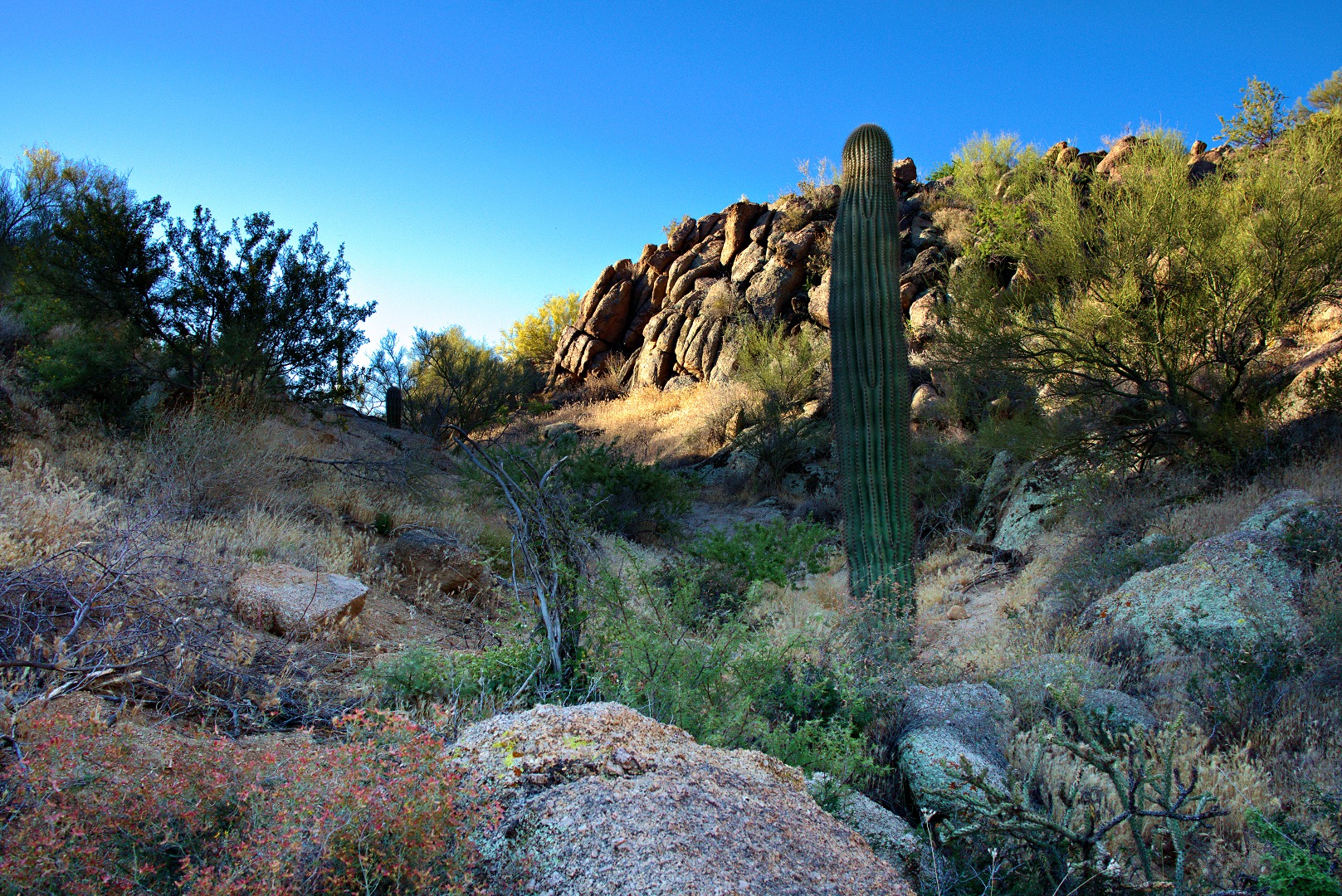
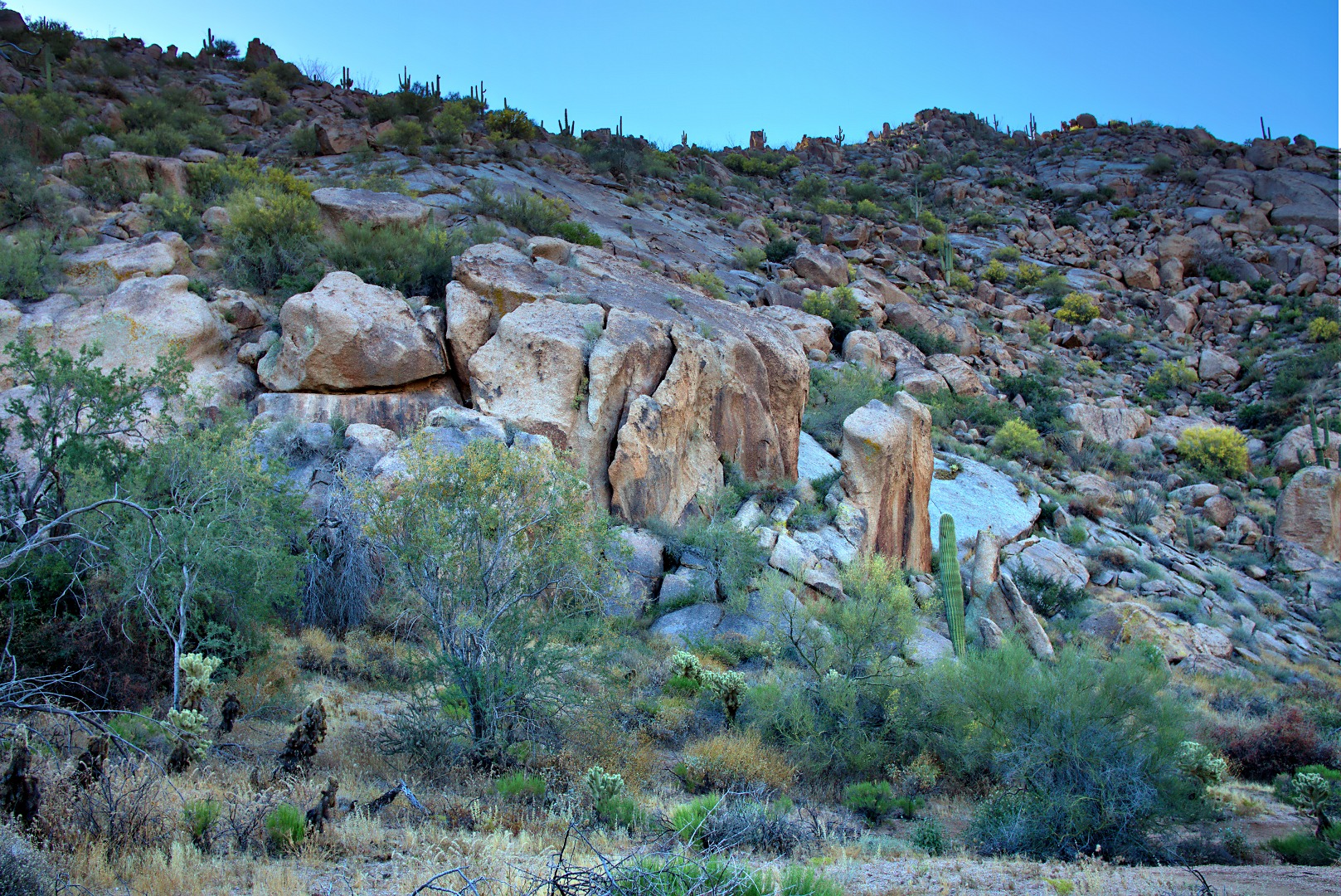
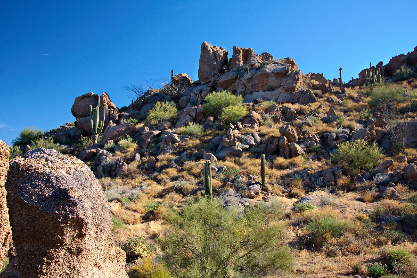
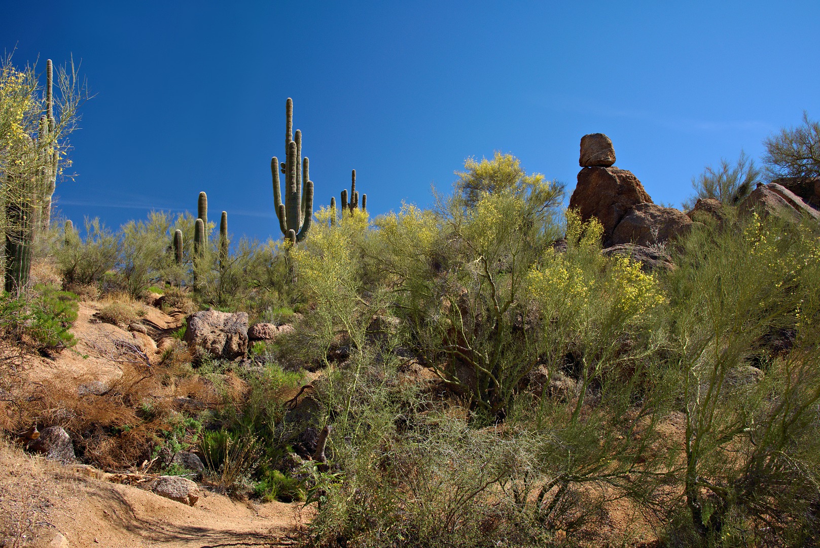
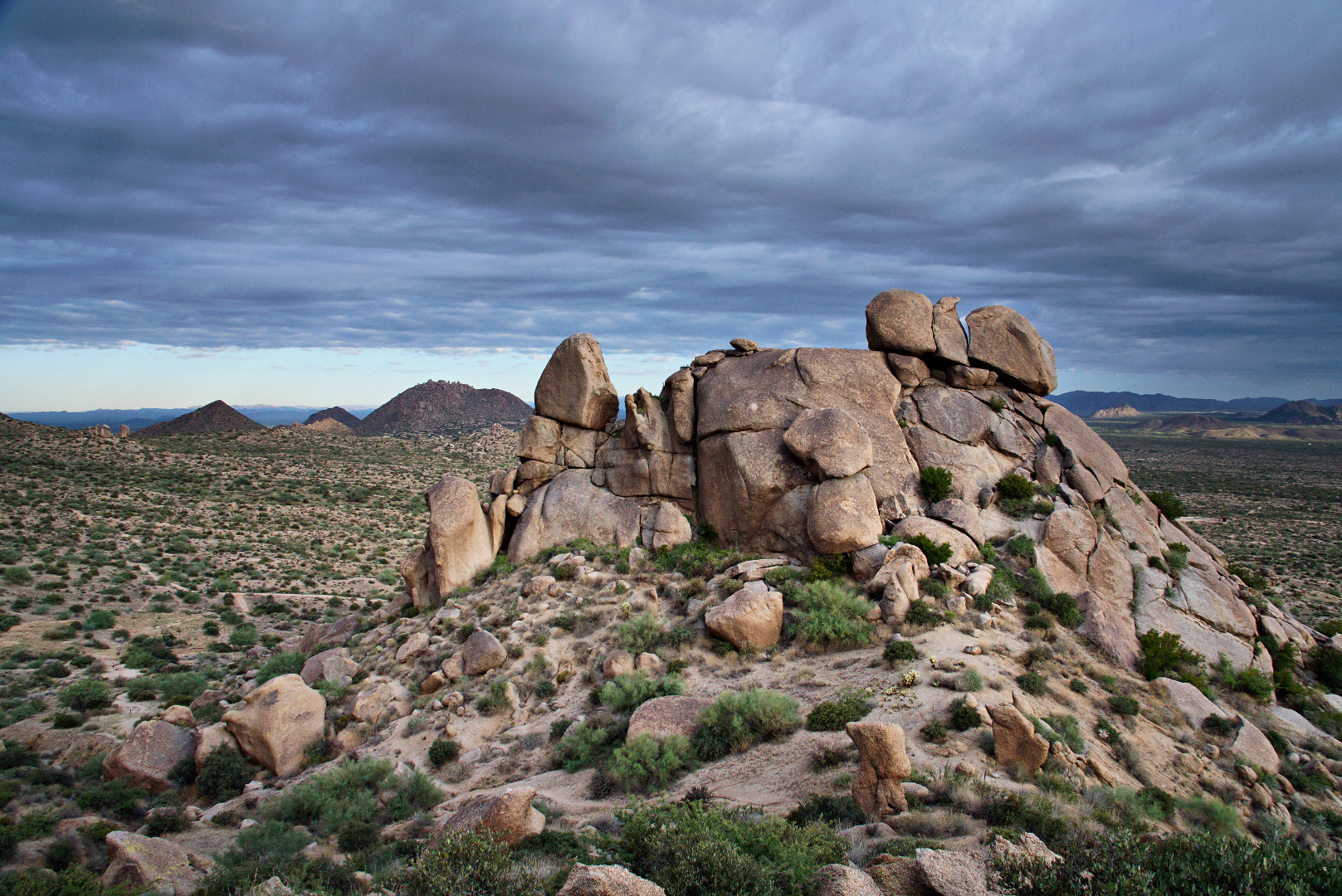
We passed this boulder on our way up to Morrell’s Wall.

2013-09-27-DSC09625-medium
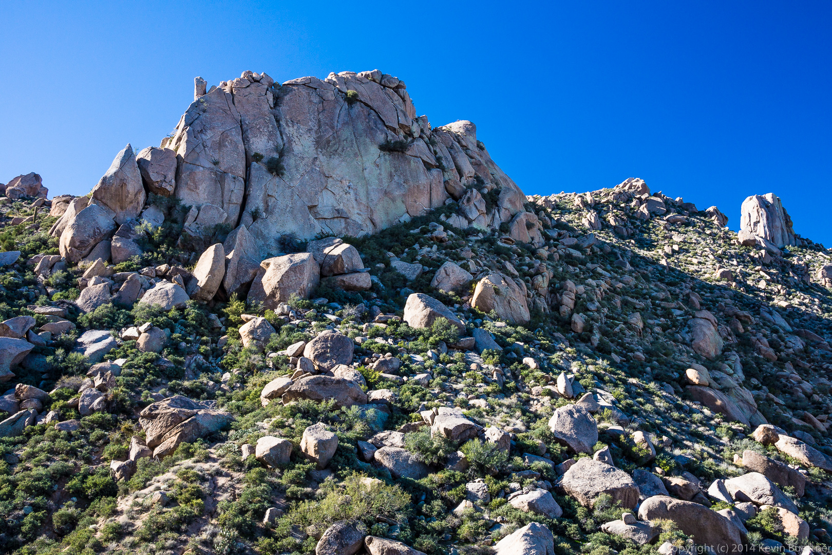
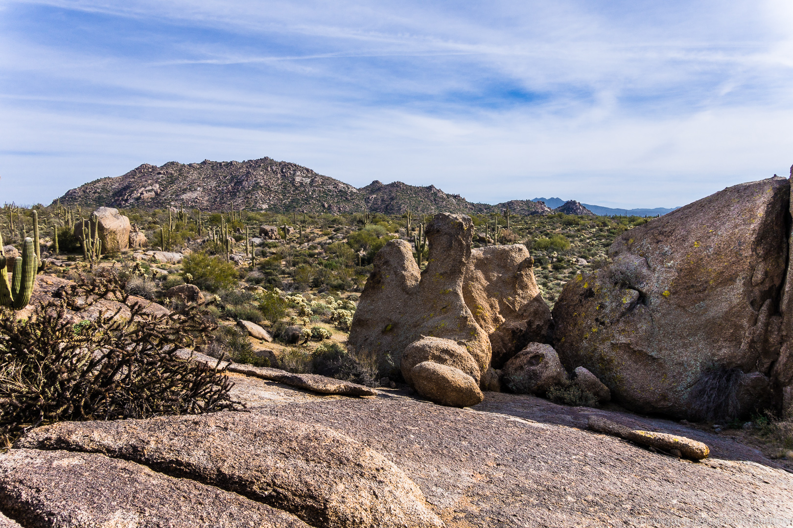
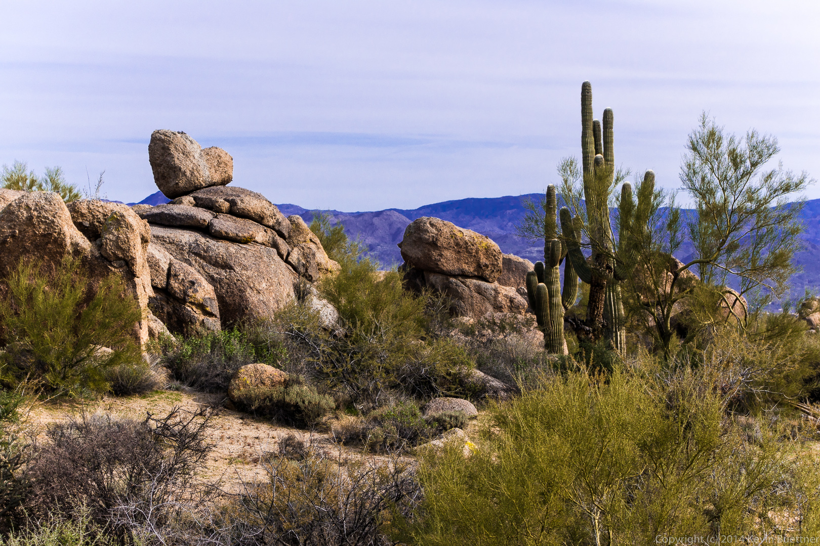
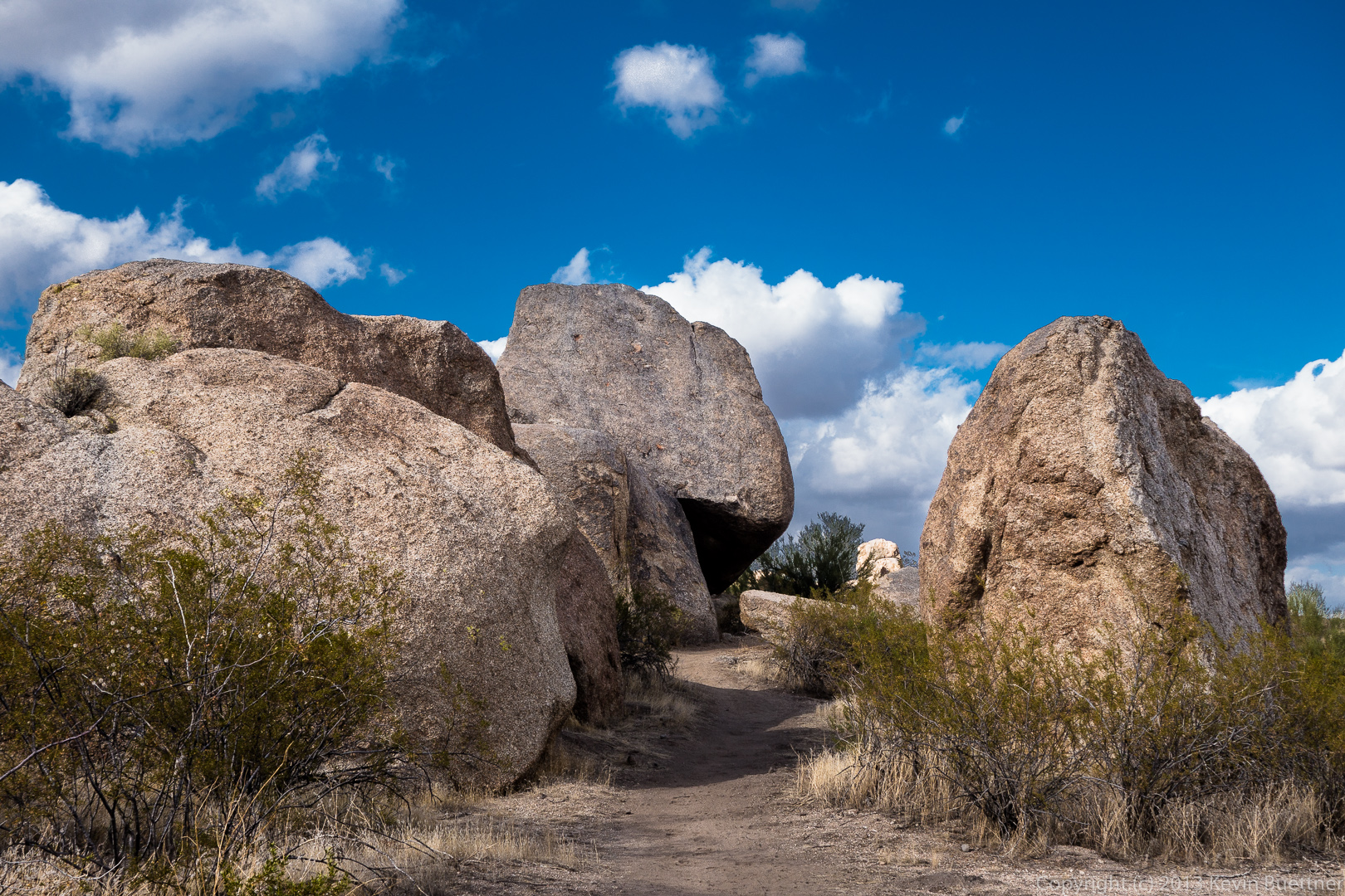
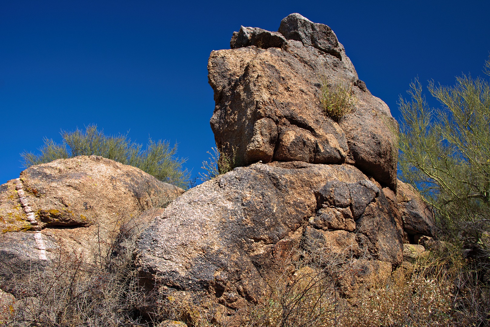
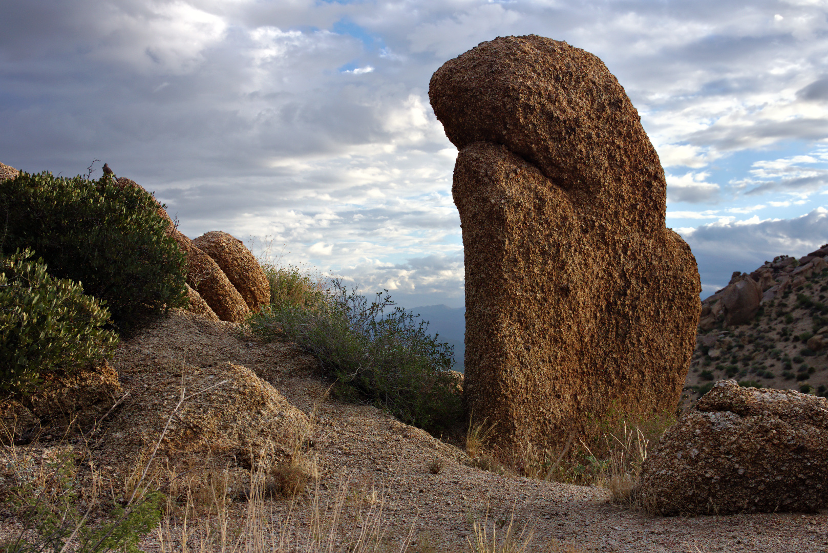
This rock pile is part of the Morrell’s Wall Parking Lot Area.  There is no longer a nearby parking lot, but there was a nearby temporary parking area constructed for Tom’s Thumb Trail not long ago.  The area had been named well before that however.  In the past, a narrow jeep road lead to the rock pile with a turnaround / pullout that could accommodate two or maybe three vehicles.

2013-09-27-DSC09643-medium 
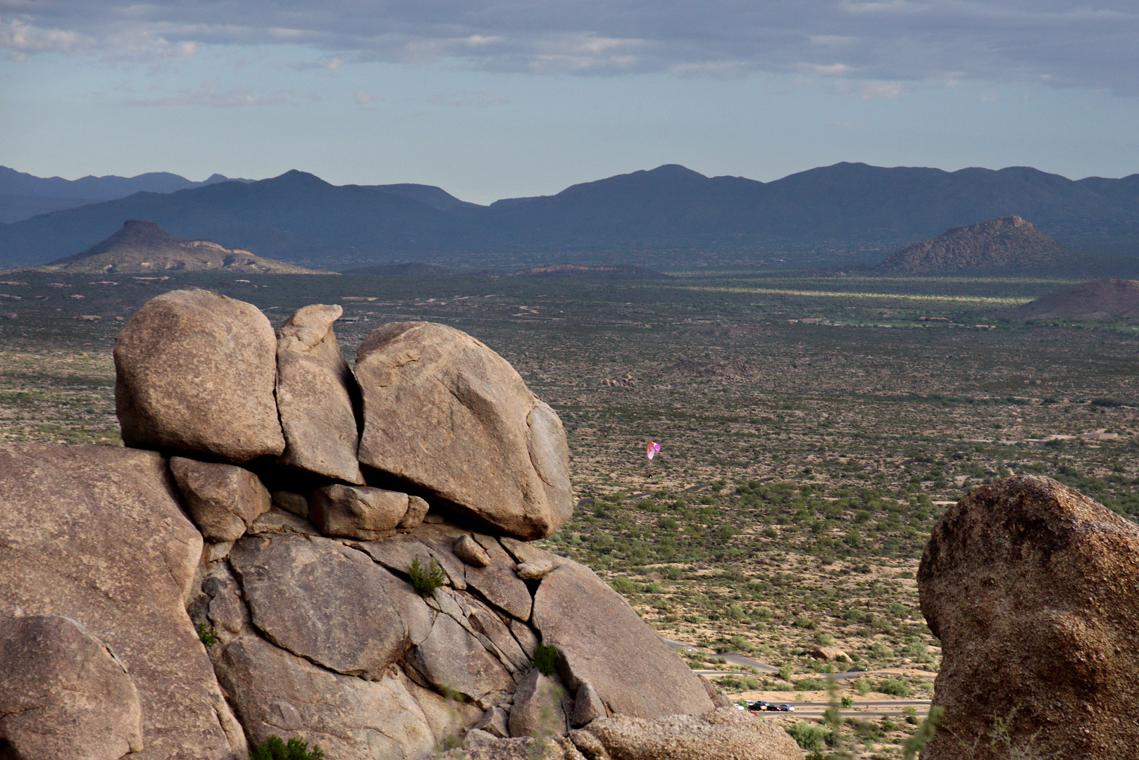
We saw a paramotorist (powered paraglider) just after takeoff as we rested on our way up to Morrell’s Wall.  We also saw some hot air balloons far off in the distance.  I took some photos, but the balloons were too far away to see clearly.

2013-09-27-DSC09664-medium

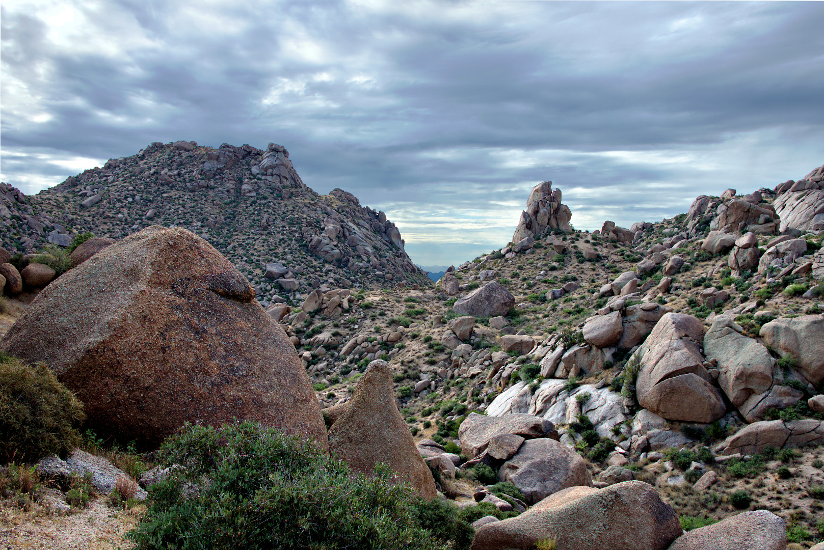
More interesting clouds…

2013-09-27-DSC09695-medium 2013-09-27-DSC09715-medium


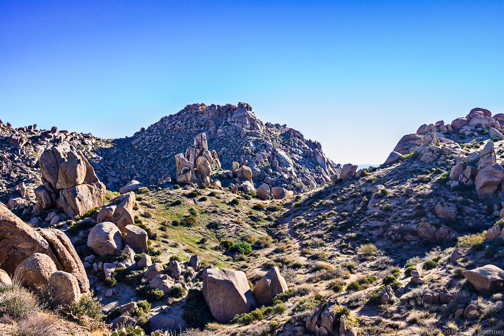
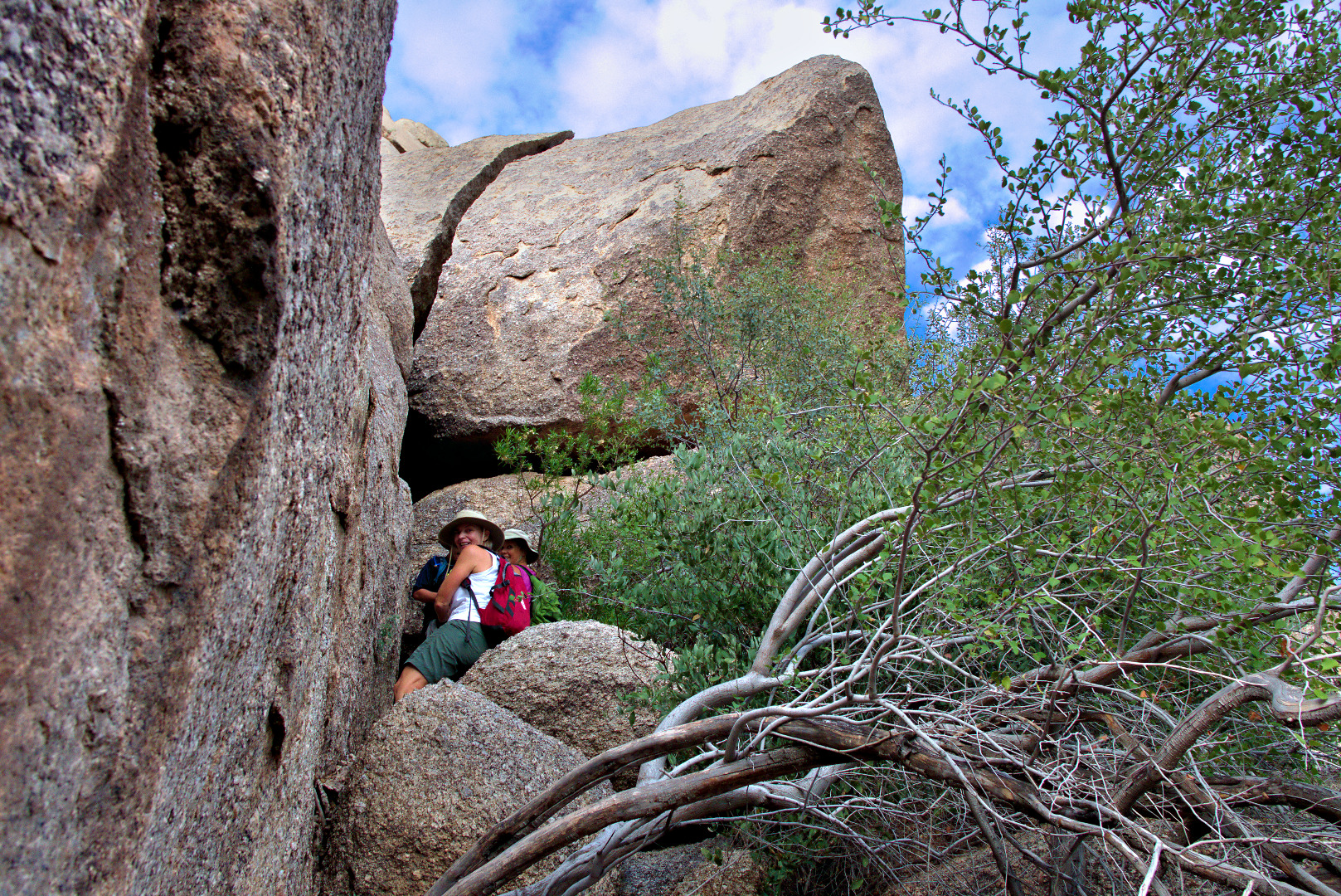
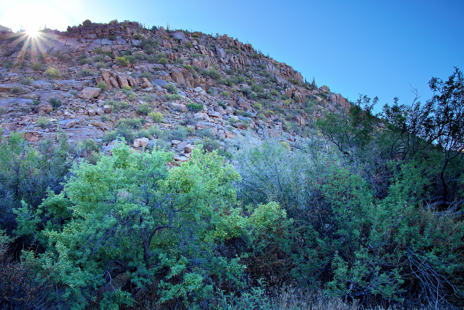
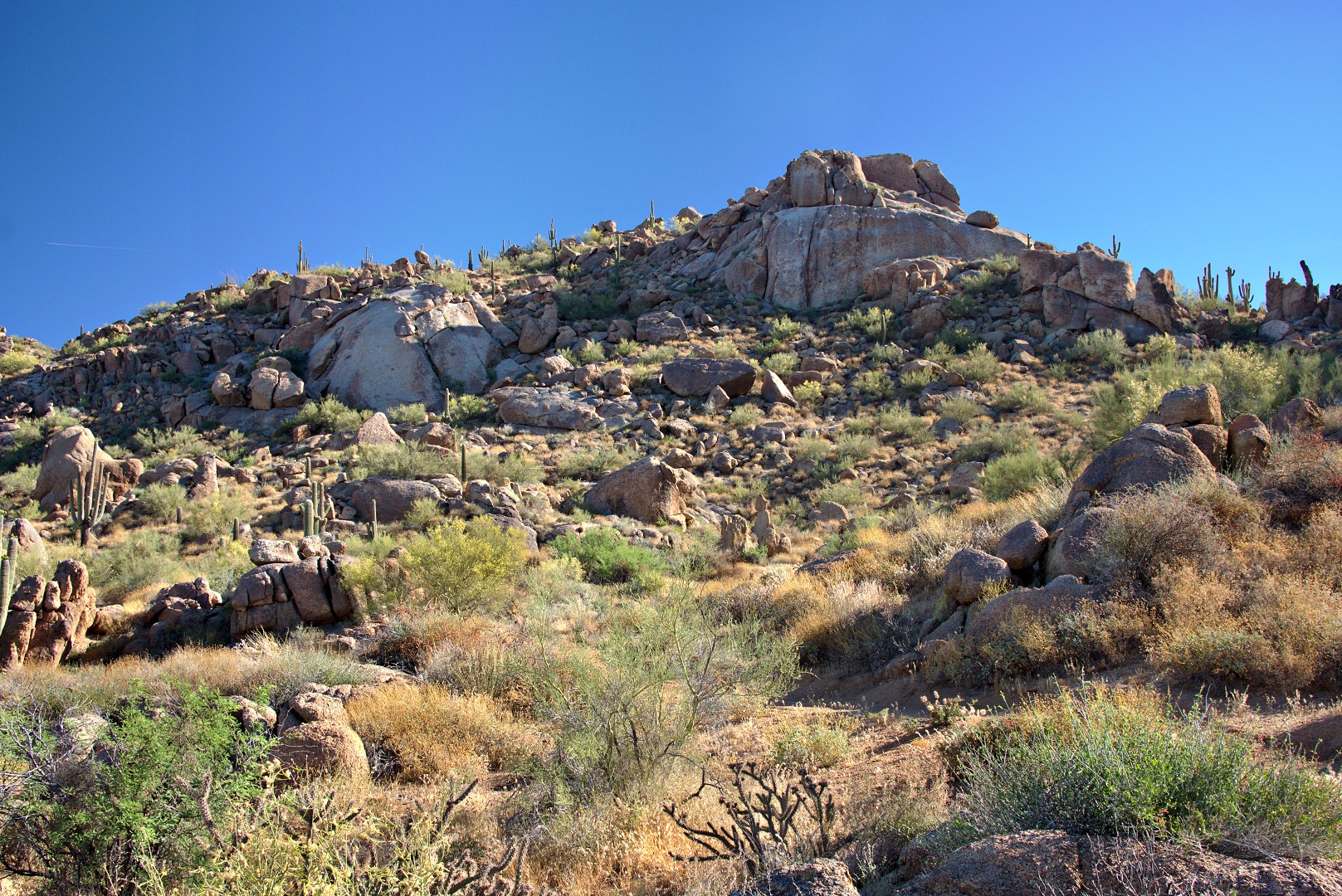
In this photo, below, of Morrell’s Wall, it looks like it should be possible to get to the top by going left, but once we got there, our way was blocked by large boulders and unforgiving vegetation.

2013-09-27-DSC09718-medium

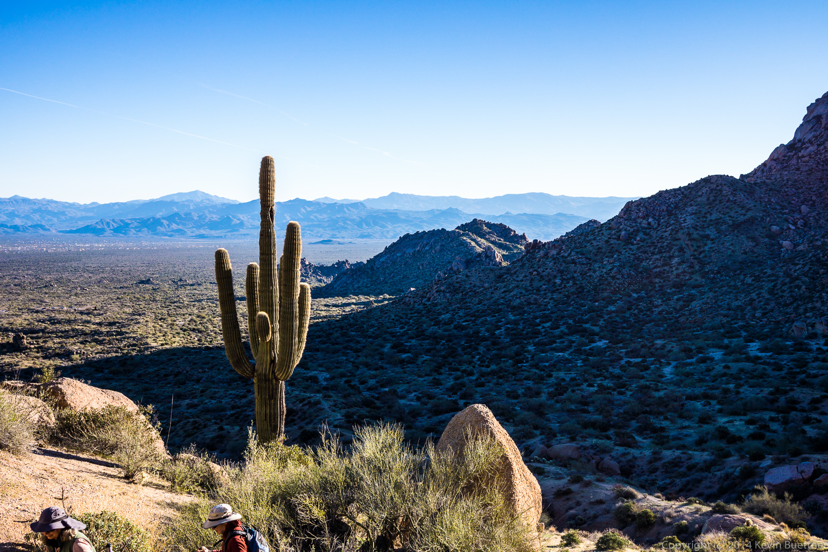
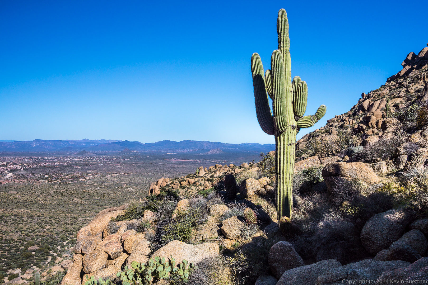
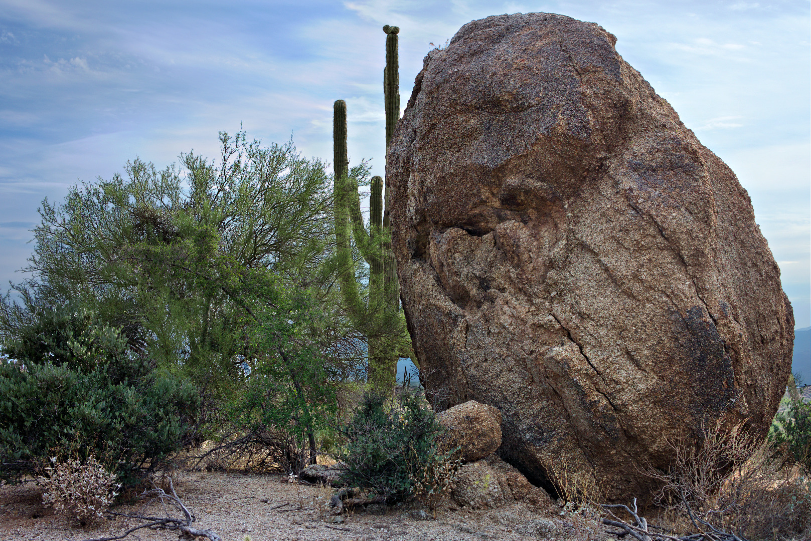
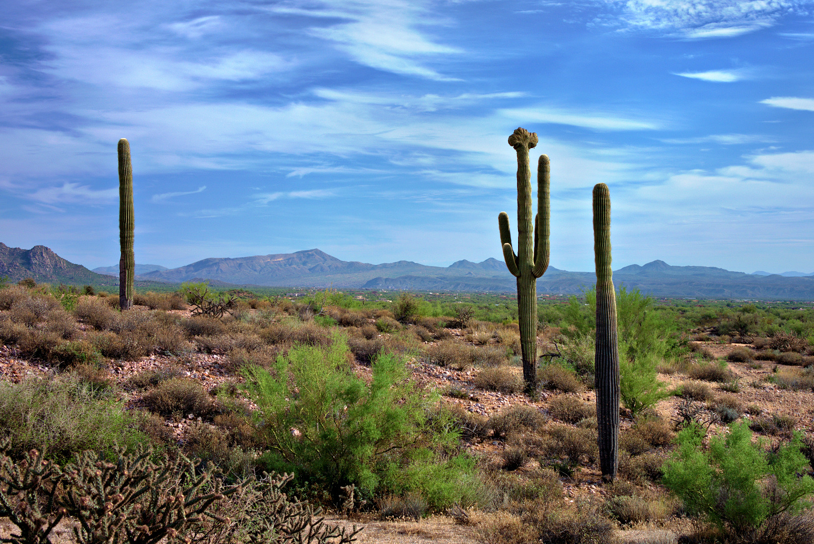
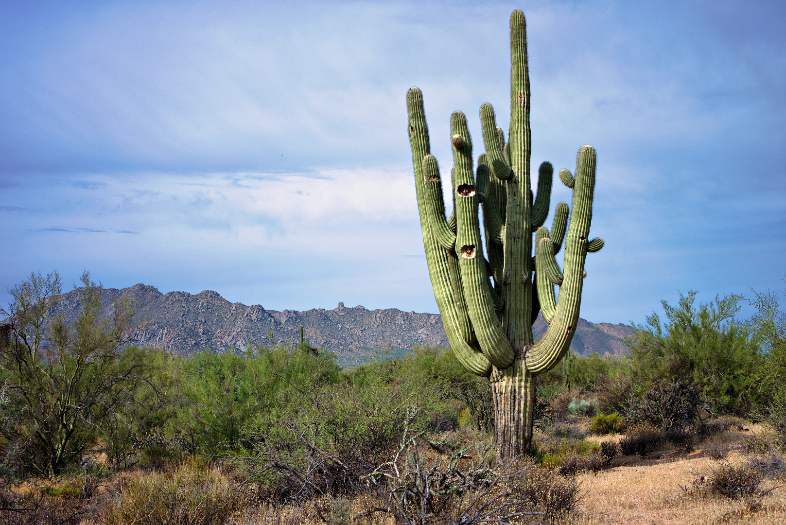
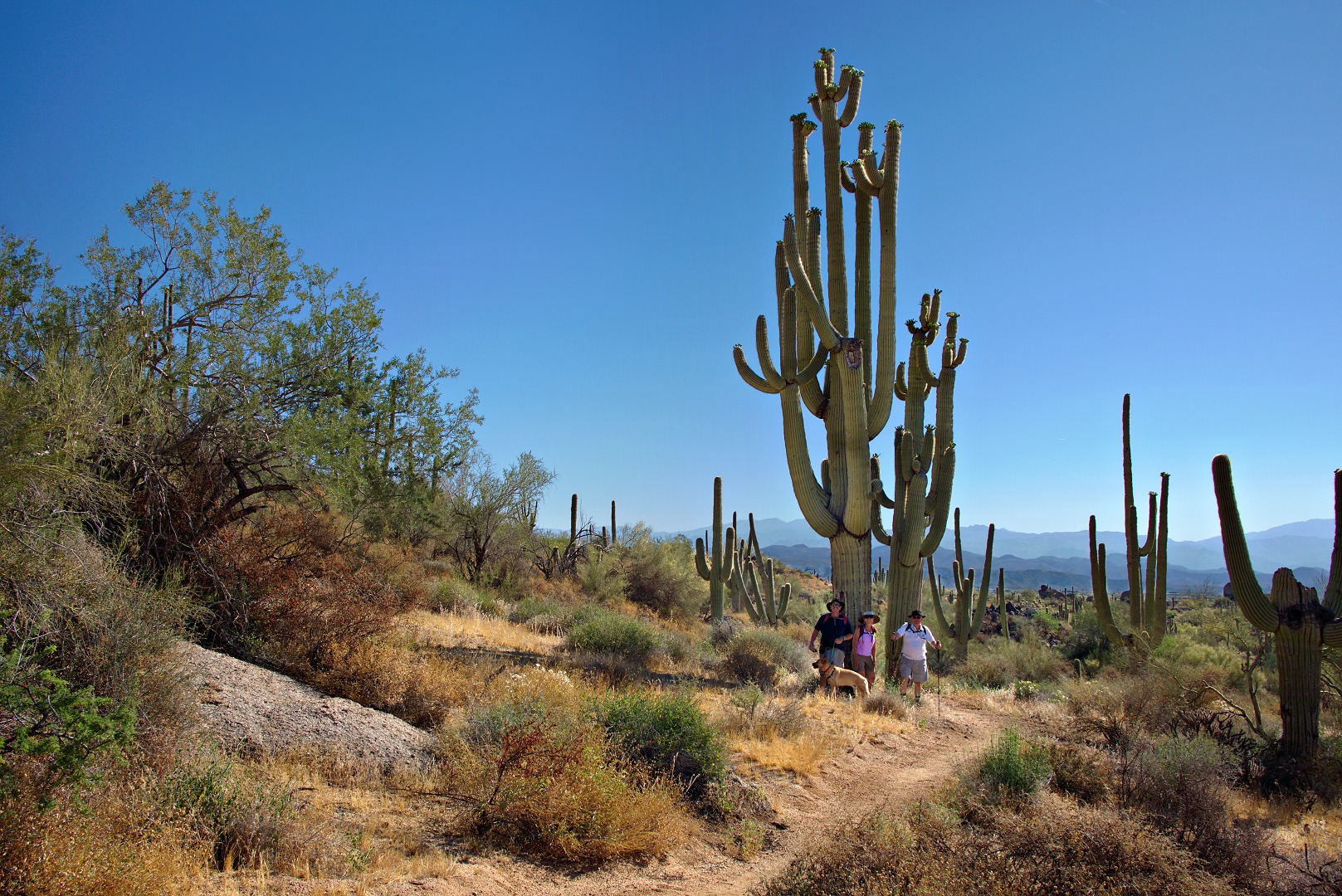
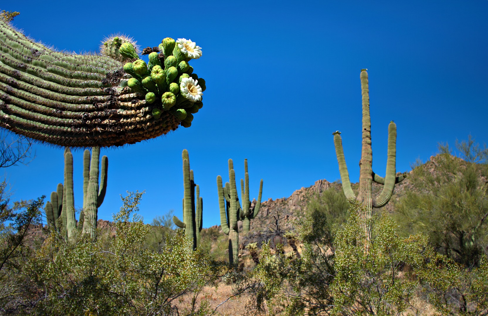
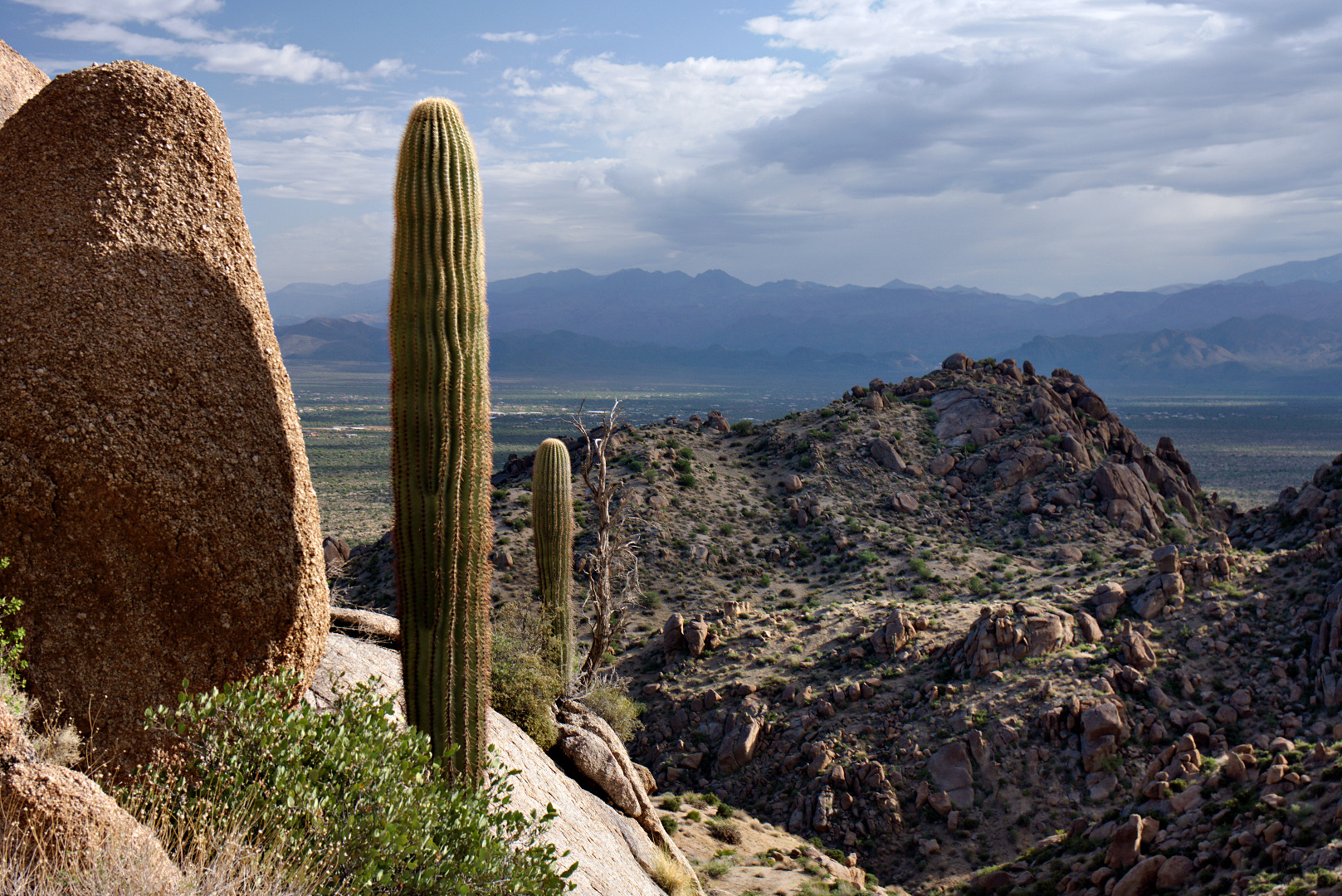
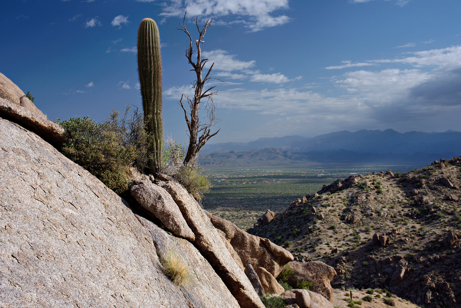
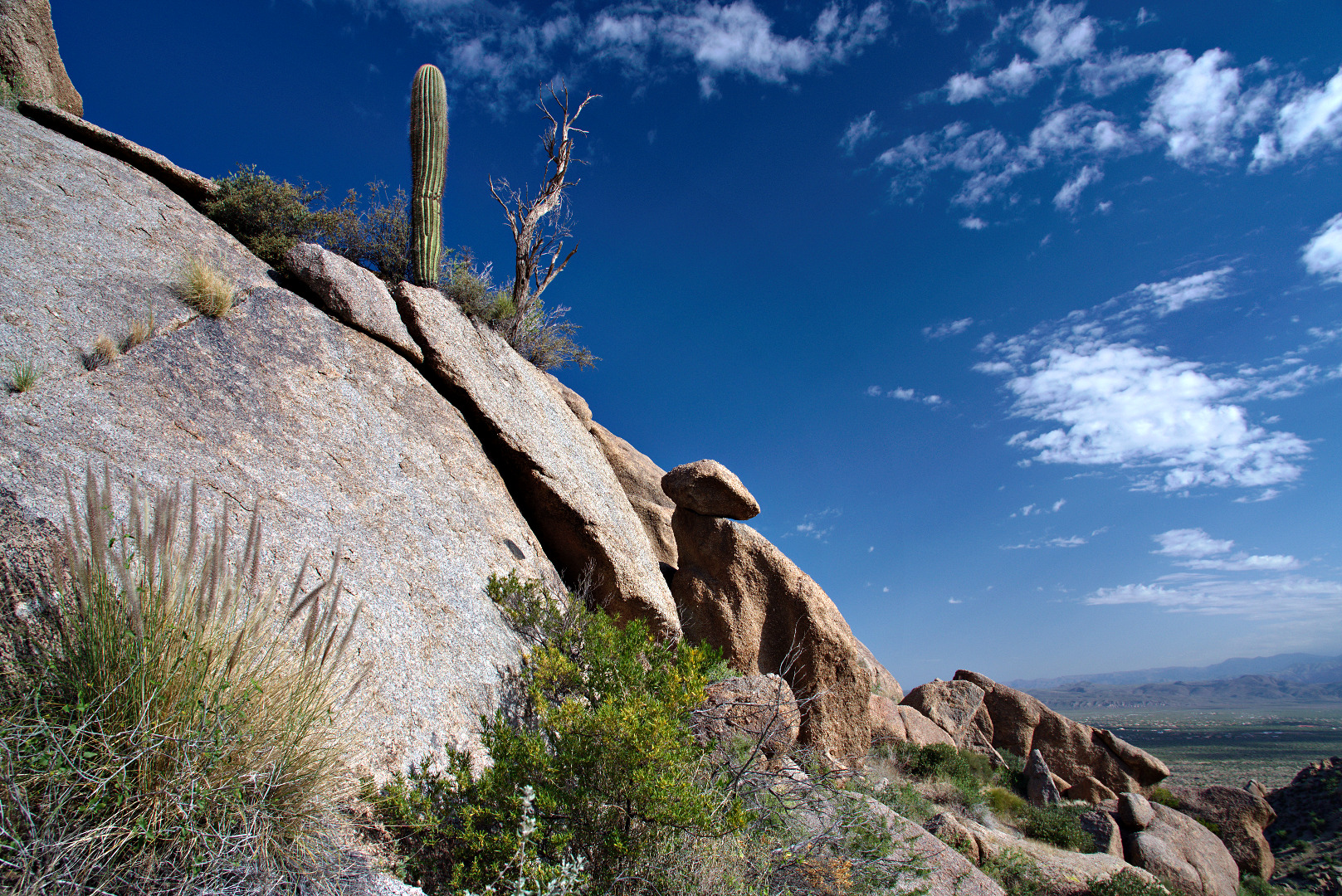
I liked this view of two saguaros with a dead tree up on a rock wall.  I took several photos from different angles.

2013-09-27-DSC09766-medium 2013-09-27-DSC09769-medium 2013-09-27-DSC09777-medium
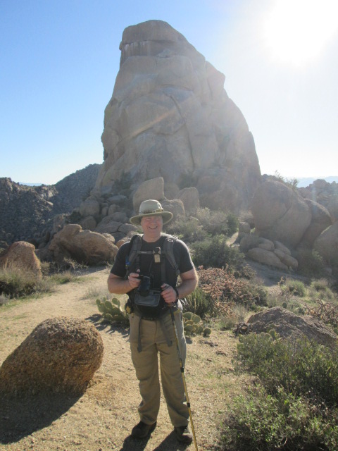
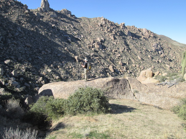
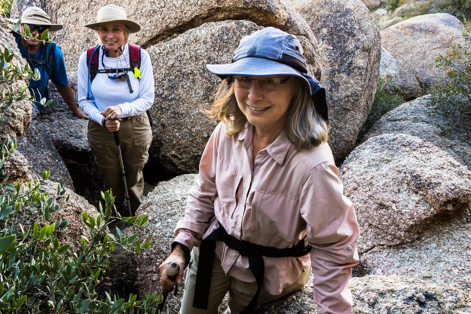
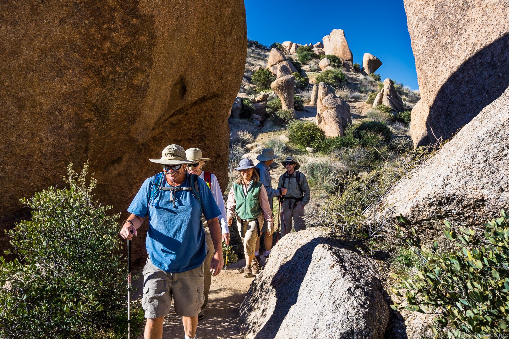
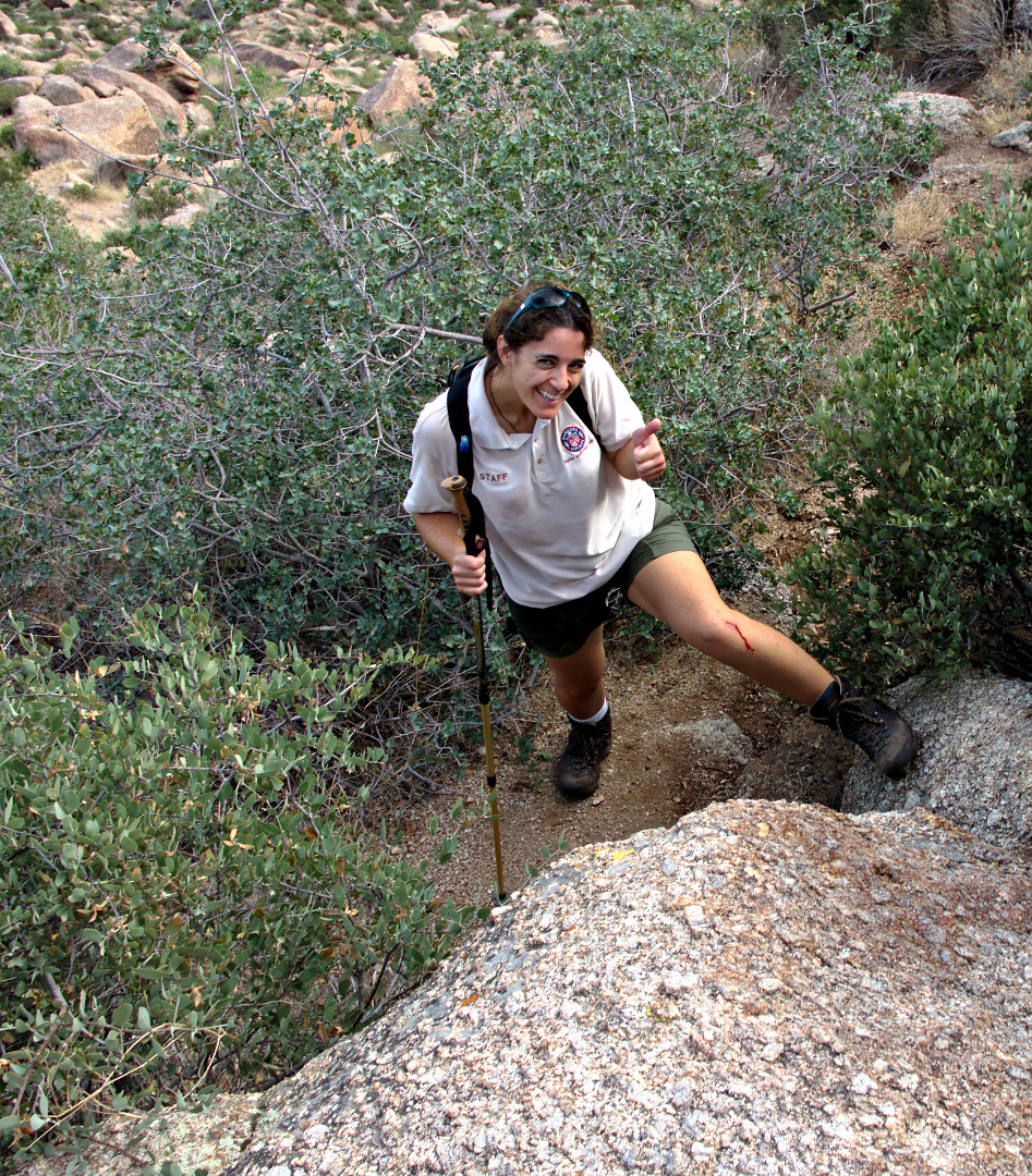
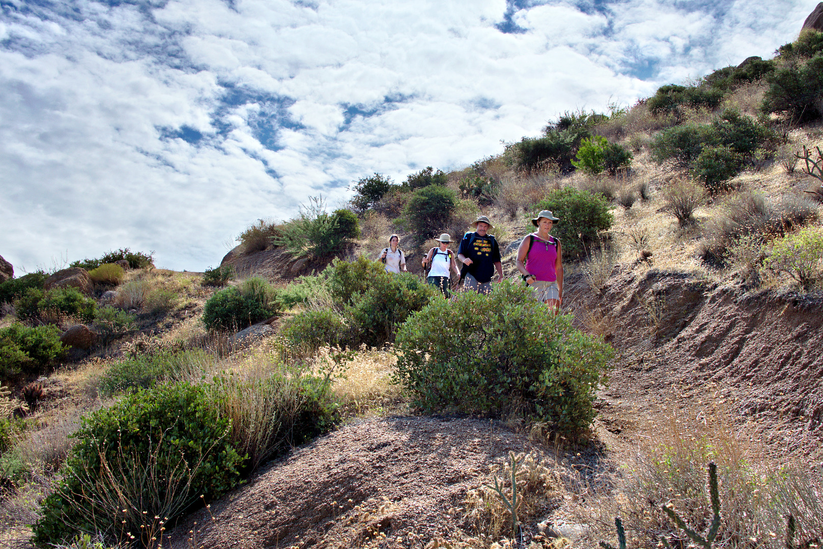
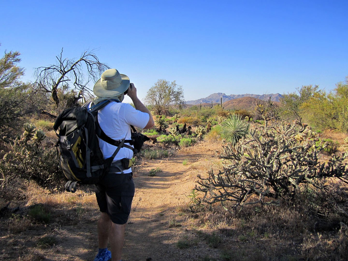
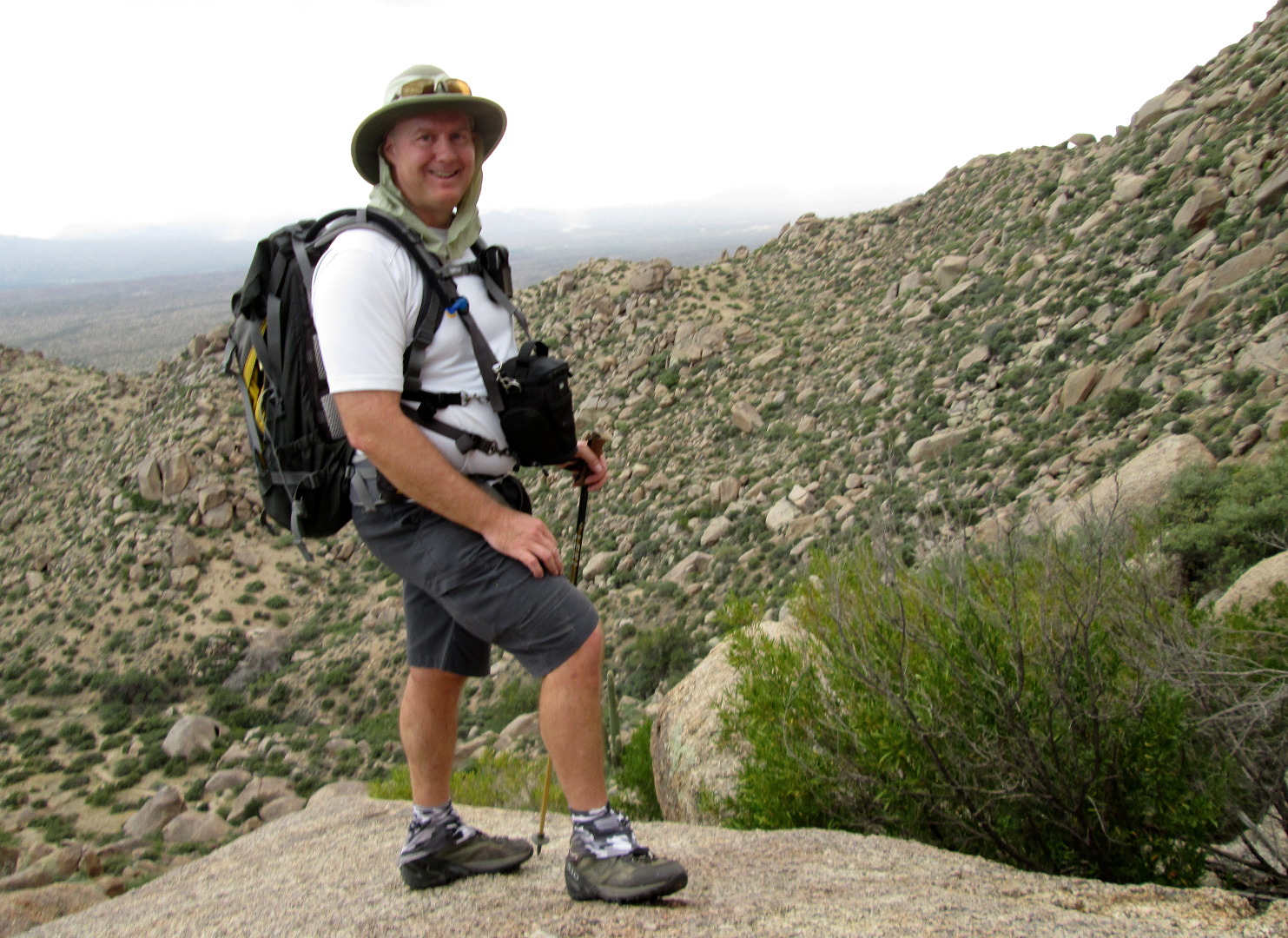
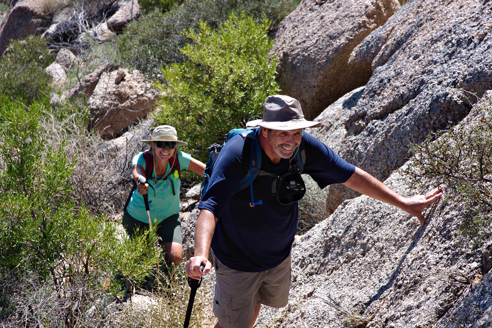
Linda took this photo of me as we were hiking up to Hog Heaven.

2013-09-27-From_Linda-024


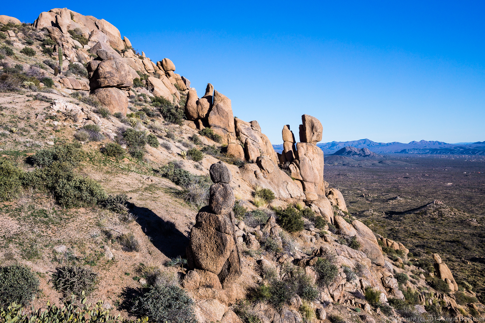
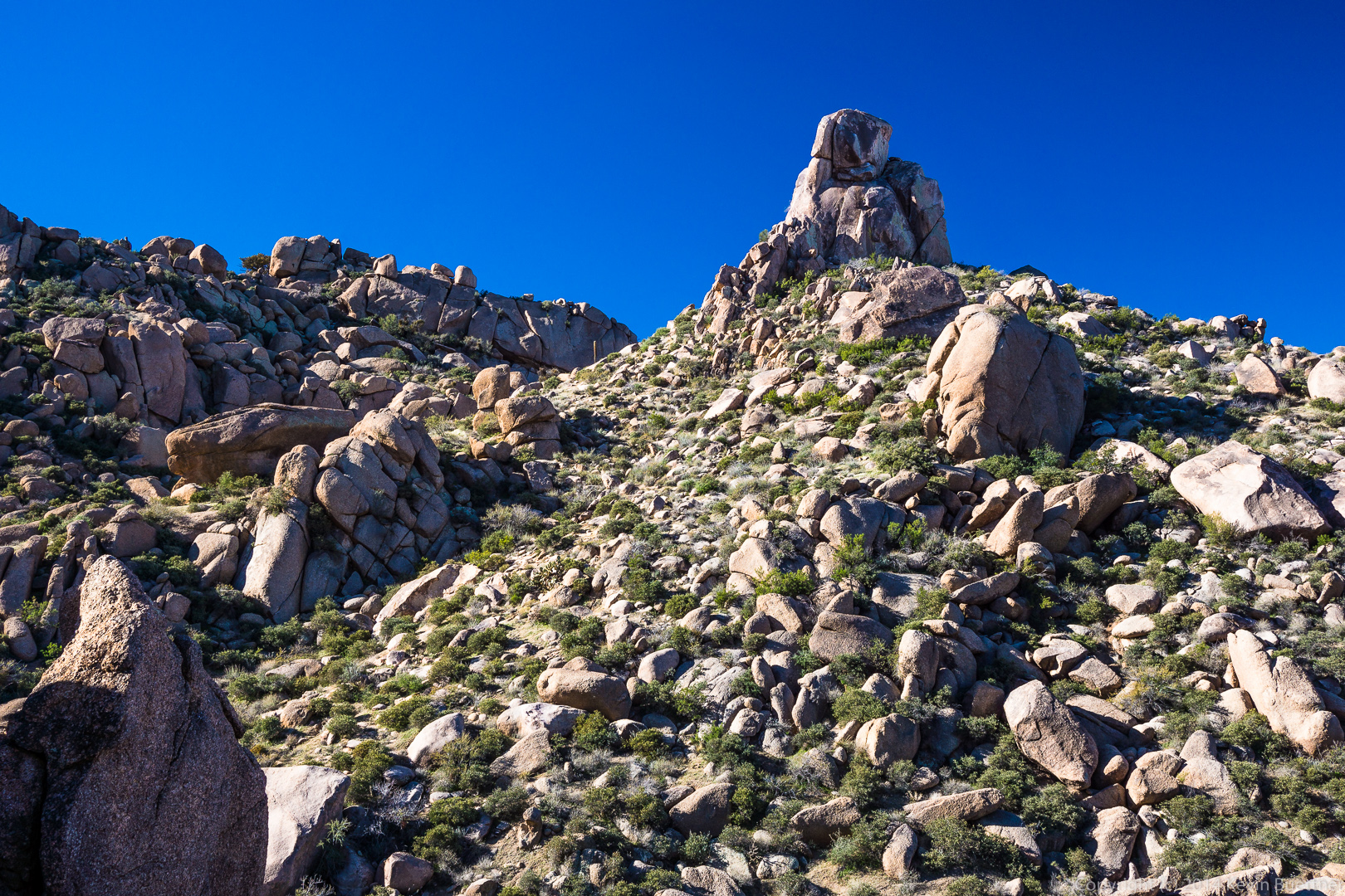
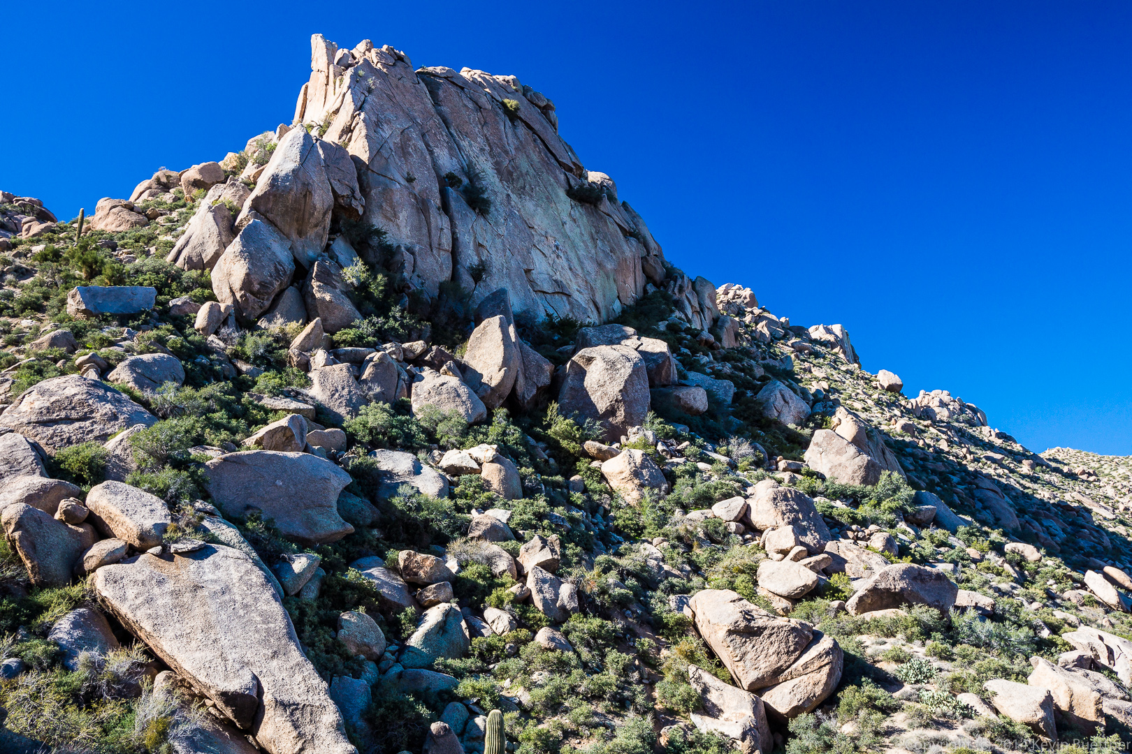
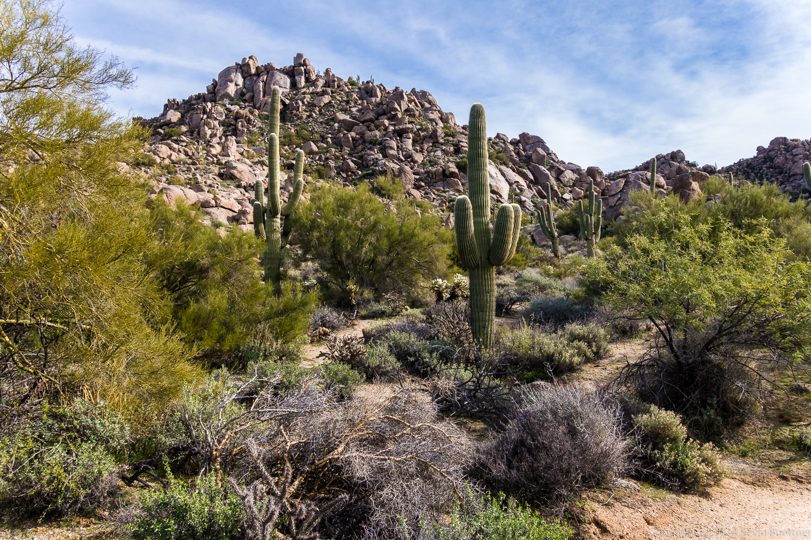
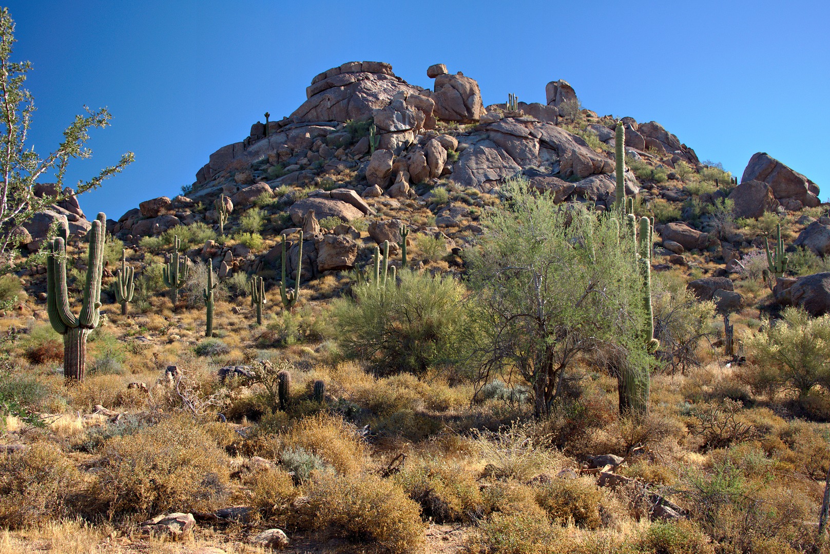
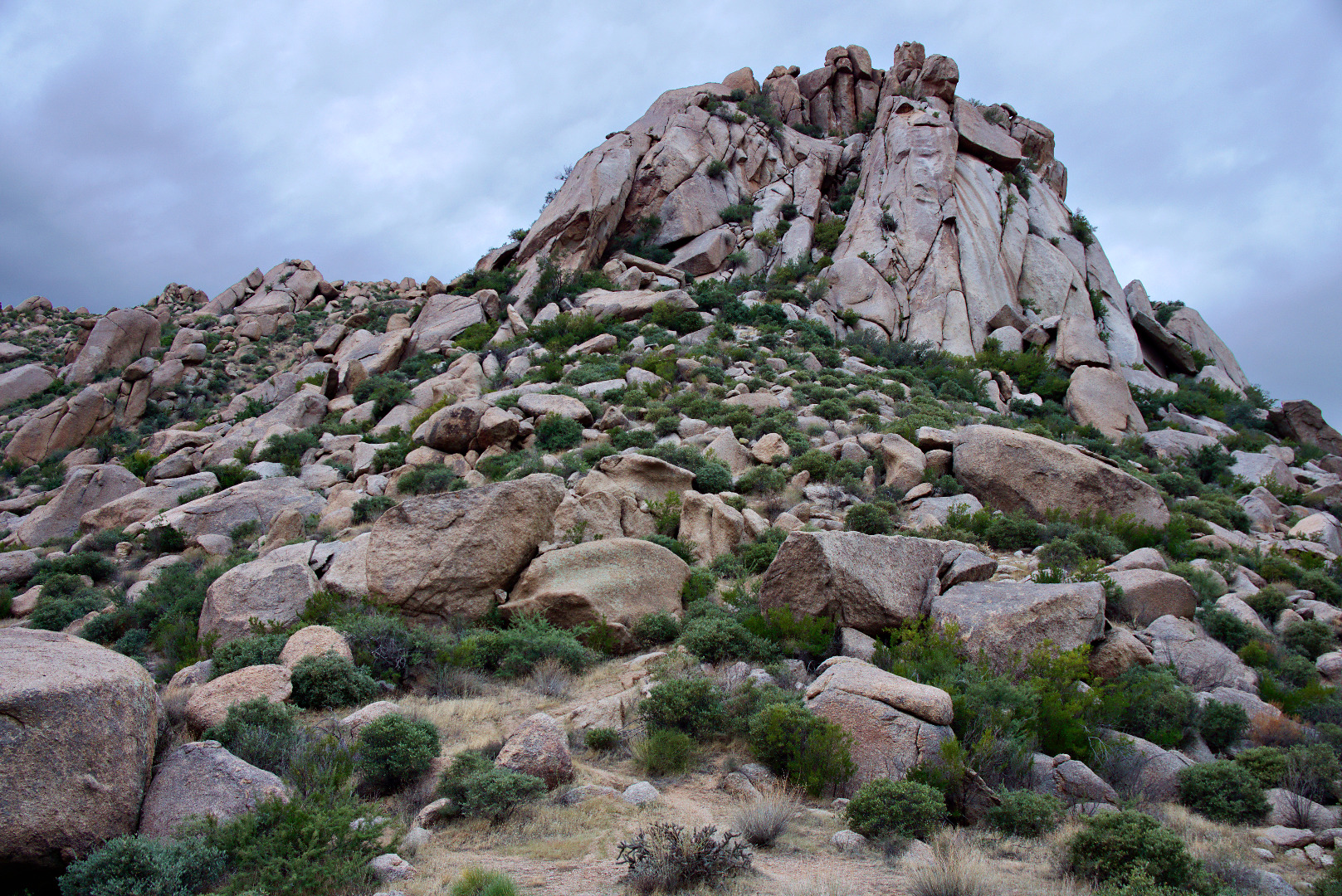
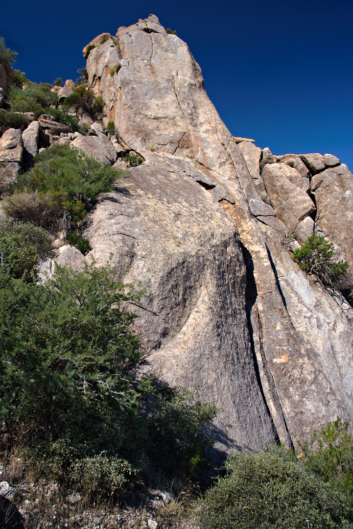
This is the Main Wall at Hog Heaven.

2013-09-27-DSC09848-medium

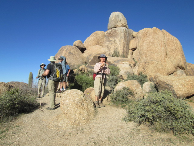
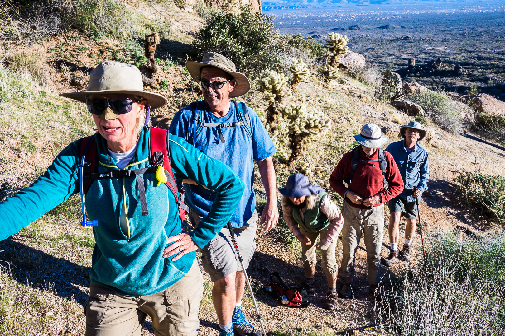
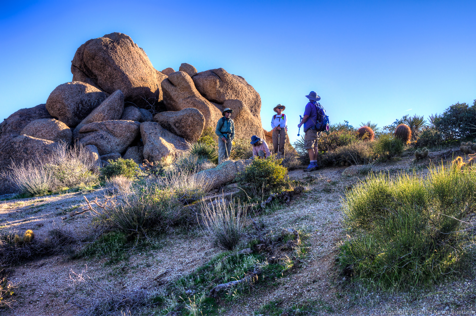
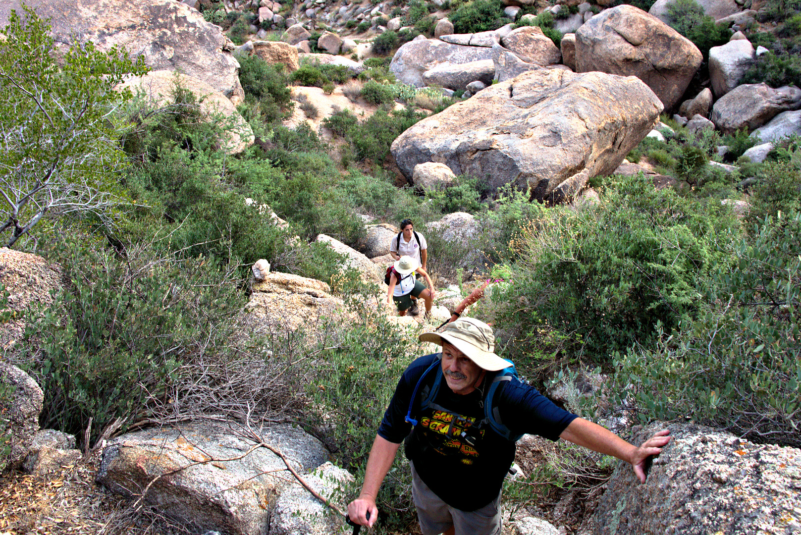
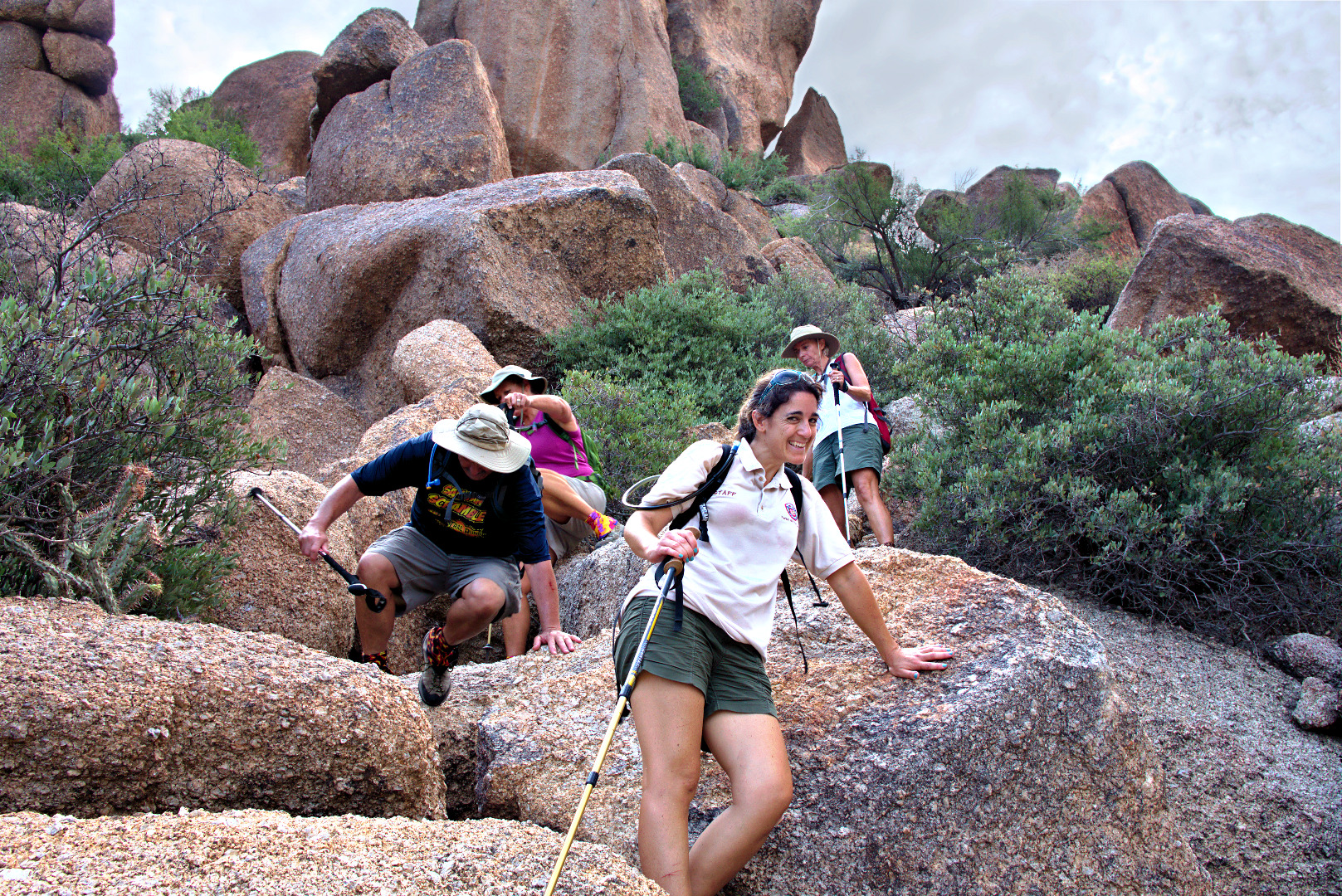
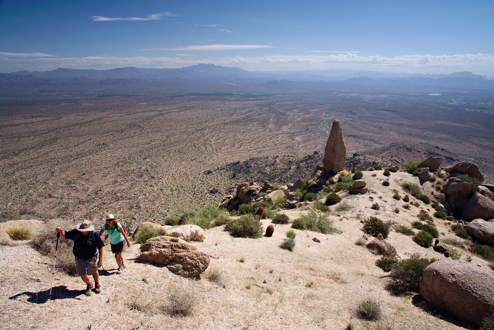
Bob and Linda make their way up the trail past Hog Heaven.

2013-09-27-DSC09885-medium

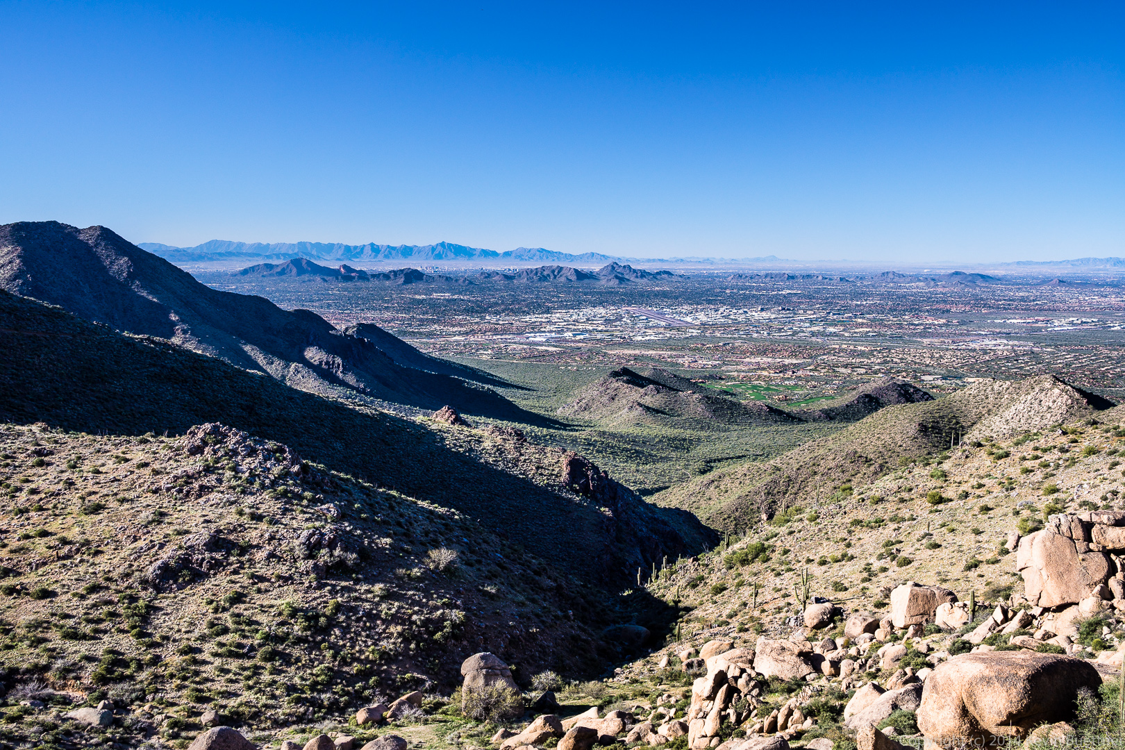
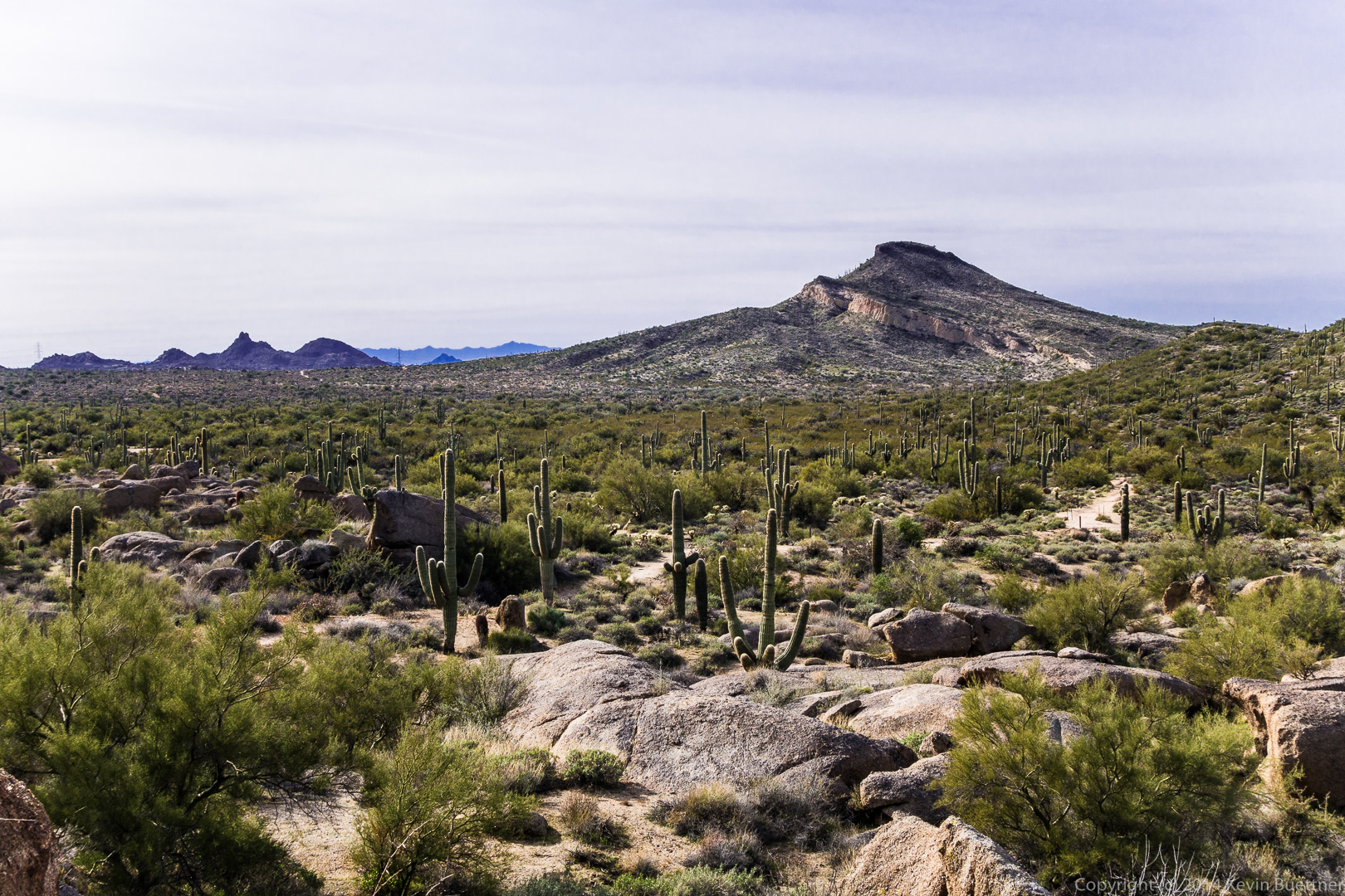
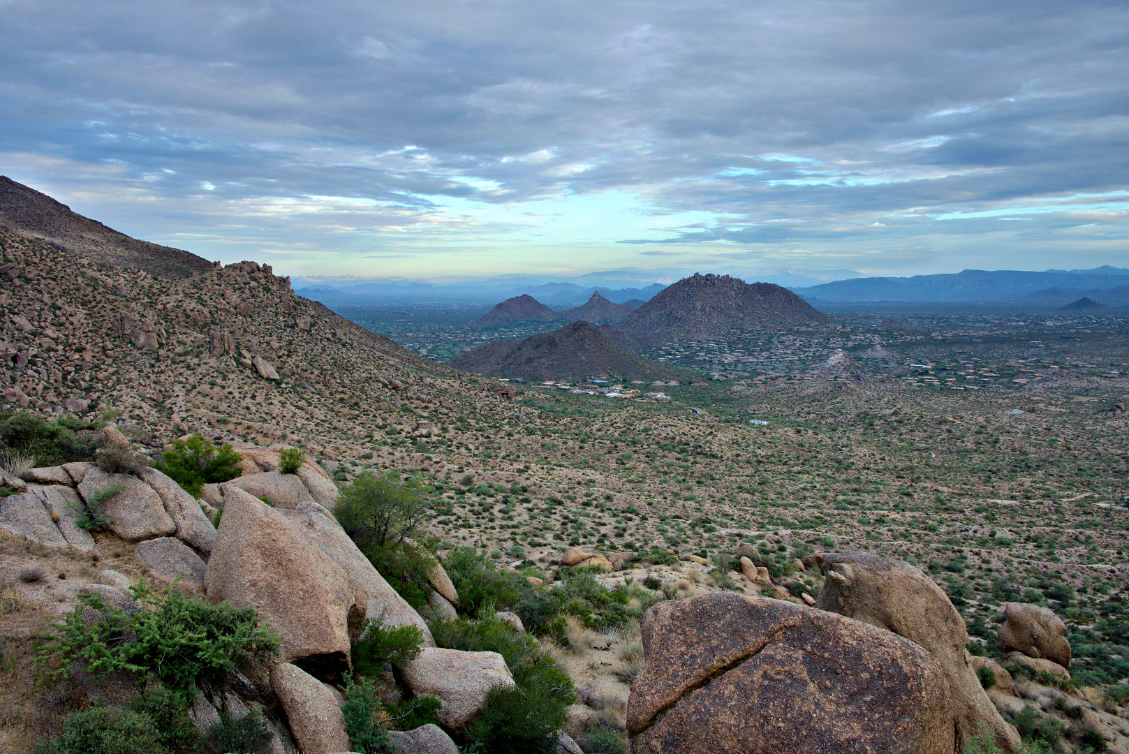
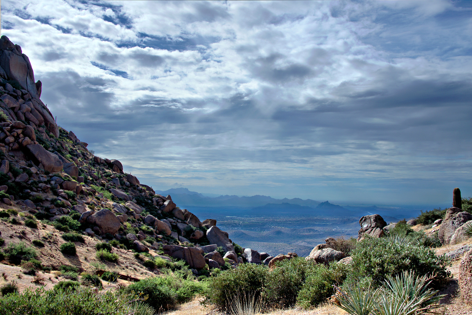
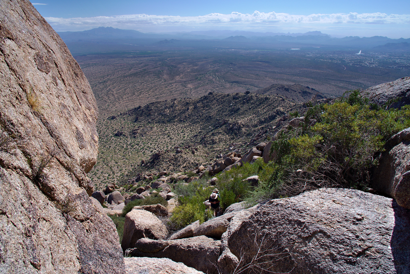
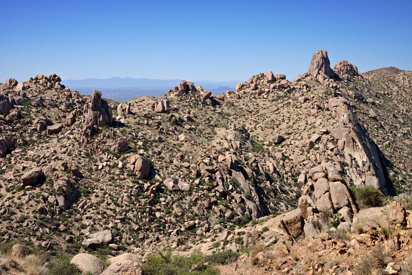
A wide-angle view from partway up the ascent adjacent to Hog Heaven.  The wall is quite tall – it took us a while to get above it.  The Fountain (in Fountain Hills) can be seen in the right hand corner of this photo.

2013-09-27-DSC09891-medium

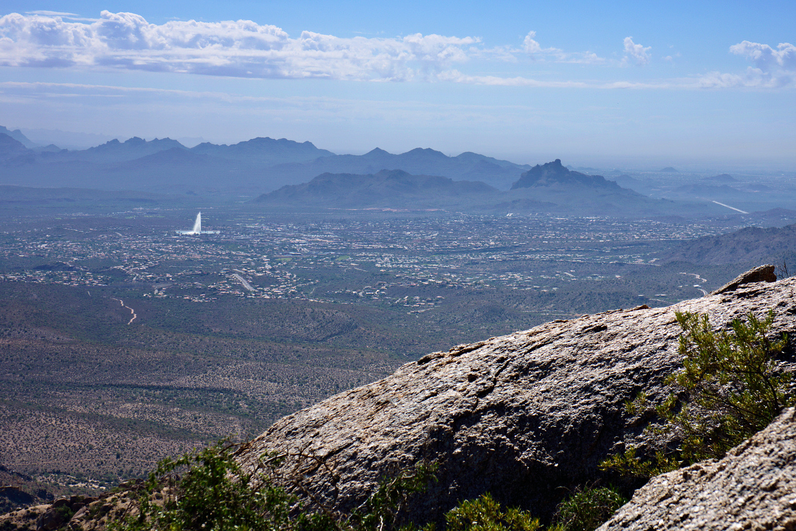
Another view of the Fountain.  Red Mountain can be seen in this photo too.

2013-09-27-DSC09897-medium

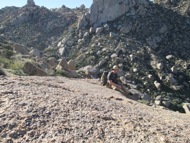
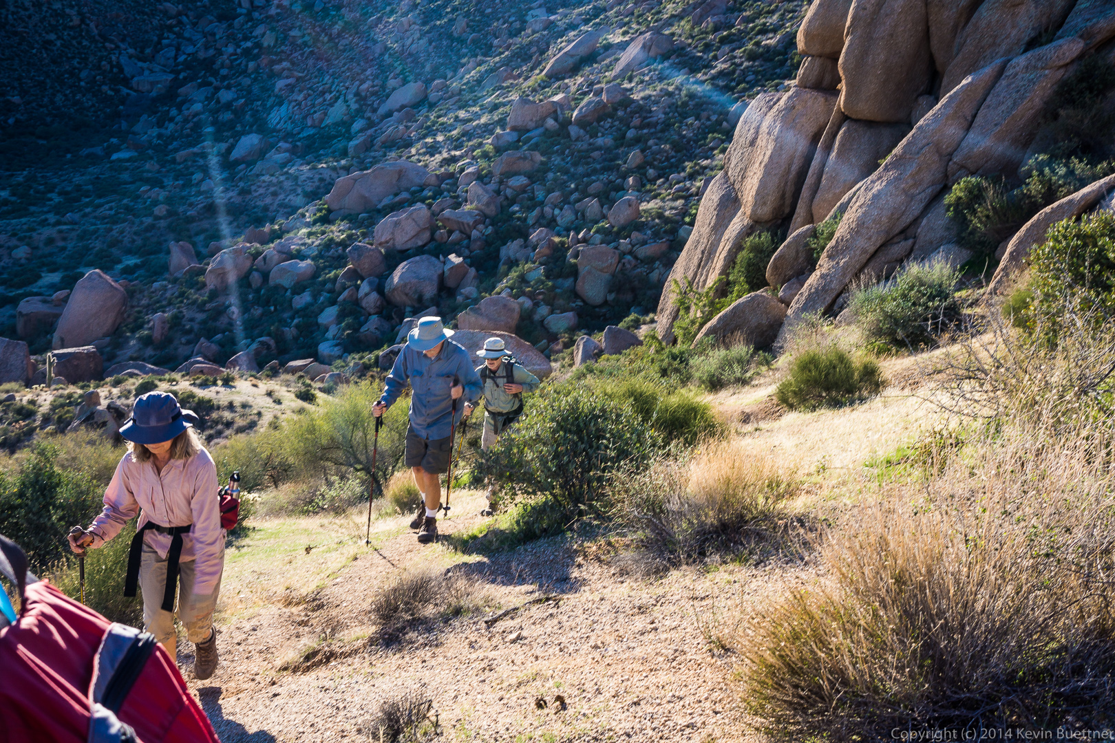
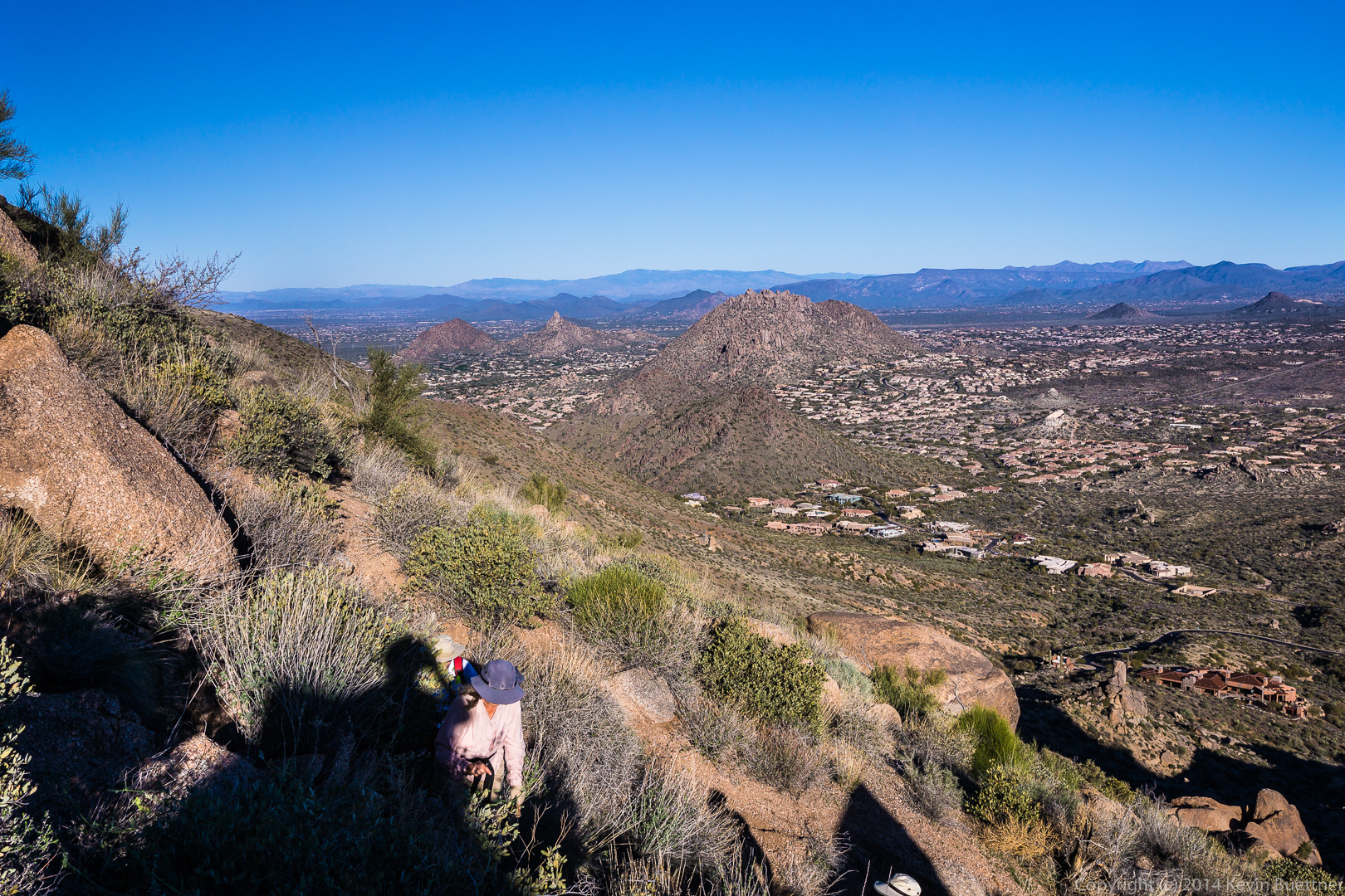
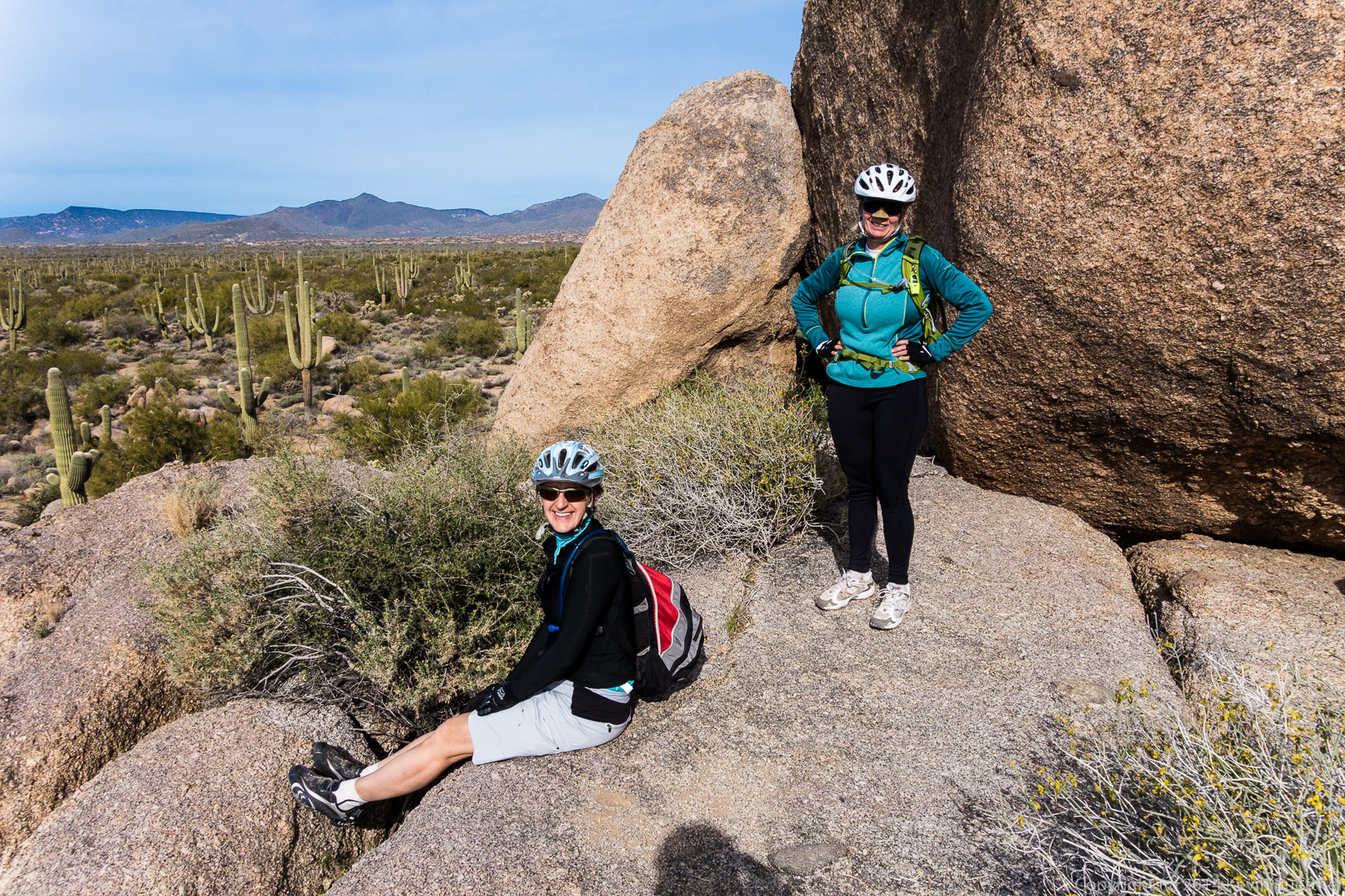
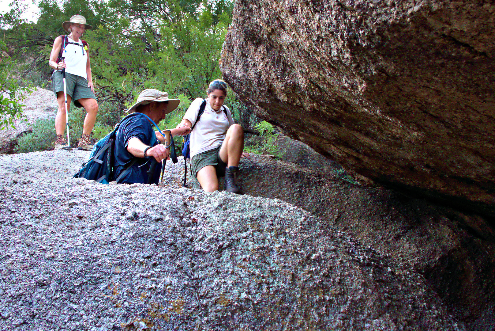
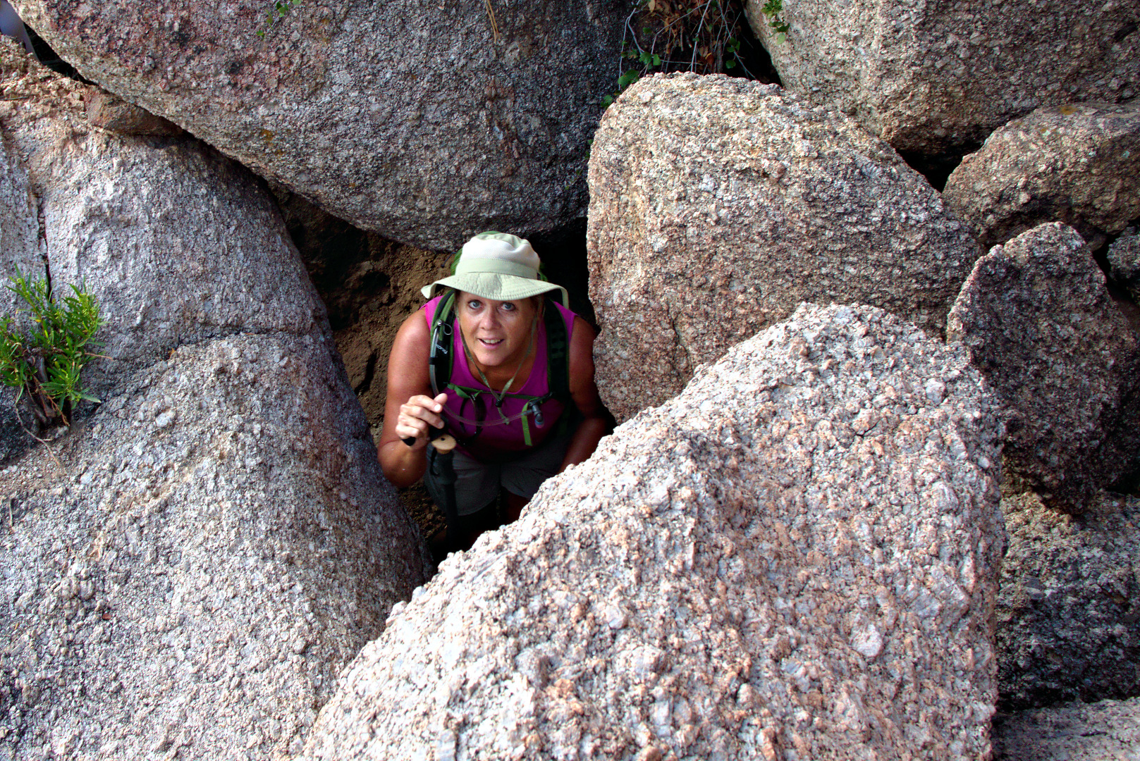
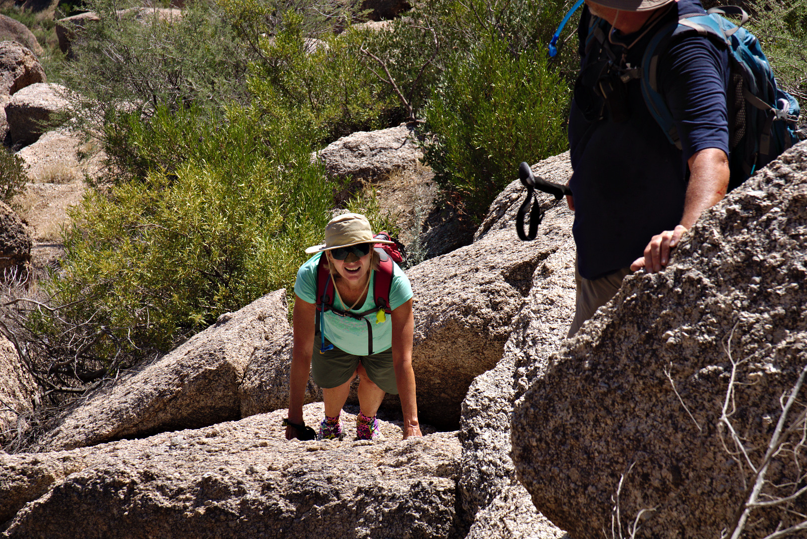
Linda scrambles up some more rocks.

2013-09-27-DSC09906-medium 
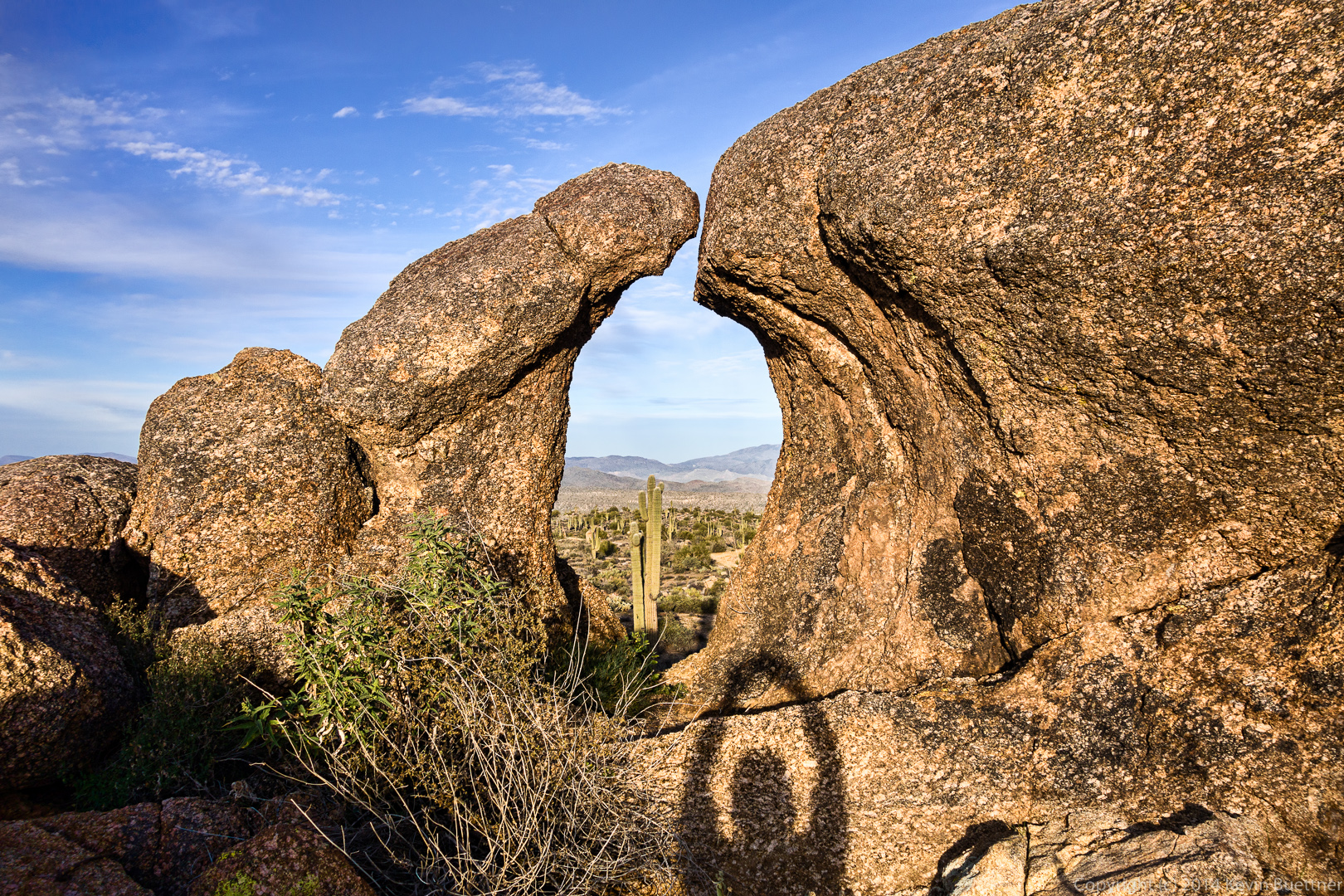
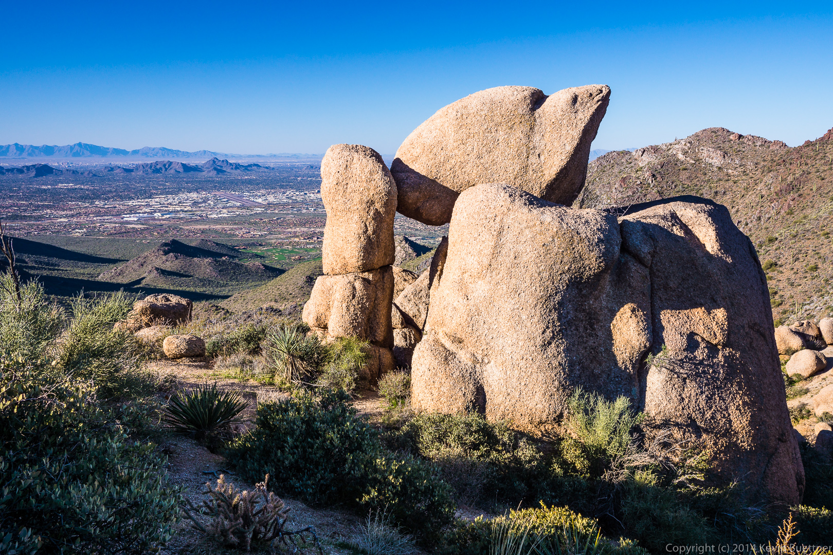
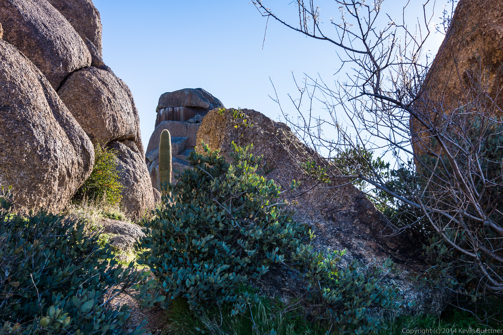
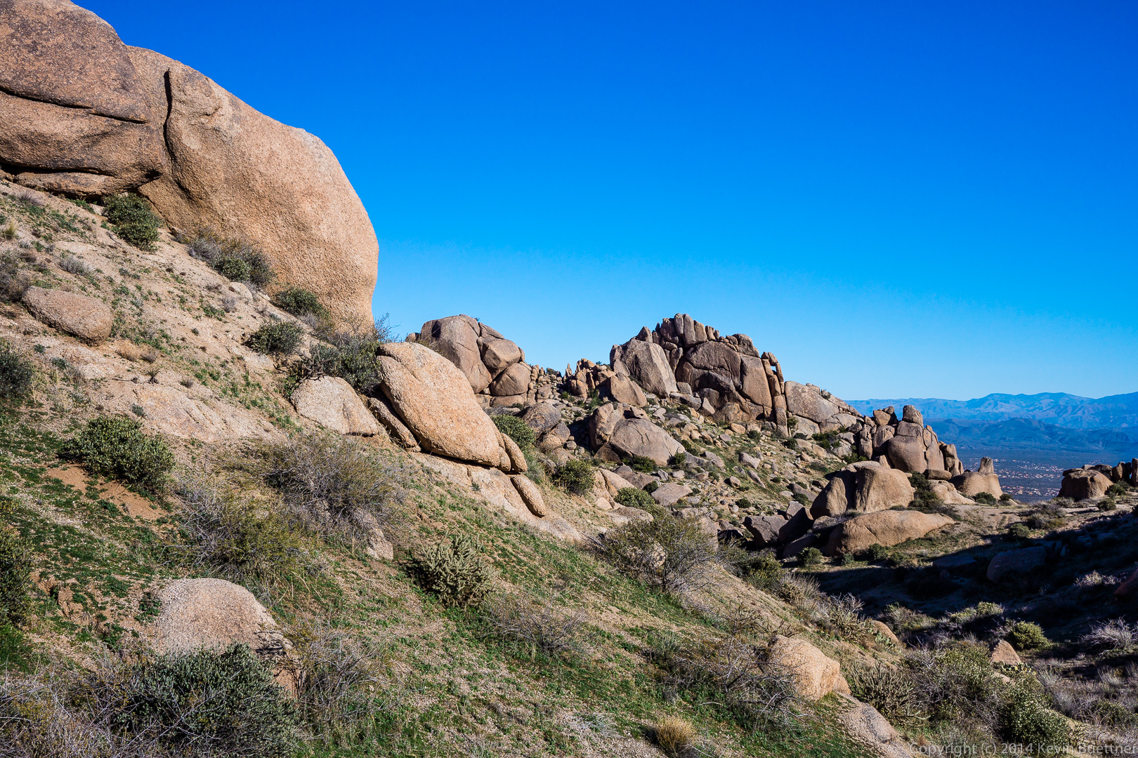
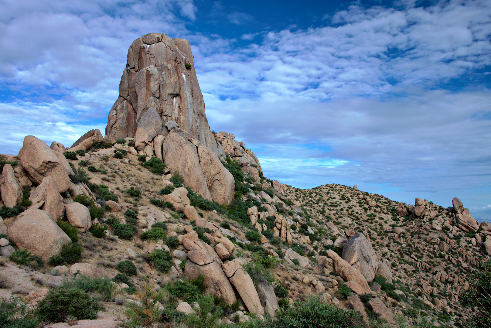
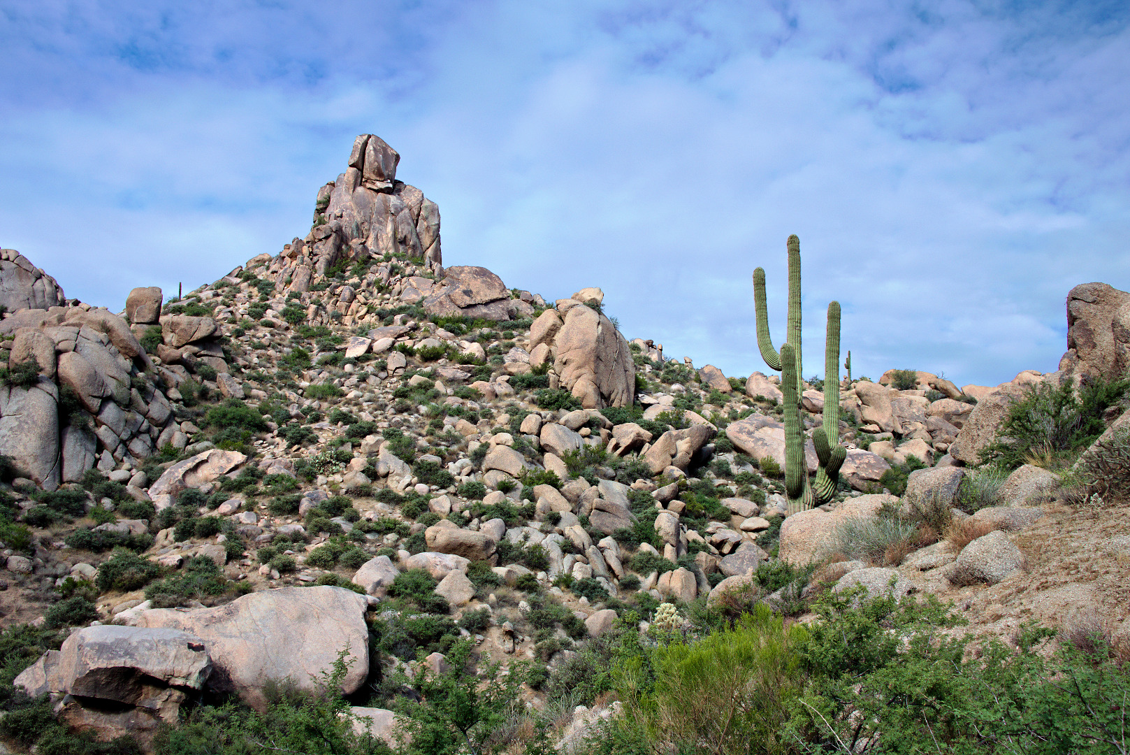
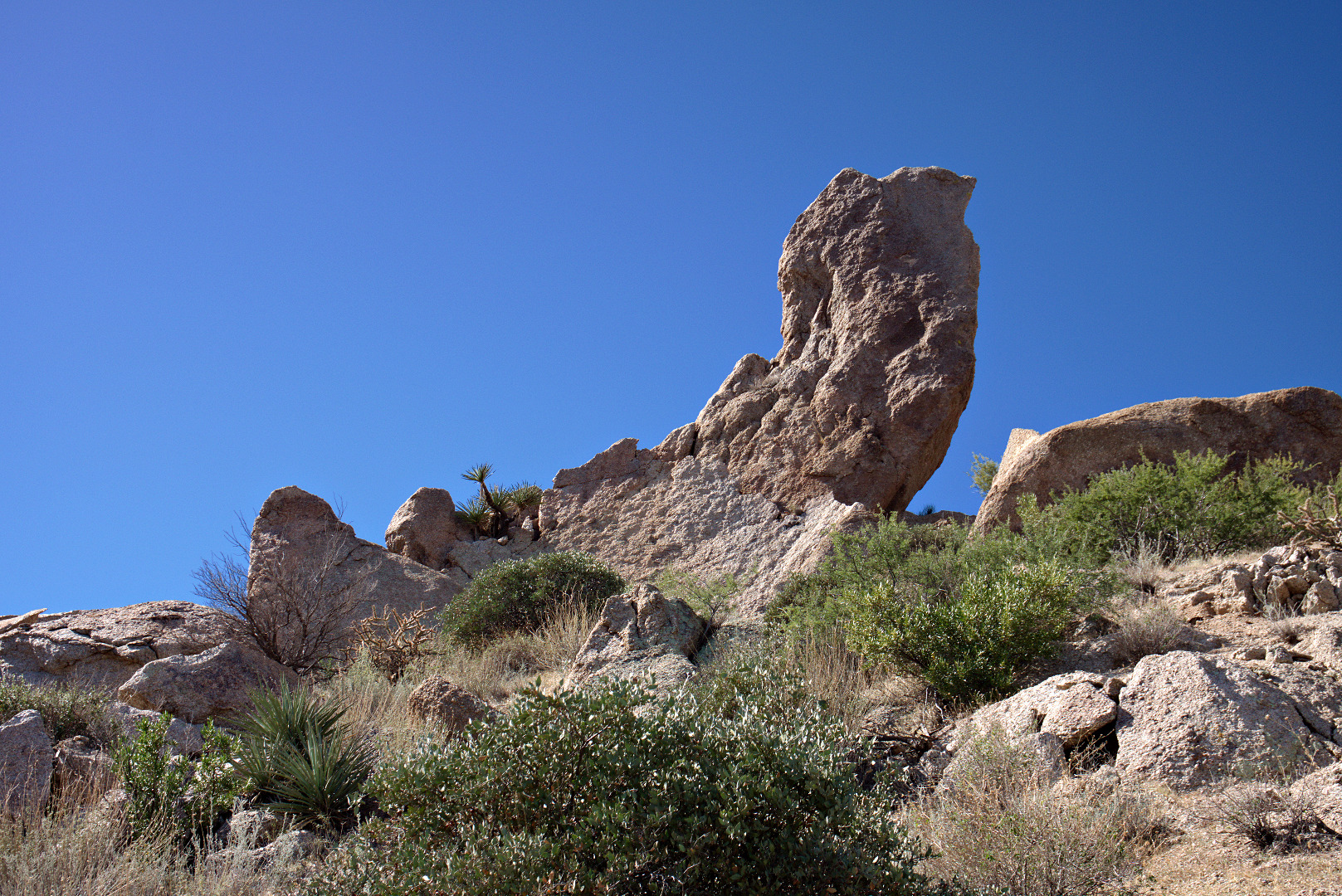
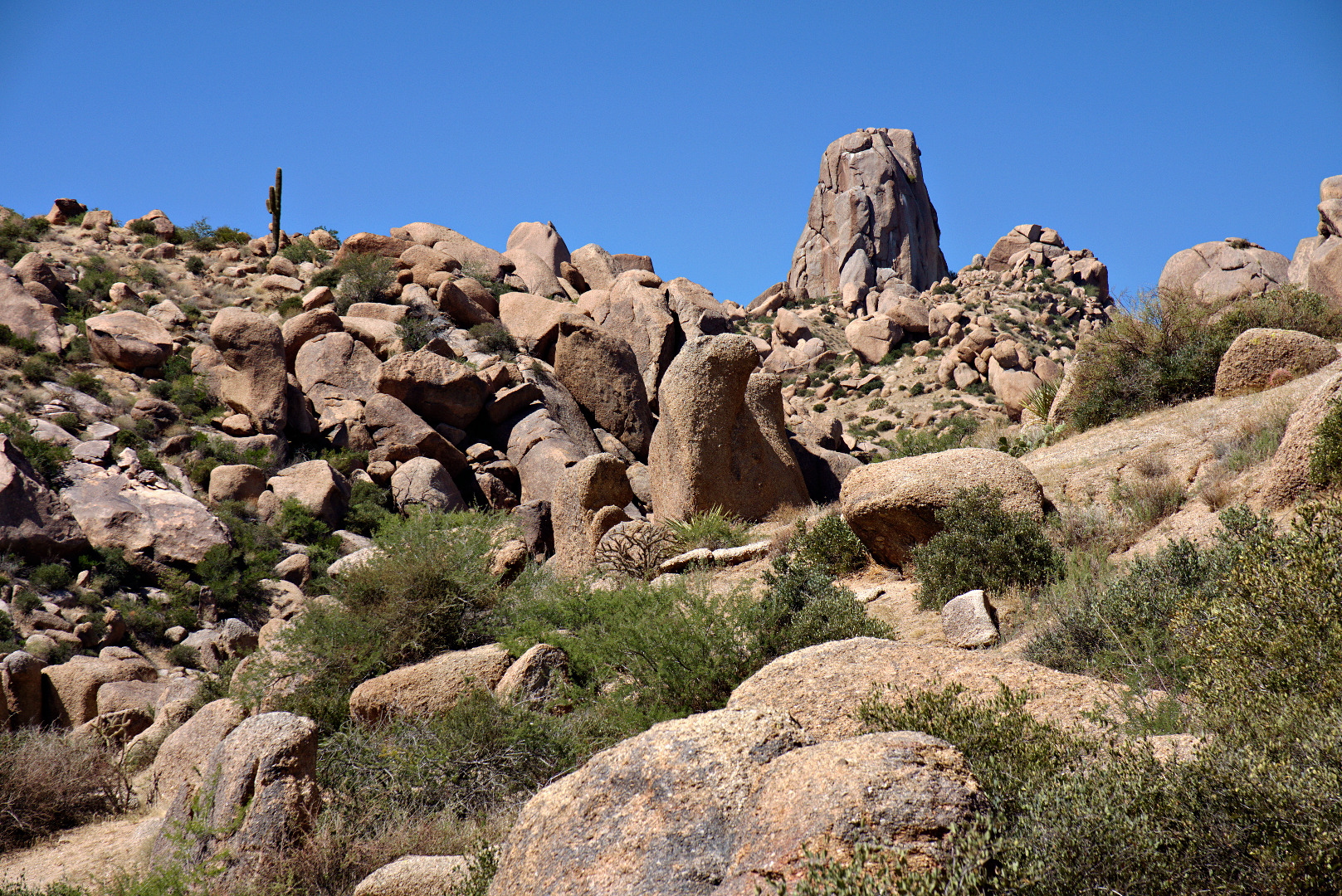
A view of the Thumbnail Pinnacle from below.

2013-09-27-DSC09909-medium
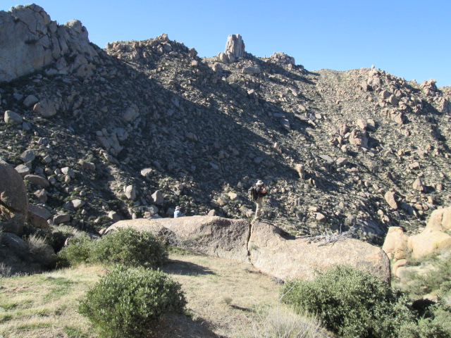
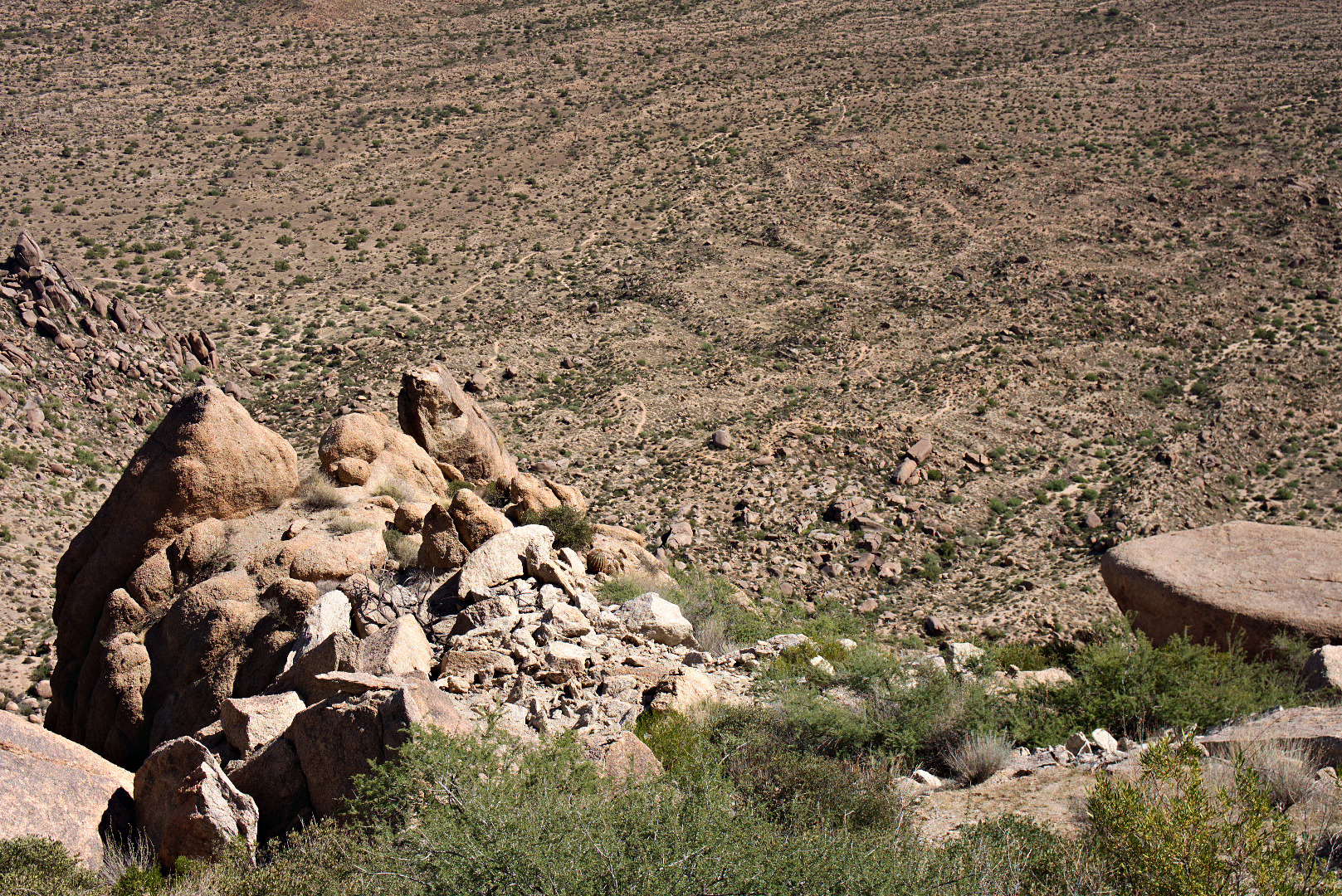
A view looking down at the top of Hog Heaven.  Further below, part the Marcus Landslide slide mass, is a large boulder known as Submarine Rock.
2013-09-27-DSC09915-medium
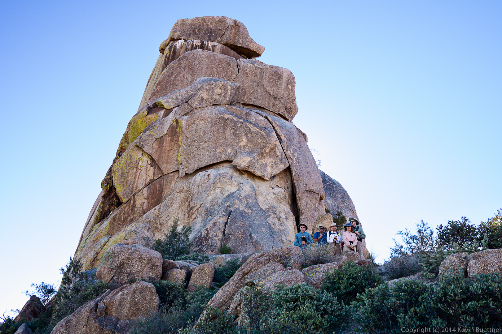
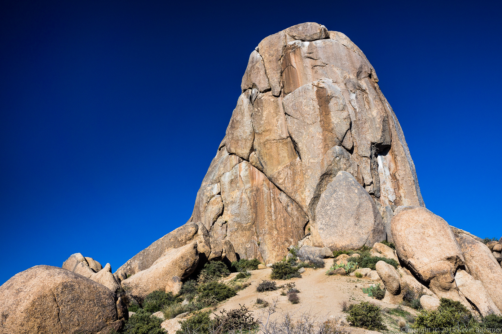
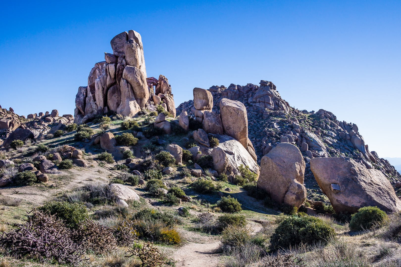
A view looking up at the Thumbnail Pinnacle.  I happened to be there at just the right time of day so that I could get the upper part of the pinnacle to partially block the sun.

2013-09-27-DSC09933-medium
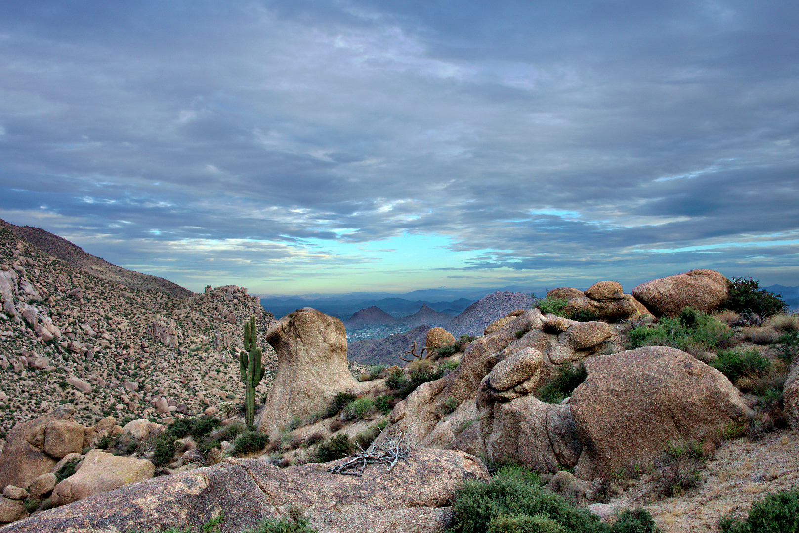
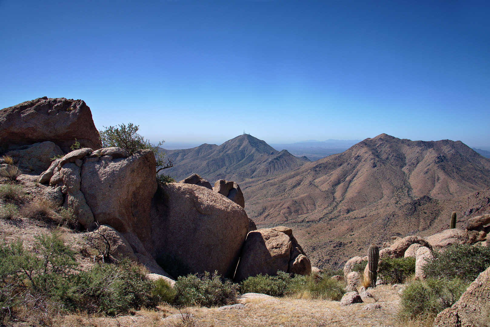
Once we got to the Thumbnail Pinnacle we were afforded new views to the east.  Thompson’s Peak (with the antenna towers) is visible in the photo below.

2013-09-27-DSC09945-medium
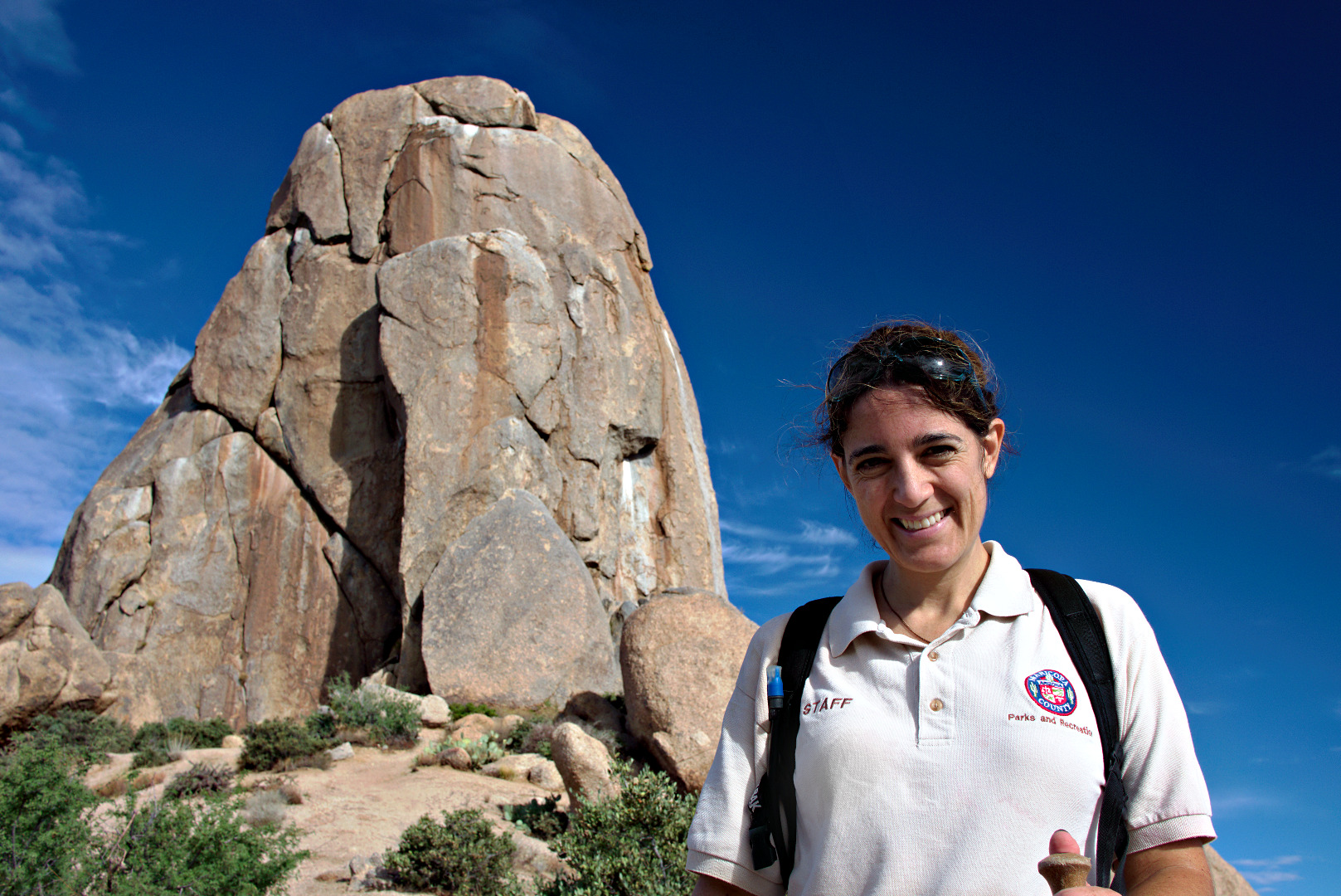
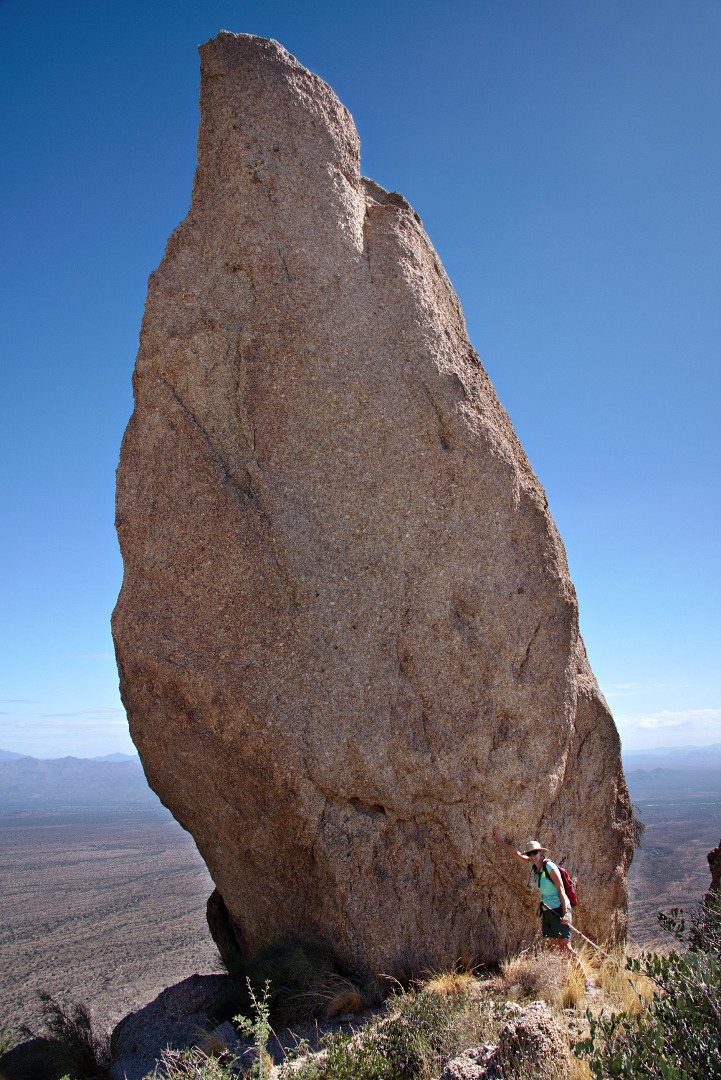
Linda, standing next to the Thumbnail Pinnacle.  It’s surprising how different it looks depending upon from where it’s being viewed.

2013-09-27-DSC09948-medium
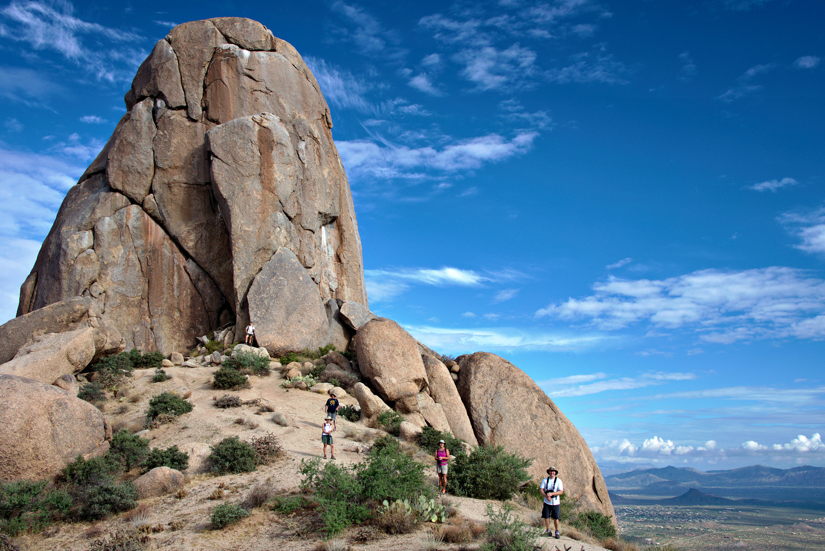
Getting to the Thumbnail Pinnacle was a goal, but there was more uphill ahead of us.  This photo below, looks back at the Thumbnail Pinnacle, before we went over the ridge blocking our view of it.

2013-09-27-DSC09975-medium 
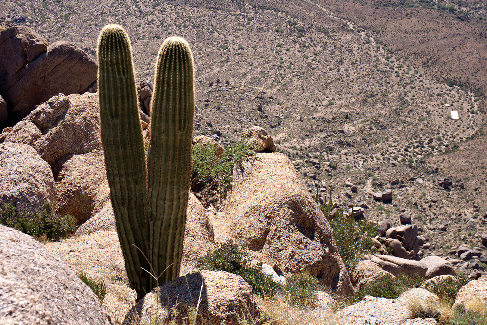
A double saguaro!  And… it’s a long way down!

2013-09-27-DSC09993-medium
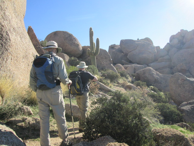
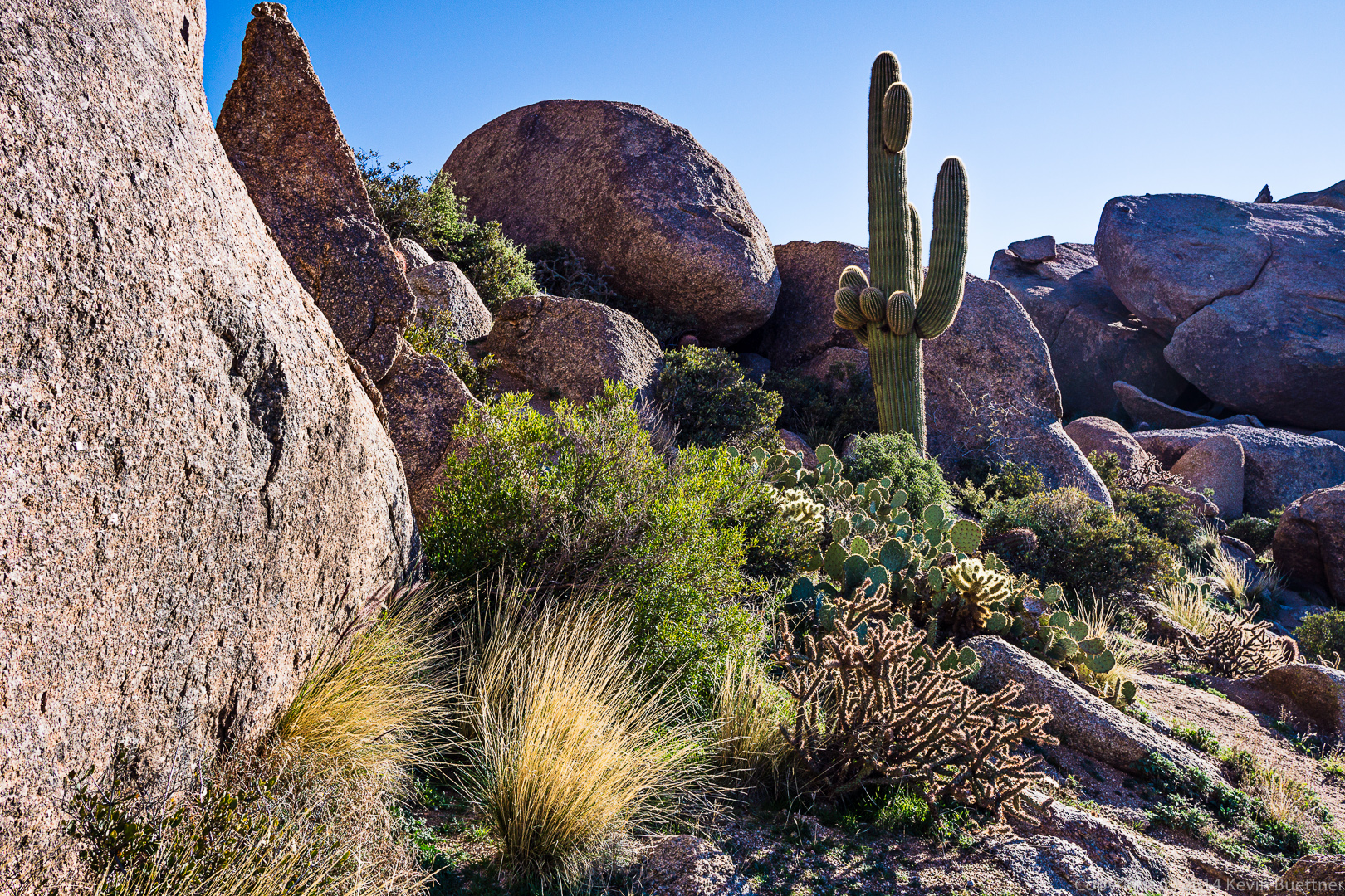
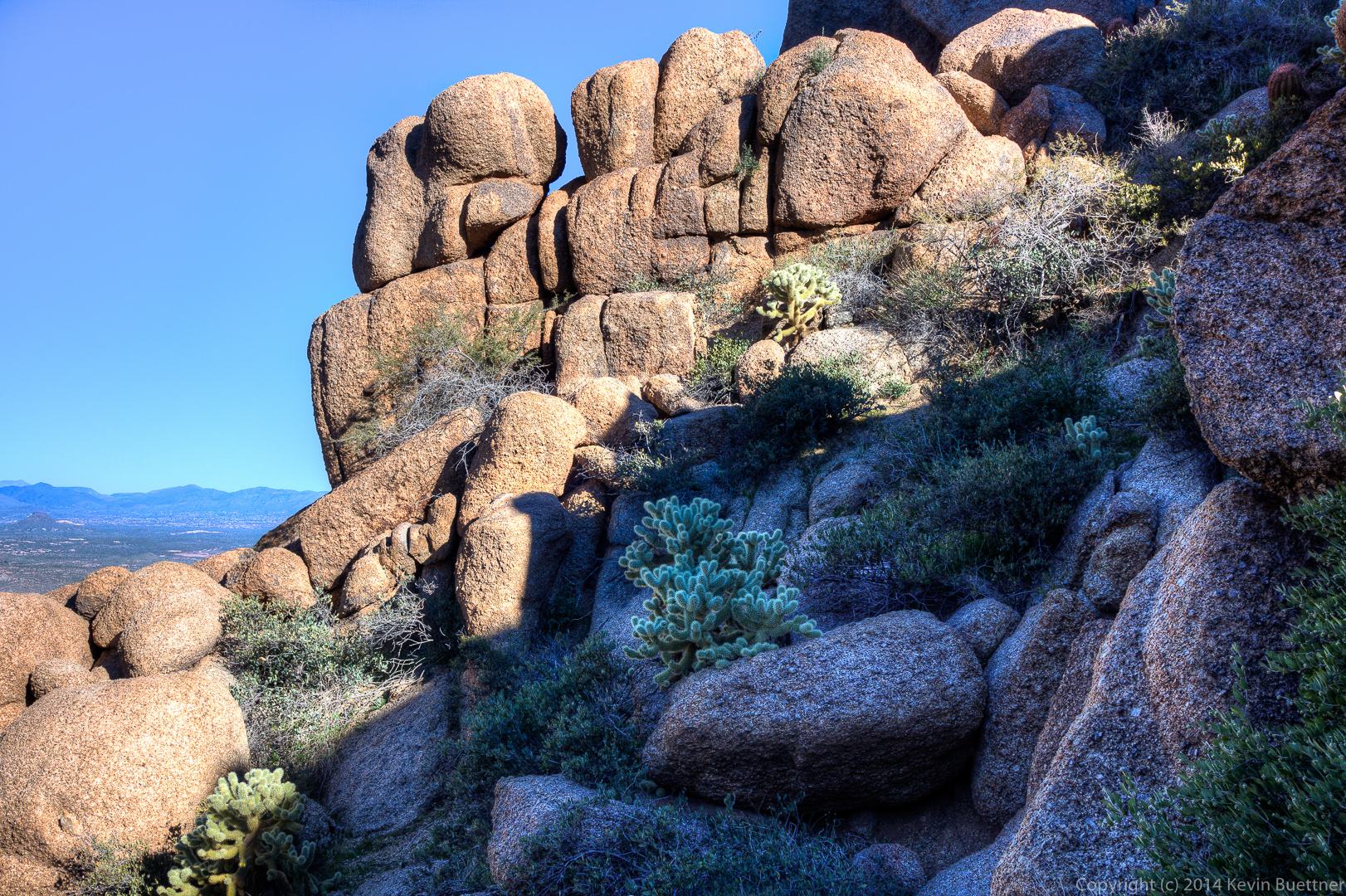
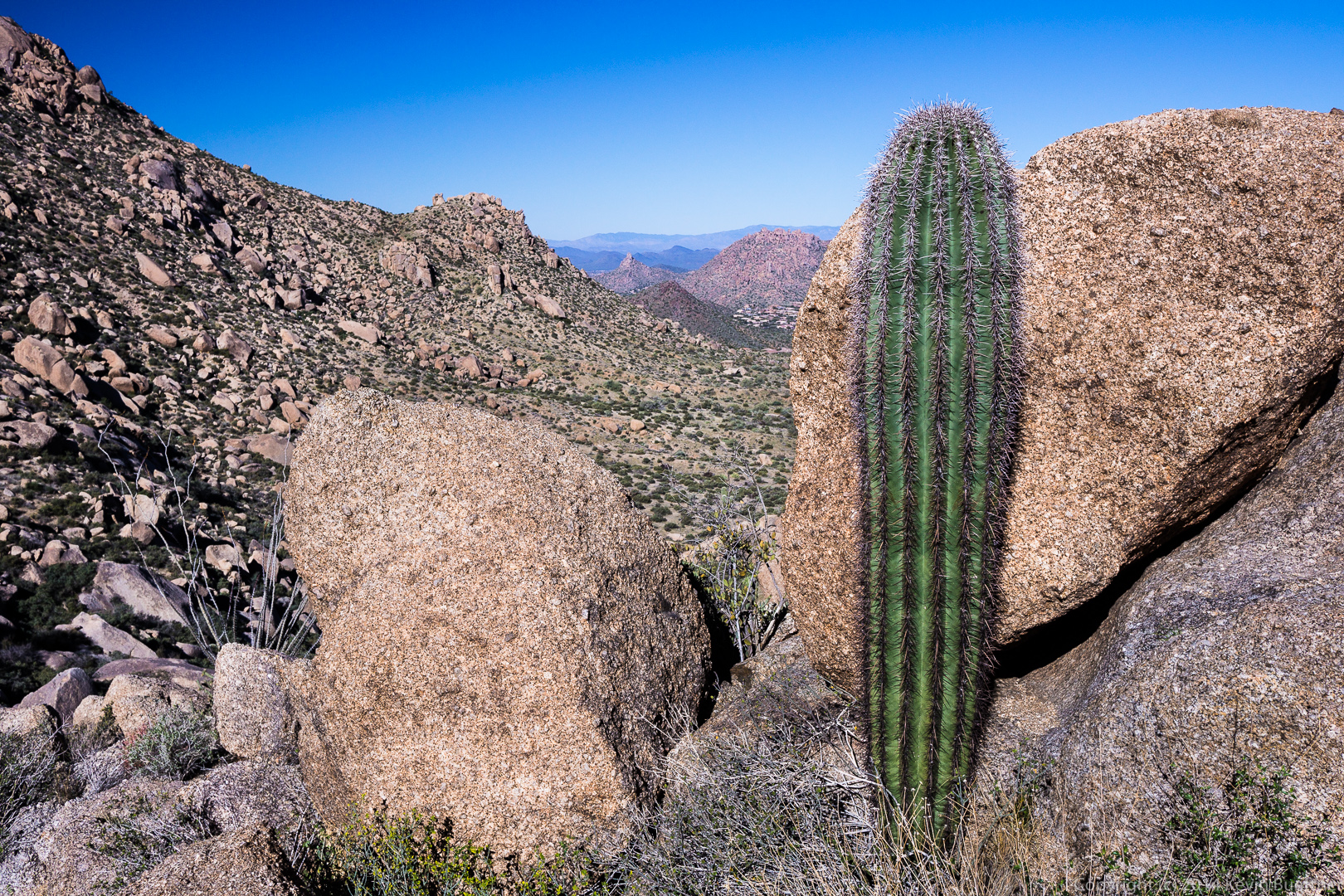
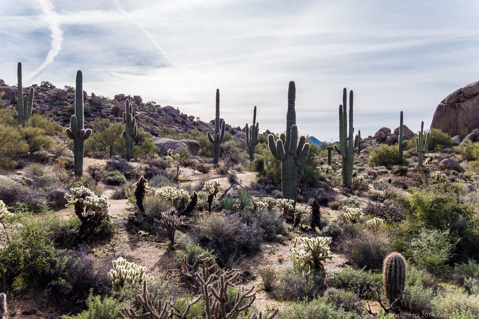
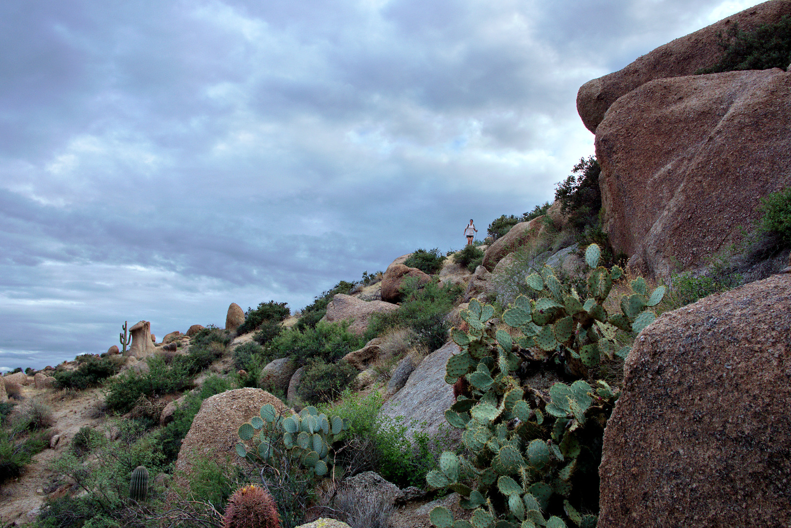
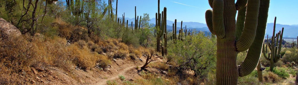
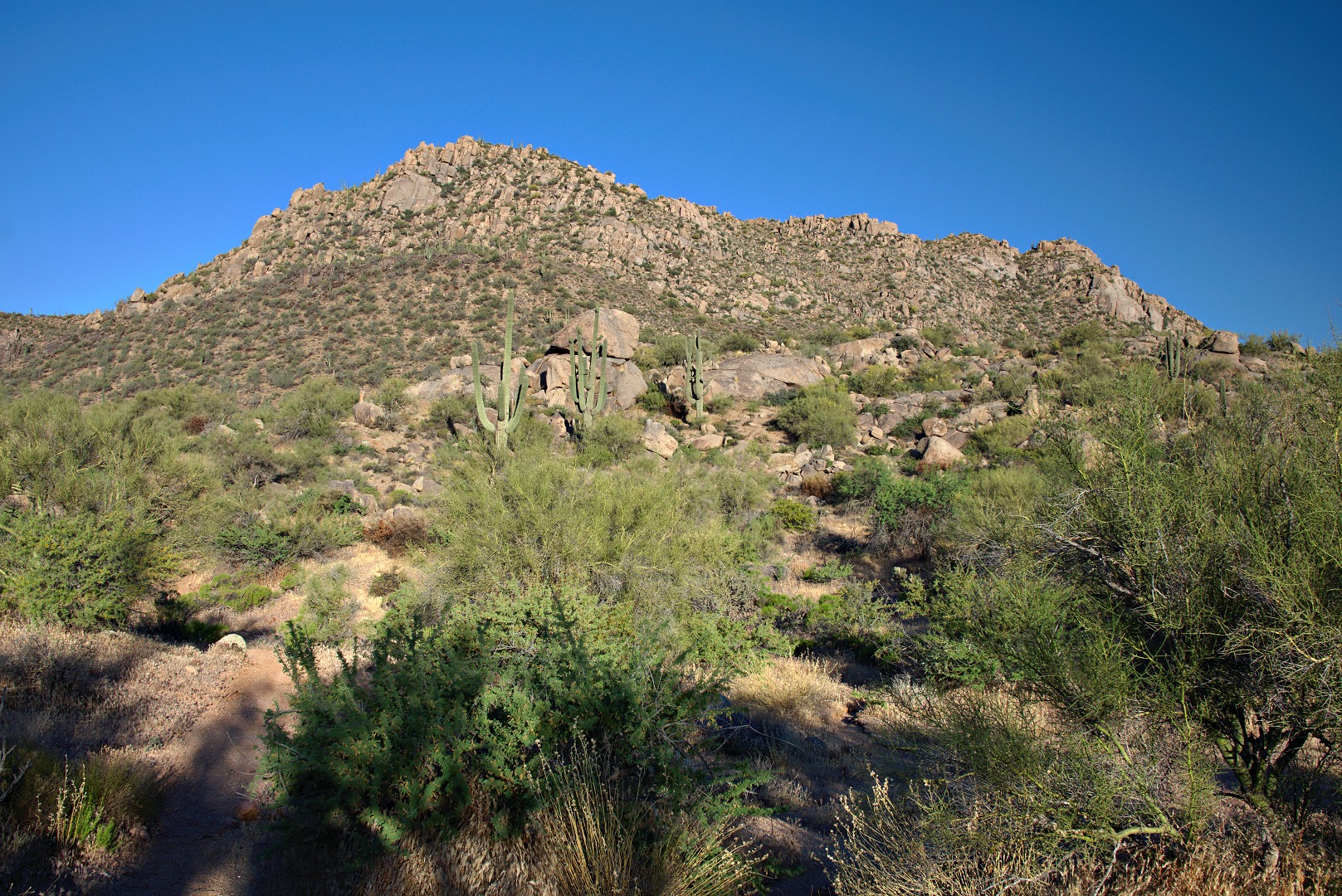
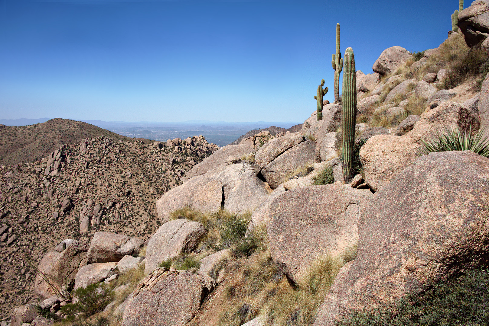
More saguaros upon the boulder encrusted ridge.  The trail lead over and around some of these boulders.

2013-09-27-DSC09999-medium


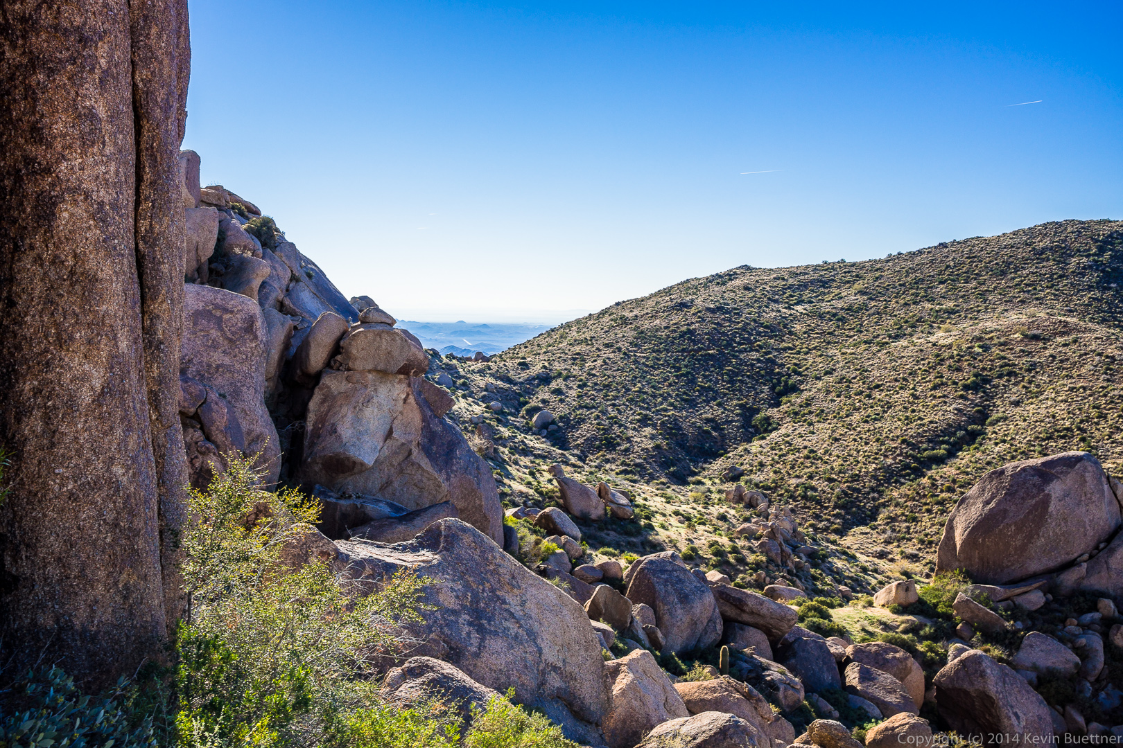
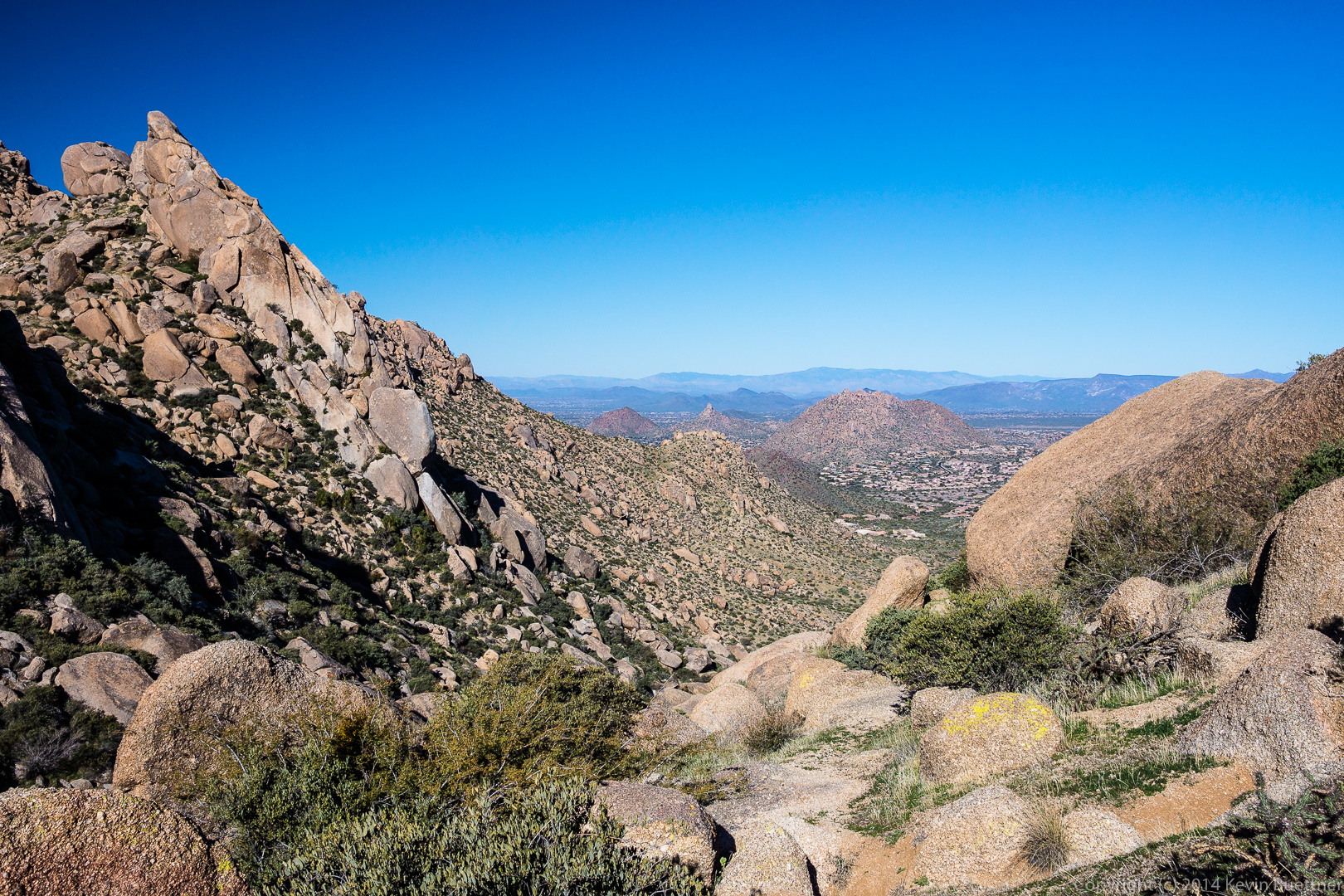
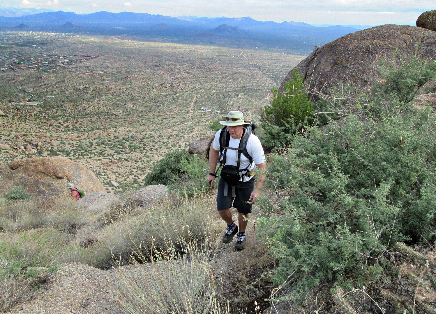
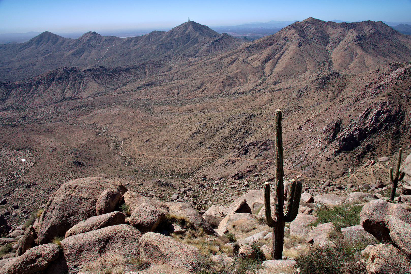
Looking back towards Thompson Peak.  The East End Trail can be seen far below.

2013-09-27-DSC00009-medium

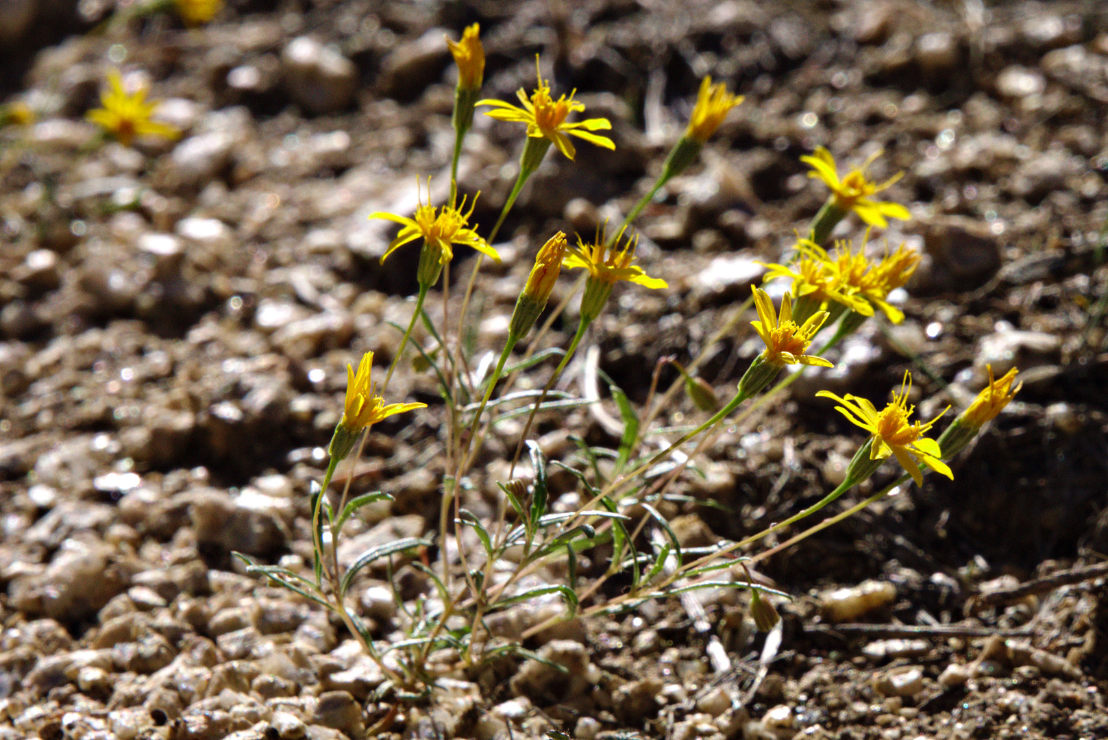
We saw some very tiny yellow flowers.  Each flower was smaller than my pinkie fingernail.

2013-09-27-DSC00051-medium

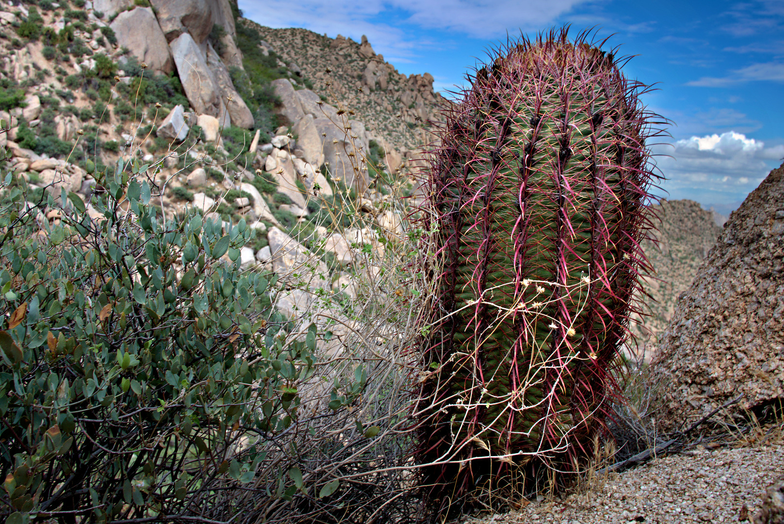
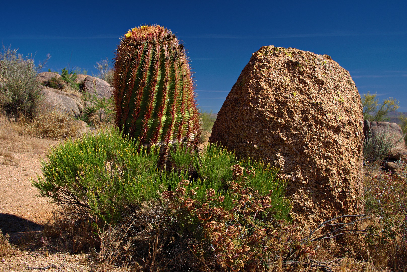
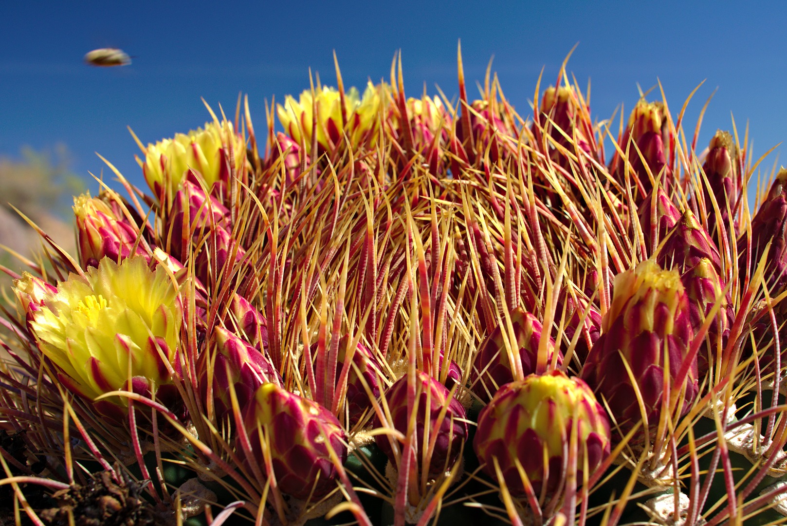
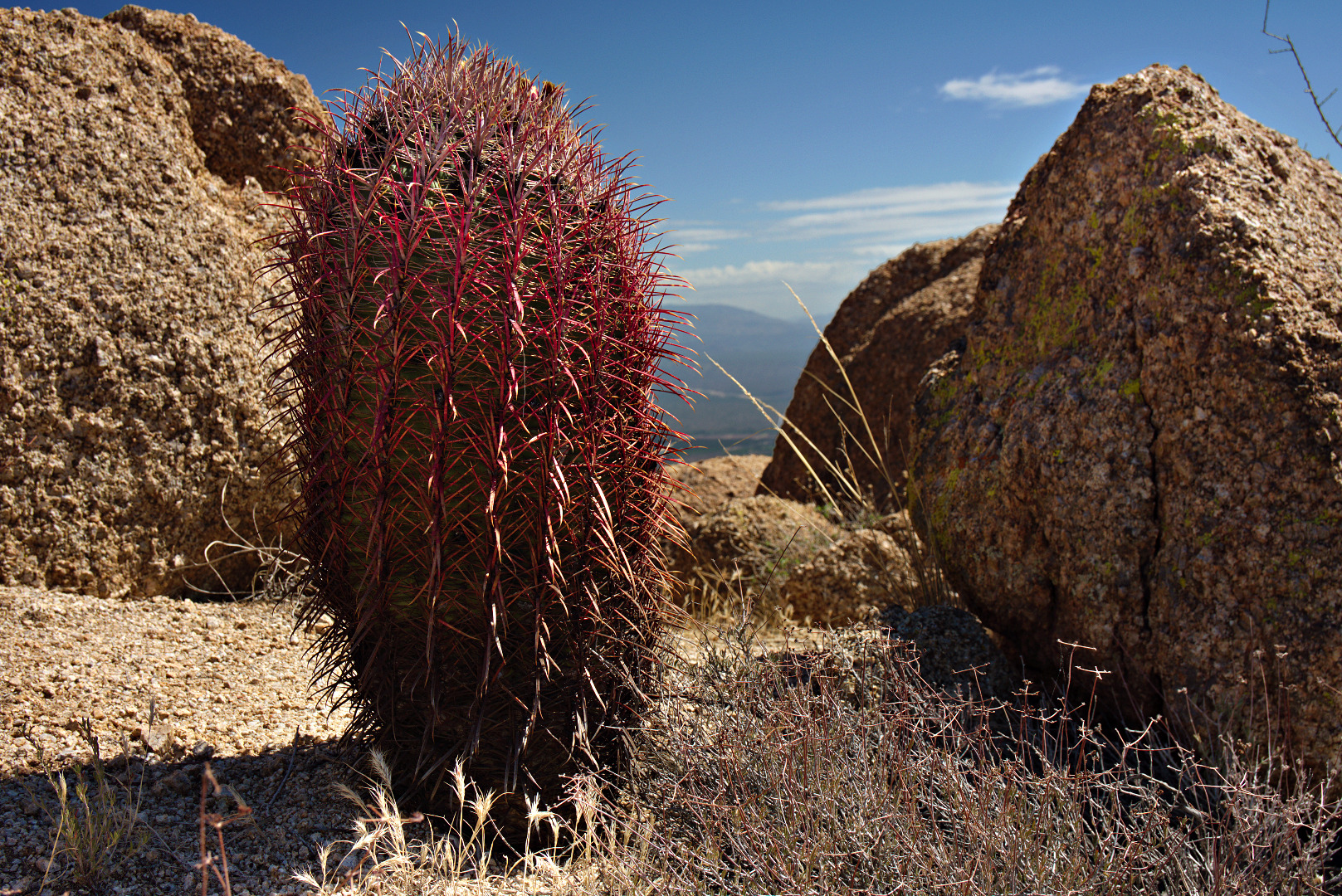
A barrel cactus with extraordinarily red needles.

2013-09-27-DSC00066-medium

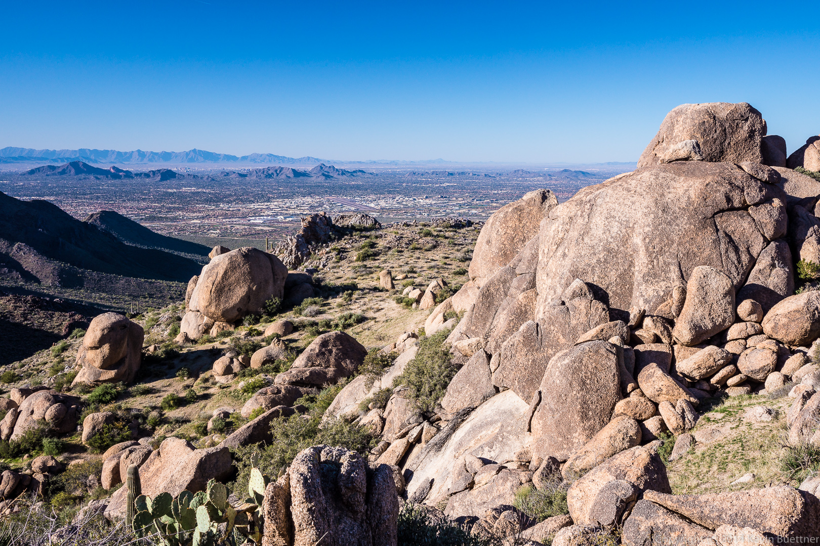
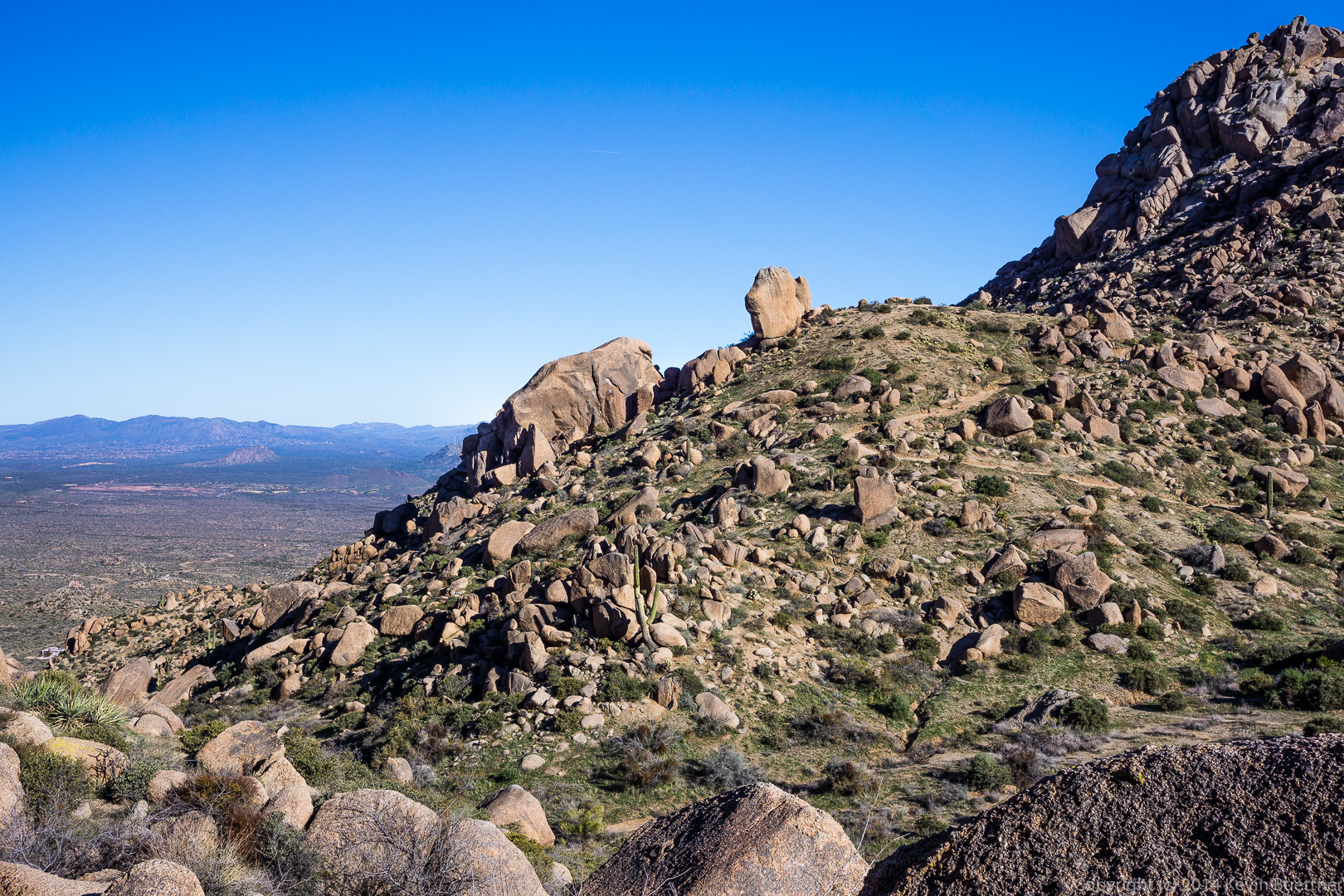
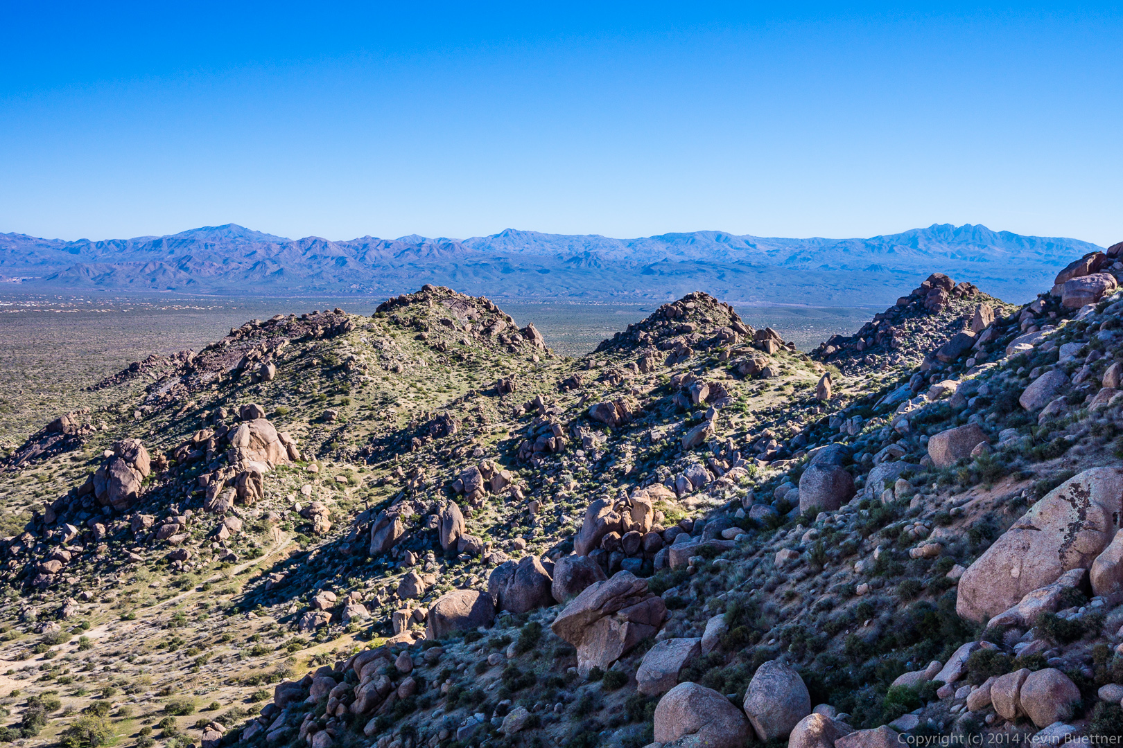
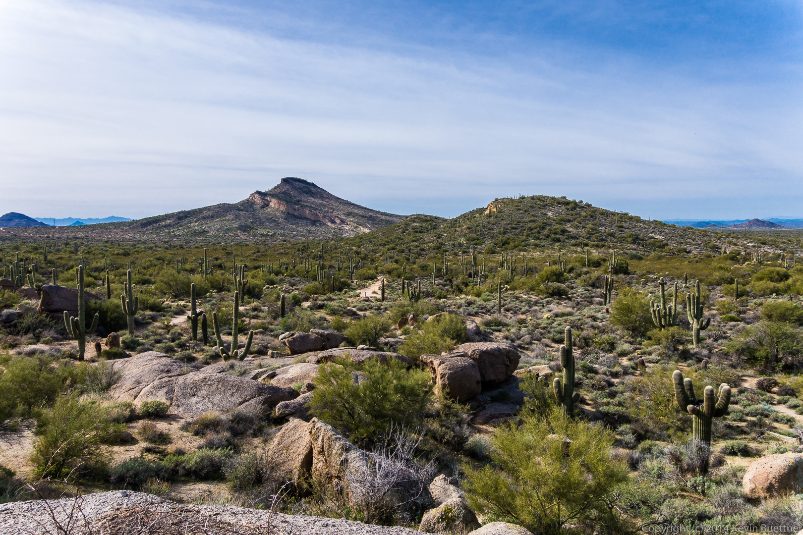
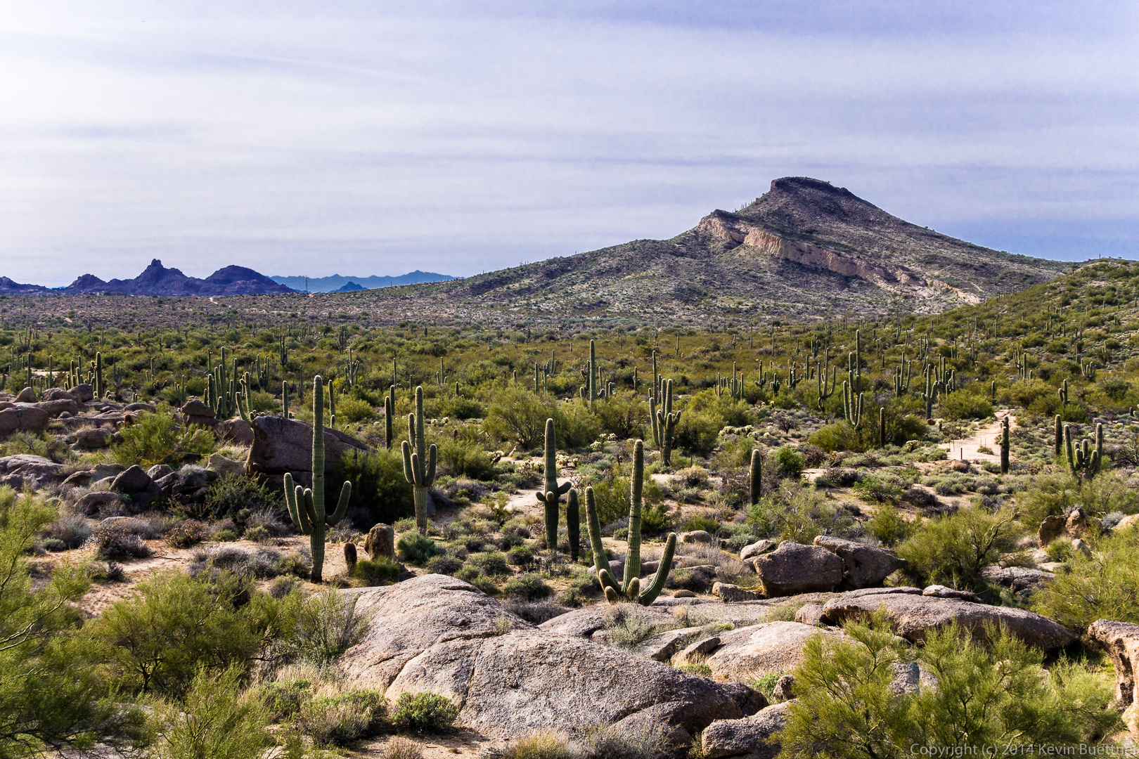
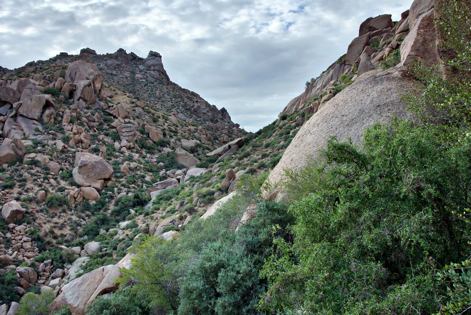
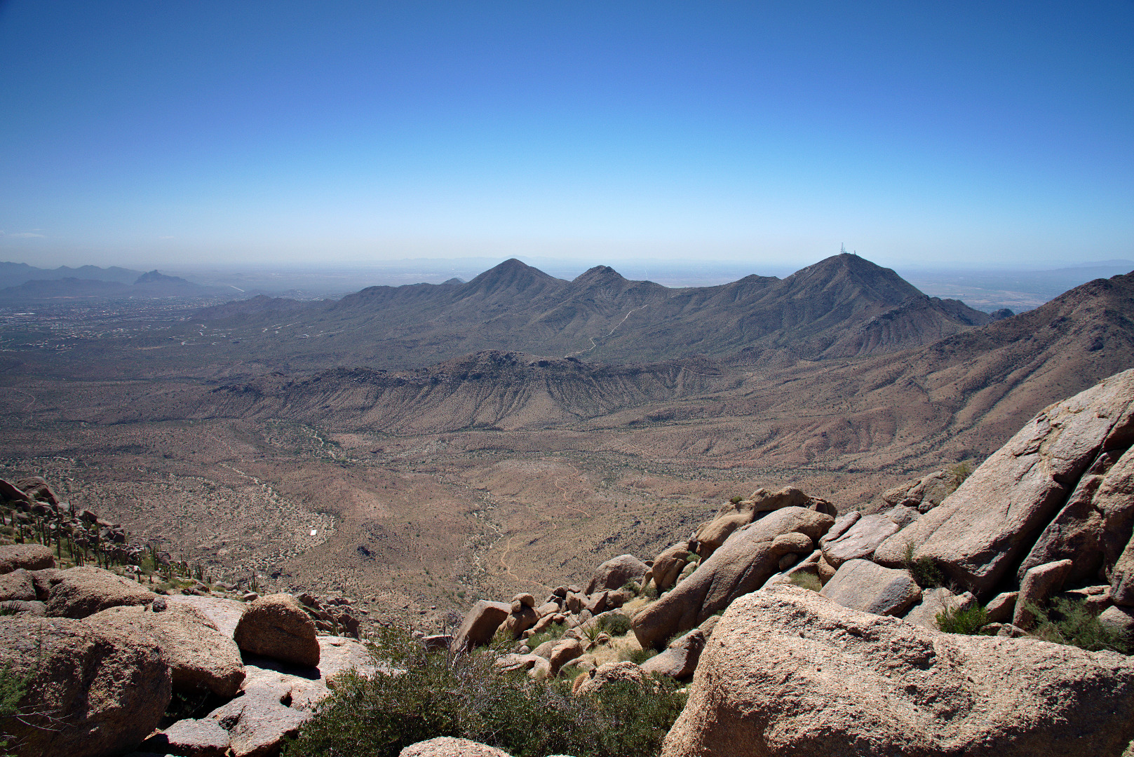
Yet another view to the southeast.

2013-09-27-DSC00081-medium
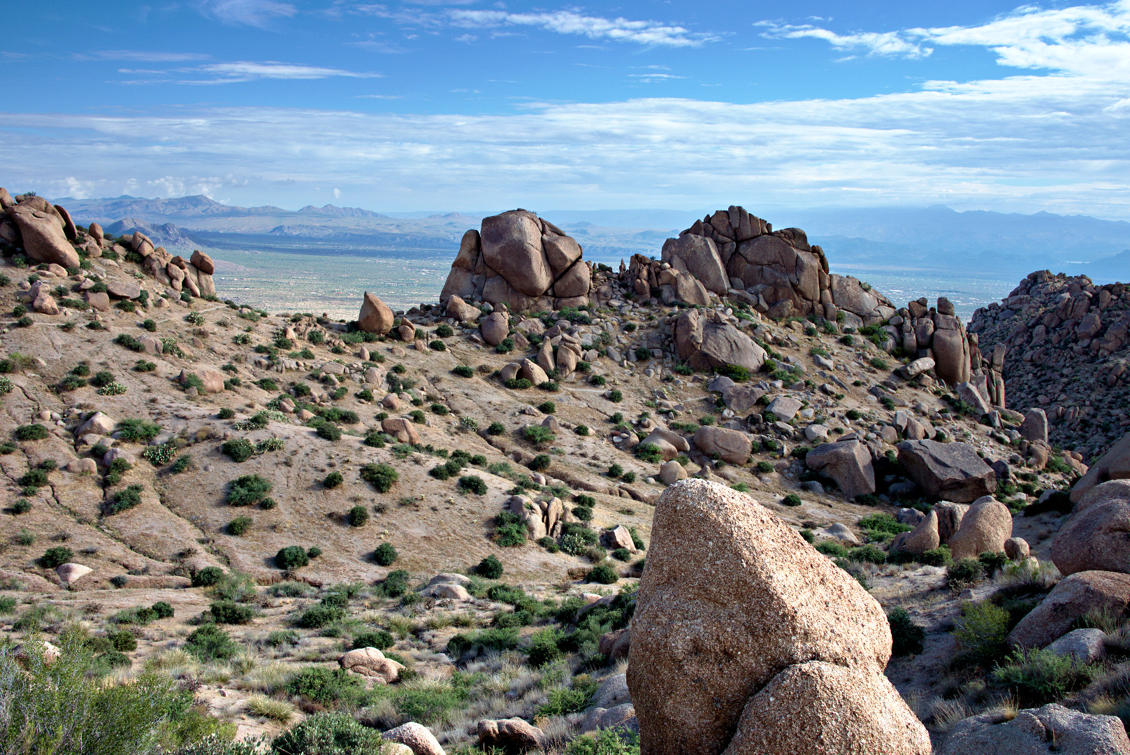
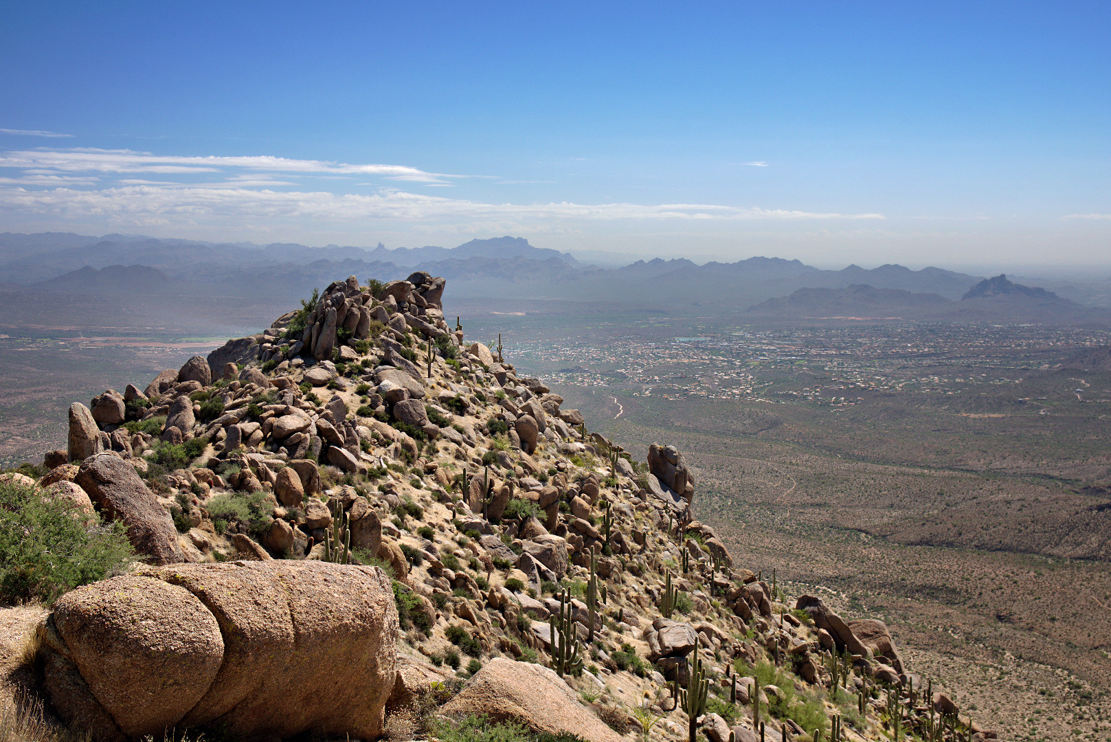
At this point, but behind the camera, we’re approaching the East End, which is the highest point in the McDowells.  This photo, below, looks back at the boulder encrusted ridge that we hiked to get over to this point.  The Thumbnail Pinnacle is not visible from here.  It is below at the left end of this ridge.

2013-09-27-DSC00099-medium A view of Glass Dome, on the left, and Tom’s Thumb on the right.  Gardener’s Wall is below and slightly to the right of Tom’s Thumb in this photo.

2013-09-27-DSC00126-medium

We saw a larger yellow flower as we were descending.

2013-09-27-DSC00147-medium A view of Tom’s Thumb from the Tom’s Thumb Trail.

2013-09-27-DSC00150-medium 
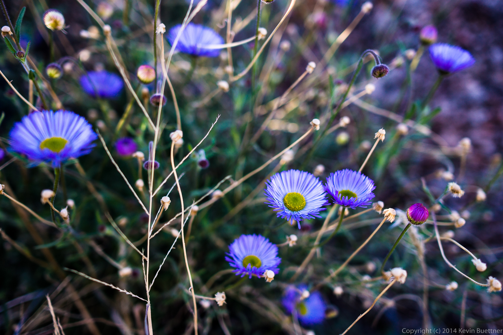
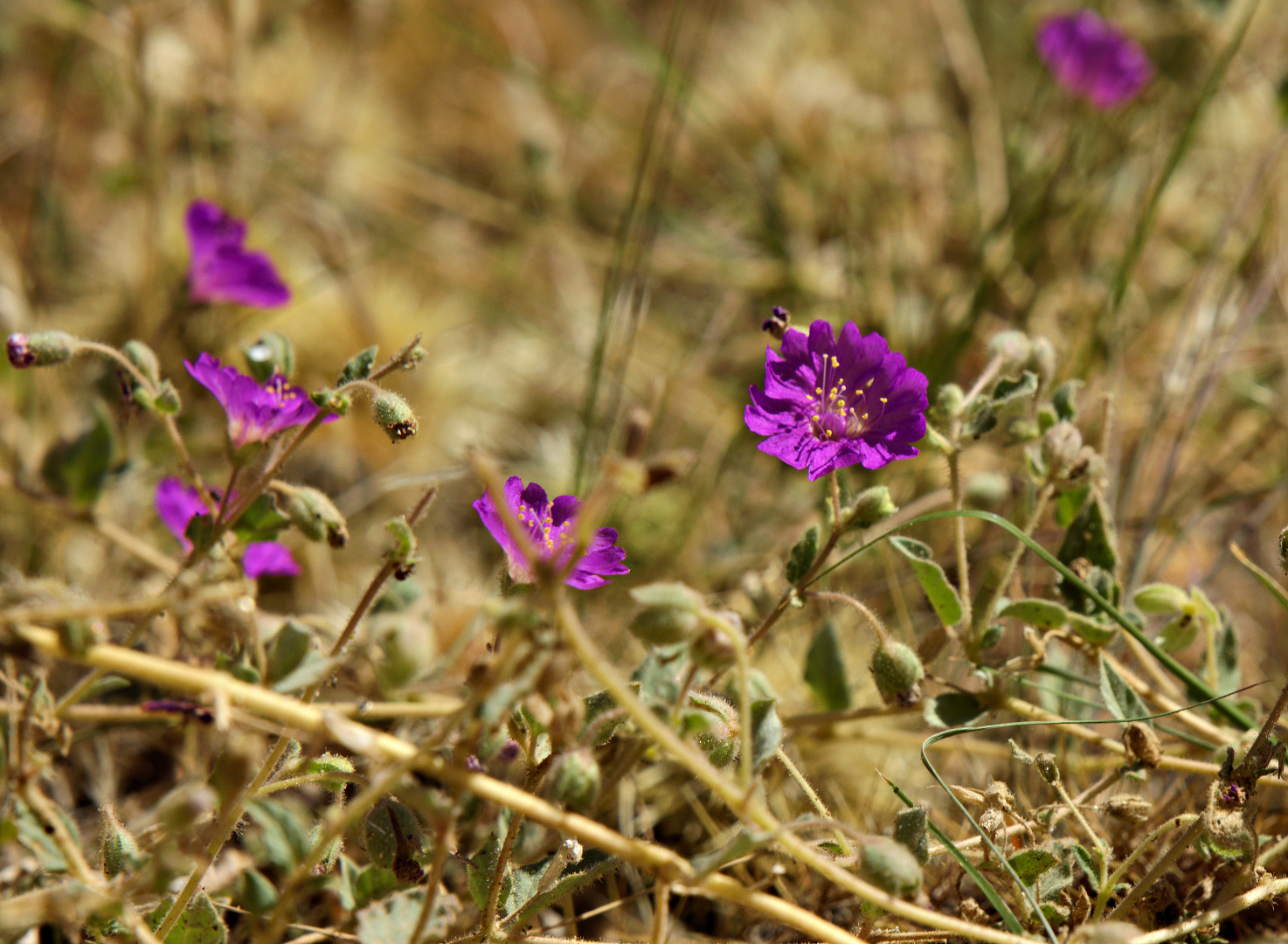
We saw some purple flowers too.

2013-09-27-DSC00162-medium
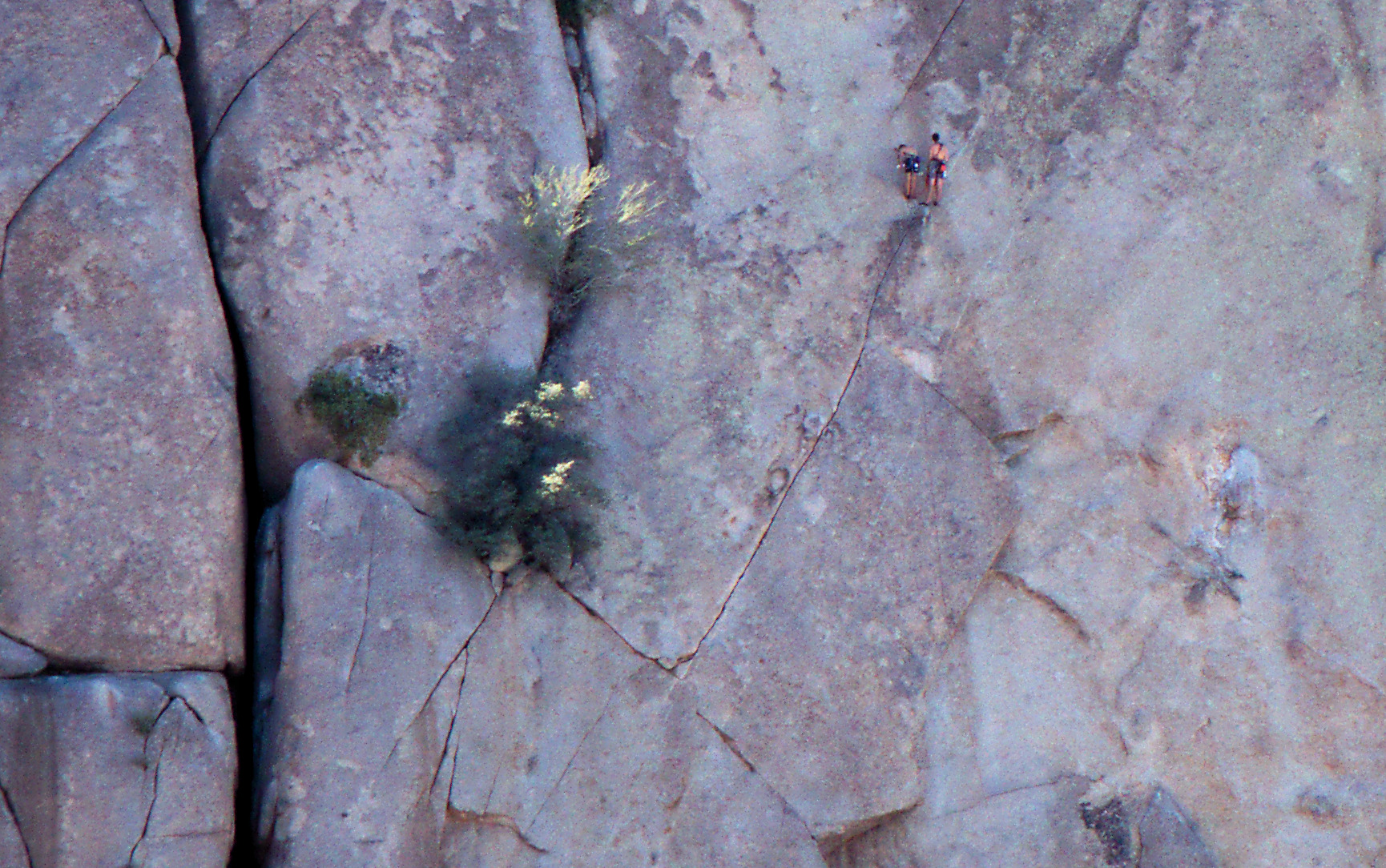
On the way down, we saw climbers on Gardener’s Wall.  There are two climber’s at the belay station midway up the wall.  A third and maybe even a fourth climber are at the bottom waiting to make their ascent.  As we watched, we saw the third climber start on the first pitch of Hanging Gardens (5.5).2013-09-27-DSC00171-medium 
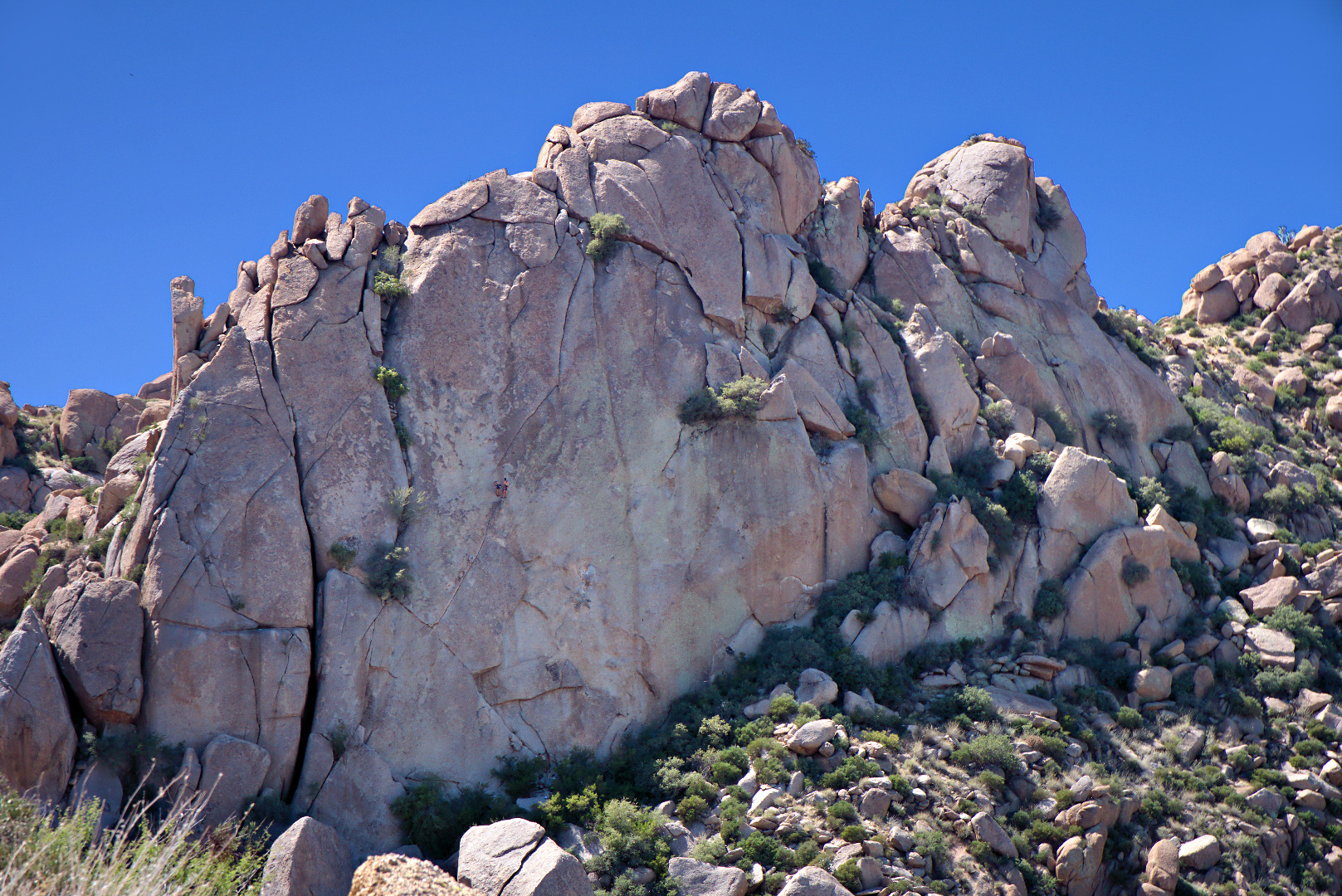
Here is a crop of the above photo showing the climbers.  From the bottom, the climb follows crack system that leads up and left, where it intersects another crack leading up and right. Past the belay station, there are a few face moves that lead to another crack leading up and to the right.  My recollection is that you have to work your way left again once you get close to the top.2013-09-27-DSC00171-cropped


Friday Fitness Hike

Friday’s hike started at the Tom’s Thumb Trailhead.  Linda, Janet, Amy, Bob, and I hiked the Tom’s Thumb Trail to the climber’s access trail for Gardener’s Wall.  We hiked up past Gardener’s wall, ending up at the top of the wall and then hiked a short ways further to reach Tom’s Thumb.  For the trip back, we hiked back down the Tom’s Thumb Trail for a ways and then took a somewhat easier route back amongst the rocks adjacent to Gardener’s Wall.   We hiked only a little over four miles, but we had a lot of elevation gain along with some technical challenges along the way.

Note: The route that we took is not the easiest nor the safest way to get to Tom’s Thumb. It has many steep and loose sections. Finding a workable route over, around, and even under the many boulders below the wall can be challenging even for those familiar with the area.

The easiest and safest route to Tom’s Thumb is via the main Tom’s Thumb Trail to the climber’s access trail leading to Tom’s Thumb.  This latter trail is hiked so frequently that route finding is relatively easy and its condition is about the same as that of the Tom’s Thumb Trail.  (The Tom’s Thumb Trail doesn’t actually go to Tom’s Thumb.  You have to take another trail – the climber’s access trail just mentioned – to get there.)

This is a view from the parking lot prior to starting the hike.  It had rained the night before. Although there were a lot of heavy clouds, it did not rain on us during our hike.

2013-08-30-DSC06916-medium A view of our destination for the day: Tom’s Thumb, off in the distance.

2013-08-30-DSC06961-medium A view of Troon Mountain and Pinnacle Peak2013-08-30-DSC06979-medium

A saguaro snuggles up next to a large rock. Pinnacle Peak and part of Troon are visible in the distance.

2013-08-30-DSC06988-medium

Amy hurries to catch up with the group after taking her own pictures.

2013-08-30-DSC07009-medium

Some of the technical challenges involved scrambling up and down large boulders along the way.

2013-08-30-DSC07018-medium Bob uses the sticky rubber on his approach shoes to scramble up a large boulder.  There was an easier way around the boulder, but we both thought that climbing up the boulder was more fun.

2013-08-30-DSC07035-medium Bob pauses on his way up to Gardener’s wall.  The trail is steep and loose in spots.  The hiking poles that we brought along helped us to make our way up the trail without slipping too much.

2013-08-30-DSC07044-medium

Looking over towards the East End from near the base of Gardener’s Wall.

2013-08-30-DSC07060-mediumThere was a spot where we had to crawl under a boulder only to emerge and have to scramble up another boulder to make progress.  I got this photo of Janet just as she looked up after crawling underneath the boulder behind her.

2013-08-30-DSC07063-medium

The trail hugs the large boulder to the left, going over smaller boulders along the way. Linda and Janet are approaching the black opening of the “cave”.

2013-08-30-DSC07075-medium

We also had to crawl into a “cave” which consisted of a huge boulder piled on some other supporting boulders.  We posed for a photo here, though it did not turn out as well as I would have liked.  It was fairly dark in this cave: this was a two second exposure at f/8, ISO 400.  Many of my other shots in brighter conditions used the same aperture size, f/8, at ISO 100 for 1/60sec or even faster.  I’d like to try a shot like this again some time using a fill light.

2013-08-30-DSC07085-mediumAll of us lost a bit of blood on the hike, due to sharp rocks and the prickly vegetation.  Amy gives the “thumbs up” even though her leg is bleeding.

2013-08-30-DSC07140-medium

A view of Glass Dome and East End to the left from where we topped out above Gardener’s Wall.

2013-08-30-DSC07151-medium

Linda took this photo of me hiking back up the trail again after going back to check on the whereabouts of Janet and Amy.

2013-08-30-From_Linda-025-medium

We’re getting close to Tom’s Thumb!

2013-08-30-DSC07178-medium

Amy, Bob, Linda, Janet, and I pose in front of and below Tom’s Thumb.

2013-08-30-DSC07207-medium

Amy poses in front of Tom’s Thumb.

2013-08-30-DSC07238-medium A view of the top of Gardener’s Wall.  We topped out in that saddle just to the left of the rocks forming the top of Gardener’s Wall.

2013-08-30-DSC07241-medium A view of the Flatiron and Red Mountain from the intersection of Tom’s Thumb Trail & the East End Trail.

2013-08-30-DSC07258-medium Looking the other direction towards Pinnacle Peak.

2013-08-30-DSC07273-medium Another view of Glass Dome.

2013-08-30-DSC07286-medium

Our return trip featured more scrambling.

2013-08-30-DSC07306-medium A barrel cactus along the trail.

2013-08-30-DSC07313-mediumA view of Gardener’s Wall and Tom’s Thumb.  There is a smaller boulder pile known as “The Rist” to the right of Tom’s Thumb.

2013-08-30-DSC07325-mediumAmy, Linda, Bob, and Janet hike down the Tom’s Thumb Trail.

2013-08-30-DSC07337-medium

Sunday Bike Ride Photos

Marilyn and I rode our bikes on Sunday morning.  I rode up the Tonto Tank Trail to try to get a sunrise photo from a location I had scouted earlier, but I’m not happy with it.  I should have gotten there earlier and had my 50mm lens with me.  I brought my NEX-7 with a 35mm lens; I had never tried to ride with my NEX-7 before.  I had to make some minor adjustments to the harness of my Think Tank Digital Holster in order to ride comfortably.  I initially had it too low and it interfered with pedaling.

I finished riding up Tonto Tank and met Marilyn on the Pemberton:

2013-08-04-DSC04350-medium

I tried, unsuccessfully, to get Marilyn to ride up the Boulder Trail with me.  The Boulder Trail leads to the Marcus Landslide Trail.  It’s very pretty up there, but it has more elevation gain than Marilyn was willing to do.  I took this photo on my way up the Boulder Trail.

2013-08-04-DSC04373-medium

A photo of a large boulder on the Boulder Trail:

2013-08-04-DSC04397-medium

This boulder was on the Marcus Landslide Trail.

2013-08-04-DSC04424-medium

I met up with Marilyn at the intersection of Bluff and Pemberton.  We continued on Pemberton where I got this photo of the crested saguaro near Granite Tank.

2013-08-04-DSC04462-medium


A closer look at the crested saguaro and its companion to the right.  Both saguaros have fire damage from the Rio Fire back in the 90s.  Damage on the crested saguaro is not as evident on this side as it is on the other side.

2013-08-04-DSC04466-medium

This large, multi-armed saguaro can be seen off to the south along the new section of Pemberton.

2013-08-04-DSC04486-medium

Friday Hike – Little Granite Mountain

Friday’s hike was around Little Granite Mountain.  We had gone to the top in December, but this time, we hiked a mostly flat trail around the base of Little Granite Mountain.  Total elevation gain was only around 500 feet for a little over eight miles of hiking.   If we had started from a lot on the Preserve and not made any wrong turns, my guess is that the route would be around 6.5 miles.

Below is a map showing where we went.  We were hoping that the spur that we took at the eastern part of the loop would take us further east.  When it became clear that it was heading south,  probably leading to a parking area on Lone Mountain Road, we turned around and ended up going back (mostly) the way we came.


View Hike around Little Granite Mountain – 2013-05-24 in a larger map

This is a photo of Little Granite Mountain from early in the hike:

2013-05-24-DSC06430-medium

Linda and Doug watch as Bob tells Sarge to lie down.  Sarge did in fact lie down and got a treat for his efforts.  Bob says that Sarge is making good progress at dog obedience school.

2013-05-24-DSC06379-1-medium


We passed a shaded area with a rock outcropping at the top of a small hill.  It looked interesting because of the way the sun was striking the rocks at the top of the hill.

2013-05-24-DSC06457-medium


I got this photo a while later as Sarge was being given water.  I’ve noticed that the polarizing filter that I’m using is giving some nicely saturated results.

2013-05-24-DSC06482-mediumAround the time that Sarge was finishing up with his water, this cyclist rode by.  She is wearing a McDowell Sonoran Conservancy Steward’s jersey.  I’ve seen a number of stewards hiking while riding my bike.  This is the first one I’ve seen on a bike.

2013-05-24-DSC06491-medium


We saw this large saguaro shortly before entering the early morning shade from the mountain.

2013-05-24-DSC06518-medium

I thought it was interesting to see a granite fin as we made our way around the mountain.

2013-05-24-DSC06532-mediumThe sun started peeking over the mountain as we continued our way around in the cool shade

2013-05-24-DSC06553-mediumLinda took this photo of me taking my own photo as we exited the shade:

2013-05-24-From_Linda-188-medium


Linda also took this photo of me, Bob, Sarge, and Doug.

2013-05-24-From_Linda-193-mediumI took this photo of a nearby rock outcropping while perched on that rock:

2013-05-24-DSC06614-medium


The upper wall in the photo below is Lost Bandanna Wall. The smaller wall down and to the left is known as the Cone.  Marilyn, Joe, and I have done climbs on both of these walls.  The prominent crack near the left edge of the wall is Spectrum.  It’s rated 5.7, but it’s the hardest 5.7 I’ve ever done.  There’s an easy climb (5.4) on the Cone called Three Dopes on a Rope.

2013-05-24-DSC06626-medium


This hill is near the Lost Bandanna-Cone area.  The small pinnacle at the top right is known as the Pasta Pinnacle.  There’s a 5.8 on it called Pasta Man Unchained.  Craig Thornley and I looked at it once or twice, but I don’t think we ever climbed it.  One of my early leads was Dueling Hammers (5.6) located on a wall on the other side of this hill.

2013-05-24-DSC06644-medium


As we continued around, we came upon this really big saguaro.  Doug encouraged me to hurry up and take this photo because the bugs were bad whenever we stopped.

2013-05-24-DSC06674-medium

A view of the trail and vegetation as we continued our way around the mountain:

2013-05-24-DSC06713-mediumFlowers on a saguaro with a drooping arm:

2013-05-24-DSC06730-mediumThe trail was scenic in more than a few places…

2013-05-24-DSC06764-medium


2013-05-24-DSC06775-mediumA view of Four Peaks off in the distance:

2013-05-24-DSC06779-mediumSarge got some more water as I took the next two photos.  It worked out perfectly because by the time he was done, I too was done taking photos of this barrel cactus next to a small boulder.

2013-05-24-DSC06785-mediumI spent more than a few shots focusing on different portions of the top of the barrel cactus. Several bees were buzzing around the cactus.  I was hoping to get a photo of a bee on the cactus; this is the closest I got though.  The bee was moving too fast for the 1/100 sec shutter speed.  But even if I had been using a faster shutter speed, it still probably would’ve been fuzzy due to inadequate depth of field.

2013-05-24-DSC06809-medium