Category: Hiking (page 7 of 68)

Hike descriptions and/or photos.

Zion – Angel’s Landing

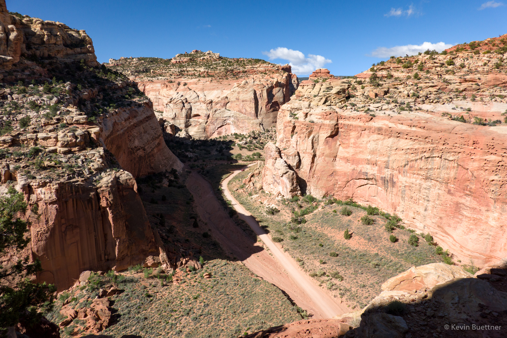
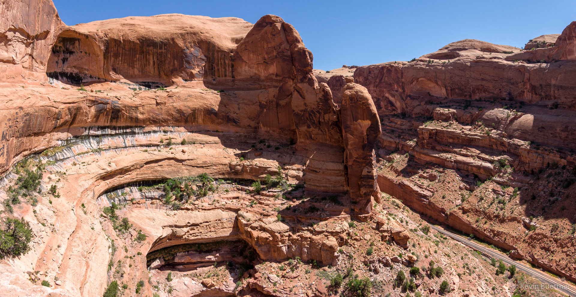
On Tuesday, the 21st, Marilyn, Joe, and I hiked Angel’s Landing in Zion National Park. Tuesday’s forecast was the best for the days that we were scheduled to be there – it was supposed to be mostly rain-free in the morning with light rain forecast for the afternoon. The remaining days in the Zion area were forecast to be considerably more wet.

Also, the only significant hike that was open in the main canyon was Angel’s Landing. The Narrows was closed due to snow melt. Other trails of consequence were closed due to damage from rock fall. So, we picked the one good weather day to do Angel’s Landing.

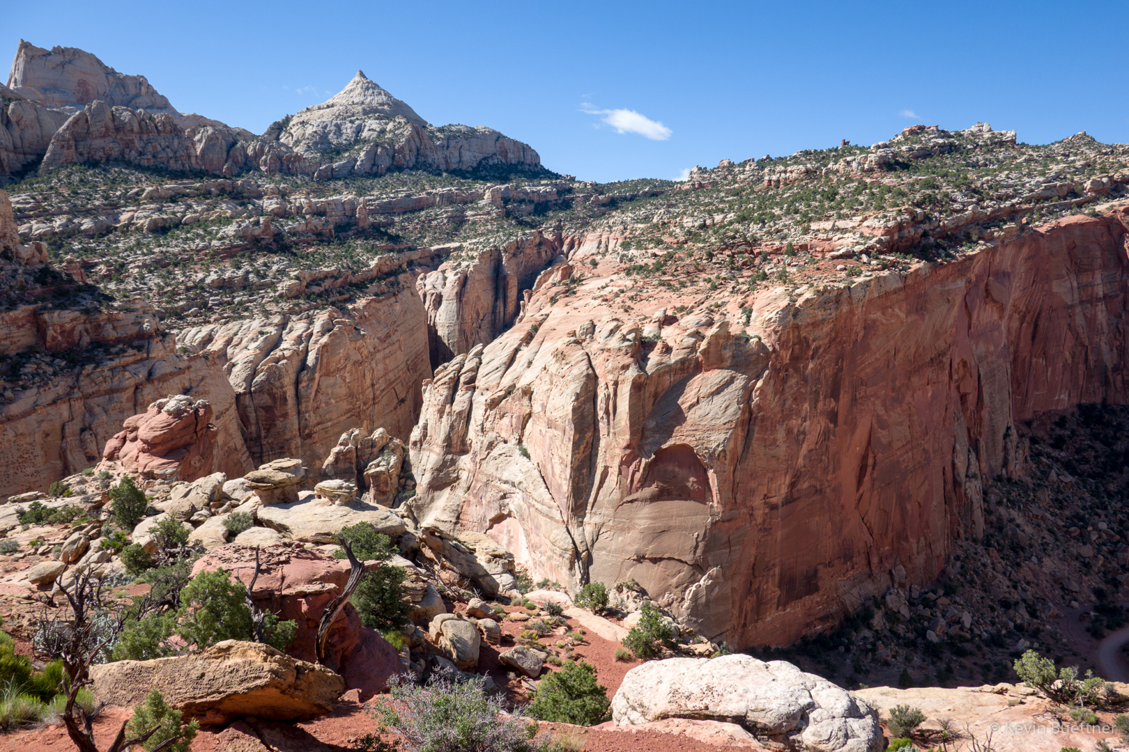
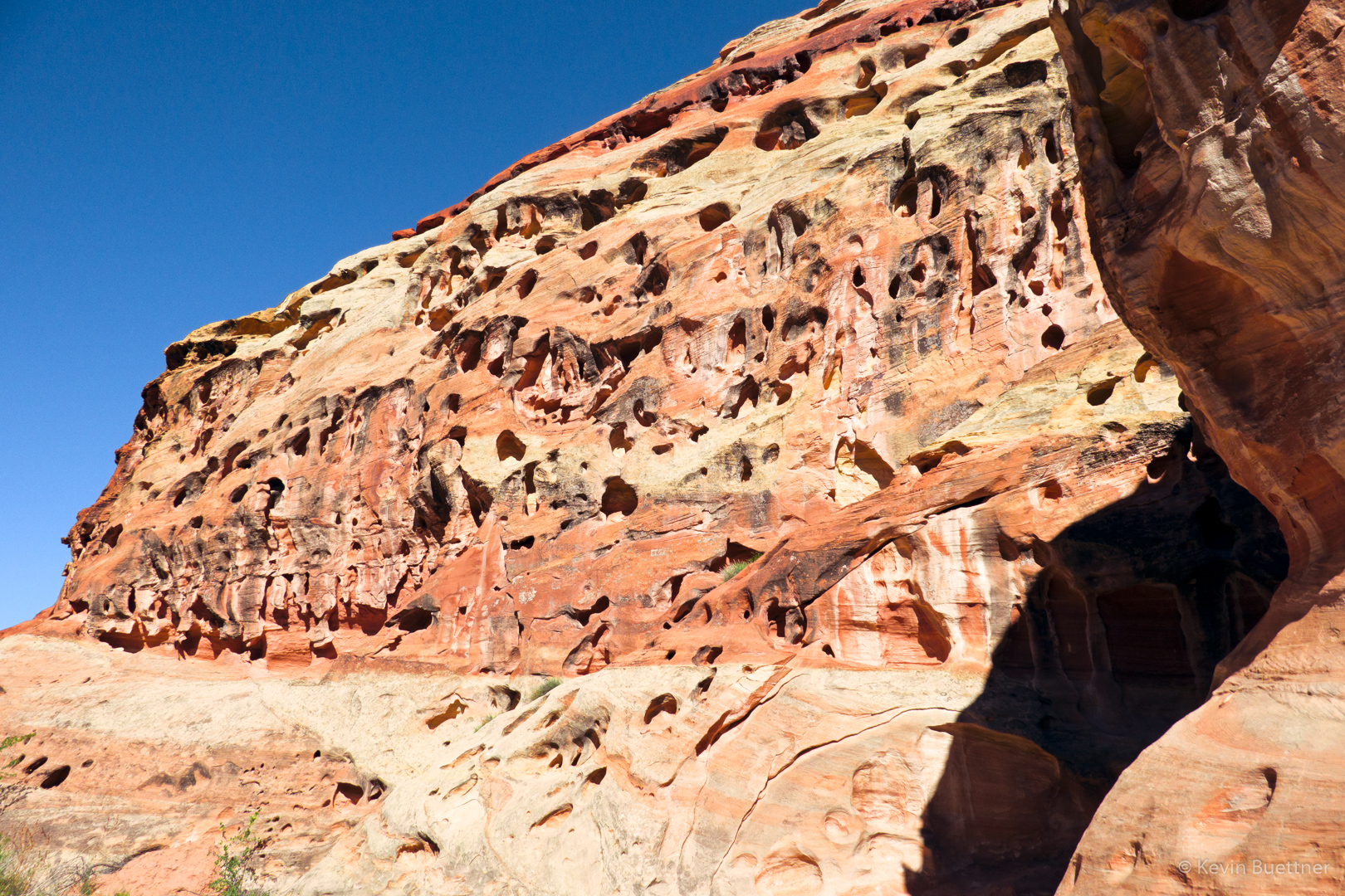
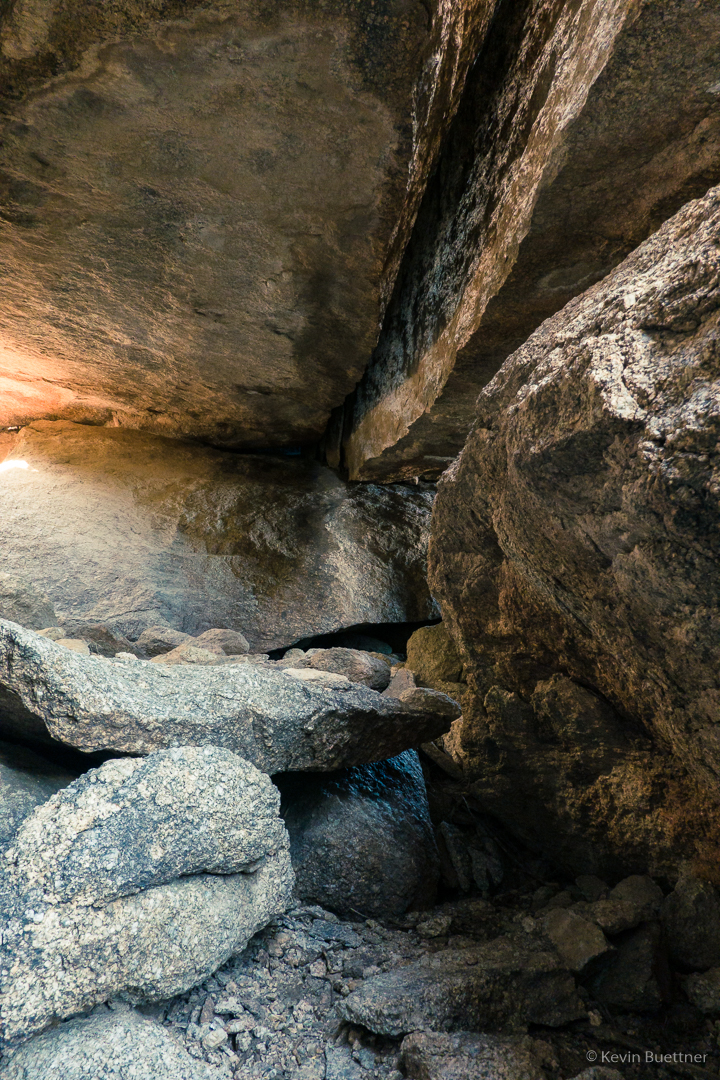
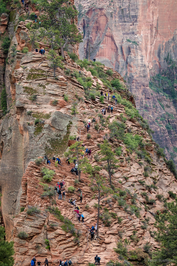
I had hiked Angel’s Landing several years ago. On the day that I did it, the route was very dry and the footing was good. On the 21st, it wasn’t entirely dry and there was often wet sand underfoot. When I had done the route earlier, I found the chains to be optional; in dry conditions, they aren’t necessary to safely ascend and descend the route. In less than optimal conditions, however, I was very happy that the chains were there.

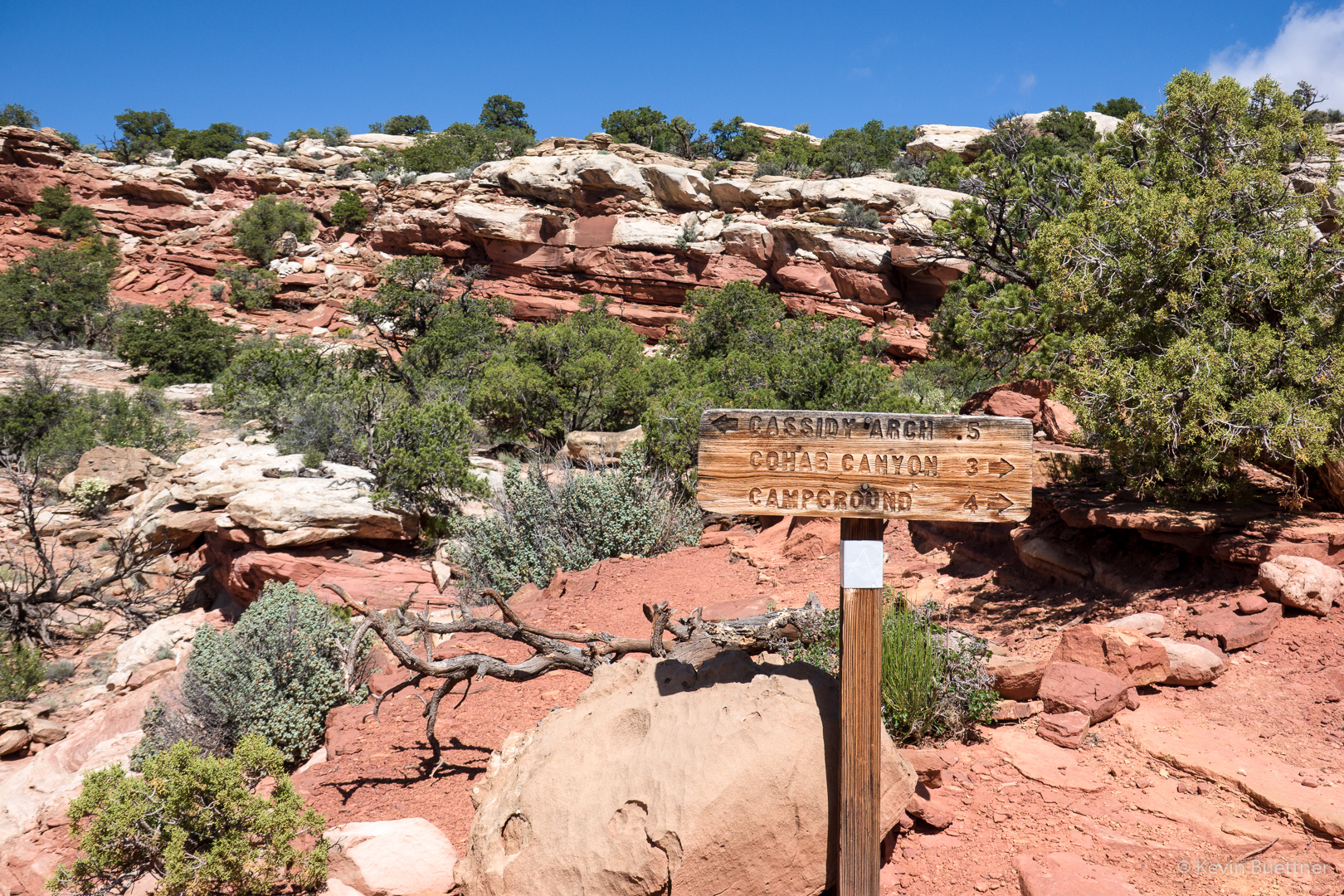
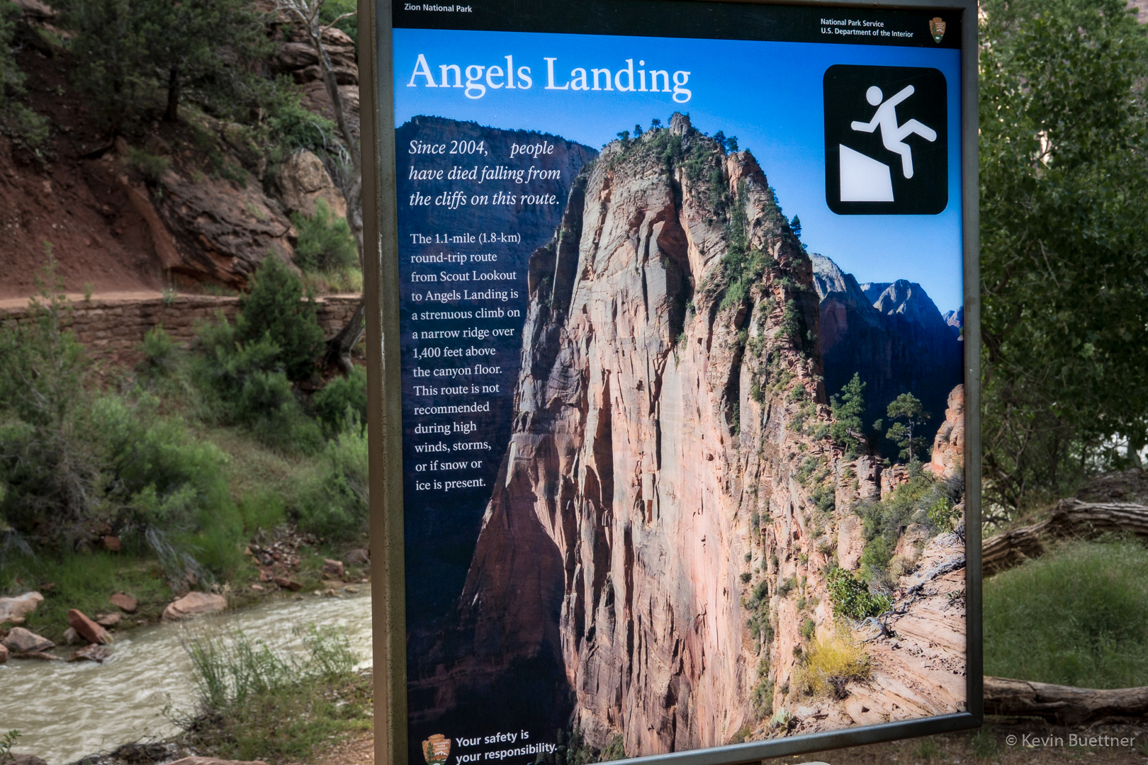
The hike to Angel’s Landing starts at The Grotto, ascends the West Rim Trail to Scout Lookout, and then ascends a steep section to the top of Angel’s Landing. This sign appears early in the hike on the West Rim Trail.

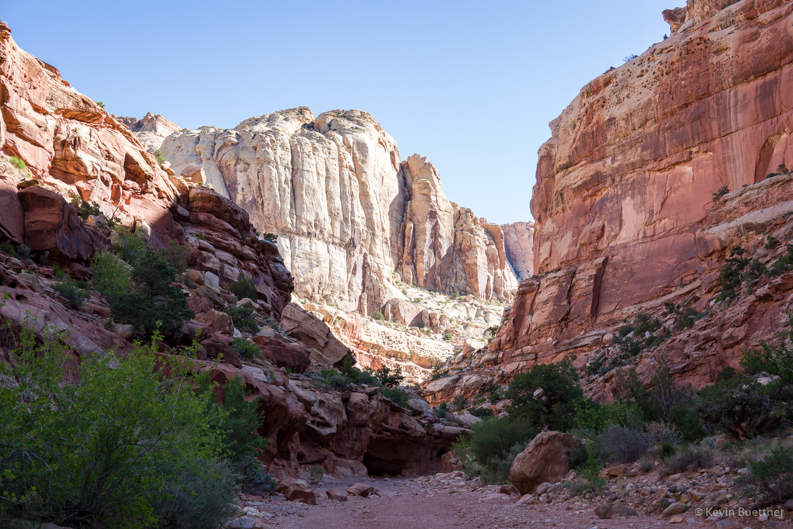
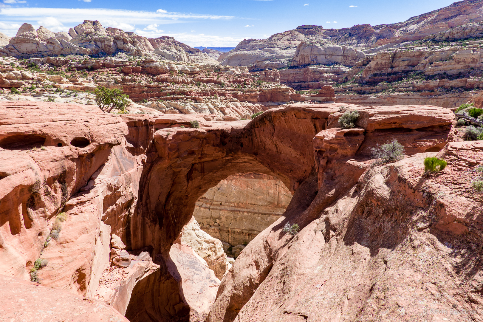
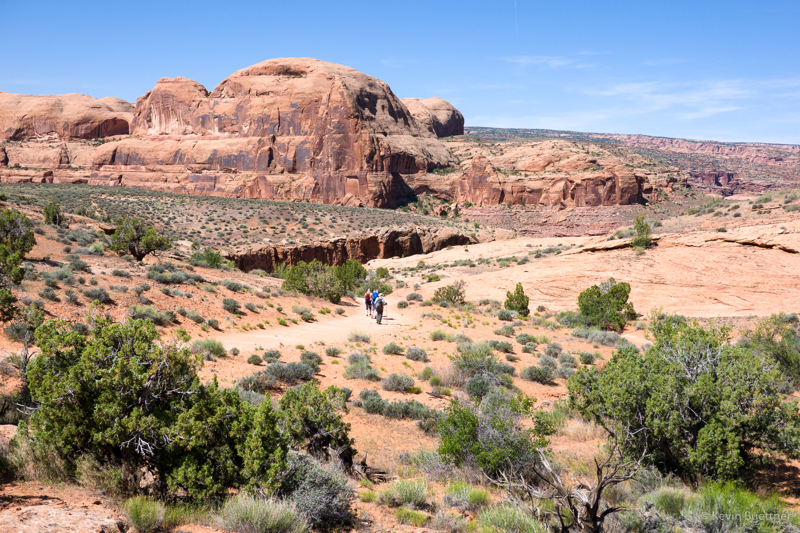
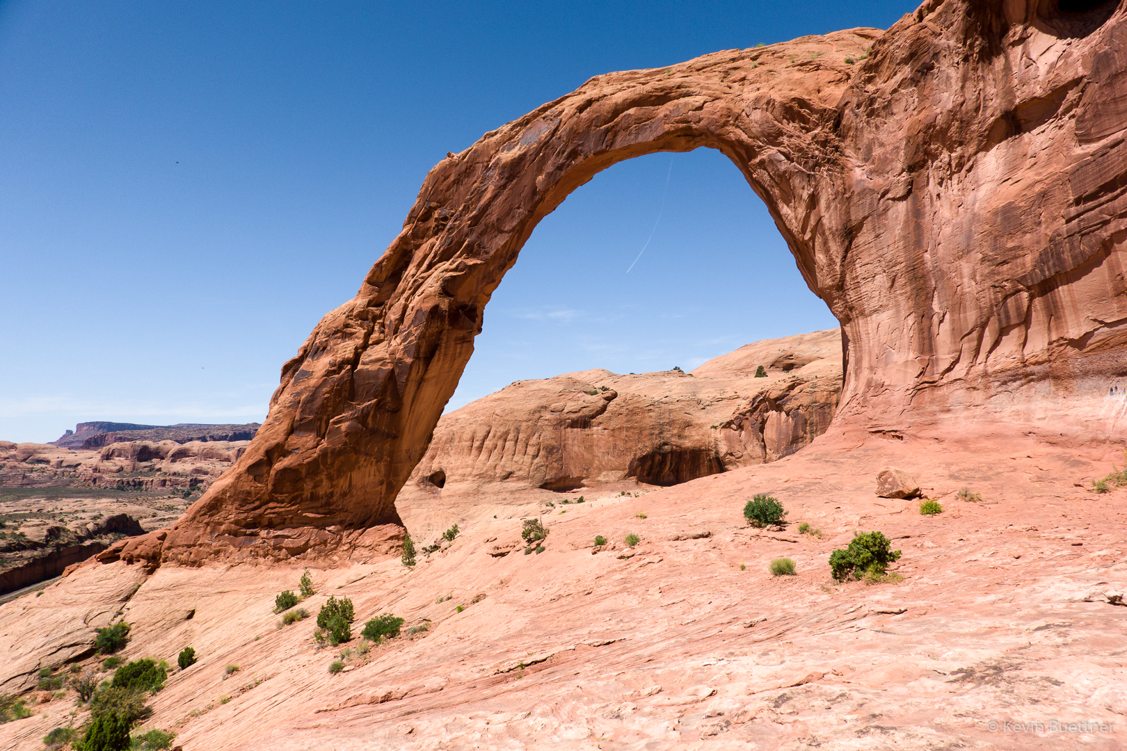
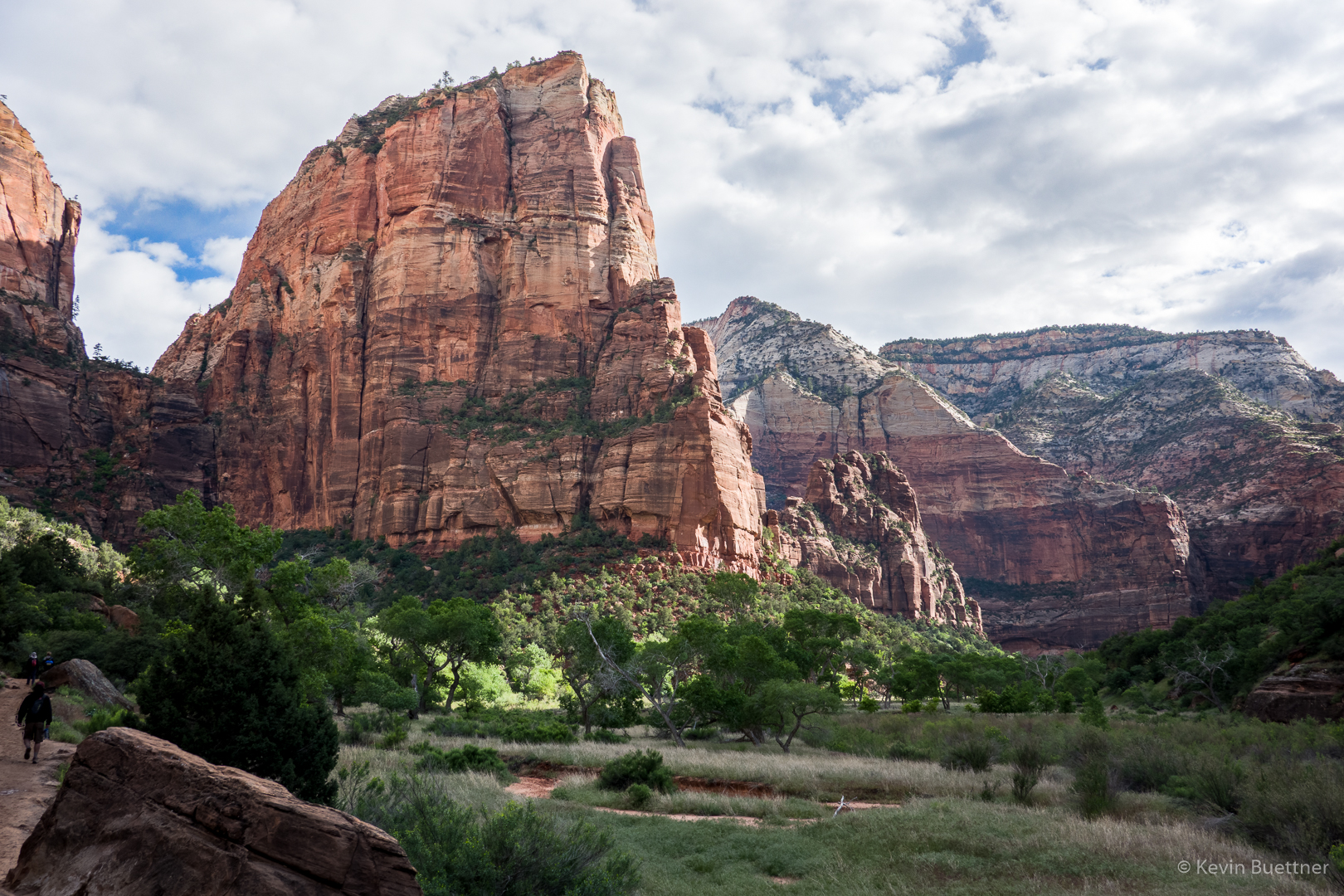
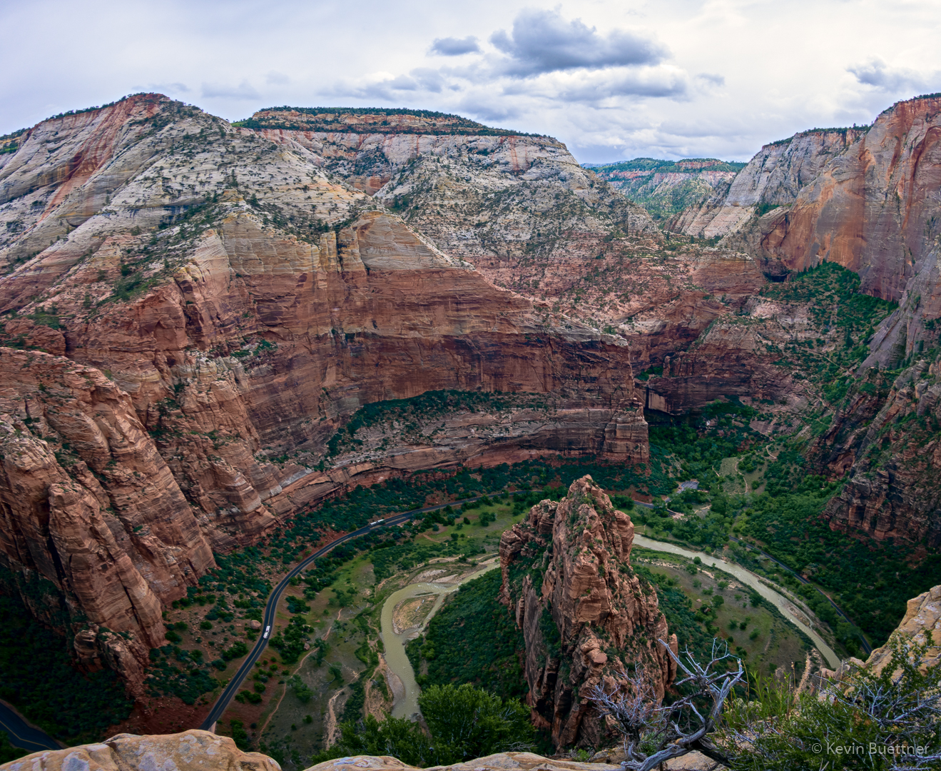
A view of Angel’s Landing from the lower (and flatter) section of the West Rim Trail.

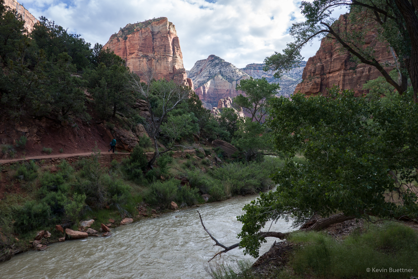
Another early look at Angel’s Landing:

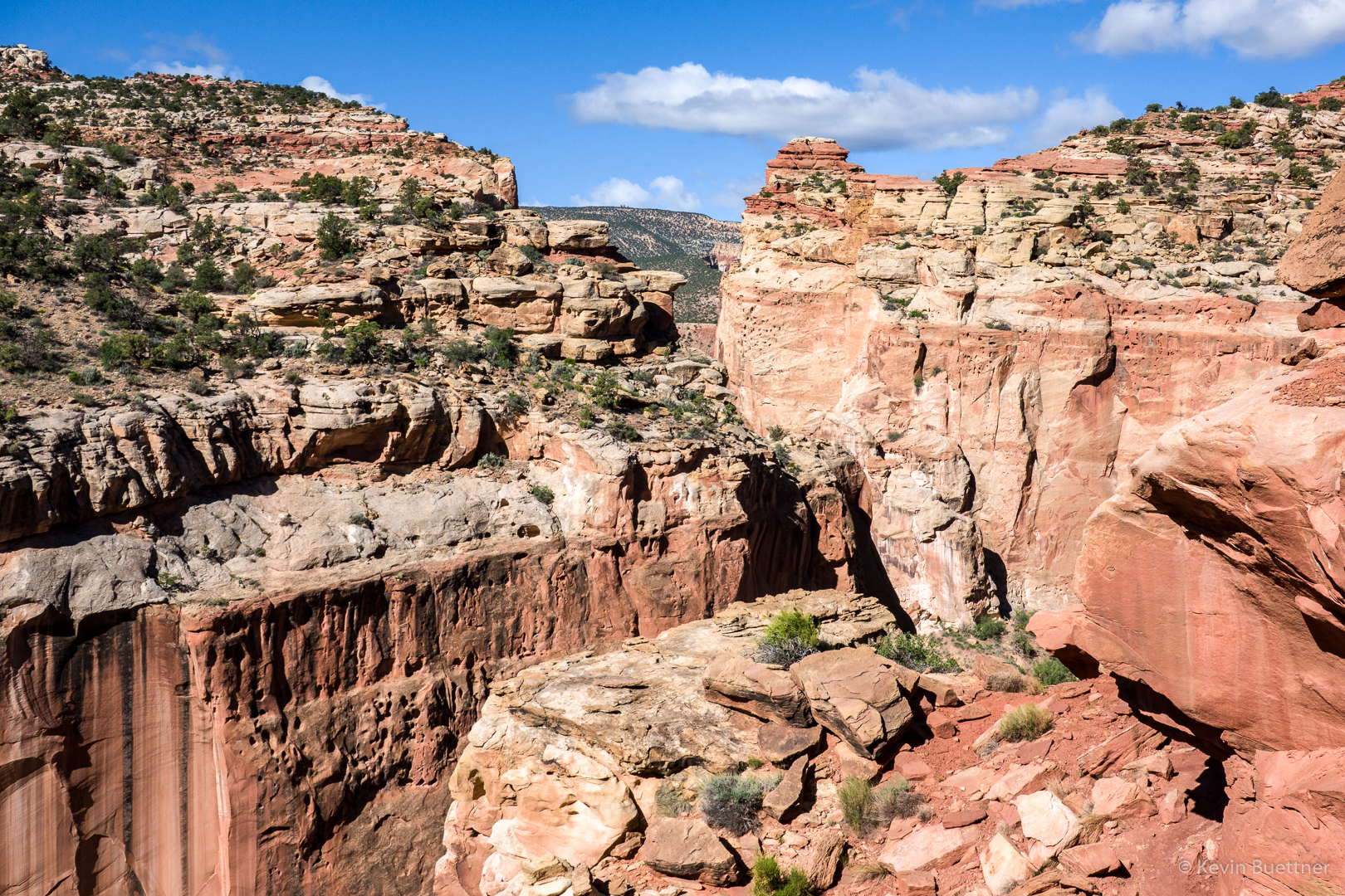
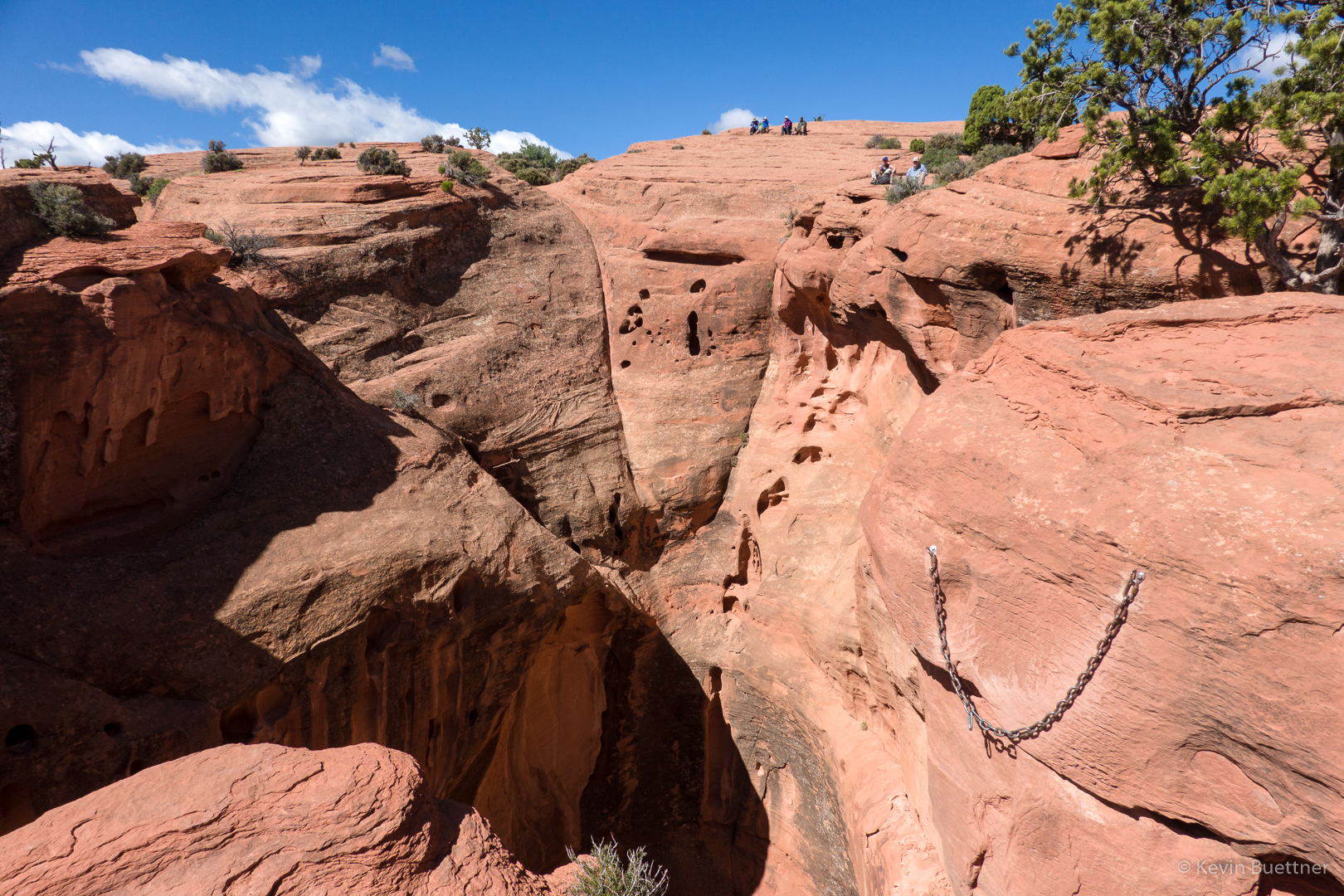
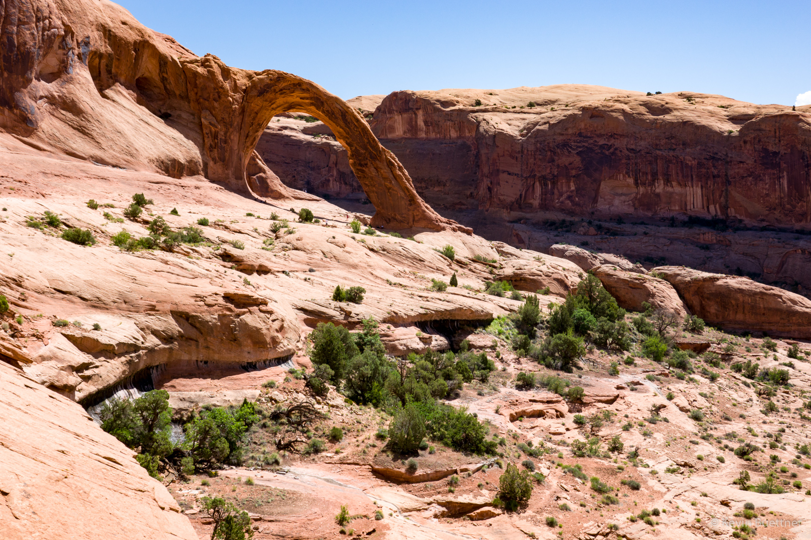
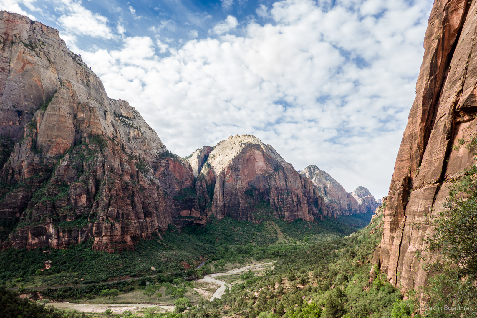
Looking back down canyon:

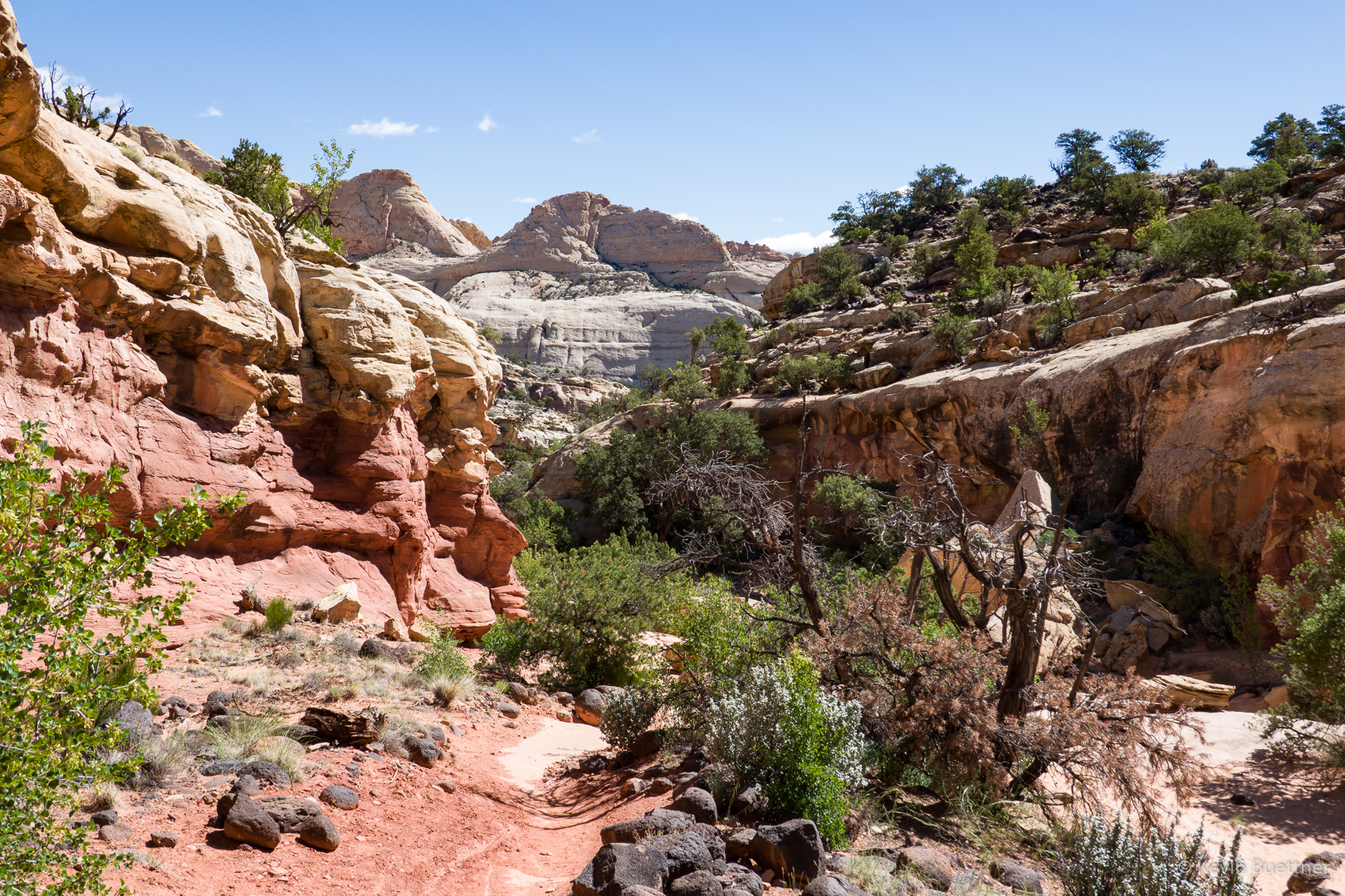
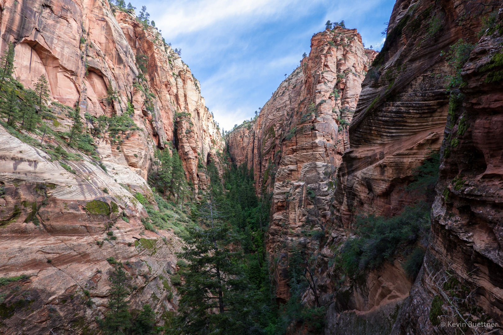
This was one of the easier sections on the West Rim Trail. It was relatively flat here with some interesting views.

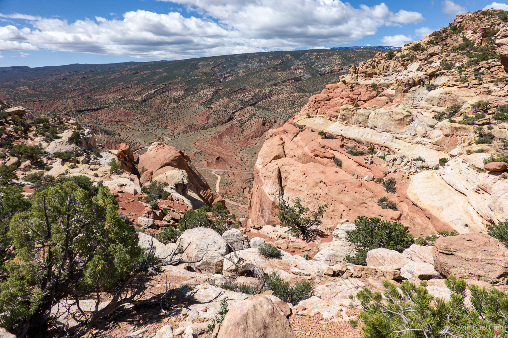
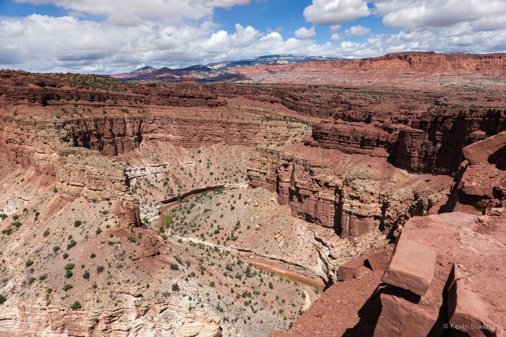
Looking up-canyon (below) from near the point where the above photo was taken:

Walter’s Wiggles:

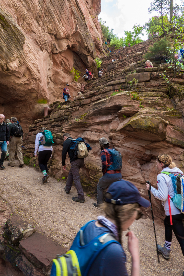
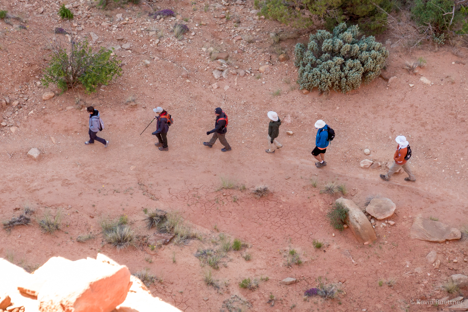
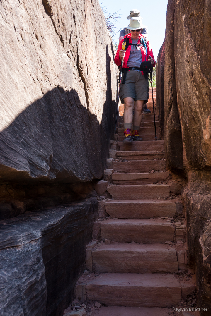
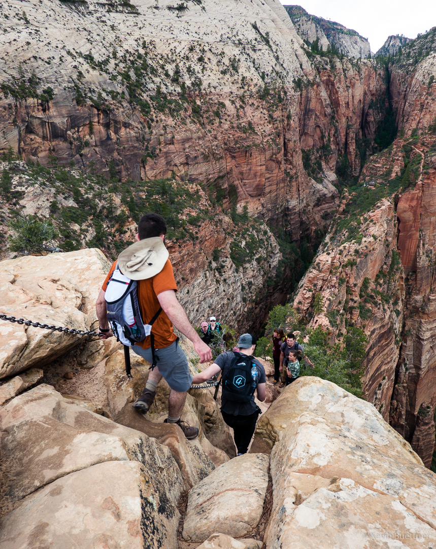
Scout Lookout had some nearby bathrooms and a mass of humanity milling about. This photo is from near the start of Angel’s Landing. The route was crowded that day; groups of (often) ten to twenty people were self organized to travel up or down together. Groups going in one direction would find a landing at which to wait while a group going in the other direction would negotiate a steep and narrow section. At this particular spot, I remember there being a steep drop off to my left. We waited there for perhaps ten minutes for a group coming down. I got separated from Joe and Marilyn at this point. (Joe found some younger folks that he chose to hike with.)  After stopping a few few times on the next section, I reached another really big landing where I waited for Marilyn. Marilyn had hurt her knee earlier during our trip and opted to wait for me at this large landing. I think she made the right choice; the descent from the top is very steep and would have been hard on her knee(s).

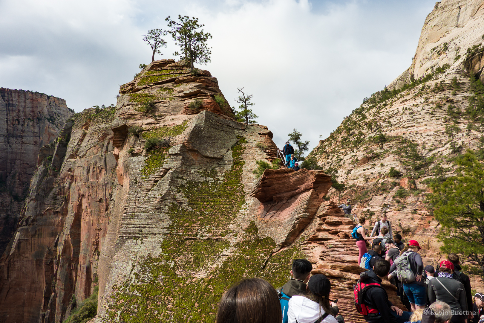
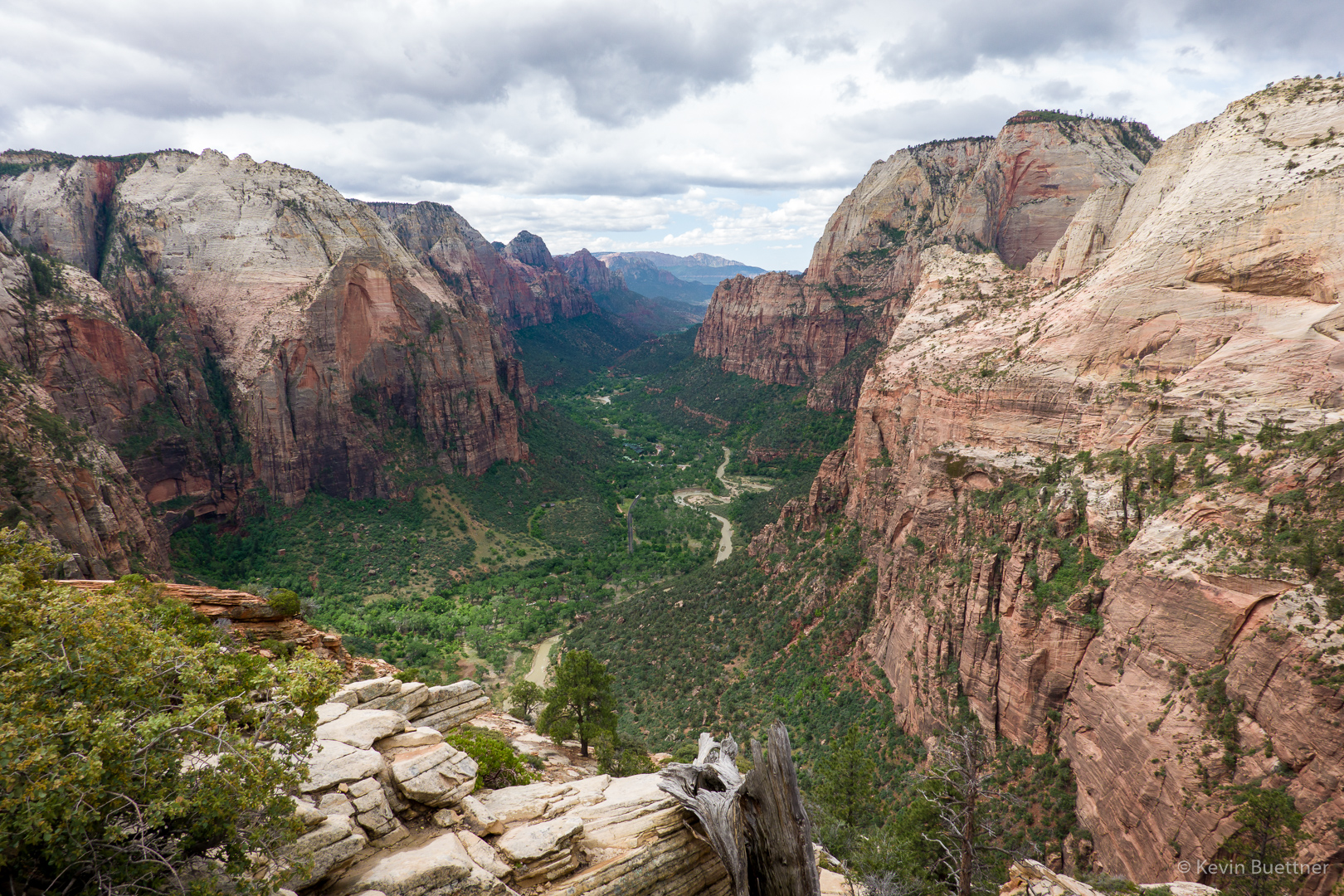
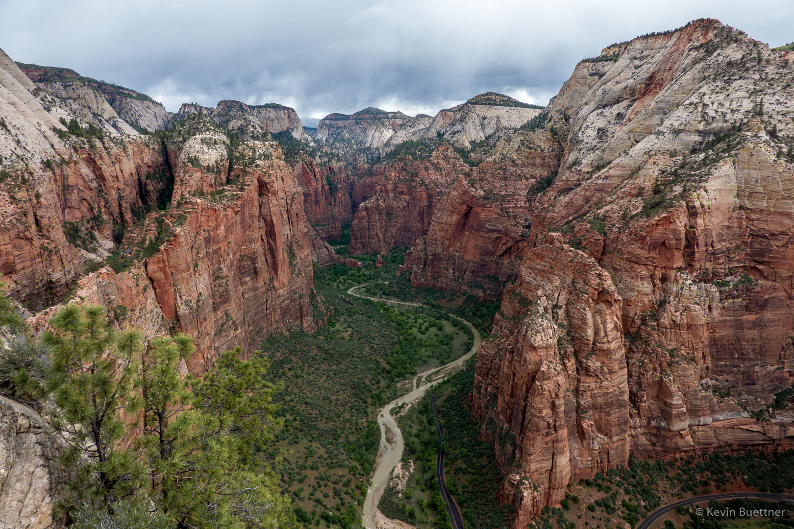
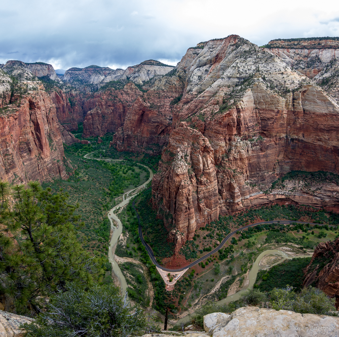
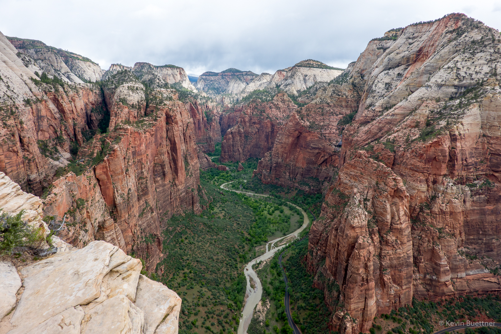
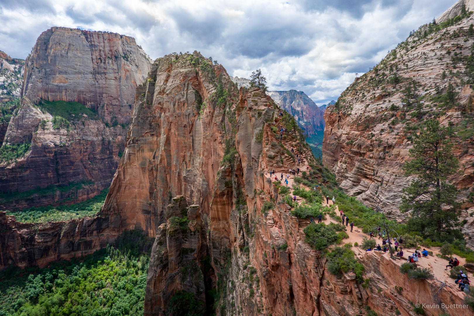
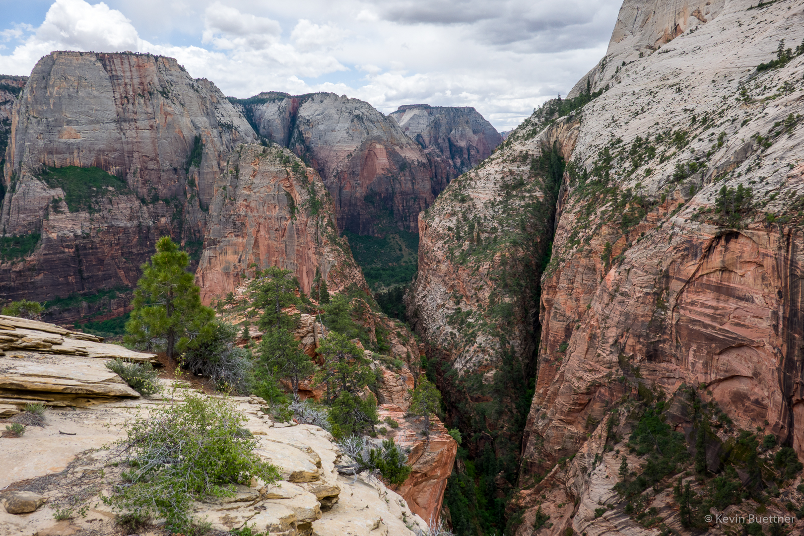
These next photos are either from the top or near the top of Angel’s Landing…

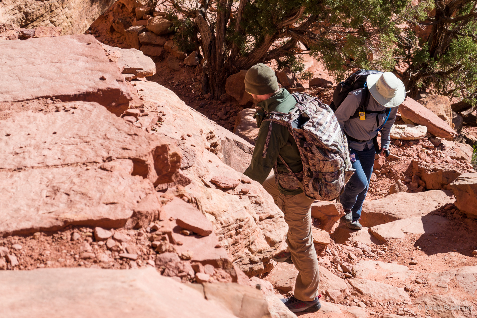
I’m on my way back down at this point. A little while earlier, I encountered Joe and his group finishing their ascent.

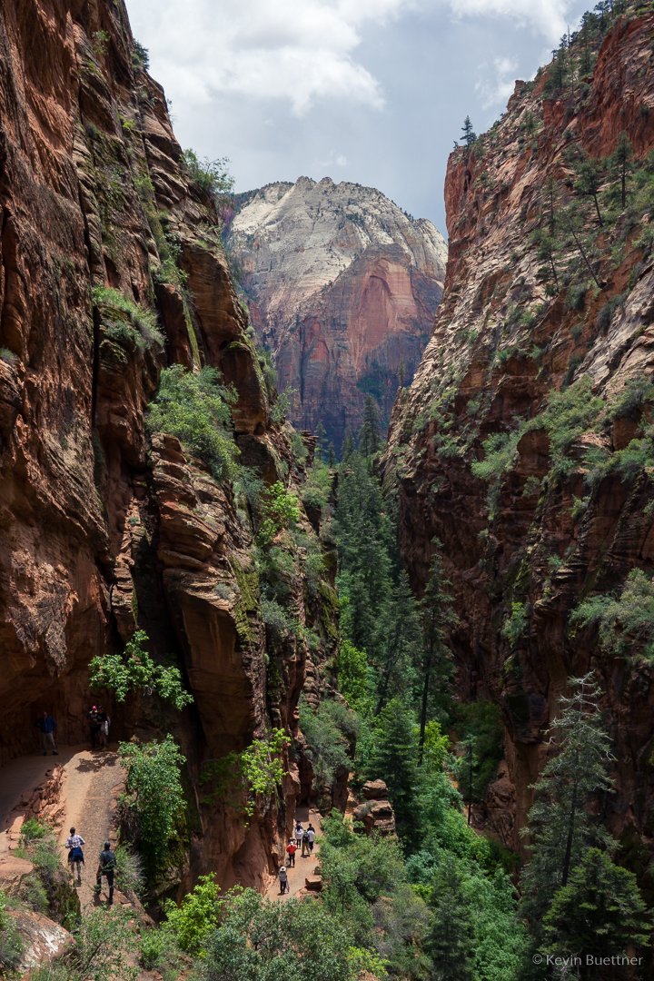
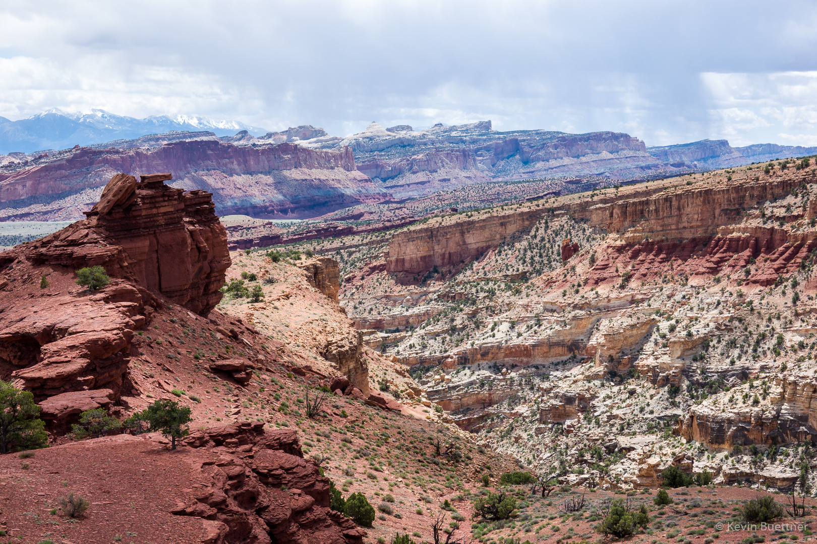
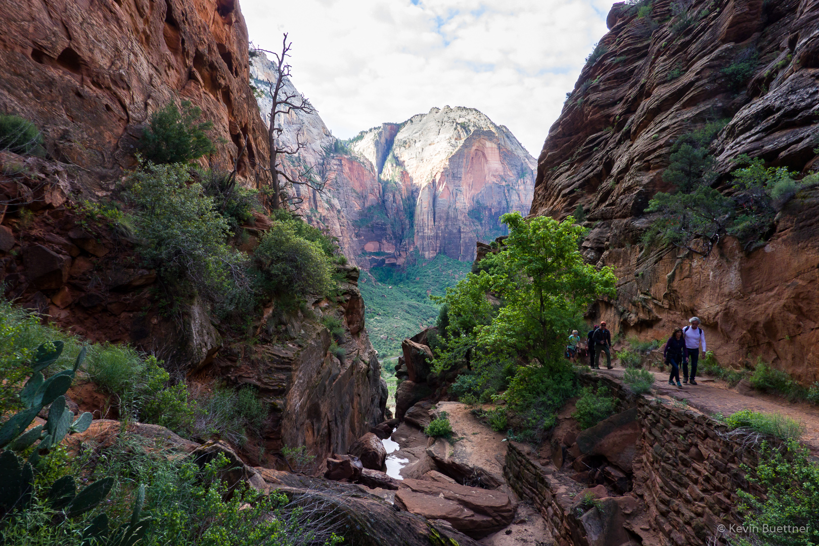
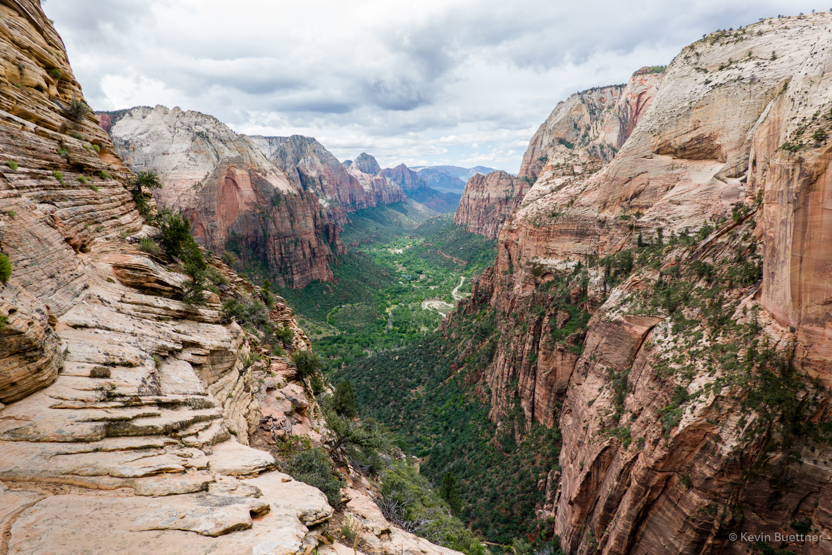
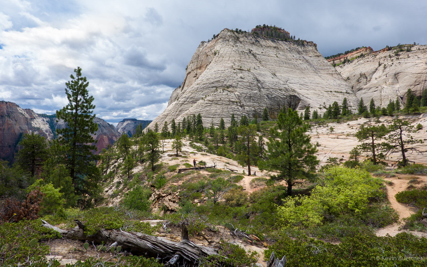
After finishing the descent to Scout Camp, the last part with Marilyn, I proceeded hike further up the West Rim Trail. There were some overlooks from which good views of Angel’s Landing could be found.

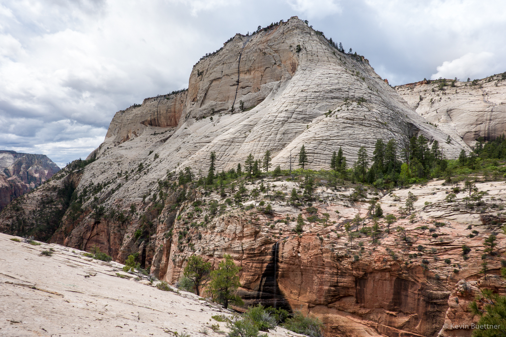
I really liked the upper parts of the West Rim Trail. It was considerably less crowded. The views were different too…

I hit a high point on the West Rim Trail and then proceeded perhaps a quarter of a mile further. Had I kept going, the trail would have descended a lot more before going up again. Instead of losing even more elevation which I’d have to reascend on the way back, I chose to turn around at that point. Along the way, I met Marilyn who, after meeting Joe, started up the West Rim Trail. It was at around this point that I took this photo. We’re still high above Scout Lookout at this point.

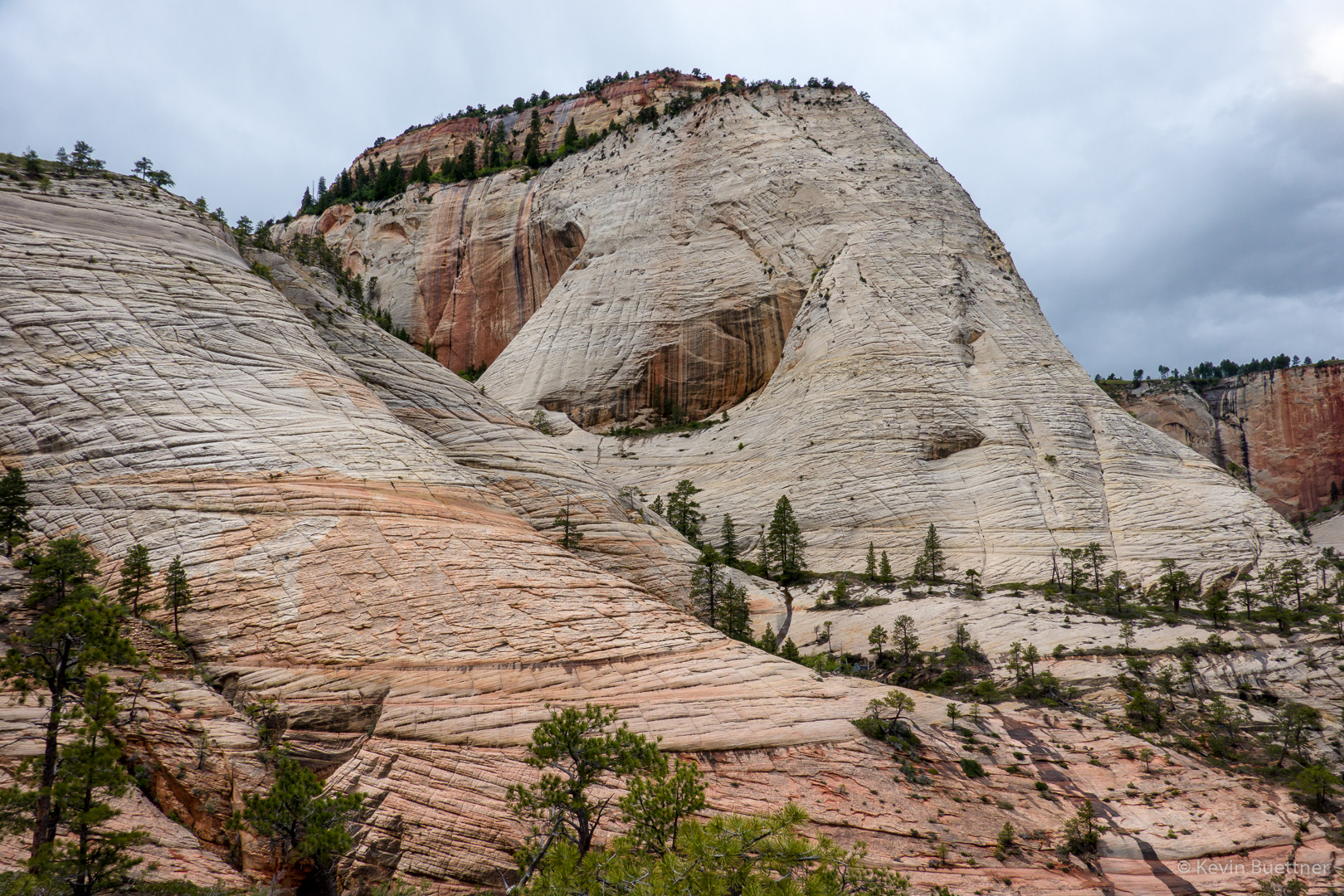
On the way back down to Scout Lookout, I zoomed in on a steep section of Angel’s Landing. Although it had been raining – hard enough for me to put on my rain jacket – there were still people going up and down the route!

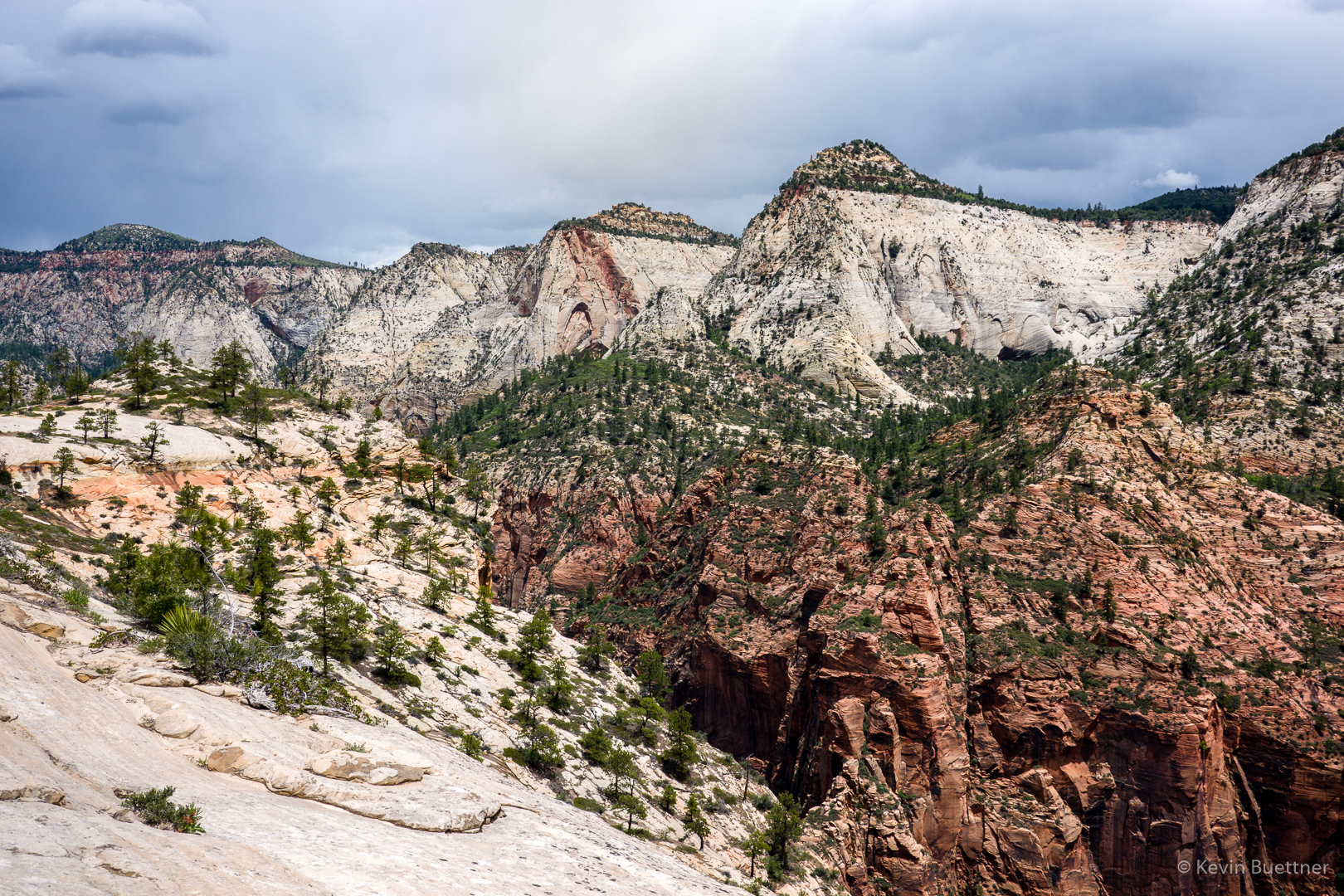
I took this photo from the West Rim Trail below Scout Lookout:

Capitol Reef – Spring Canyon

Marilyn and I hiked the Chimney Rock Trail into Chimney Rock Canyon and then a short ways into Spring Canyon. On the way back, I hiked a bit more of the Chimney Rock Trail and photographed the formation for which the trail and canyon got their names.

Capitol Reef – Cassidy Arch / Frying Pan Trail

Marilyn, Joe, and I visited Cassidy Arch on Saturday, the 18th. After seeing the arch, I hiked over to the Hickman Bridge Trailhead via the Frying Pan Trail and the Cohab Canyon Trail.

This is a view of the Grand Wash. The trail to Cassidy Arch begins shortly after entering the wash. A sign at the bottom indicates that there’s 950 feet of difference in elevation between that point of the wash and Cassidy Arch.  However, my GPS watch showed only and 800+ foot difference.

A view from near the start of the trail leading to Cassidy Arch.

Hikers in the Grand Wash below us:

Joe and Marilyn on the trail to Cassidy Arch:

Looking down at the road through the Grand Wash which leads to the parking area for hiking the Grand Wash and Cassidy Arch…

Fern’s Nipple:

The black hole just right of center below the horizon is Cassidy Arch.

A closer view of the Arch.  We still had a ways to go before reaching the arch – we might have been halfway there by that point.

Marilyn and Joe hiking across an expanse of slickrock before reaching the arch:

This is Cassidy Arch.  There is a woman in red sitting to the right of a tree above the arch. Below her, one of her companions is rappelling. Another of her companions told me that it’s a 140′ rappel. They had another six (or seven?) rappels to do before getting all the way down.

A closer look at one of the canyoneers:

The woman in red starts her rappel:

Joe told me about good views from the slickrock above the arch…

When I got back, I found that the rappellers had descended; they were in the process of pulling their rope when I took this picture.

I walked around the arch to find out what the anchors looked like. I first looked at the tree. I saw indications that the tree has been used as an anchor in the past. But I’m pretty sure that the group I saw earlier used these chains for their anchor.

Marilyn and Joe returned to our vehicle via the Cassidy Arch Trail. I, however, took the Frying Pan Trail to Cohab Canyon.

The trail gained even more elevation.

Great views…

I thought I was looking at Cohab Canyon here, but I still had quite a ways to go.

The trail led down and then back up again. At around this point, I went over a ridge after which a long descent eventually led me back to Cohab Canyon.

This, finally, is Cohab Canyon.

The orange flower appears to be a type of Globe Mallow. I don’t know what the purple one is.

Capitol Reef – Cohab Canyon

Marilyn, Joe, and I hiked out and back on the Cohab Canyon Trail starting across the road from Hickman Bridge. I hiked all the way down to the campground, whereas Marilyn and Joe chose not to lose the elevation that they had gained while hiking up the canyon.

This is a view of Cohab Canyon from part way up the side trail to the Fruita Overlook.

A view from one of the Fruita Overlooks.

The grooves in this rock caught my eye…

We came across some sections of canyon where the walls had lots of holes.

Looking out from the trail leading to the campground…

Back at the top of Cohab Canyon; looking down canyon.

Joe, Marilyn, and Kevin:

Another shot view of Cohab Canyon:

After hiking Cohab Canyon, we drove up to the Gooseneck Overlook.  This looks down into Sulphur Creek, which carved this channel. We had planned to hike Sulphur Creek on the following day, but ended up not doing it due to the wet and cold conditions.

We then hiked out to Sunset Point, which was accessible from the same parking area.

Corona Arch

On our second full day in Utah, Joe and I hiked (out and back) to Corona Arch. The day before was hard, so we did an easy hike for our rest day.

Looking back towards the road and river:

Bowtie Arch on the left and Corona Arch on the right:

Bowtie Arch:

After passing beneath Corona Arch and scrambling up the ridge beyond, I took the photo of Corona Arch, above.  When I turned around, I saw this view of the canyon and other rock formations, below.

Prickly Pear blossom.  (Joe and I met a woman wearing a pink balaclava; she told us that she saw two unusual things. One was the Yucca stalk (or whatever it is) shown earlier in this post. The other was the prickly pear blossoms. For this area, I don’t think that either is that unusual. But it may be that they were unusual for wherever it was that she came from.)

The hike crosses these train tracks near the trailhead.  To the best of my knowledge, the trains traveling these tracks carry potash.

Canyonlands – Needles – Chesler Park / Joint Trail

Friday Fitness Hike

Linda, Bob, Marilyn, and I hiked 7.3 miles starting from the Wagner Trailhead…

Senna:

Sandwash Groundsel:

A view from the Bluff Trail Wash:

Tamarisk:

I’m not sure what this is. Perezia/Brownfoot, maybe?

Velvet Mesquite:

Nearing the intersection of Pemberton and Bluff:

Views from the Bluff Trail:

Friday Fitness Hike

Kay and I hiked somewhat over 11 miles in the Tom’s Thumb area on Friday, May 3rd. We first made our way up past Gardener’s Wall and then close to Tom’s Thumb. We then hiked partway down Tom’s Thumb Trail and then down East End to Windmill. Once on Windmill, we concluded our loop by hiking Coachwhip, Pemberton, Boulder, Marcus Landslide, and Feldspar.

An early morning view of Rock Knob (lower, left of center) from the Tom’s Thumb Trail:

Pinnacle Peak and Troon:

Gardener’s Wall; we made our way up beneath the boulders at bottom left, took a look at the bottom of Renaissance Direct, then went by (to the right) Fearless Leader, and Hanging Gardens (all of which are climbing routes).  We didn’t do these routes; we just looked at them.  I noticed some bolts on Fearless Leader, 5.10a, that weren’t there when I tried it back in the early 90s. We continued right along the base of the wall and then made our way up the drainage at the right.

The spot in the sky might be one of the powered paragliders that we saw coming over the ridge later on.

One of the scenic landmarks along the climber’s access trail to Gardener’s Wall:

Kay, making her way up through one of the early “tunnels”.

This is the next cave / tunnel that we encountered. We went in and then left to get to the bottom of Renaissance Direct.

As we made our way along the base of the wall, we saw two powered paragliders. They came over the ridge to which we were hiking.

We’re on the back side of Gardener’s Wall now; this is a view of Glass Dome.

Flat-Top / Mojave Buckwheat:

Gila Monster:

Kay thinks this is the tail end of a kingsnake; I didn’t get to see it’s head, it was already part way off the trail by the time I got to it.

A view from the East End Trail:

Ocotillo blossom:

Prickly Pear:

Heading down Coachwhip…

Saguaros on the Coachwhip Trail:

Buckhorn Cholla blossoms; we saw different colors on our hike, some yellow, some orange, and others closer to red.

The saguaros are starting to bloom too!

Ratany:

More Buckhorn Cholla blossoms…

Mexican Poppies:

New Mexico Thistle:

A prominent pinnacle in the Granite Ballroom area. Off to the left, in the distance, high on the ridge, is the Thumbnail Pinnacle.

Miniature Woolystar, I think:

Prickly Pear blossoms:

Friday Fitness Hike

Mike, Sandra, Jan, Melissa, Joelyne, Kristin, and I hiked 10.8 miles in the Dixie Mine area.  (I’m not sure of the spelling of some of the names, though I did check with Jan on the spelling of his name.)

A view of the McDowells from the Dixie Mine Trail:

We noticed that the grass has become quite dry.

I think this is mesquite:

We saw some nice ocotillo blossoms.  This one was just off the trail and at a low enough height that I didn’t need to shoot upward.

These are the mine tailings:

Flat-Top / Mojave Buckwheat:

New Mexico Thistle:

As we made our way towards the mine from the road, we saw a nest high in one of the trees.  Two birds, which we took to be hawks were flying around, alarmed at our presence. I only got this shot, though it’s definitely out of focus.

This is the petroglyph panel near the mine.

Sandra, Melissa, and Jan:

Another New Mexico Thistle:

Ascending the waterfall:

Looking down/back from the waterfall:

Continuing up the Prospector Trail…

I think this might be Miniature Woollystar:

Prickly Pear:

Globemallow:

Another prickly pear:

Hedgehog:

Heading down the Coachwhip Trail:

Ocotillo – I think we might have been back on Dixie Mine for this one:

Fleabane:

Friday Fitness Hike

Linda and I hiked a 12 mile loop starting from the Wagner Trailhead. Sara hiked most of it with us, but she needed to return early.

This is a view of Red Mountain from the Pemberton Trail:

Four Peaks in the background with some hills near the Sport Loop in the foreground:

Hedgehog blossoms:

The ocotillos are in bloom too!

Poppies:

Phacelia:

Linda identified this as a Pincushion Flower:

Spiny Goldenweed???

Shortly before this point, Sara hiked back via the Pemberton while Linda and I tramped through some washes…

Brittlebush:

We noticed some dirt-fall in this area.  There’s a big chunk of this wall which looks like it might fall sometime soon.  I took this photo after we passed that section.  It looked worse as we approached it.

Linda noticed this rock as we continued on…

This is a view of Red Mountain from the Tonto Tank Trail:

I think this is Sandwash Groundsel:

More poppies.  We weren’t sure what the magenta colored plant behind it was.

Desert Mistletoe berries: