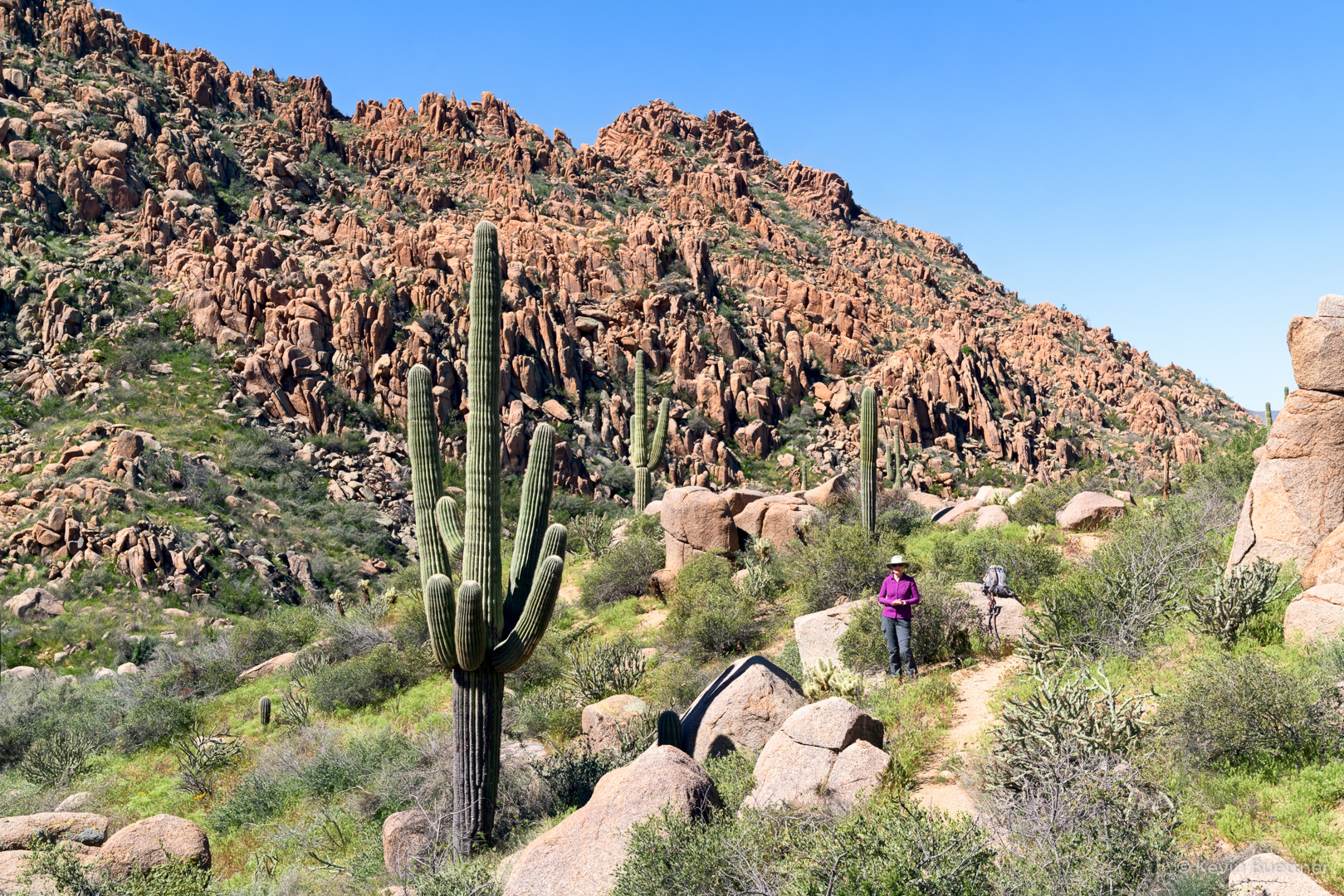
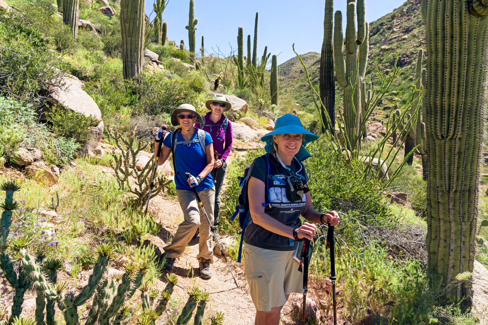
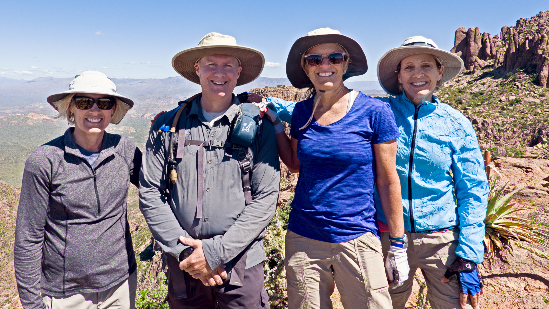
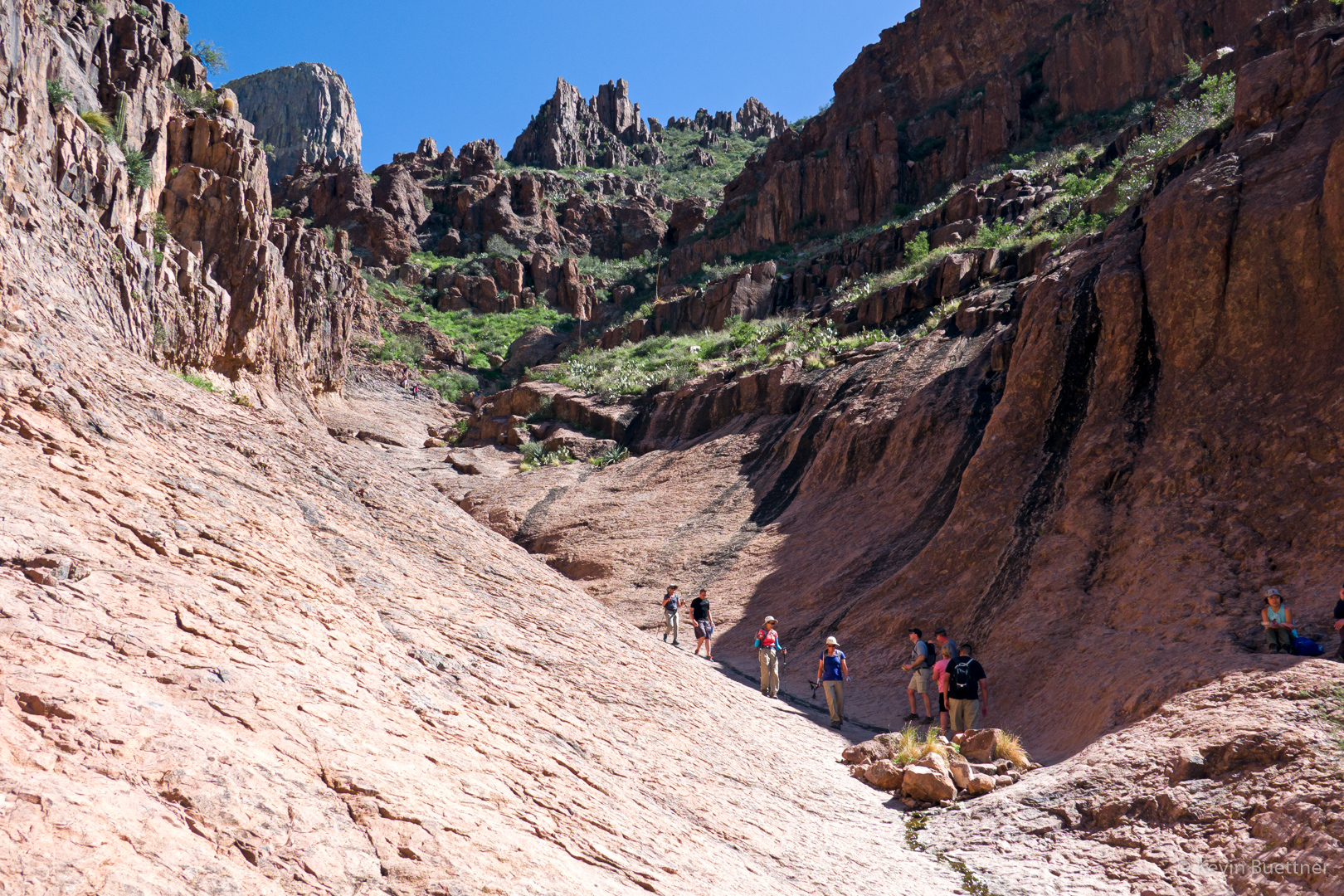
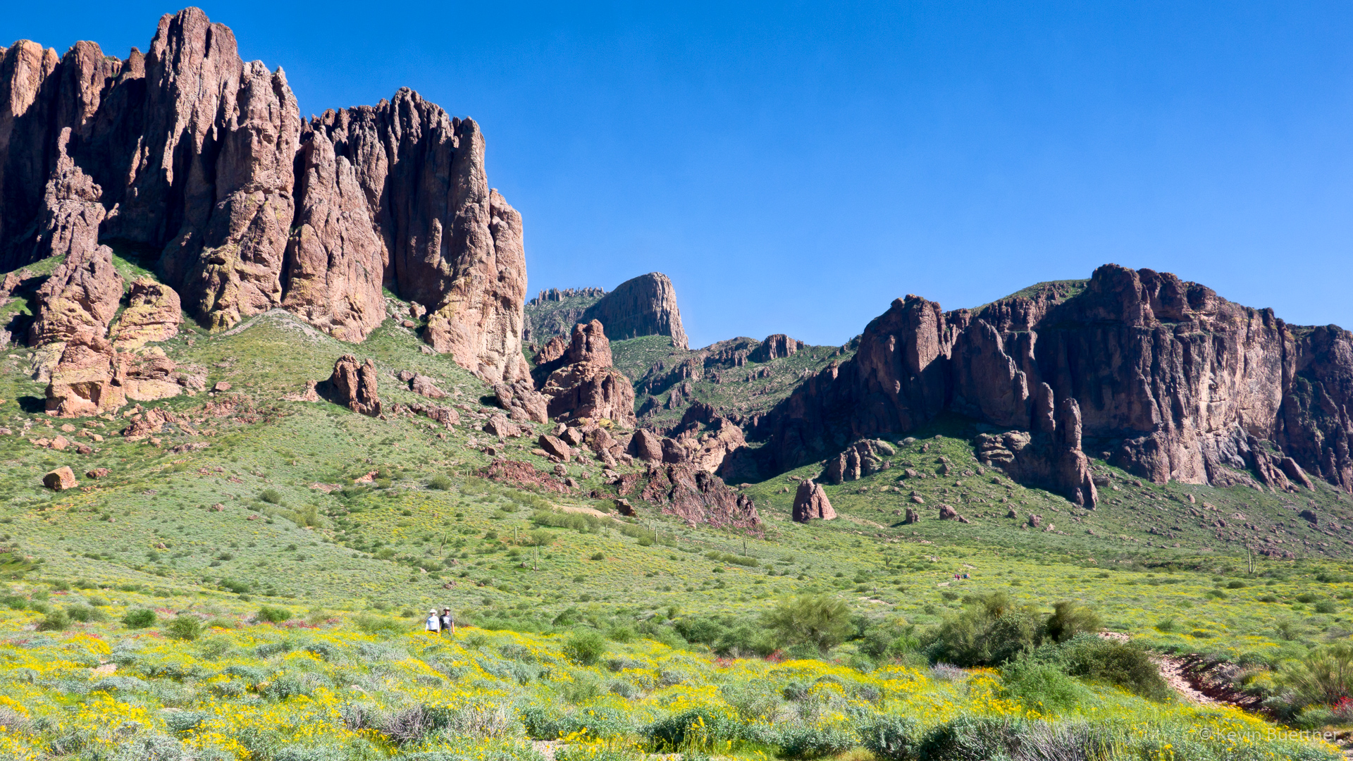
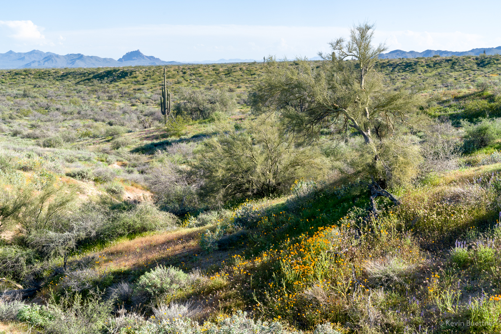
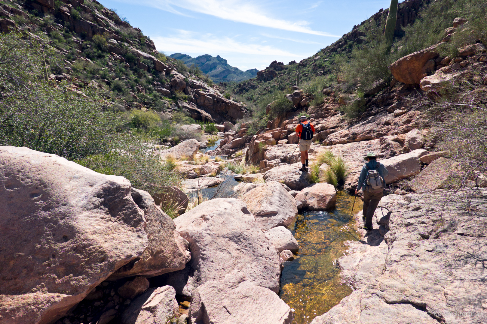
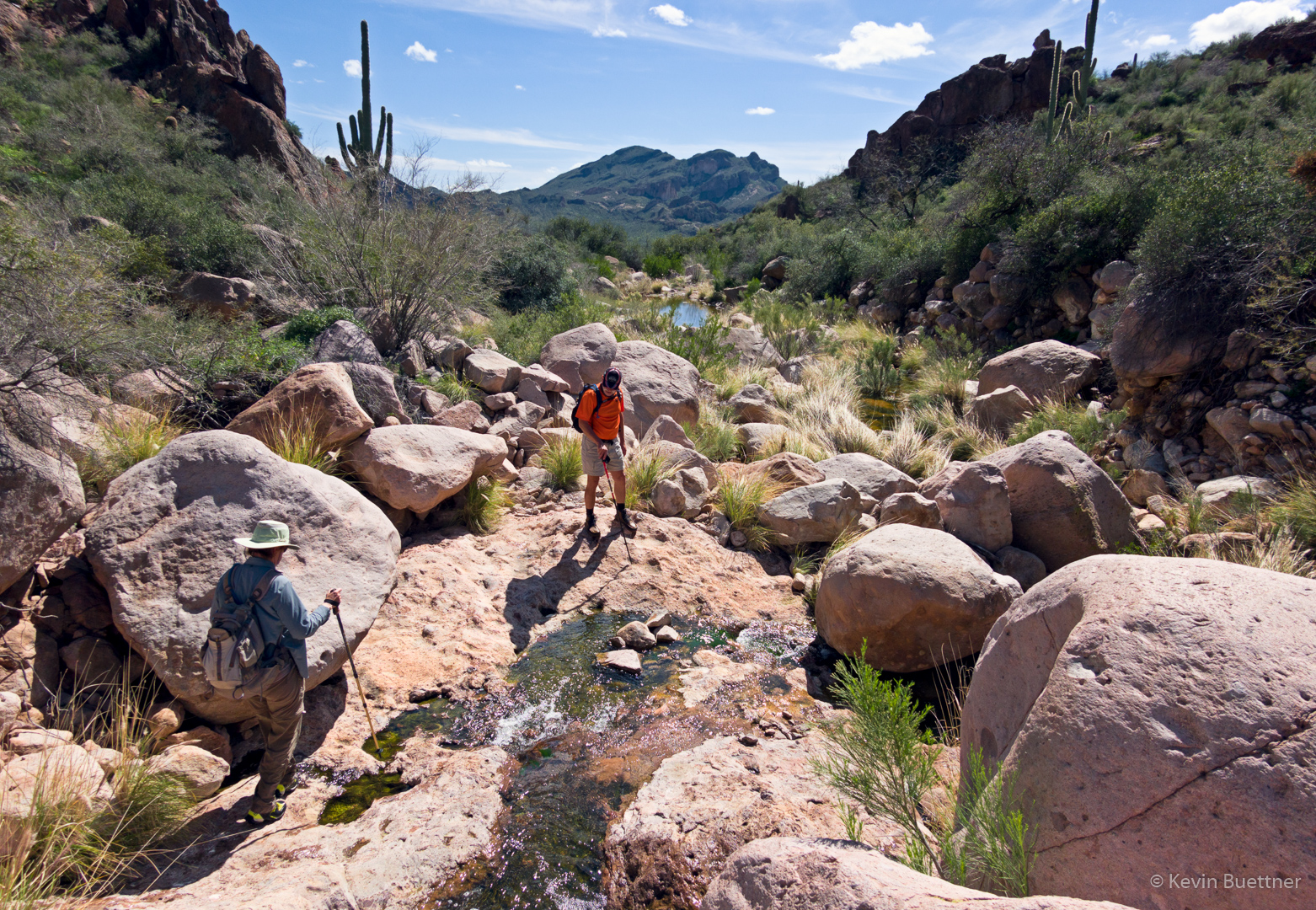
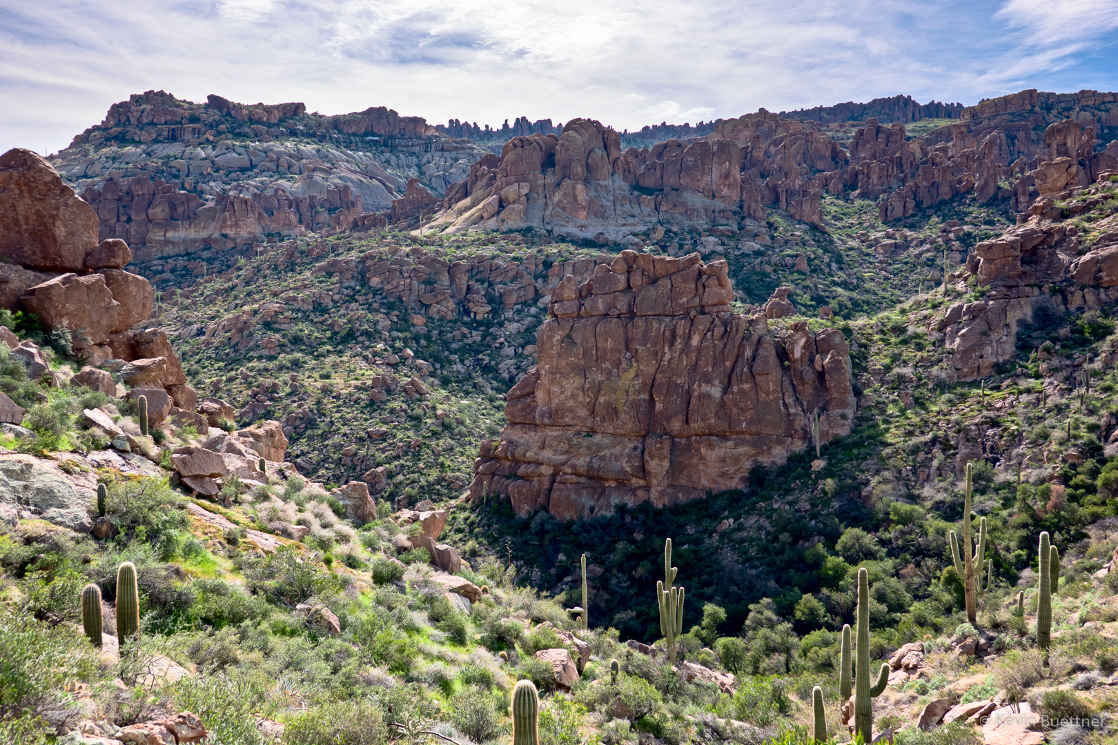
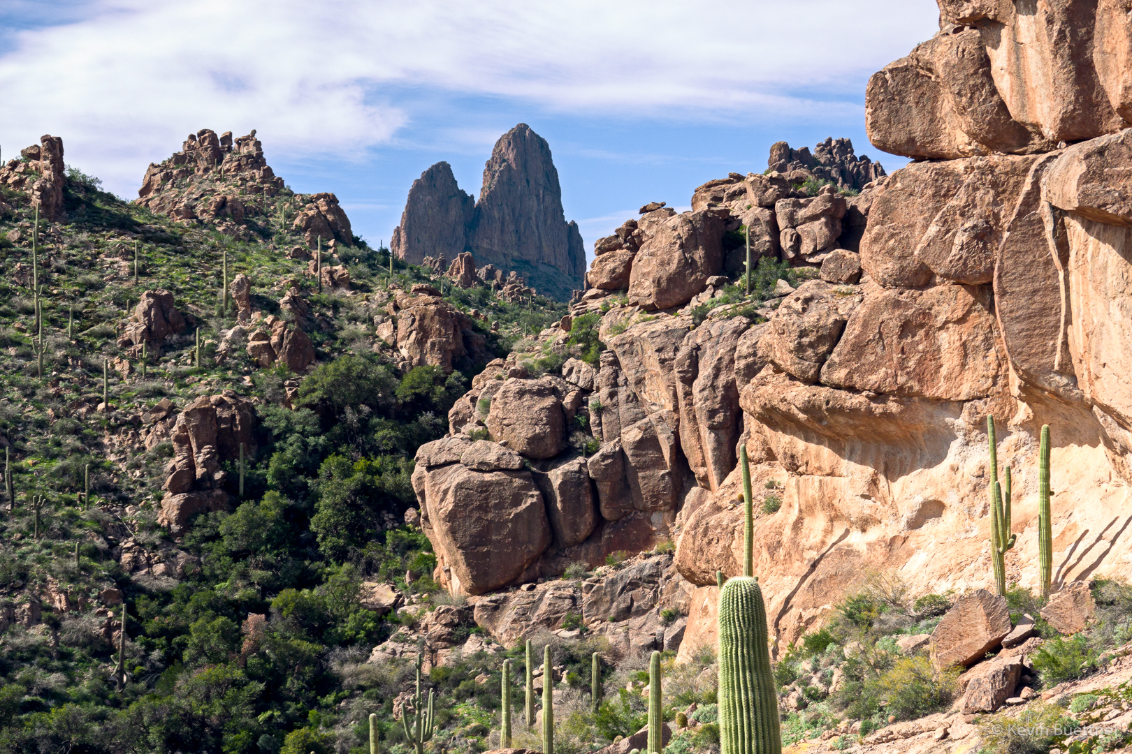
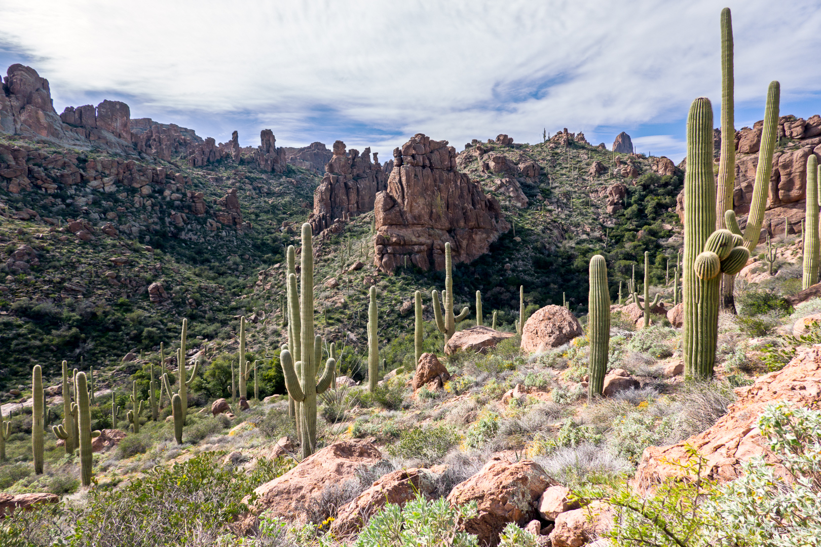
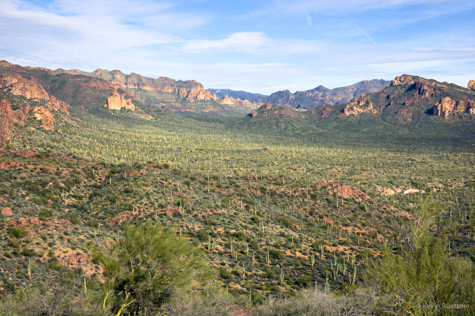
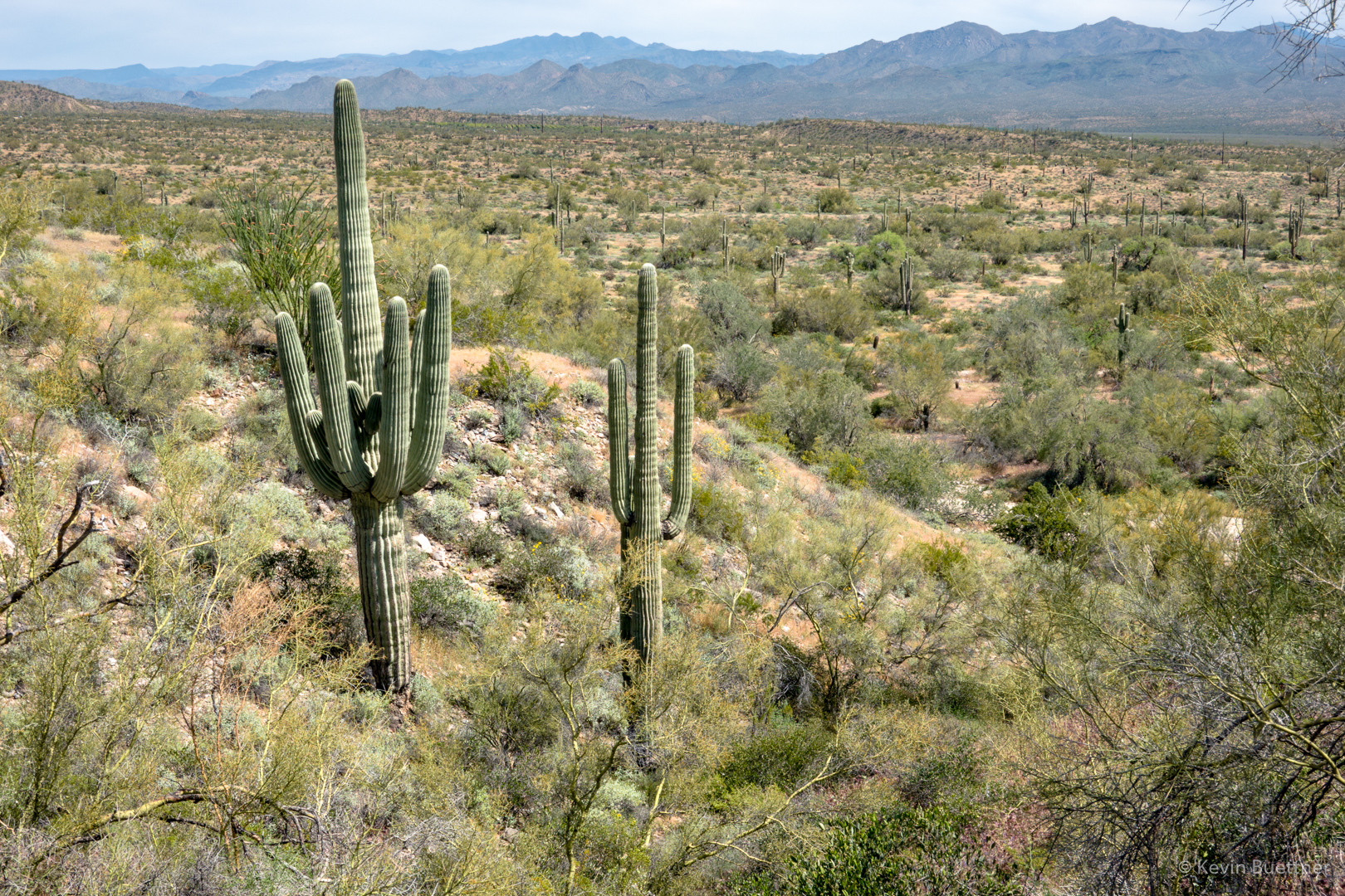
Mike, Cathy, Ro (short for Rosemary), and I hiked 12.6 miles starting from the Four Peaks parking lot at MMRP. We hiked a big loop which incorporated the South Wash and a significant portion of the Long Loop, which is one of the competitive track loops.
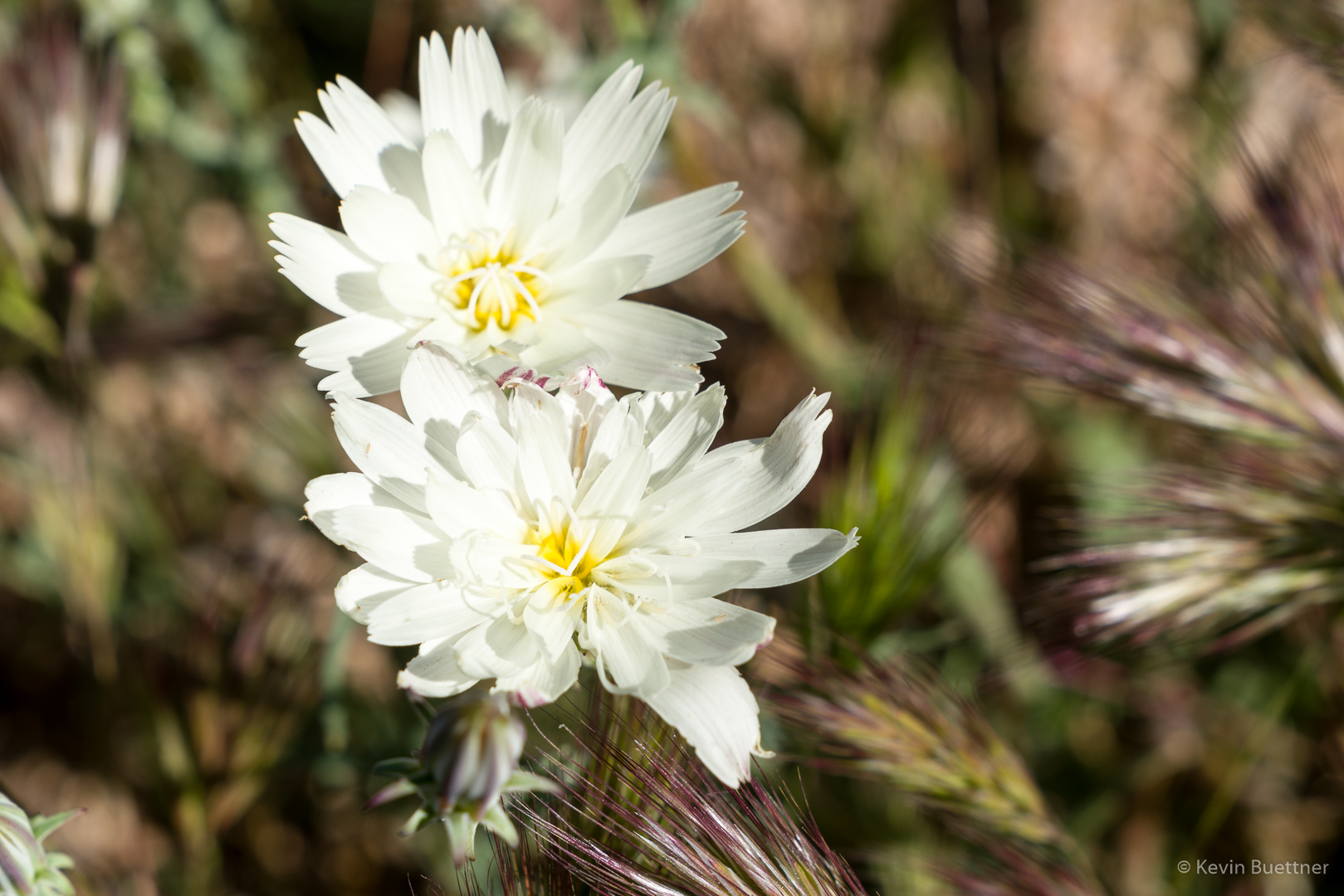
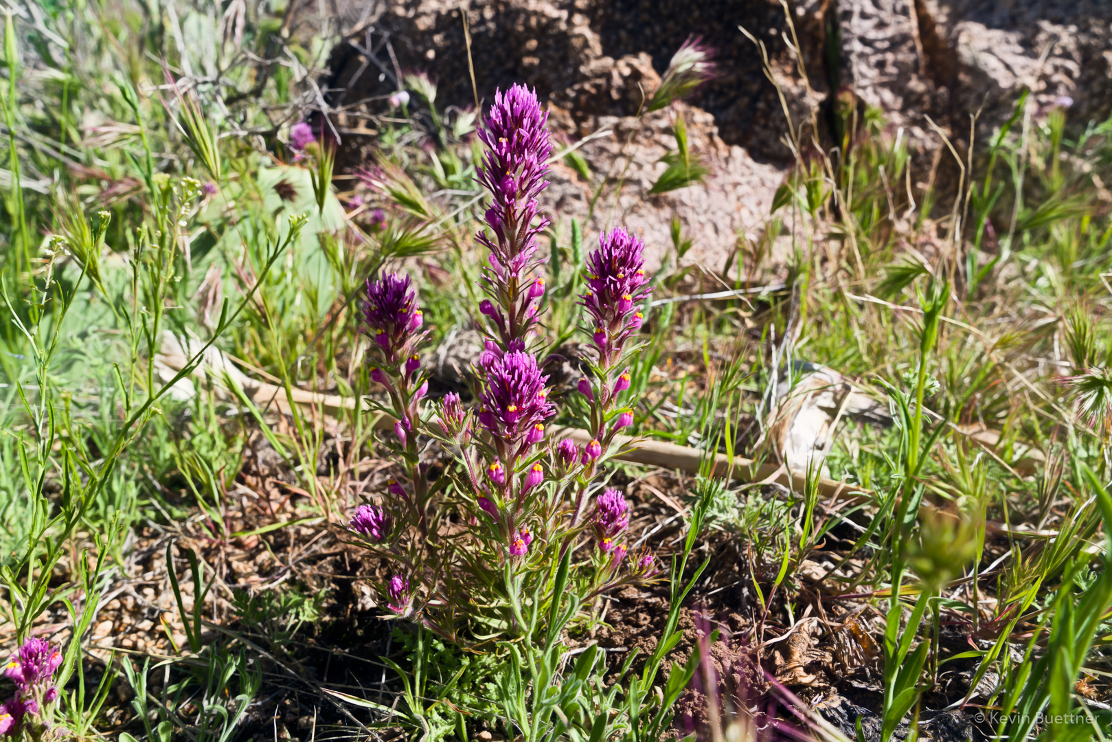
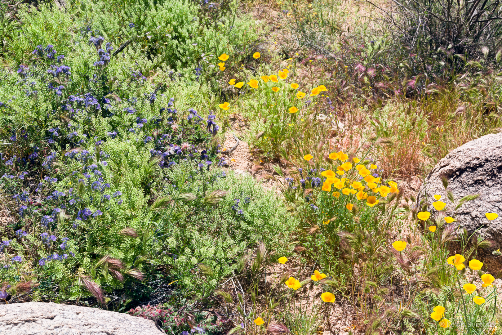
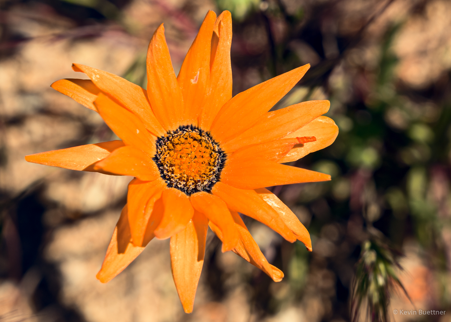
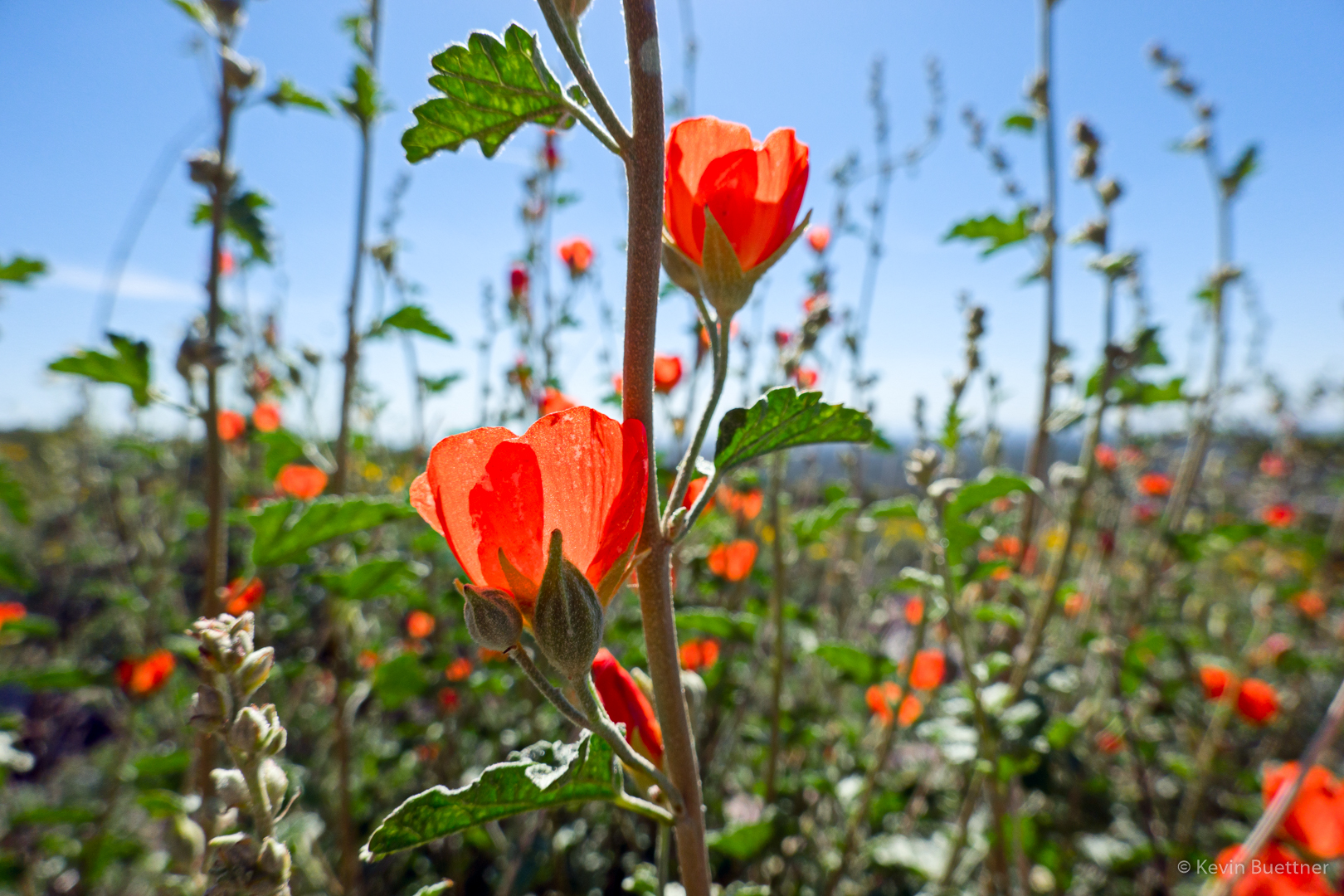
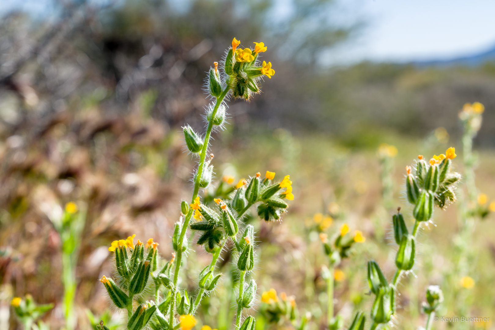
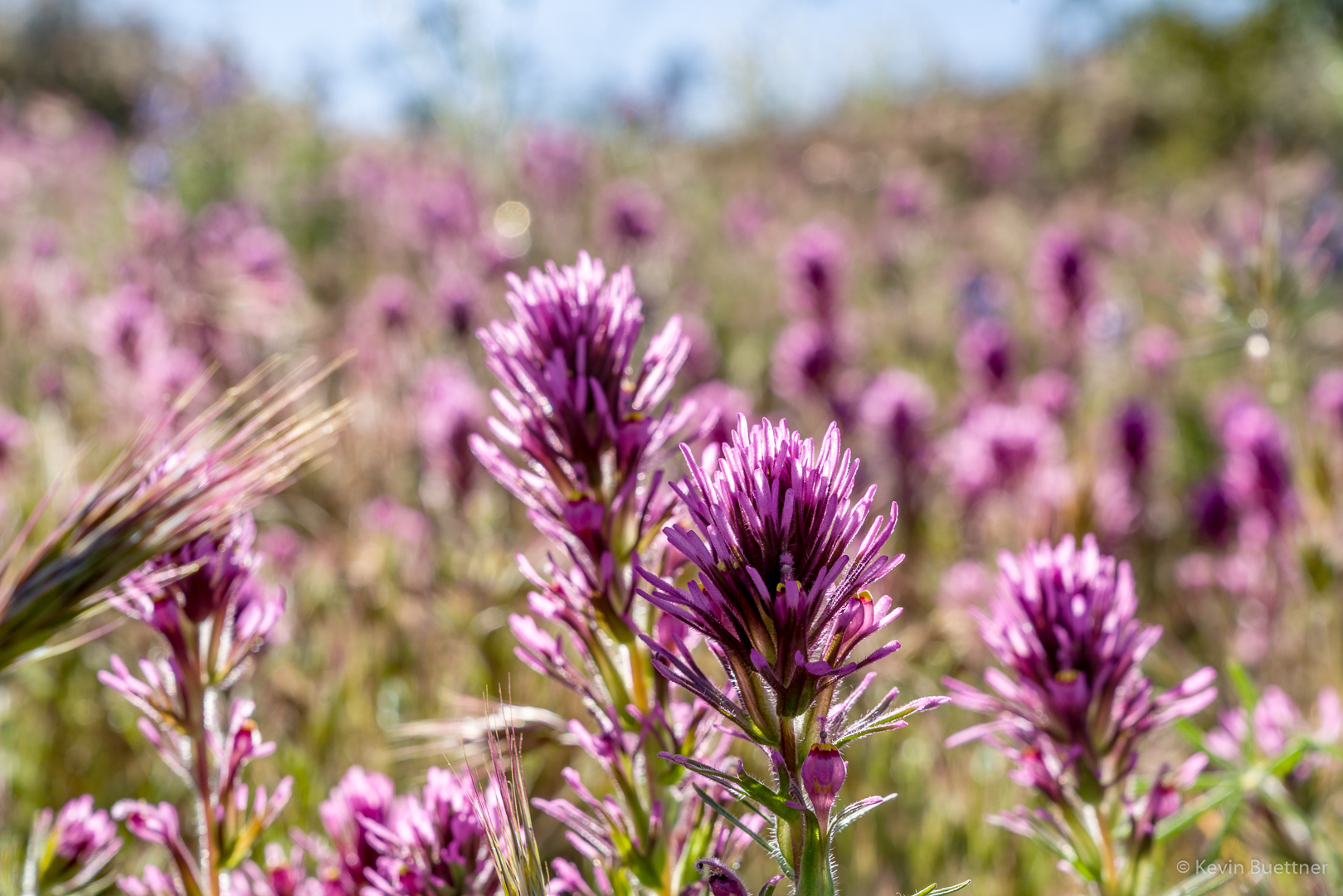
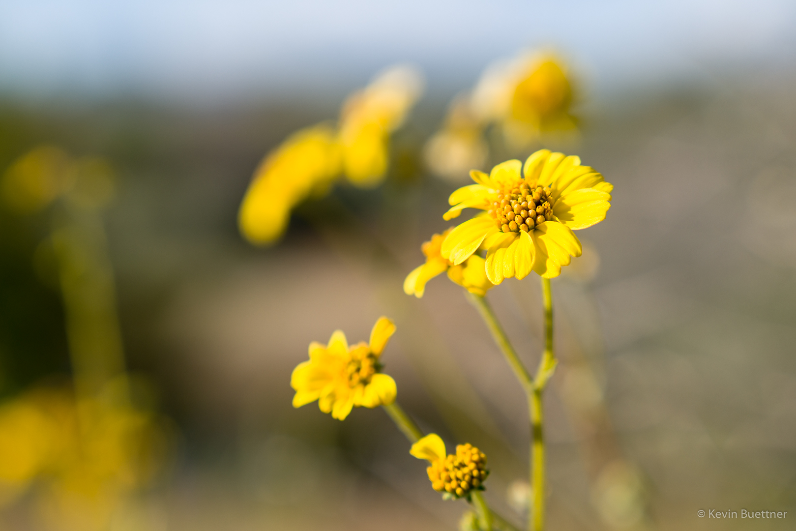
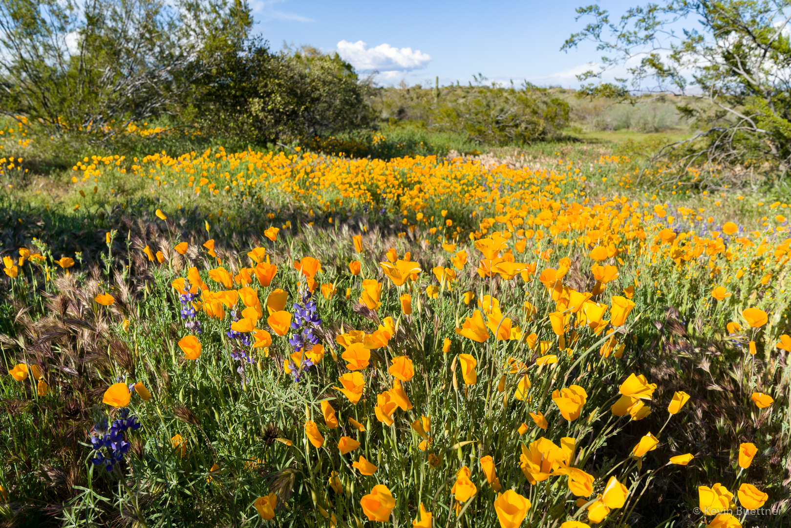
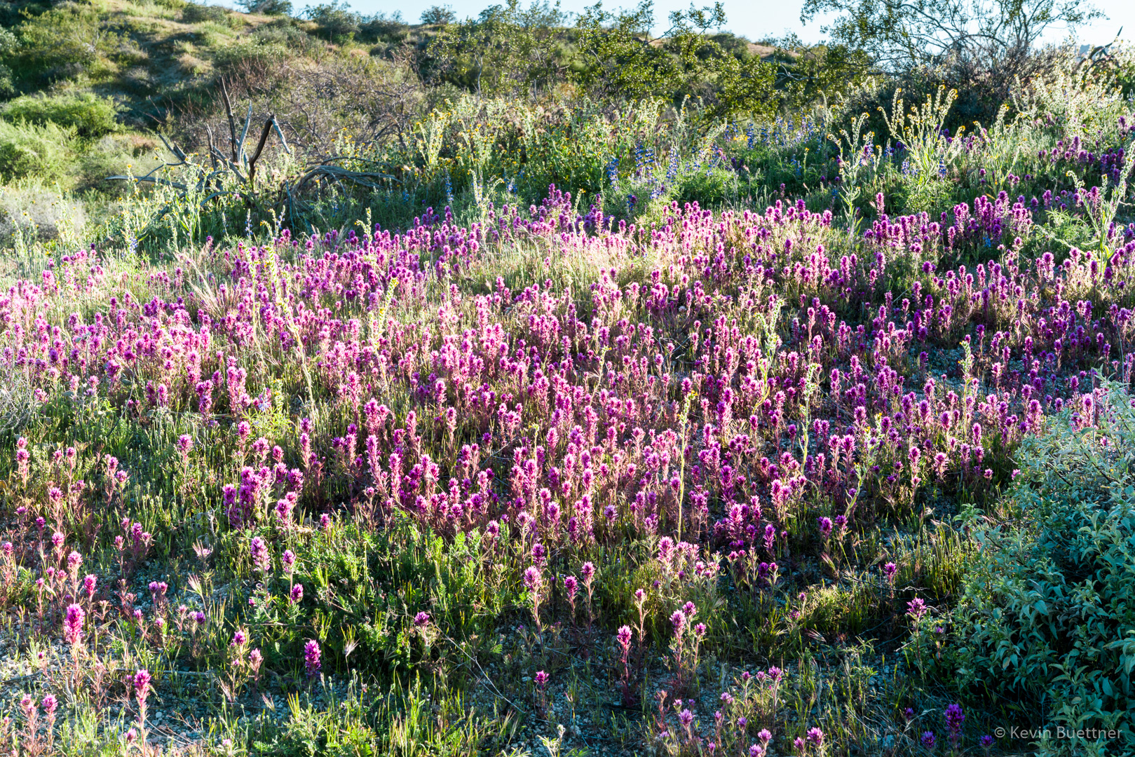
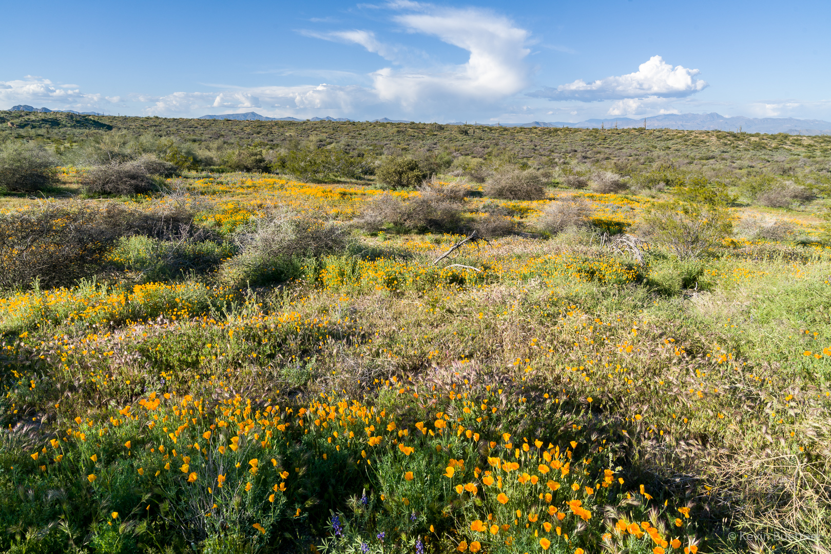
The desert grasses are definitely drying out; we saw a lot of tan, brown, and even red grasses. But we also saw a lot of flowers, both cactus flowers and wildflowers. We saw a surprising amount of brittlebush blooms. We also saw poppies, fiddleneck, chia, globemallow, owl clover, and even thistle.
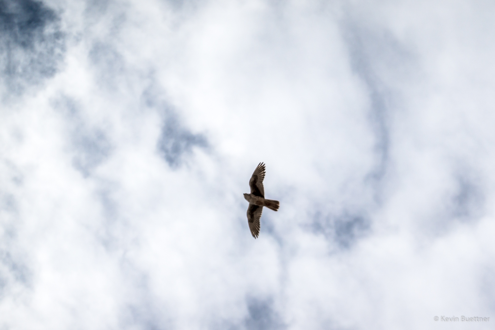
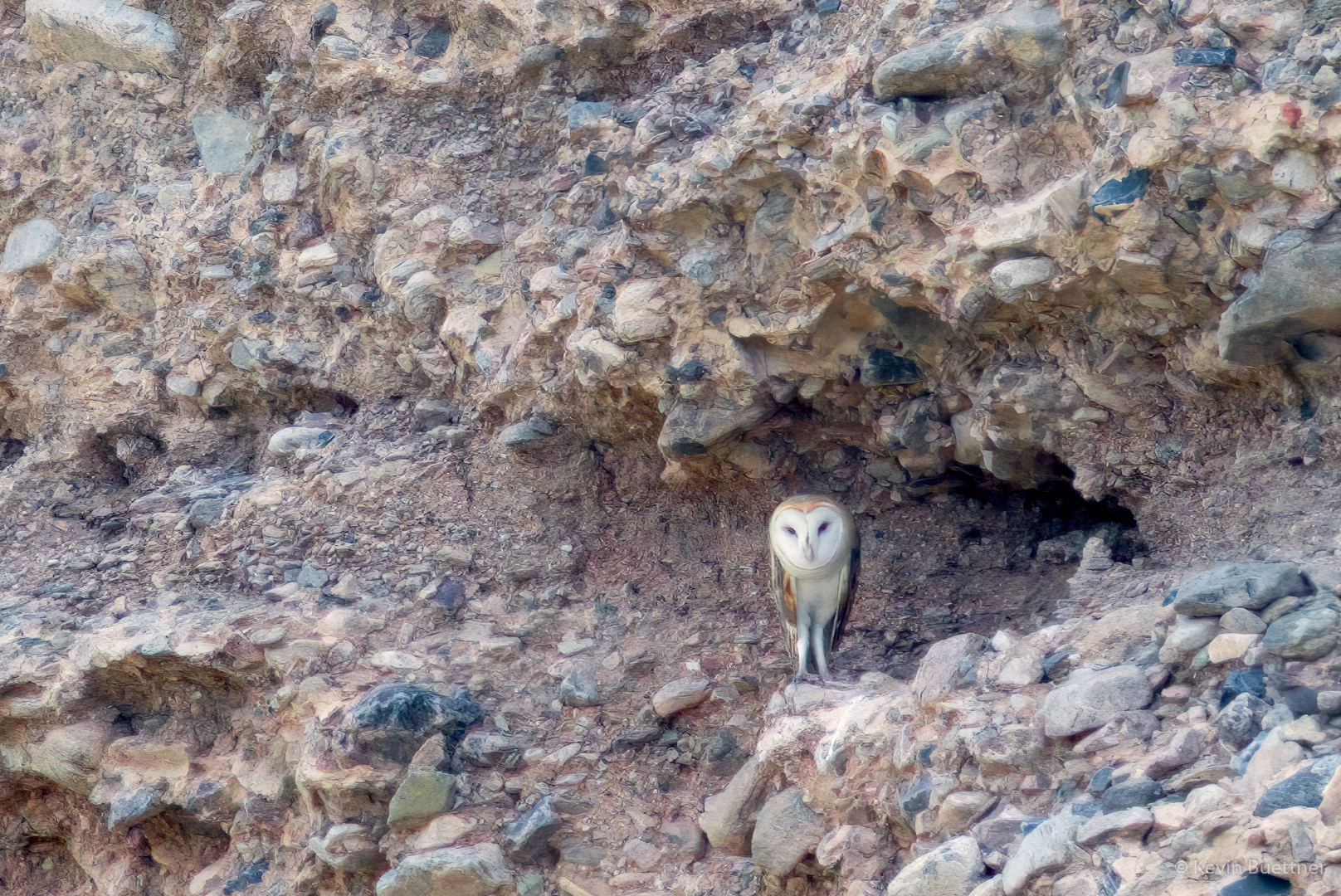
We saw a deer and an owl while hiking the South Wash. I got a photo of the owl (enhanced with Topaz Gigapixel AI), but was not quick enough to get a photo of the deer despite the fact that it was only about 20 yards away.
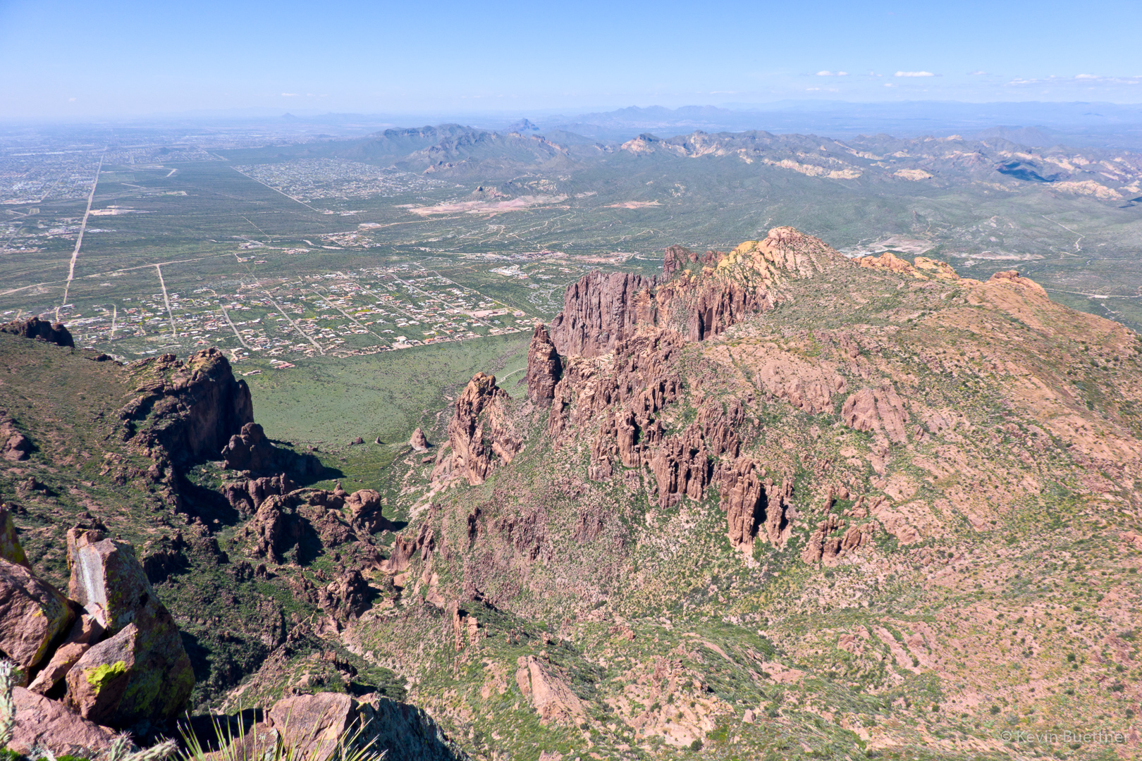
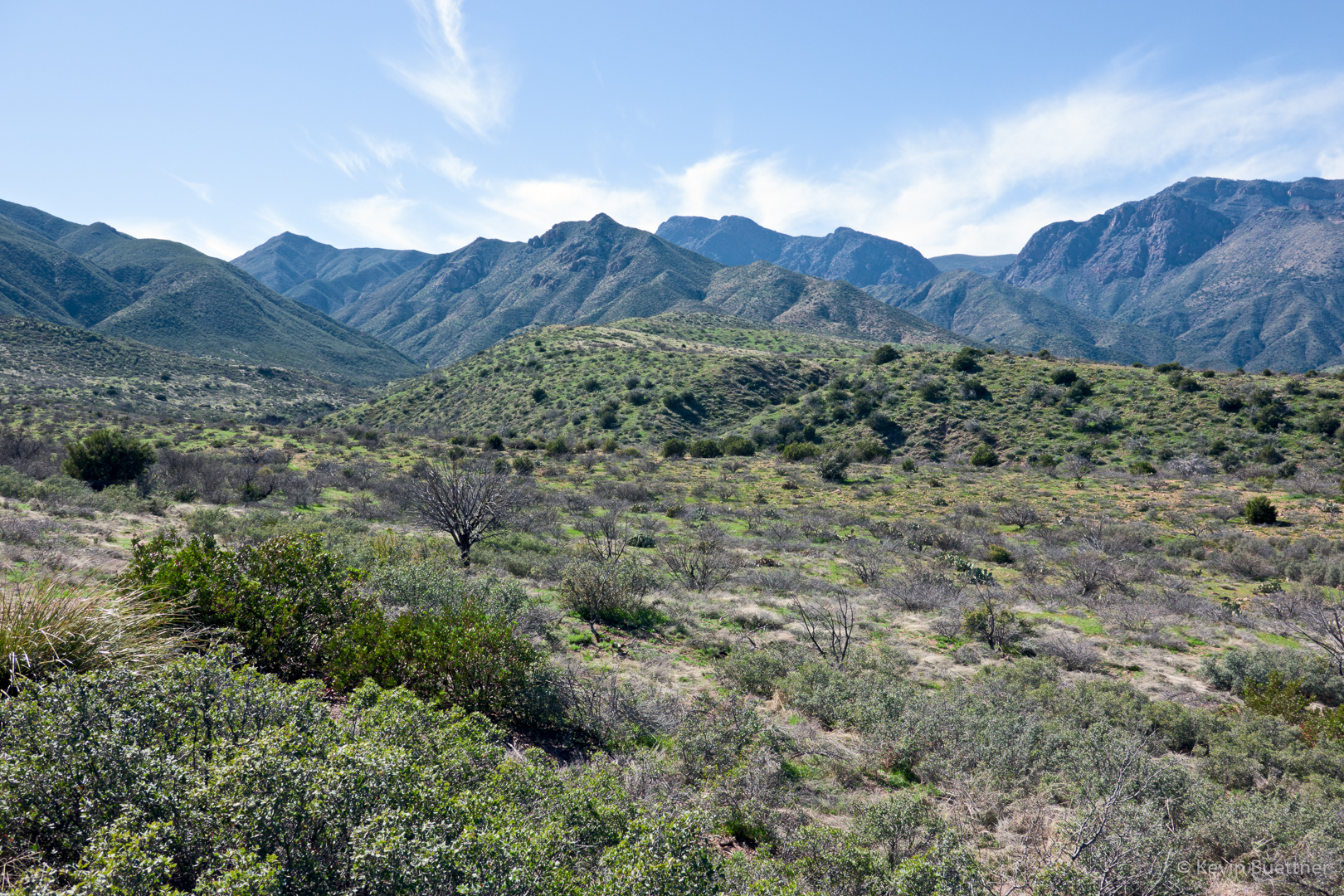
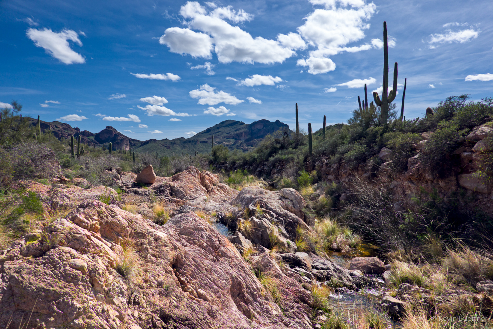
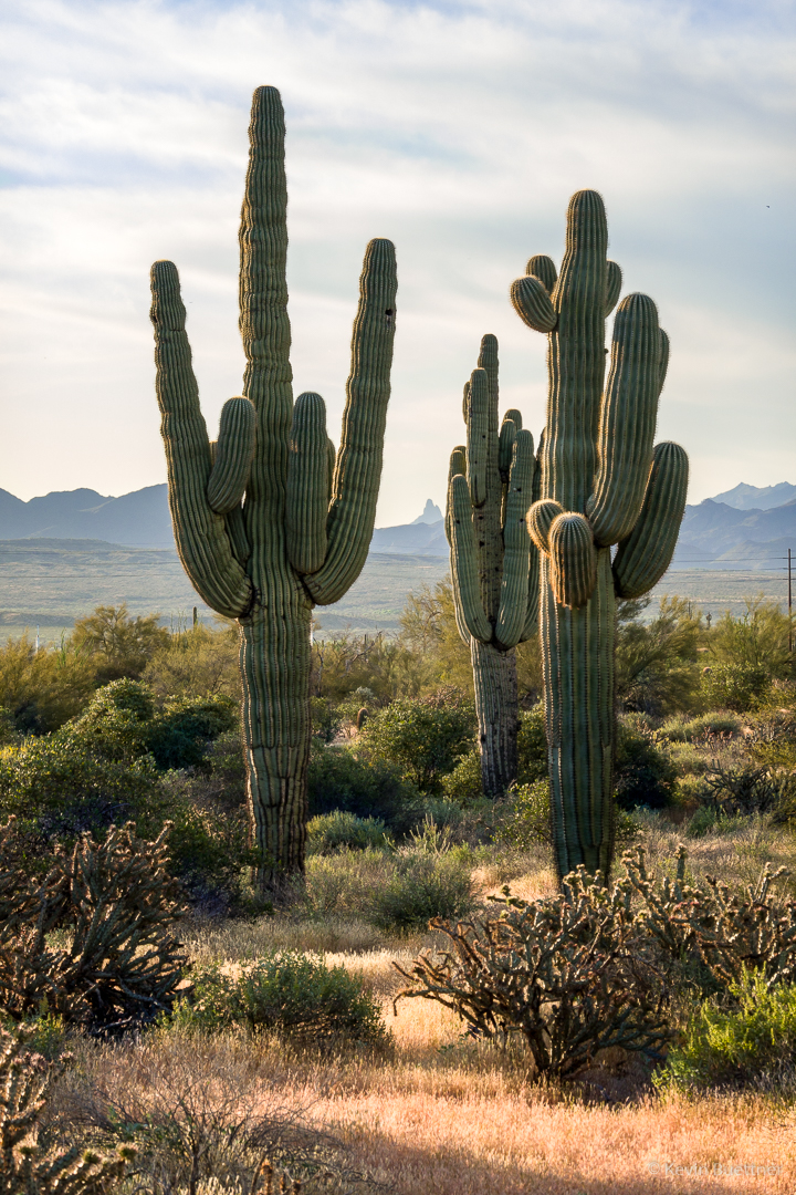
A view from the parking lot:
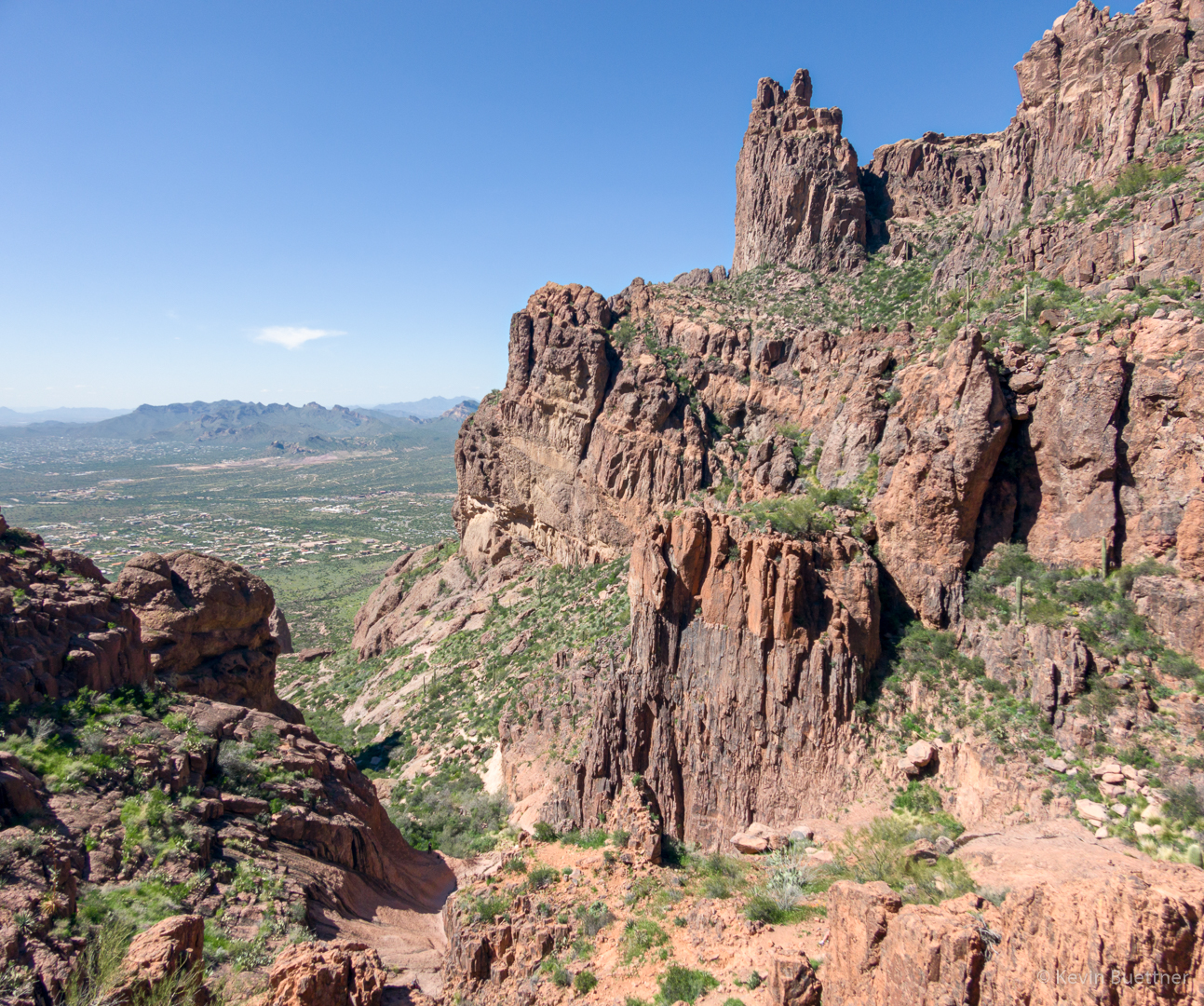
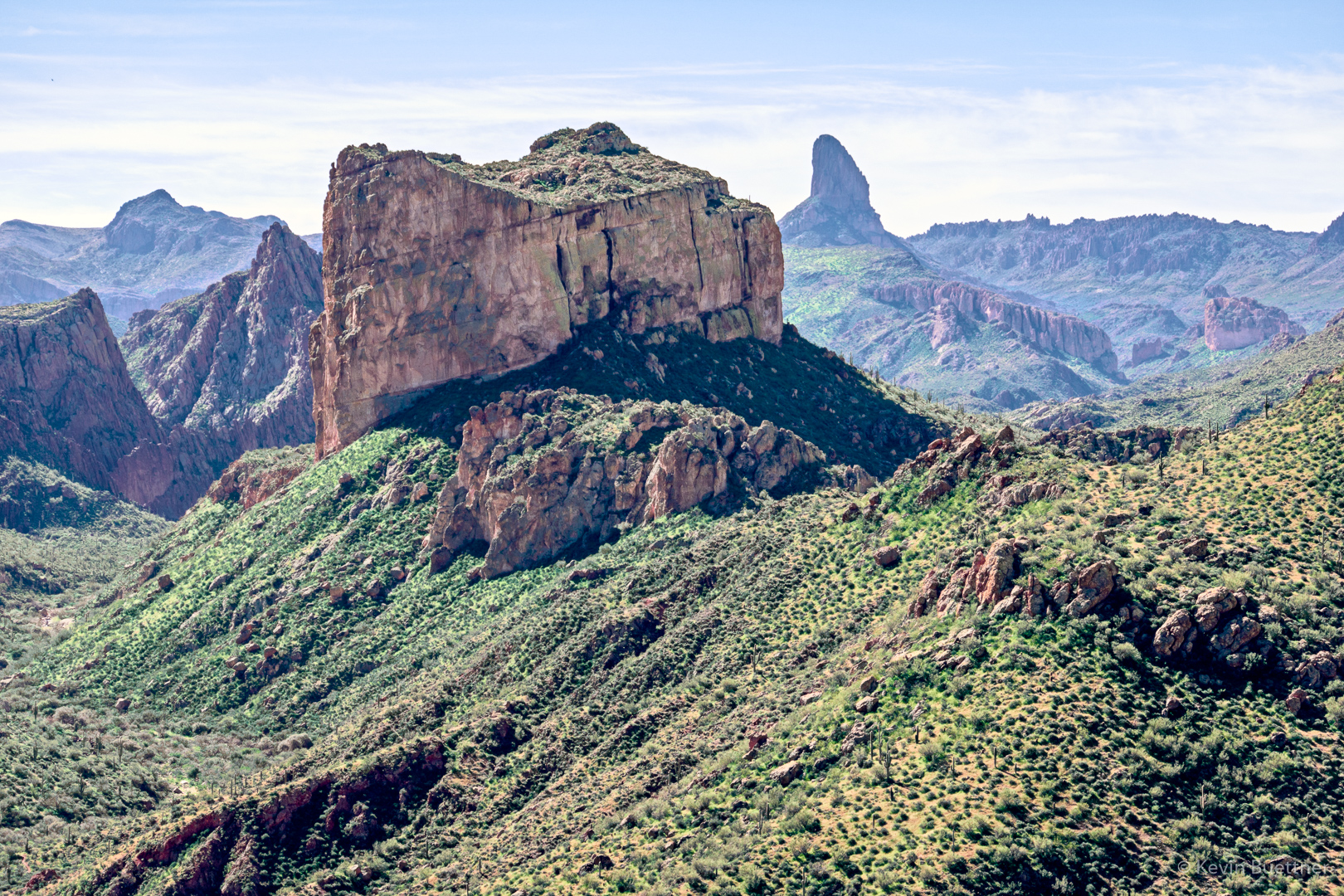
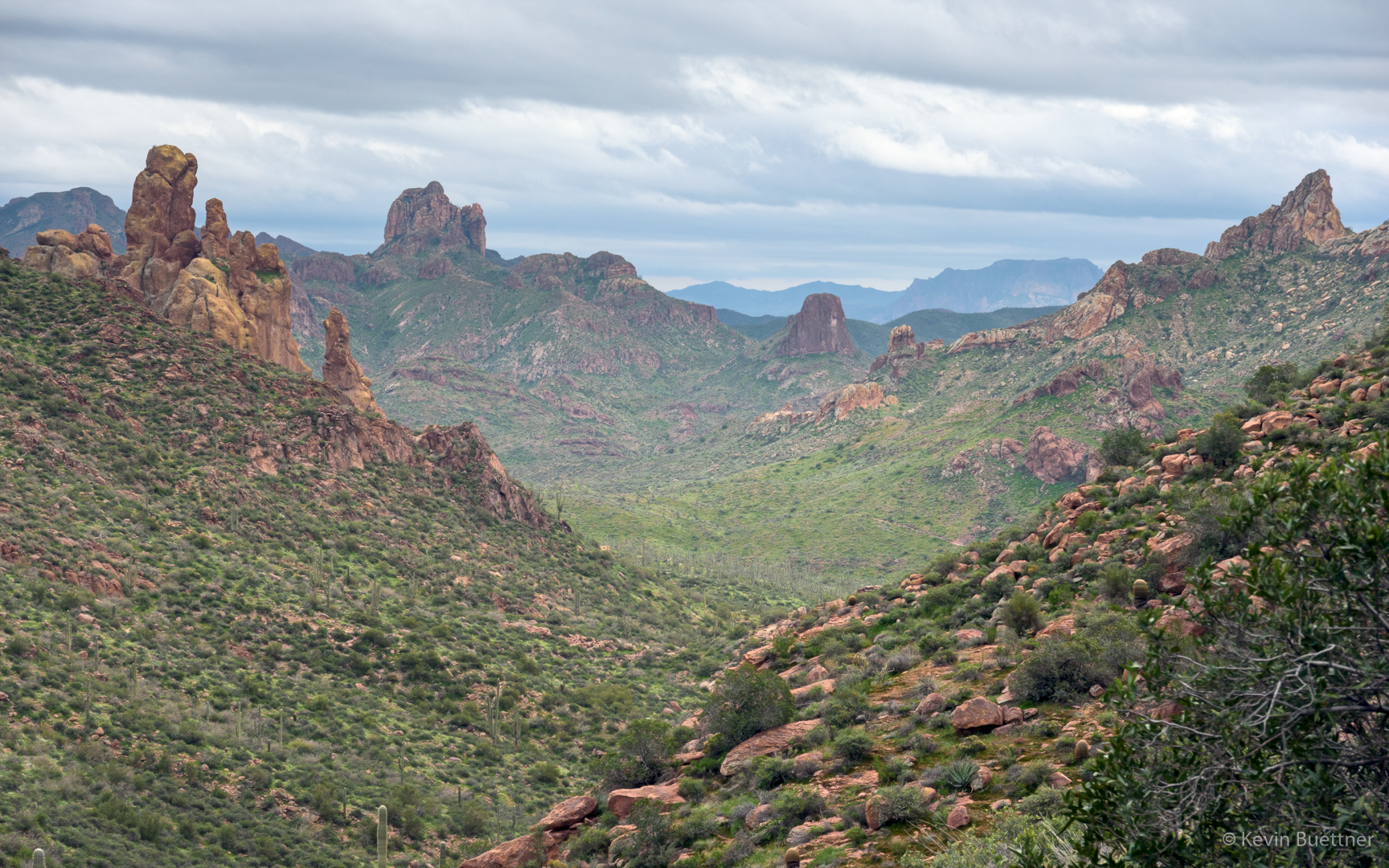
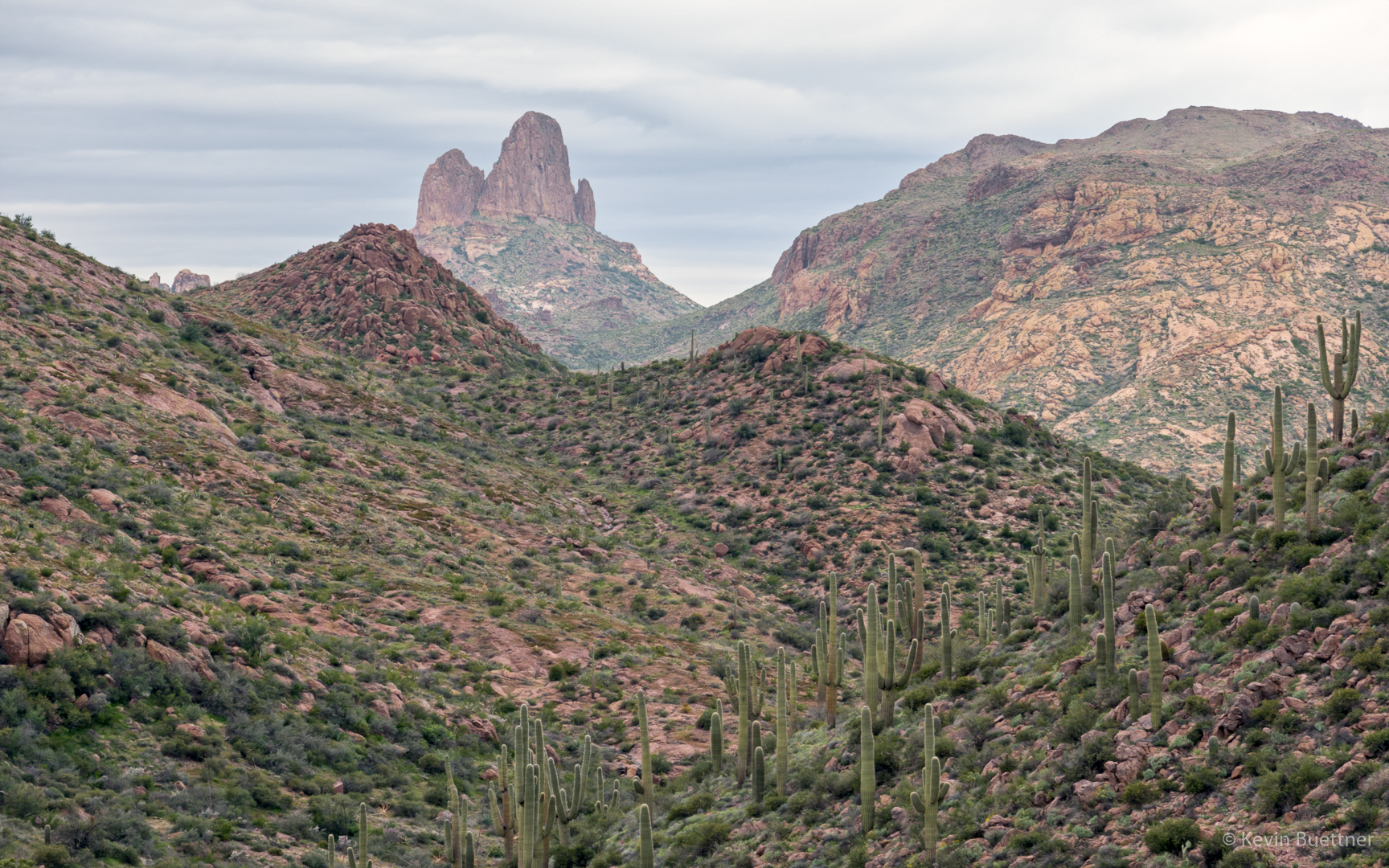
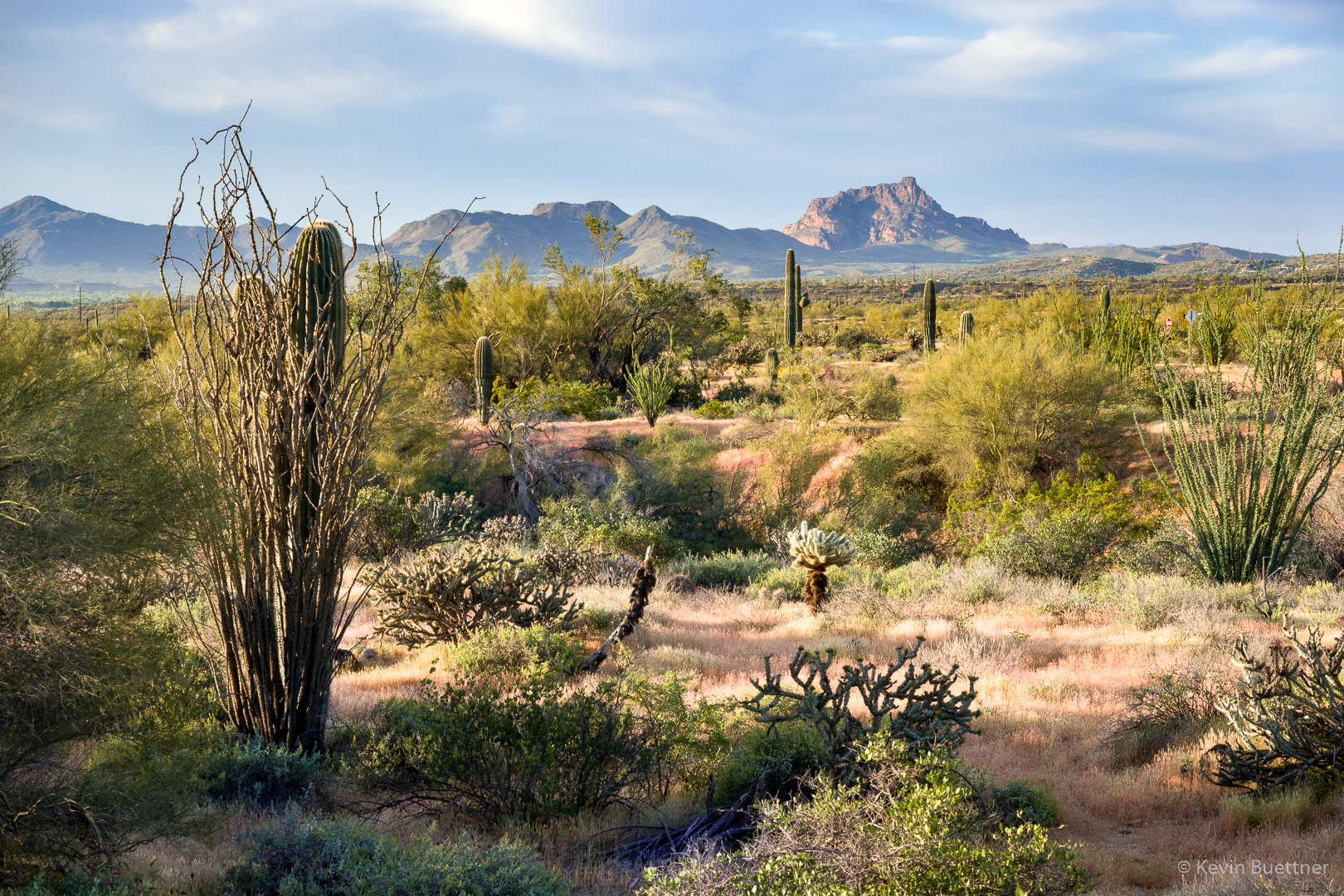
Views of Red Mountain from the Technical Loop…
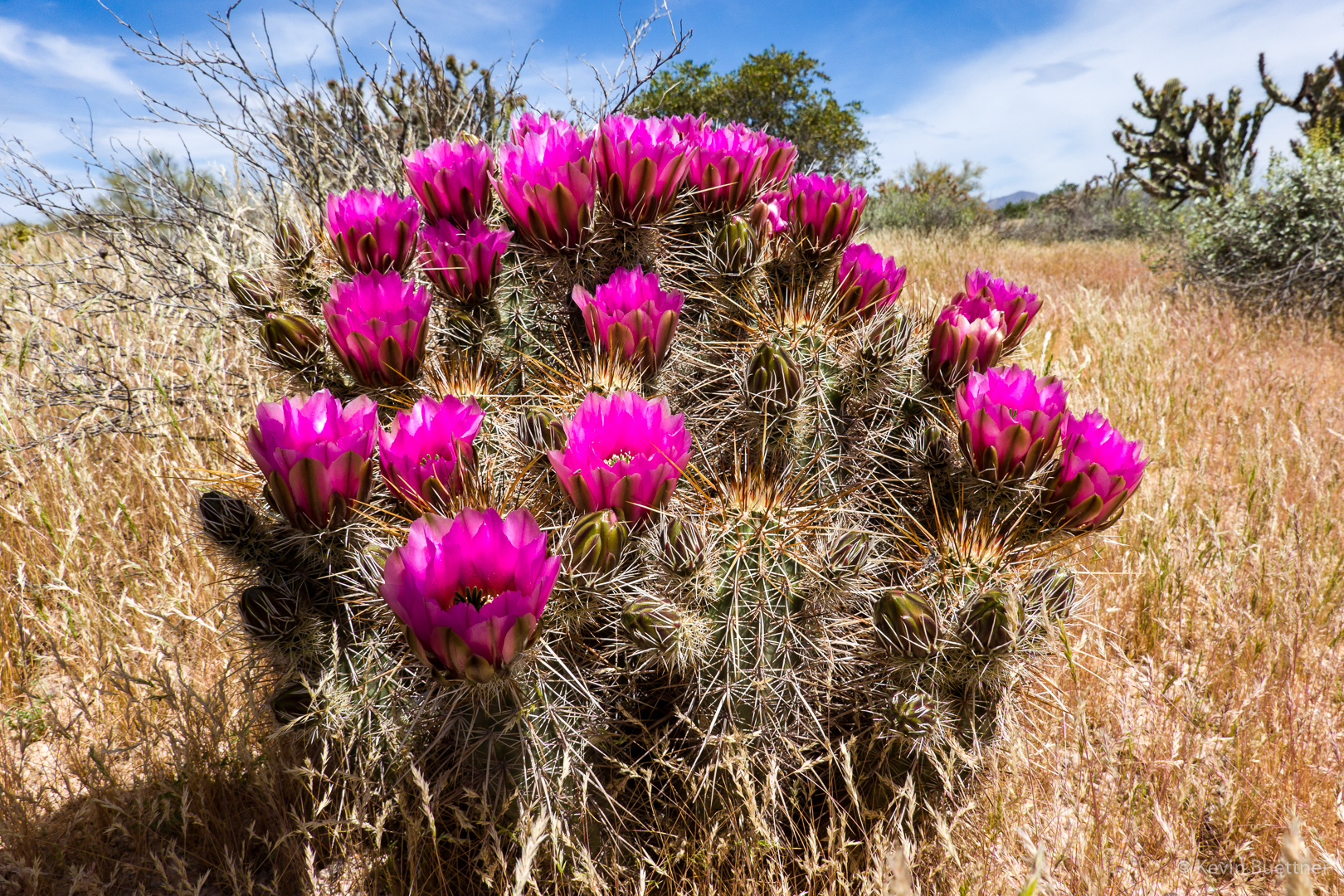
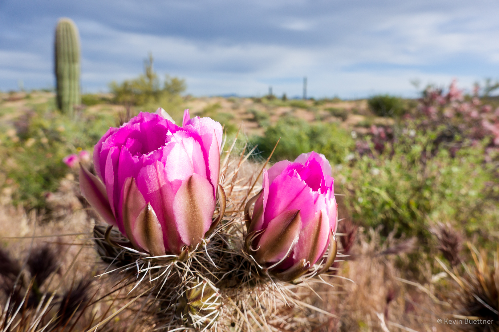
Hedgehog Blossoms:
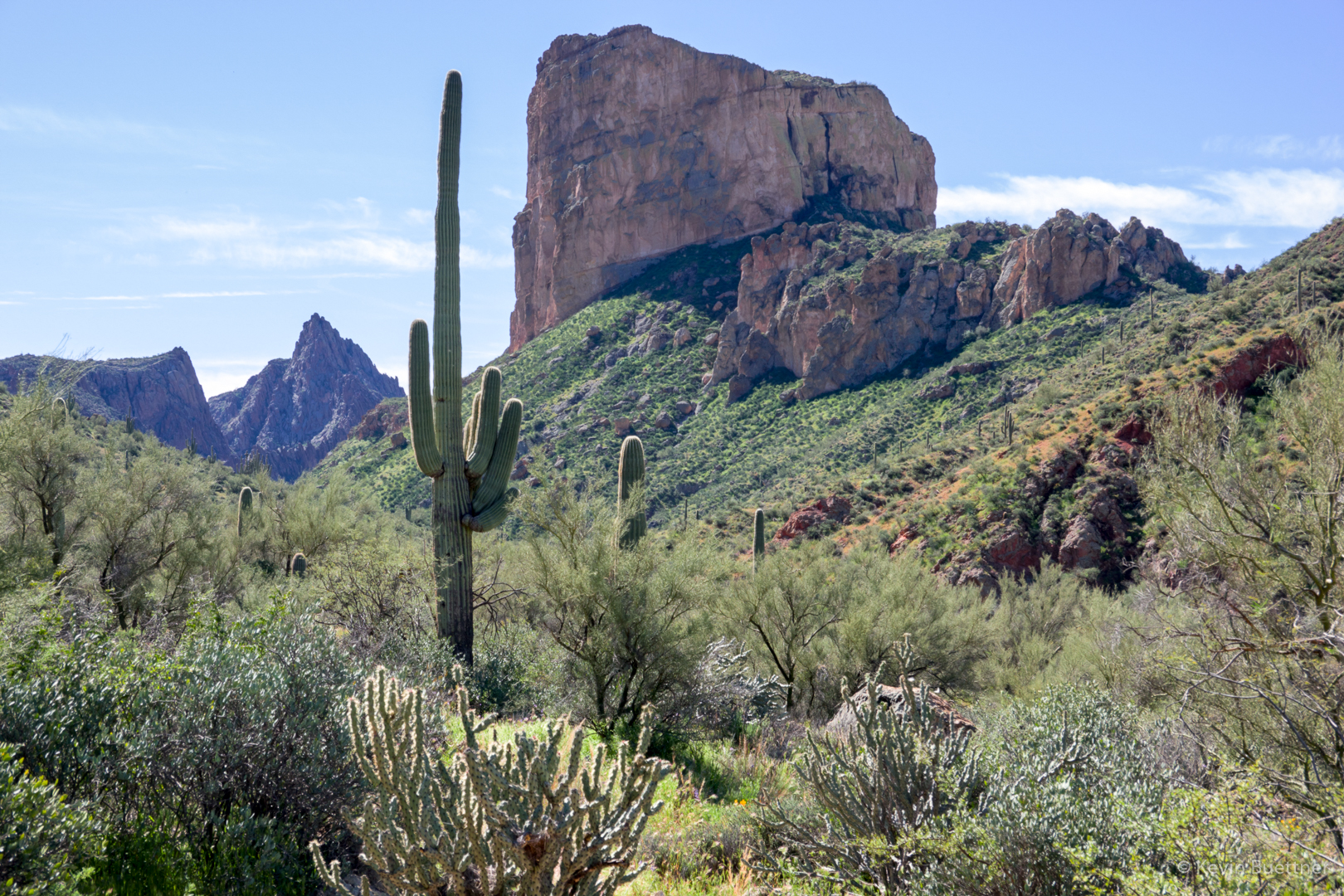
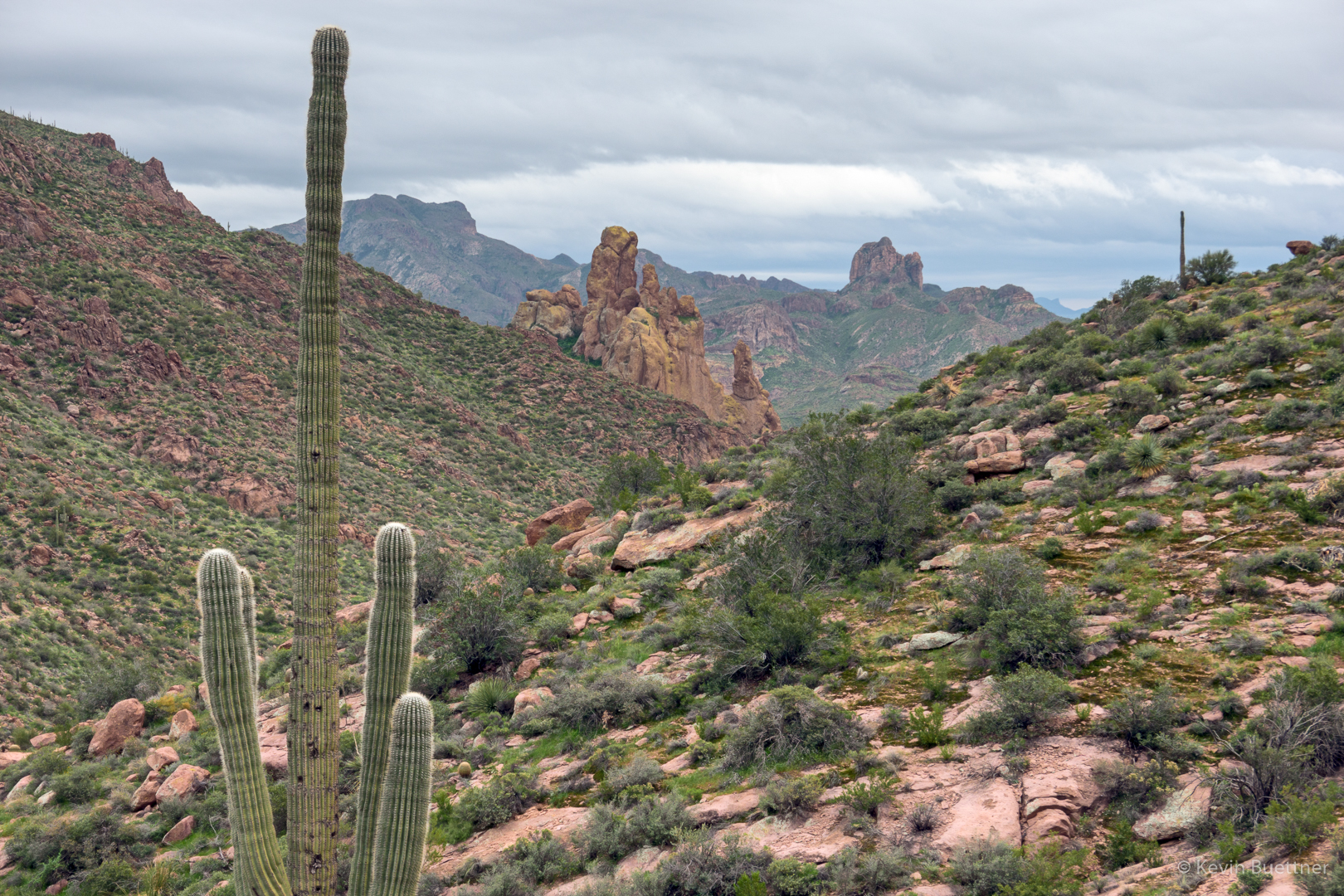
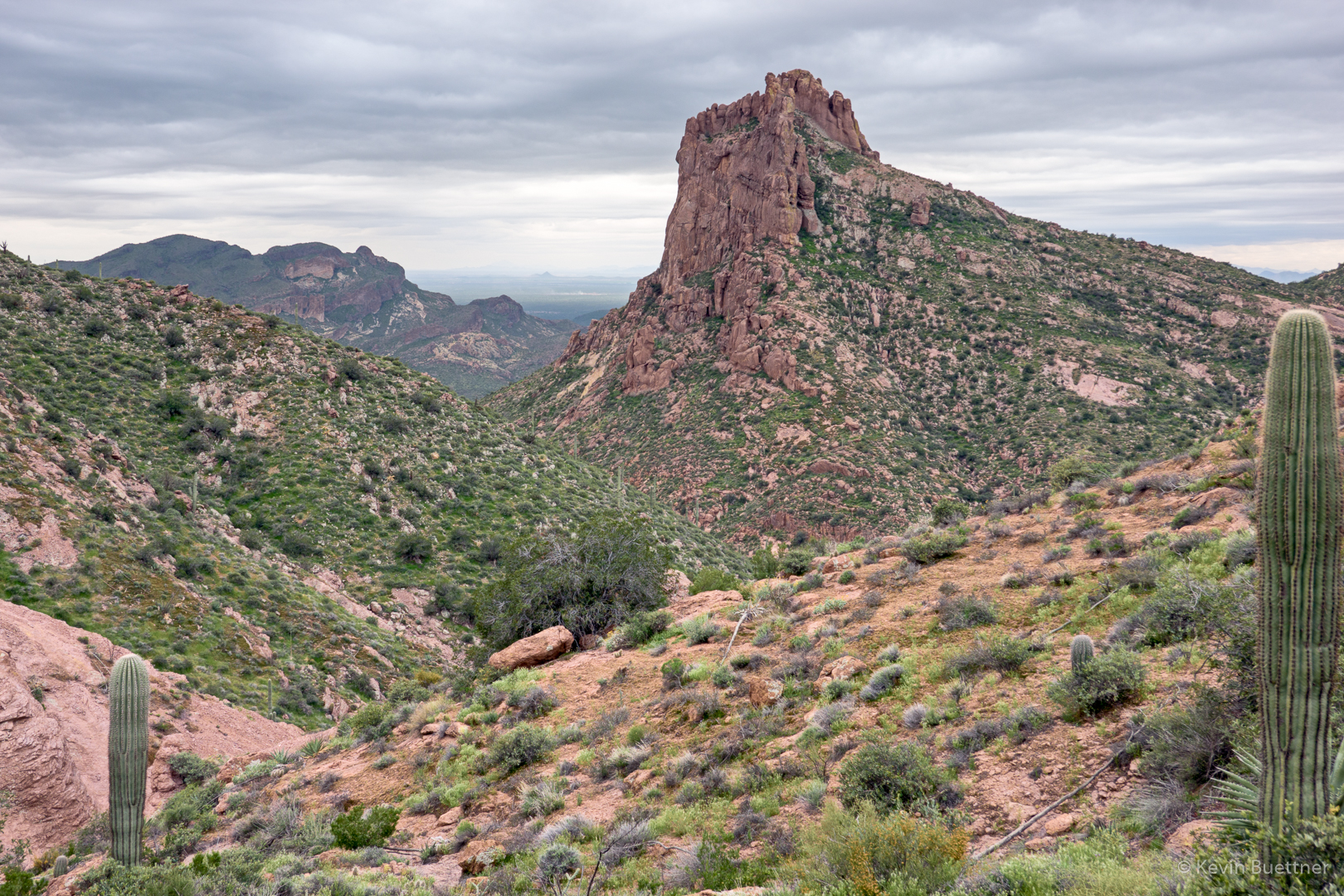
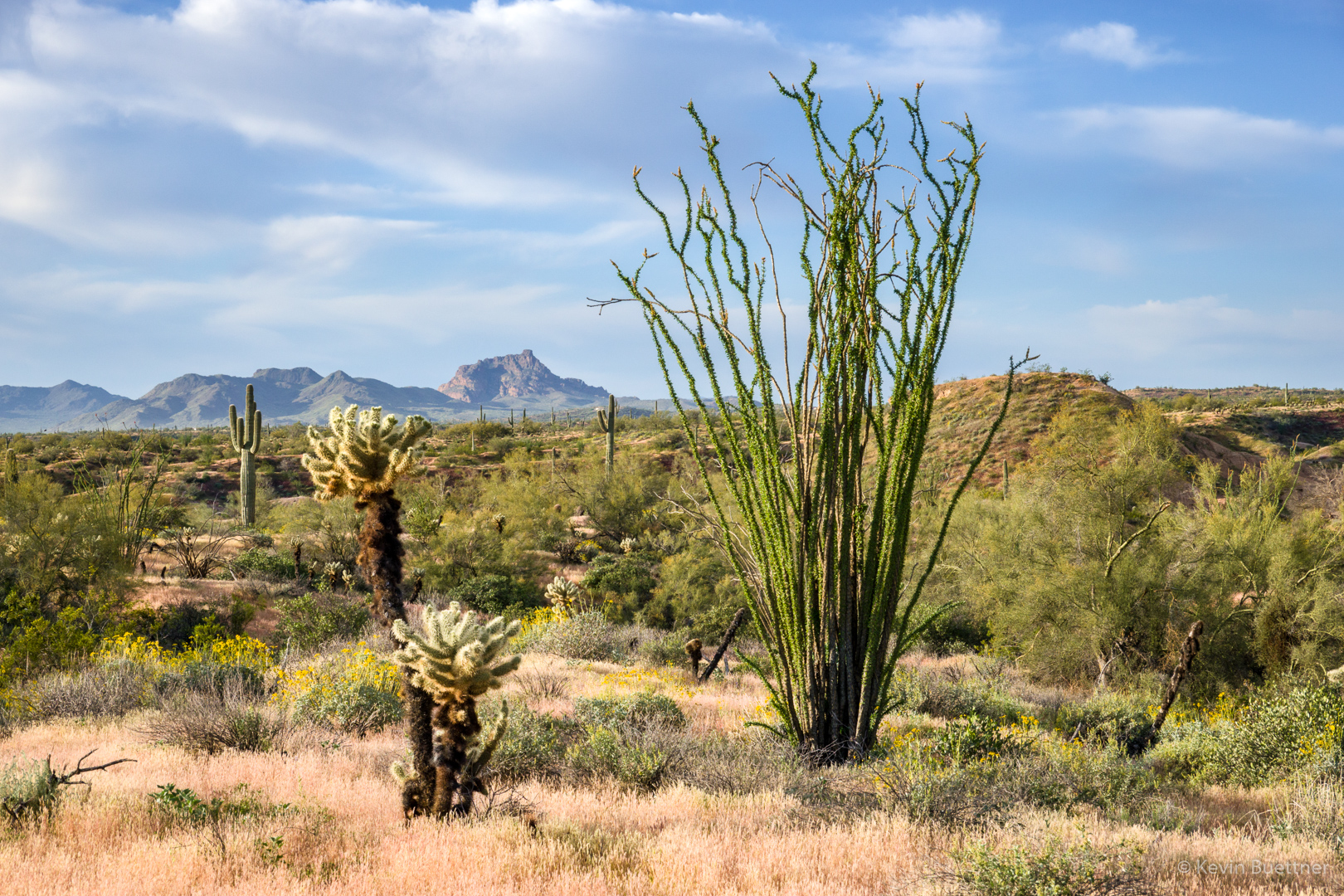
Another view of Red Mountain, also from the Technical Loop, while descending T-Bone Ridge:

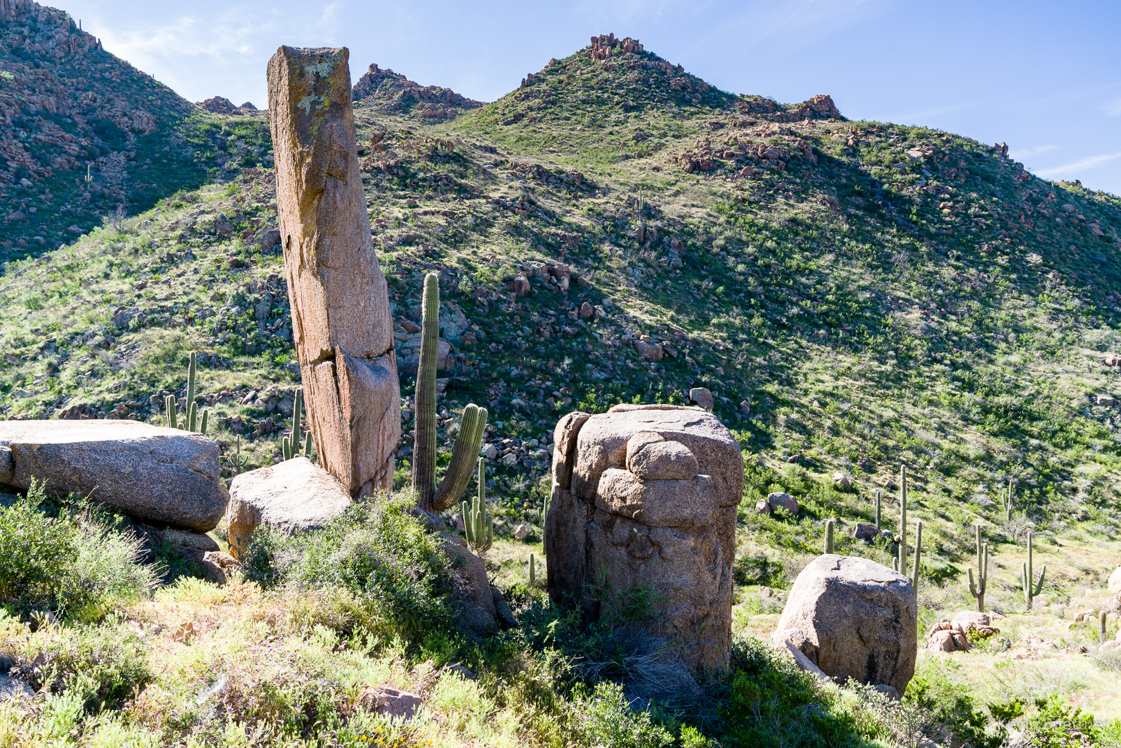
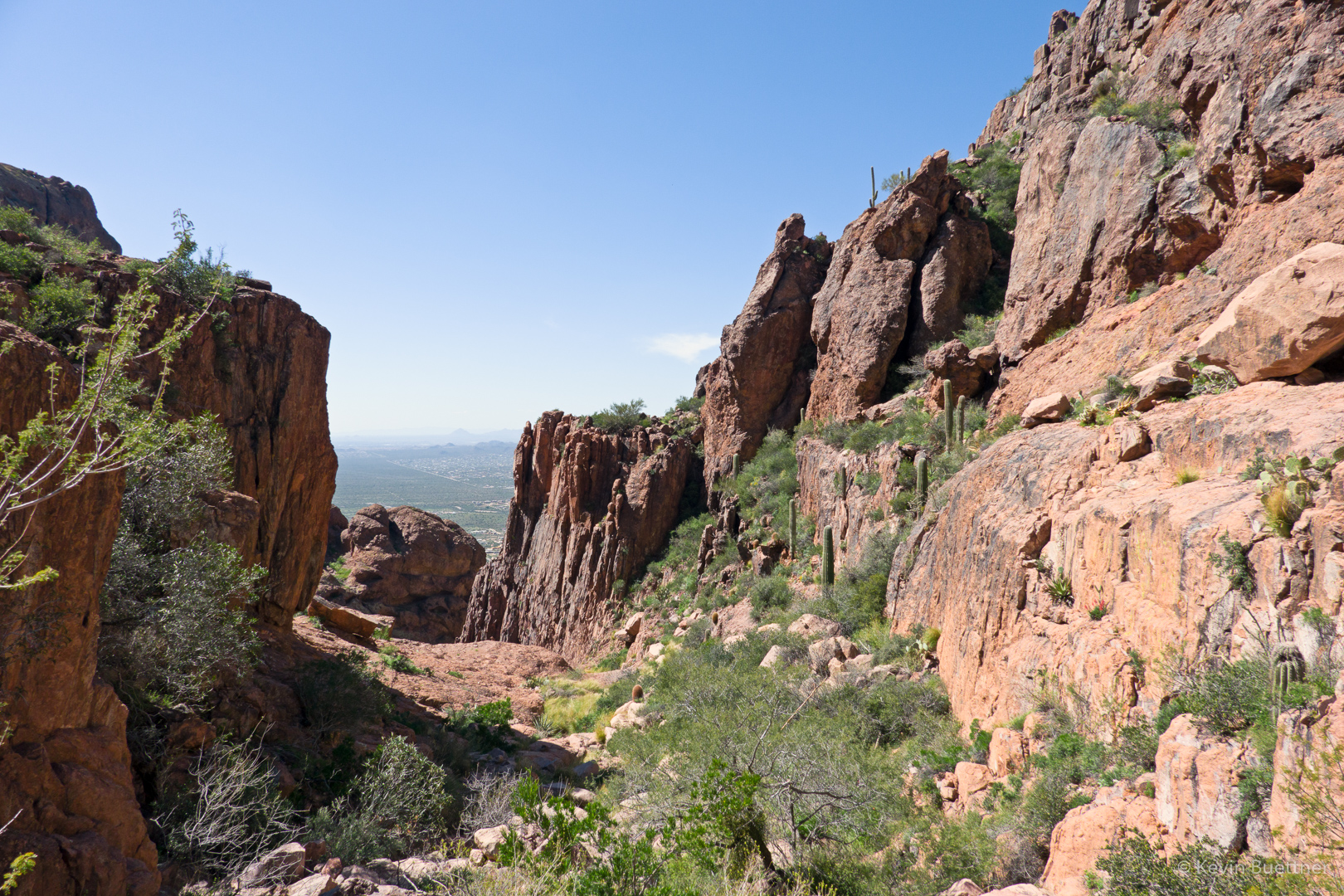
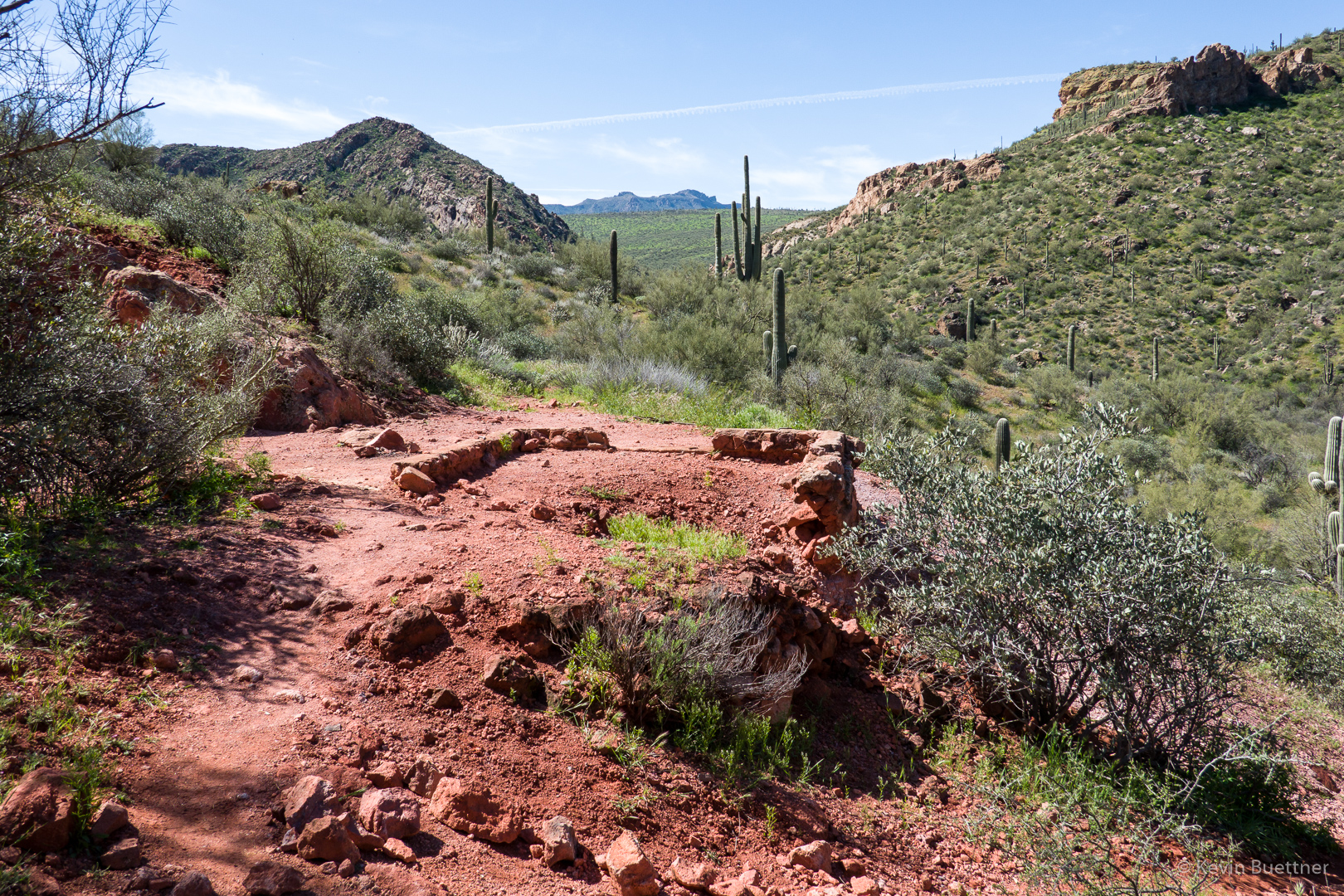
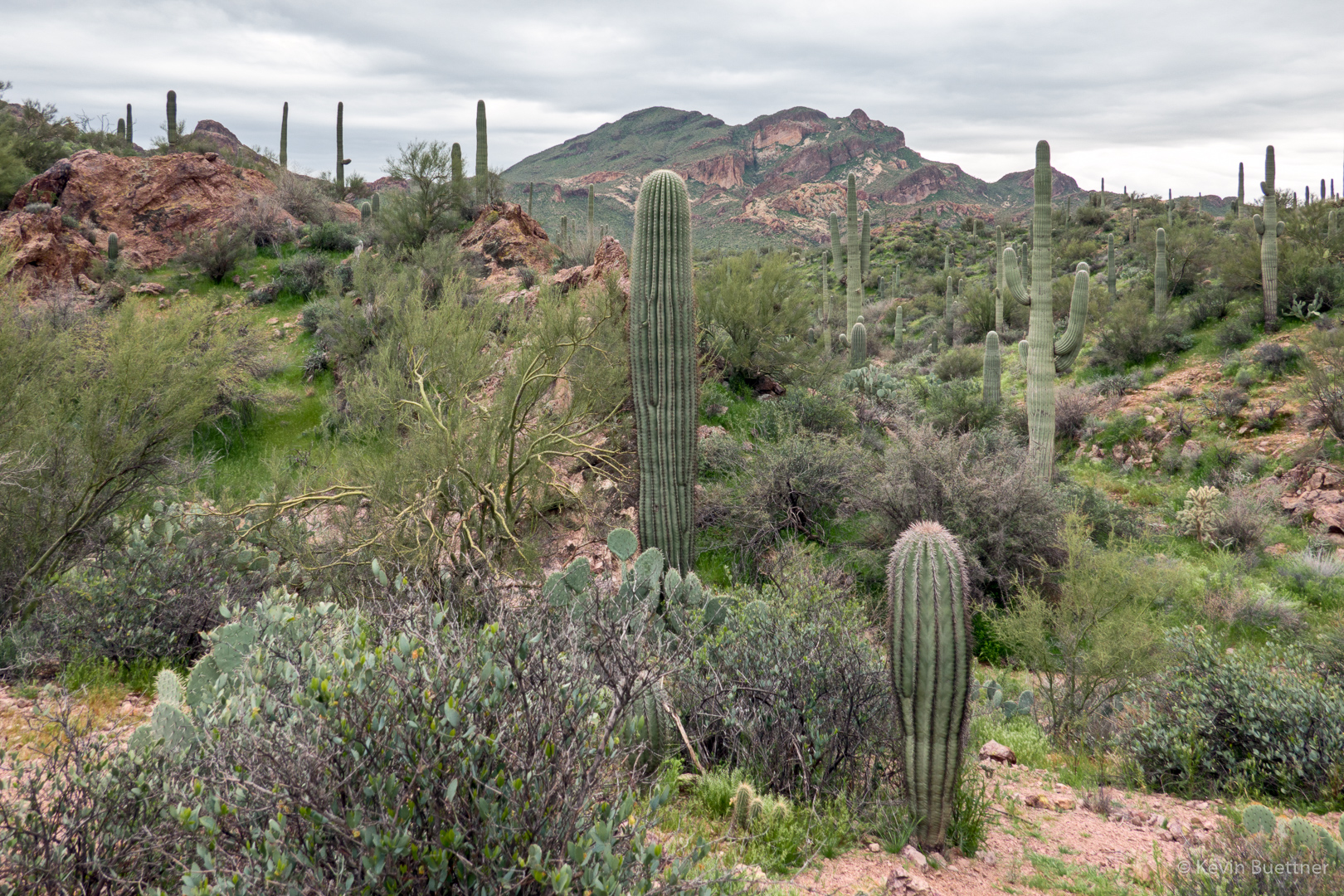
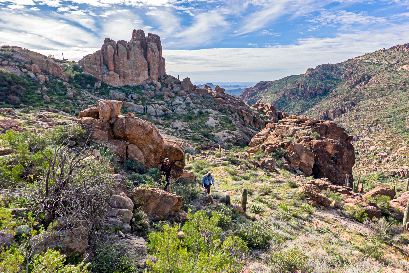
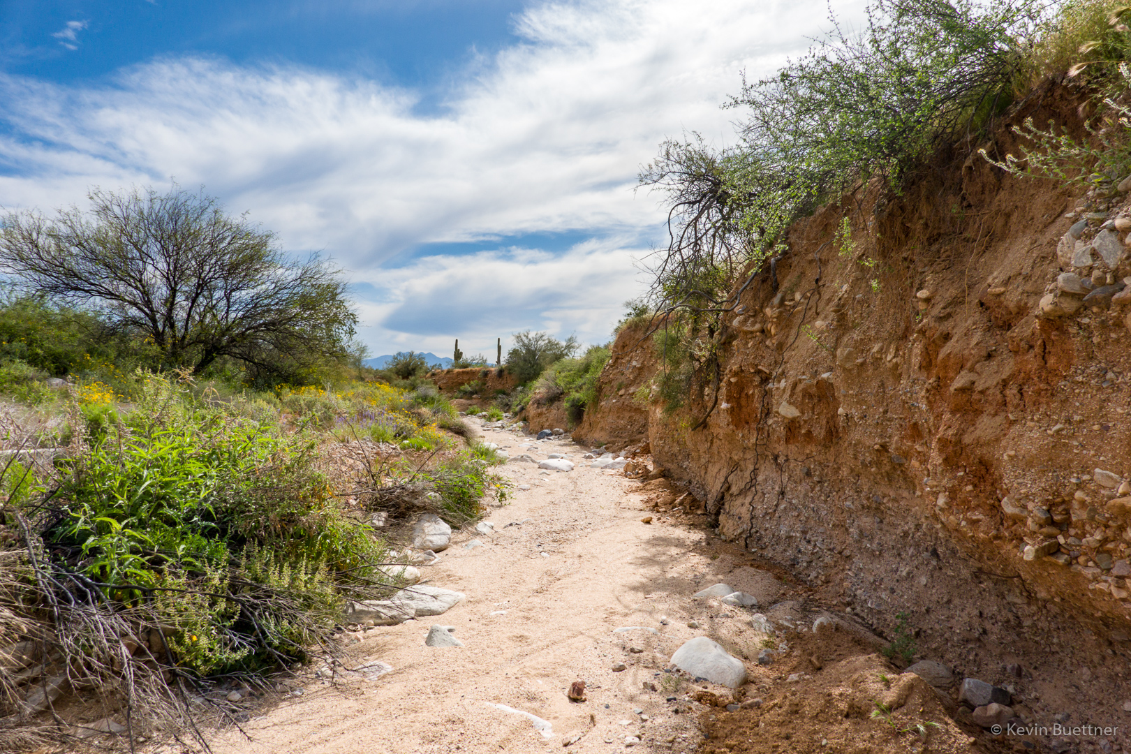
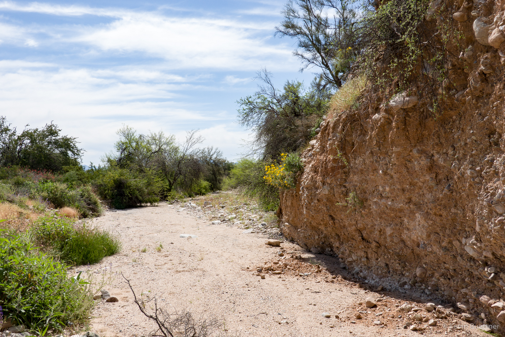
This is one of the feeder washes for Stoneman Wash. It led us to the Pemberton Trail.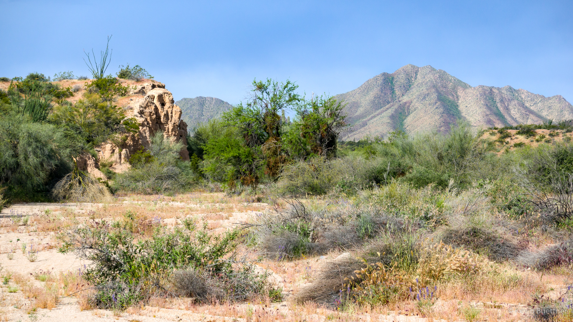
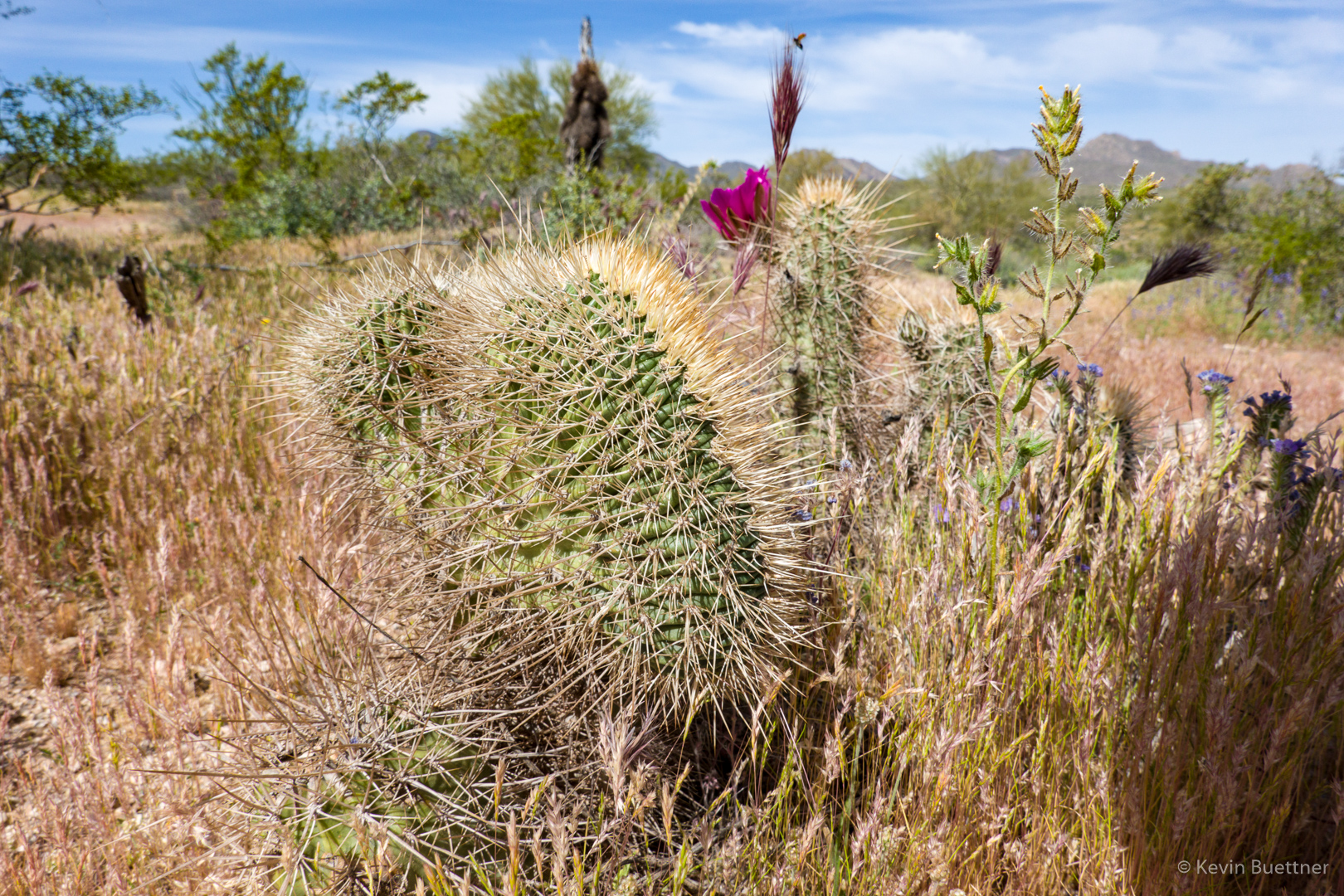
Prickly Pear Blossom:
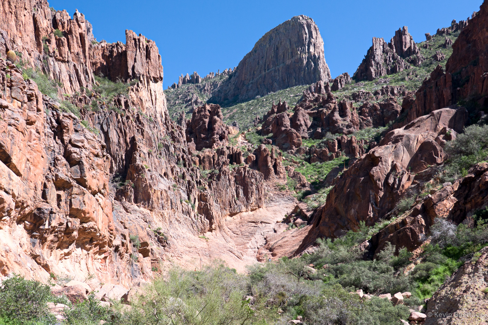
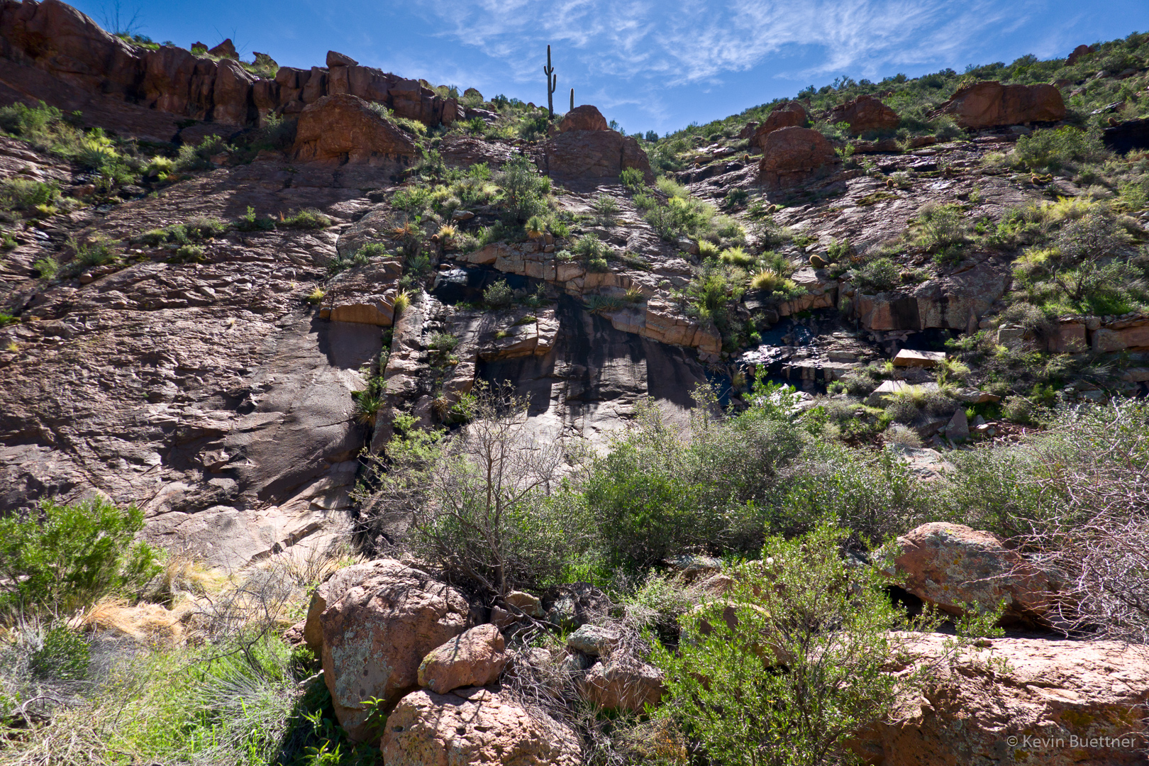
This is the South Wash. Note the brittlebush on the left bank.
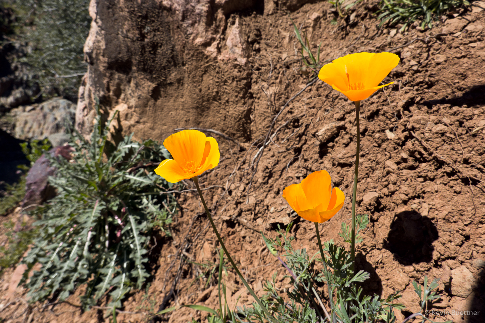
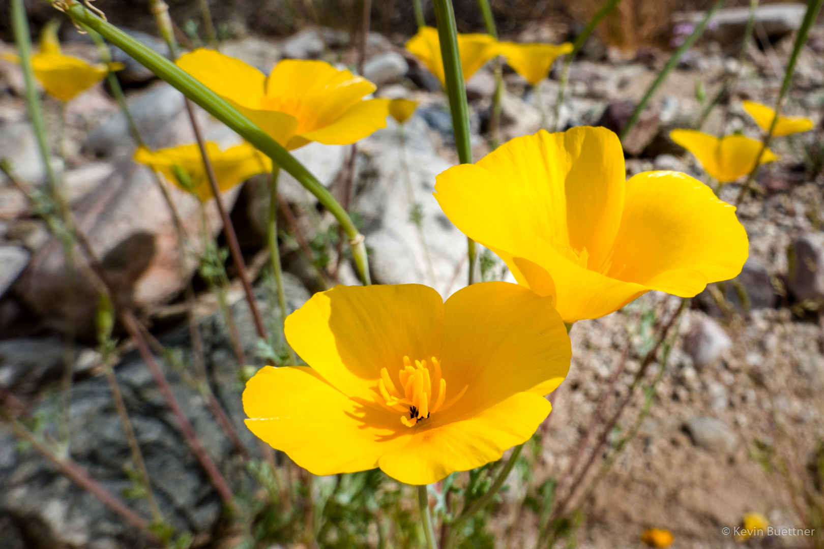
Mexican Poppies:
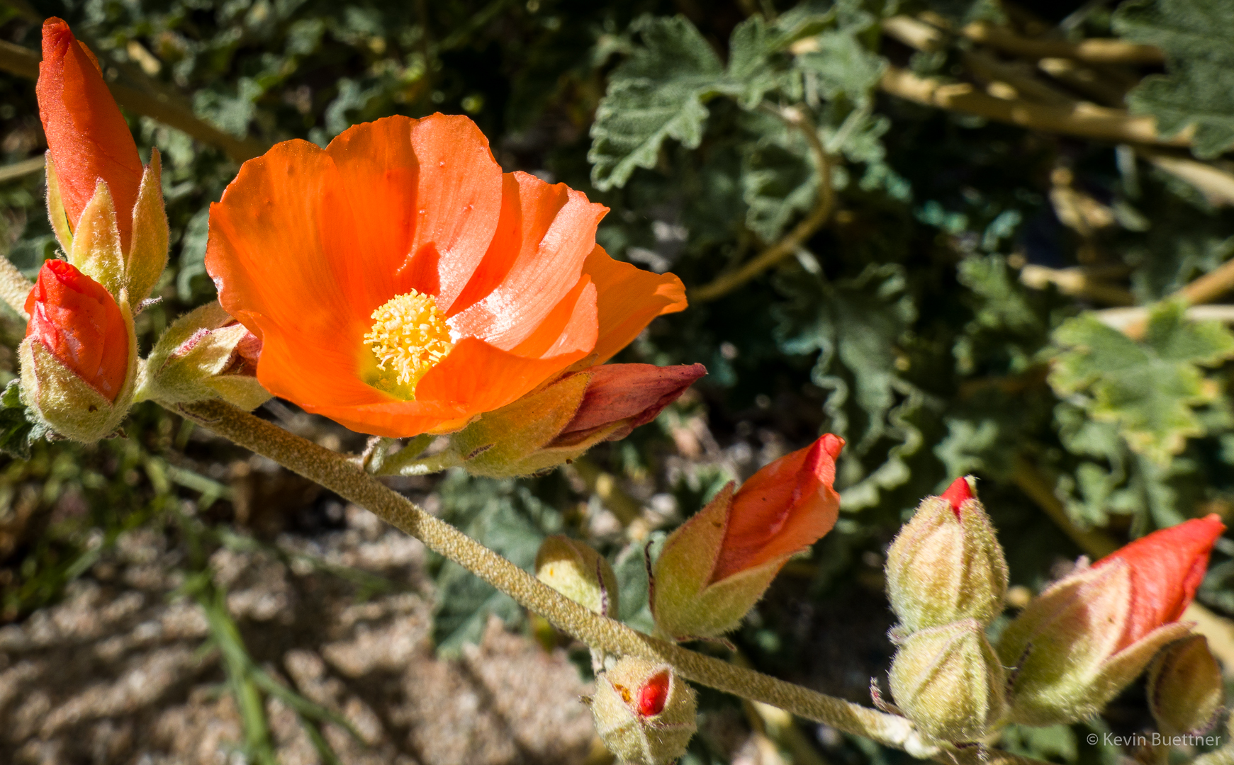
Globemallow:
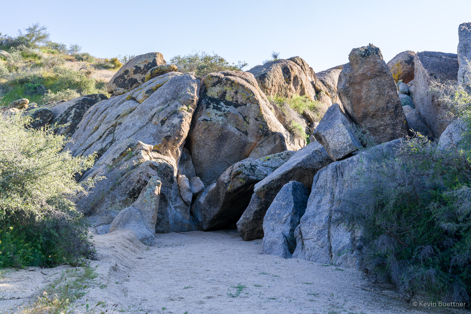
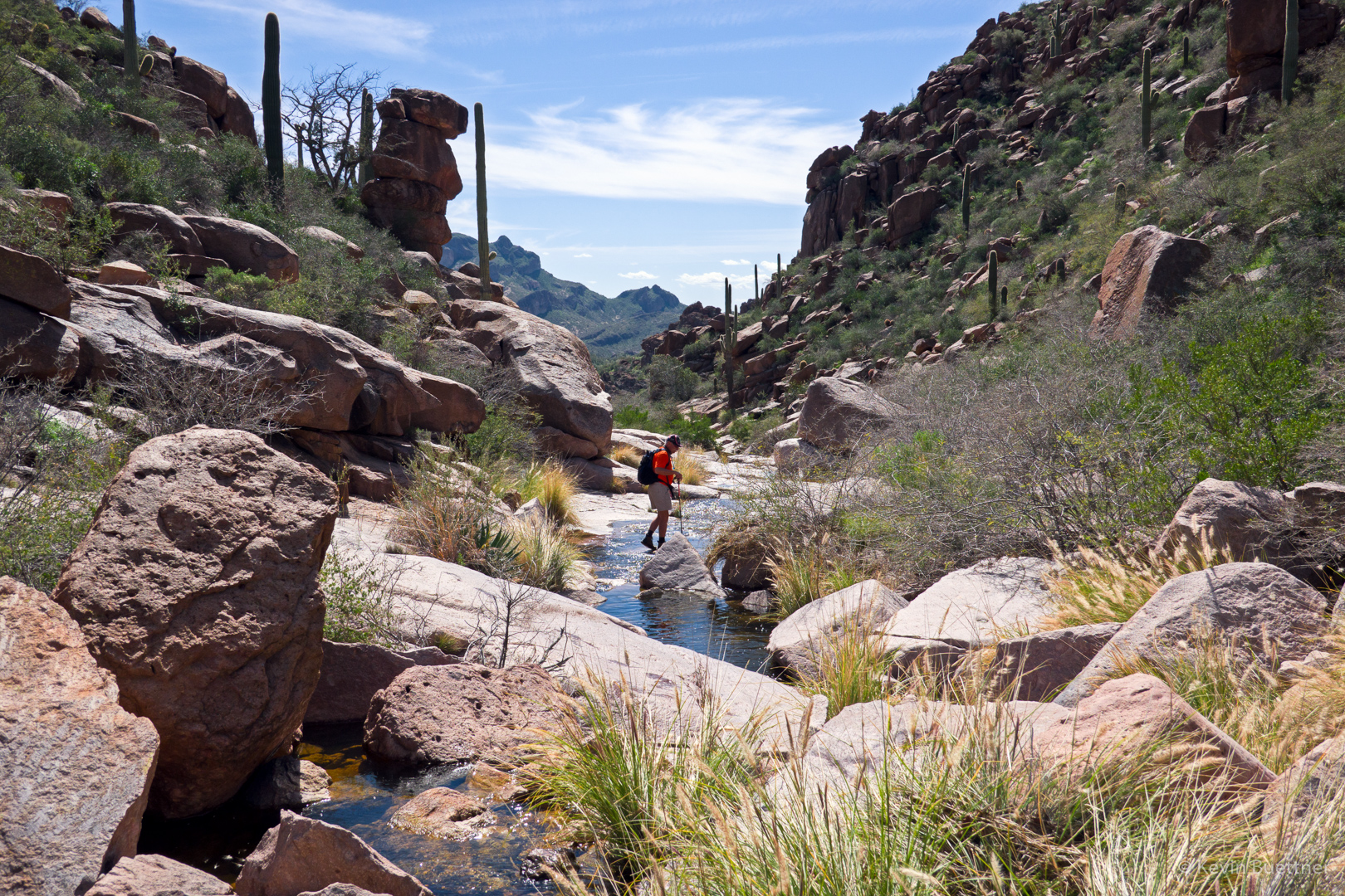
The South Wash has some very high mostly vertical banks. We saw this owl three quarters of the way up in a small “cave” on one of the 50-80 foot banks.
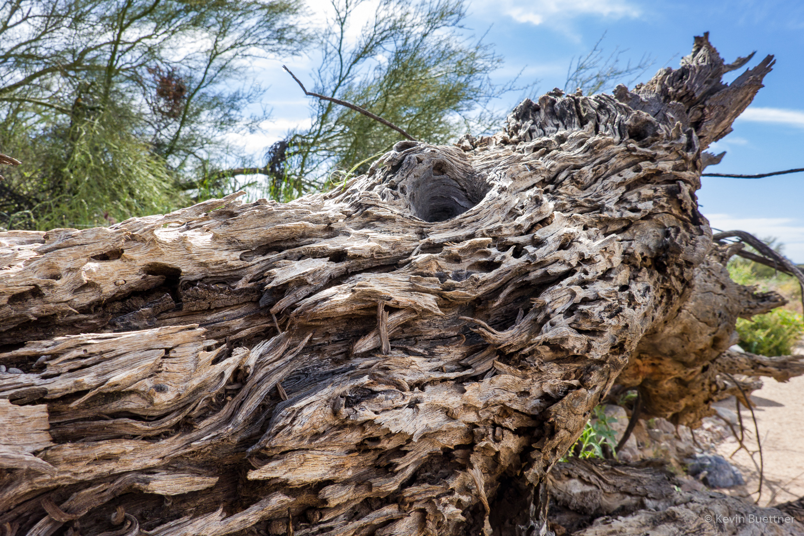
A dead tree with character:
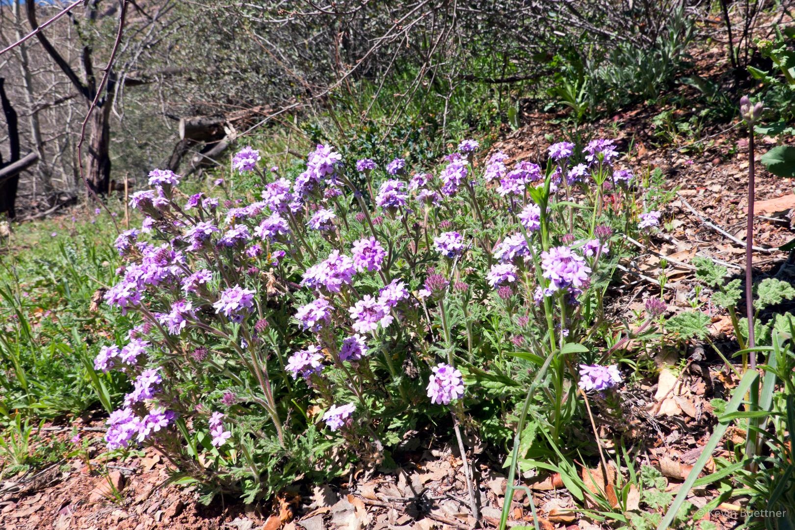
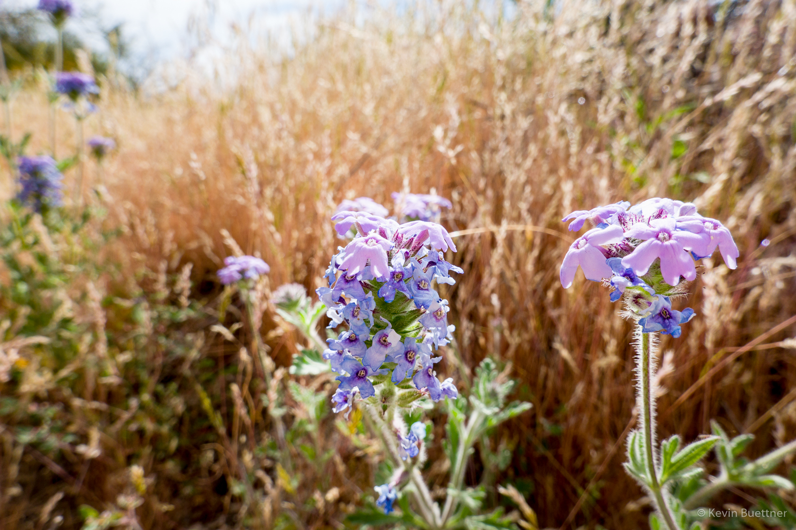
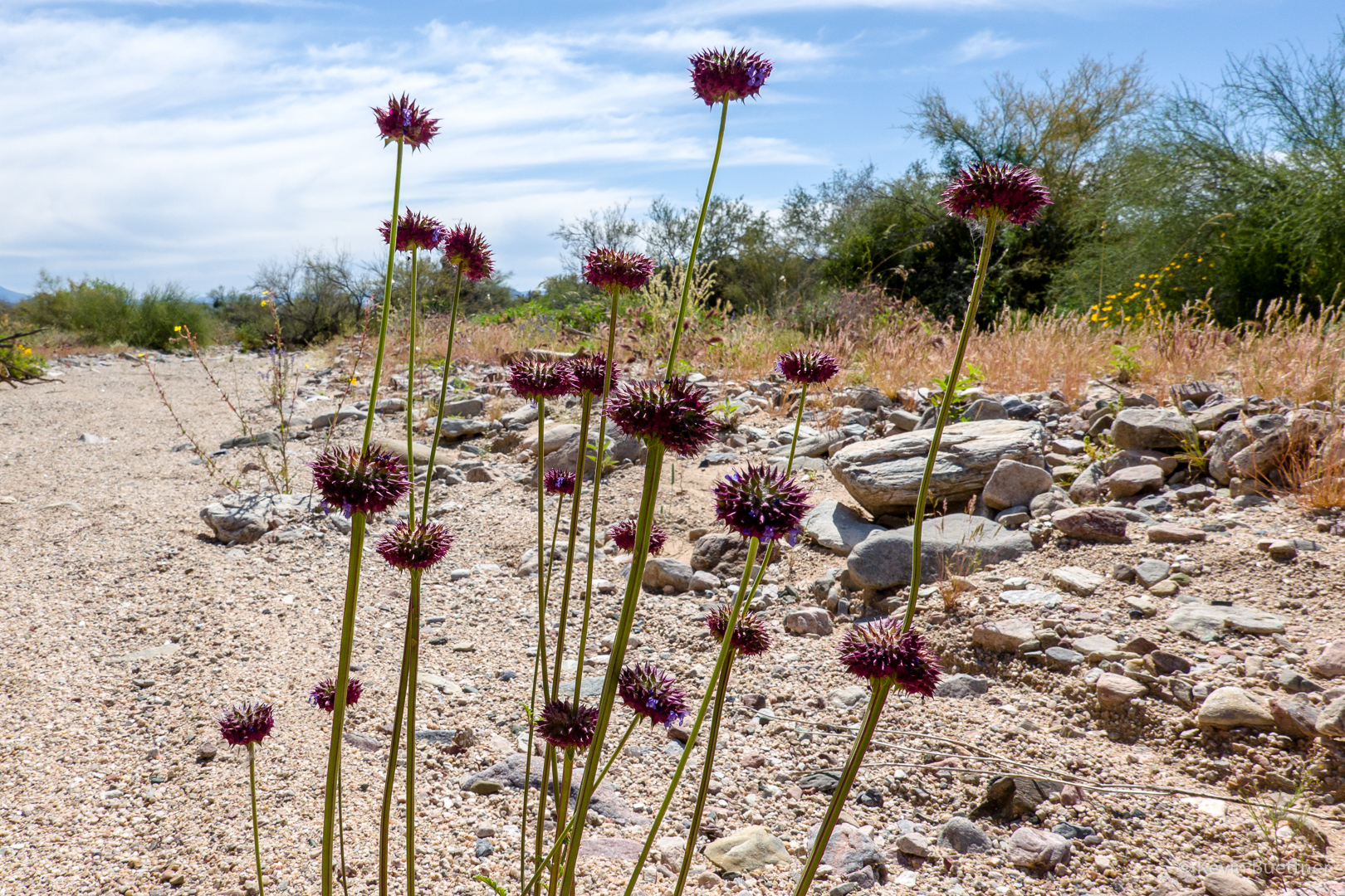
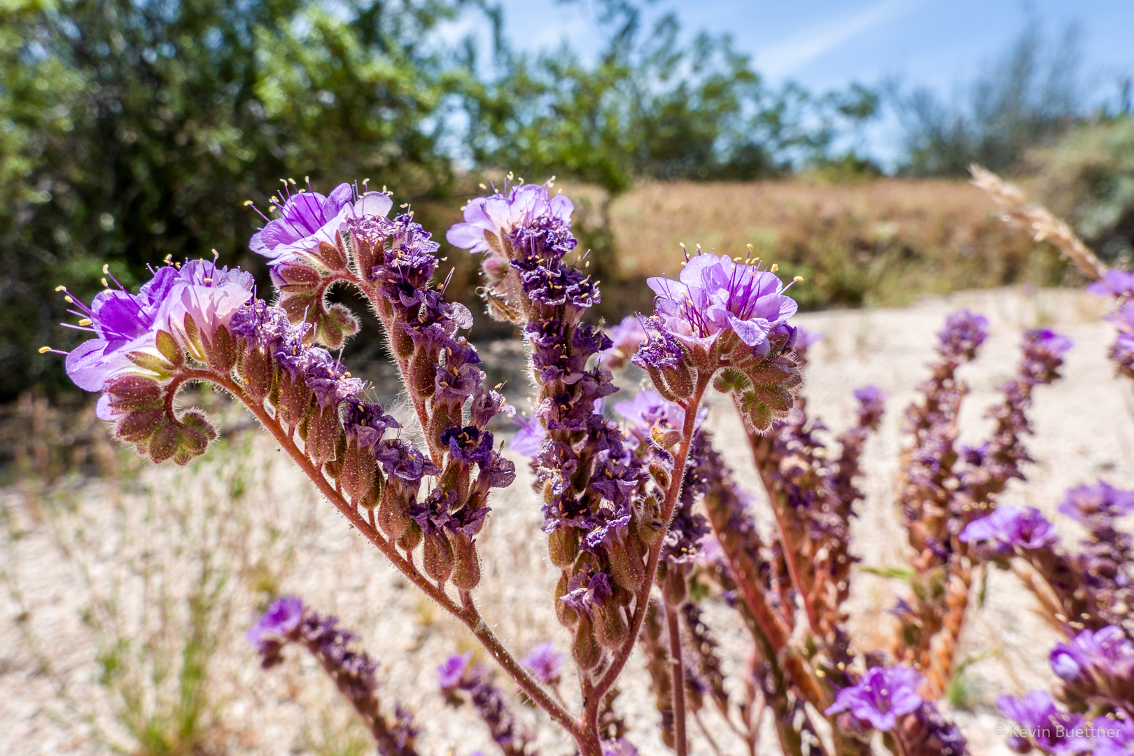
Verbena:
Brittlebush growing out of the side of the bank:
New Mexico Thistle (with bees):

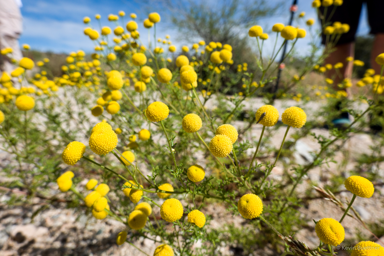
Globe Chamomile – thanks to Cathy for identifying this:
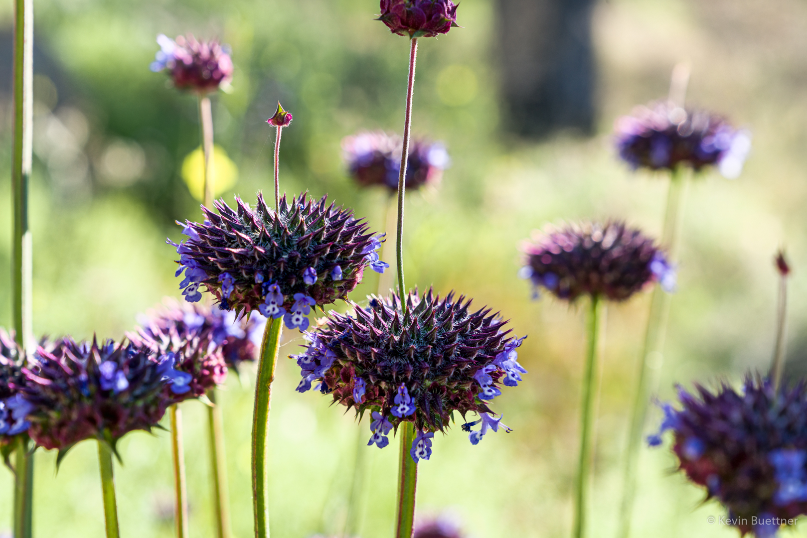
Chia:
This is a crested (fasciated) hedghog cactus.
After hiking the South Wash, we left the wash by hiking up the Long Loop to the South Ridge. This is another view of Red Mountain from that section of the Long Loop.
Hedgehog blossoms:

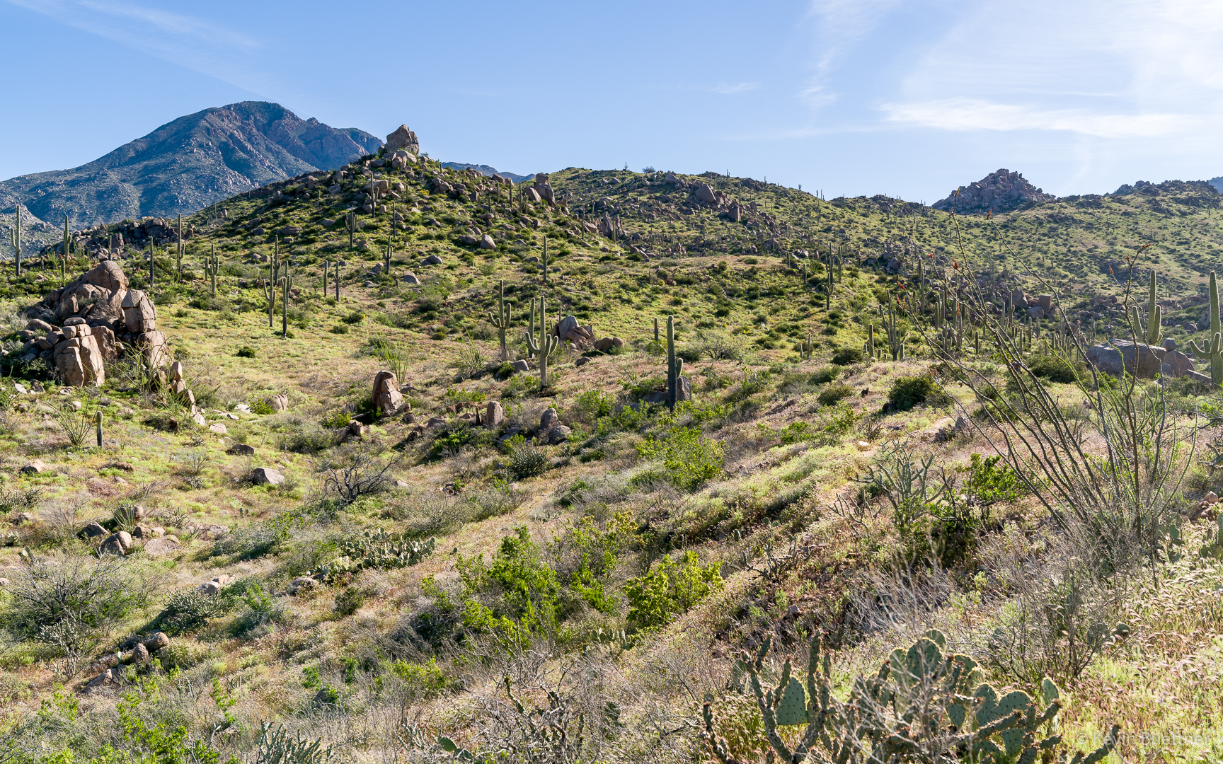
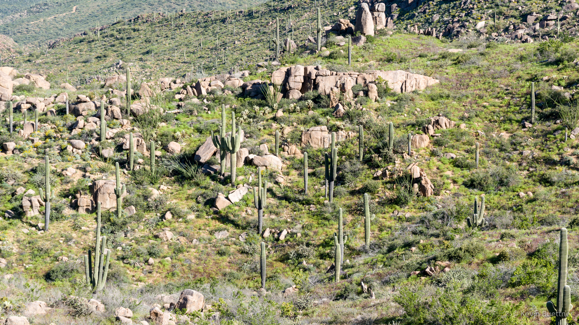
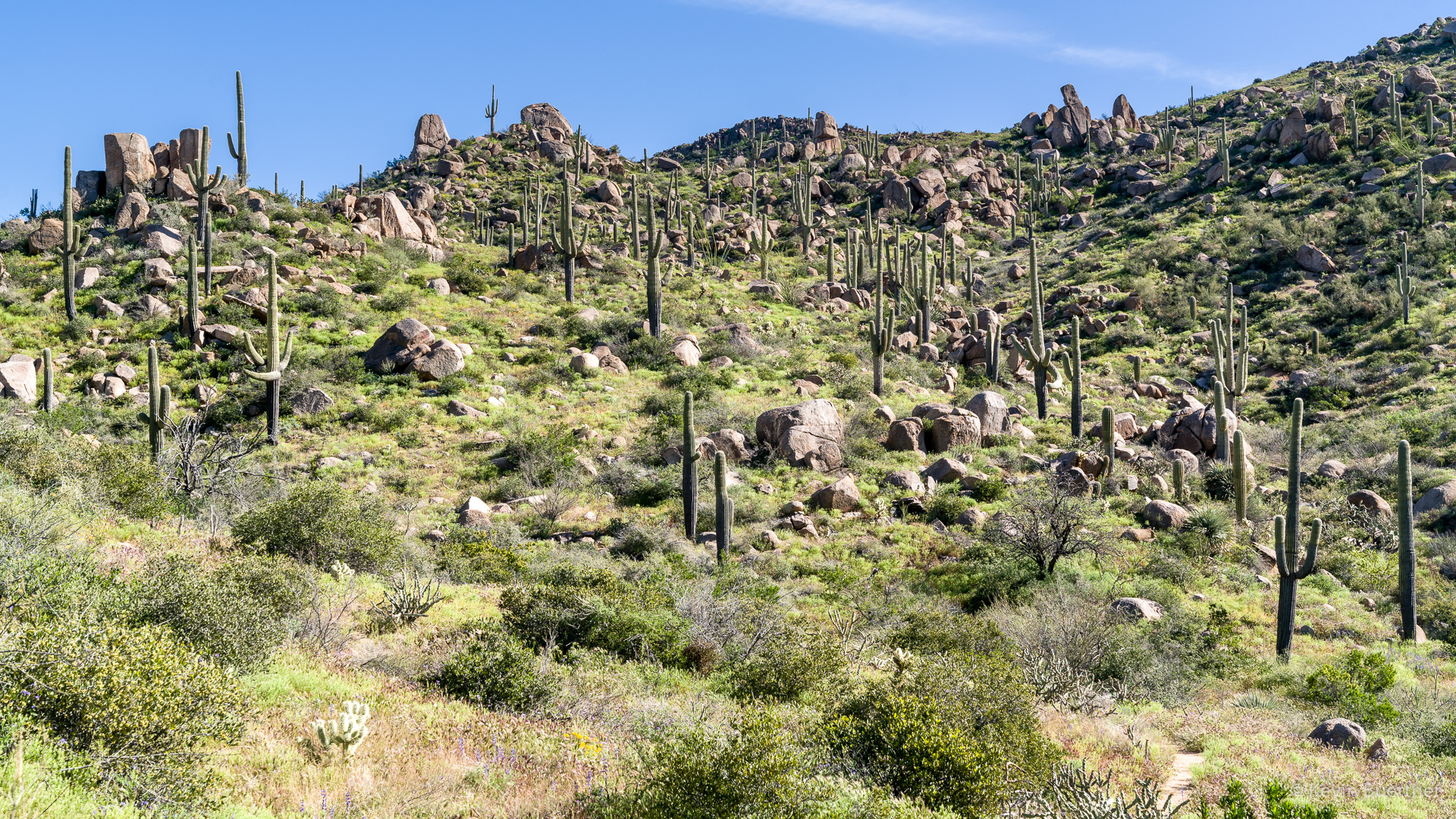
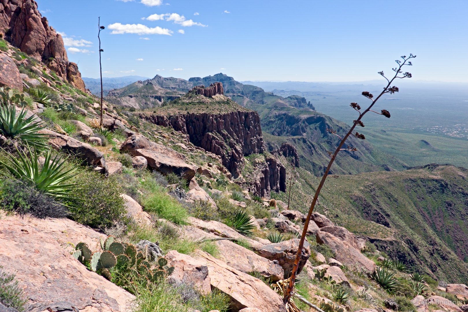
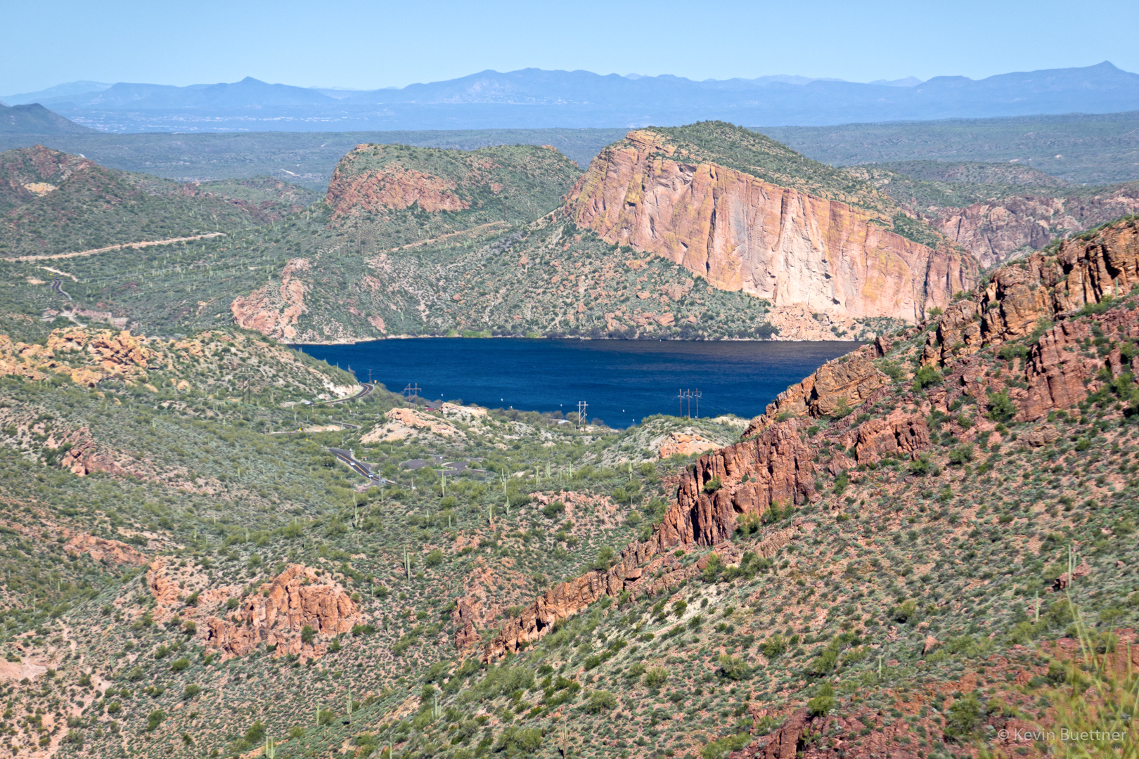
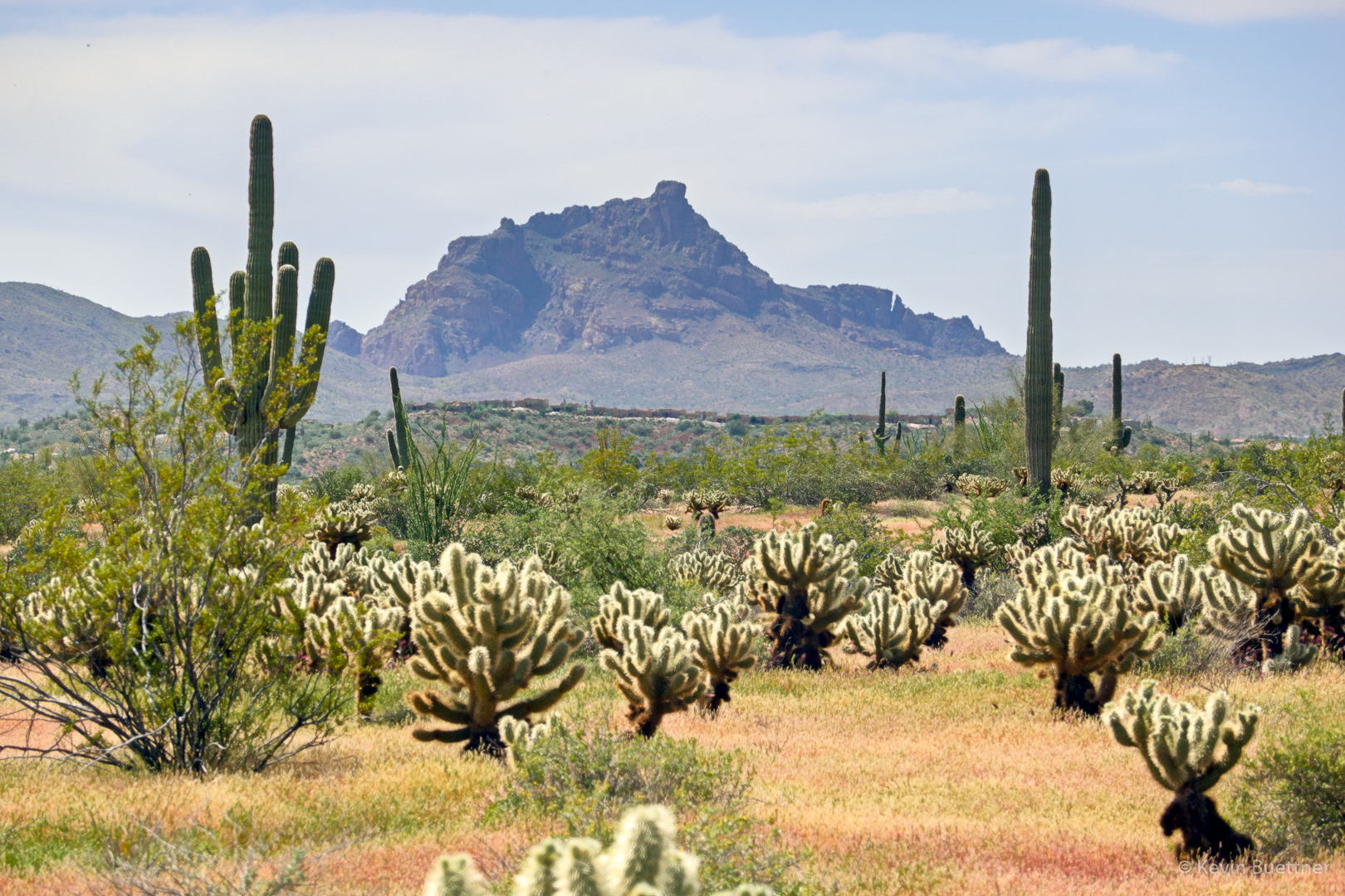
Views from the South Ridge:

Fiddleneck:
Hedgehog cactus and blossoms. Note the dry grass!