Category: Hiking (page 38 of 68)

Hike descriptions and/or photos.

Friday Fitness Hike

On Friday, the 15th, several of us hiked a bit over 12 miles on the following trails: Wagner, Granite, Bluff, Pemberton, Rock Knob, Gooseneck, Delsie, Granite, Stoneman Wash, Bluff, Granite, and Wagner.

(We also hiked 12 miles on Friday, the 8th, but it was raining that day, so I don’t have any photos.)

This is a shot from the Granite Trail, prior to the hike:

20160115-_DSC9058-HDR-Edit-medium

20160115-_DSC9097-Edit-medium

Nancy, Nick, Bill, Mike, Linda, and Amy:

20160115-_DSC9142-Edit-medium

I think this is a view from the Bluff Trail:

20160115-_DSC9172-Edit-medium

A view of the McDowells from the Pemberton Trail:

20160115-_DSC9193-Edit-medium

Chain fruit cholla on the Rock Knob Trail:

20160115-_DSC9220-Edit-medium

20160115-_DSC9280-Edit-medium

20160115-DSC01020-Edit-medium

New Year’s Day Hike

On January 1, Bob, Janet, Allen, Nick, DeAnn, Sandy, Marilyn, and I hiked from Spur Cross to Skull Mesa.  (Not all of us went to the top.) My GPS watch tells me that I hiked 12.6 miles with over 3100 feet of total ascent.

The mile to the top of the mesa has approximately 1,000 feet of elevation gain, which is quite a lot for just one mile. It was not as difficult as I expected, however, since the trail was both easy to follow and in good condition with numerous switchbacks.

Views from early in the hike…
20160101-_DSC8500-Edit-medium

20160101-_DSC8512-Edit-medium

Marilyn, Bob, Allen, Sandy, Nick, Janet, and DeAnn:

20160101-_DSC8542-Edit-medium

A view of Skull Mesa:

20160101-_DSC8548-Edit-medium

Another view of Skull Mesa:

20160101-_DSC8587-Edit-medium

DeAnn, nearing the summit:

20160101-_DSC8675-Edit-medium

The top of Skull Mesa is grassy and expansive.20160101-_DSC8677-Edit-medium

Views from the top of Skull Mesa…

20160101-_DSC8686-Edit-medium

20160101-_DSC8701-Edit-medium

Sandy and DeAnn descending the trail from the top of Skull Mesa:

20160101-_DSC8725-Edit-medium

I saw these saguaros on the way down.

20160101-_DSC8764-Edit-medium

We saw this petroglyph on the way down too:
20160101-_DSC8776-Edit-medium

A semi-crested (?) saugaro:
20160101-_DSC8803-Edit-medium

A late afternoon view. (We started our hike at about 8:30am and got back somewhat before 5pm.)

20160101-_DSC8869-Edit-medium

20160101-_DSC8890-Edit-medium

Marilyn at the end of the Cottonwood Trail:

20160101-_DSC8903-Edit-medium

DeAnn, Sandy, and Marilyn by the Skull Mesa Trailhead sign.  Note the skull at the top of the sign.

20160101-_DSC8908-Edit-medium

Saturday Hike – Spur Cross


Nancy, Marilyn, and I hiked at the Spur Cross Ranch Conservation Area on Saturday, the 26th.  It was a cold and windy day; we had hoped to hike to the top of Skull Mesa, but we abandoned that plan and did a somewhat easier hike instead. We hiked the following trails for an 8.5 mile hike with 2200 feet of total ascent: Spur Cross, FS 48, unnamed wash / canyon, FS 48, TR 252 (Limestone), Elephant Mountain, Tortuga, Spur Cross.

An early view from the Spur Cross Trail:

20151226-_DSC8215-Edit-medium

I think this is entrance to the wash / canyon.  We thought this might be TR 252 at first, but after a short ways in, it became clear that it was not.  We were happy to enter this canyon, however, as it was sheltered from the wind and allowed us to warm up.

20151226-_DSC8218-Edit-medium

20151226-_DSC8227-HDR-Edit-medium

We even saw flowers growing on one of the walls of the wash.

20151226-_DSC8230-Edit-medium

We retraced our steps and hiked further up FS 48 until we got to the corral.  We found TR 252 at the back of the corral.  The trail climbed steadily upward, passing the south side of Sugarloaf Mountain. This is a view from early in the hike after the trail turned eastward.

20151226-_DSC8245-Edit-medium

Another view of Sugarloaf Mountain:

20151226-_DSC8257-Edit-medium

A view of Skull Mesa, which was our initial goal for the day. Given the conditions that day, we were happy that we chose this easier hike instead. (It was still fairly challenging.)

20151226-_DSC8272-Edit-medium

Marilyn and Nancy at a gate in the fence.  We’re near the high point on TR 252 here.  It was especially windy and cold at this point.  Both Marilyn and Nancy were eager for me to finish my photography so that we could proceed.

20151226-_DSC8290-Edit-medium

A view of Elephant Mountain. The Fortress pinnacle can be seen in front of Elephant Mountain.

20151226-_DSC8308-Edit-medium

There were some interesting cairns / trail markers along the Limestone Trail (TR 252).  We could have shortened our hike by following the arrow back to Spur Cross, but I wanted to proceed onward towards Rondo Spring.

20151226-_DSC8329-Edit-medium

Another trail marker on TR 252:

20151226-_DSC8332-Edit-medium

The crossed several substantial washes and then proceeded upward.  Route finding became somewhat more difficult; at one point, I thought we had gone too far and had missed the trail back into the park (from the Tonto National Forest), but we still had further to go. In this photo, below, Nancy and Marilyn make their way up from the trail from one of several wash crossings.

20151226-_DSC8341-Edit-medium

I think this is a look back at Sugarloaf Mountain. When we hiked to Black Mesa last year, we thought we’d summit on that formation, but we were mistaken. Black Mesa is mostly out of the frame to the left.

20151226-_DSC8347-Edit-medium

Friday Fitness Hike

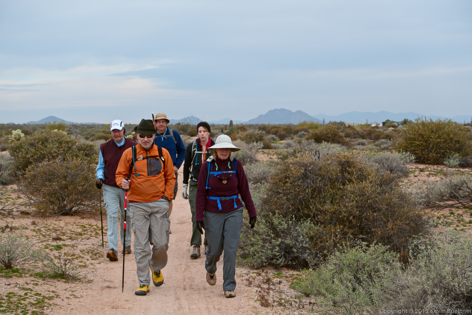
Linda, Nancy, Mike, and I hiked 12.4 miles on Friday.  We hiked the following trails: Tom’s Thumb, climber’s access trail leading up to the ridge, and eventually to and past the Tom’s Thumb pinnacle, Tom’s Thumb, East End, Windmill, Coachwhip, Dixie Mine, Pemberton, Boulder, Marcus Landslide. Amy, Bill, and Denise accompanied us up to and past Tom’s Thumb (the pinnacle); we parted ways at the intersection of the Tom’s Thumb and East End trails.

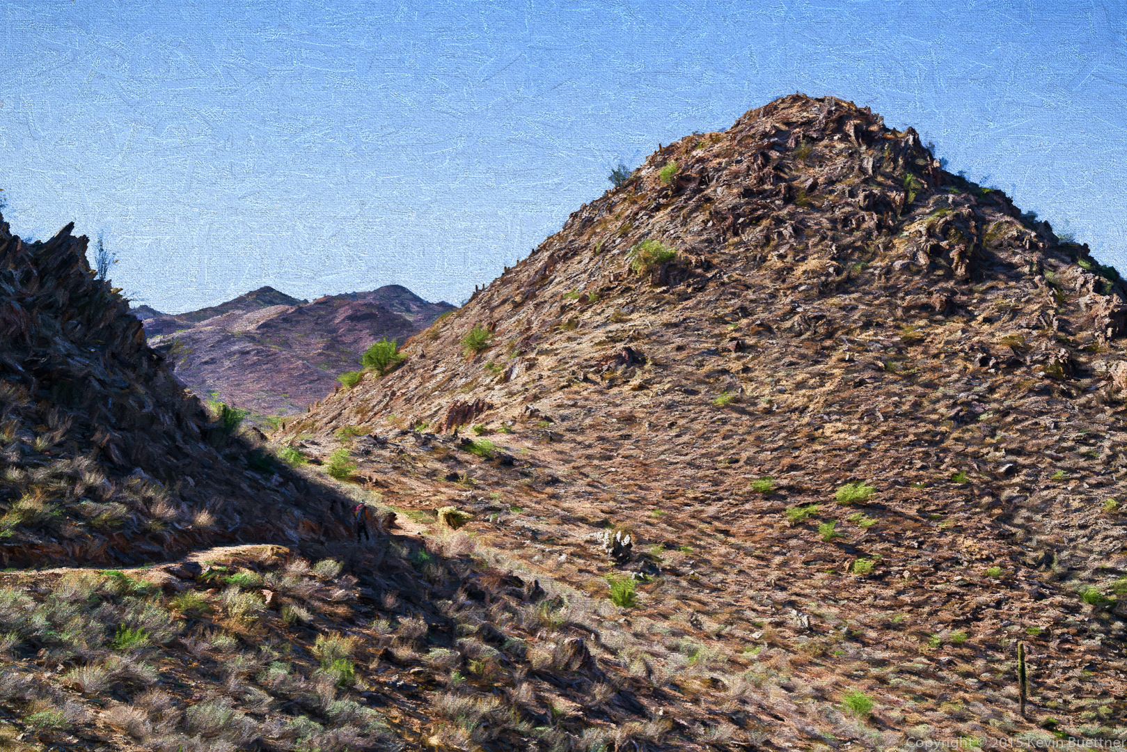
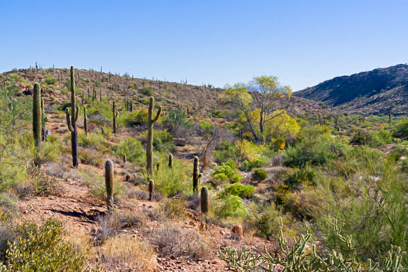
This is a view (modified by Topaz Impression) from the Tom’s Thumb Trail.

20151218-_DSC8080-Edit-Edit-medium

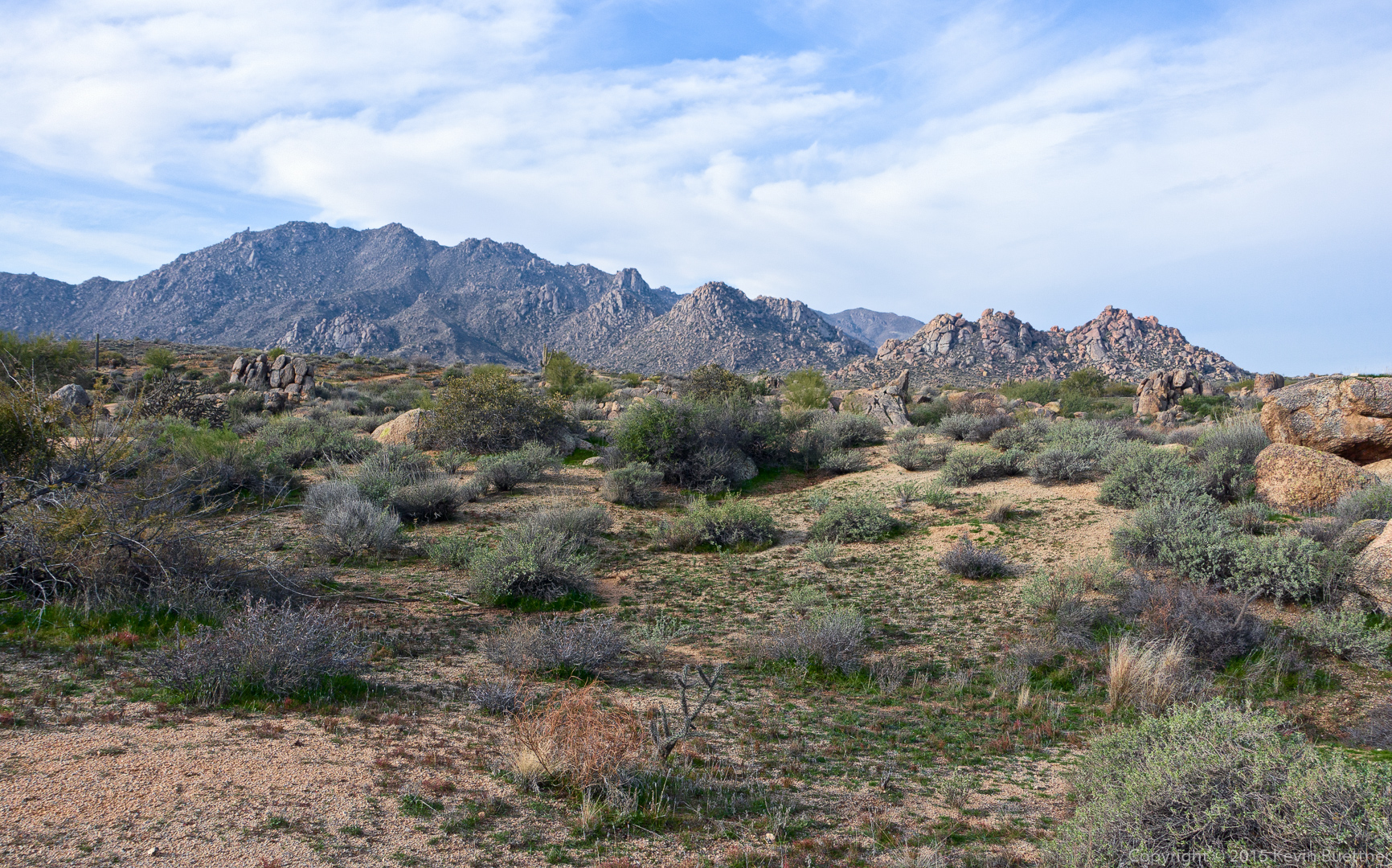
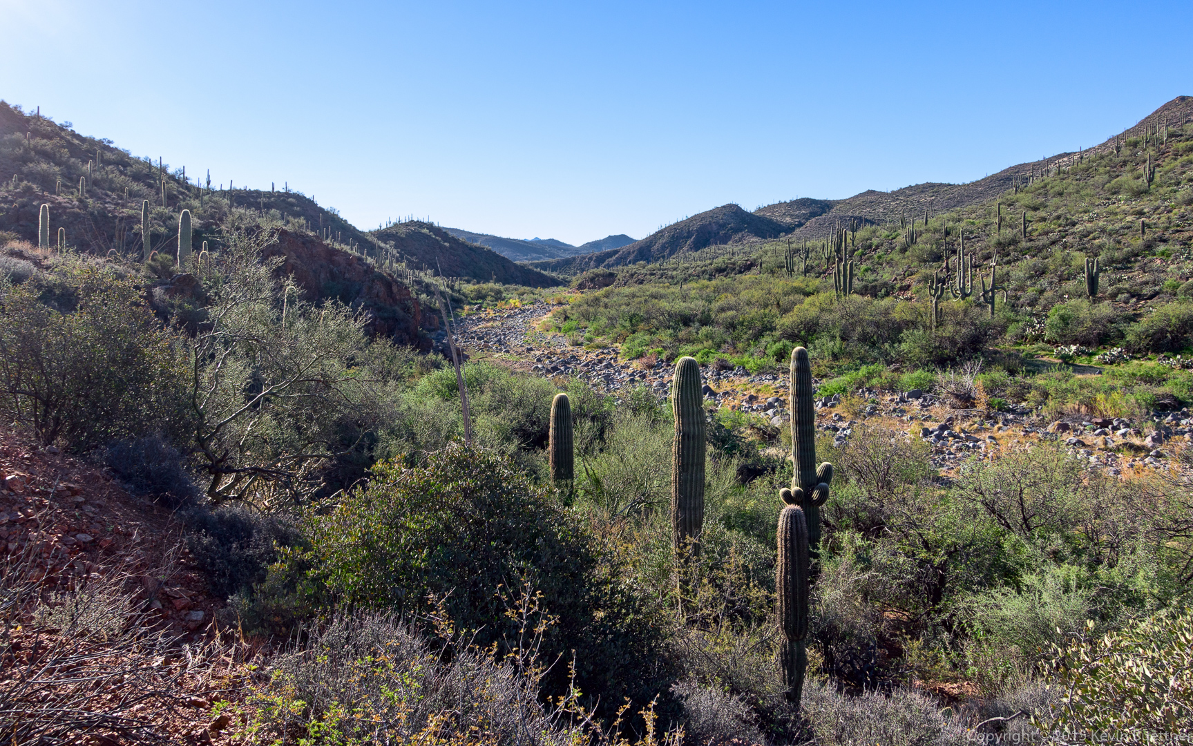
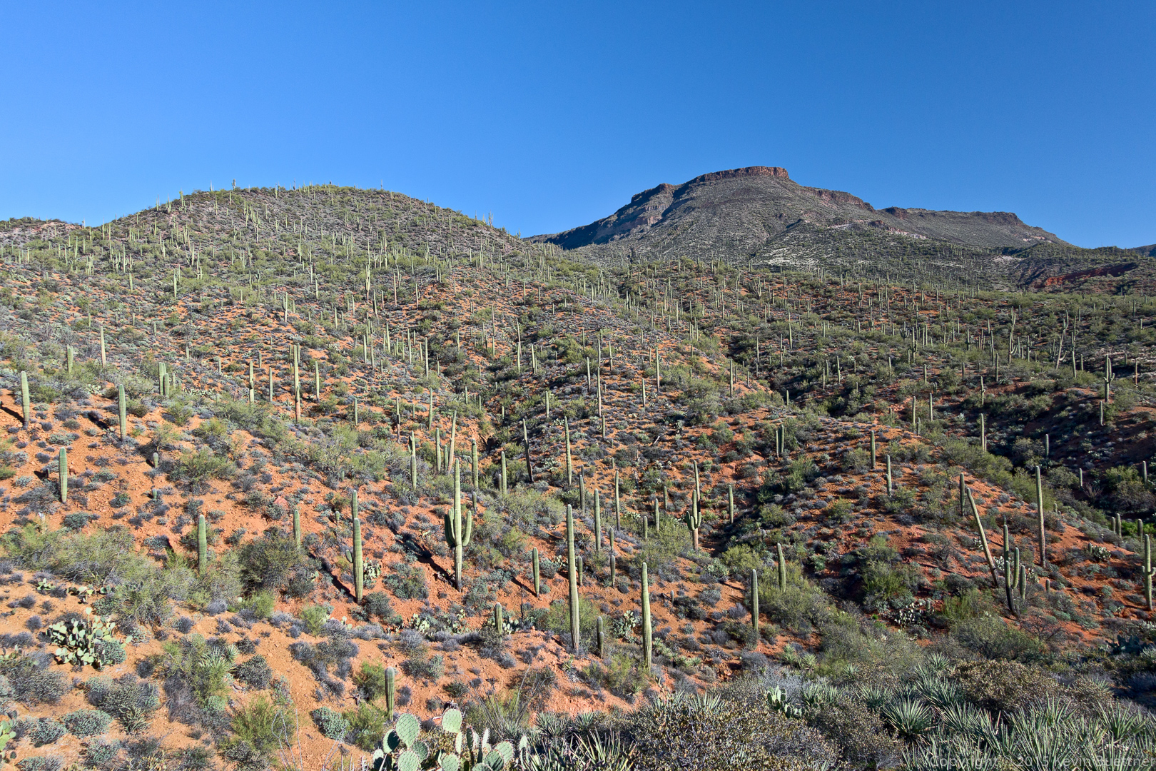
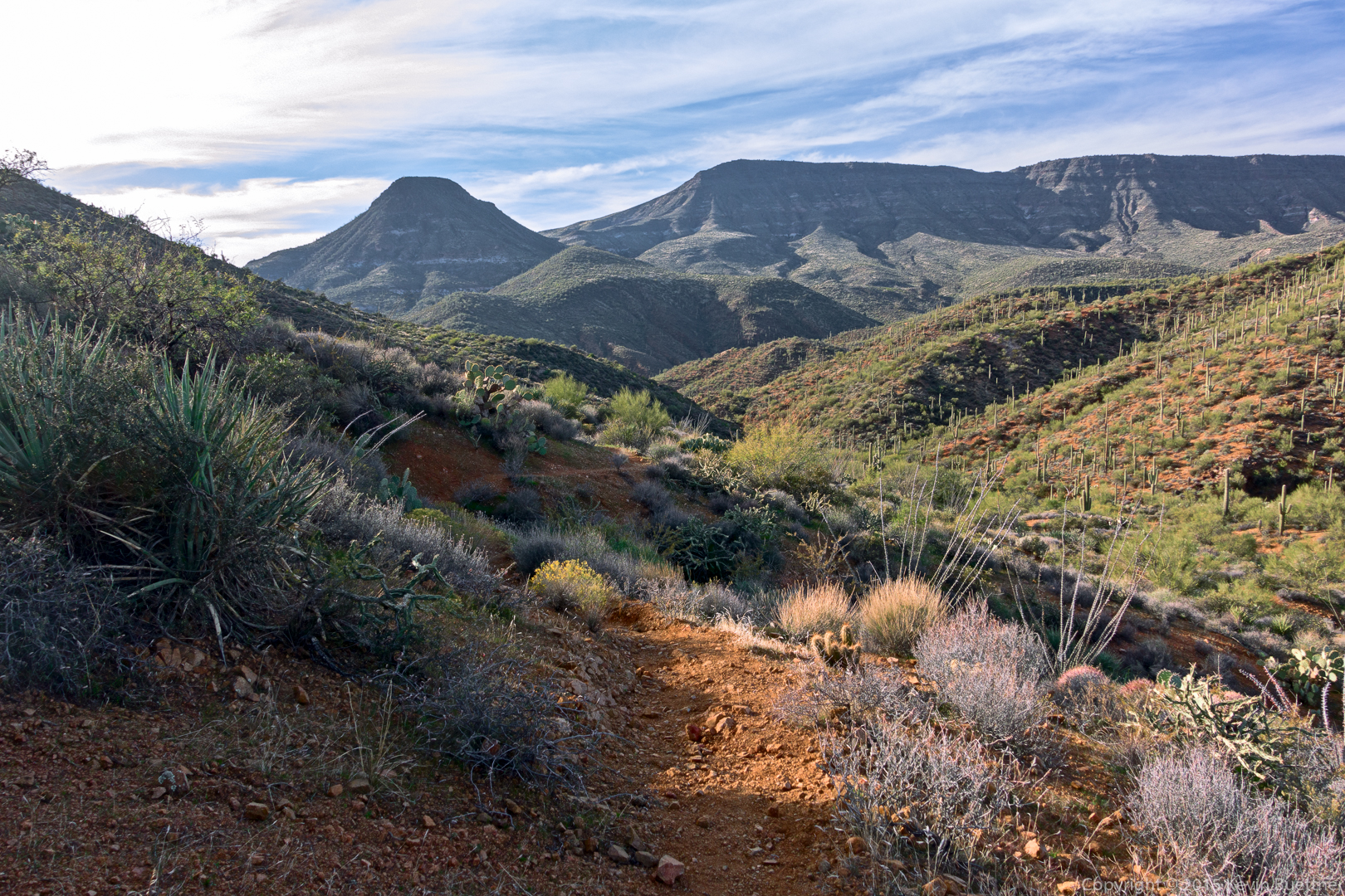
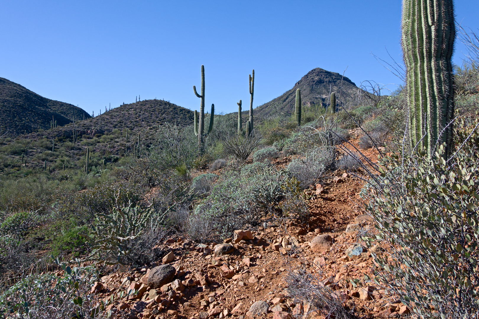
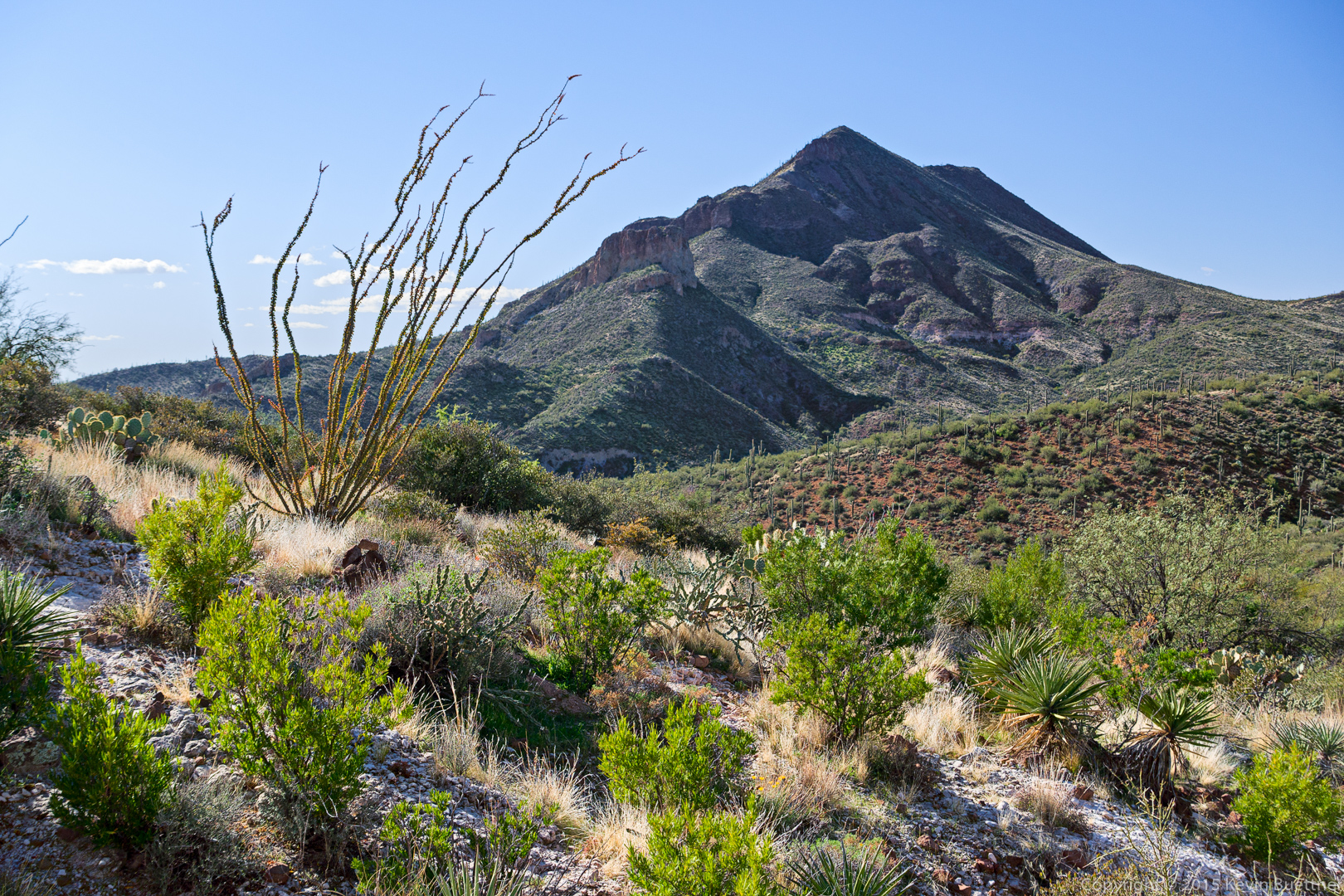
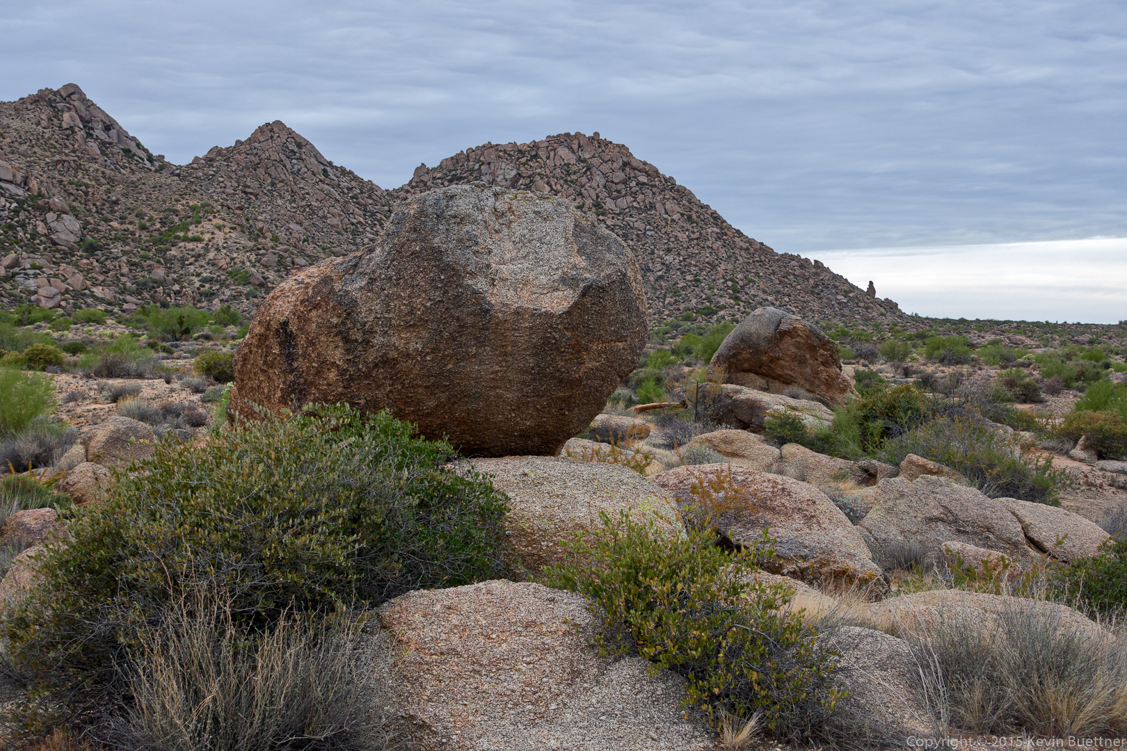
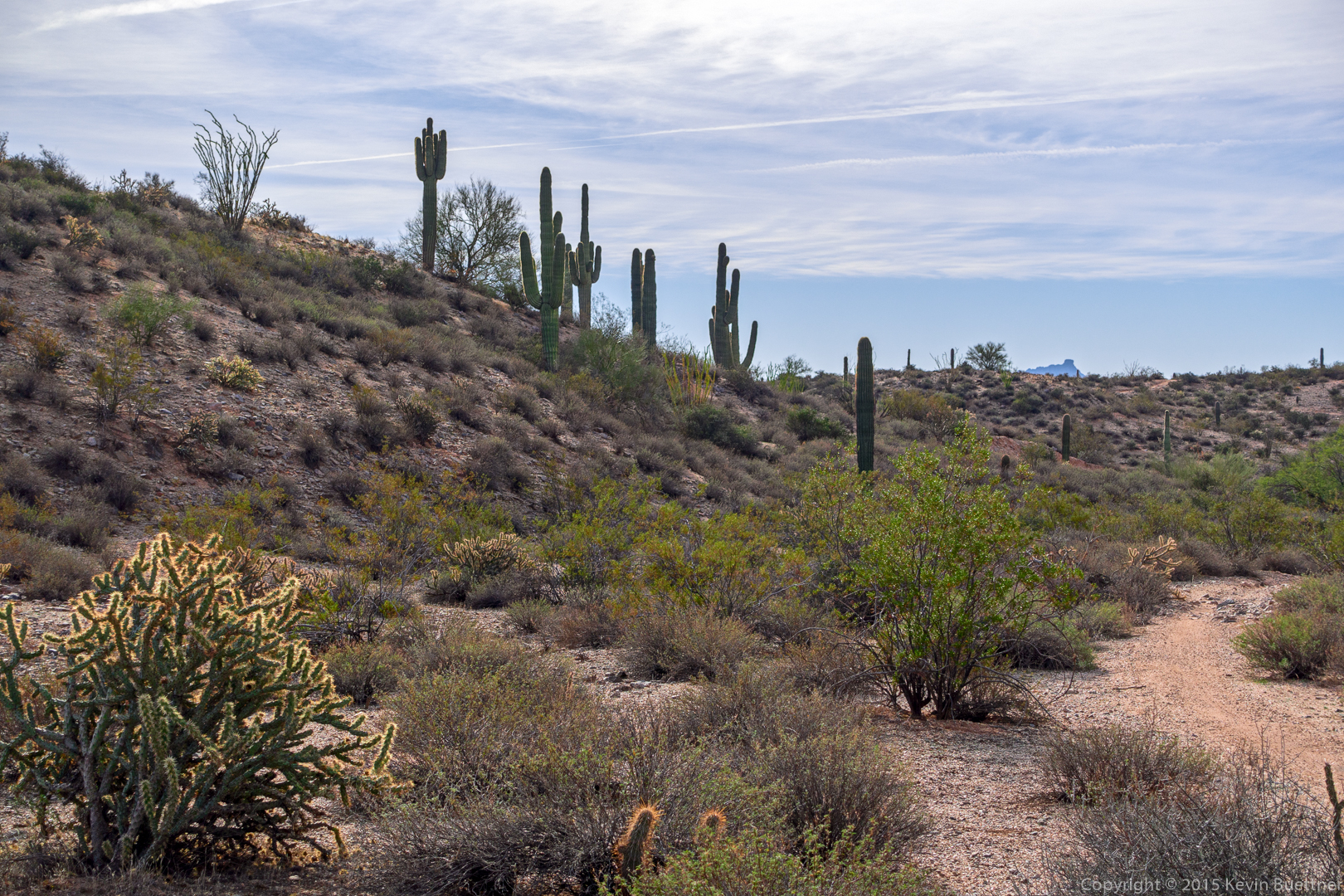
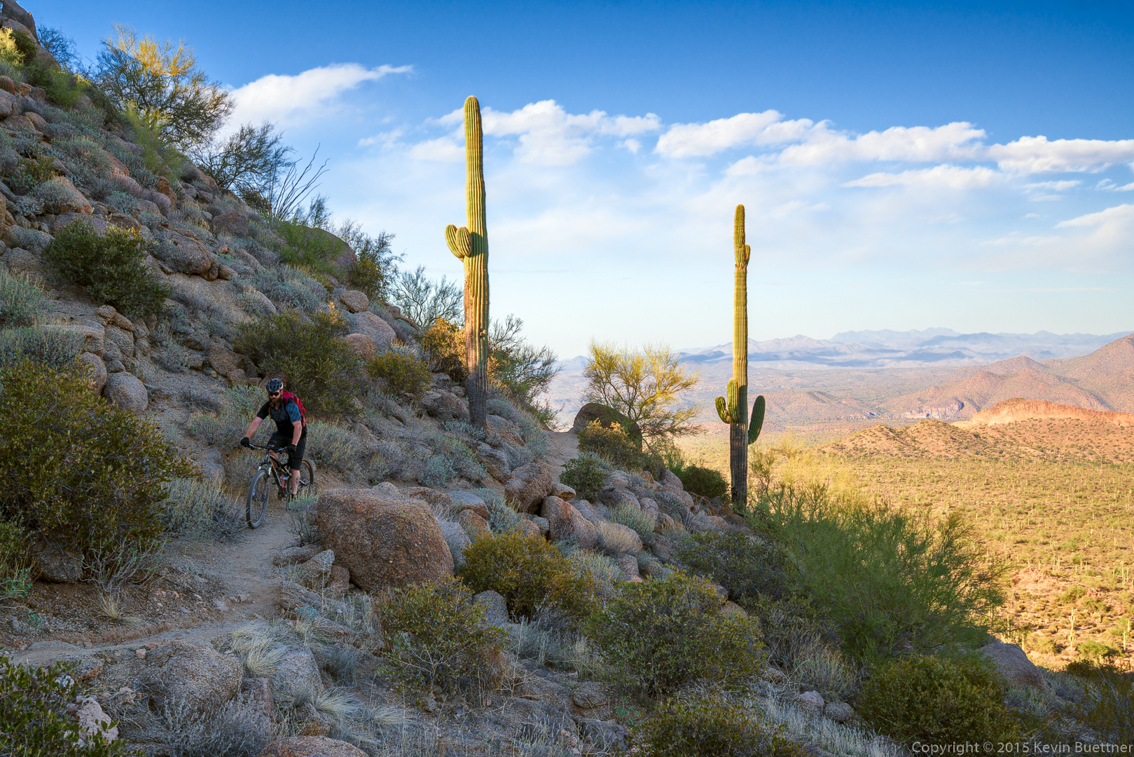
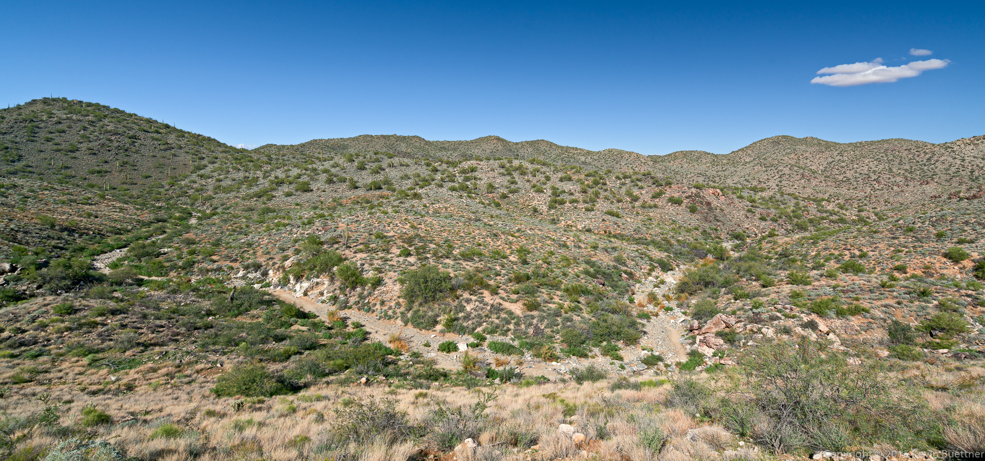
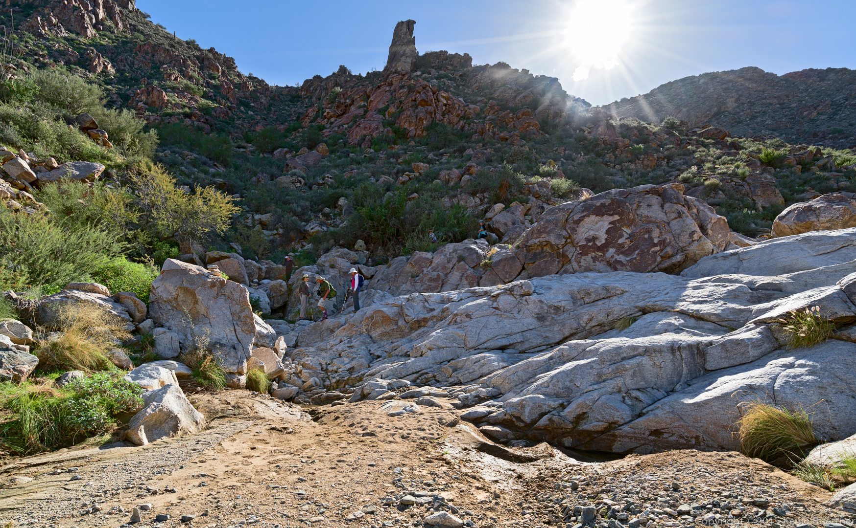
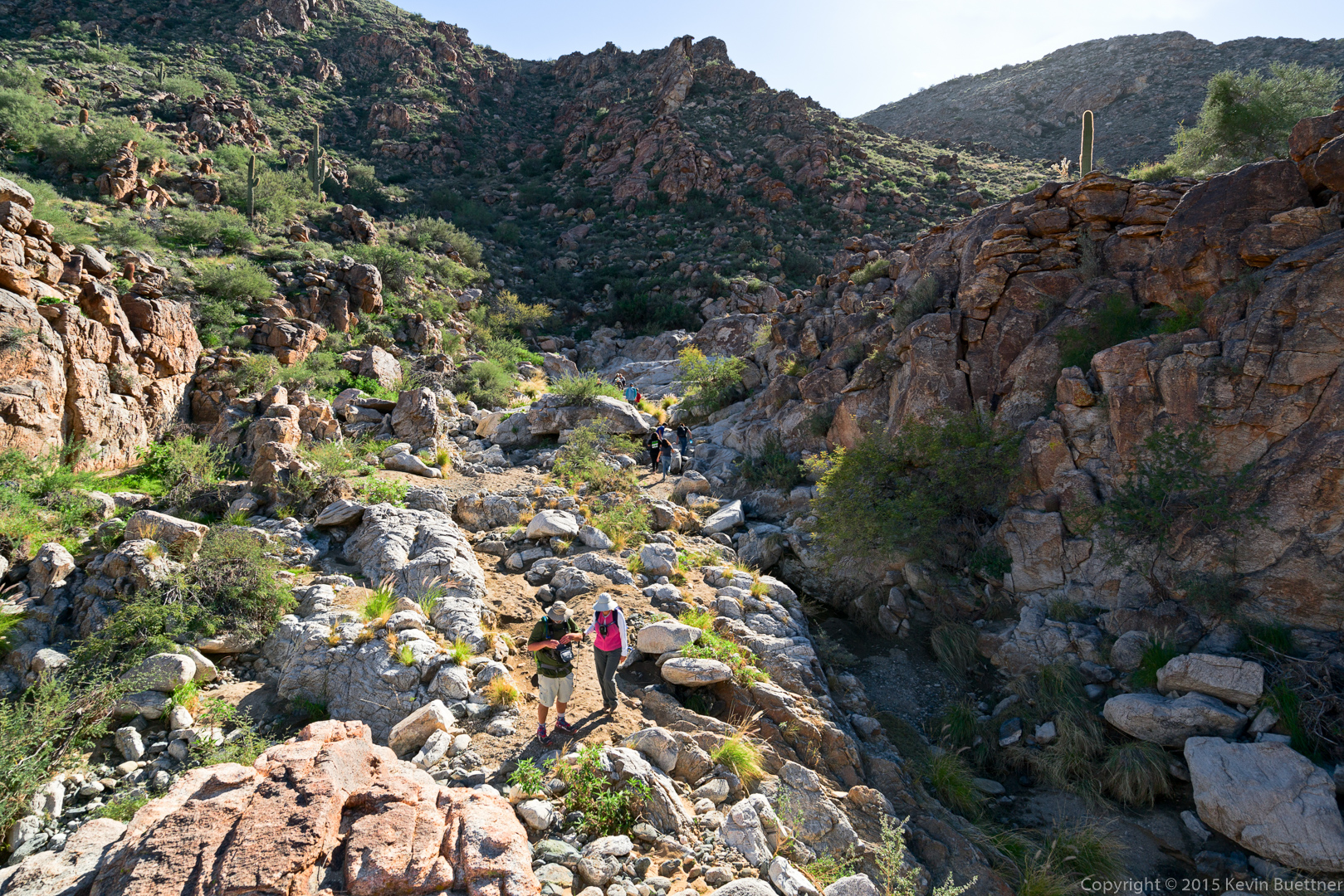
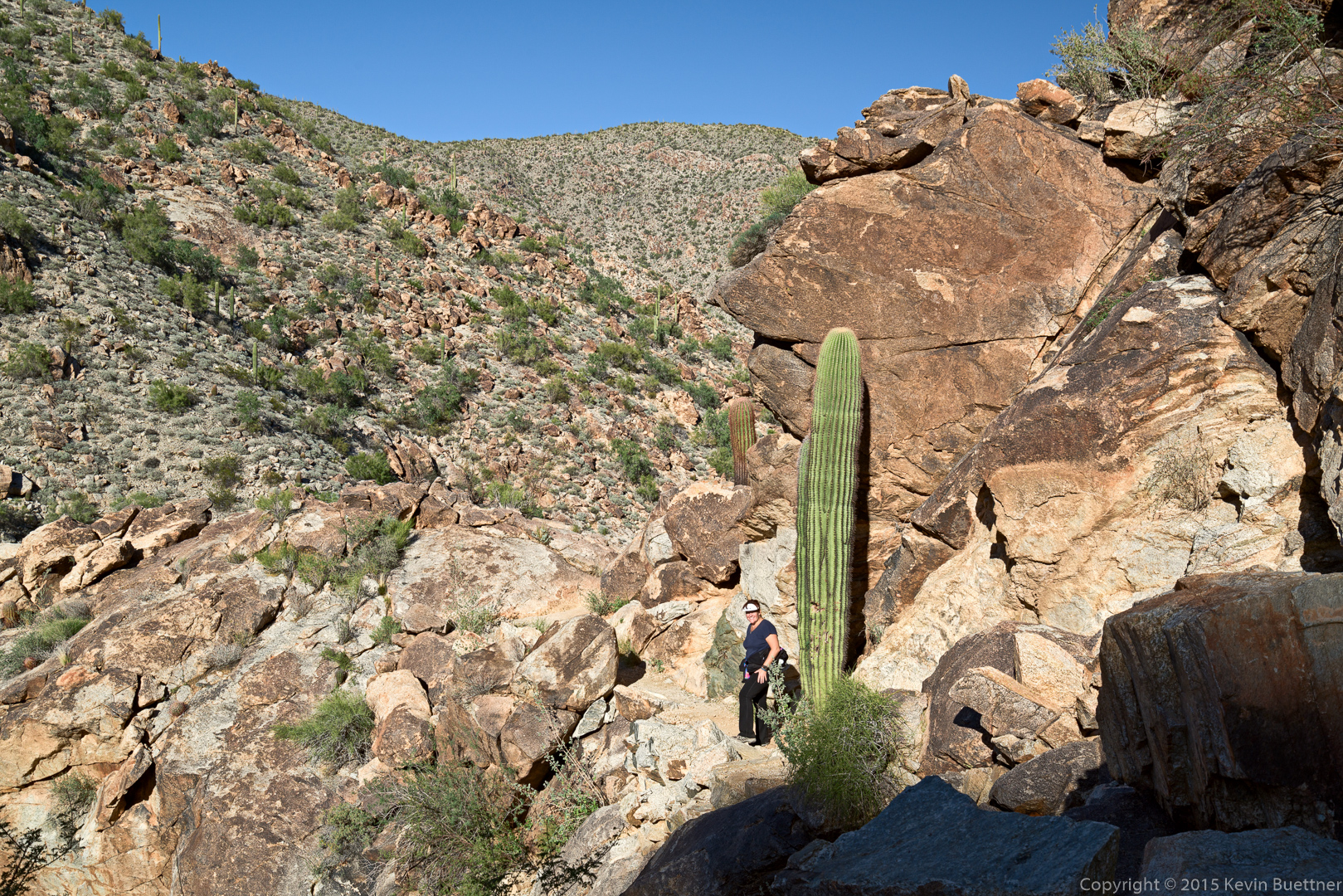
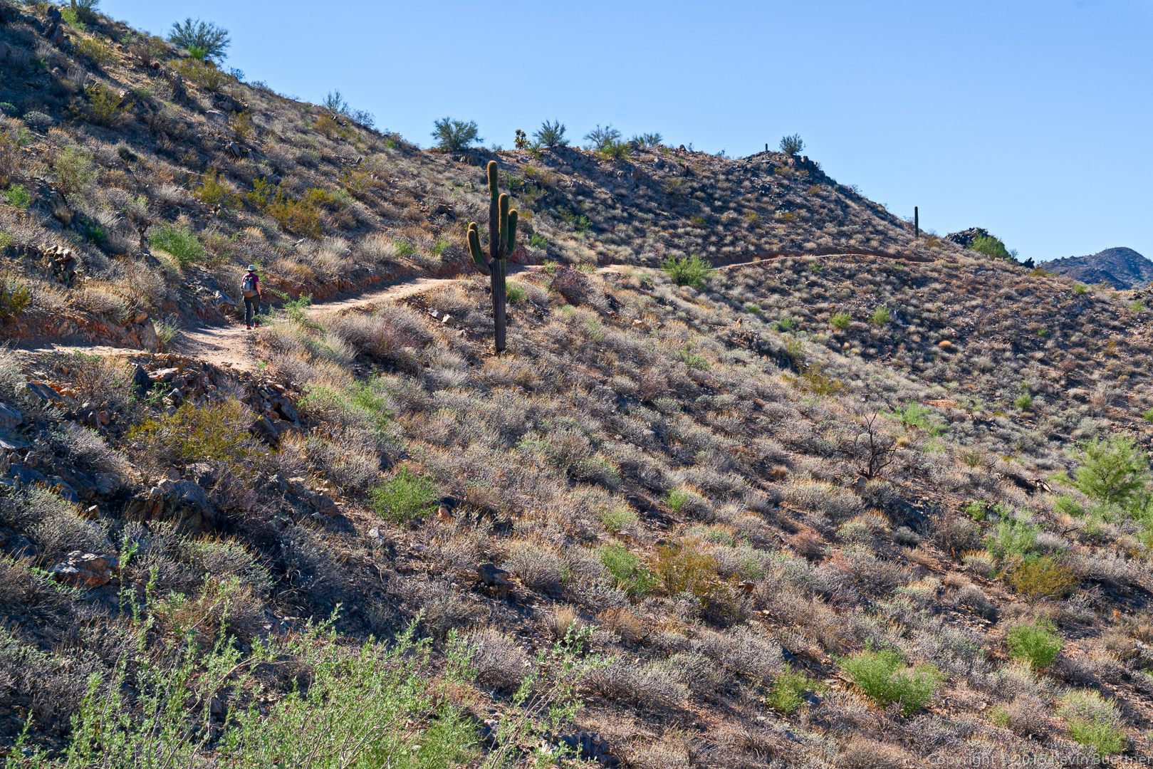
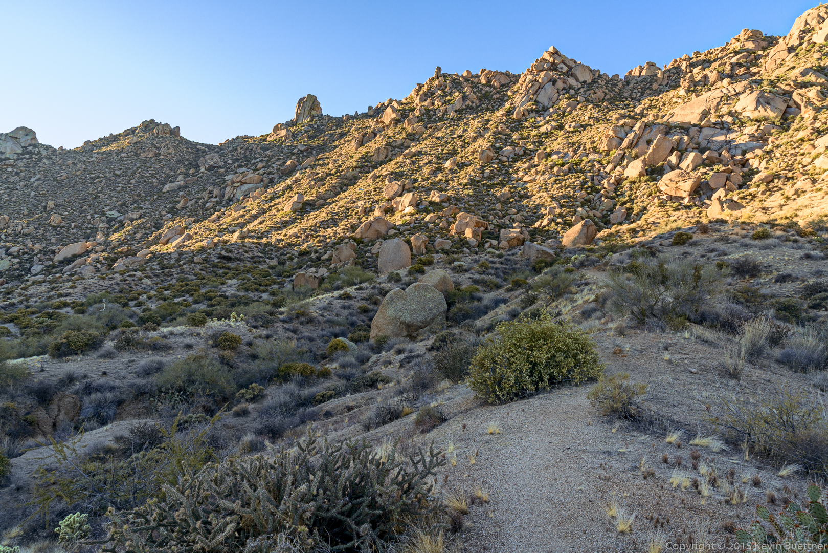
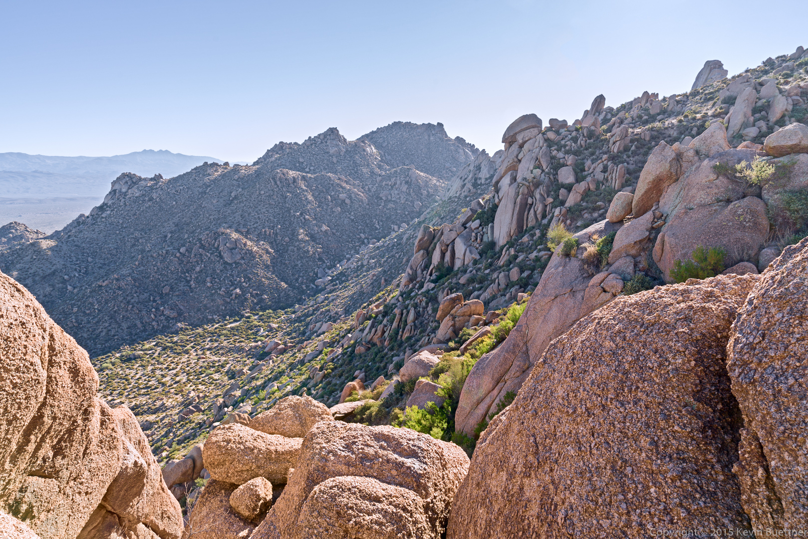
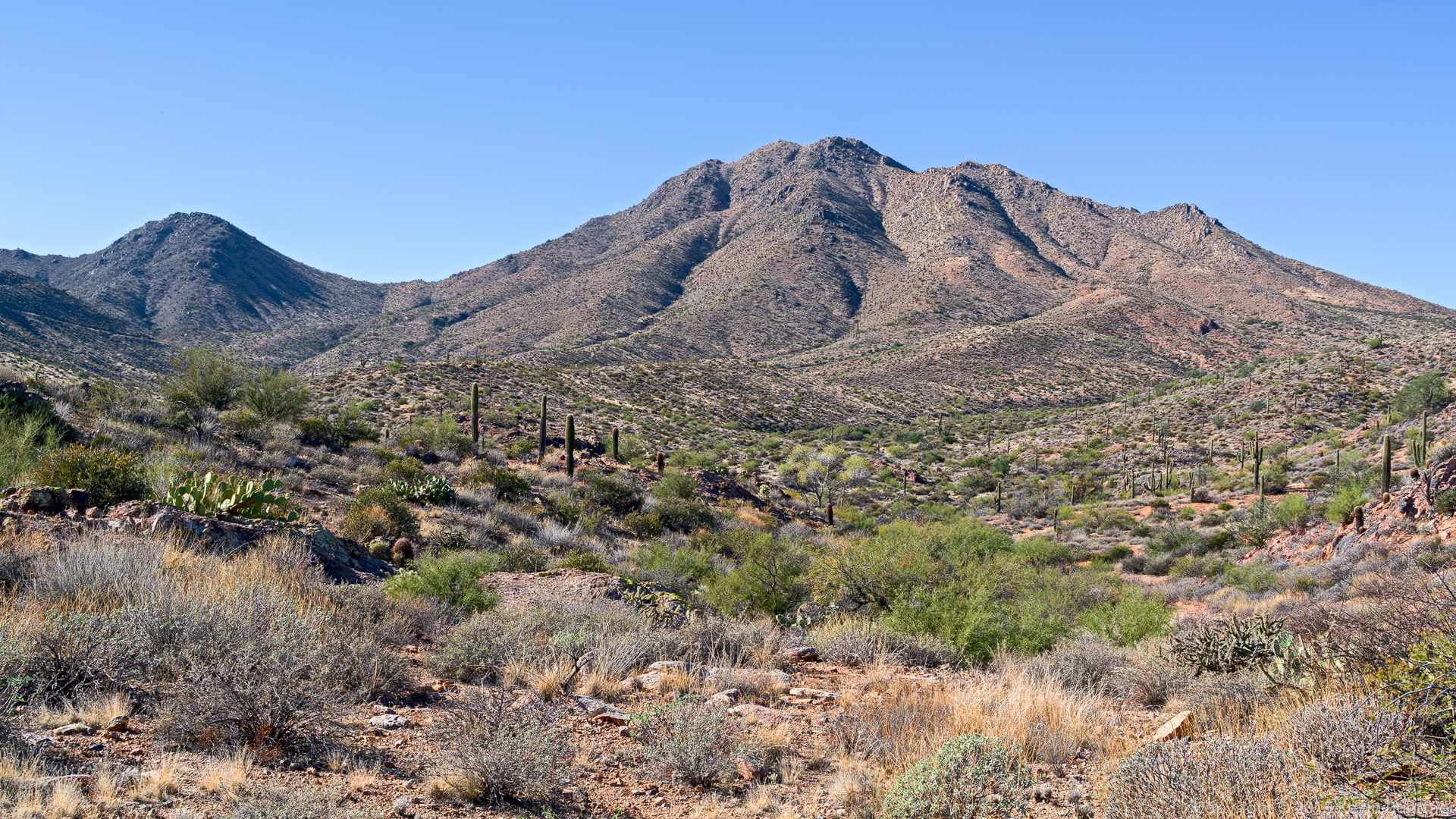
A view from the lower slopes of the climber’s access trail.
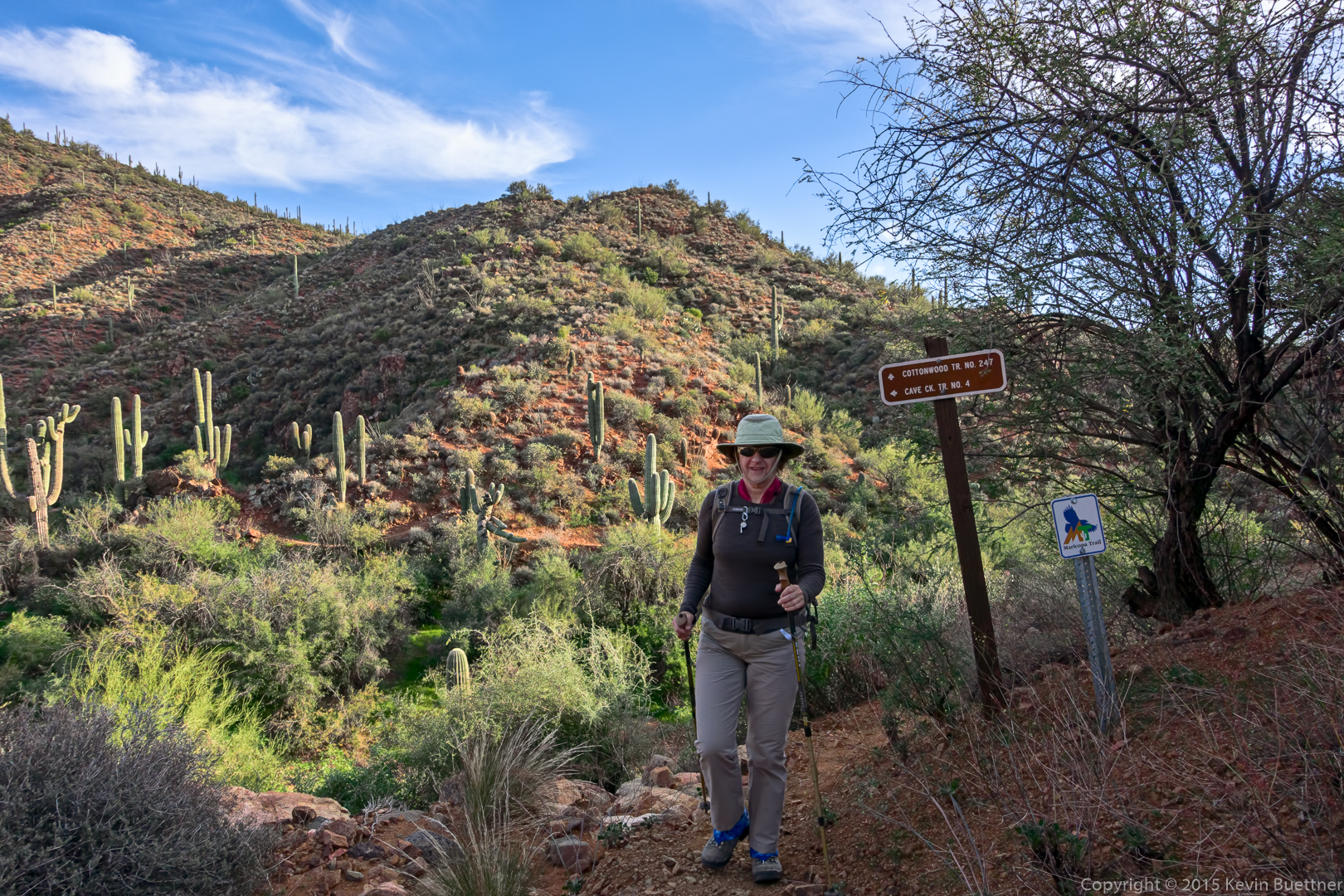
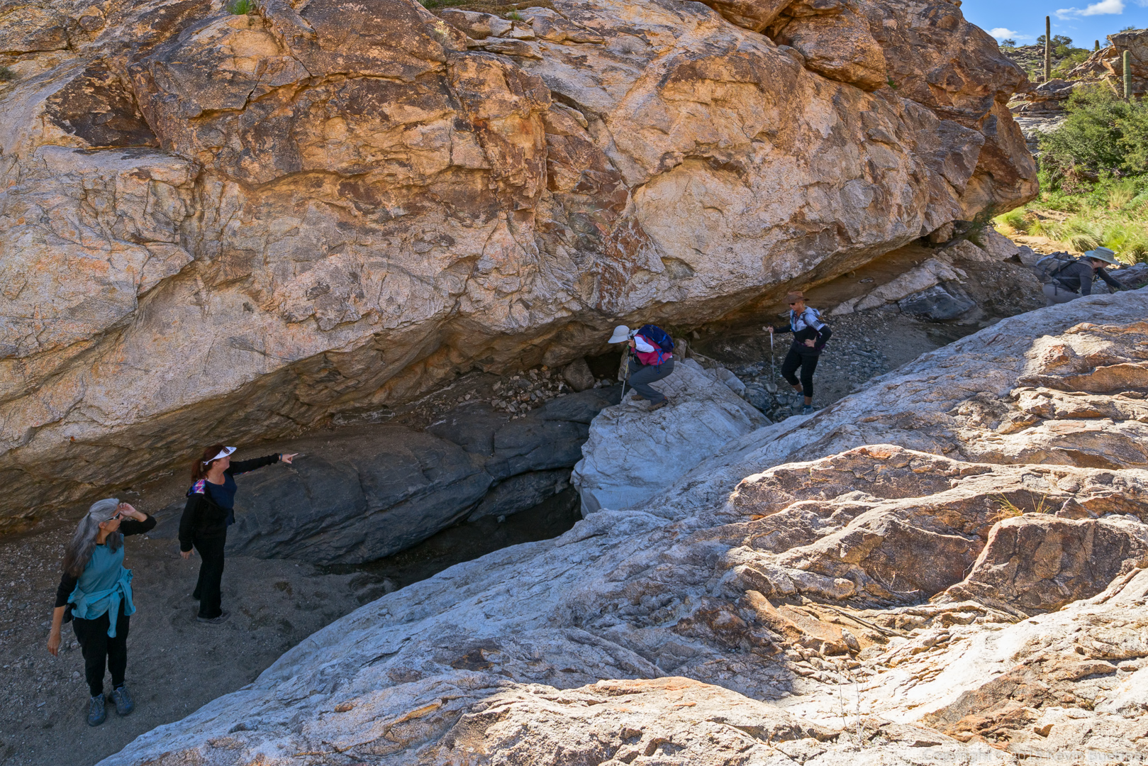
20151218-_DSC8101-Edit-medium

Taking a break…

20151218-_DSC8107-Edit-medium

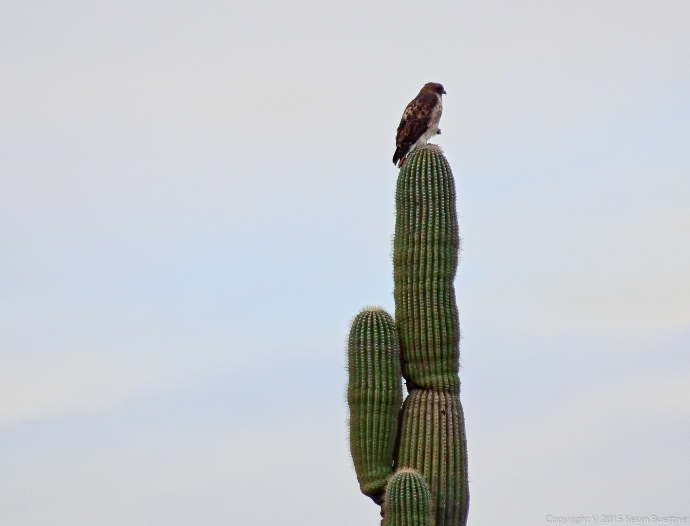
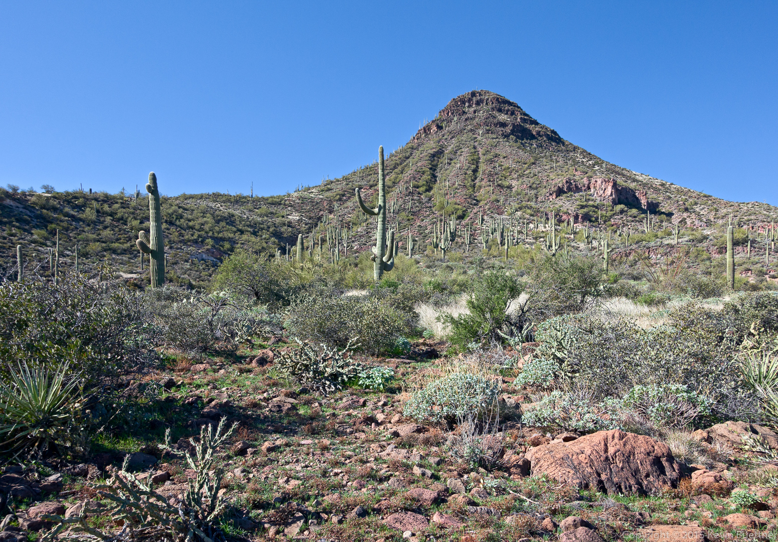
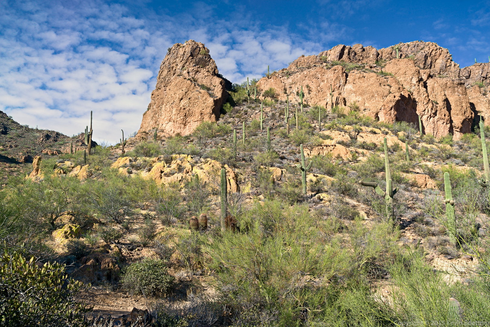
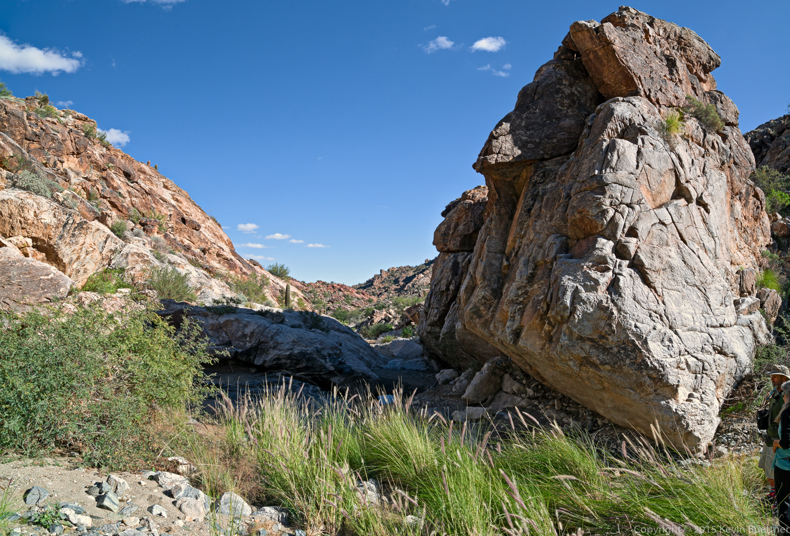
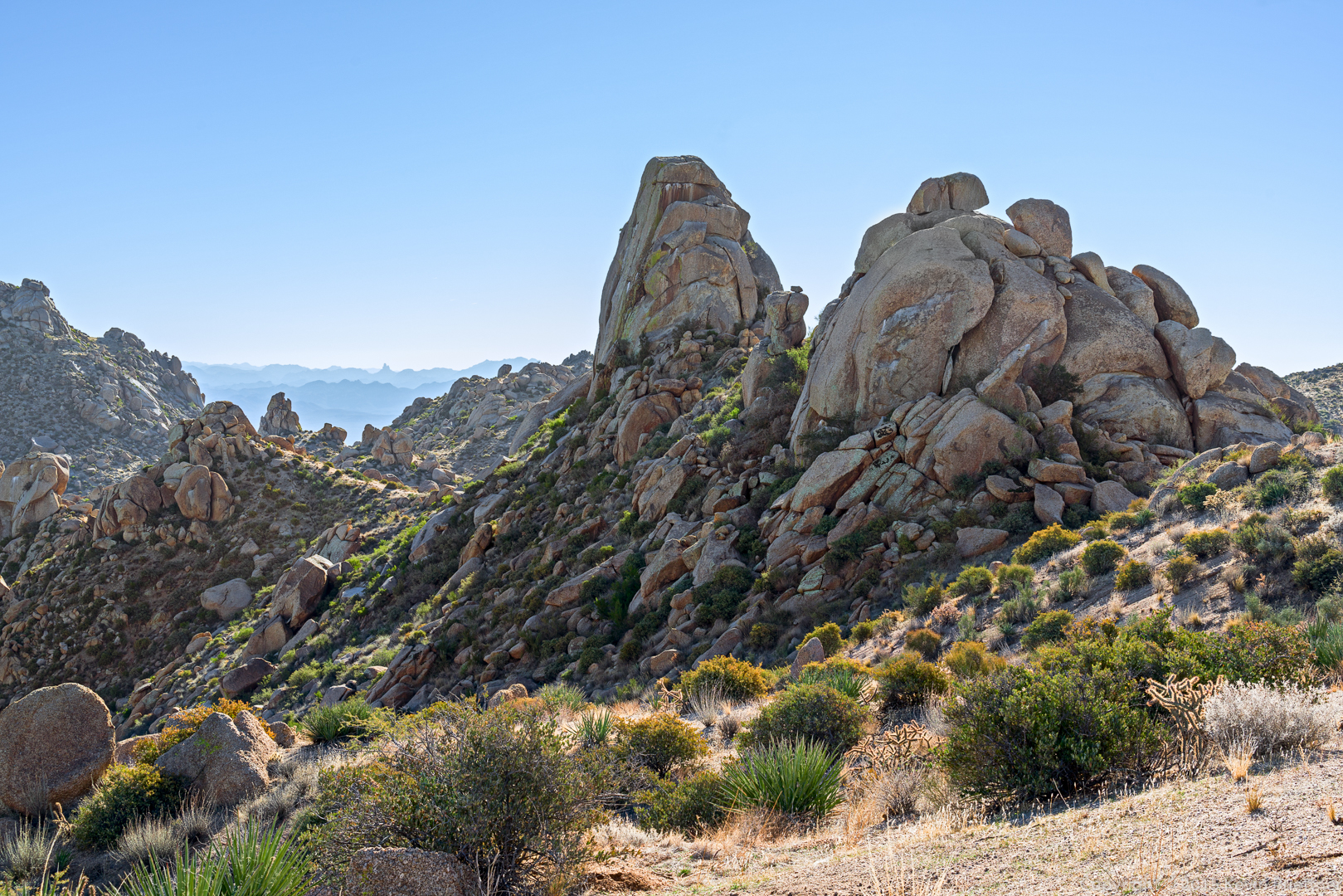
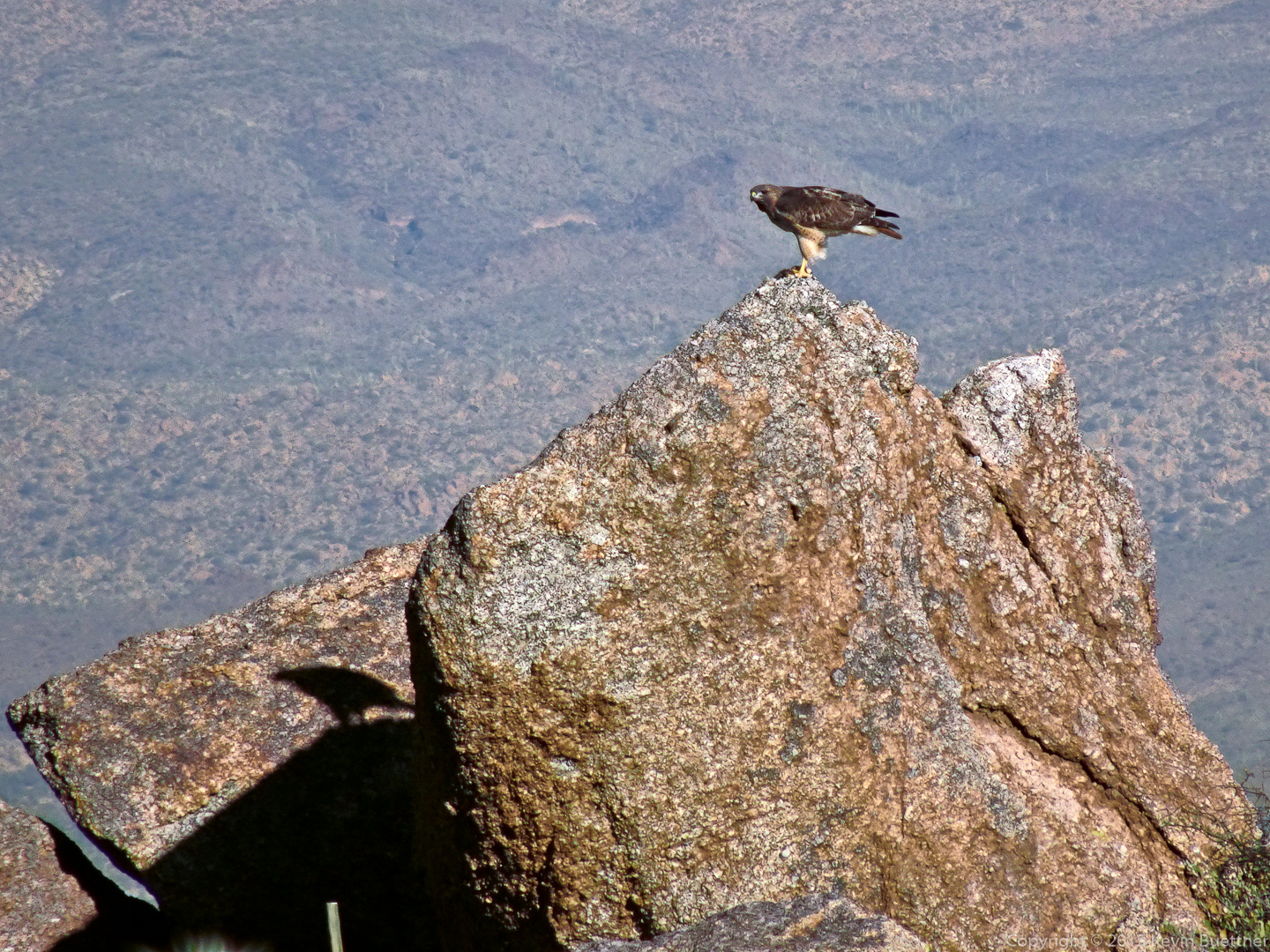
This is the small pinnacle across from the Fort McDowell climbing area.20151218-_DSC8116-Edit-medium

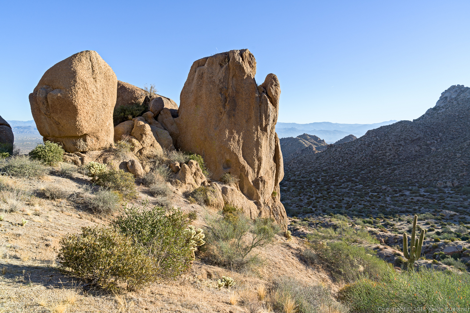
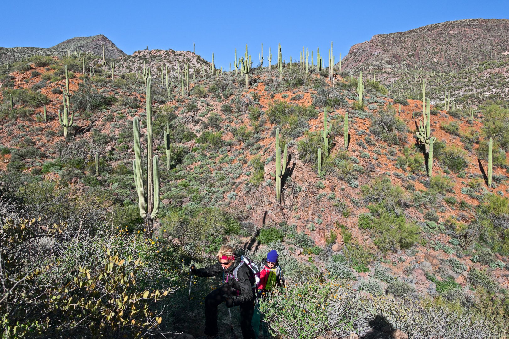
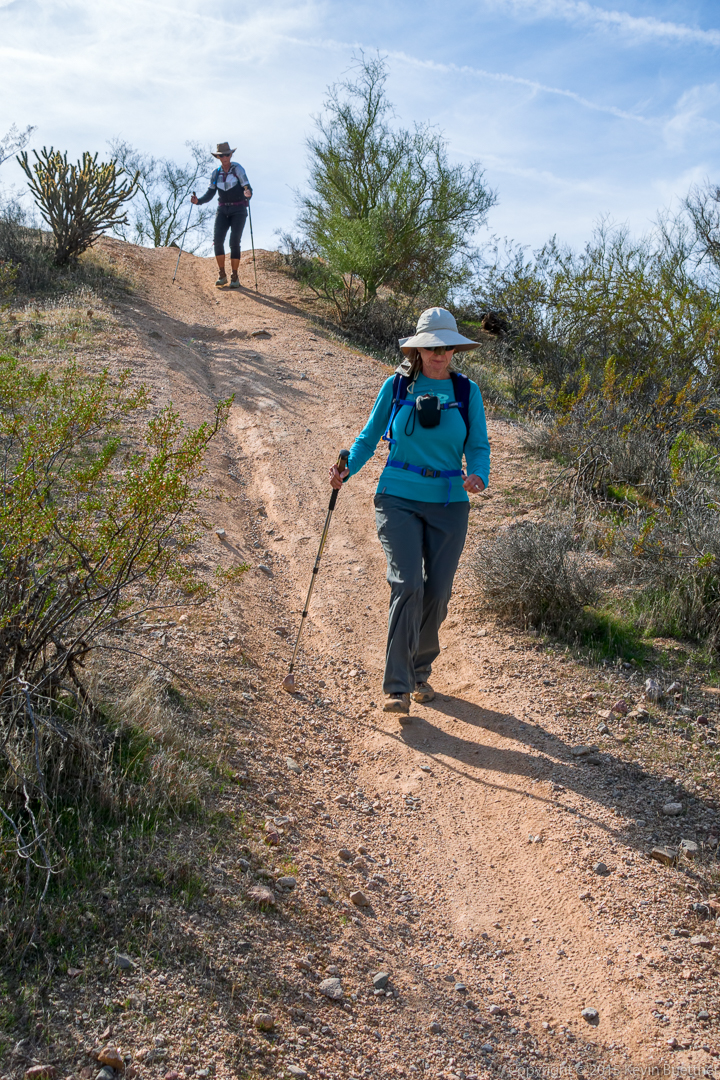
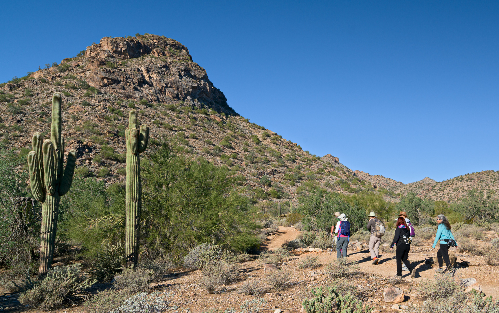
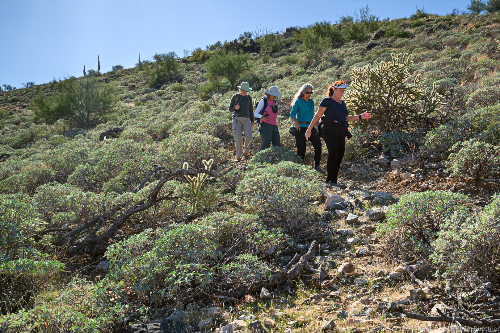
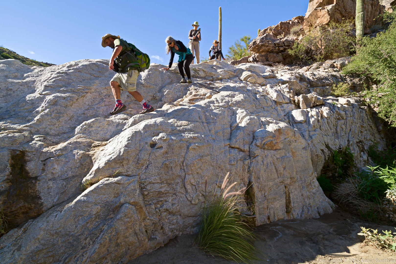
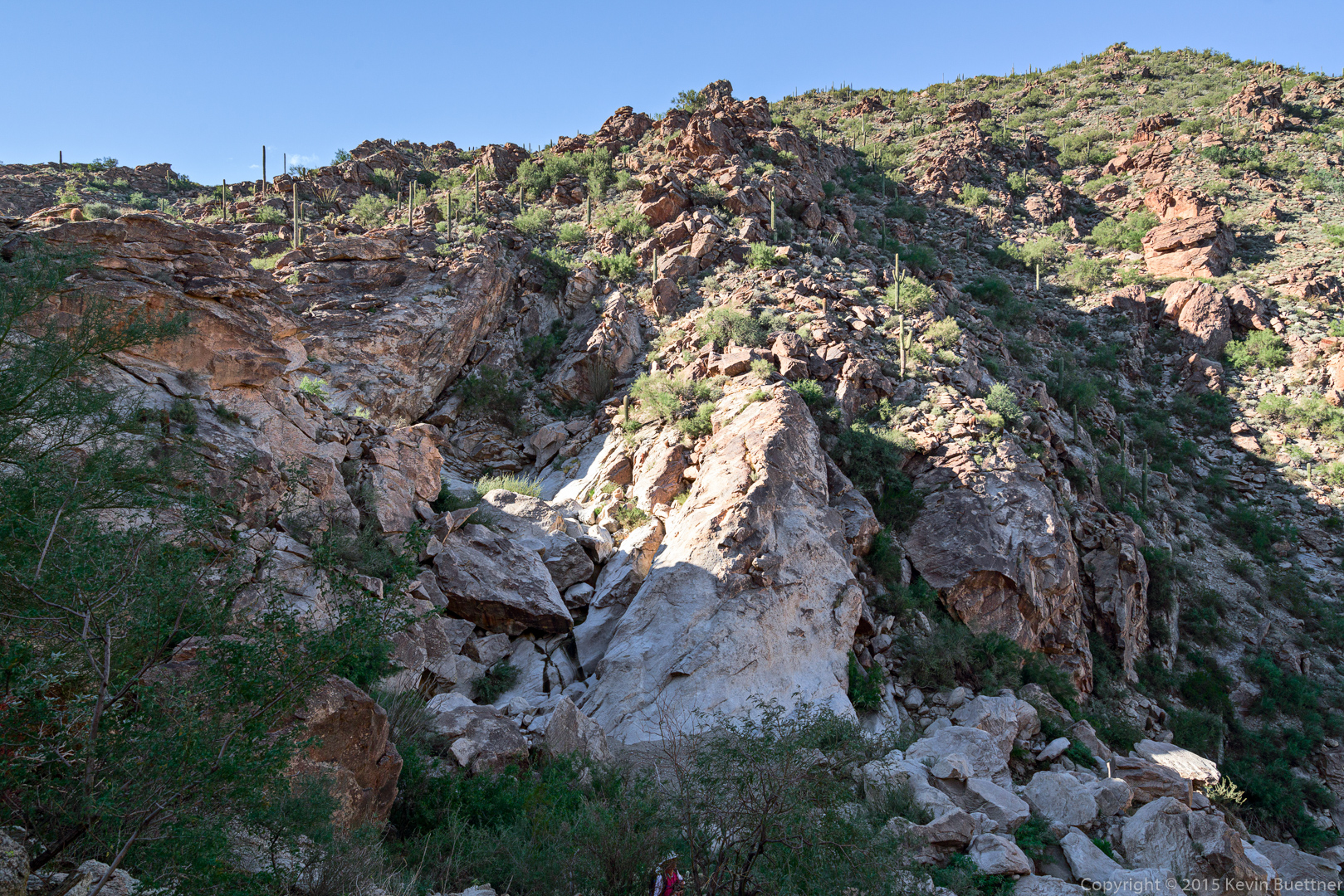
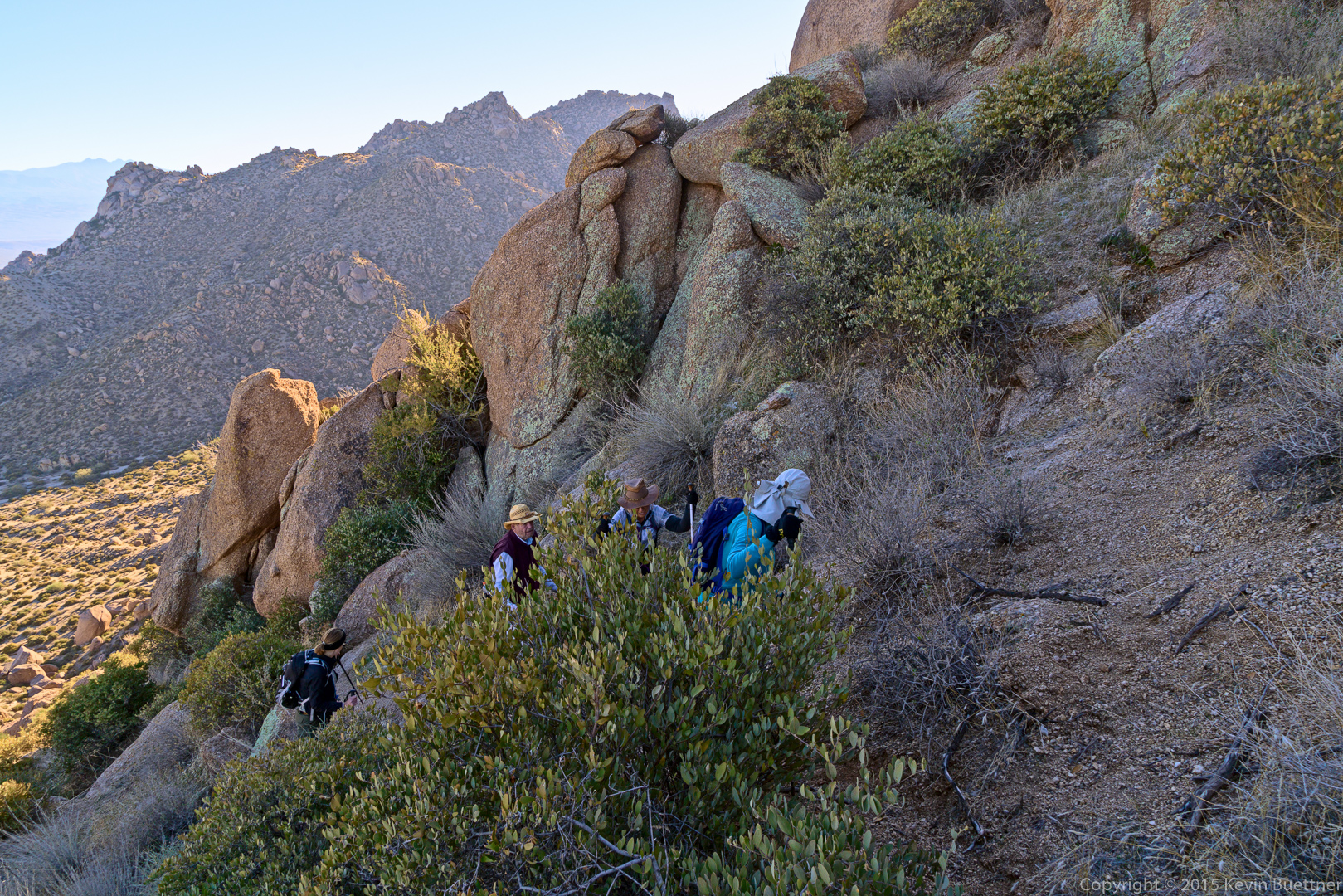
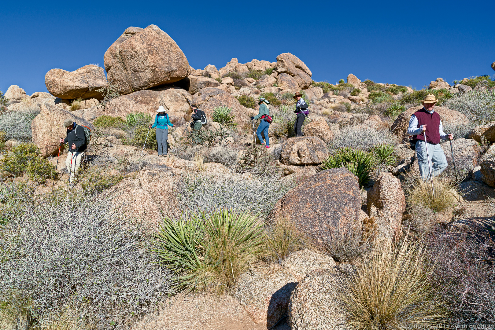
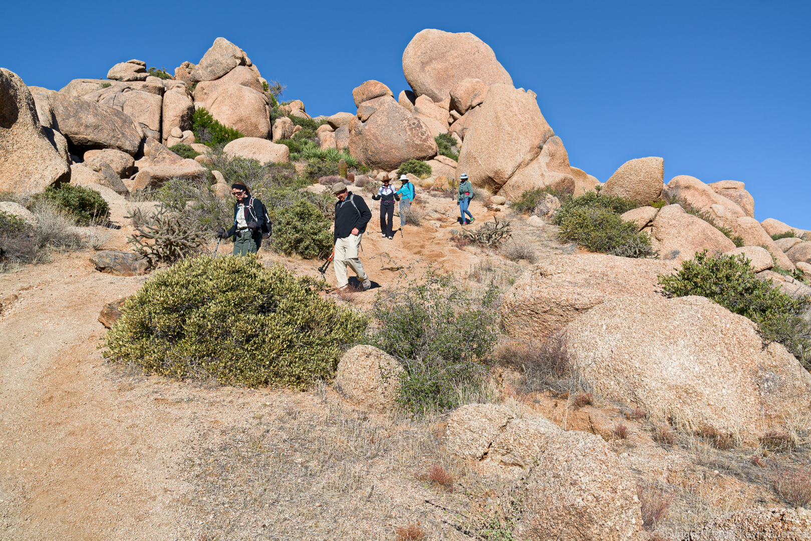
Amy, Bill, Nancy, and Linda making their way up the climber’s access trail.
20151218-_DSC8150-Edit-medium

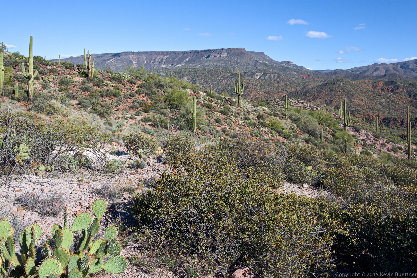
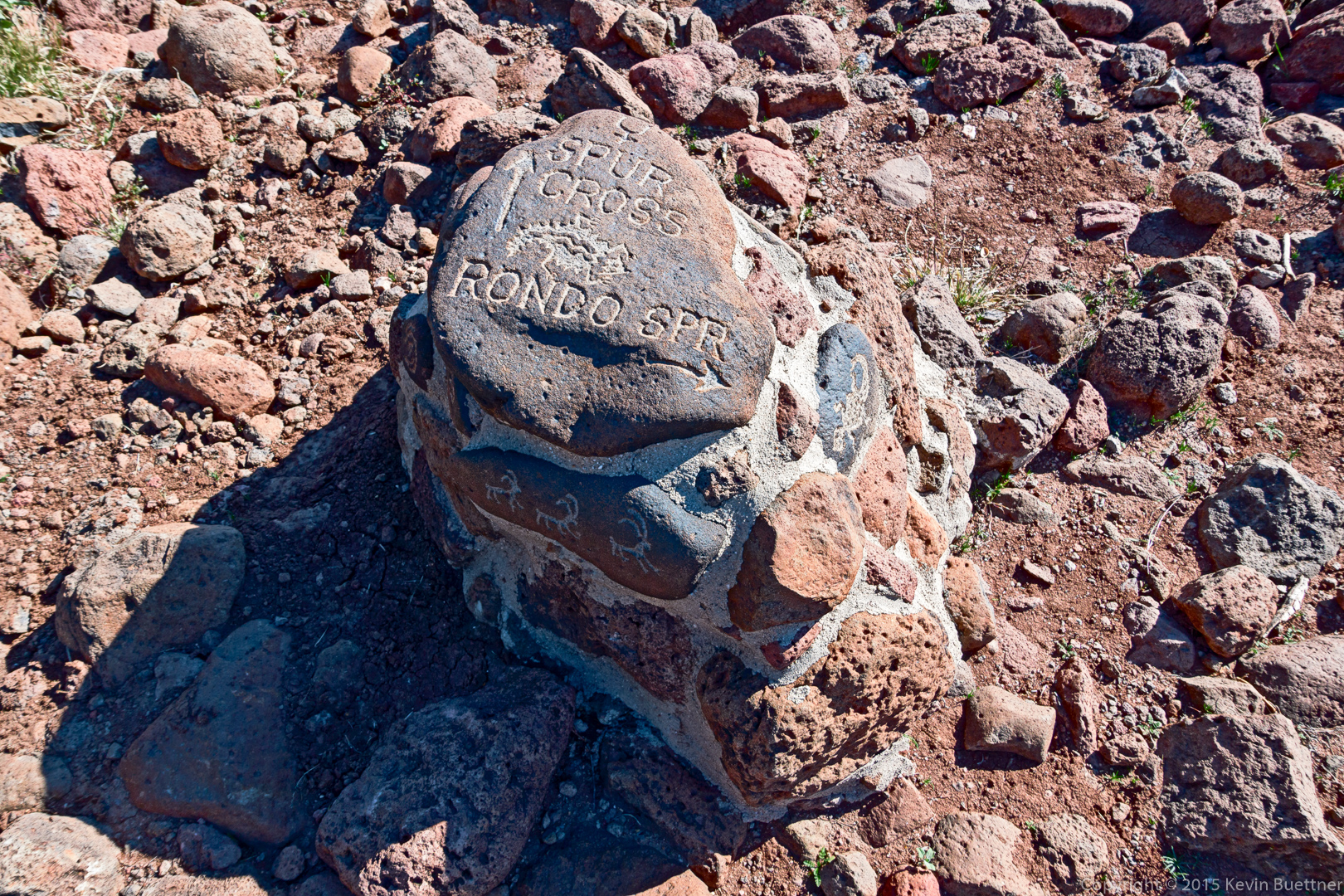
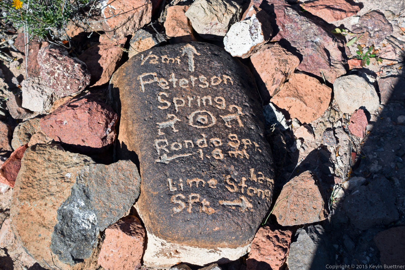
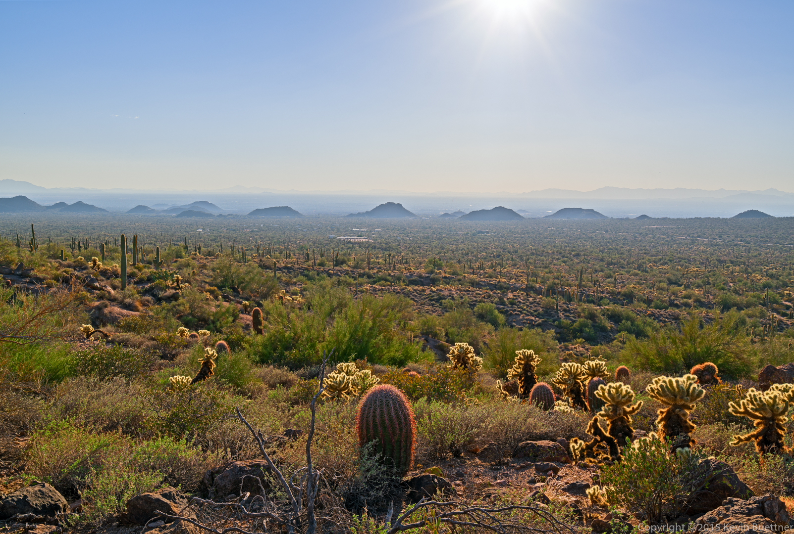
A view from one of the spur trails (leading to the Half and Half Wall):

20151218-_DSC8185-Edit-medium

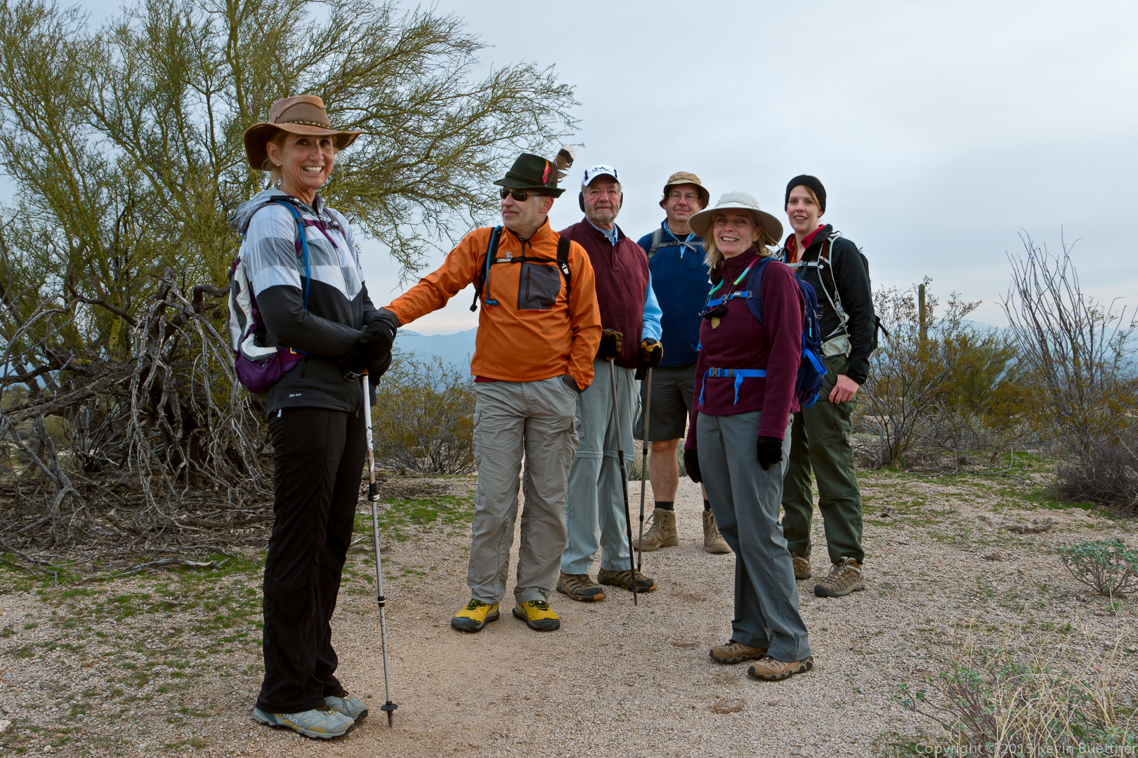
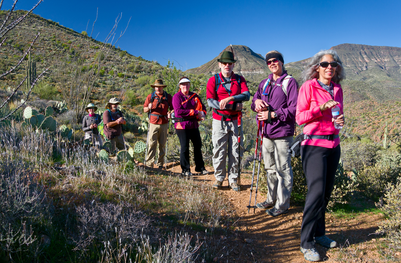
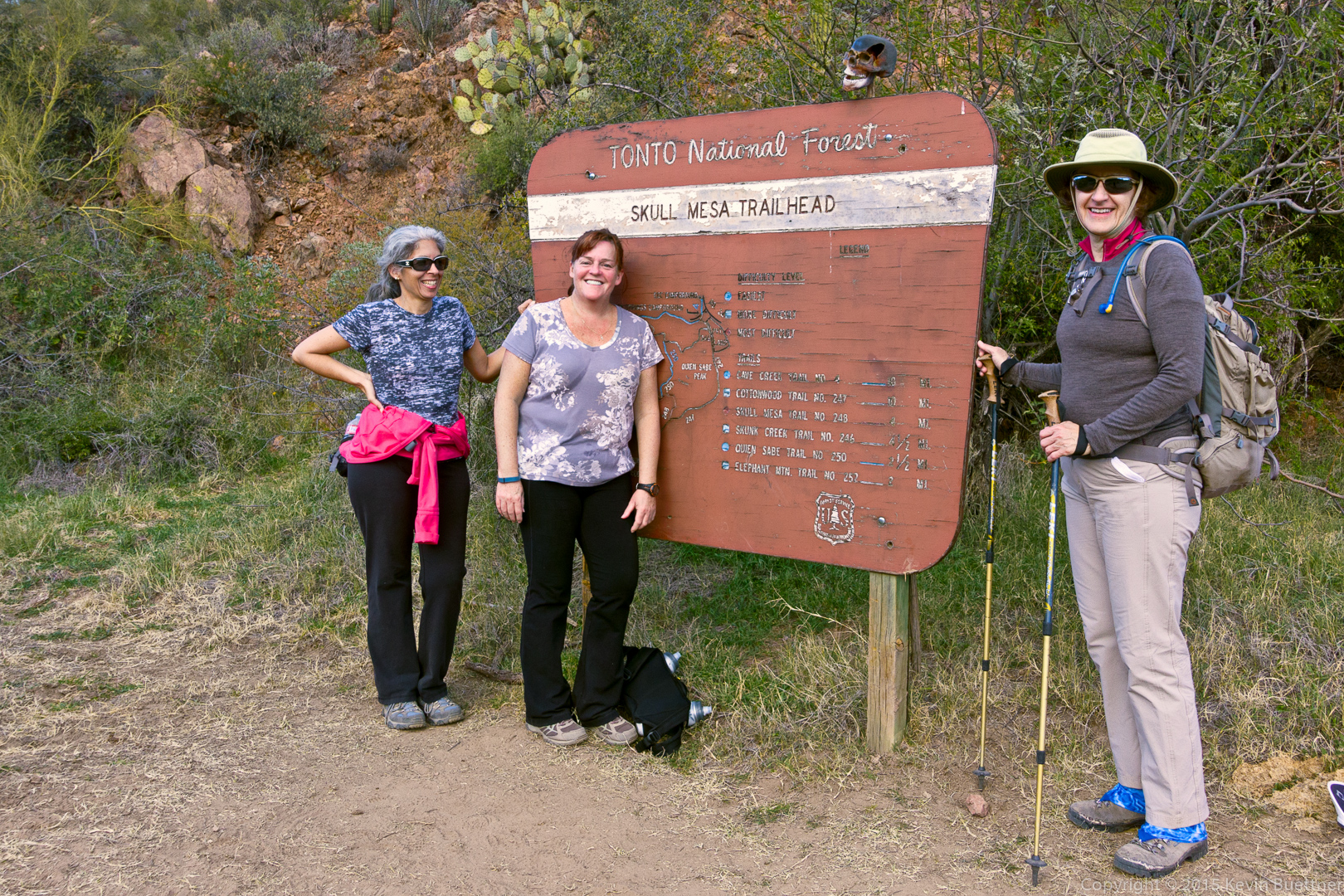
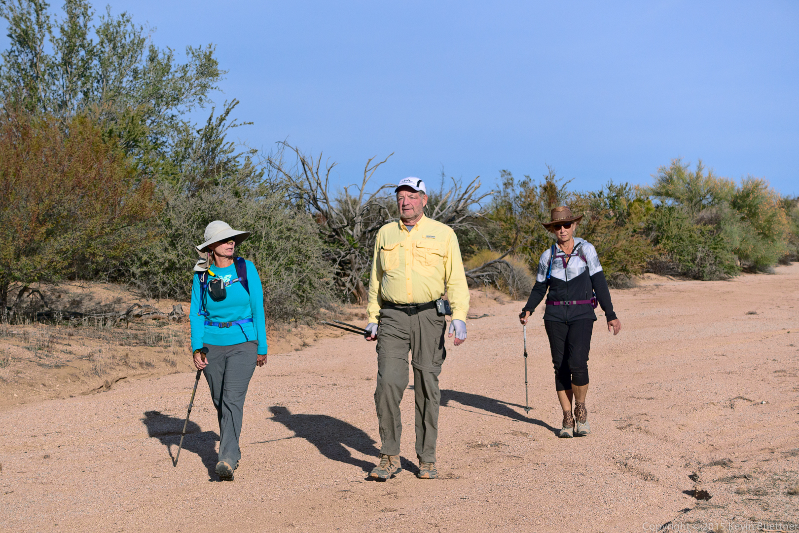
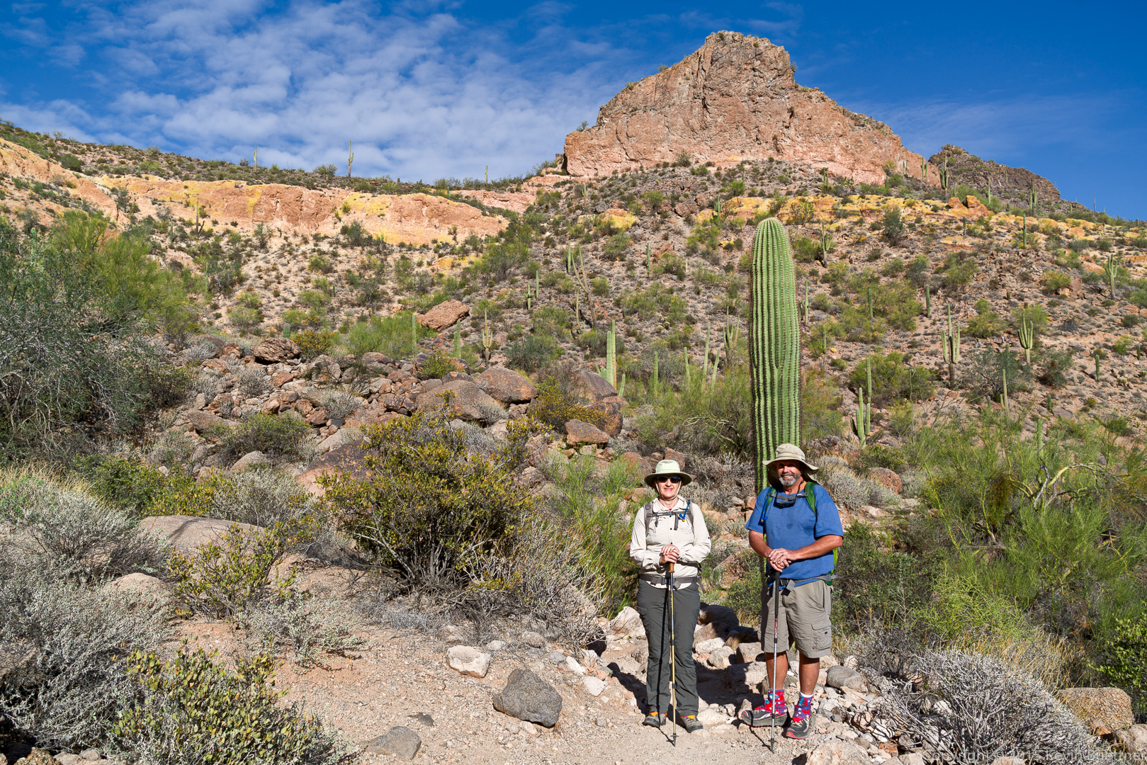
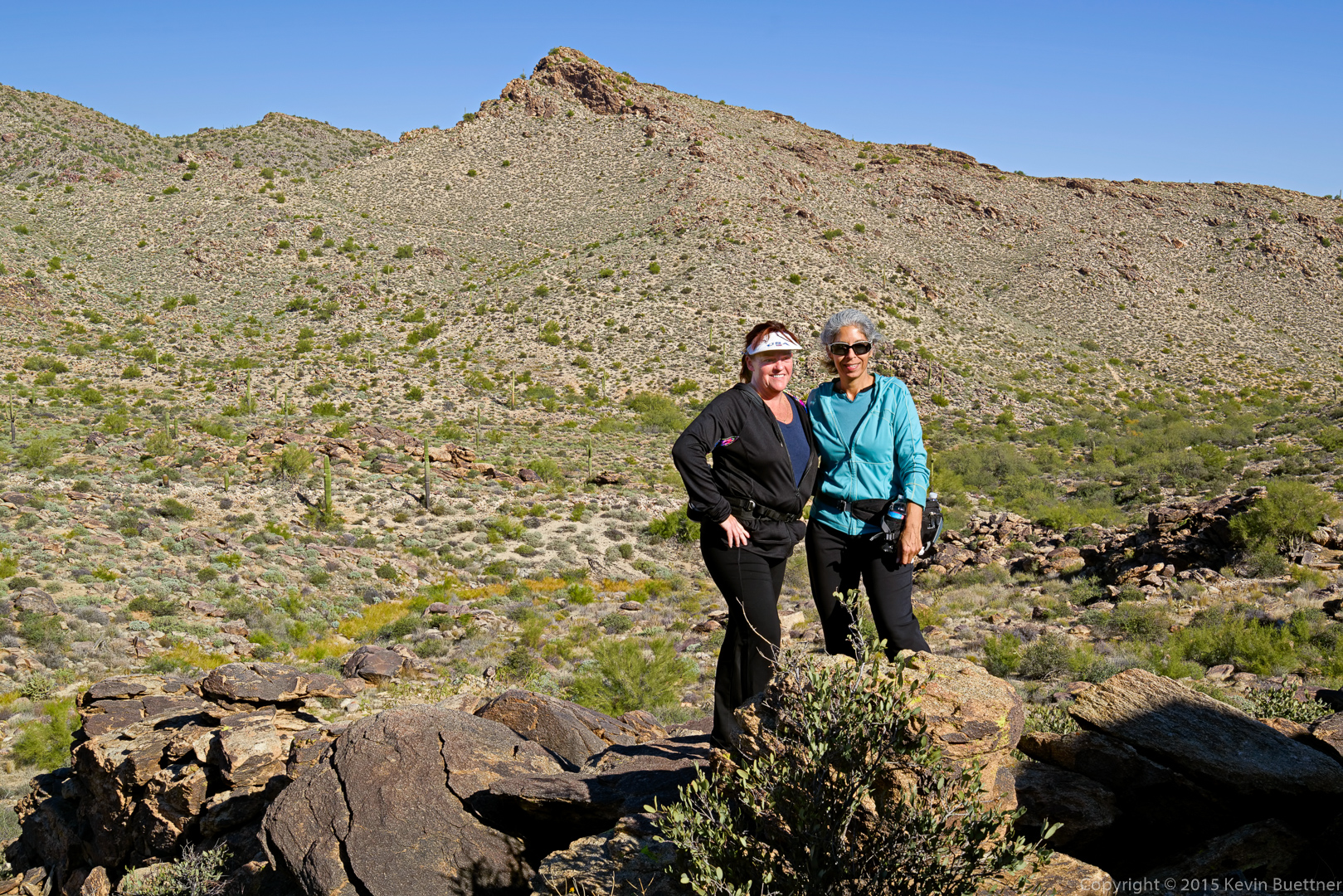
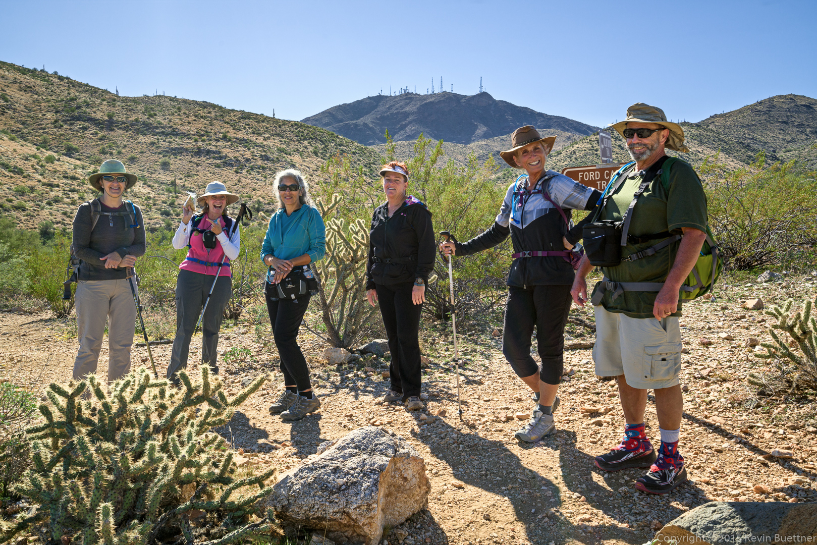
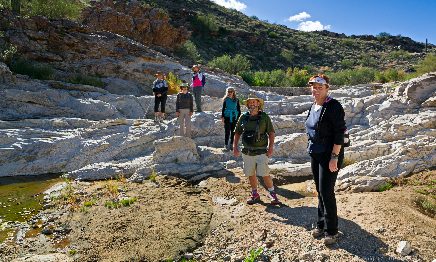
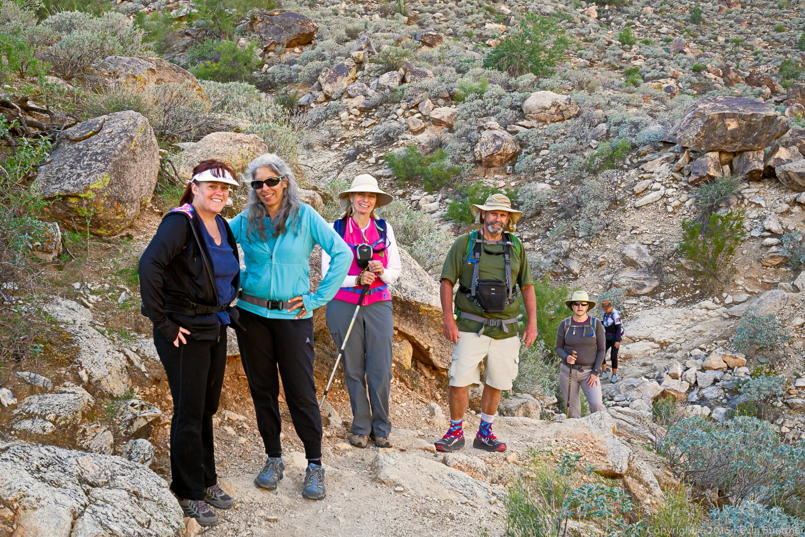
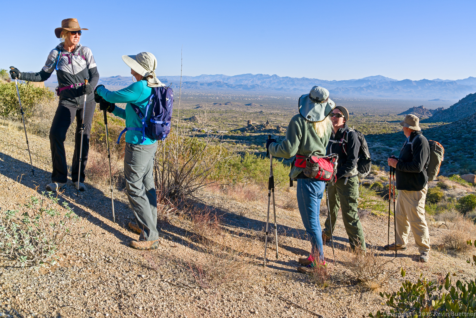
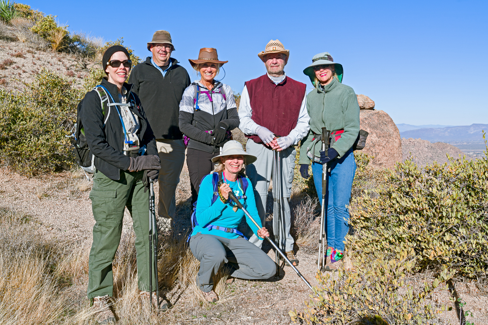
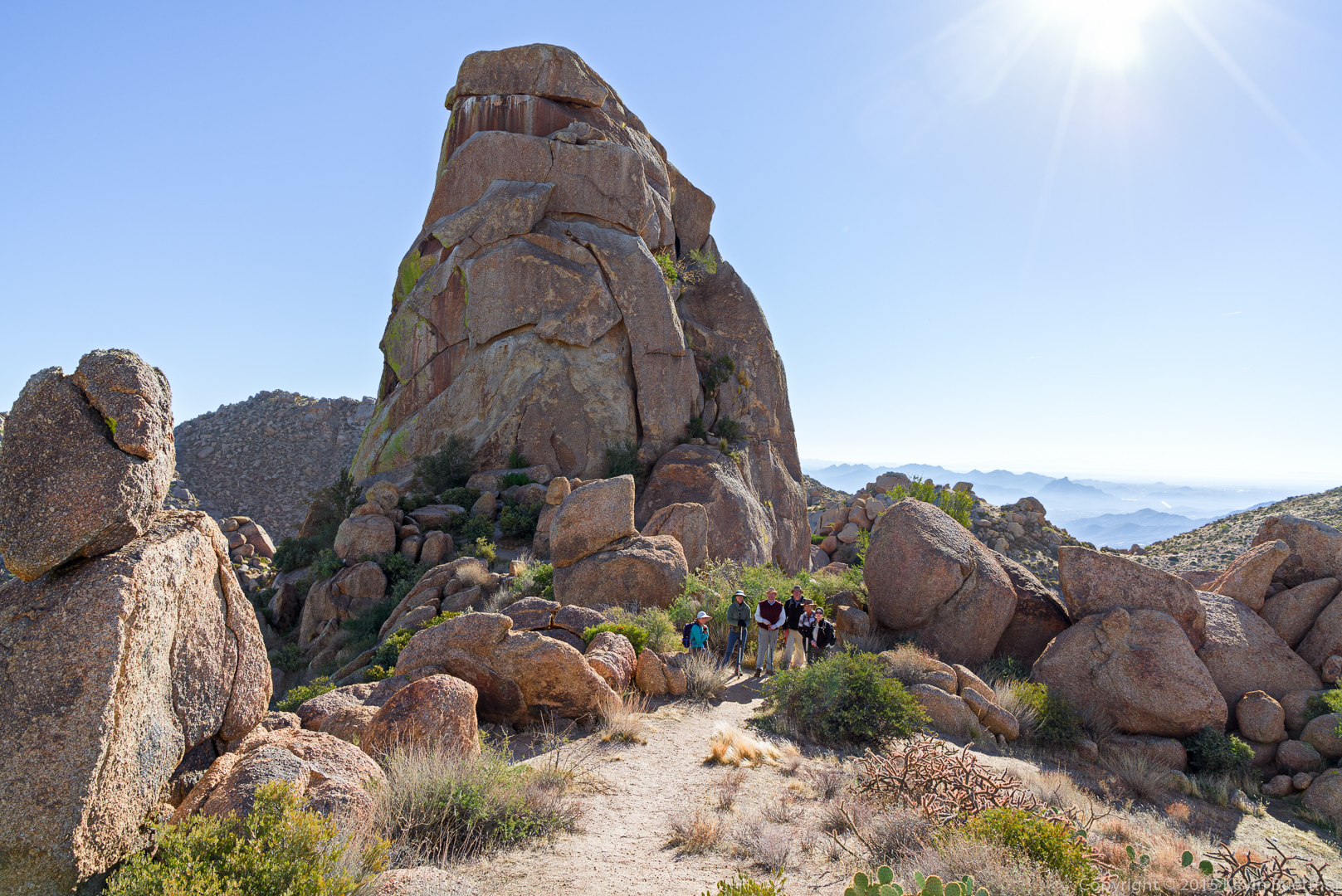
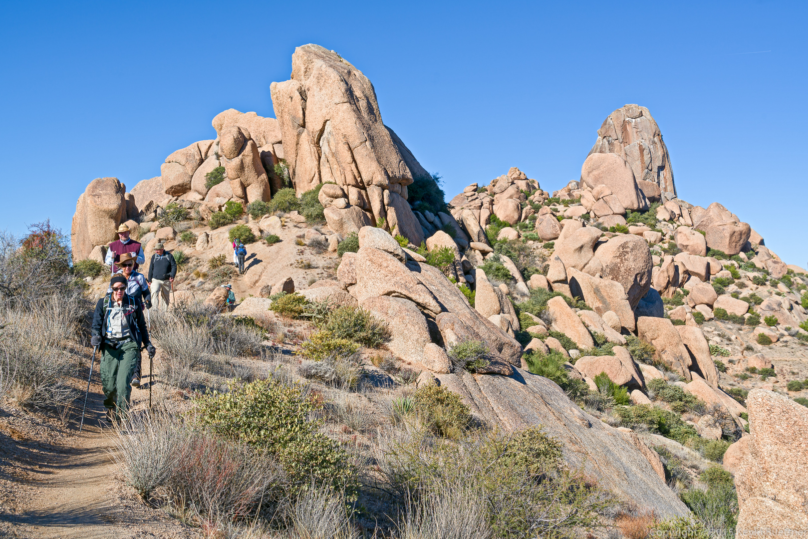
Amy, Mike, Nancy, Linda, Bill, and Denise:

20151218-_DSC8200-Edit-medium

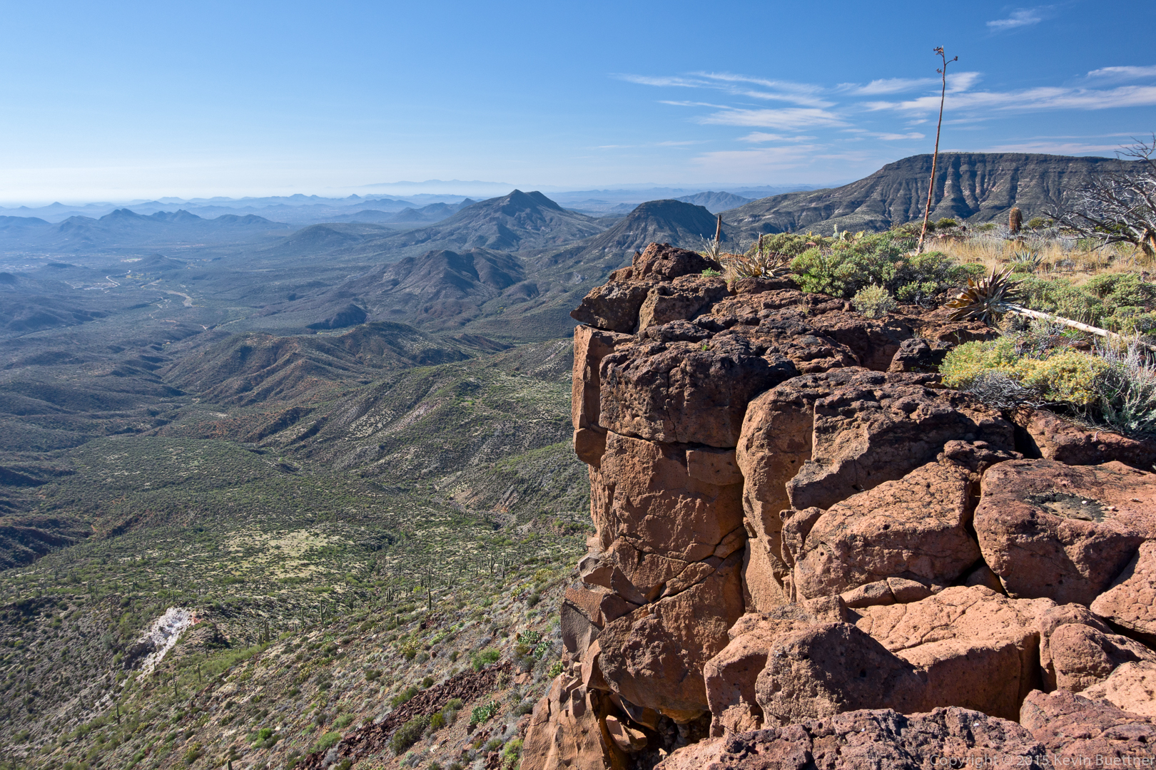
A view from the ridge.  Linda tells me that the scar at upper right (extending off the edge of the photo) will be a new golf course.

20151218-_DSC8221-Edit-medium

Tom’s Thumb with The Rist, in front.

20151218-_DSC8227-Edit-medium

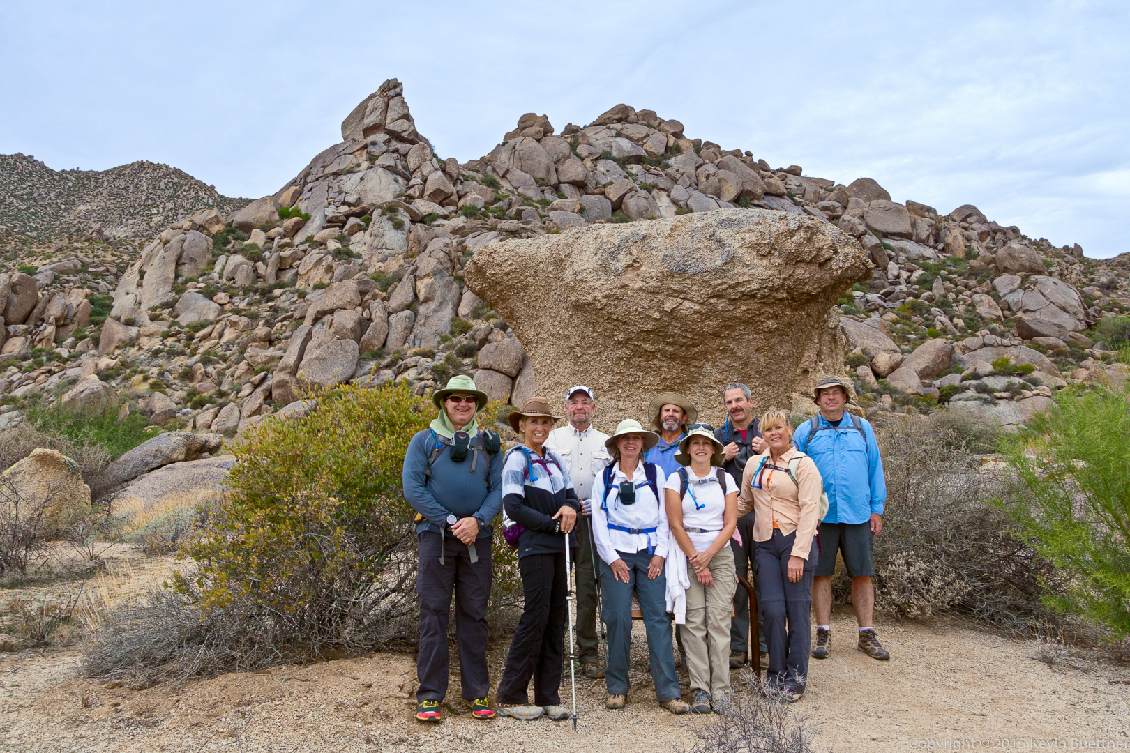
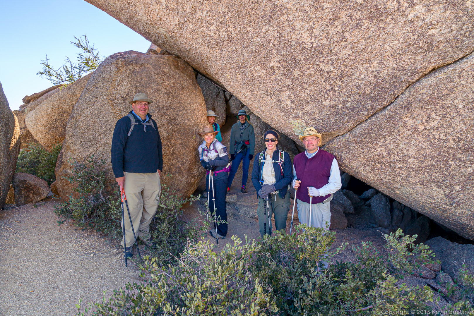
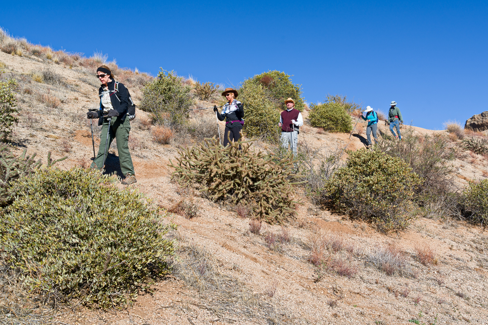
Mike, Linda, Amy, Denise, Nancy, and Bill:

20151218-_DSC8248-Edit-medium

A view of the northwest side of Tom’s Thumb:

20151218-_DSC8311-Edit-medium

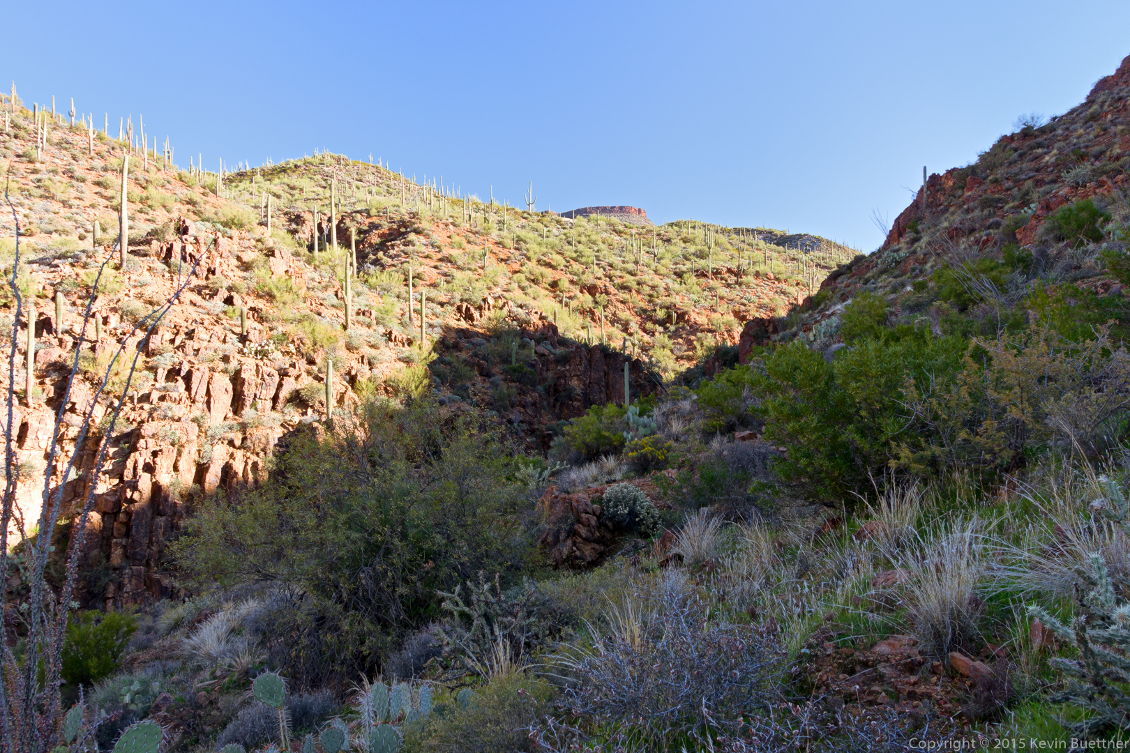
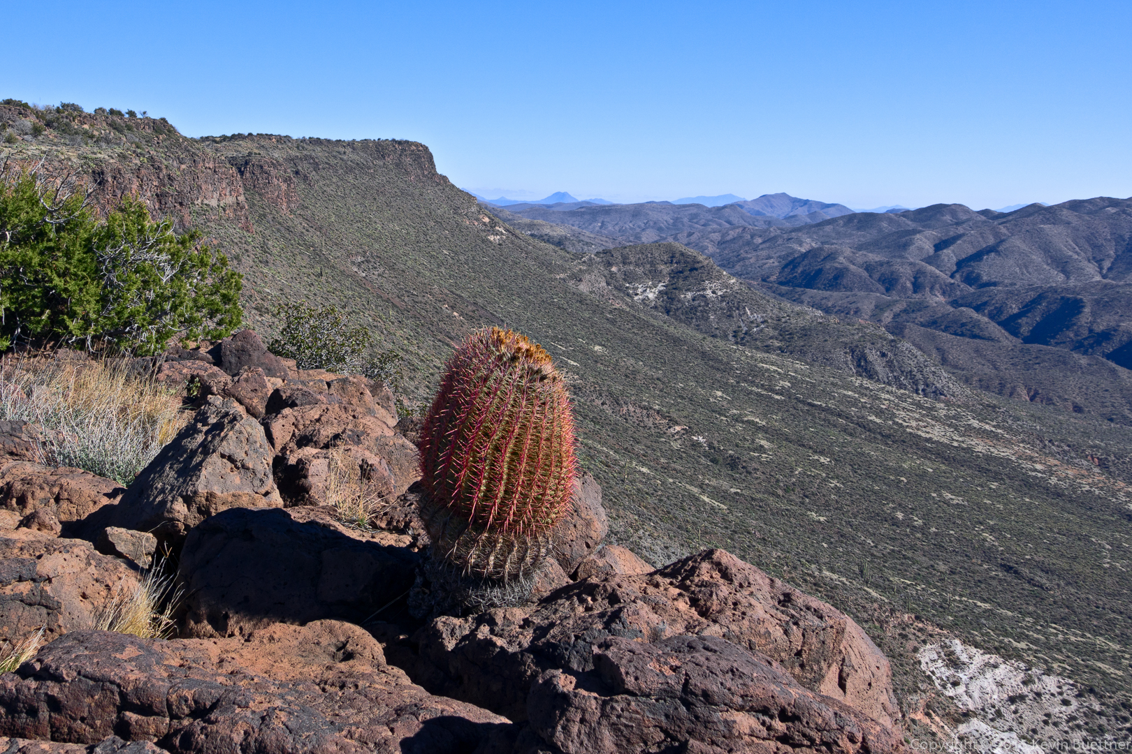
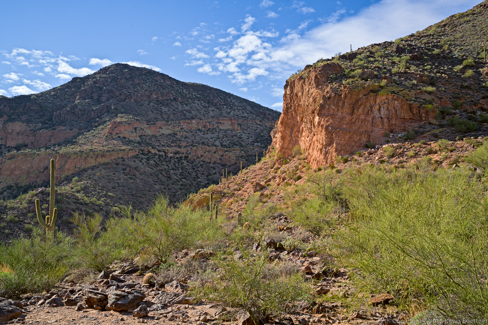
One of the views as we made our way around Tom’s Thumb:
20151218-_DSC8359-Edit-medium

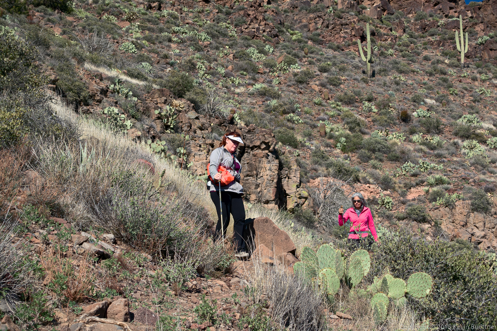
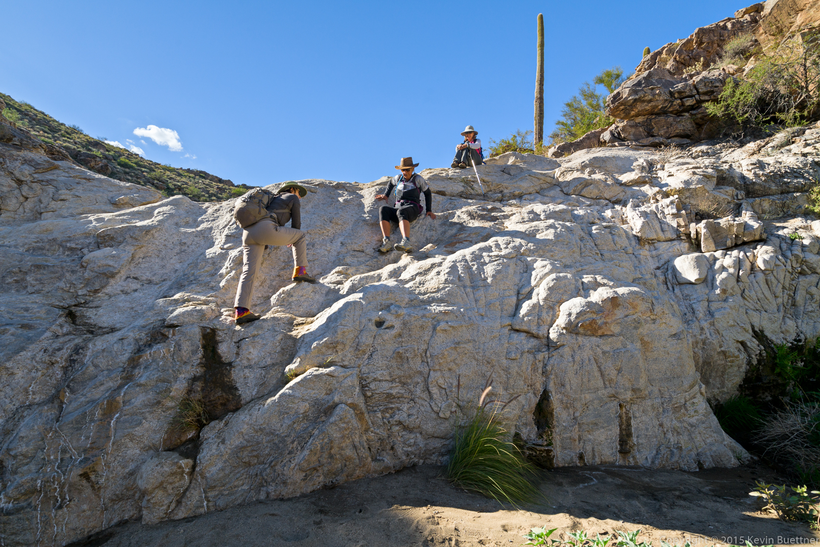
Mike, Nancy, Linda, Denise, Amy, and Bill attempt to get out of the wind.  (It was quite chilly after we made our way around Tom’s Thumb and regained the ridge.)

20151218-_DSC8413-Edit-medium

Descending the climber’s access trail leading from Tom’s Thumb to the (main) Tom’s Thumb Trail…

20151218-_DSC8431-Edit-medium

20151218-_DSC8446-Edit-medium

20151218-_DSC8452-Edit-medium

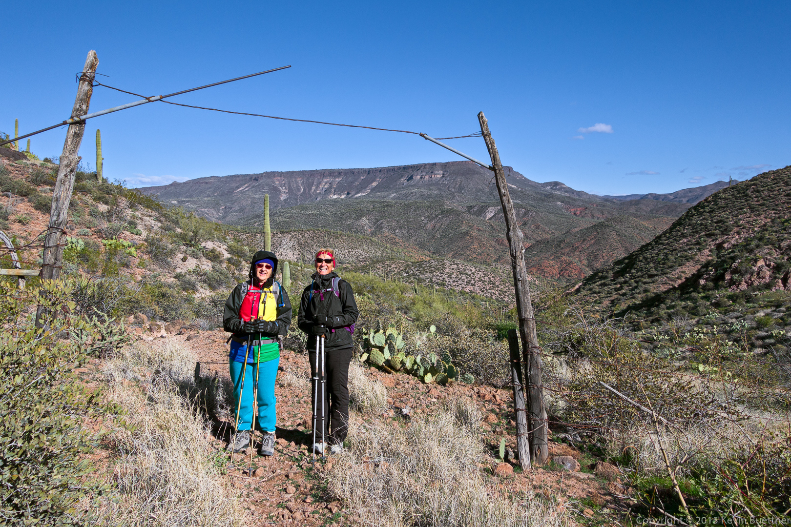
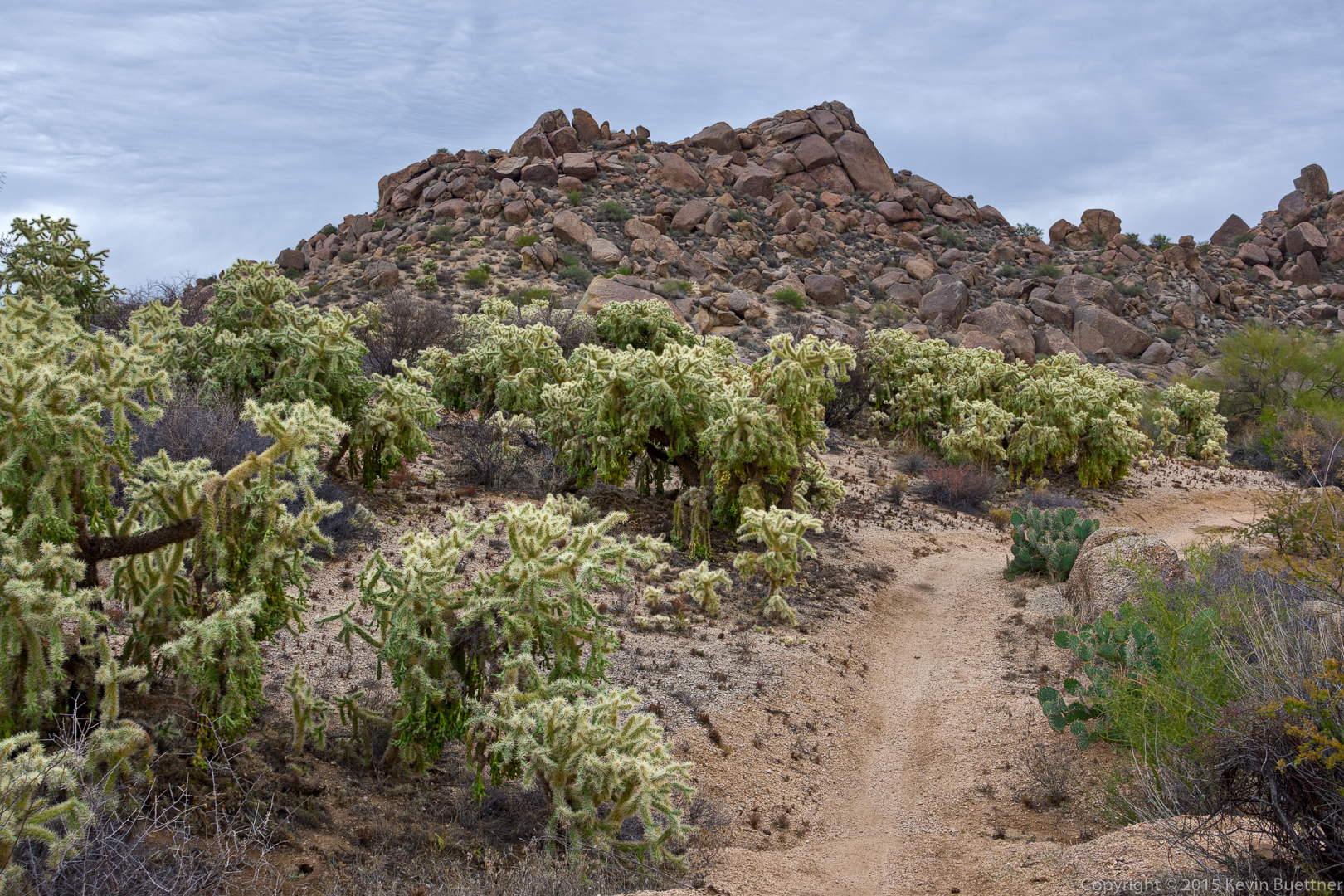
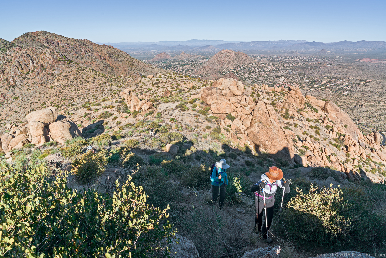
Views from the intersection of the Tom’s Thumb and East End trails:

20151218-_DSC8491-Edit-medium

20151218-_DSC8515-Edit-medium

Topaz Impression version of…

20151218-_DSC8530-Edit-Edit-medium

…this photo of Thompson Peak:

20151218-_DSC8530-Edit-medium

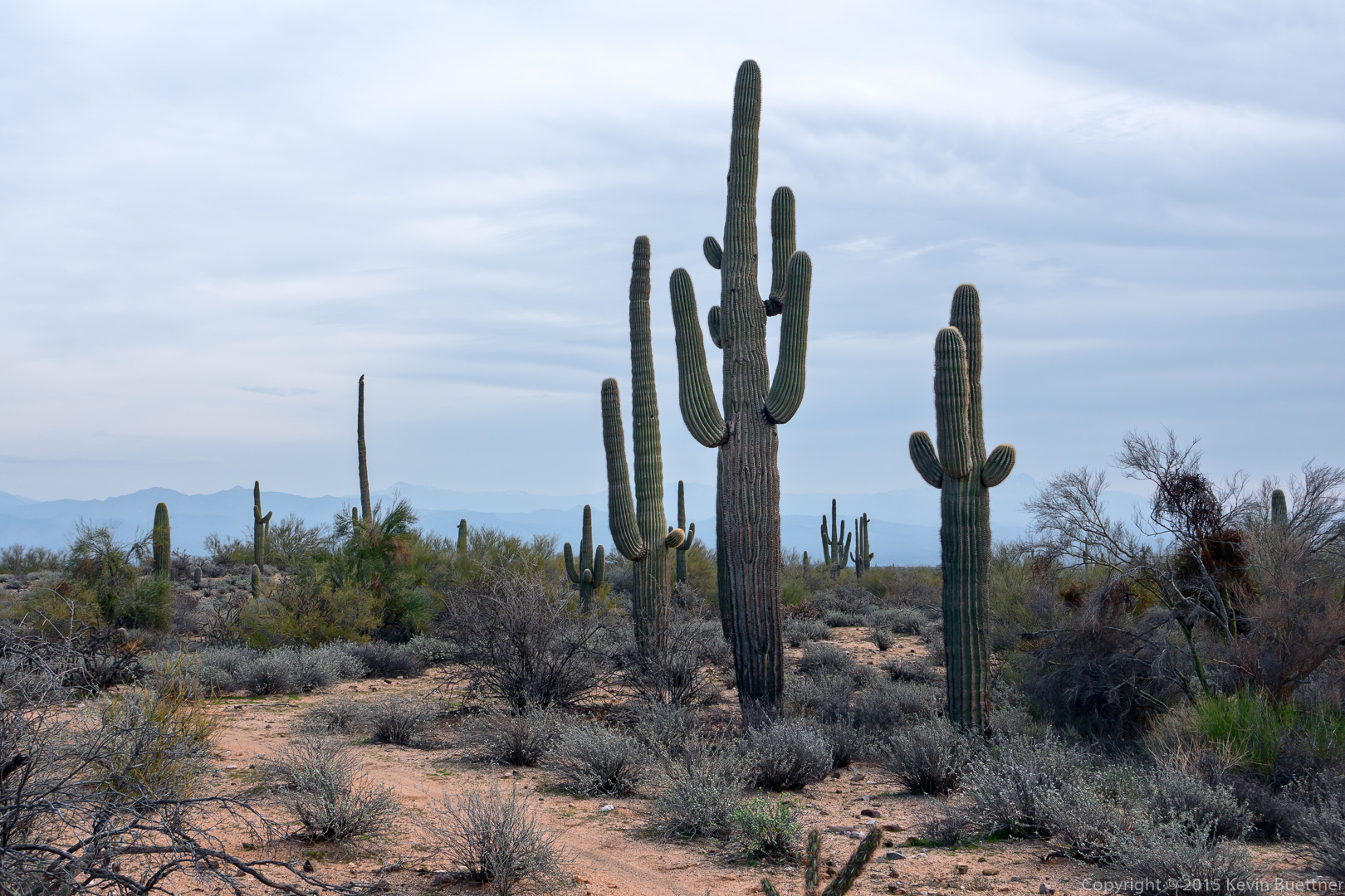
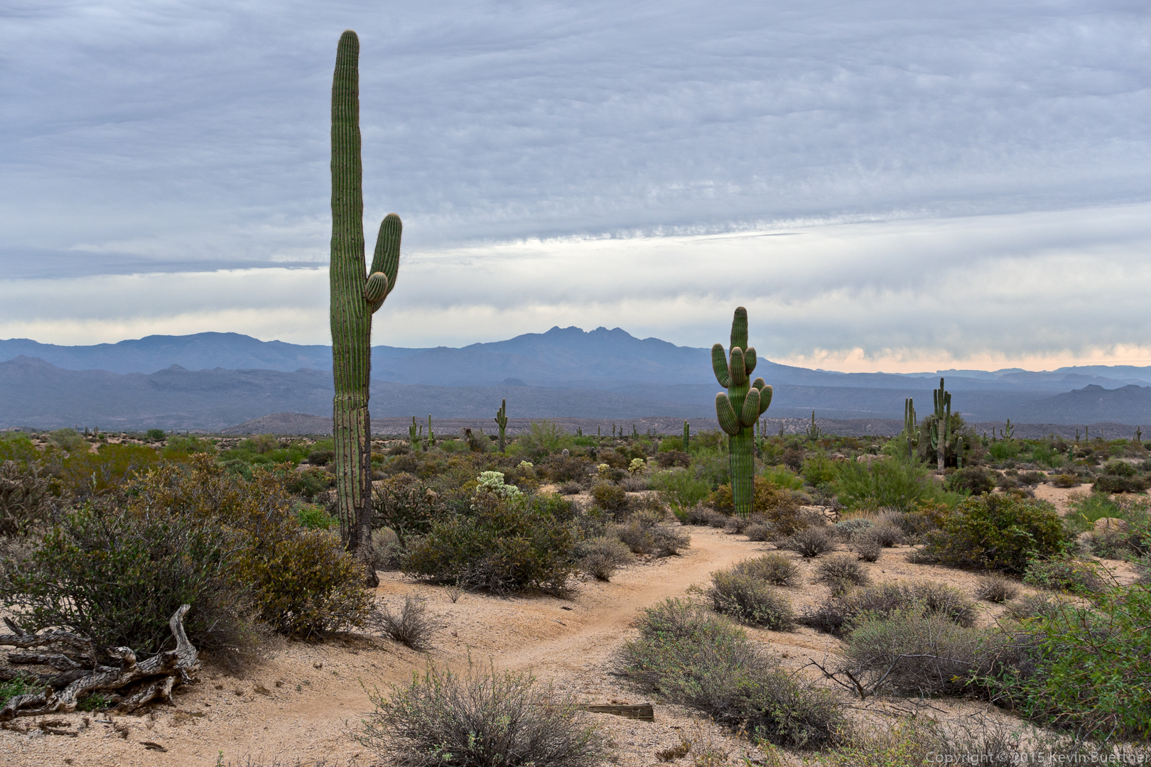
Four Peaks as seen from the Windmill Trail:

20151218-_DSC8536-Edit-medium

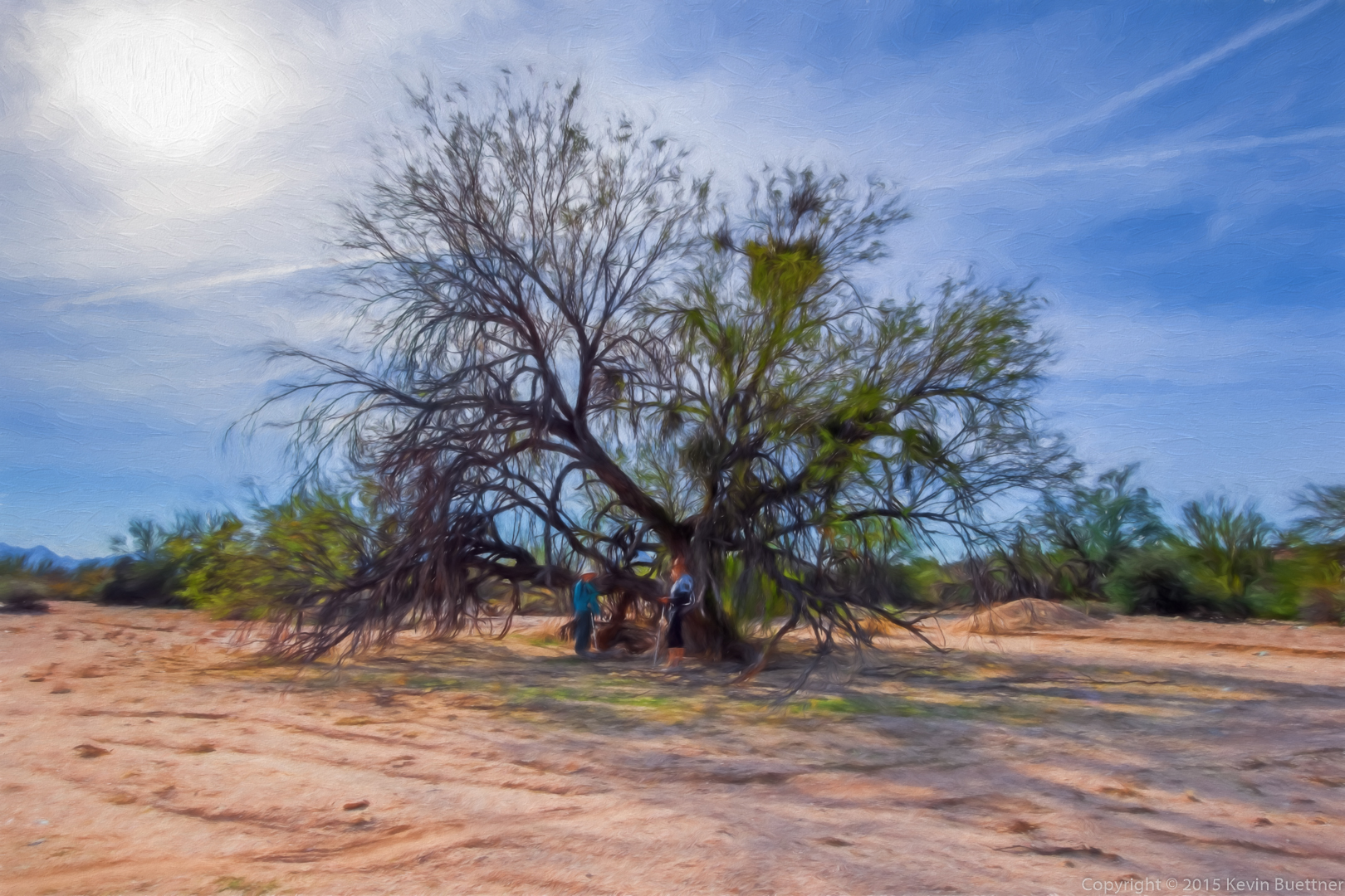
A view of the large cottonwood tree near the windmill (on the Windmill Trail).  The windmill can be seen in this photo, but you need to know where to look.  (That’s often the case when you’re actually there too.)

20151218-_DSC8539-Edit-Edit-medium

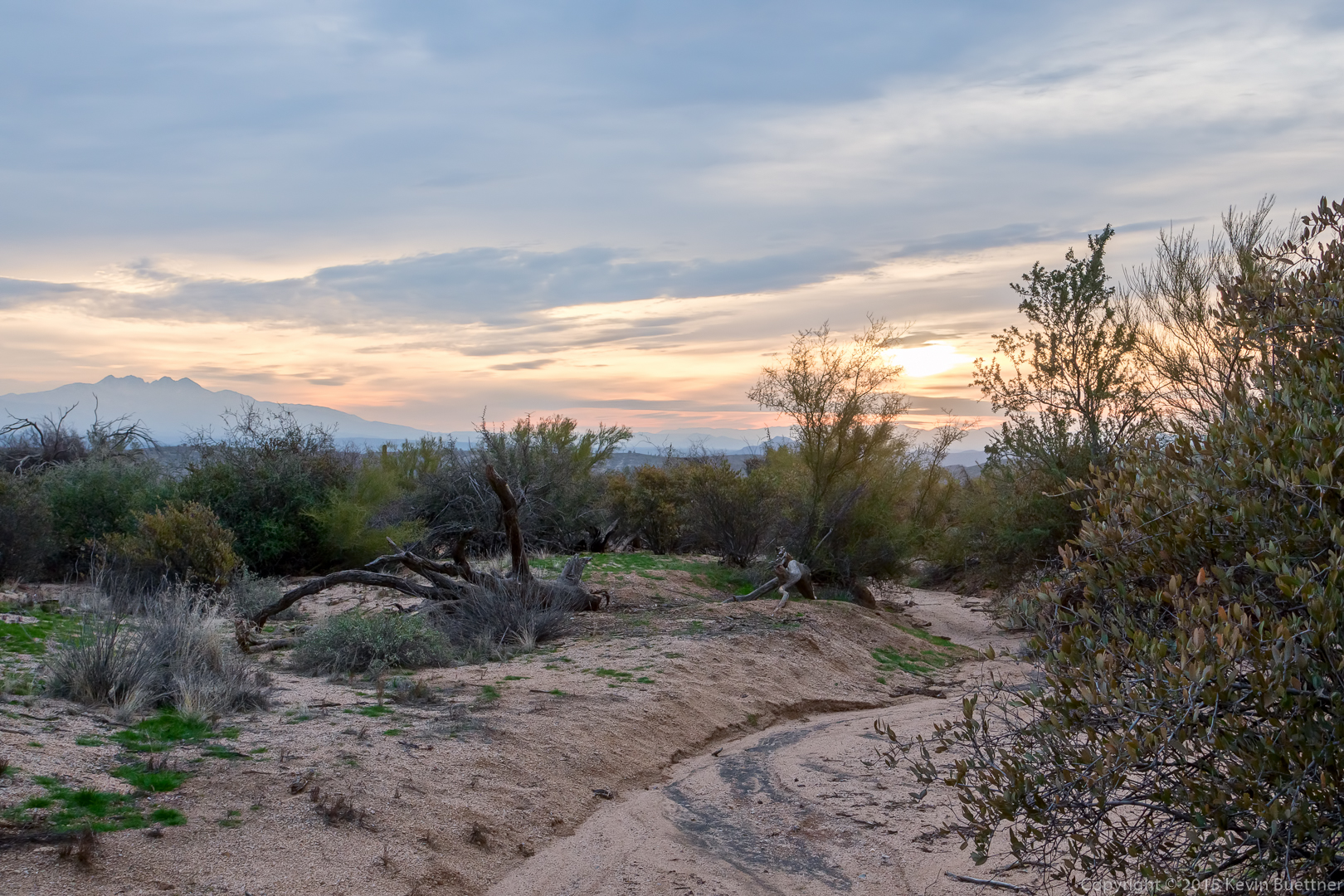
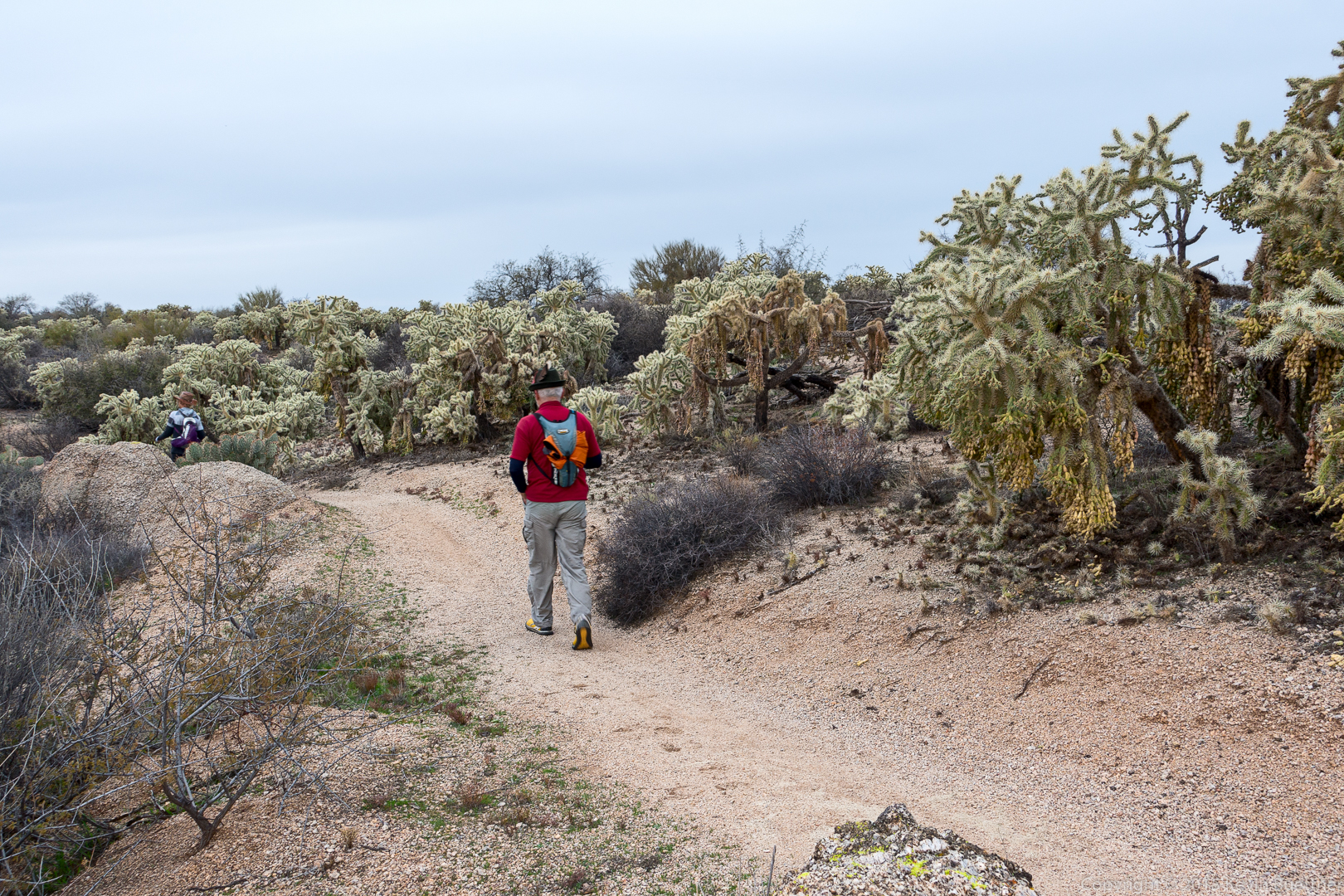
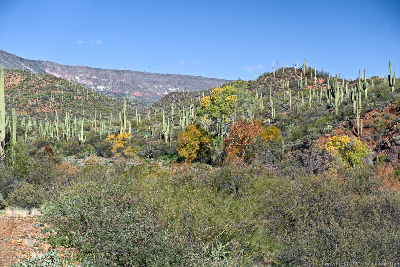
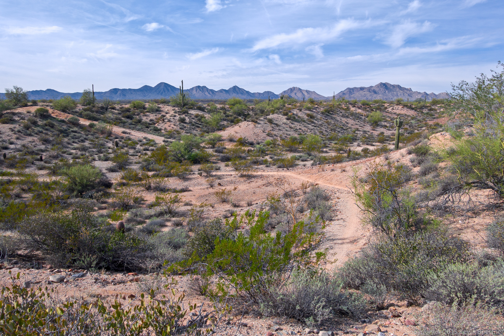
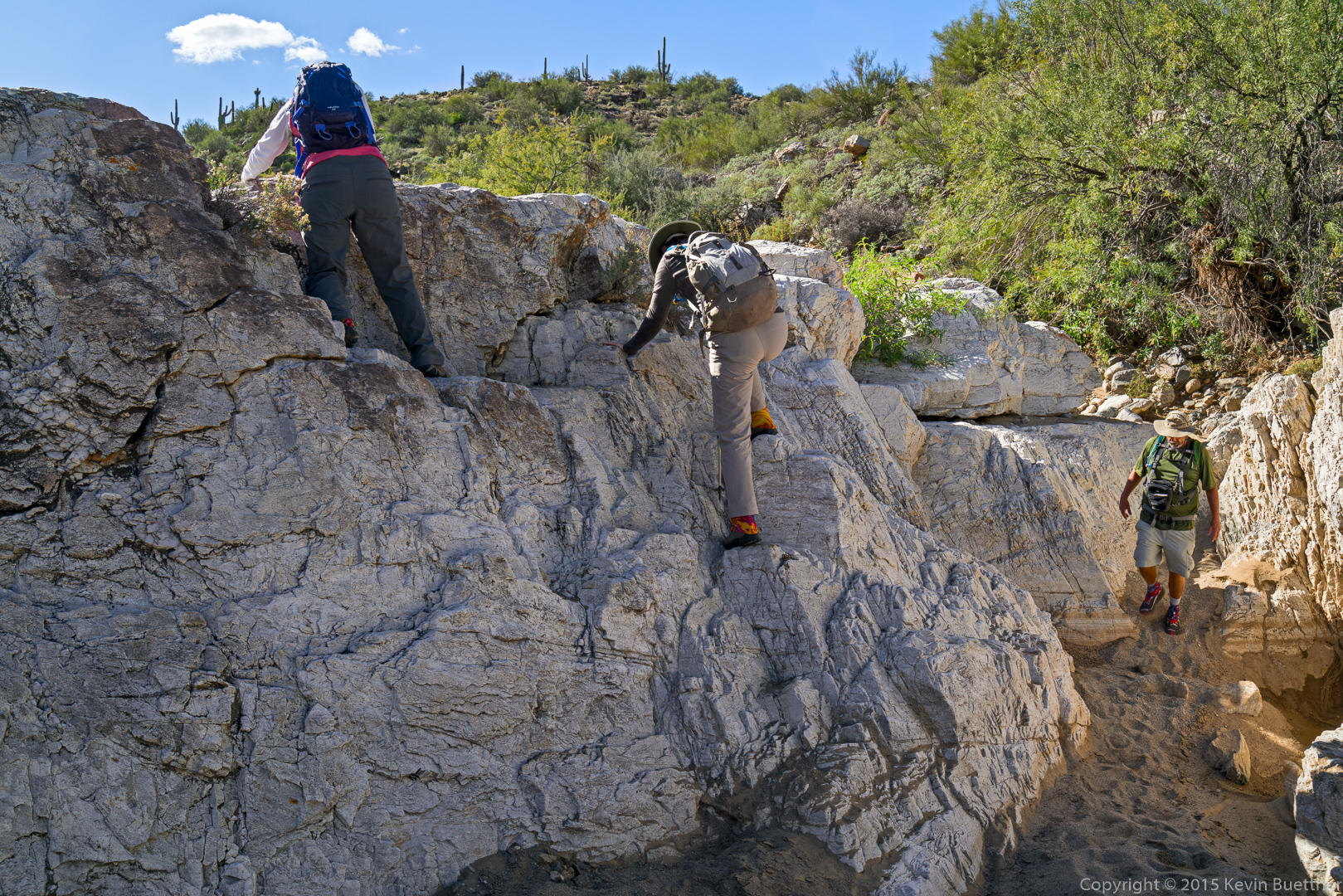
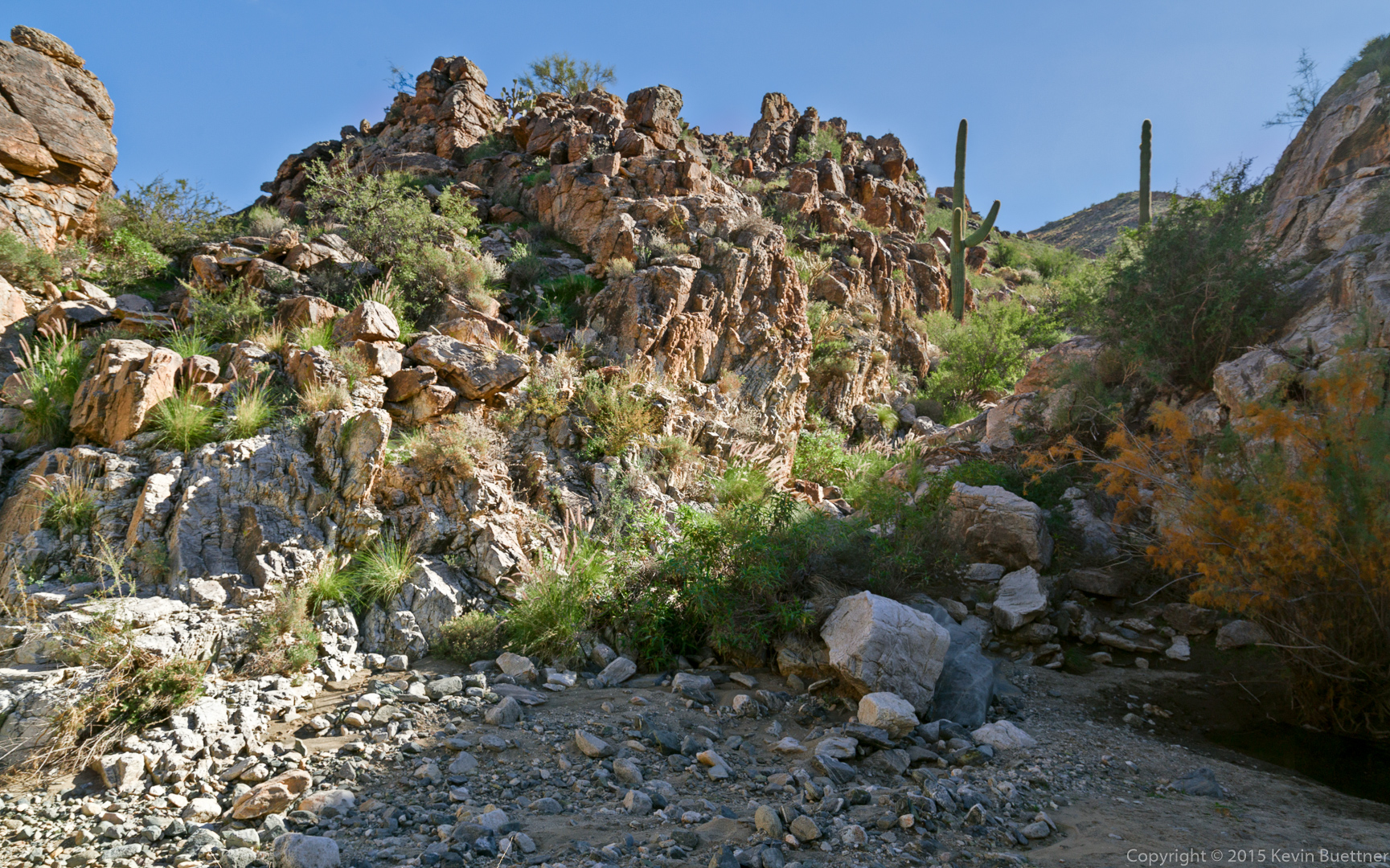
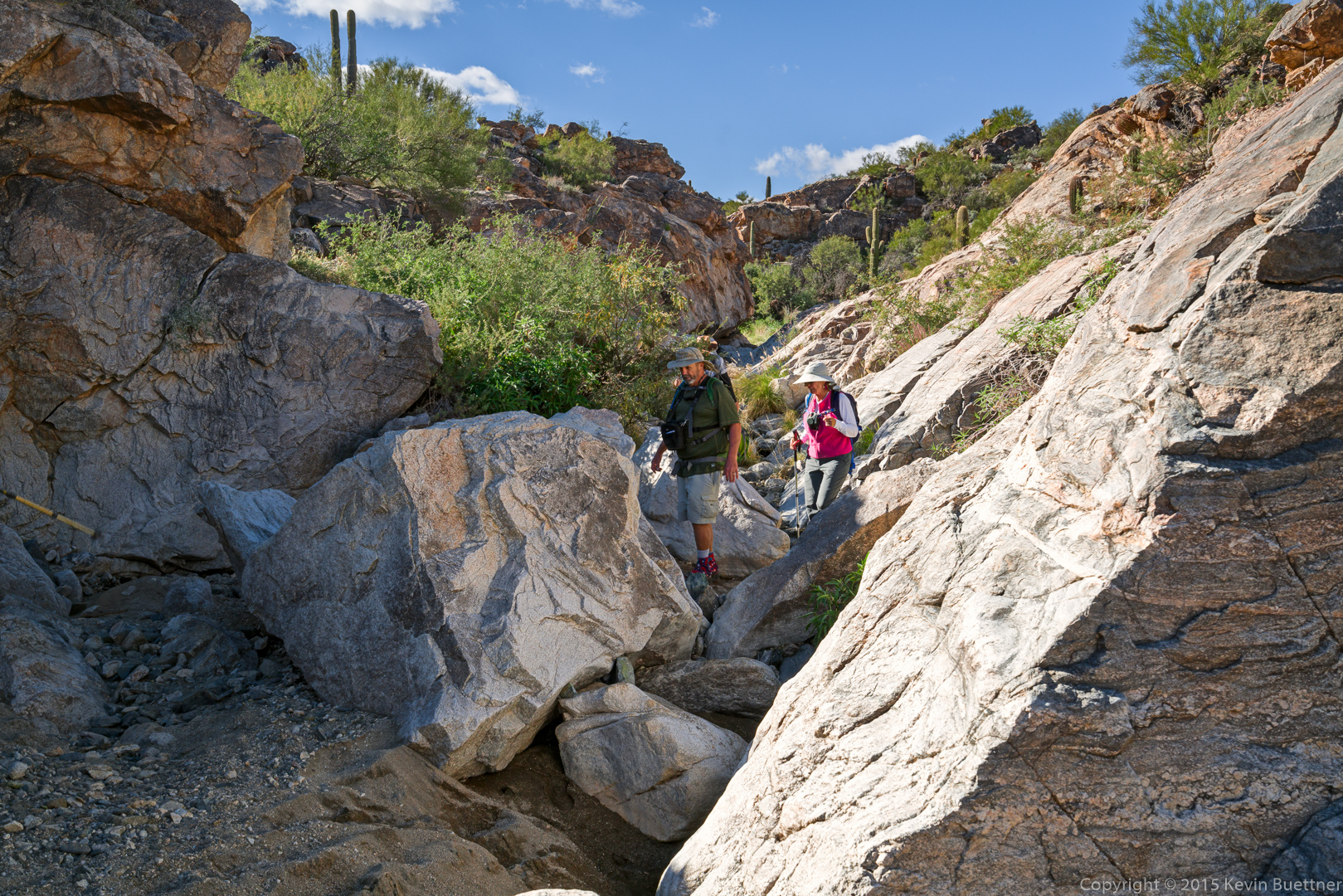
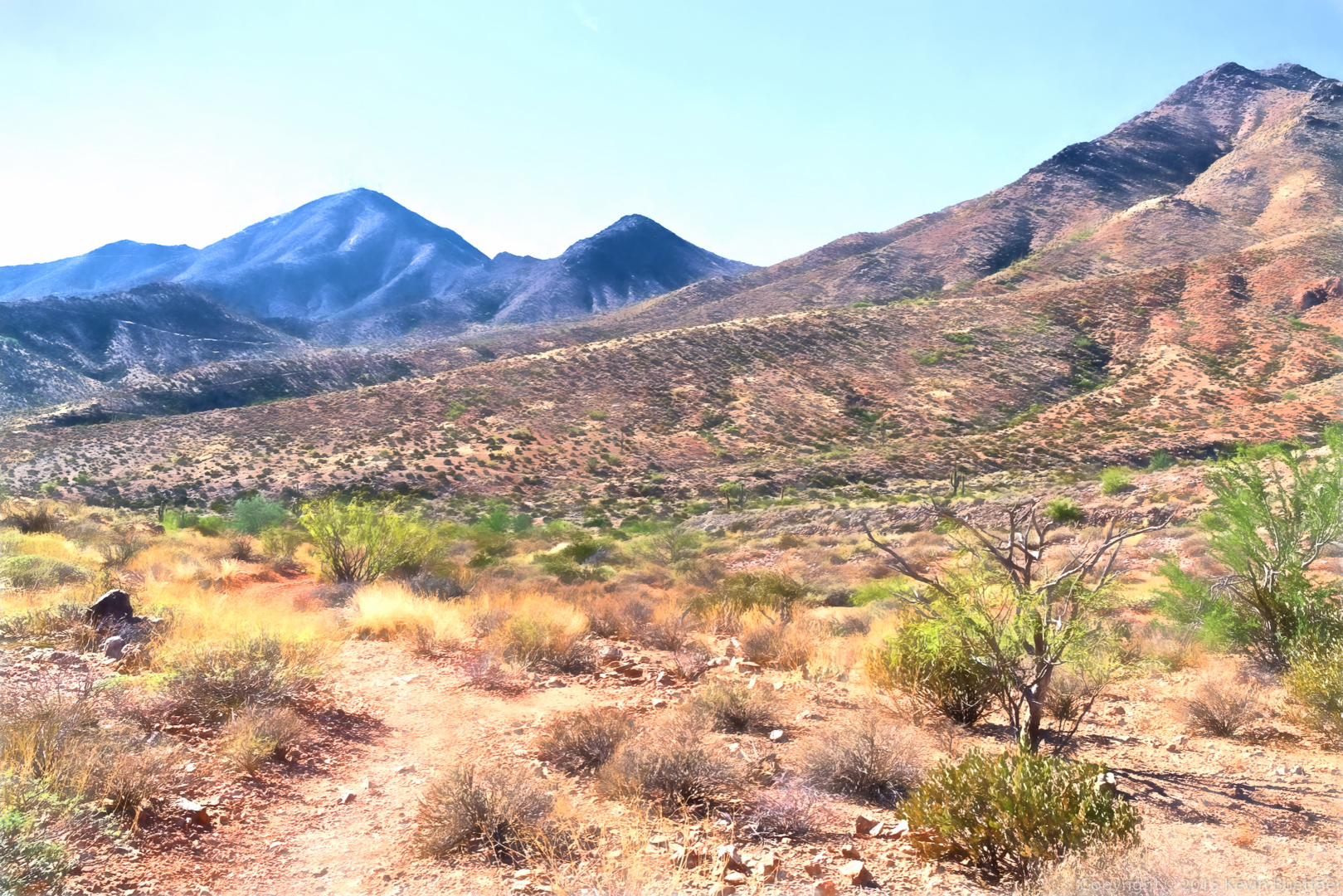
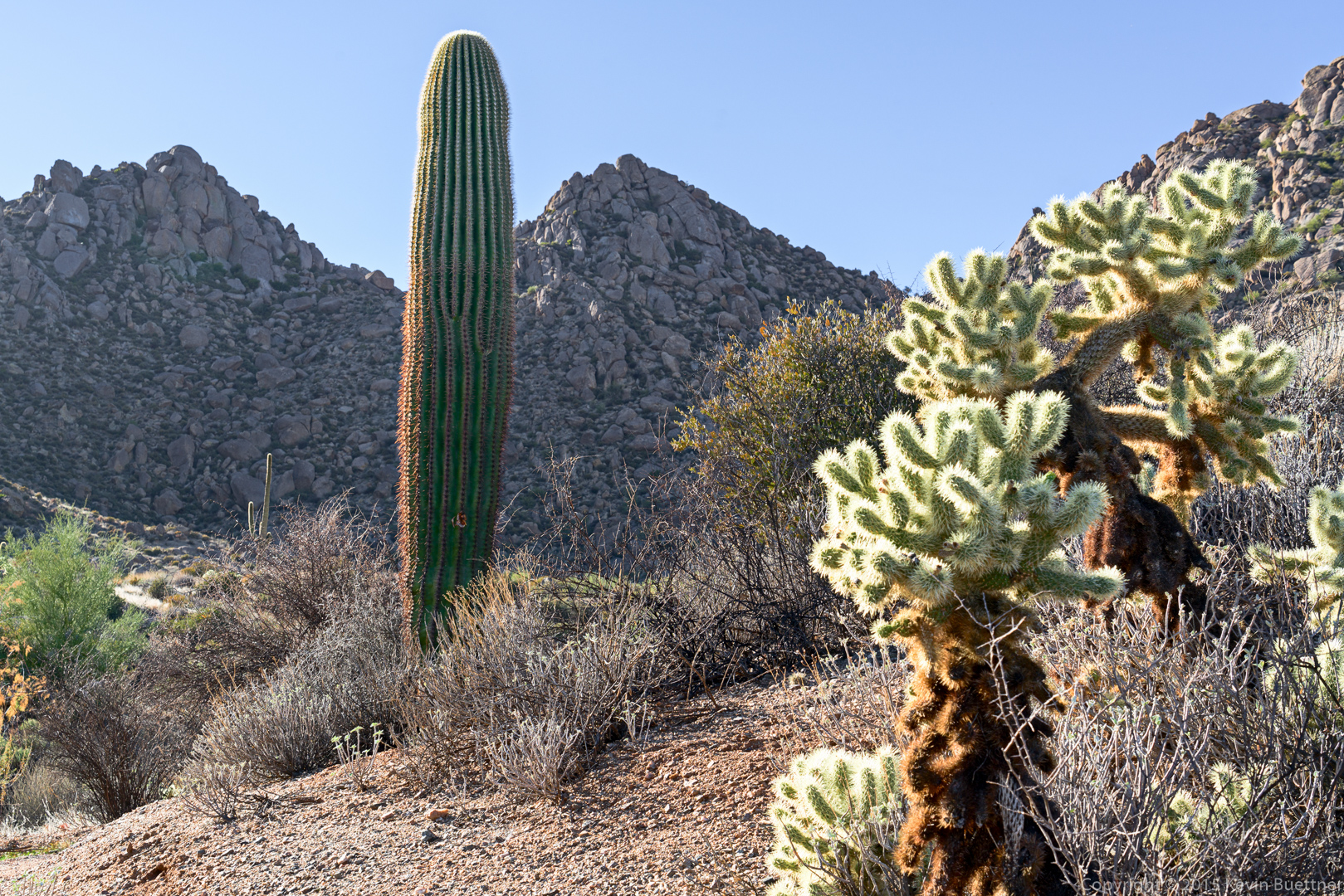
I think we were near the bottom of the Coachwhip Trail (on our way to the Dixie Mine Trail) when I took this shot:

20151218-_DSC8551-Edit-medium

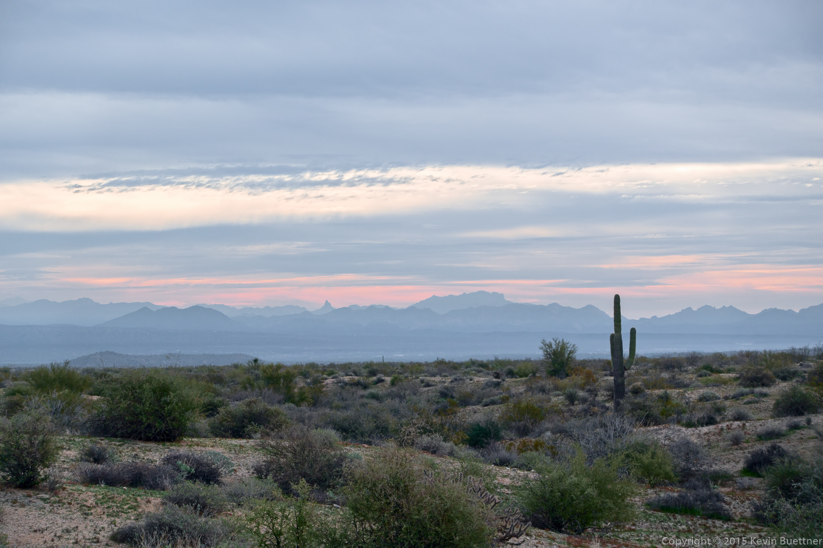
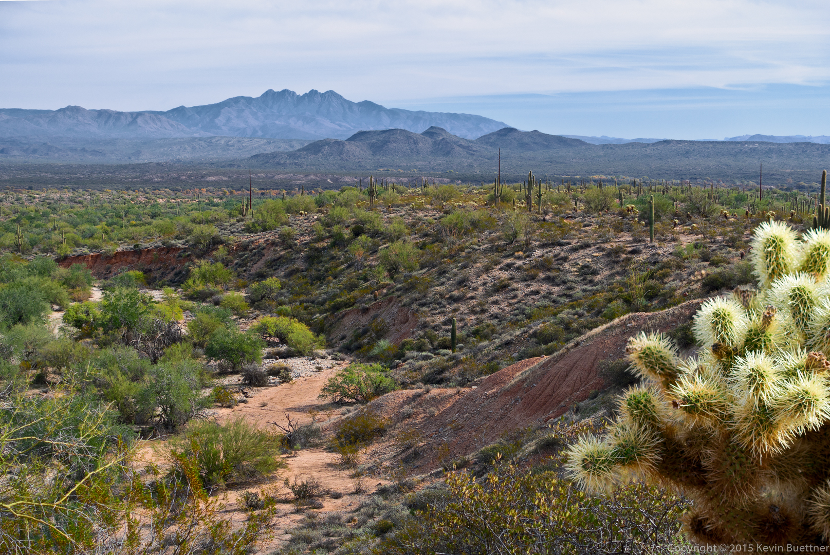
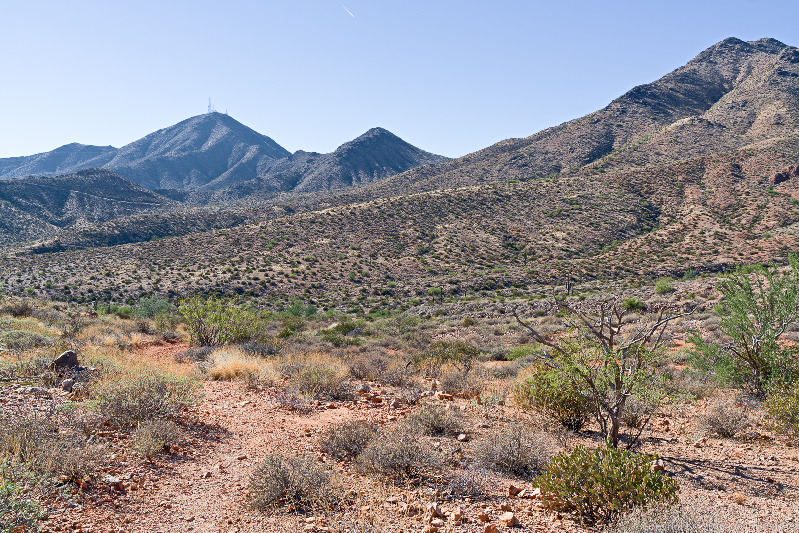
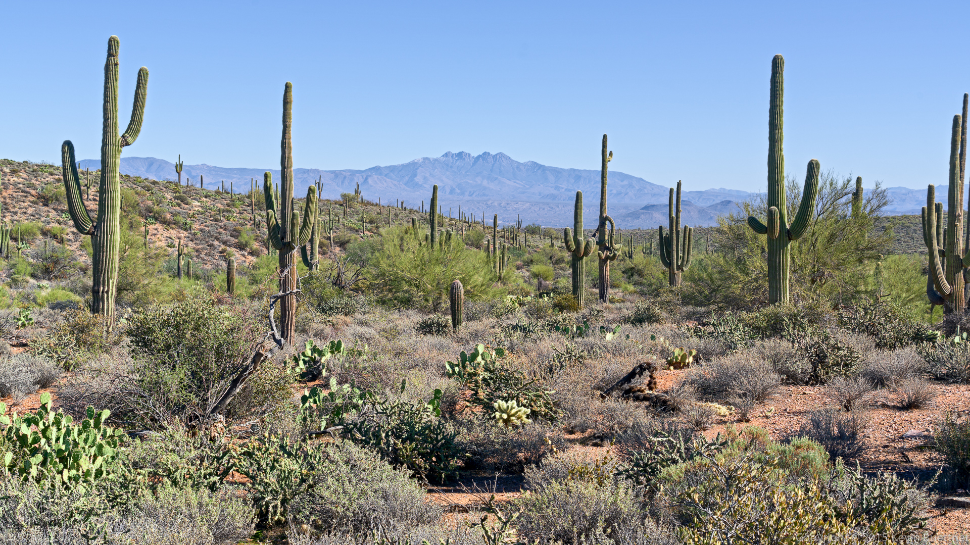
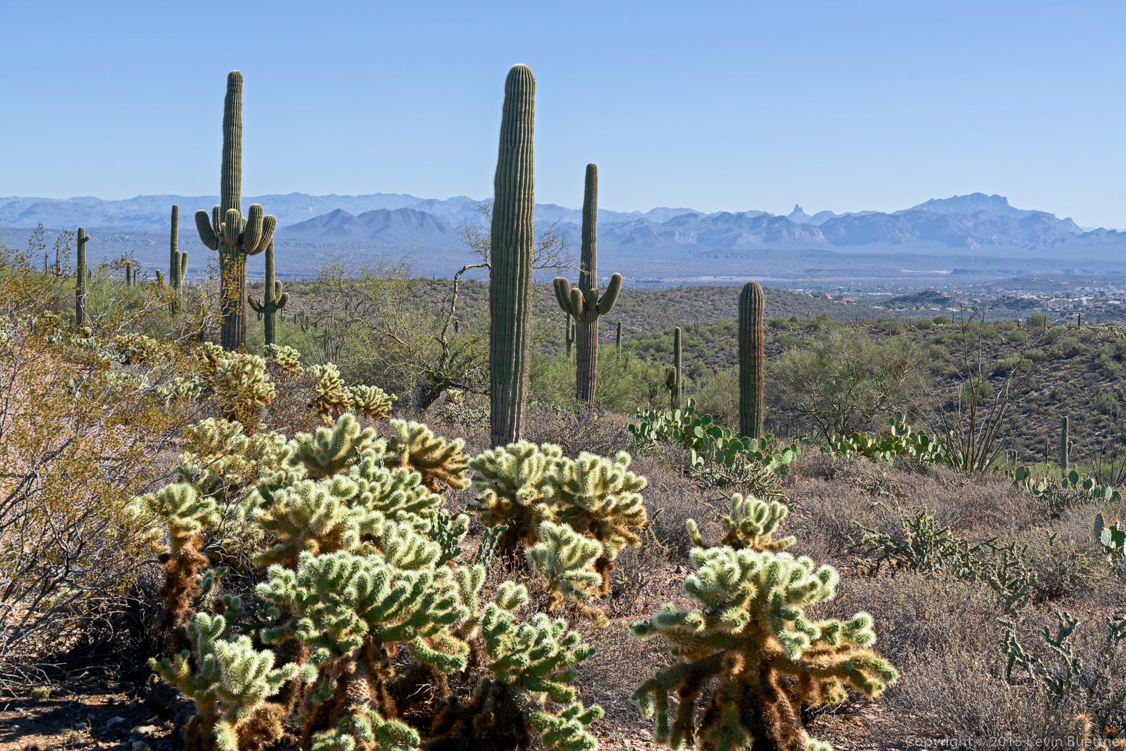
Four Peaks as seen from the Coachwhip Trail:

20151218-_DSC8566-Edit-medium

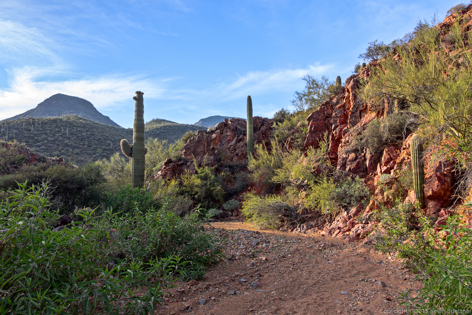
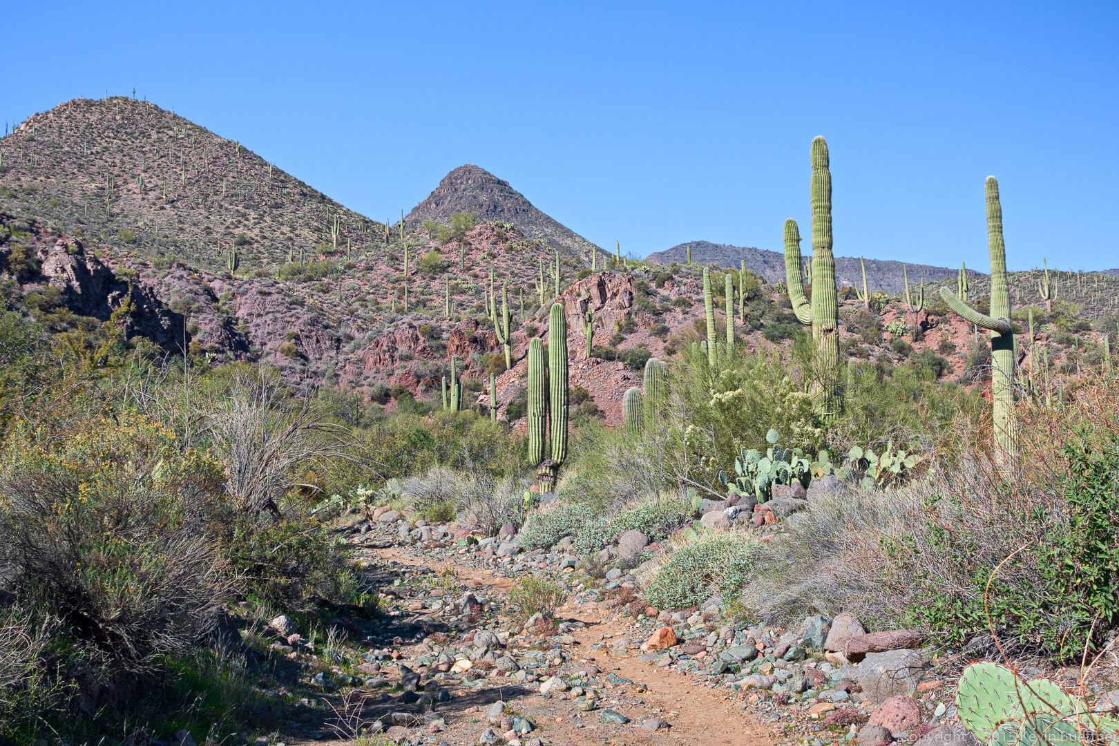
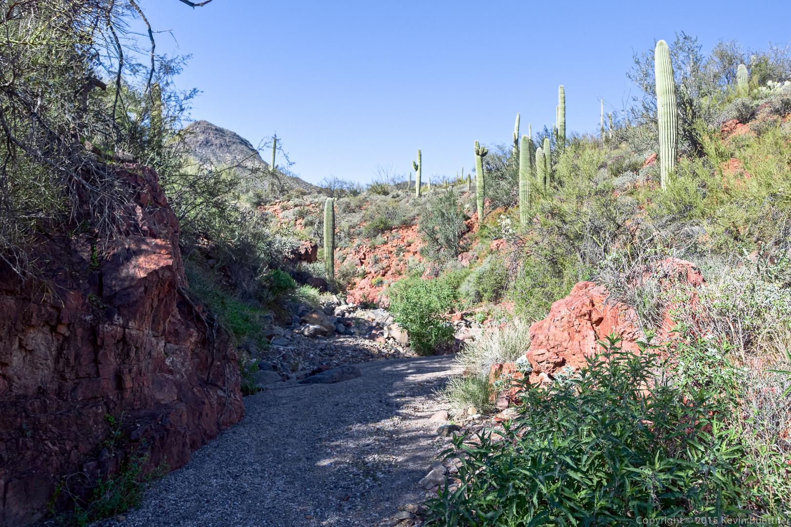
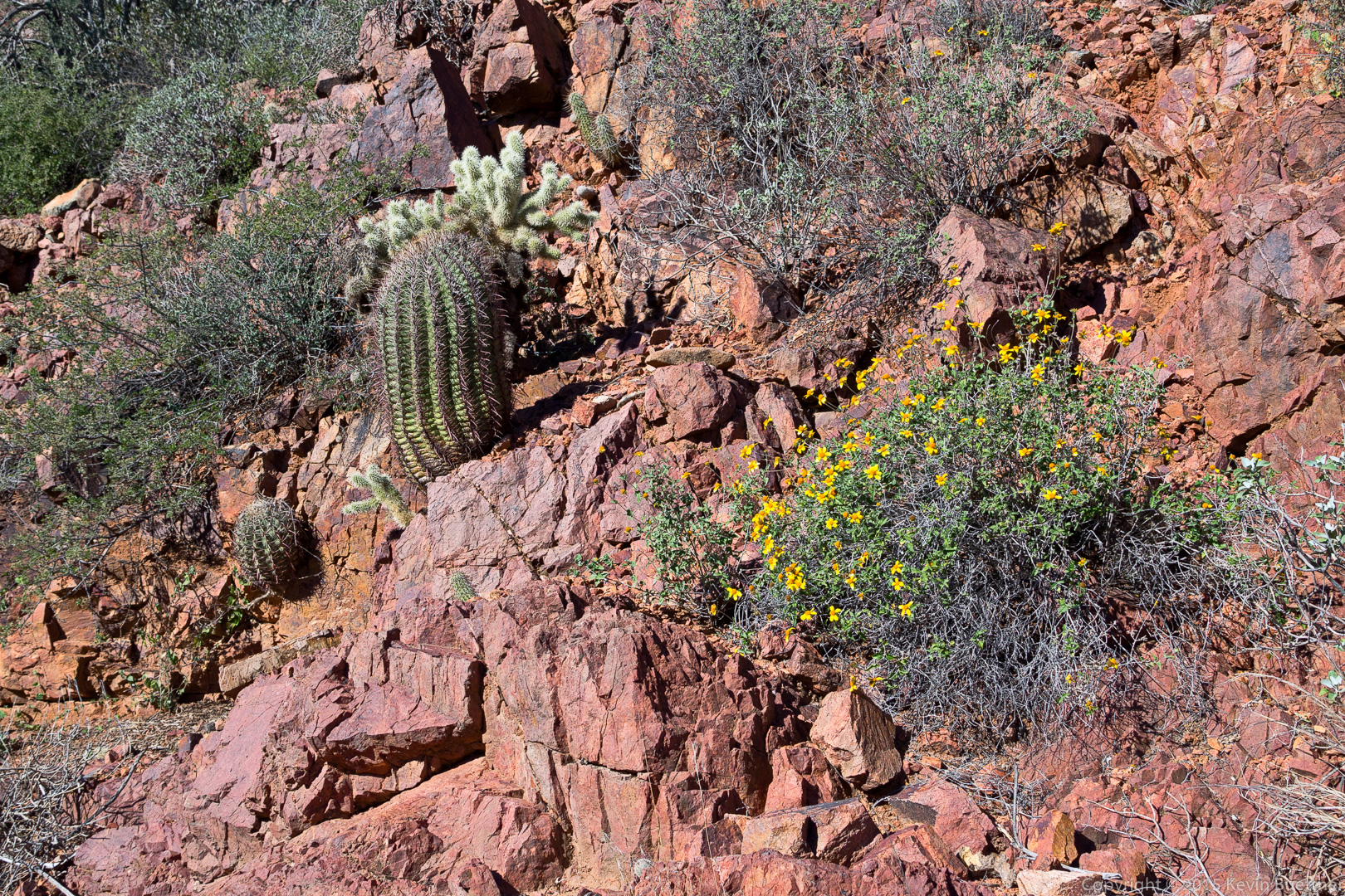
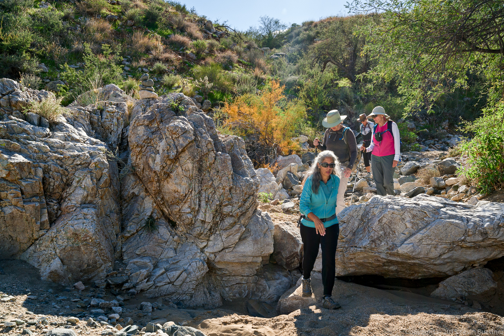
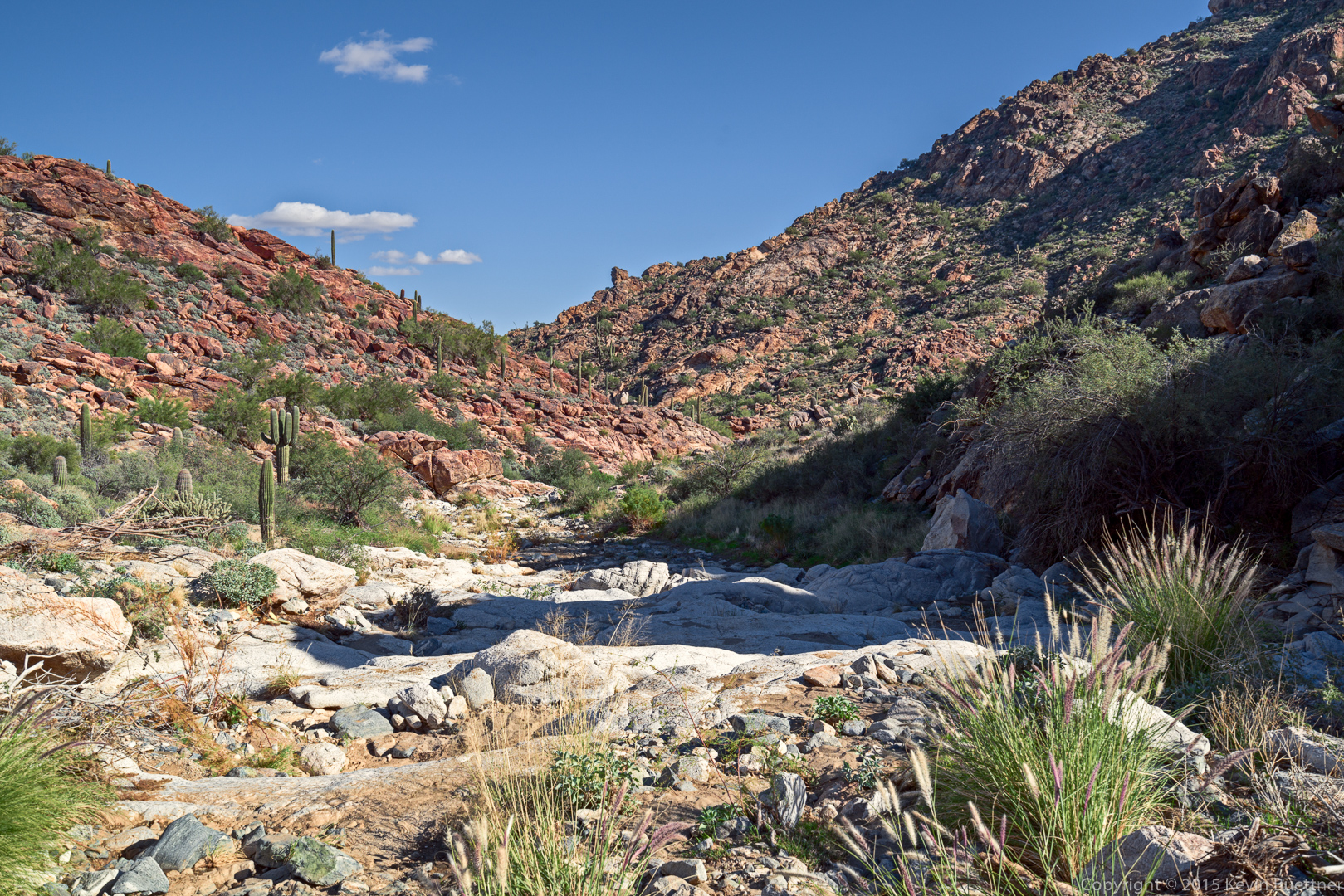
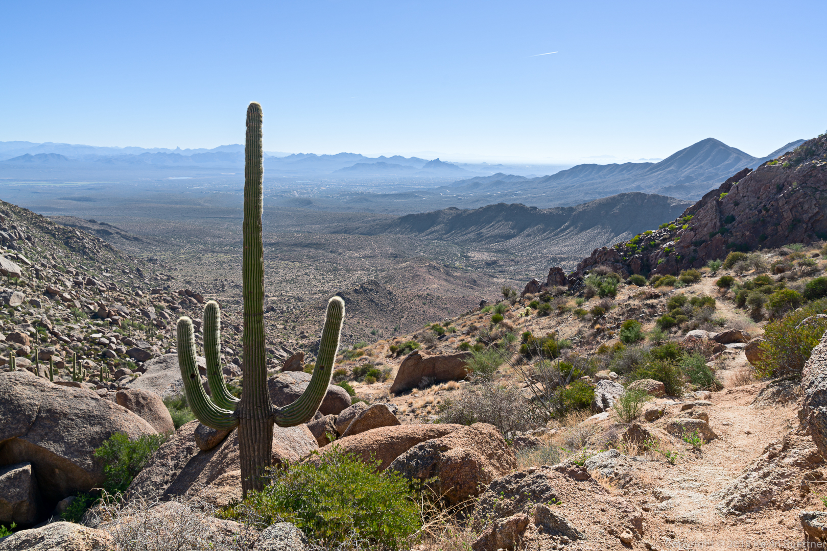
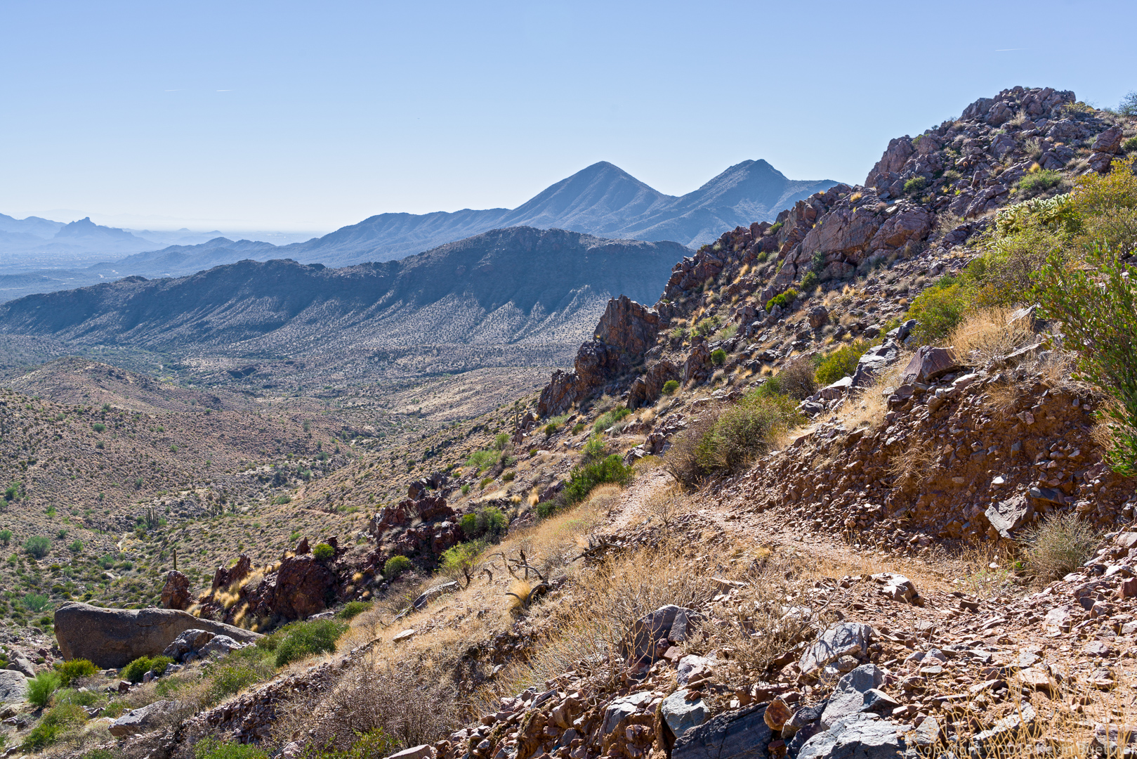
A view from the Dixie Mine Trail:

20151218-_DSC8584-Edit-Edit-medium

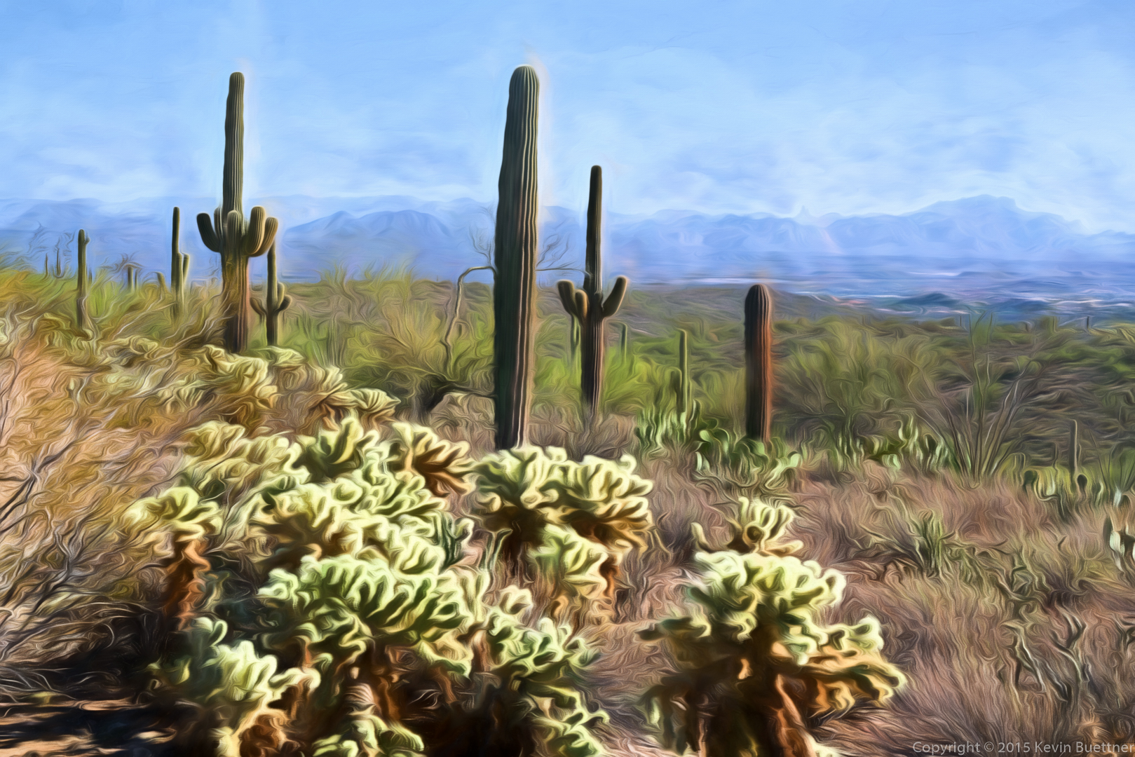
This is the photo on which the above version made by Topaz Impression was based.  Part of Fountain Hills can be seen to the at the right.  Weaver’s Needle and the Flatiron are both visible in this photo.

20151218-_DSC8584-Edit-medium

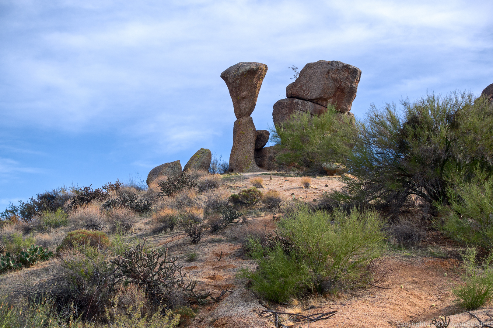
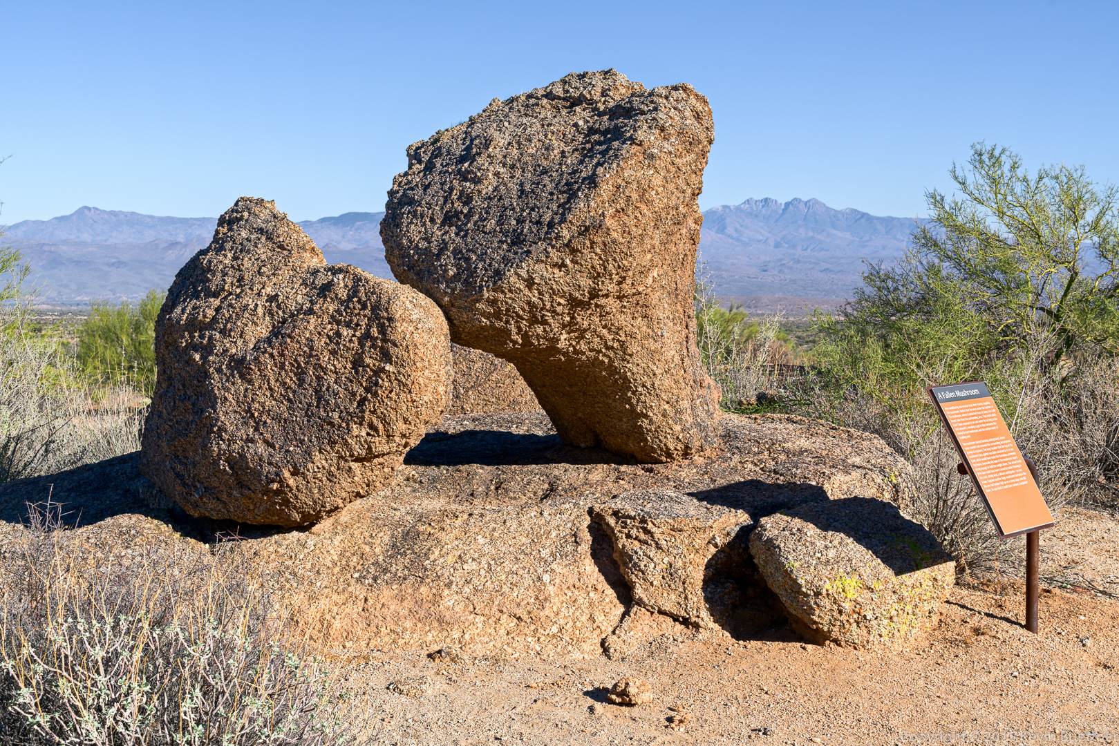
This is a photo of the Fallen Mushroom.  I attempted to remove the sign via use of the clone tool; I ended up with something that looked pretty good to me when I noticed that the shadow still remained.  I ended up leaving the sign in the photo.  I wish that those who had installed that sign would have placed it a bit further away.

20151218-_DSC8620-Edit-medium

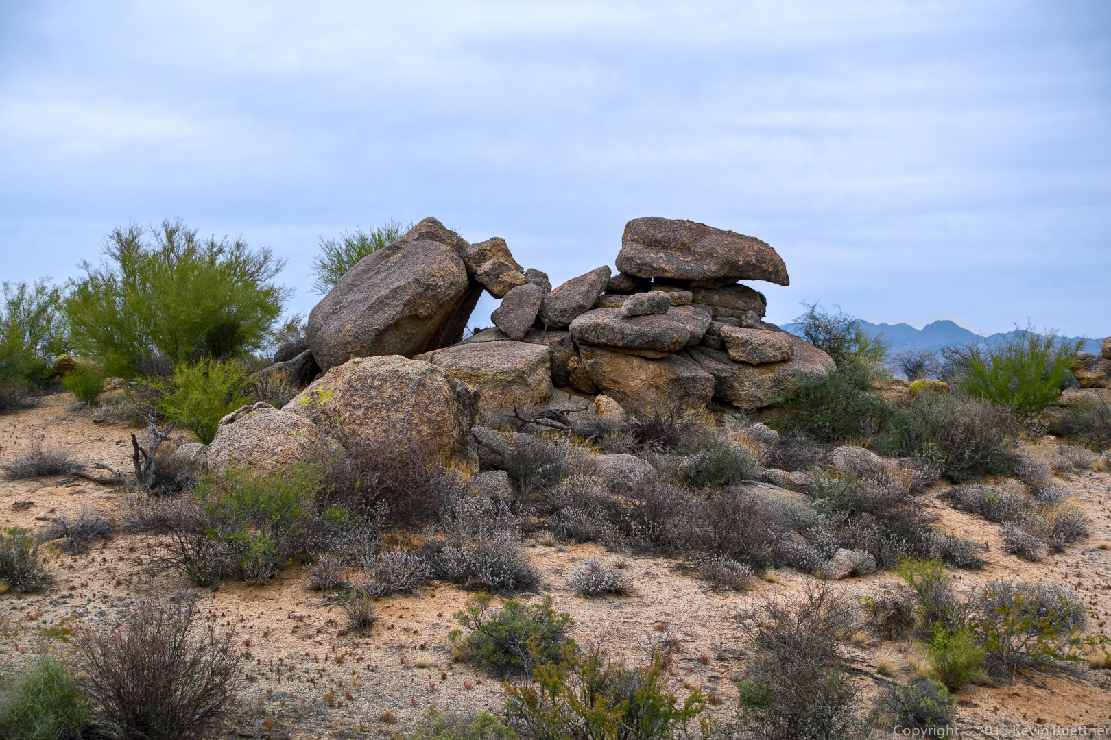
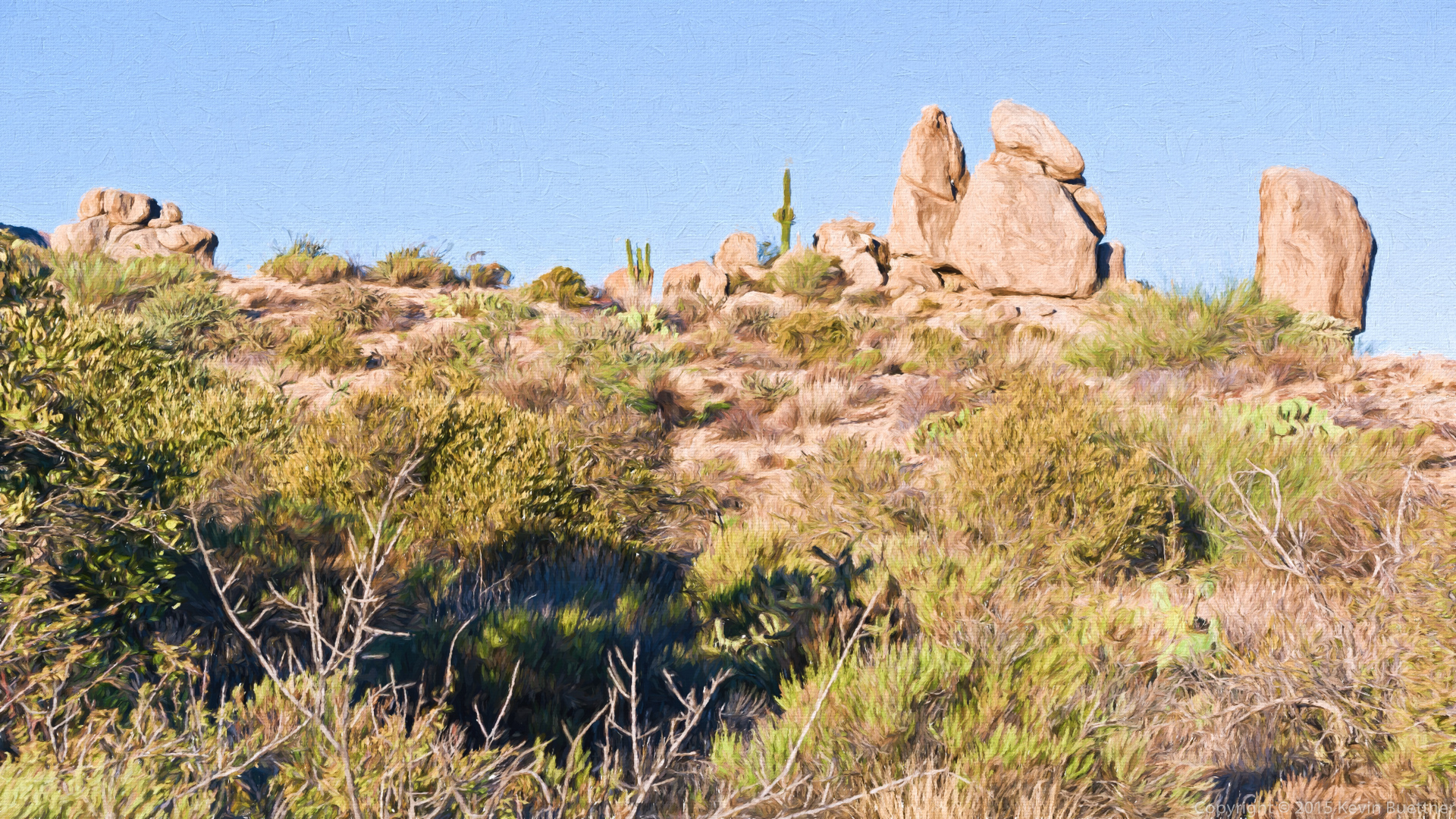
A view of two of the Sven Towers from the Marcus Landslide Trail:
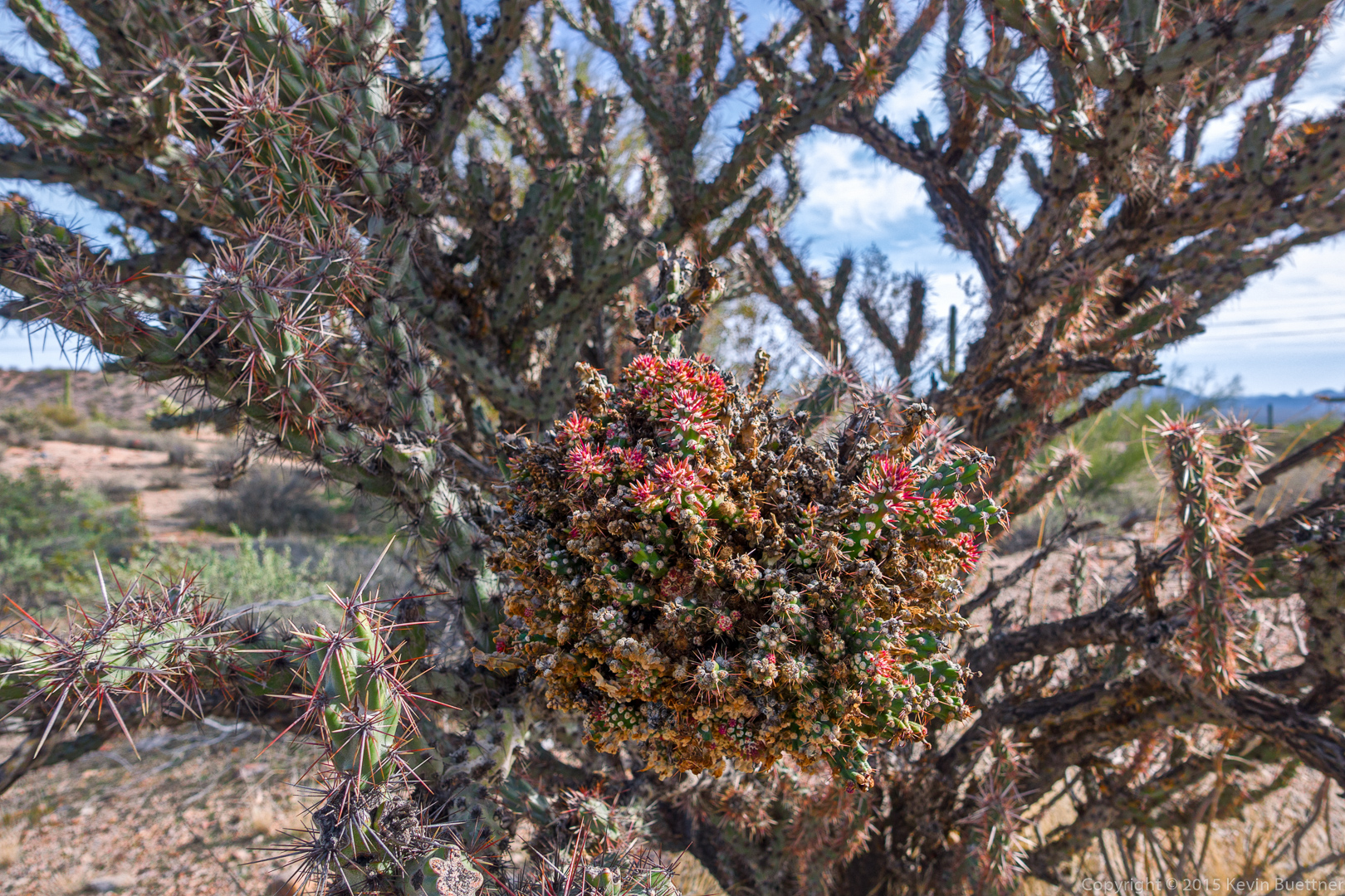
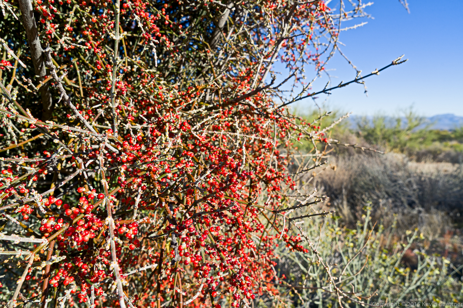
20151218-_DSC8626-Edit-medium

Desert Mistletoe:

20151218-_DSC8644-Edit-medium

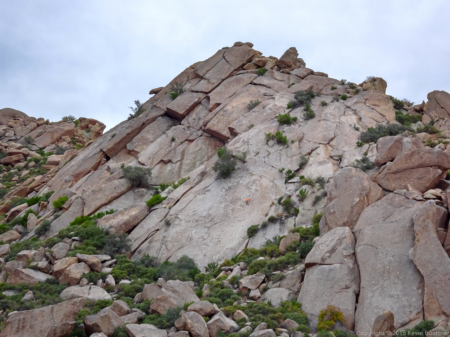
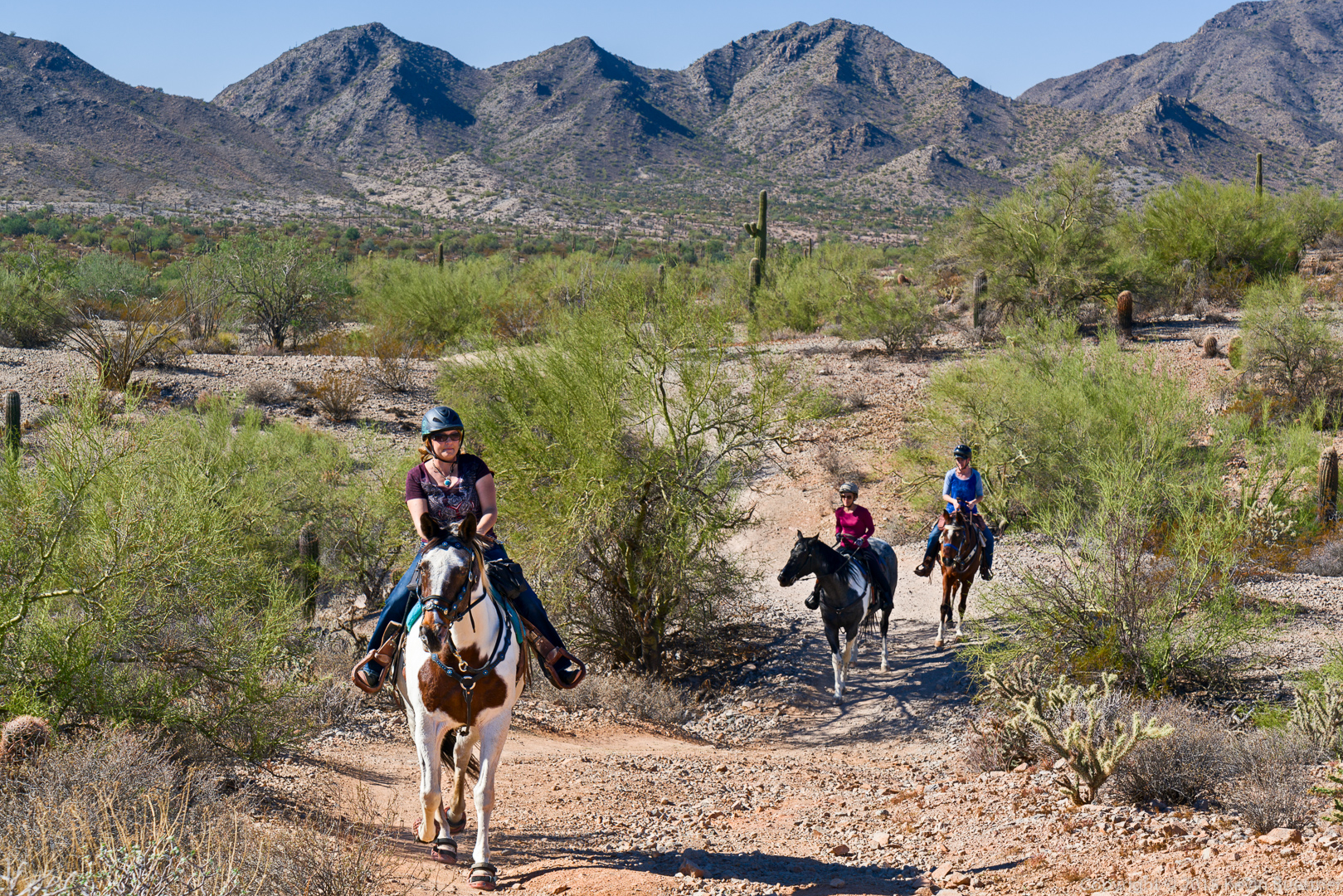
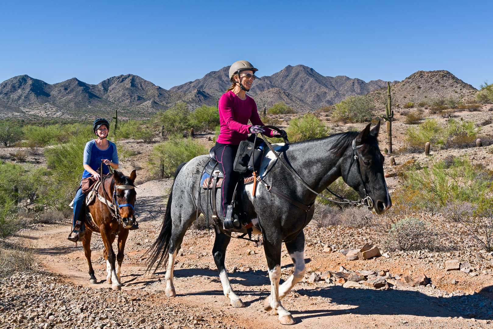
These next two shots were taken with a different camera, a Sony HX90V:

20151218-DSC00924-Edit-medium

20151218-DSC00960-Edit-2-medium

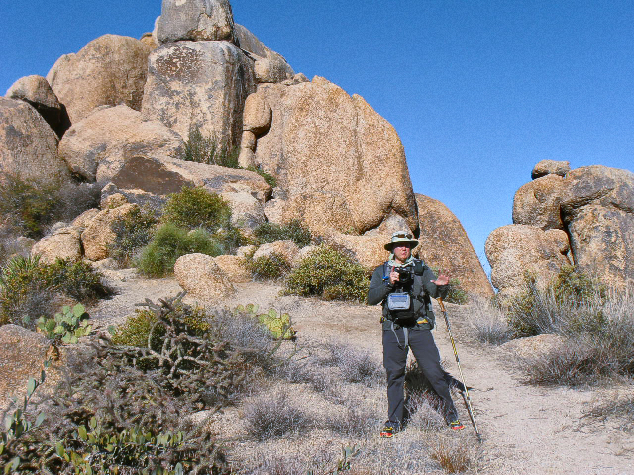
Amy sent me this photo of me setting up a group shot on the northwest side of Tom’s Thumb:

OLYMPUS DIGITAL CAMERA

Friday Fitness Hike


We hiked twelve miles on Friday. Starting from the Wagner Trailhead, we hiked the following trails (in order): Tortoise, Pemberton, Tonto Tank, Pemberton, Boulder, Marcus Landslide, Rock Knob, Pemberton, Bluff, Granite, and Wagner.  (We hiked a short ways up the road when we were done because we were a tenth of a mile short of our goal.)

A view from the trailhead prior to starting our hike. Sunrise was actually about 45 minutes earlier.
20151211-_DSC8027-HDR-Edit-medium-2

A view from the Pemberton somewhat before crossing Stoneman Wash.
20151211-_DSC8033-Edit-medium

A small hill near the beginning of the Bluff Trail:
20151211-_DSC8039-Edit-medium

Linda, Laura, and Nancy hiking up the Bluff Trail:

20151211-_DSC8054-Edit-medium

A large boulder on… the Boulder Trail:

20151211-_DSC8075-Edit-medium

Kevin, Nancy, Bill, Linda, Bob, Laura, Allen, Janet, and Mike in front of a mushroom boulder on the Marcus Landslide Trail:

20151211-_DSC8090-Edit-medium

Chainfruit Cholla on the Rock Knob Trail:

20151211-_DSC8128-Edit-medium

A view of Four Peaks from the Bluff Trail:

20151211-_DSC8158-Edit-medium

Sunday Hike – McDowell Sonoran Preserve & McDowell Mountain Park

Marilyn and I hiked eight miles in the McDowell Sonoran Preserve and McDowell Mountain Park.  We hiked the following trails (in order): Marcus Landslide, Rock Knob, Pemberton, Gooseneck, Rock Knob, Marcus Landslide, Feldspar, Tom’s Thumb.

Mushroom rock near the start of the Marcus Landslide Trail:

20151206-_DSC7919-Edit-medium

Rock pile on the Gooseneck Trail.
20151206-_DSC7994-Edit-medium

The Gooseneck Trail goes through this rock formation.

20151206-_DSC7982-Edit-medium

Climber on Sven Slab – I think he’s on the upper part of the first pitch of Quaker Oats (5.5).  It’s also possible that he top-roped the climb to the left of Quaker Oats called I Sinkso (5.8R).

20151206-DSC00875-Edit-medium

Friday Fitness Hike

Linda, Nancy, Bob, and I hiked 11.2 miles on Friday. We hiked the following trails: Shallmo Wash, Pemberton, Stoneman Wash, Service Rd, Tech Loop, Long Loop.

Bill hiked with us until the Long Loop.  Amy, Pam, and Joelle hiked part way up Shallmo Wash with us.

Stoneman Wash, just after leaving the Pemberton:

20151204-_DSC7745-Edit-medium

Linda, Bill, and Nancy hiking Stoneman Wash:
20151204-_DSC7763-Edit-medium

Signs up for the McDowell Mountain Frenzy.  This is a portion of the Tech Loop just after “The Chunnel”. Note that the arrows are pointing against the normal flow of traffic on the trail. I noticed this at several other places as well. My guess is that, for the race, some of these trails were run “backwards”.

20151204-_DSC7799-Edit-medium

A tree on the Long Loop near the Pemberton Wash sign. The wash in question is actually part of lower Stoneman Wash.

20151204-_DSC7817-HDR-Edit-Edit-medium

Saguaros on the Long Loop.20151204-_DSC7835-Edit-medium

A view from the South Ridge of the Loop Loop:

20151204-_DSC7856-Edit-medium

This is the view from a short ways past “Convict’s Crossing.” (It’s listed as “Convict Corner” on the map, but I’m pretty sure that the sign says “Convict’s Crossing.”)

20151204-_DSC7880-Edit-medium

We noticed this unusual growth on one of the buckhorn chollas.

20151204-_DSC7886-Edit-medium

Linda (in front) and Nancy descending the last big hill on the Long Loop.

20151204-_DSC7910-Edit-medium

Sunday Hike – Pass Mountain Trail at Usery Mountain Park

Marilyn, Bob, and I hiked the Pass Mountain Trail at Usery Mountain Park on Sunday. Total distance was 7.8 miles with an elevation gain of just over 1000 feet.
20151129-_DSC7647-Edit-medium 20151129-_DSC7659-Edit-medium 20151129-_DSC7710-Edit-medium 20151129-_DSC7875-Edit-medium 20151129-_DSC7956-Edit-medium

Friday Hike – White Tank Mountain Regional Park

Sandy, DeAnn, Bob, Nancy, Linda, Marilyn, and I hiked 10.9 miles in White Tank Mountain Regional Park. We hiked a loop consisting of the Waddell, Mesquite Canyon, and Ford Canyon trails.  Marilyn also hiked the Willow Canyon Trail which cut off about 1.5 miles from her hike.

Starting out…

20151127-_DSC6607-Edit-medium

Sandy and DeAnn on the Mesquite Canyon Trail. The Willow Canyon Trail is behind them.20151127-_DSC6712-Edit-medium

Marilyn, Linda (holding up her sandwich), DeAnn, Sandy, Nancy, and Bob:

20151127-_DSC6862-Edit-medium-2

Marilyn, Linda, DeAnn, and Sandy on the Ford Canyon Trail:

20151127-_DSC6937-Edit-medium

A view of Ford Canyon:

20151127-_DSC6955-Edit-medium

A cyclist riding up (!) the Ford Canyon Trail.

20151127-_DSC6967-Edit-medium

Entering the “canyon” section of the Ford Canyon Trail:

20151127-_DSC6973-Edit-medium

20151127-_DSC6994-Edit-medium

At this particular spot, there was an easy way down and also a way to down-climb.  Note that Linda (on the left) chose to down-climb!
20151127-_DSC7036-Edit-medium

DeAnn, Marilyn, Nancy, and Linda making their way through a very scenic part of the canyon.20151127-_DSC7054-Edit-medium

Nancy, Marilyn, Linda, DeAnn, Bob, and Sandy:

20151127-_DSC7192-Edit-medium

Bob leads the way down another section where some easy down-climbing was required.

20151127-_DSC7195-Edit-medium

Marilyn assists Nancy down the rock.

20151127-_DSC7216-Edit-medium

There were wonders to behold around every bend of the canyon.

20151127-_DSC7222-Edit-medium

20151127-_DSC7231-Edit-medium

I chose to avoid this obstacle by climbing the rock at the side. Linda is being told how to make her way around that small pool of water.

20151127-_DSC7237-Edit-medium

Bob and Linda (and Nancy, behind Linda) continue down the canyon.

20151127-_DSC7246-Edit-medium

20151127-_DSC7267-Edit-medium

20151127-_DSC7294-Edit-medium

I climbed another rock formation to get this shot of our group and another group going the opposite direction:

20151127-_DSC7312-Edit-medium

This is the rock that I climbed last year to retrieve Nick’s hiking pole. We had missed the turn-off for the hiking trail at the side of the canyon. Nick had tossed his stick down a pour-off to the left; unfortunately, it soon became clear that we wouldn’t be able to easily descend that way.

20151127-_DSC7368-Edit-medium

From this point on, we (again) had an obvious trail to follow.
20151127-_DSC7380-Edit-medium

Sany, DeAnn, Linda, Bob, Marilyn, and Nancy (still hiking up the trail):

20151127-_DSC7440-Edit-medium

Saguaros near the end of the Ford Canyon Trail:

20151127-_DSC7464-Edit-medium

Another small wash / mini-canyon just off of the Waddell Trail:

20151127-_DSC7494-Edit-medium

We saw these deer earlier in the hike.
20151127-DSC00809-Edit-medium

20151127-DSC00843-Edit-medium

Sunday Hike – San Tan Mountain Regional Park


Marilyn, Bob, and I hiked at San Tan Mountain Regional Park.  Bob and I hiked a loop of 11.3 miles while Marilyn hiked a slightly shorter loop of 9.6 miles.

There was an equestrian event at the park while we were hiking; we saw several groups of horses along the way. This park is popular with hikers and mountain bikers too.

This is Marilyn hiking up a steep section of the Gold Mine Trail.

20151122-_DSC6121-Edit-medium

This is a little peak that’s accessed off the Gold Mine Trail.  We hiked up to the top of this peak in addition to doing the loop. There’s also a grave site along the way; we visited the two graves (not shown) as well.

20151122-_DSC6199-Edit-medium

A view from the Dynamite Trail:

20151122-_DSC6316-Edit-medium 20151122-_DSC6361-Edit-medium

There are a number of conical peaks in the area. We saw this one while hiking the Dynamite Trail.

20151122-_DSC6364-Edit-medium

This is the same photo as above made with Topaz Impression.

20151122-_DSC6364-Edit-Edit-medium

Horses on the San Tan Trail…

20151122-_DSC6409-Edit-medium

20151122-_DSC6427-Edit-medium

Another photo made (mostly) with Topaz Impression.  It blurs facial details more than I wanted. I restored some of these details by using the “detail” layer after doing a frequency separation on the base image. I masked in the some of the detail layer (and a small amount of the corresponding “blur” layer) when I wanted to restore facial details.

20151122-_DSC6427-Edit-Edit-medium

A mountain biker on the San Tan Trail.

20151122-_DSC6509-Edit-medium

These women were sweeping the trail, cleaning up the pink ribbons marking the route for the equestrians.  We were fortunate enough to see them galloping theirs horses as we hiked.

20151122-_DSC6553-Edit-medium