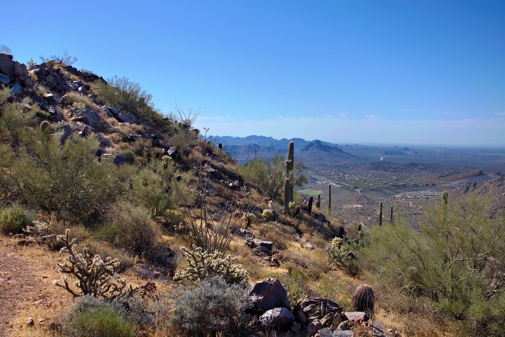
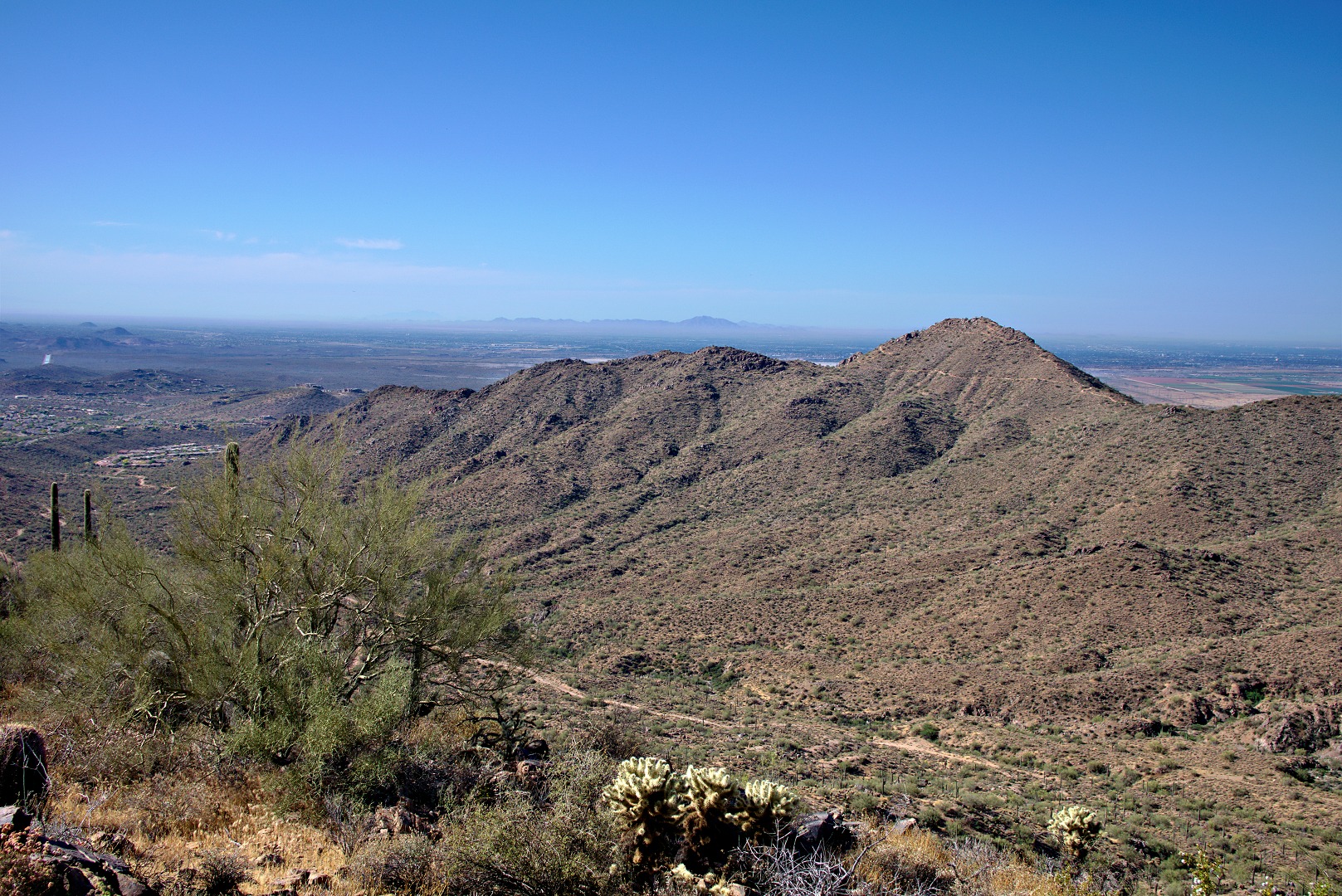
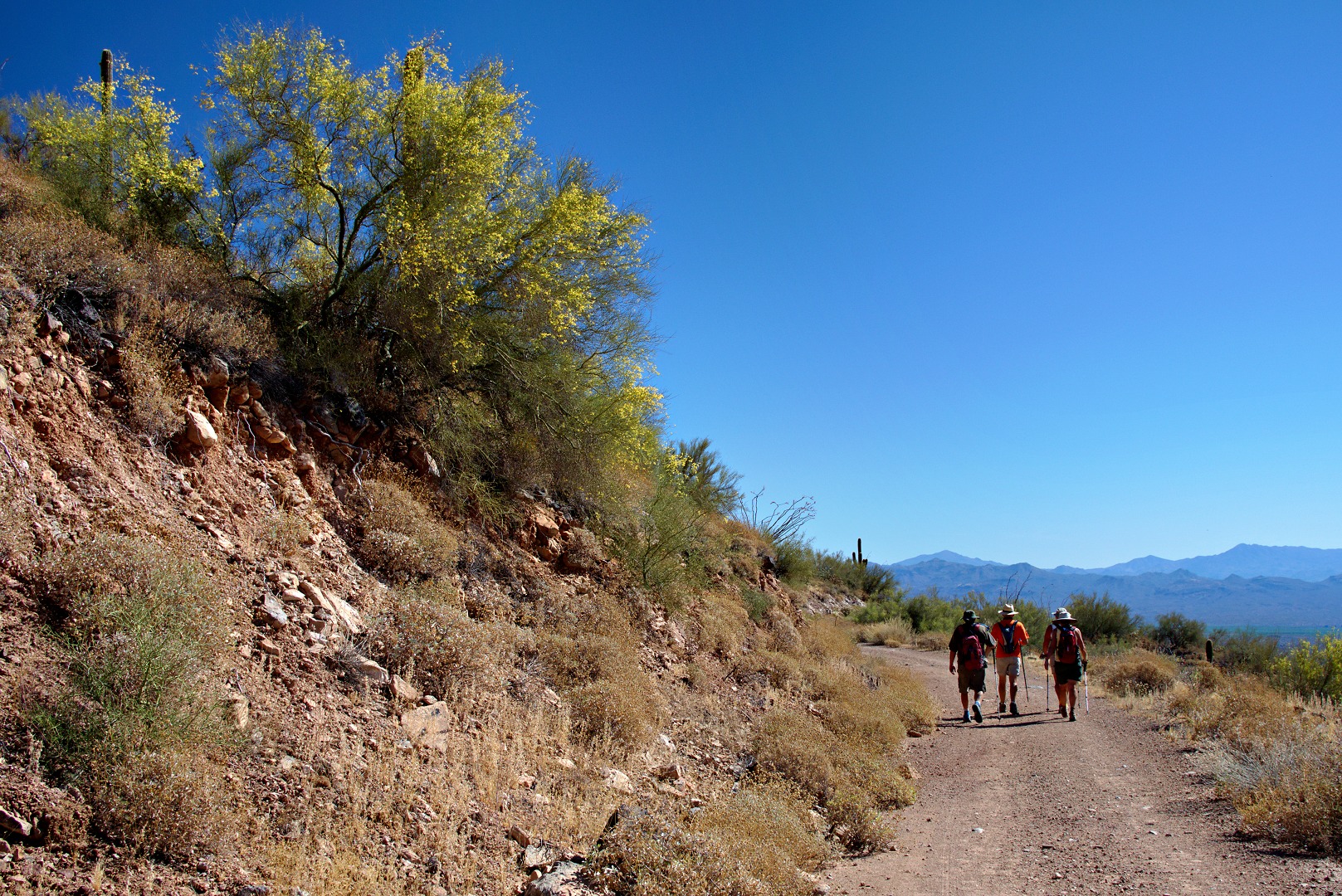
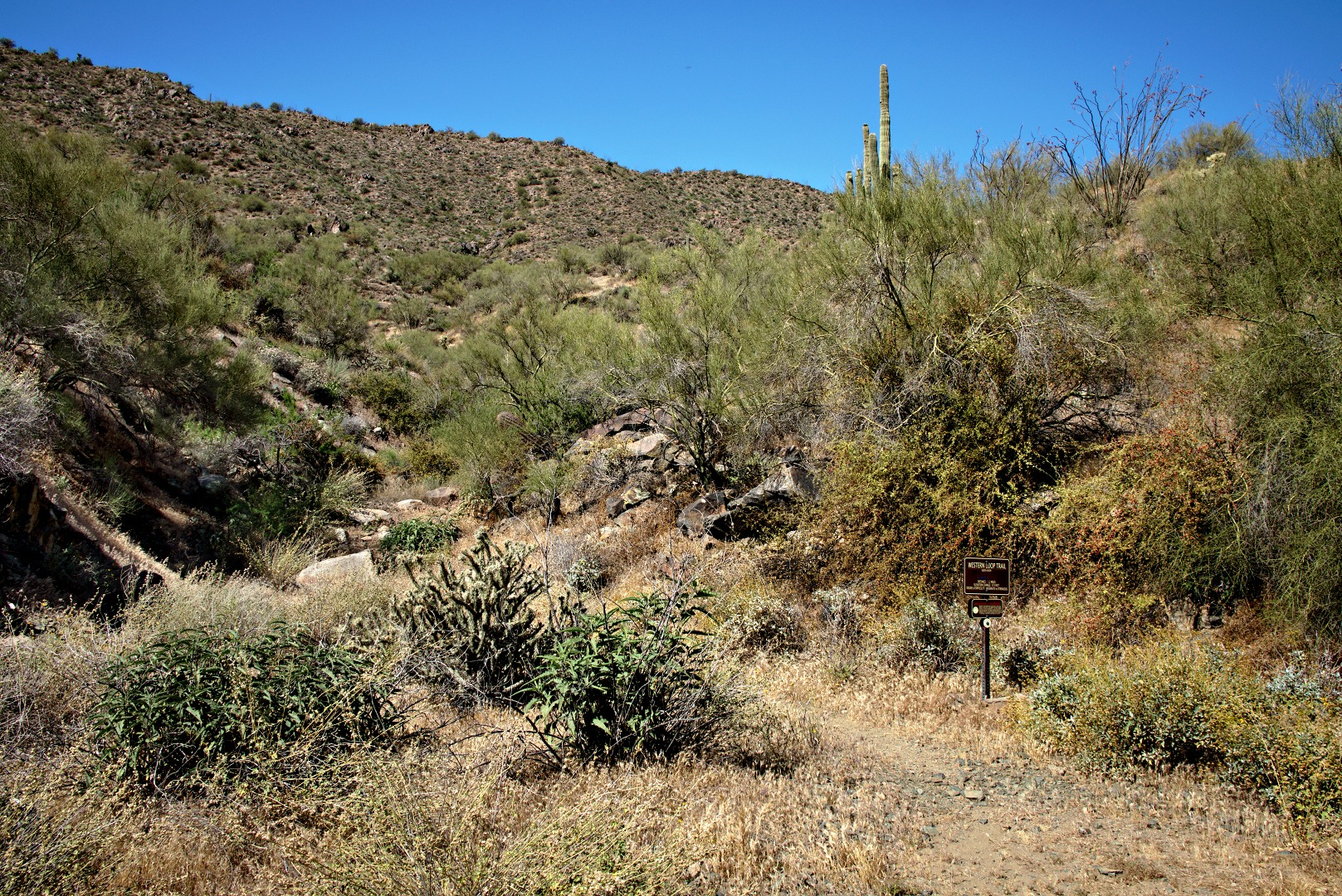
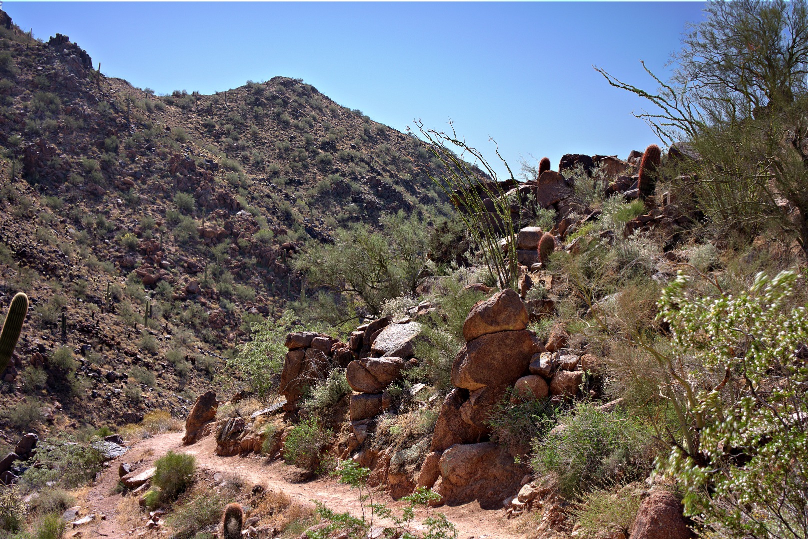
Another photo from Friday’s hike…
Month: May 2013 (page 2 of 2)
Nick, Bob, Doug, Janet, Linda, and I met at the Eagle’s Nest trailhead. We hiked nearly ten miles and had nearly 2000 feet of total ascent on our hike utilizing the Dixie Mine, Sonoran, Promenade, and Western Loop Trails.
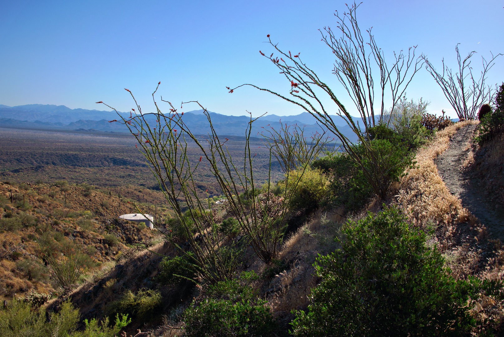
A view of a water tower from the Sonoran Trail:
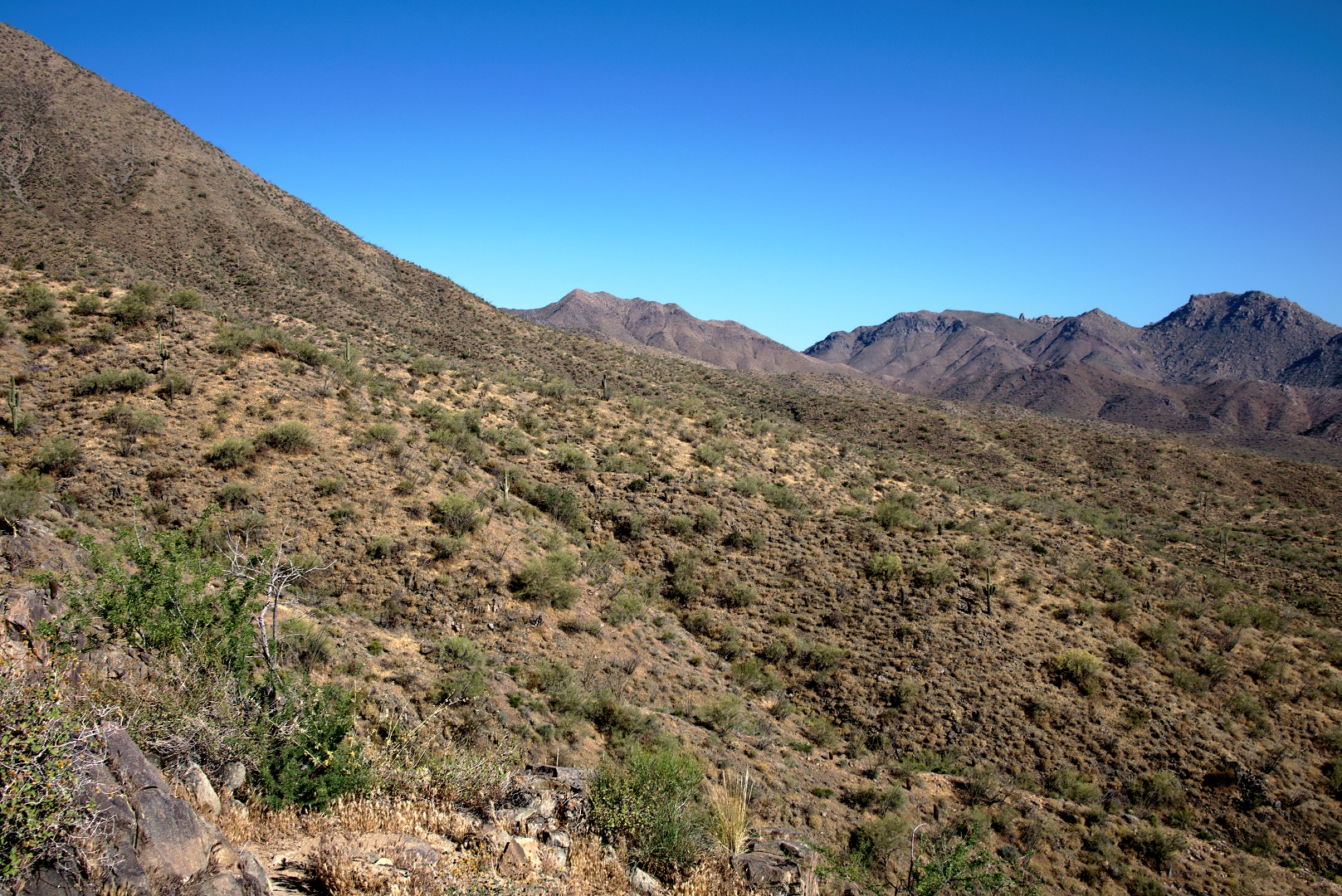
We were resting part way up the Western Loop Trail when I took this photo of the portion of the McDowells comprising the East End and Tom’s Thumb. You can just make out Tom’s Thumb perhaps a quarter of the way over from the right edge of the photo.
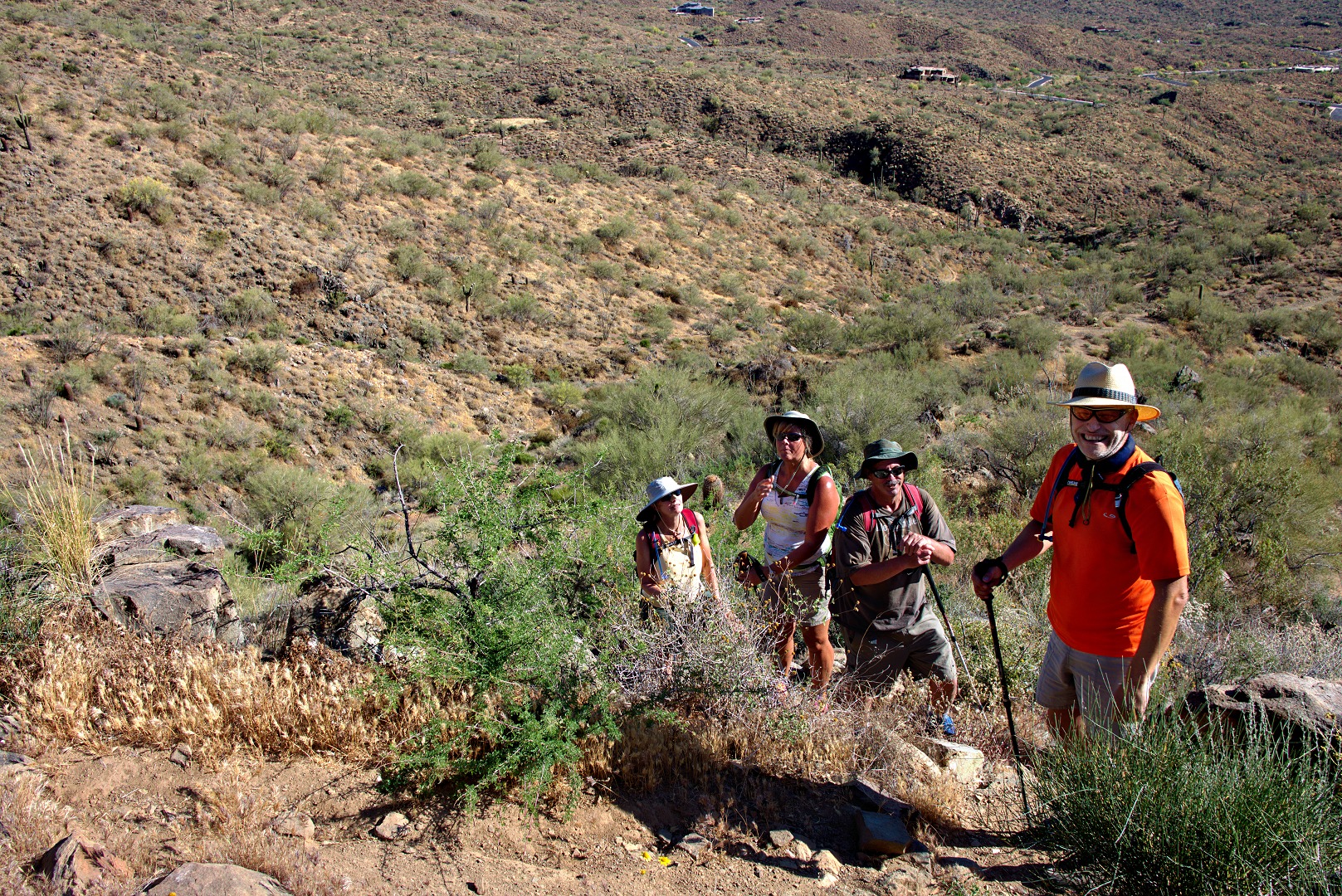
Linda, Janet, Bob, and Nick taking a break.
Nearing the high point of the Western Loop Trail…
A view of Red Mountain from the top of the Western Loop Trail. There is a trail which leads to an overlook. We spent very little time there because there were quite a lot of insects at the overlook.
Linda took this photo of Janet, Bob, me, and Nick at the overlook:
A view of Sunrise Peak where we hiked last week:
We’re on the Promenade Trail in the photo below. It’s an old jeep road.
On the way back, I took a photo of the entrance to the Western Loop Trail. We hiked that segment earlier in the hike.
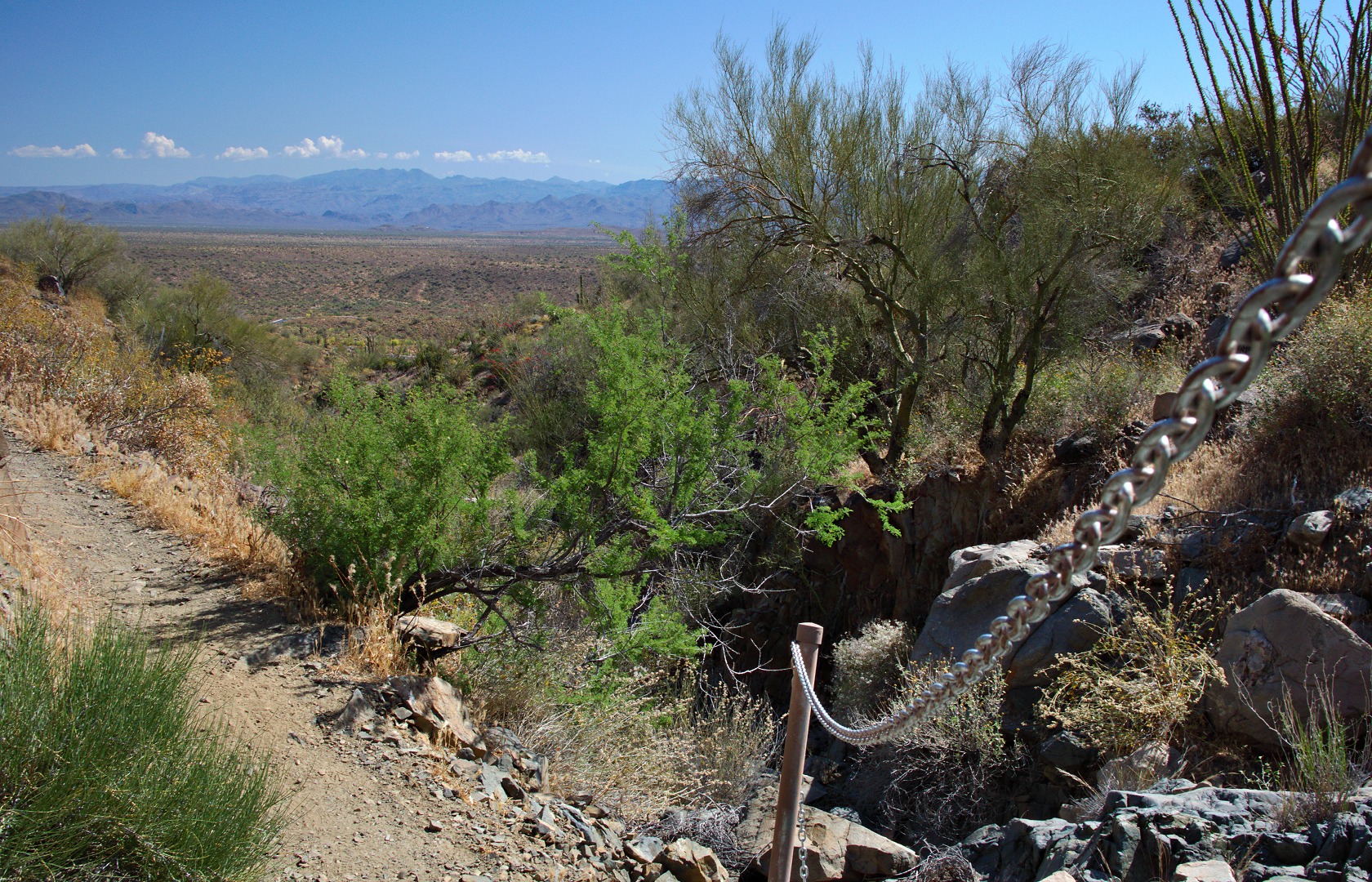
A section of the Sonoran Trail has a short stretch of slippery rock. The trail builders decided to put in a chain handrail at this point.
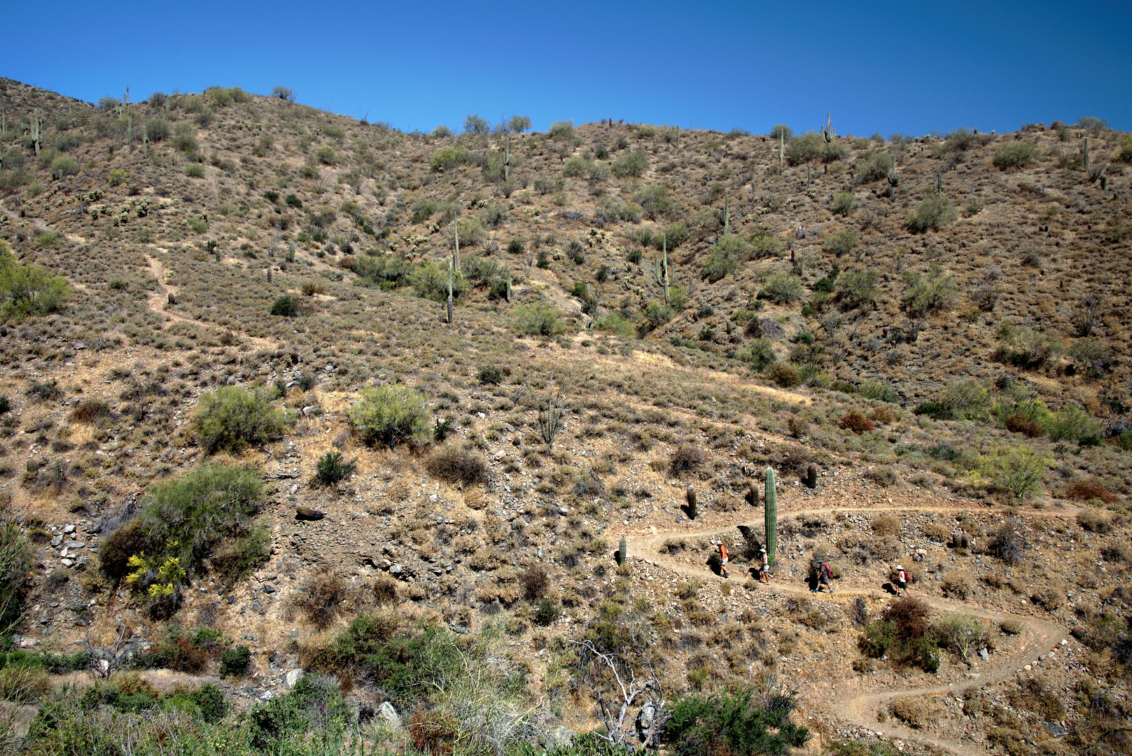
There are long uphill stretches on the way out and on the way back. The photo below shows Nick, Janet, Bob, and Linda near the bottom of the most sustained uphill segment on the way back.
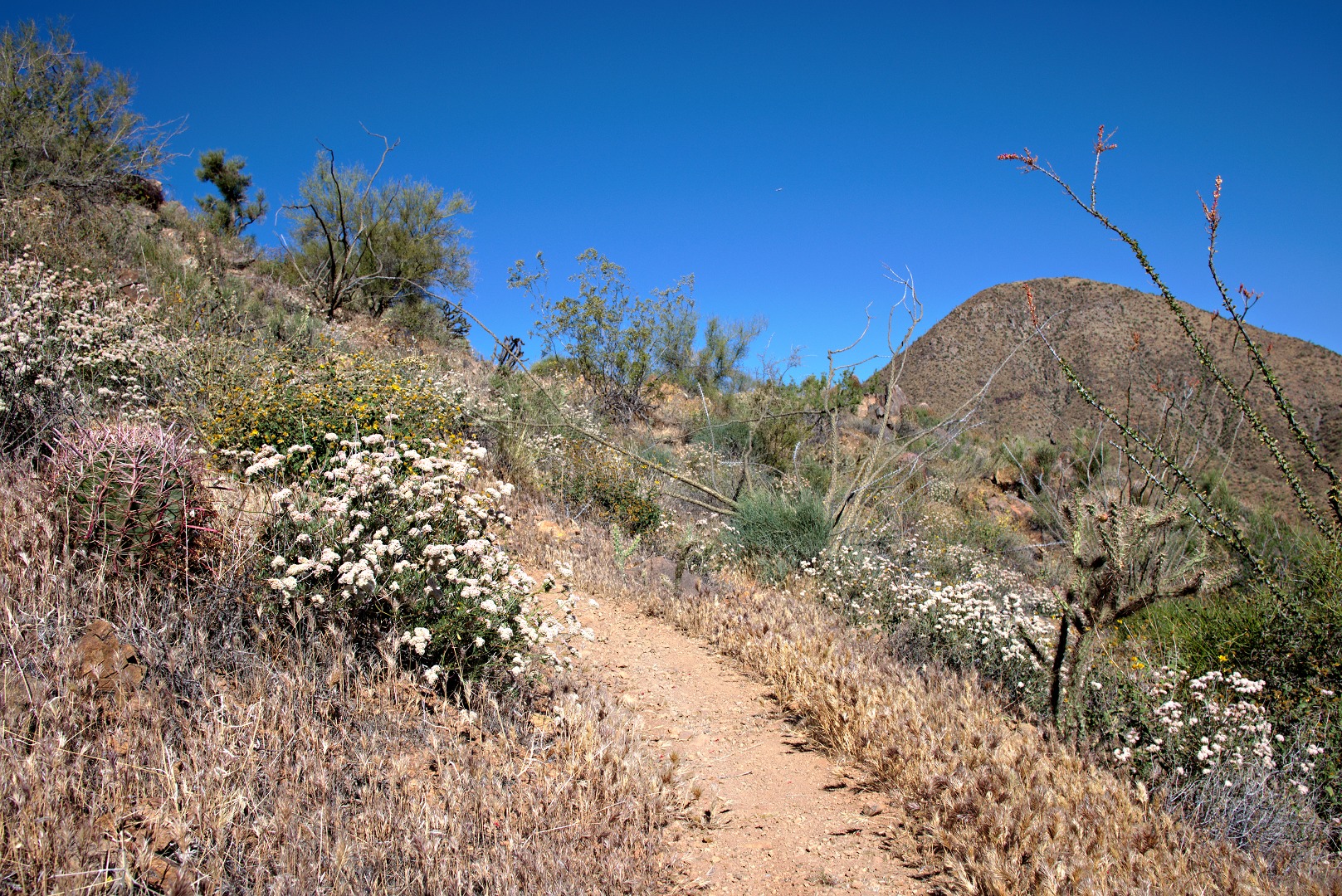
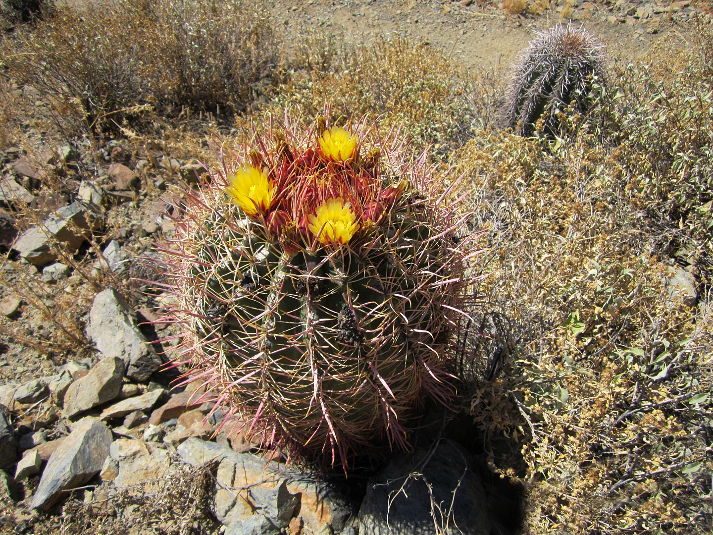
Linda took this photo of a blossoming barrel cactus plant:
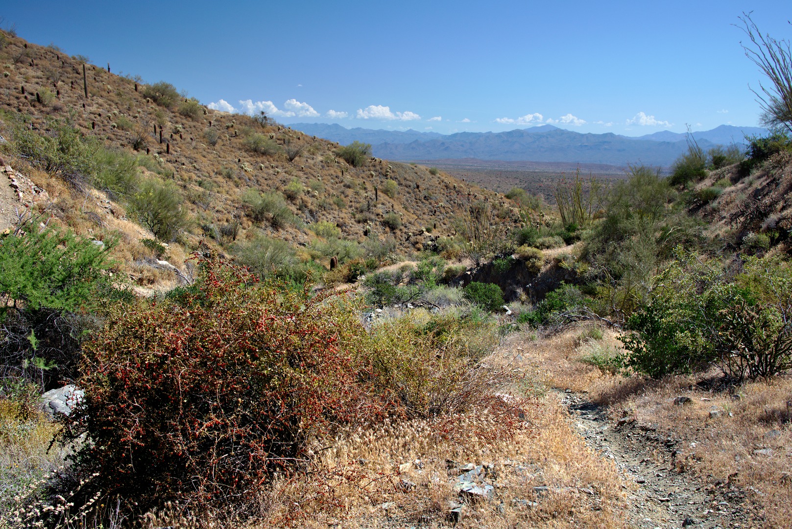
A Wolfberry bush…
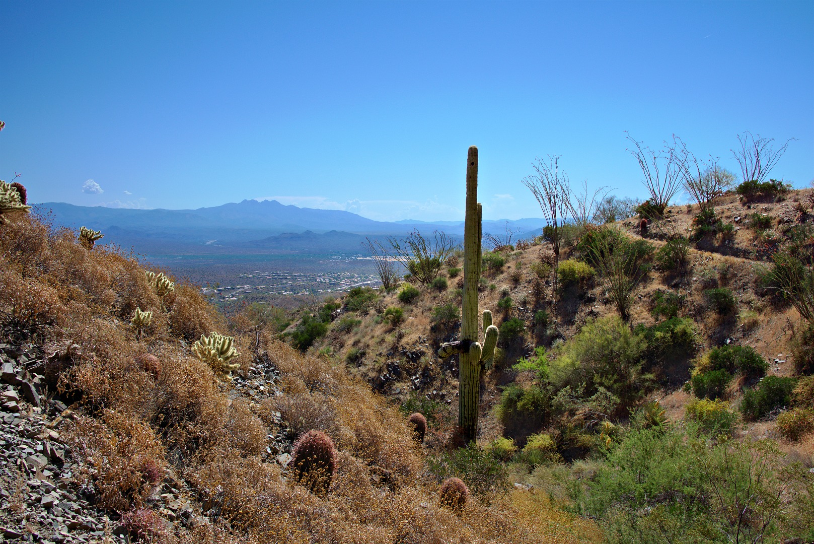
A view of Four Peaks:
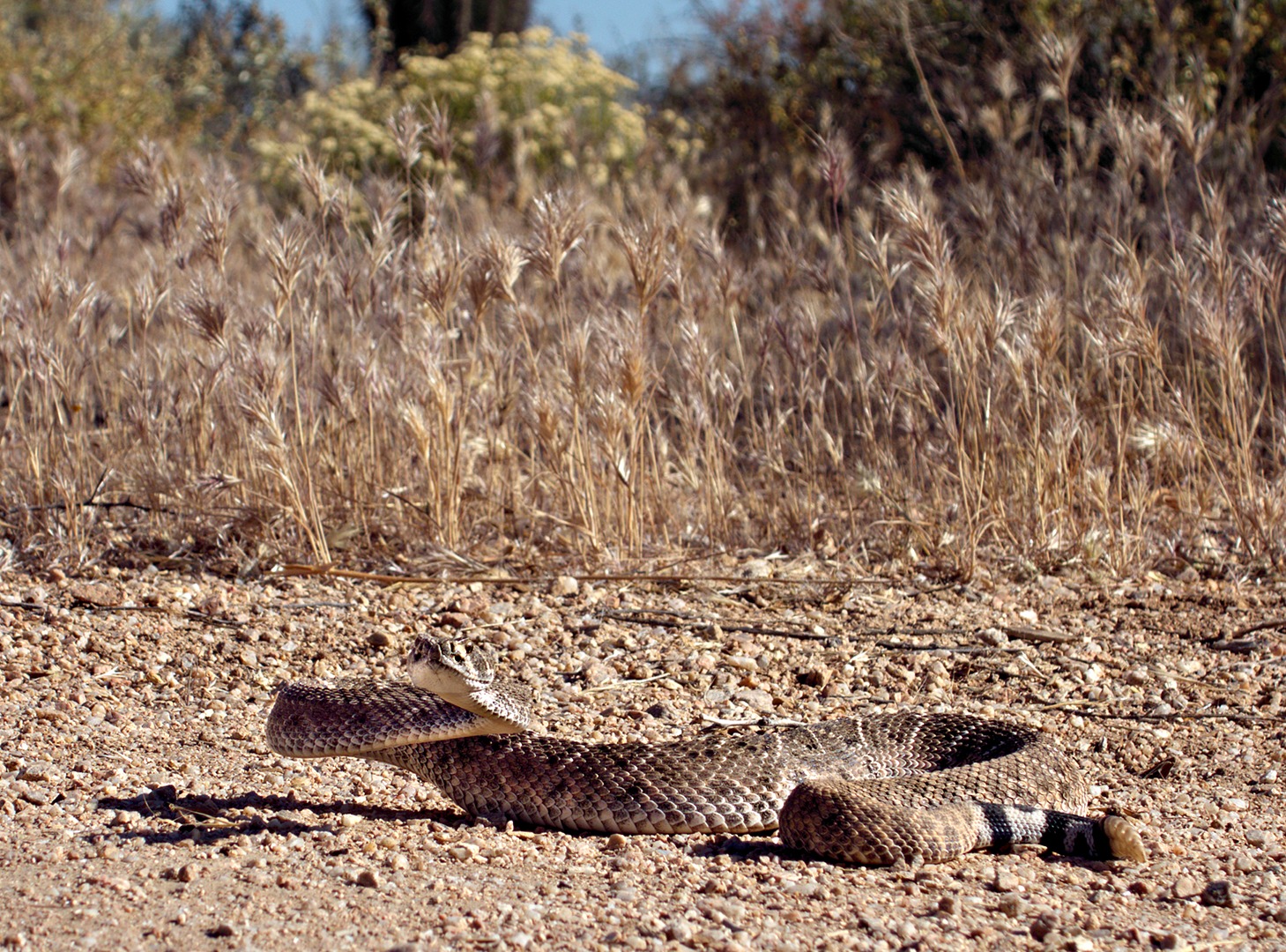
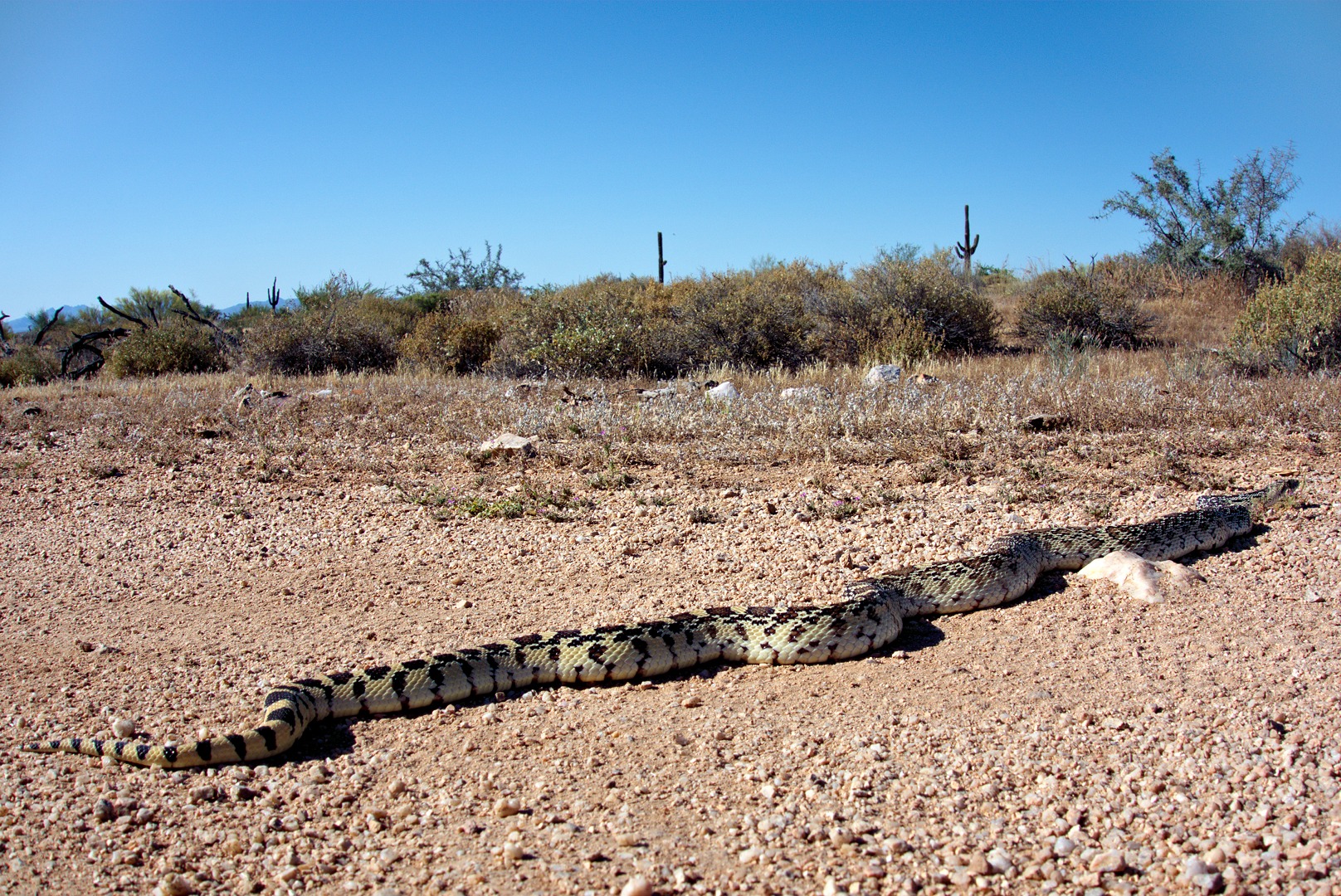
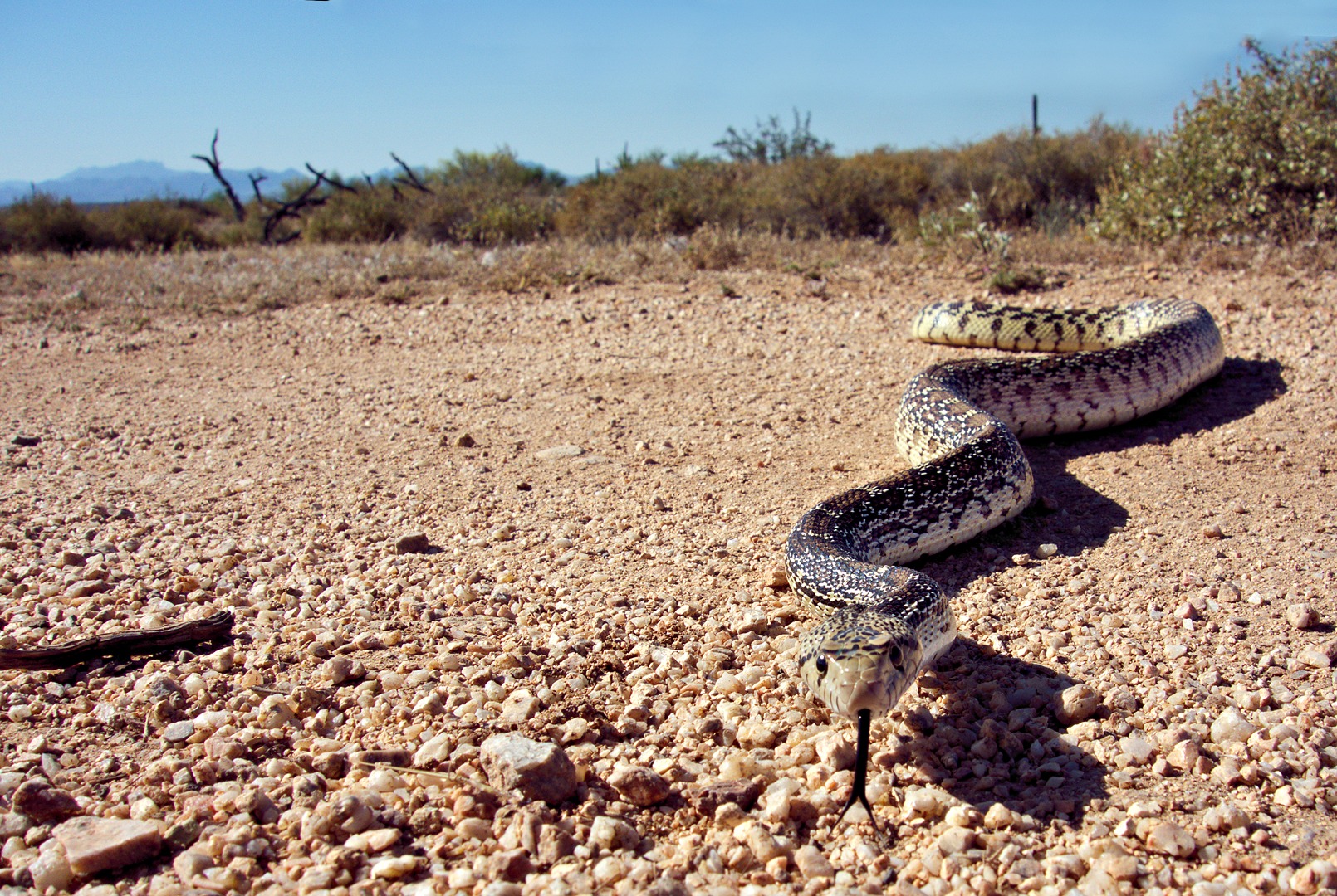
I saw two snakes while riding earlier today. These snakes were perhaps 400 yards apart, on the eastern end of the new stretch of the Pemberton. The first snake I saw was a rattlesnake, probably a Western Diamondback. Another rider told me that the second snake is a bullsnake. Amy Burnett, the ranger at McDowell Mountain Park, told me that it’s a sub-species of bullsnake called a Sonoran Gopher Snake.
Both snakes were lying across the trail sunning themselves to get warm. I had trouble getting the rattler to move. I nudged it’s tail twice with my foot before it finally deigned to raise its head. Only after nudging its tail again with a stick did it decide to take a defensive posture. Even though I was walking all around it taking photos, it stayed in the middle of the trail where it could’ve gotten run over by a bike. It moved off into the grass only after I spewed a mouthful of water at it.
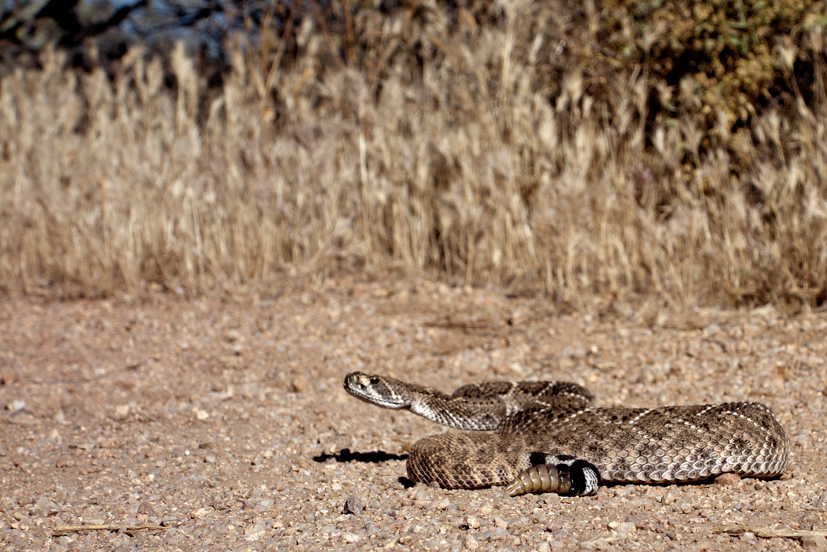
This is a crop (close-up) of the above photo:
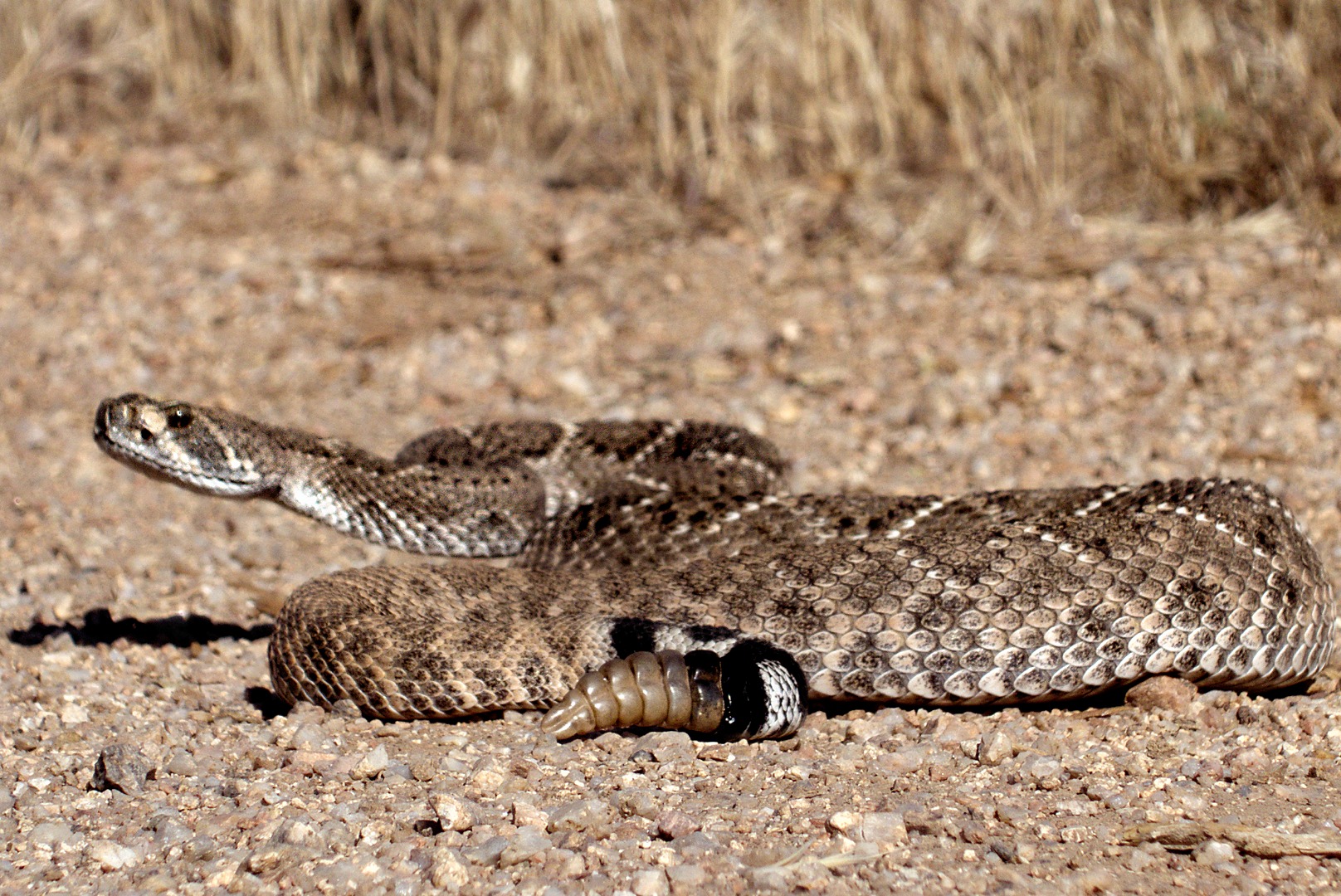
This next photo shows a better view of the rattler’s tail. Unfortunately, the head is not quite in focus.
Another crop…
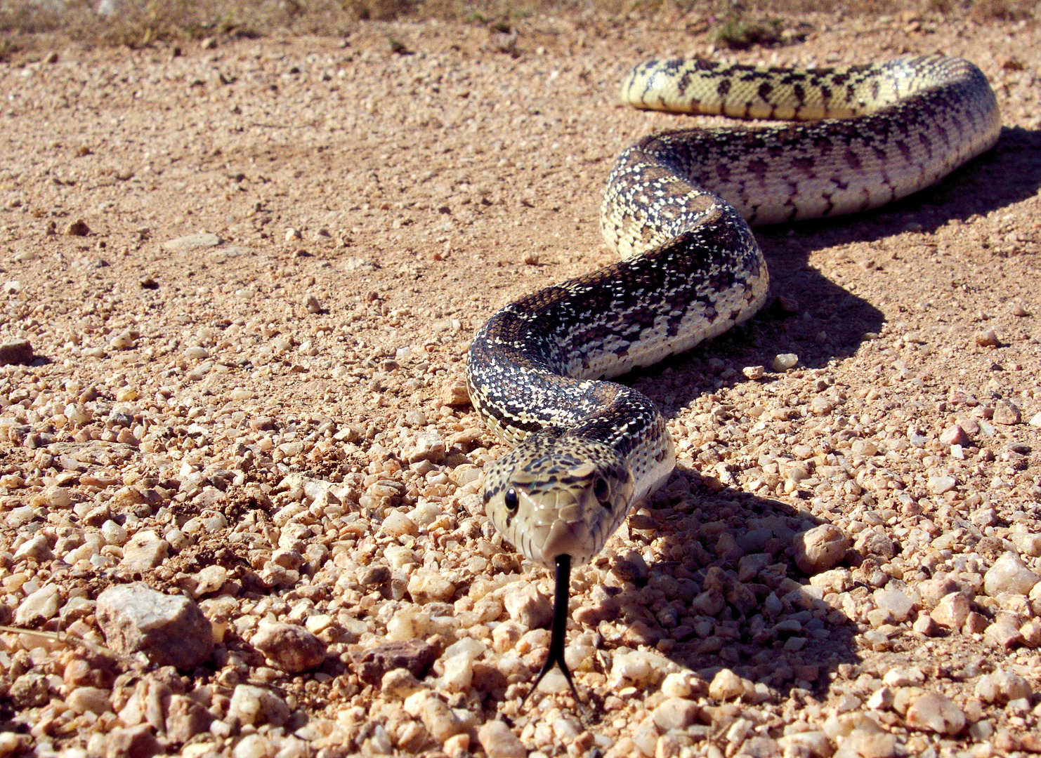
I came across the Sonoran gopher snake only a short while later, probably not even a quarter of a mile from the Western Diamondback. It, too, was lying across the trail, but became quite curious about my camera! It started slithering towards me as I was frantically taking photos of it. I eventually had to move out of its way!
It was perhaps two feet away for this shot. It looks closer because I cropped away the bottom part of the image.
An even tighter crop:

Marilyn and I rode the Pemberton Trail at McDowell Mountain Park this morning. Conditions were awesome when we started, but got quite windy near the end. We probably should have started half an hour earlier.
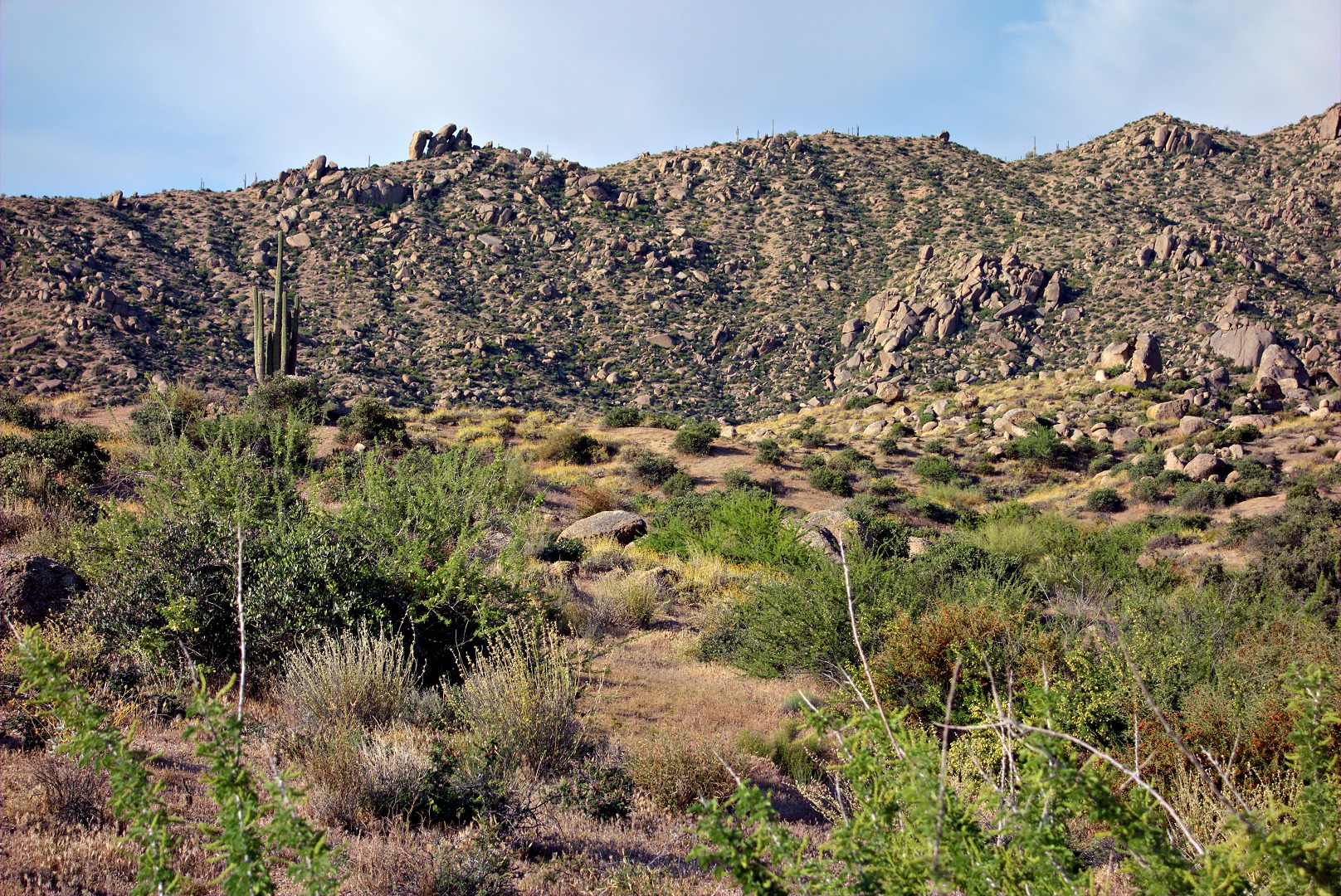
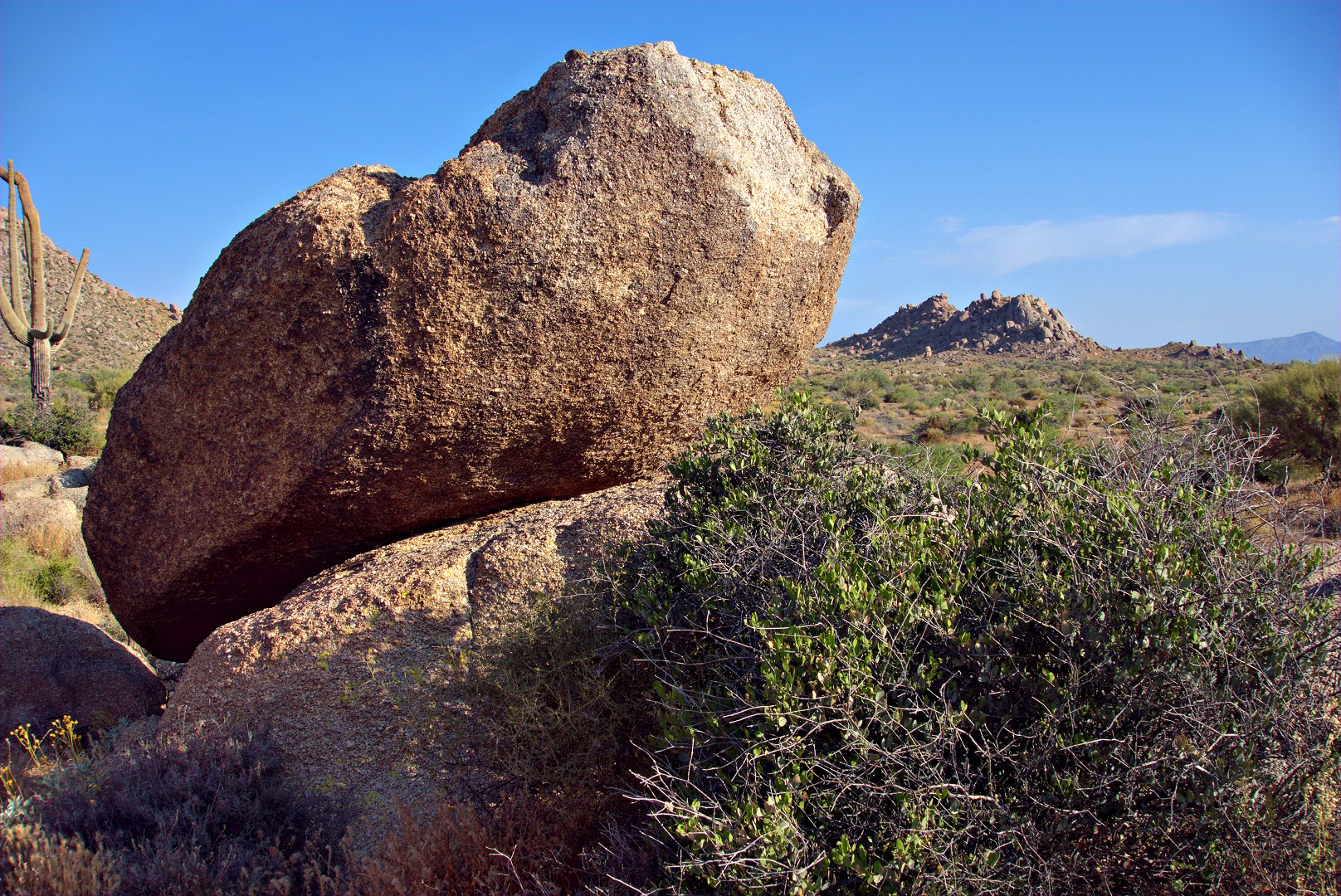
These first three photos are views from the Boulder Trail as I approached the Marcus Landslide Trail. (I left the Pemberton for a while to ride up in the McDowell Sonoran Preserve.)
The photo, below, shows a few of the many boulders along the Boulder Trail.
This photo, below, looks across the slide area of the Marcus Landslide.
This is the same boulder in the first photo, but with Rock Knob in the background to the right of the boulder. My ride took me down the Rock Knob Trail where I got to ride past that formation.
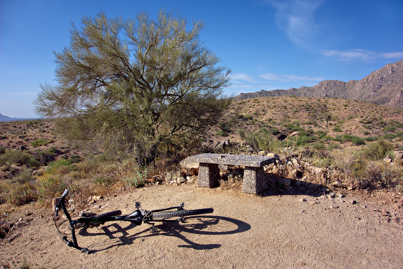
A view of the Palo Verde tree and bench (and my bike) at the top of the Bluff Trail. I only rode perhaps a hundred yards of the Bluff Trail – just enough to get up to that tree on top of a small hill which affords a great view of the area.
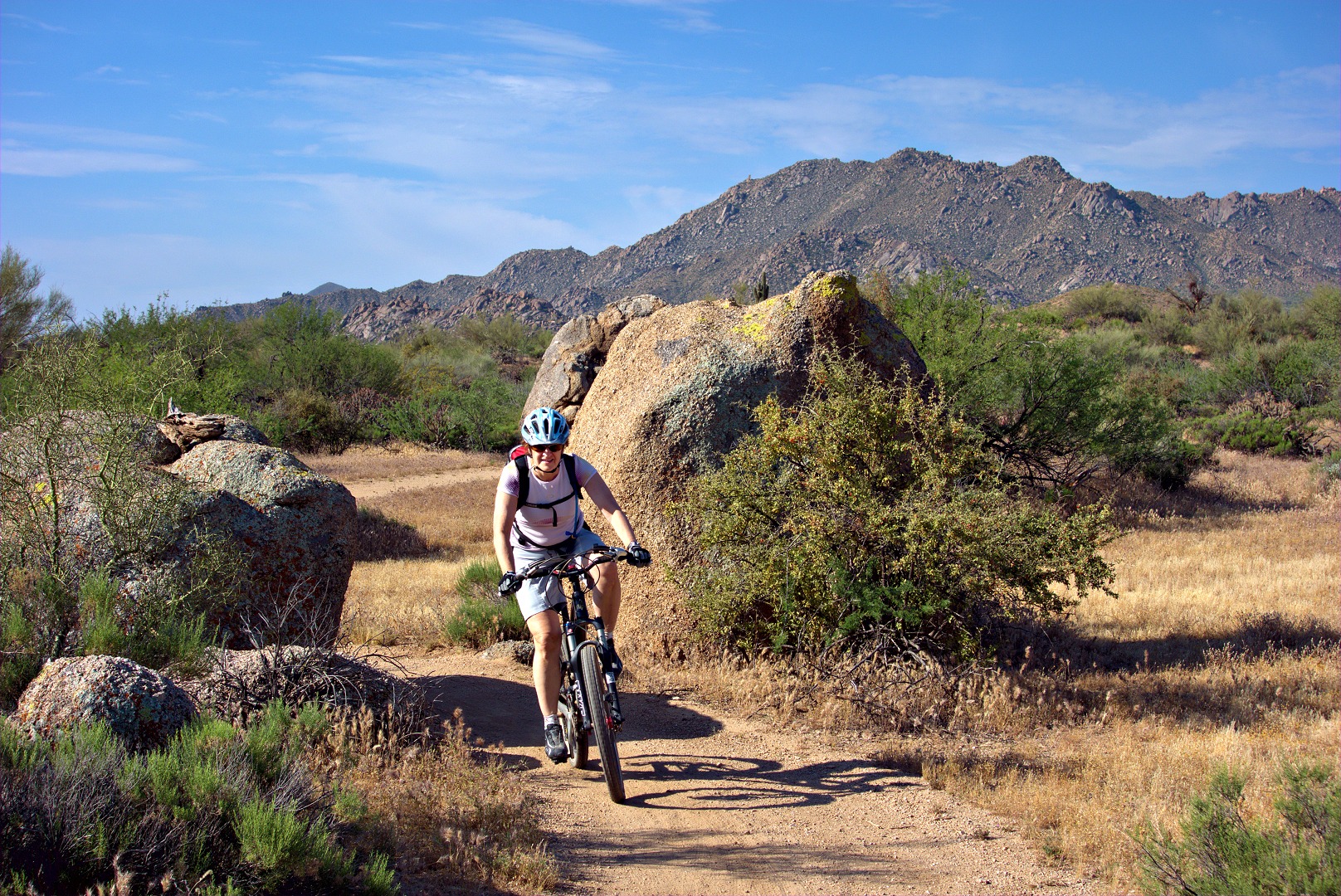
The newly constructed section of the Pemberton Trail has some interesting rock formations along the trail. I rode ahead of Marilyn, so that I could get set up to take these two photos of her riding through that area.
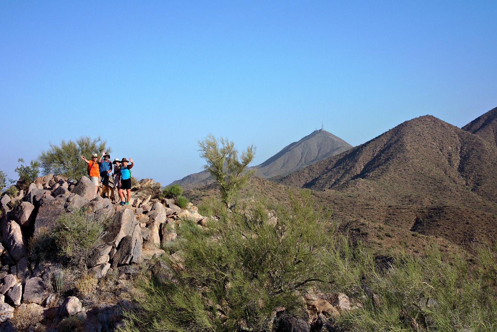
Bob, Sarge, Linda, Janet, Nick, and I met Friday morning to hike the Sunrise Trail starting at the trailhead at the far east end of Via Linda. It was windy with a lot of haze. We ended up hiking up to Sunrise Peak and then a bit beyond to the turnoff to the 136th St spur. We hiked down the spur for nearly a quarter mile before returning. Our total distance was six miles with a little over 2000 feet of total ascent.
Atop Sunrise Peak:
Linda took this photo of me and Janet:
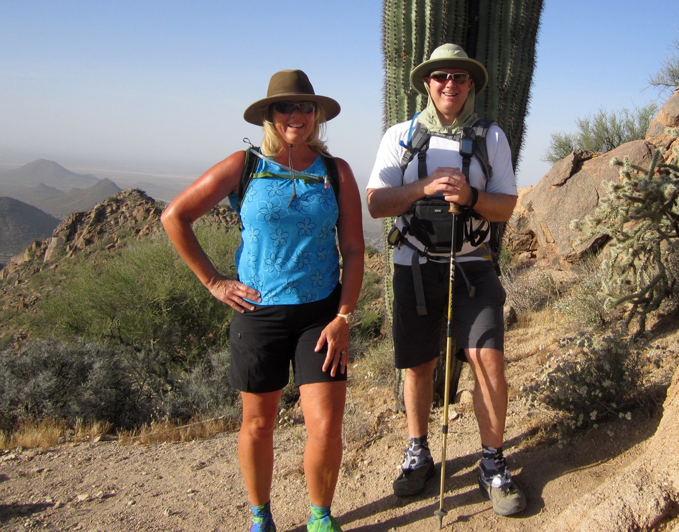
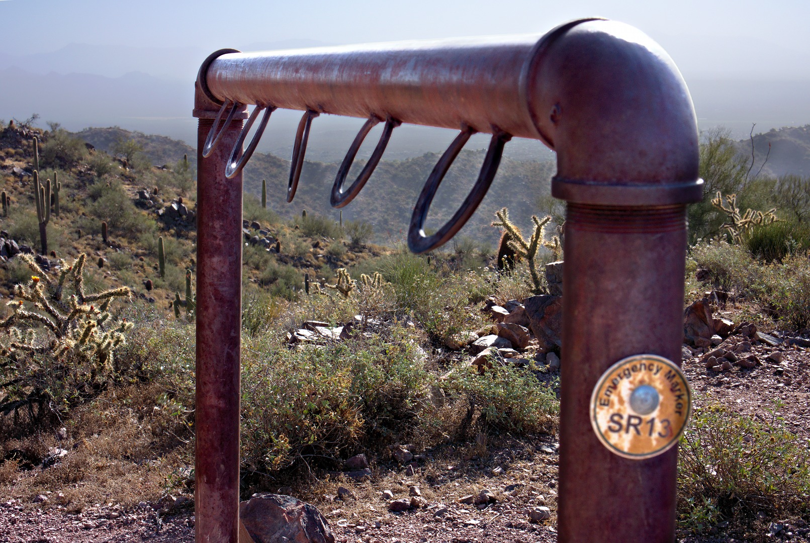
After reaching the top, we descended and walked over to this hitching post.
Sarge, with Sunrise Peak in the background:
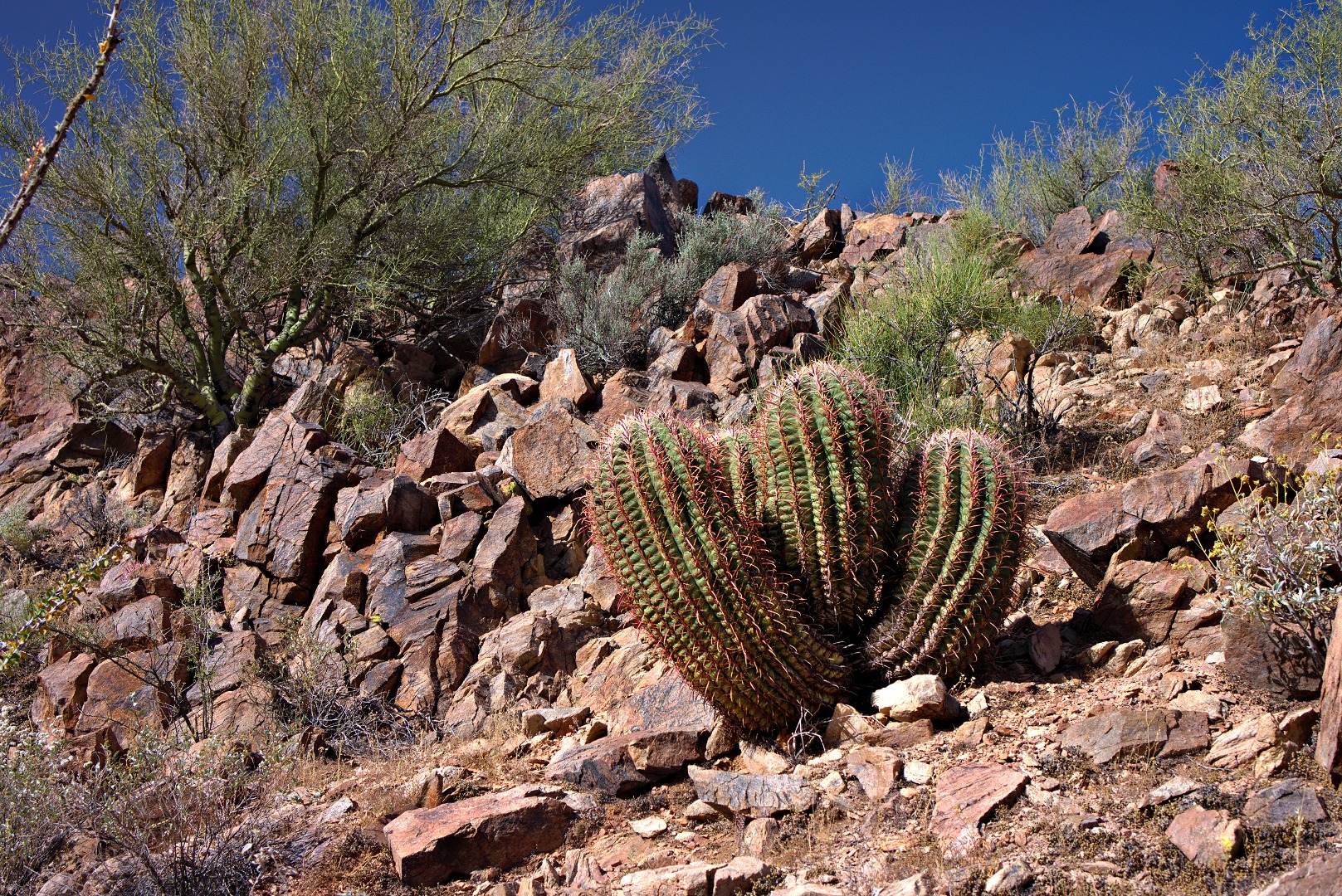
We saw a four-headed barrel cactus on the way back. (It may four separate ones that grew too close together.)
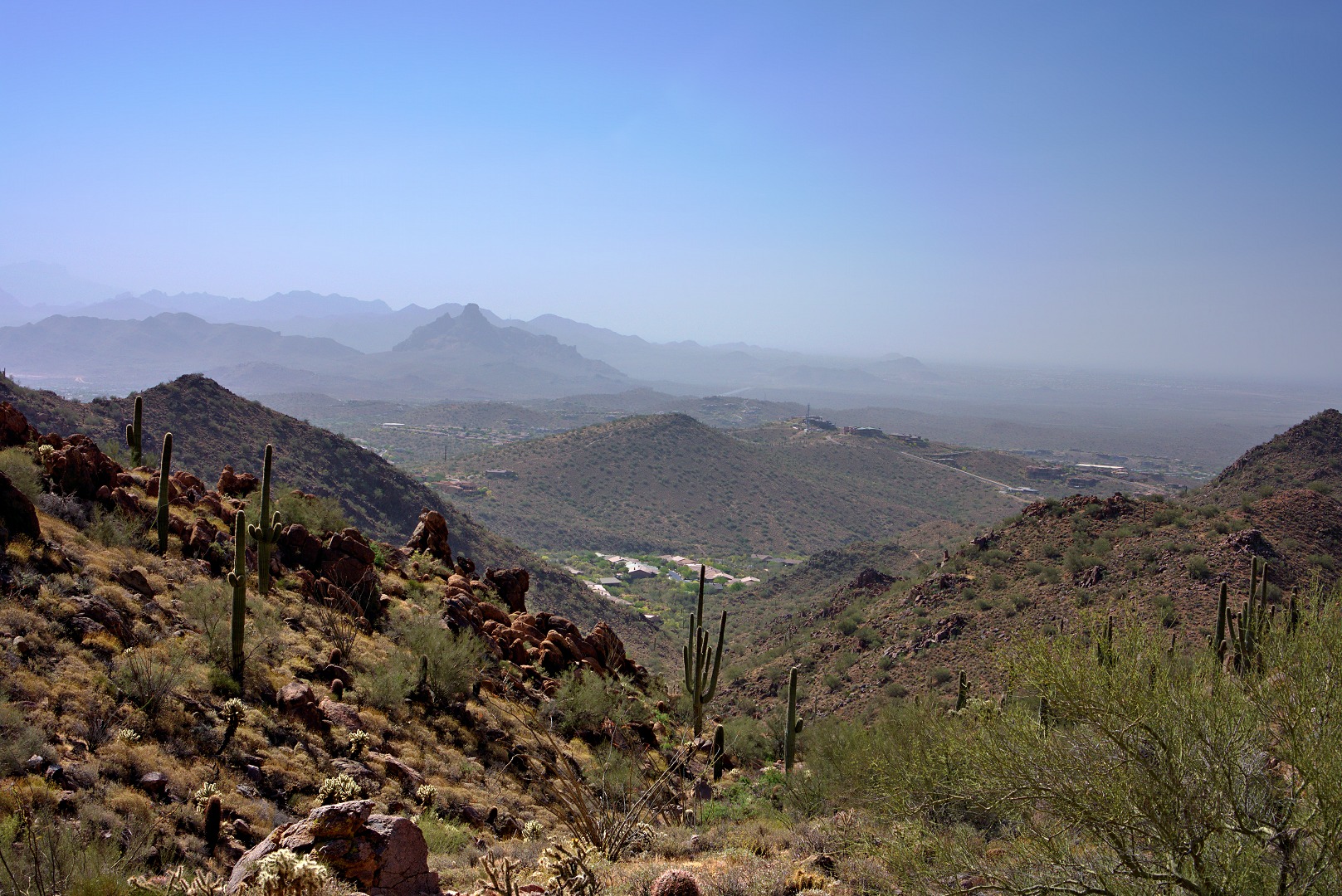
Red Mountain was difficult to see through the haze. We should be able to see some of the Superstition Mountains too, but they’re not visible at all.
A view on the way down. The blurred bush off to the right is due to the strong winds; the shutter speed was 1/60 sec, but this was not fast enough to freeze the motion.
Freckles was my model today for some experiments in flash photography. She was an unwilling participant at times and was very poor at taking direction, but she is, after all, a cat. In the picture below, she didn’t want to sit at the end of the wall so that I could try different settings. Instead, she saw the flash gun lying a short ways away on the wall. It’s black and perhaps slightly to big to be prey, so she crept up on it slowly.
This photo was taken with a Sony NEX-7, 24mm Zeiss lens, and a Sony HVL-F58AM flash, triggered using a Phottix Odin. Exposure settings were ISO 100, f/4.0, 1/500 sec. I had set the Odin into HSS (high speed sync) mode.

