Tag: Friday Fitness Hike (page 27 of 36)

Friday Hike – Black Mesa / Bull Pass Loops in the Superstitions

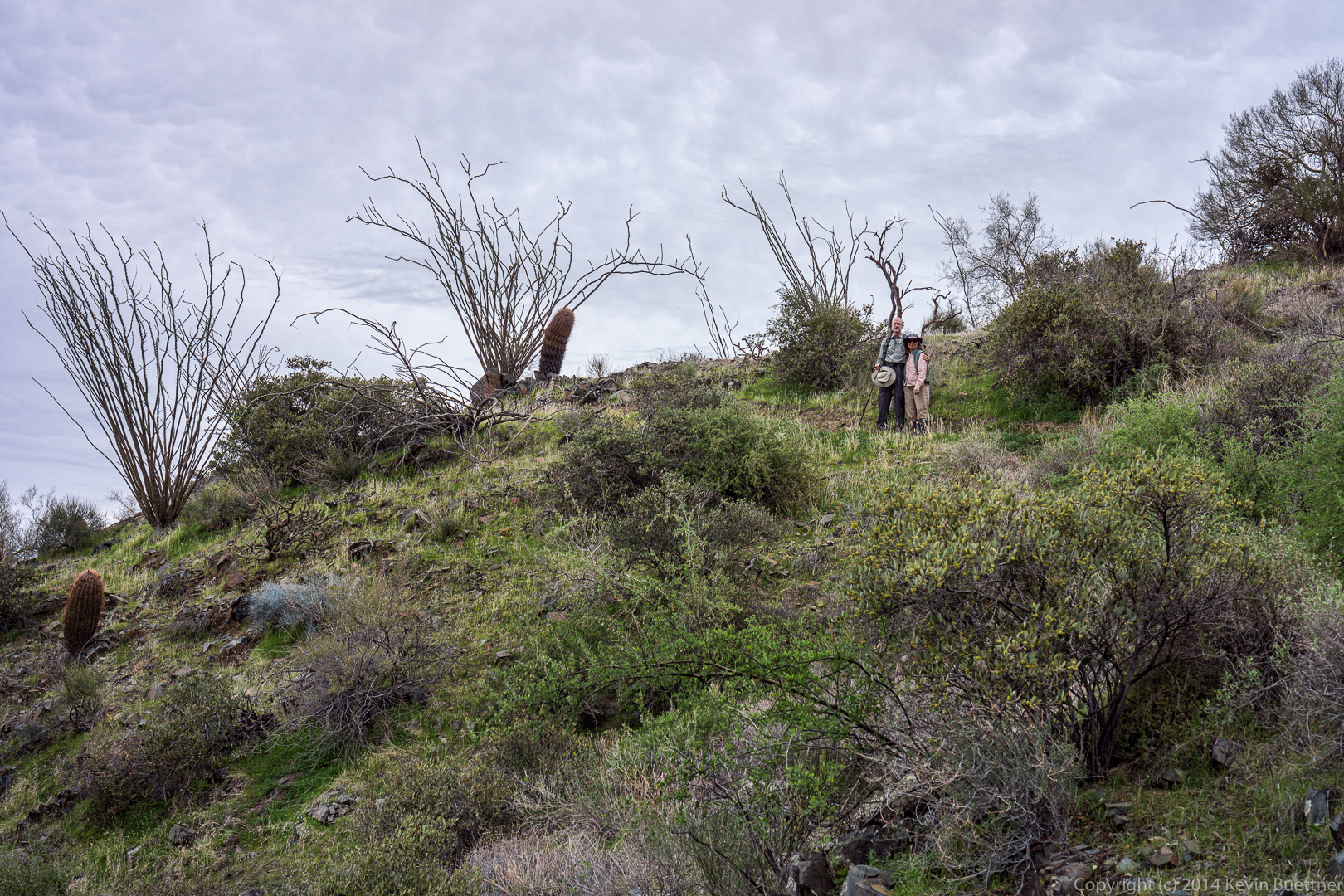
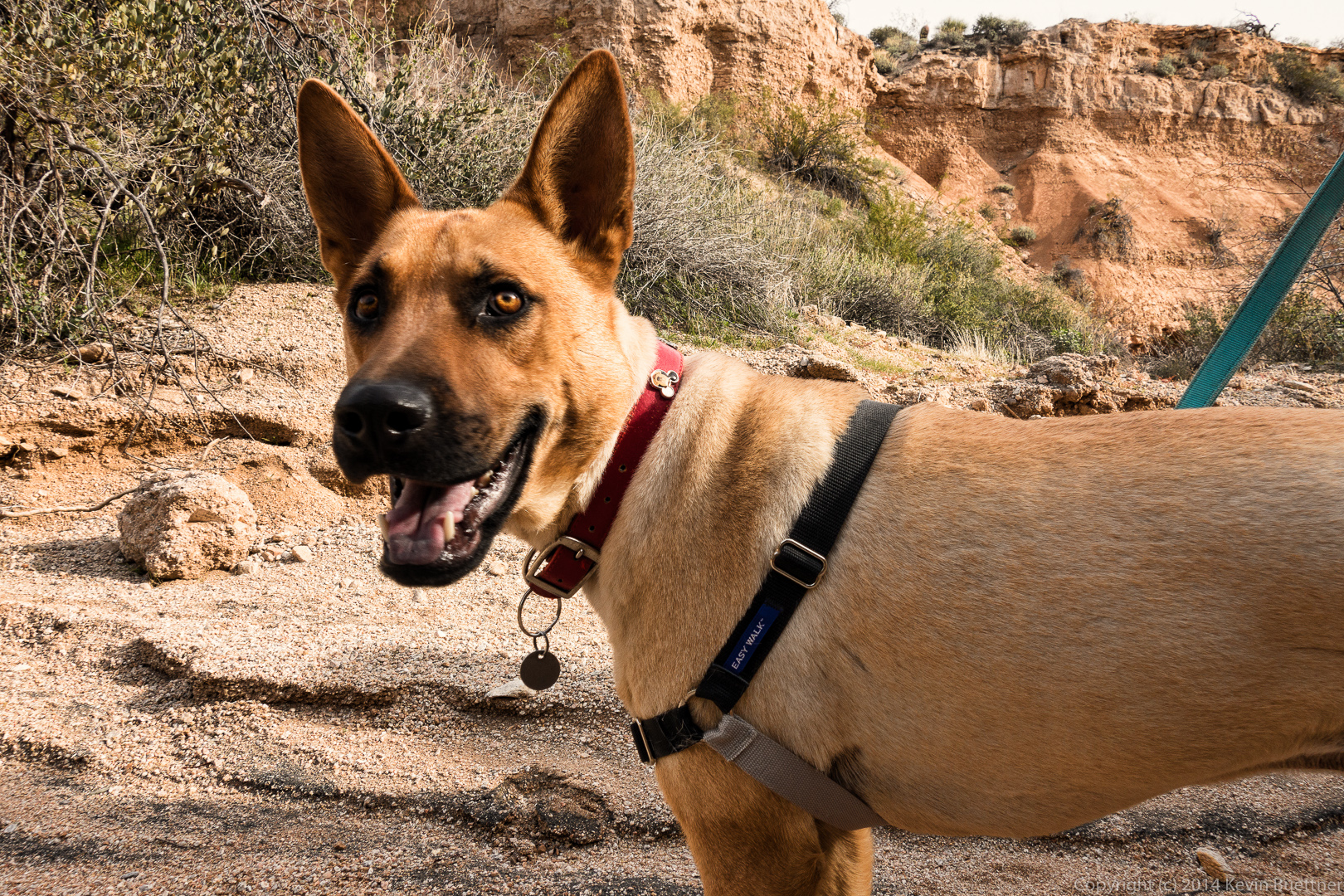
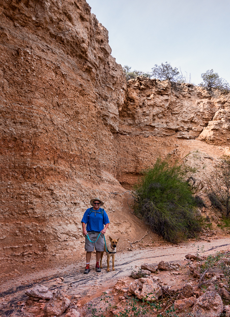
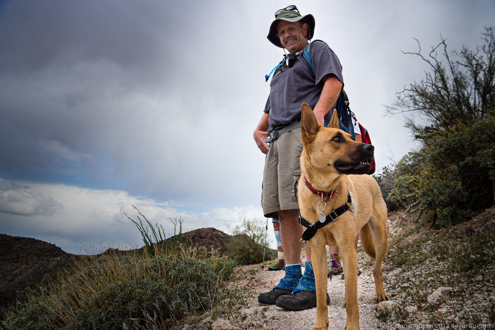
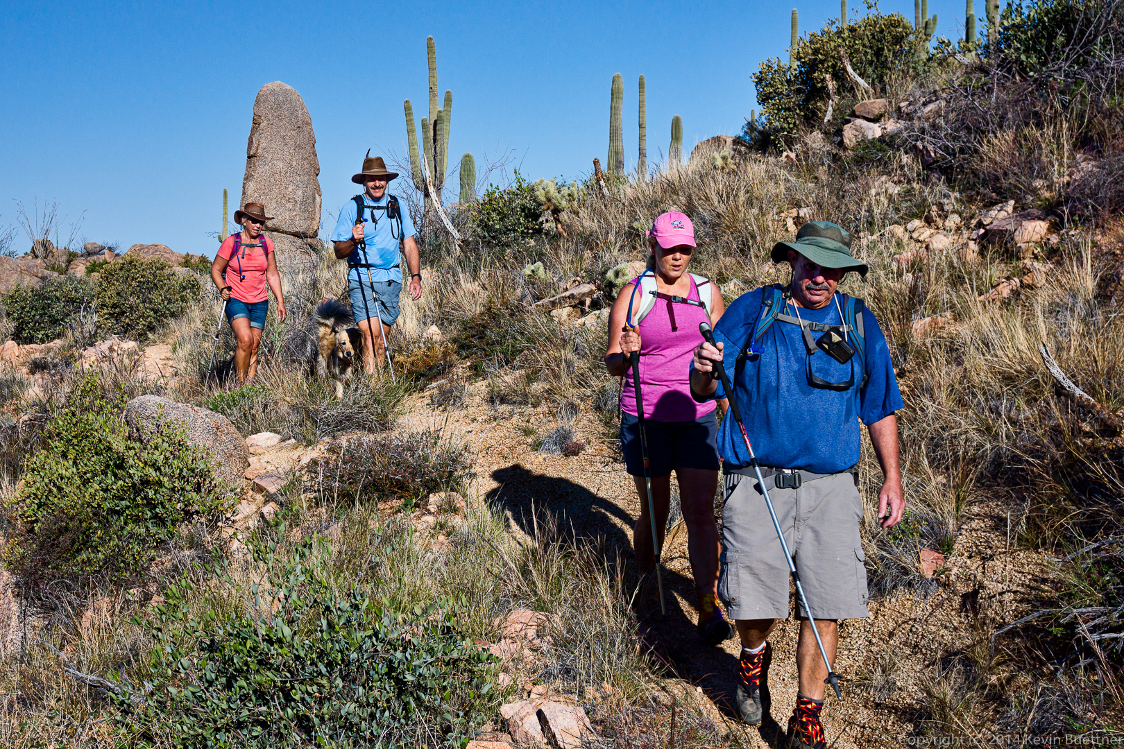
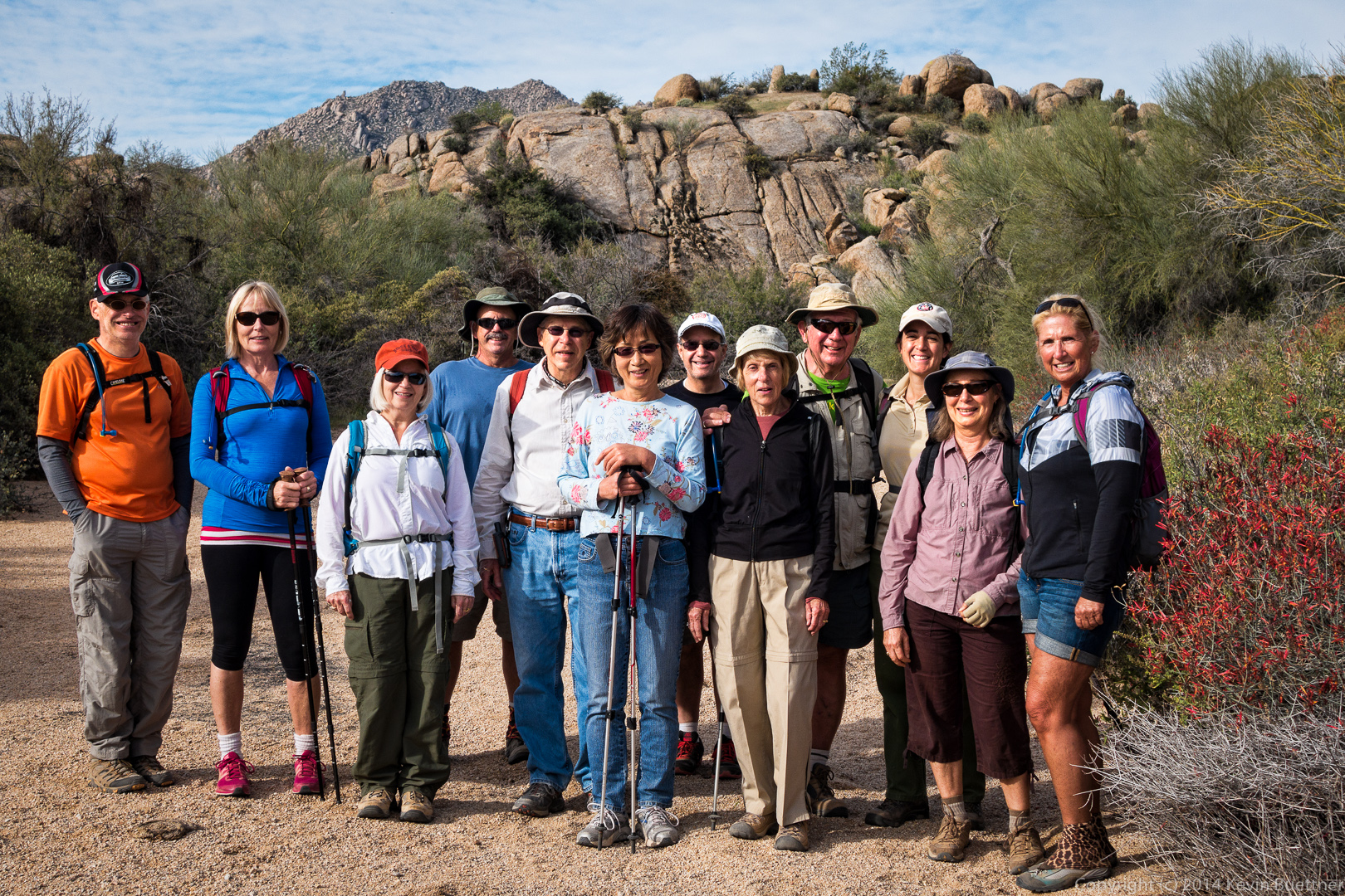
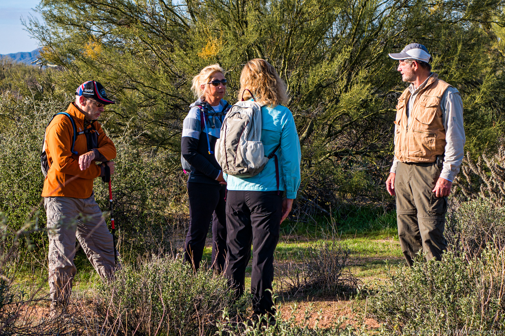
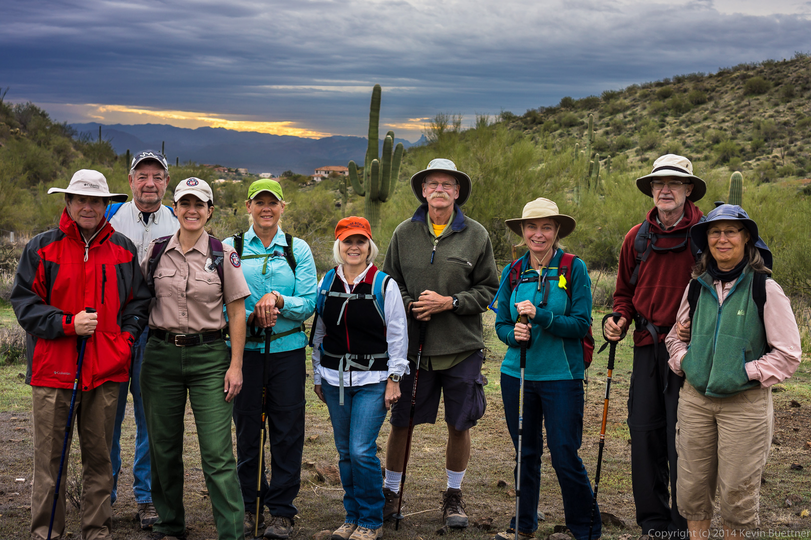
Linda, Bob, and I did a hike in the Superstitions last Friday.

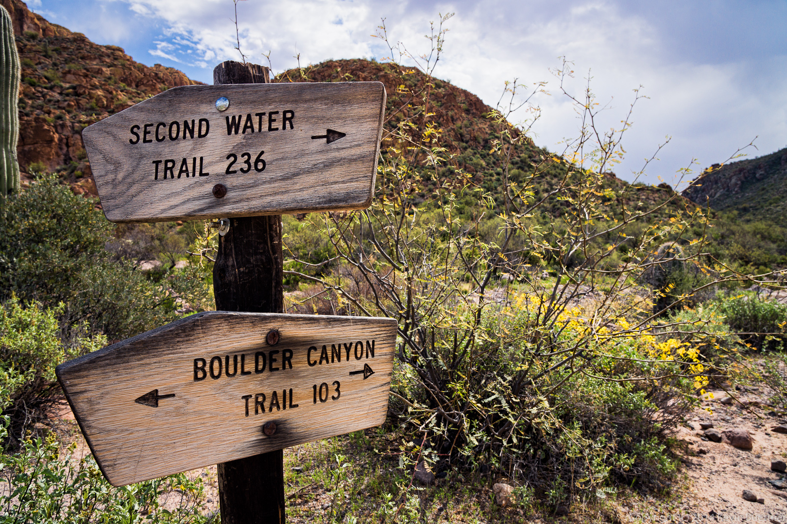
We started off on the Dutchman Trail and then took the Second Water Trail.  We hiked Second Water out to the Black Mesa Trail which took us back to the Dutchman Trail. Had we returned on the Dutchman Trail at this point – which is what we had planned – we would have hiked nine miles.  But we were all feeling pretty good so we decided to see if we could find the Bull Pass Trail, which we had noticed on the map prior to starting our hike.

I couldn’t tell from the map if the Bull Pass Trail connected with the Dutchman Trail or the Boulder Canyon Trail, so we explored a bit of Boulder Canyon looking for the Bull Pass Trail.  The Boulder Canyon Trail – at that point, anyway – crosses Boulder Creek many, many times.  We limited ourselves to three crossings in our exploration.  Neither Bob nor Linda had hiked this portion of the Boulder Canyon Trail.  This gave them a chance to experience what it’s like.

We returned to the Dutchman Trail and located the Bull Pass a short ways further.  The first part of the Bull Pass Trail provided us with much of our elevation gain for the day. Once we reached the pass, we saw a side trail which continued upwards.  We went up some of the way, but turned back before reaching the summit.  (I knew we had a lot of miles to hike still, and thought it best to conserve our energy.)

Returning to the Bull Pass Trail, we continued on until we reached the Dutchman Trail again.  We hiked the Dutchman Trail back to the Trailhead.

Our total distance for the day was 16.1 miles, but with only 1,978 feet of total ascent.  (I was hoping to reach at least 2,000.)

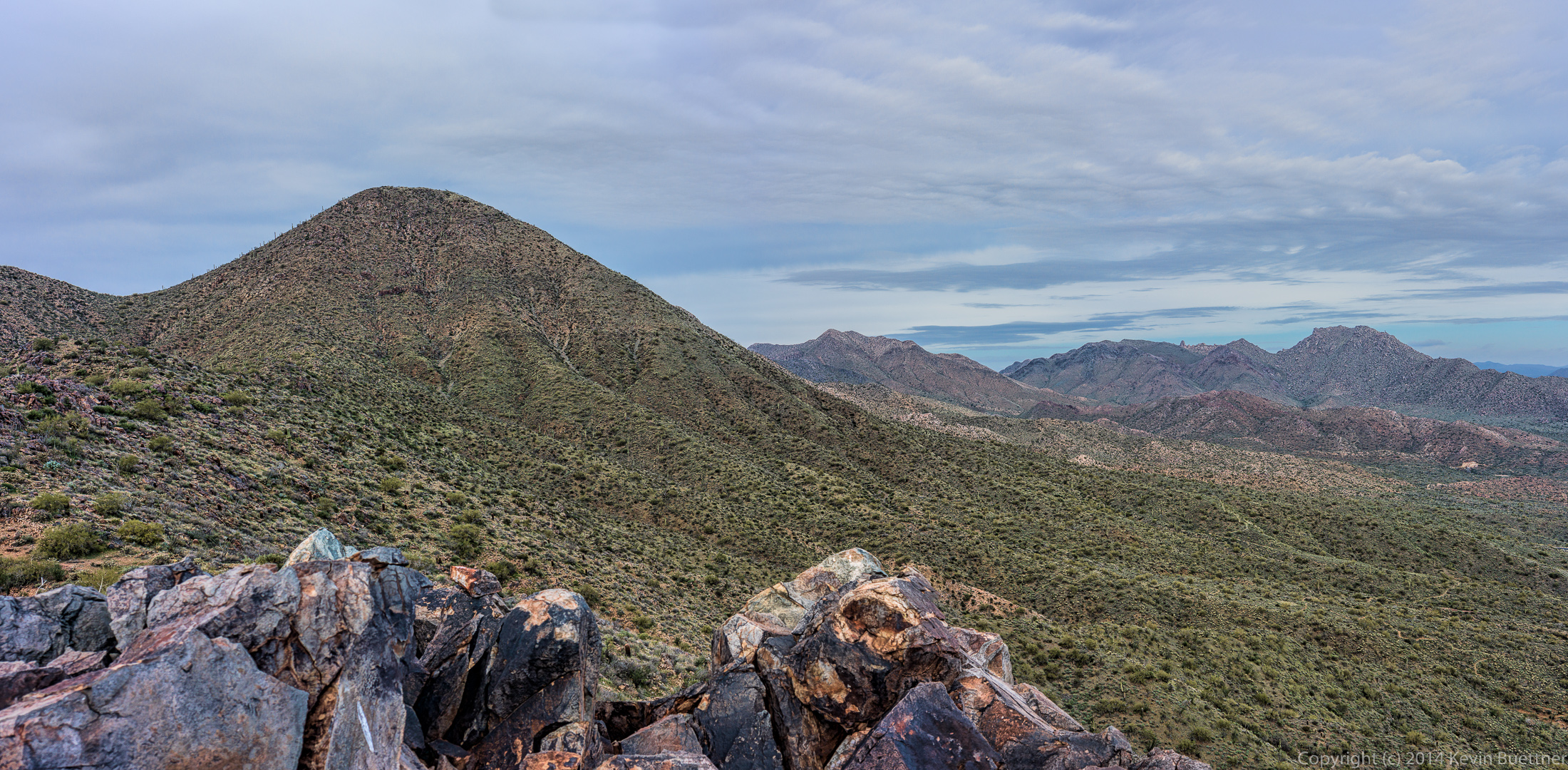
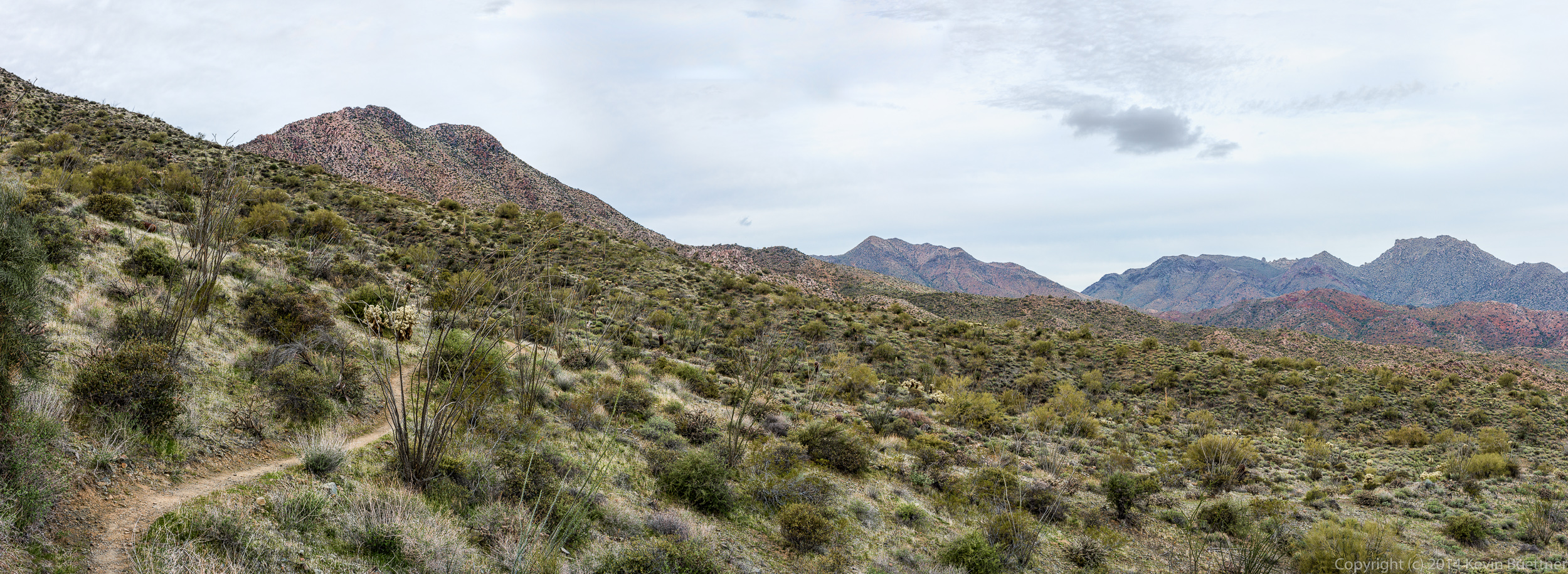
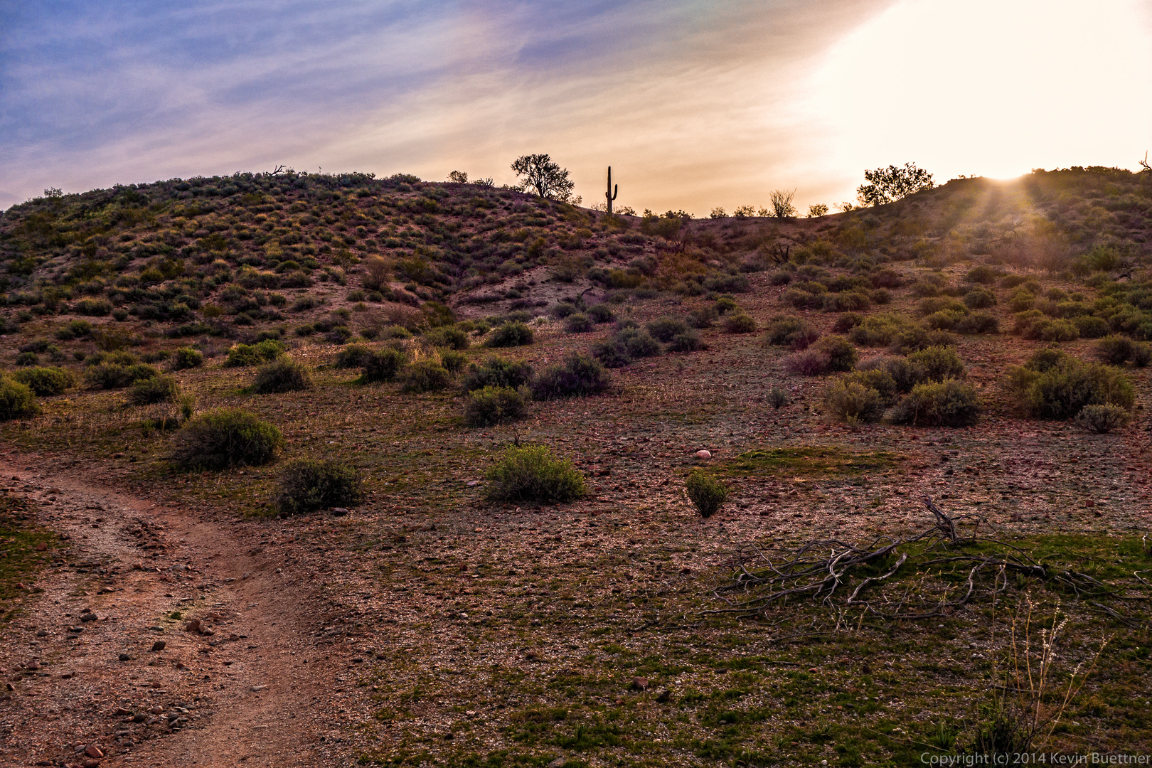
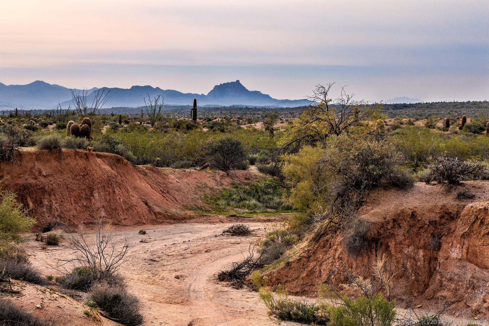
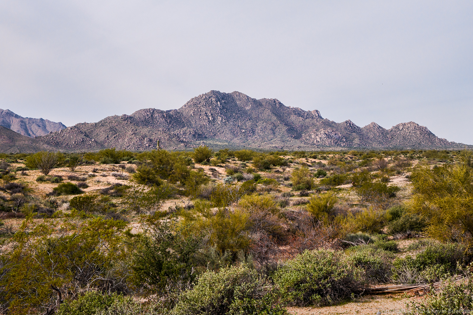
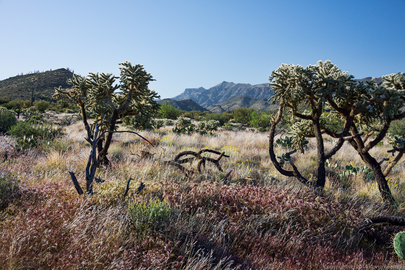
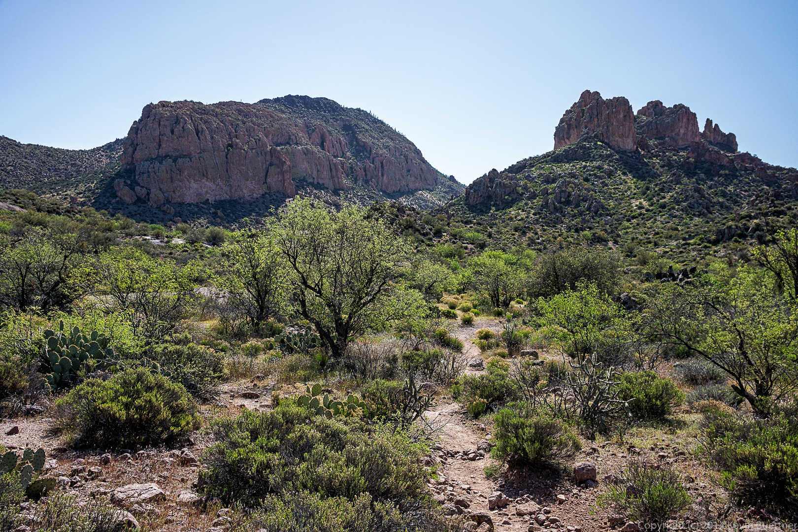
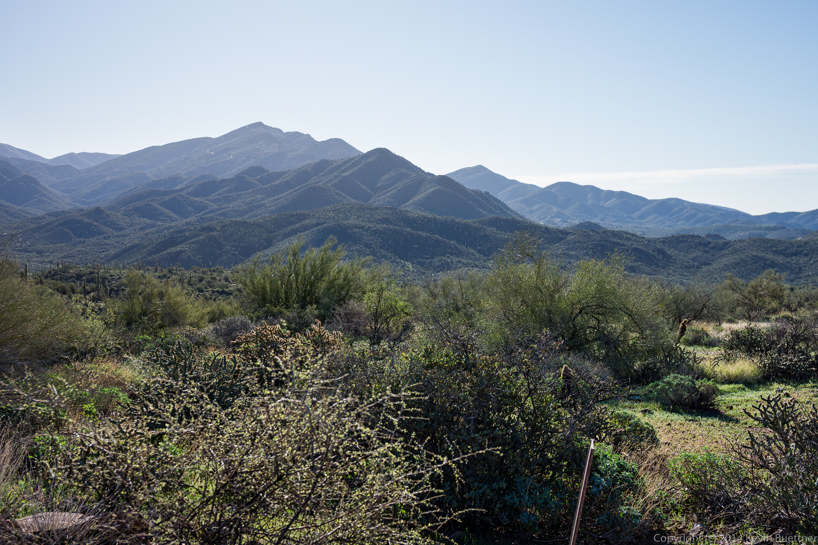
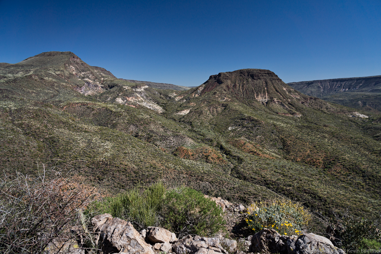
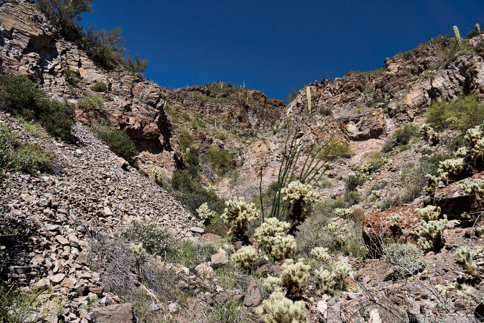
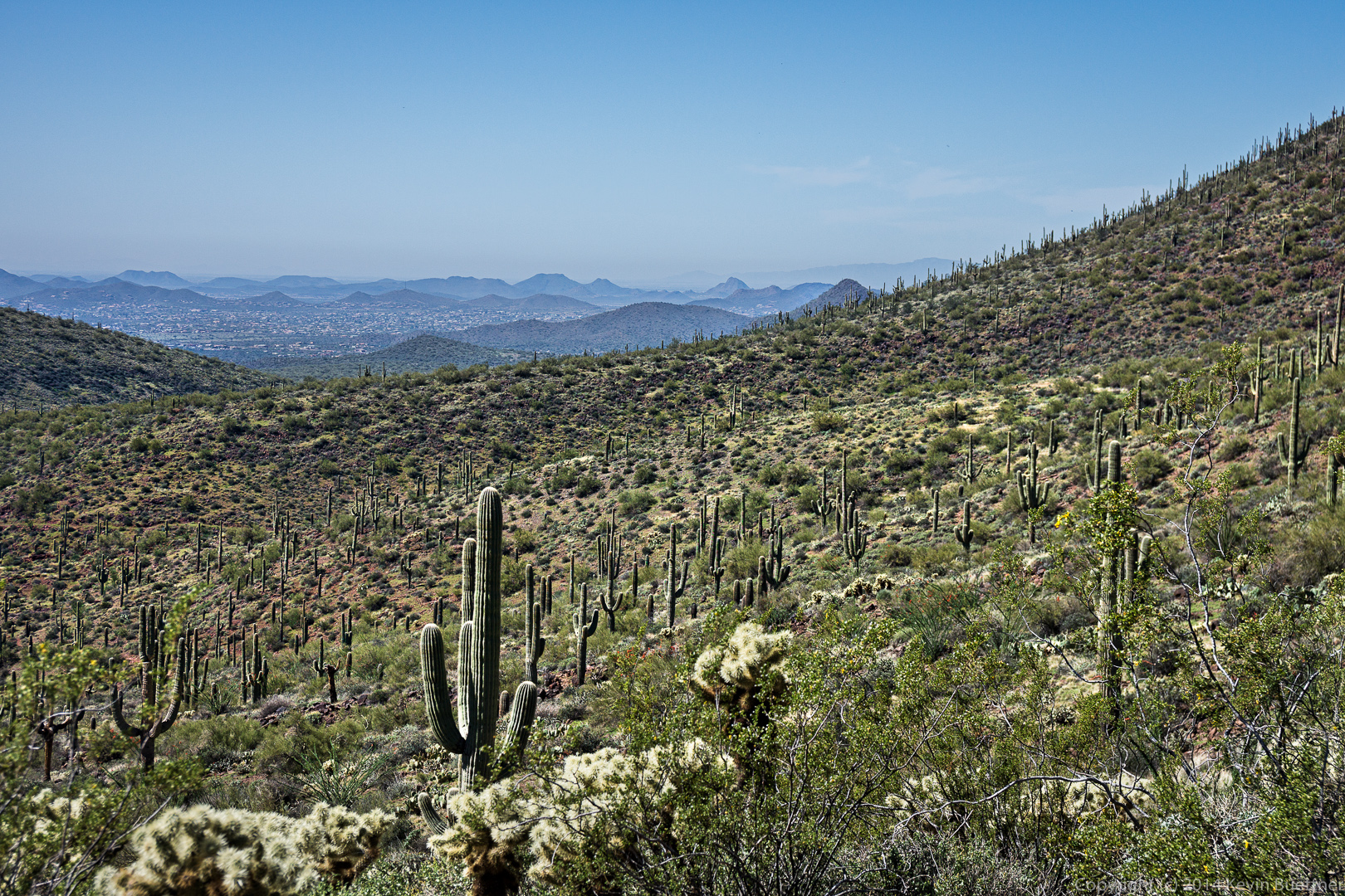
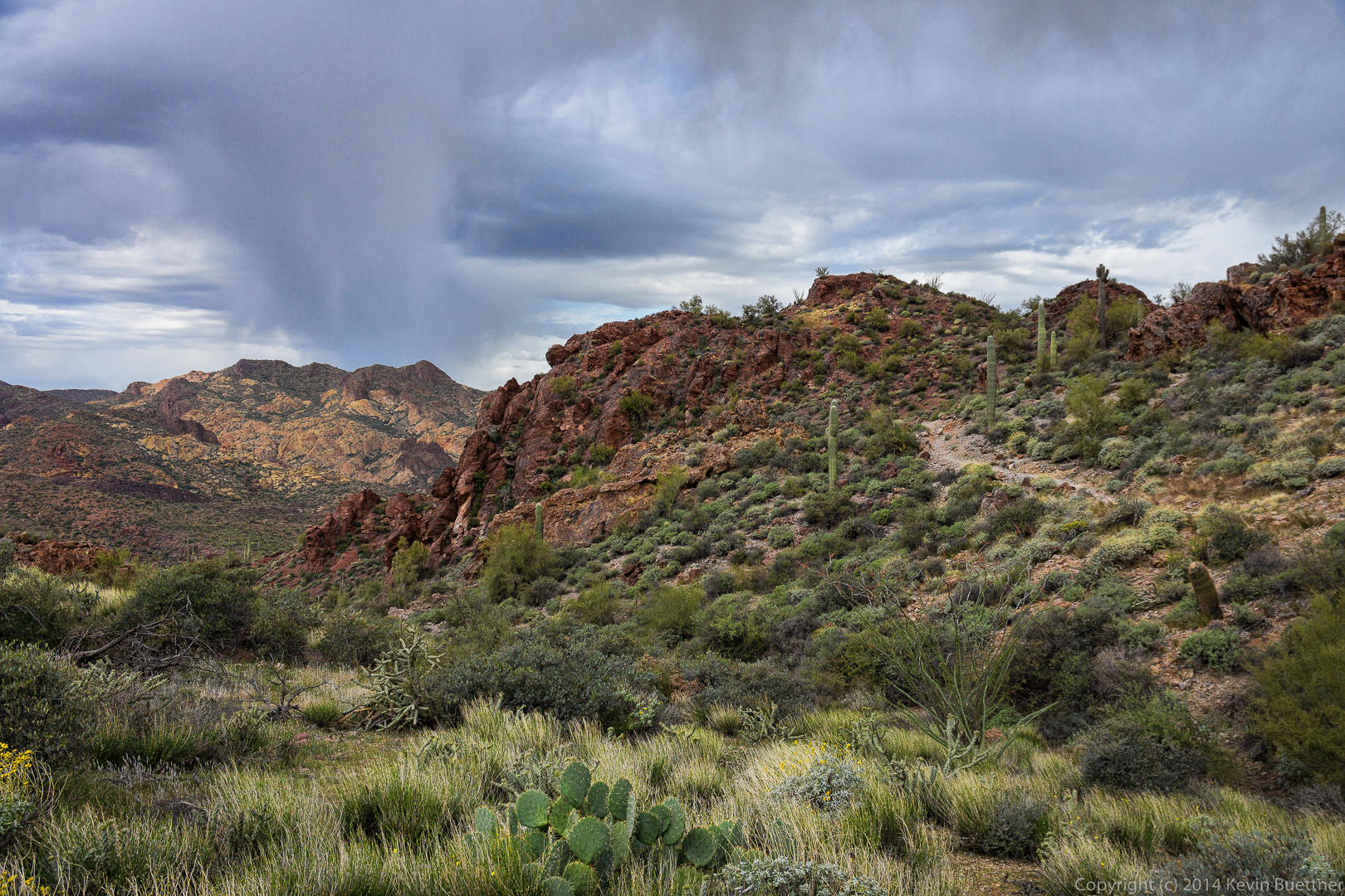
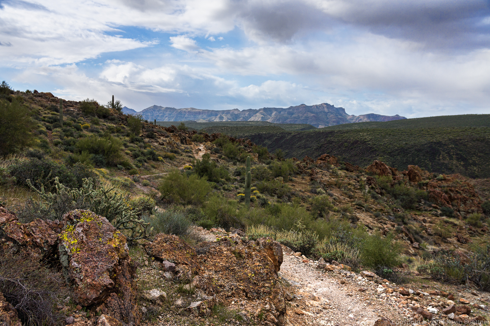
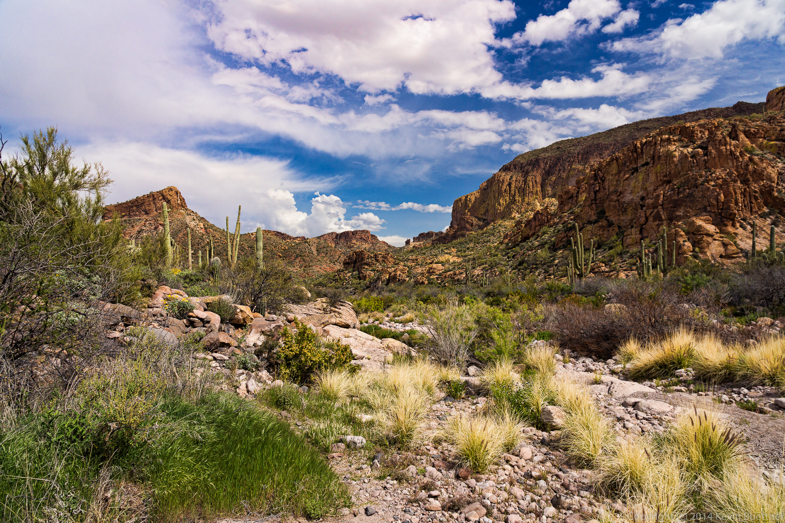
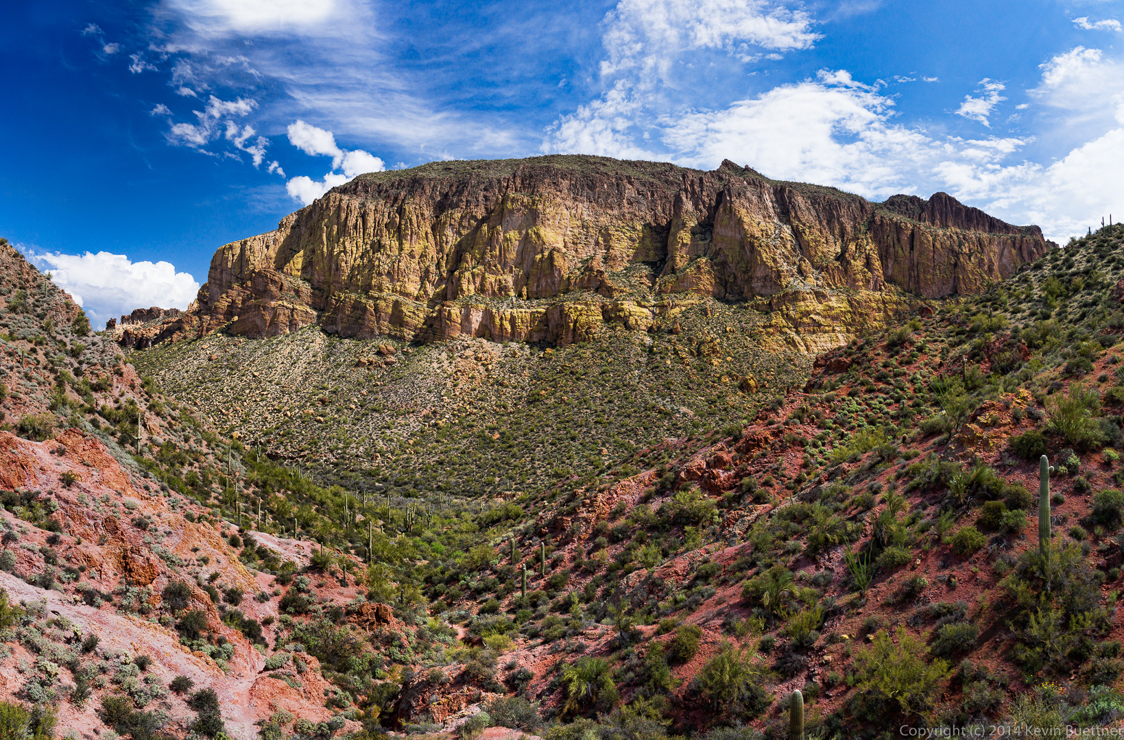
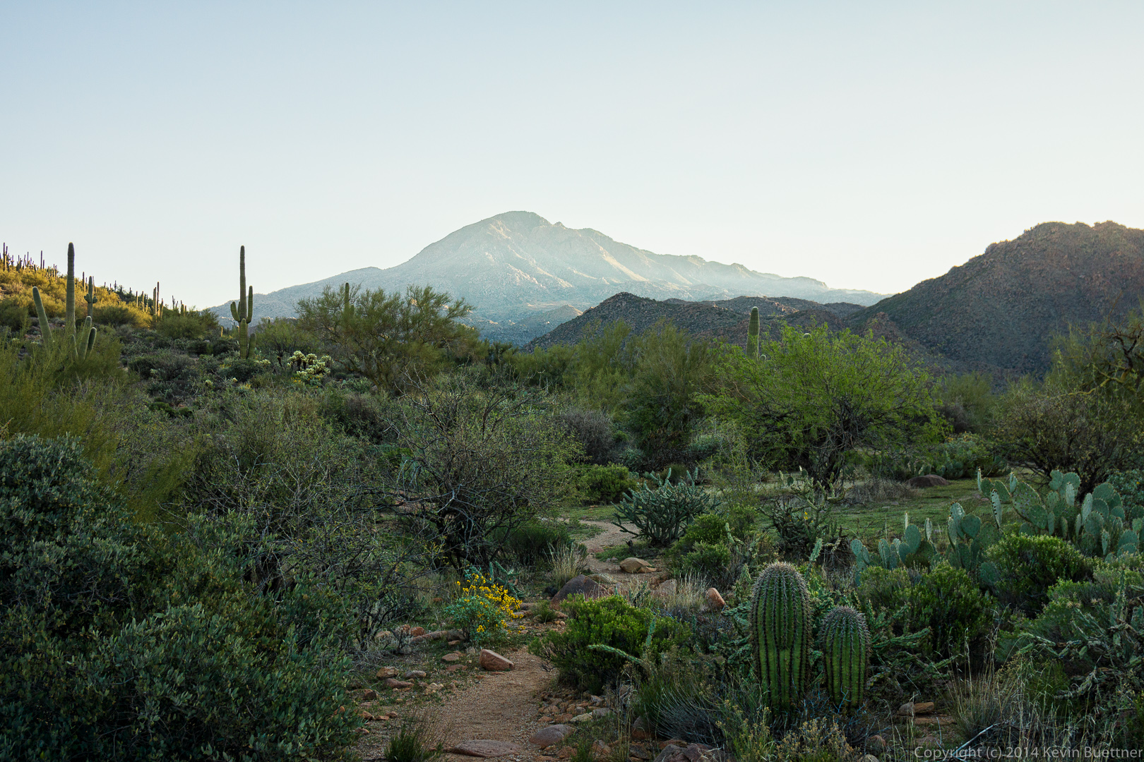
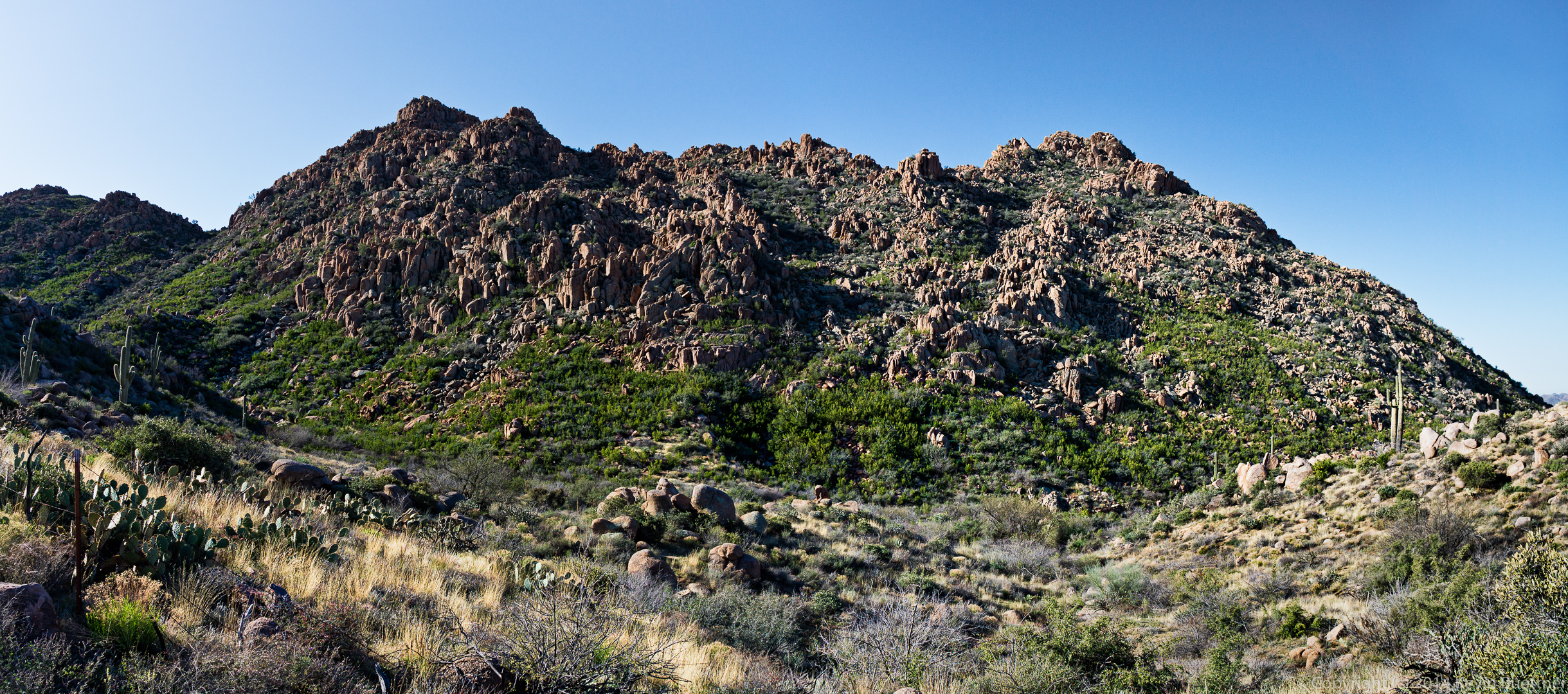
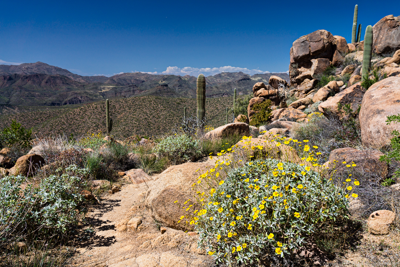
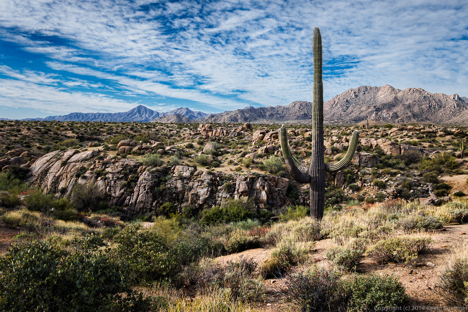
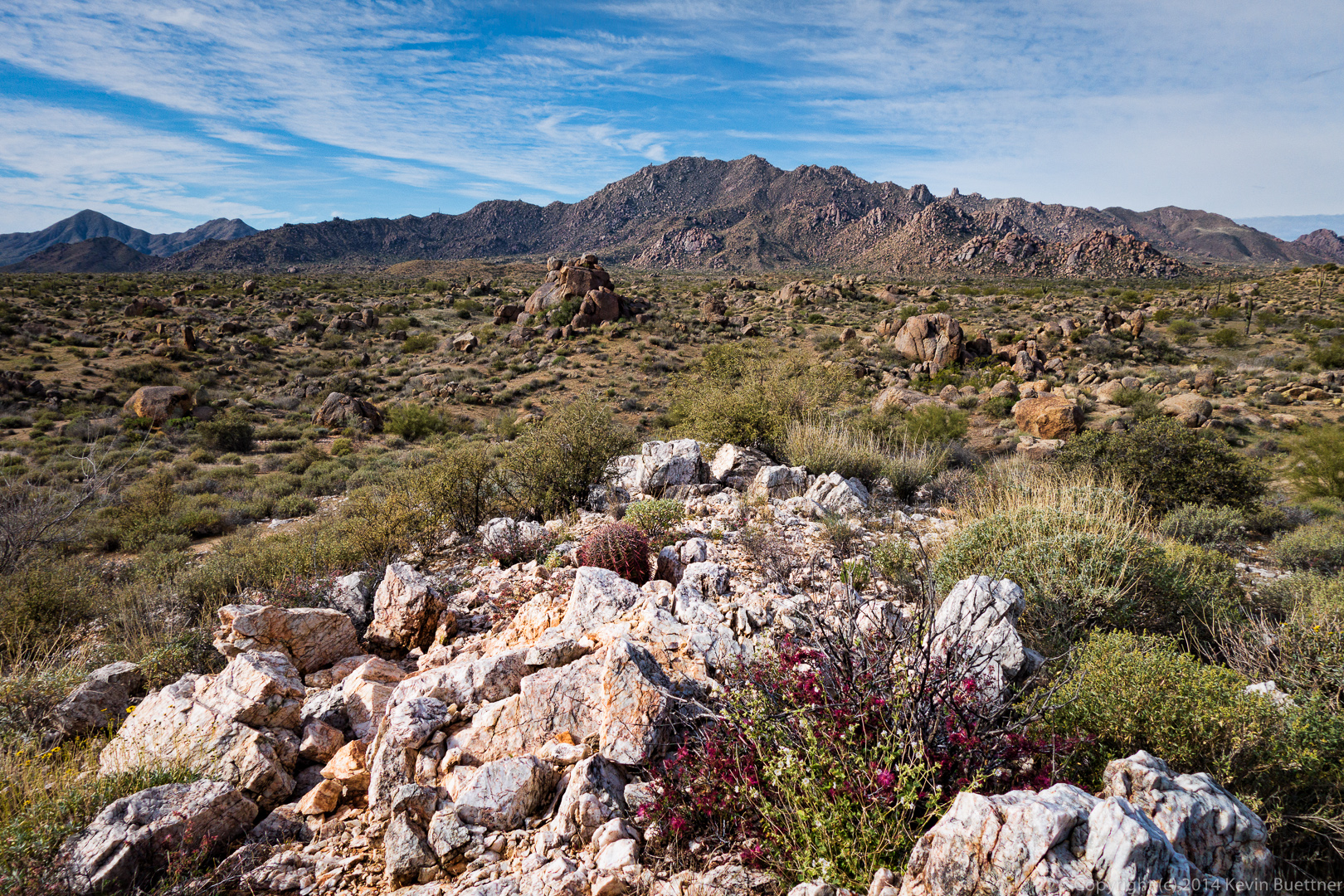
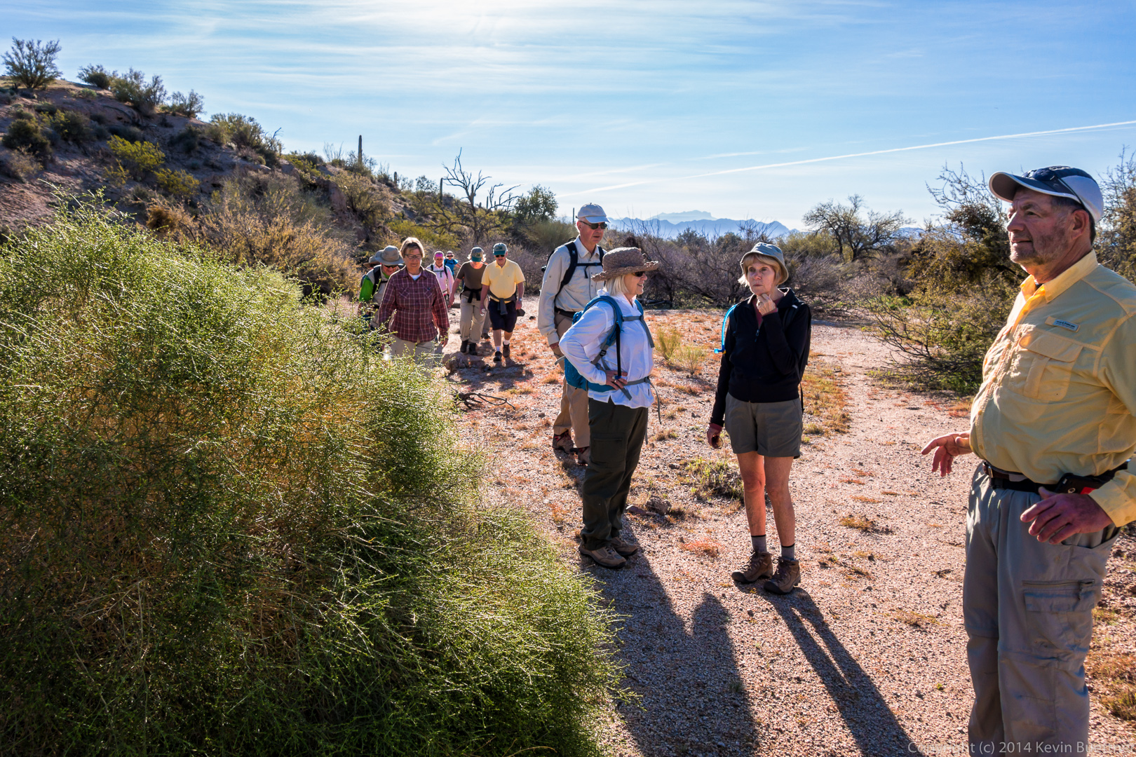
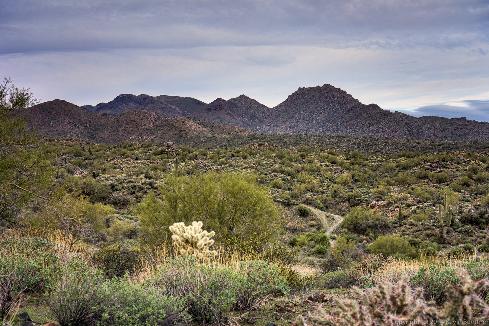
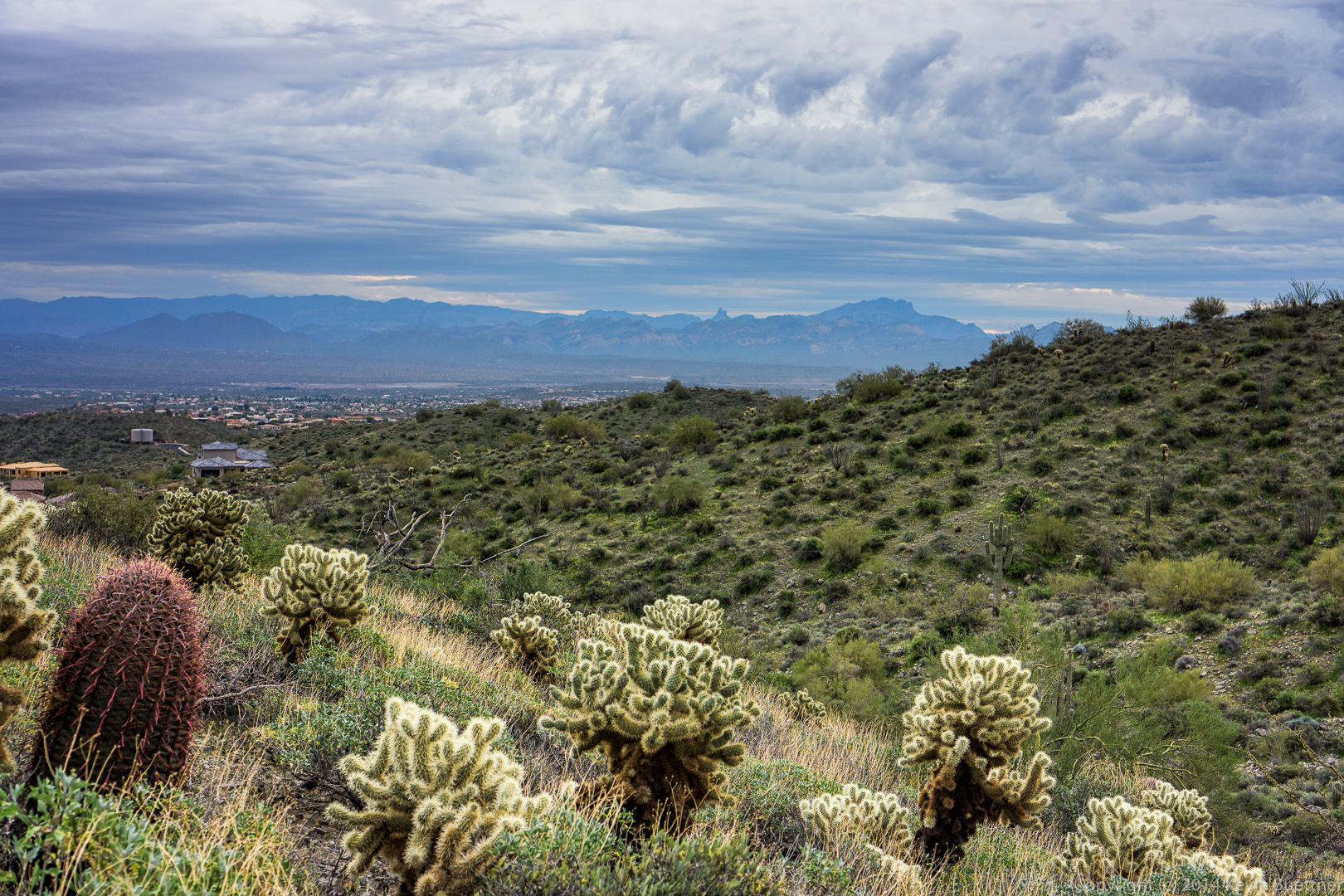
This is a view from the Second Water Trail early in the hike.

20140328-_DSC9647-Edit-Edit-medium 
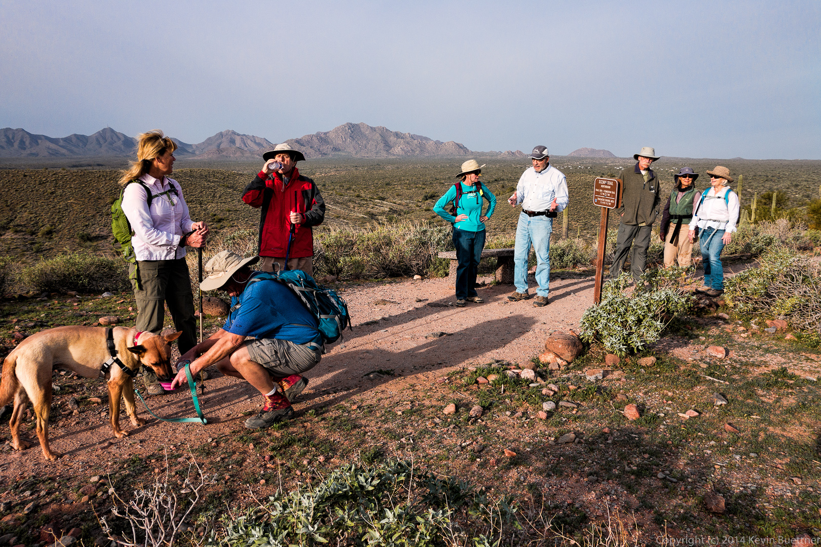
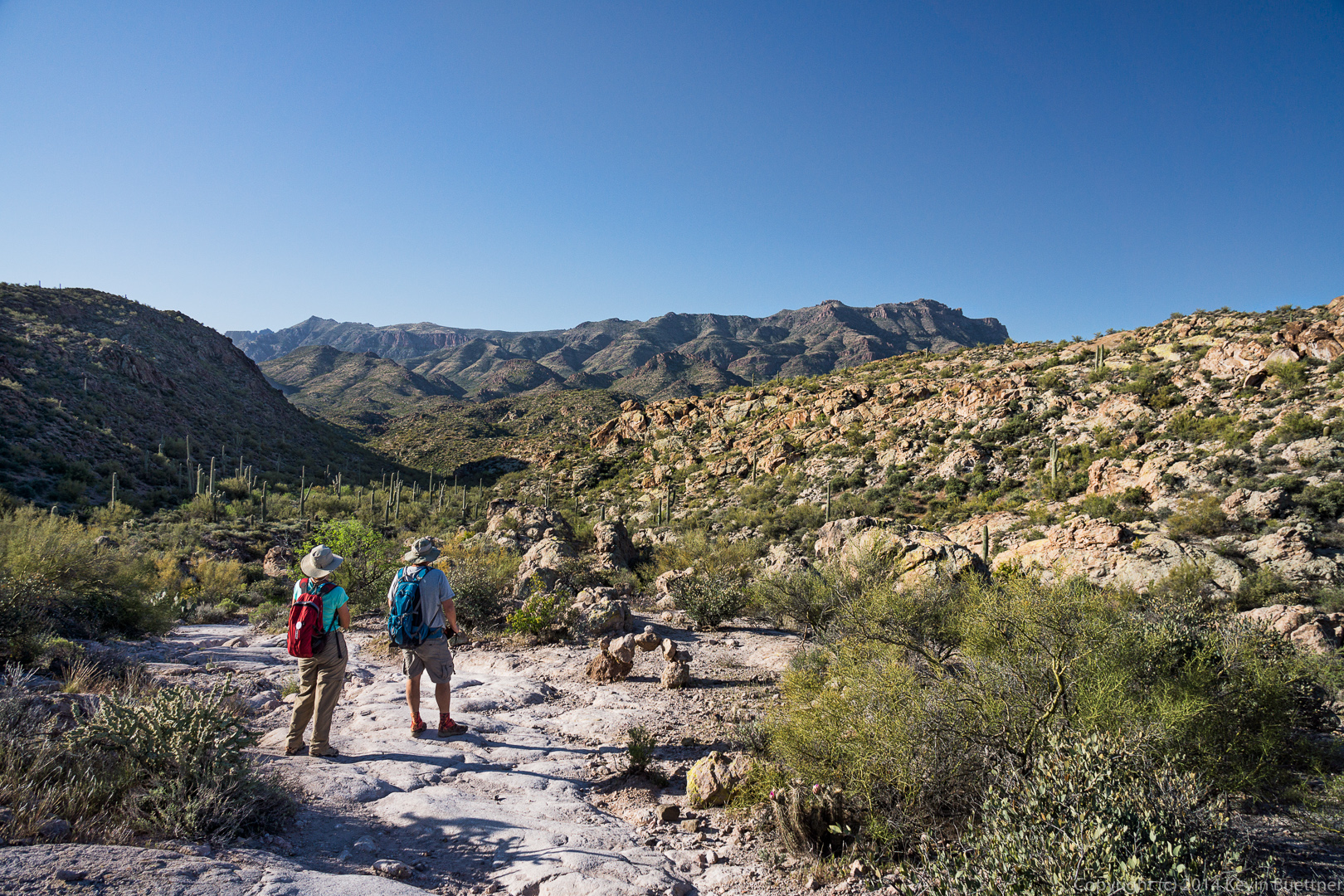
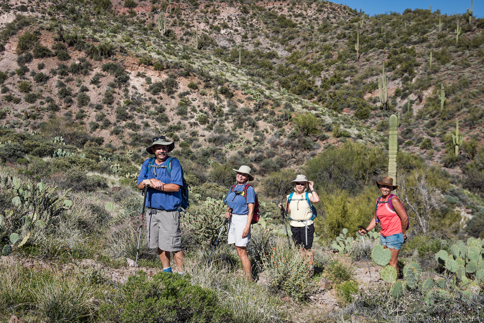
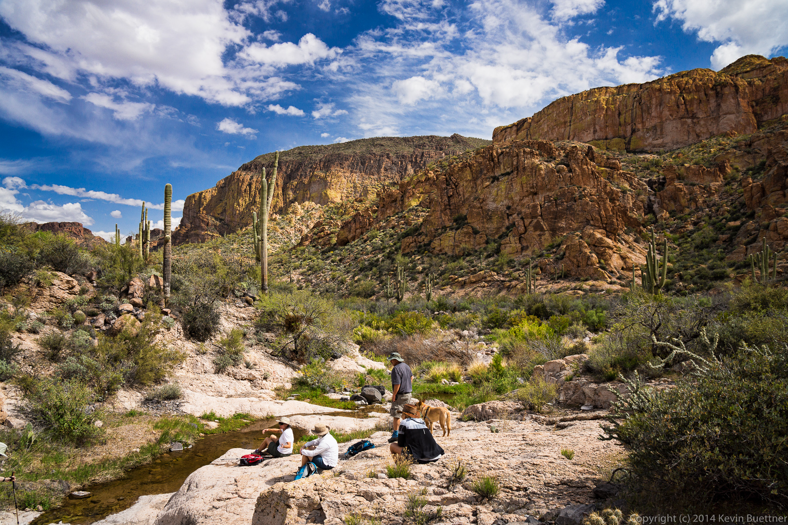
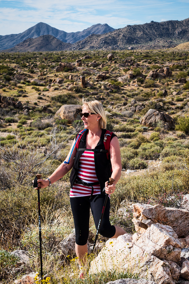
Linda and Bob enjoy the view from the Second Water Trail.  There’s an interesting, arch-shaped cairn here too.

20140328-_DSC9653-Edit-medium 
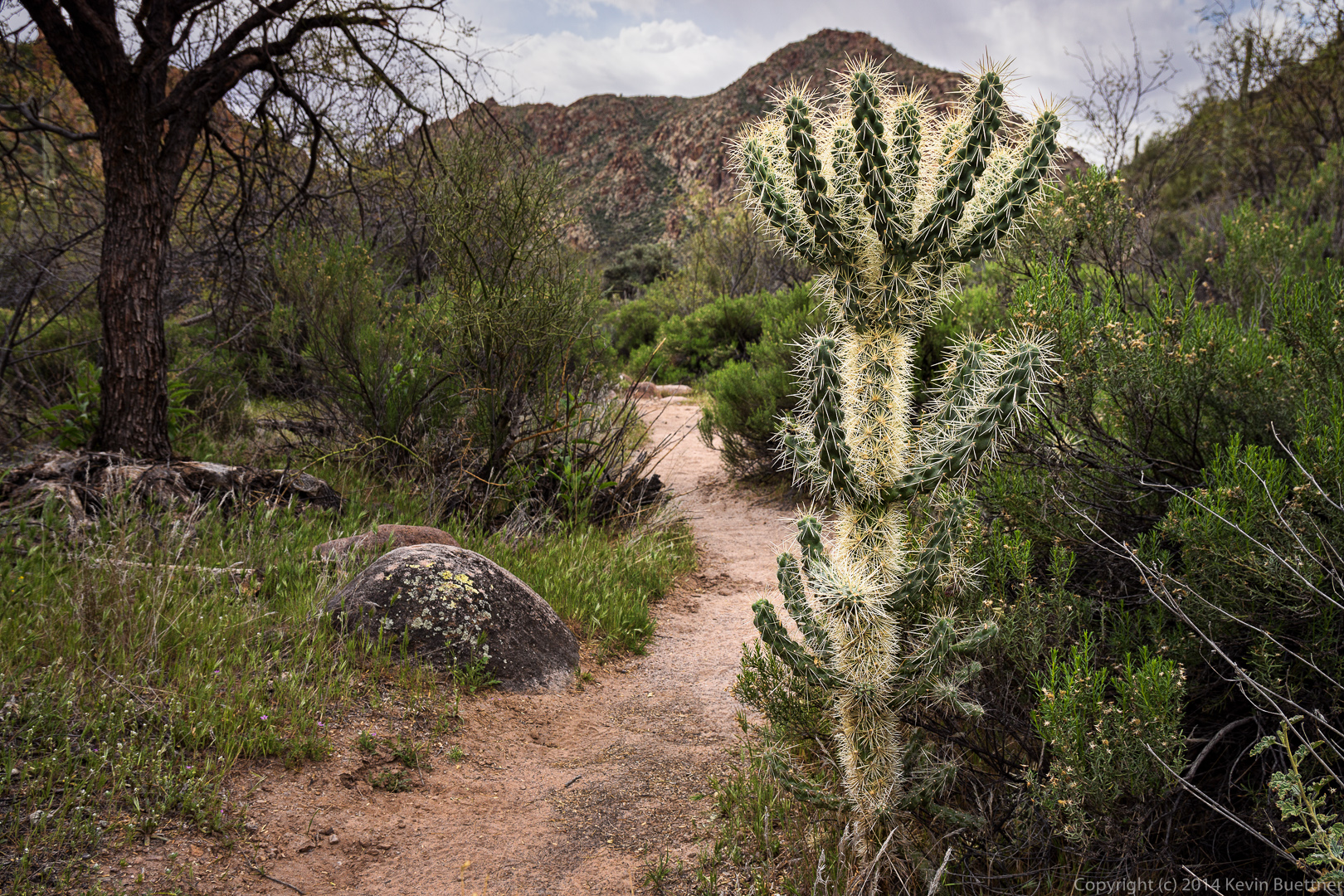
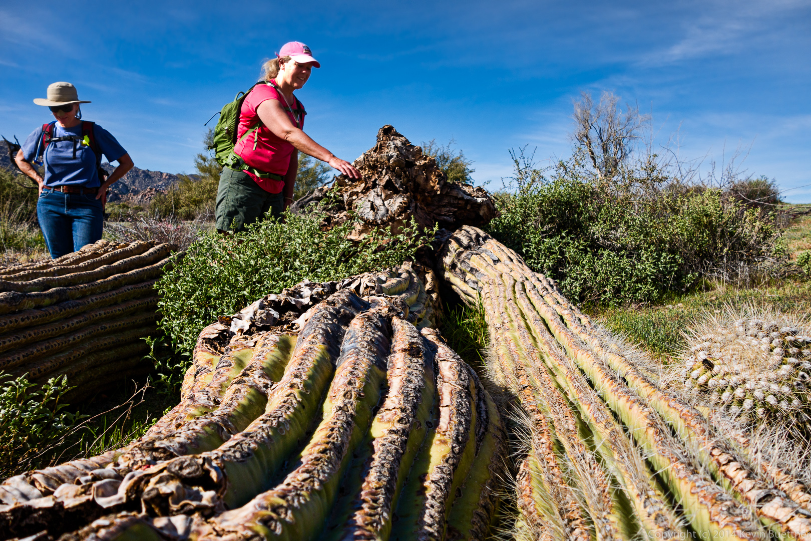
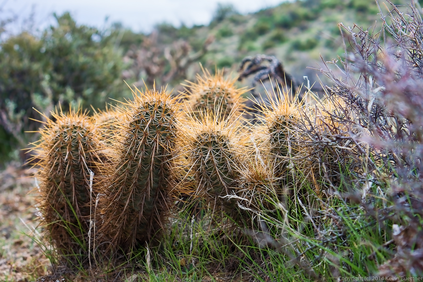
We saw these chain fruit cholla on the Black Mesa Trail.

20140328-_DSC9662-Edit-medium
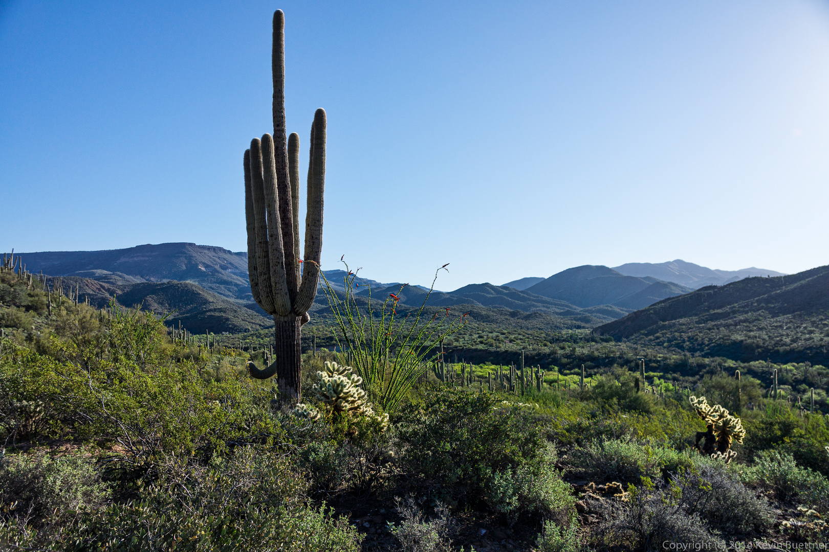
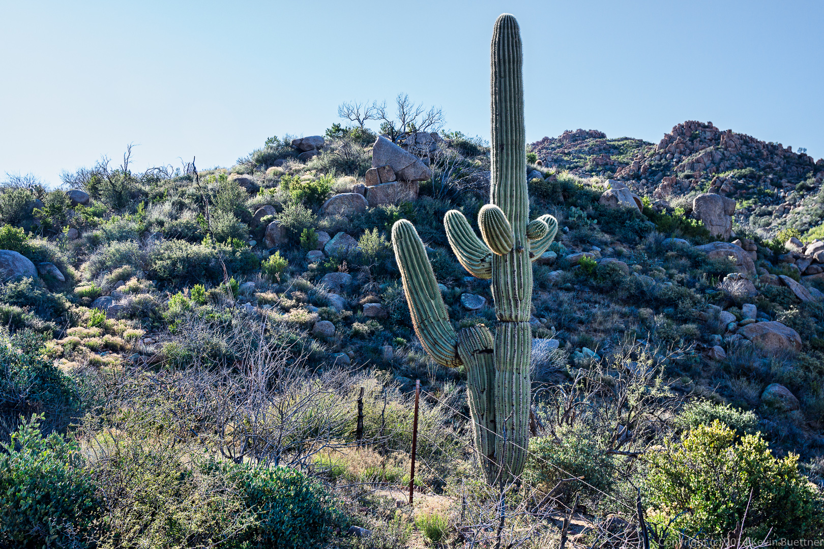
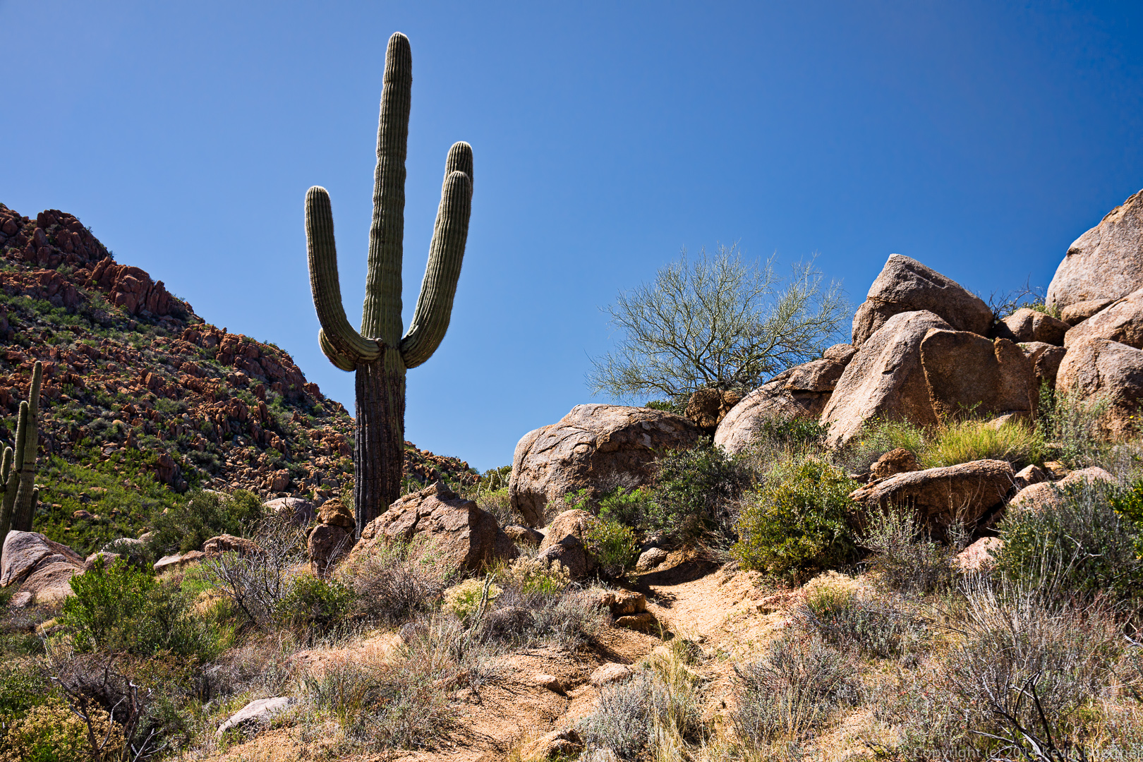
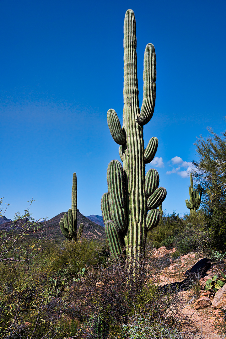
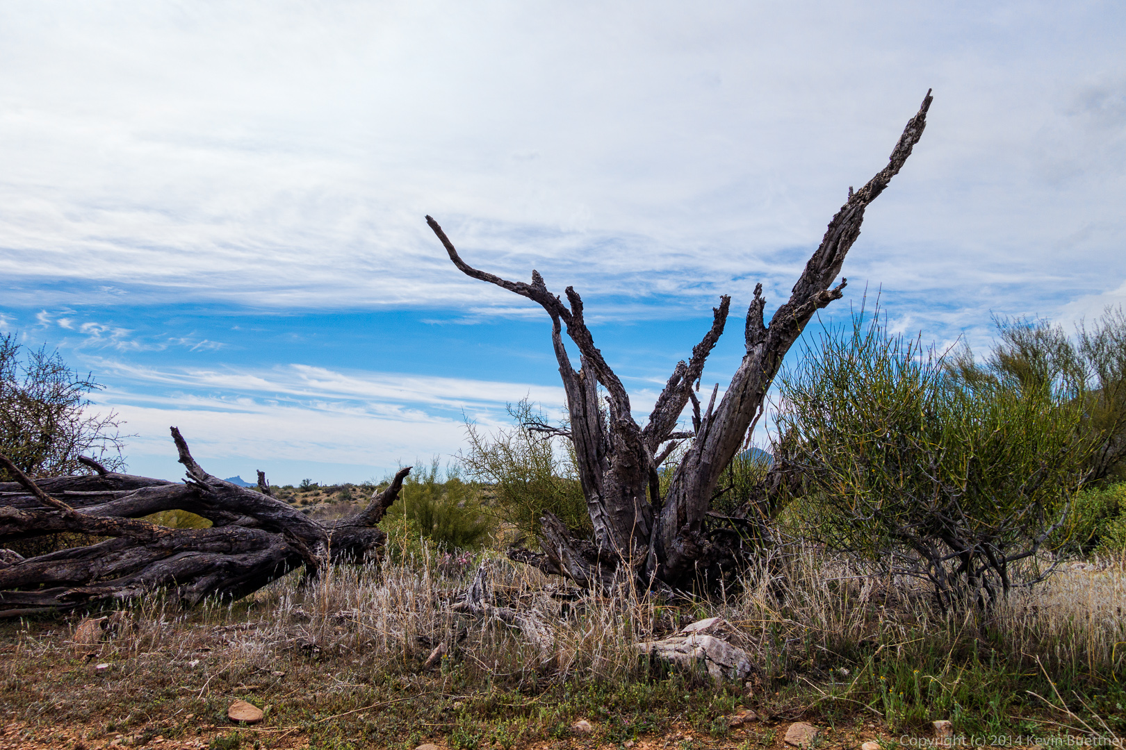
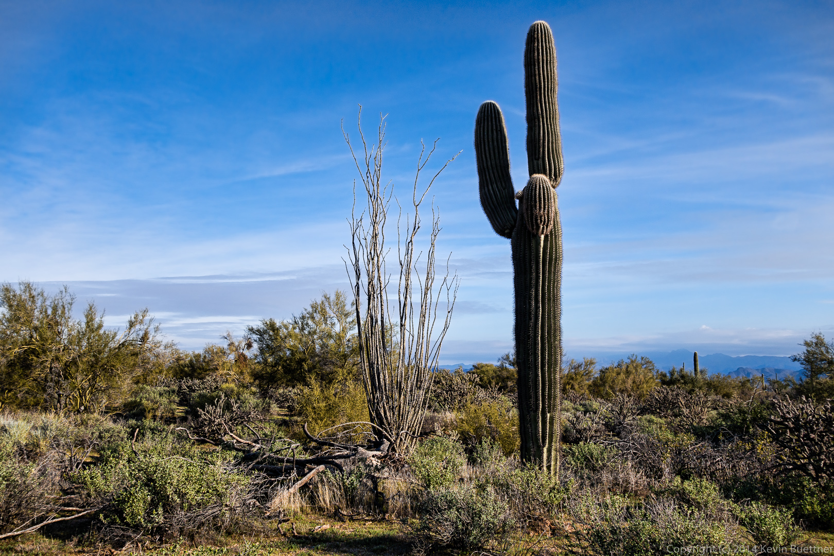
I thought it was interesting that these saguaros made a “V”.
20140328-_DSC9668-Edit-medium
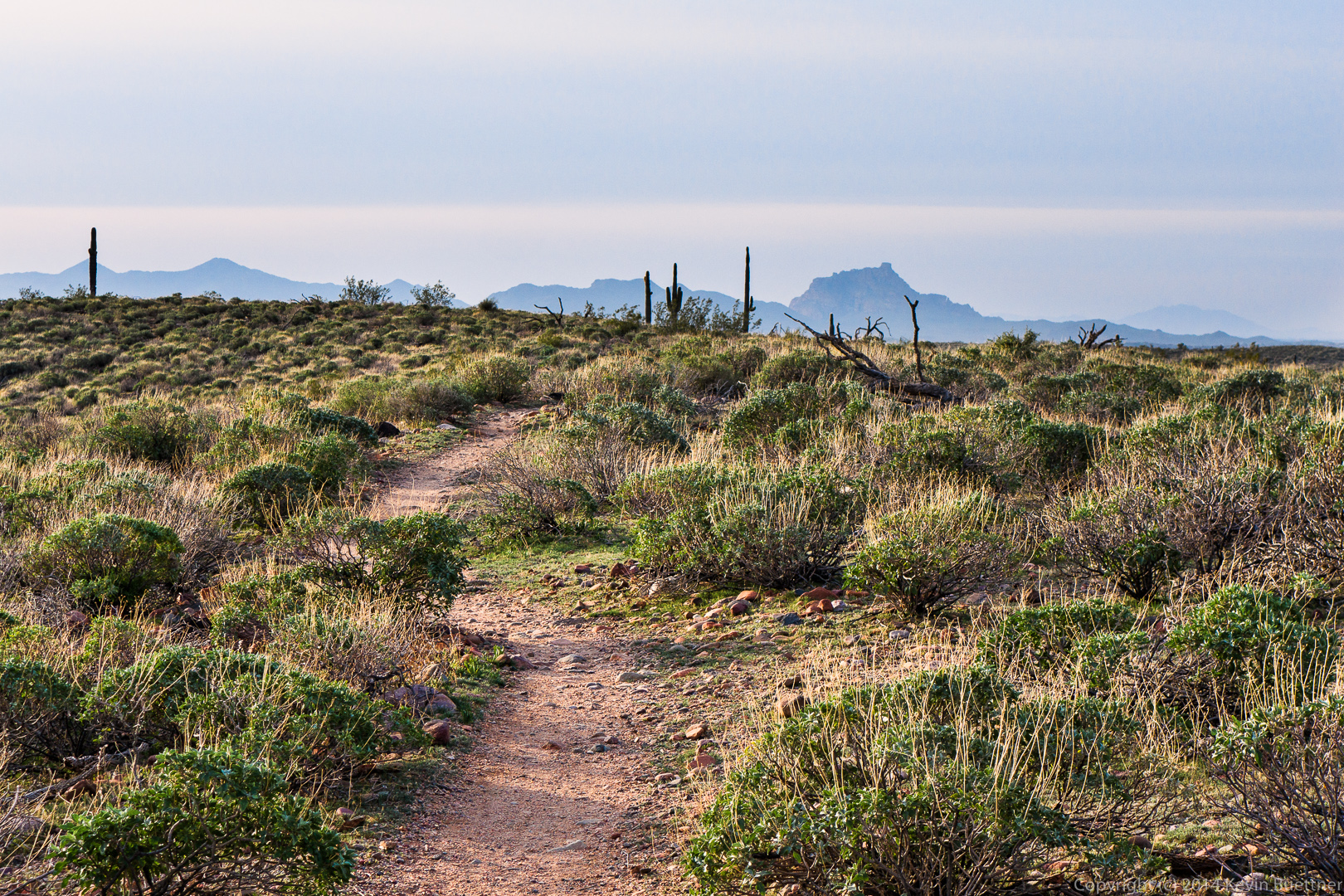
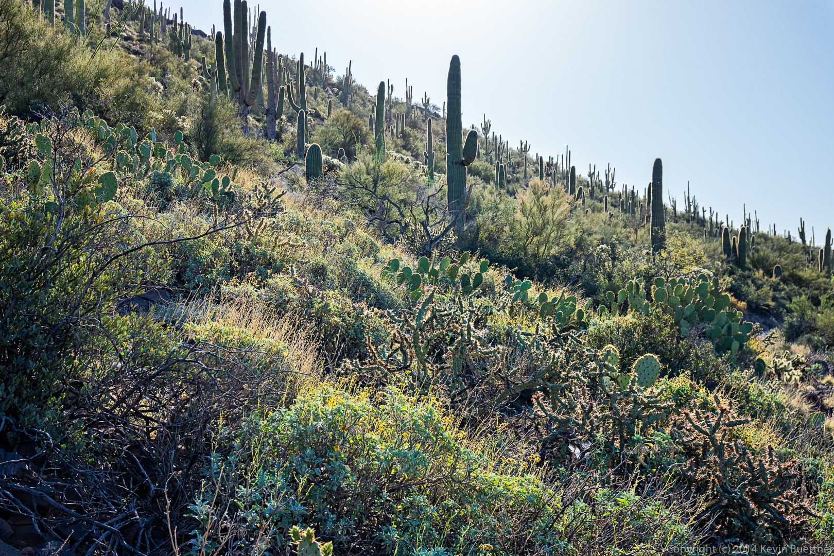
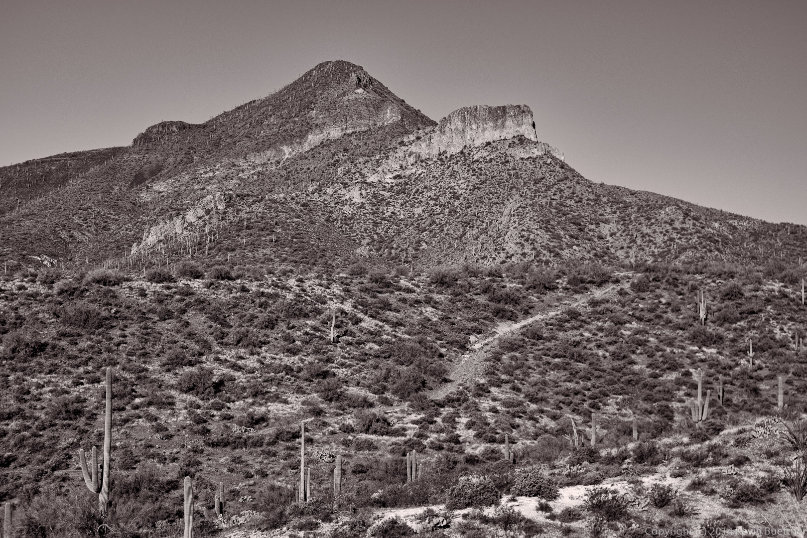
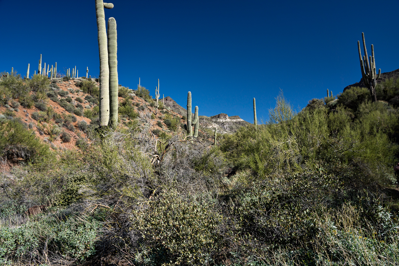
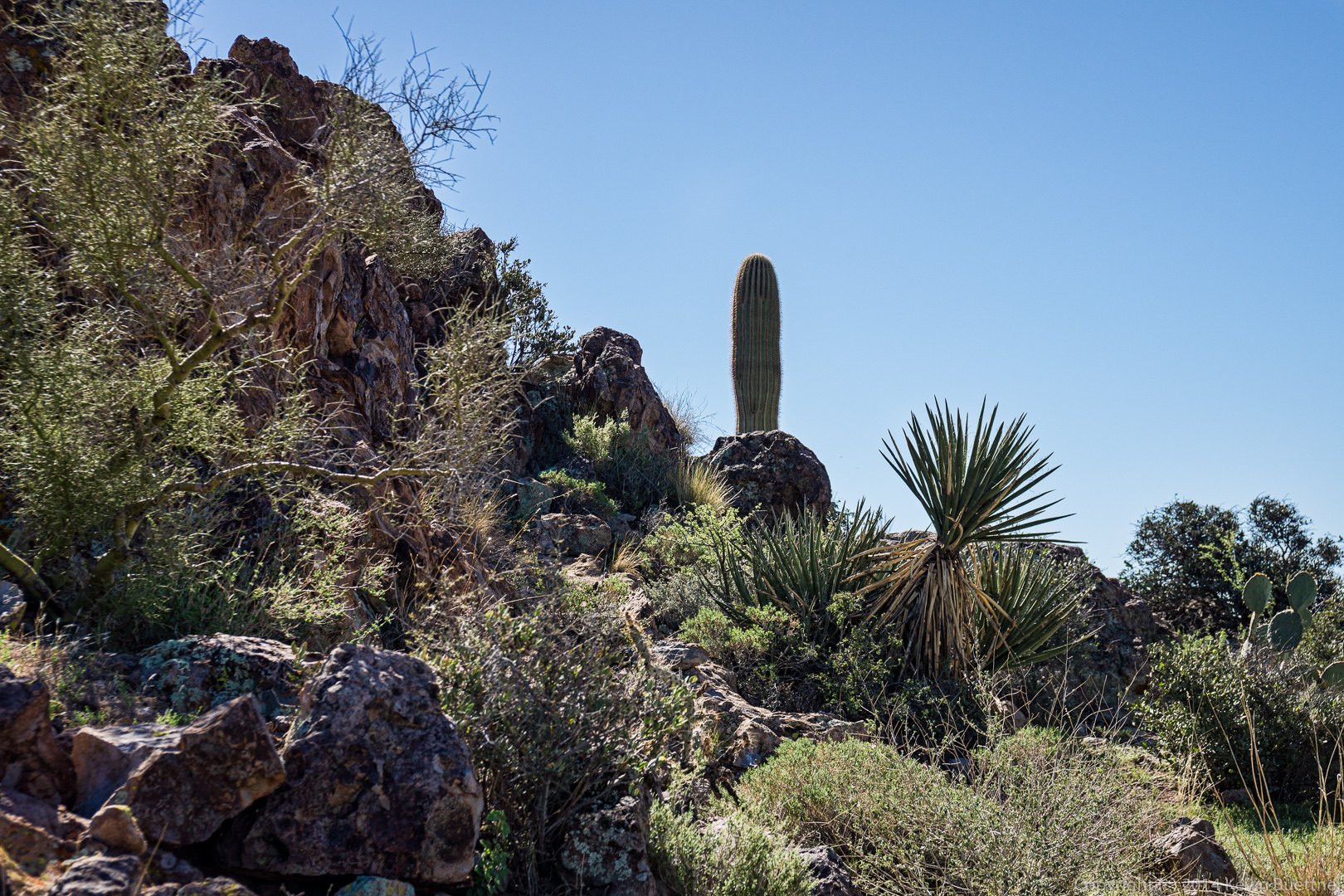
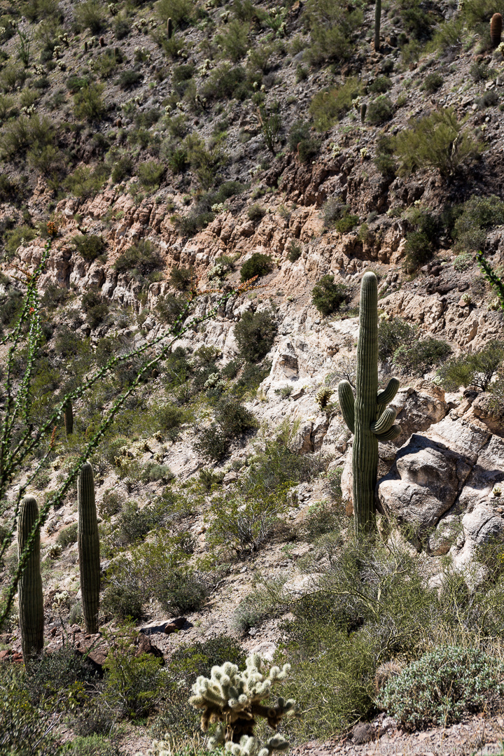
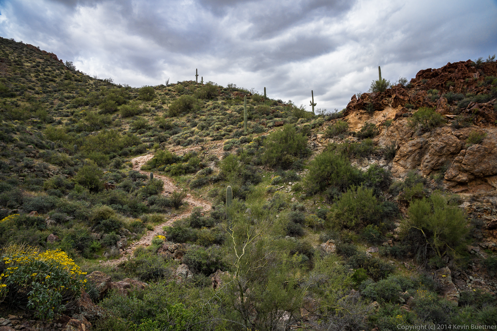
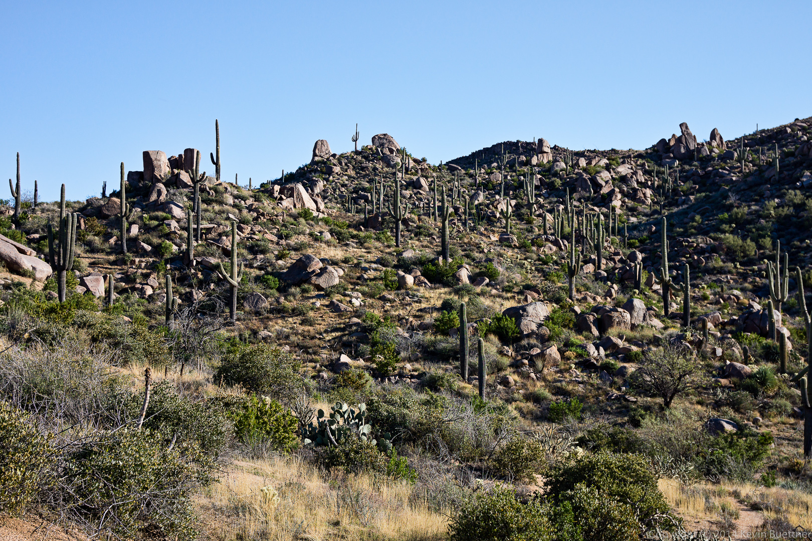
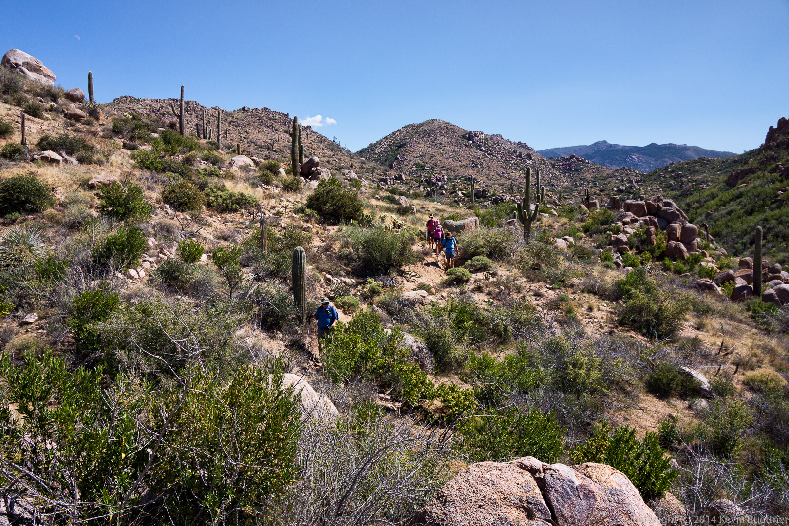
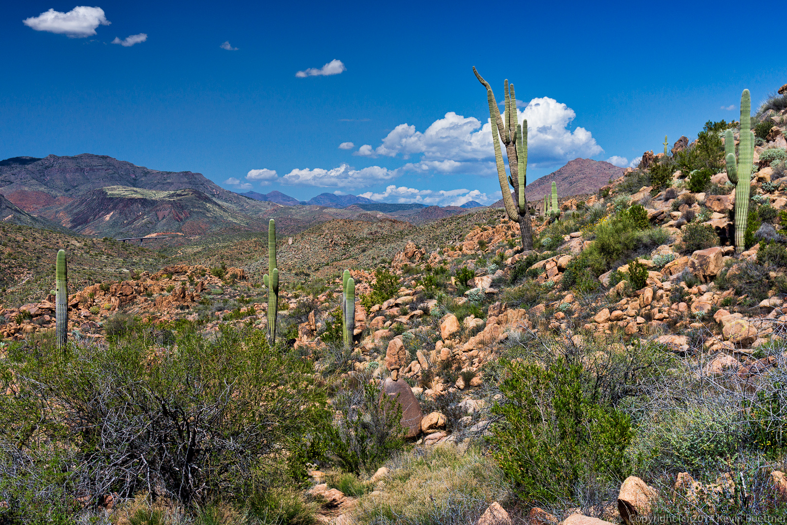
We noticed a large number of saguaros on the hillside to our left as we hiked the Black Mesa Trail, but there were almost no saguaros on the hillside to our right.  I had to keep the camera low to avoid lens flare in this shot.

20140328-_DSC9683-Edit-medium 
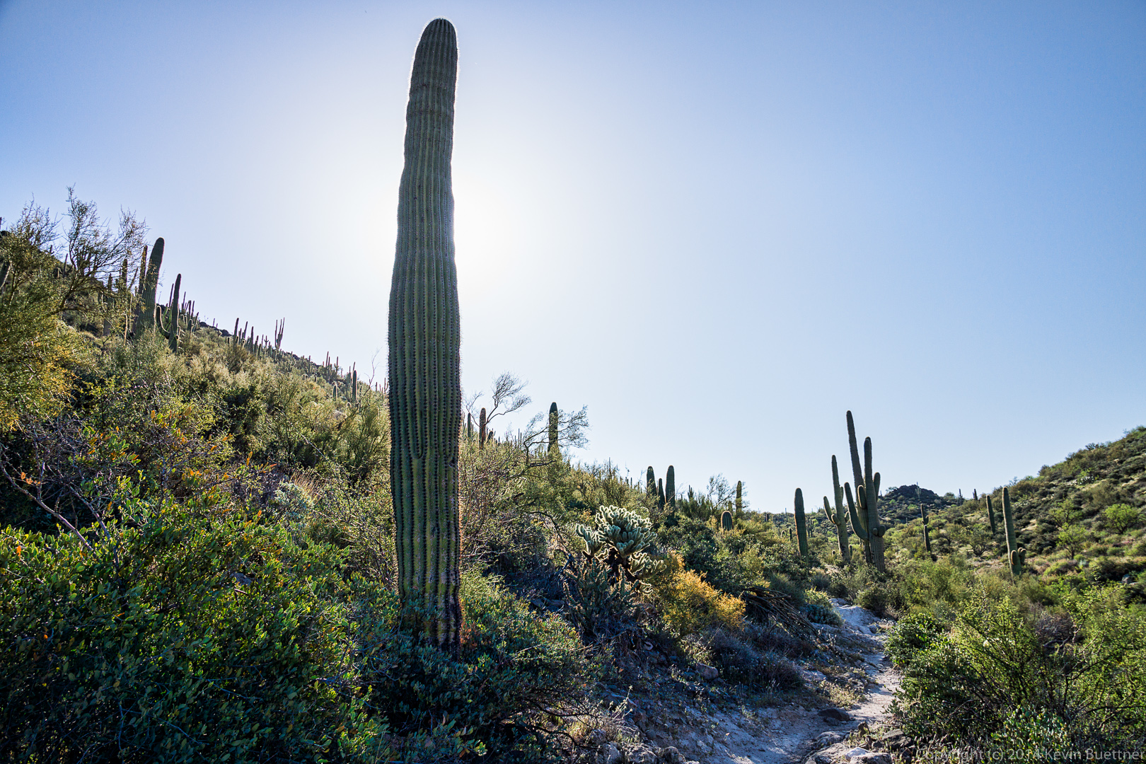
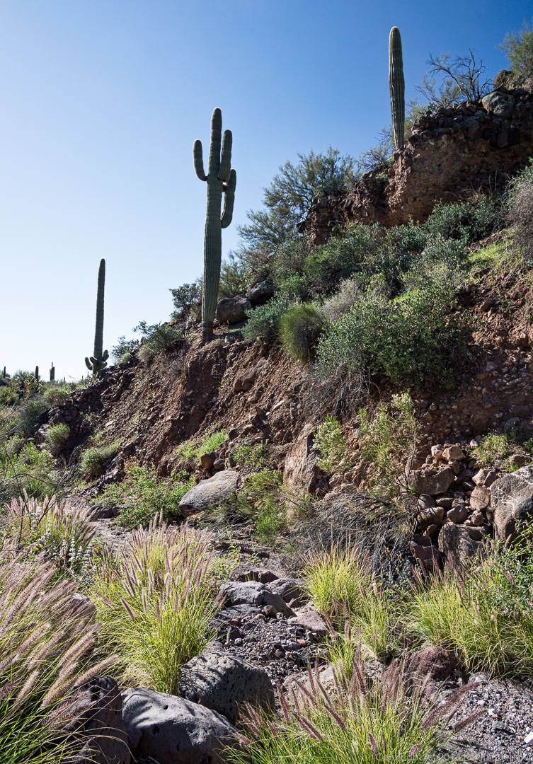
A short ways further, I decided to position the camera in this saguaro’s shadow as a different way of avoiding lens flare.

20140328-_DSC9697-Edit-medium 
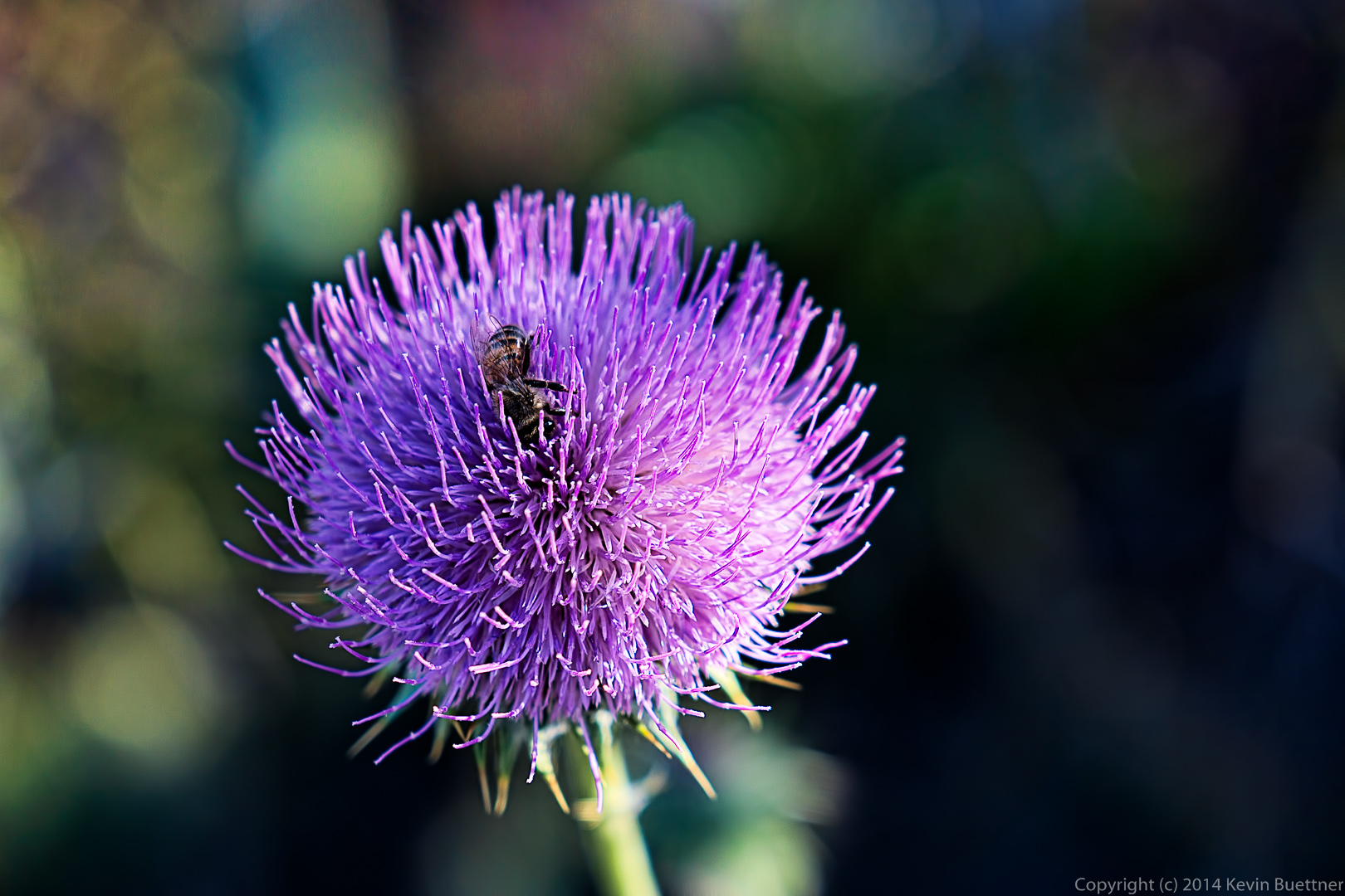
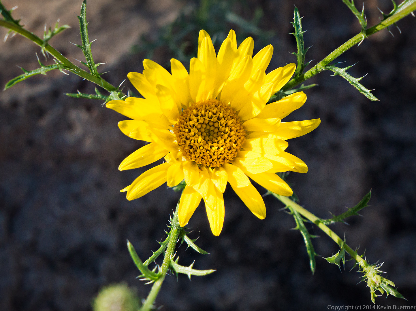
We came across this thistle flower with a bee wriggling around in the flower.  Apparently, it was very happy there because it was there when I stopped for a sequence of photos and was still there when I left.  I waited a bit too, to see if it would emerge and fly away, but did not have the patience to wait for very long.

20140328-_DSC9737-Edit-medium 
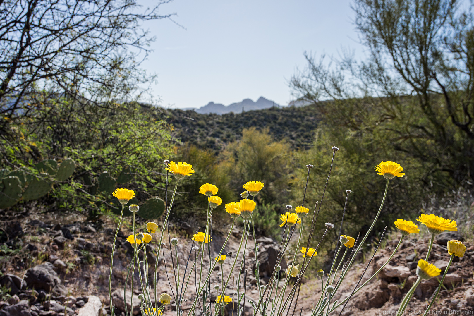
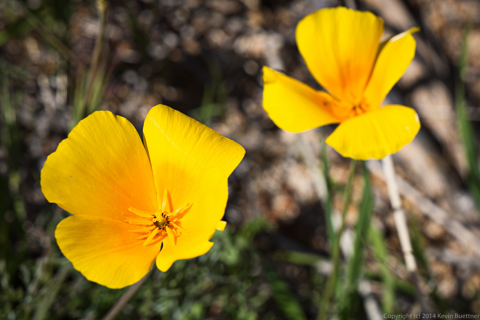
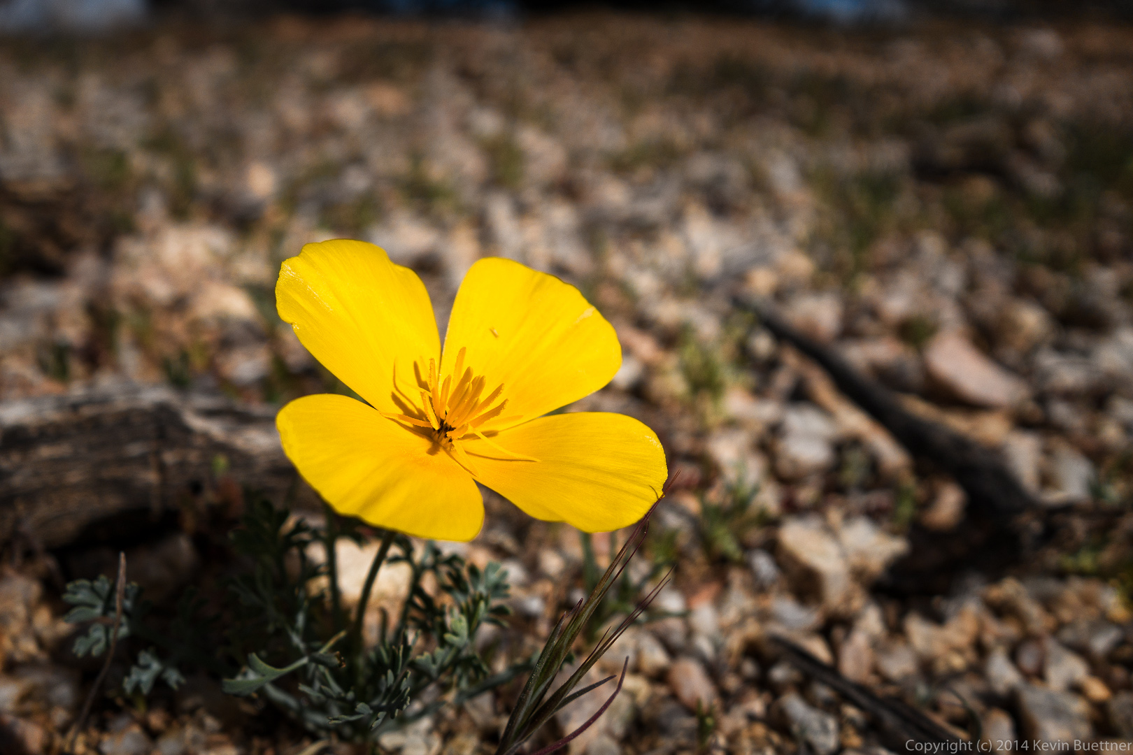
This might be Desert Marigold.

20140328-_DSC9752-Edit-medium 
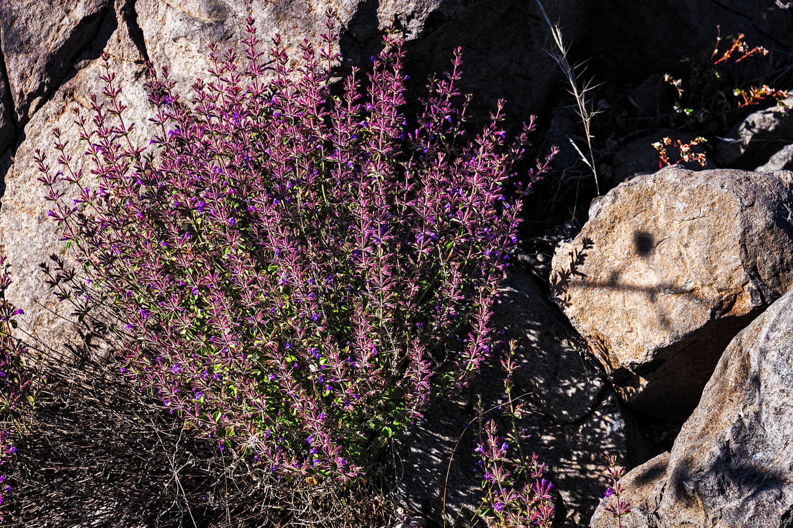
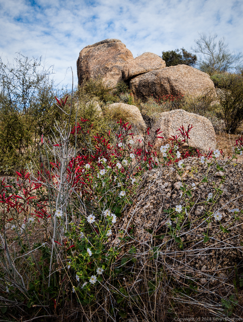
I don’t know what these purple flowers are.  They were somewhat paler than shown here in the harsh sunlight.

20140328-_DSC9764-Edit-medium
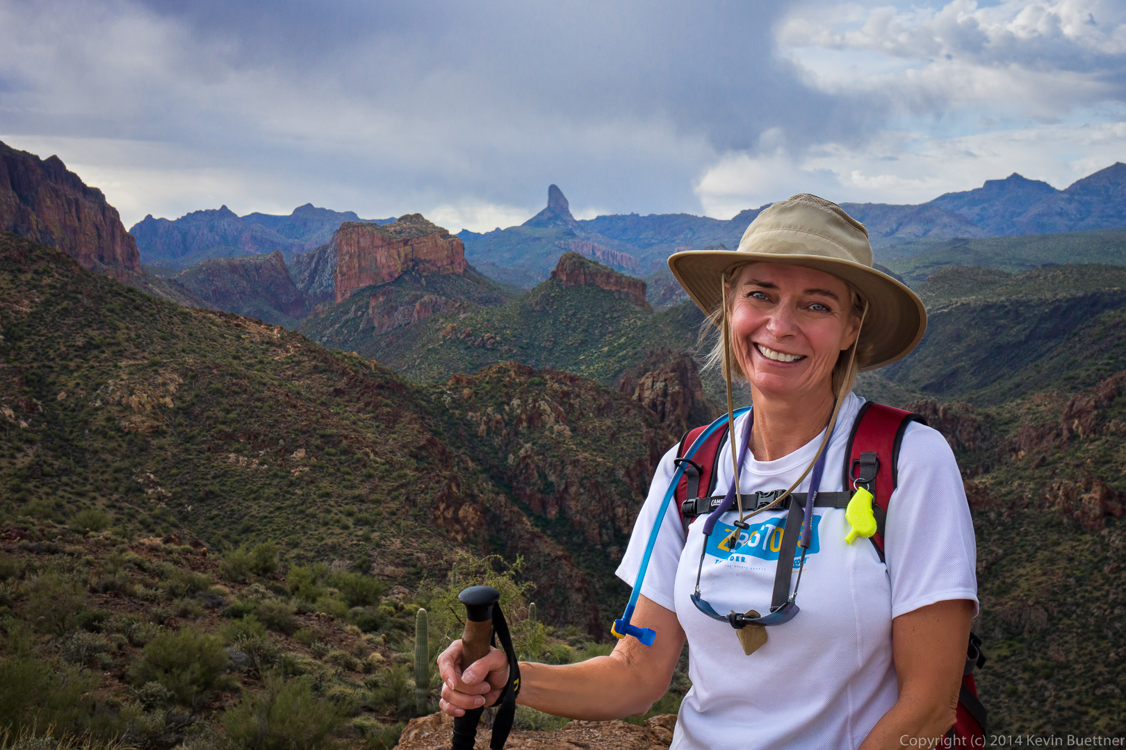
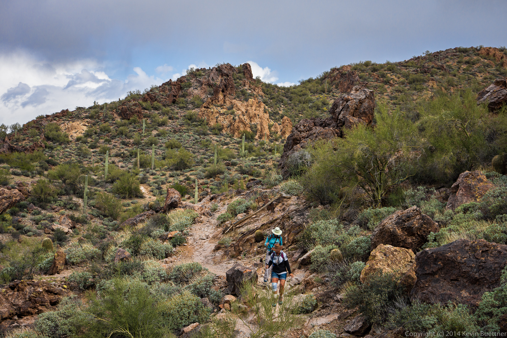
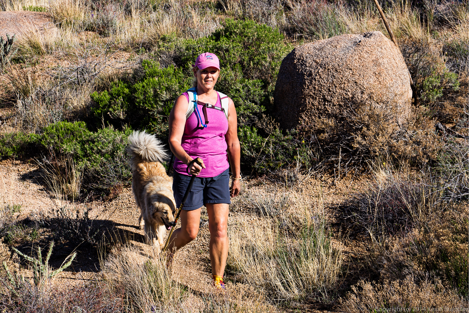
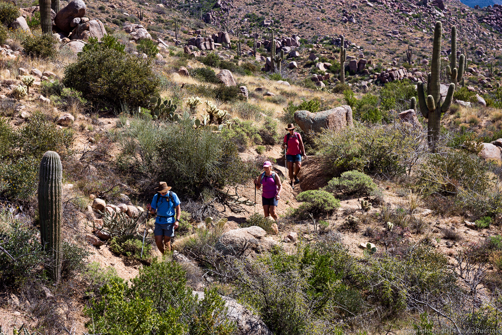
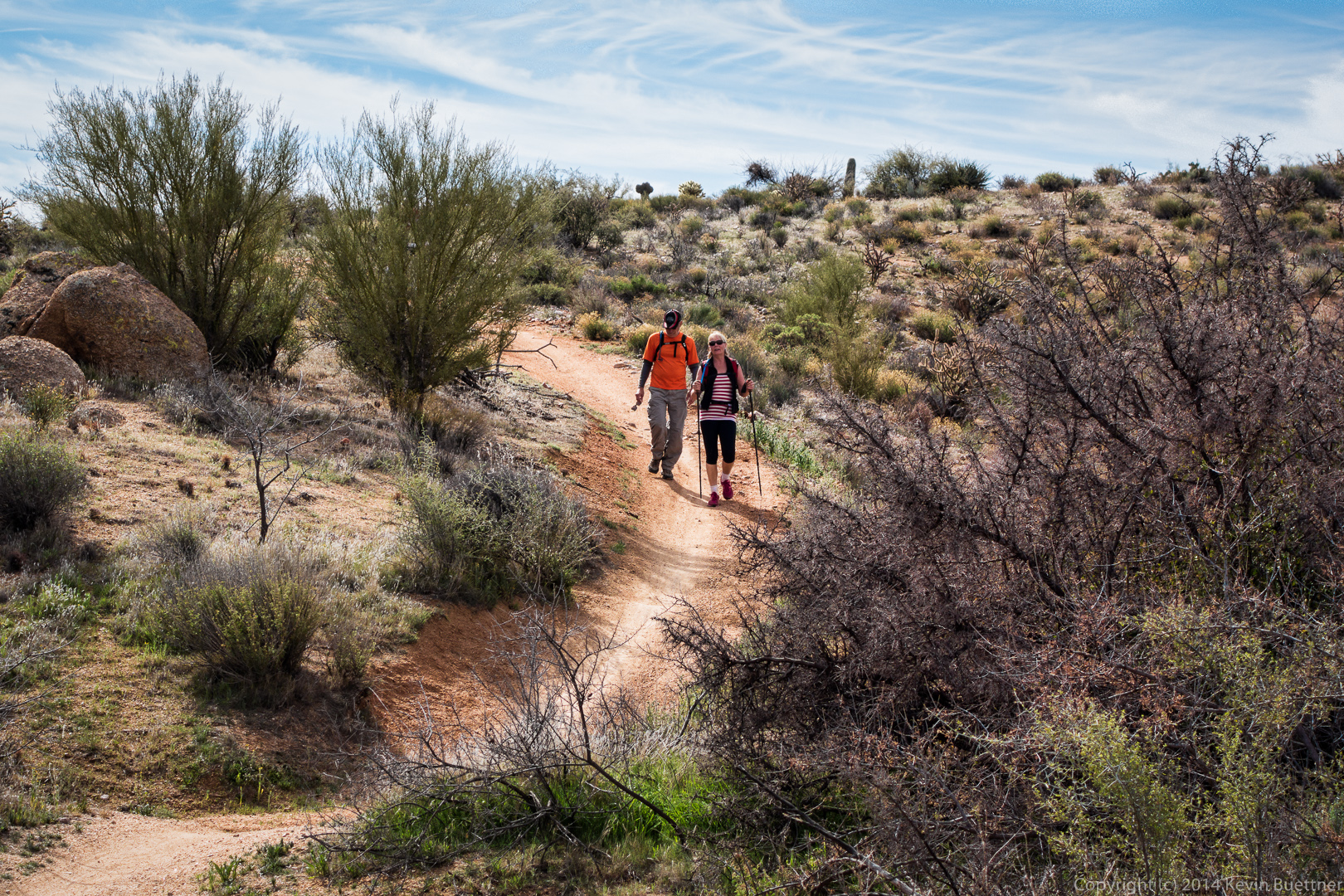
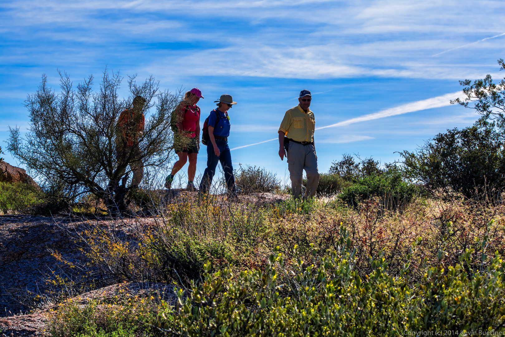
Linda hiking the Black Mesa Trail.

20140328-_DSC9794-Edit-medium 
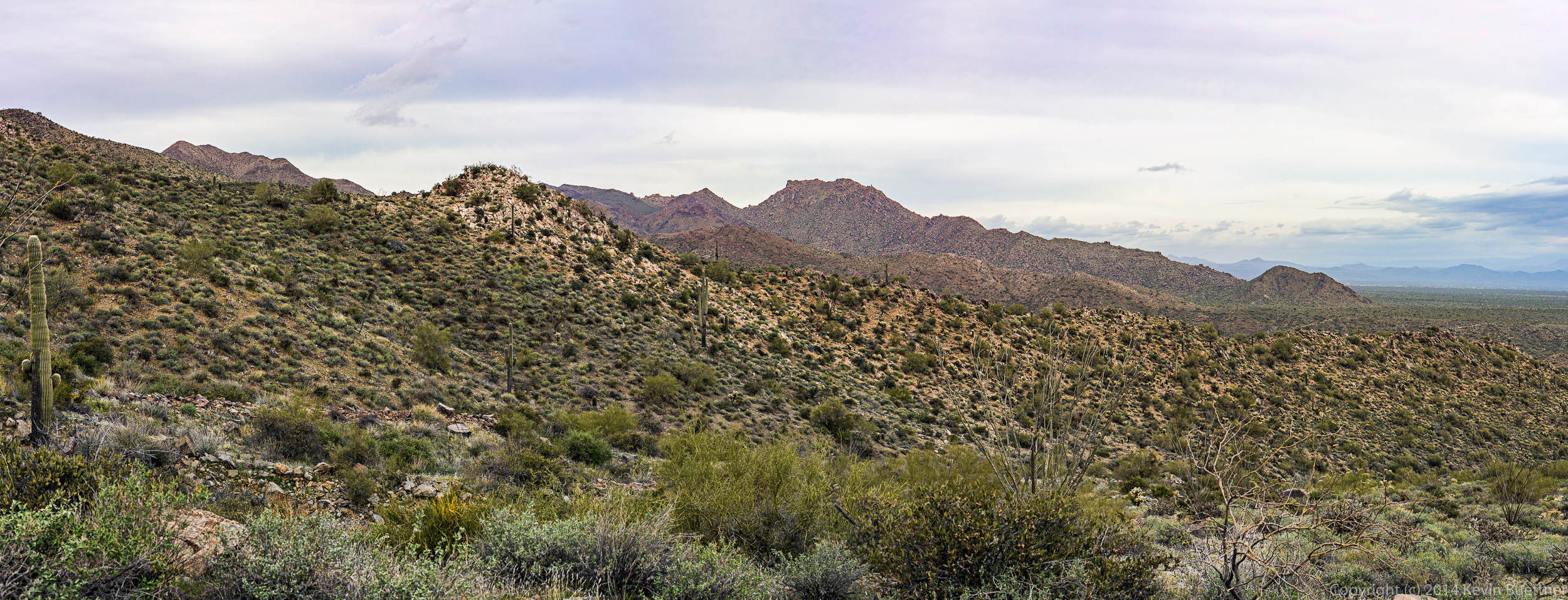
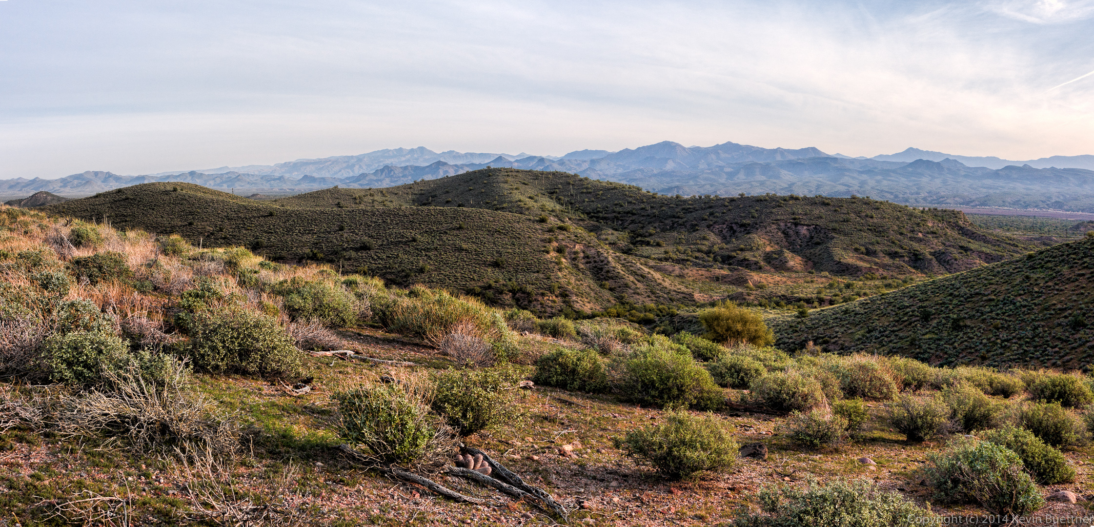
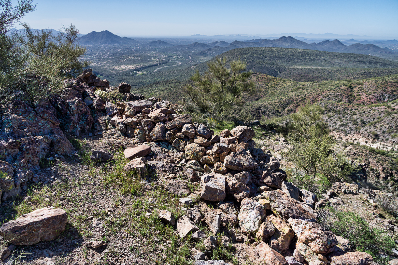
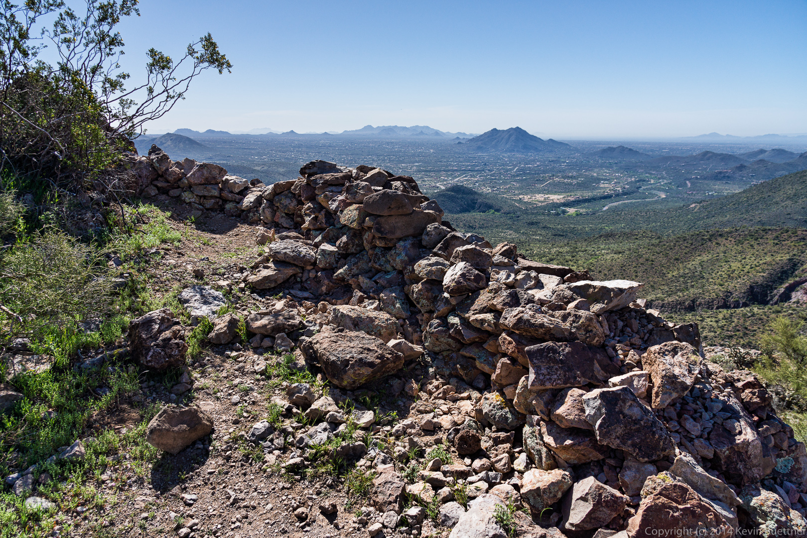
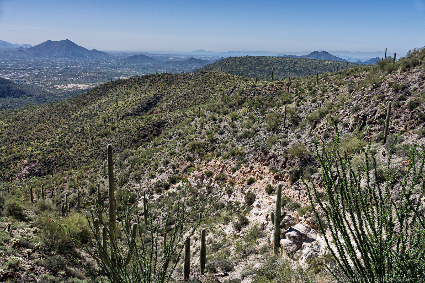
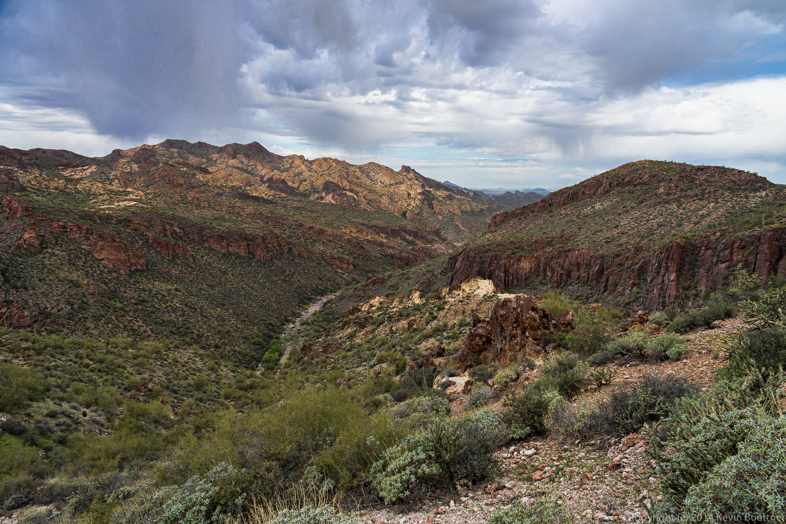
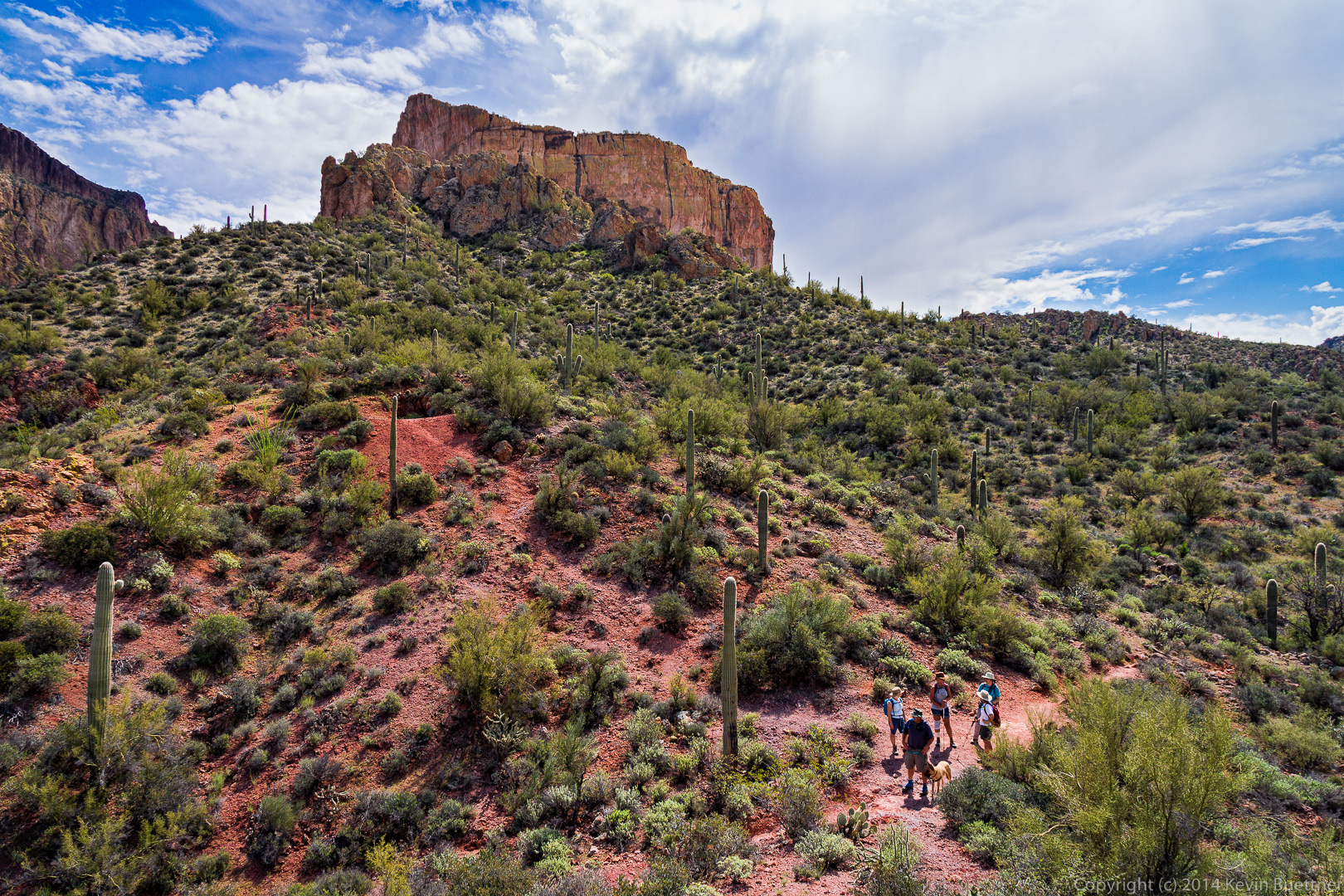
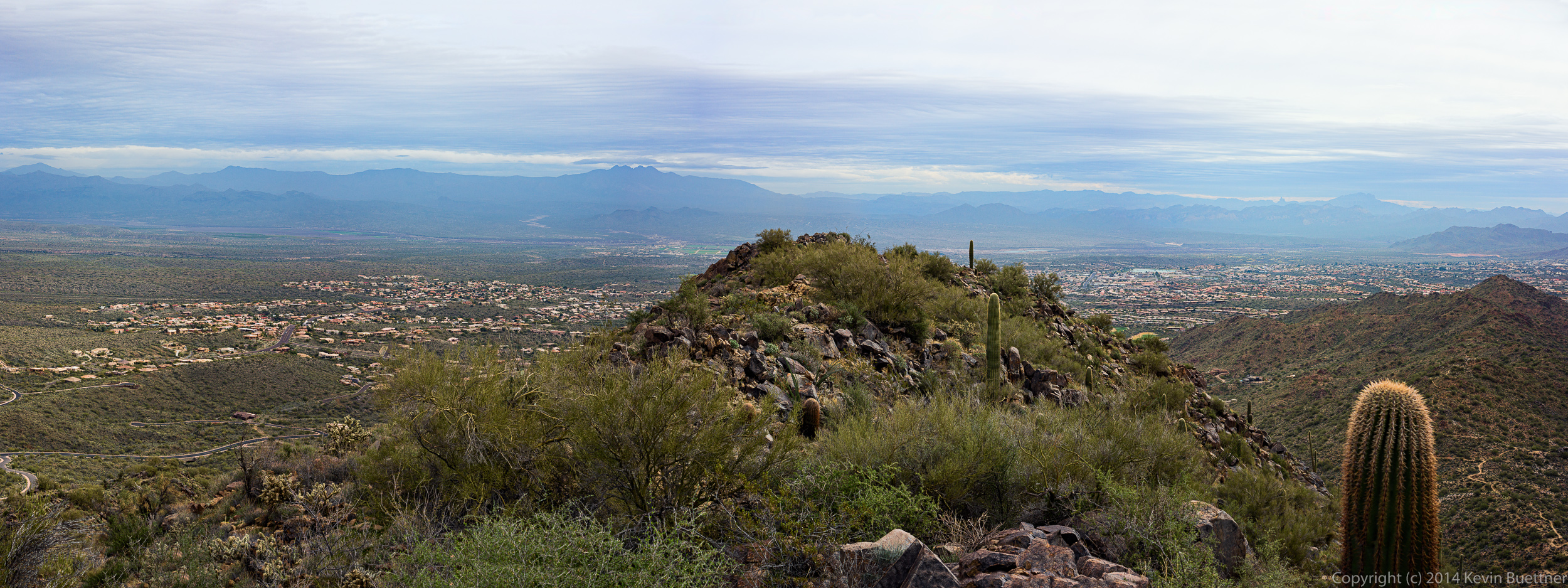
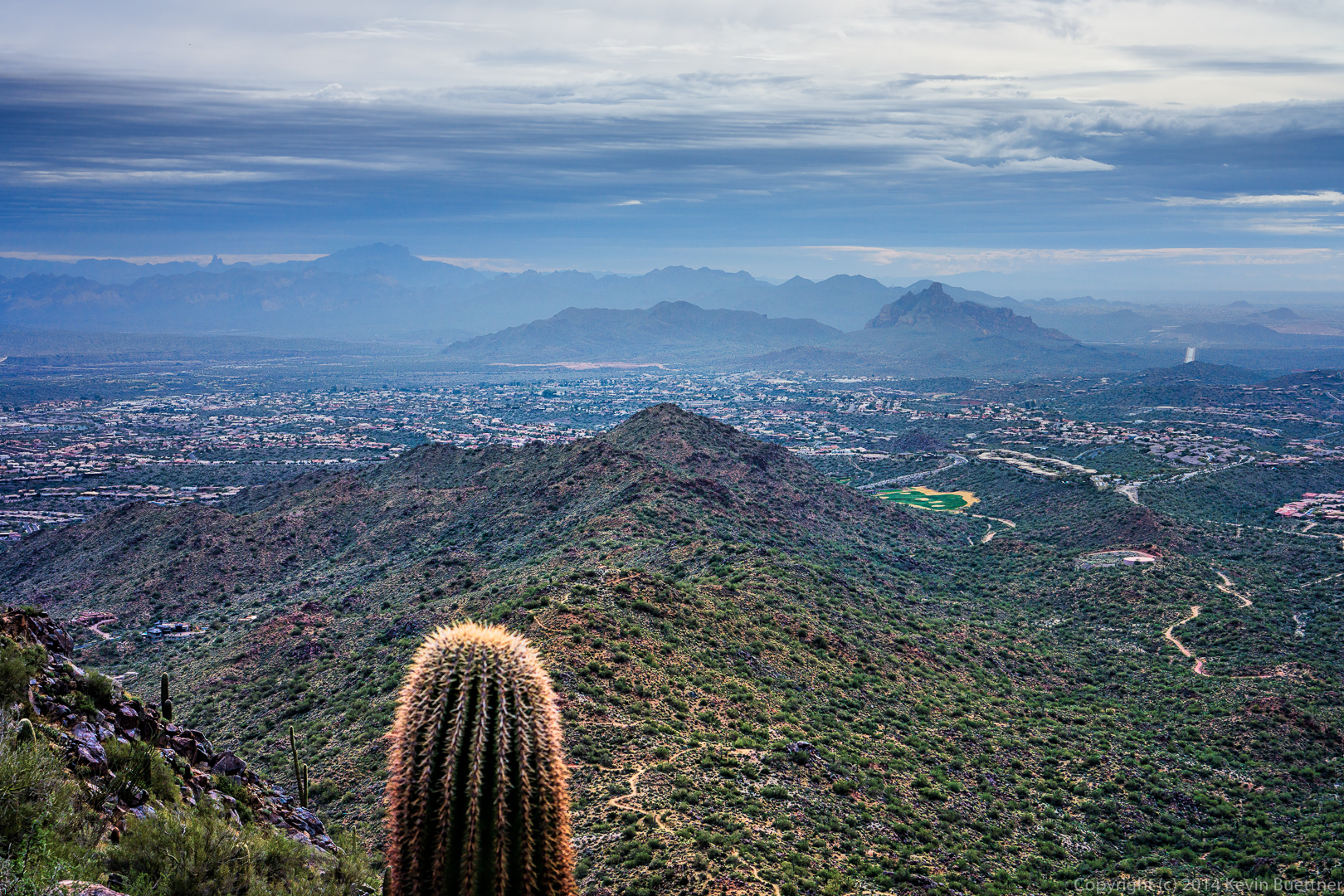
Bob found a side trail leading to a scenic overlook.  I made a panorama our of a bunch of different shots taken from this overlook.20140328-_DSC9836-Edit-medium 
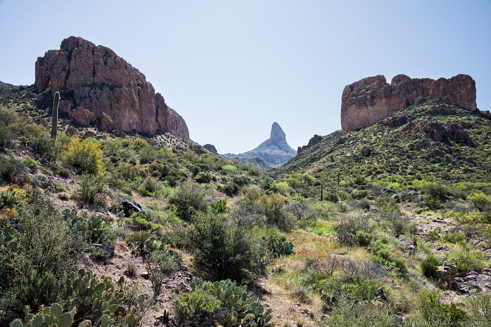
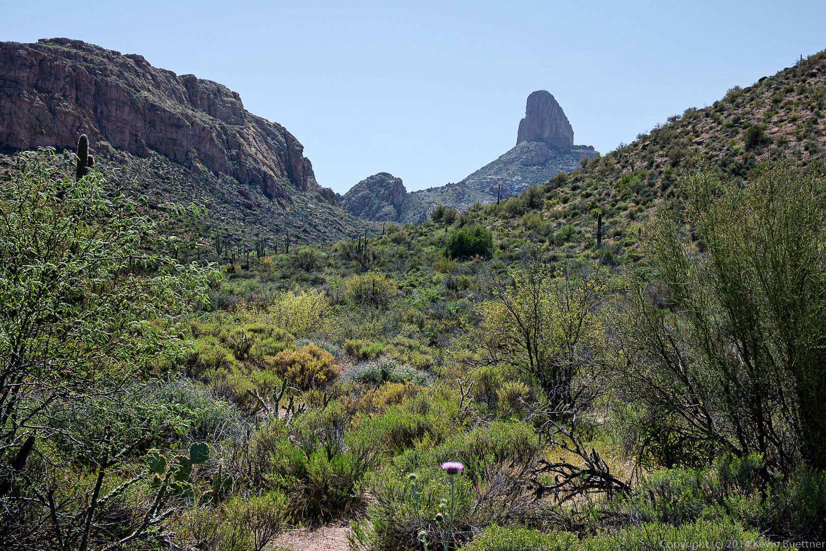
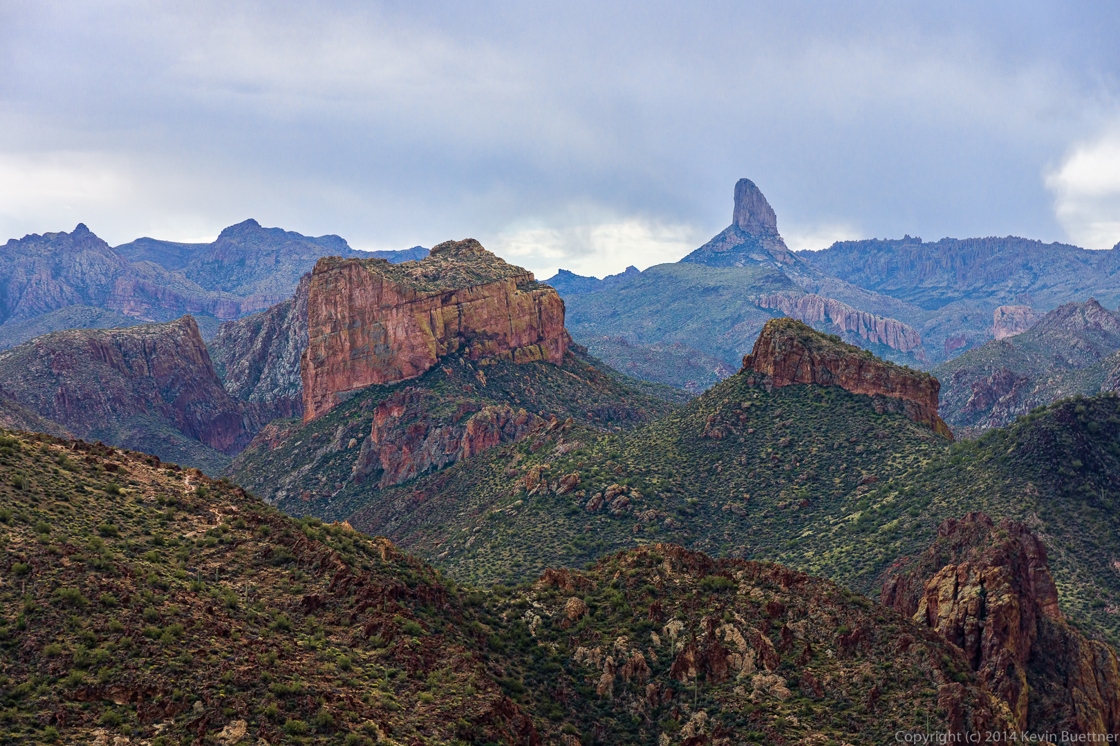
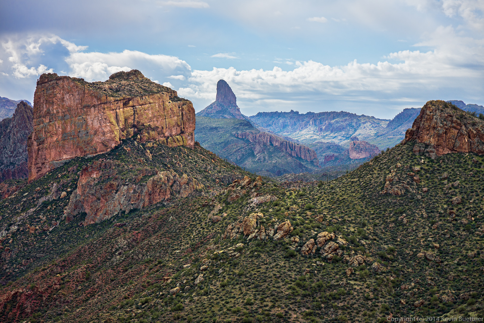
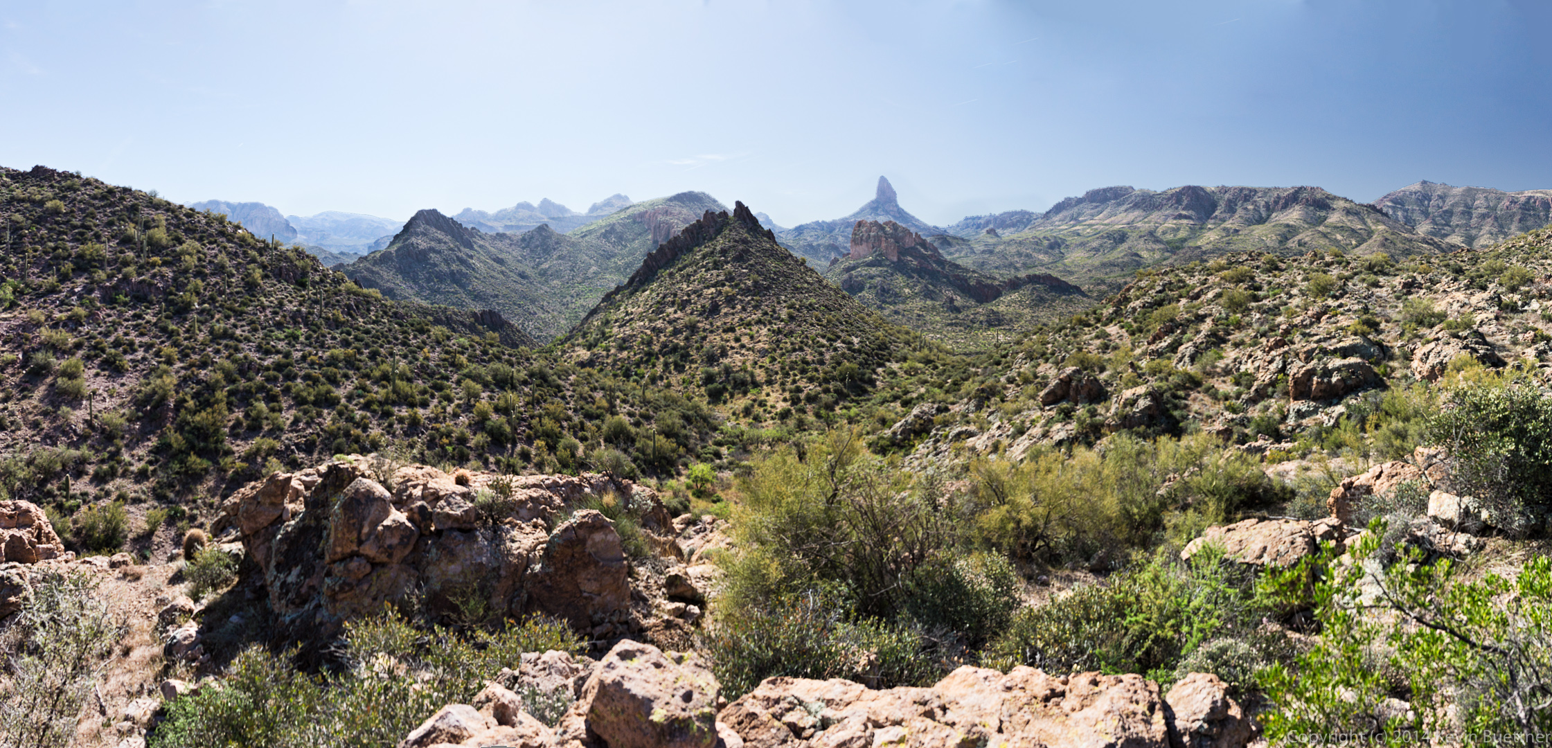
A short ways further, we got a good look at Weaver’s Needle.  These two photos are taken from roughly the same location.20140328-_DSC9875-Edit-medium 20140328-_DSC9881-Edit-medium
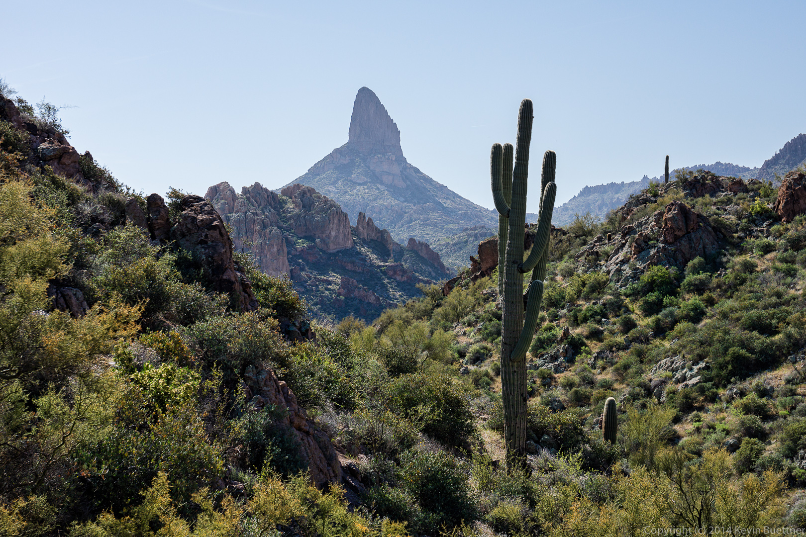
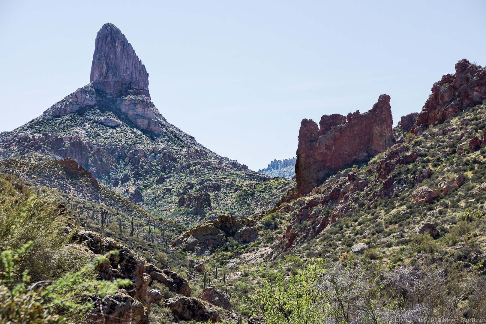
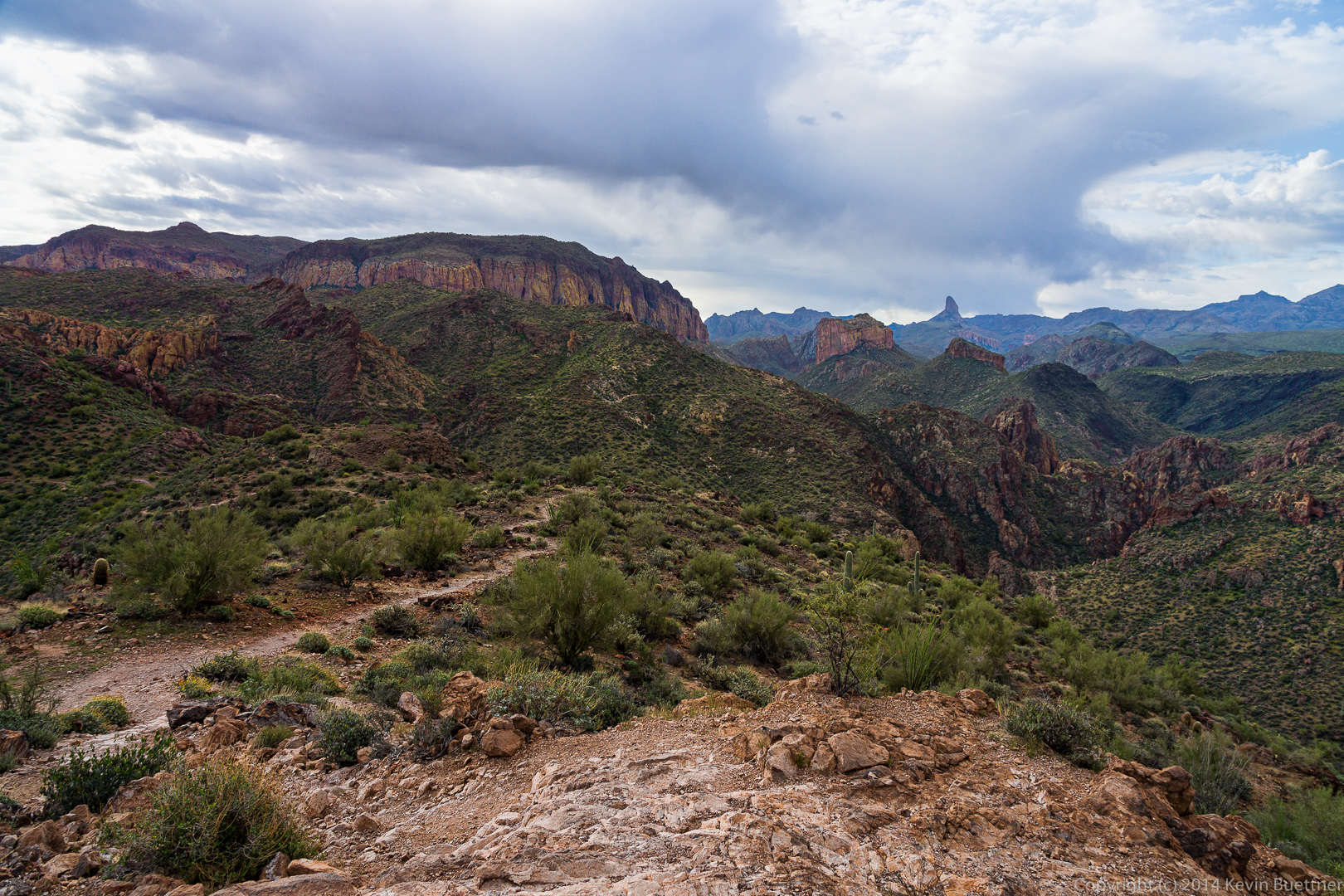
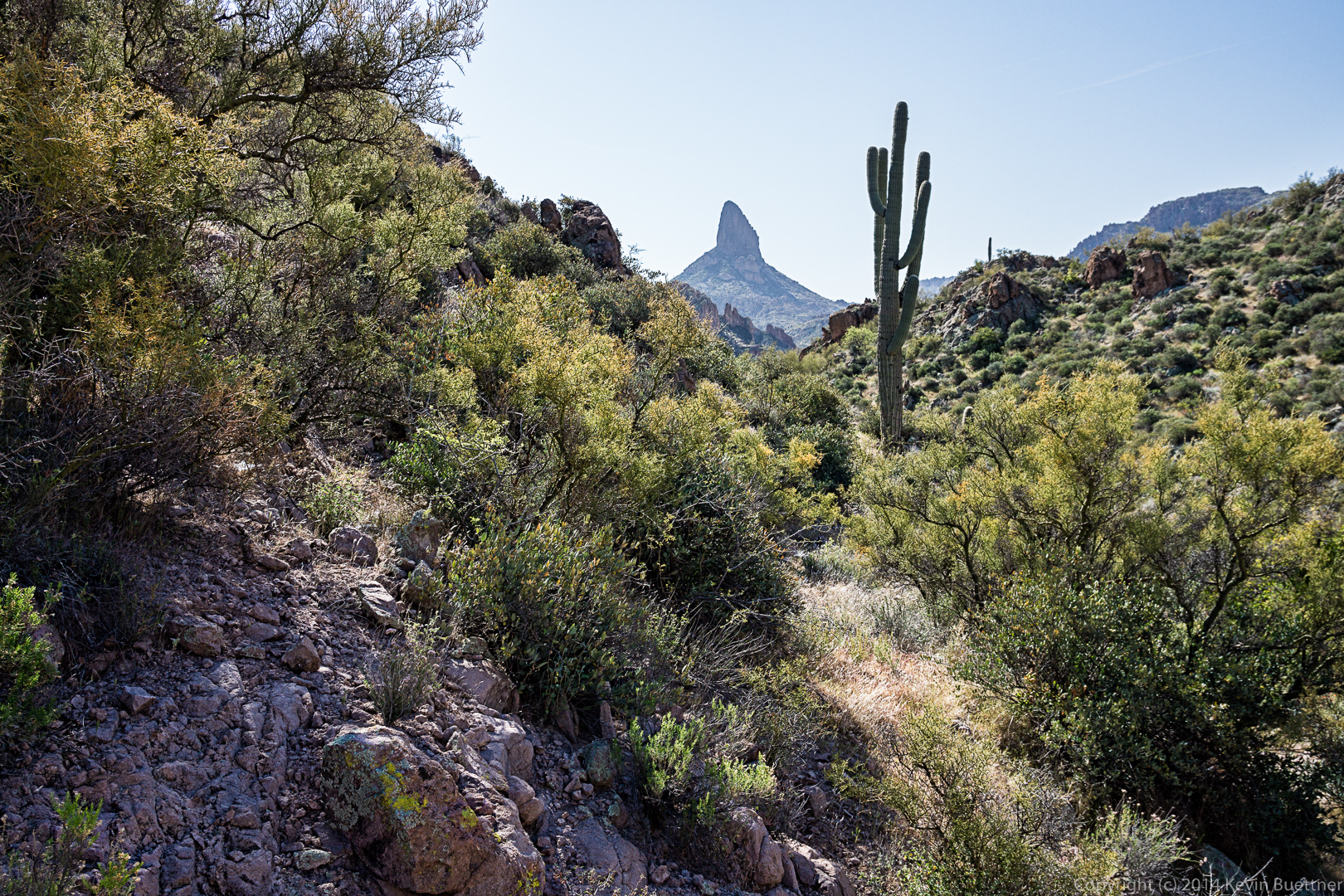
Two more views of Weaver’s Needle from a short ways further.
20140328-_DSC9887-Edit-medium 20140328-_DSC9890-Edit-medium
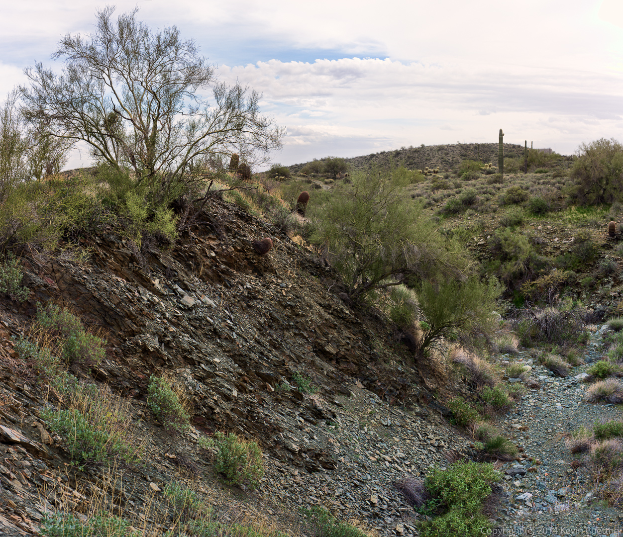
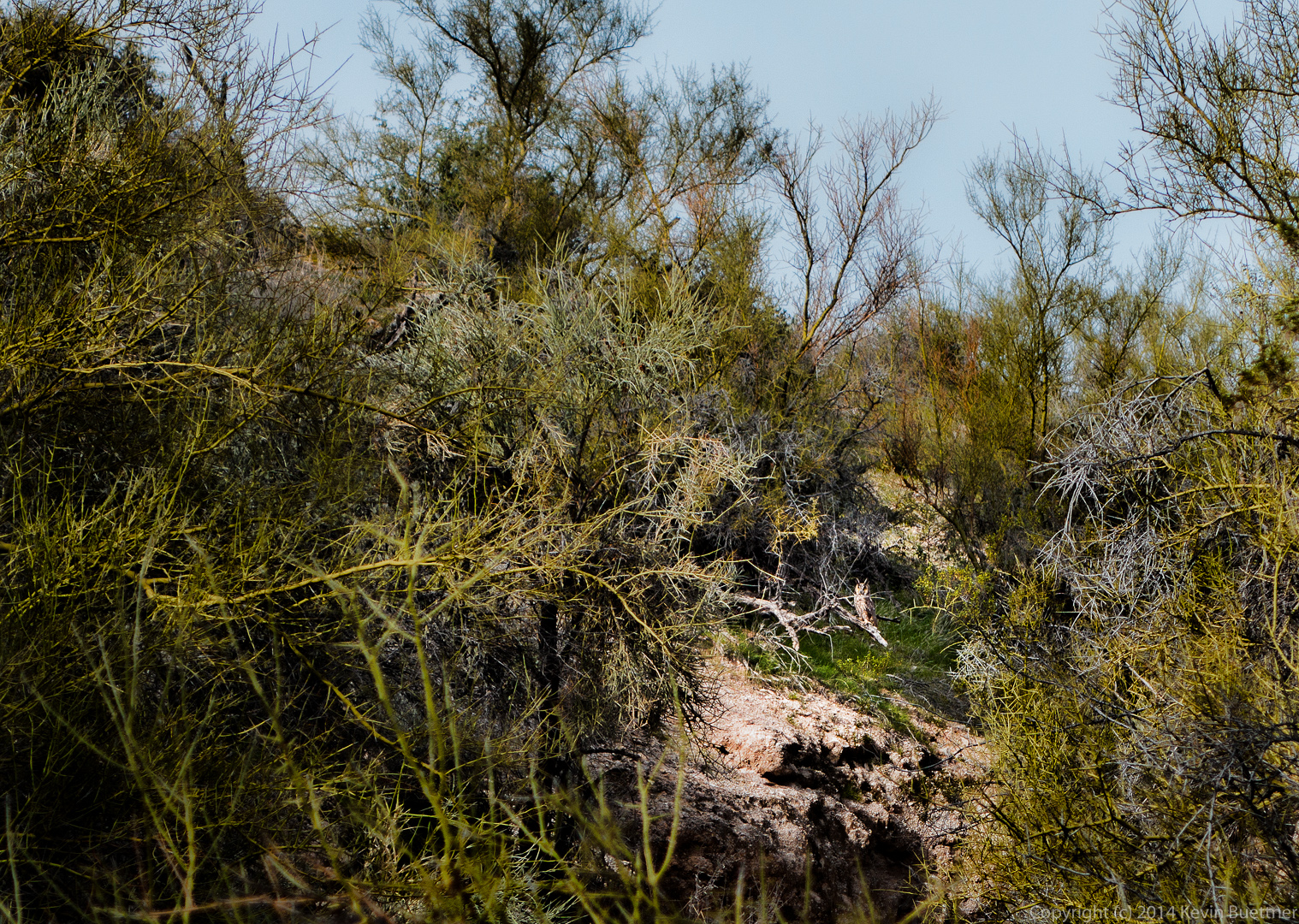
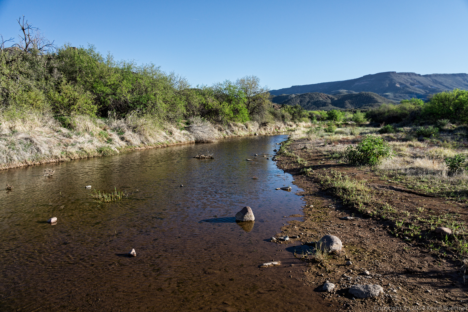
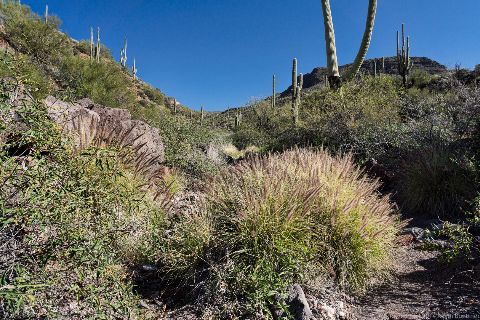
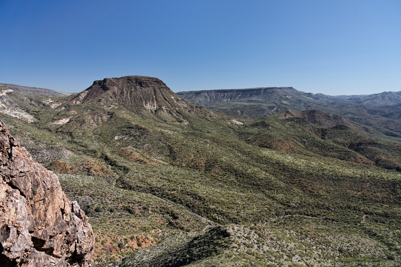
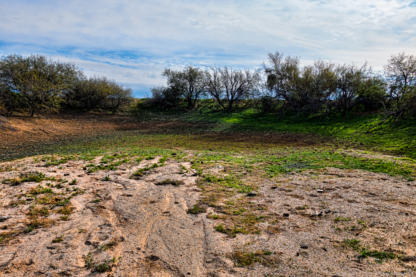
I think this is a feeder for Boulder Creek.  The hike description mentions that the Black Mesa Trail descends into Boulder Canyon, but I’m not convinced that this is actually Boulder Canyon.
20140328-_DSC9902-Edit-medium 
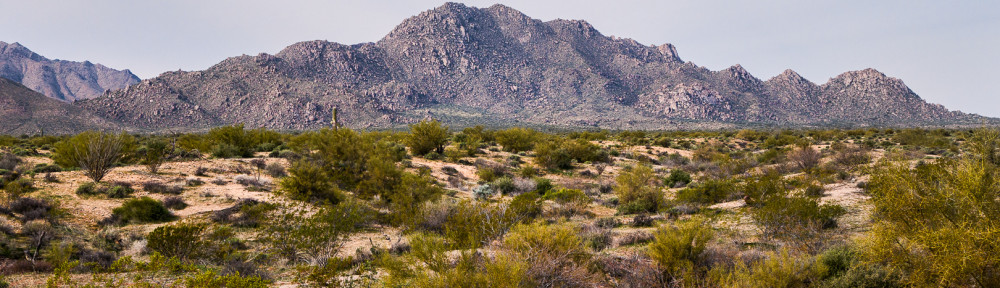
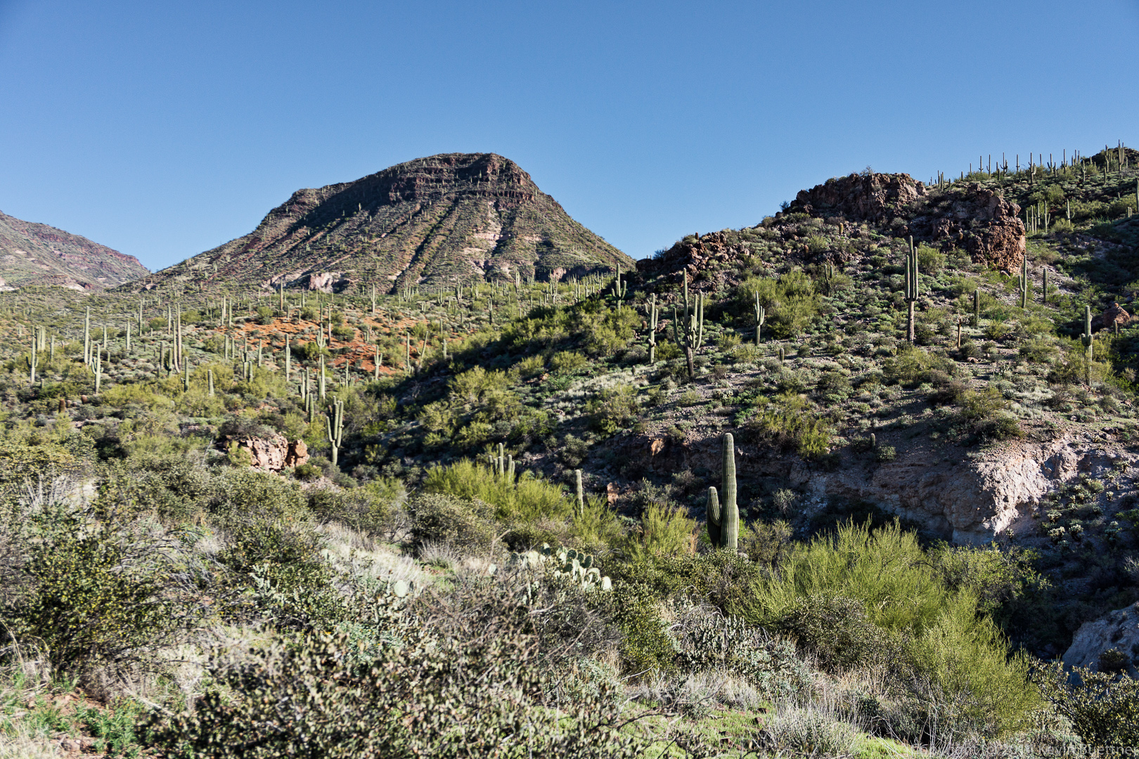
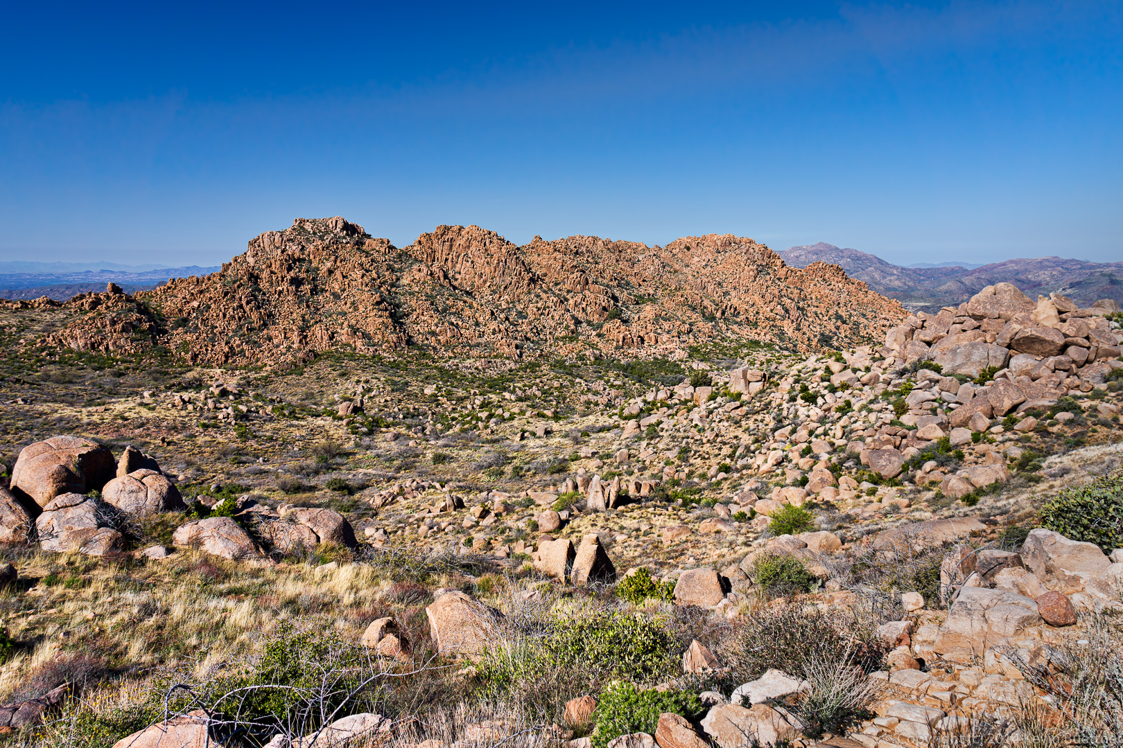
I think we might have reached the Dutchman Trail at this point.

20140328-_DSC9905-Edit-medium
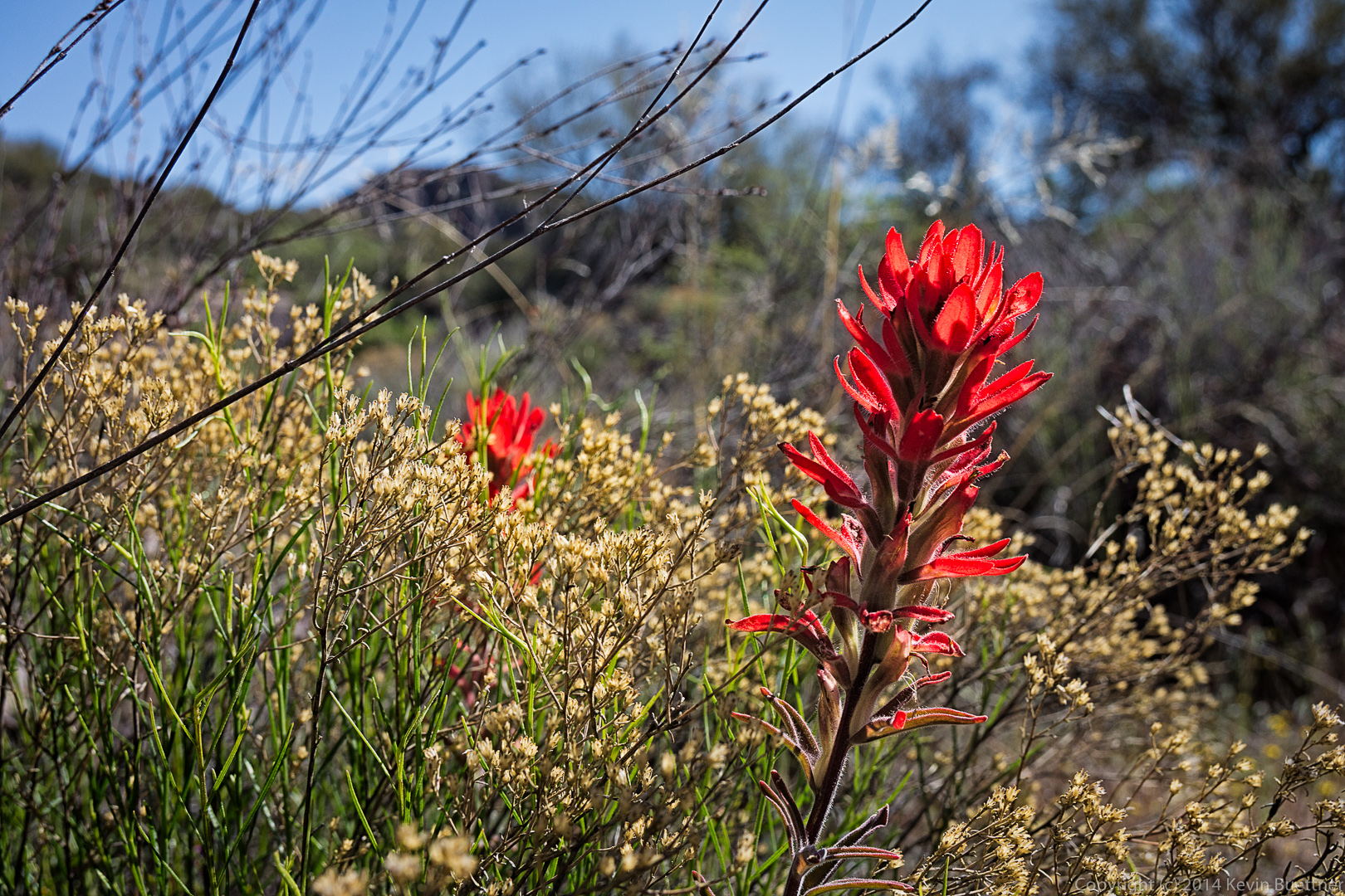
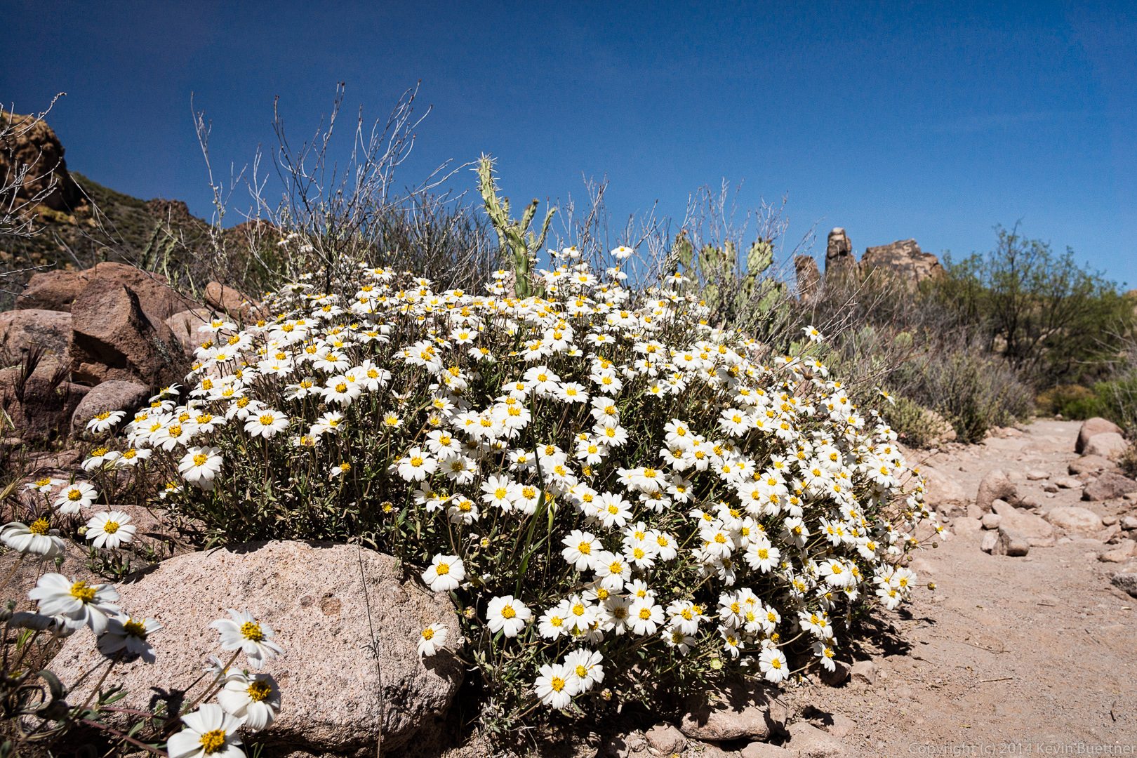
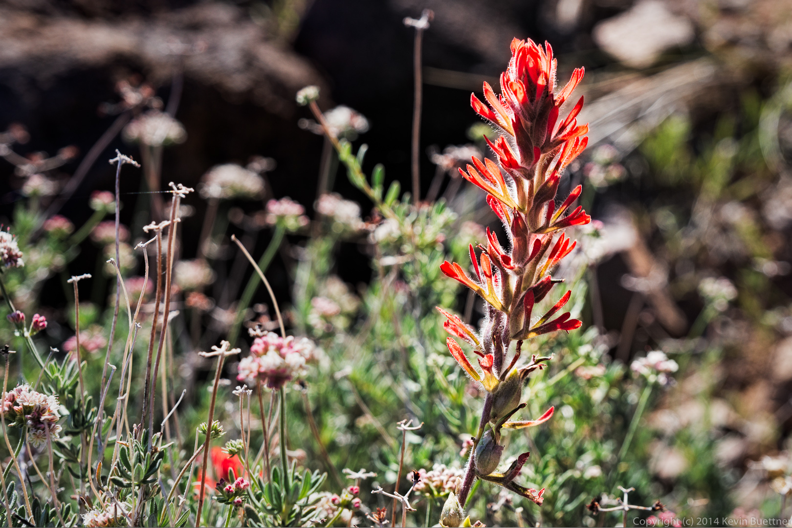
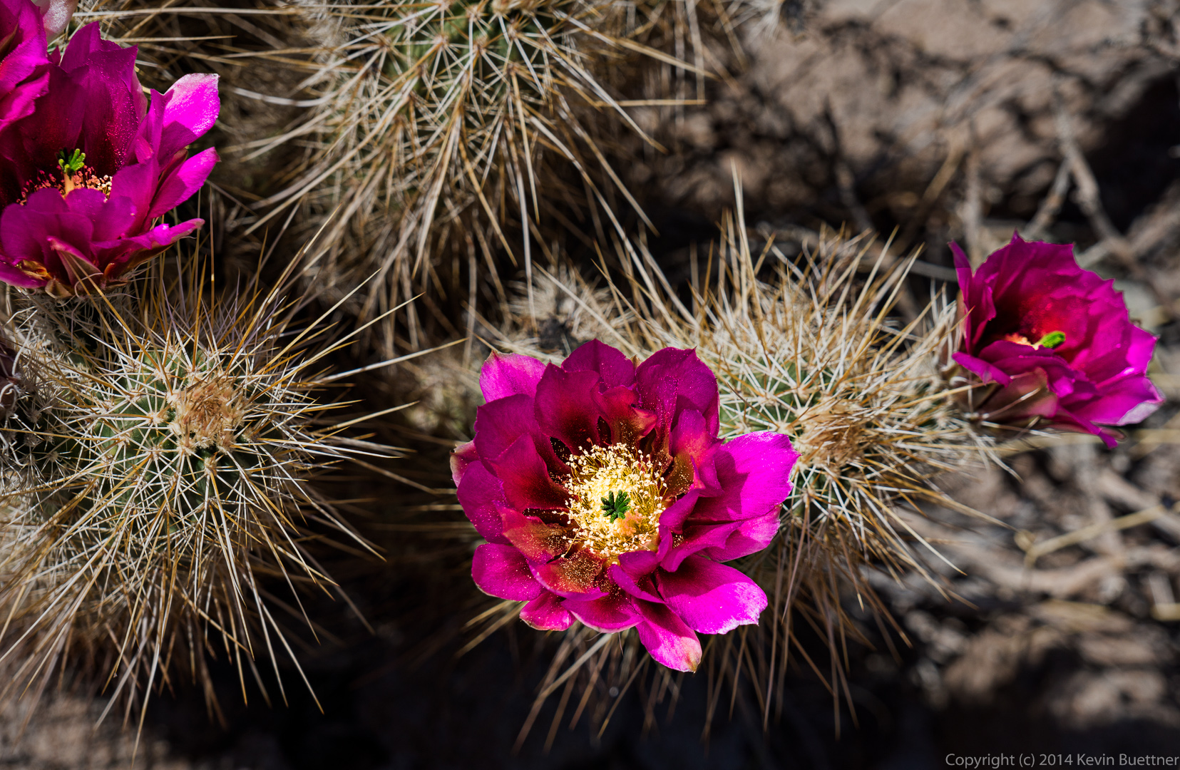
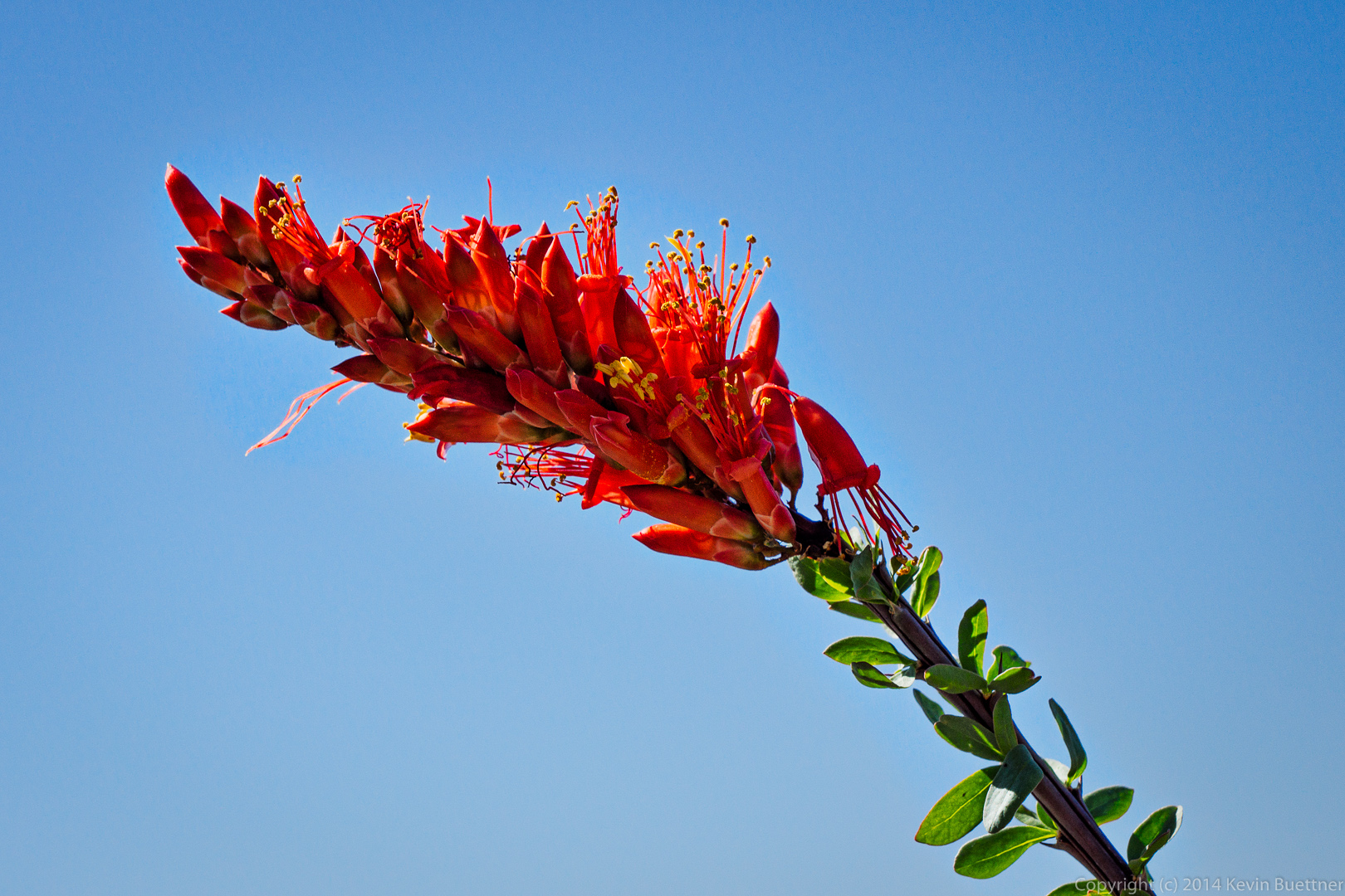
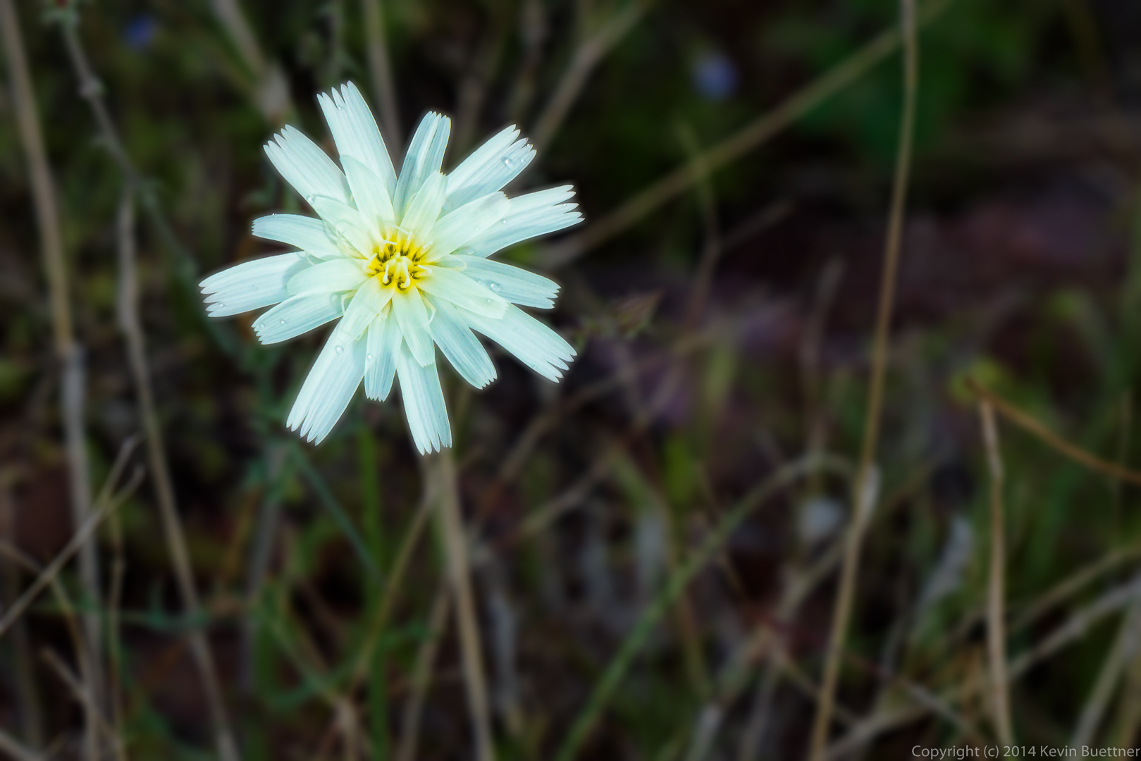
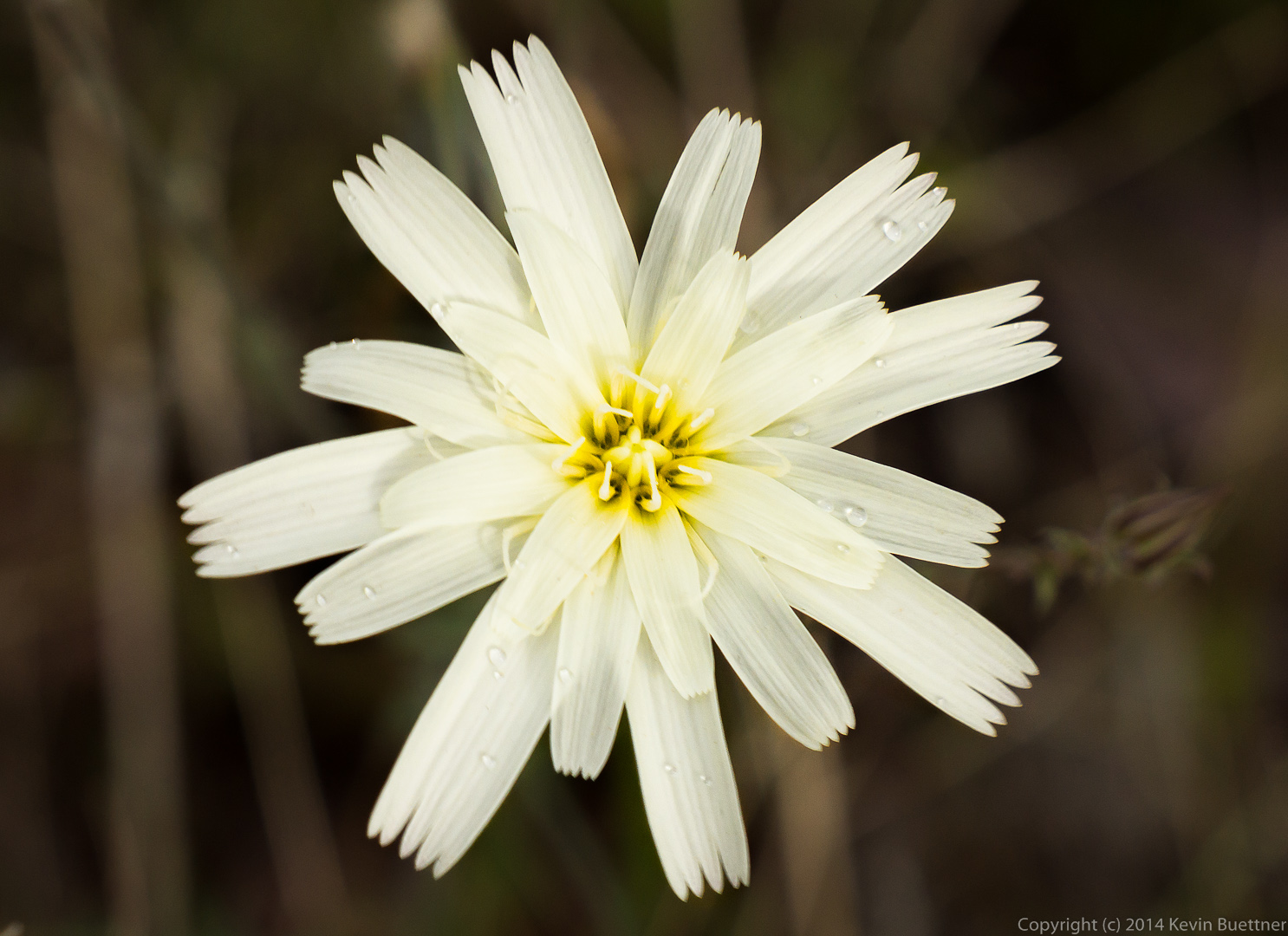
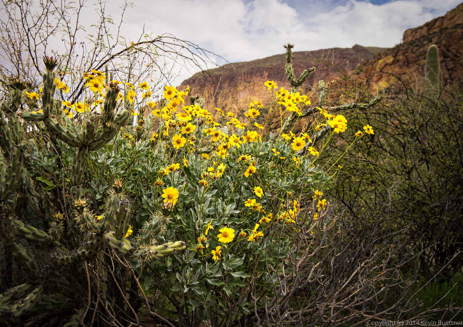
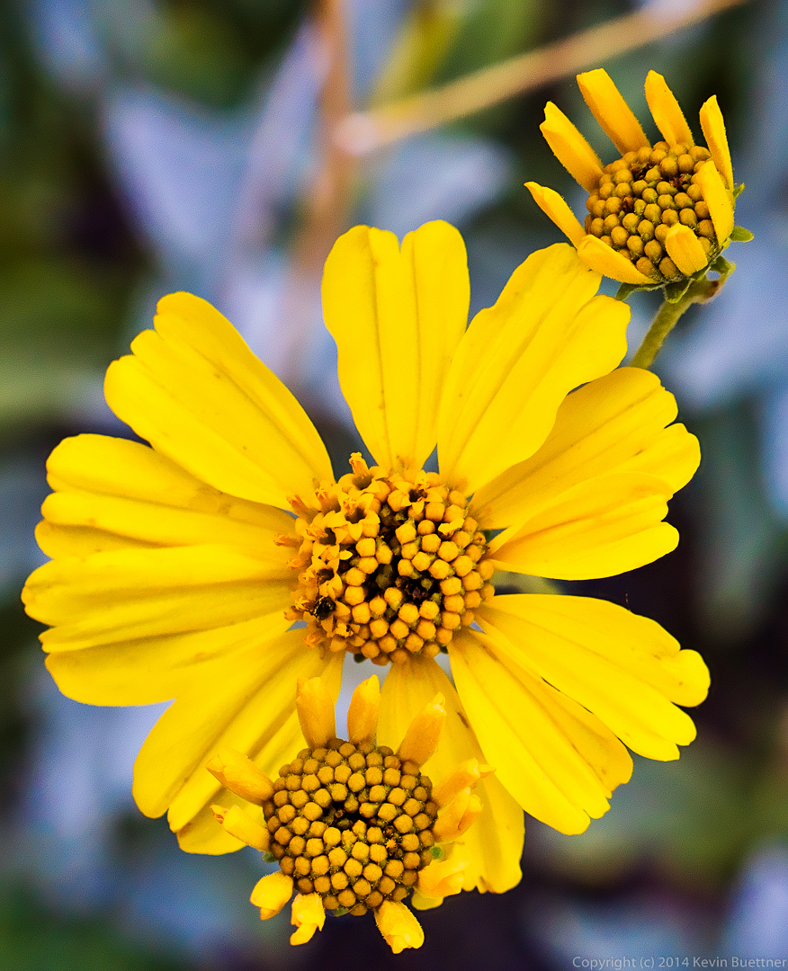
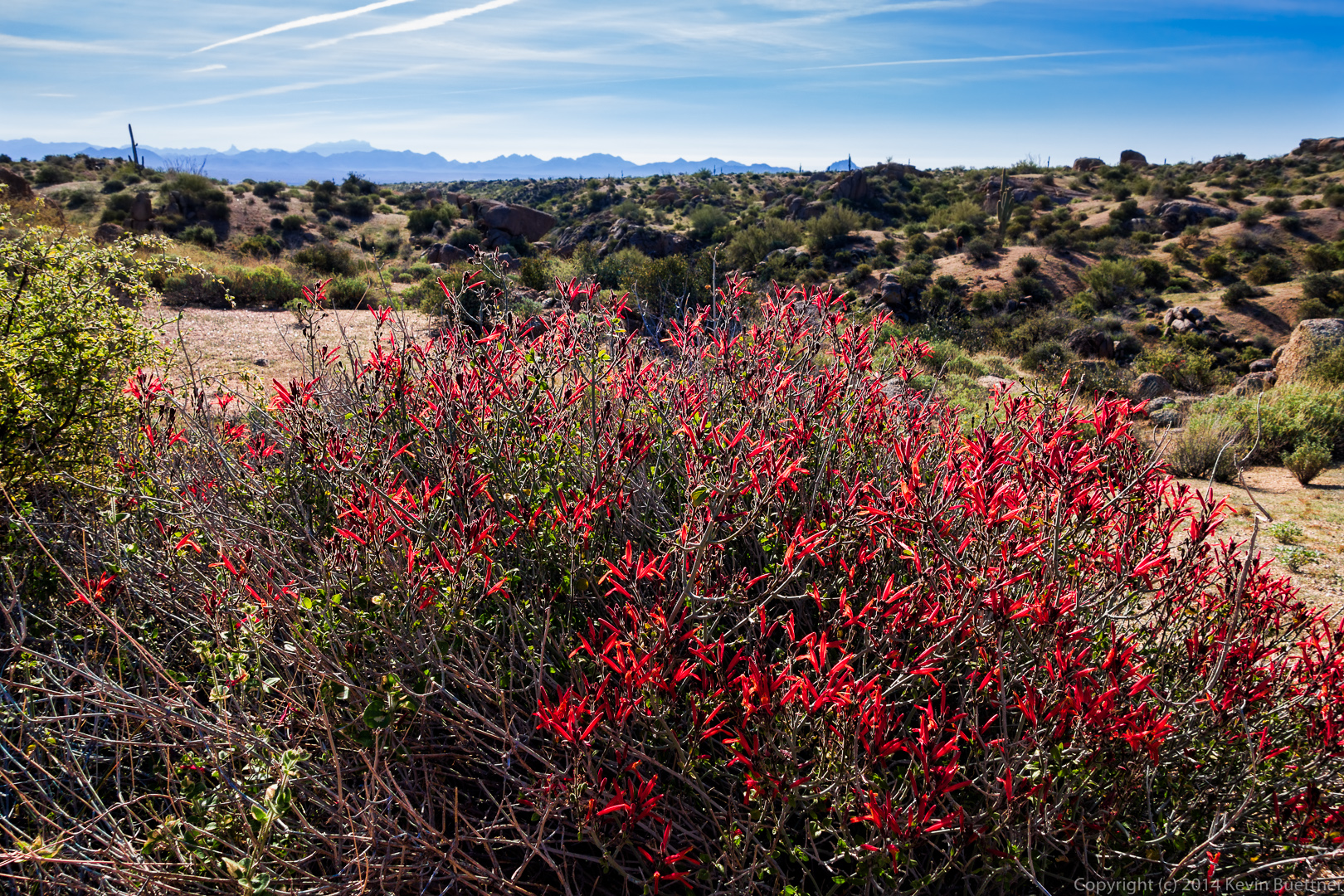
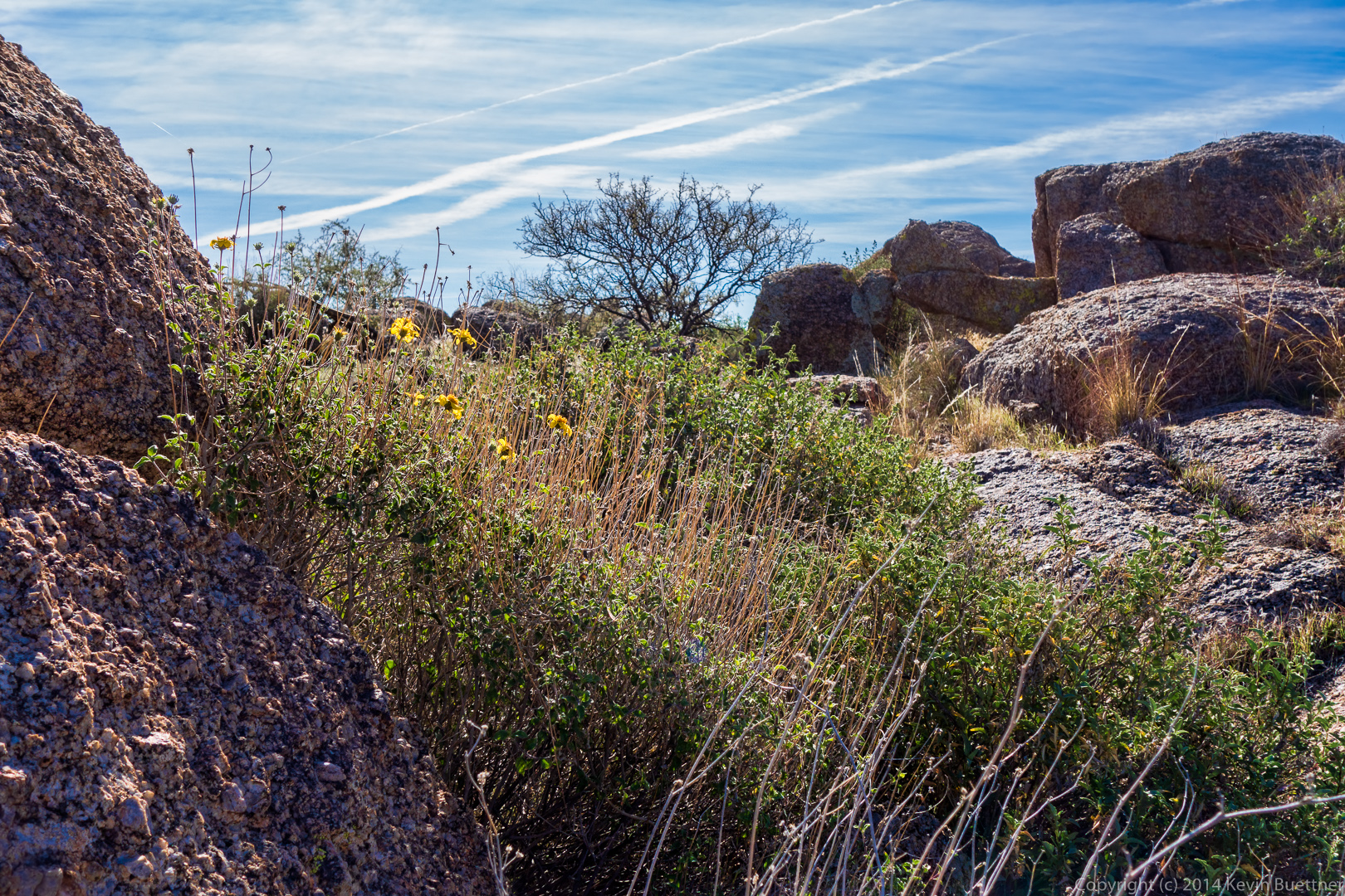
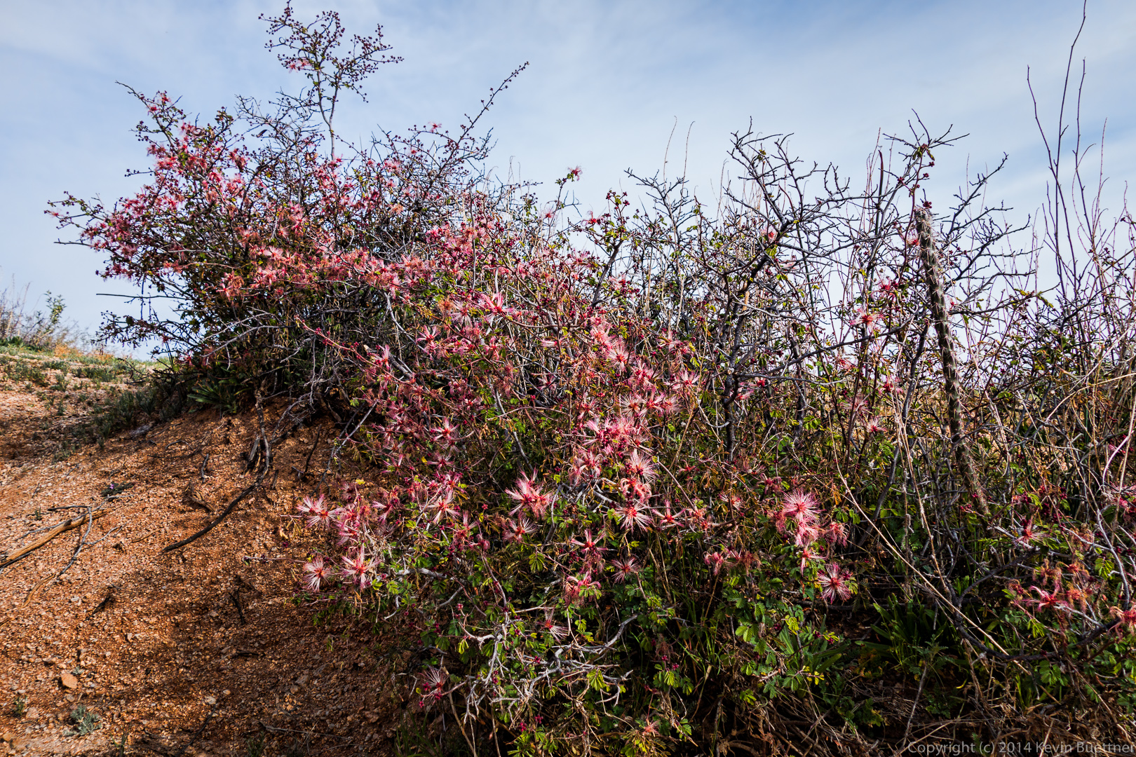
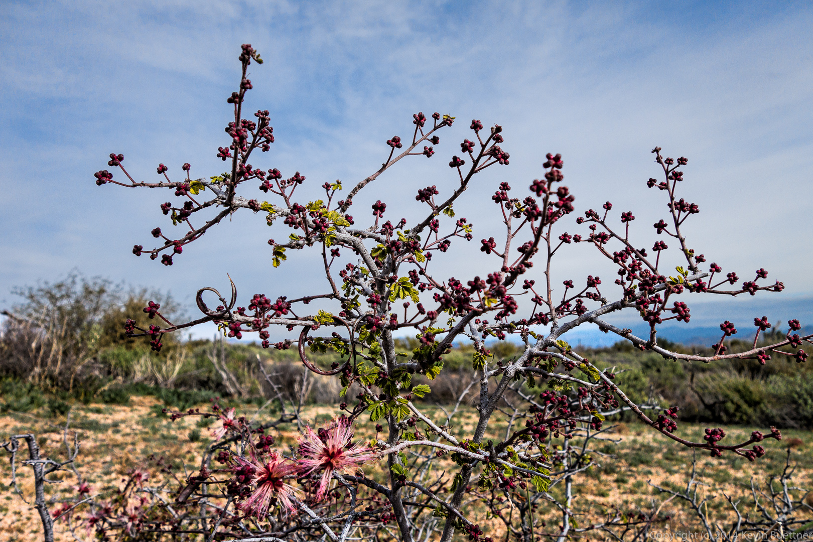
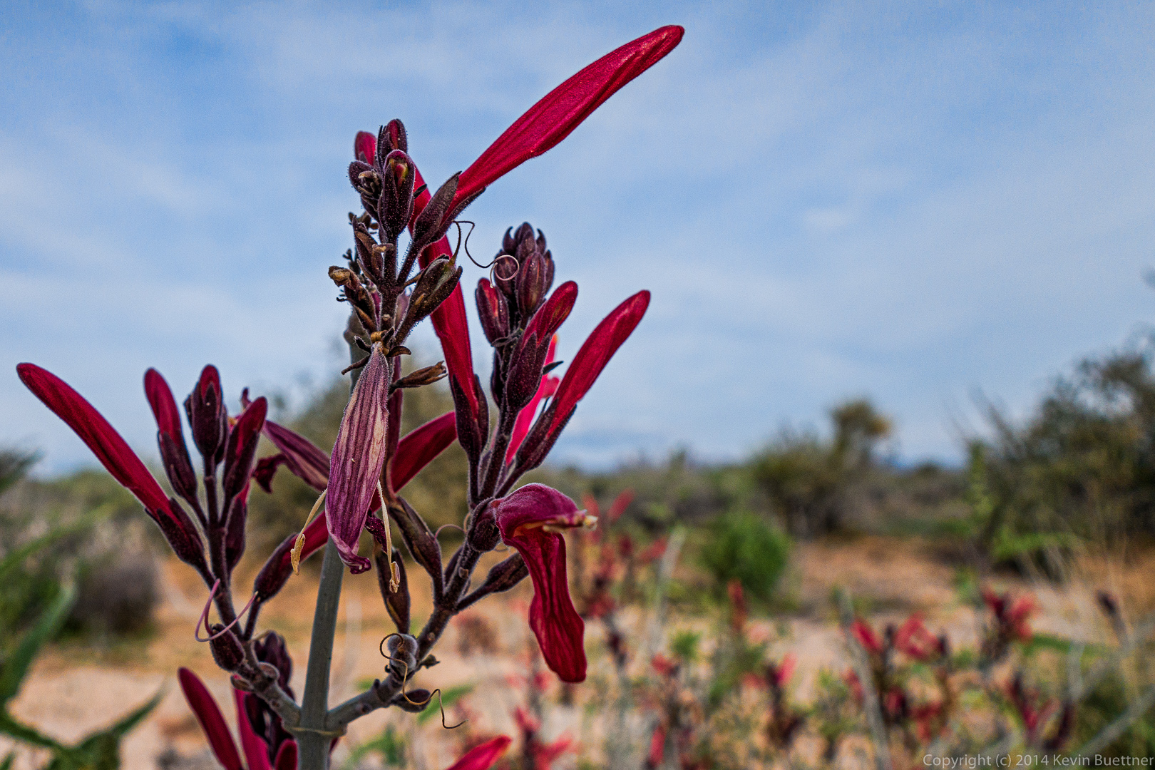
There are several flowers here, but I don’t know what any of them are.

20140328-_DSC9926-Edit-medium
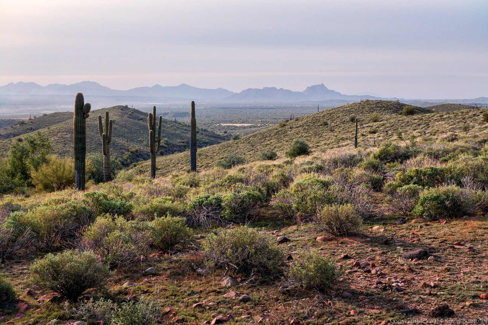
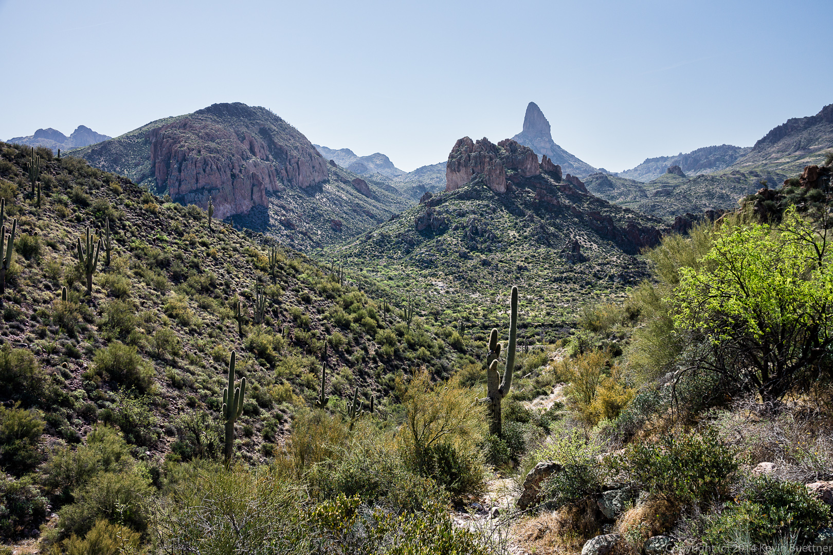
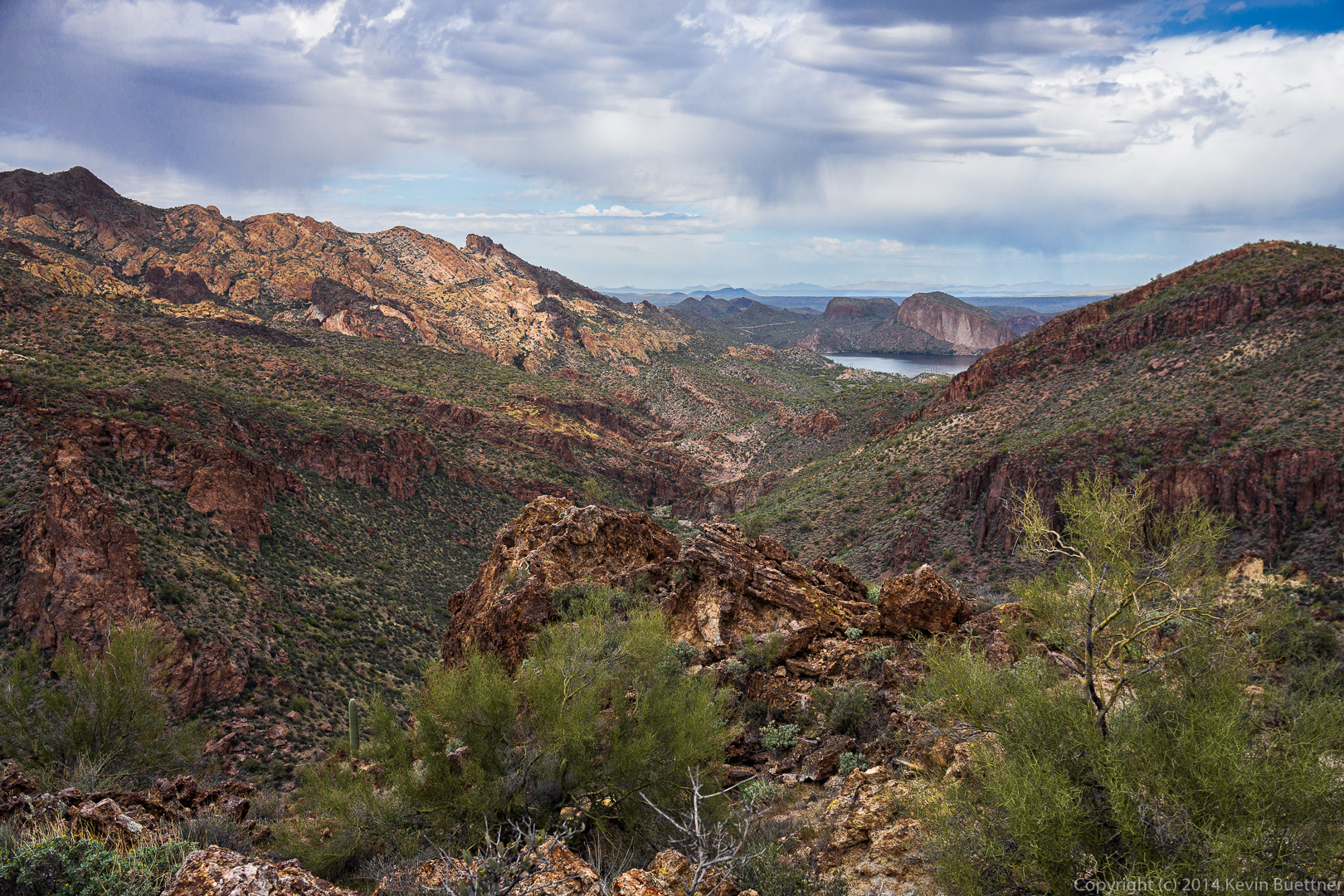
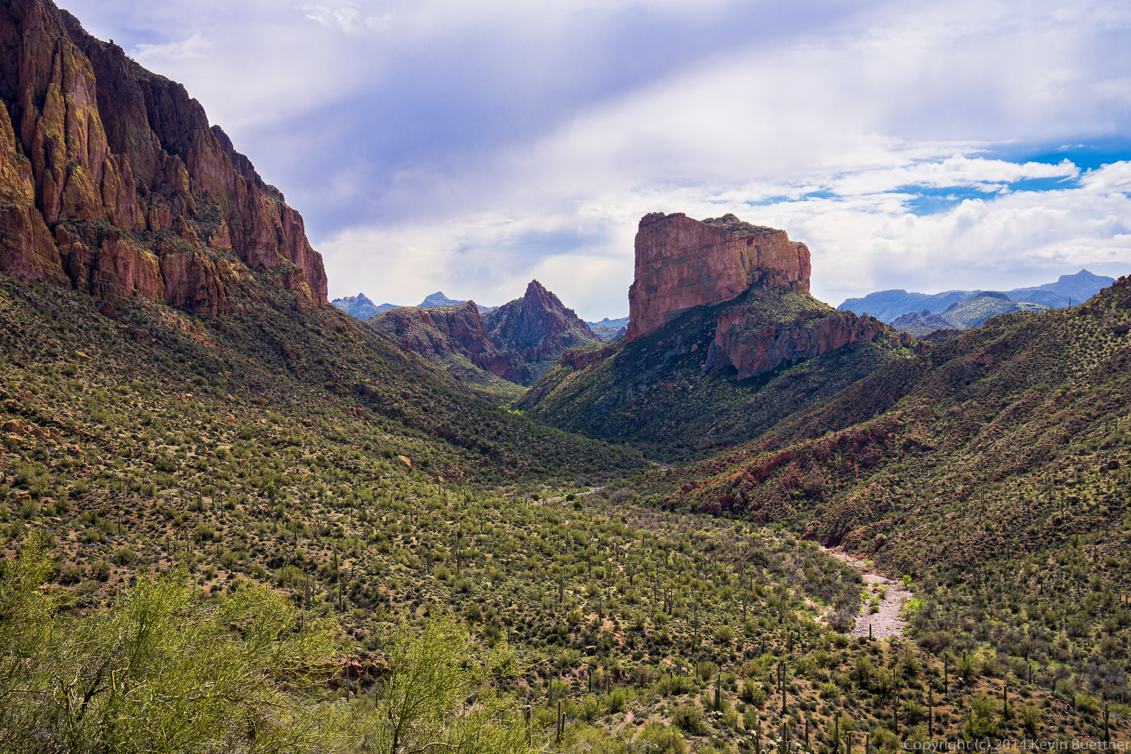
We were either in or near Boulder Canyon when I took this photo of Weaver’s Needle.  I think Battleship Mountain is to the right.  We got to see this formation from the other side too (we think).  There appeared to be a relatively easy ascent from the other side.

20140328-_DSC9938-Edit-medium 
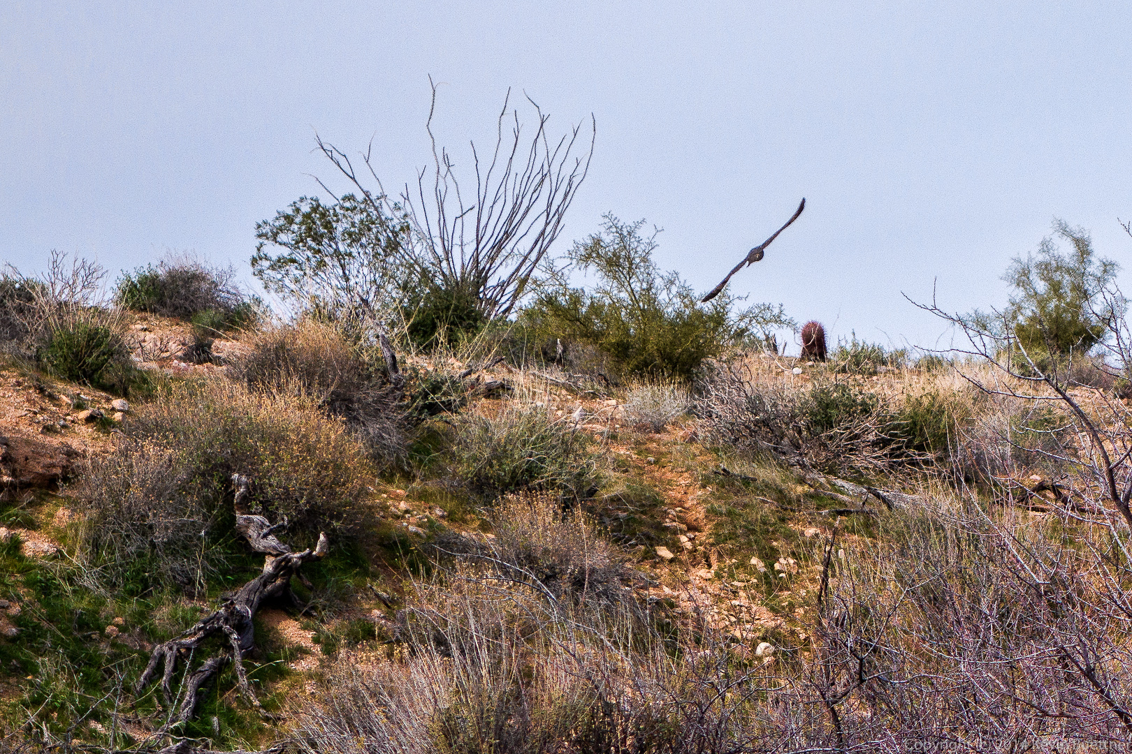
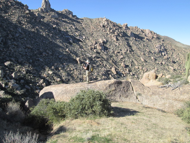
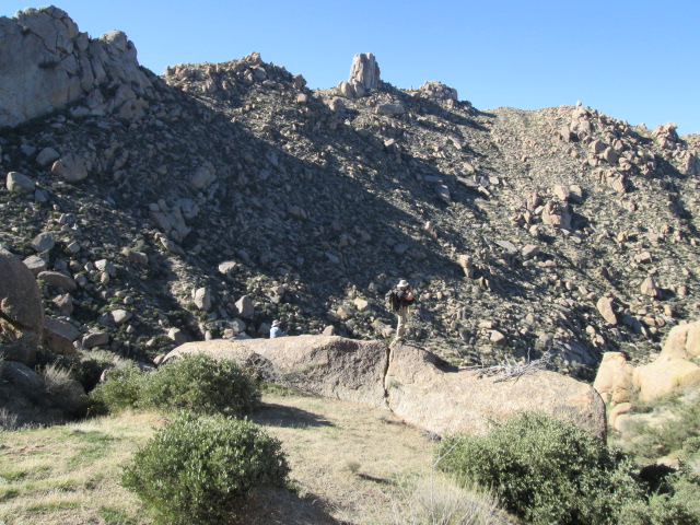
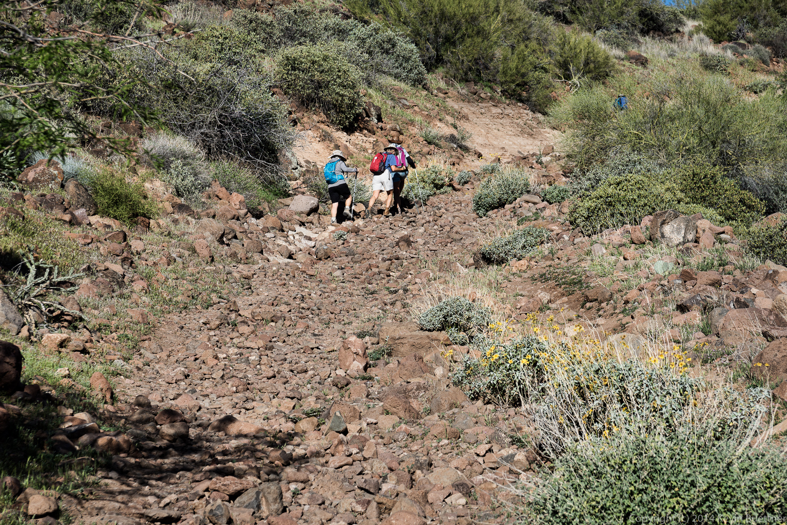
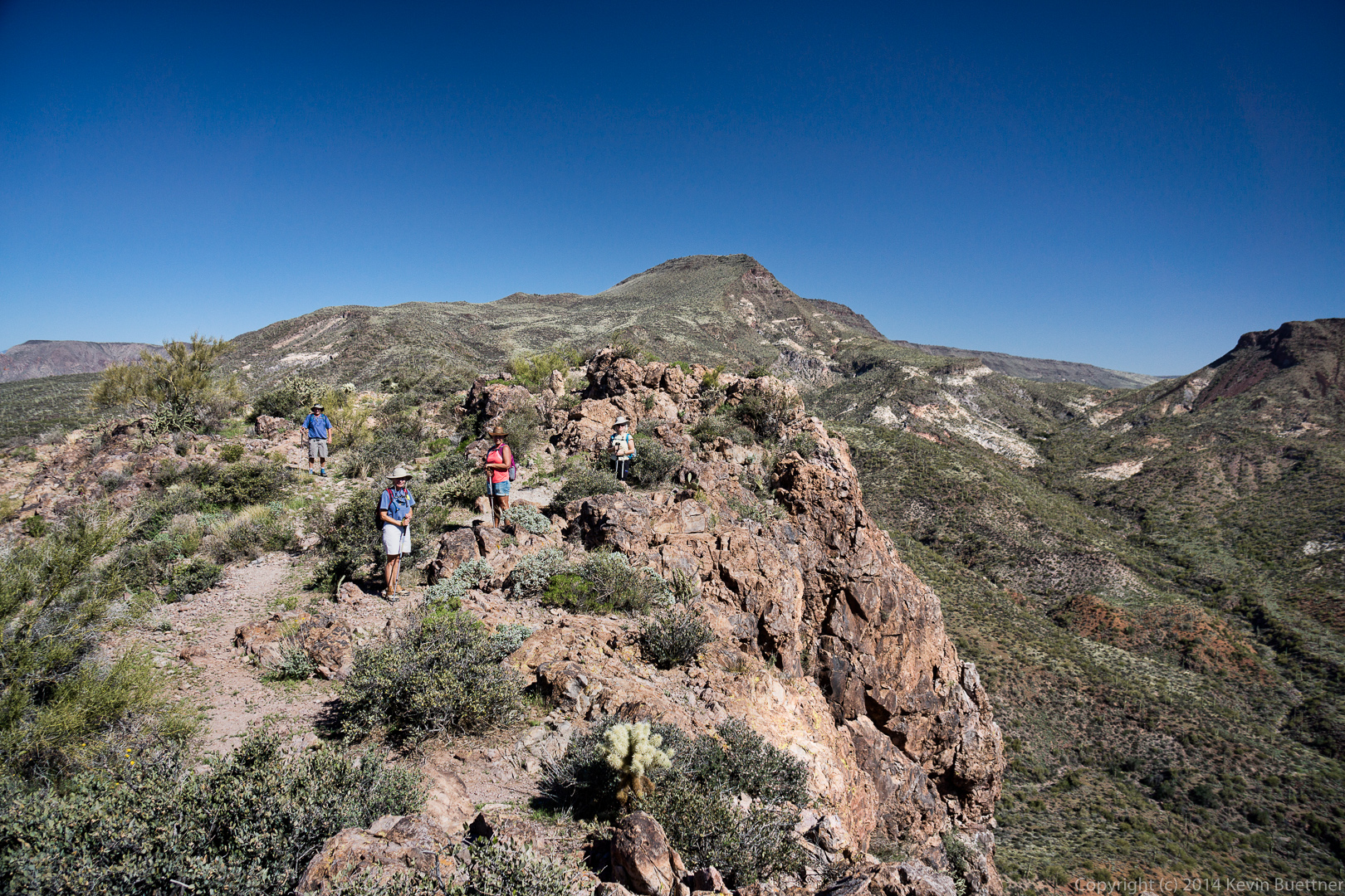
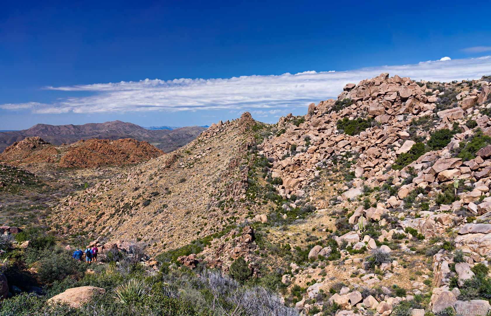
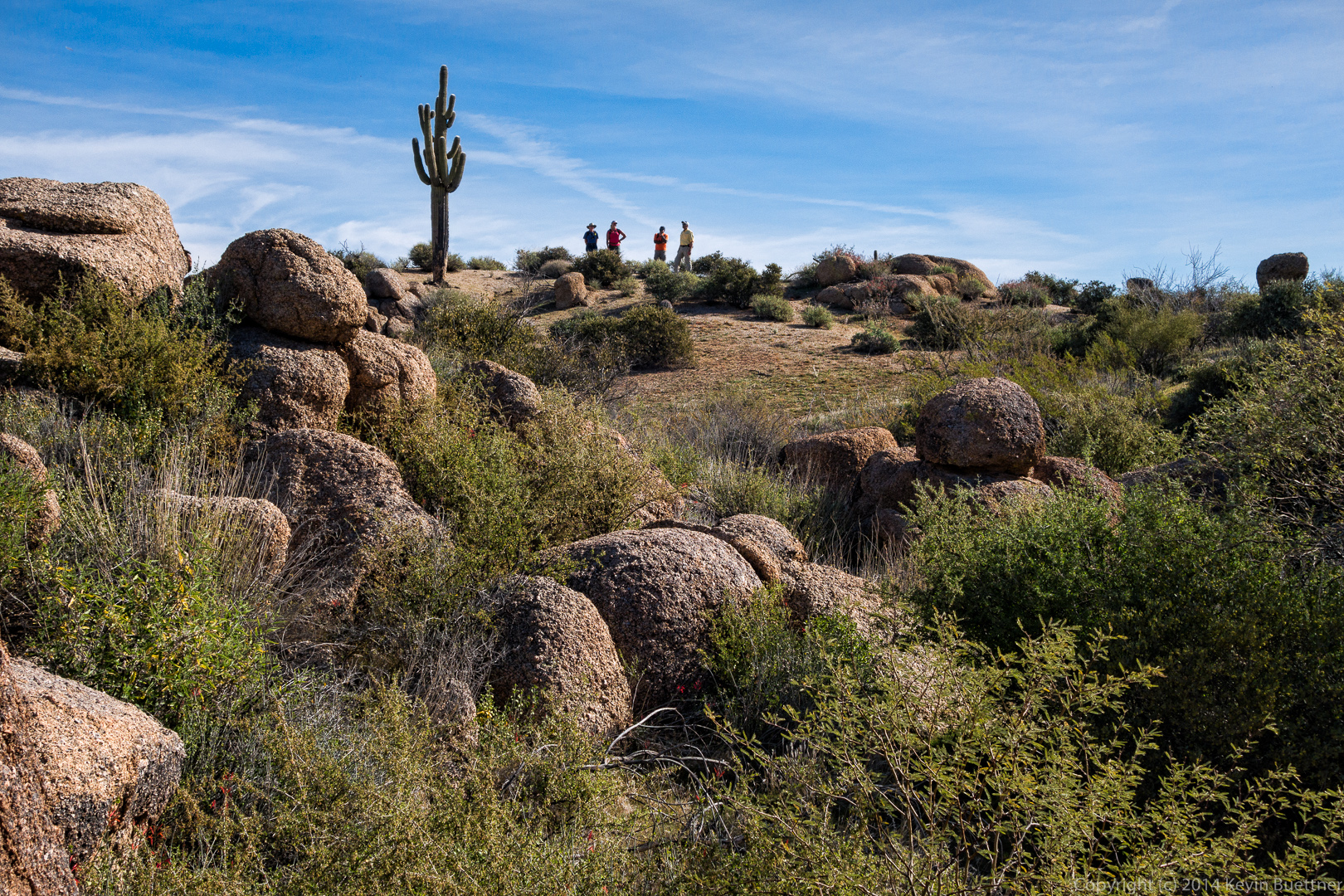
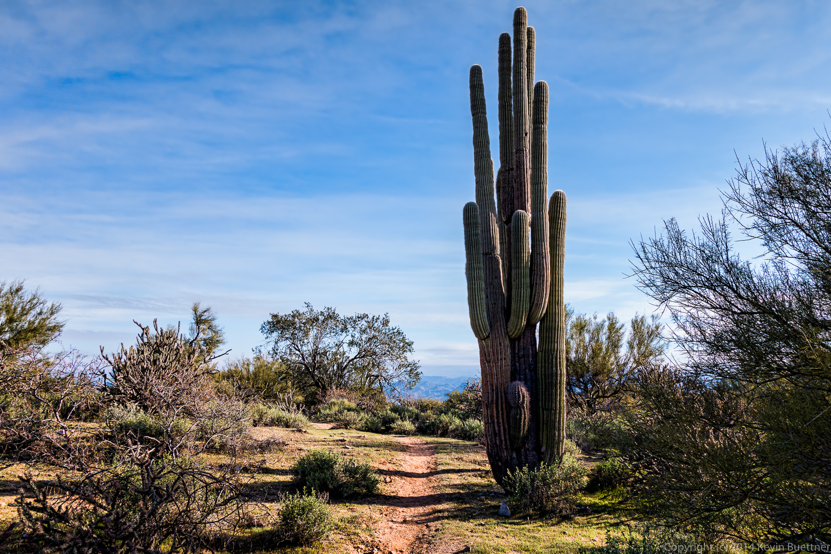
We finally locate the Bull Pass Trail!

20140328-_DSC9944-Edit-medium 
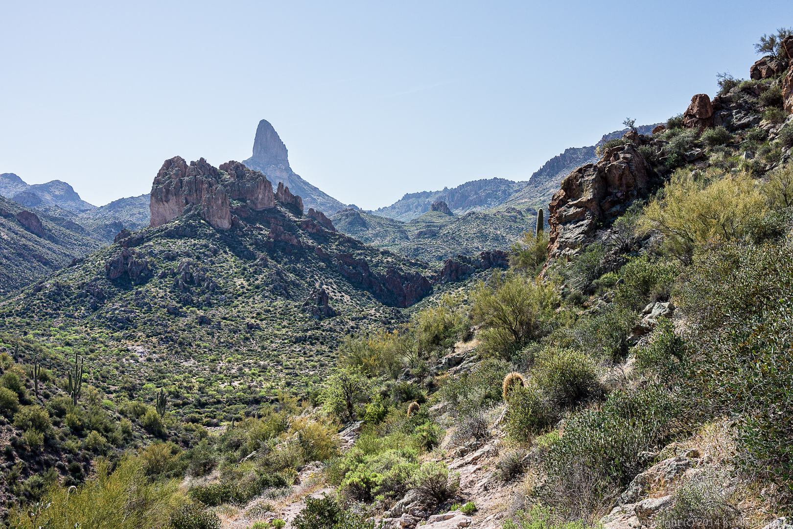
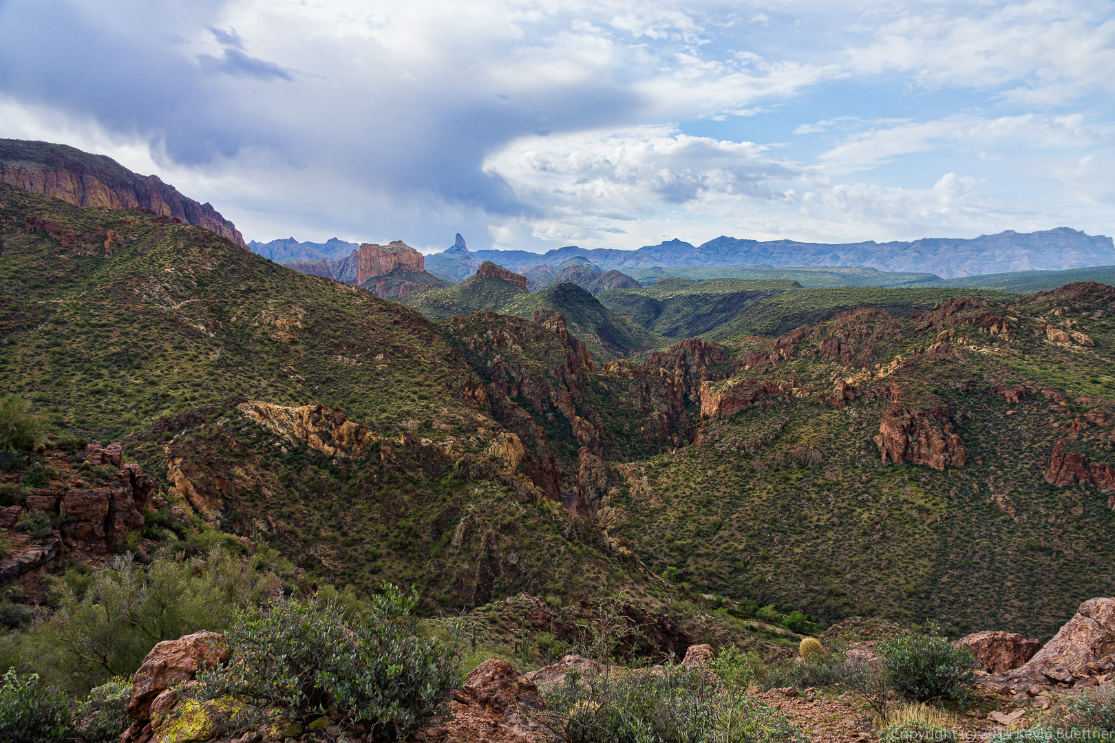
More views of Weaver’s Needle, this time from the Bull Pass Trail.

20140328-_DSC9947-Edit-medium 20140328-_DSC9962-Edit-medium


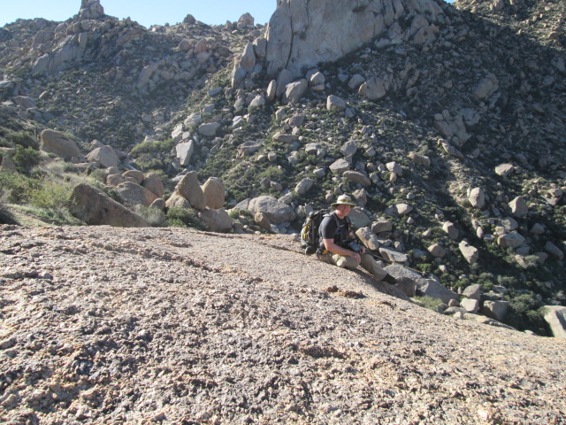
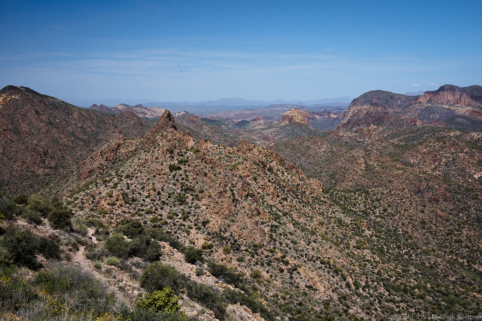
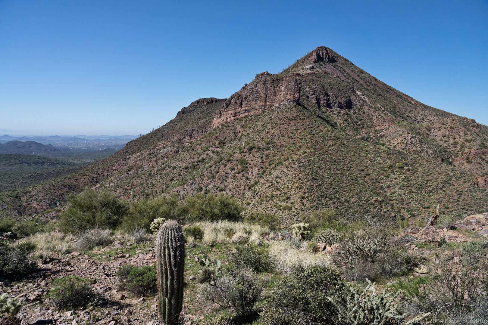
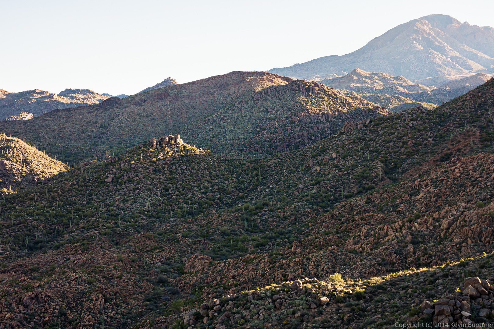
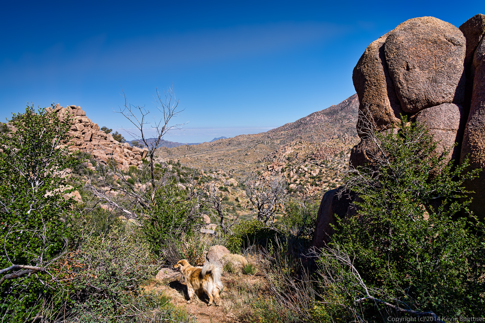
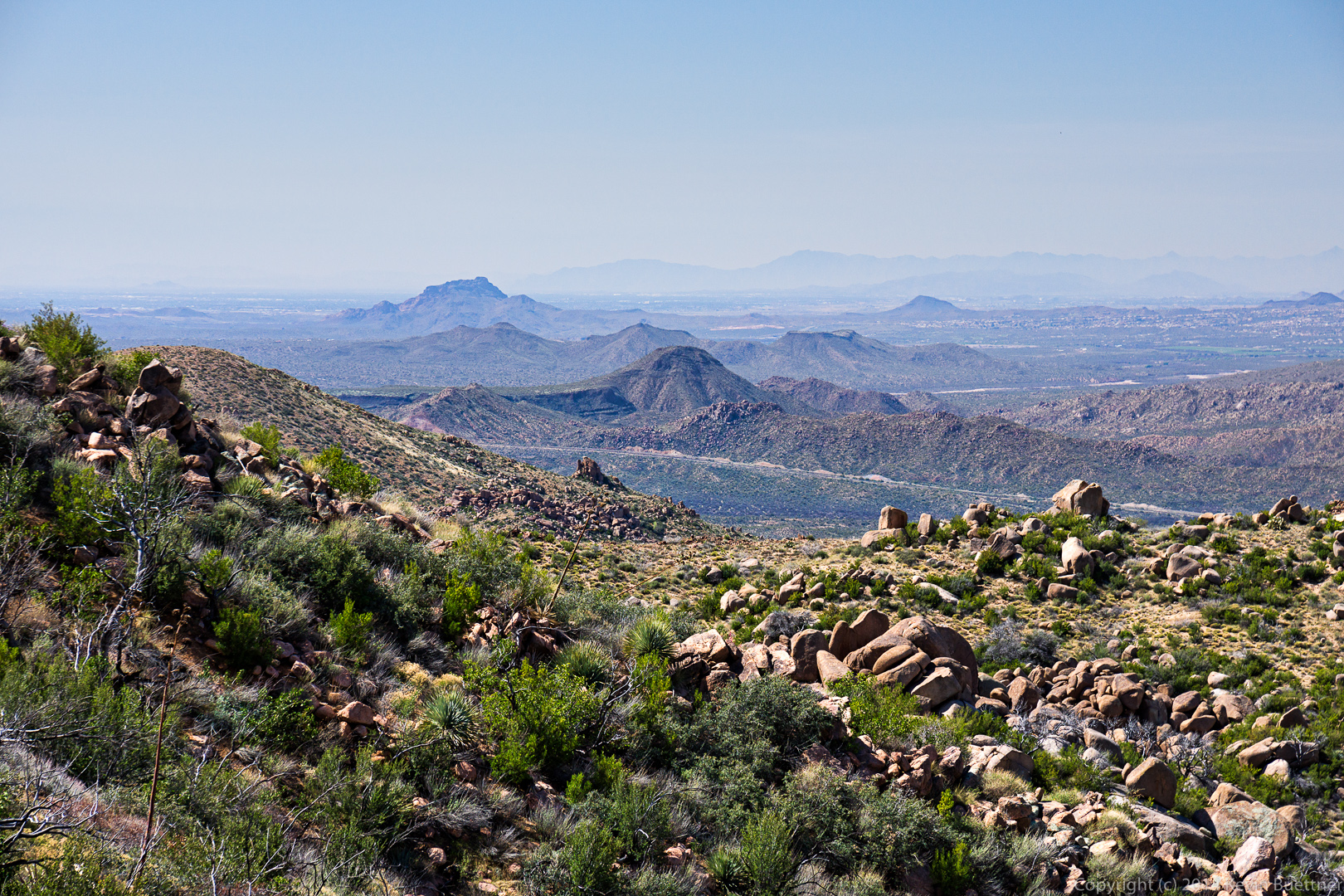
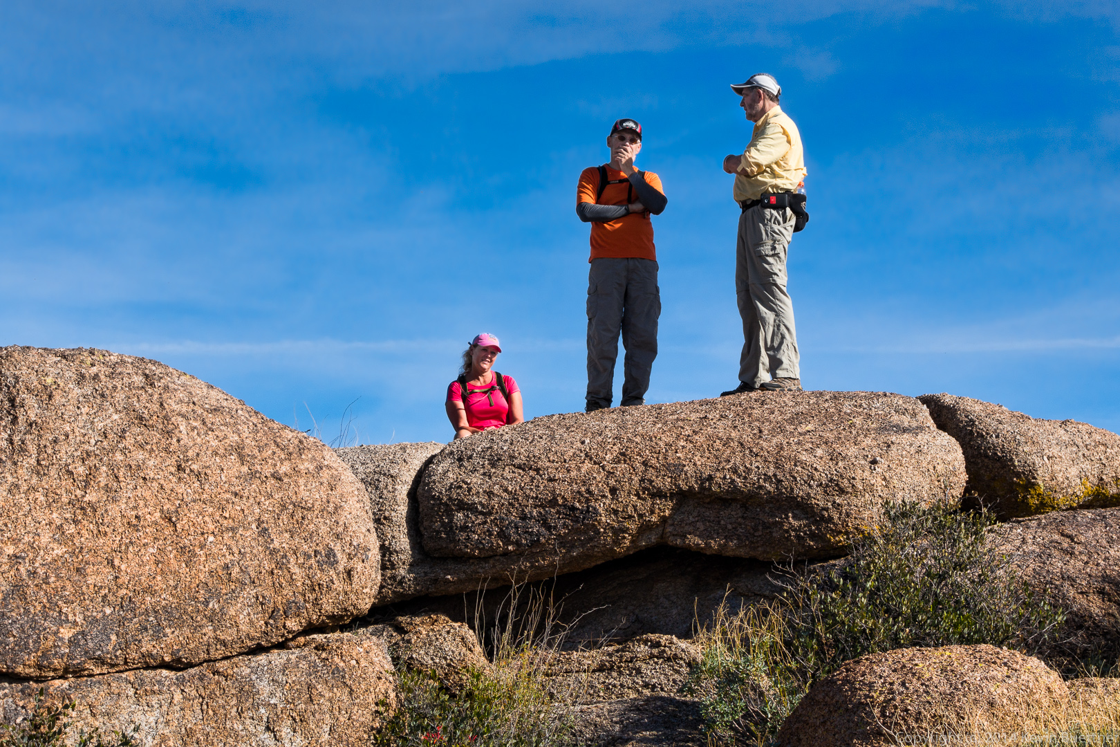
At this point we had reached the high point of the Bull Pass Trail and had continued up the side trail for even better views.

20140328-_DSC0005-Edit-medium This was one of the views.

20140328-_DSC0017-Edit-medium 
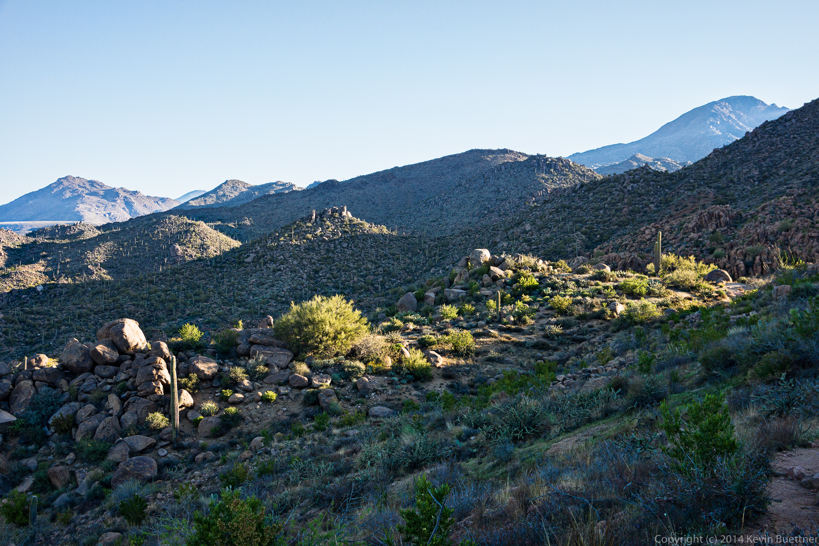
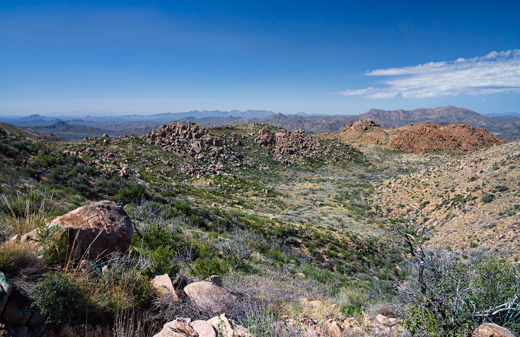
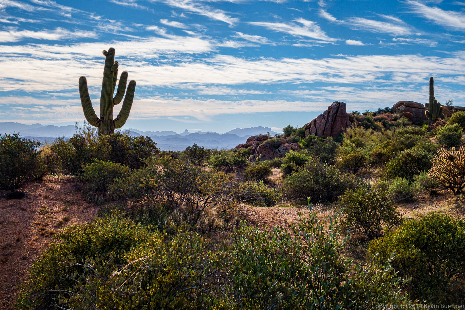
We had lost sight of Weaver’s Needle for quite a while, but it reappeared again for a while.

20140328-_DSC0032-Edit-medium
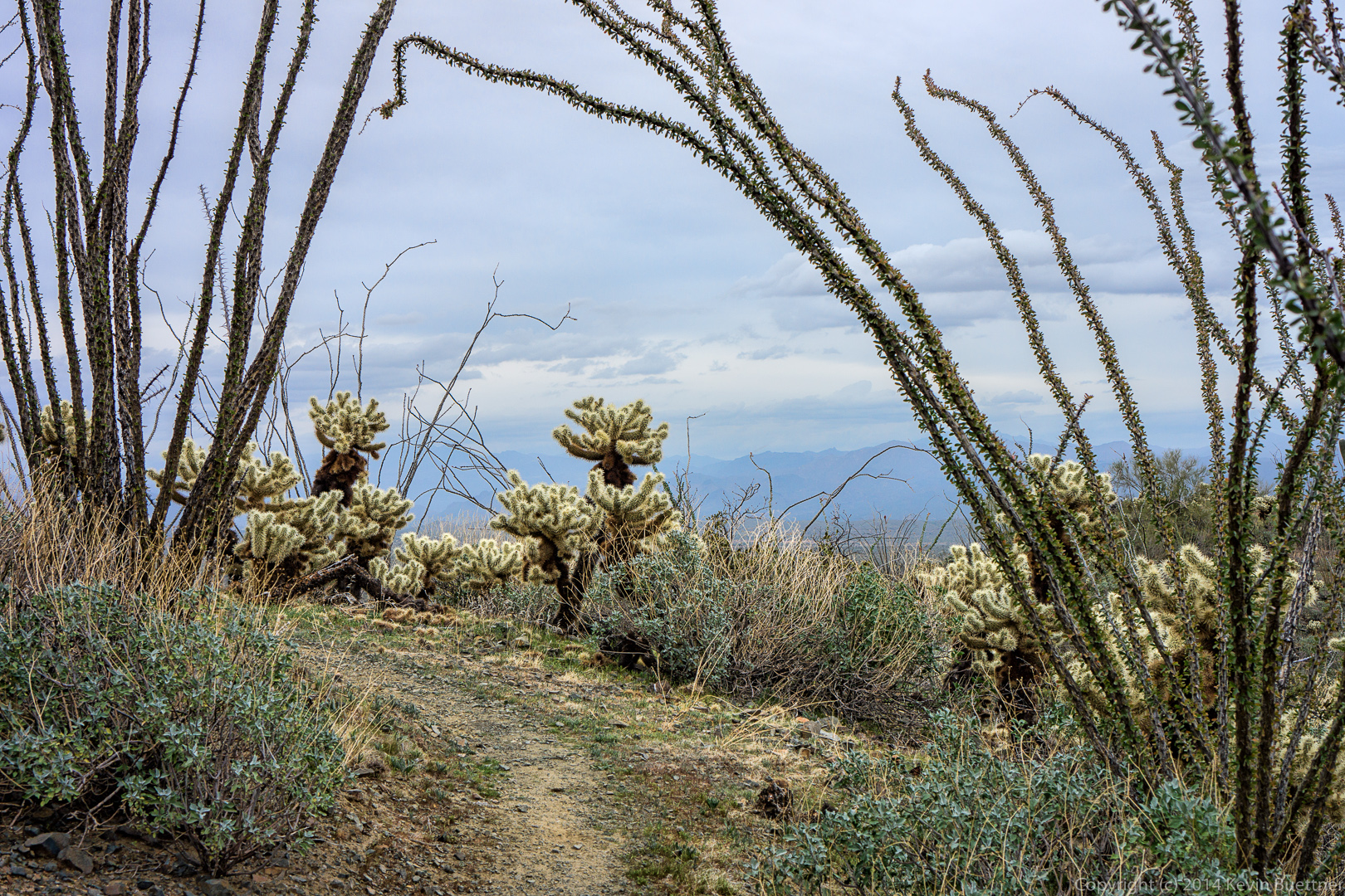
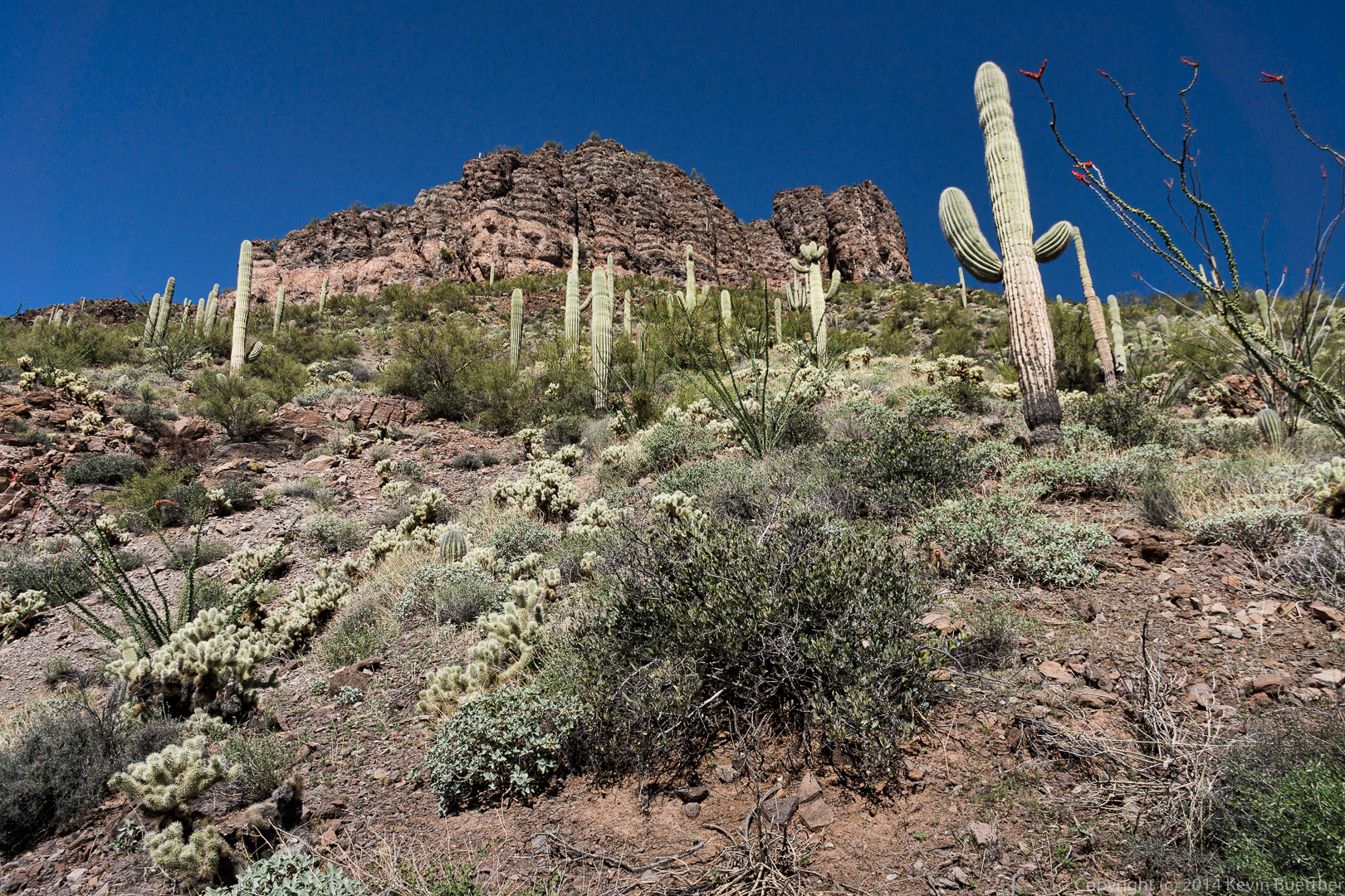
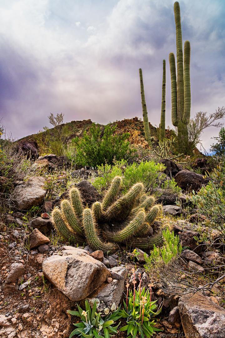
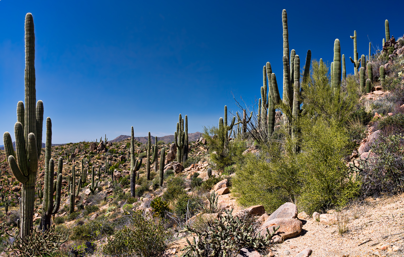
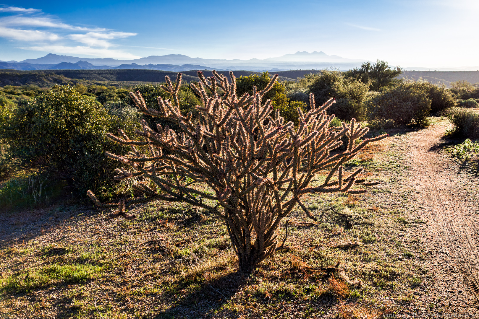
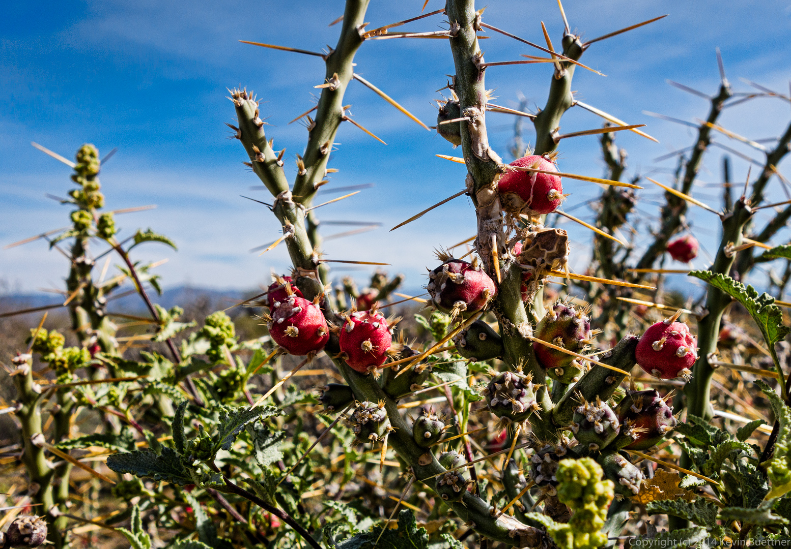
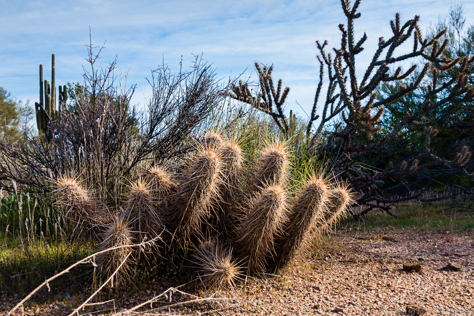
The trail went right between some huge chain fruit cholla plants.

20140328-_DSC0044-Edit-mediumBack to the Dutchman Trail!  (This is the other end of it.)

20140328-_DSC0053-Edit-medium 
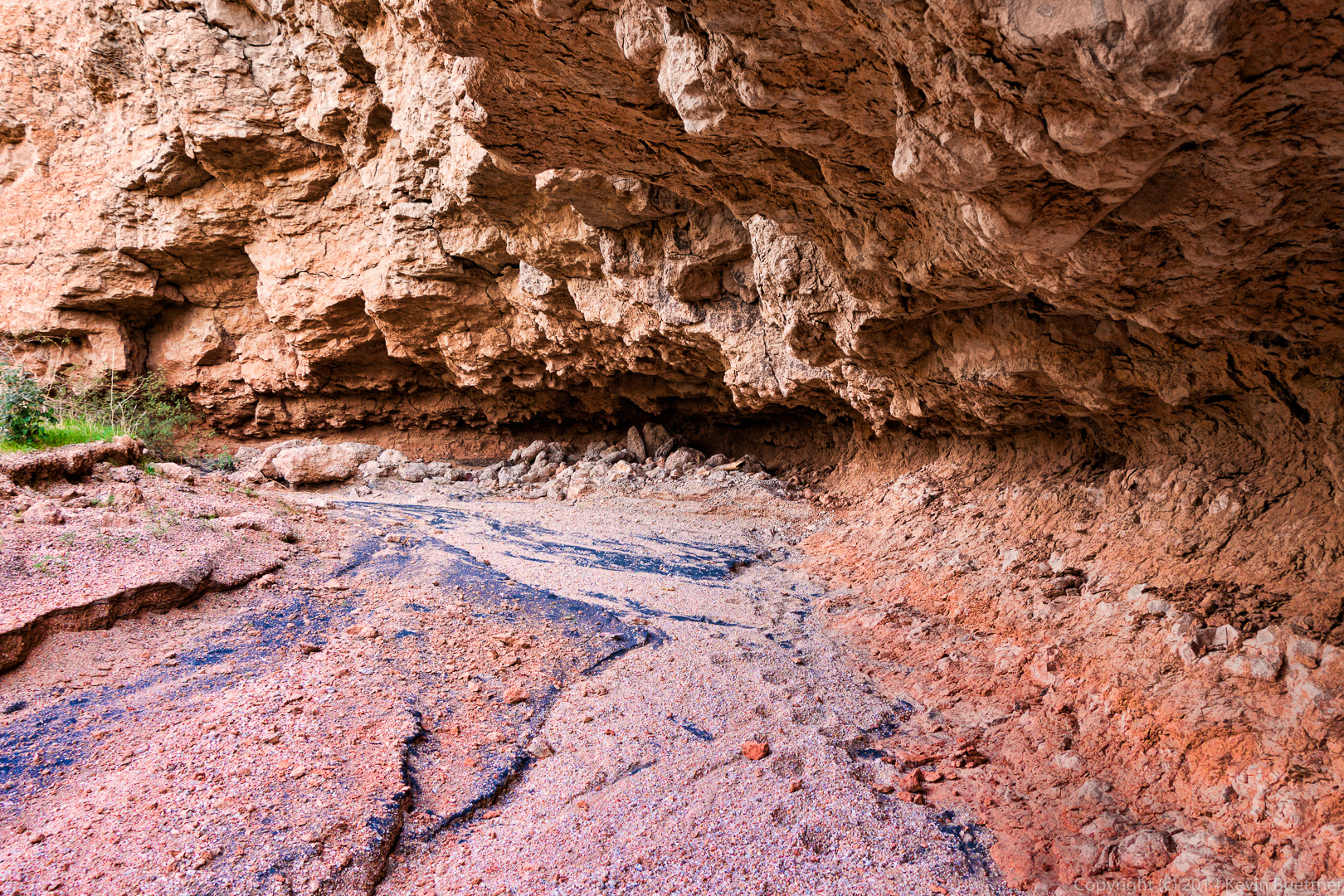
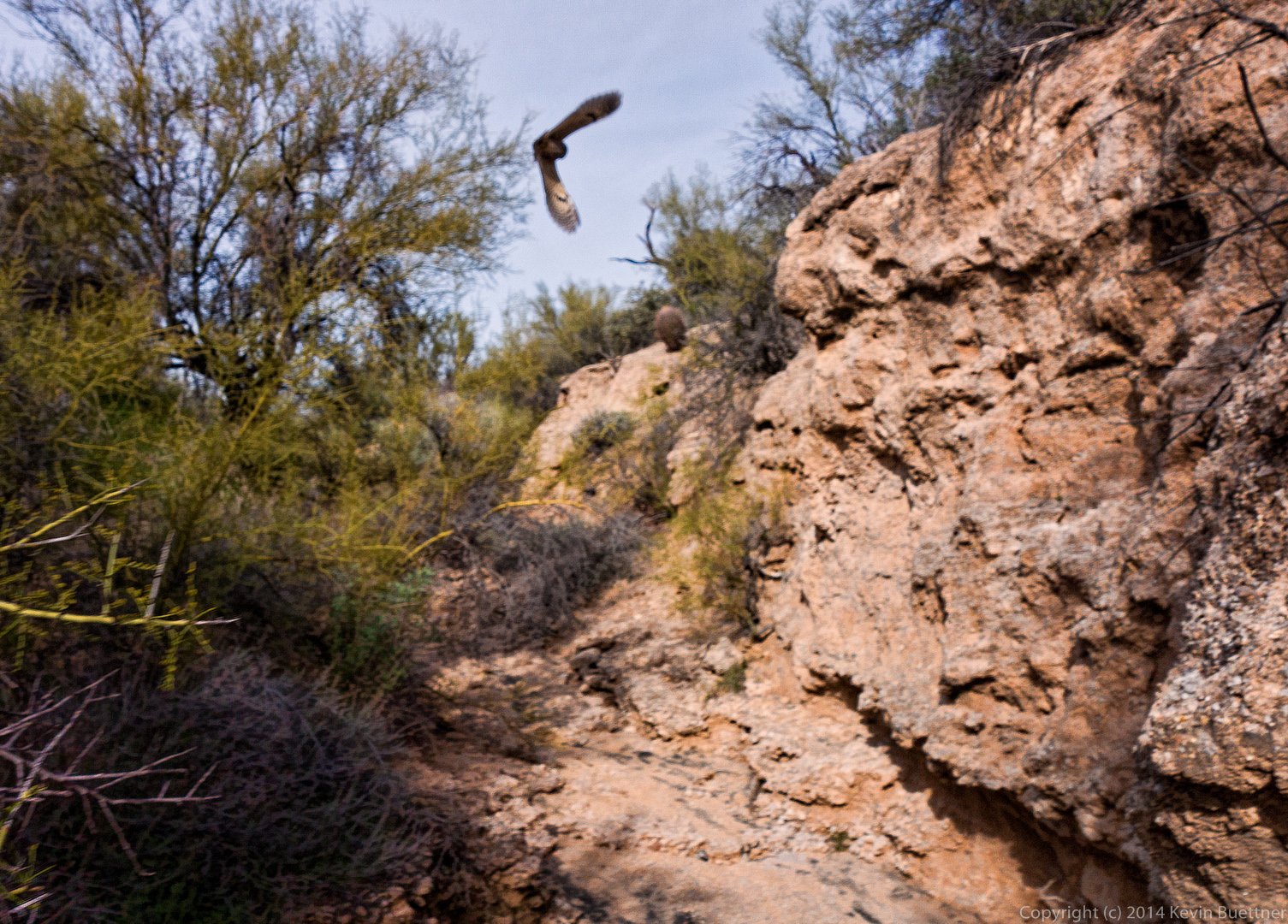
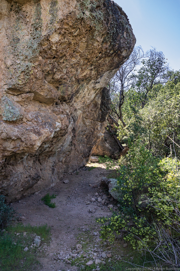
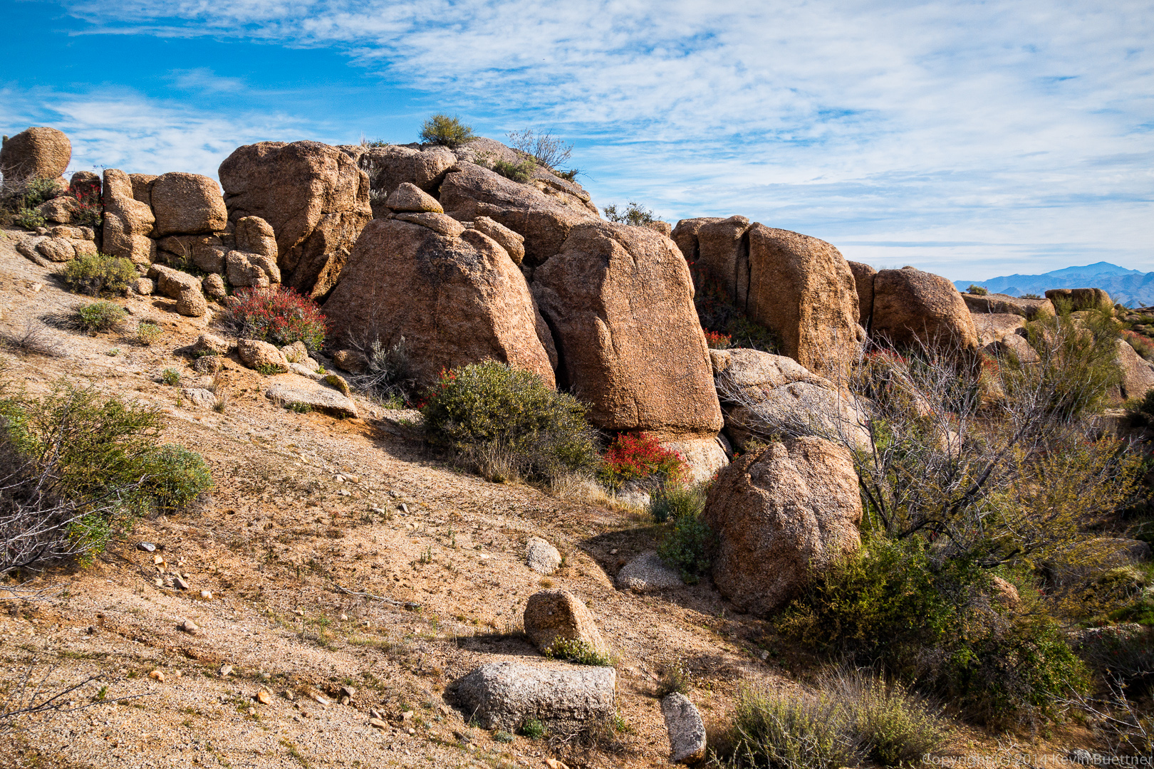
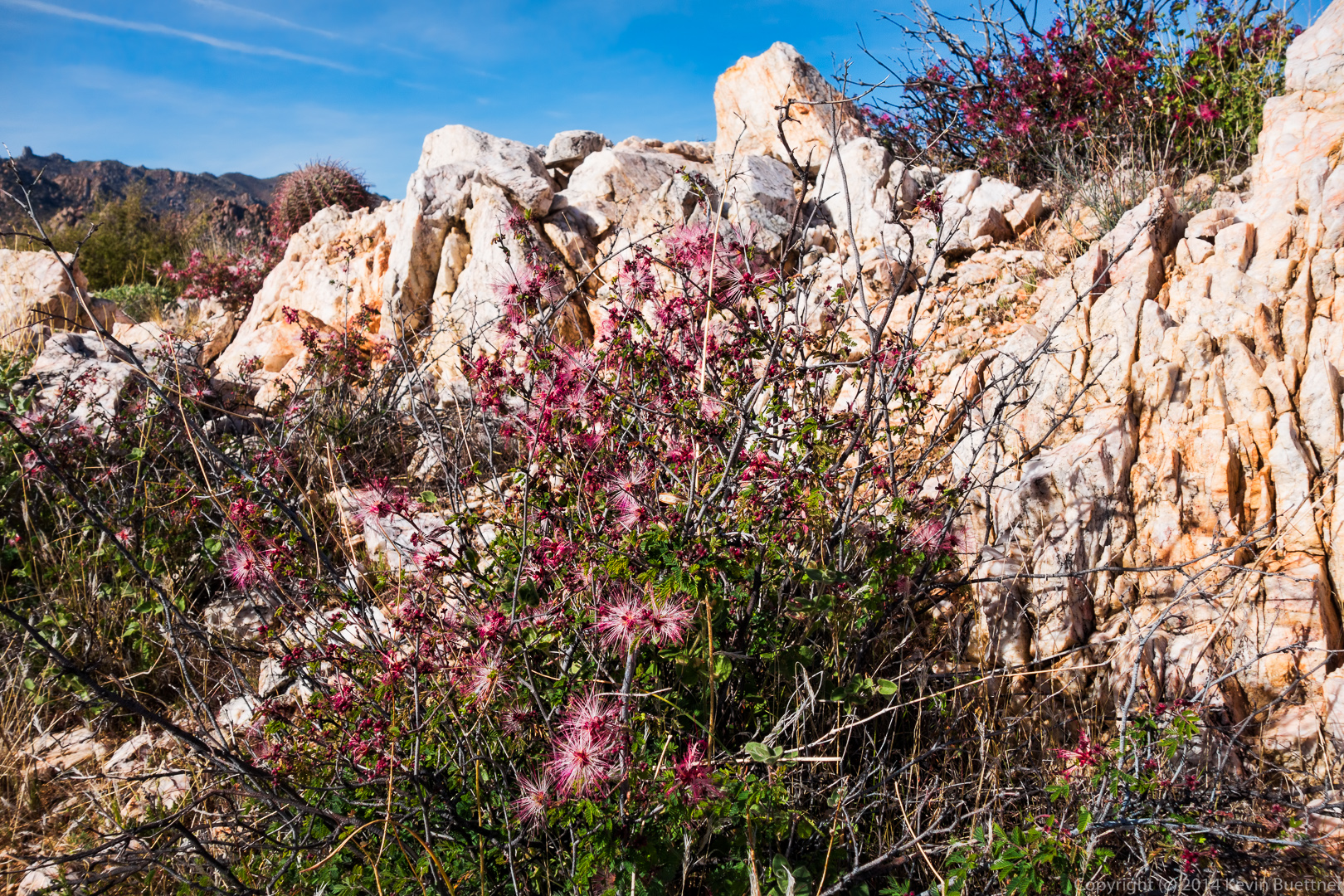
This large overhanging rock provided shade and was a cool spot to rest.  But we spent almost no time resting though as we still had a long way to go.

20140328-_DSC0089-Edit-medium 
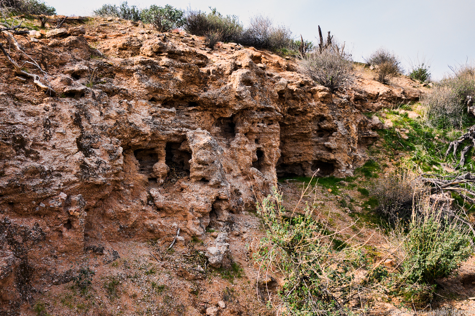
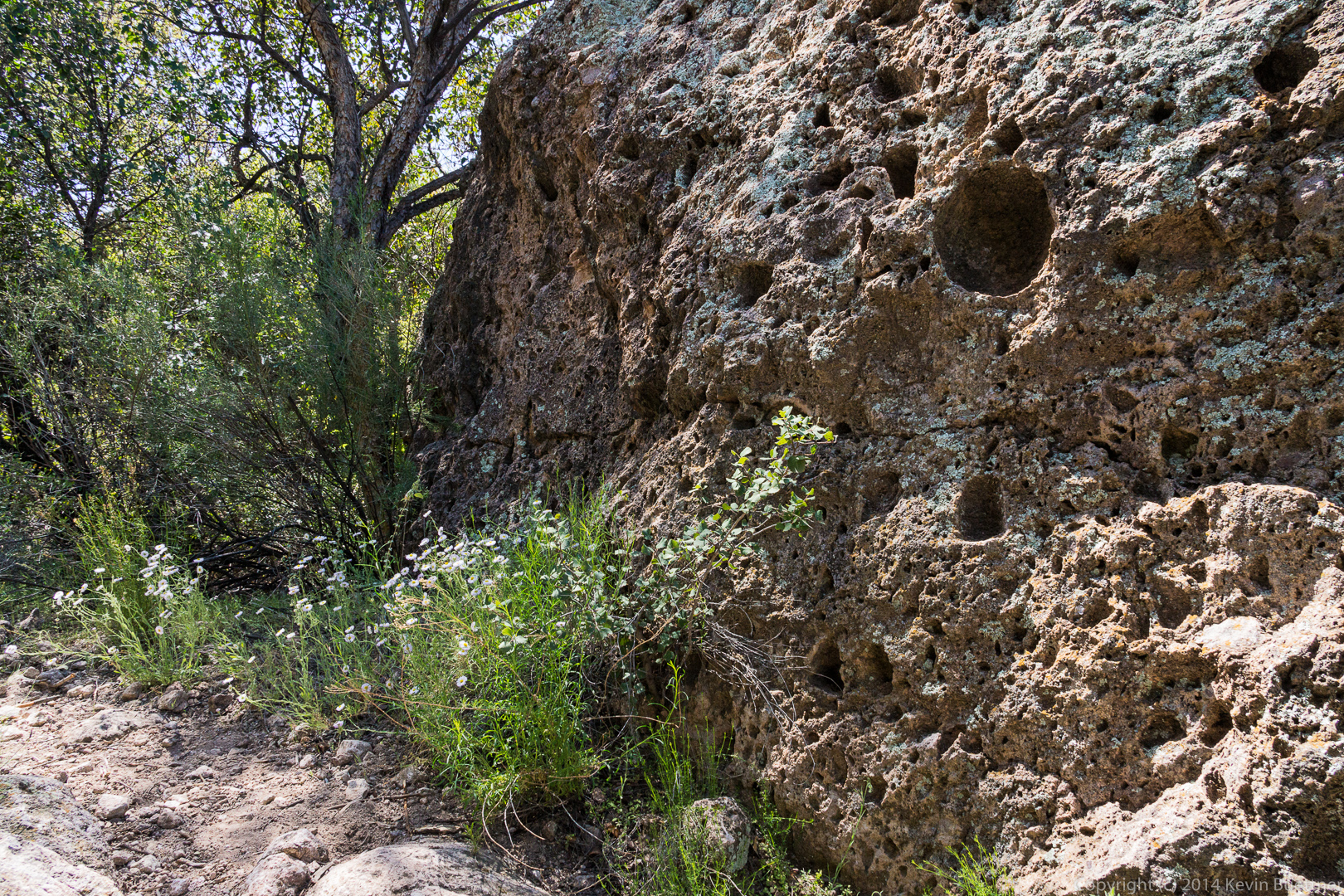
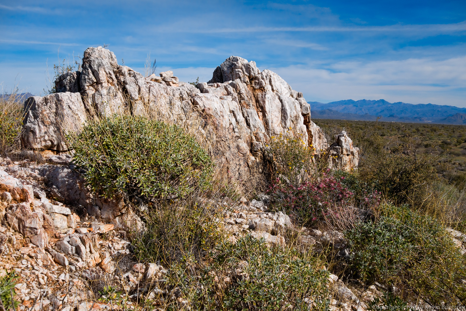
Another nearby rock:

20140328-_DSC0092-Edit-medium 
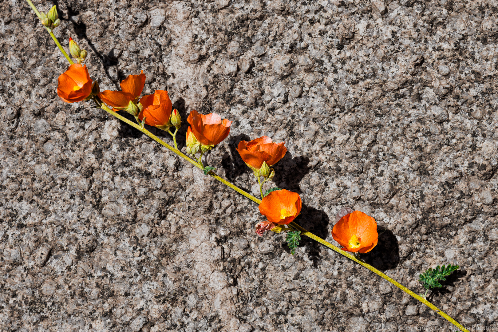
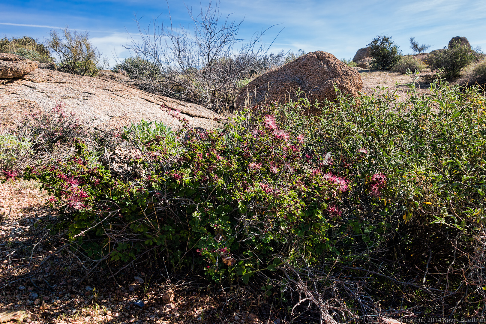
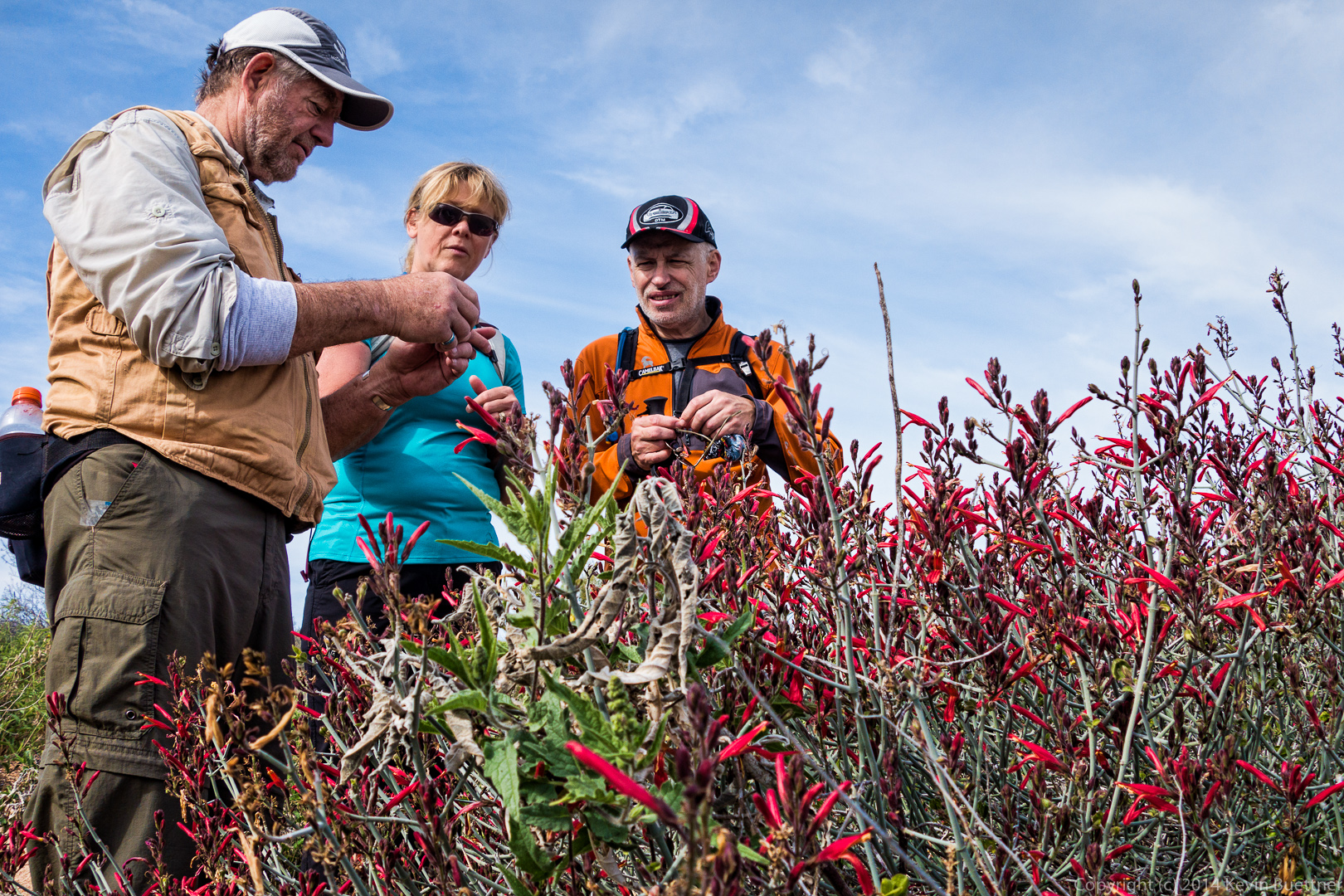
Linda, photographing some Globe Mallow flowers.

20140328-_DSC0119-Edit-medium 
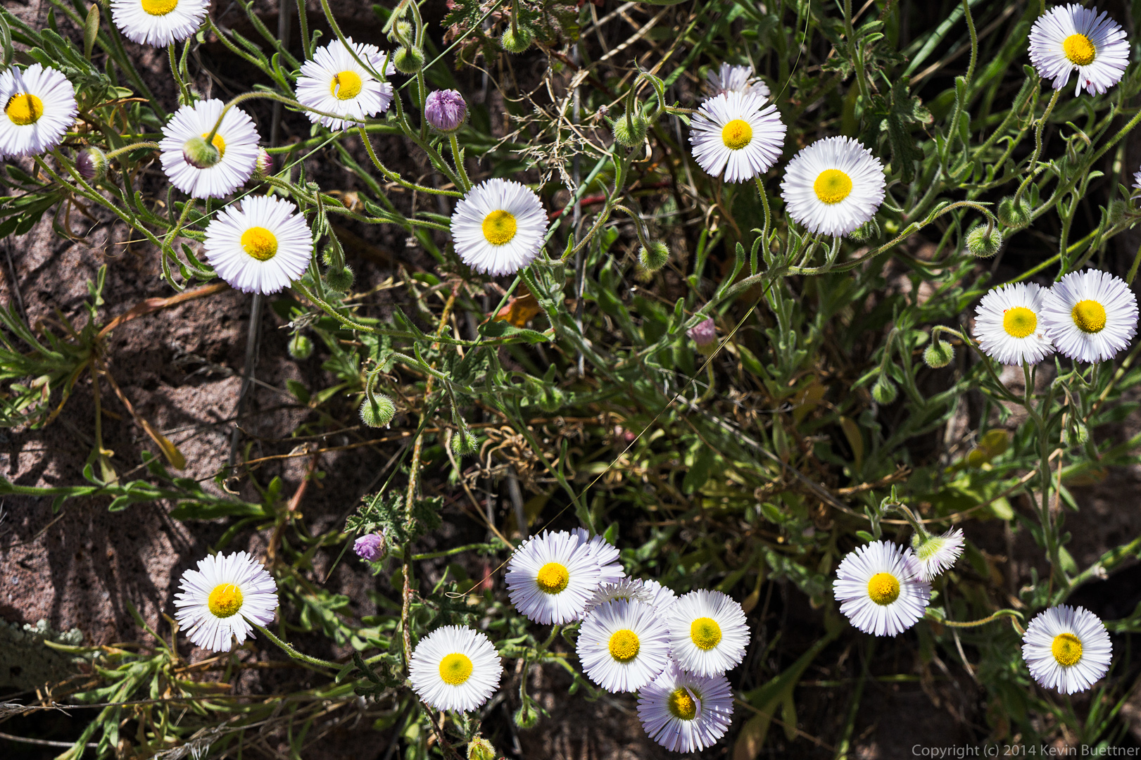
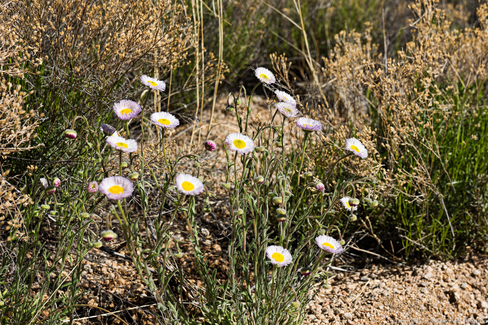
This might be Fleabane.

20140328-_DSC0131-Edit-medium 
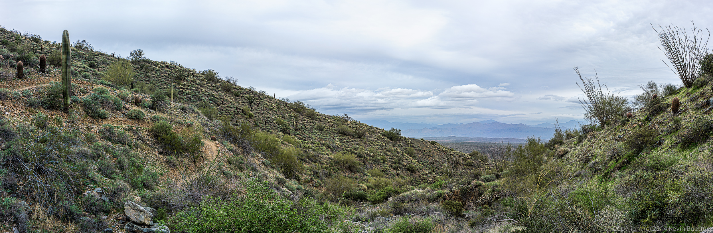
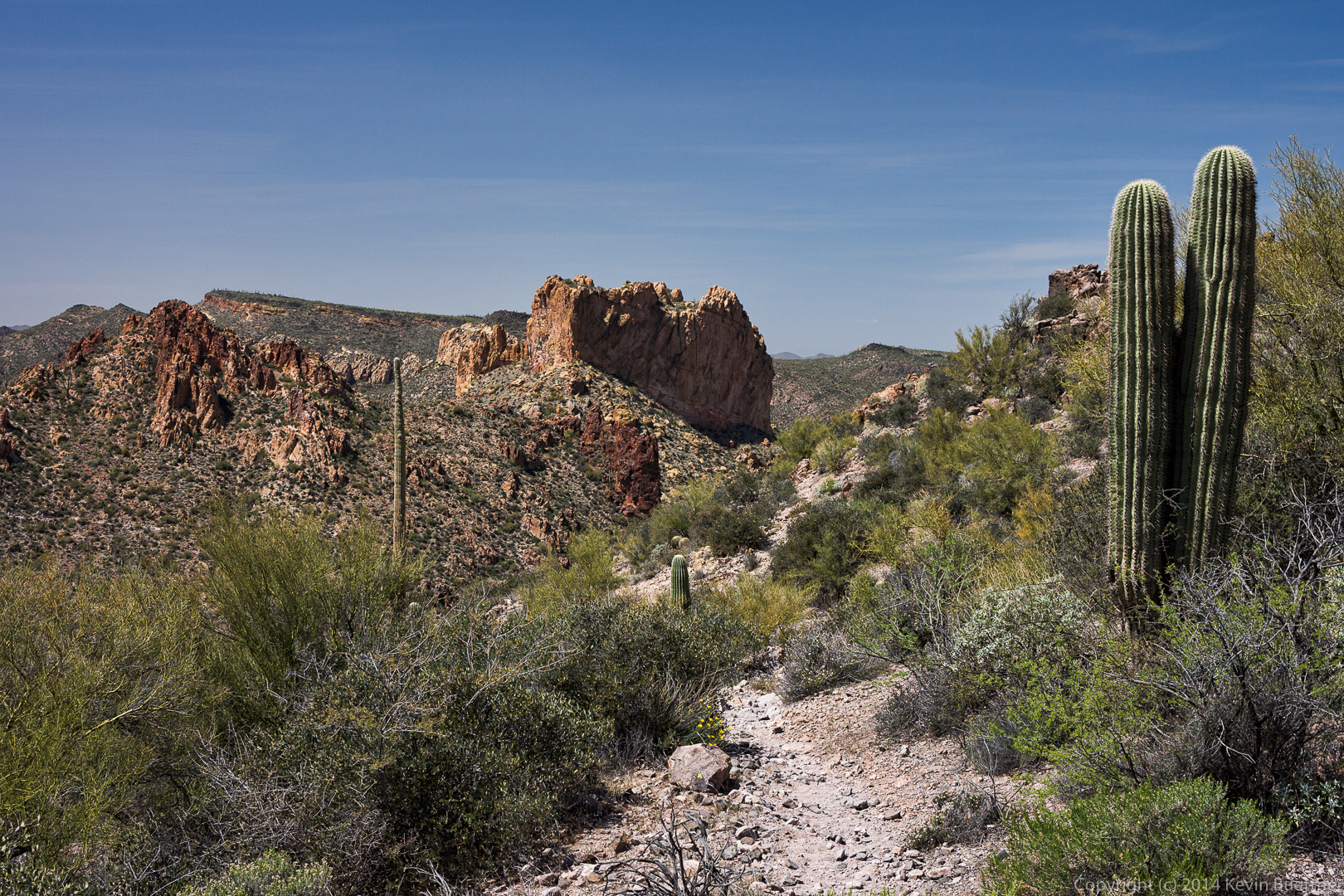
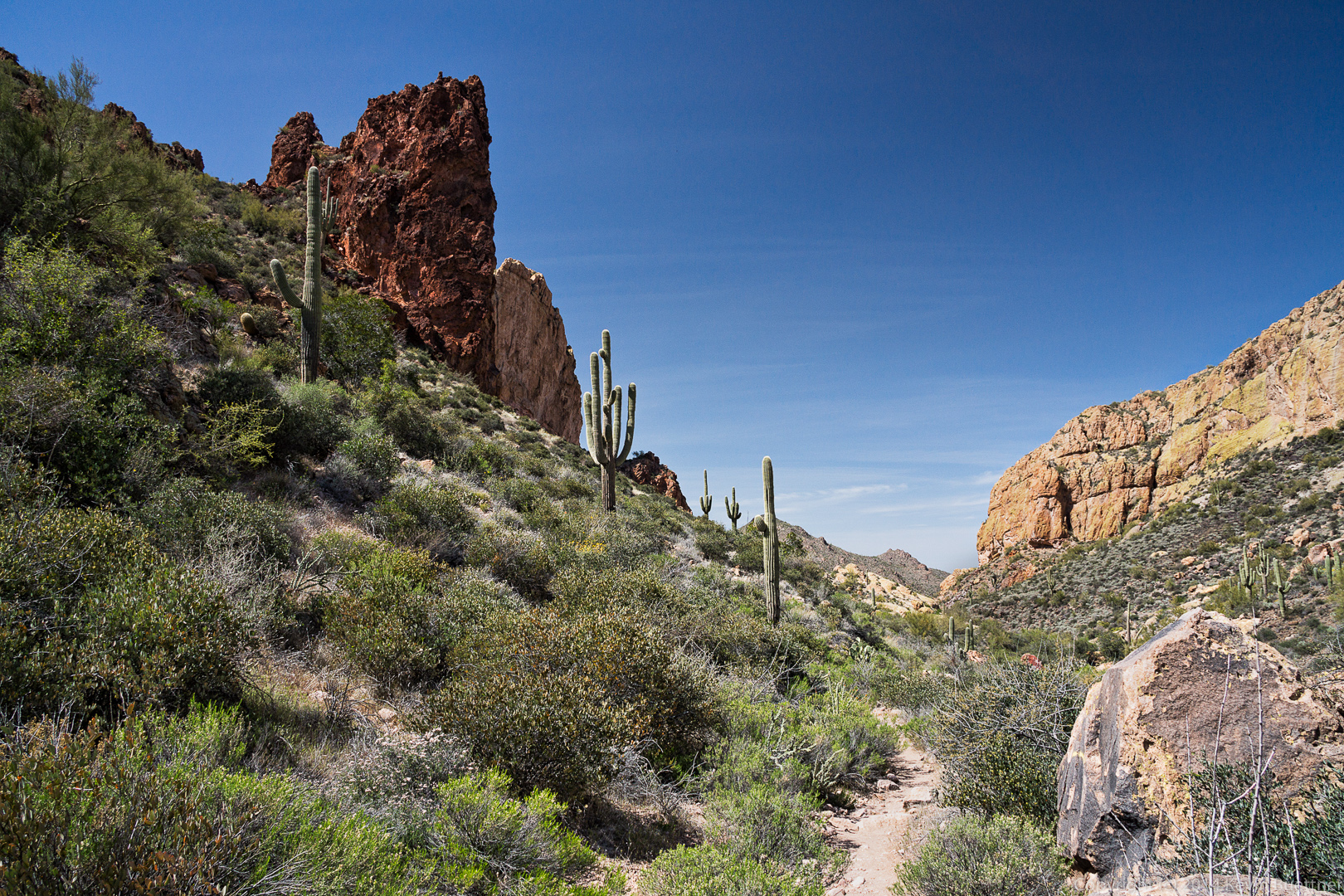
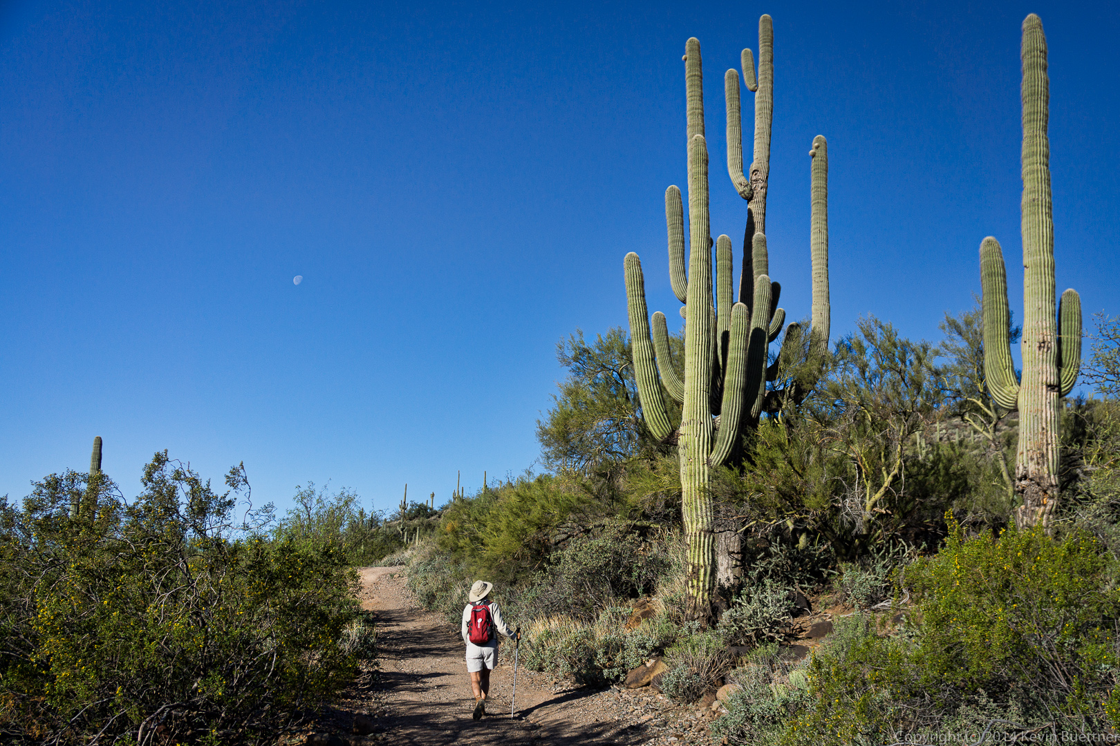
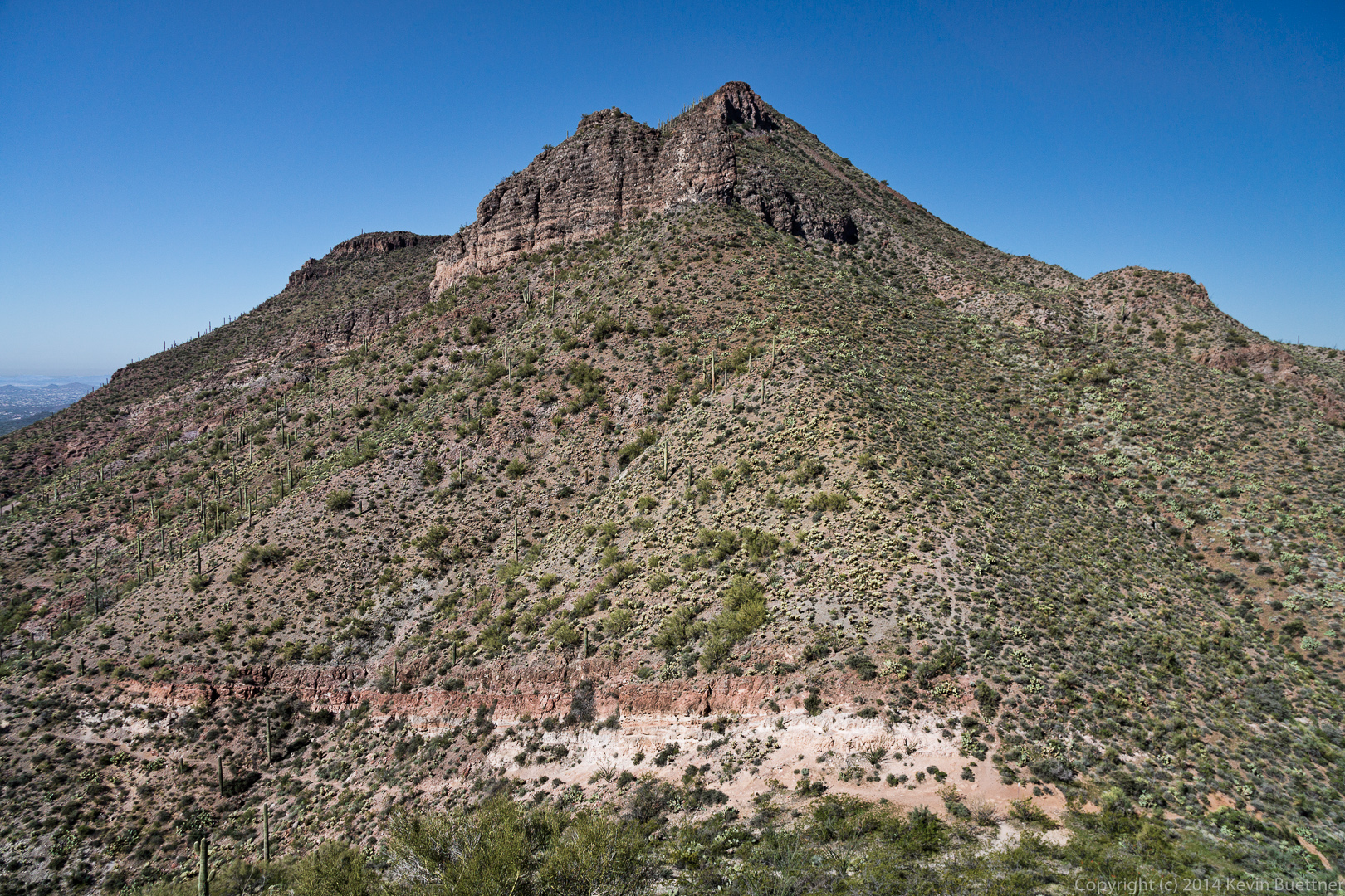
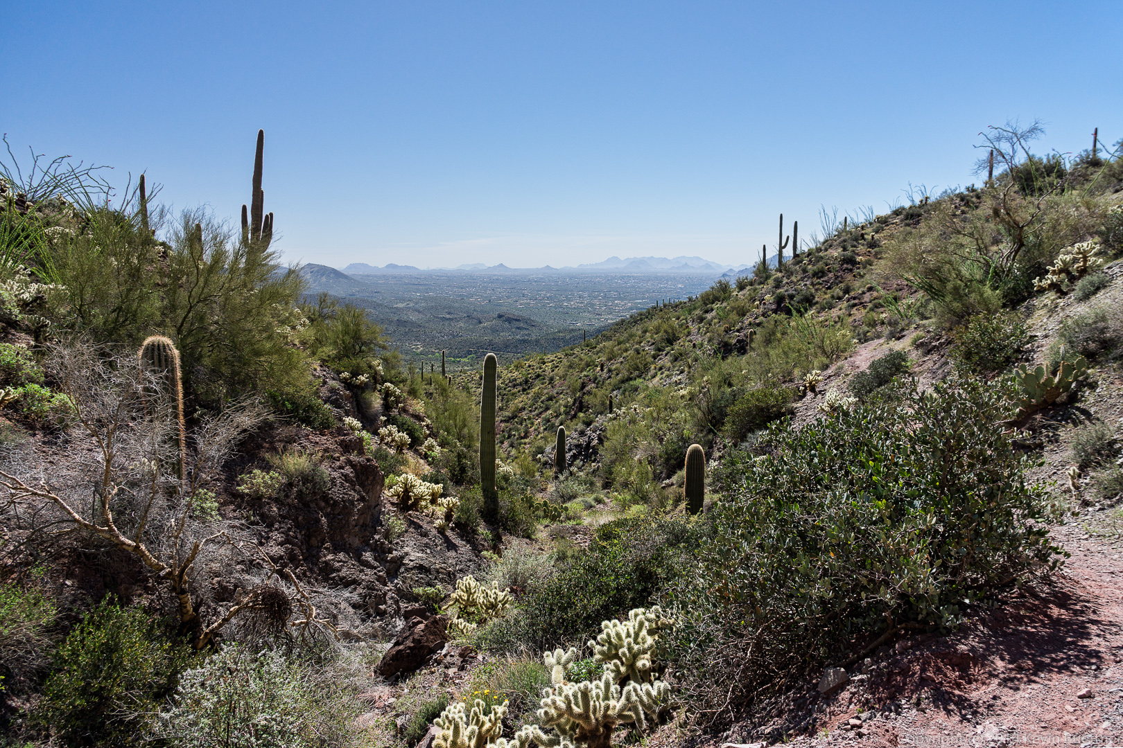
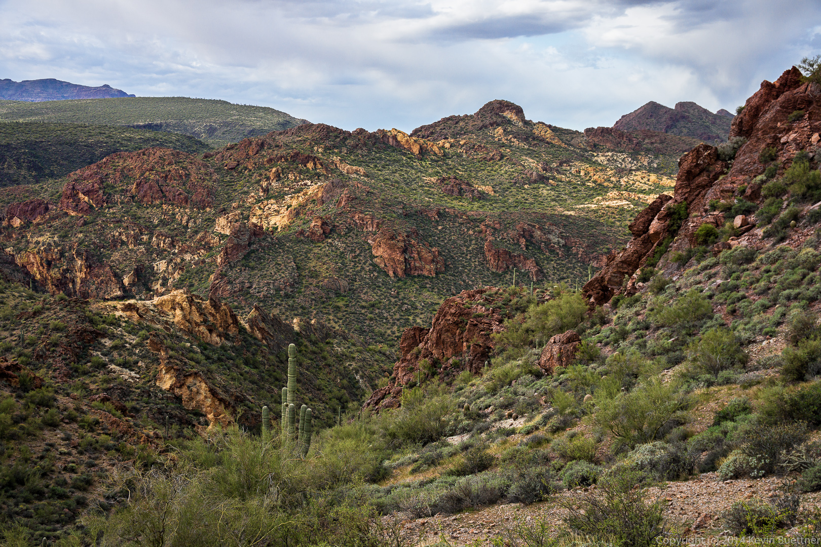
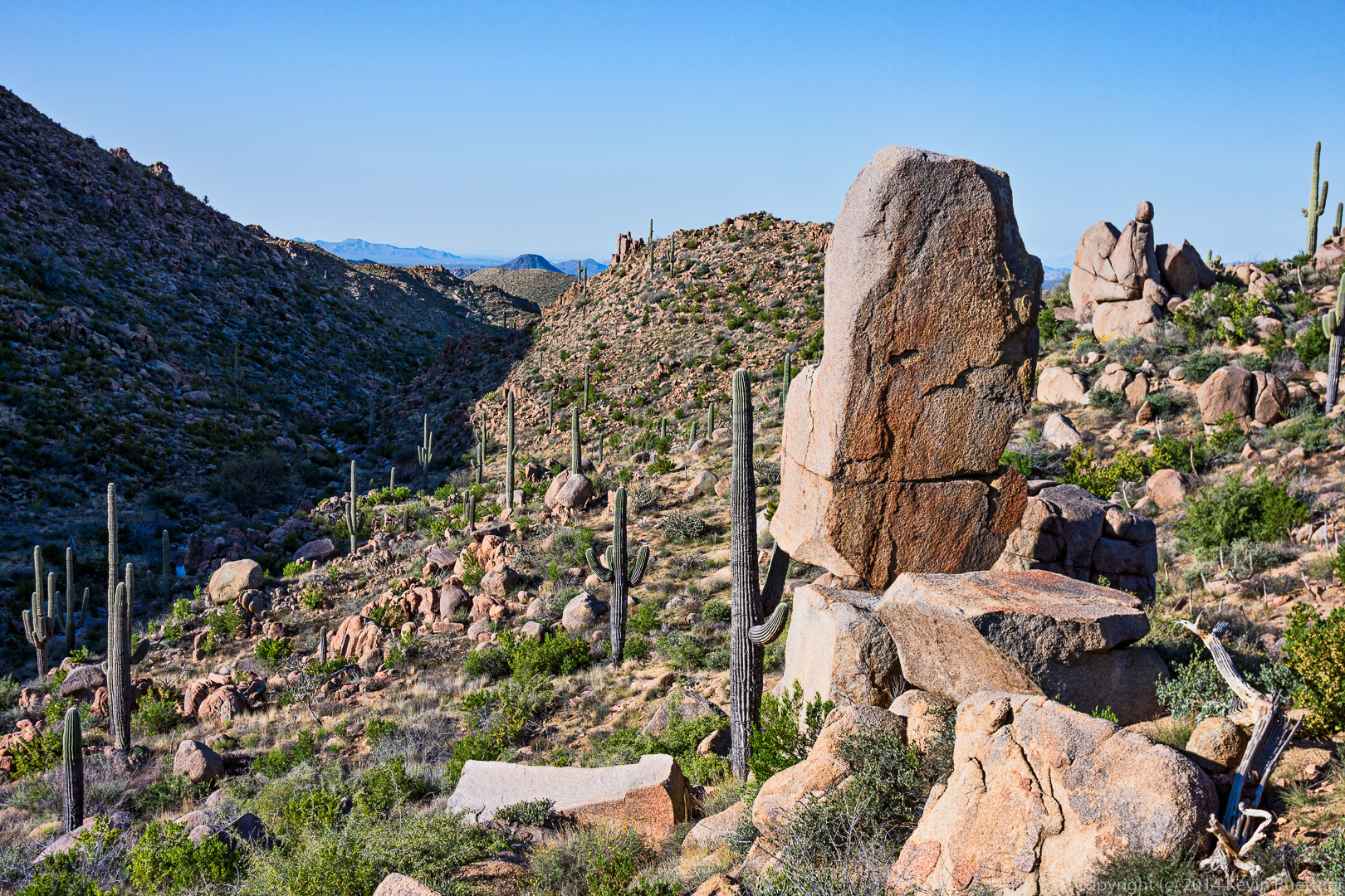
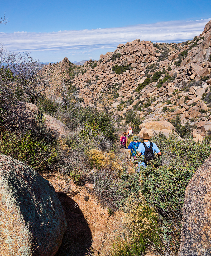
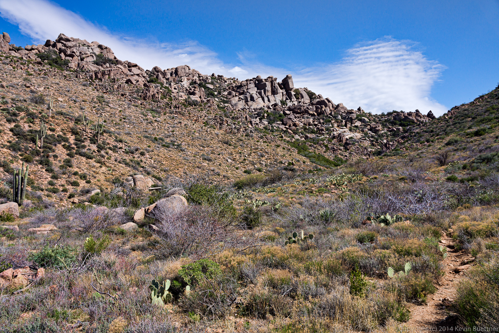
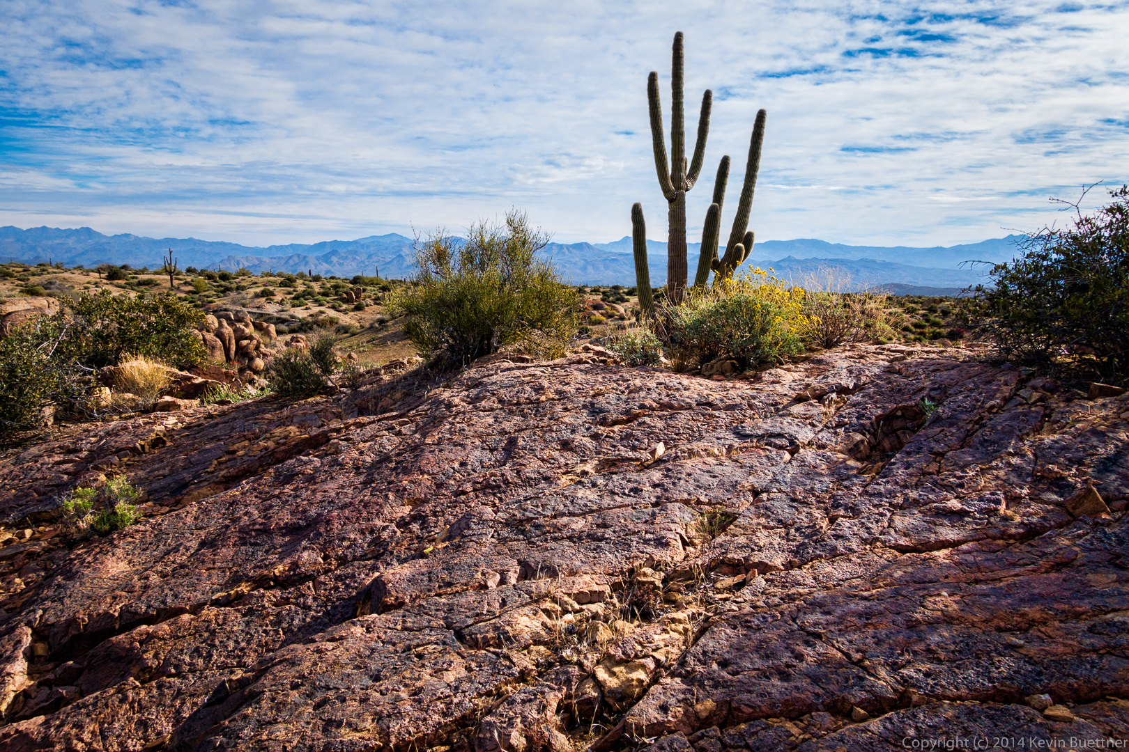
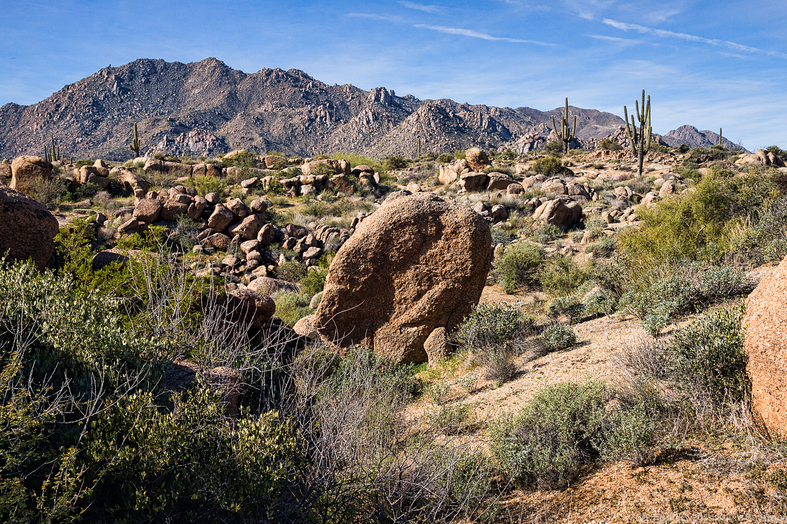
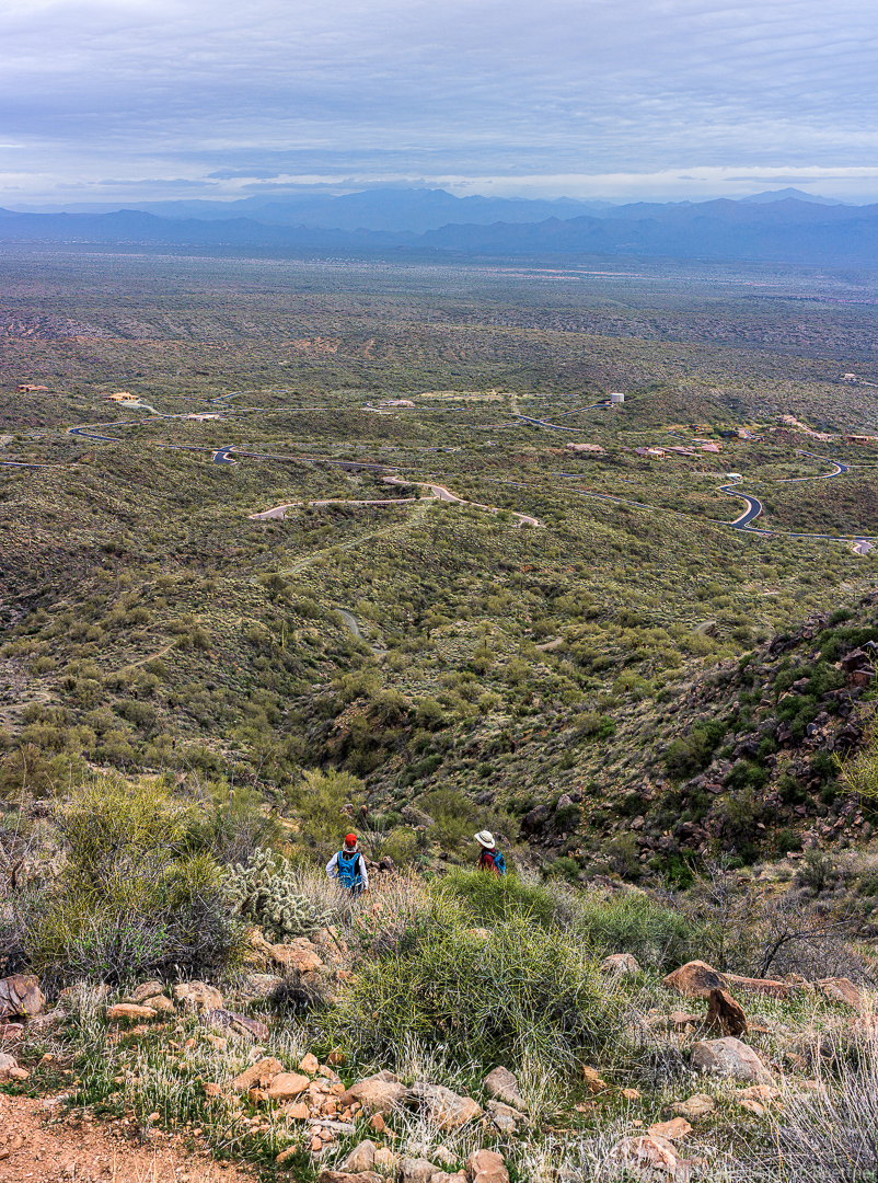
The Dutchman Trail climbed for a while, providing spectacular views.

20140328-_DSC0137-Edit-medium 20140328-_DSC0140-Edit-medium 20140328-_DSC0197-Edit-medium
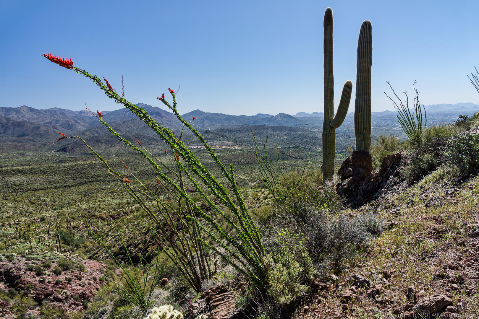
A view of Weaver’s Needle from the Dutchman Trail.  As I recall, there were great views from this location in all directions.

20140328-_DSC0248-Edit-medium 
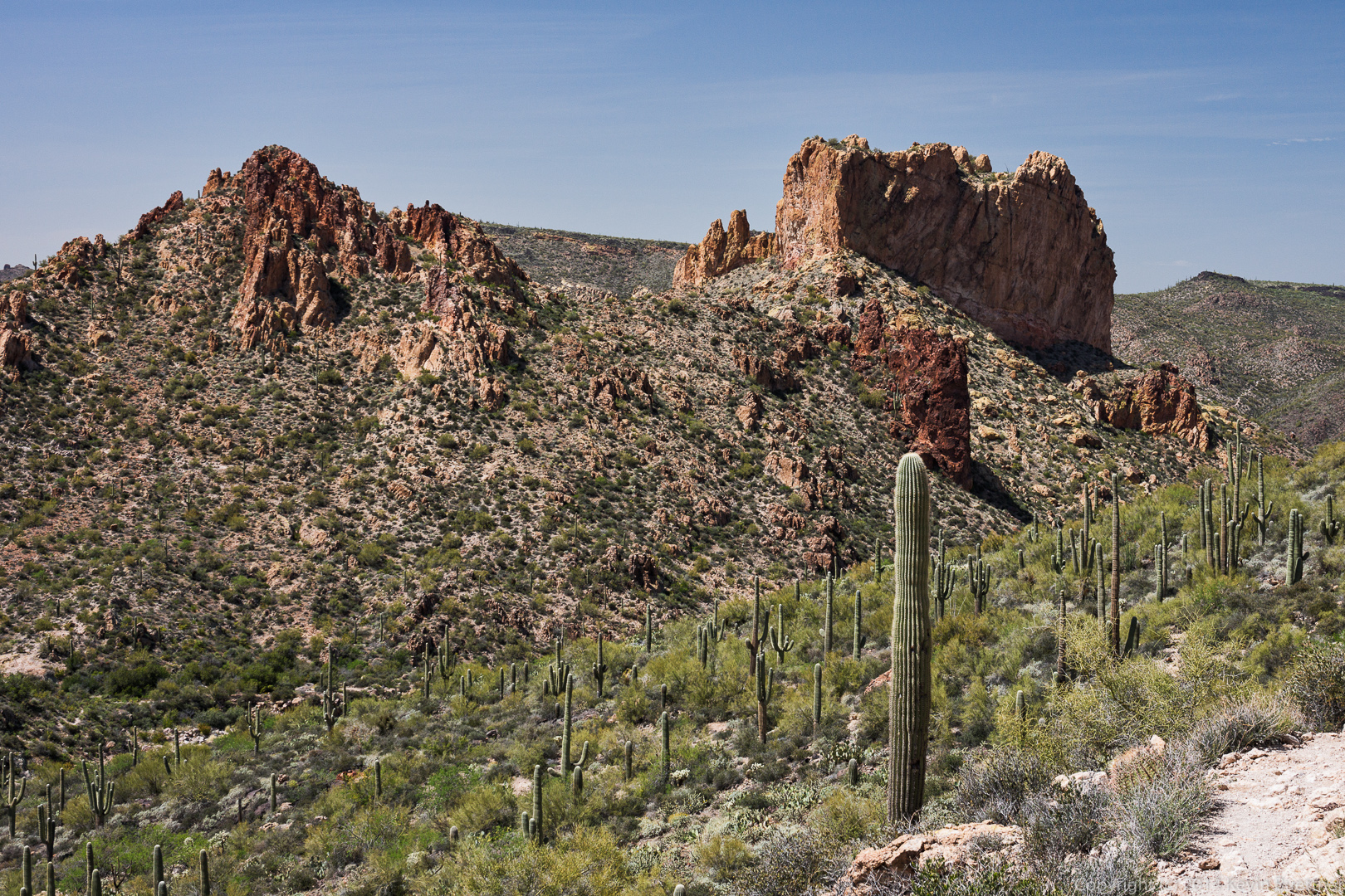
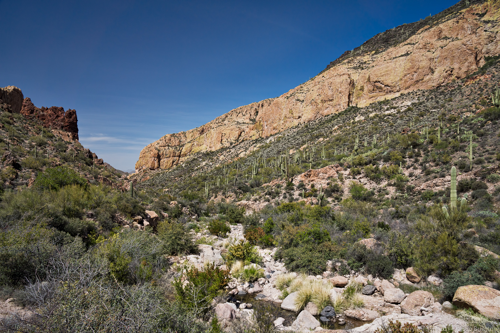
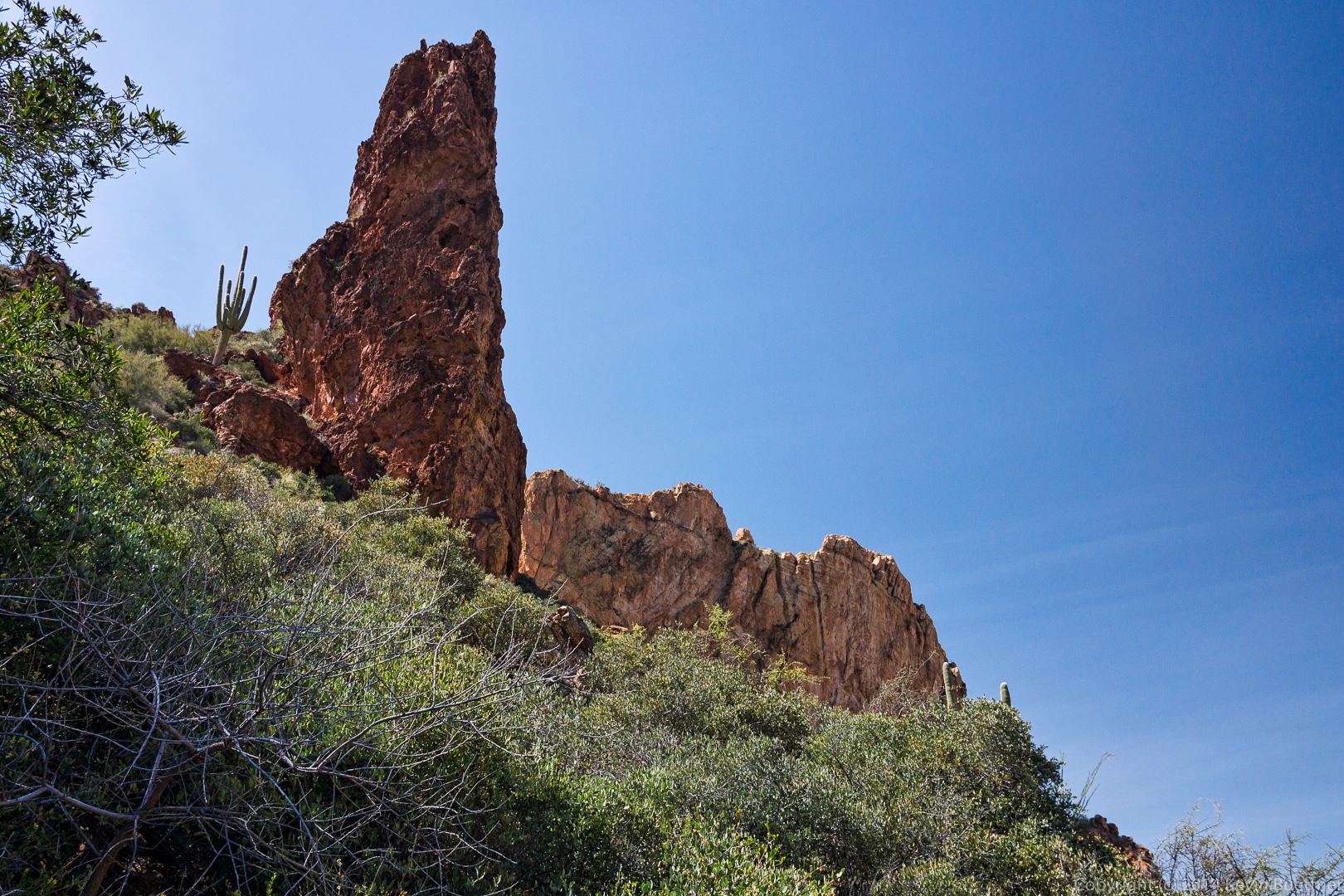
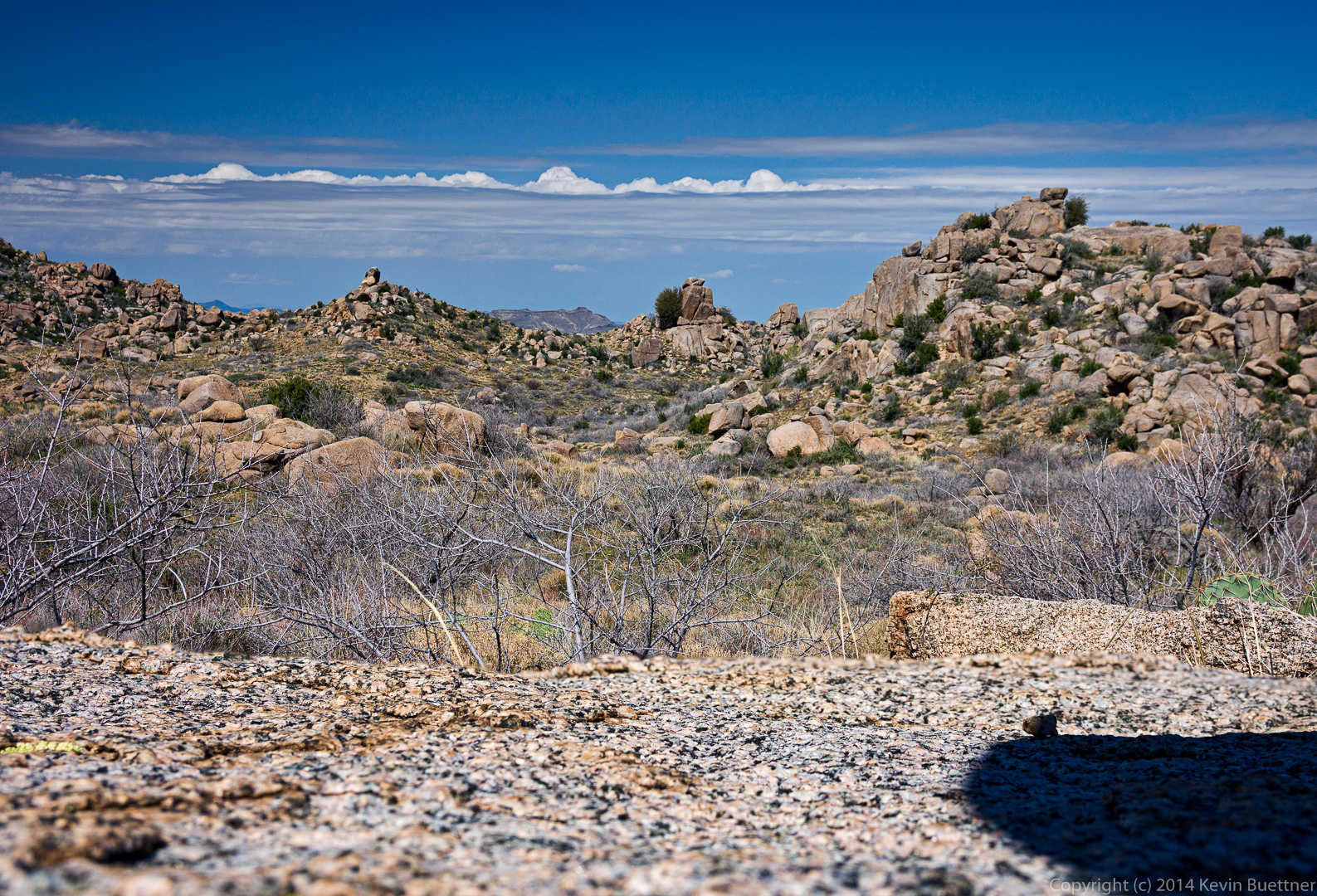
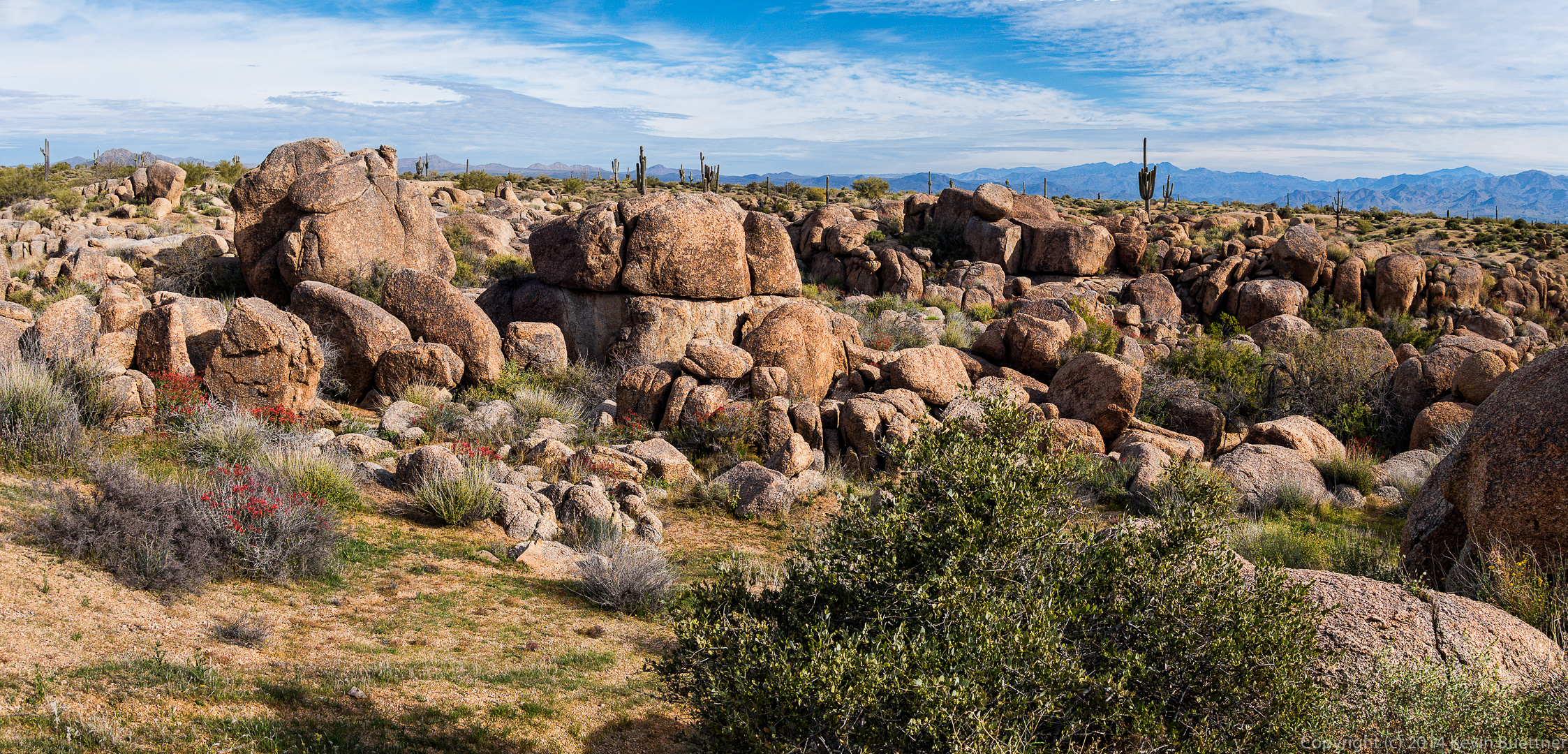
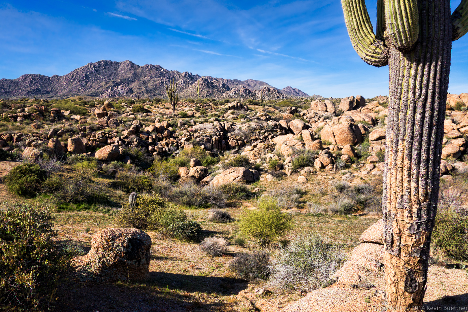
More views from the Dutchman Trail on our return trip…

20140328-_DSC0257-Edit-medium 20140328-_DSC0269-Edit-medium 20140328-_DSC0272-Edit-medium 
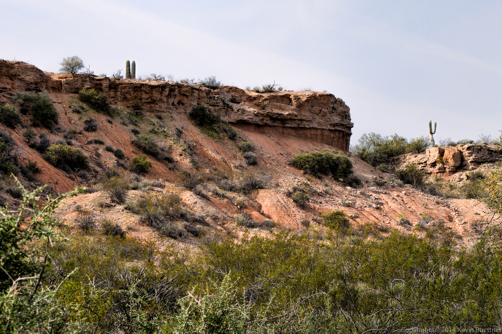
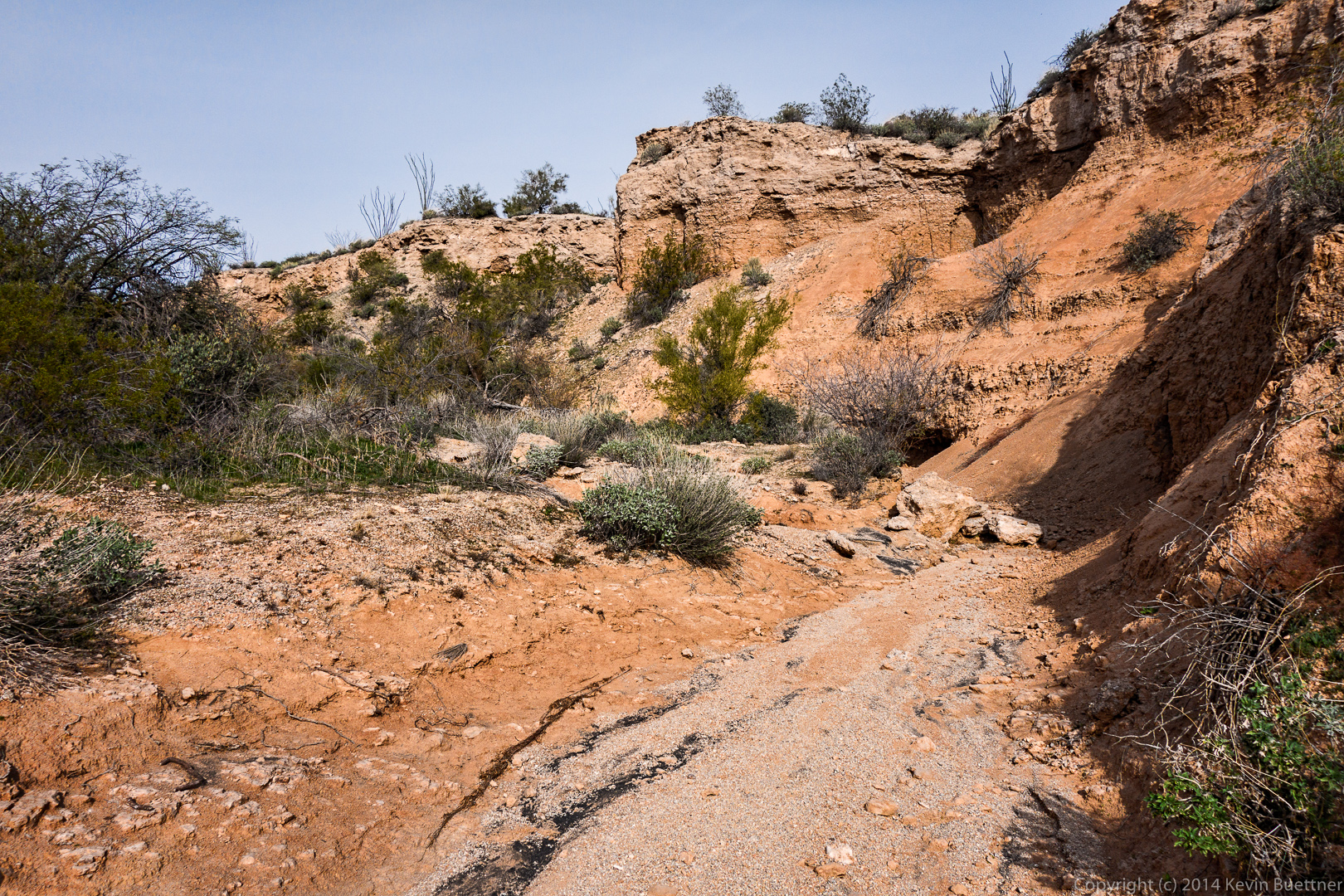
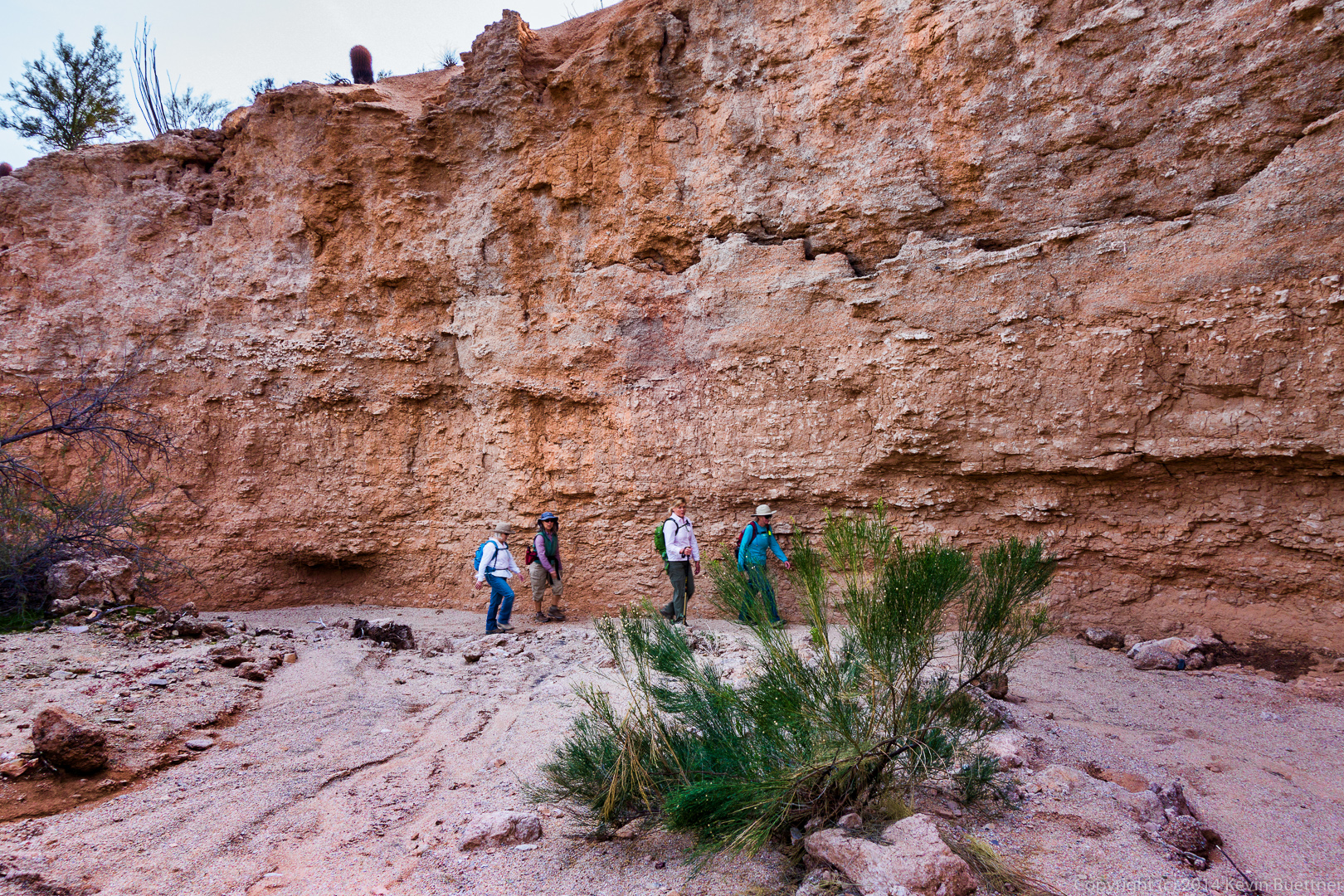
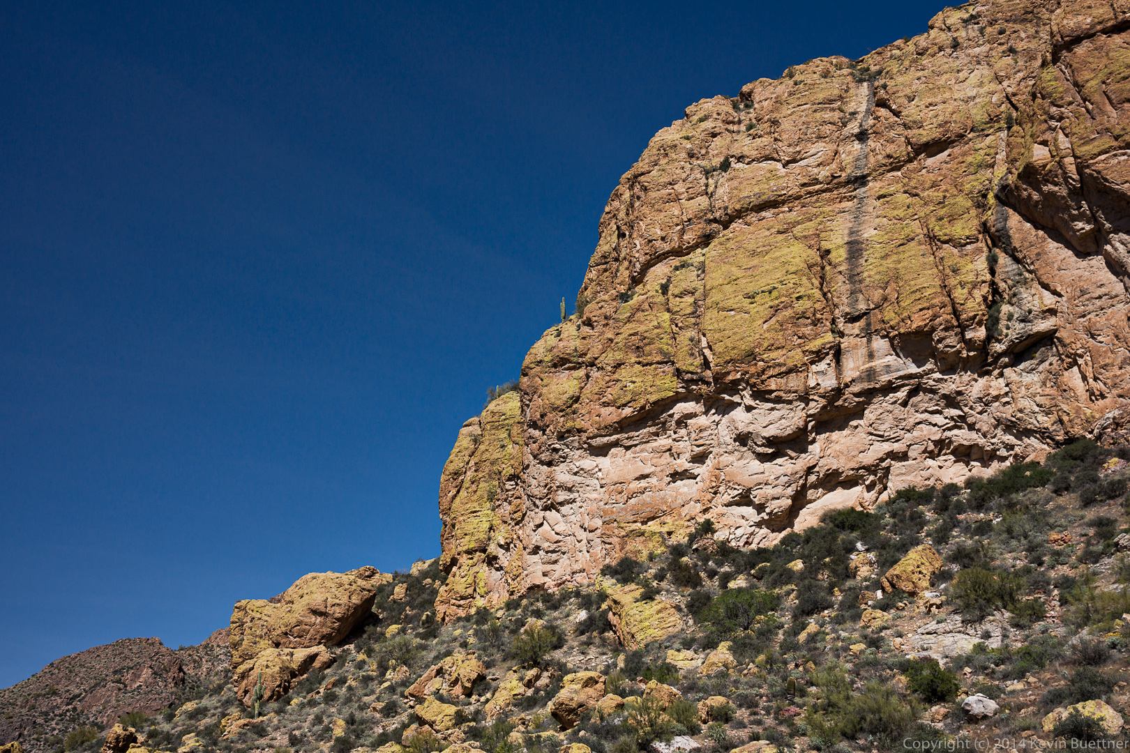
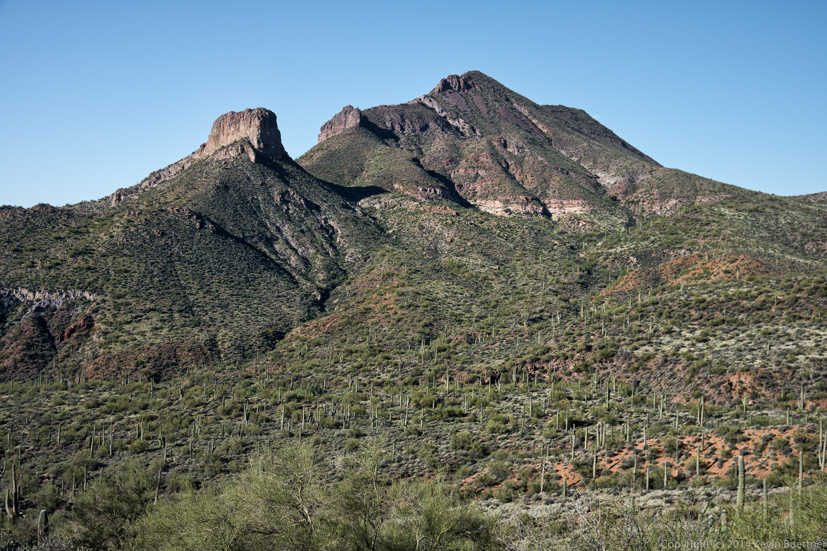
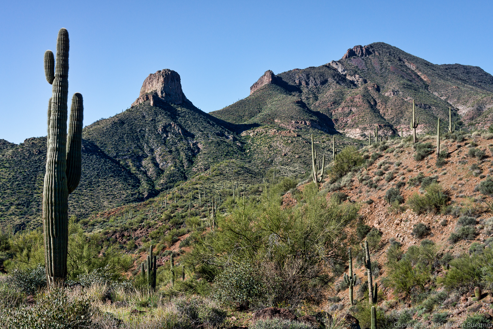
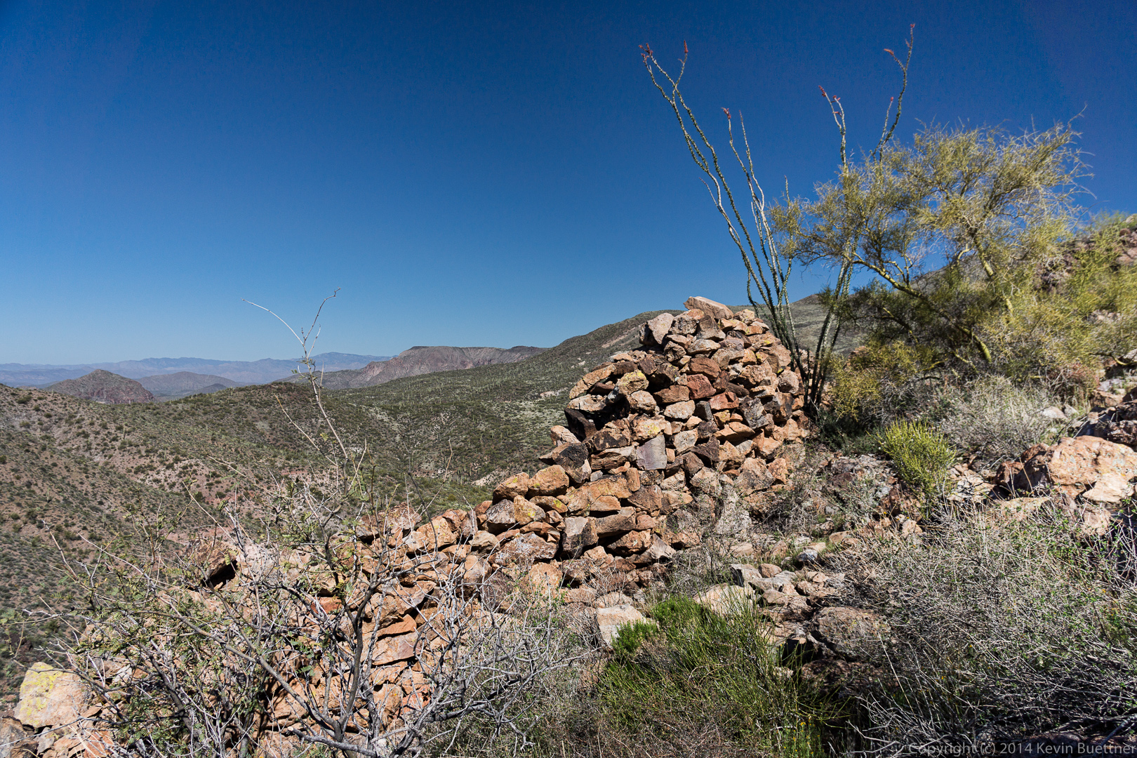
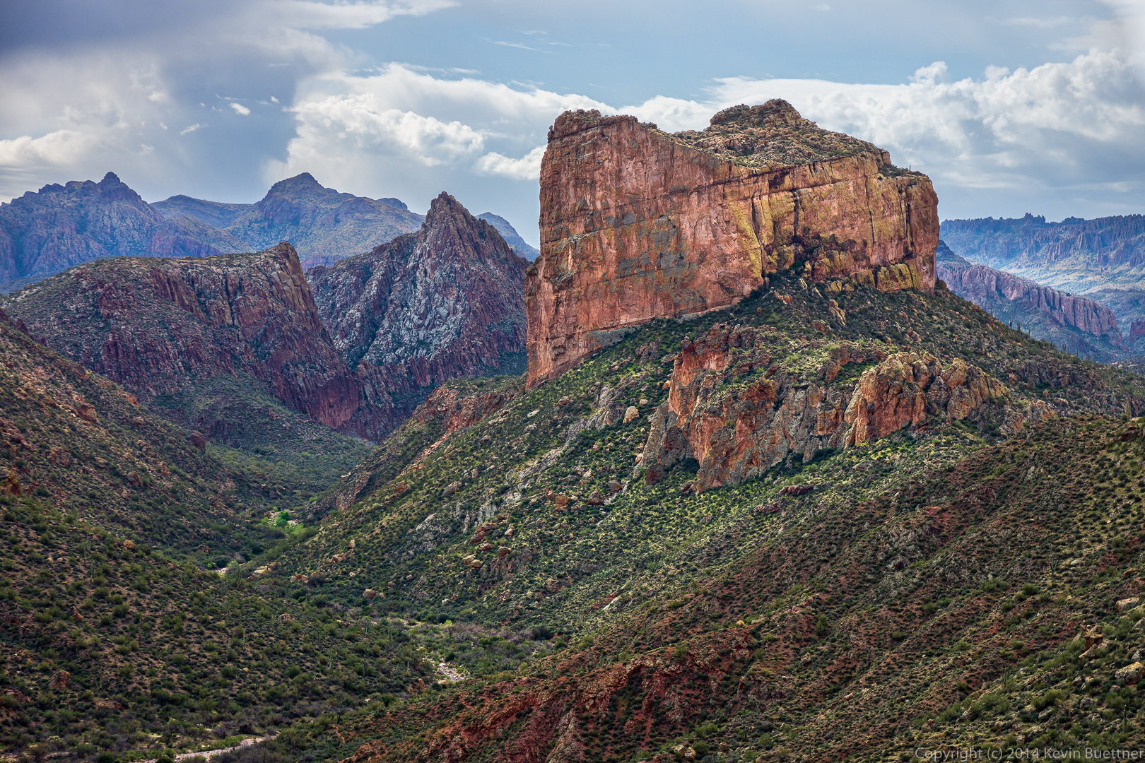
Bob noticed an arch near the top of one of the walls.  I think this might be Aylor’s Arch. This wall was immense; I got a wide angle to show more of the wall, but lens flare ruined the shot.  (I worked on it for a long while, but am not happy enough with the result to post it.)20140328-_DSC0278-Edit-medium 
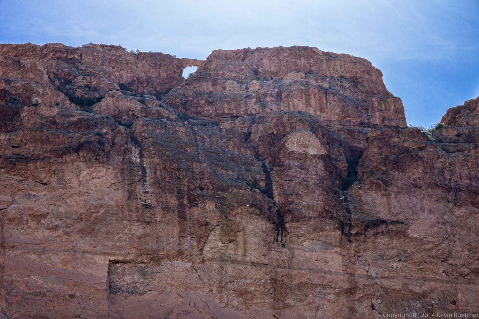
We noticed a small rock formation that appeared to be blocks stacked atop each other.

20140328-_DSC0290-Edit-medium 
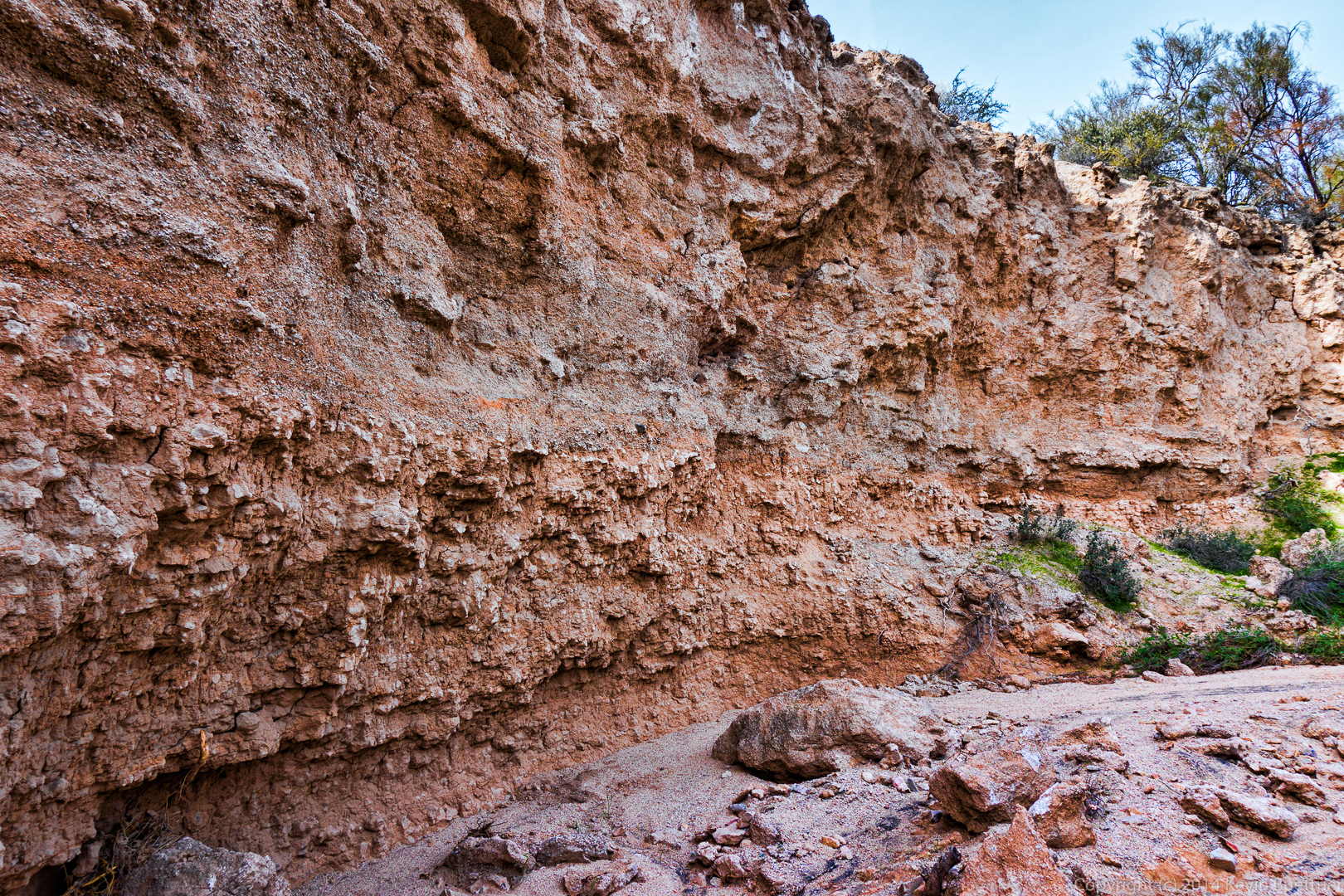
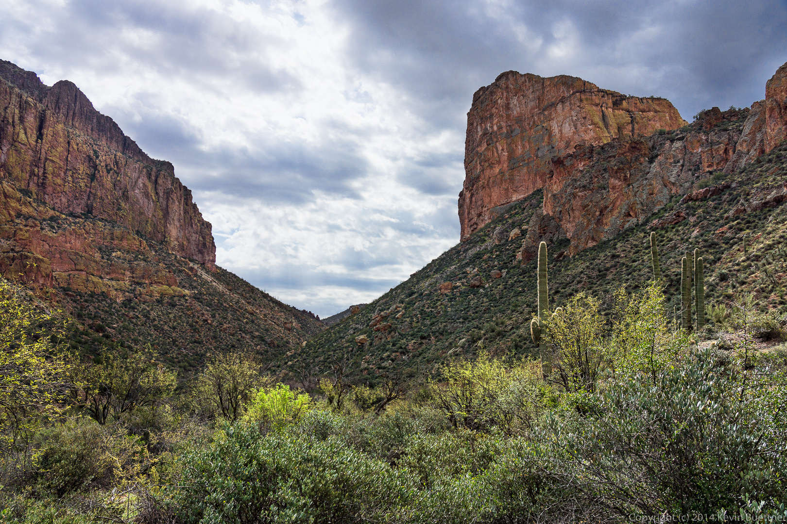
A view of the end of one of the large walls off to our right.

20140328-_DSC0293-Edit-medium 
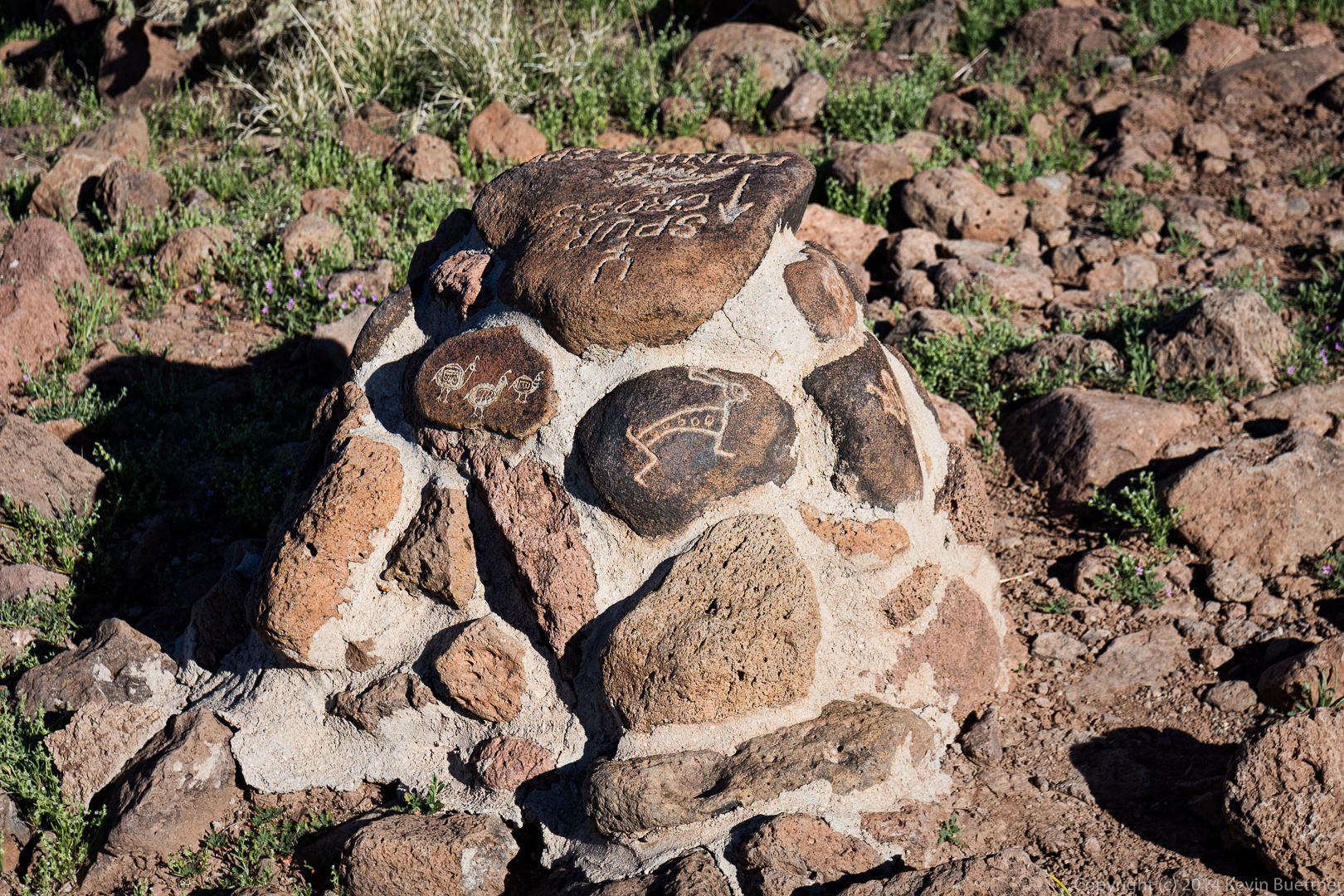
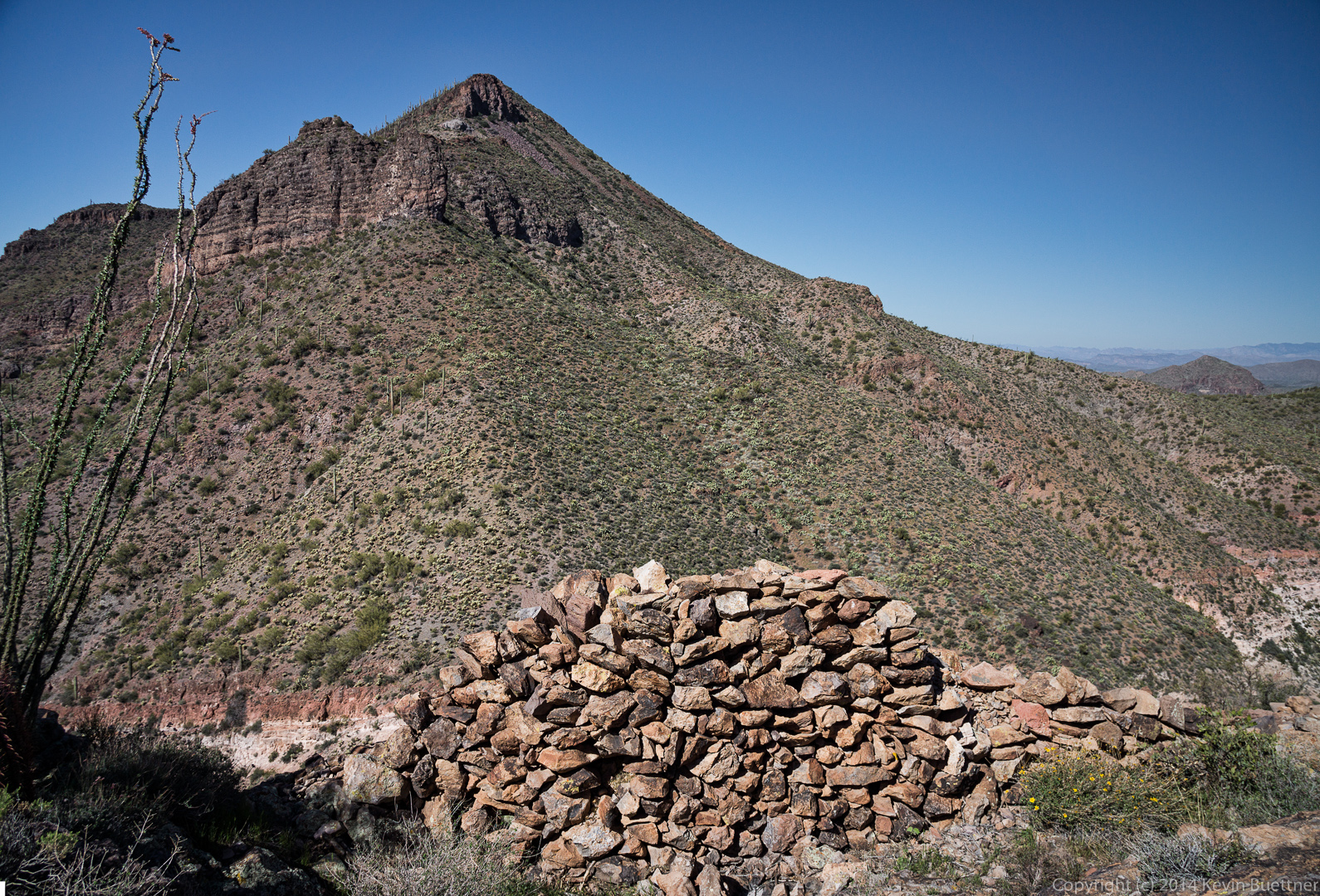
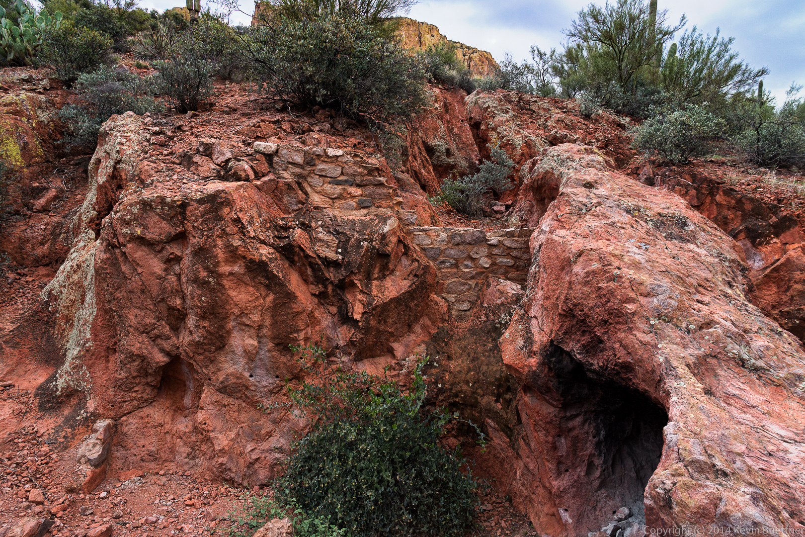
A closer look at the small rock formation mentioned earlier.  Sadly, someone had to carve his (or her) initials (and names) on some of the blocks of this formation.

20140328-_DSC0298-Edit-medium 20140328-_DSC0316-Edit-medium 
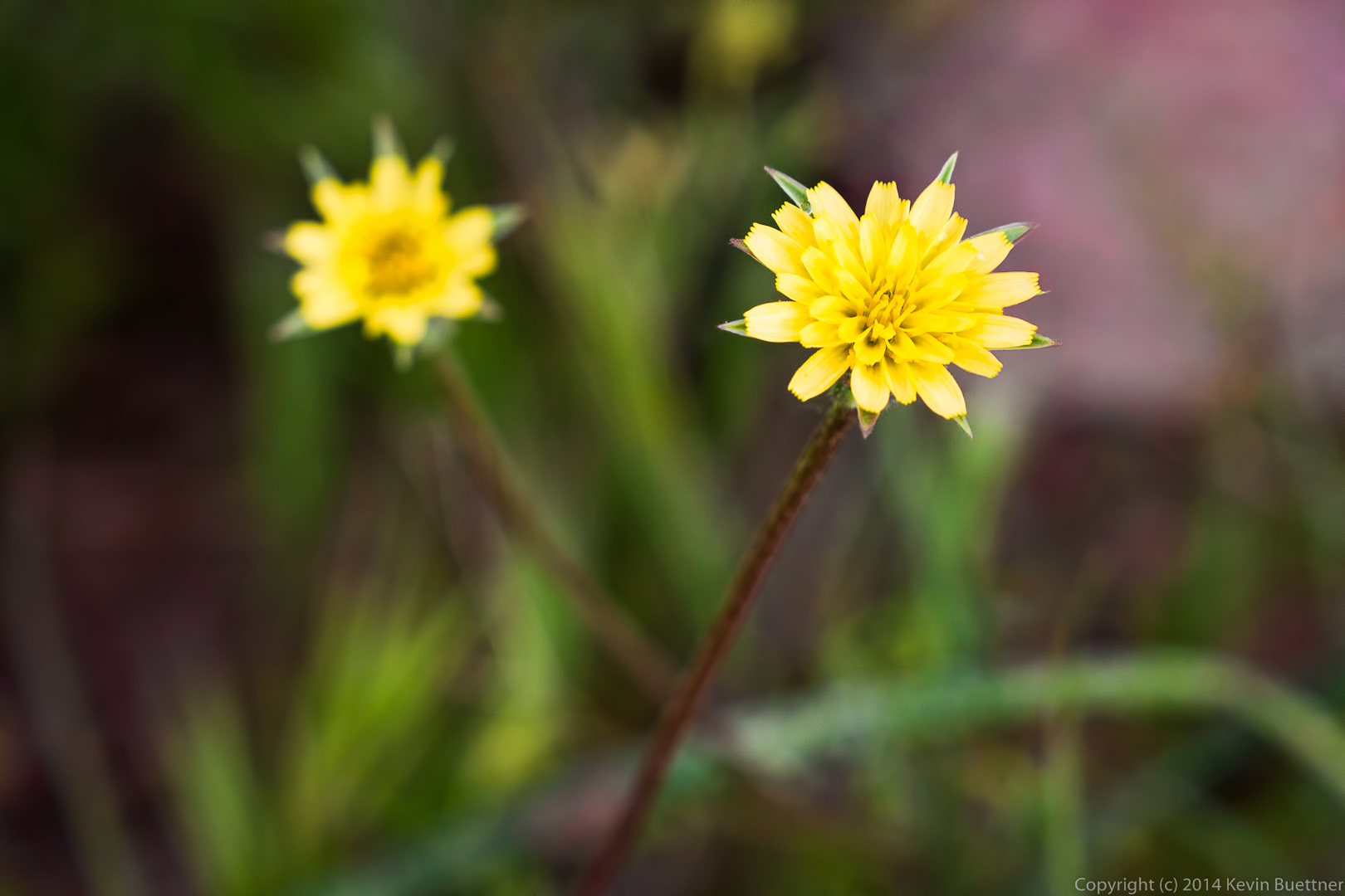
This might be Blackfoot Daisy.

20140328-_DSC0322-Edit-medium
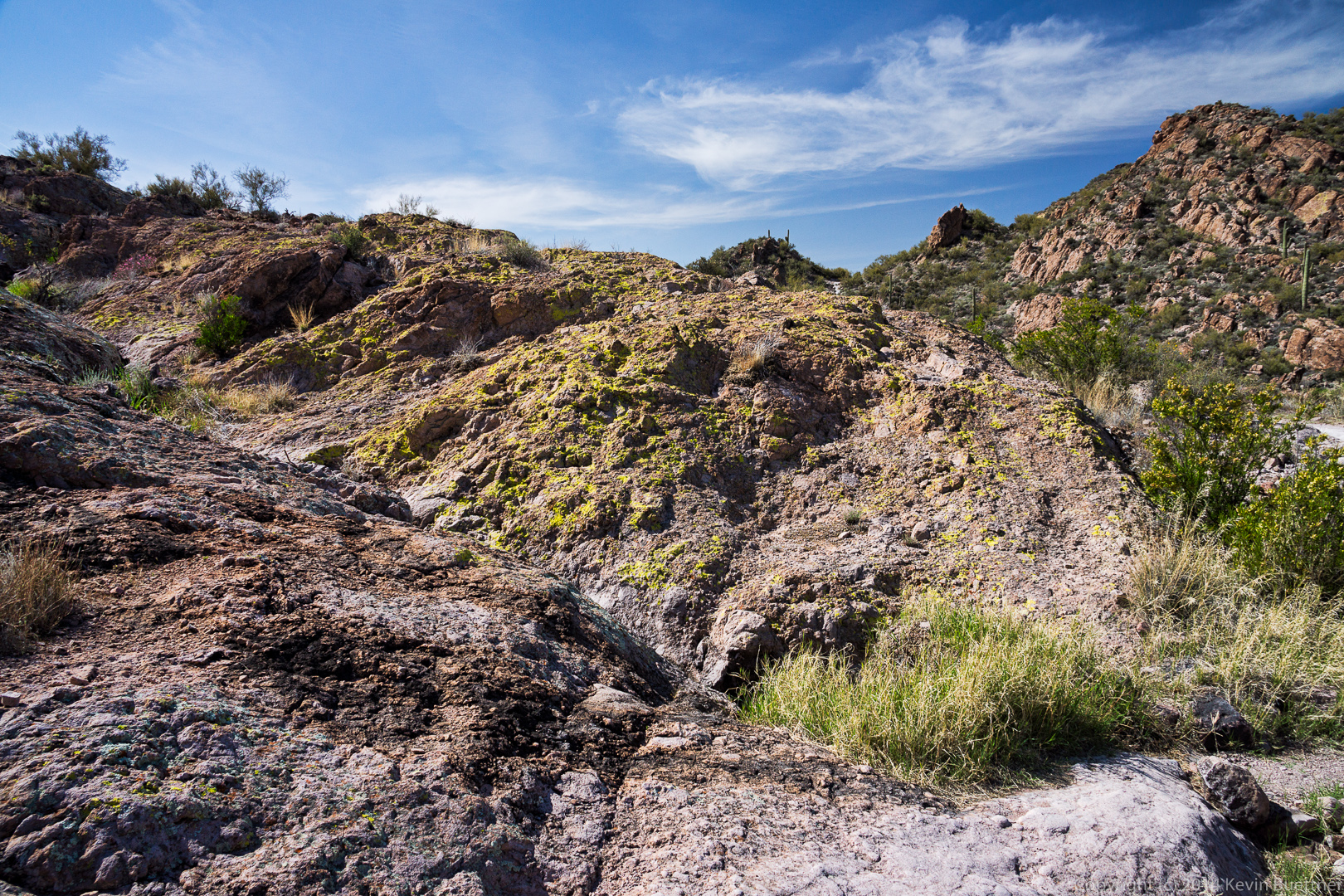
I was struck by the lichen covered rock as we passed this spot.  I think the lichen was even brighter than I made it in this photo.

20140328-_DSC0343-Edit-medium 
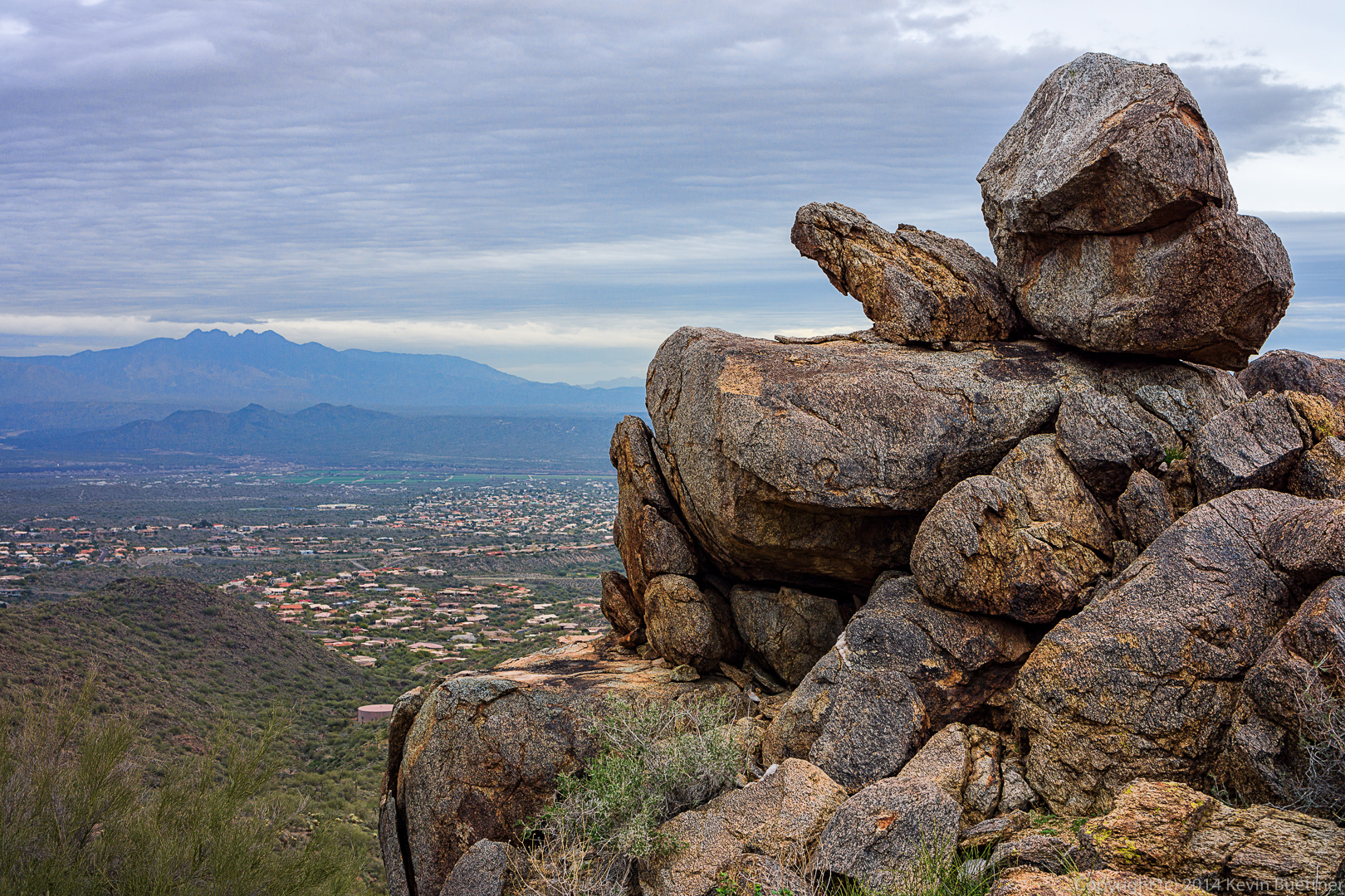
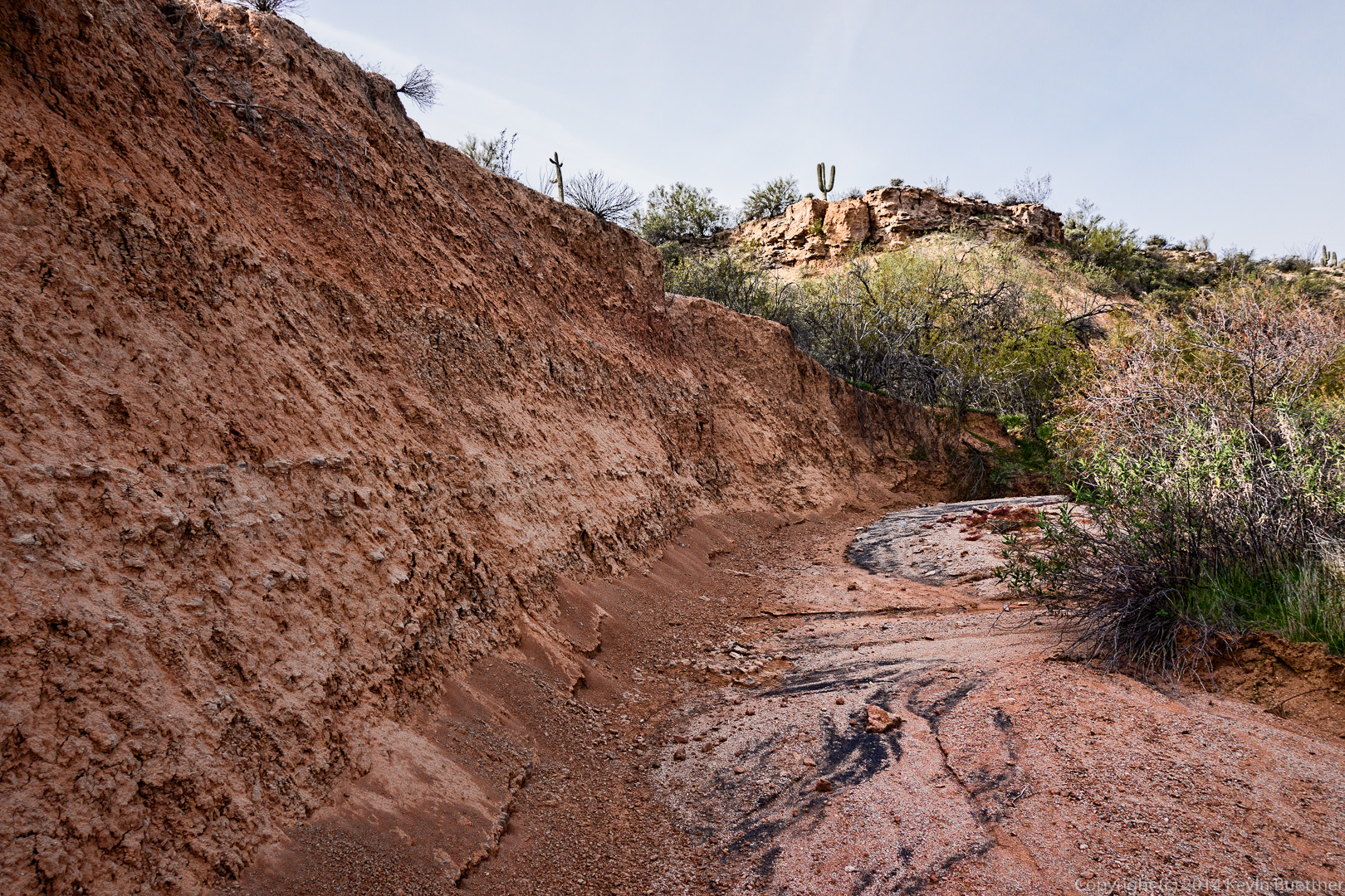
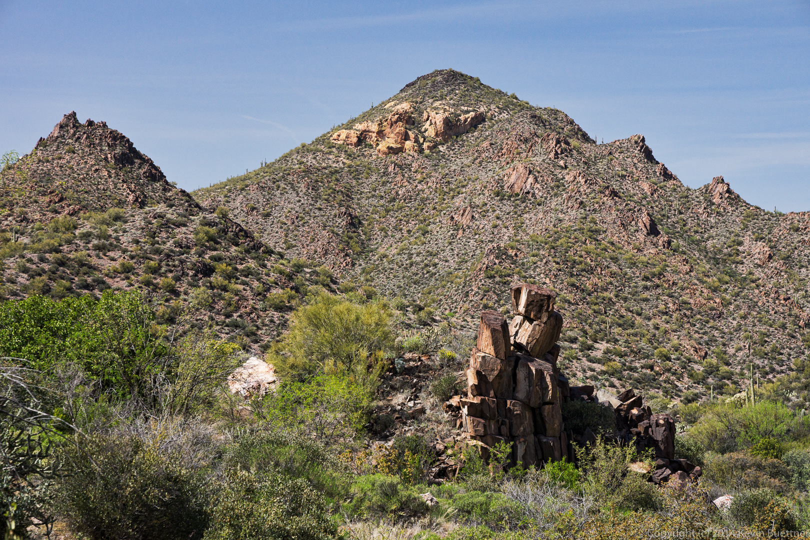
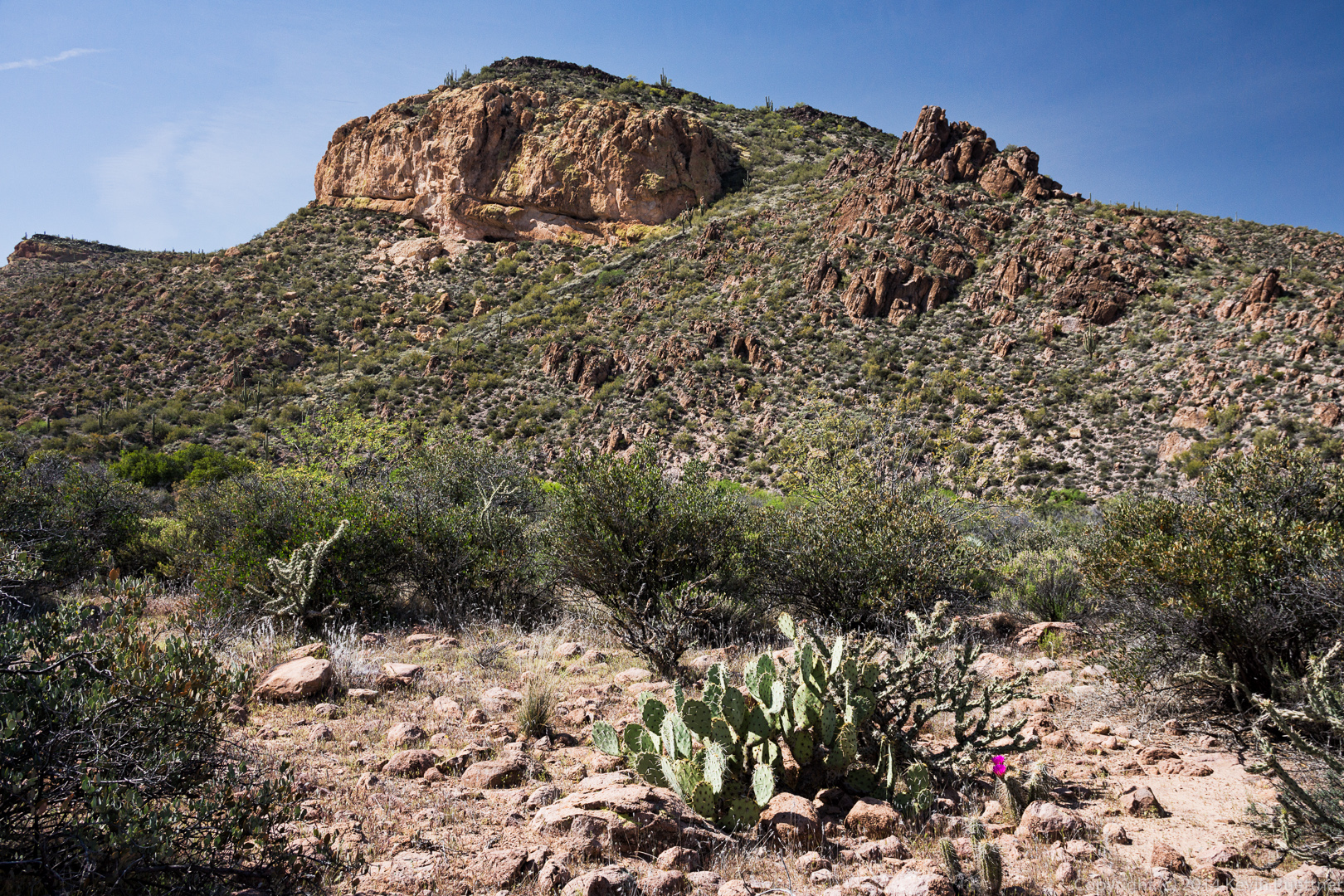
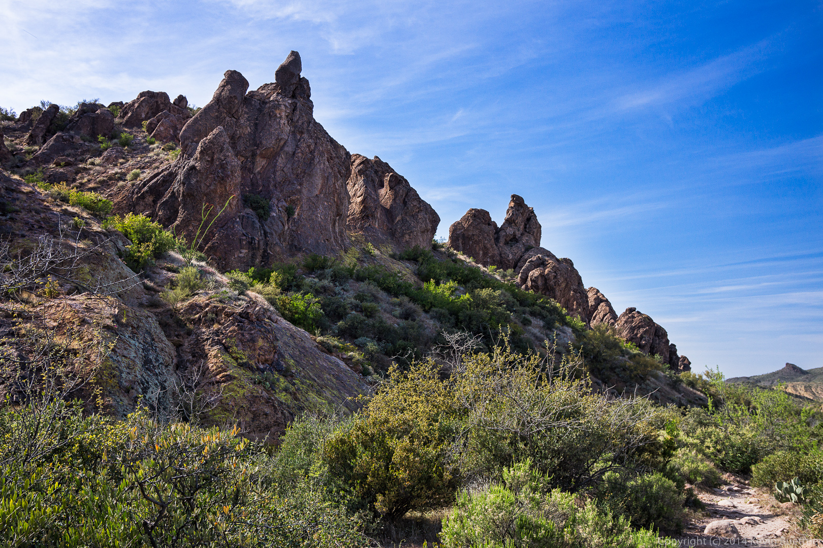
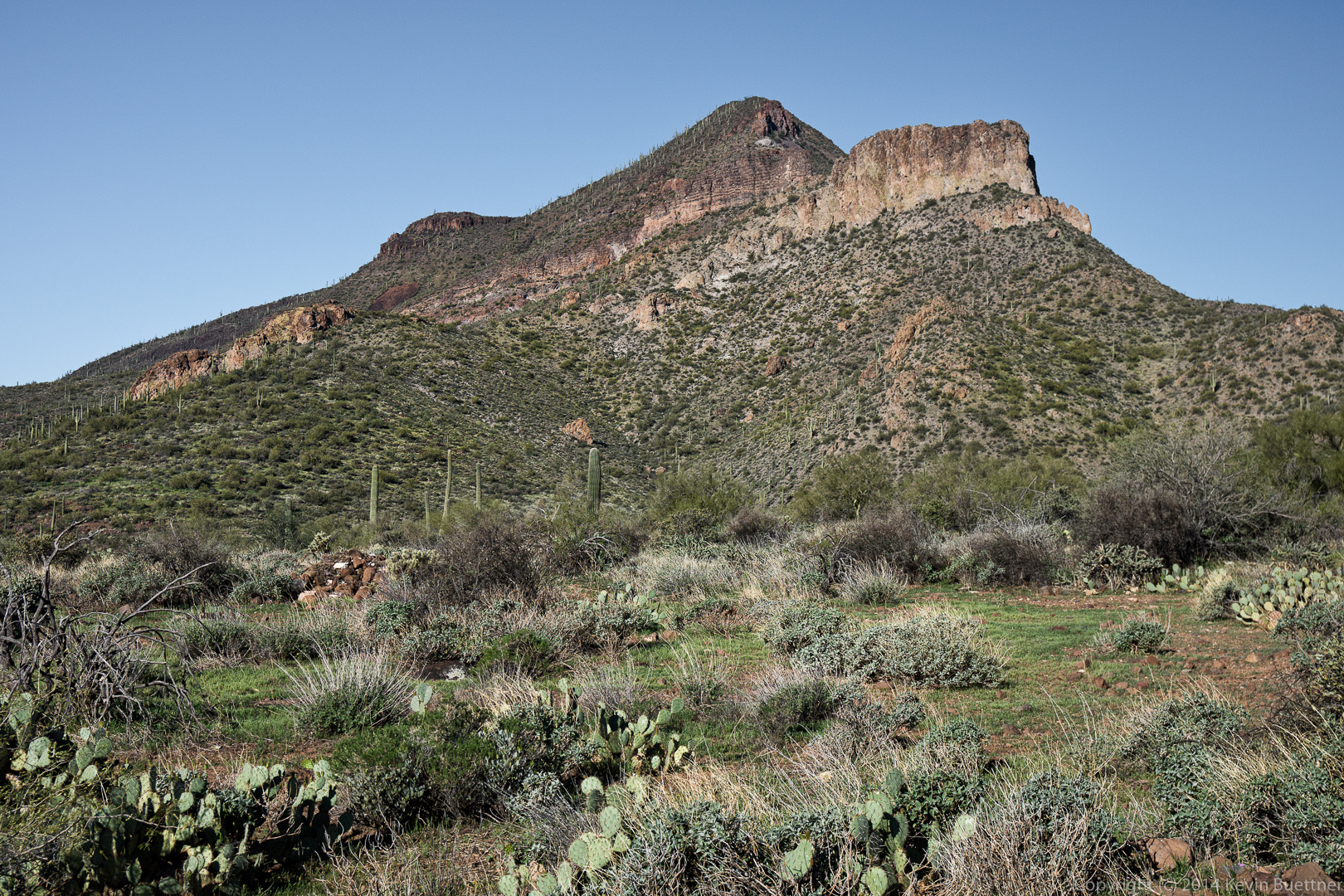
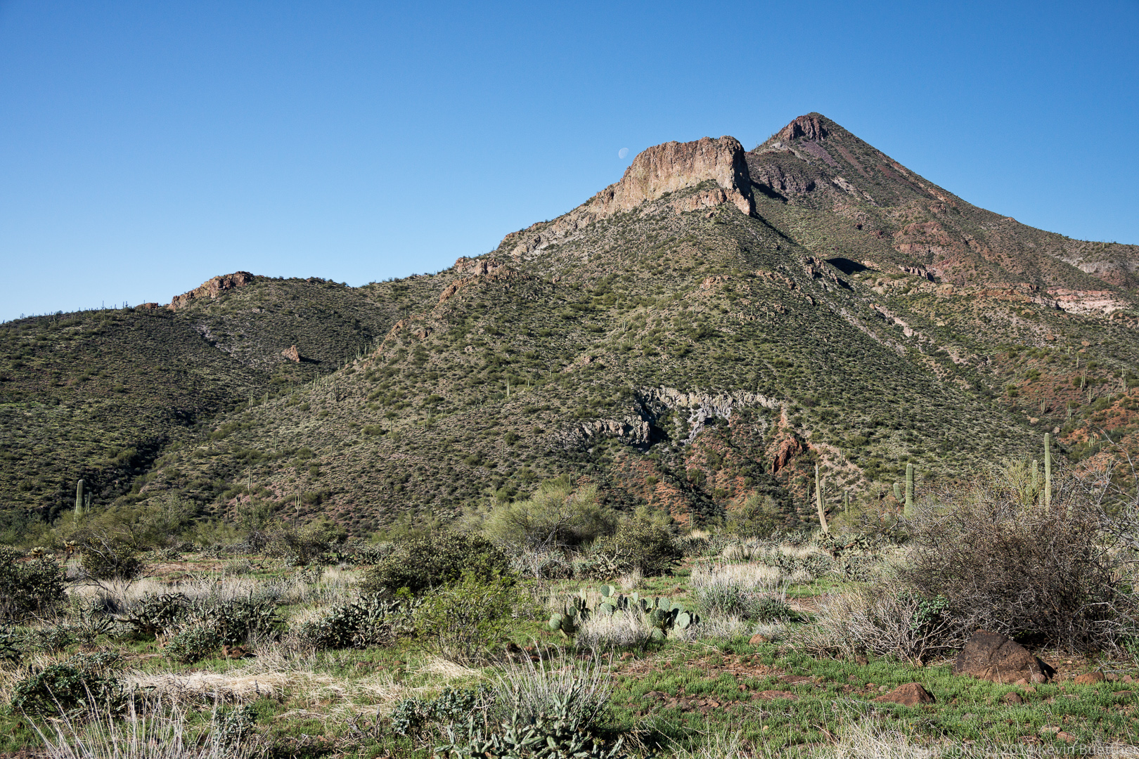
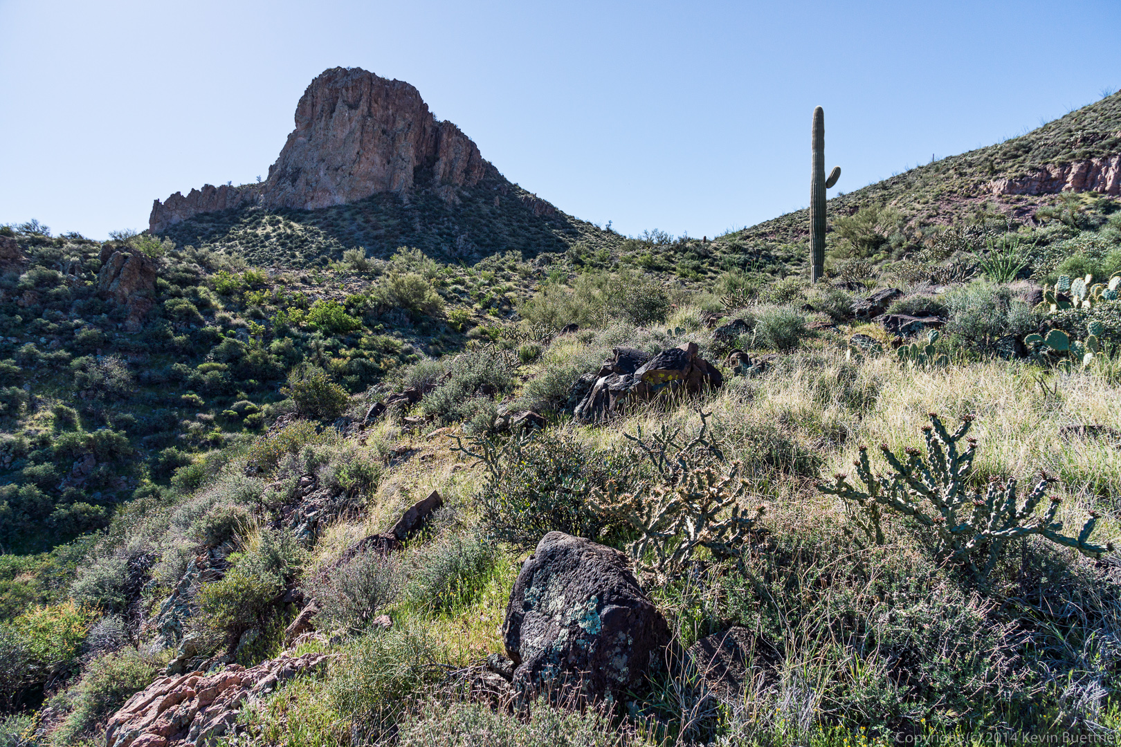
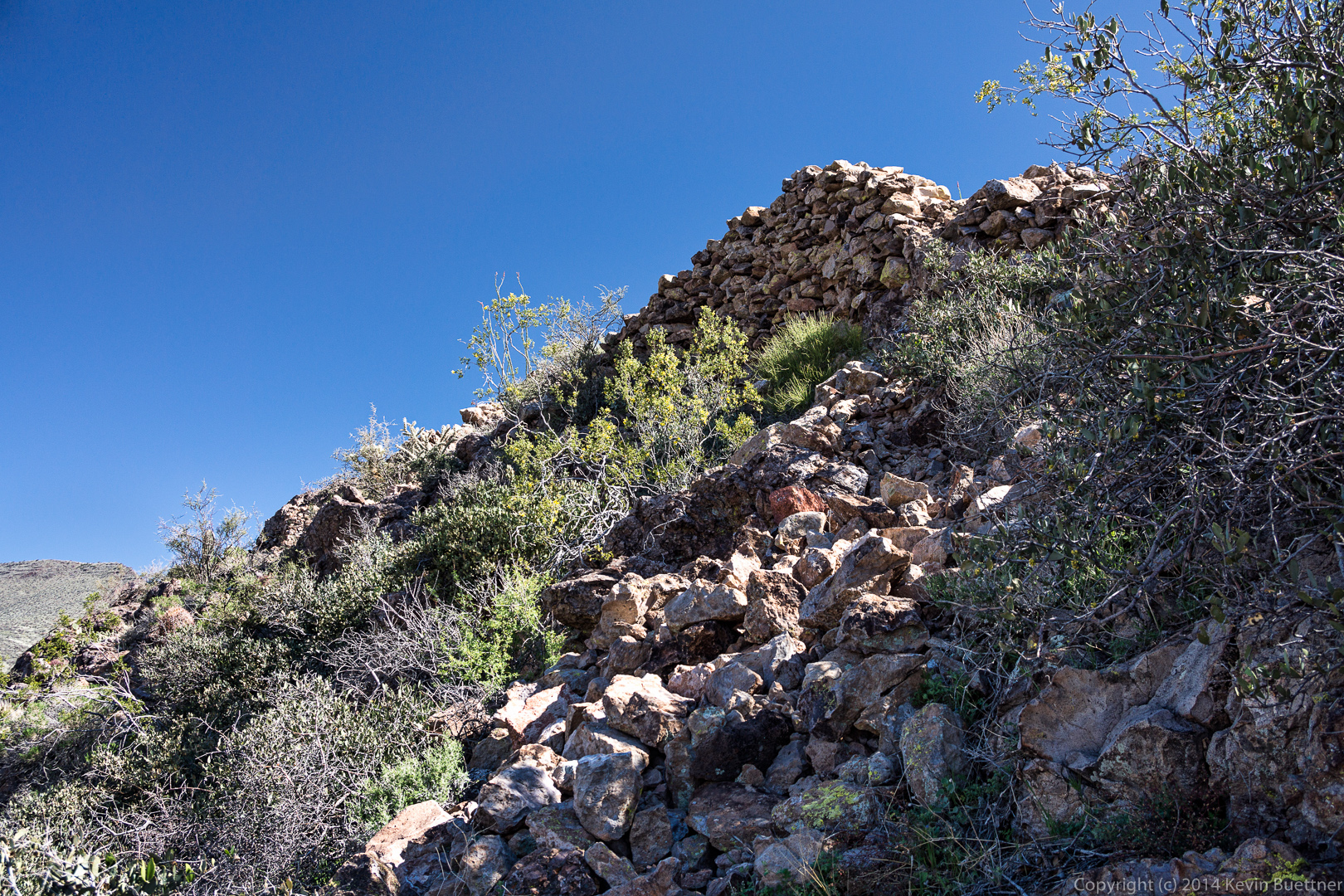
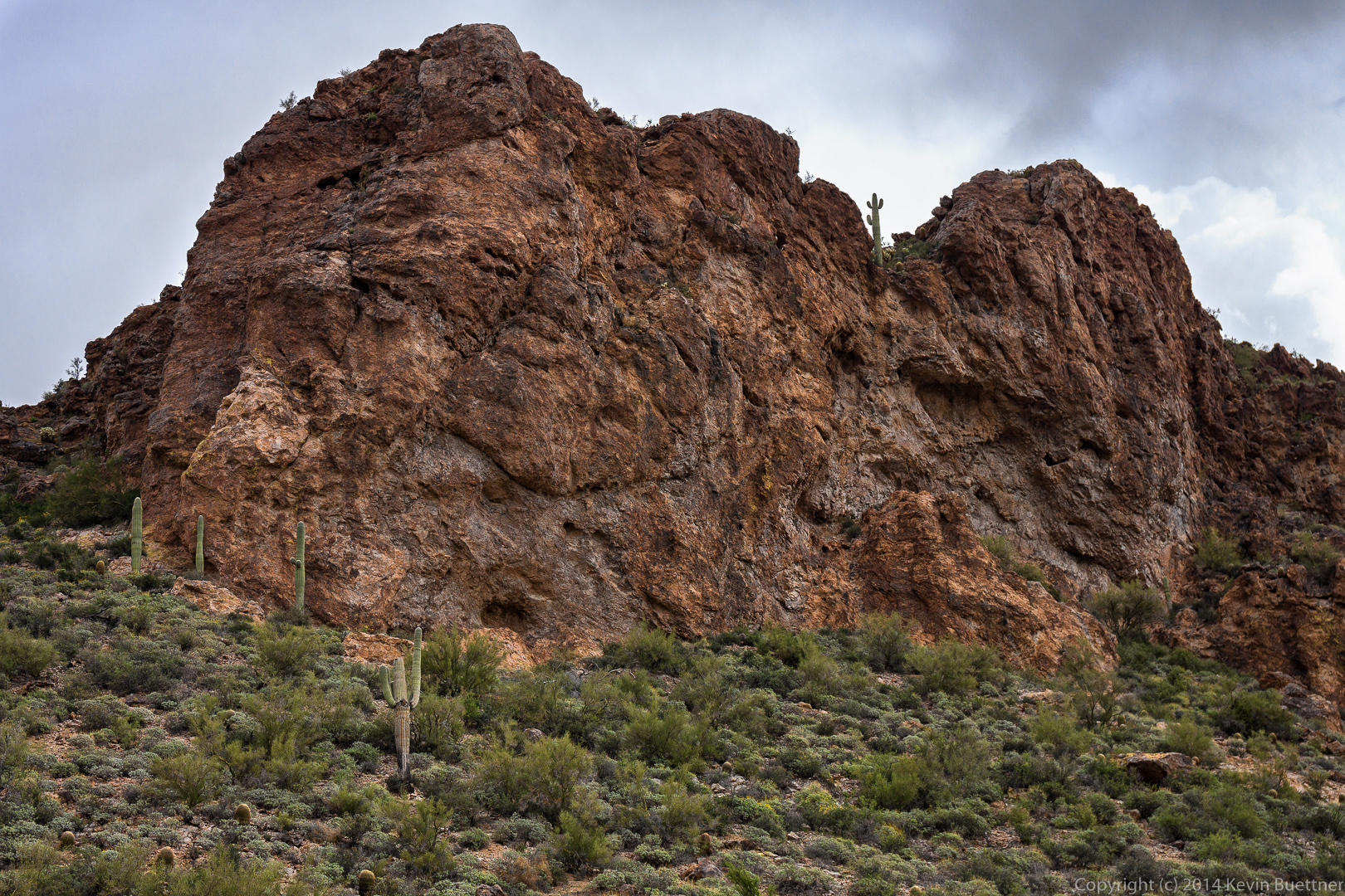
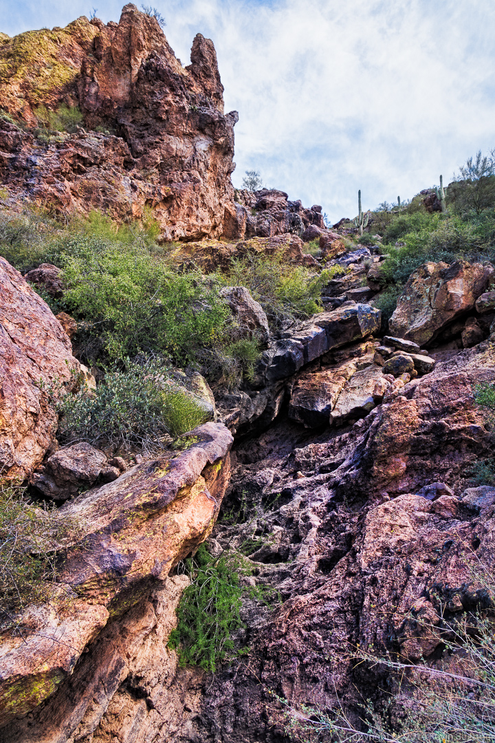
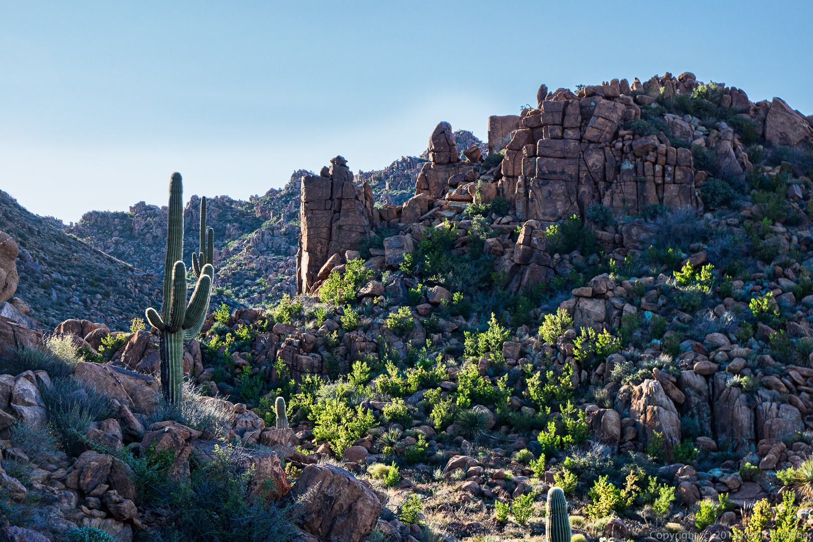
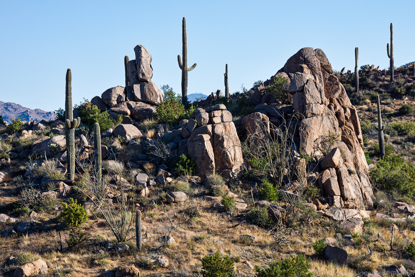
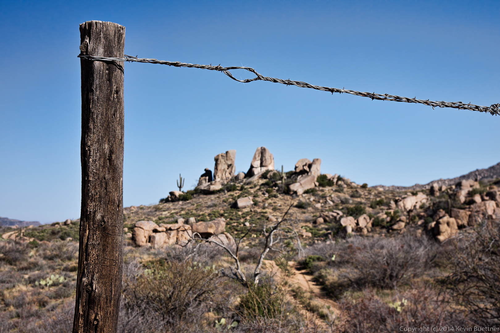
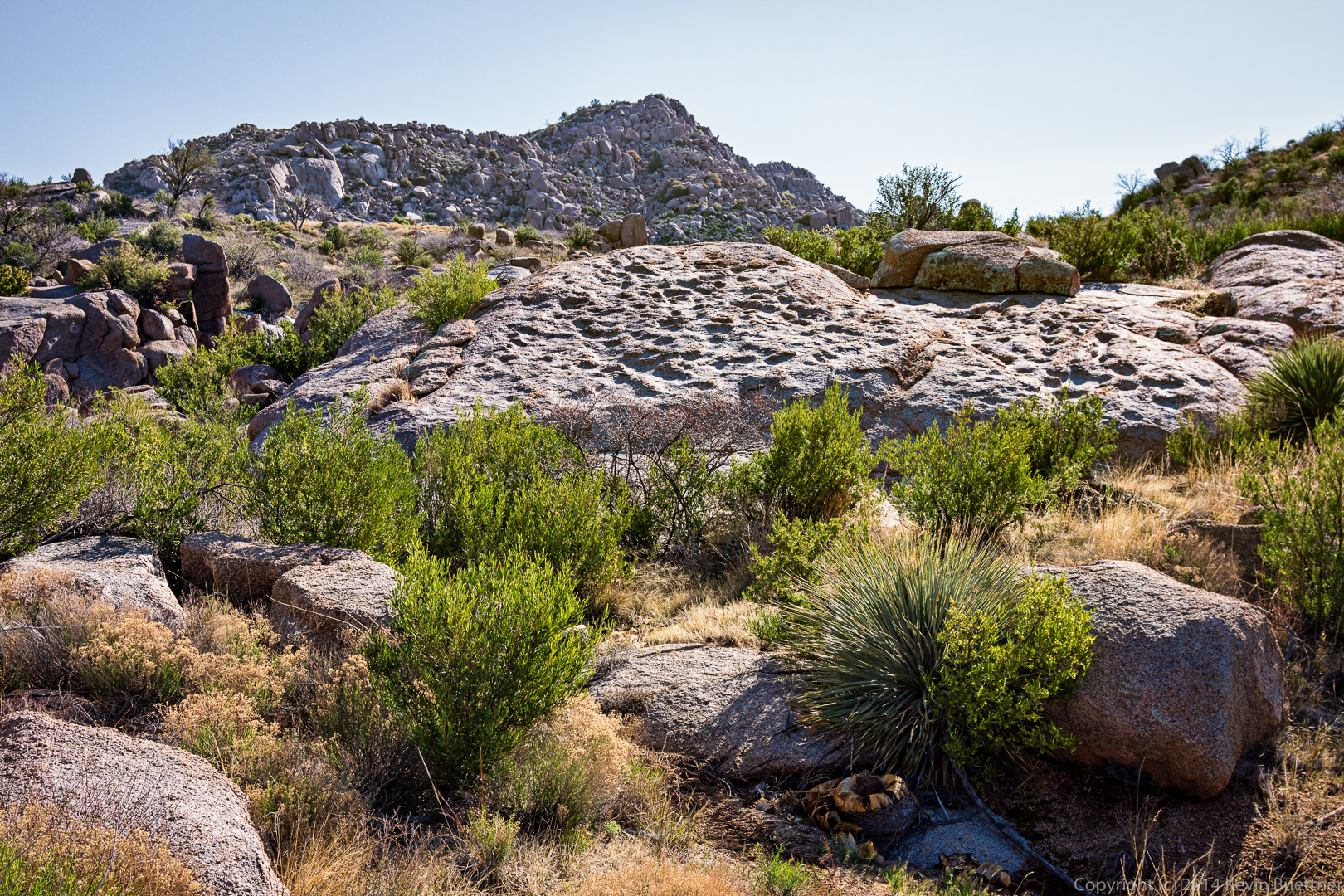
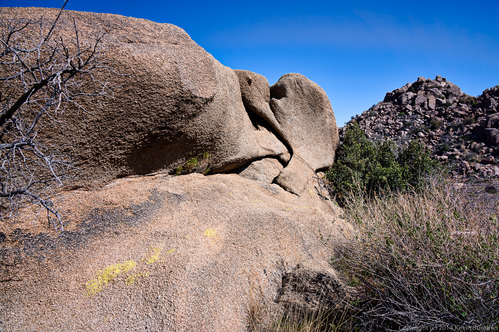
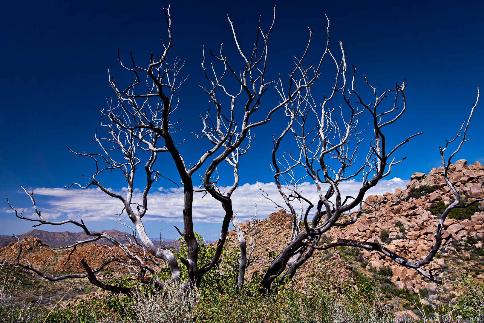
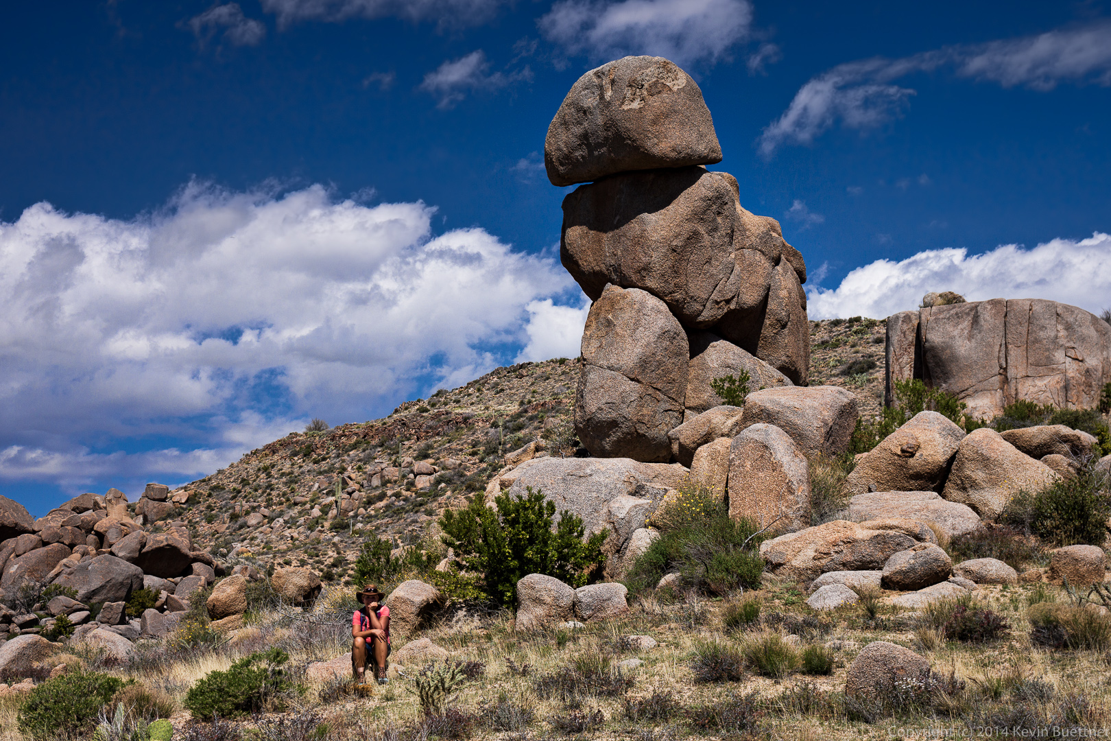
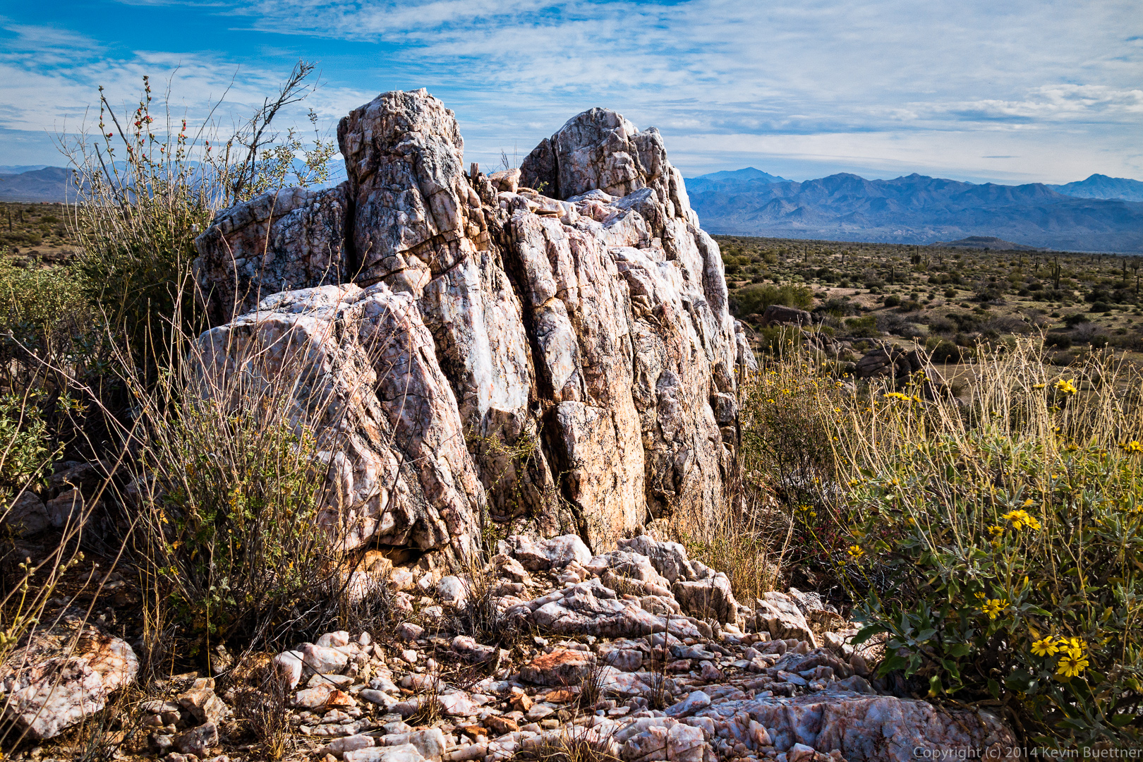
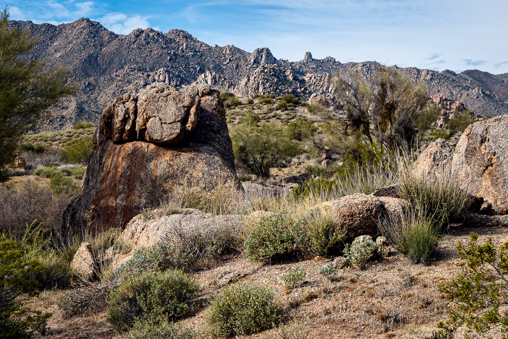
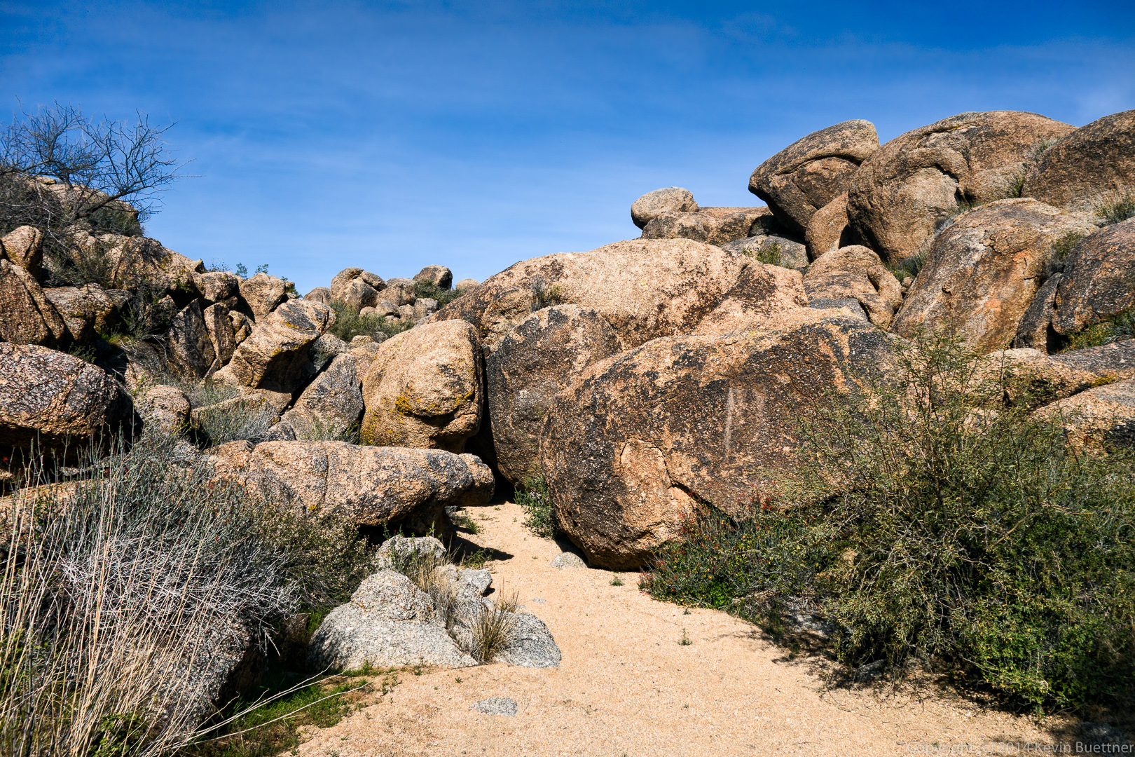
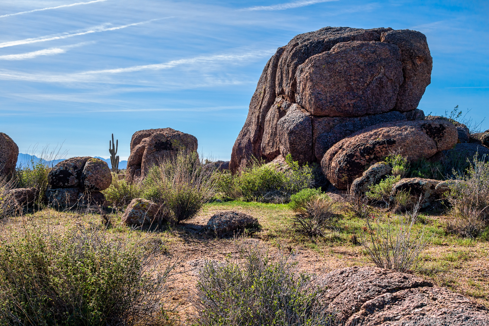
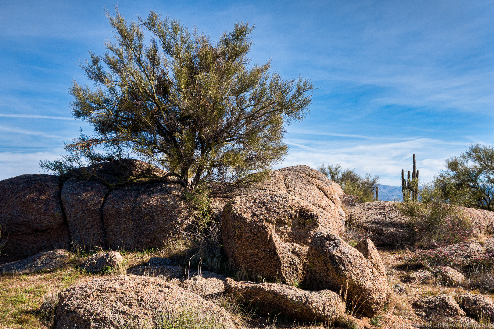
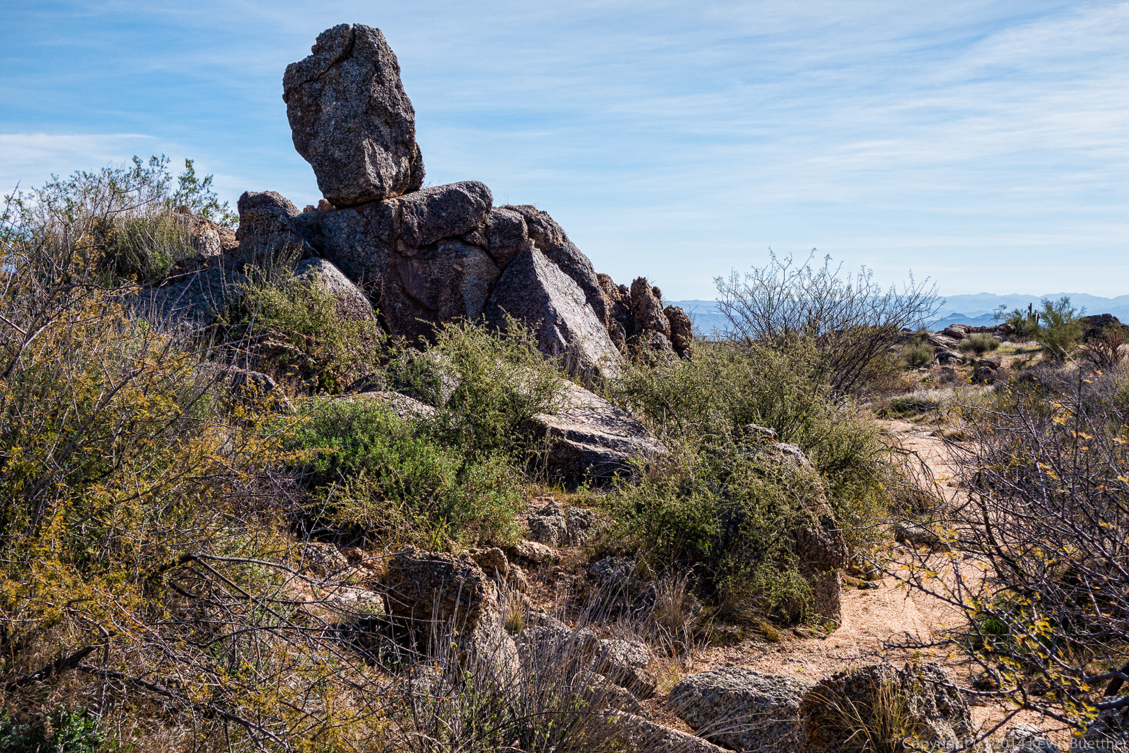
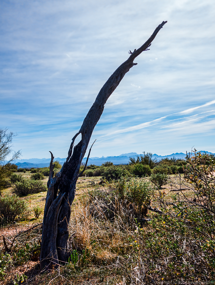
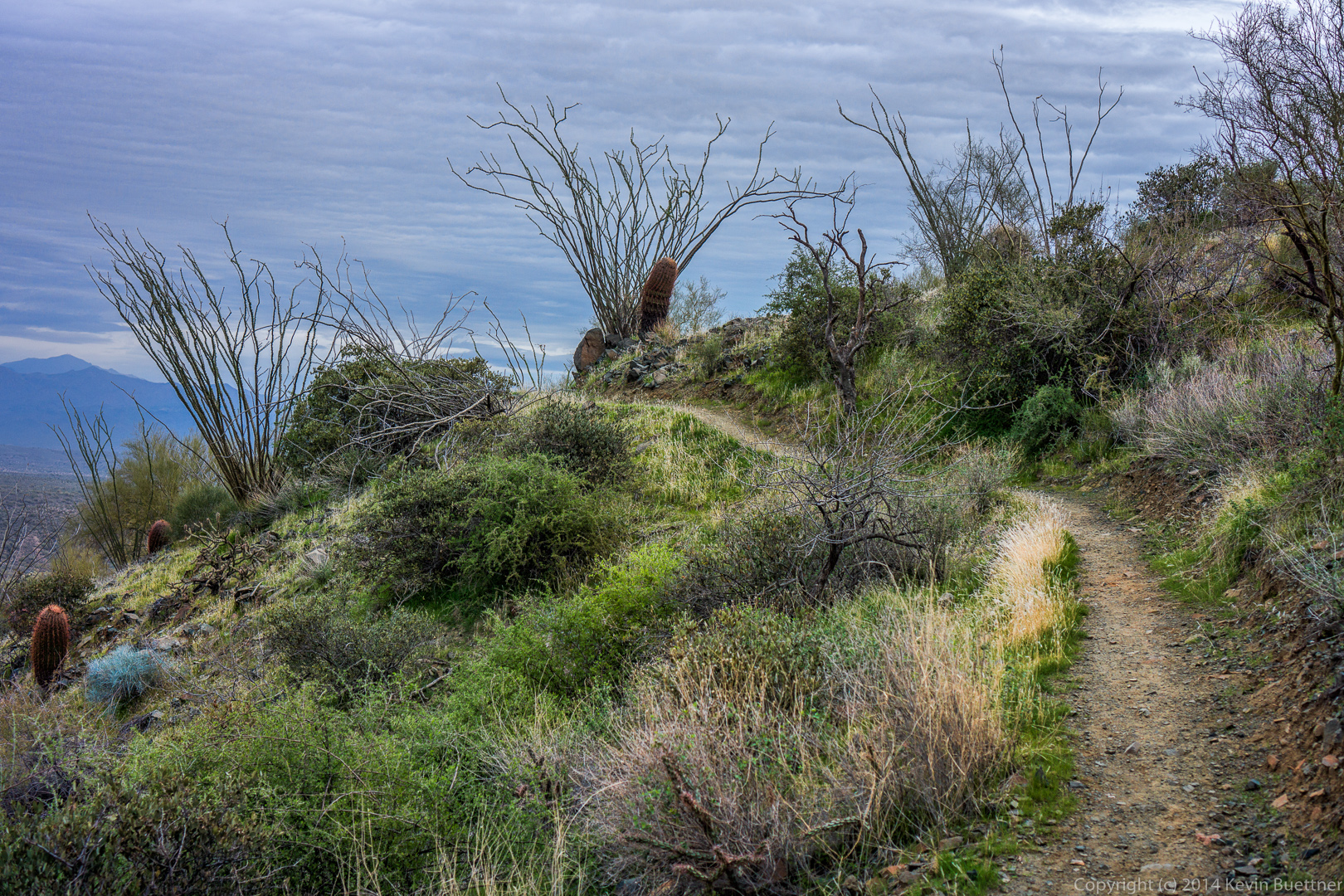
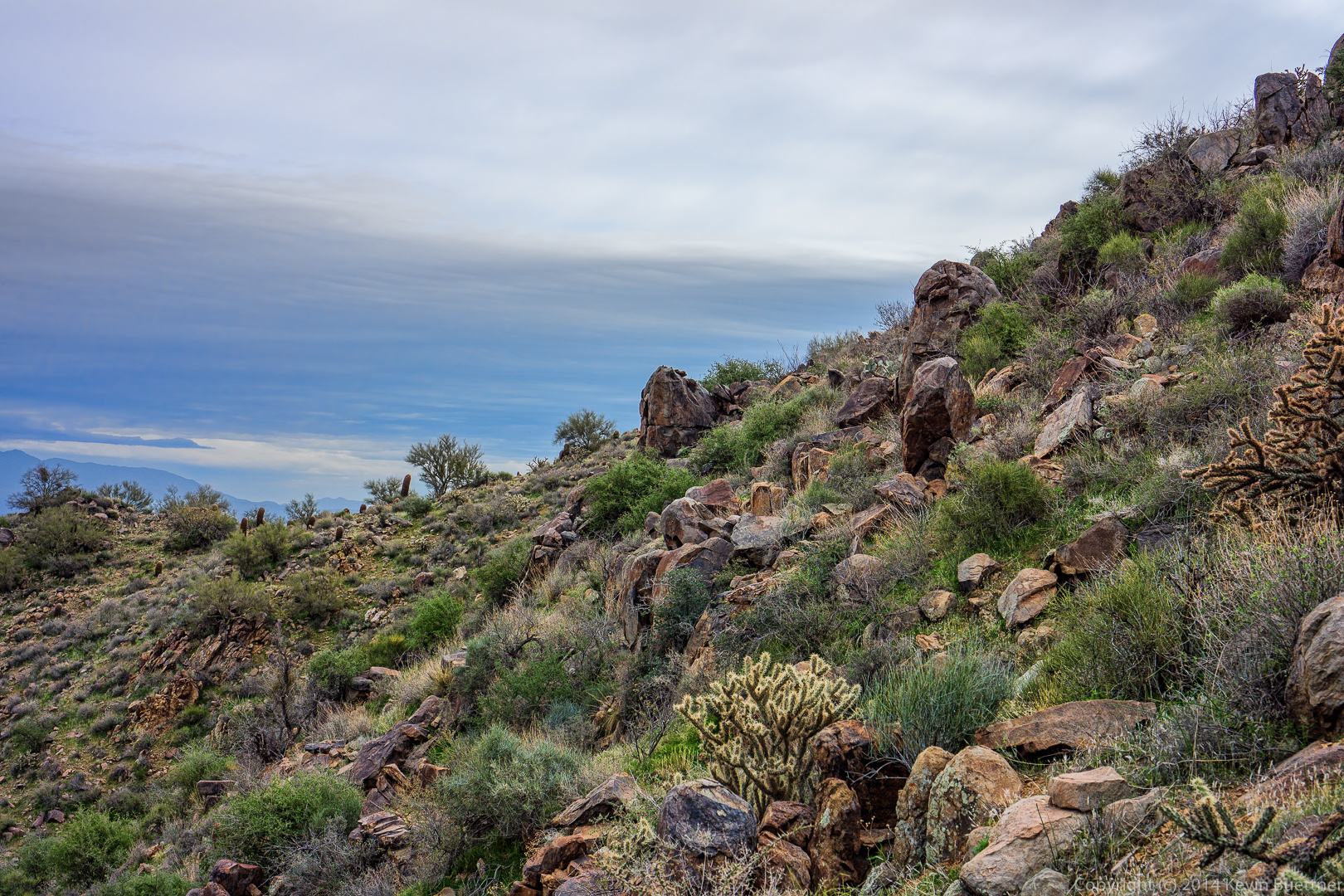
Another unusual rock formation along the Dutchman Trail.

20140328-_DSC0355-Edit-medium
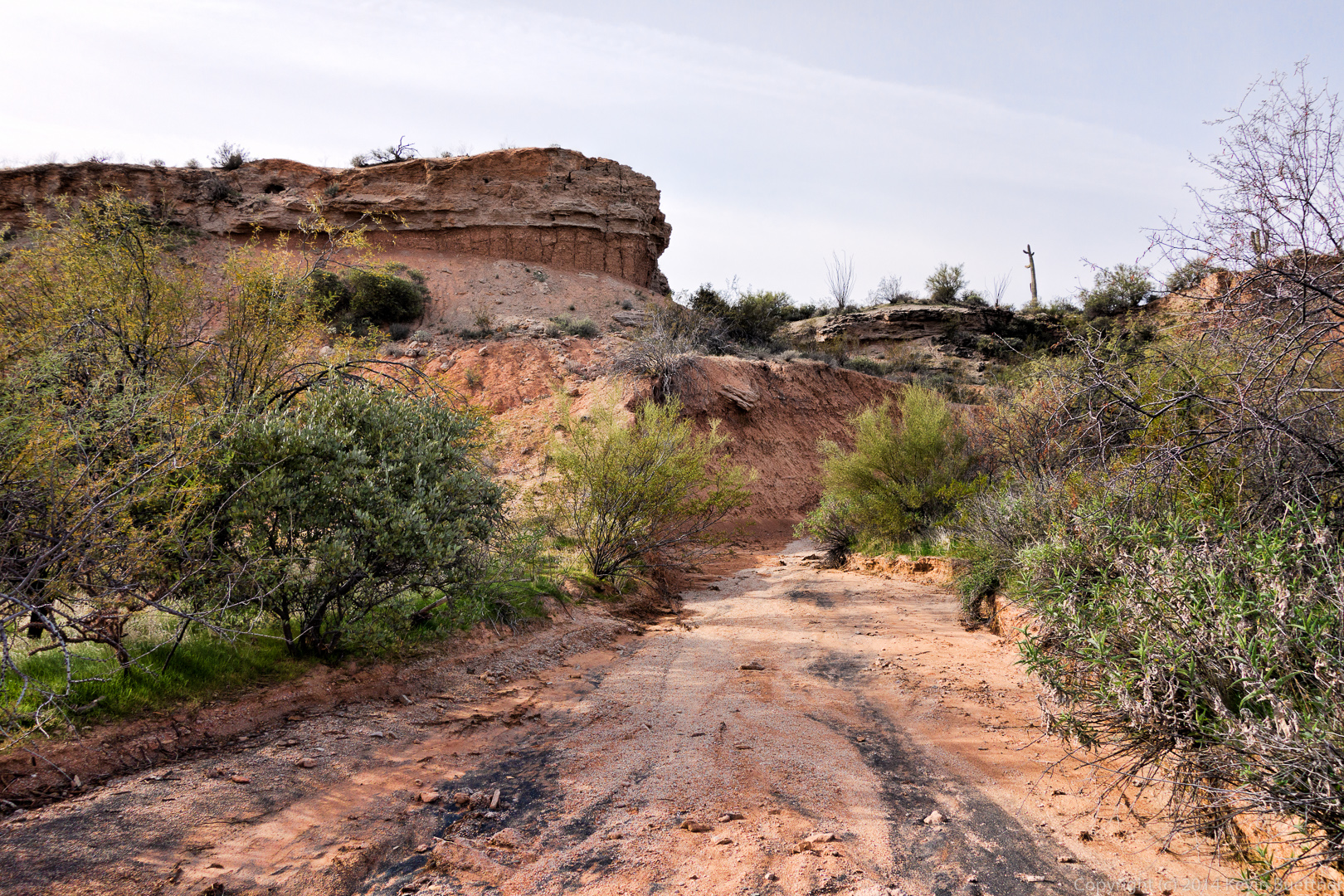
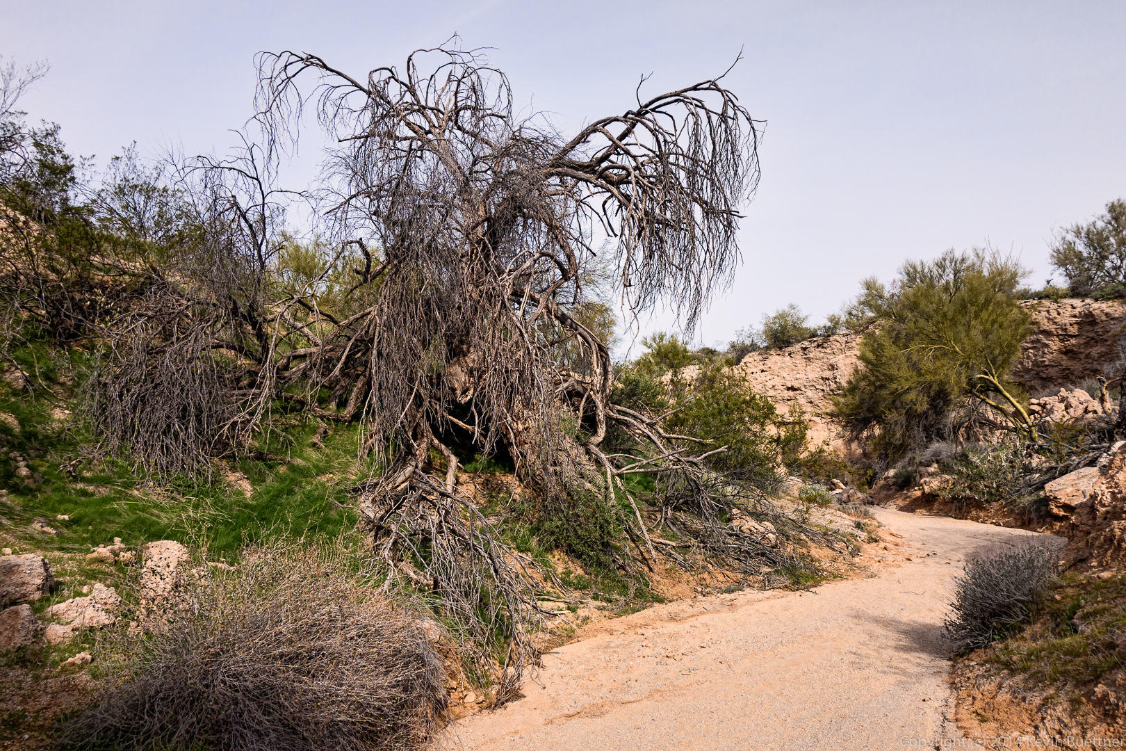
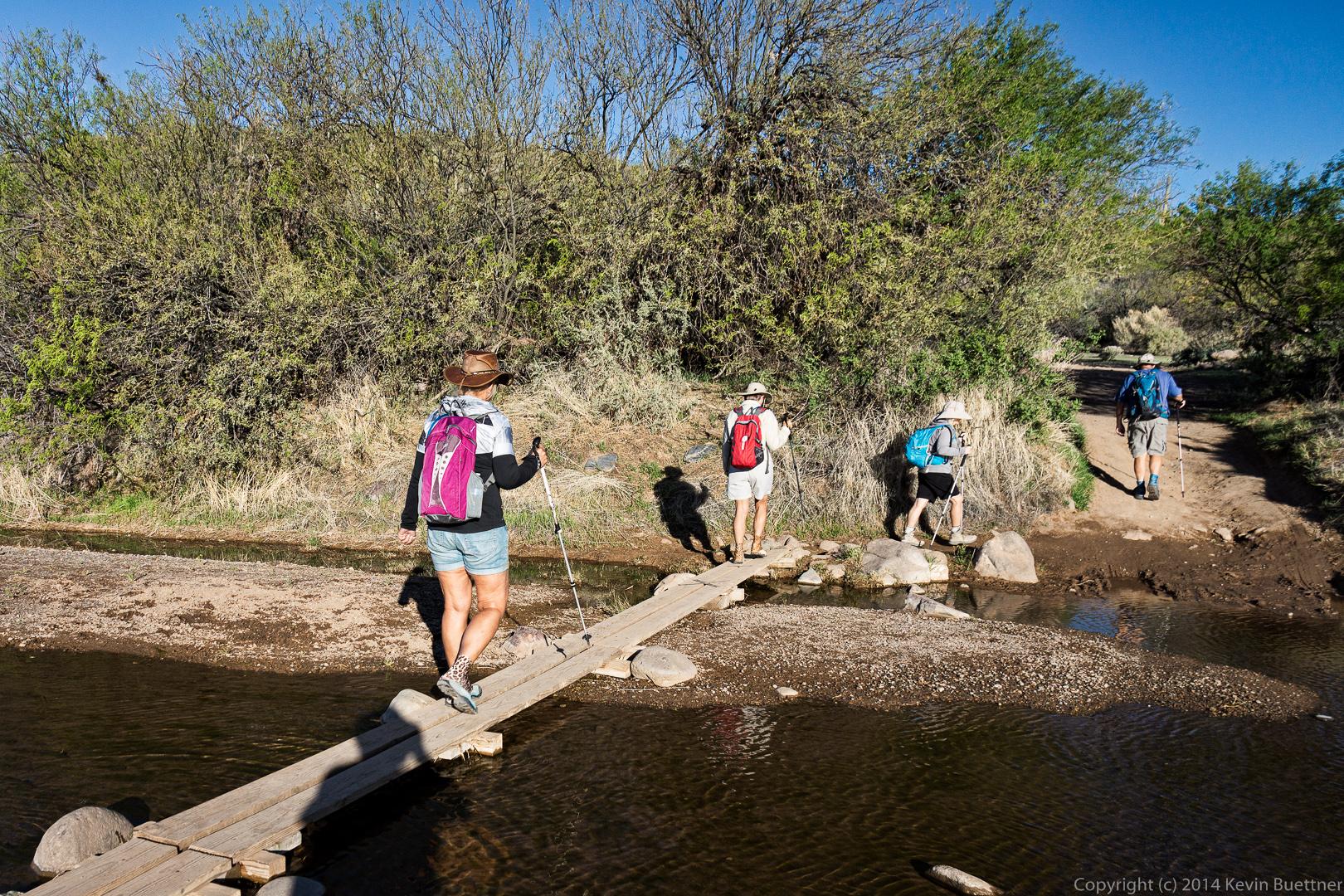
As we neared the end of the Dutchman Trail, we had to cross a wash several times. Linda found a path that wasn’t too wet and didn’t involve much rock hopping.

20140328-_DSC0358-Edit-medium

Friday Hike – Spur Cross Ranch Conservation Area

Bob, Venie, Linda, Nancy, and I did an eight mile hike at the Spur Cross Ranch Conservation Area.  Our hike took us out into the Tonto National Forest briefly. Halfway through, we hiked up to the top of the fortress peak where we looked at the walls built by an ancient people, presumably for defense.

Our hike started on the Spur Cross Trail, where we encountered Cave Creek.

20140321-_DSC8939-Edit-medium


Fortunately, there is narrow bridge of sorts, so we didn’t have to get our feet wet crossing the creek.

20140321-_DSC8945-Edit-medium Linda looking at some of the large Saguaros beside the trail:

20140321-_DSC8954-Edit-medium An early morning view from the Spur Cross Trail:

20140321-_DSC8960-Edit-medium A view of Elephant Mountain on the left with the fortress peak lower down to the right.  The steep walls around most of the fortress peak make it fairly inaccessible via any route except for a steep, but relatively easy trail accessible from the saddle between these two formations.

20140321-_DSC8987-Edit-mediumWe saw at least two signs along the way about the trail being a “primitive route” that is “not maintained”.  These trails are significantly better than some of the trails we’ve hike elsewhere.

20140321-_DSC8996-medium Another early morning view:

20140321-_DSC8999-Edit-mediumPart of the trail followed an old road full of rocks.

20140321-_DSC9002-Edit-medium Yet another early morning view:

20140321-_DSC9017-Edit-medium Another view of Elephant Mountain and the Fortress Peak.  Note that Elephant Mountain is still to the left of the Fortress Peak in this photo.

20140321-_DSC9026-Edit-medium By the time that I took this photo, we had worked our way far enough around these formations for the positions to have reversed.

20140321-_DSC9029-Edit-medium We saw this very elaborate cairn at the junction with Trail 252.  We took the fork leading westward.

20140321-_DSC9044-Edit-medium Trail 252 lead us even further around Elephant Mountain and the Fortress Peak.

20140321-_DSC9050-Edit-medium We saw this yellow flower along the way.

20140321-_DSC9071-Edit-medium We encountered a fork on Trail 252 and took the left fork.  This lead us back to a fork of the Elephant Mountain Trail that we had bypassed earlier in the hike.  I think this view, below, is a view of Elephant Mountain  from that trail.

20140321-_DSC9086-Edit-mediumA view from the wash that the trail dumped us into.

20140321-_DSC9104-Edit-medium Linda says that this is “fountain grass”.  She says that it’s a non-native grass.  Some of her work with the McDowell Sonoran preserve involves eliminating some of this grass from the preserve.  It’s pretty in this photo, but it prevents native plants from growing. When dry, it is very combustible and presents more of a fire danger than do native plants.

20140321-_DSC9113-Edit-medium A view of some high walls of the wash as we made our way over to another wash, through which the Elephant Mountain Trail passes.

20140321-_DSC9119-Edit-medium We’re so far below Elephant Mountain now that we can only see the Fortress Peak.

20140321-_DSC9137-Edit-medium At this point, we had been going uphill for quite a while on our way up to the pass between Elephant Mountain and the Fortress Peak.

20140321-_DSC9143-Edit-medium A view from the northwest side of the Fortress Peak.  Elephant Mountain is not visible in this photo, but is to the camera’s right.

20140321-_DSC9149-Edit-mediumWe saw many flowers on the way.

20140321-_DSC9152-Edit-medium This is a view of Elephant Mountain from part way up the ascent to the top of the Fortress Peak.

20140321-_DSC9161-Edit-medium A view from below of one of several stone walls on the Fortress Peak.

20140321-_DSC9164-Edit-medium Several more views of some of the stone Walls near the top of the fortress peak.

20140321-_DSC9167-Edit-medium 20140321-_DSC9170-Edit-medium 20140321-_DSC9182-Edit-medium 20140321-_DSC9185-Edit-mediumEven though it’s quite rocky, the fortress peak has a variety of vegetation.

20140321-_DSC9200-Edit-medium A view from the near the top of the fortress peak.

20140321-_DSC9206-Edit-medium I took this photo from some boulders that form the high point of the Fortress Peak.  As seen below, there’s quite a lot of space atop this peak.

20140321-_DSC9224-Edit-medium A view of Elephant Mountain from the fortress peak.

20140321-_DSC9233-Edit-medium Yet another view from the Fortress Peak.

20140321-_DSC9236-Edit-medium We continued hiking the Elephant Mountain Trail after leaving the Fortress Peak.  The trail crossed a large wash along the way.  Below is a close up view looking down the wash.

20140321-_DSC9269-Edit-medium Here is a wider angle view:

20140321-_DSC9272-Edit-medium Looking back up at the prominent wall on Elephant Mountain.

20140321-_DSC9275-Edit-medium Linda told us that this is a Mammillaria, a small type of cactus that often grows between rocks.20140321-_DSC9284-Edit-medium A look up another steep wash / canyon.

20140321-_DSC9299-Edit-medium And a look at where it continues downwards:

20140321-_DSC9302-Edit-medium The ocotillo are in bloom and the desert is still green.

20140321-_DSC9317-Edit-medium 20140321-_DSC9329-Edit-medium Hedgehog cactus blossoms:

20140321-_DSC9344-Edit-medium Ocotillo blossom:

20140321-_DSC9365-Edit-medium Another blooming ocotillo that’s growing around a smallish saguaro.

20140321-_DSC9395-Edit-medium We encountered this woman riding her horse near the end of the trail.  We also saw another large group of riders in the distance, but they’re route did not cross ours.

20140321-_DSC9482-Edit-medium Linda peers out of a window from the remains (?) of a stone structure near the parking area.

20140321-_DSC9500-Edit-medium

Friday Hike – Boulder Canyon Trail

Bob, Sarge, Venie, Linda, Nancy, Marilyn, and I hiked the Boulder Canyon Trail in the Superstition Mountains on Friday.  We hiked out to the intersection with the Second Water Trail #236 and then returned via the same route. My GPS showed just over 9 miles with over 2,000 feet of total ascent when we finished.

The hike starts from the parking lot of the Canyon Lake Marina.  There are parking places designated for hikers near the road.  As you cross the road, you walk by the one lane bridge that you probably crossed on your way to the Marina.  This bridge crosses Boulder Creek which, I think, is fed by the waterway of Boulder Canyon.20140314-_DSC8054-Edit-medium A view of Boulder Creek shortly after we started hiking up the Boulder Canyon Trail.

20140314-_DSC8078-Edit-mediumCanyon Lake:

20140314-_DSC8117-Edit-medium A view looking east.  The road visible in this photo is Arizona 88, also known as the Apache Trail.

20140314-_DSC8126-Edit-medium Another view of Canyon Lake.

20140314-_DSC8129-Edit-medium Yet another view of Canyon Lake.  The Boulder Creek Bridge is visible in this photo.

20140314-_DSC8147-Edit-mediumThe Boulder Canyon Trail has a longish uphill section that starts pretty much after crossing the road.  Midway up, we got our first views of Battleship Mountain and Weaver’s Needle.  At this point, the Boulder Canyon Trail overlooks Boulder canyon at the right in this photo.

20140314-_DSC8162-Edit-mediumI used a 16-70mm zoom lens on my camera for this hike.  I used it at the long end to get this photo of Battleship Mountain and Weaver’s Needle.

20140314-_DSC8168-Edit-medium Linda posed for this photo with Battleship Mountain and Weaver’s Needle in the background.

20140314-_DSC8177-Edit-mediumThis photo shows the Boulder Canyon Trail, Boulder Canyon, with the walls of La Barge Canyon, Battleship Mountain, and Weaver’s Needle in the Distance.

20140314-_DSC8180-Edit-mediumI think this is my favorite photo (from this set) of Boulder Canyon.

20140314-_DSC8201-Edit-medium Linda told me that this is a Chicory Flower.

20140314-_DSC8222-Edit-medium Another view of this flower.  We hiked through a light rain shower early on in the hike, hence the water droplets on the flower.

20140314-_DSC8225-Edit-medium A yellow flower that I haven’t been able to identify.

20140314-_DSC8231-Edit-medium I think this is a view looking back along Boulder Canyon.

20140314-_DSC8237-Edit-medium A rain shower off in the distance.  Also, a look back at the trail.

20140314-_DSC8249-Edit-medium Marilyn and Nancy descend a portion of the trail.

20140314-_DSC8270-Edit-medium A look forward before beginning our descent to La Barge Canyon.20140314-_DSC8288-Edit-medium Another view of Boulder Canyon.

20140314-_DSC8297-Edit-medium Bob with Sarge.

20140314-_DSC8308-Edit-medium I think the prow of the Flatiron can be seen in this photo near the right of the mountain range in the distance.

20140314-_DSC8309-Edit-mediumCanyon Lake had disappeared from view for a long while, but became visible again for a short while.

20140314-_DSC8315-Edit-mediumAnother view of Battleship Mountain and Weaver’s Needle together.  This was close to the our last view of Weaver’s Needle until we made the return trip.

20140314-_DSC8321-Edit-medium At this point, Weaver’s Needle is hidden behind Battleship Mountain.

20140314-_DSC8357-Edit-medium An interesting rock formation that we passed on the way.

20140314-_DSC8360-Edit-medium I think this is La Barge Canyon.  Our trail lead us across LaBarge Canyon.

20140314-_DSC8432-Edit-medium There are some old mining ruins along the way.

20140314-_DSC8450-Edit-medium 20140314-_DSC8453-medium A Buckhorn Cholla?  (Most of the ones I see branch out a lot more.)

20140314-_DSC8465-Edit-medium Brittlebush with a wall of La Barge Canyon in the background.

20140314-_DSC8477-Edit-mediumWe stopped to eat lunch on this large rock next to a creek.

20140314-_DSC8504-Edit-mediumA variety of flora a this location.

20140314-_DSC8519-Edit-medium A view of Boulder Creek / Boulder Canyon.  There were pools of water in the creek, but I didn’t see any flowing water at this point.

20140314-_DSC8534-Edit-medium At this point the Boulder Canyon Trail crosses the creek a (large) number of times.  Having hiked over four miles at this point, we turned back instead.

20140314-_DSC8546-Edit-medium Another view of our lunch location.

20140314-_DSC8549-Edit-medium This was actually composed from two exposures.  In the first one, Venie, Linda, and Bob were looking my way, and in the second, Marilyn and Nancy were looking towards the camera, but the rest were not.

20140314-_DSC8564-Edit-medium This is a panorama composed from ten exposures.  Even though I had a 16mm lens (at its widest), I could only see small sections of this scene through my viewfinder.

20140314-_DSC8579-Edit-mediumAnother view of Battleship Mountain.  I climbed a small hill just off the main trail to get this shot.  I don’t think it was visible from the trail down where the rest of the group are.

20140314-_DSC8621-Edit-medium A look at Battleship Mountain midway back up one of the long hills on the way back.  It was afternoon at this point; it had become quite sunny (and warm) along this stretch, but the clouds reasserted themselves later on.

20140314-_DSC8690-Edit-medium Another interesting rock formation that we saw on the way back.

20140314-_DSC8741-Edit-medium We came across this lizard who had trouble getting out of its hole.  It thrashed around for quite a while in an attempt to get out, though it stayed still when I took this and several other photos.  Bob cleared some of the rocks and dirt around the hole to help it get out. The ground was incredibly hard.

20140314-_DSC8756-Edit-medium Canyon Lake in the afternoon.

20140314-_DSC8762-Edit-medium Brittlebush flowers:

20140314-_DSC8870-Edit-medium Buckhorn Cholla flower:

20140314-_DSC8876-Edit-medium

Friday Hike – Ballantine Cabin & Corral

Nancy, Bob, Janet, Allen, Savannah, and I did the Ballantine Cabin & Corral hike on Friday. When we were done, my GPS showed a distance of eleven miles with over 2300 feet of total ascent.

For many of my hikes, I simply use the GPS as a trip computer, however, for this one, we used it to find our way for several miles of the hike.  If you do this hike, I recommend using one of the GPS tracks for this hike as it is easy to miss a turn past Ballantine Cabin.

We started just after 7:00am; we got to see the sun rise as we drove to the trailhead.  This was one of the views as we hiked up the Pine Creek Loop.20140307-_DSC6181-Edit-medium Another view from the Pine Creek Loop.  We went up the steep way so that we’d have an easier descent on the way back.

20140307-_DSC6208-Edit-mediumAnother view from the Pine Creek Loop.

20140307-_DSC6214-Edit-medium The Pine Creek Loop is about 2.5 miles long.  The Ballantine Trail intersects the Pine Creek Loop halfway around the loop.  We took the Ballantine Trail out toward Boulder Flat.

20140307-_DSC6226-Edit-mediumMore areas of sun and shade.

20140307-_DSC6229-Edit-medium 20140307-_DSC6232-Edit-medium 20140307-_DSC6274-Edit-mediumOne of many interesting rock formations along the hike:

20140307-_DSC6292-Edit-medium This rock formation can be seen at the 2.5 mile point in the hike.

20140307-_DSC6325-Edit-medium Nancy, Savannah, Allen, Janet, and Bob:

20140307-_DSC6364-Edit-medium 20140307-_DSC6367-Edit-medium Bob, Janet, Allen, and Nancy.  (I’m sure Savannah is in there somewhere too.)

20140307-_DSC6373-Edit-mediumThis prominent rock formation is just on the other side of Camp Creek.

20140307-_DSC6385-Edit-medium

A fence can occasionally be seen while hiking.  I always marvel at the fact that there are fences out here. This hike is quite strenuous. The ranchers who constructed these fences must have been in excellent physical condition.

20140307-_DSC6397-Edit-medium Savannah hiking with Janet:

20140307-_DSC6418-Edit-medium A view of that same reddish rock formation from high on the hill that we had to climb to get to Ballantine Cabin.20140307-_DSC6421-Edit-mediumWe got our first view of the cabin shortly after reaching the top of the hill.  From there, we had to descend a steep(ish) trail with occasional loose rock.

20140307-_DSC6448-Edit-medium

A view of Ballantine Cabin. I didn’t take many photos of it this time and I had gotten more than a few from last year’s hike out to the cabin.
20140307-_DSC6454-Edit-medium

We continued on our way to the corral crossing through an opening in the fence in the process.  There was probably a barbed wire gate here at one time.20140307-_DSC6466-Edit-medium We saw a lot of black caterpillars on a short (1/2 mile to 1 mile) of the trail.  The caterpillars looked much darker than this; I used the +2 EV exposure for this photo in order to get a better look at it.

20140307-_DSC6477-medium We saw this large flattish slab of rock along the way.

20140307-_DSC6478-Edit-medium I think this is Fleabane:

20140307-_DSC6484-Edit-medium Savannah waits for the rest of the group to ascend the steep, thorny path on our way to the corral.

20140307-_DSC6499-Edit-medium An interesting rock formation somewhat past the corral.

20140307-_DSC6541-Edit-medium I took this photo from a large granite slab.

20140307-_DSC6568-Edit-medium This is the start of another steep, loose, and rocky descent.

20140307-_DSC6577-Edit-medium But the views are great from this location!  I took several photos here…

20140307-_DSC6598-Edit-medium I think this is the same reddish rock formation that we has passed earlier on the way out.

20140307-_DSC6607-Edit-medium A view of Red Mountain off in the distance.  Fountain Hills is off to the right.

20140307-_DSC6610-Edit-medium20140307-_DSC6628-Edit-medium I saw this dead tree as I was making my descent.

20140307-_DSC6637-Edit-medium

Poppies:

20140307-_DSC6643-Edit-medium A look back at where we had come from:

20140307-_DSC6646-Edit-medium Looking ahead again as I try to catch up with the rest of the group.

20140307-_DSC6655-Edit-medium Globemallow:20140307-_DSC6658-Edit-medium Nancy waits by the prominent rock formation at the intersection with the trail leading over to the cabin (which we had hiked earlier in the day).

20140307-_DSC6676-Edit-medium We had some big puffy clouds for a while, which made the sky more interesting.

20140307-_DSC6682-Edit-medium A saguaro at the top of a small rise on the way back.

20140307-_DSC6724-Edit-medium A look back as Bob, Allen, Savannah, Janet, and Nancy make their way along the Ballantine.

20140307-_DSC6730-Edit-medium 20140307-_DSC6736-Edit-medium We had some great views on the way back too…

20140307-_DSC6745-Edit-medium 20140307-_DSC6766-Edit-medium Brittlebush (and a great view):

20140307-_DSC6787-Edit-medium Another great view…

20140307-_DSC6793-Edit-medium A saguaro with lots of arms crowded together.  It has even more on the other side.  This saguaro is on the Pine Creek Loop with less than half a mile to go to the parking area.

20140307-_DSC6820-Edit-medium

Friday Fitness Hike

Friday’s Hike started from the Wagner Trailhead.  We hiked Wagner to Granite, and went right on Granite.  The group split up in the large wash just past Stoneman Wash (which feeds back into Stoneman Wash).  Amy finished the hike with most of the group, continuing on to Bluff, then down Bluff back to Granite and Wagner.  The short hike was about five miles long.  Those of us who did the long hike made our way up to Pemberton at which point we returned via the Delsie, Wagner, and Granite trails, for a total distance of ten miles.

I took this photo on Granite Trail just before the group split up.  The red flowers are chuparosa.  I don’t recall what the white ones are.

20140228-DSC02756-Edit-mediumFrom left to right are Nick, Lena, Venie, Bob, Norm, Hiungi, Alan, Jill, George, Amy, Ellen, and Nancy.

20140228-DSC02765-Edit-medium A view of the McDowells in the distance.

20140228-DSC02768-Edit-medium A look back up from within a rock strewn wash.

20140228-DSC02797-Edit-mediumA view of Weaver’s Needle in the distance.

20140228-DSC02800-Edit-mediumBlooming Chuparosa bushes add color to the desert at this time of year.

20140228-DSC02806-Edit-medium A flat panel of varnished granite:

20140228-DSC02812-Edit-medium A panorama showing the area we visited.

20140228-DSC02818-Edit-medium The same quartz outcropping that we visited two weeks ago:

20140228-DSC02847-Edit-medium

Lena:

20140228-DSC02853-Edit-medium The McDowells in the distance with quartz in the foreground.

20140228-DSC02862-Edit-mediumA view of Morrell’s Wall and Tom’s Thumb in the distance.

20140228-DSC02877-Edit-medium Nick and Lena hiking down the Pemberton Trail towards Granite Tank:

20140228-DSC02898-Edit-medium Dead wood on the Delsie Trail.

20140228-DSC02931-Edit-medium

We saw a lot of cyclists riding up the Delsie Trail.

20140228-DSC02942-Edit-medium 20140228-DSC02958-Edit-medium

Friday Fitness Hike

Fourteen hikers showed up for the February 14 Fitness Hike.  Starting at the Wagner Trailhead, we crossed the road and took the Tortoise Trail to the Pemberton.  From there, we hiked Pemberton to Stoneman Wash, and Stoneman Wash to the Bluff Trail.  At that point the group split up with Amy leading the majority of the group back to the Wagner Trailhead.  Bill, Janet, Nick, Linda, and I went the other way on the Bluff Trail, eventually returning on the Wagner Trail as well.

A buckhorn cholla on the Tortoise Trail:

20140214-DSC02204-Edit-medium

A dead tree on the Pemberton:

20140214-DSC02213-Edit-medium

Anders said that this is a 1960 Chevy.  There had been speculation in the past that it was a ’59, but Anders said that the 1959 Chevy had bigger fins.

20140214-DSC02234-Edit-mediumFrom left to right are Amy, Jill, George, Linda, Mary Ann, Christina, Venie, Nick, Janet, Mary Lou, Per, Anders, and Bill.  We had such a big group today that not much of the car is visible in this photo!  (And they made them really big back then!)
20140214-DSC02242-Edit-mediumEven though it’s a fitness hike, Amy tells us about desert mistletoe during one of our water breaks.
20140214-DSC02264-Edit-medium

A view of Stoneman Wash.  The green plant at the lower left is called Bebbia, but is also known as Sweet Bush or Chuckwalla’s Delight.  (Thanks to Amy for researching this and sending me this information after the hike was over.)20140214-DSC02279-Edit-medium

A chuparosa bush in bloom:

20140214-DSC02316-Edit-medium Janet, Nick, and Bill wait for me on some rocks.20140214-DSC02331-Edit-medium Linda took this photo of me next to a chuparosa bush.  An ocotillo is behind it.20140214-DSC02337-Edit-medium A fairy duster in bloom:20140214-DSC02340-Edit-medium The McDowells with a bunch of boulders in the foreground.

20140214-DSC02349-Edit-medium A similar view, but this time with a saguaro in the foreground too.

20140214-DSC02352-Edit-medium A boulder strewn wash:20140214-DSC02355-Edit-medium A view from the wash:

20140214-DSC02367-Edit-medium We encountered many large boulders on our hike.20140214-DSC02370-Edit-medium 20140214-DSC02376-Edit-medium 20140214-DSC02379-Edit-medium Another dead tree:

20140214-DSC02382-Edit-medium 20140214-DSC02385-Edit-medium Making our way towards a quartz outcropping:

20140214-DSC02391-Edit-medium

A field of small quartz rocks:

20140214-DSC02397-Edit-medium Two views of the quartz outcropping atop a hill:

20140214-DSC02400-Edit-medium 20140214-DSC02403-Edit-medium Another rock formation beside a wash:

20140214-DSC02421-Edit-medium An unusual saguaro:

20140214-DSC02430-Edit-medium A dead saguaro; it seems to have fallen recently.20140214-DSC02439-Edit-medium

Janet examines the roots of the fallen saguaro.

20140214-DSC02451-Edit-medium A poppy:

20140214-DSC02454-Edit-medium

The remains of a burnt tree on the Delsie Trail:

20140214-DSC02460-Edit-medium Christmas Cholla:

20140214-DSC02466-Edit-medium

Friday Fitness Hike

Friday’s hike was on the North Trail in McDowell Mountain Park.  Some of us hiked out to Cedar Tank via Chuparosa, Pemberton, and other trails in the that area.

When we got to the Chuparosa Trail, Mary Lou and Virginia hiked back with Amy.  We took this photo at that intersection.  From left to right are Per, Virginia, Nick, Christina, Mary Lou, Janet, Amy (in front), Bill, and Nancy.

20140207-DSC02054-Edit-medium There are some nice looking saguaros in the area…20140207-DSC02057-Edit-medium 20140207-DSC02068-Edit-medium

I tried a different treatment for this photo.  It’s the same saguaro shown in the photo above, but the shot was taken from a different angle.20140207-DSC02078-Edit-medium

Nick, Nancy, Janet, and Bill chat while I take photos.  Per and Christina had turned back at this point.

20140207-DSC02097-Edit-2-medium

A hedgehog cacti:

20140207-DSC02105-Edit-2-medium

Bill told us that this is the nest / web of a Wolf Spider:

20140207-DSC02123-Edit-2-medium

Cedar Tank:

20140207-DSC02129-Edit-medium Another view of Cedar Tank.  There’s an old, rusty, bullet riddled metal tank at the right of the photo.  But that’s not Cedar Tank.  Cedar Tank is actually the depression where water collects.20140207-DSC02132-Edit-mediumWe saw a Fairy Duster in bloom:

20140207-DSC02144-Edit-2-medium But the very top of the plant was not quite in bloom:

20140207-DSC02147-Edit-medium A close up of a chuparosa blossom:20140207-DSC02159-Edit-medium Bill, Janet, and Nick examine the chuparosa plant.20140207-DSC02171-Edit-medium We came across this survey marker on the way back.  It’s perhaps 10 yards off the Chuparosa Trail.  $250 back in 1919 was quite a lot of money.  It’s equivalent to $3,500 in 2014.  20140207-DSC02180-Edit-medium

Friday Fitness Hike


Friday’s hike lead some of us all the way up and then down the Western Loop Trail via the Dixie Mine, Sonoran, and Promenade trails.  Those of us who made it that far hiked a total of ten miles with over two thousand feet of total ascent.

We were happy to have Amy with us again.  She hiked out to the intersection of Dixie Mine and Sonoran with us.  She says her back is feeling better now, though I don’t think she’s totally recovered yet.

We took this photo, below, just after entering the park proper.  From left to right are Richard, Bill, Amy, Janet, Venie, Doug, Linda, Alex, and Ellen.20140131-_DSC4750-medium A view of the McDowells from the Dixie Mine Trail:20140131-_DSC4756-Edit-medium Amy leads the way up one of the short hills on the Dixie Mine Trail.20140131-_DSC4765-Edit-medium Dead branches and boulders along the Dixie Mine Trail.20140131-_DSC4777-Edit-medium I think this is a view from the Sonoran, though still within McDowell Mountain Park.

20140131-_DSC4792-Edit-medium Hedgehog cacti (I think):20140131-_DSC4798-Edit-mediumA view of the Sonoran Trail.
20140131-_DSC4825-Edit-medium

I think we were on the Western Loop Trail when I took this photo.  Tom’s Thumb is barely visible on the far right.
20140131-_DSC4888-Edit-medium Venie, Ellen, and Alex enjoy the view from the Western Loop Trail.20140131-_DSC4894-Edit-medium

Yet another view from the Western Loop Trail.20140131-_DSC4909-Edit-medium

A view from the Western Loop Overlook:20140131-_DSC4999-medium Weaver’s Needle and Red Mountain are visible in the haze in the distance.

20140131-_DSC5005-Edit-mediumAnother view from the overlook:20140131-_DSC5035-Edit-medium A view while descending the Western Loop Trail:20140131-_DSC5041-Edit-mediumWe saw the Fountain several times during our hike.
20140131-_DSC5092-Edit-medium I tried to get both the saguaro and the background in focus in this shot below.  I combined two exposures to do this.  Unfortunately, there’s some blurred areas around the needles lower down which could not be blended very well.

20140131-_DSC5101-Edit-medium We passed this rock outcropping on our way down the Western Loop Trail.

20140131-_DSC5137-Edit-medium There were several points where we passed beneath ocotillos, many of which are hanging lower than I remember from past hikes.20140131-_DSC5184-Edit-medium Alex and Ellen pose on the Sonoran Trail.20140131-_DSC5193-Edit-medium Several panoramas…20140131-_DSC5232-Edit-medium 20140131-_DSC5268-Edit-medium 20140131-_DSC5292-Edit-medium Back in the park at this point…20140131-_DSC5346-Edit-medium

This is a wash near the Dixie Mine Trail.  This photo was constructed from six different exposures.  I only had a 35mm lens with me, so I took six photos of the scene and stitched them together.  Some of the panoramas, above, were constructed from as many as ten or more exposures.  (I lost count while doing some of them.)20140131-_DSC5403-Edit-medium

Friday Fitness Hike

We hiked the Scenic Trail last Friday.  When we returned to the parking area, most of us continued on to explore a twisty canyon near the old homestead.  We saw a hummingbird and a pair of owls along the way.

We hiked out about a mile on Pemberton and then turned onto the Scenic Trail.  This was the view just as we turned onto the Scenic Trail.

20140124-DSC01764-Edit-medium-3A view of Red Mountain from the Scenic Trail:

20140124-DSC01775-Edit-medium-3

A panoramic view from the Scenic Trail.20140124-DSC01778-Edit-medium-2

Another view of Red Mountain:

20140124-DSC01791-Edit-medium-2

Time for a water break.  From left to right are Sarg, Janet, Bob, Richard, Linda, Bill, Doug, Ellen, and Venie.20140124-DSC01797-Edit-medium Another view from the ridge.

20140124-DSC01803-Edit-medium

Sarge shows off his new haircut.

20140124-DSC01806-Edit-medium A view of Red Mountain just before dipping into Stoneman Wash:

20140124-DSC01818-Edit-mediumThe Pemberton Trail passes several clay mining sites.  These areas were not heavily mined due to the invention of PVC pipe.
20140124-DSC01821-Edit-medium-2A hummingbird at rest in a bush.  Several of us, including me, were surprised to see it resting.
20140124-DSC01856-Edit-medium Approaching the canyon area:

20140124-DSC01860-Edit-mediumA wash flows through the area, eventually feeding into Stoneman Wash.
20140124-DSC01869-Edit-medium 20140124-DSC01872-Edit-medium 20140124-DSC01878-Edit-medium Sarge takes a break while Bob and I discussed which way to go.  There are many choices, some of which lead to dead ends.20140124-DSC01887-Edit-medium Bob and Sarge pose by a steep wall.

20140124-DSC01894-Edit-medium Venie, Ellen, Janet, and Linda:

20140124-DSC01900-Edit-mediumErosive processes undercut a section of one of the walls in several places.  This is the most prominent one that we passed on our hike.
20140124-DSC01906-Edit-medium

Venie, Ellen, Janet, and Linda hike beside another steep wall.

20140124-DSC01915-Edit-medium A dead tree beside the wash:

20140124-DSC01918-Edit-medium 20140124-DSC01922-Edit-medium We startled a pair of owls along the way.  They would fly a short way and land, only to be roused again as we continued our way up the canyon.  We saw them take off and land perhaps half a dozen times.  Unfortunately, this photo isn’t in focus, but I’m more than a little surprised that I managed to get a photo of an owl in flight at all.

20140124-DSC01935-Edit-mediumLook for the owl in the lit up area of the photo below.  (I artificially darkened the rest of the photo.)
20140124-DSC01967-Edit-medium-2 Another view of one of the owls in flight:

20140124-DSC01986-Edit-medium Another small wall with interesting holes.  By the time we got to this point, the owls had flown well away from us; we didn’t see them again.

20140124-DSC01988-Edit-medium Once we exited the canyon, we were able to see the McDowells again:

20140124-DSC01991-Edit-medium

Linda’s Photos from Friday’s Tom’s Thumb Hike

Linda sent me these photos from last Friday’s hike at Tom’s Thumb:

002 004 008 010 013 015