Tag: Friday Fitness Hike (page 26 of 36)

Friday Fitness Hike

Bob, Linda, Michael, and JoAnne hiked the North and Verde Trails on June 6.  Bob tells me that they hiked somewhat over five miles that day.

Michael Mandracchia took all of the photos below. (Michael’s captions can be viewed by hovering the mouse cursor over each photo. I don’t know if these captions will show up for tablet users.)

Friday Fitness Hike - June 6th 2014 -  North Trail and Verde trail - McDowell Mountain Regional Park

Friday Fitness Hike - June 6th 2014 -  North Trail and Verde trail - McDowell Mountain Regional Park

Friday Fitness Hike - June 6th 2014 -  North Trail and Verde trail - McDowell Mountain Regional Park

Bob, JoAnne, and Linda -   Friday Fitness Hike - June 6th 2014 -  North Trail and Verde trail - McDowell Mountain Regional Park

Red Tailed Hawk (Juvenile)  Buteo jamaicensis    - June 6th 2014 - McDowell Mountain Regional Park

Red Tailed Hawk (Juvenile)  Buteo jamaicensis    - June 6th 2014 - McDowell Mountain Regional Park

Friday Fitness Hike

Linda, Marilyn (from Canada), Michael, Joanne, and I met at the Horse Staging Area where we hiked the Escondido Trail.  We threw in Lousley Hill and a the hilly portion of the Scenic Trail to make it even more of a fitness hike.  Total distance was 9.34 miles.

A view of Four Peaks from the Escondido Trail:

20140530-DSC03926-Edit-medium A group of four saguaros on the Escondido Trail:20140530-DSC03950-Edit-medium More saguaros in Lousley Wash.  (This might not be the official name of that wash.)20140530-DSC03965-Edit-medium Marilyn suggested these two shots looking up a saguaro (or perhaps a pair of saguaros) along the Escondido Trail.

20140530-DSC03974-Edit-medium 20140530-DSC03979-Edit-medium She also suggested this shot where the sun was hidden behind one of the saguaro’s arms.

20140530-DSC03987-Edit-mediumAs we made our way over to the Scenic Trail, we saw this hawk sitting atop a saguaro.

20140530-DSC03997-Edit-medium A view of Red Mountain from the Scenic Trail.

20140530-DSC04012-Edit-medium Blooms on a barrel cactus near the end of our hike.

20140530-DSC04018-Edit-medium

Friday Fitness Hike

Venie, Bob, Sarge, and I were the only ones who showed up for Friday’s hike.  We started at the Wagner Trailhead, and hiked a nine mile loop using the Tortoise, Pembertone, Stoneman Wash, Bluff, Granite, and Wagner trails.

20140523-DSC03827-Edit-medium 20140523-DSC03830-Edit-medium 20140523-DSC03836-Edit-medium 20140523-DSC03857-Edit-medium 20140523-DSC03863-Edit-medium 20140523-DSC03872-Edit-medium 20140523-DSC03875-Edit-medium 20140523-DSC03882-Edit-medium 20140523-DSC03905-Edit-medium 20140523-DSC03910-Edit-medium

Friday Fitness Hike

Friday’s hike started from the Trailhead Staging Area.  We hiked out on the Pemberton and took Stoneman wash to one of its feeders, where we hiked up that wash back to Pemberton.  From there we hiked through a small and twisty canyon.  We returned via the Tonto Tank Trail and the Pemberton.  Total distance was only six miles.

Bob and Sarge descend a small hill towards Stoneman Wash.

20140516-DSC03649-Edit-medium This section of Stoneman Wash is amazingly firm, probably due to the hardened clay beneath a thin layer of sand and stone.20140516-DSC03652-Edit-medium We took this photo by a large dead tree in the Stoneman feeder wash.  From left to right are Nancy, Michael, Joanne, Linda, Kim, Jim, Bob, Sarge, Venie, Carrie, and Hailey.  (I’ve probably misspelled some names.)20140516-DSC03664-Edit-medium Joanne spotted this antler in the wash.

20140516-DSC03676-Edit-mediumA view of the clay pit from the Pemberton.  It’s my understanding that this was the site of a test dig for a clay mine at one point in the past.

20140516-DSC03685-Edit-mediumA view from another wash accessed from the Pemberton.

20140516-DSC03703-Edit-medium The terrain became more interesting as we went.

20140516-DSC03719-Edit-medium Bob and Sarge passing an undercut section of the wall.

20140516-DSC03729-Edit-medium 20140516-DSC03744-Edit-medium The wash narrowed as we went.  We eventually got to a point where we has to push the branches of a small palo verde tree aside to get through.

20140516-DSC03750-Edit-medium Michael, who is much taller than I am, took this photo of the top of a blooming saguaro while I pulled down the branch of palo verde tree blocking the view.

20140516-DSC03762-Edit-medium Four Peaks:

20140516-DSC03768-Edit-medium Another view of Four Peaks:

20140516-DSC03777-Edit-medium

Red Mountain:

20140516-DSC03780-Edit-medium The remains of an uprooted saguaro:

20140516-DSC03786-Edit-medium Weaver’s Needle is visible in the distance in this photo.  The Flat Iron, which is also in the Superstitions, can also be seen at the far right.  (It’s so far right, that it’s almost out of the picture.)

20140516-DSC03815-Edit-medium

Friday Fitness Hike

Friday’s Hike was fairly short.  We hiked the loop on Lousley Hill and then hiked part of the Escondido to Pemberton.  Bob, Nancy, and I continued on to hike part of the Scenic Trail, while Michael, Joanne, and Wiley returned via the Escondido Trail.

Friday was Ranger Amy’s last day as ranger at McDowell Mountain Park.  We will miss her, but wish her well at her new job with Arizona Fish and Game.

Michael had brought along a small tripod which we used for this shot.  From left to right are Kevin, Bob, Amy, Wiley, Nancy, Joanne, and Michael.

20140509-DSC03584-Edit-medium

Hiking down Lousley Hill…20140509-DSC03591-Edit-medium 20140509-DSC03597-Edit-medium We saw a young rattlesnake, approximately 15″ long, on the Escondido Trail, near the intersection with the Lousley Hill Trail.  Amy decided against picking this snake up.

20140509-DSC03624-Edit-medium This is the large, many-armed saguaro on the Escondido Trail.

20140509-DSC03627-Edit-medium A blooming Palo Verde:

20140509-DSC03642-Edit-medium Another saguaro on the Lousley Hill Trail.

20140509-DSC03645-Edit-medium


Friday Fitness Hike

Friday’s hike started at the Wagner Trailhead.  We hiked Wagner to Delsie, where I realized perhaps three quarters of a mile later that we had inadvertently turned onto the Delsie Trail instead of staying on the Granite Trail as was our intent.  But that was okay, because we had a nice hike back to the Granite via Stoneman Wash.  Once we got back to the Granite, we hiked a short ways further until we reached the wash which parallels the Bluff Trail.  Some of us hiked up the wash, while the rest continued on with Amy to finish the hike via the Bluff, Granite, and Wagner trails.  Those of us who hiked the wash, hiked all the way up to the Pemberton, and returned via the Bluff, Granite, and Wagner Trails.

Amy held the brush aside so that I could get a photo of this kangaroo rat:

20140502-DSC03484-Edit-medium From left to right are Ernie, Michael, Venie, Nancy, Wiley, Amy, Joanne, and Jonathon.

20140502-DSC03493-Edit-mediumThere aren’t many good looking wildflowers left, but we did see some Sandwash Groundsel:

20140502-DSC03505-Edit-2-medium A large rock with a small cardinal on top:

20140502-DSC03514-Edit-medium Soap Tree Yucca:

20140502-DSC03520-Edit-medium


Amy identified this flower for me.  She says that it’s White Ratany. Ernie is in the background.

20140502-DSC03532-Edit-medium A view from the Bluff Trail.  It’s not obviously visible in the photo, but the wash we had been hiking is amid the rocks in this photo.

20140502-DSC03535-Edit-medium A very healthy saguaro on the Bluff Trail.

20140502-DSC03547-Edit-mediumA hedgehog cactus next to a small barrel cactus.  Four Peaks is in the background.

20140502-DSC03555-Edit-mediumAmy sent me this photo of the Gila Monster that the other group saw on their way back:

Gila_Bluff-medium

Friday Fitness Hike

Amy, Bob, Venie, Linda, and I met at the Dixie Mine Trailhead on Friday.  We hiked the Dixie Mine Trail to the intersection with the Sonoran Trail, at which point Amy turned back. The rest of us continued on, hiking the Sonoran, Promenade, and Western Loop Trails. The Western Loop Trail lead us back to the Promenade which took us back to the Sonoran Trail where we retraced our steps back to the trailhead.  Midway along the Western Loop Trail, we hiked a section of the new (but not yet complete) trail which will connect with the Sunrise Trail.  Total distance was 11.8 miles with 2,333 feet of total ascent.

From left to right are Amy, Linda, Venie, Bob, and Kevin:

20140425-_DSC1287-Edit-medium A hedgehog cactus on the Sonoran Trail.

20140425-_DSC1317-Edit-mediumViews from the Sonoran Trail:

20140425-_DSC1353-Edit-medium 20140425-_DSC1368-Edit-mediumViews from the Western Loop Overlook:

20140425-_DSC1422-Edit-medium 20140425-_DSC1428-Edit-medium Views as we were descending the Western Loop Trail:

20140425-_DSC1434-Edit-medium 20140425-_DSC1440-Edit-medium At this point, we had hiked out as far as (currently) possible on the trail that will eventually connect the Western Loop Trail to the Sunrise Trail.

20140425-_DSC1482-Edit-medium 20140425-_DSC1485-Edit-medium A backhoe can be seen in the upper-right of this photo.

20140425-_DSC1488-Edit-medium 20140425-_DSC1491-Edit-medium 20140425-_DSC1497-Edit-medium We had returned to the Western Loop Trail at this point and took the right fork (which I hadn’t seen yet).  Both forks lead back to the Promenade Trail, but the right fork is less steep.

20140425-_DSC1503-Edit-medium

A barrel cactus on the Sonoran Trail.

20140425-_DSC1533-Edit-mediumAnother view from the Sonoran Trail.

20140425-_DSC1551-Edit-medium An ocotillo on the Sonoran Trail:

20140425-_DSC1572-Edit-medium We saw this saguaro in bloom as we were walking back through the gated community to the parking area.

20140425-_DSC1587-Edit-mediumWe also saw these flowers on our way back.  I think that they were just across the street from the trailhead parking.

20140425-_DSC1593-Edit-medium

Friday Fitness Hike

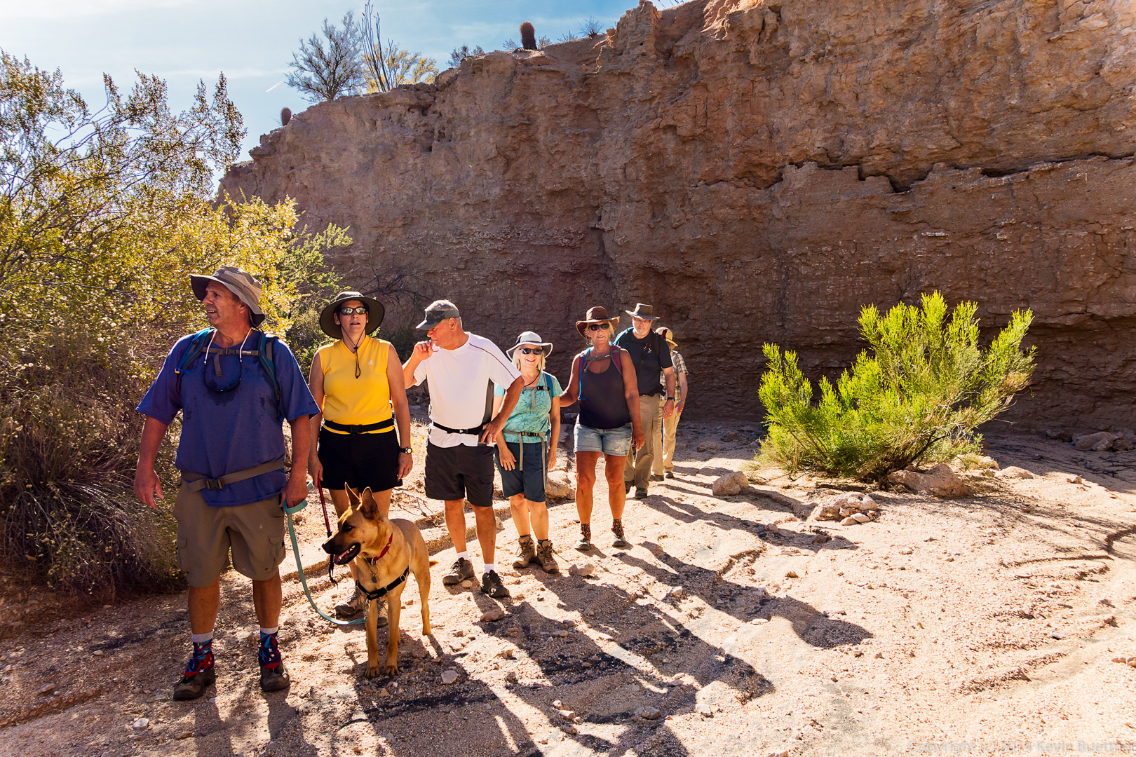
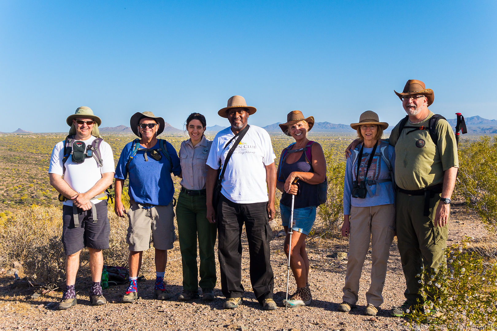
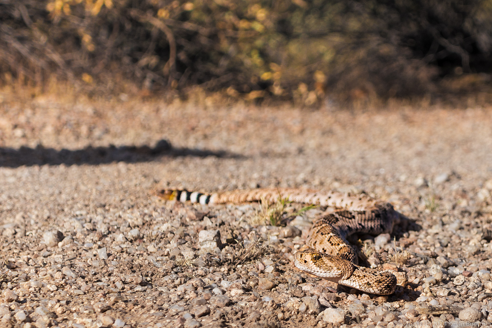
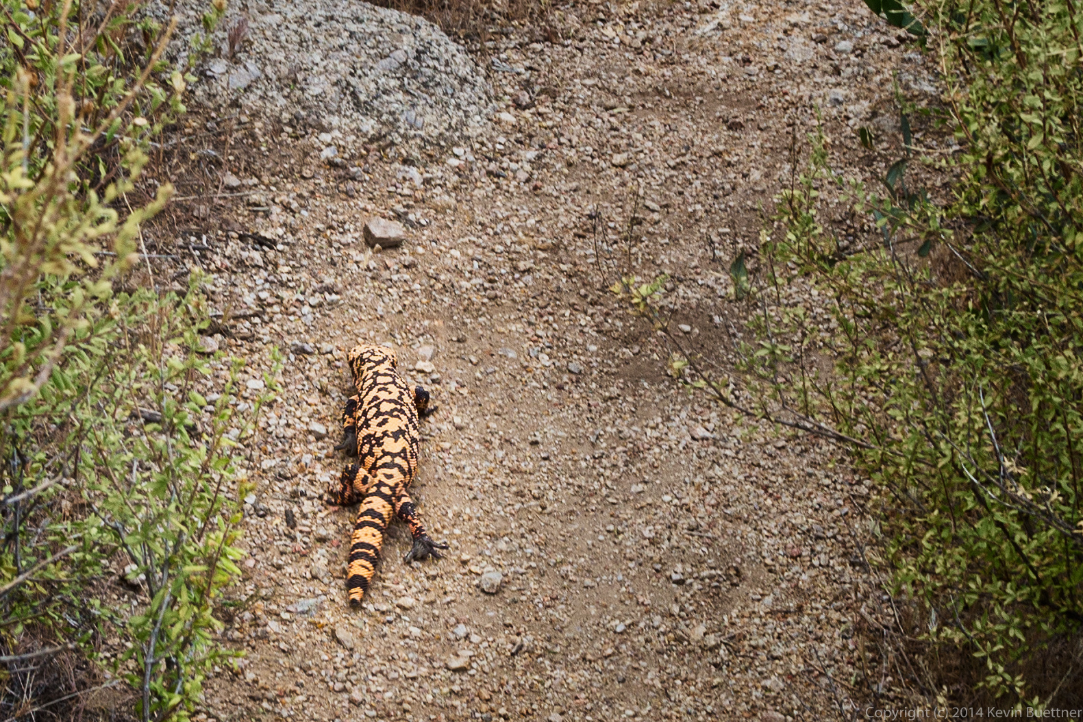
Last Friday’s hike started at the Tom’s Thumb Trailhead.  Seven of us hiked up to Tom’s Thumb and back.  On the way back, we visited the Sven Slab climbing area where we saw a Gila monster.

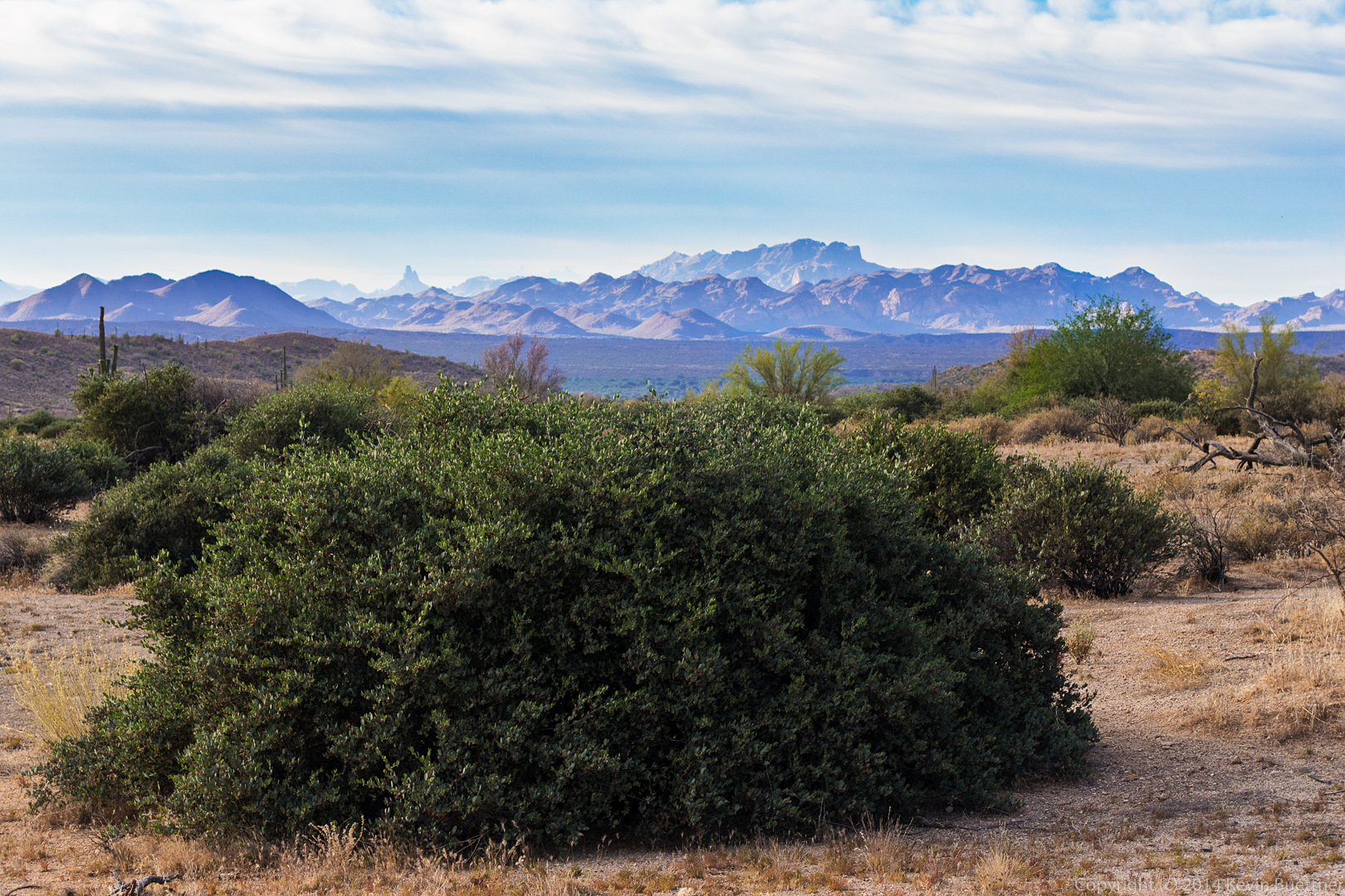
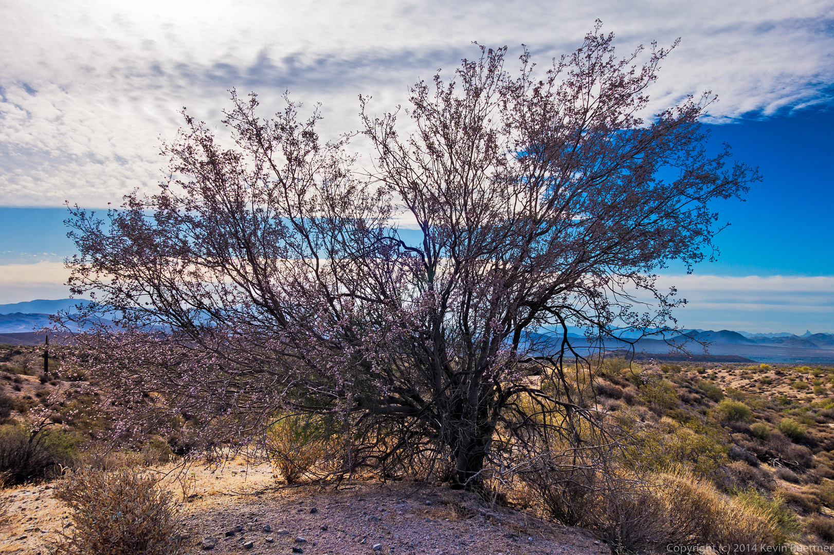
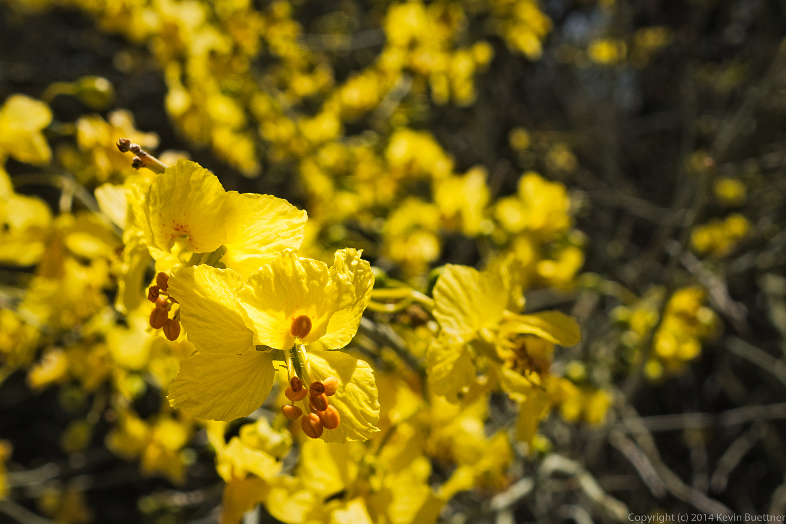
A Goldeneye bush with Gardener’s Wall in the background.

20140418-_DSC0887-Edit-medium

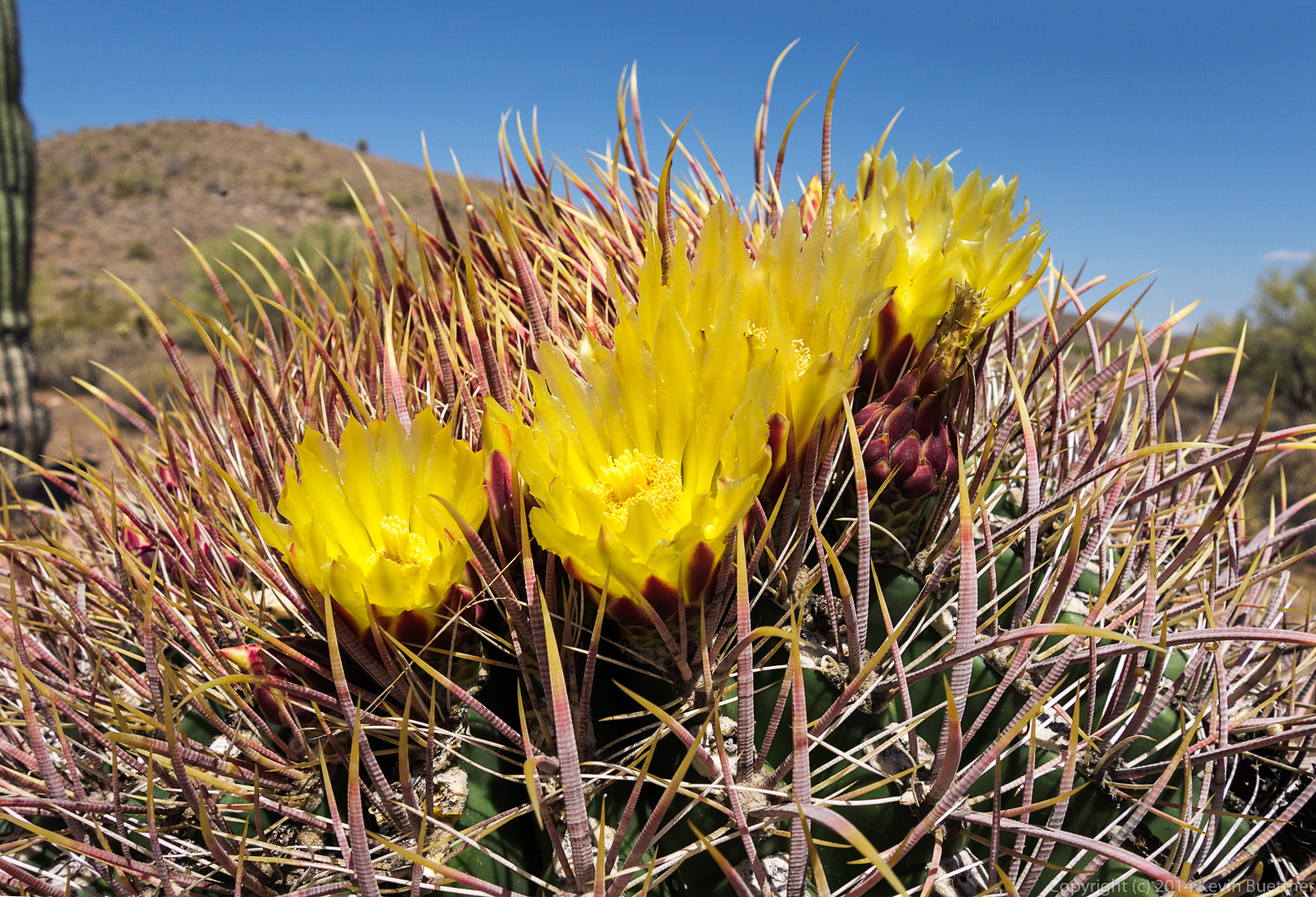
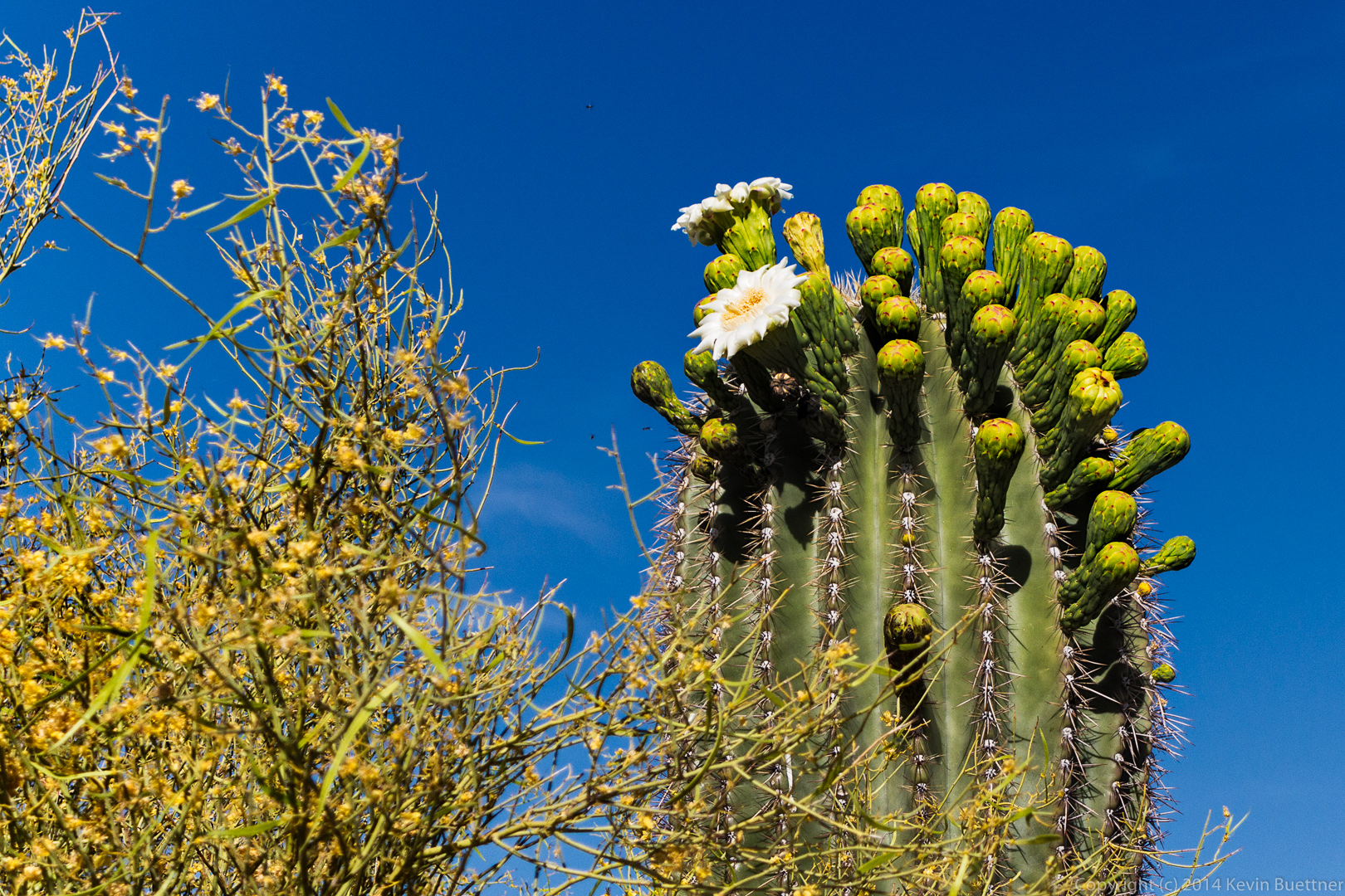
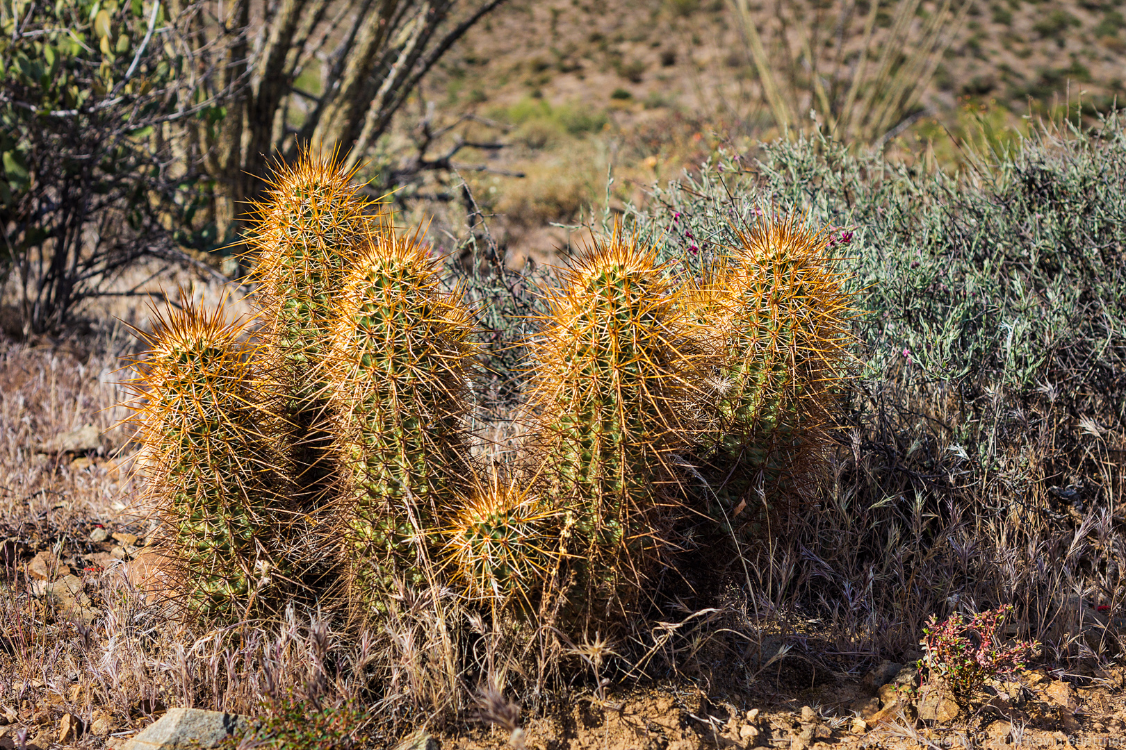
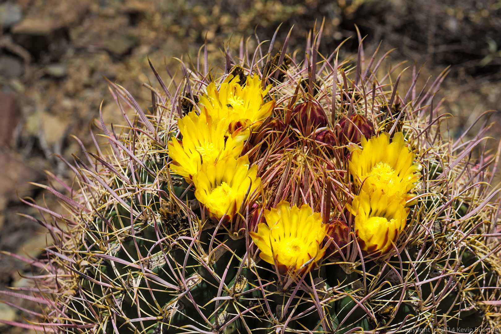
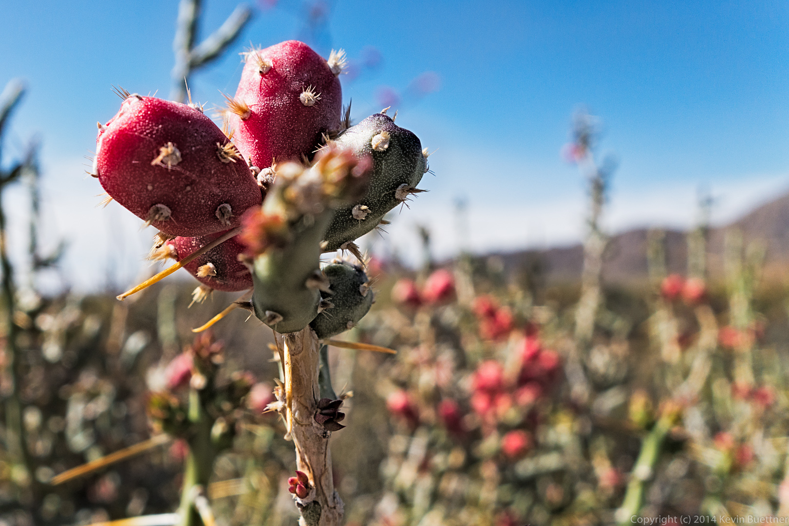
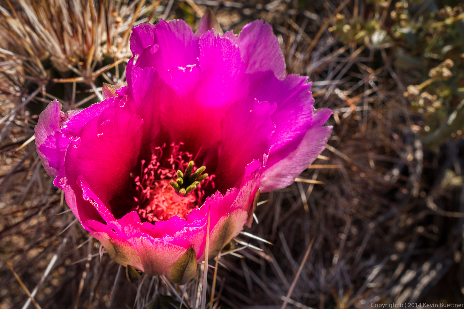
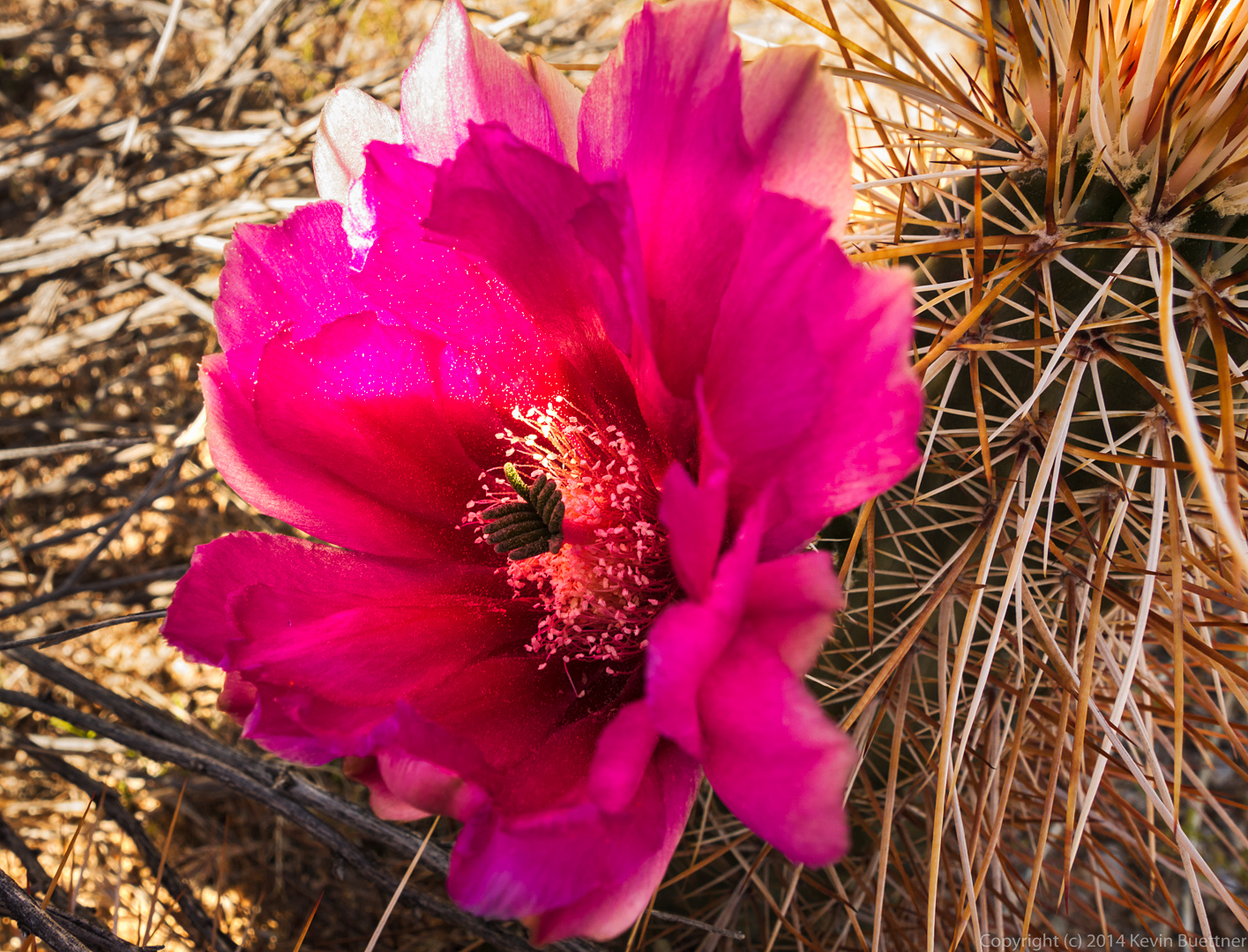
This is a cholla flower:

20140418-_DSC0917-Edit-medium
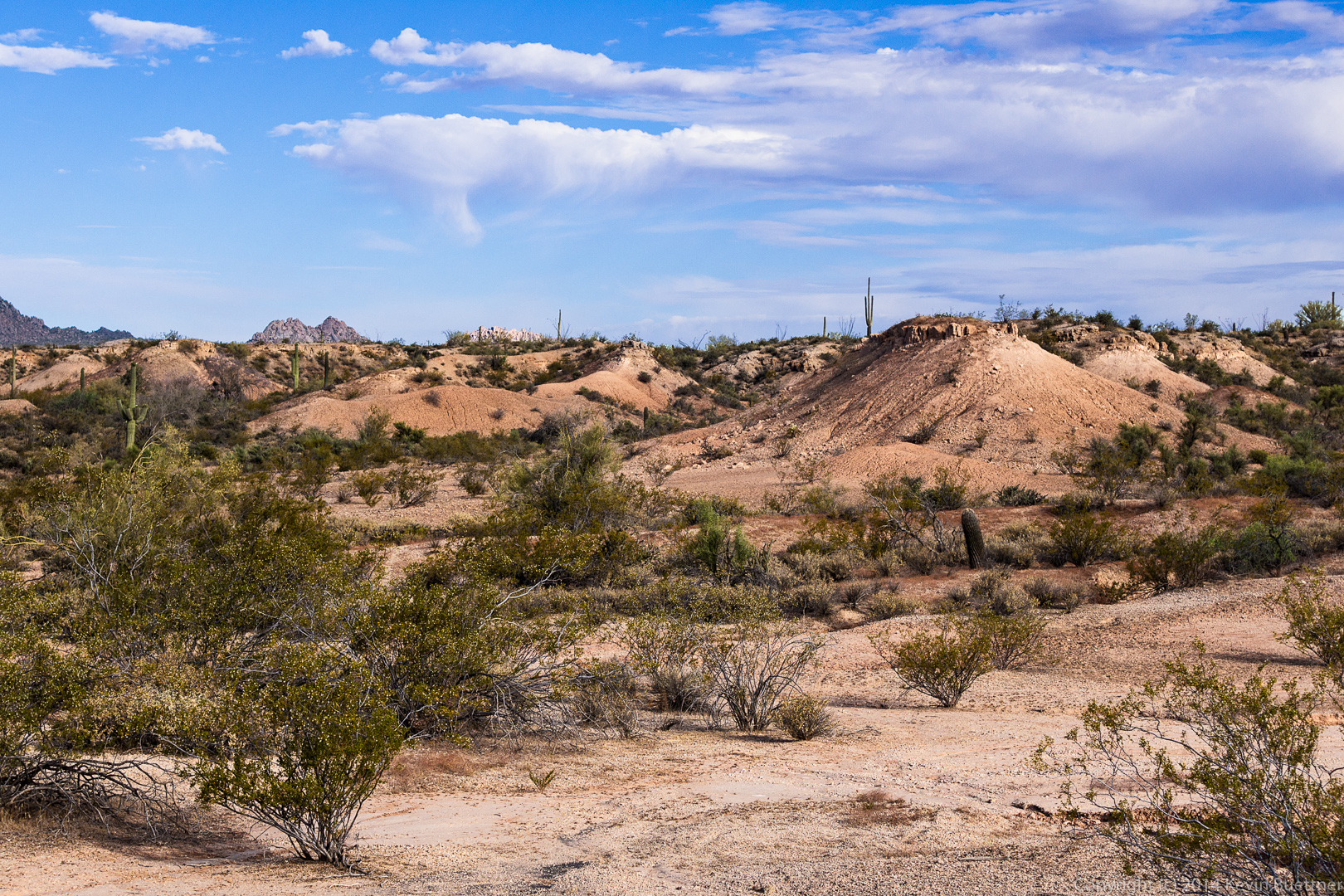
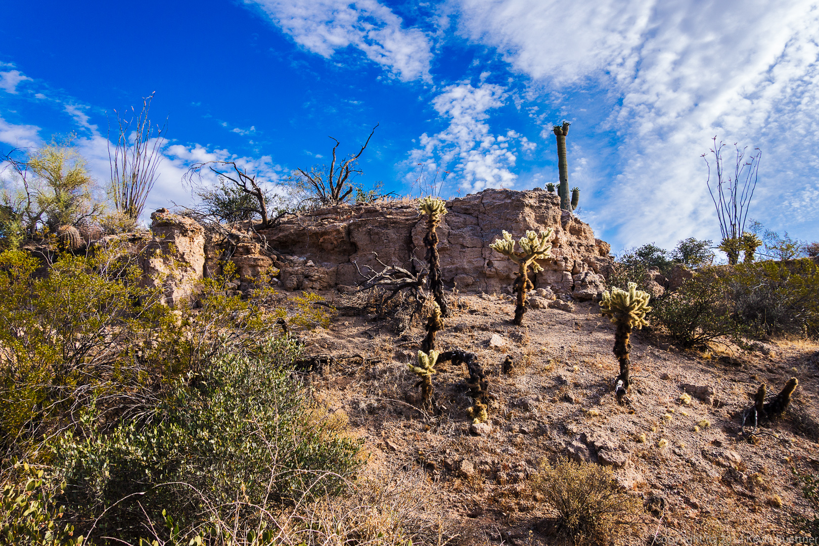
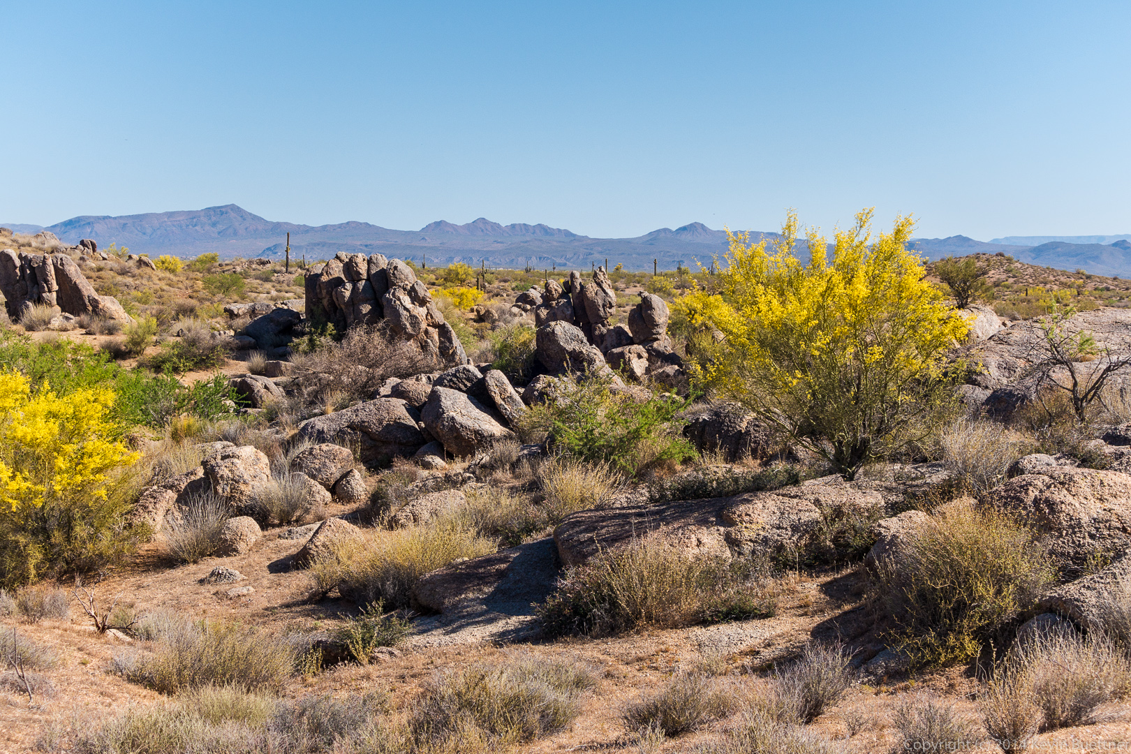
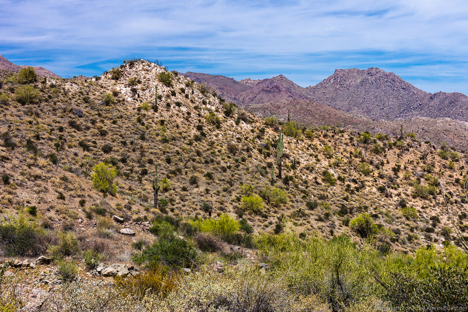
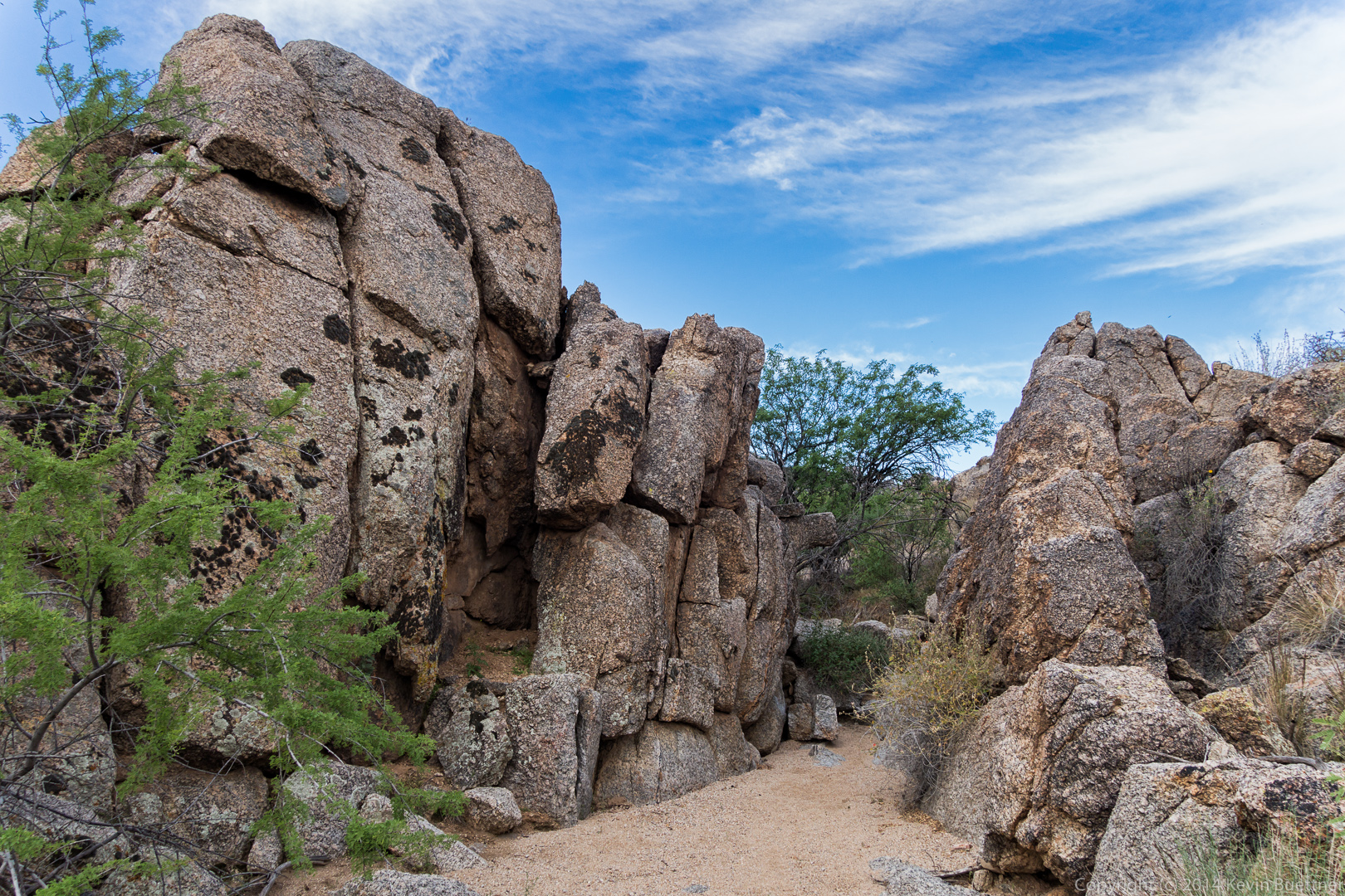
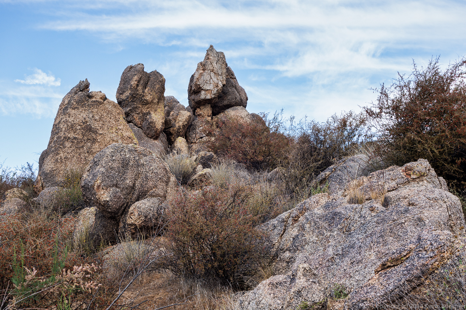
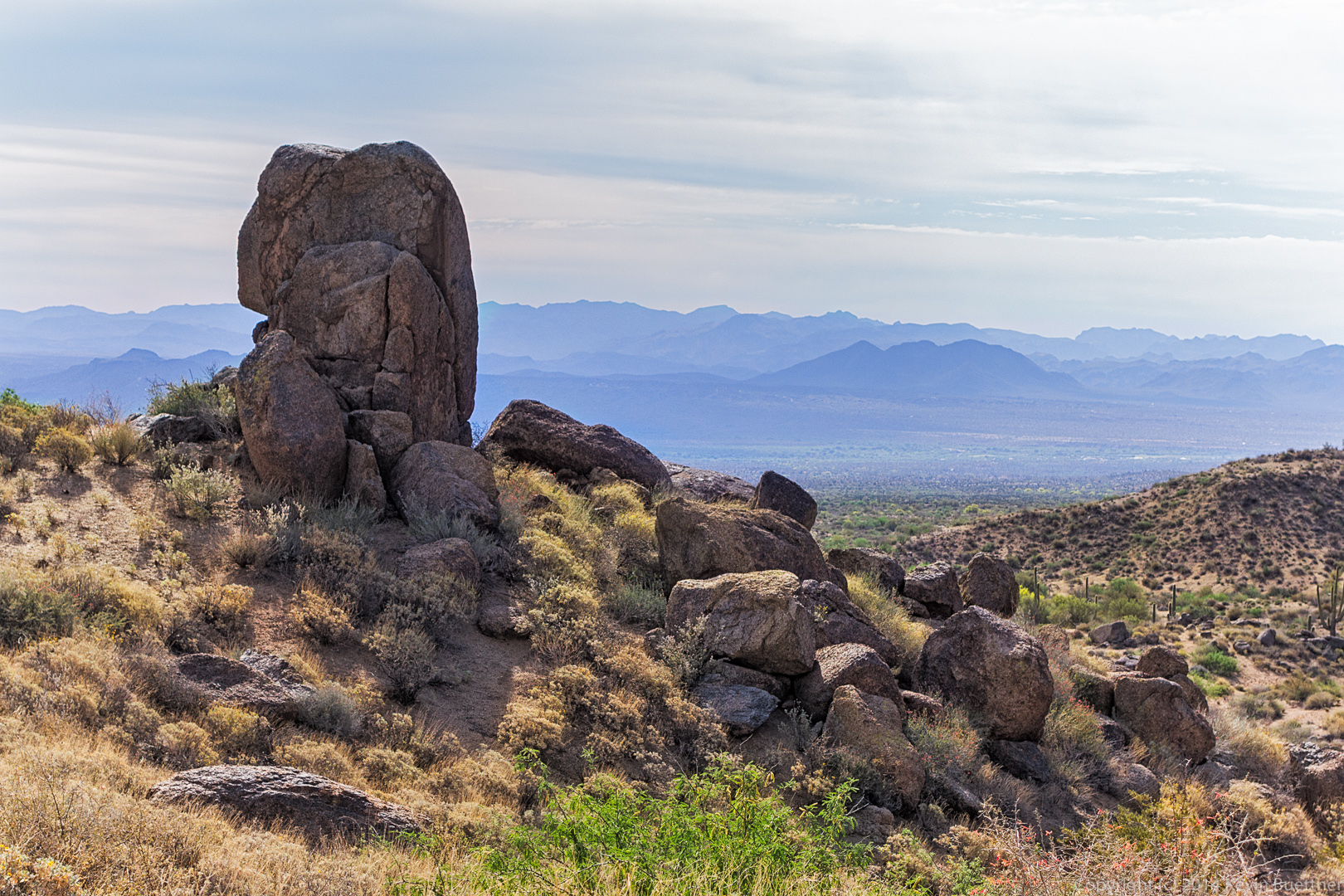
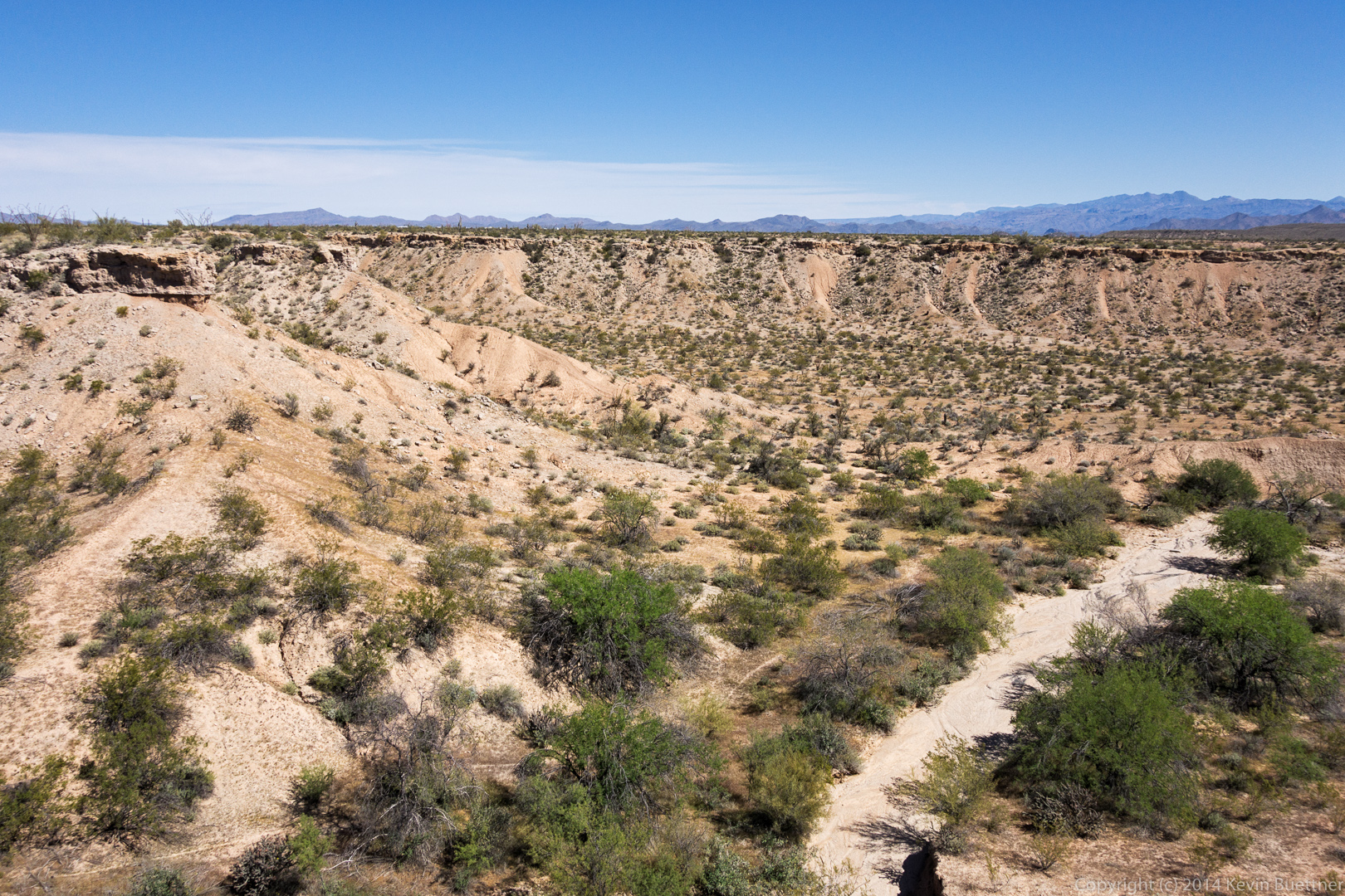
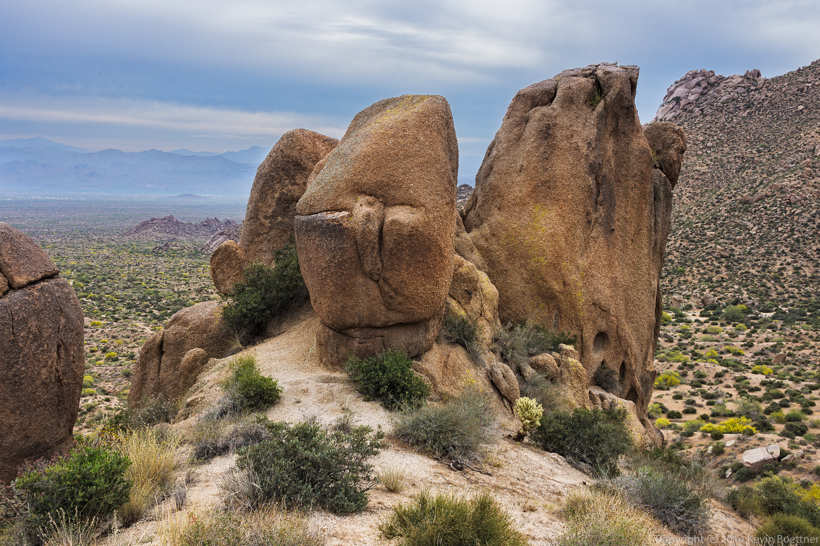
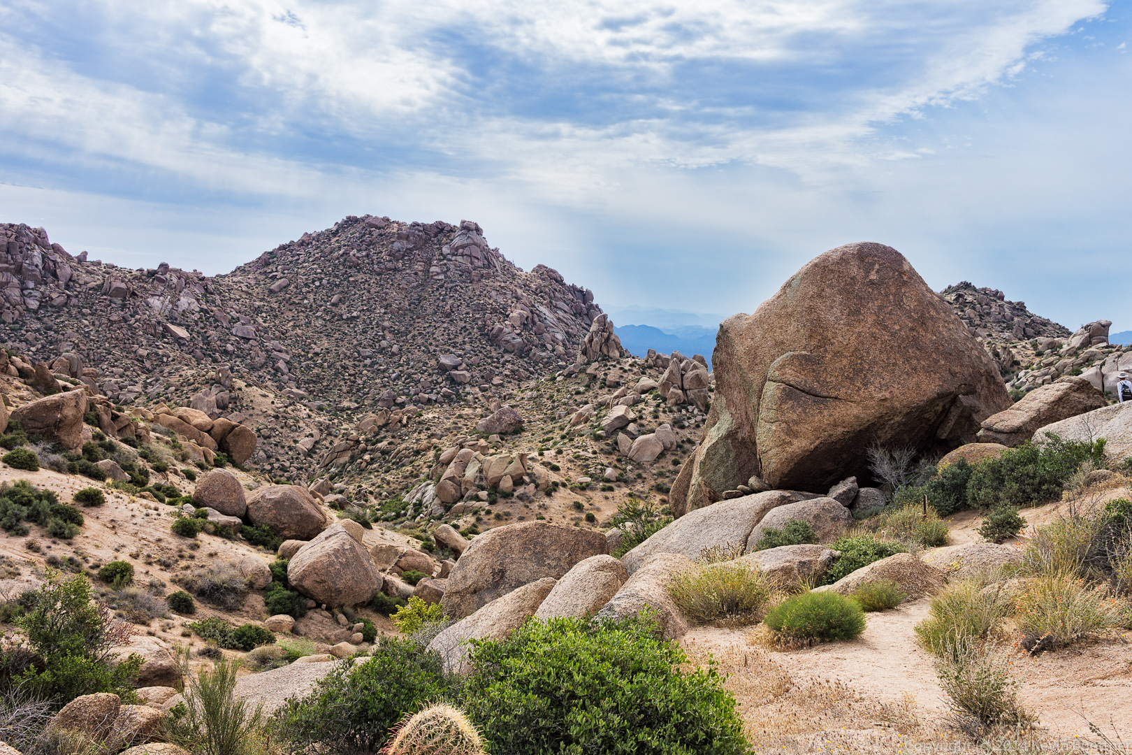
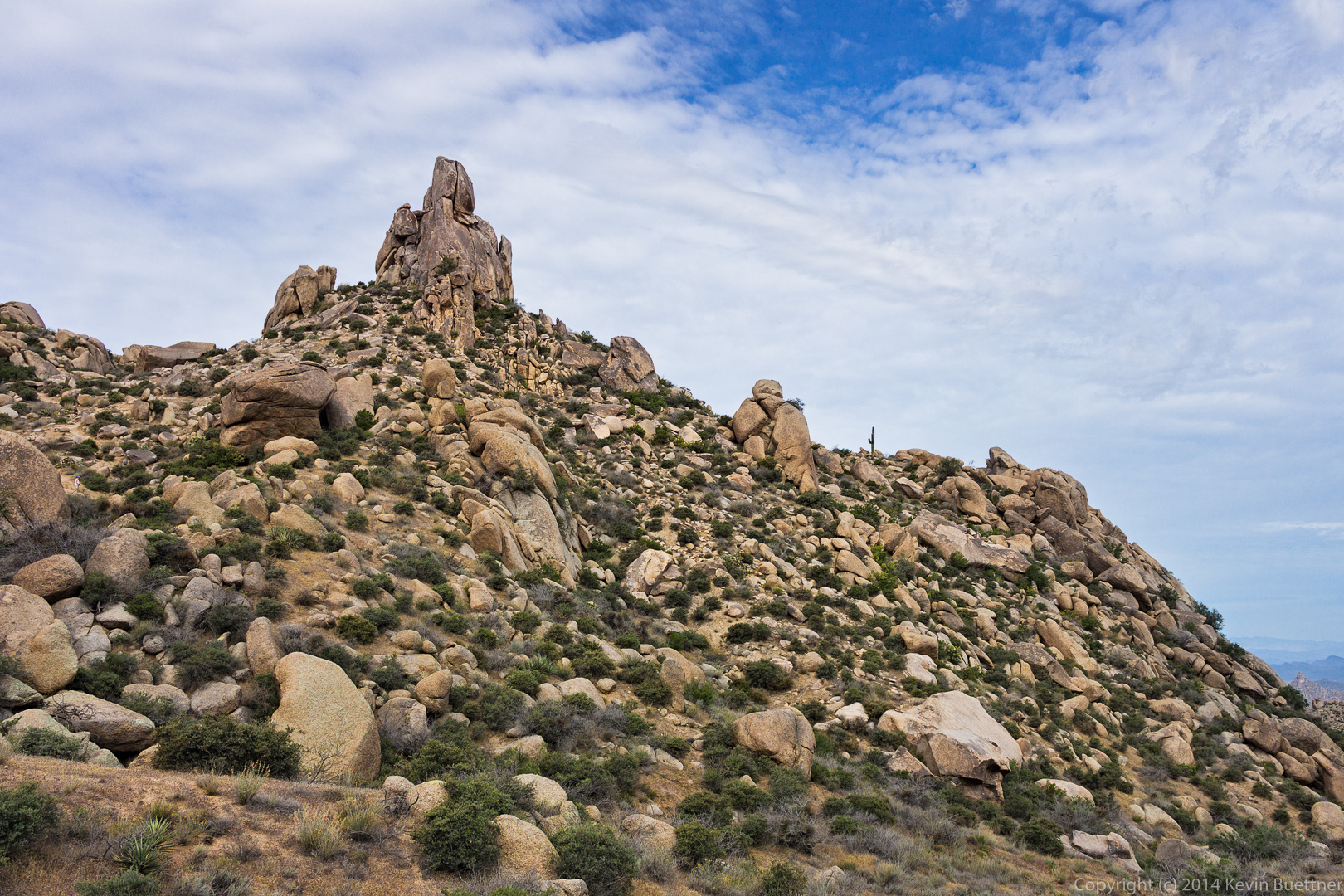
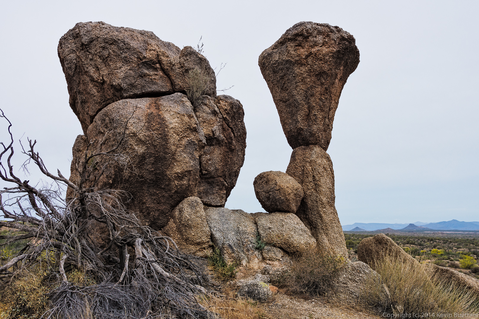
We encountered this rock formation on the way up.

20140418-_DSC0932-Edit-medium California Buckwheat:

20140418-_DSC0941-Edit-medium
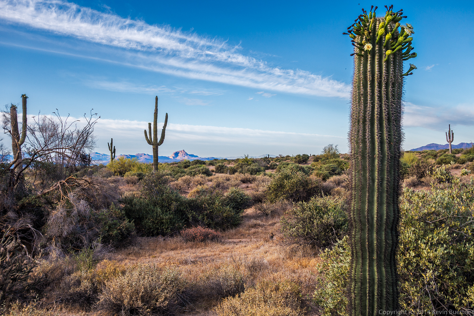
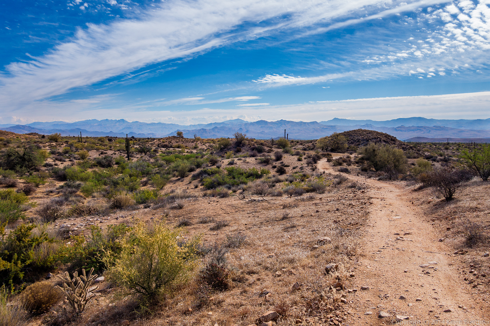
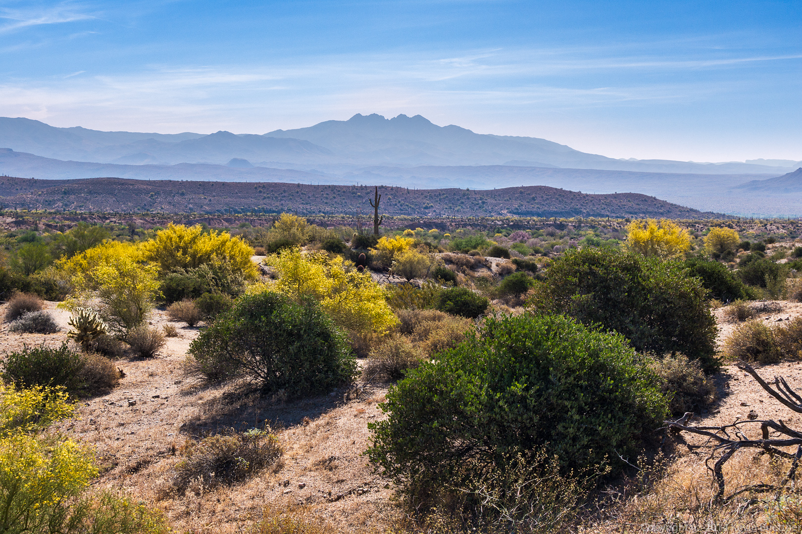
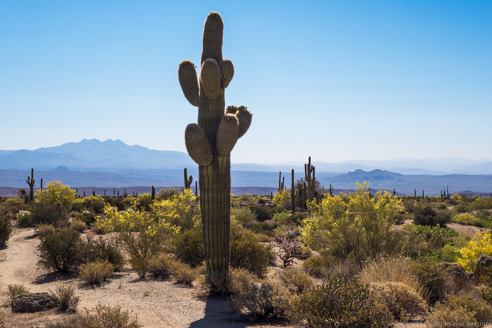
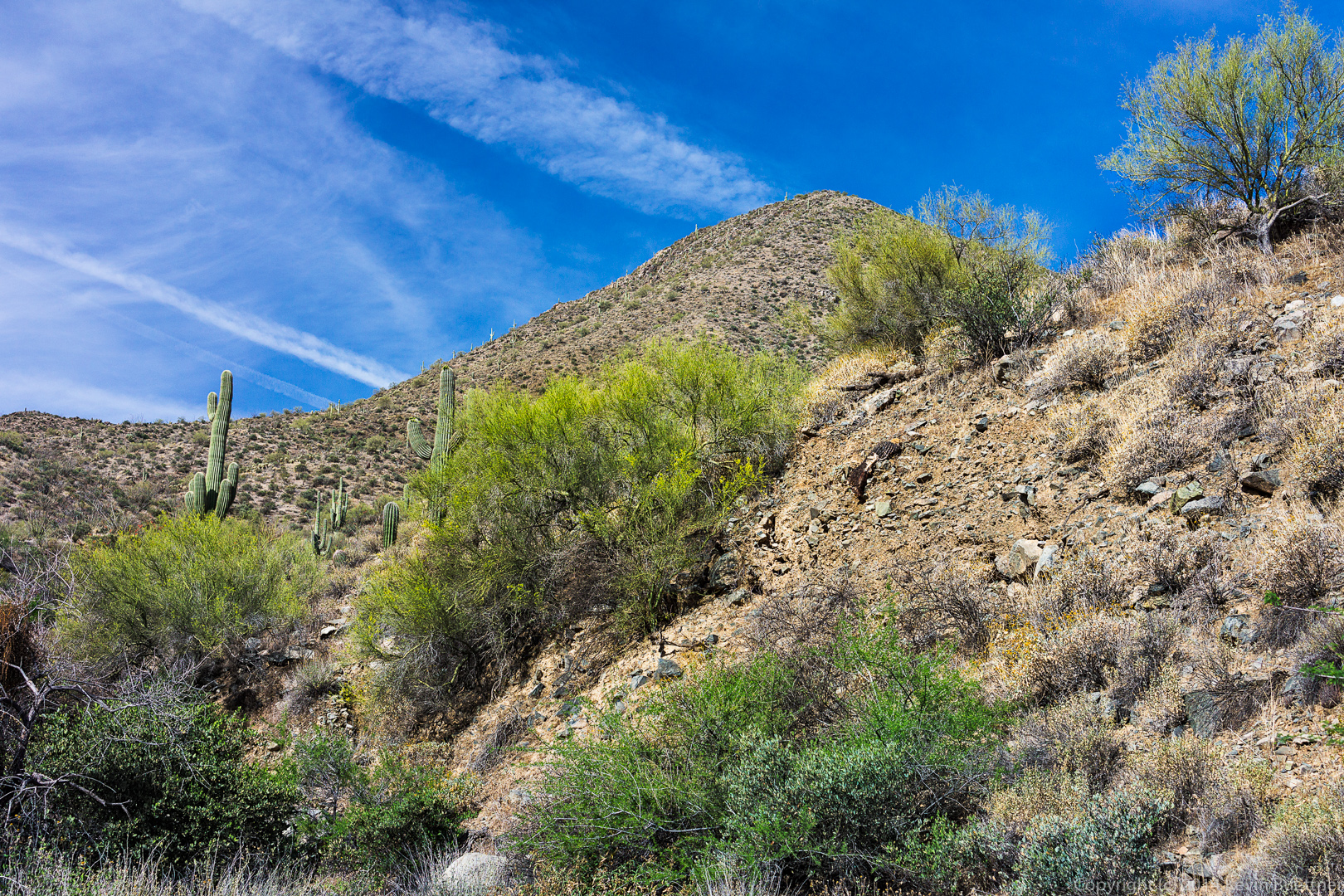
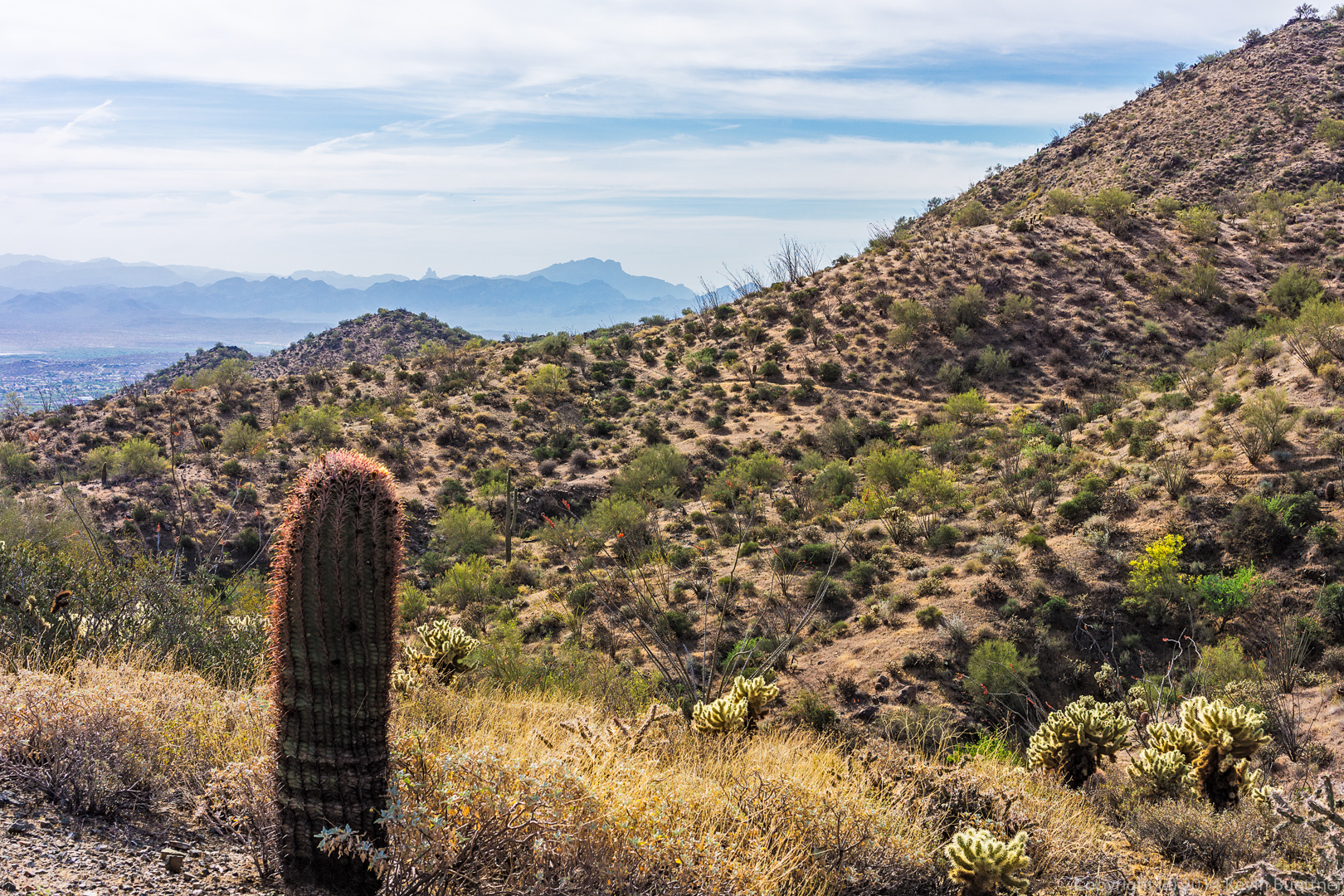
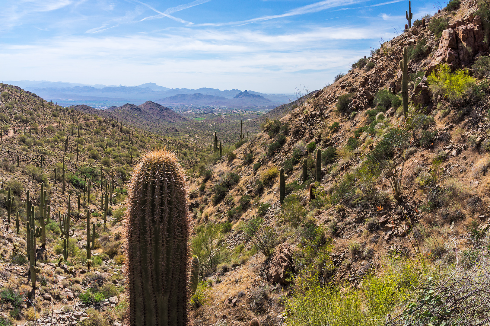
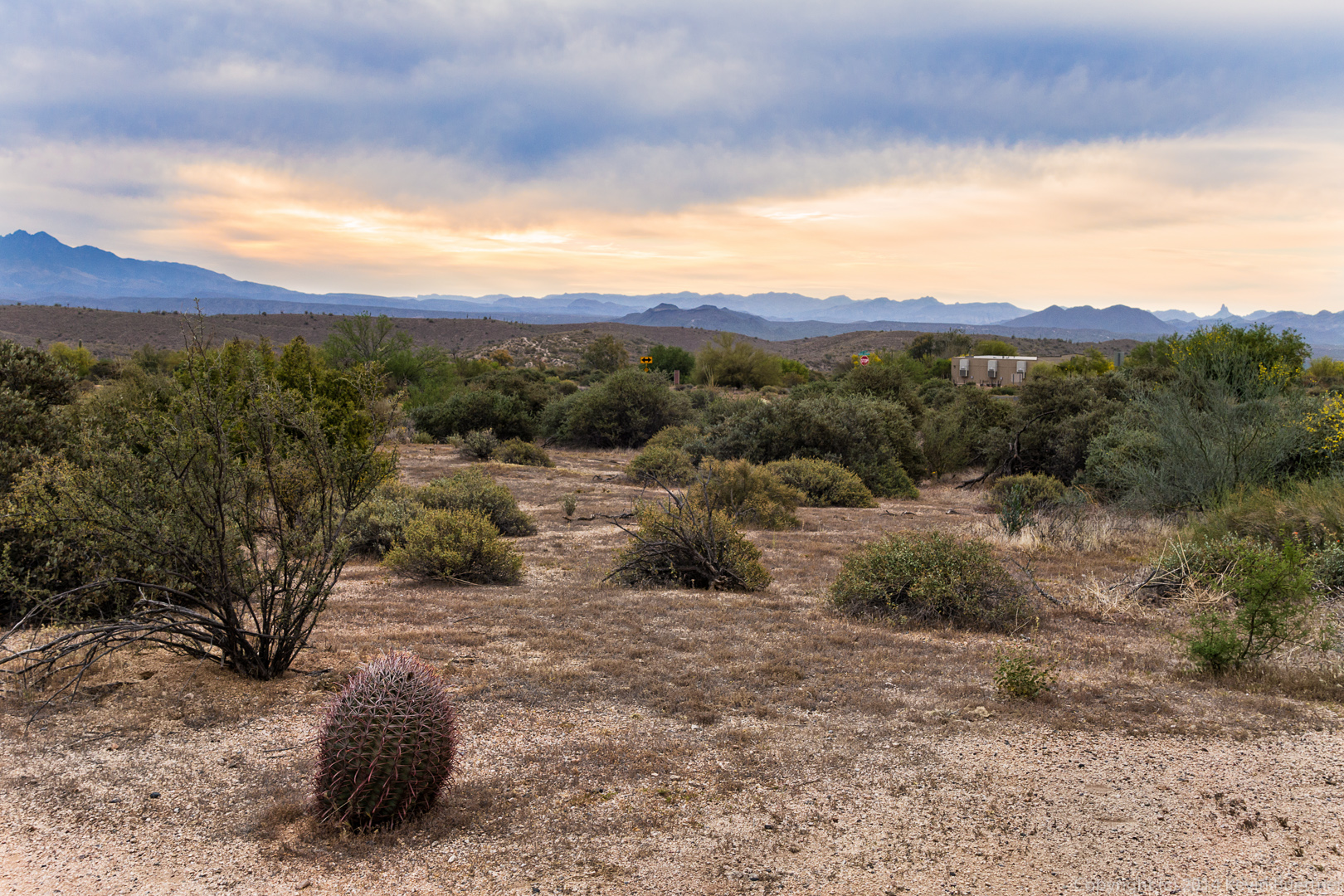
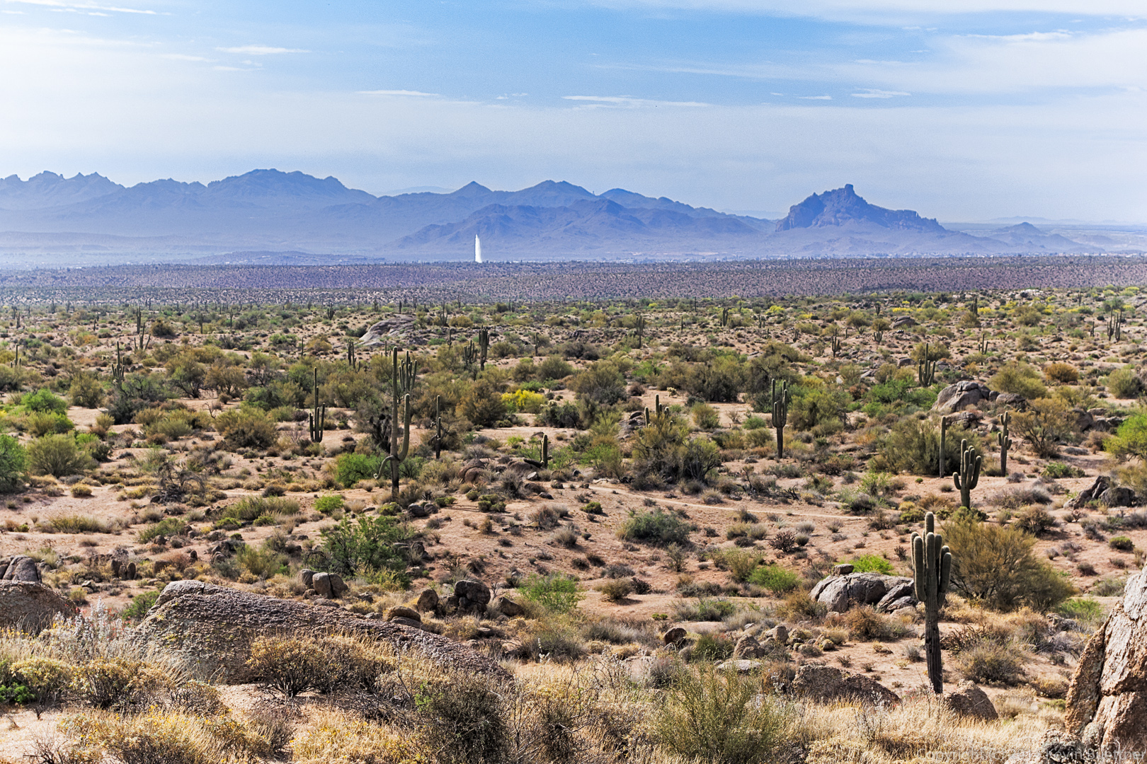
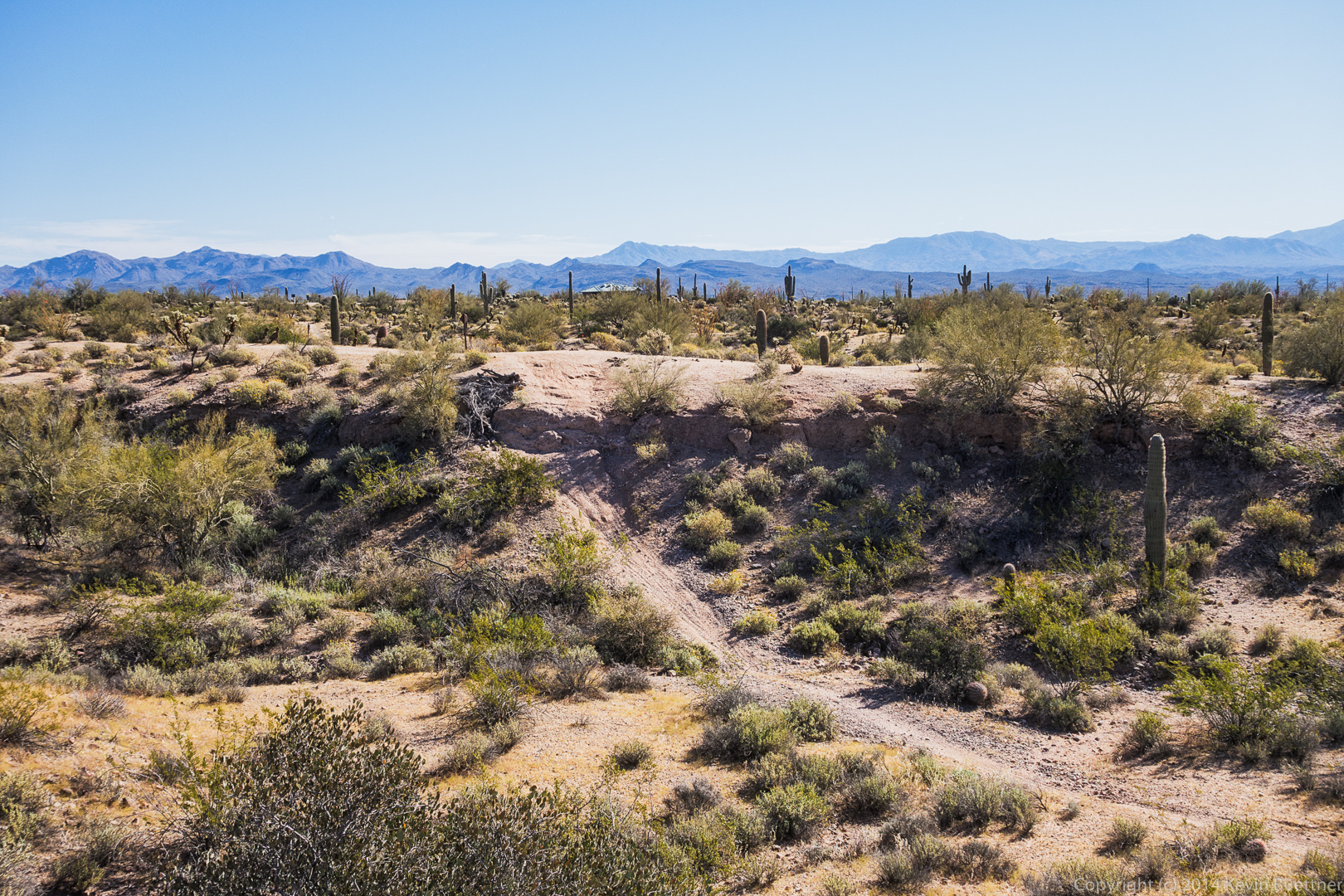
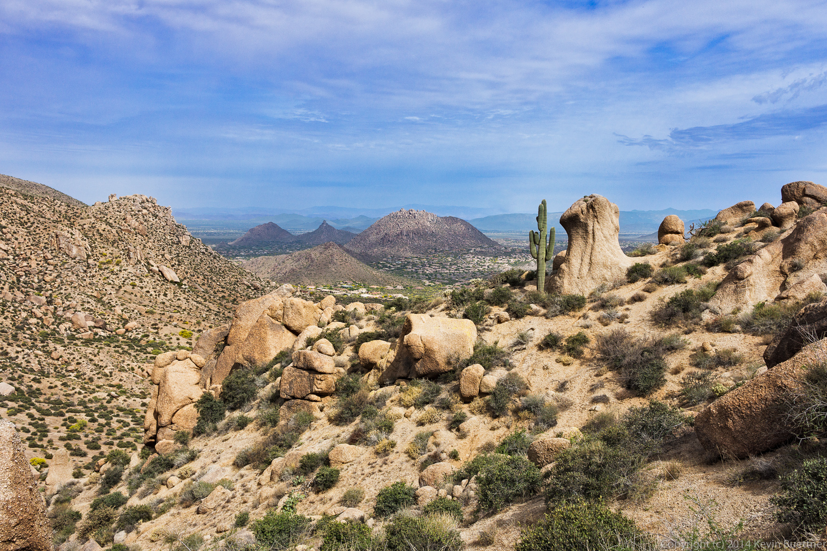
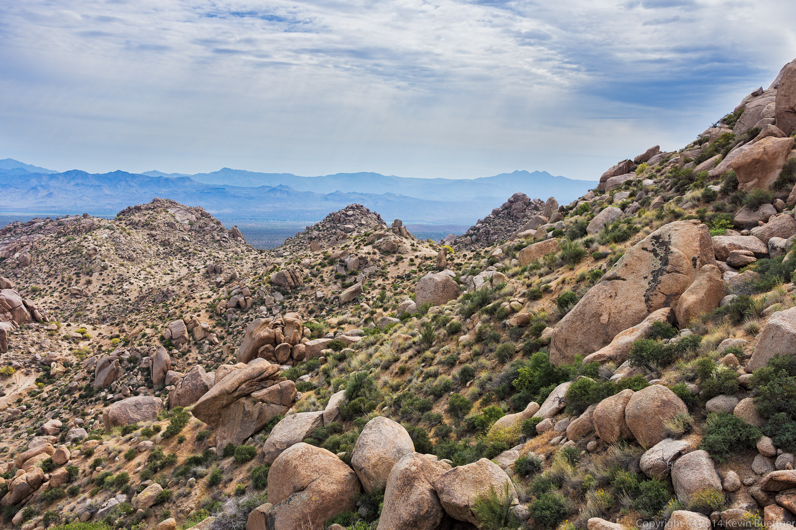
A view to the west as we made our way up to the ridge leading over to Tom’s Thumb:

20140418-_DSC0944-Edit-medium 
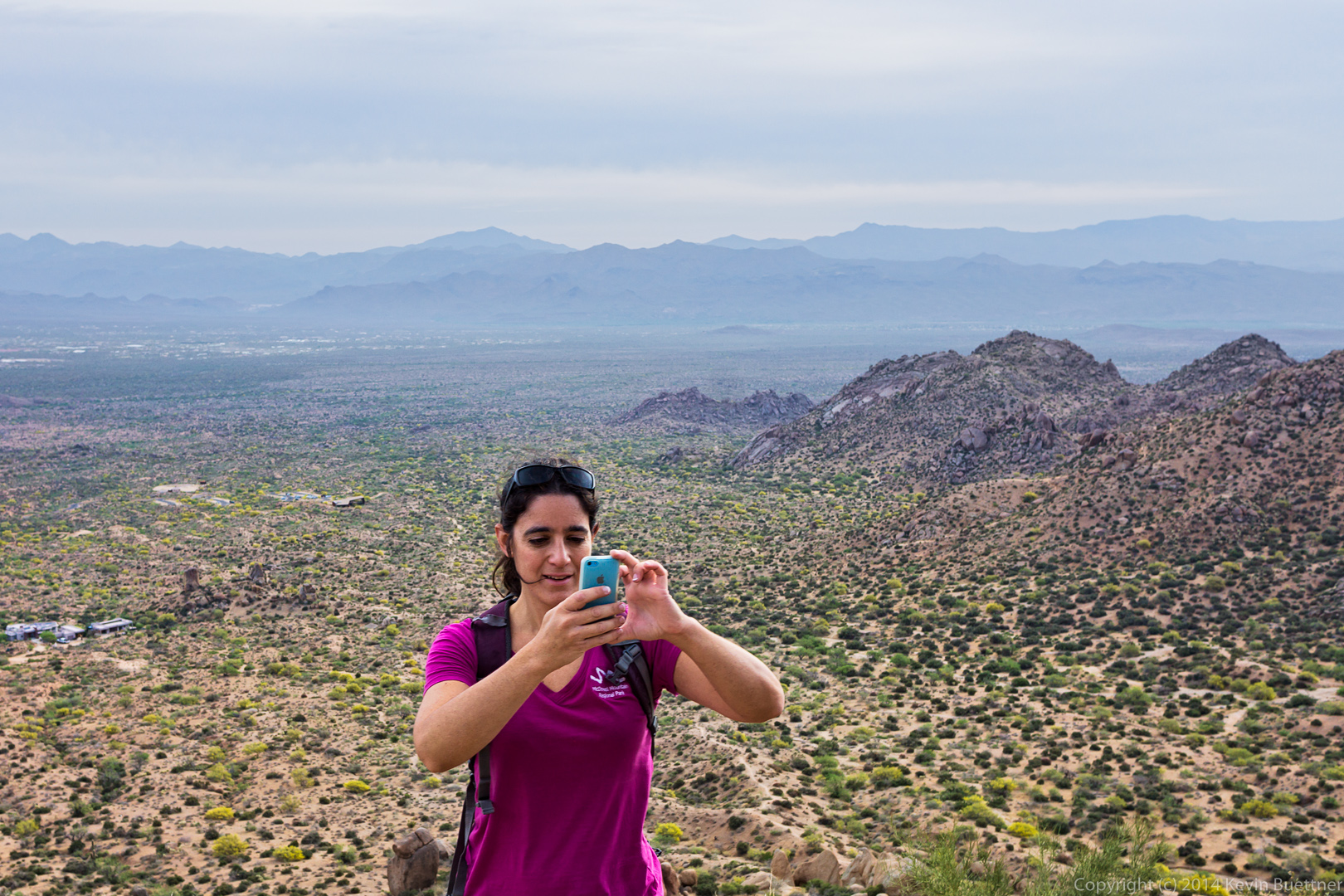
Amy is instructing her iPhone to take a panoramic shot.

20140418-_DSC0968-Edit-medium
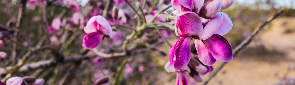
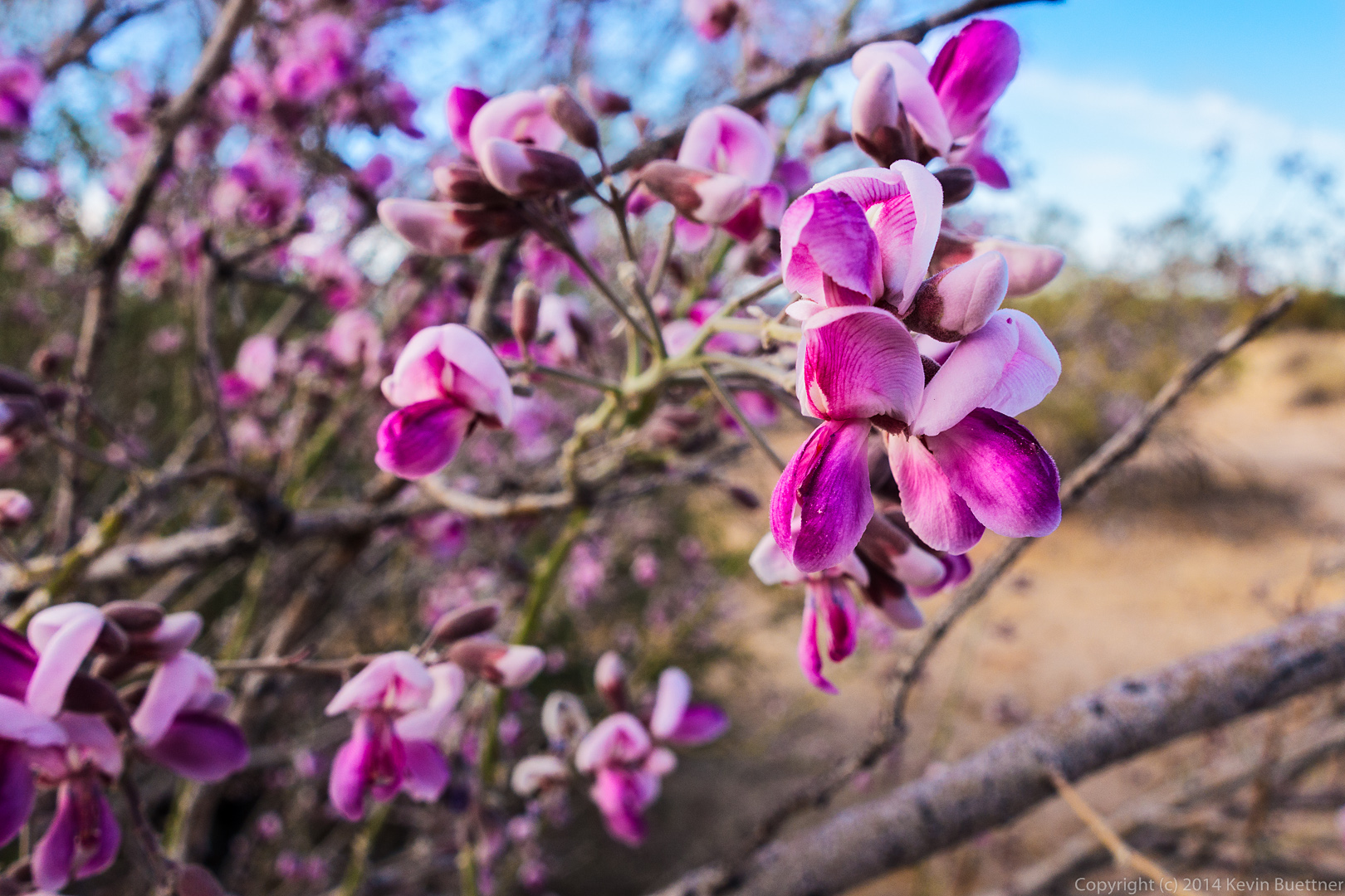
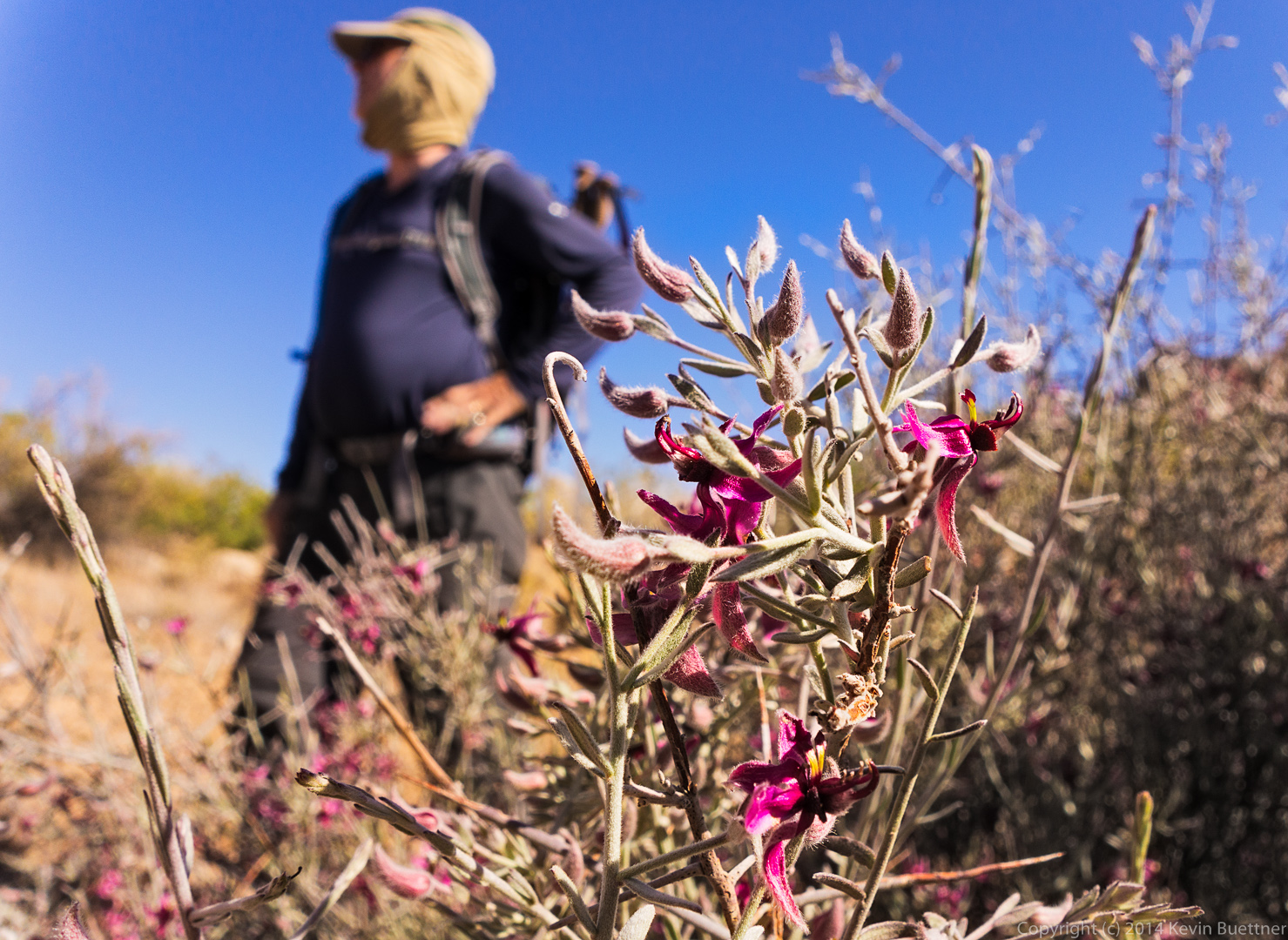
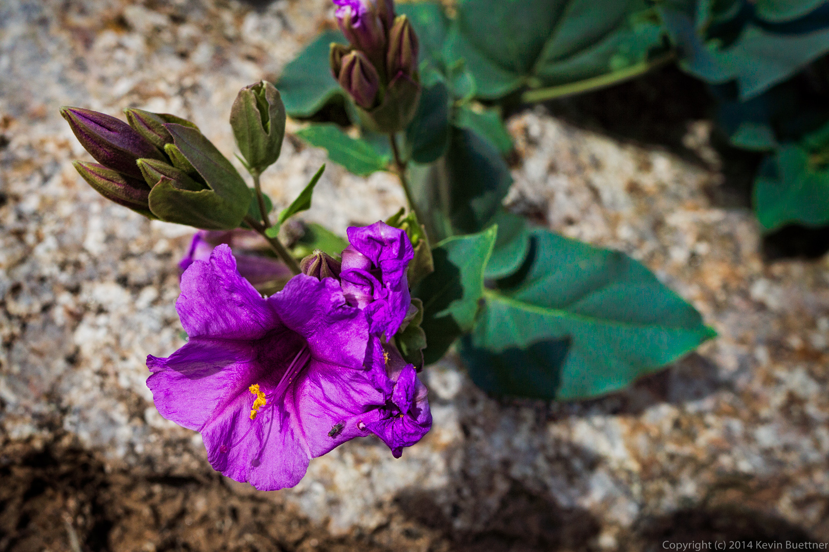
Someone on the hike identified this purple flower, but I don’t remember its name. I can’t find it in my flower identification book either.

20140418-_DSC0978-Edit-medium
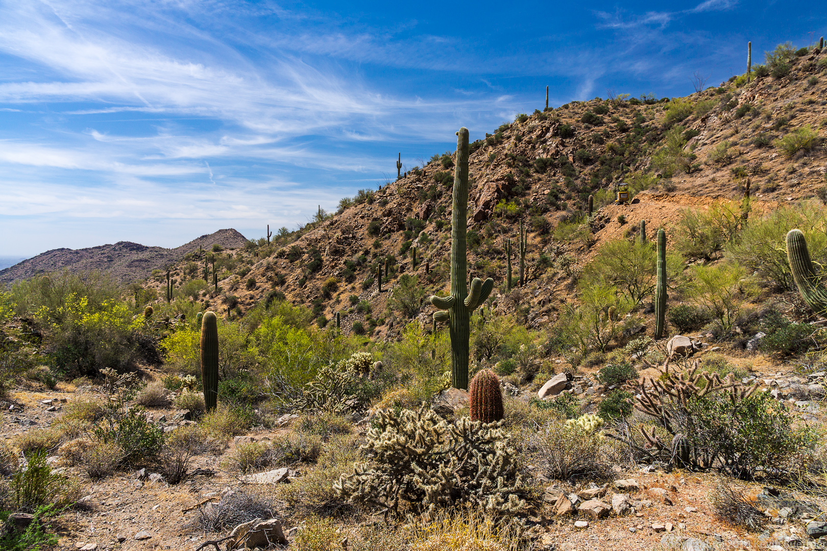
A view of Pinnacle Peak and Troon:

20140418-_DSC1013-Edit-medium 
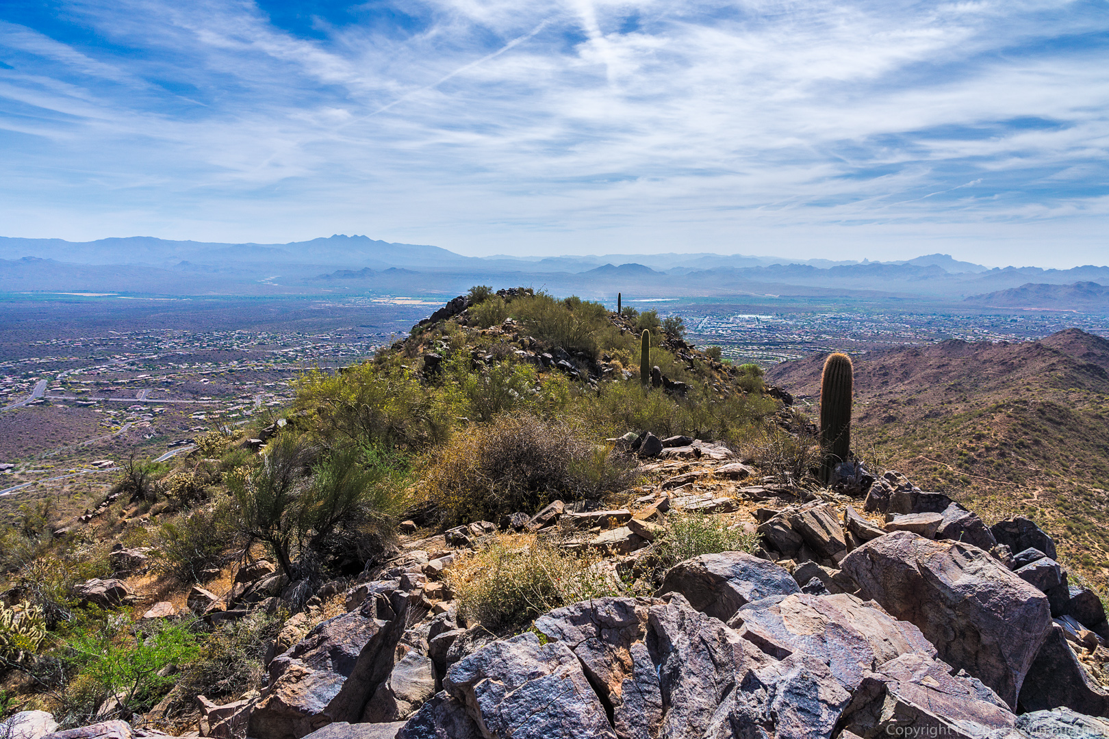
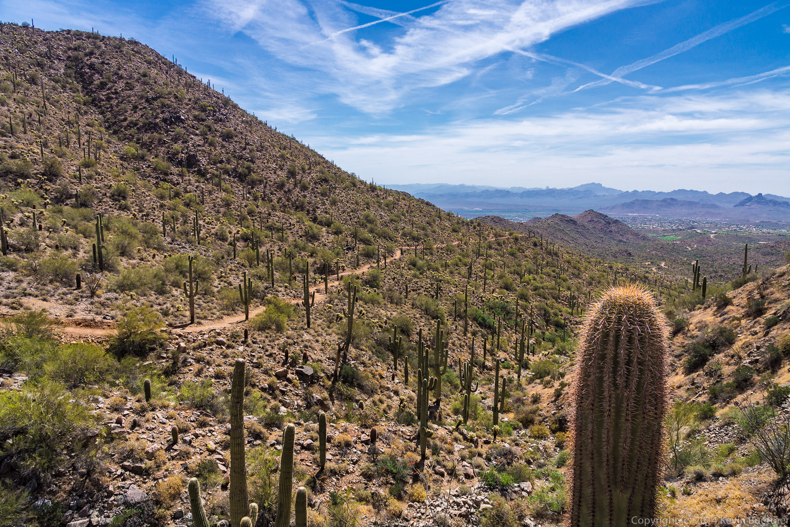
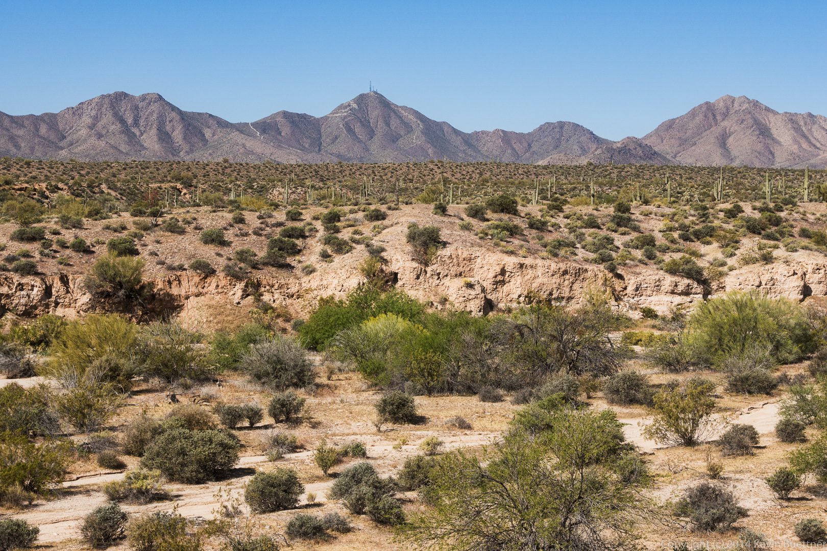
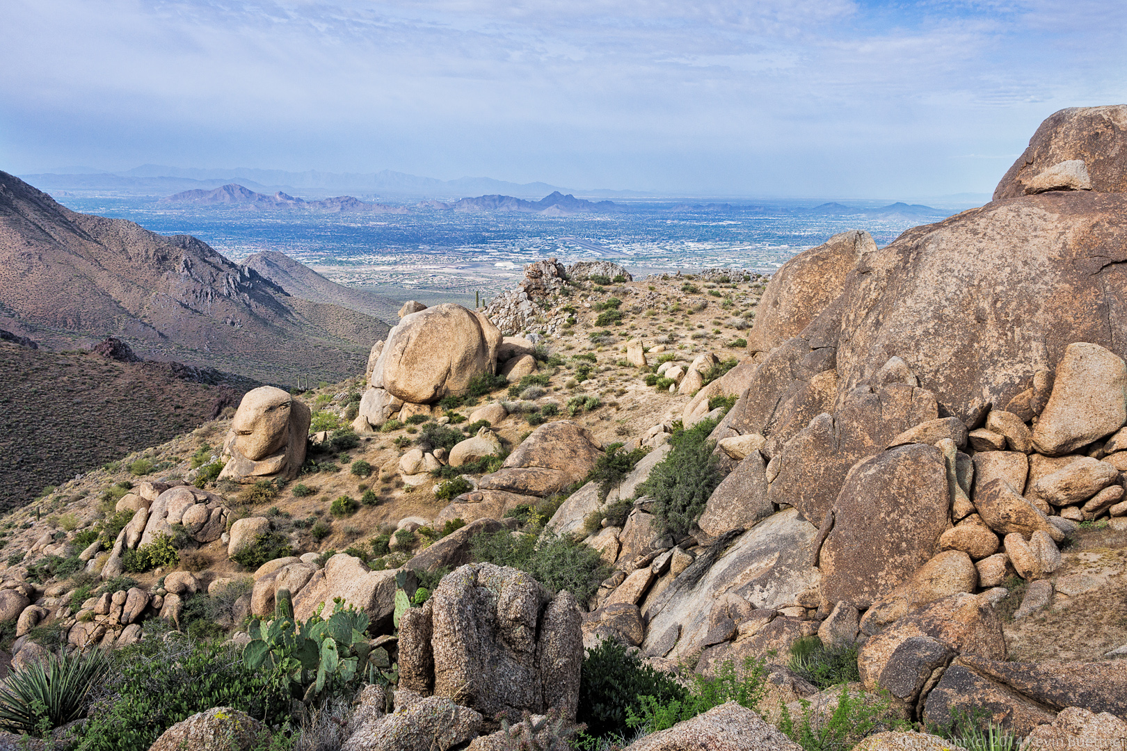
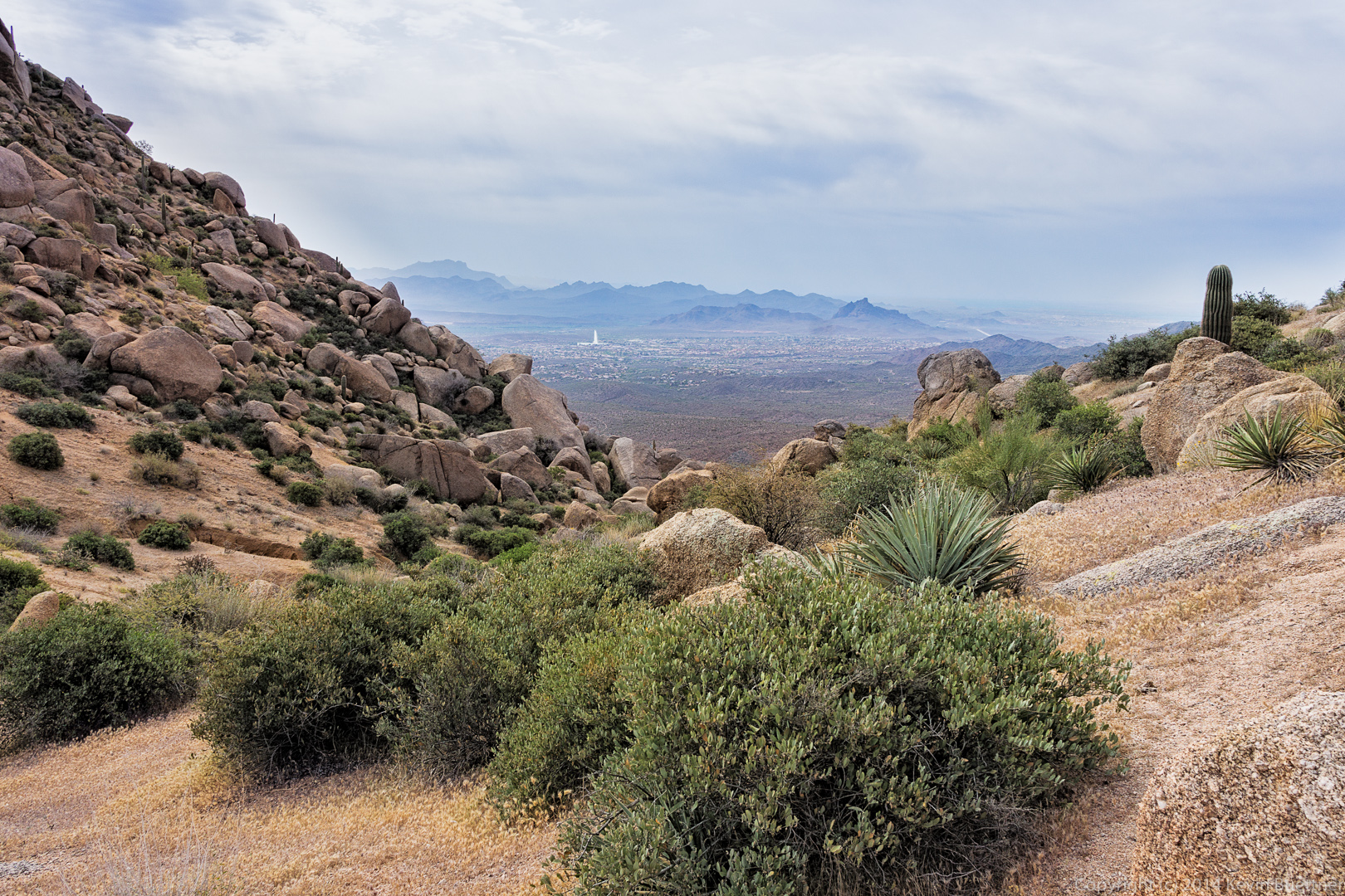
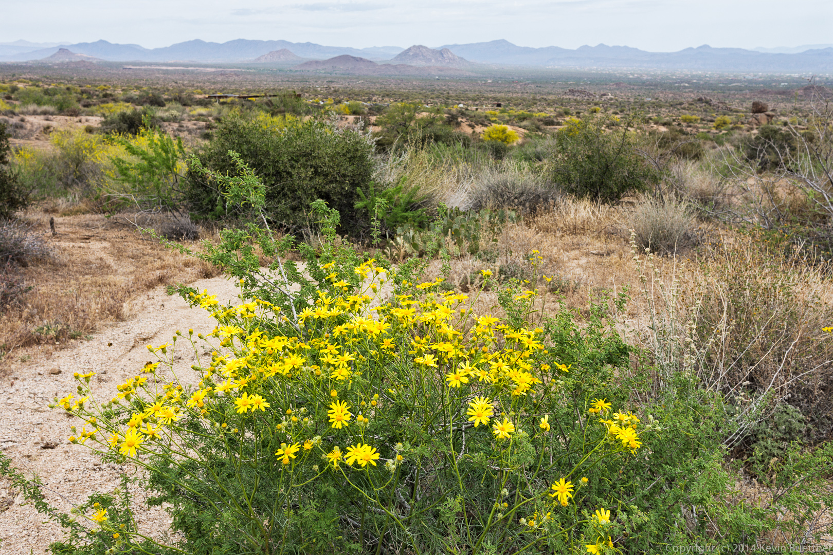
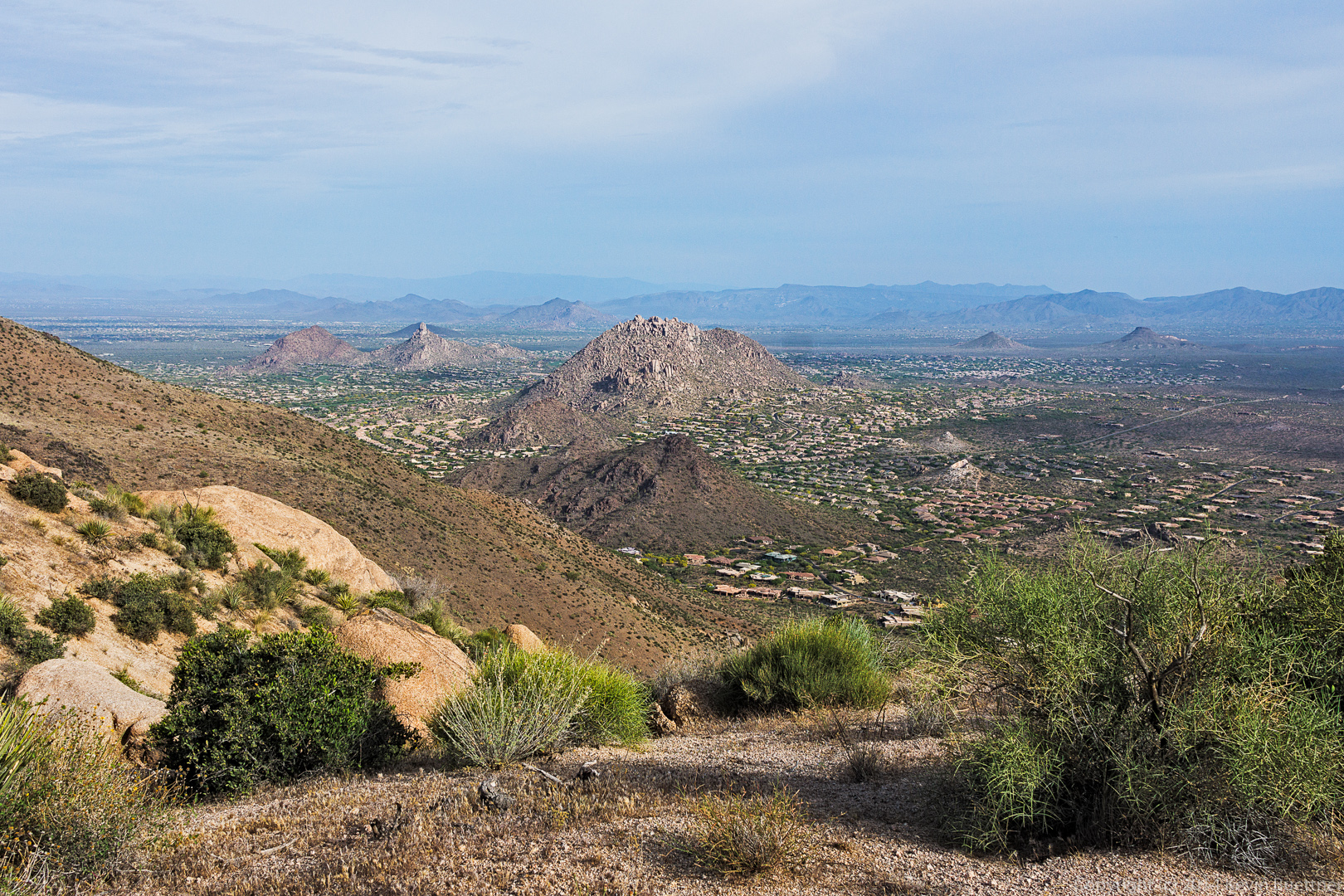
A view of Scottsdale and perhaps other nearby cities as well.

20140418-_DSC1025-Edit-medium
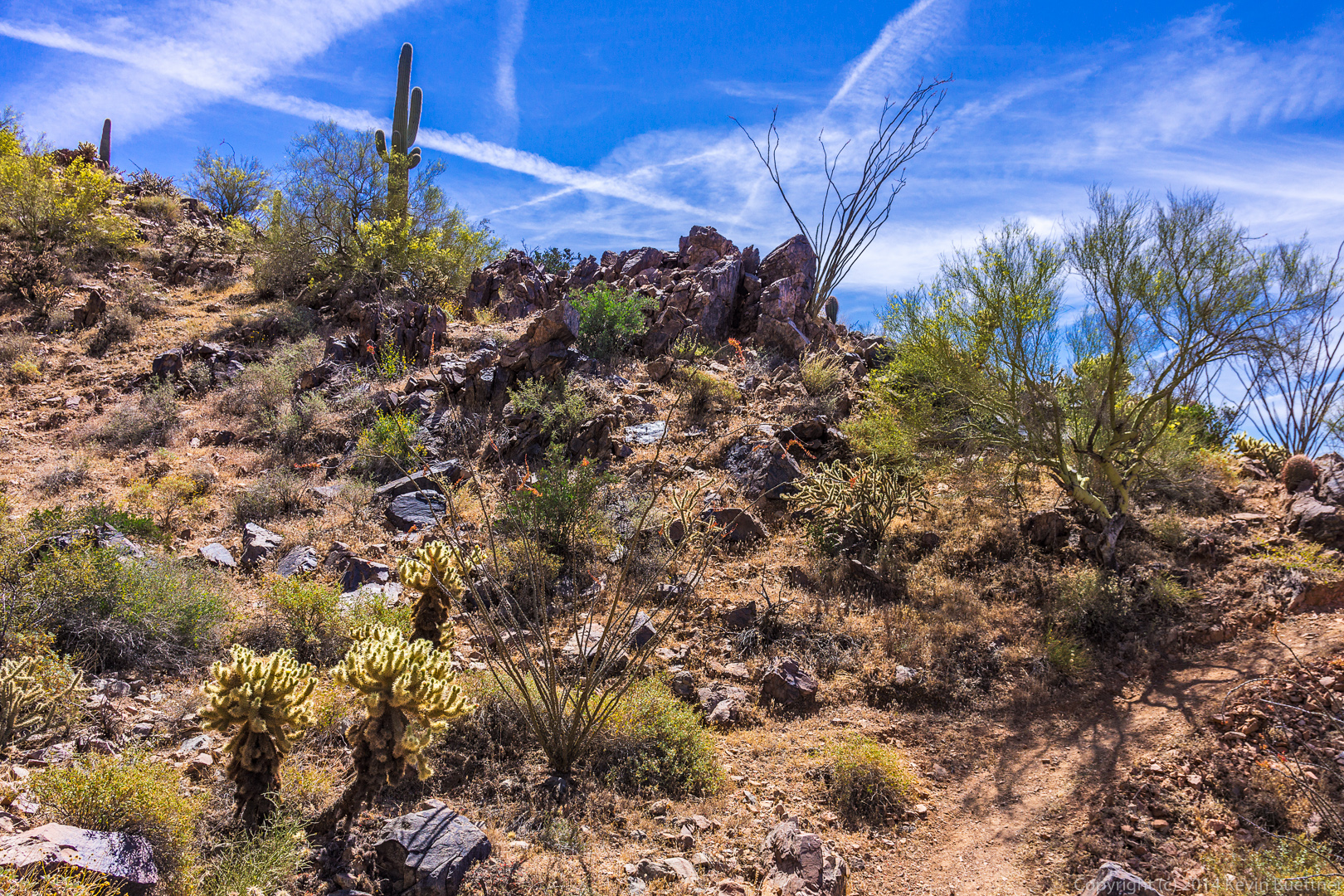
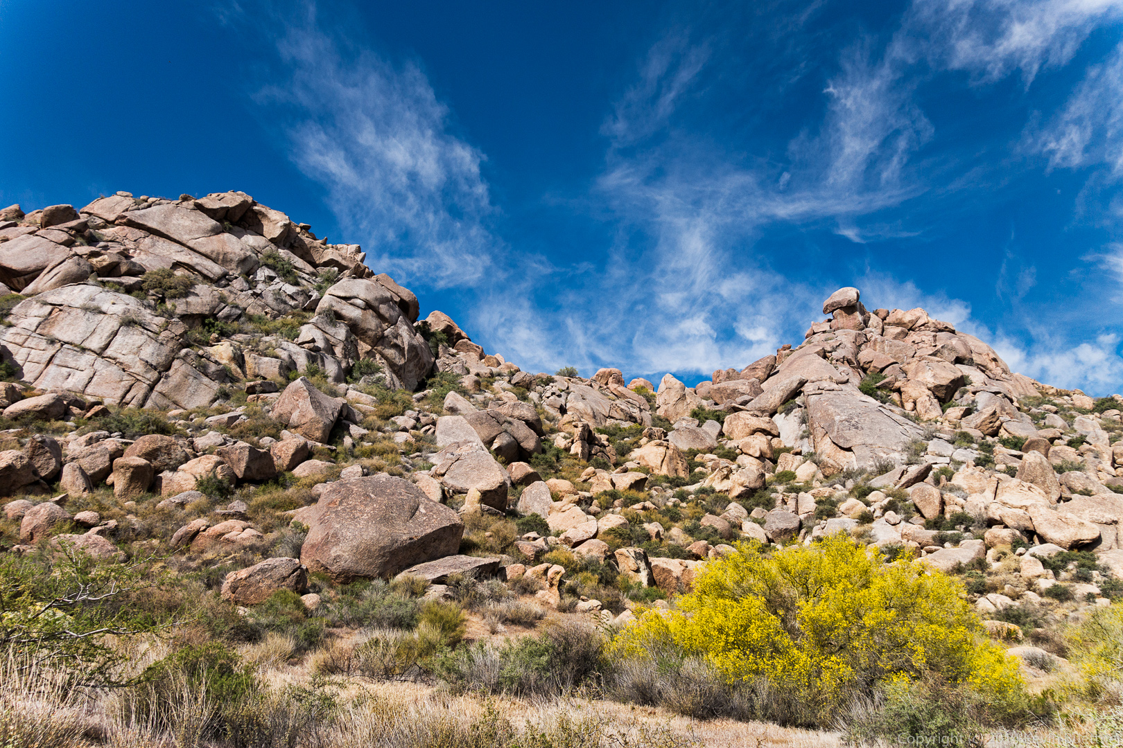
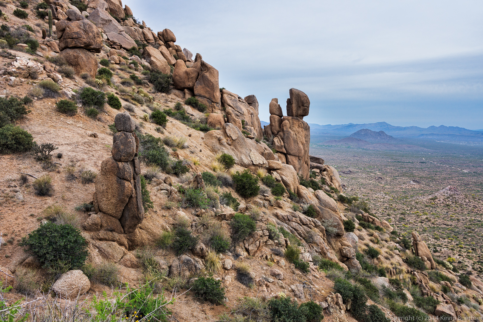
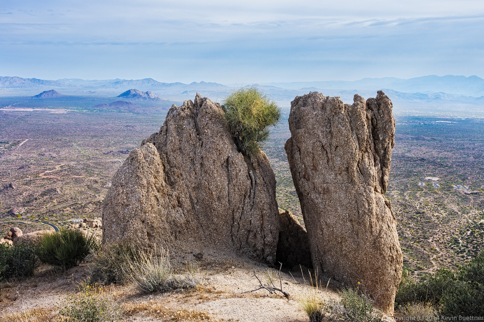
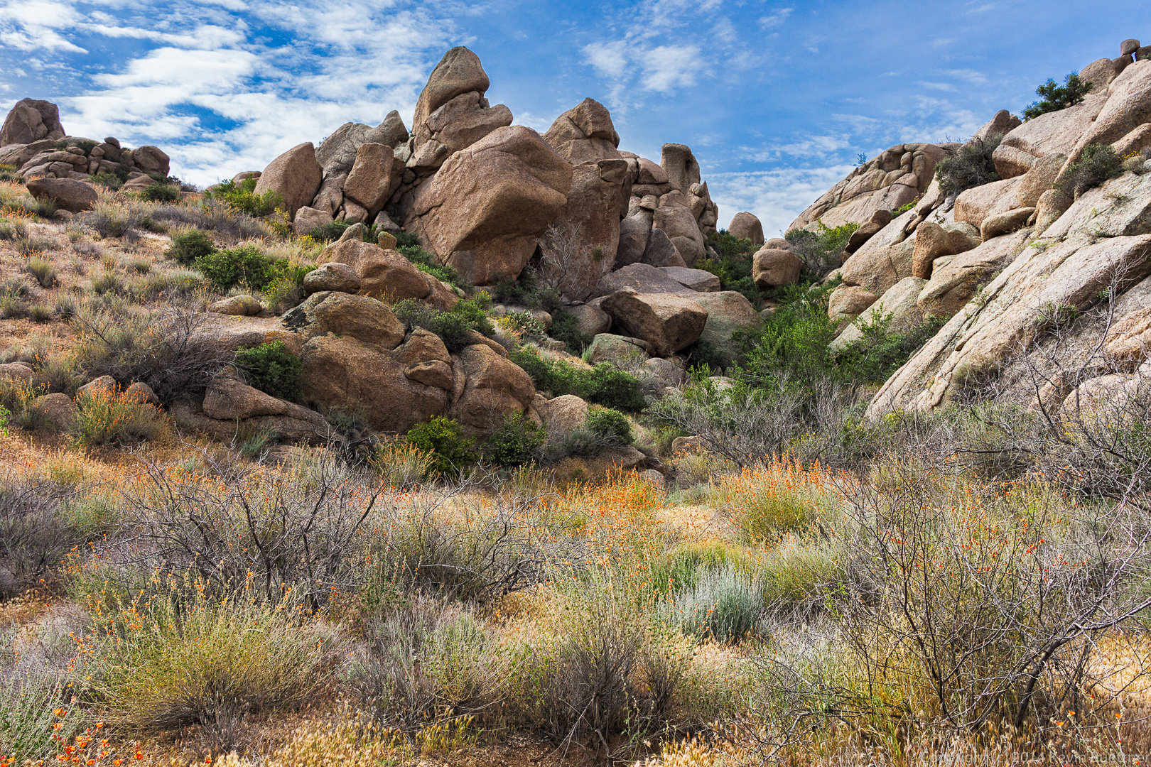
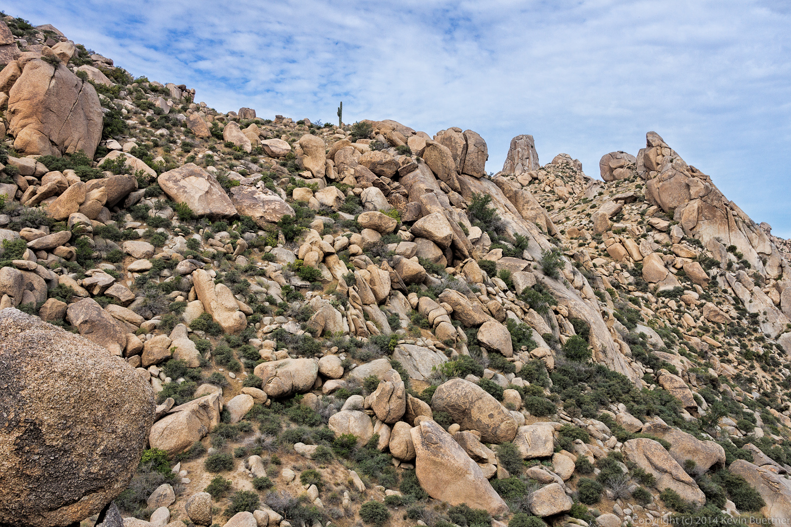
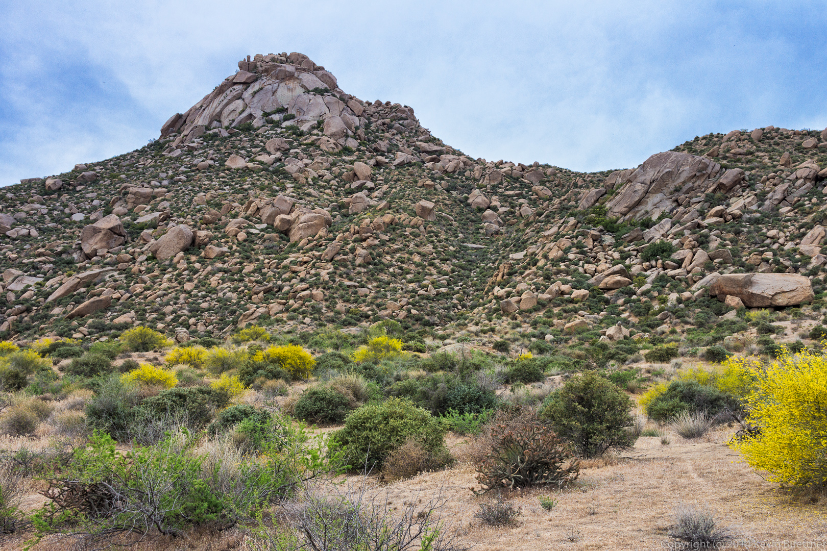
A small rock formation on the ridge line.  (I’ve photographed these rocks several times before.)

20140418-_DSC1031-Edit-medium 
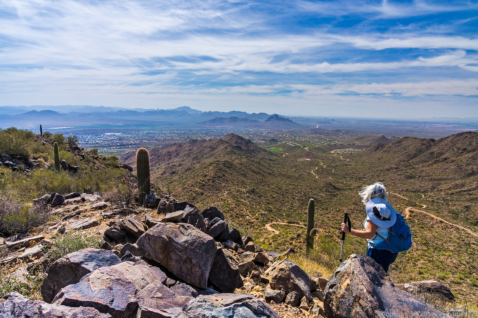
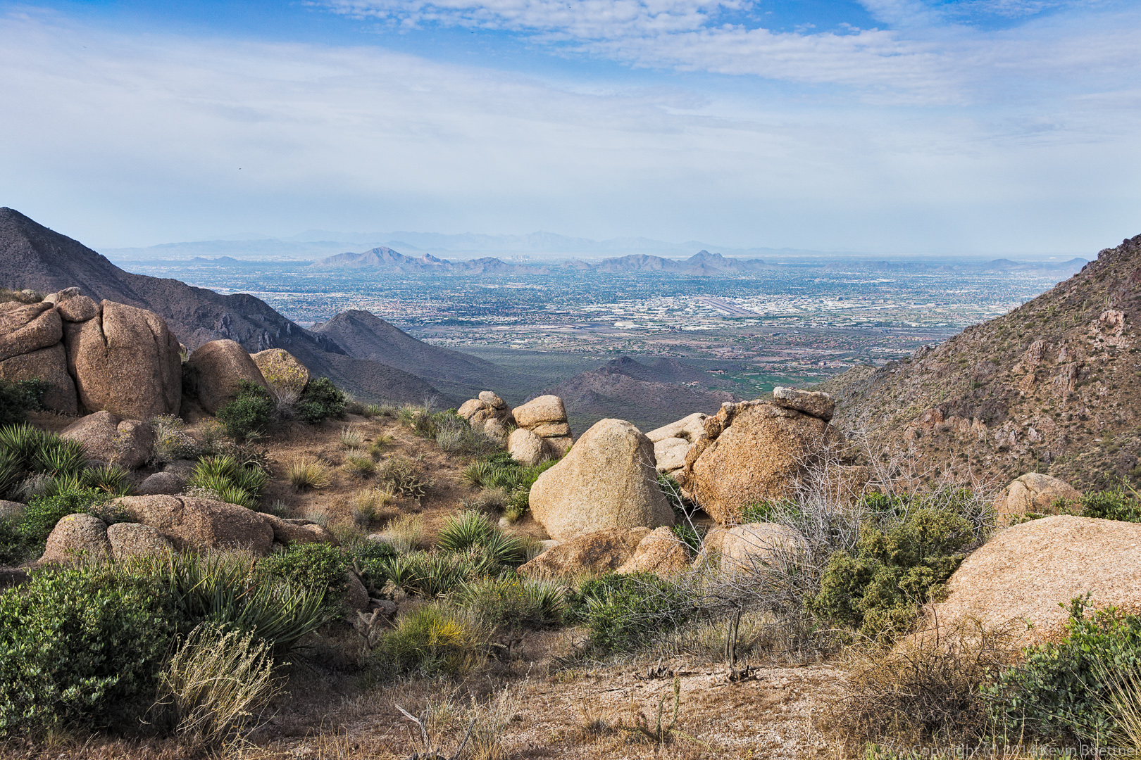
Another view of Scottsdale.

20140418-_DSC1046-Edit-medium 
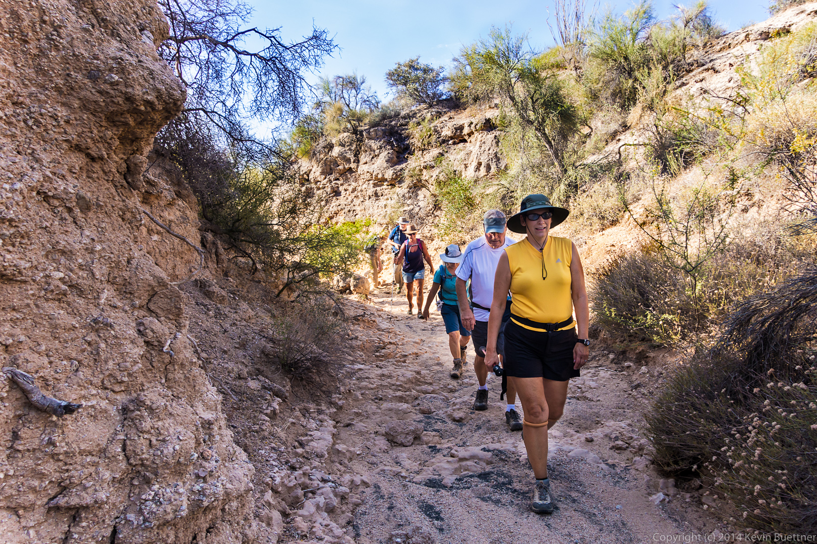
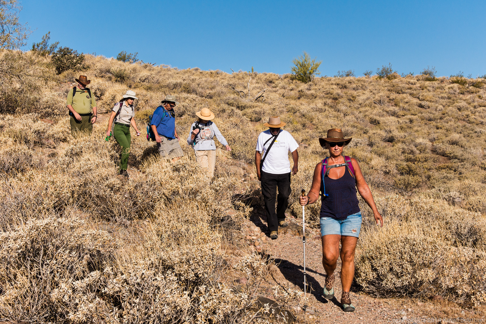
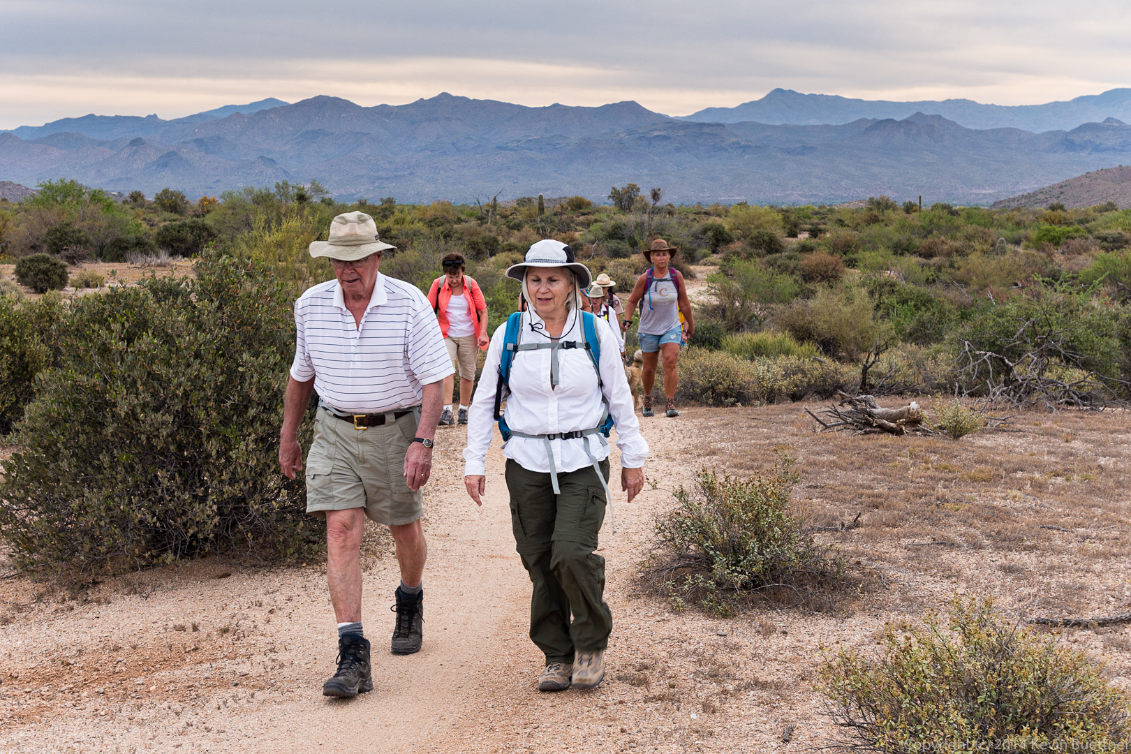
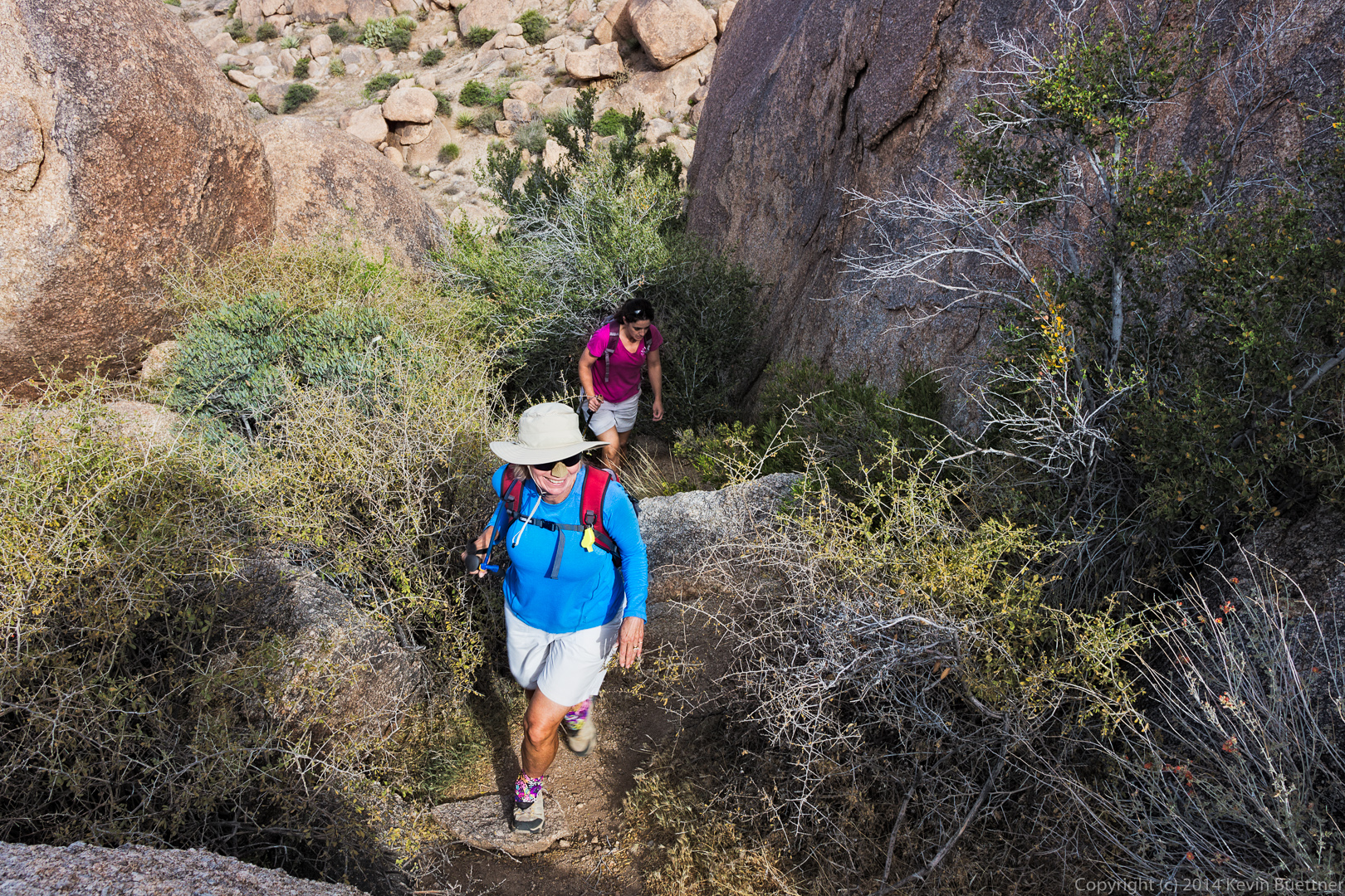
Linda and Amy hike up a steep trail on their way to Tom’s Thumb.

20140418-_DSC1067-Edit-medium 
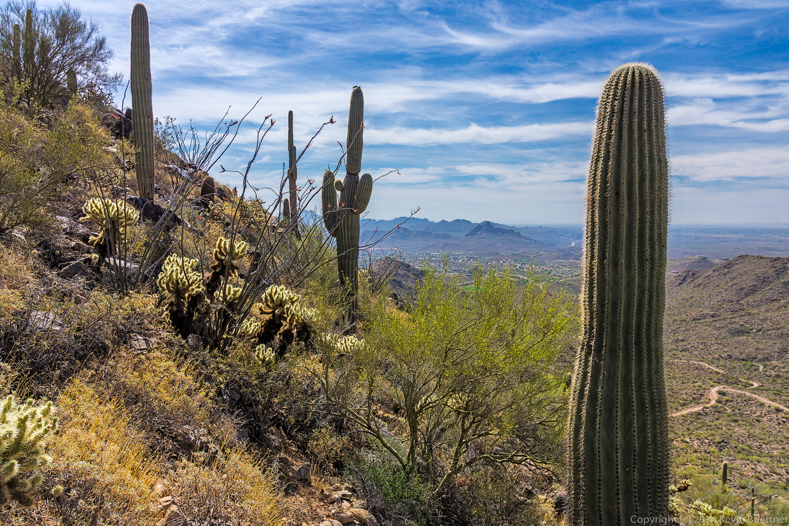
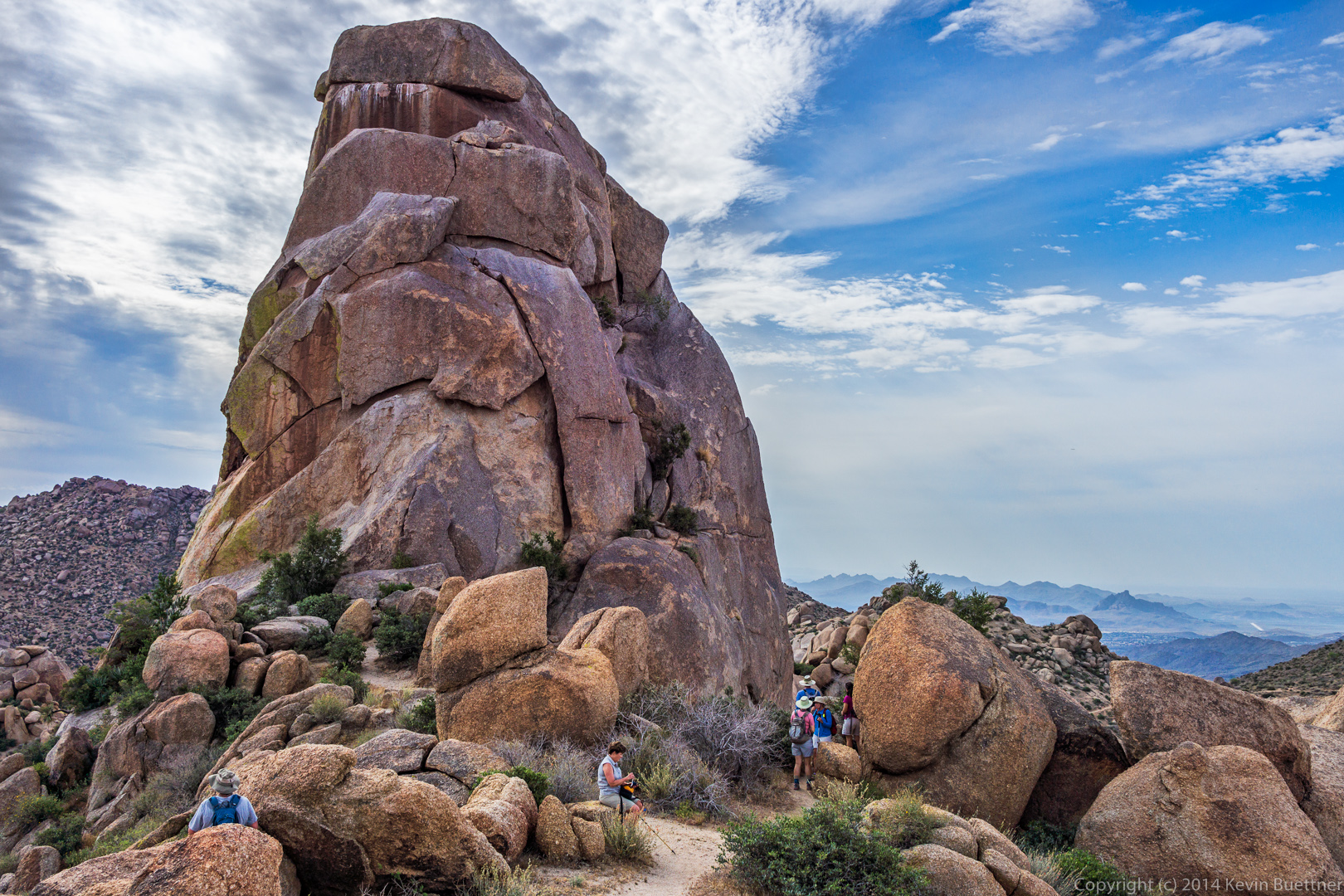
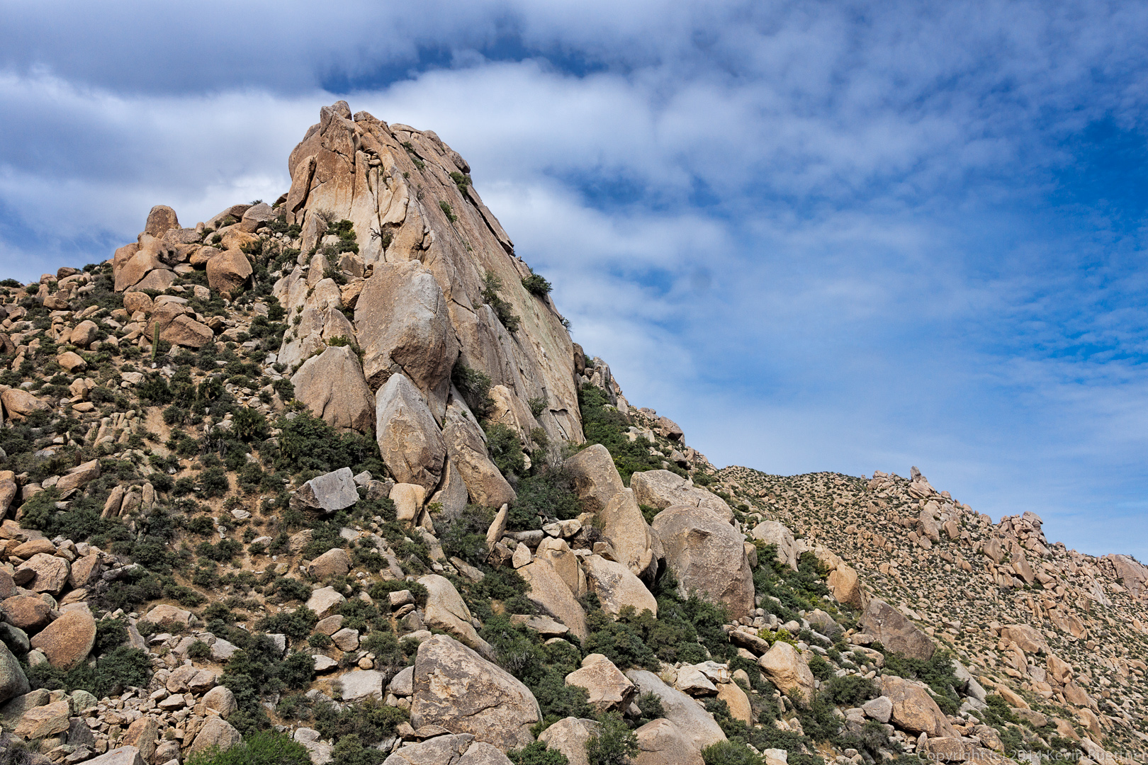
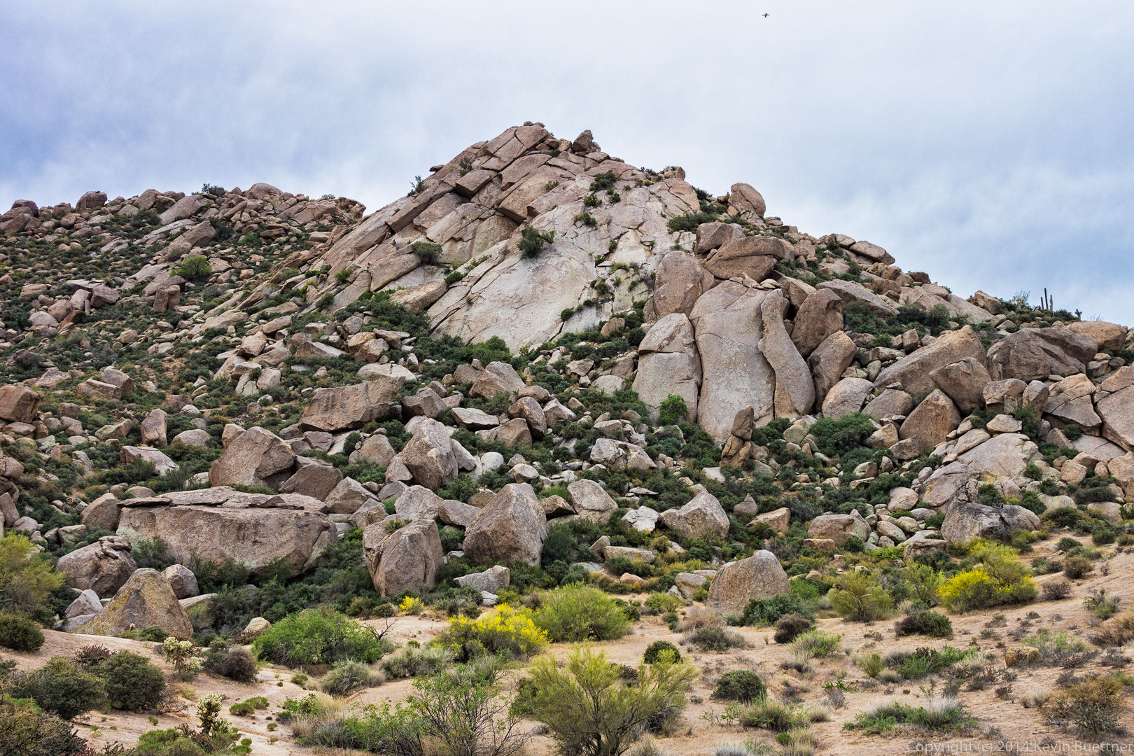
A view of the west side of Tom’s Thumb:

20140418-_DSC1088-Edit-medium 
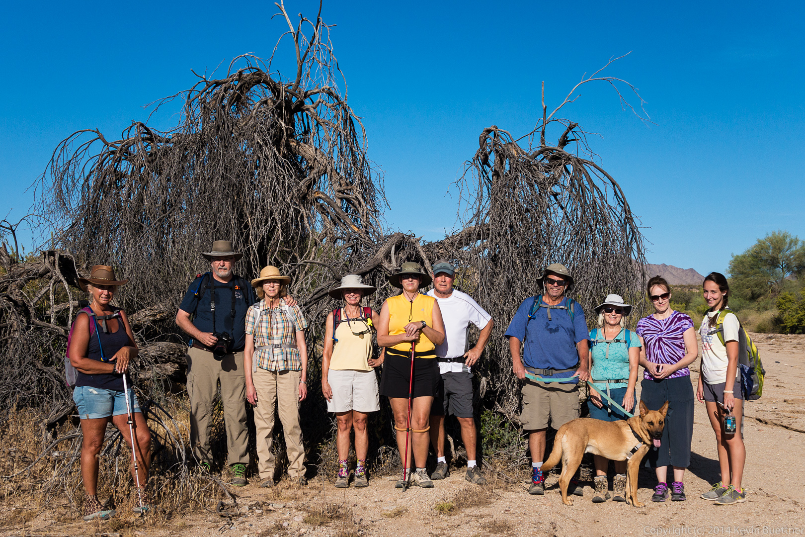
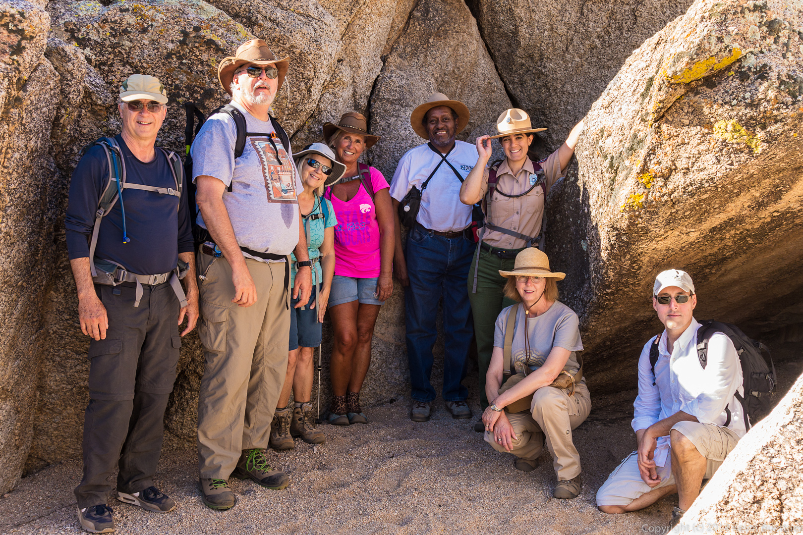
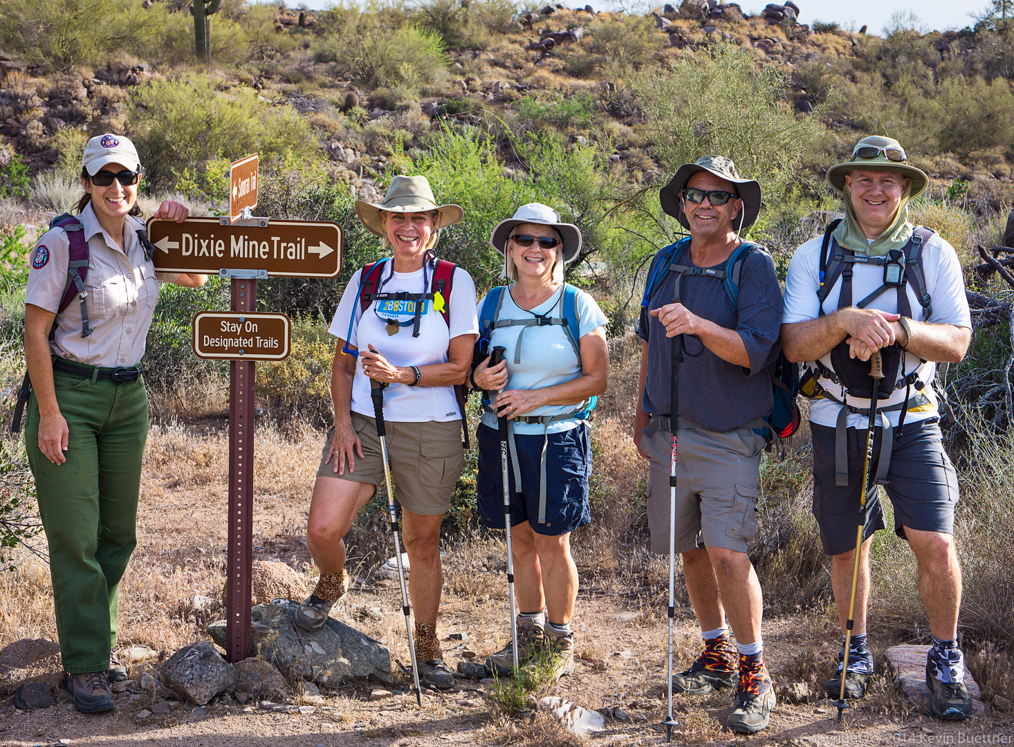
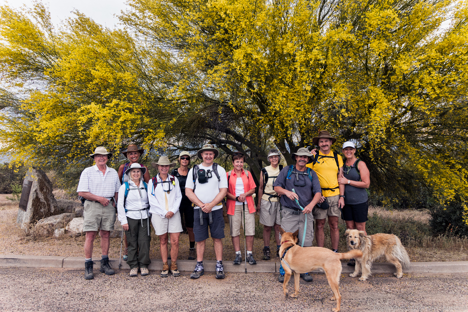
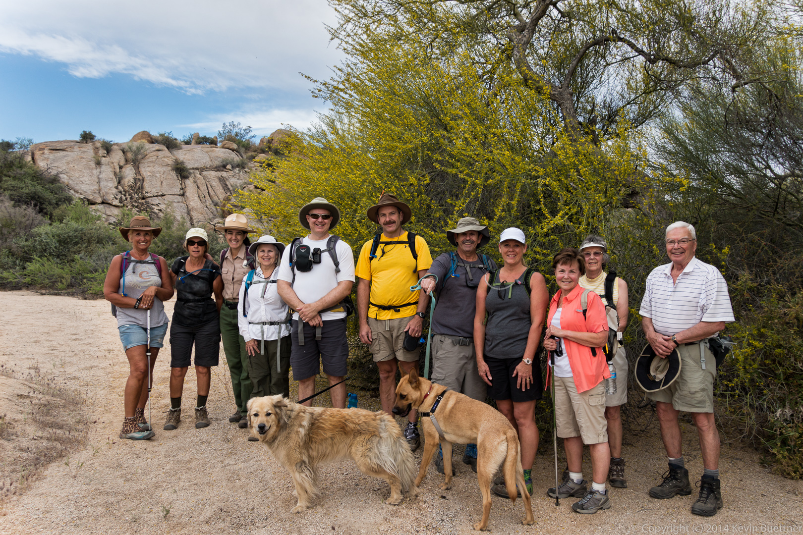
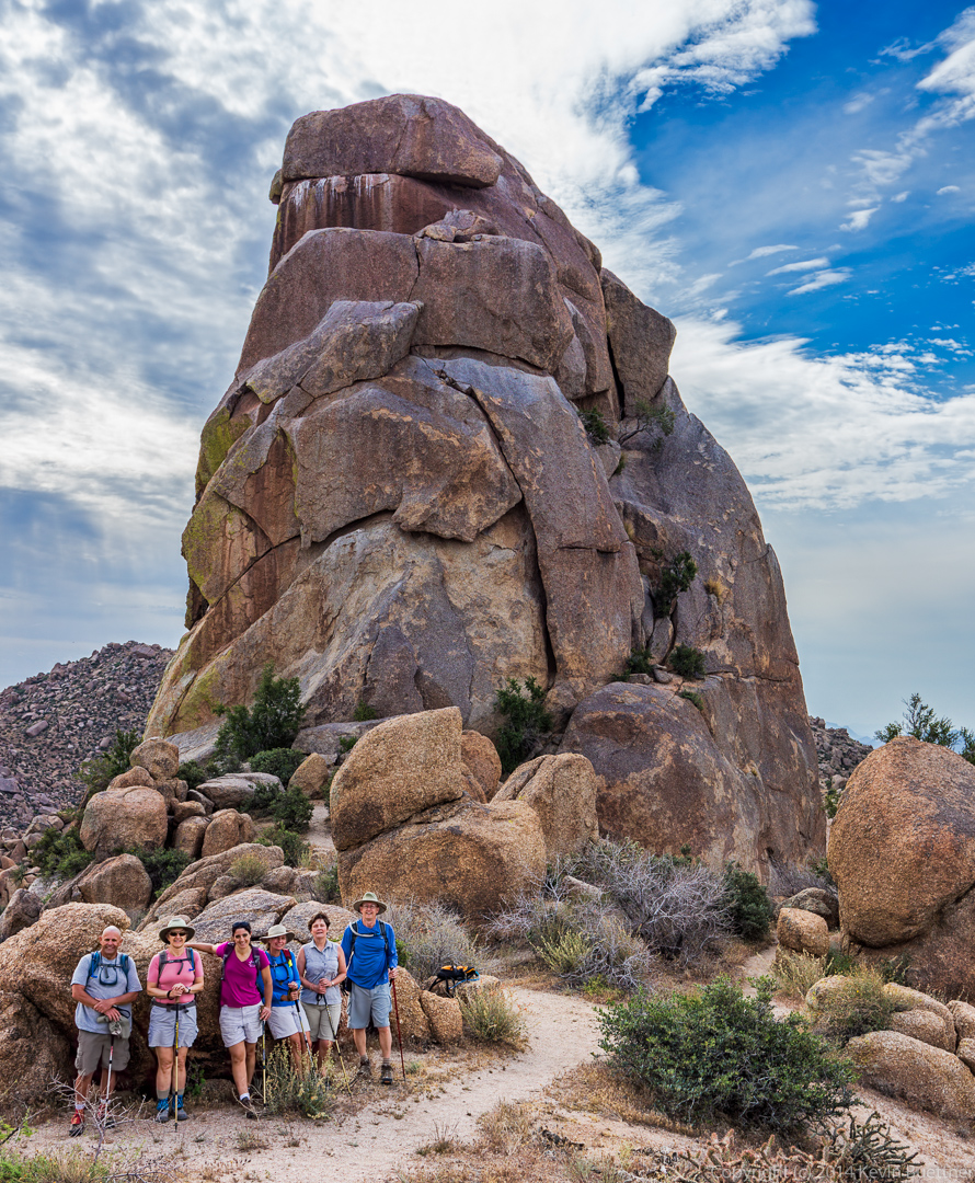
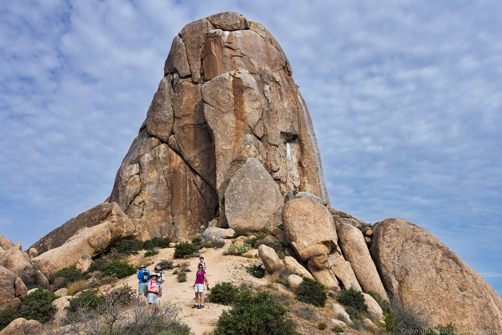
Bob, Marilyn, Amy, Linda, Cynthia, and Bill pose in front of Tom’s Thumb.

20140418-_DSC1100-Edit-medium

A view of the East End.  Glass Dome is visible near the center of the photo.

20140418-_DSC1109-Edit-medium A view of the southeast side of Tom’s Thumb.

20140418-_DSC1115-Edit-medium

I think it was Bob who pointed out the numerous Globemallow flowers as we started our descent.

20140418-_DSC1145-Edit-medium A better view of Glass Dome as we continue back on the Tom’s Thumb Trail.

20140418-_DSC1148-Edit-medium
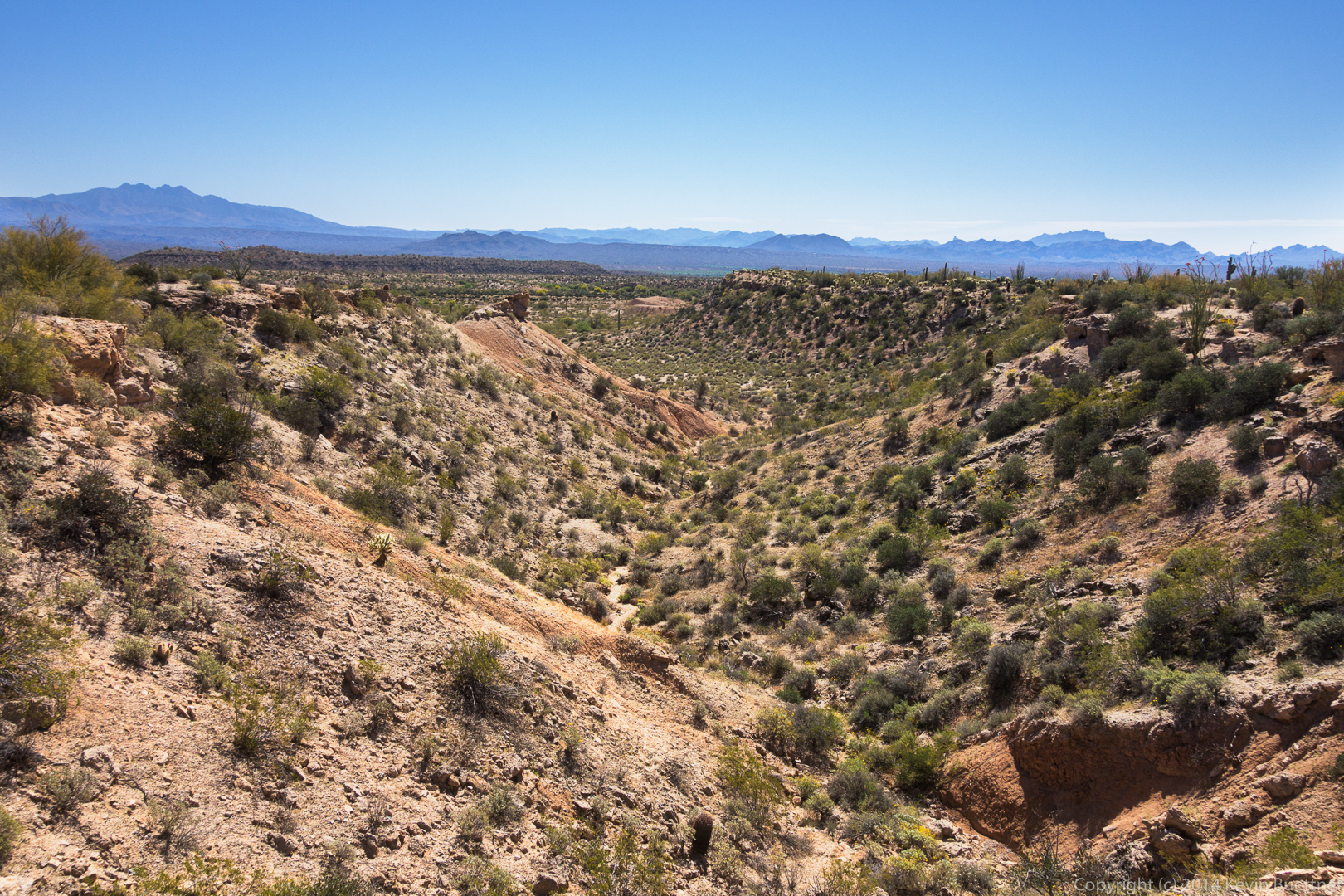
This is a view of Fountain Hills from the intersection of the East End Trail and the Tom’s Thumb Trail.

20140418-_DSC1157-Edit-medium Another view of Glass Dome:

20140418-_DSC1160-Edit-mediumTom’s Thumb is still visible, though you do have to kind of look for it among all the other boulders in the area.  The side of Gardener’s Wall can also be seen at the far right in this photo.

20140418-_DSC1169-Edit-medium 
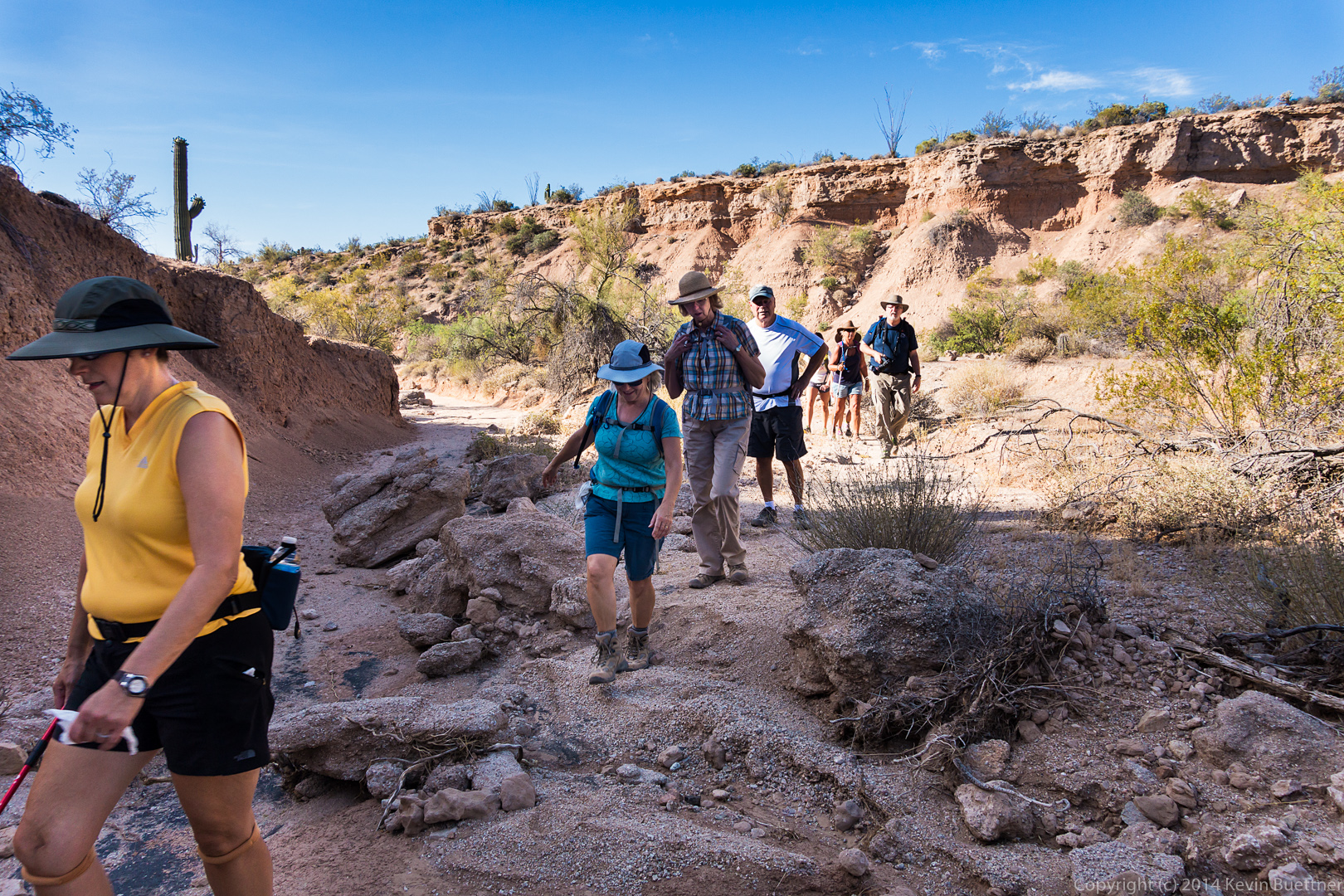
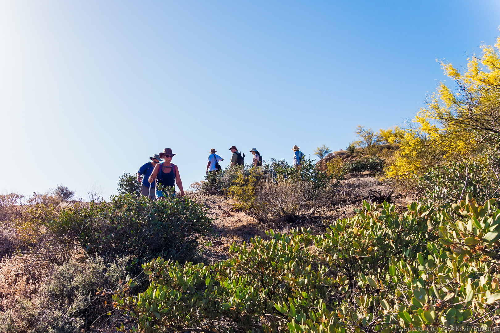
Cynthia, Linda, Marilyn, Bill, and Amy do some scrambling on their way back.

20140418-_DSC1178-Edit-medium
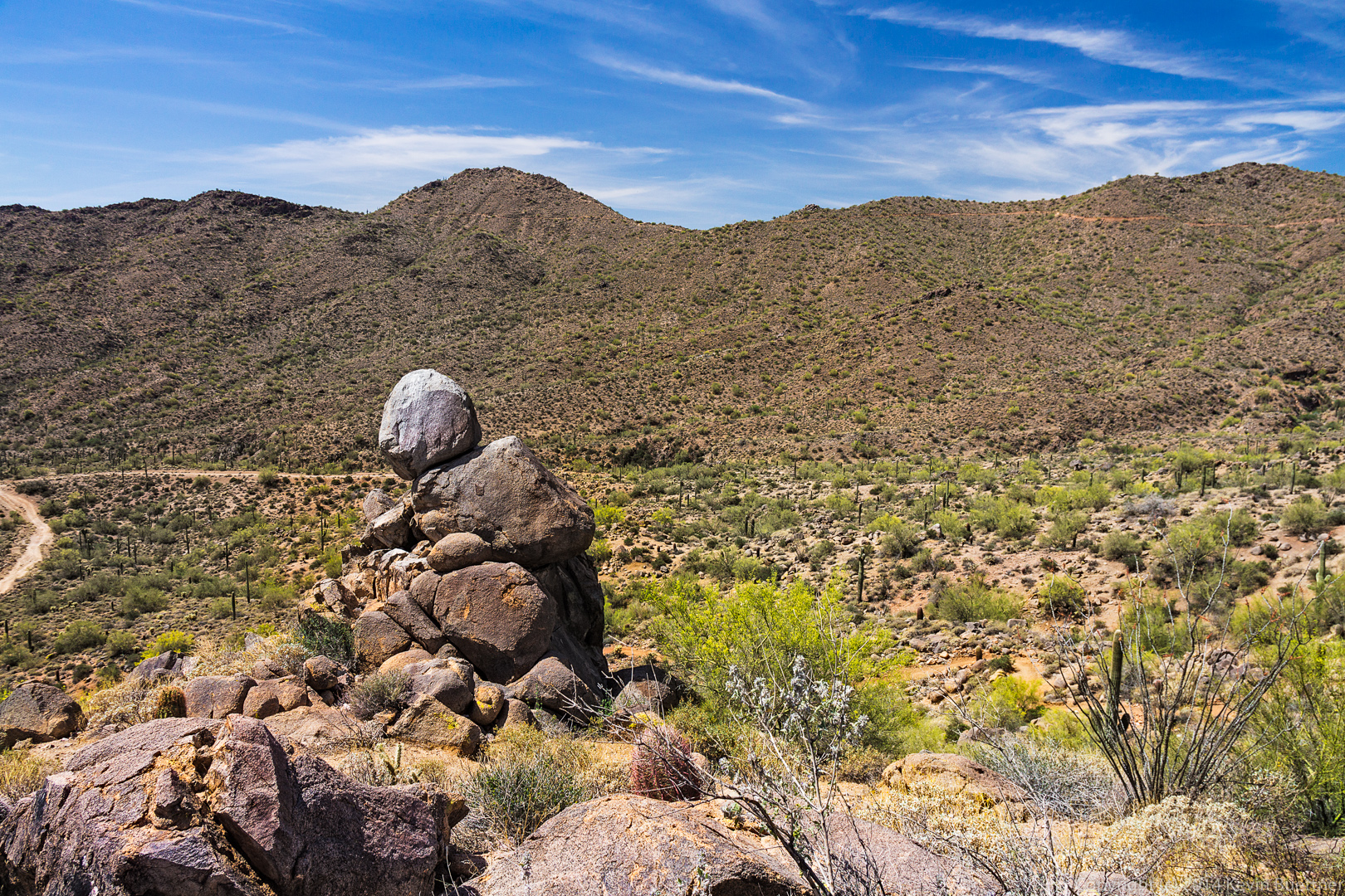
This large boulder reminded us of Barney (from the children’s television series) head.  It’s in the sun in this photo, but often looks more purplish when it’s in the shade.

20140418-_DSC1181-Edit-medium Another view of Gardener’s Wall:

20140418-_DSC1187-Edit-medium 
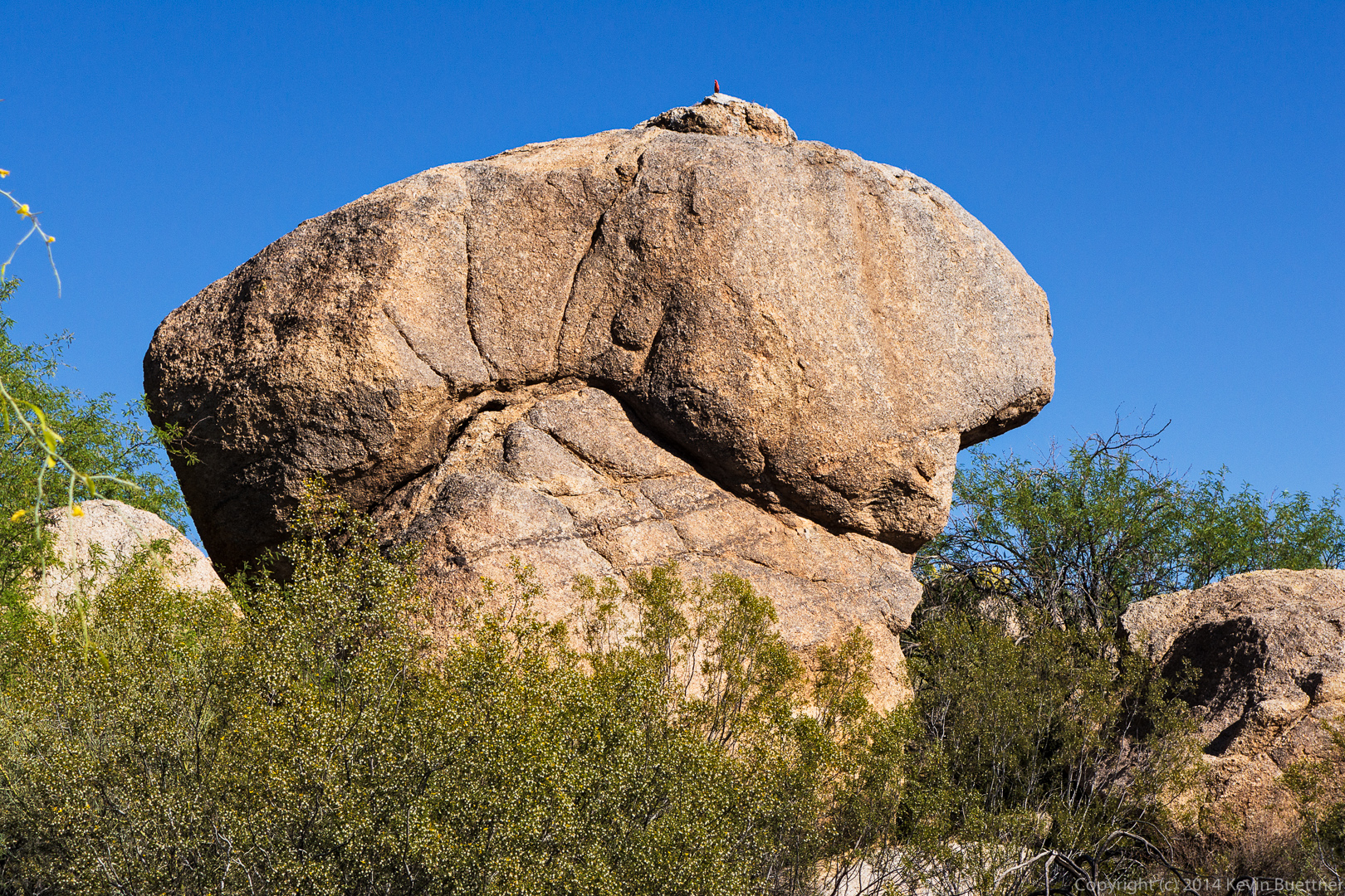
The mushroom rock with the saguaro cuddled up next to it is another favorite on this part of the hike.

20140418-_DSC1202-Edit-medium

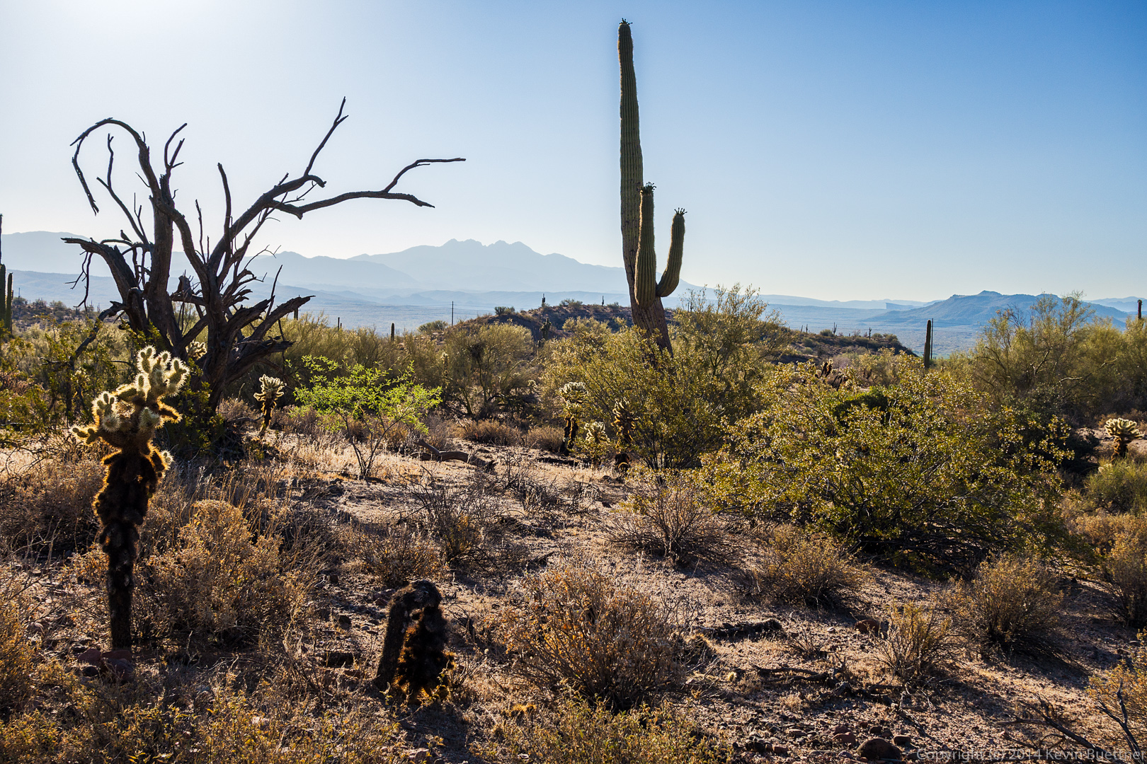
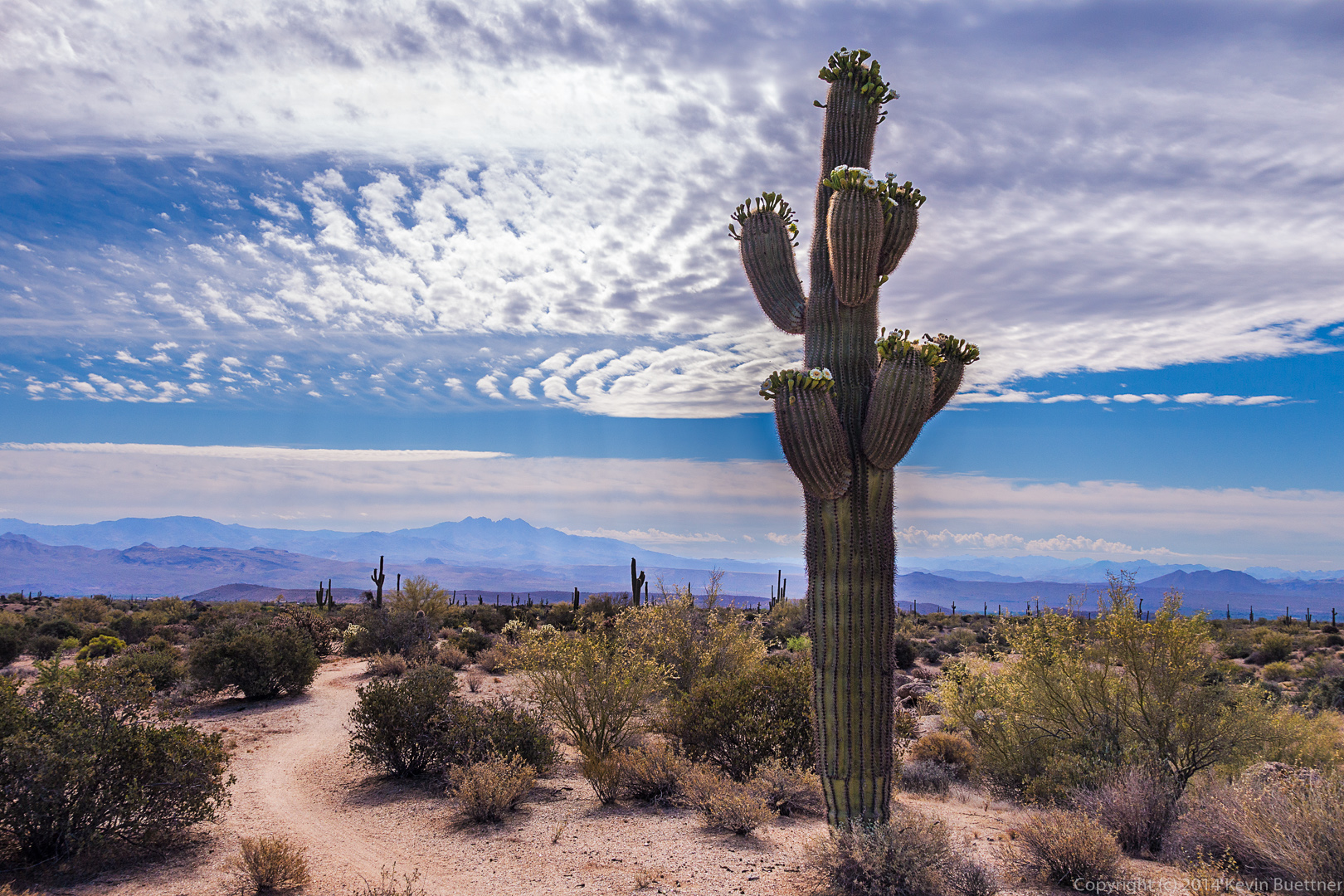
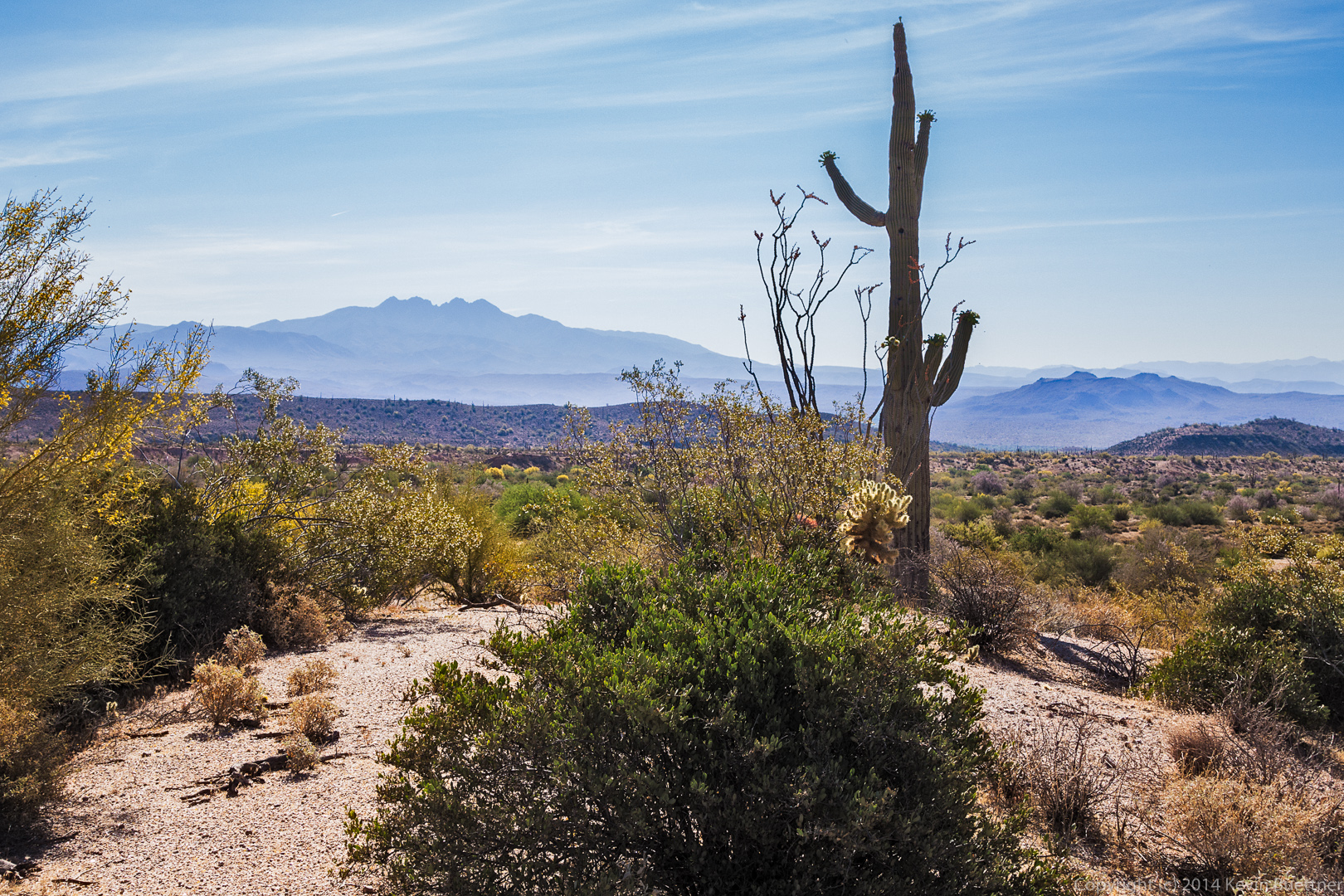
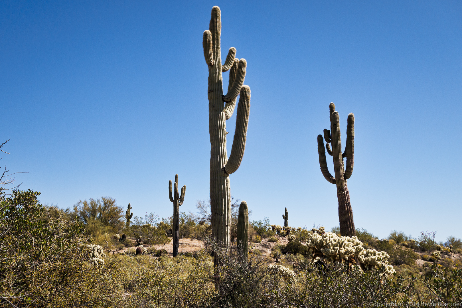
Four Peaks is visible in the distance as well as the back sides of the Sven Towers.  They don’t look much like towers here; they’re more impressive looking from the other side.

20140418-_DSC1211-Edit-medium Morrell’s Wall:

20140418-_DSC1214-Edit-medium 
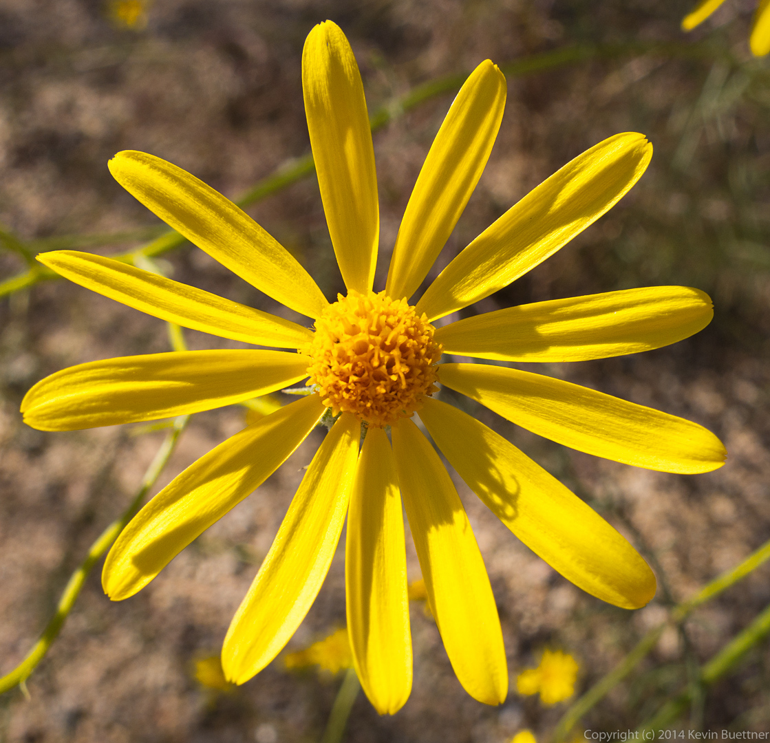
I think this is Sandwash Groundsel:
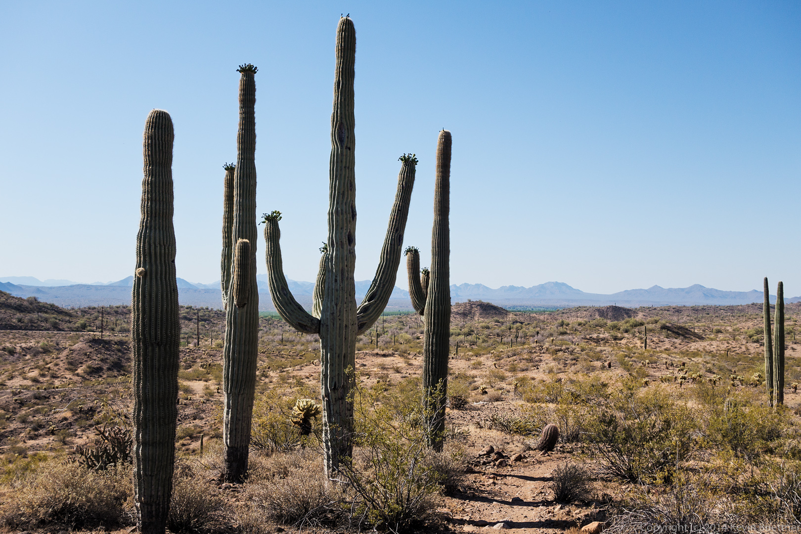
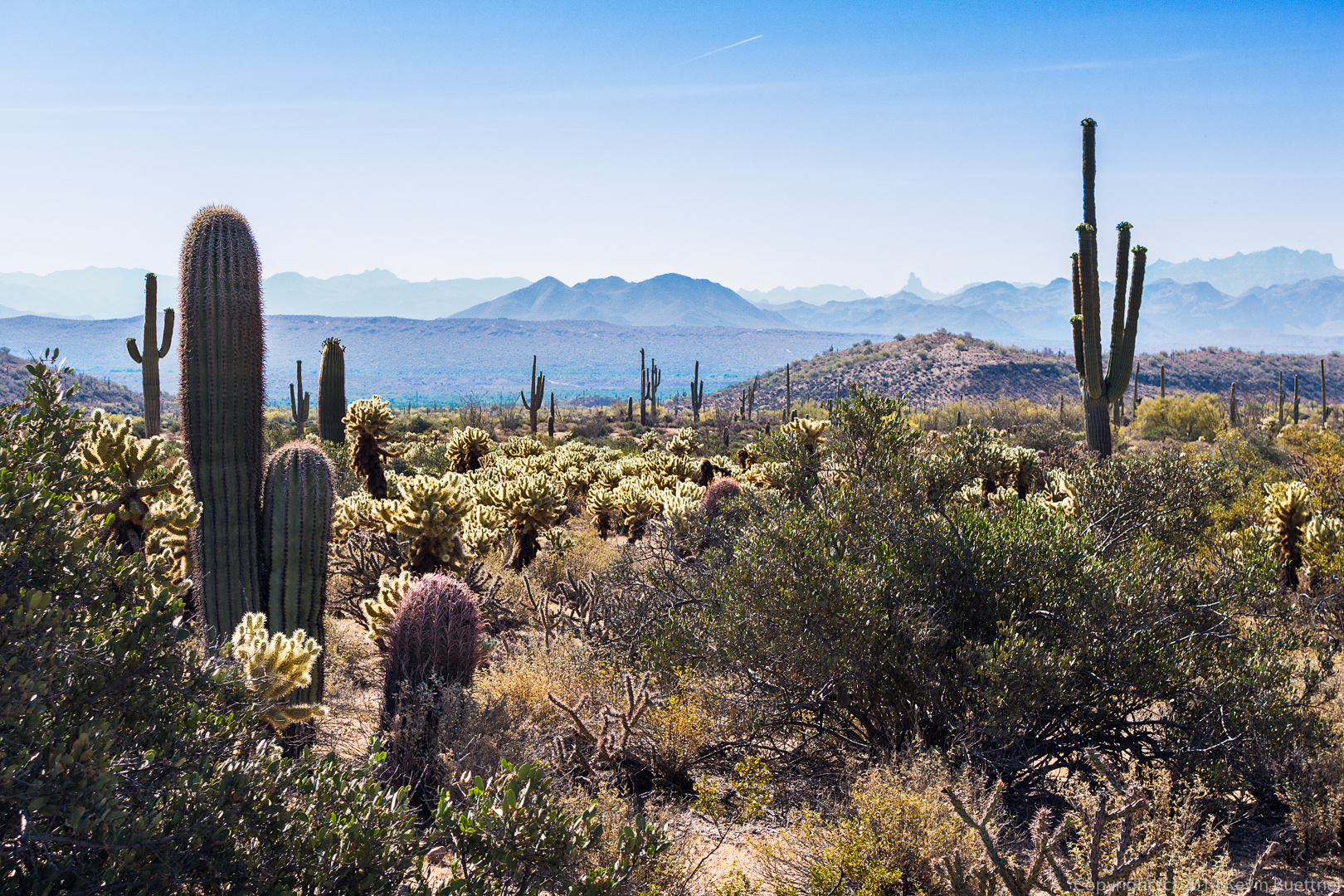
20140418-_DSC1217-Edit-medium Sven’s Slab:

20140418-_DSC1242-Edit-medium 
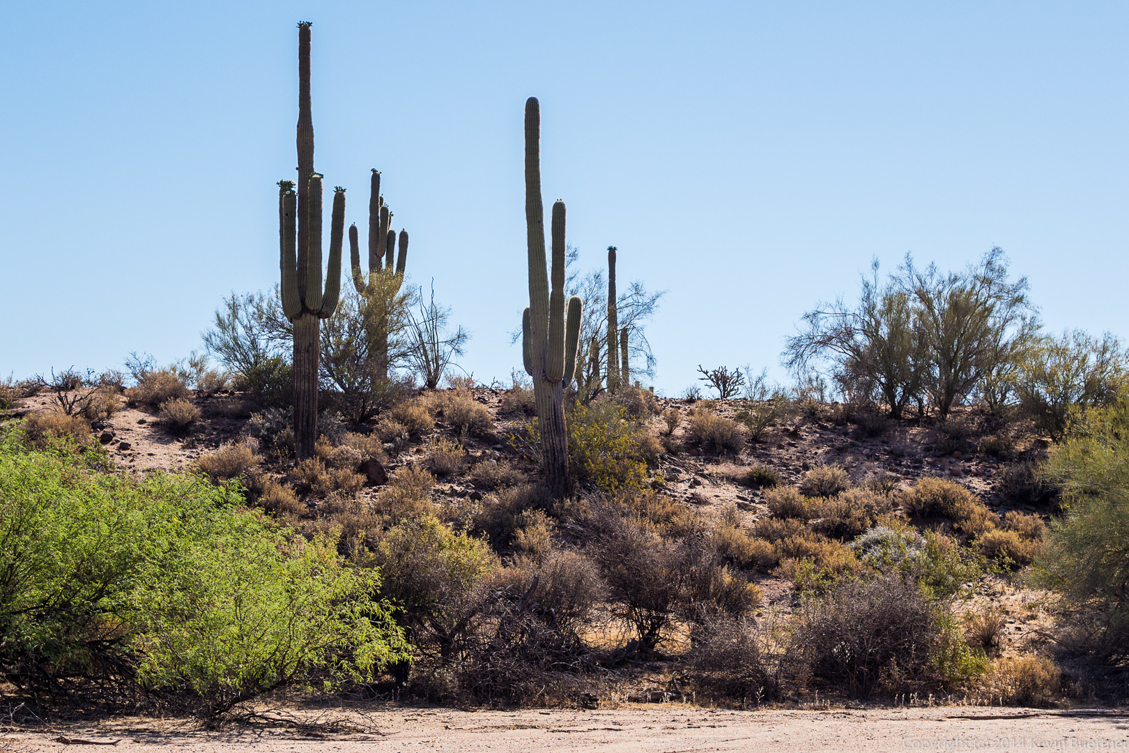
A prominent mushroom rock near Sven Slab:

20140418-_DSC1245-Edit-medium 
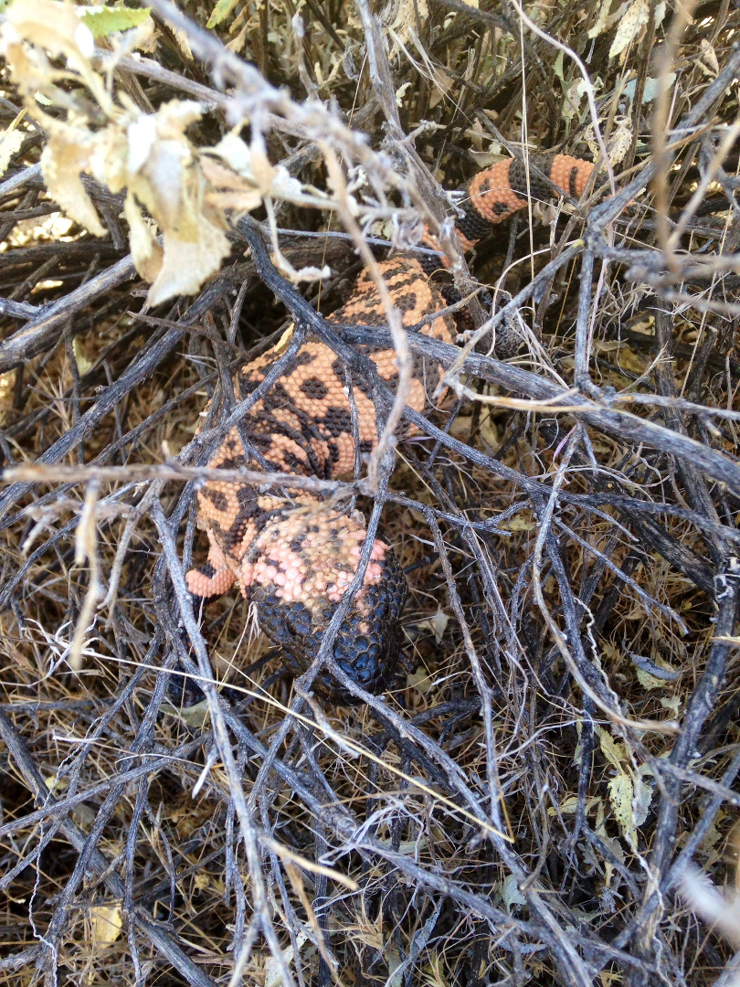
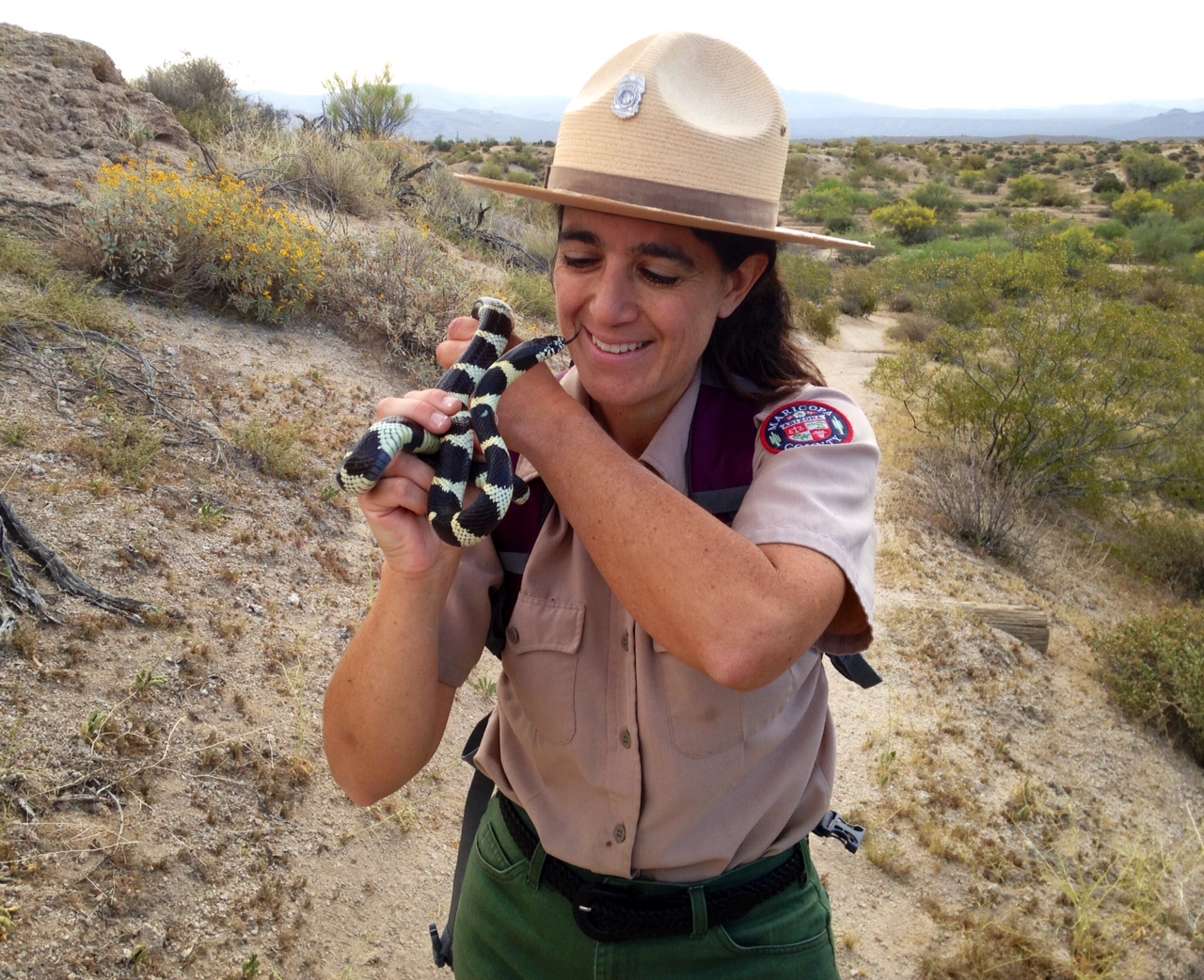
We saw this Gila monster as we were leaving the Sven Slab area.

20140418-_DSC1256-Edit-medium 
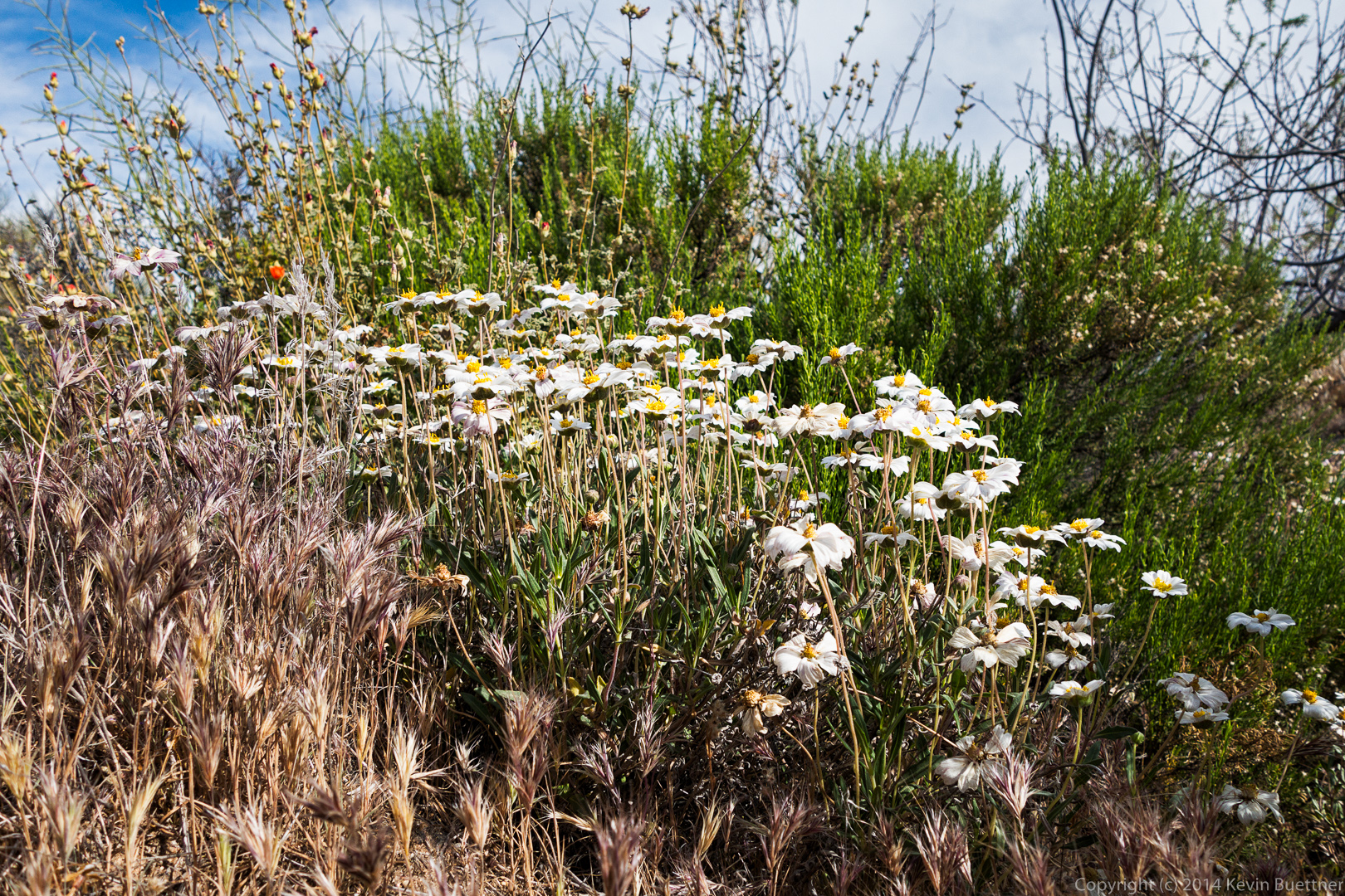
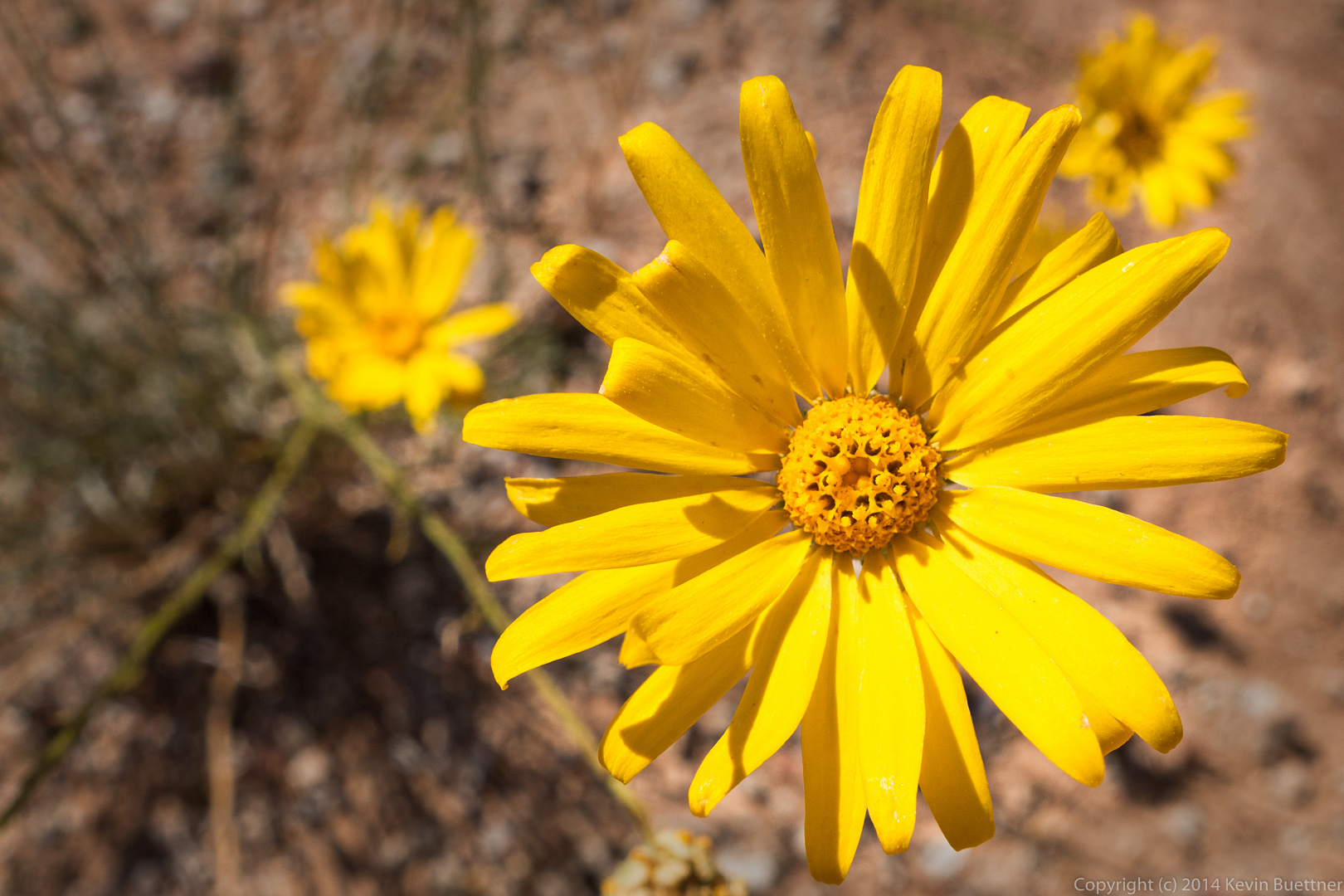
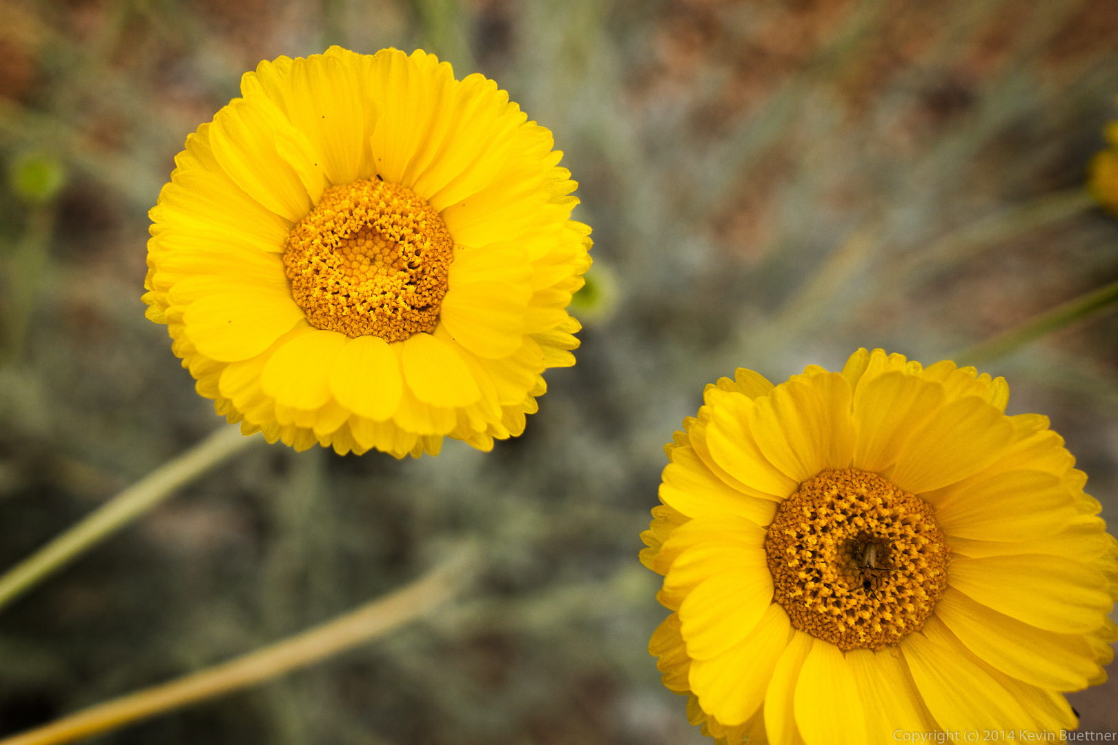
Desert Marigold.  If you look closely, you can see an insect at the center of the lower-right flower.
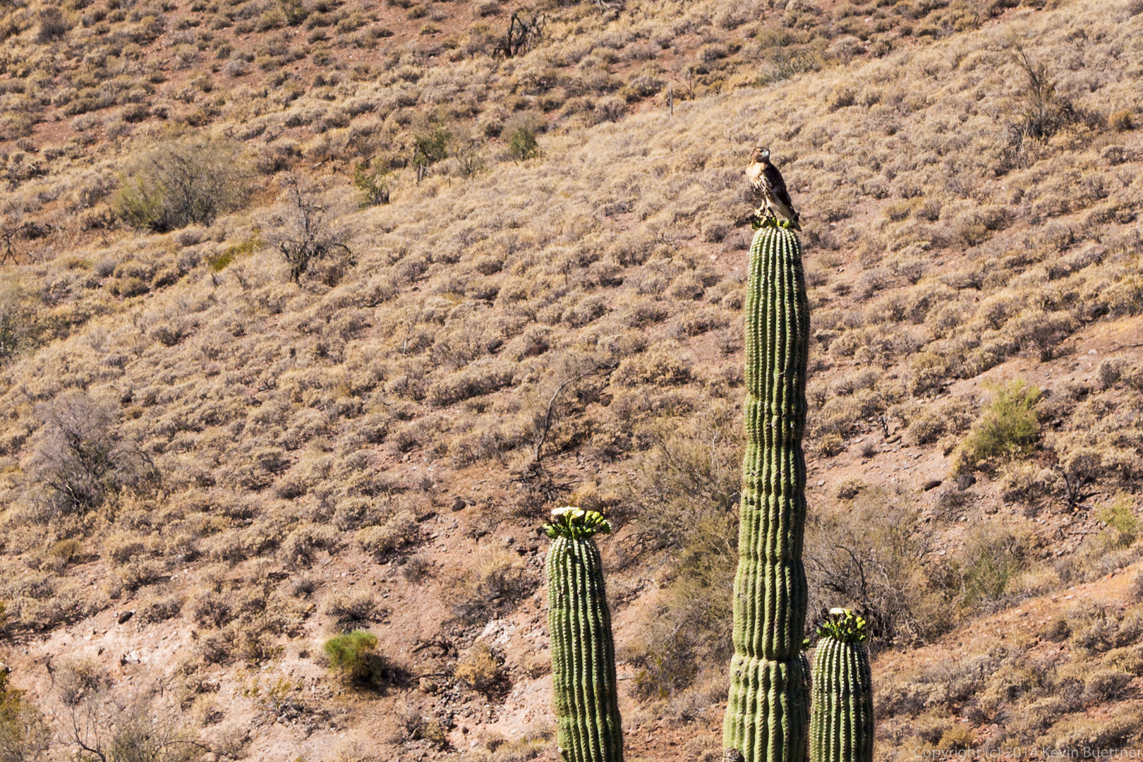
20140418-_DSC1281-Edit-medium

Friday Fitness Hike

Friday’s hike started at the Wagner Trailhead.  We hiked Wagner to Granite; right on Granite, crossing Stoneman Wash.  Later on, somewhat before the Granite Trail intersects the Bluff Trail, we stopped at an unnamed wash which feeds into Stoneman Wash.  Amy lead part of the group back to the trailhead via the Bluff Trail.  The rest of us hiked up the wash, eventually coming to the Pemberton Trail.  We continued on, up to the base of Rock Knob.  We returned via the shortest path utilizing the Rock Knob, Pemberton, Bluff, Granite, and Wagner Trails.  Total distance for those of us doing the long hike was nine miles with a total ascent of only a bit over 400 feet.

I took this photo from the trailhead as we were waiting for the hike to start:

20140411-DSC03179-Edit-medium This photo was taken at the trailhead before the hike even started.  From left to right are Jon, Nancy (in back), Venie (in front), Linda, Mary Lou, Kevin, Merilee, Pauline, Bob (with Sarge in front), Allen, and Janet (with Savannah in front).  Sarge was happy to see another dog on the hike.20140411-DSC03187-Edit-medium A view looking along a small wash towards Four Peaks.

20140411-DSC03190-Edit-medium Jon and Venie hiking on the Wagner Trail:

20140411-DSC03196-Edit-medium According to Ranger Amy (who verified her identification with Ranger Kevin at Spur Cross), this is a Sandwash Groundsel.

20140411-DSC03205-Edit-medium Palo Verde flower:

20140411-DSC03214-Edit-medium Linda took this photo of the group just before splitting up.  Those of us who did the long hike continued up the wash shown in this photo.

20140411-DSC03223-Edit-medium Two photos from the wash…

20140411-DSC03244-Edit-medium 20140411-DSC03250-Edit-medium


On their way back, the group that went with Ranger Amy found a kingsnake.  (Amy sent me this photo.)

Amy_with_Kingsnake

I think the white flowers in the photo below are Blackfoot Daisy.

20140411-DSC03268-Edit-medium Approaching Rock Knob:

20140411-DSC03277-Edit-medium One of the rock formations at Rock Knob:

20140411-DSC03283-Edit-mediumRed Mountain and the Fountain off in the distance:

20140411-DSC03286-Edit-medium A largish boulder in the vicinity of Rock Knob:

20140411-DSC03289-Edit-mediumHorses on the Bluff Trail:

20140411-DSC03315-Edit-medium Christmas Cholla:20140411-DSC03340-Edit-medium An ocotillo blossom:

20140411-DSC03358-Edit-medium More palo verde flowers:

20140411-DSC03385-Edit-medium

Friday Fitness Hike

Eight of us (counting Sarge) hiked the Scenic Trail in McDowell Mountain Park last Friday. When Nancy, Venie, Bob, Sarge, and I got to the Cinch Trail, we split off from the rest of the group and continued on.  We made our way across the road, eventually ending up in Stoneman Wash and some of its feeder washes.  Our hike was ten miles long with around 650 feet of total ascent.

On the Scenic Trail…

20140404-DSC03014-Edit-2-medium


Sarge looks at me as if to say,  “What are you doing with that camera?”

20140404-DSC03028-Edit-medium A group photo at the bottom of the Scenic Trail.  It was at this point, that Bob, Sarge, Venie, Nancy, and I continued our adventure starting on the Cinch Trail.

20140404-DSC03053-Edit-medium Sarge leads the way on the Tech Loop.

20140404-DSC03062-Edit-medium Looking back at “The Leoge” on the Technical Loop.  Fortunately for us, there are now some nice bypasses that go around these drops on this trail.

20140404-DSC03068-Edit-2-medium A Mexican Poppy.  Many of the wildflowers have dried up or are in the process of wilting.

20140404-DSC03089-Edit-medium A view of Stoneman Wash in the foreground with the McDowells in the background.

20140404-DSC03098-Edit-medium A Hedgehog Cactus blossom.

20140404-DSC03101-Edit-mediumThis is a teddy bear cholla flower:

20140404-DSC03122-Edit-mediumSome saguaros.

20140404-DSC03125-Edit-mediumThis might be another buckhorn cholla flower.

20140404-DSC03130-Edit-medium A look at some of the small canyons west of the homestead site.

20140404-DSC03134-Edit-2-medium 20140404-DSC03137-Edit-2-medium 20140404-DSC03149-Edit-mediumI think this one is Spiny Goldenweed:

20140404-DSC03163-Edit-mediumAnother hedgehog flower.

20140404-DSC03176-Edit-medium