Tag: Friday Fitness Hike (page 25 of 36)

Friday Fitness Hike

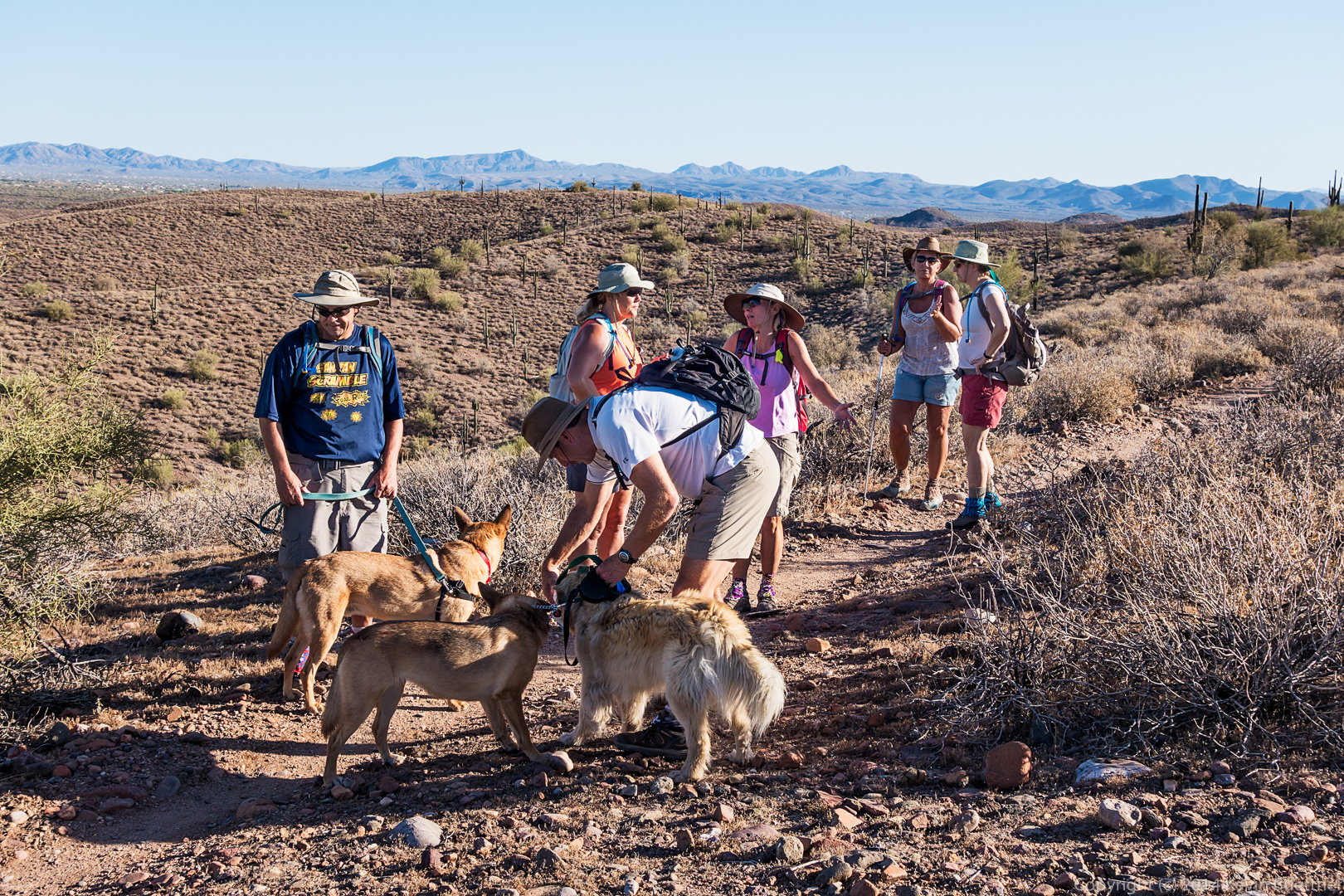
Friday’s hike started from the Four Peaks (Horse) Staging Area.  Janet, Linda, and I crossed the main park road and then hiked a service road from the parking area for the competitive tracks to the Pemberton Trail.  We then hiked Pemberton to Shallmo Wash and returned to the Horse Staging Area via the wash.  Total hike distance was 7.6 miles.

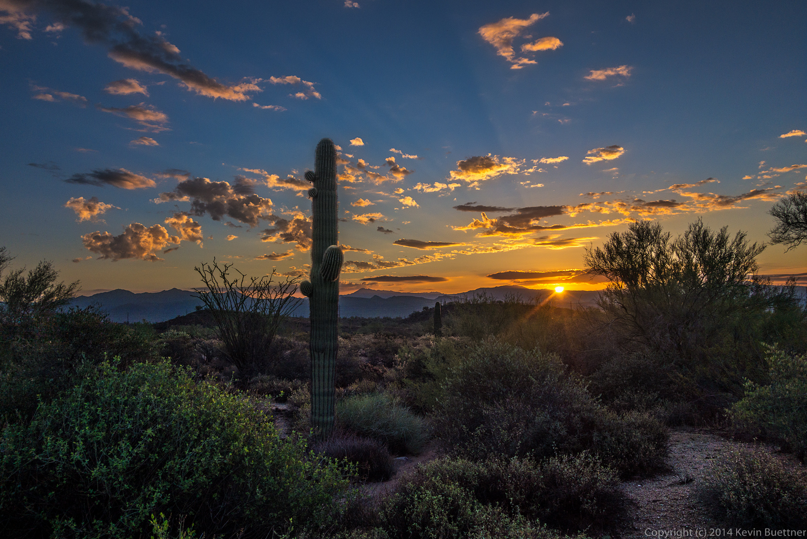
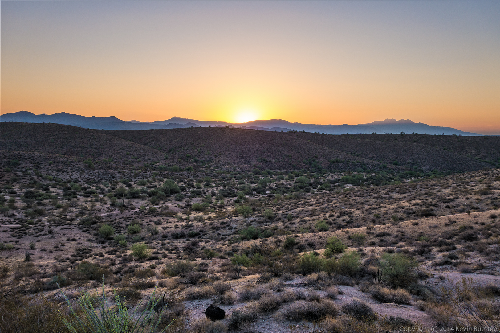
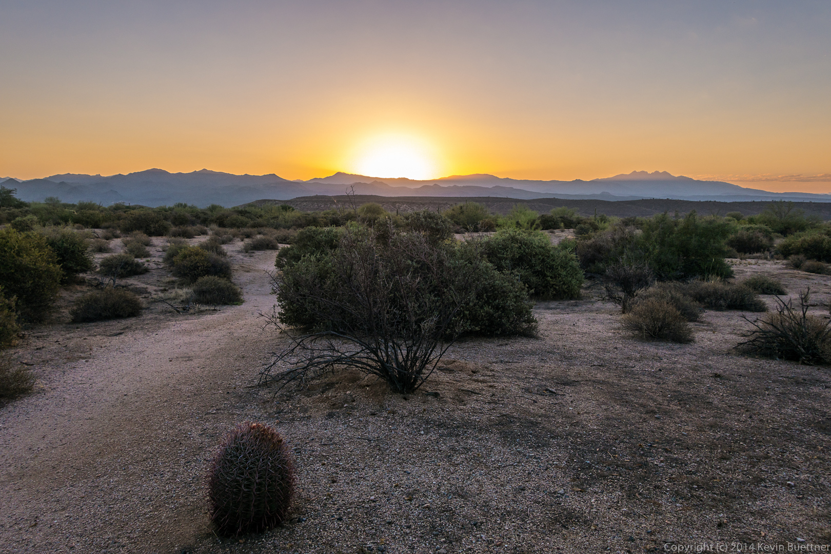
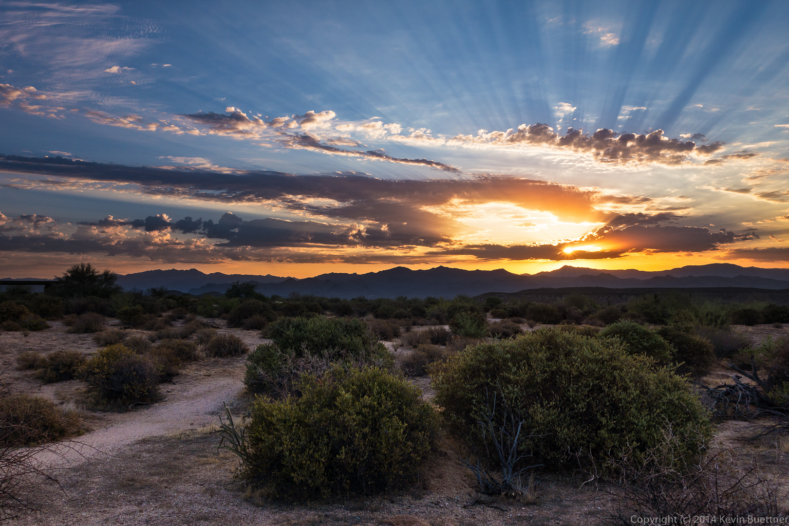
Sunrise – this was taken from the parking lot.

20140822-DSC05346-Edit-medium 
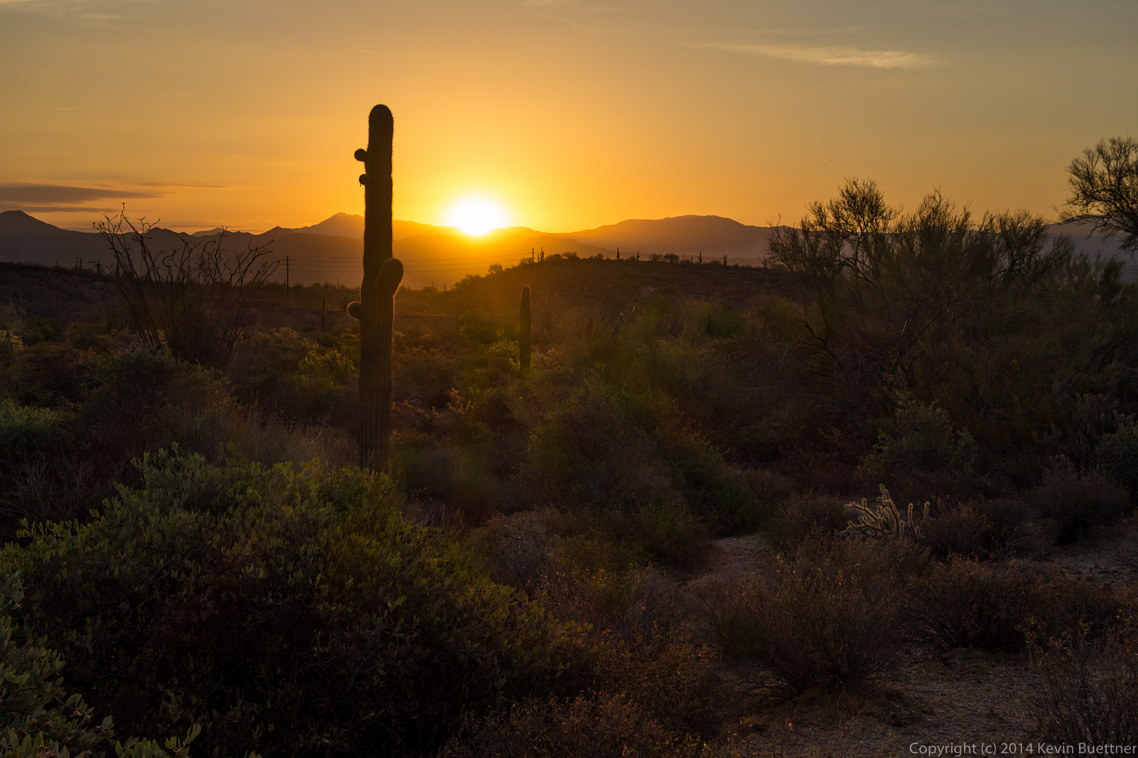
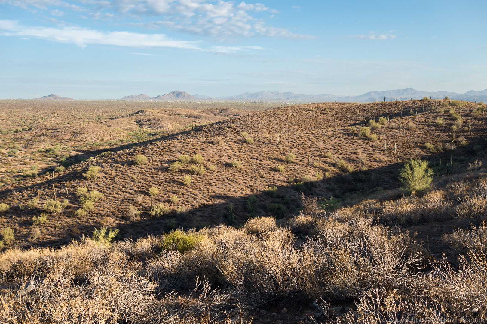
Another early morning photo taken from the parking area:

20140822-DSC05356-Edit-medium 
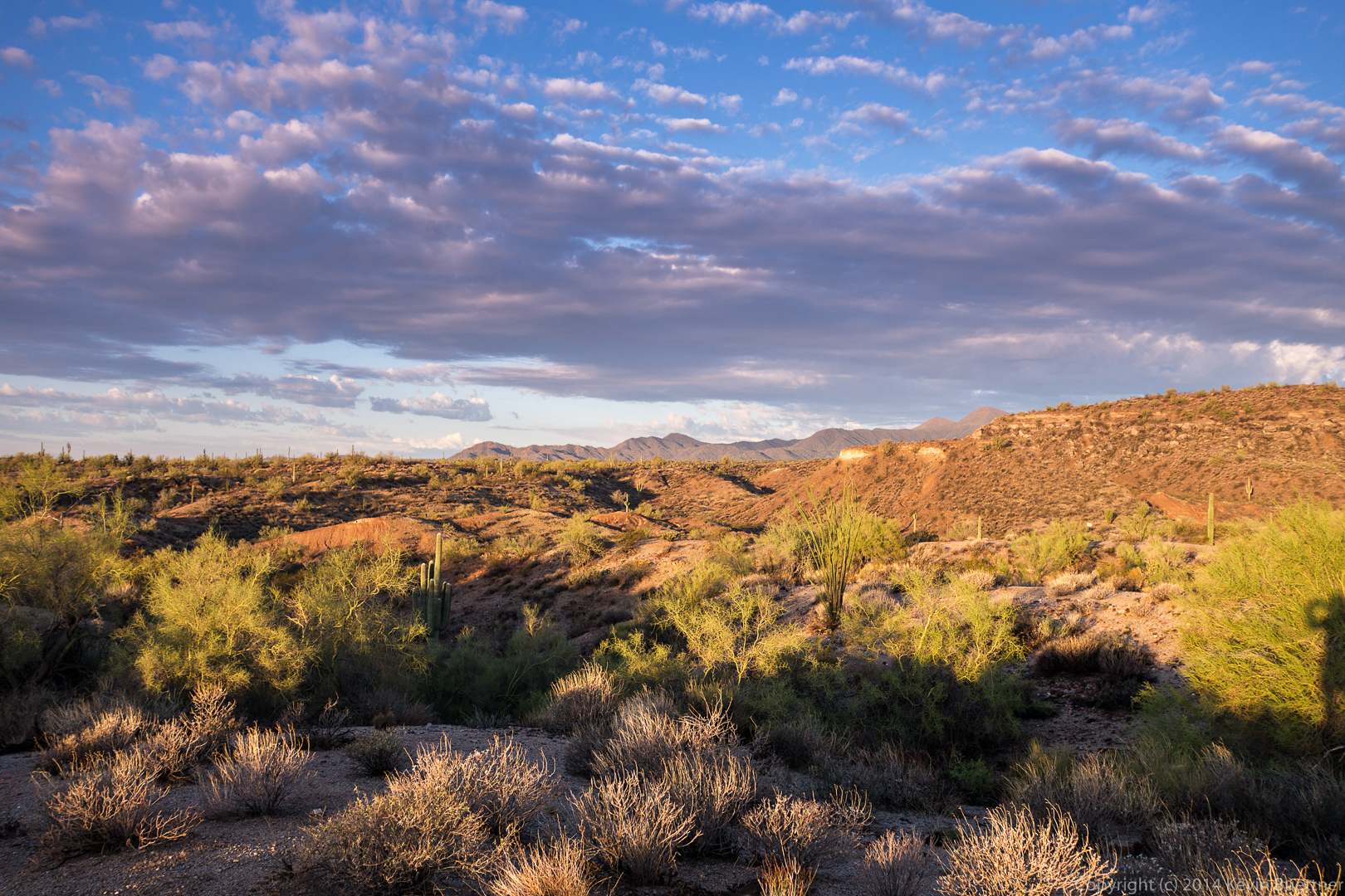
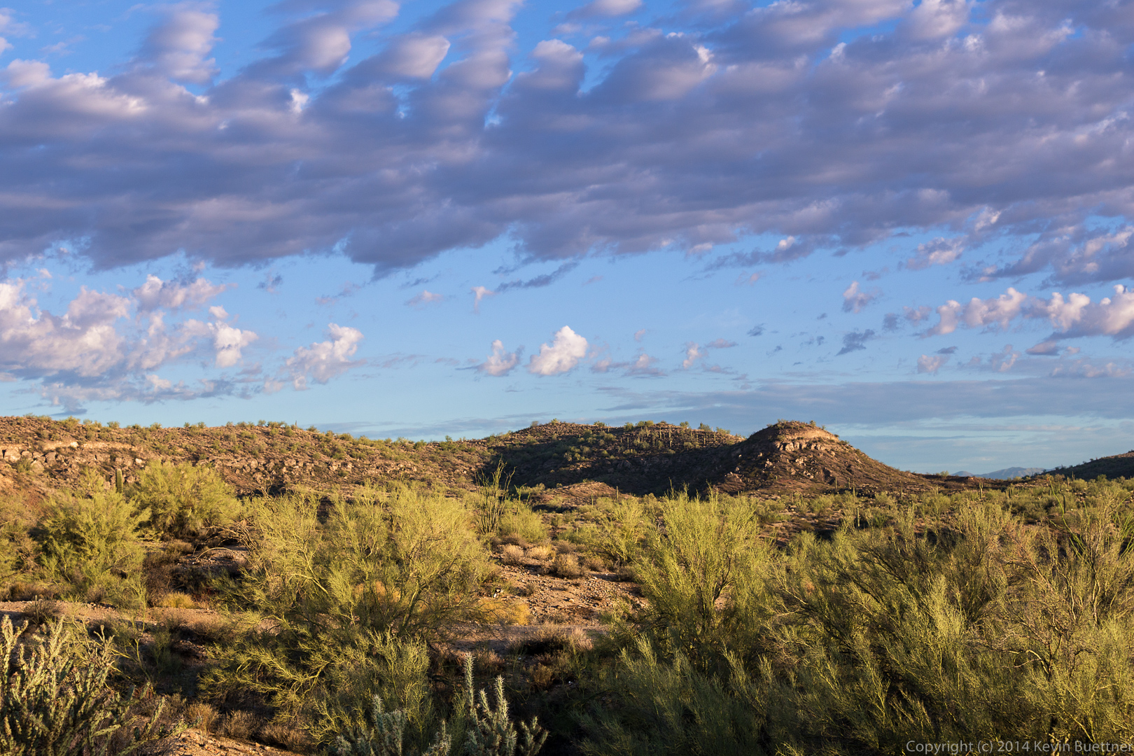
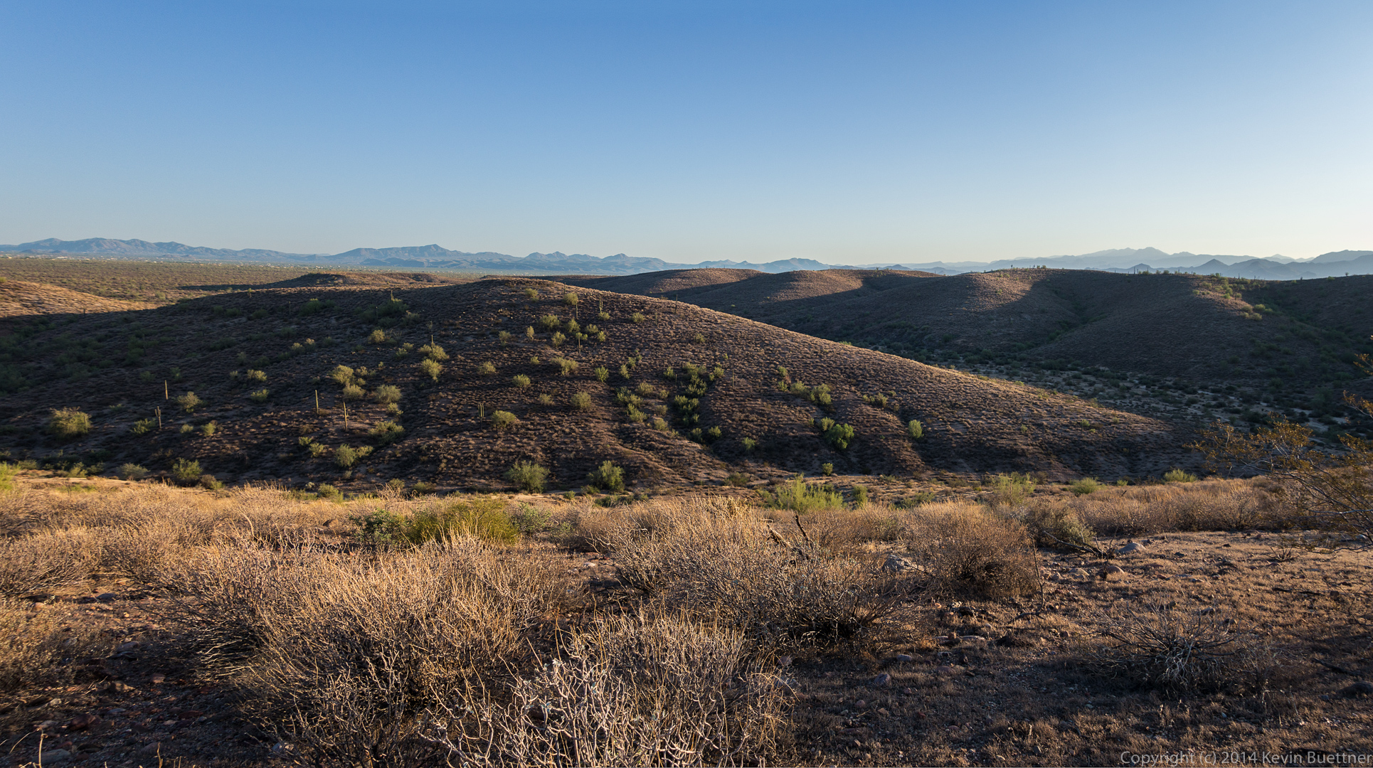
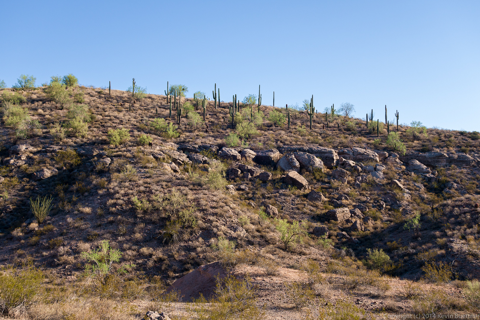
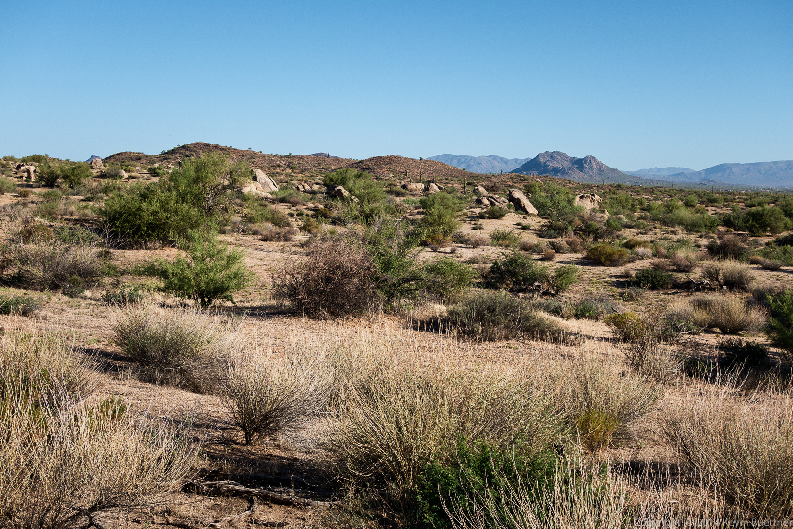
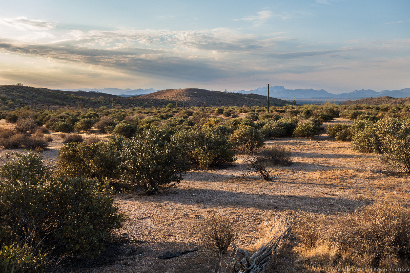
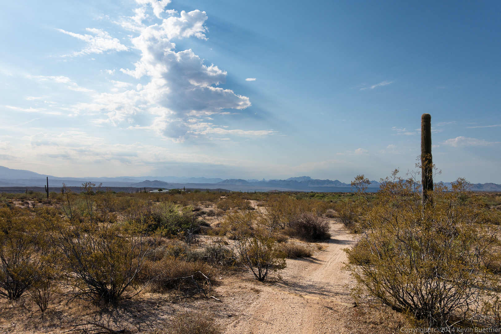
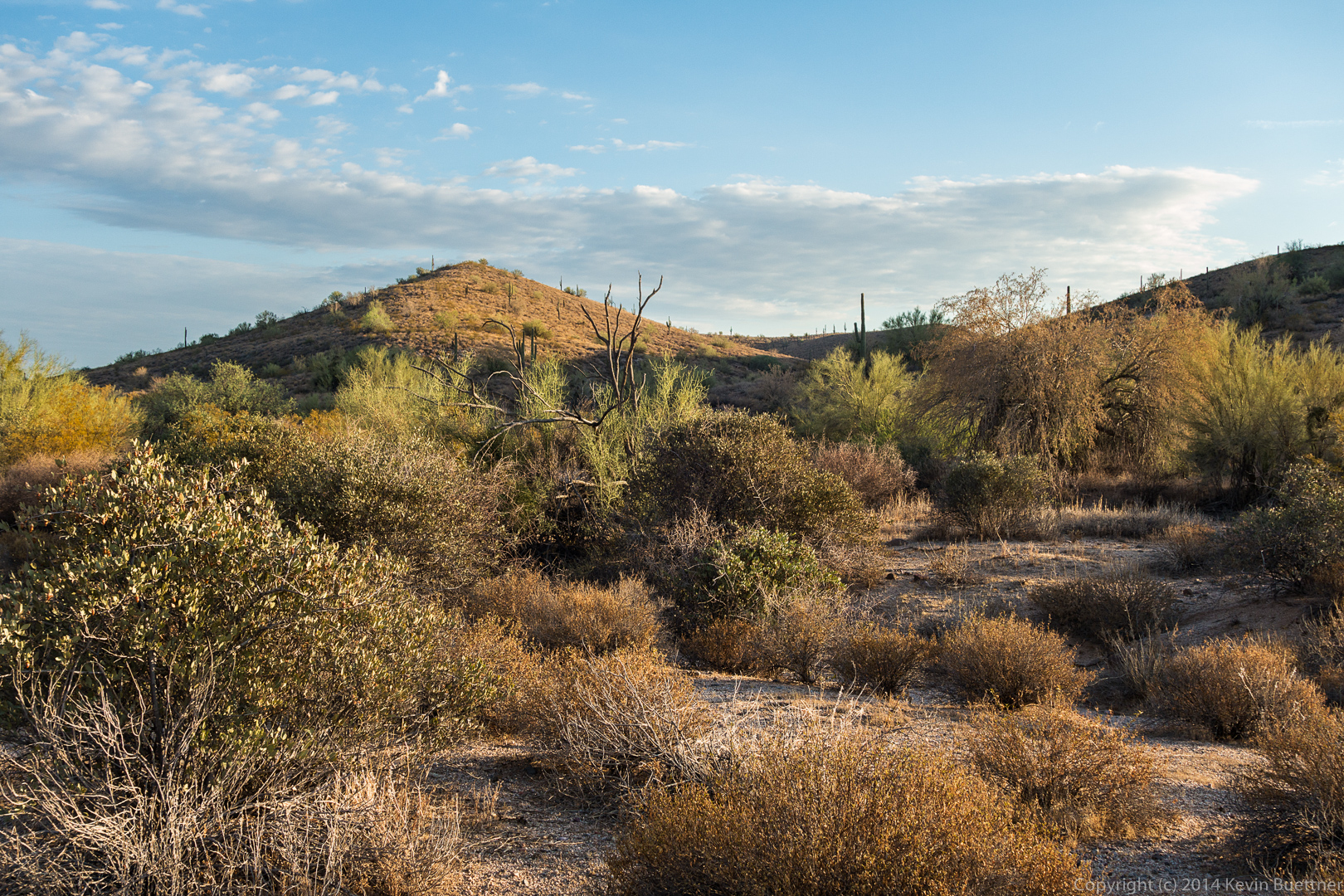
These shots were taken early on from the service road.

20140822-DSC05407-Edit-medium 20140822-DSC05429-Edit-medium 
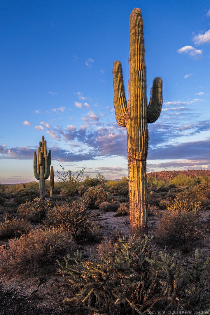
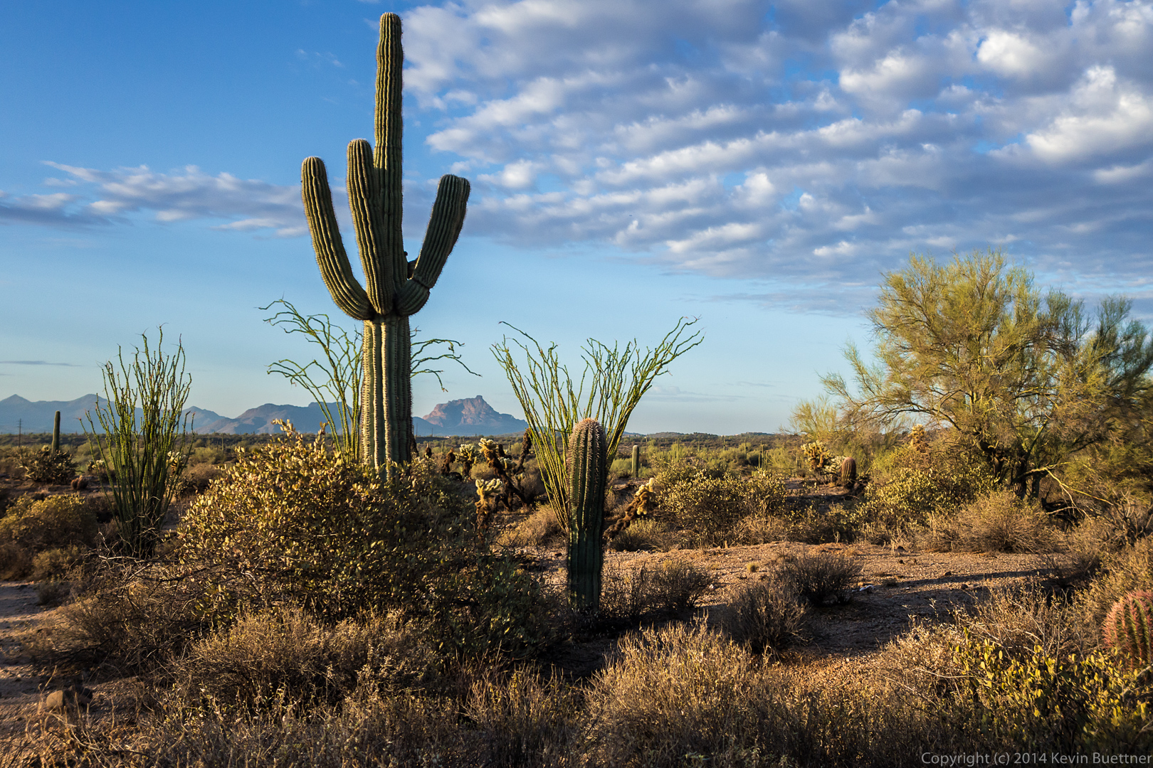
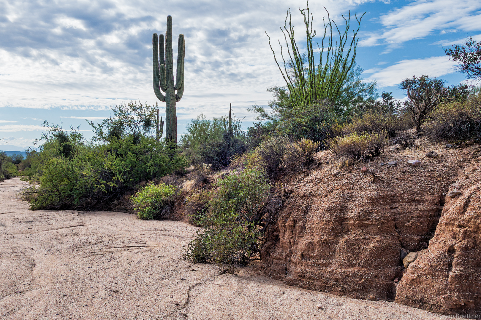
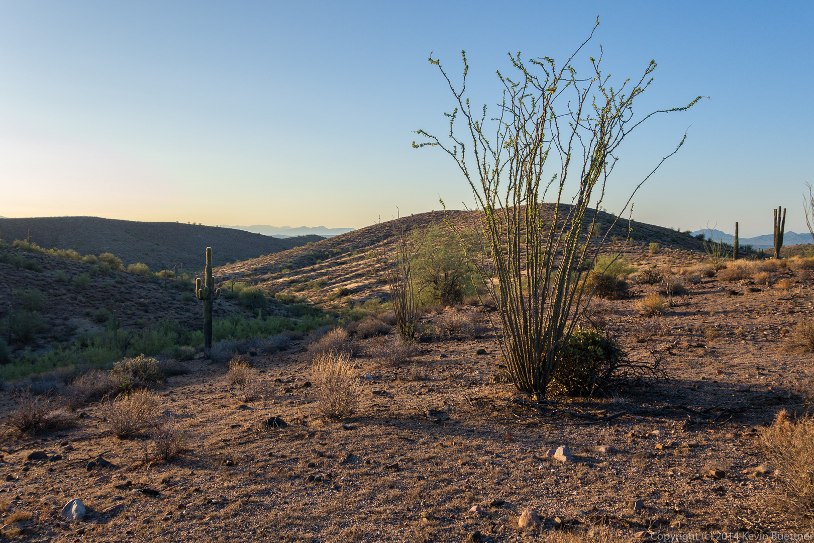
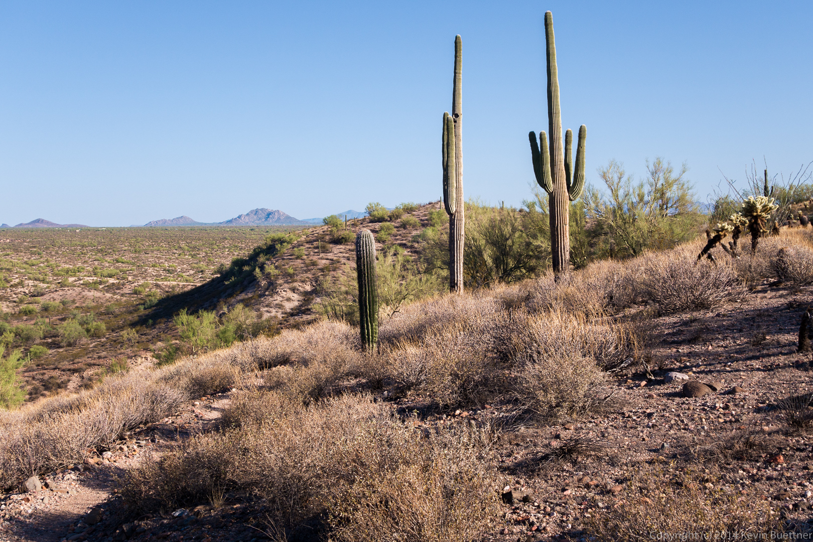
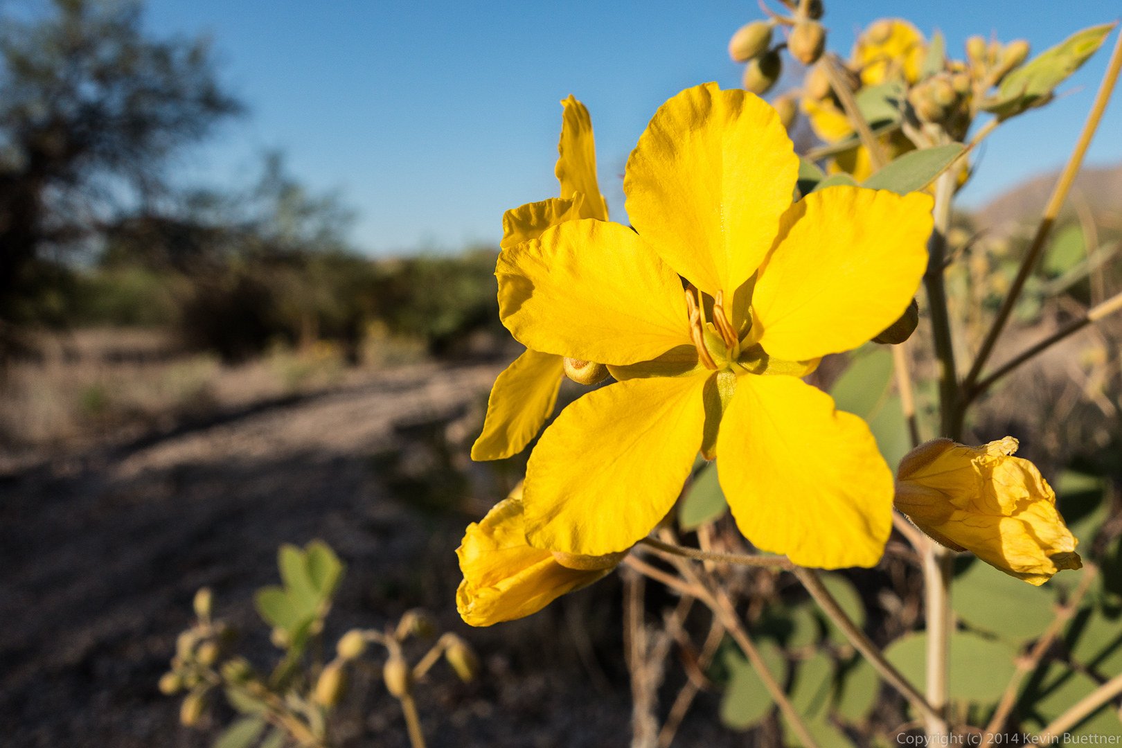
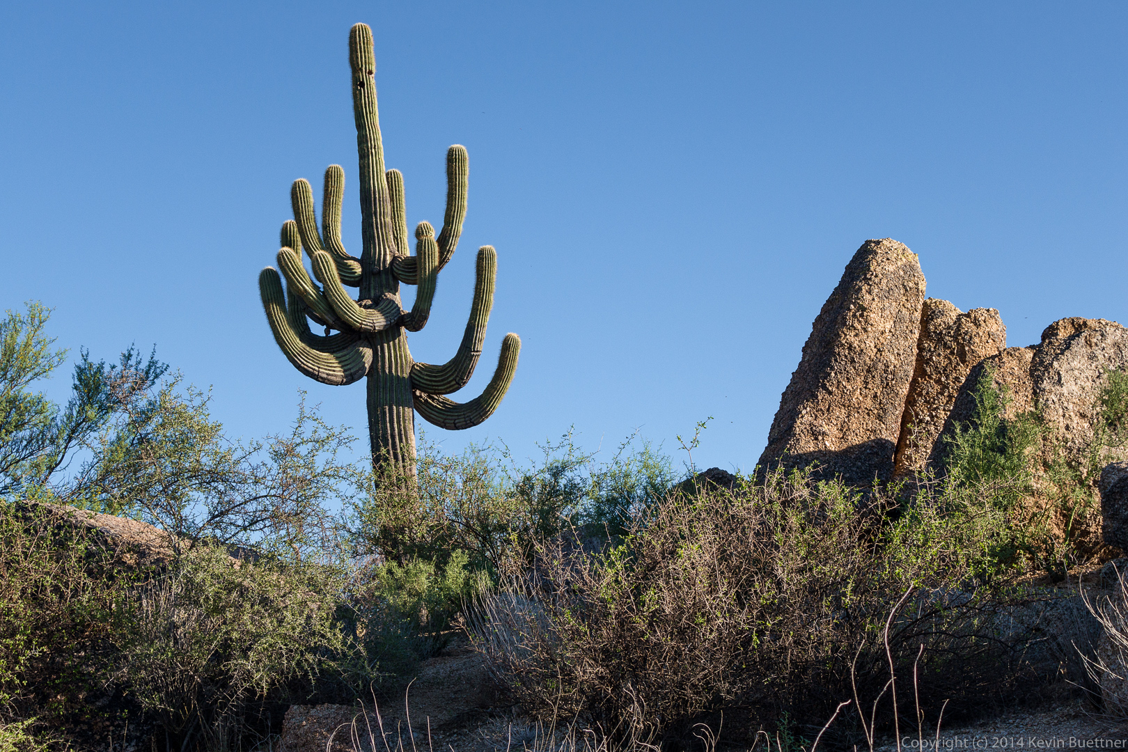
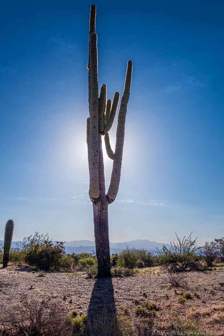
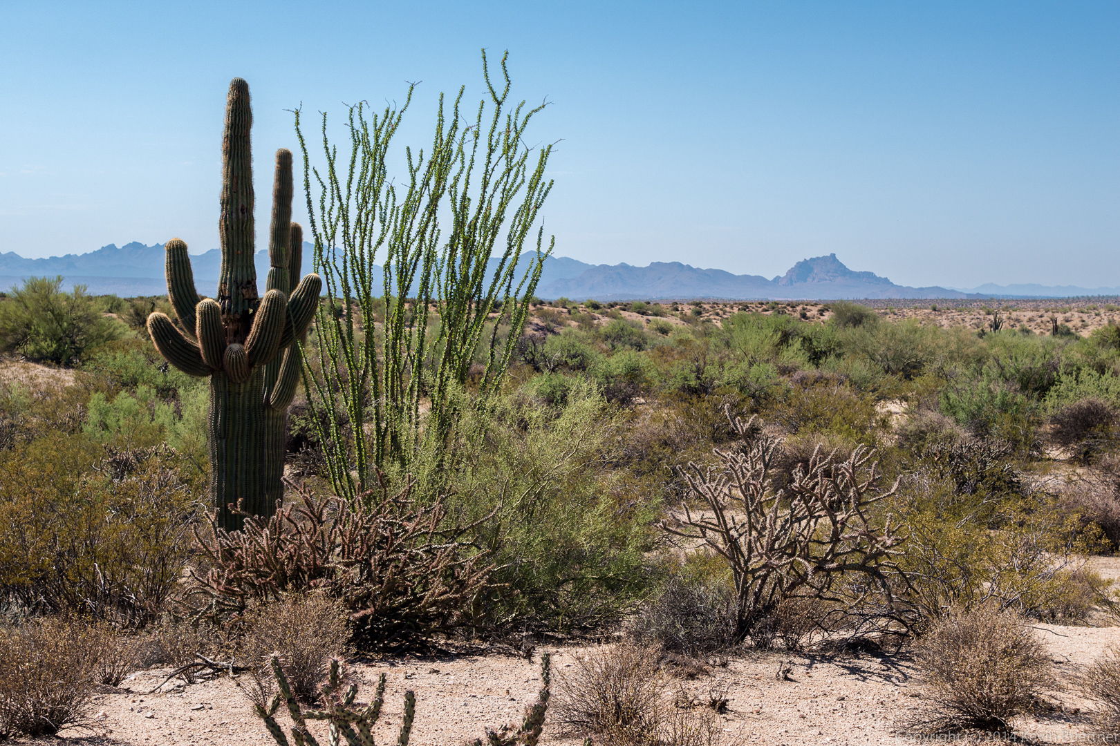
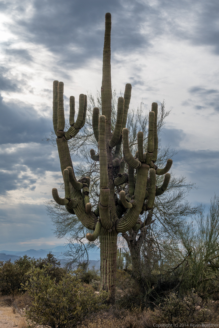
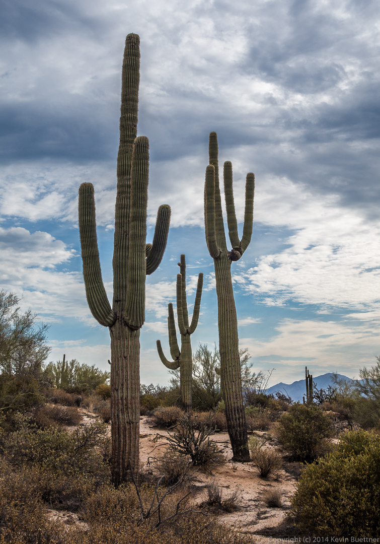
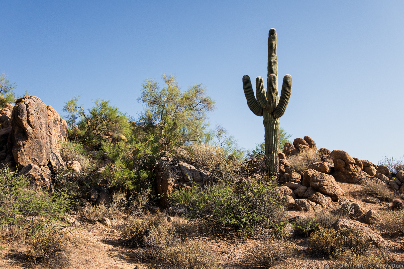
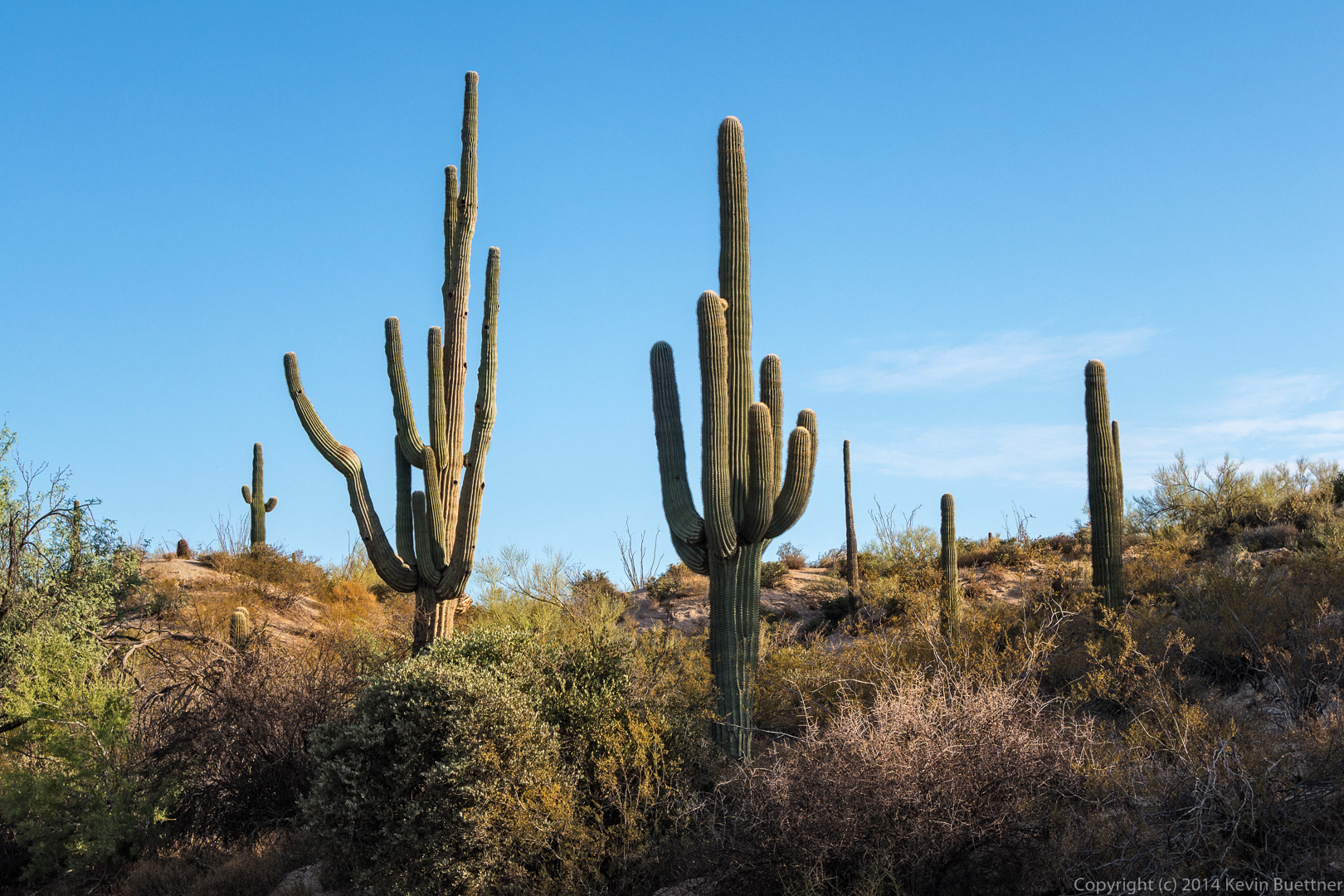
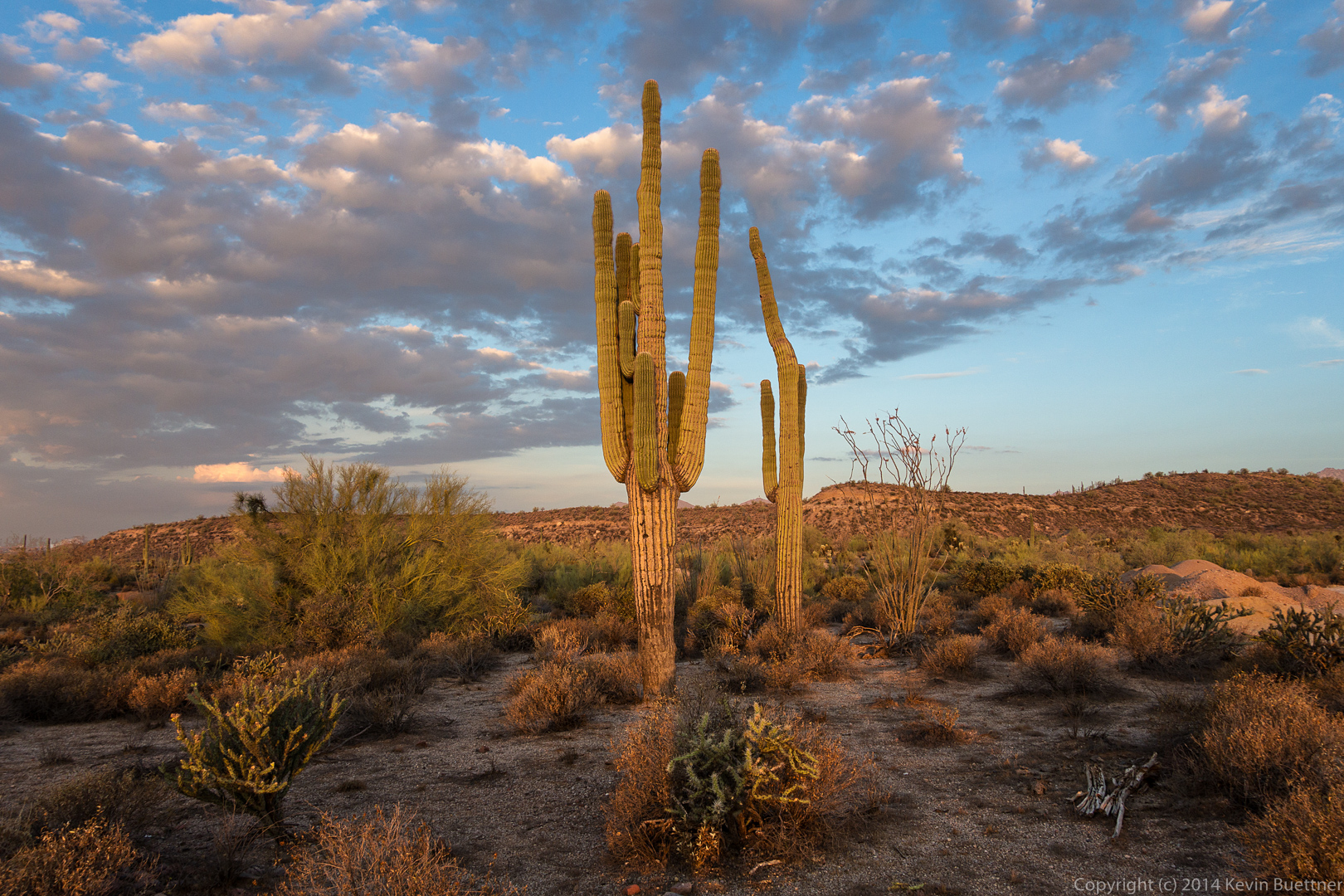
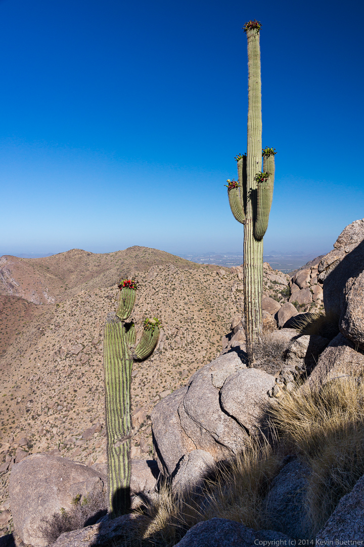
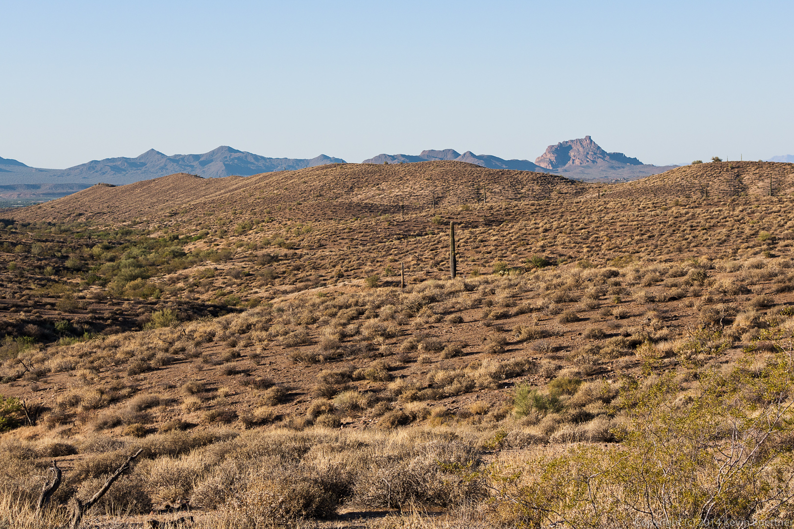
Red Mountain, framed by a saguaro and some ocotillo plants:

20140822-DSC05444-Edit-medium
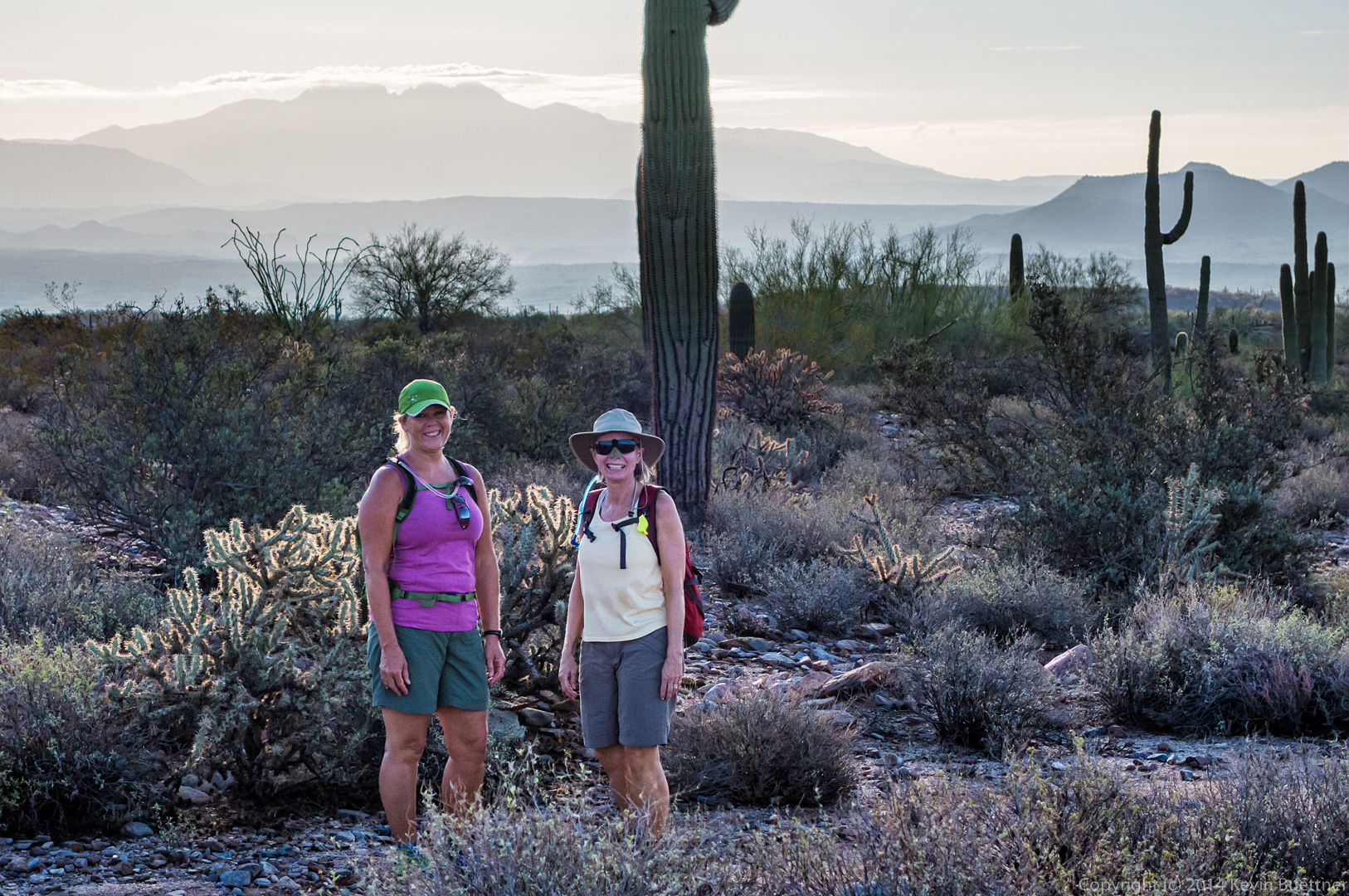
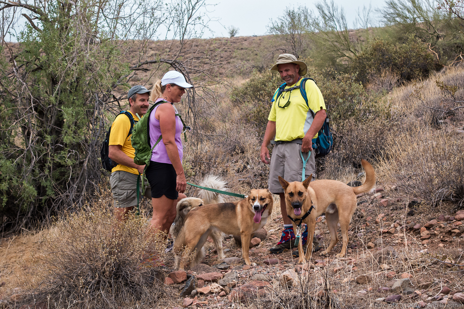
Despite taking bracketed exposures (of only +/- 0.7EV), the sky ended up being blown out in this photo of Janet and Linda.  I decided that I kind of liked it anyway.  Somewhere around this point, I had also inadvertently put the camera in shutter priority mode; as a consequence, all of the exposures were taken at 1/2000sec, which led to the camera selecting larger apertures (for a shallower depth of field) and higher ISO values (which results in more noise).  I didn’t notice that this happened until we were almost done with the Pemberton.

20140822-DSC05469-Edit-medium
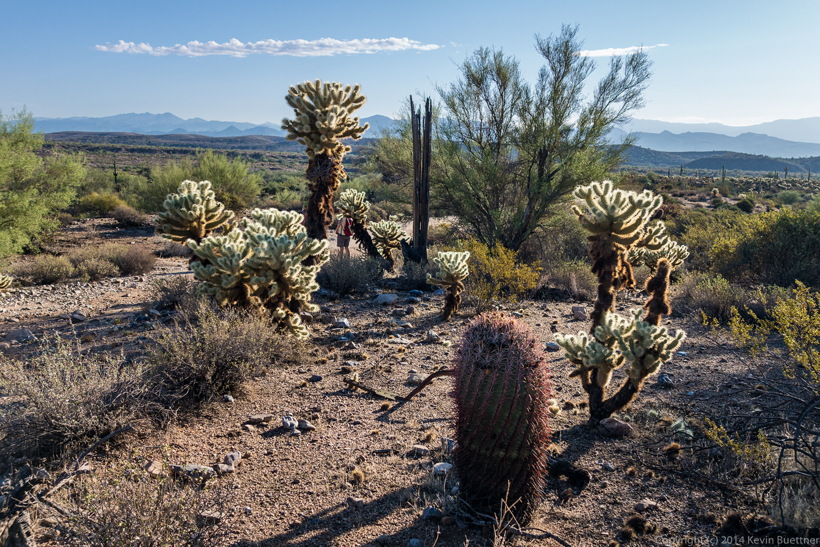
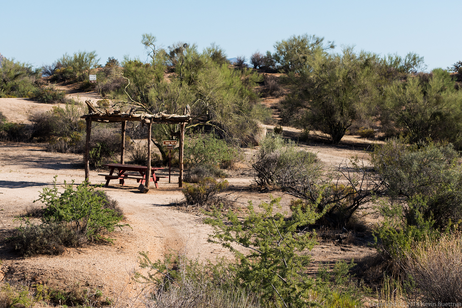
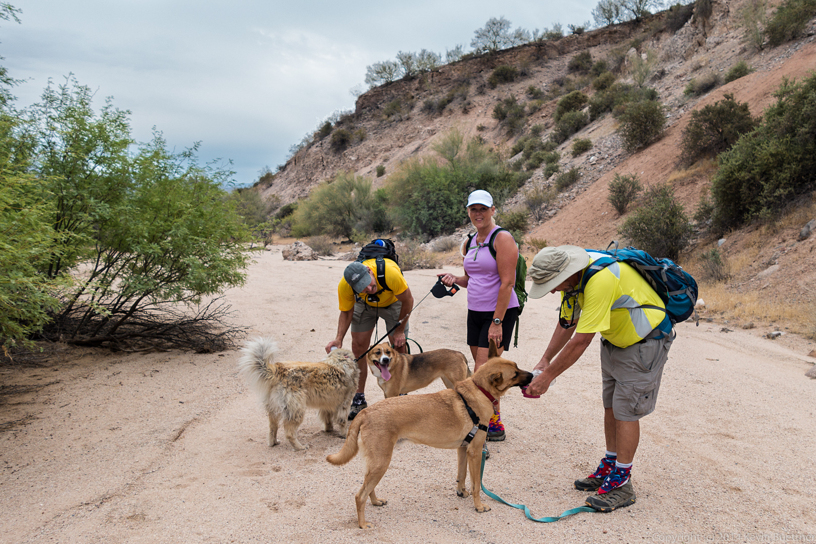
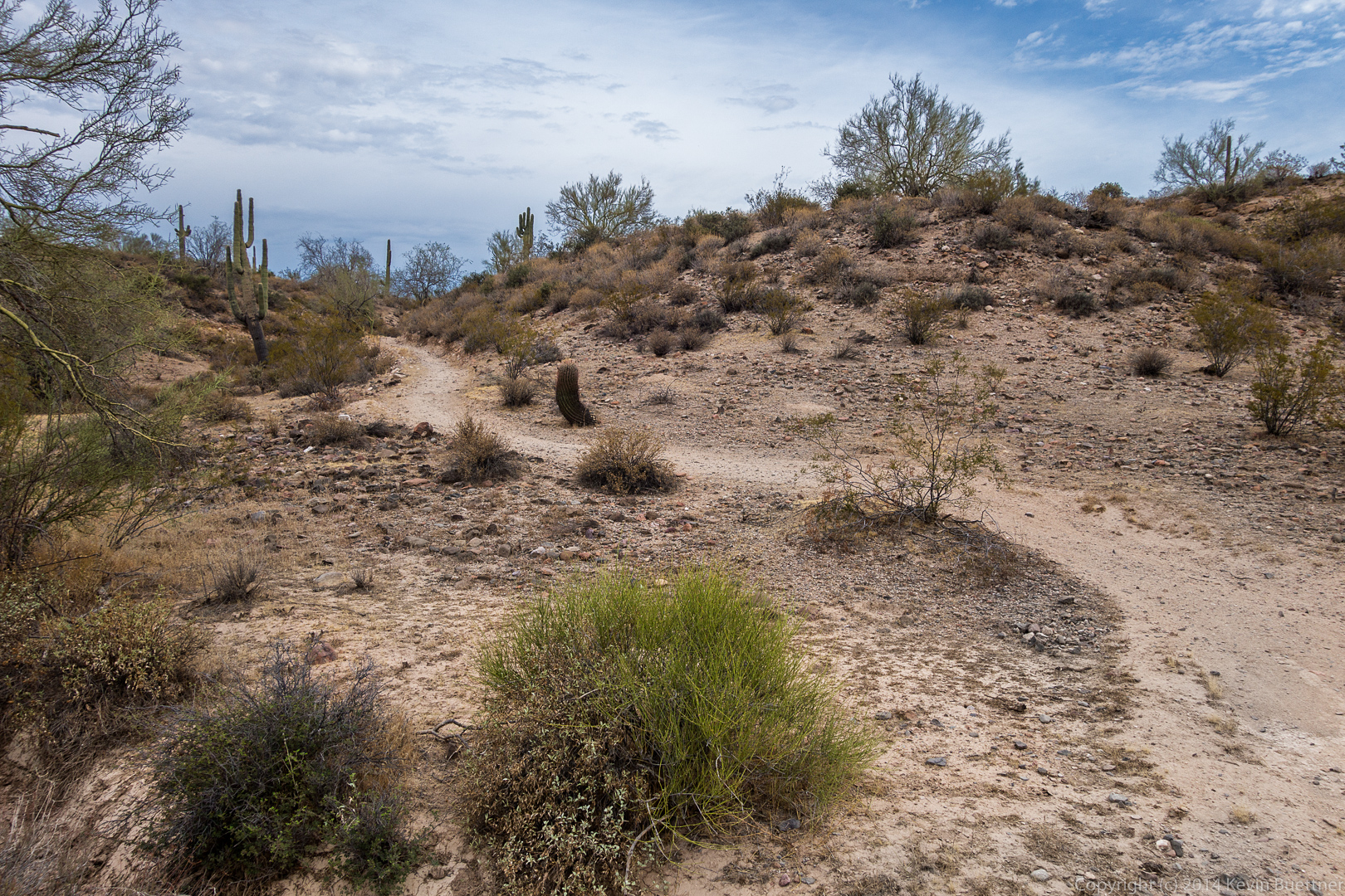
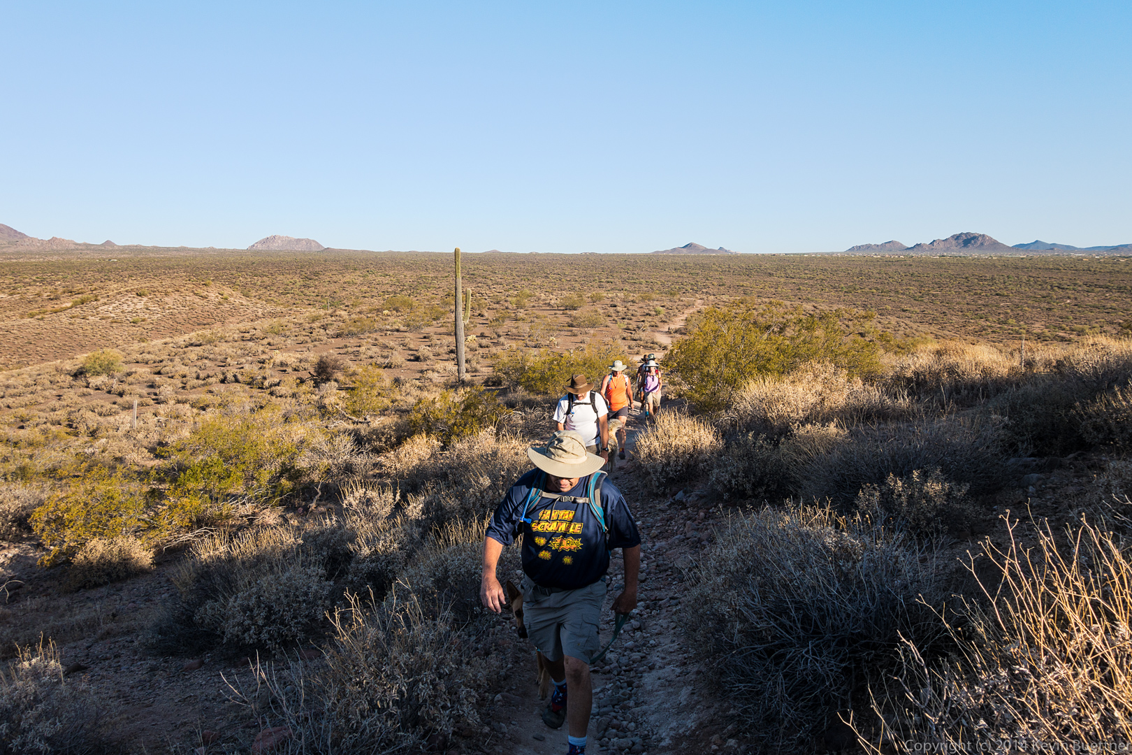
This photo was taken at the junction of the service road and the Pemberton Trail.

20140822-DSC05501-Edit-medium
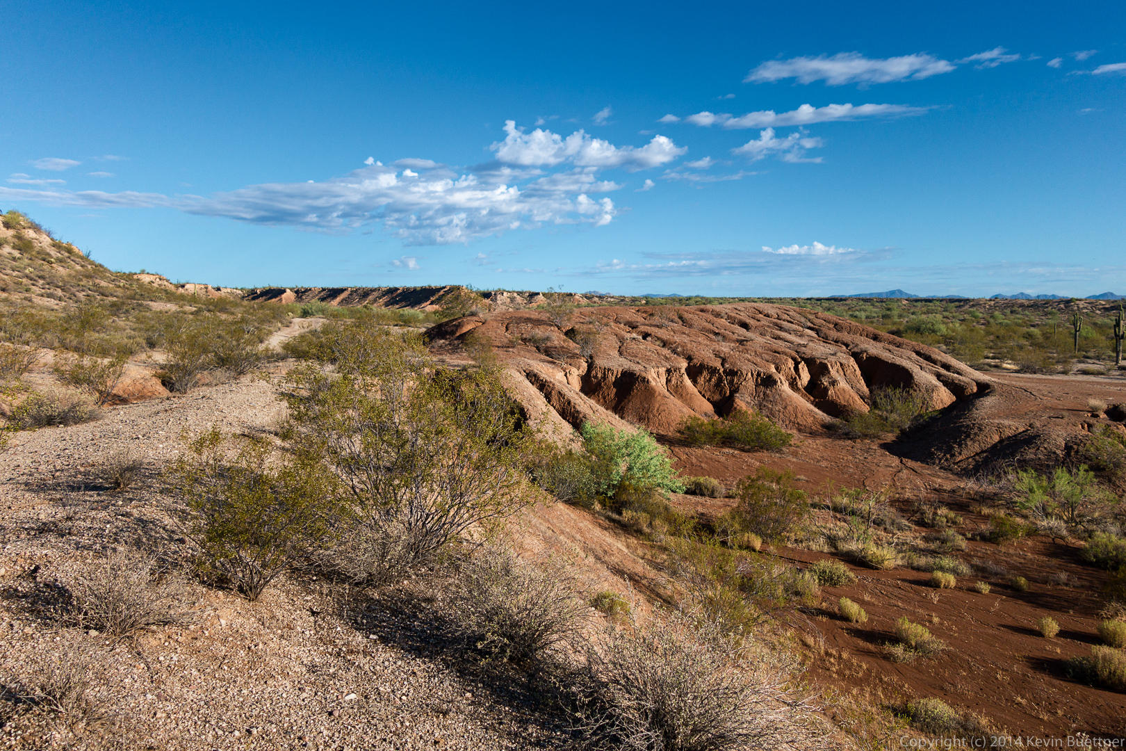
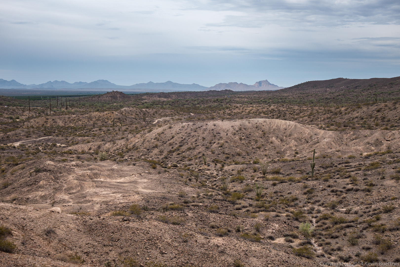
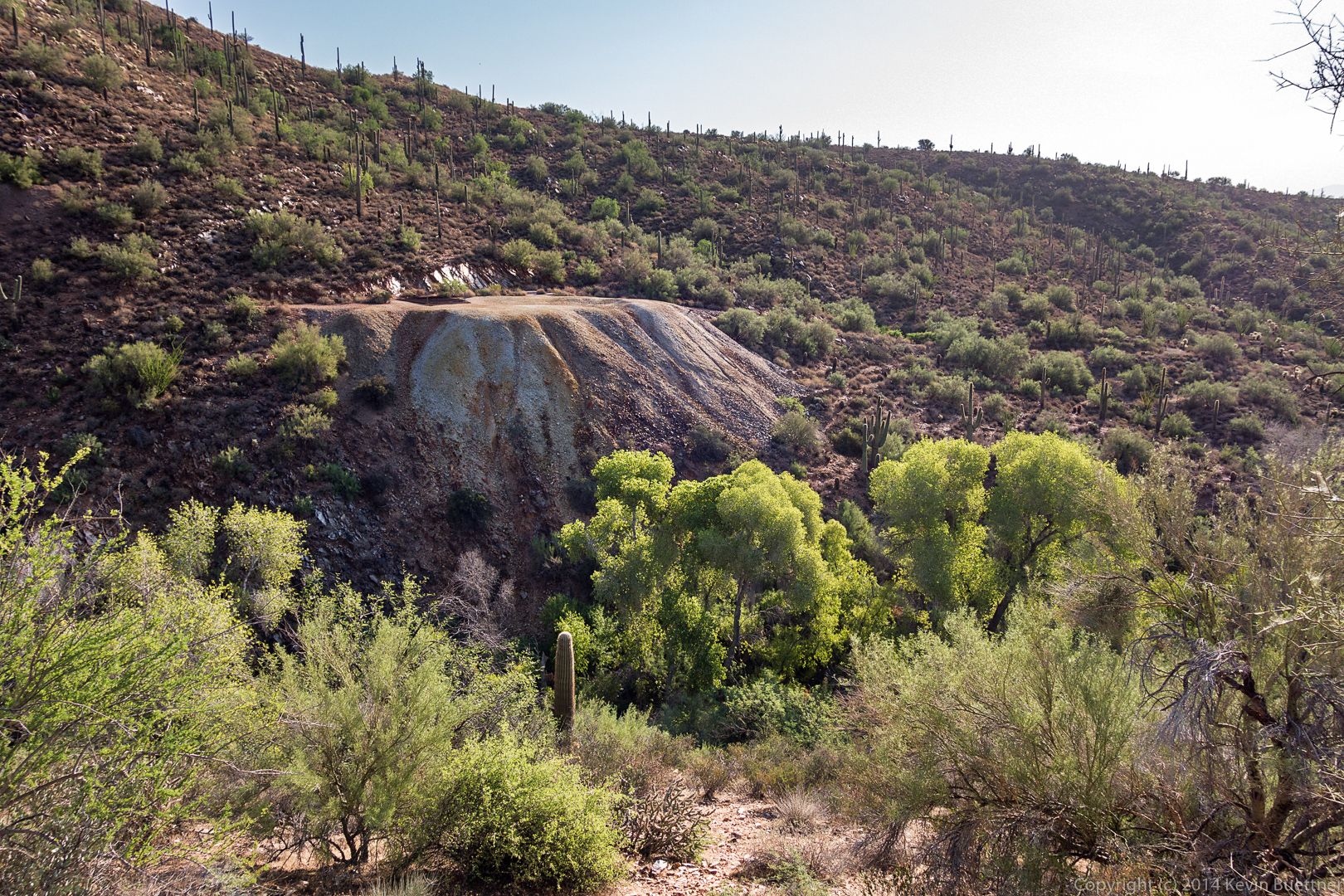
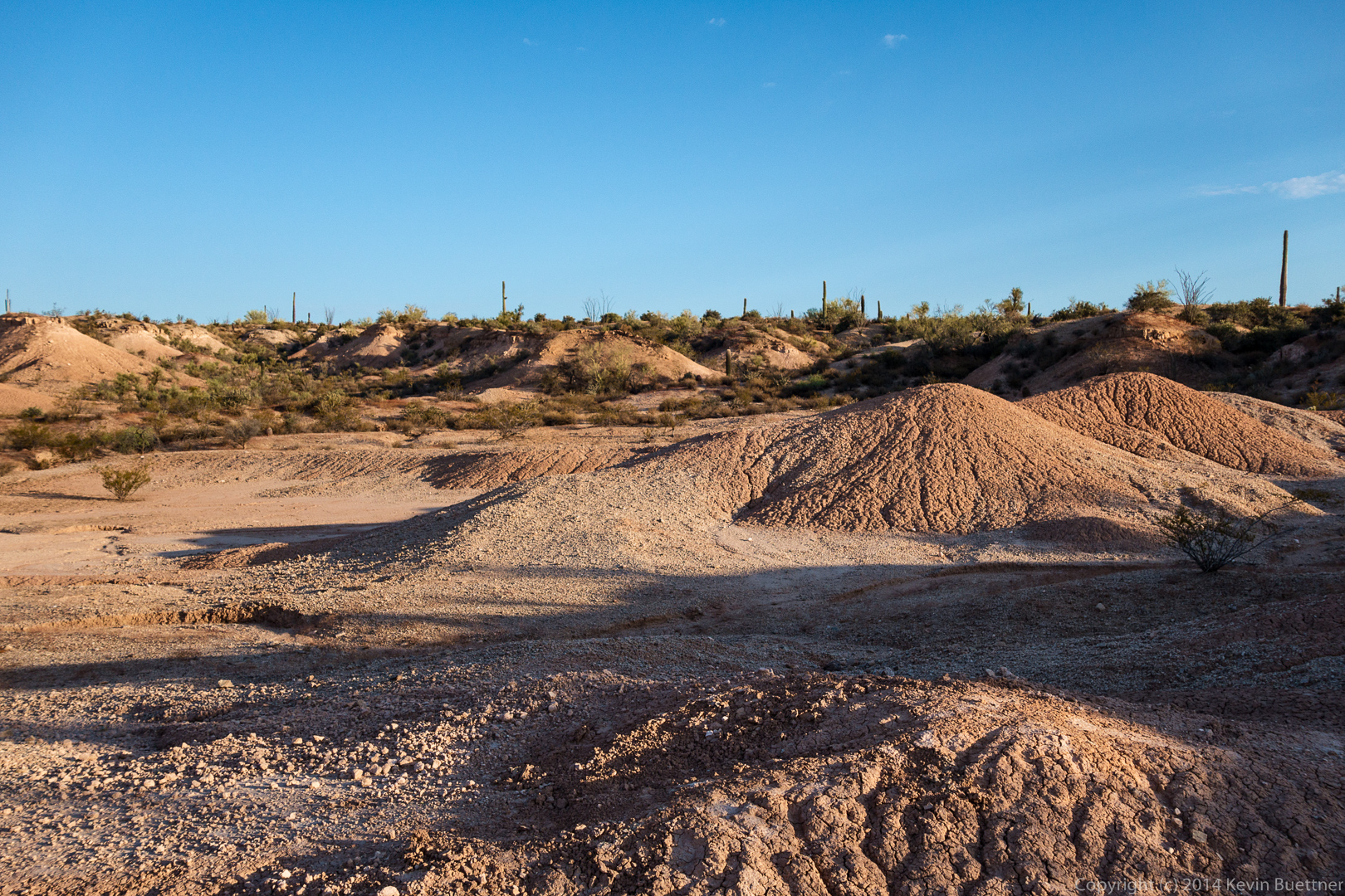
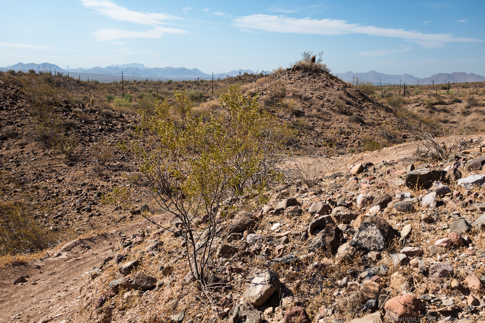
A view of one of the clay pits along the Pemberton.  I’ve been told that clay was once mined here to determine its suitability for use in making pipe.  Clay in this area might have been extensively mined were it not for the invention of PVC pipe.

20140822-DSC05510-Edit-medium
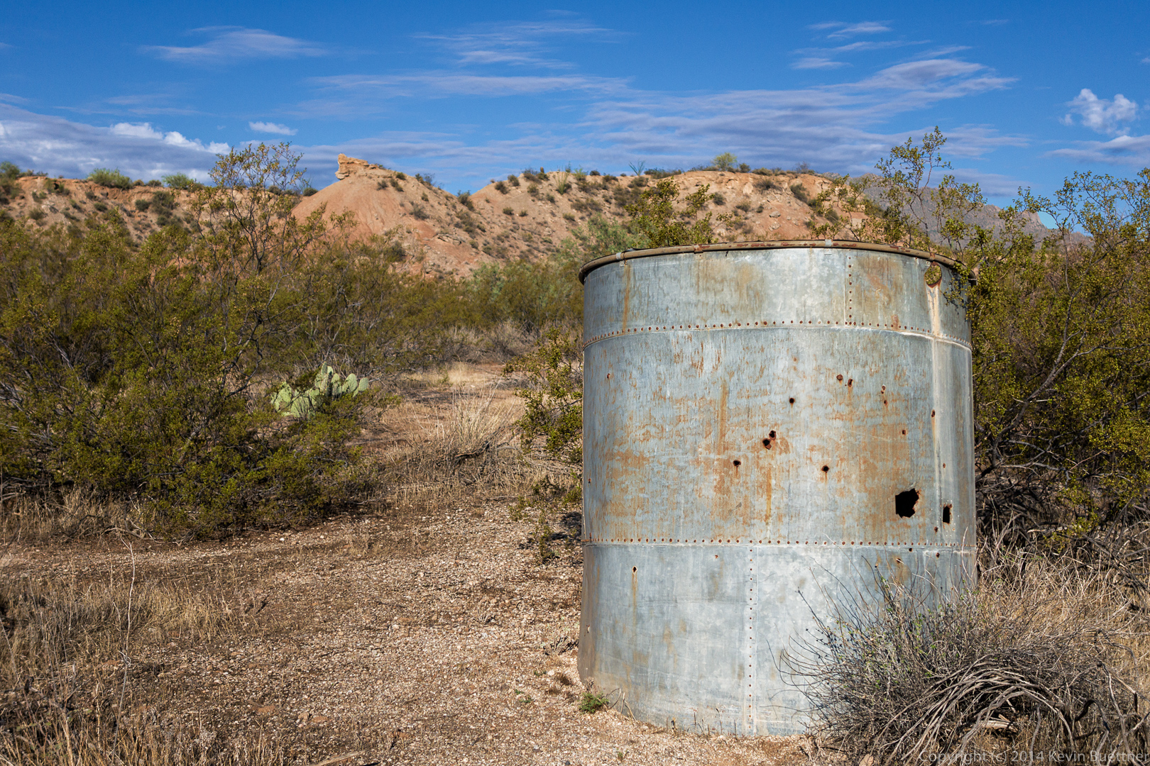
A tank, which presumably once held water, near the former site of the ranch house.

20140822-DSC05525-Edit-medium 
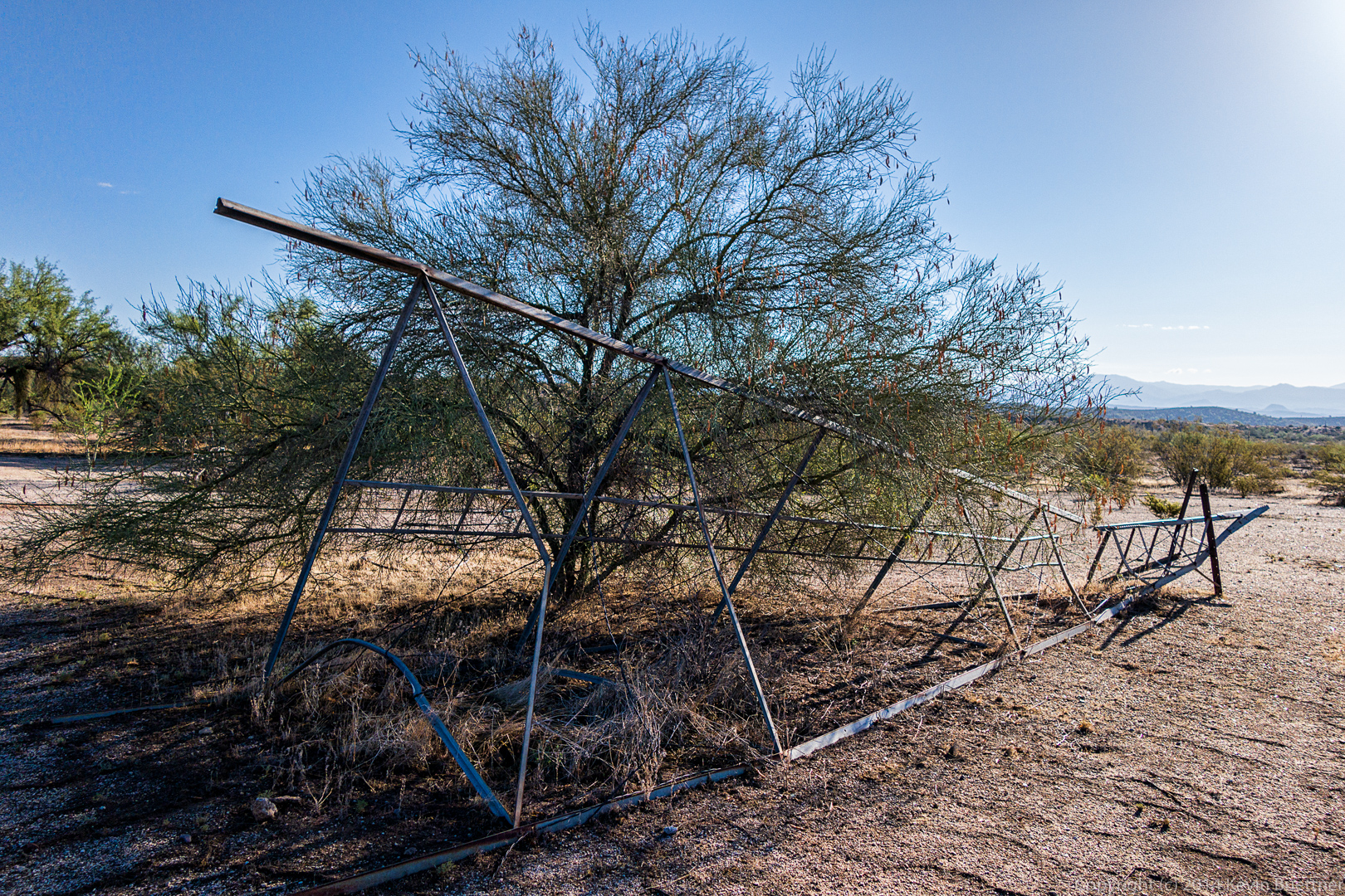
A toppled windmill, also located near the site where the ranch house once was:

20140822-DSC05535-Edit-medium
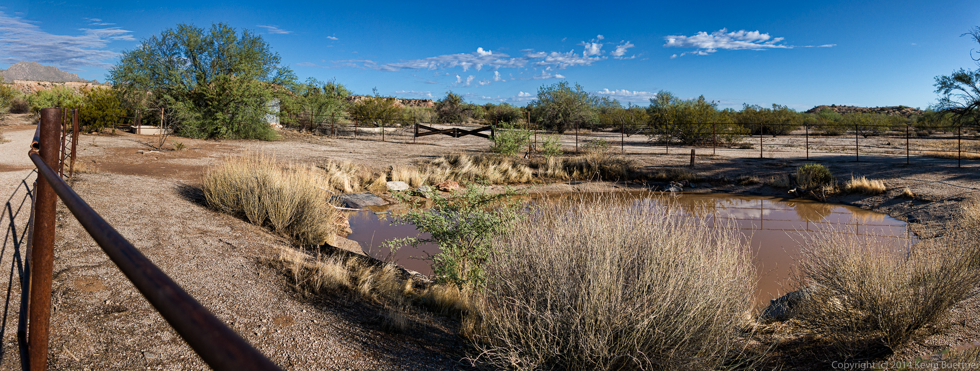
I stitched together four exposures to form this panorama of the “pond”.  This is where wildlife in the area get their water.

20140822-DSC05537-Edit-medium

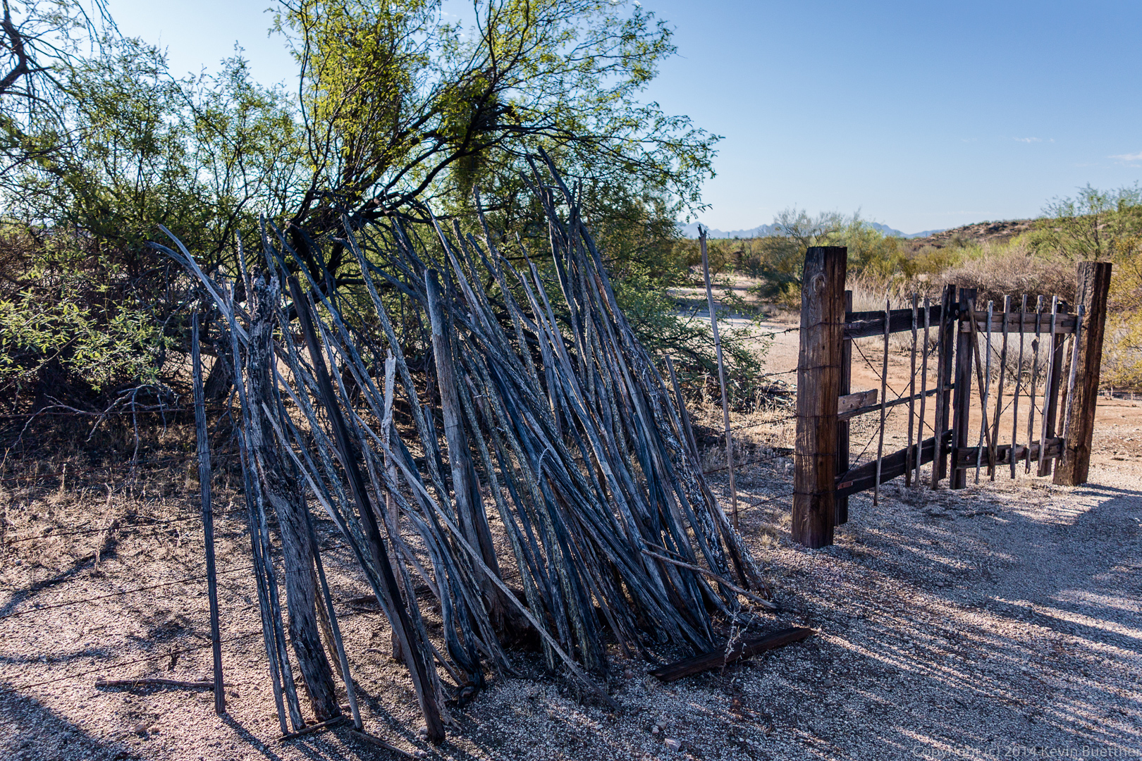
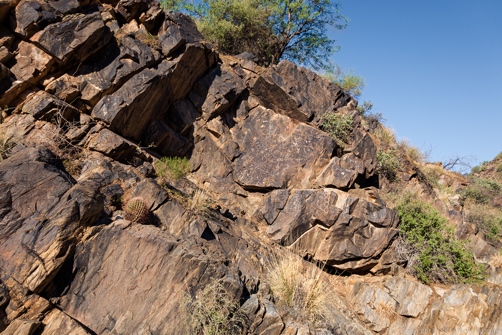
These cut ocotillo branches and gate have been placed to match an old photo of the entrance to the homestead displayed on a nearby sign.

20140822-DSC05553-Edit-medium

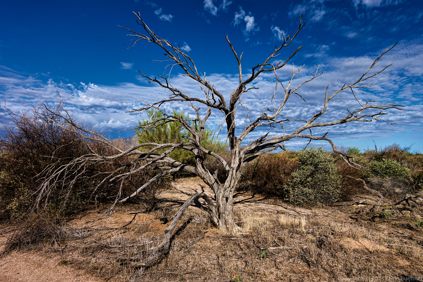
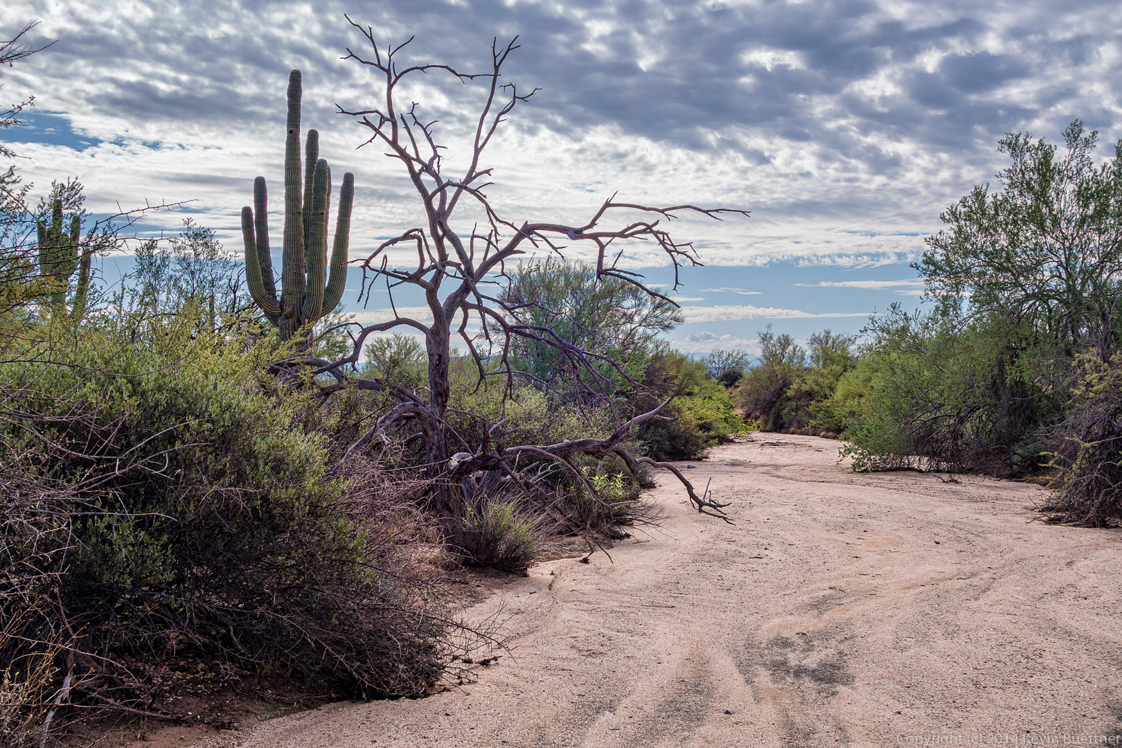
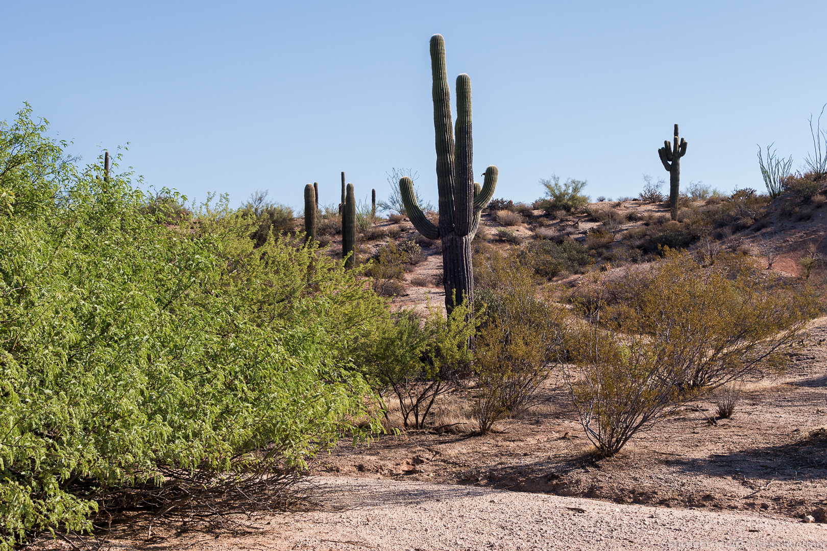
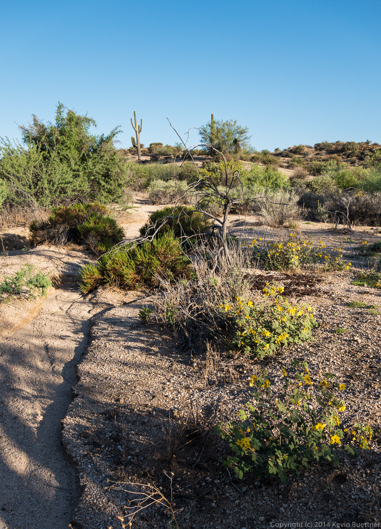
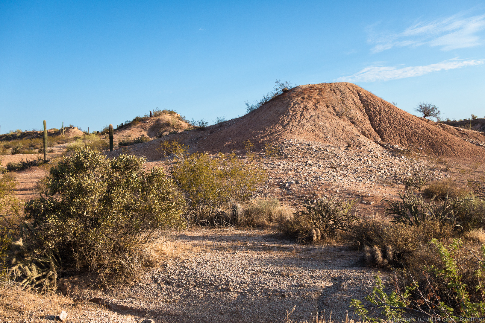
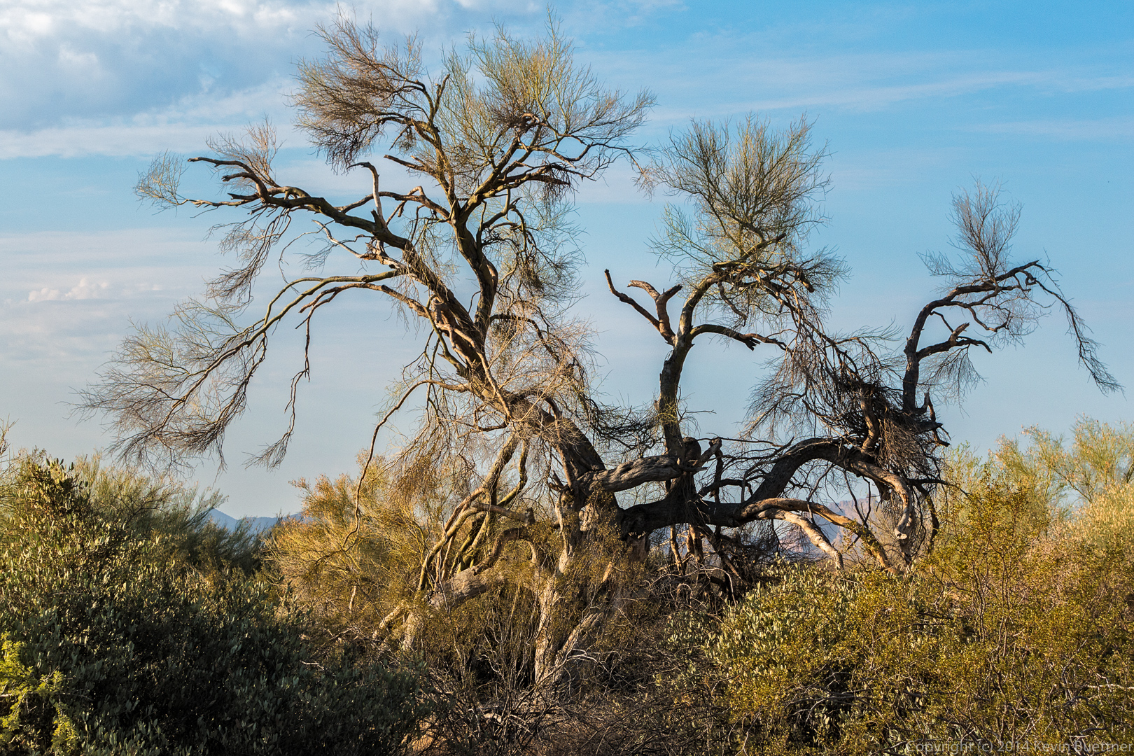
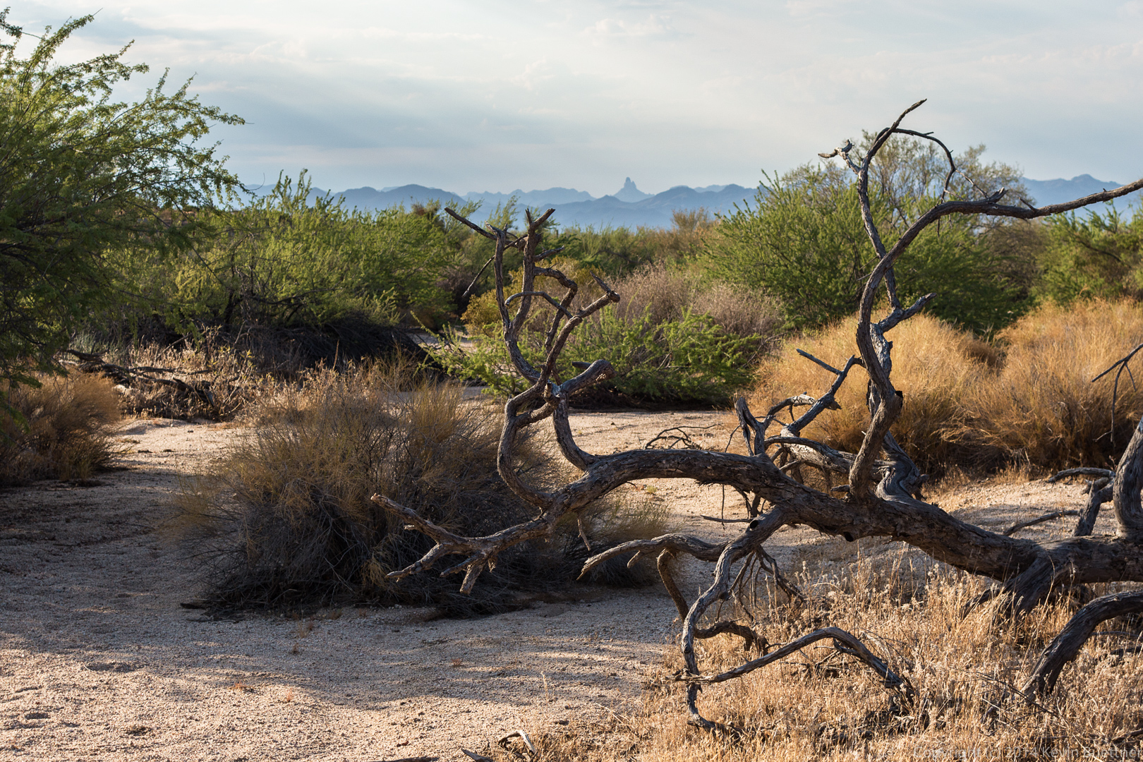
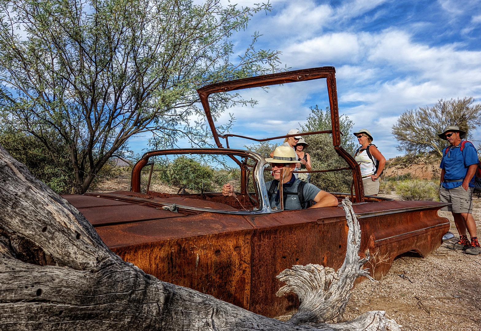
A dead tree along the Pemberton Trail:

20140822-DSC05573-Edit-medium


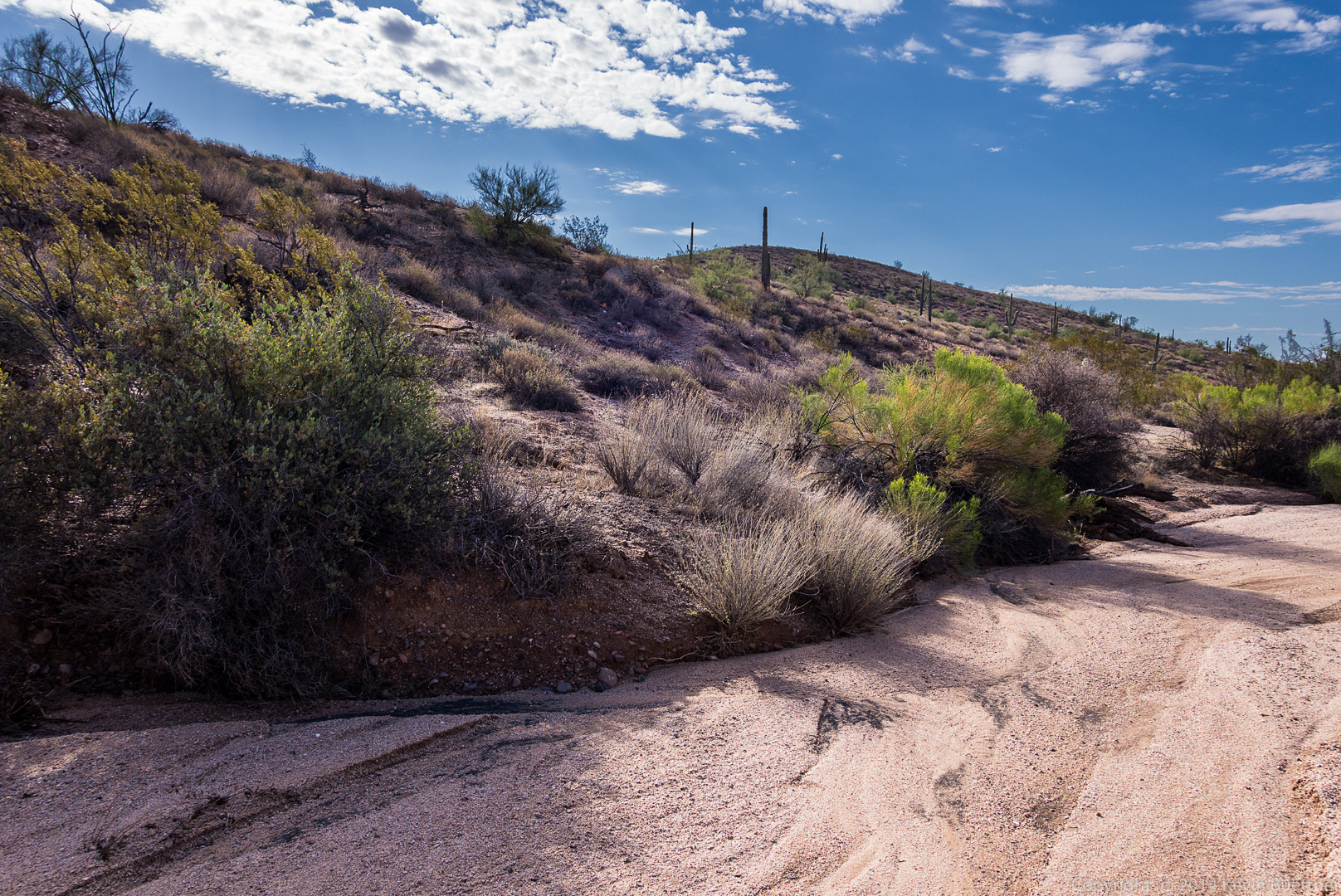
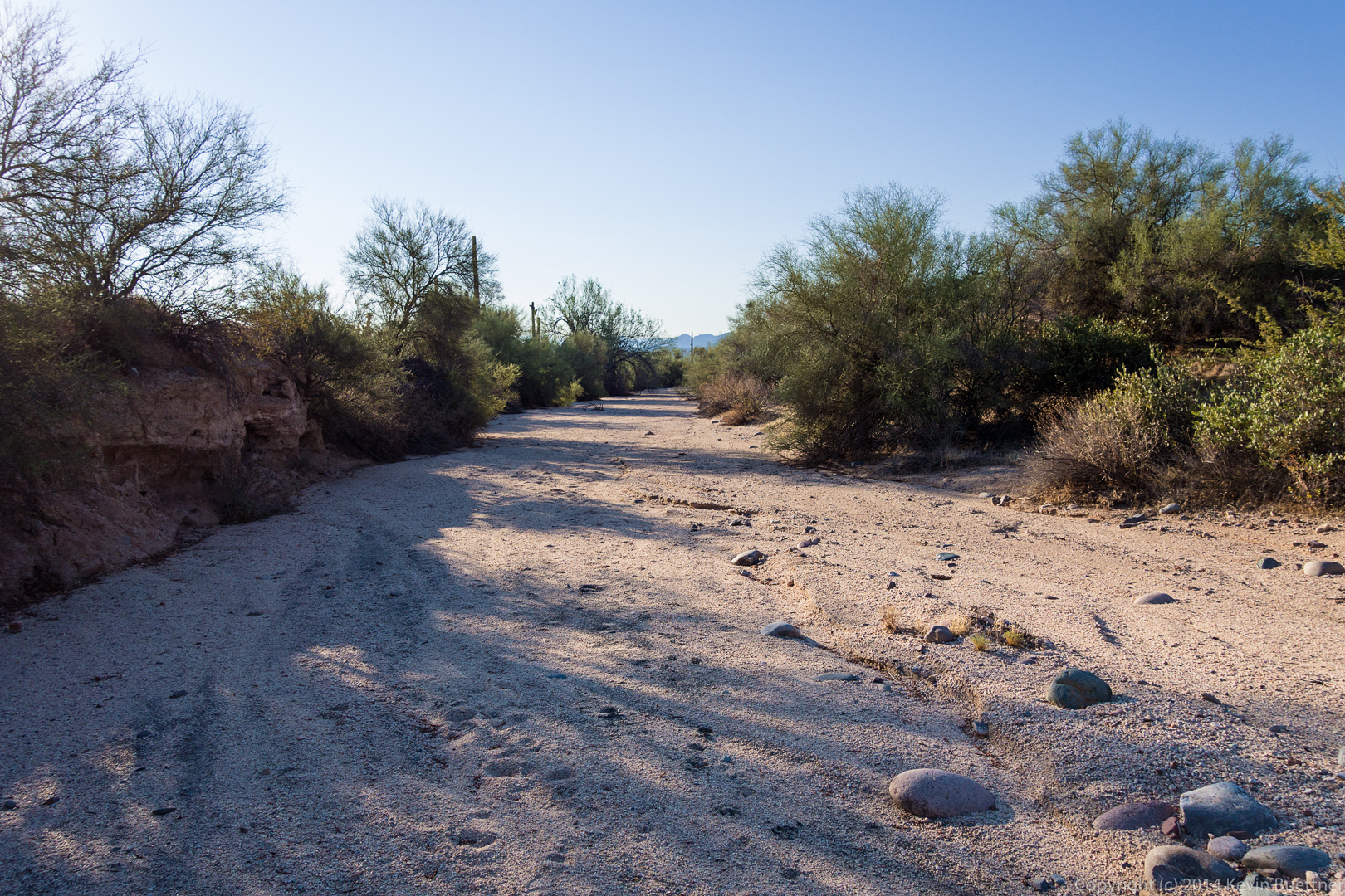
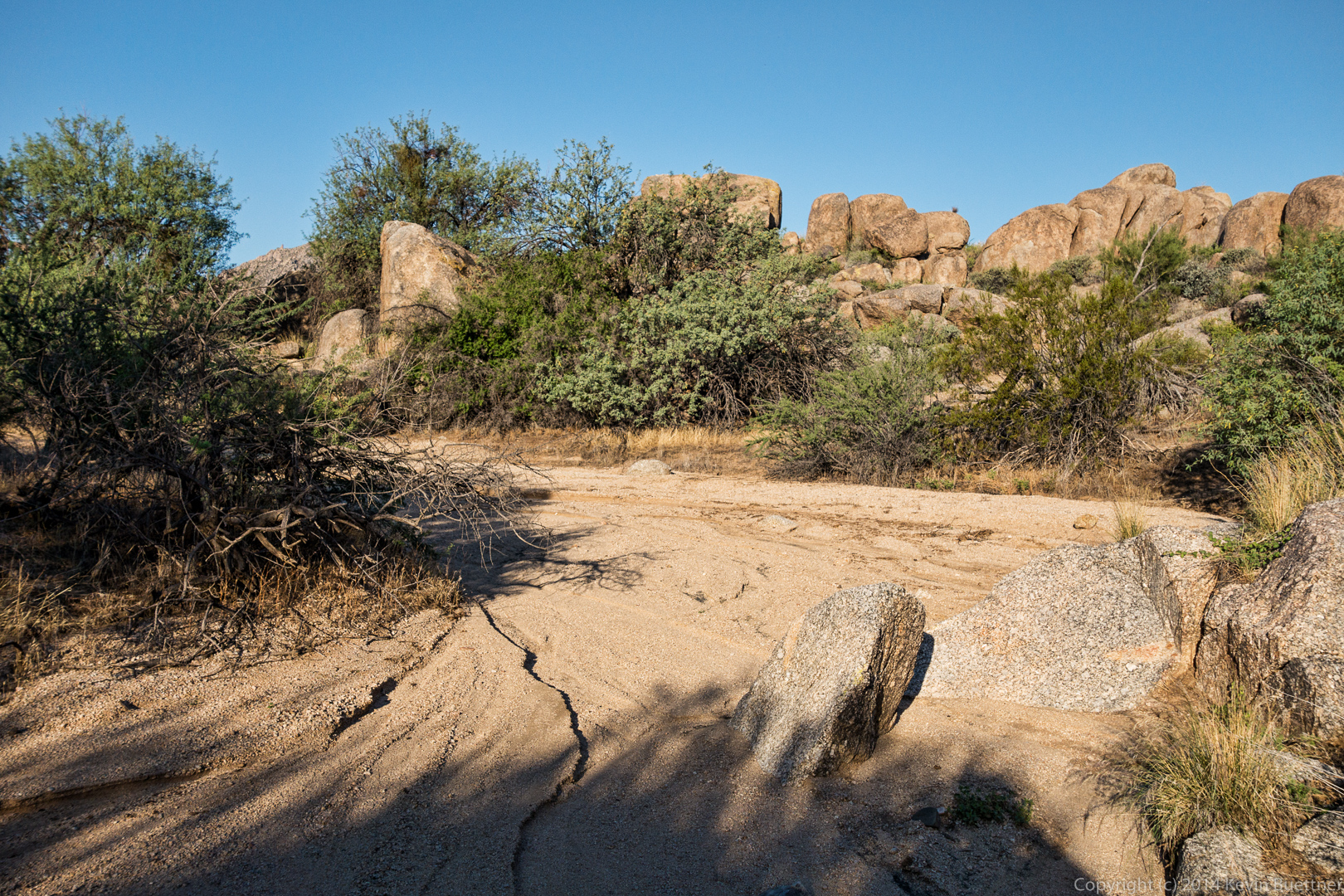
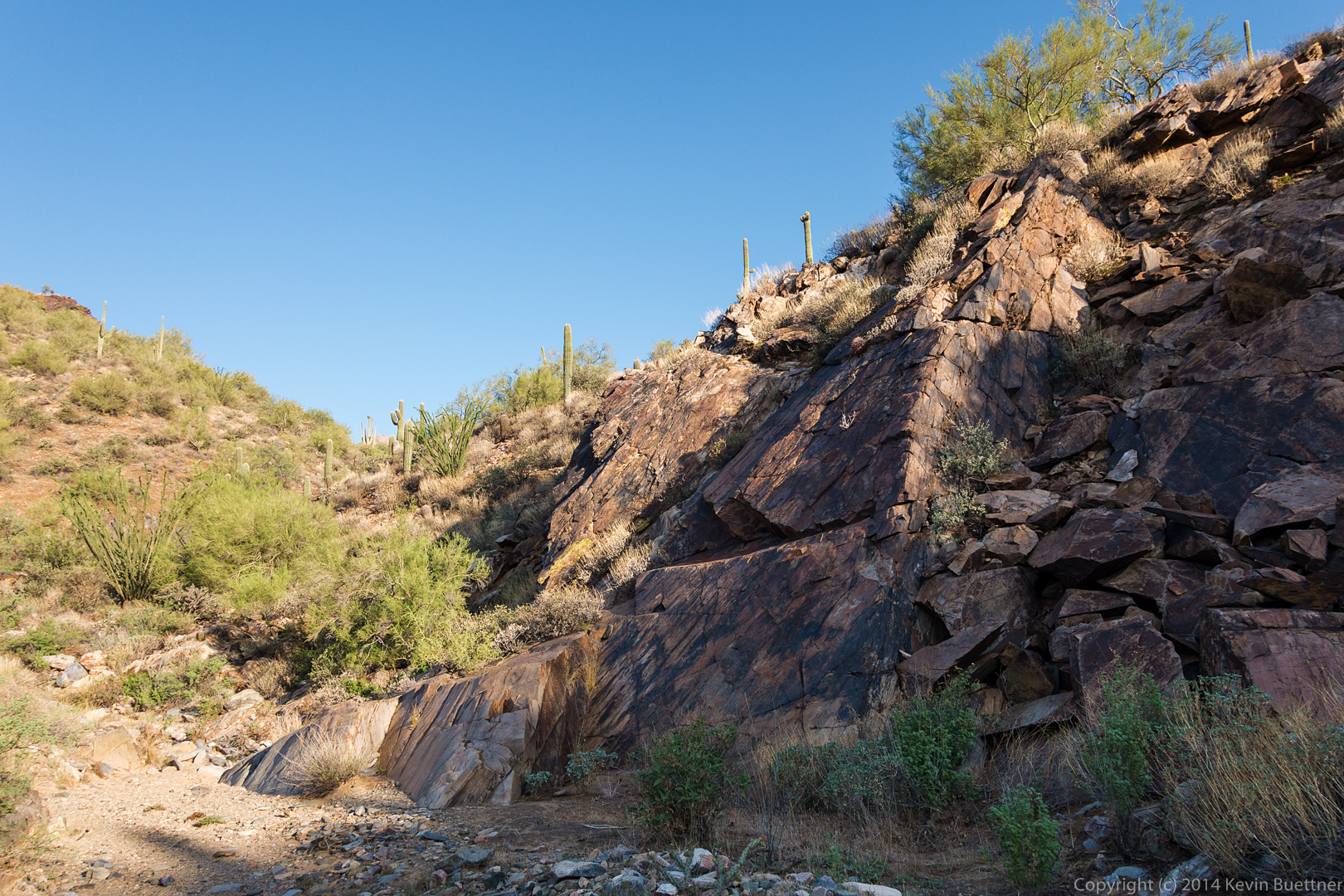
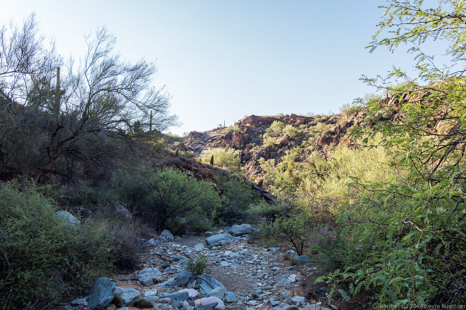
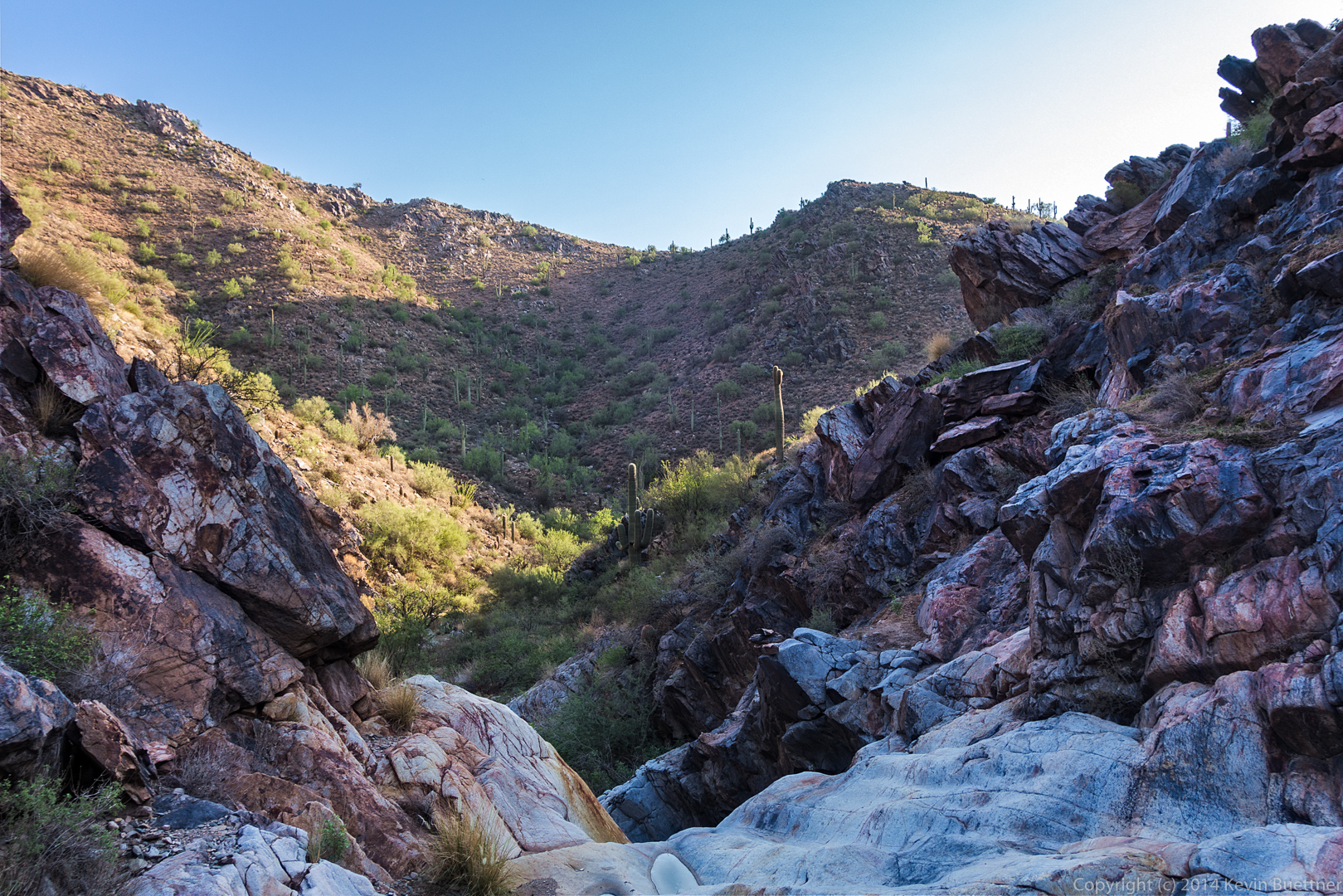
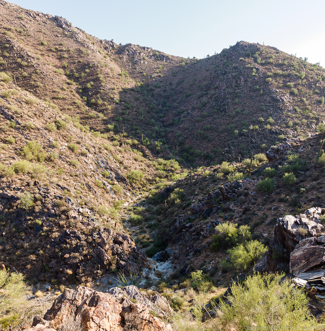
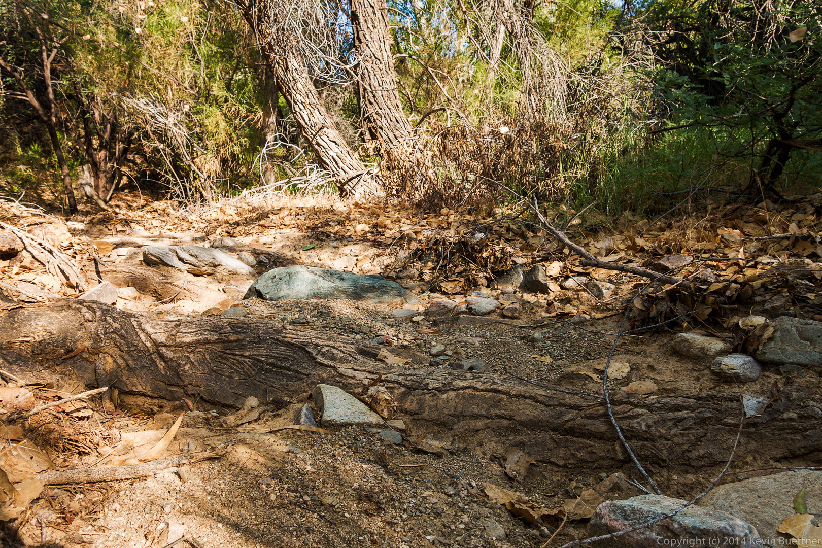
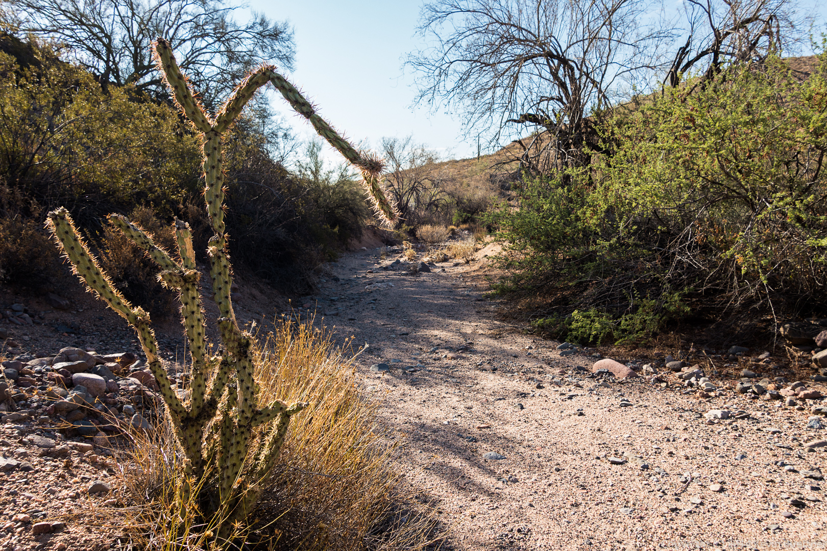
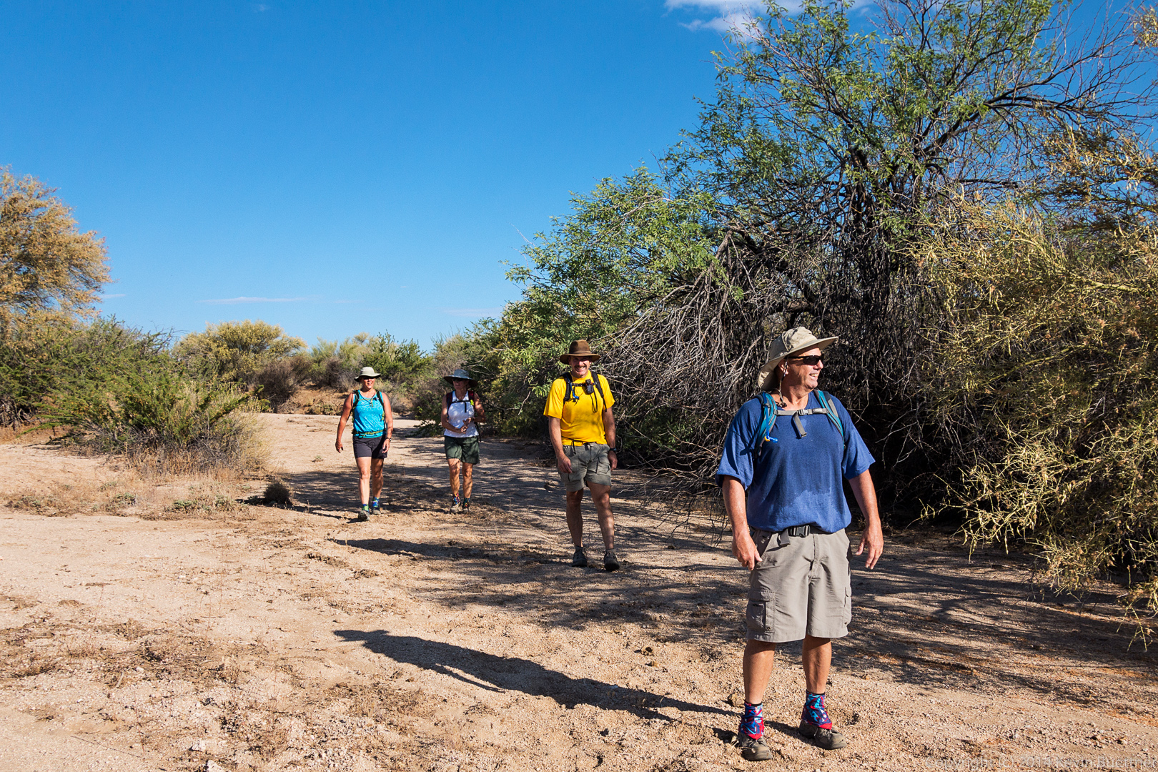
I don’t hike Shallmo wash very often.  The sand is usually very loose, but water from recent storms made the surface very firm for Friday’s hike.

20140822-DSC05586-Edit-medium


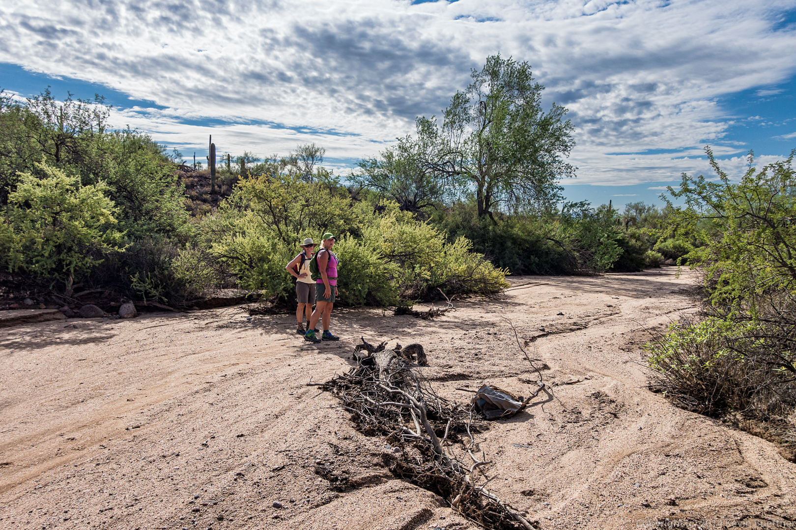
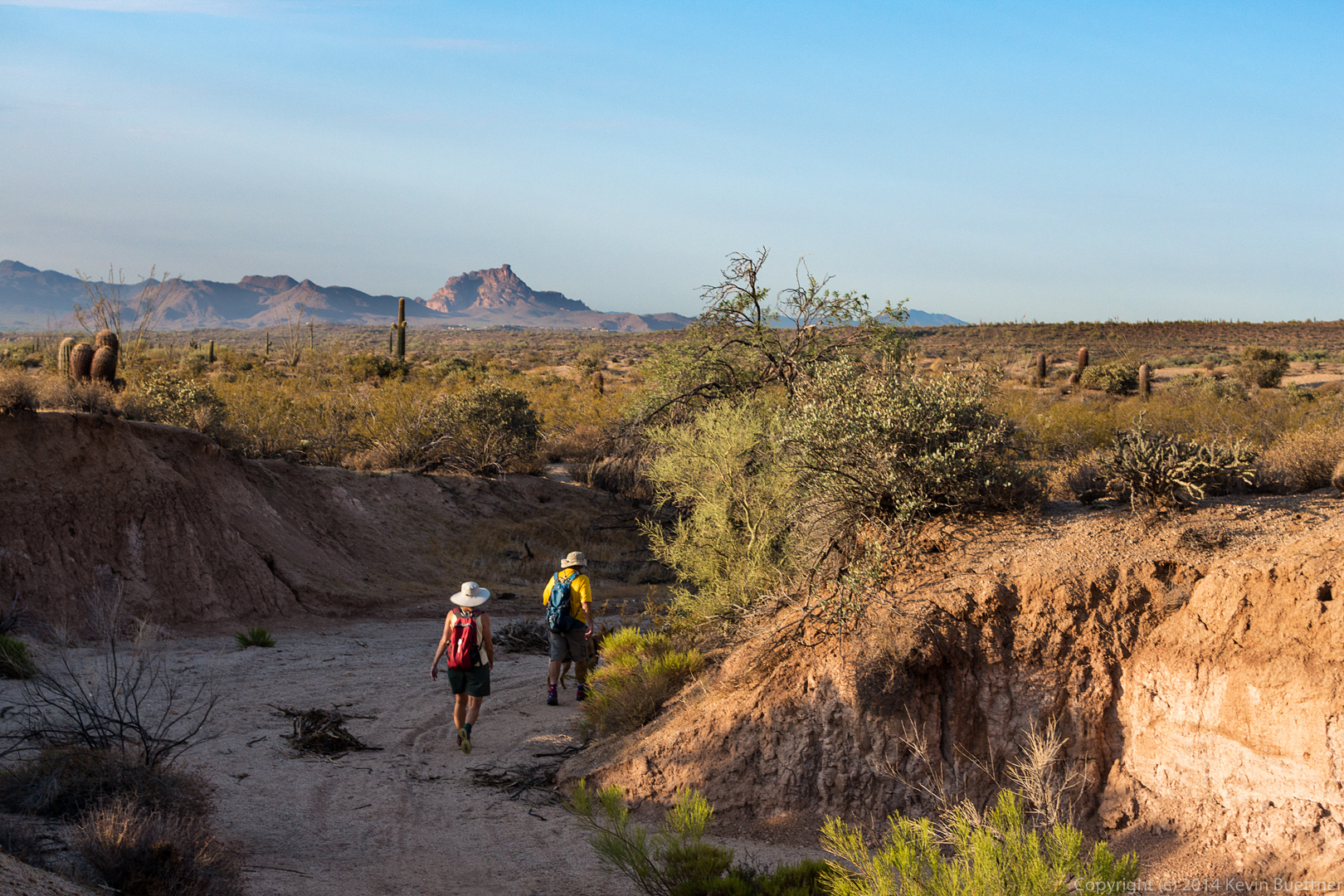
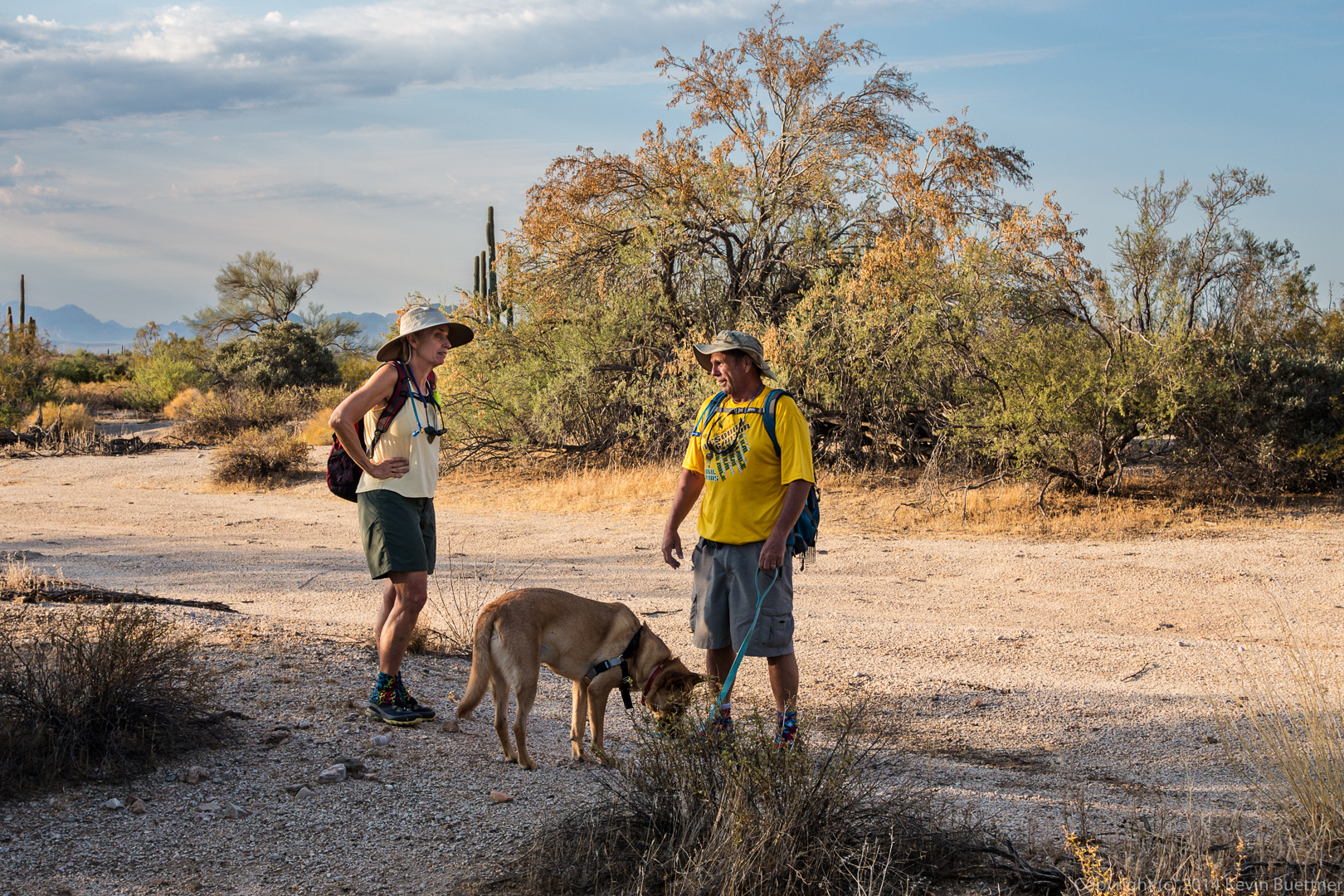
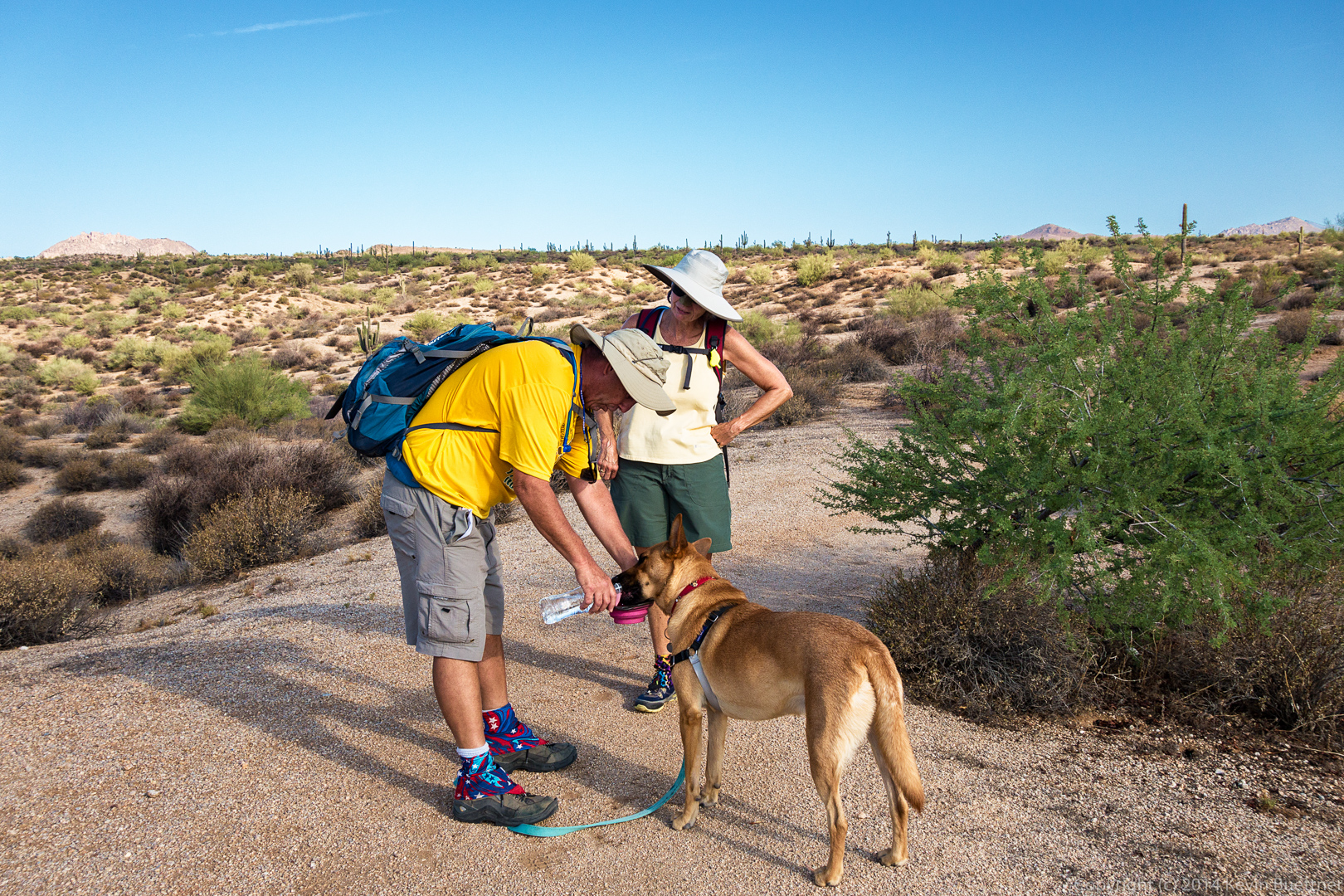
Linda and Janet in Shallmo Wash:

20140822-DSC05621-Edit-medium


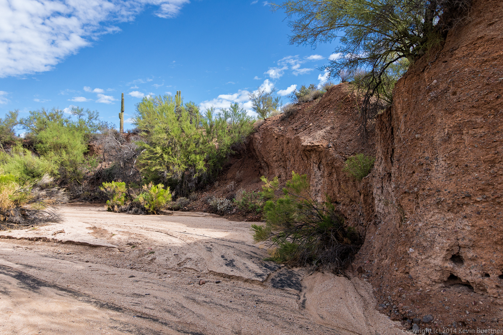
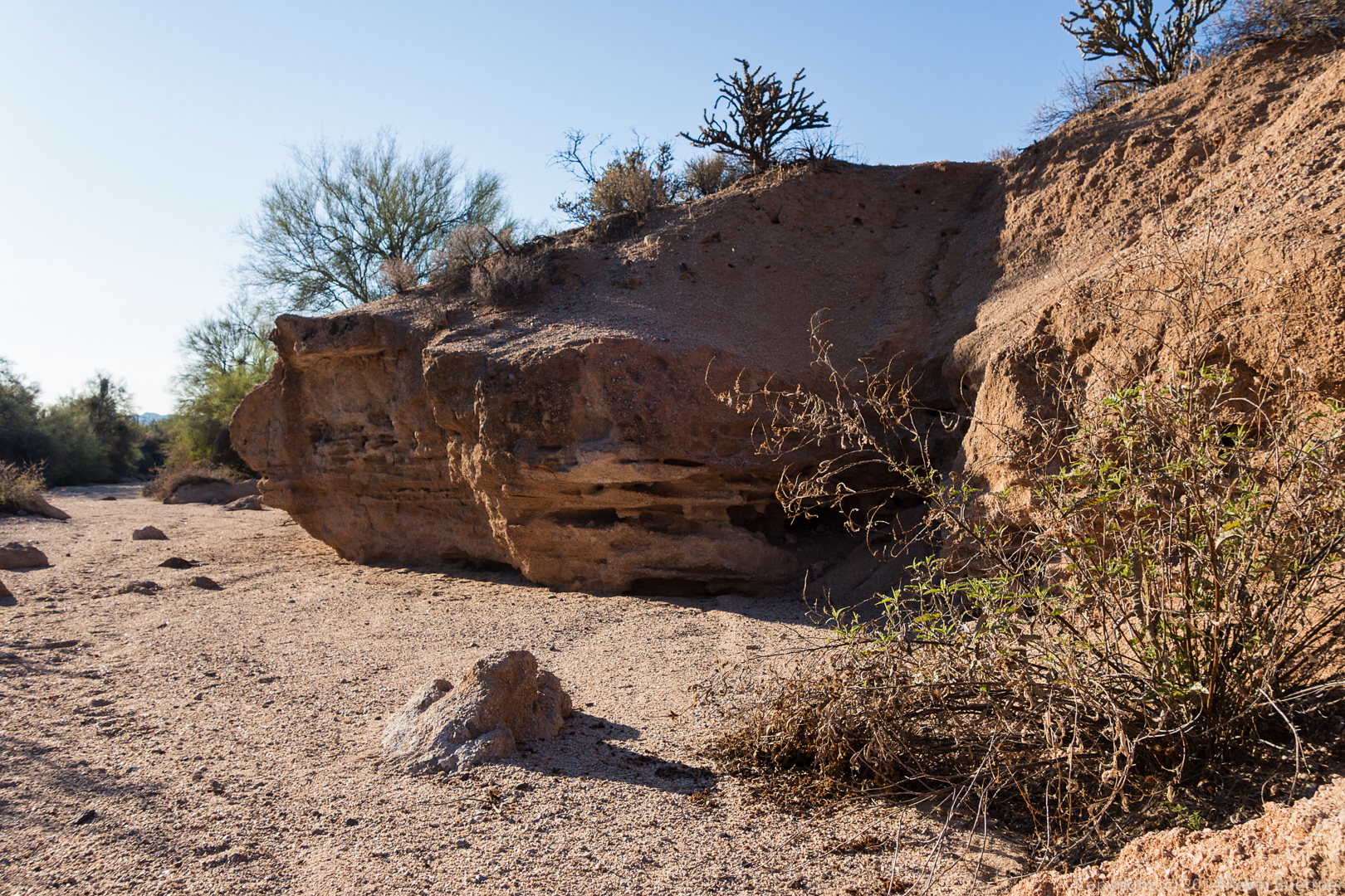
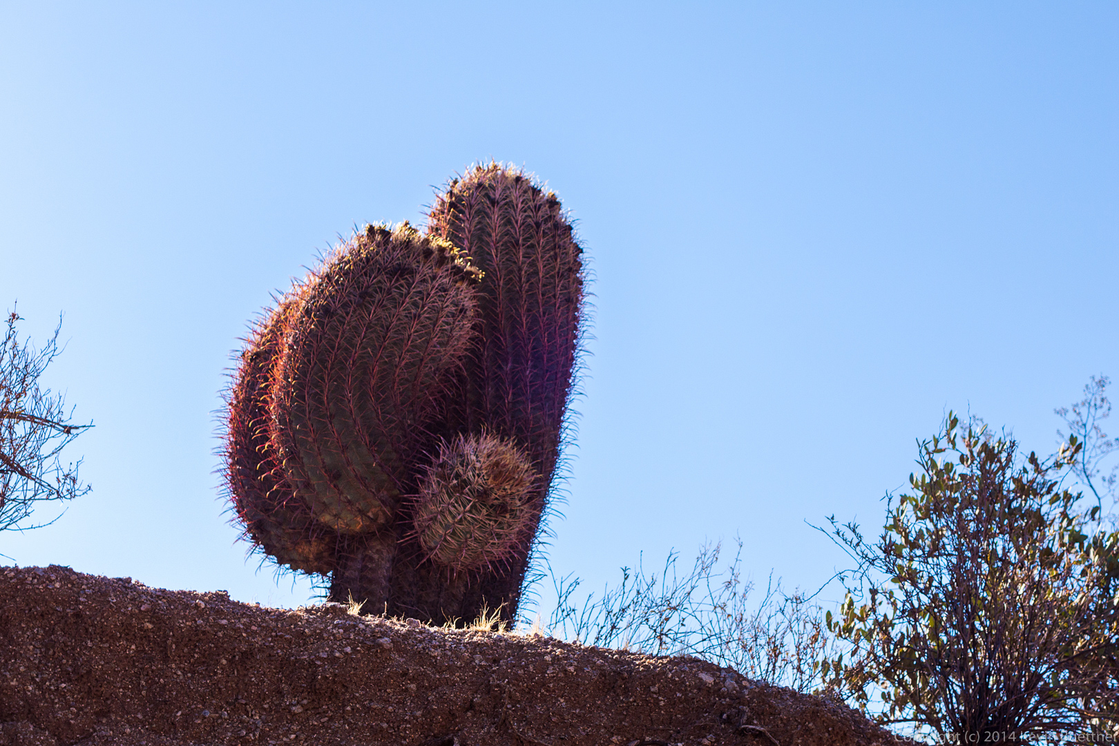
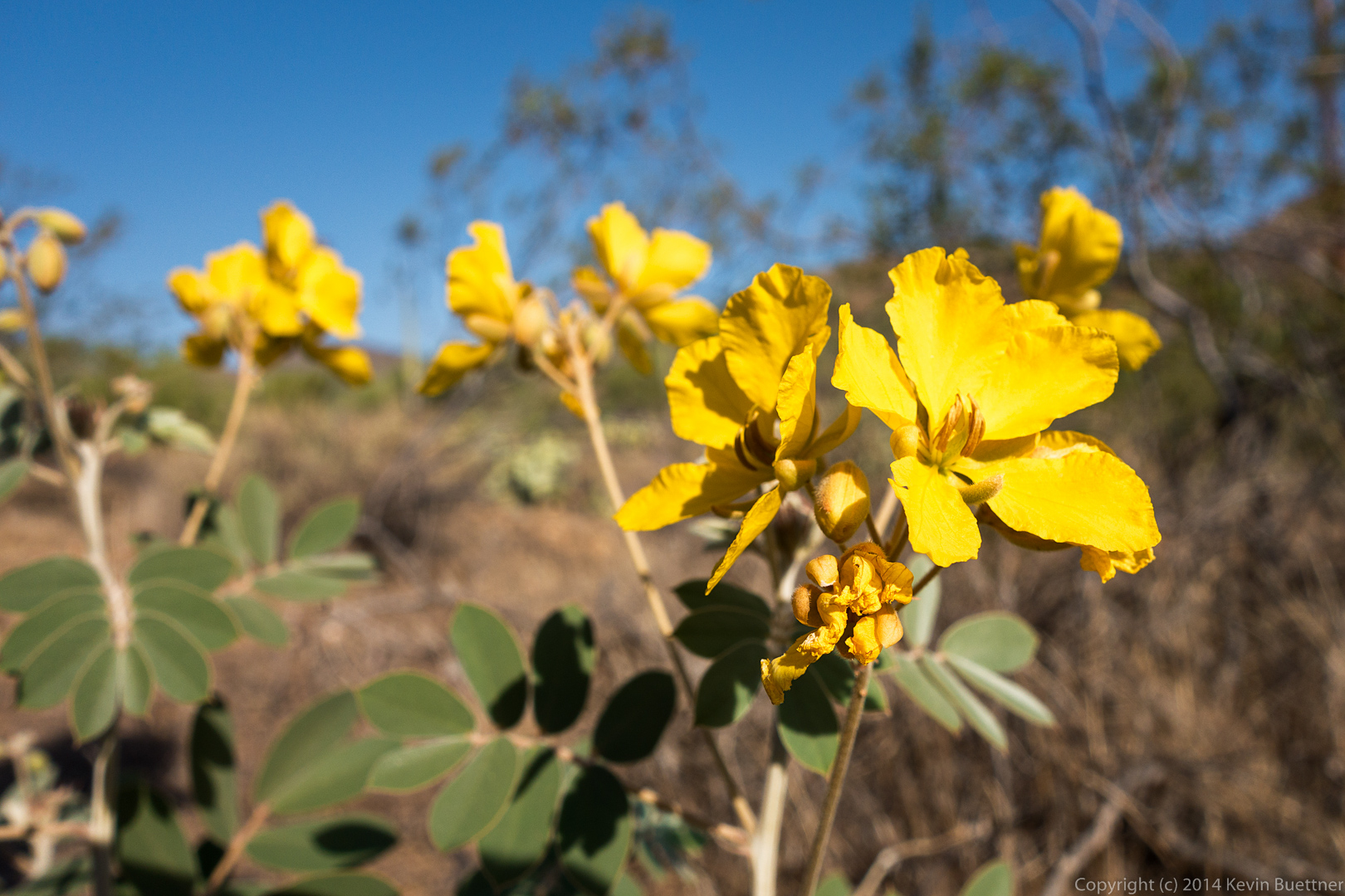
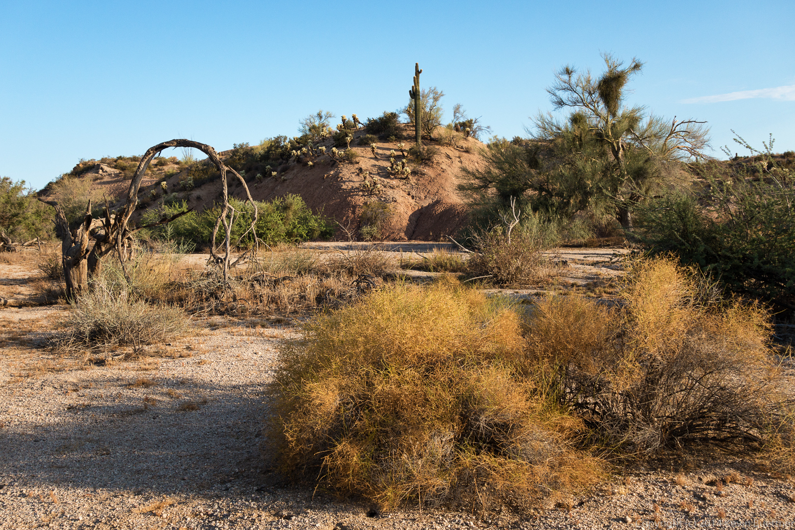
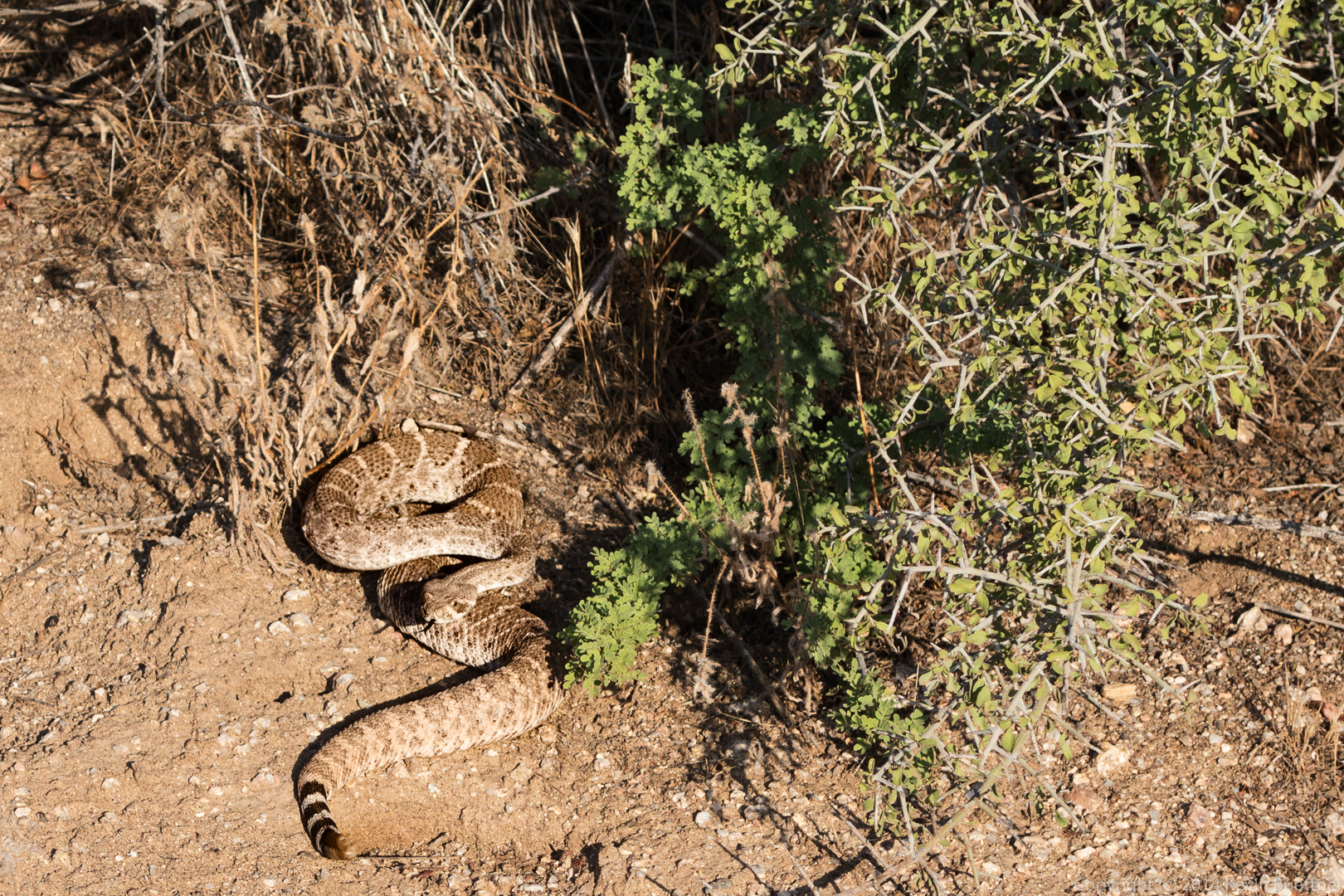
More photos of Shallmo wash…

20140822-DSC05627-Edit-medium20140822-DSC05632-Edit-medium20140822-DSC05660-Edit-medium

Friday Fitness Hike

Bob and I hiked 6.25 miles starting from the Trailhead Staging Area last Friday.

I took this photo from midway up the Hilltop Trail just moments before sunrise.

20140815-DSC05147-Edit-mediumA view looking down the Hilltop Trail.  The trail leads back to the Trailhead Staging Area, which is a large parking lot complete with bathroom and showers.  The early morning light gave the McDowells a magenta glow.
20140815-DSC05151-Edit-medium Other early morning photos, taken shortly after the hike began…

20140815-DSC05161-Edit-medium 20140815-DSC05173-Edit-medium This is a view of Shallmo Wash:20140815-DSC05191-Edit-medium Another view from Shallmo Wash:

20140815-DSC05200-Edit-mediumI took this photo from midway up the hill of the Technical Loop in the Competitive Track area.

20140815-DSC05206-Edit-medium A view from the top of the hill on the Tech Loop.

20140815-DSC05211-Edit-medium

A view from Stoneman Wash:

20140815-DSC05214-Edit-medium A barrel cactus, viewed from the Pemberton Trail, just before climbing out of Stoneman Wash:

20140815-DSC05223-Edit-medium

Friday Fitness Hike

Friday’s Hike started from the Wagner Trailhead.  Linda, Bob, and I hiked 11.3 miles total that day.

A view of the sunrise before the hike:

20140808-DSC05015-Edit-medium

Recent rain has caused the Senna flowers to pop out.

20140808-DSC05032-Edit-mediumAs we hiked some of the washes, we saw evidence of rapidly moving water.

20140808-DSC05038-Edit-medium A rock formation in the wash paralleling the Bluff Trail.

20140808-DSC05041-Edit-mediumMore views from the wash…

20140808-DSC05044-Edit-medium 20140808-DSC05062-Edit-medium 20140808-DSC05068-Edit-medium We saw a large bird, probably a hawk, sitting atop a rock as we hiked a wash.

20140808-DSC05086-Edit-medium I took this photo from the shadow of the saguaro.

20140808-DSC05103-Edit-mediumA view as we neared the Pemberton:

20140808-DSC05104-Edit-mediumApproaching Granite Tank…

20140808-DSC05107-Edit-medium We saw a new gate connecting the Park to the Preserve near Granite Tank.  Linda take a look…

20140808-DSC05110-Edit-medium

We hiked out on one of the new trails on the Preserve side to this rock formation.  Bob and I scrambled to the top.  Linda took these three pictures:

20140708-018-medium 20140708-022-medium 20140708-023-medium A view of Red Mountain from the Granite Trail:

20140808-DSC05131-Edit-medium


Friday Fitness Hike

Friday’s hike started from the Lousley Hill Trailhead.  Bob, Allen, Janet, Sarge, Bella, Savannah, and I hiked one lap on Lousley Hill.  We then hiked up Lousley Wash to the Pemberton Trail and took the Escondido Trail back to Lousley Hill Trail, for a four mile hike. I went on to hike another four miles by myself, adding in another lap of Lousley Hill along the way.  As I was hiking down Lousley Hill, I noticed that my total ascent was at around 700 feet.  I hiked up and down a steep(ish) section of the hill two times to bring the total ascent up to 1,000 feet for the day.

A view of the sunrise from near the Trailhead:

20140801-DSC04804-Edit-medium Allen, Janet, and Bob, with dogs Savannah, Bella, and Sarge part way up the Lousley Hill Trail.

20140801-DSC04839-Edit-medium Lousley Wash:

20140801-DSC04848-Edit-mediumA water break for dogs on Lousley Wash:

20140801-DSC04860-Edit-medium Hiking Lousley Wash…

20140801-DSC04876-Edit-medium A large, many-armed saguaro on the Escondido Trail.

20140801-DSC04904-Edit-medium A hedgehog cactus:

20140801-DSC04913-Edit-medium More saguaros on the Escondido Trail:

20140801-DSC04935-Edit-medium 20140801-DSC04942-Edit-medium Another hedgehog cactus next to the remains of a cholla:

20140801-DSC04959-Edit-mediumRocks encountered along the Escondido Trail…

20140801-DSC04966-Edit-medium 20140801-DSC04978-Edit-medium A view of Red Mountain in the distance.

20140801-DSC04984-Edit-medium Returning on the Escondido Trail:

20140801-DSC04987-Edit-medium A view of the overlook on Lousley Hill.  If you look very closely, you can just make out a railing at the overlook.20140801-DSC05002-Edit-medium A palo verde tree near the top of Lousley Hill:

20140801-DSC05008-Edit-medium

Friday Fitness Hike

Bob and I hiked the Dixie Mine Trail out to the service road for the antenna towers.  We then hiked up to the Prospector Trail and took the first wash down towards the mine. There were a large number of bees around the pools of water at the waterfall, so we worked our way around the waterfall via a different path.  We eventually did end up at the mine and the petroglyphs before hiking back.  Total distance today was only 6.5 miles.

This is the crested saguaro at the trailhead parking lot.

20140725-DSC04633-Edit-medium Another photo at the trailhead:

20140725-DSC04636-Edit-medium This is the wash just off the Prospector Trail:20140725-DSC04669-Edit-medium A look back at a fun rock upon which to scramble:

20140725-DSC04675-Edit-mediumStill in the wash…

20140725-DSC04678-Edit-medium A view from the top of the (mostly dry) waterfall.

20140725-DSC04685-Edit-medium A view looking down upon the same area in the previous picture.  We had gained quite a lot of elevation between the previous shot and this one.

20140725-DSC04690-Edit-medium A view of the mine.  If you look closely, you can see the metal protective grate over the mine shaft at the top of the tailings.

20140725-DSC04709-Edit-medium A photo of the main petroglyph panel:

20140725-DSC04711-Edit-medium As I was leaving the mine area, I noticed what appeared to be a large, very textured root.

20140725-DSC04717-Edit-medium We saw flowers on the way back.  We were both surprised by this because, although we’ve gotten rain recently, the highs have been over 110 degrees.  The flowers did look somewhat wilted.

20140725-DSC04741-Edit-medium A view from the Dixie Mine Trail:

20140725-DSC04747-Edit-medium

Friday Fitness Hike

Sarge, Bob, Linda, and I hiked seven miles on Friday.  Starting from the Wagner Trailhead, we walked across the street and took Tortoise to Pemberton, Pemberton to Stoneman Wash, Stoneman Wash to the Bluff Trail Wash, Bluff Trail Wash to Granite, Granite to Wagner, and Wagner back to the trailhead.  (The Bluff Trail Wash feeds into Stoneman Wash.  The Bluff Trail overlooks this wash.)

I arrived at the trailhead just after sunrise, but fortunately, there were some nice clouds obscuring the sun, giving me this shot:

20140718-DSC04460-Edit-medium-3A view from the Tortoise Trail.  Weaver’s Needle is barely visible in the distance.

20140718-DSC04474-Edit-medium This is a view from the Pemberton as it descends into Stoneman Wash.  Red Mountain is visible in the distance.

20140718-DSC04480-Edit-medium There’s an area just off of the Pemberton, but adjacent to Stoneman Wash which was a test site for possible clay mine operations.  There are a number of mounds in this area.

20140718-DSC04486-Edit-medium-2 Another view of some of these mounds, just after entering Stoneman Wash.

20140718-DSC04489-Edit-mediumSarge, taking in some water.

20140718-DSC04498-Edit-medium Seed pods on a palo verde tree.

20140718-DSC04522-Edit-medium Another interesting tree in Stoneman Wash.

20140718-DSC04525-Edit-medium This is a view from near the abandoned car in Stoneman Wash.  (I decided not to take yet another photo of the car this time around.)20140718-DSC04534-Edit-medium-2 Saguaros in Stoneman Wash:

20140718-DSC04549-Edit-medium Linda spotted this rattlesnake.  It didn’t let me get very close for a photo.

20140718-DSC04570-Edit-medium A view of Weaver’s Needle from Stoneman Wash:

20140718-DSC04579-Edit-medium Sarge, getting some more water on the Granite Trail.

20140718-DSC04606-Edit-medium Bob noticed that a large cloud bank was casting obvious shadows…

20140718-DSC04624-Edit-medium


Friday Fitness Hike

Bob, Linda, and I started from the Horse Staging Area on Friday and hiked a little over 7.5 miles.

Sunrise:

20140711-DSC04370-Edit-mediumI took this photo from the parking lot, just after sunrise:

20140711-DSC04378-Edit-medium A view from the Cinch Trail:

20140711-DSC04387-Edit-medium Things are looking mighty brown from the Scenic Trail:

20140711-DSC04393-Edit-medium We found this wash which lead us over to the Escondido Trail:

20140711-DSC04405-Edit-medium A view from the Escondido Trail:

20140711-DSC04420-Edit-medium

Friday Fitness Hike

Bob and I hiked up past the Thumbnail Pinnacle to the East End on Friday.  We hiked five miles in about five hours, with a total accumulated ascent of over 1800 feet.

20140627-_DSC5767-Edit-medium A look out towards Four Peaks.  Submarine rock is just visible above the rock at the bottom-left of the photo.

20140627-_DSC5776-Edit-medium Much of the hike followed trails on steep and loose terrain.

20140627-_DSC5785-Edit-medium Several views of the Thumbnail Pinnacle…

20140627-_DSC5791-Edit-medium 20140627-_DSC5803-Edit-medium 20140627-_DSC5809-Edit-medium 20140627-_DSC5833-Edit-medium A rock outcropping above the Thumbnail Pinnacle:

20140627-_DSC5842-Edit-medium Two more views of the Thumbnail Pinnacle from higher up.  From this vantage point it sort of looks like a vertical spire (but it’s not).

20140627-_DSC5845-Edit-medium 20140627-_DSC5848-Edit-mediumLooking southwest from the end of the ridge above the Thumbnail Pinnacle…

20140627-_DSC5857-Edit-medium Once atop the ridge, the East End is fairly close, but it takes quite a while to get there.  The ridge is littered with large boulders and prickly vegetation.  There is a trail along the top of the ridge, but following it is challenging.  We came upon these two saguaros as we were making our way along one side of the ridge.  We eventually climbed above the saguaros and then found it easier to go back to the other side of the ridge.

20140627-_DSC5872-Edit-medium More views of the saguaros from somewhat higher up.  I scrambled up a boulder that was well above the saguaro on the left.  It was even with the upper part of the saguaro on the right.

20140627-_DSC5878-Edit-medium 20140627-_DSC5890-Edit-medium A look back at the boulder-strewn ridge from where we came.

20140627-_DSC5911-Edit-medium Bob and I hiked over to a rock formation known as Goat Hill.  This is a view from a rock pile somewhat east of Goat Hill.

20140627-_DSC5926-Edit-medium We made our way down that rock pile.  I took this photo from the “low” area in between the two rock piles.

20140627-_DSC5938-Edit-medium Bob, standing at the edge (and the top) of Goat Hill.

20140627-_DSC5941-Edit-mediumBob took a photo of me in the same location.

20140627-_DSC5965-Edit-medium Descending Goat Hill…

20140627-_DSC5974-Edit-medium After leaving Goat Hill, we made our way over to the top of Morrell’s Wall (I think).  On the way back, we noticed that we had another great view of the Thumbnail Pinnacle.  In this shot, I zoomed my lens all the way to 70mm.

20140627-_DSC5998-Edit-medium A wide angle view from the same location.

20140627-_DSC6007-Edit-mediumViews of Glass Dome, Tom’s Thumb, and Gardener’s Wall as we descended to rejoin the Tom’s Thumb Trail.

20140627-_DSC6016-Edit-medium

Friday Fitness Hike

We hiked the Scenic Trail on Friday; we kept the hike short because several of us had other things that we needed to get done that morning.  Bob brought along Sarge and Allen and Janet brought along their dogs, Savannah and Bella.

Sarge (with Bob):20140620-DSC04152-Edit-medium

Bella, Savannah, and Sarge, shortly after meeting for the first time.  The dogs were very interested in each other, but Bella noticed me squatting down and came over to see what I was doing.

20140620-DSC04178-Edit-medium Red Mountain with a very dry desert in the foreground.

20140620-DSC04236-Edit-medium Hiking up the Scenic Trail.

20140620-DSC04242-Edit-medium Water break for doggies (and people too).20140620-DSC04278-Edit-medium Red Mountain, again.

20140620-DSC04302-Edit-medium 20140620-DSC04323-Edit-mediumAnother break.  I had everyone pose for a photo a minute or so earlier, but I like this shot better.

20140620-DSC04341-Edit-medium20140620-DSC04349-Edit-medium Sarge, Bella, and Savannah (with Allen).20140620-DSC04361-Edit-medium

Friday Fitness Hike

Friday’s hike started at the Wagner Trailhead.  We hiked a bit over seven miles total.

A view of Four Peaks from the Wagner Trail.

20140613-DSC04084-Edit-medium We came across a rattlesnake, but it moved quickly – I didn’t get a very good photo of it.

20140613-DSC04094-Edit-medium A couple of rock formations that we saw along the way…

20140613-DSC04127-Edit-medium 20140613-DSC04130-Edit-medium Janet, Linda, Allen, and Bob hiking Stoneman Wash:

20140613-DSC04145-Edit-medium