Bob and I did some scouting for our upcoming Robber’s Roost hike…
Tag: Superstition Wilderness (page 3 of 4)
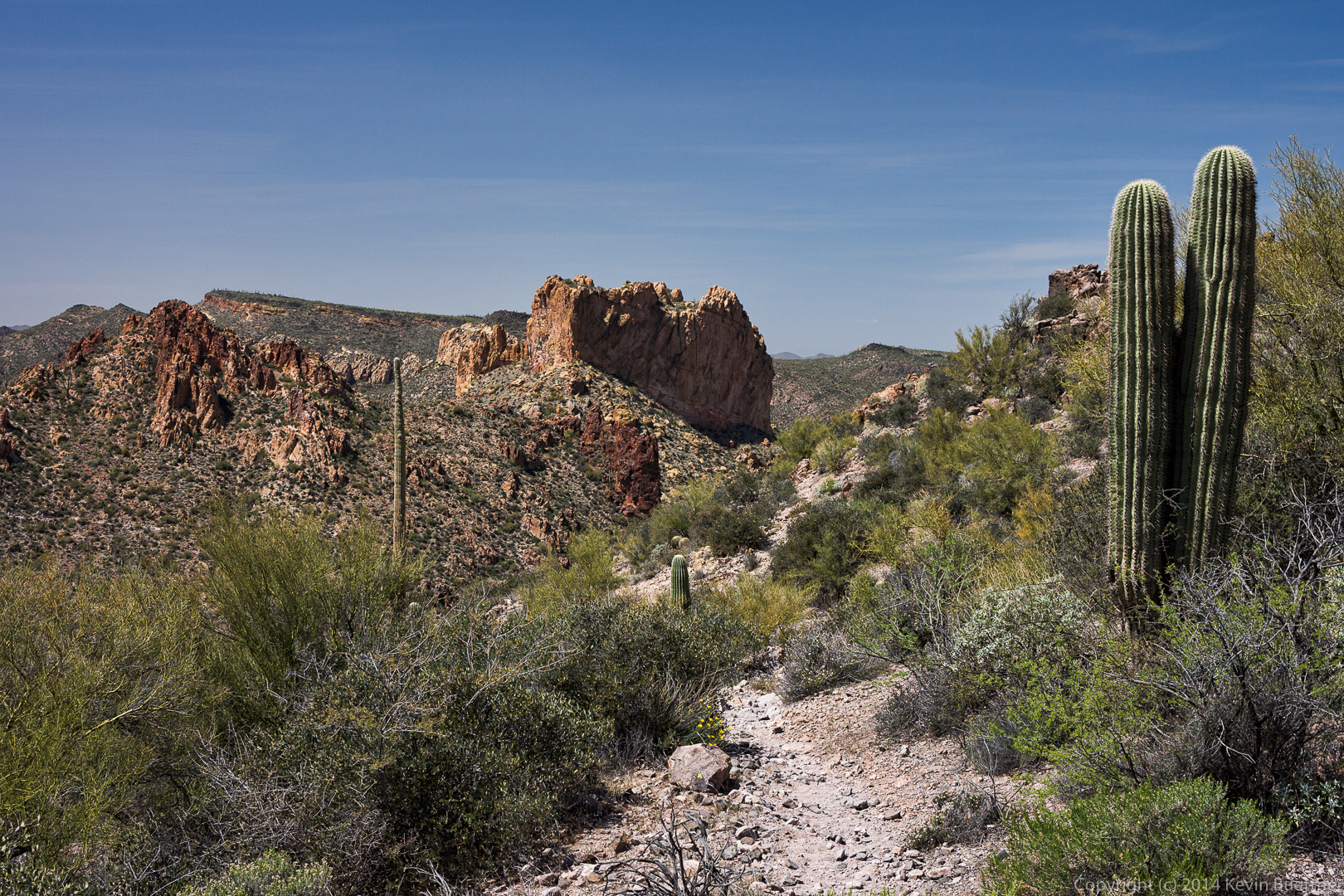
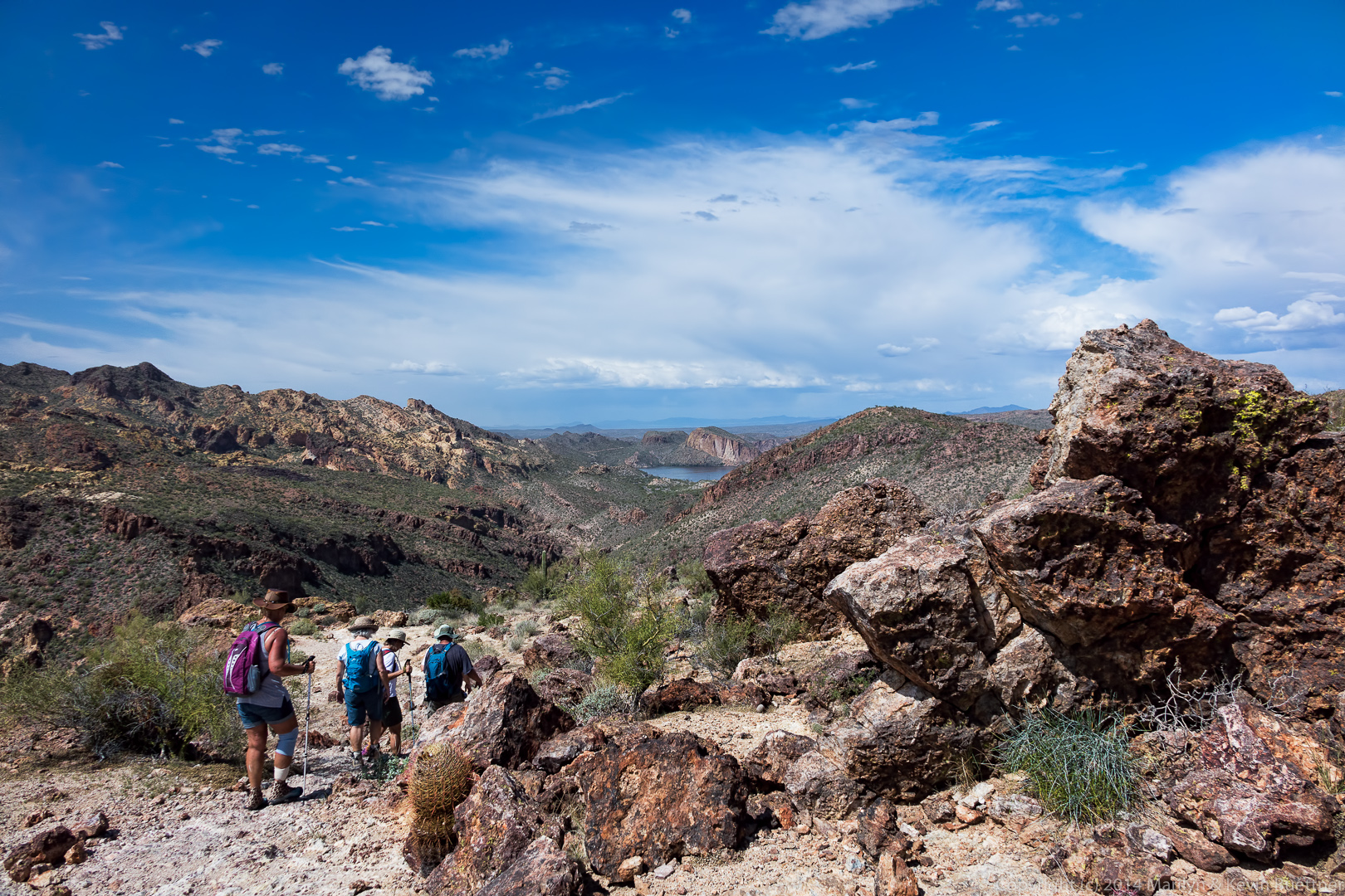
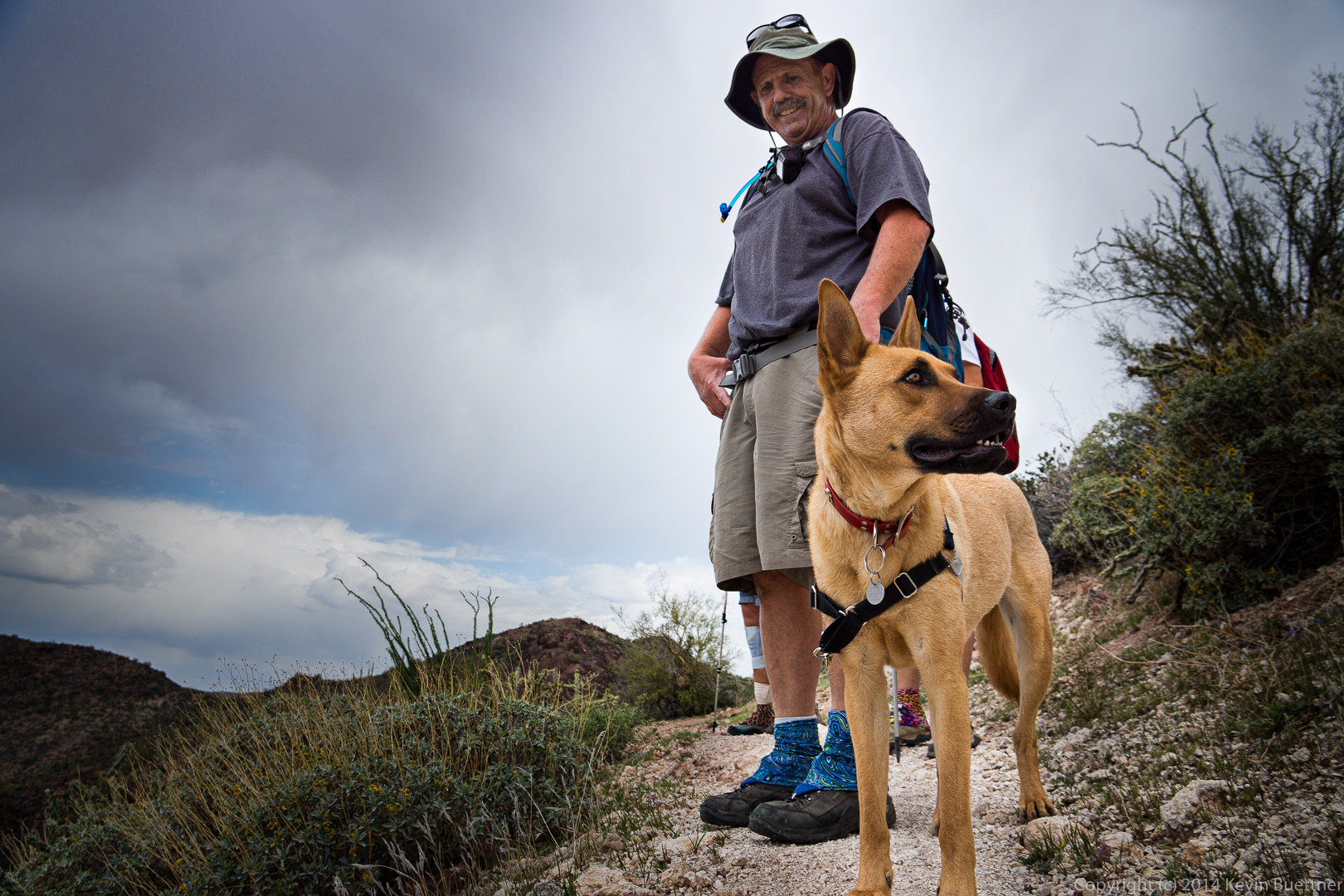
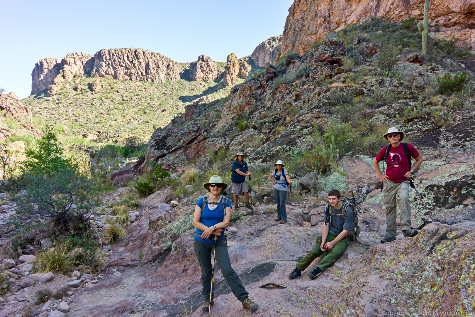
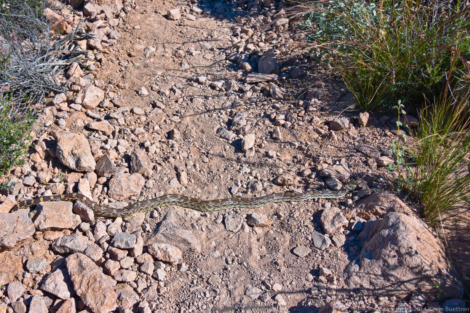
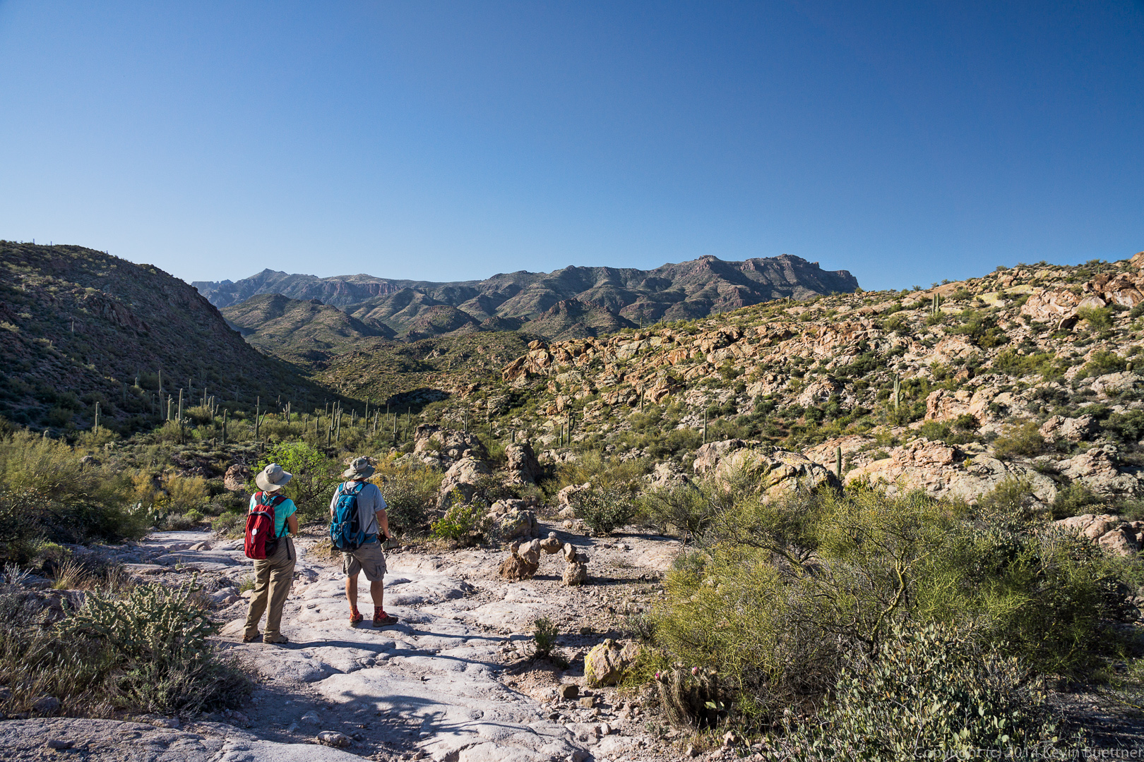
Bob and I hiked a loop which took us past a cool balanced rock and then took us to the highest peak in the western Superstitions. We returned by by hiking back through Hieroglyphic Canyon as the sun was setting. We hiked somewhat less than eight miles in nearly ten hours. We took two 10-20 min breaks during our hike (so that we could pull thorns out of our feet). We took other, shorter, breaks to figure out where the route went. We got off track several times, mostly due to following a well defined path (which often had cairns) which didn’t correspond to the GPS track – we probably wouldn’t have figured it out without the GPS track. Aside from those few breaks, we were on the move all day long.
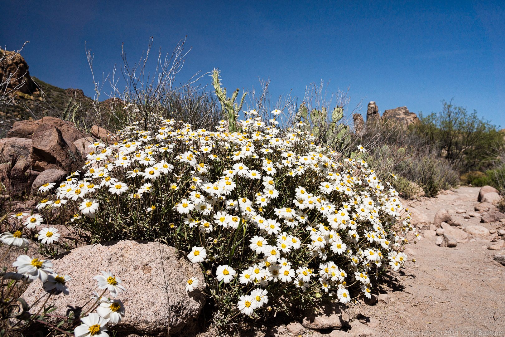
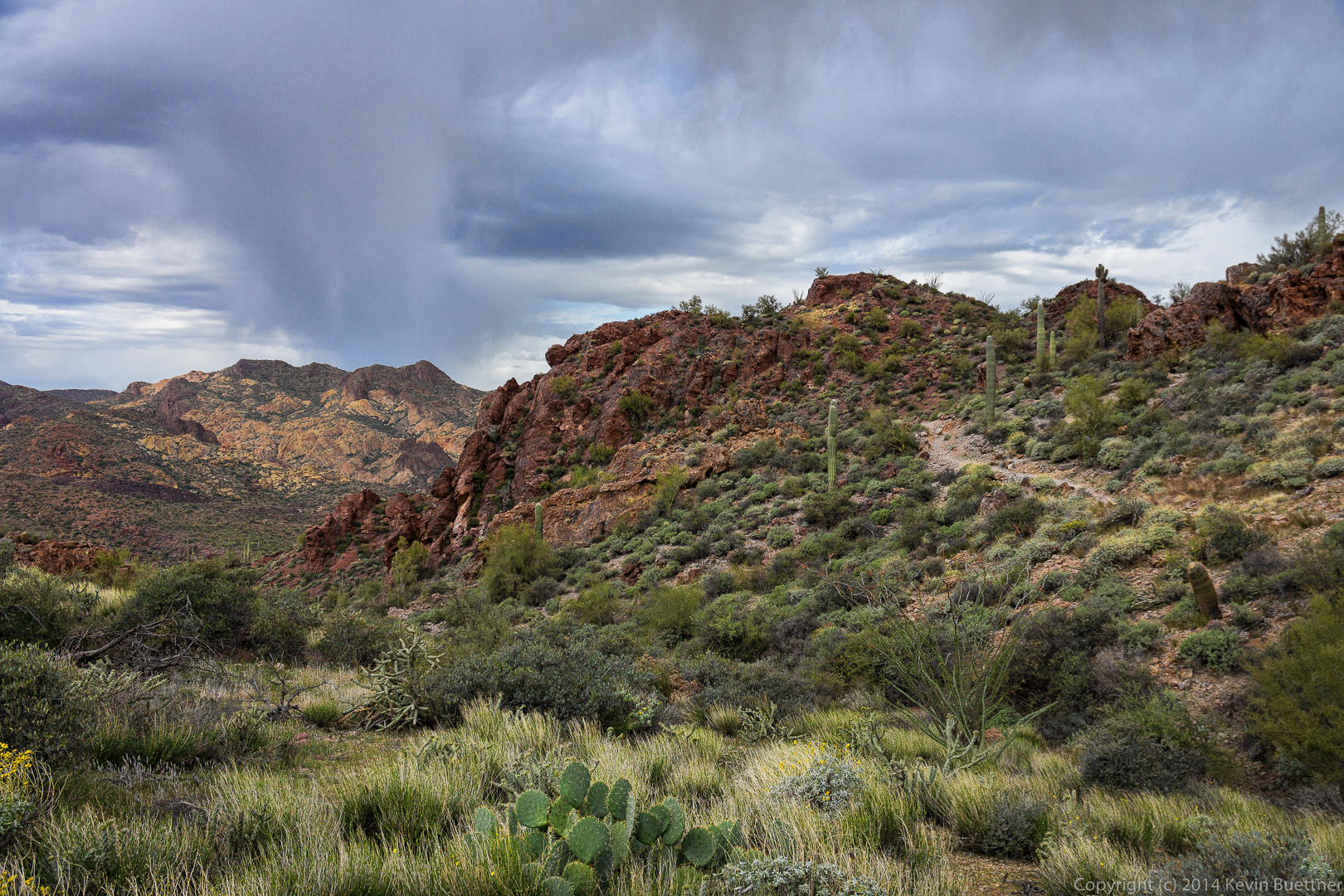
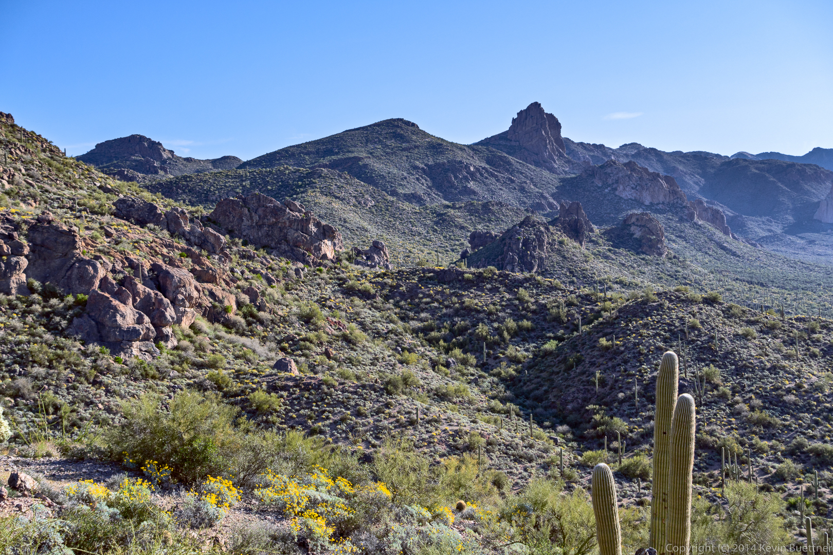
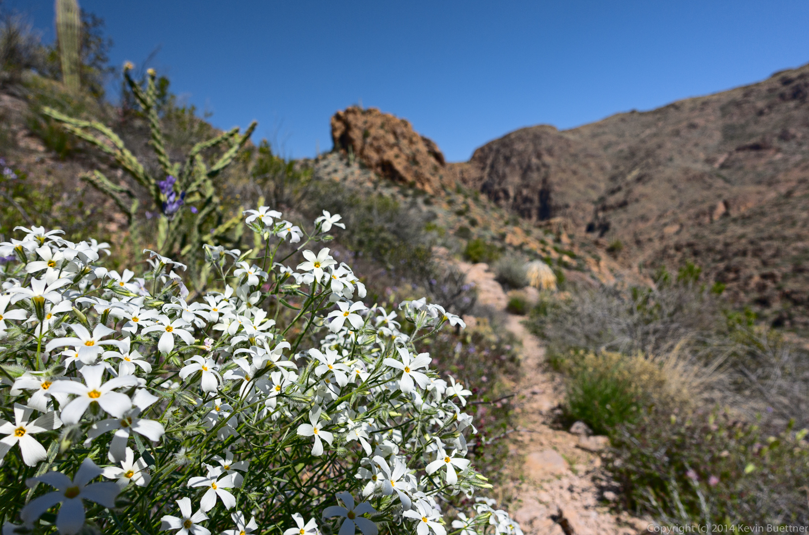
The area is very scenic and well worth hiking. It’s not an easy hike though; we both wished that we had gotten an earlier start – we were only about halfway around the loop at around 3:00 in the afternoon. At that point I thought that we’d eventually have to get our headlamps out, but we got back just as it was getting really dark.
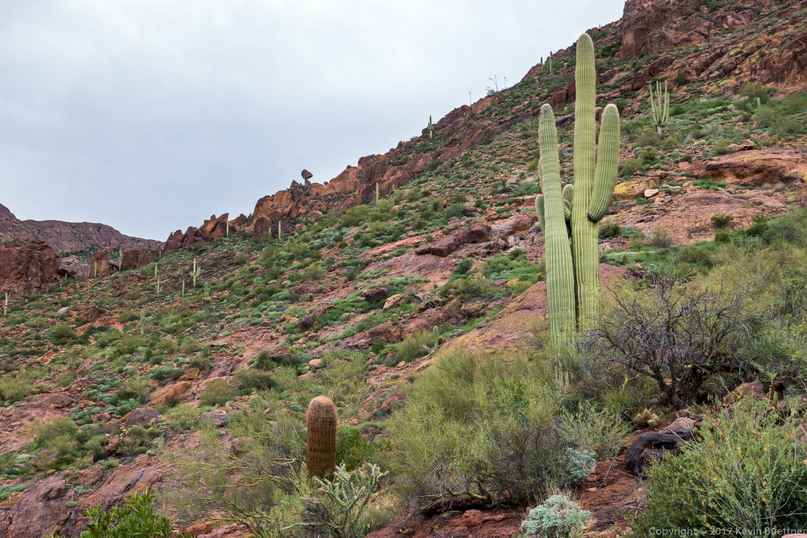
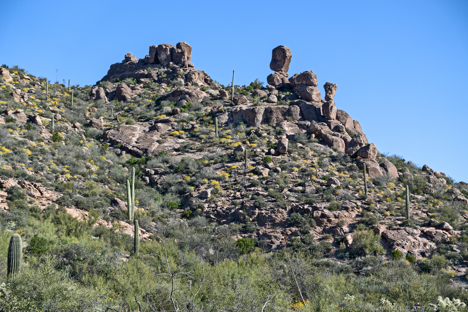
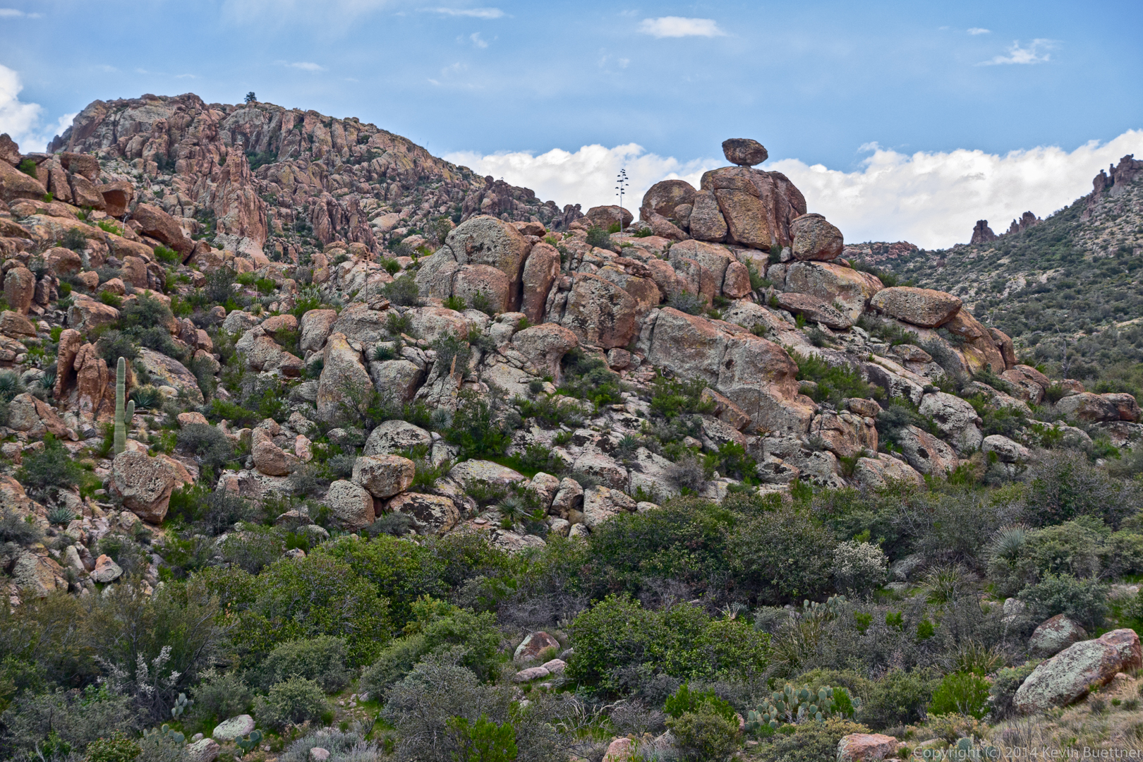
This is a view of the balanced rock from a distance:
We’re getting closer here. As we got even nearer, we ended up below it and lost sight of it for a while.

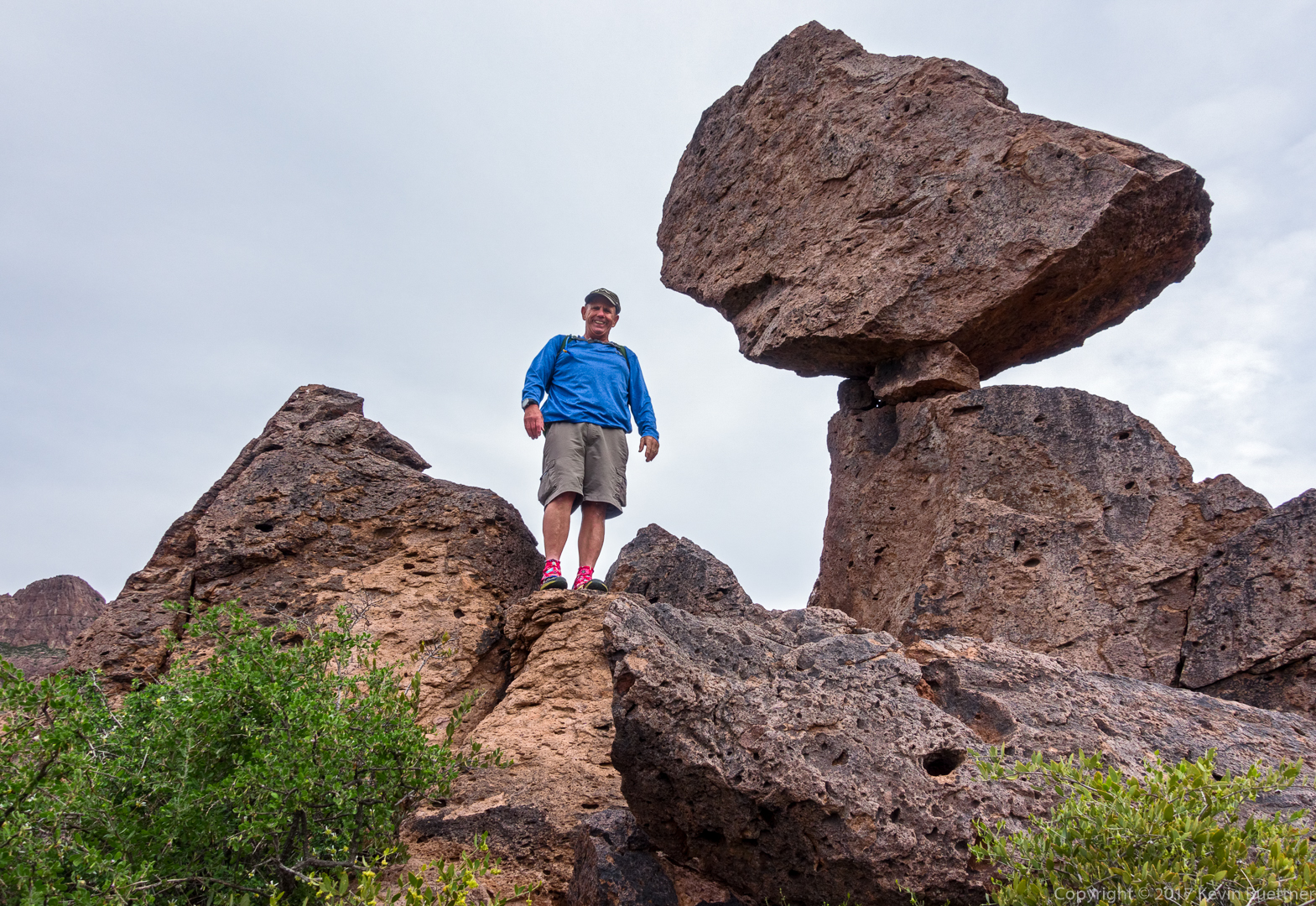
Bob, next to the balanced rock:
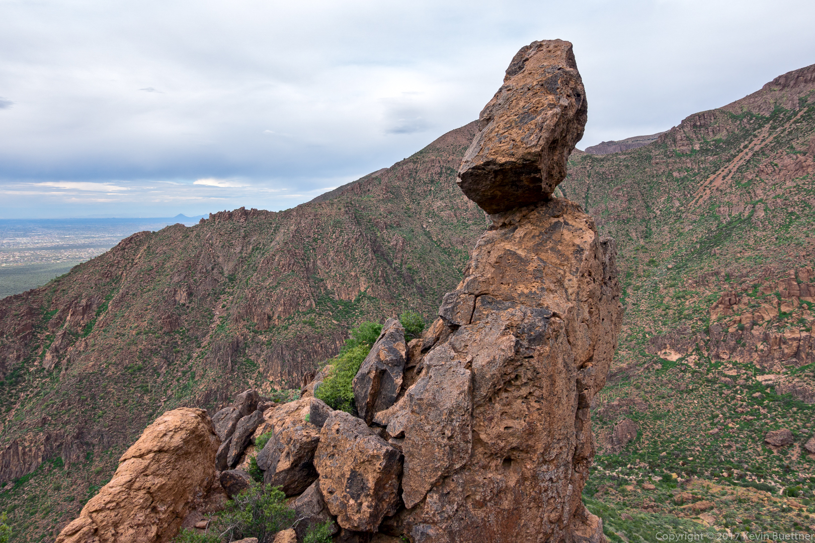
Another view of the balanced rock. At this point, we had climbed a short ways up the ridge to the right of the rock from the earlier photo.
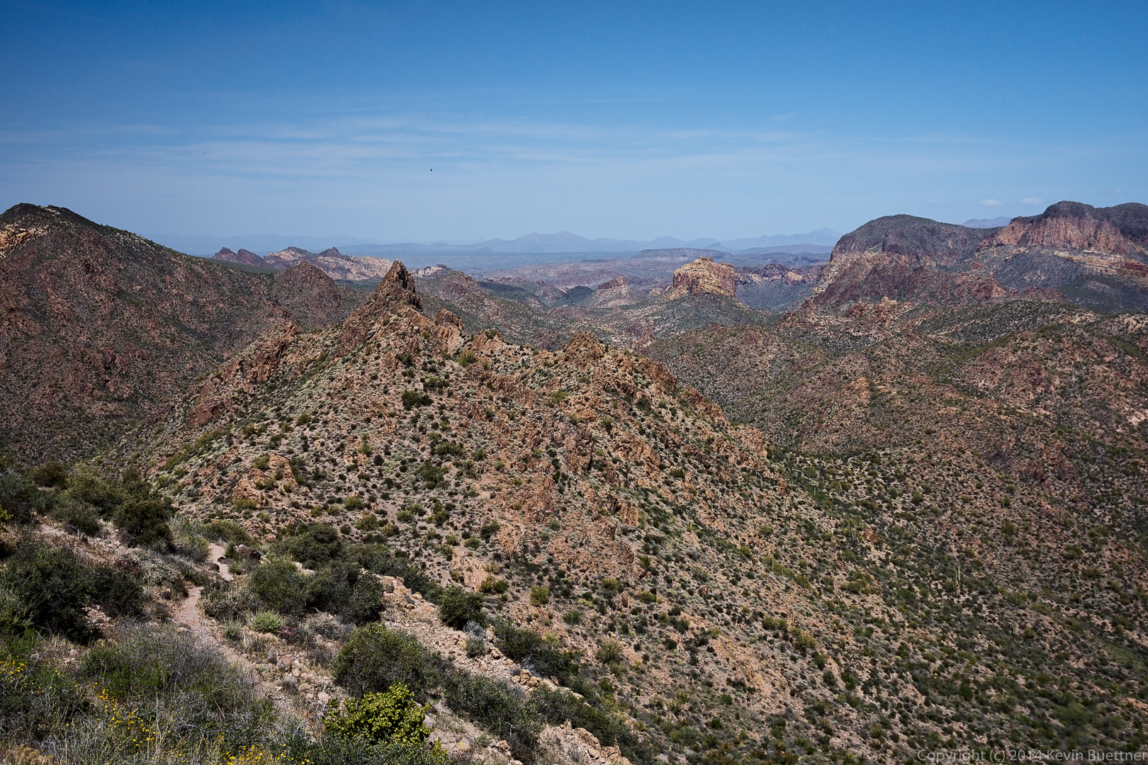
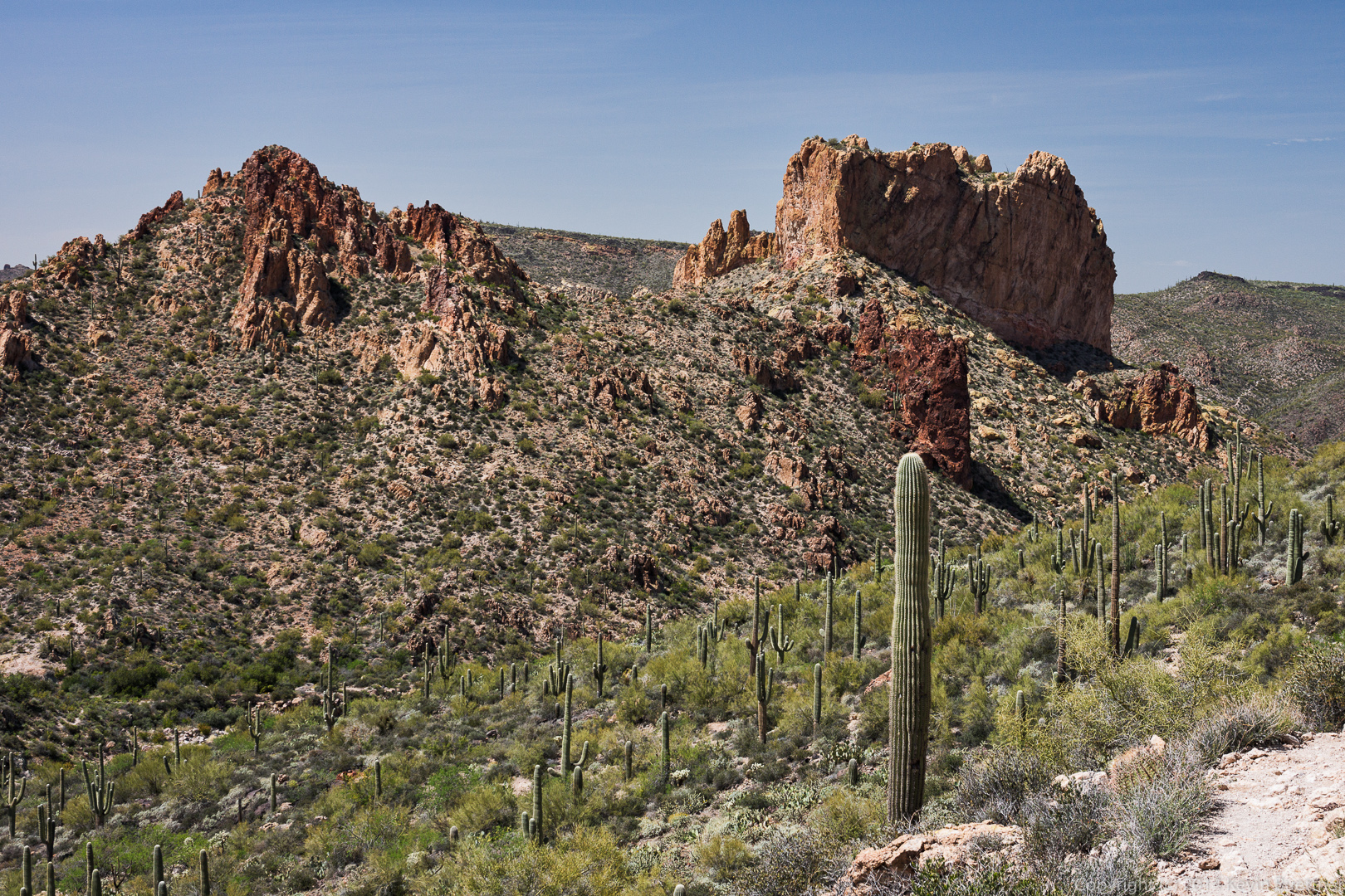
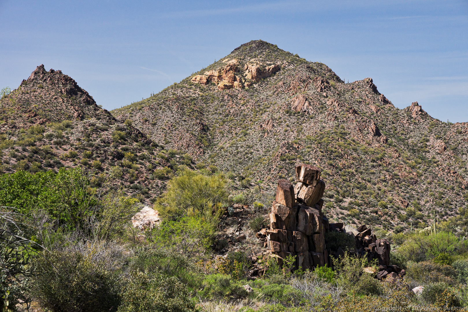
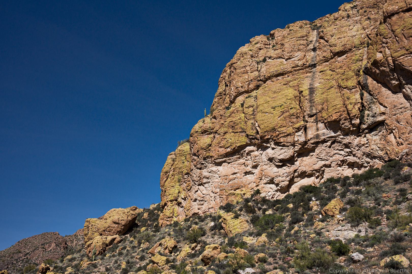
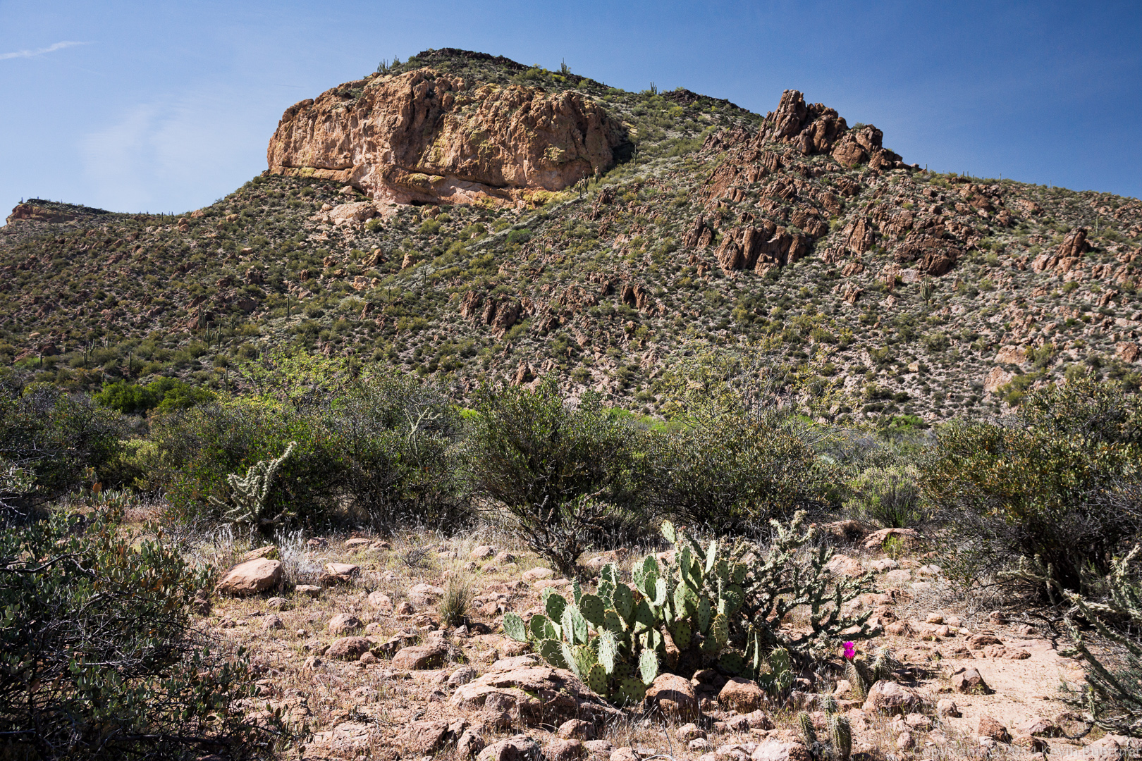
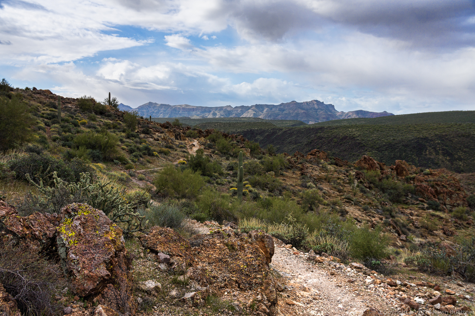
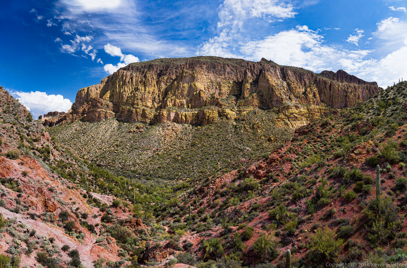
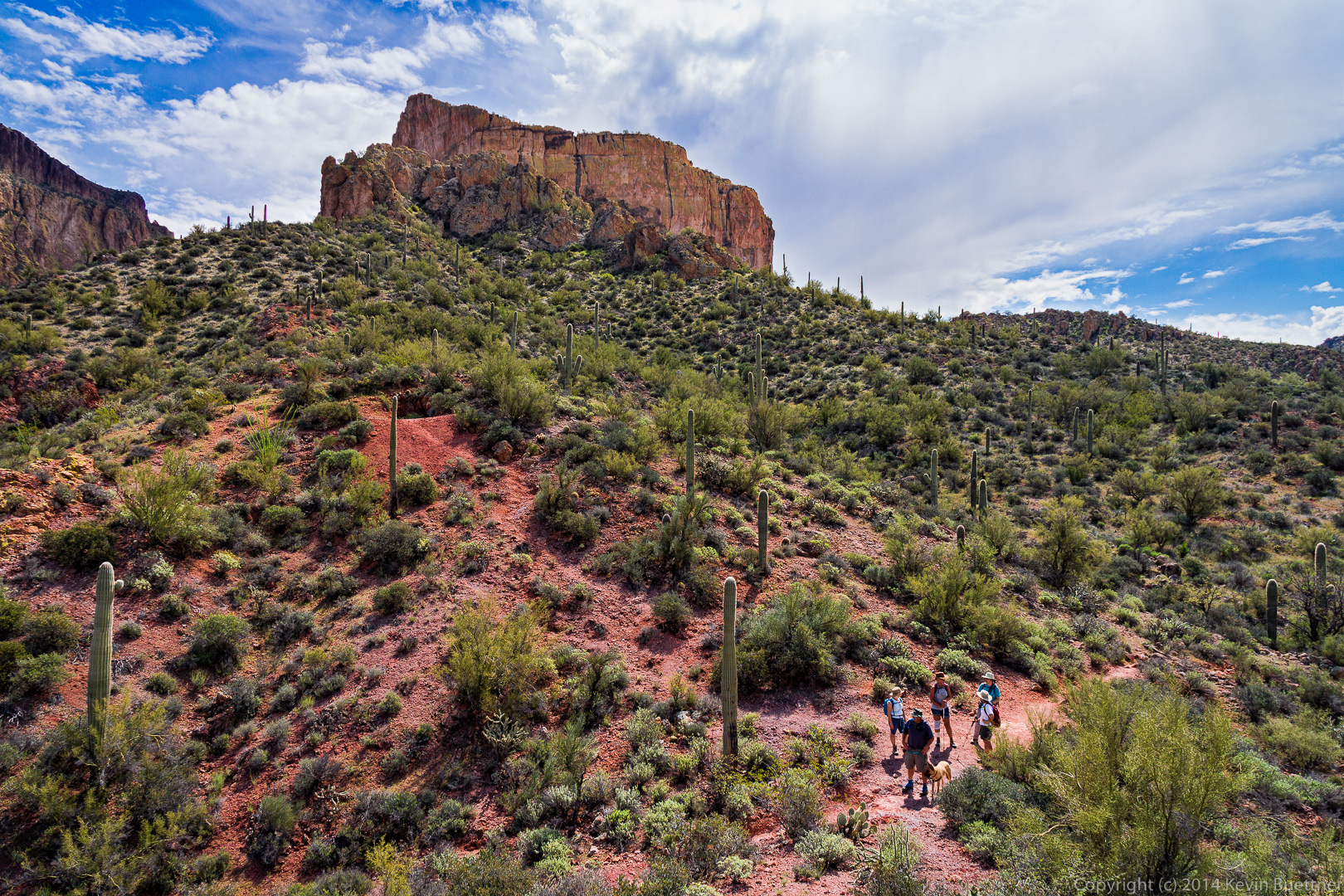
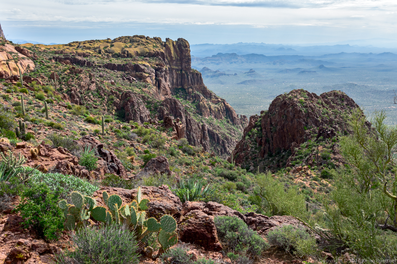
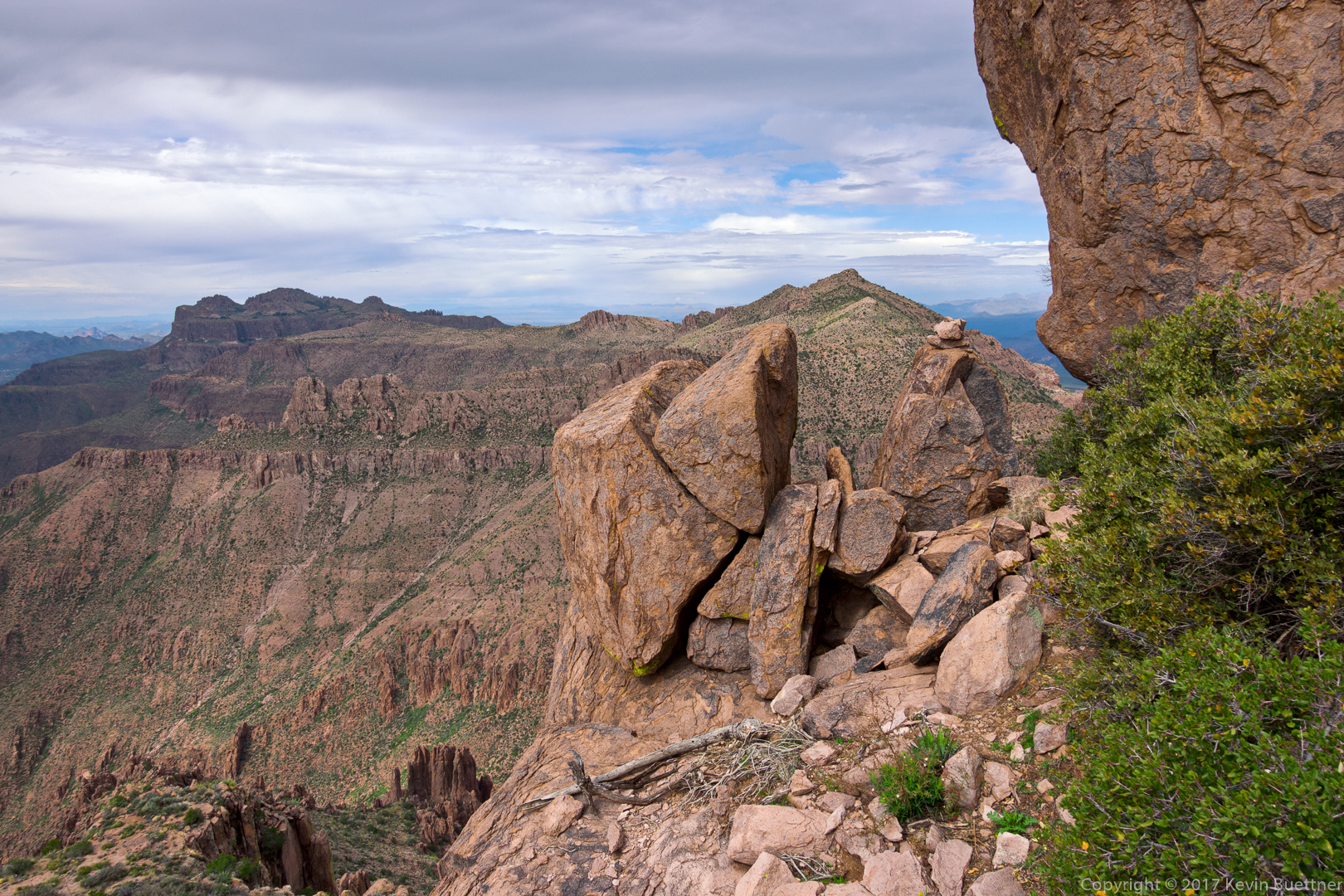
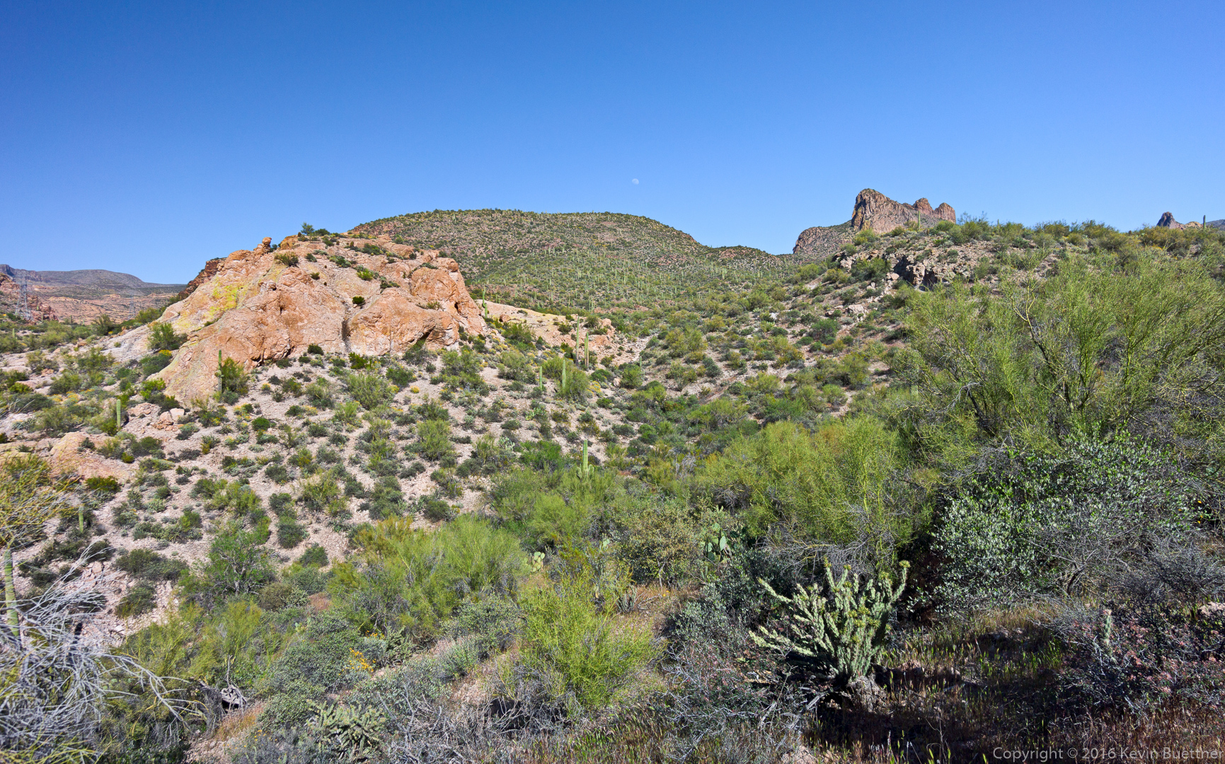
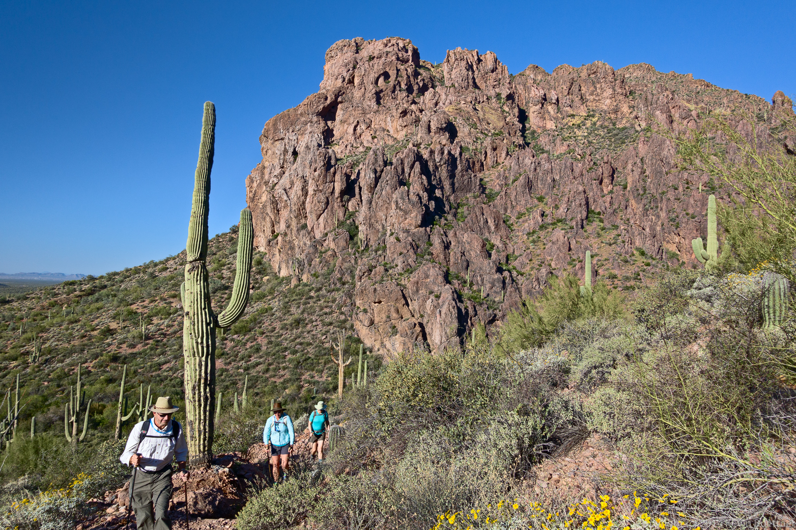
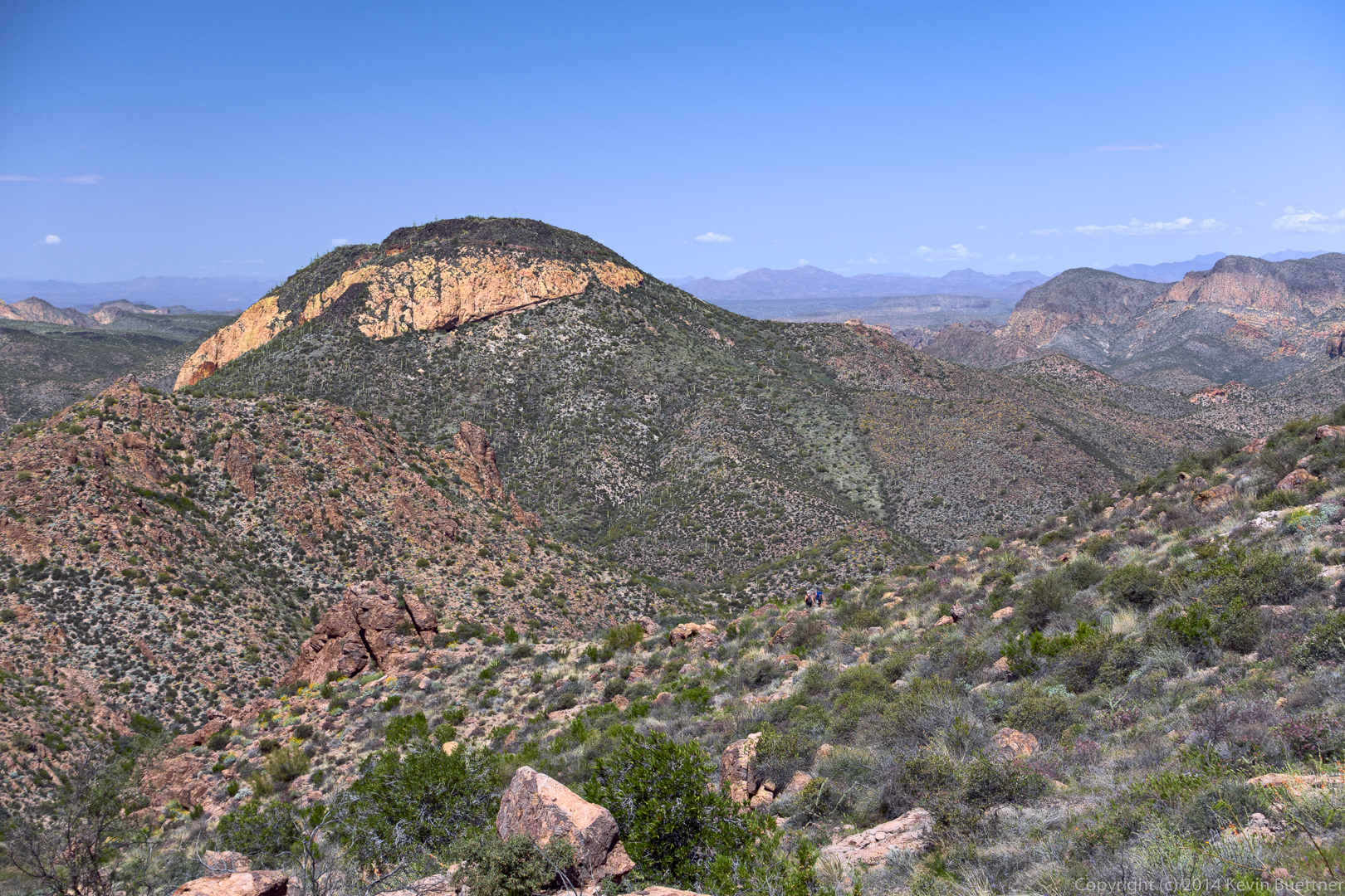
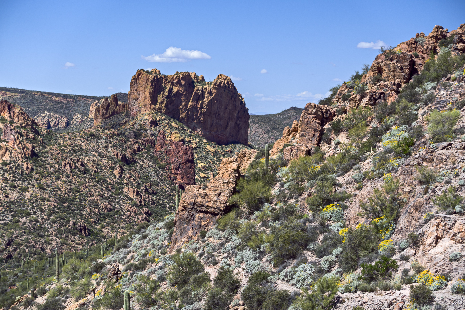
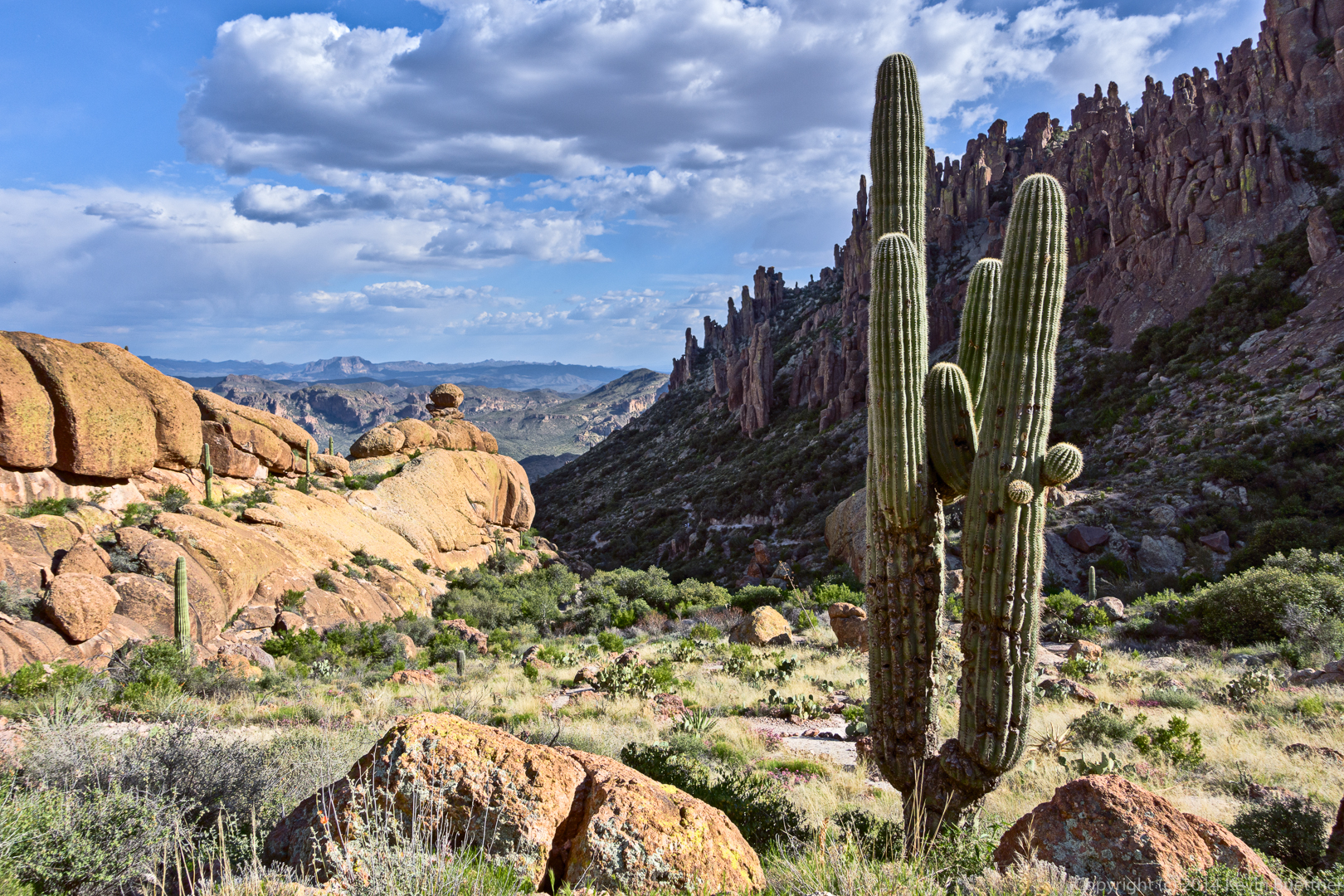
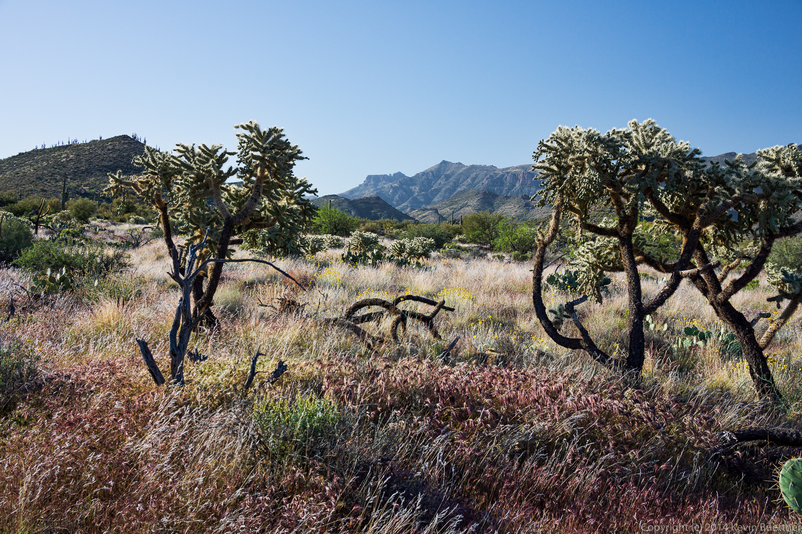
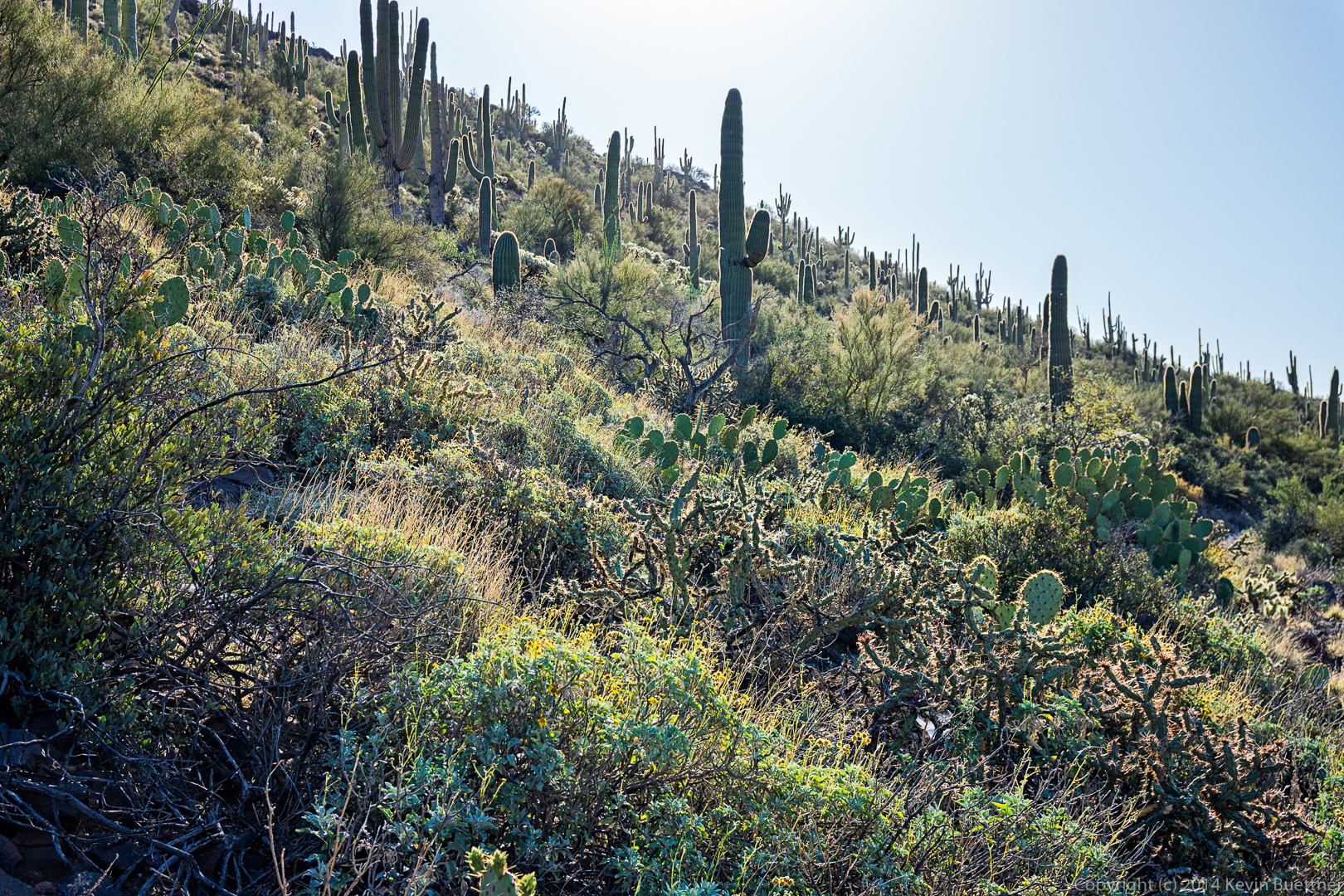
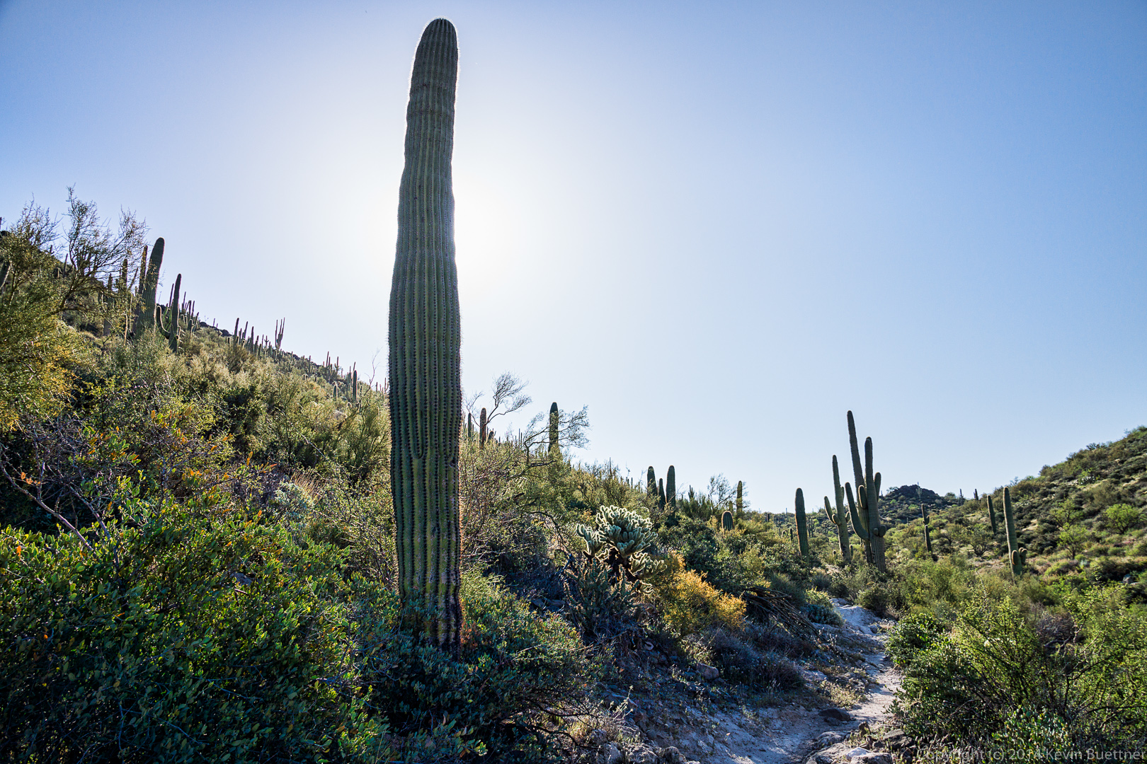
The views got even better as we got higher!
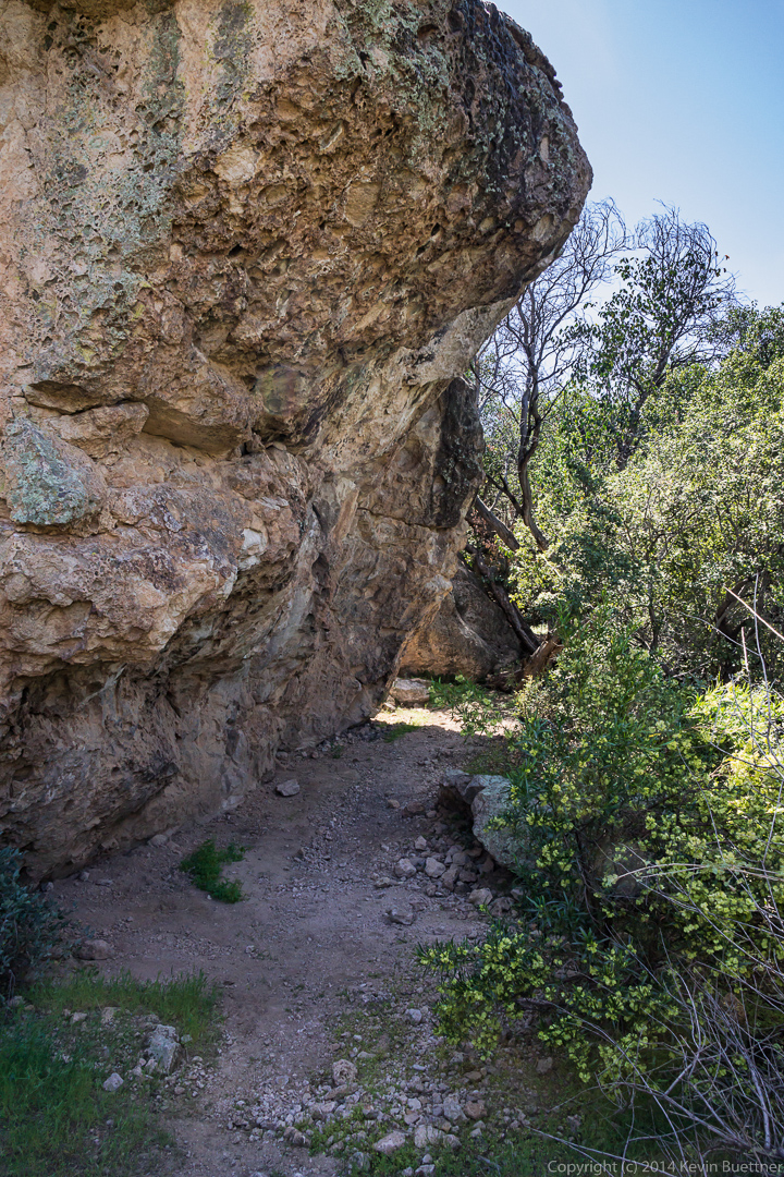
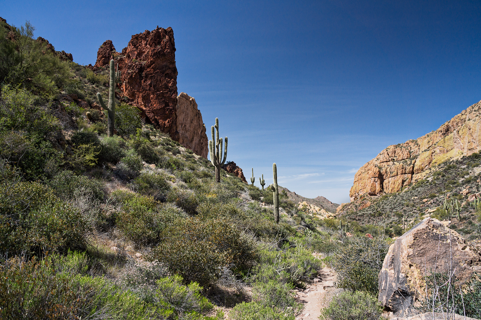
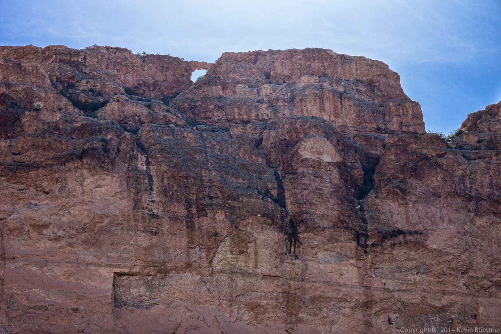
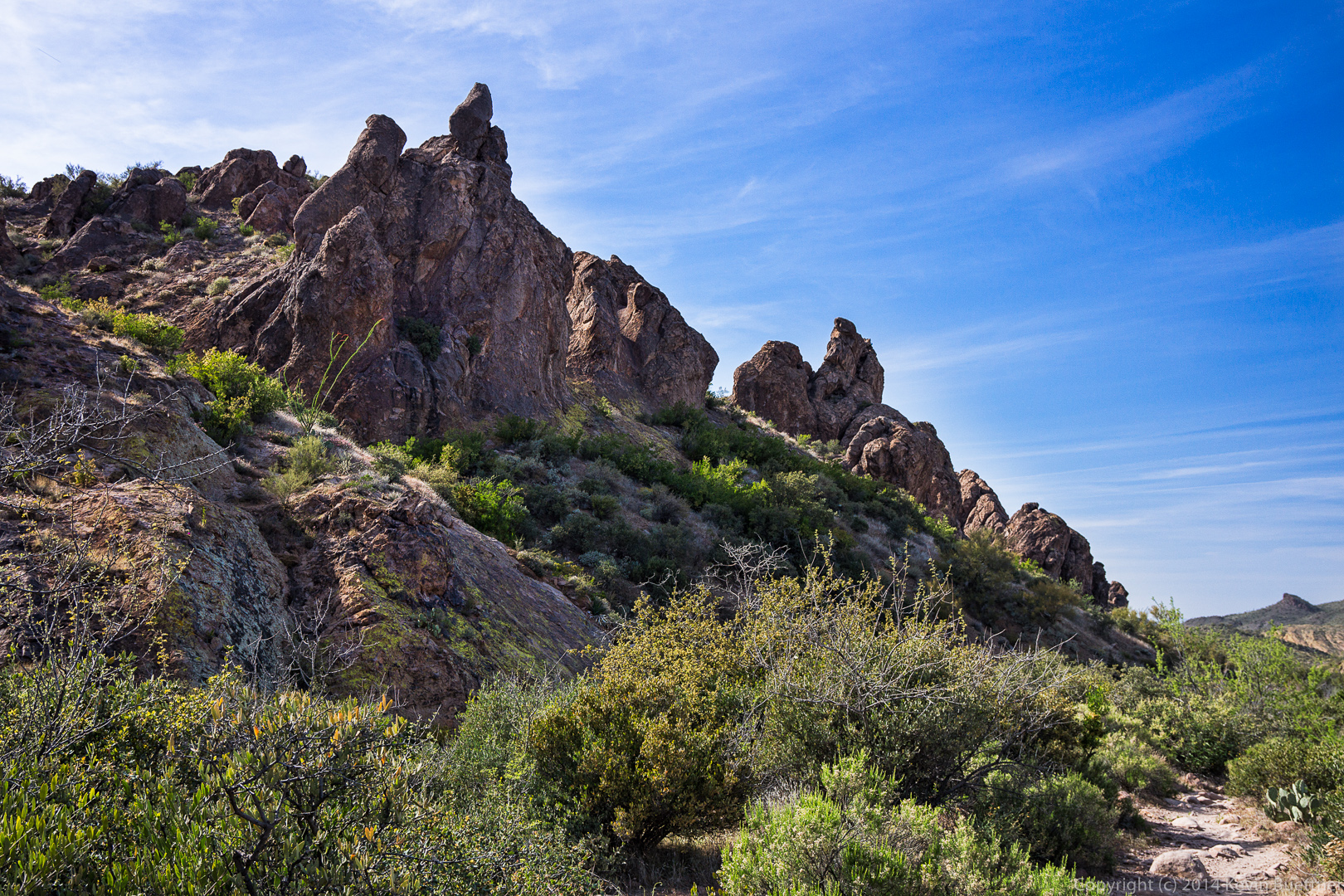
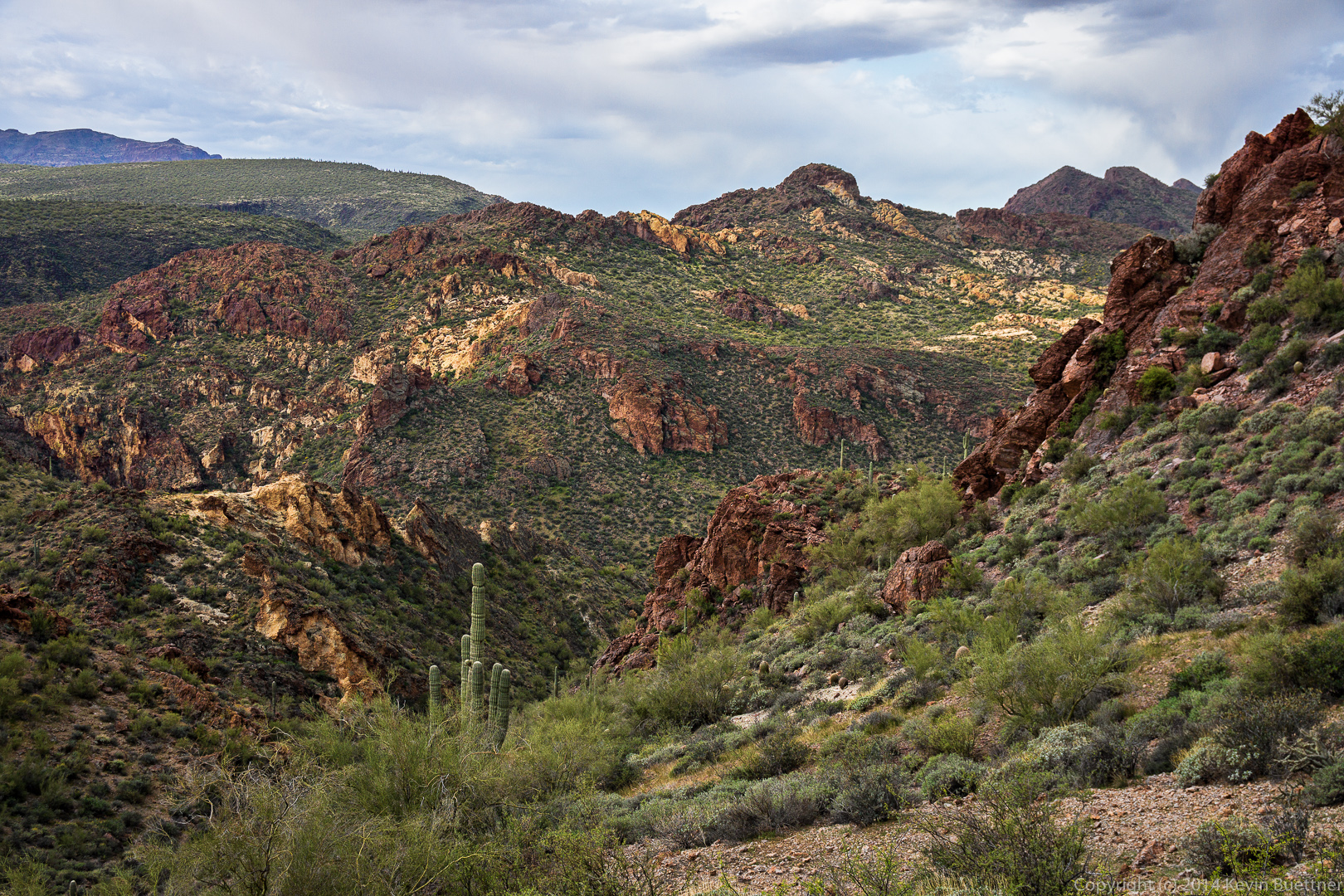
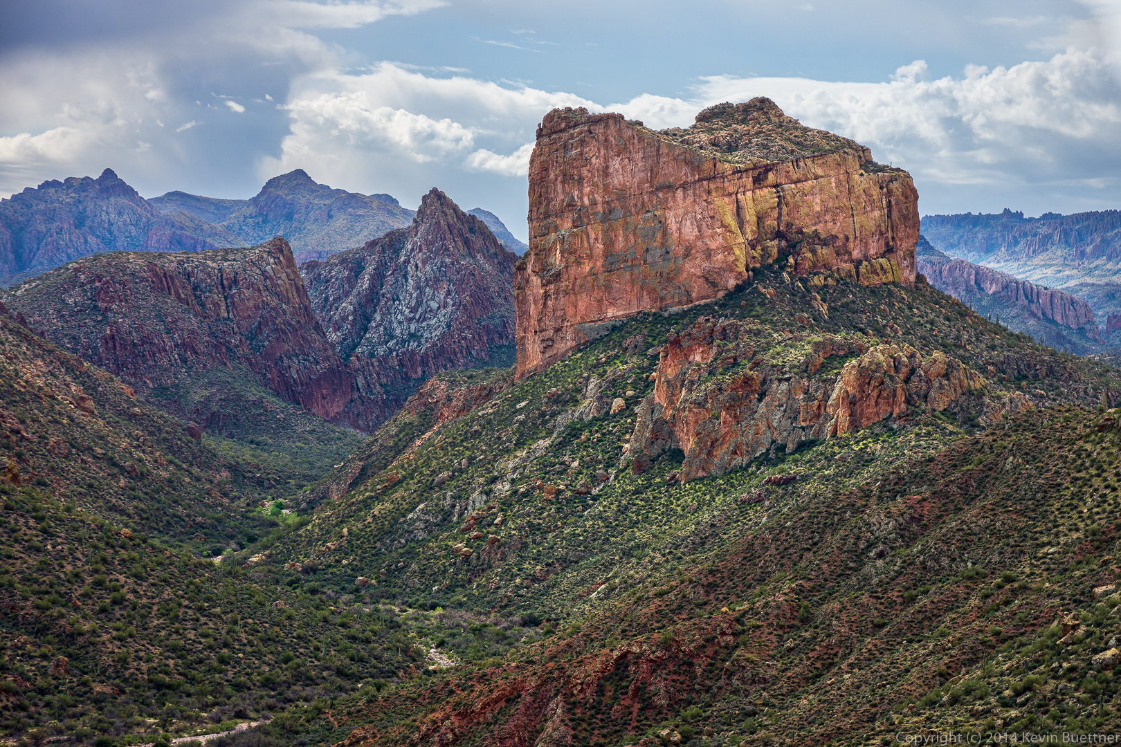
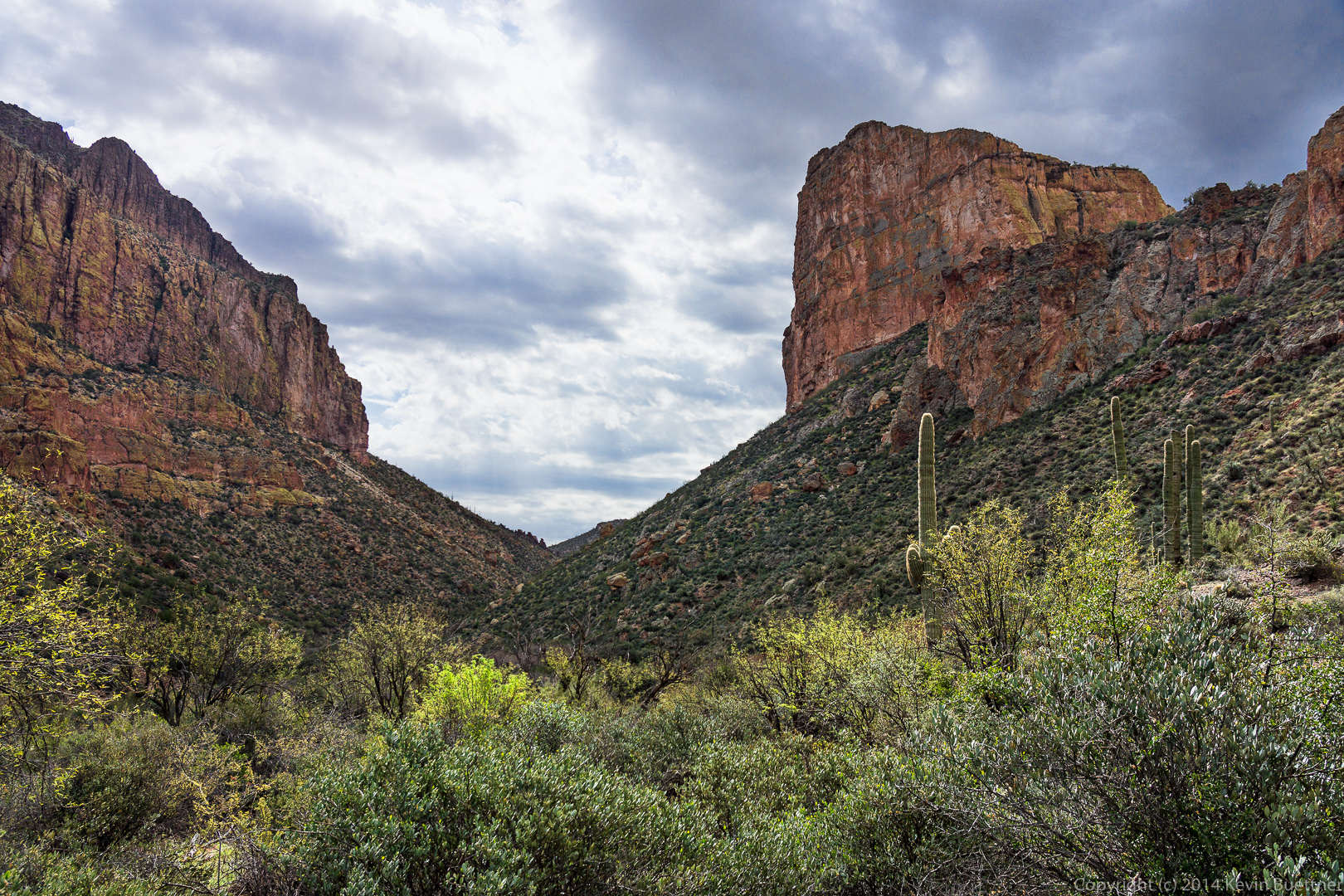
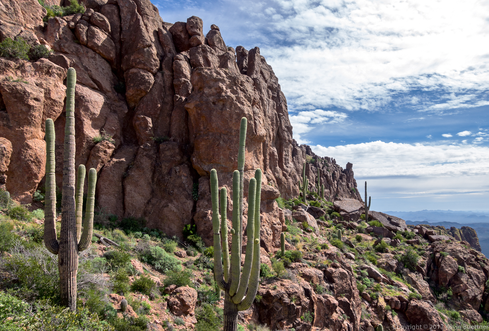
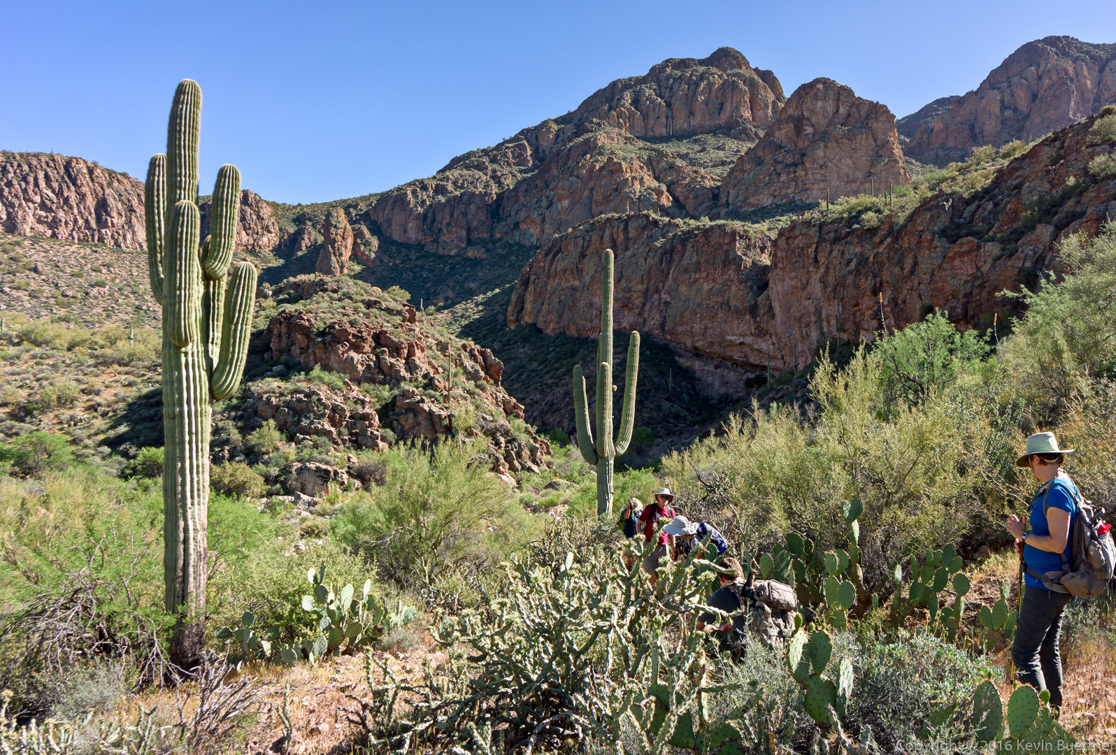
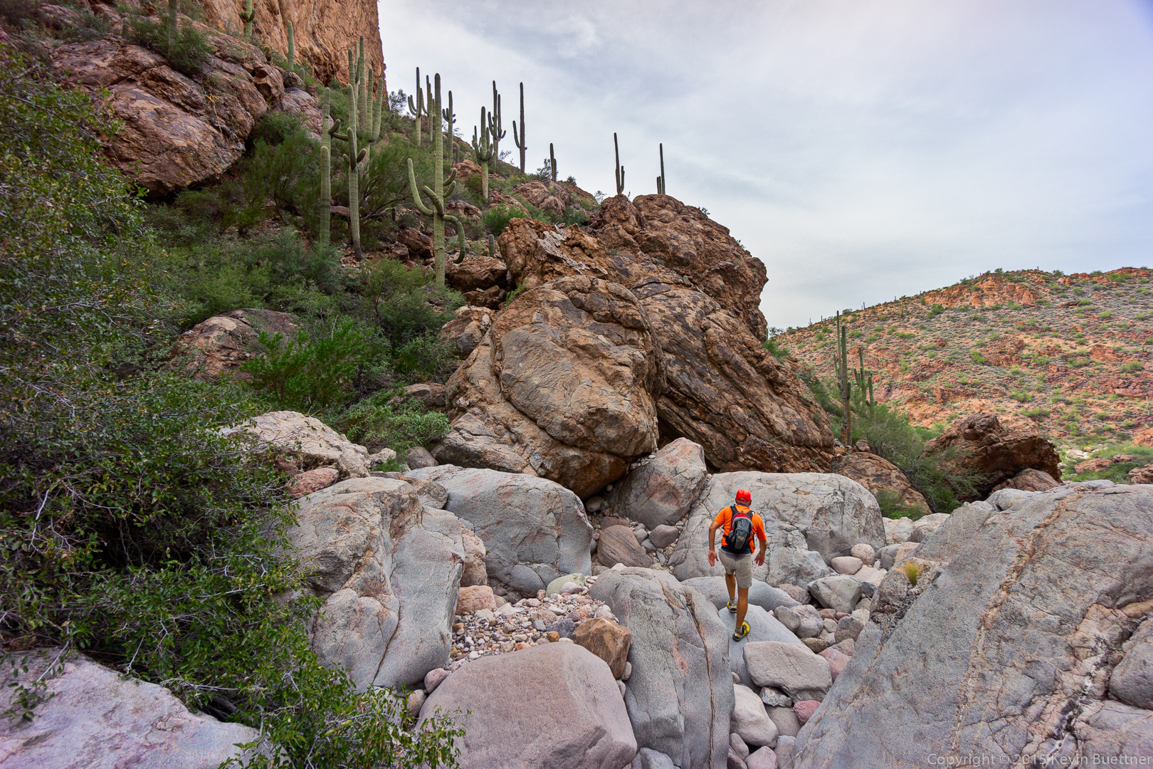
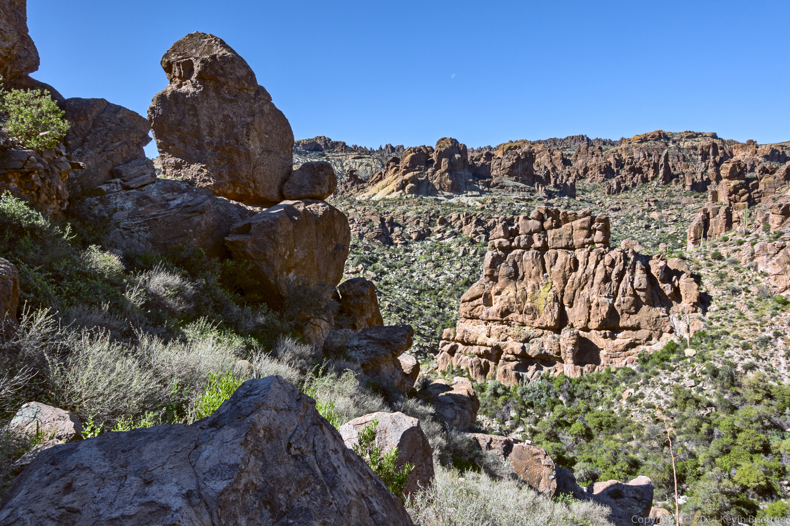
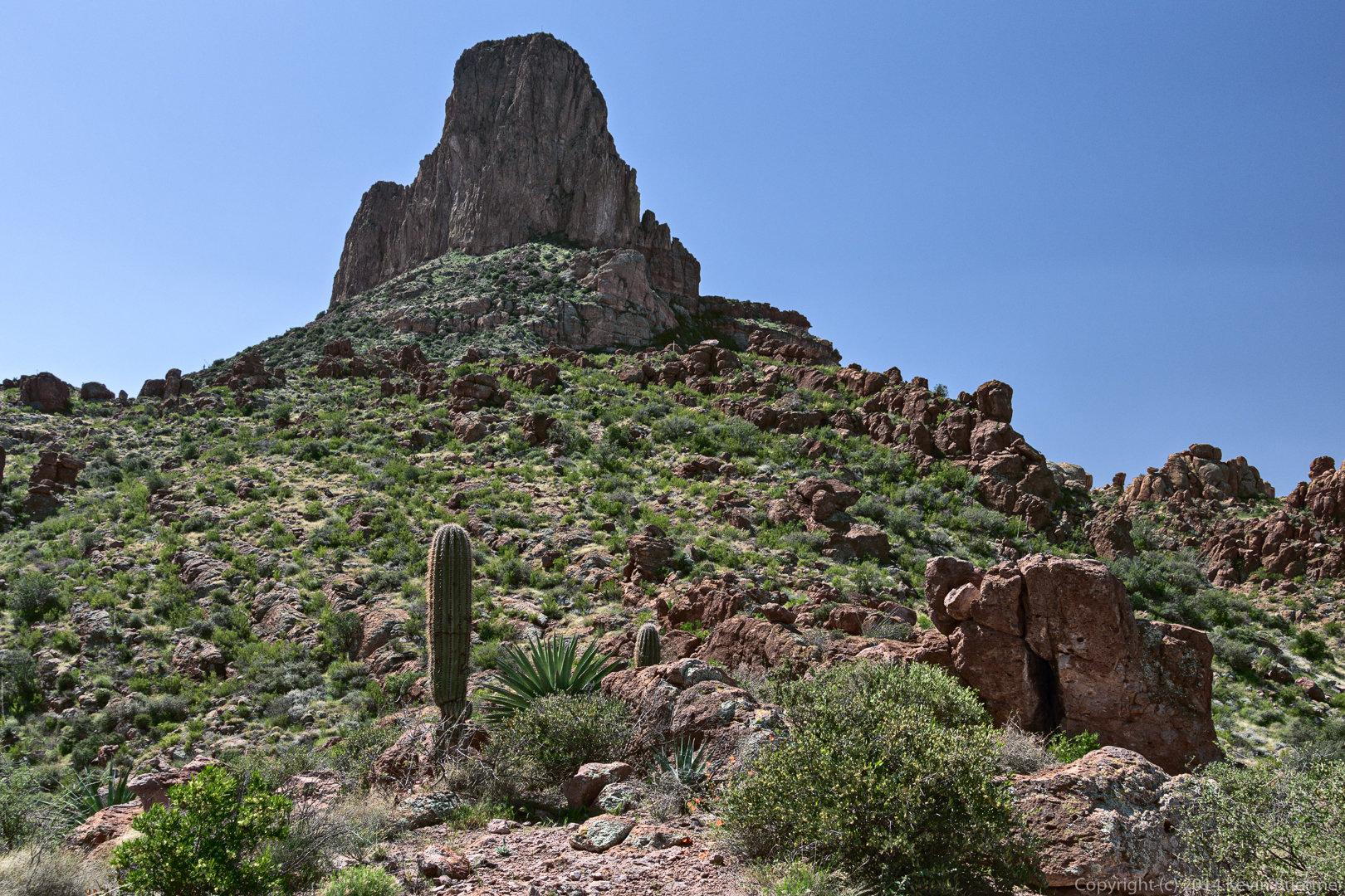
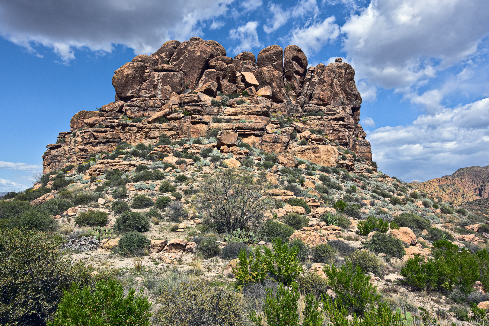
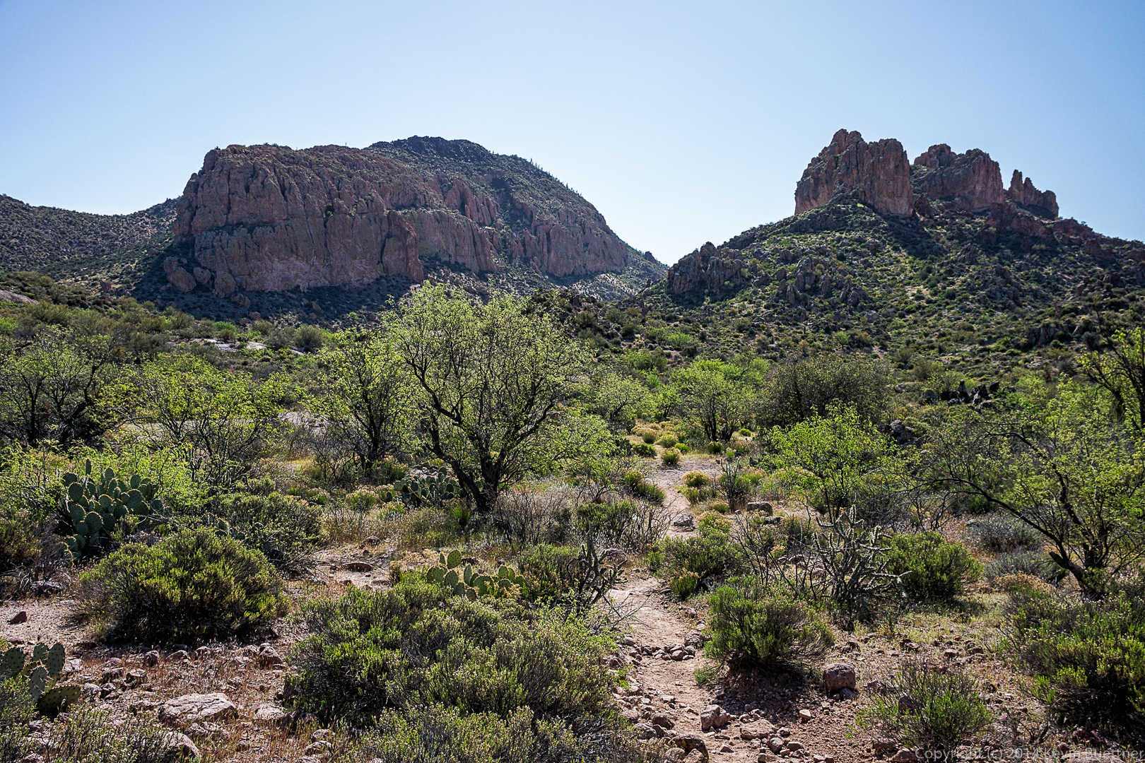
The route took us along the base of this formation and then up through something of a gap.

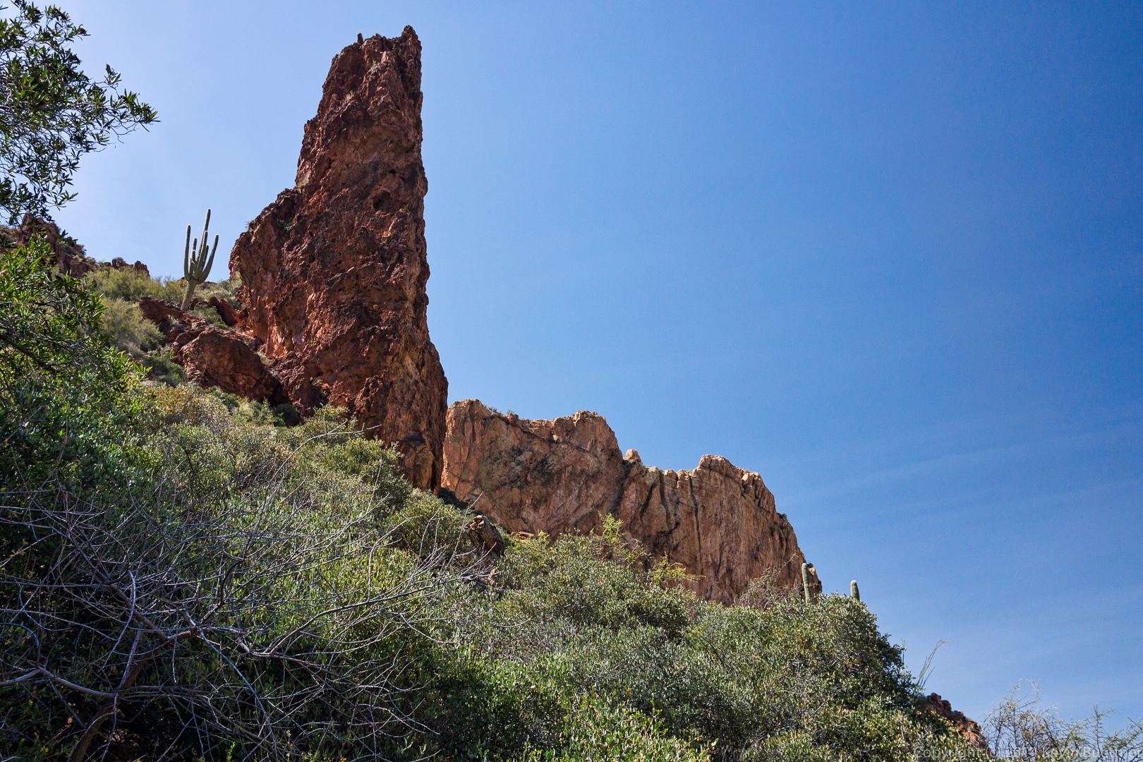
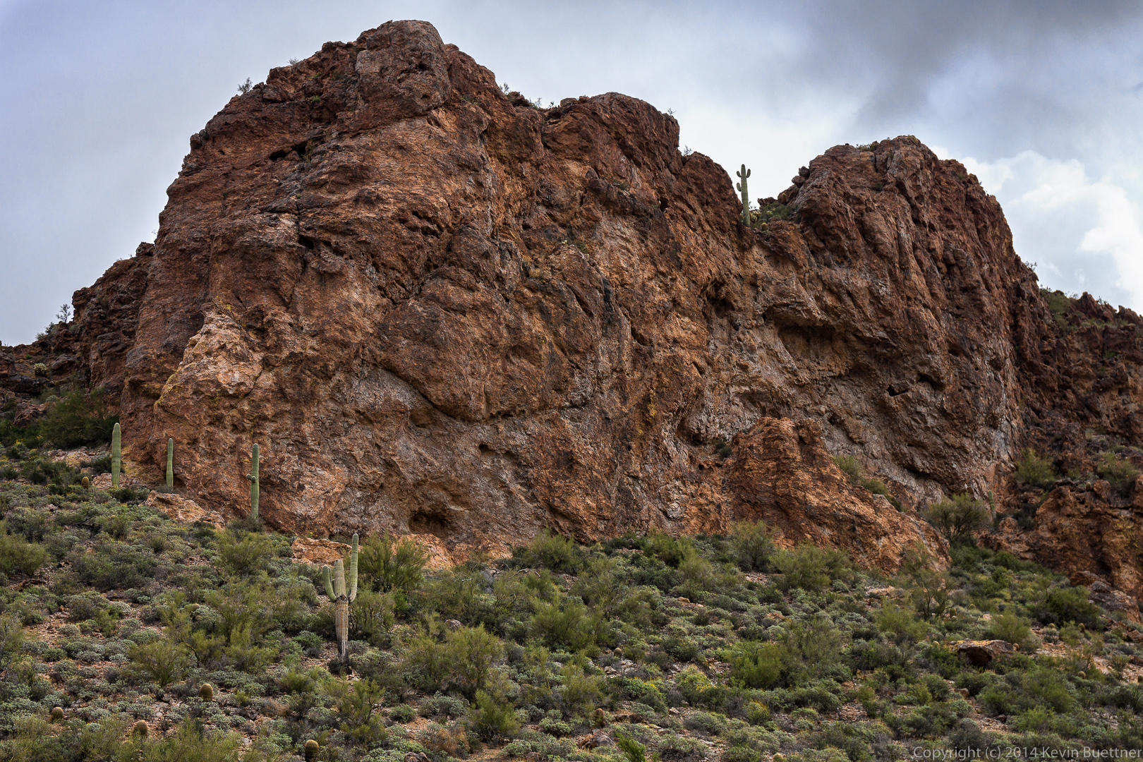
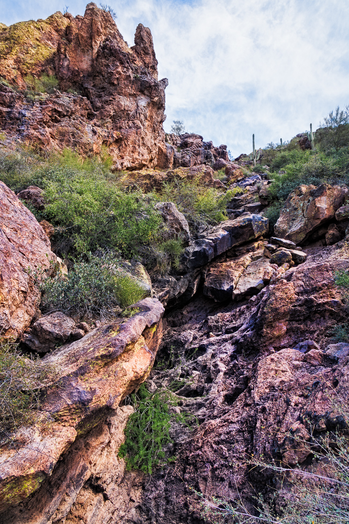
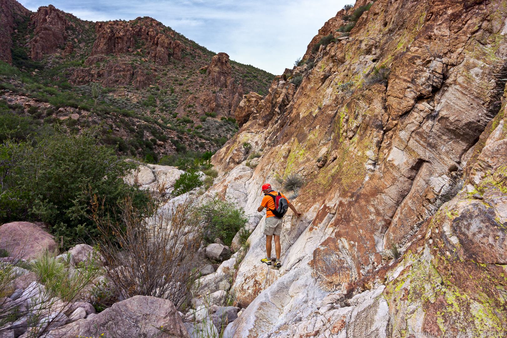
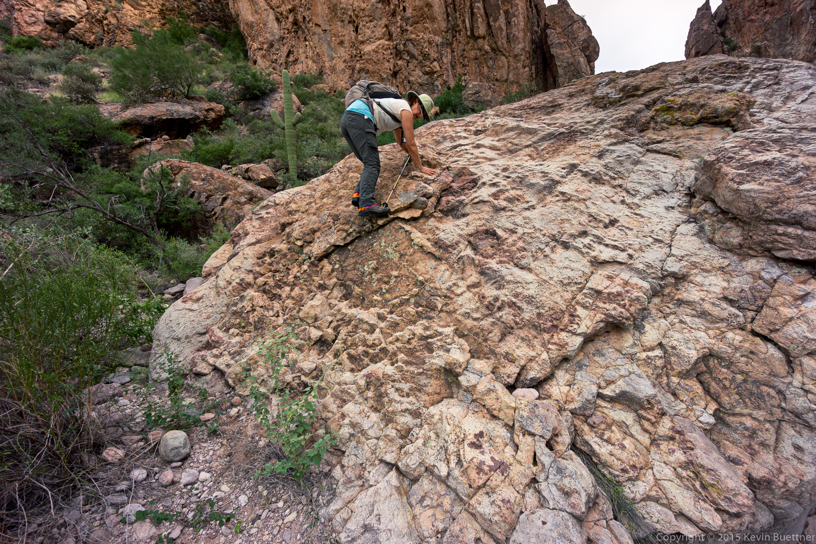
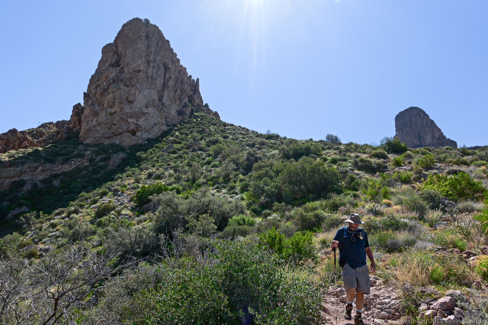
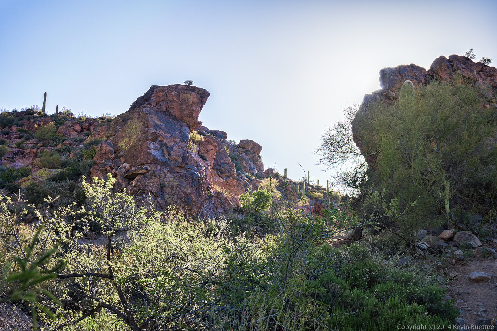
When I first saw the cairn in this picture, I thought that our path went past through those boulders. But, when we looked, we saw there was nothing there – it dropped off (somewhat) precipitously. Our route actually made a sharp turn, going uphill in front of the large rock at the right edge of this photo. We packed away our hiking poles for this section so that we could more easily use our hands for the climbing.
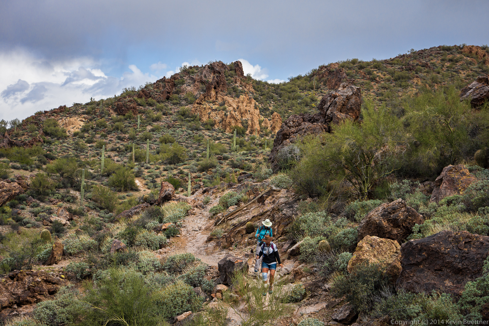
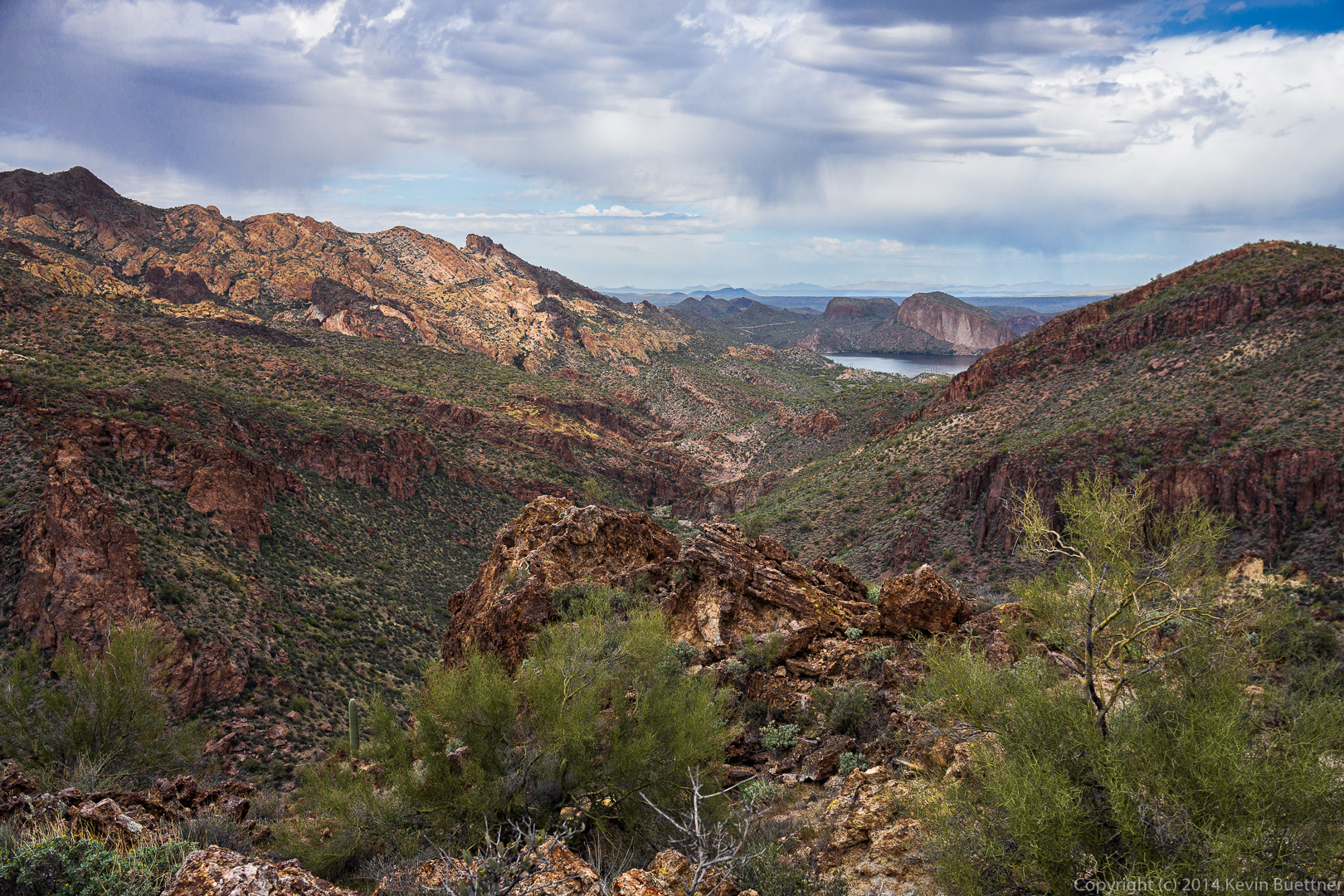
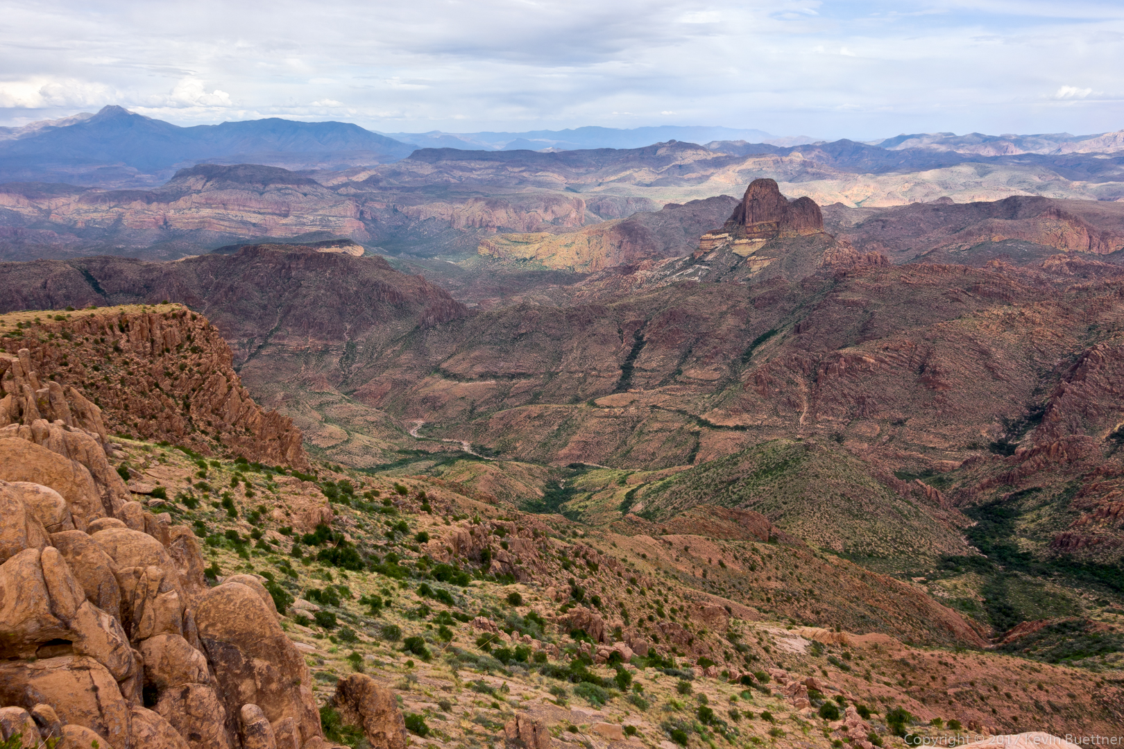
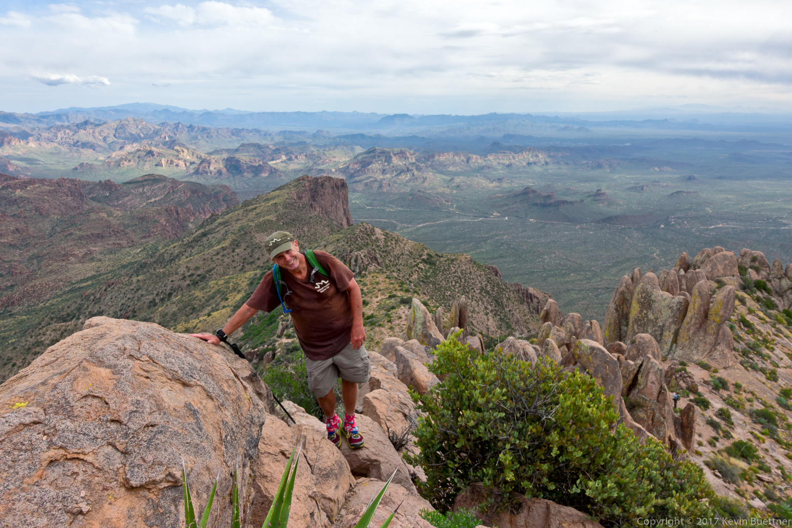
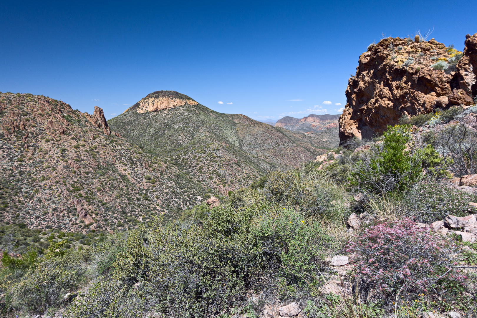
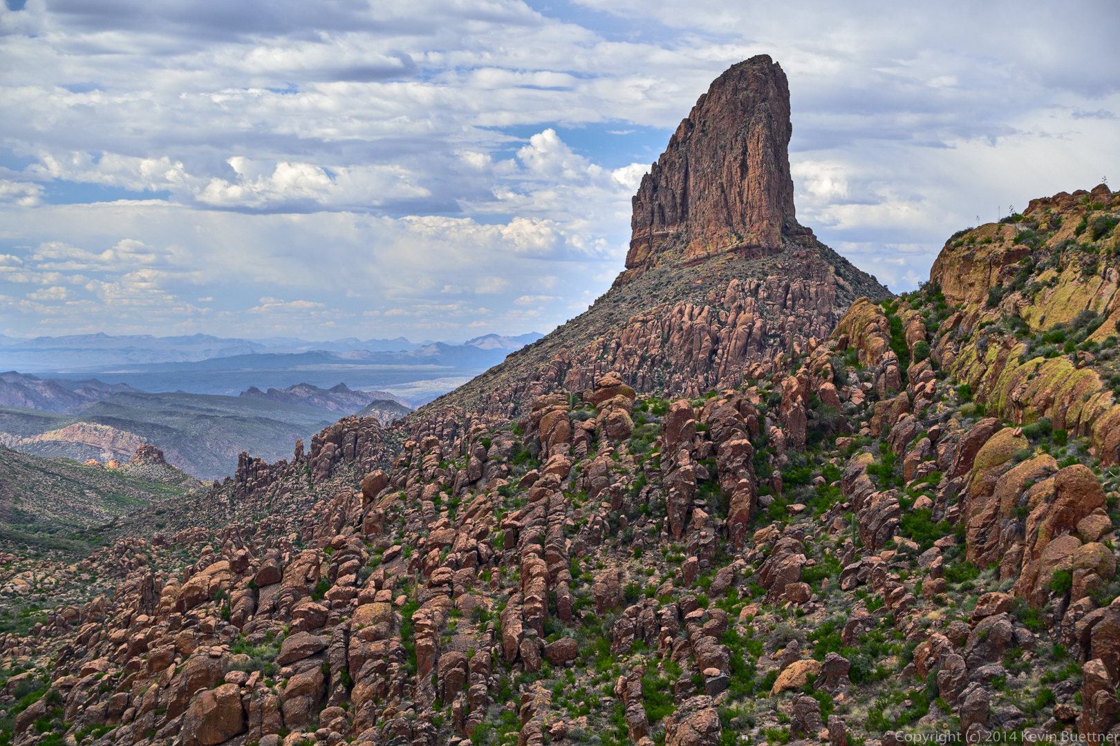
More hiking and a fair amount of scrambling eventually led us to the summit of Peak 5057. We were higher than Weaver’s Needle!
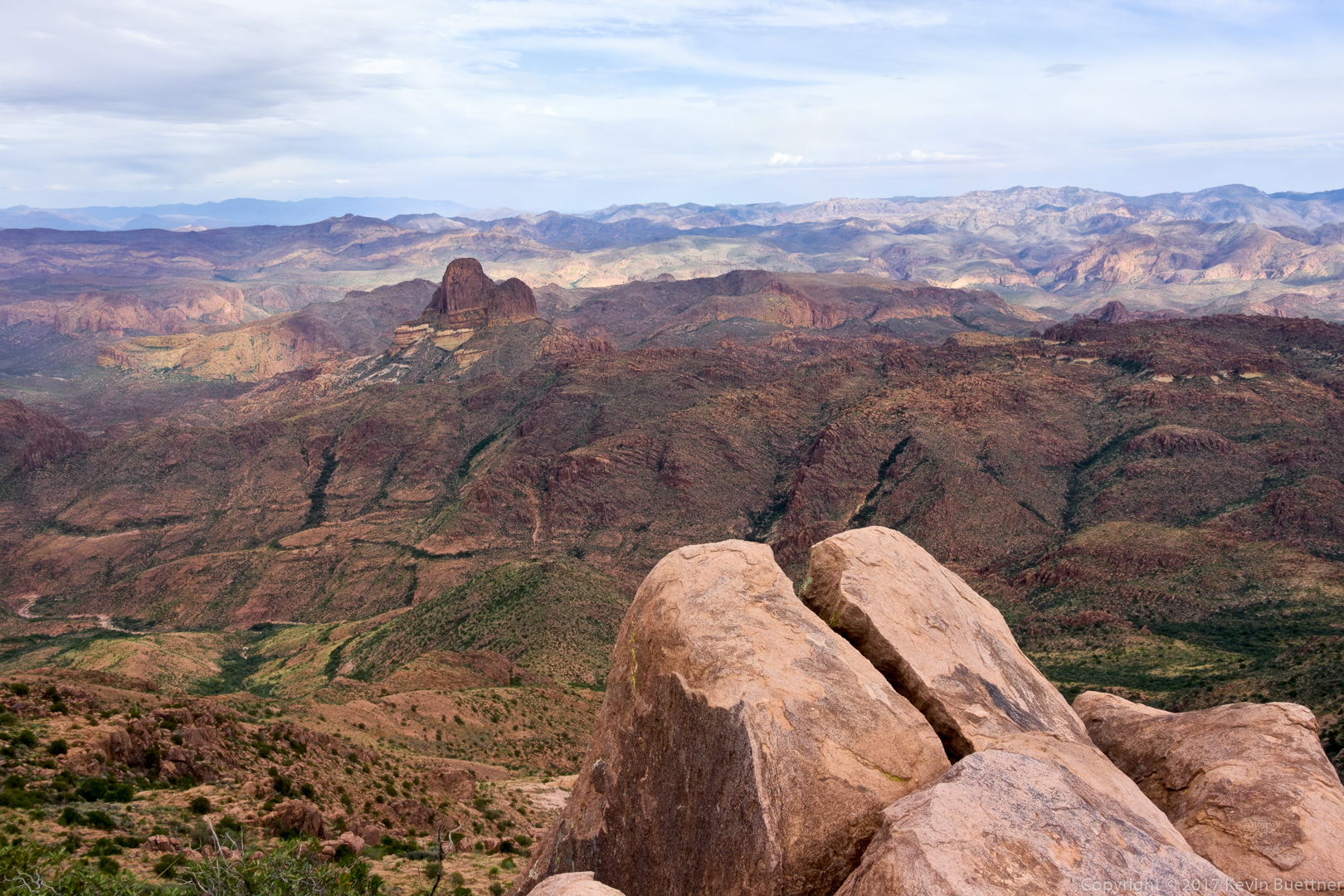
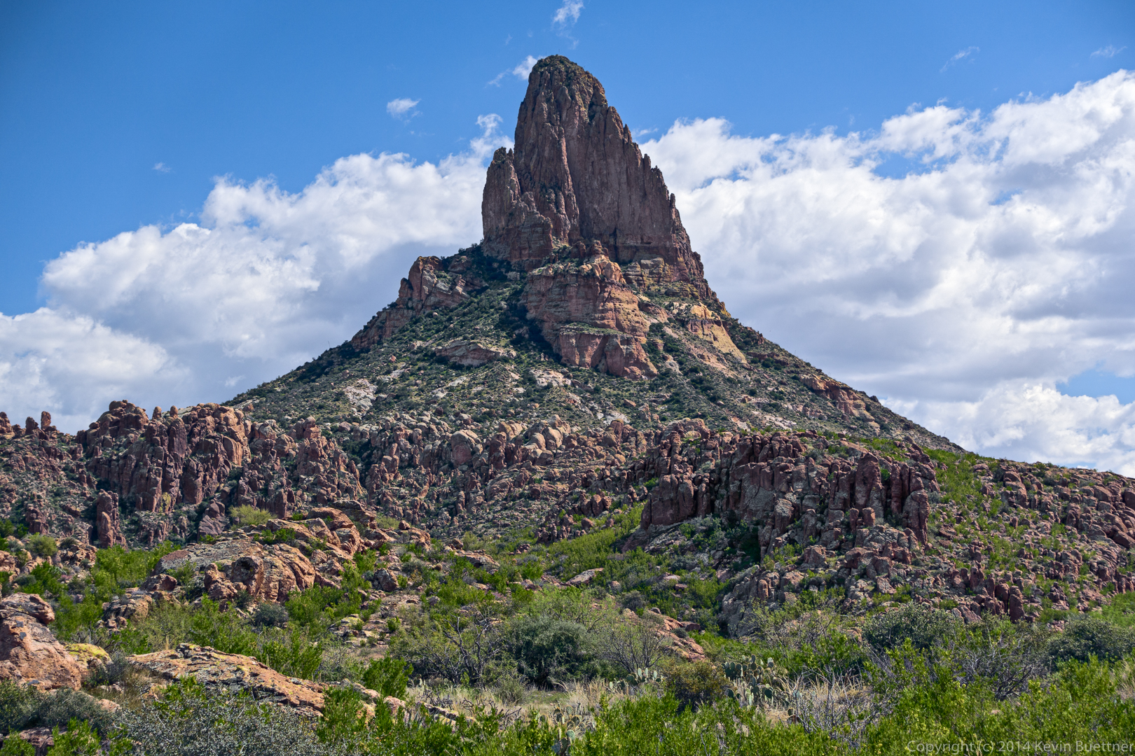
Another shot of Weaver’s Needle from Peak 5057:
Bob makes his way to the summit. If you look closely, you can see another hiker in this photo. We passed him as he made his way to the summit a short while later.
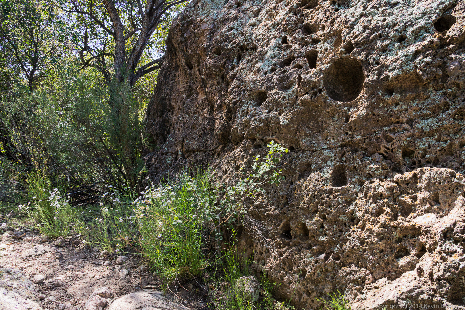
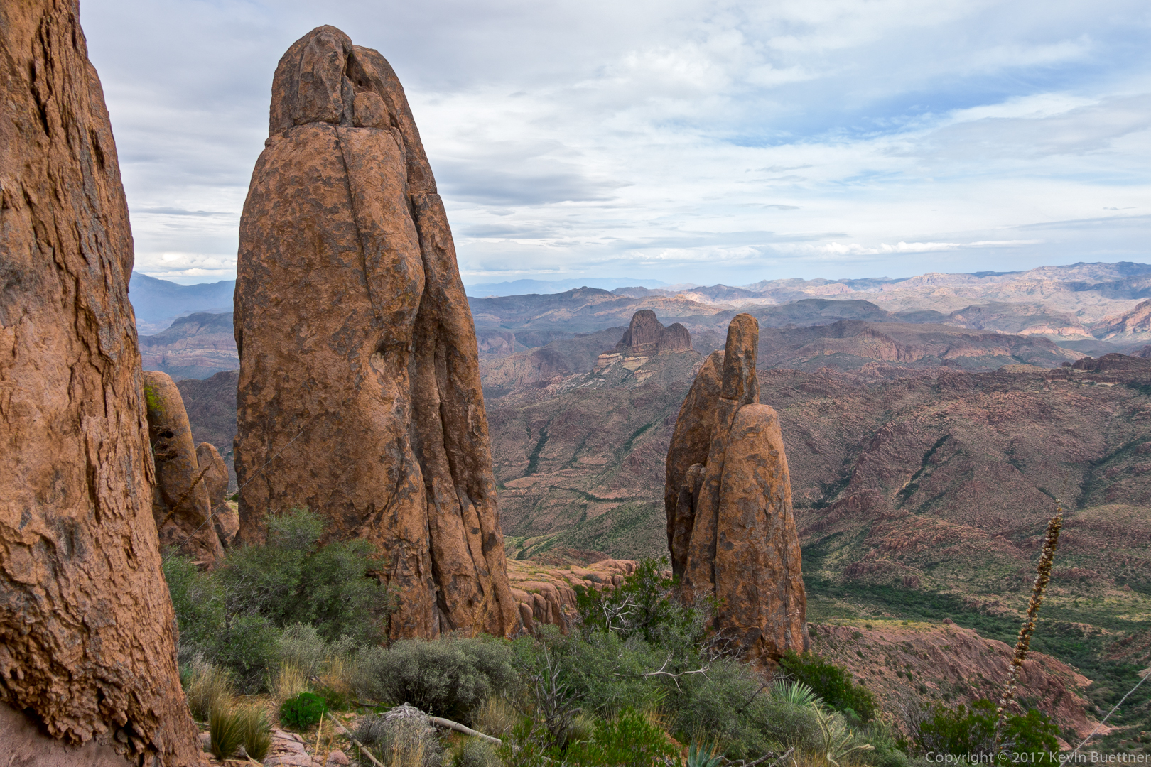
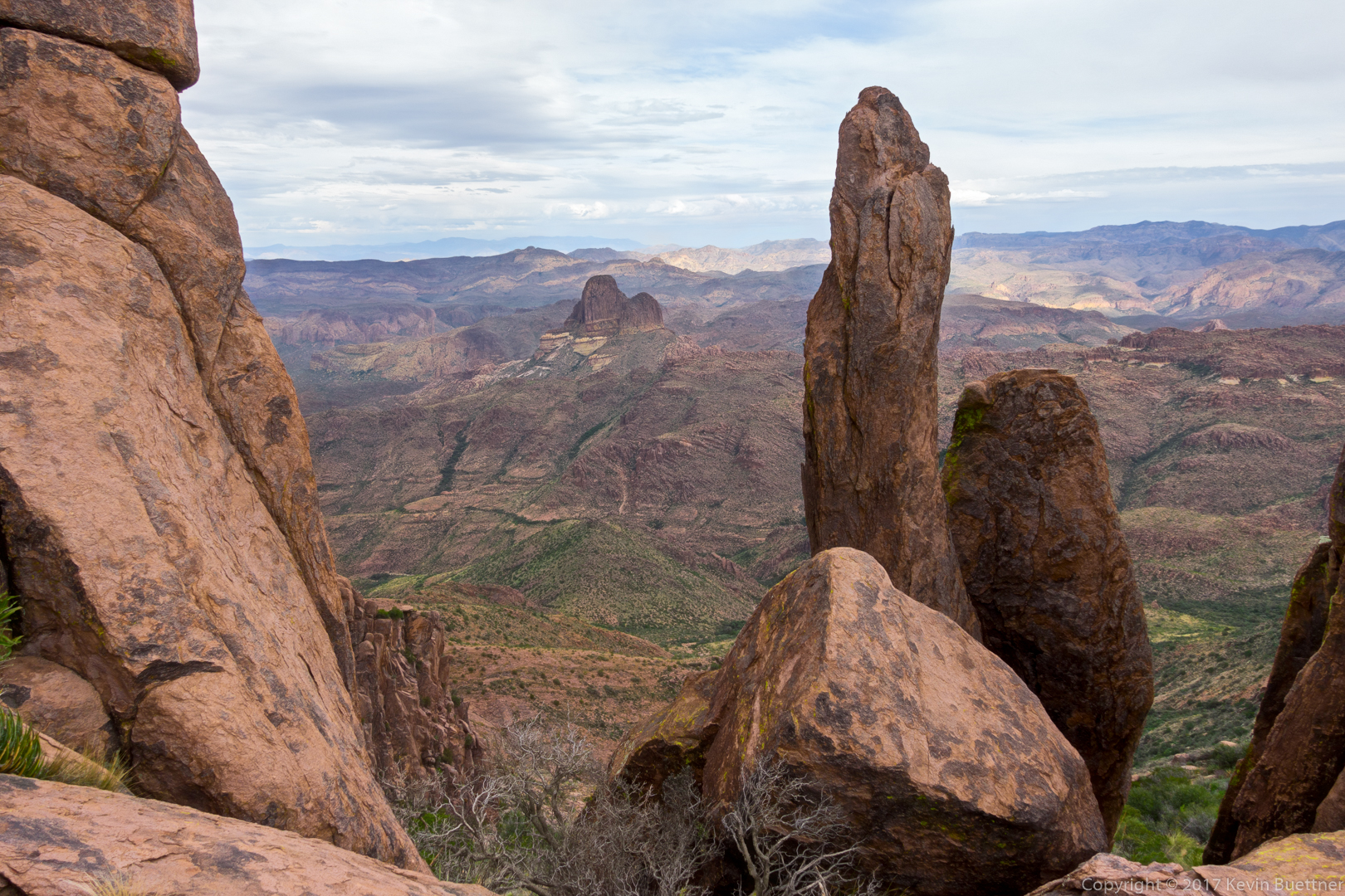
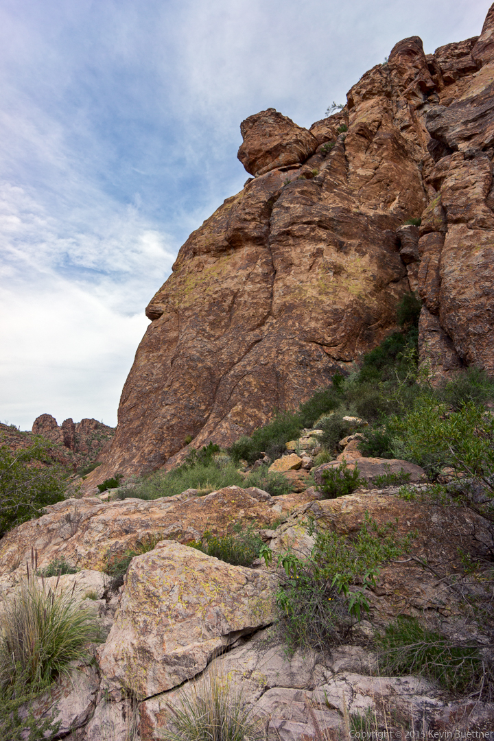
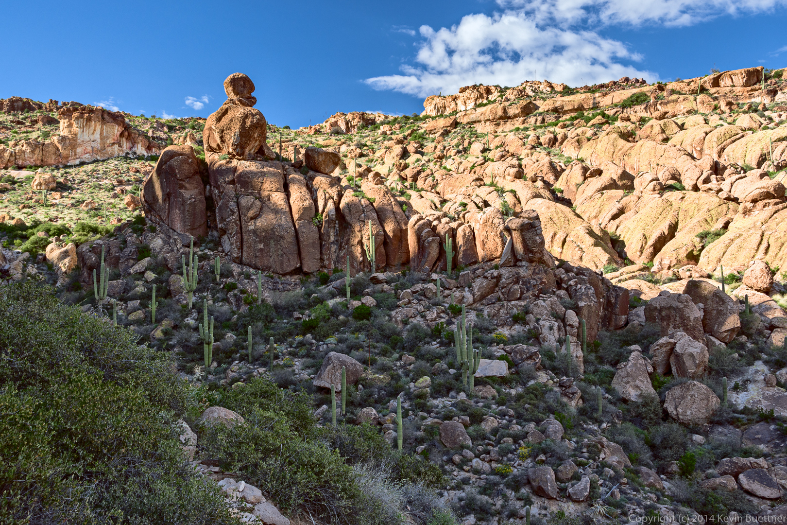
When we got down from the summit of 5057, we saw a number of hoodoos as we continued on our loop.
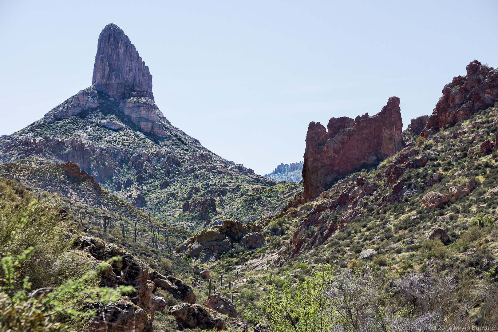
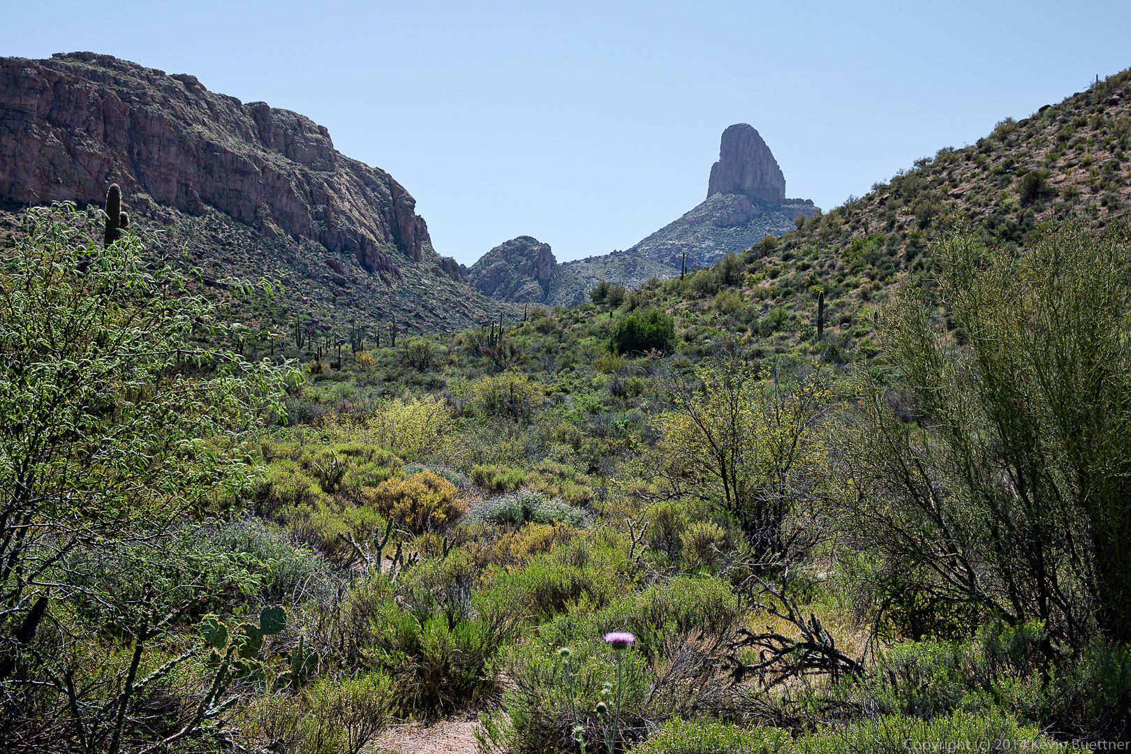
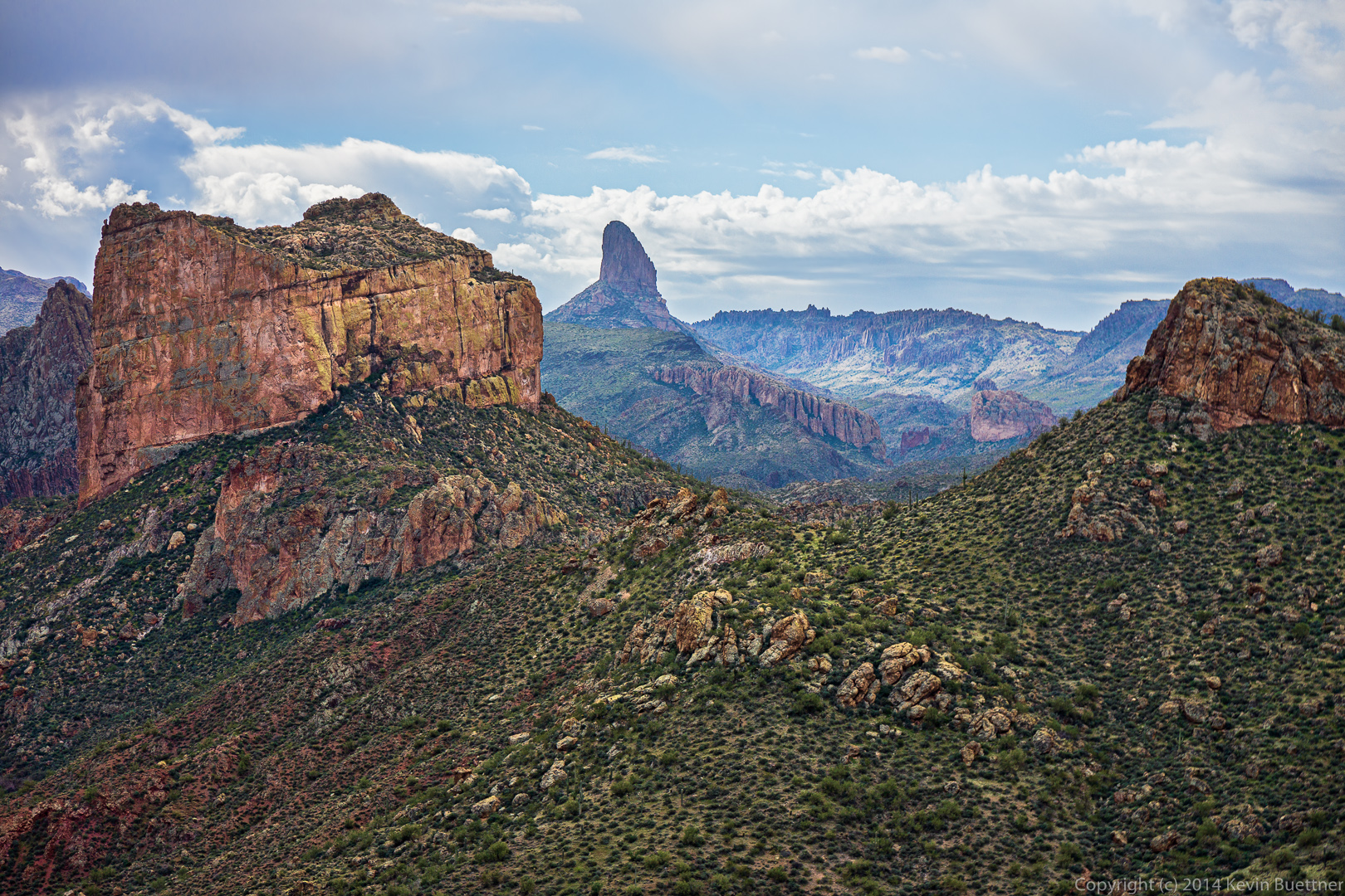
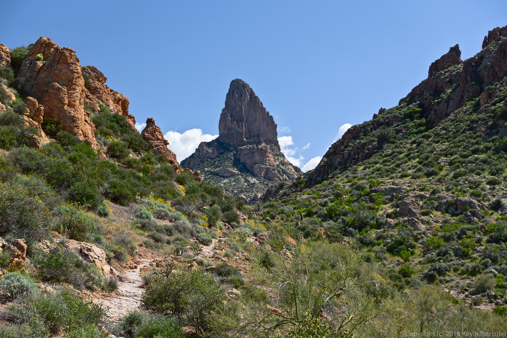
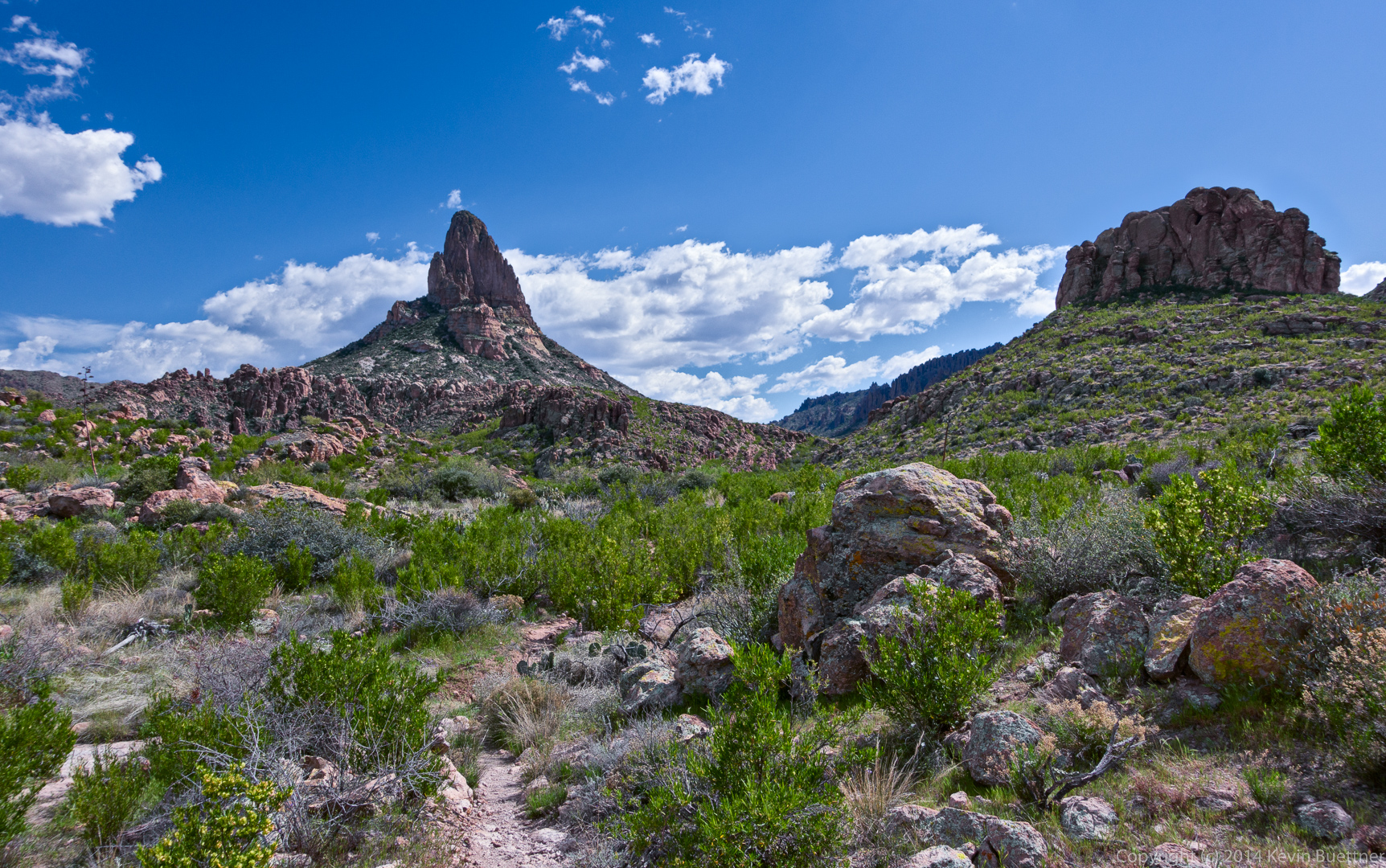
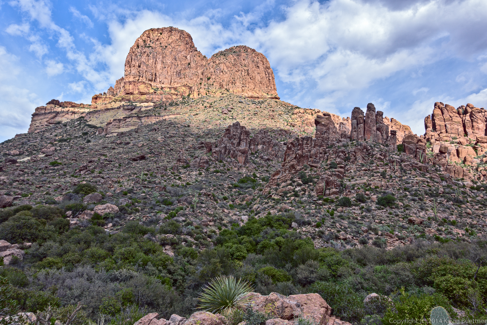
Two shots of Weaver’s Needle through some hoodoos…

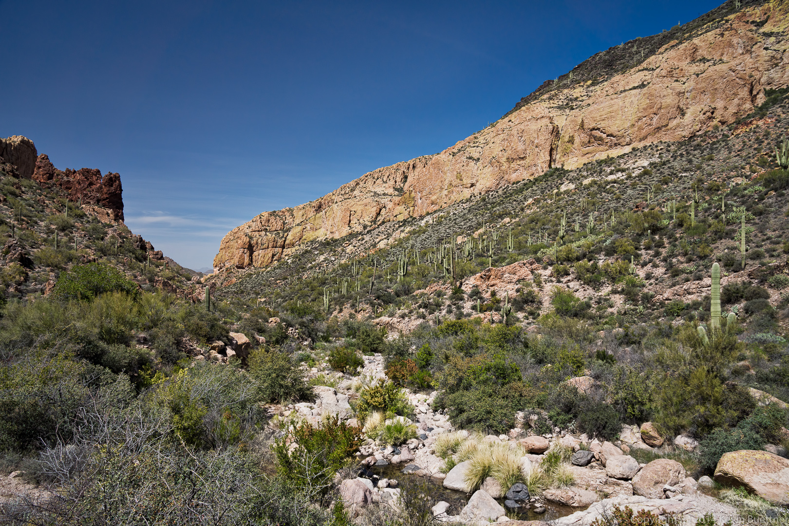
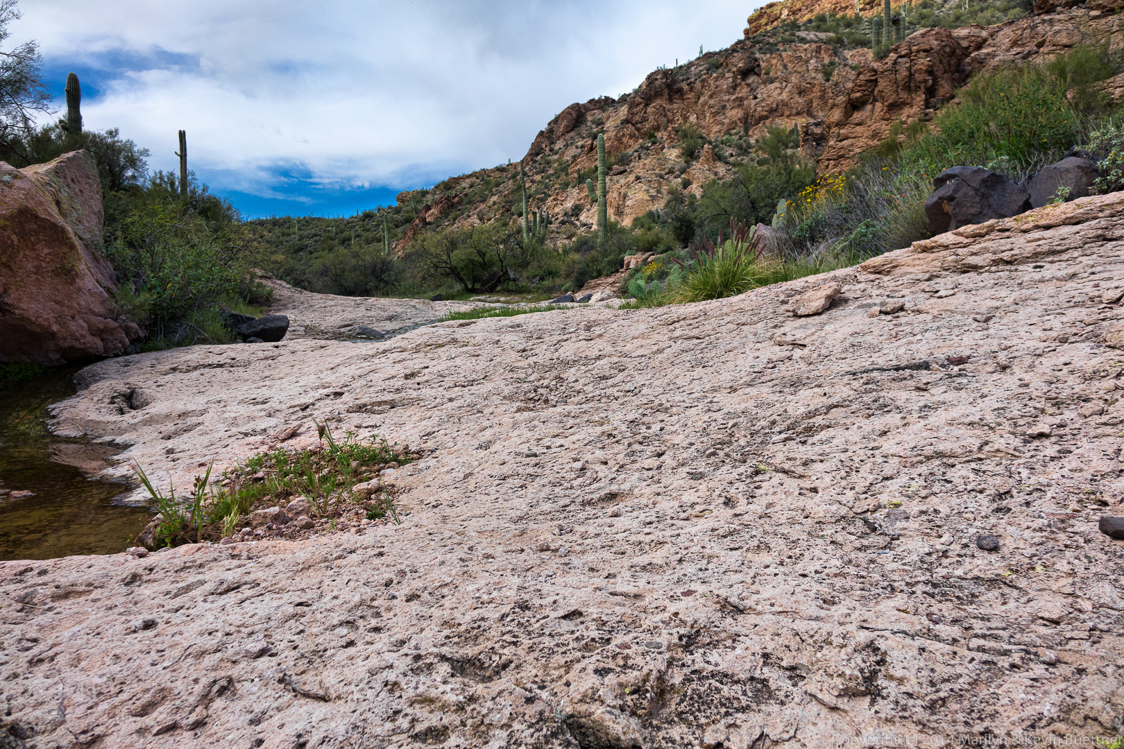
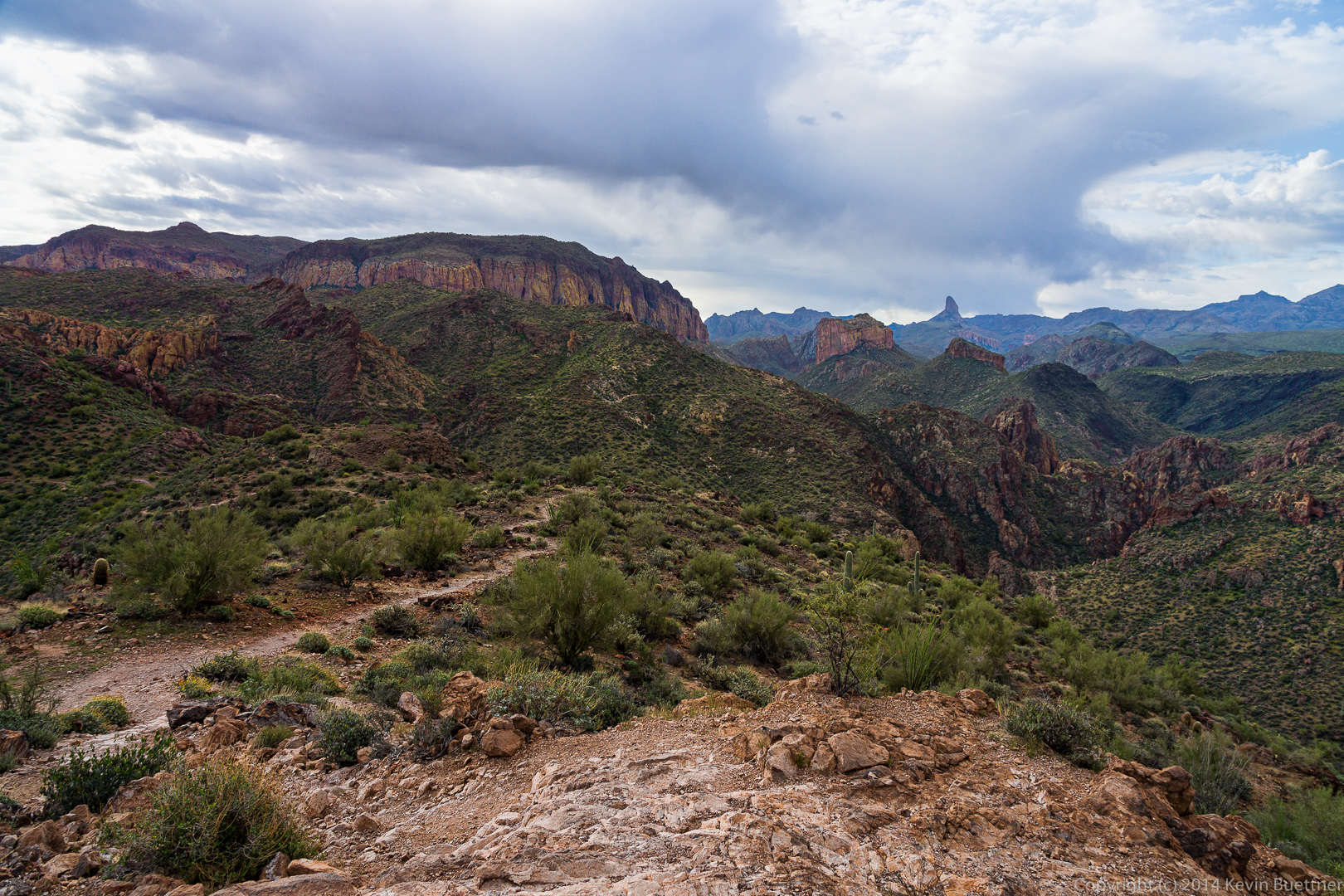
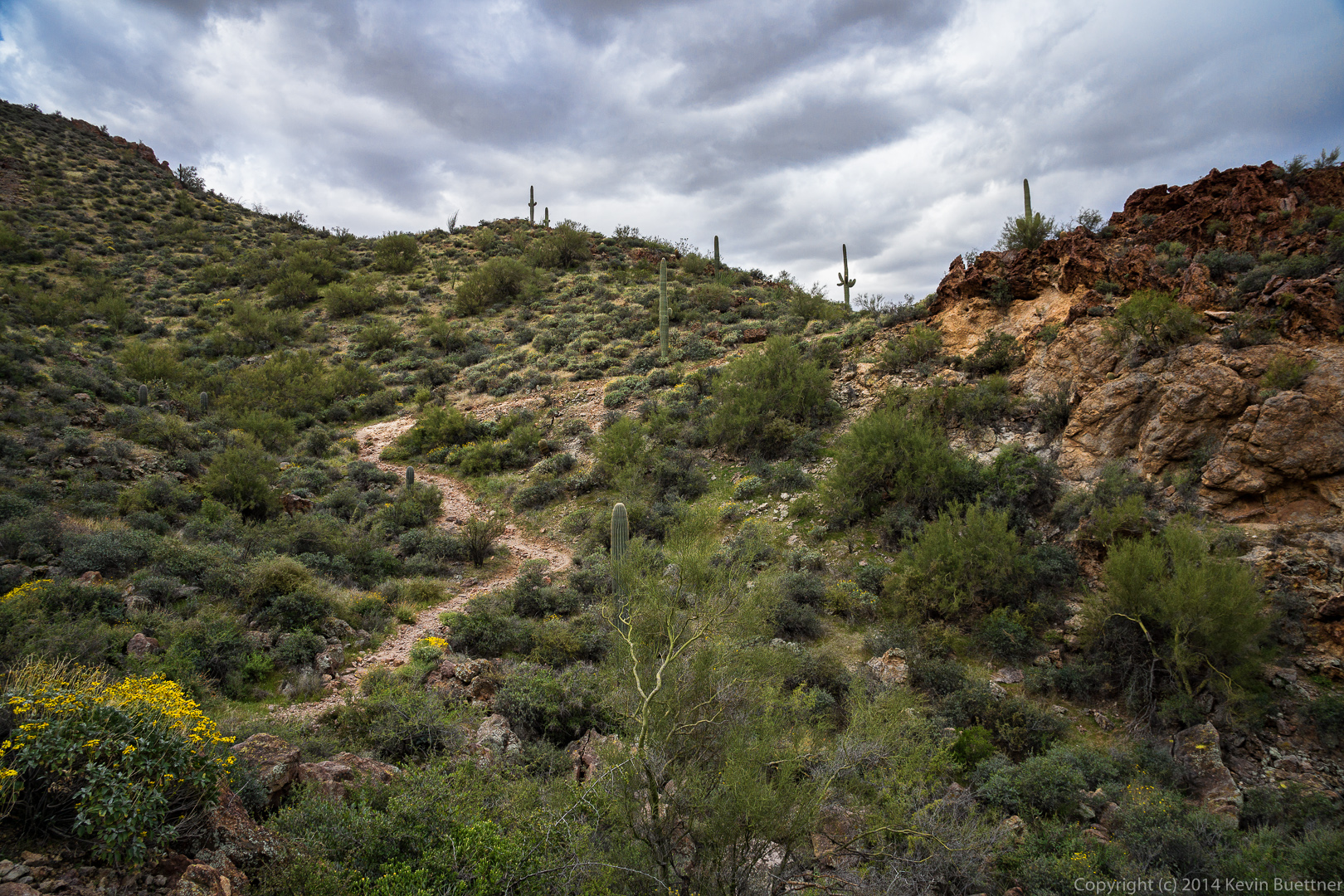
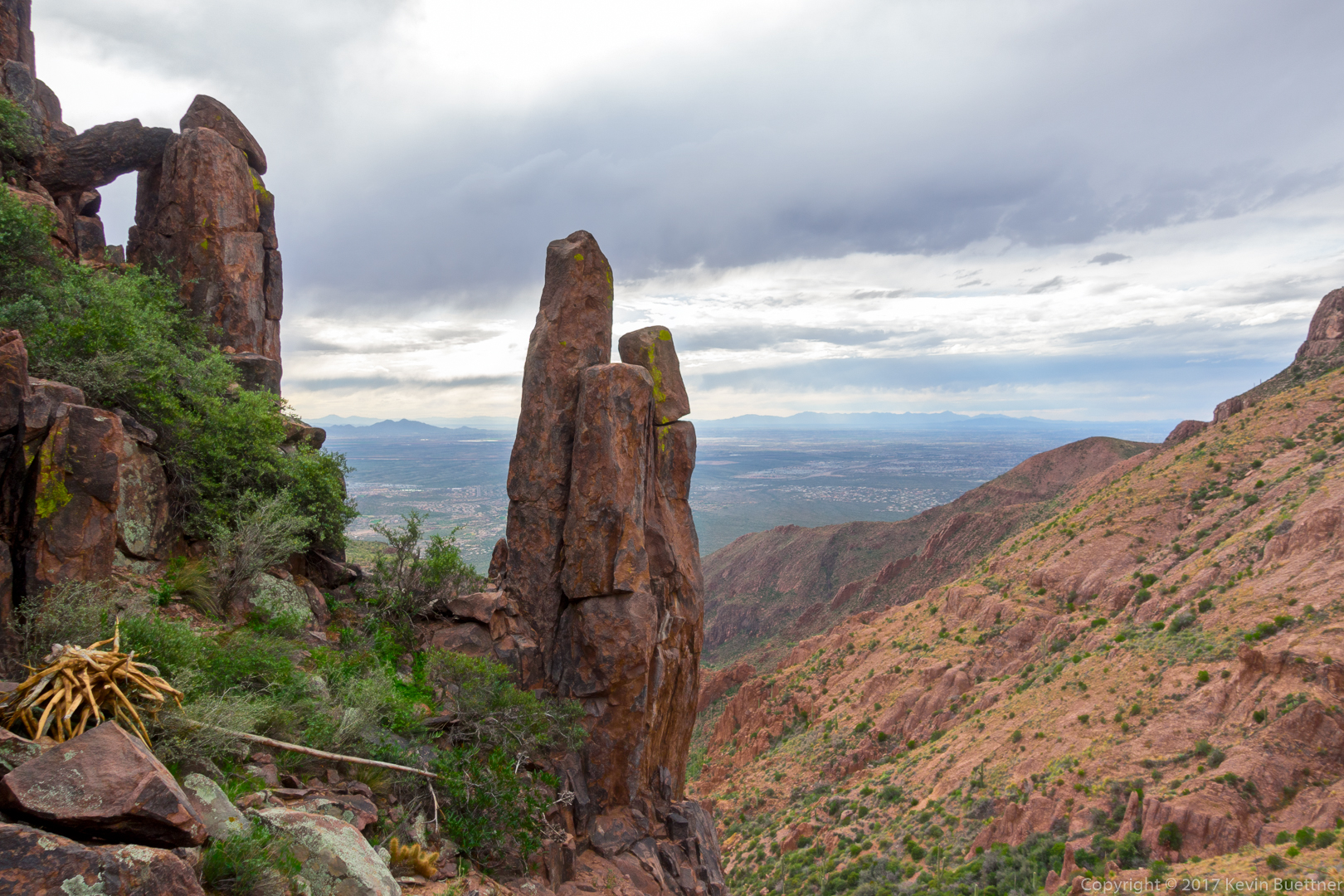
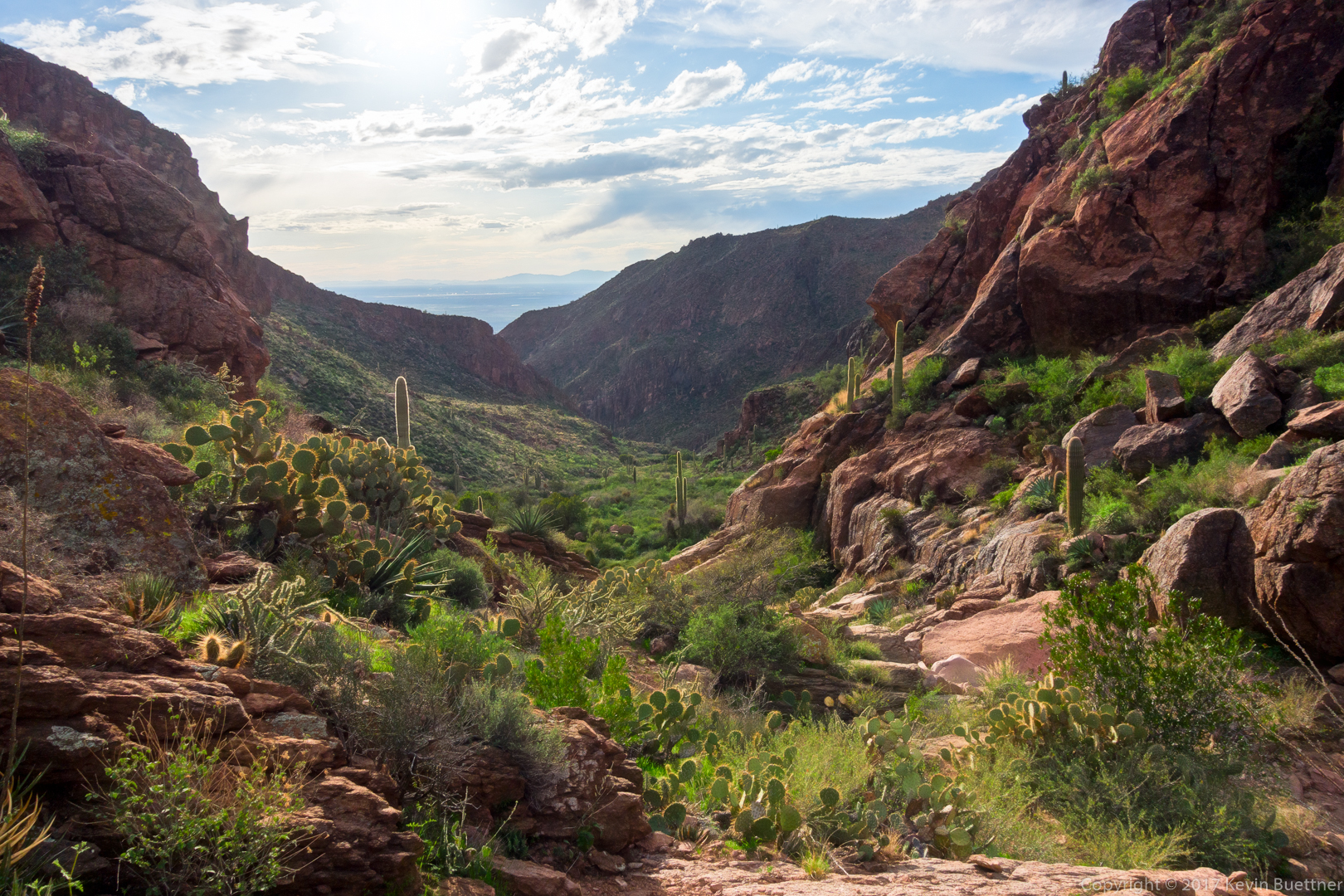
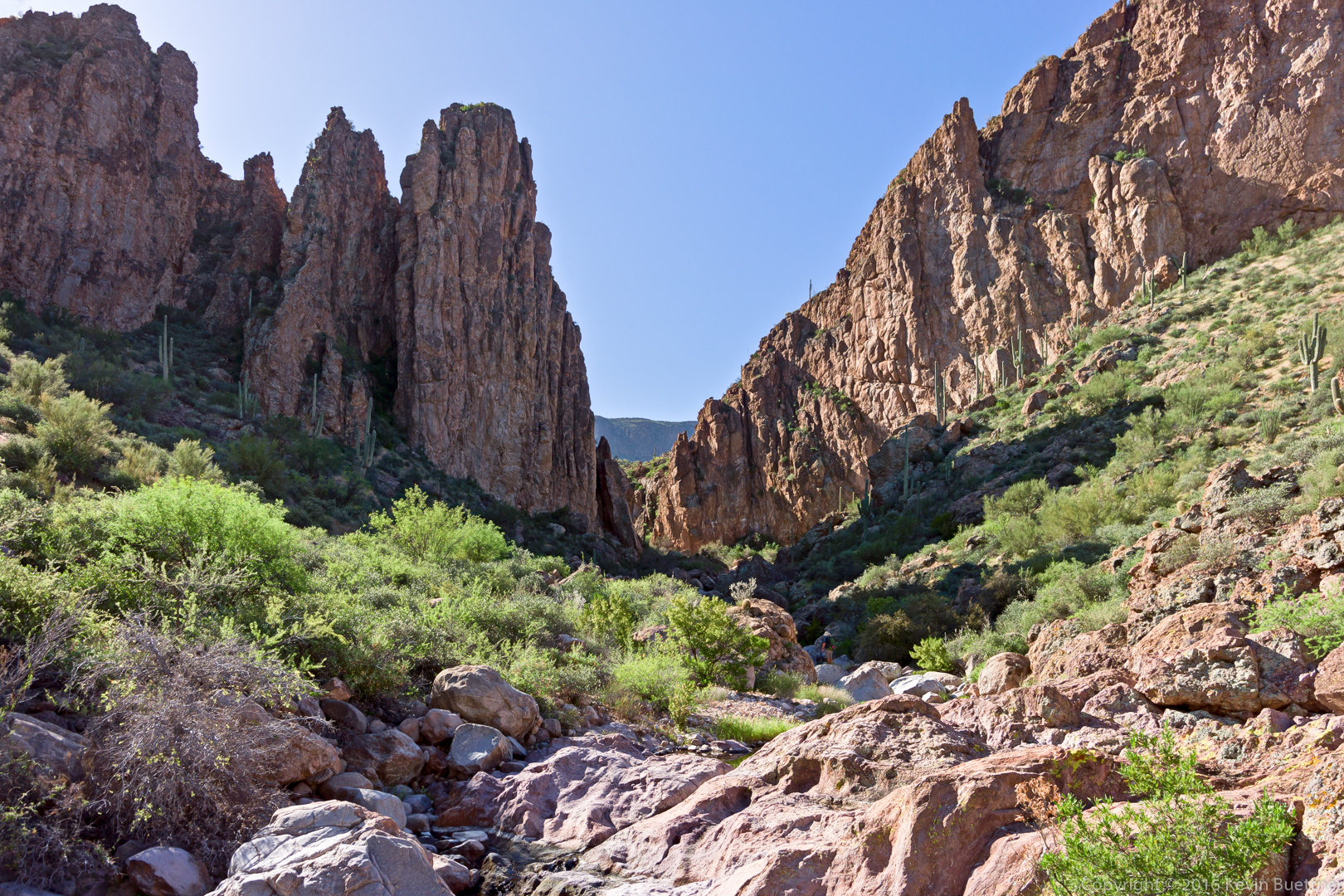
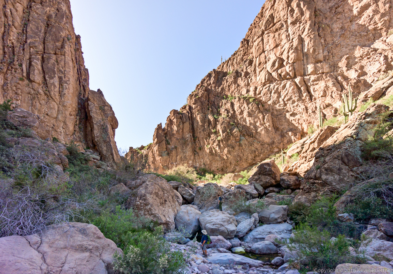
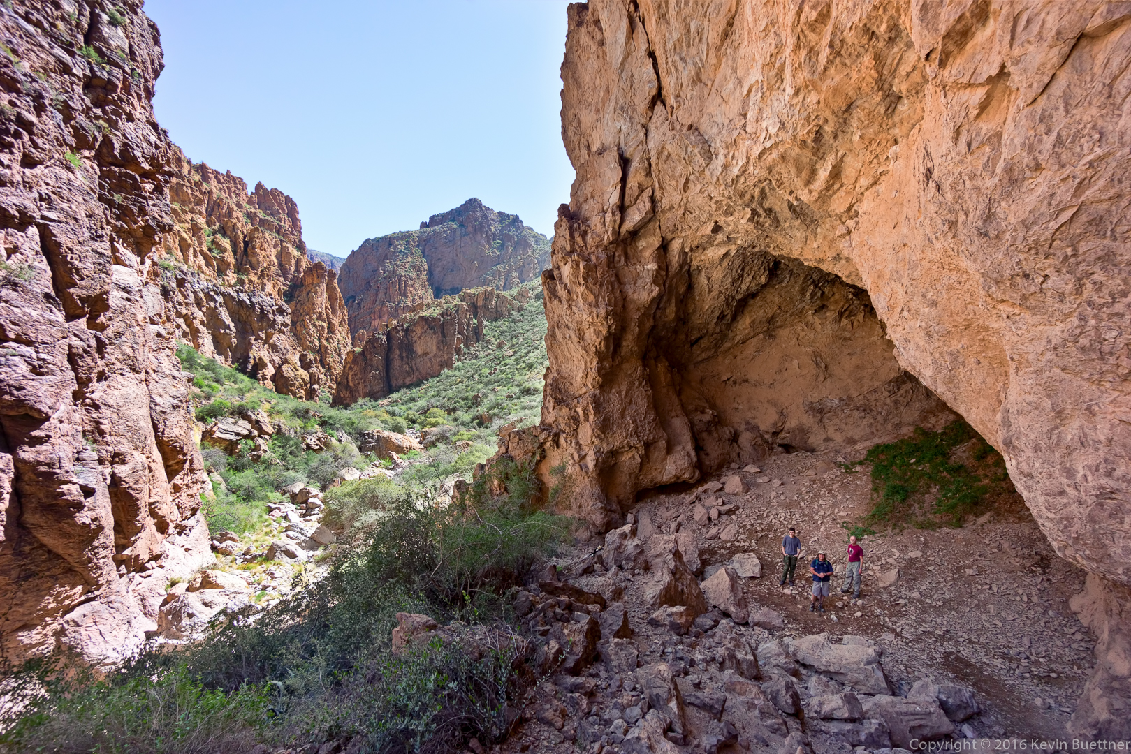
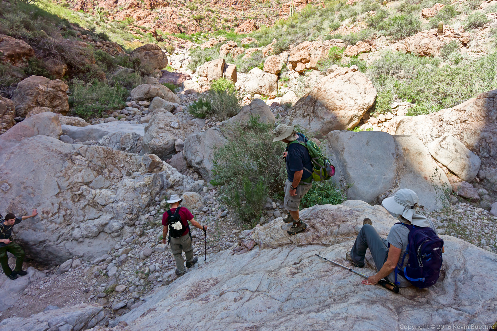
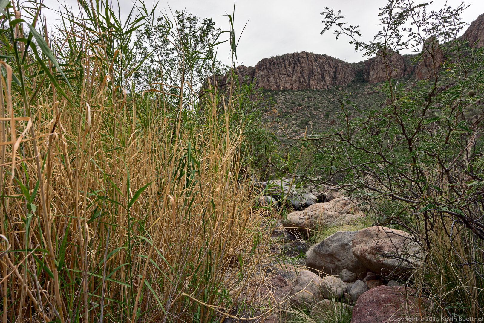
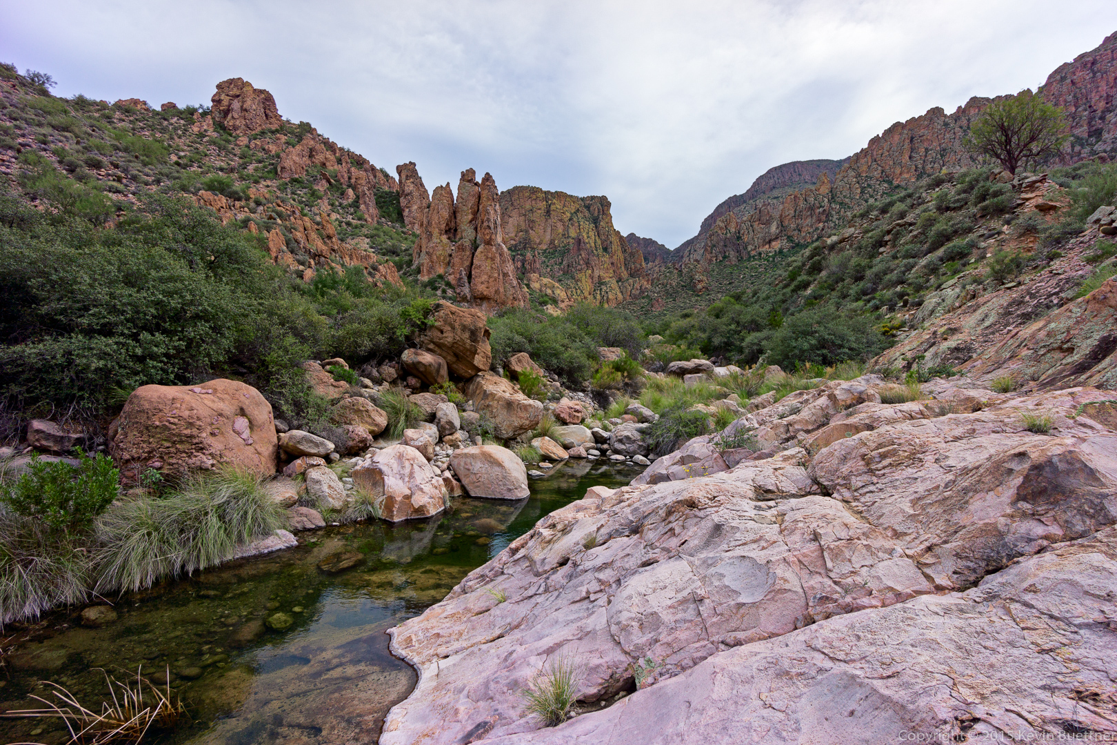
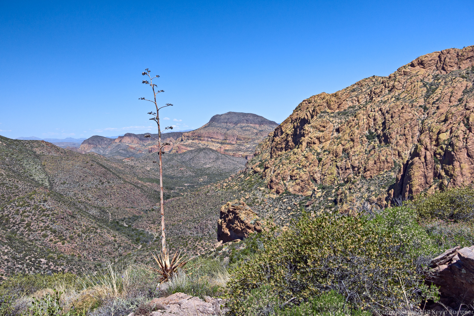
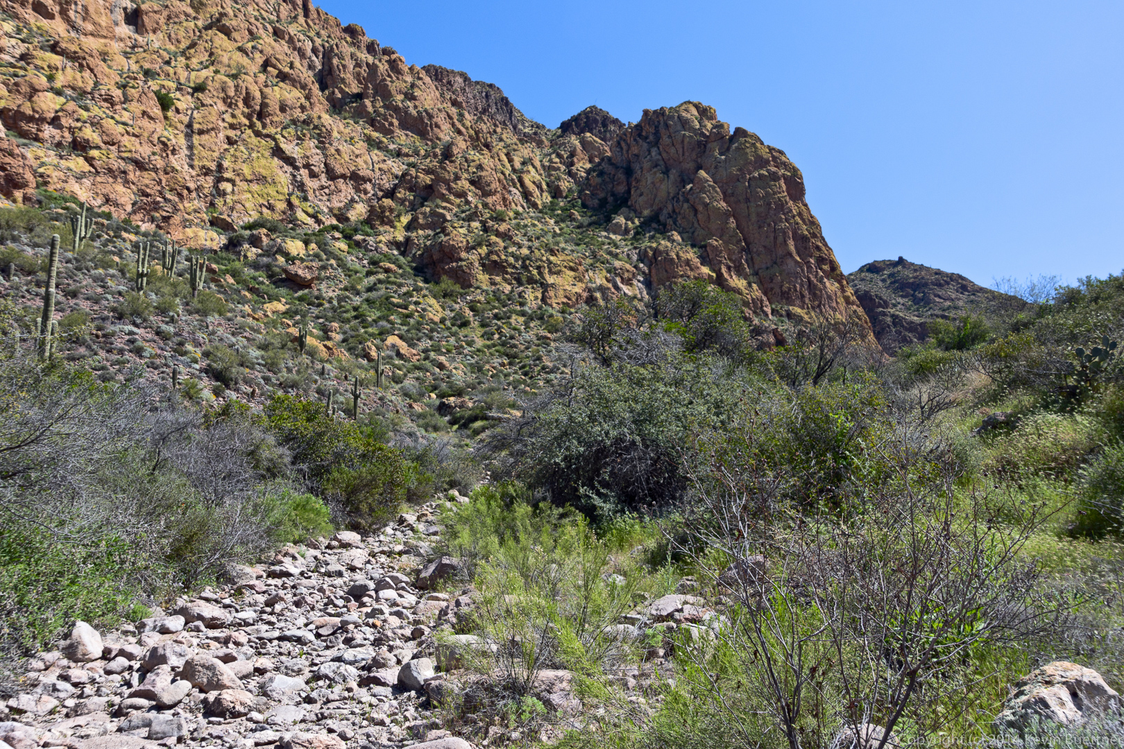
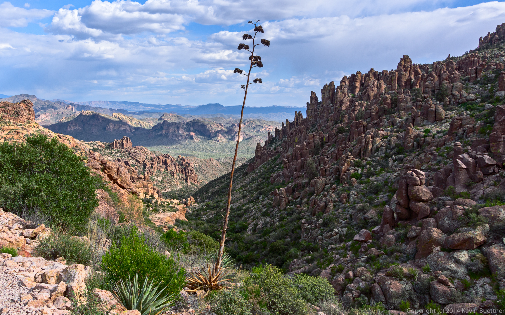
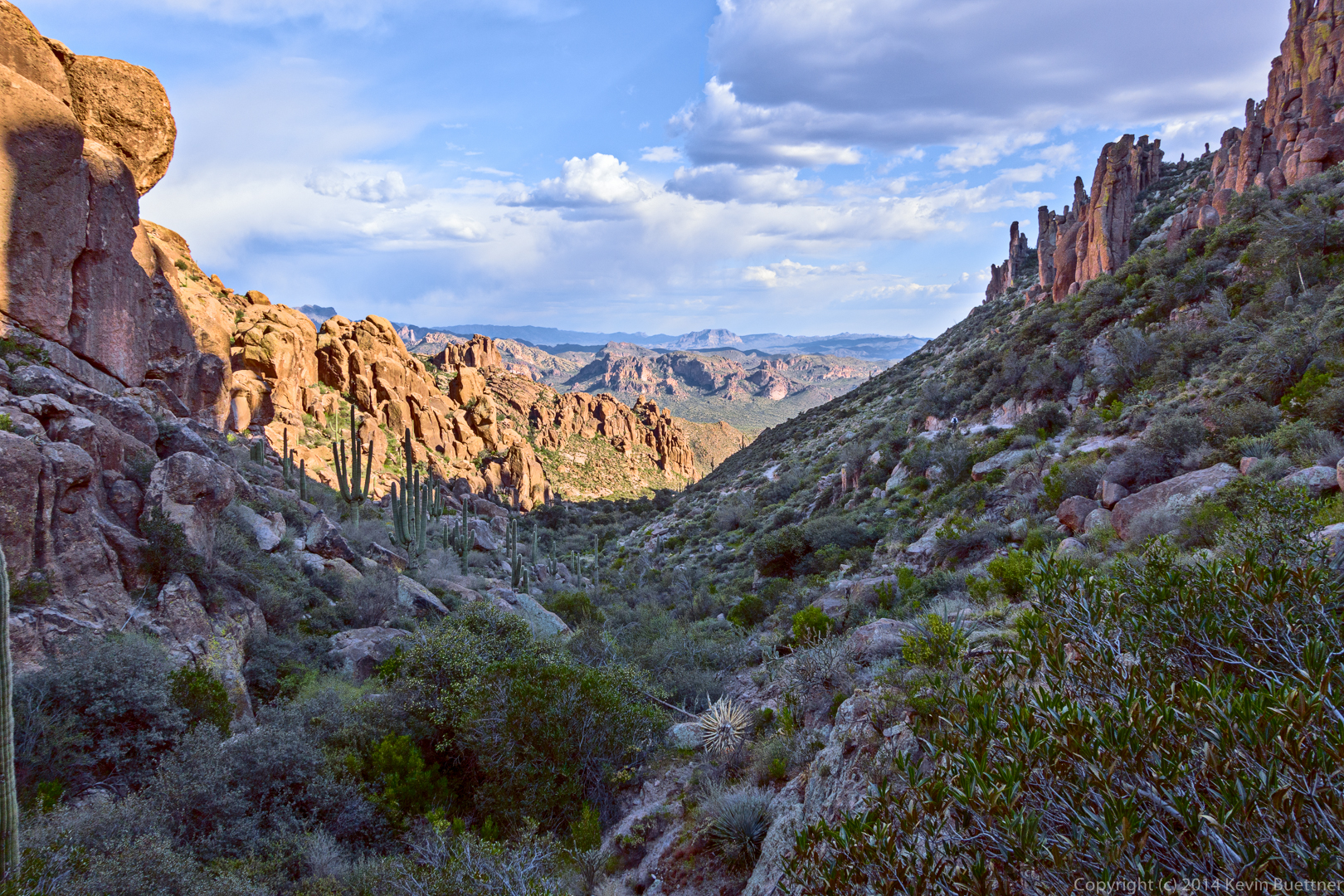
This shot was taken a good time later after we had negotiated several obstacles (and a few wrong turns) on the Ridgeline Trail. We’re starting to make our way down into Hieroglyphic Canyon here:
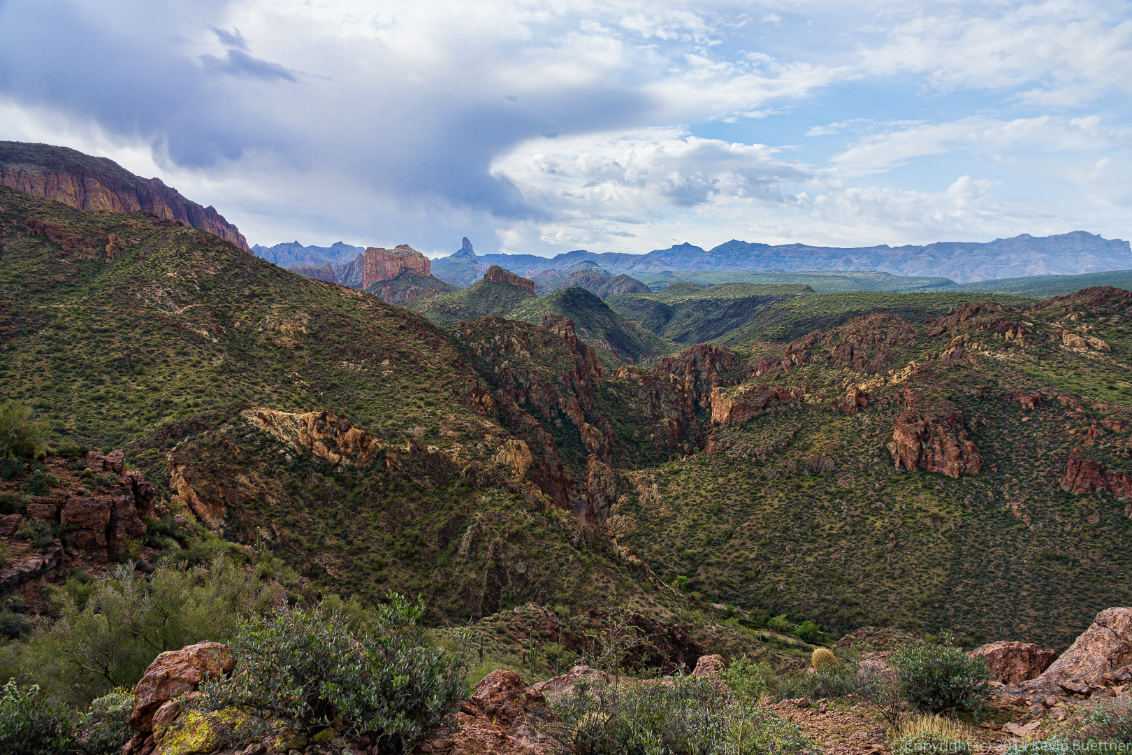
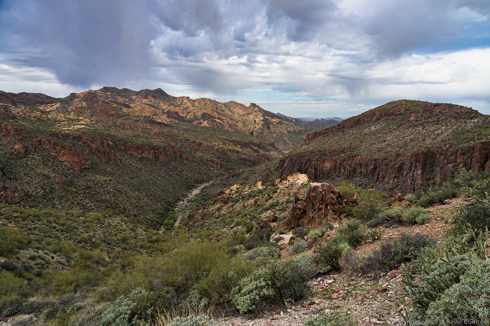
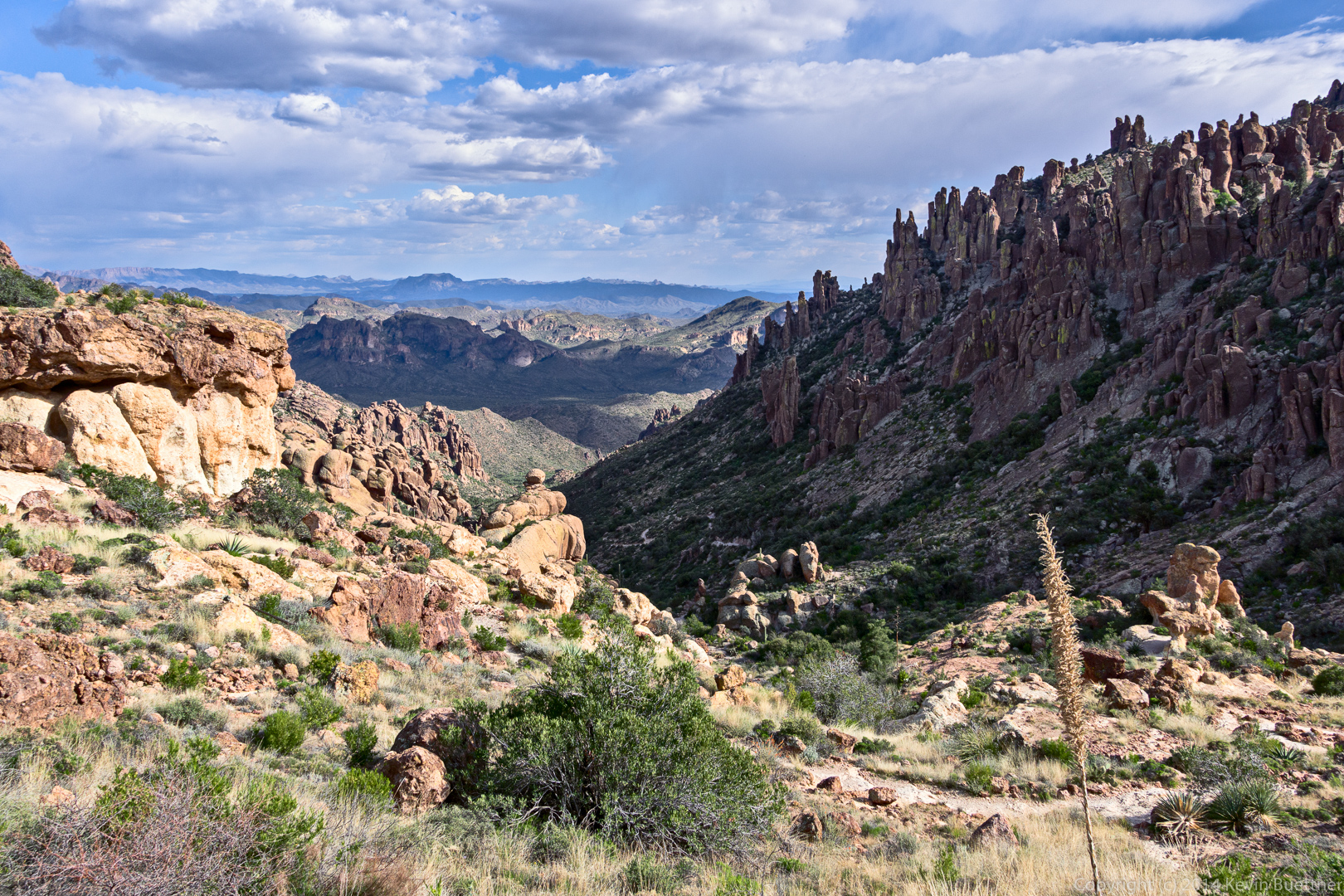
Looking back at where we had been:
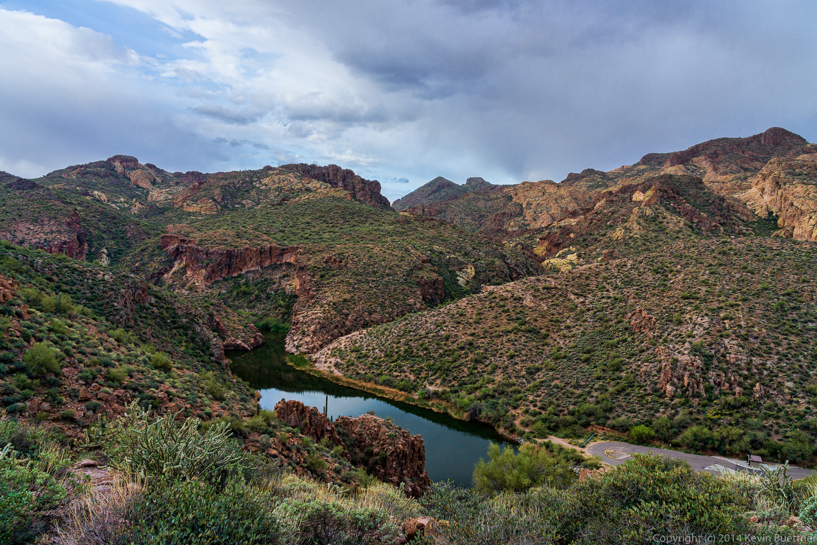
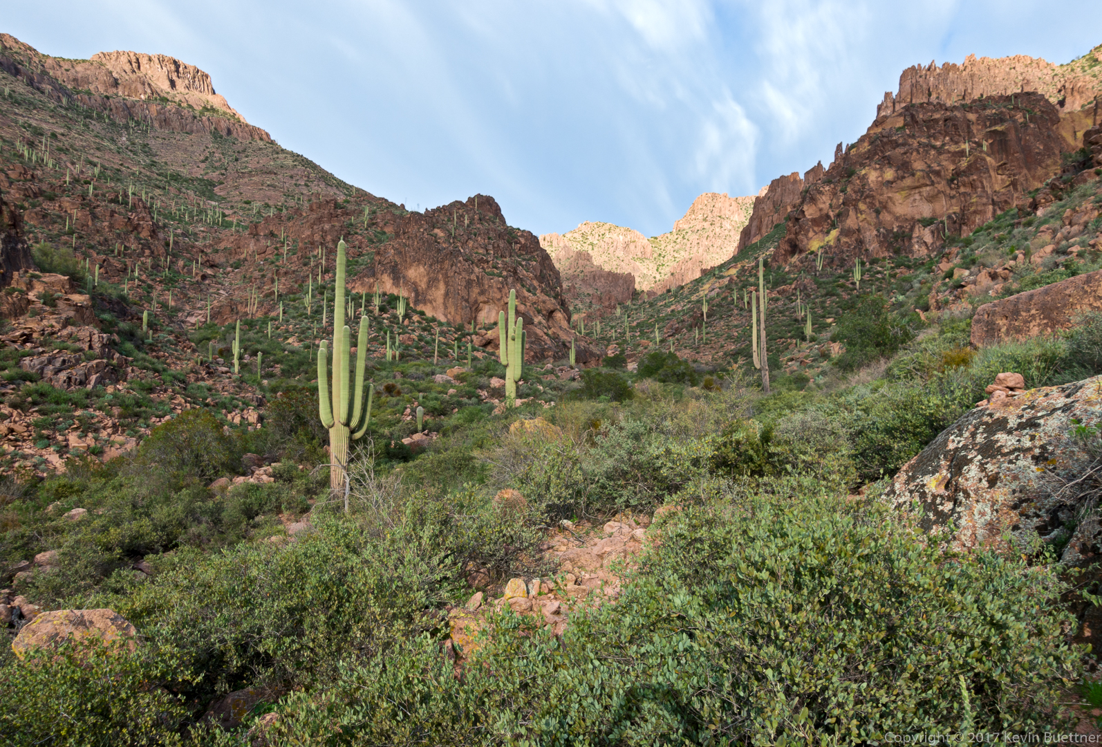
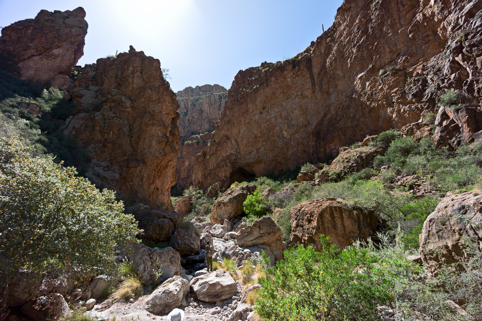
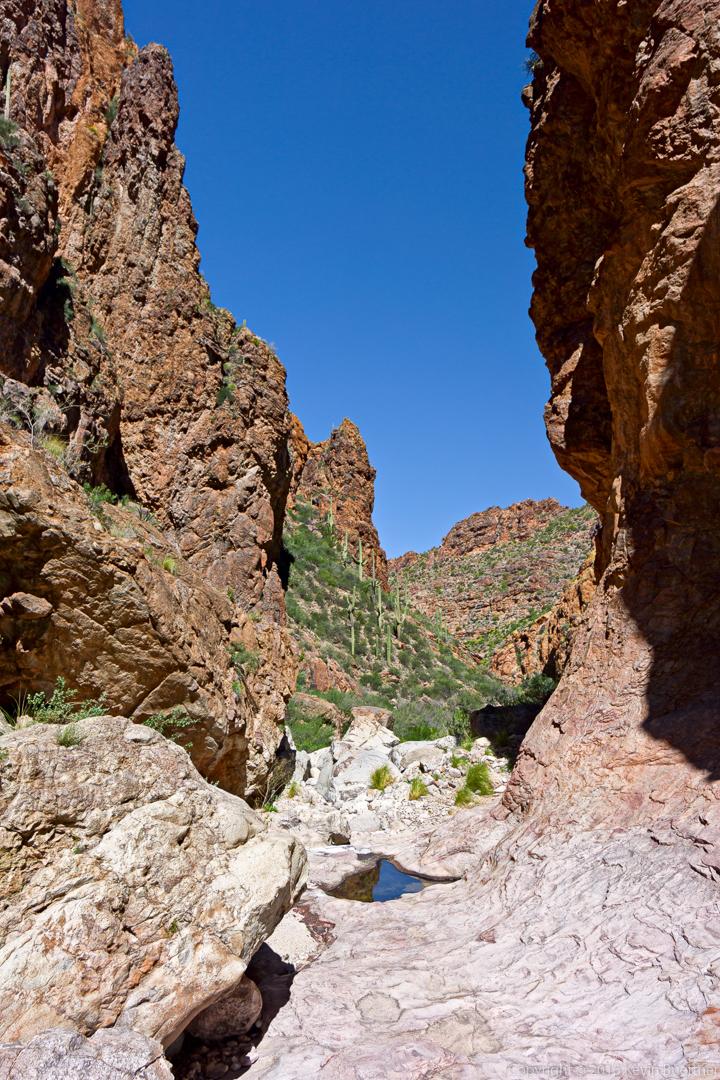
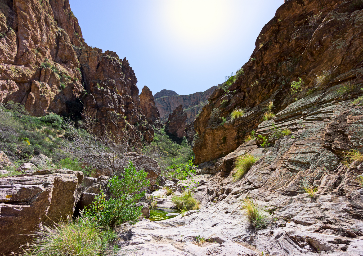
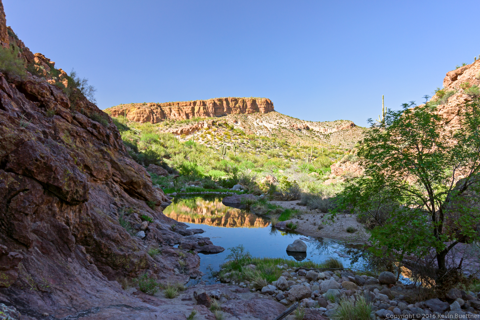
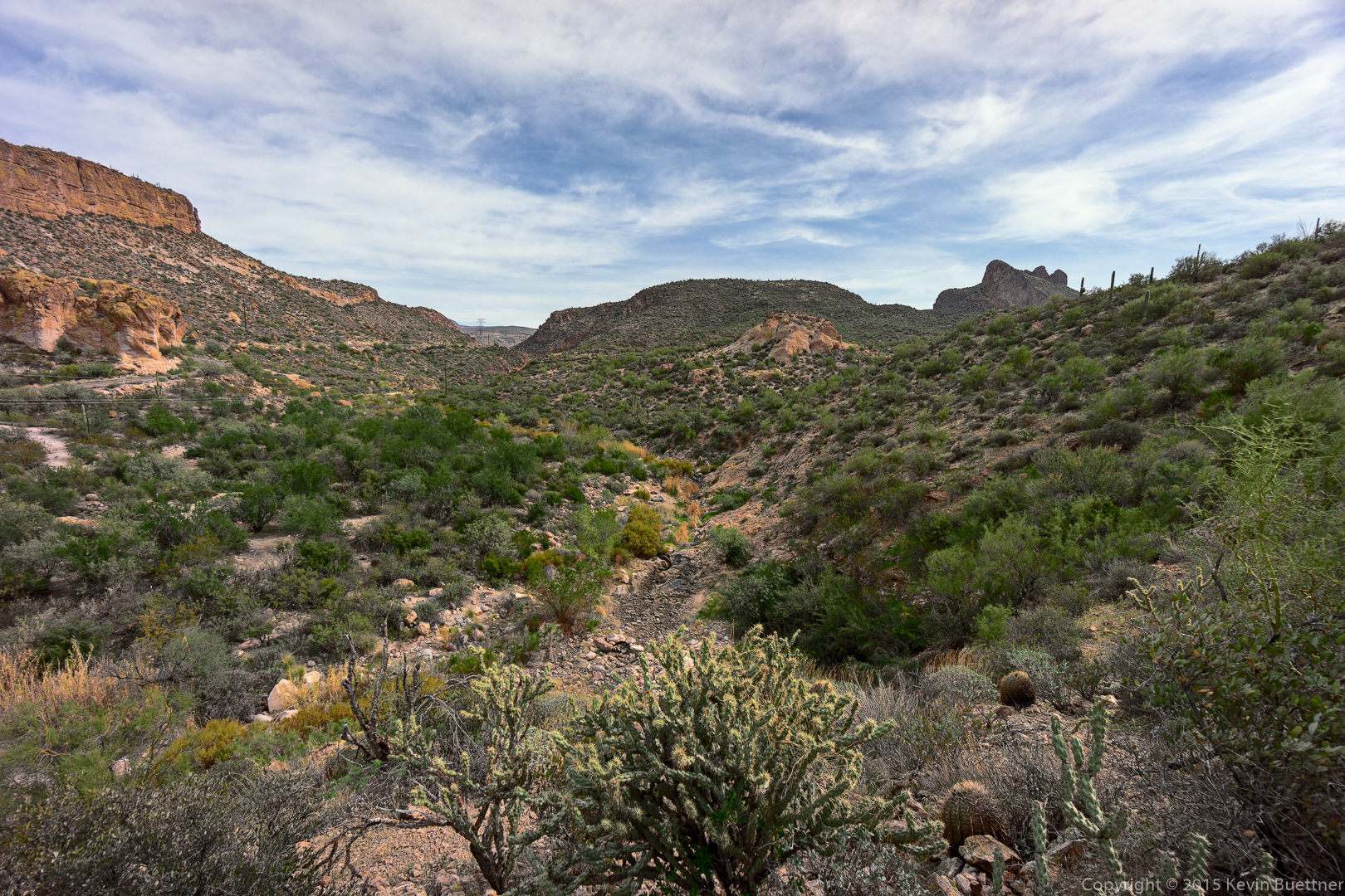
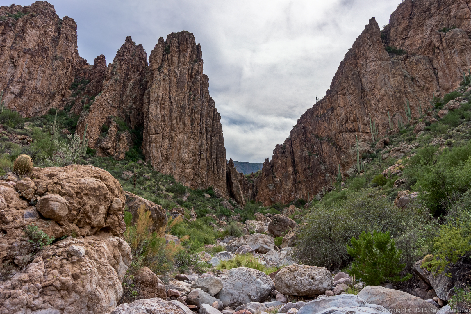
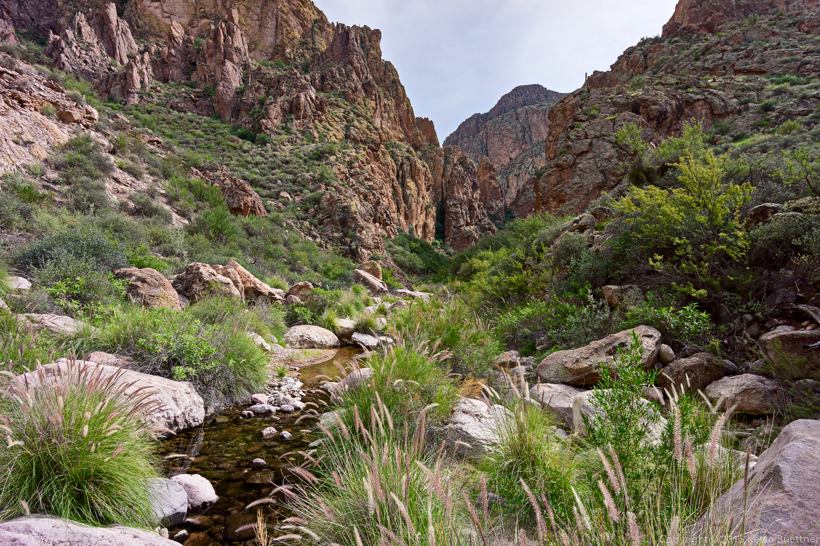
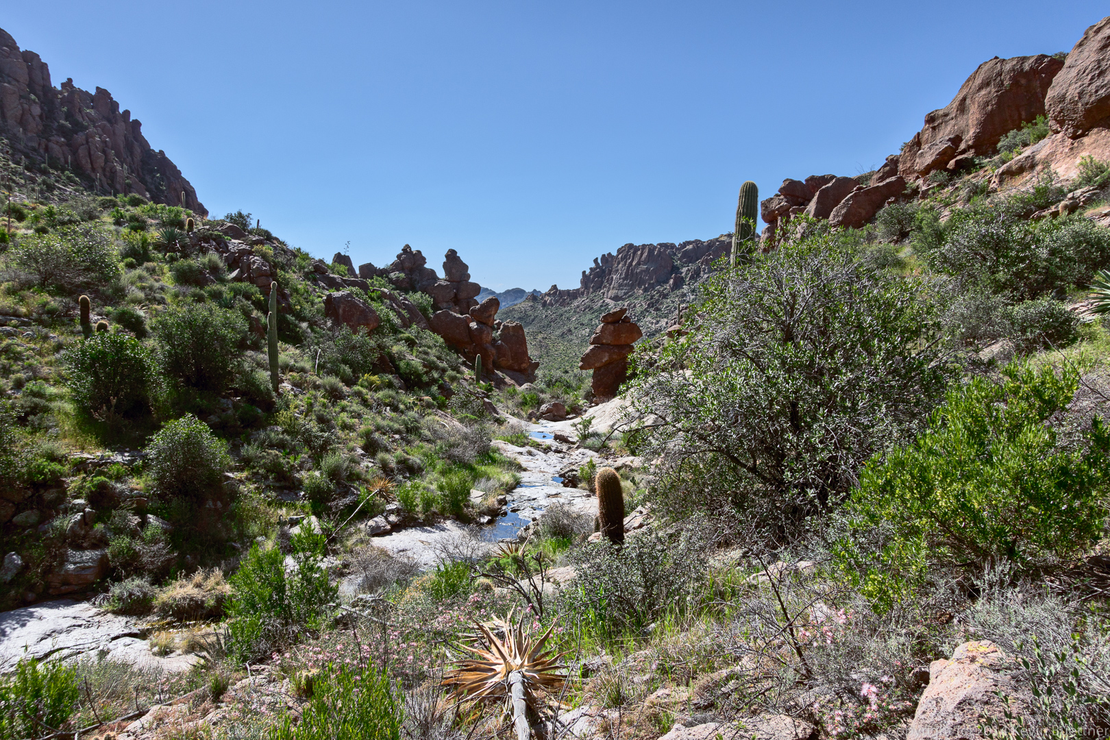
Another shot of the canyon:
And, again, looking back:
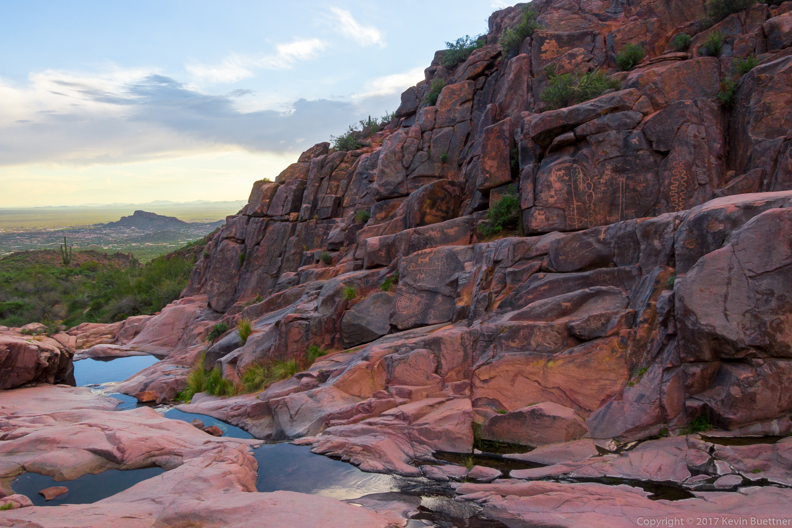
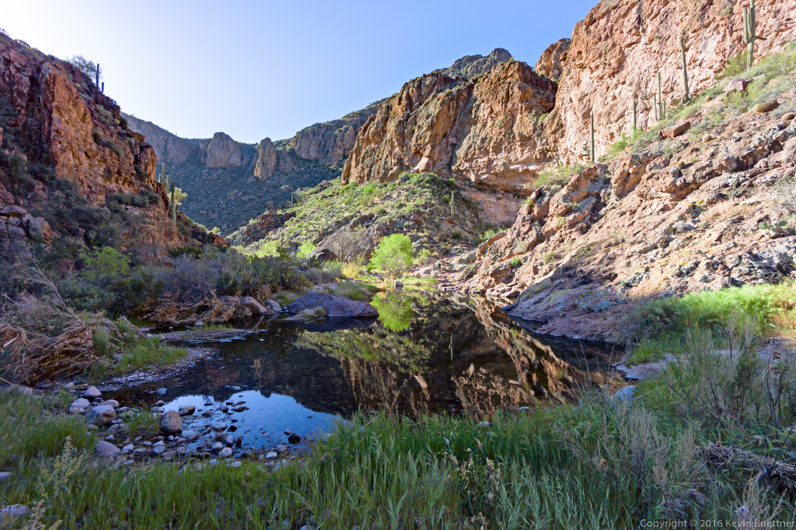
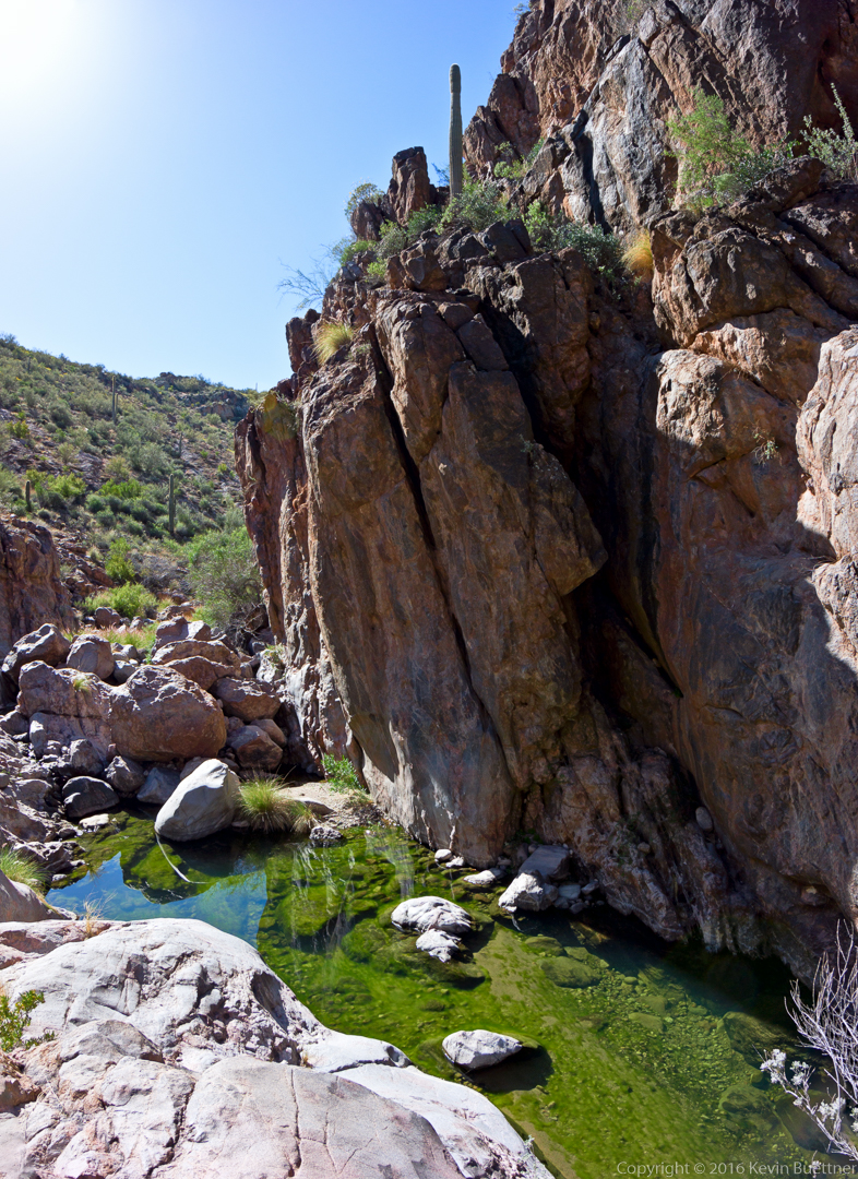
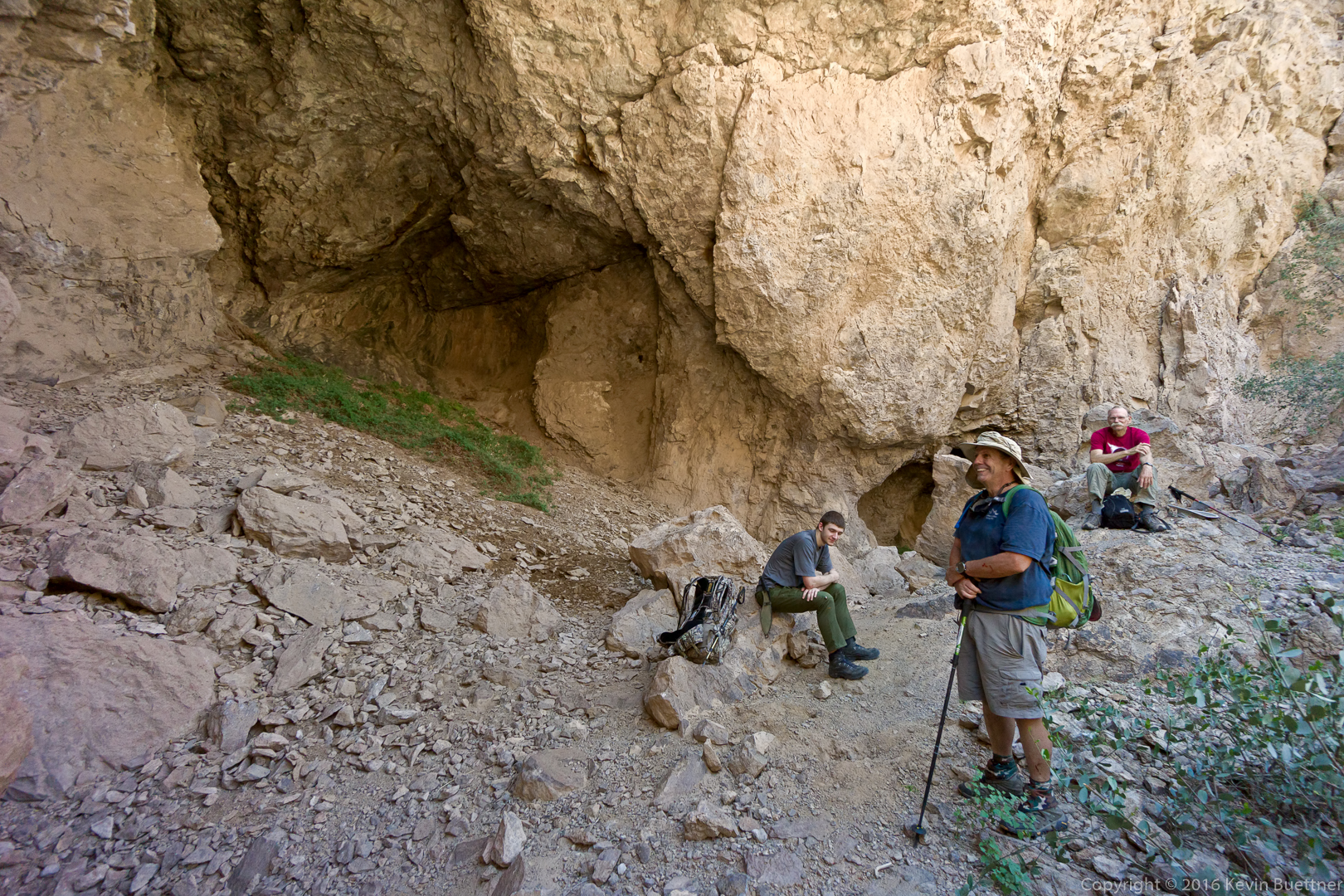
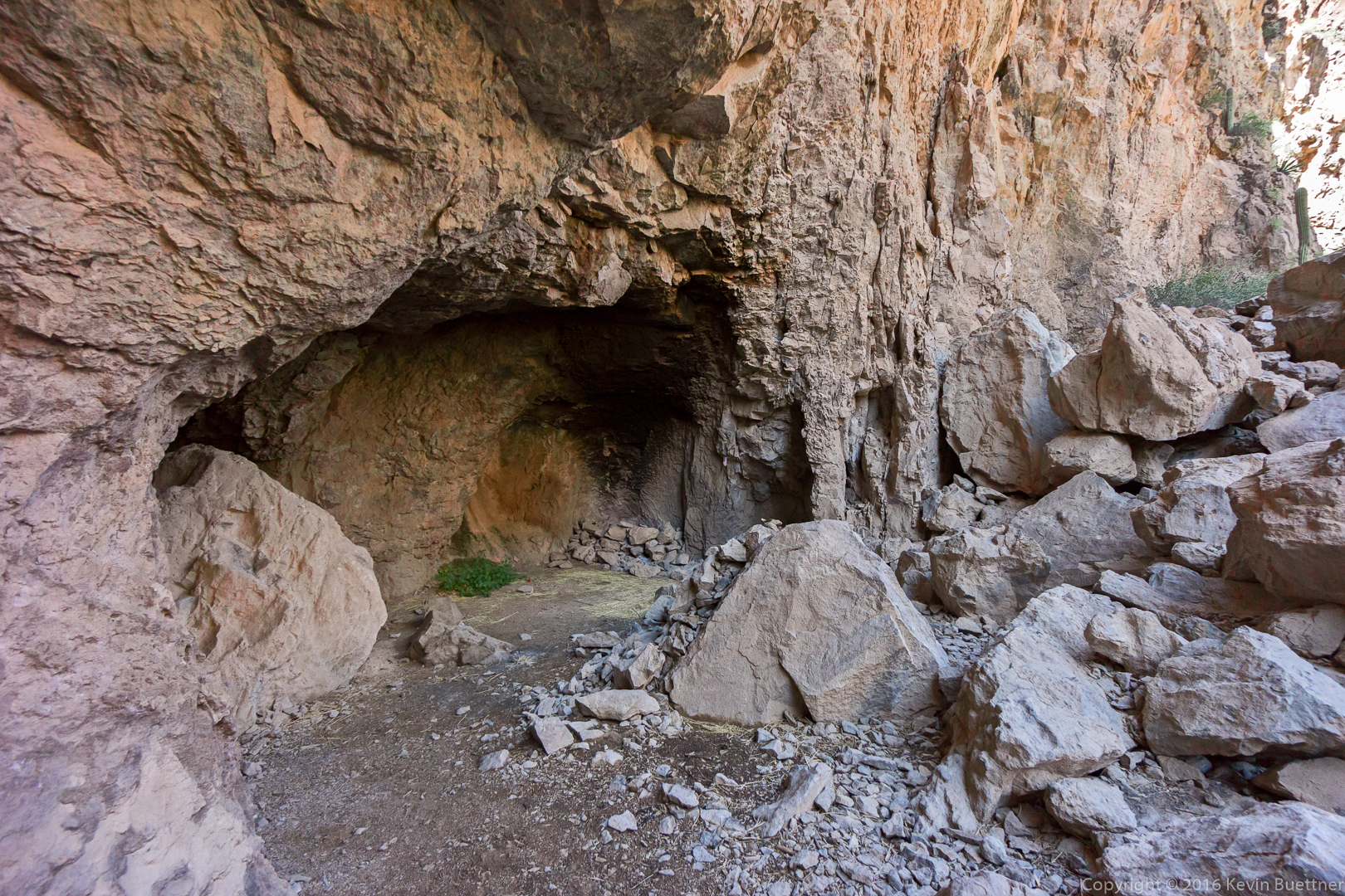
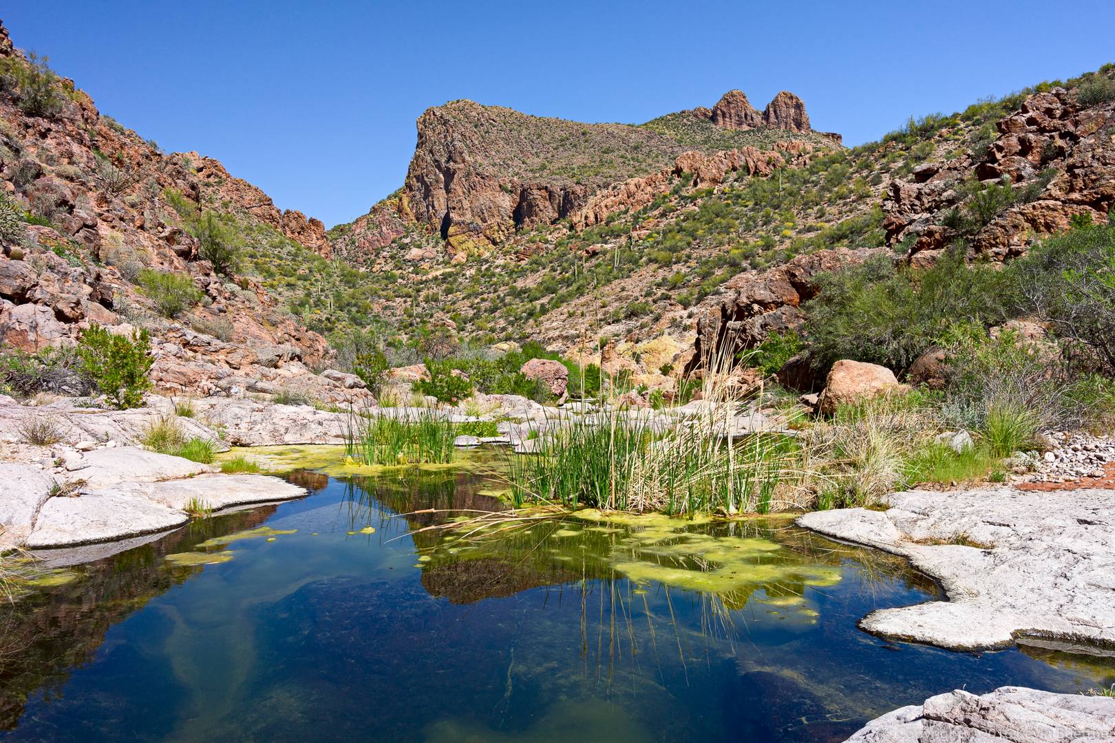
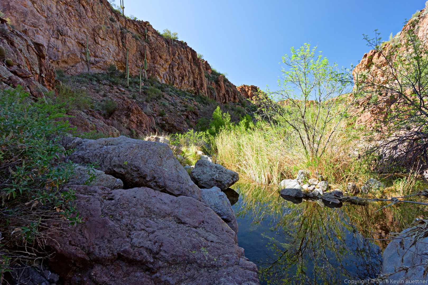
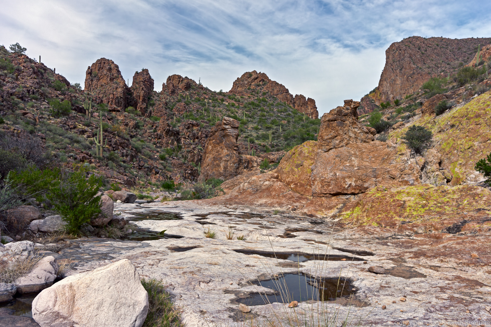
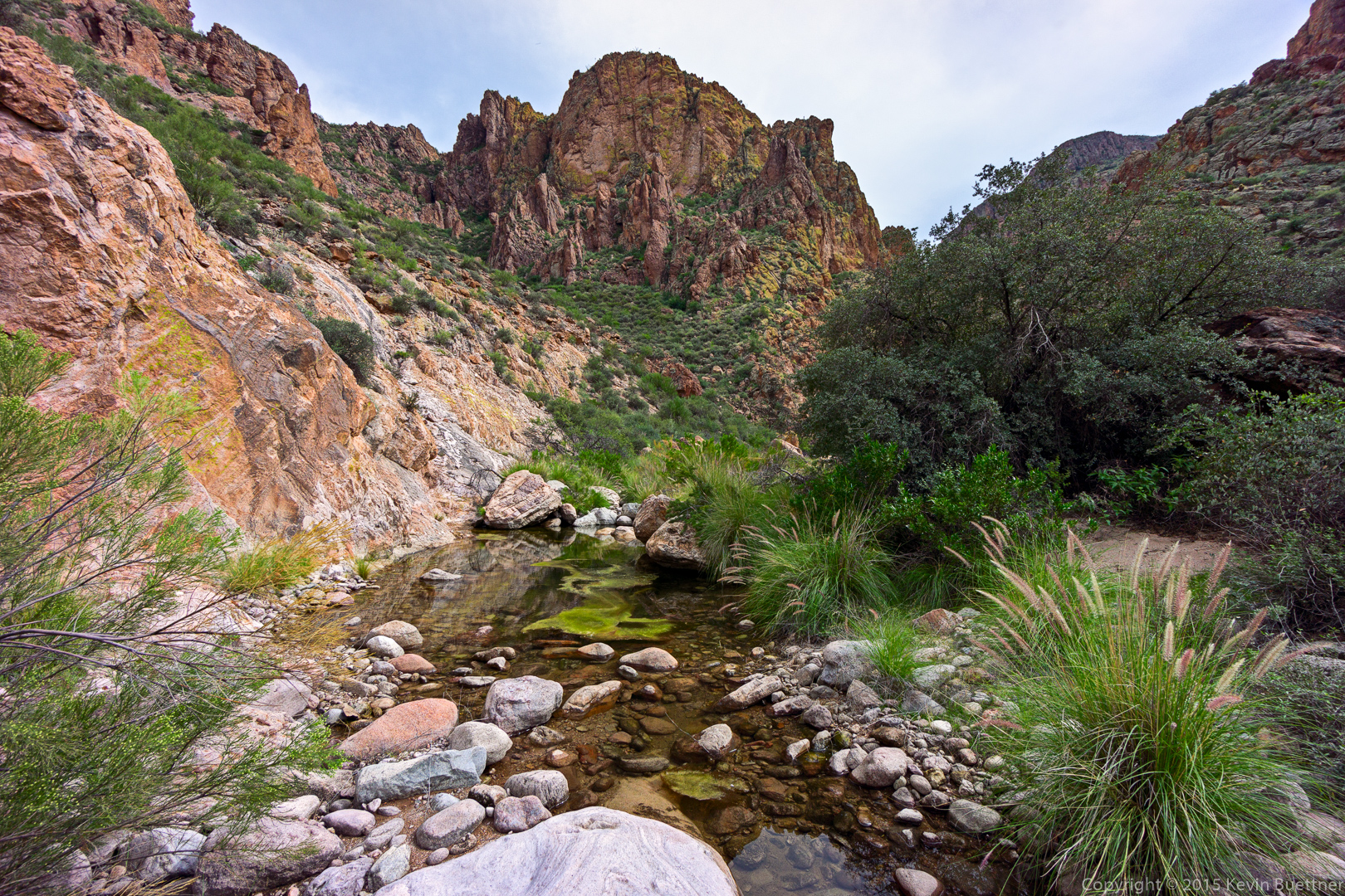
Finally! We arrive at the pools and the petroglyphs. Just in time, too, as it was starting to get dark. The rock was slick from being polished by water. I fell on my back when both of my feet simultaneously slid out from under me. Luckily though, my backpack absorbed the fall. My only injury was a bruised elbow.

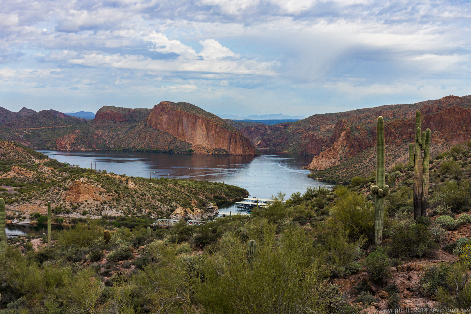
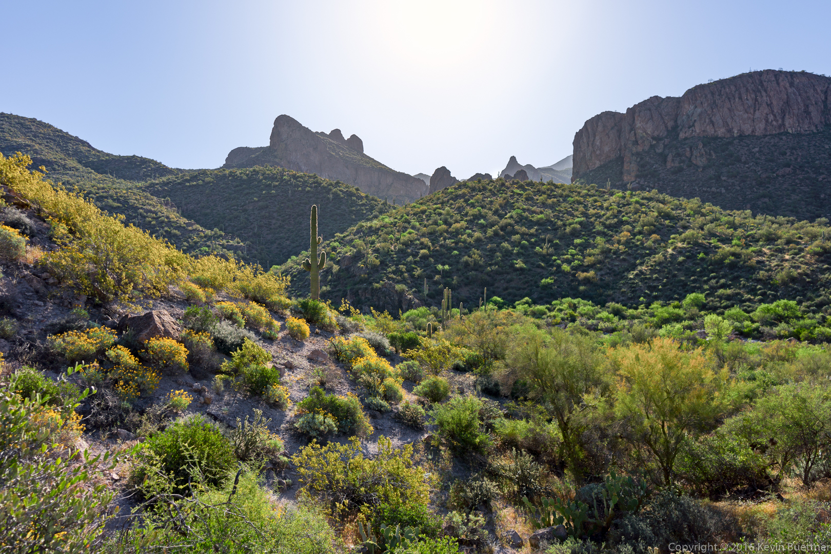
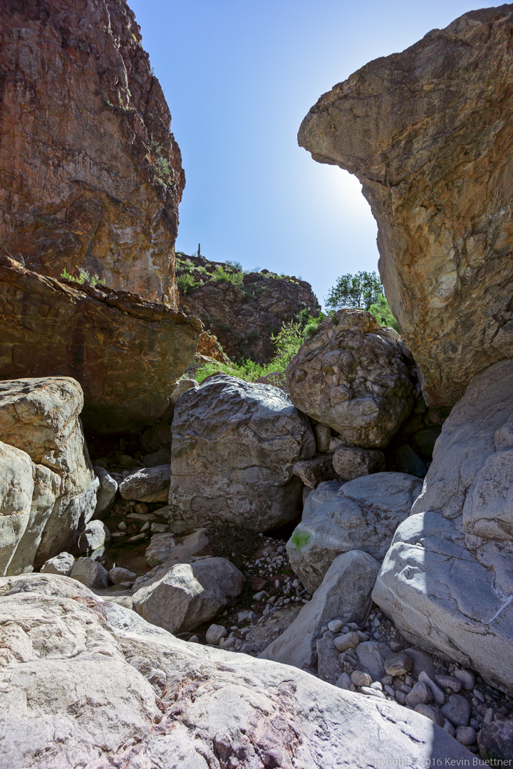
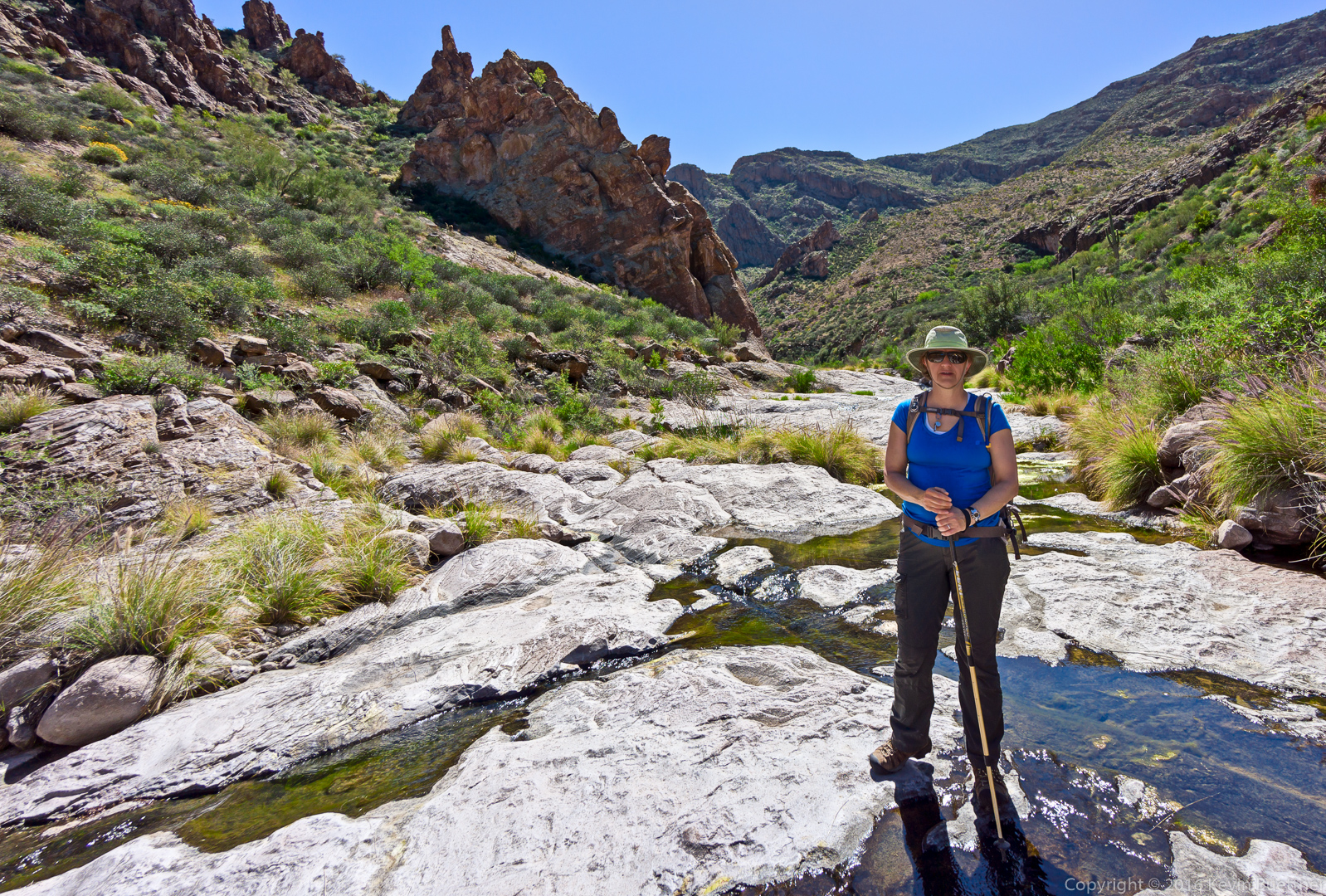
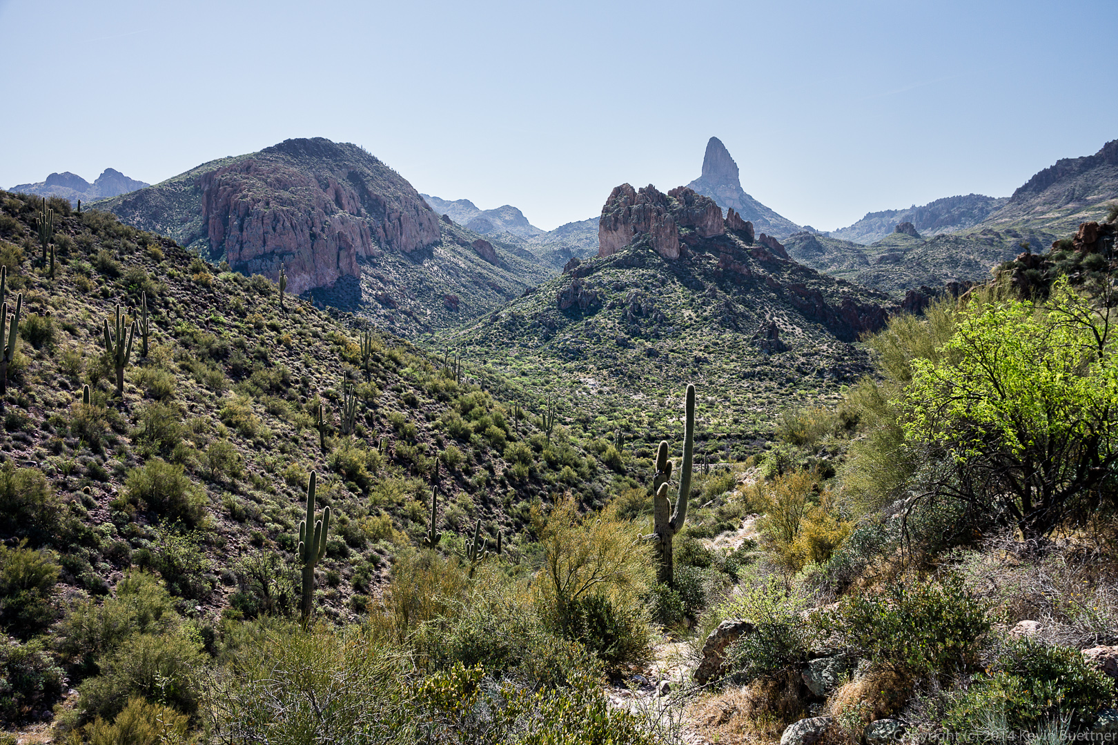
A view as we exited Hieroglyphic Canyon:
The sunset produced an intense orange glow on the rock. Off to the left in this photo is where we began our off-trail portion of the hike earlier in the day.
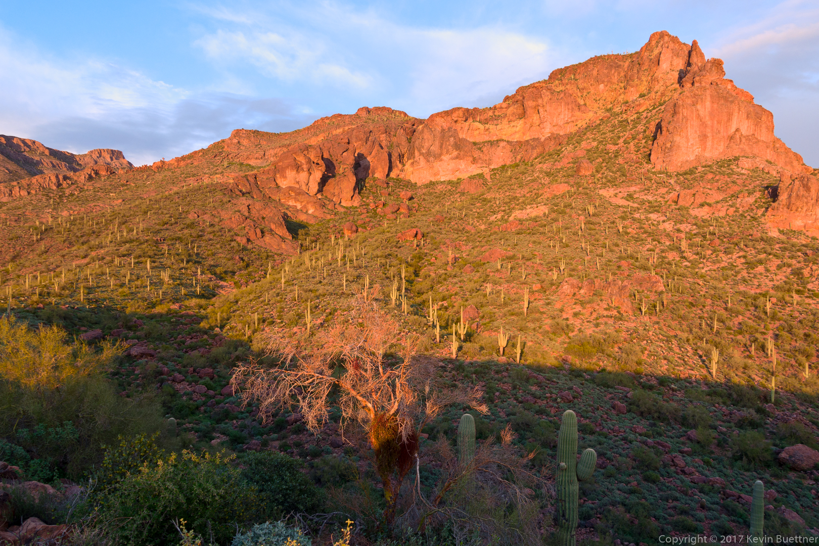
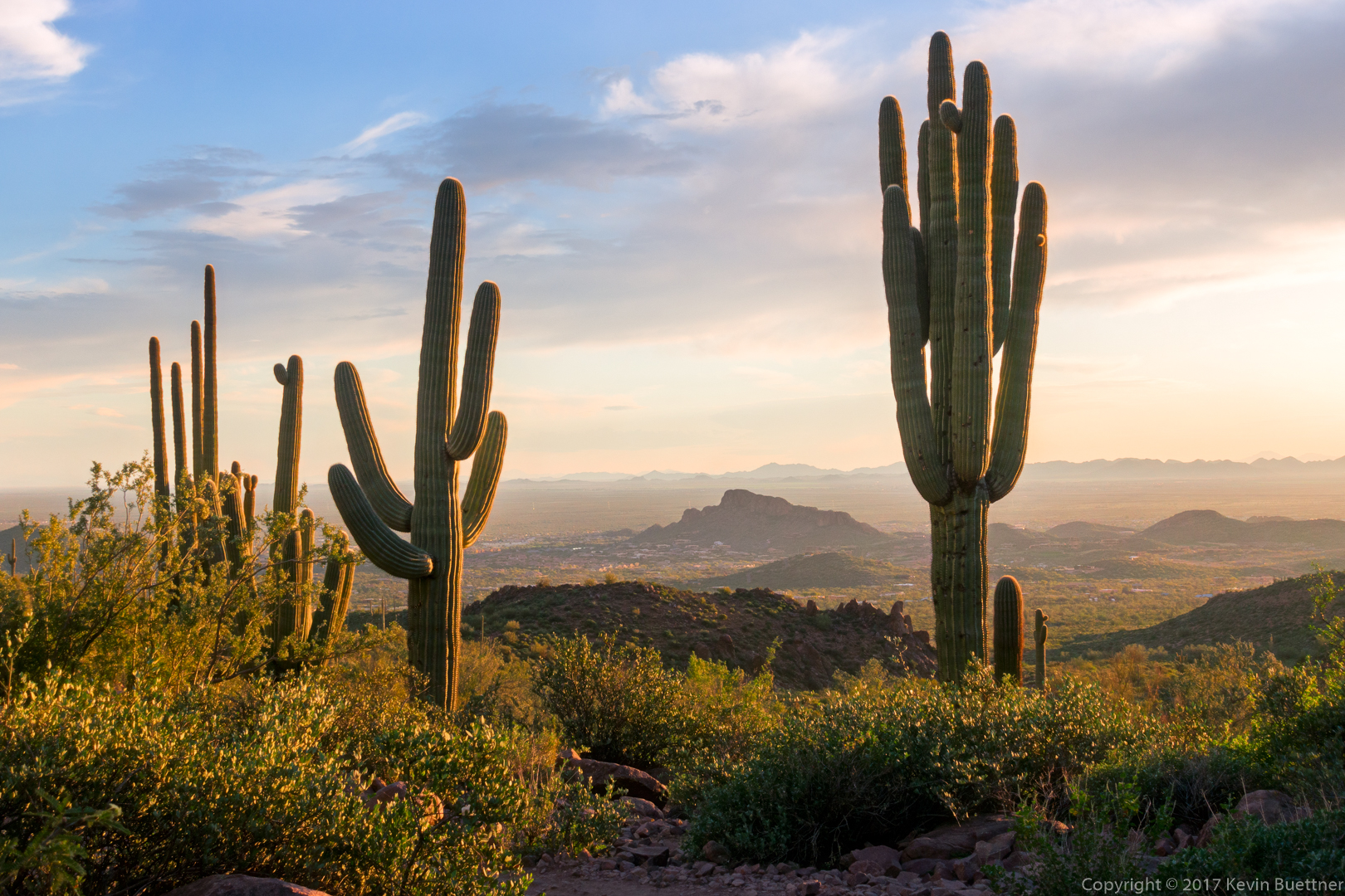
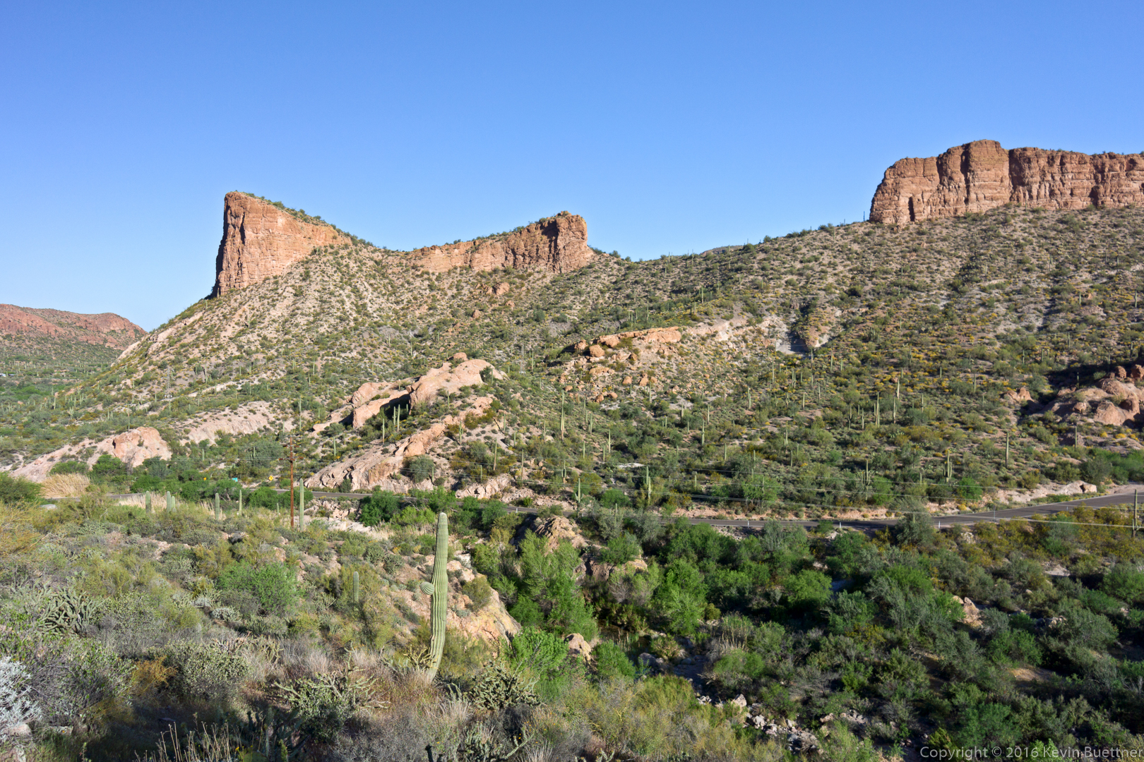
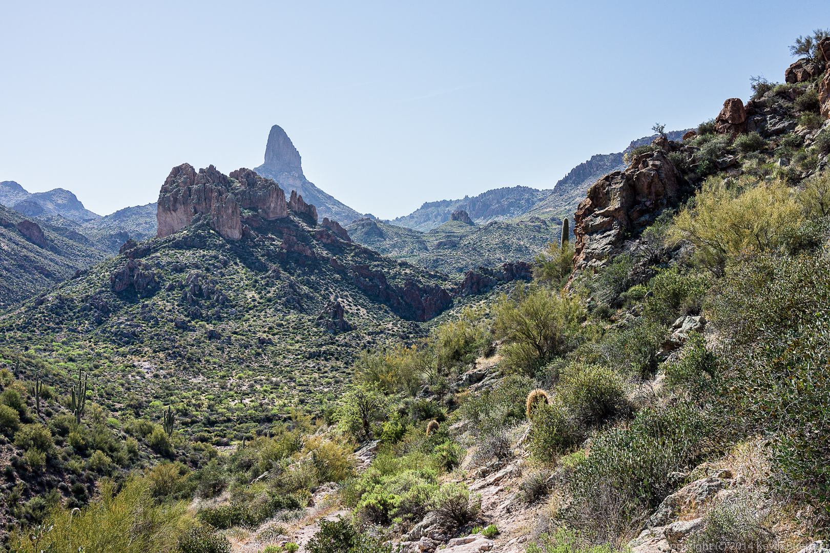
Nearly back here, but we still had a great view!
Doug, Bob, Joe, Linda, Marilyn, and I hiked Tortilla Creek and then Peter’s Canyon to Peter’s Cave in the Superstition Wilderness on Friday. Our total distance was only a little over five miles with less than 600 feet of elevation gain. But, even so, it took us nearly eight hours to complete this hike due to the challenging terrain.
This is the view across AZ 88 shortly after starting the hike:
Looking east prior to entering Tortilla Creek:
Another view as we approach Tortilla Creek:
This is Tortilla Creek:
The entrance to Peter’s Canyon:
This is another view shortly after entering Peter’s Canyon. Bob and Joe are up ahead.
This is one of the rocky sections early in Peter’s Canyon.
We encountered many pools of water along the way.
Doug, Linda, Marilyn, and Joe:
Joe, Bob, Doug, Linda, and Marilyn:
We encountered sections where the rocks were coated with what I assume to be dried algae. I was surprised to see that it had formed a whitish coating on the rocks.
Joe, looking ahead at Peter’s Cave:
I think this is a type of Penstemon:
This is the view from below Peter’s Cave, looking back the way we had come:
Joe, Bob, and Doug in Peter’s Cave. Despite being large and airy, it was quite cool in the cave.
Another alcove in the cave where someone had built a fire.
Joe, Bob, and Doug in Peter’s Cave:
One of the views as we made our way back:
Marilyn, standing on the rock amidst the water:
A view of the canyon prior to turning the corner into the section with the huge boulders.

This is part of the return trip; we’re nearing the end of the section which required scrambling up and down large boulders and other rock. Tortilla Creek is ahead; it was only marginally easier as we still had to watch our foot placement on nearly every step while also navigating around brush and water.
Small pools in Tortilla Creek…
Nearly done with the creek…
Hiking back up the hill…
Friday’s hike on March 13 started from the Peralta Trailhead. Bill, Bob, Janet, and I did a thirteen mile route around Weaver’s Needle. (Marilyn joined us for the first part of the hike.) Starting at the Peralta Trailhead, we hiked the Bluff Springs Trail, Terrapin Trail, Dutchman Trail, and returned on the Peralta Trail. Weaver’s Needle was in view for much of the hike.
Bill, Janet, and Marilyn hike up the Bluff Springs Trail:
This is not Weaver’s Needle – we saw this rock formation early in the hike.
I only managed to get one photo of this snake. It turned around and slithered off the trail before I had a chance to get more interesting shots. Michael and Sue, in their comments to this post, identified this snake as a Sonoran Gopher Snake.
This is a view from a spur off of the Bluff Springs Trail.
This is (obviously) the intersection of the Terrapin Trail and the Bluff Springs Trail. Route finding was fairly straightforward the entire way except for one spot a bit further on where the Terrapin Trail branched off to go to the base of the needle.
This might be Phlox Tenuifolia, also known as Santa Catalina Mountain Phlox, Vine Phlox, and Desert Phlox:
I think the white flowers are Fleabane:
This is Weaver’s Needle. We saw it before this point too, but the view was not as impressive as this or later photos:
Bob, hiking on the Terrapin Trail with Weaver’s Needle in the background:
I think this might be Battleship Mountain:
This relatively small rock formation blocked our view of Weaver’s Needle for a time.
This is still Weaver’s Needle. It looks very different from this side.
Bob, Janet, and Bill:
Goodding’s Verbena:
This was the view of Peralta Canyon as we (mostly) descended back to the trailhead.
Linda, Bob, and I did a hike in the Superstitions last Friday.
We started off on the Dutchman Trail and then took the Second Water Trail. We hiked Second Water out to the Black Mesa Trail which took us back to the Dutchman Trail. Had we returned on the Dutchman Trail at this point – which is what we had planned – we would have hiked nine miles. But we were all feeling pretty good so we decided to see if we could find the Bull Pass Trail, which we had noticed on the map prior to starting our hike.
I couldn’t tell from the map if the Bull Pass Trail connected with the Dutchman Trail or the Boulder Canyon Trail, so we explored a bit of Boulder Canyon looking for the Bull Pass Trail. The Boulder Canyon Trail – at that point, anyway – crosses Boulder Creek many, many times. We limited ourselves to three crossings in our exploration. Neither Bob nor Linda had hiked this portion of the Boulder Canyon Trail. This gave them a chance to experience what it’s like.
We returned to the Dutchman Trail and located the Bull Pass a short ways further. The first part of the Bull Pass Trail provided us with much of our elevation gain for the day. Once we reached the pass, we saw a side trail which continued upwards. We went up some of the way, but turned back before reaching the summit. (I knew we had a lot of miles to hike still, and thought it best to conserve our energy.)
Returning to the Bull Pass Trail, we continued on until we reached the Dutchman Trail again. We hiked the Dutchman Trail back to the Trailhead.
Our total distance for the day was 16.1 miles, but with only 1,978 feet of total ascent. (I was hoping to reach at least 2,000.)
This is a view from the Second Water Trail early in the hike.
Linda and Bob enjoy the view from the Second Water Trail. There’s an interesting, arch-shaped cairn here too.
We saw these chain fruit cholla on the Black Mesa Trail.
I thought it was interesting that these saguaros made a “V”.
We noticed a large number of saguaros on the hillside to our left as we hiked the Black Mesa Trail, but there were almost no saguaros on the hillside to our right. I had to keep the camera low to avoid lens flare in this shot.
A short ways further, I decided to position the camera in this saguaro’s shadow as a different way of avoiding lens flare.
We came across this thistle flower with a bee wriggling around in the flower. Apparently, it was very happy there because it was there when I stopped for a sequence of photos and was still there when I left. I waited a bit too, to see if it would emerge and fly away, but did not have the patience to wait for very long.
This might be Desert Marigold.
I don’t know what these purple flowers are. They were somewhat paler than shown here in the harsh sunlight.
Linda hiking the Black Mesa Trail.
Bob found a side trail leading to a scenic overlook. I made a panorama our of a bunch of different shots taken from this overlook.
A short ways further, we got a good look at Weaver’s Needle. These two photos are taken from roughly the same location.
Two more views of Weaver’s Needle from a short ways further.
I think this is a feeder for Boulder Creek. The hike description mentions that the Black Mesa Trail descends into Boulder Canyon, but I’m not convinced that this is actually Boulder Canyon.
I think we might have reached the Dutchman Trail at this point.
There are several flowers here, but I don’t know what any of them are.
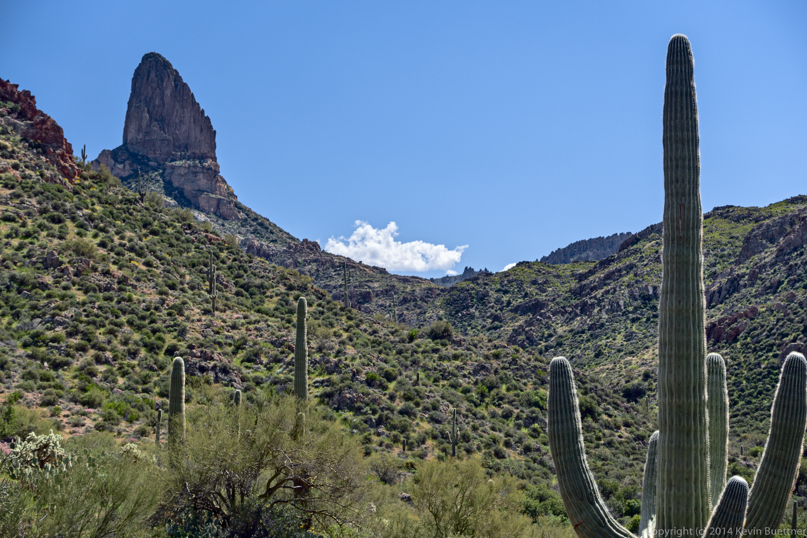
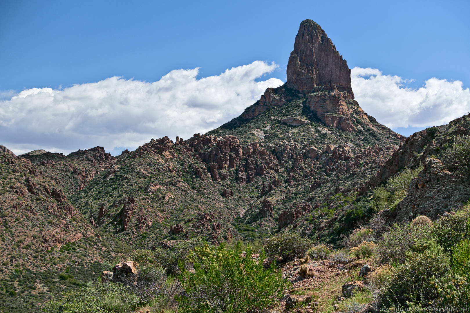
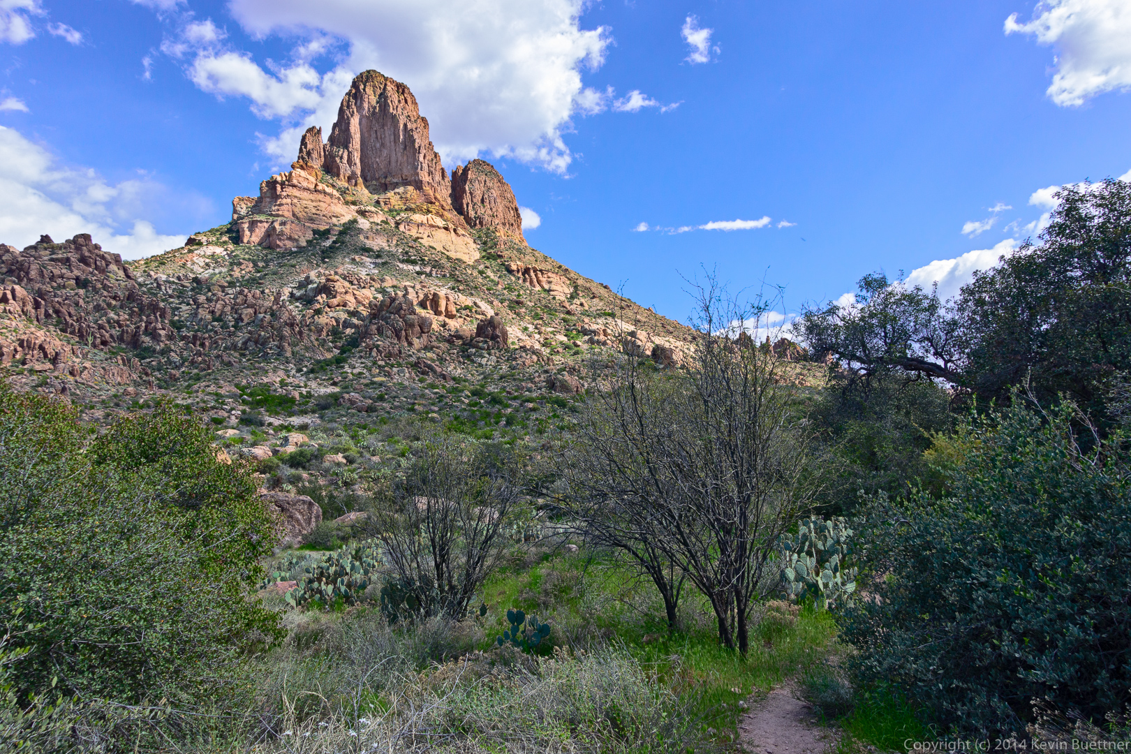
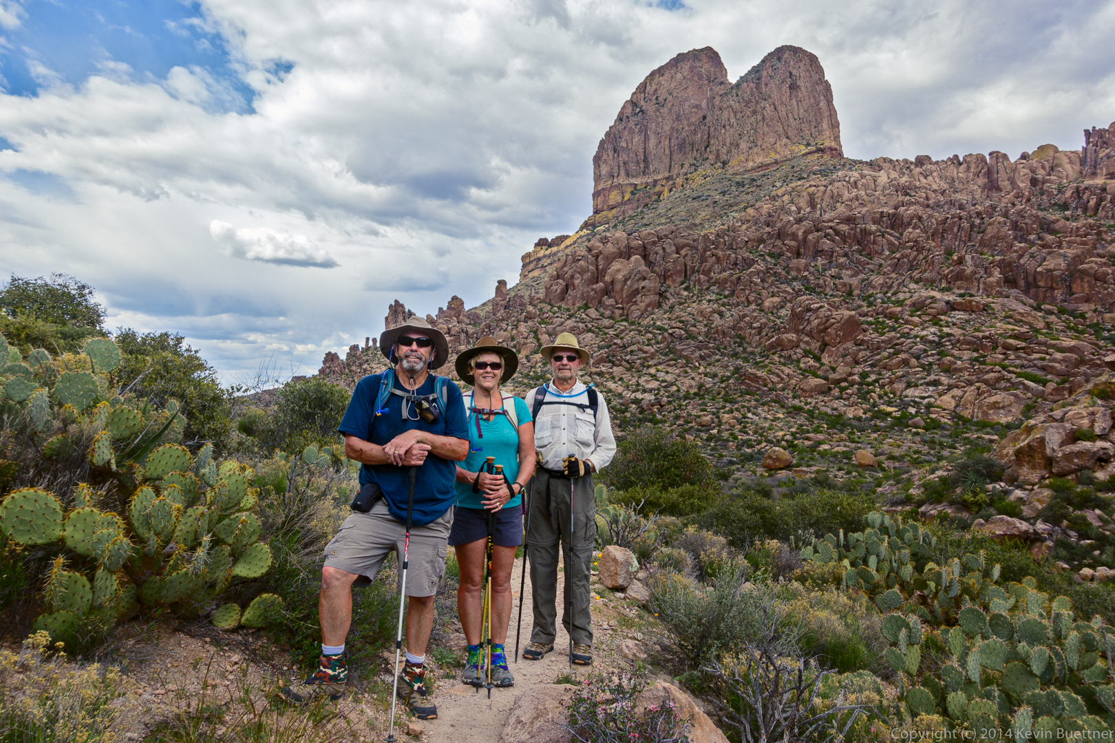
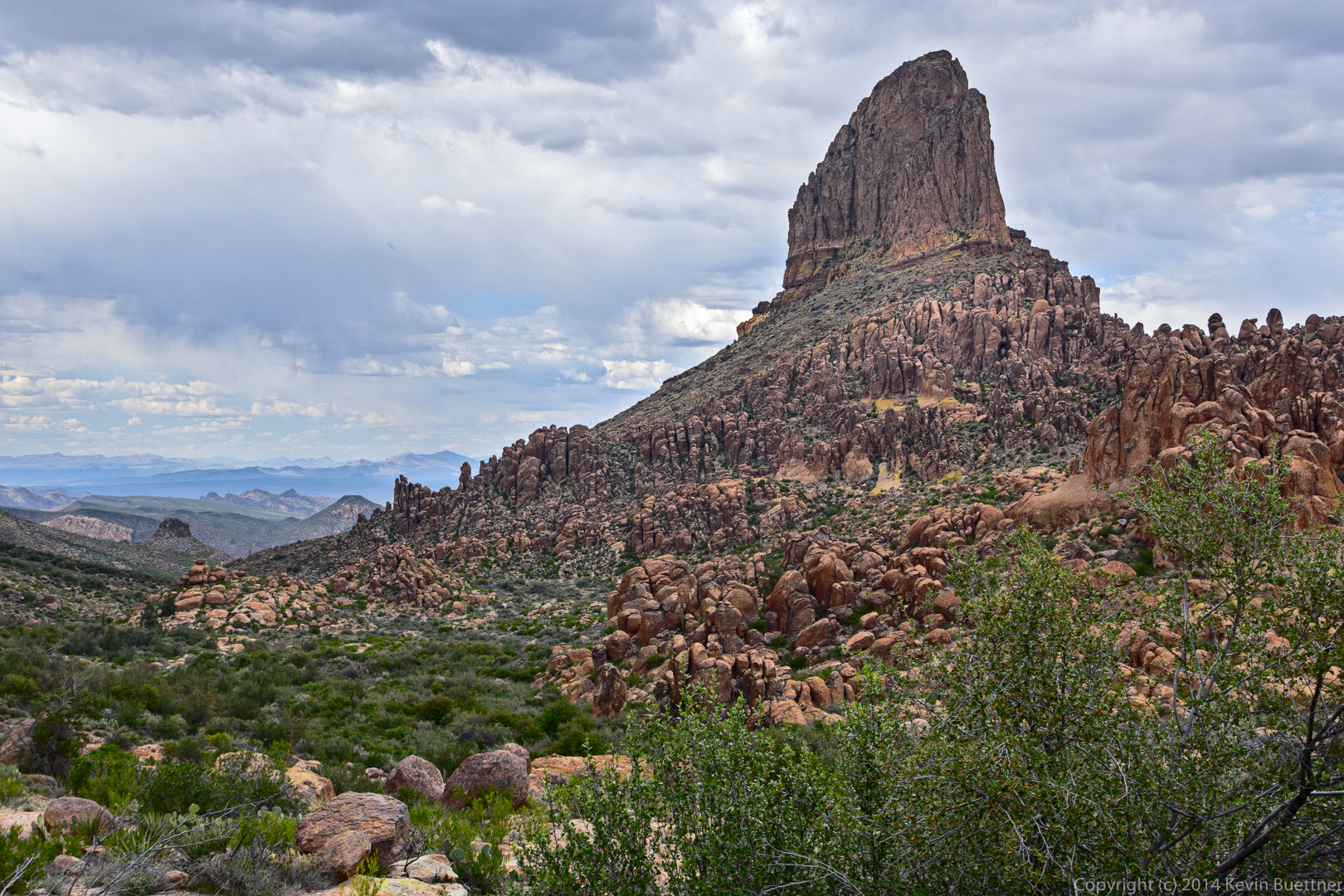
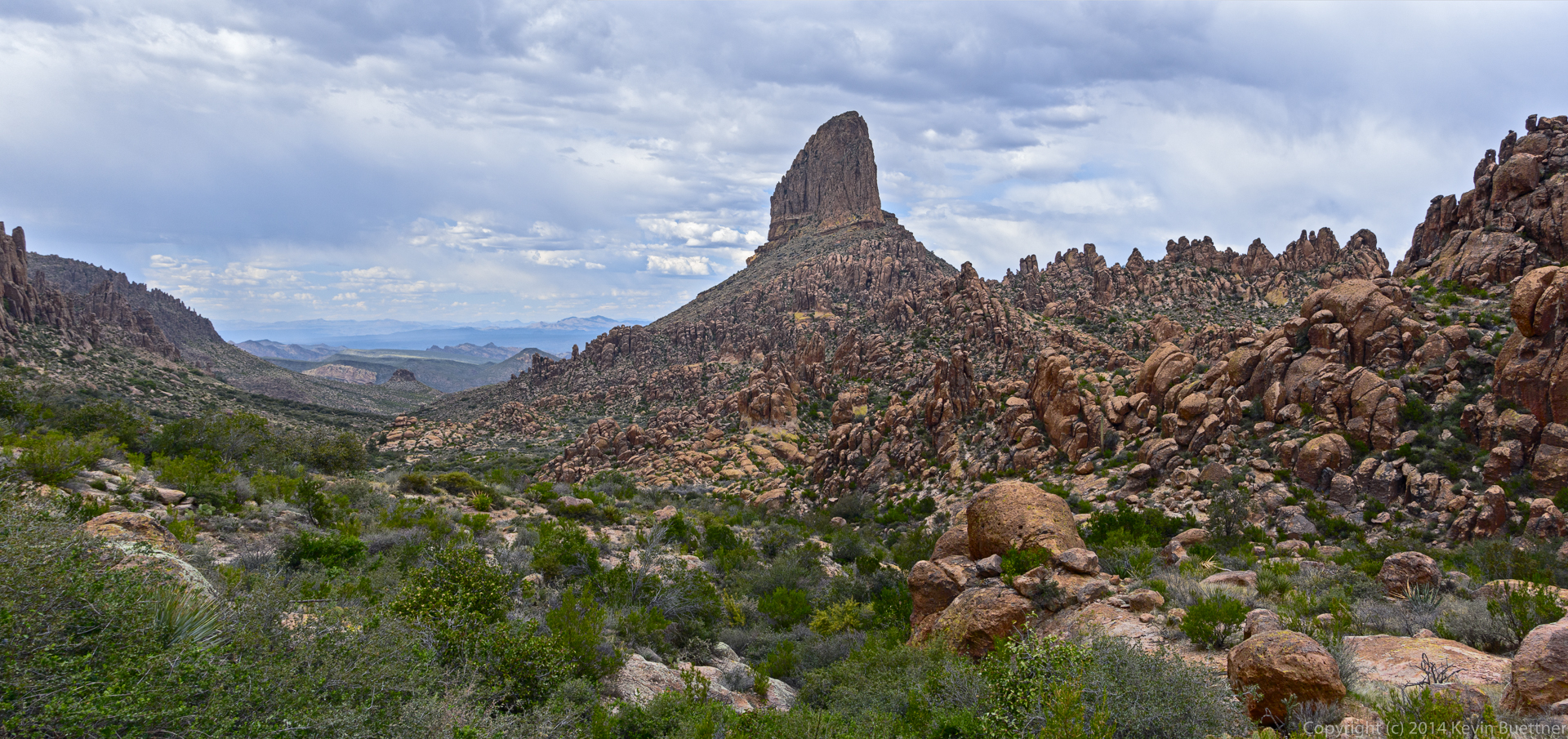
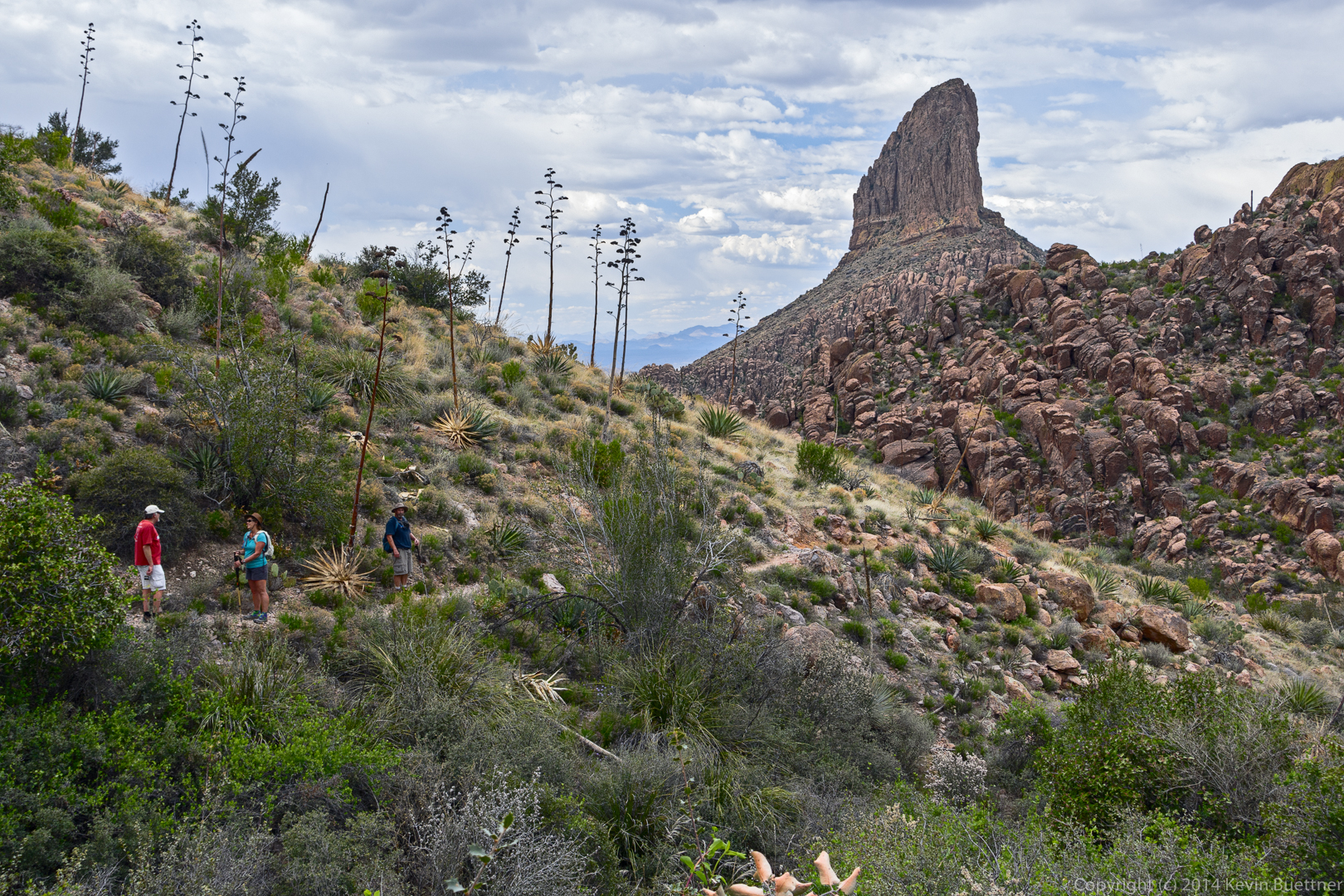
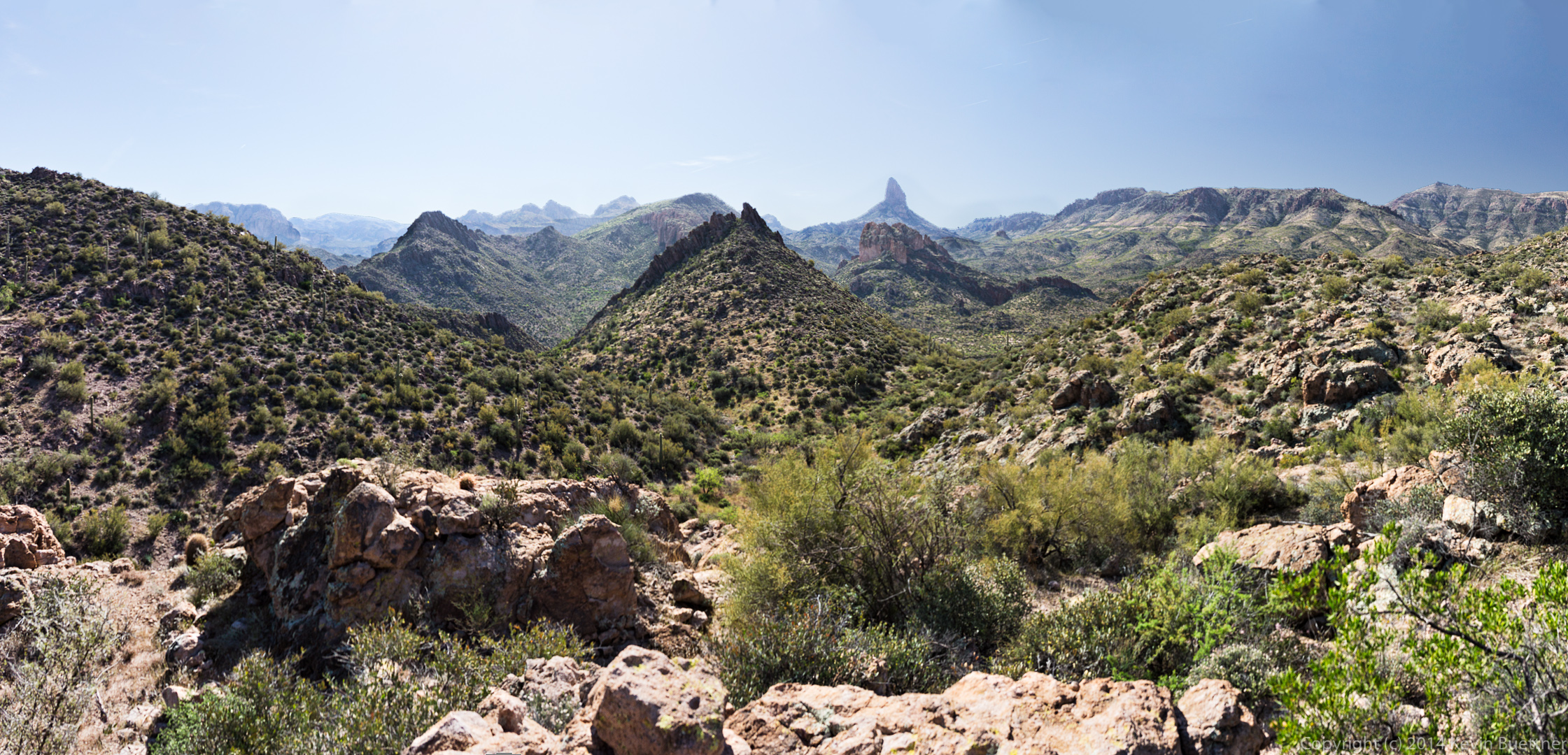
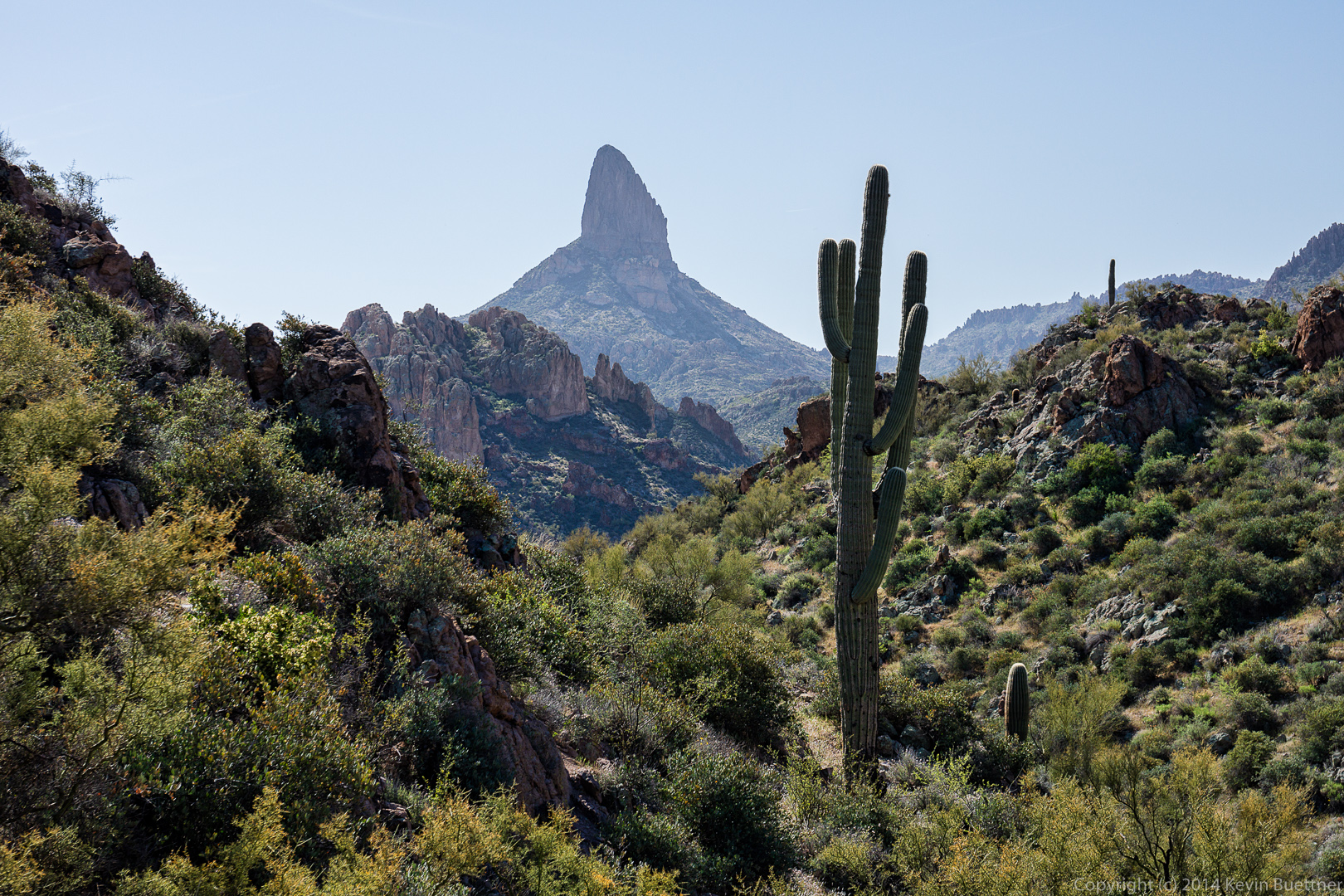
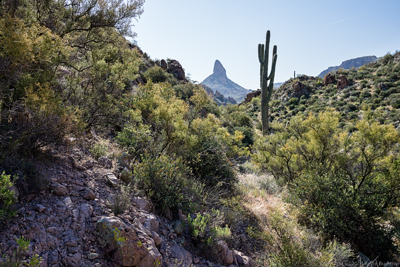
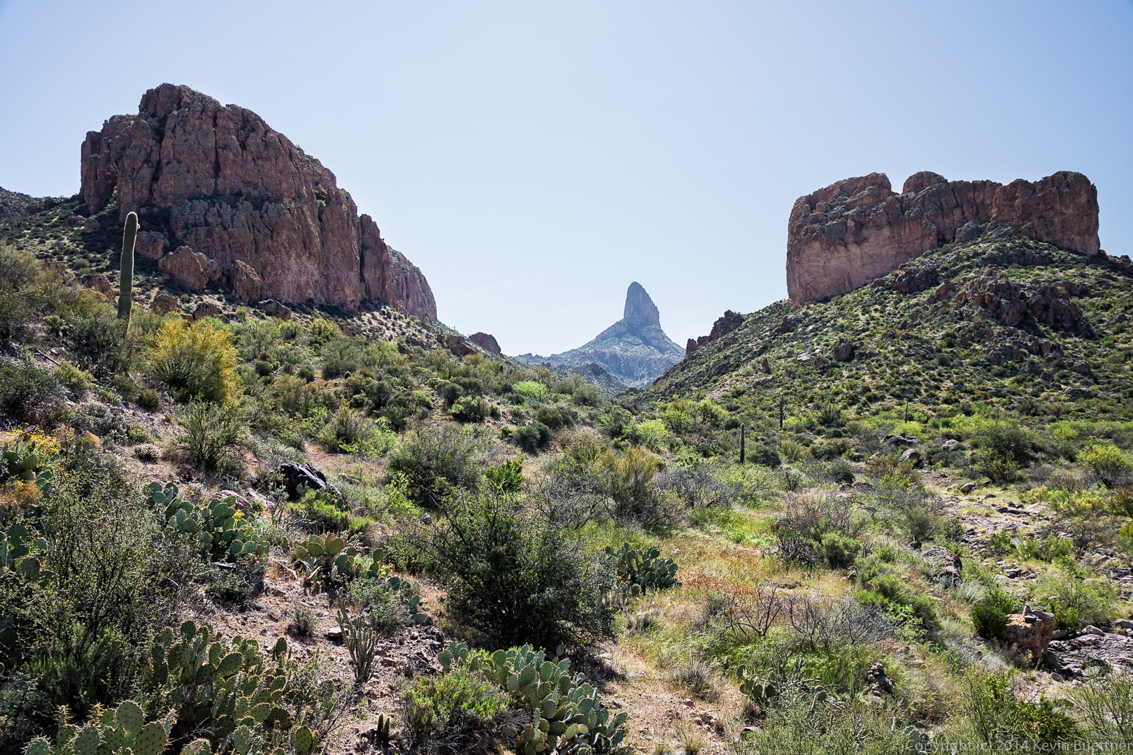
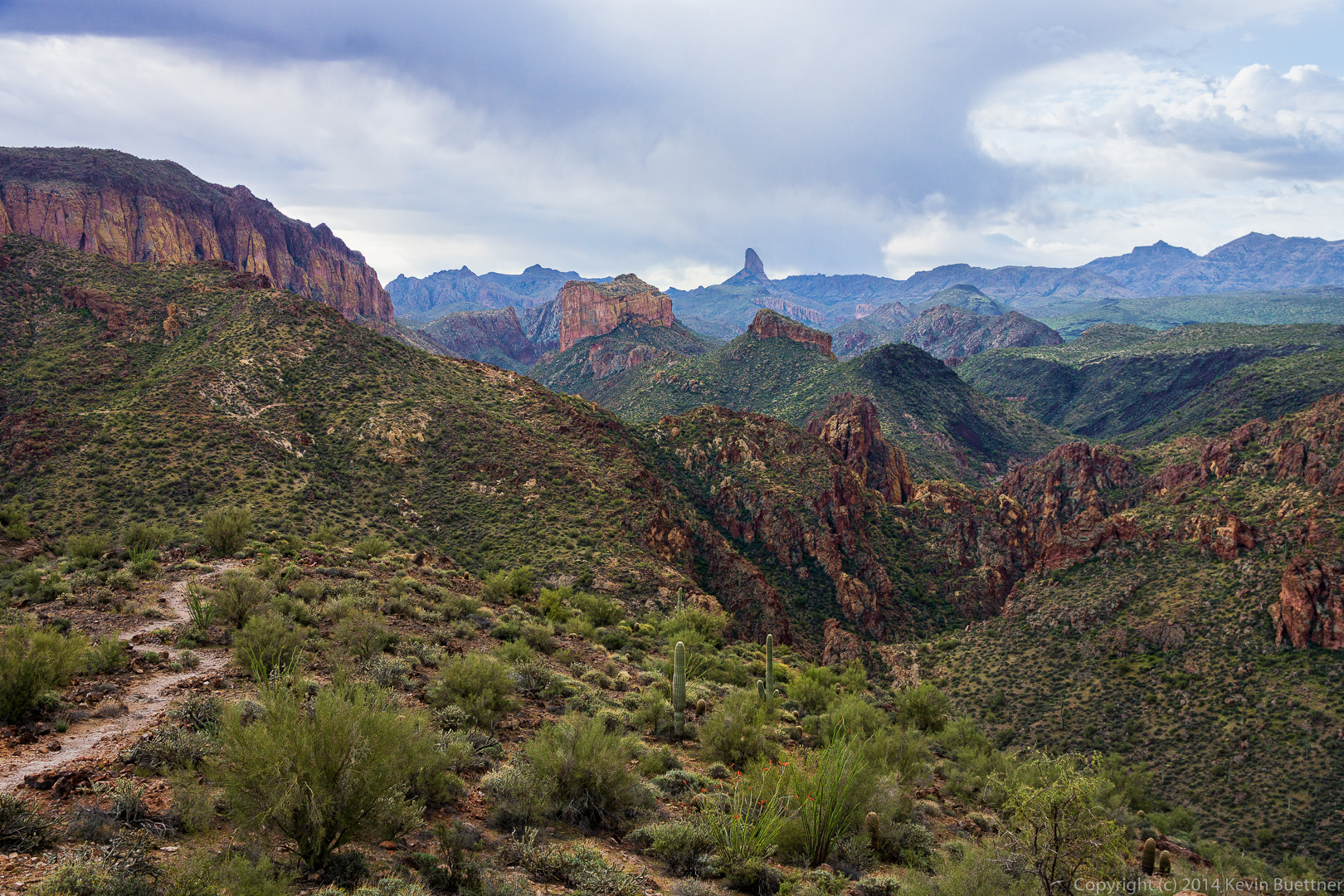
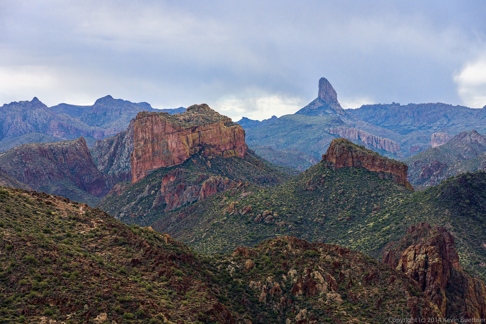
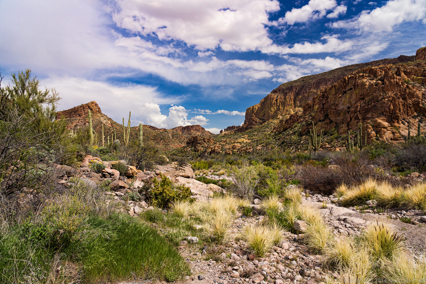
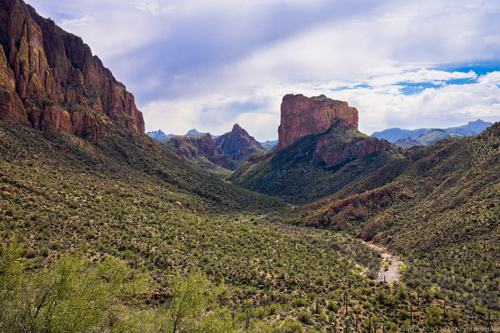
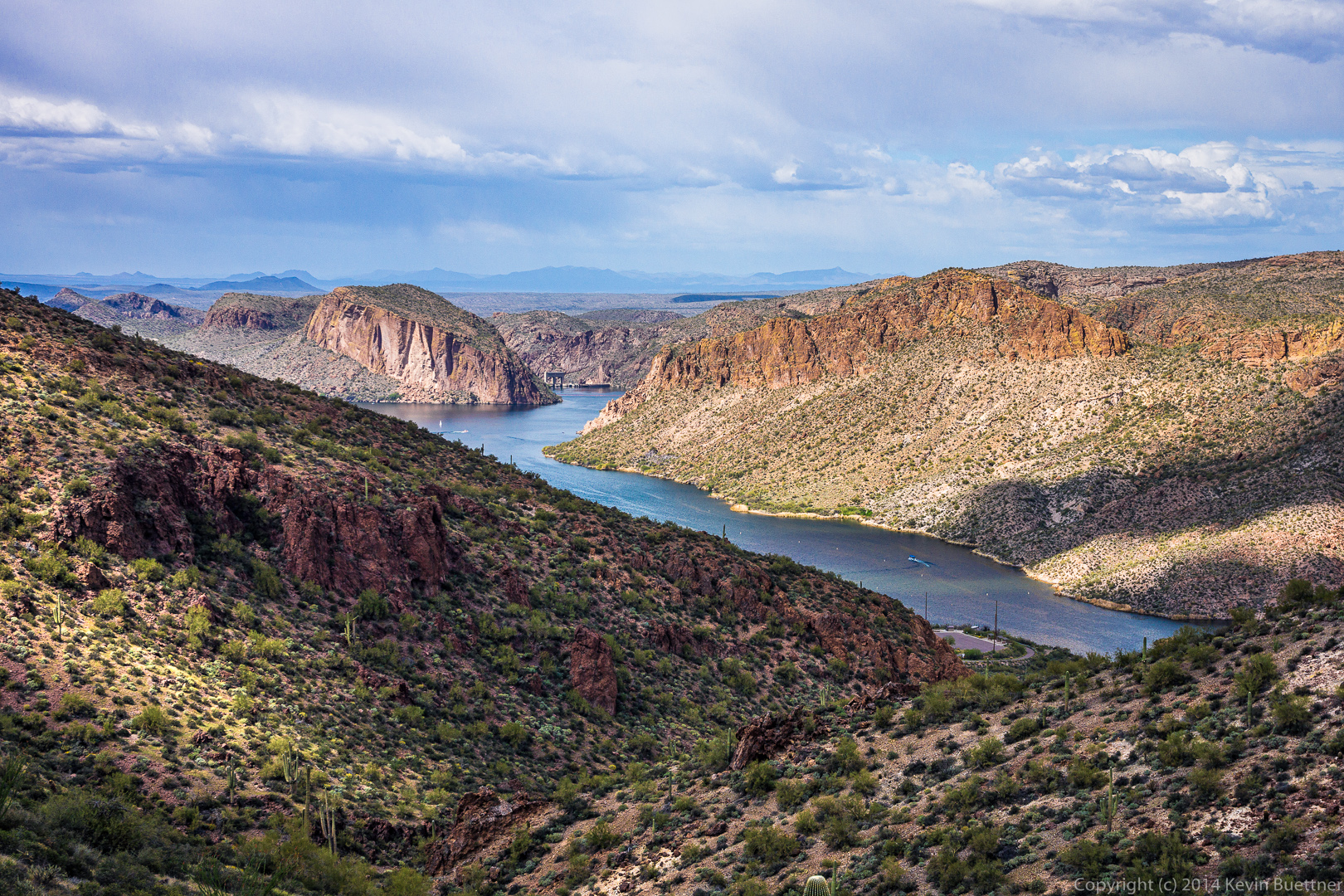
We were either in or near Boulder Canyon when I took this photo of Weaver’s Needle. I think Battleship Mountain is to the right. We got to see this formation from the other side too (we think). There appeared to be a relatively easy ascent from the other side.
We finally locate the Bull Pass Trail!
More views of Weaver’s Needle, this time from the Bull Pass Trail.
At this point we had reached the high point of the Bull Pass Trail and had continued up the side trail for even better views.
We had lost sight of Weaver’s Needle for quite a while, but it reappeared again for a while.
The trail went right between some huge chain fruit cholla plants.
Back to the Dutchman Trail! (This is the other end of it.)
This large overhanging rock provided shade and was a cool spot to rest. But we spent almost no time resting though as we still had a long way to go.
Linda, photographing some Globe Mallow flowers.
The Dutchman Trail climbed for a while, providing spectacular views.
A view of Weaver’s Needle from the Dutchman Trail. As I recall, there were great views from this location in all directions.
More views from the Dutchman Trail on our return trip…
Bob noticed an arch near the top of one of the walls. I think this might be Aylor’s Arch. This wall was immense; I got a wide angle to show more of the wall, but lens flare ruined the shot. (I worked on it for a long while, but am not happy enough with the result to post it.)
We noticed a small rock formation that appeared to be blocks stacked atop each other.
A view of the end of one of the large walls off to our right.
A closer look at the small rock formation mentioned earlier. Sadly, someone had to carve his (or her) initials (and names) on some of the blocks of this formation.
This might be Blackfoot Daisy.
I was struck by the lichen covered rock as we passed this spot. I think the lichen was even brighter than I made it in this photo.
Another unusual rock formation along the Dutchman Trail.
As we neared the end of the Dutchman Trail, we had to cross a wash several times. Linda found a path that wasn’t too wet and didn’t involve much rock hopping.
Bob, Sarge, Venie, Linda, Nancy, Marilyn, and I hiked the Boulder Canyon Trail in the Superstition Mountains on Friday. We hiked out to the intersection with the Second Water Trail #236 and then returned via the same route. My GPS showed just over 9 miles with over 2,000 feet of total ascent when we finished.
The hike starts from the parking lot of the Canyon Lake Marina. There are parking places designated for hikers near the road. As you cross the road, you walk by the one lane bridge that you probably crossed on your way to the Marina. This bridge crosses Boulder Creek which, I think, is fed by the waterway of Boulder Canyon.
A view of Boulder Creek shortly after we started hiking up the Boulder Canyon Trail.
A view looking east. The road visible in this photo is Arizona 88, also known as the Apache Trail.
Yet another view of Canyon Lake. The Boulder Creek Bridge is visible in this photo.
The Boulder Canyon Trail has a longish uphill section that starts pretty much after crossing the road. Midway up, we got our first views of Battleship Mountain and Weaver’s Needle. At this point, the Boulder Canyon Trail overlooks Boulder canyon at the right in this photo.
I used a 16-70mm zoom lens on my camera for this hike. I used it at the long end to get this photo of Battleship Mountain and Weaver’s Needle.
Linda posed for this photo with Battleship Mountain and Weaver’s Needle in the background.
This photo shows the Boulder Canyon Trail, Boulder Canyon, with the walls of La Barge Canyon, Battleship Mountain, and Weaver’s Needle in the Distance.
I think this is my favorite photo (from this set) of Boulder Canyon.
Linda told me that this is a Chicory Flower.
Another view of this flower. We hiked through a light rain shower early on in the hike, hence the water droplets on the flower.
A yellow flower that I haven’t been able to identify.
I think this is a view looking back along Boulder Canyon.
A rain shower off in the distance. Also, a look back at the trail.
Marilyn and Nancy descend a portion of the trail.
A look forward before beginning our descent to La Barge Canyon.
Another view of Boulder Canyon.
I think the prow of the Flatiron can be seen in this photo near the right of the mountain range in the distance.
Canyon Lake had disappeared from view for a long while, but became visible again for a short while.
Another view of Battleship Mountain and Weaver’s Needle together. This was close to the our last view of Weaver’s Needle until we made the return trip.
At this point, Weaver’s Needle is hidden behind Battleship Mountain.
An interesting rock formation that we passed on the way.
I think this is La Barge Canyon. Our trail lead us across LaBarge Canyon.
There are some old mining ruins along the way.
A Buckhorn Cholla? (Most of the ones I see branch out a lot more.)
Brittlebush with a wall of La Barge Canyon in the background.
We stopped to eat lunch on this large rock next to a creek.
A variety of flora a this location.
A view of Boulder Creek / Boulder Canyon. There were pools of water in the creek, but I didn’t see any flowing water at this point.
At this point the Boulder Canyon Trail crosses the creek a (large) number of times. Having hiked over four miles at this point, we turned back instead.
Another view of our lunch location.
This was actually composed from two exposures. In the first one, Venie, Linda, and Bob were looking my way, and in the second, Marilyn and Nancy were looking towards the camera, but the rest were not.
This is a panorama composed from ten exposures. Even though I had a 16mm lens (at its widest), I could only see small sections of this scene through my viewfinder.
Another view of Battleship Mountain. I climbed a small hill just off the main trail to get this shot. I don’t think it was visible from the trail down where the rest of the group are.
A look at Battleship Mountain midway back up one of the long hills on the way back. It was afternoon at this point; it had become quite sunny (and warm) along this stretch, but the clouds reasserted themselves later on.
Another interesting rock formation that we saw on the way back.
We came across this lizard who had trouble getting out of its hole. It thrashed around for quite a while in an attempt to get out, though it stayed still when I took this and several other photos. Bob cleared some of the rocks and dirt around the hole to help it get out. The ground was incredibly hard.
I took this photo in November, 2012 when we hiked Siphon Draw to the Flatiron.
I took this one near the end of the hike. I looked at it when I was processing the other photos from that hike, back in November, but it kind of looked blah to me then, so I didn’t do anything with it. I’ve been experimenting a bit more with setting the color temperature to match certain parts of the scene. This is what I came up with.


