
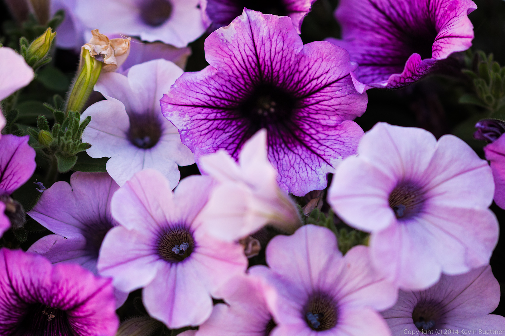
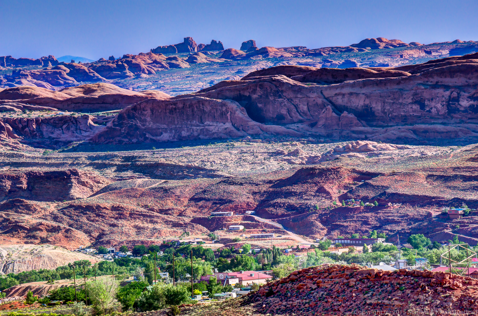
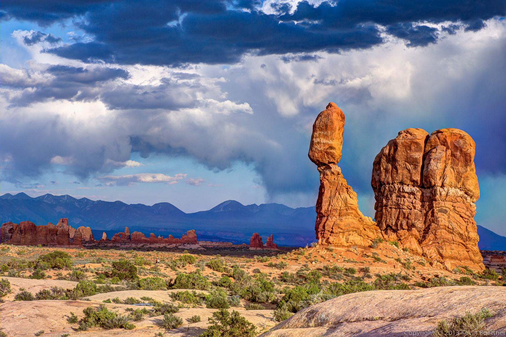
Tag: Moab (page 5 of 11)
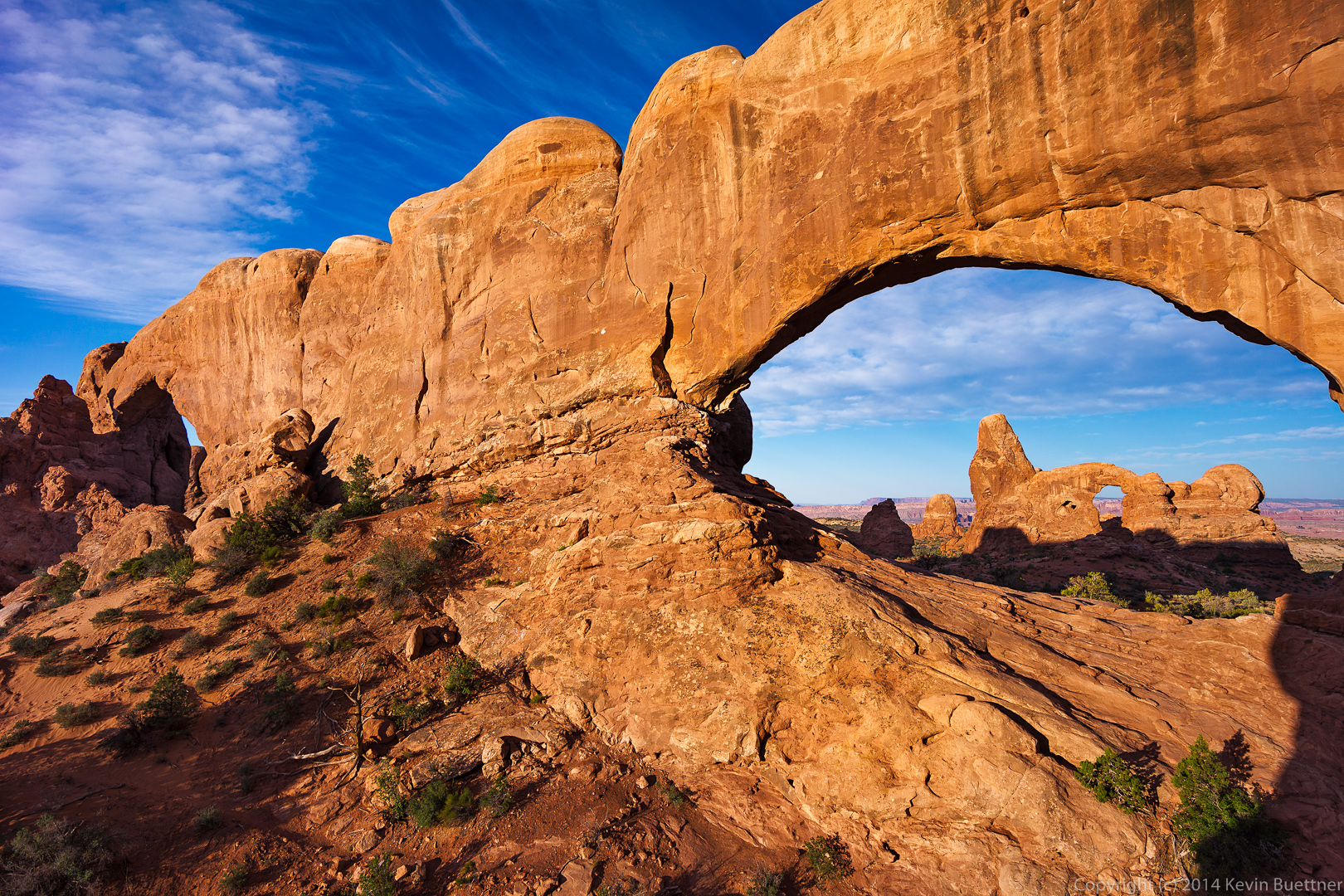
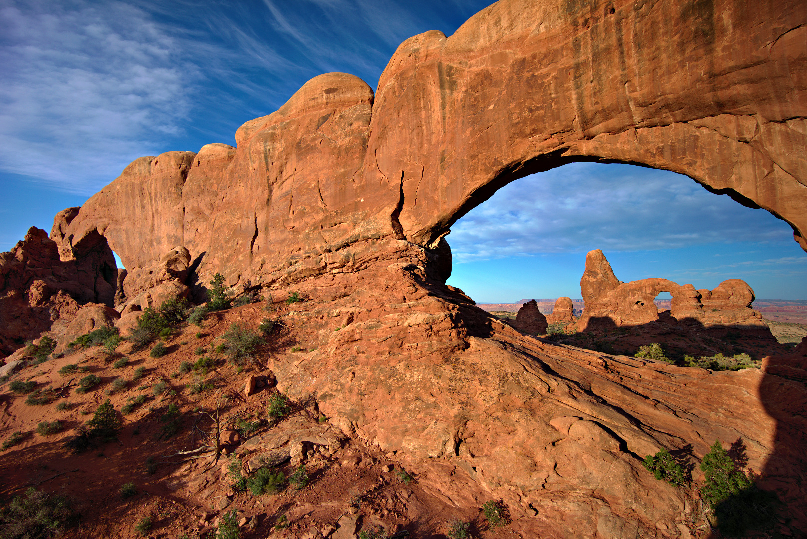
This is a new edit of a photo that I took in June of 2013. It shows Turret Arch through the North Window of the Spectacles. These formations are in Arches National Park, near Moab, Utah.
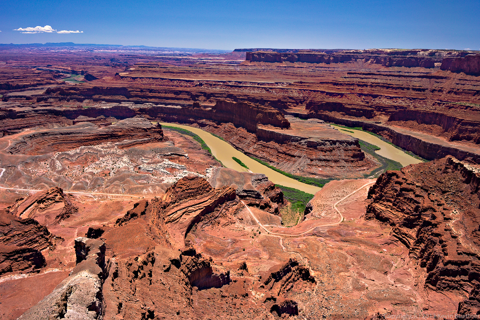
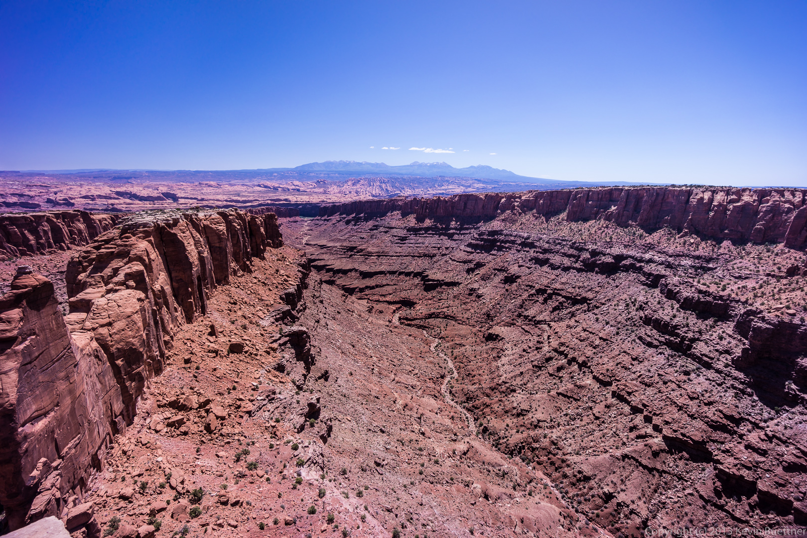
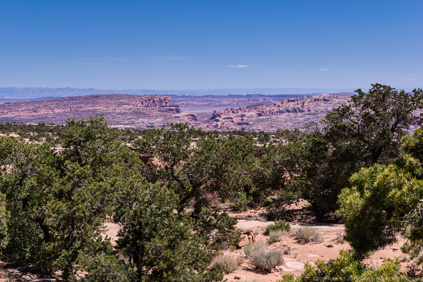
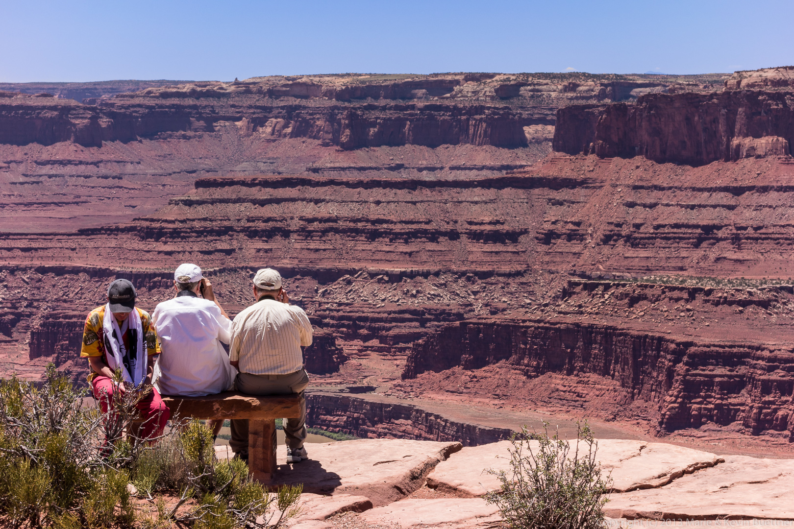
When we visited Dead Horse Point State Park last summer, I encountered an Asian gentleman who was walking around the view area asking other visitors if they knew where the “dead horse” was. I explained to him that the park got its name from the legend of horses that died of thirst one time when the cowboys who corralled some horses on the neck didn’t make it back in time to let them out.
The Asian visitor already knew of this story. He told me that, while in the visitor center, he had seen a postcard of a landmark that looked like a horse lying on its side. He continued looking (and asking many others about this landmark) and became very excited when he found it! It can be seen in this photo about a third of the way over from the left edge, almost exactly half way up from the bottom. There is a patch of whitish colored rock on the plateau near the river which is outlined by some red rock. The whitish patch of rock resembles a horse.
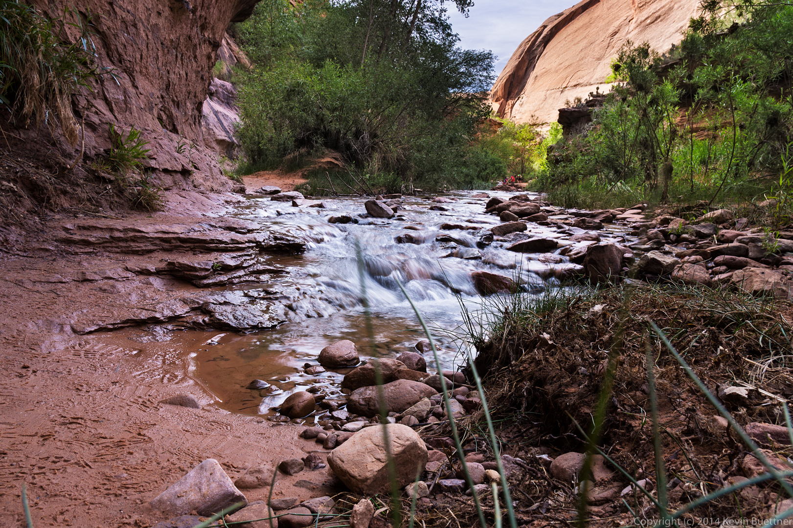
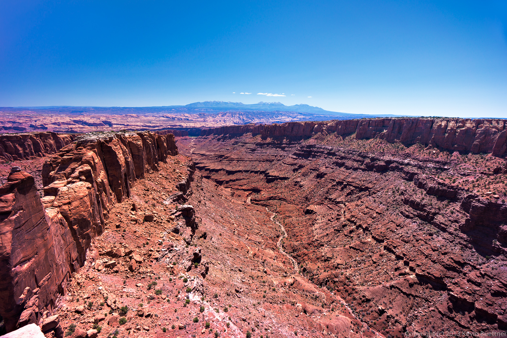
This is a re-edit of one of the photos from the Long Canyon post. I used Luminosity masks in Photoshop while editing this photo to help increase contrast and saturation. I had been using them for a while in GIMP too, but not as extensively. Also, GIMP doesn’t have adjustment layers, making it more tedious to go back and tweak a setting. (Basically, you have to delete everything above the layer upon which you want to make the adjustment, then make that adjustment and then recreate all of the layers that you had above. I would sometimes do this, but often times, I would make some other adjustment higher up to try to address problems in lower layers.)
For reference, here is the link to my earlier edit. (I think these will both come up in the lightbox if you click on the image below.) The earlier edit was made using Lightroom alone. The new edit used Lightroom for setting the color temperature and basic exposure settings, but photoshop was used for the heavy lifting.
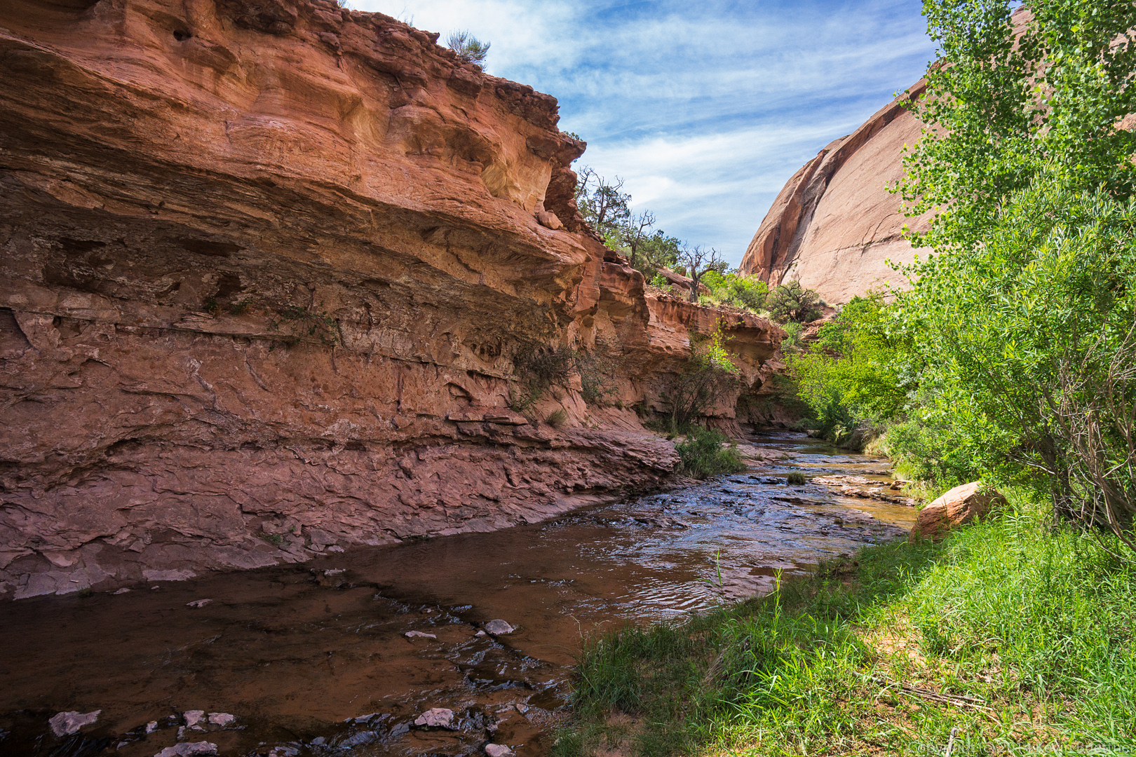
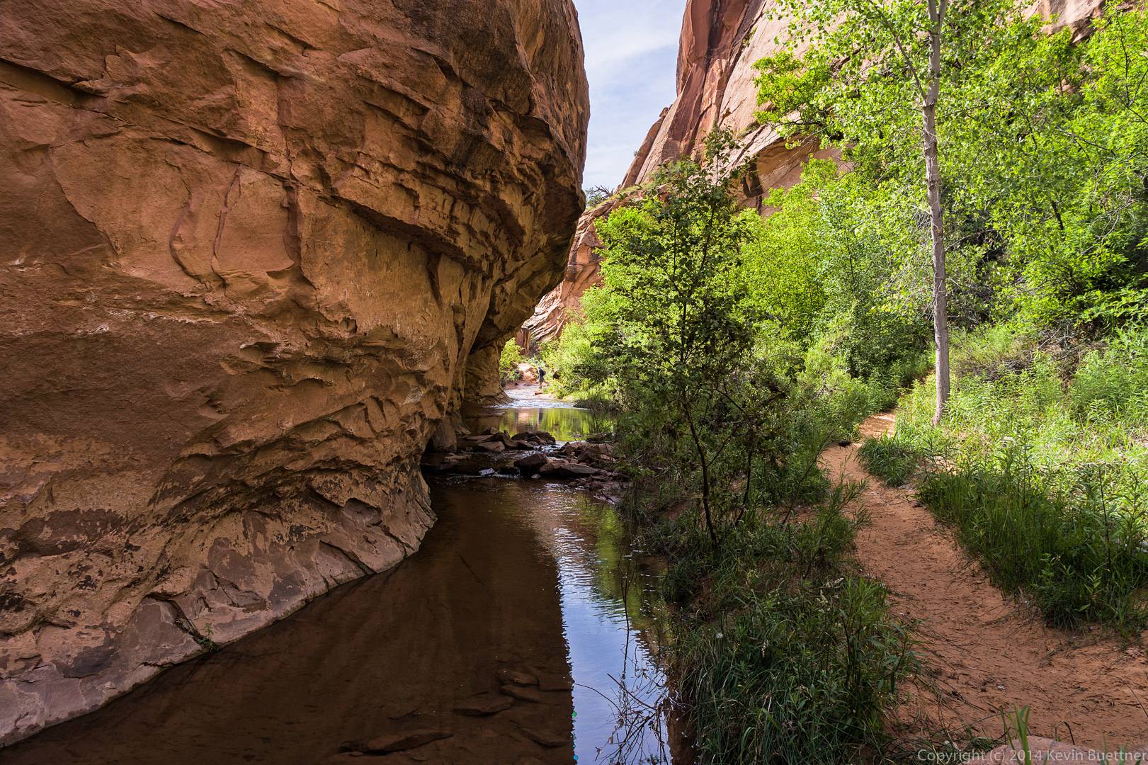
 Here’s another re-edited image from the same photo set (along with a link to the original edit.)
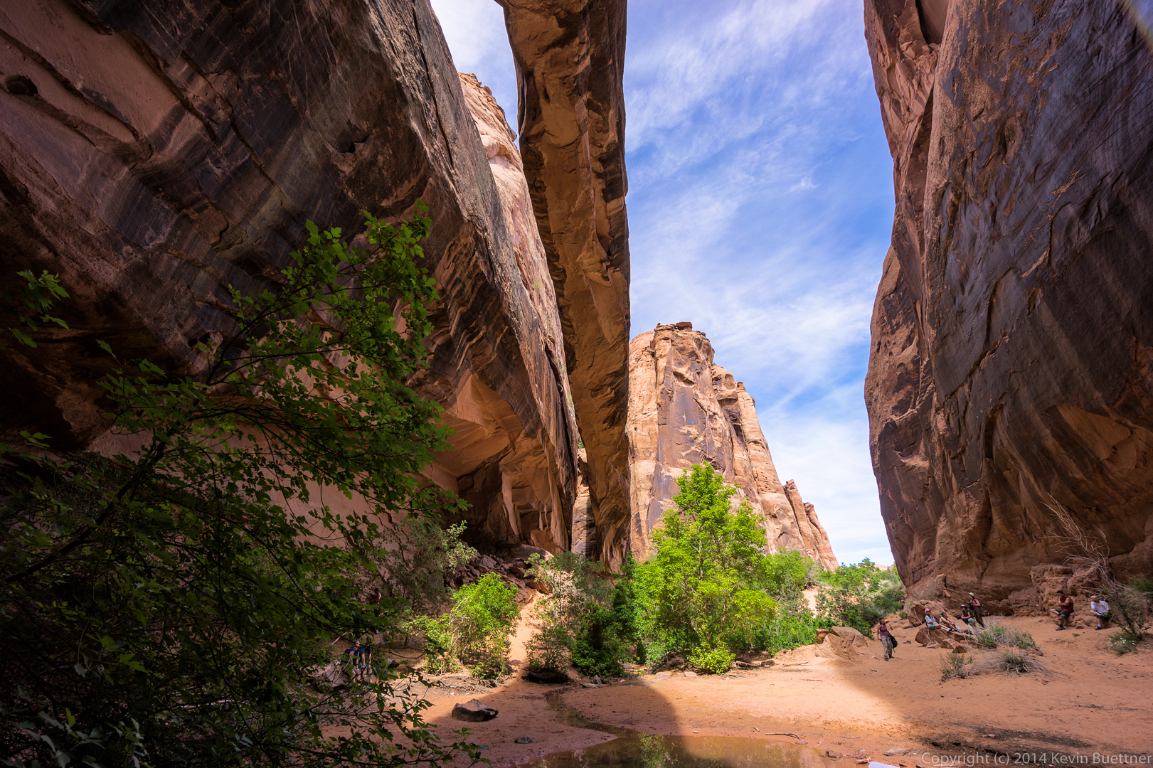
On June 6, during our visit to the Moab area, we drove up Long Canyon on our way to Dead Horse Point State Park.
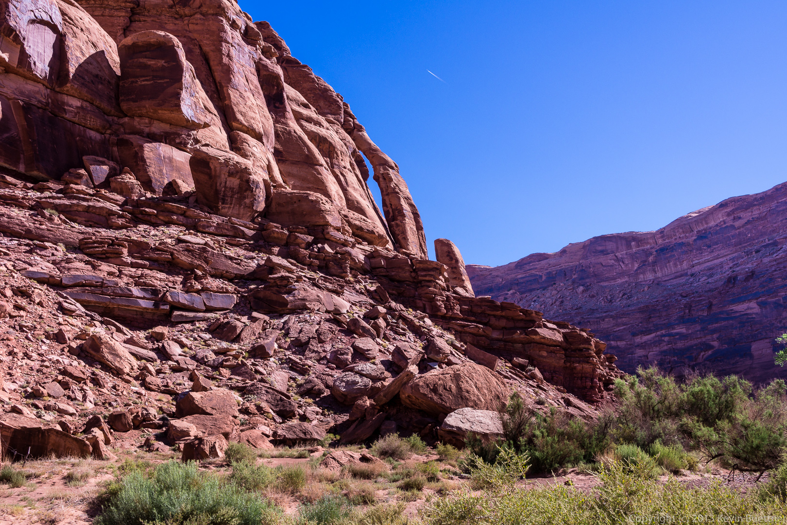
This is Jug Handle Arch. It’s visible just after turning off of 279 into Long Canyon. (Actually, I think it’s visible from 279, also known as Potash Road, as well.)
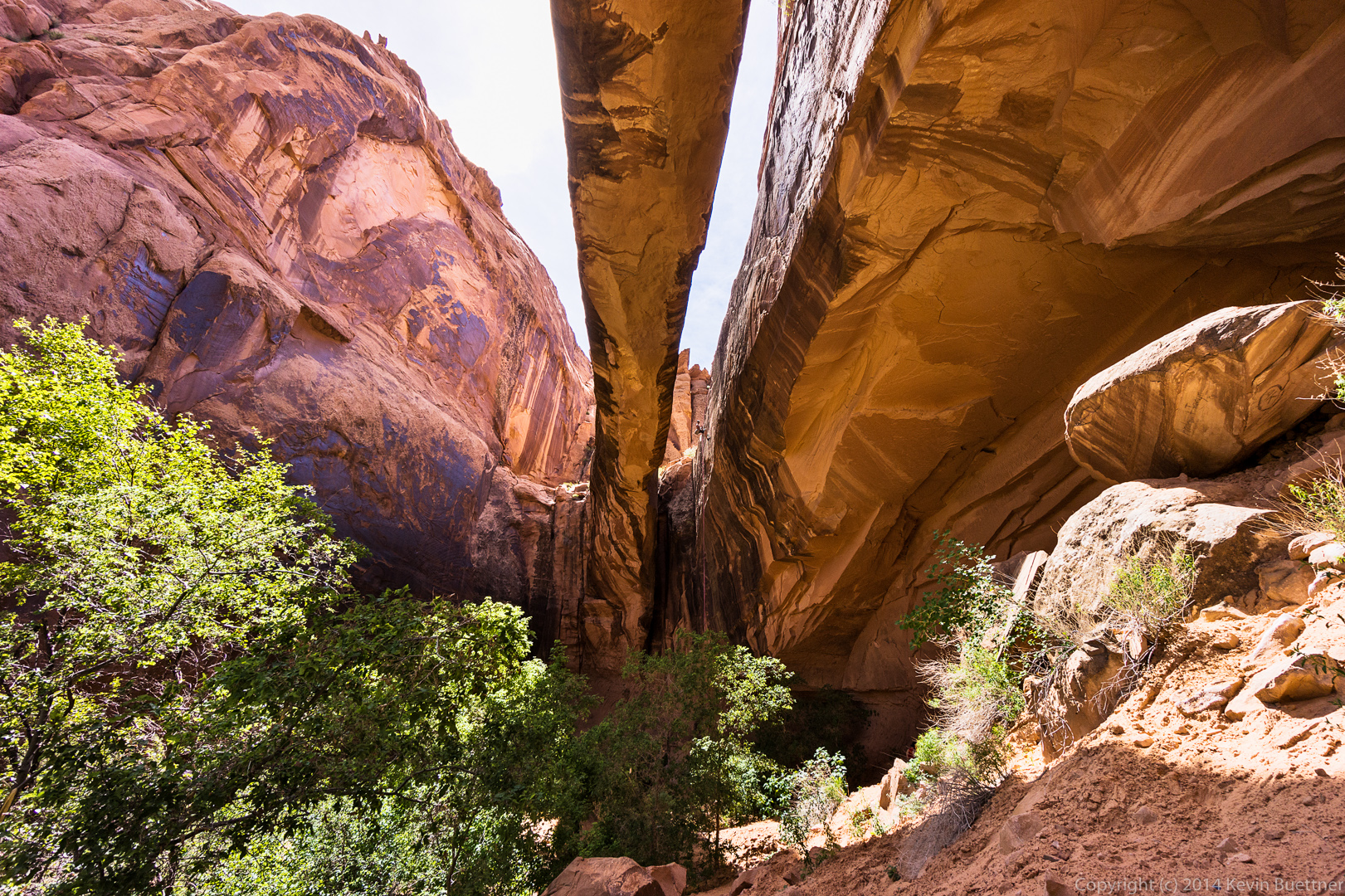
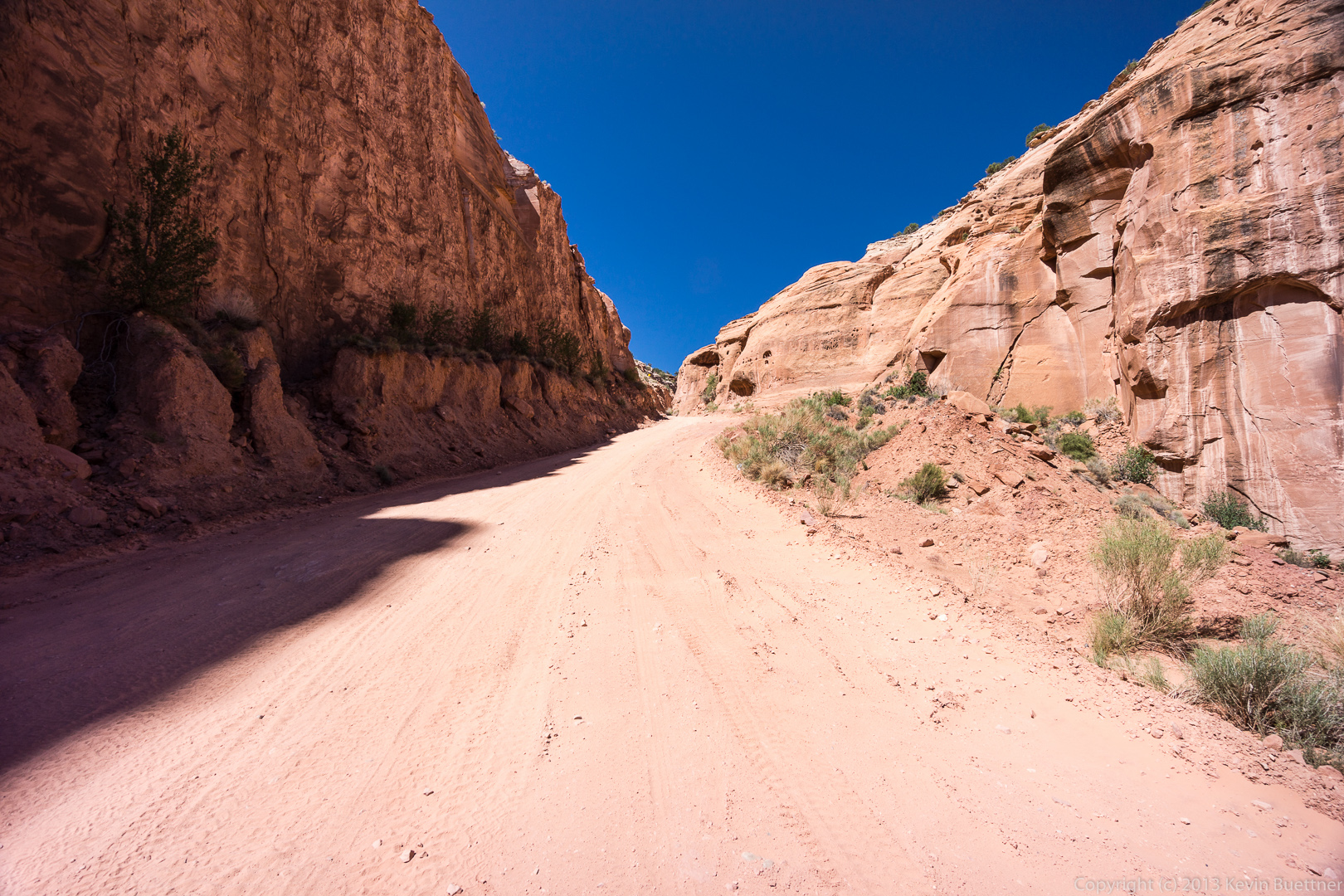
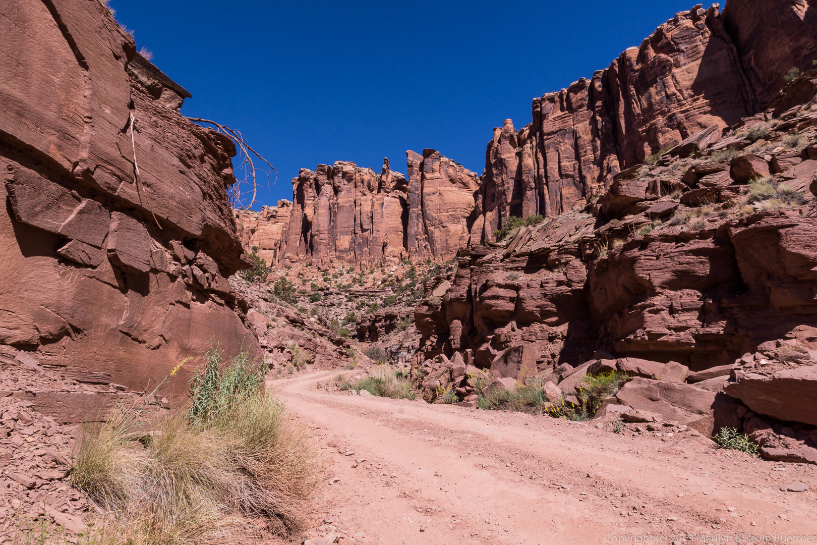
 A view of what’s ahead from where we parked to look at Jug Handle Arch.
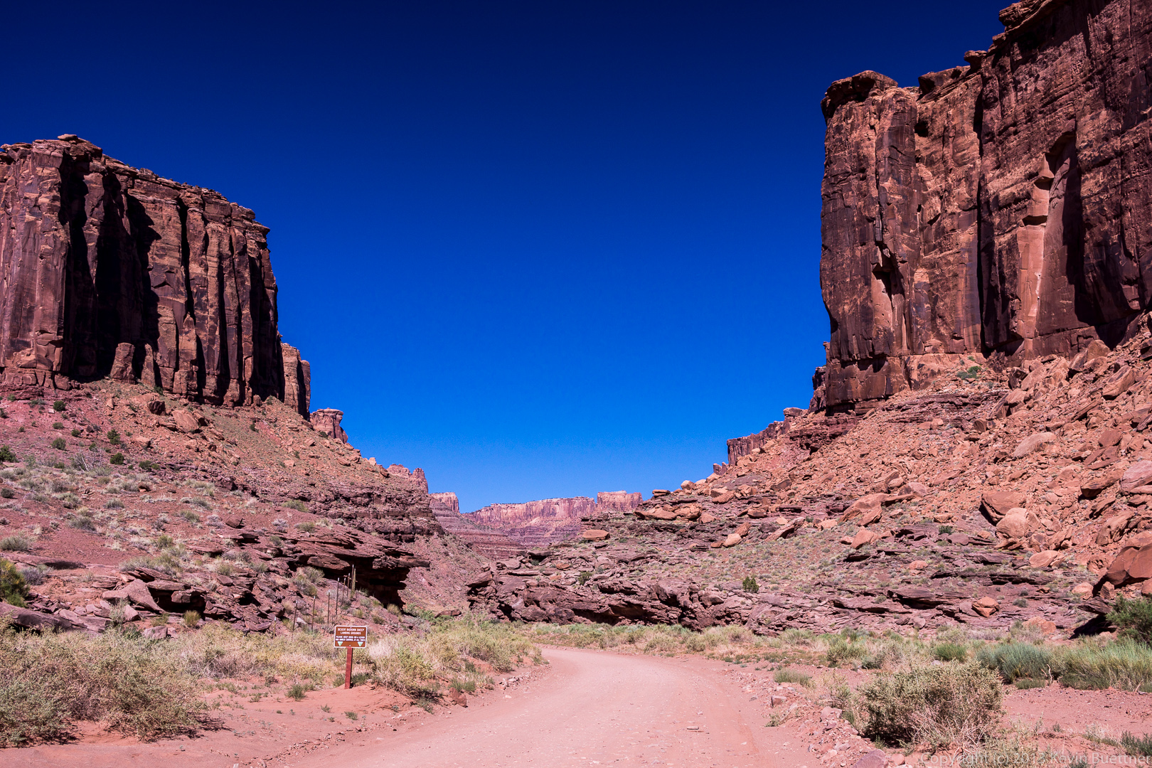
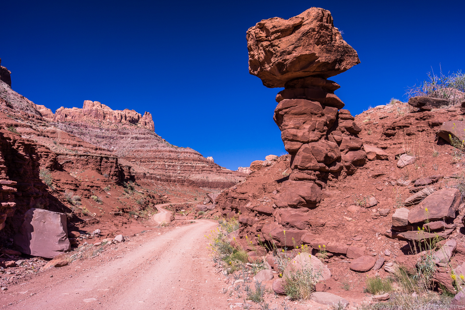
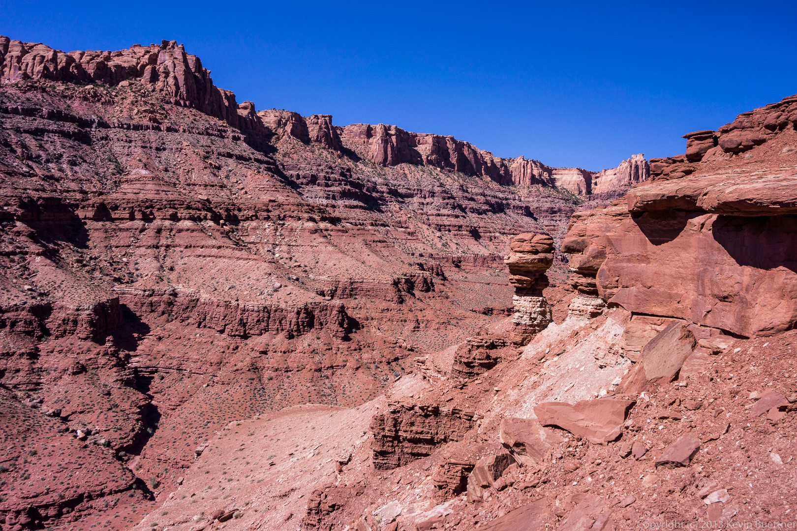
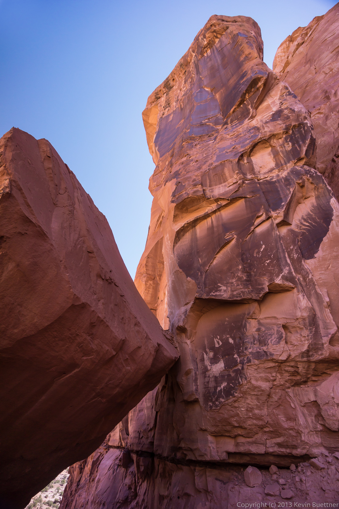
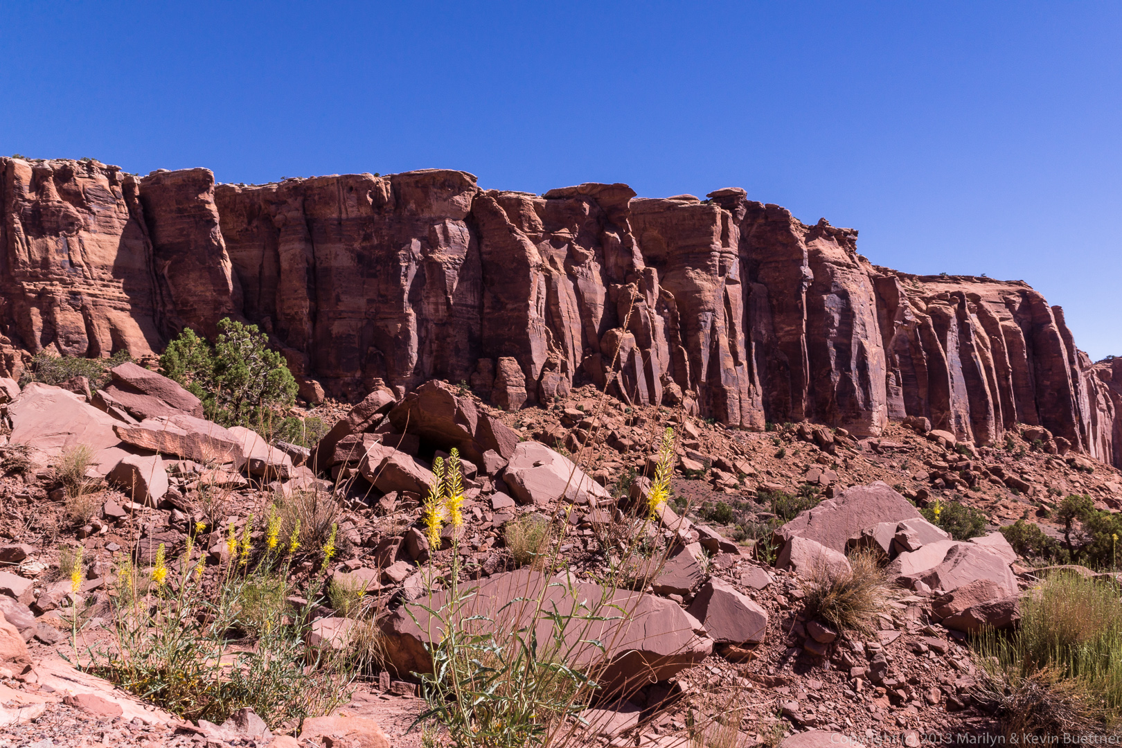
 We passed this strange looking pinnacle as we proceeded up Long Canyon.
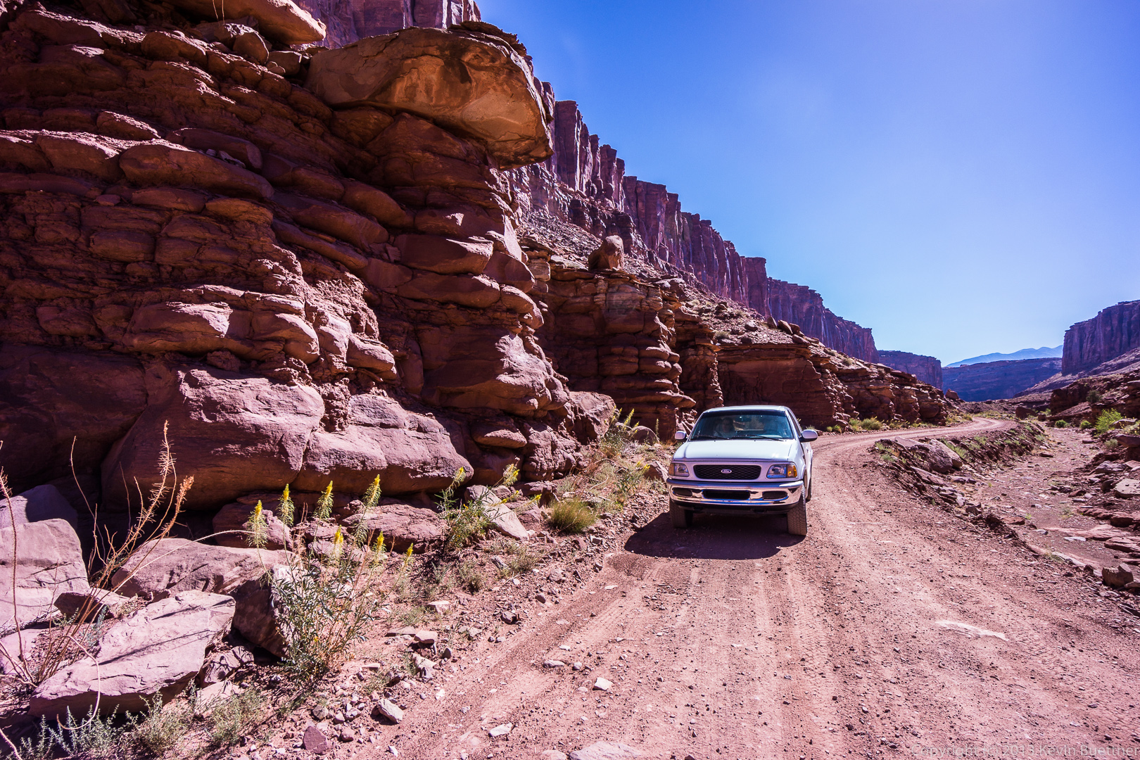
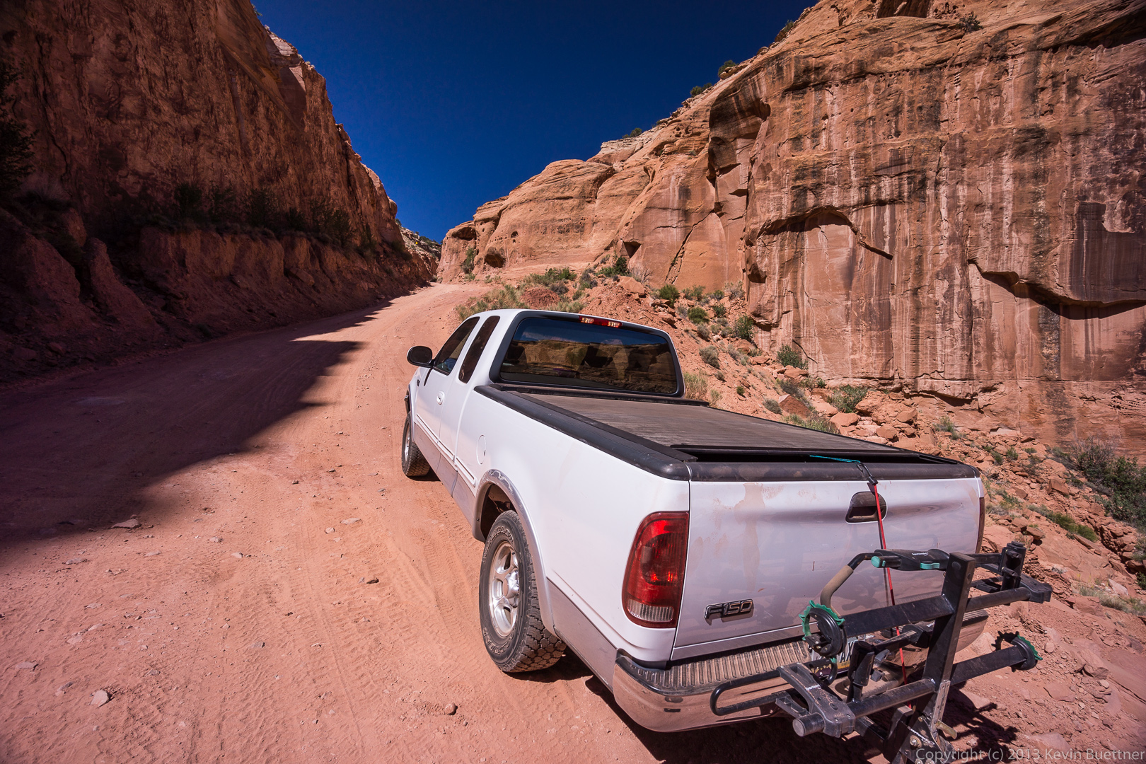
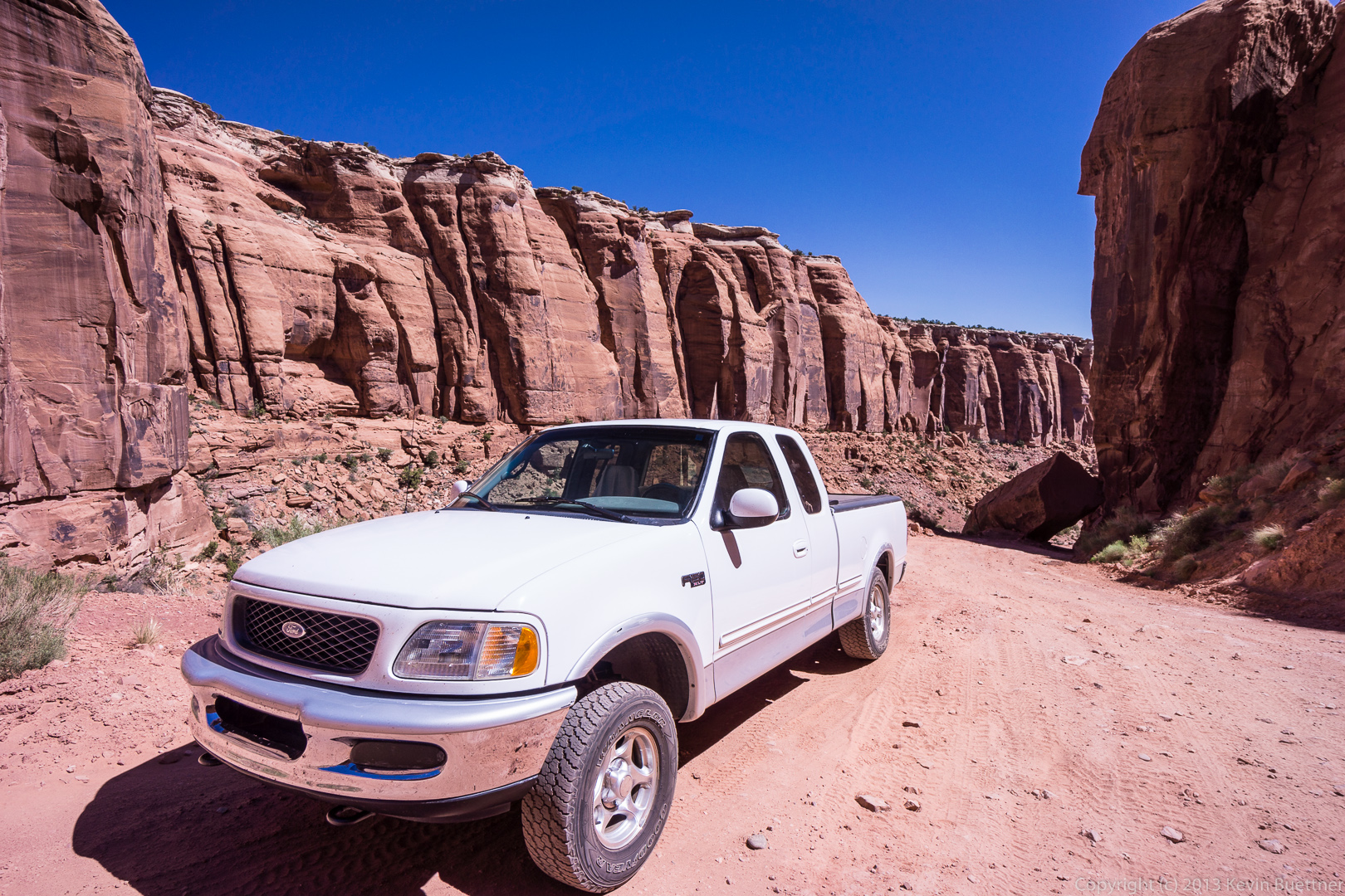
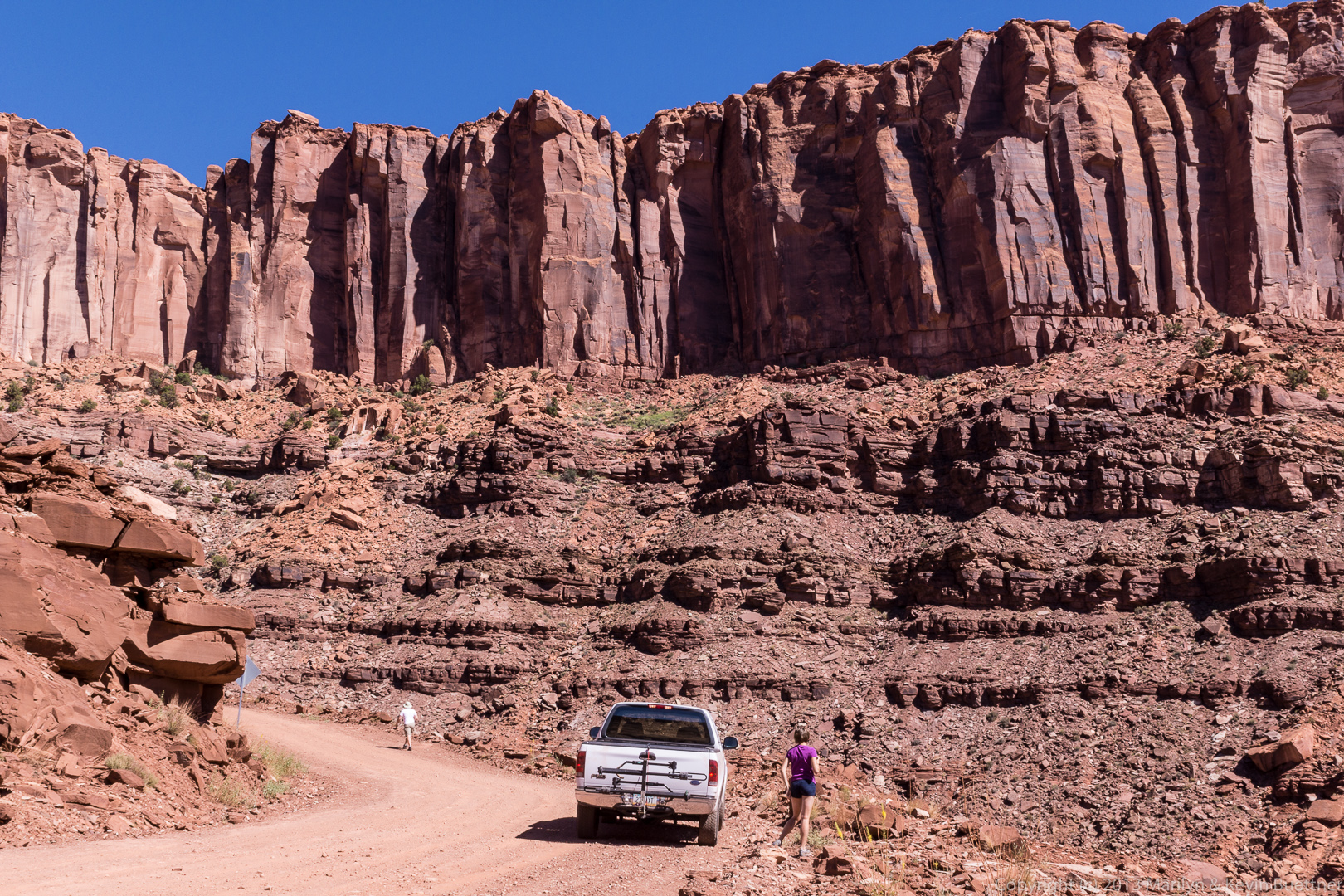
 We stopped several times on our way up to take photos. This is a photo of our truck on the road.
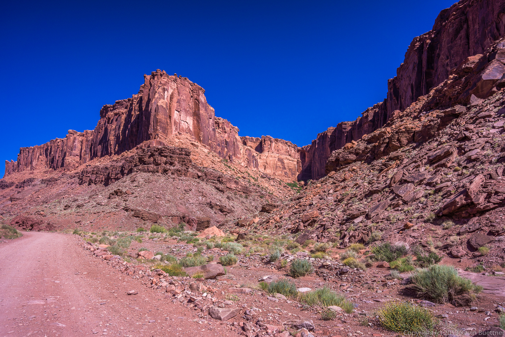
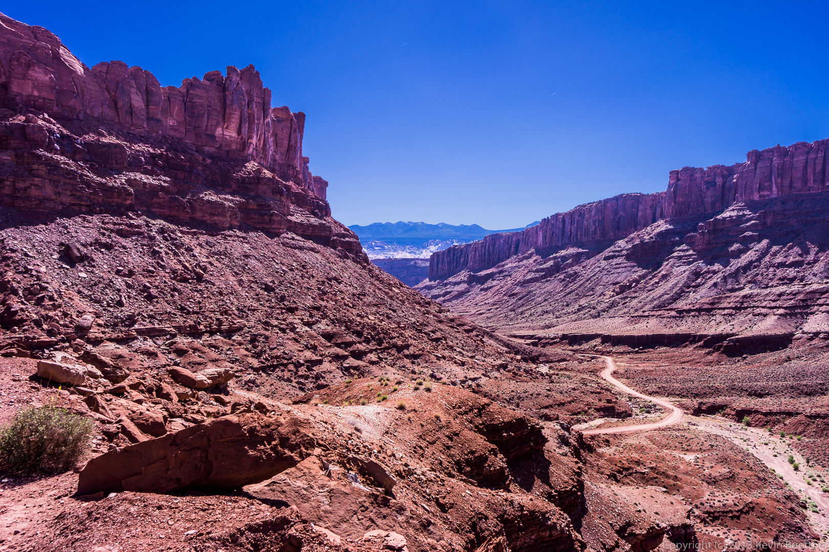
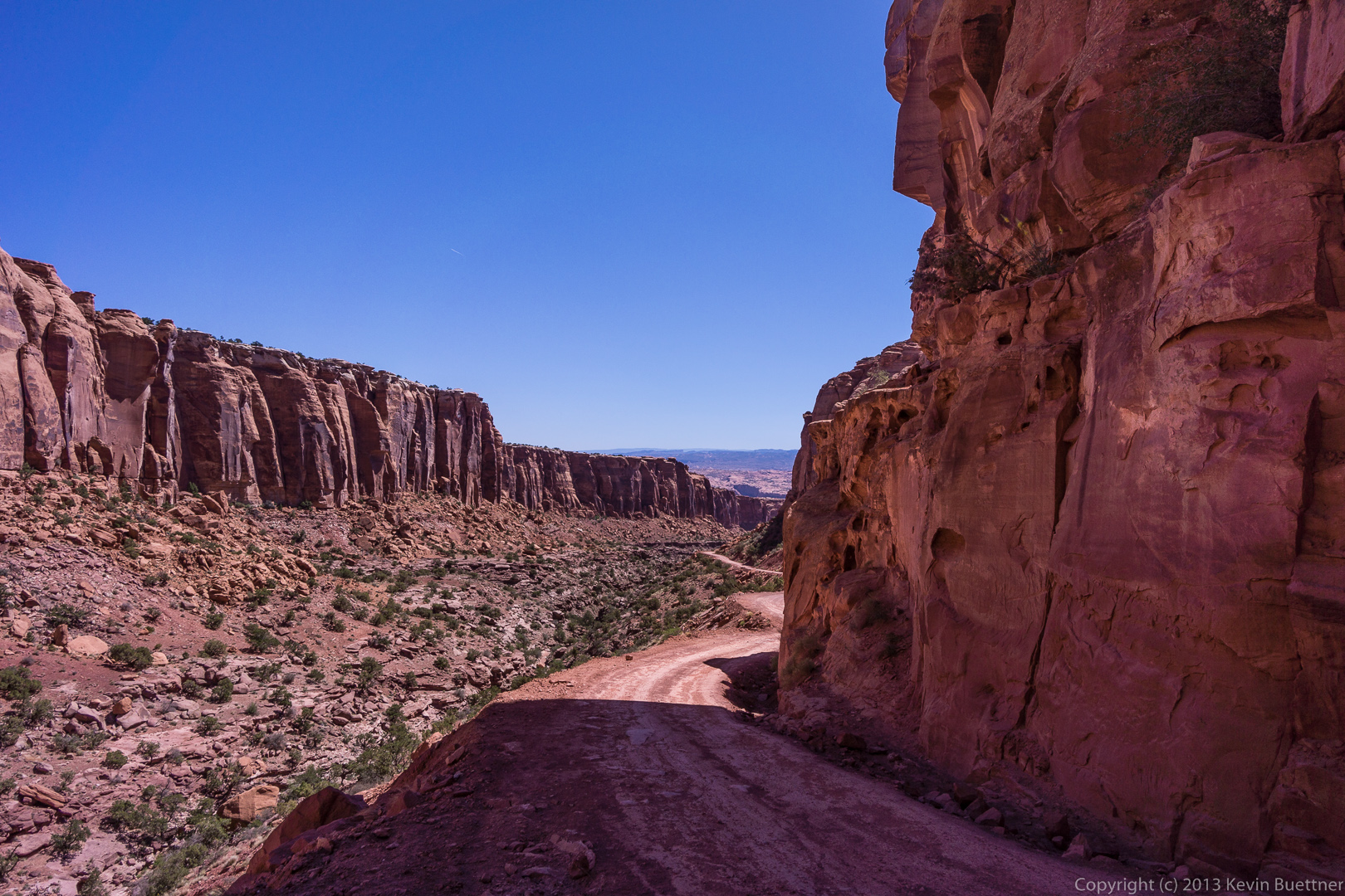
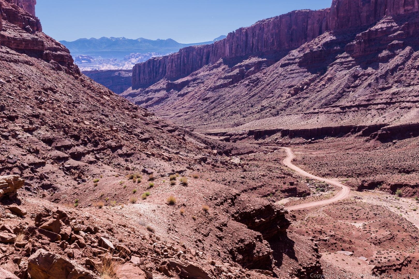
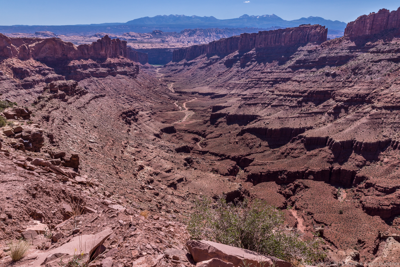
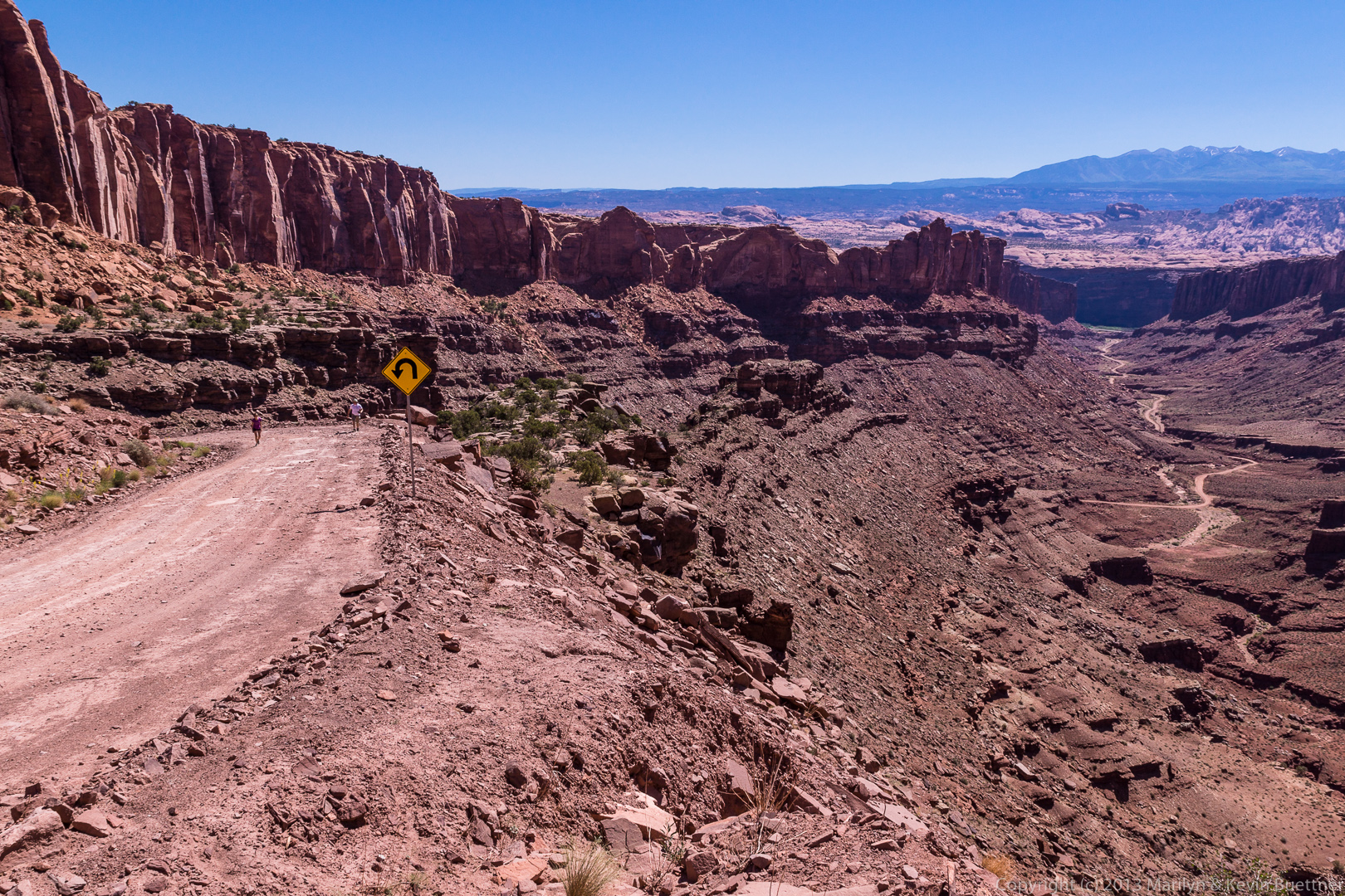
 Elevation is gained (or lost) very quickly in a few of the sections with switchbacks. We stopped on a wide section of road just beyond one of the switchbacks.
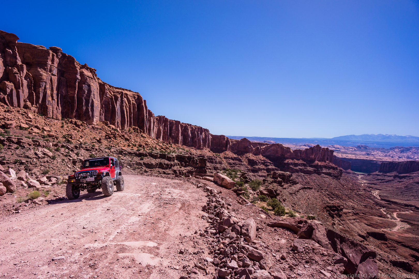
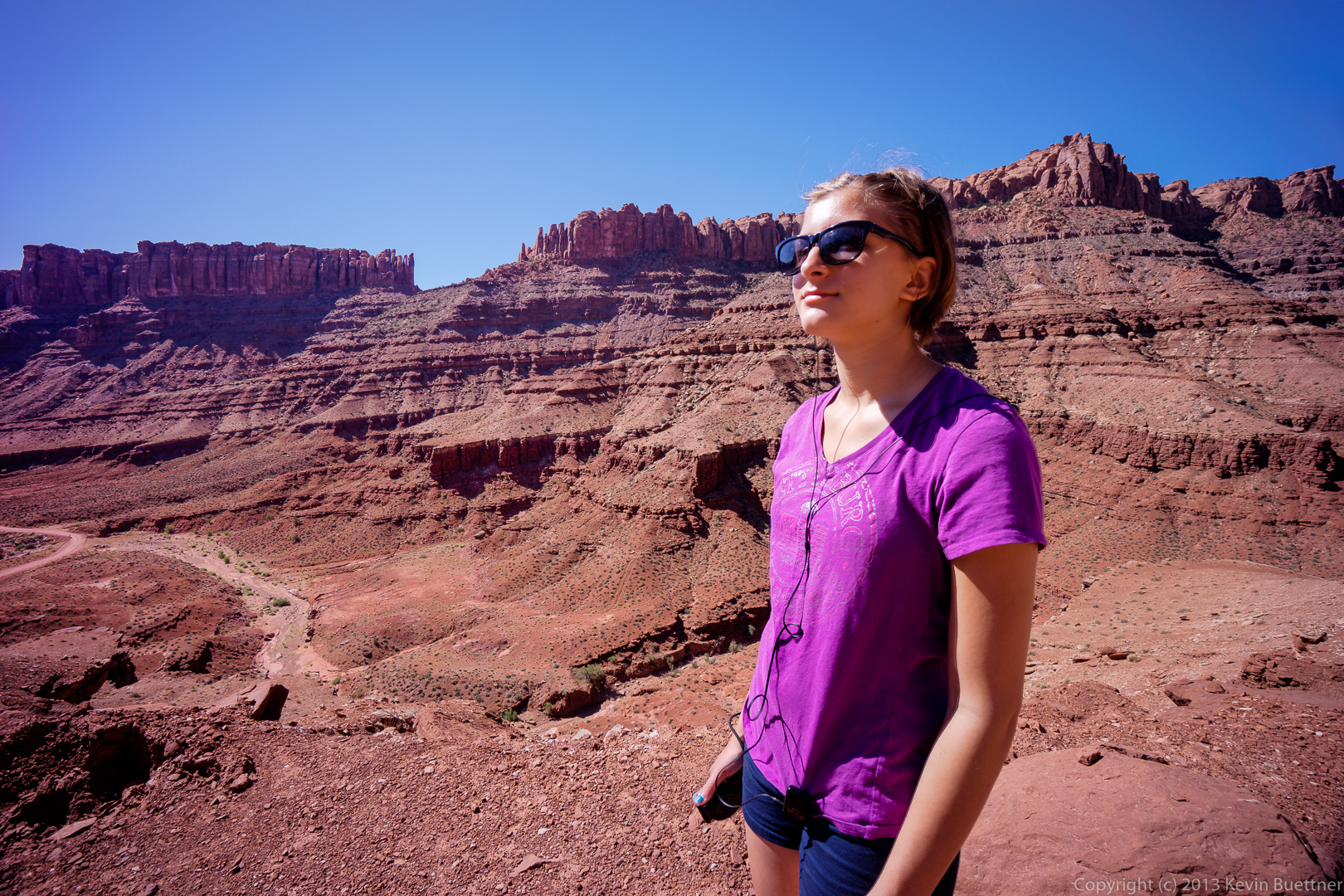 The only other traffic we saw along this stretch was this red jeep:
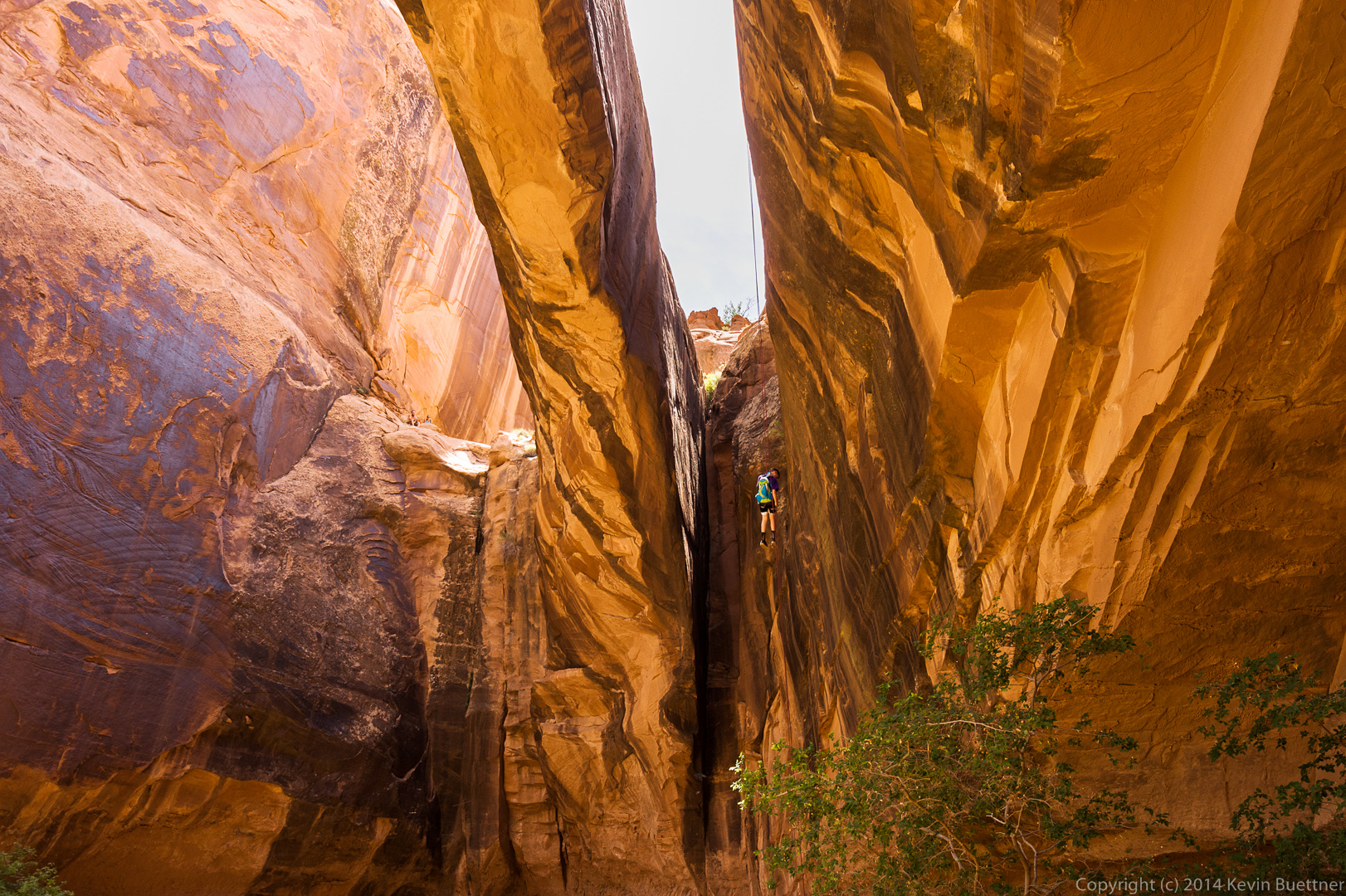
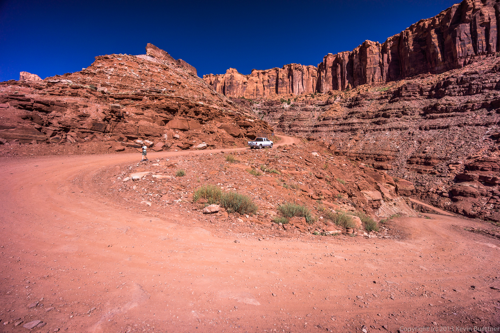
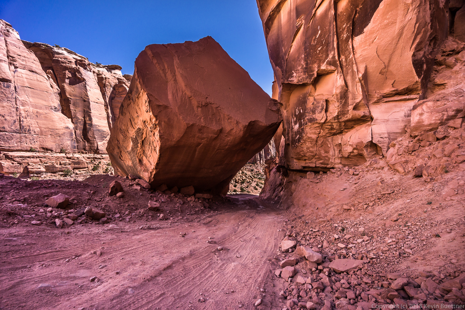
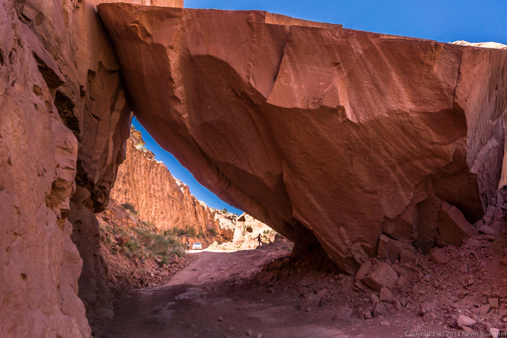
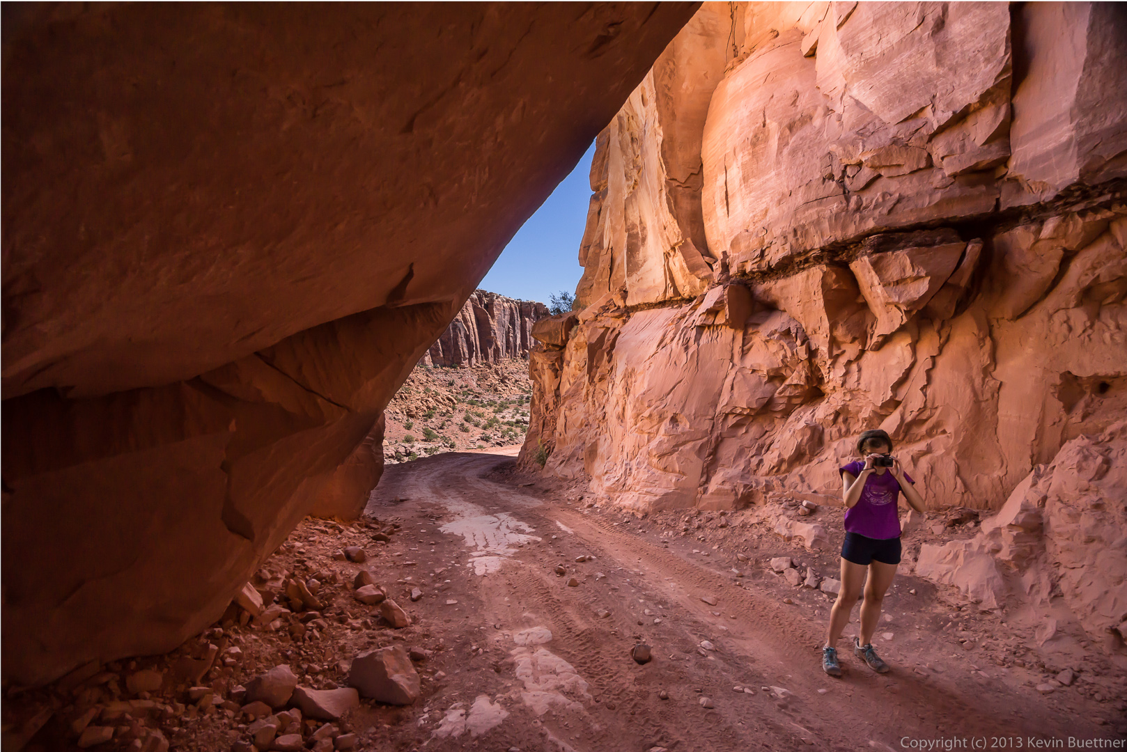
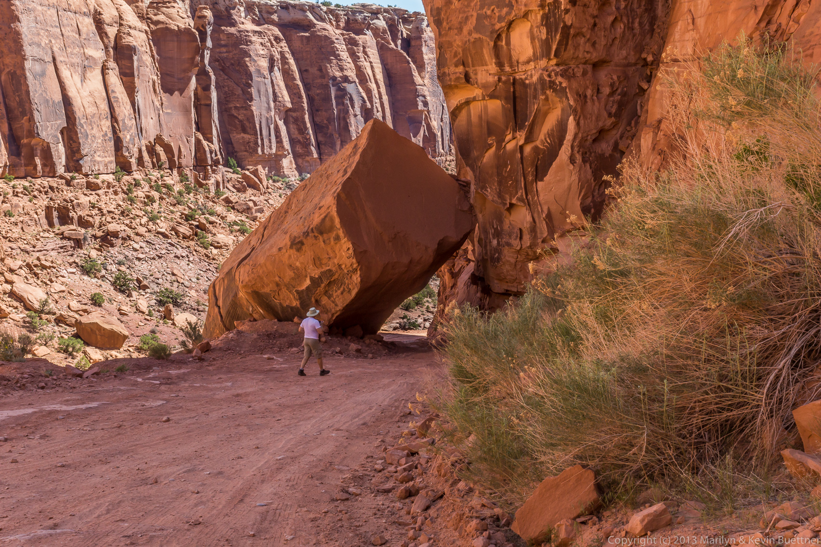
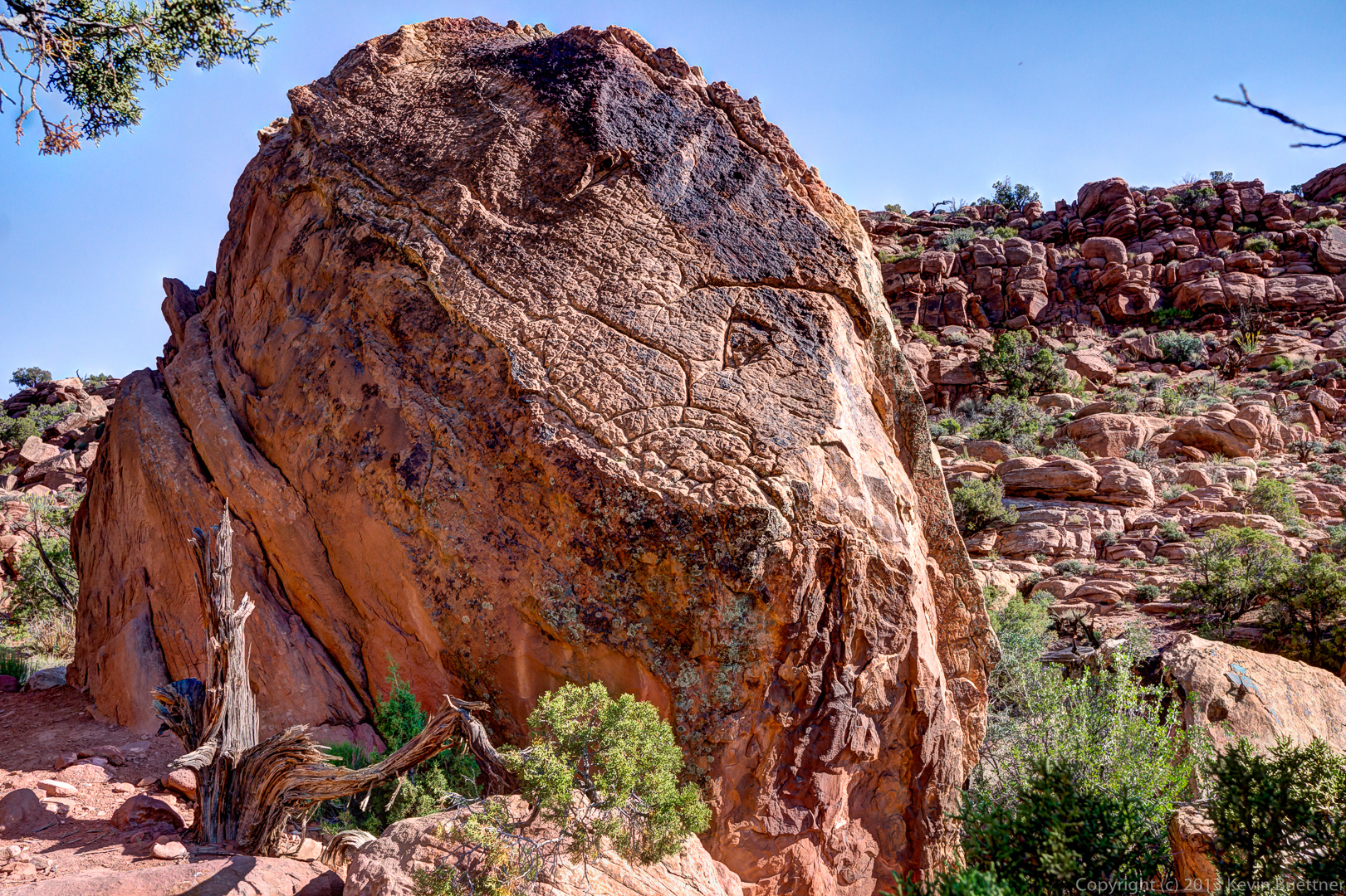
We stopped again just after driving under – yes, under – a large boulder that’s fallen across the trail. Here’s a view looking up the trail after passing the fallen boulder.
Here are several views of the boulder and the area around it.
The boulder is visible to the right of the truck in this photo too. We pulled up well past the boulder in case if anyone else came along.
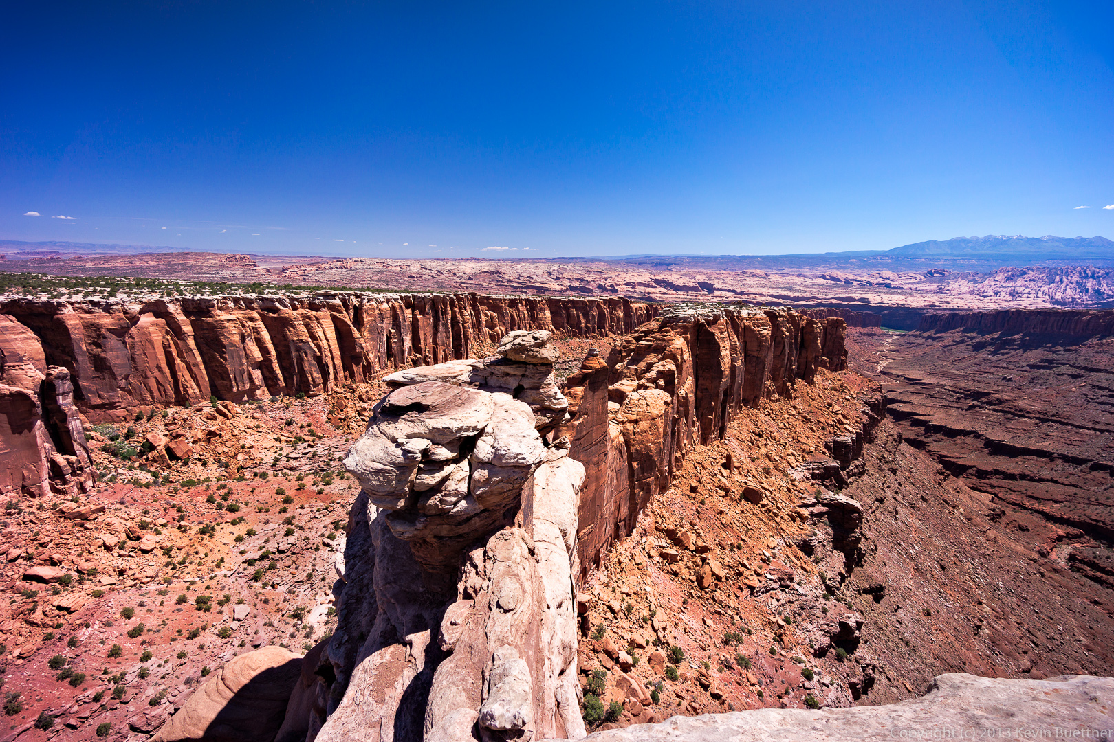
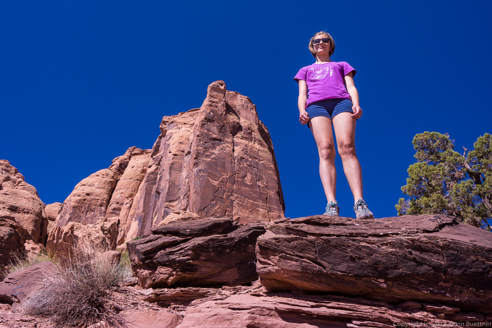
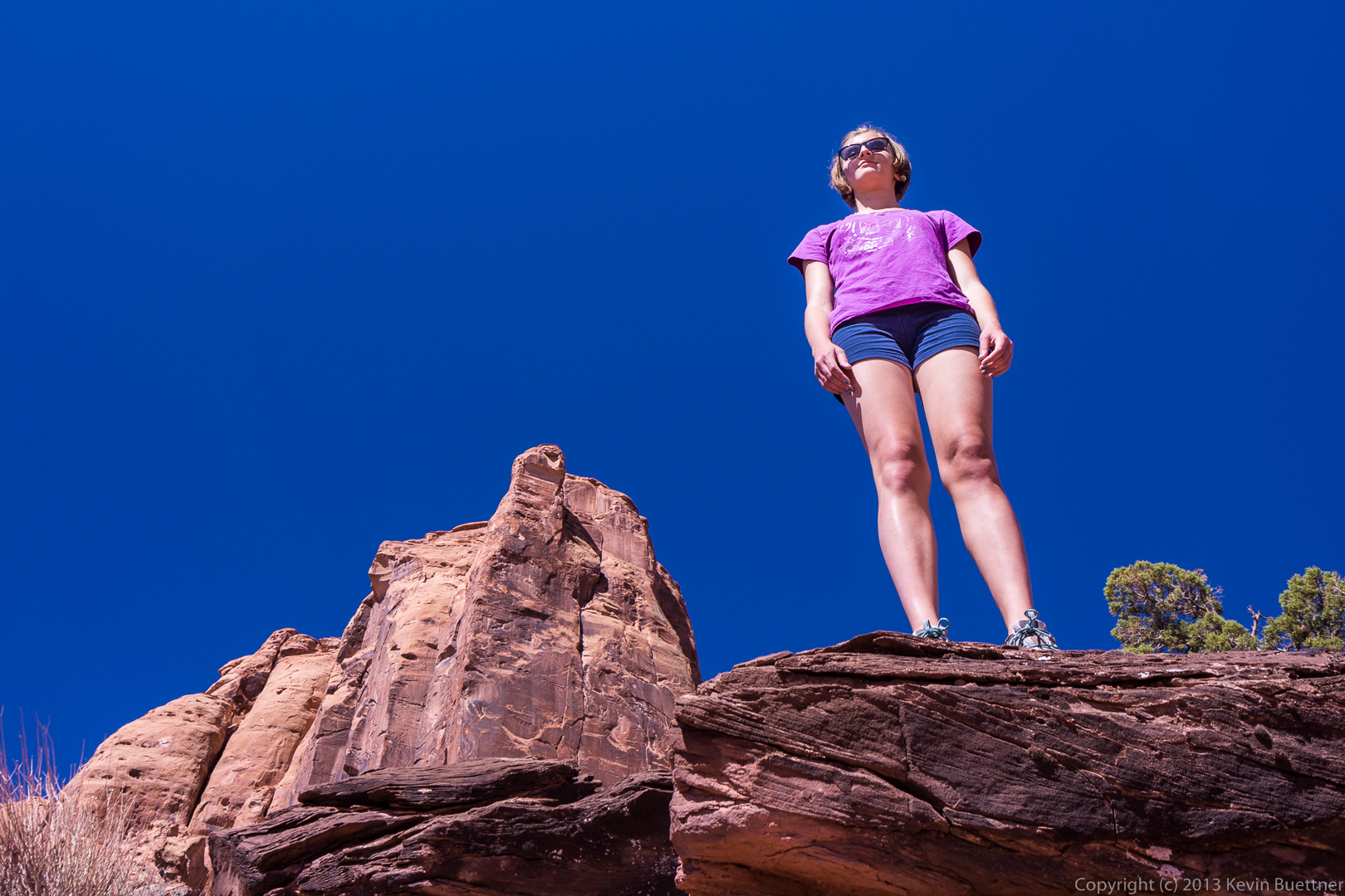
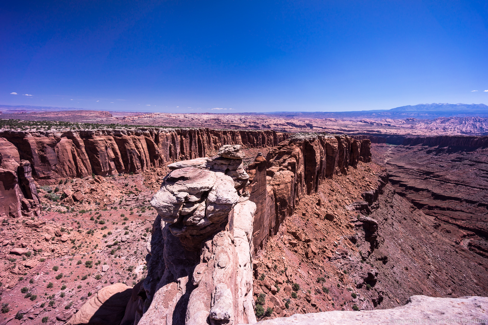
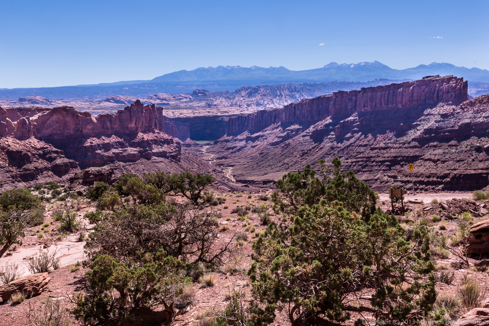
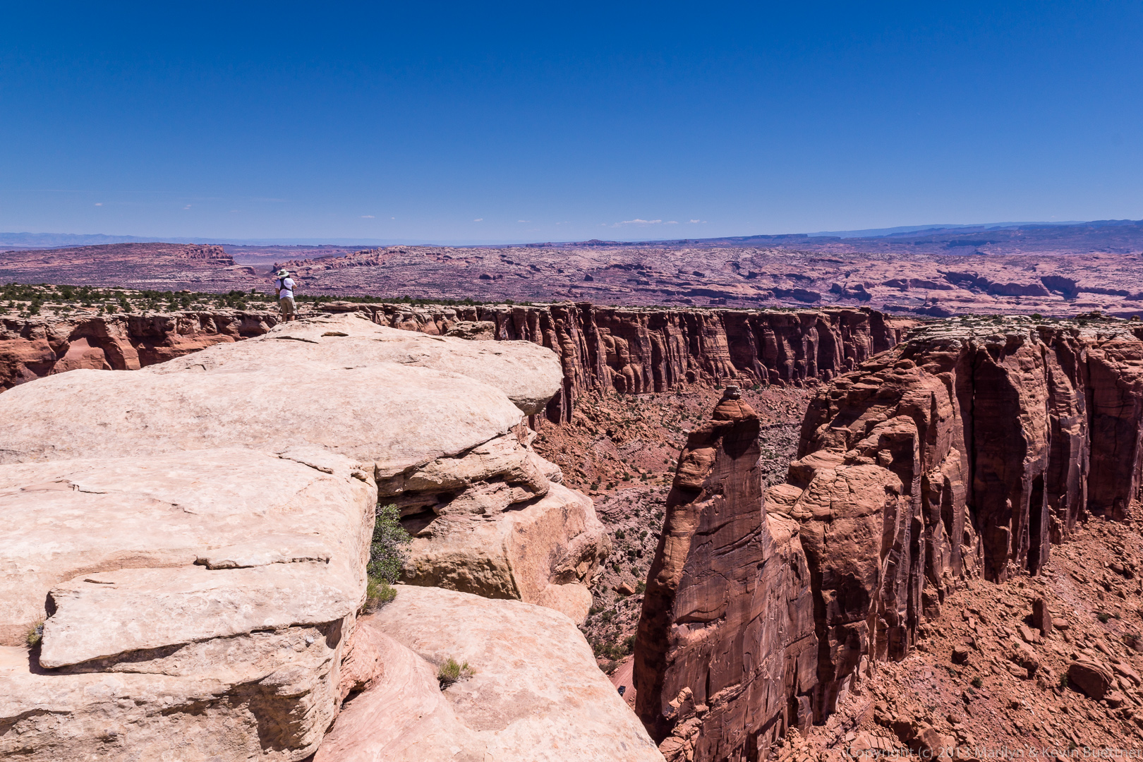
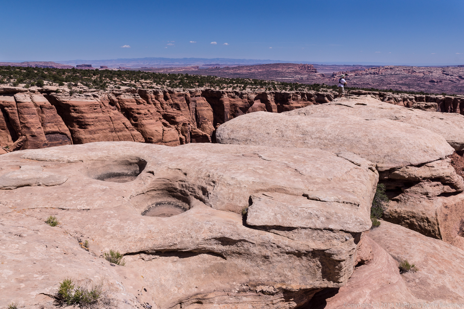
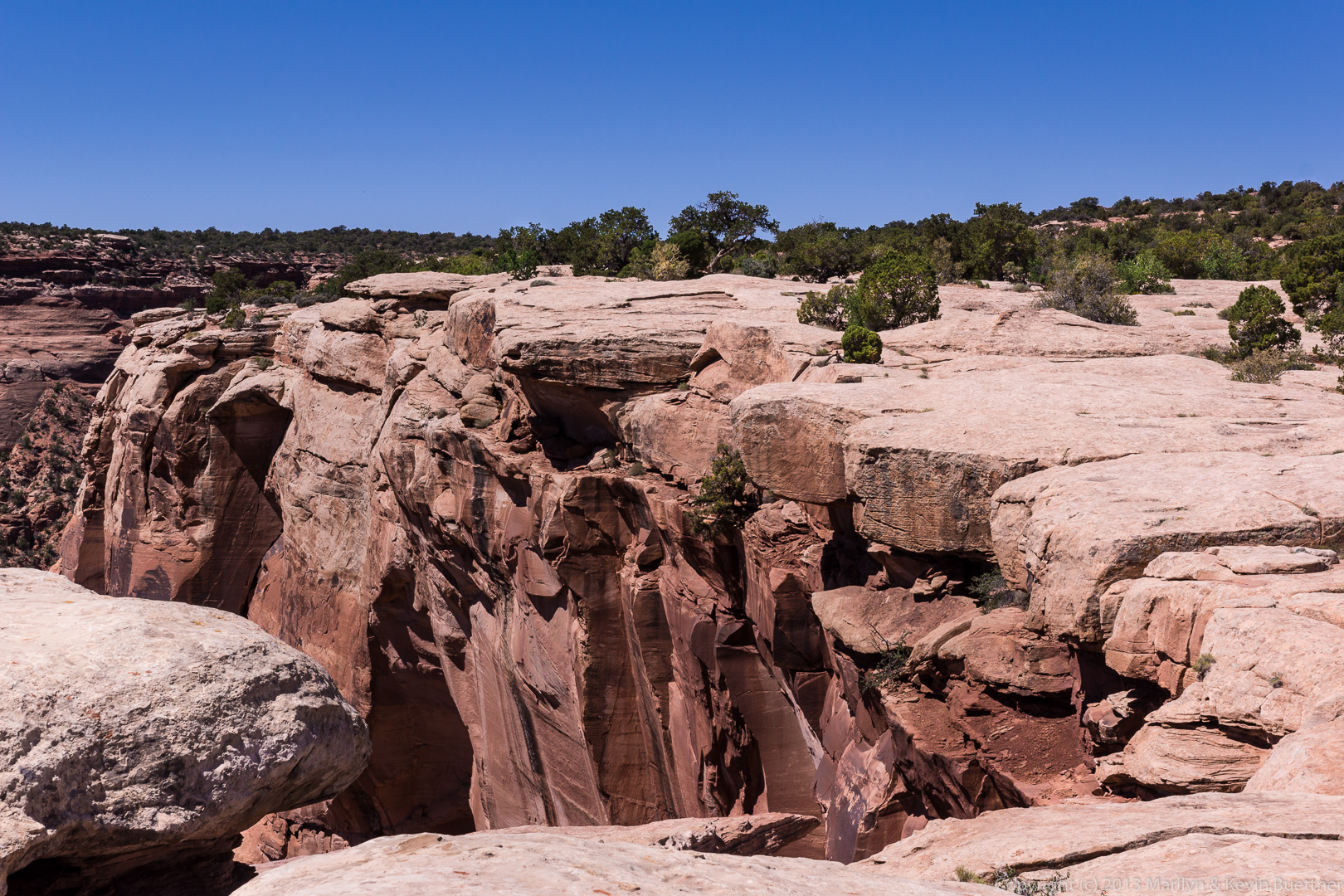
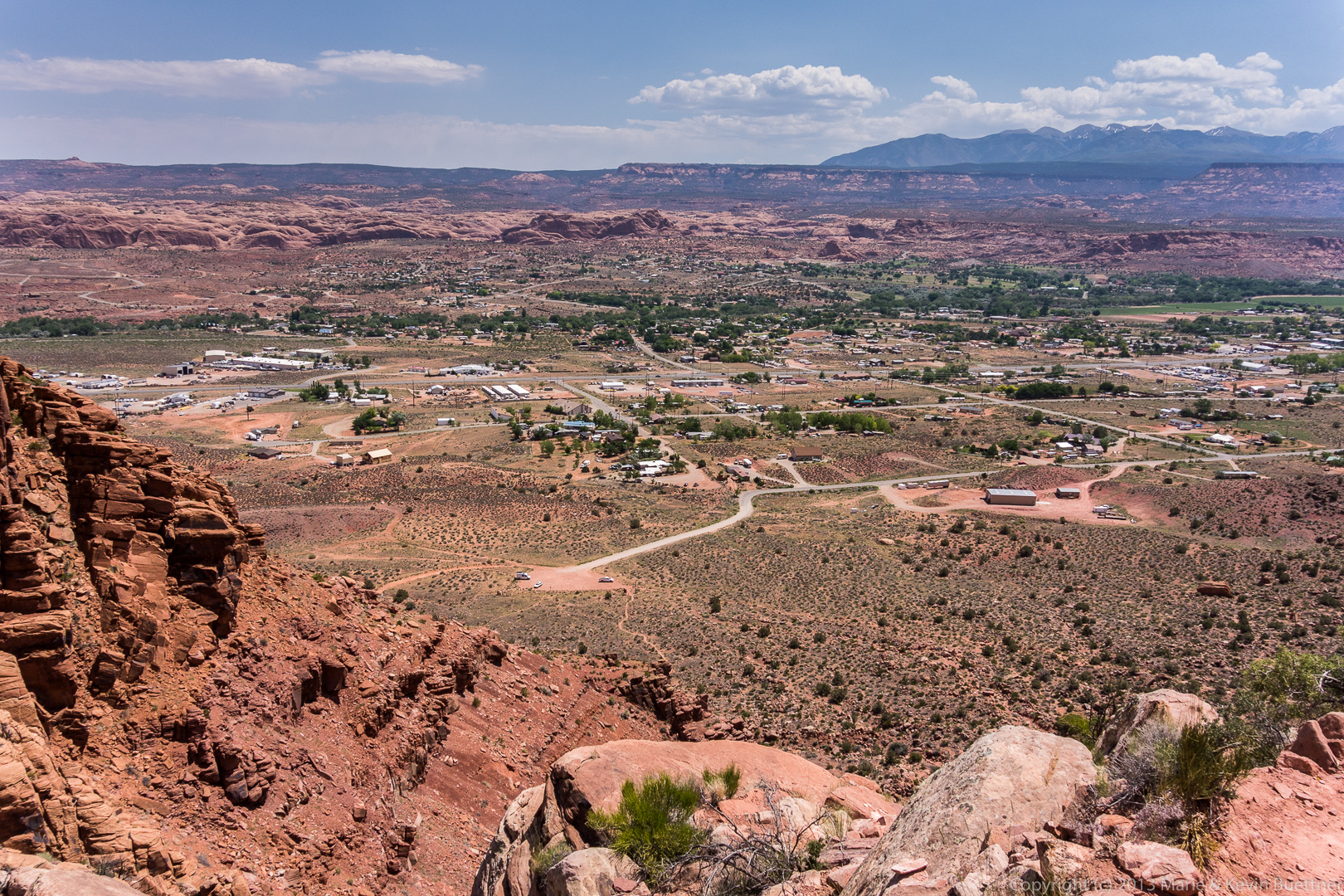
At the top, there’s a place to pull out. There are some good views from this area.
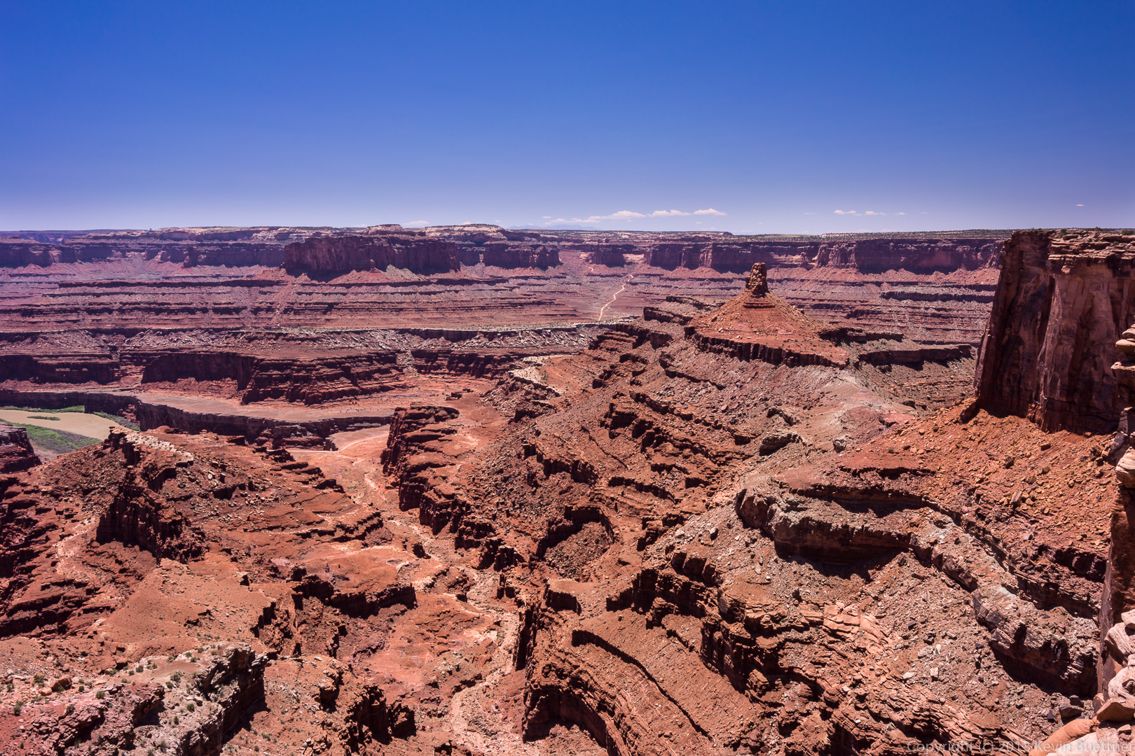
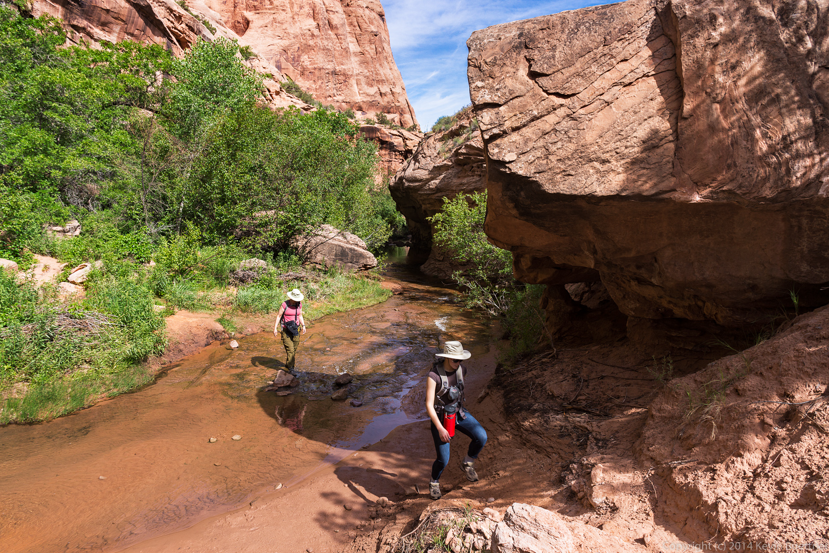
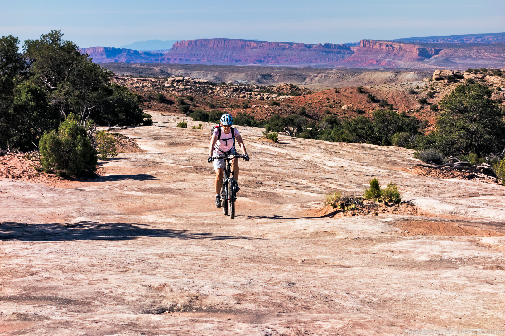
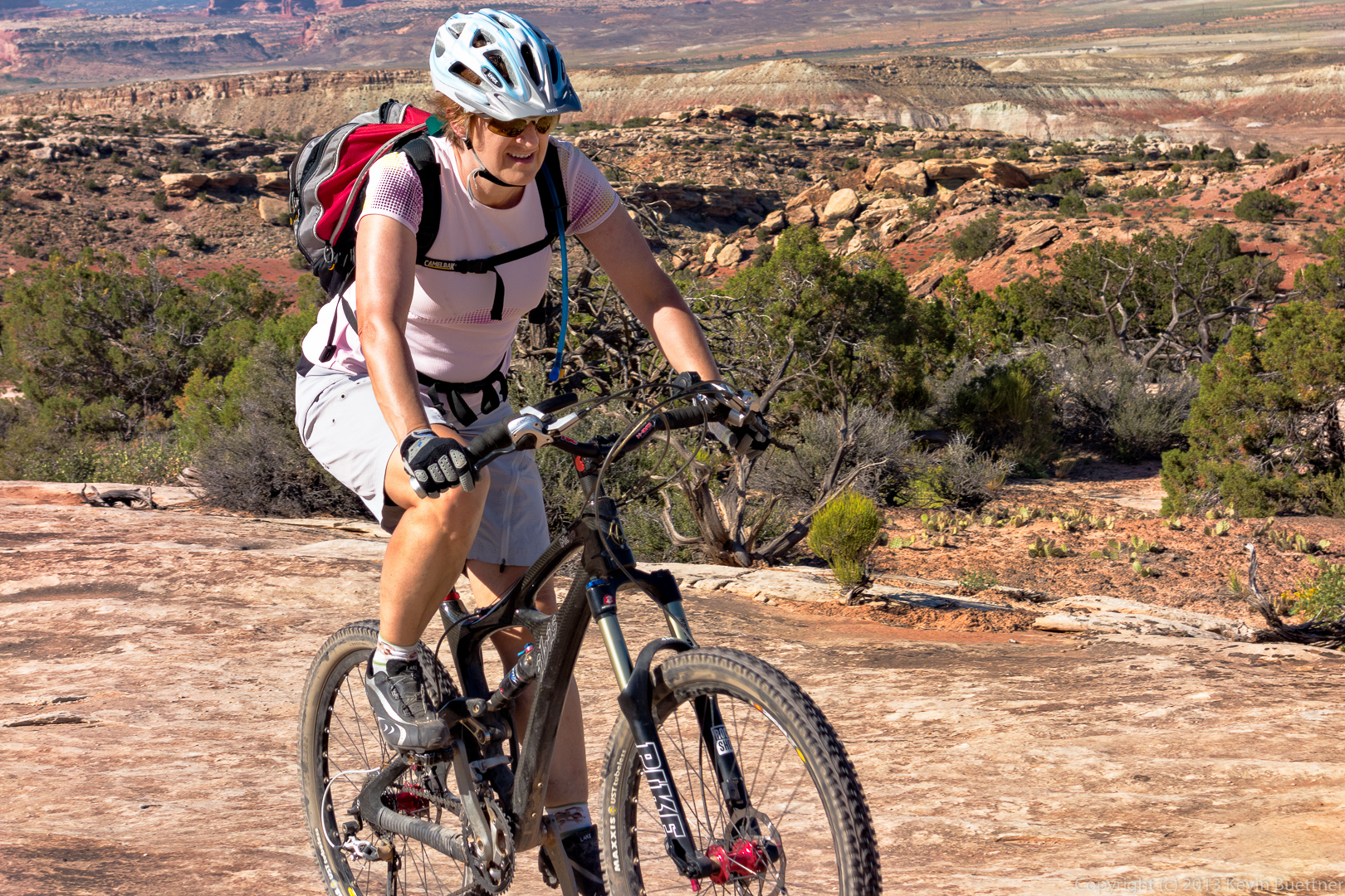
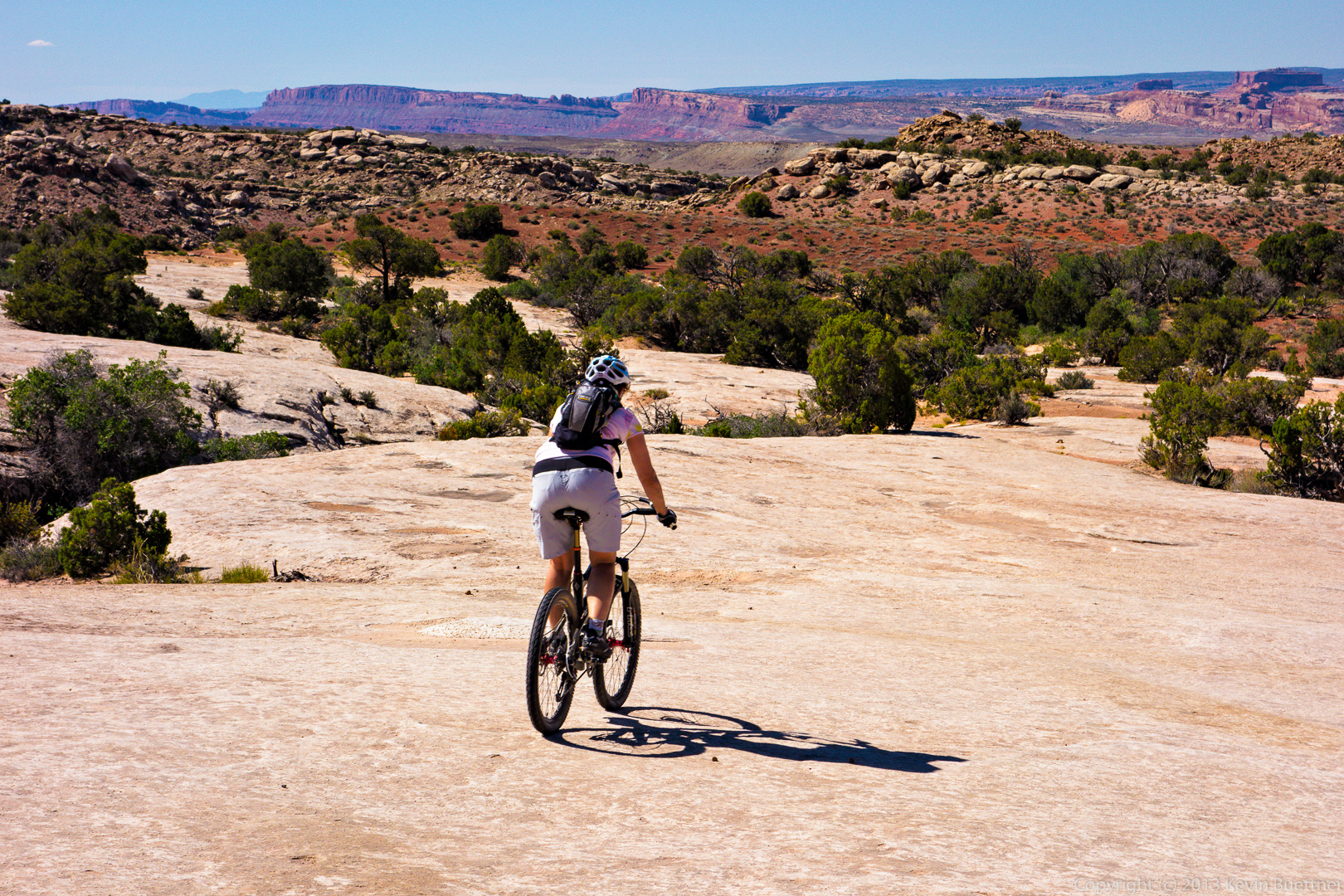
Here are some of Marilyn’s photos from the same trip:
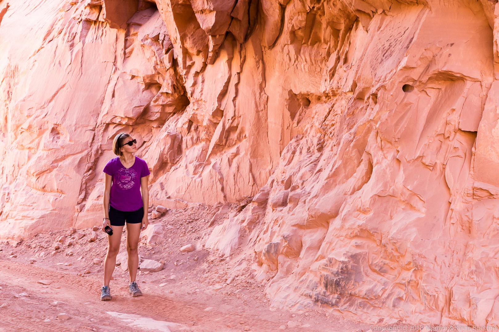
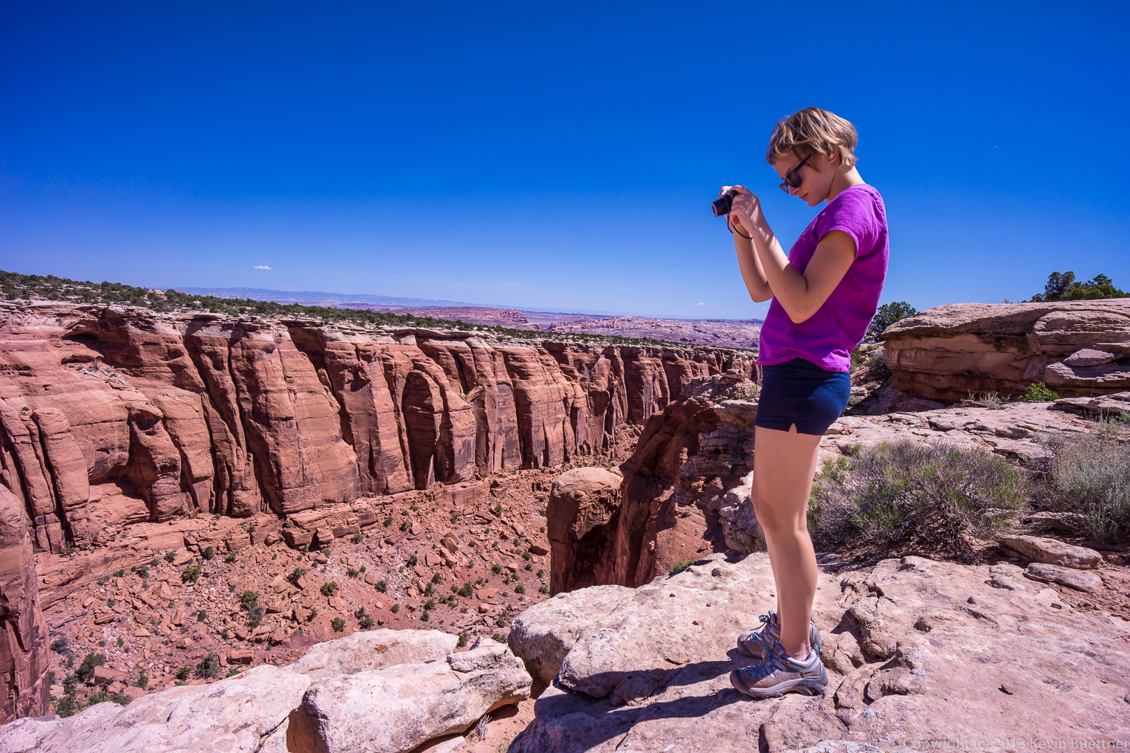
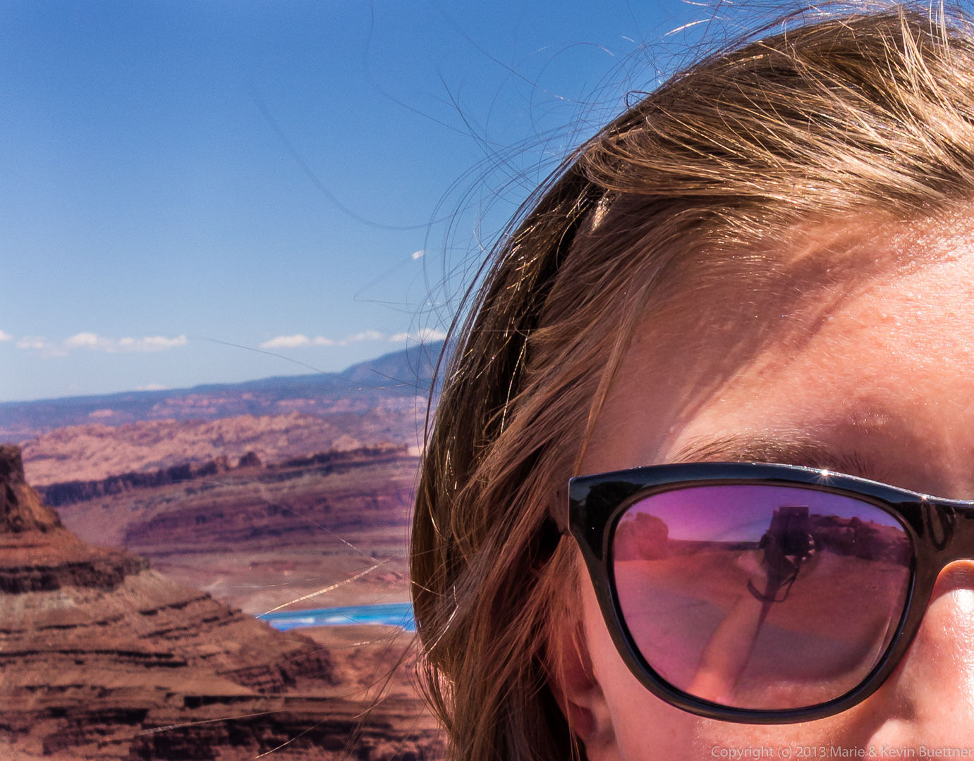
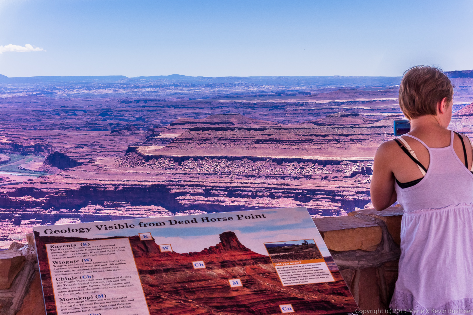
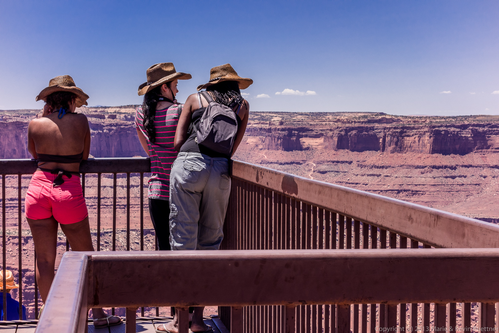
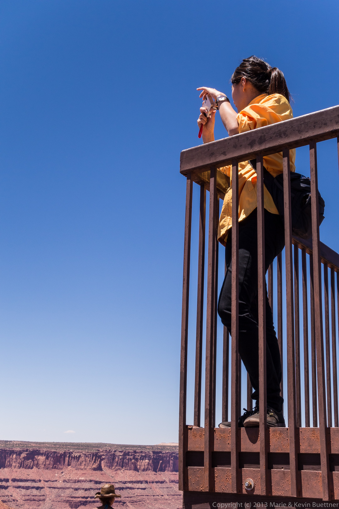
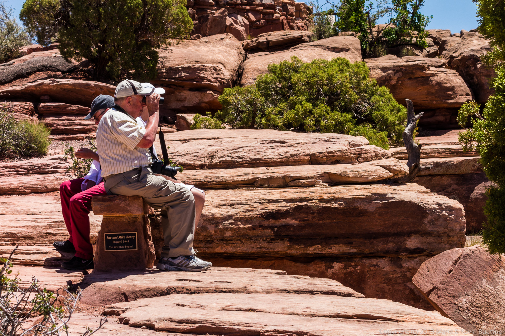
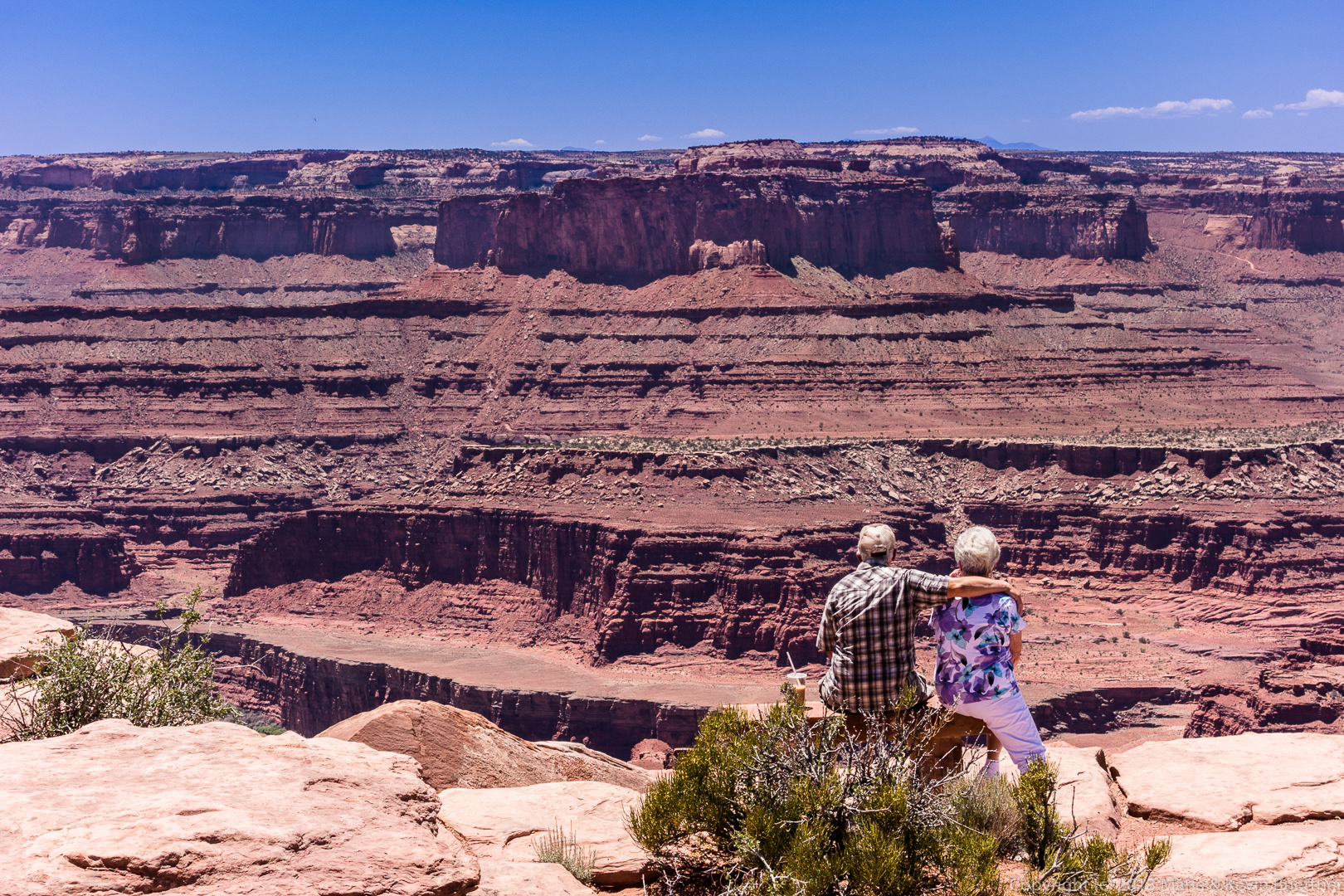
On June 6, we visited Dead Horse Point State Park. Marie took a lot of photos while she was there, but I found her people photos to be most intriguing.
I especially like her self portrait. As I was lightening up the shadows on her face, I noticed that there was an interesting reflection in her sunglasses. I decided to crop the photo, so that this reflection would gain prominence.
 Below are the rest of her “street photography” style photos from this area:
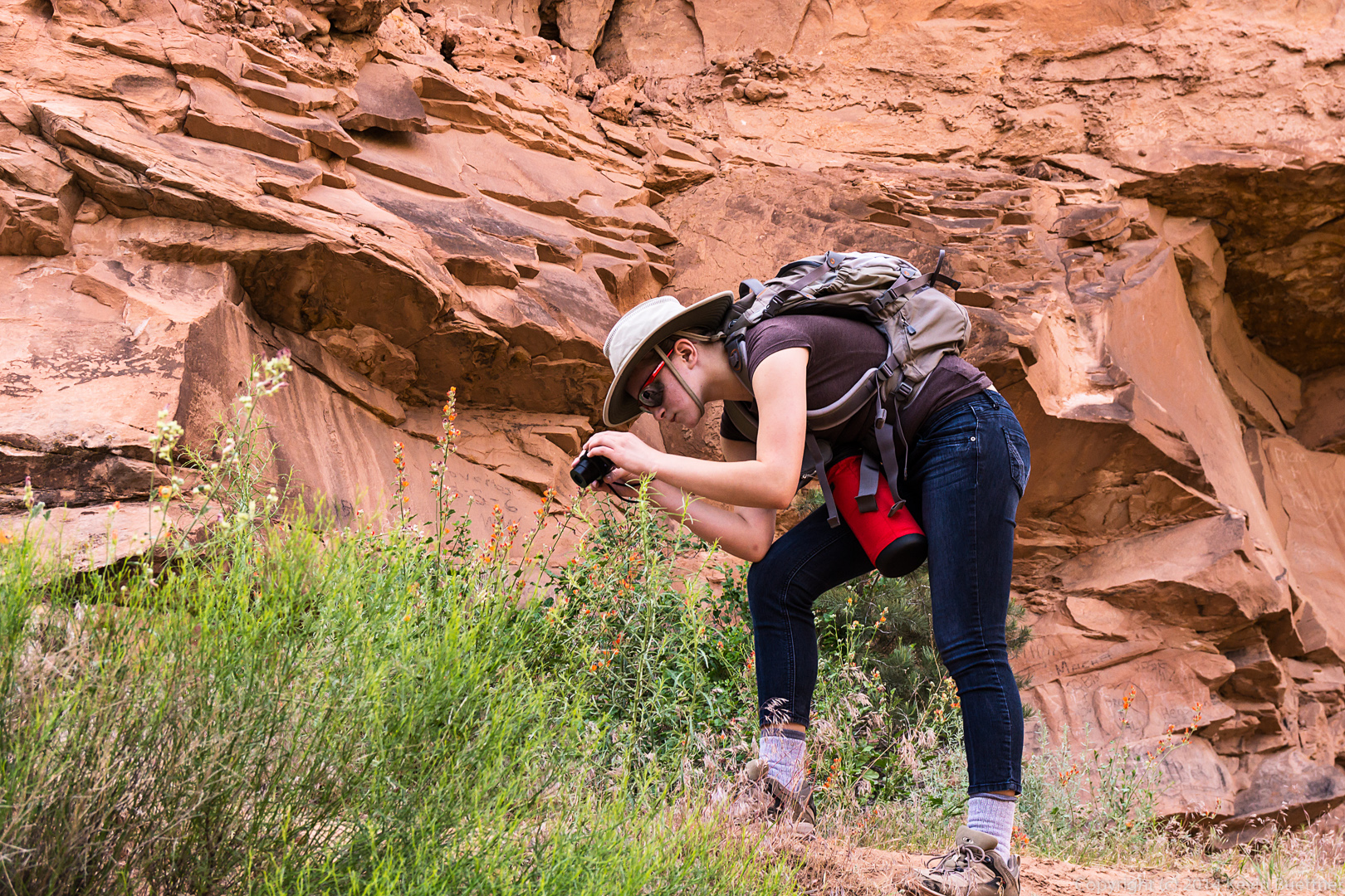
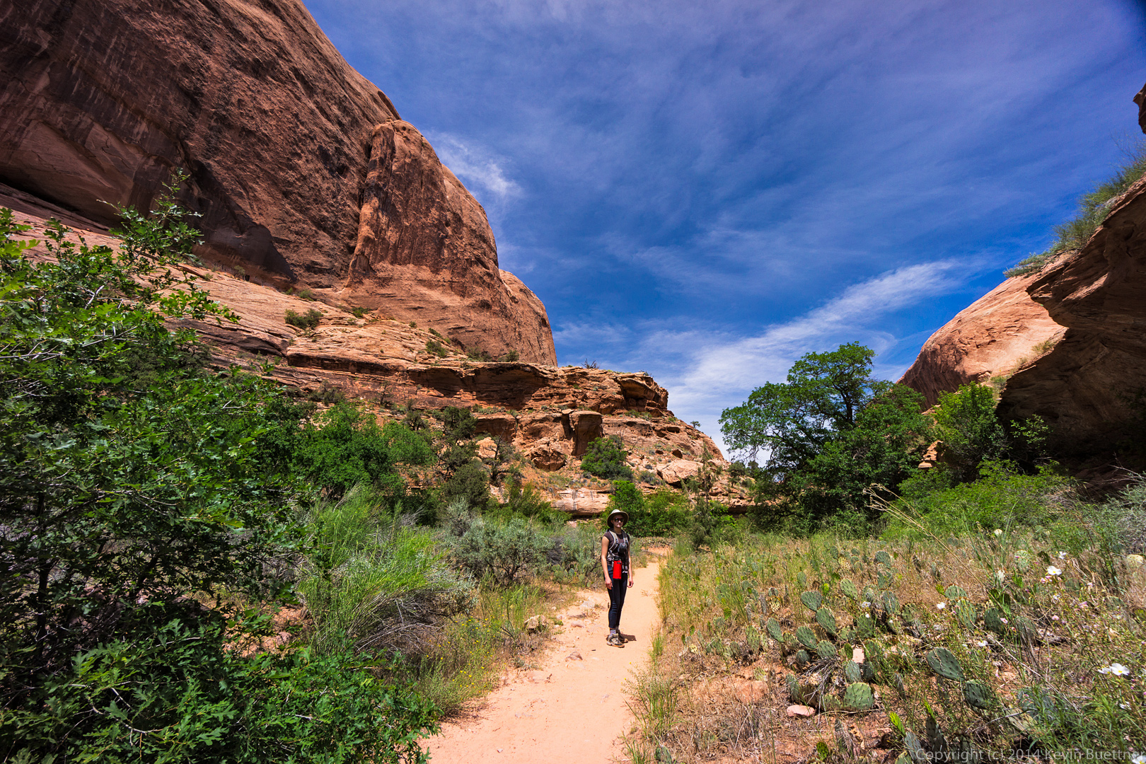
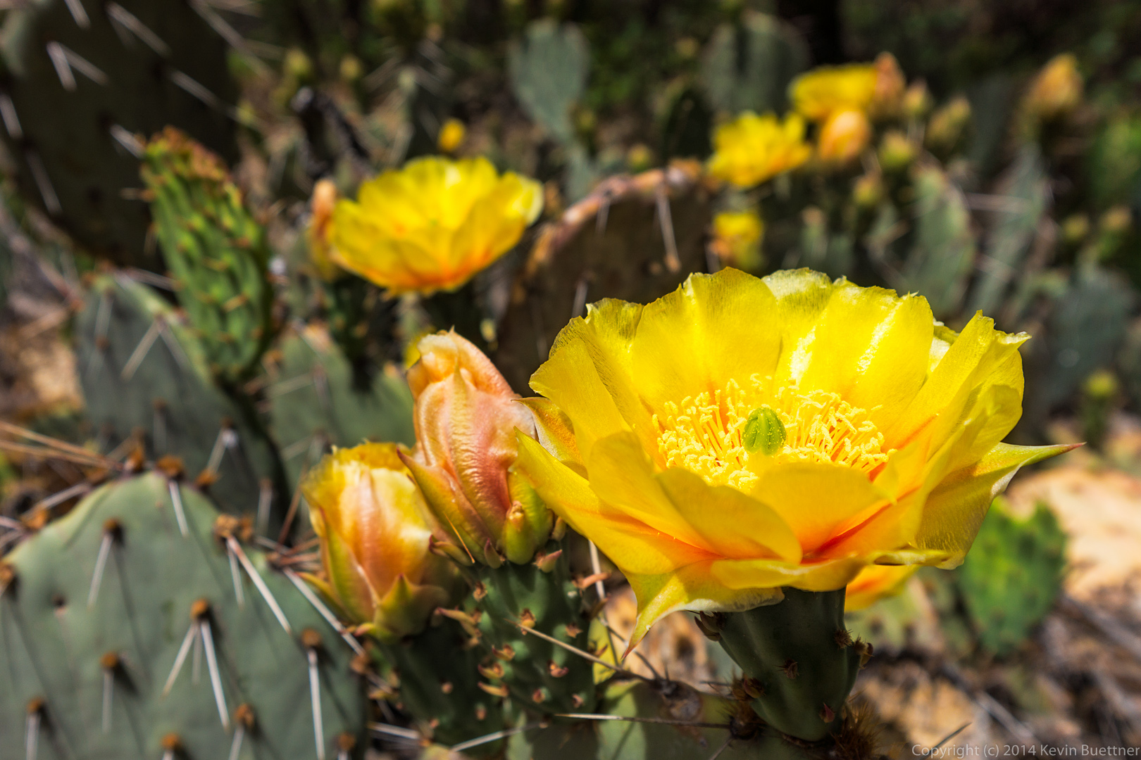
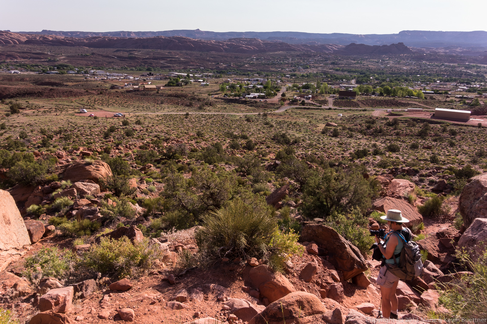
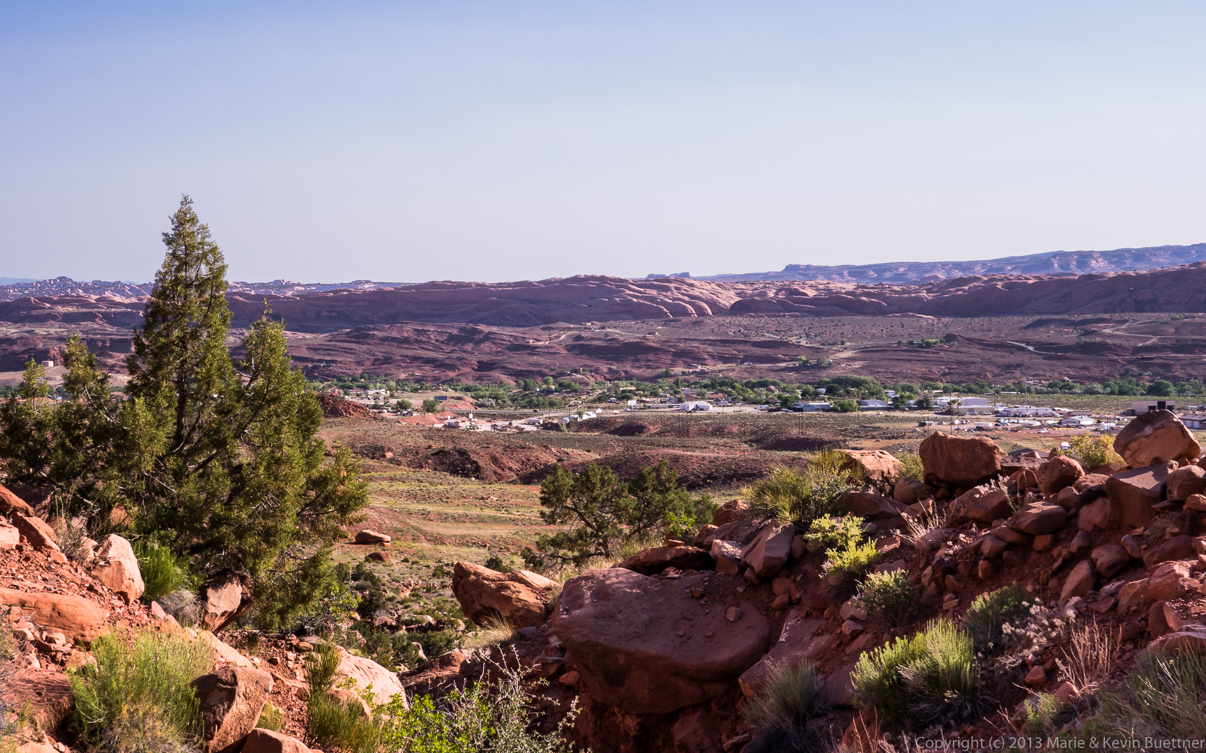
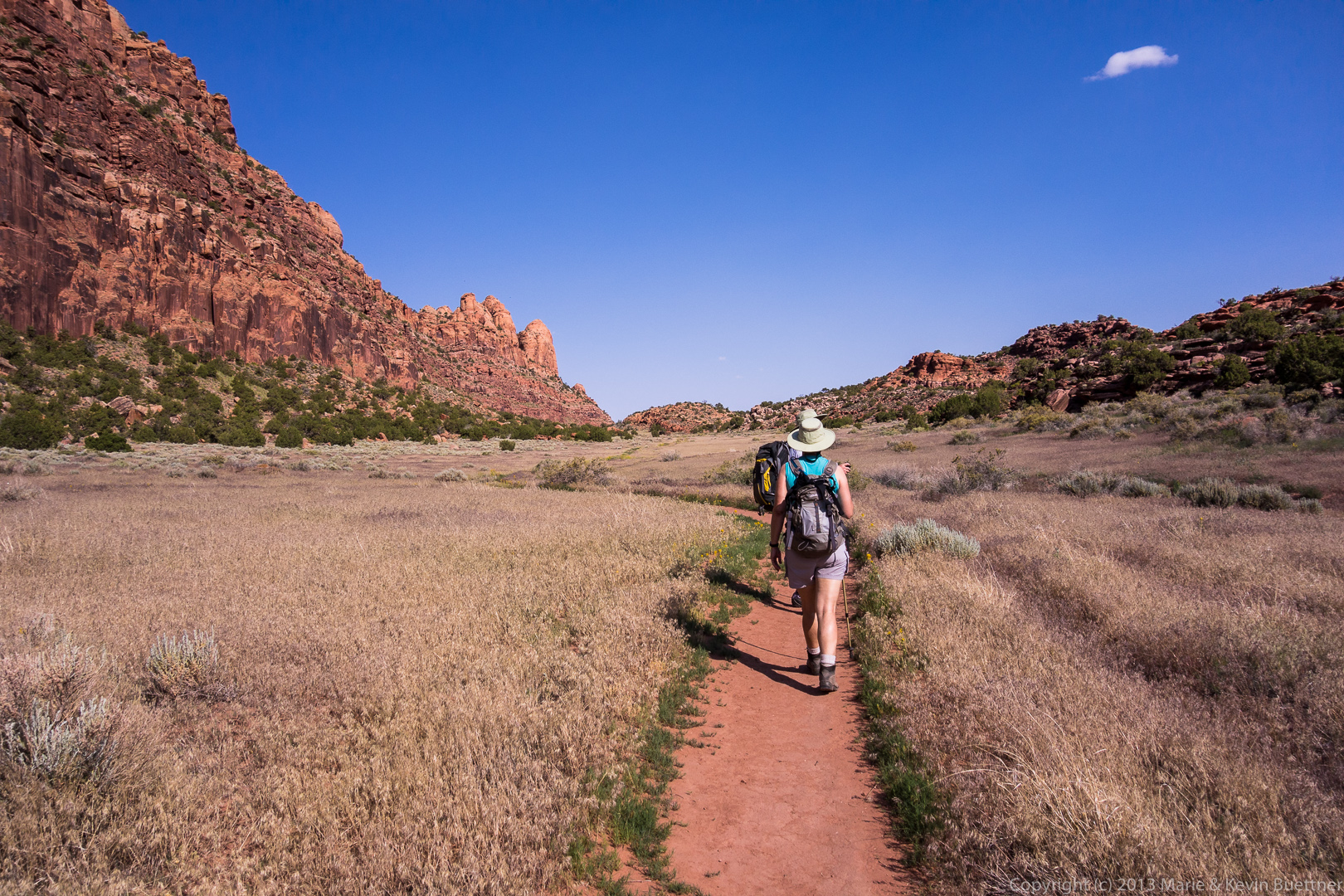
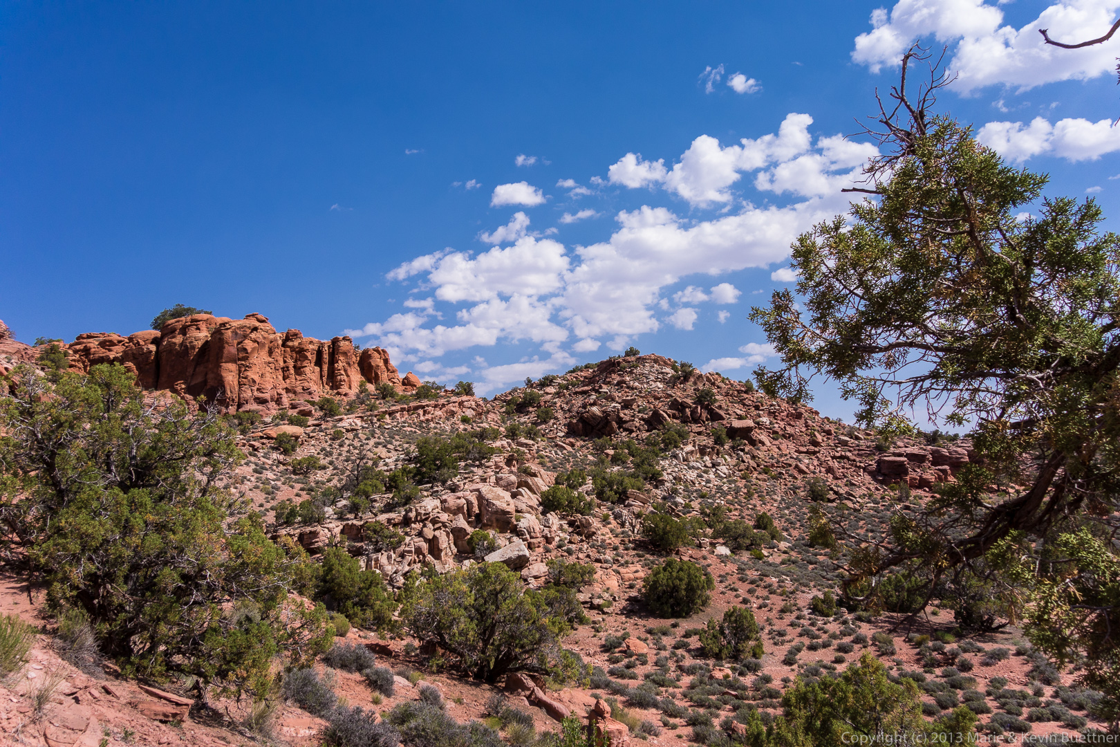
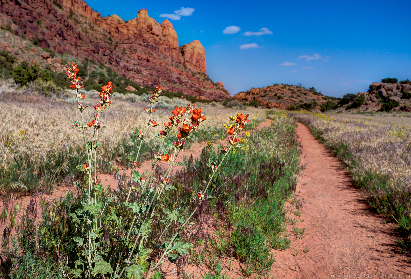
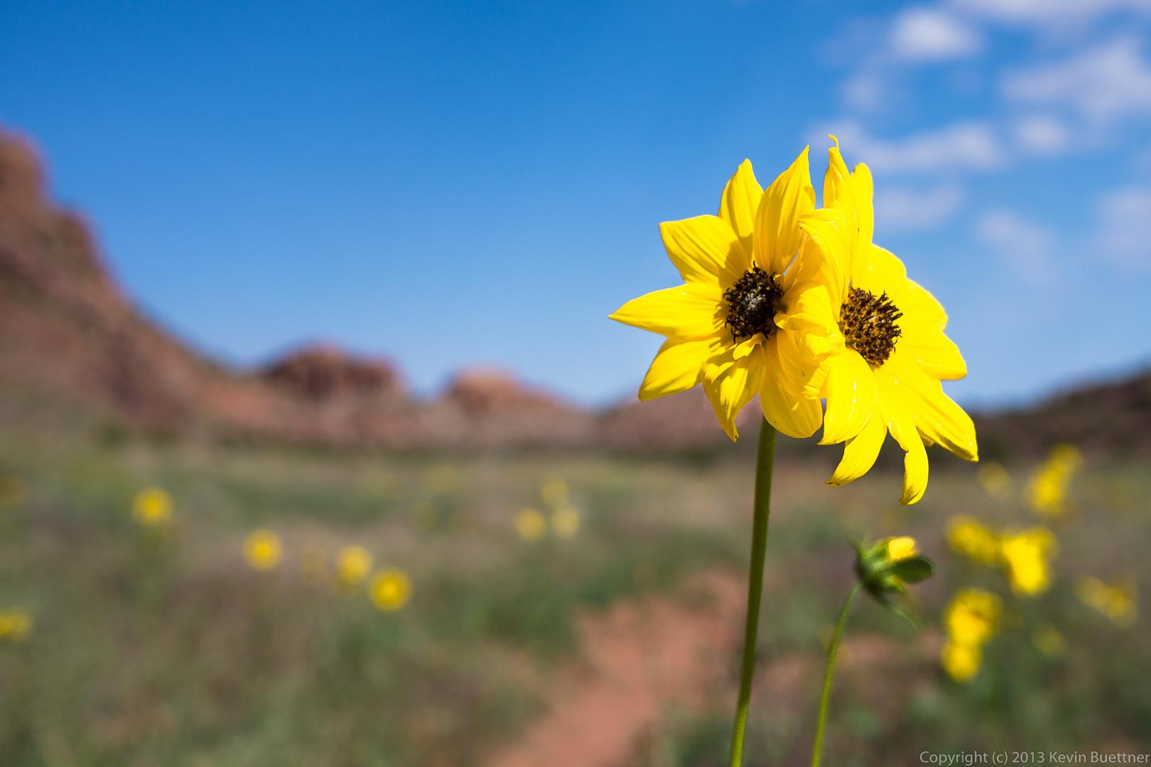
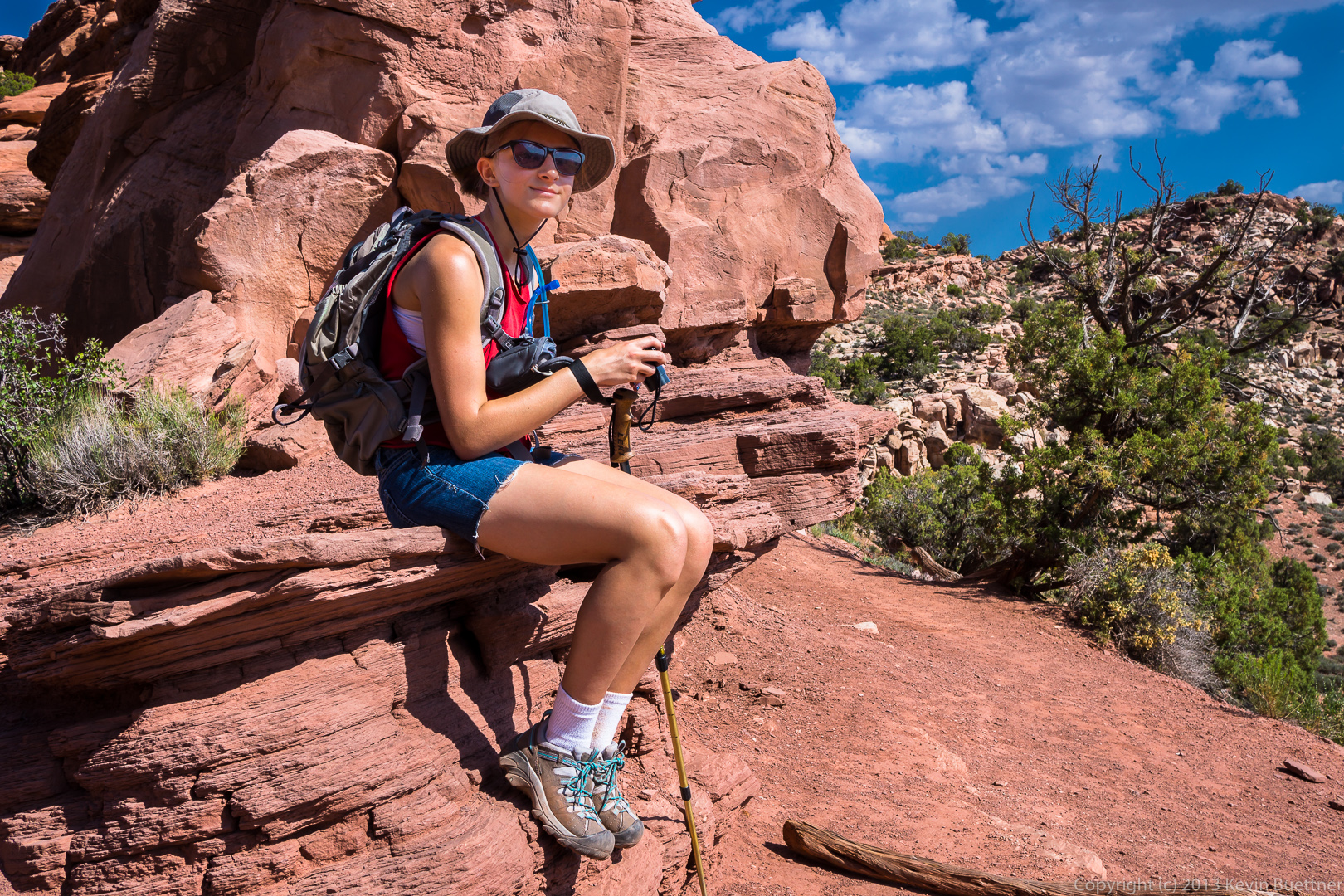
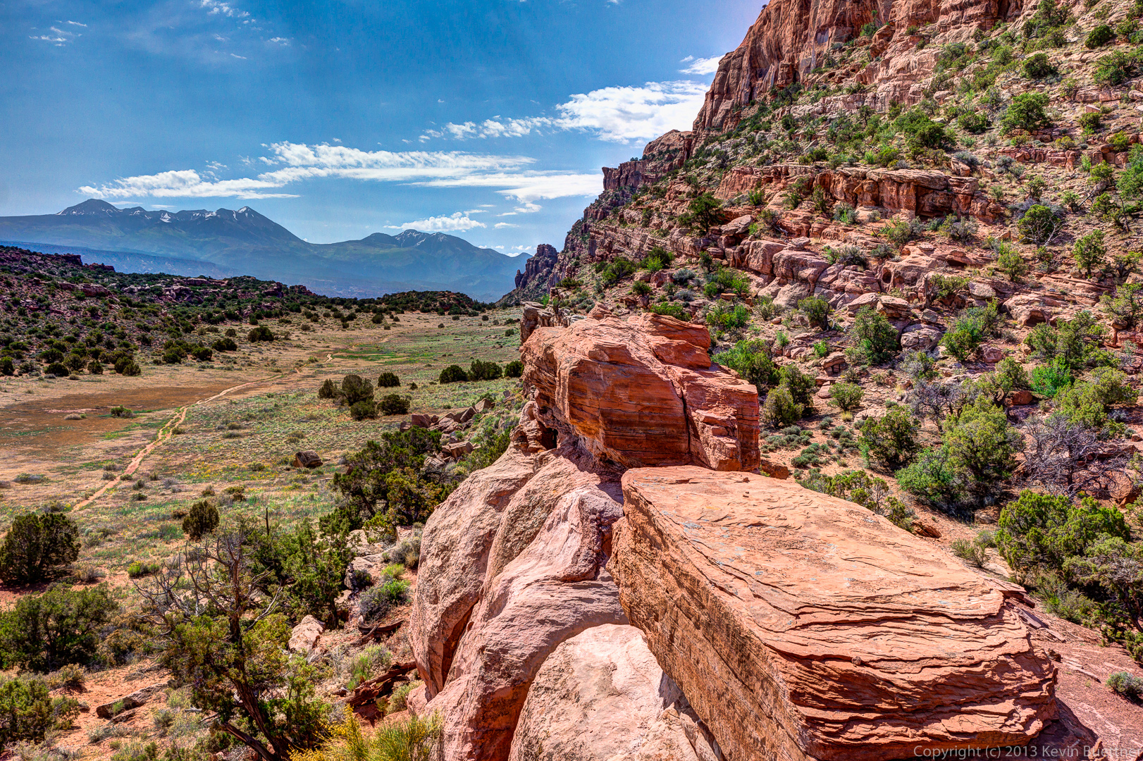
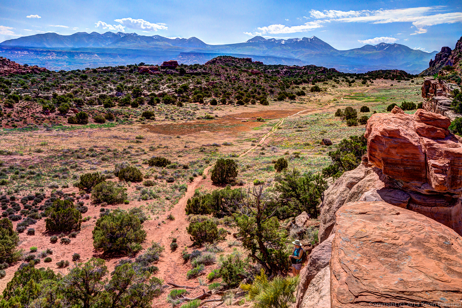
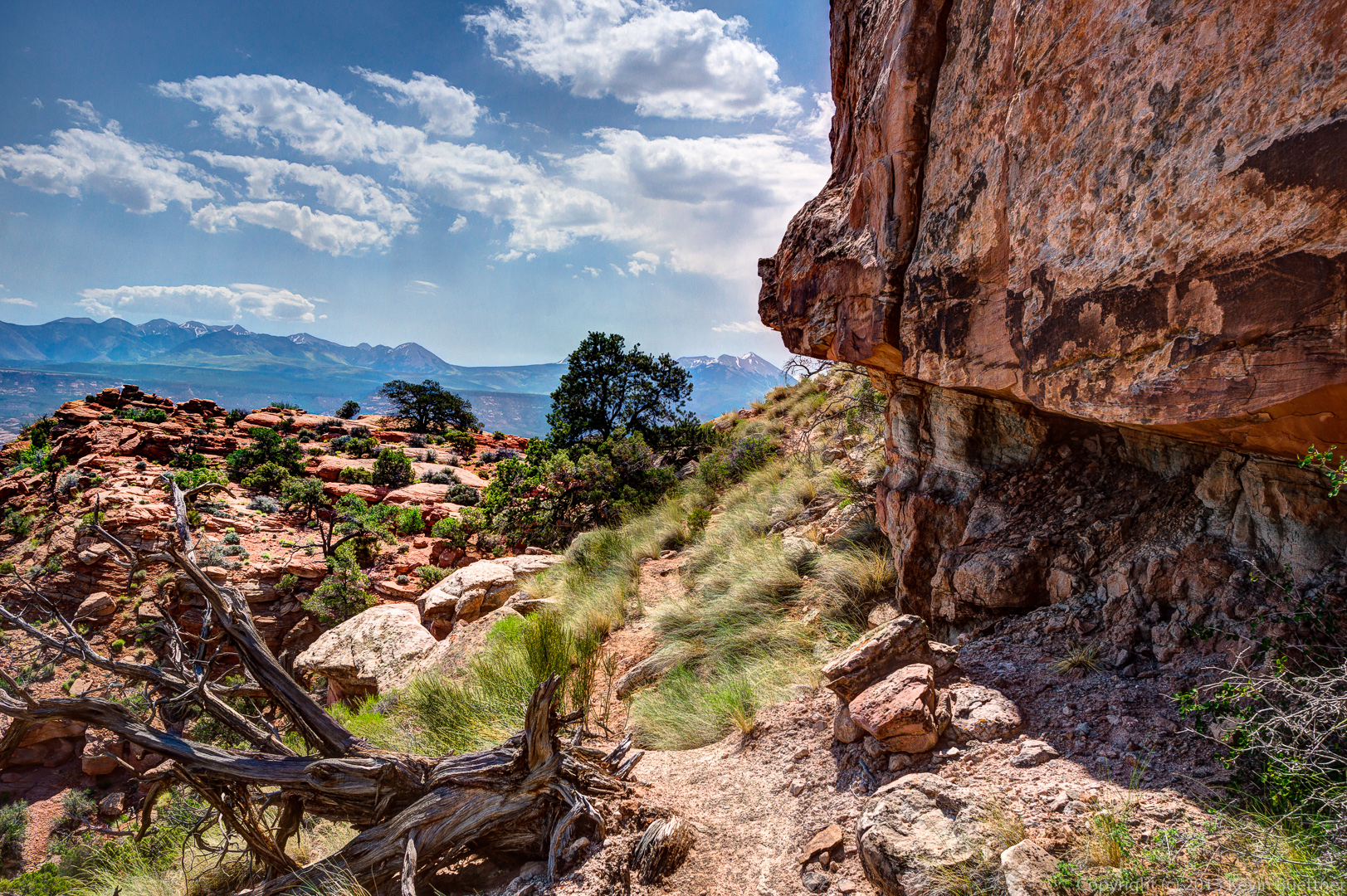
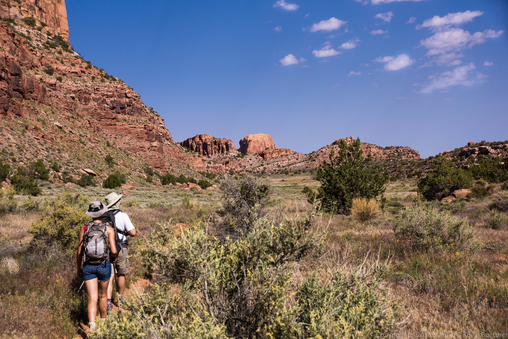
Marilyn, Marie, and I hiked the HIdden Valley Trail on June 3. Below are pictures from each of us, starting with Marie…

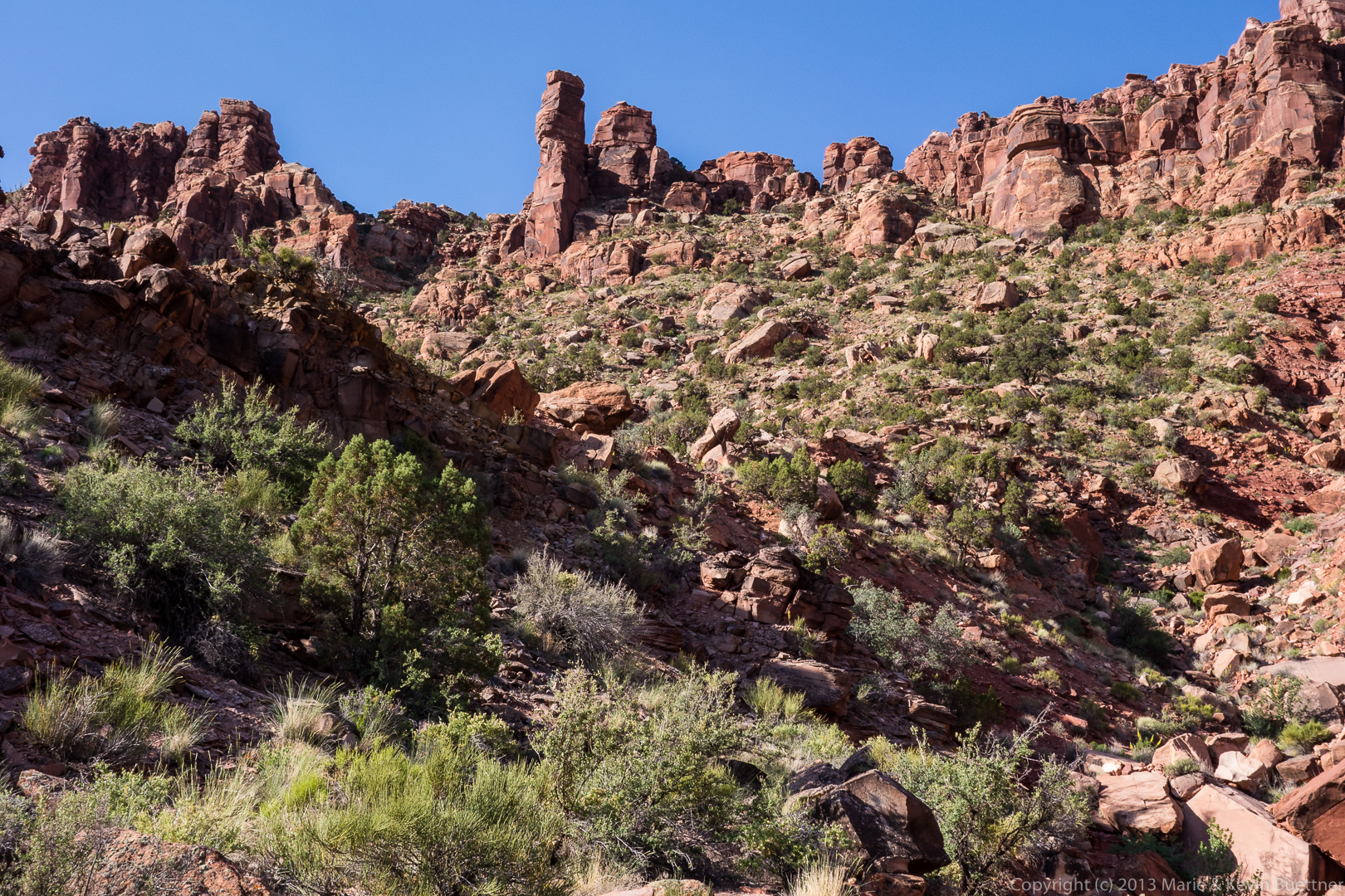
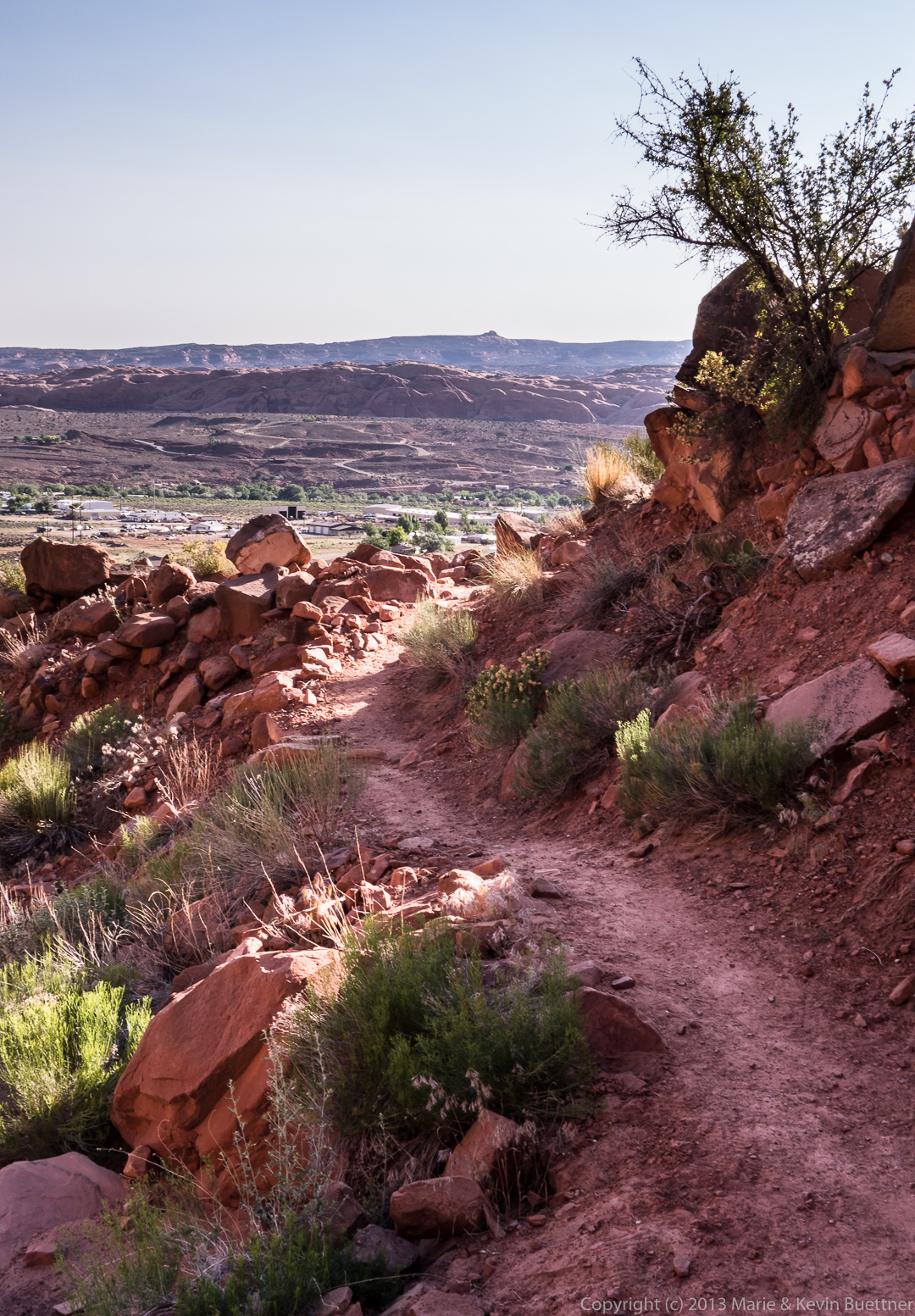
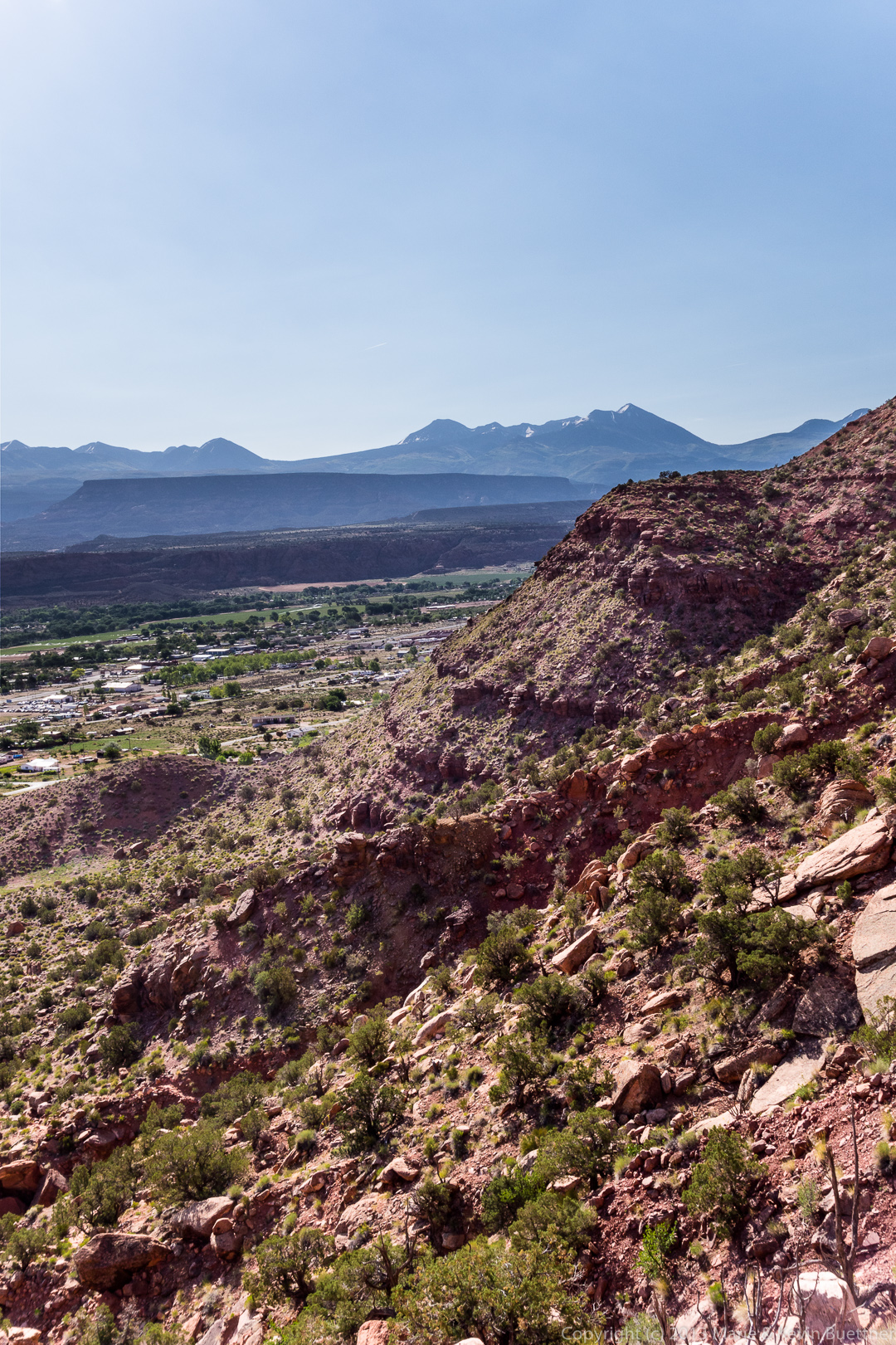
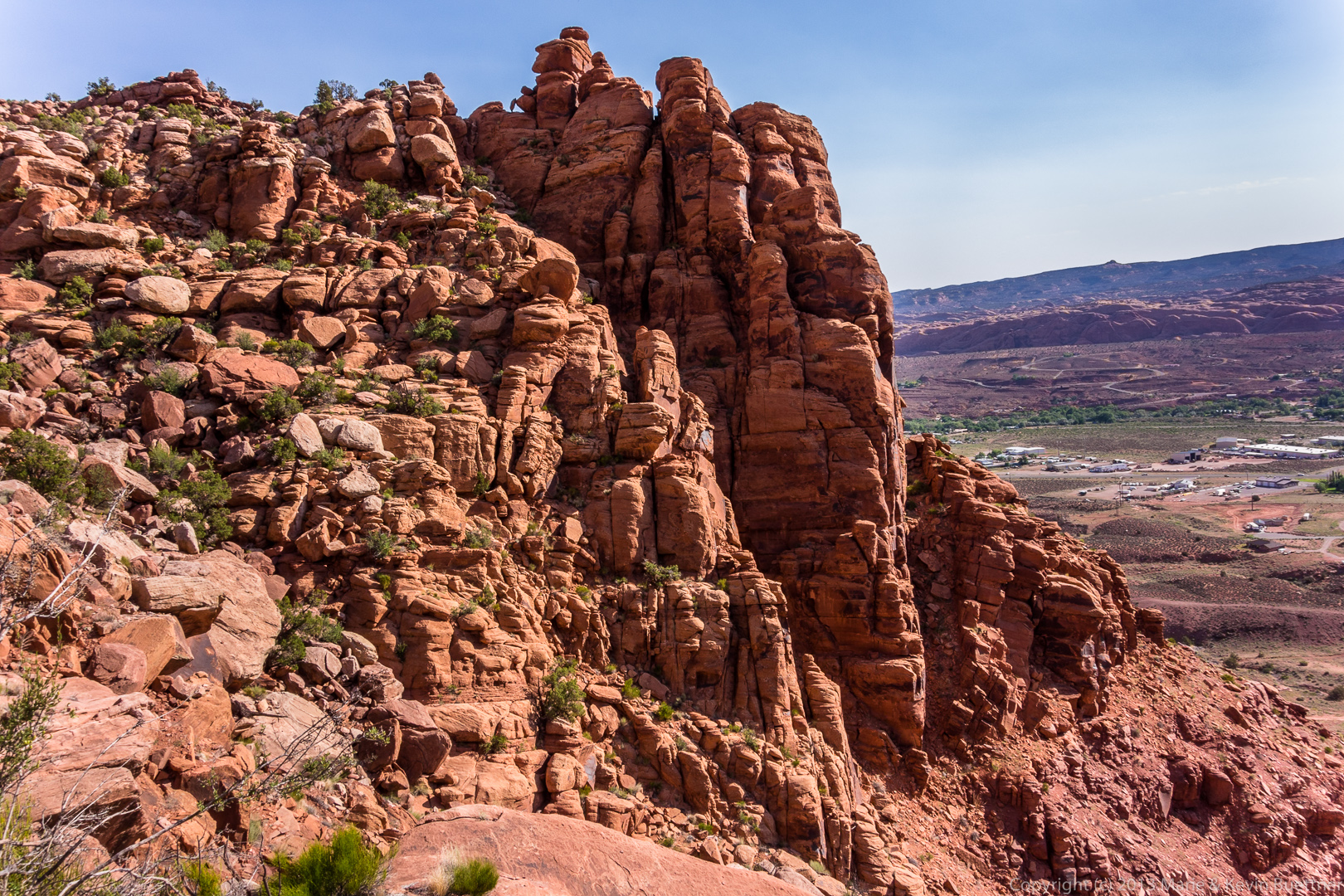
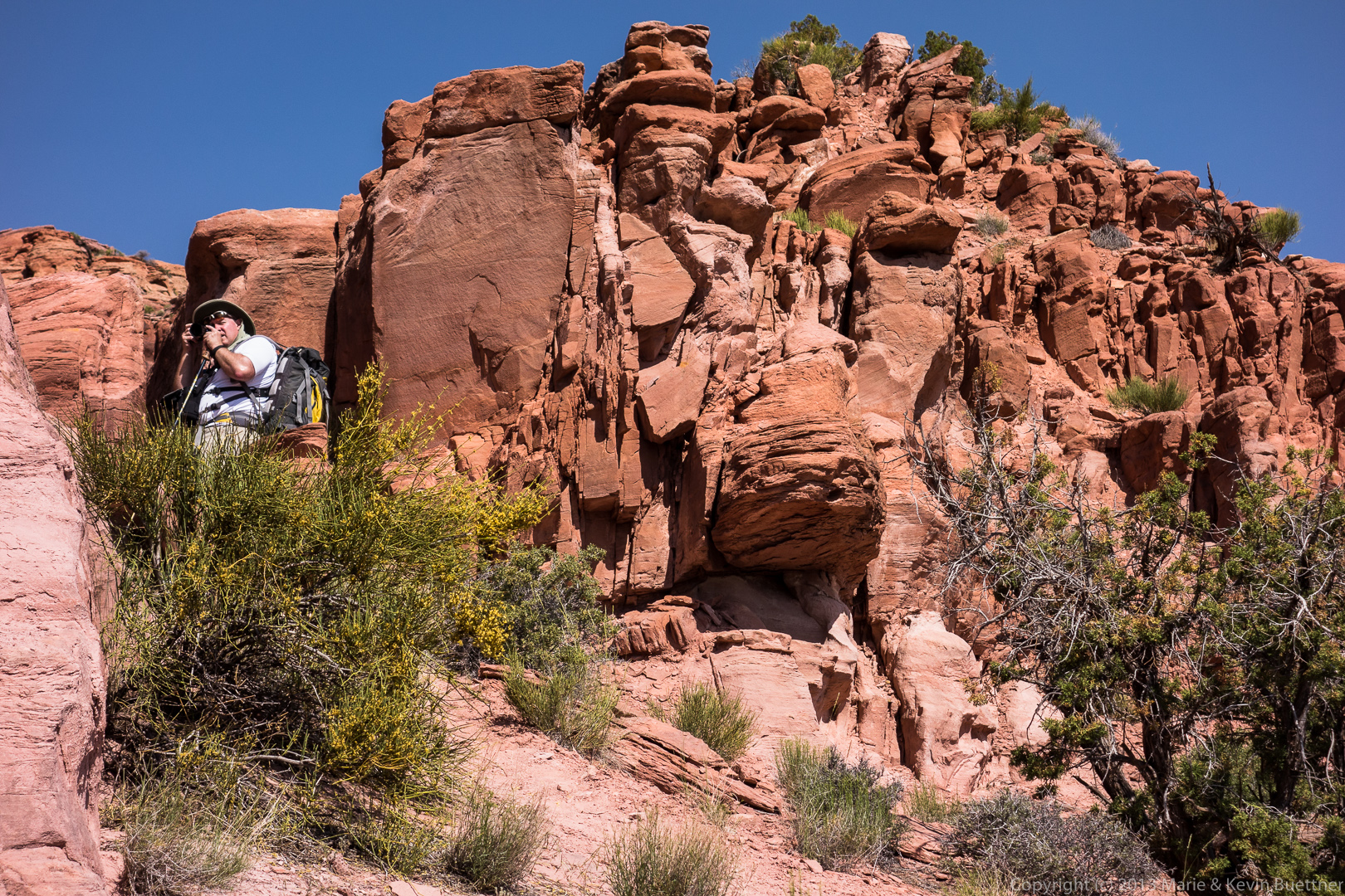
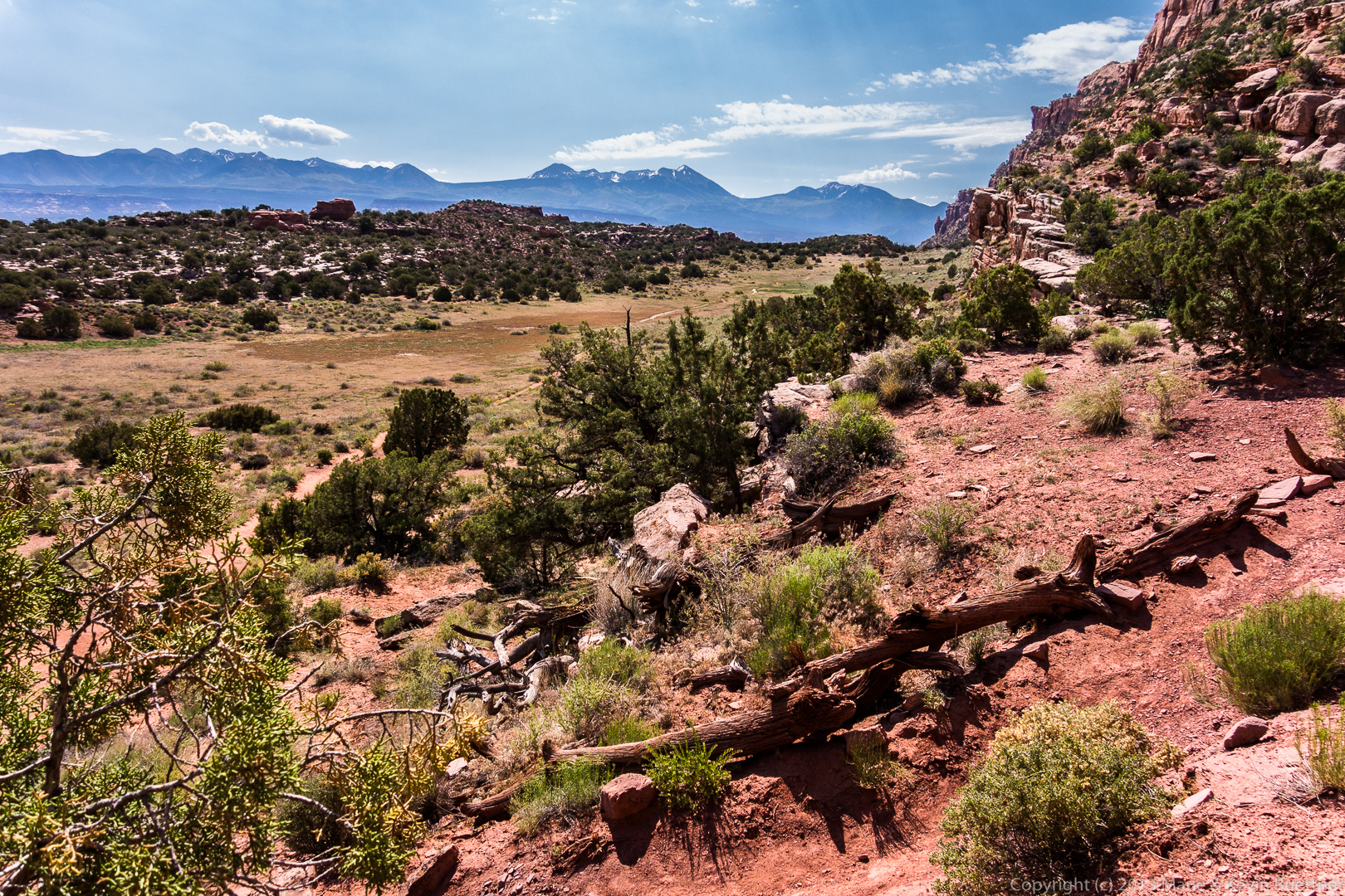
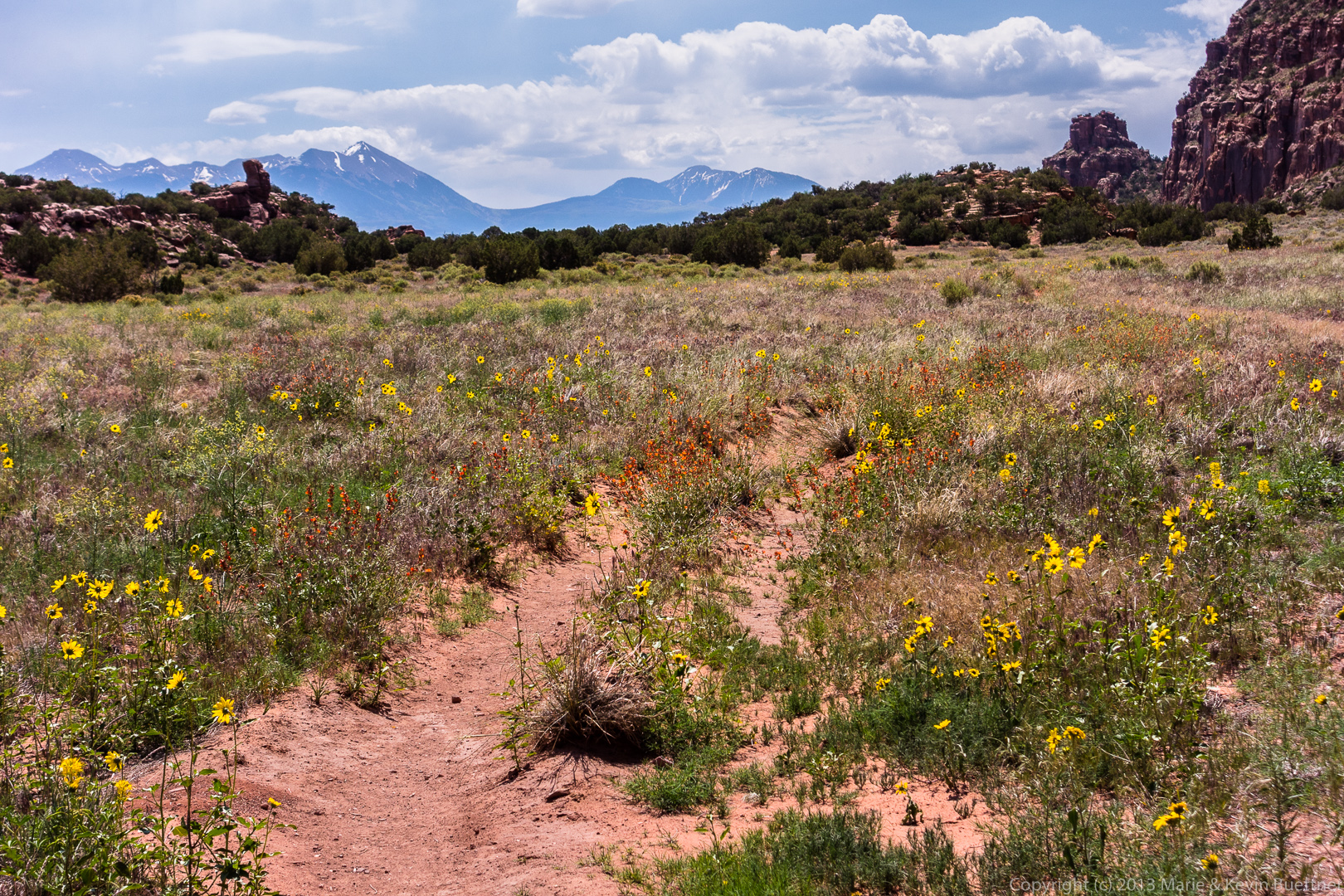
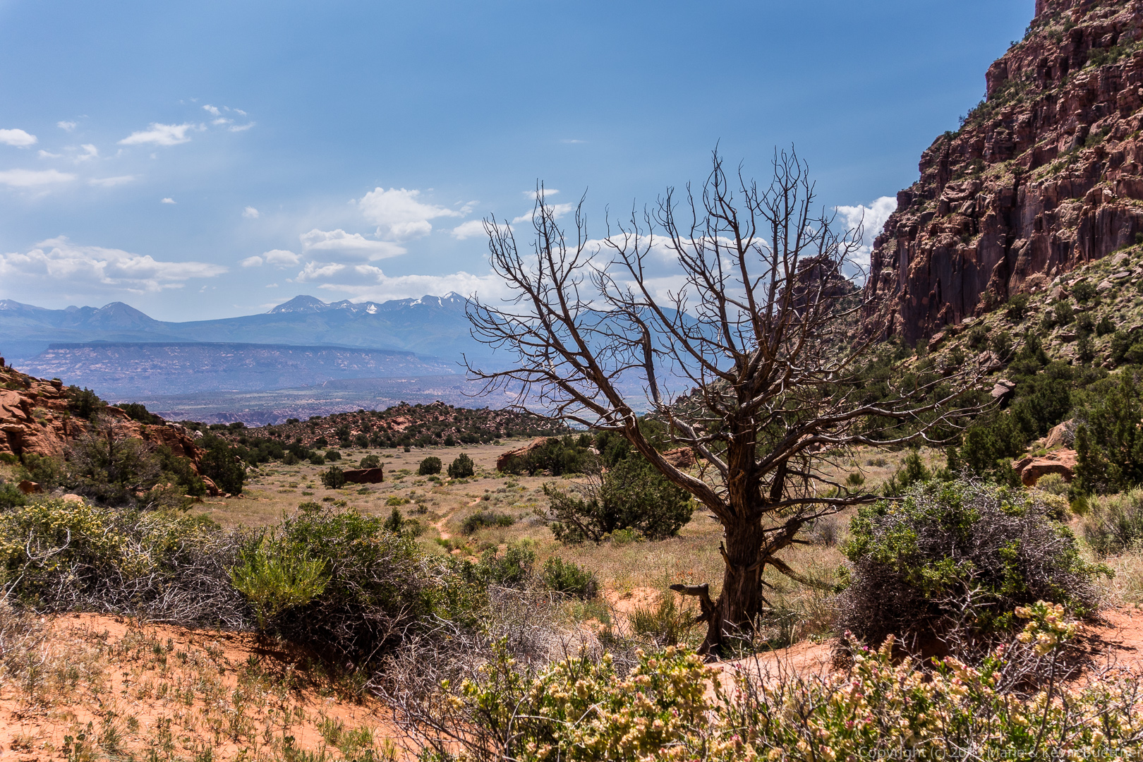
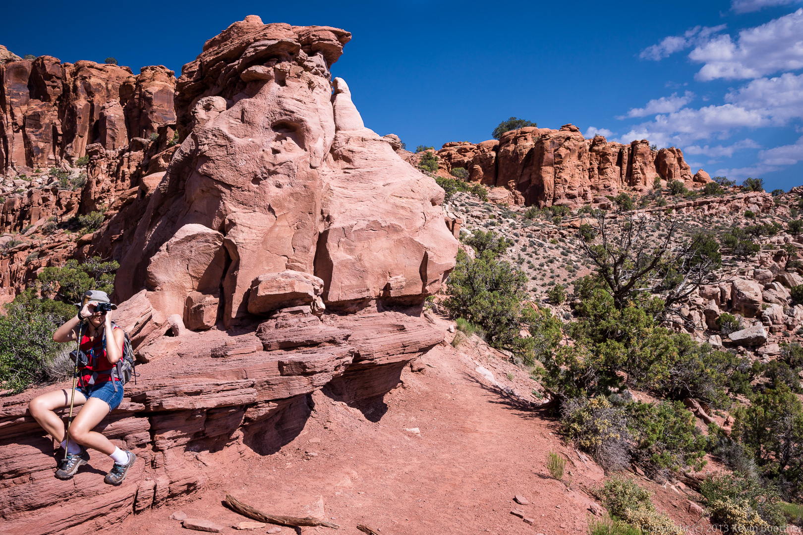
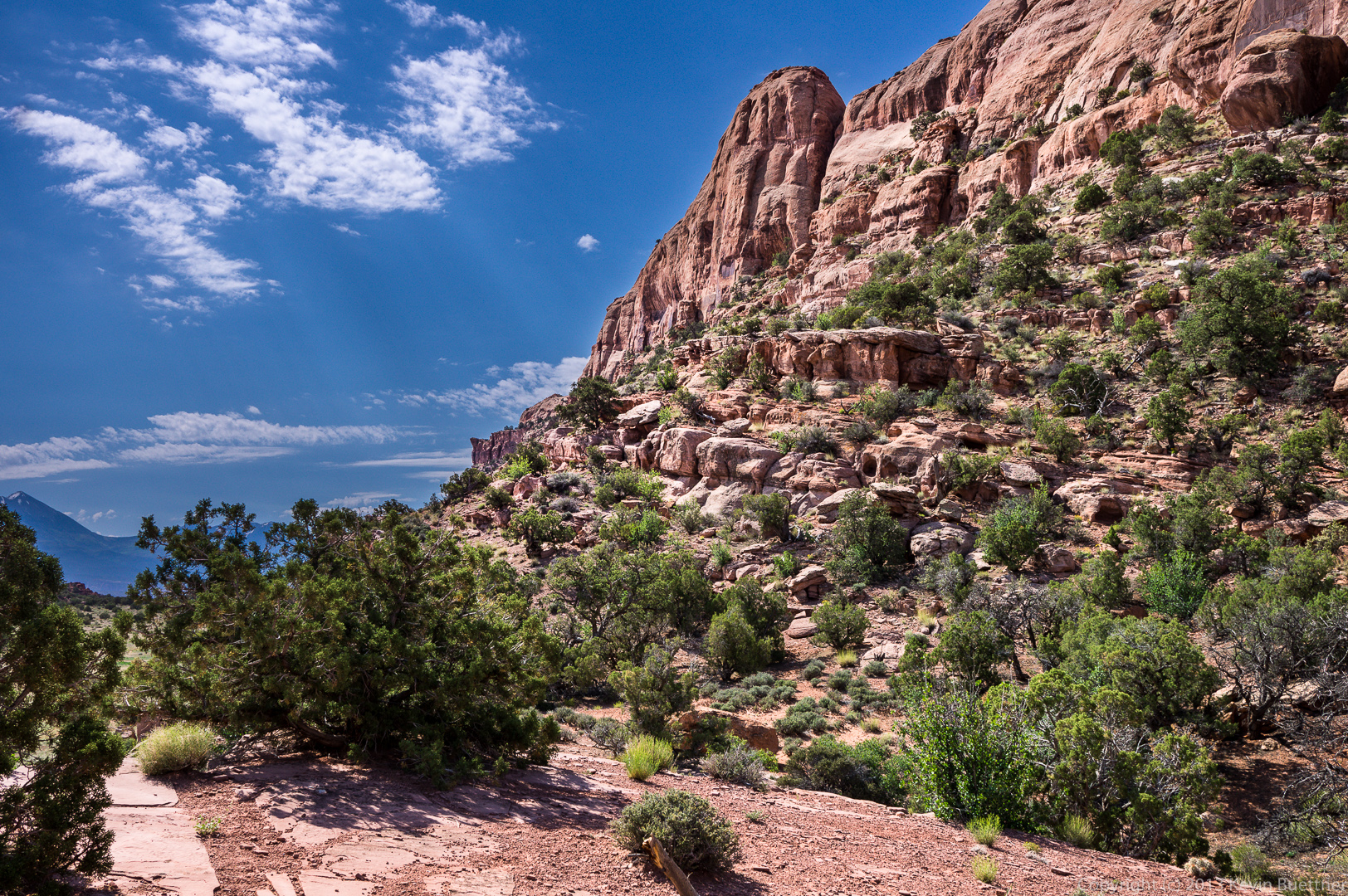
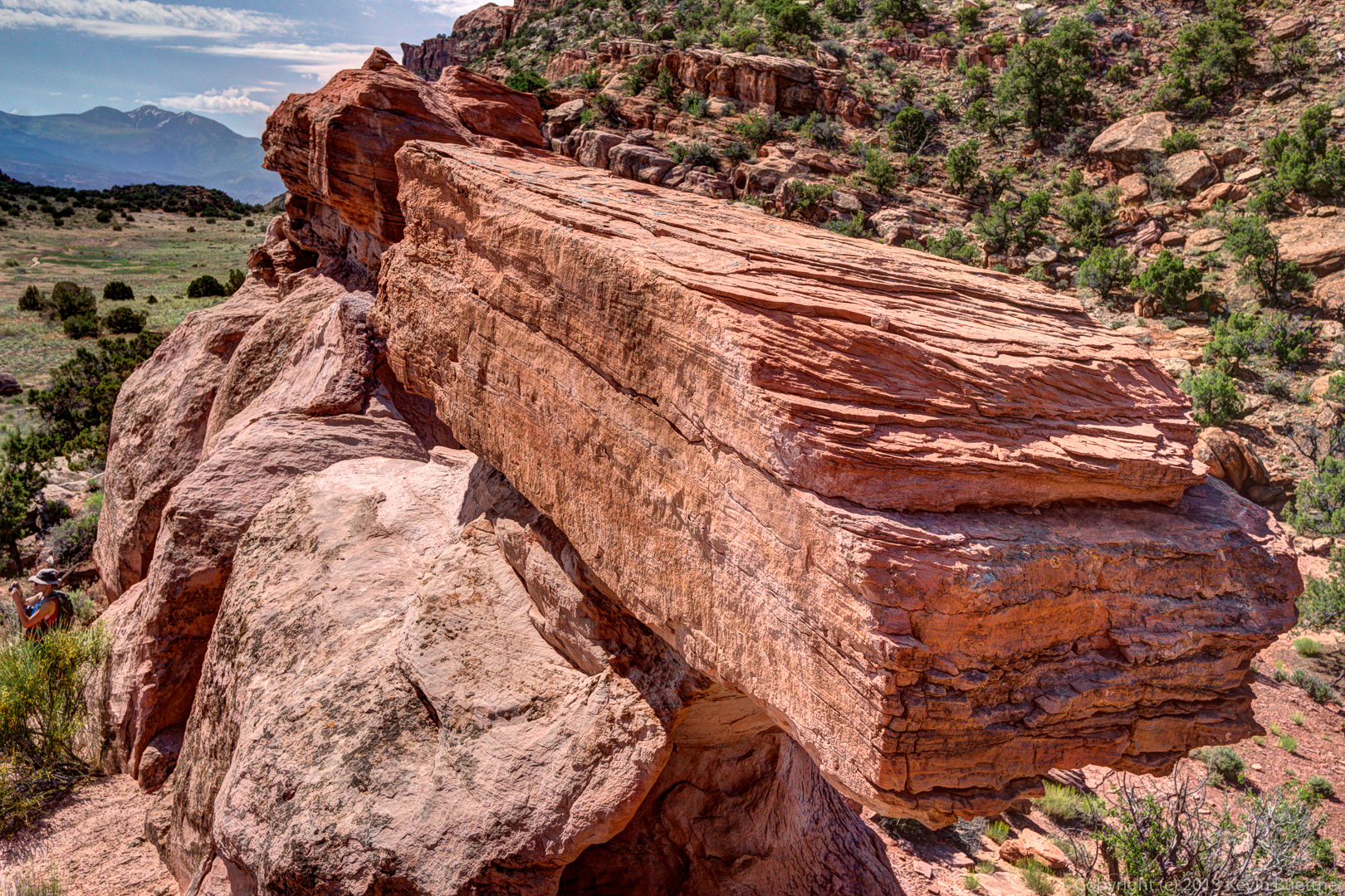
 Here are my photos…

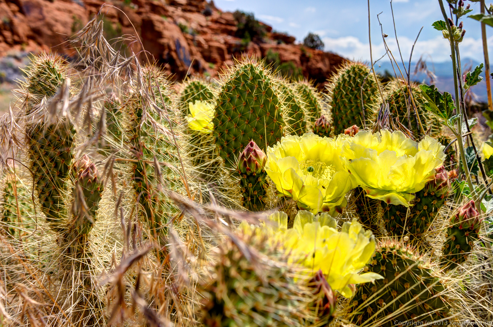
And, Marilyn’s photos…
