Category: Hiking (page 6 of 68)

Hike descriptions and/or photos.

Friday Fitness Hike

On Friday, the 19th, Kay and her daughter, Sarah, joined me for a seven mile hike starting from the Wagner Trailhead.

Sunrise at the Wagner Trailhead:

Kay, making her way up over the only significant obstacle when hiking Bluff Wash. If you look closely, you can see Sarah spotting her below.

Sarah and Kay:

Sarah:

We found an area, near Stoneman Wash, with numerous Senna flowers:

A view of (part of) the McDowells; look for Morrell’s Wall and Tom’s Thumb (and even Sven Slab) toward the right in the photo:

Some kind of hawk, we think:

Stoneman Wash:

This rabbit is missing a chunk of it’s right ear!

An interesting formation along the bank of Stoneman Wash:

A closer look…

A raven:

A view of the Superstitions in the distance from the Wagner Trail; both Weaver’s Needle (left of center) and the Flatiron (to the right) can be seen in this photo:

Friday Fitness Hike

On Friday, the 12th, I hiked a 10.5 mile loop: Escondido, Pemberton, Scenic, and back on Cinch and Escondido. It’s getting warm here; I had planned on a longer hike, but ended up shortening it a bit.

Sunrise at the trailhead:

Views from the Escondido Trail…

The fountain was up as I was hiking the Scenic Trail:

Another view from the Scenic Trail:


Friday Fitness Hike

Linda and I hiked nearly 9 miles on July 5.

A view from the Dixie Mine Trail:

A mammillaria cactus – it was right beside the trail we were hiking:

Rocks have been piled up on either side of the fallen saguaro making it possible to ride a mountain bike over the saguaro.

Nearing Dixie Mine – the mine tailings can be seen at the upper left.

The path from the road to the mine is getting overgrown, but the area in front of the mine entrance is as clear as I’ve ever seen it. In the past, you’d have to push your way past tamarisk plants to get to the adit.

Petroglyphs:

Look for the owl!  (I had a hard time with the shot.  I was unable to see the owl when looking through the viewfinder.  I zoomed all the way in and ended up taking a photo where I thought the owl was.  When I looked at it on my computer, I still had a hard time finding it.  I’ve cropped the image significantly, making it easier to find it now.)

A view from the top of the waterfall:

Saguaros on the Prospector Trail; Linda and I hiked all of Prospector to Bell Pass and then returned via Prospector and Dixie Mine.

Back on the Dixie Mine Trail for this shot…

Friday Fitness Hike

On Friday, the 28th, I hiked twelve miles starting from the Wagner Trailhead. After hiking Wagner and part of Granite, I headed up Bluff Wash until I came to the Pemberton. From there, I took the Pemberton over to Granite Tank and then crossed into the Preserve, hiking part of the Saguaro Nest Trail. I reentered the park at the northwest corner, taking service road which used to form part of the Pemberton Trail eastward; I don’t think I had been in this part of the park in over a year.  I returned via Lariat, Granite, and Wagner.

A view of Red Mountain from the Wagner Trail.

I think this might be an acacia.

I saw a lot of different kinds of seed pods…

This is the only significant obstacle in Bluff Wash. It used to be easy to scramble up the notch just left of center.  There is a good foothold – a small ledge about two feet long and 2-3 inches deep – that is now at (perhaps) waist height.  Over the years, the sand below this foothold has washed away, effectively raising that small ledge, making it harder to use it as a foothold.  Assuming you can get your foot onto this ledge, it’s possible to push your weight on top of it using your right hand in opposition using the rock to the right. I tried that move today and found that I really had to kick my leg up to get my foot onto the ledge.  Moreover, I had to stand far enough back that I was out of position to do the next move. Noticing some handholds left of the ledge, I decided to try another way.  The handholds are good; smearing the left foot on the rock below allows you to put the right foot on the ledge.  From there, there’s a side pull (Gaston) above the ledge for the right hand.  I got both feet on the ledge and then was able to make the easy move to get into the notch.

I don’t know what these are, but I saw them in the wash.

Boulders on the bank of the wash…

More seed pods; I think I was still in the wash when I saw them.

This is a view of the Pemberton just before going up the small hill just before arriving at Granite Tank.

This shelter changes a little bit every time I see it.

Barrel cactus blossoms:

Saguaros on the Pemberton:

I saw this raven as I neared the trailhead at the end of my hike.

Friday Fitness Hike

Mike, Marilyn, and I hiked eight miles starting from the parking area for the Dixie Mine Trail. We hiked a short ways on Dixie Mine and then turned onto Sonoran, hiking the Lower Sonoran Trail after entering the Preserve and then returning on the (upper) Sonoran Trail on the way back.

The first of these photos is a view from the Dixie Mine Trail; the rest were taken from the Sonoran Trails.

Friday Fitness Hike

On Friday, the 14th, Marilyn, Linda, Mike, and I hiked six miles starting from the Four Peaks Trailhead.

We saw ravens in the parking lot before the hike.  They scattered as I walked toward them to get a closer picture.

This one is carrying something in its mouth!

A view of Red Mountain from the start of the Technical Loop:

This is Linda’s photo of a horned lizard that she and Marilyn saw in Stoneman Wash:

Marilyn and Linda hiking in Stoneman Wash:

A view from the Cinch Trail – lots of yellow grass now:

This is a view from the intersection of Cinch and Escondido:


Friday Fitness Hike

For the hike on the first Friday in June, I hiked a 9.7 mile loop starting from Tom’s Thumb Trailhead. I hiked the Marcus Landslide Trail to the edge of McDowell Mountain Regional Park and then crossed the park boundary, hiking Boulder, Pemberton, Coachwhip, and Windmill, at which point I reentered the Preserve. I finished the hike by going up East End, down Tom’s Thumb, with a short diversion at the end on Feldspar and Mesquite Canyon.

Views from the Marcus Landslide Trail…

I think I’m on Pemberton at this point; that’s Red Mountain in the background.

Views from the Windmill Trail…

You can barely see the (remains of the) windmill in this photo.  It’s just left of (and partially obscured by) the saguaro that’s a third of the way from left edge of the photo.

Thompson Peak is the one with the antennae on top.

Starting up East End…

I’m a good ways down Tom’s Thumb Trail now.  Gardener’s Wall is on the left, Tom’s Thumb is on the right.

A view of Mesquite Canyon (and one of the Sven Towers) from the Feldspar Trail. The climbing on the Sven Towers is on the other side. The approach starts from this side; once at the top, the climbers will rappel down the route and then climb back up.

I saw this lizard as I neared the trailhead. I saw many other lizards that day too, but none were as colorful as this one.

Yant Flat (Candy Cliffs)

On Saturday, the 25th, Marilyn and I drove to Yant Flat where we hiked out to the Candy Cliffs. We didn’t really know where we were going and we ended up first hiking over a mile (out and back) in the wrong direction. On the way there – and even on the wrong way there – we saw the largest concentration of blooming prickly pear cacti that either of us had ever seen. One plant after another was blooming along the mile long path out to the Candy Cliffs.

On the way out, we took I-15 north from St George and eventually got onto FR031 which took us to Yant Flat. On the way back, we continued on FR031 which took us back into St George. The drive back was moderately exciting as we had some sheer drop-offs to our left along sections of the road. (It was nearly as exciting as driving Shafer Road up to Island in the Sky earlier in our trip.) If you’re not driving a high clearance vehicle, it’d be best to return on FR031 towards I-15 instead of continuing onto St George as we did.

If you’re walking towards these mountains (as we were when we started), you’re going the wrong way. The trail starts on the south side of FR301. (We weren’t even certain that we were at the right place as the trailhead was not marked. There were, however, a large number of vehicles parked in nearly all of the available parking there, so we were pretty sure that something of interest was nearby. It turned out that we hiked a ways along FR903 before turning back.)

Prickly Pear blossoms:

This may have been one of the largest prickly pear blossoms that I ever saw. We saw a number of large ones along the way.

Our first look at/from the Candy Cliffs.

I eventually hiked to the top of the slickrock formation just right of center. It was an easy scramble to the top.

Looking back up at the way I came down. Marilyn is sitting in the notch at the top of the ridge, just right of center between some vegetation on the left and a pile of rocks on the right.

Looking out from the top of the rock formation mentioned earlier…

Heading back towards Marilyn now; looking back at where I had been…

Marilyn joined me for a brief excursion to a slickrock overlook before heading back.

We stopped and took a few more photos of prickly pear blossoms on our way back.

Snow Canyon State Park

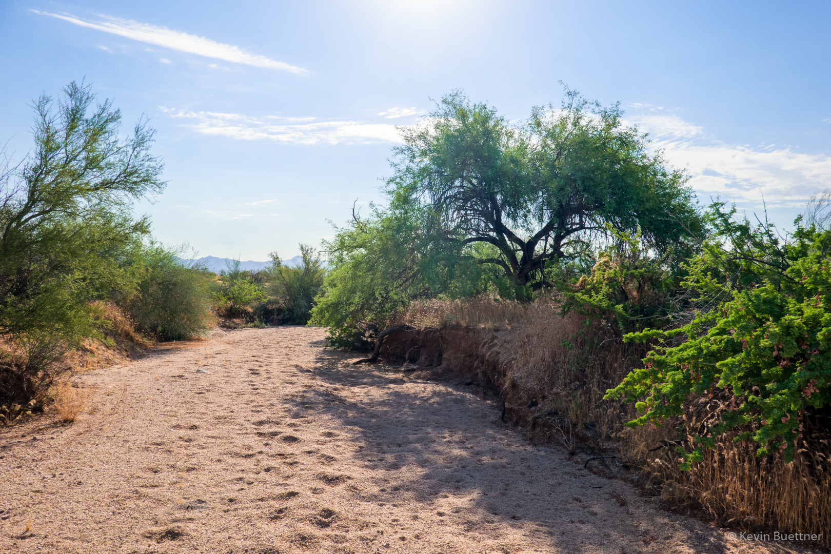
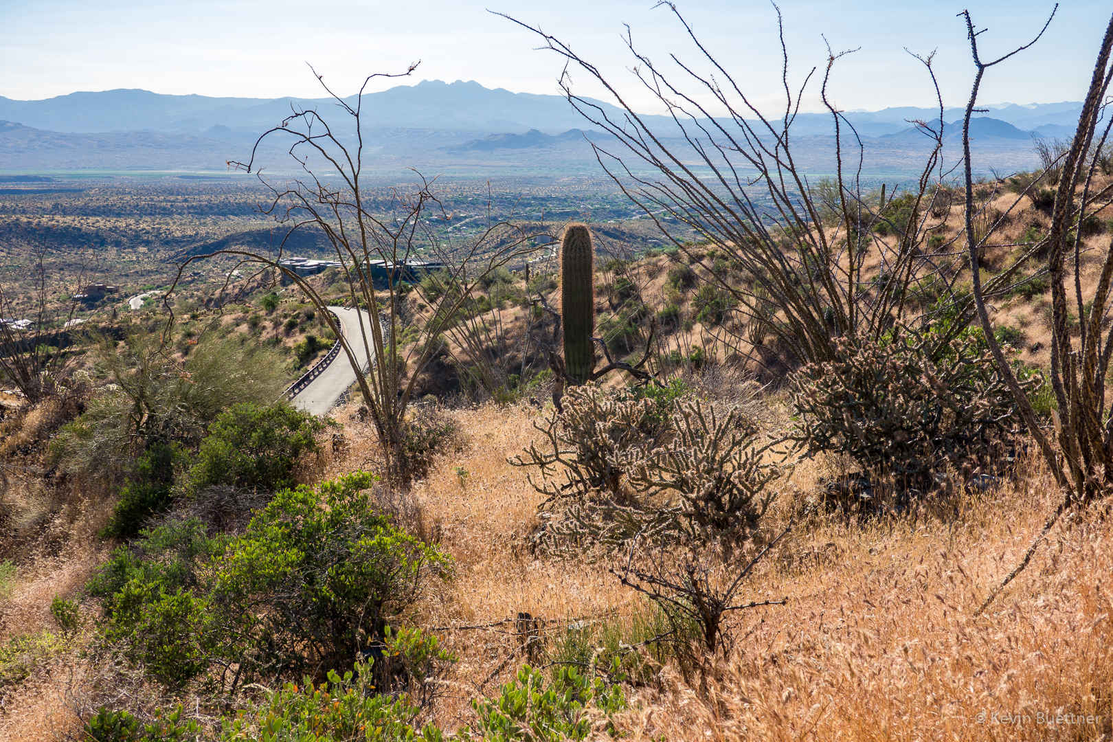
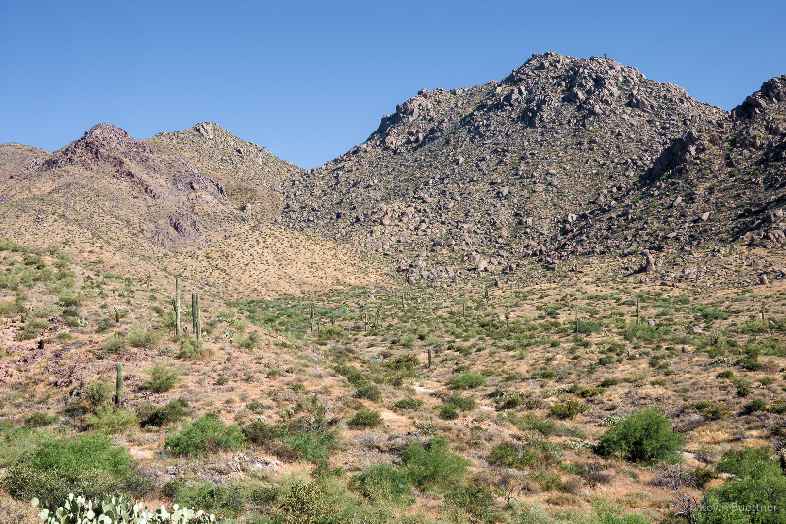
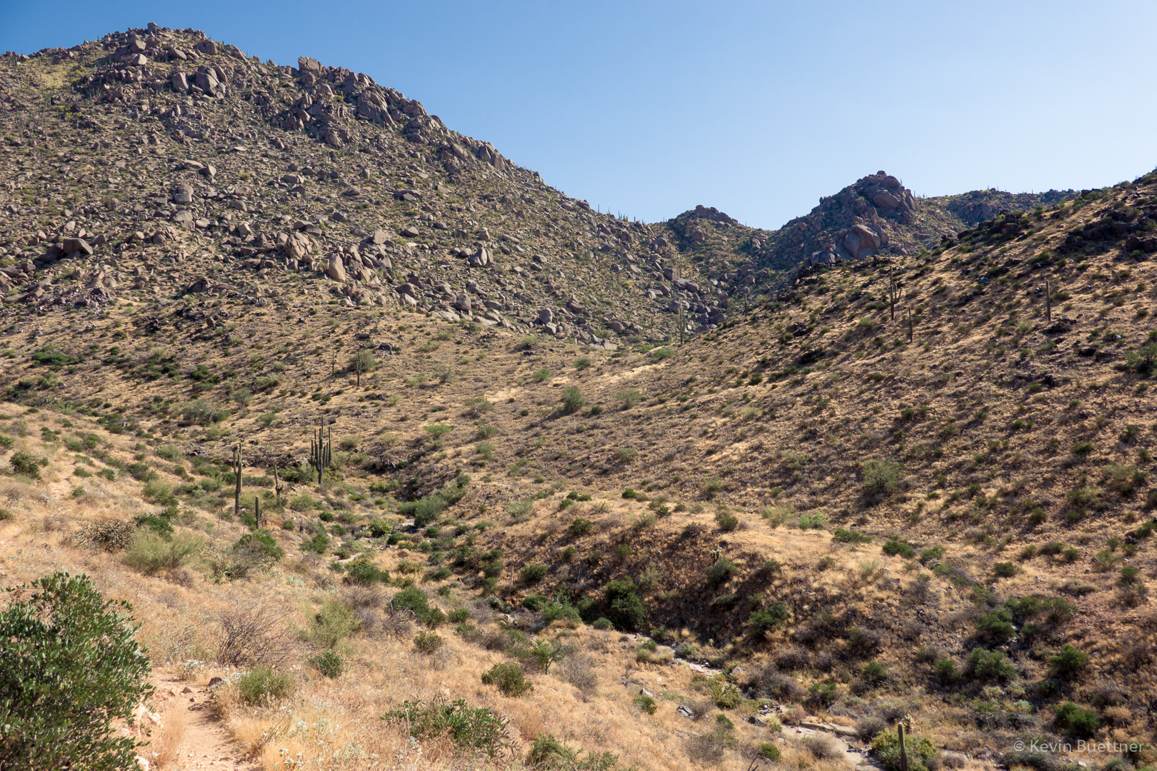
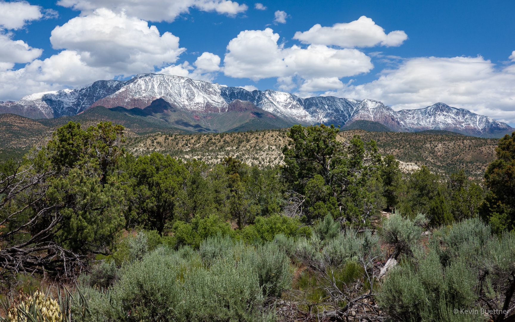
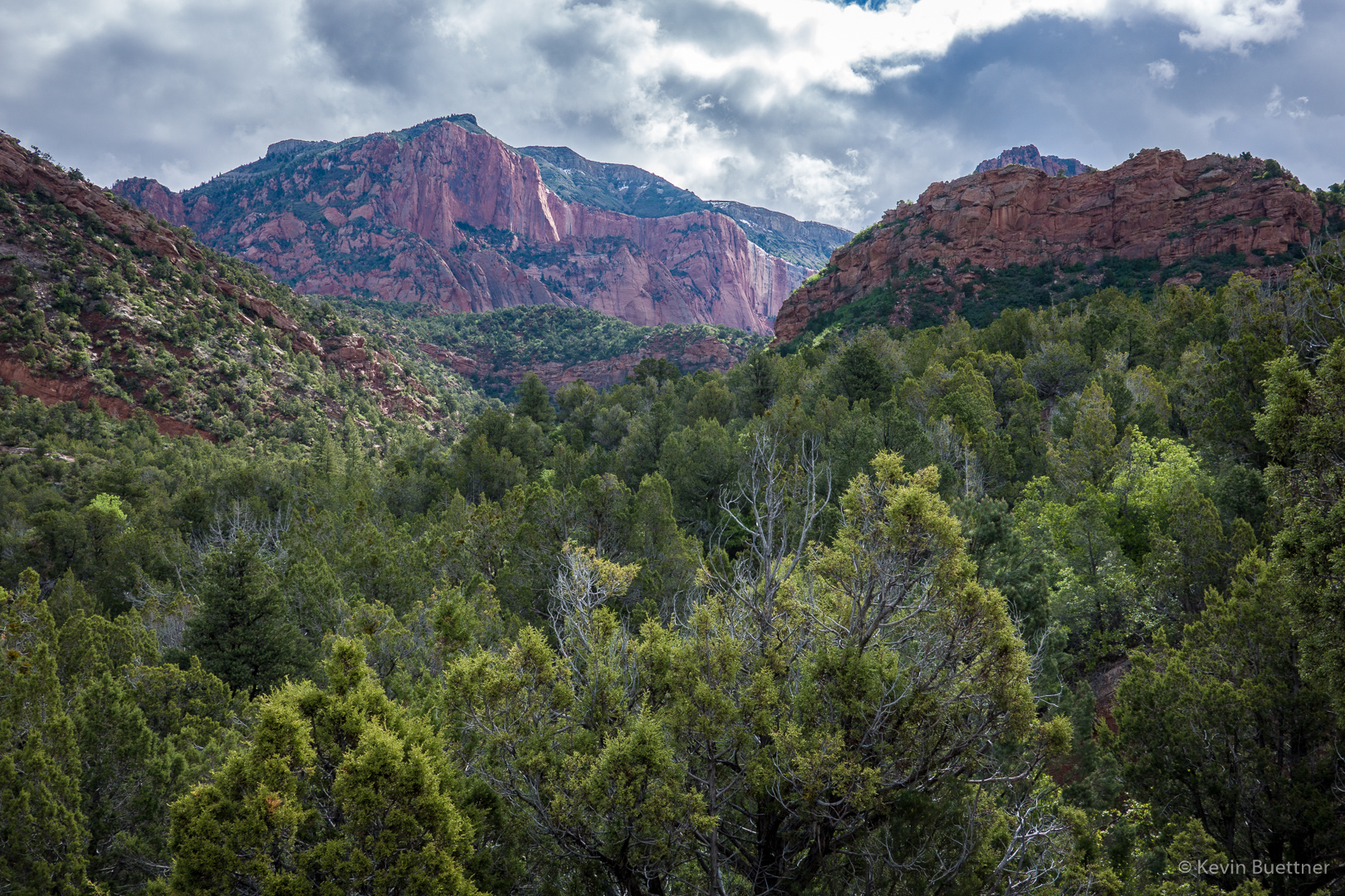
On Friday, the 24th, Joe, Marilyn, and I hiked the White Rocks Trail and then part of the Lava Flow Trail at Snow Canyon State Park. The park is named after Erastus Snow, the principal founder of the nearby city of St George. On the day that we were there, the park seemed to be well attended; not only is there hiking, but there are camping sites, and opportunities for road cycling. I think I also saw mention of rock climbing in the park literature.

Starting out…

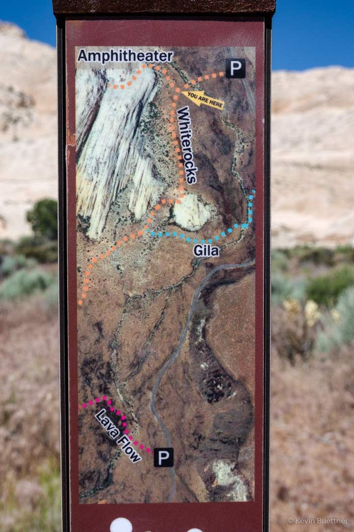
The park had some very nice trail markers. Small sections of map along with “You Are Here” arrows were placed on each trail marker.  This made navigation very easy.

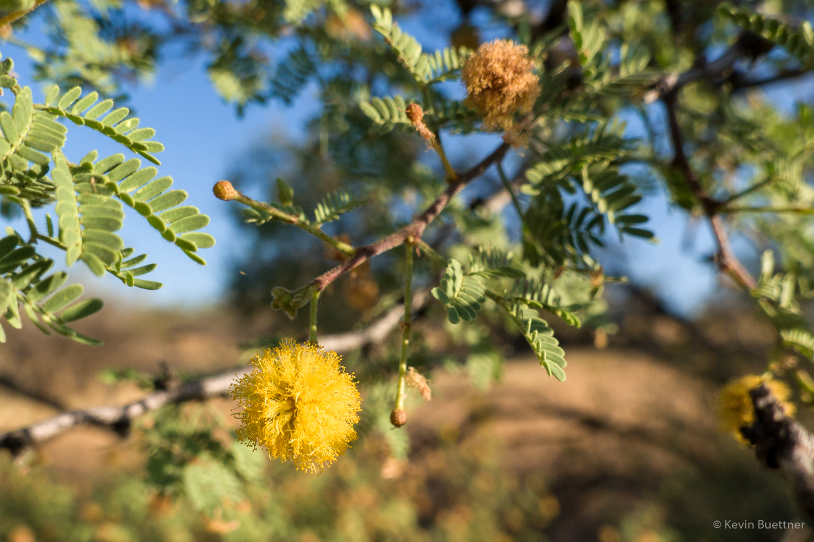
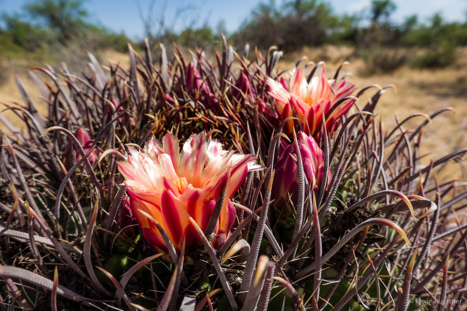
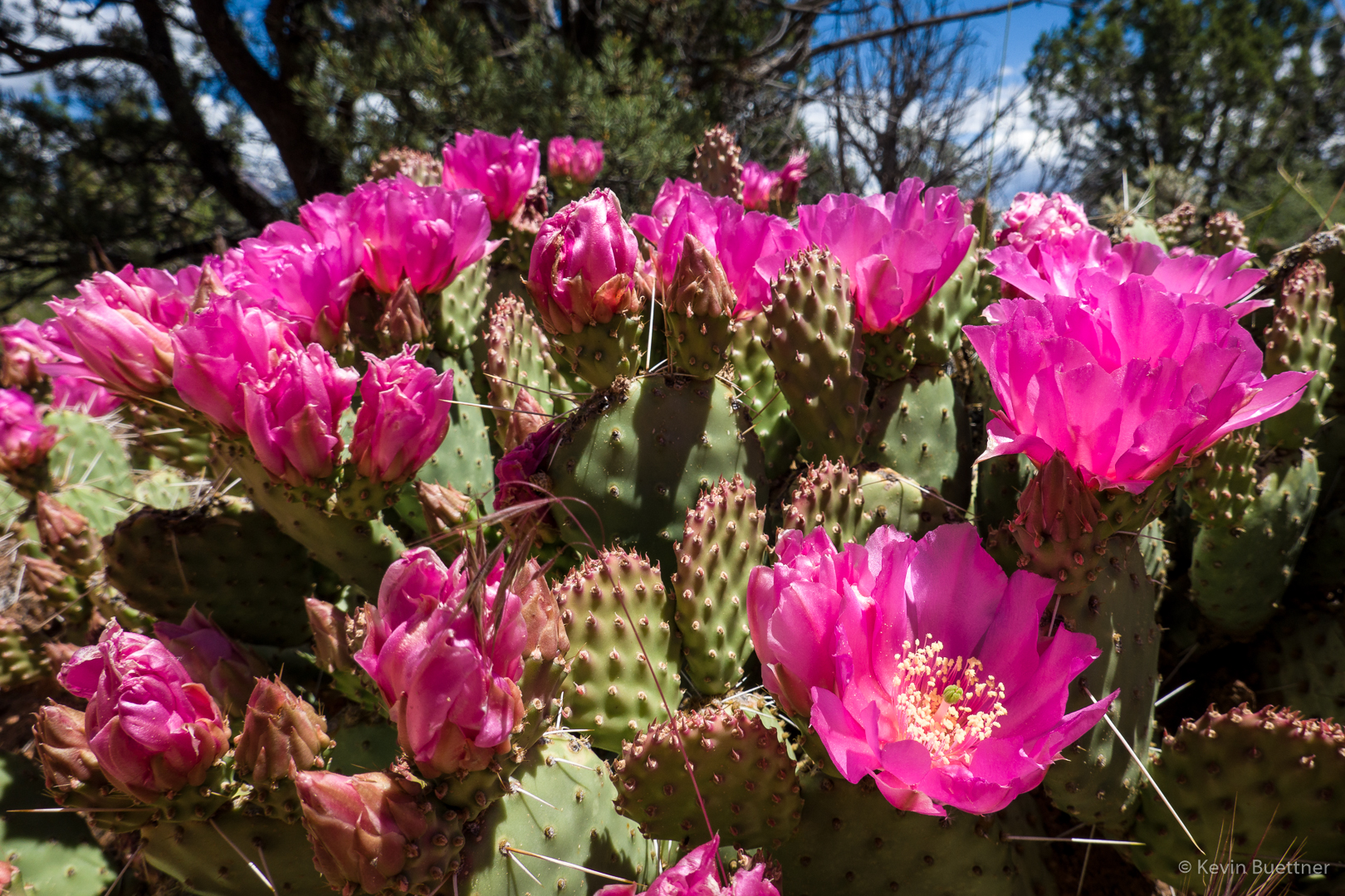
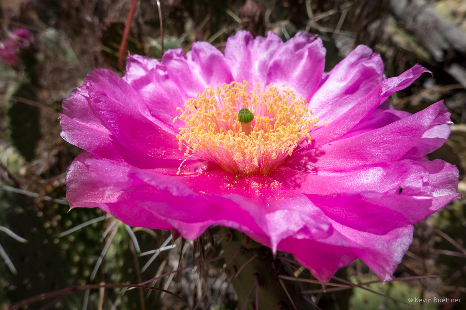
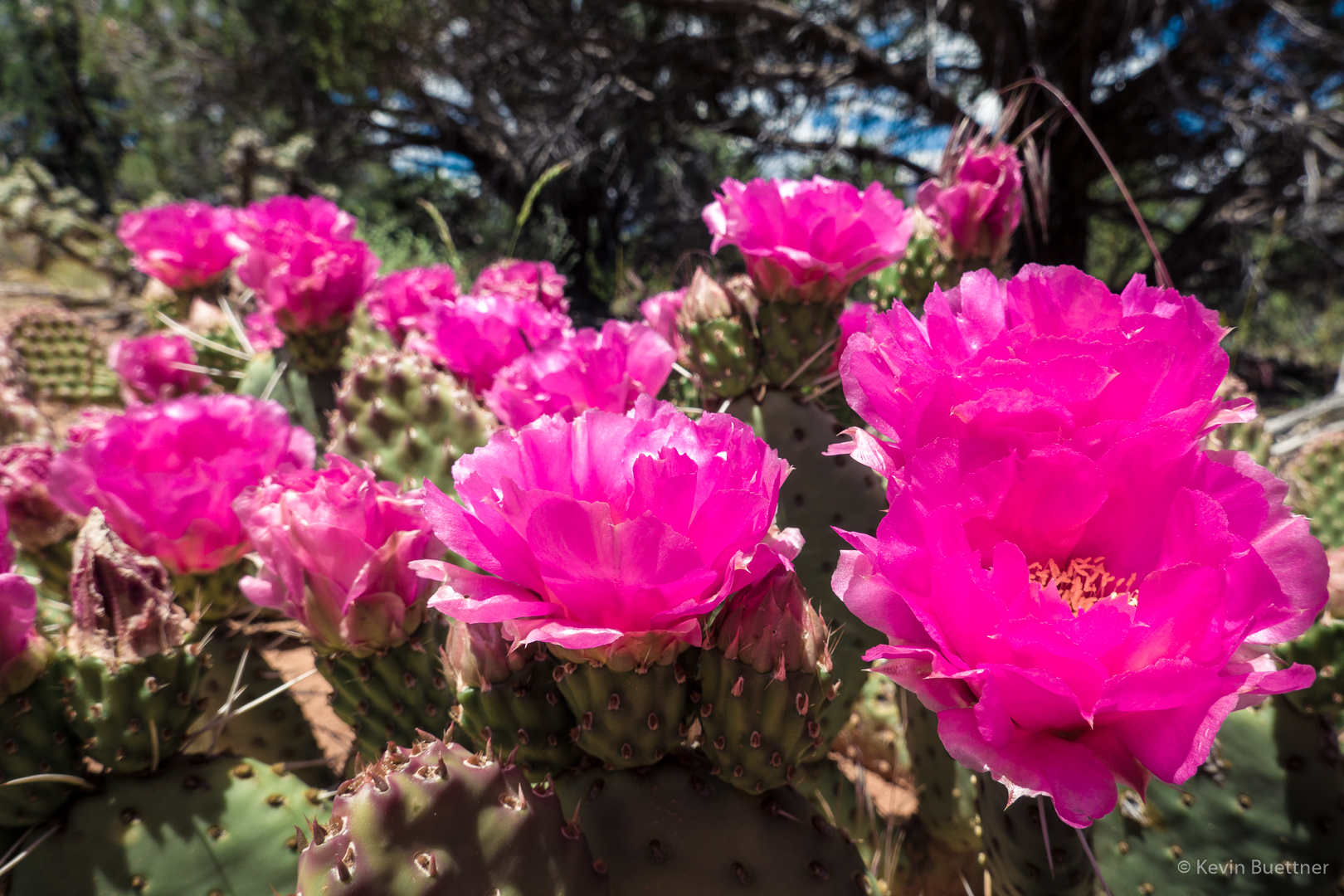
Prickly Pear cacti were in bloom in the area. Marilyn and I saw a lot more on the next day’s hike.

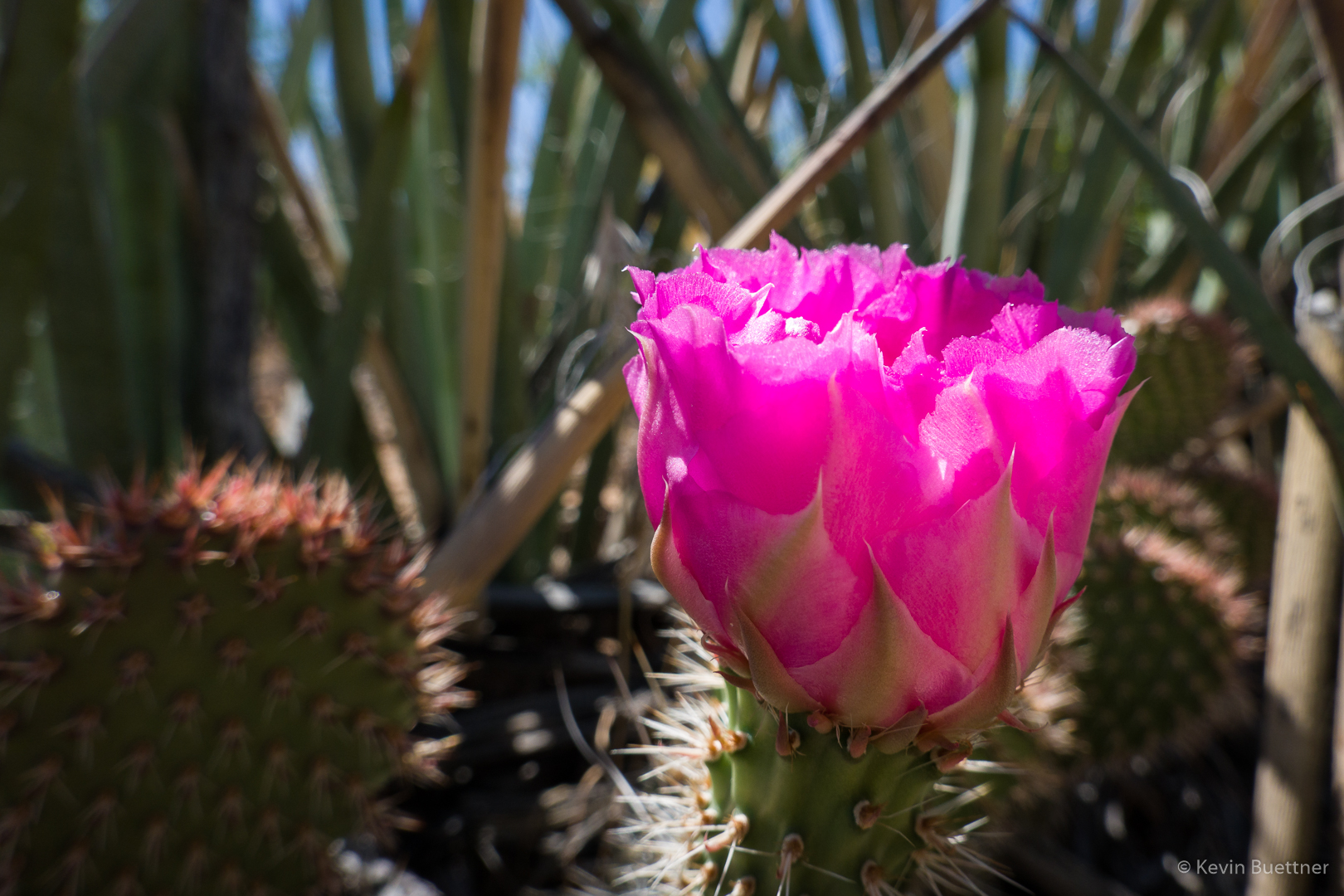
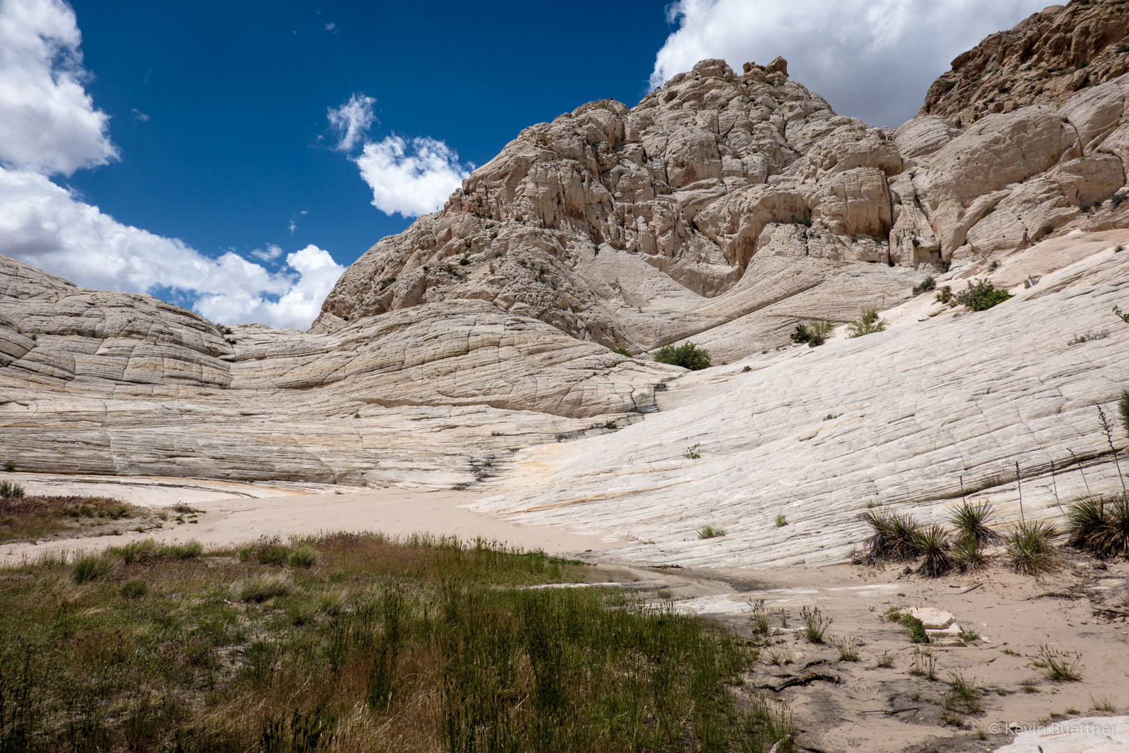
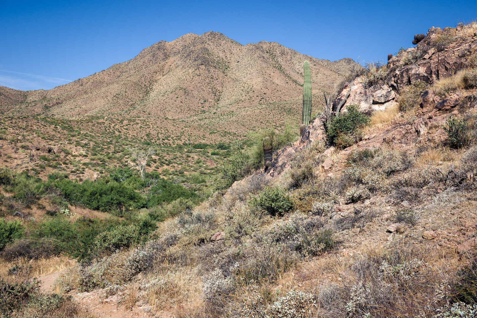
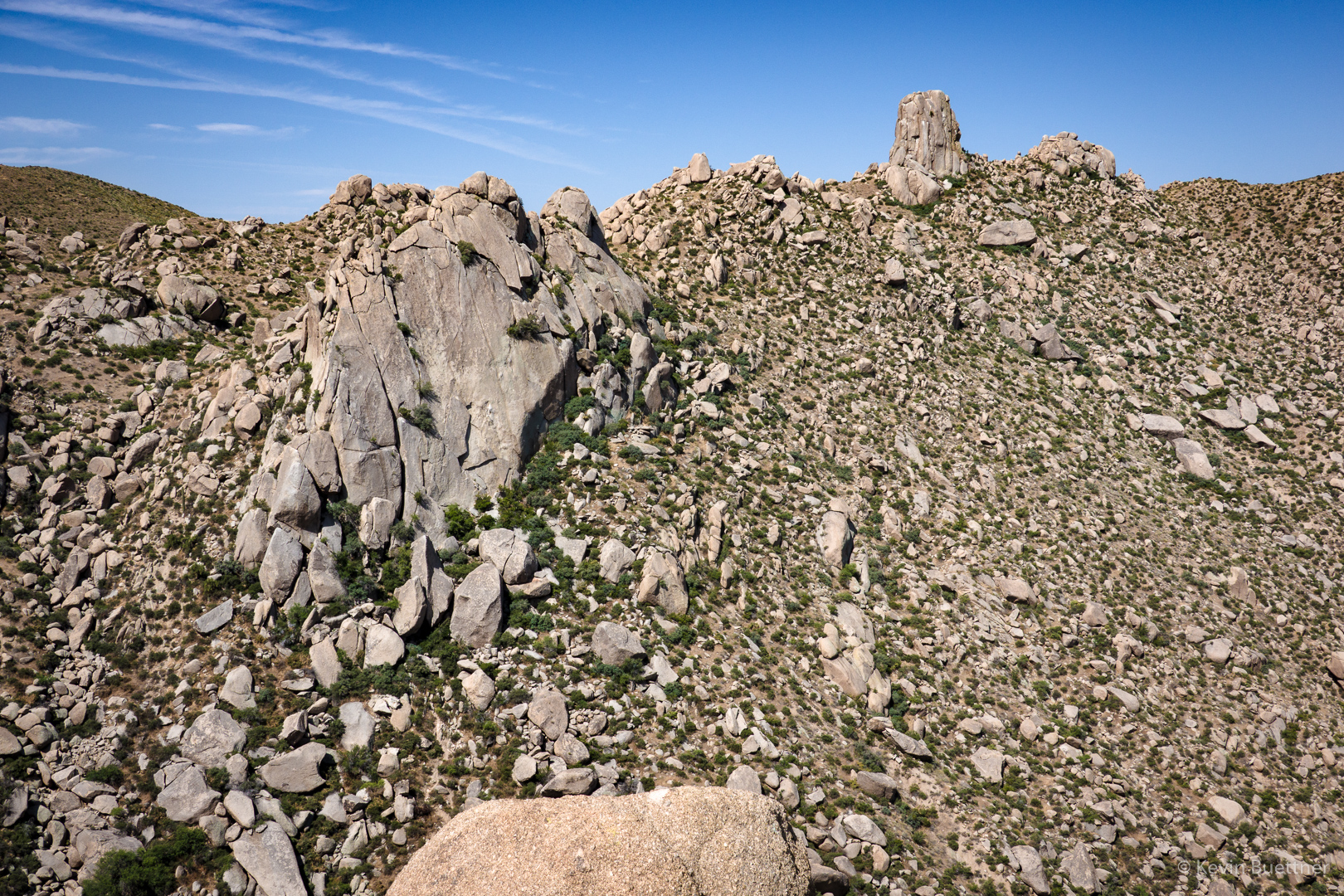
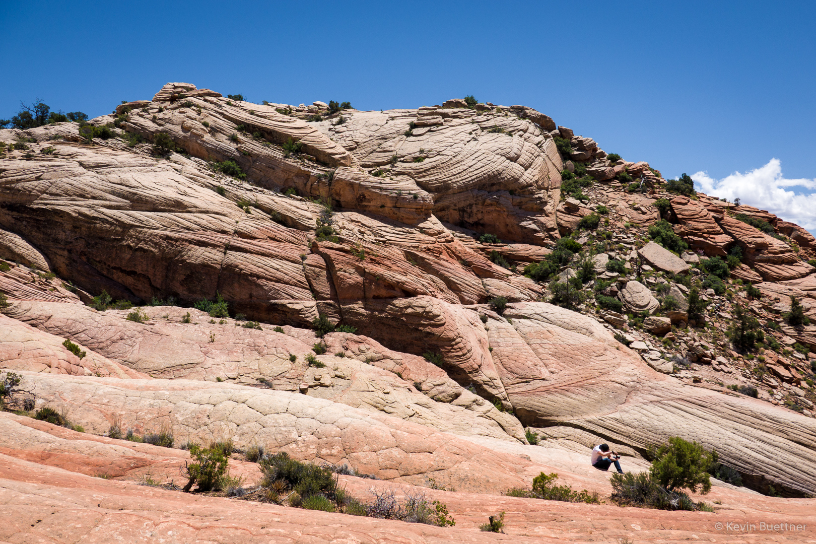
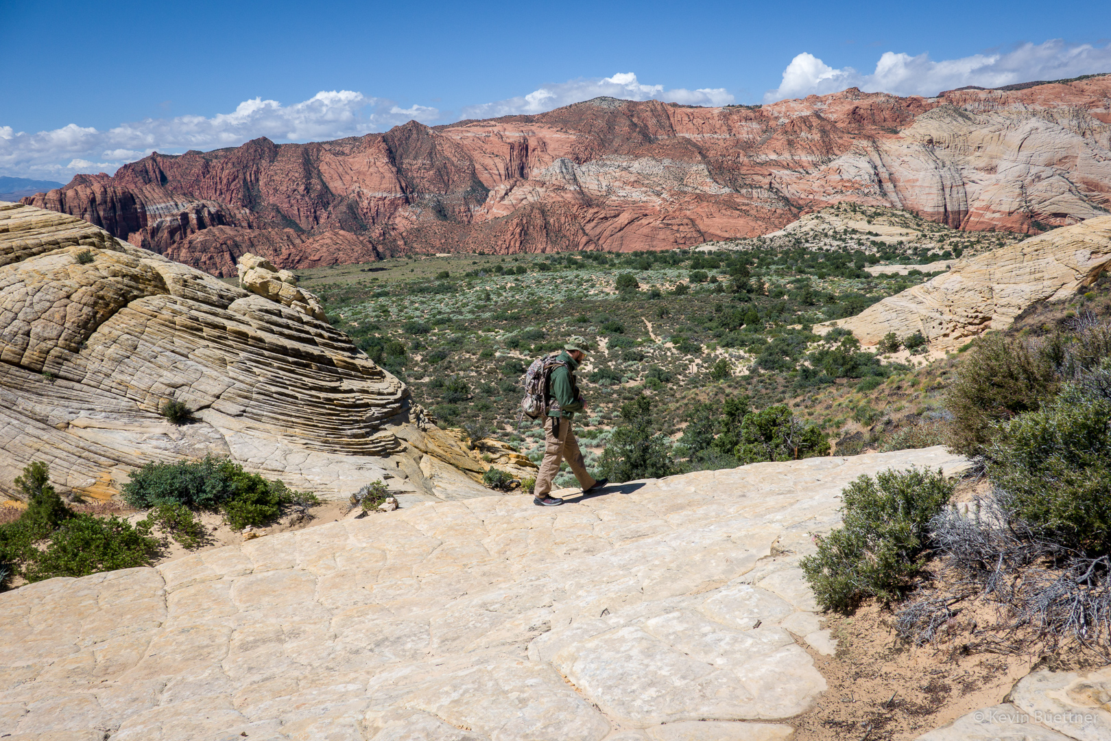
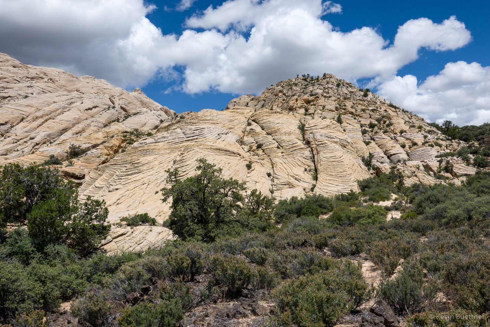
Joe, making his way across and then down a section of slickrock. Depsite it’s name, the White Rocks Trail was mostly not on slickrock – there was a lot of hiking on sand and then, near the intersection with the Lava Flow Trail, on volcanic rock.

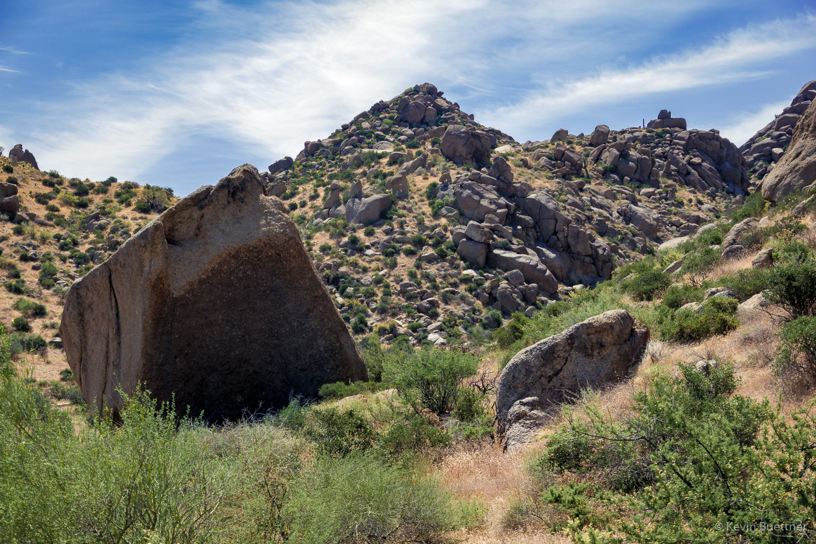
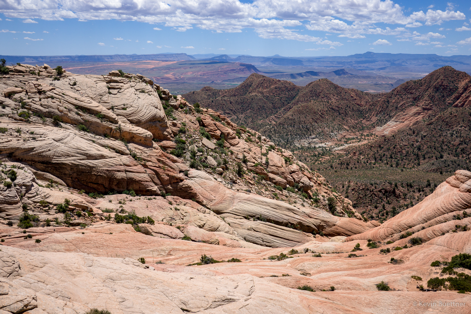
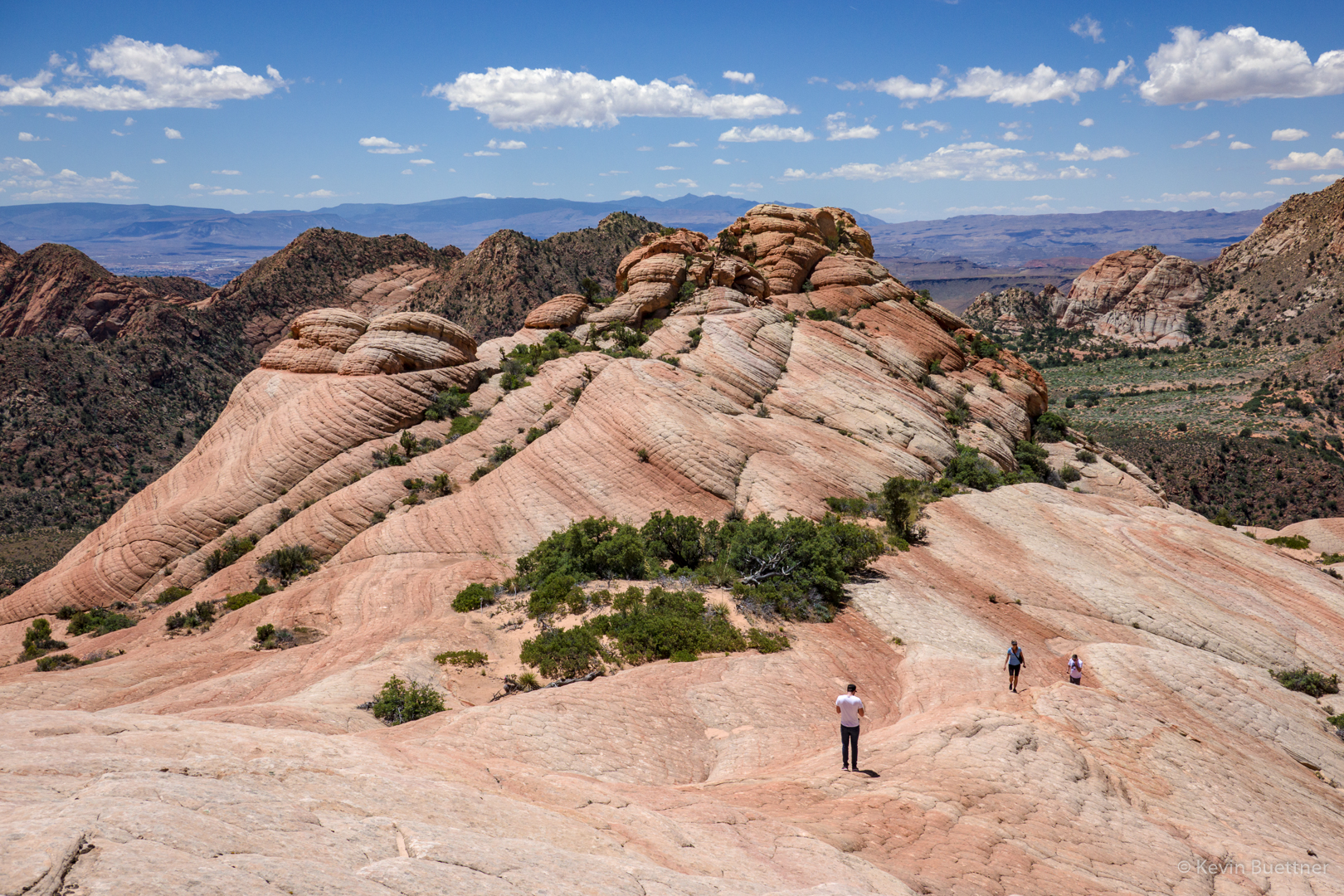
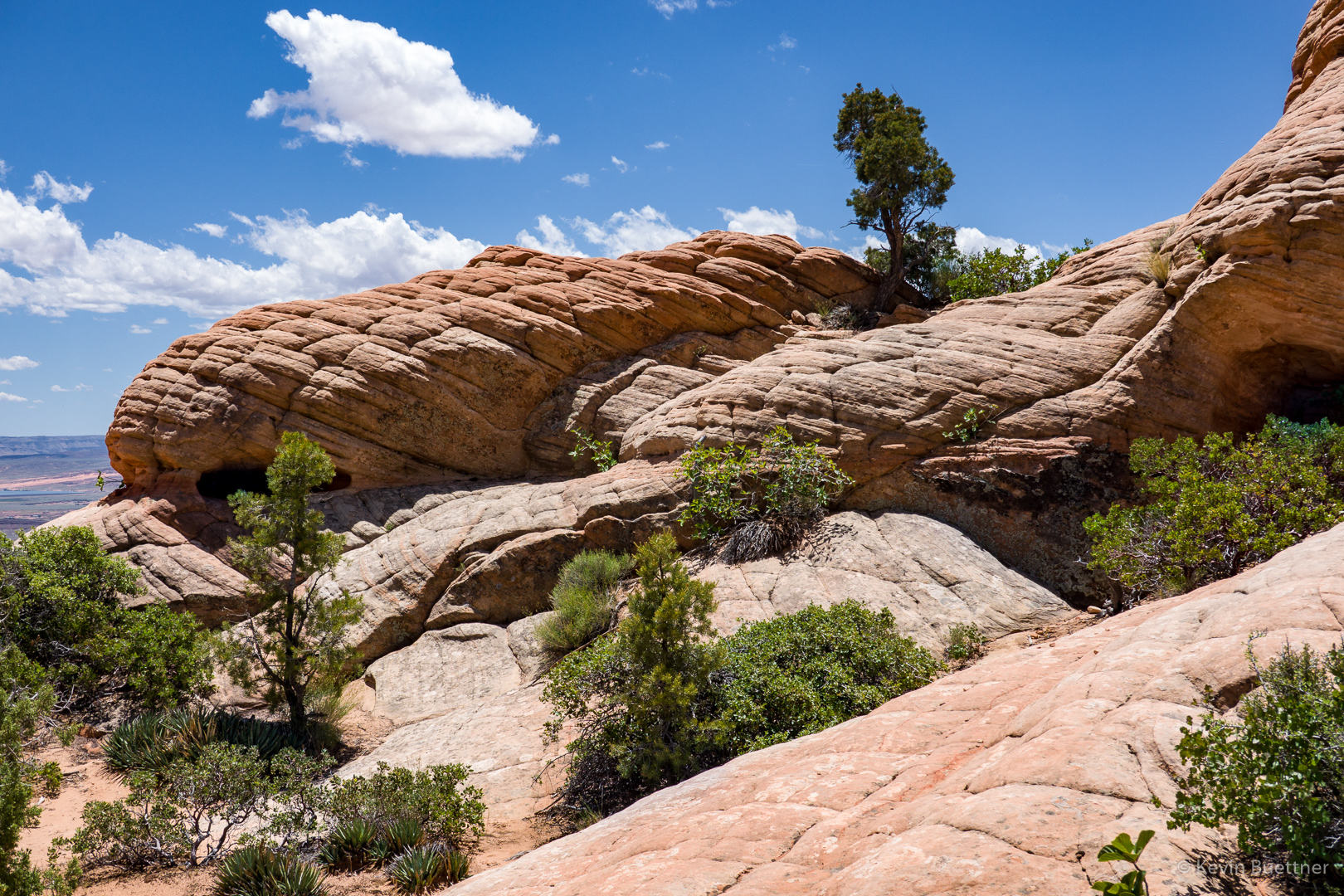
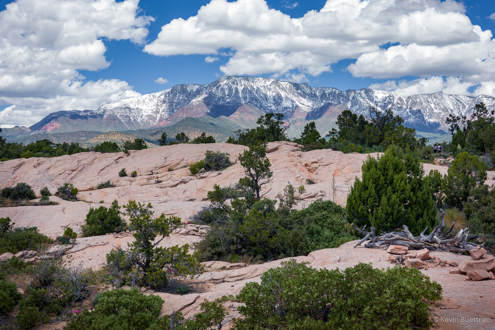
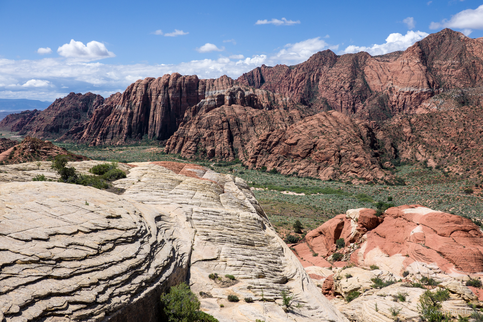
At one point, the trail went by a nearby tongue of slickrock. Going uphill slightly on the slickrock yielded this view:

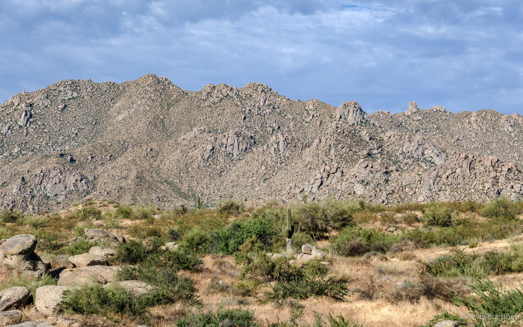
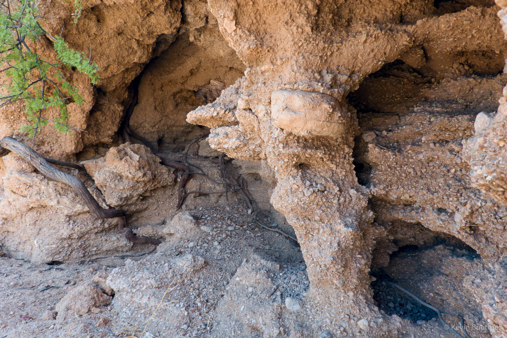
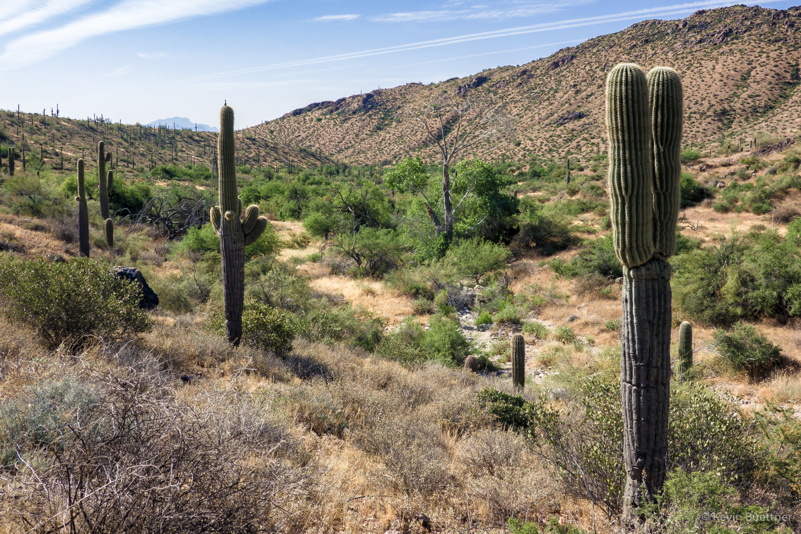
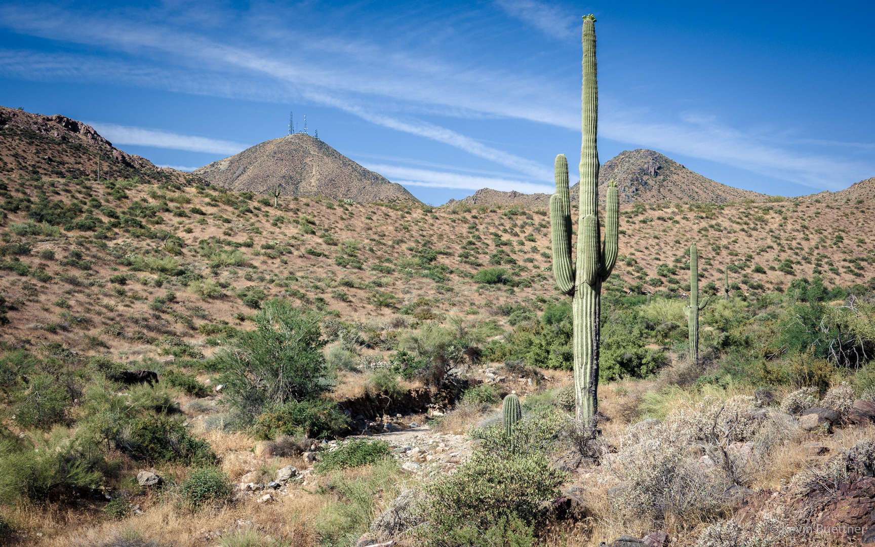
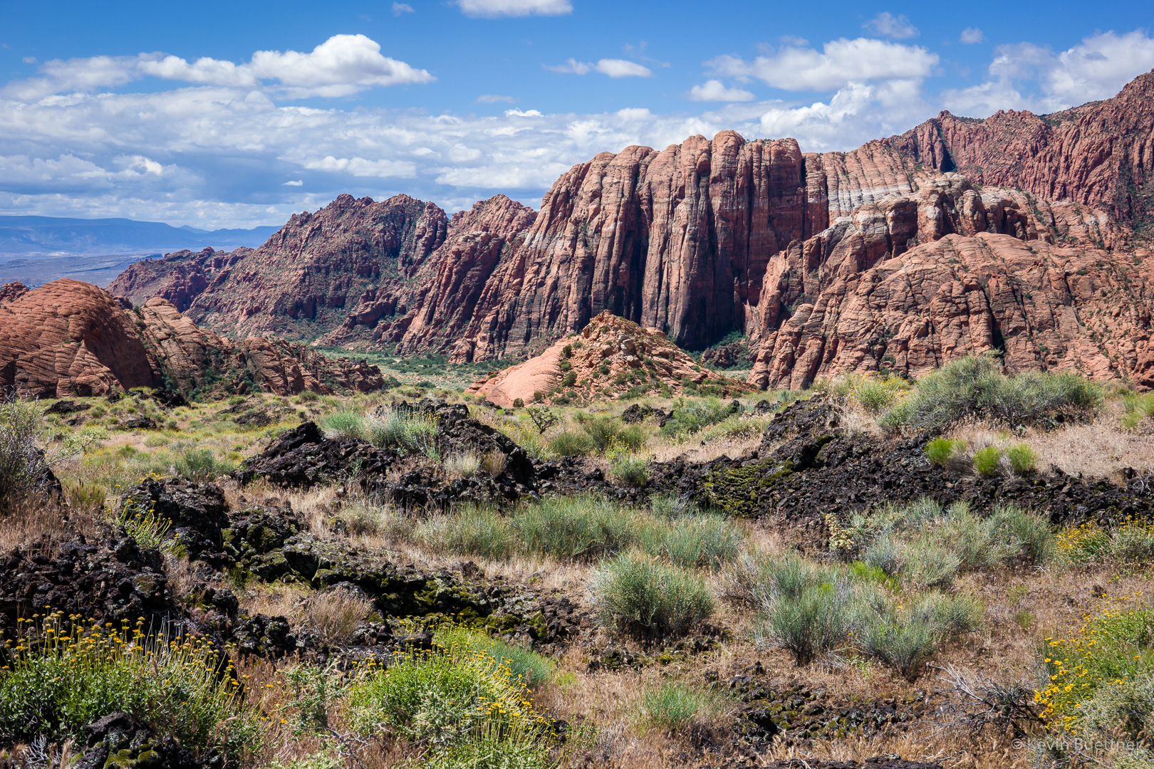
Further on, piles of volcanic rock appeared. We started seeing some big holes in the ground shortly thereafter.

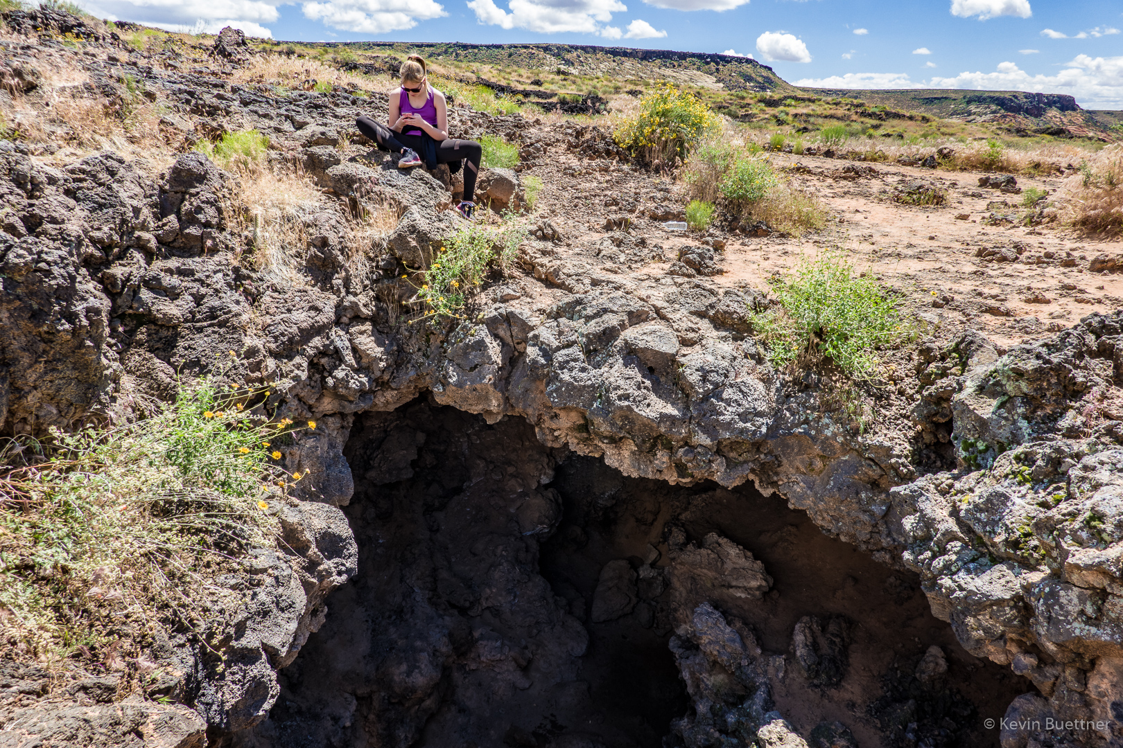
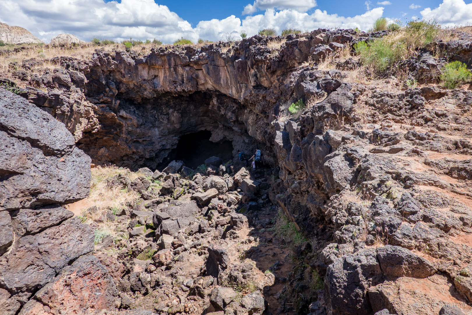
This is an opening for one of the lava tubes along the Lava Flow Trail. The girl’s grandfather, who turned 80 that day was down in the hole exploring.

Joe climbed down into this hole and explored for quite a while. (I took this photo before he decided to go in.) He was down there for at least 20 minutes. From what he said, I would guess that you could spend at least several hours exploring the tubes beneath the ground.

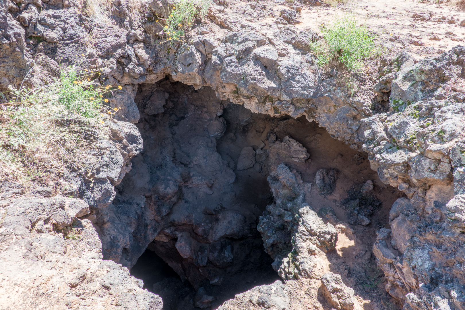
This is another lava tube entrance, perhaps a quarter mile away. It may be the case that there is some connection to the entrance shown above.

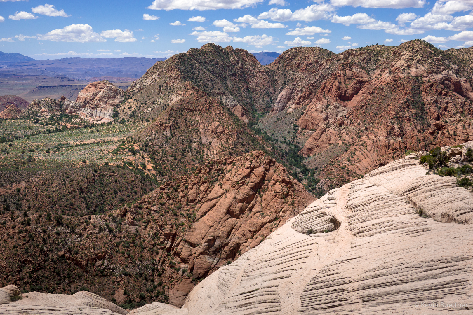
As I hiked back to the hole where Marilyn was waiting for Joe to come back out, I noticed this tongue of red (and white) rock.

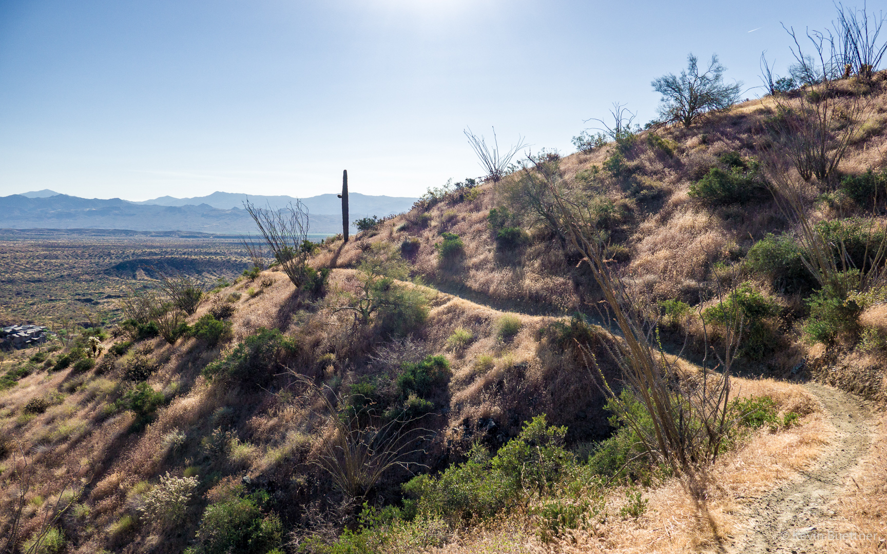
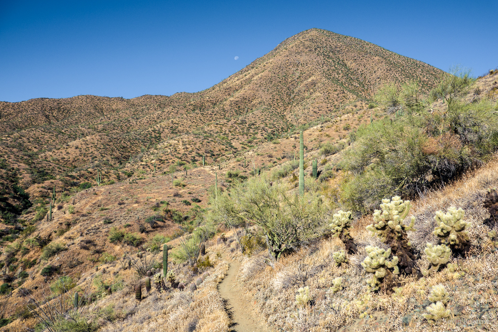
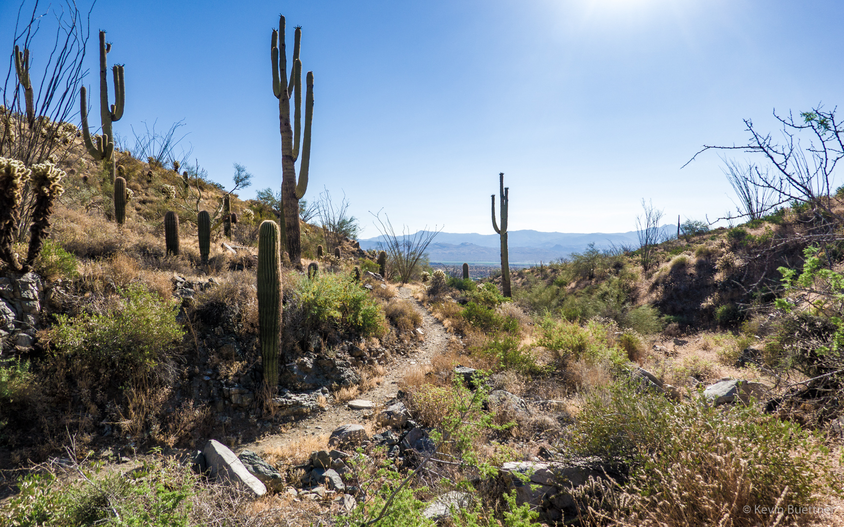
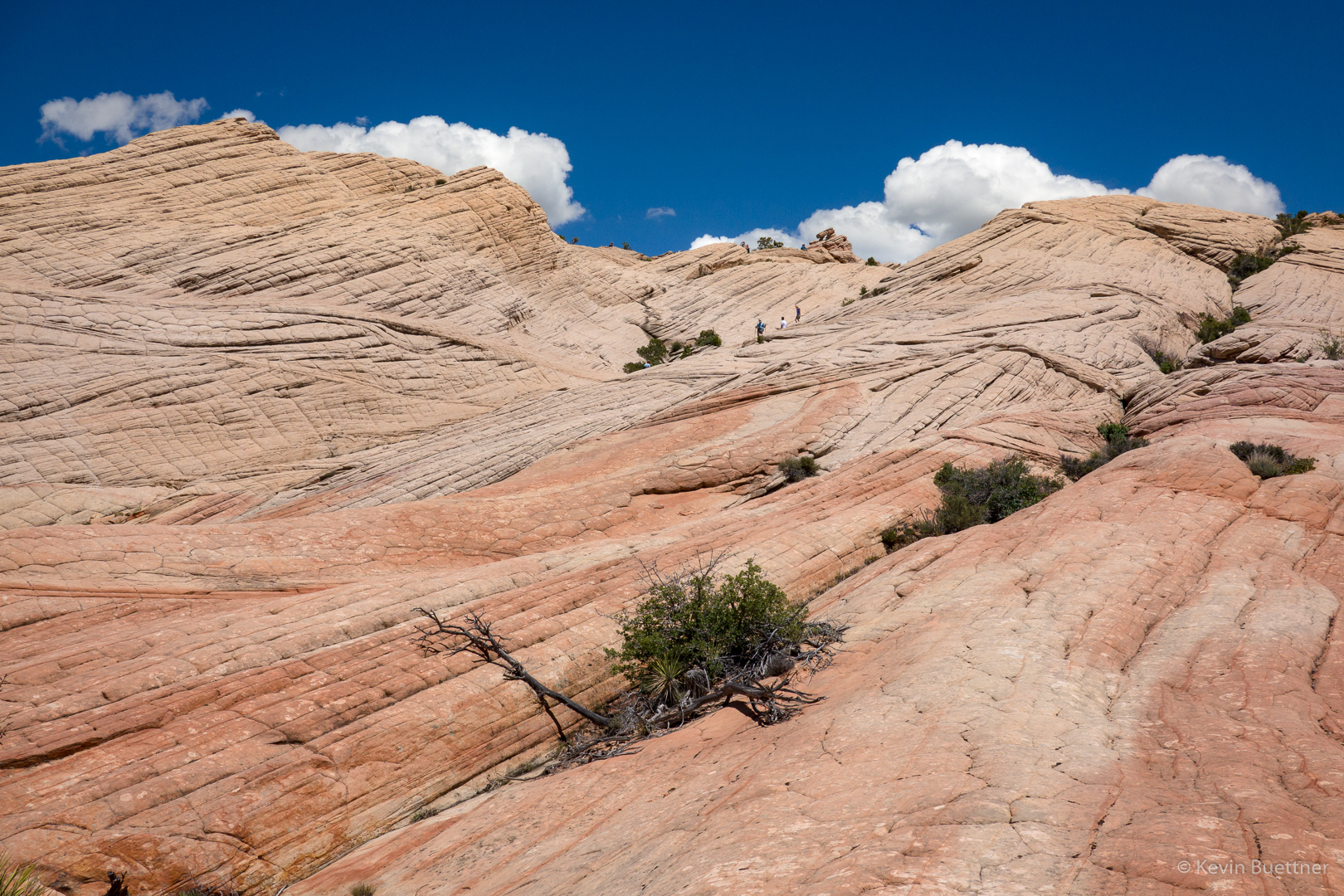
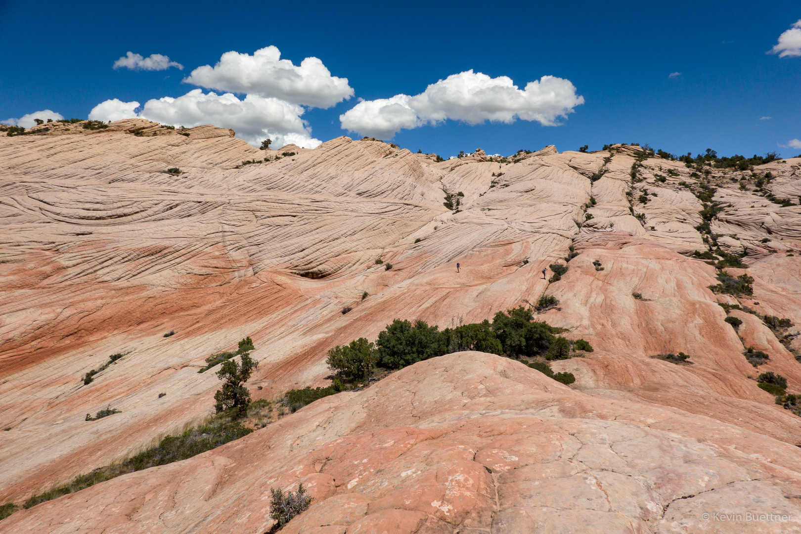
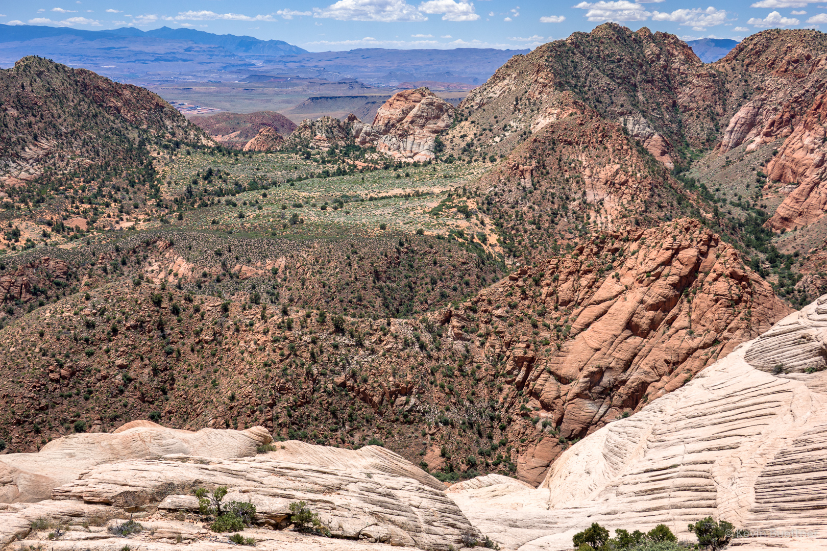
I took a few more pictures as we made our way back…
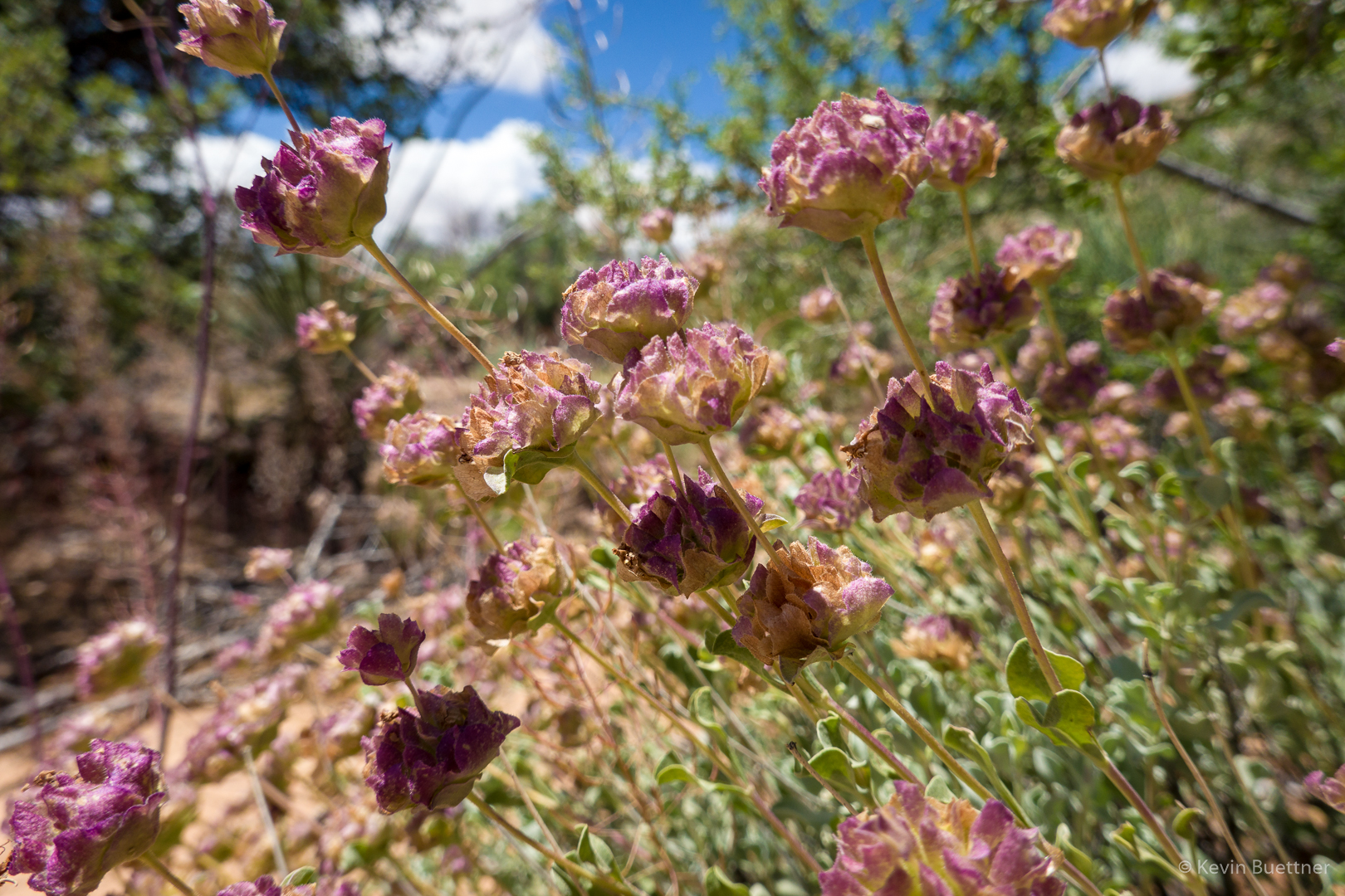
Buckwheat, I think:

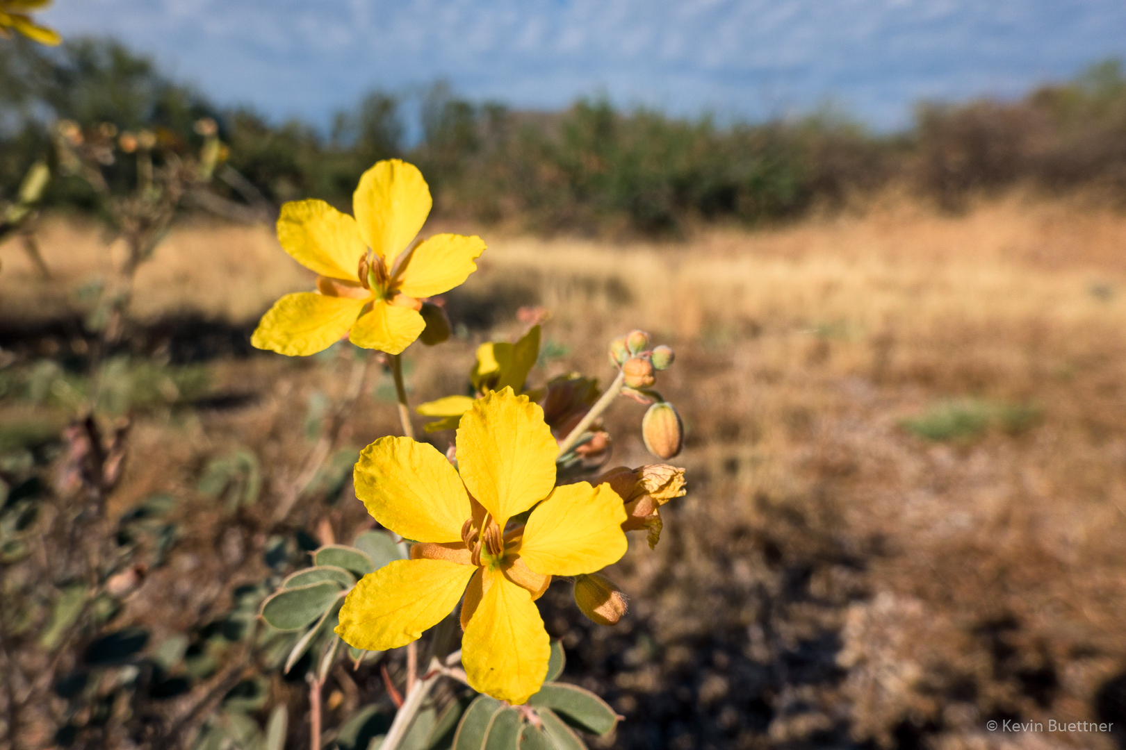
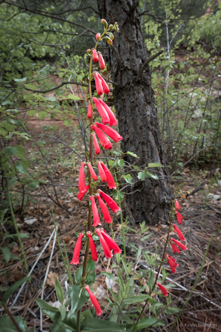
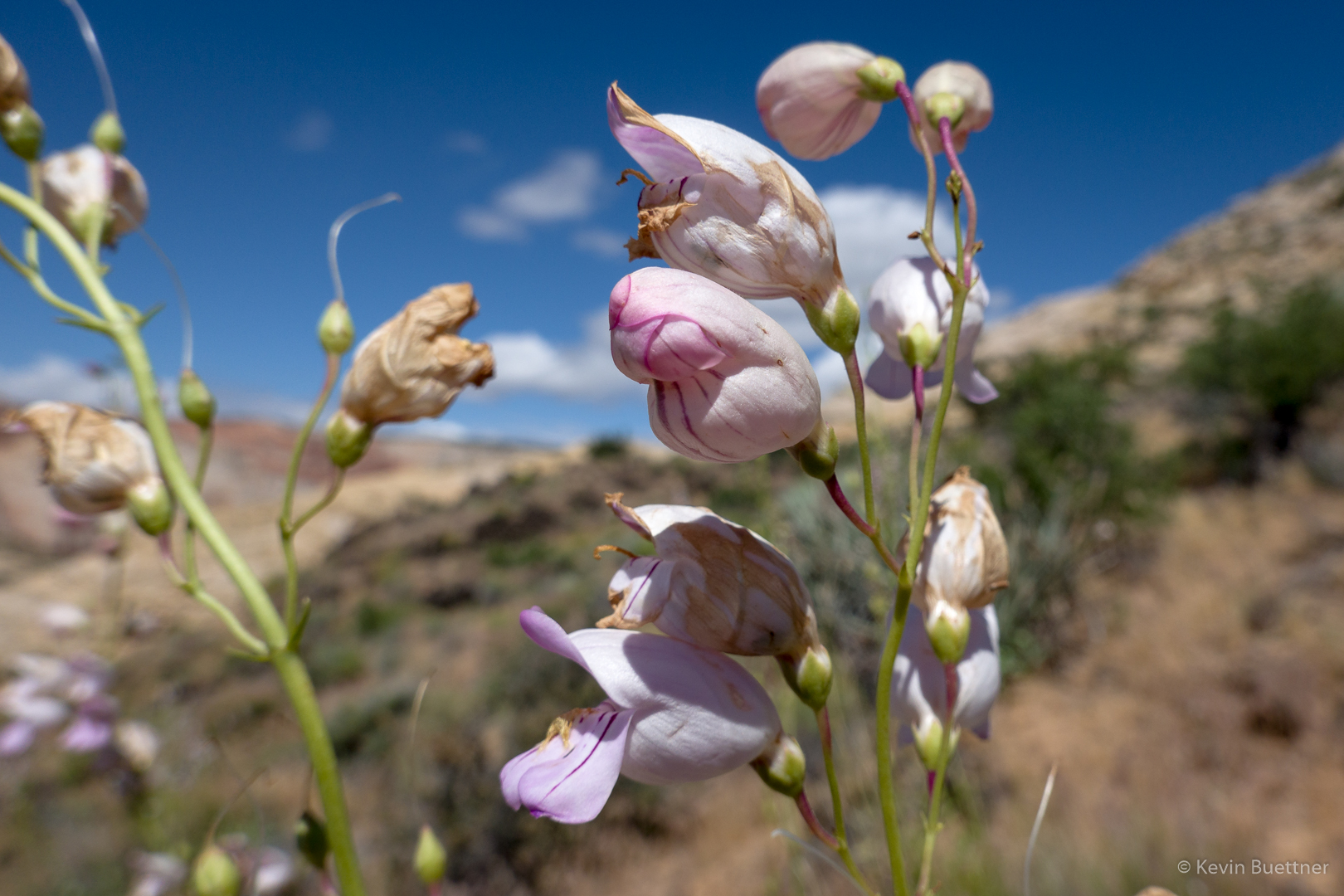
I don’t know what this flower is. I asked a hiker local to the area, but he didn’t know what it was either.

When we got back to the intersection for the parking lot, I went on to look at the Amphitheater.

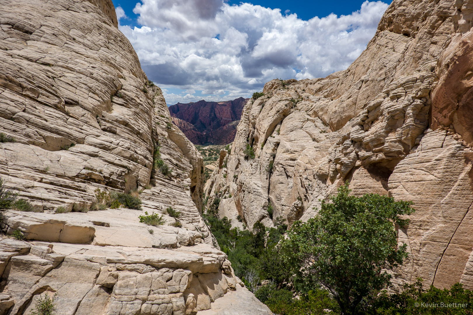
I found this vegetated canyon after hiking a ways up the slickrock.

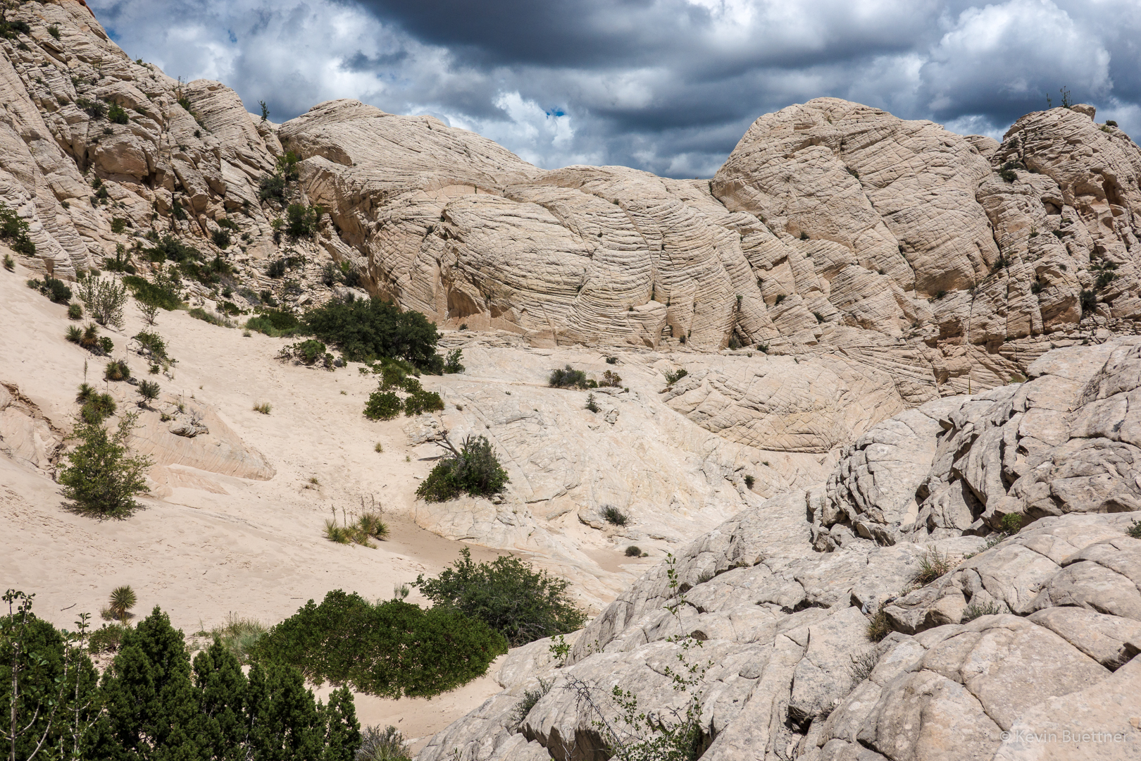
There was a small pool of water at the bottom; there’s a low barrier which helps keep water in the pool.

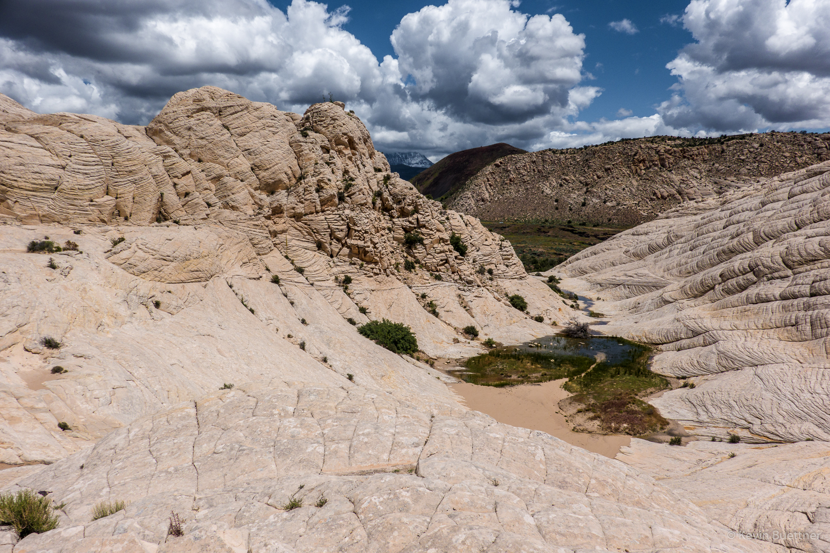
There were a lot of tadpoles in the pool!

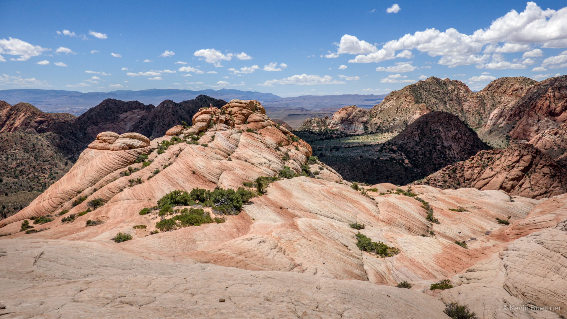
One last look back at the Amphitheater:

Taylor Creek

On the 22nd, Marilyn and I hiked Taylor Creek, which is in the Kolob Canyons section of Zion National Park. This is well away from the main canyon in Zion where we had hiked the day before. We found Taylor Creek to be considerably less crowded than the main section of the park.

Larson Cabin:

Larson Cabin interior:

Penstemon:

Fife Cabin:

There was a waterfall at the end of the trail!

Some of the Double Arch Alcove is visible in this photo. Earlier in the hike, we stood in the alcove. It was raining then, so I didn’t take any pictures from the alcove. The “arches” that we saw weren’t the kind of arches that you see elsewhere in Utah, e.g. in Arches National Park.

Another Look at Fife Cabin:

The trail crosses Taylor Creek many times. On the way back, I decided to hike in the creek for a ways.

When we were finished with hiking Taylor Creek, we drove the rest of the Scenic Drive to the overlook.