Marilyn, Heather, Gayle, and I hiked in McDowell Mountain Regional Park on Sunday. We looked at some petroglyphs that I only learned of about a month ago. Near the end of our hike, we saw a rattlesnake.
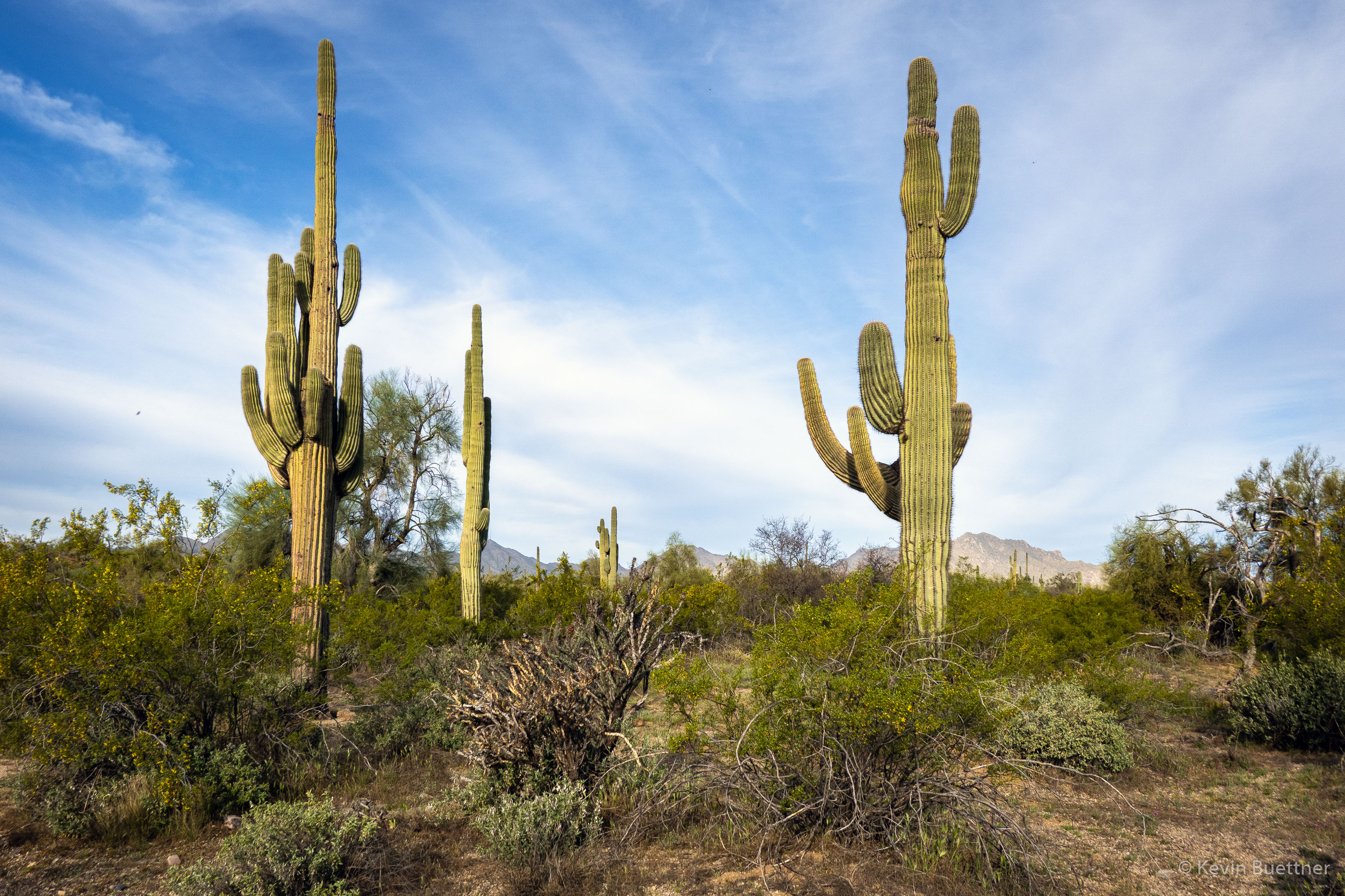
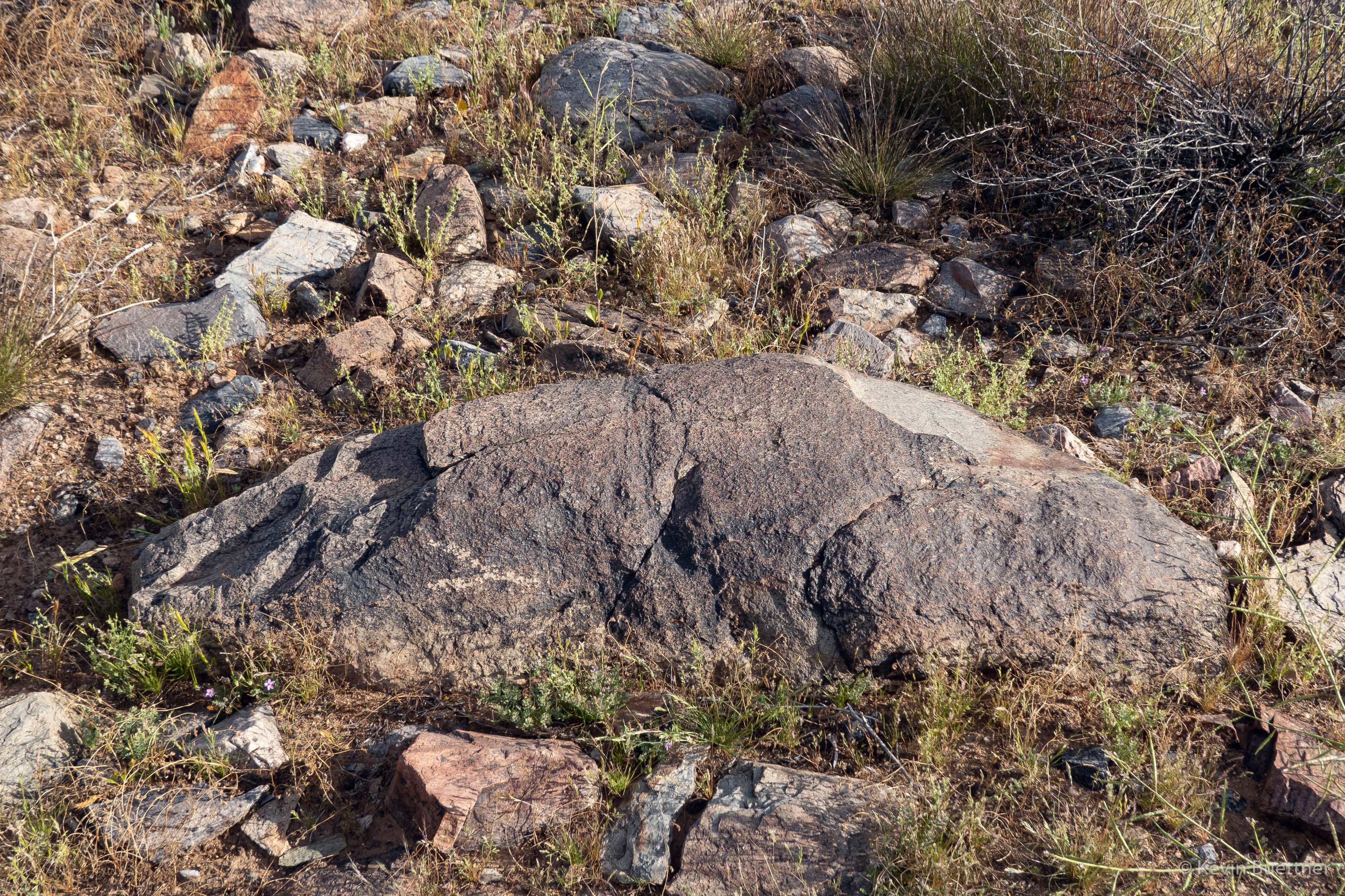

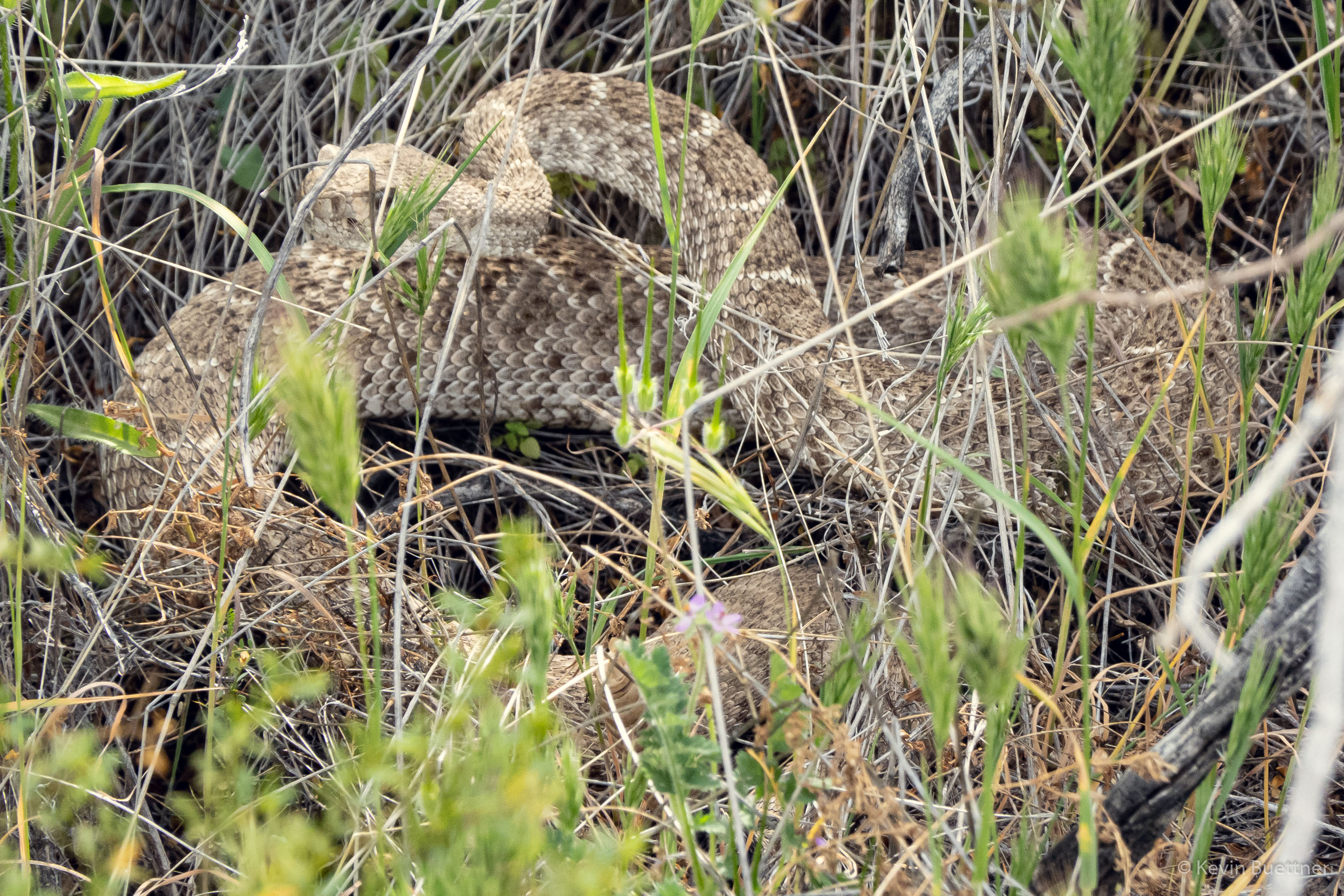
Marilyn, Heather, Gayle, and I hiked in McDowell Mountain Regional Park on Sunday. We looked at some petroglyphs that I only learned of about a month ago. Near the end of our hike, we saw a rattlesnake.
On Sunday, April 4, I hiked 11 miles, mostly in the desert, though I did make my way over to the fountain before returning home.
Red Mountain:
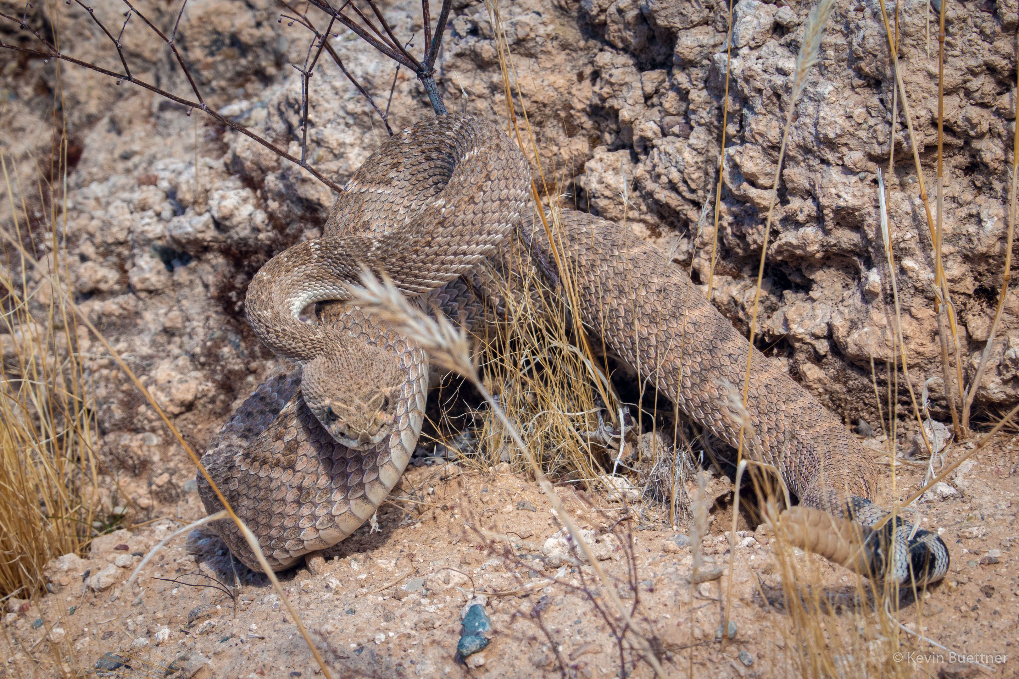
I saw two rattlesnakes, but only got a photo of the second. It was nearly dark and it was hard to see. I had to frame the snake and focus while trying to aim my flashlight at the snake. This photo, below, turned out to be the best of those that I took.
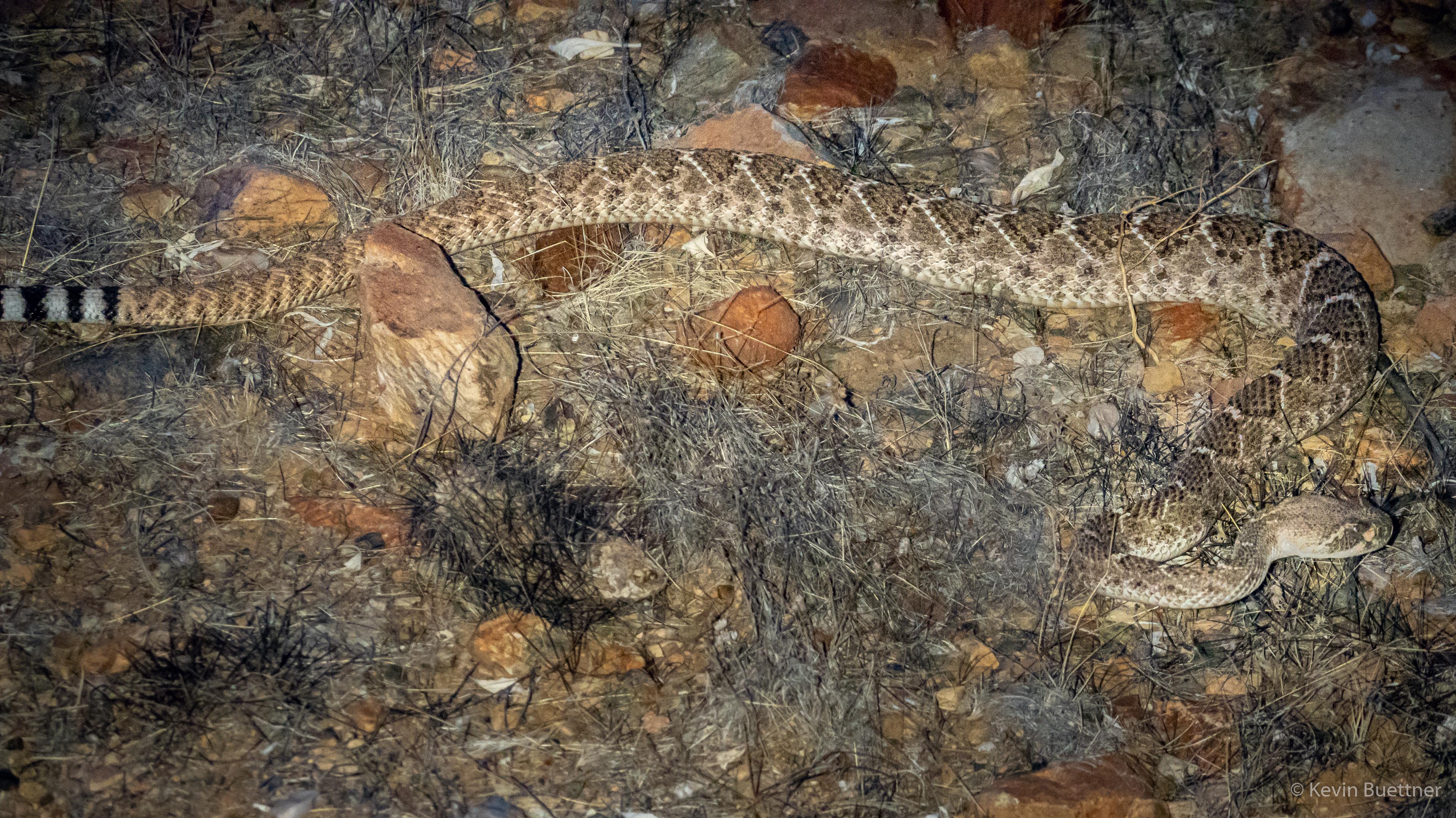
Marie and I saw this Western Diamondback rattlesnake while hiking on Saturday…
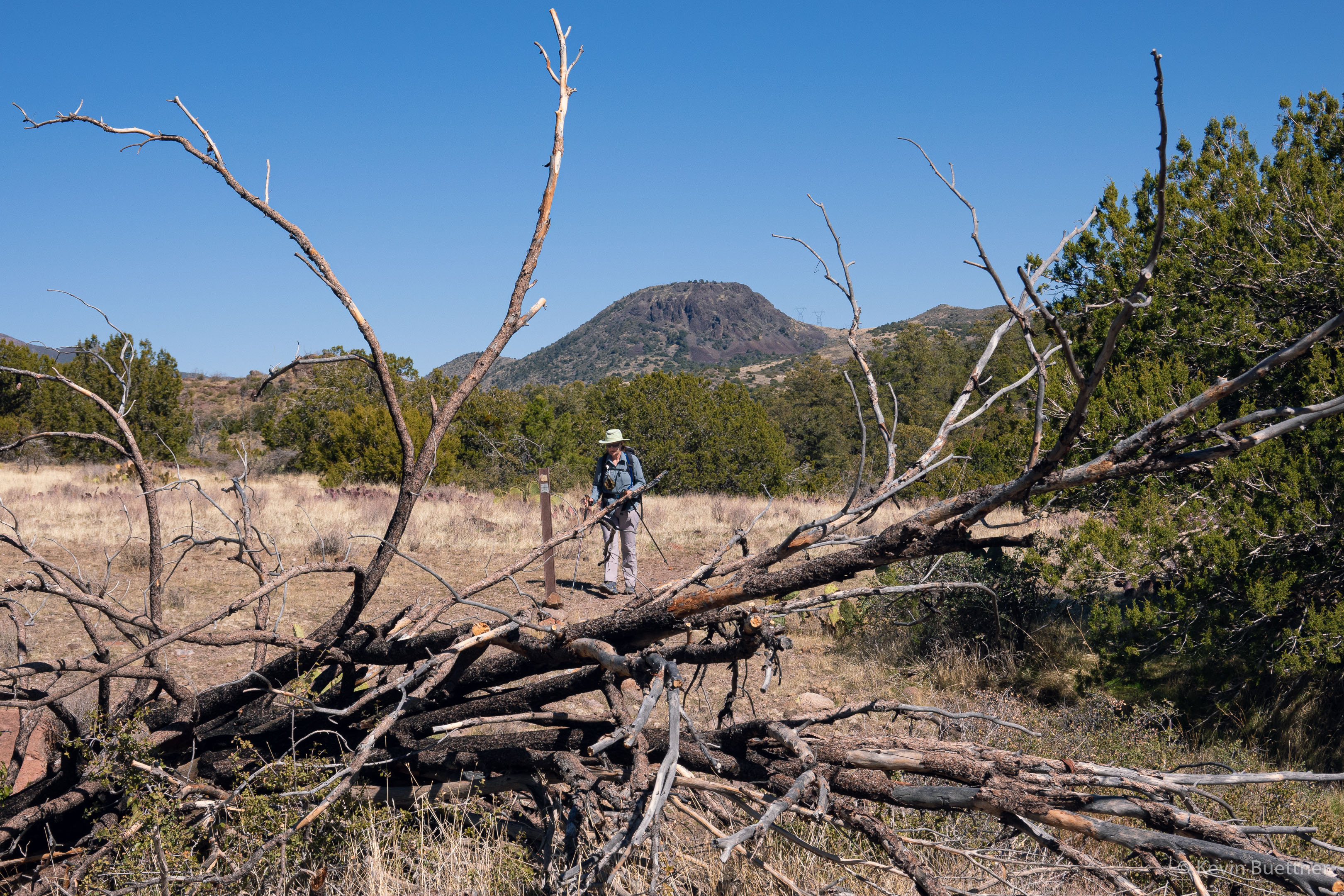
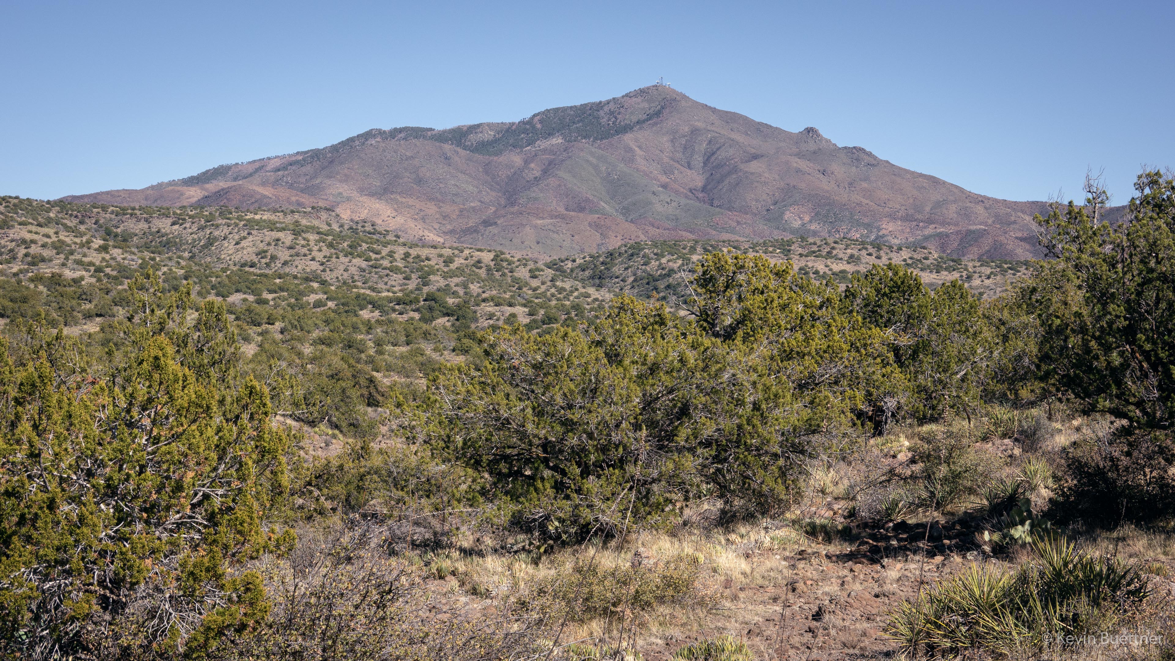
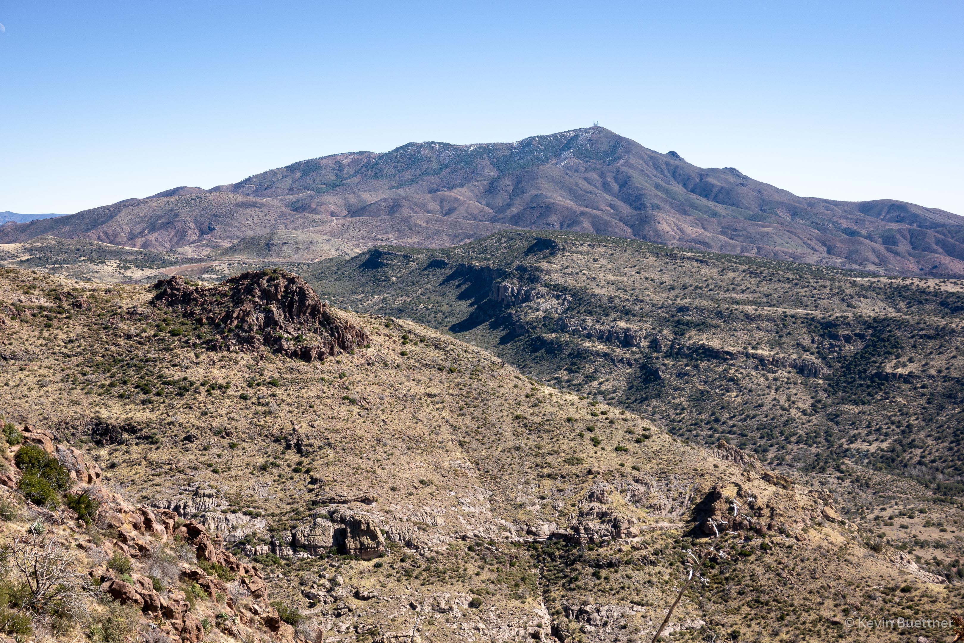
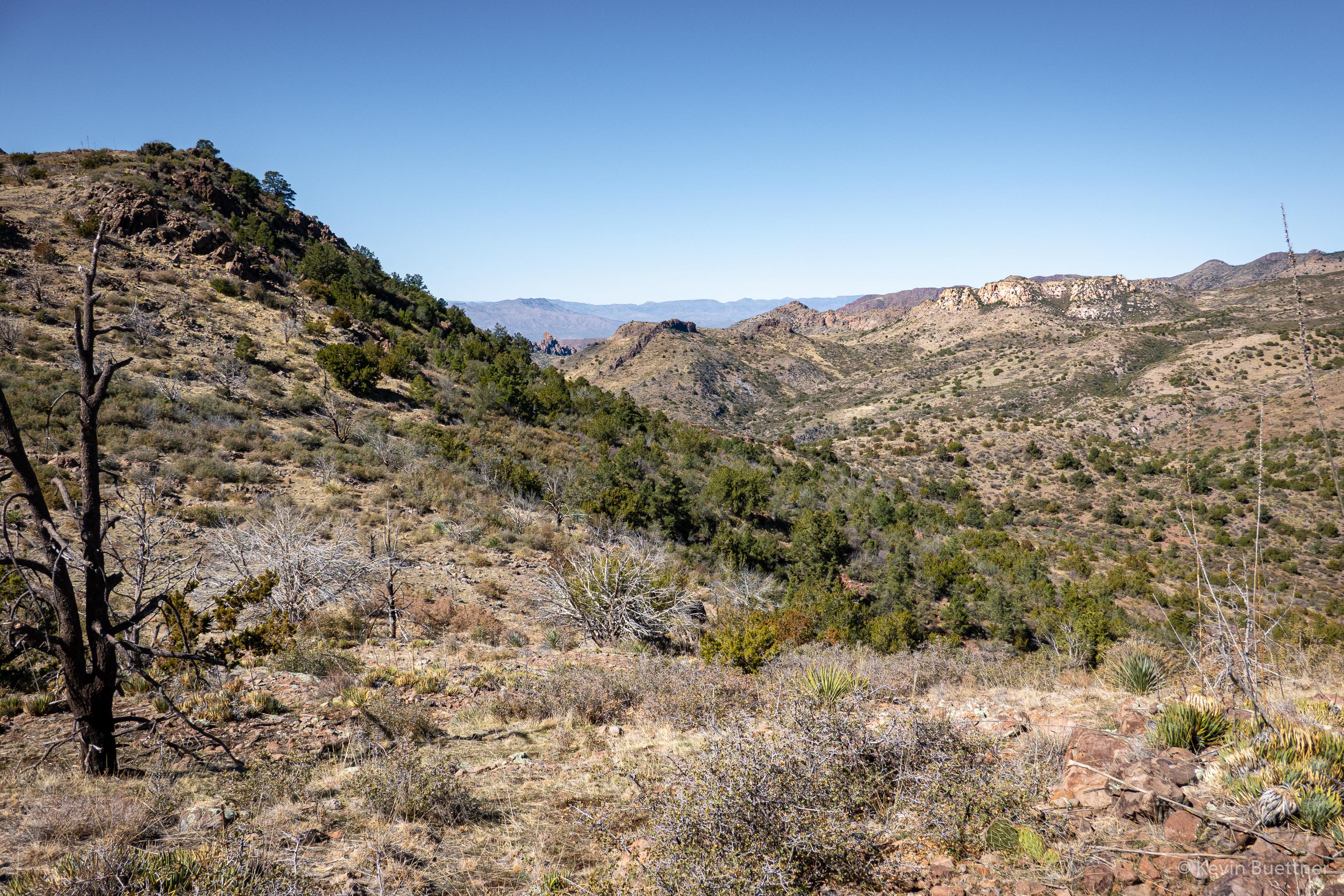
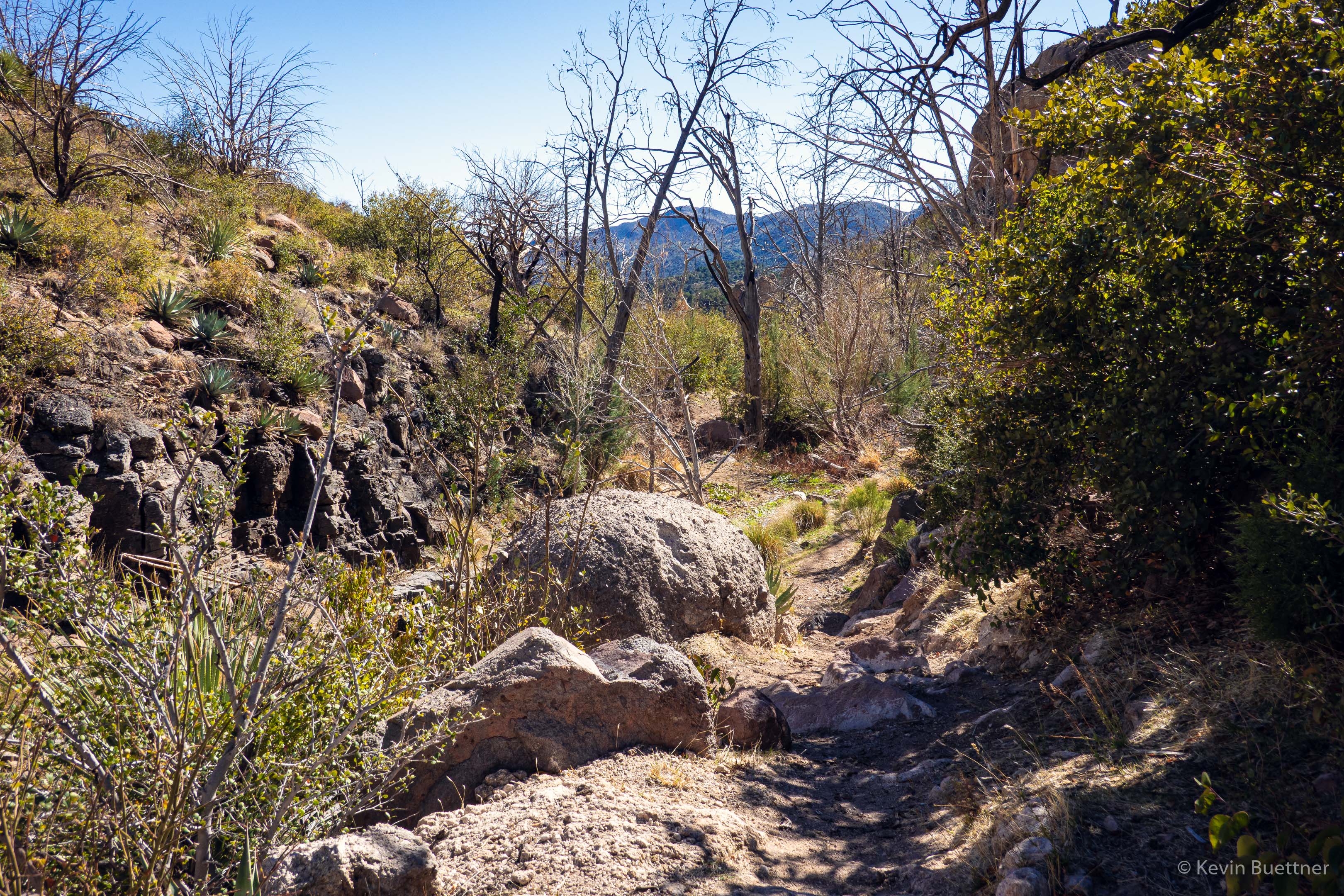
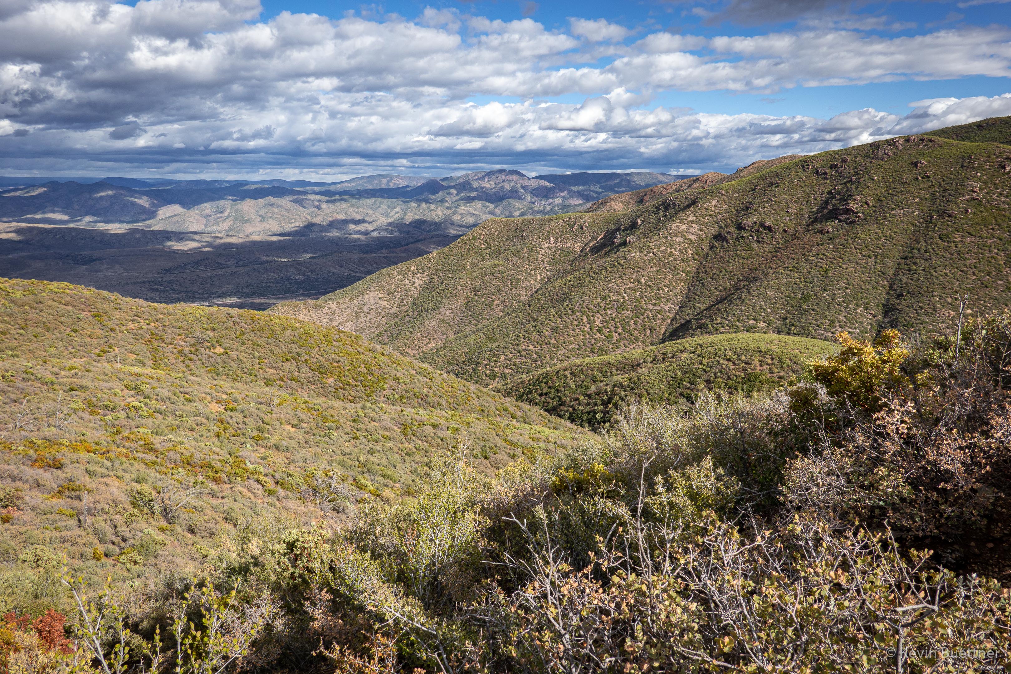
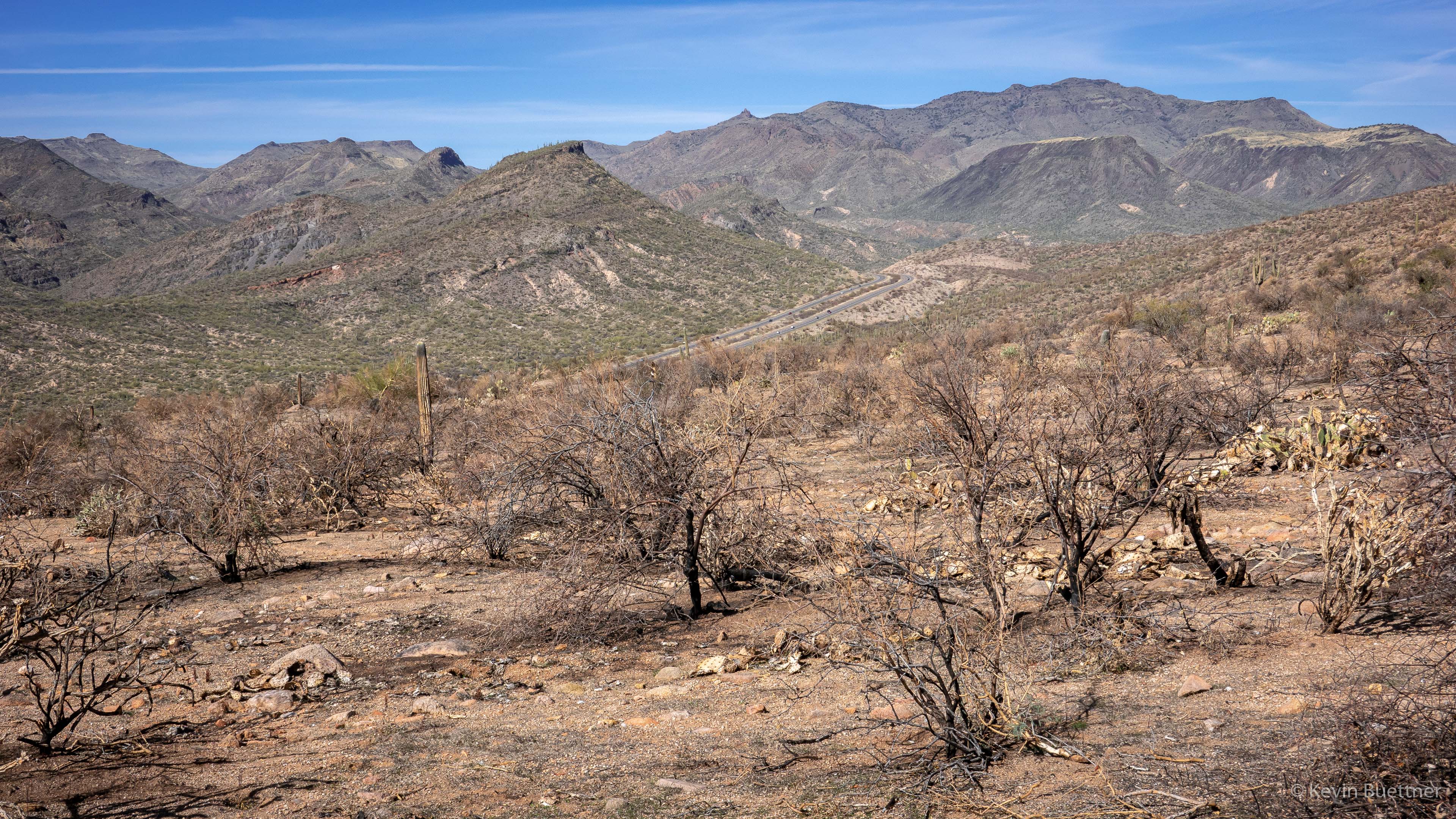
On Sunday, Feb 20, Marilyn and I hiked the Sunflower Trail. Starting from the Cross F Trailhead, we hiked the connector to the Arizona Trail and then followed the Arizona Trail south for a little over four miles. We returned via the same trail, but took FR393 back to Old Beeline Hwy, where we had parked. We had views of Mt Ord along the way; that area had been badly burnt by the Bush Fire of 2020, but we saw no recent fire damage along the Sunflower Trail. However, we did not hike all of the Sunflower Trail; there was still perhaps 3/4 mile (near Beeline Hwy) that we did not see.
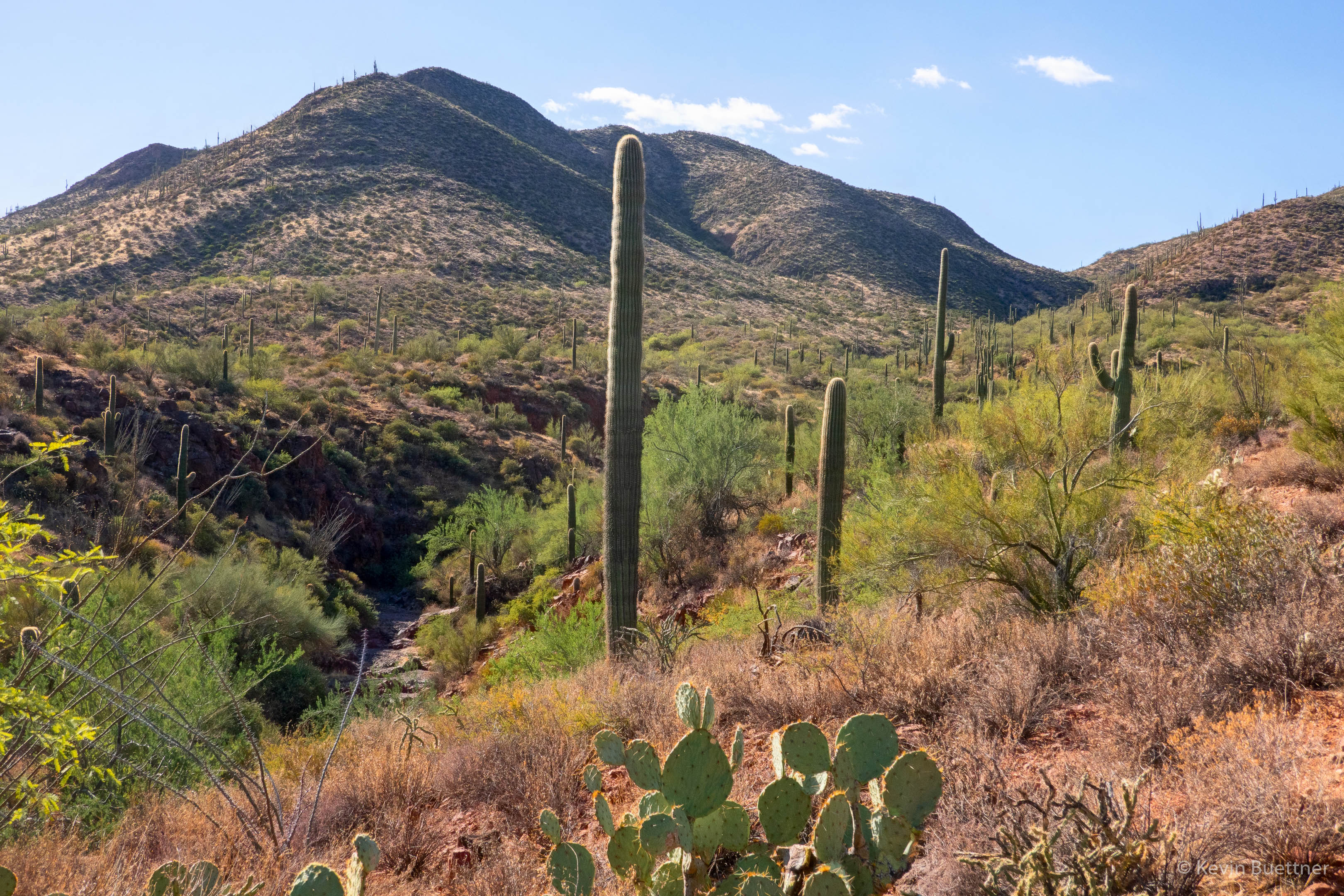
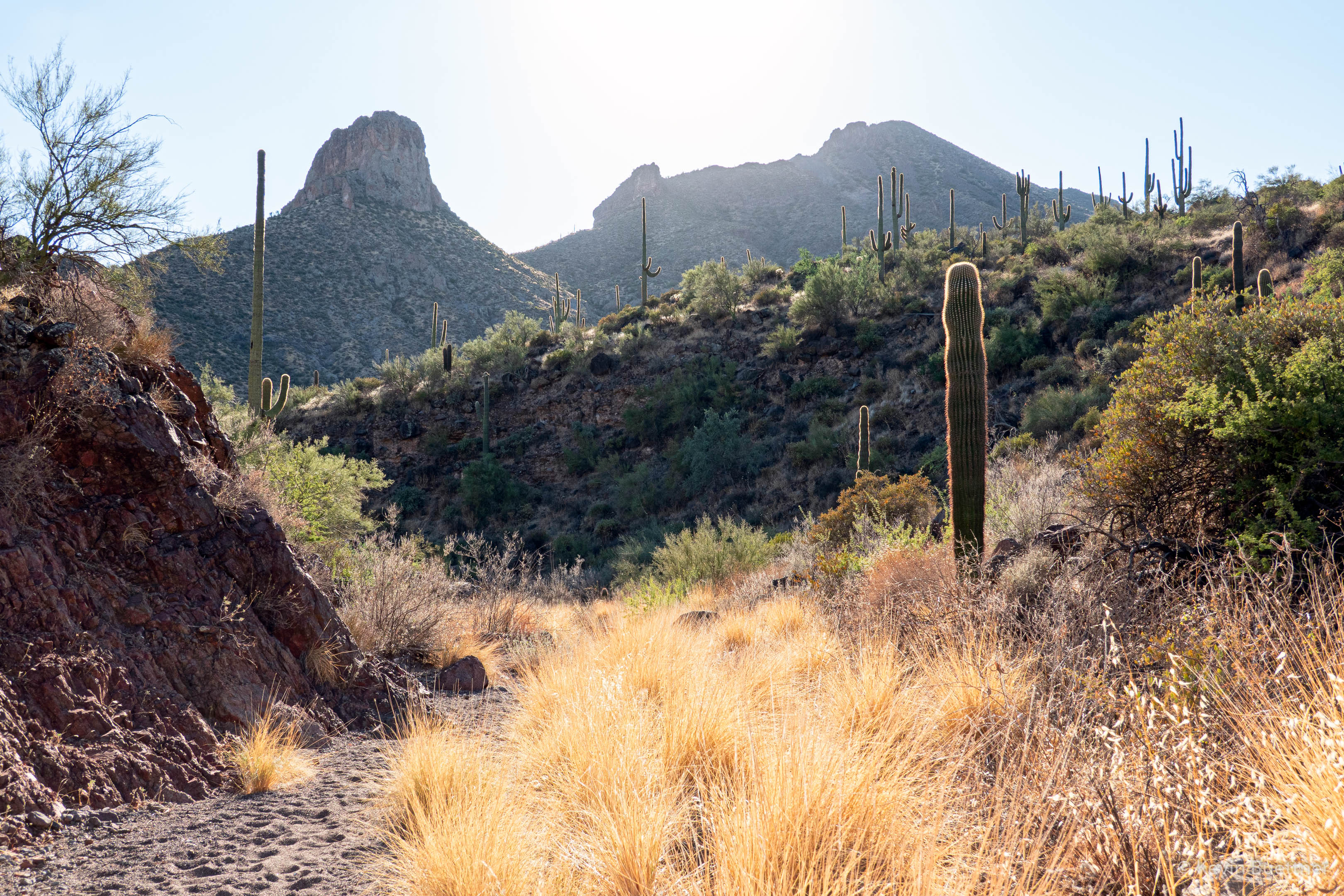
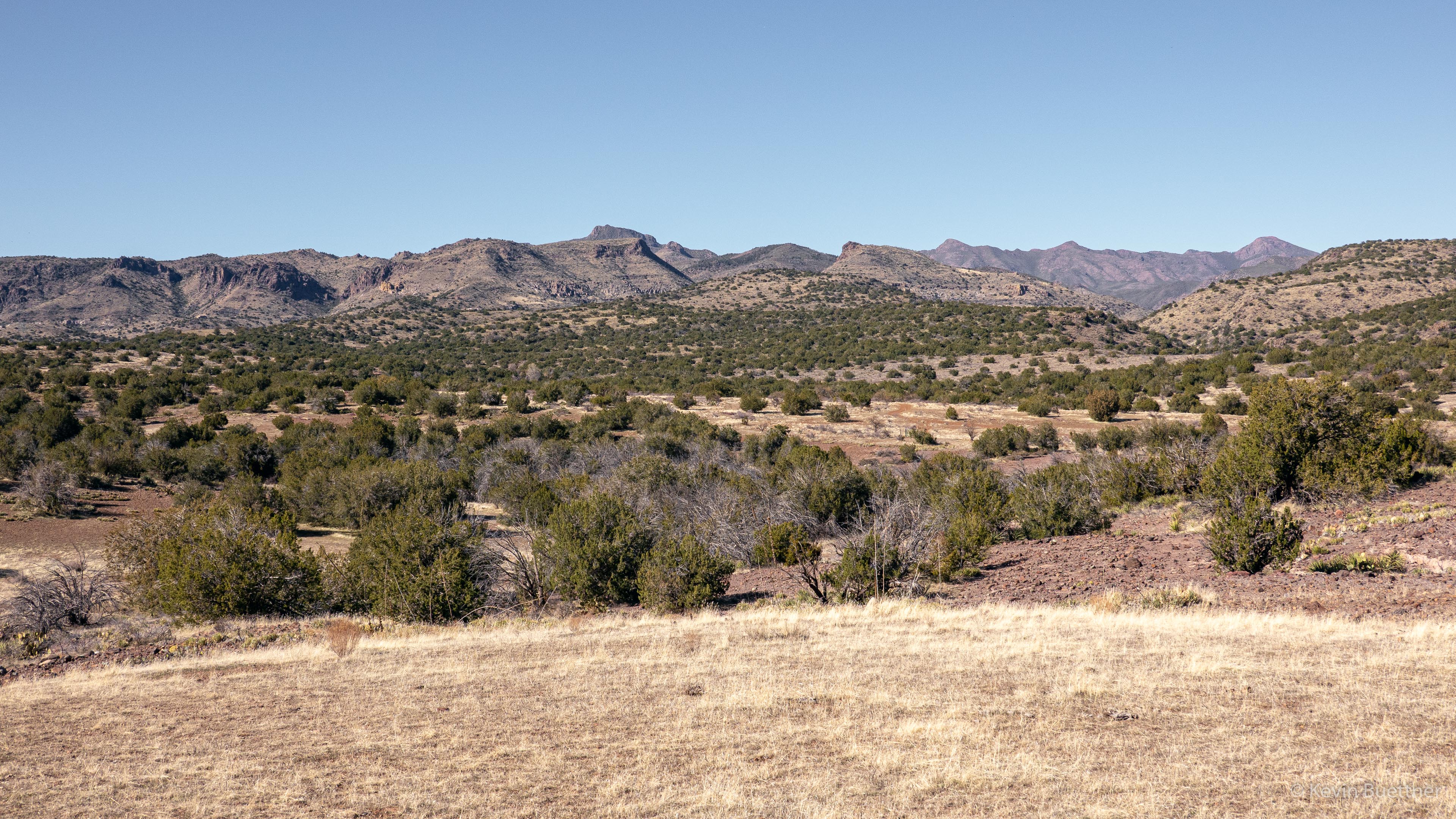
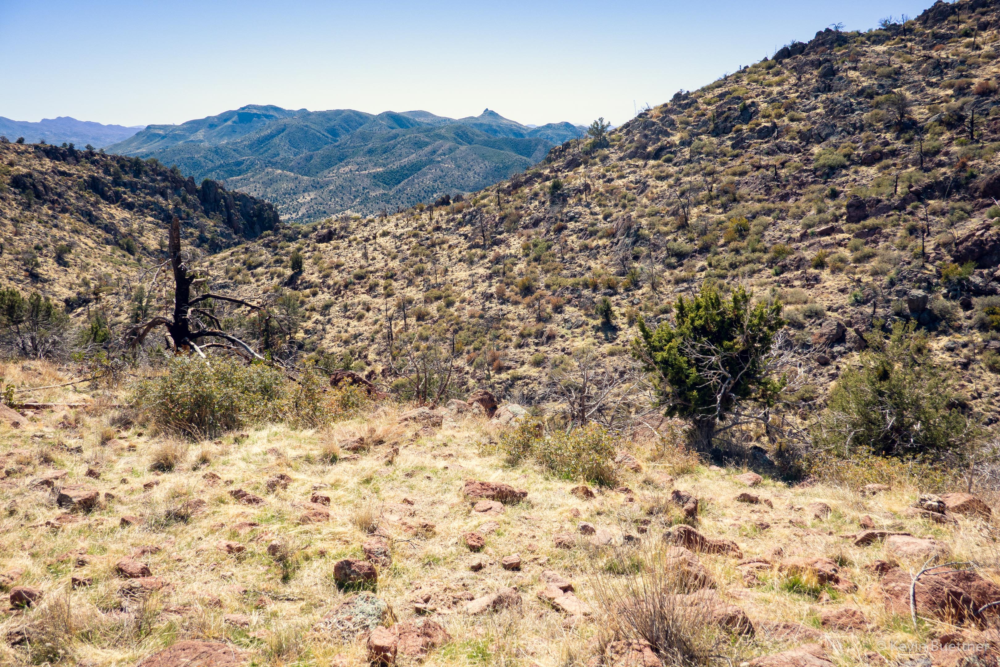
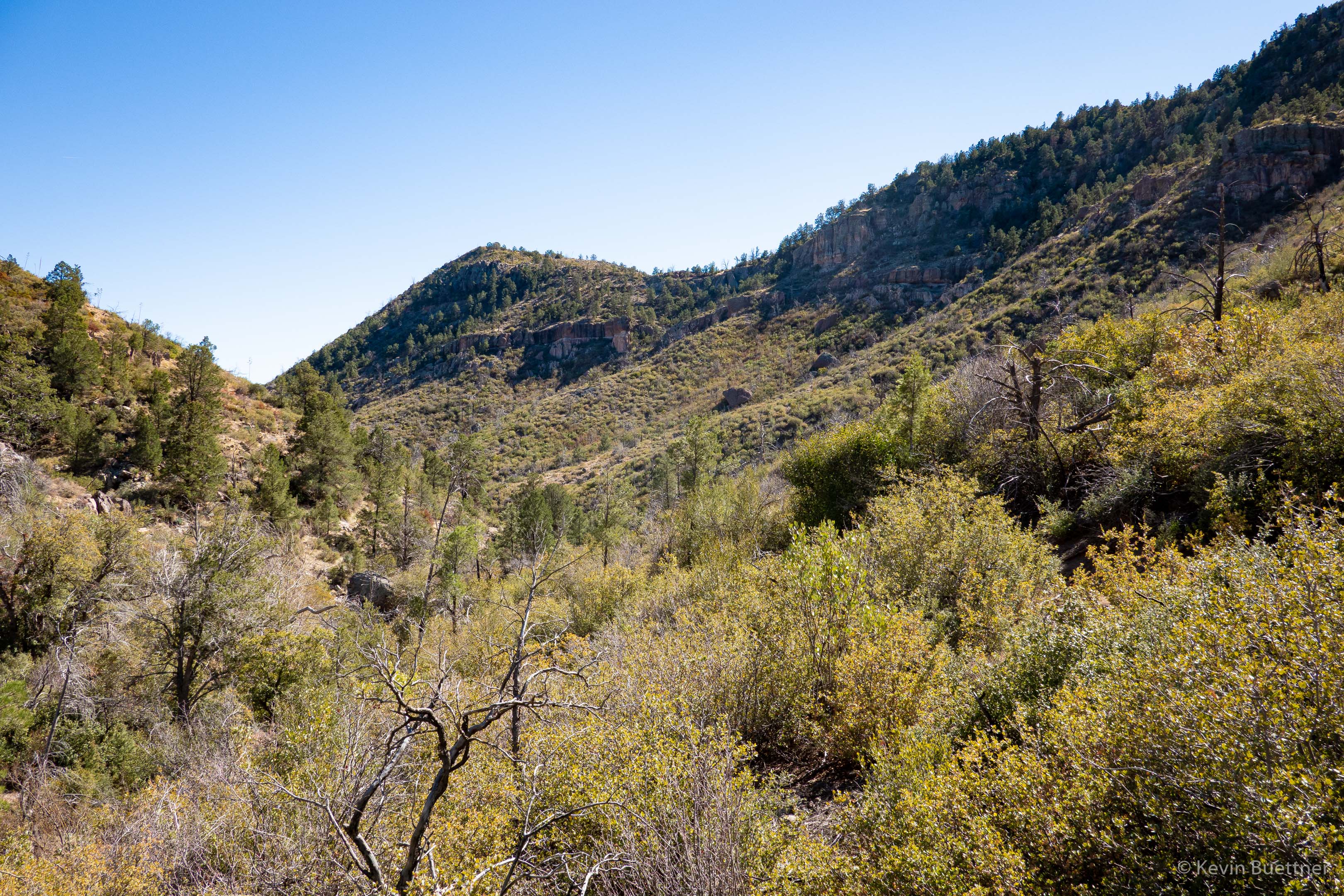
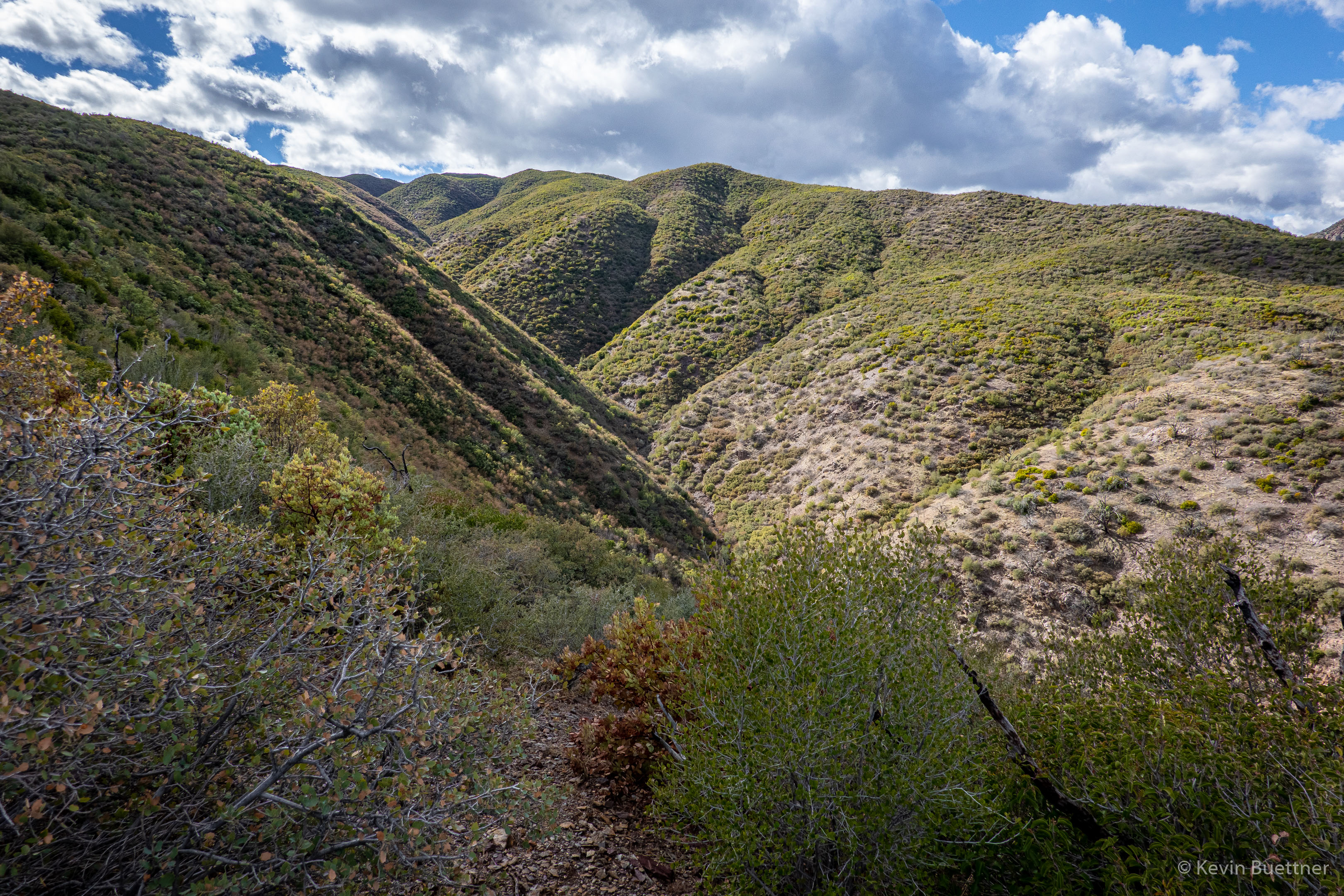
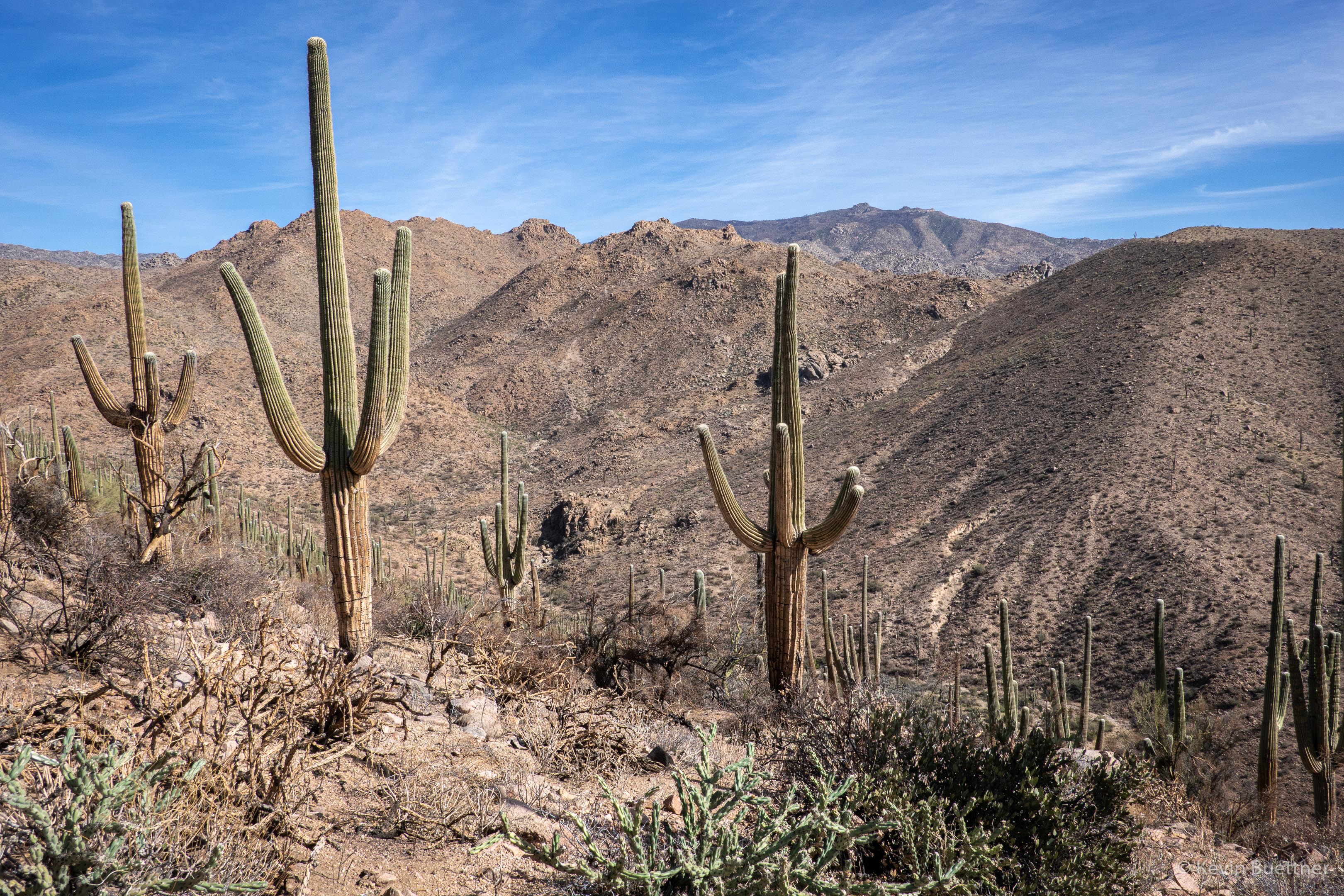
This is a view at the junction of the Cross F connector, Little Saddle Mountain Trail, and the Sunflower Trail:
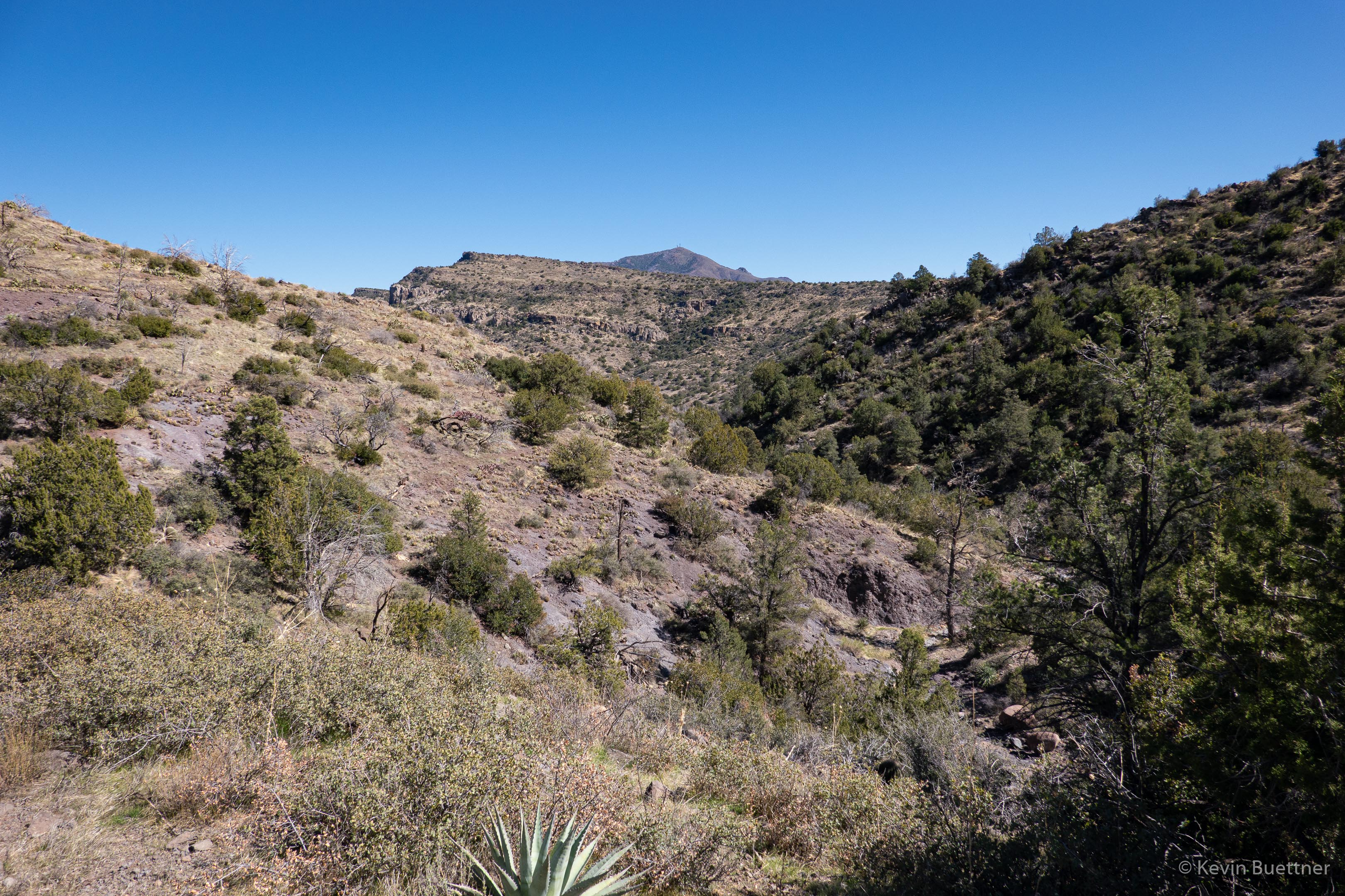
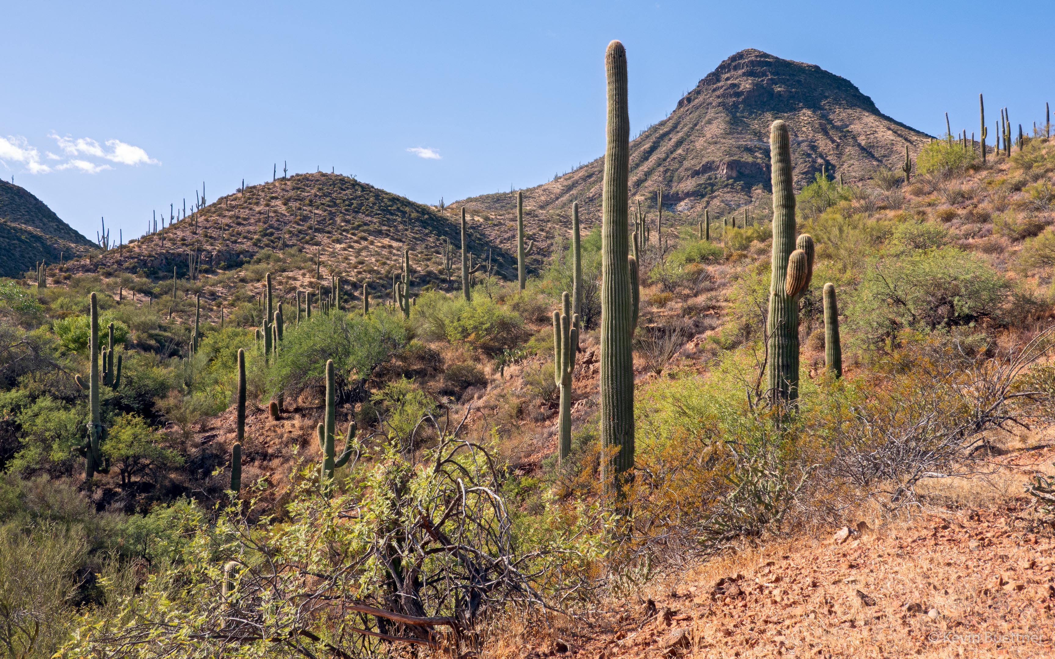
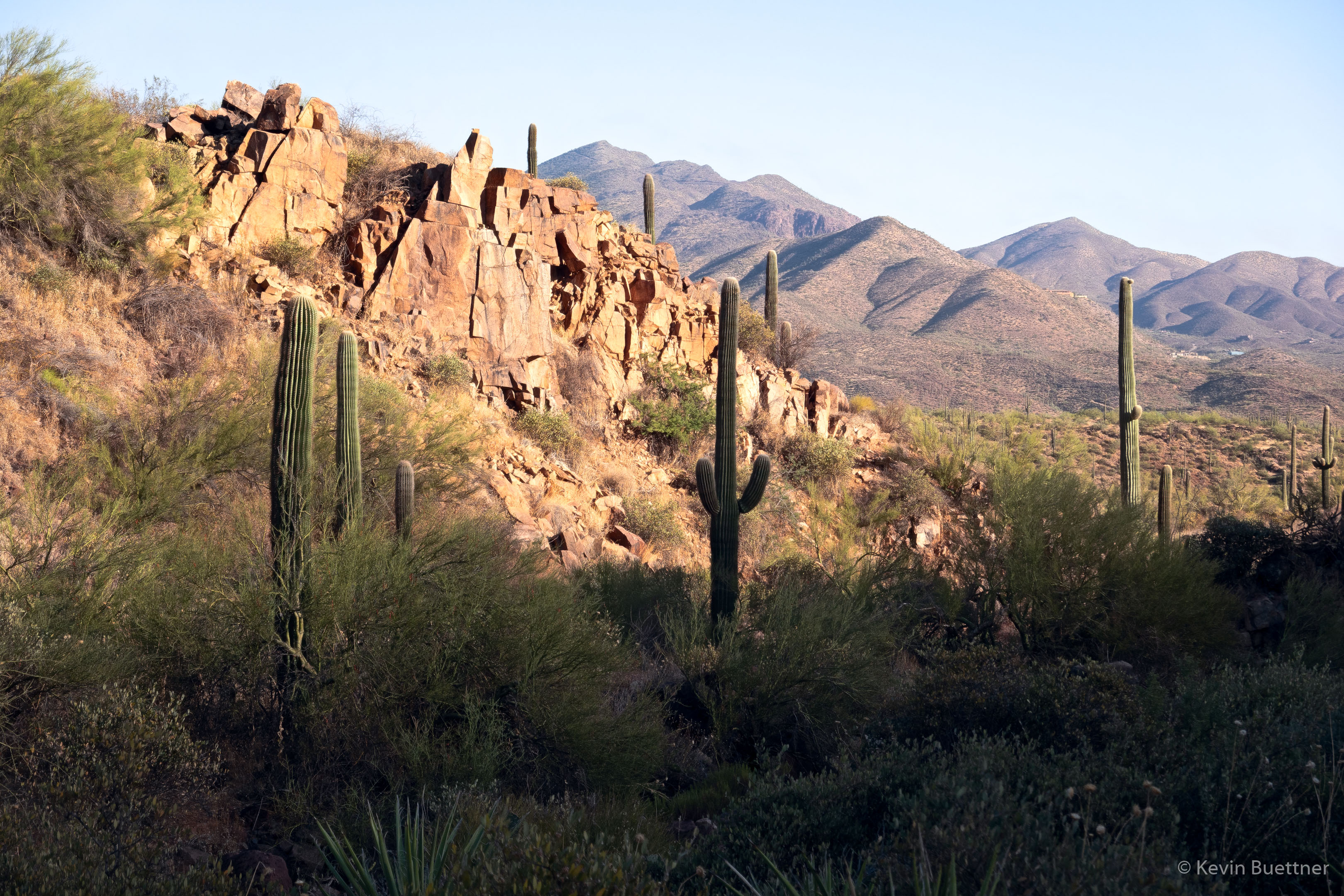
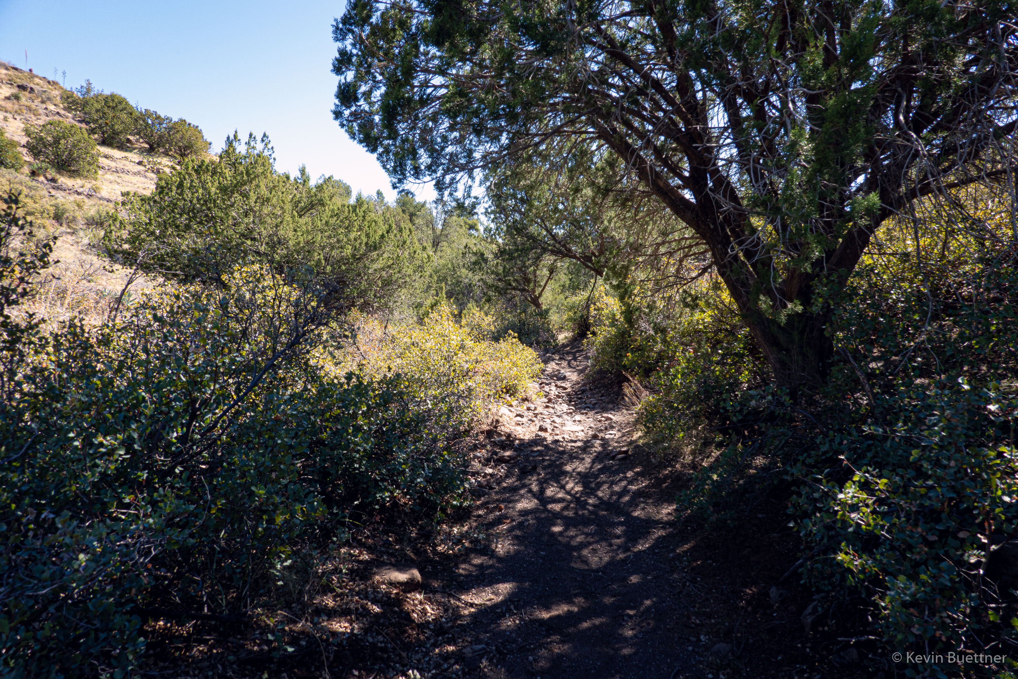
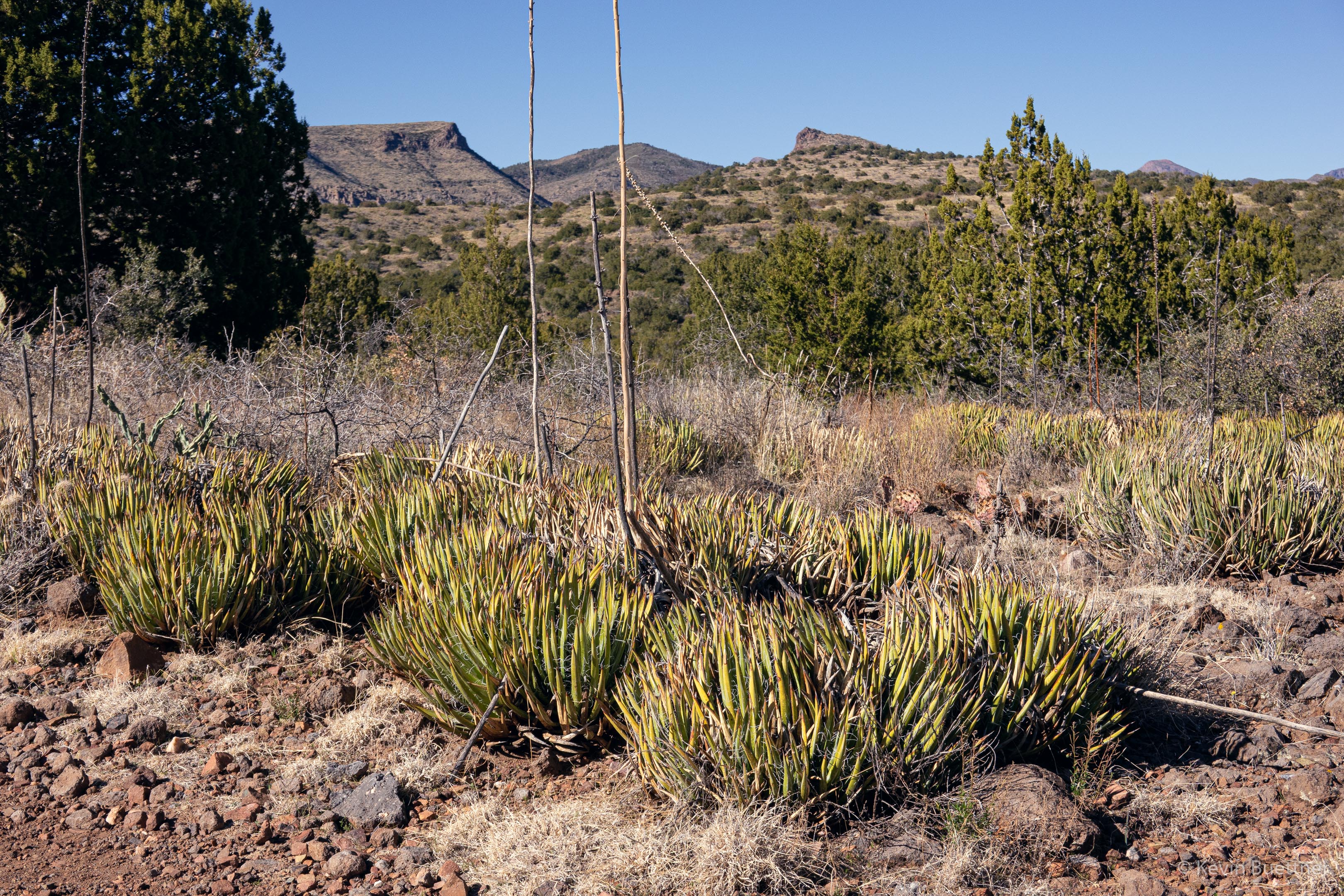
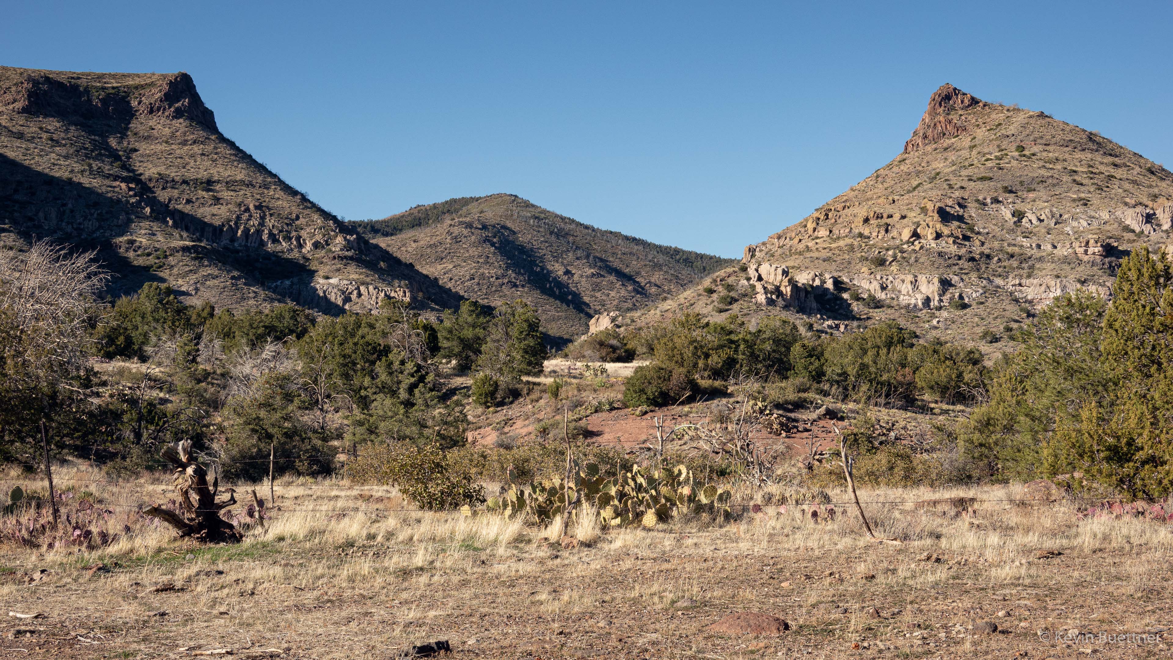
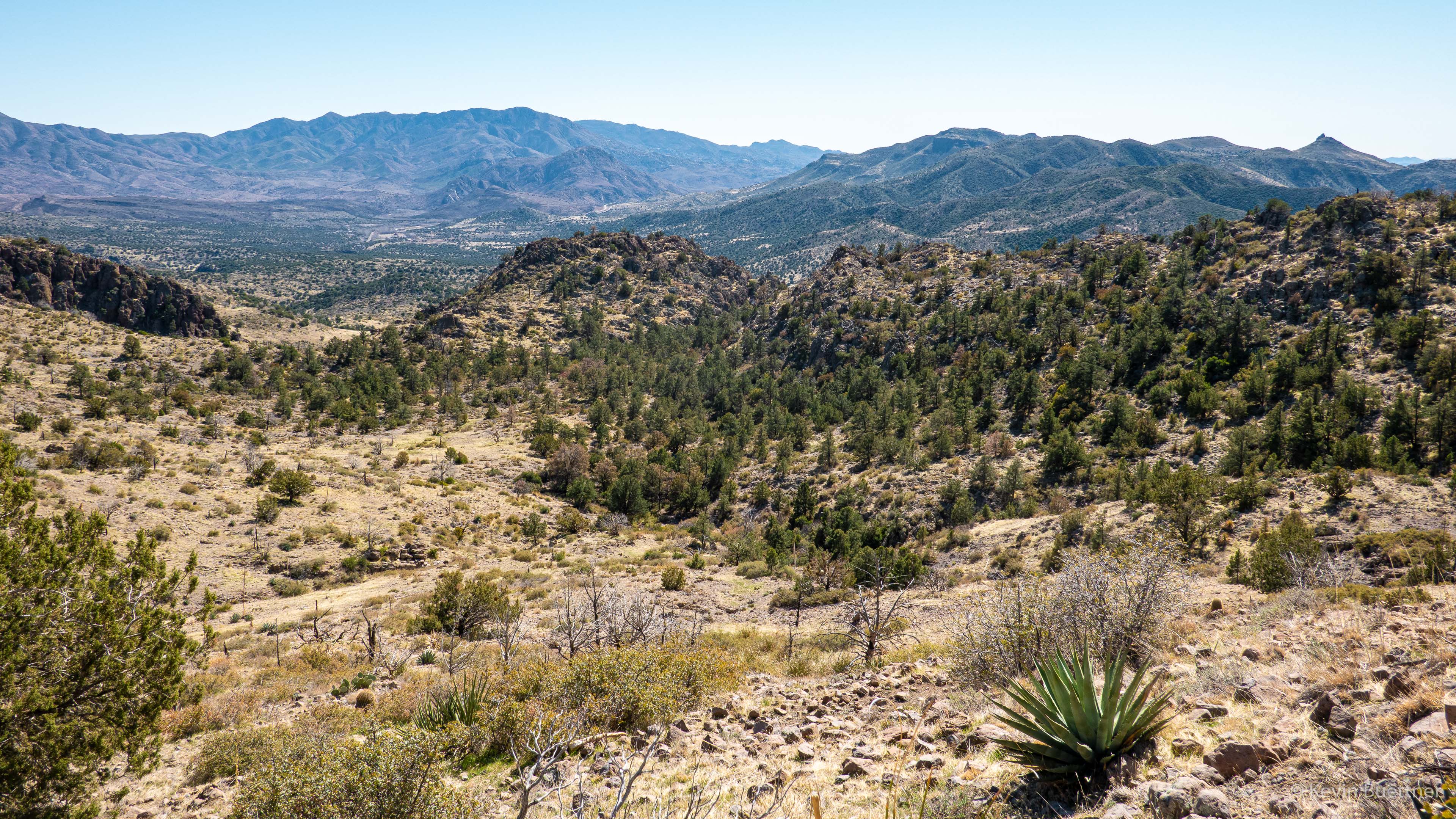
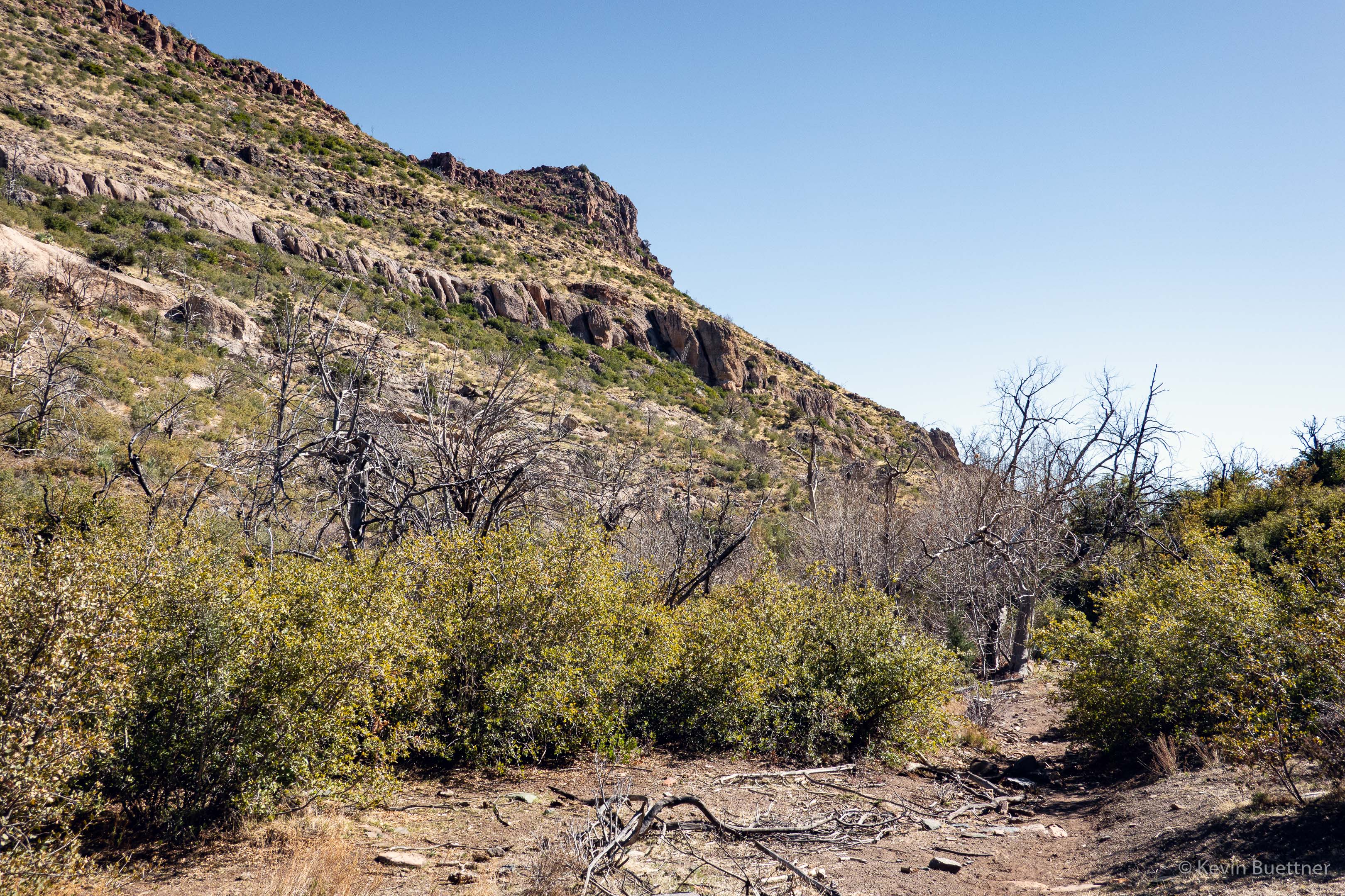
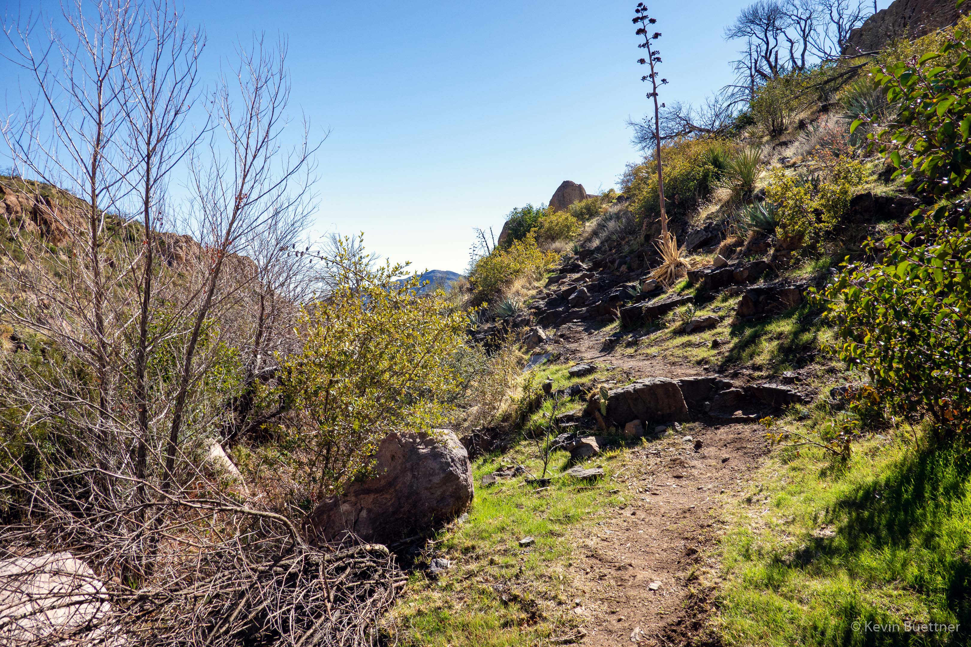
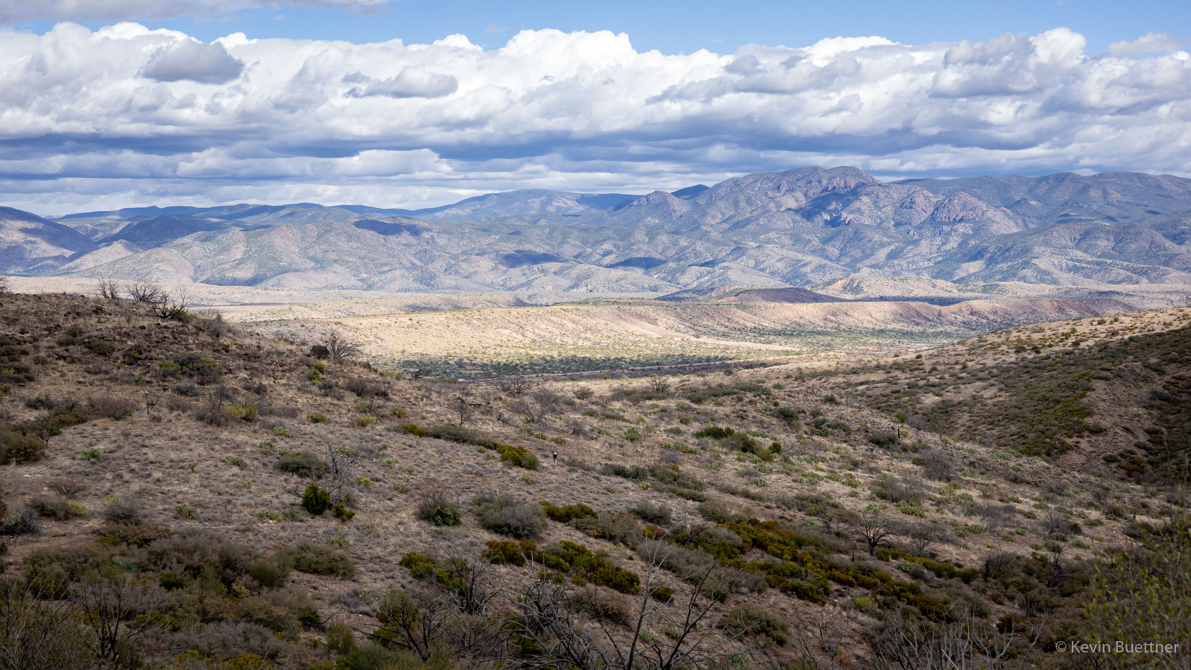
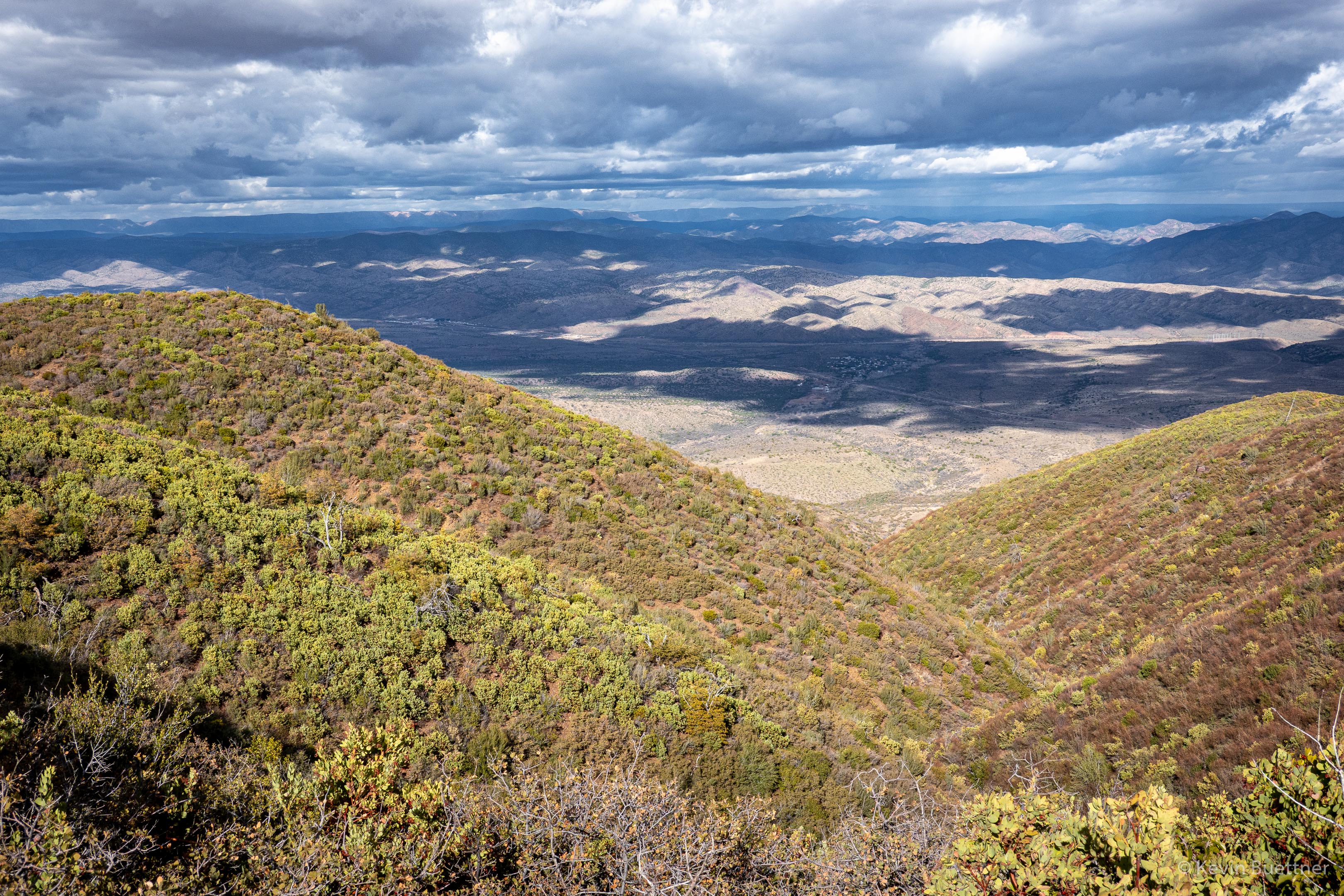
Looking back along the Sunflower Trail; we are approaching FR393 here:
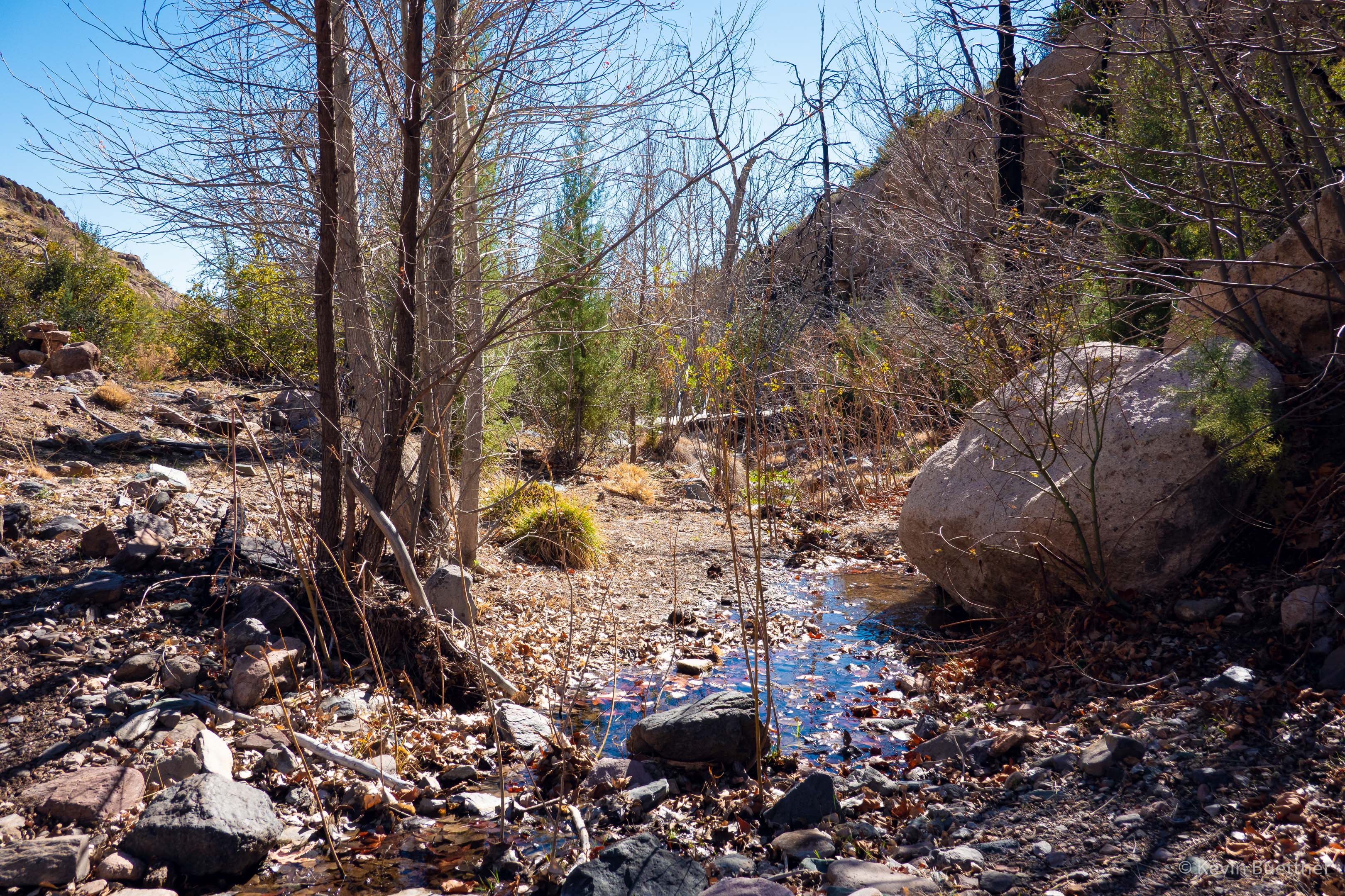
A tank (water hole) along the way…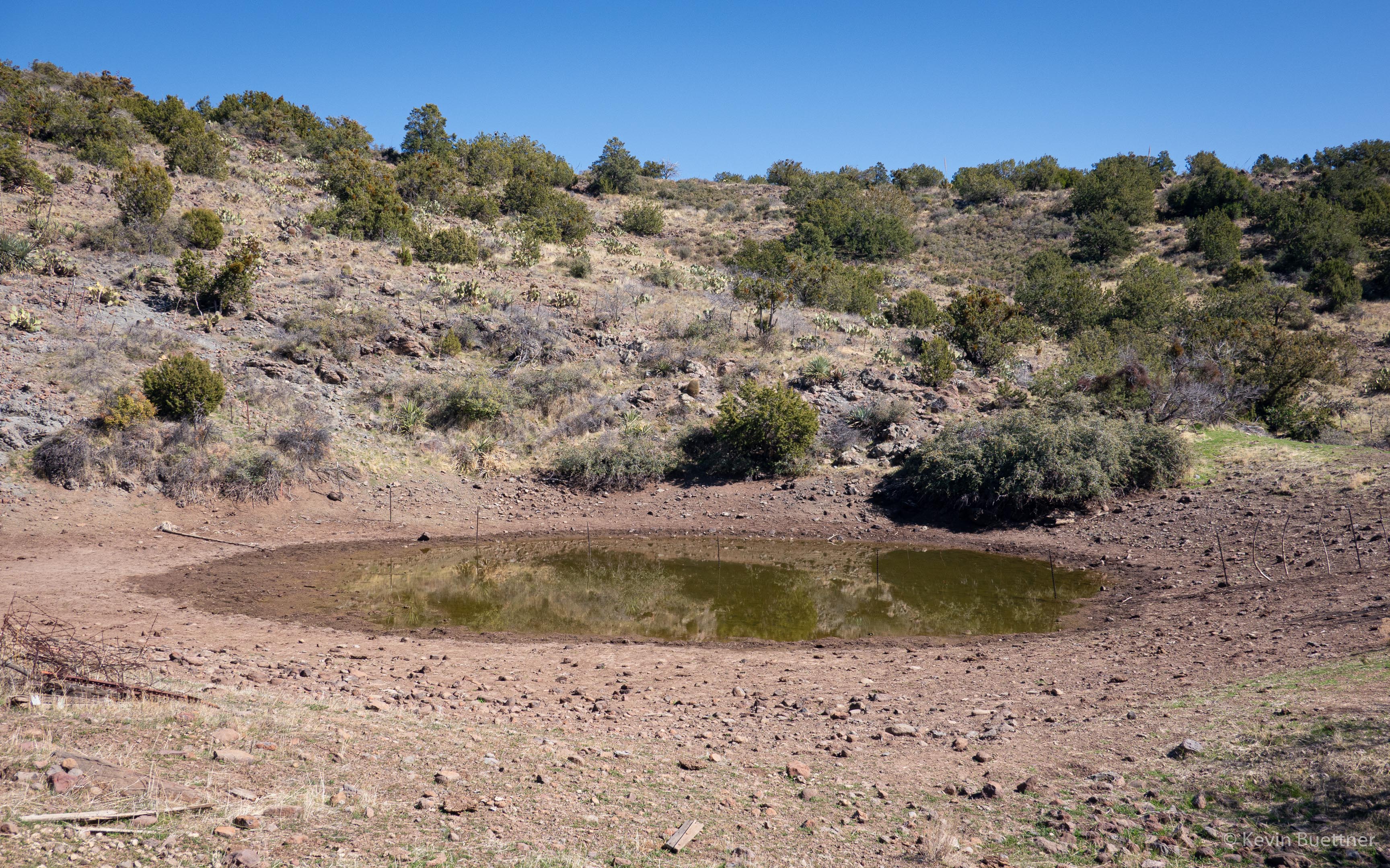
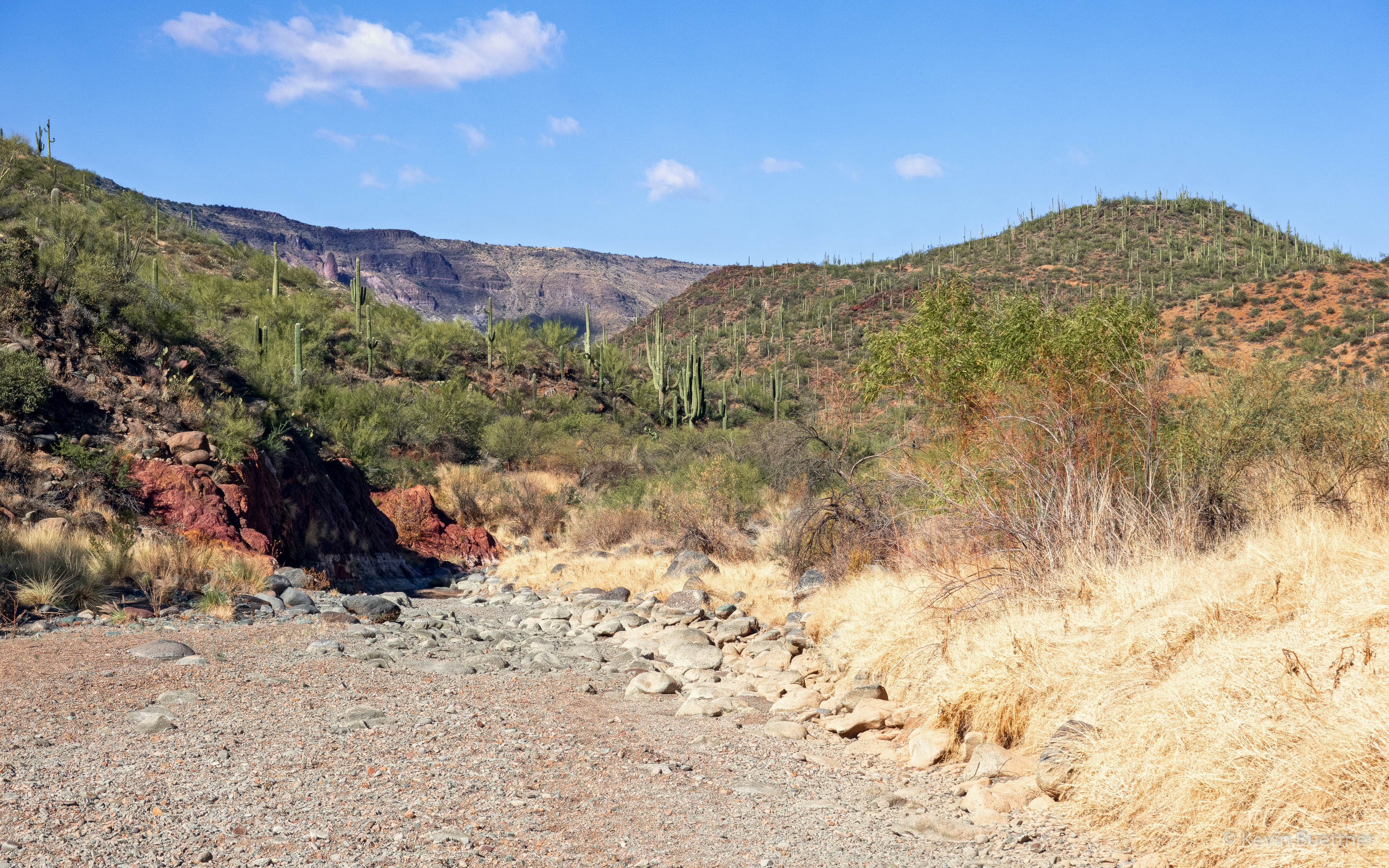
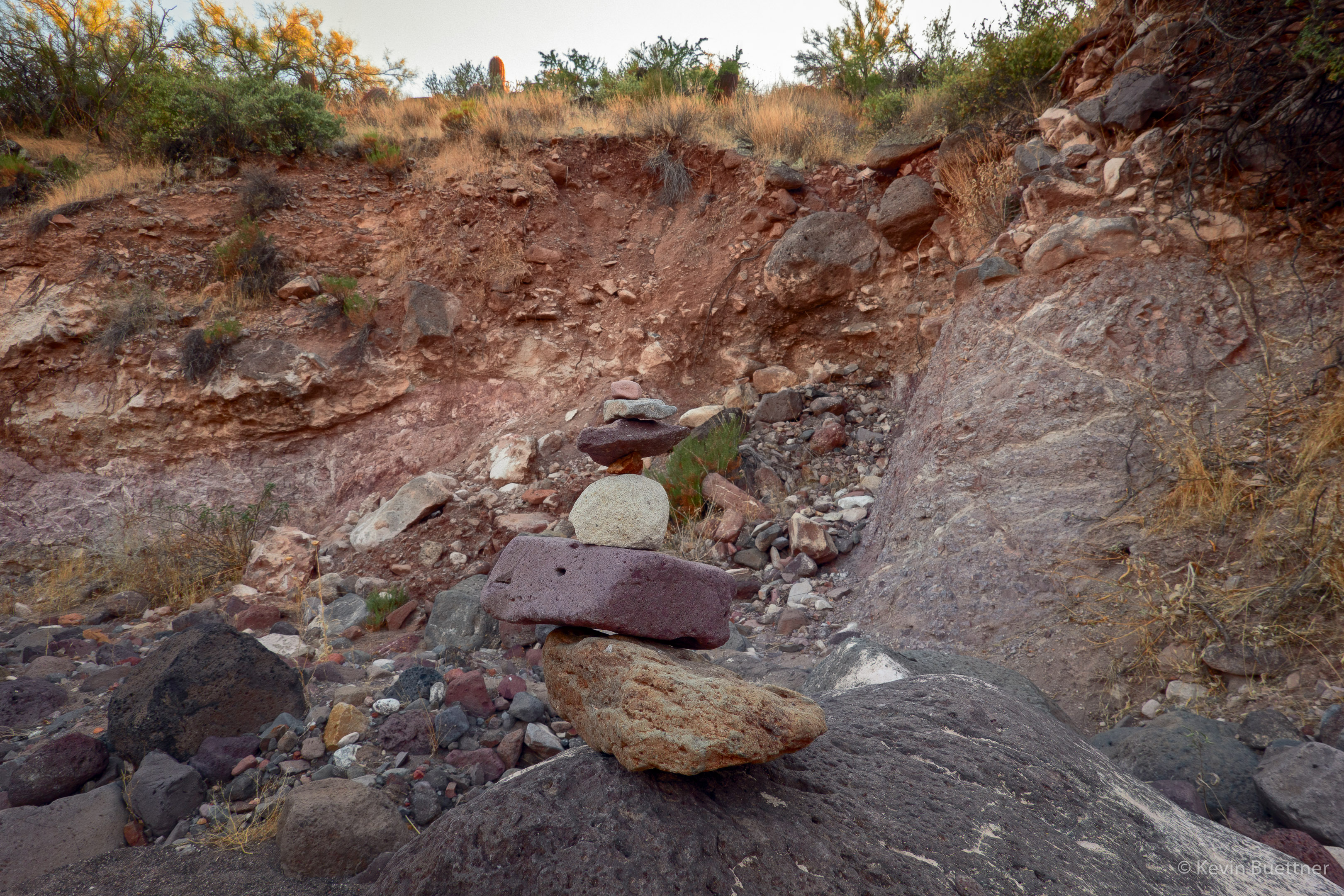
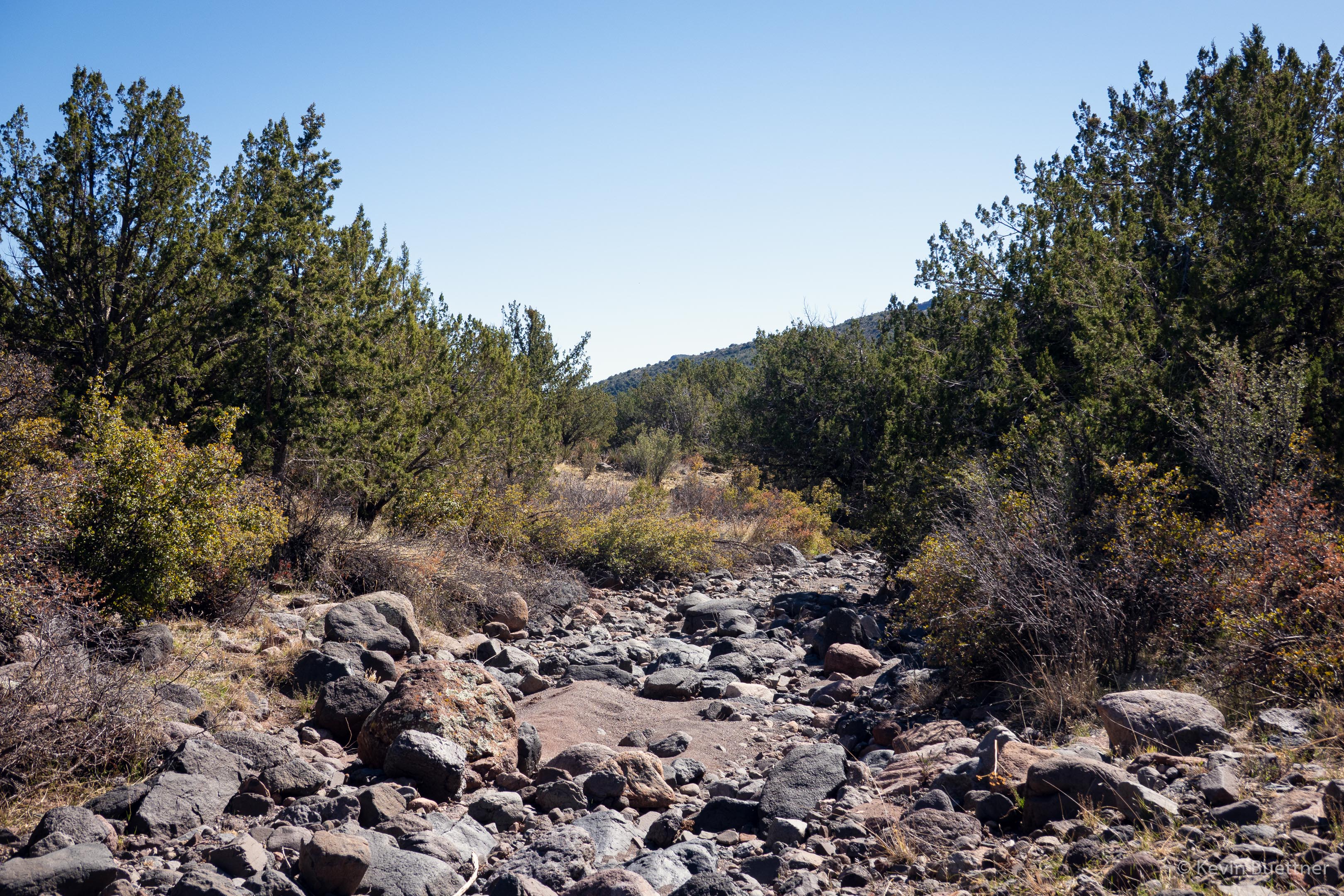
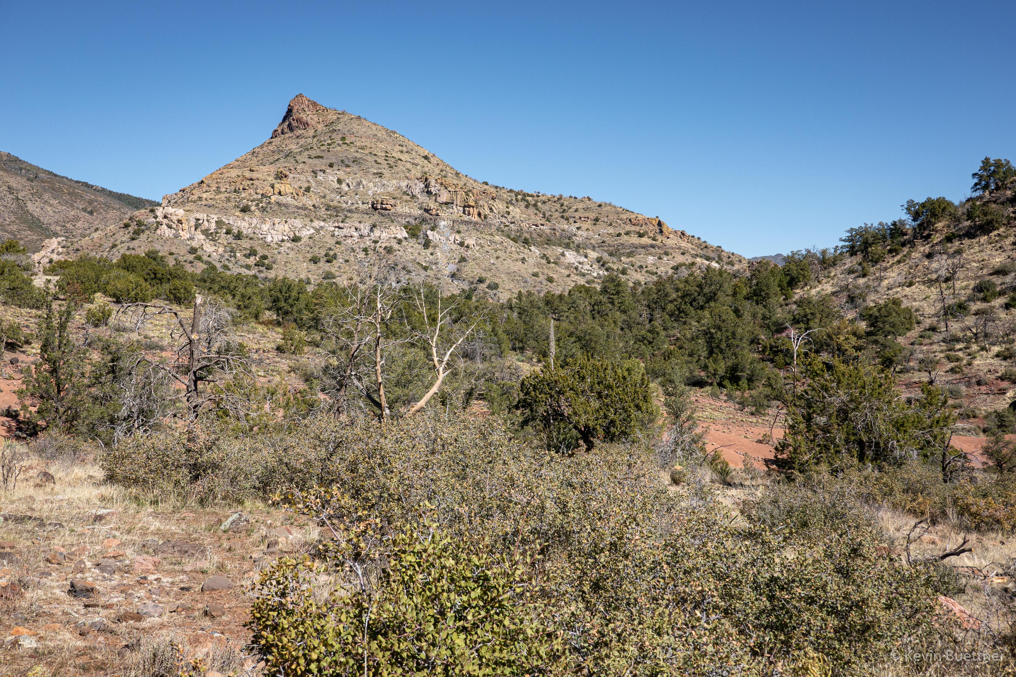
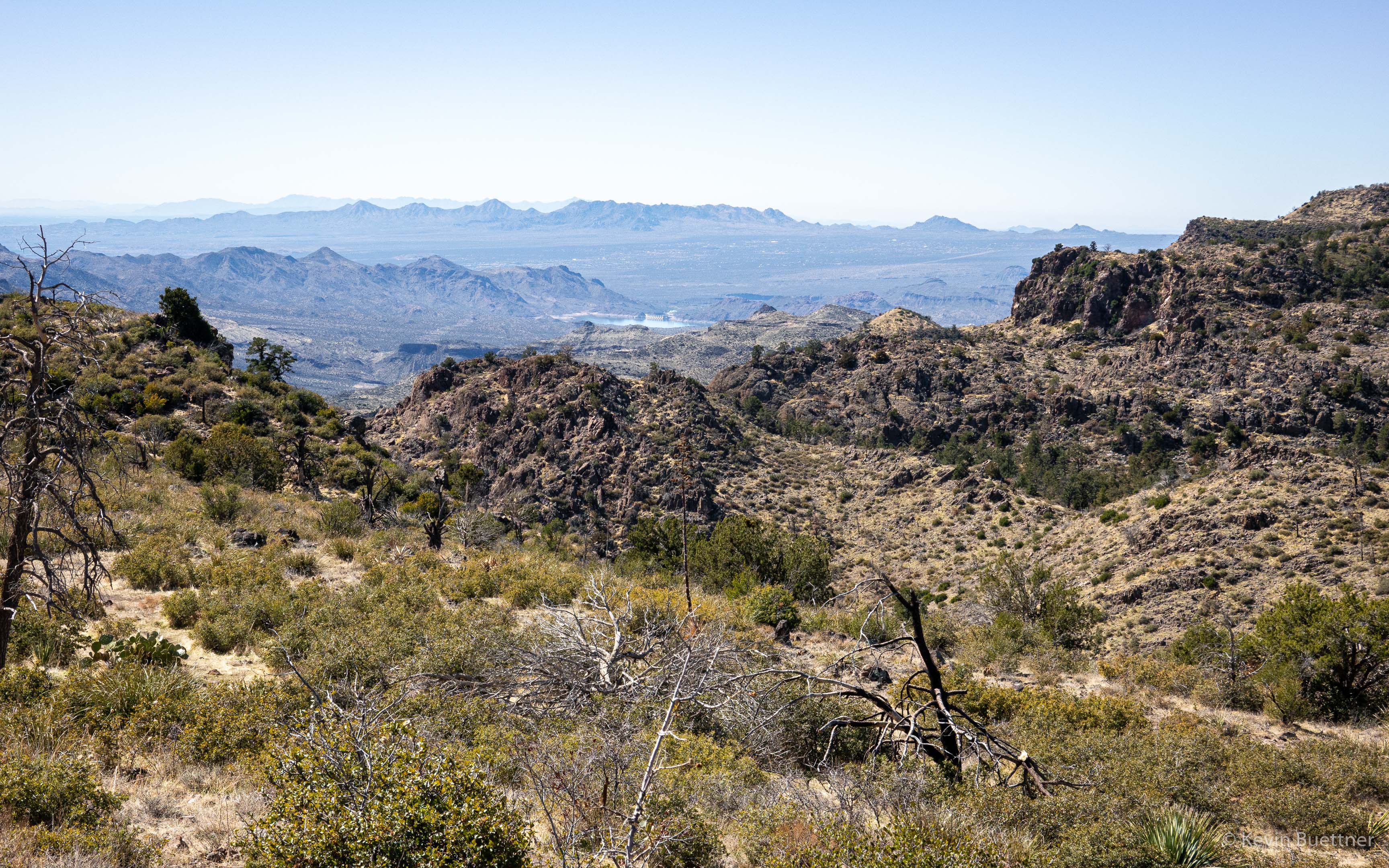
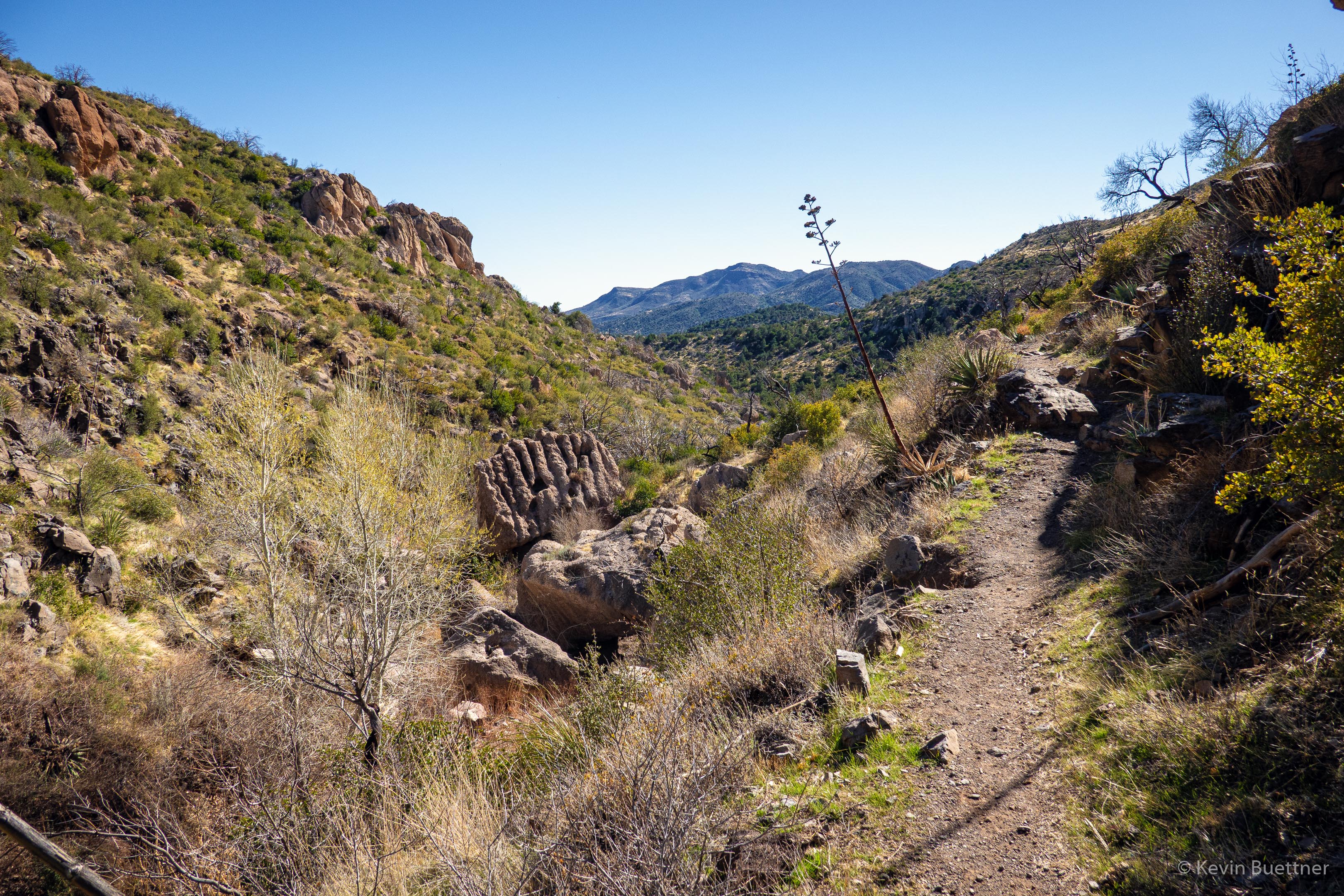
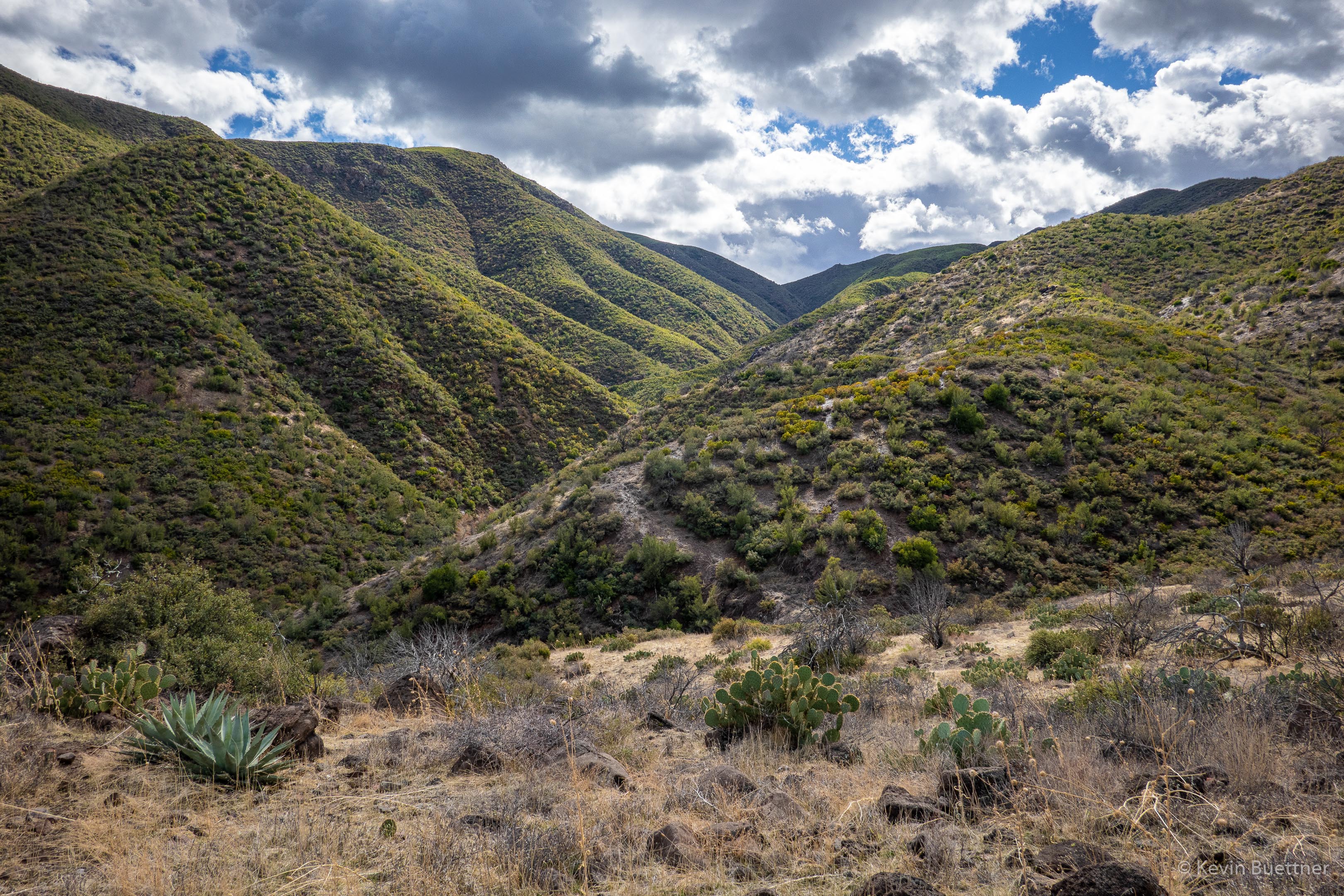
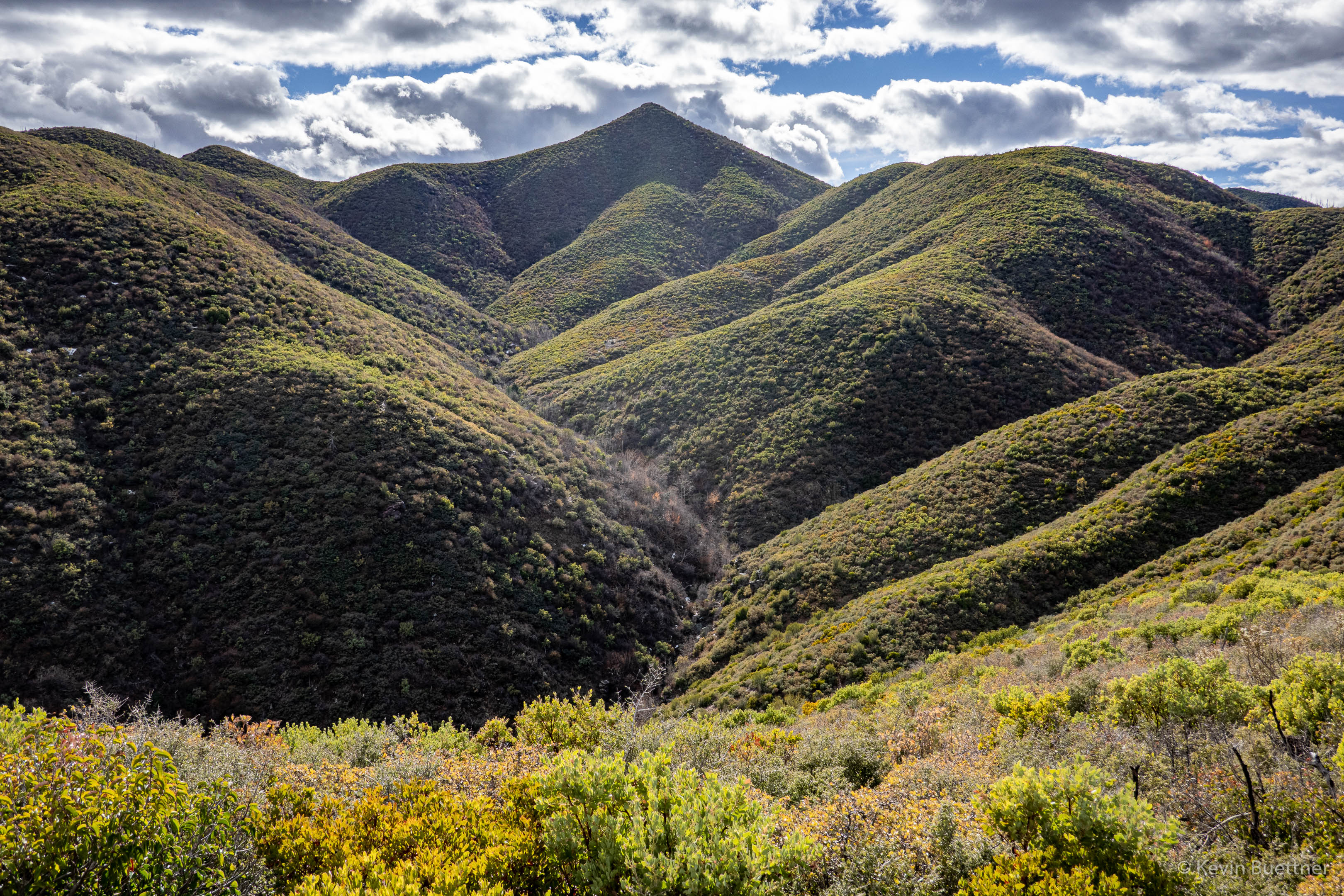
I’ve checked some maps, but could not find a name for this drainage:
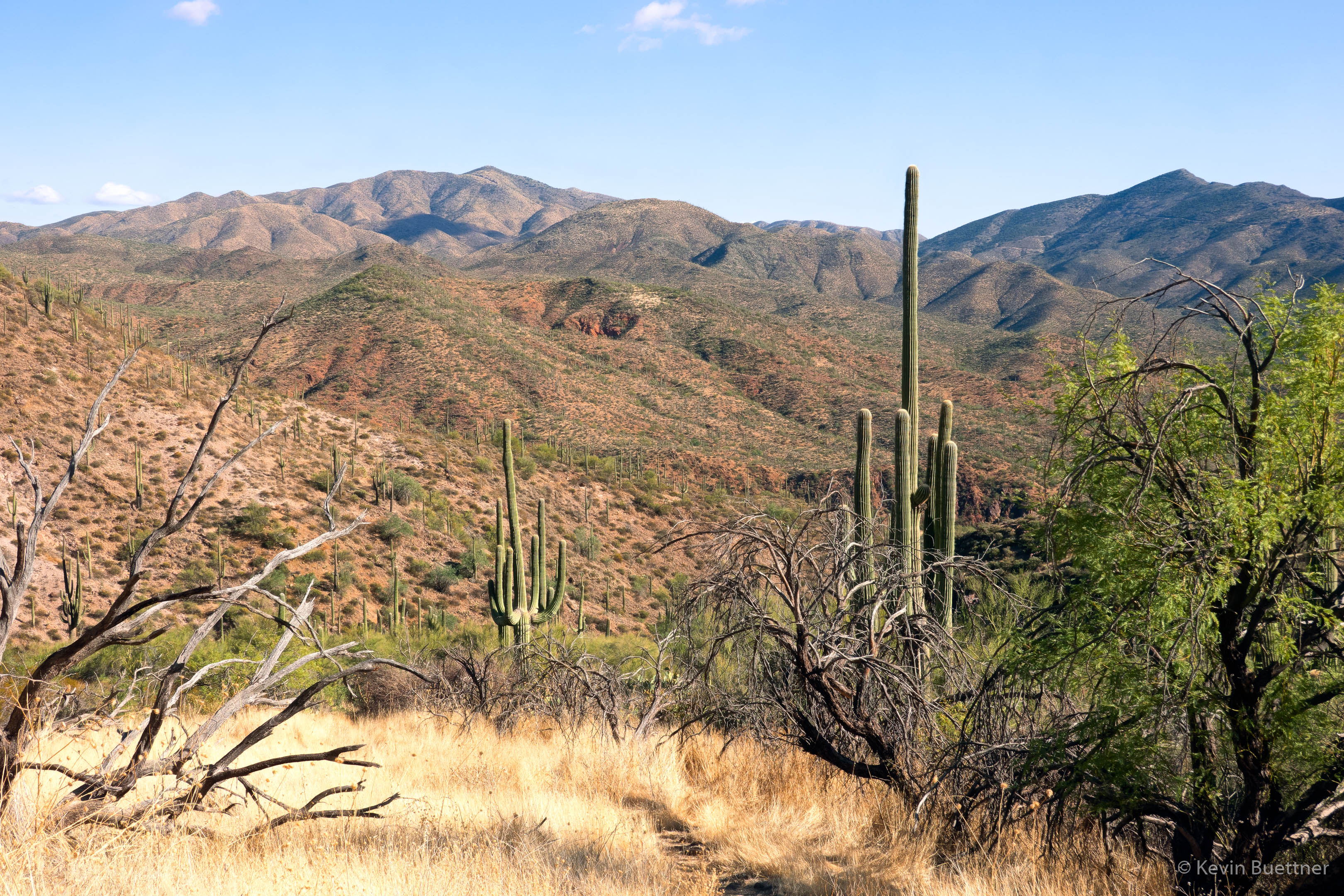
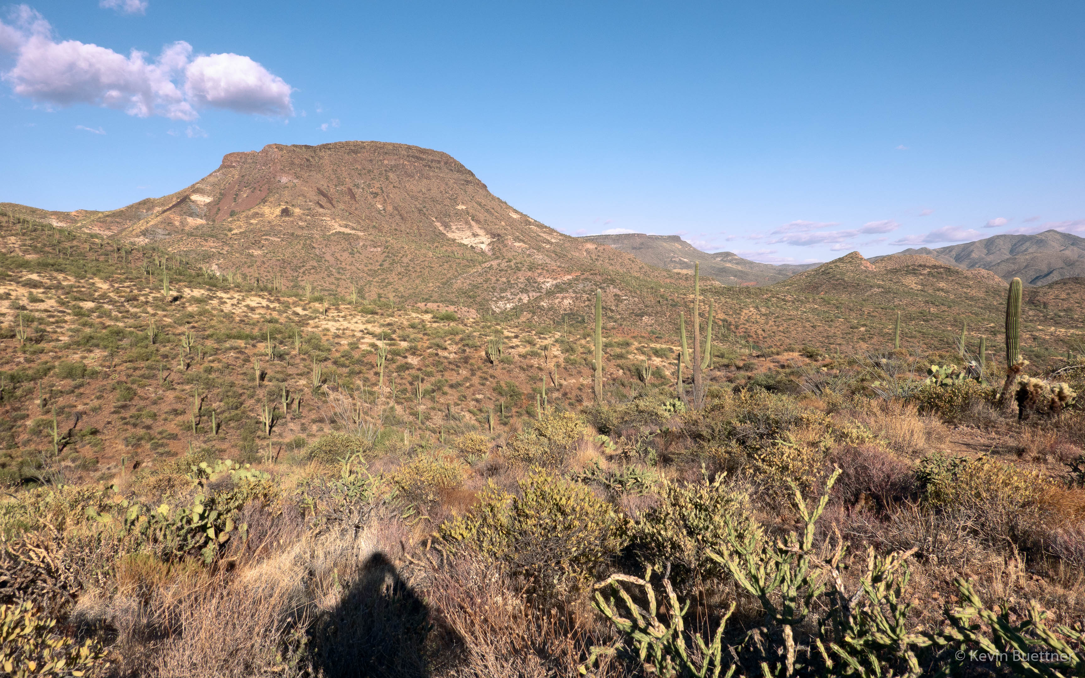
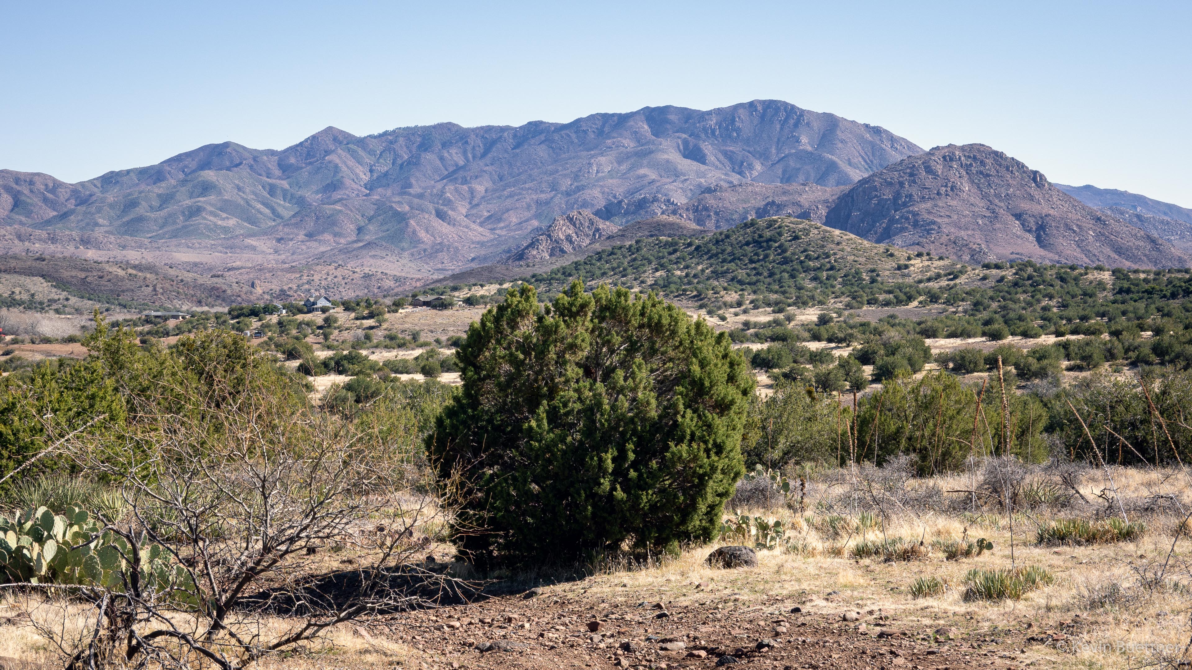
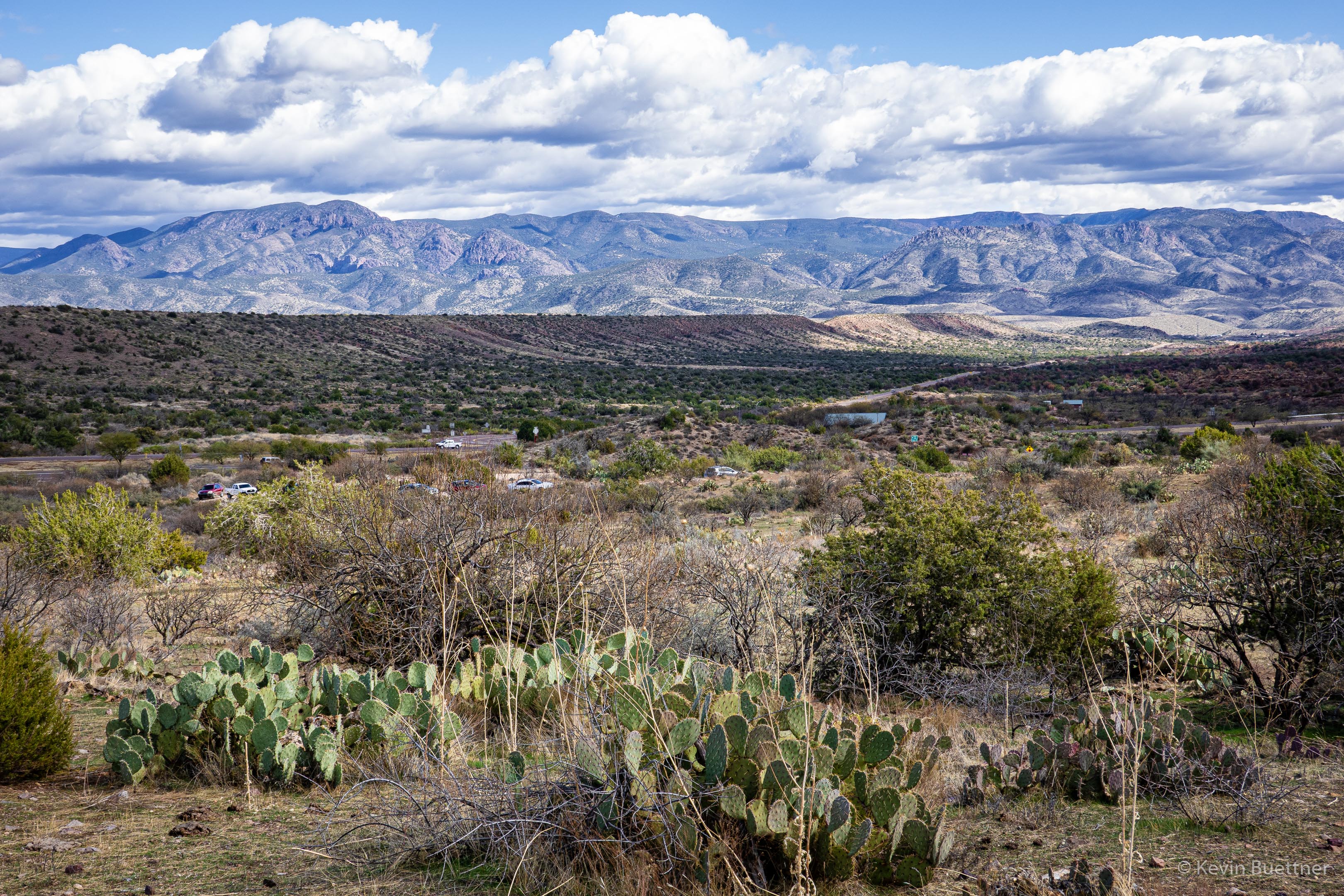
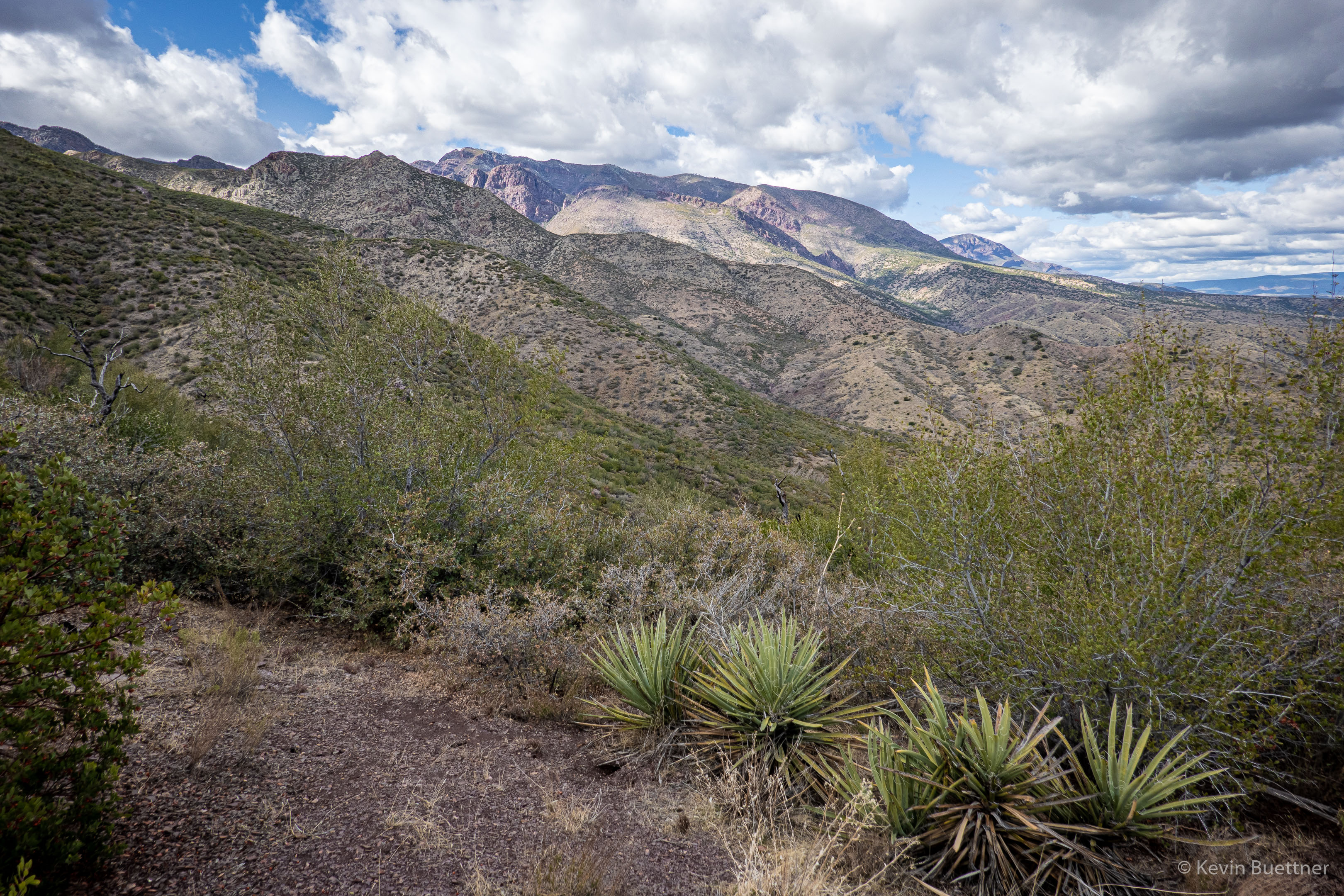
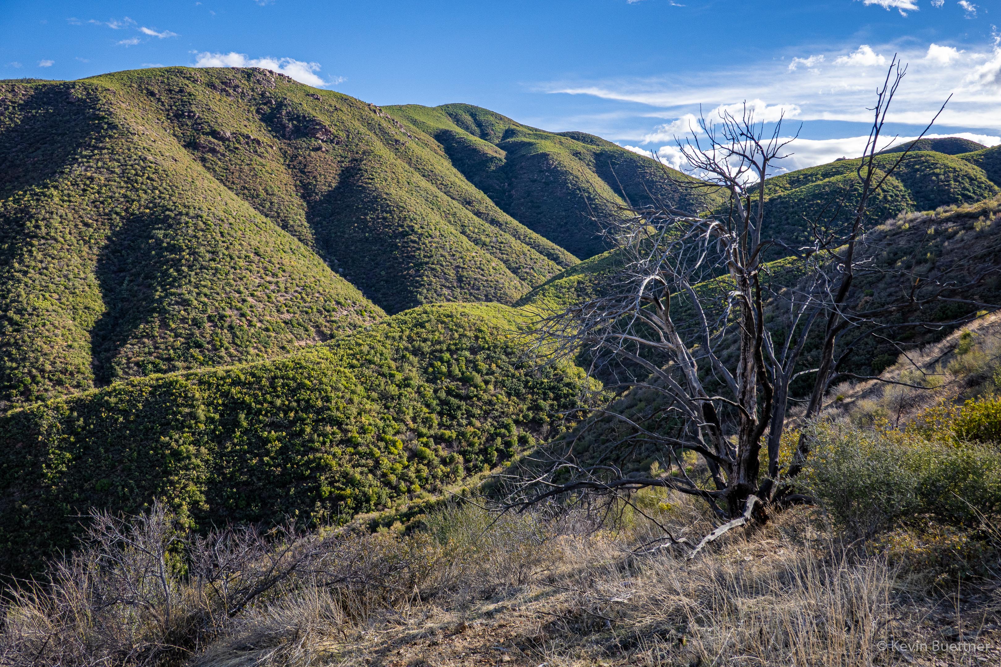
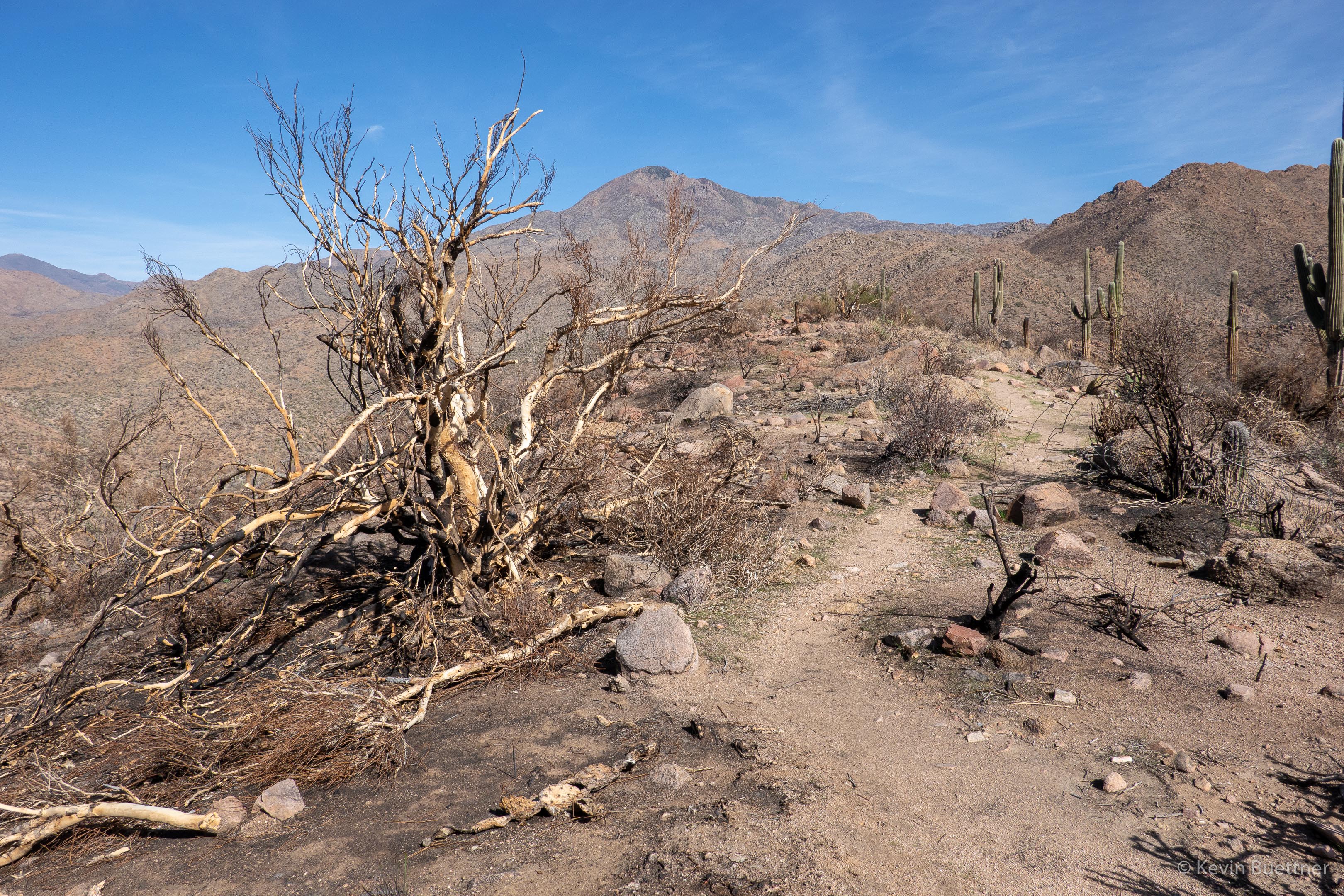
Mount Ord:
It turns out that 344 is the Forest Services number given to the Sunflower Trail. At this point, we’re following the trail back to FR393. This section, as well as the section behind (south) of us is a double track. There was some evidence of motorized traffic, but not as much as I thought there might be. About 0.4 miles from this marker, the trail forks left from this road. I consulted a map to see where the road goes; it seems that it might be an older routing of the Sunflower Trail. The road appears to lead to the tank shown in an earlier photo.
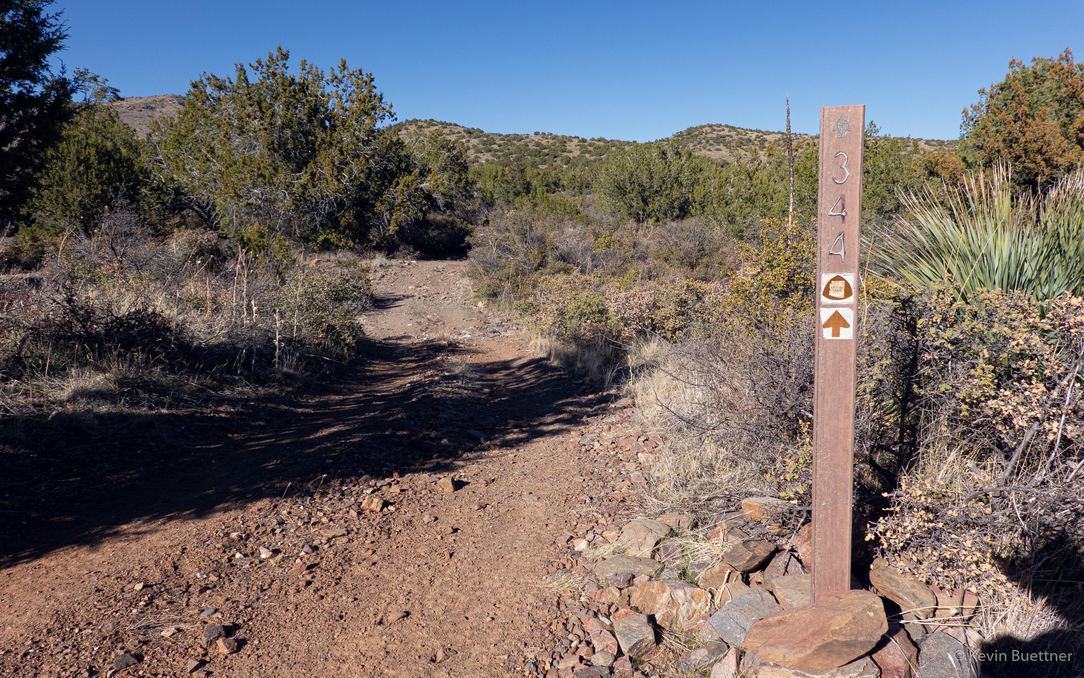
This photo was taken near the junction of 344 (Sunflower Trail) and FR393.
I hiked the Black Ridge Loop on Friday, Feb 19. I had last hiked it nearly a year ago. This hike was very different – not only did I do it alone, but it was considerably drier than last year. Route finding was also easier; it appears that this route is now getting a lot of horse traffic.


Marilyn and I hiked part of the Gold Ridge Trail on Sunday, the 14th. We were relieved to see that it was untouched by the last summer’s Bush Fire.
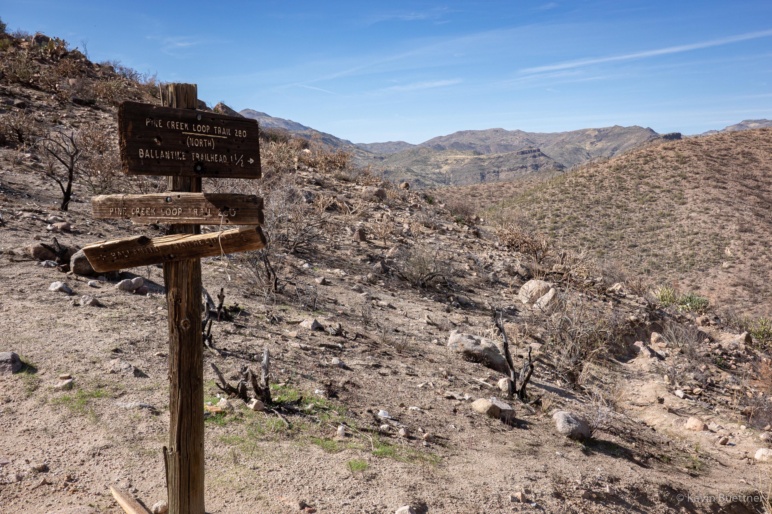
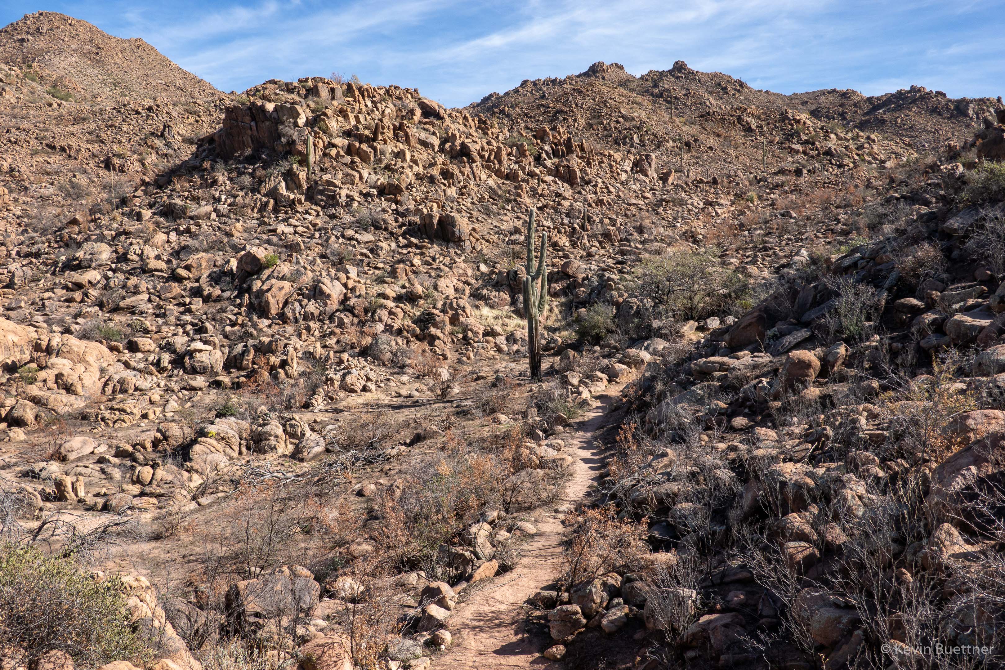
Marilyn and I hiked the Pine Creek Loop and part of the Ballantine Trail on Feb 7, 2021. We’ve hiked these trails many times, but not since the Bush Fire ravaged the area during the summer of 2020. It was kind of depressing; fire burned at least 75% of the area, possibly more. We used to visit this area to see wildflowers, including flowering cacti. Much of this vegetation is now dead. It was sad, too, to see the many burned saguaros.
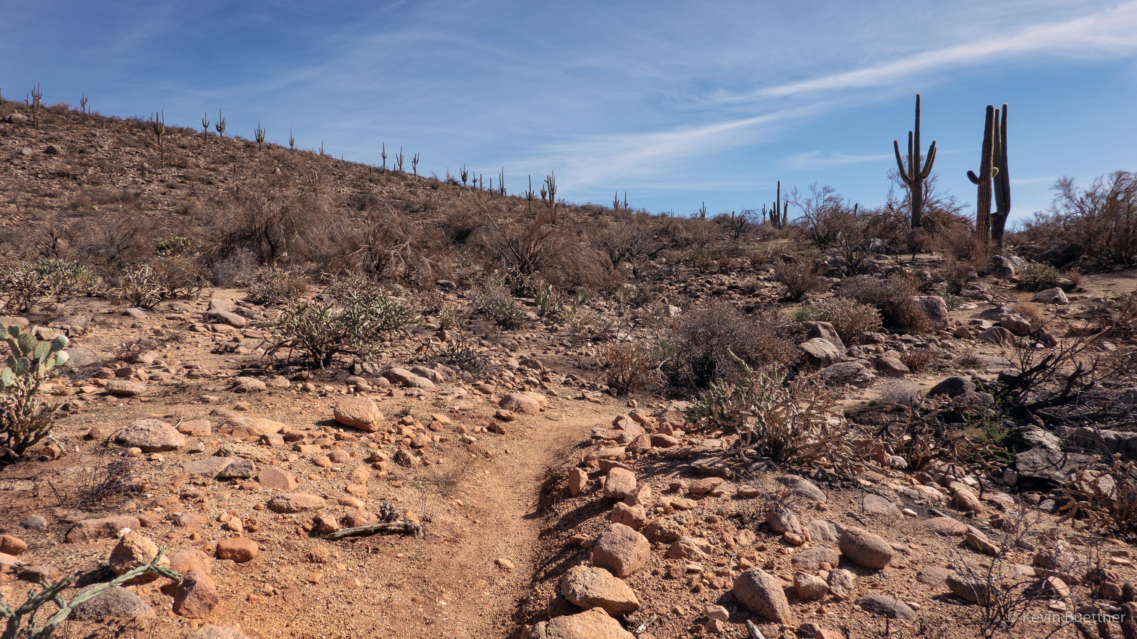
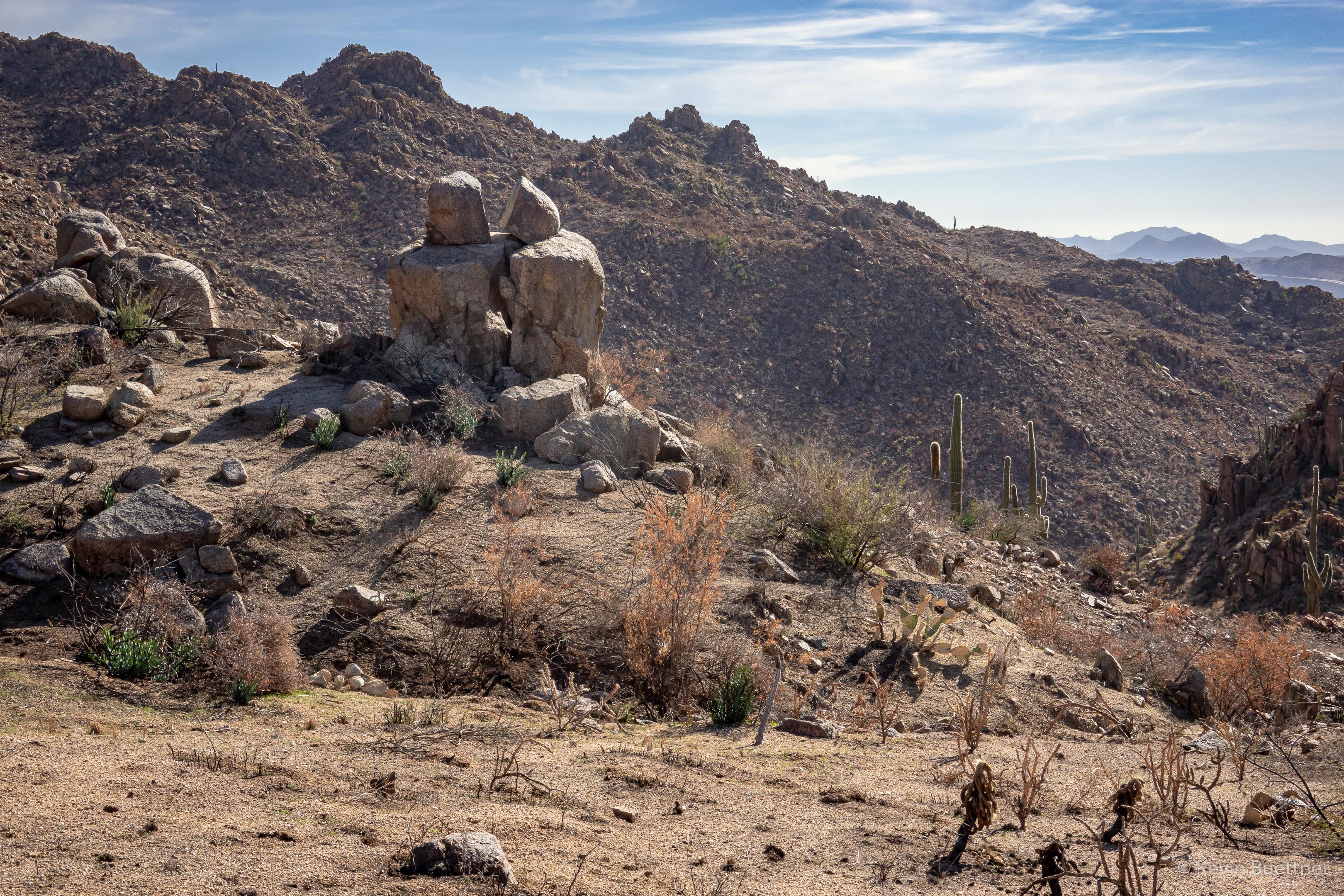
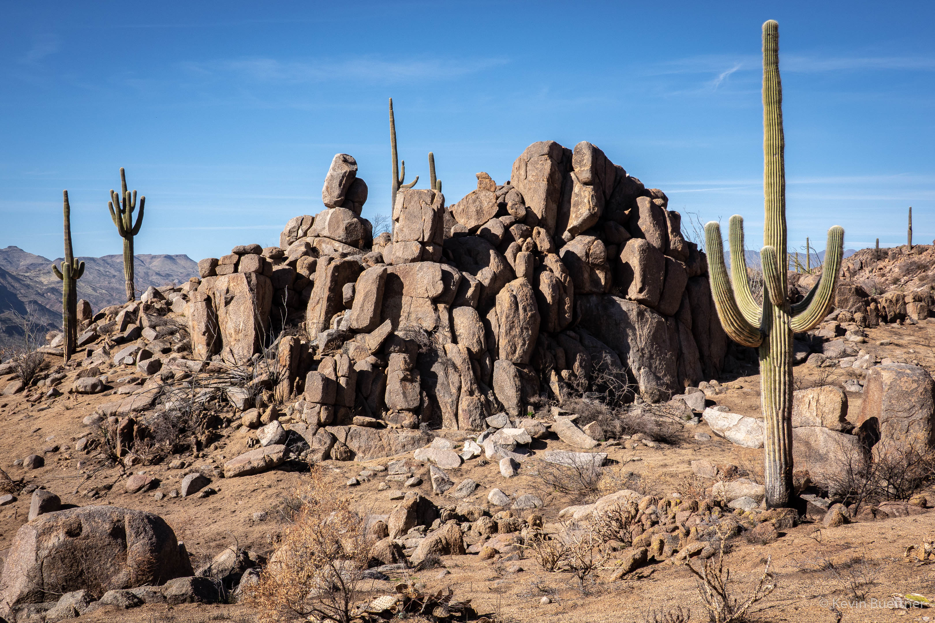
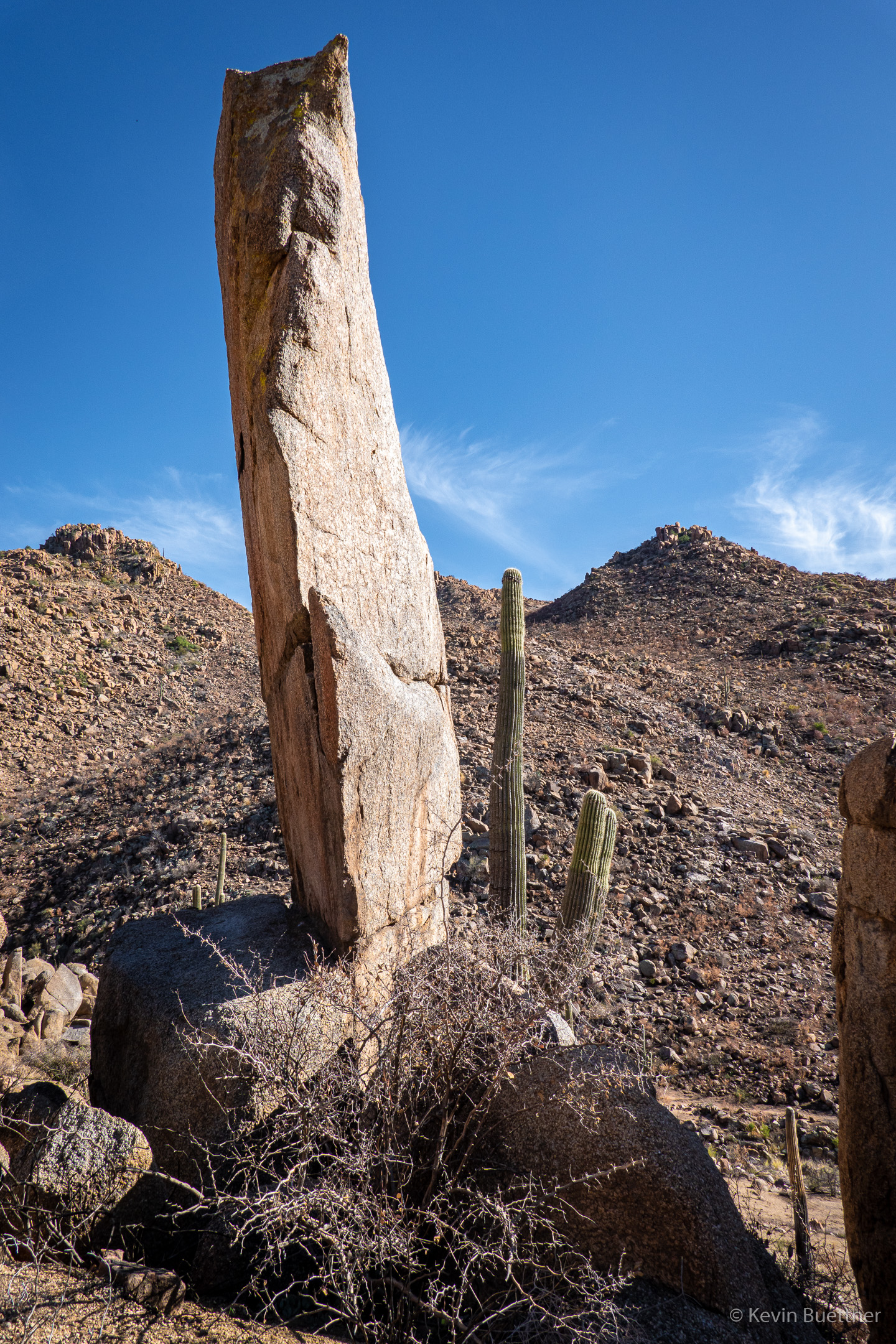
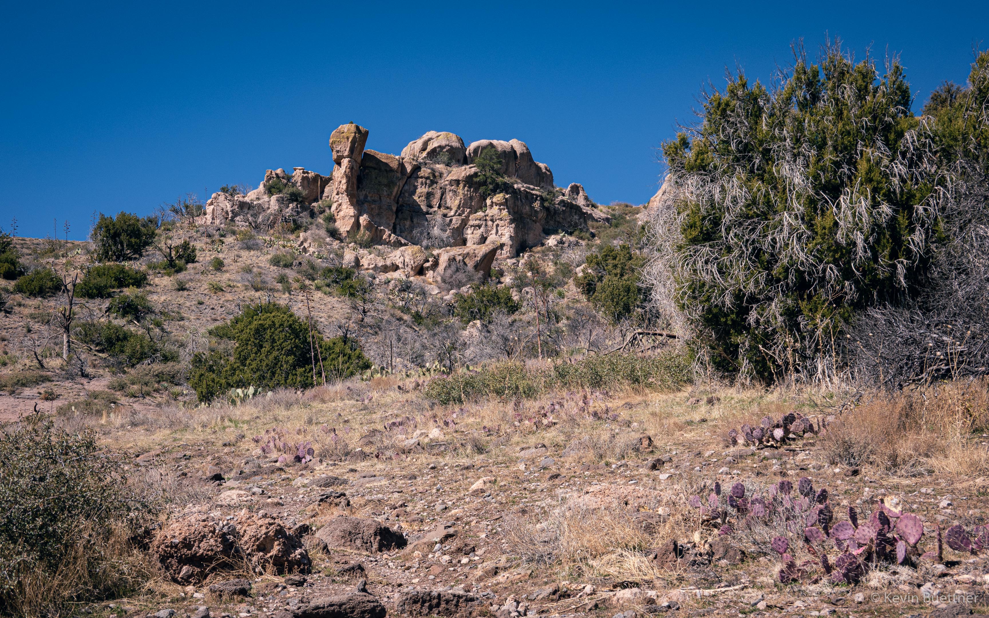
This hill along Pine Creek was one of the few areas that seemed mostly undisturbed by the fire.
Marilyn and I hiked the Spur Cross Limestone Loop on the Friday after Thanksgiving. We saw more people on the Limestone Trail than I expected. (Route finding on this trail used to be somewhat difficult. It’s easier now, though there are still a few places where you can go astray.)