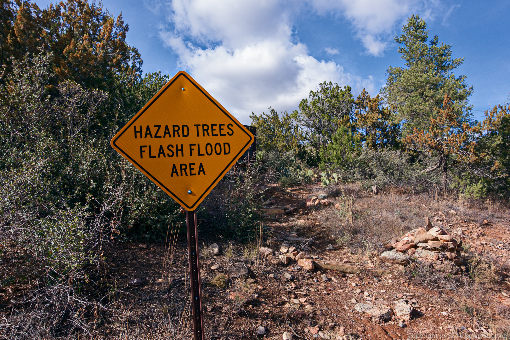
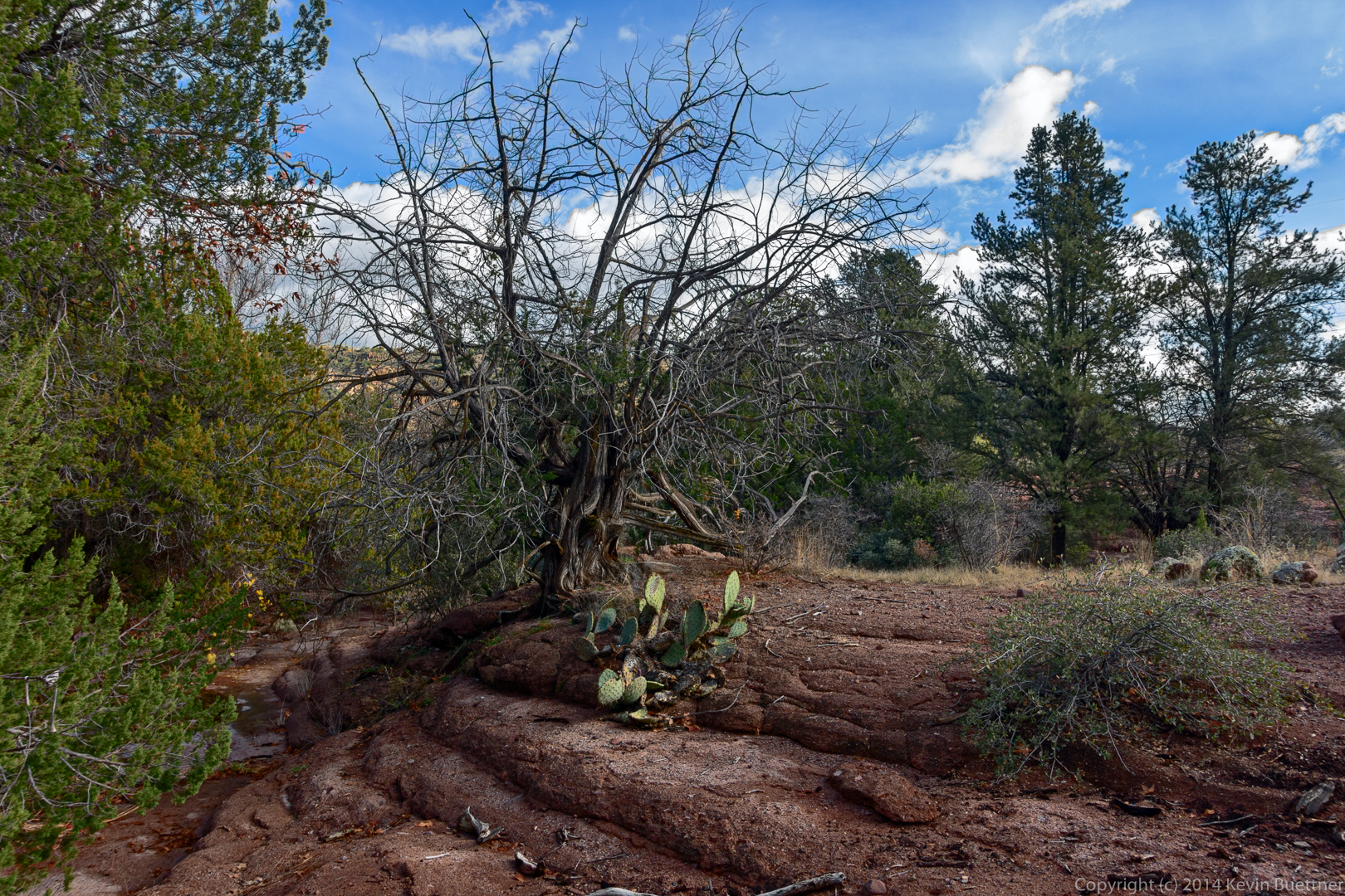
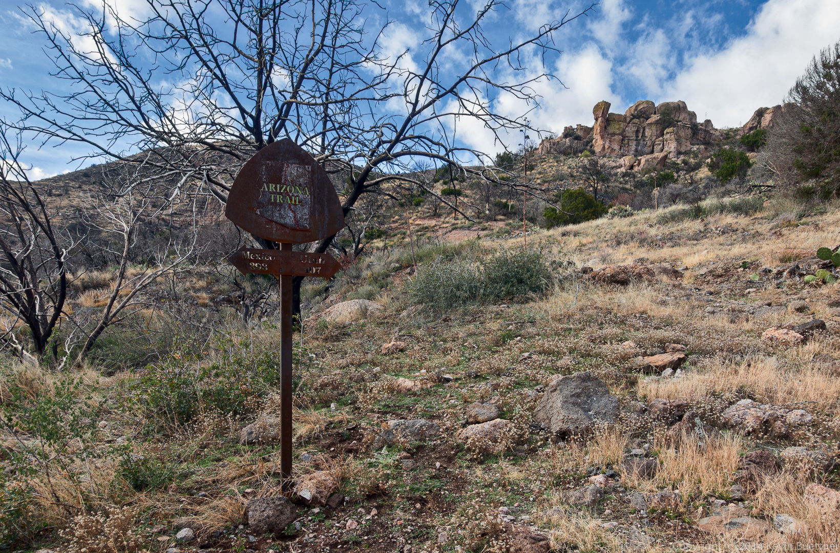
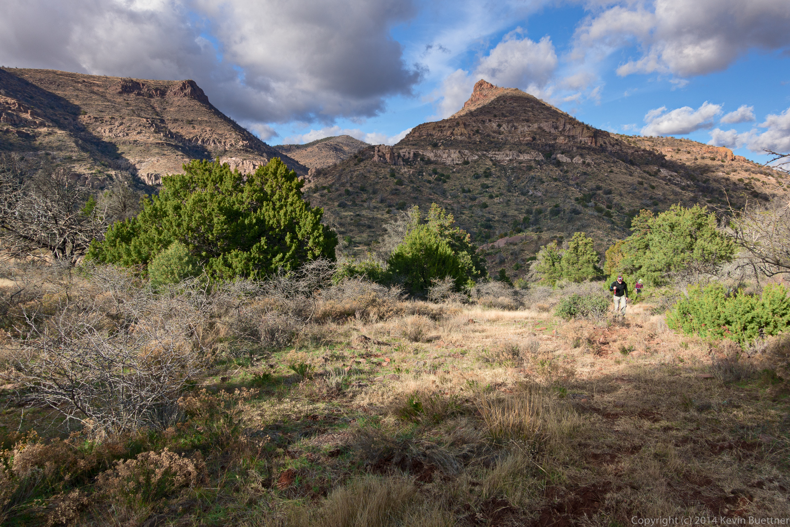
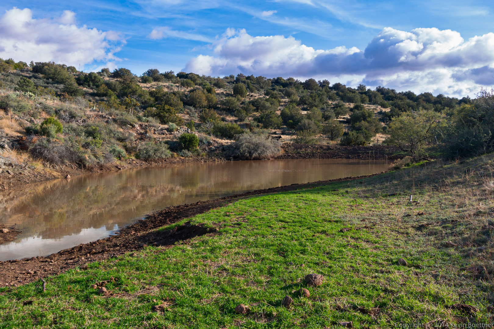
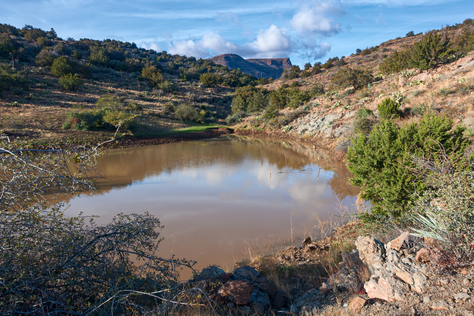
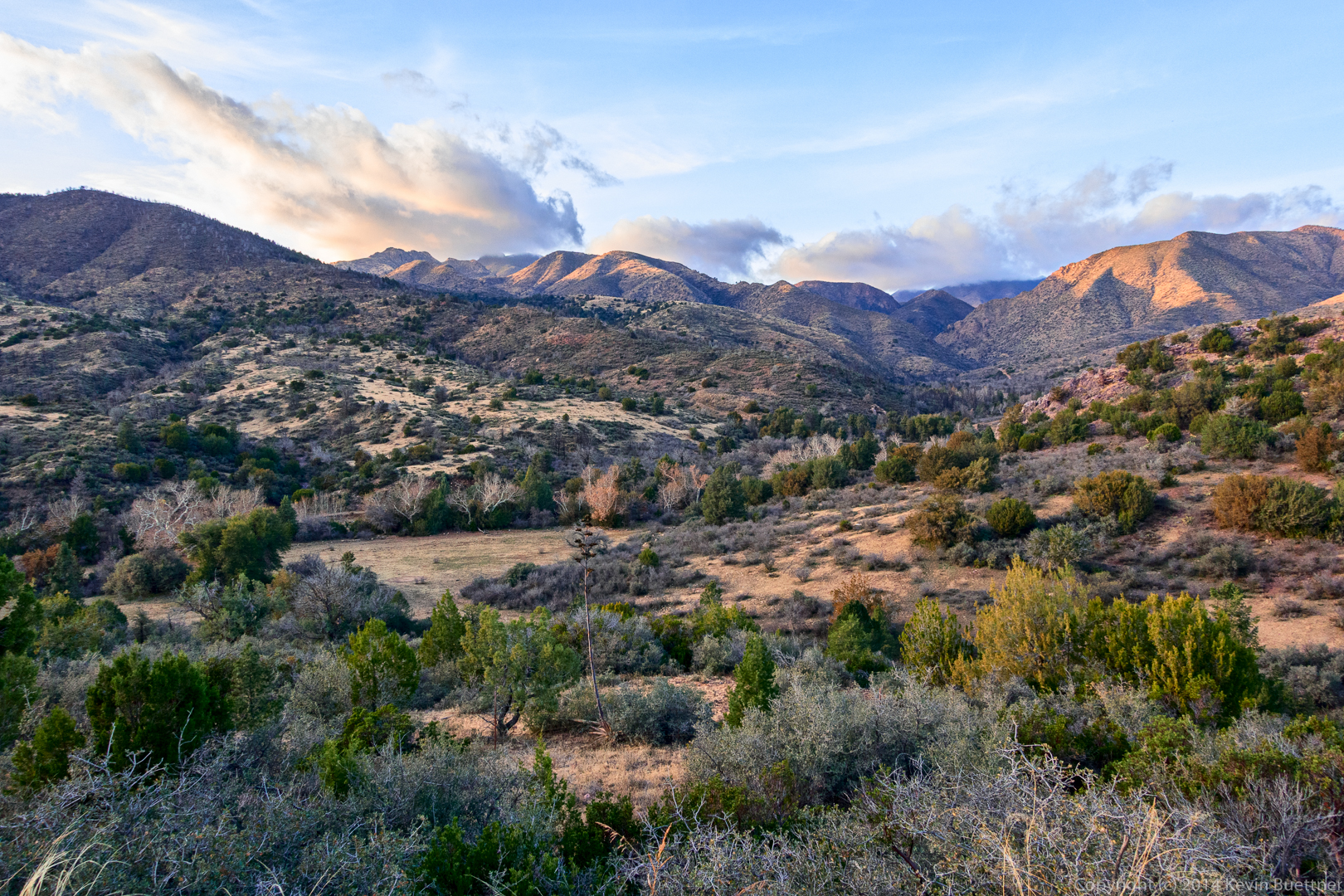
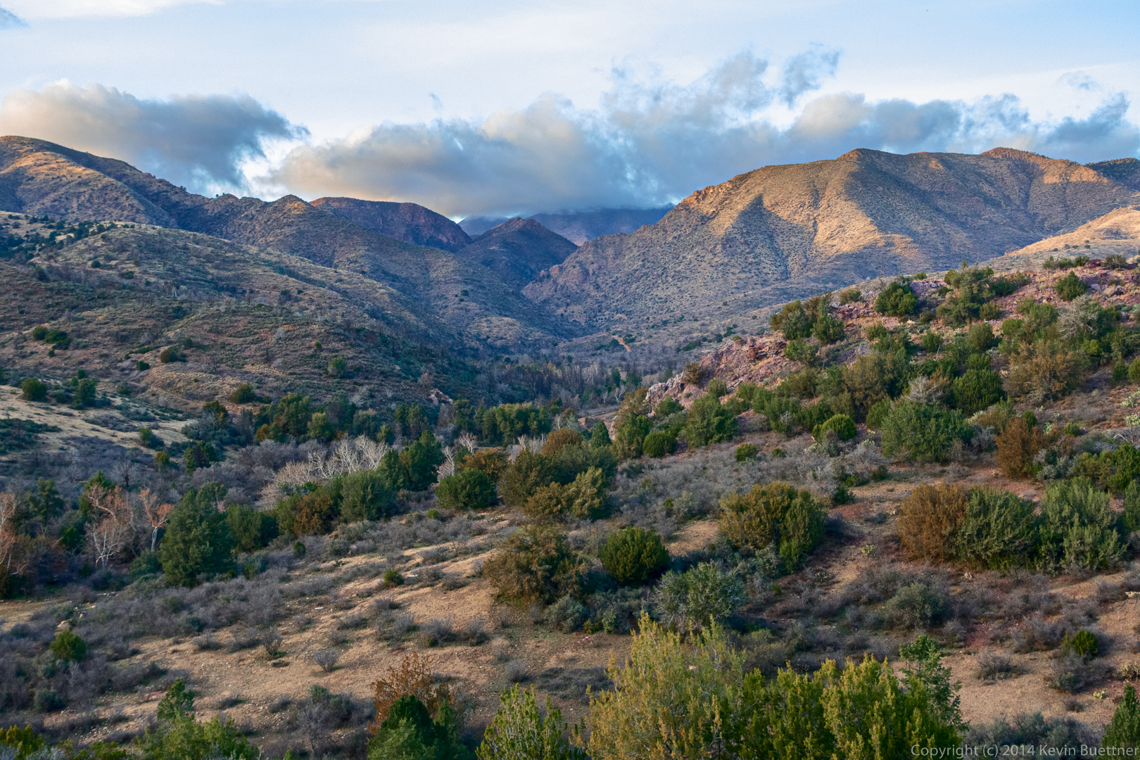
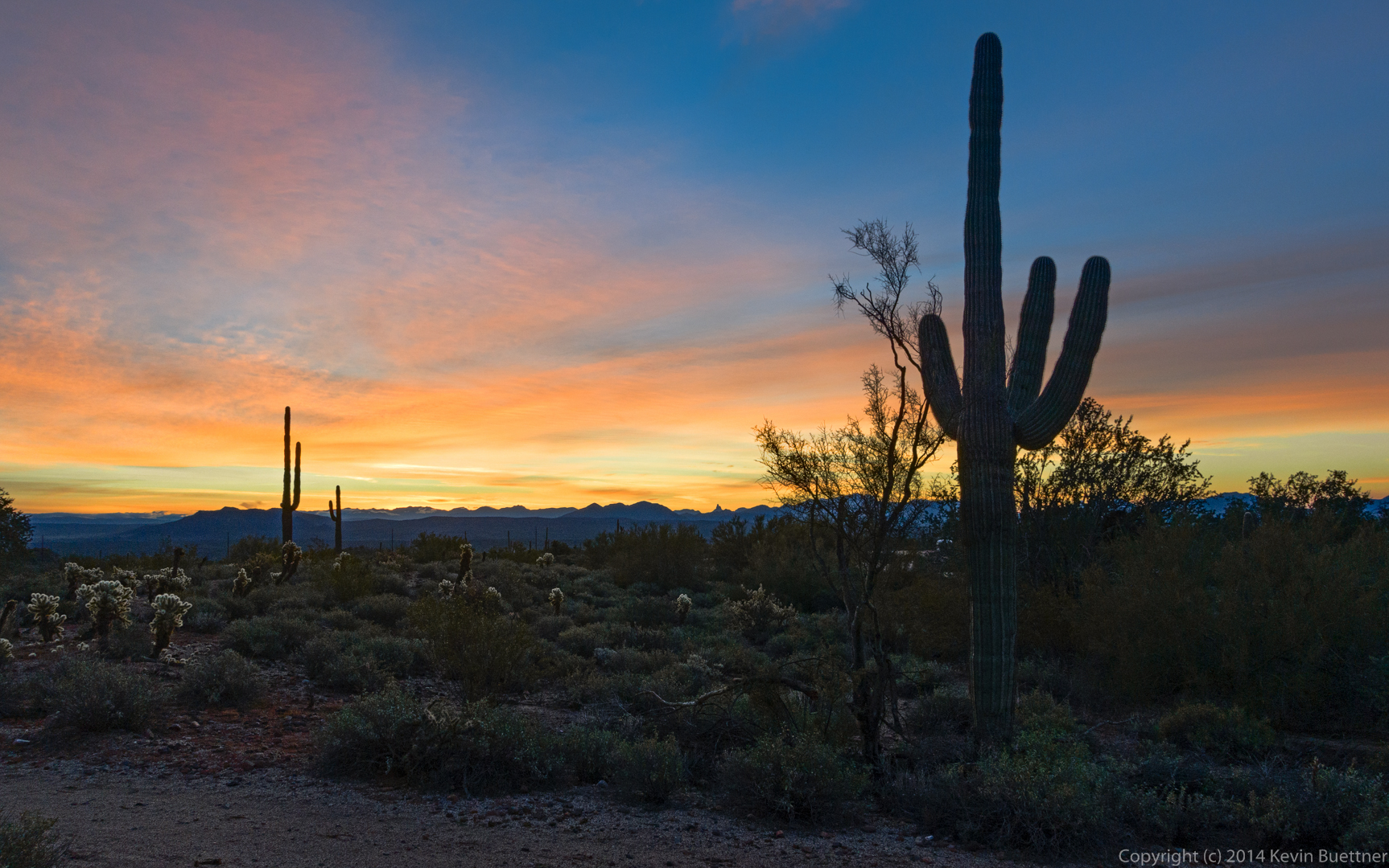
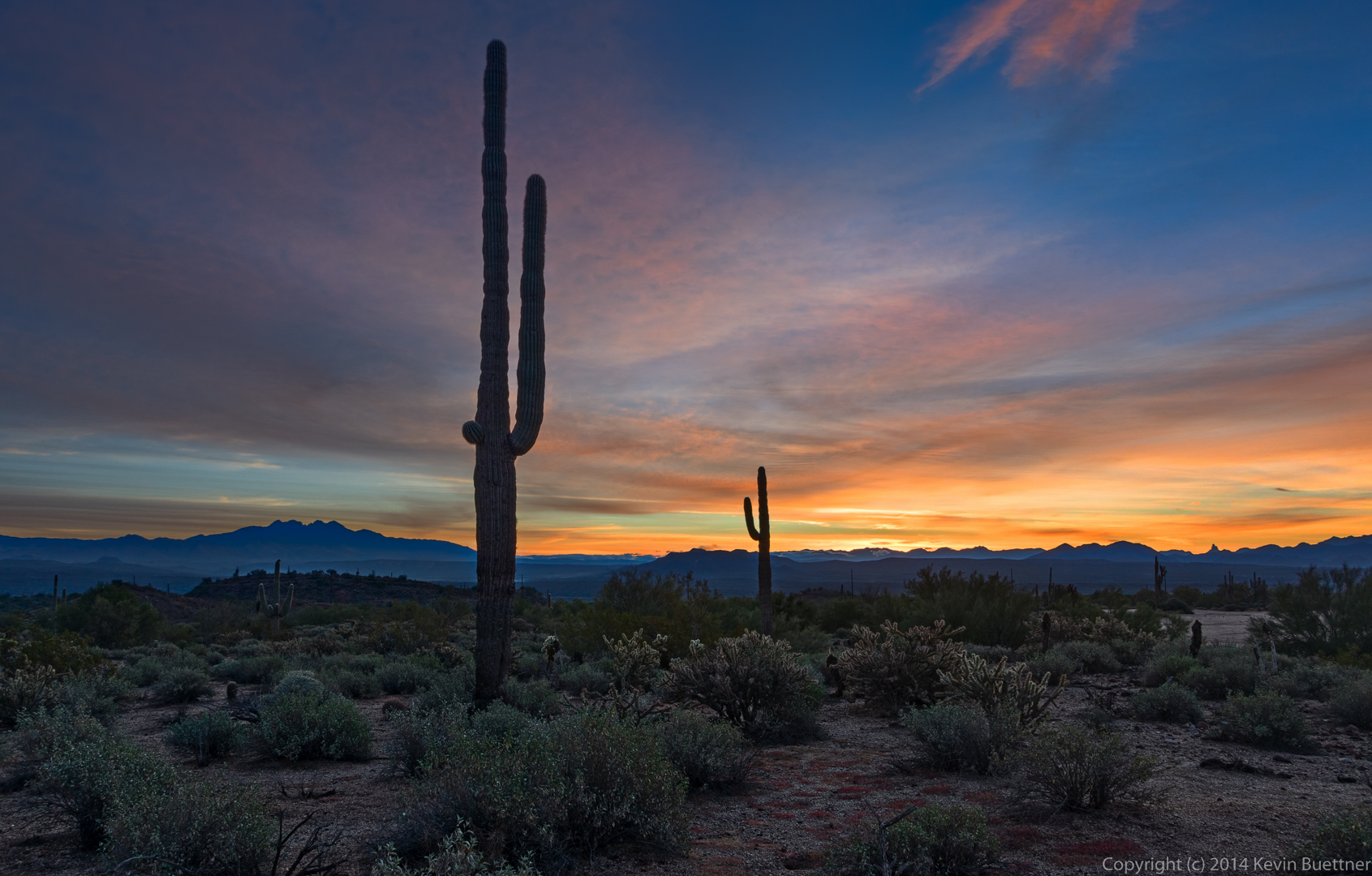
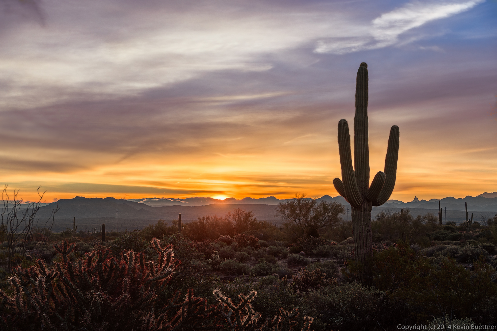
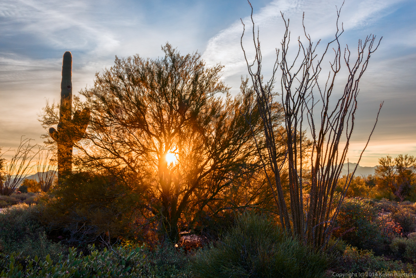
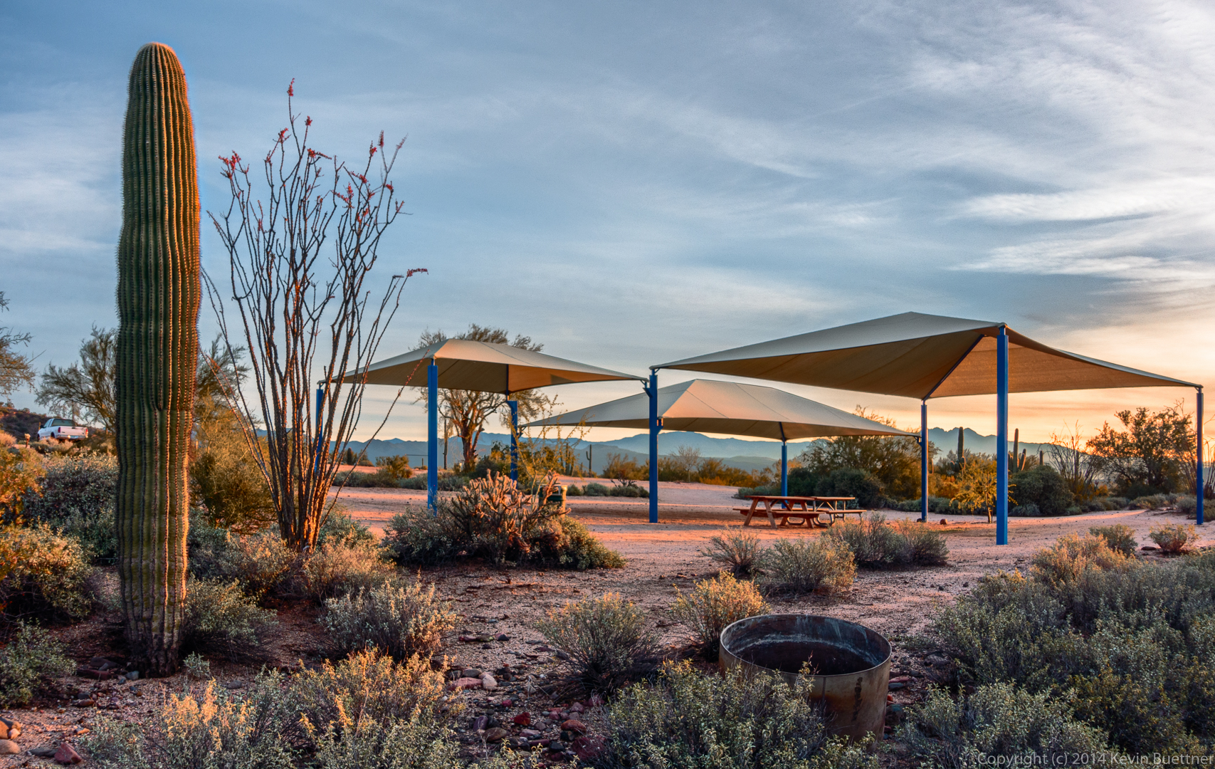
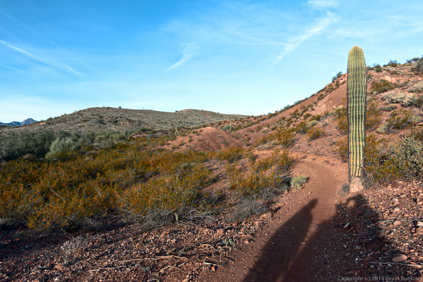
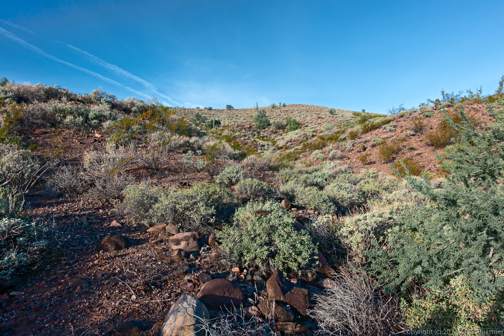
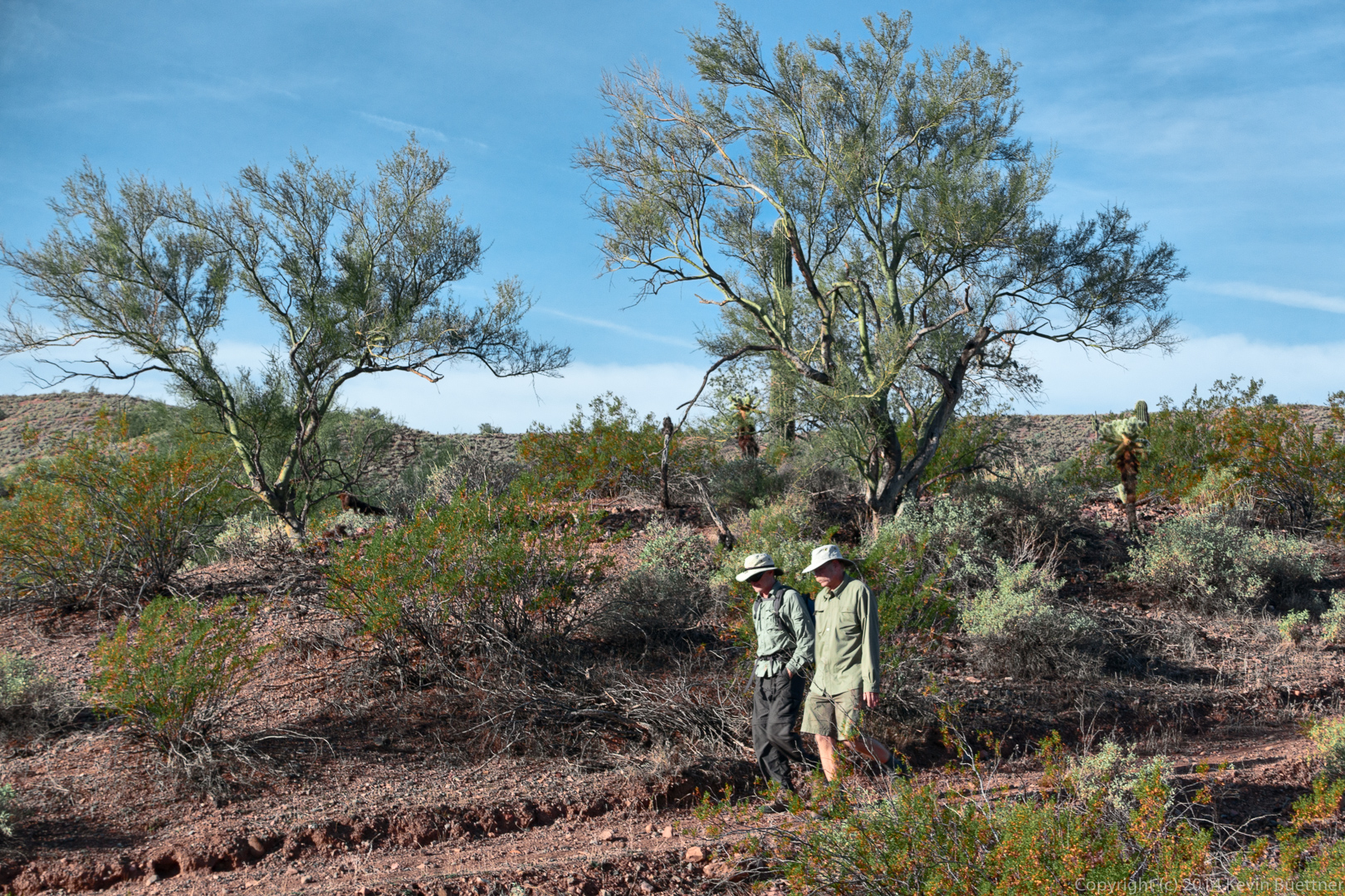
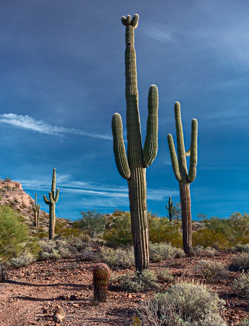
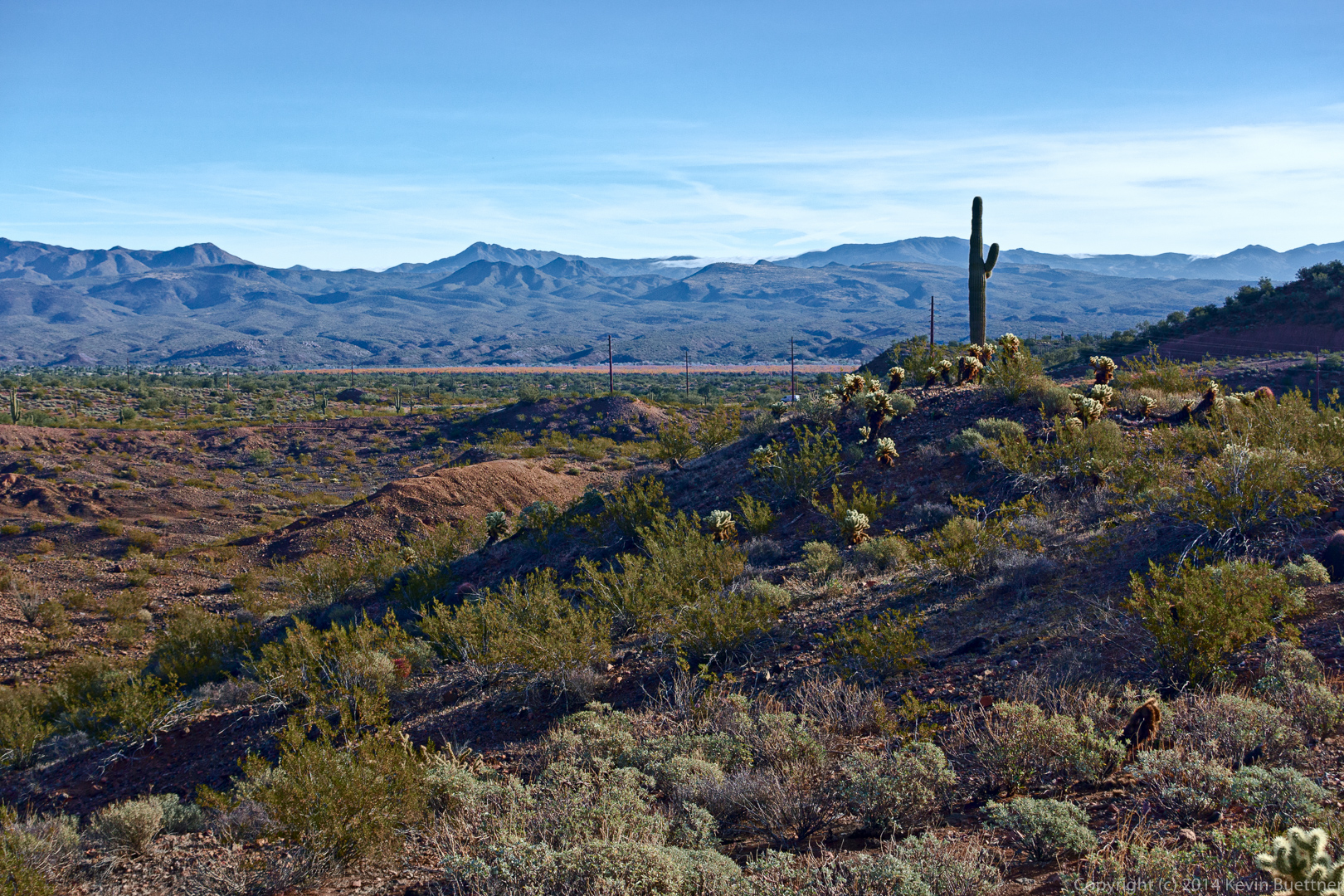
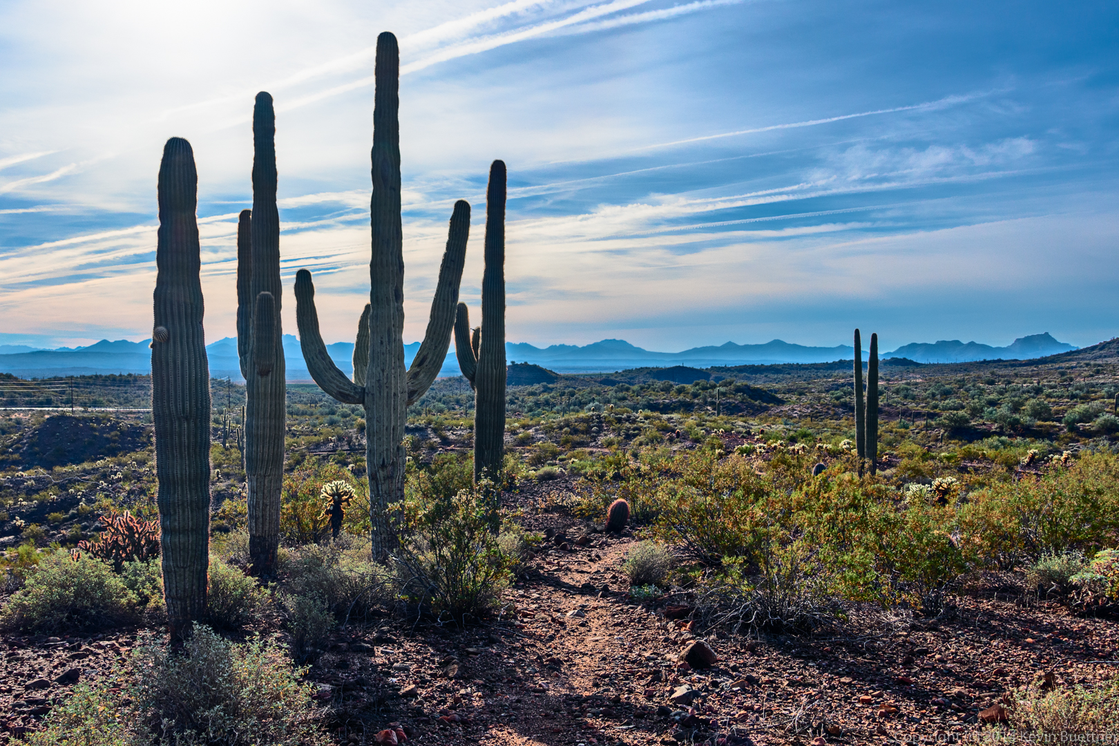
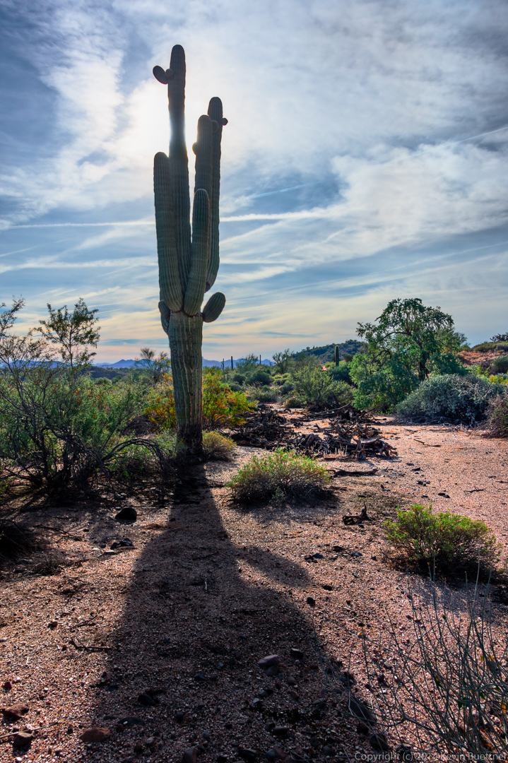
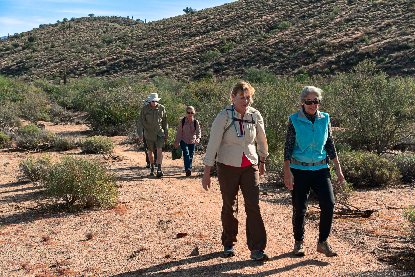
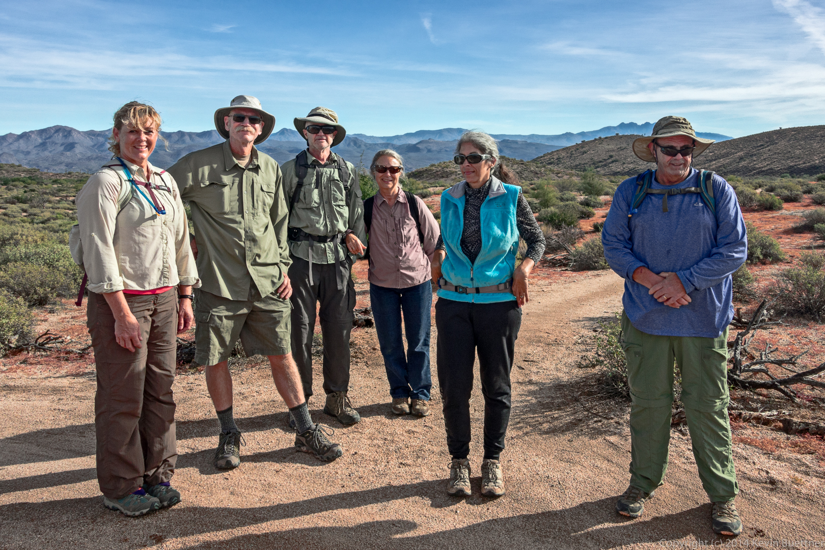
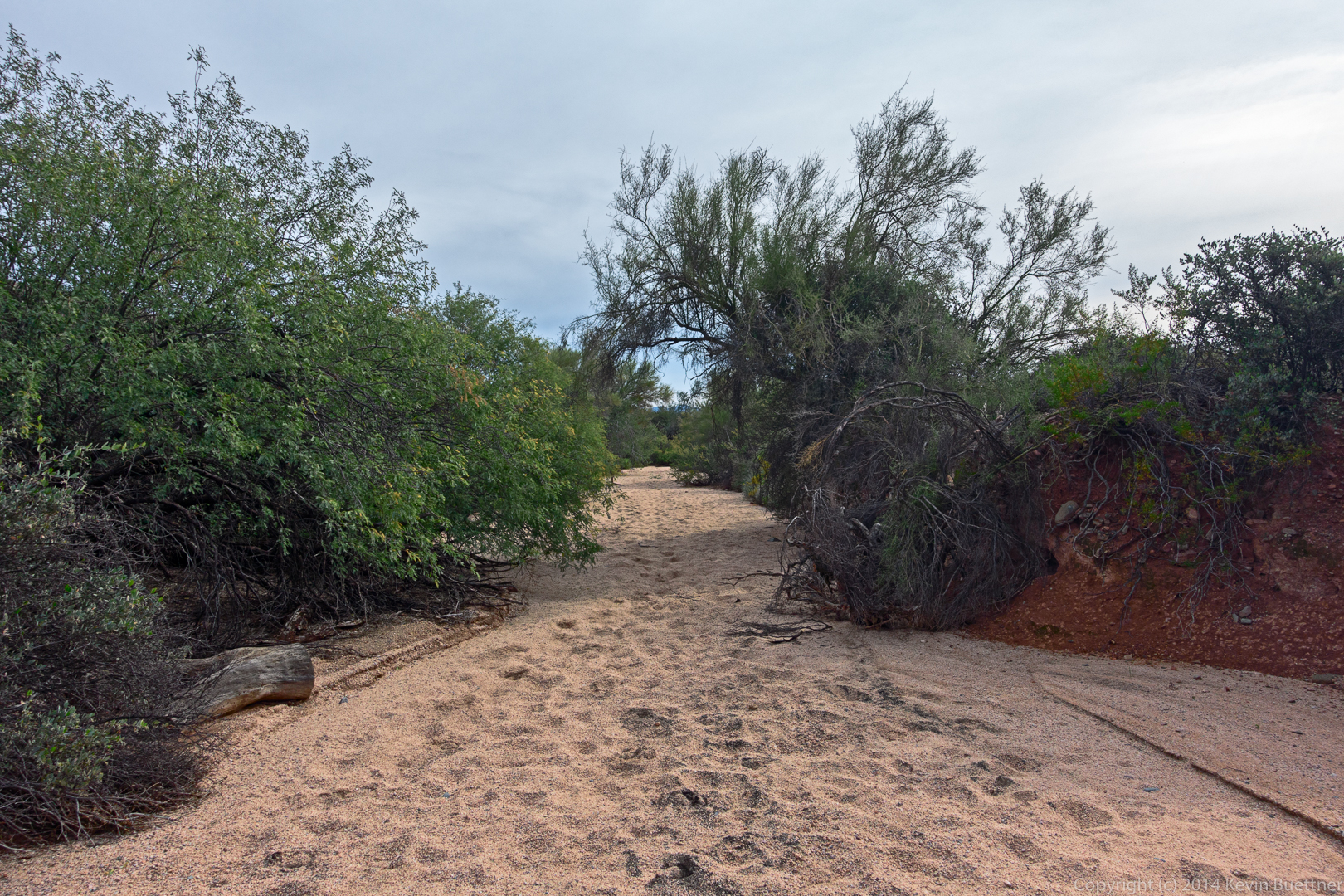
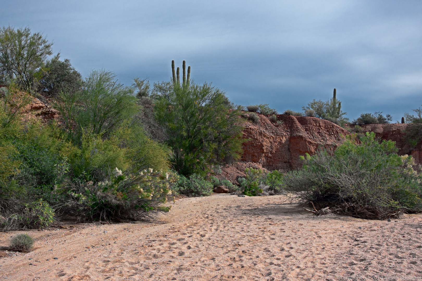
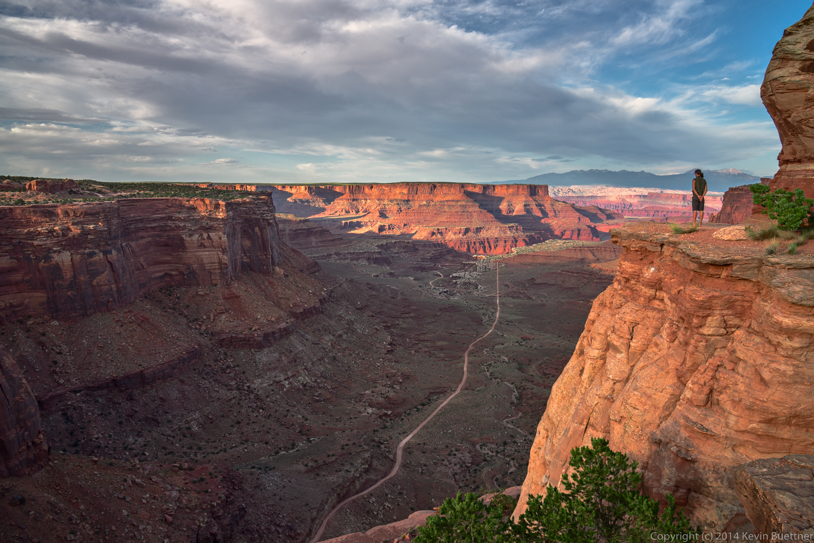
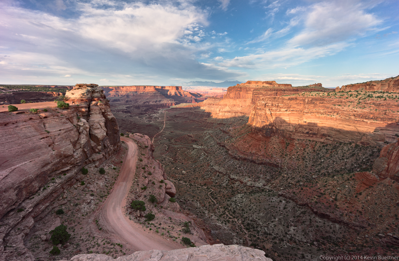
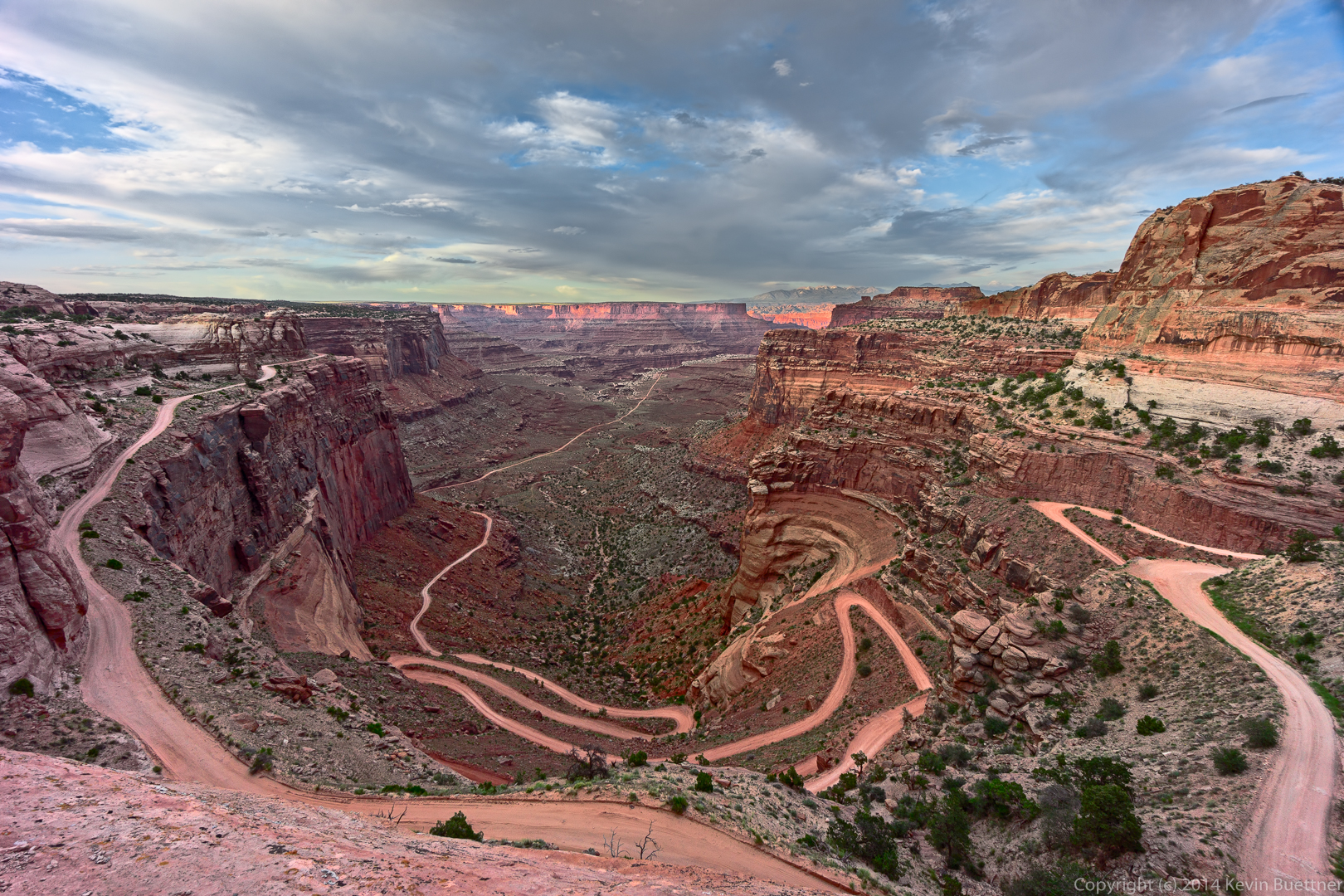
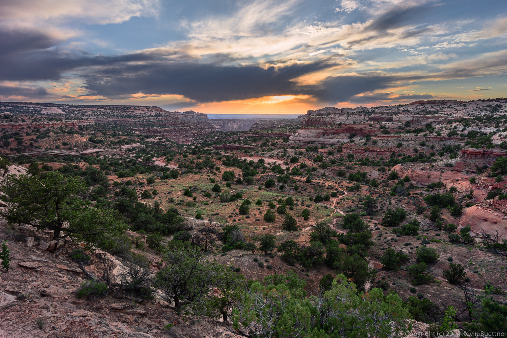
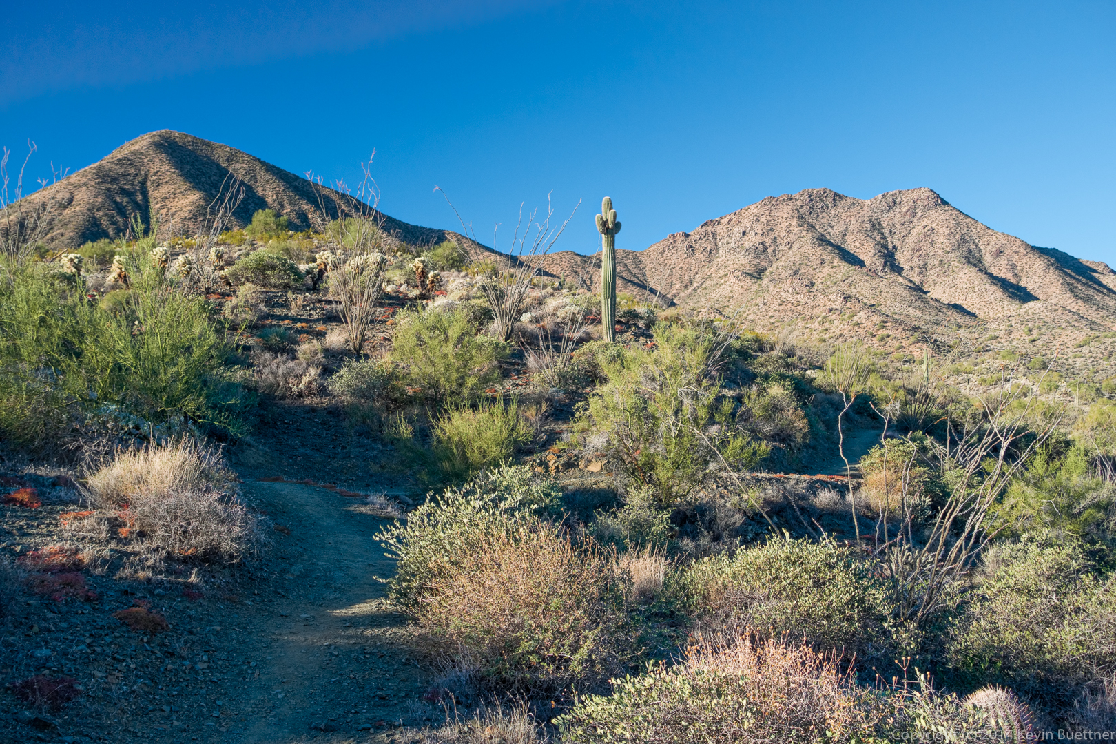
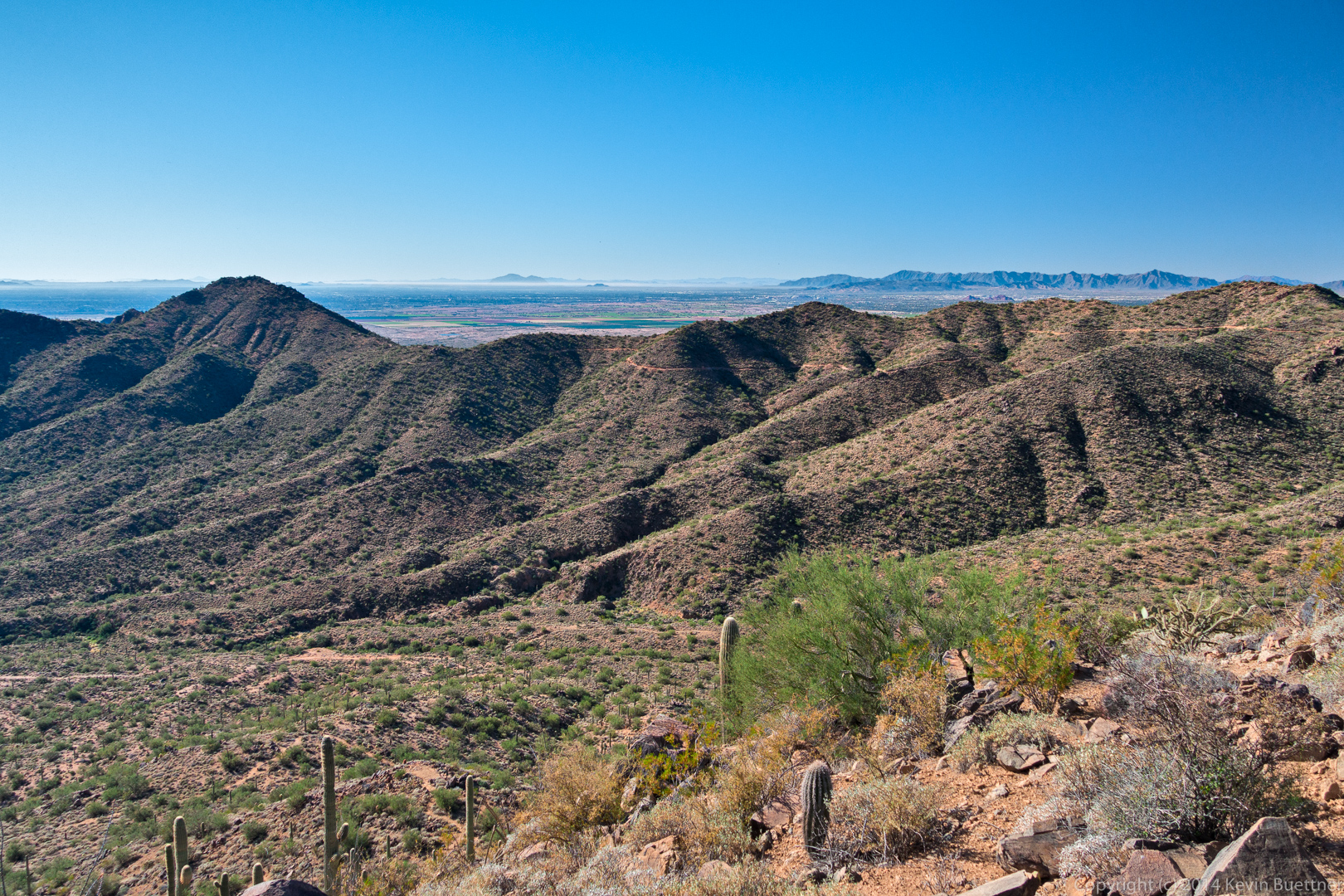
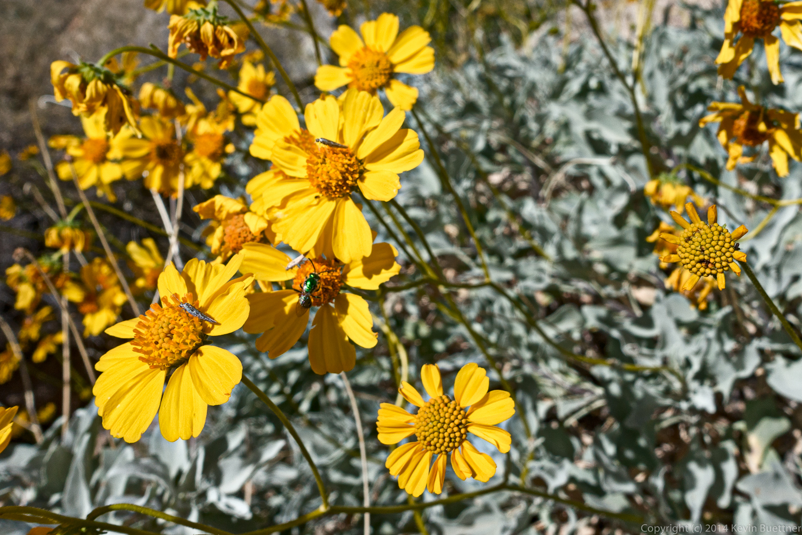
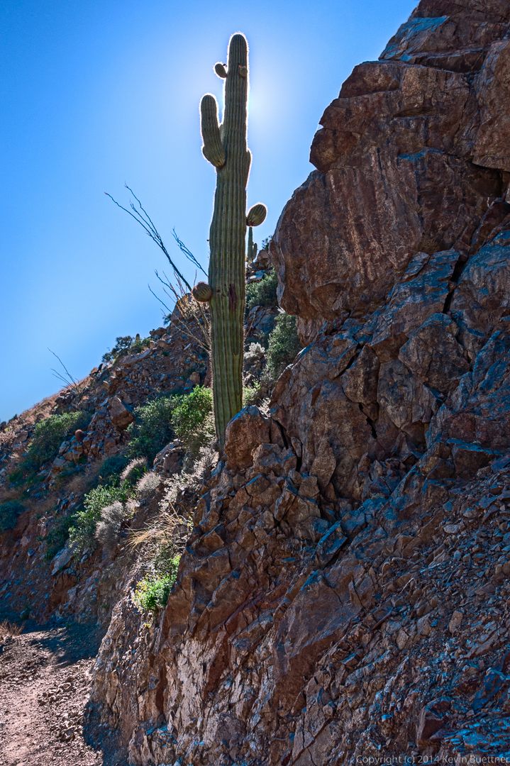
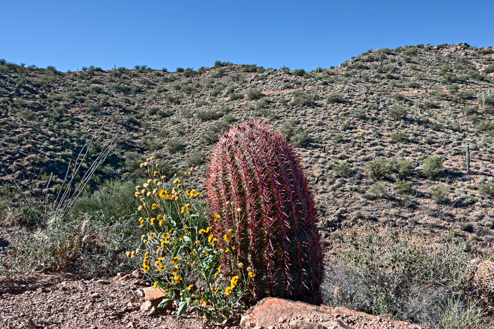
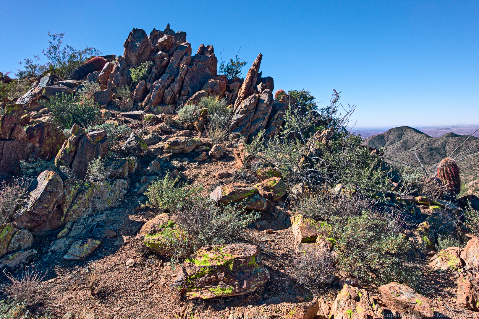
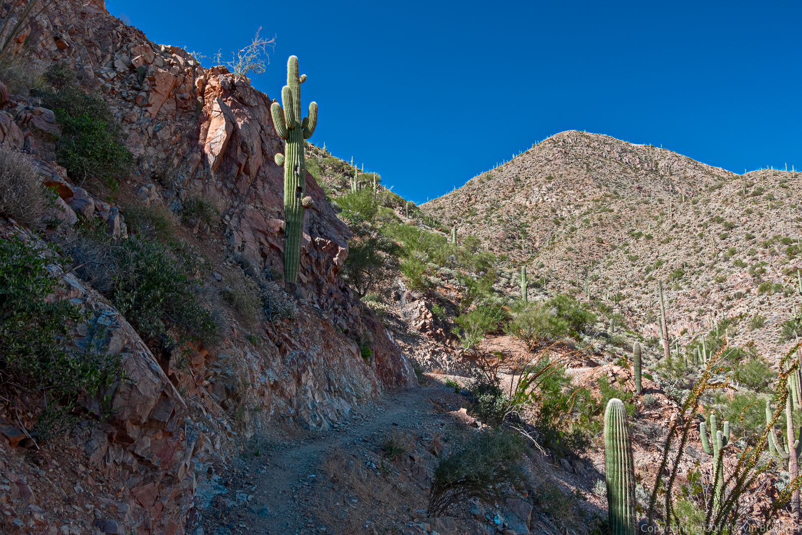
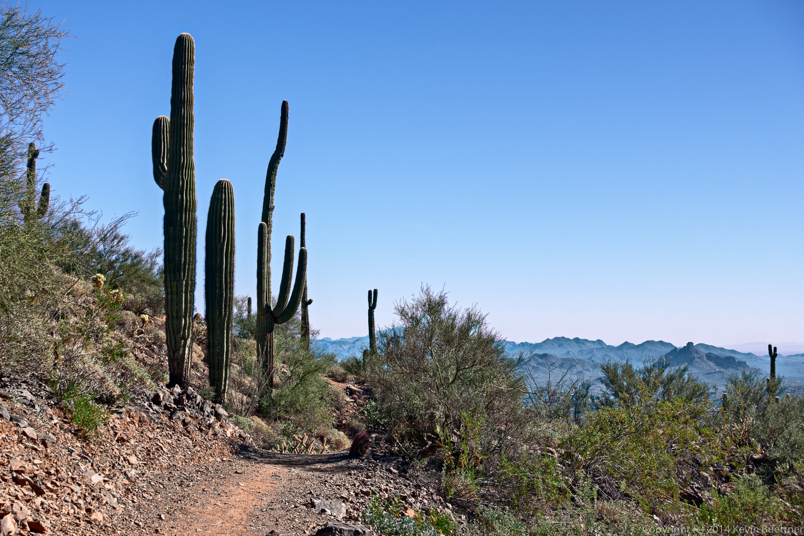
Marilyn, Nick, and I did a short (4 mile) hike starting from the Cross F Trailhead. We hiked south a short ways on the Arizona Trail and returned via a service road.
Month: December 2014 (page 3 of 3)
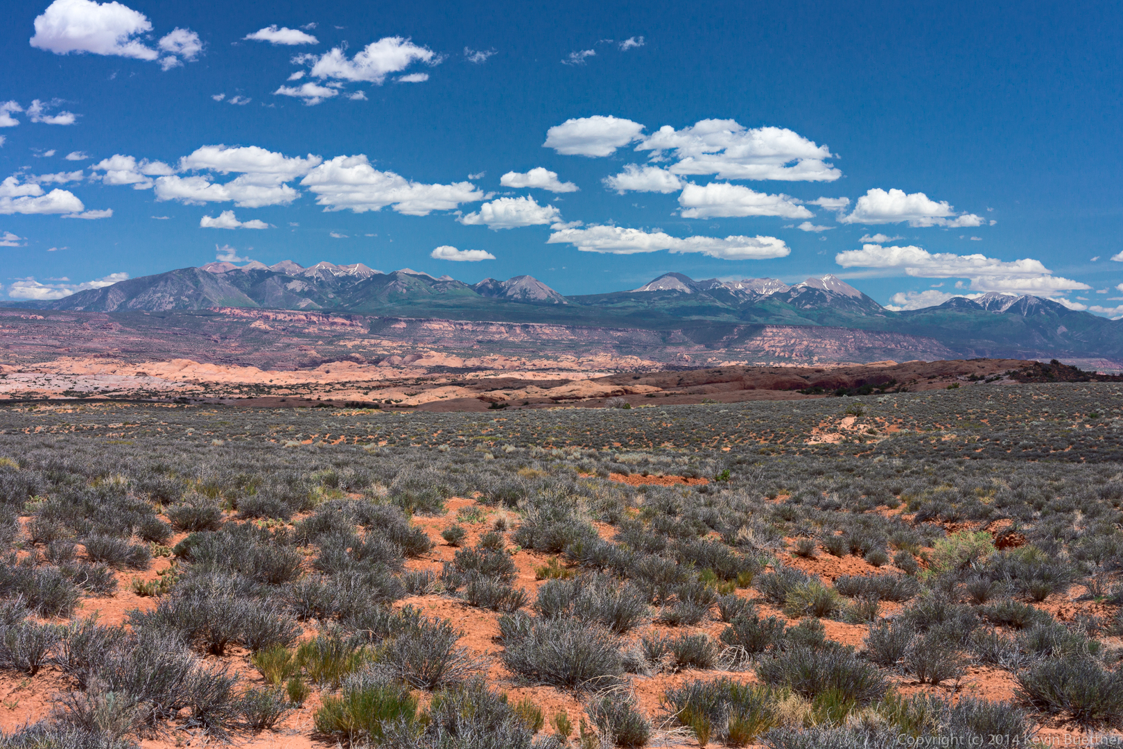
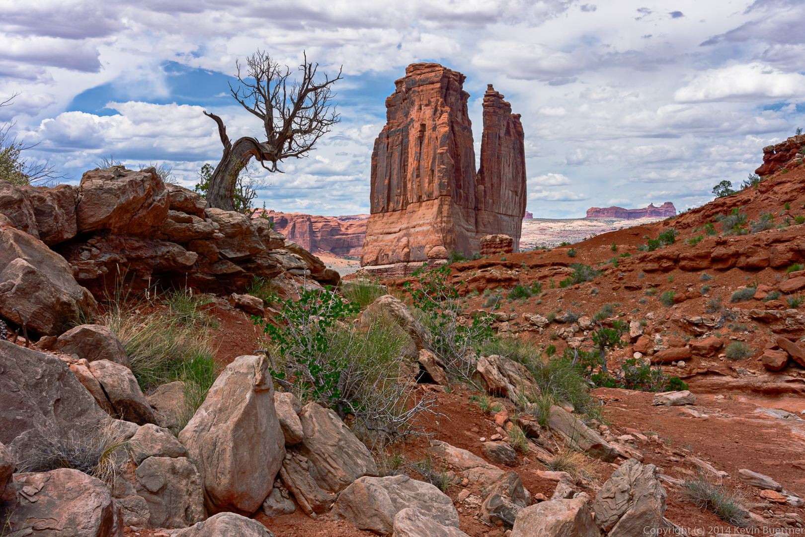
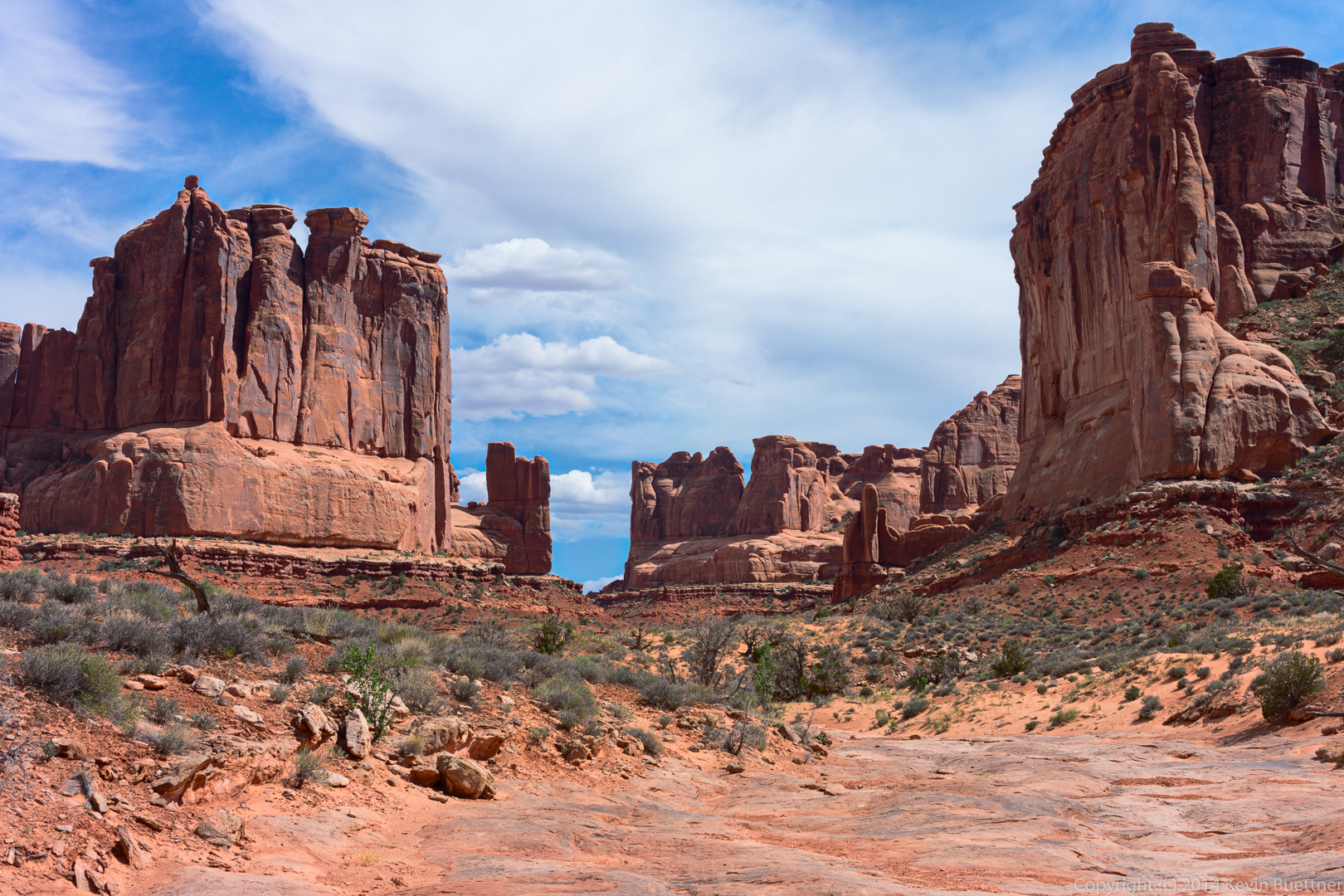
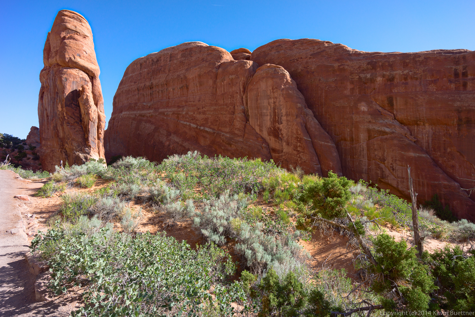
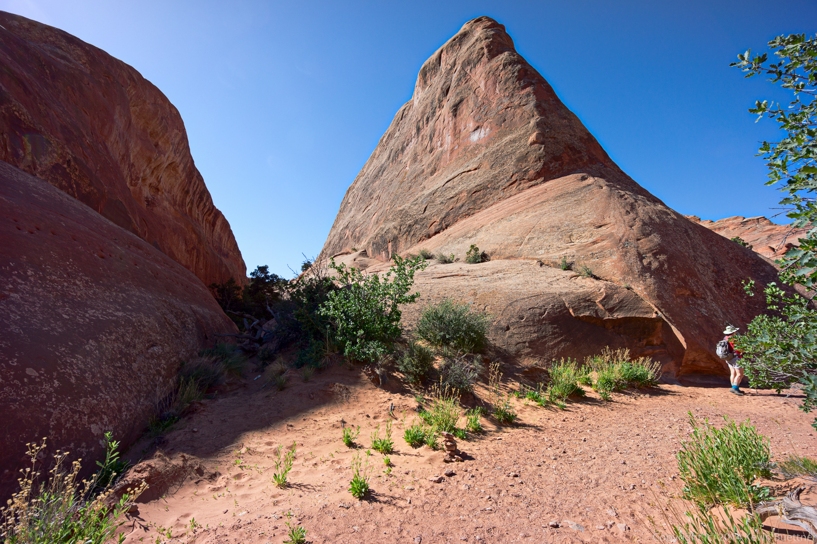
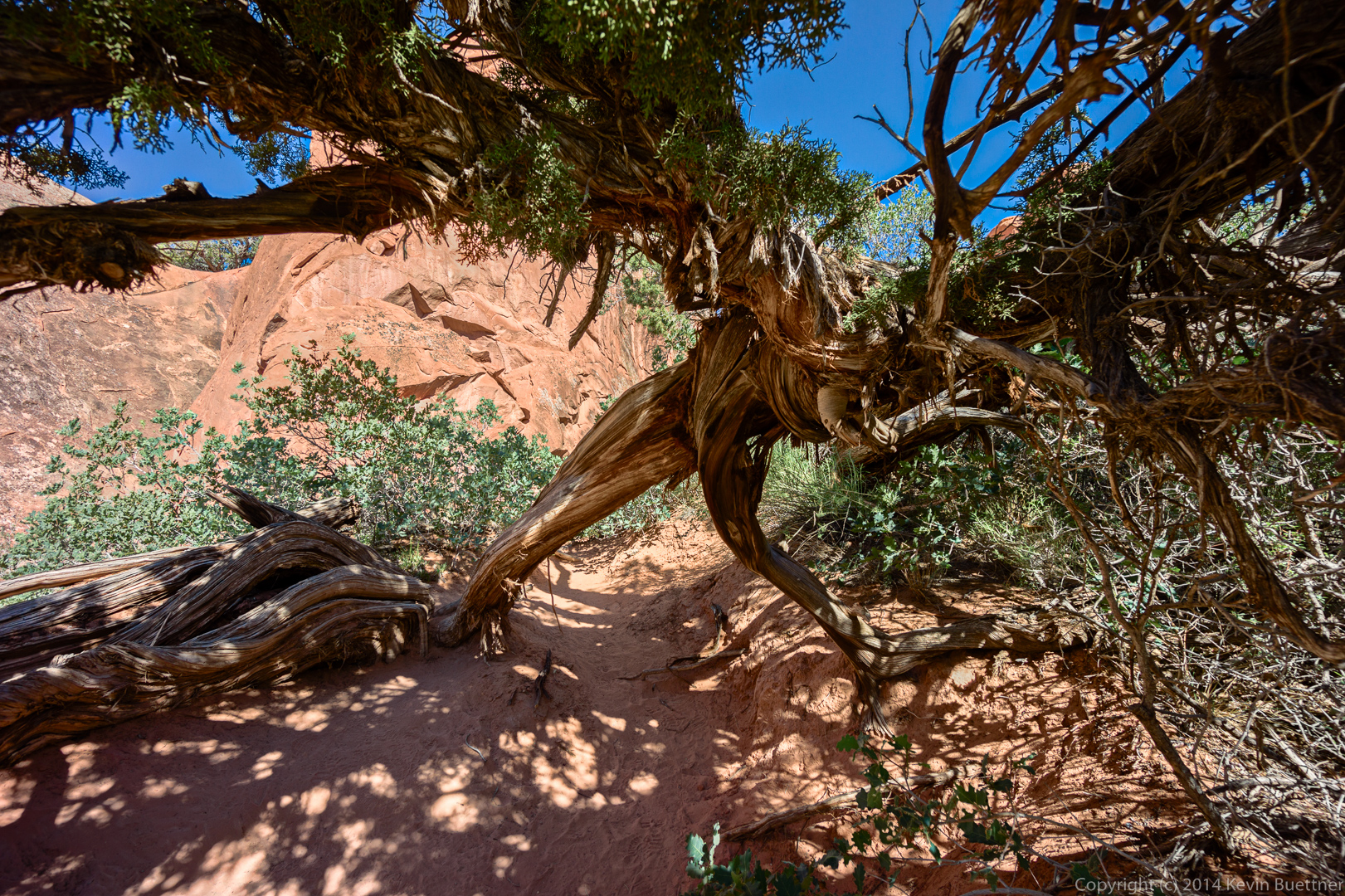
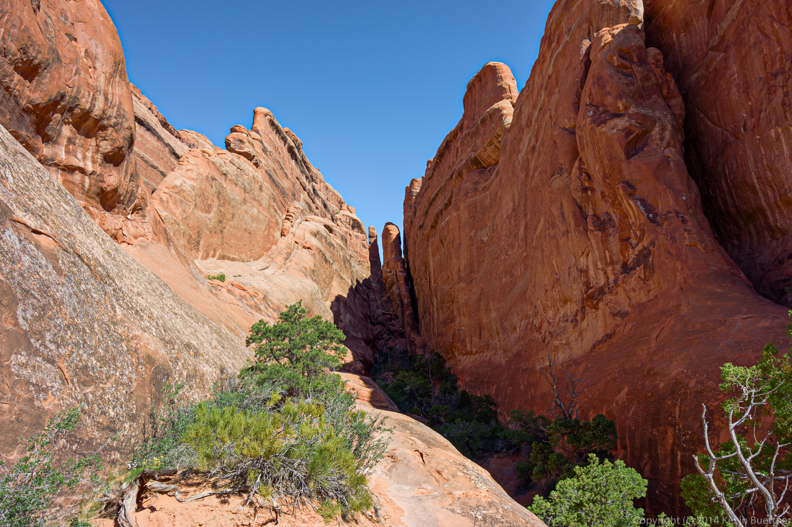
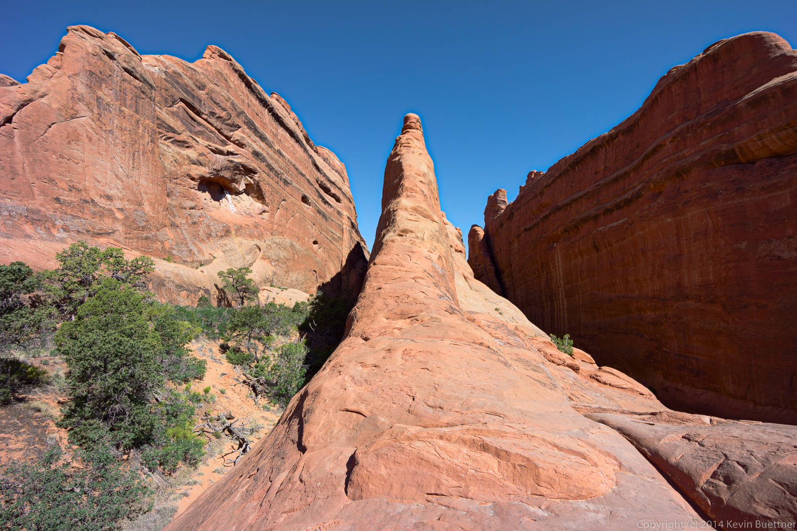
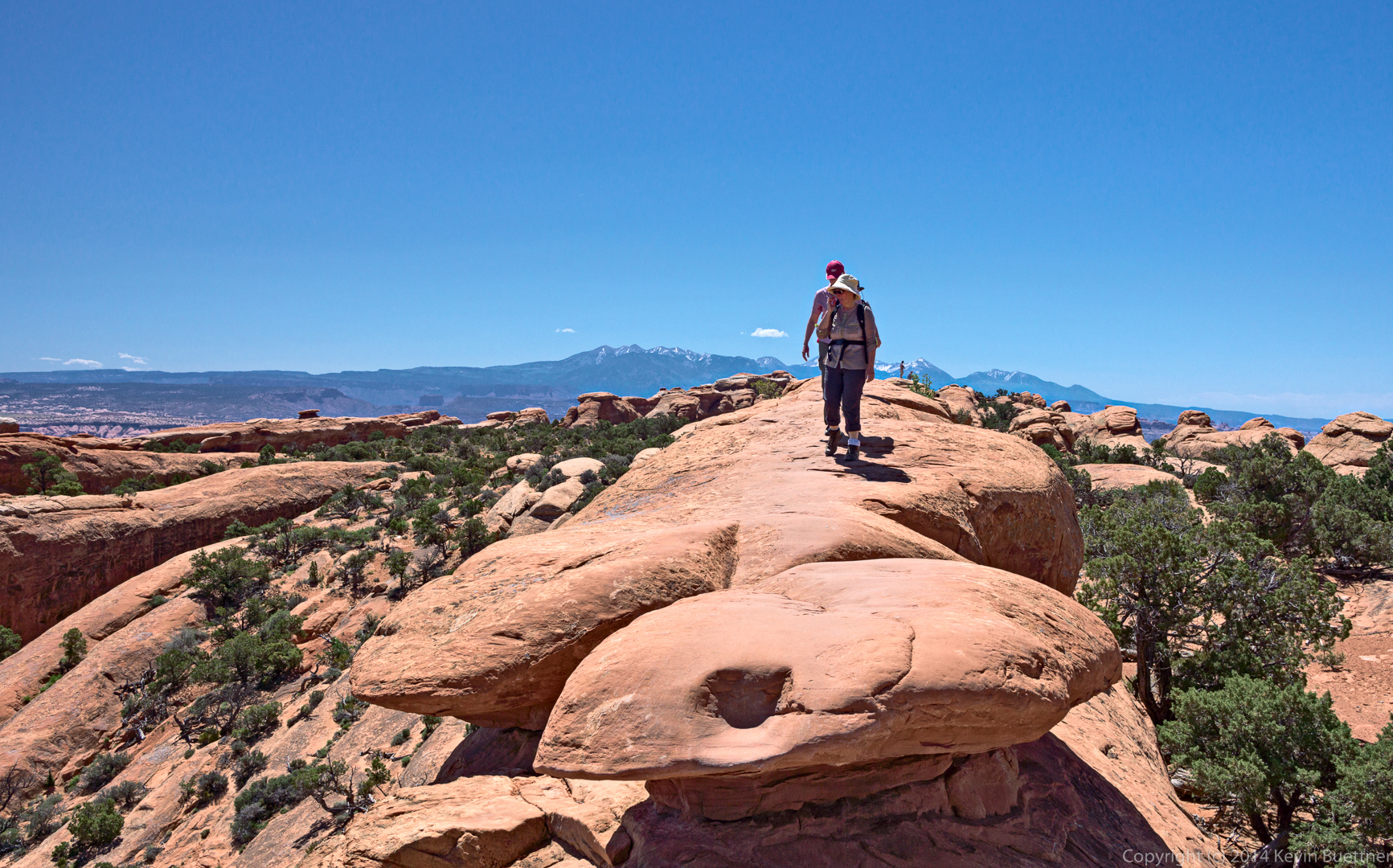
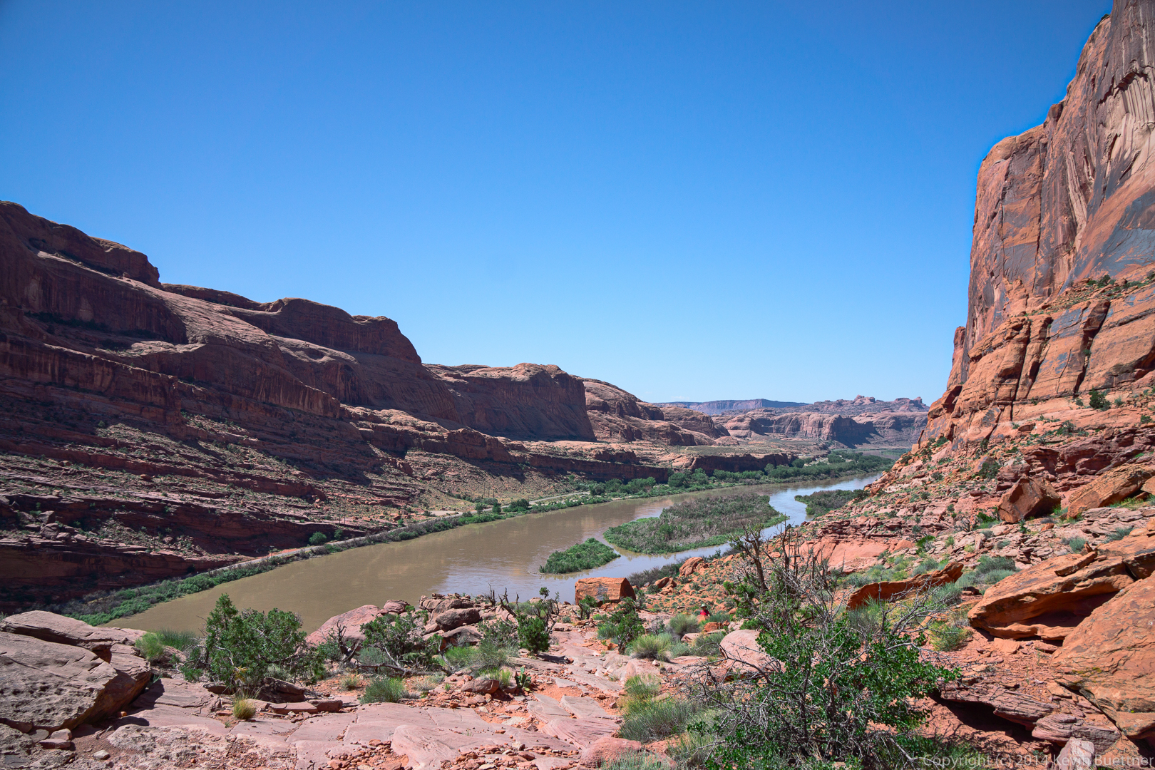
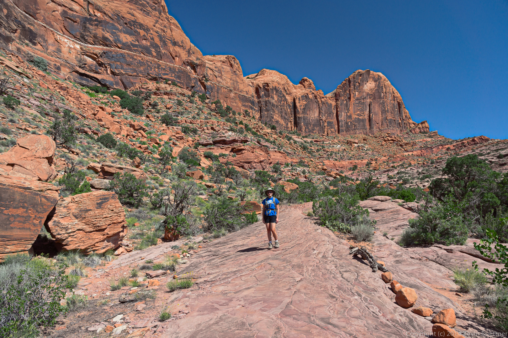
More photos taken during our hike at Devil’s Garden (in Arches National Park) on June 5, 2013. Some of these are re-edits. Some are photos I hadn’t previously processed. These were practice for proficiency with the PPW. I tried to find a few photos with people; I need more practice at dealing with skin tones.
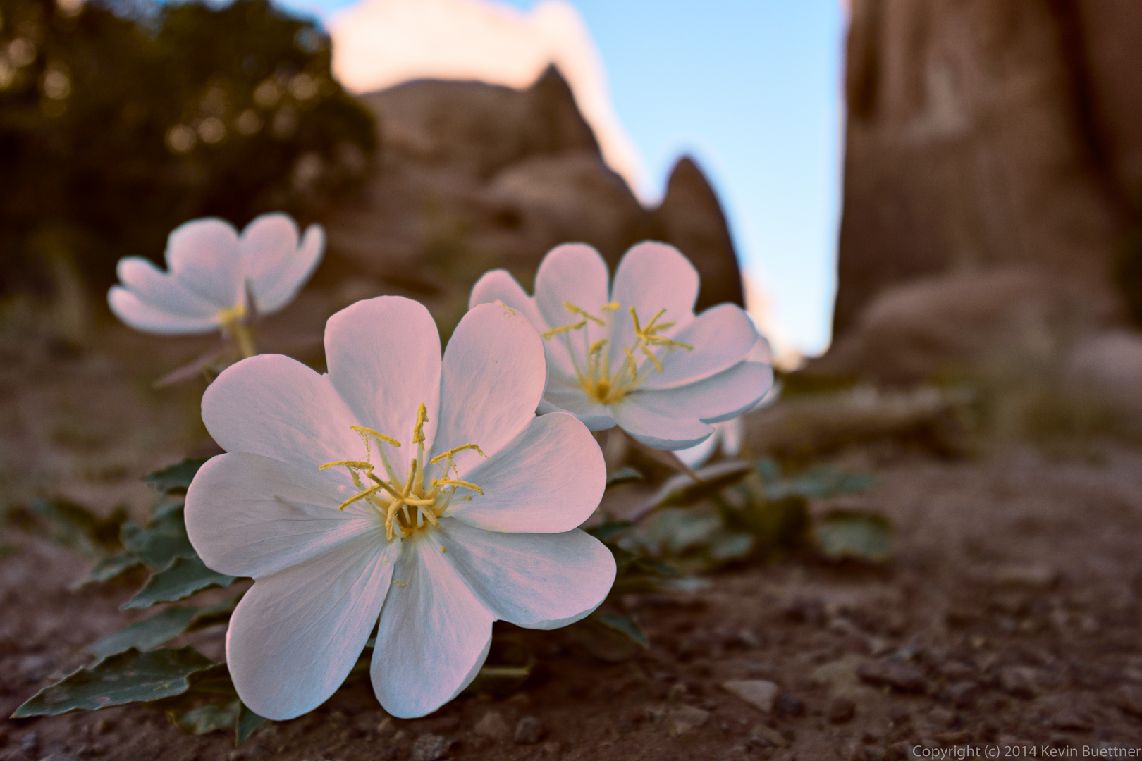
I think my original edit was better for this shot of the flowers. I spent a lot of time trying to color correct the foreground. I managed to set a and b (in Lab color space) to 0 for two points on the flowers. But once I had done that – and gotten the rest of the colors to look reasonable – the flowers weren’t as interesting as they might have been. I ended up adding in some color on the petals late in the process. When I was done, it looked too warm and too saturated too, so I took steps to remedy that. I think it’s okay, but I like my original edit better.
I tried to do several of these quickly. In theory, a proficient practitioner of the workflow can finish a photo in three minutes. I’m not there yet, but I did several of these a lot faster than normal.
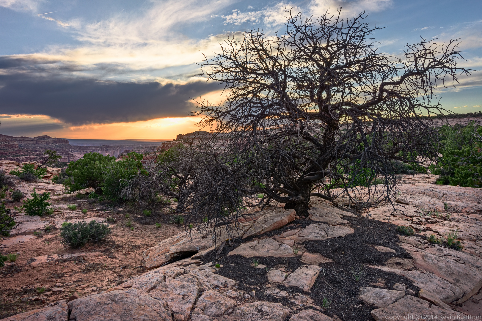
Here’s a link to my previous edit of this Juniper tree. It’s a lot more saturated than this version.
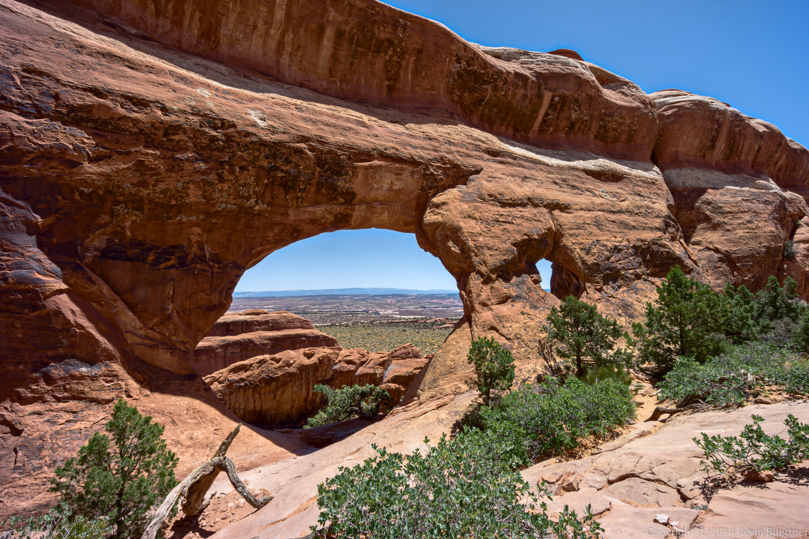
This is Partition Arch:
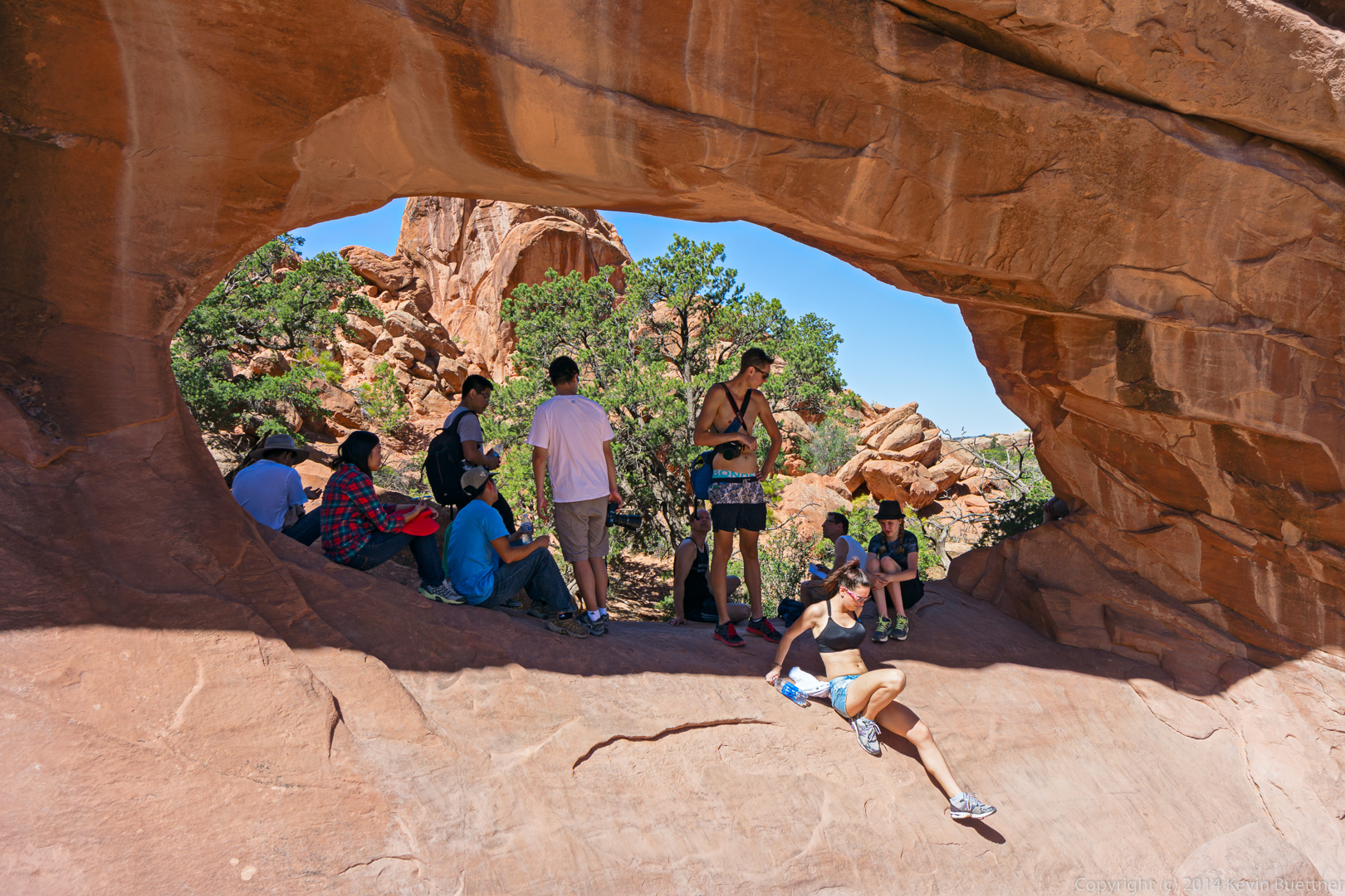
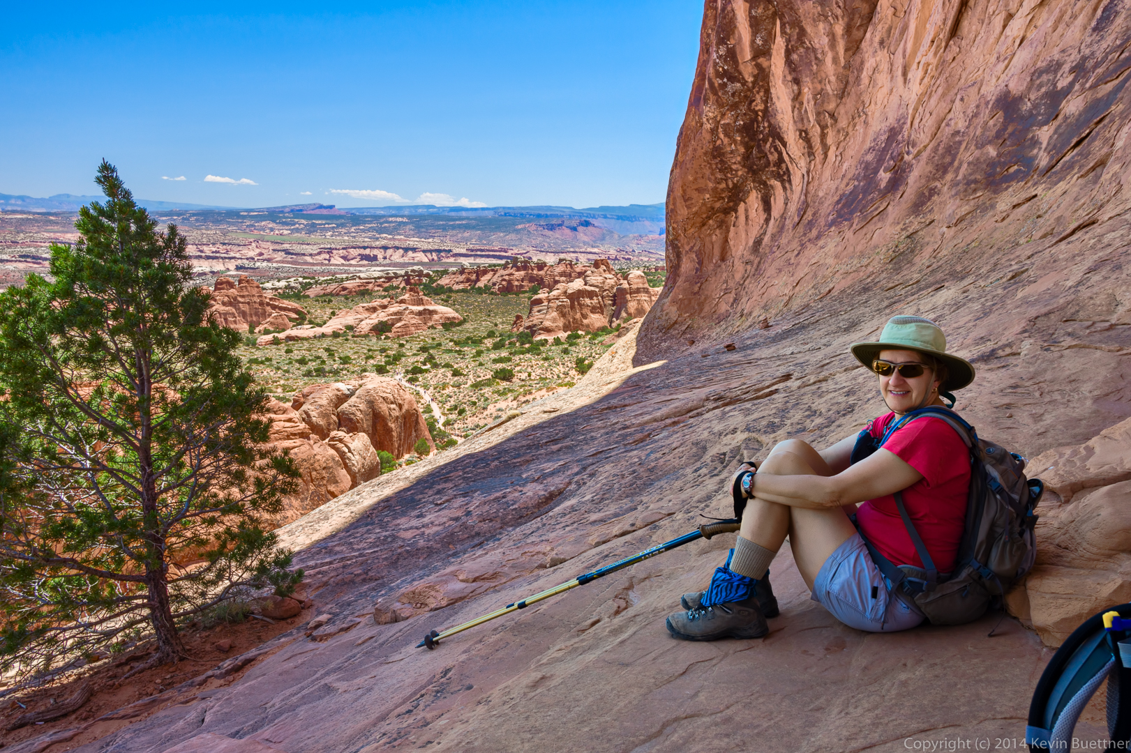
Marilyn sitting on the “ledge” on the other side of Partition Arch:
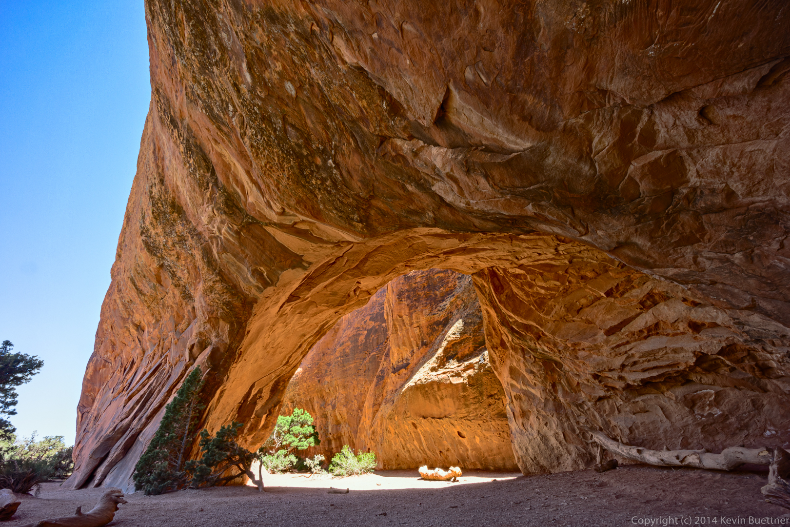
This is a new edit of a photo of Navajo Arch, taken in June of 2013.
Friday’s hike started at the Horse Staging Area. We hiked a ten mile loop using the Escondido, Pemberton, and Shallmo Wash trails.
I arrived early to get a few shots with a tripod…
Some views from the Escondido Trail…
Janet, Doug, Alex, Ellen, Deanne, and Bob at the intersection of Escondido and Pemberton.
Views from the Shallmo Wash Trail…
Last Friday’s hike started at the Dixie Mine Trailhead. We hiked Dixie Mine to Sonoran and took Sonoran until it joined with the Promenade Trail. At that point, Linda, Janet, Charles, Angel, and Marilyn turned back for a 7.8 mile hike. Bob and I continued on. We hiked up the Western Loop Trail, stopped briefly at the overlook and then continued on down the Western Loop Trail. We then took the recently constructed Andrews-Kinsey Trail to the Sunrise Trail. We hiked to the top of Sunrise Peak and then returned to the Fountain Hills side by retracing our steps on the Andrews-Kinsey Trail. Altogether, we hiked a little over 15 miles with 2800 feet of total ascent.
This is a view from the Sonoran Trail, somewhat before reaching the Preserve.
A view from the Western Loop Overlook:
This is another view from the Western Loop Overlook. The Andrews-Kinsey Trail is visible in this photo.
We saw some Brittlebush in bloom, which is kind of unusual for this time of the year.
A saguaro on the Andrews-Kinsey Trail:
A barrel cactus on the Andrews-Kinsey Trail:
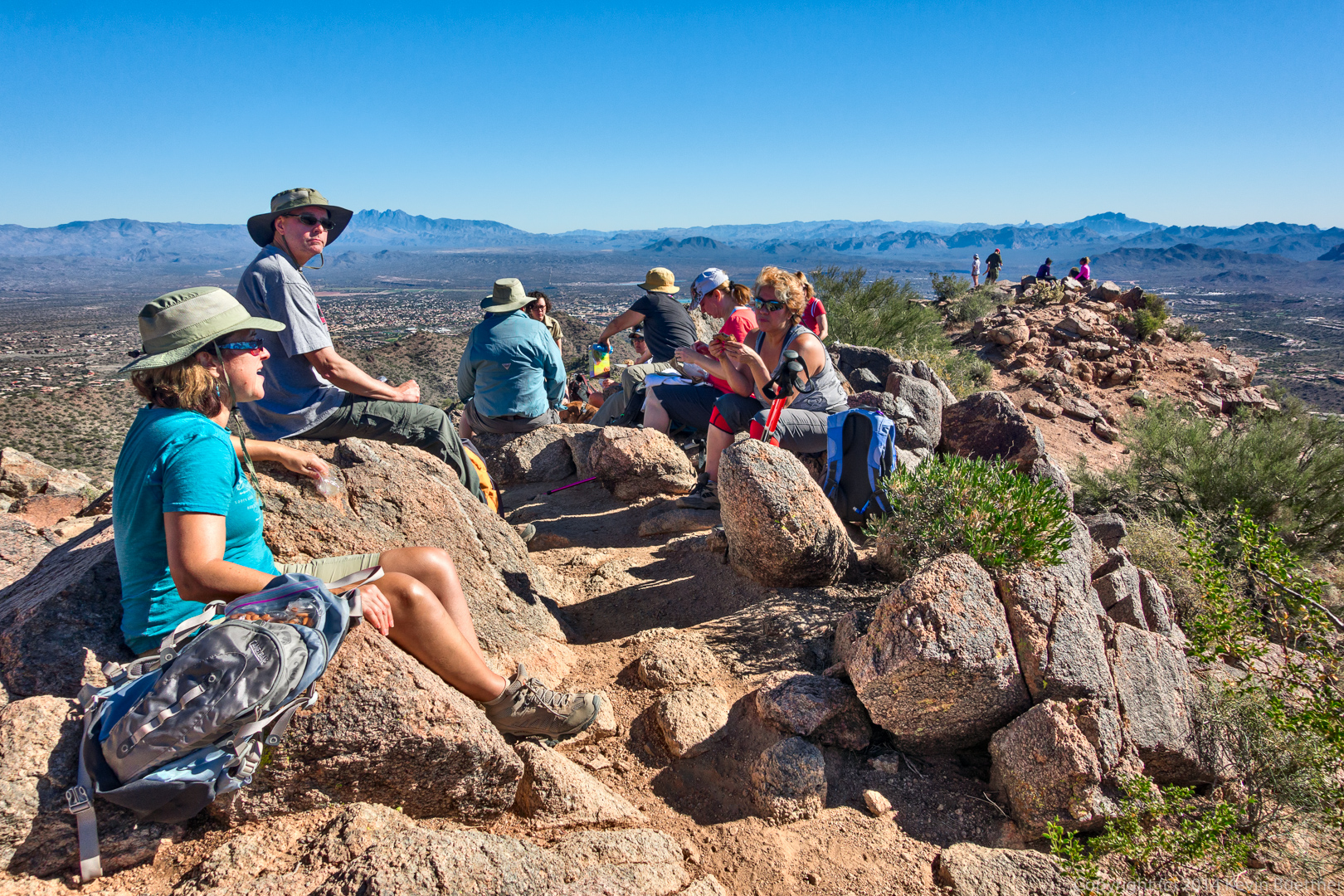
It was crowded on top of Sunrise Peak:
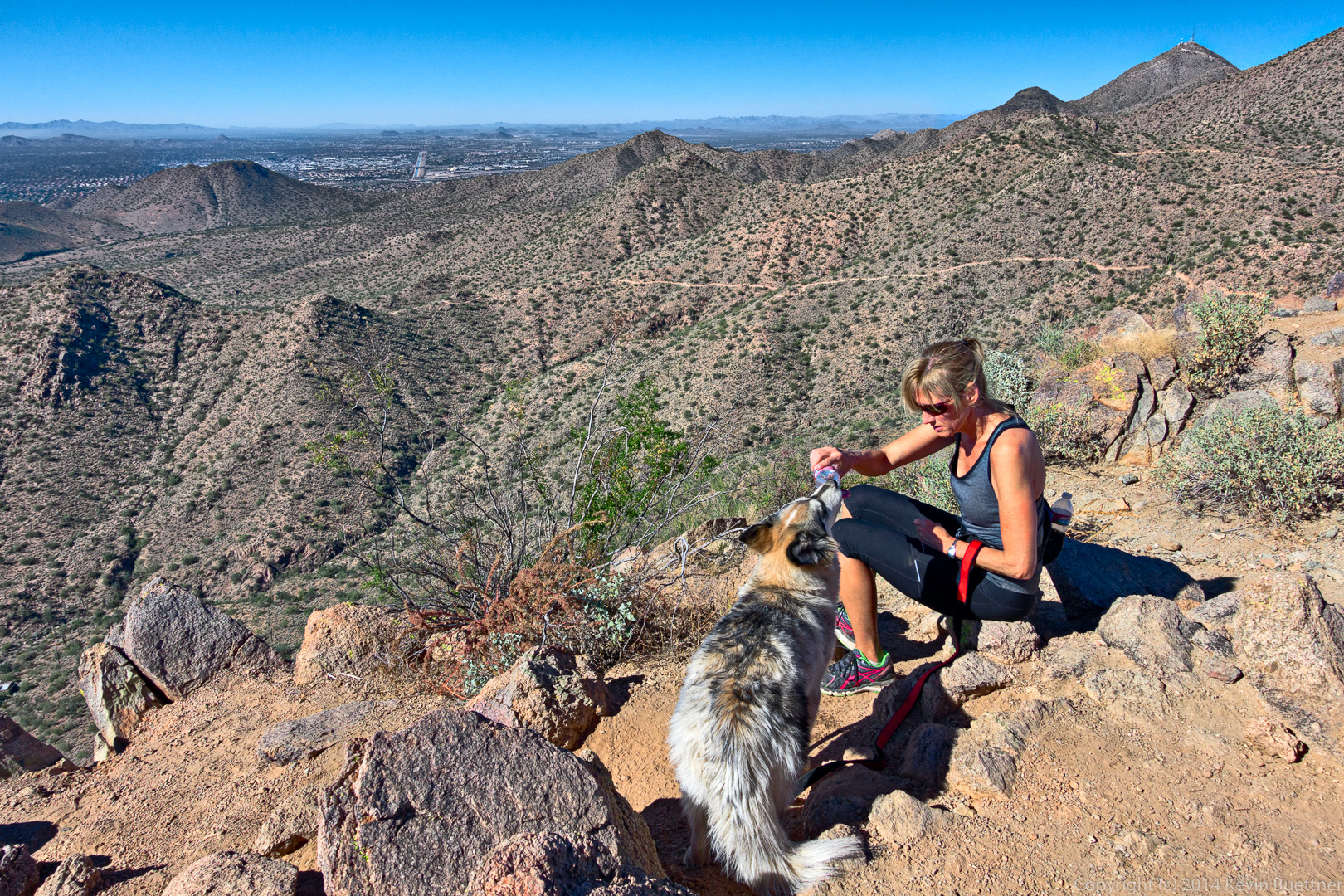
This dog was able to drink directly from a water bottle! It didn’t spill much either.
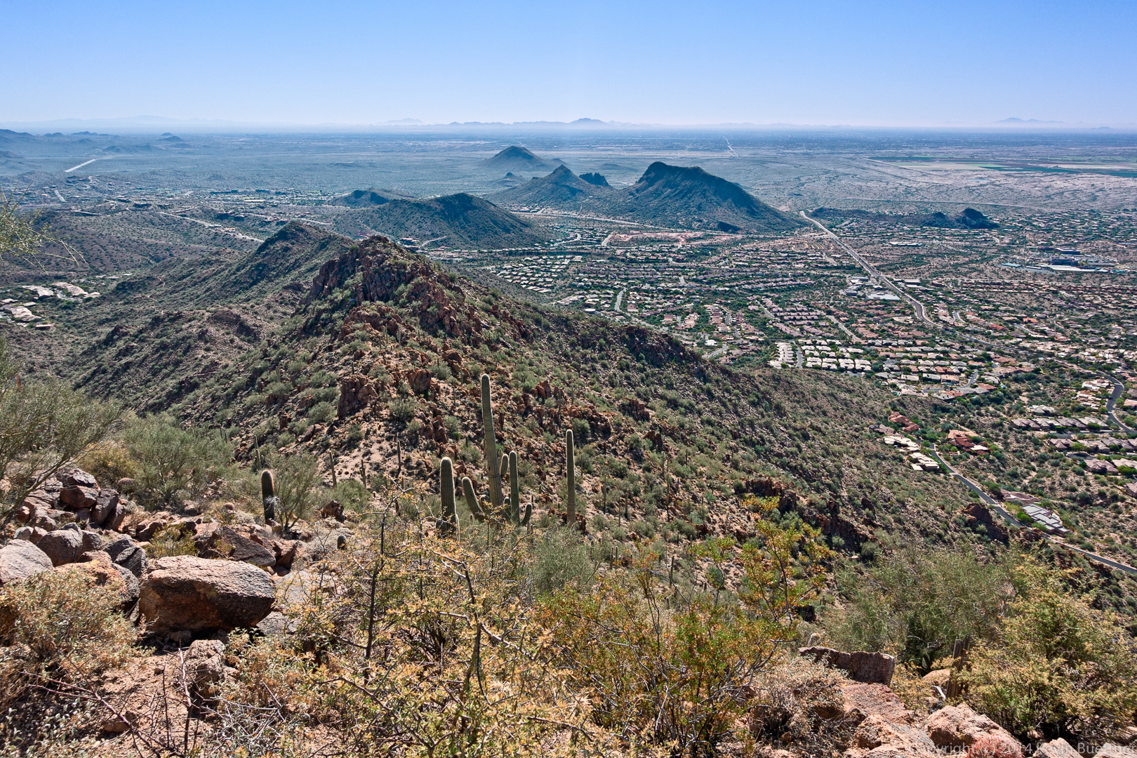
Yet another view from Sunrise Peak:
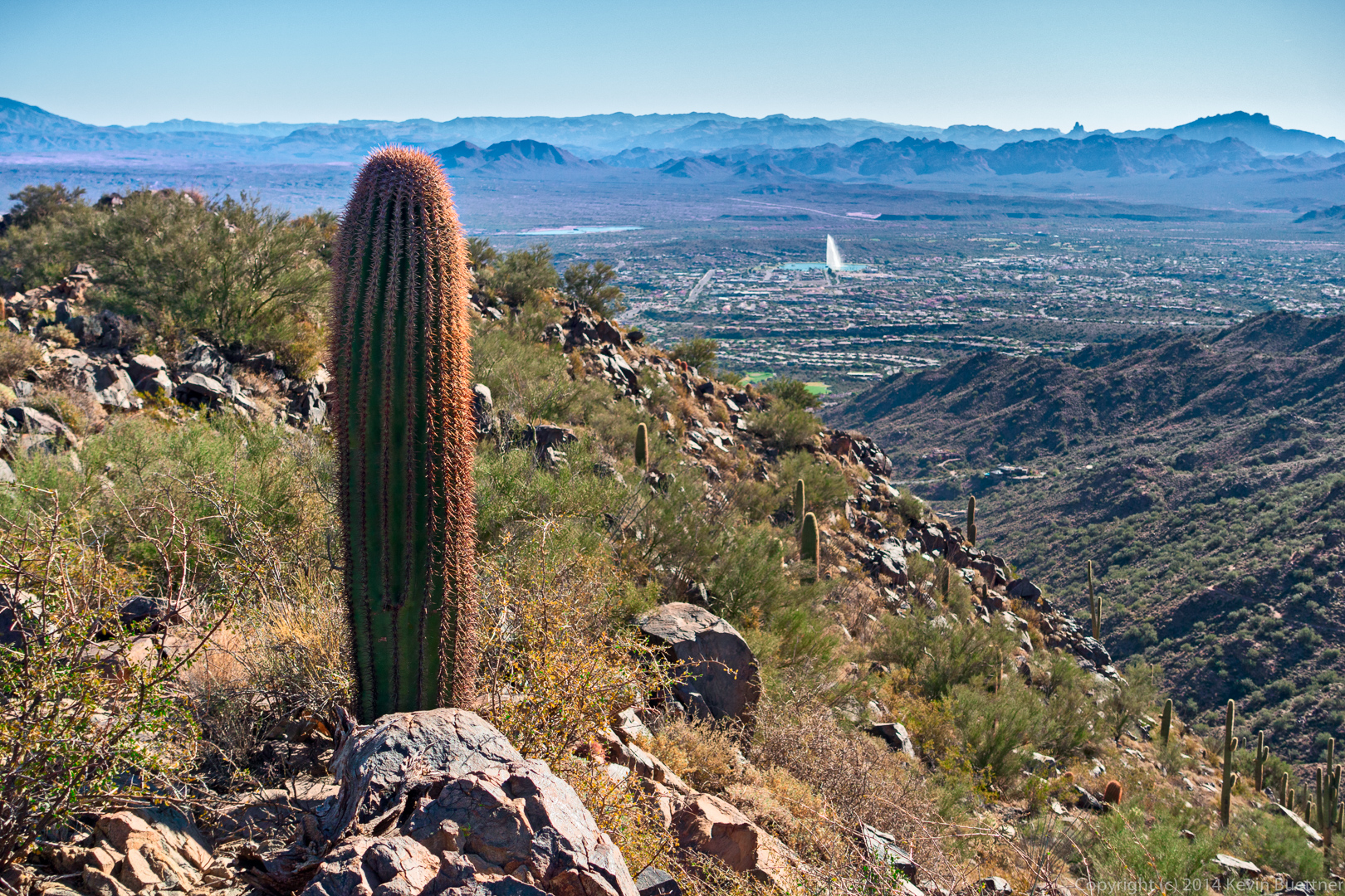
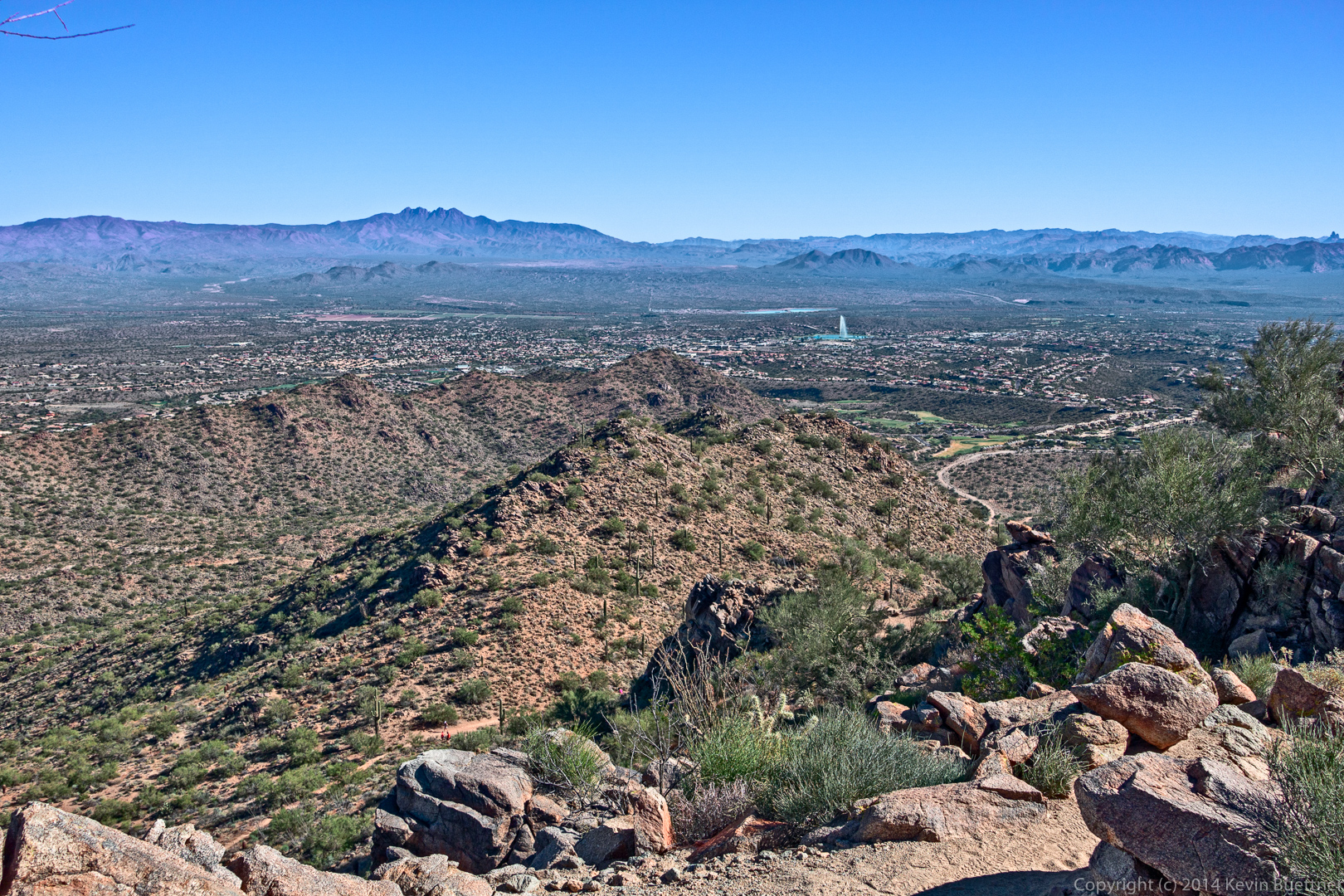
This is a view of Fountain Hills as we were descending Sunrise Peak.
I noticed this rock outcropping on the way back.
Another view, from the other side, of the saguaro that we saw earlier in the hike.
More saguaros on the Andrews-Kinsey Trail:
