On June 6, during our visit to the Moab area, we drove up Long Canyon on our way to Dead Horse Point State Park.
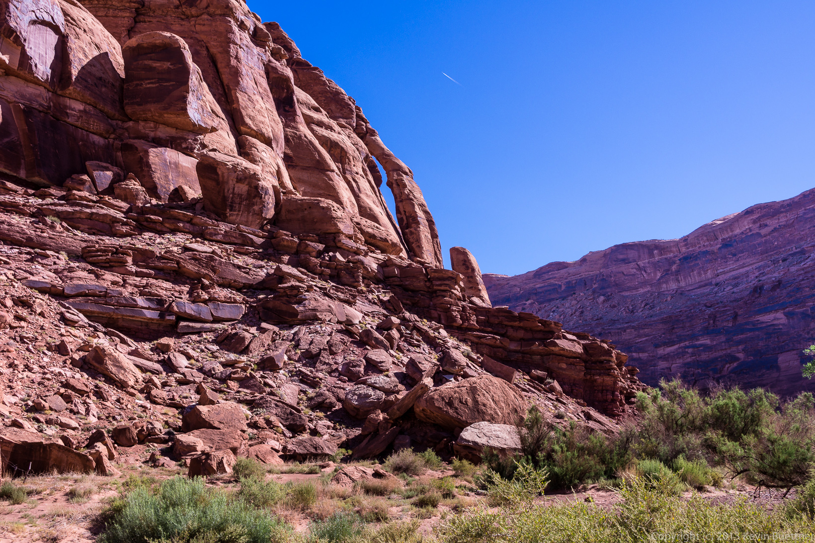
This is Jug Handle Arch. It’s visible just after turning off of 279 into Long Canyon. (Actually, I think it’s visible from 279, also known as Potash Road, as well.)
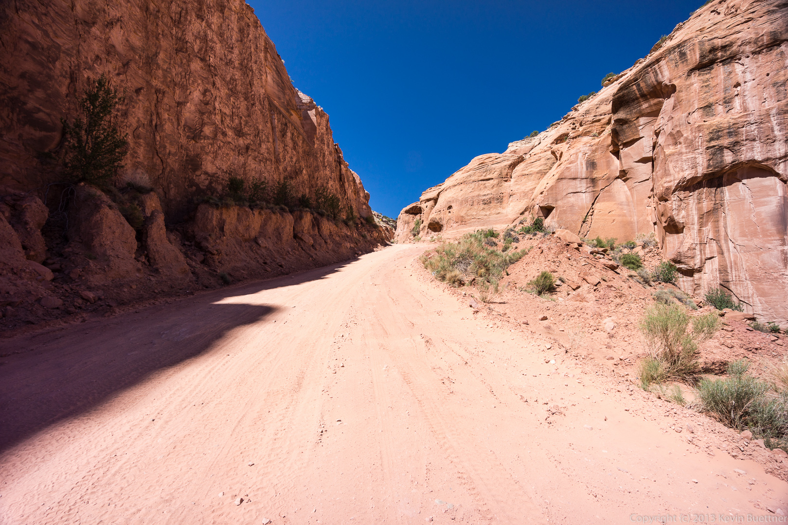
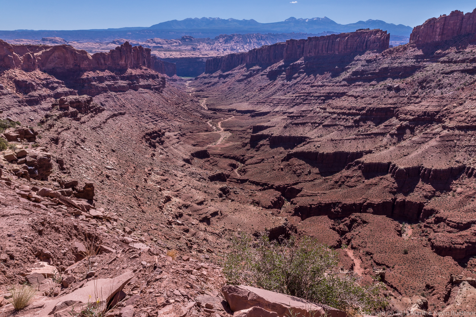
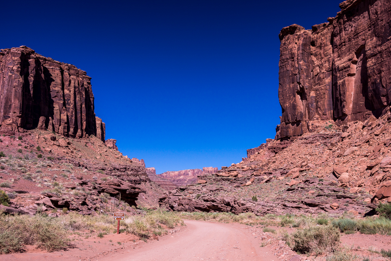
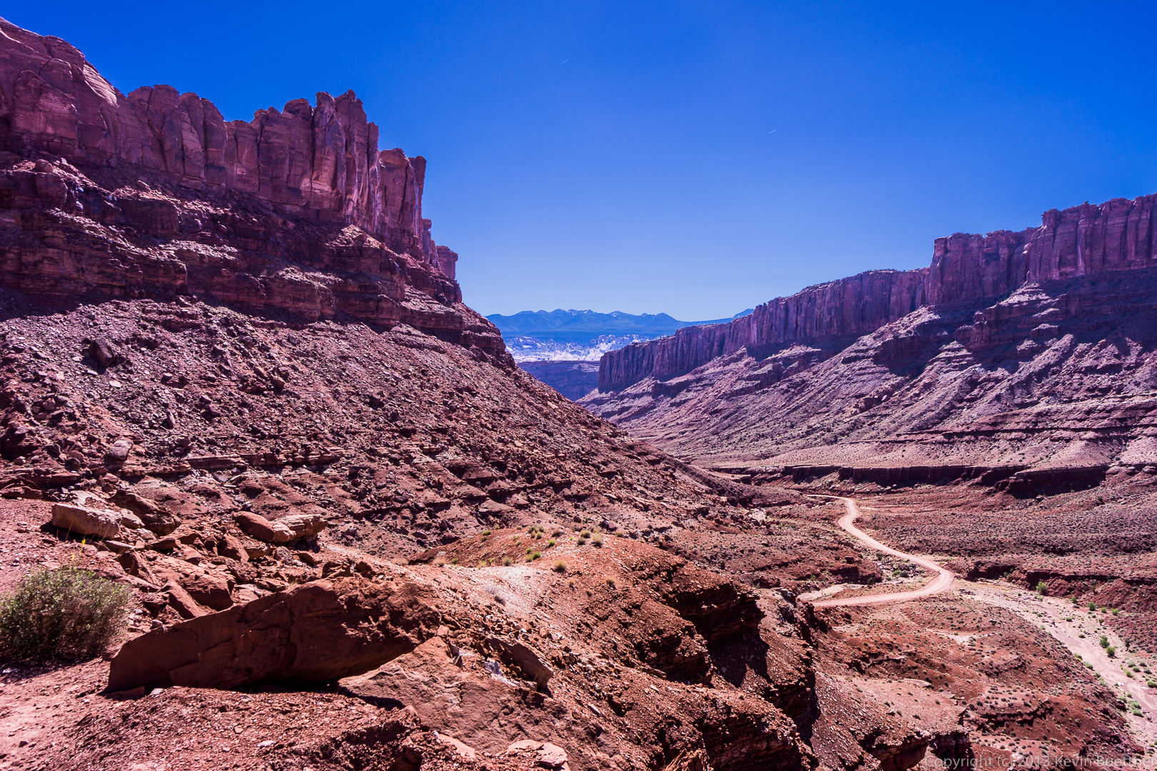
 A view of what’s ahead from where we parked to look at Jug Handle Arch.
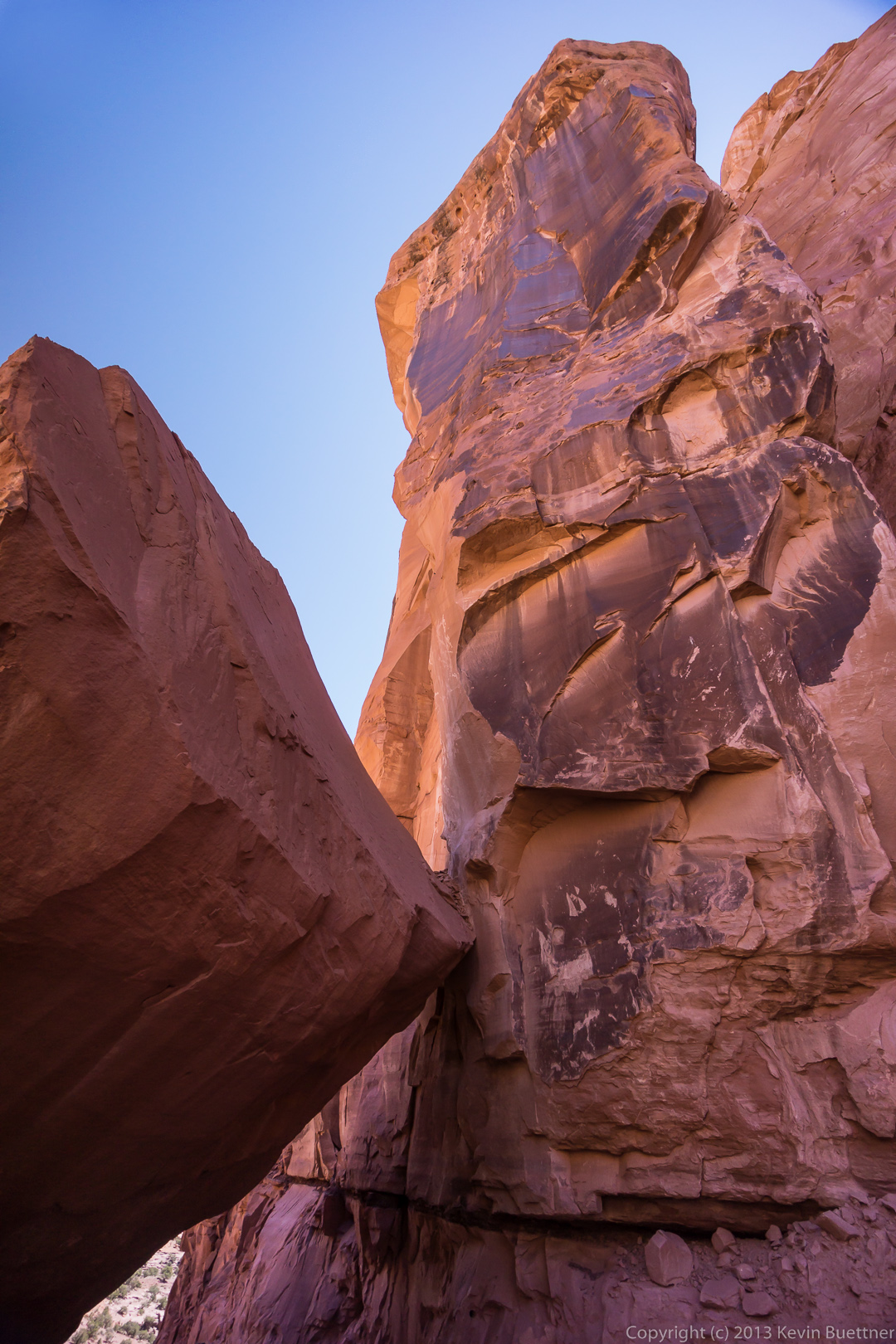
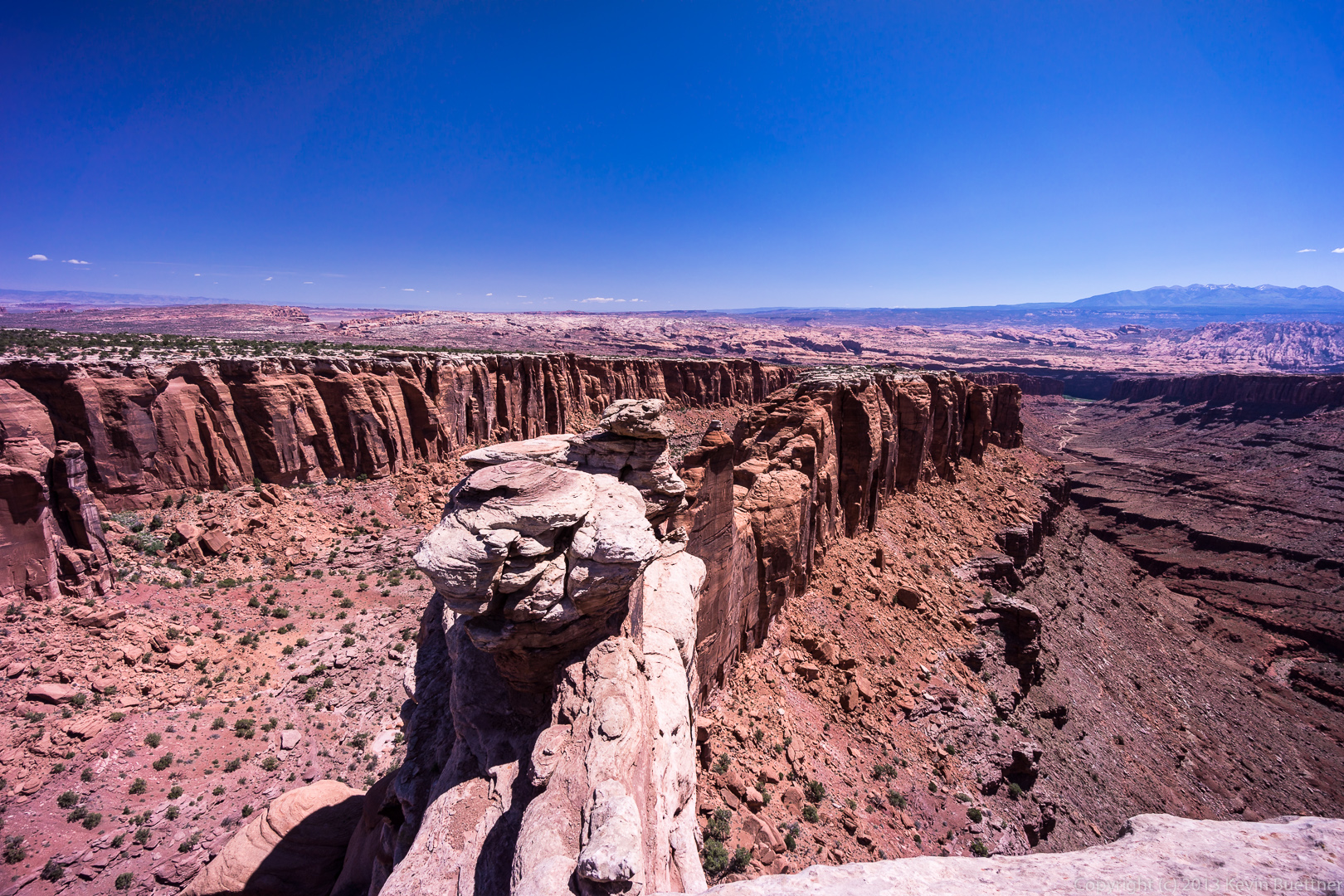
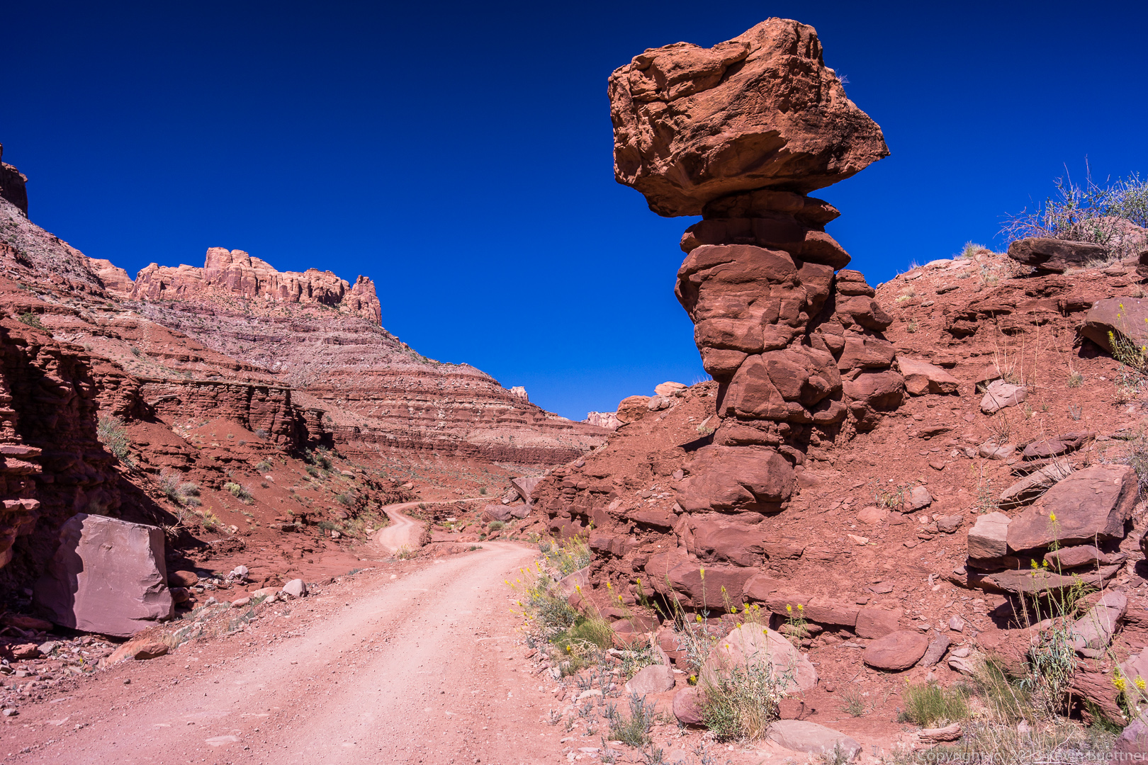
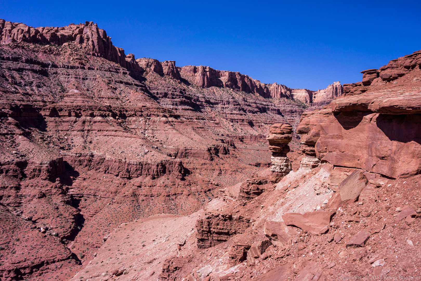
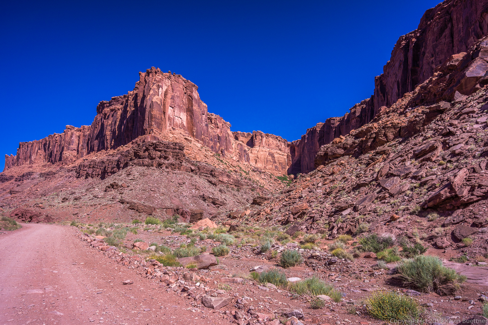 We passed this strange looking pinnacle as we proceeded up Long Canyon.
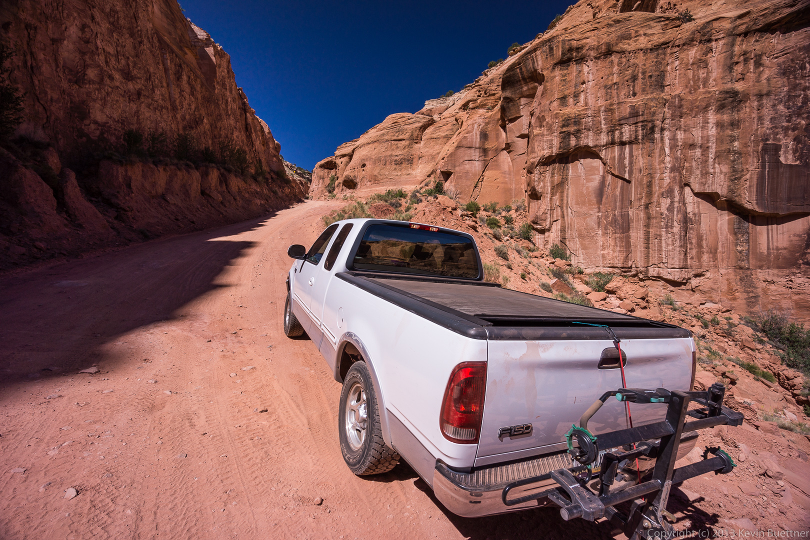
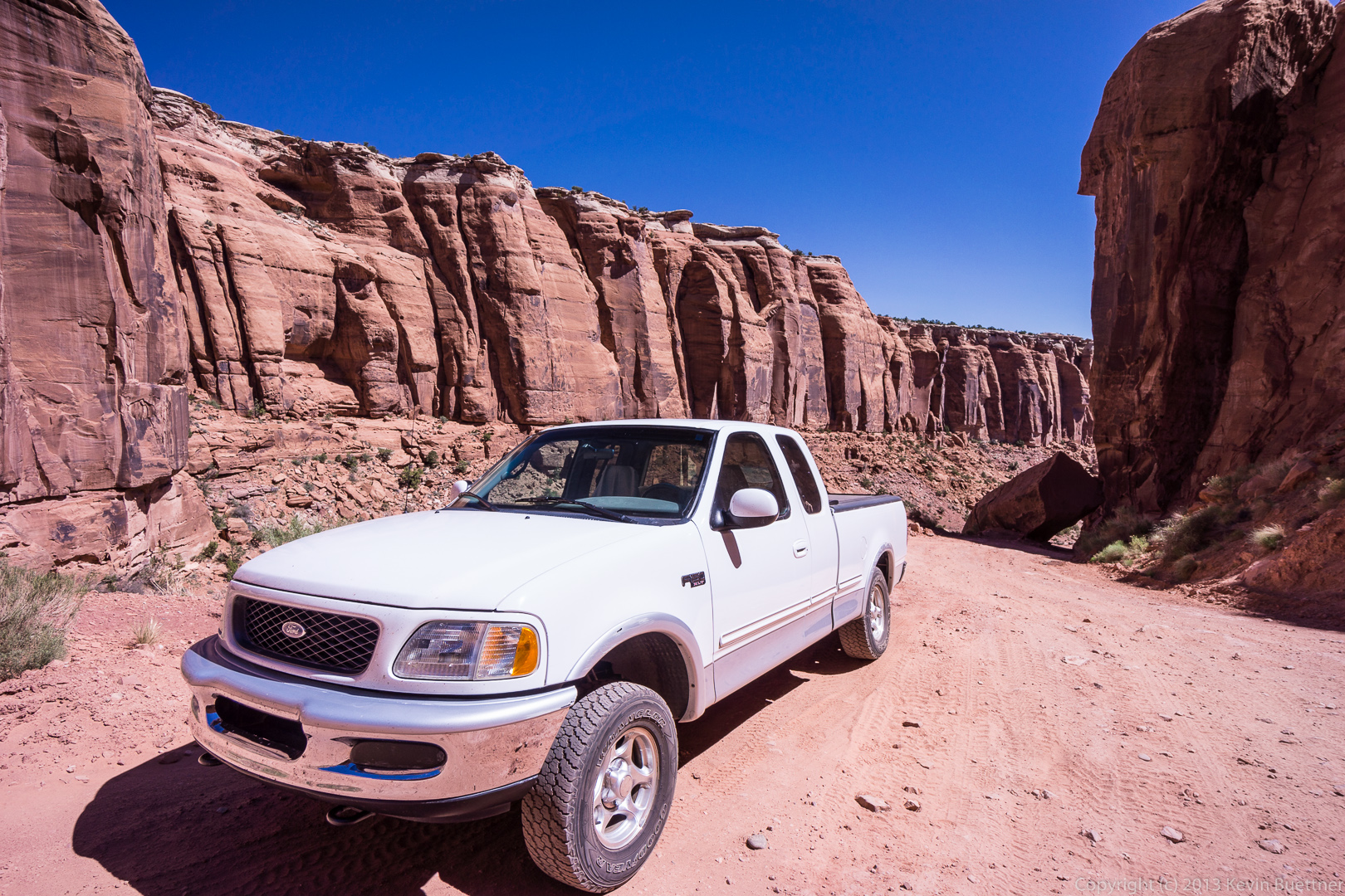
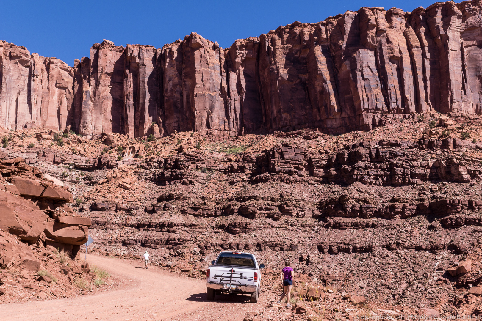
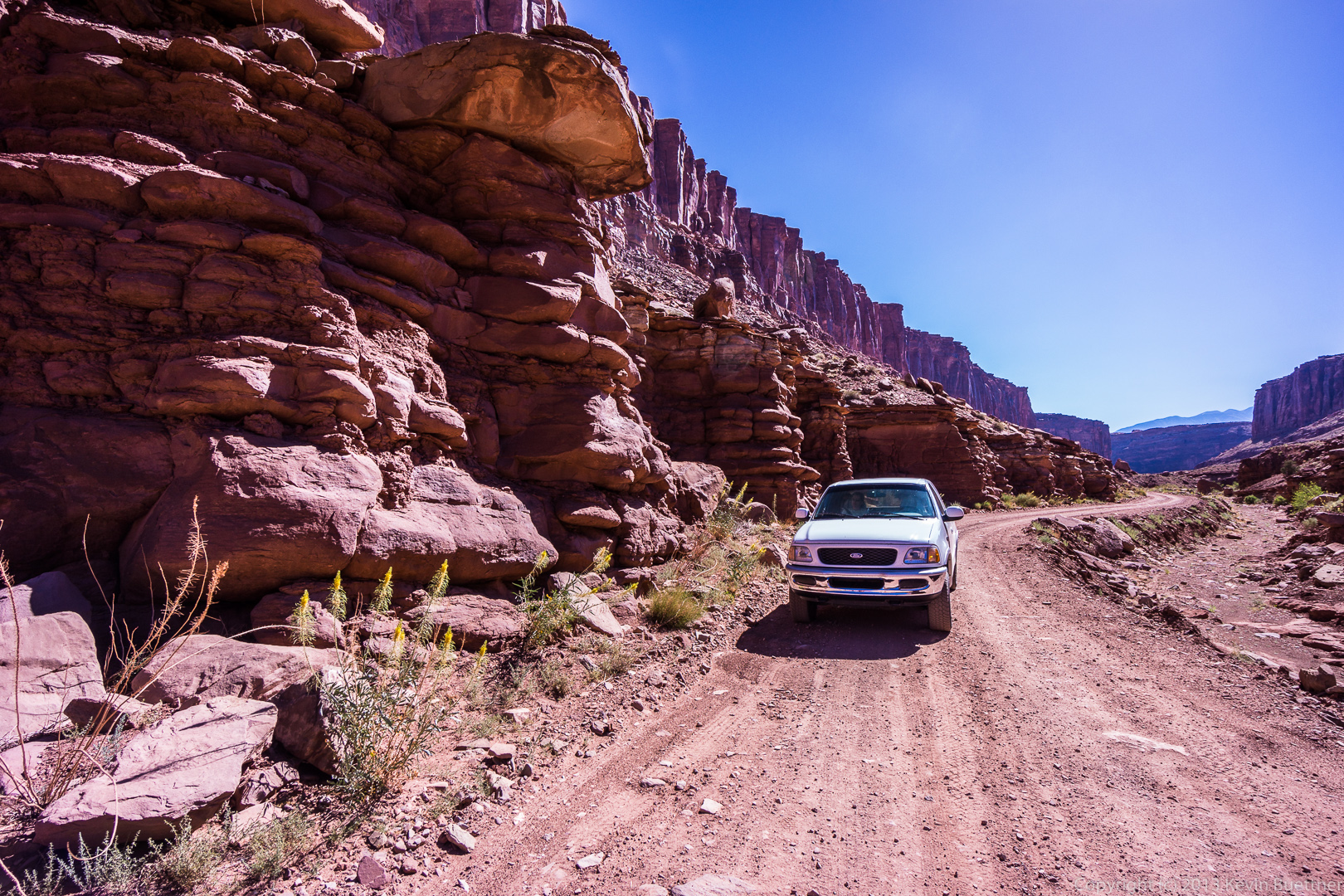
 We stopped several times on our way up to take photos. This is a photo of our truck on the road.
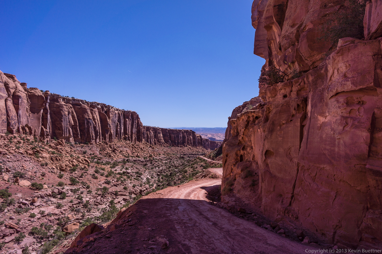
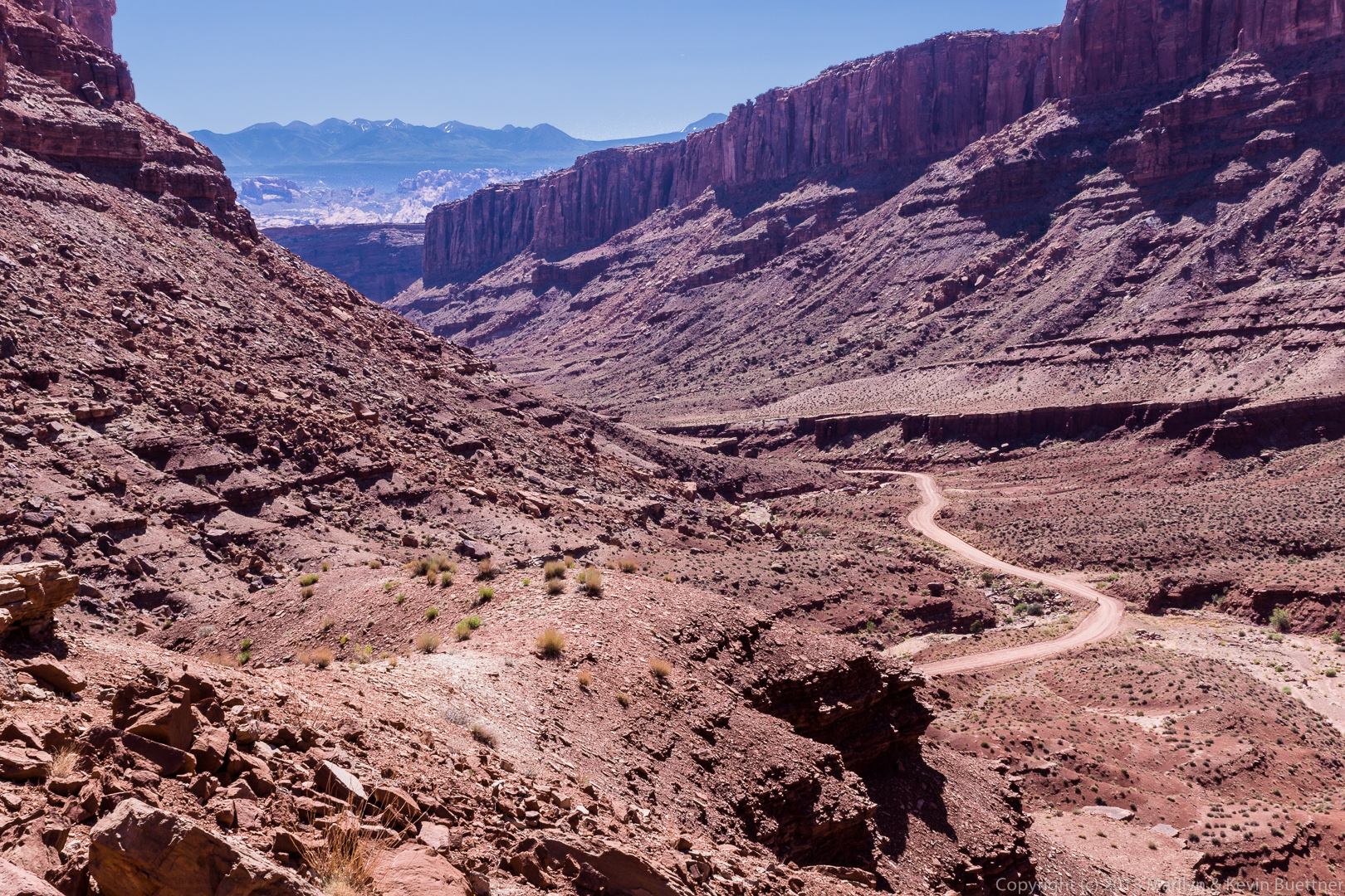
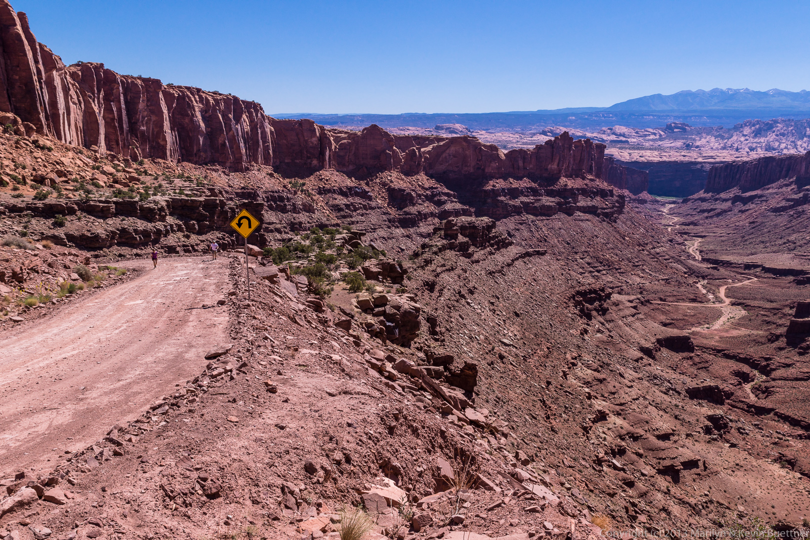
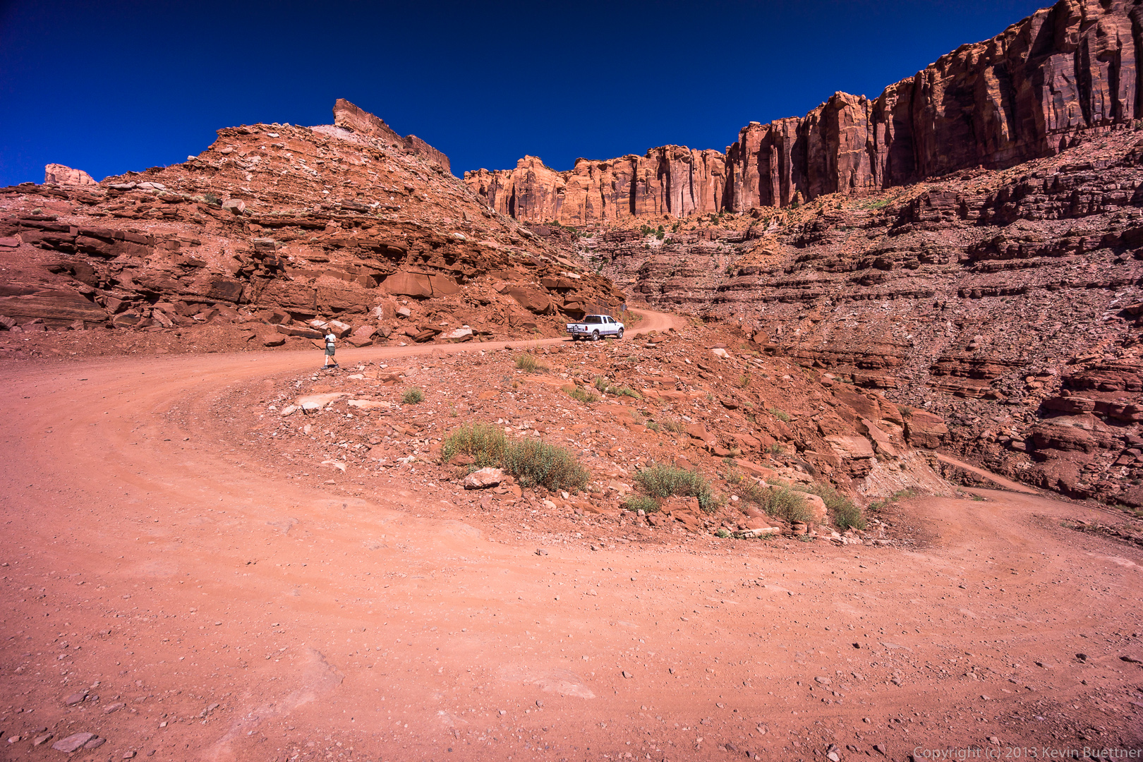
 Elevation is gained (or lost) very quickly in a few of the sections with switchbacks. We stopped on a wide section of road just beyond one of the switchbacks.
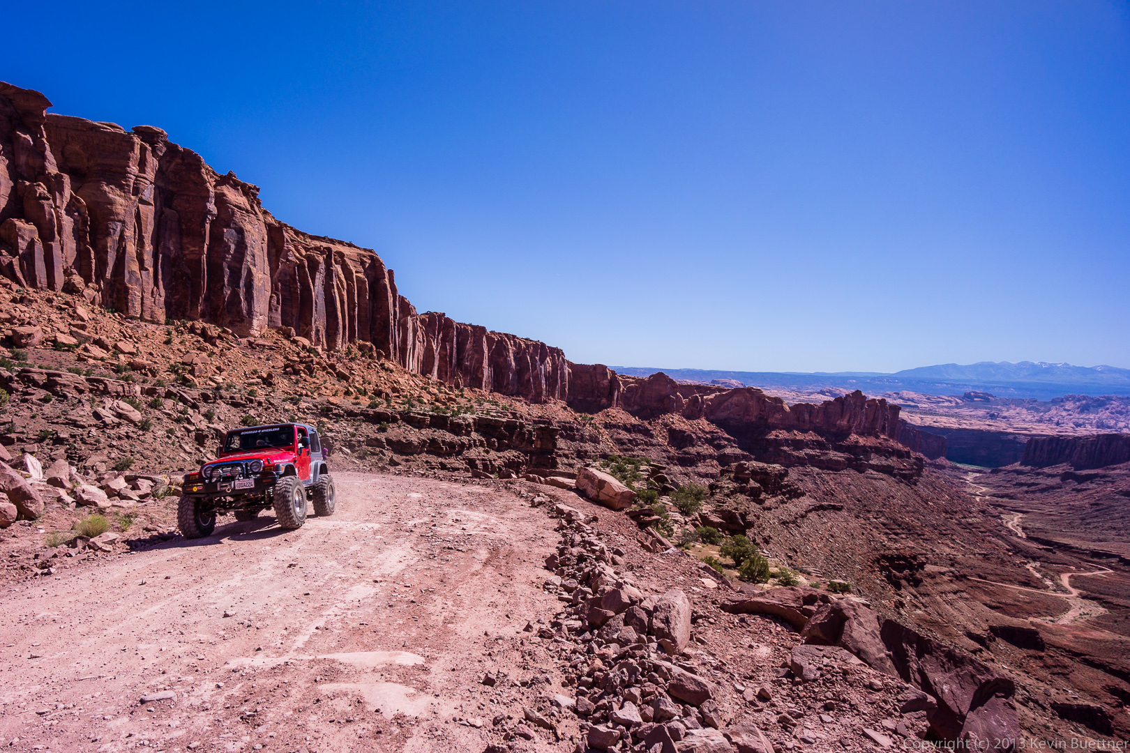
 The only other traffic we saw along this stretch was this red jeep:
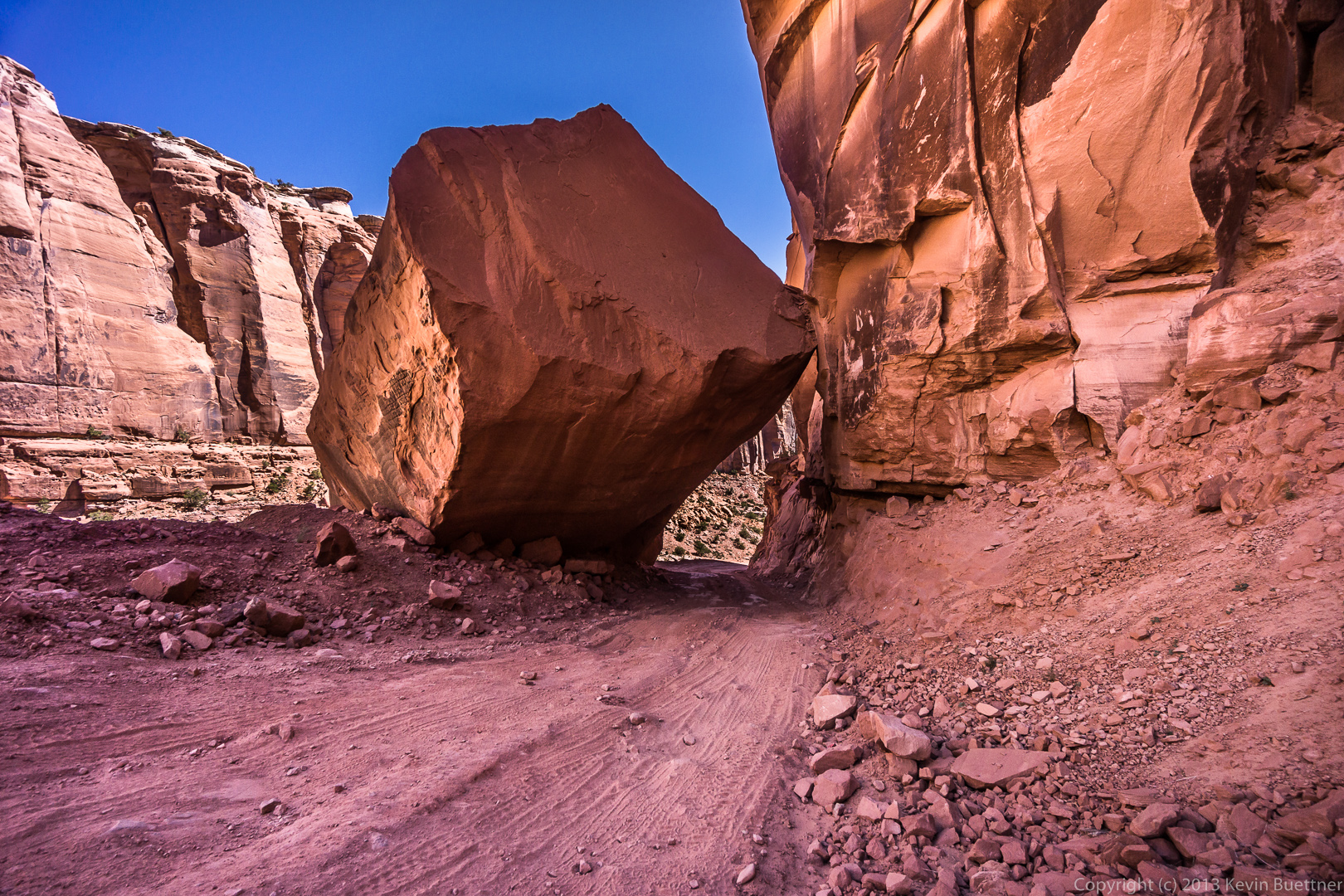
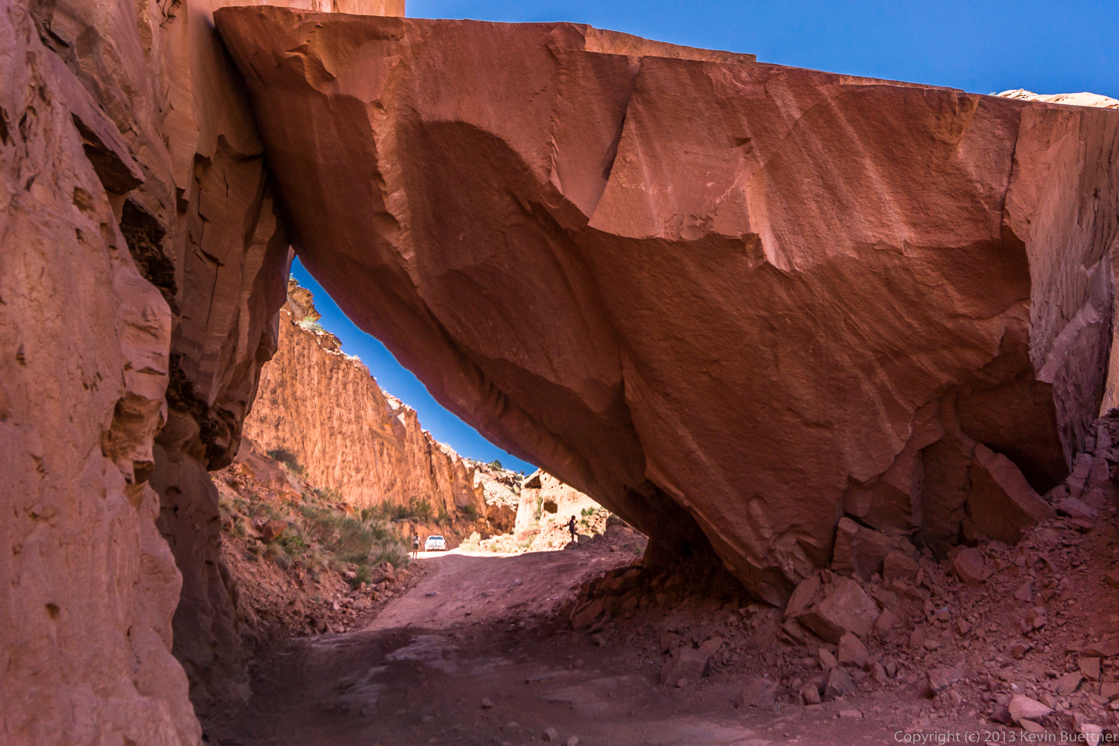
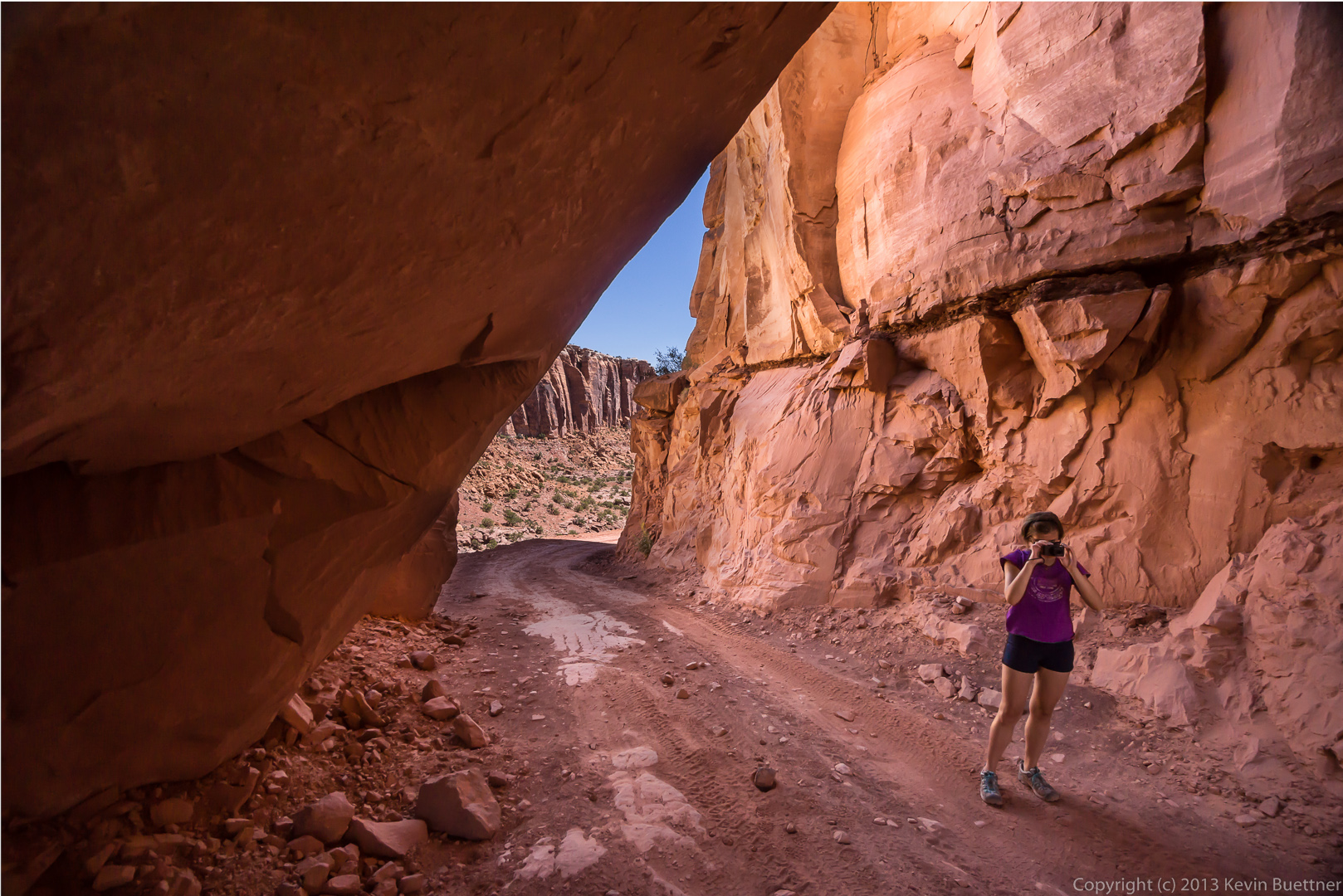
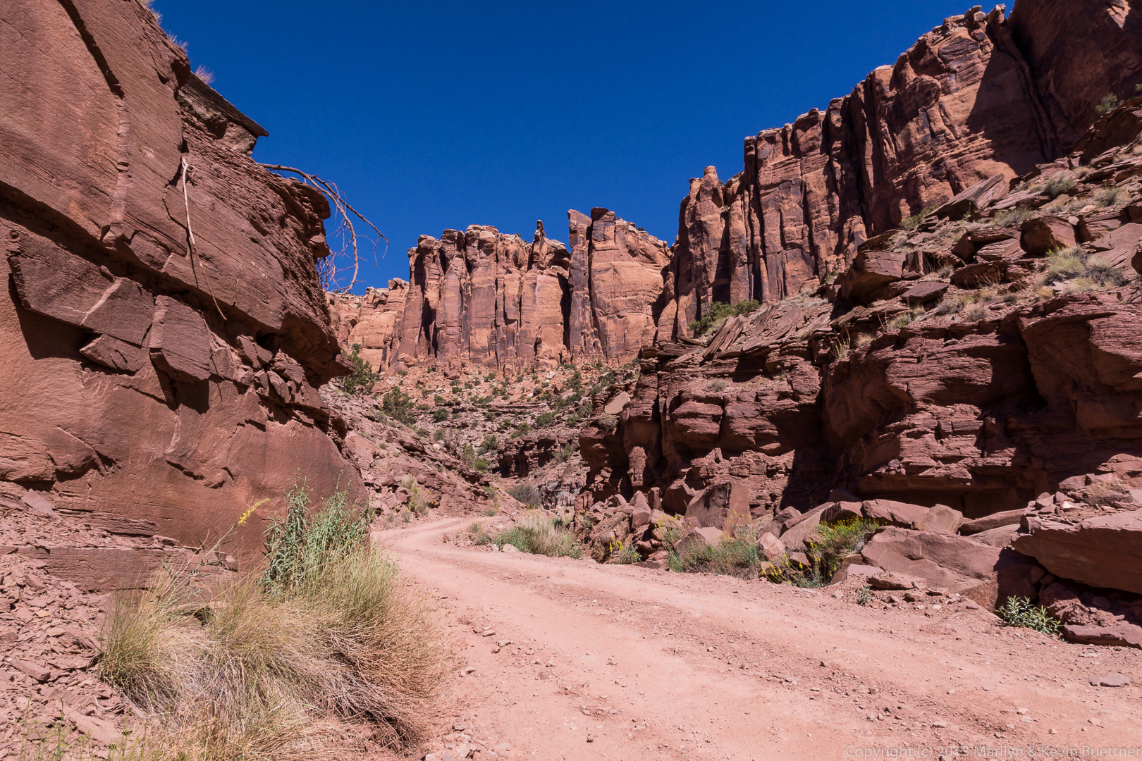
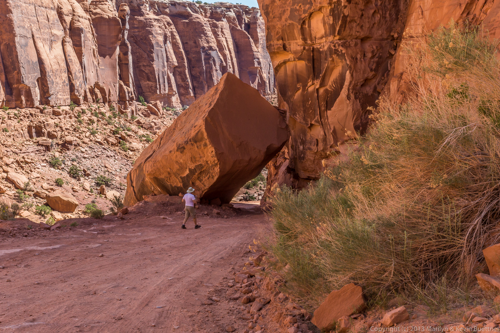
We stopped again just after driving under – yes, under – a large boulder that’s fallen across the trail. Here’s a view looking up the trail after passing the fallen boulder.
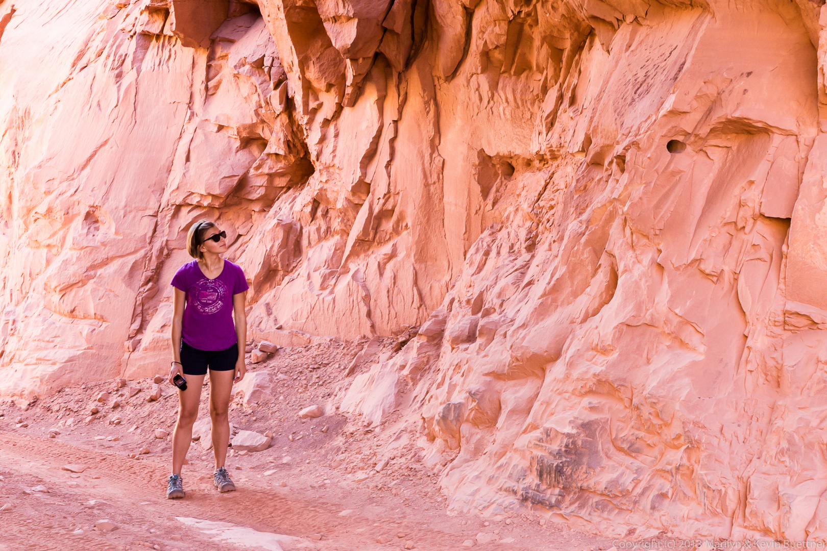
Here are several views of the boulder and the area around it.
The boulder is visible to the right of the truck in this photo too. We pulled up well past the boulder in case if anyone else came along.
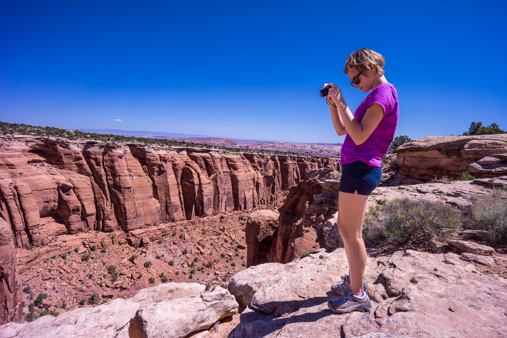
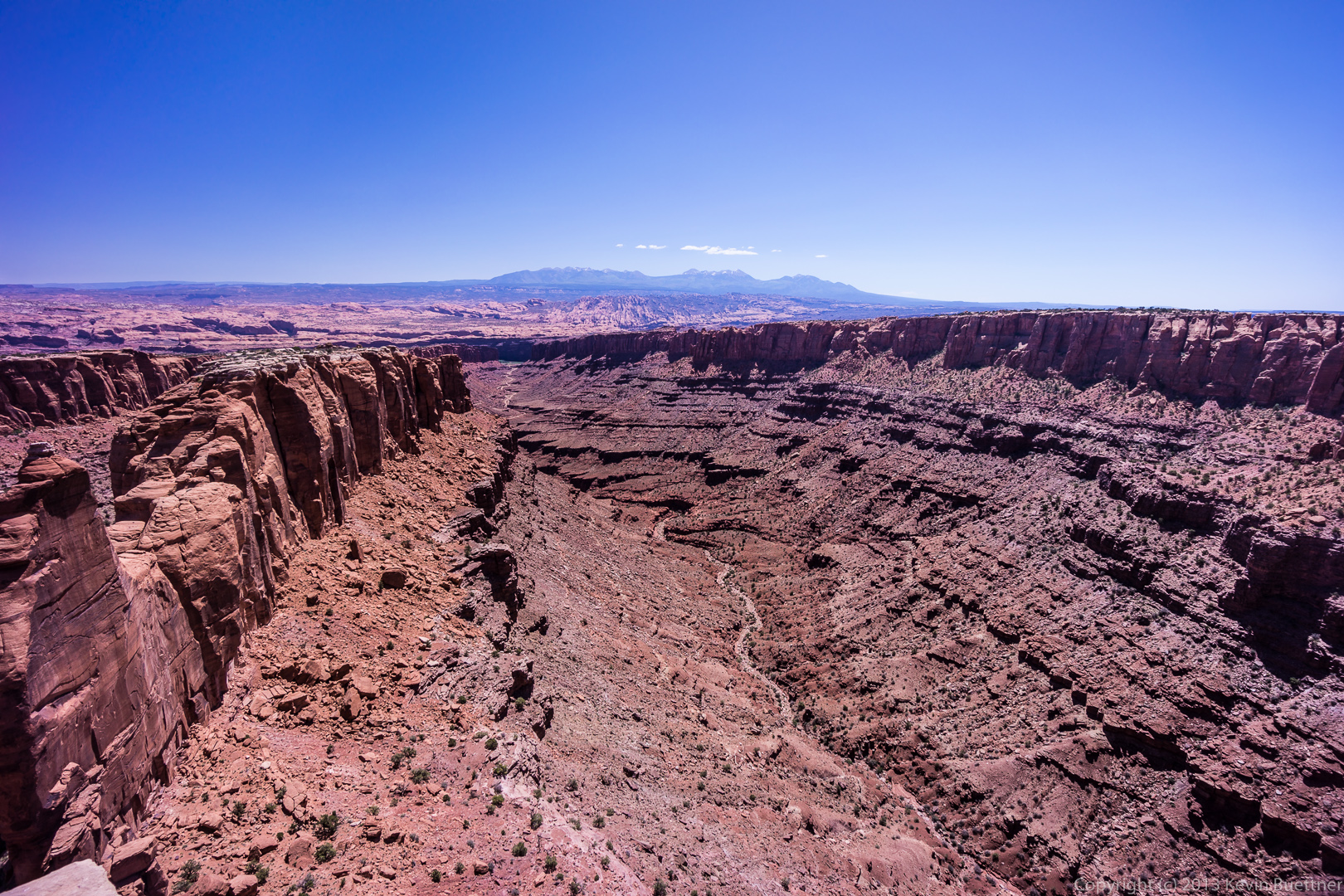
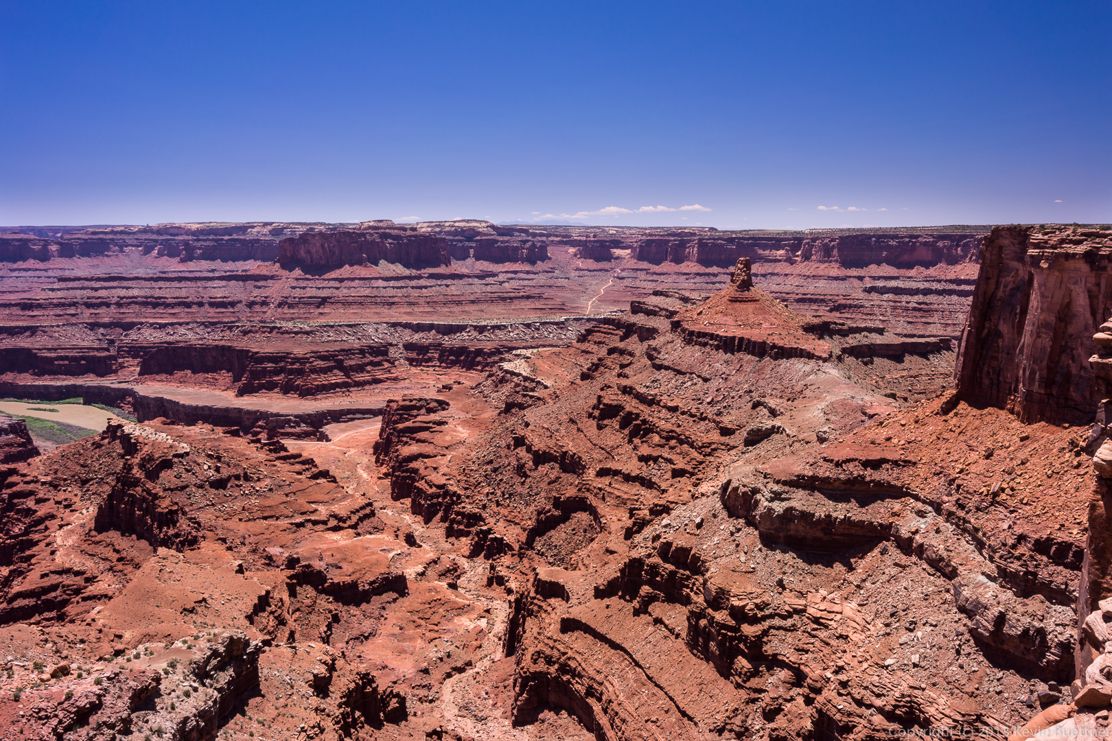
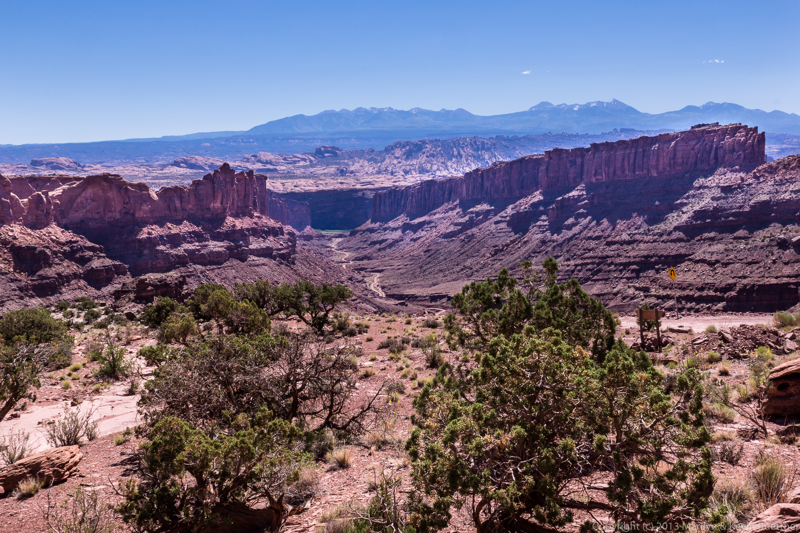
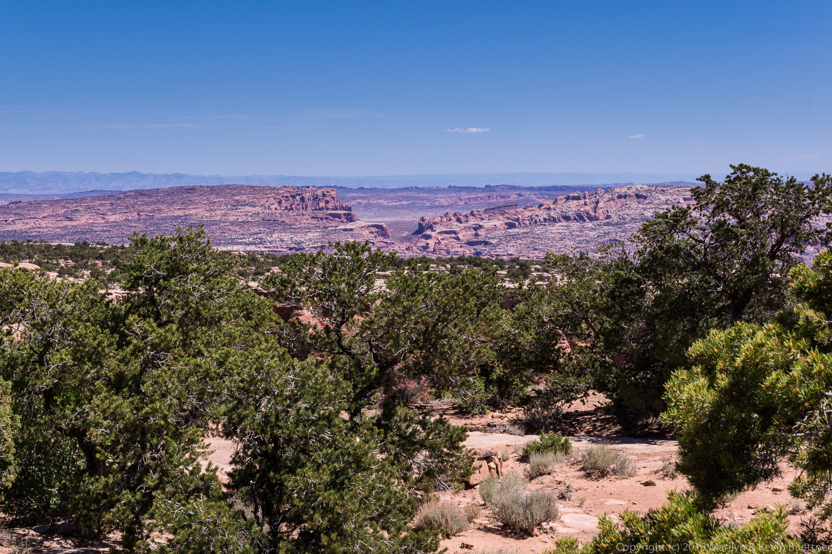
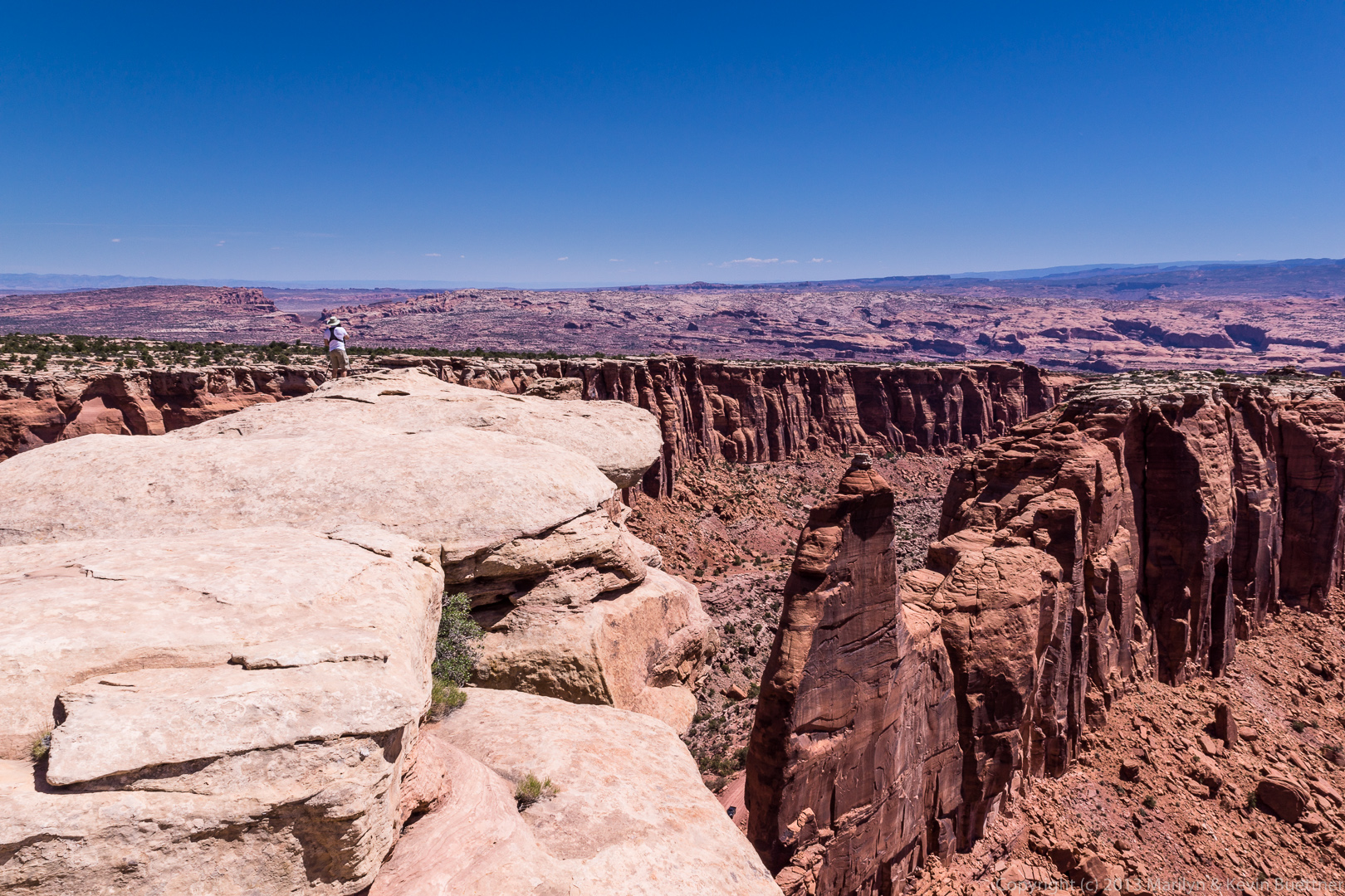
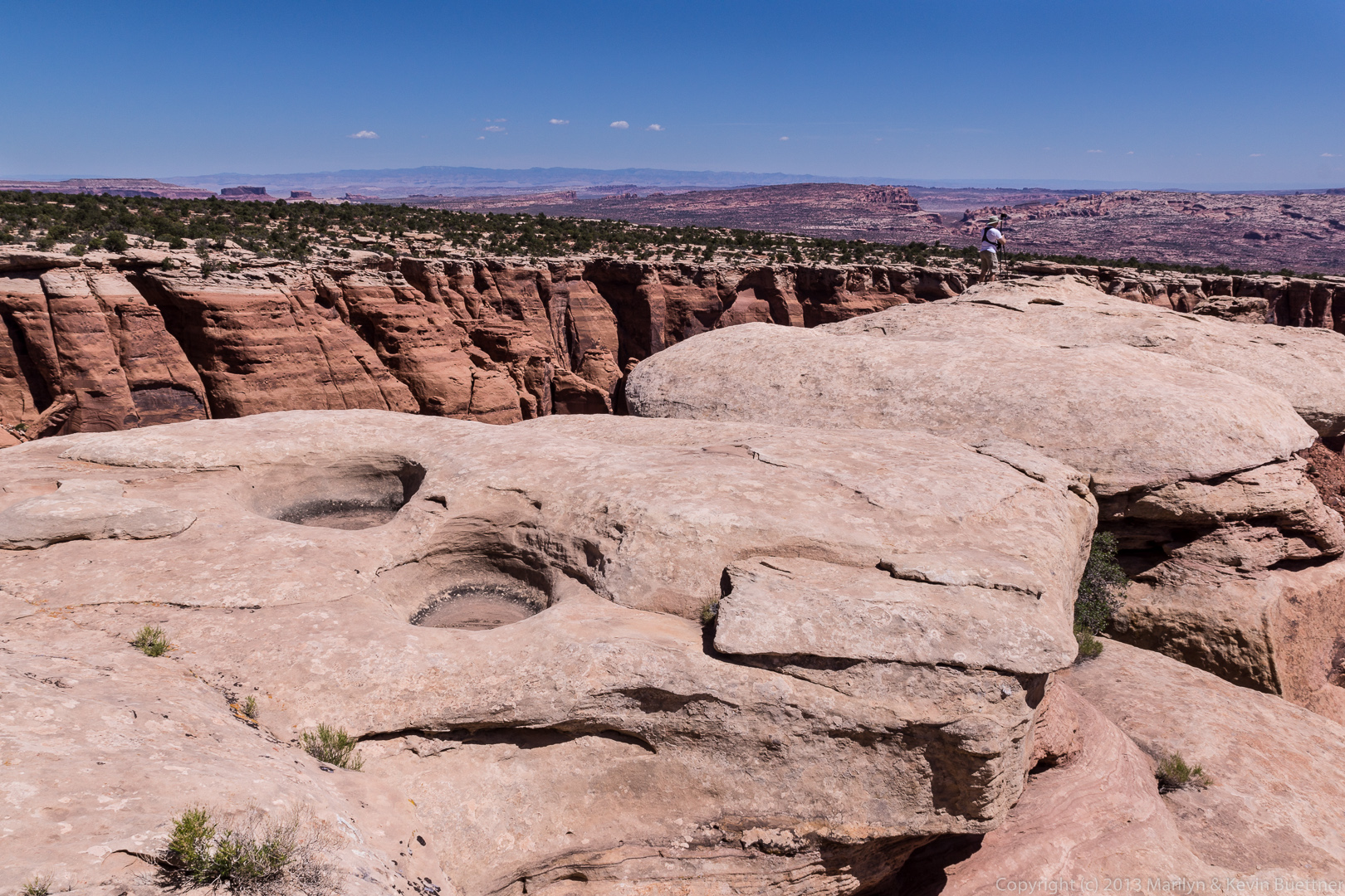
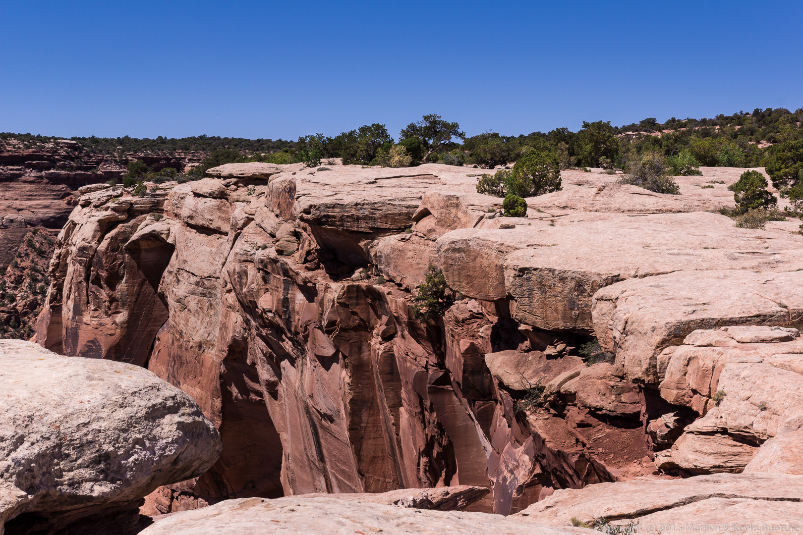
At the top, there’s a place to pull out. There are some good views from this area.
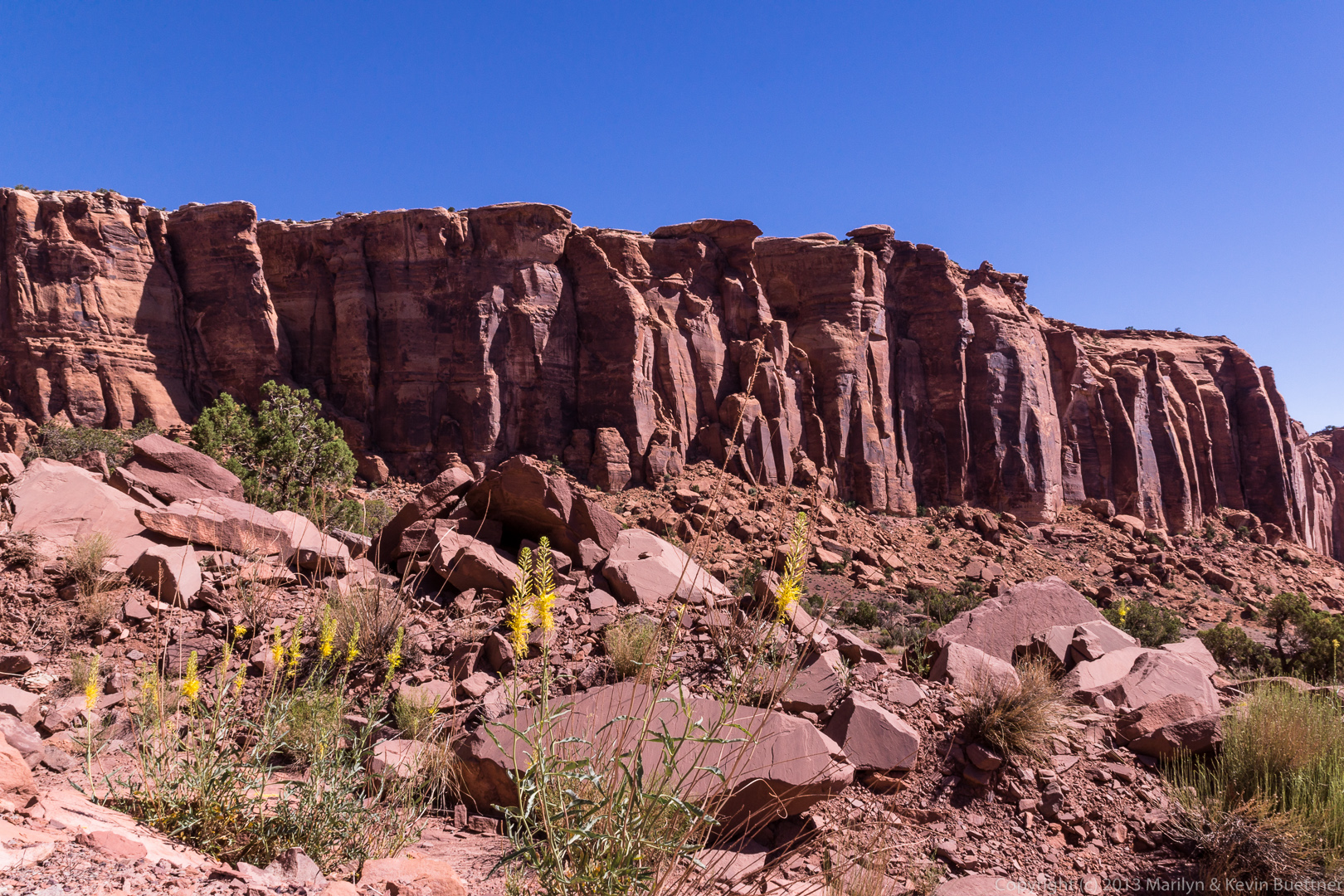
Here are some of Marilyn’s photos from the same trip:
