Month: September 2012 (page 1 of 3)

Bob’s Bird Photos from the Boyce Thompson Arboretum

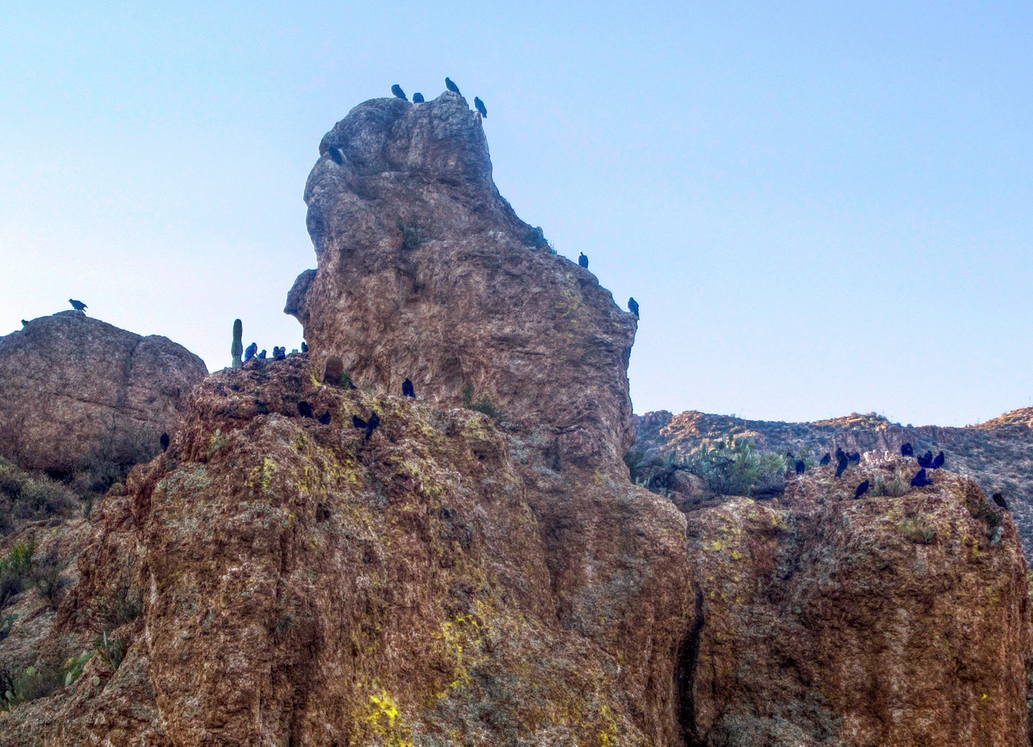
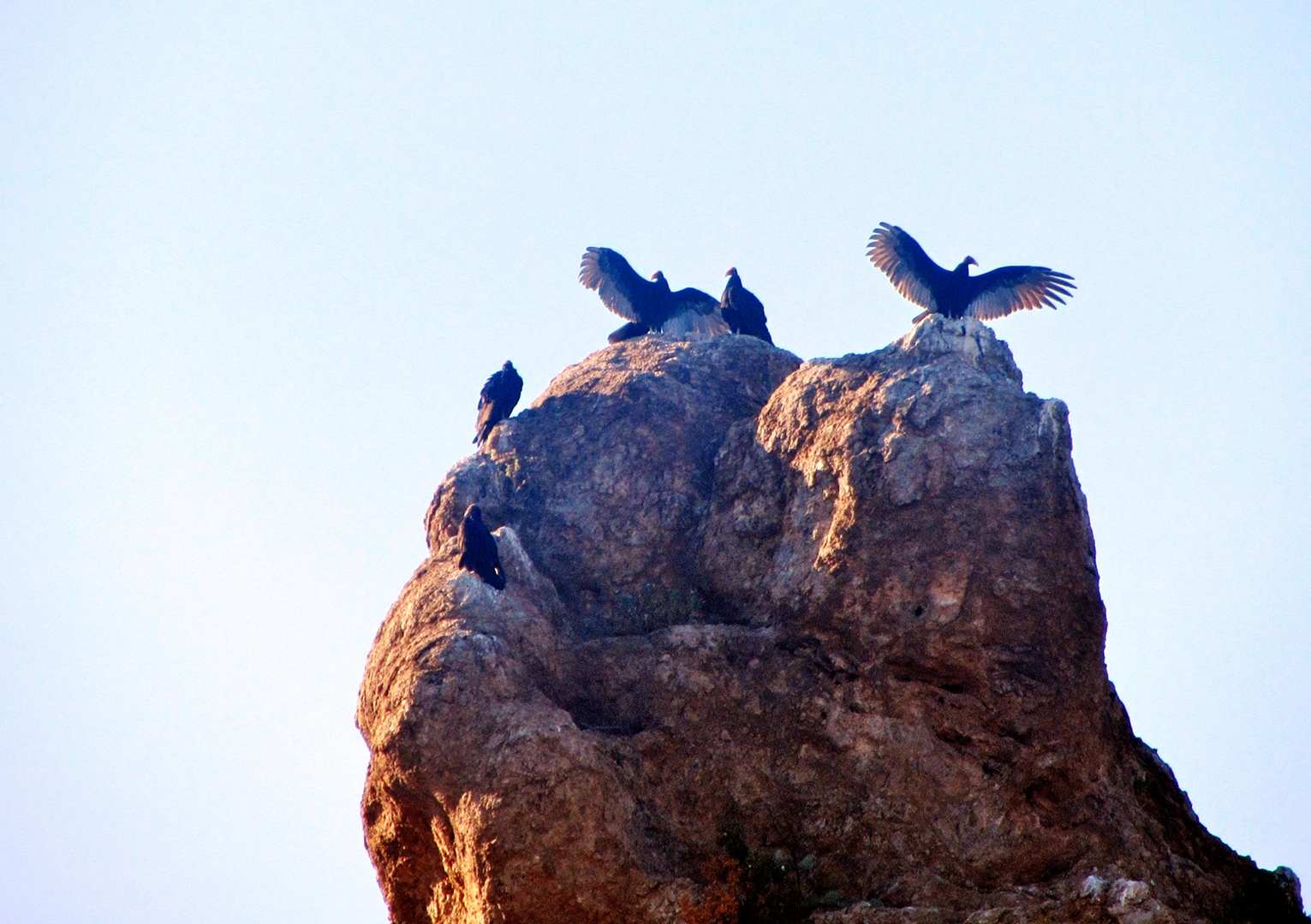
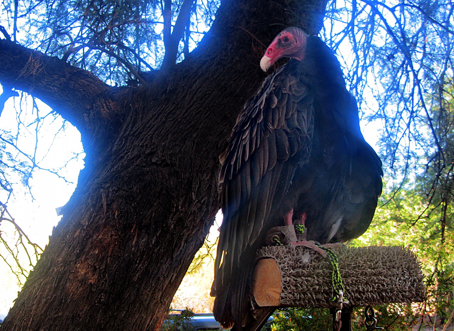
Bob took these photos at the Boyce Thompson Arboretum during the Bye – Bye Buzzards event.

These are Turkey Vultures…

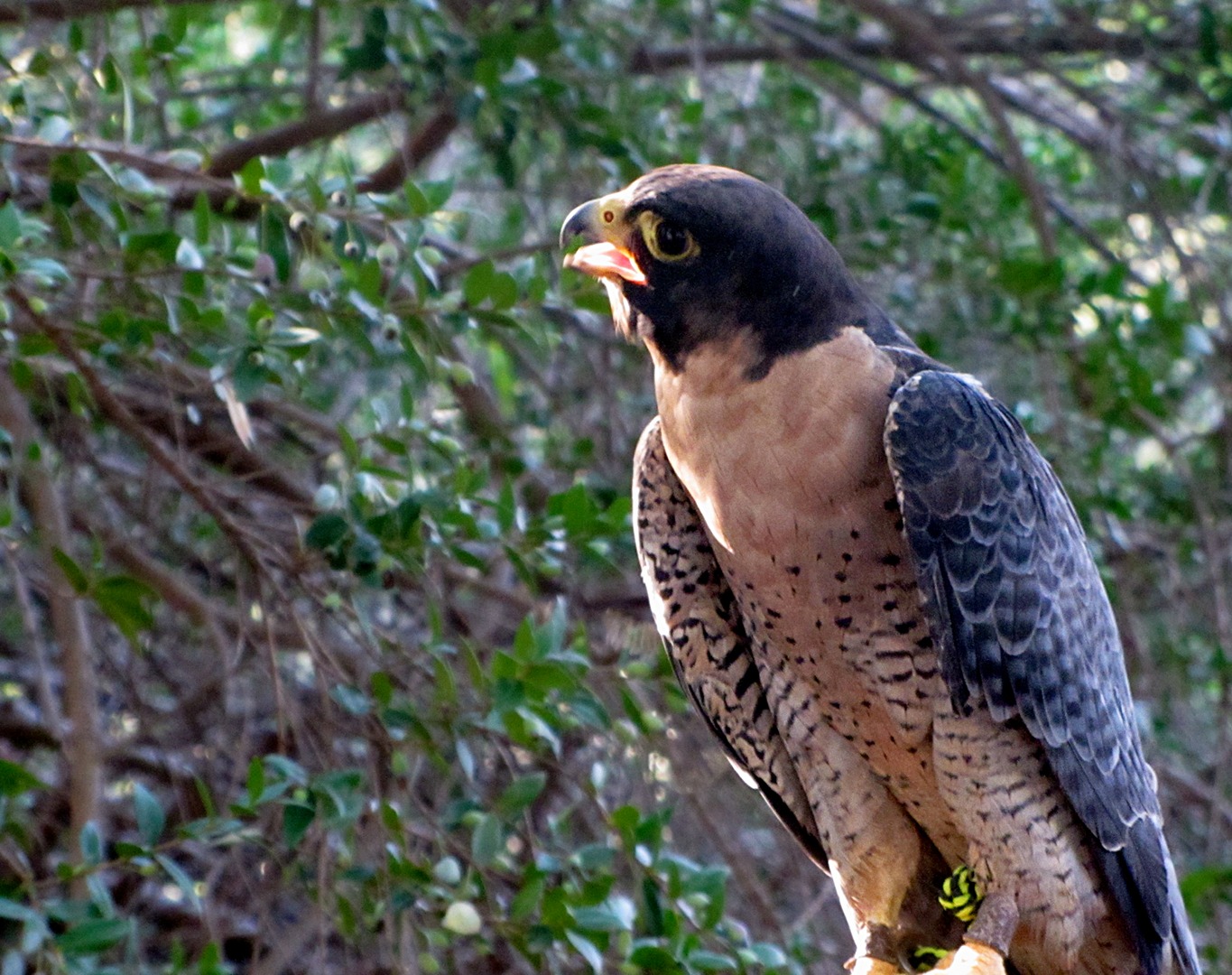
Amy Burnett has identified the birds below as follows…

Harris Hawk:

Peregrine Falcon:

American Kestrels.  The male, on the left, has more blue than the female on the right.

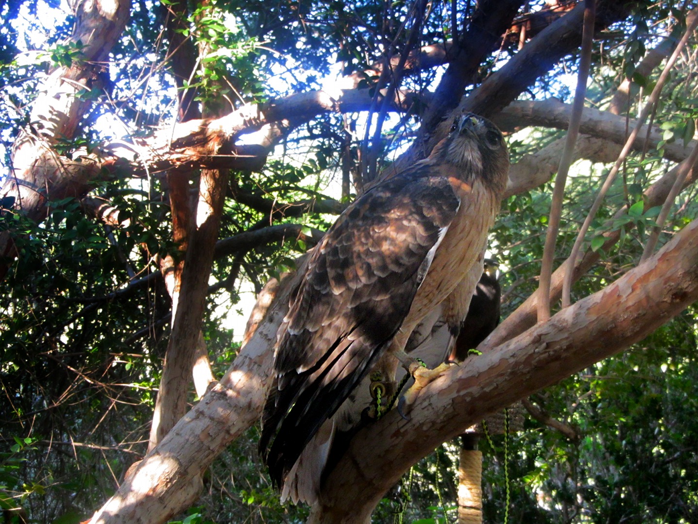
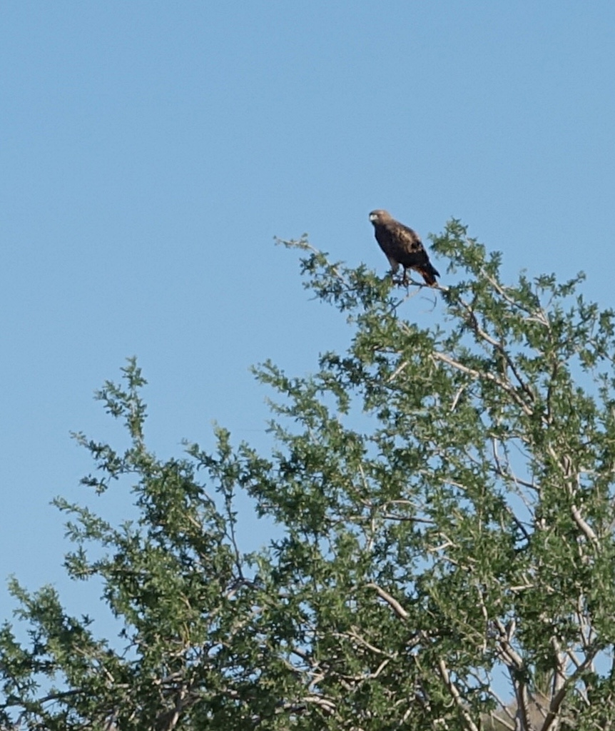
Red-Tailed Hawk, both photos, below.  (Amy says she is not certain about the last one, but I think it’s just another shot of the same bird in the photo immediately below.)

Friday Fitness Hike

Today’s hike started at the Wagner Trailhead.  We had a larger group today consisting of me, Ranger Amy, Bob, Linda, Janet, Nancy, Sue, and Sharon.

Our goal for the day was to get out to the Marcus Landslide Trail in the McDowell Sonoran Preserve.  We decided to shorten the initial part of the hike as much as possible by cutting through the campground.  Even so, we ended up hiking around eleven miles.  Our route took us up Bluff to Pemberton to Rock Knob.  From there we were able to get on the Marcus Landslide Trail.  We followed it a bit past the intersection with the Boulder Trail.  It’s a nice trail; I suspect that it eventually connects with the Windmill Trail at some point.  I’ll have to do some further exploration to find out…

This photo was taken early on while we were still on the Granite Trail.  From left to right are Bob, Sue, Sharon, Janet, Amy, Nancy, and Linda.

Part way up the Bluff Trail, we saw this small bird sitting atop a large granite boulder.

Below is a view of Tom’s Thumb.  There are some chain fruit cholla in the foreground.  Part of the Sven Slab climbing area can be seen to the left.  I once climbed that detached flake (a little ways left of center) with Craig Thornley back in the late 80s.  We climbed Tom’s Thumb too.
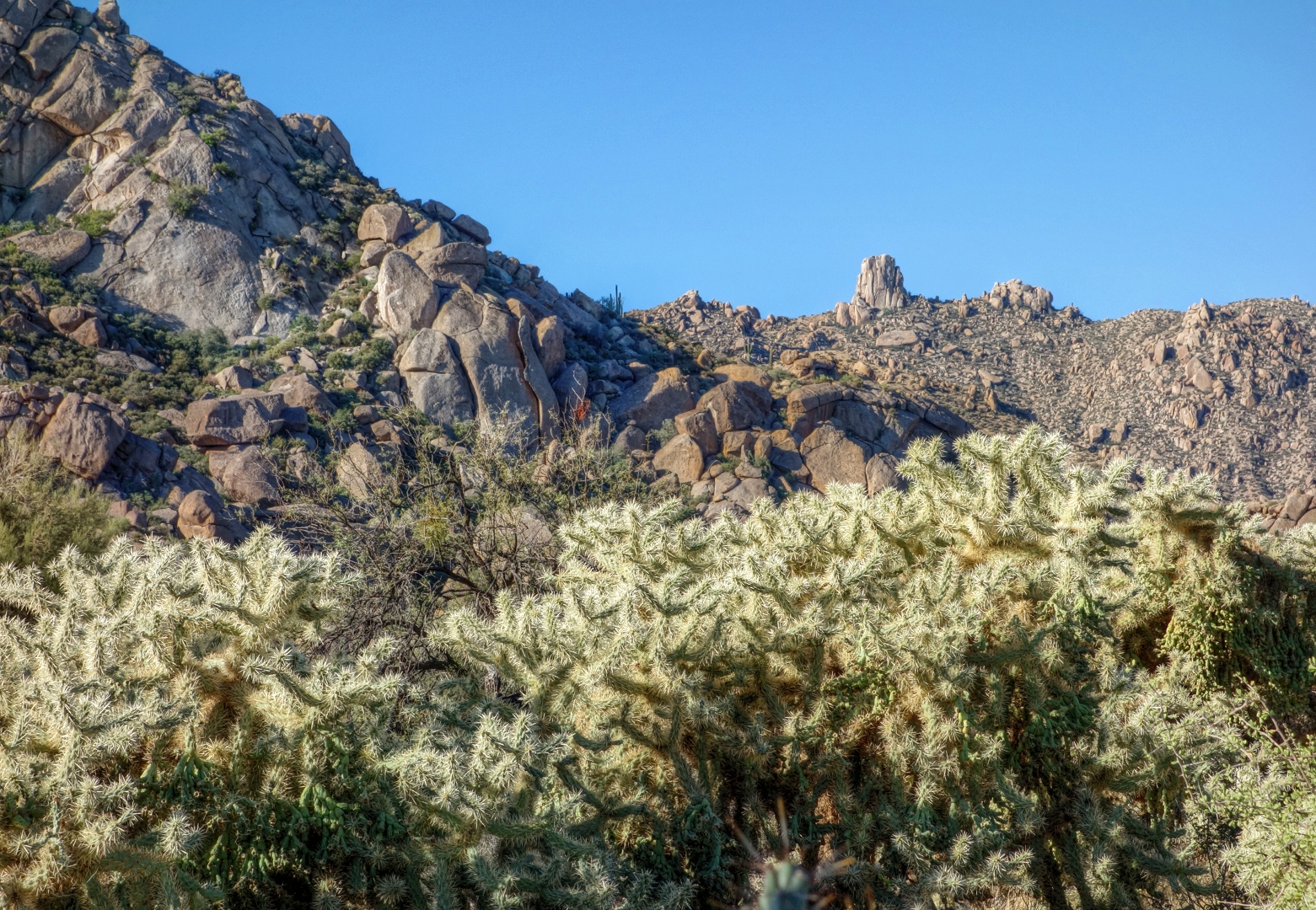
Another view of Tom’s Thumb and the Sven Slab climbing area.  Joe and I have climbed that face at the far left in the picture.
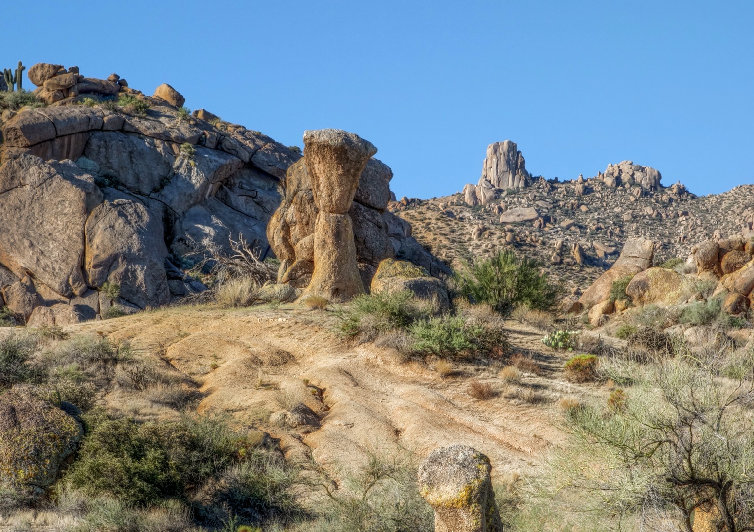
A patch of Teddy Bear Cholla.  I think we’re looking back at part of Rock Knob in this photo.
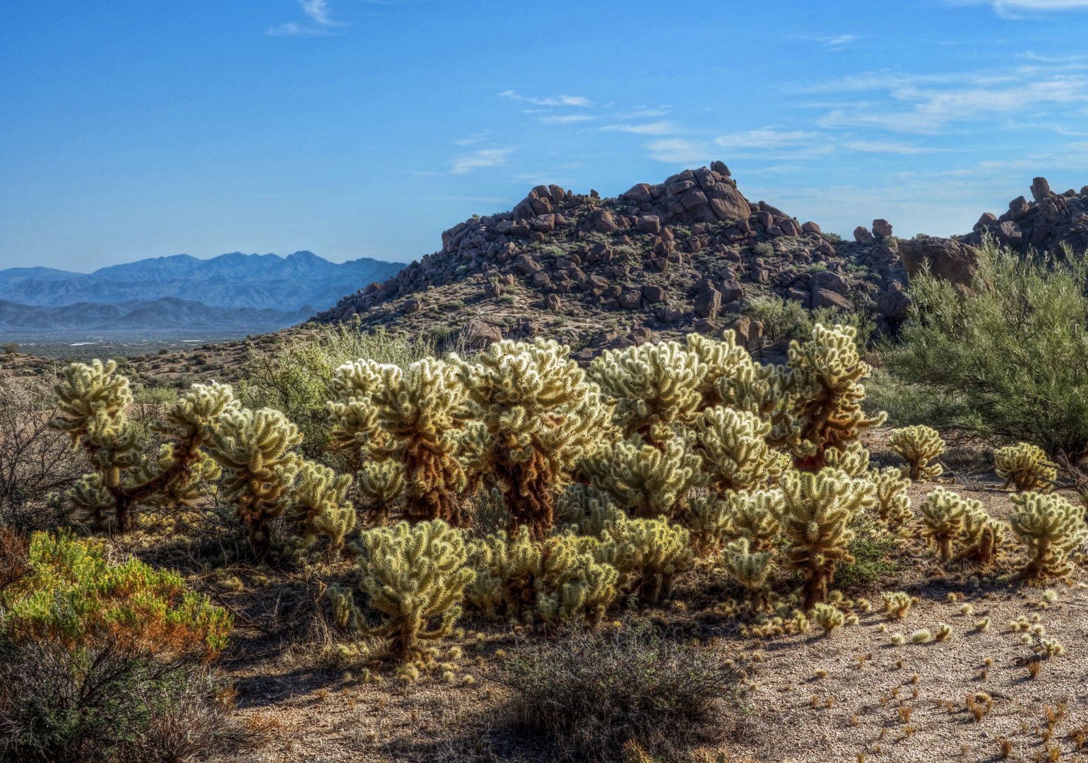
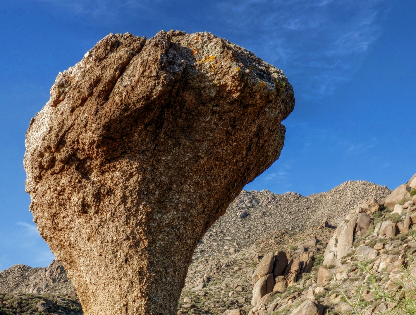
This was one of the interesting rock formations along the Marcus Landslide Trail.
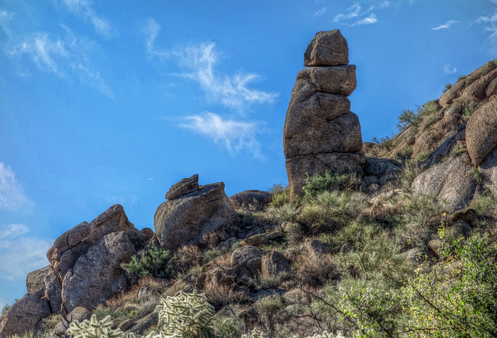
Another interesting looking rock.  I posted another view of this rock yesterday.
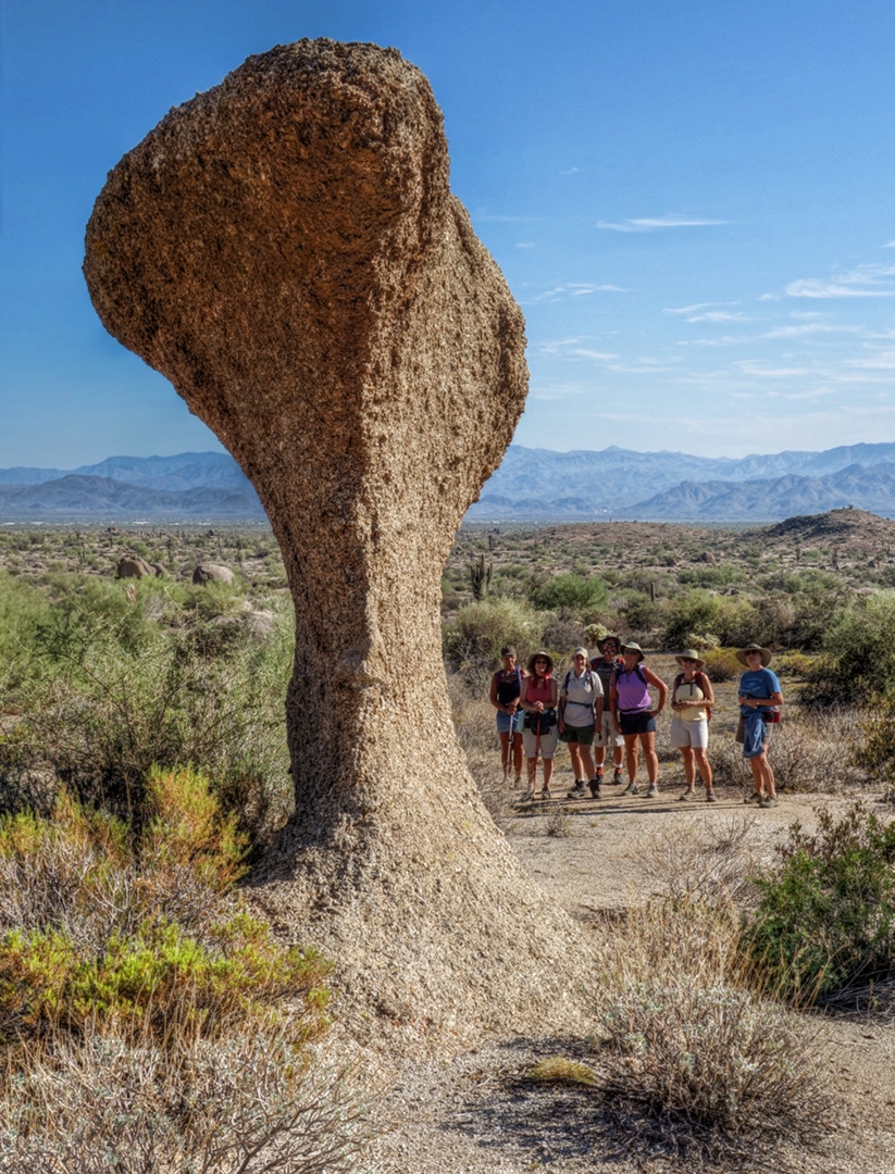
This is a view from the Marcus Landslide Trail just prior to turning around.  Note that the trail keeps going and is visible in the lower right of the photo.
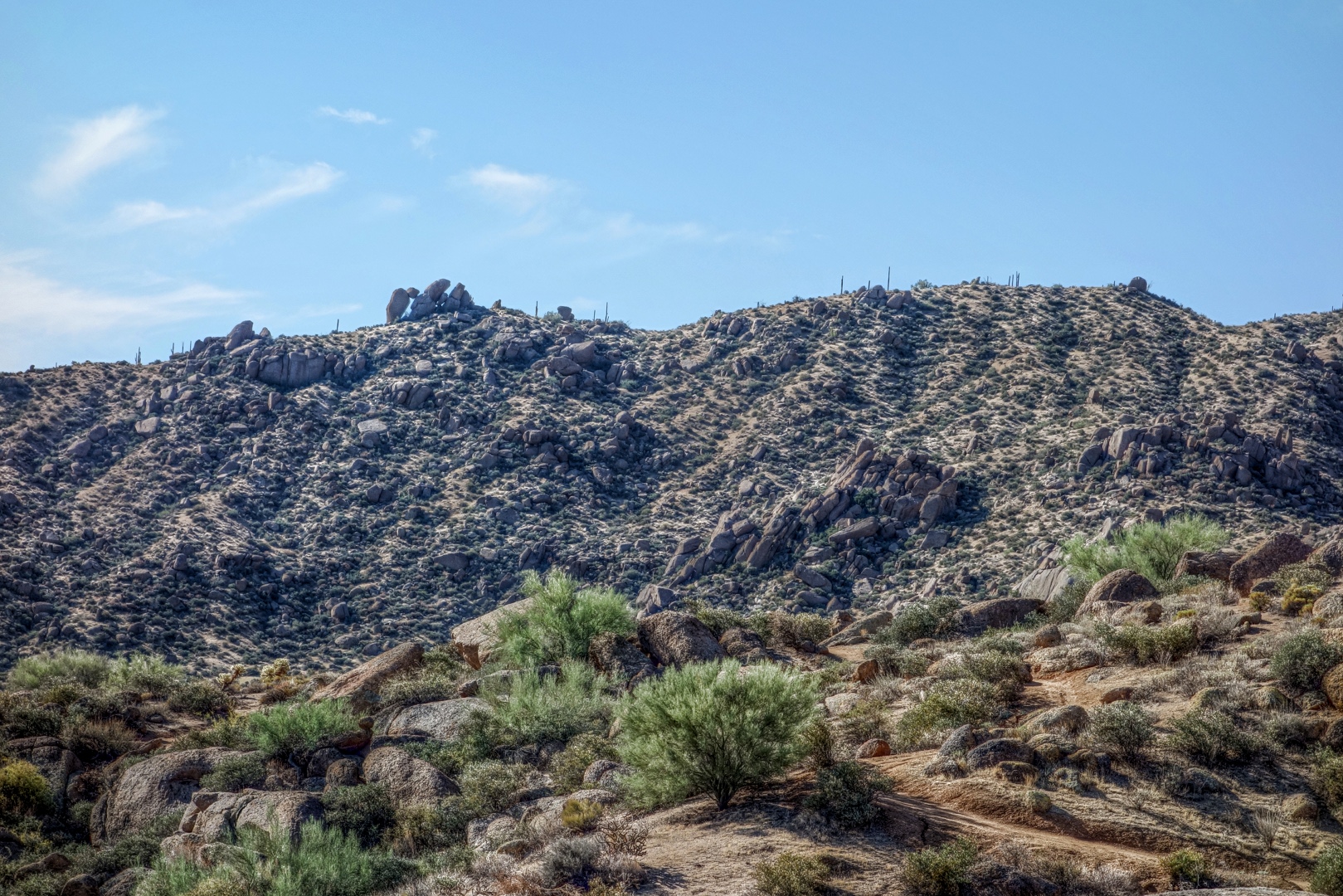
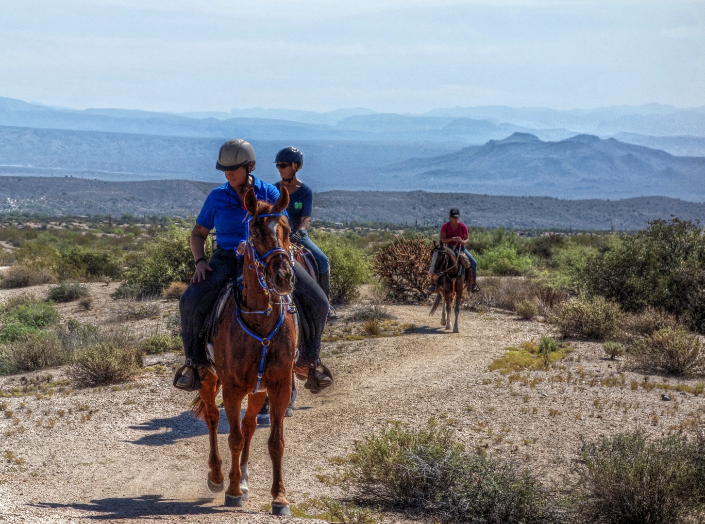
On our way back, we saw three equestrians on the Marcus Landslide Trail.
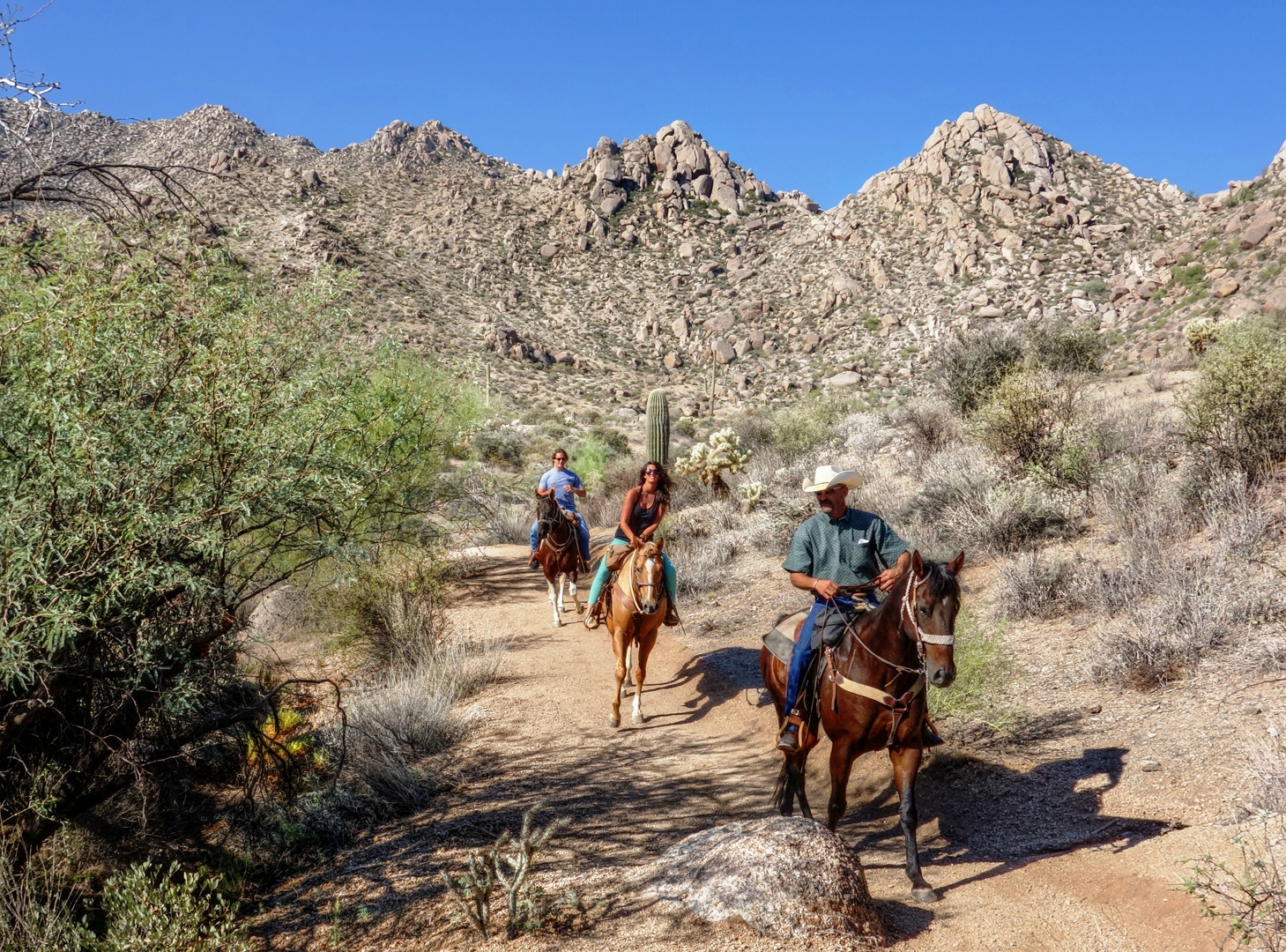
Here, Ranger Amy is telling us about the sound that a small type of squirrel was making as were hiking back.
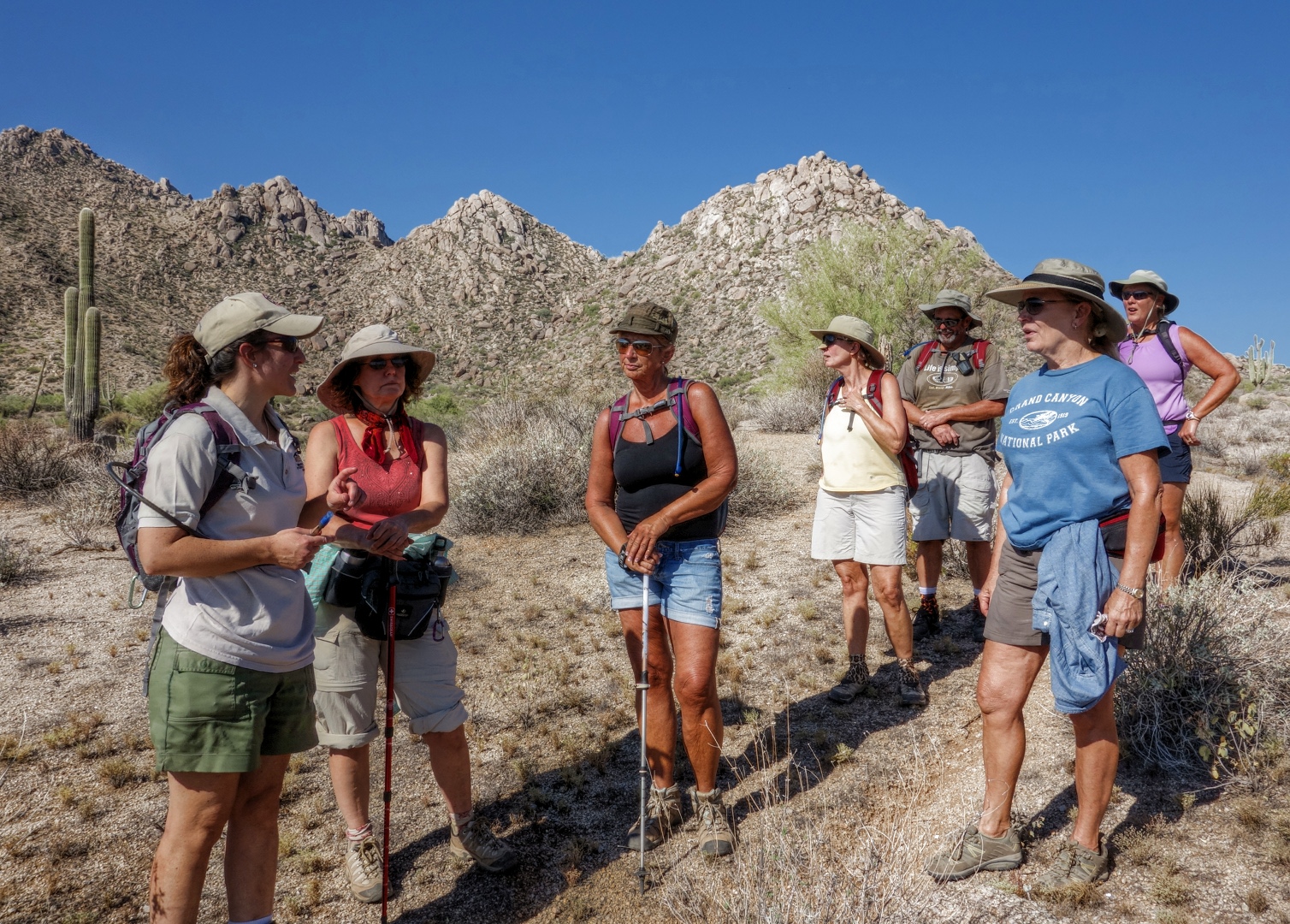
Hiking along the Pemberton:
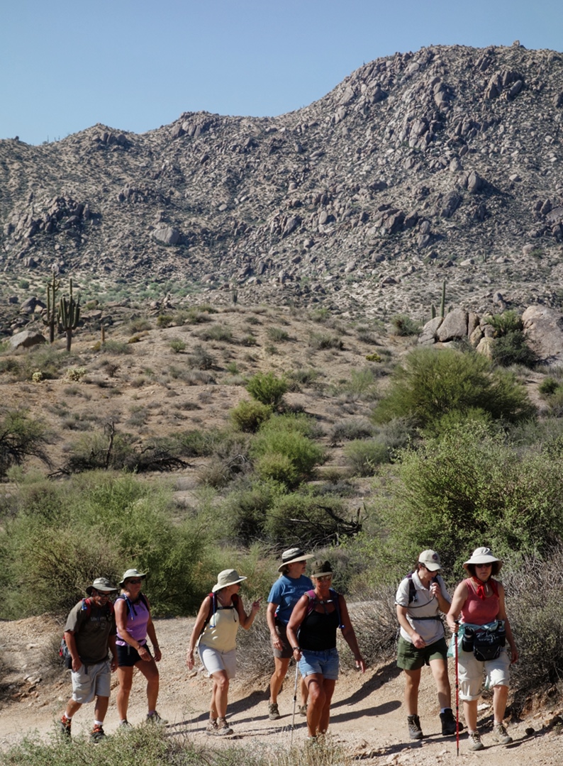
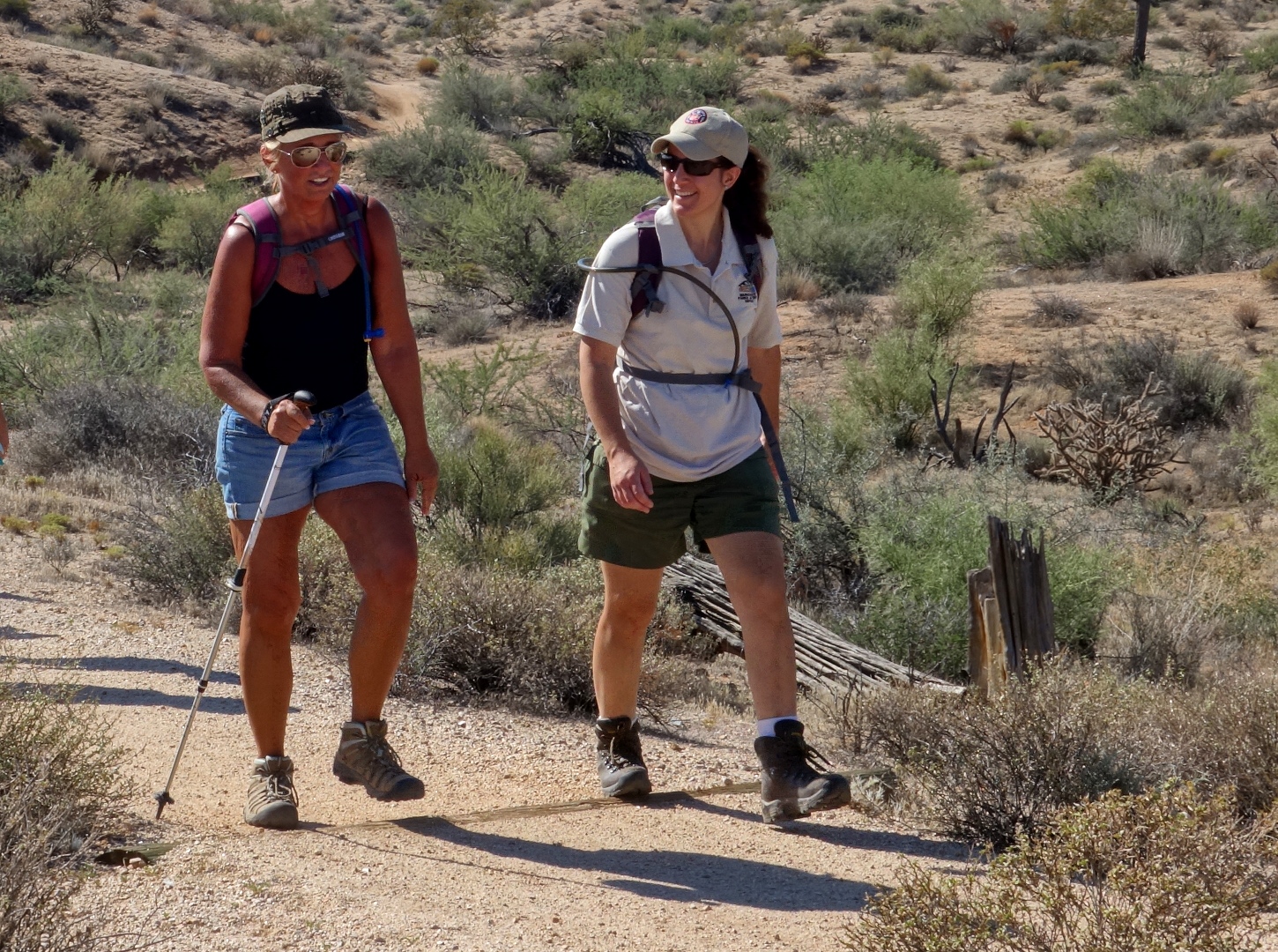
Nancy and Amy approaching the intersection of Pemberton and Bluff:
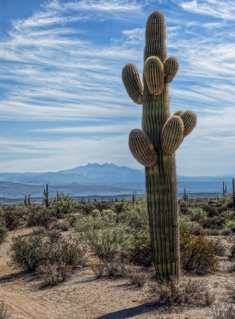
A very healthy saguaro on the Bluff Trail:
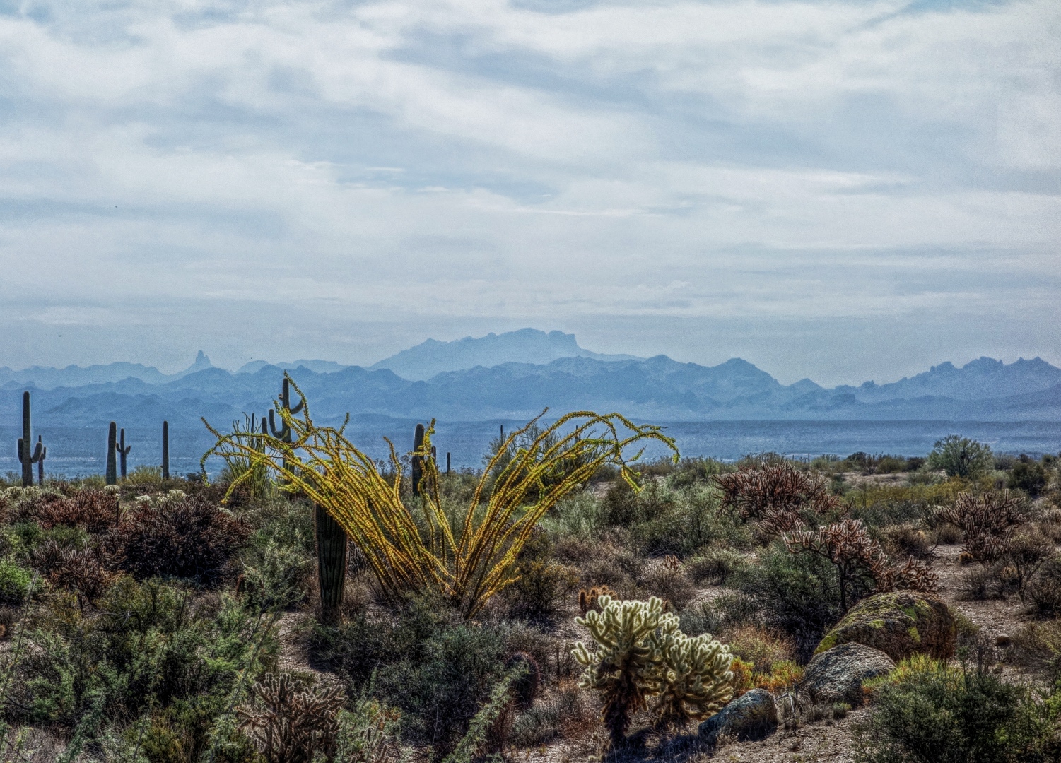
Ocotillo in the park had turned green from the recent rains, but the leaves are now drying out and turning yellow.  This one caught my eye as we were hiking back along the Bluff Trail.  Weaver’s Needle is visible along the skyline to the left.
We encountered three more equestrians while hiking down the Bluff Trail.


Fitness Hike Preview

I went out this morning and biked a potential route for tomorrow’s hike.  The photos below were taken from the McDowell Sonoran Preserve.

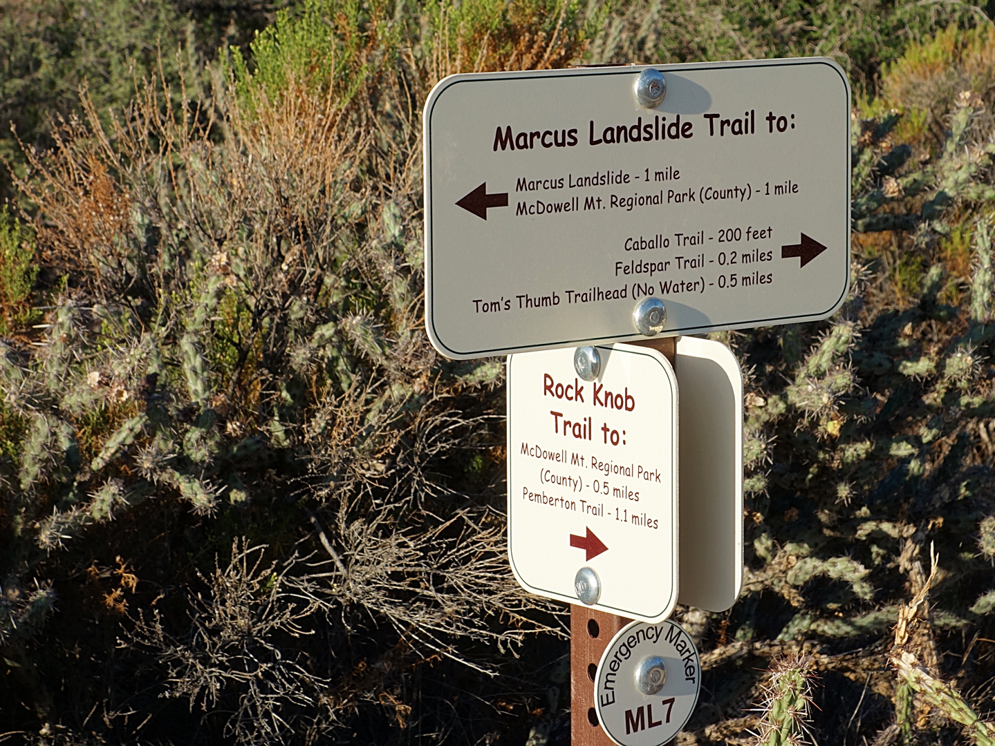
The Preserve trails have been diverted somewhat and sanitized since I was last there.  There are also some new trail signs.

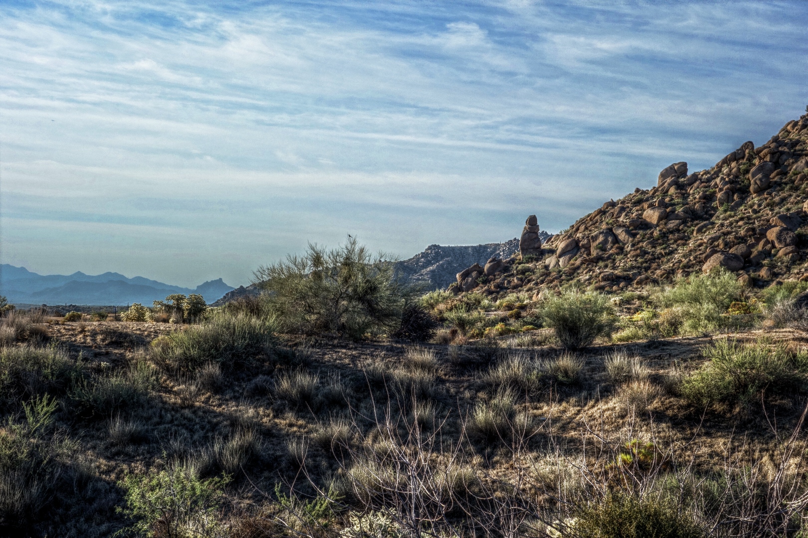
Those leaning rocks on the skyline about a third of the way over from the left edge of the photo can be seen from many places in the park.  I sometimes think that they look like people hiking with heavy packs.

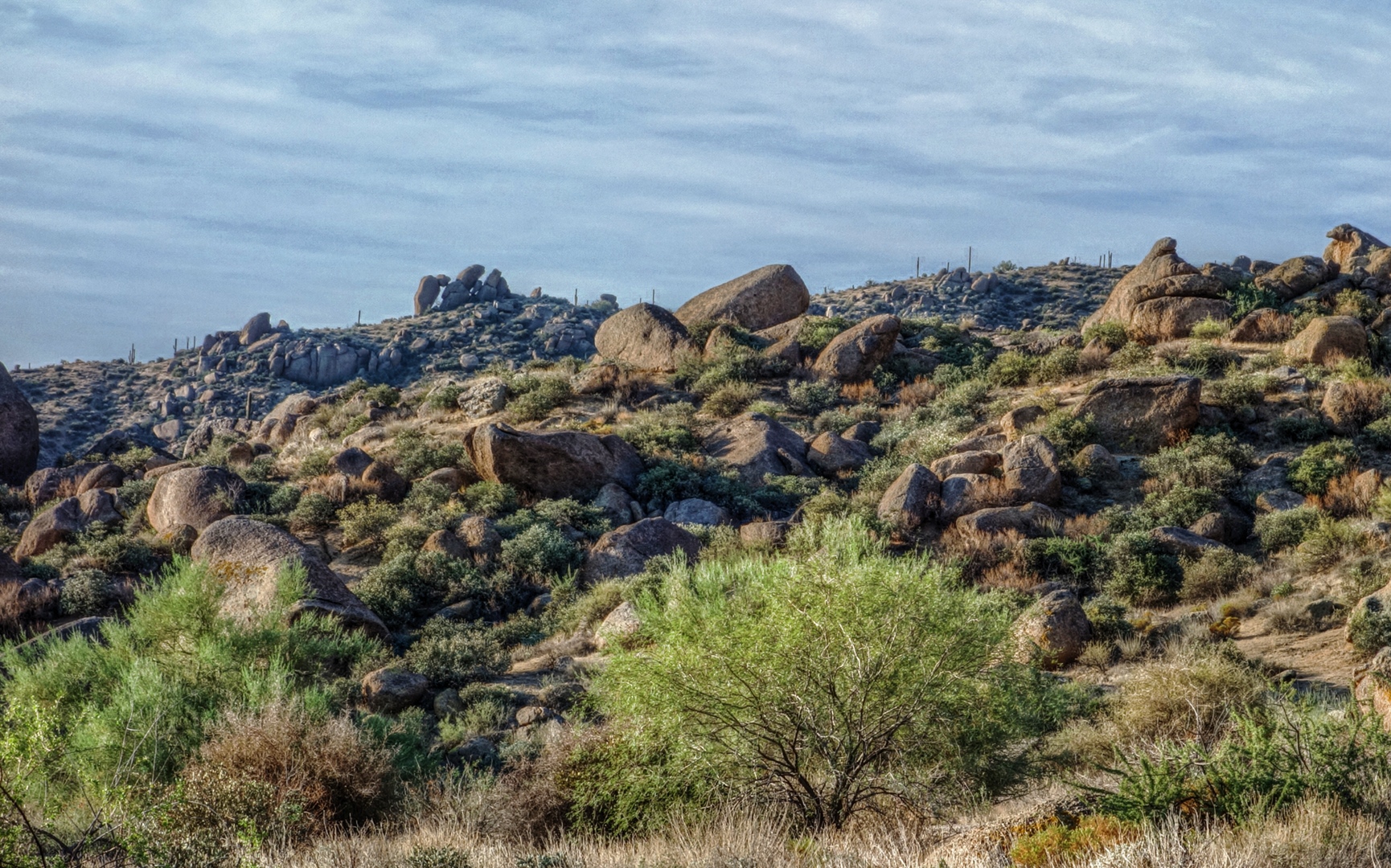
Another cool looking rock on the Marcus Landslide Trail:

It doesn’t say so on the sign, but this (below) is one end of the Boulder Trail.  The trail has been around for quite awhile, but only recently has an official opening been made in the fence.
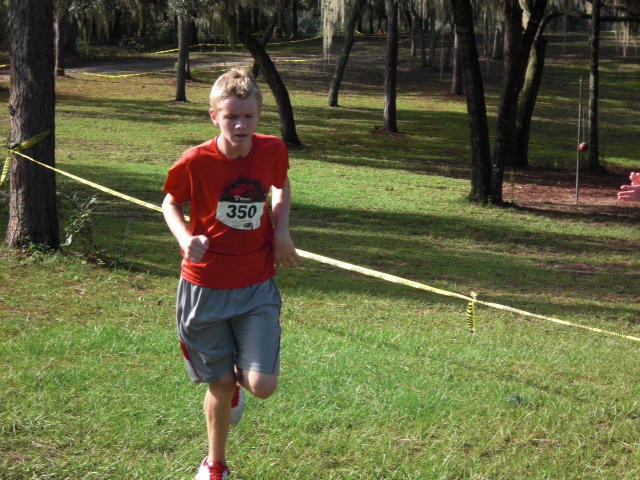
Greg at the Finish Line

Tracy sent this photo of Greg yesterday.  He ran a 2.1 mile race (trail run) at Tracy’s school, finishing in 13:36, winning the race.

Congratulations, Greg!

Hiking the Dixie Mine Trail with Marilyn and Joe

Joe, Marilyn, and I went out late Sunday afternoon and hiked out a ways on the Dixie Mine Trail.

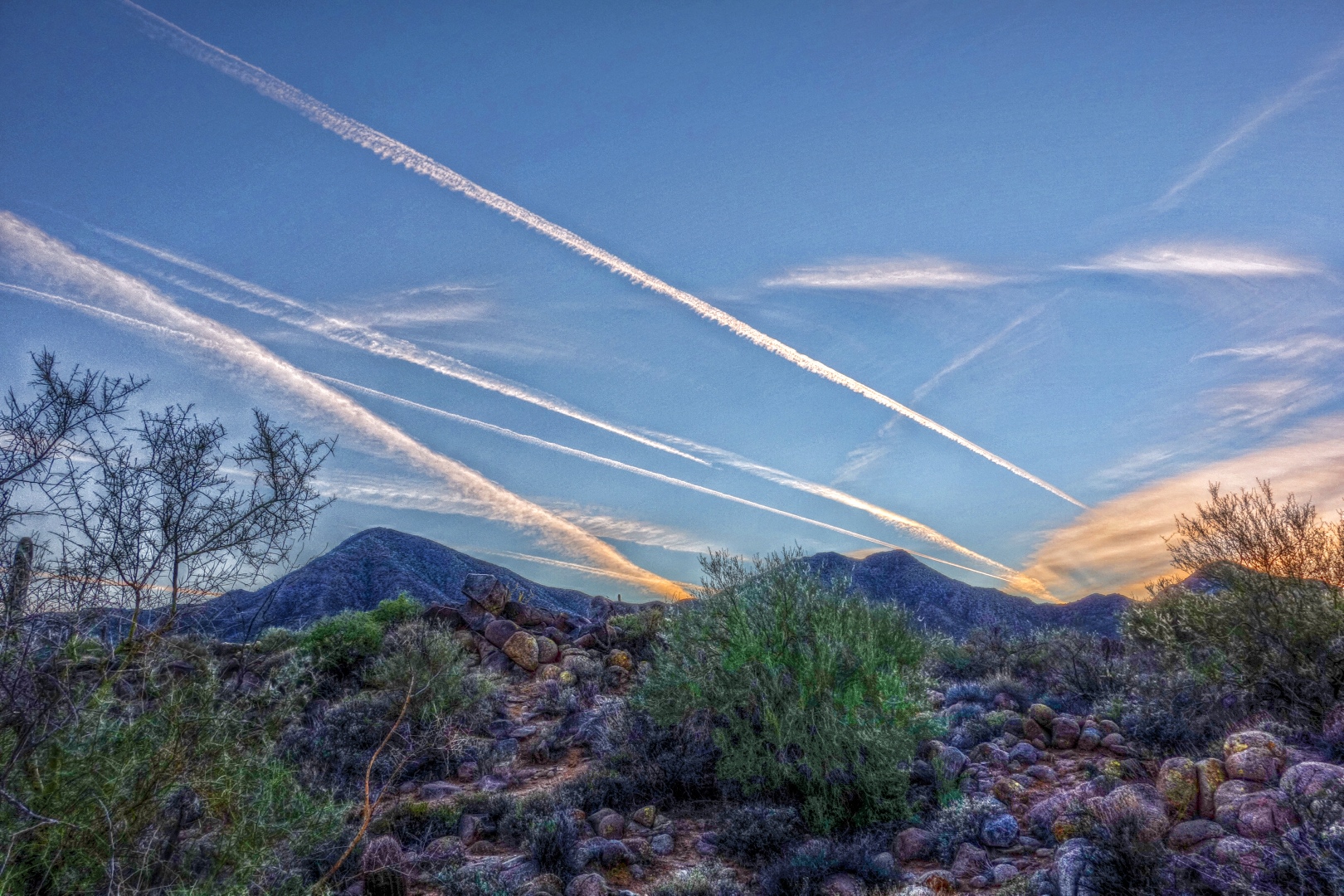
There were several contrails that hung around for the duration of our hike.  Here’s a photo where they seem to form a “V” emanating from behind one of the McDowells.

Weaver’s Needle is off in the distance in the photo below.  You can also see a part of Dixie Mine Trail in the foreground.  It’s a nice trail in that section.  There’s not a lot of elevation gain or loss, but numerous small hills and washes give texture to the terrain.

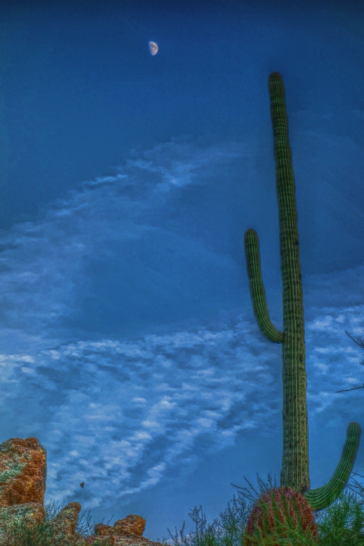
The half-moon and a nearby saguaro:

A particularly scenic section of the Dixie Mine Trail:

Mother and son hiking together just after sunset.

Another view of the contrails as the sun was setting:

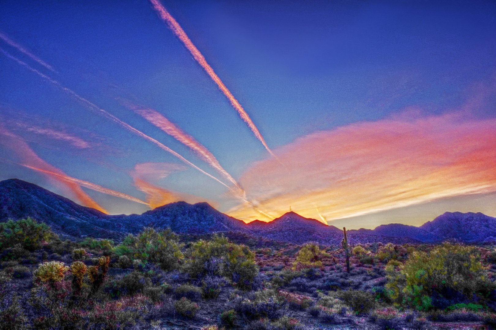
A short while later, we turned to see that the setting sun had turned the contrails a brilliant reddish orange:

Another edit of the above photo using the Mantiuk ’06 contrast mapping algorithm.  All of the above photos use the Mantiuk ’06 contrast equalization algorithm.  In the tests that I’ve done, contrast mapping seems to produce more realistic looking results, but I often like the look obtained using contrast equalization.  The sky in the photo below is fairly close to the image obtained out-of-camera, but the out-of-camera foreground detail is very dark; so dark in fact that it appears to be mostly black.


The Gossips

Below is a photo of The Gossips in Arches National Park.  I have other edits of this photo and I may have even posted one in the past, but they all look a lot different.  The sun is behind the gossips in this photo creating a very bright sky.  The out-of-camera photo is considerably darker, making it difficult to see much detail.

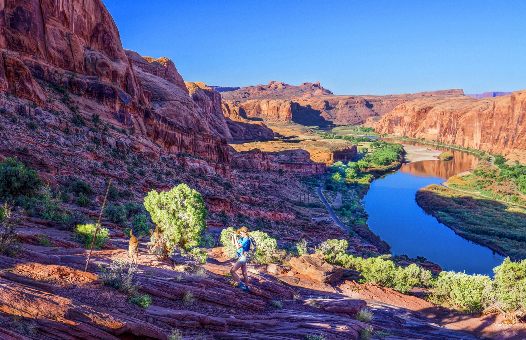
Marie with a Dog on the Moab Rim Trail

This photo was taken last June during our trip to the Moab area.  On our way up the Moab Rim Trail, we saw two dogs bounding up the hill.  In this picture, Marie has stopped to take a photo of one of the dogs.

Friday Fitness Hike

Today’s hike started at the Trailhead Staging Area.  In addition to regulars, Bob, Linda, and Janet, two other hikers joined us today: Elma and Connie.  Elma and Connie told us that they do a lot of hiking at South Mountain; this was their first visit to McDowell Mountain Park.

We hiked out about a mile on the Pemberton and came back on the Scenic Trail.  Total distance for that segment was a little over 4.3 miles.

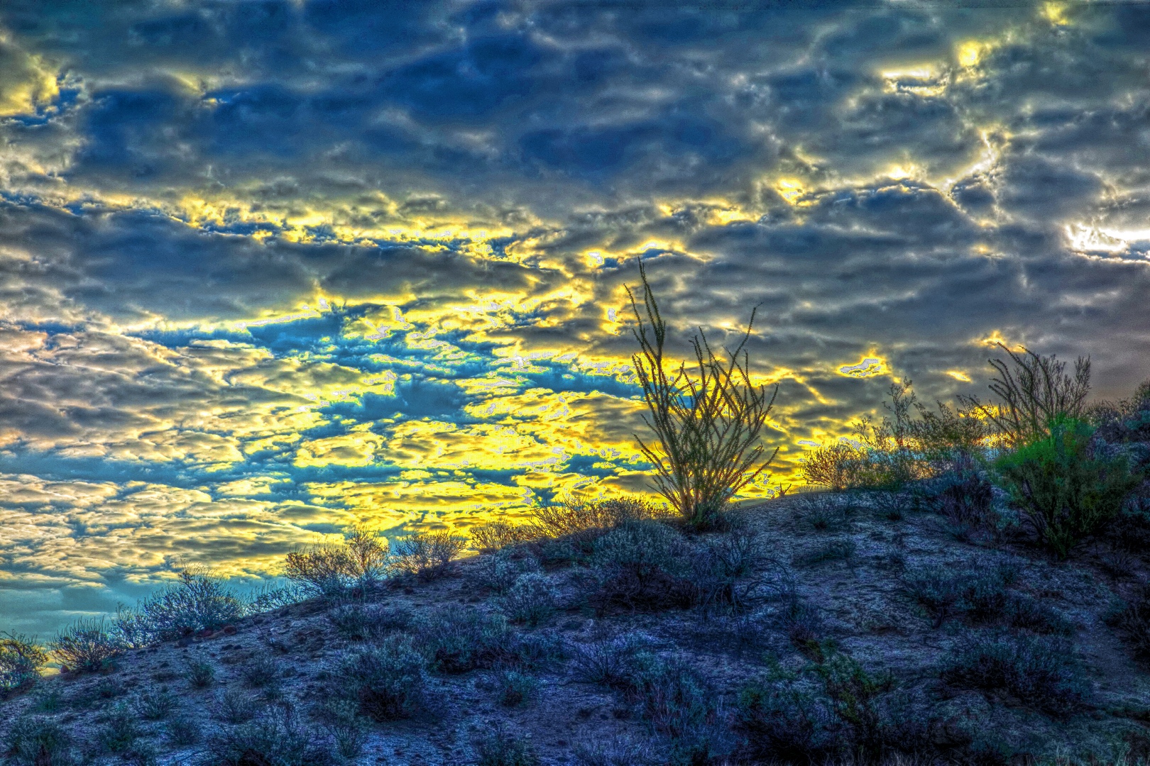
As we started up the Scenic, I took this photo of the sun coming up over the hill.  Tone mapping it gave it an interesting look – the photo was kind of boring otherwise.

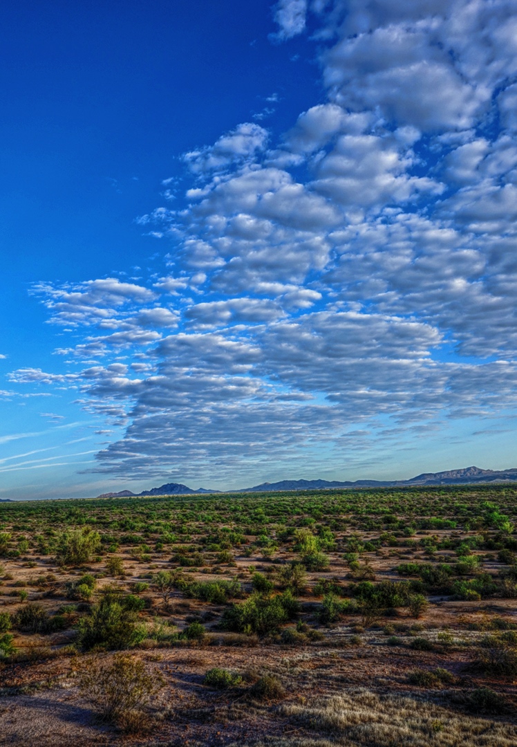
A short ways further, I turned around and took a photo of the clouds with Little Granite Mountain (I think) off in the distance.

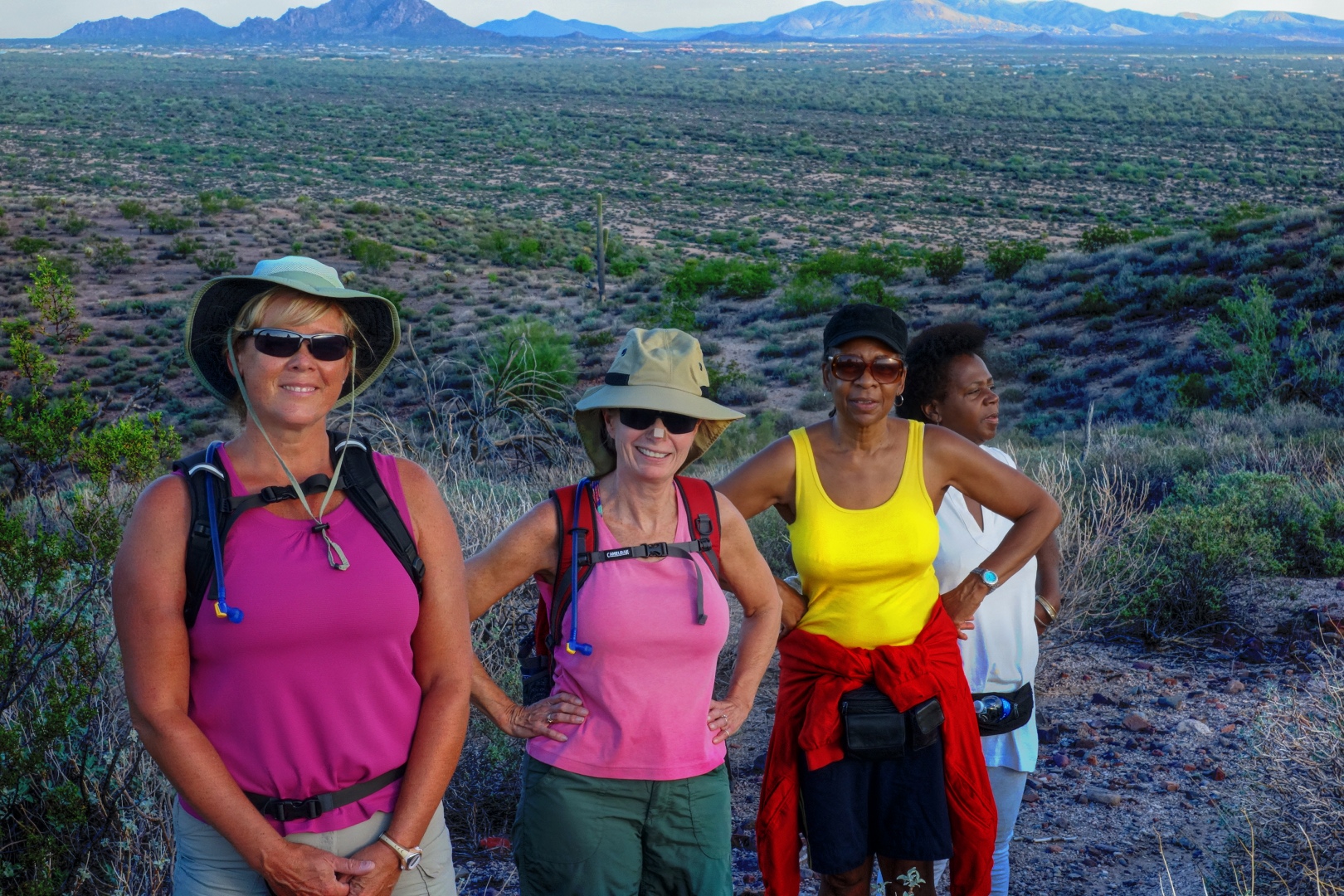
Janet, Linda, Elma, and Connie:

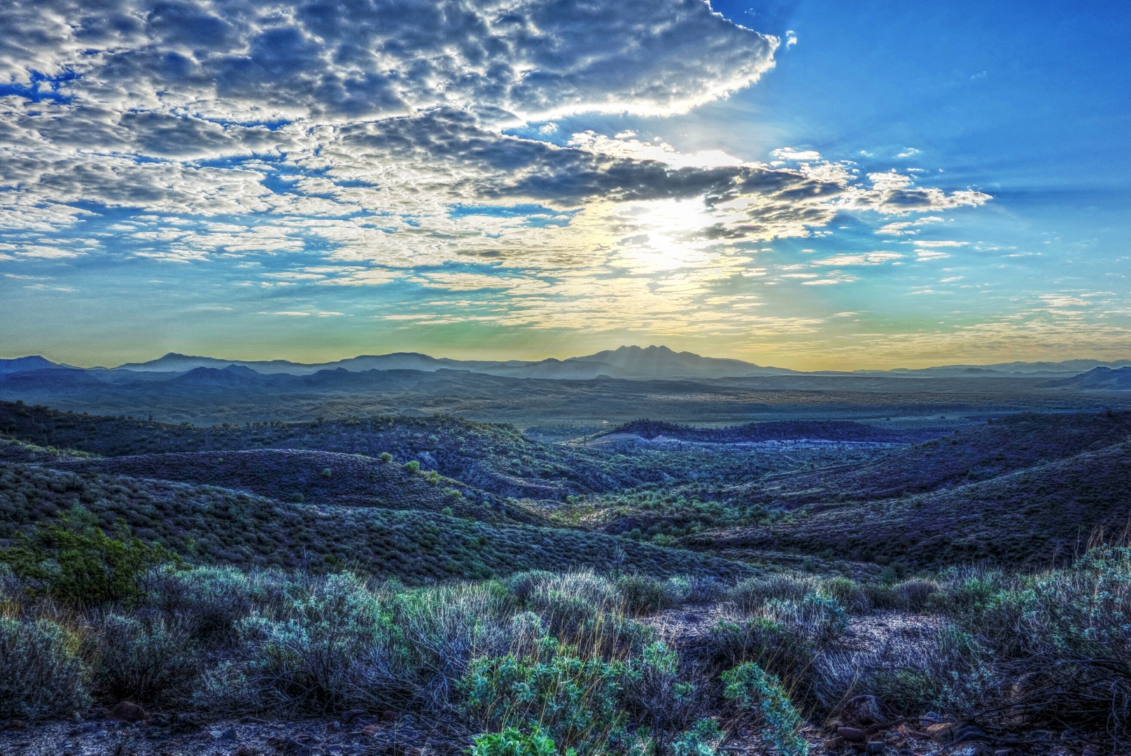
A view of Four Peaks from midway along the Scenic Trail:

When we got to the wash, Bob pointed out this Red-tailed Hawk:

When we got back to the staging area, Bob found this spider in the bathroom!

Bob, Linda, Janet, and I then started on the second part of our hike.  We hiked out the Pemberton in the other direction.  Janet turned back just after we crossed Stoneman Wash.  (She had other errands to do…)

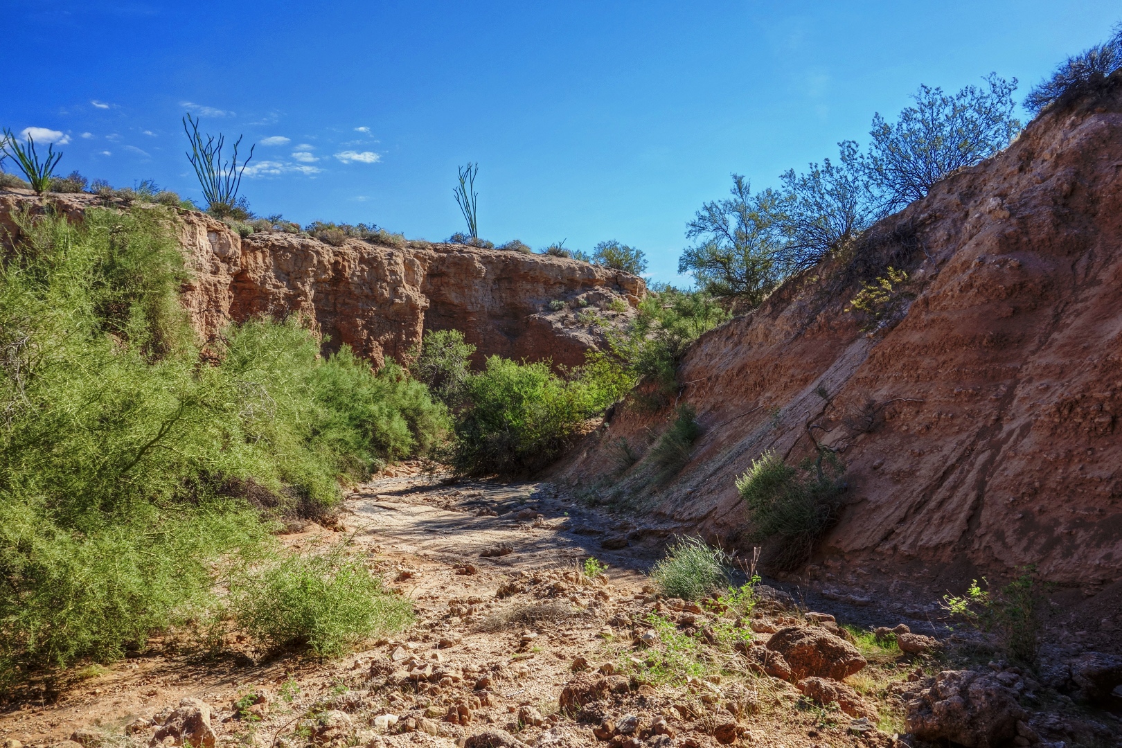
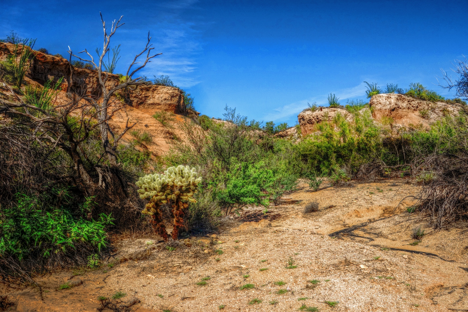
Bob, Linda, and I continued on and took a look at this wash:

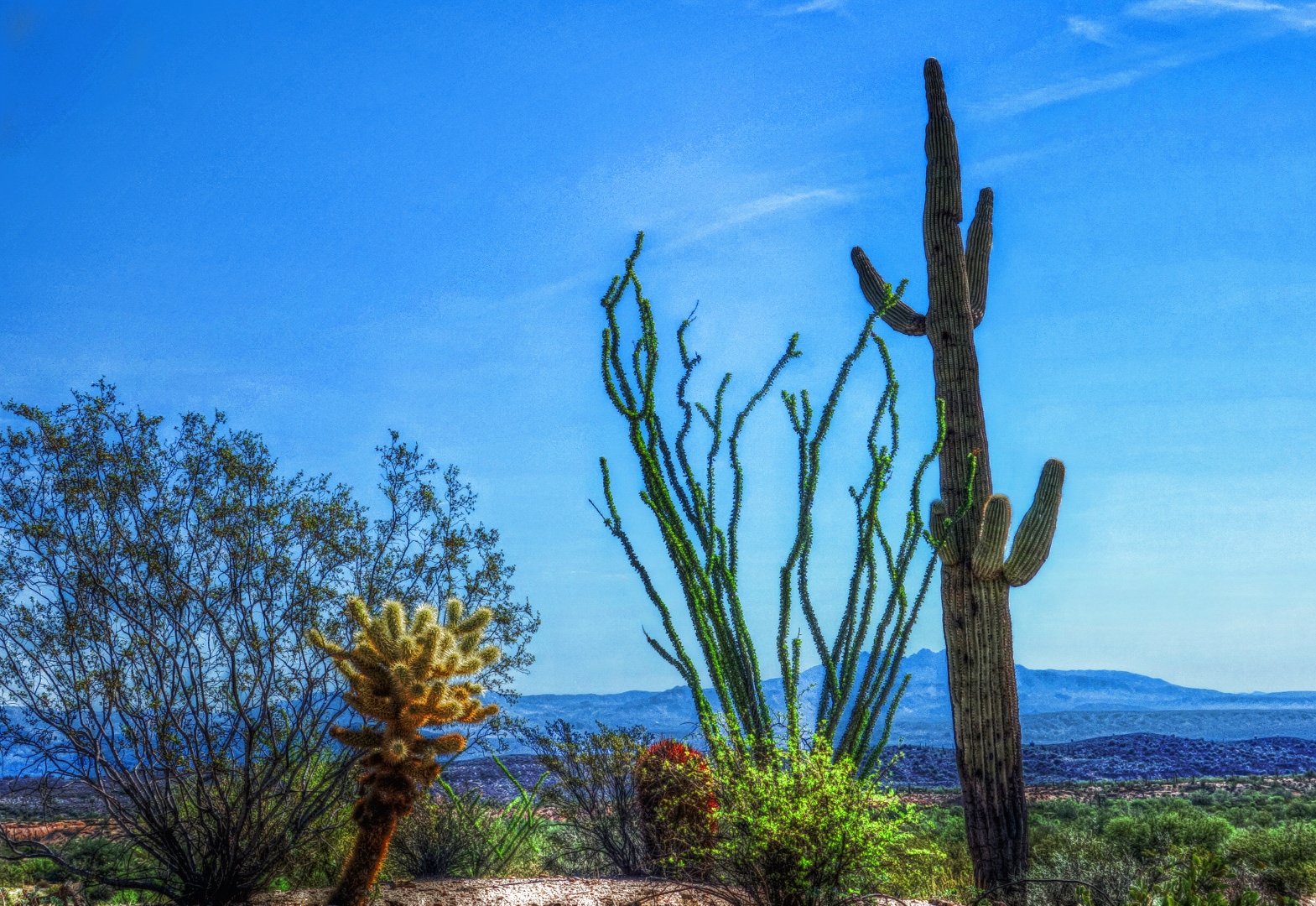
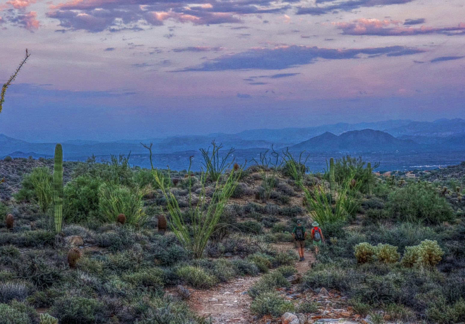
We also hiked a bit of the Tonto Tank Trail.   Here is Linda taking a photo of some cacti and an ocotillo at the top of the steep section near the beginning of the trail.
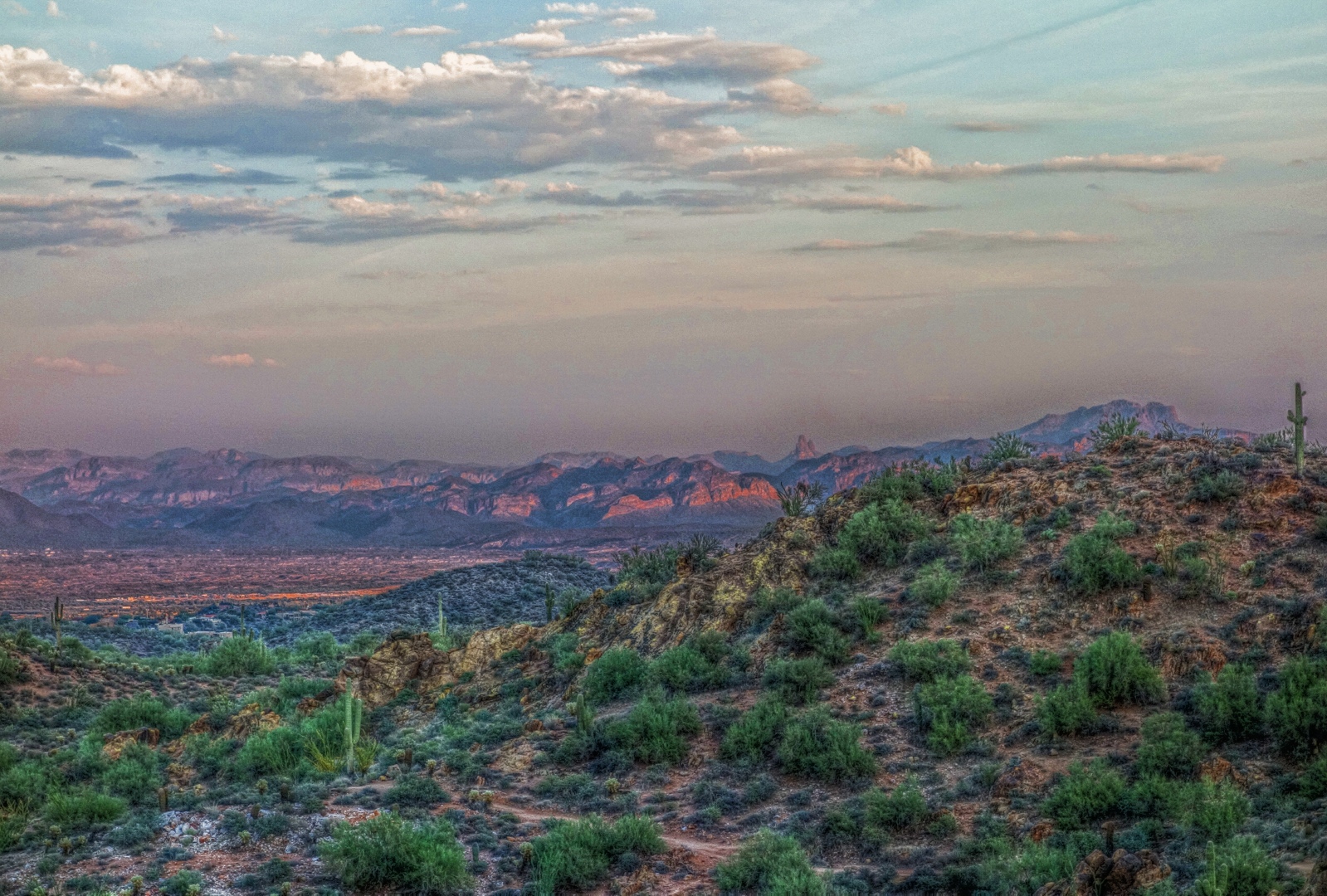
Here’s my own photo of that scene:

Bob, Linda, and I hiked a total of 9.35 miles today.
 

A Small Hill at the Edge of the Island

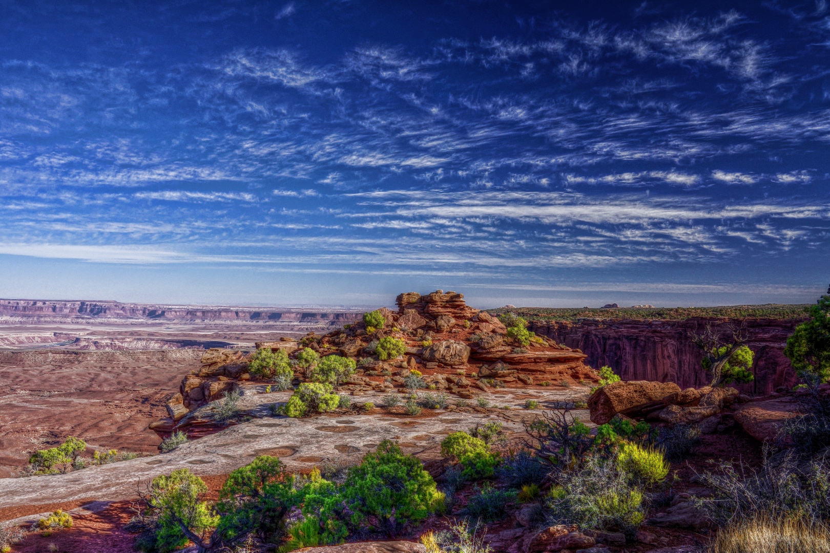
Below is another photo taken during our visit to the Island in the Sky in Canyonlands National Park.  I eventually hiked around that hill to the edge of the rim to get some other photos.

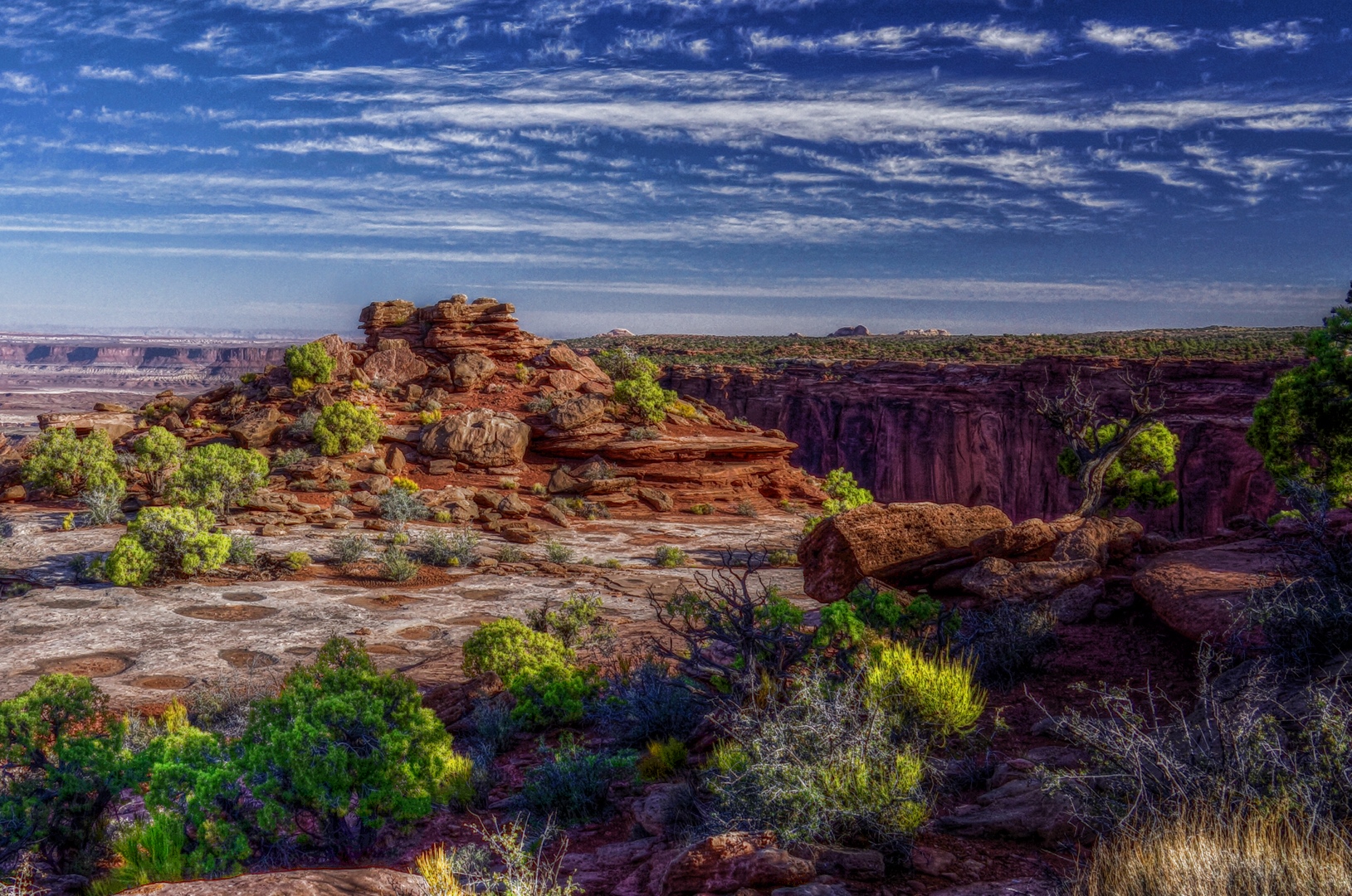
This one was tone mapped with Mantiuk ’06.  I set the opacity of the tone layer to 85 percent and did some further partial masking of the sky and some of the overly white areas in the foreground.

Here’s a crop which is interesting too…

Candlestick Tower in Canyonlands National Park

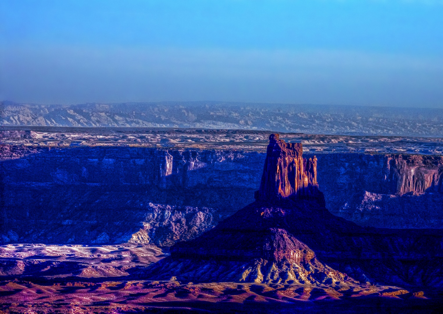
I had a rather dingy looking picture of Candlestick Tower that I took during our visit to the Moab area last June.  I decided to see what tone mapping using Mantiuk ’06 would do for it…

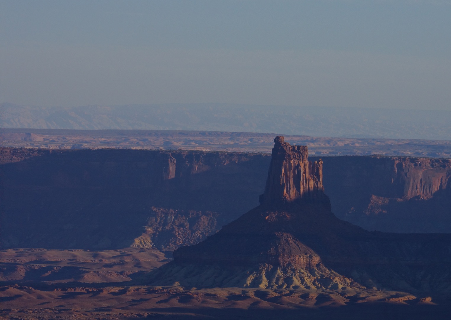
Below is the cleaned up and cropped version that I started with.  I edited out the sensor dust to make an image to feed the tone mapping operator.  It seems that Mantiuk ’06 is really good at finding sensor dust in the sky.  When used on a person, it’ll find the smallest skin blemishes or even perspiration that you might not even notice in the starting photo.

As a consequence, I often do a significant amount of masking.  If the image has people in it, I’ll mask them out of the tone layer.  In the above photo, I masked the sky out entirely as it had entirely too much noise for my liking.  I will sometimes partially mask some of the really intense highlights too.