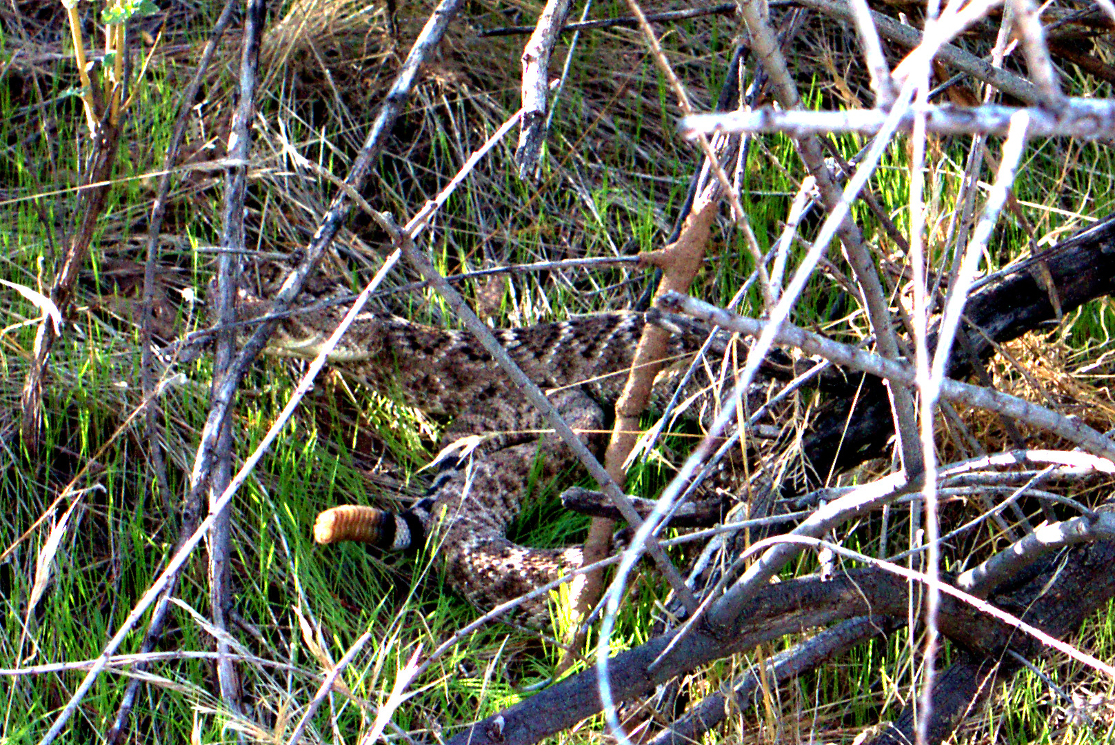
Friday’s hike started at the Dixie Mine Trailhead at the end of Golden Eagle Blvd. We hiked out to the mine where we looked down the mine shaft. We then hiked up the wash past the petroglyphs, meeting up with the Prospector Trail, and continuing down the road before returning on the Dixie Mine Trail. Total distance was just over six miles.
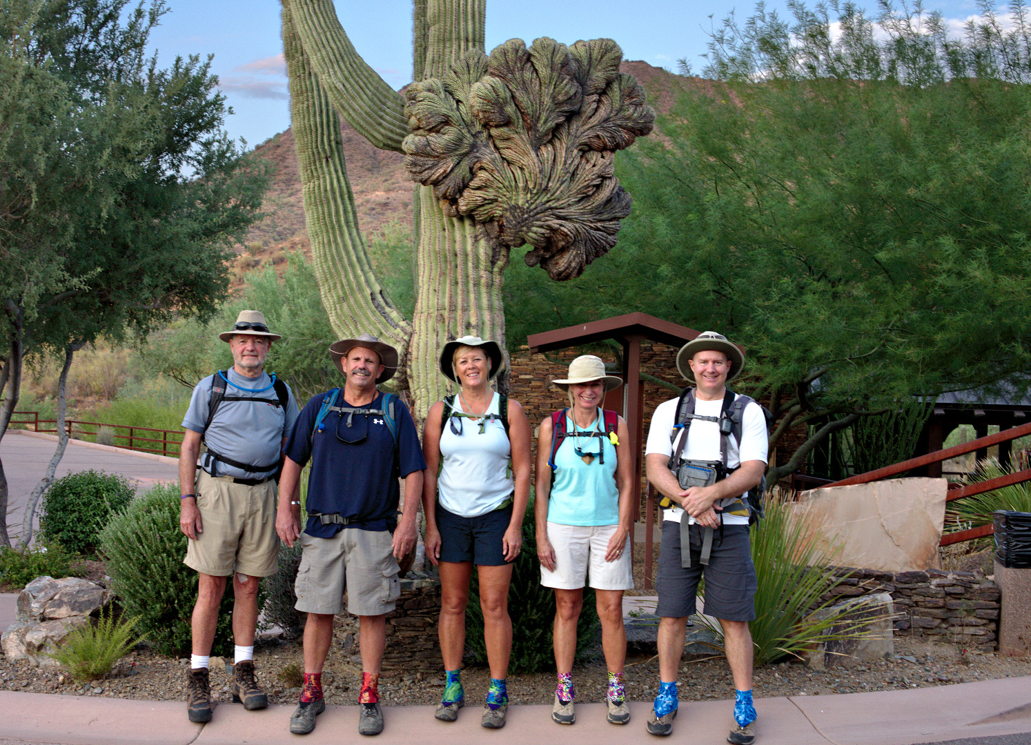
Ranger Amy stopped by to say “Hi” and to pose for a photo by the crested saguaro at the trailhead.
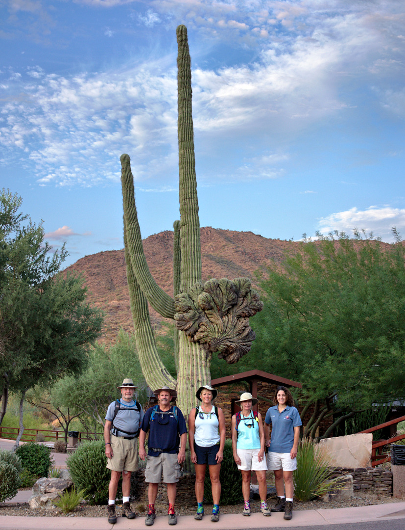
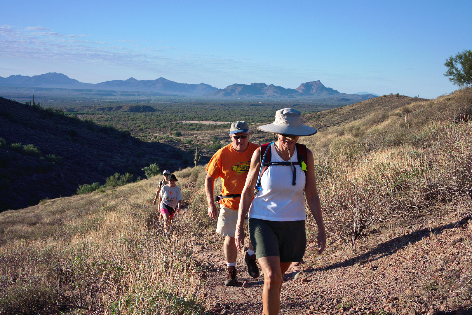
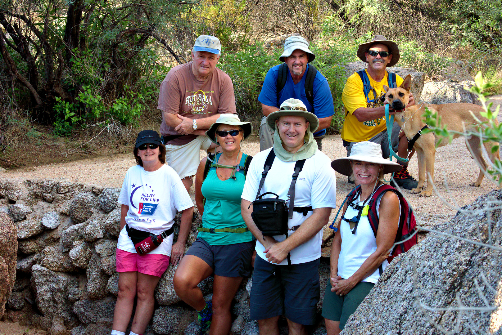
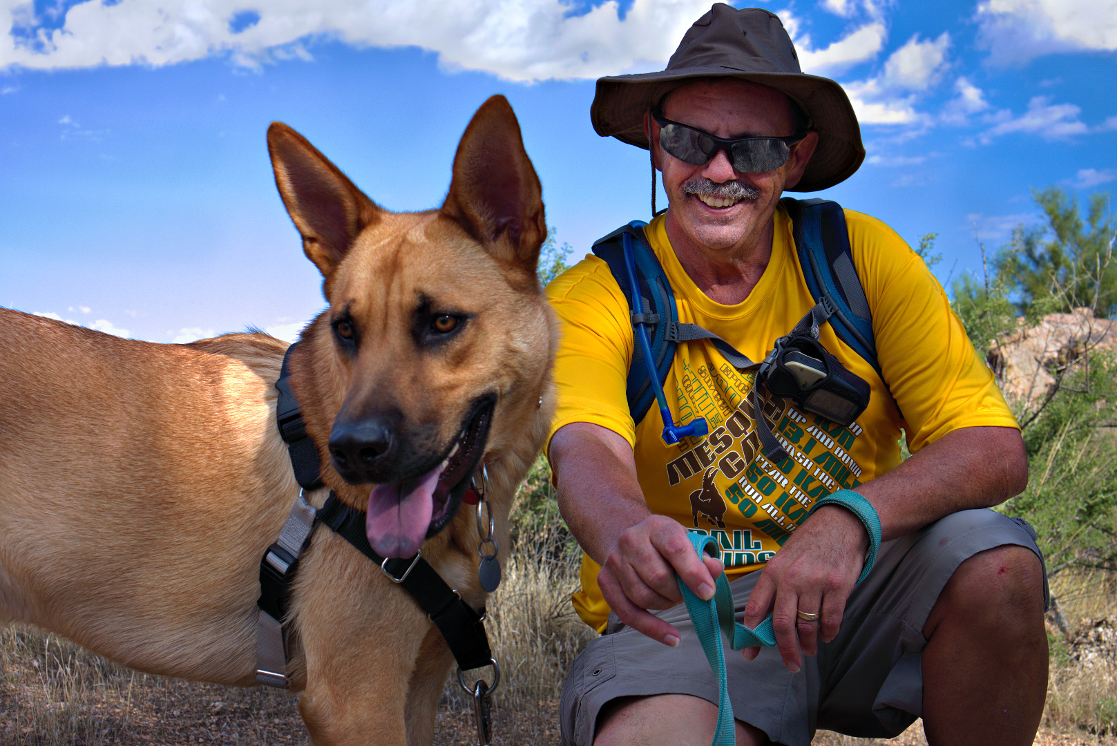
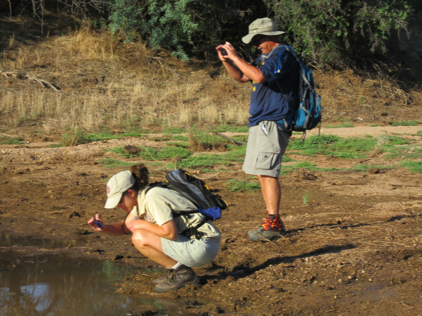
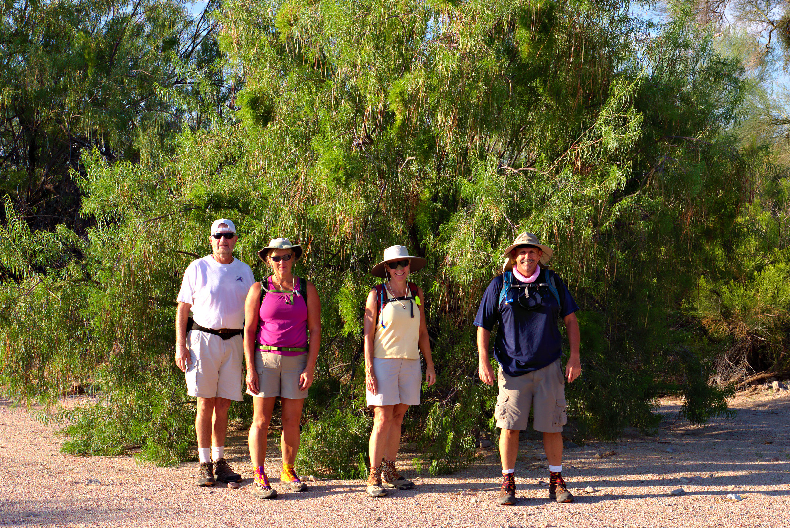
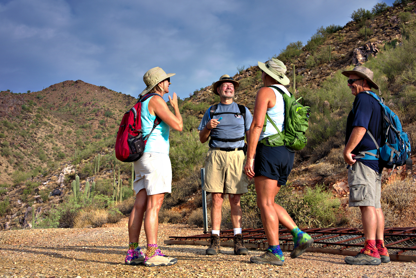
Amy took this photo of Bill, Bob, Janet, Linda, and me.
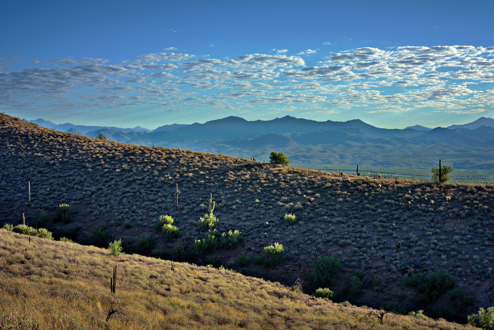
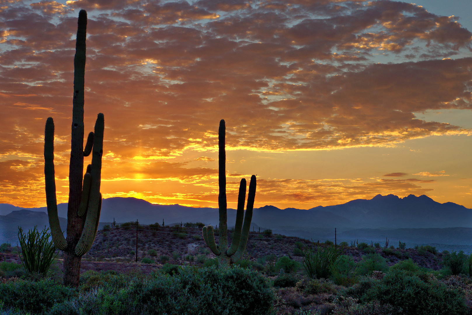
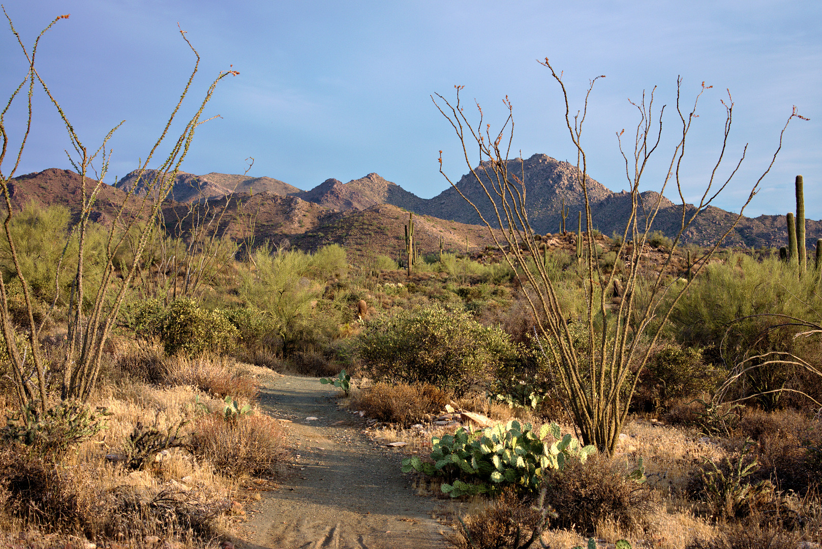
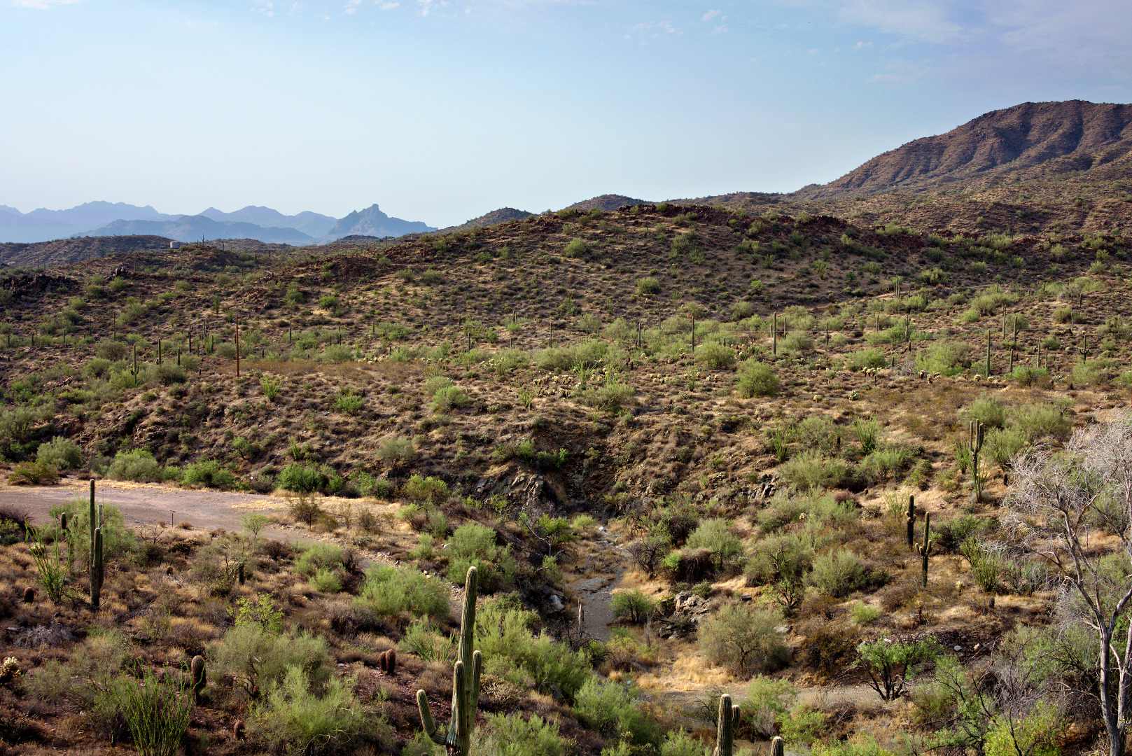
An early morning view of the Dixie Mine Trail.
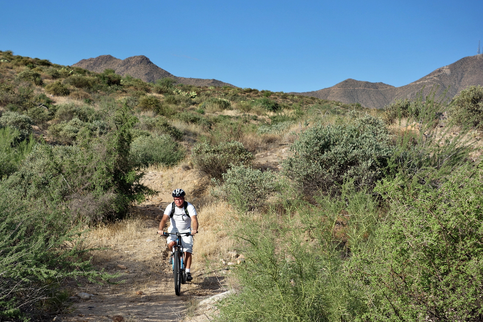
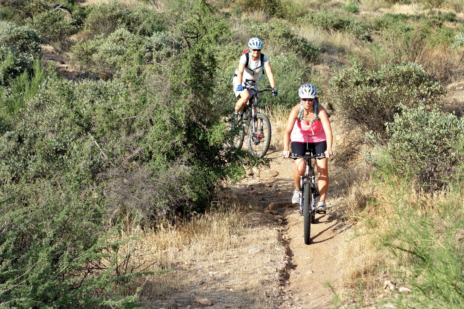
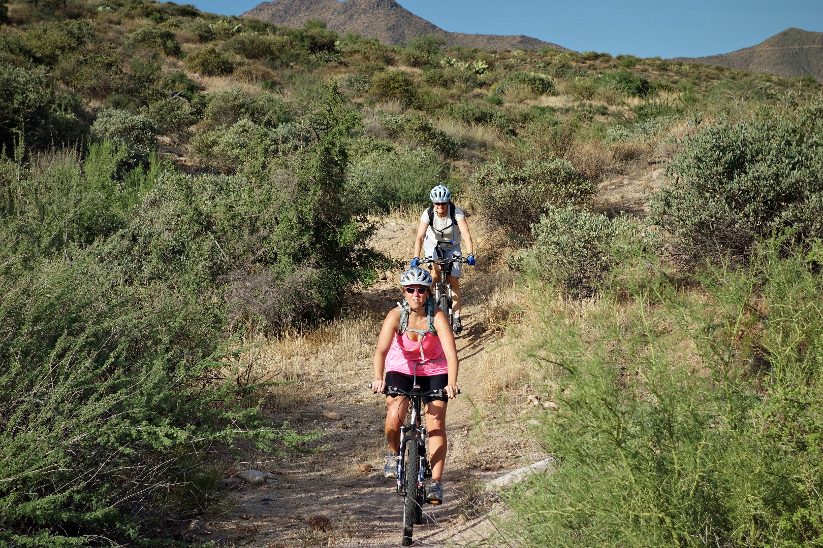
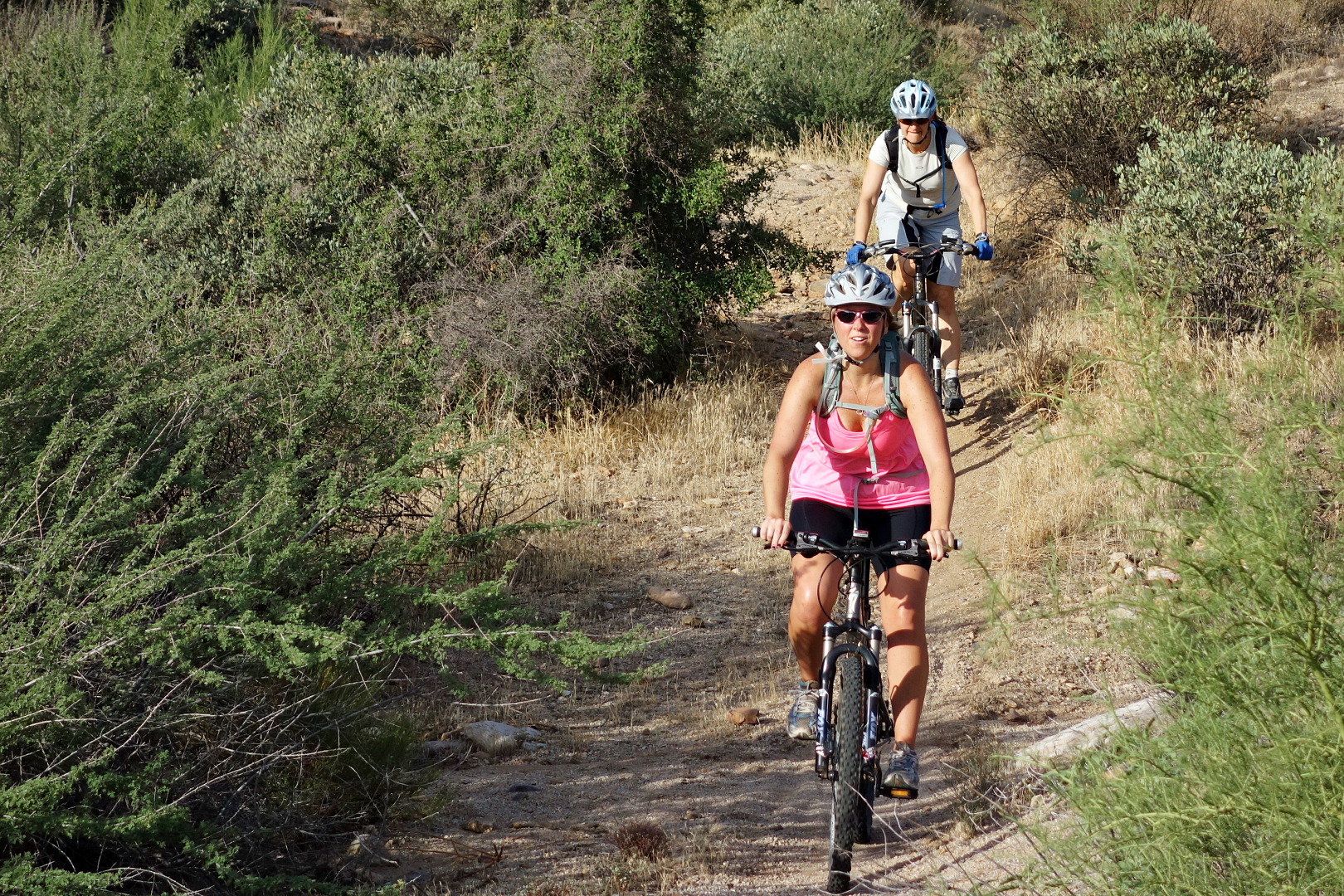
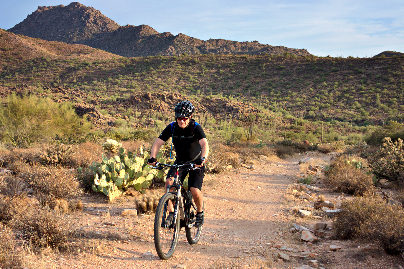
We saw a cyclist riding the trail.
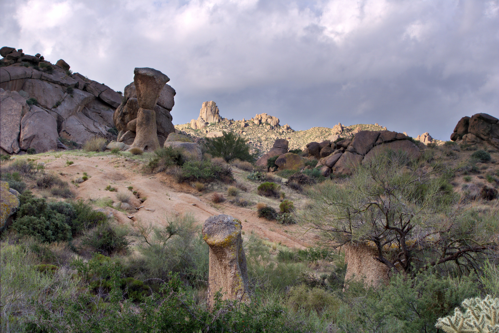
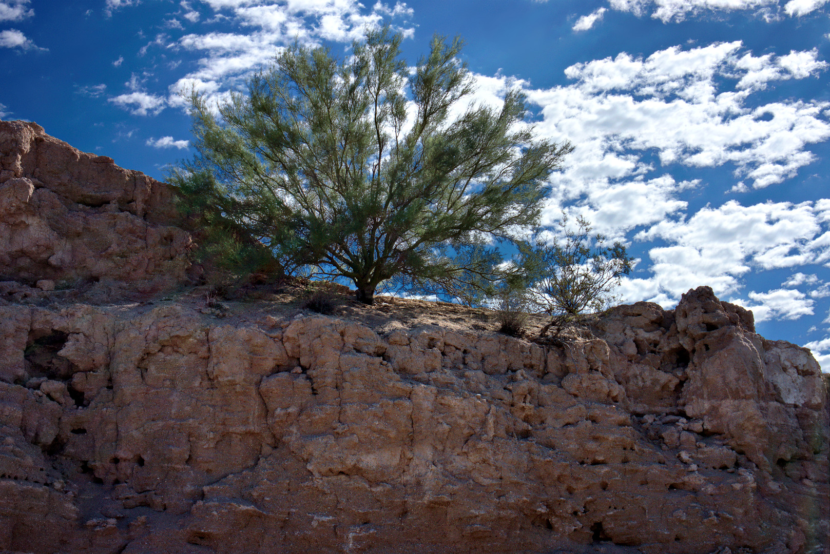
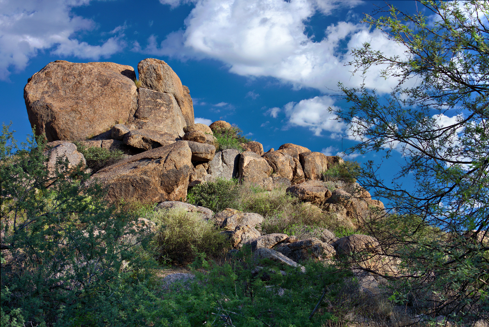
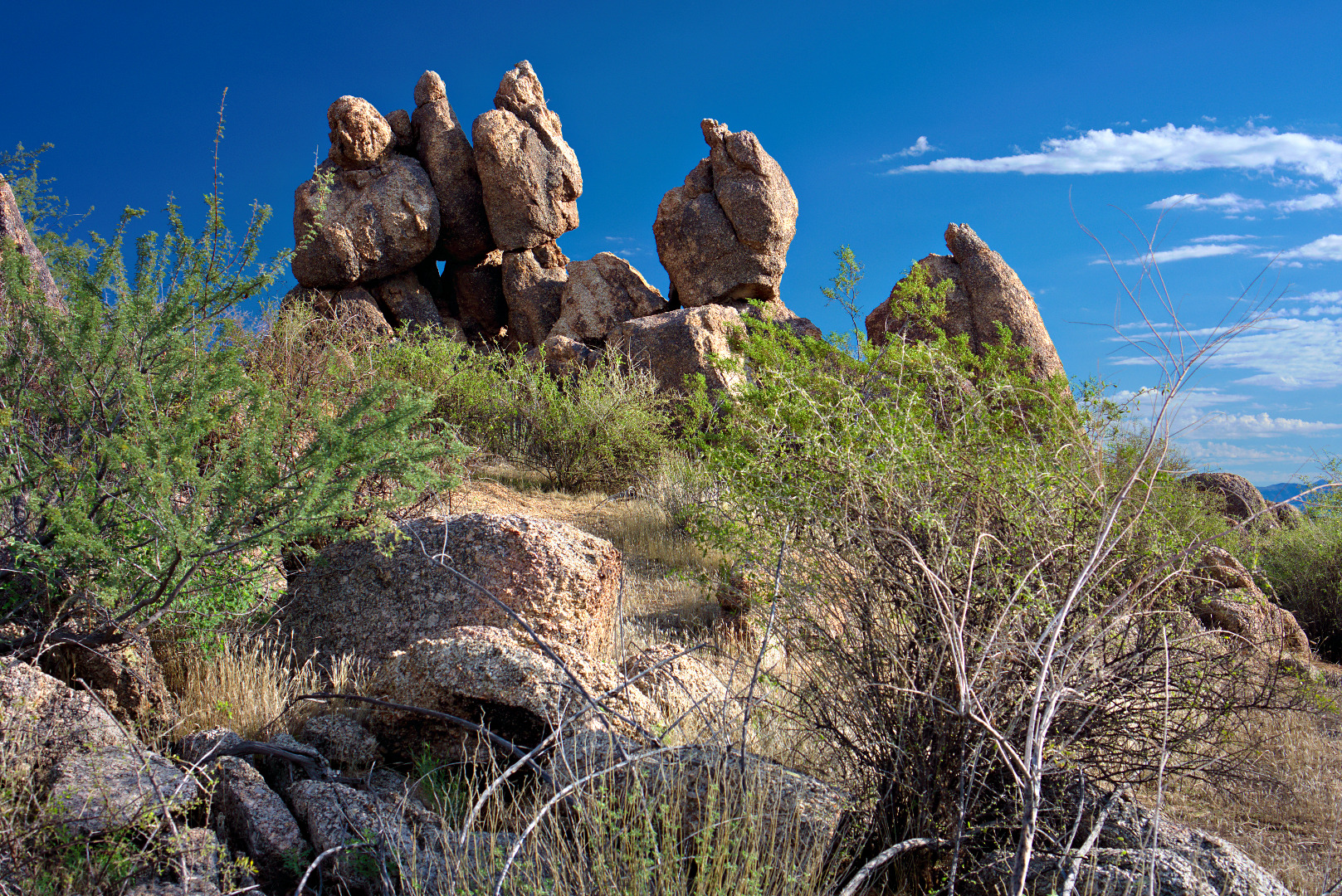
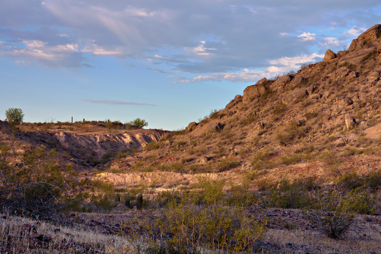
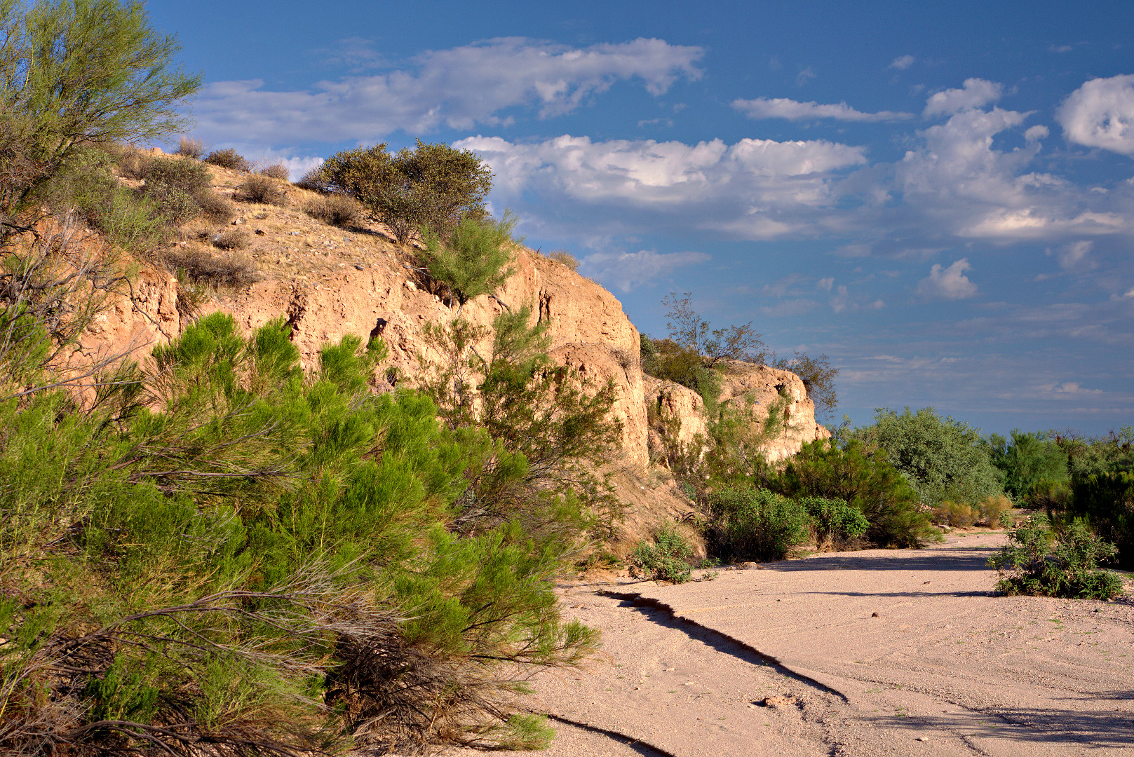
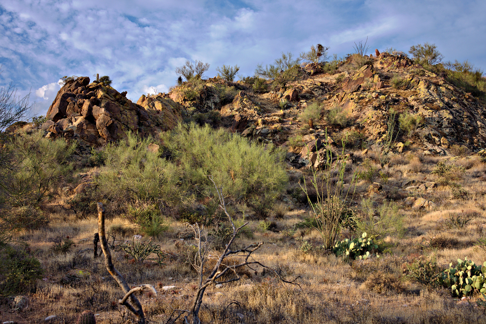
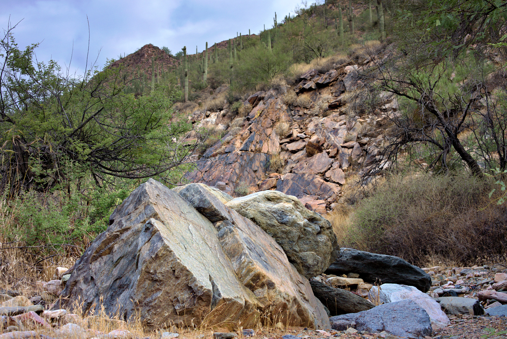
One of the many rock outcroppings along the Dixie Mine Trail:
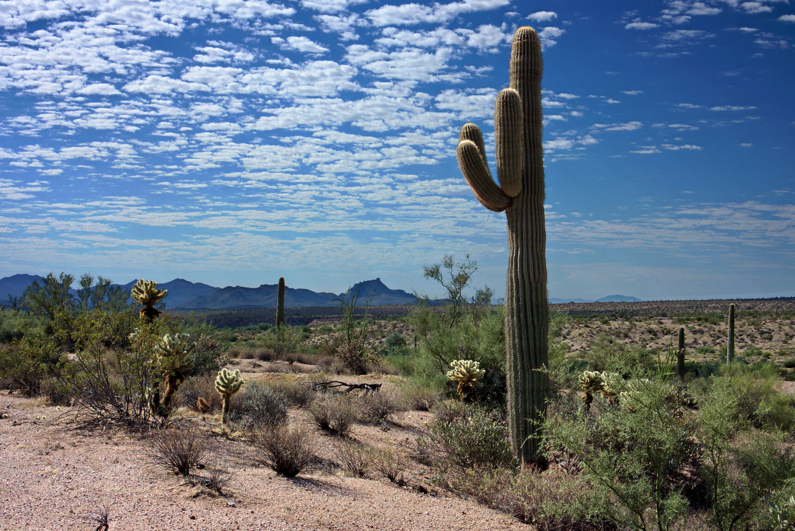
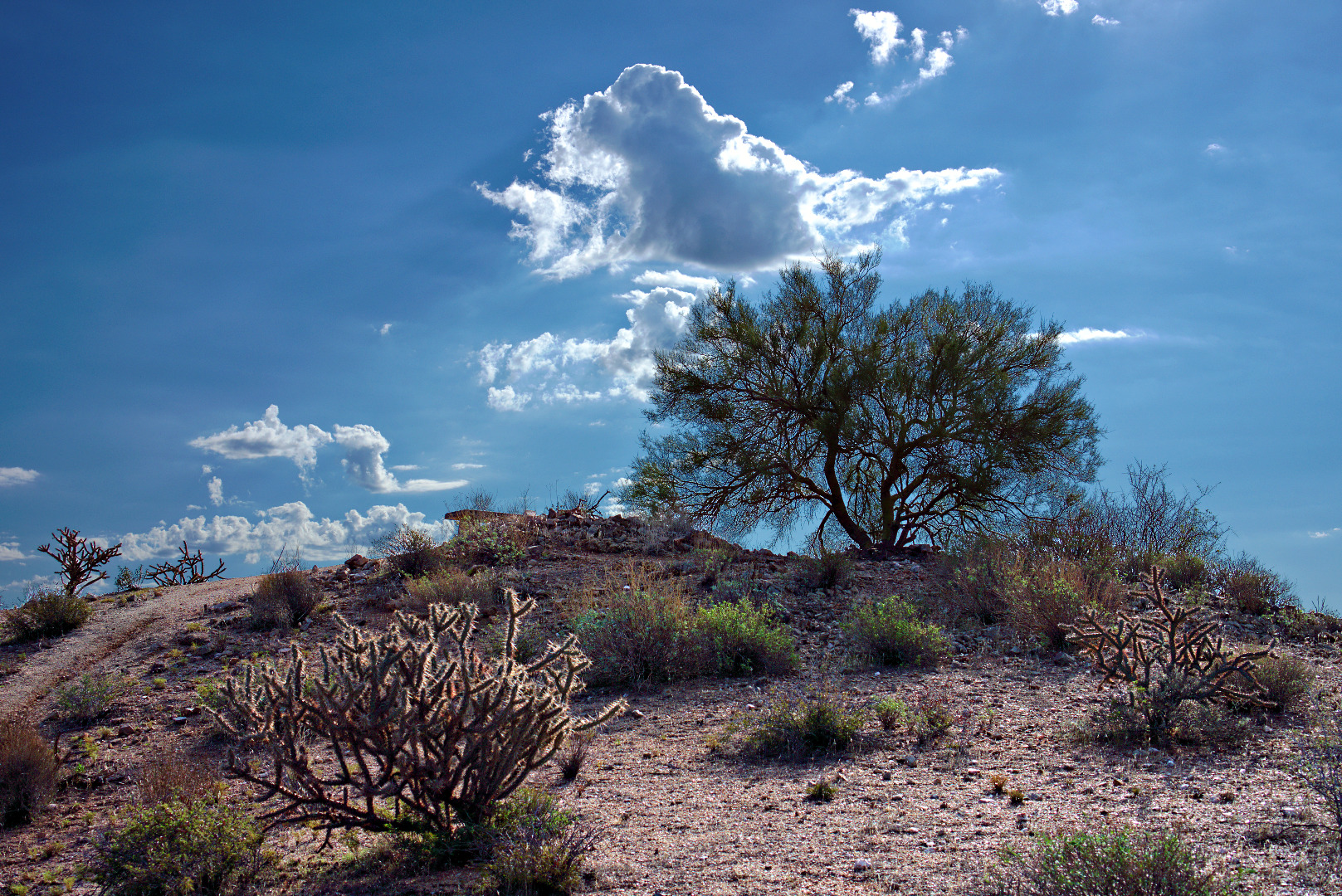
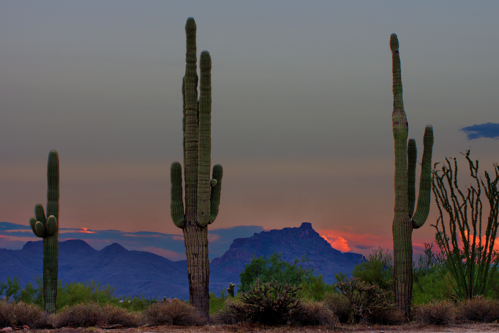
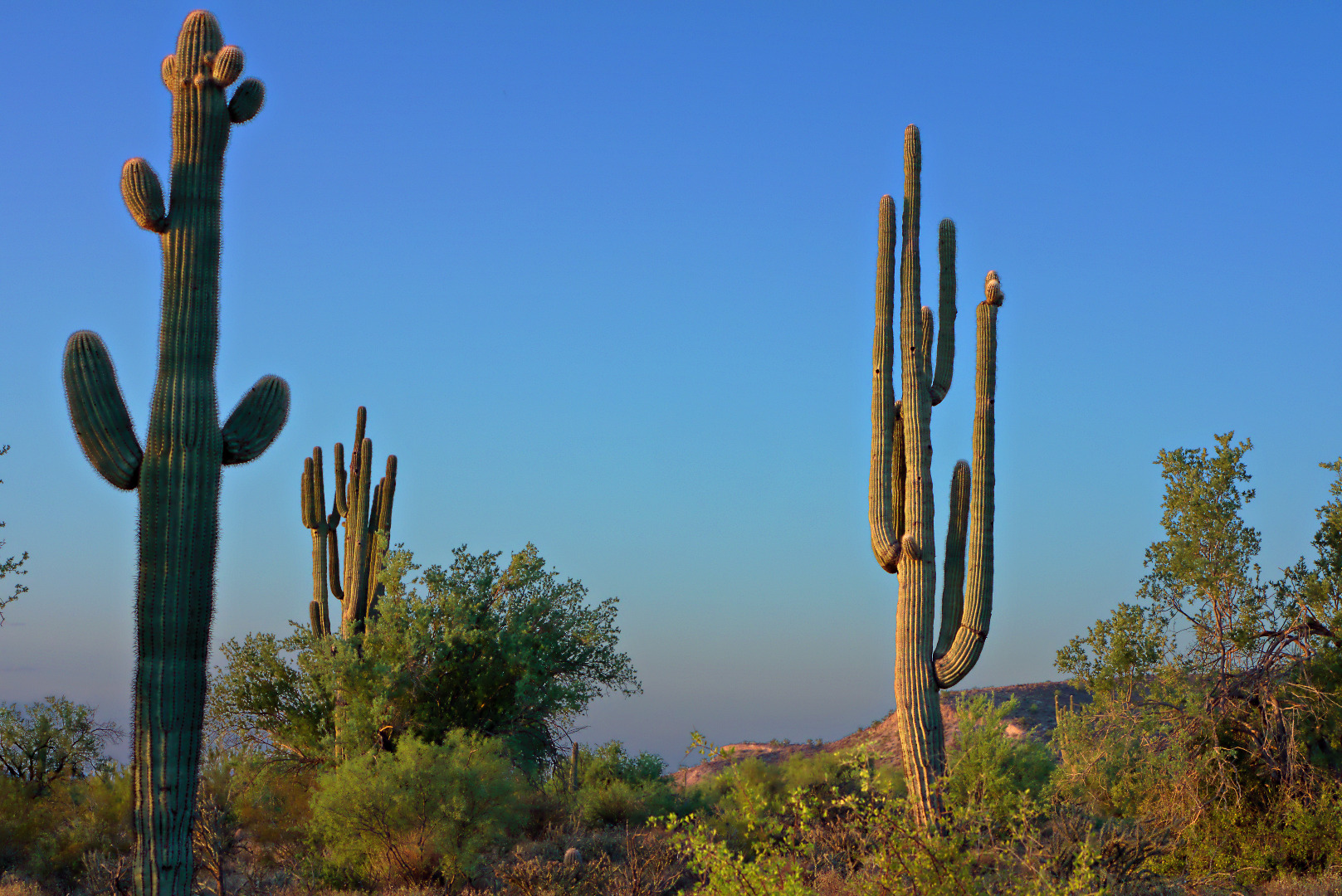
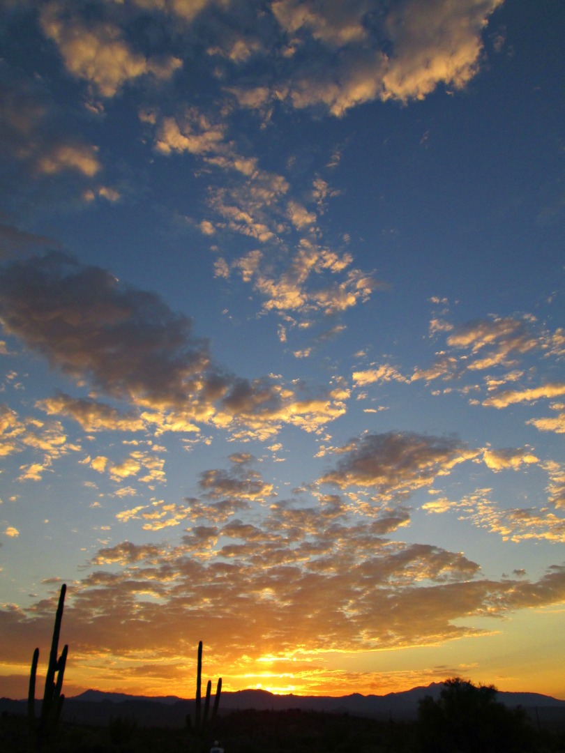
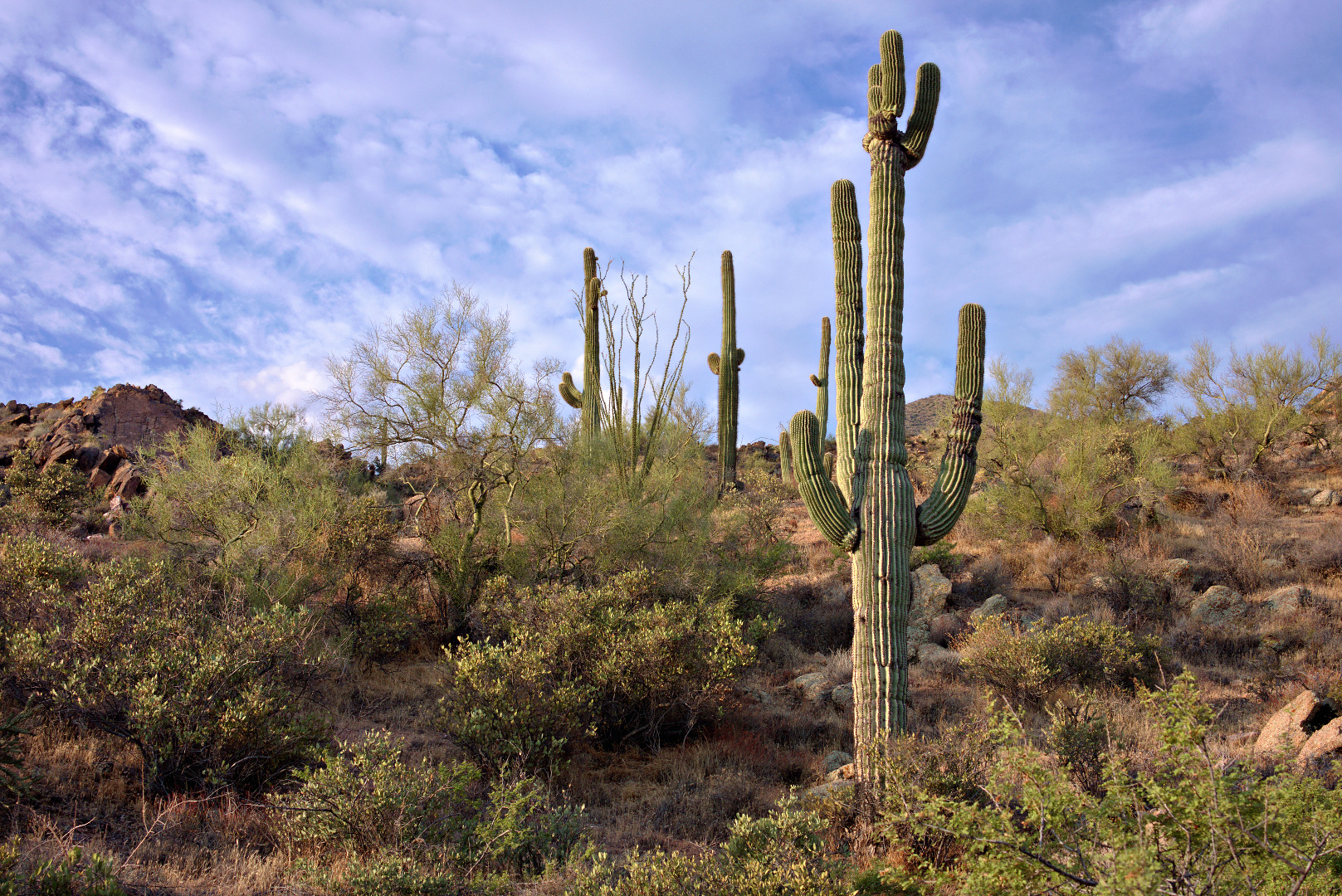
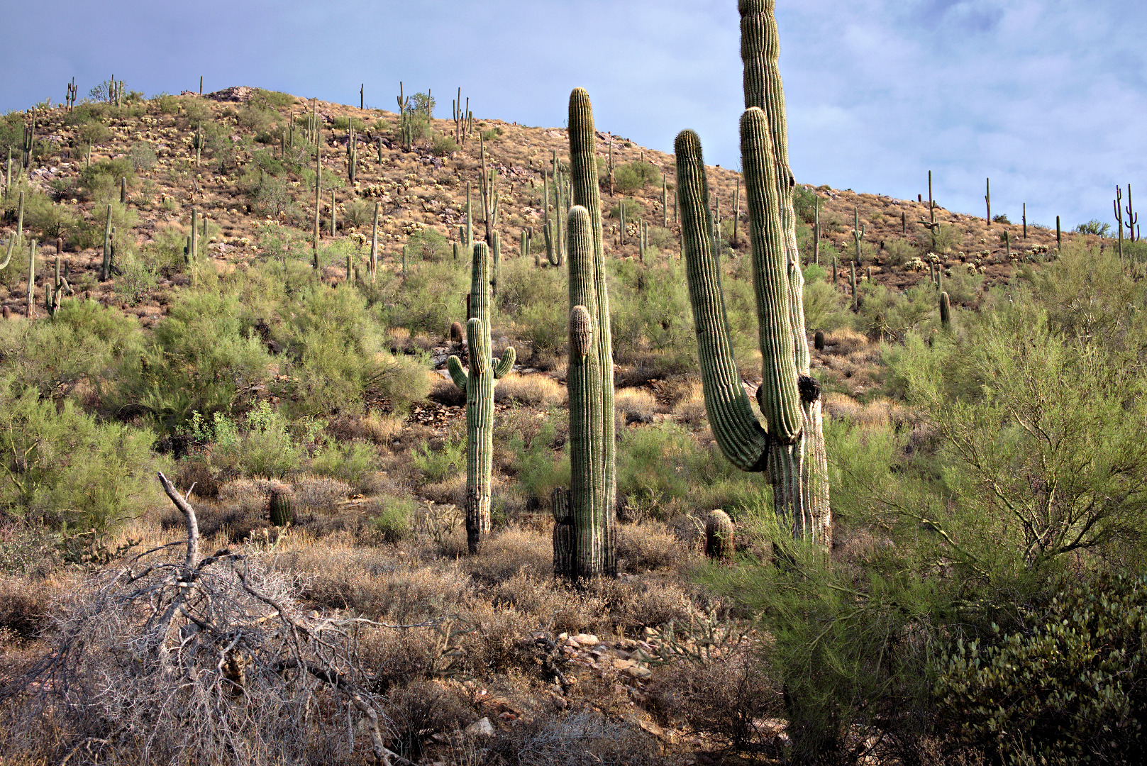
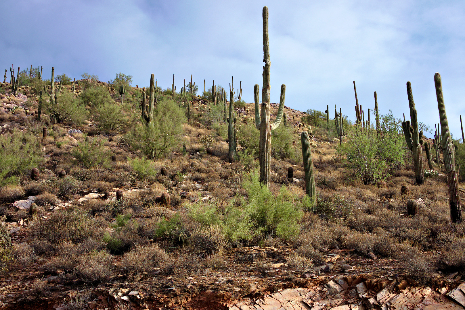
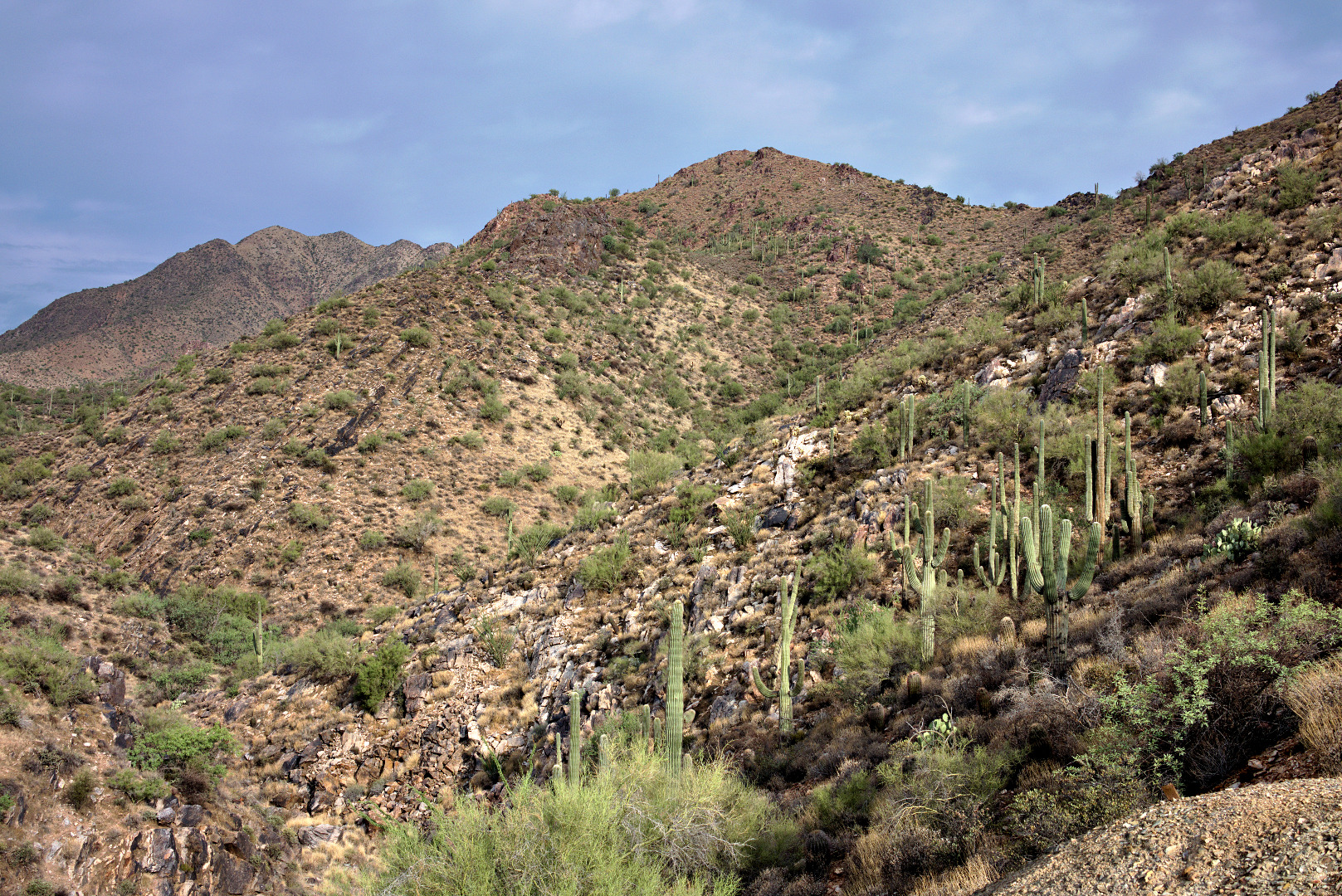
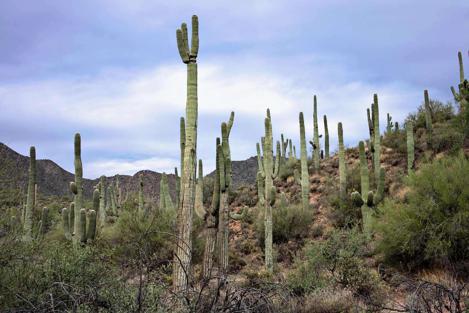
Saguaros:
A view of the mine tailings. We hiked to the top of that hill where we looked down the mine shaft.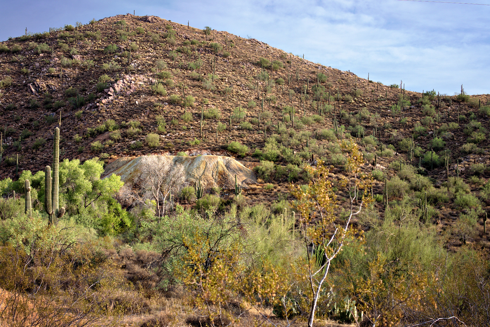
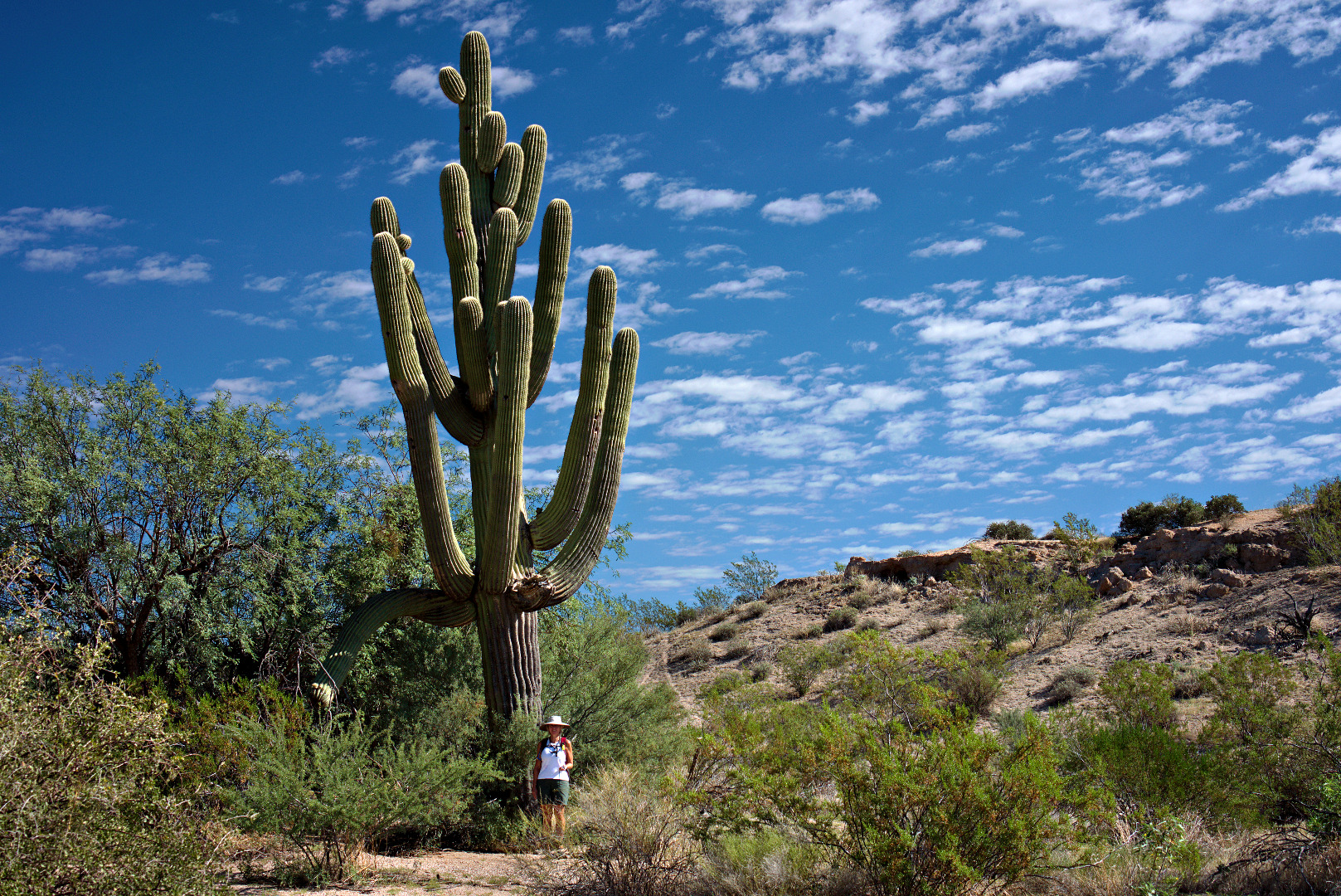
We saw these saguaros on our way up to the top of the tailings.
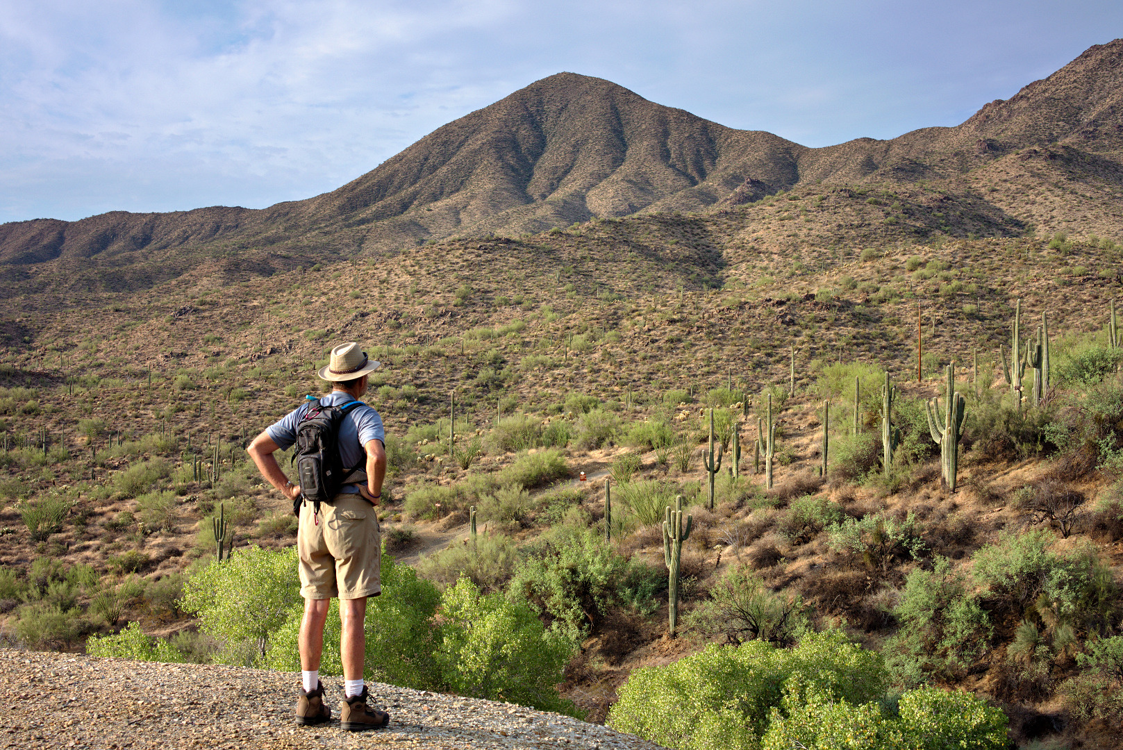
Bill enjoys the view from the edge of the tailings.
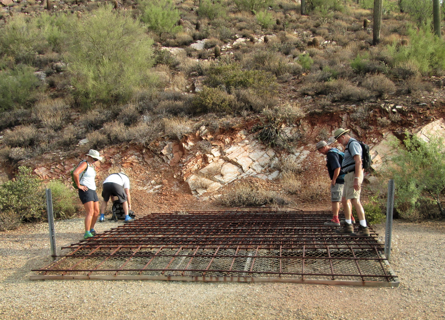
Janet, Bob, and Bill look at the shaft as I get my tripod out.
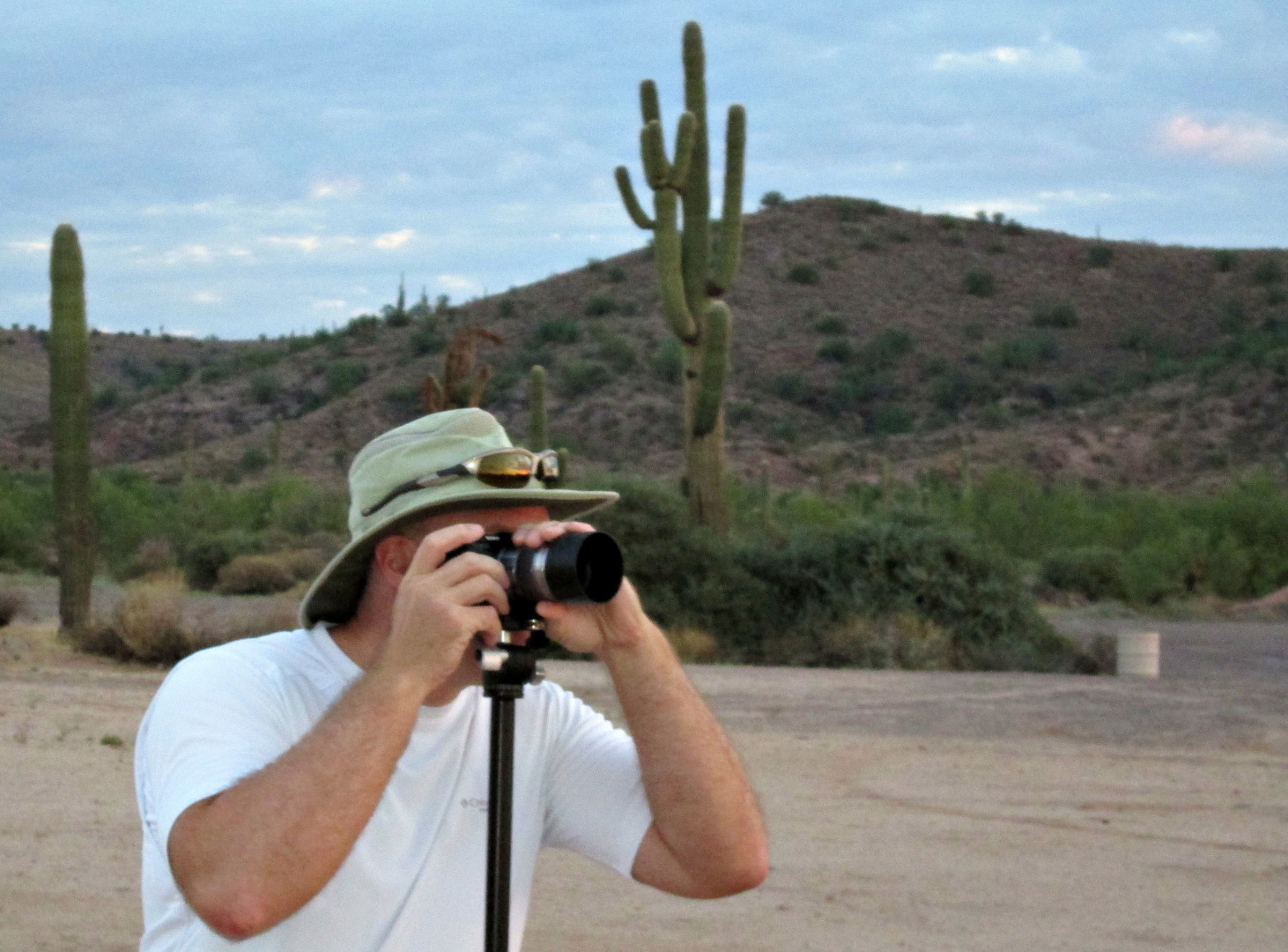
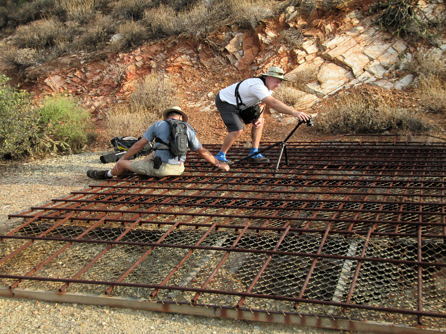
 Bill helps me with the tripod as I attempt to get a photo of the mine shaft. (Thanks to Linda for both this photo and the previous photo!)
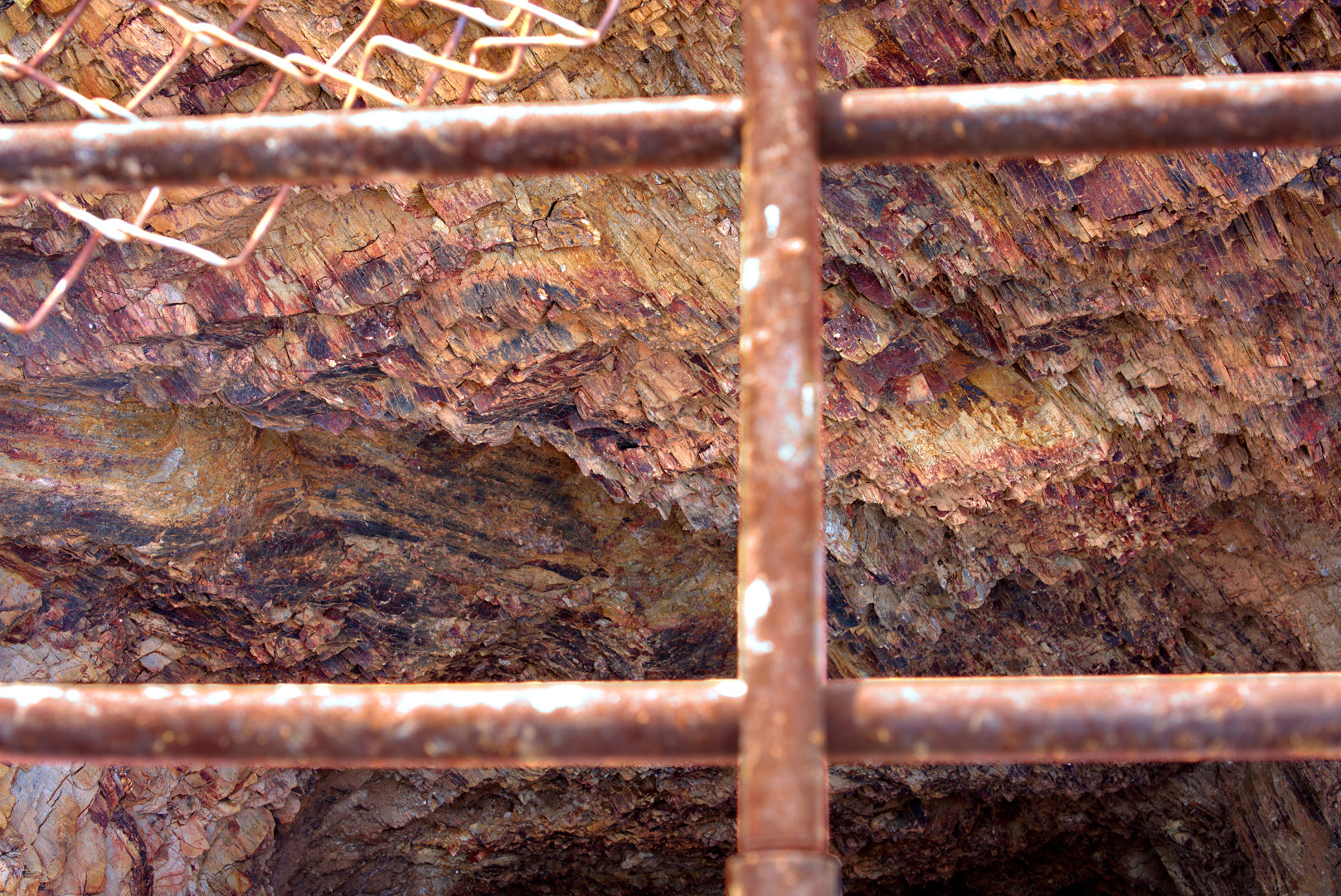
I didn’t have the camera angled down quite as much as I had wanted. This is the photo I got:
Red Mountain (Mount McDowell) can be seen from the top of the tailings. The road below is part of the road that leads from Grassland Dr. in Fountain Hills to the radio towers at the top of Thompson Peak.
 There are a lot of saguaros on the hillside above the mine tailings. I thought that the notch in the tall saguaro was interesting. You can tell that I’m pointing the camera upwards because the saguaros at the edges lean in.
Linda, Bill, Janet, and Bob patiently wait for me to take photos…
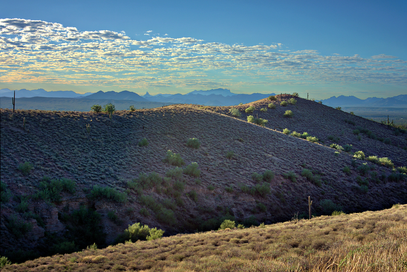
 One more shot from the top of the tailings…
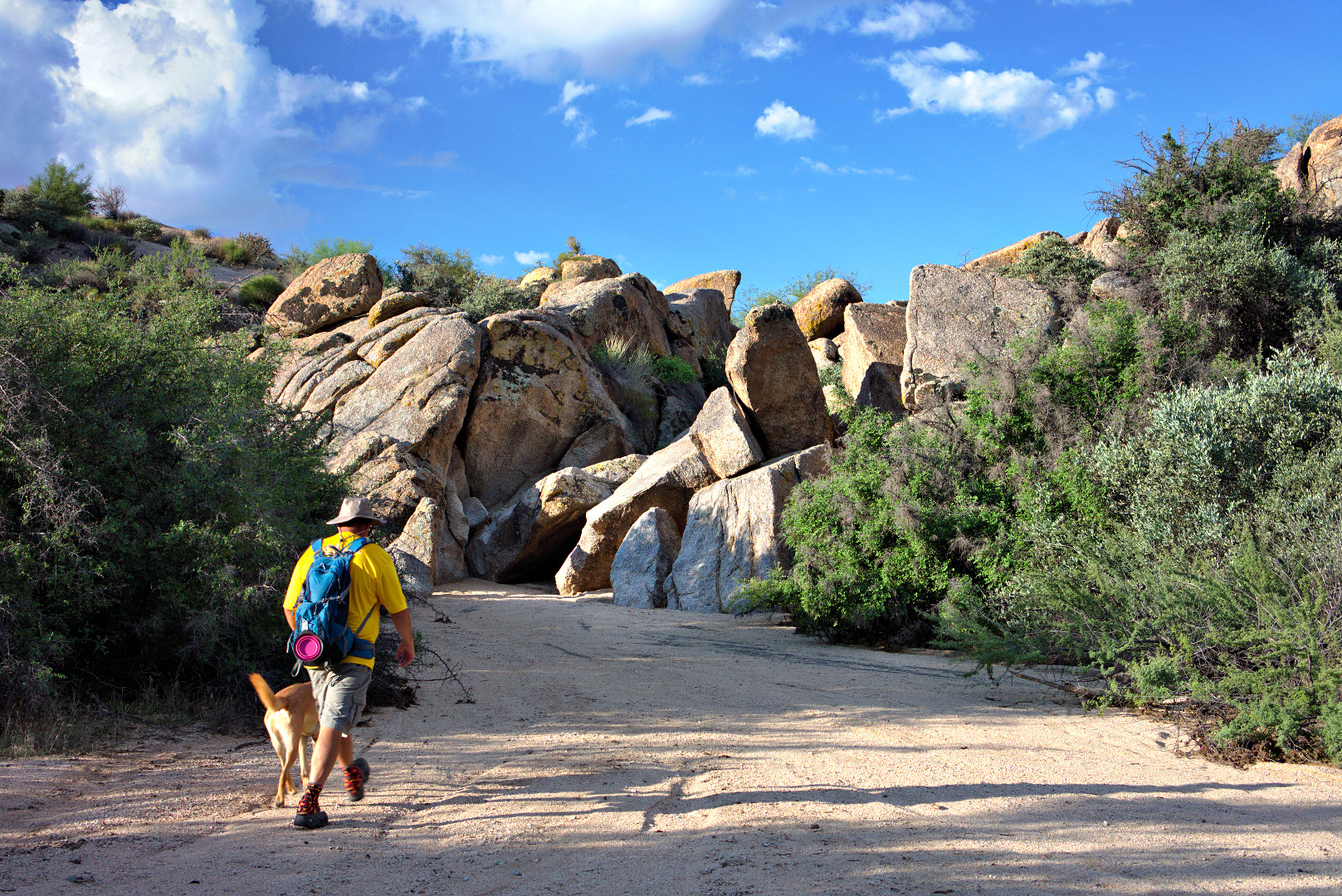
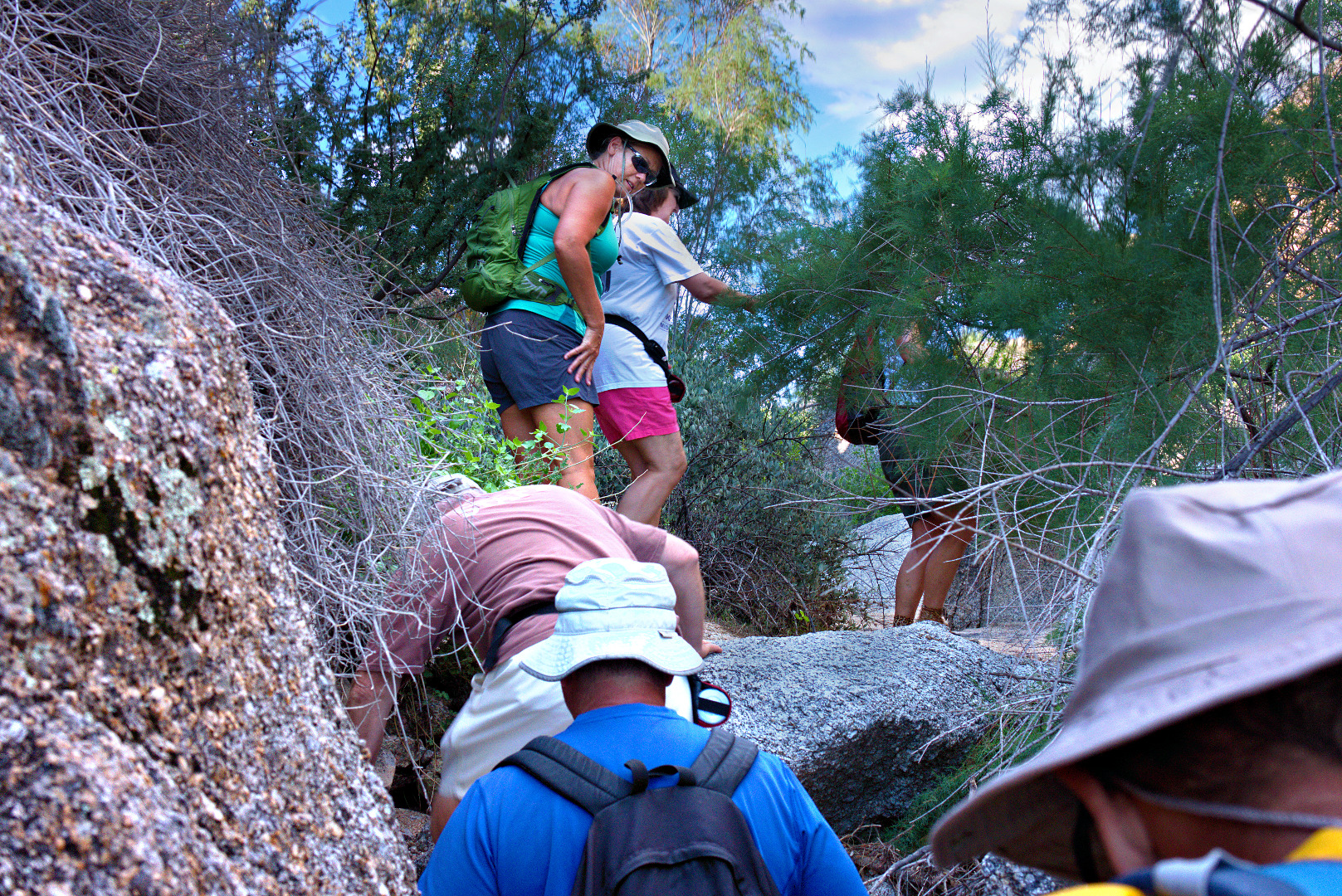
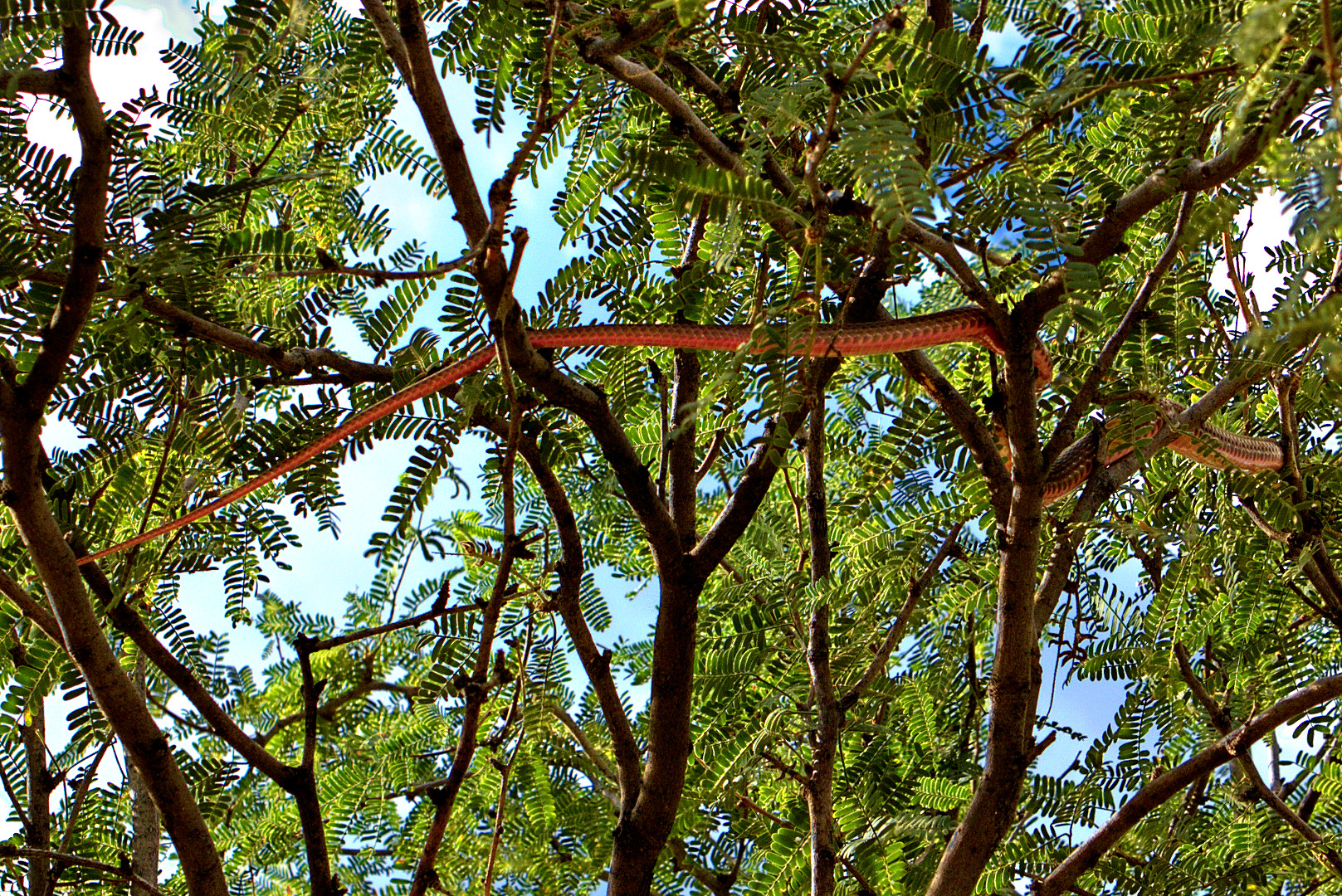
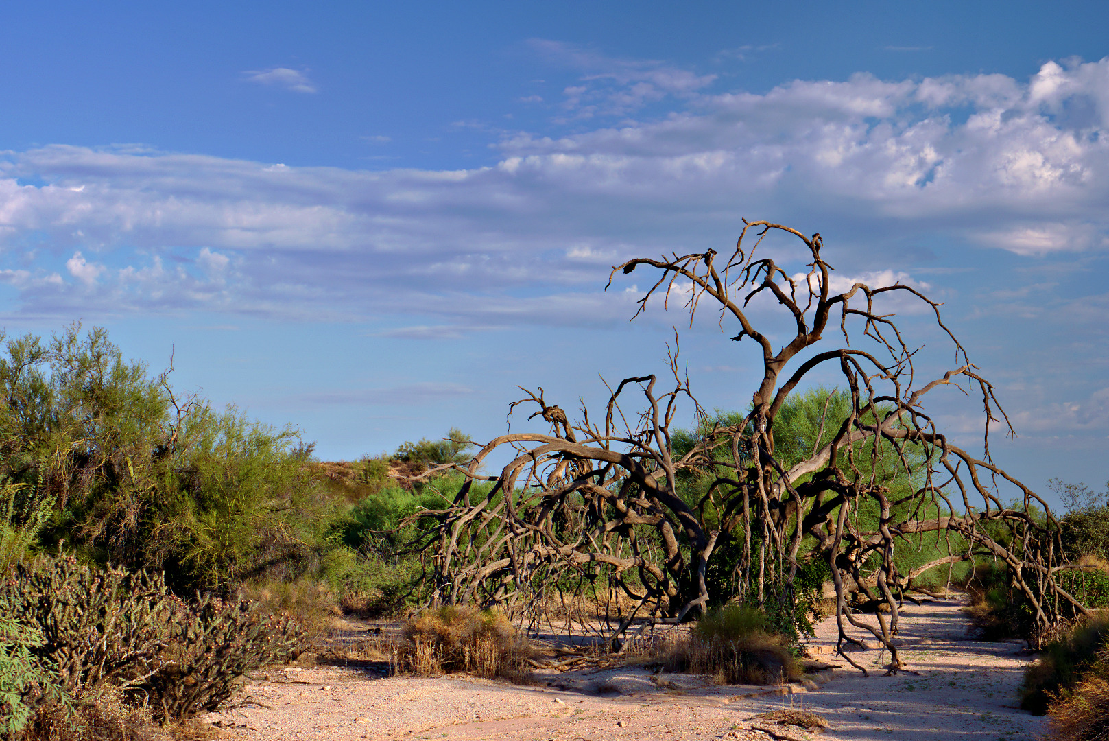
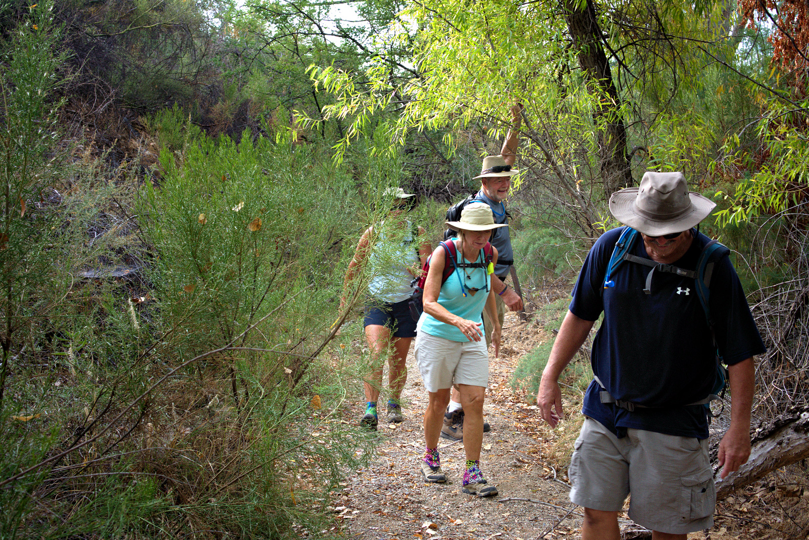
There is a spring near the mine which keeps that area quite lush. We found the trail to be more overgrown than normal. In the photo below, Bill holds up a tree branch to let the ladies through. (Bob and I ducked underneath it.)
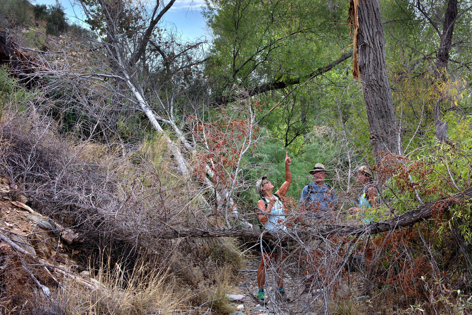
When we got near the mine, we found that several branches, or perhaps even trees, had fallen across the trail. Janet points up at the tree from which one of the branches had fallen.
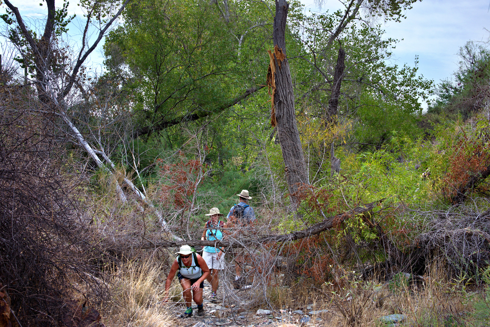
 Janet ducks underneath the fallen branch.
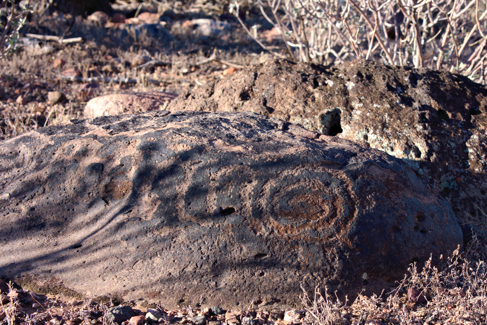
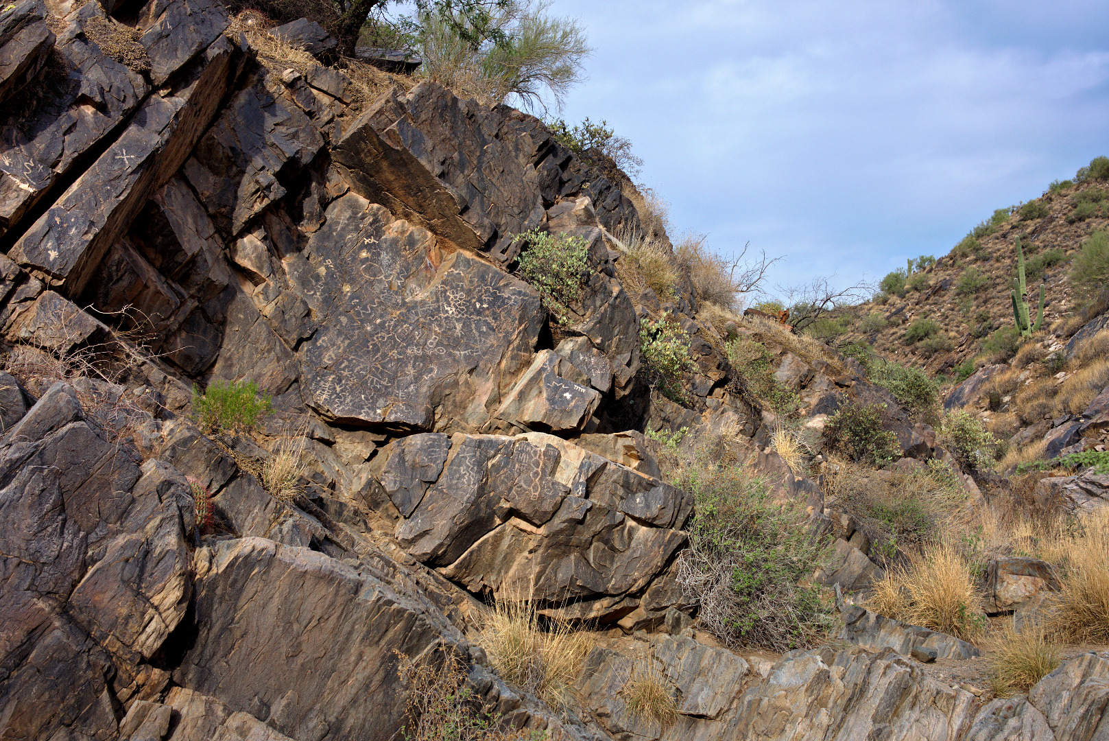
Approaching the large petroglyph panel…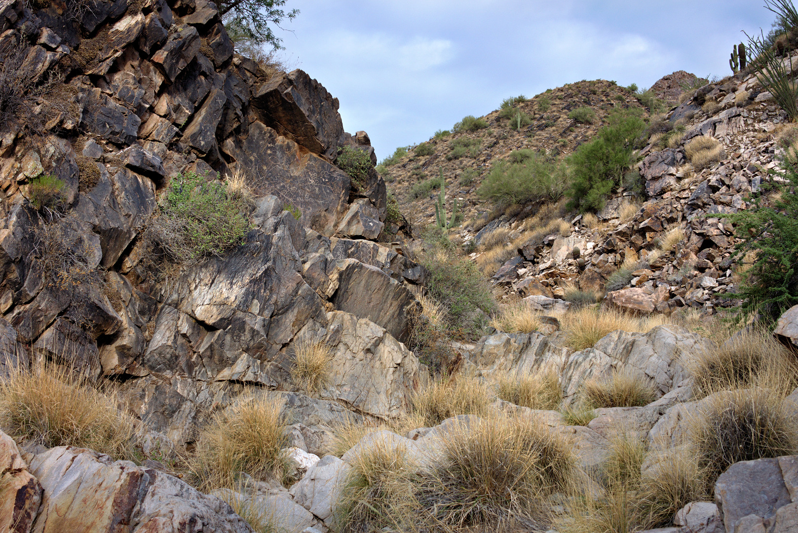
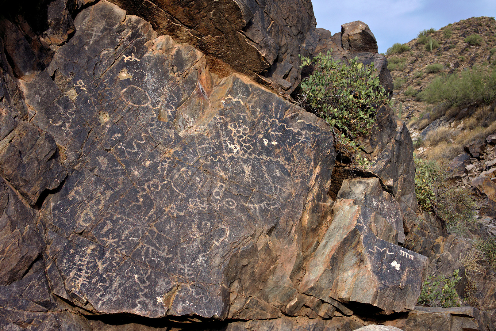
Two more views of the panel of petroglyphs…
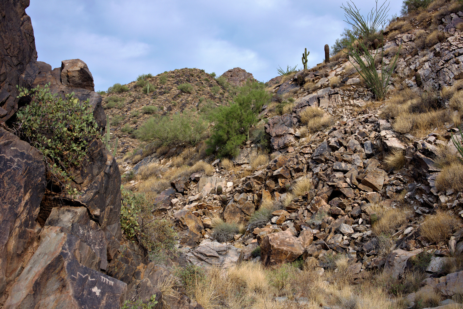
Continuing on past the petroglyphs…
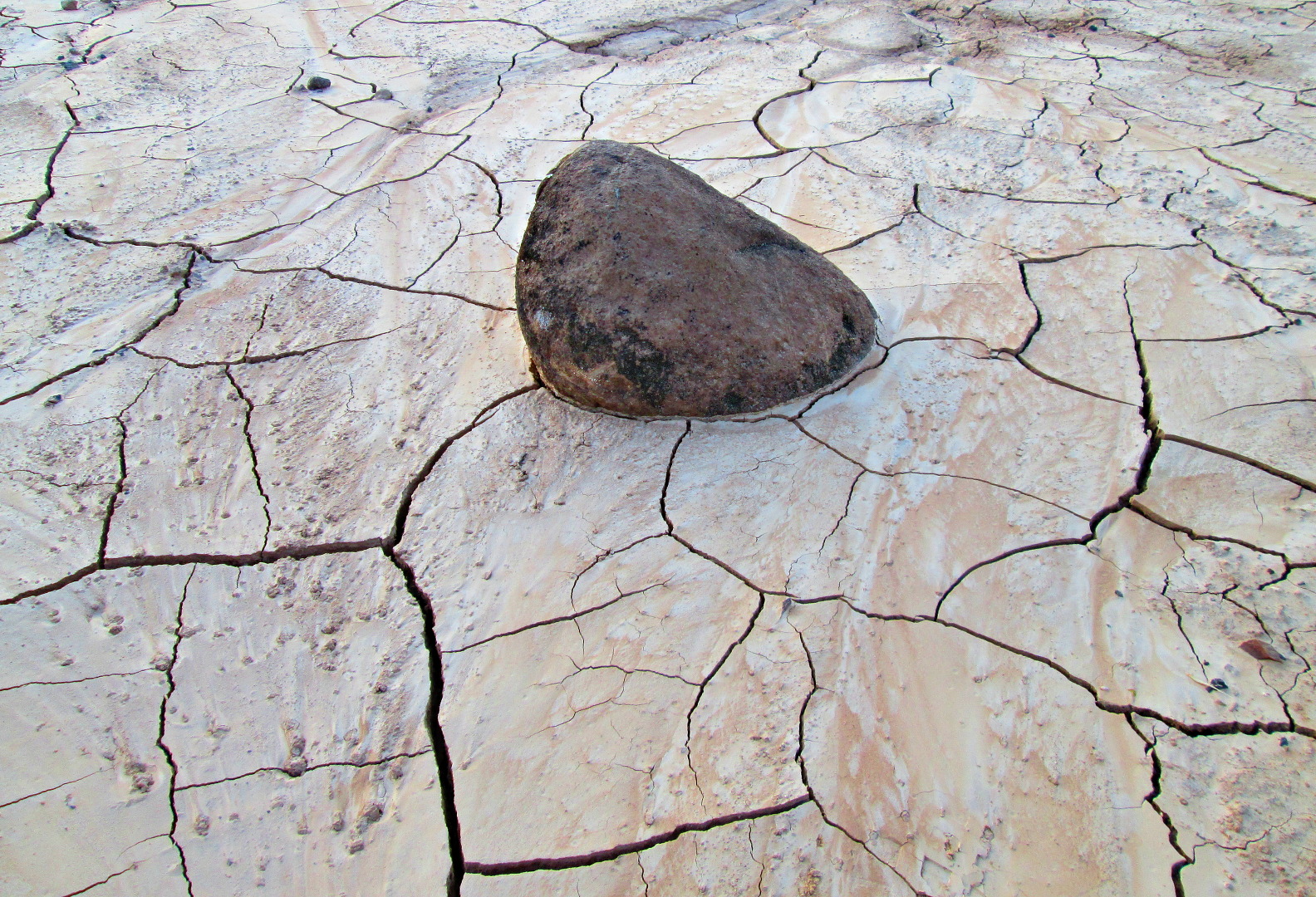
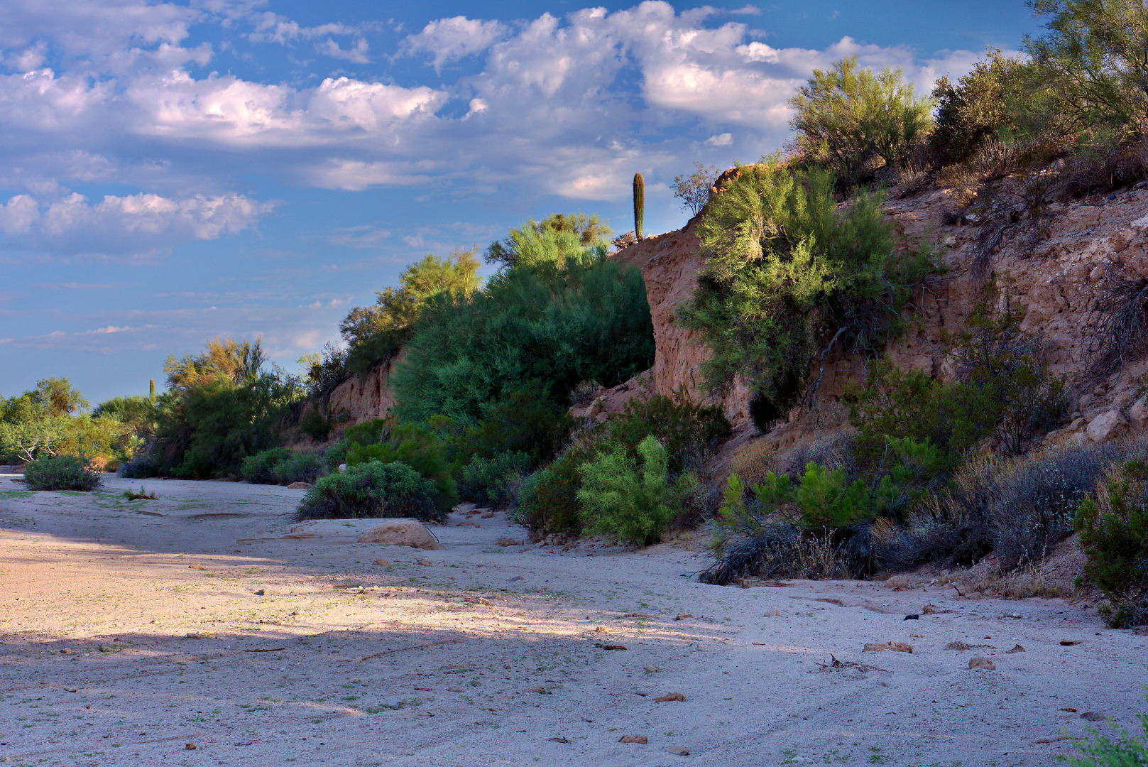
A largish boulder in the wash somewhat past the waterfall area.
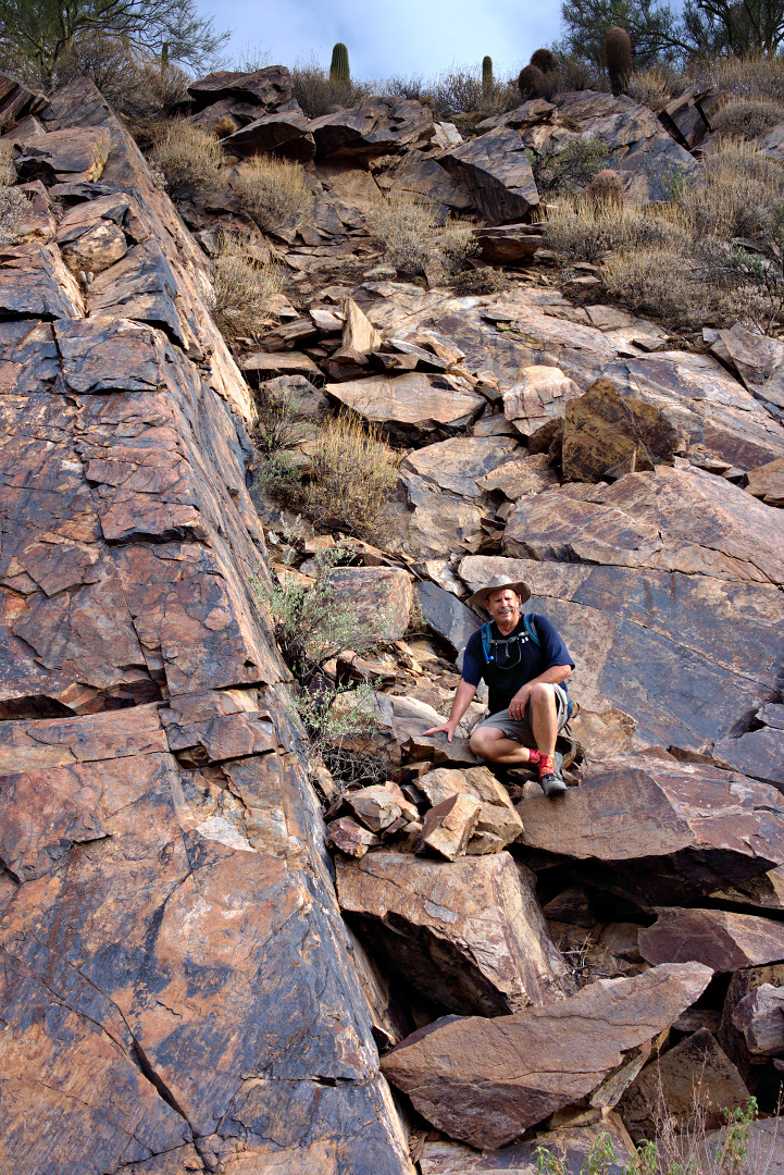
Bob climbed a short ways up a slab on the side of the wash. This could be a useful skill in the event of a flash flood!
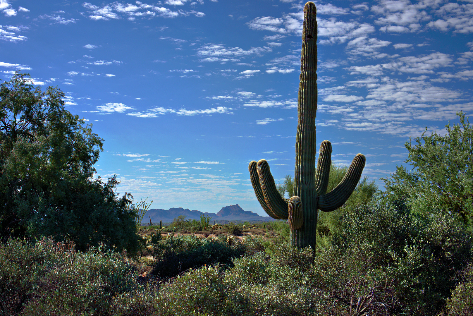
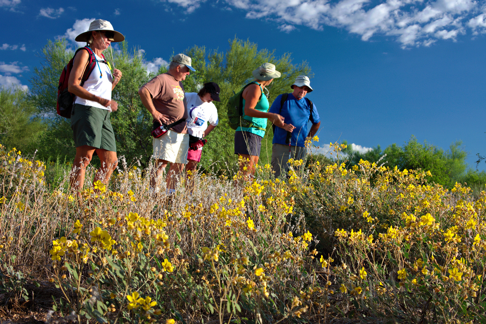
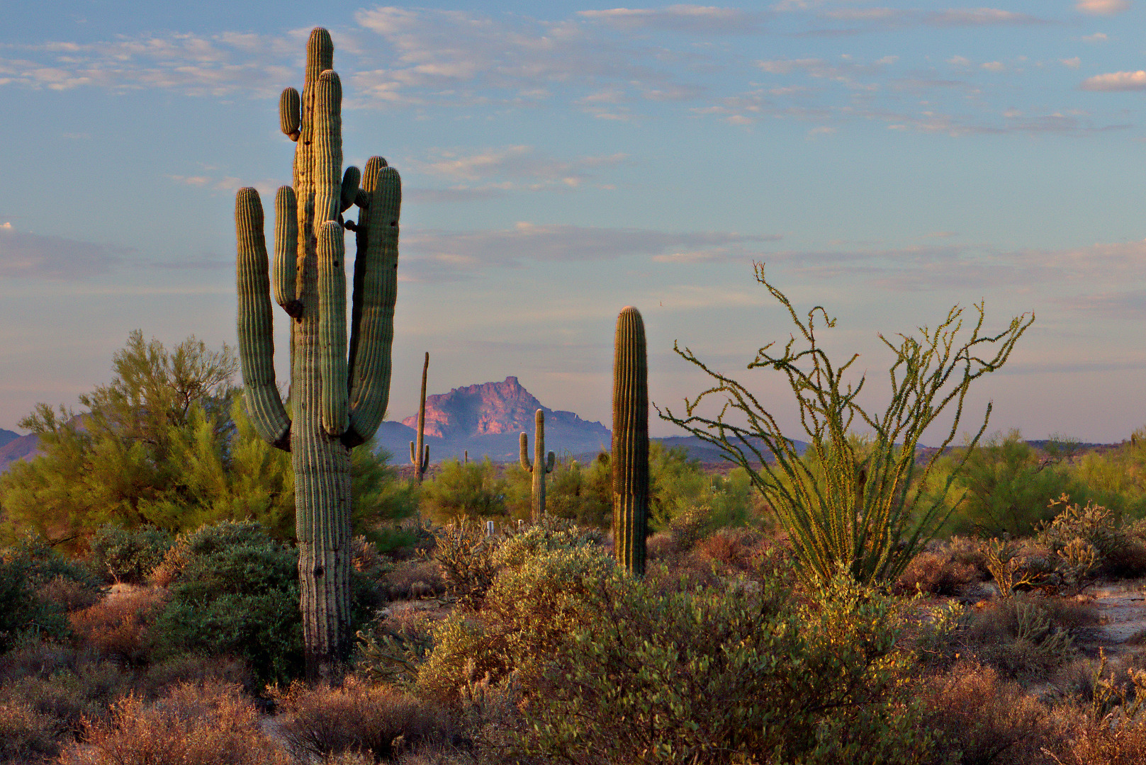
A forest of saguaros can be seen from the Prospector Trail.
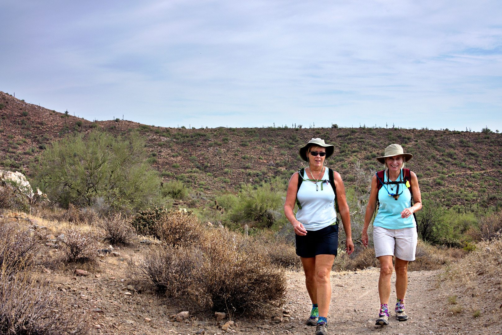
Janet and Linda hike back along the Dixie Mine Trail.
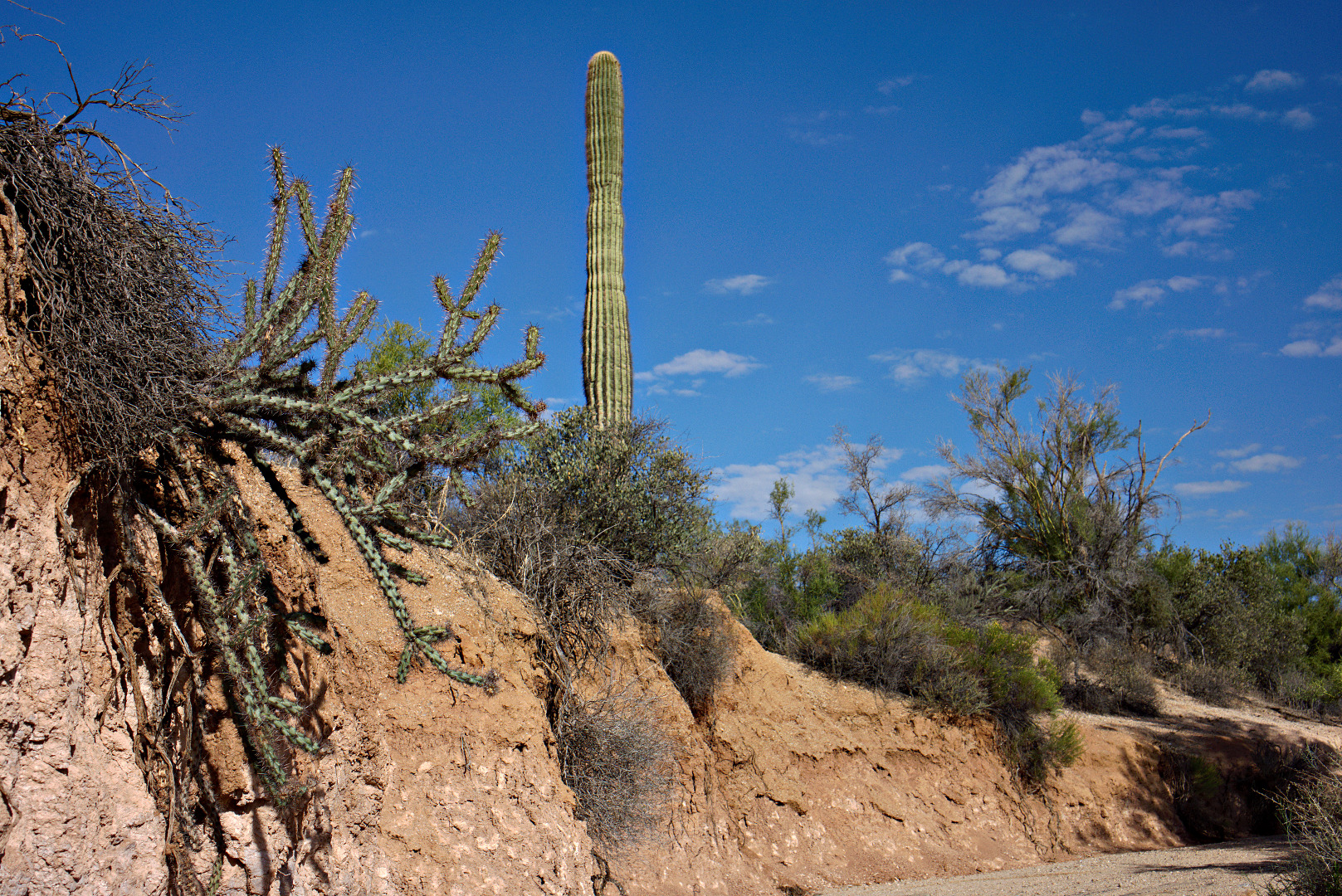
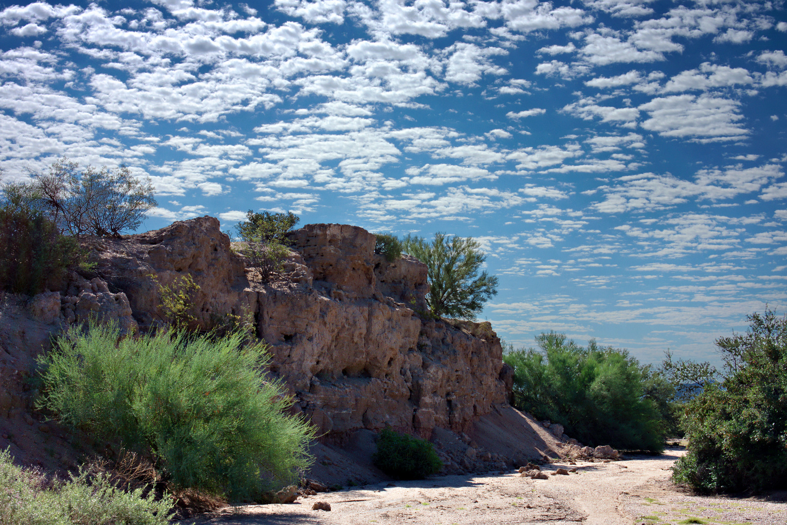
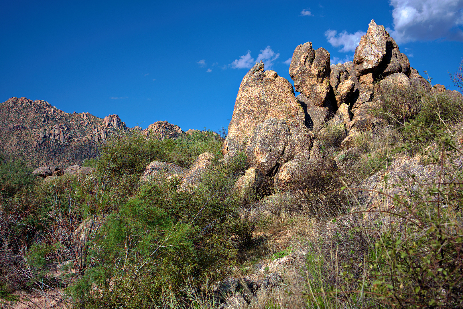
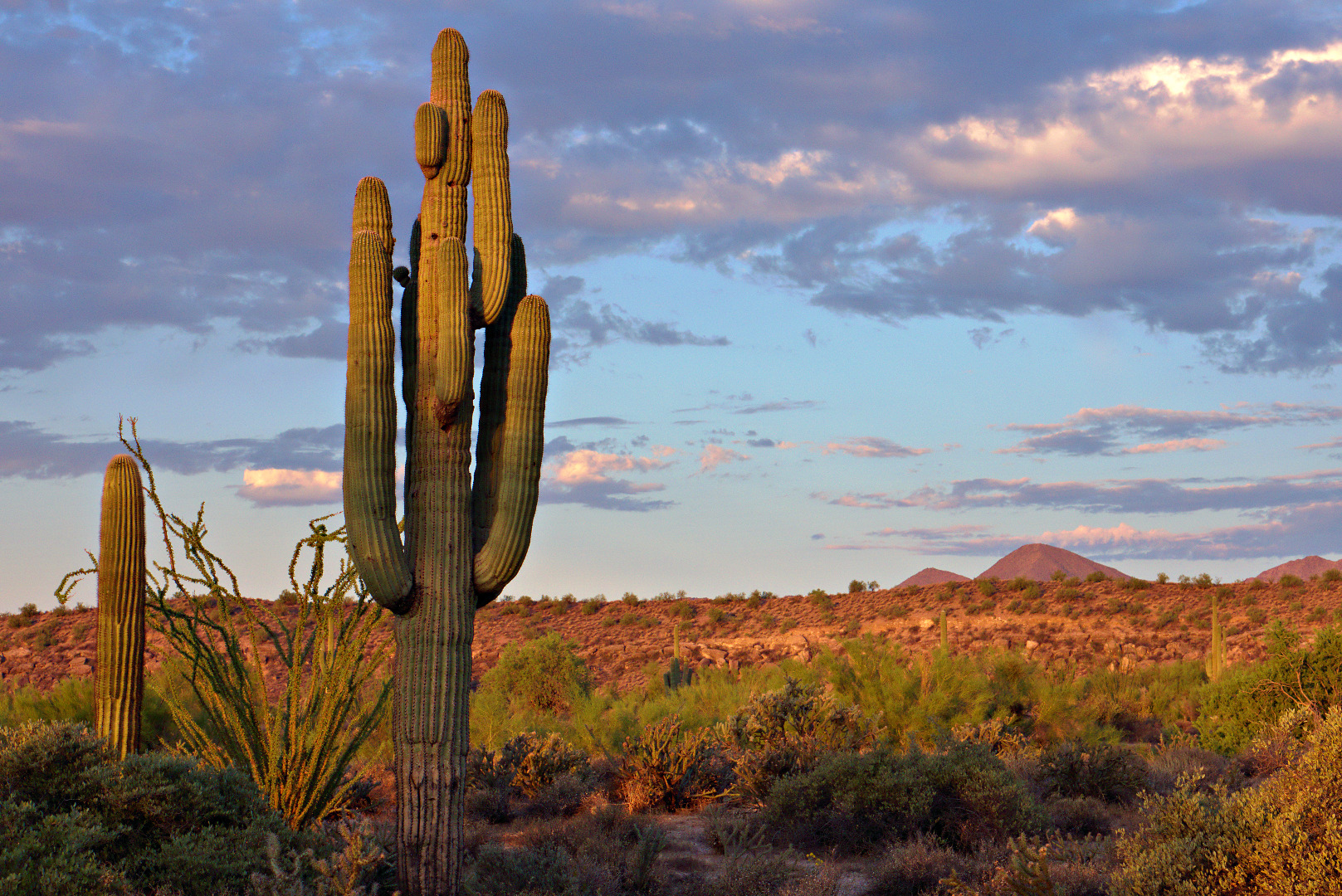
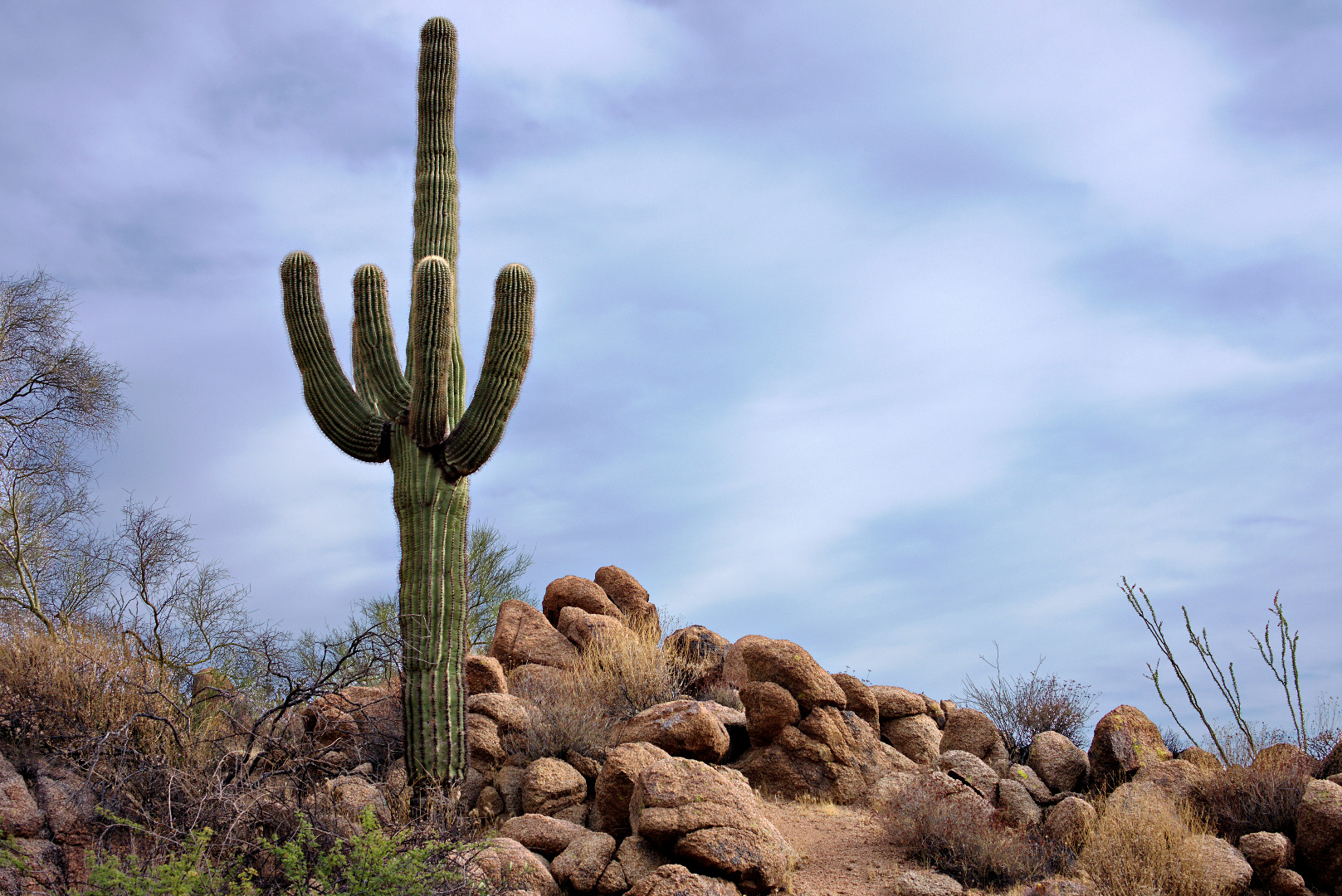
 A nice looking saguaro amid a rock outcropping along the Dixie Mine Trail.
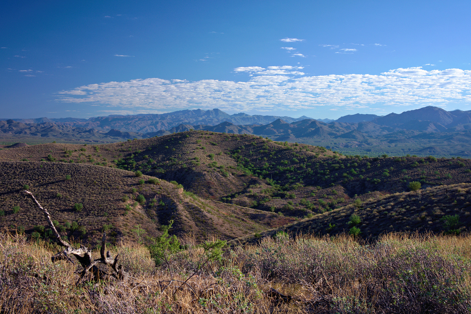
 I think this photo was taken from near the bench at the top of the Bluff Trail.
 A view of the McDowells from the top of the Bluff Trail.
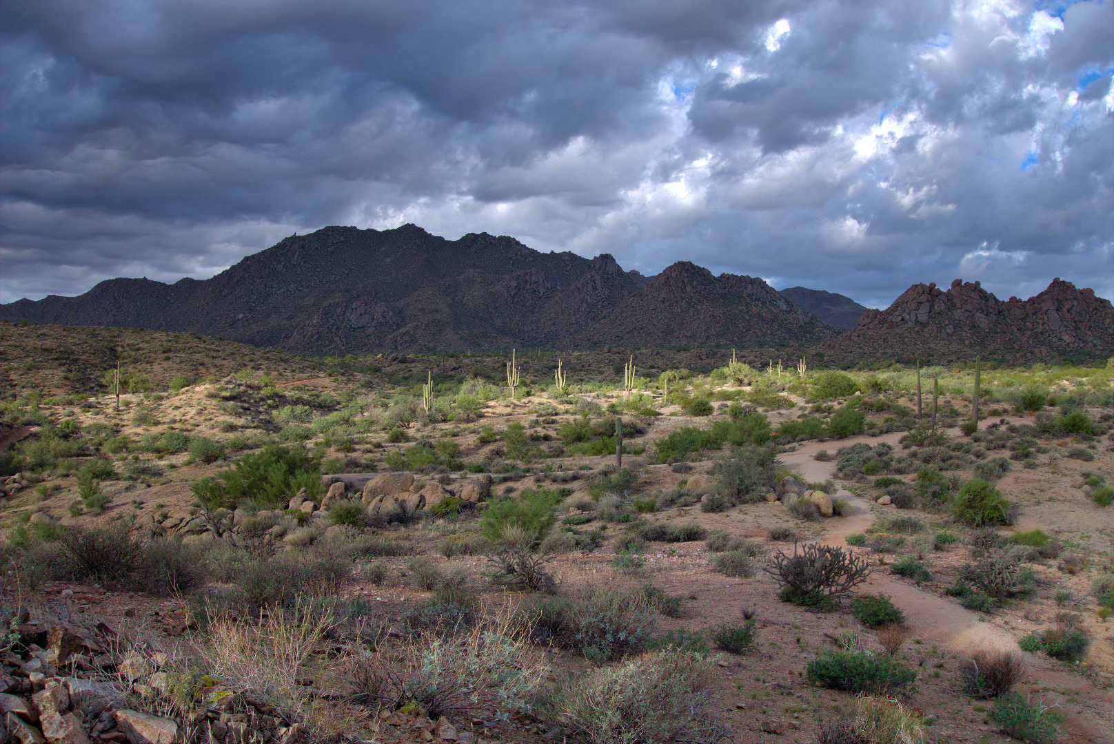 This photo was taken near the Sven’s Slab climbing area. Tom’s Thumb can be seen in the distance.