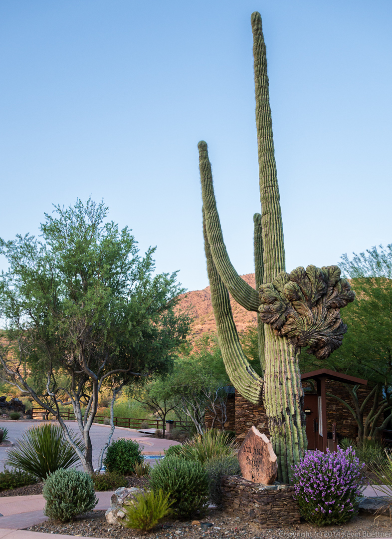
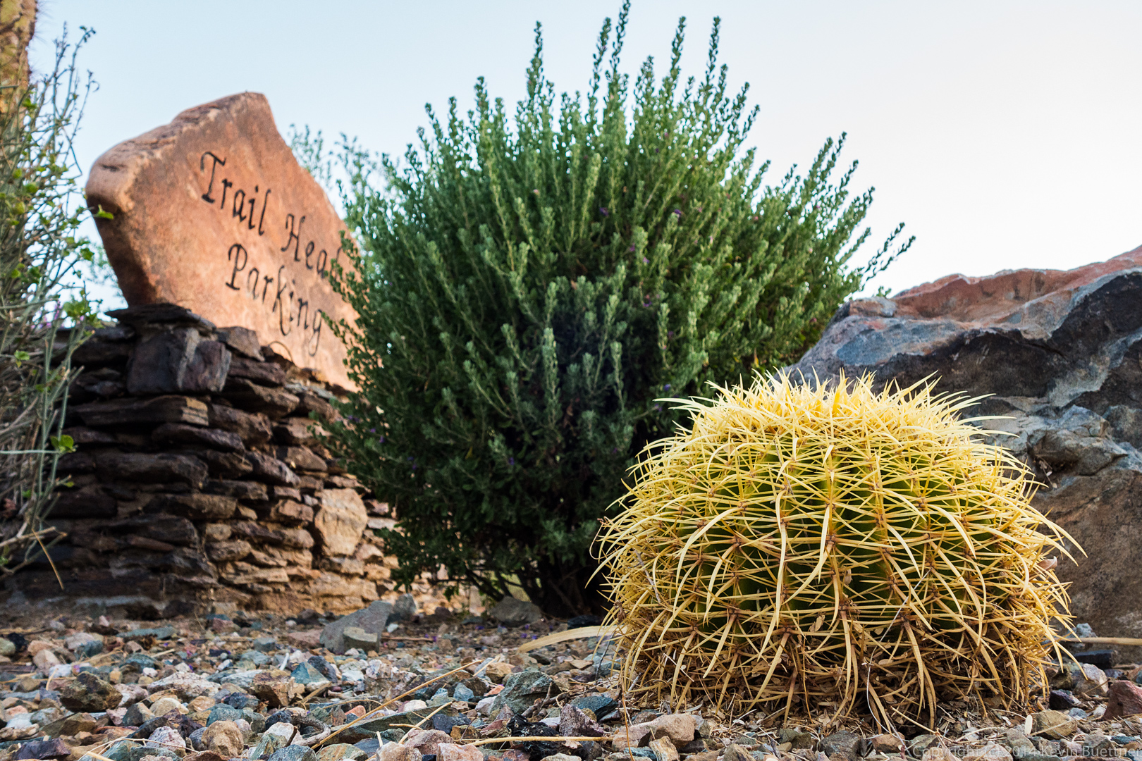
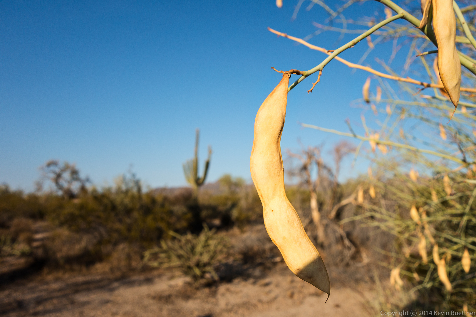
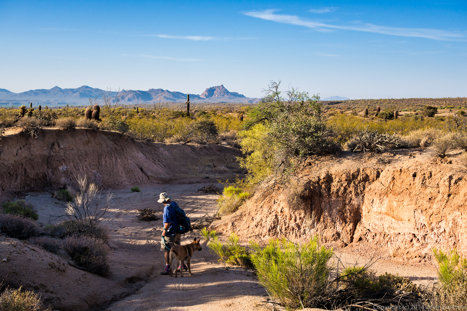
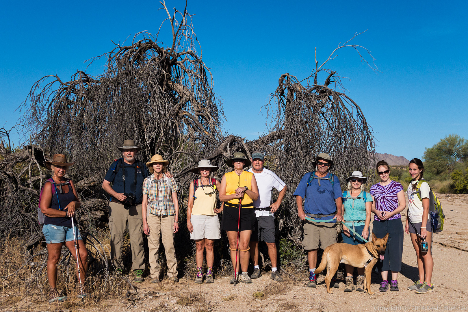
Friday’s hike started from the Lousley Hill Trailhead. Bob, Allen, Janet, Sarge, Bella, Savannah, and I hiked one lap on Lousley Hill. We then hiked up Lousley Wash to the Pemberton Trail and took the Escondido Trail back to Lousley Hill Trail, for a four mile hike. I went on to hike another four miles by myself, adding in another lap of Lousley Hill along the way. As I was hiking down Lousley Hill, I noticed that my total ascent was at around 700 feet. I hiked up and down a steep(ish) section of the hill two times to bring the total ascent up to 1,000 feet for the day.
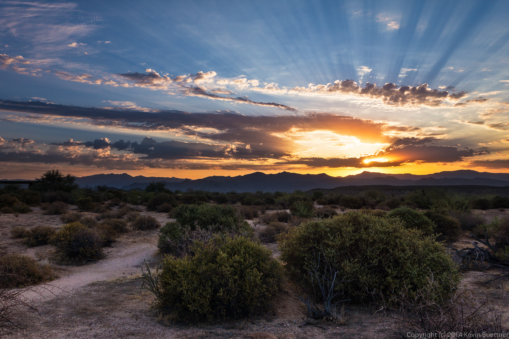
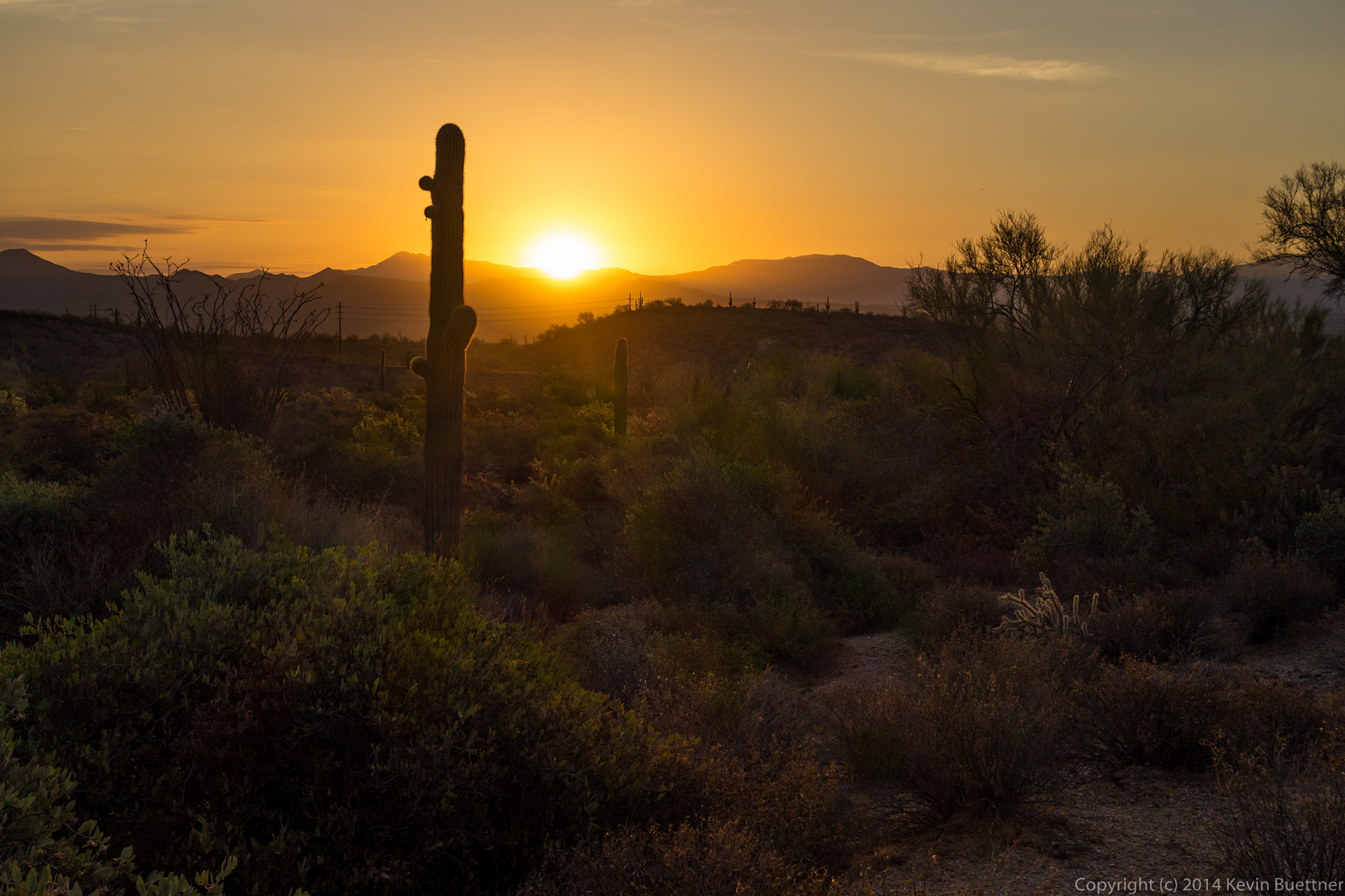
A view of the sunrise from near the Trailhead:
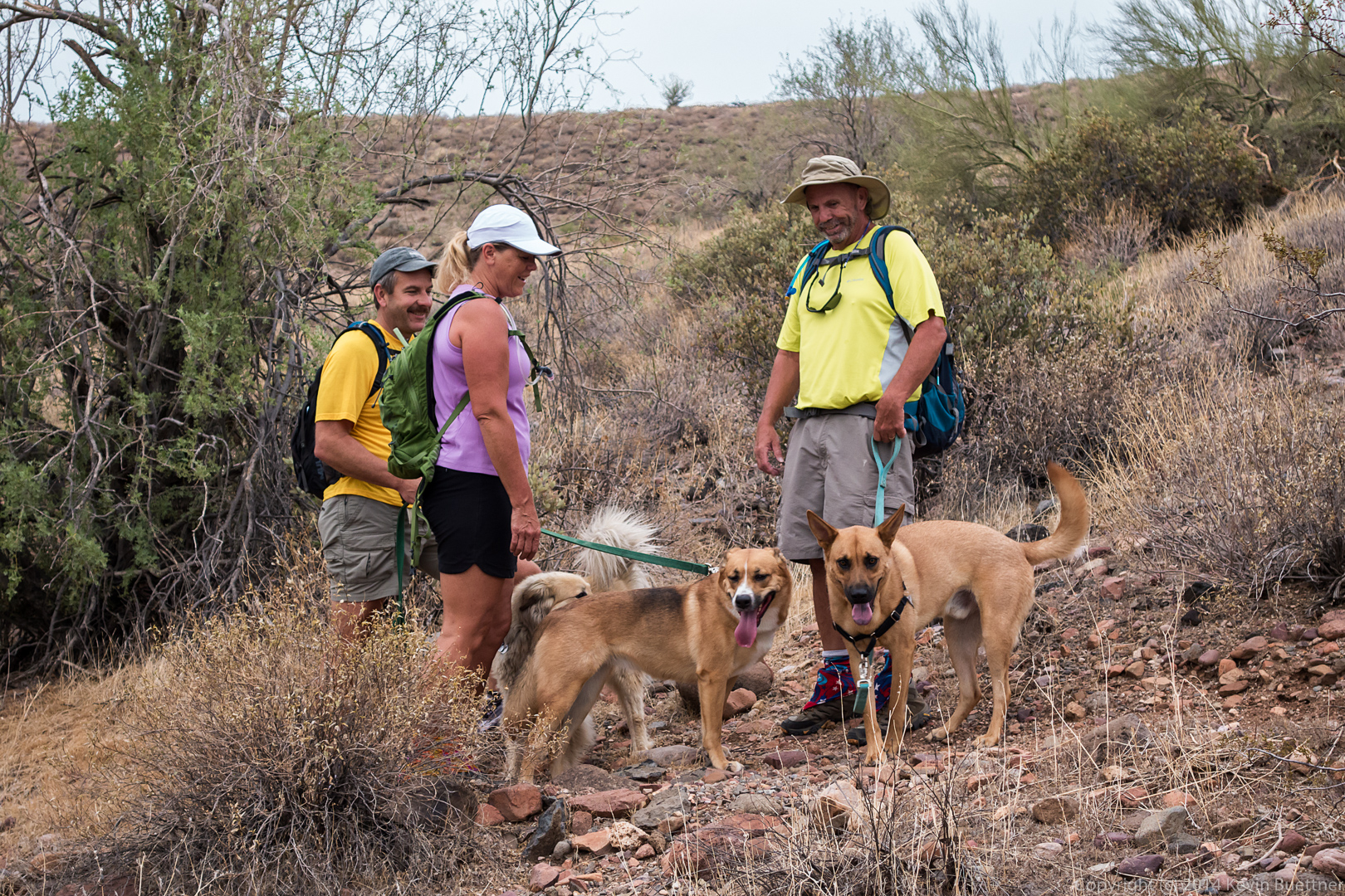
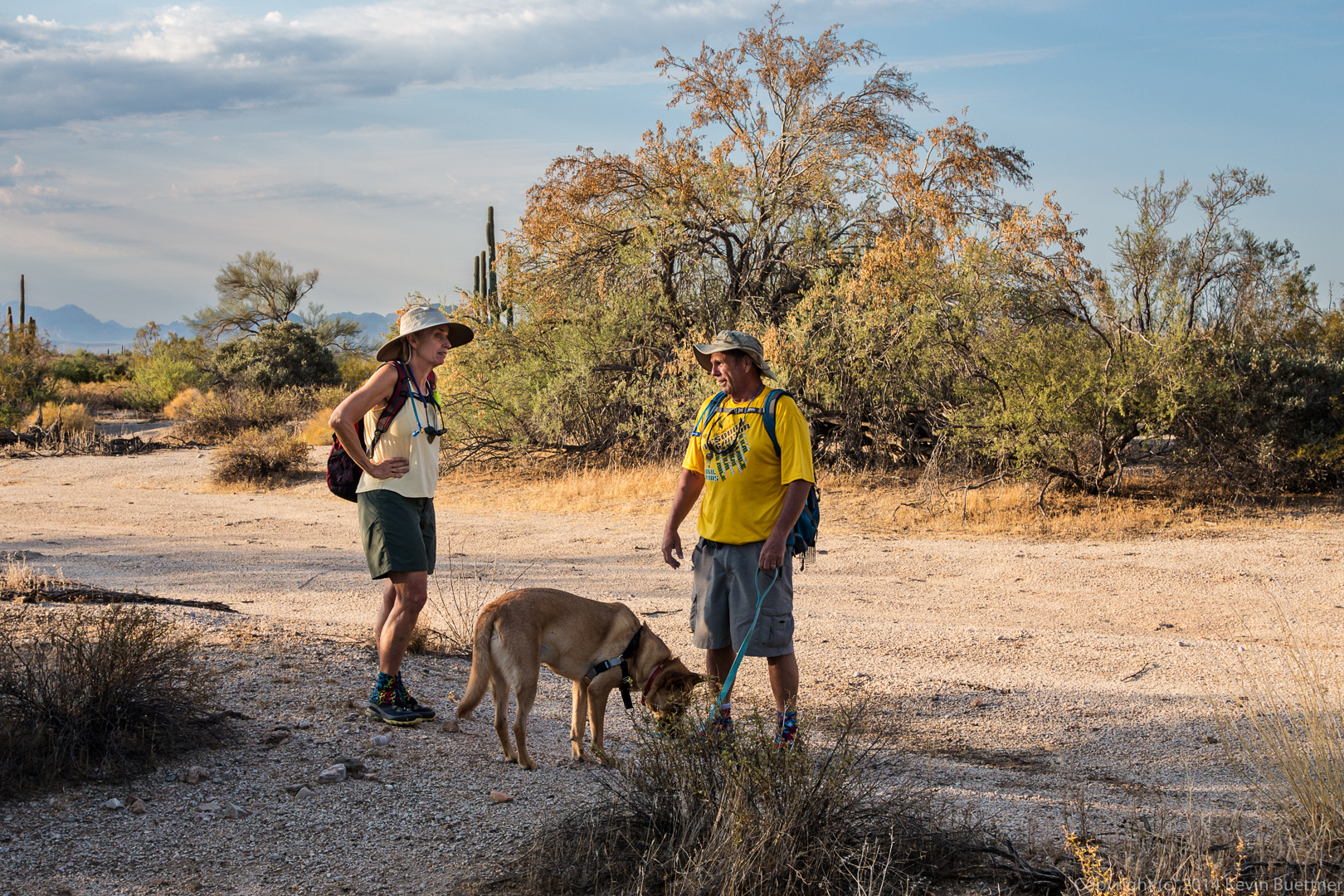
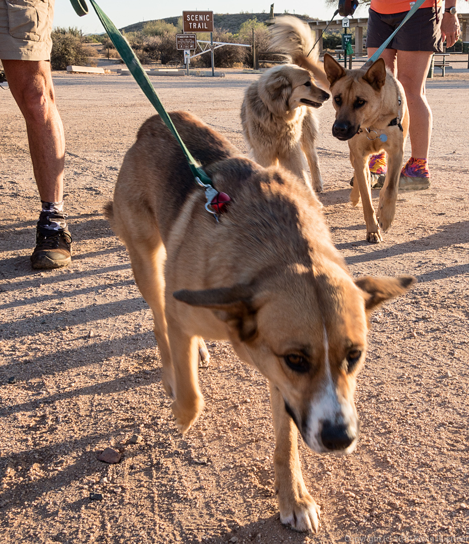
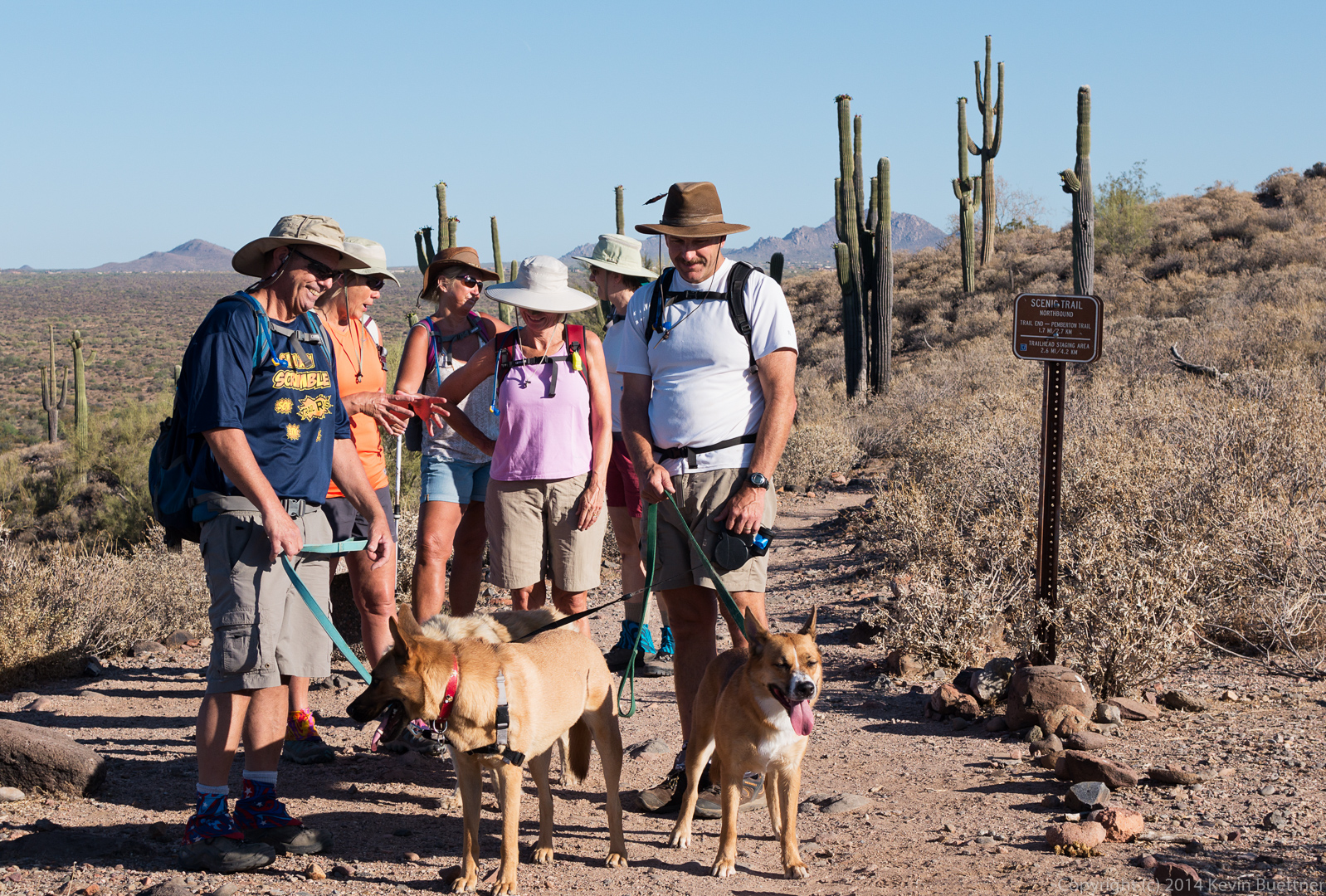
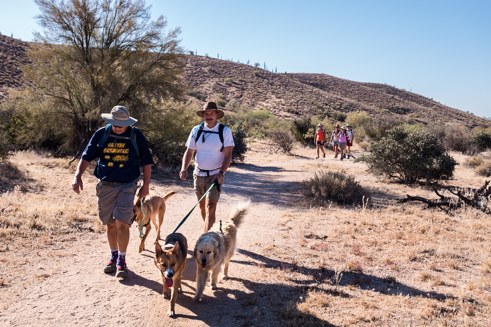
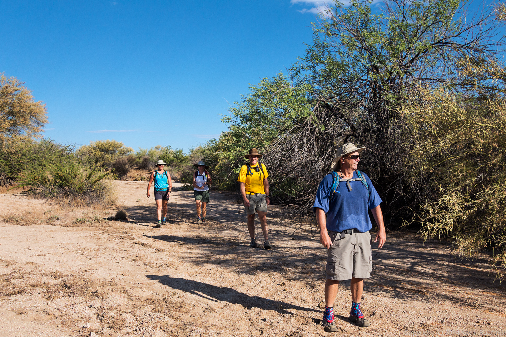
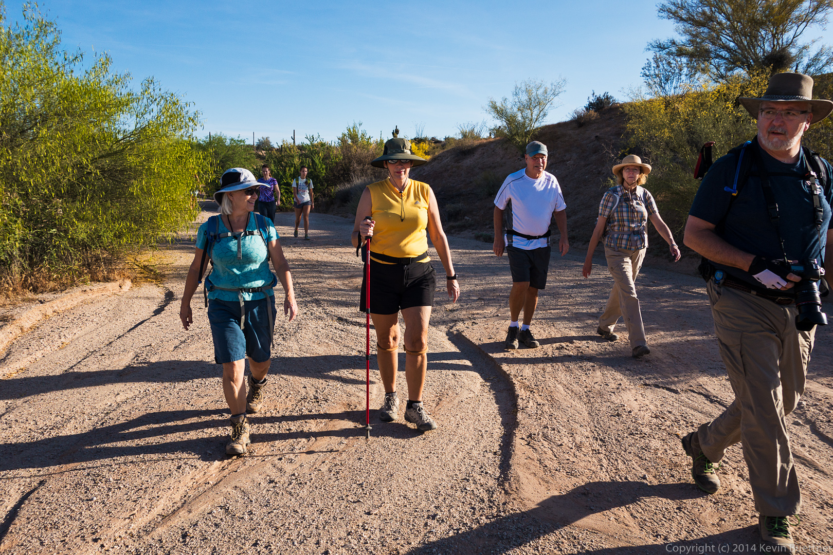
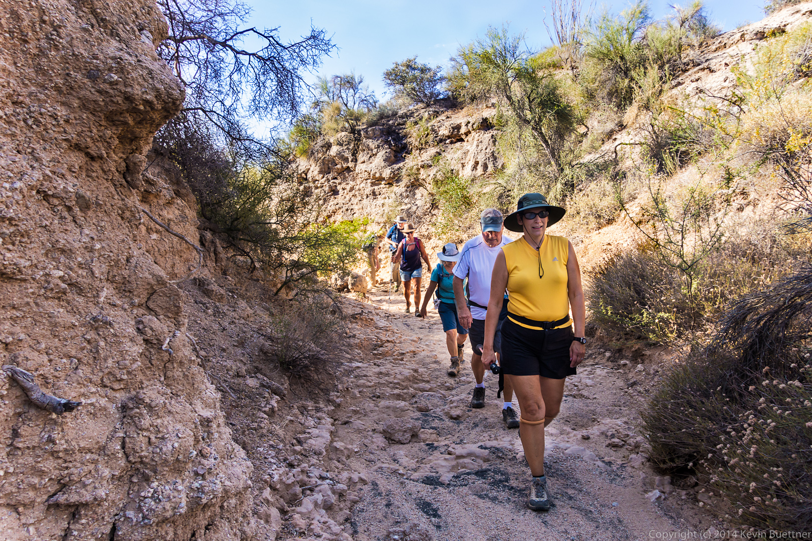
 Allen, Janet, and Bob, with dogs Savannah, Bella, and Sarge part way up the Lousley Hill Trail.
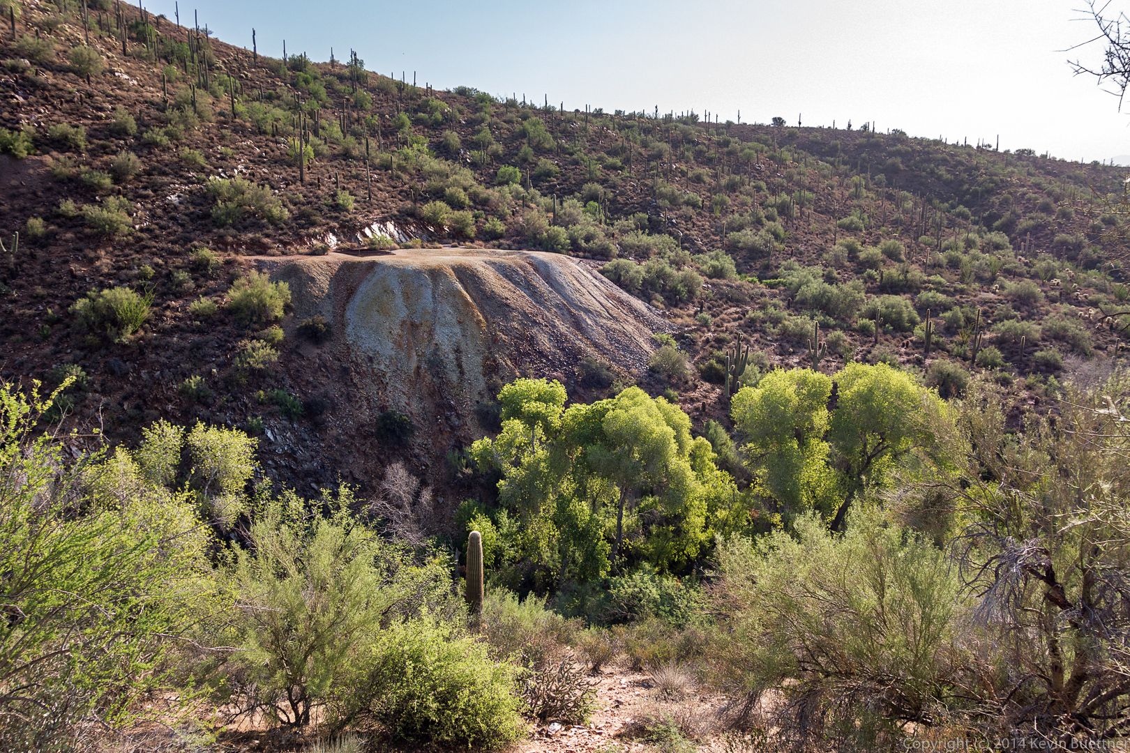
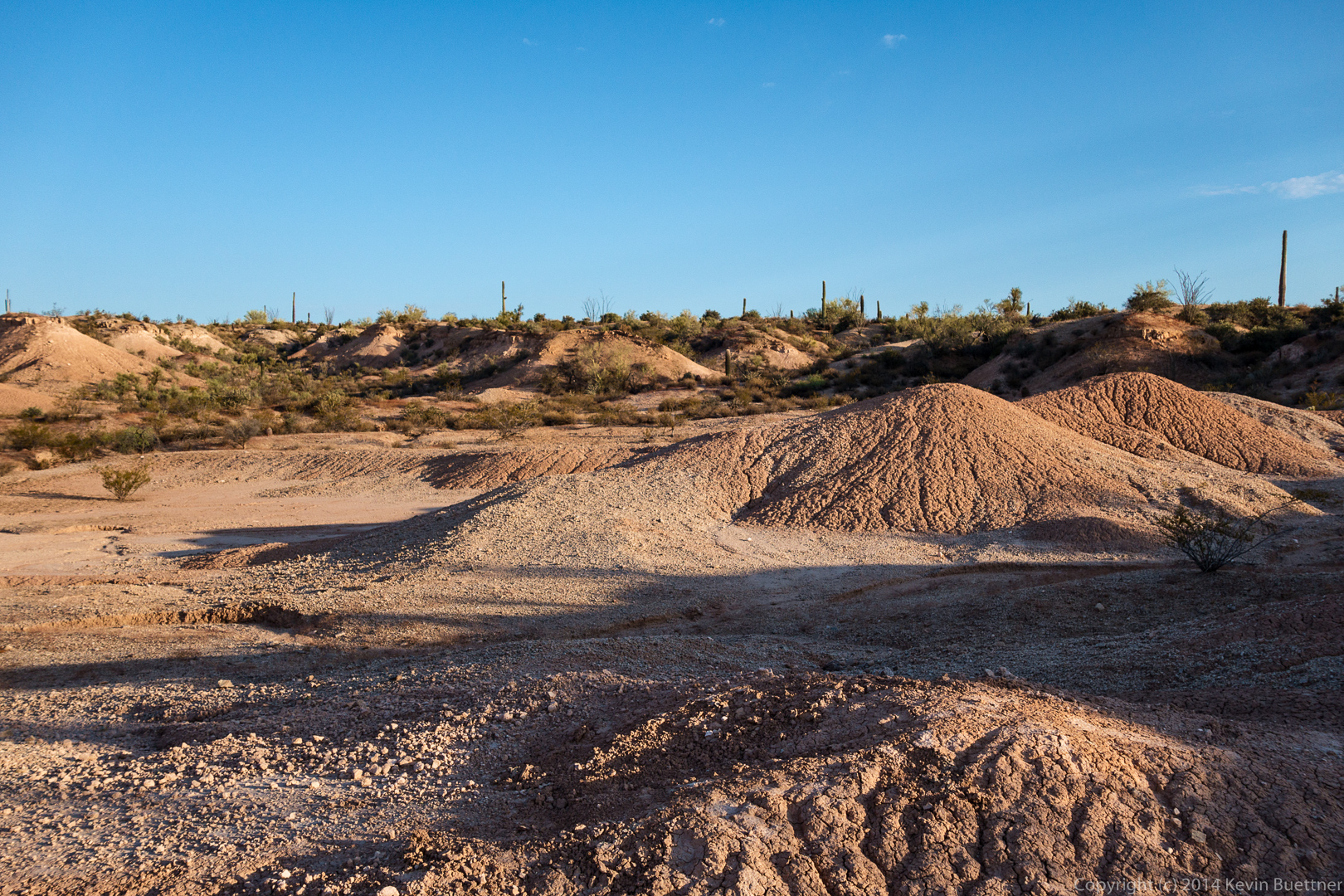
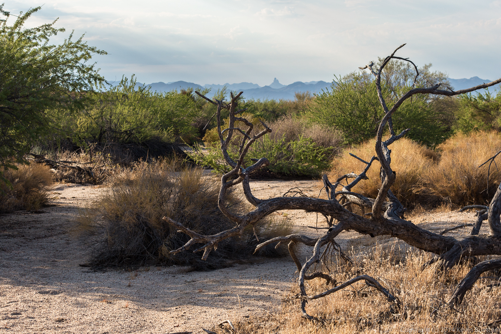
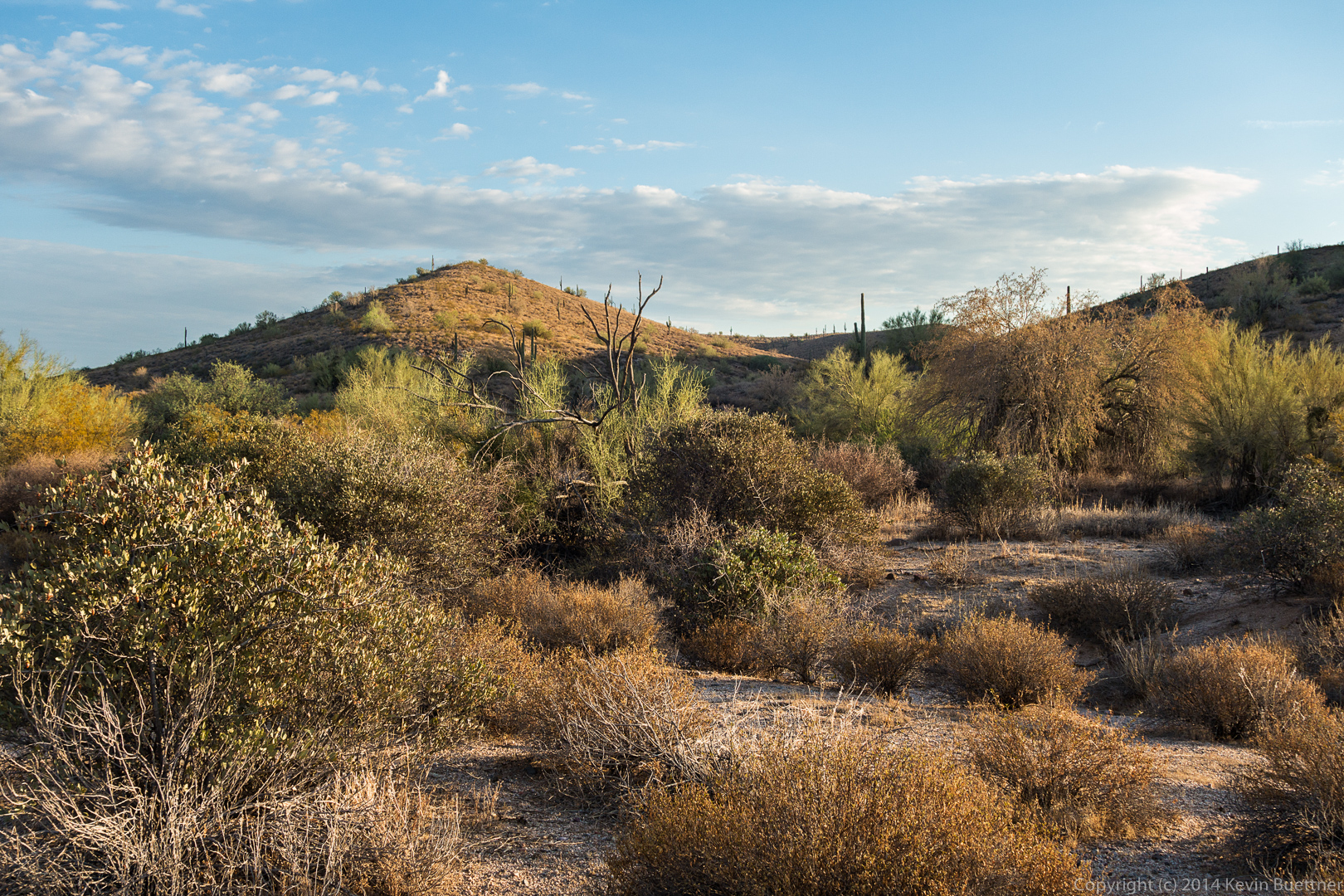
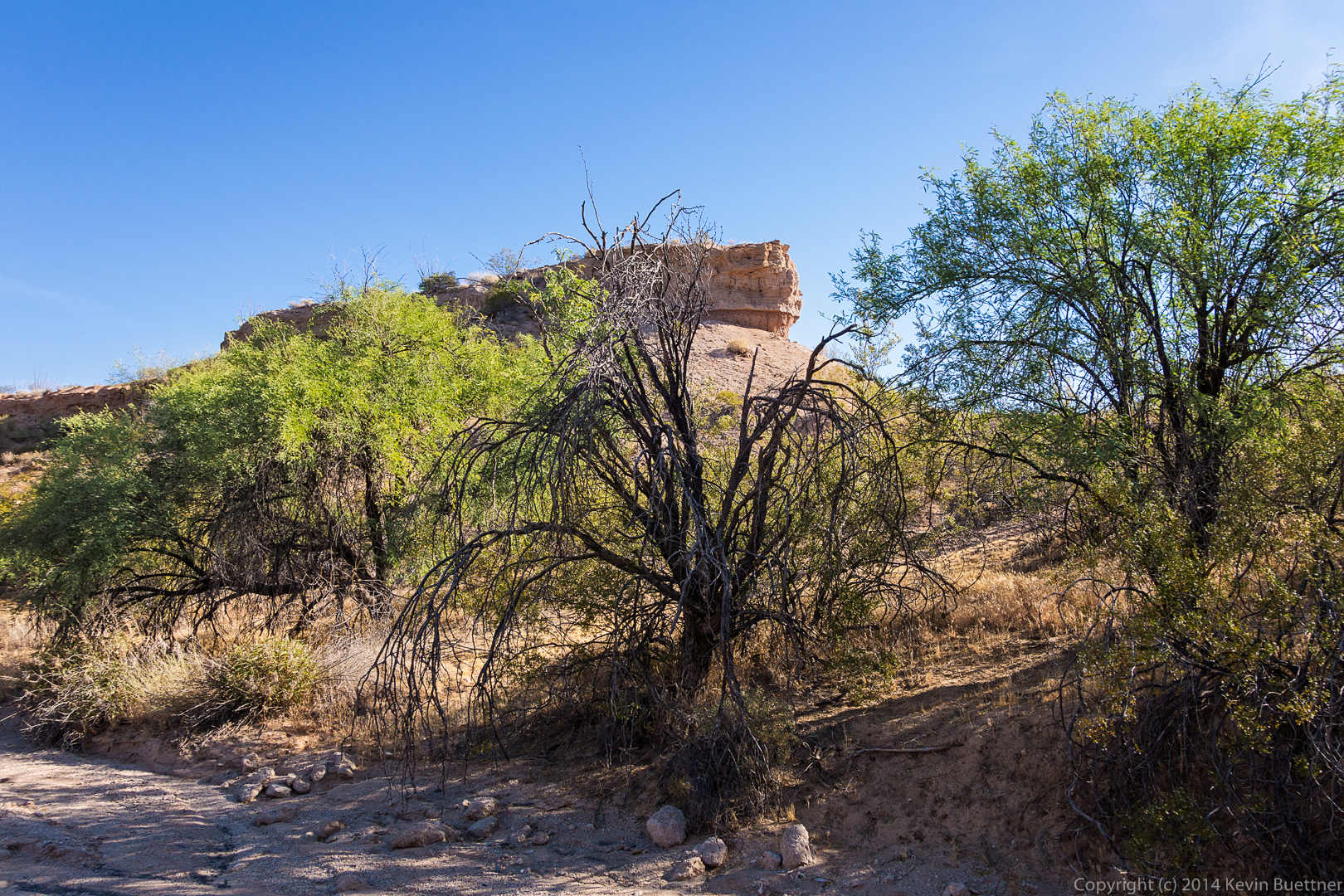
 Lousley Wash:
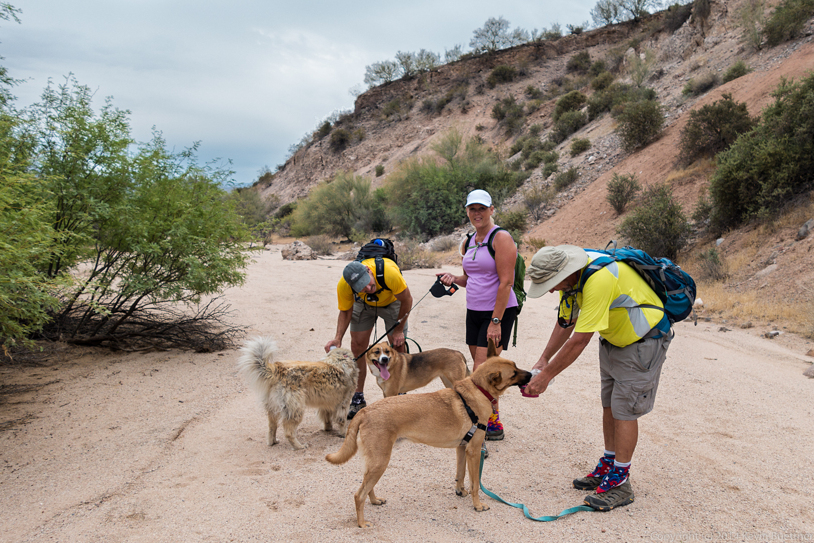
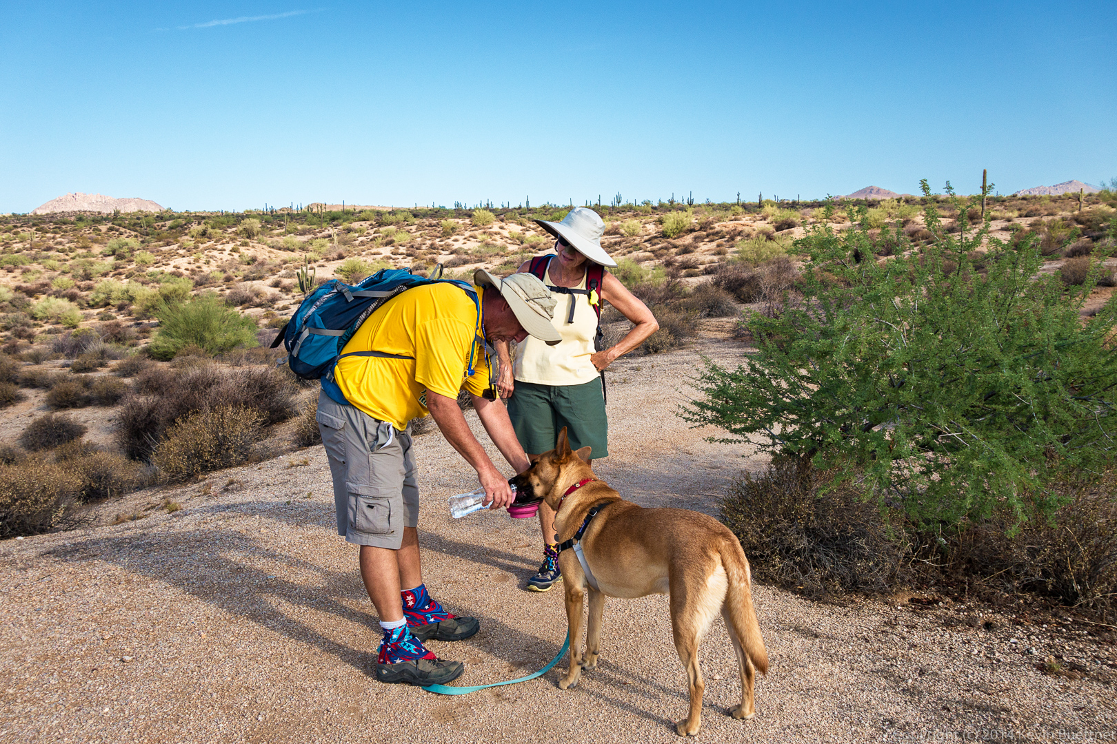
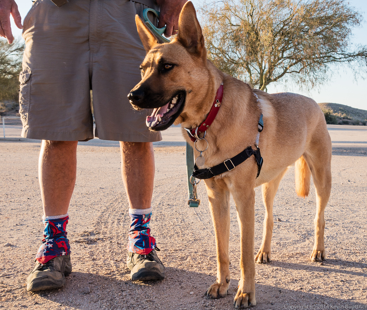
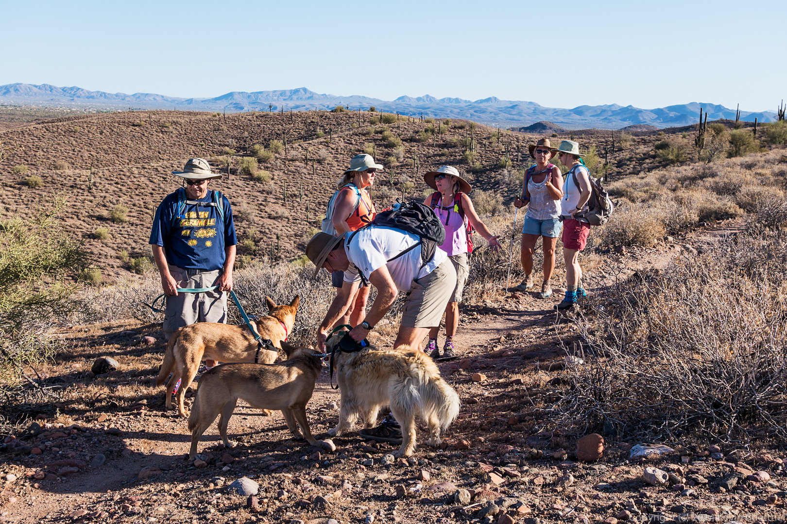
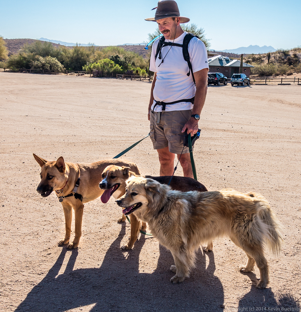
 A water break for dogs on Lousley Wash:
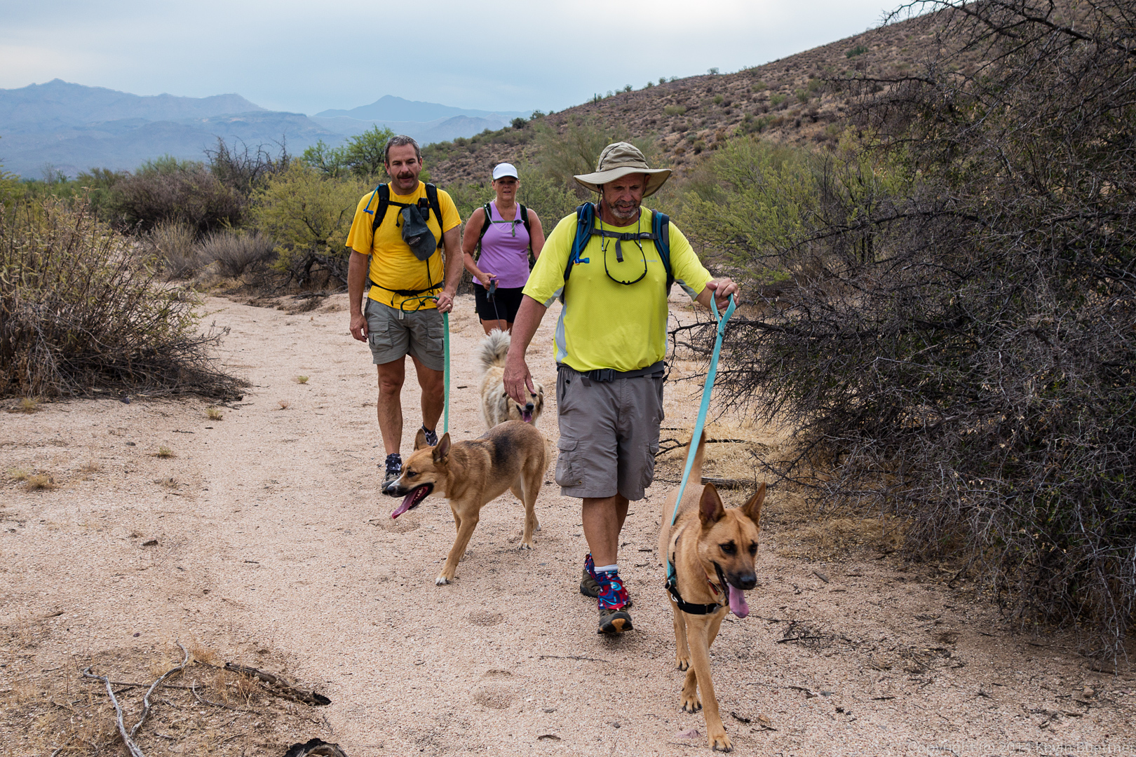
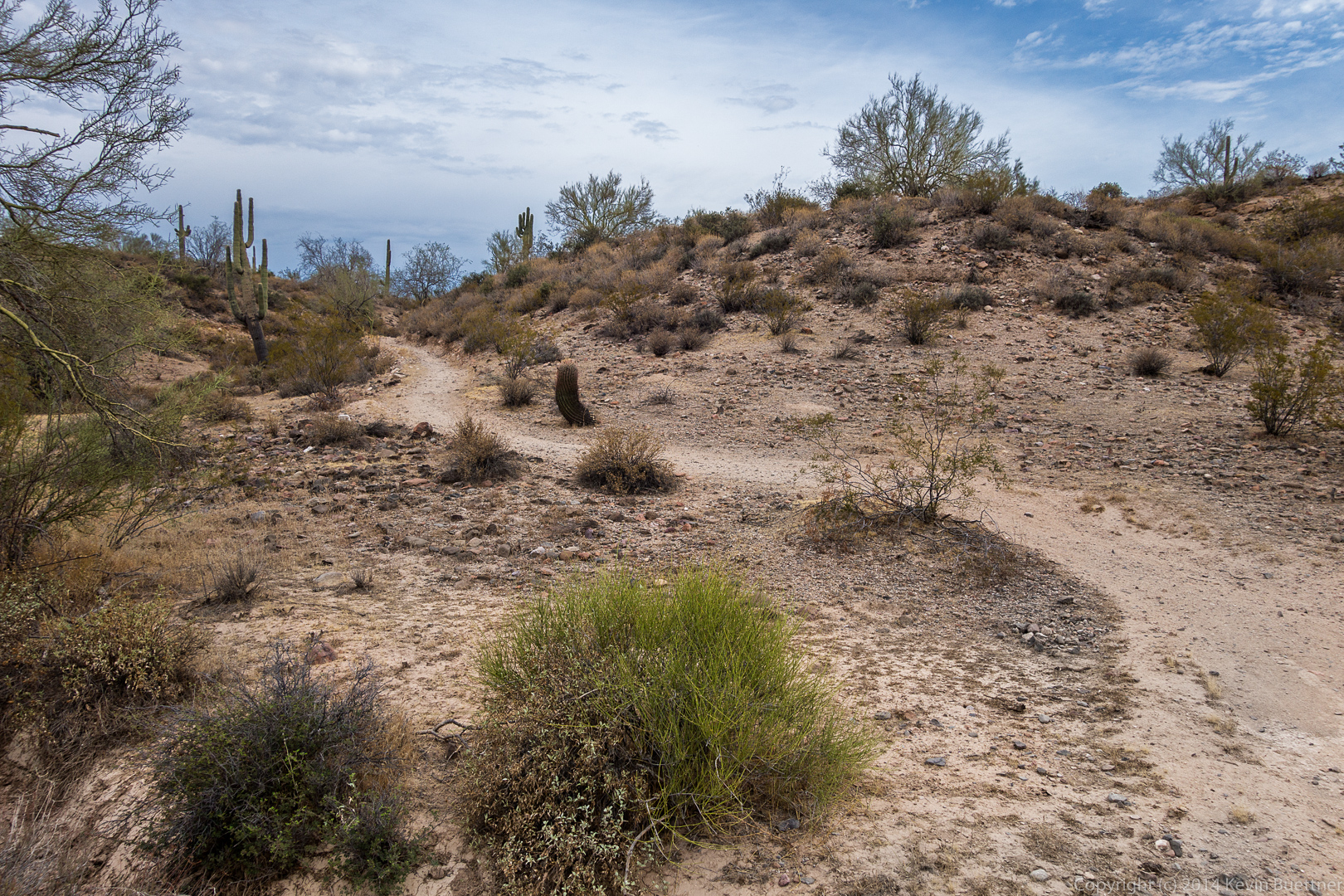
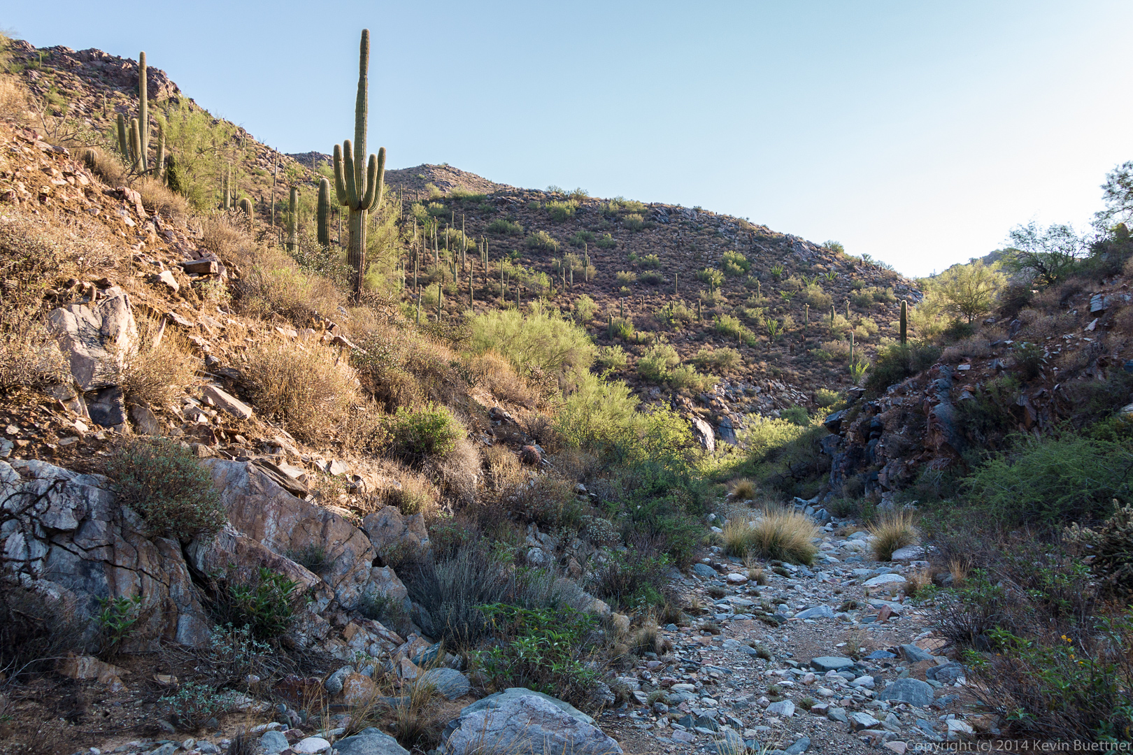
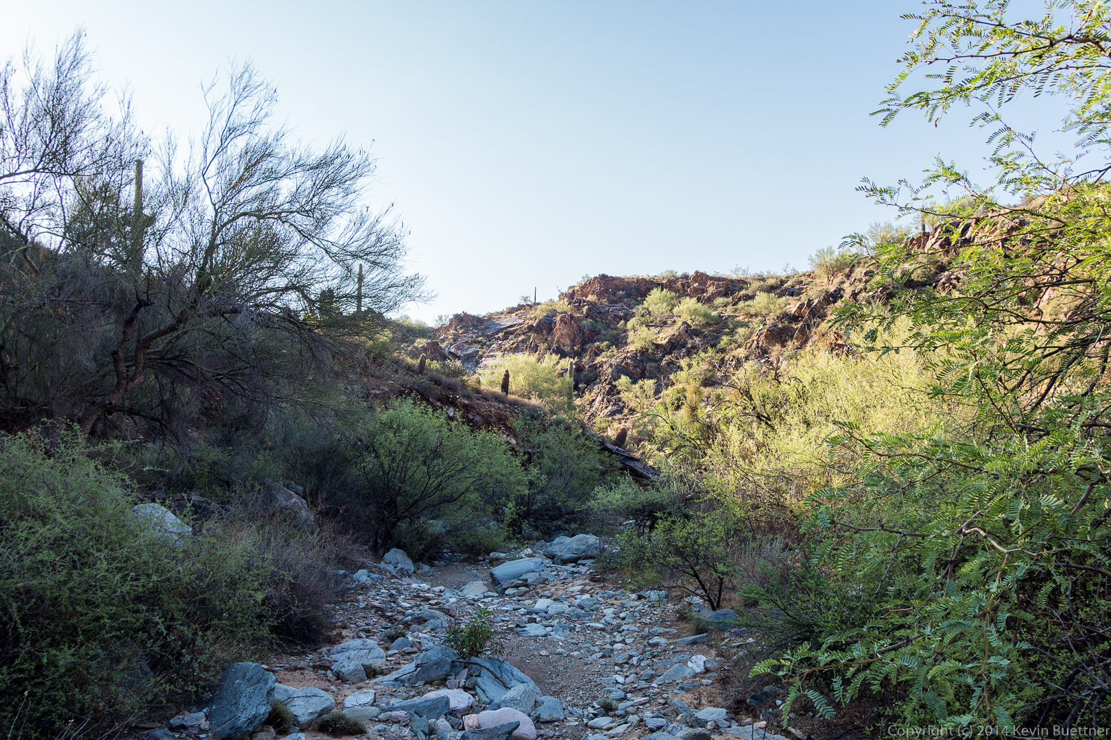
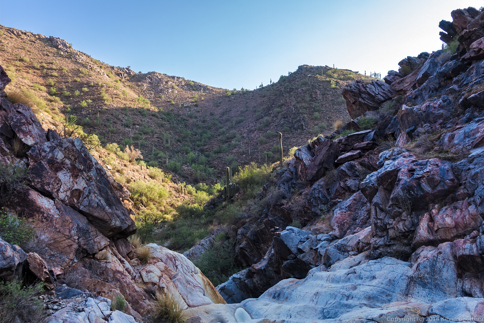
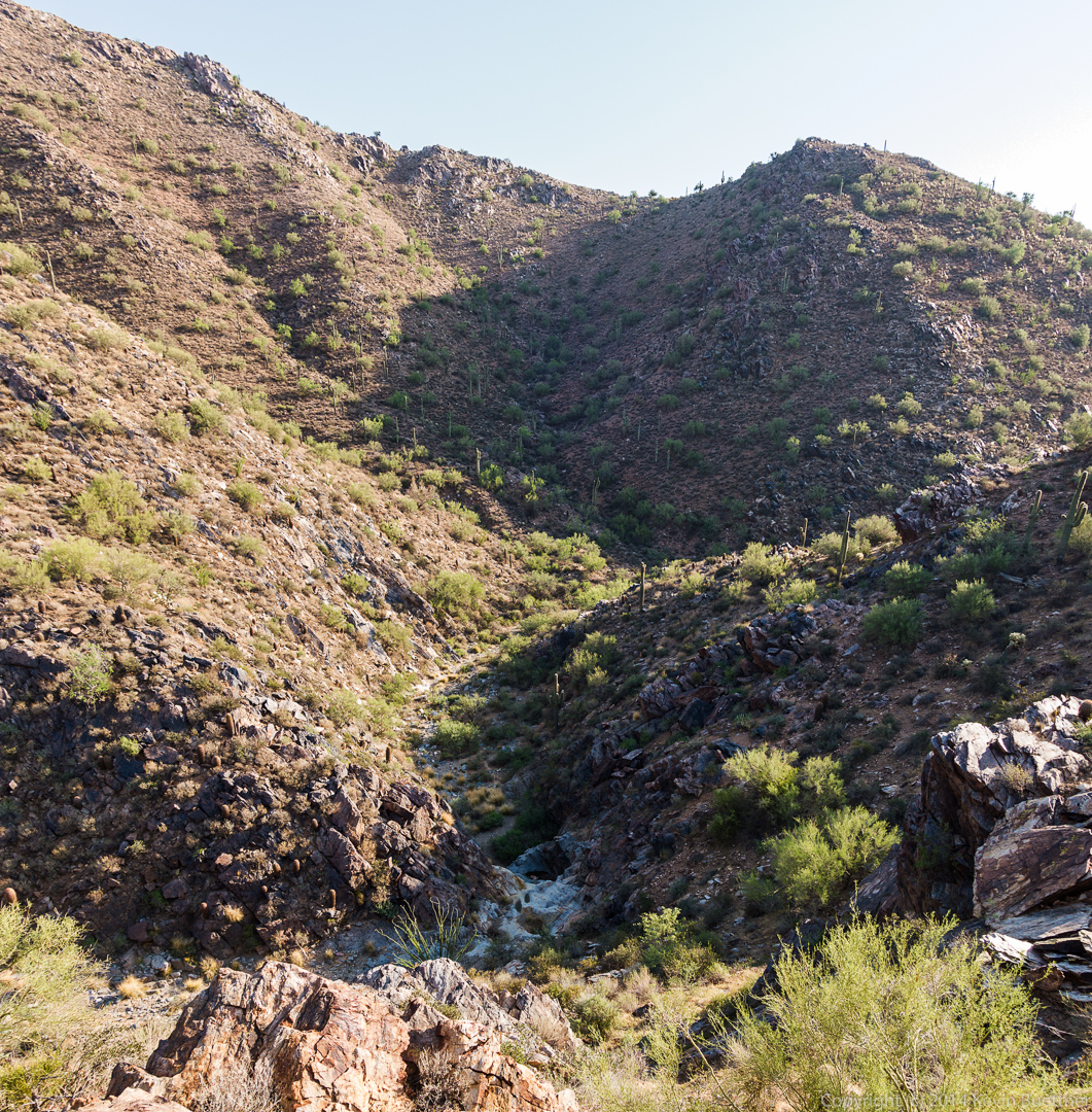
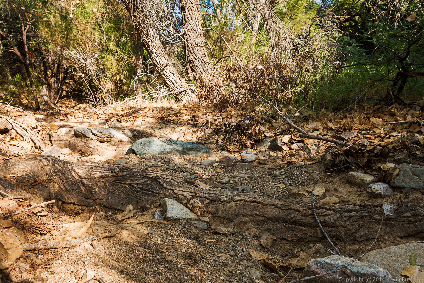
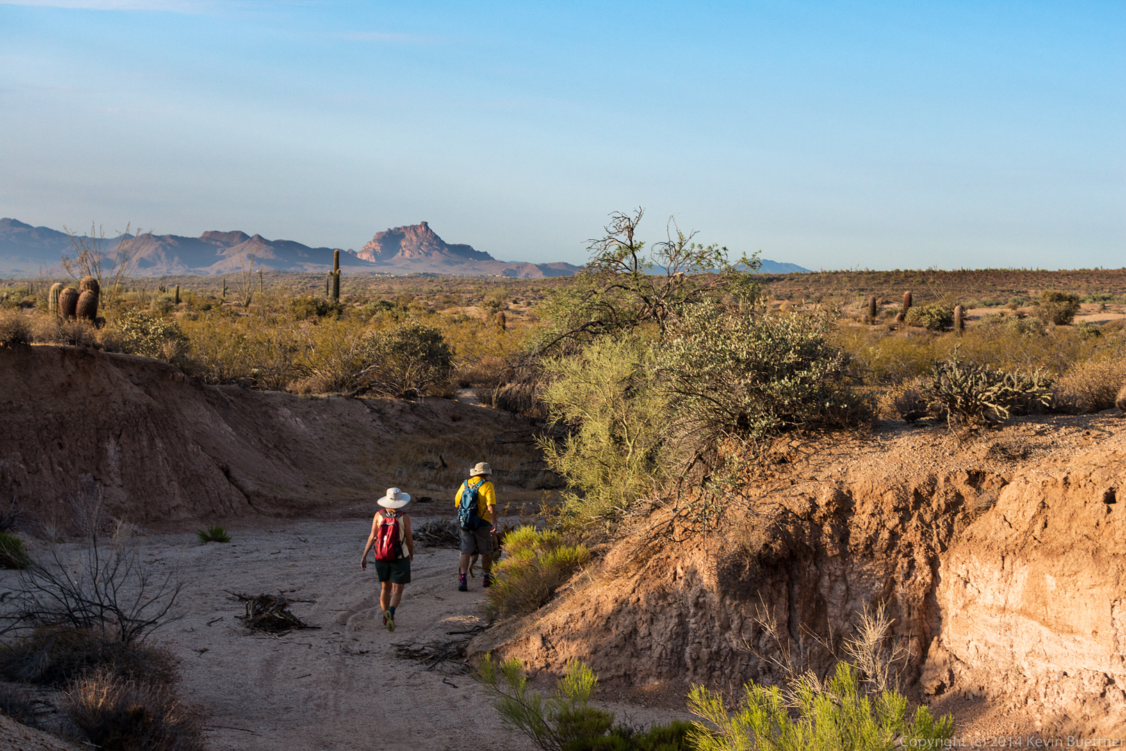
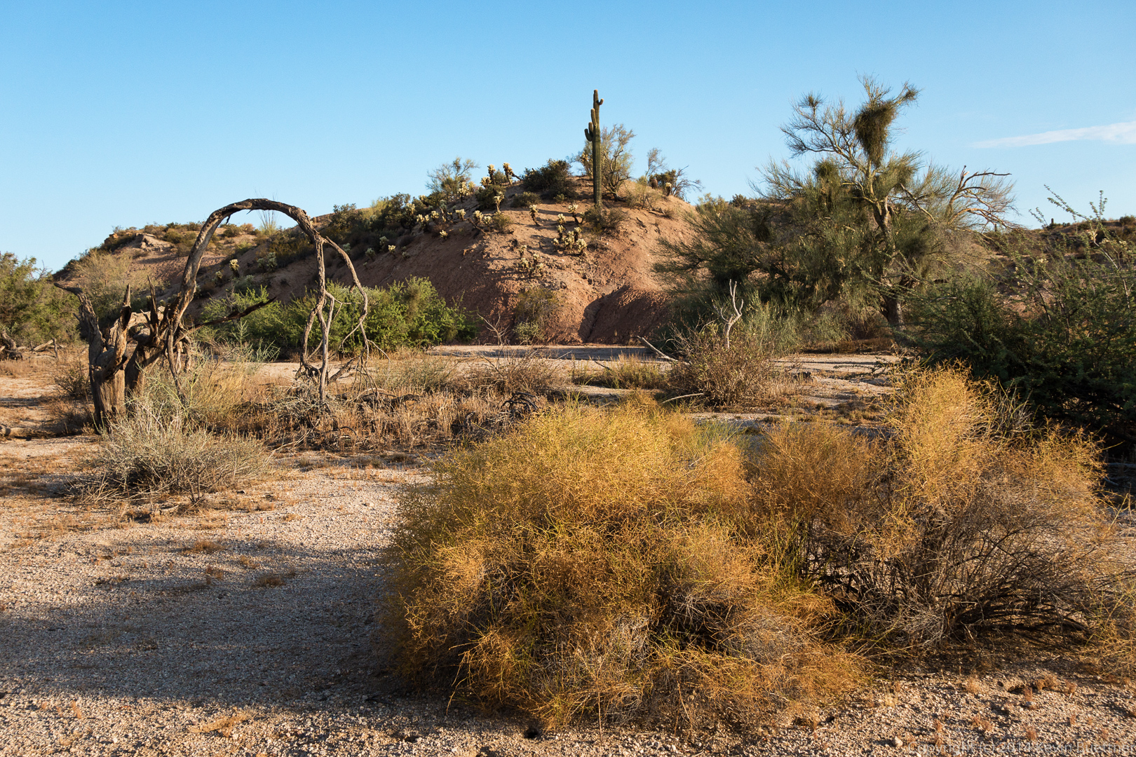
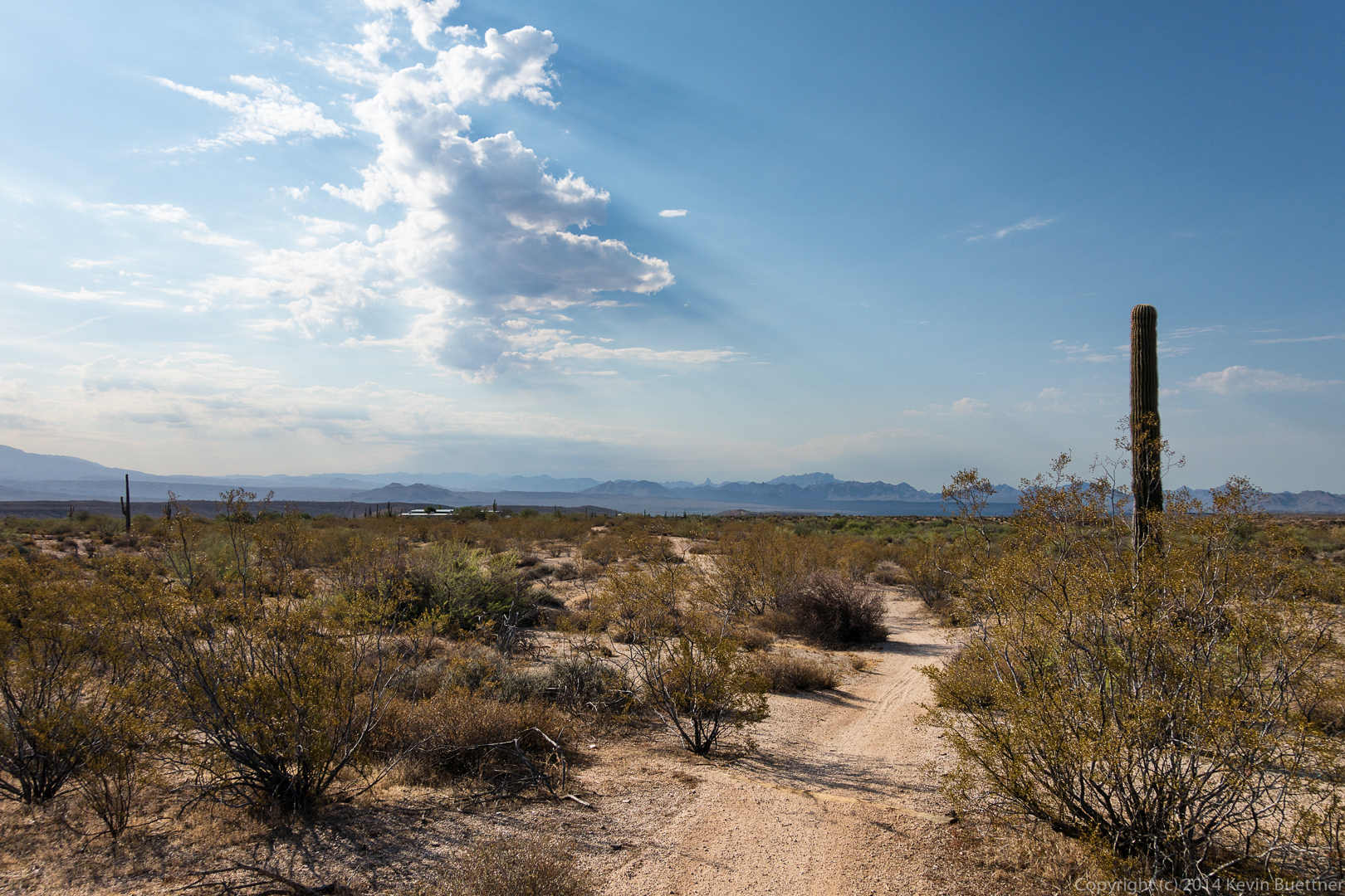
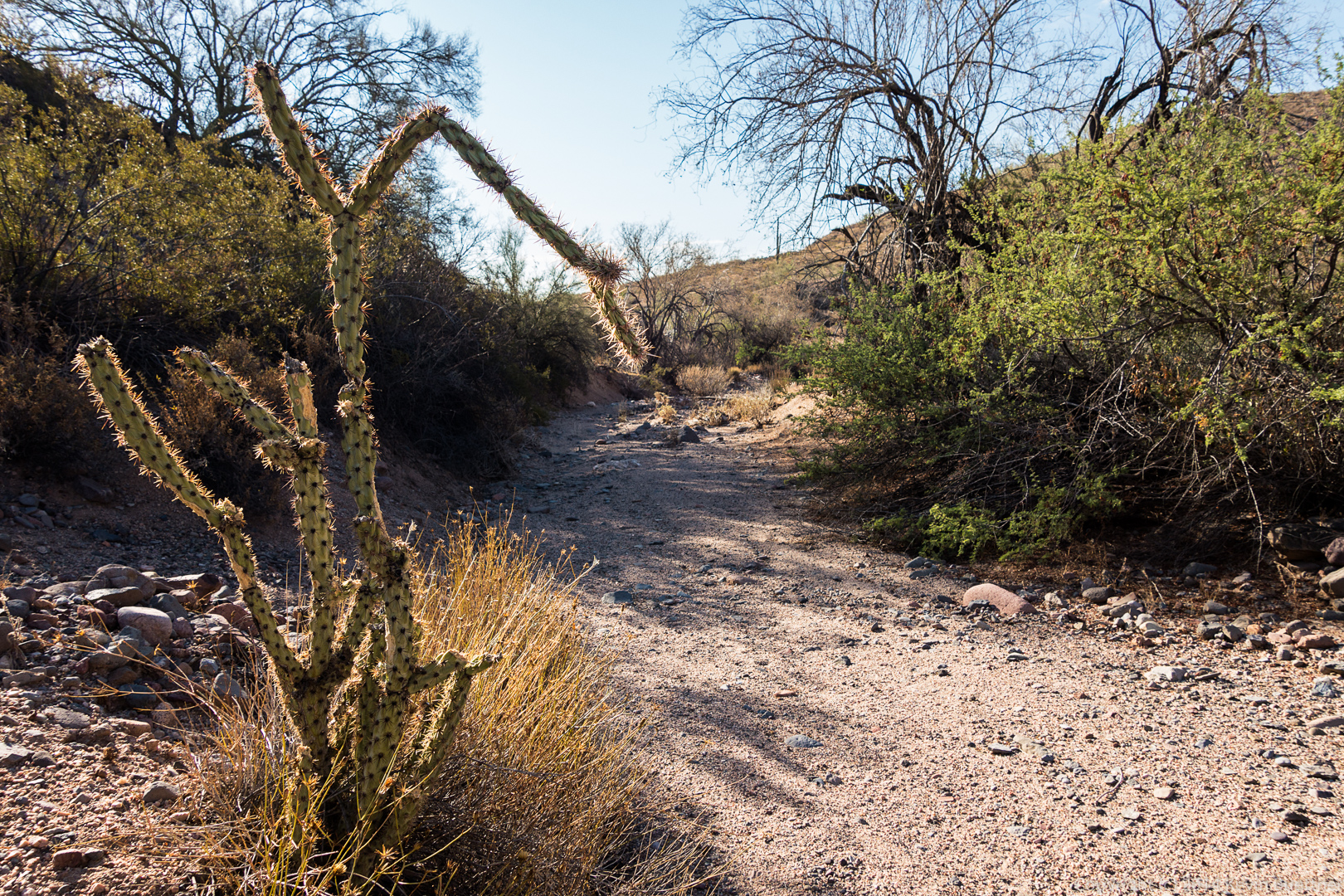
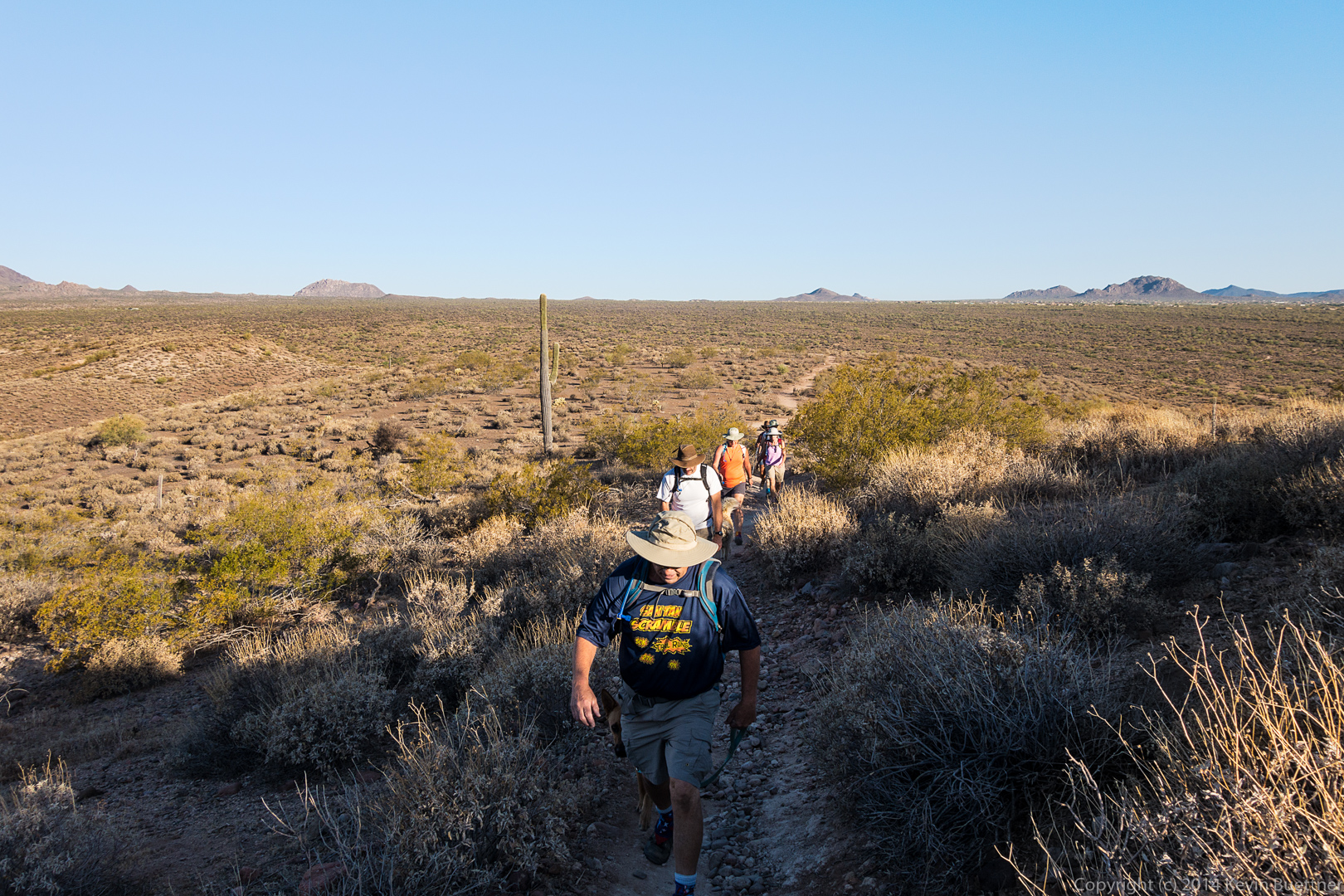
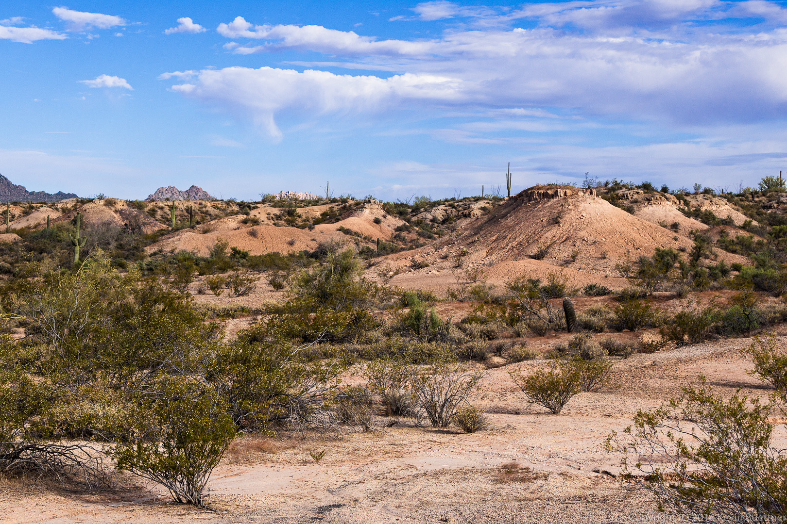
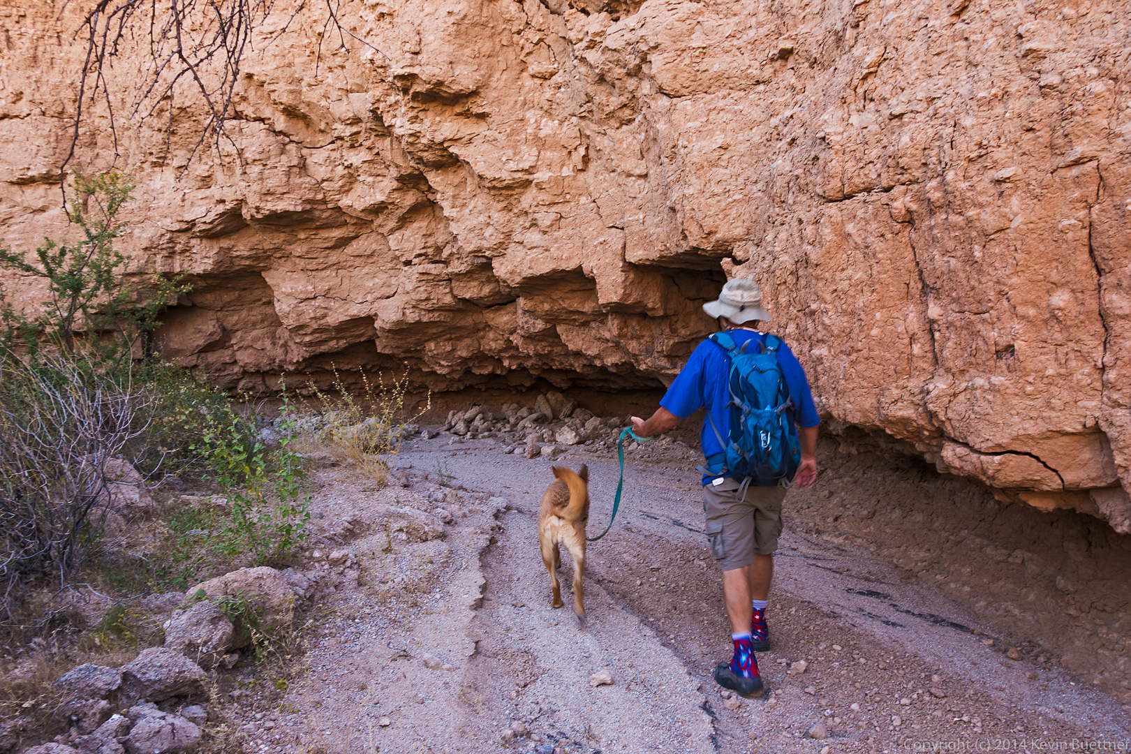
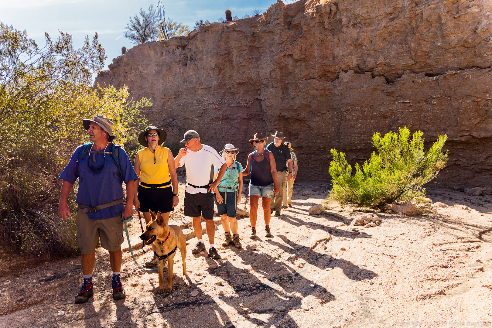
 Hiking Lousley Wash…
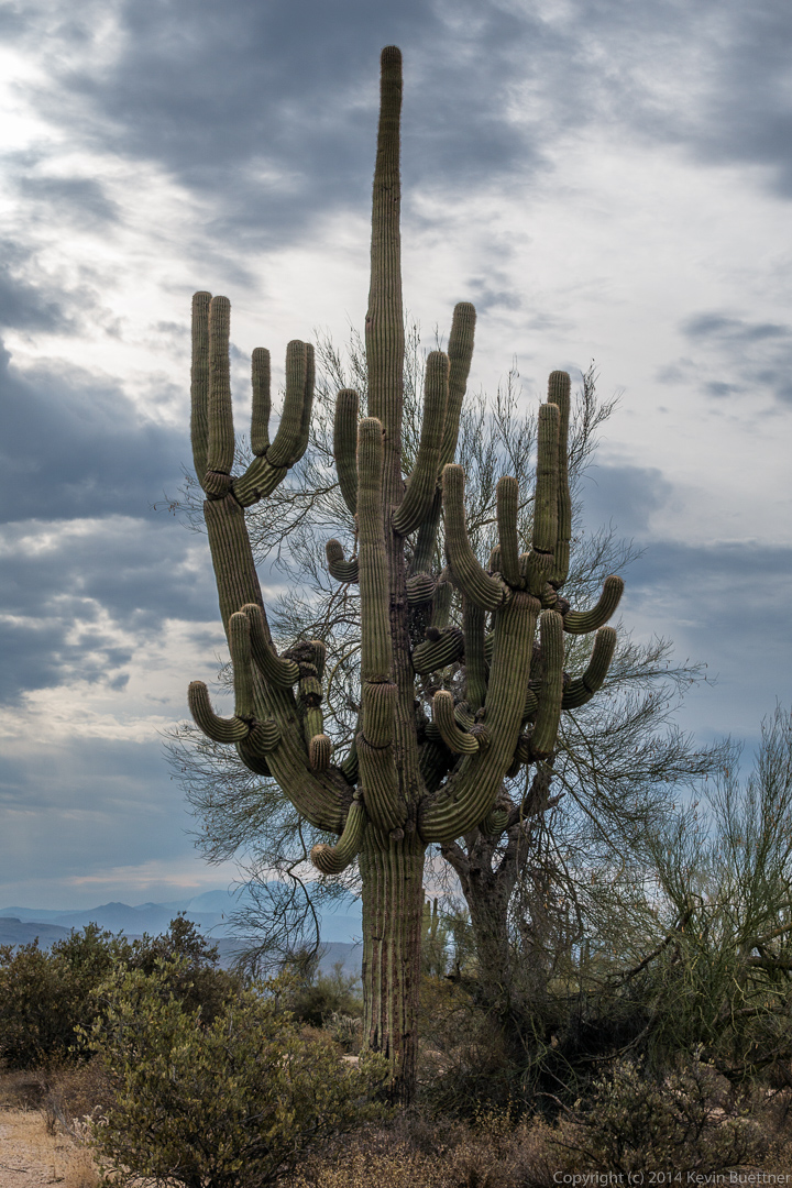
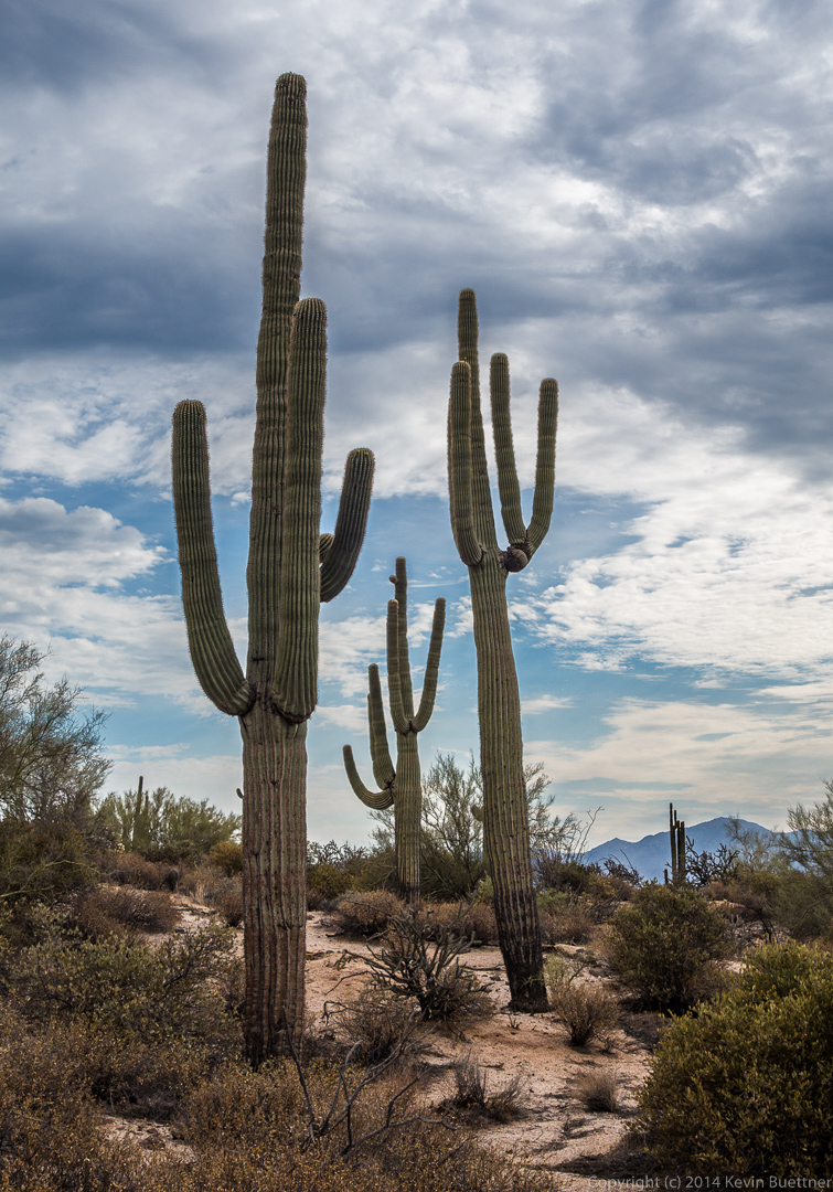
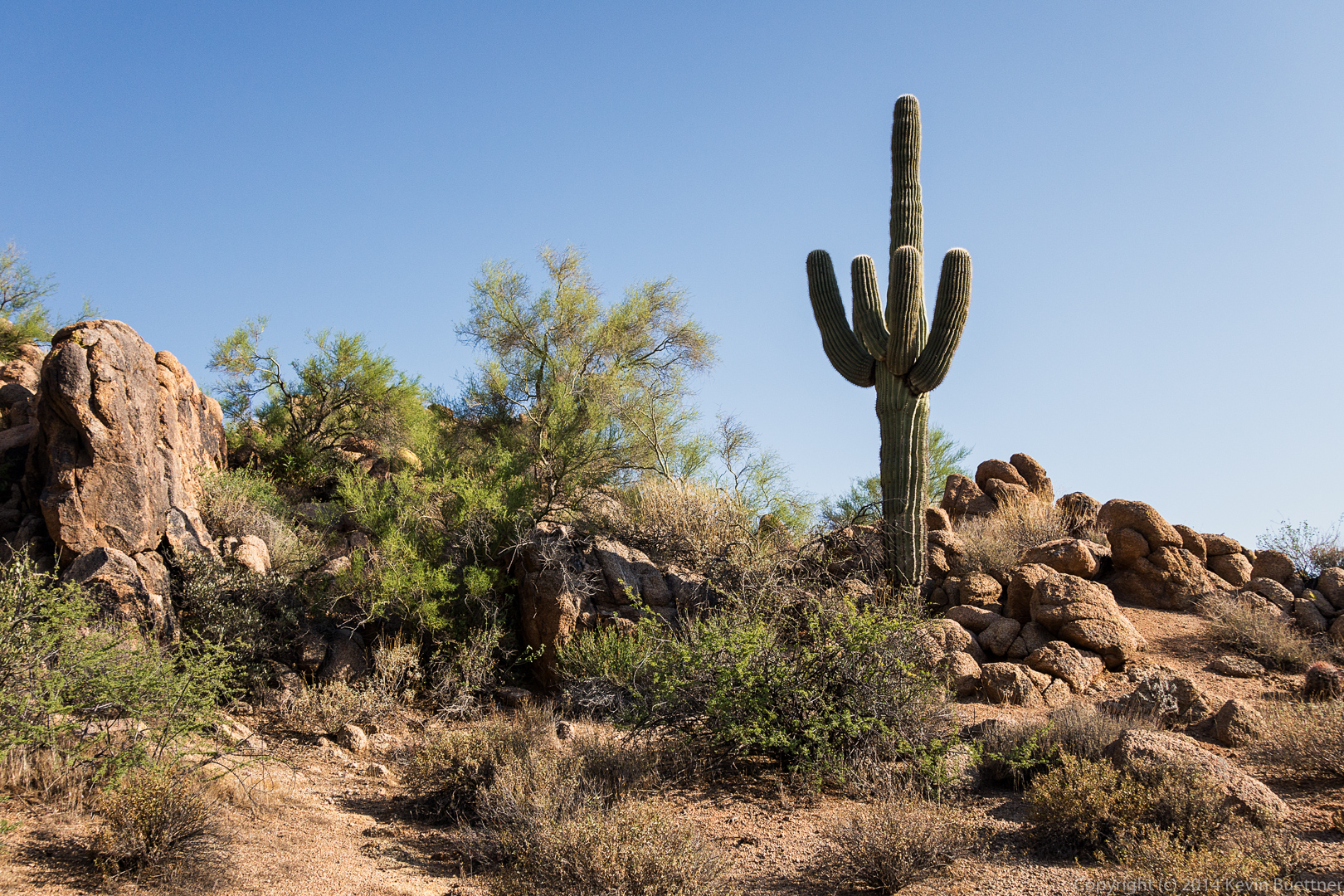
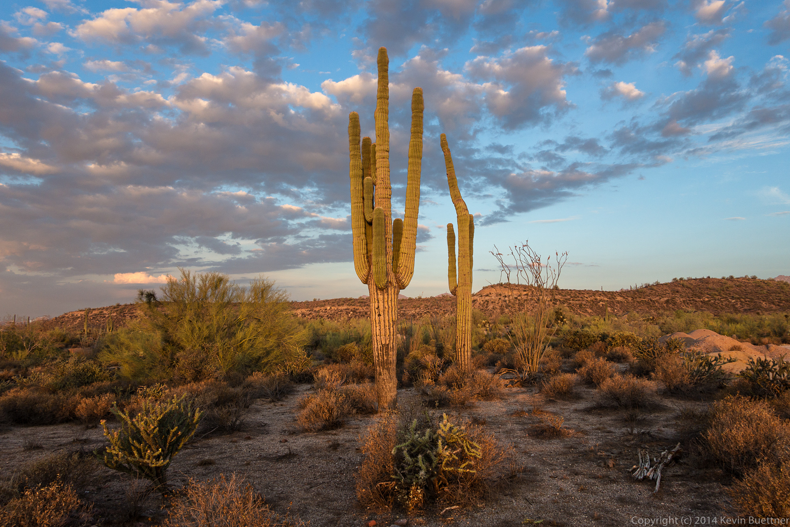
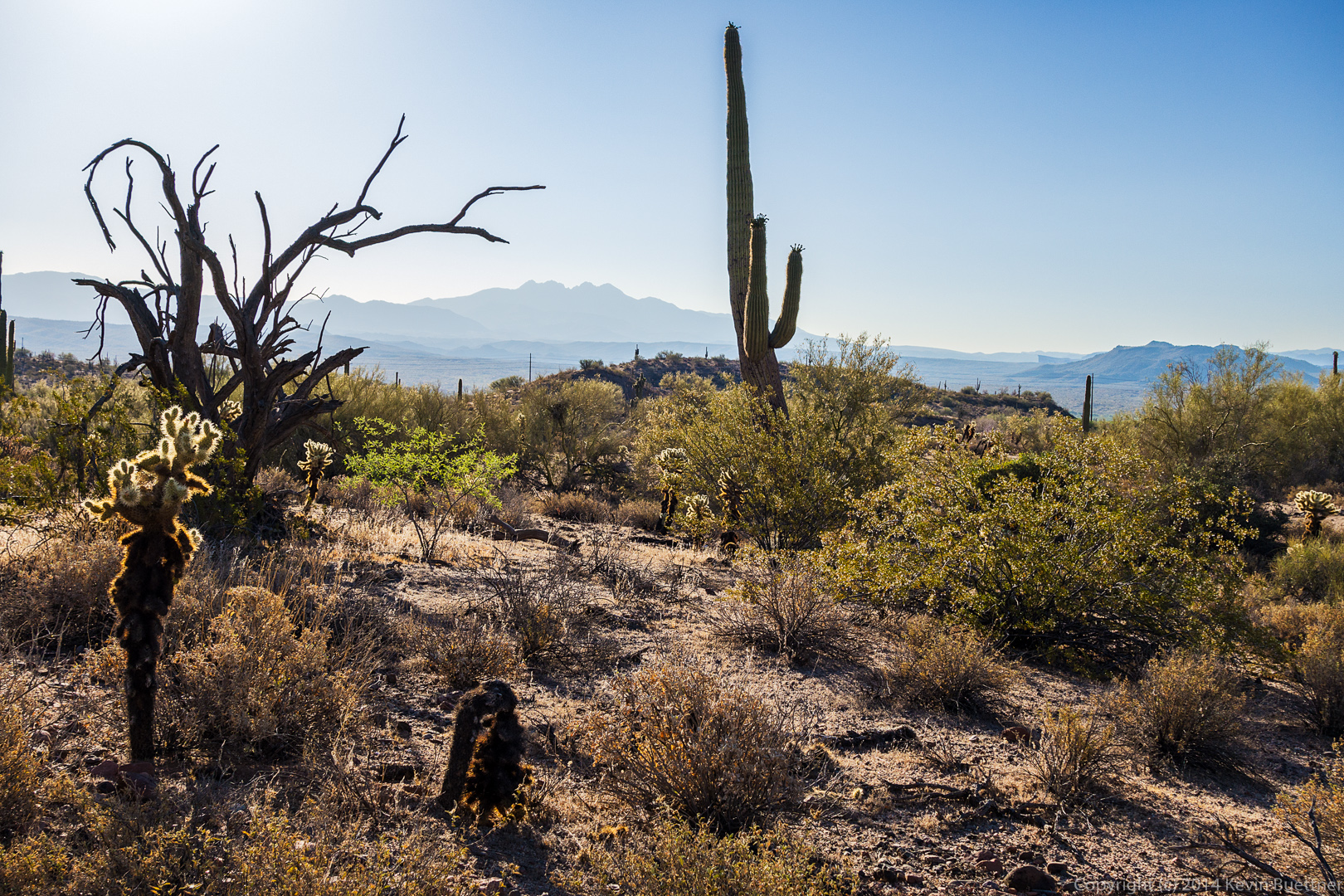
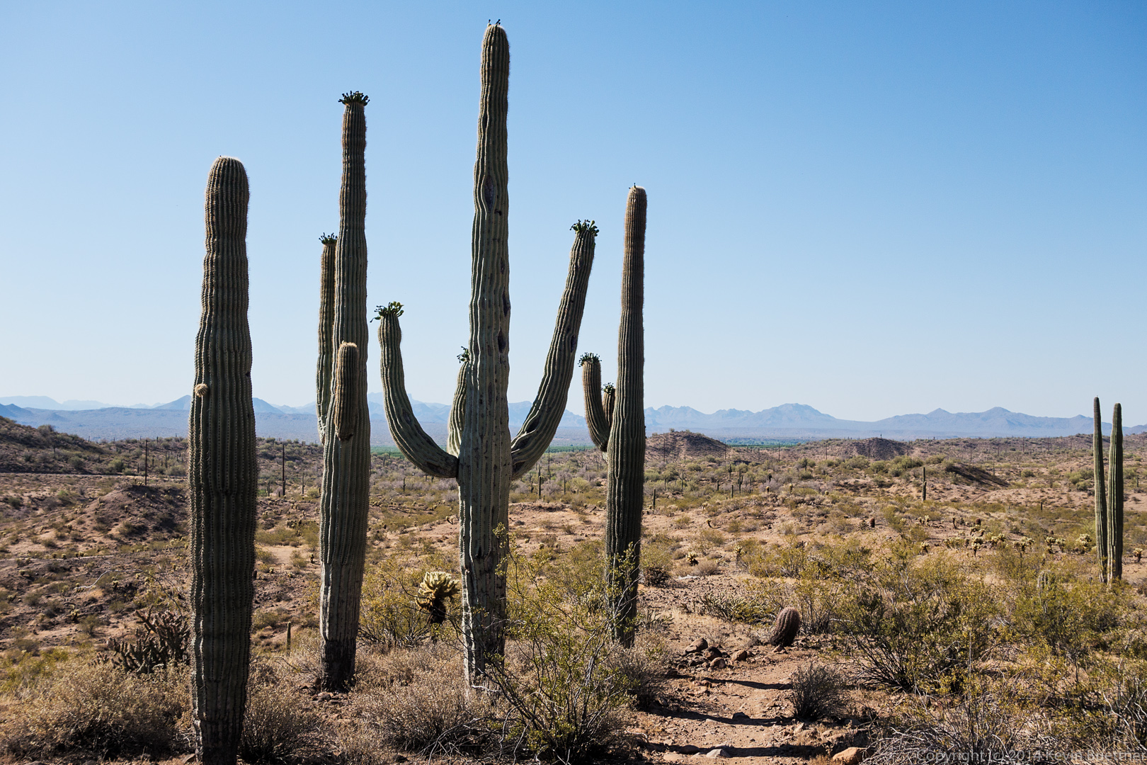
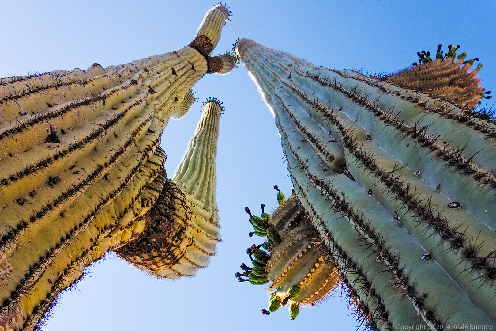
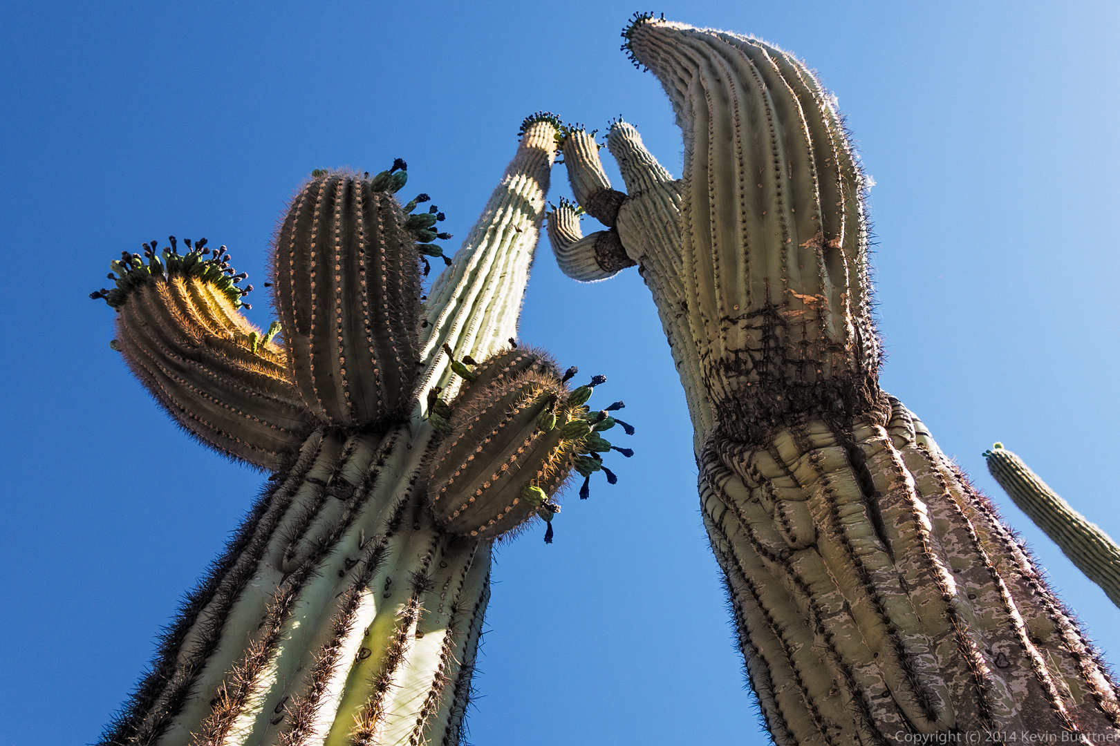
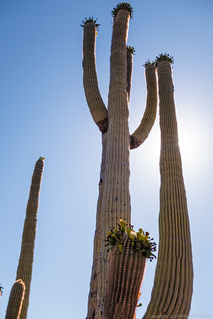
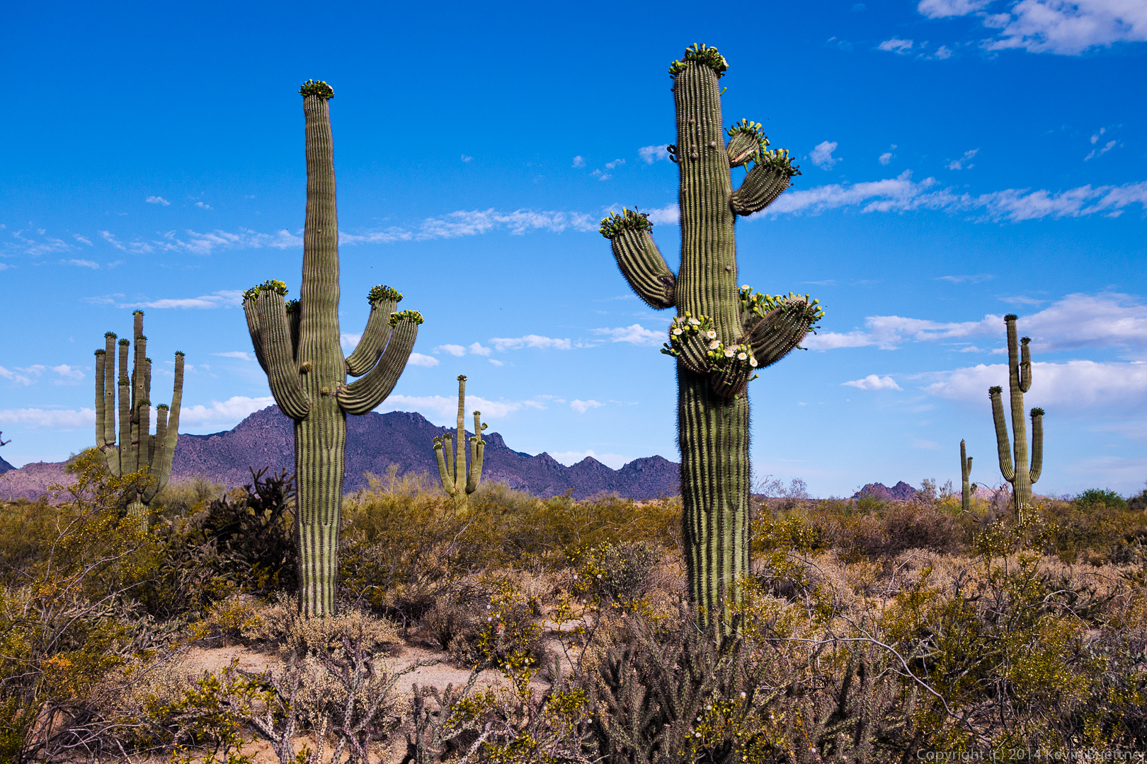
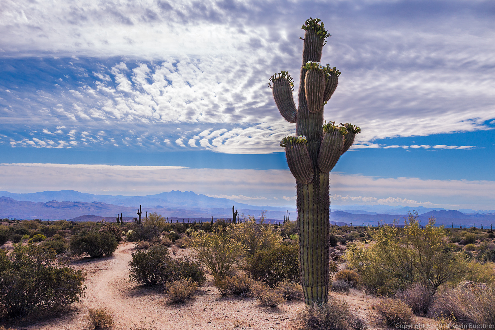
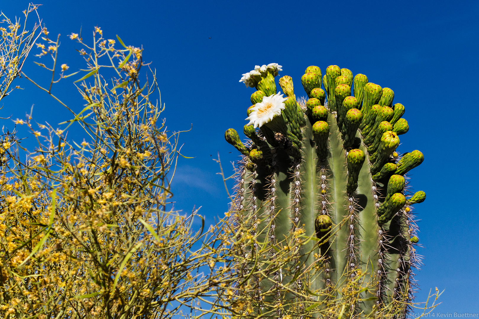
 A large, many-armed saguaro on the Escondido Trail.
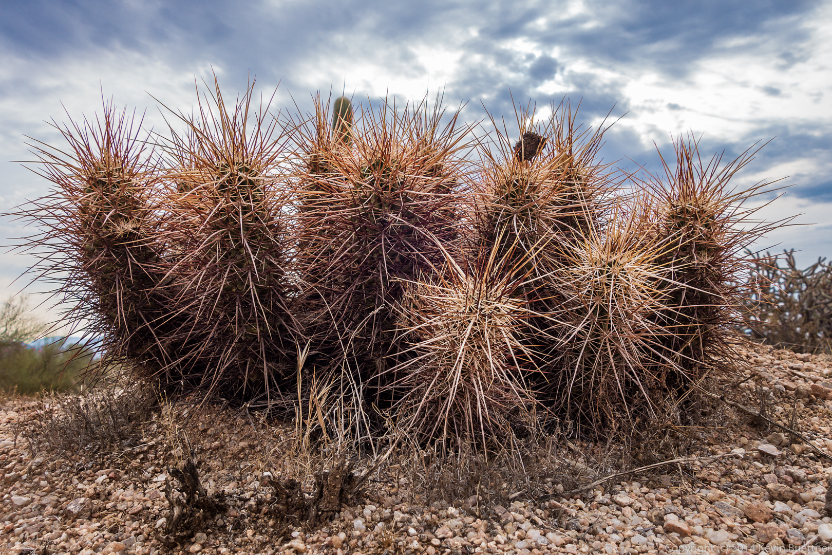
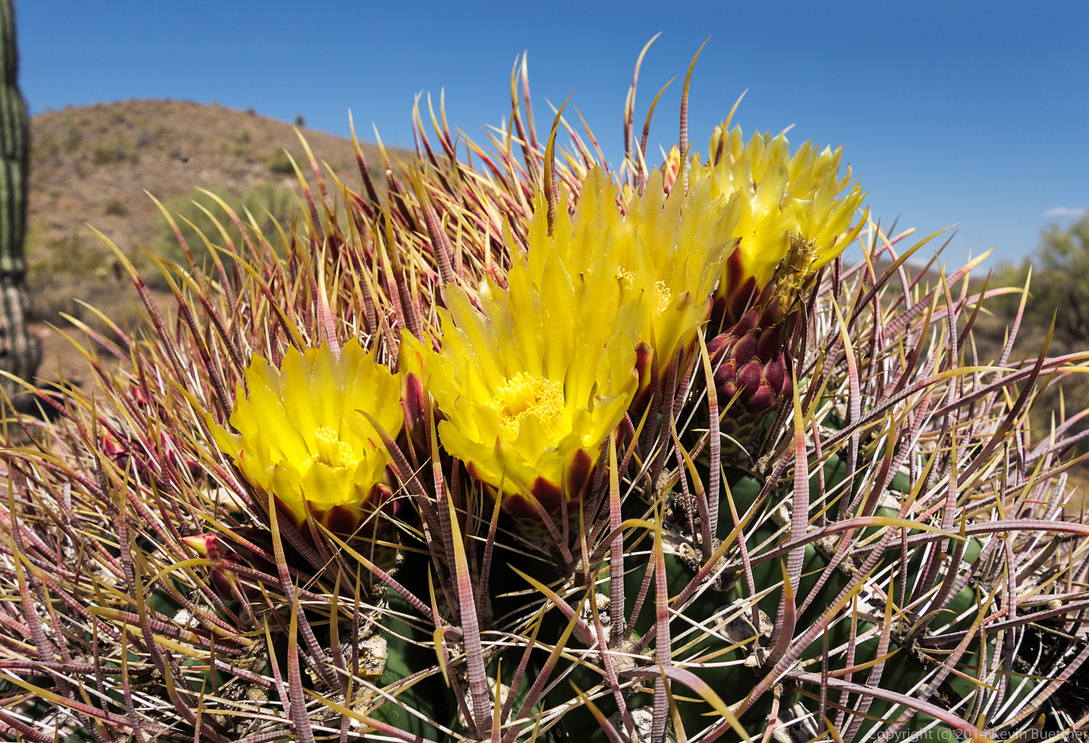
 A hedgehog cactus:
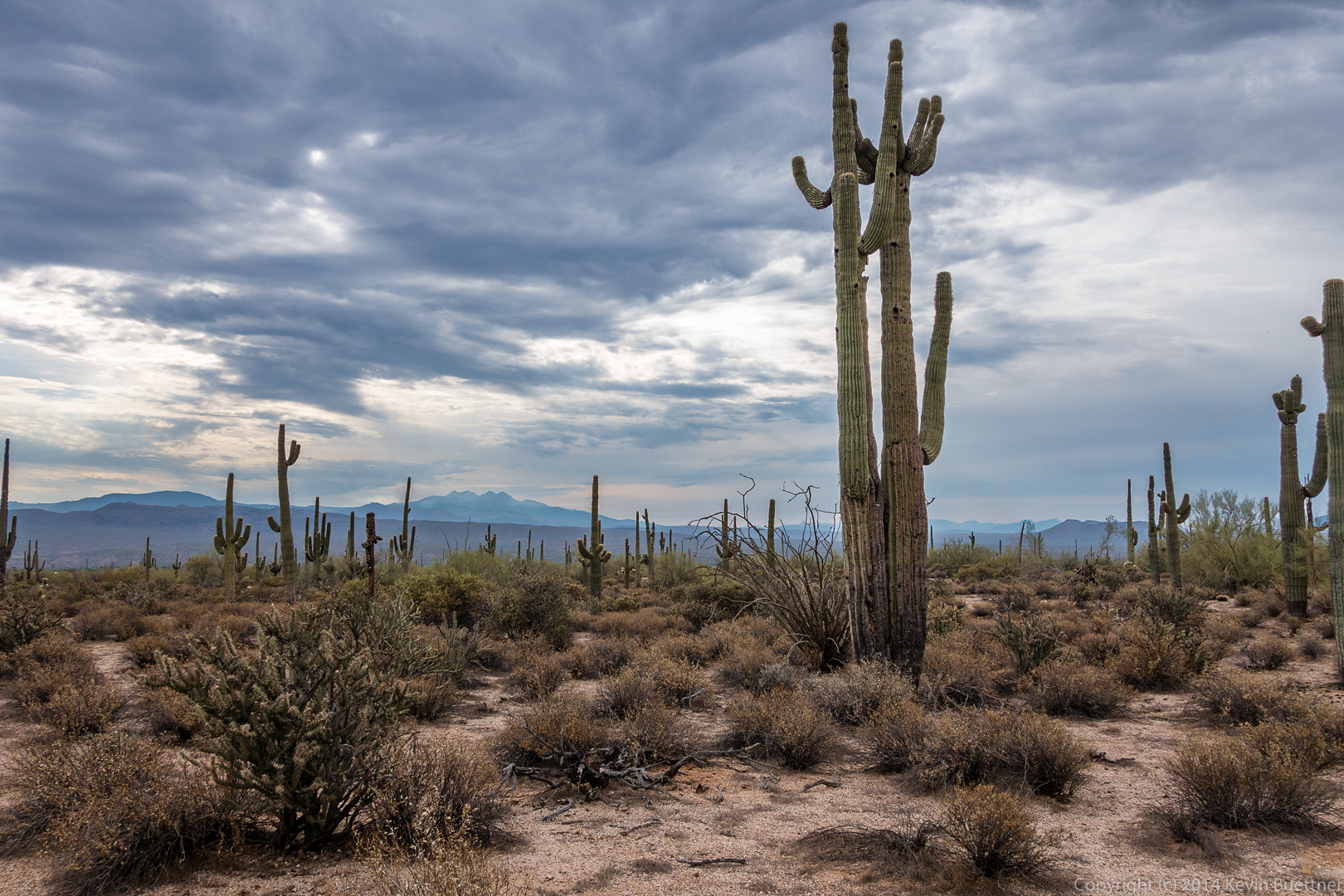
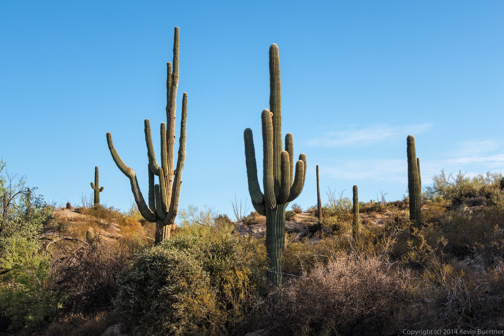
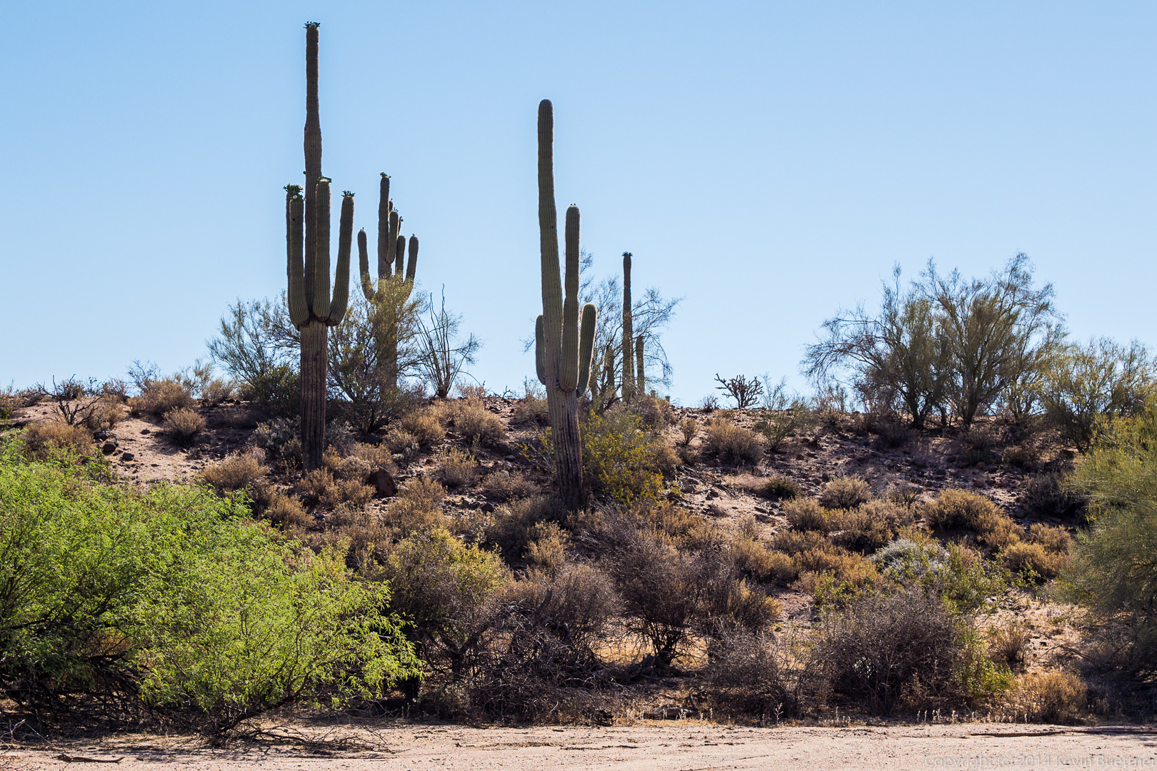
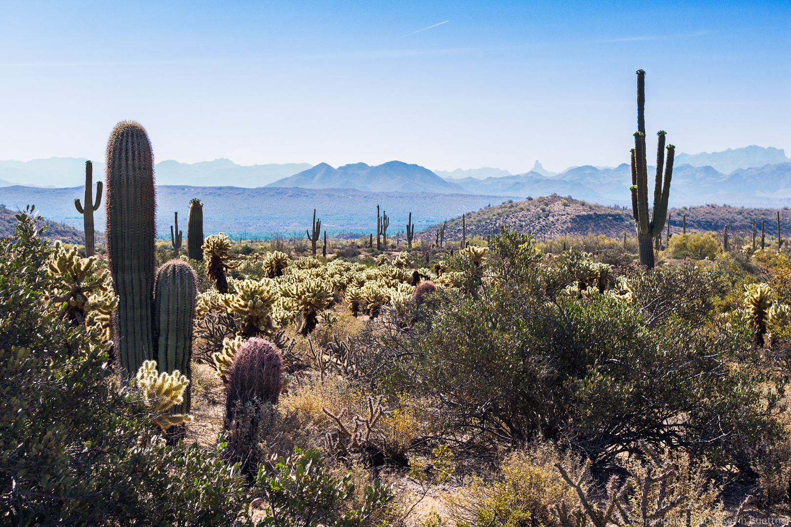
 More saguaros on the Escondido Trail:
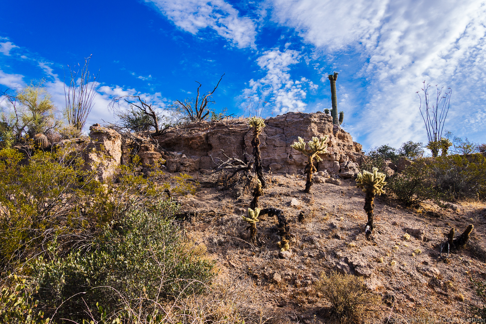
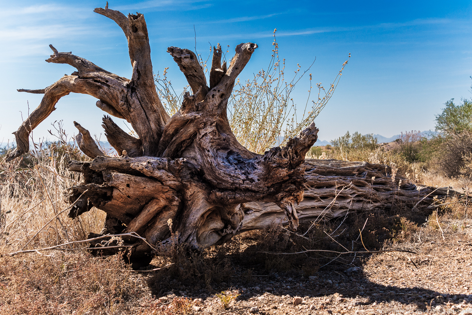
 Another hedgehog cactus next to the remains of a cholla:
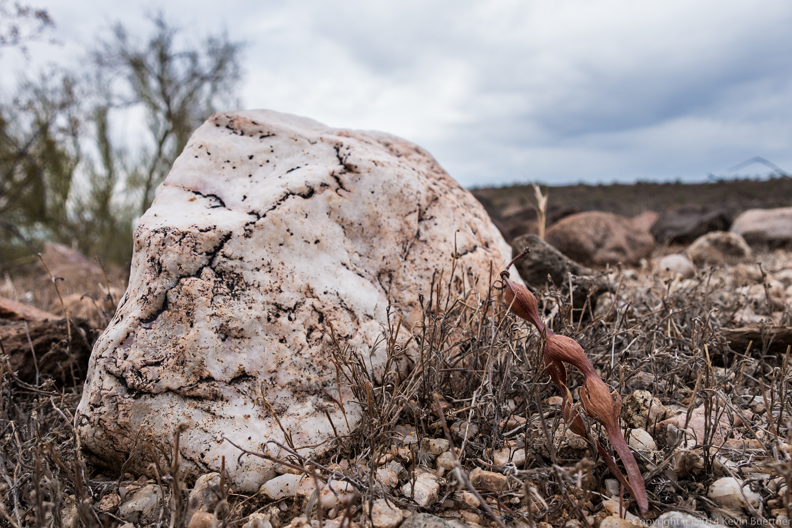
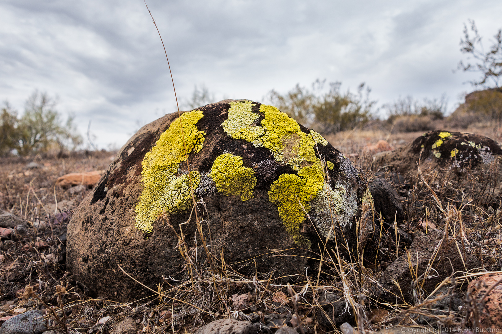
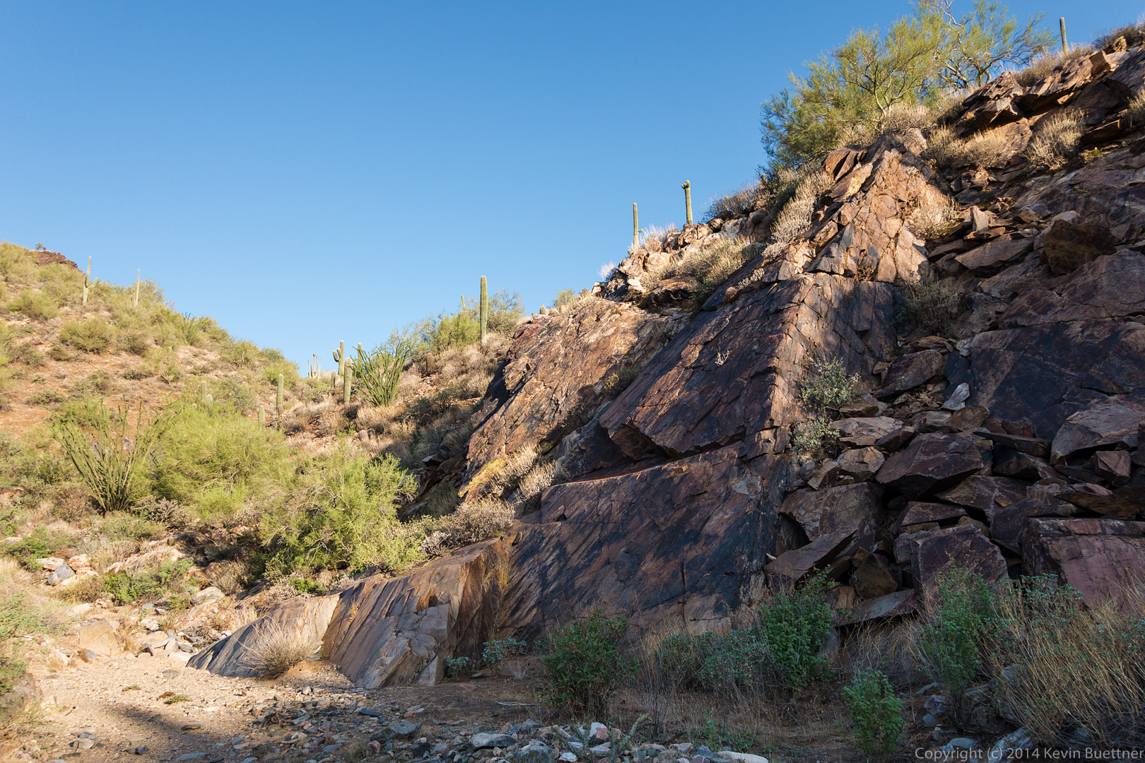
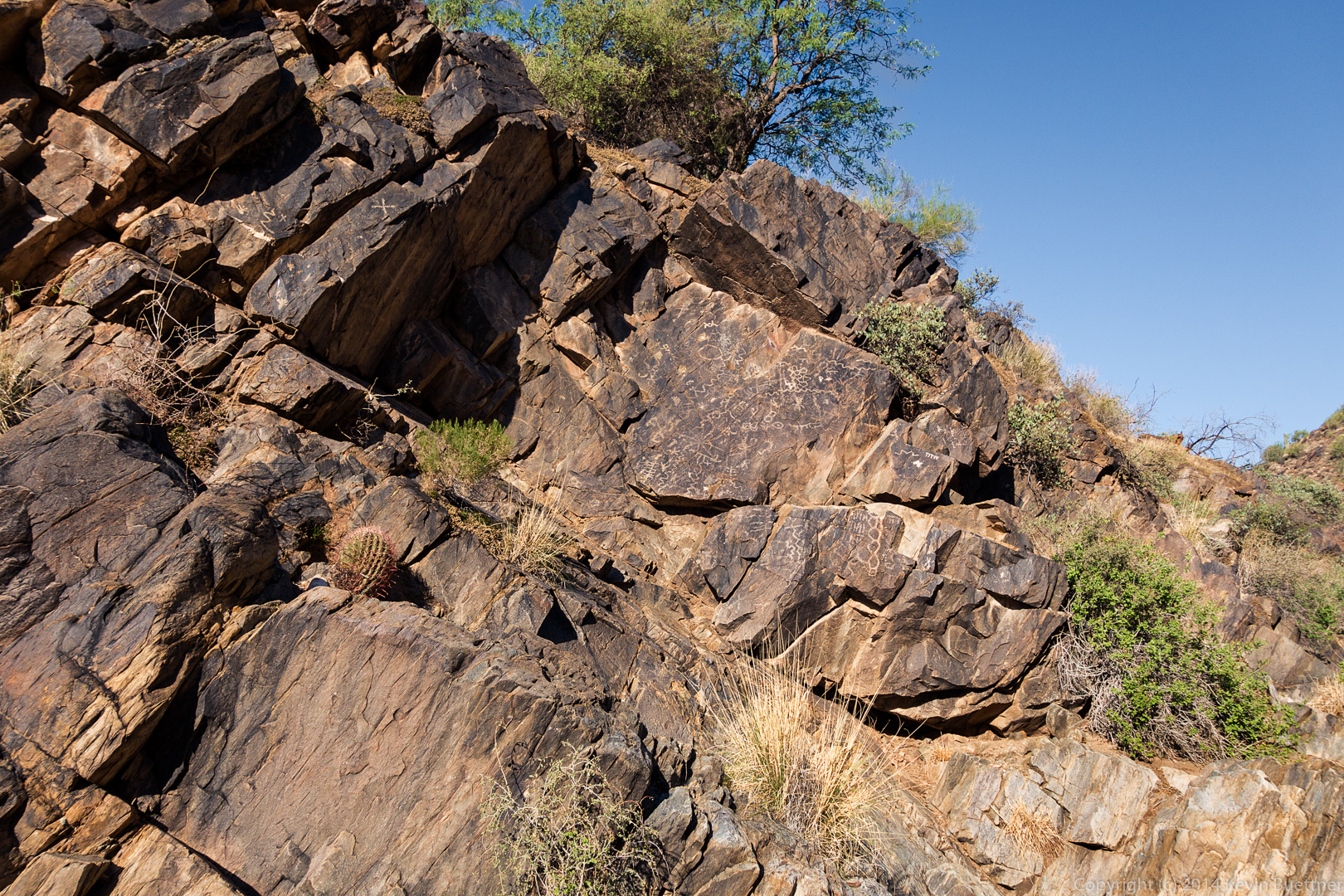
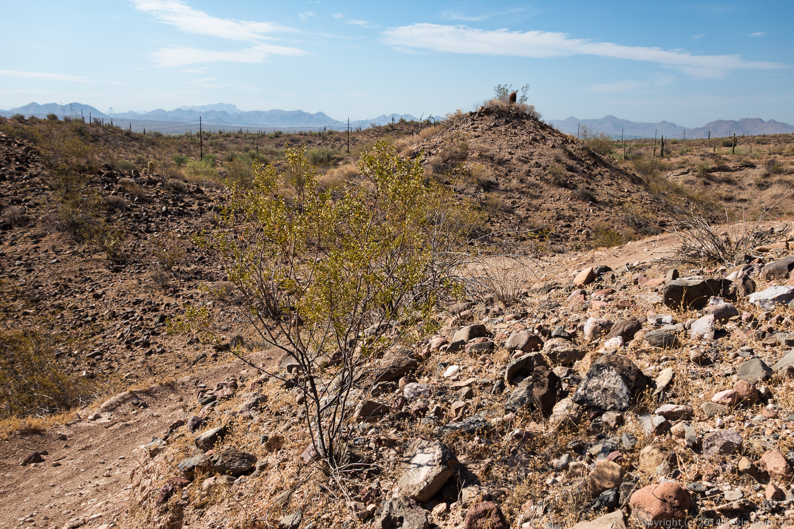
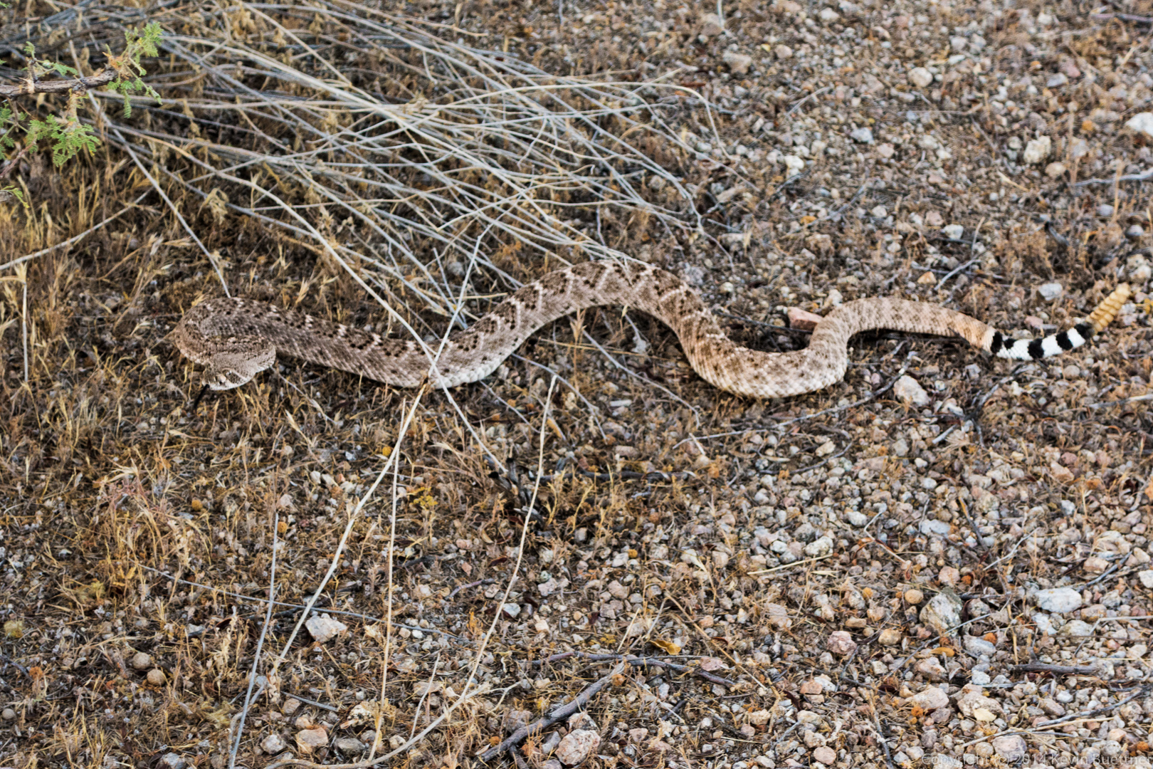
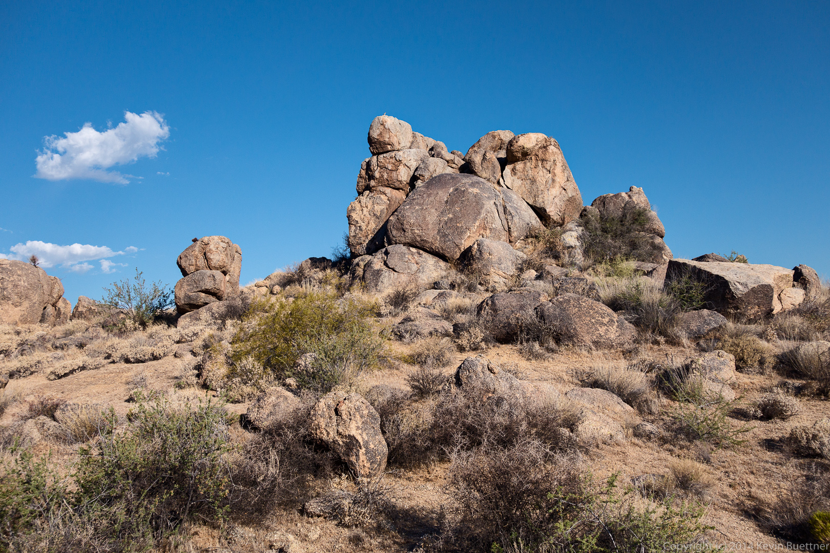
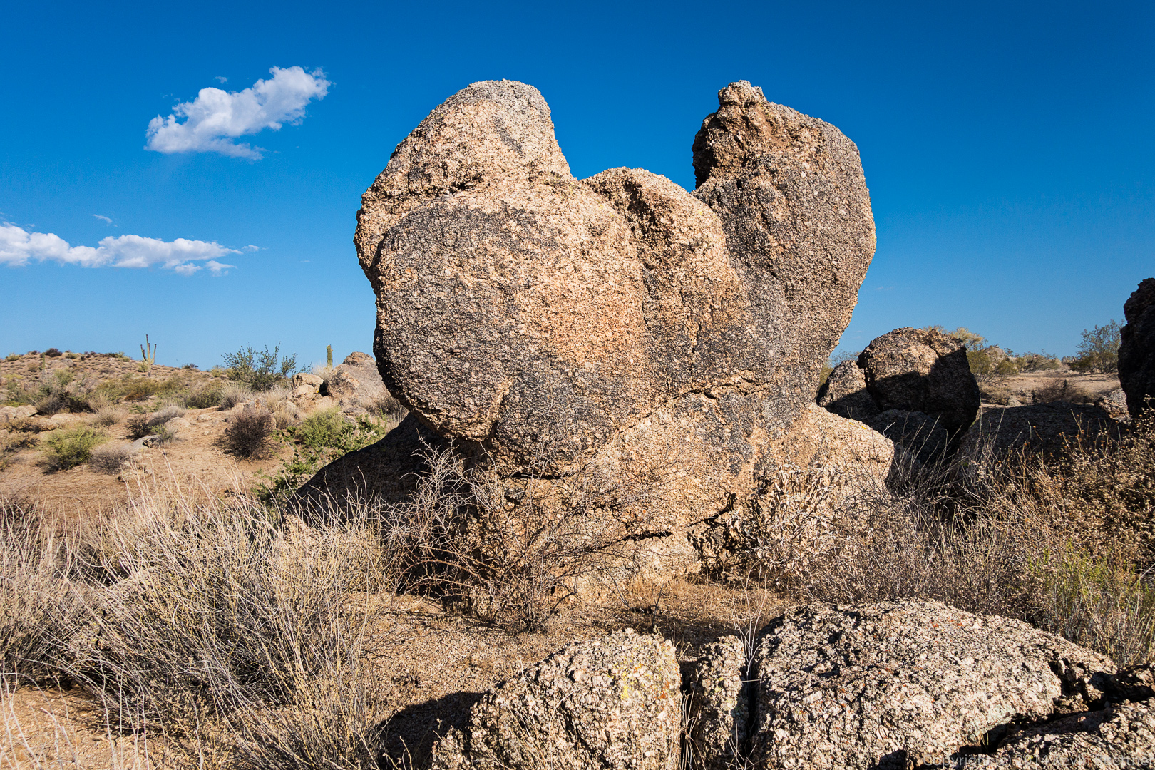
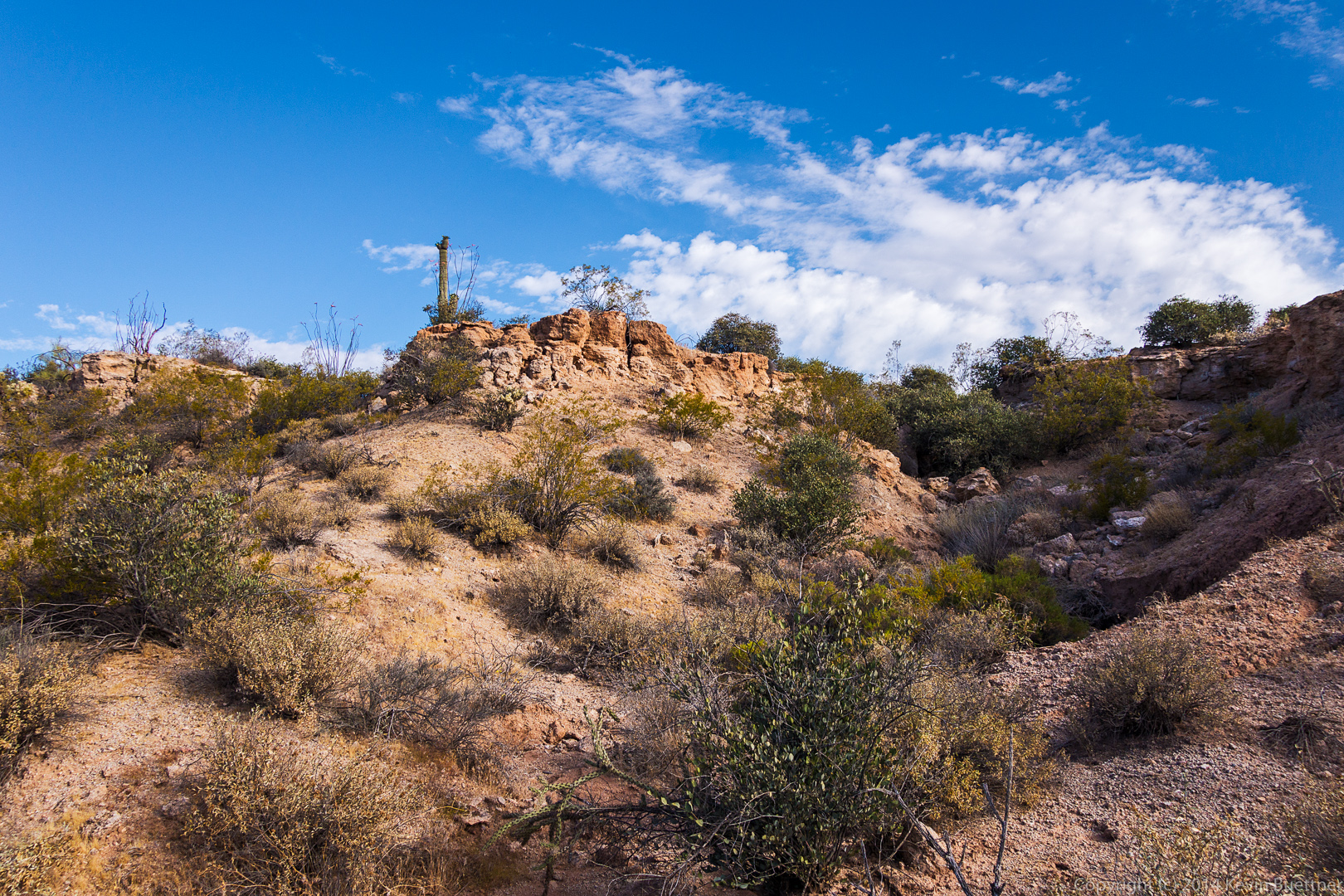
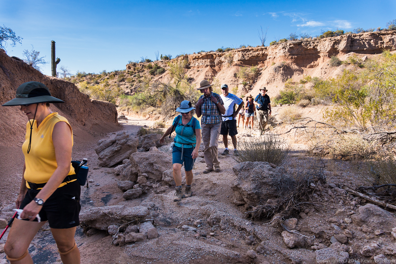
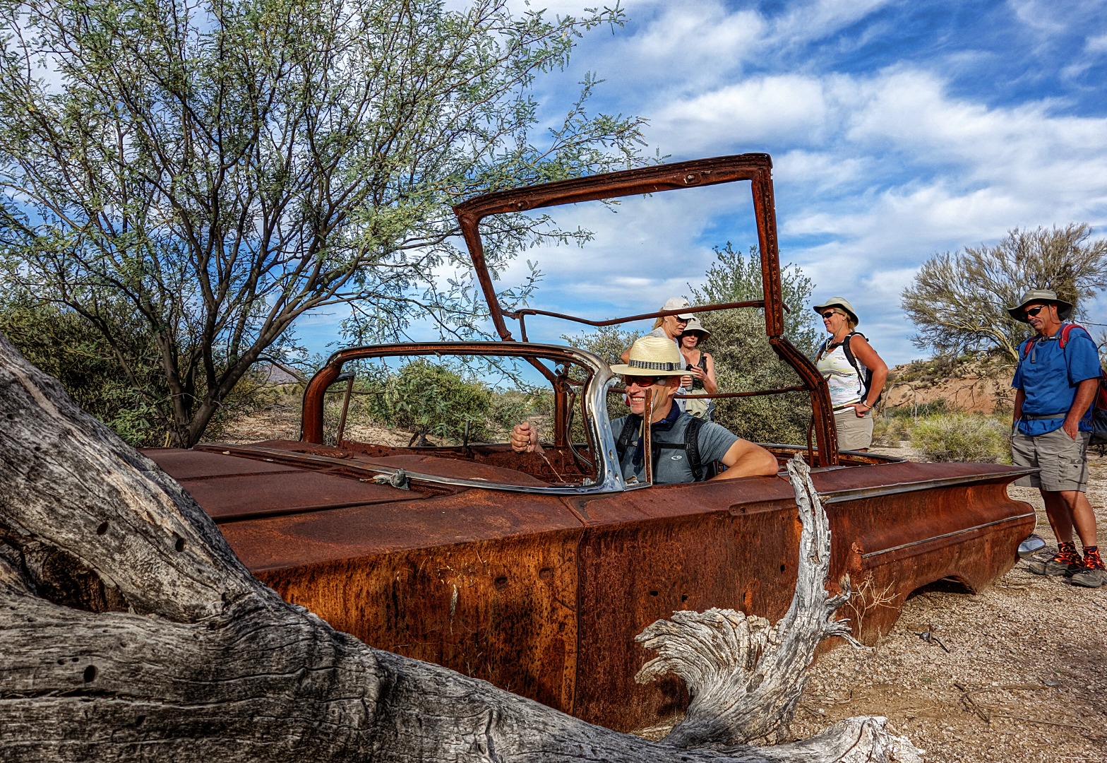
 Rocks encountered along the Escondido Trail…
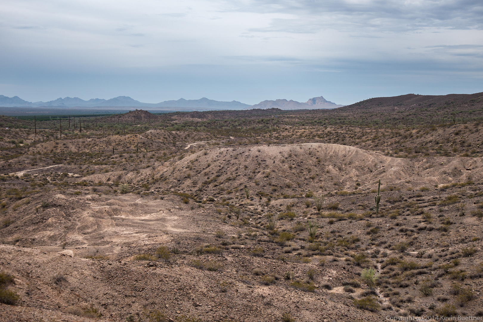
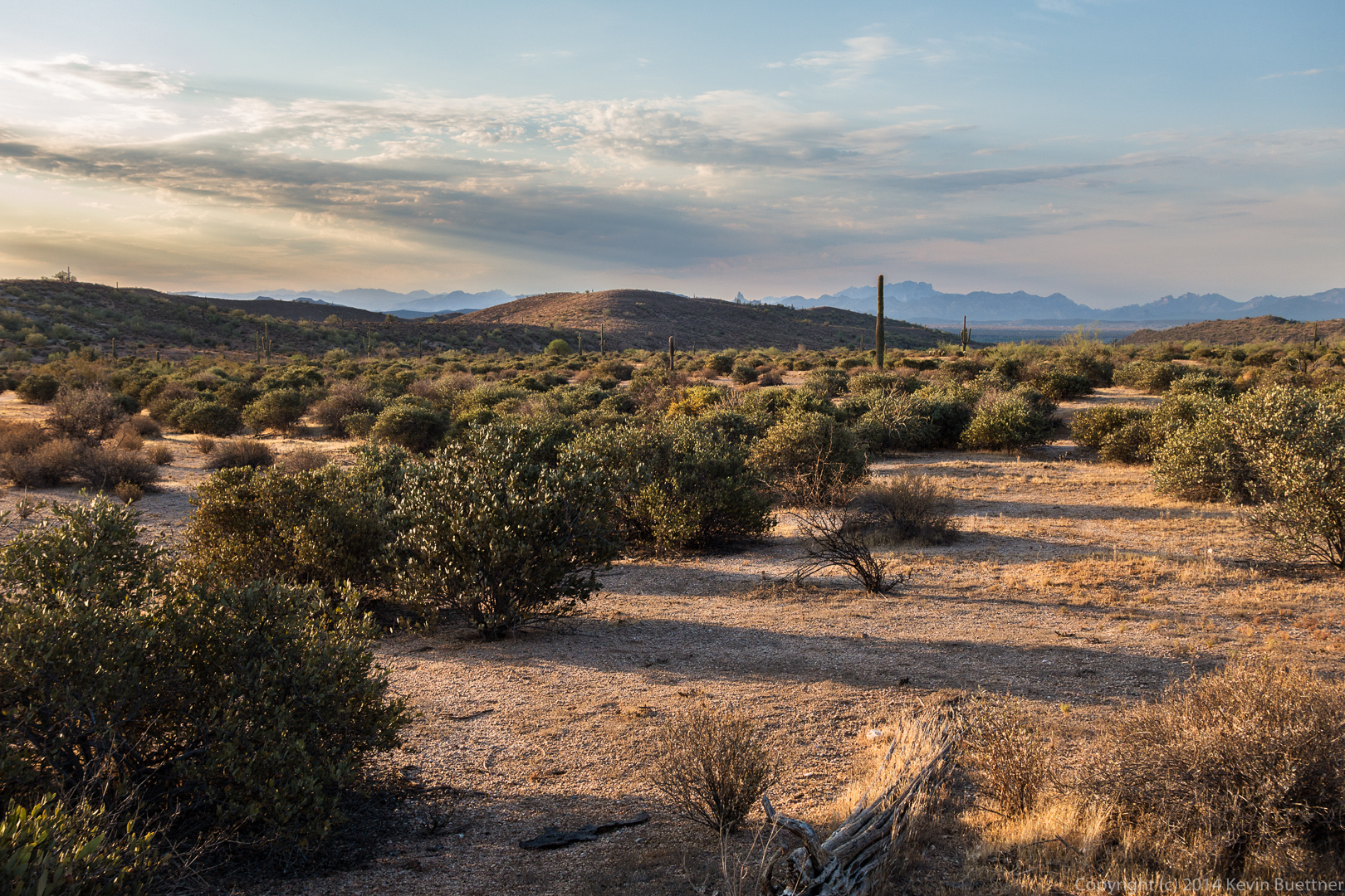
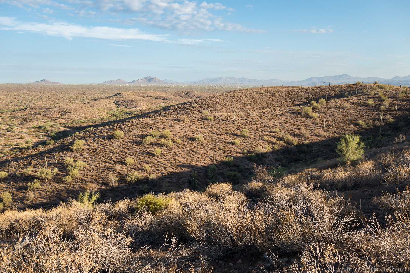
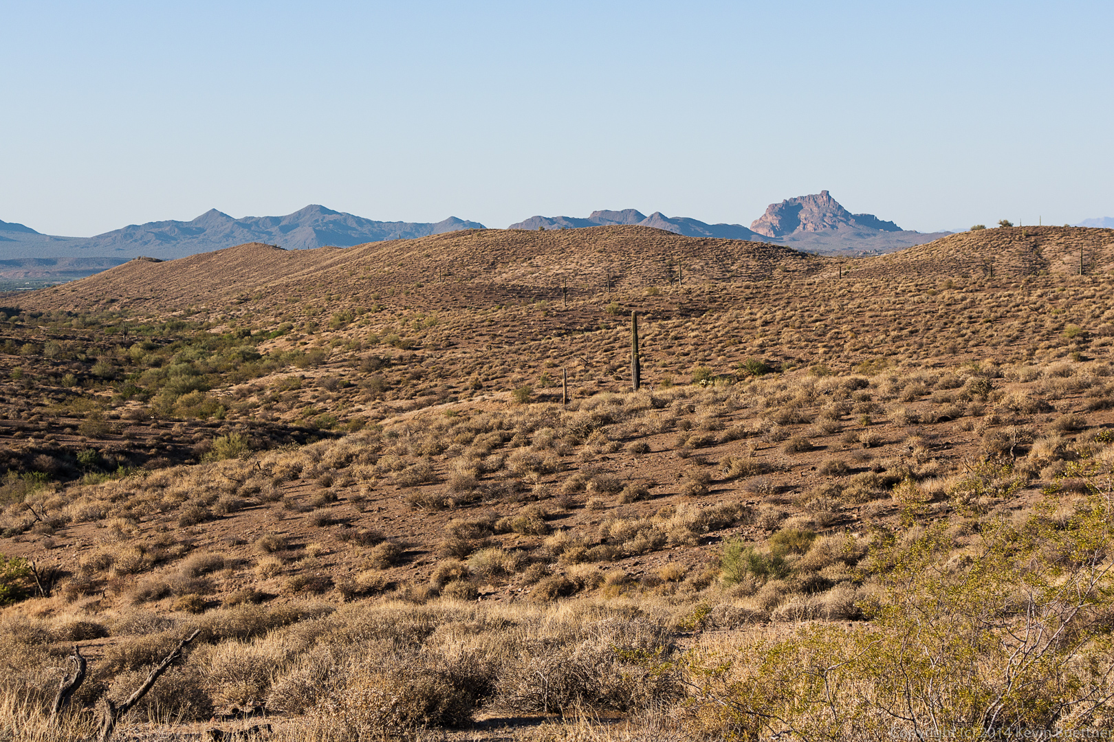
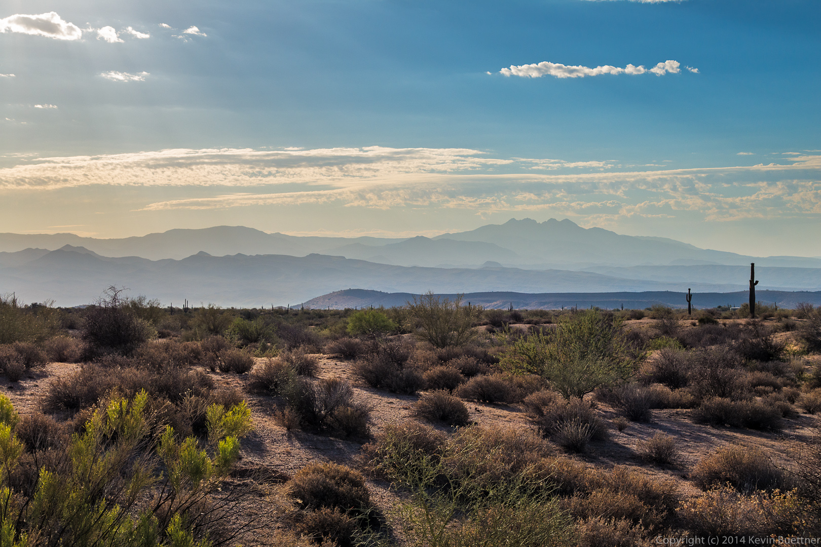
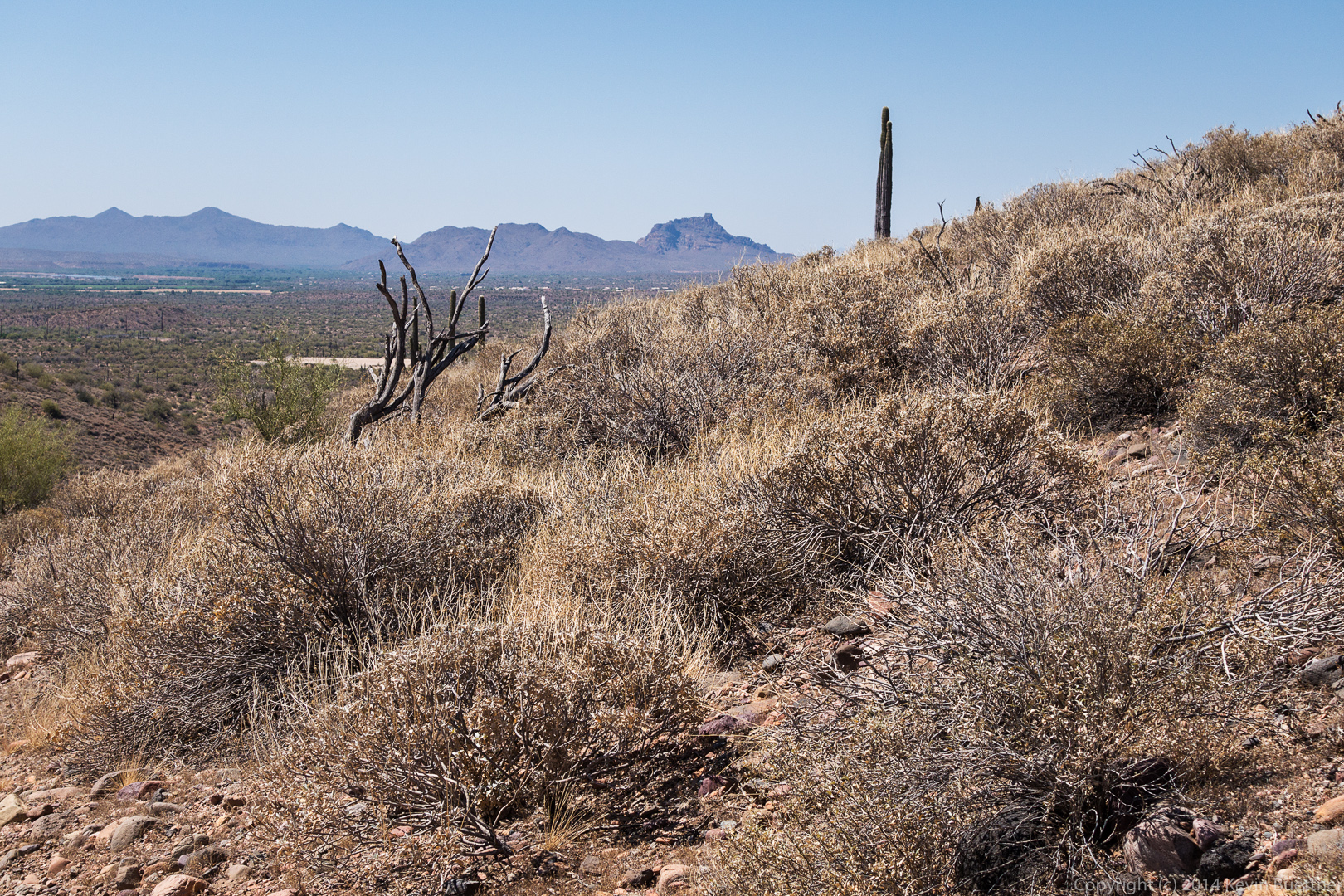
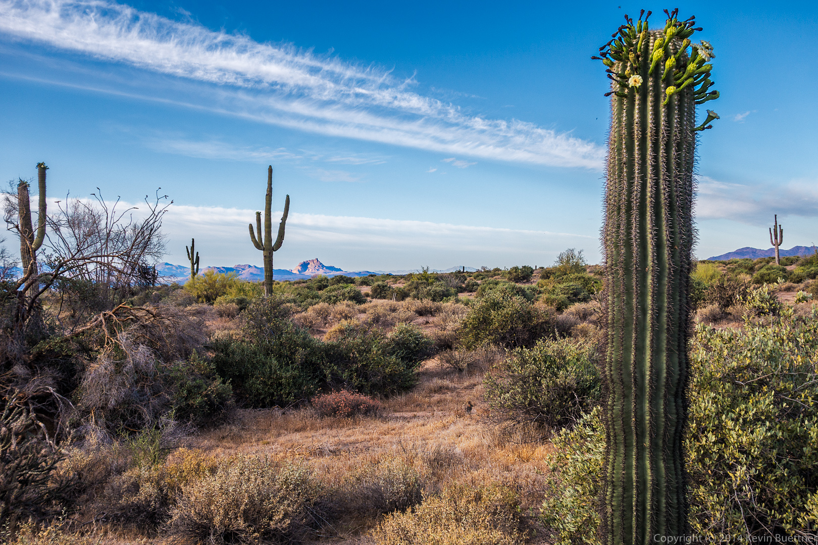
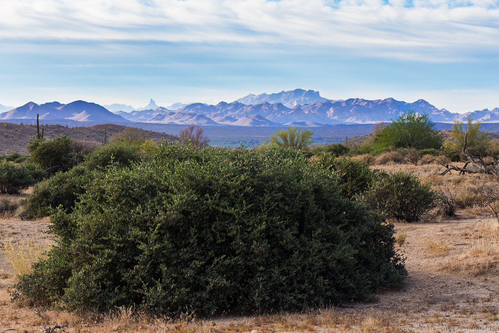
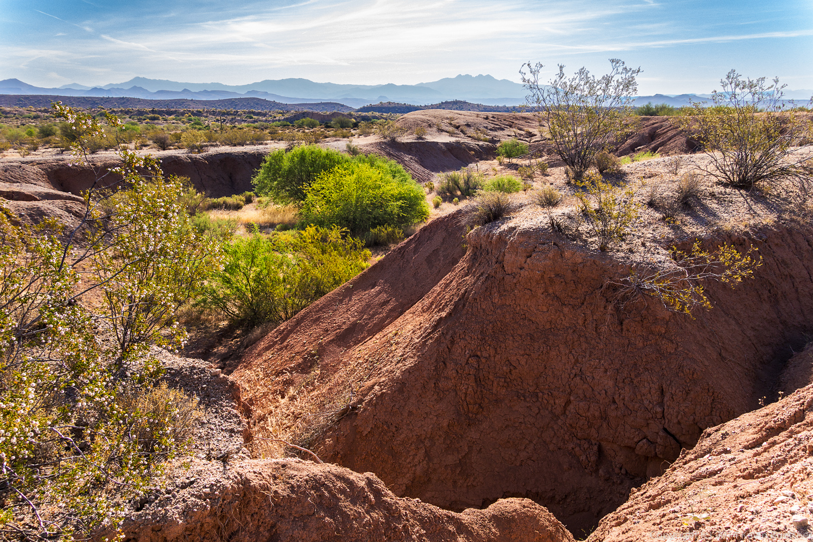
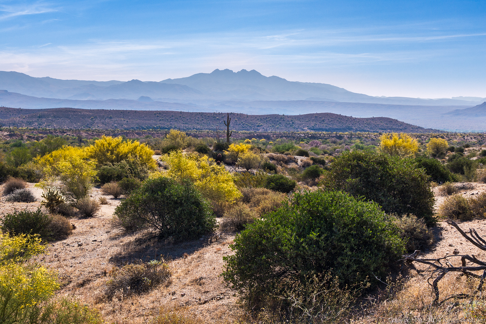
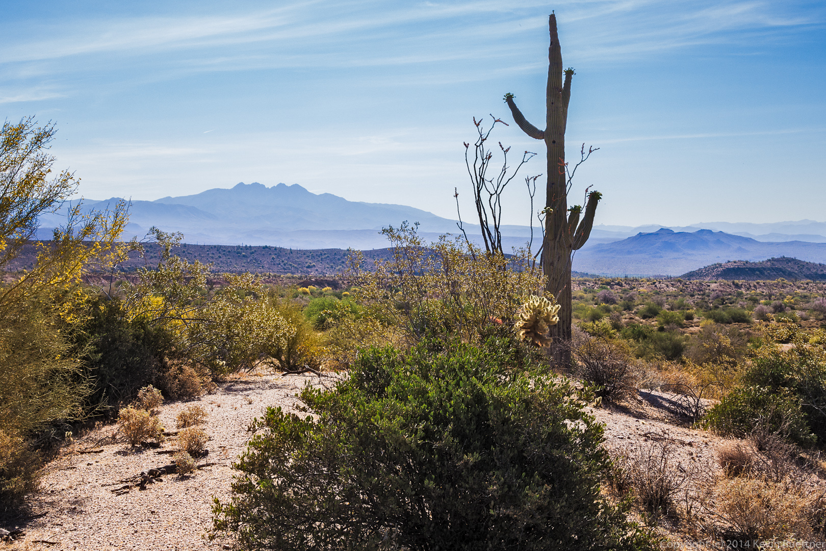
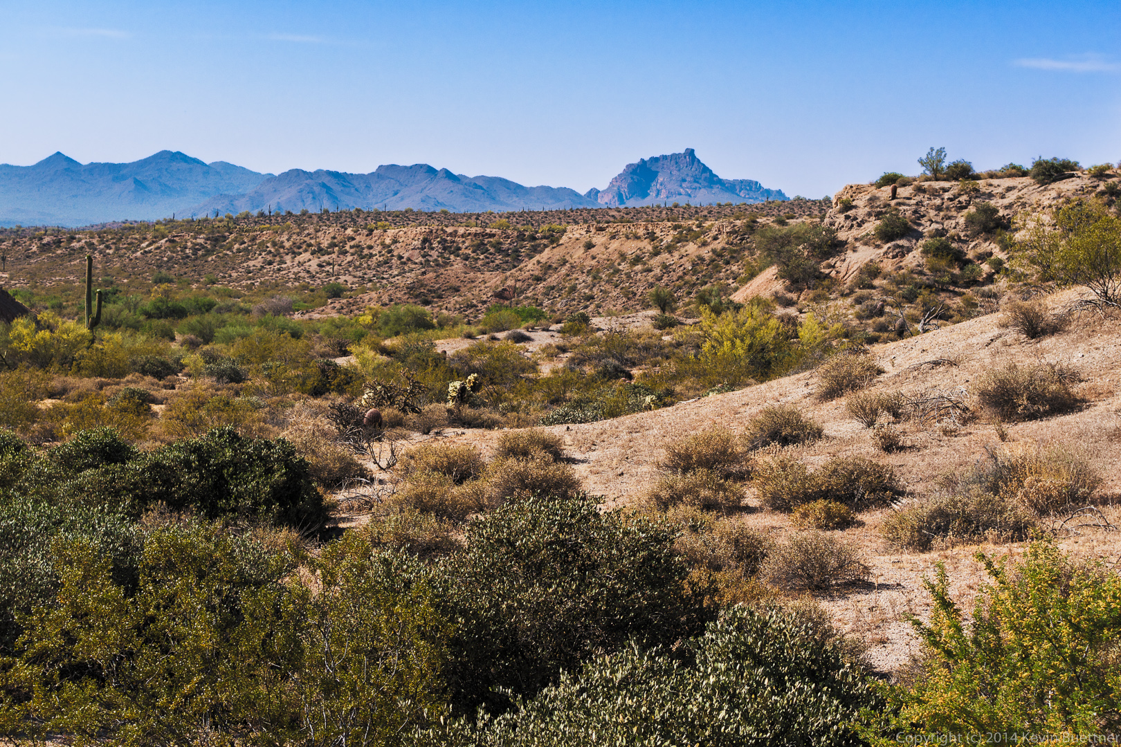
 A view of Red Mountain in the distance.
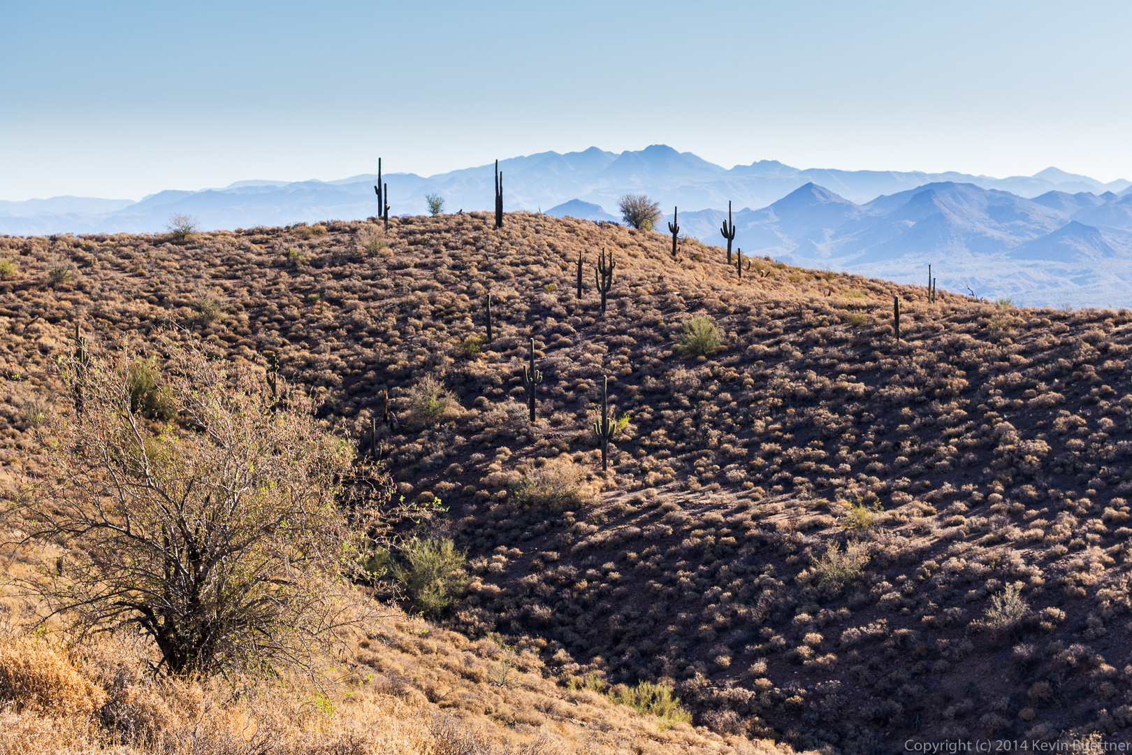
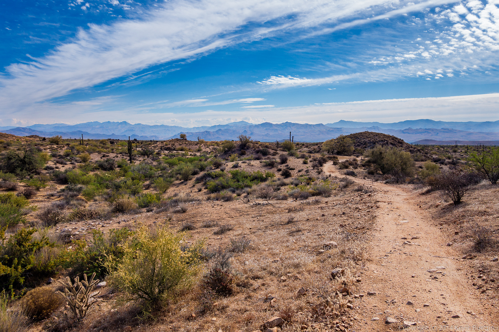
 Returning on the Escondido Trail:
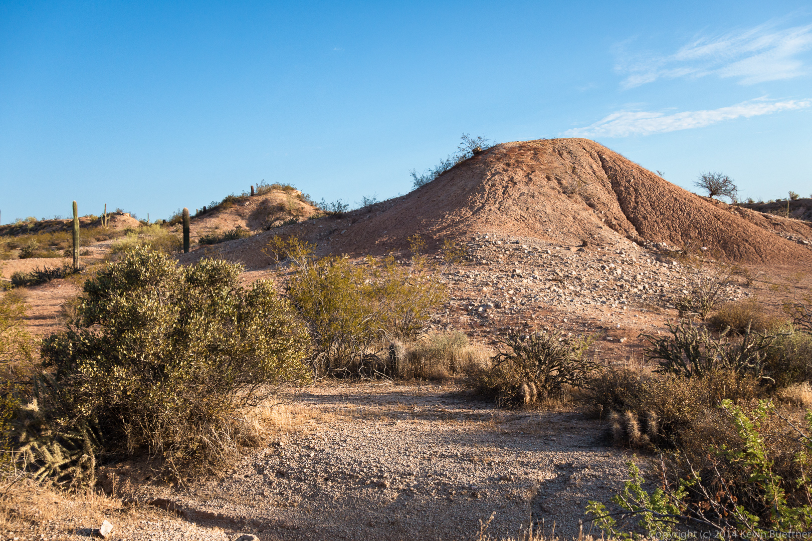
 A view of the overlook on Lousley Hill. If you look very closely, you can just make out a railing at the overlook.
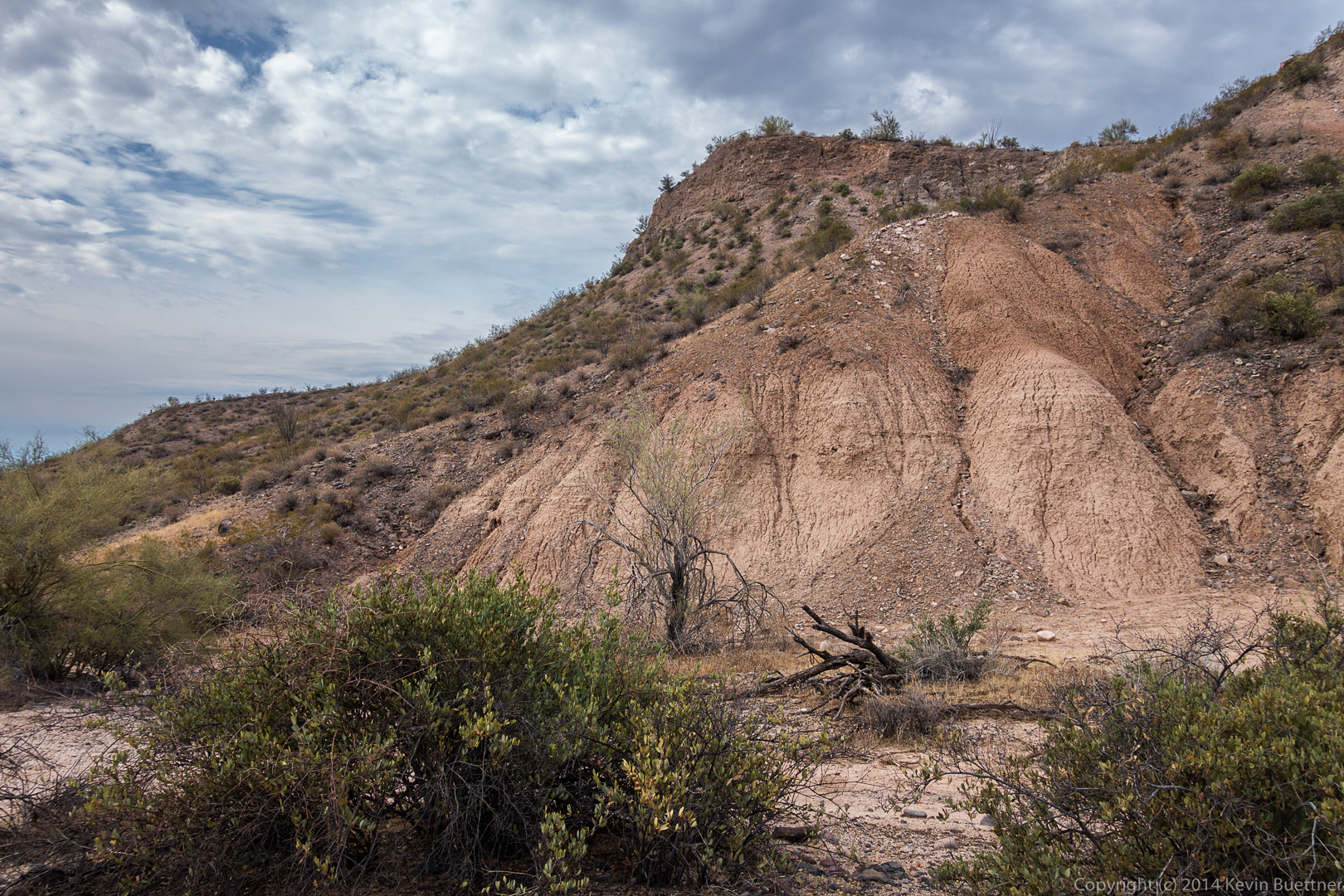 A palo verde tree near the top of Lousley Hill:
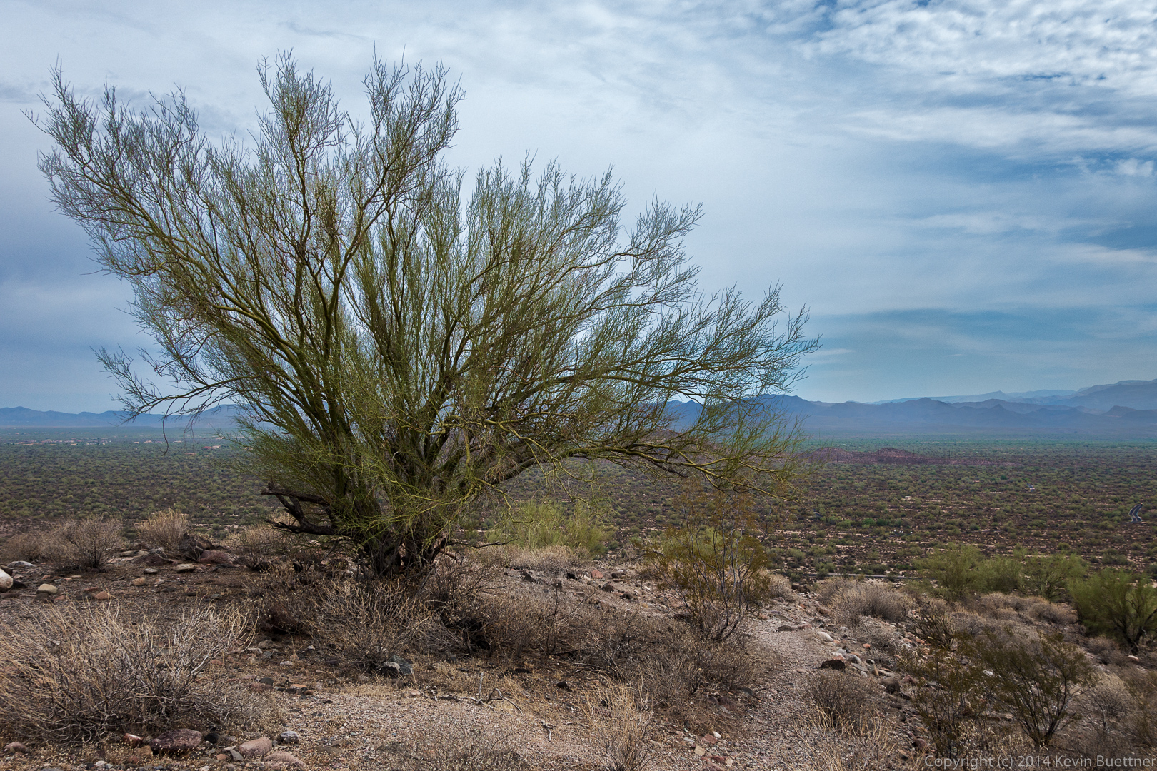
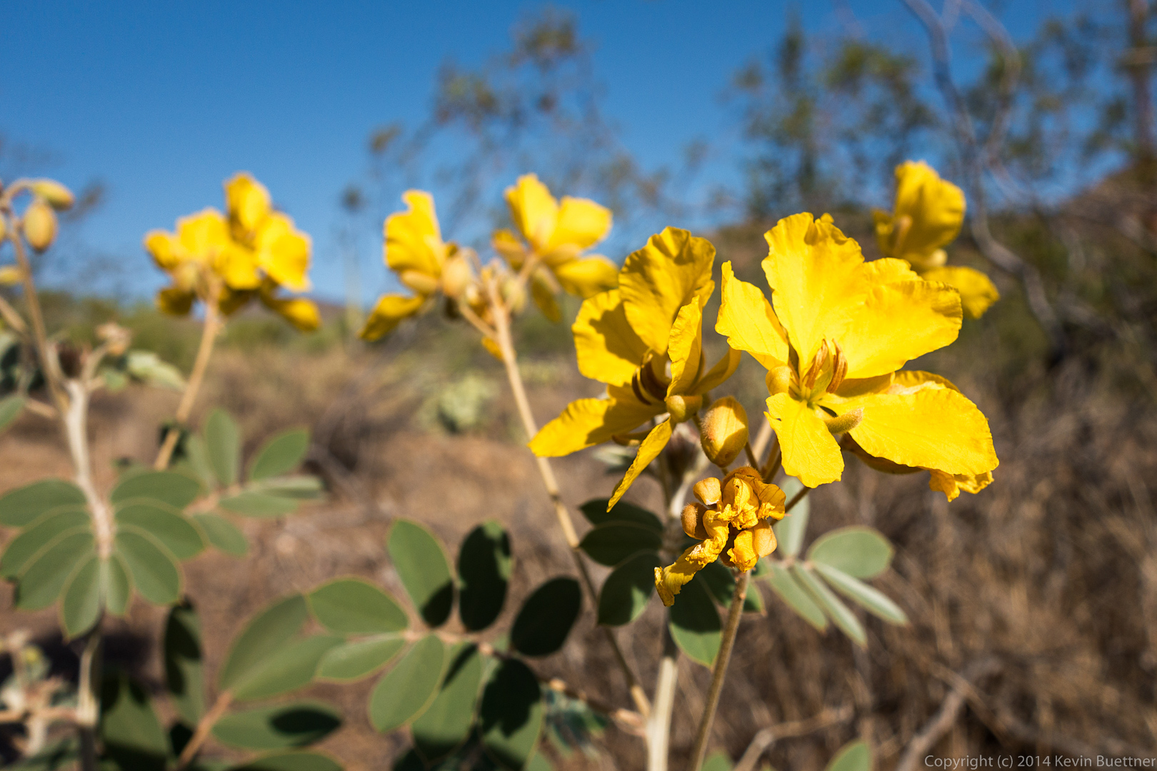
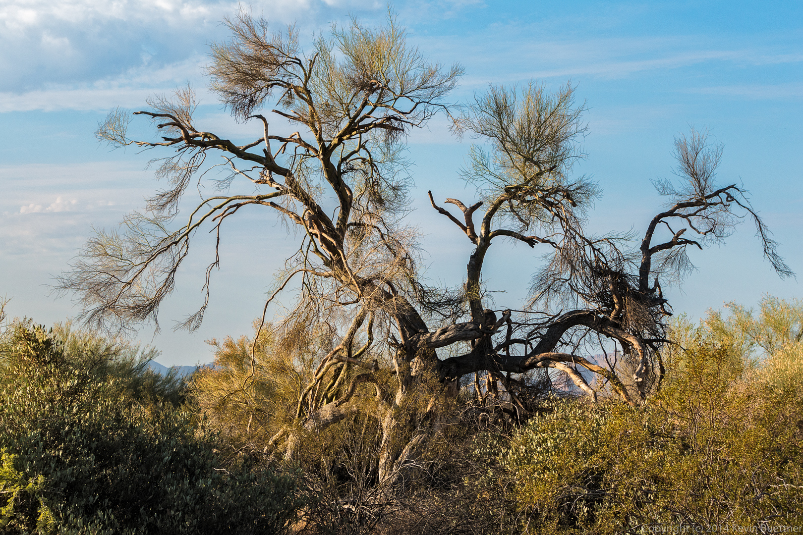
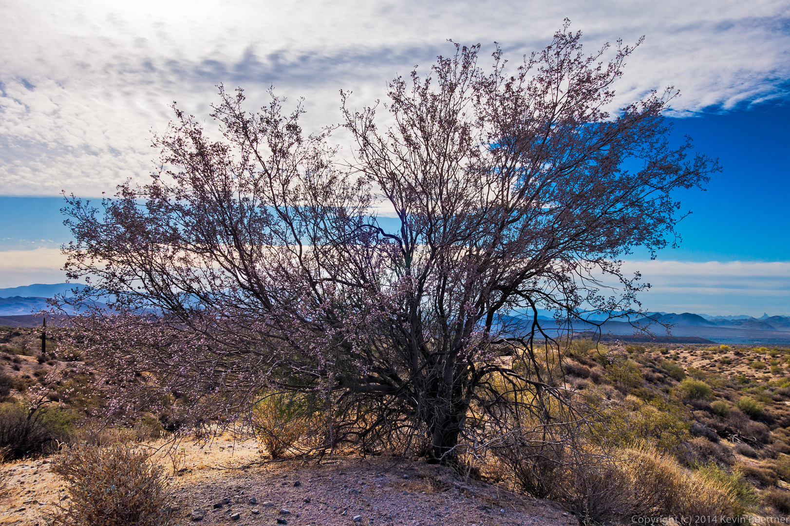


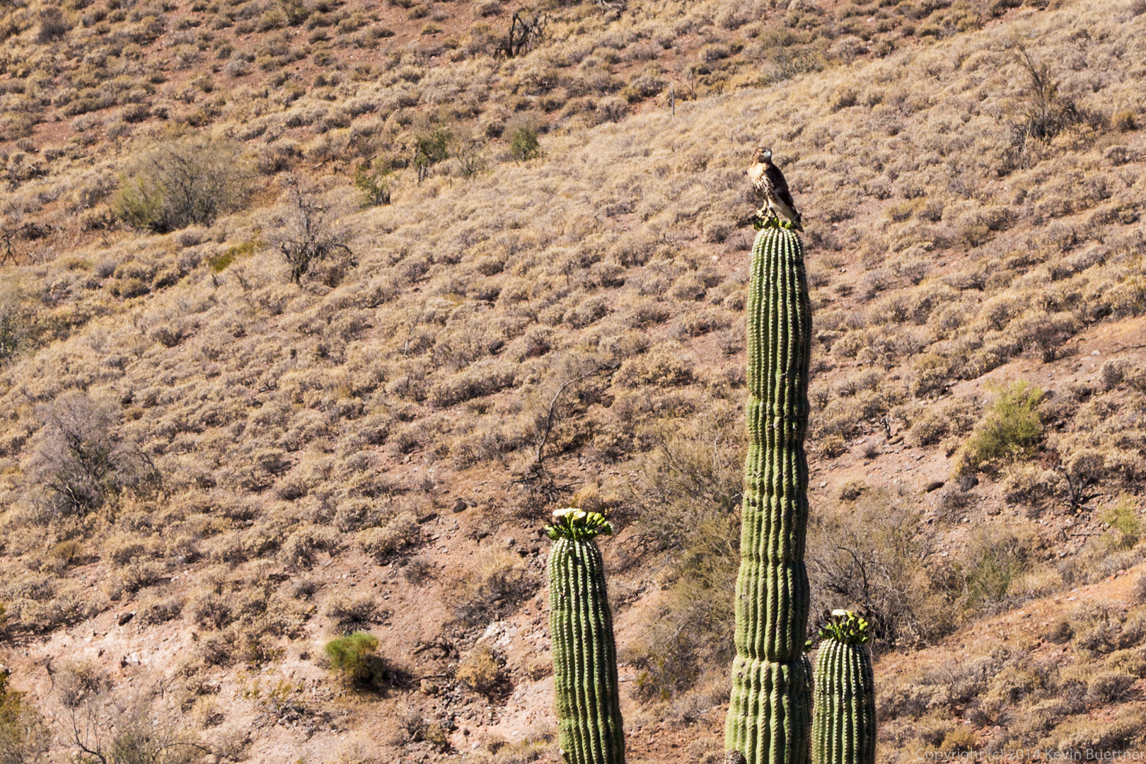
 Buteo jamaicensis - June 6th 2014 - McDowell Mountain Regional Park")
 Buteo jamaicensis - June 6th 2014 - McDowell Mountain Regional Park")