Bob, Bill, Nancy, and I hiked 13.5 miles in the Tom’s Thumb Area. We hiked these trails (in order): Tom’s Thumb, East End, Windmill, Bell Pass, Prospector, Thompson Peak service road, Dixie Mine, Coachwhip, Pemberton, Boulder, Marcus Landslide, Feldspar, and Tom’s Thumb.
The day was cool and windy. We saw a thin layer of ice on some of the puddles on our drive to the trailhead.
A view of Gardener’s Wall and Tom’s Thumb from the Tom’s Thumb Trail:

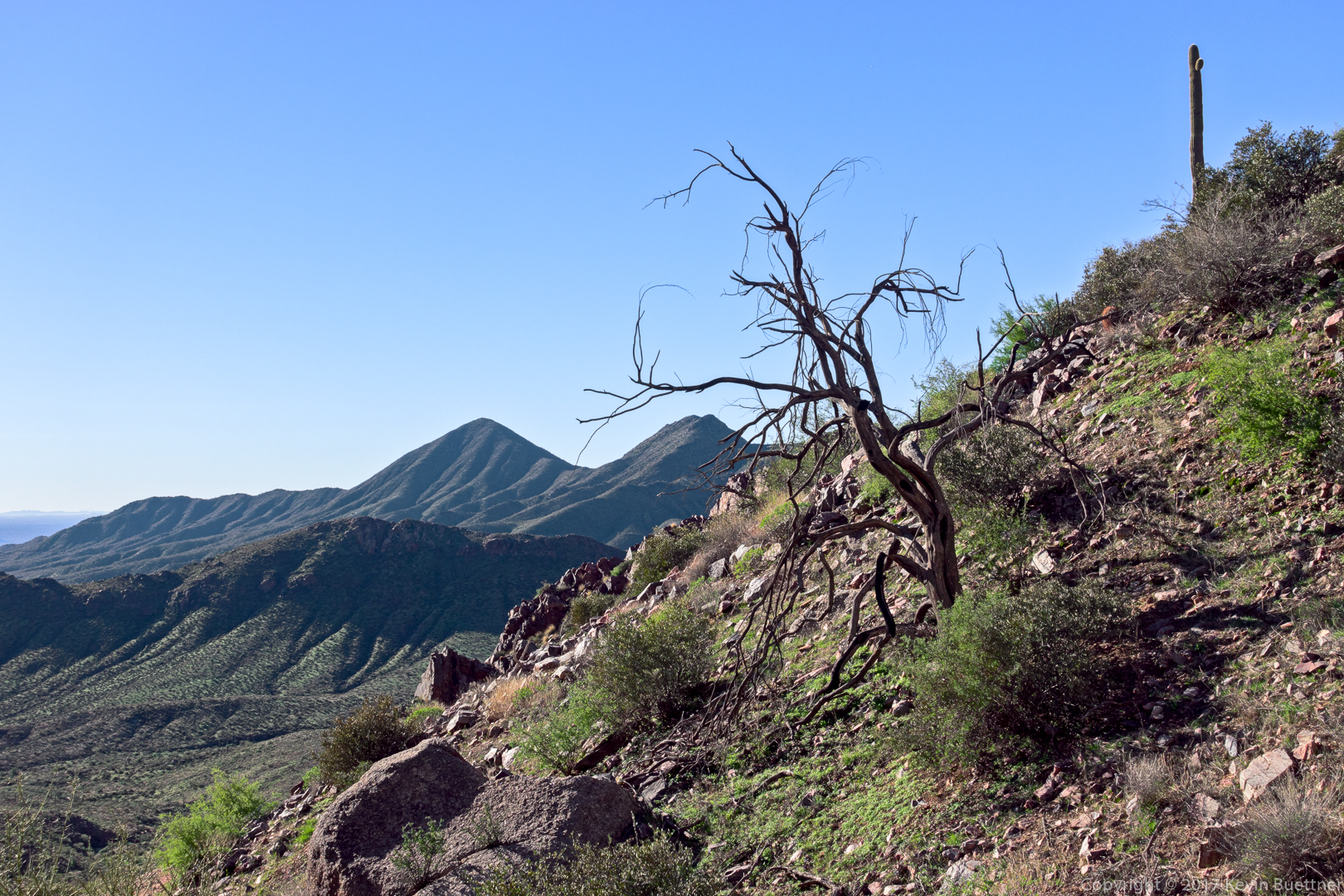
Dead Tree near the East End Trail:
A rock outcropping near the East End Trail:

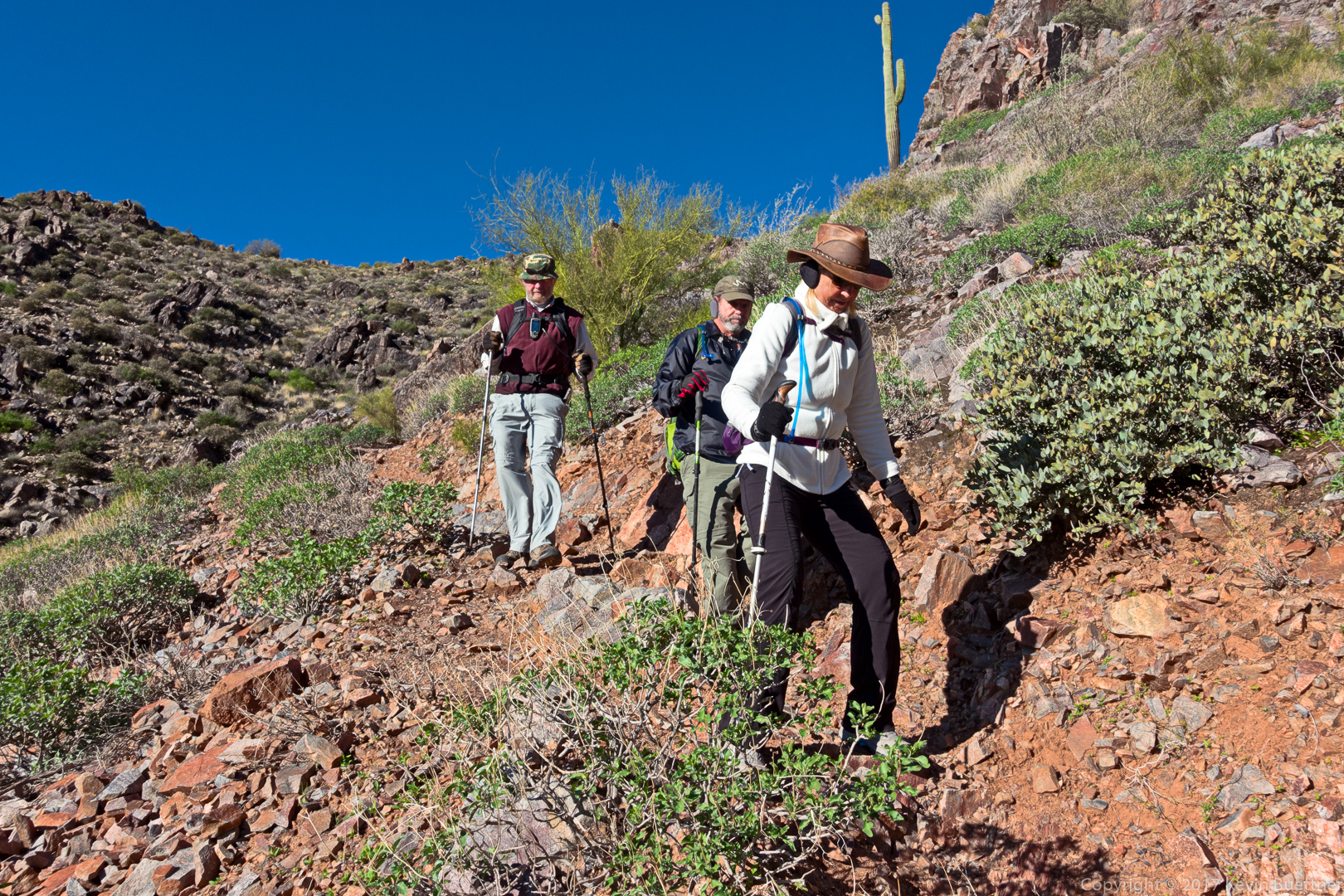
Bill, Bob, and Nancy hiking down the East End Trail:
A view from the Bell Pass Trail:

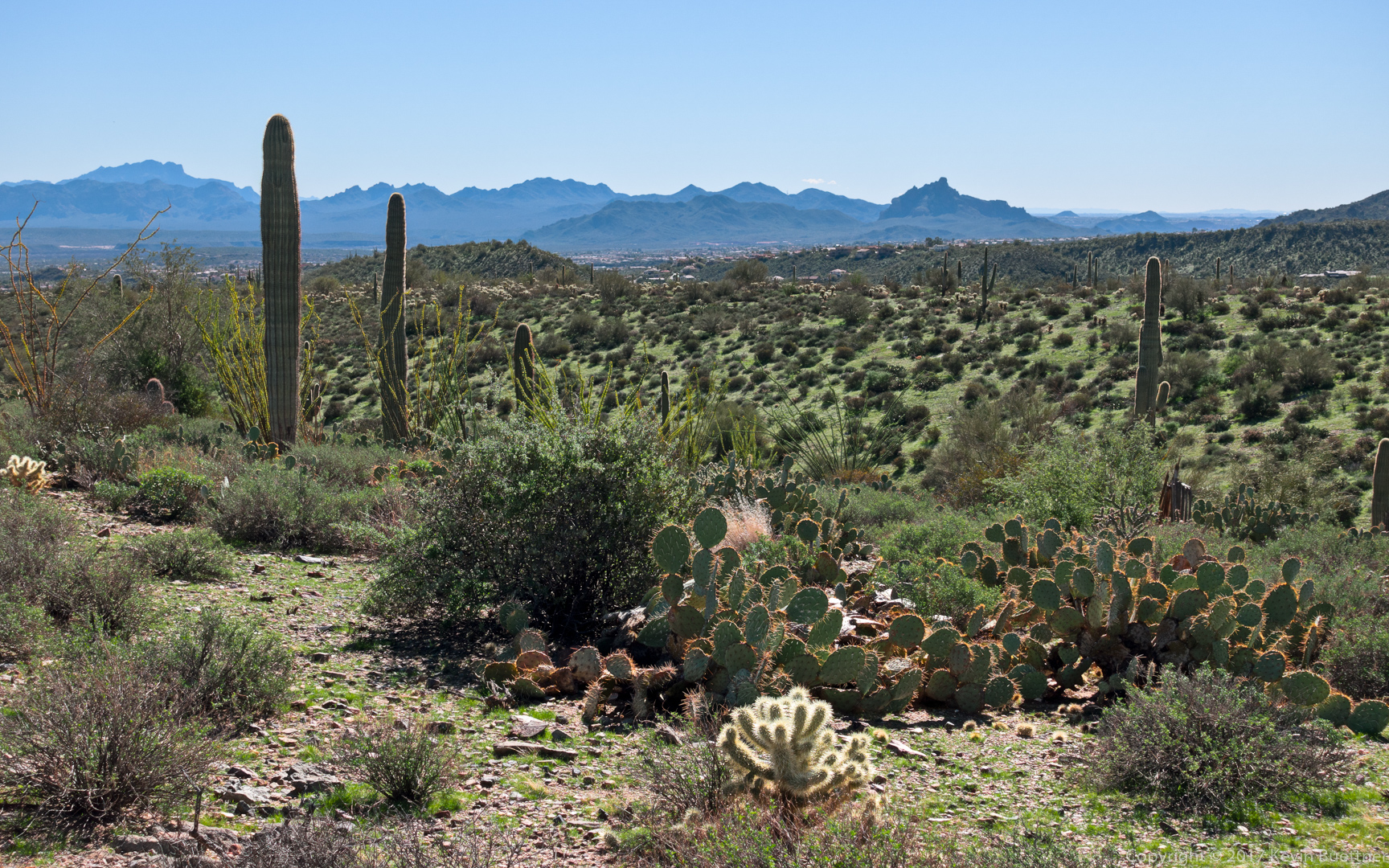
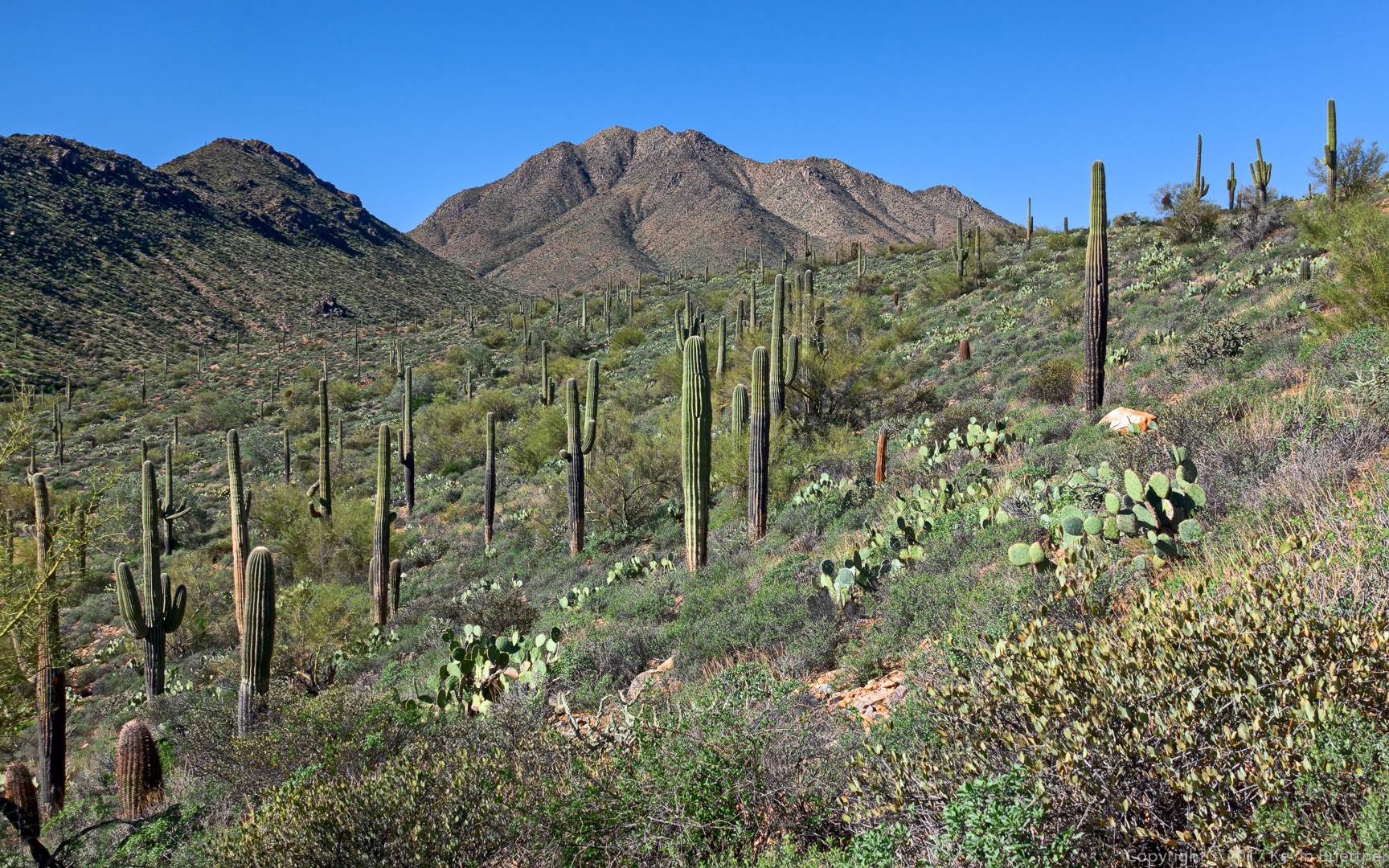
Many saguaros on a hillside above the Prospector Trail:

Another view from the Propsector Trail:

A view from the Dixie Mine Trail:
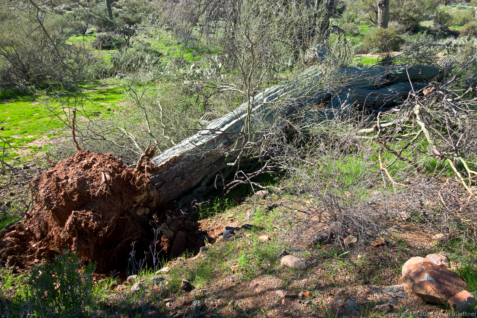
When hiking down the Coachwhip Trail from the Dixie Mine Trail, a substantial wash is encountered just before the trail heads up again. (At the top of the hill is the intersection with the Windmill Trail.) This giant saguaro used to tower above all of the other vegetation in the wash. It appears that the recent rain softened the soil holding the saguaro in place. I would guess that strong winds caused it to topple.
A view from the Coachwhip Trail as we approached the intersection with the Windmill Trail:
Another view from the Coachwhip Trail as we made our way towards the Pemberton Trail:

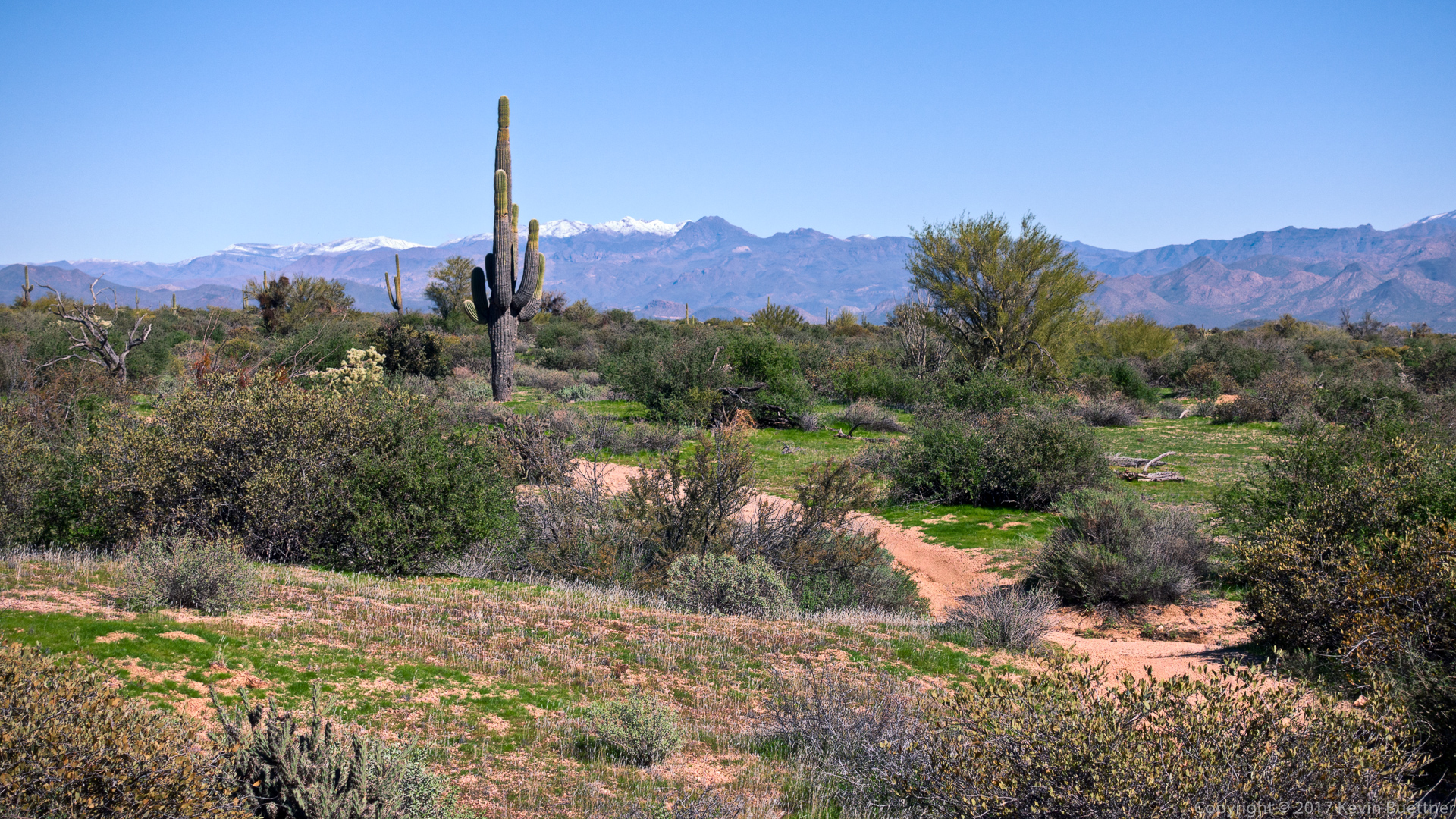
A view from the Pemberton Trail of snow capped mountains in the Mazatzal Wilderness:
A view of the Granite Ballroom (which is a climbing area) from the Boulder Trail:

Susan Davis says:
Looks like another great hike!! I especially like the pic of the cluster of saguaros — quite a community:)
January 29, 2017 — 9:45 am
andrea petersen says:
BEAUTIFUL PICTURES……….I forward them to all my fellow hikers!!
Andrea
January 29, 2017 — 1:01 pm
Anonymous says:
YOU ALL are a tough group! Congratulations on your accomplishment 12.5 miles. Commendable
January 29, 2017 — 7:07 pm
Anonymous says:
Great pictures Kevin, Looks so green!
January 30, 2017 — 9:13 am
Anonymous says:
Beautiful photos ,Kevin
You really have quite a gift…
Thanks for sharing!
Doug
February 1, 2017 — 6:55 am