Doug, Bob, Joe, Linda, Marilyn, and I hiked Tortilla Creek and then Peter’s Canyon to Peter’s Cave in the Superstition Wilderness on Friday. Our total distance was only a little over five miles with less than 600 feet of elevation gain. But, even so, it took us nearly eight hours to complete this hike due to the challenging terrain.
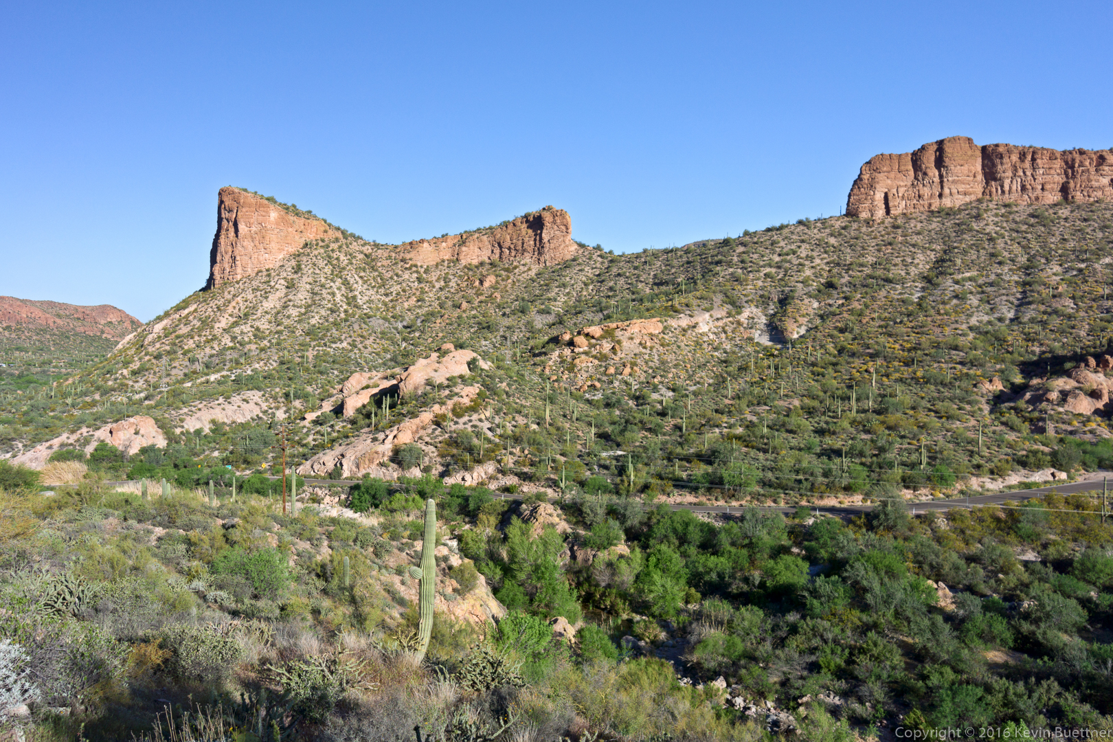
This is the view across AZ 88 shortly after starting the hike:
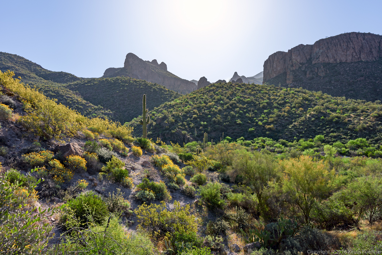
Looking east prior to entering Tortilla Creek:
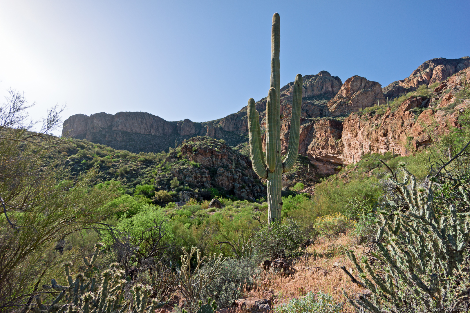
Another view as we approach Tortilla Creek:
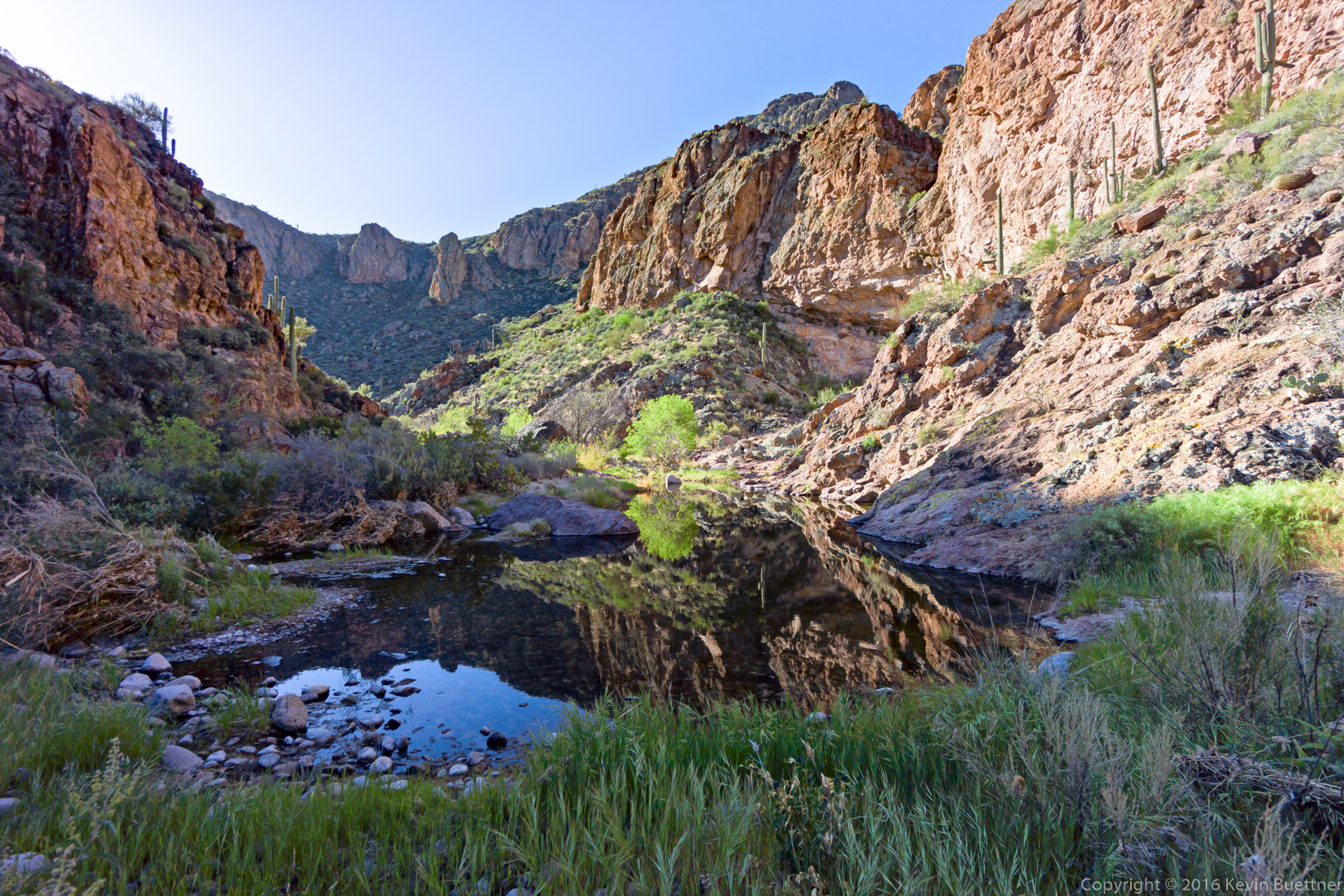
This is Tortilla Creek:
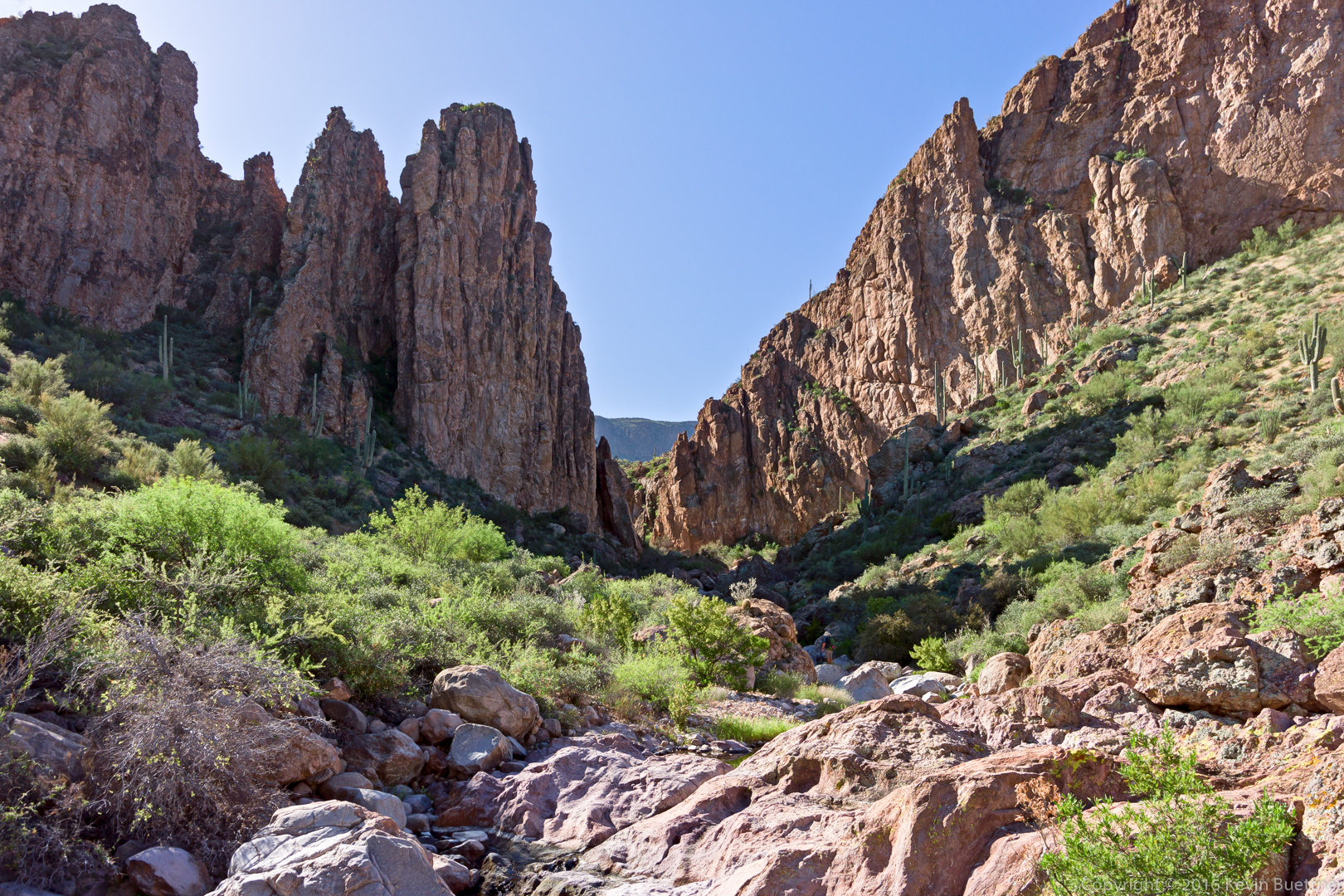
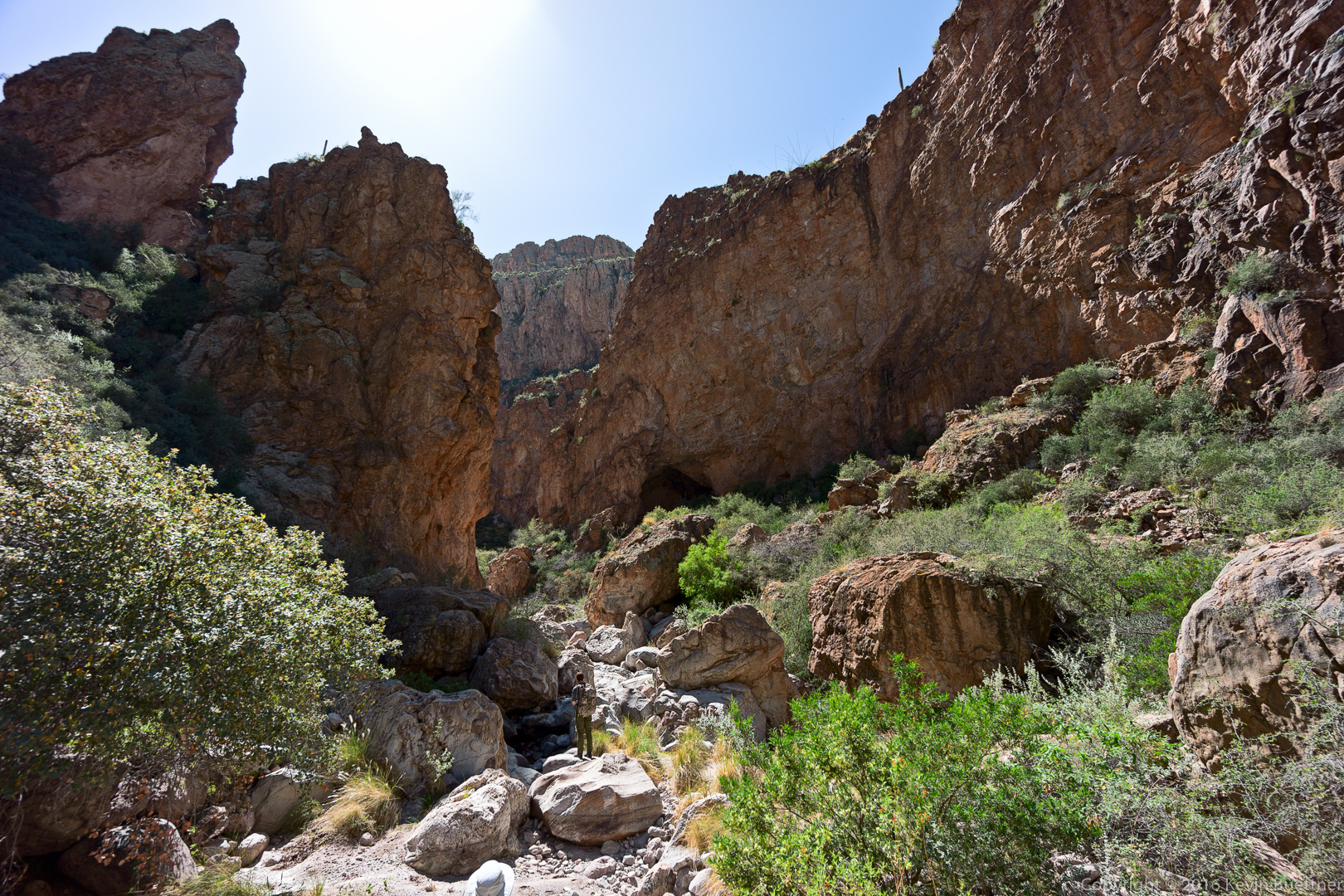
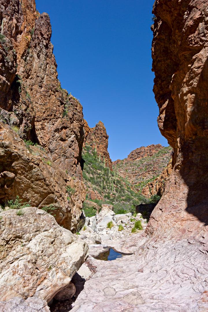
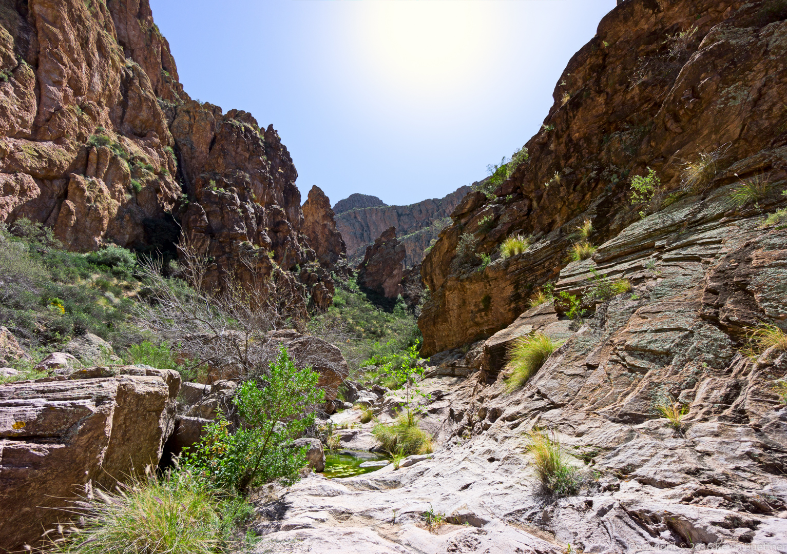
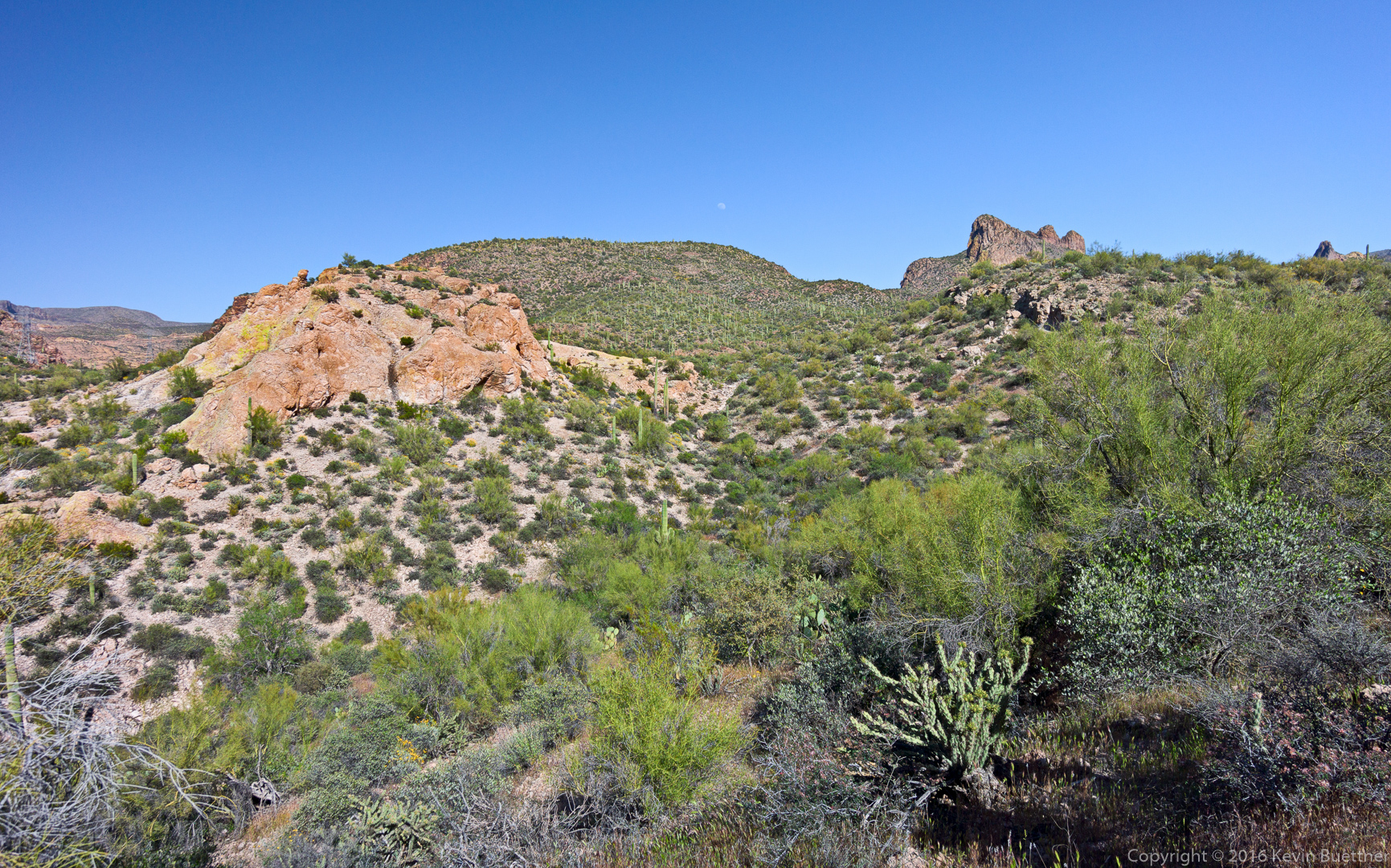
The entrance to Peter’s Canyon:
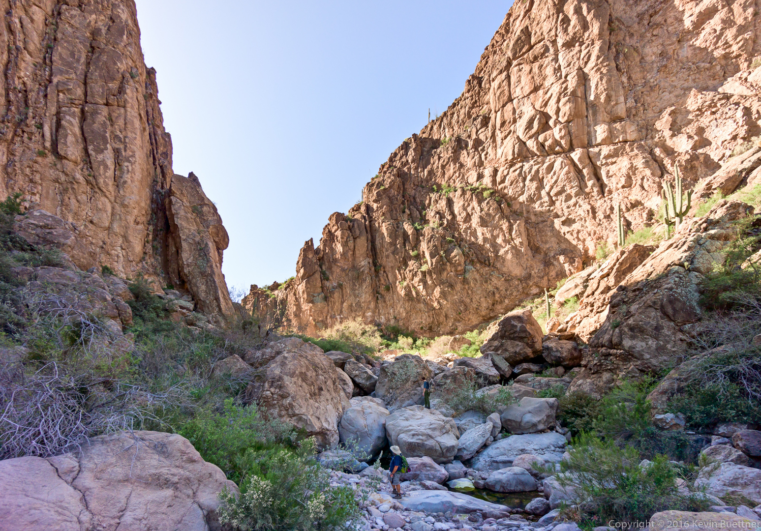
This is another view shortly after entering Peter’s Canyon. Bob and Joe are up ahead.
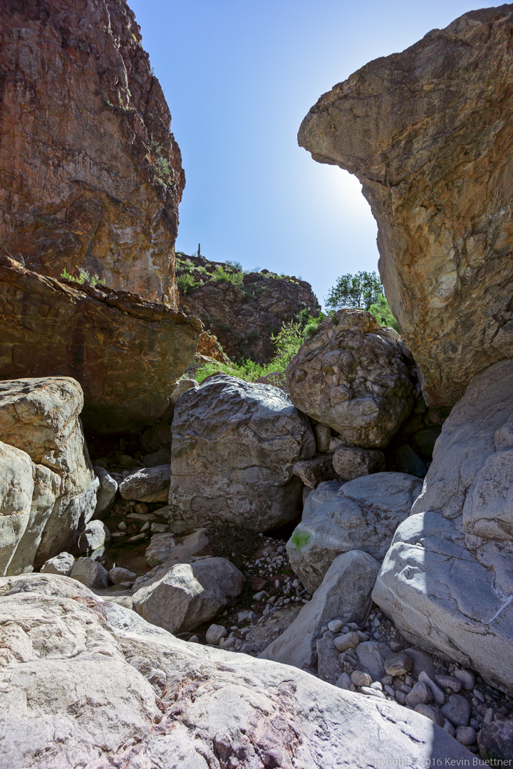
This is one of the rocky sections early in Peter’s Canyon.
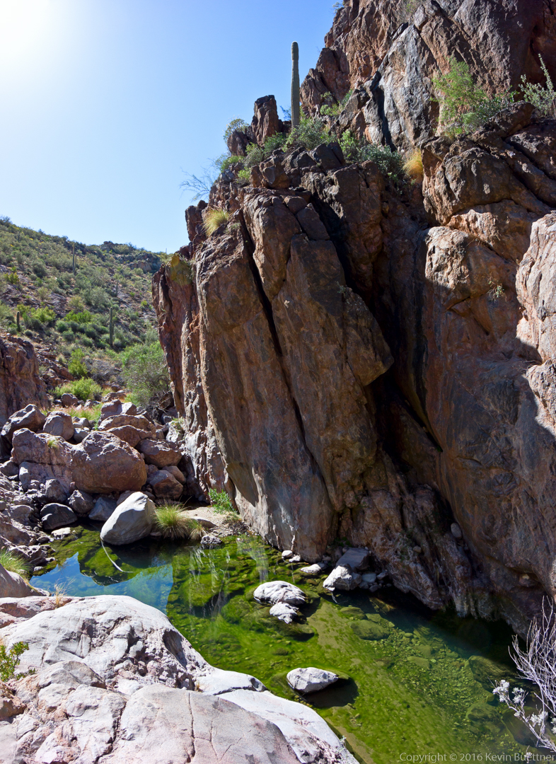
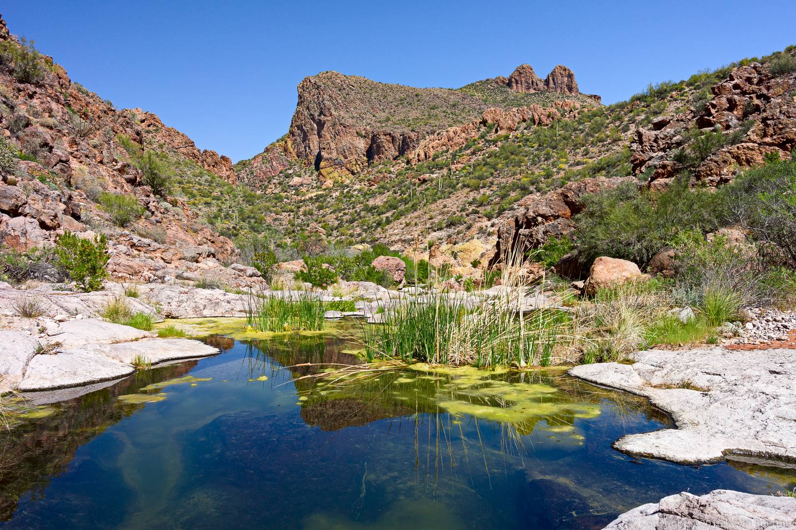
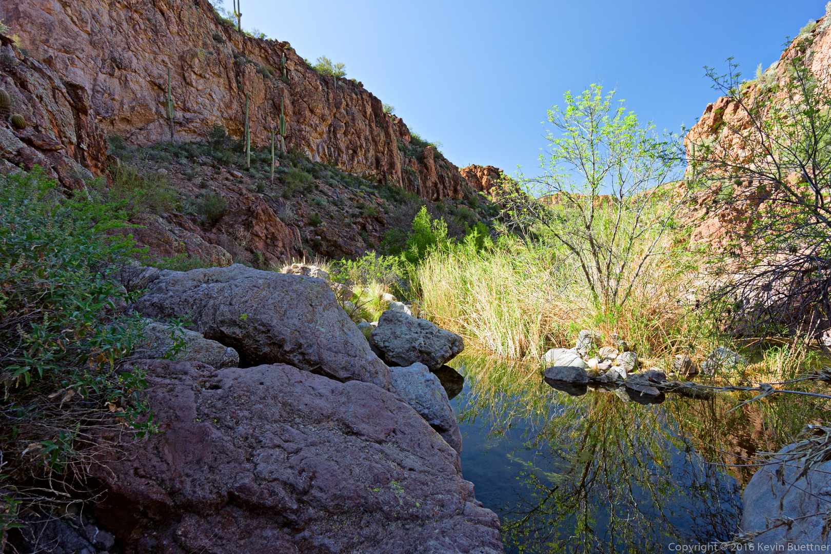
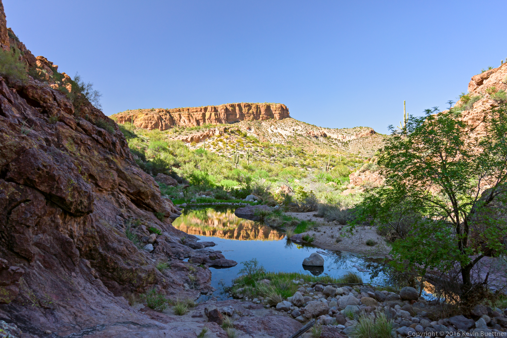
We encountered many pools of water along the way.
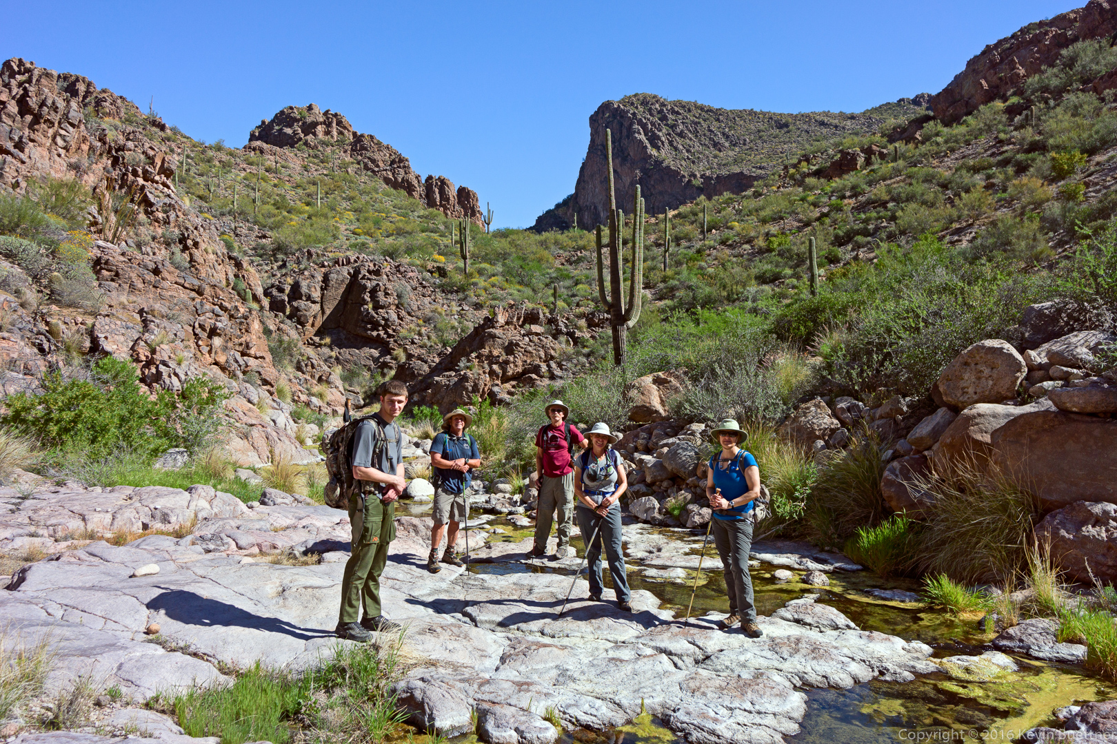
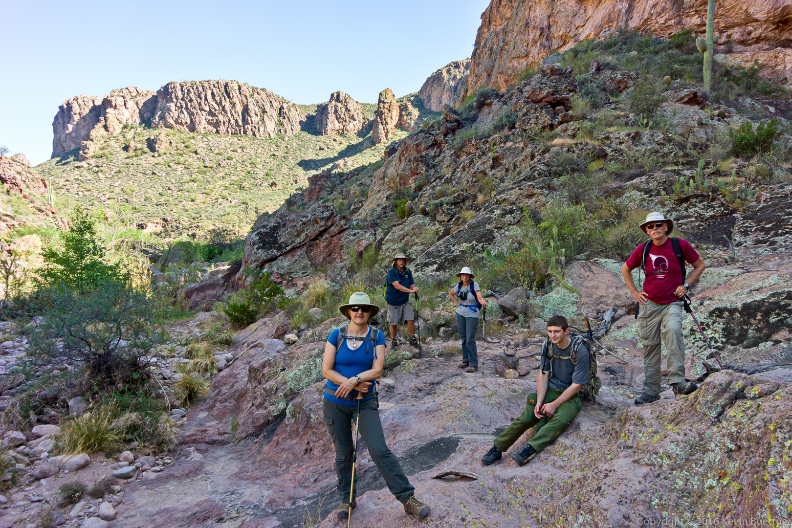
 Doug, Linda, Marilyn, and Joe:
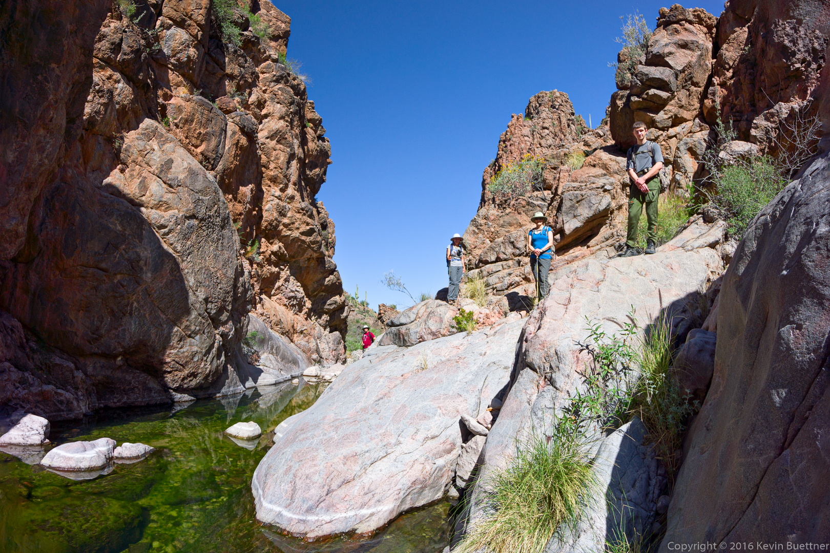
Joe, Bob, Doug, Linda, and Marilyn:
We encountered sections where the rocks were coated with what I assume to be dried algae. I was surprised to see that it had formed a whitish coating on the rocks.
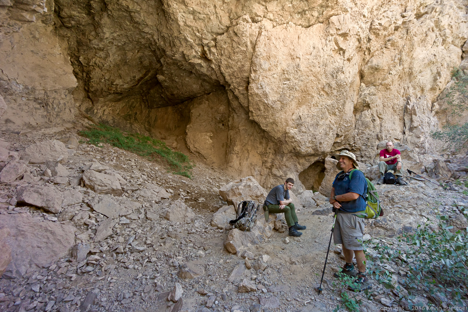
Joe, looking ahead at Peter’s Cave:
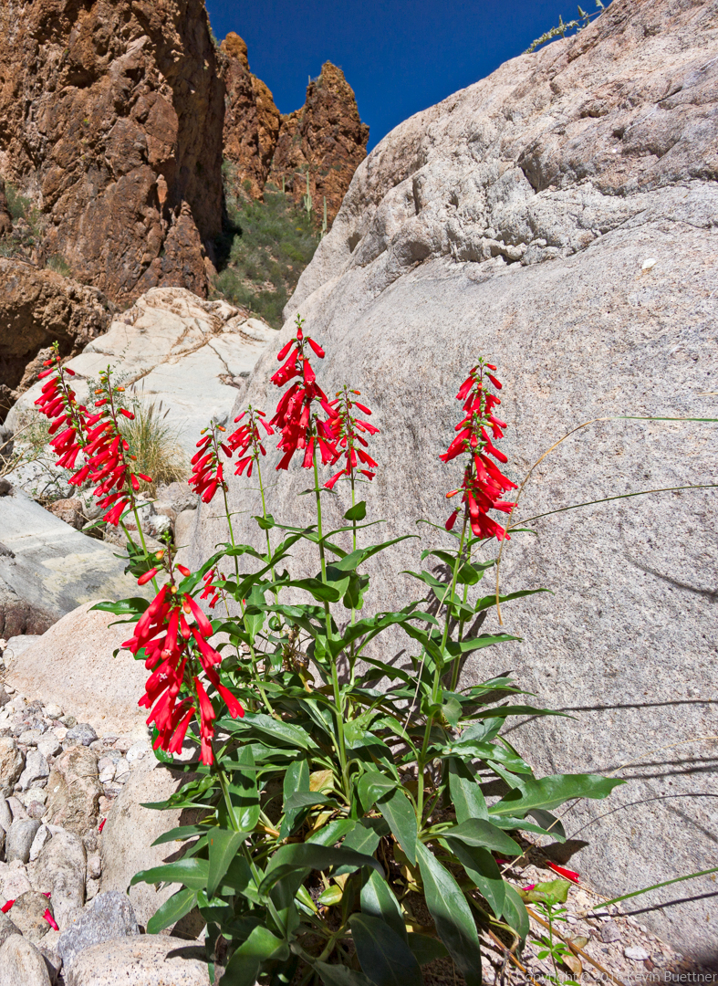
I think this is a type of Penstemon:
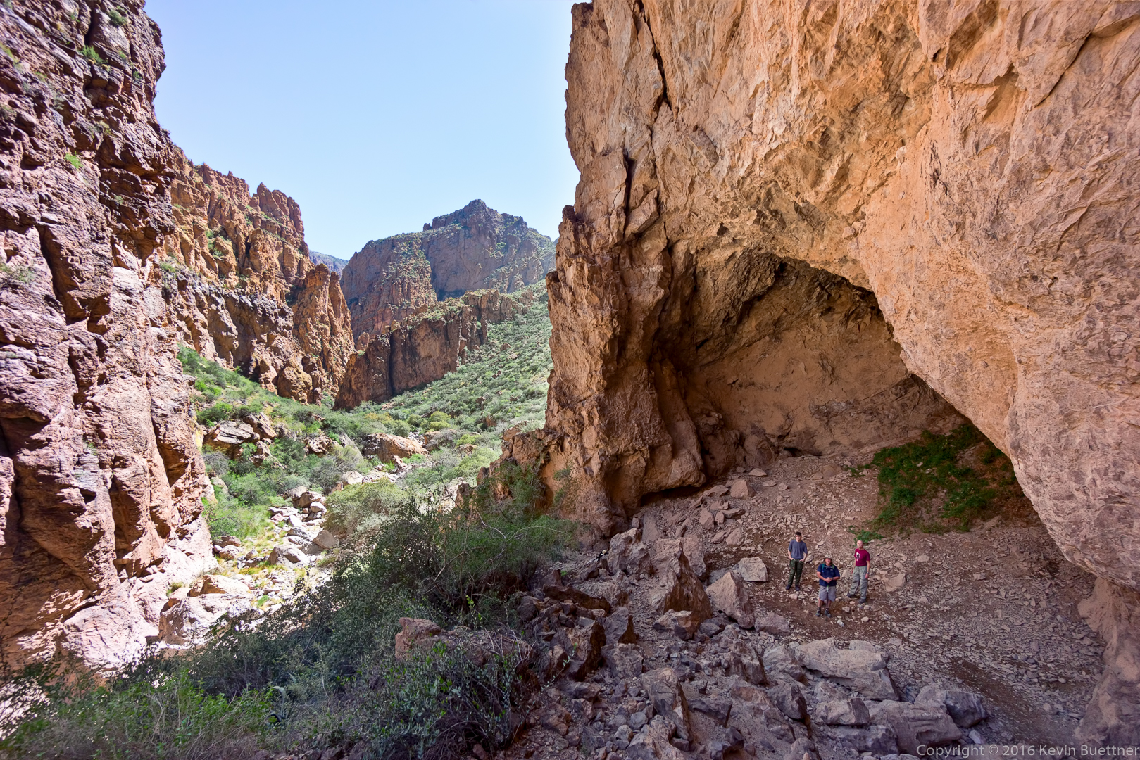
This is the view from below Peter’s Cave, looking back the way we had come:
Joe, Bob, and Doug in Peter’s Cave. Despite being large and airy, it was quite cool in the cave.
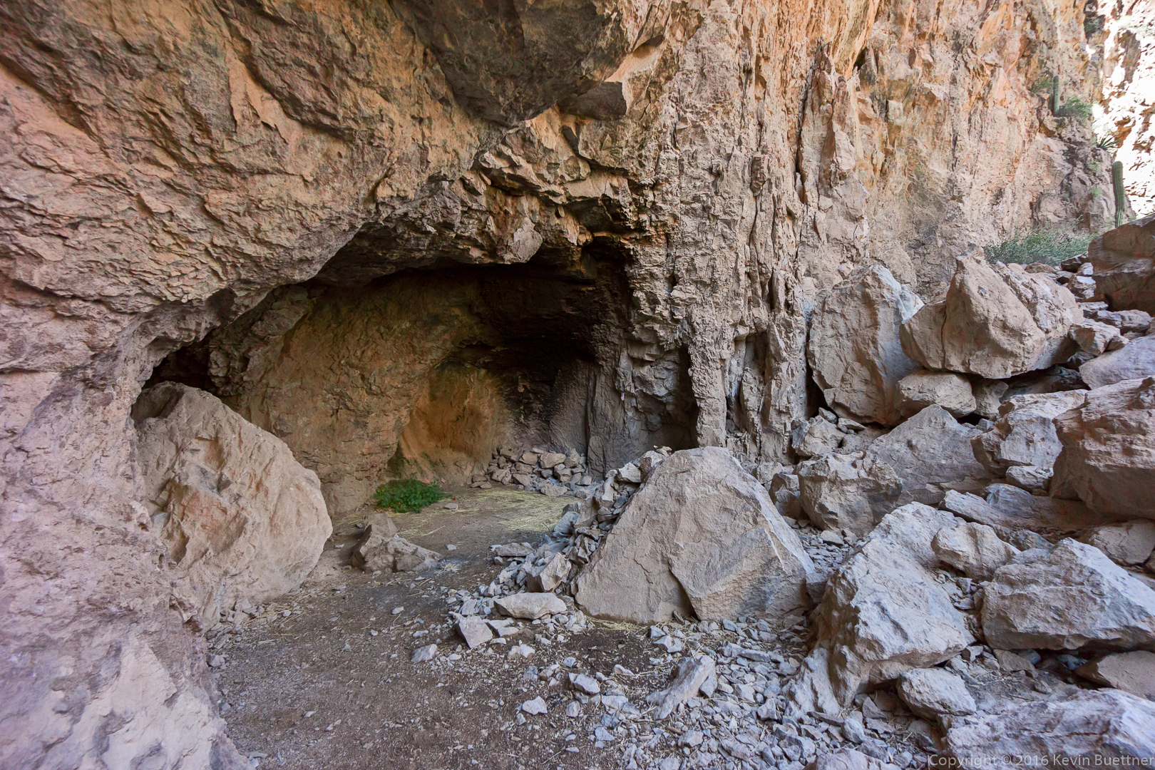
Another alcove in the cave where someone had built a fire.
Joe, Bob, and Doug in Peter’s Cave:
One of the views as we made our way back:
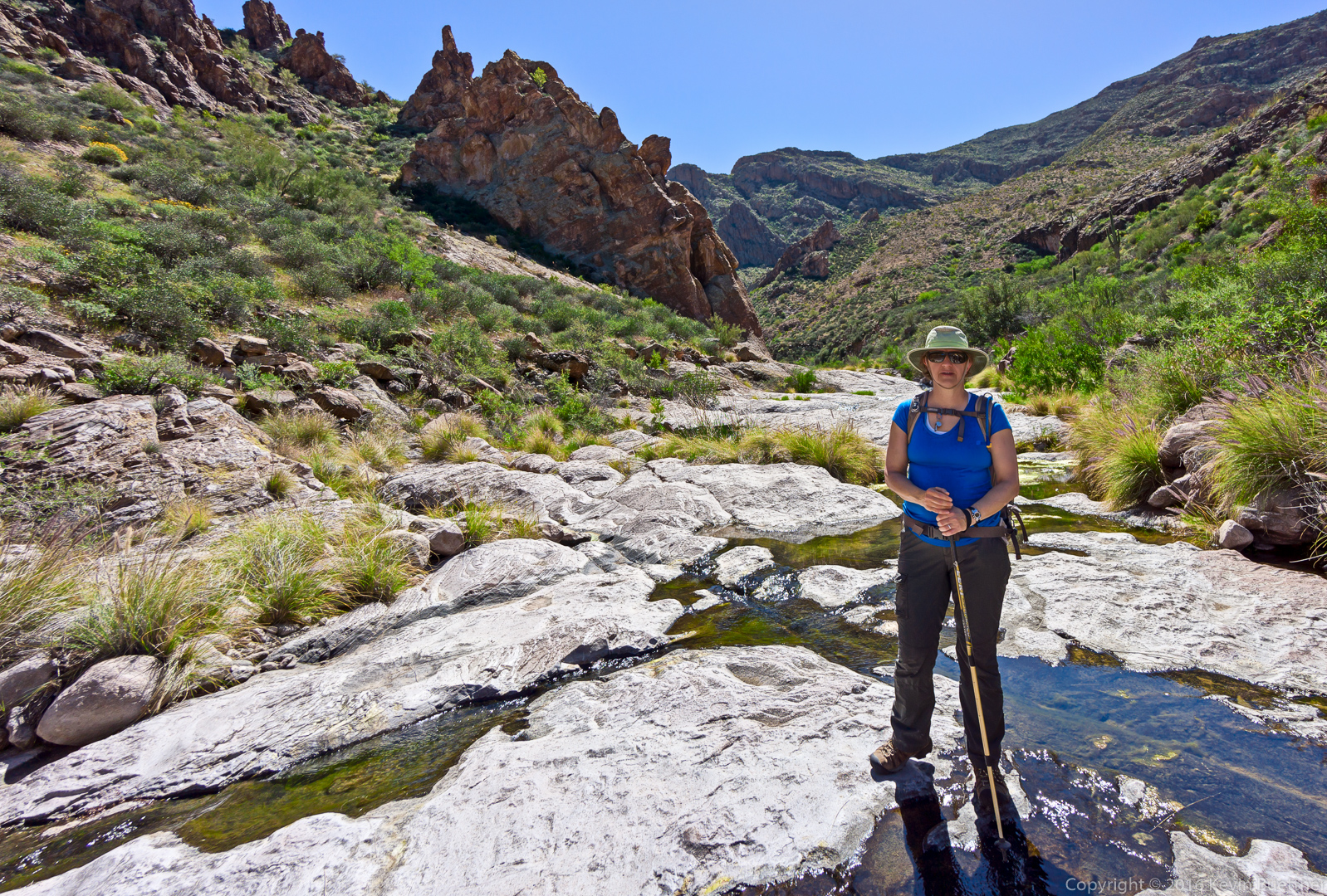
Marilyn, standing on the rock amidst the water:
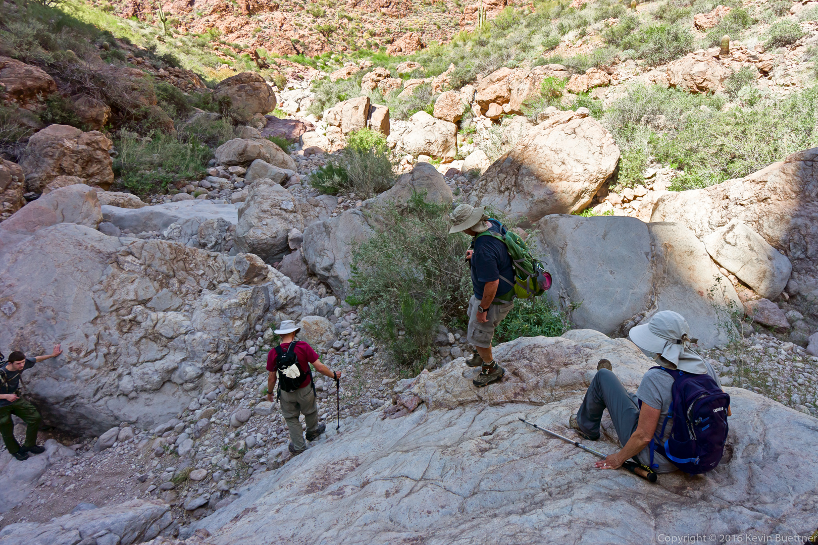
A view of the canyon prior to turning the corner into the section with the huge boulders.
This is part of the return trip; we’re nearing the end of the section which required scrambling up and down large boulders and other rock. Tortilla Creek is ahead; it was only marginally easier as we still had to watch our foot placement on nearly every step while also navigating around brush and water.
Small pools in Tortilla Creek…
Nearly done with the creek…
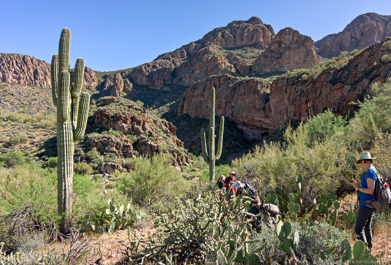
Hiking back up the hill…
Marilyn noticed that the moon had risen:
Susan Davis says:
It looks like u entered a Jurassic Park of ur own! Great shots!! And the pools are gem-like! I wonder if u had a GPS of sorts–or did u just go up and then down, etc. 🙂 Thank you so much!
March 20, 2016 — 11:34 am
Kevin says:
Hi Sue,
We used this GPS track…
http://hikearizona.com/map.php?GPS=28810
…to help figure out how to get there. It’s especially useful at the beginning for getting to Tortilla Creek.
After that, I referred to the track from time to time, but we were in a canyon, so route finding was mostly looking for the least brushy and least rocky way available. We also saw some occasional cairns.
March 20, 2016 — 11:44 am
Doug says:
Beautiful shots as always, Kevin. It’s hard to tell from these photos how hot and tired we all were by the end!! Well worth it, though–a great hike.
March 20, 2016 — 1:54 pm
Linda says:
You did make us look good Kevin! You photos of the canyon are simply beautiful. Really a fun hike but amazing how long it took to cover 5 miles! Many thanks for leading us on this great hike!
March 20, 2016 — 4:01 pm
Kevin says:
I had a lot of fun on this hike too! Thanks to all of you who did this hike with me! It was arduous, but most rewarding too.
March 20, 2016 — 6:24 pm
jon leverenz says:
Great hike and photos. Jon L
March 21, 2016 — 11:19 am