Ranger Amy had scheduled two consecutive Friday hikes at the North Trail. She suggested that I and those wanting to do a longer hike take a look at the newly opened Escondido Trail. We started our hike from the Lousely Trailhead while Ranger Amy lead the scheduled hike on the North Trail.
Bob, Sarge, Janet, Doug, and I did a 9.2 mile loop. We started at Lousely Trailhead and made a left on the Escondido trail which now crosses the Lousely trail perhaps 200 yards from the Trailhead. We followed Escondido to Cinch, took Cinch to Scenic, Scenic to Pemberton, Pemberton to Escondido, and Escondido back to the Lousely. The Cinch Trail has been around for a while, but I didn’t know the name until recently.
The map below shows our route. If you look at the top (north) part of the map, you’ll make out a short spur coming off the loop; this is where we started. The Escondido Trail zigs and zags a lot, but the first leg of our journey lead us generally southward. The Cinch Trail heads northwest to join the Scenic Trail. If you zoom the map, and you know what you’re looking for, it’s possible to see where Cinch intersects the Scenic.
View hike-131213-track-only.kml in a larger map
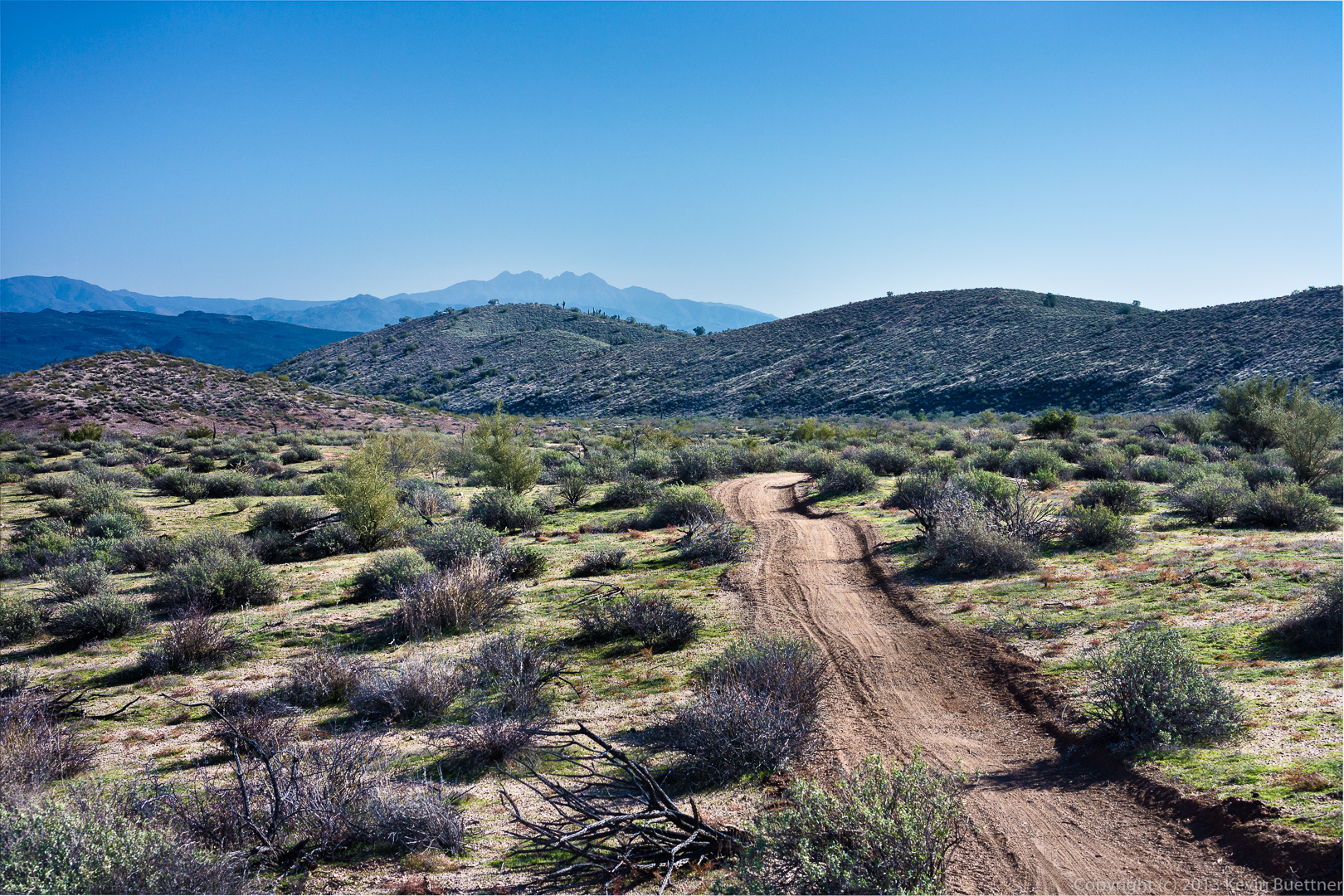
This is a view from the Escondido Trail, shortly after turning off of Lousely:
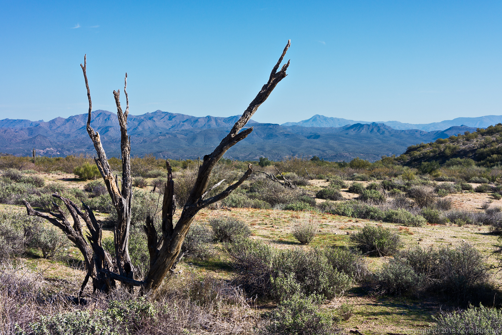
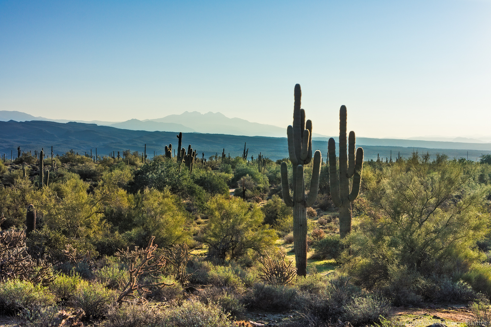 A view to the west (I think) while traveling south on Escondido:
Bob, Sarge (the dog), and Janet on Escondido. The trail is set in from the road somewhat, but has minimal elevation gain or loss. In order to achieve this, the trail builders cut the trail into the sides of the many hills in the area. There was an old road nearby which used to follow a much straighter path. It, however, went fairly close to the McDowell Mountain Road. Satellite photos show that this old road briefly crossing McDowell Mountain Road. 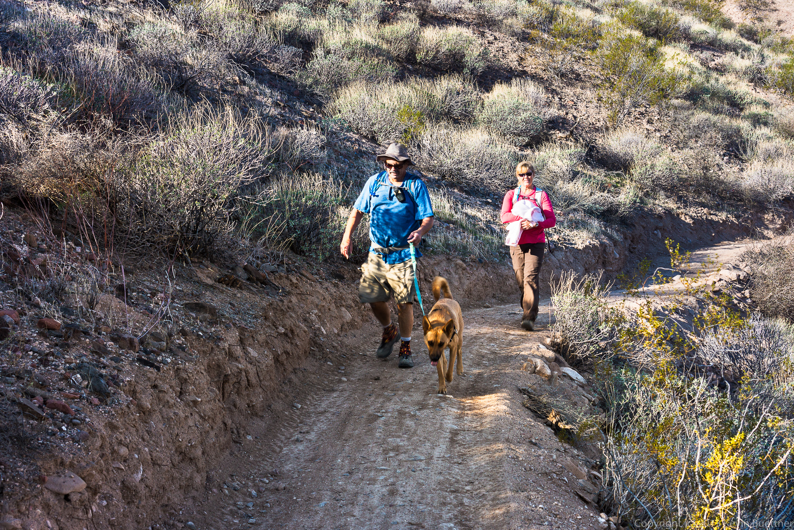 Janet, Doug, and Bob, at the intersection of the Cinch and Scenic Trails.
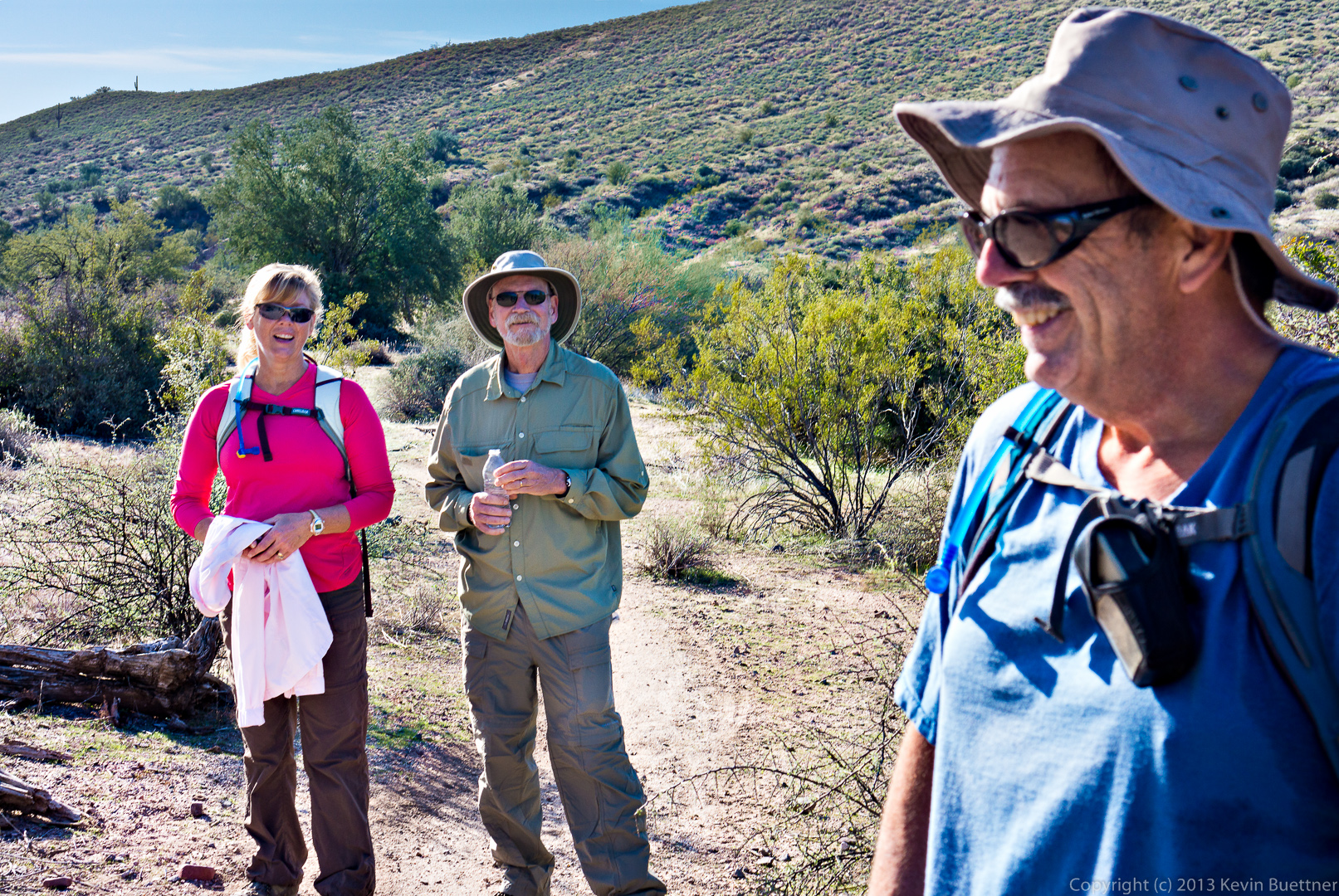
A view of the newly cut Escondido Trail near Pemberton.
This area was ravaged by the Tonto Fire of the mid-90’s.
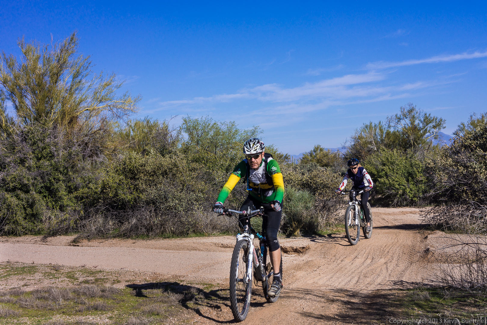
We encountered two cyclists on the Escondido Trail.
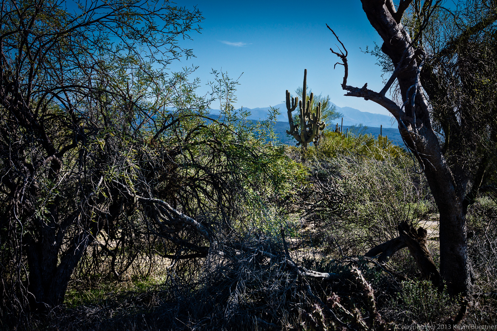
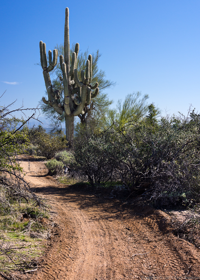
A glimpse of a saguaro with lots of arms:
A closer view of this same saguaro:
Susan says:
Nice pics. I really like the trail for some of the saguaros are truly amazing as you saw! Thanks also for the aerial map:) I’ve been on it the whole way–part on the road from the horse staging area to the Pemberton to the main staging area and then back to the Lousley parking area–I think I told you it was about 11+ m. that day.
December 16, 2013 — 2:57 pm
robert graham sands says:
Thanks, Kevin for what you are doing for the park and those of us whom are fortunate to walk/hike with you.
robert
December 16, 2013 — 4:53 pm