One of our favorite hikes in the Moab area, and one we do on almost every visit to the area, is Devil’s Garden Primitive Loop. Located at the very end of the main road in Arches National Park, this loop includes the main trail out to Double O Arch and another section that’s only somewhat more difficult than the main trail.
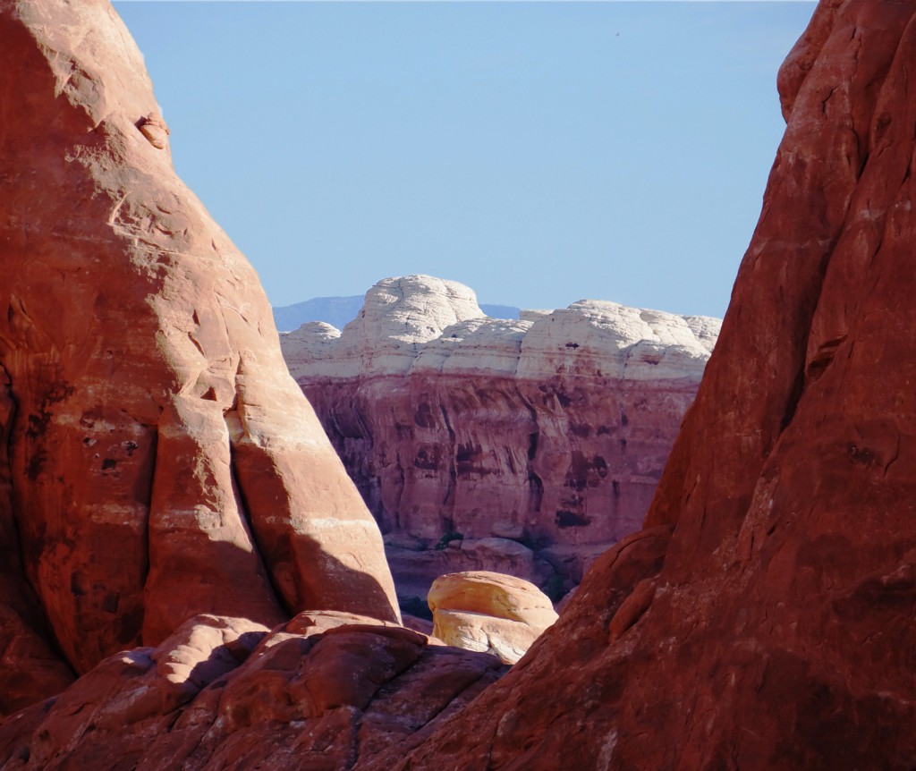
Near the start of our hike on this most recent trip, I noticed a sort of “V” in between two rock formations through which I could see another interesting formation beyond:
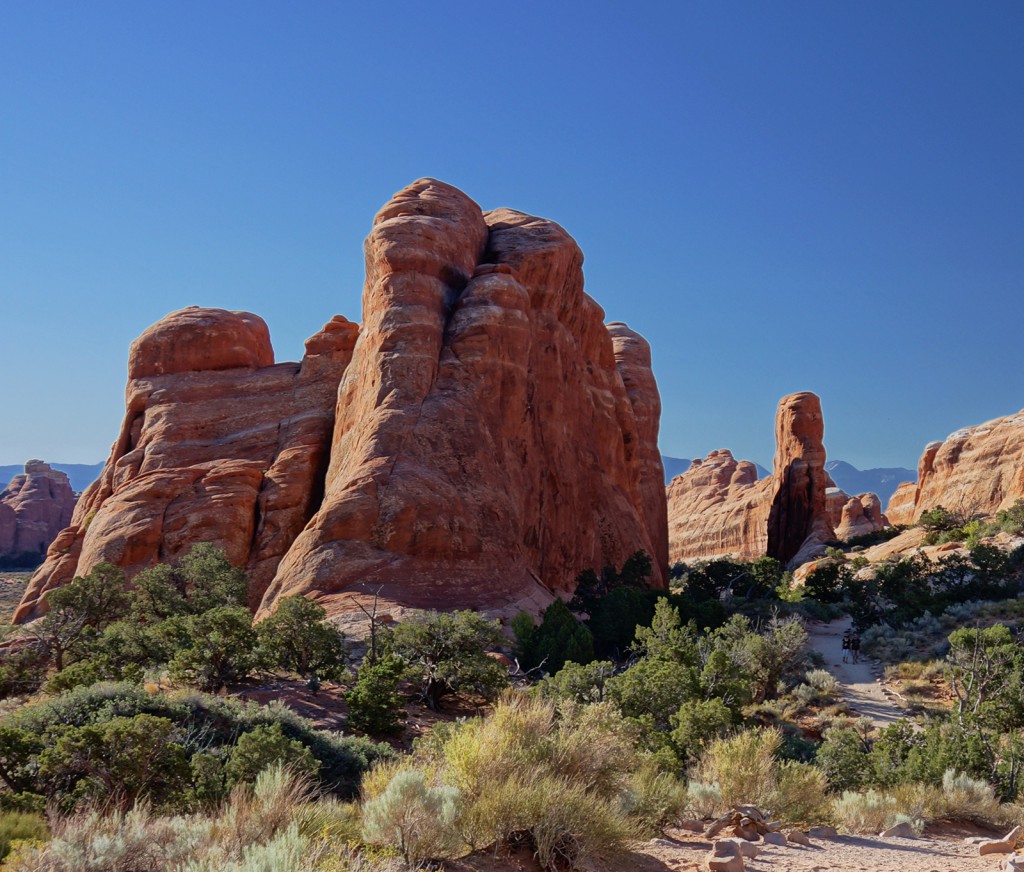
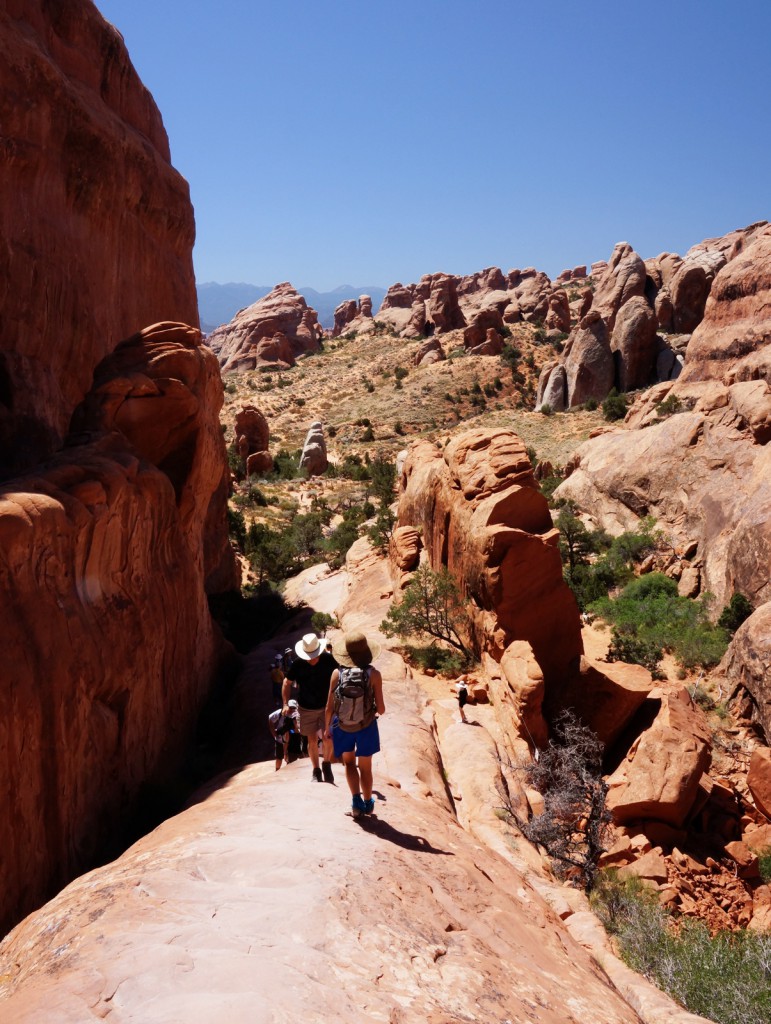
Here’s is a view looking back up the trail not long after starting out. If you look very closely, perhaps in an enlarged version of the photo, you can see some people hiking along the trail.
[groups_member group=”Registered”]
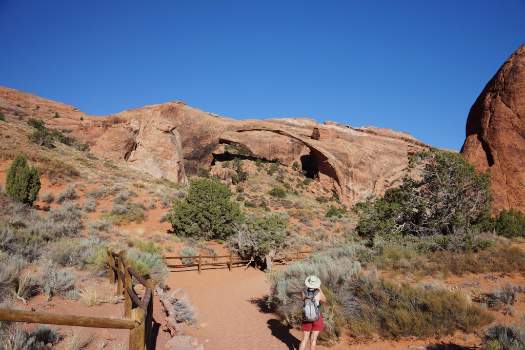
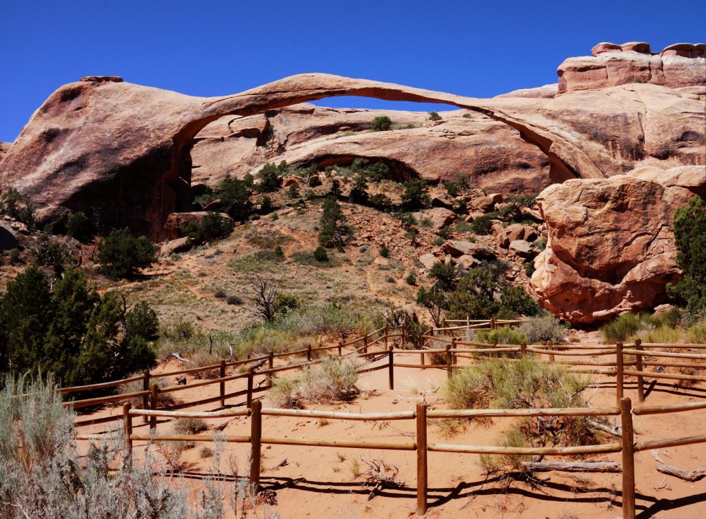
Here, Marilyn is taking her own photo of Landscape Arch. This shot was taken just before starting the slog through the sand on on the “primitive” trail leading off the mail trail.
[/groups_member]
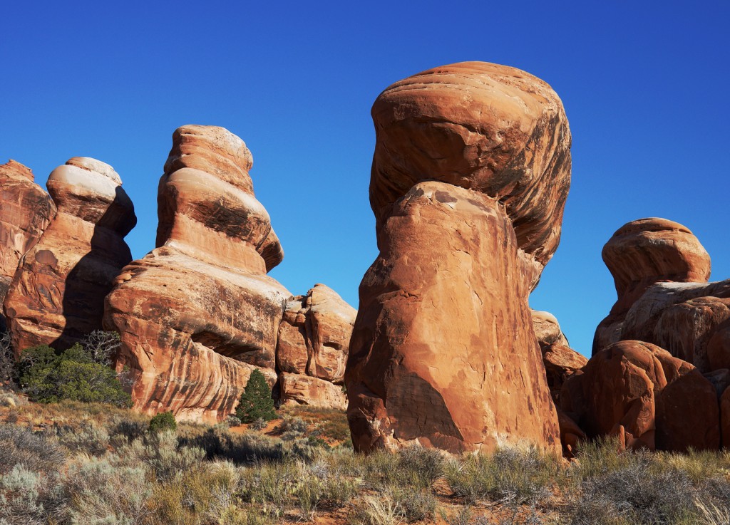
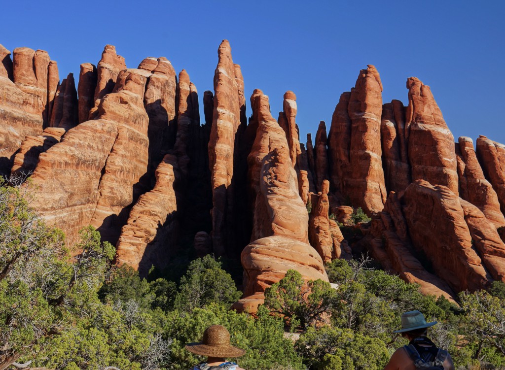
Devil’s Garden has many fins. If the fins erode away enough, sometimes a series of small towers is formed:
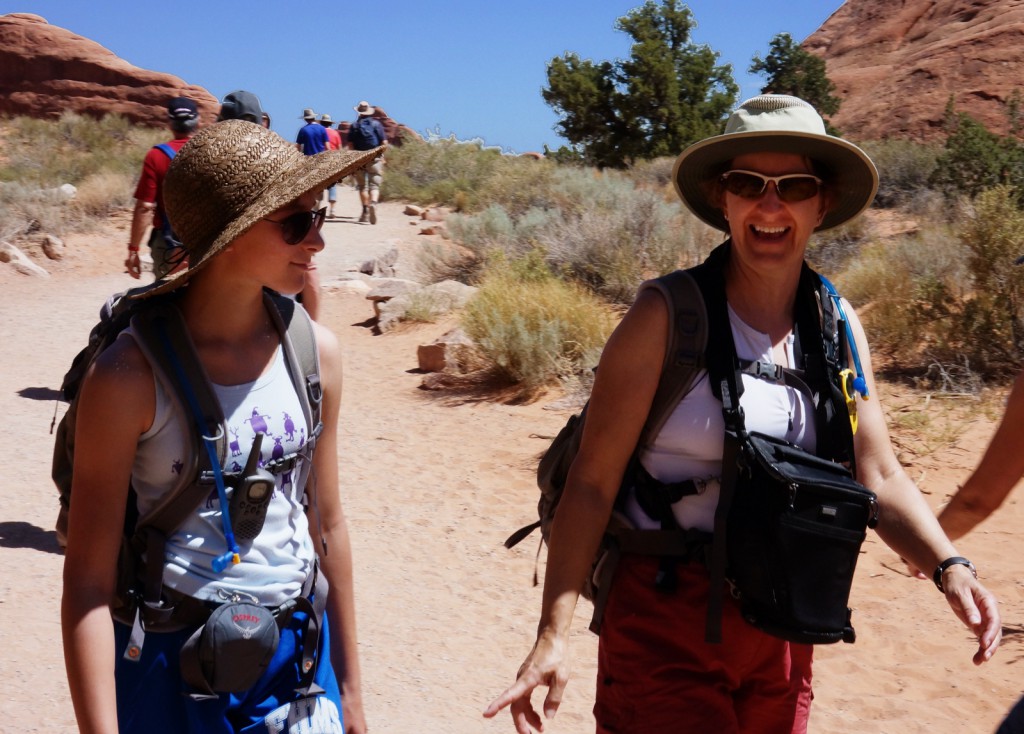
Here, [groups_member group=”Registered”]Marilyn and Marie[/groups_member][groups_non_member group=”Registered”]my wife and daughter[/groups_non_member] look at a collection of fins:
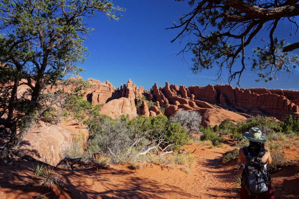
I really like this shot. Here, [groups_member group=”Registered”]Marilyn[/groups_member][groups_non_member group=”Registered”]my wife[/groups_non_member] is photographing that same set of fins shown in the above photo:
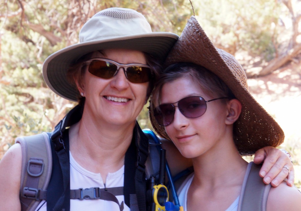
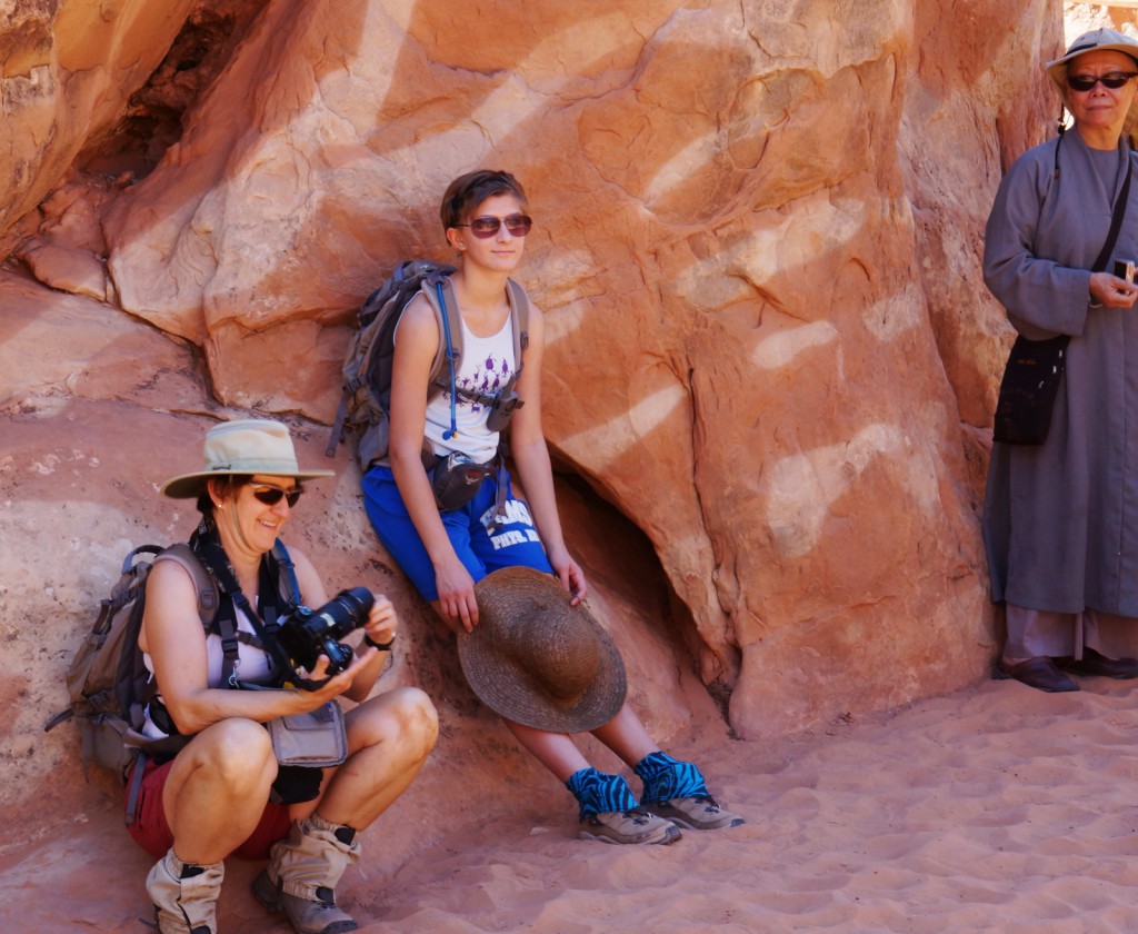
[groups_member group=”Registered”]At a spot shaded by some fins, I got this shot of Marilyn and Marie:
[/groups_member]
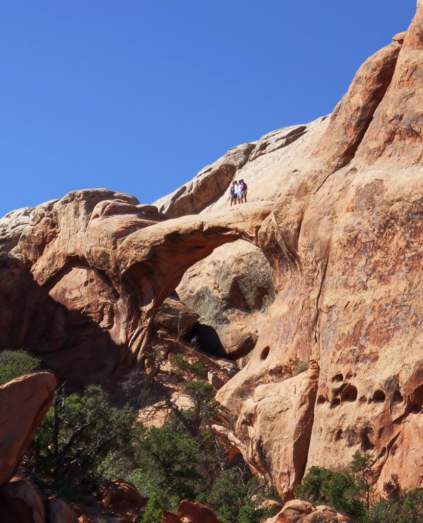
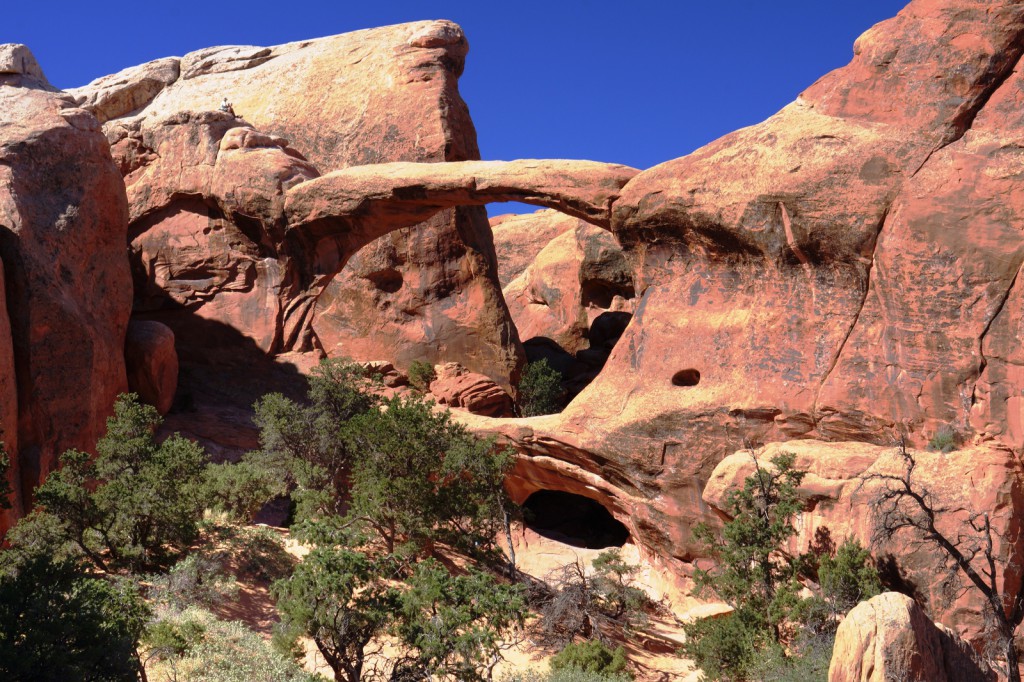
Below is Double O Arch taken from the “primitive” trail somewhat before it rejoins the main trail. (The main trail starts at the parking area and terminates at Double O Arch.) If you look closely, you can see four people standing on the top. When we first saw the arch, one of this group, probably the one on the far right, was gingerly making his way out onto the arch. He eventually convinced his companions to come join him for a photo.
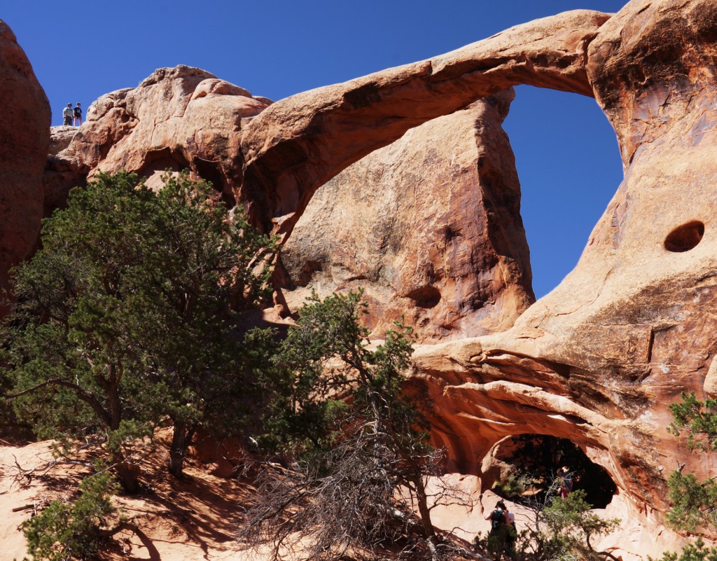
Here is another view of Double O Arch. In this photo, you can see why it got it’s name. There is a large “O” shaped arch on the top and another “O” shaped arch at the bottom. A clear view of the arch at the bottom is obscured somewhat by some vegetation in this photo. If you look closely you can see someone standing on the other side of that lower, smaller arch.
As I was ascending the fin looking over Double O Arch, I saw a woman in a very bright shirt posing for a photo. I think it’s interesting that there are muted versions of some of the same colors in her shirt in the rock face just over her right shoulder – that’s left in this photo:
Here is a view of Double O Arch from that sandstone fin, not far away from where I saw the woman with the multicolored shirt. You get an unobscured view of the lower arch, but it’s very dark – it looks like it could almost be a cave in this photo:
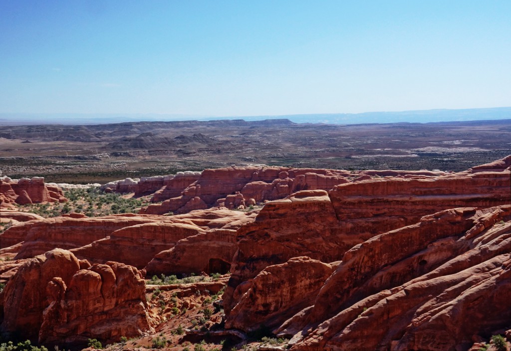
A view of fins and even an another arch (whose name I do not know) from high atop one of the fins that is part of the main trail back from Double O Arch:
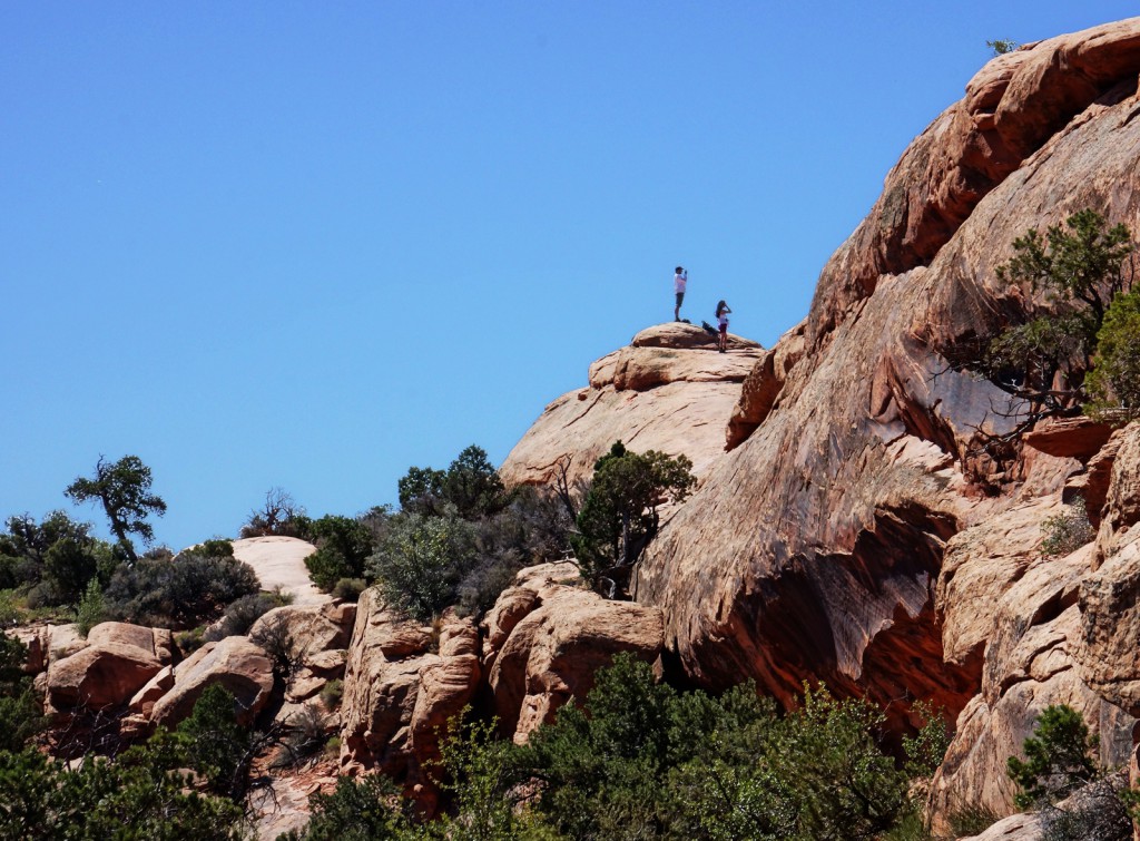
Here, a pair of sightseers stand atop a fin for a better view:
[groups_member group=”Registered”]Marie[/groups_member][groups_non_member group=”Registered”]My daughter[/groups_non_member] descends a steep fin on her way down to Landscape Arch. Even though it’s steep, so long as you’re wearing appropriate footwear, the traction is very good.
Landscape Arch is the longest known arch in the world. Pieces of it fall off from time to time. There once was a trail which lead under the arch, but is is closed now due to safety concerns. Up the trail a short ways from Landscape Arch, there used to be another arch, now collapsed, that I once visited with my sister back in the 90s.
[groups_member group=”Registered”]A shady spot where Marilyn and Marie wait for me to finish taking pictures of Landscape Arch and Partition Arch.
[/groups_member]
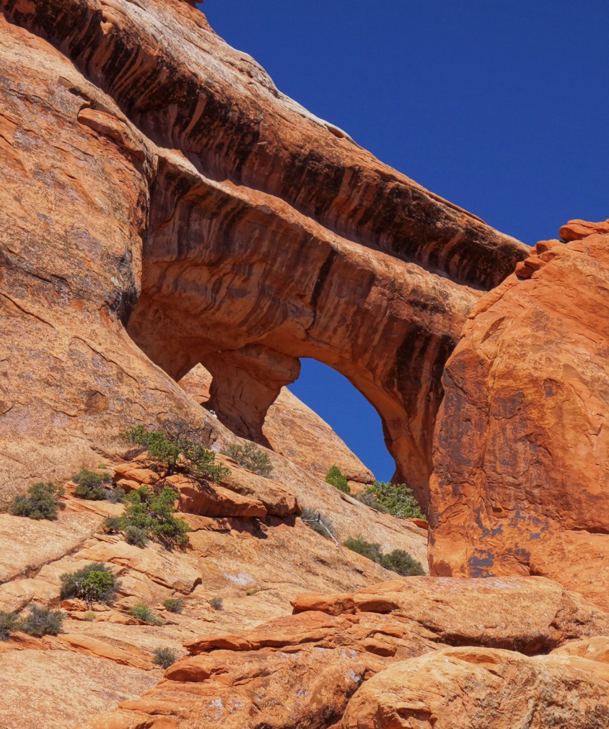
Here is Partition Arch as seen from the trail just in front of Landscape Arch. There is also a spur trail, which we did not take this year, which leads to Navajo Arch and Partition Arch.
[groups_member group=”Registered”]Marilyn and Marie nearing the end of the hike:
[/groups_member]

