Linda, Nancy, Mike, and I hiked 12.4 miles on Friday. We hiked the following trails: Tom’s Thumb, climber’s access trail leading up to the ridge, and eventually to and past the Tom’s Thumb pinnacle, Tom’s Thumb, East End, Windmill, Coachwhip, Dixie Mine, Pemberton, Boulder, Marcus Landslide. Amy, Bill, and Denise accompanied us up to and past Tom’s Thumb (the pinnacle); we parted ways at the intersection of the Tom’s Thumb and East End trails.
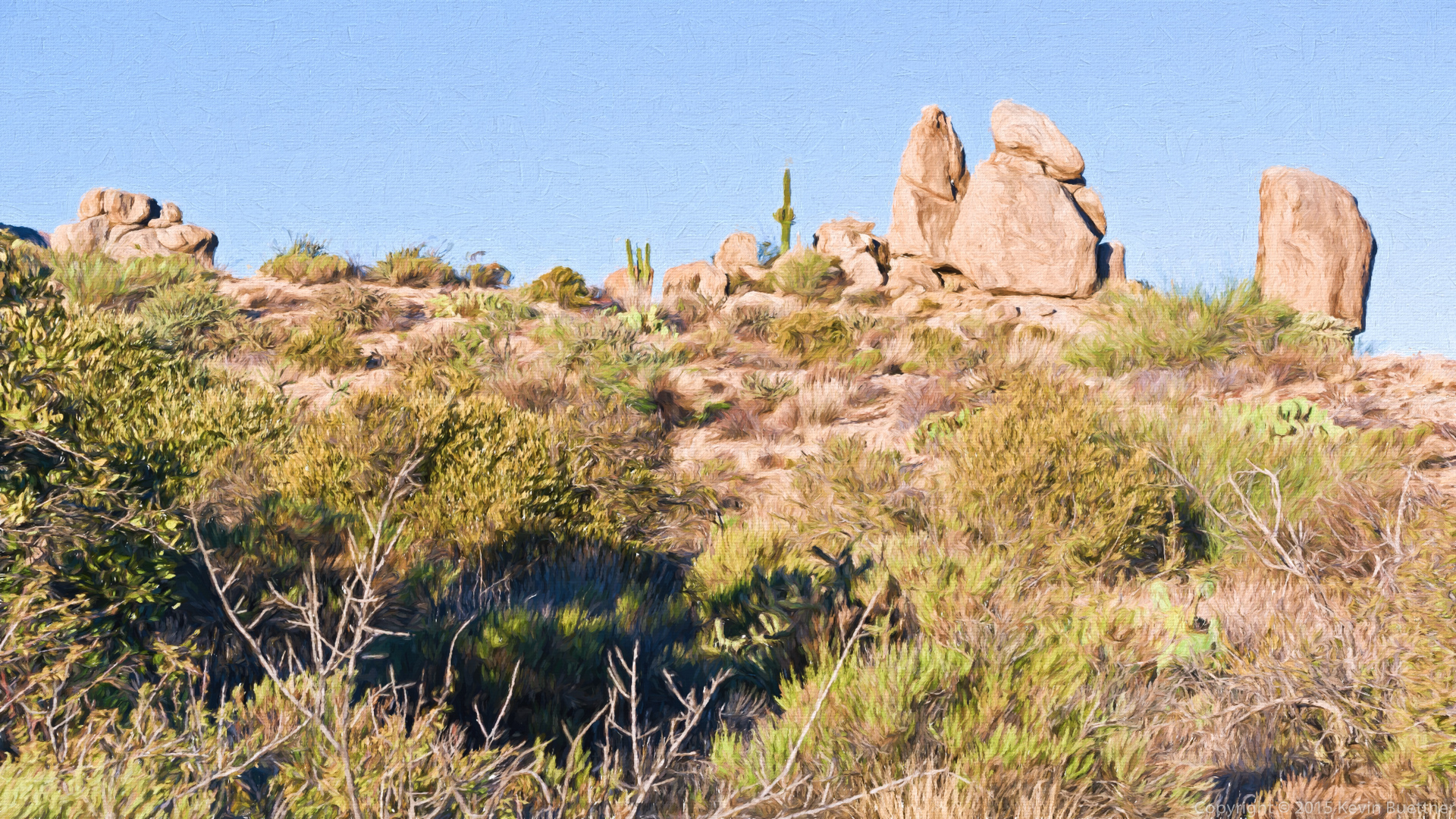
This is a view (modified by Topaz Impression) from the Tom’s Thumb Trail.
A view from the lower slopes of the climber’s access trail.
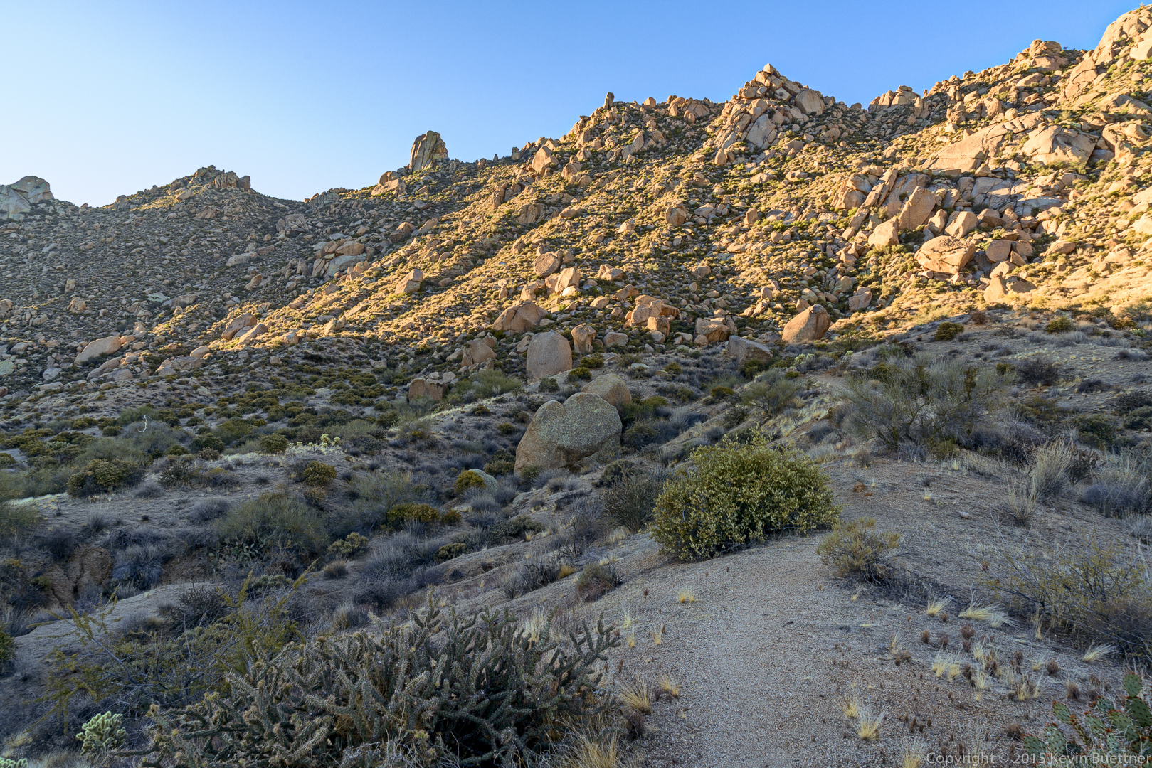
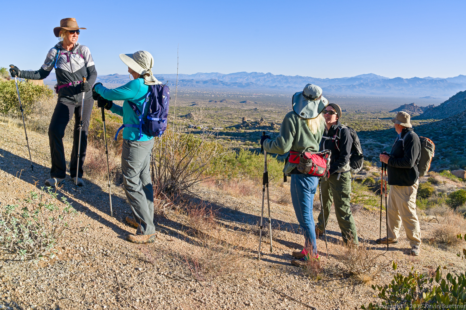
Taking a break…
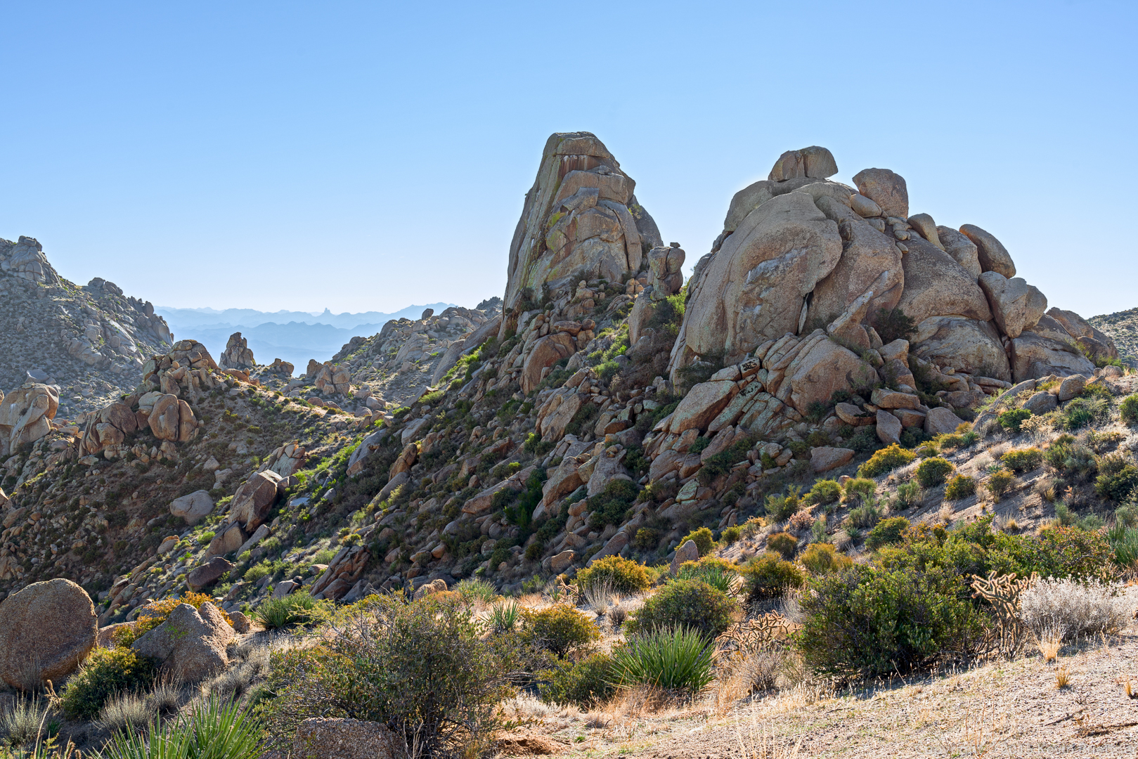
This is the small pinnacle across from the Fort McDowell climbing area.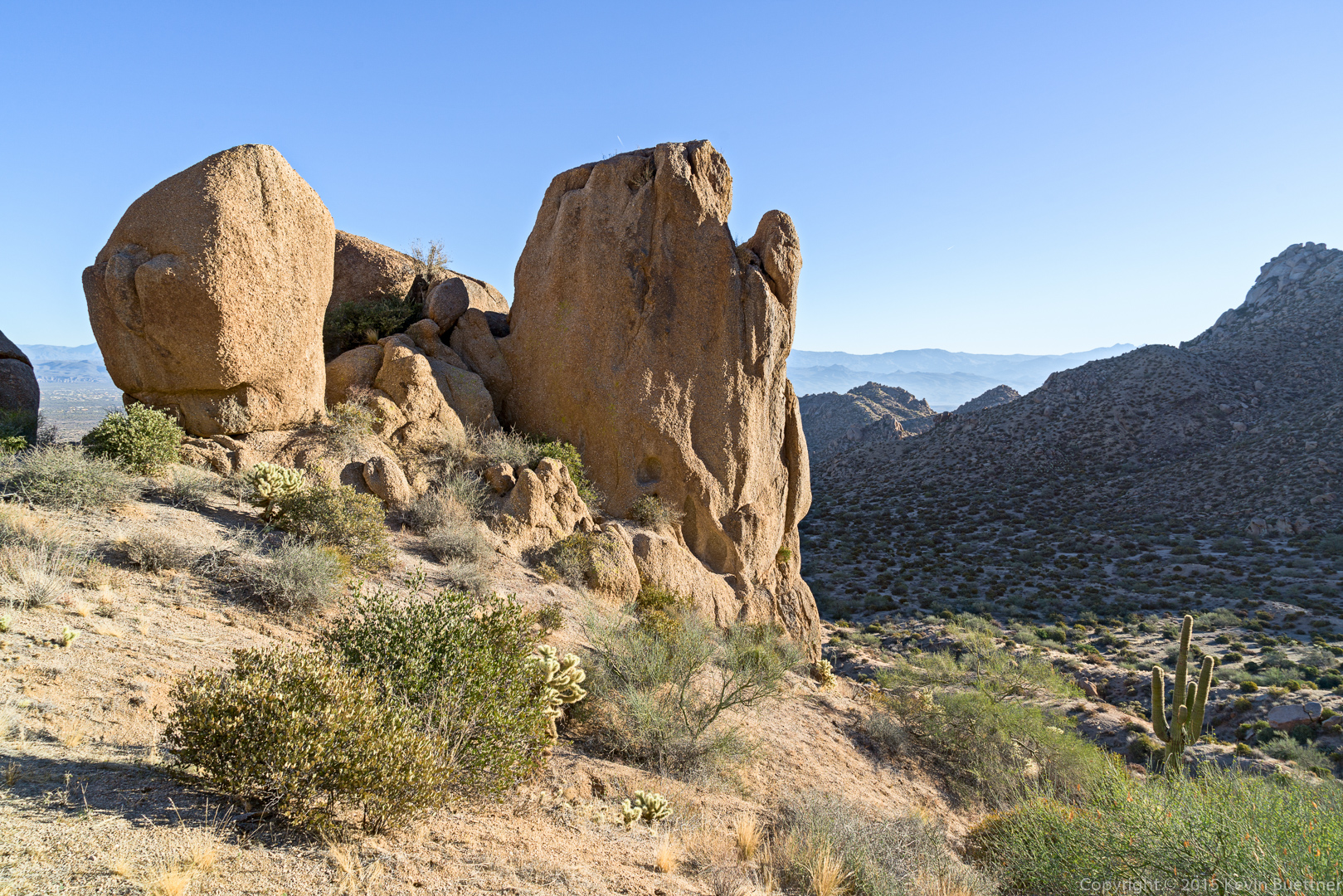
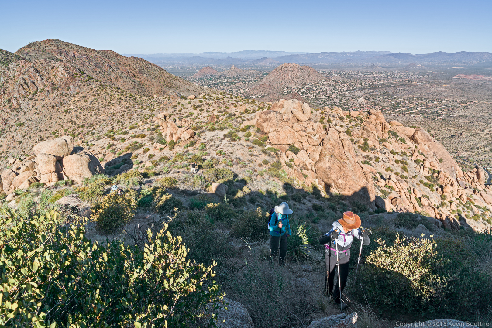
Amy, Bill, Nancy, and Linda making their way up the climber’s access trail.
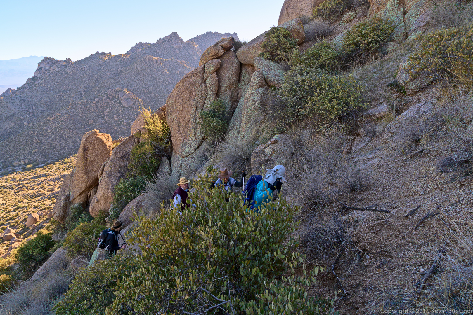
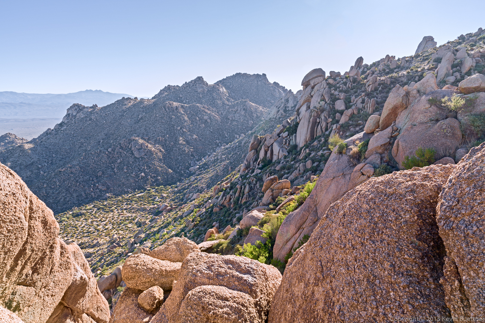
A view from one of the spur trails (leading to the Half and Half Wall):
Amy, Mike, Nancy, Linda, Bill, and Denise:
A view from the ridge. Linda tells me that the scar at upper right (extending off the edge of the photo) will be a new golf course.
Tom’s Thumb with The Rist, in front.
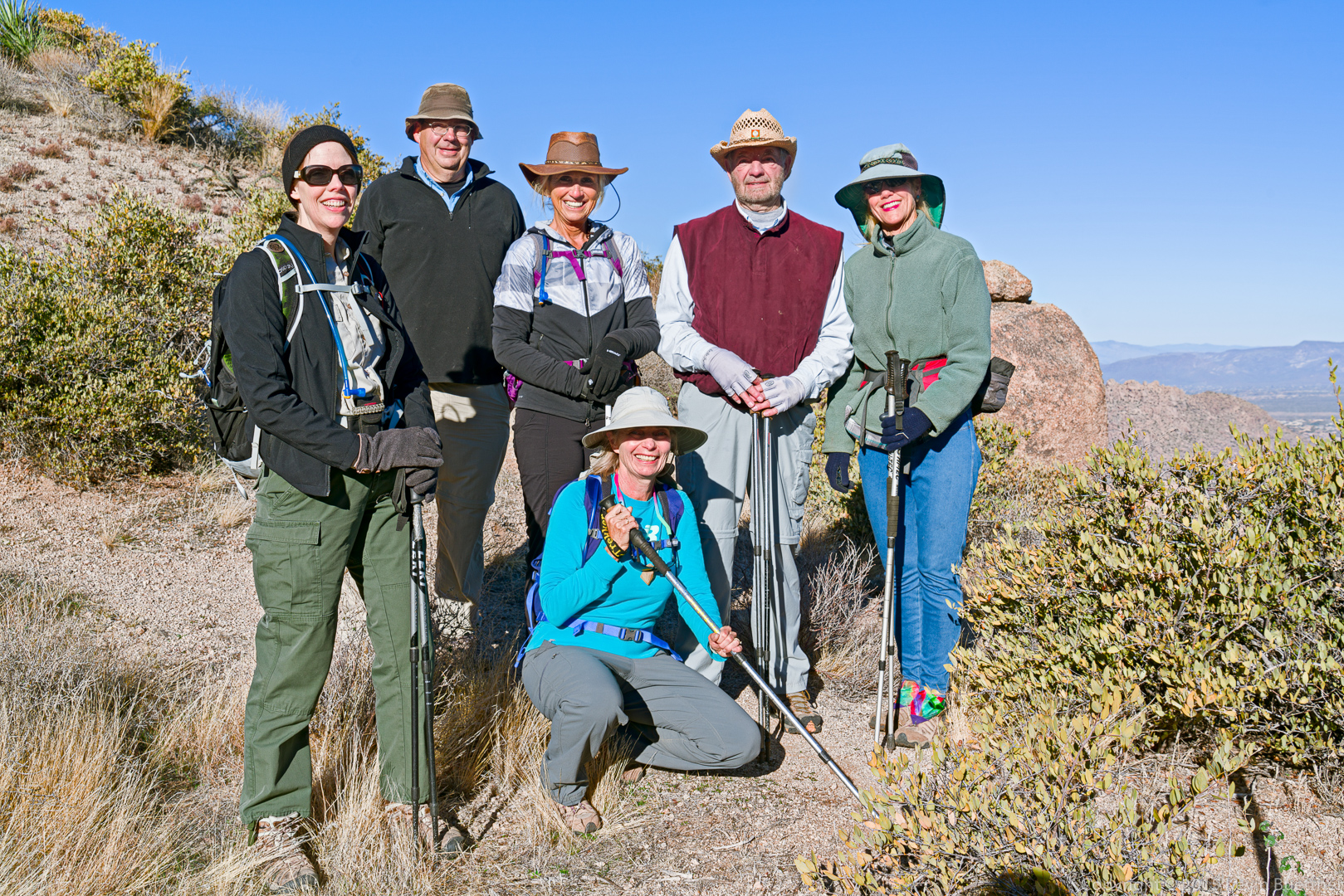
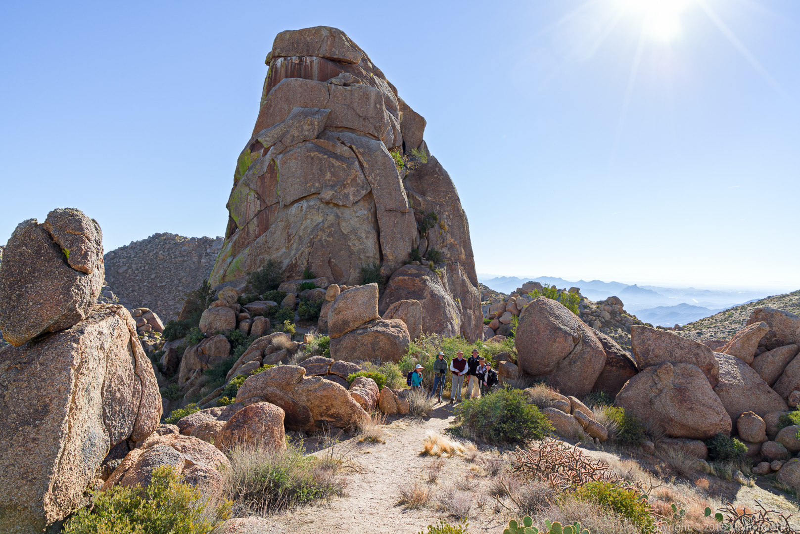
Mike, Linda, Amy, Denise, Nancy, and Bill:
A view of the northwest side of Tom’s Thumb:
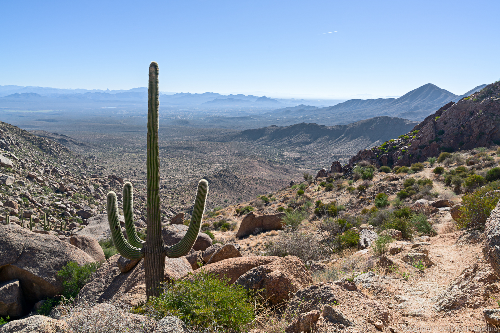
One of the views as we made our way around Tom’s Thumb:
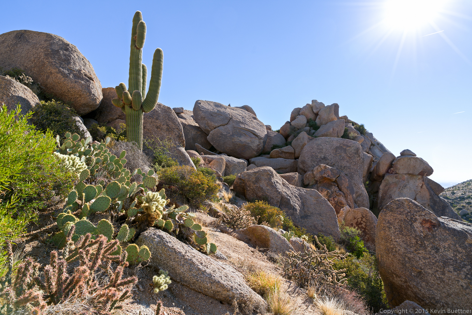
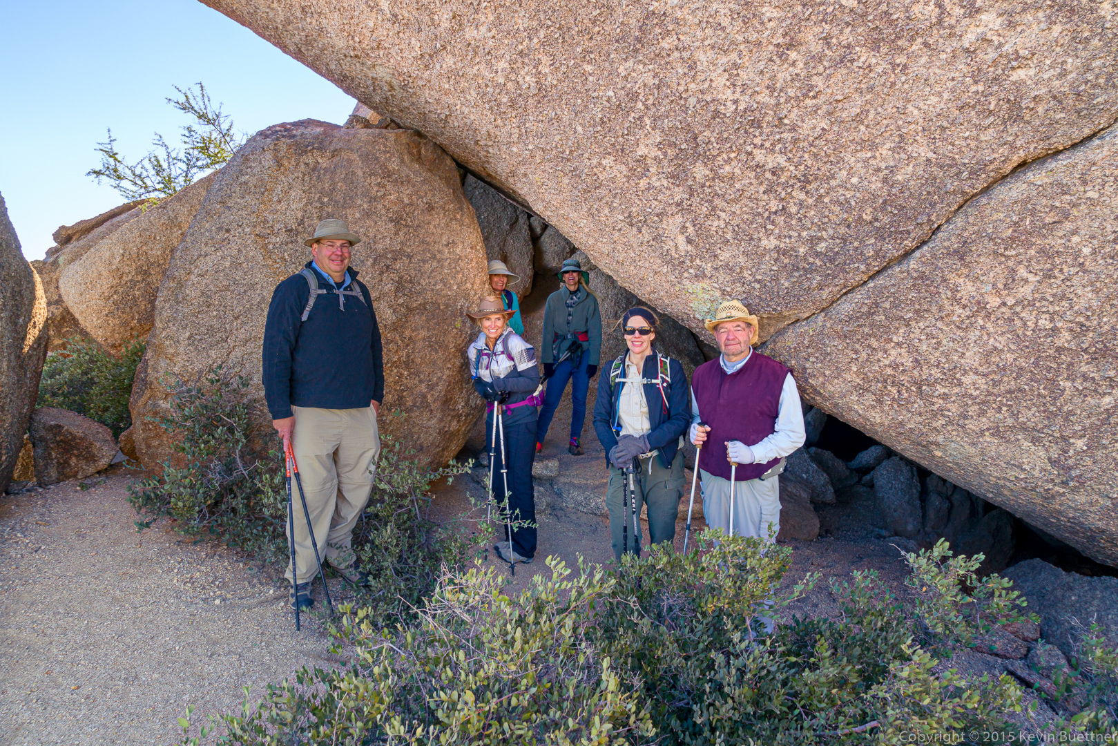
Mike, Nancy, Linda, Denise, Amy, and Bill attempt to get out of the wind. (It was quite chilly after we made our way around Tom’s Thumb and regained the ridge.)
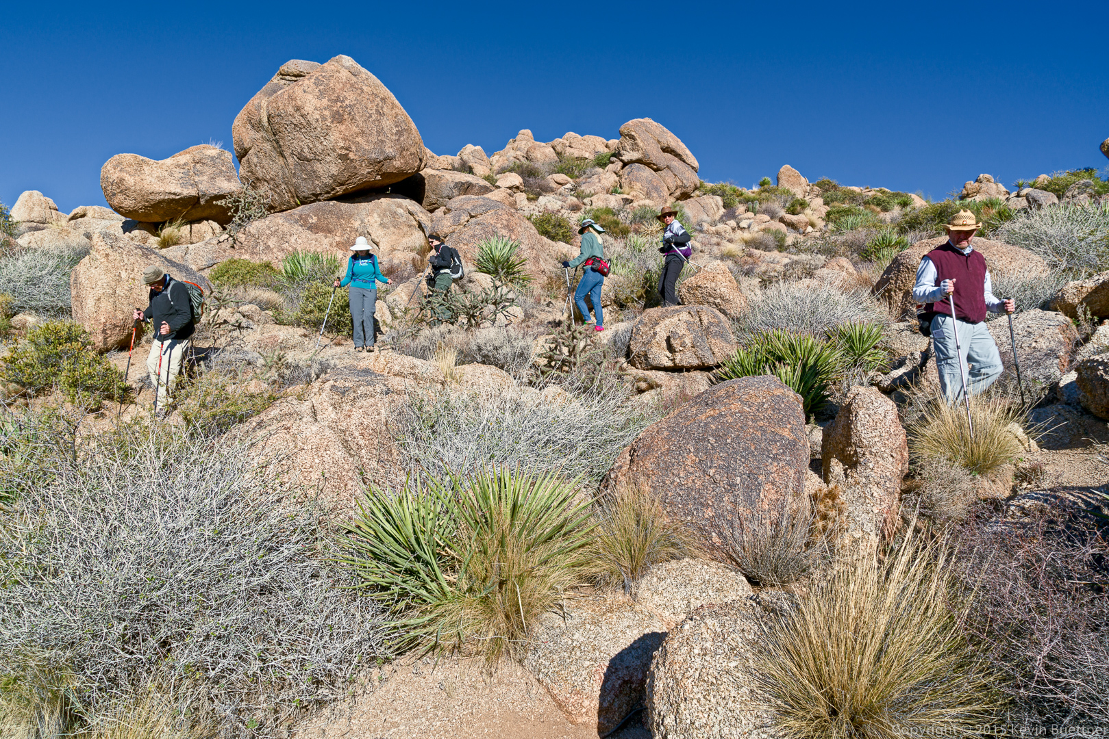
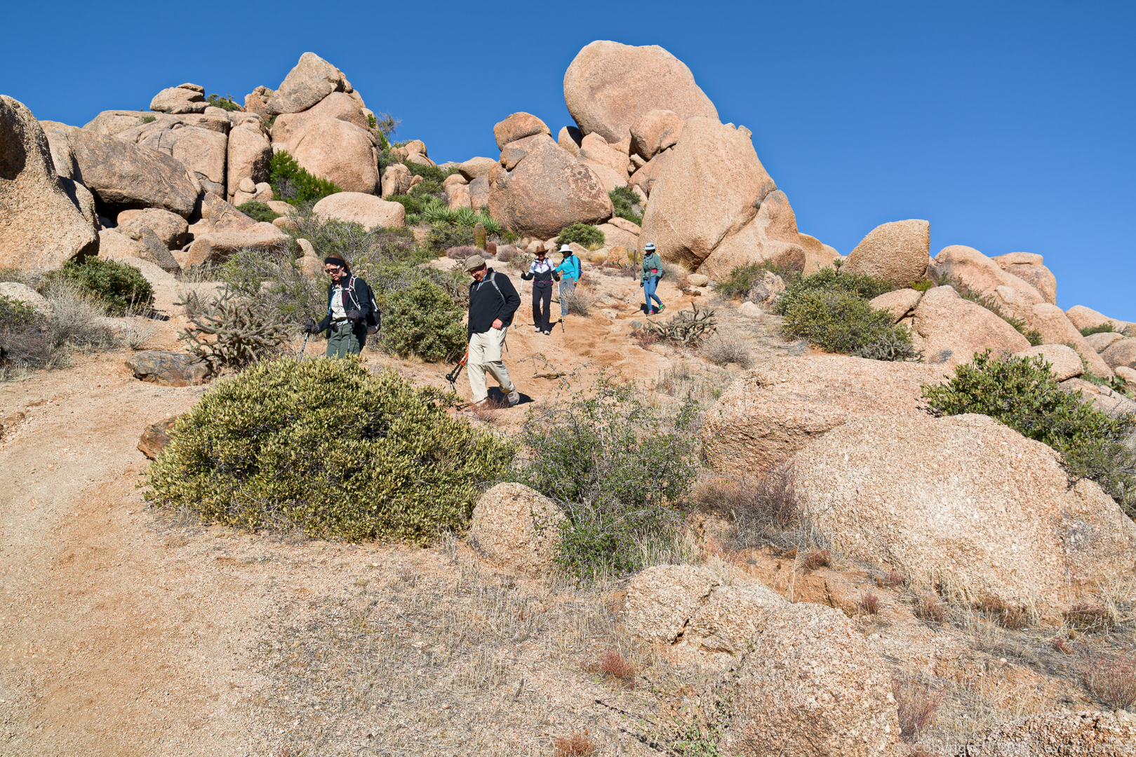
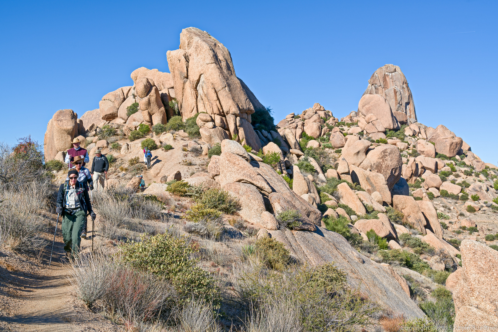
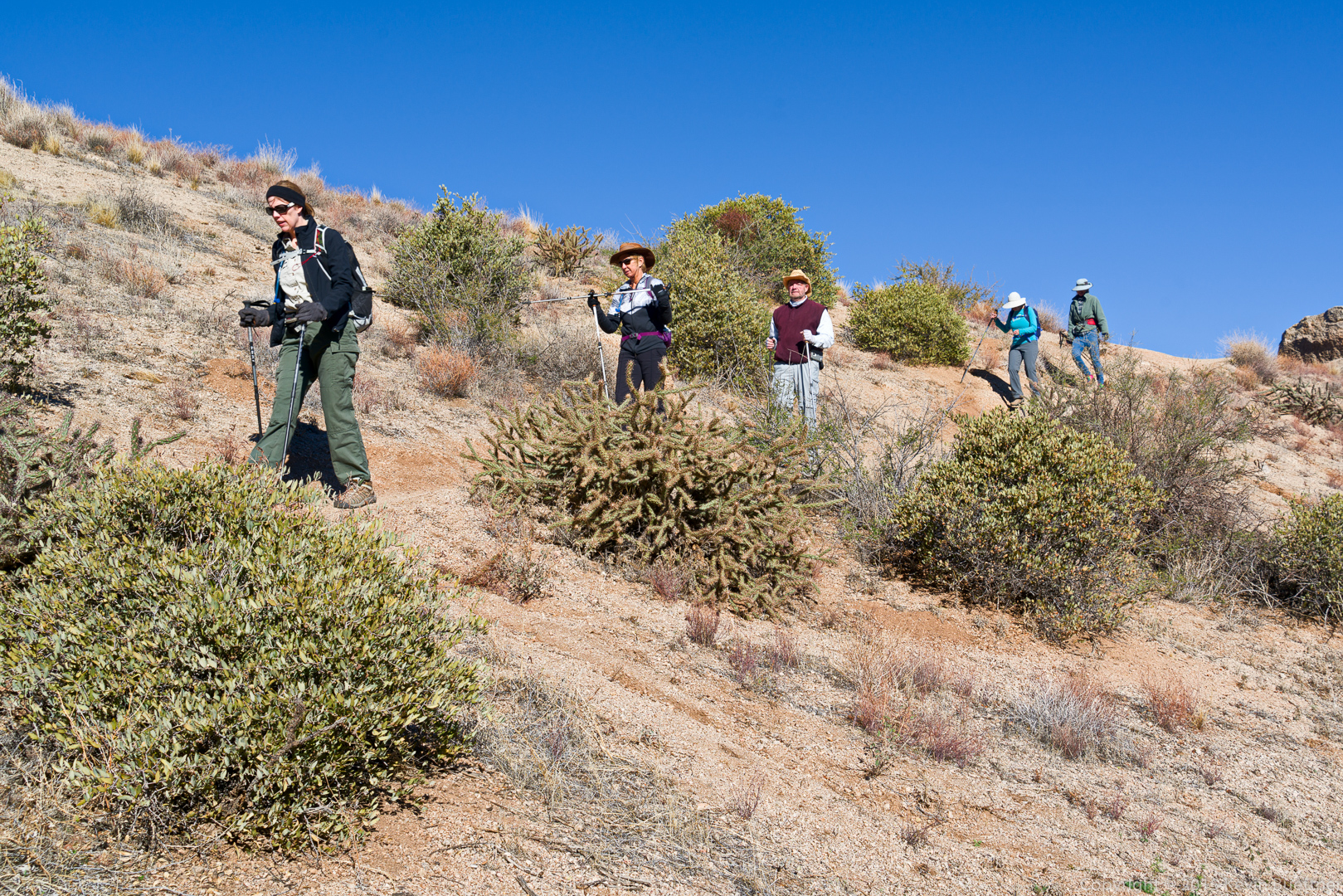
Descending the climber’s access trail leading from Tom’s Thumb to the (main) Tom’s Thumb Trail…
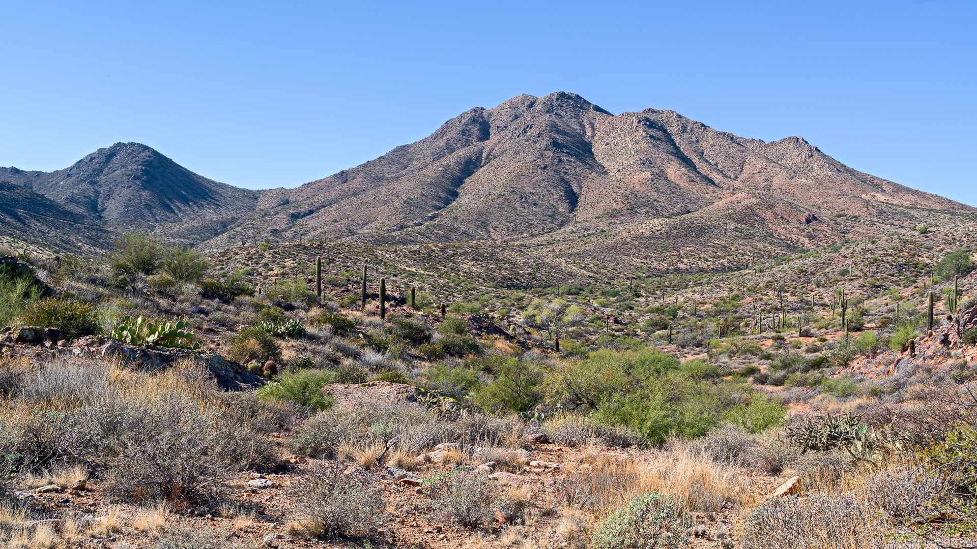
Views from the intersection of the Tom’s Thumb and East End trails:
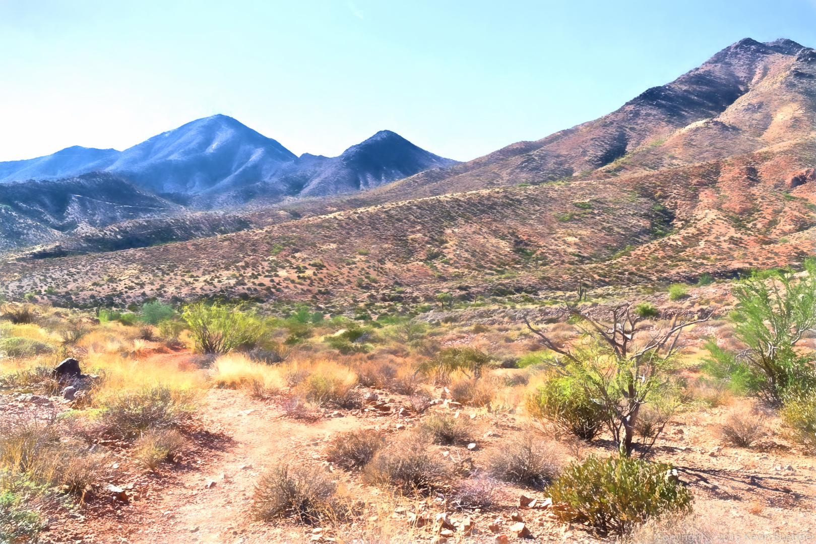
Topaz Impression version of…
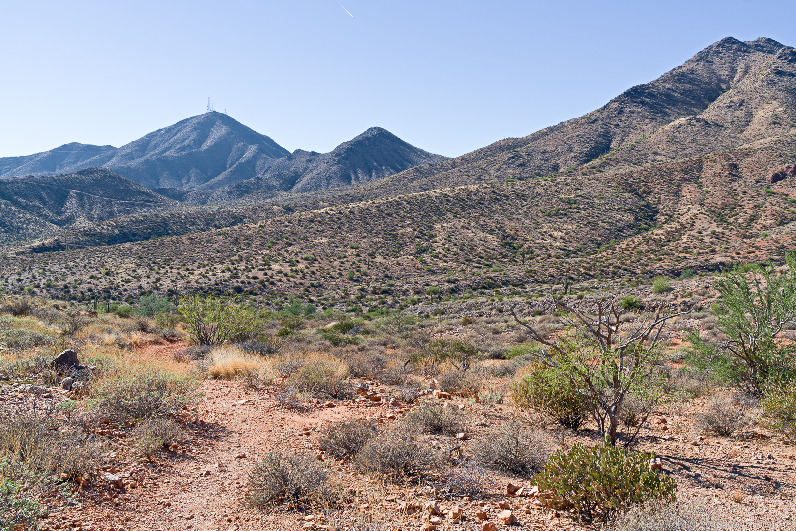
…this photo of Thompson Peak:
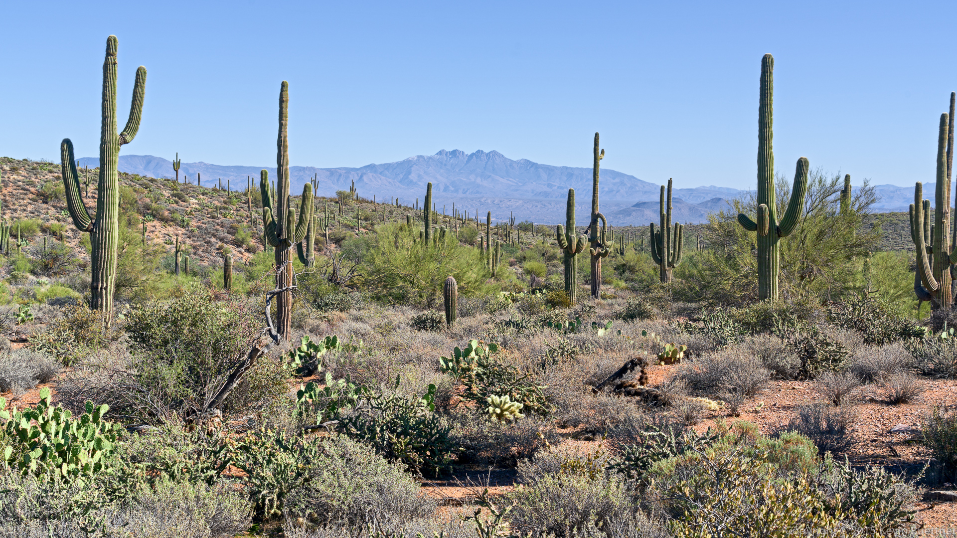
Four Peaks as seen from the Windmill Trail:
A view of the large cottonwood tree near the windmill (on the Windmill Trail). The windmill can be seen in this photo, but you need to know where to look. (That’s often the case when you’re actually there too.)
I think we were near the bottom of the Coachwhip Trail (on our way to the Dixie Mine Trail) when I took this shot:
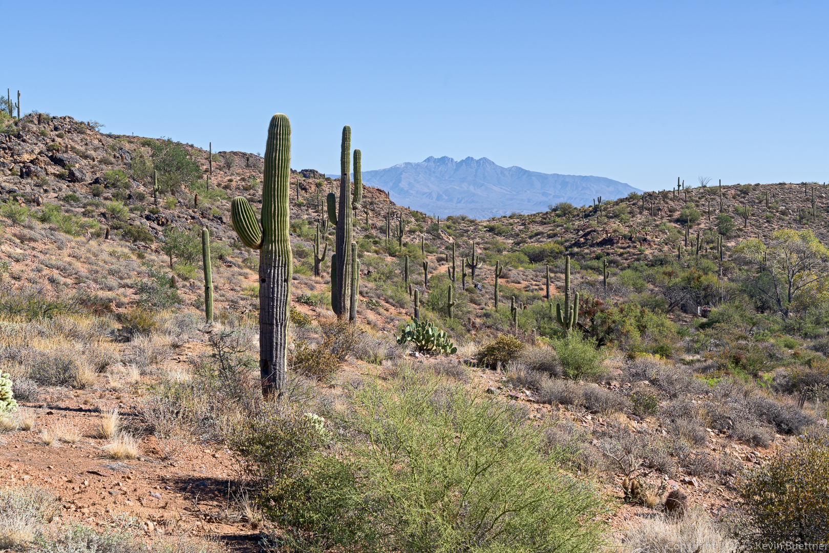
Four Peaks as seen from the Coachwhip Trail:
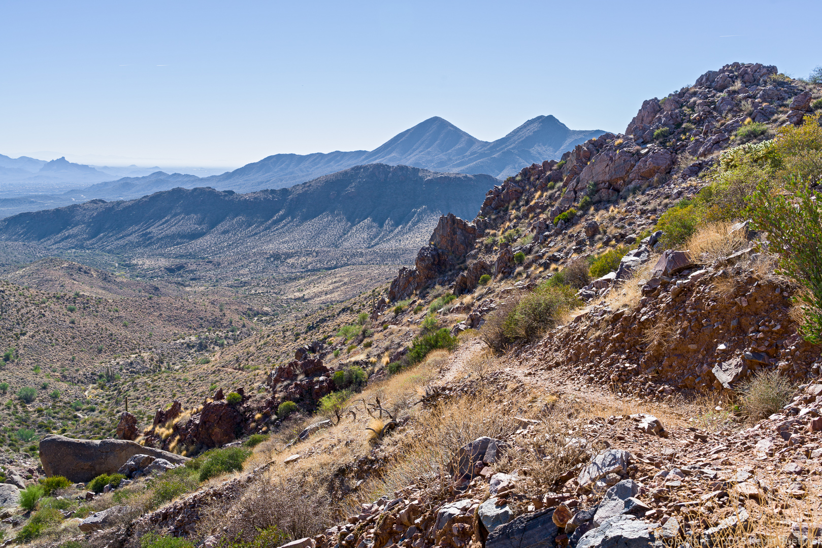
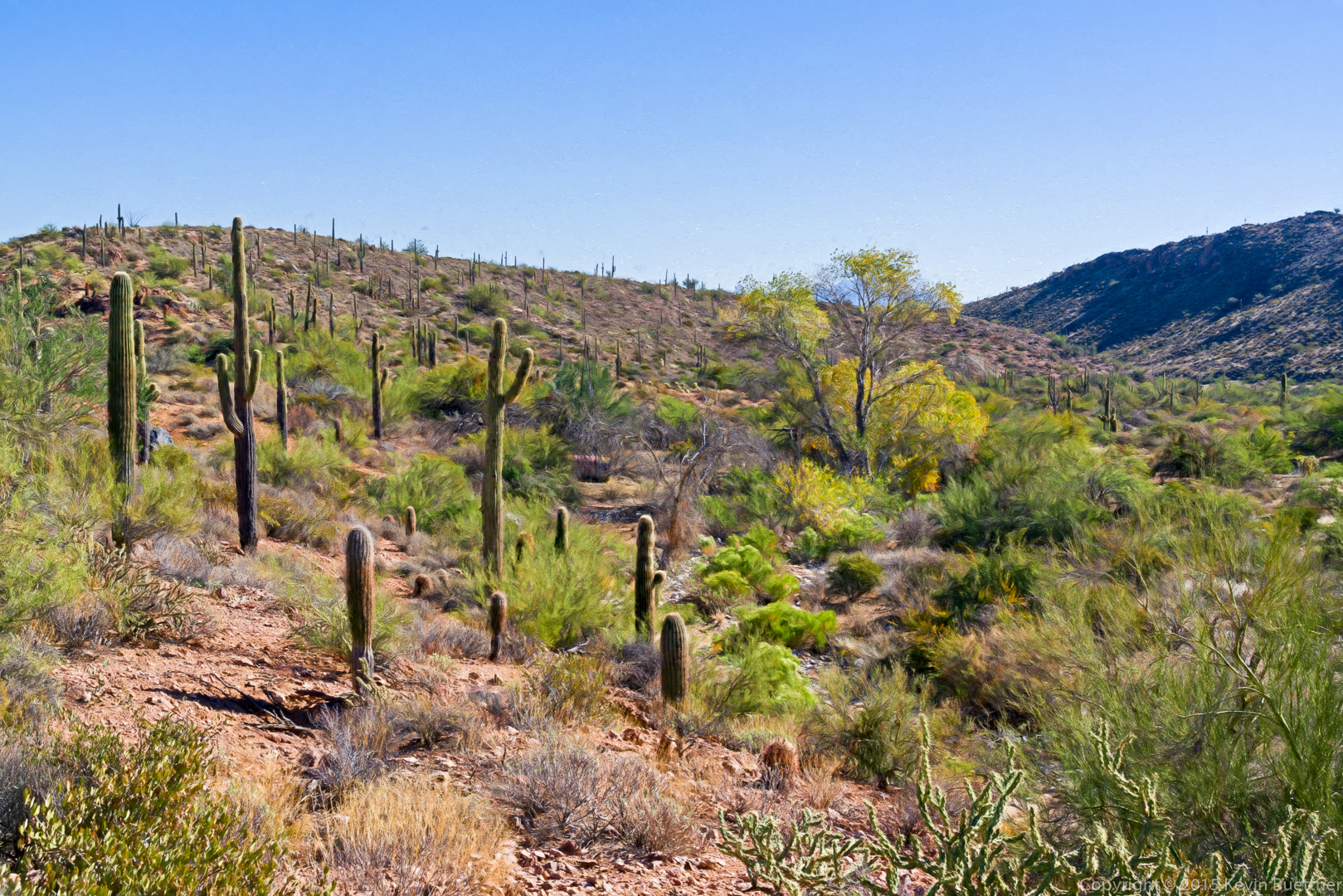
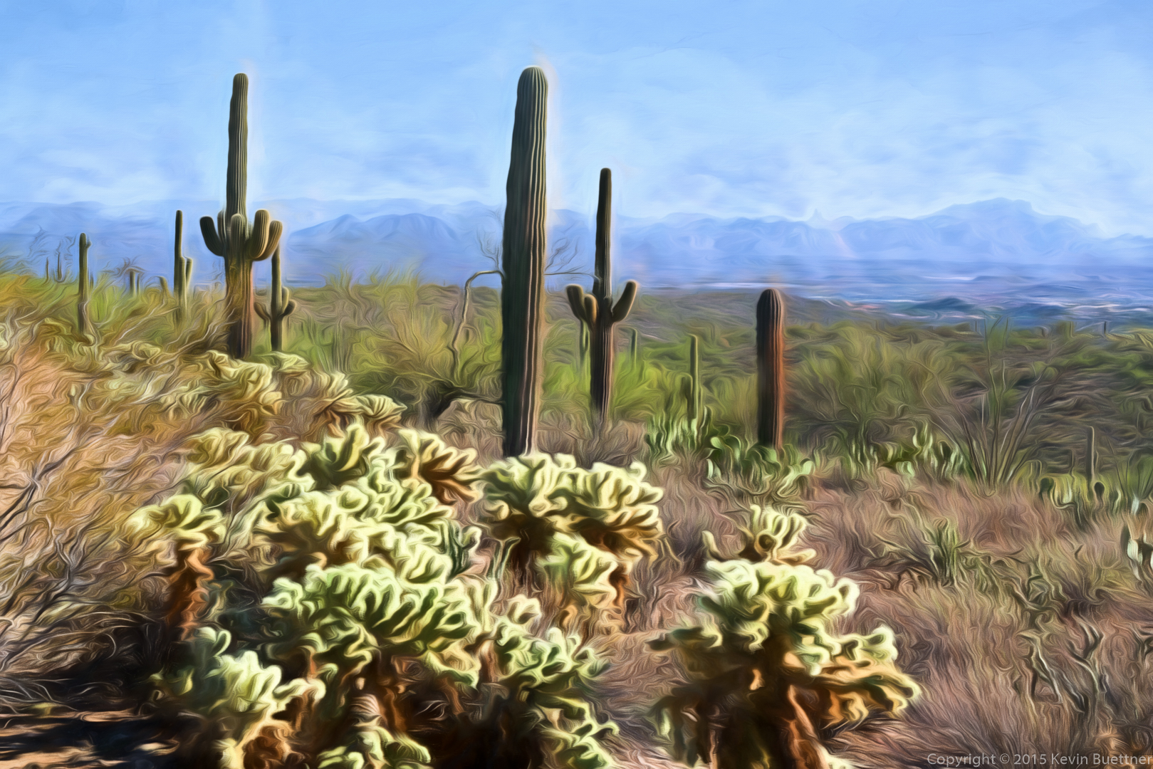
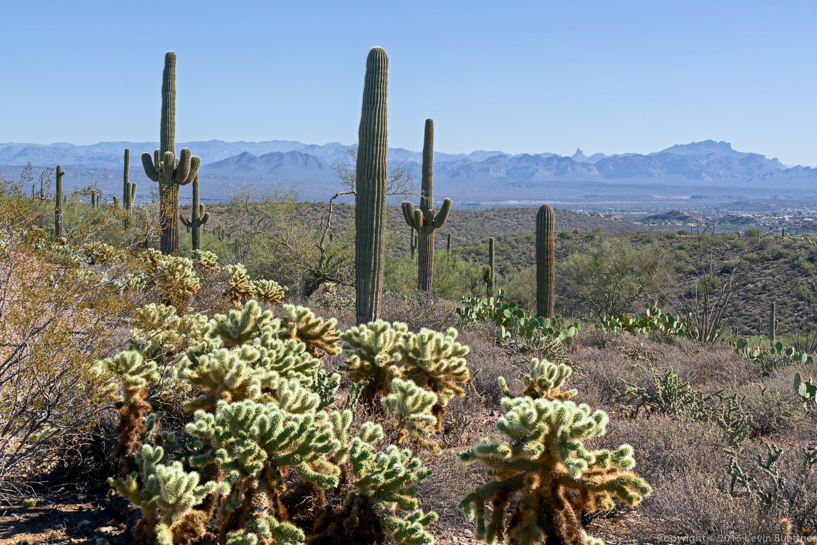
A view from the Dixie Mine Trail:
This is the photo on which the above version made by Topaz Impression was based. Part of Fountain Hills can be seen to the at the right. Weaver’s Needle and the Flatiron are both visible in this photo.
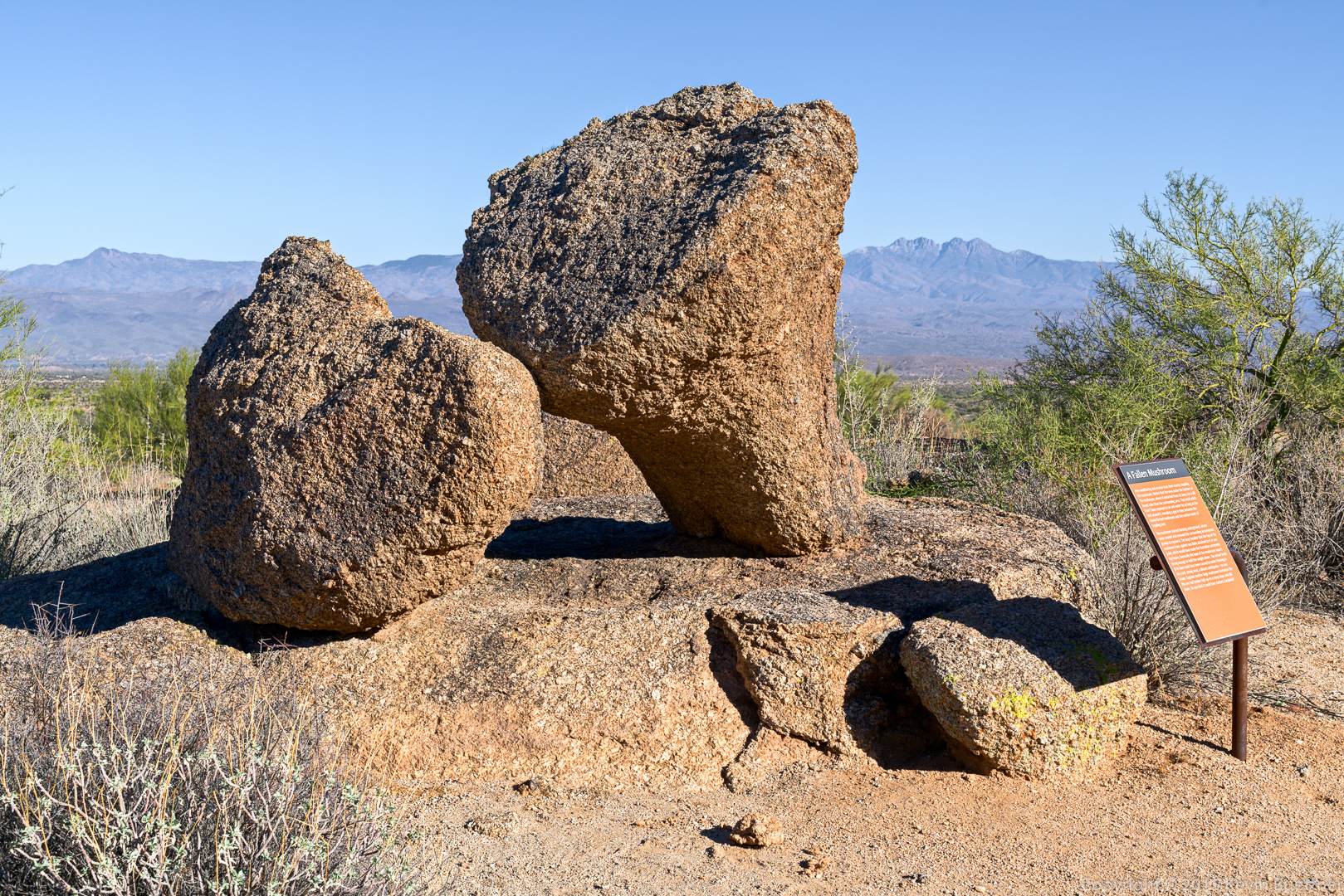
This is a photo of the Fallen Mushroom. I attempted to remove the sign via use of the clone tool; I ended up with something that looked pretty good to me when I noticed that the shadow still remained. I ended up leaving the sign in the photo. I wish that those who had installed that sign would have placed it a bit further away.
A view of two of the Sven Towers from the Marcus Landslide Trail:
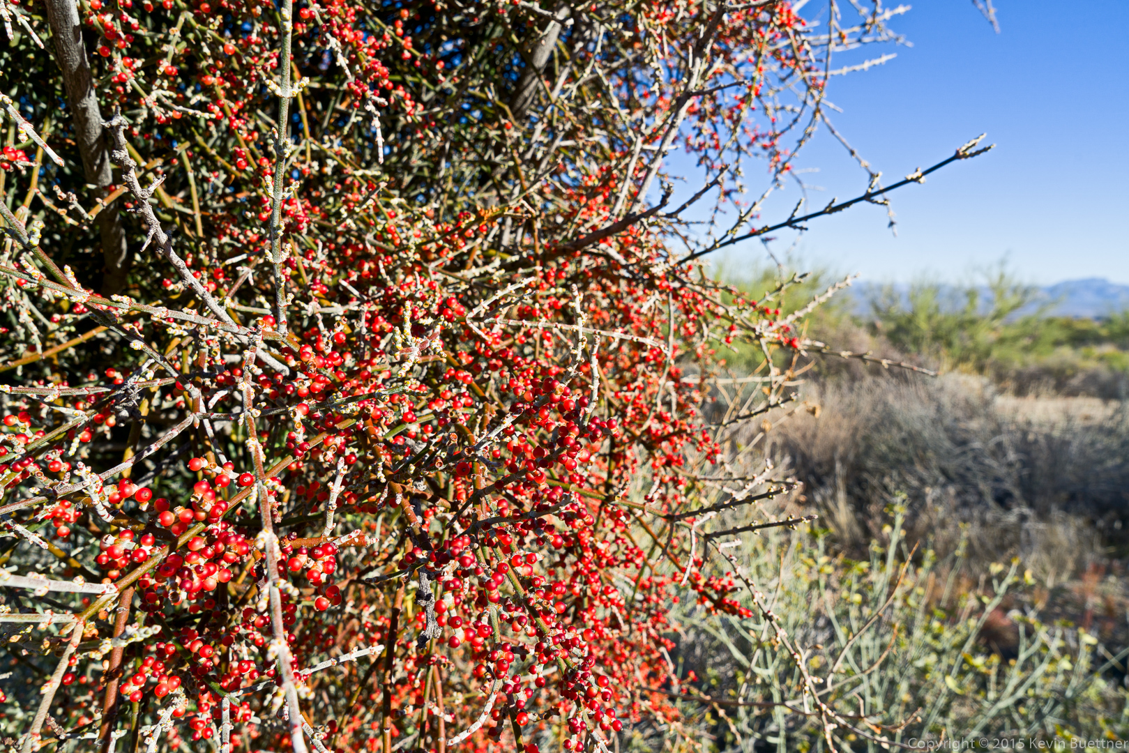
Desert Mistletoe:
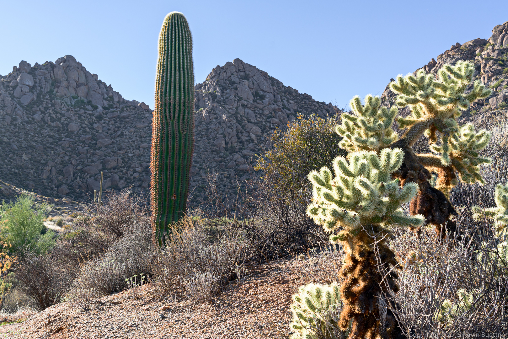
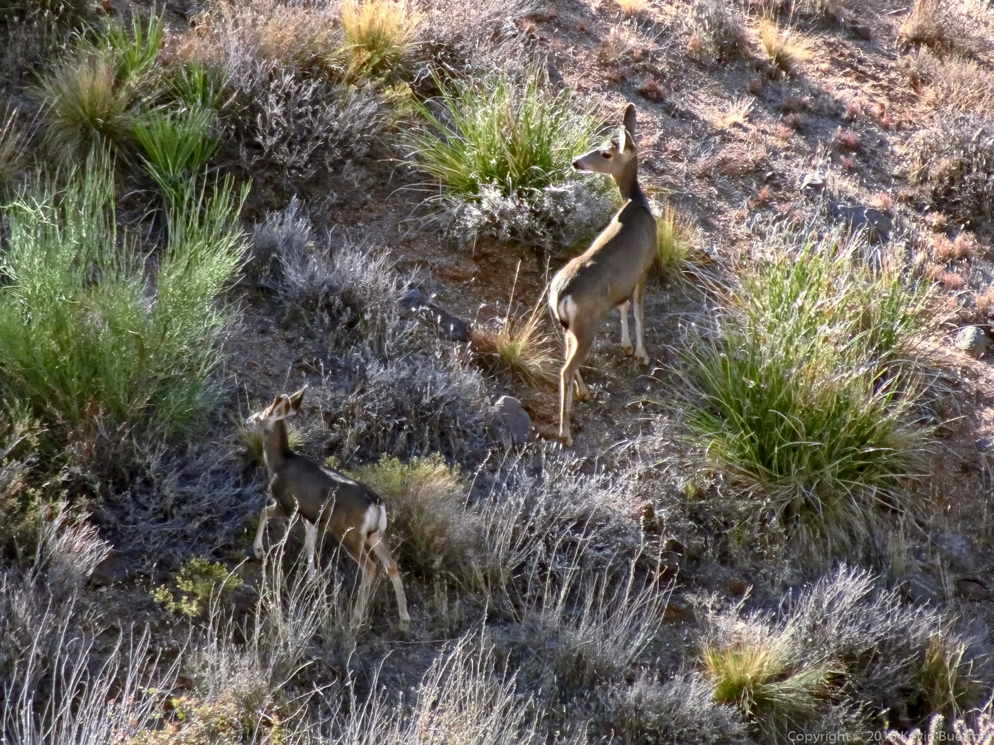
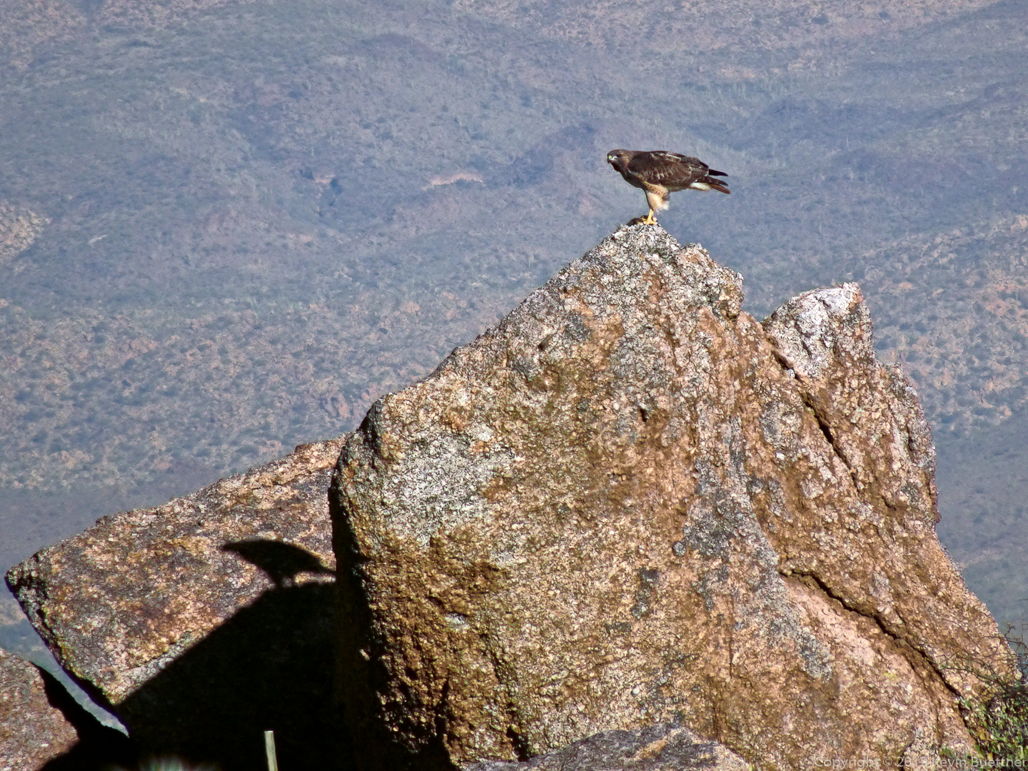
These next two shots were taken with a different camera, a Sony HX90V:
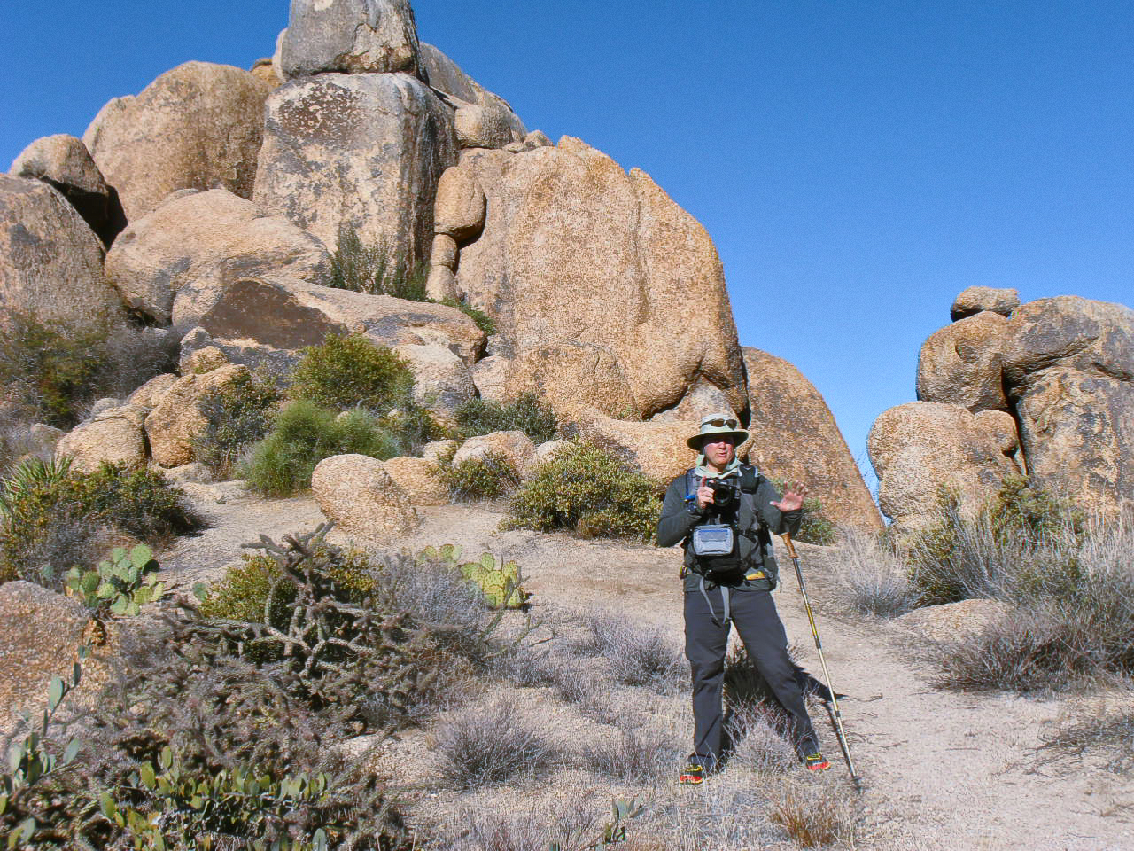
Amy sent me this photo of me setting up a group shot on the northwest side of Tom’s Thumb:
Linda says:
Lots of great photos! I do like the one of Four Peaks, Weaver’s Needle & Flatiron that was done with Topaz……really looks like a beautiful painting! I think Monet is “rolling over!” lol Thank you for a great hike and have a very Merry Christmas!
December 24, 2015 — 6:25 am
Sue says:
A great collection!! I agree w/Linda’s comment re: Topaz effect:) Have a wonderful holiday time, and thank you for great pictures throughout the year! You emphasize why we love AZ.!!!
December 24, 2015 — 8:35 am
Denise says:
I sure enjoyed the route we took to reach Tom’s Thumb. Thank you for always providing such wonderful photos for us to look forward to viewing. Merry Christmas!
December 24, 2015 — 9:25 am
Rich says:
we sure do live in a beautiful art of the world!
December 28, 2015 — 4:15 pm