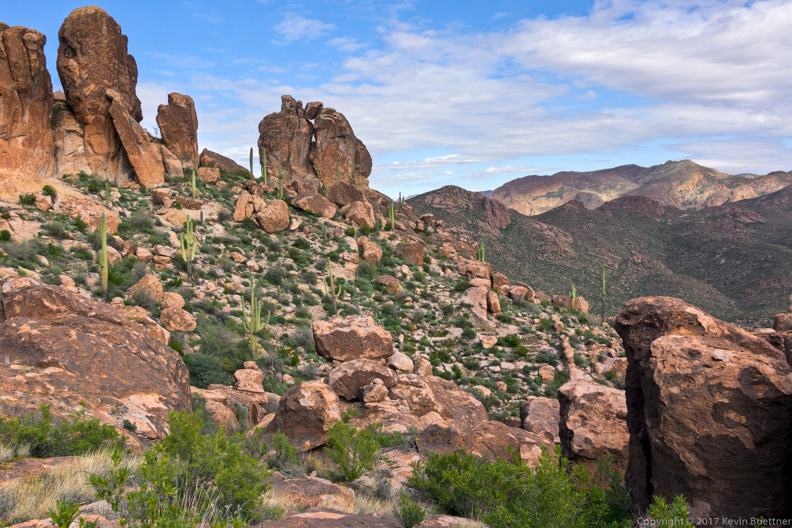
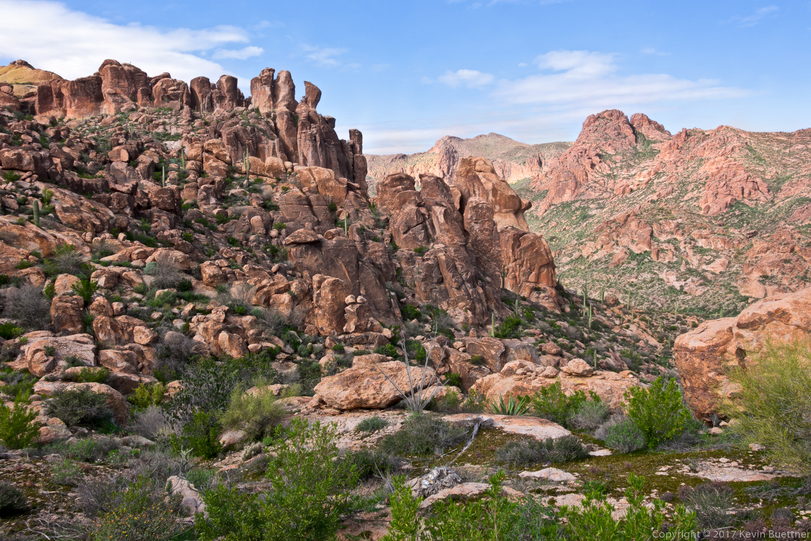
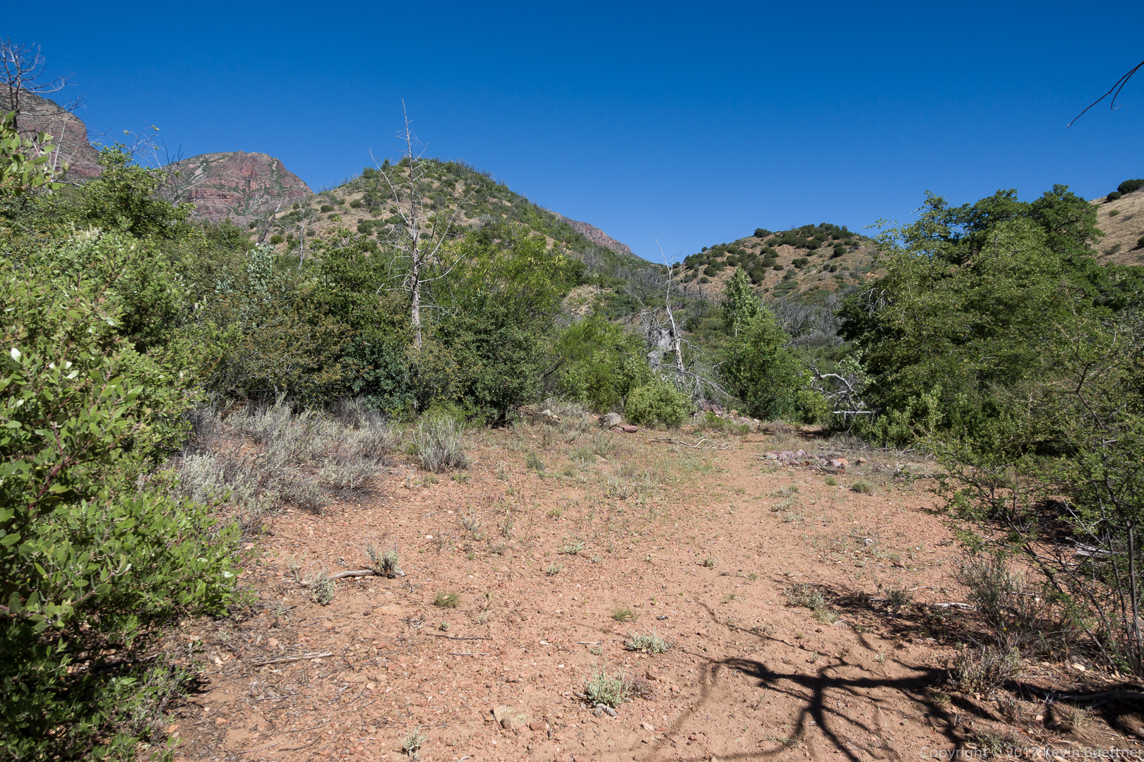
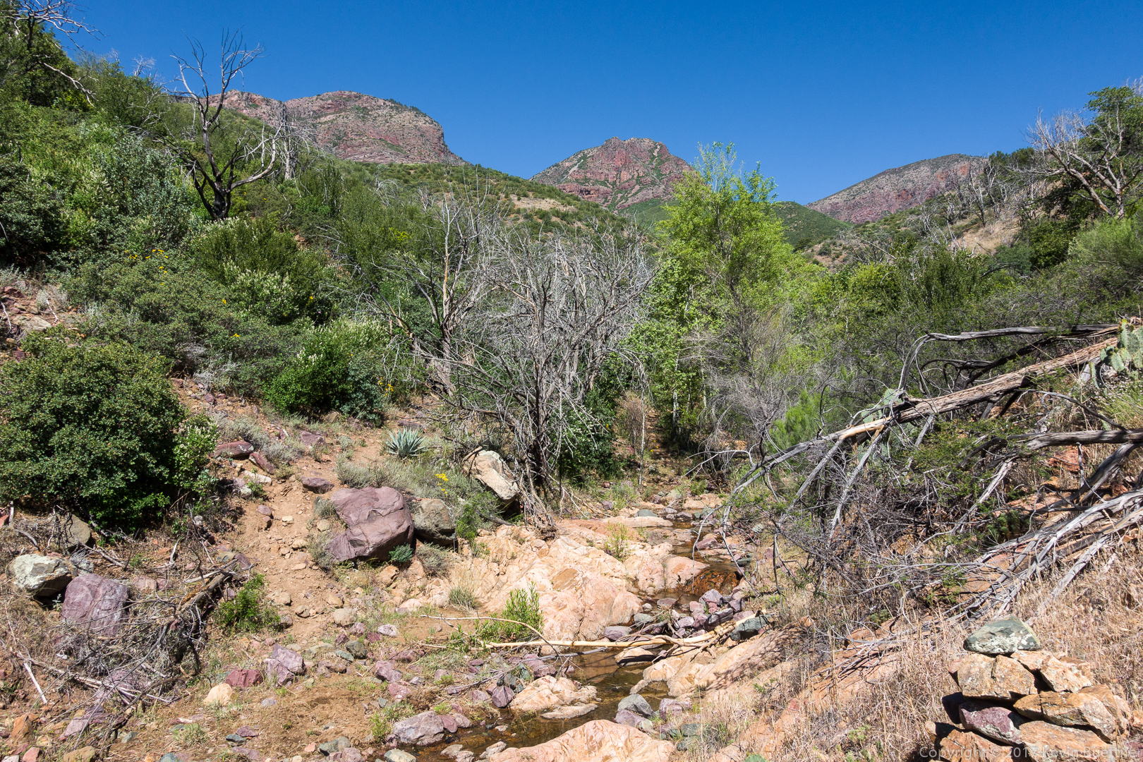
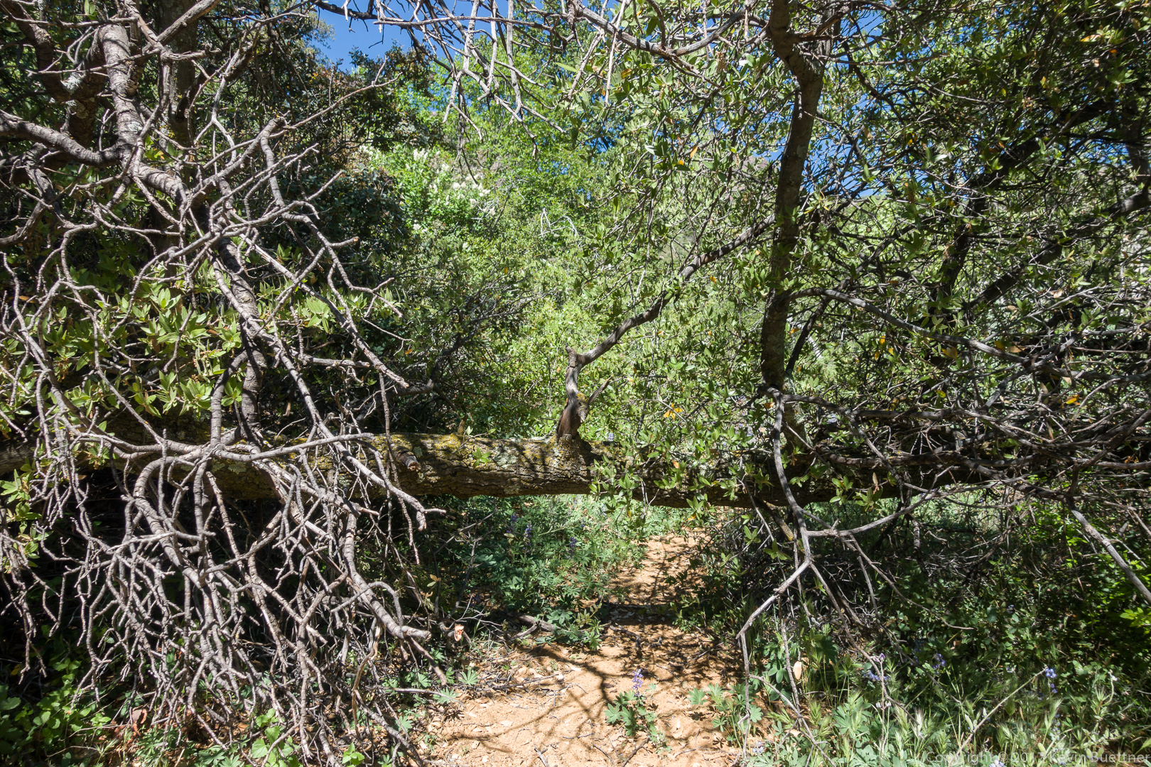
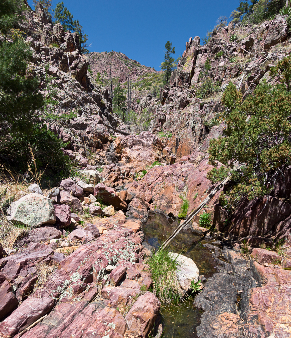
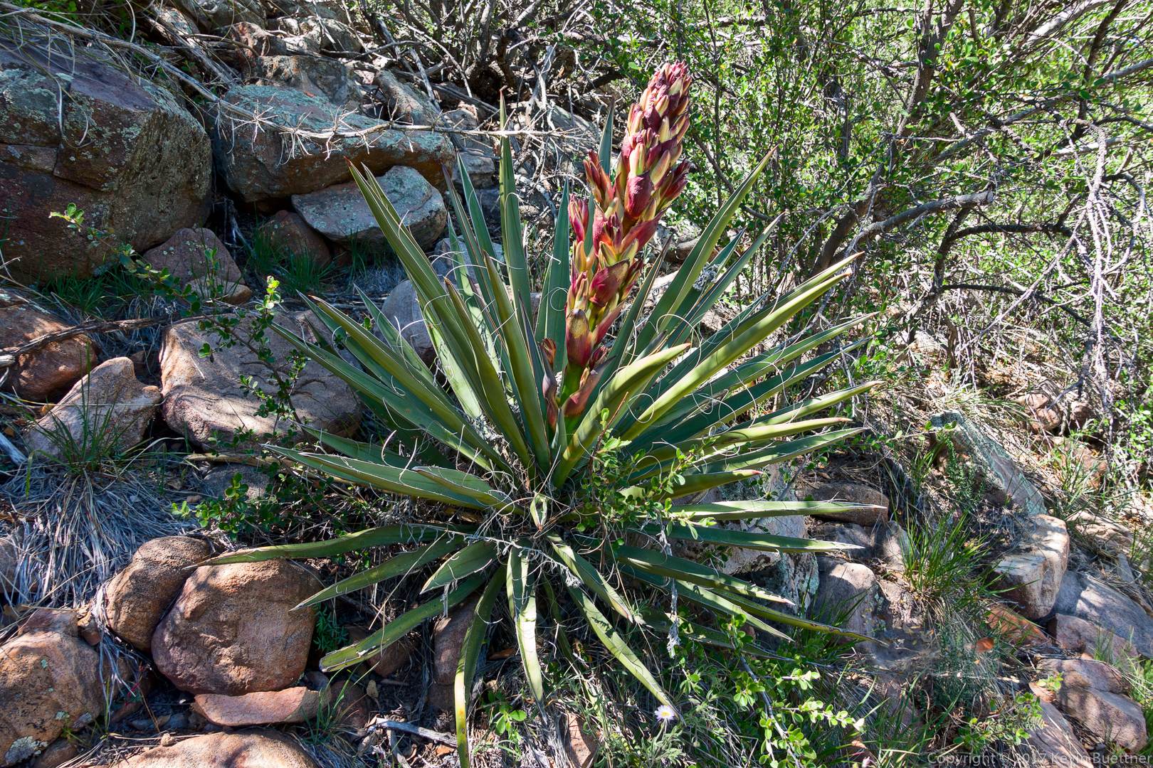
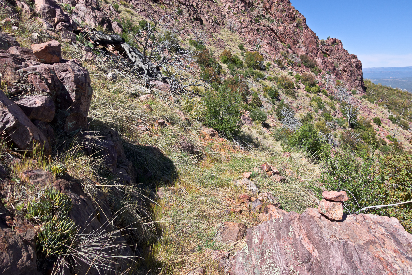
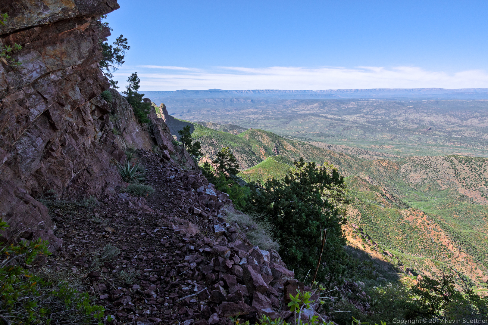
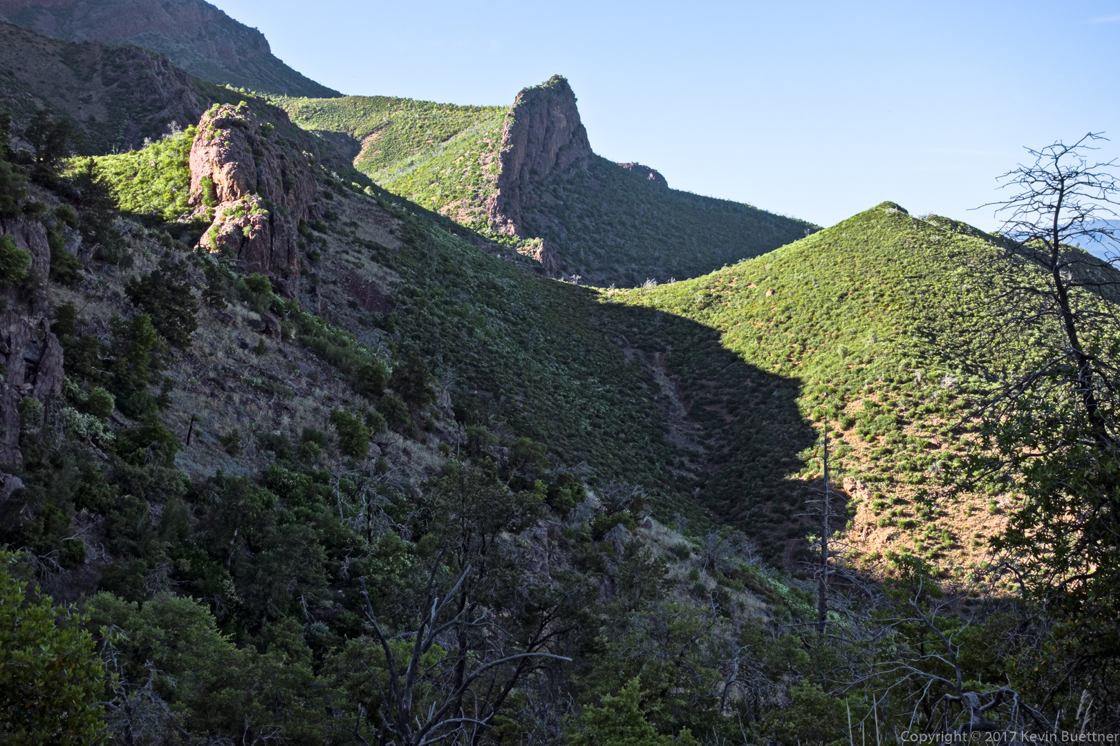
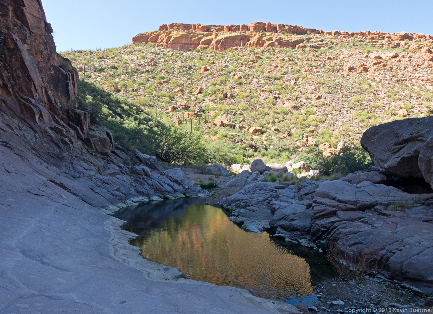
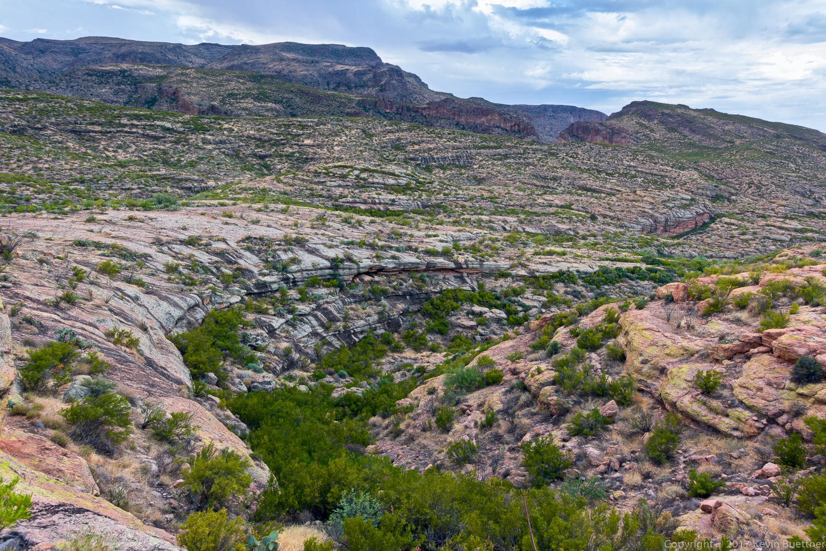
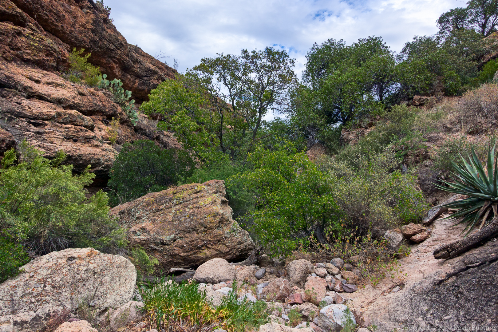
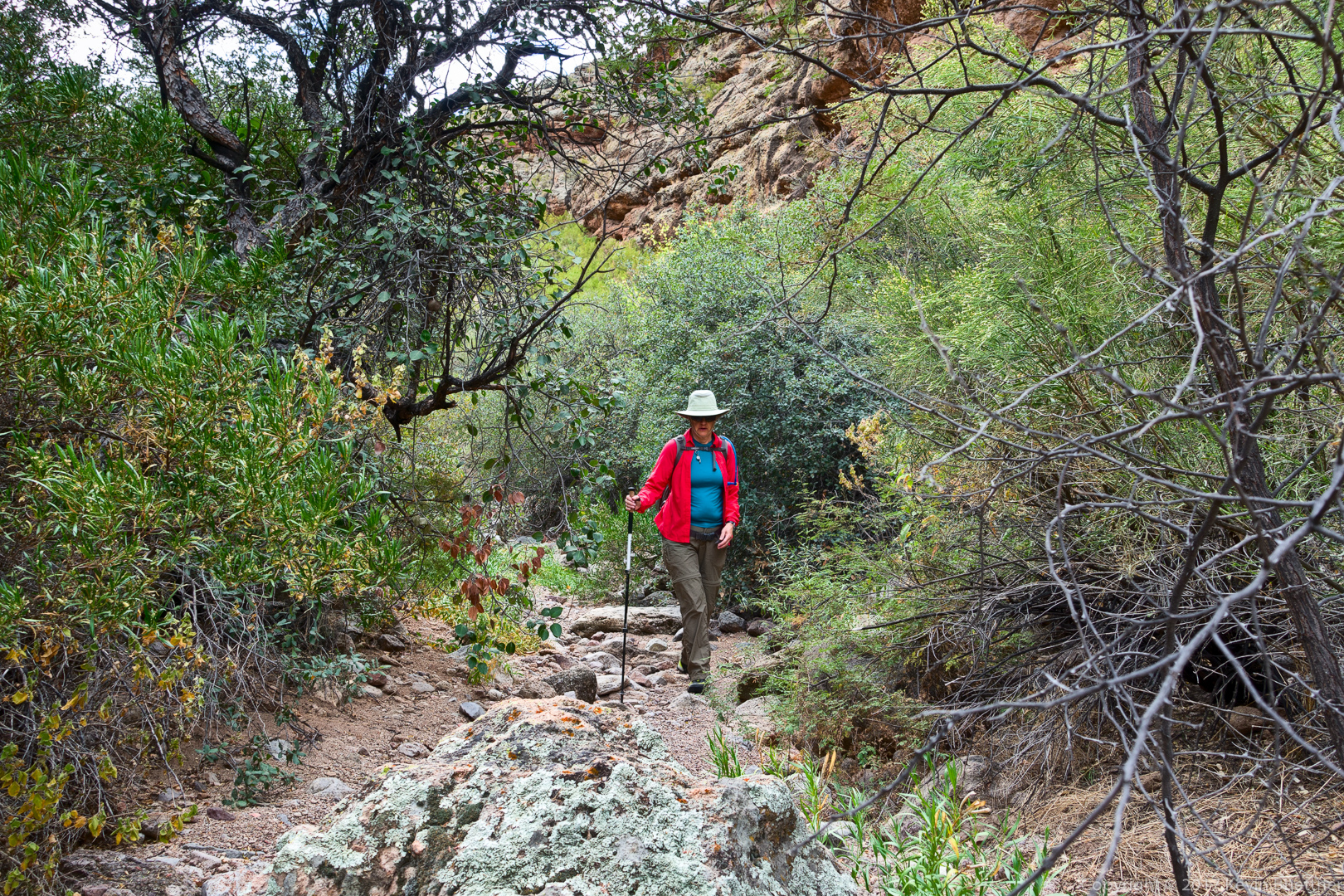
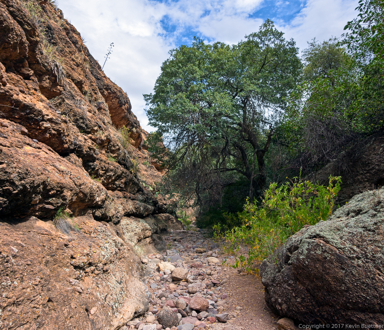
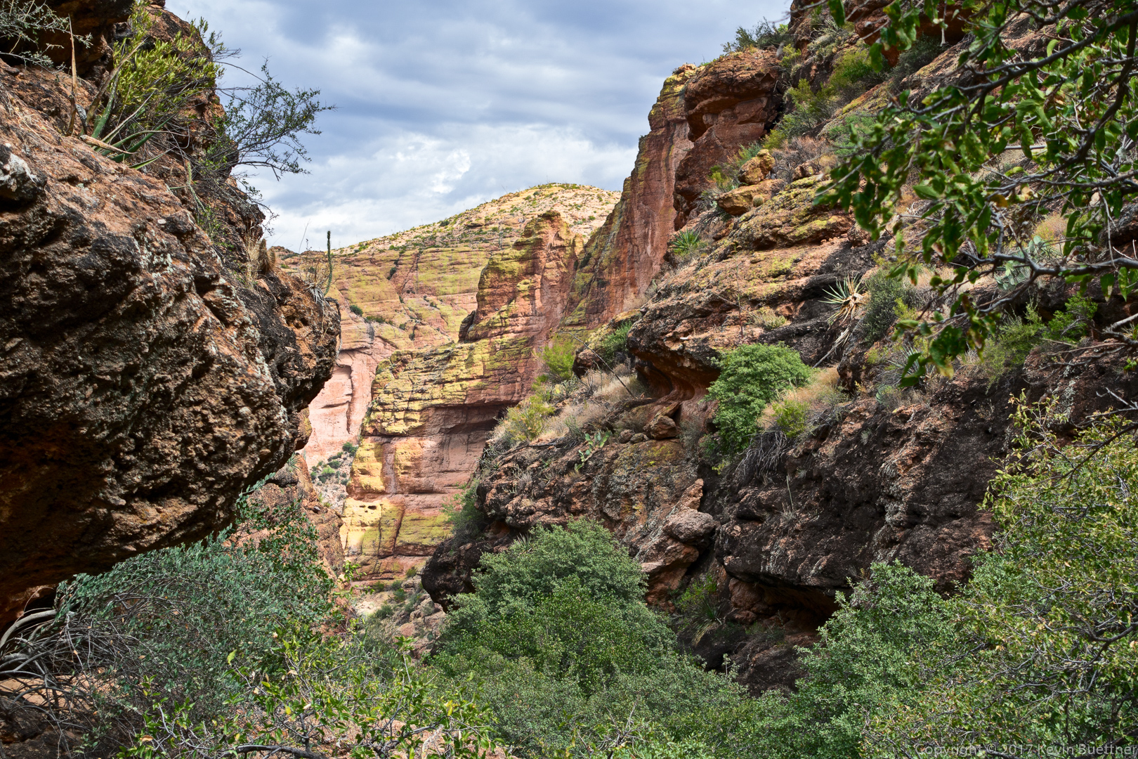
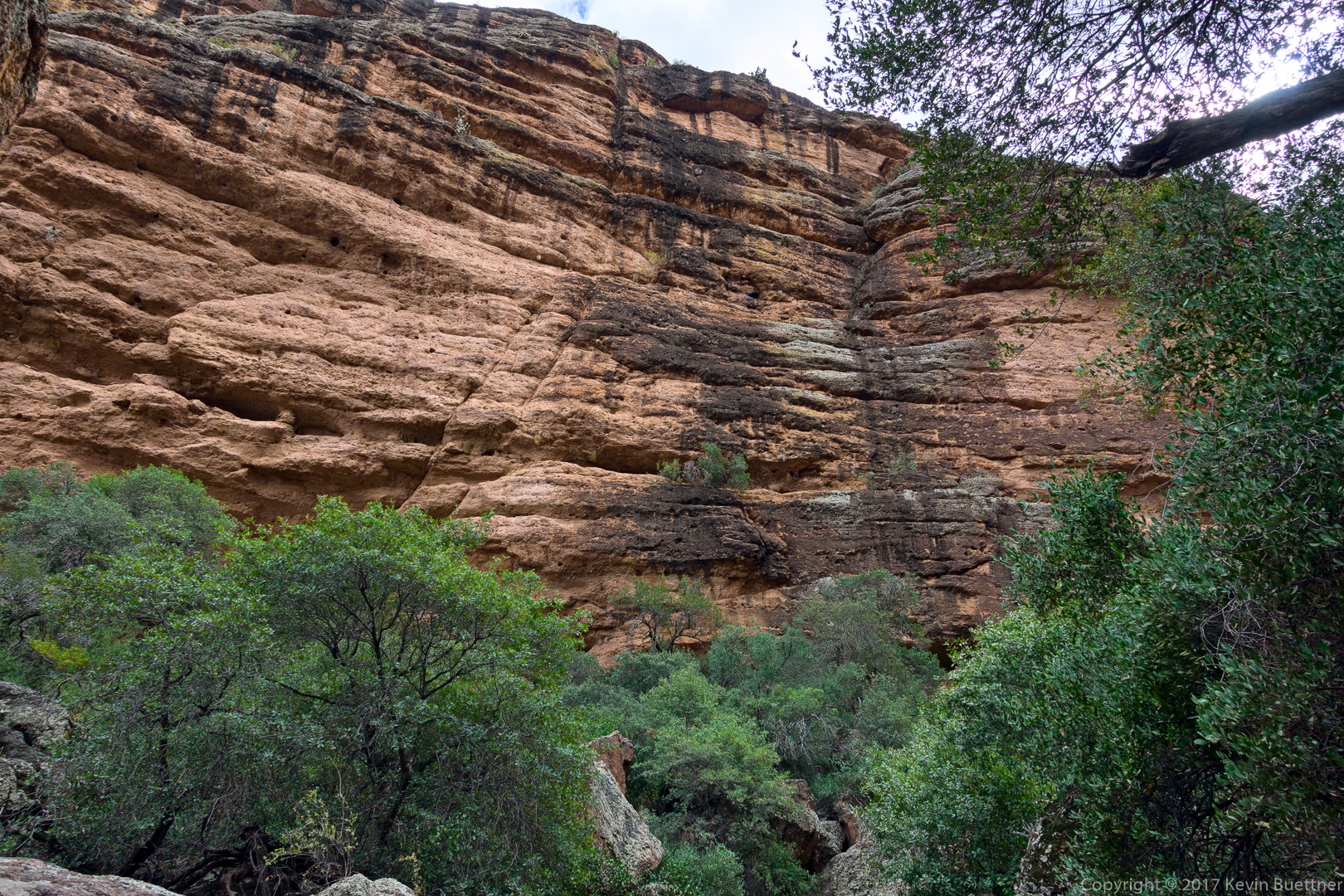
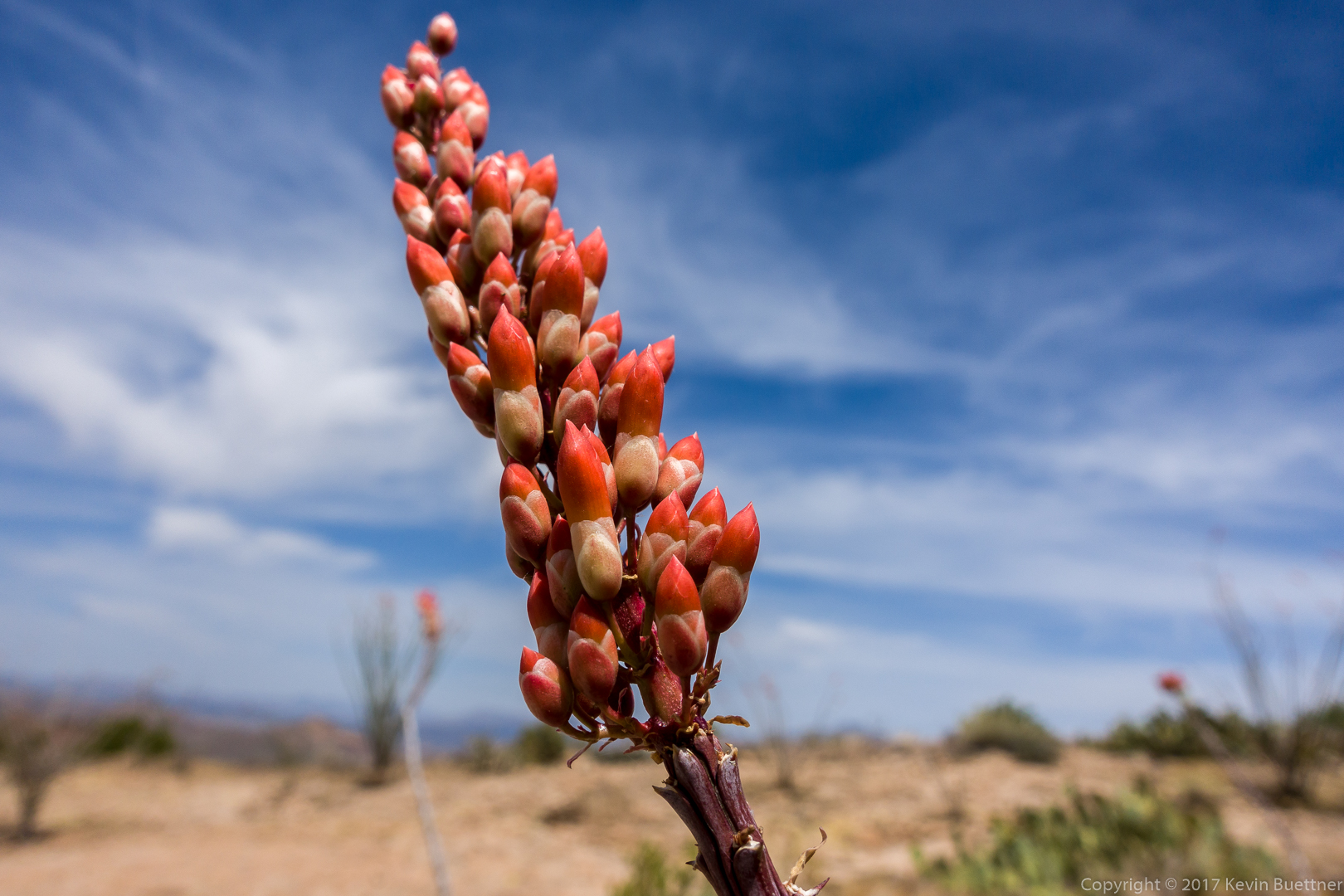
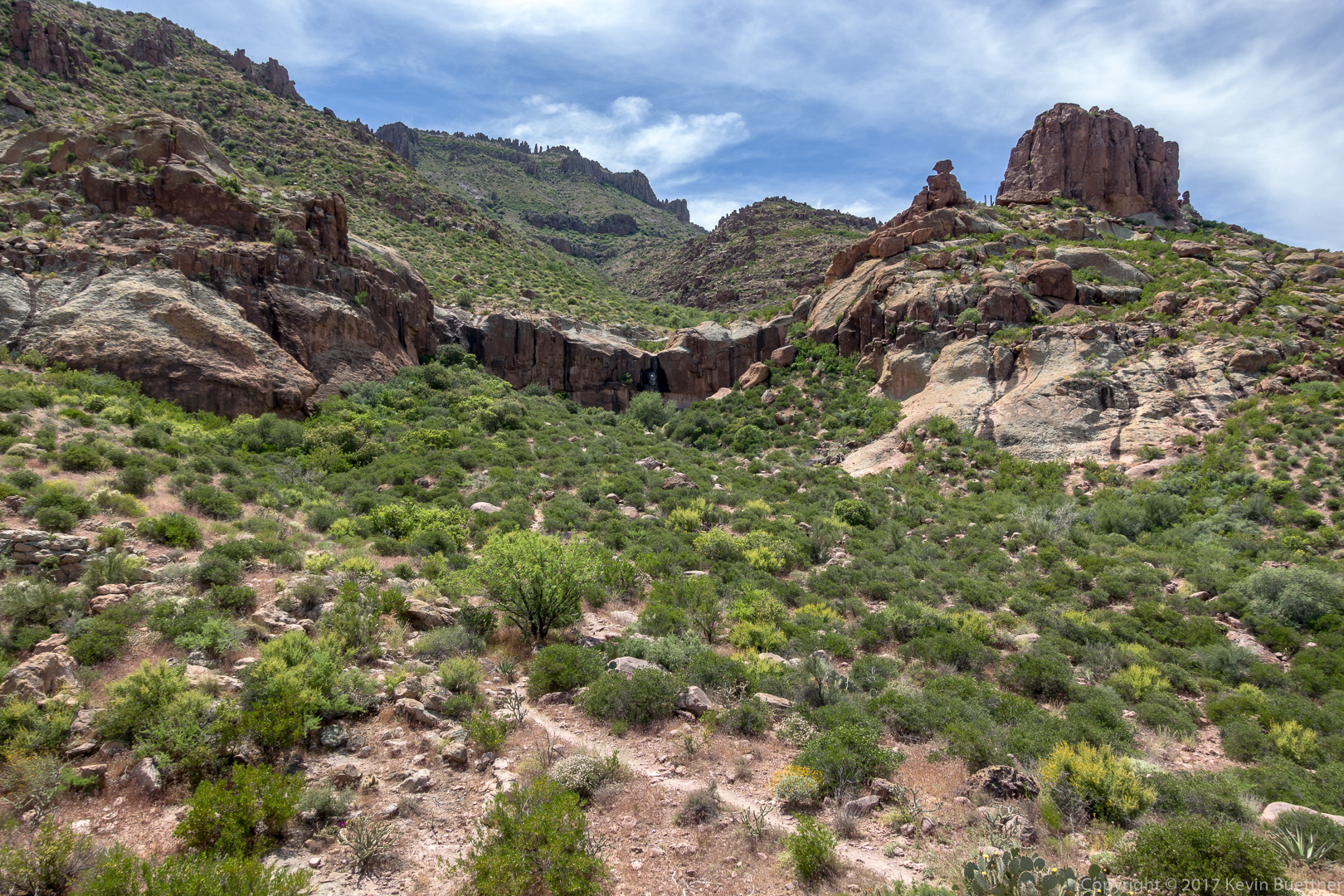
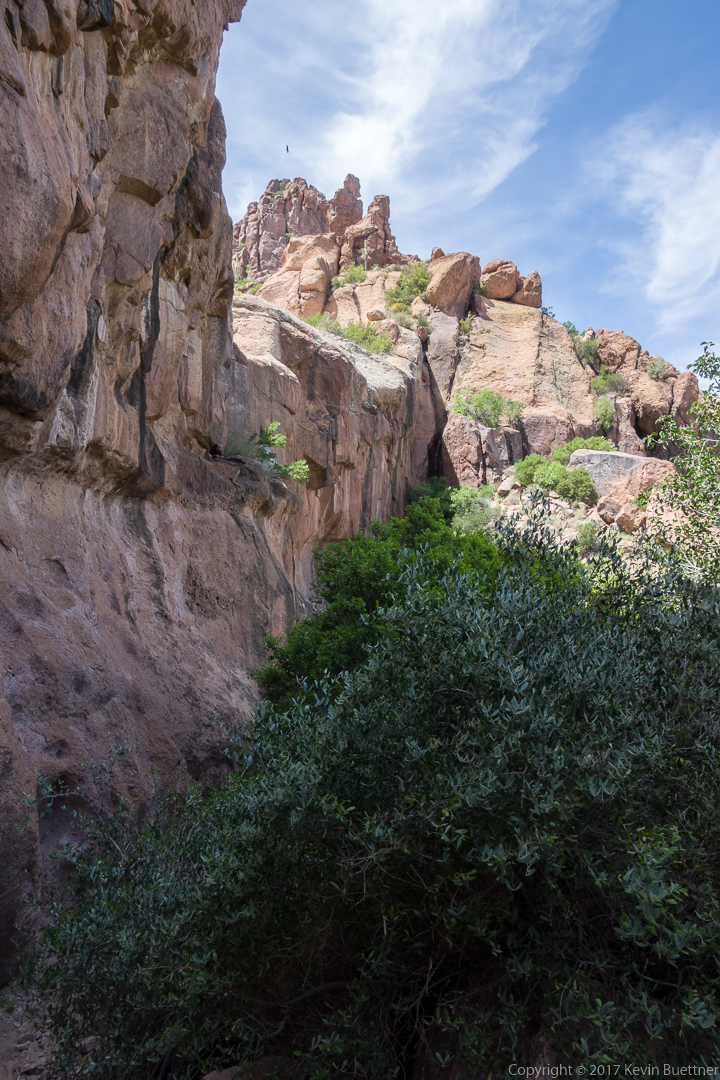
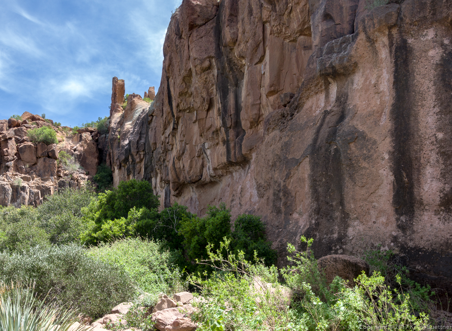
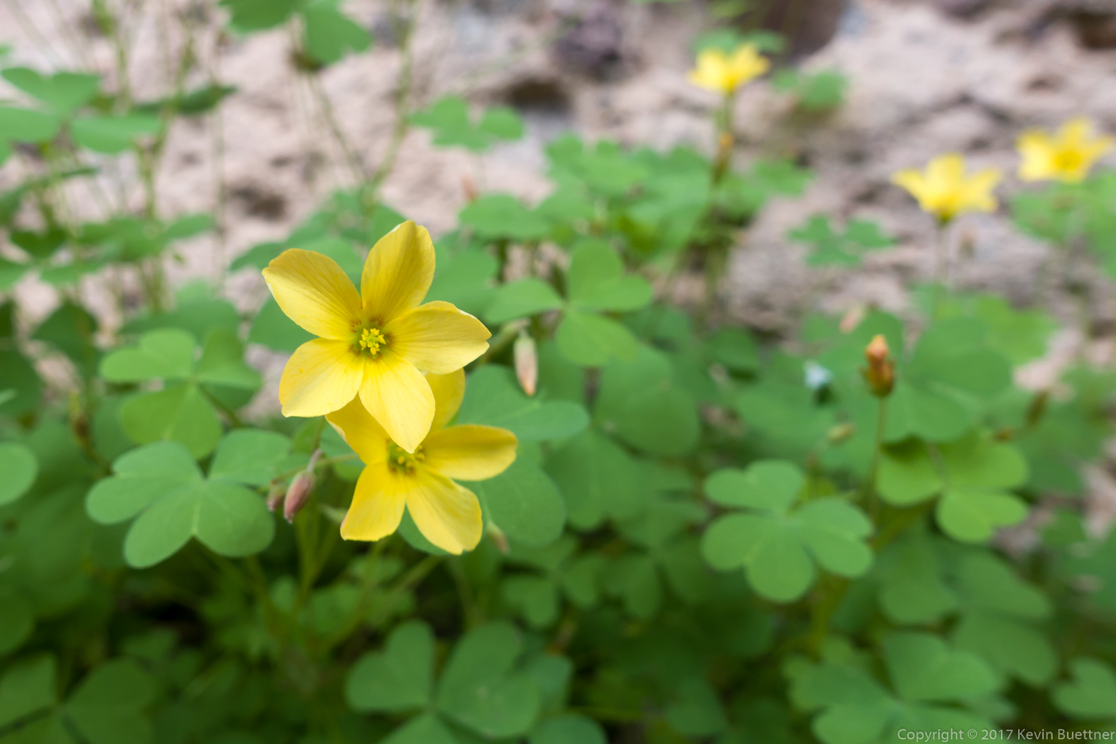
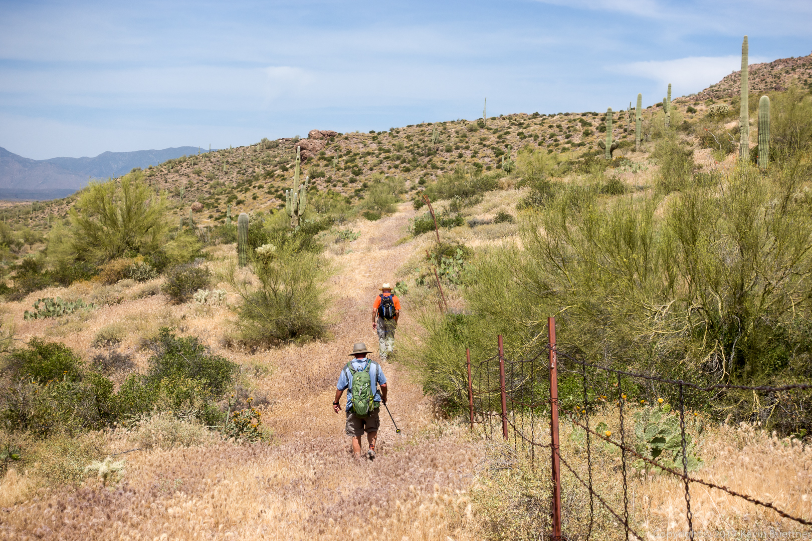
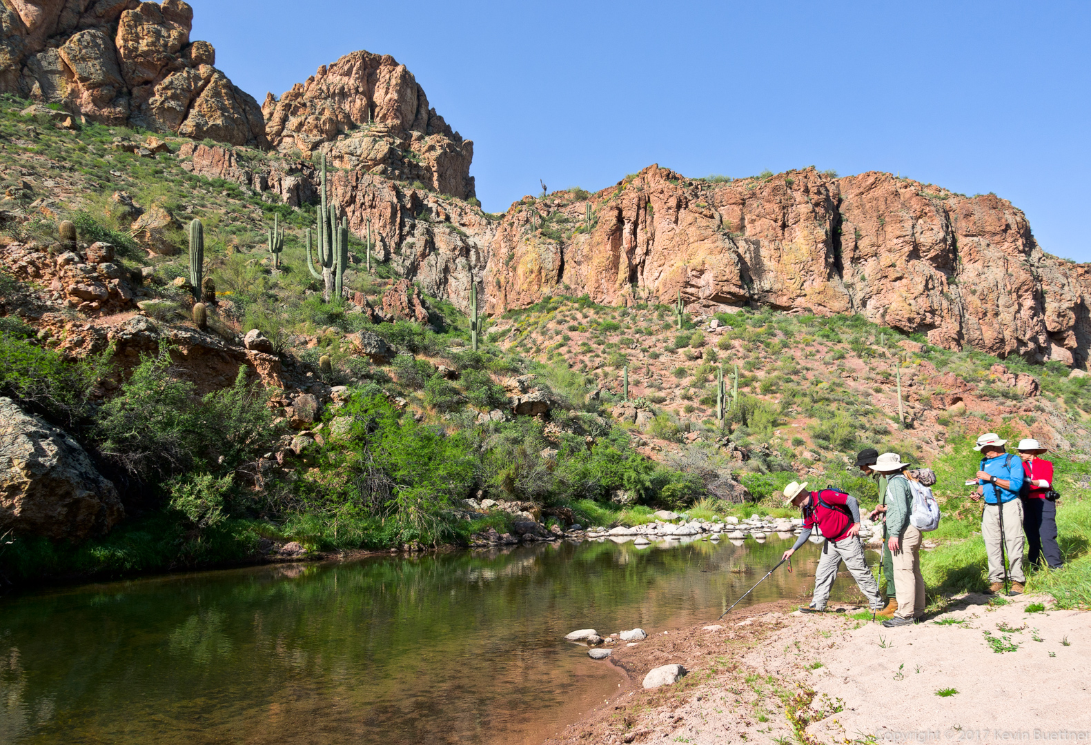
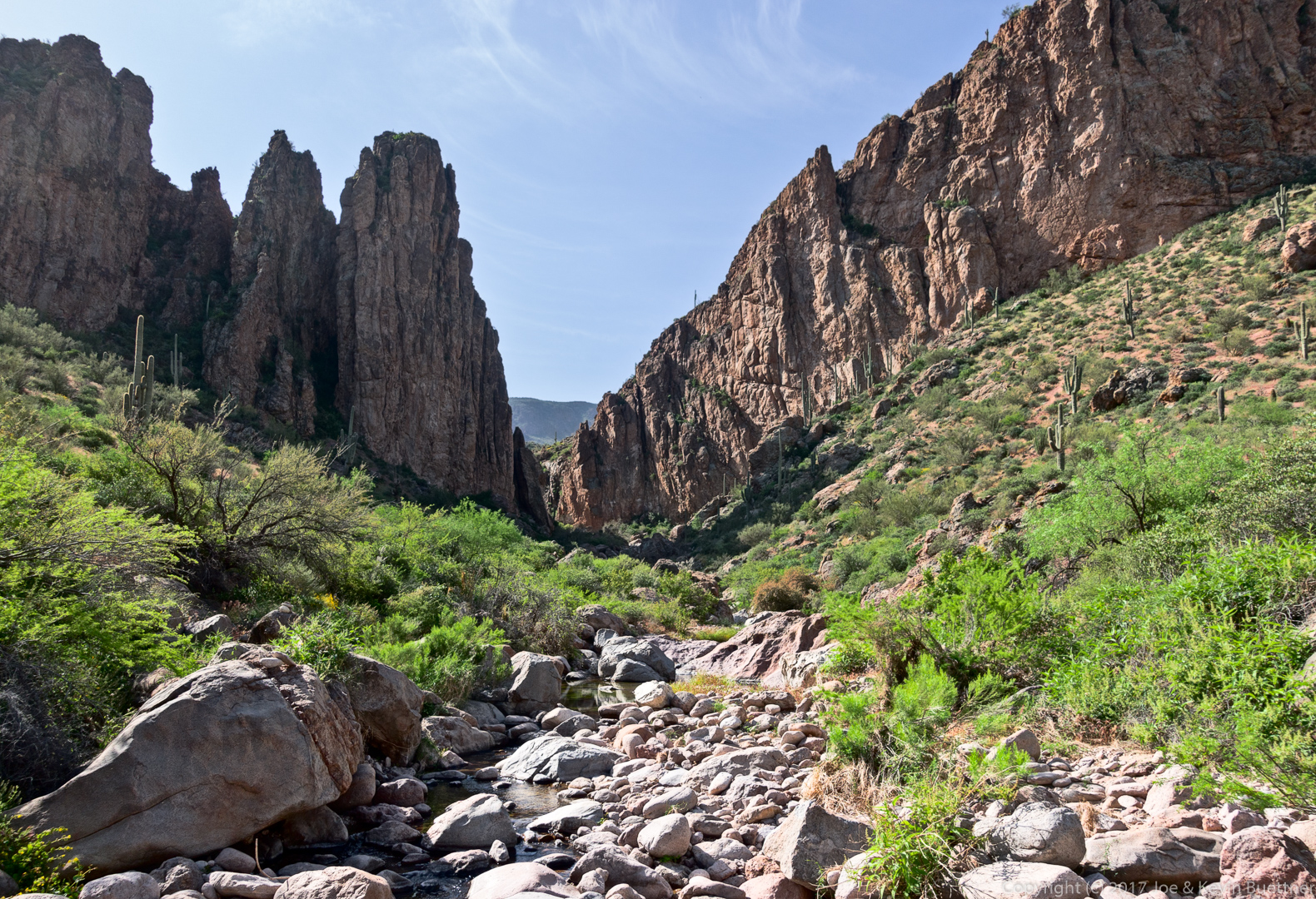
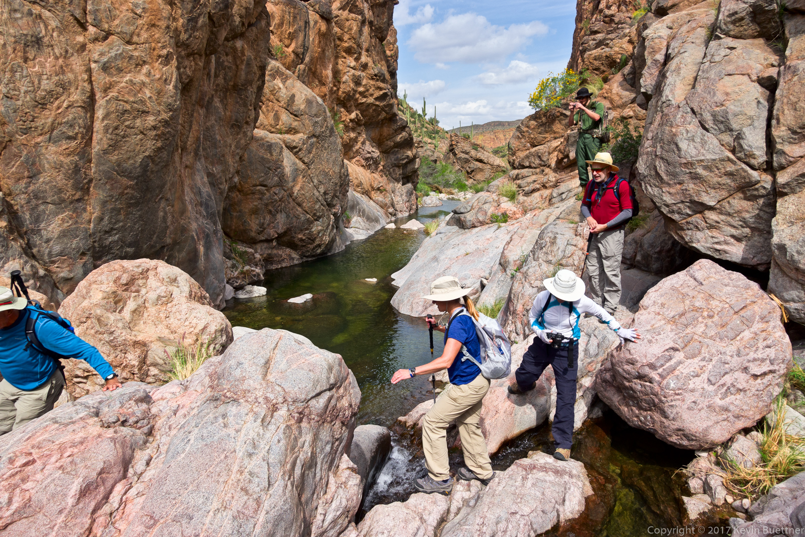
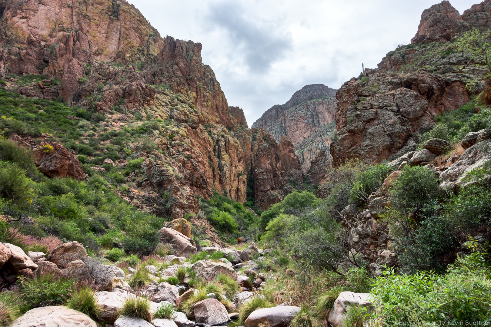
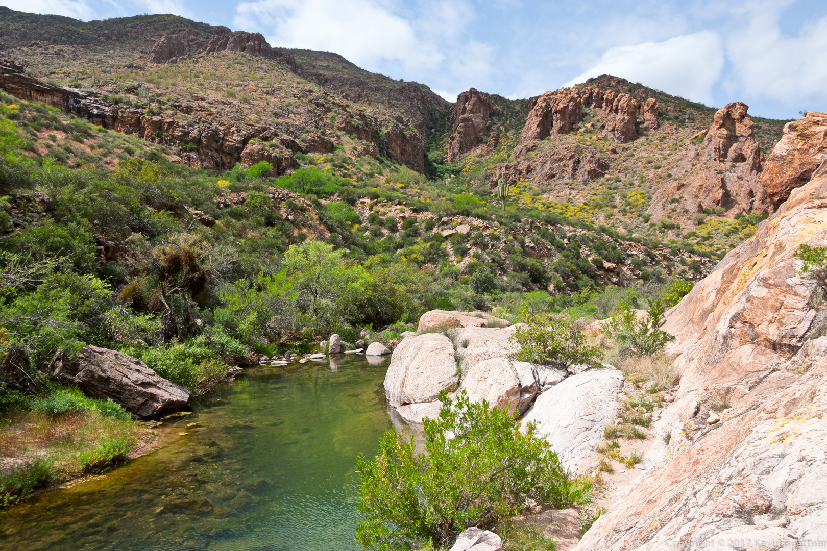
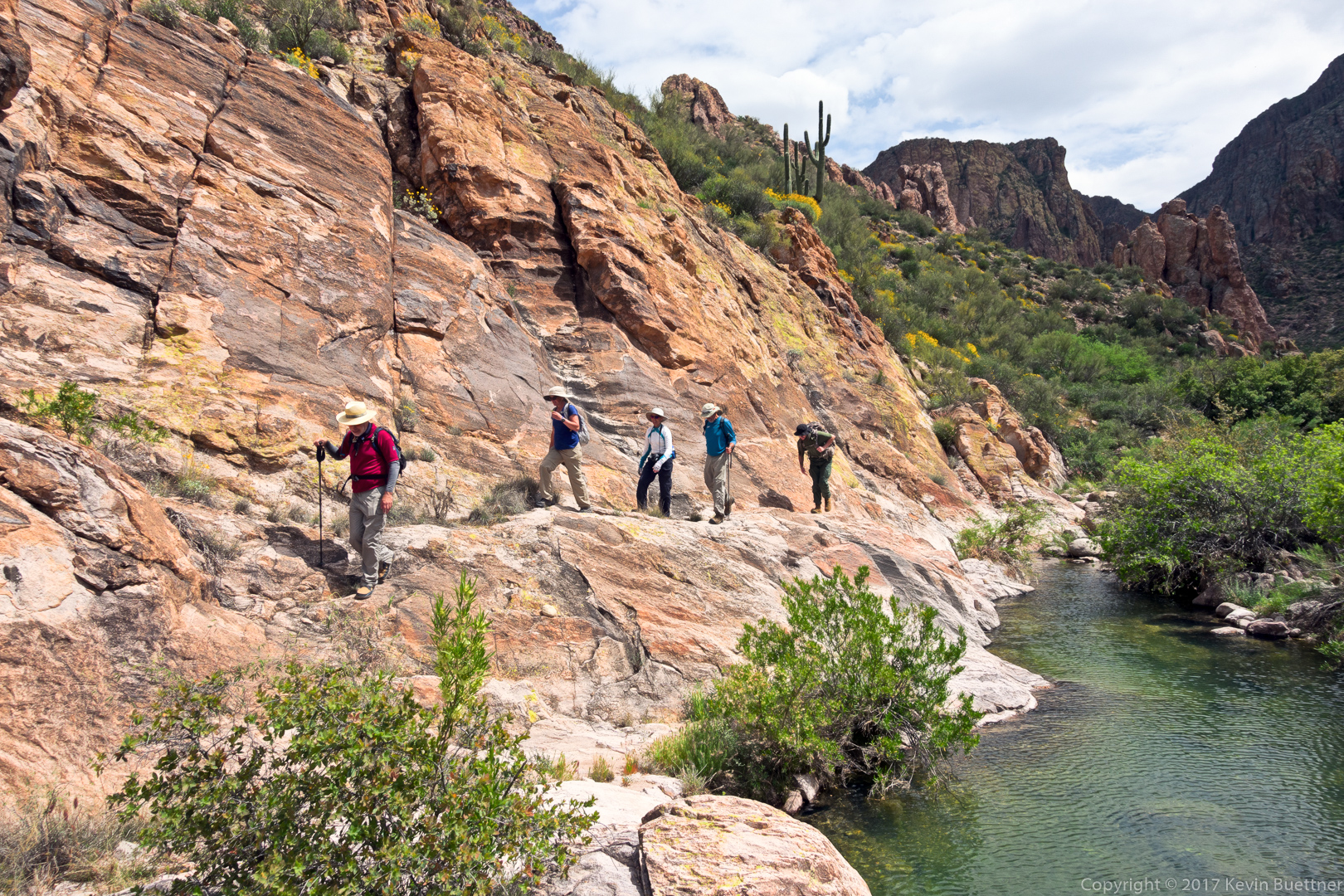
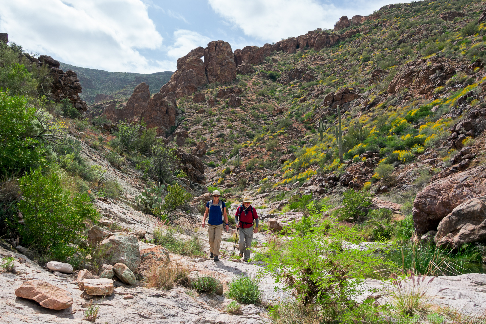
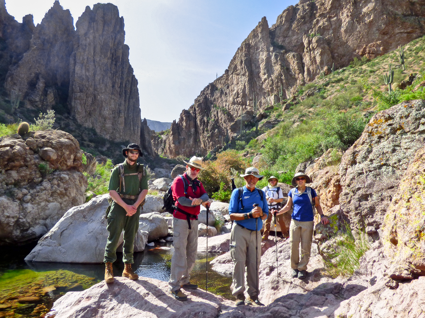
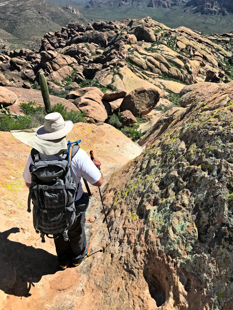
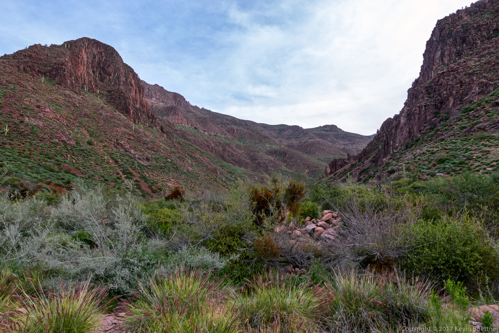
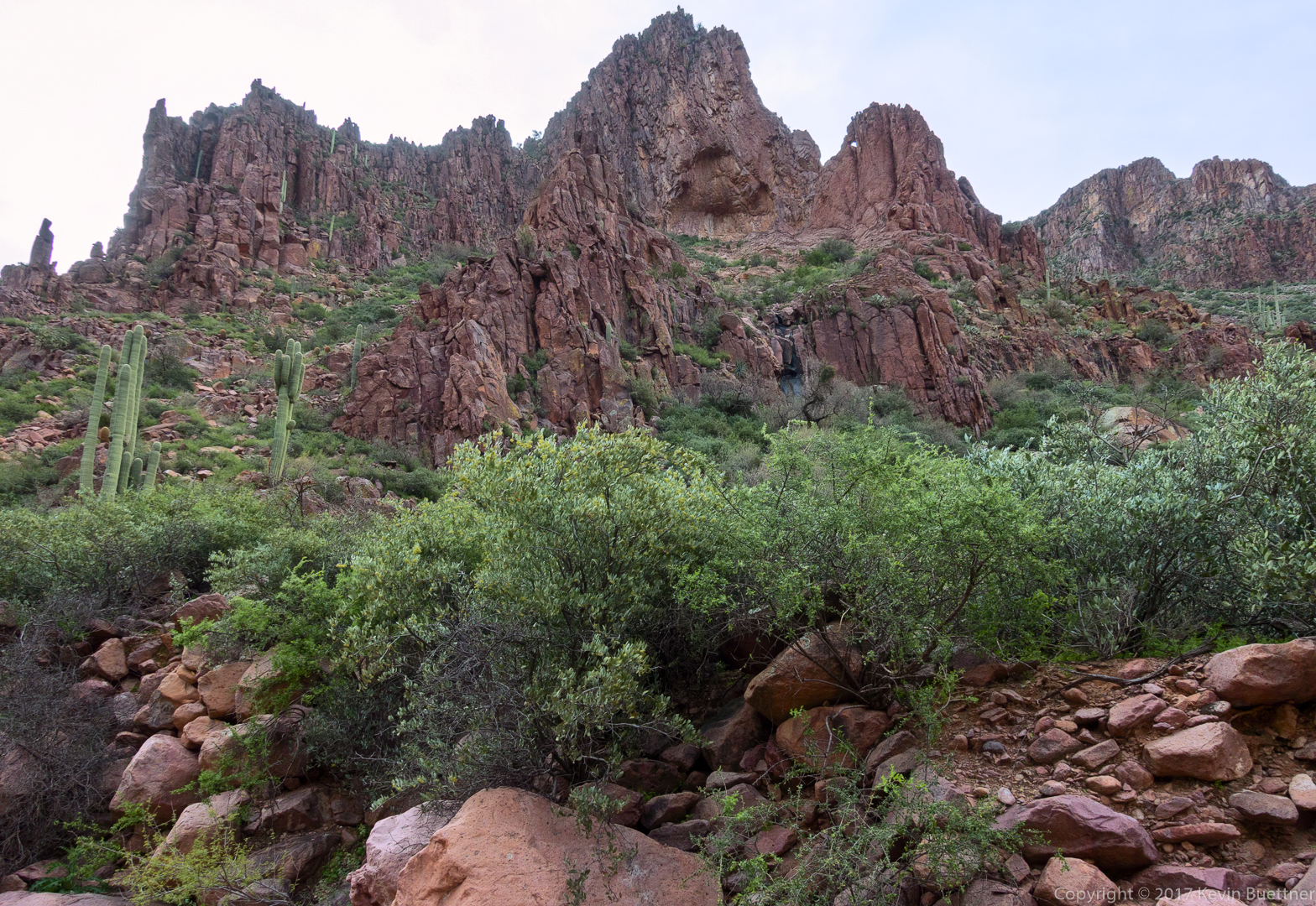
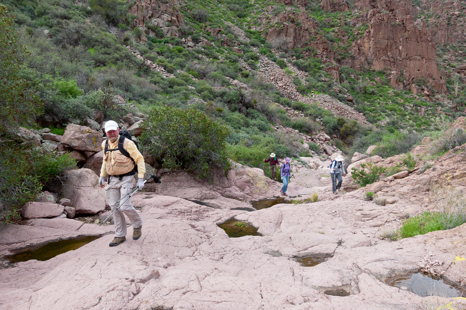
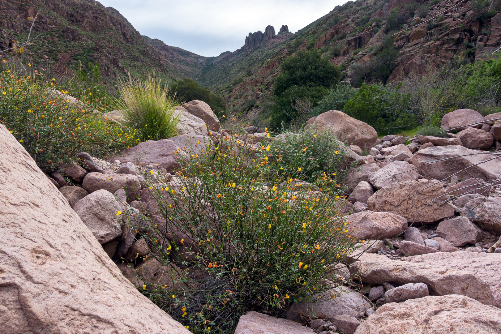
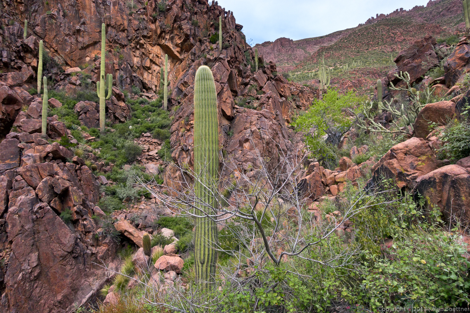
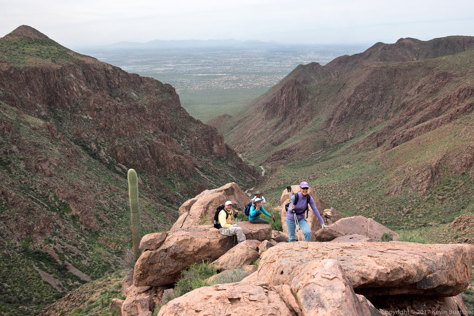
Sandra, Mark, Randy, Marilyn, and I hiked Roger’s Canyon on Saturday. The canyon is pretty and, at about 4 miles in, there are some 600 year (or so) old cliff dwellings.
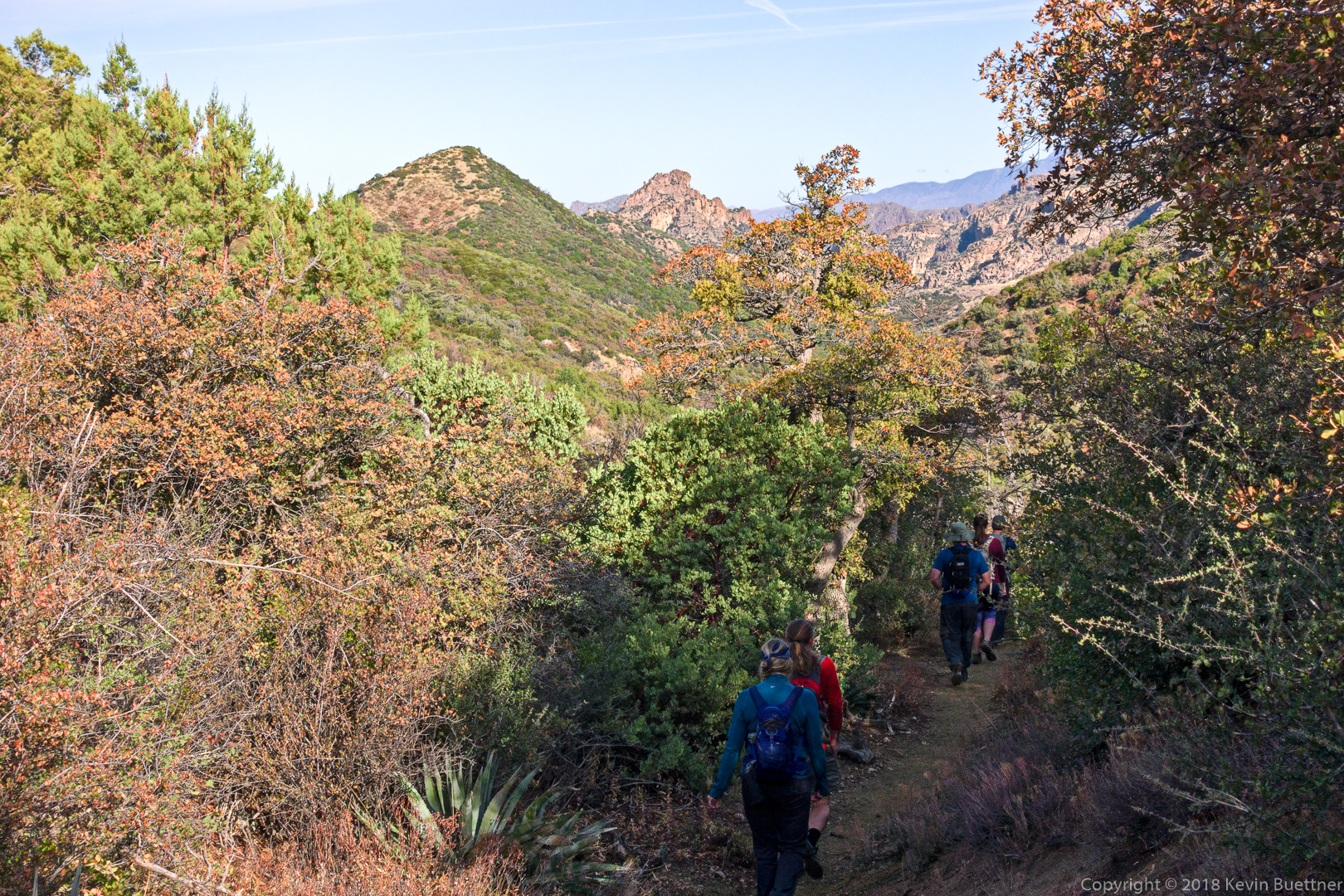
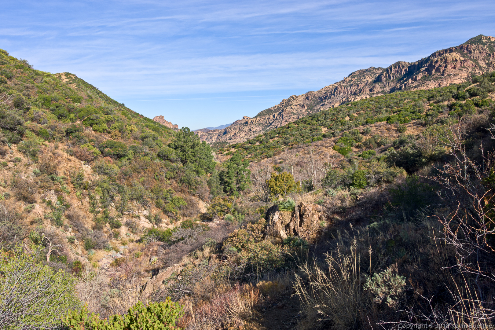
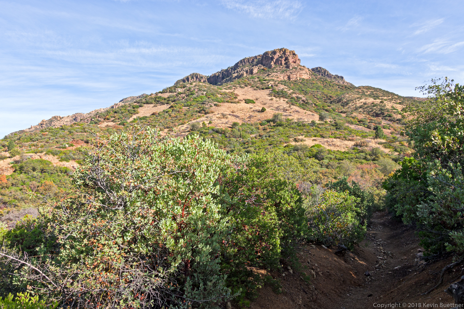
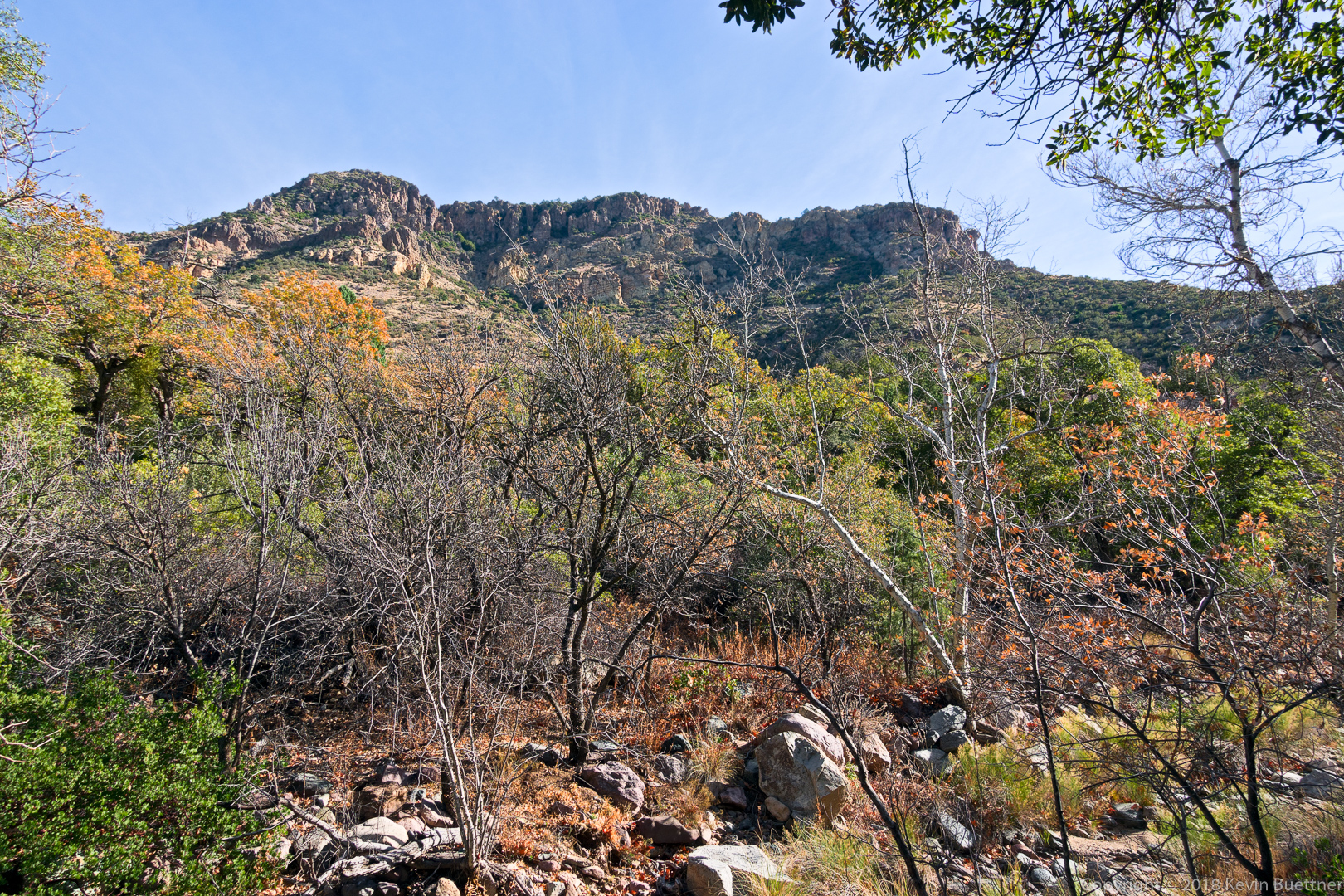
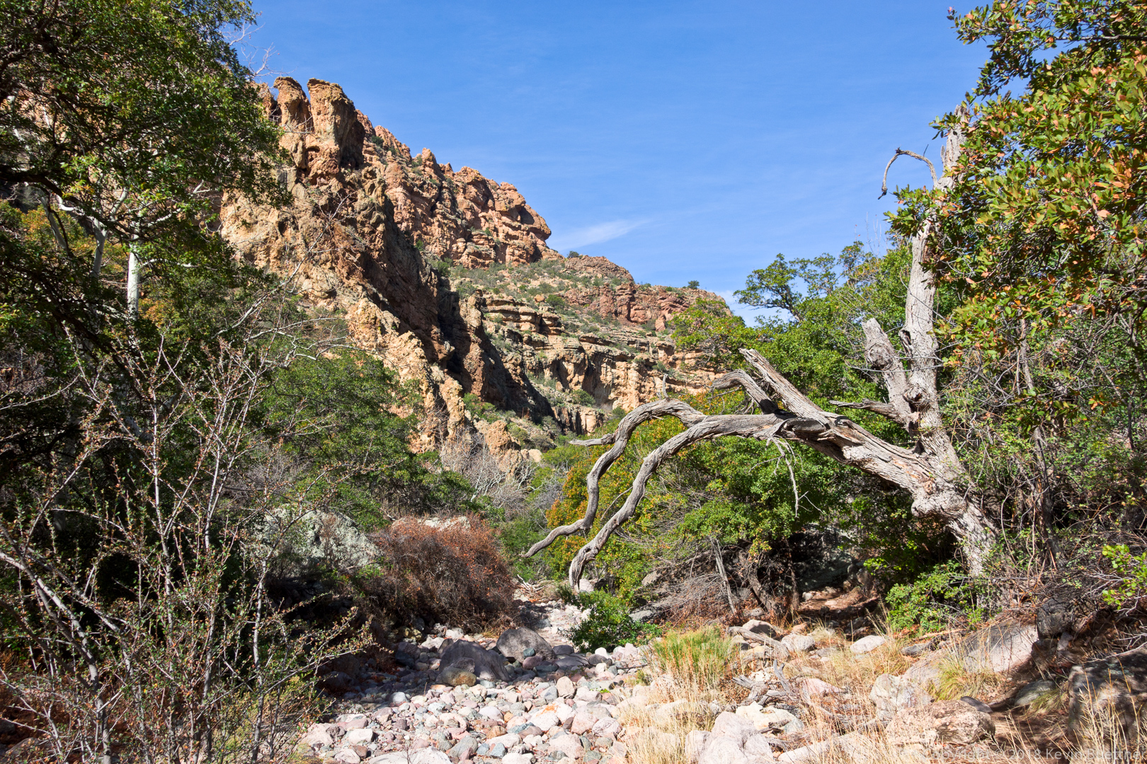

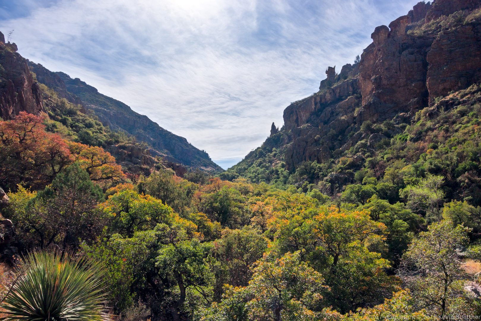
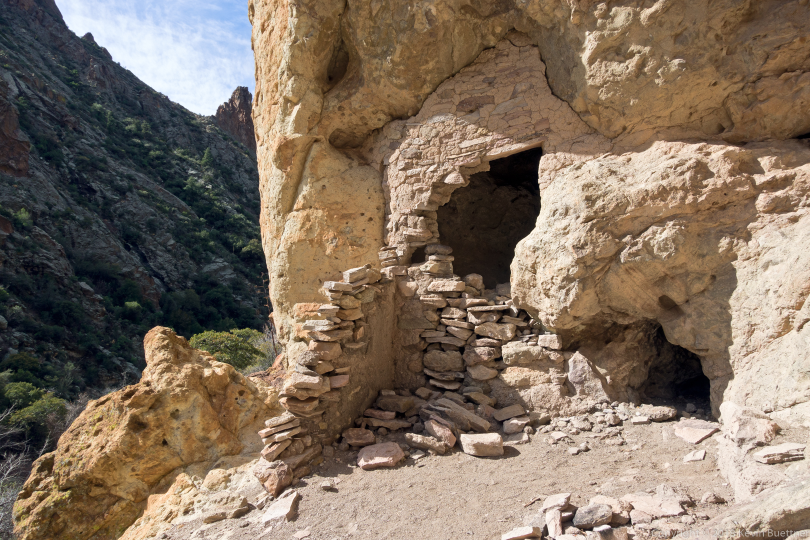

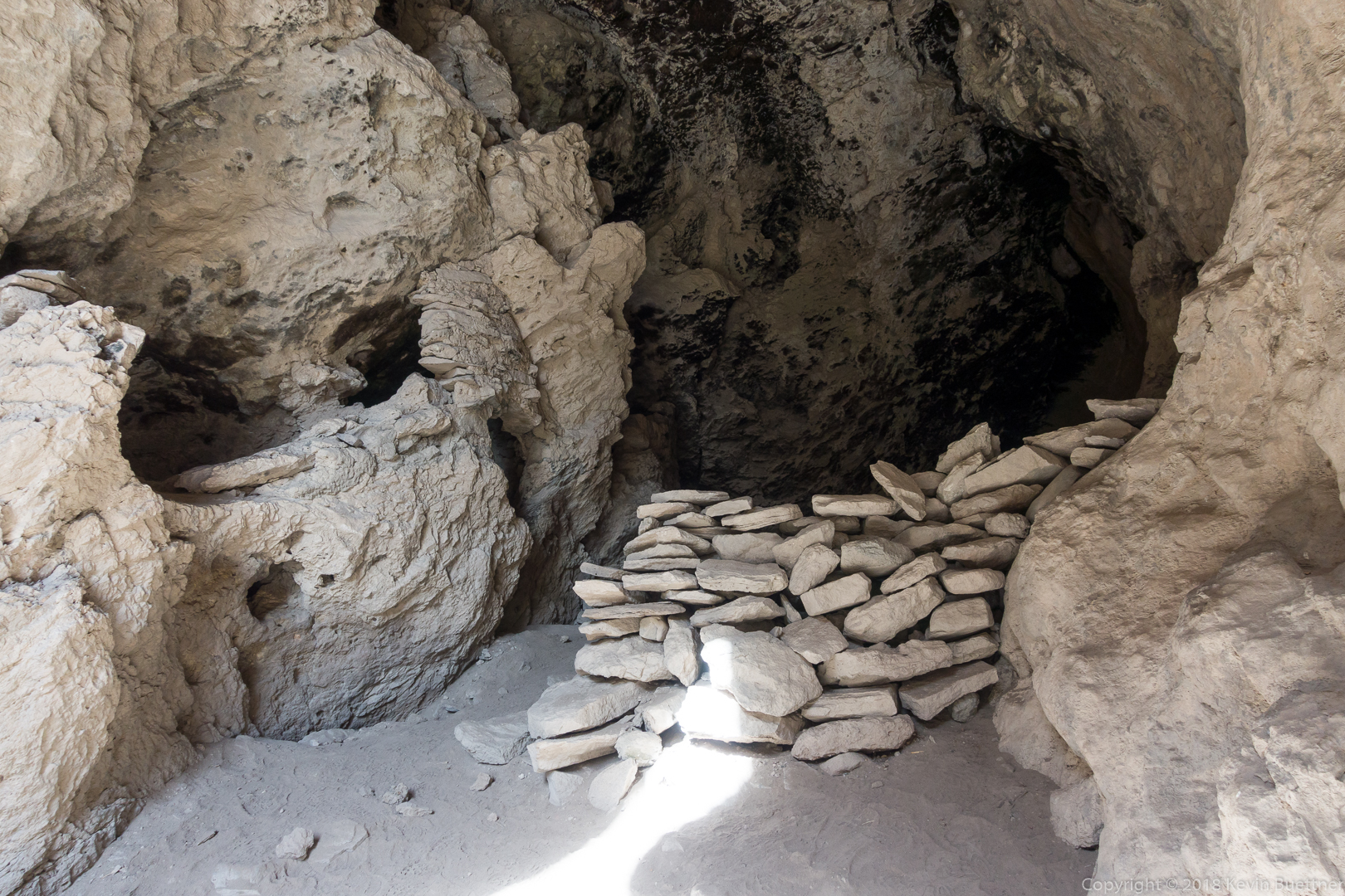

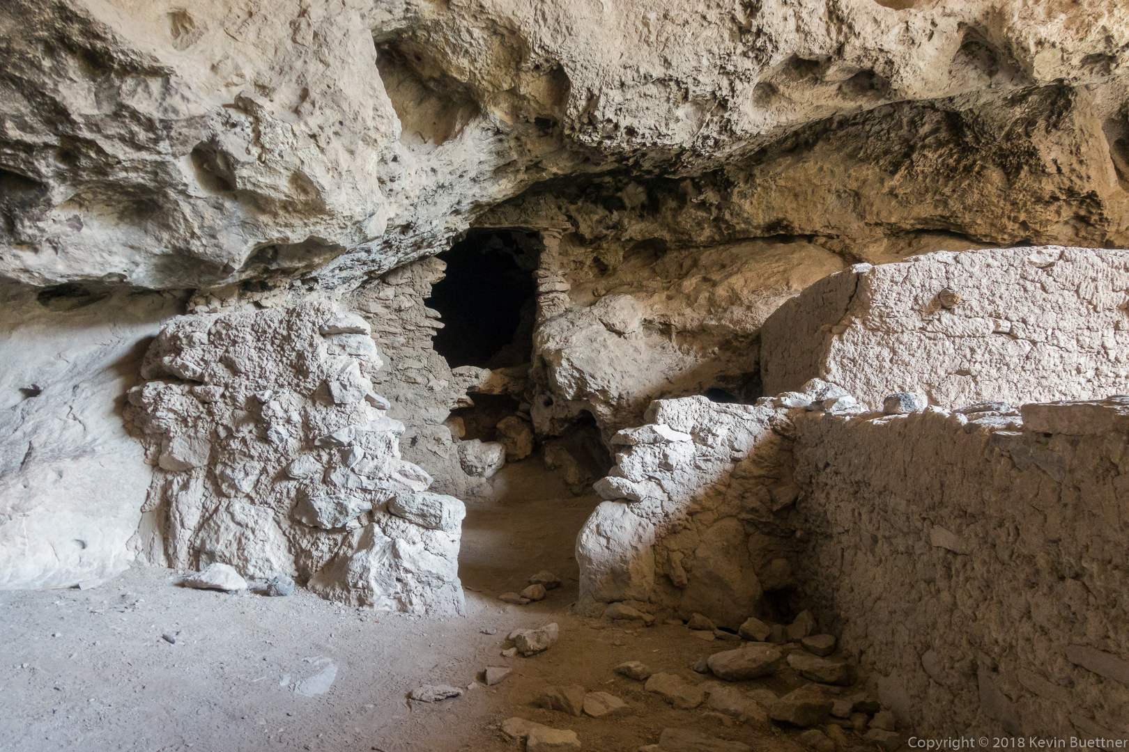
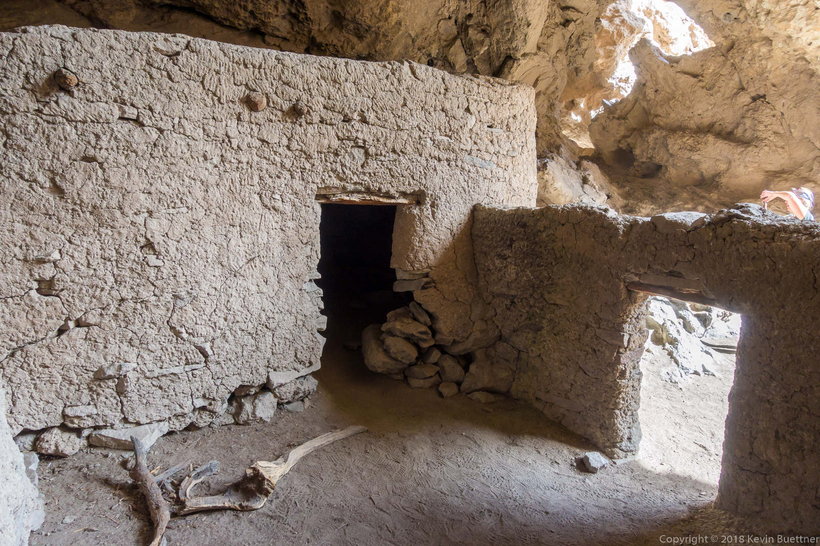

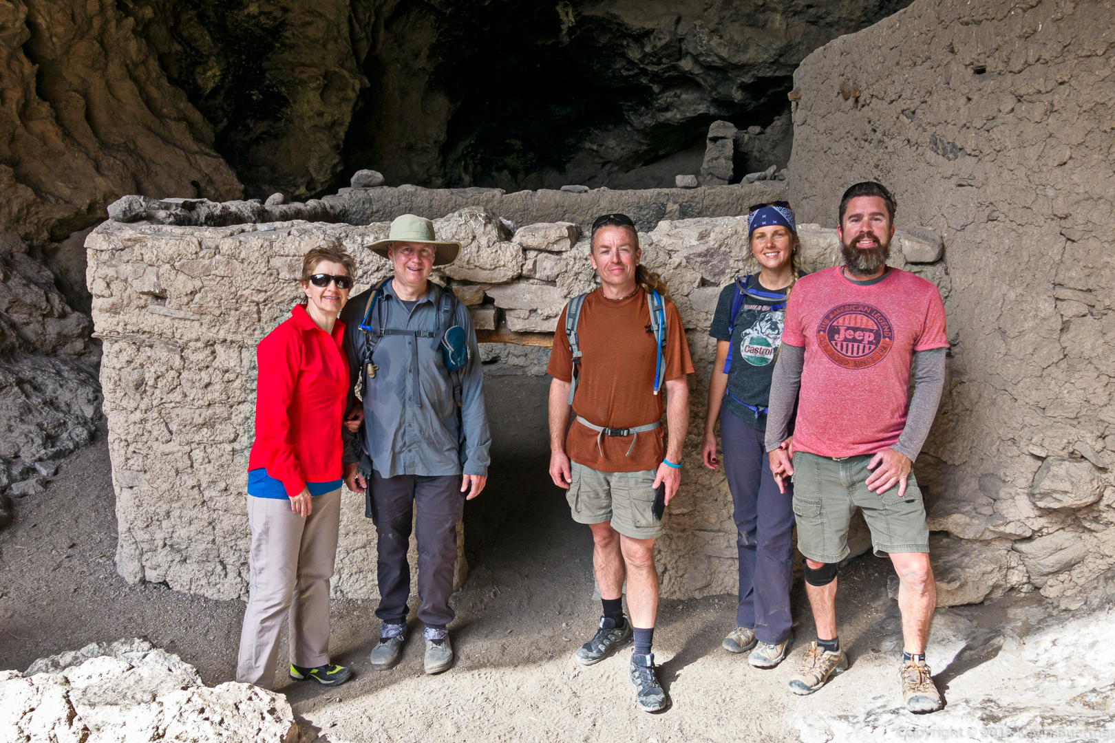

Sandra, Mark, Randy, Marilyn, and I hiked Roger’s Canyon on Saturday. The canyon is pretty and, at about 4 miles in, there are some 600 year (or so) old cliff dwellings.
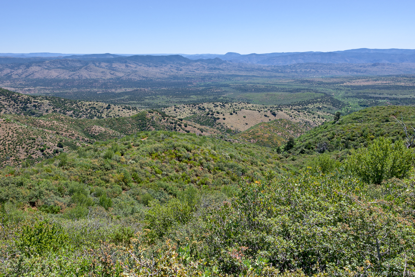
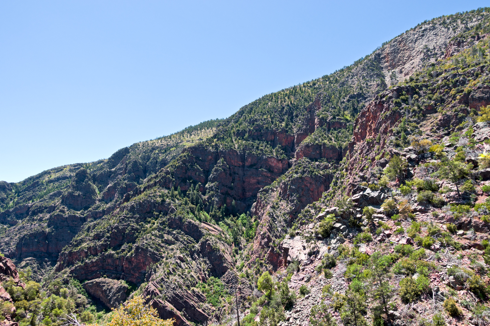
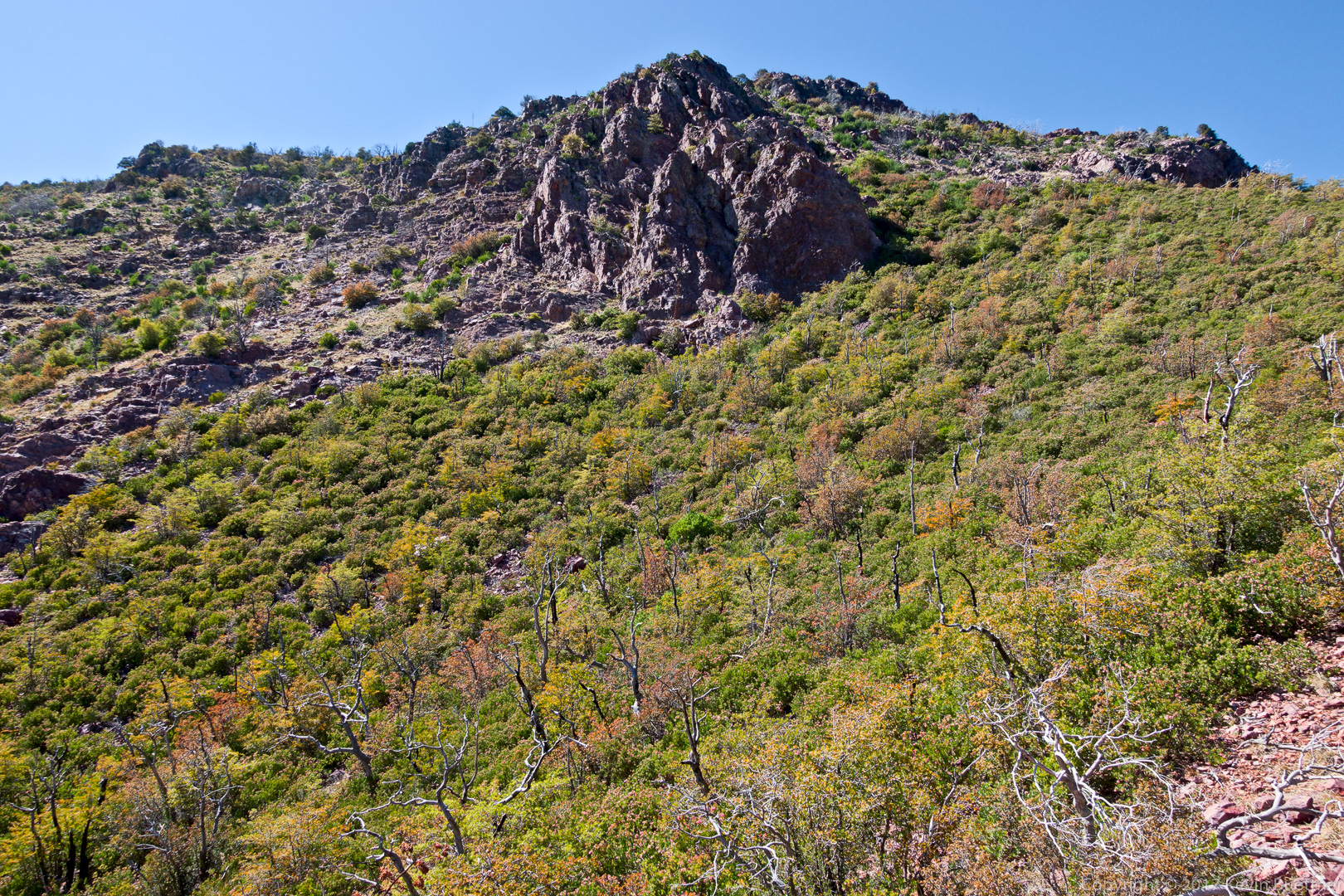
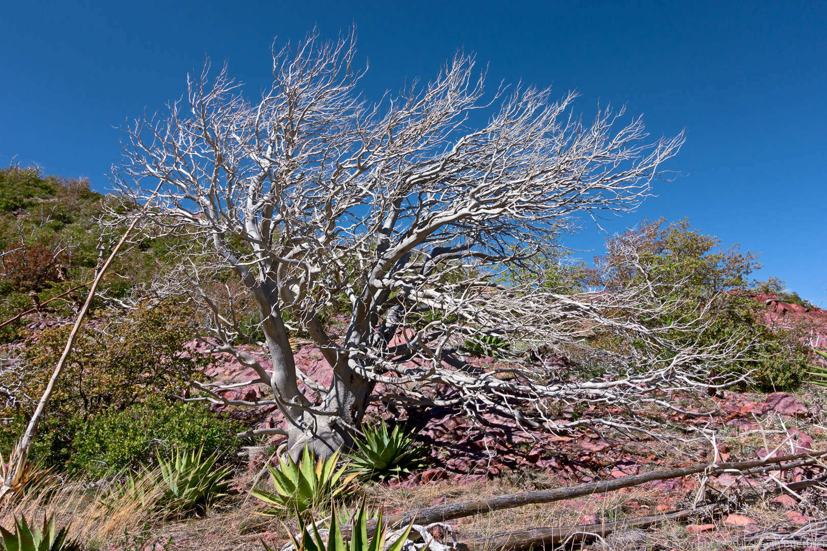
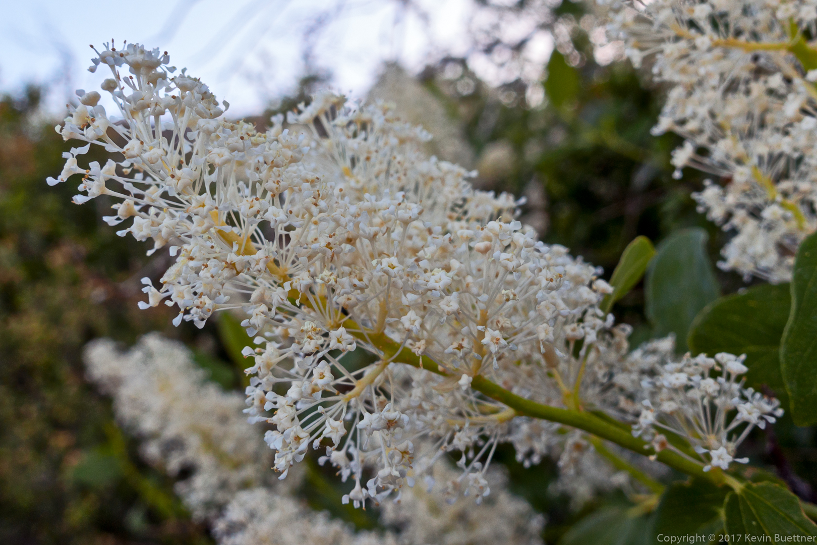
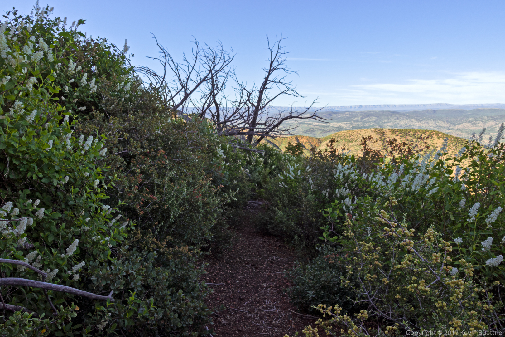
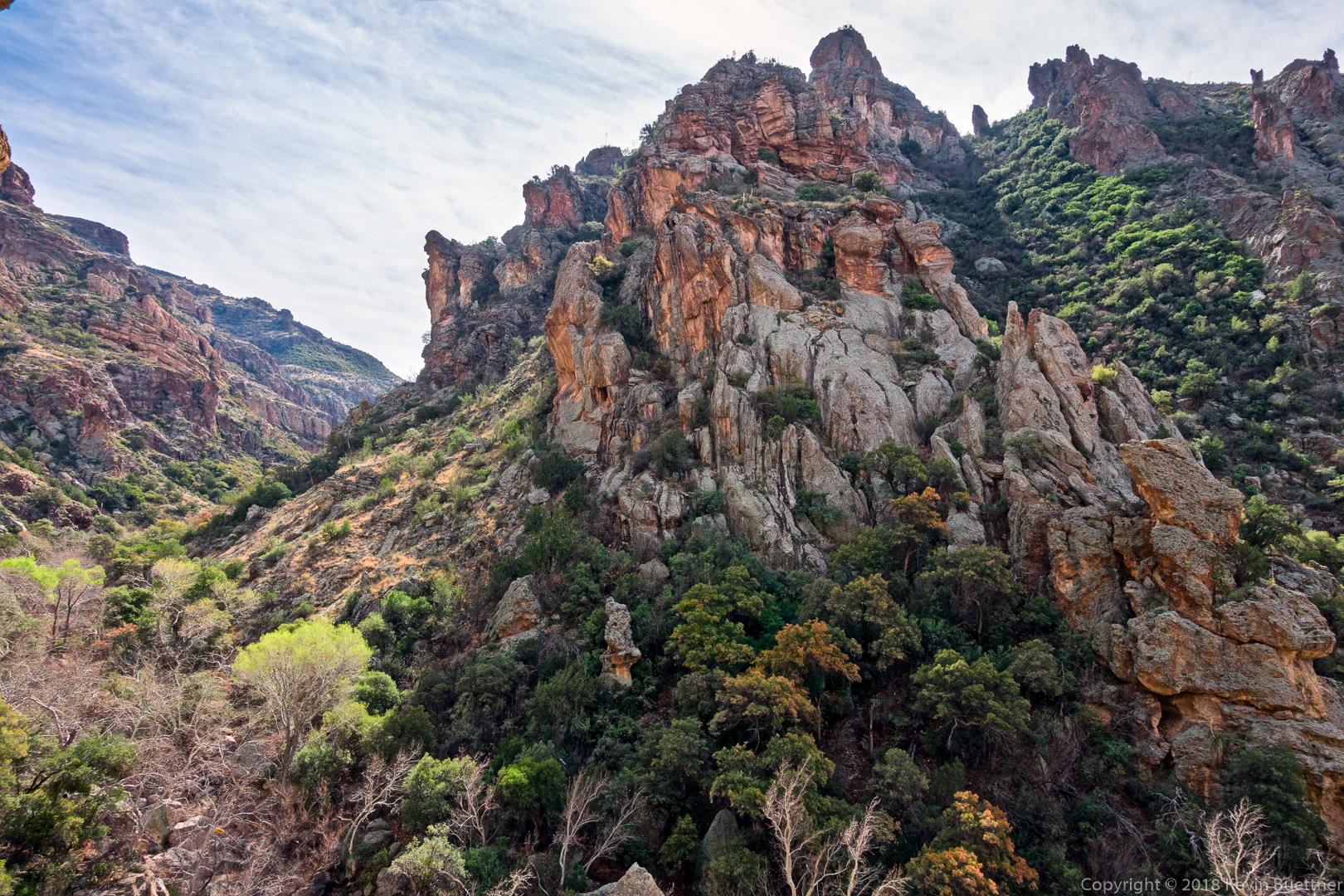
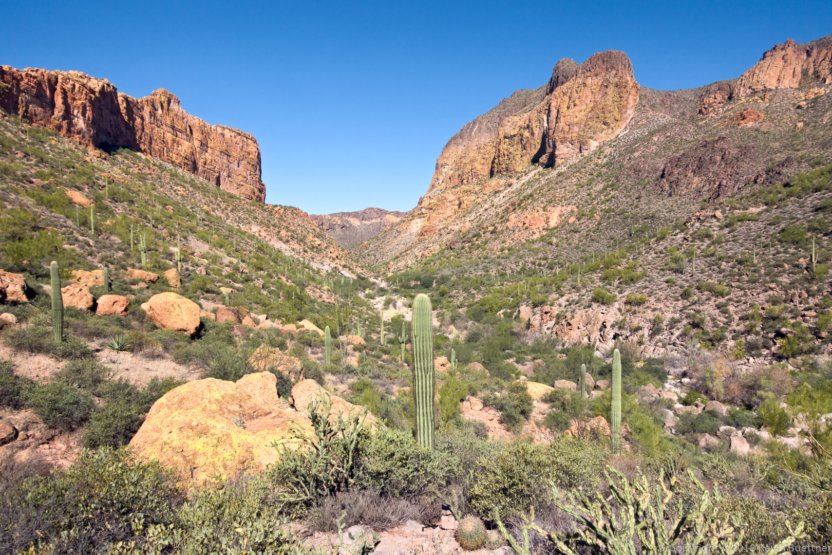
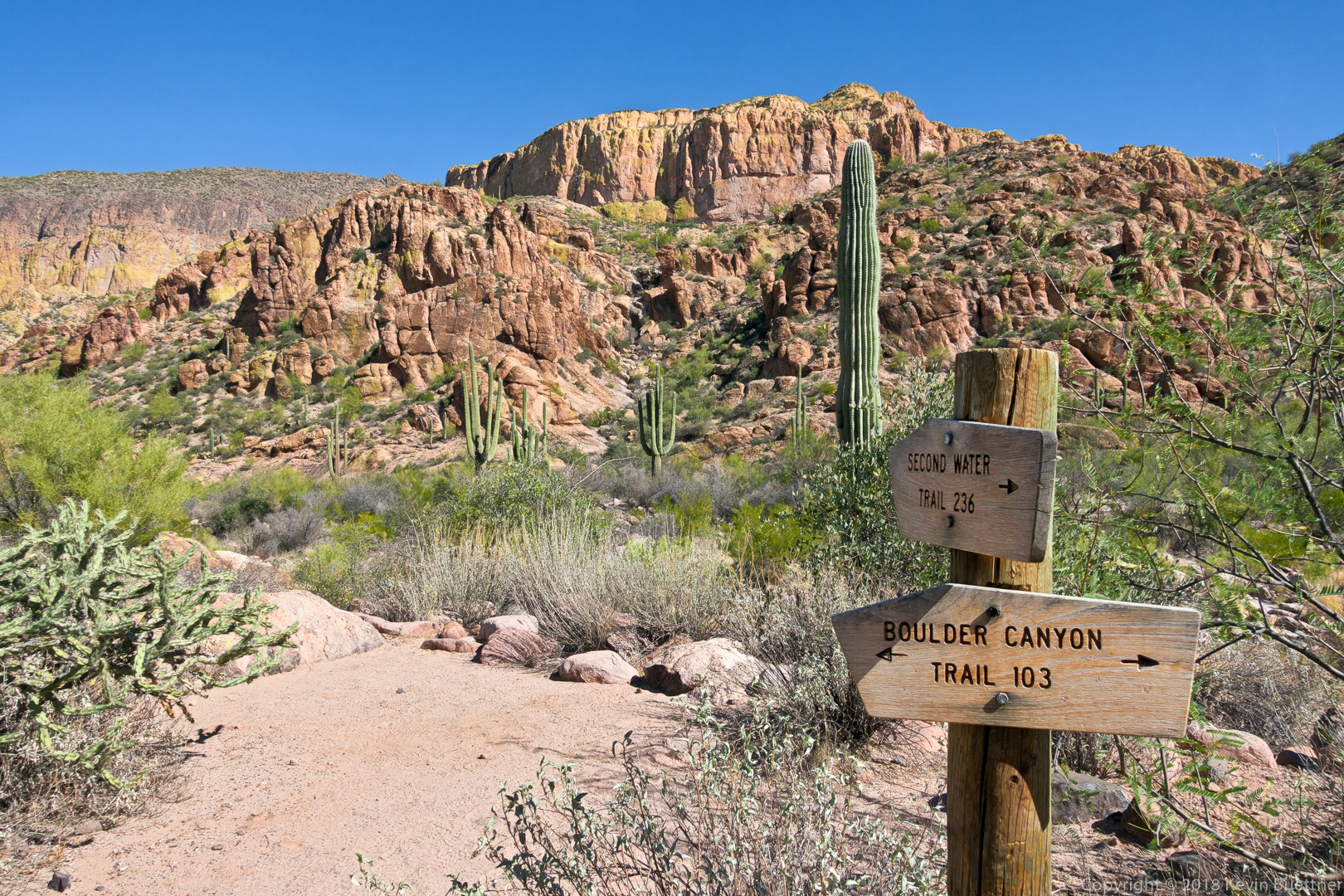
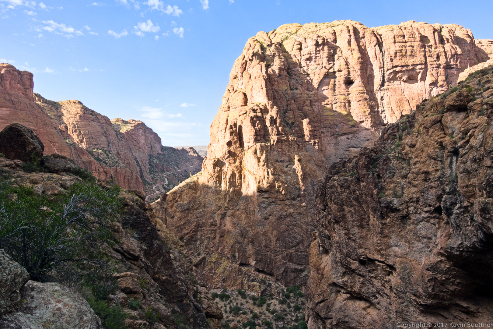
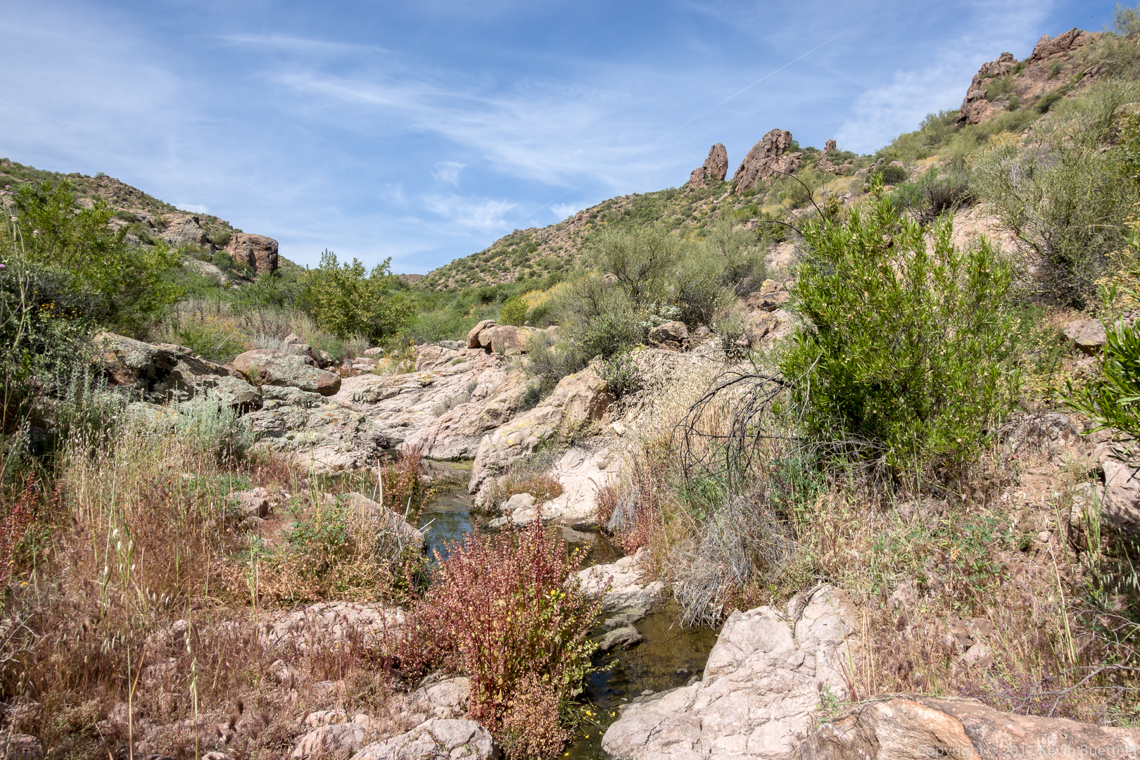
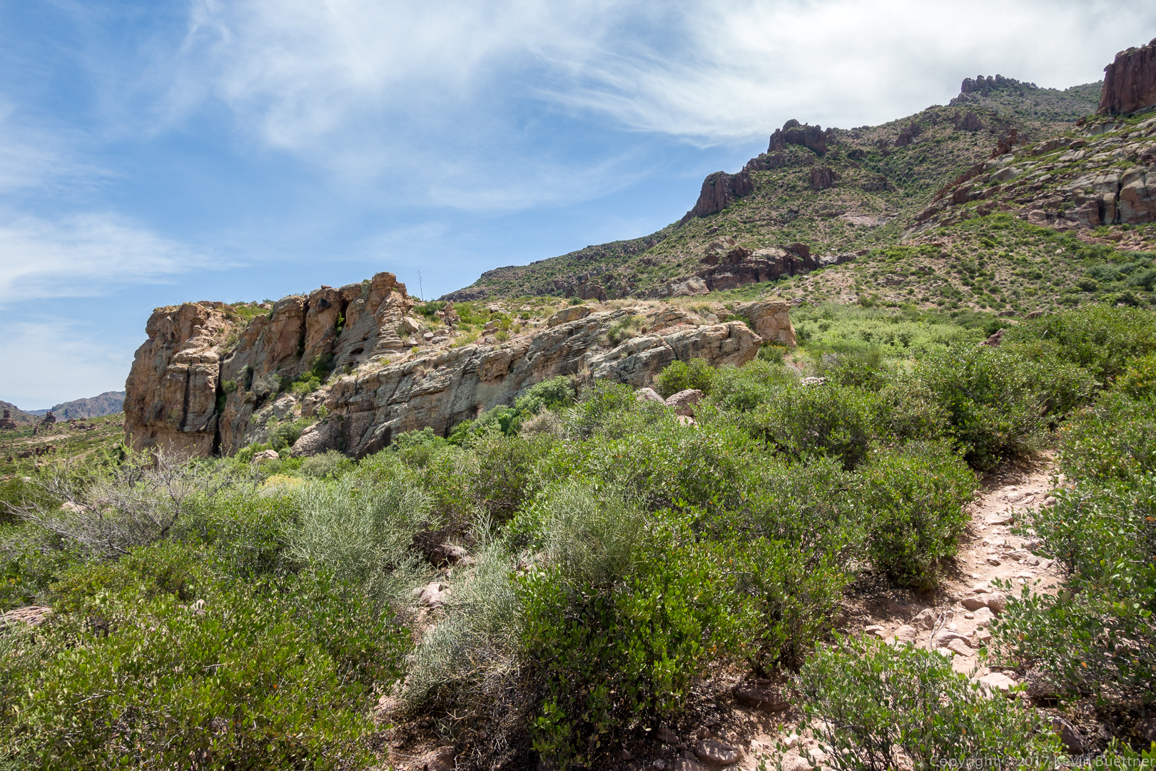
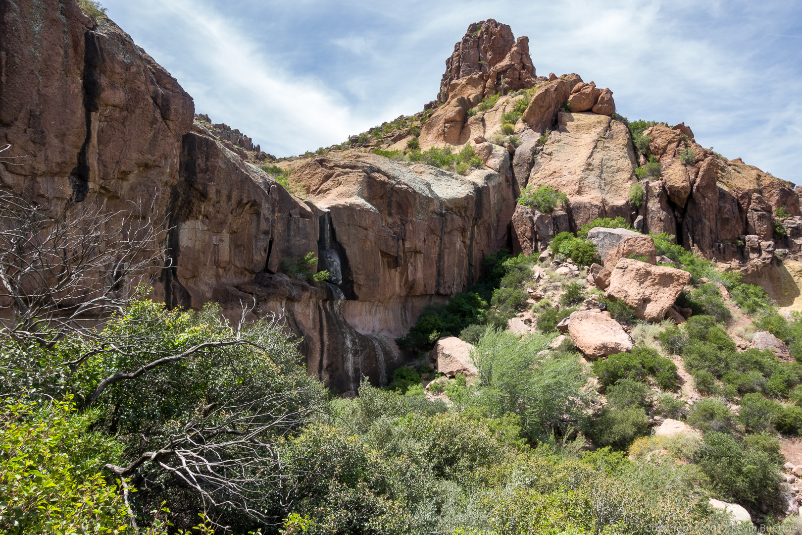
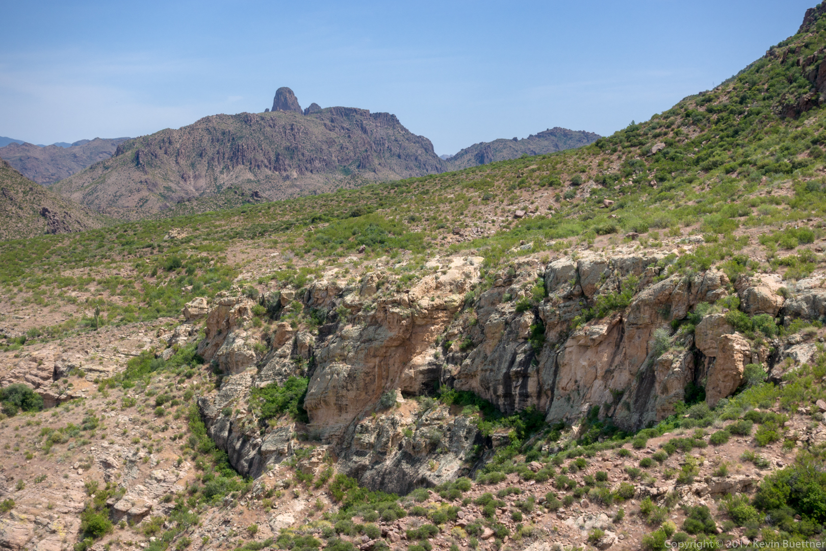
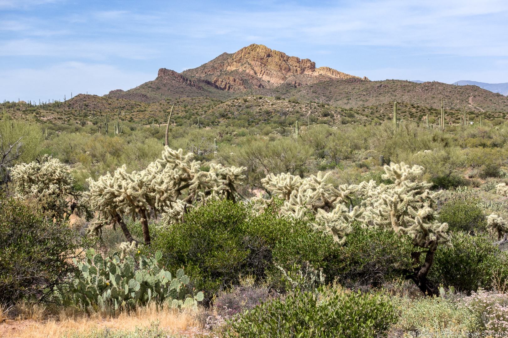
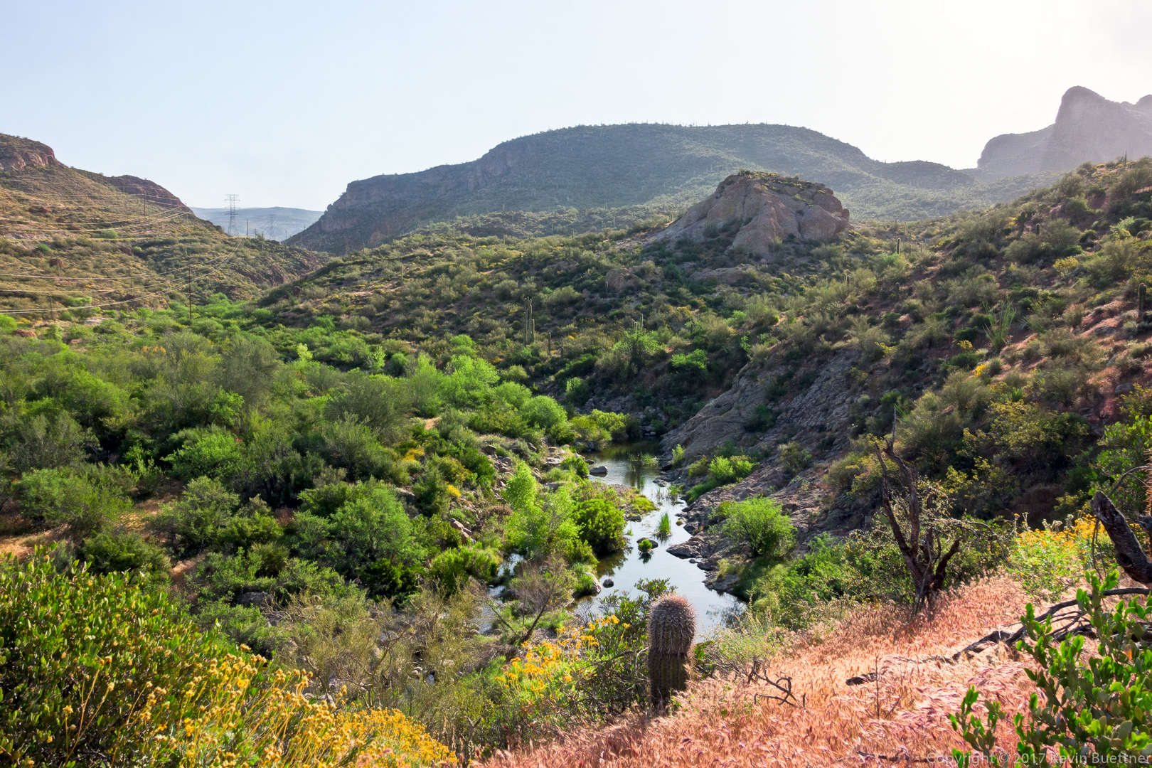
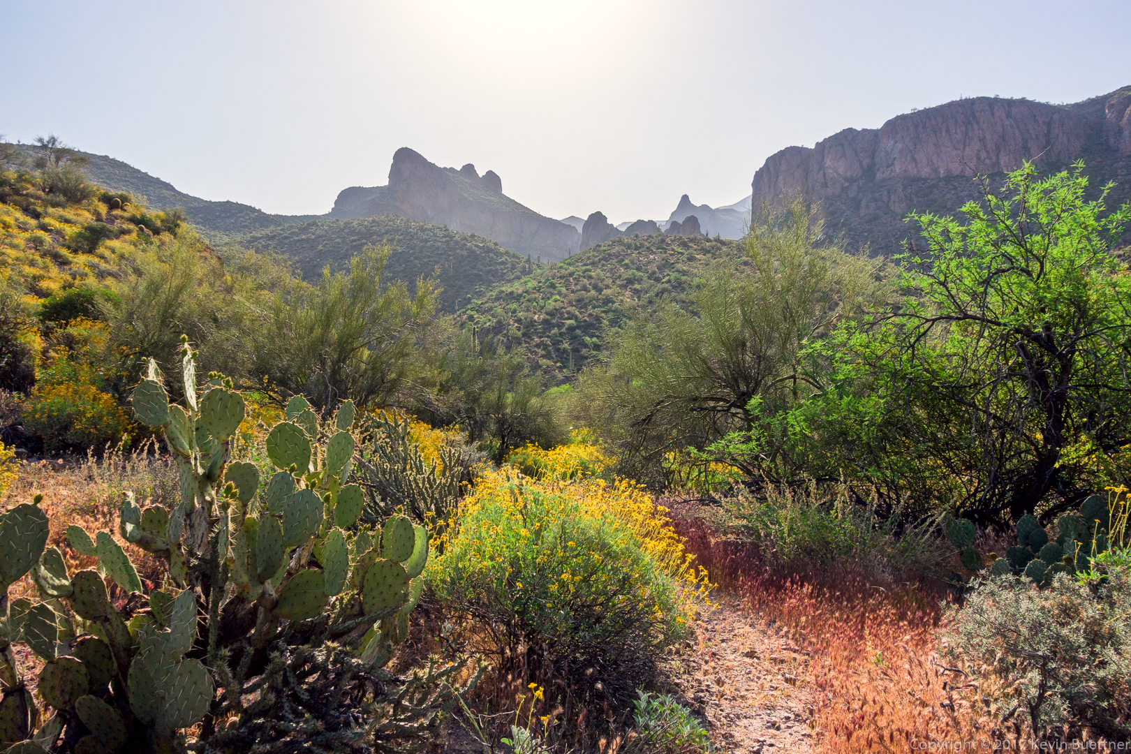
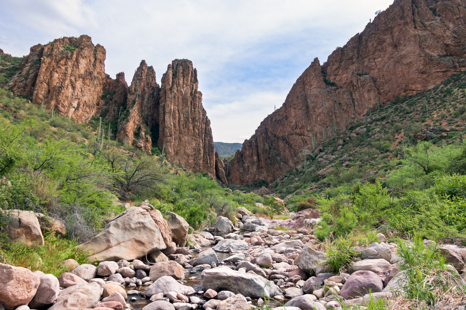
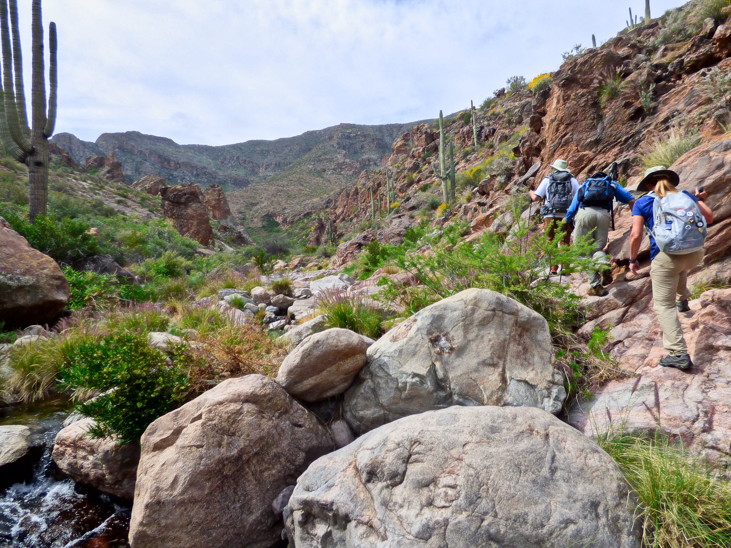
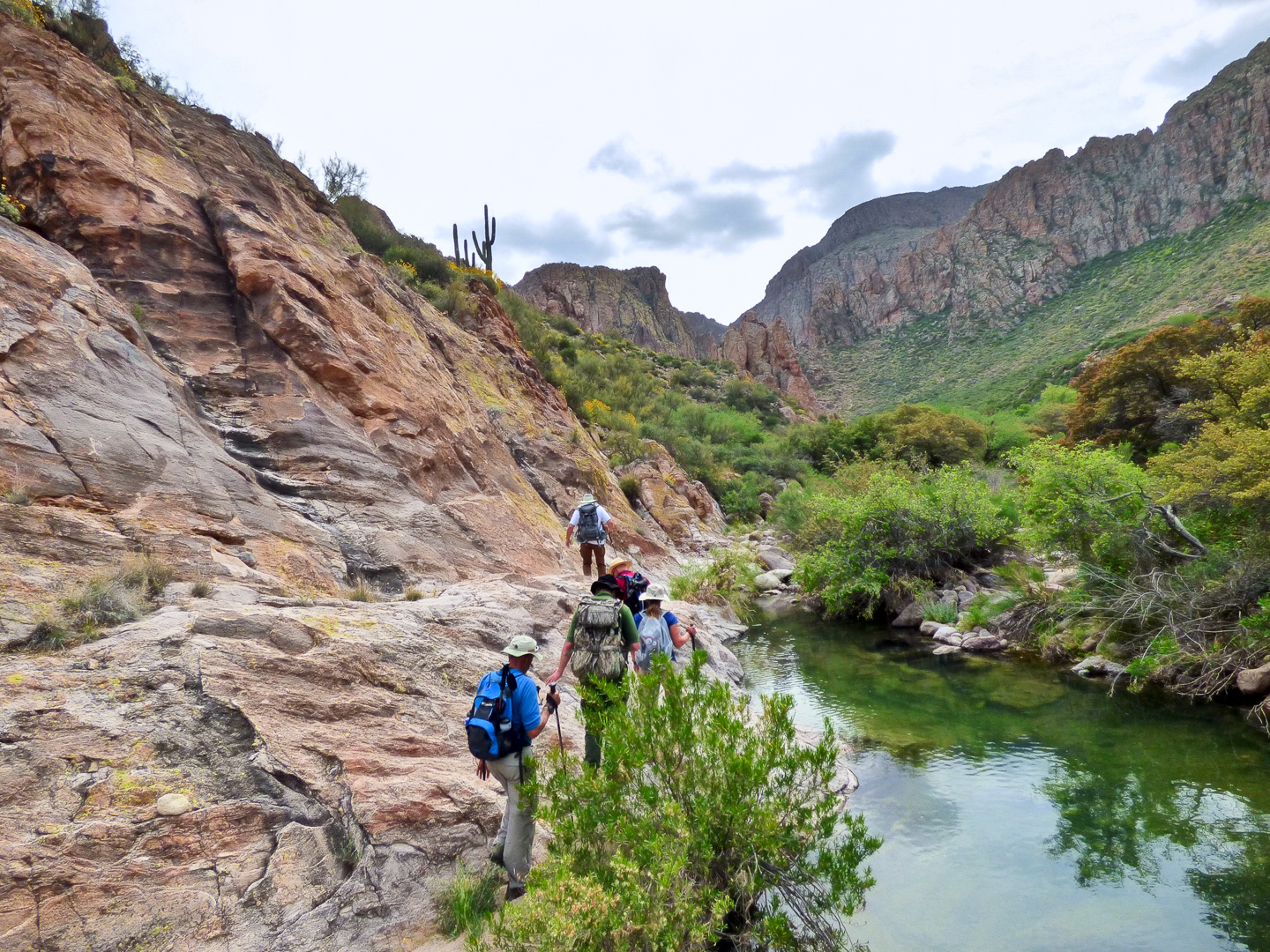
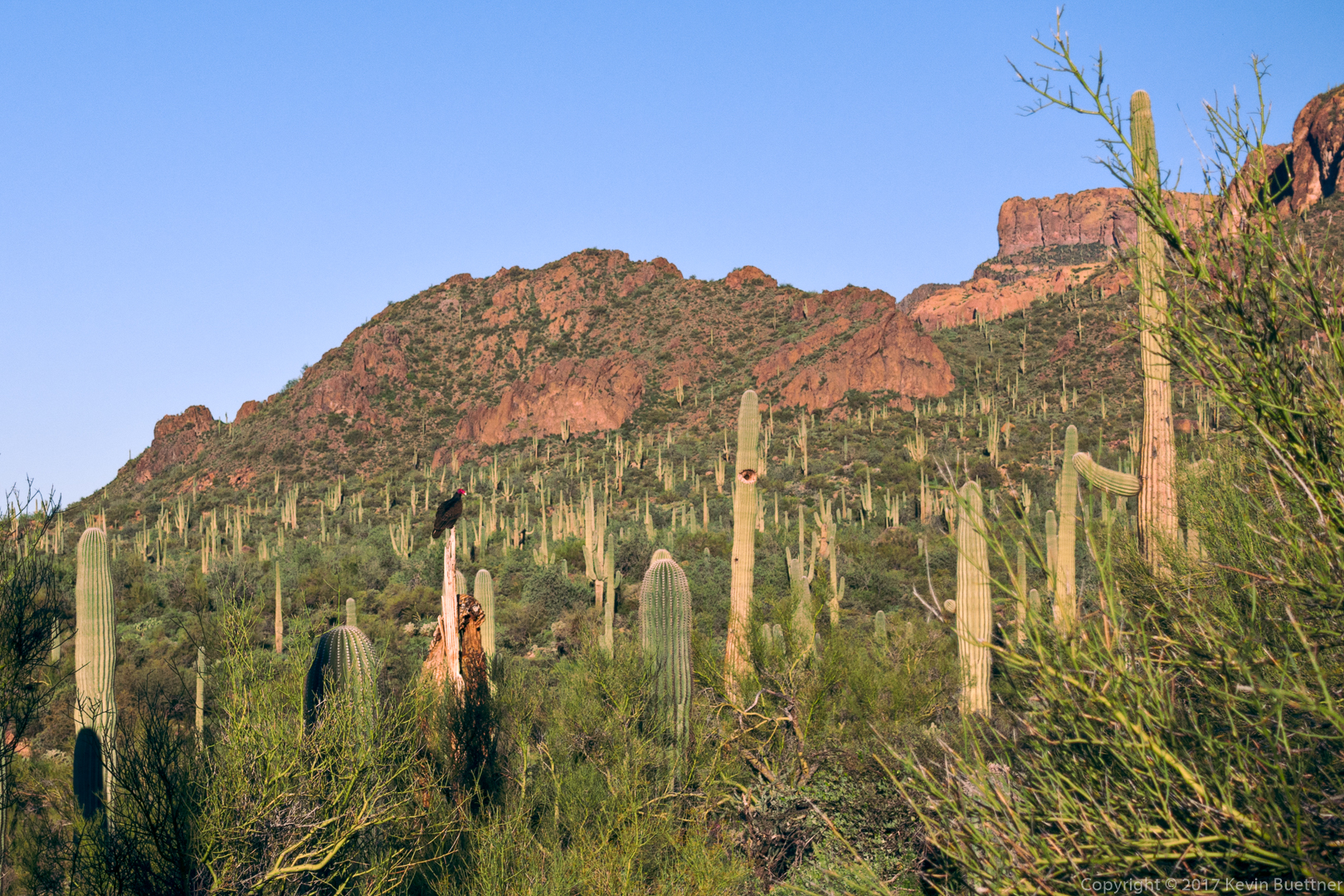
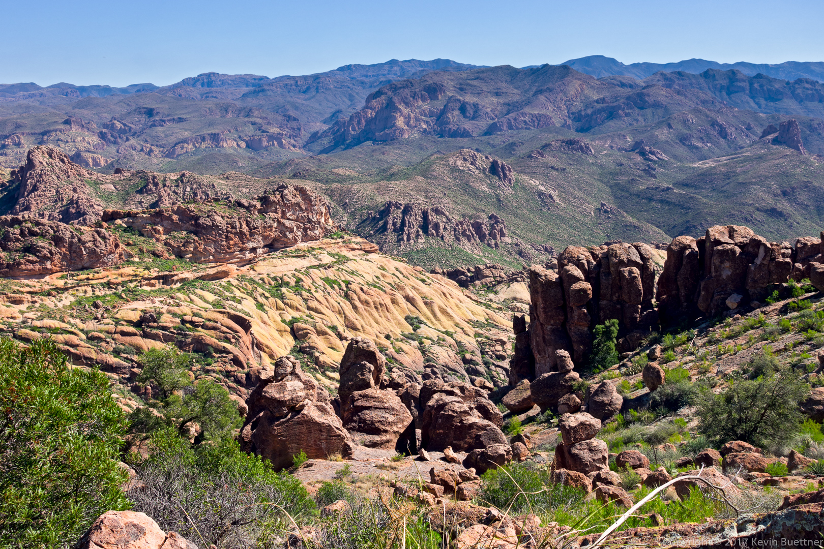
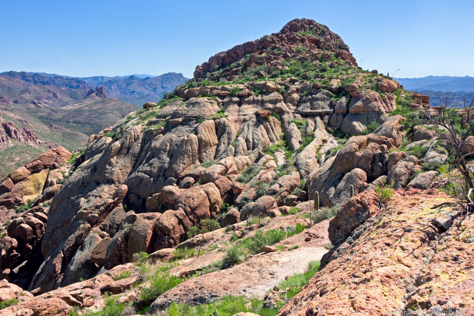
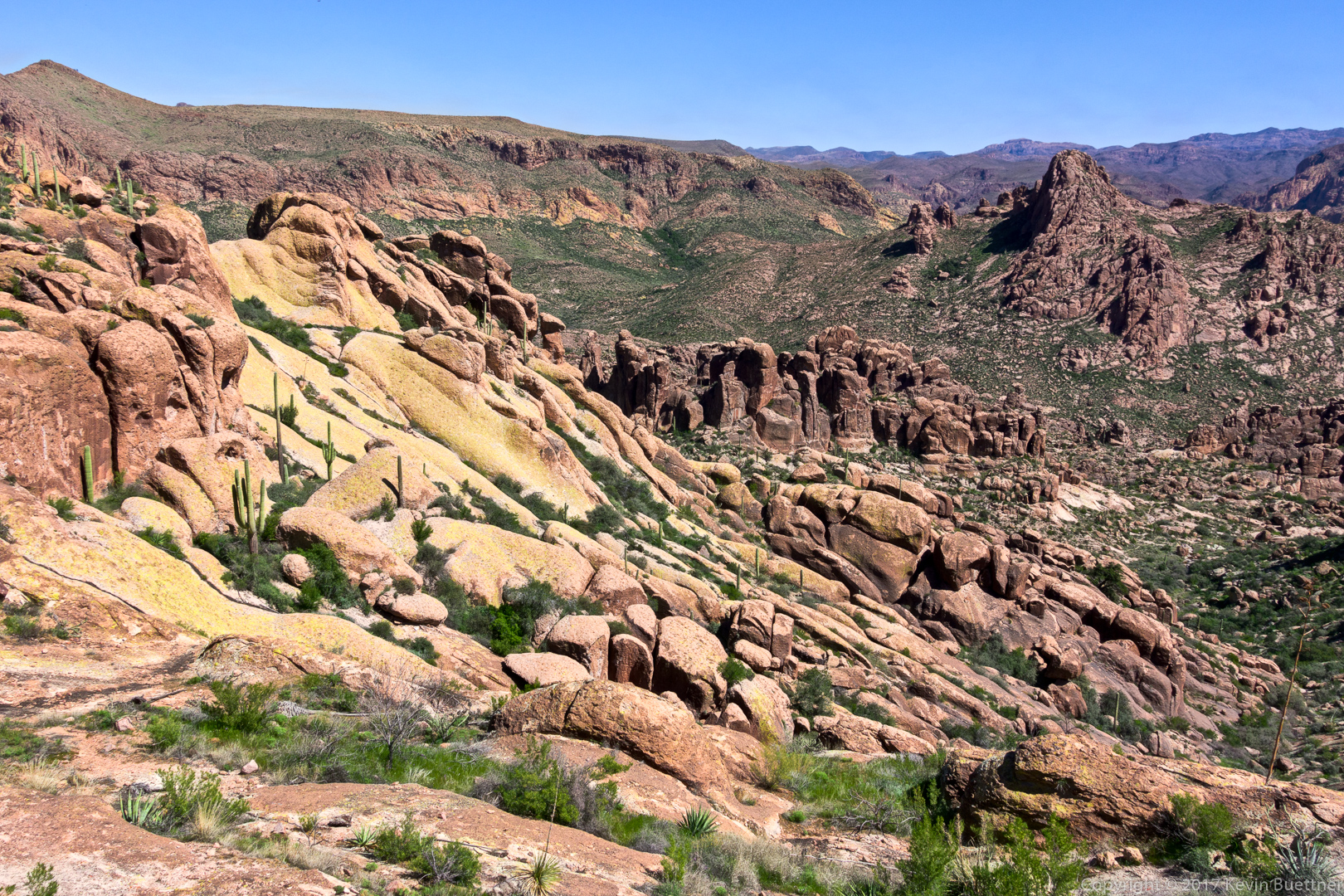
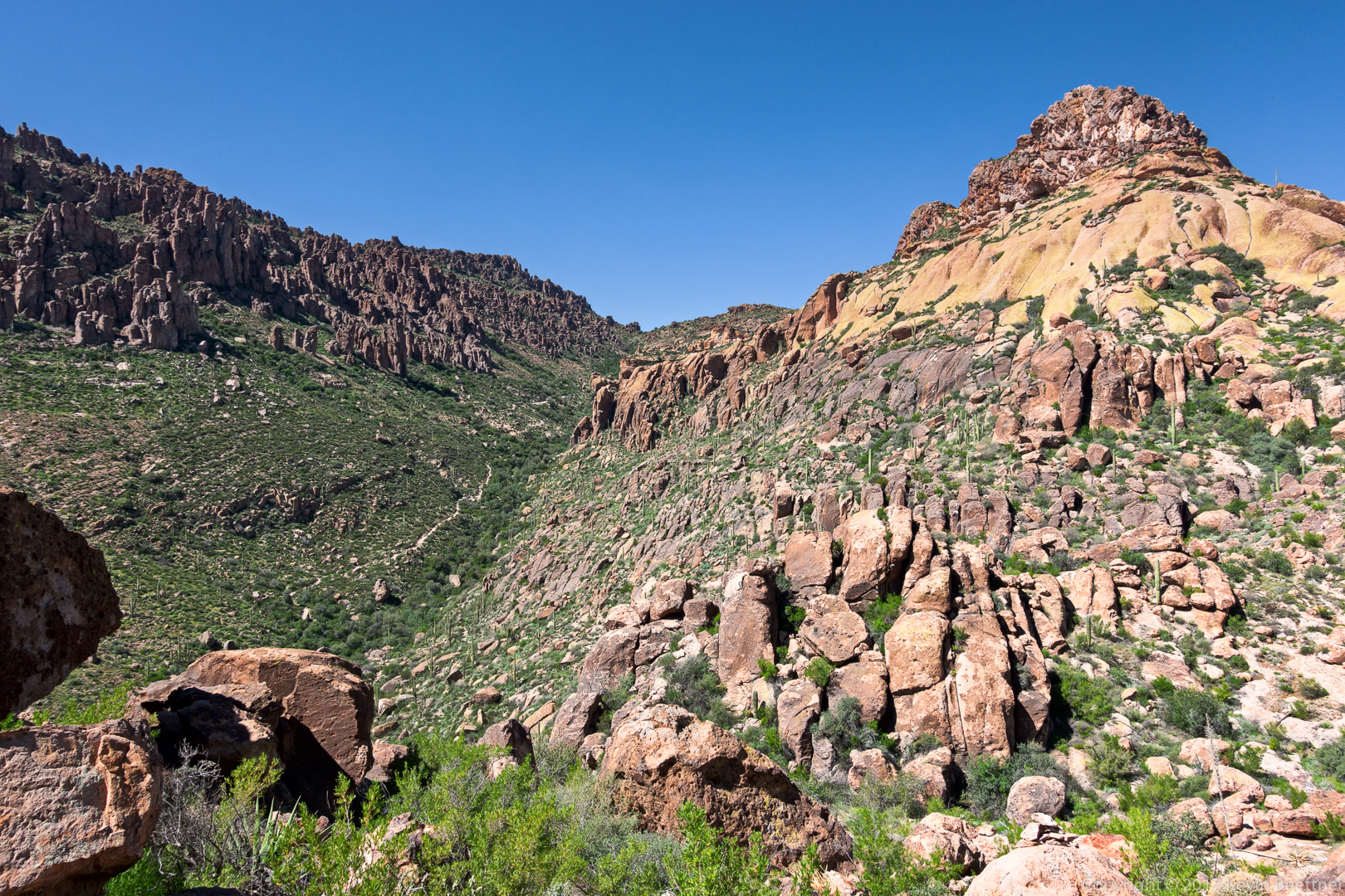
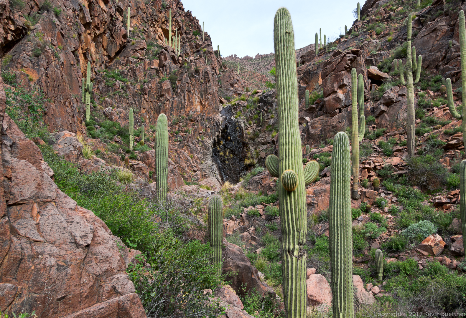
On Sunday, I did a hike in the Superstitions, the La Barge Battleship Saddle Loop. This hike starts at the Canyon Lake Marina, following the Boulder Canyon Trail until it reaches La Barge Creek. It then heads south down the creek until it reaches a narrows with pools of water. It then backtracks a bit and heads up to the saddle south of Battleship Mountain. I took a short side trip from the route at this point and visited the “stern” of Battleship Mountain in order to see what the opening moves of this class 3 territory look like. The route then heads to the west to Boulder Creek. From there, I rejoined the Boulder Canyon Trail which I took back to the trailhead.
A view of Battleship Mountain and Weaver’s Needle from the Boulder Canyon Trail.
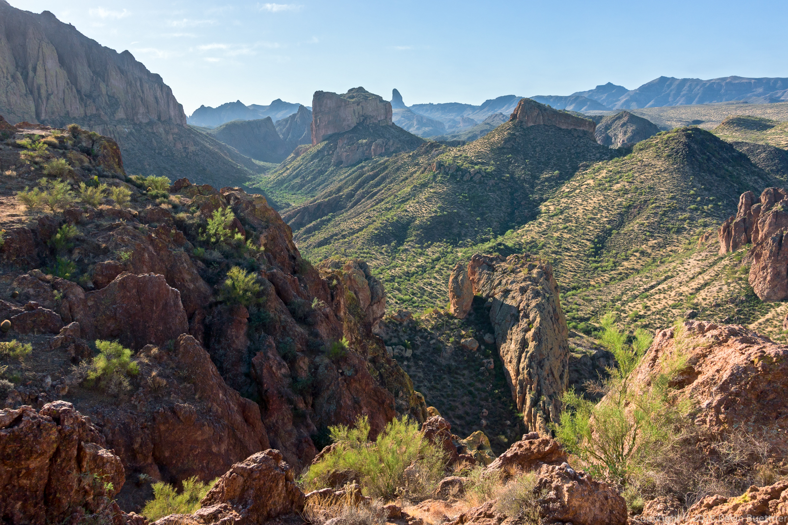
Another look at Battleship Mountain. I’m still on the Boulder Canyon Trail, but am near the turnoff into La Barge Creek at this point.

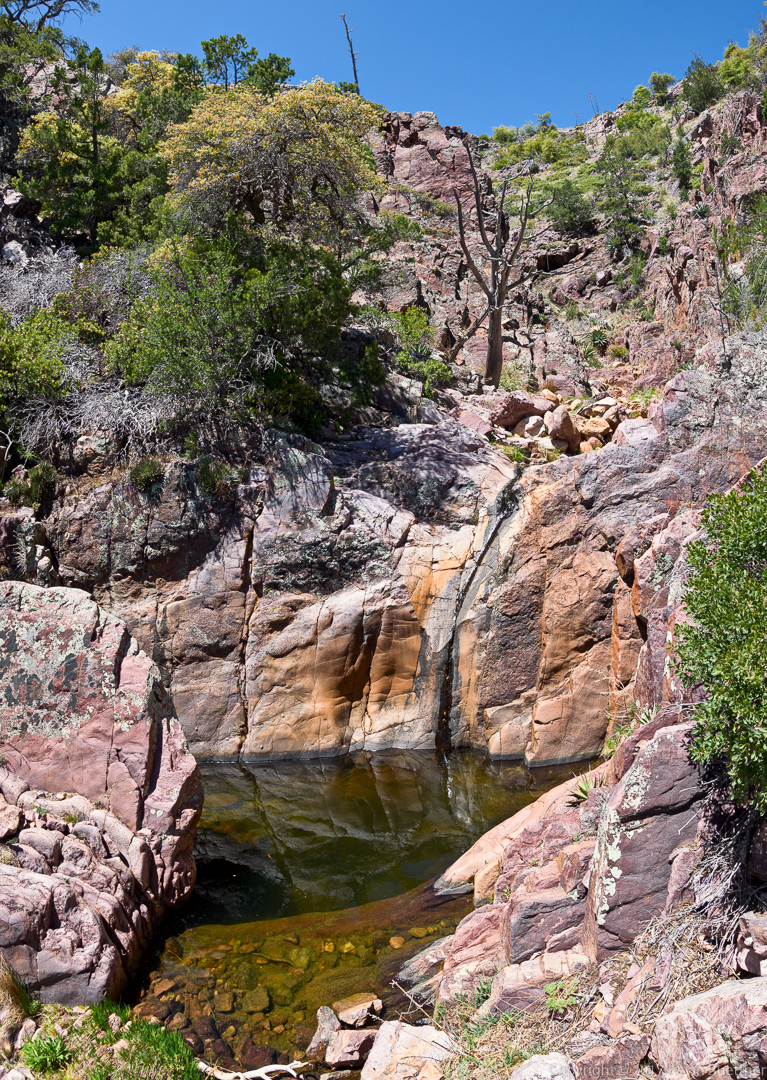
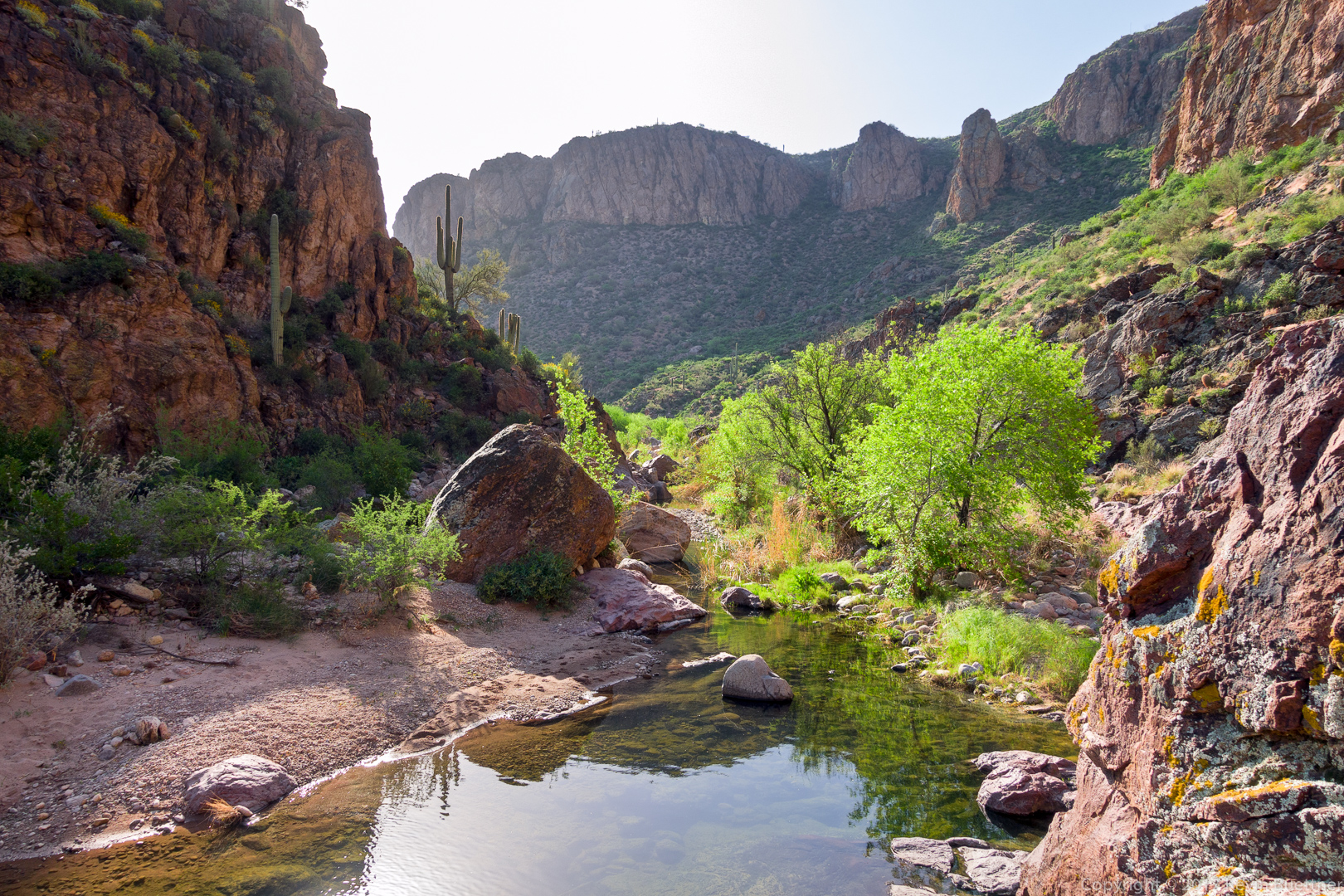
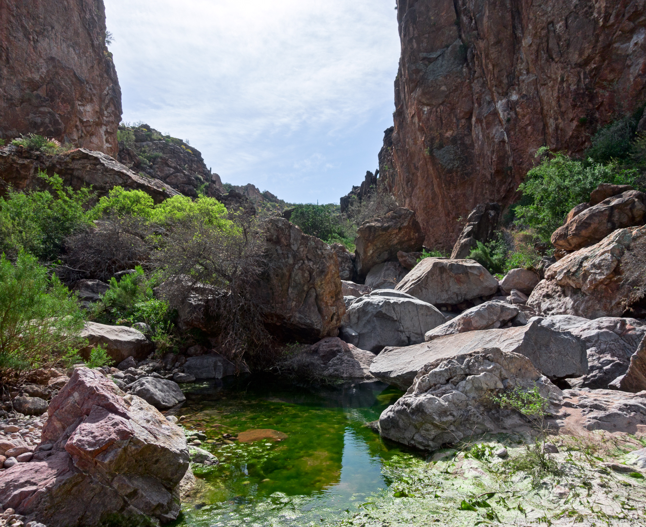
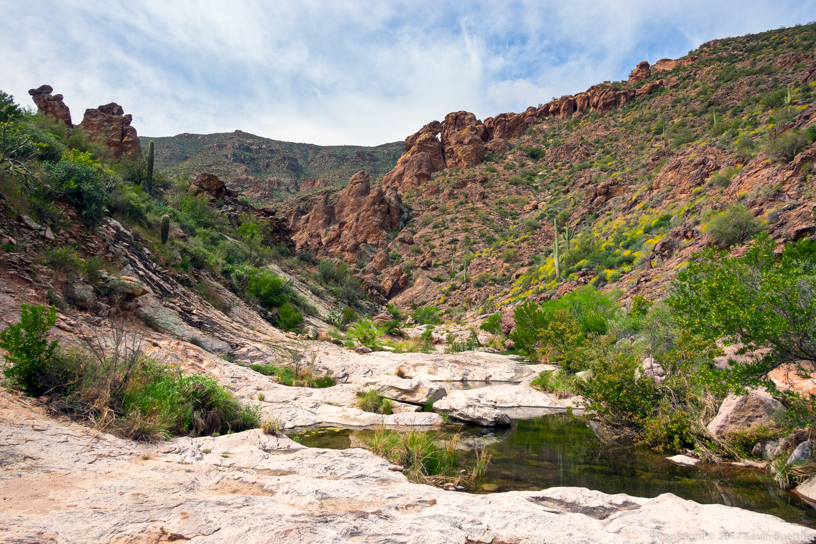
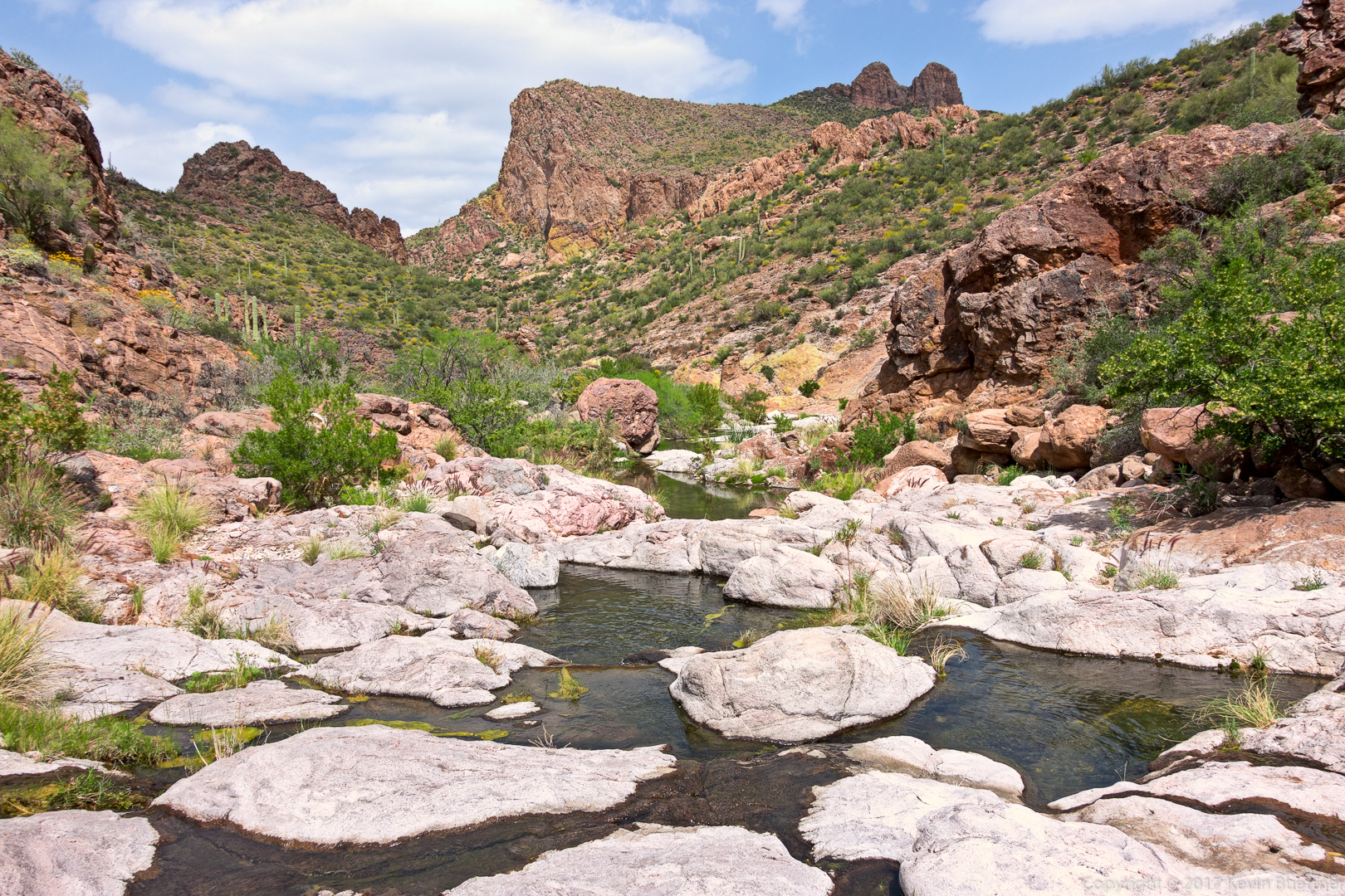
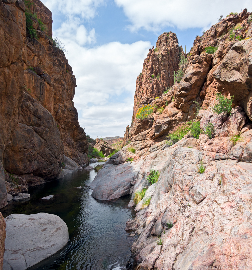
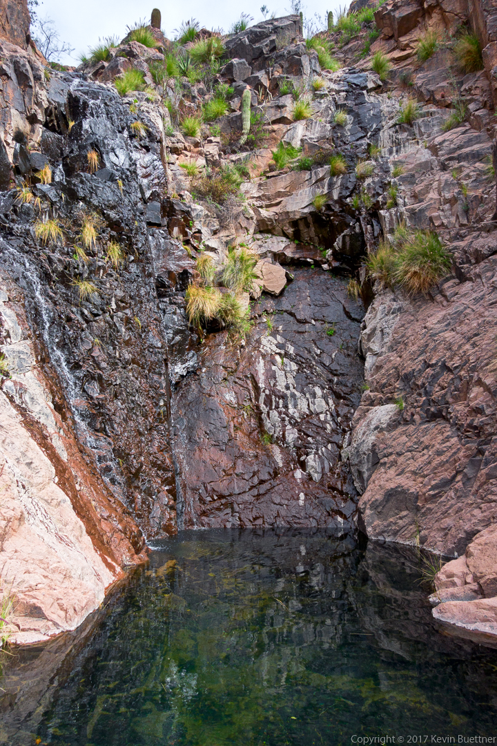
One of the pools of La Barge Canyon. Prior to this the creek had been quite rocky.
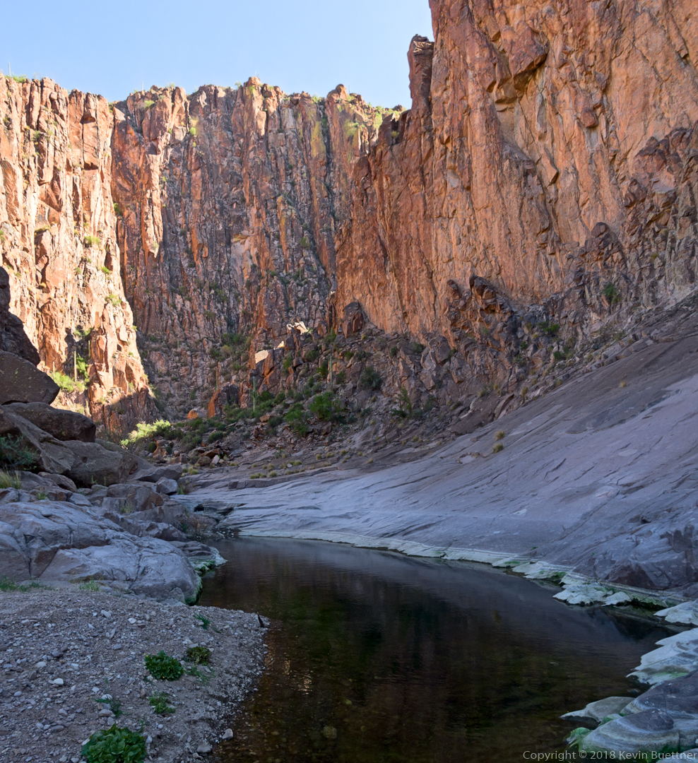
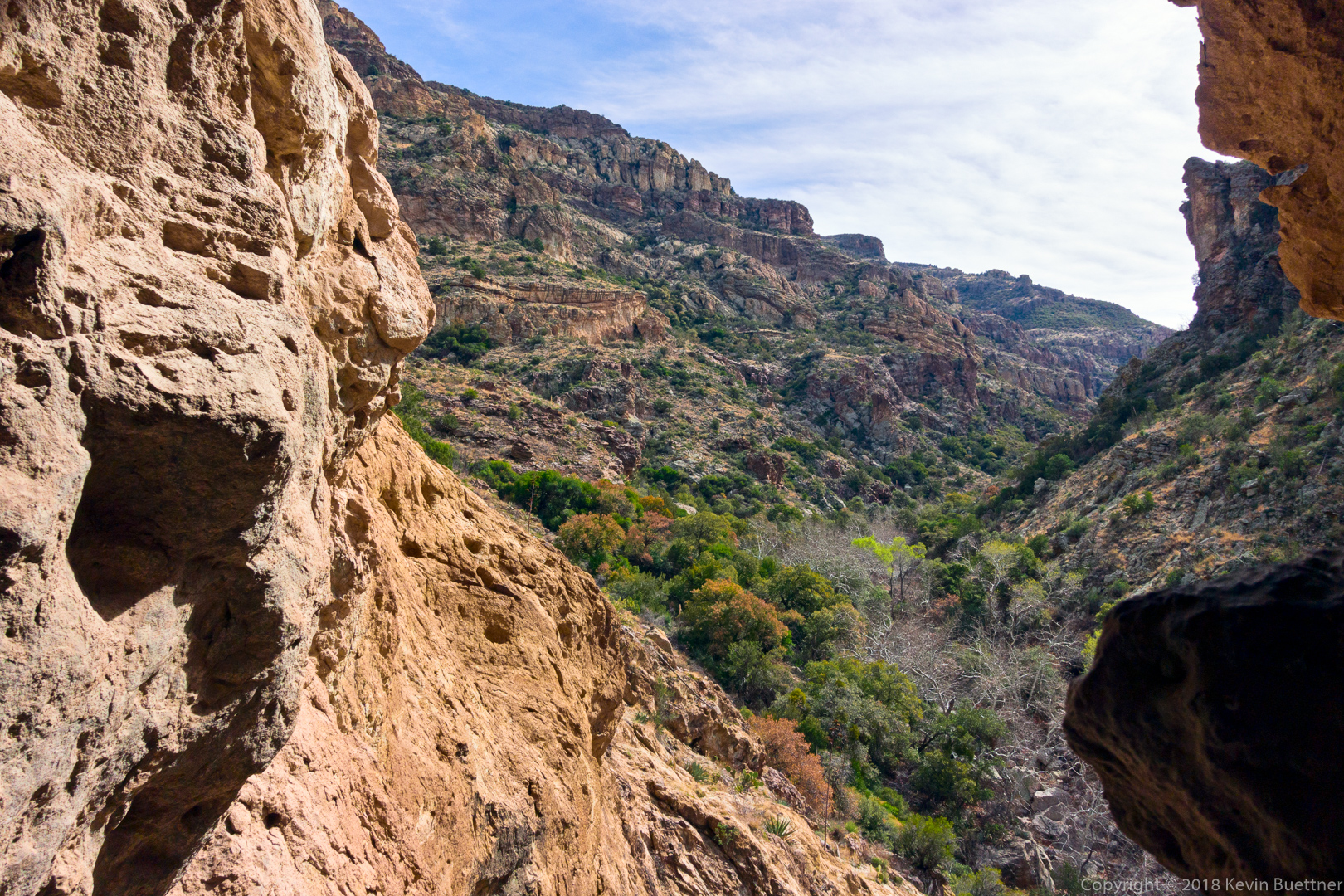
Looking back down La Barge Canyon from the way I had came.
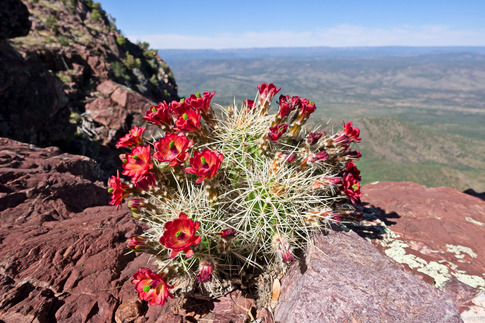
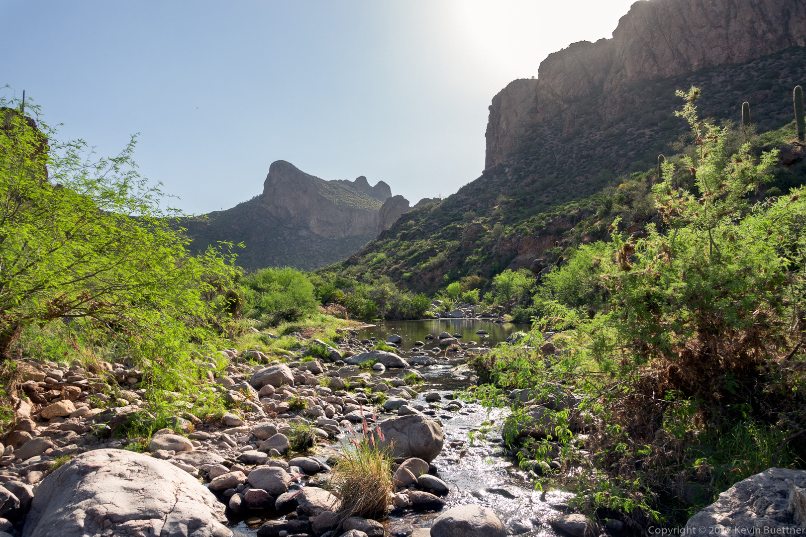
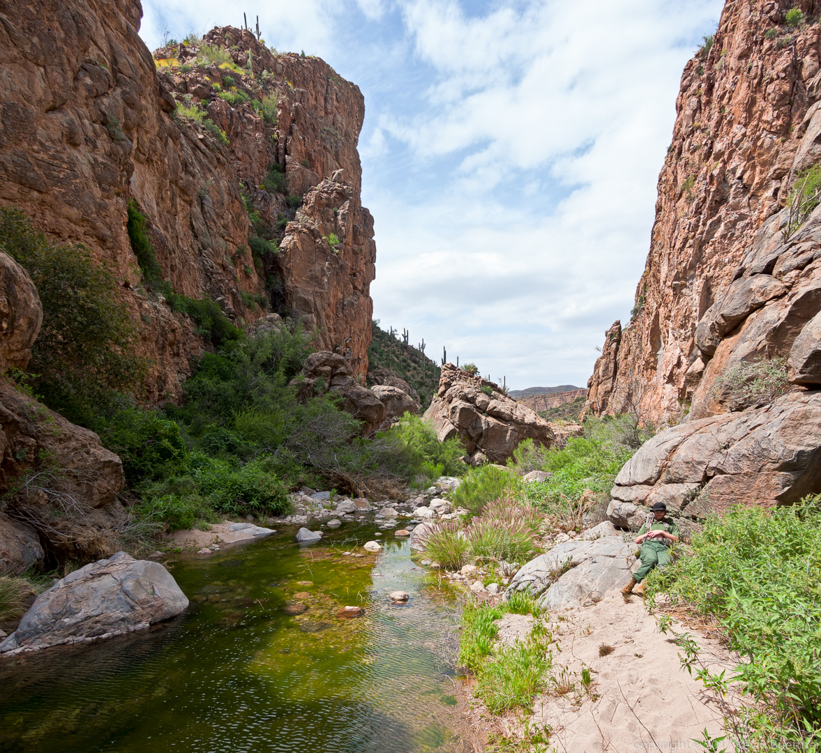
I turned around shortly after passing this pool.
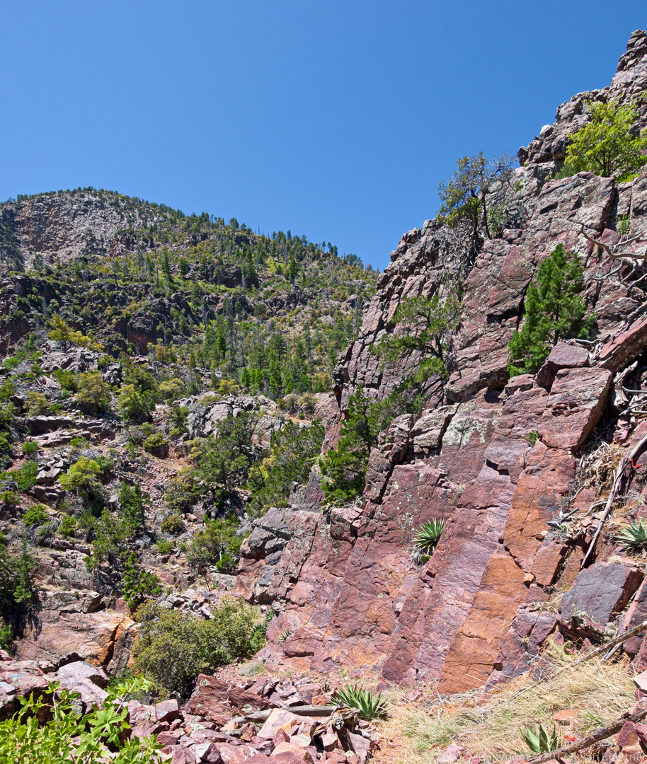
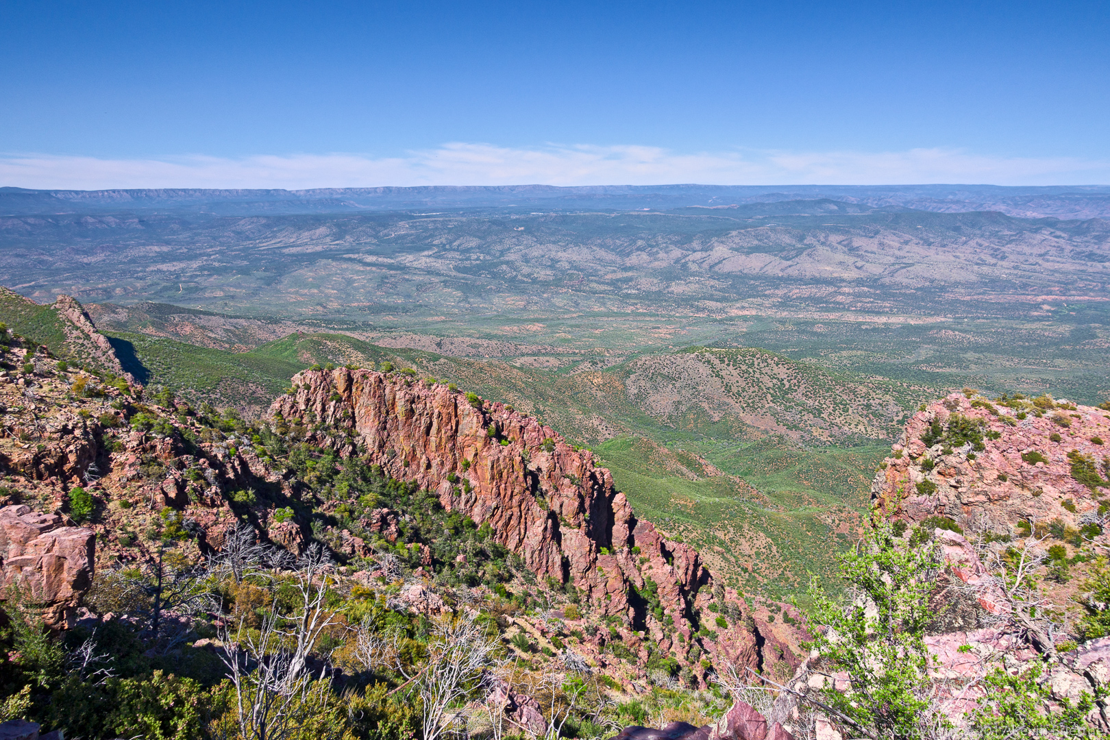
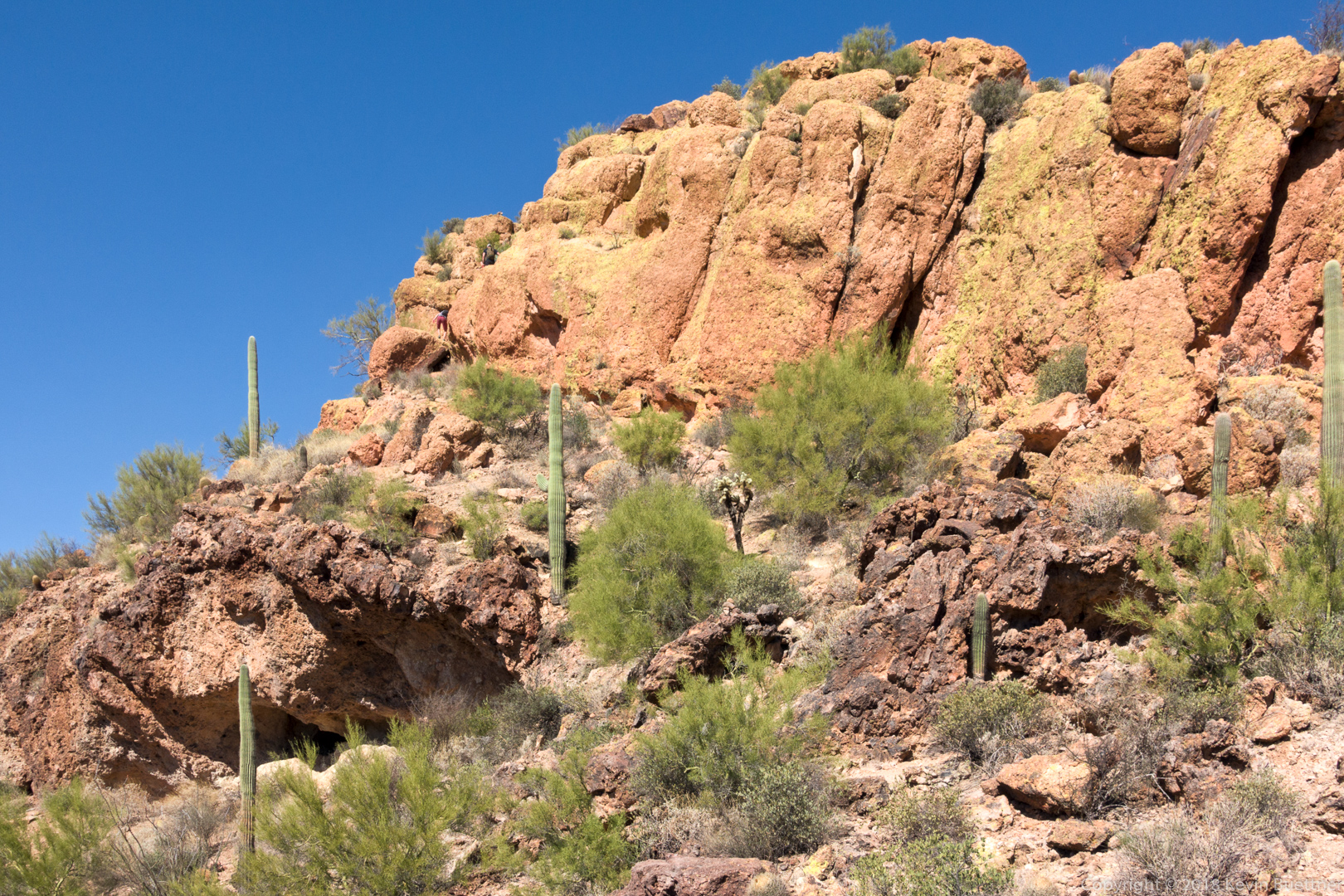
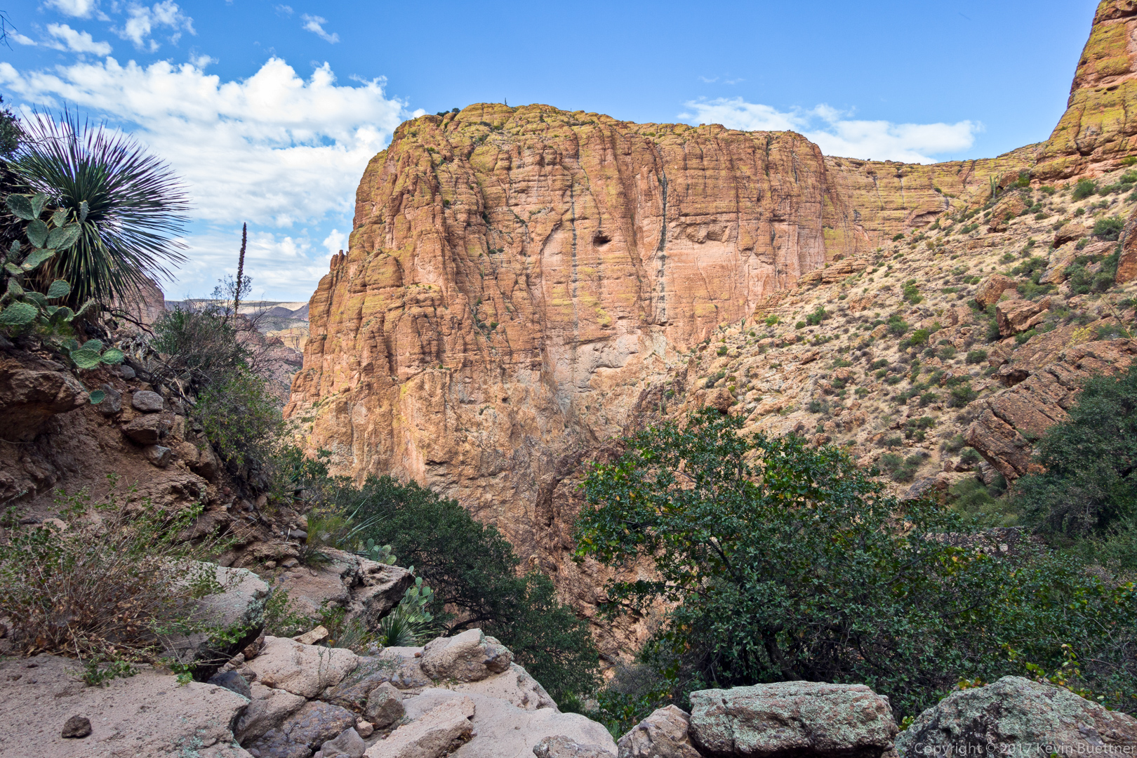
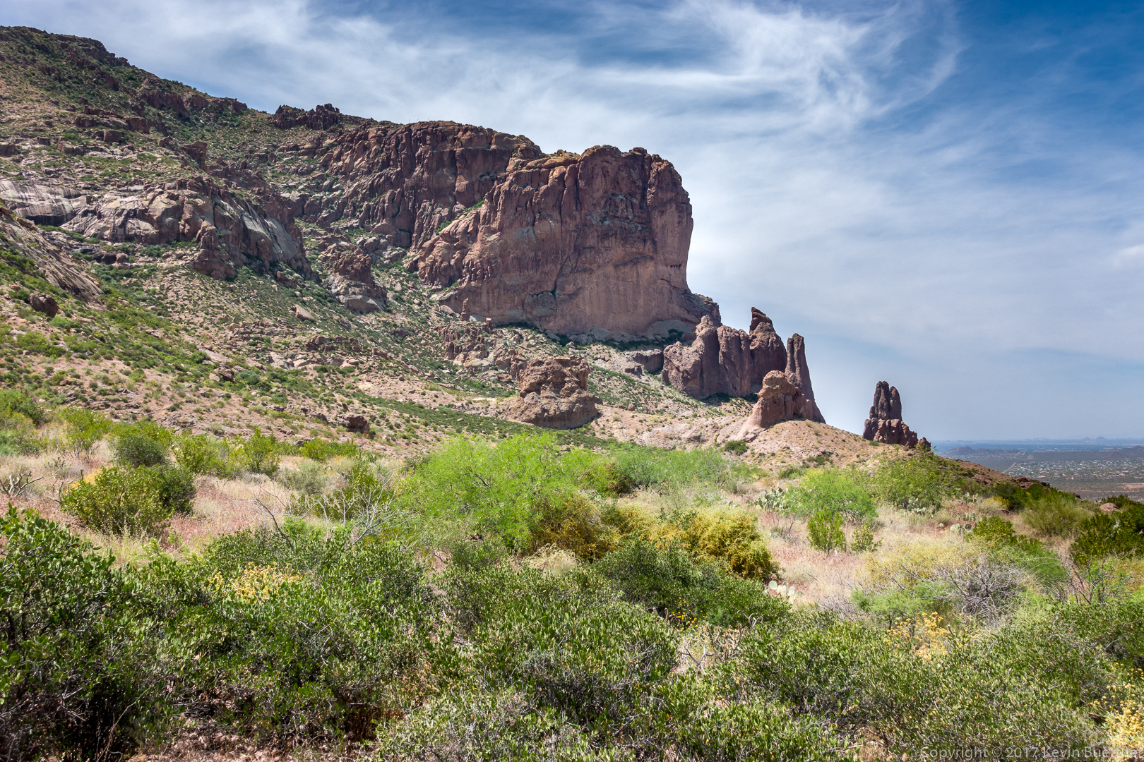
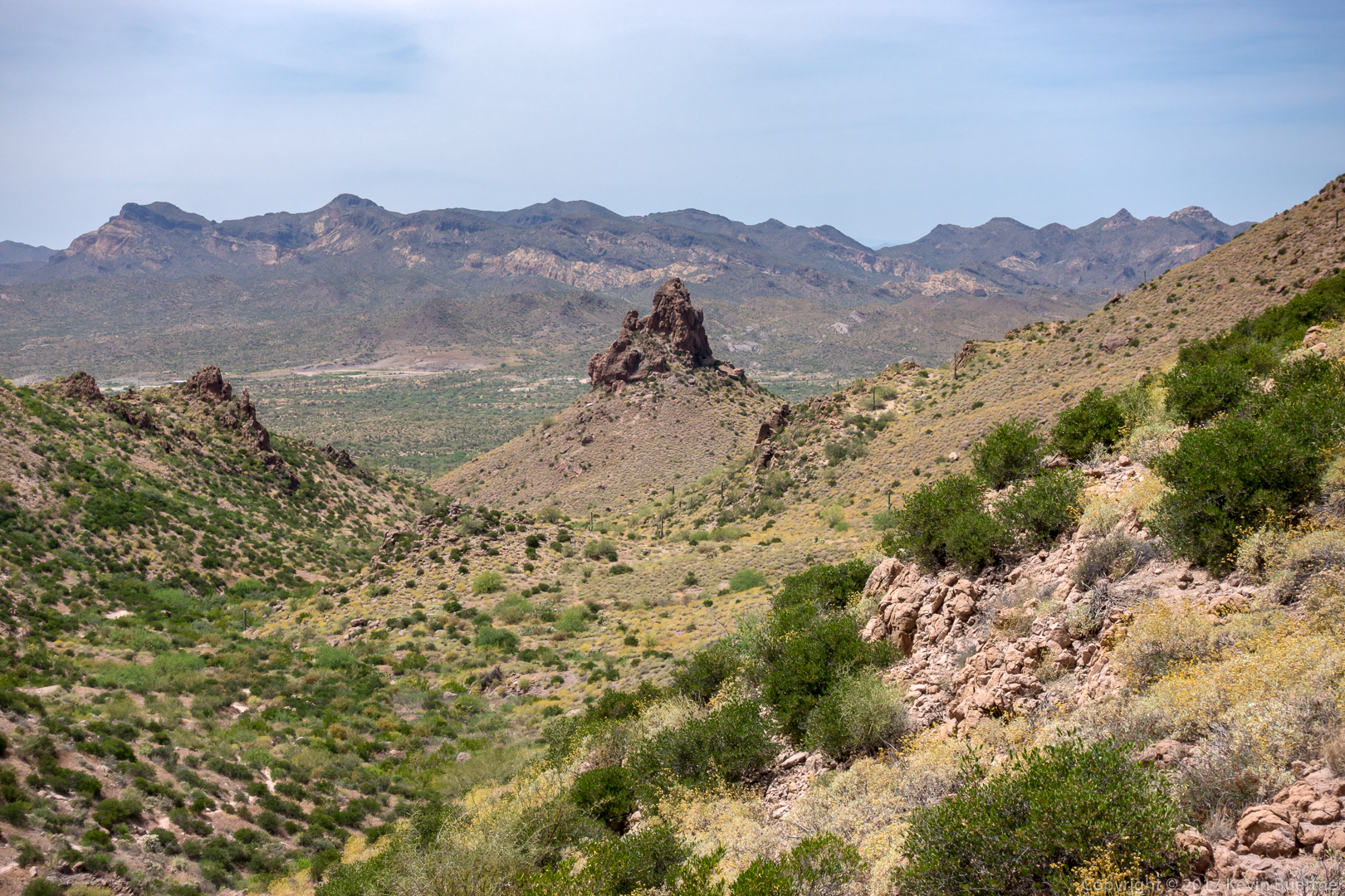
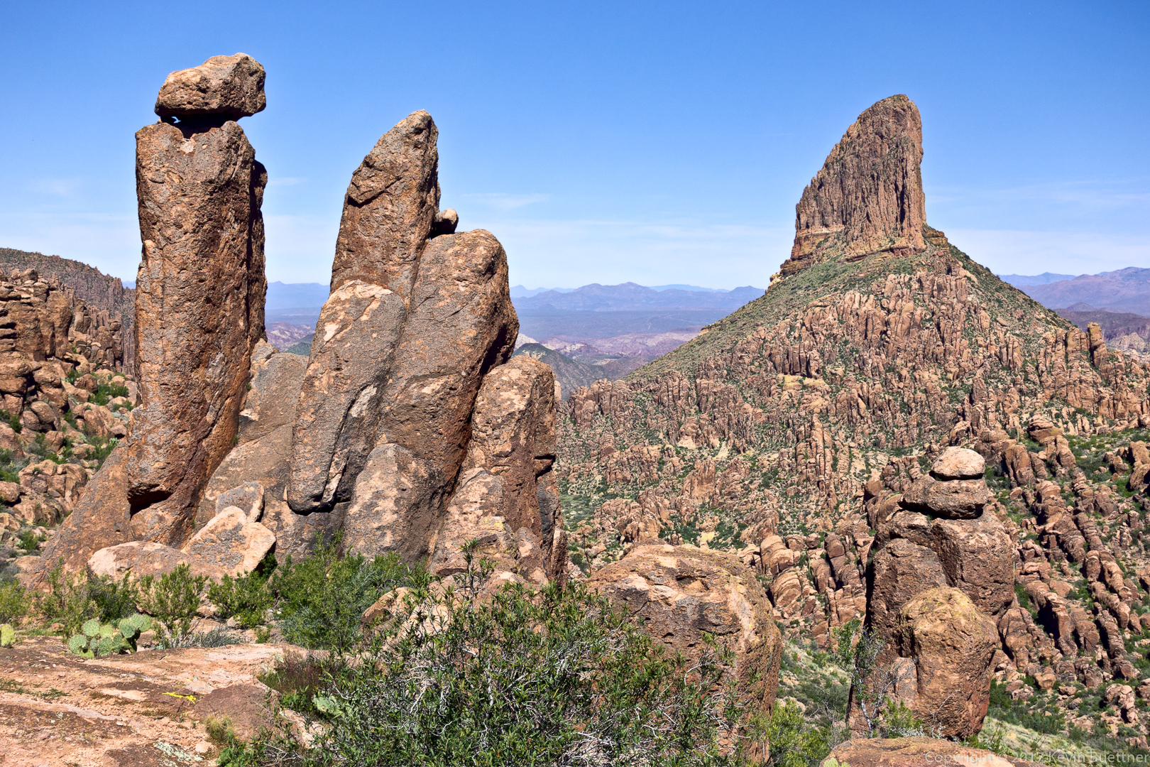
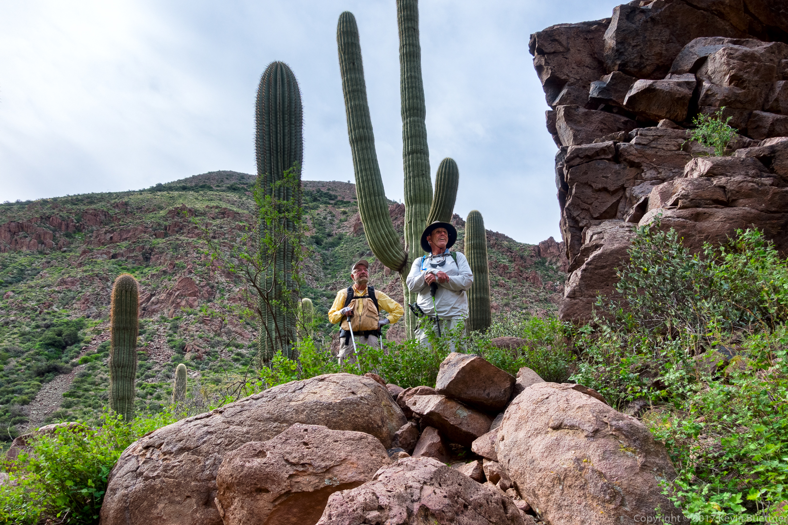
At this point, I’m returning to find the trail up to Battleship Saddle. The saddle is in the sunlit section to the left. The red rock near the top of the photo is actually the starboard side of Battleship Mountain. The part at the far left in the photo would be the stern.
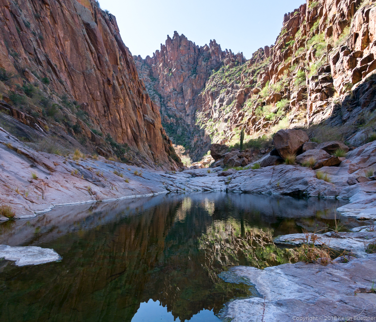
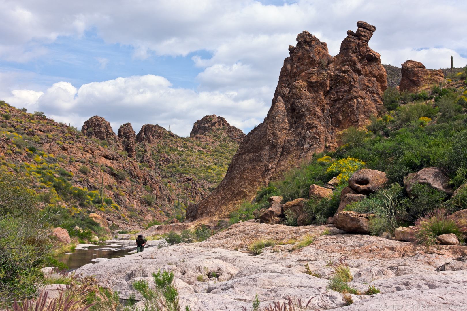
Looking north down La Barge Canyon on my way up to the saddle. Battleship Mountain is on the left side and Geronimo Head is on the right side.
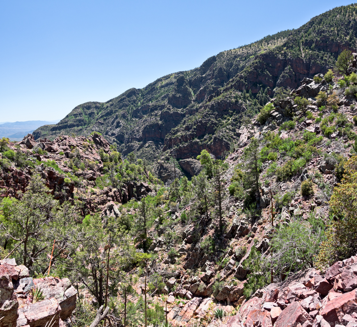
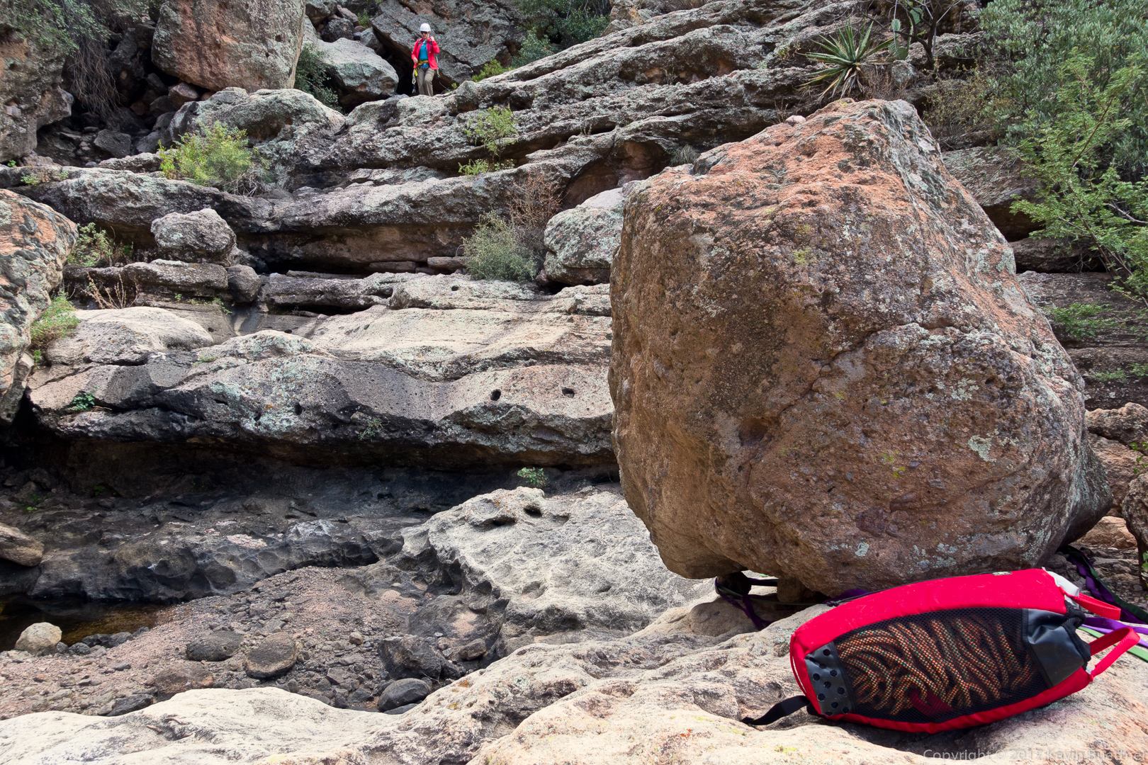
This is the “stern” of Battleship Mountain – it’s not as impressive as the “bow” which was shown in two of the earlier photos. If you look closely, you can see two hikers making their way up at the left.
A view of Weaver’s Needle from just below the stern of Battleship Mountain.
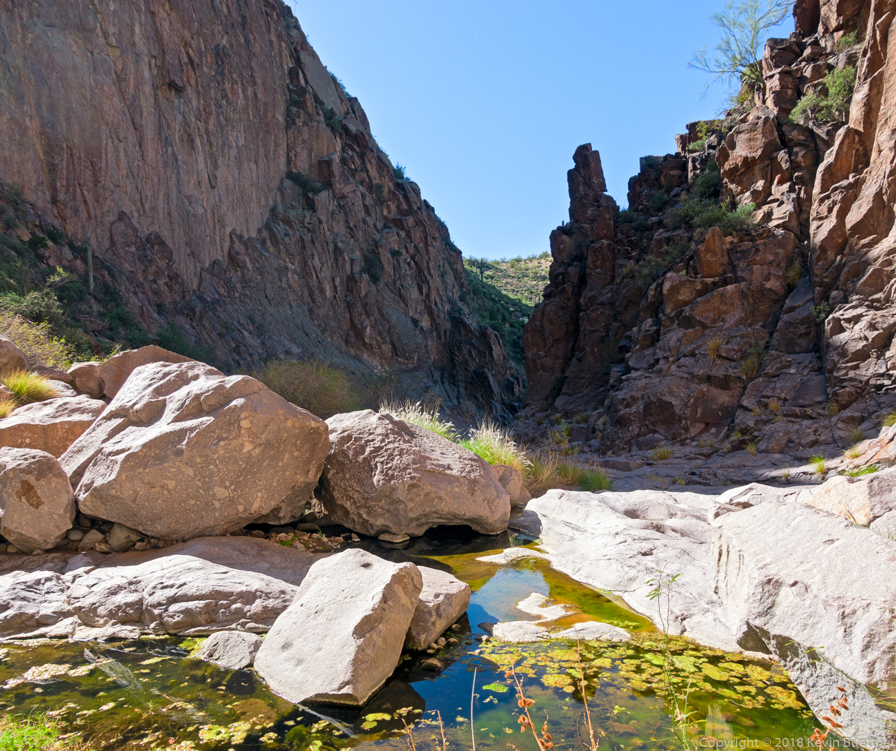
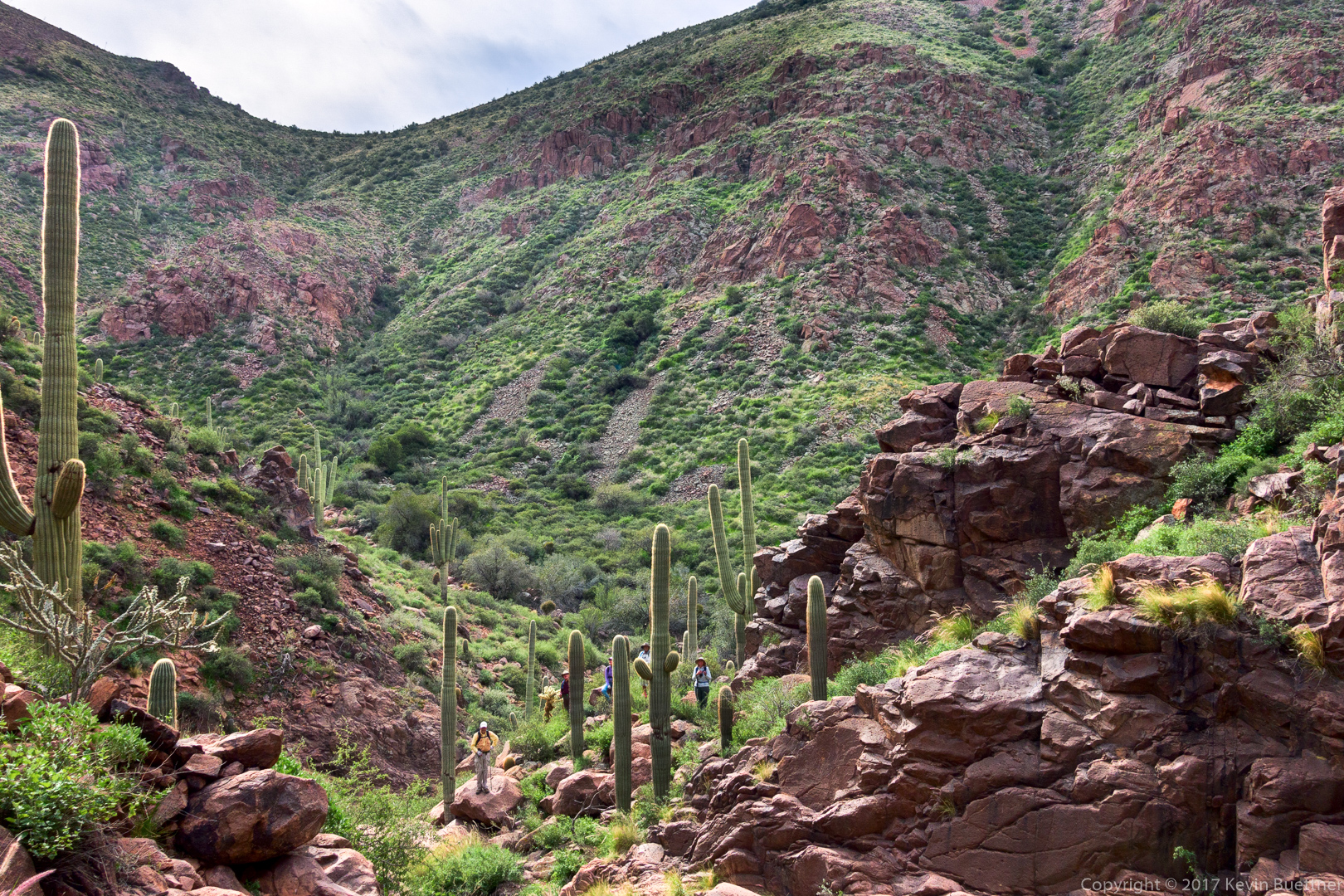
I’ve made it through the rocky part of Boulder Canyon now. The GPS track that I was following routed me further down Boulder Canyon, but I opted to follow the trail instead.
This is the site of the Indian Paint Mine.

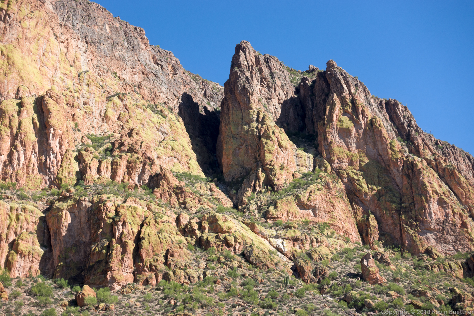
This is one of the walls of Geronimo Head.
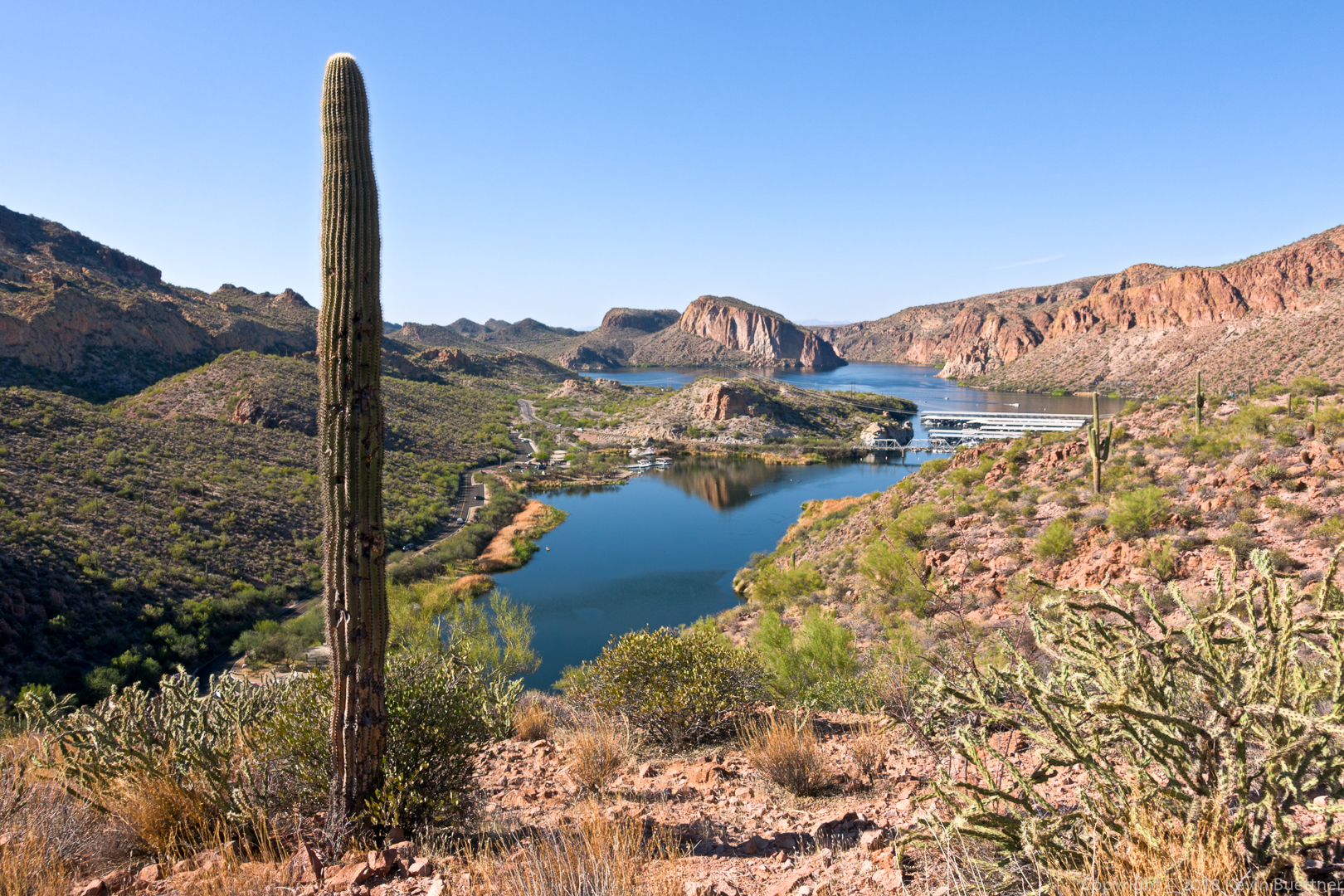
Looking toward Canyon Lake on the way back.
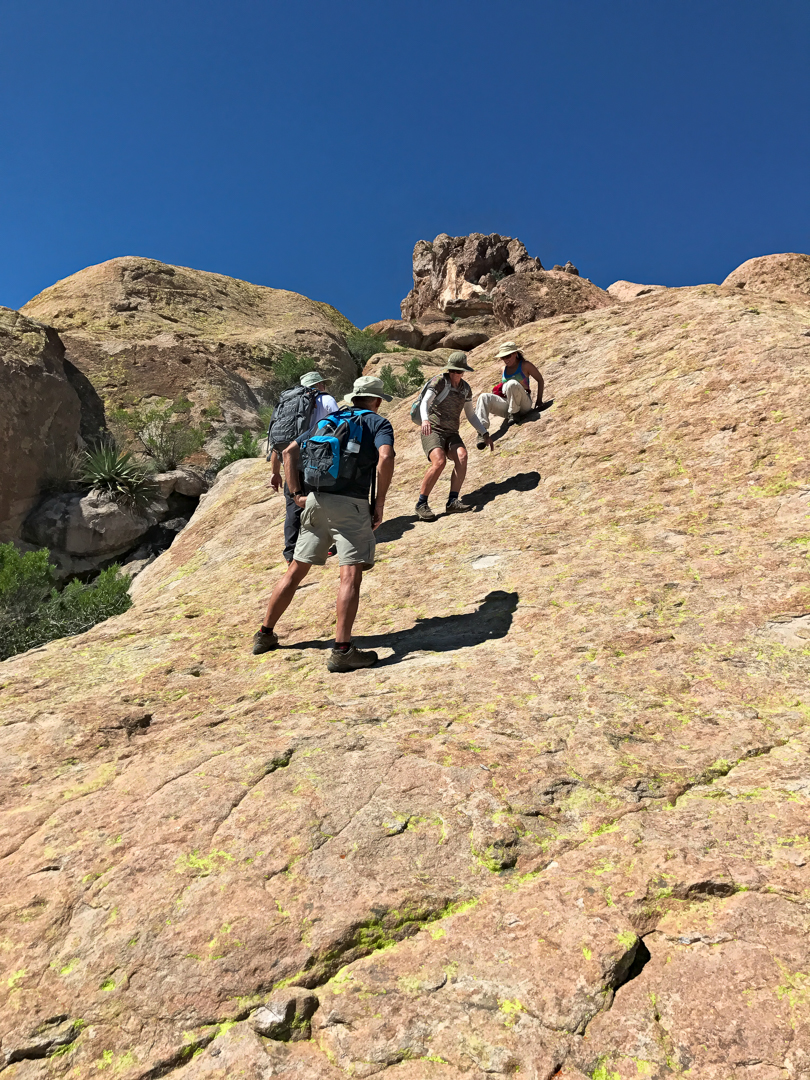
Marilyn, Ben, Marilyn, and I hiked the Dacite Super Loop in the Superstitions.
This was an early view from the Lost Goldmine Trail:
Marilyn, Marilyn, and Ben on the Carney Springs Trail:
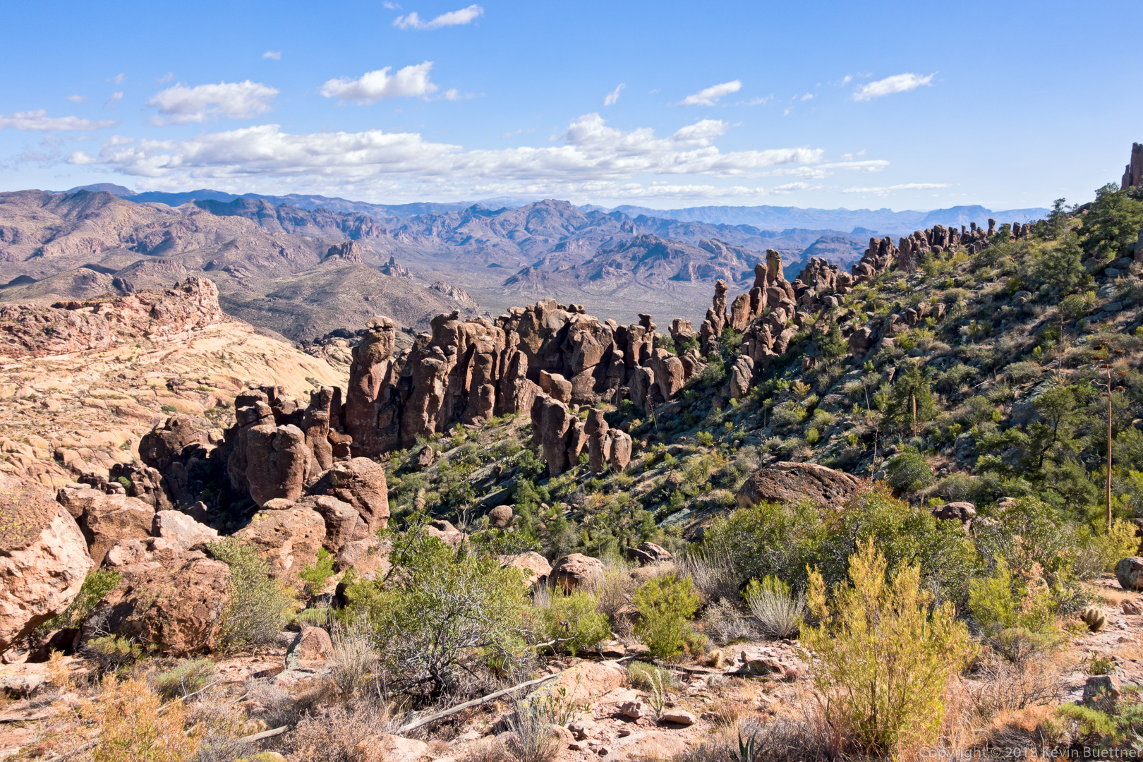
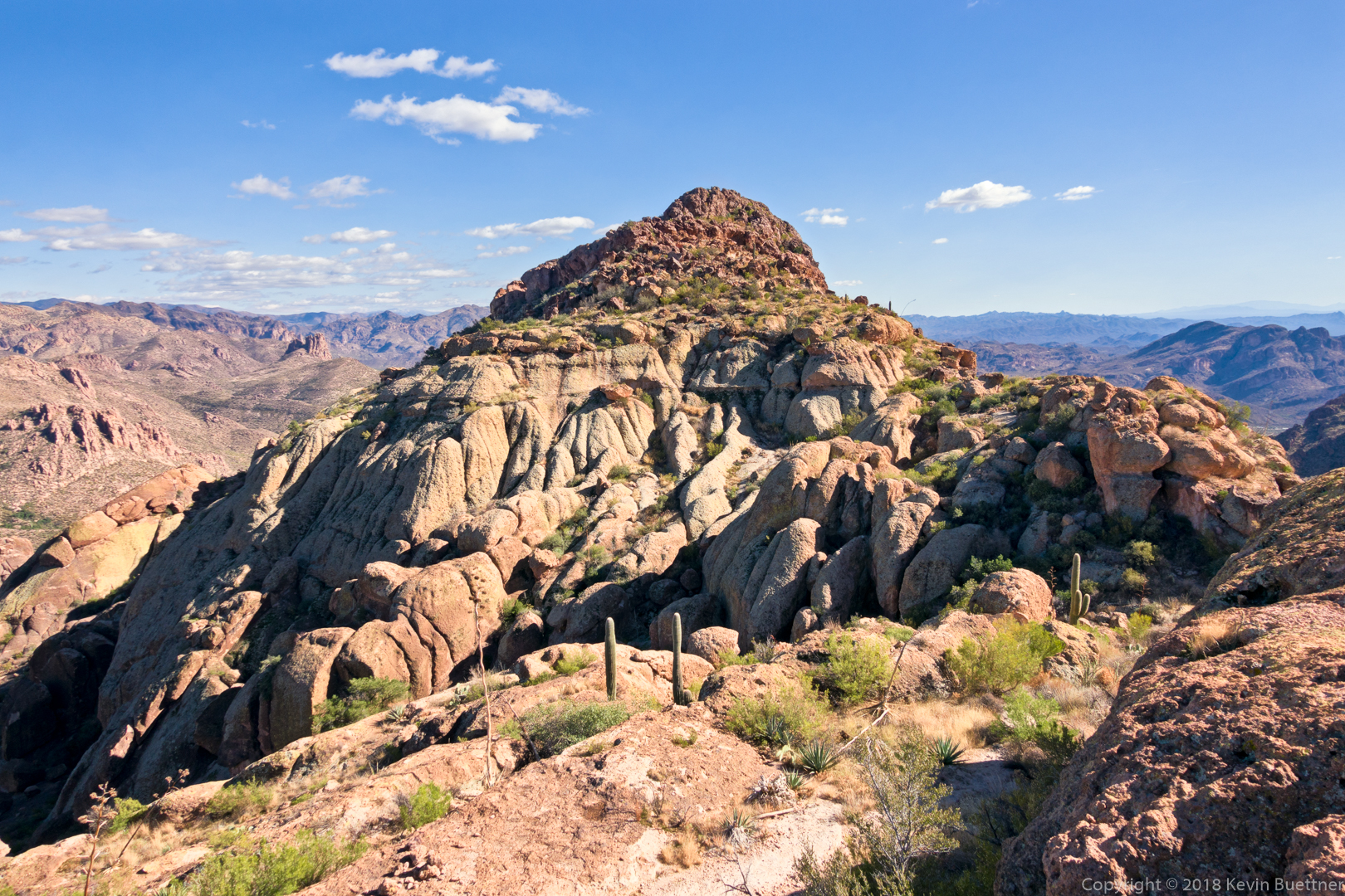
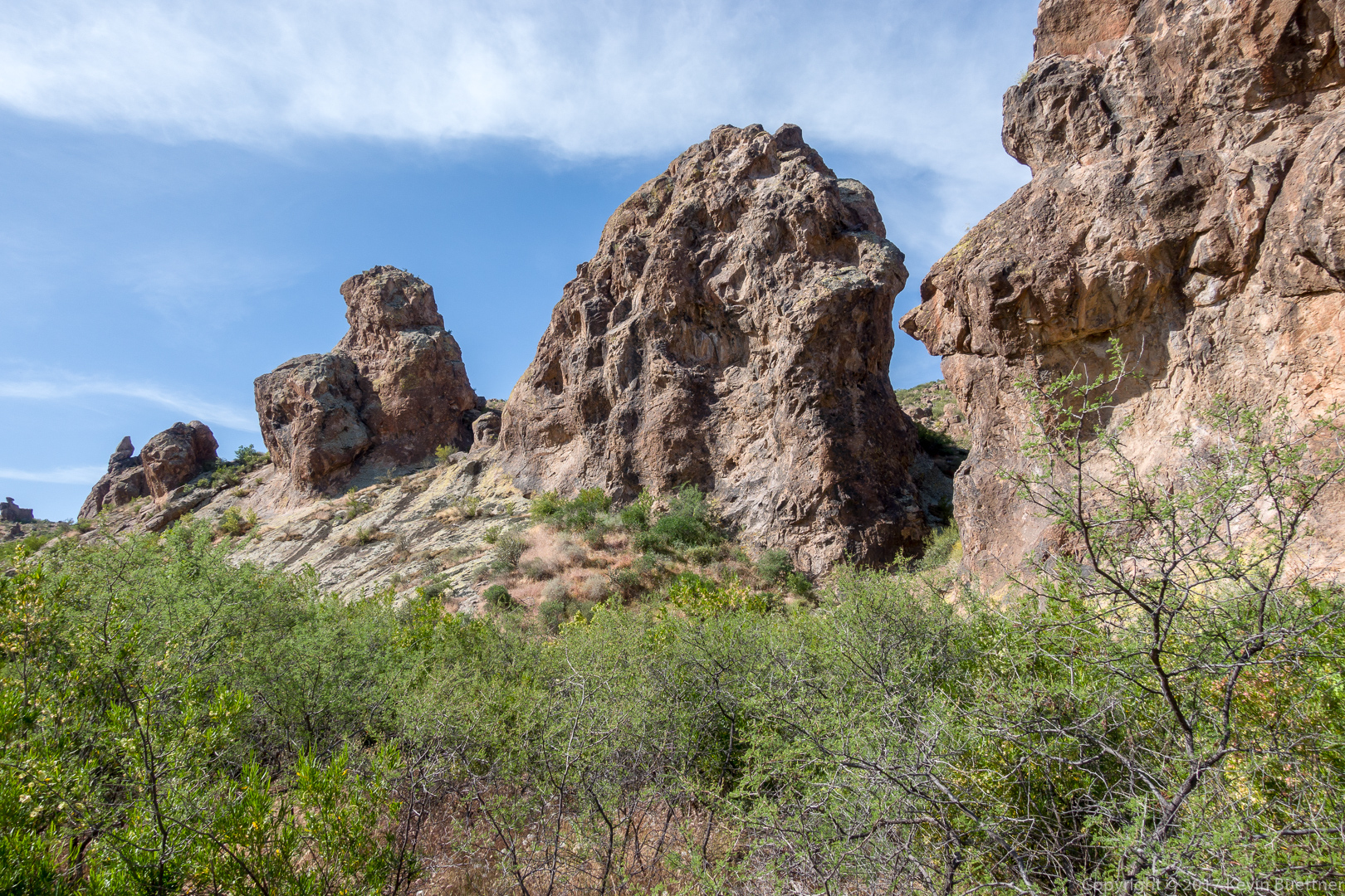
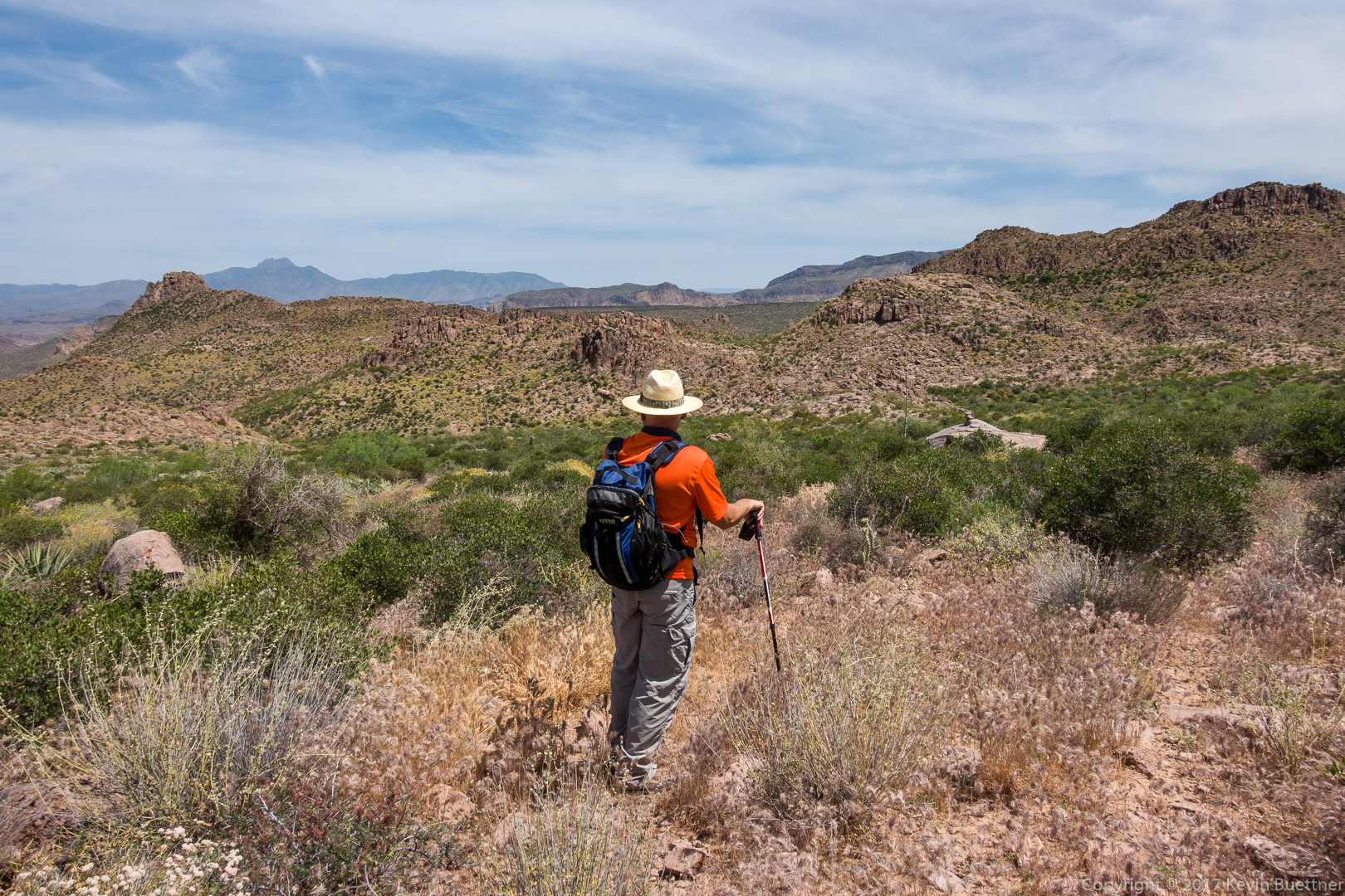
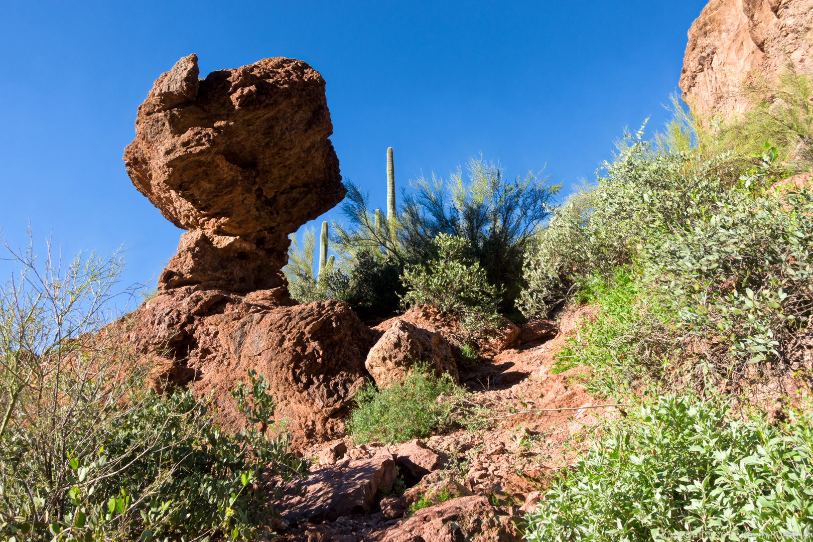
After leaving the Carney Springs Trail, we went the wrong way by following some prominent cairns. I hiked to the top of a ridge to see if there was a shortcut to get back to our trail. There didn’t appear to be anything easy, but I noticed this really cool rock formation while I was looking around. 
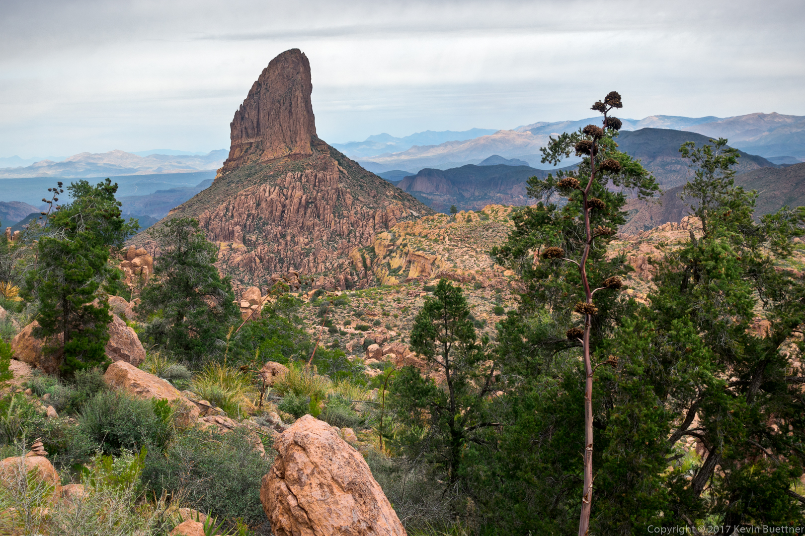
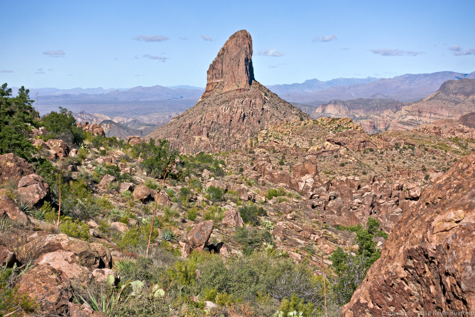
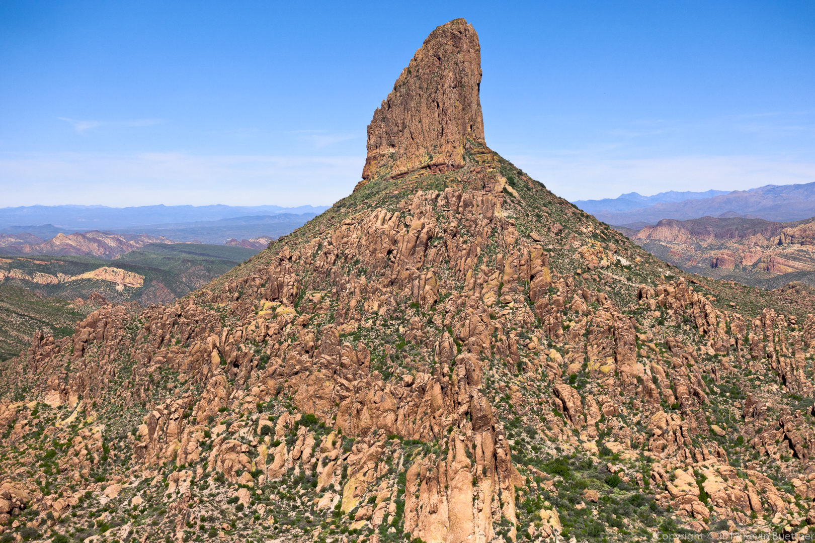
Weaver’s Needle:
One of the views as we descended to Fremont Saddle:
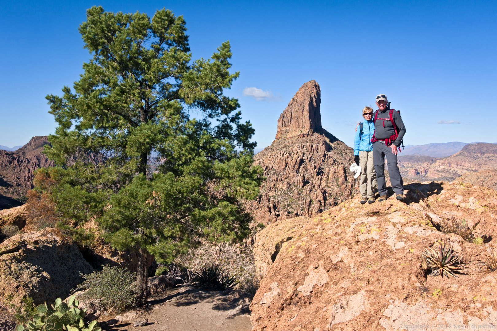
Ben and Marilyn with the famous pine tree & Weaver’s Needle in the background:
One of the many great views from the Cave Trail:
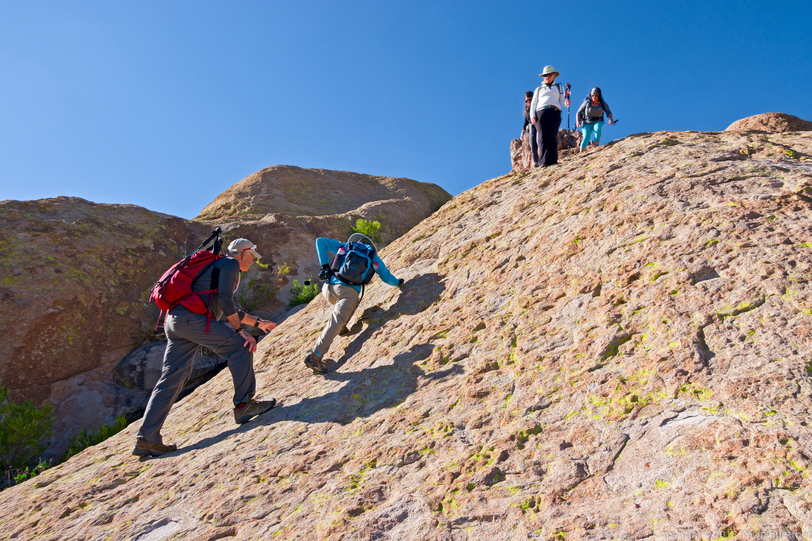
Ben spots Marilyn as she makes her way down one of the steeper sections of the Cave Trail.
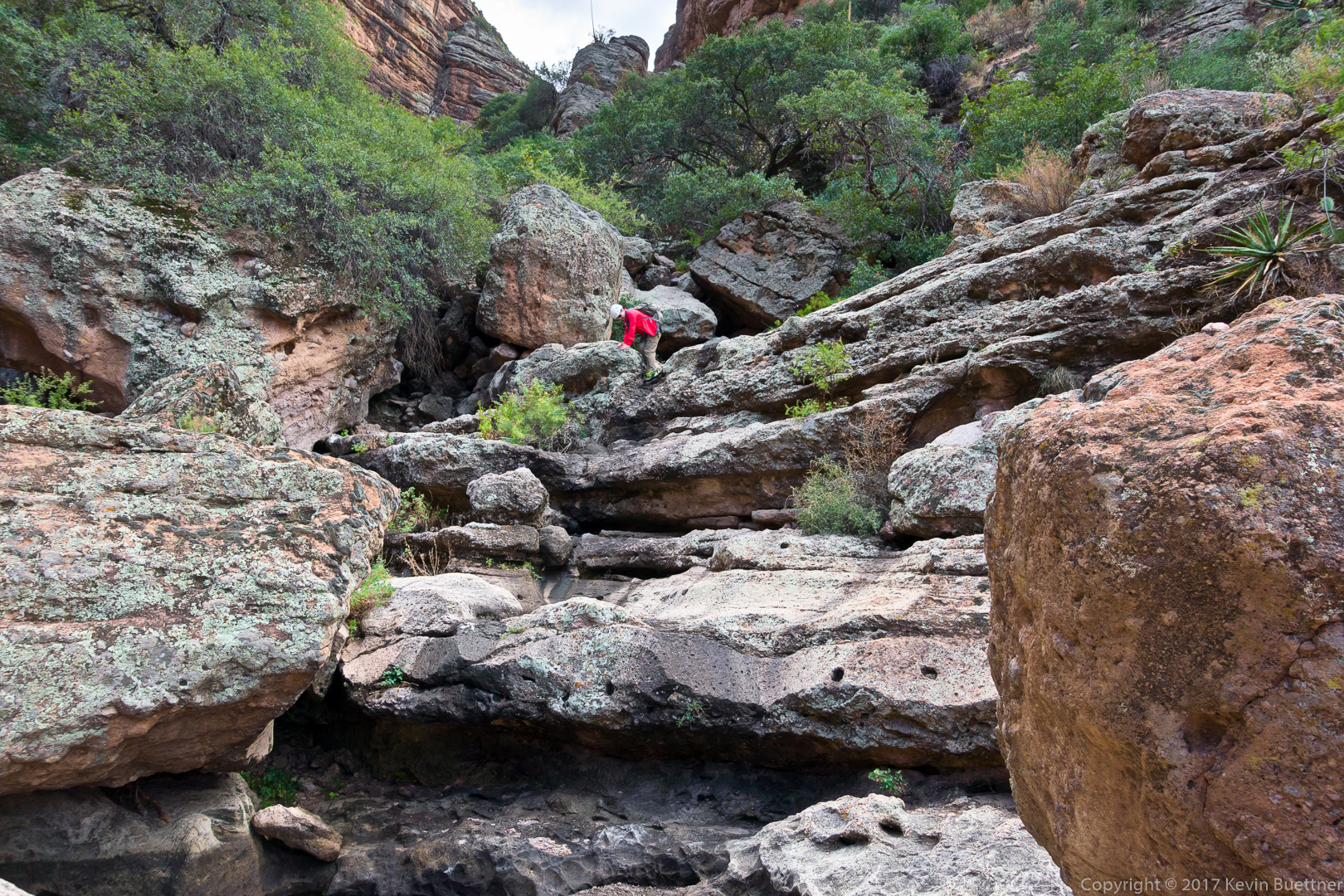
Marilyn and I had a canyoneering adventure in Minnow Canyon on Thursday, the 19th.
The route is only 2.4 miles in length, but has some bushwhacking, down-climbing, and one rappel. There were several spots where we lacked the skill and nerve to do the down climb. In those spots, I rigged a rappel, usually no more than 20 to 30 feet, so we could get past that point safely.
The long rappel near the end was a lot of fun. It was about 130 feet in length and an overhung section near the end, in which you can no longer touch the rock with either your hands or feet. There’s a large boulder which can be used for an anchor at this point. There were already two slings in place, one of which still felt supple enough that I was willing to trust it. I rerouted the second (and presumably older) one a bit so that they were equalized. The one problem that I saw with the way that the anchor was rigged was that rapid links (rappel rings, though which you pass the rope) were set back too far from the edge. Setting it up this way makes it easier and perhaps safer to get over the edge, but it creates a lot more friction when it comes time to pull the rope. That proved to be the case; I had to pull very hard on the pull cord to get it to move.
It was dark when we got to Fish Creek, so we strapped on our headlamps so that we could finish the adventure. There was water in the creek; I saw pools that appeared to be at least three feet deep. I was able to find a way around these pools though. The climb back to the road at the Fish Creek Bridge was challenging in the dark.
It turned out to be a 2.5 mile walk on the Apache Trail to get back to our vehicle. We left our headlamps on so that cars would see us. It might have been safer doing this part in the dark because cars could definitely see us.
The hike starts on Forest Service Road 213. Hiking the road is easy, but there are still some pretty good views.
I left the road to photograph this view. I got us lost for about half a mile while trying to get back to the road.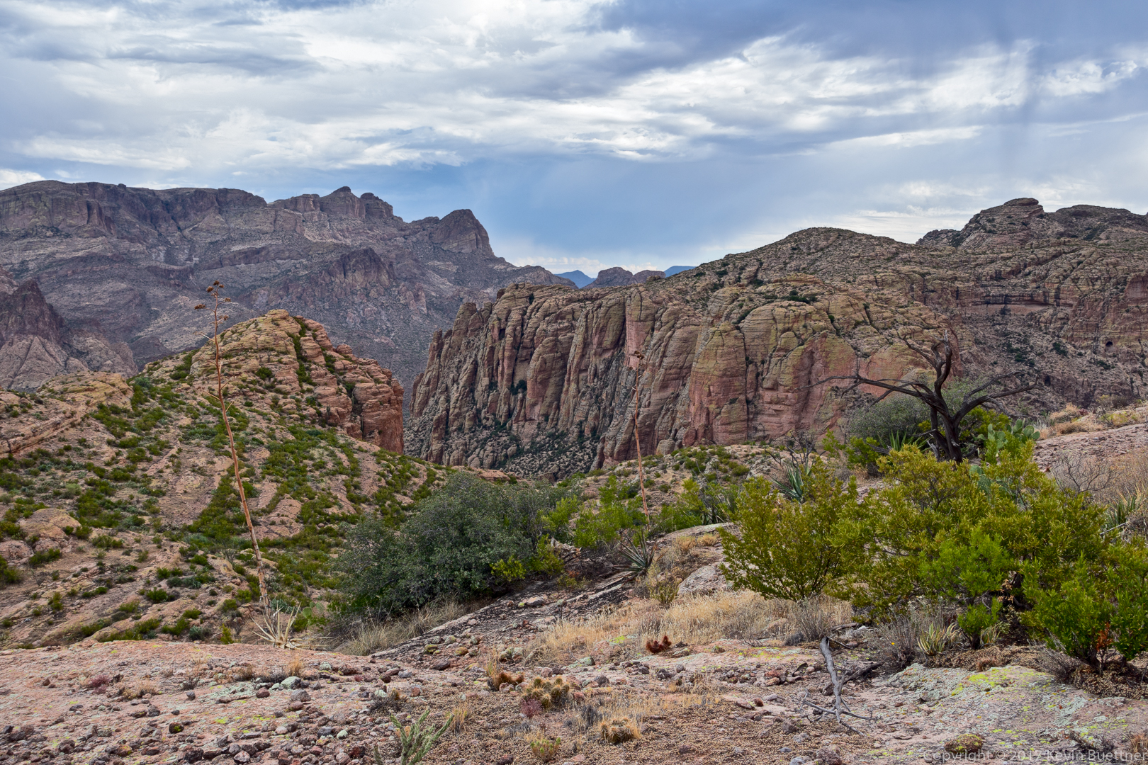
At this point, we had entered the wash which eventually led to Minnow Canyon. To get here, we had to descend a steep(ish) hill in the rain and then make our way through some catsclaw. I was happy that I chose to wear a long sleeve shirt and long pants.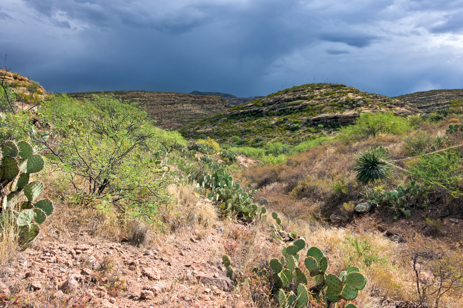
Bushwhacking was not over though…
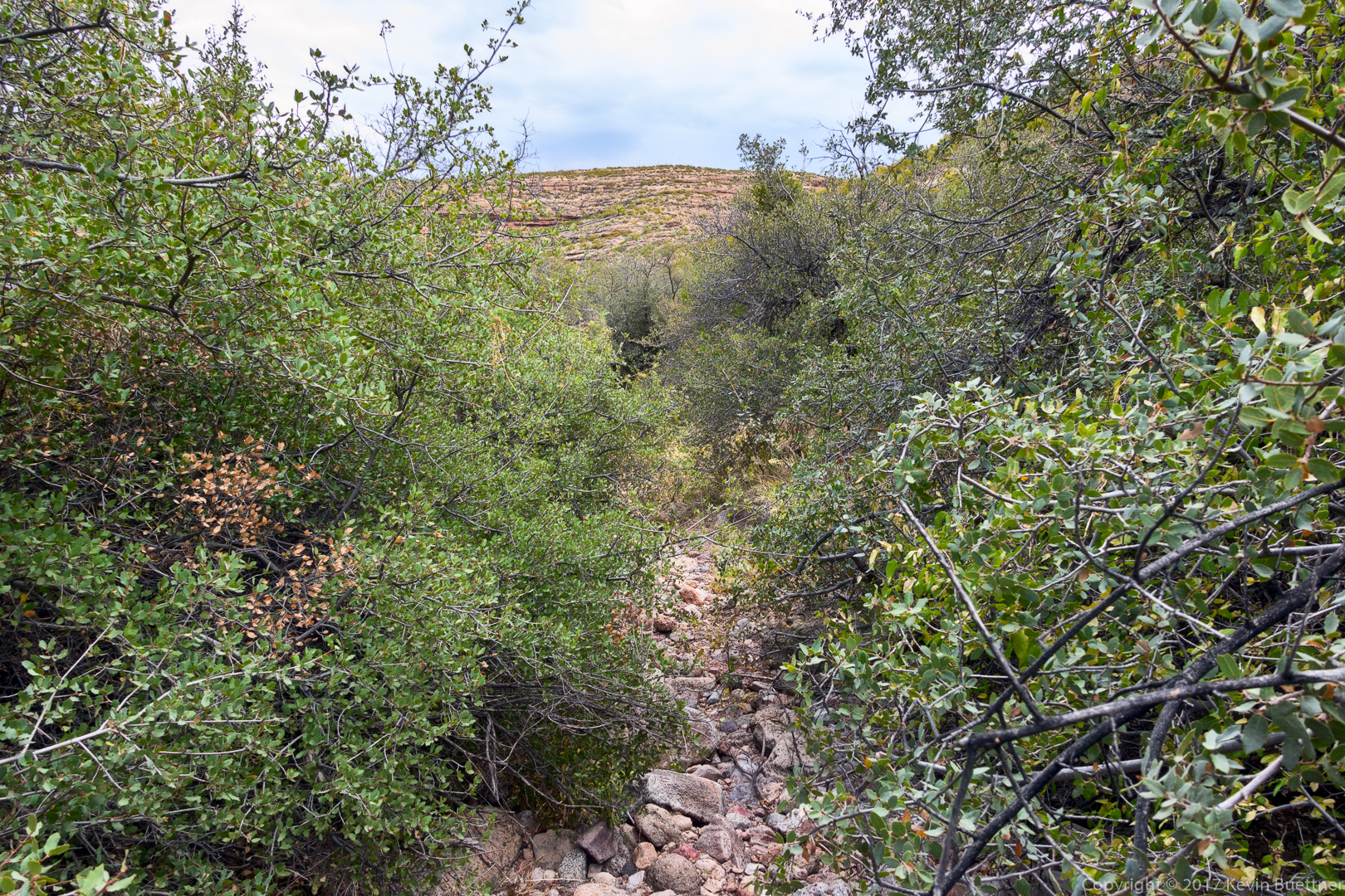
Making our way further down the wash…

As the walls started to get steeper, the way became easier for a time.
But after a while, the way down started to get steeper.
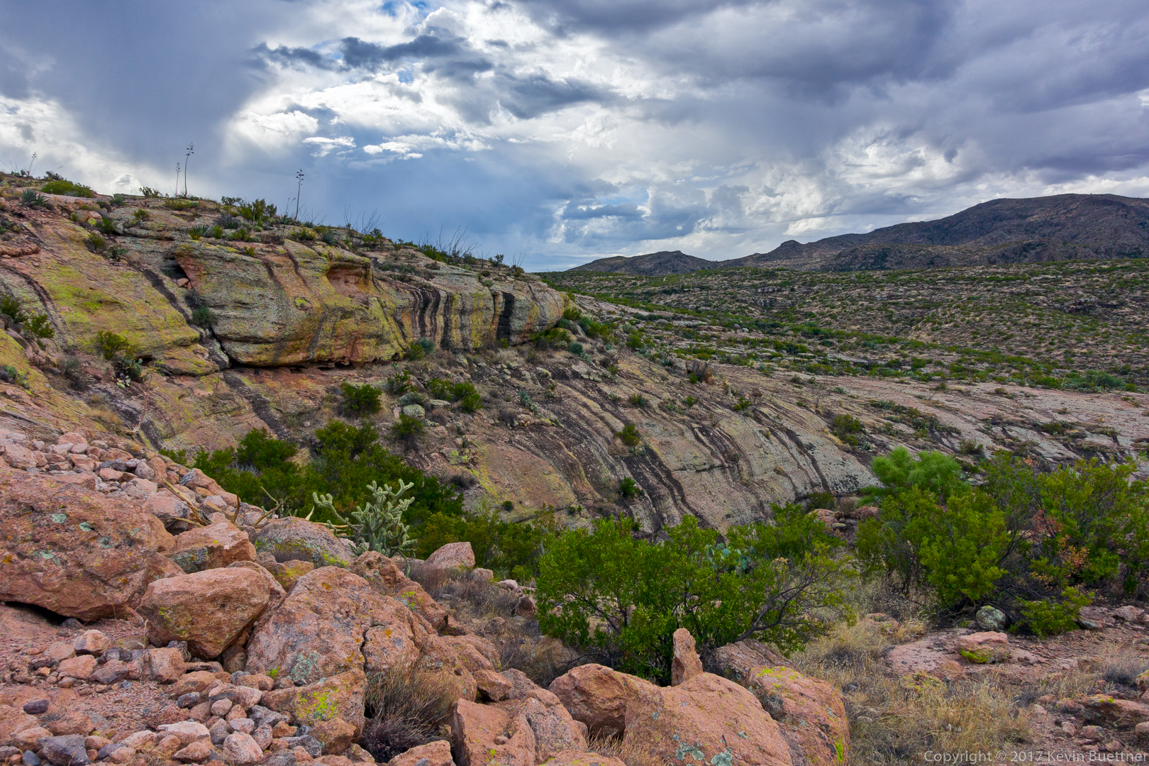
I found the striations in this wall interesting.
I took this photo when I was scouting a way down. We ended going down a short wall which had a nearby tree which helped us get down.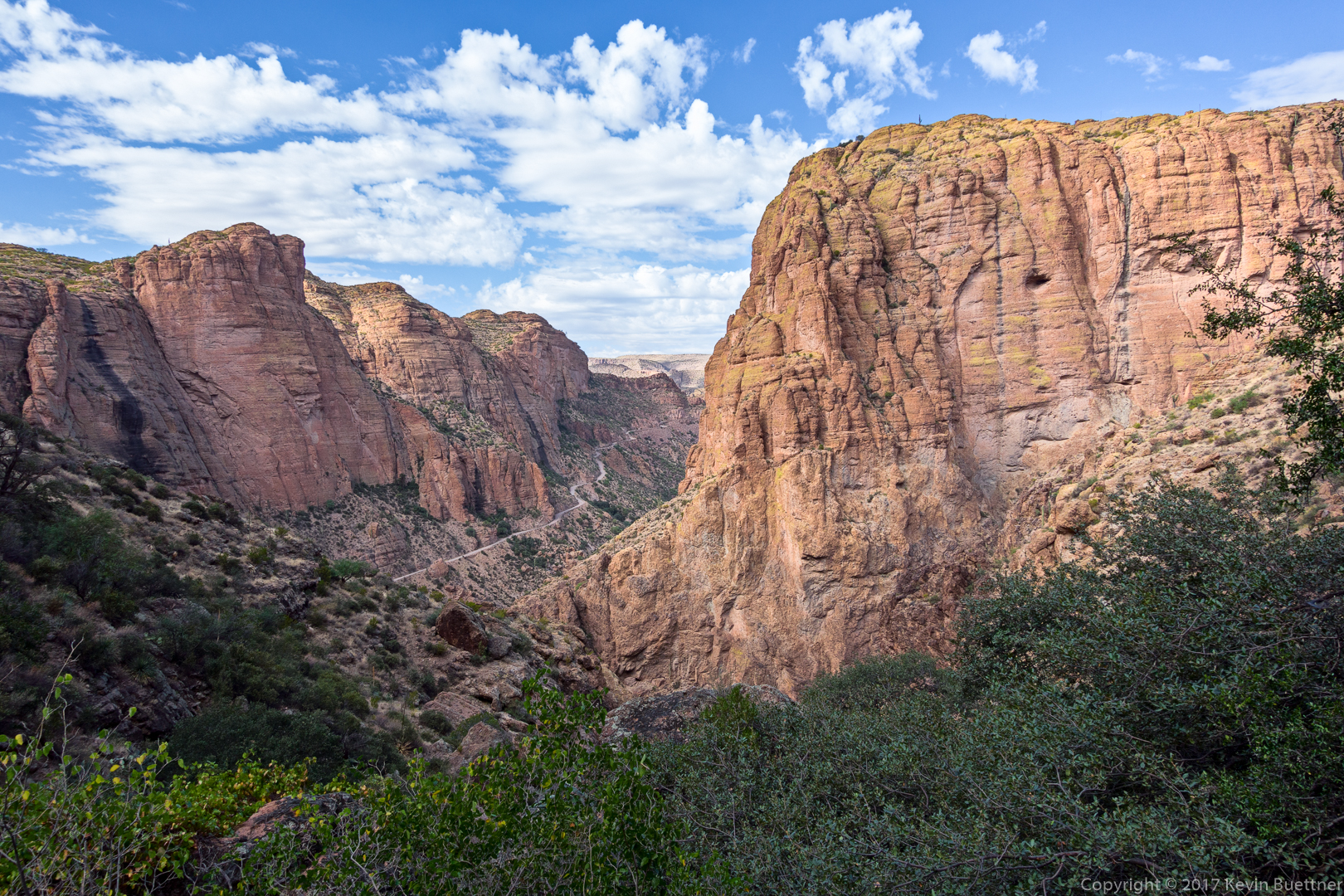
After taking this photo, the way got considerably harder. I was so focused on figuring out how to proceed down the canyon that I forgot to take pictures of our adventure.
I took a few more photos when we (finally) reached the 130 foot rappel. The larger boulder to the right is the anchor. The rope bag with 200 foot rope is in front of the boulder. If you look closely, you can see some purple and green webbing. The green webbing was in better shape. I used a carabiner block along with a pull cord for rope retrieval.
Marilyn down-climbs an easy section just before the rappel.
Marilyn, starting the rappel.

Marilyn is scoping out the upcoming steep section of the rappel. She was also trying to figure out whether or not she could get the rope on the other side of the tree. (She couldn’t.)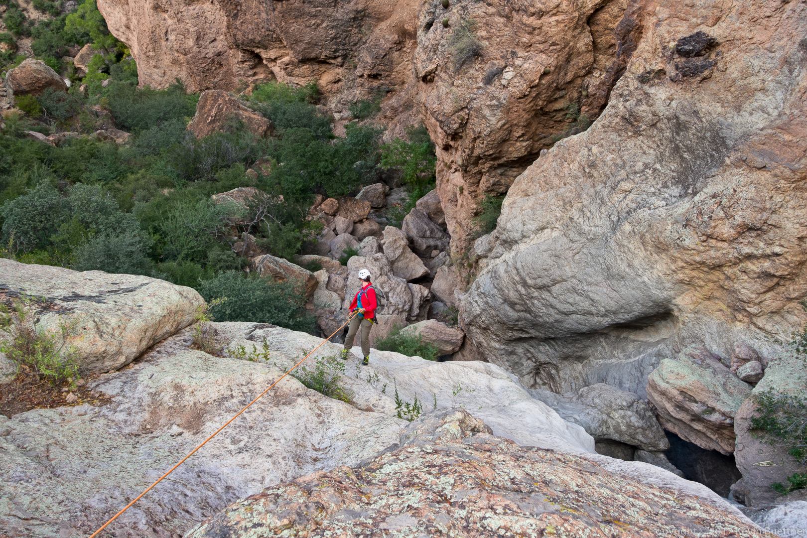
This was the view from the top of the rappel. After the rappel, there was still quite a lot of down climbing and I, again, forgot to take more pictures.
Bob, Nick, and I hiked the Massacre Falls Loop on Sunday. Starting from First Water Trailhead, we hiked a loop of a little over eight miles with nearly 1300 feet of elevation gain.


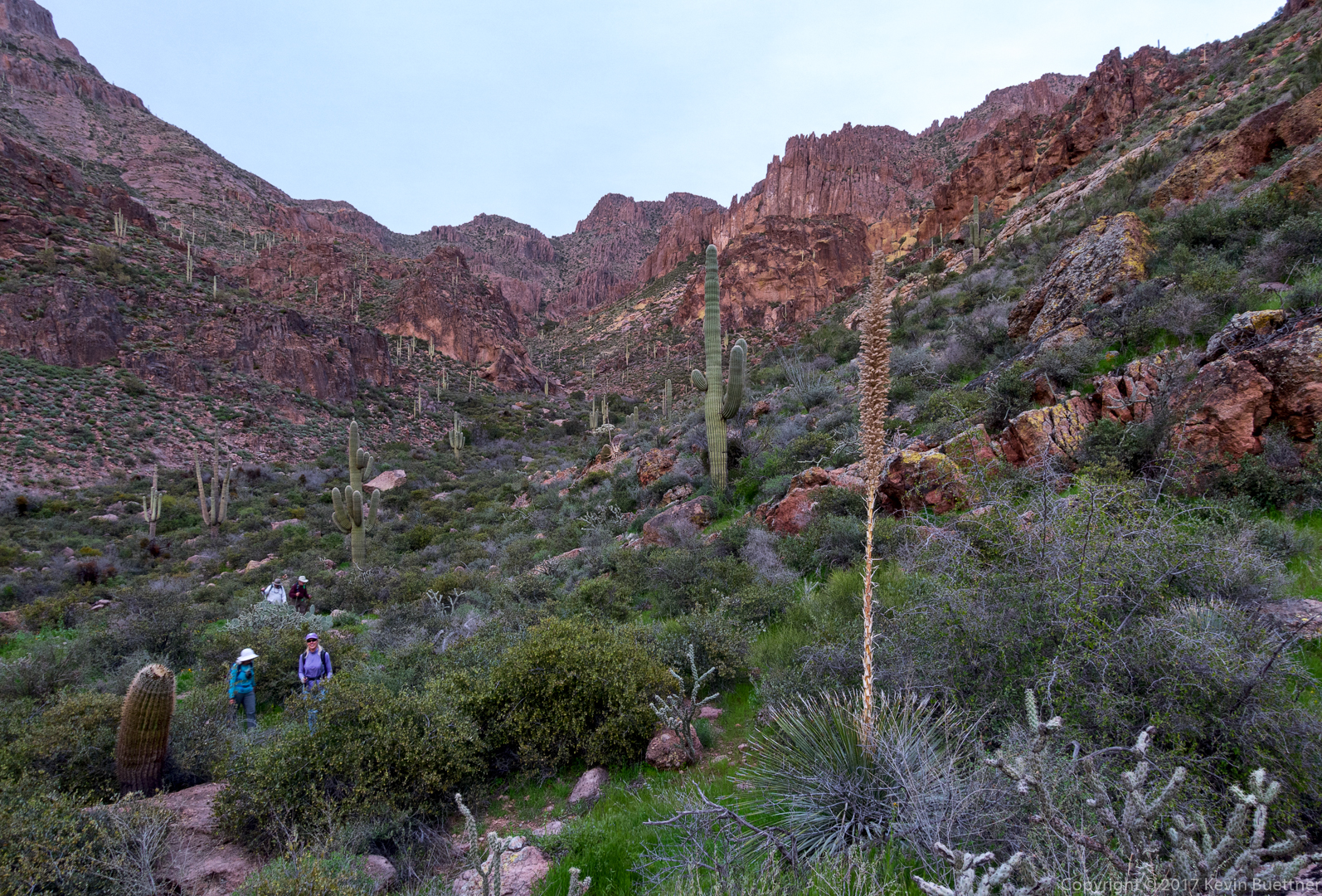
Ben, Marilyn, Nick, Joe, Nora, and I hiked Peter’s Canyon on Friday.
We had planned to hike at the Mogollon Rim, but the forecast high for the day there was only 36 degrees F with winds between 20-30mph, with gusts of up to 40mph. So, instead, we did a canyon hike in the Superstition Wilderness where it was still forecast to be pretty windy, but the forecast high was 65. However, for much of the hike, the canyon walls blocked nearly all of the wind, providing us with relatively calm conditions during our hike. The only time when we noticed significant wind was when we climbed up to Peter’s Cave, which was the destination for our hike. I think we were all happy that we changed our plans for the day.
Joe and I had hiked Peter’s Canyon about a year ago. On this year’s hike, we encountered deeper pools with a lot more flowing water.
This is a view from near the trailhead at Tortilla Flat:

Another view from early in the hike:
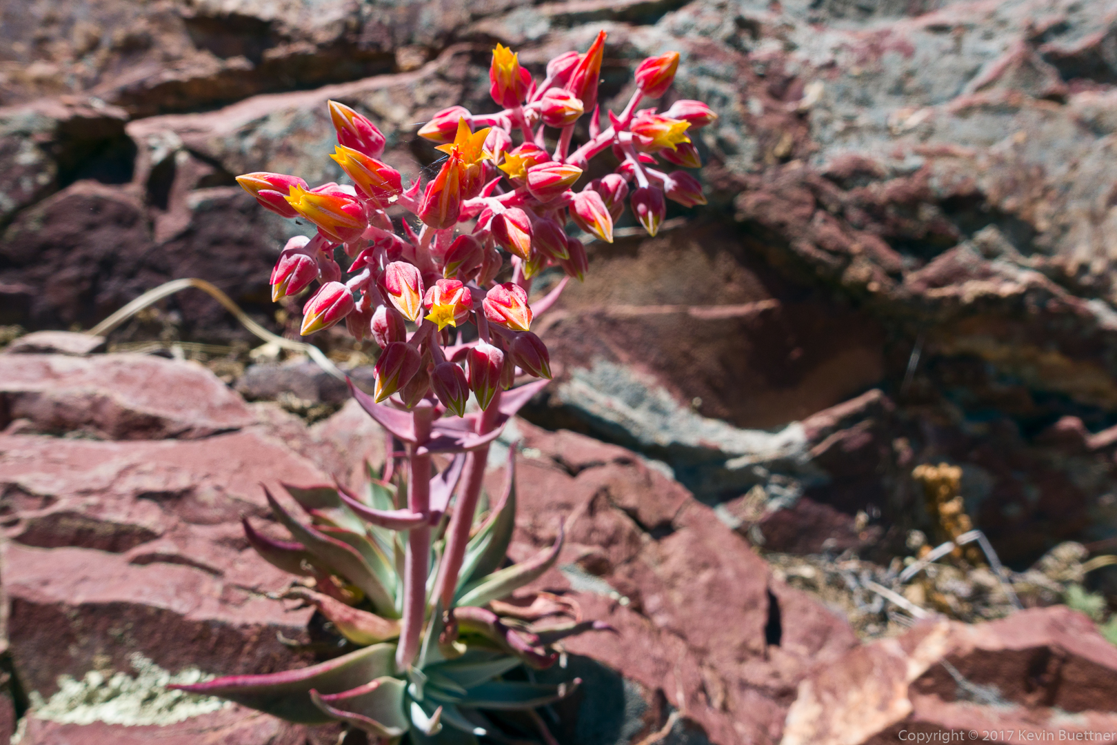
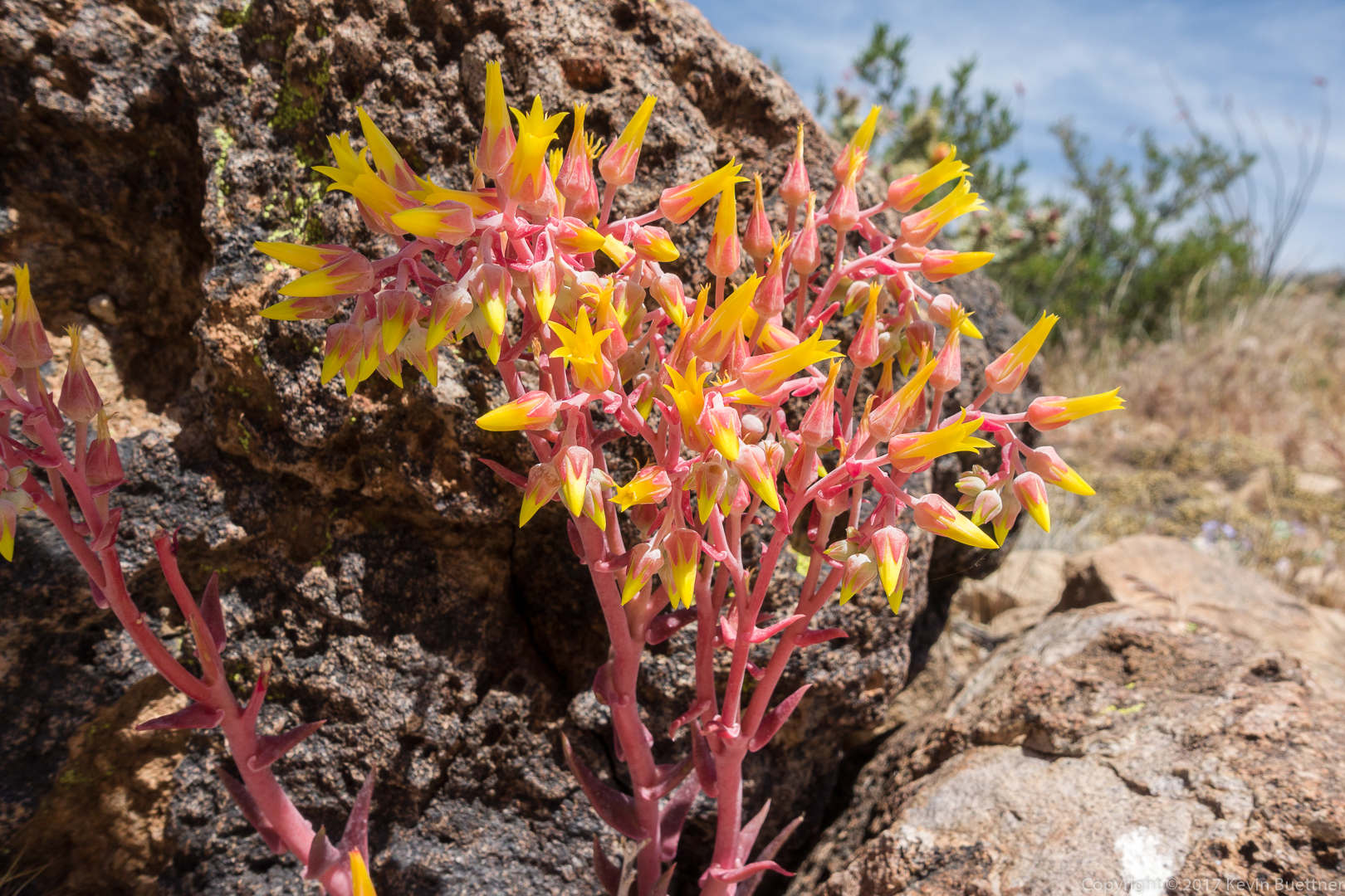
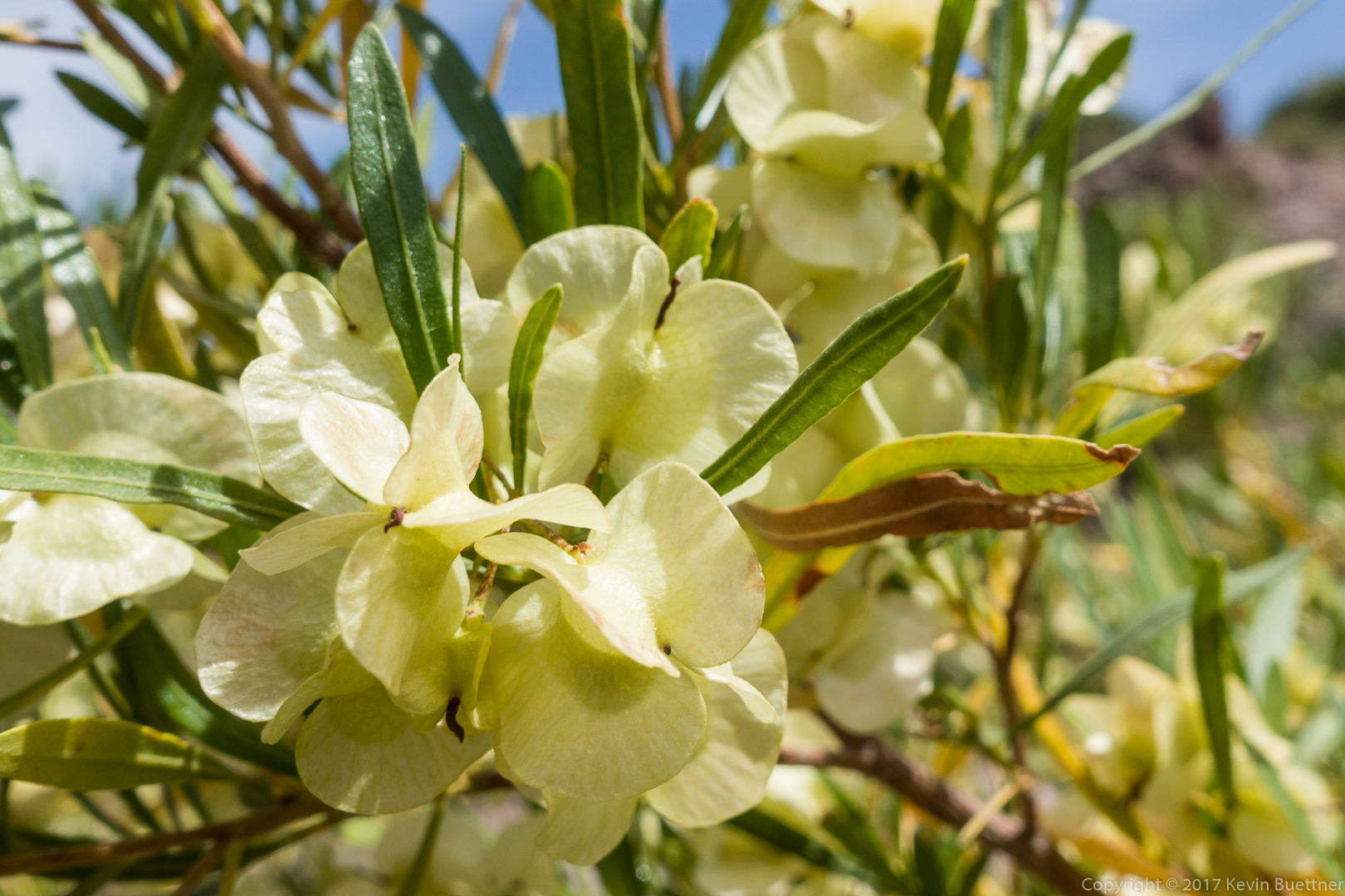
This is a Rock Live-Forever plant. We saw several of them on our hike.
Brittlebush:
The trail led our down towards Tortilla Creek:
Early views of Tortilla Creek / Canyon:

Nick and the others examine tracks by the creek. On the way back, Ben pointed out a large paw print with three widely spaced claw / toe impressions. We have no idea what it was.
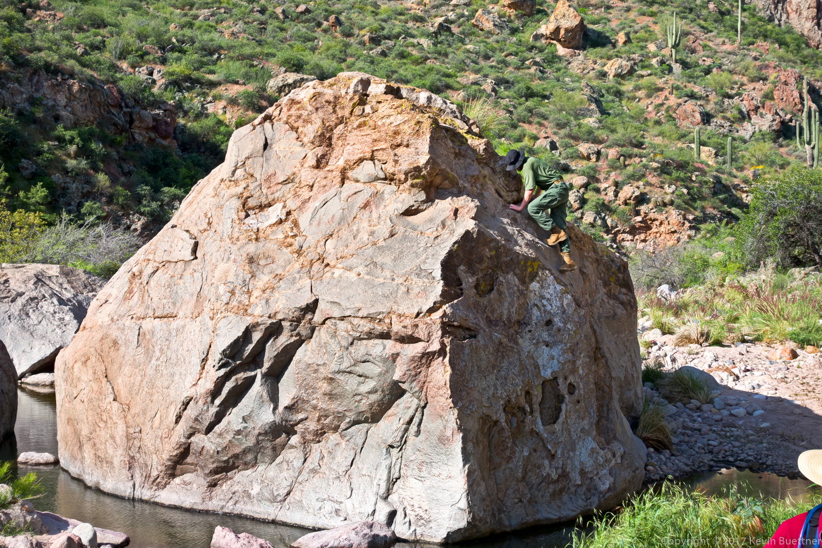
Joe climbs a large boulder in the creek:
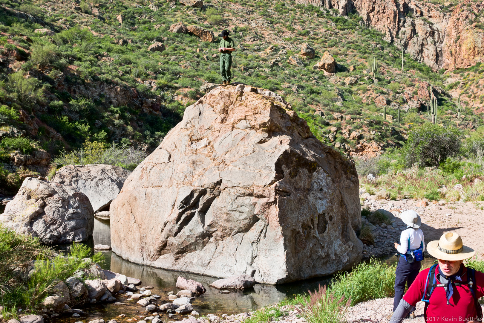
Joe took photos of his own from atop the boulder.
Marilyn Huot provided this photo of Joe atop the boulder:
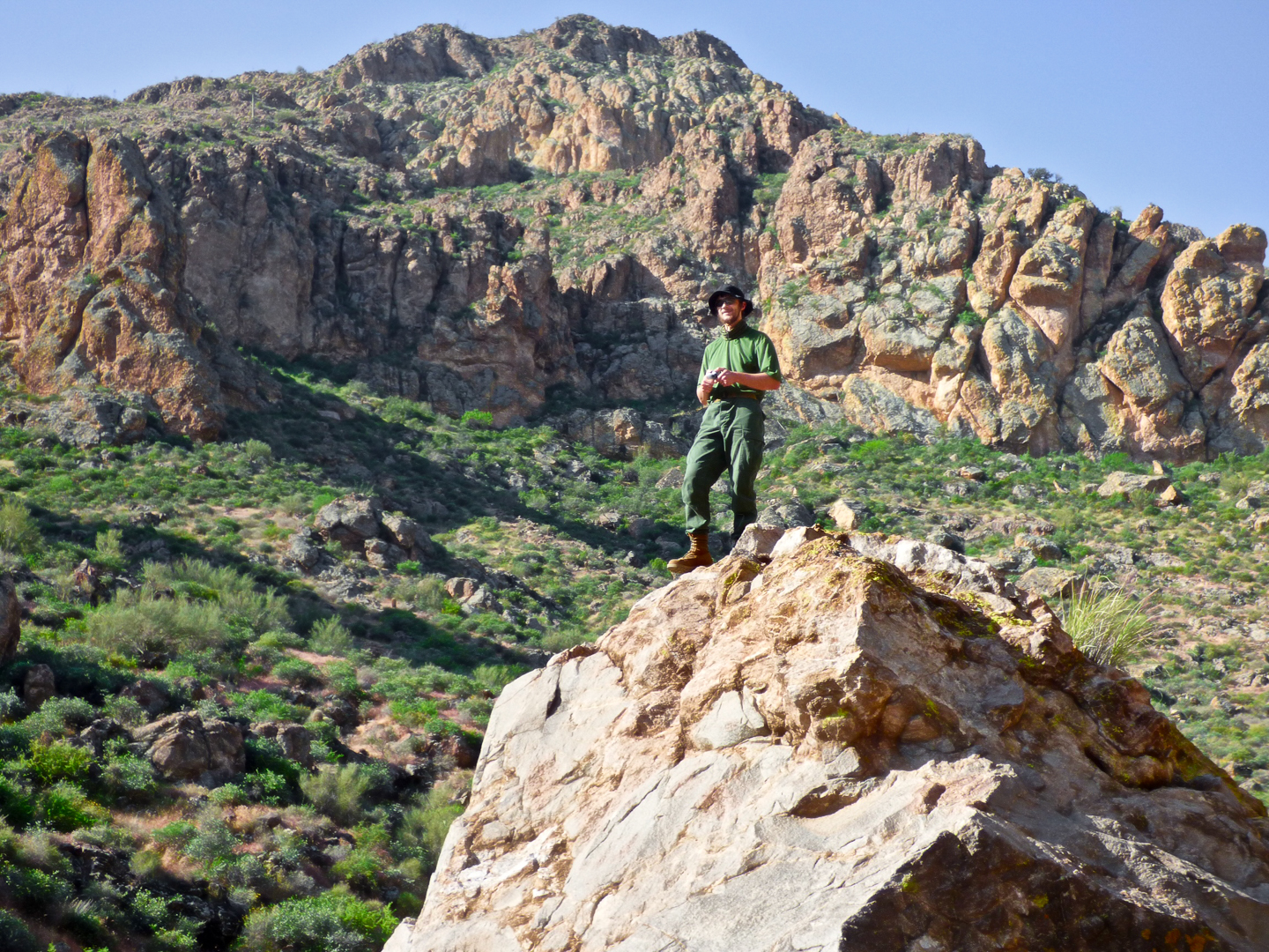
(Photo Credit: Marilyn Huot)
This is the entrance to Peter’s Canyon – it drains into Tortilla Creek.
There are a number of large boulders at the entrance to Peter’s Canyon. This entire section can be bypassed if desired by following a trail on the side of the canyon to the right. A pair of backpackers quickly passed us by going that way. But we had more fun scrambling up and down boulders.
These saguaros are above the narrow tunnel / chimney that Marilyn, Ben, and I went up to get to this point. On the way back, we all went through this hole in the rocks. (It can’t be seen in this photo – I forgot to take a photo of it.)
This is one of many pools that we encountered along the way. It really was that green.
In order to keep our feet (mostly) dry, we frequently had to do a bit of scrambling to go around and above the water.
We’re about to turn a corner (to the right) here, at which point the going got considerably easier.

But first, we had to do some more rock hopping and scrambling:
Joe, Nick, Nora, Marilyn, and Ben:

The hiking got considerably easier for perhaps the next quarter mile. Nick noticed the hole in the rock formation near the center of this photo. I don’t recall seeing it on my past visits to this canyon.
Looking back down-canyon:
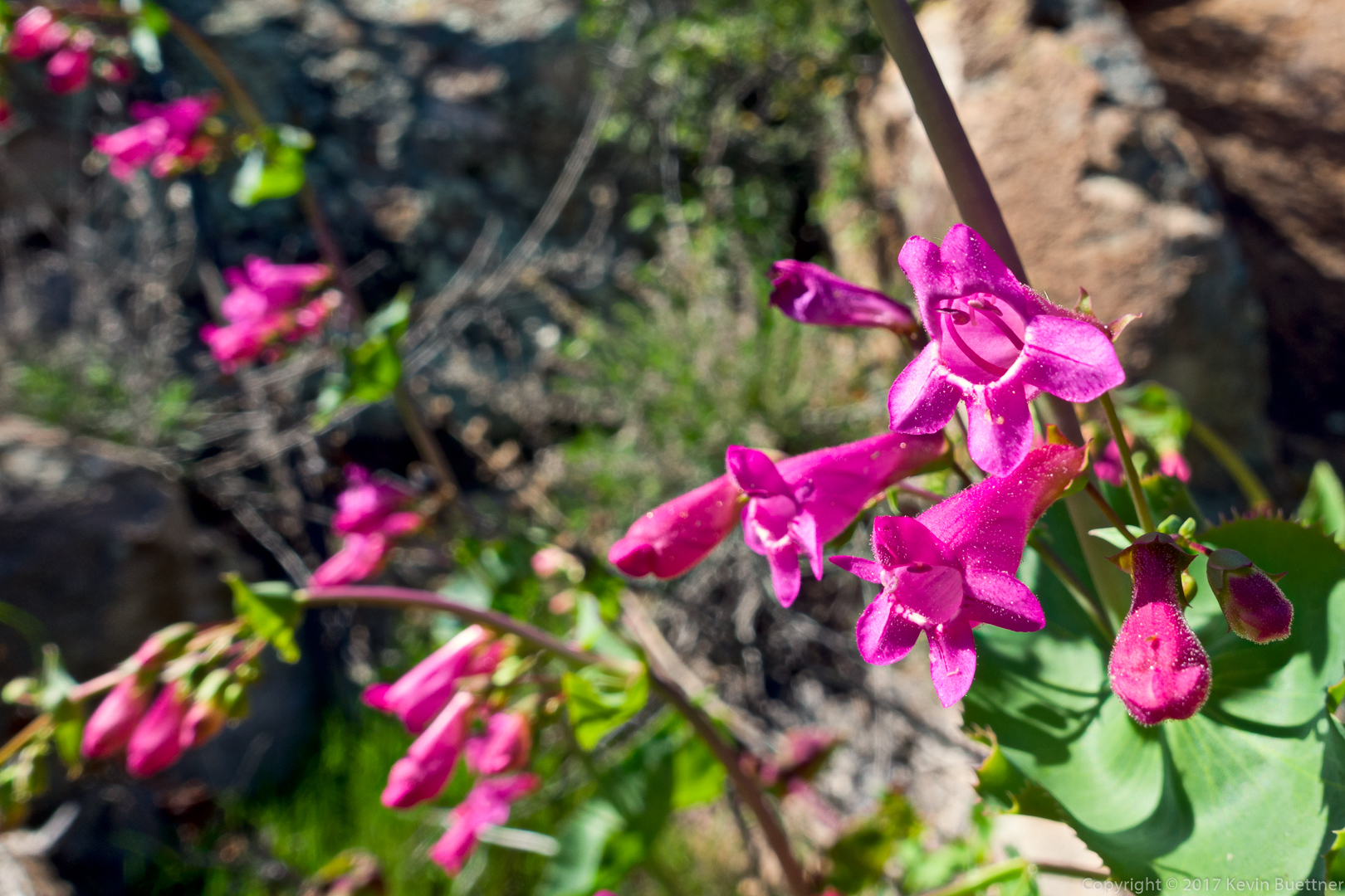
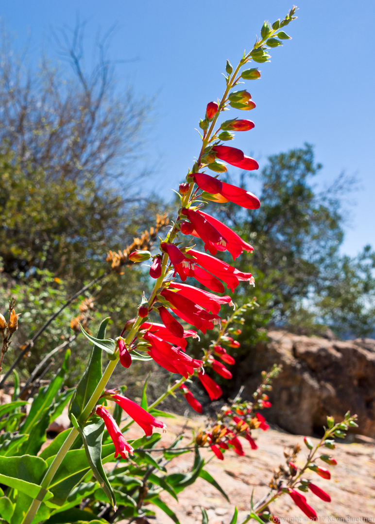
This is a Hackberry Beardtongue, a type of penstemon:
We’re getting closer to our destination. You can see one of the backpackers (with the orange pack) ahead of us.
This is Peter’s Cave. We all climbed up to the cave and ate lunch. The ascent to the cave was easier than I remember it being last year. I think the path was better defined this year.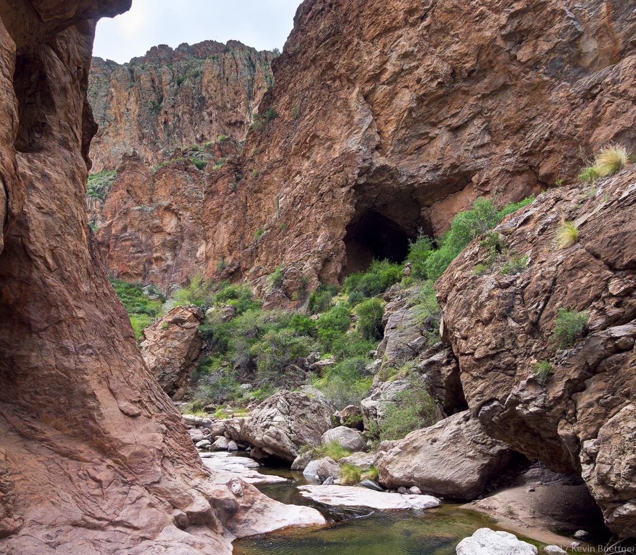
Ben looks back at the cave prior descending back to the canyon floor:
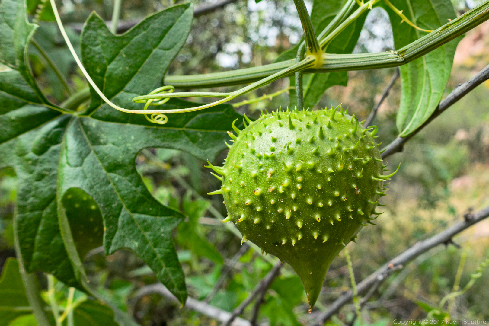
We saw this spiky fruit on the way back. None of us knew what it was. (Denise, in a comment to this post, has identified it as wild cucumber.)
This is Owl Clover / Exserted Indian Paintbrush. We found it growing near the spiky fruit shown in the photo above.
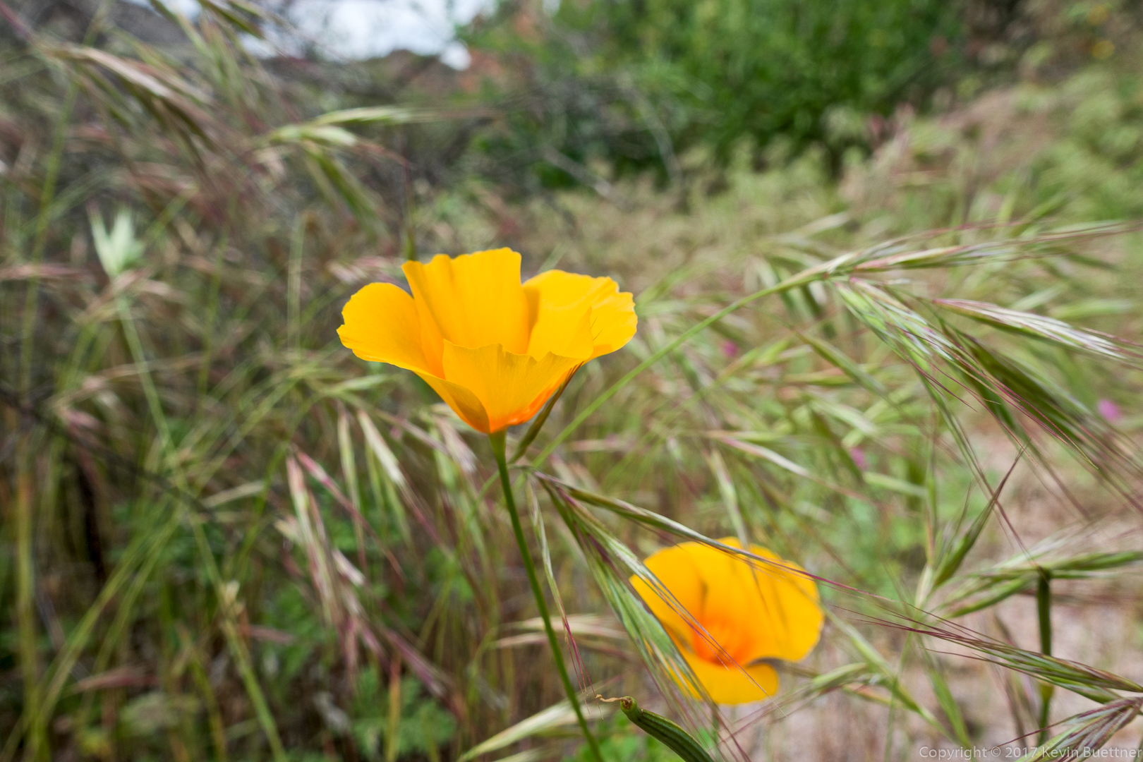
Mexican Poppy:
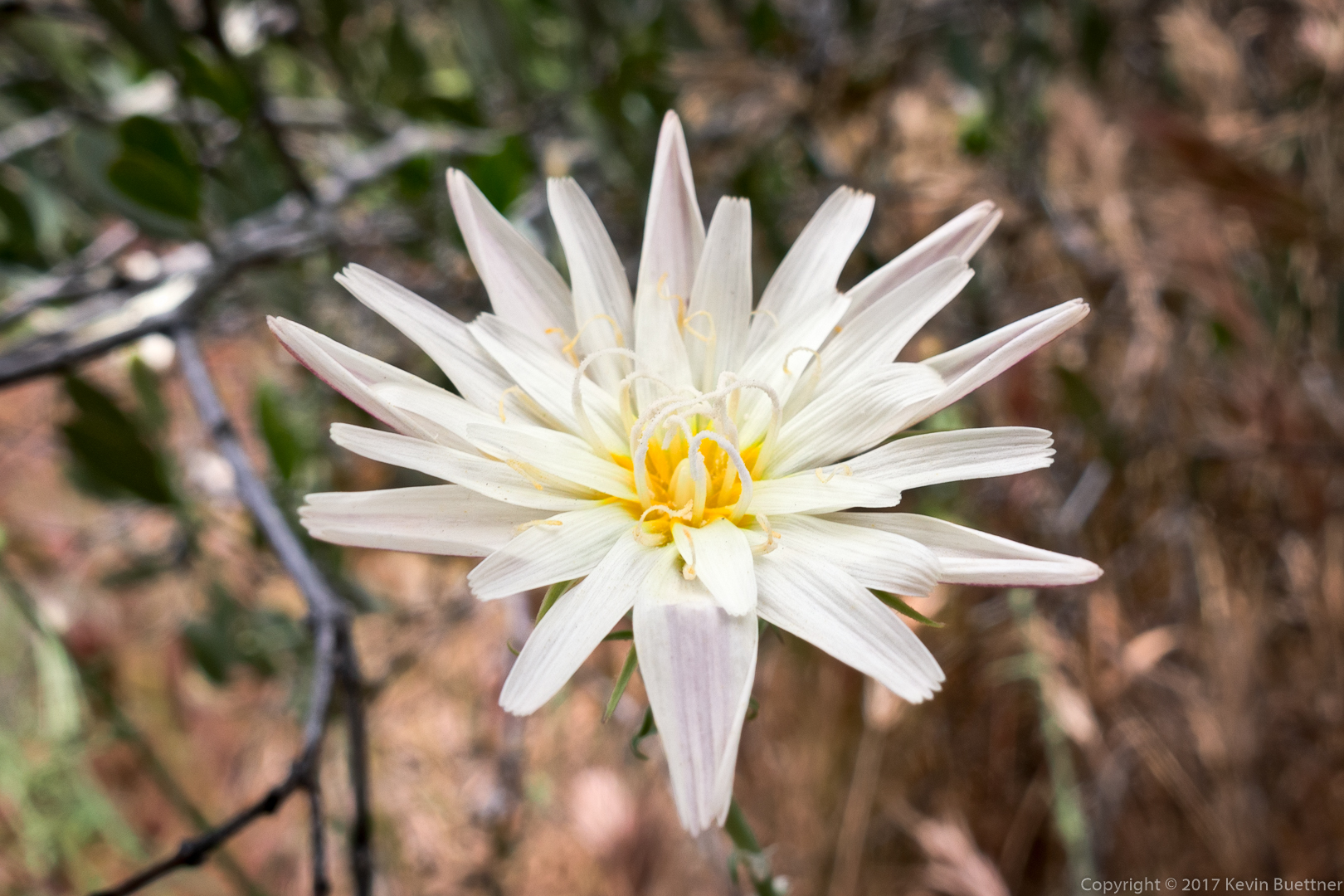
Desert Chicory:
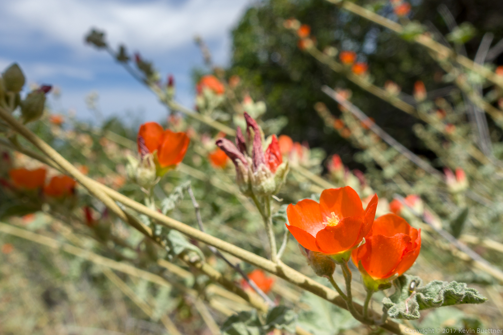
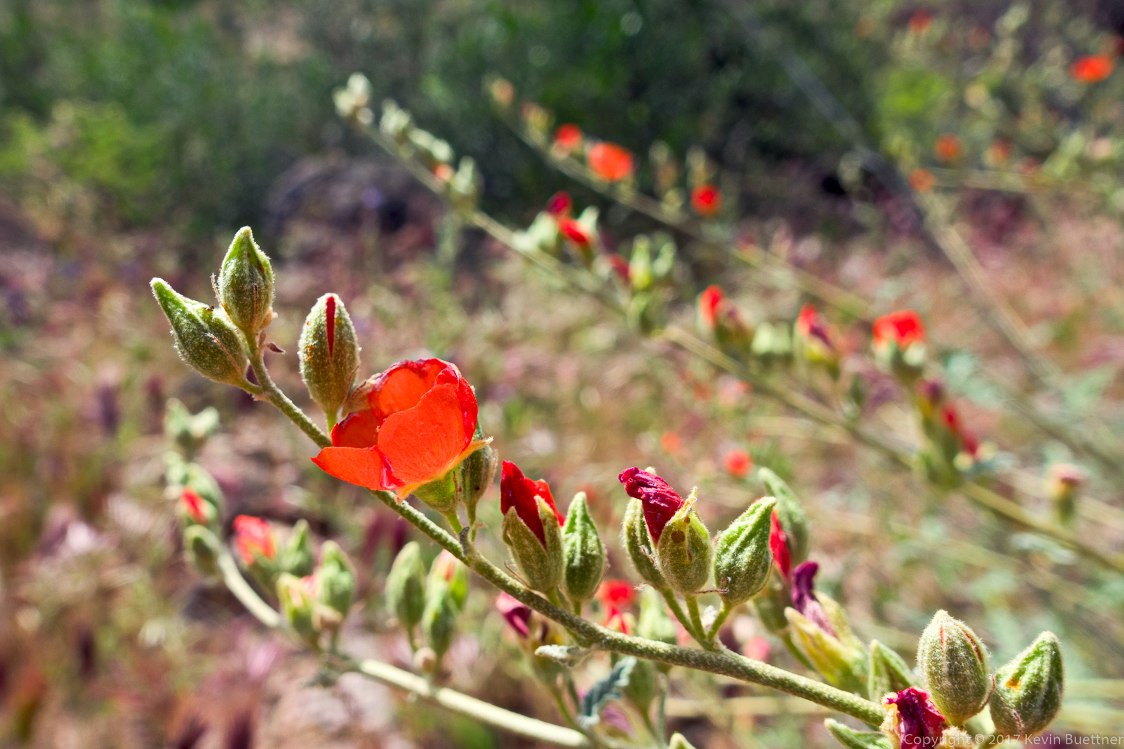
Globemallow:
We avoided the water in some areas by hiking high on the banks. It was less wet and less rocky than hiking near the water.
Nick, Nora, Marilyn, Ben, and Joe hiking along a rock ledge above the water.
I was fascinated by the little islands of white rock.
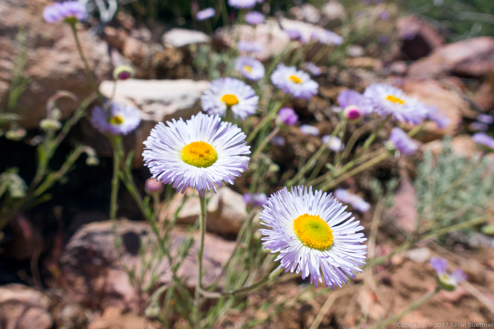
Fleabane:
Nora and Nick:
We’ve turned the corner now and have reentered a very entertaining part of the canyon.
Joe takes a break while the rest of us catch up.
We’ve exited Peter’s Canyon now. This is a look back at the entrance.
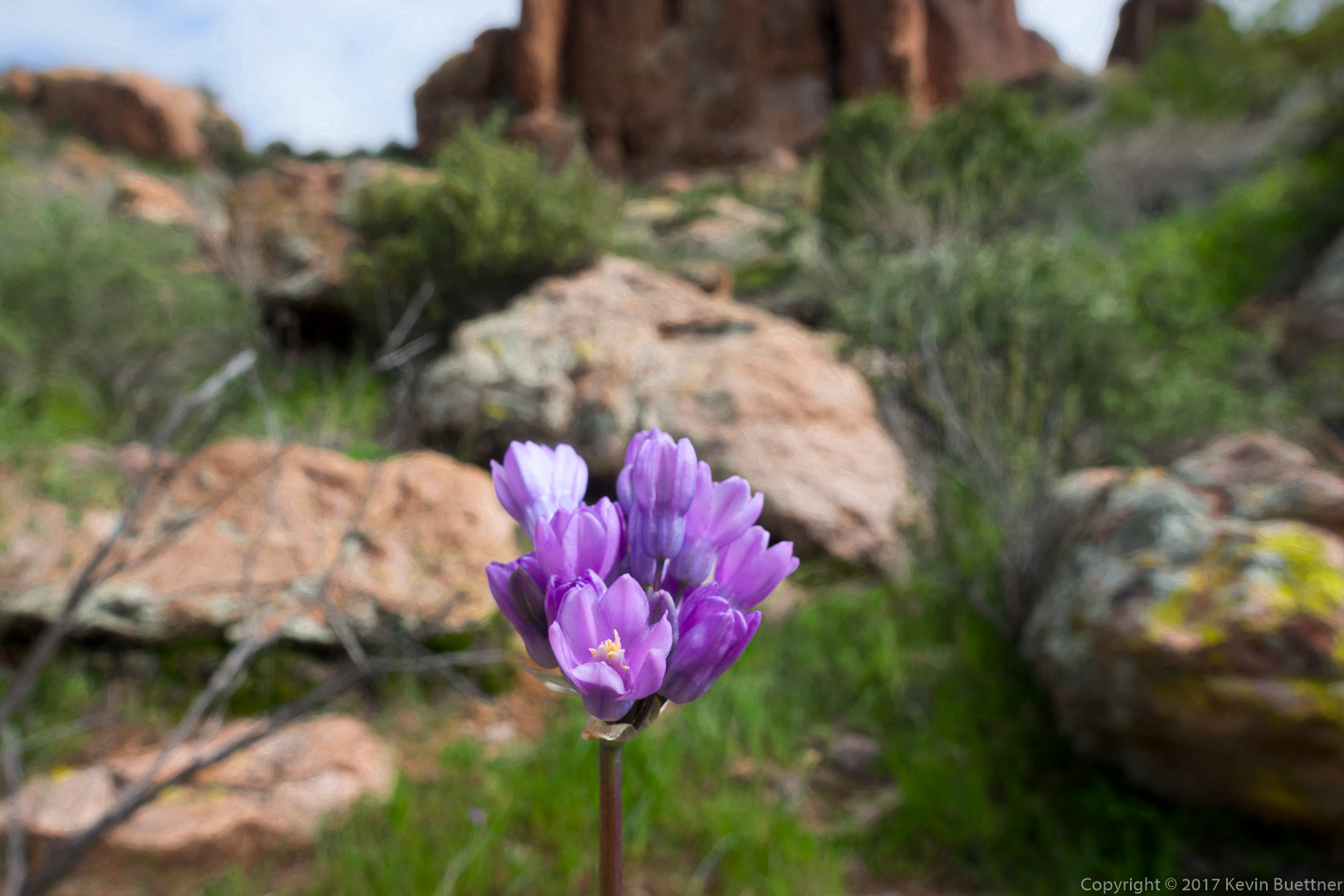
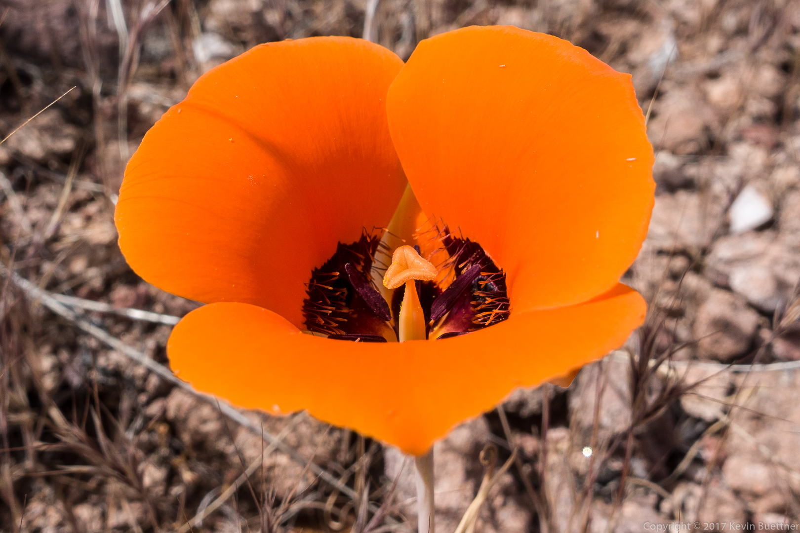
Mariposa Lily:

This might be Perezia / Brownfoot:

Globemallow with yellow brittlebush beyond the prickly pear cacti:

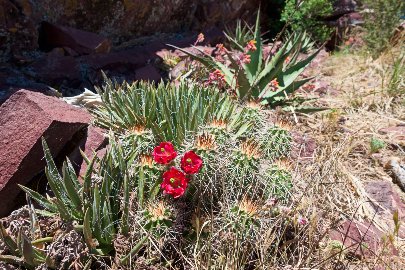
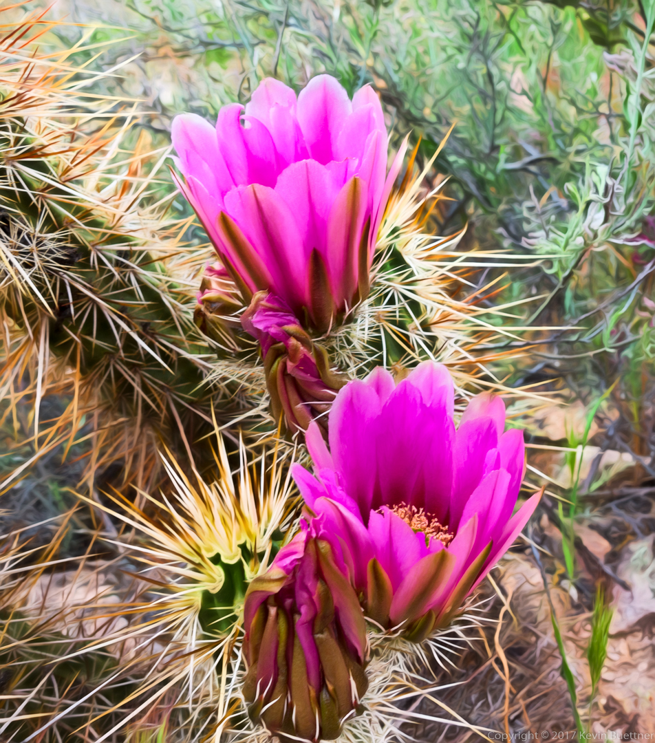
Hedgehog blossoms:
Marilyn Huot sent me additional photos of the group:
(Photo Credit: Marilyn Huot)
This is me standing beside a small waterfall.

(Photo Credit: Marilyn Huot)
Joe, Nick, Ben, Kevin, and Nora:
(Photo Credit: Marilyn Huot)
Ben, Joe, Nora, Nick, and Kevin (from back to front):
(Photo Credit: Marilyn Huot)
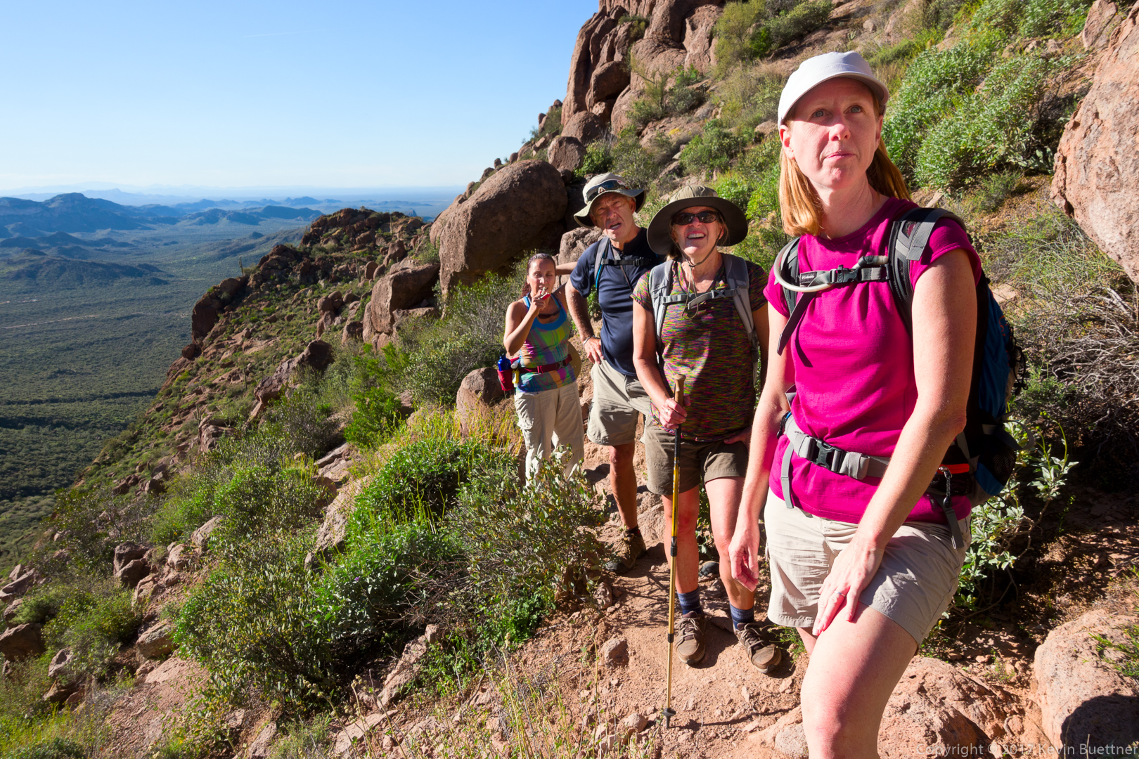
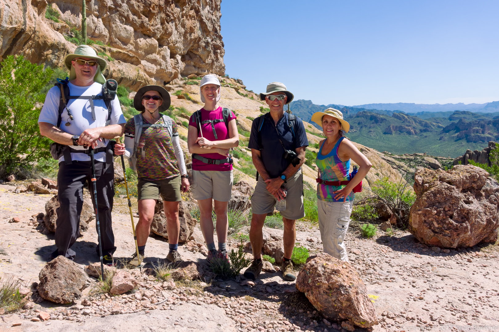
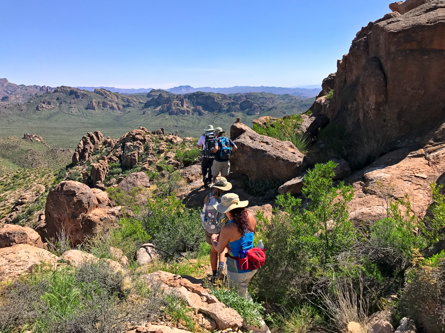
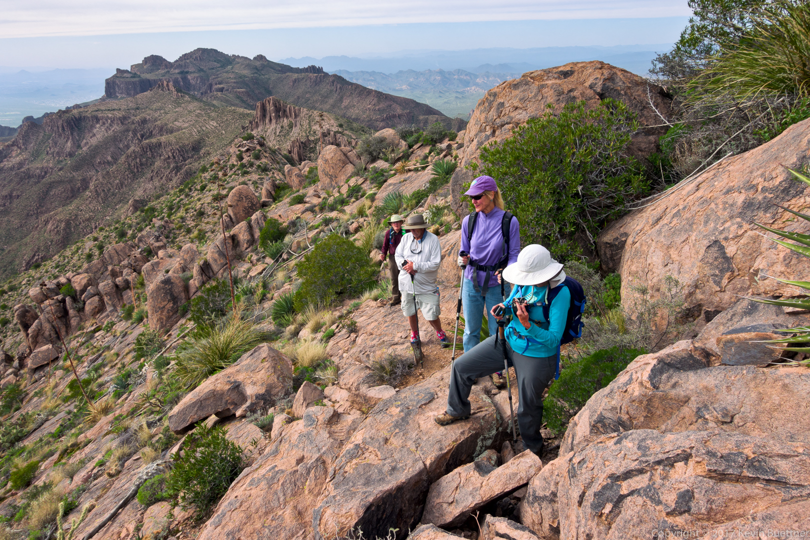
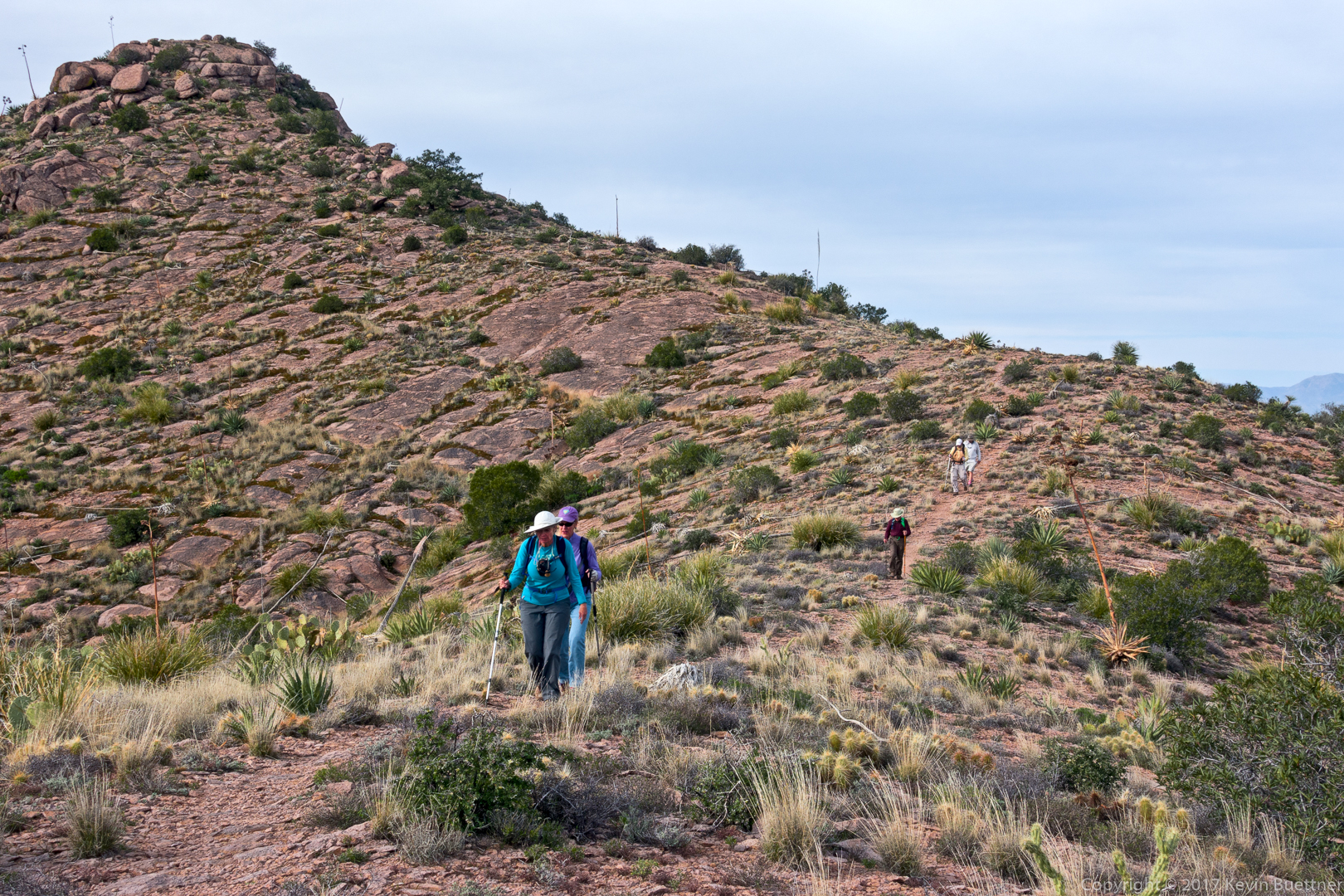
Heather, Mitra, Ben, Nora, and I hiked the Robber’s Roost route in the Superstition. Starting from the Lost Goldmine Trailhead, this route goes west on the Lost Goldmine Trail, then north and up, up, up on the Carney Springs Trail. At the top, a somewhat less defined trail heads first east, visiting the “roost” area from which the Robber’s Roost area gets its name, then heads northwest and then somewhat east, descending to Fremont Saddle. From there, it follows the Cave Trail, returning on Bluff Springs to the Peralta Trailhead. A short hike on the road leads back to the Lost Goldmine Trailhead. When we did this route, we took a detour to an overlook with a good view of Weaver’s Needle. Our hike was 8.5 miles long with over 2400 feet of total ascent, most of which occurred early on while hiking up the Carney Springs Trail.
We saw a turkey vulture while hiking the Lost Goldmine Trail:
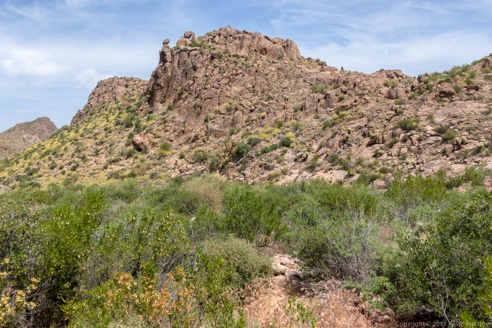
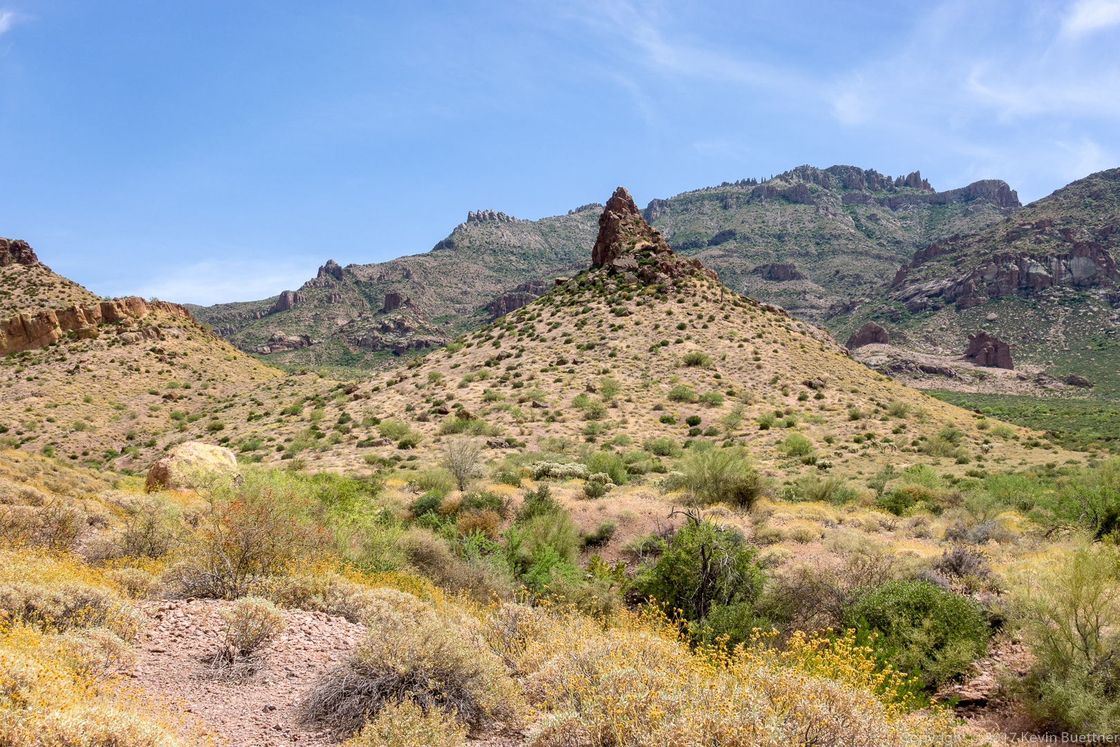
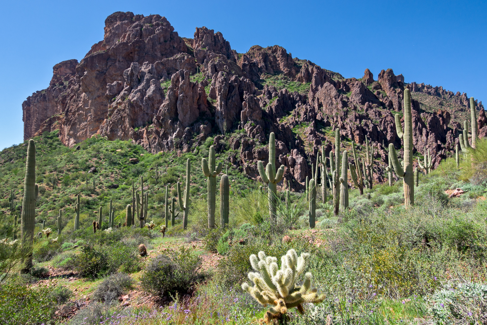
The Carney Springs Trail goes up the side of the canyon below the prominent rock formation in this photo:

I think this is brittlebush. (But I thought it was goldeneye when I encountered it on the hike.)

An interesting rock formation on the Carney Springs Trail:
Mitra, Ben, Nora, and Heather on the Carney Springs Trail:
Mitra at the top of the Carney Springs Trail:
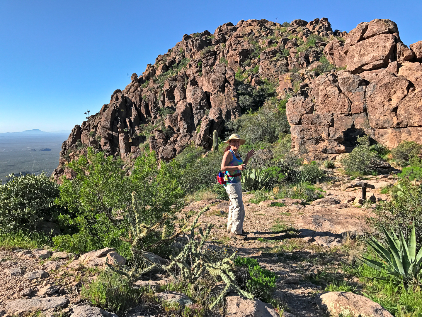
(Photo Credit: Heather Sestili)
Deer Vetch around a small (hedgehog?) cactus:

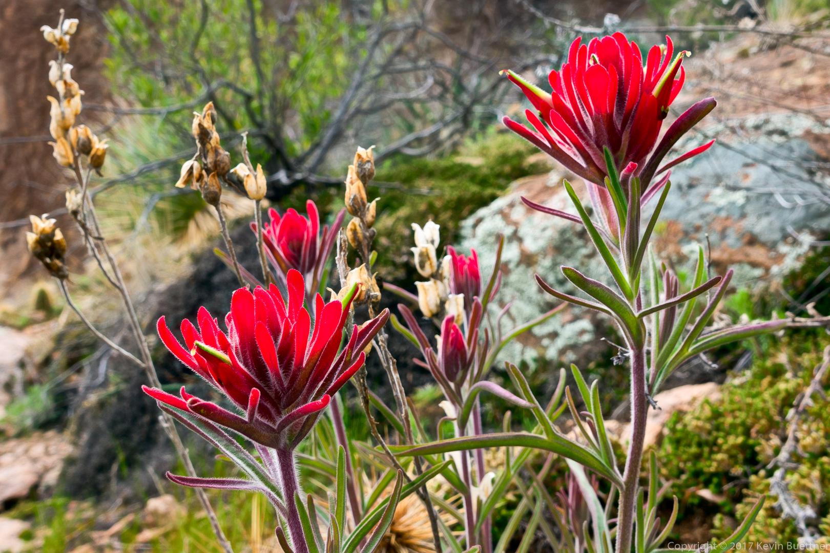
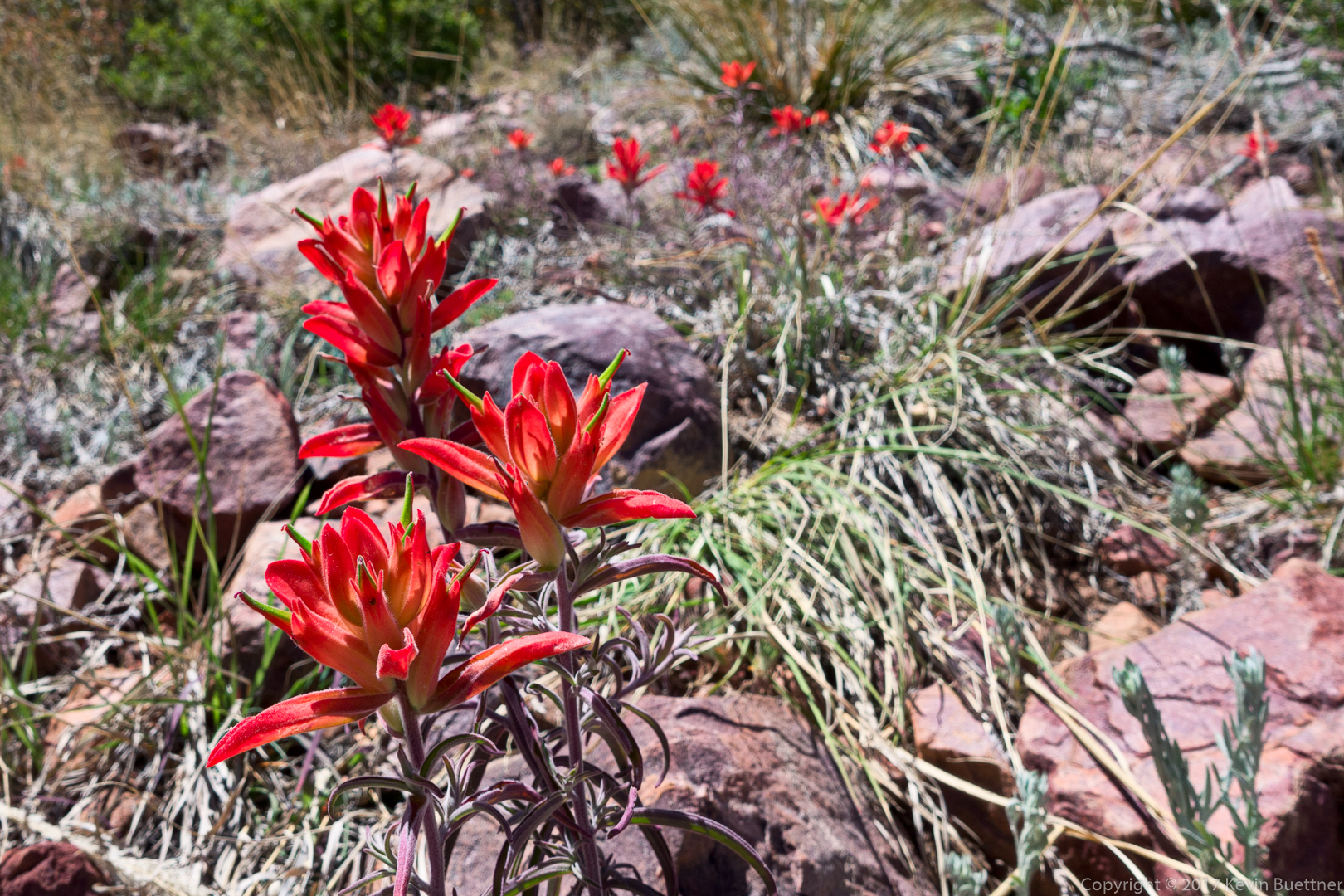
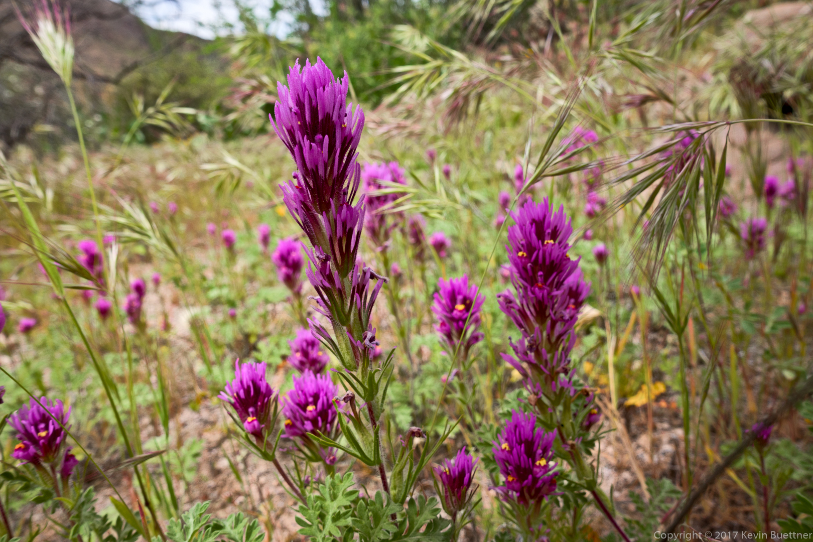
Indian Paintbrush (?) :
A view of Peralta Canyon:
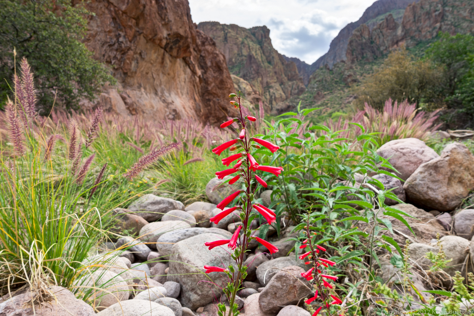
Desert Penstemon:
A view of Weaver’s Needle from the trail down to Fremont Saddle:
Another view of Weaver’s Needle, this time from the overlook by the pine tree:
One of the formations that can be seen from the Cave Trail. I think we went around this formation to the right on the way to the caves:
Another view from the Cave Trail:
I think this is Hackberry Beardtongue / Arizona Scarlet Bugler:
Gilia:

Another view from the Cave Trail:
Kevin, Nora, Heather, Ben, and Mitra:
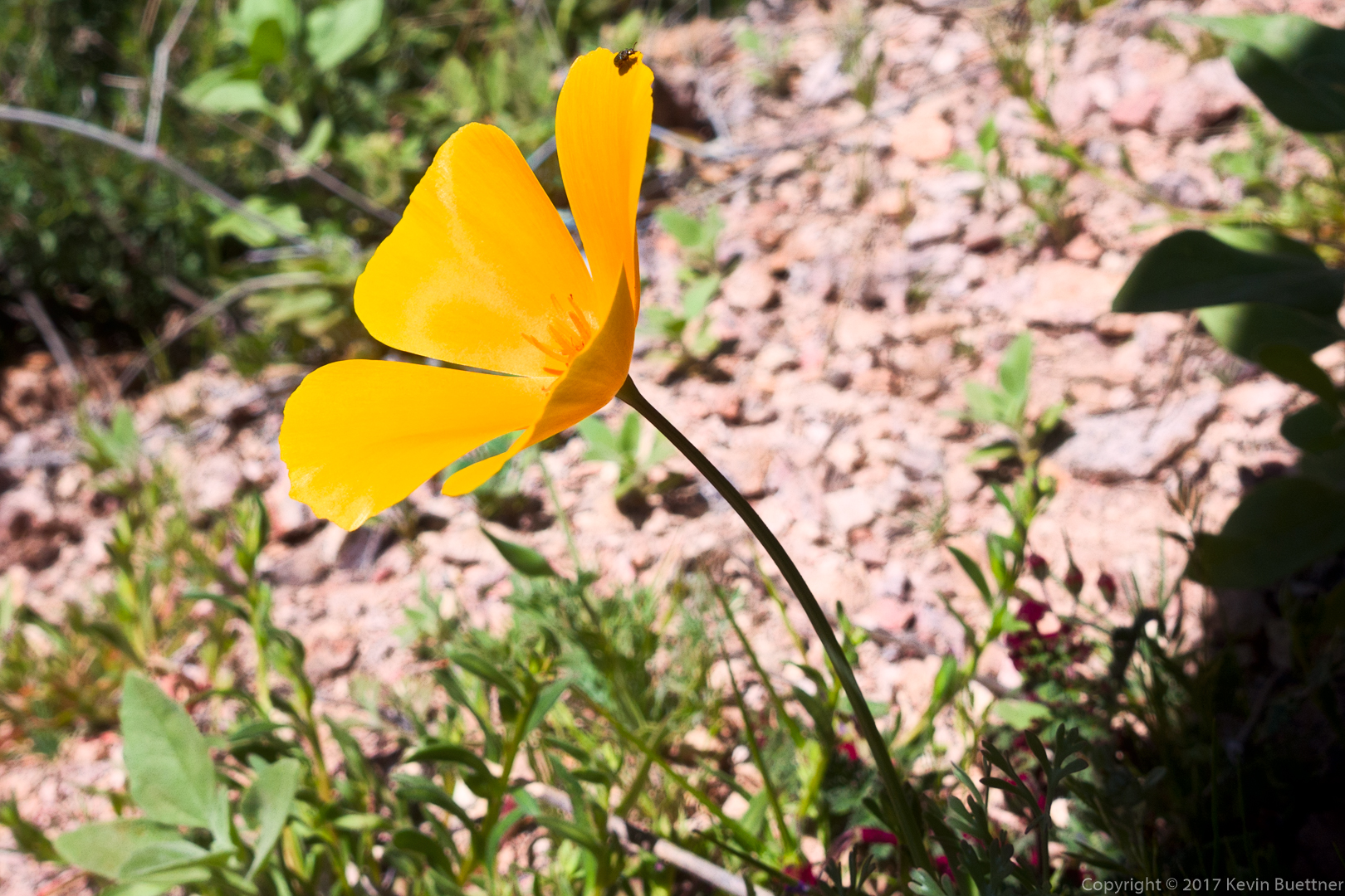
Mexican Poppy:
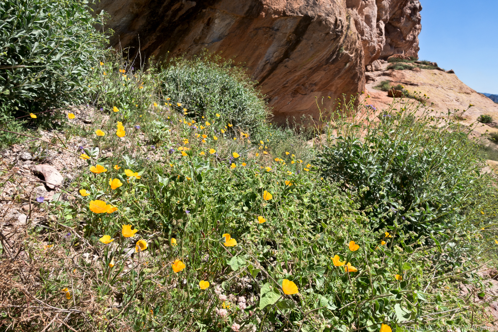
More poppies just before the first shallow cave on the Cave Trail:
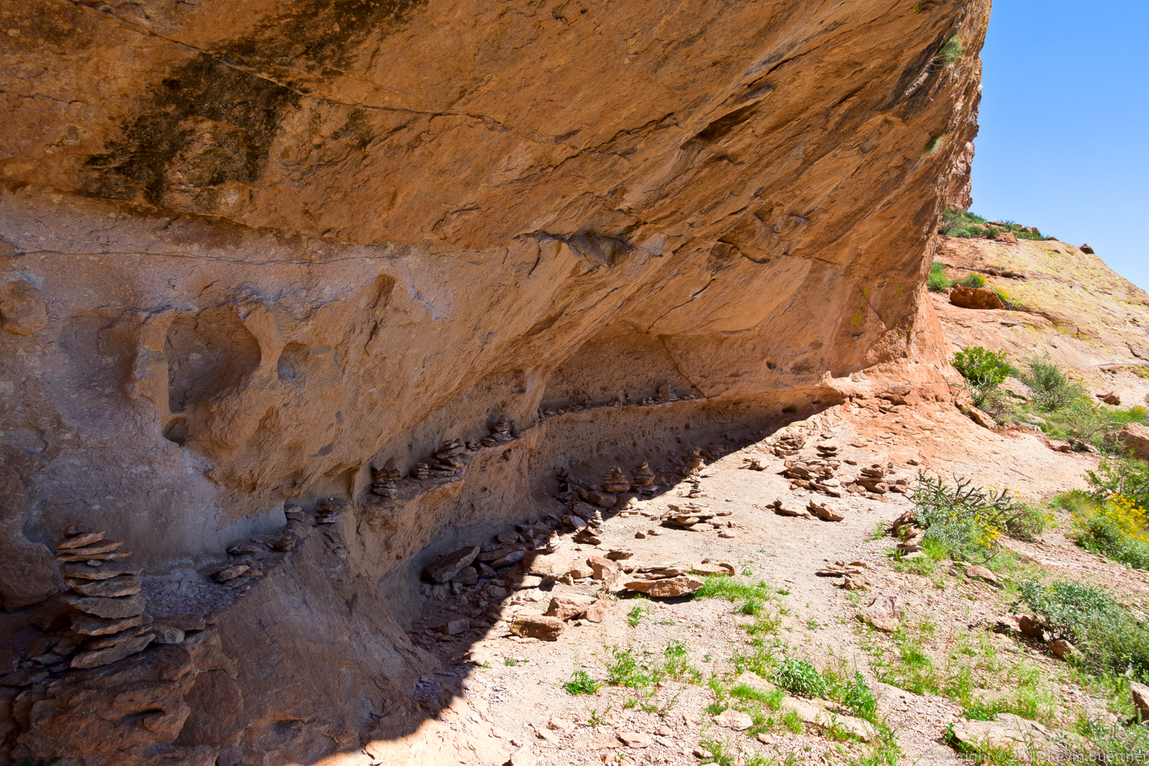
Someone got carried away with making cairns!
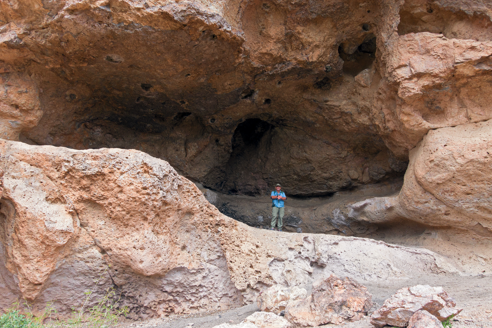
This is the larger cave on the Cave Trail:

Starting down the Devil’s Slide…
(Photo Credit: Heather Sestili)
Descending the “Devil’s Slide”:

Below the Devil’s Slide. There is another, somewhat steeper section below this, named the “Bald Man’s Forehead”.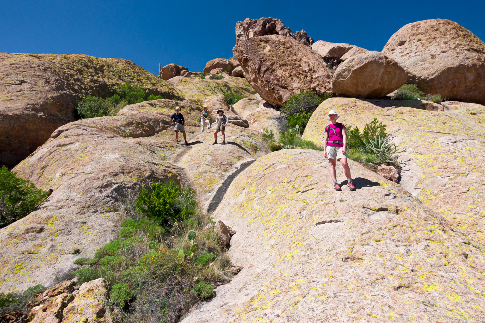
Nora and Mitra descending the lower portion of the “Bald Man’s Forehead”:
(Photo Credit: Heather Sestili)
The Cave Trail took us around the upper part of the formation on the right. To the left is Peralta Canyon. We hiked down from the other side of the canyon earlier in the day.
Globemallow:

Nearing the end of the Cave Trail…
(Photo Credit: Heather Sestili)
Nearing the end of our hike – this photo was taken from the Bluff Springs Trail:
Linda, Denise, Bob, Bill, Bill, and I did an epic day hike in the Superstitions on Friday. We hiked 10.5 miles with over 3100 feet of total ascent over challenging terrain, some of which was off-trail.
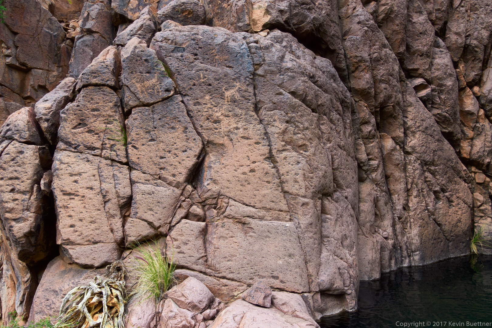
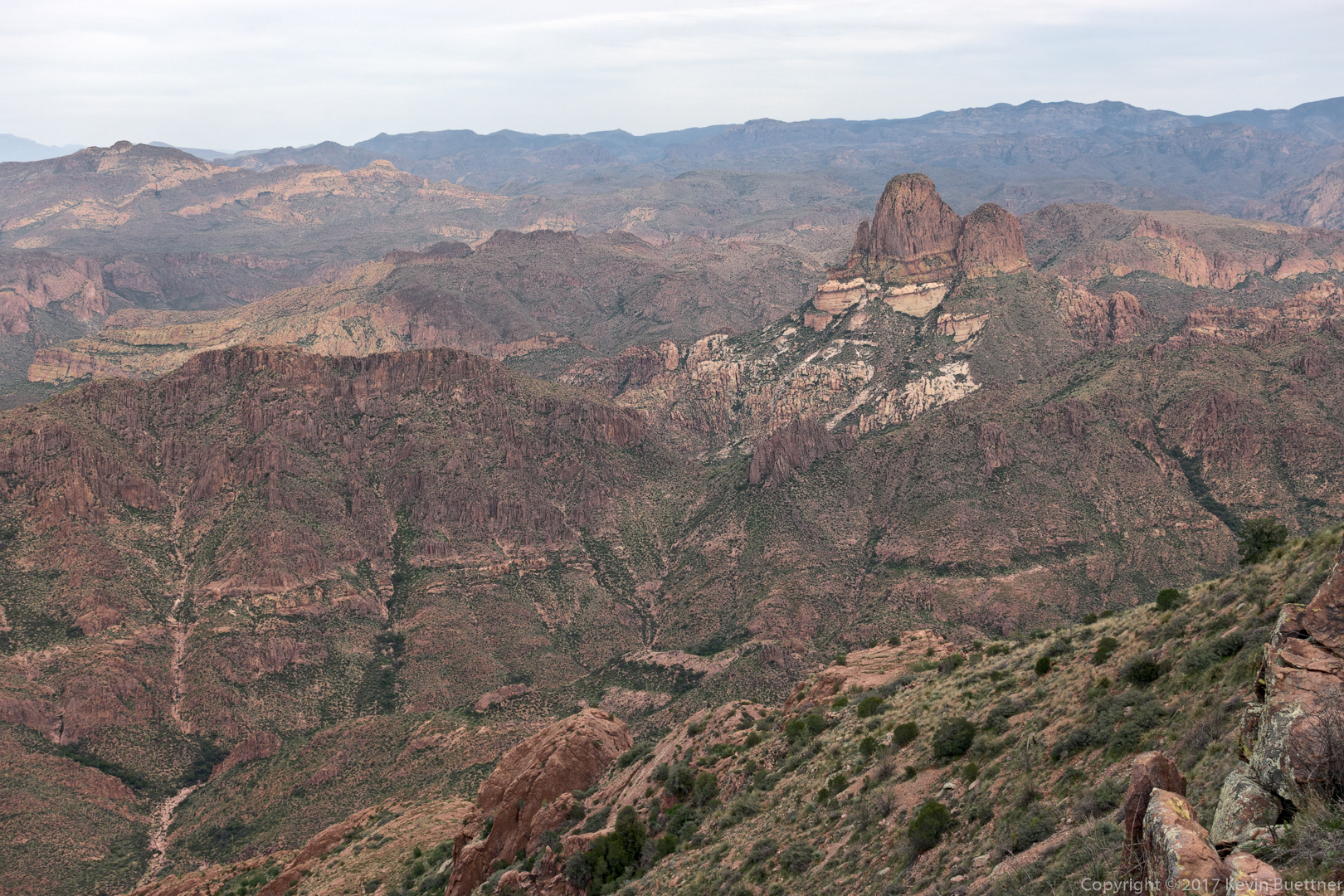
Starting at the west end of Cloudview Ave, we hiked north on the Lost Goldmine Trail. We then crossed through a gate and entered the Hog Canyon drainage. We hiked up Hog Canyon until we reached a fork leading to a series of waterfalls with pools. We saw a number of petroglyphs in this area. We continued up the drainage feeding these waterfalls – this is the next canyon north of Hog Canyon. We encountered a lot of brush in this canyon, which encouraged us to get out of the canyon and onto the ridge to the south – which was between Hog Canyon and the canyon which feeds the waterfalls. We followed Hog Ridge east (and slightly north) until it turned into a plateau just below the Superstition Ridgeline. From there, we climbed even more to gain the ridgeline upon which we found the Superstition Ridgeline Trail. We took this trail southeast until we reached the head of hieroglyphic canyon. The Hieroglyphic Canyon Trail led us back to the east end of Cloudview Ave which, in turn led us back to our vehicles at the west end.
Our hike took nearly 13 hours – we used our headlamps for hiking out of the lower portion of Hieroglyphic Canyon.
An early morning view of the Flatiron from the Lost Goldmine Trail:
Yellow flowers in the Hog Canyon Drainage – these might be poppies, but we weren’t certain.
An early look at Hog Canyon:
We noticed a small hole (arch) in one of the formations forming the south wall of Hog Canyon:
We encountered running water, with occasional pools, in parts of the canyon.

Kevin, Bob, and Bill hiking up Hog Canyon. (Thanks to Linda for this photo!)

Looking up-canyon:

Bill, Bill, Denise, and Linda hike a slickrock section of the canyon:
Deer Vetch and fountain grass in Hog Canyon:
This was our first view of the waterfall area (which is normally the destination for the Hog Canyon hike):
Bill and Bob look at the waterfall:
Another view of the waterfall:

Looking back from the waterfall – the rest of the group are still making their way up to the waterfall:
Petroglyphs on the east wall in the waterfall grotto:

Another look at the waterfall and the pool below it:
I took this photo as I was scouting a route to get to the next level up – where there was another waterfall and more petroglyphs…
This is the view looking out from the second waterfall. Note the petroglyphs on several rocks in this photo:

A close-up of several of the glyphs near the pool:
Even more glyphs: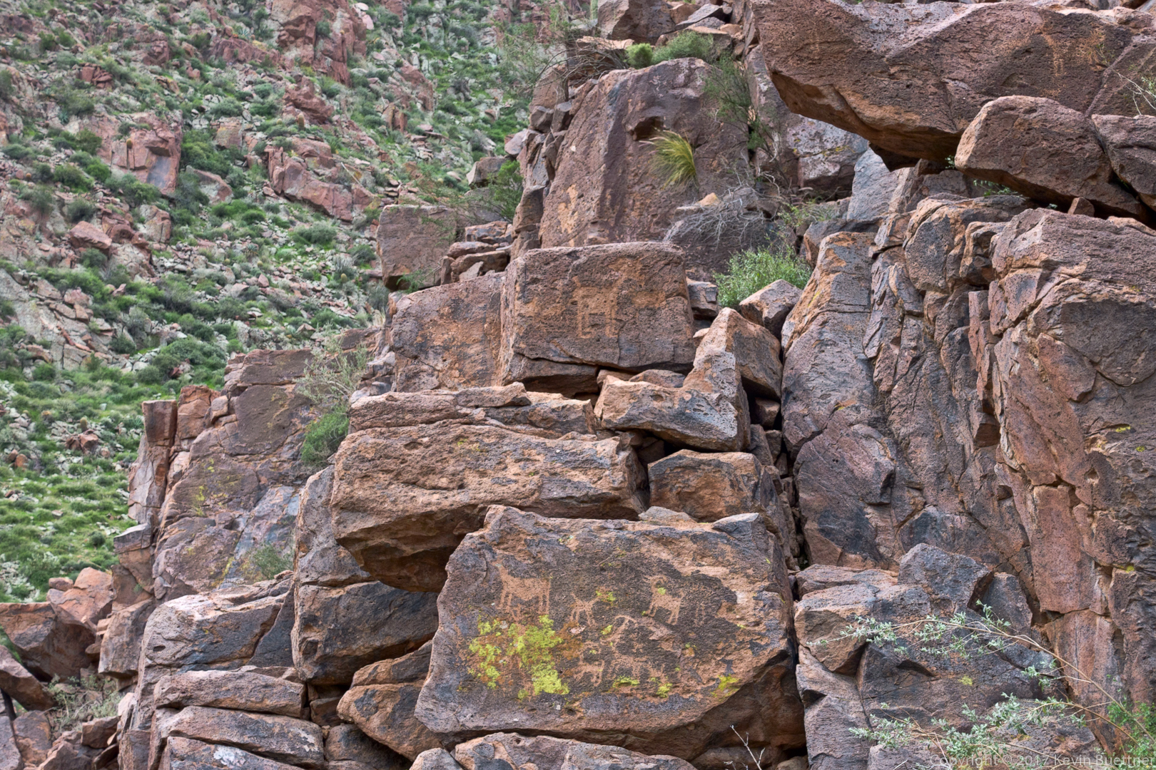
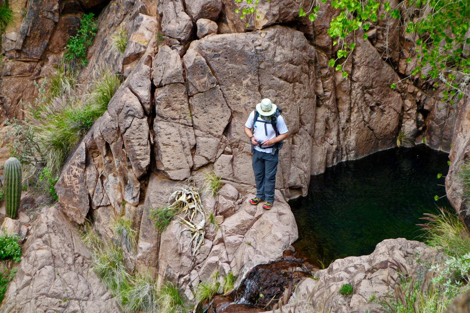
Linda took this photo of me chimping my shots by the second pool. There are petroglyphs behind me, above my right shoulder. There are more, which I didn’t notice while I was there to the right of the saguaro at the far left edge of the photo. (Thanks to Linda for sending me this photo.)
Making our way up to Hog Ridge…

Finally, we’re on Hog Ridge! But, although it’s a ridge, it’s not a flat ridge, and we’re not at the top yet. Following the ridge to the east was still really steep. Thankfully, the ridge didn’t have as much brush (as either the canyon or the sides of the ridge) and the footing was (mostly) very good.
This might be Blackfoot Daisy:
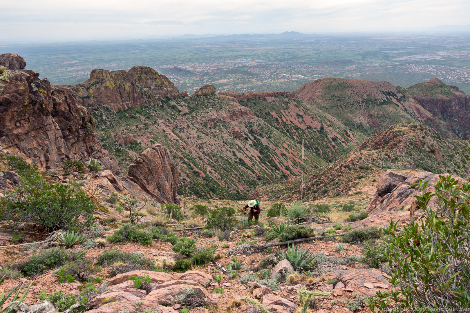
Bill makes his way towards an obstacle on the ridge. We didn’t have to climb that prominence – we went to the left and then climbed back up to the ridge after passing it.

Penstemon:
This is where we descended slightly so that we could bypass that steep prominence blocking our way atop the ridge:
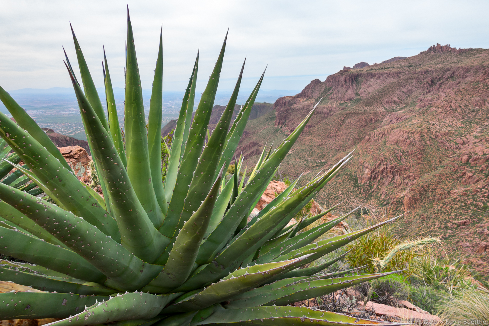
I sat down next to this agave during one of our breaks while climbing up the ridge:
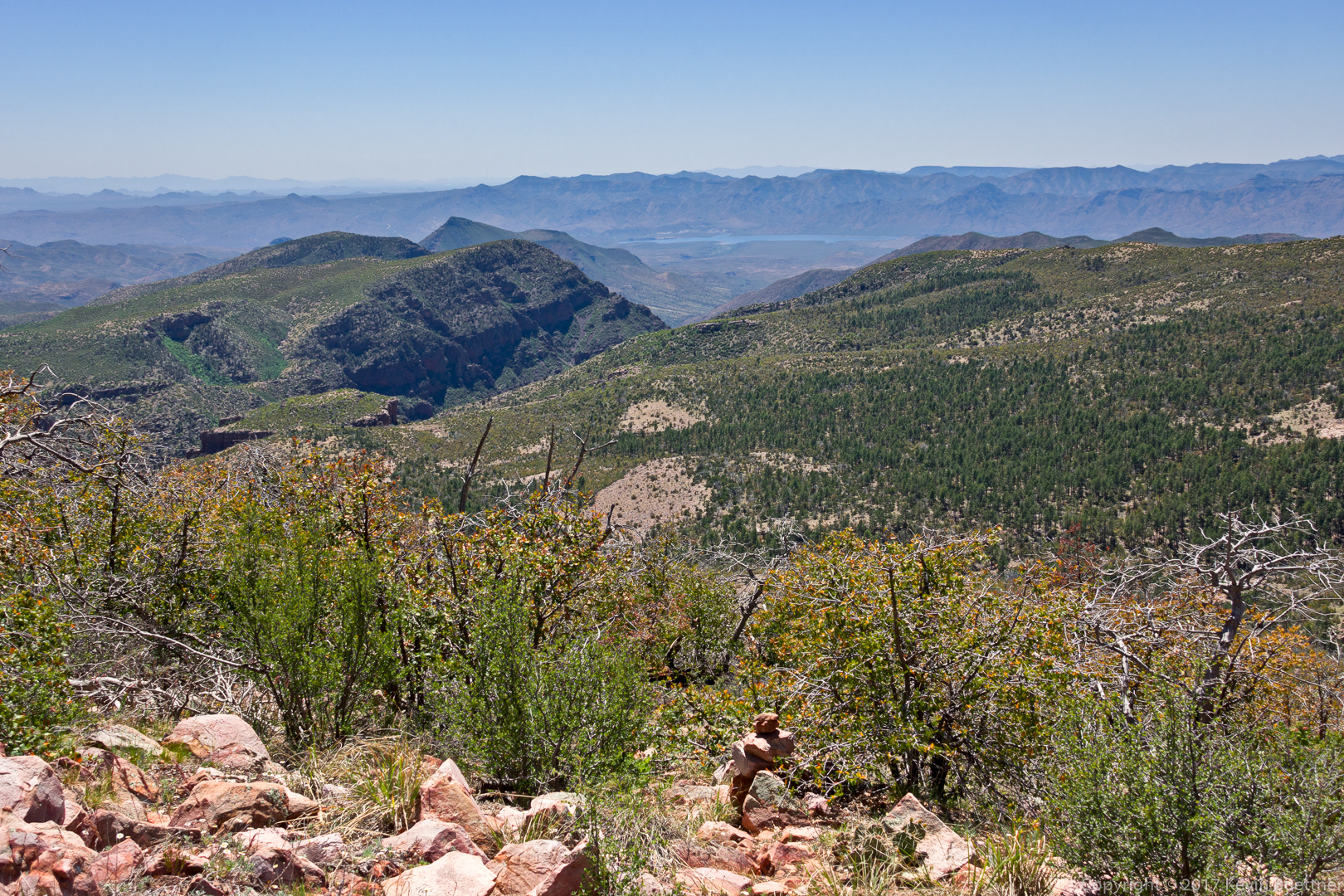
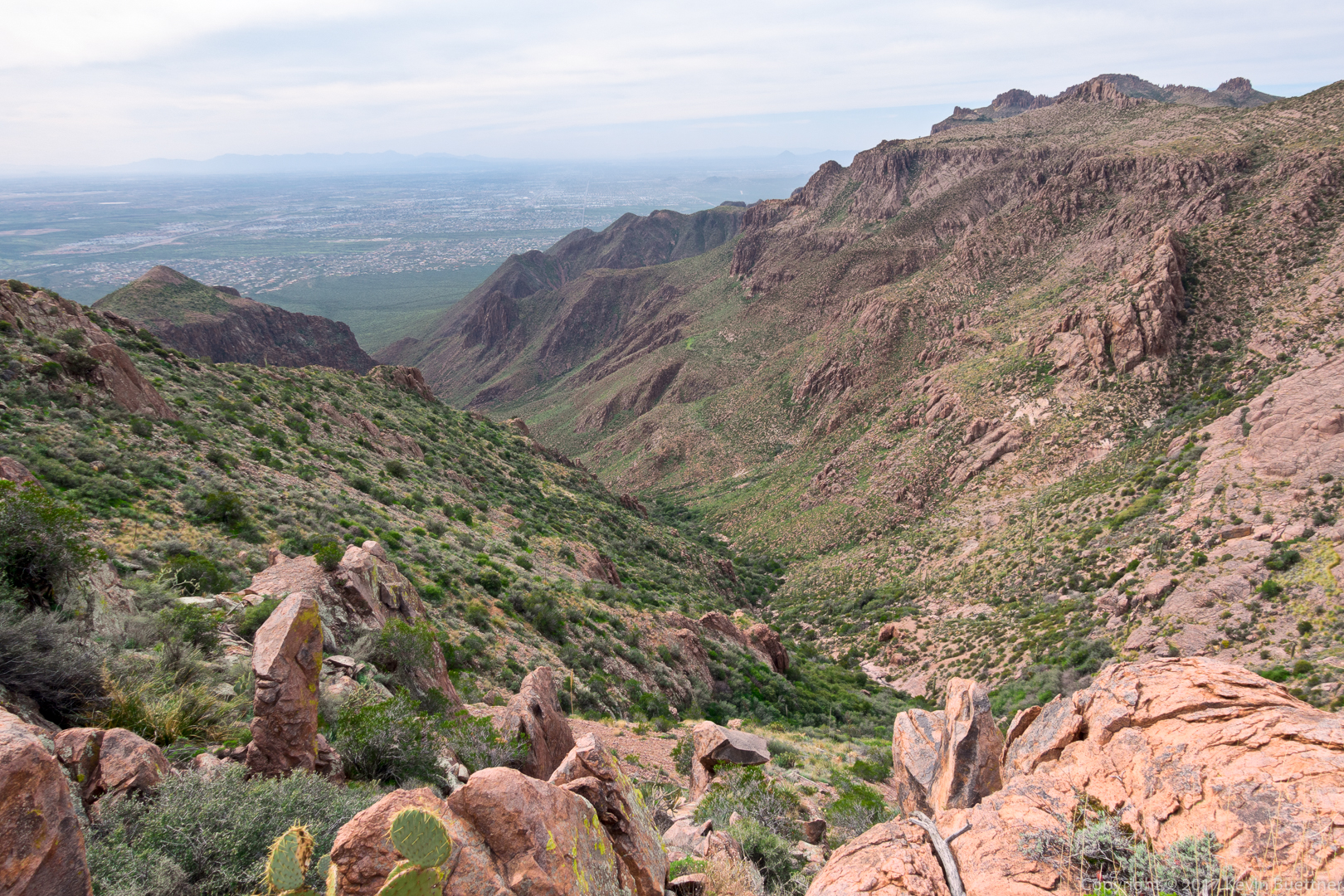
A view of the canyon which feeds the waterfalls that we had passed (much) earlier in the day:
Bill makes his way up to the Ridgeline Trail. The ridge that we had spent several hours ascending earlier in the day can be seen to the right.
This was an early view of Weaver’s Needle after making it to the Ridgeline Trail. (It was something of a relief to be back on a trail again!)
Bill, Bob, Denise, and Linda on the Superstition Ridgeline Trail:
Making our way down the Ridgeline Trail:
Another view of Weaver’s Needle:

Linda, Denise, Bill, Bill, and Bob pose for a photo while descending Hieroglyphic Canyon:

Sunset in Hieroglyphic Canyon – we still have a long way to descend!

We’re much lower in hieroglyphic canyon now; I’m looking back at where we had been…
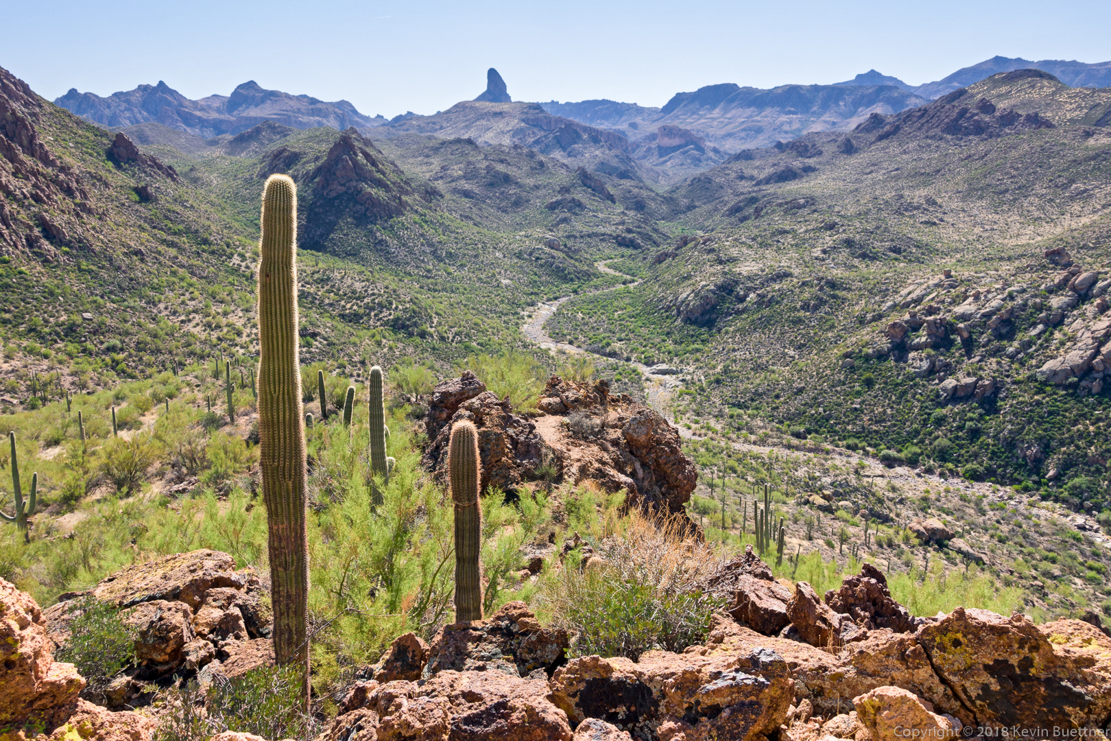
Bob and I did some scouting for our upcoming Robber’s Roost hike…