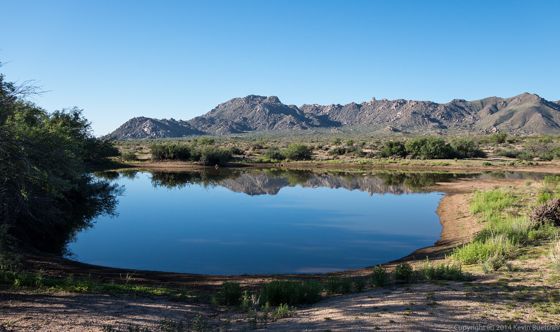
Photos from last Sunday’s hike of Coyote Canyon. Thanks to Linda for leading this hike!
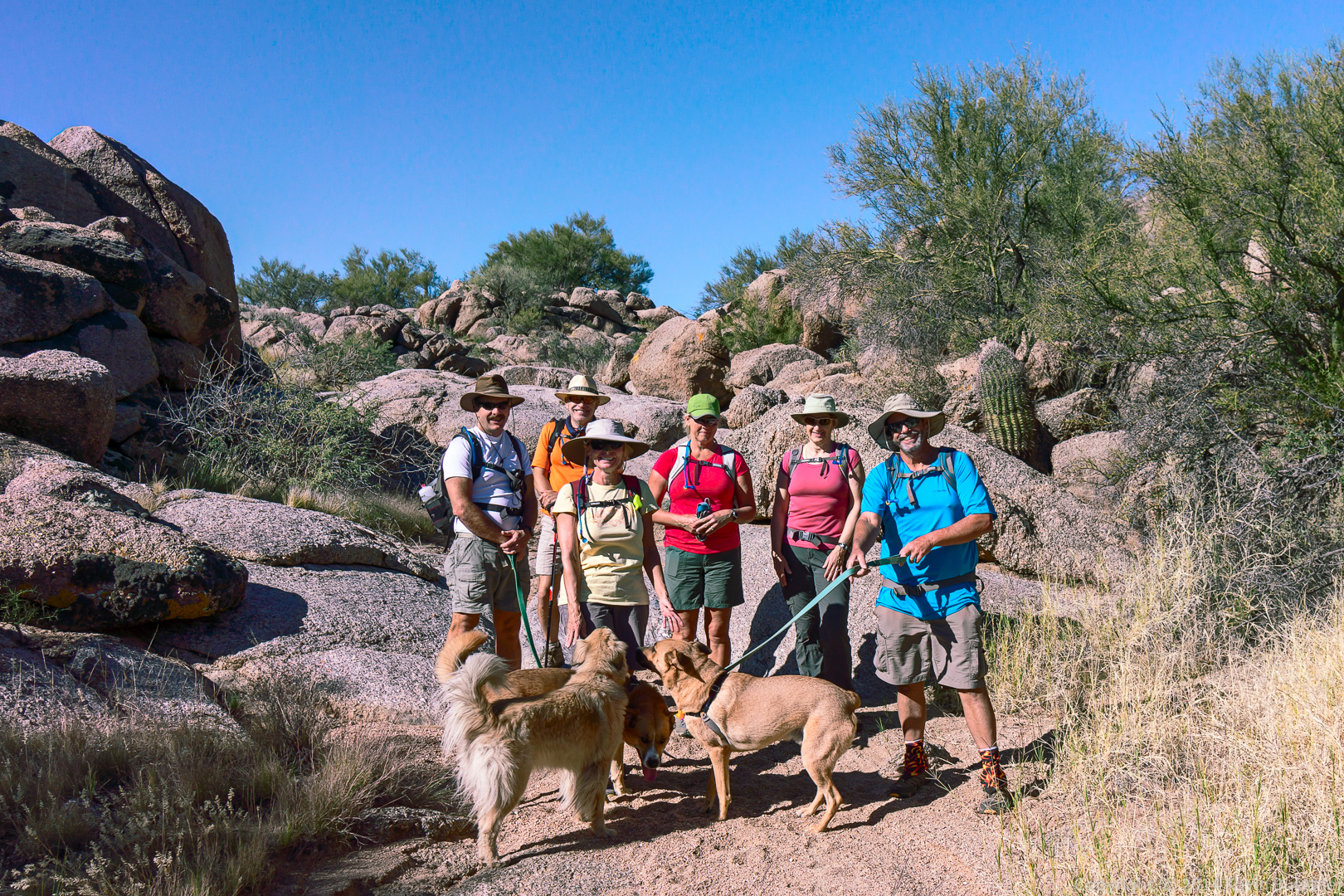
Photos from last Sunday’s hike of Coyote Canyon. Thanks to Linda for leading this hike!
Bob and I hiked up to the East End in the McDowells by way of Hog Heaven. We hiked past Gardener’s Wall on the way back. Total distance was only five miles with 1,971 feet of total ascent.
While we were at the East End, we encountered a fellow named Joel. He hikes the Tom’s Thumb Trail several times a week with a reclining lawn chair strapped to his back. When he gets to the top, he chills for a while at the top. He then runs back down the trail, again with his chair strapped to his back. He said it takes him about 50 minutes to get to the top and 20 minutes to get back down. I saw him running back down the trail; he goes a lot more quickly than I do!
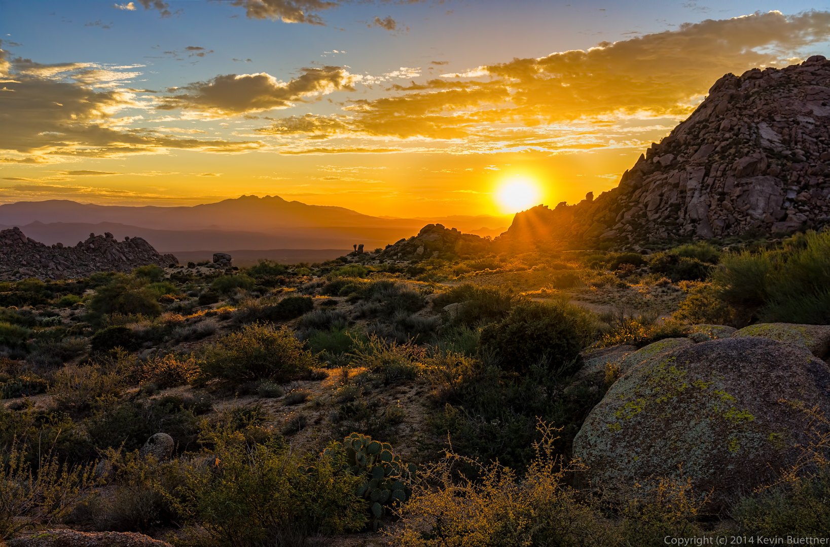
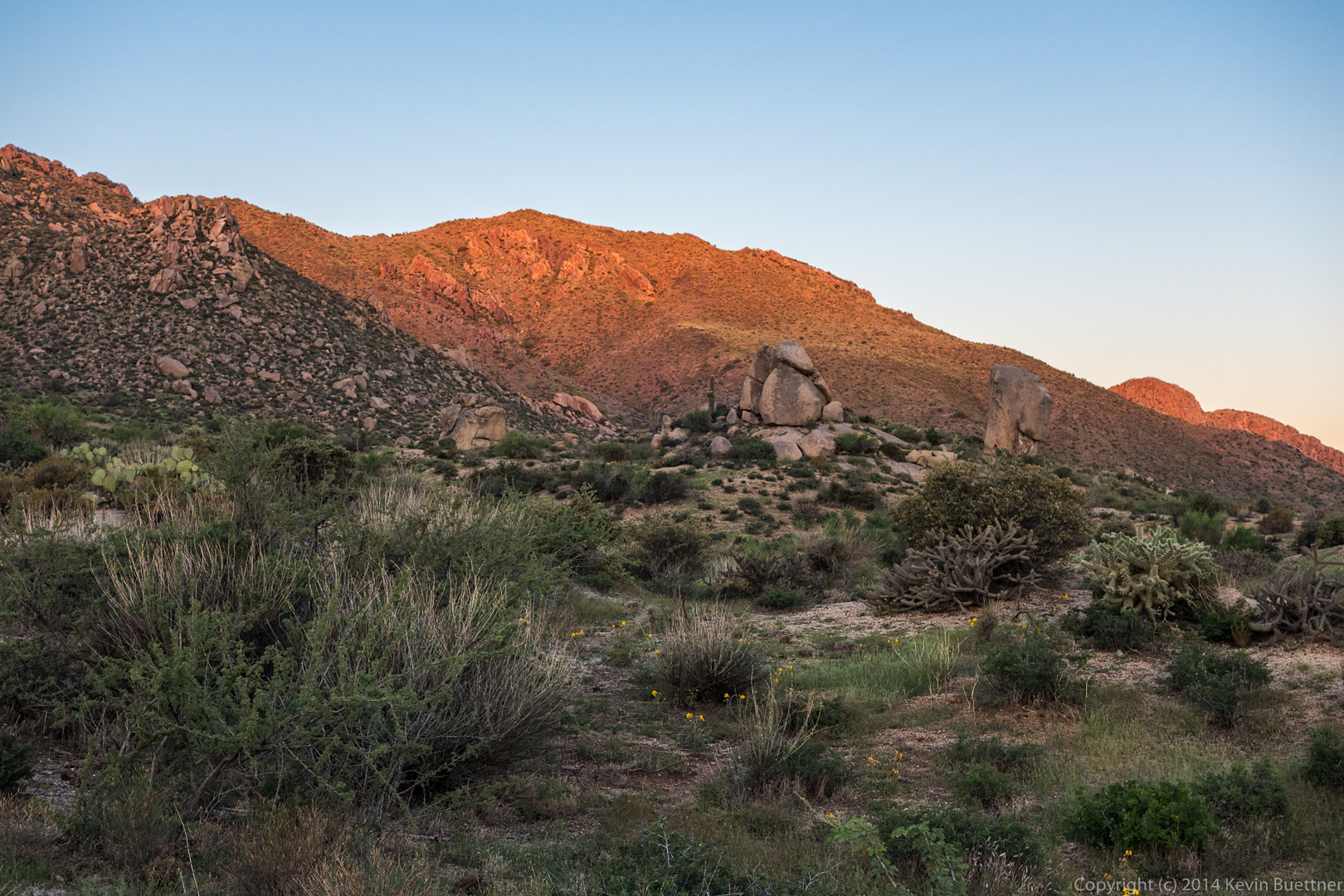
I got this shot shortly after arriving. The sky color was more interesting perhaps ten minutes before we arrived.
This is where Bob and I climbed several weeks ago. We climbed the prominent crack on that slab in addition to a face climb to the left. Both of these climbs are easy, but it was good practice for me (who hadn’t done a lead in a while) and for Bob (who had never belayed a lead climber before).
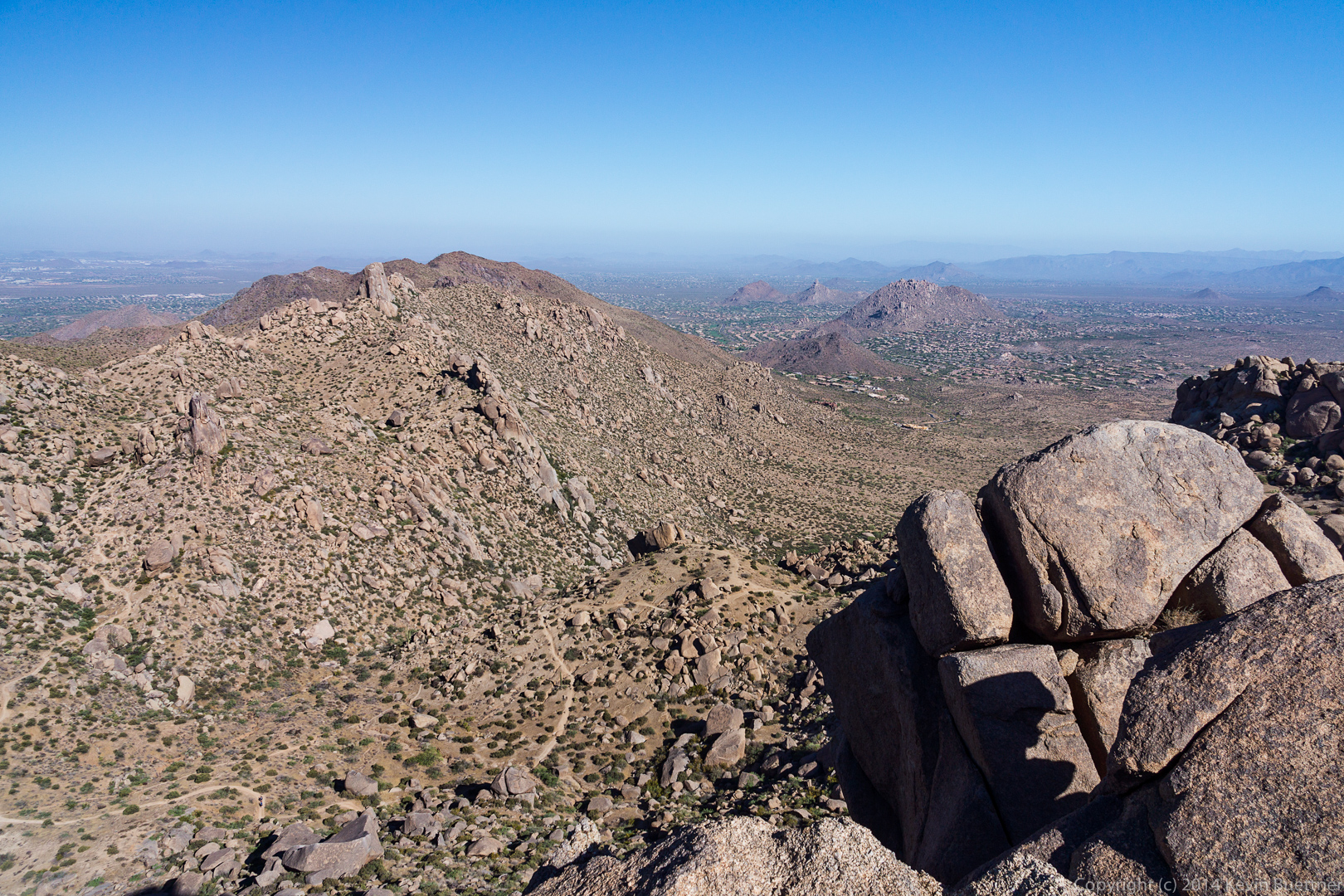
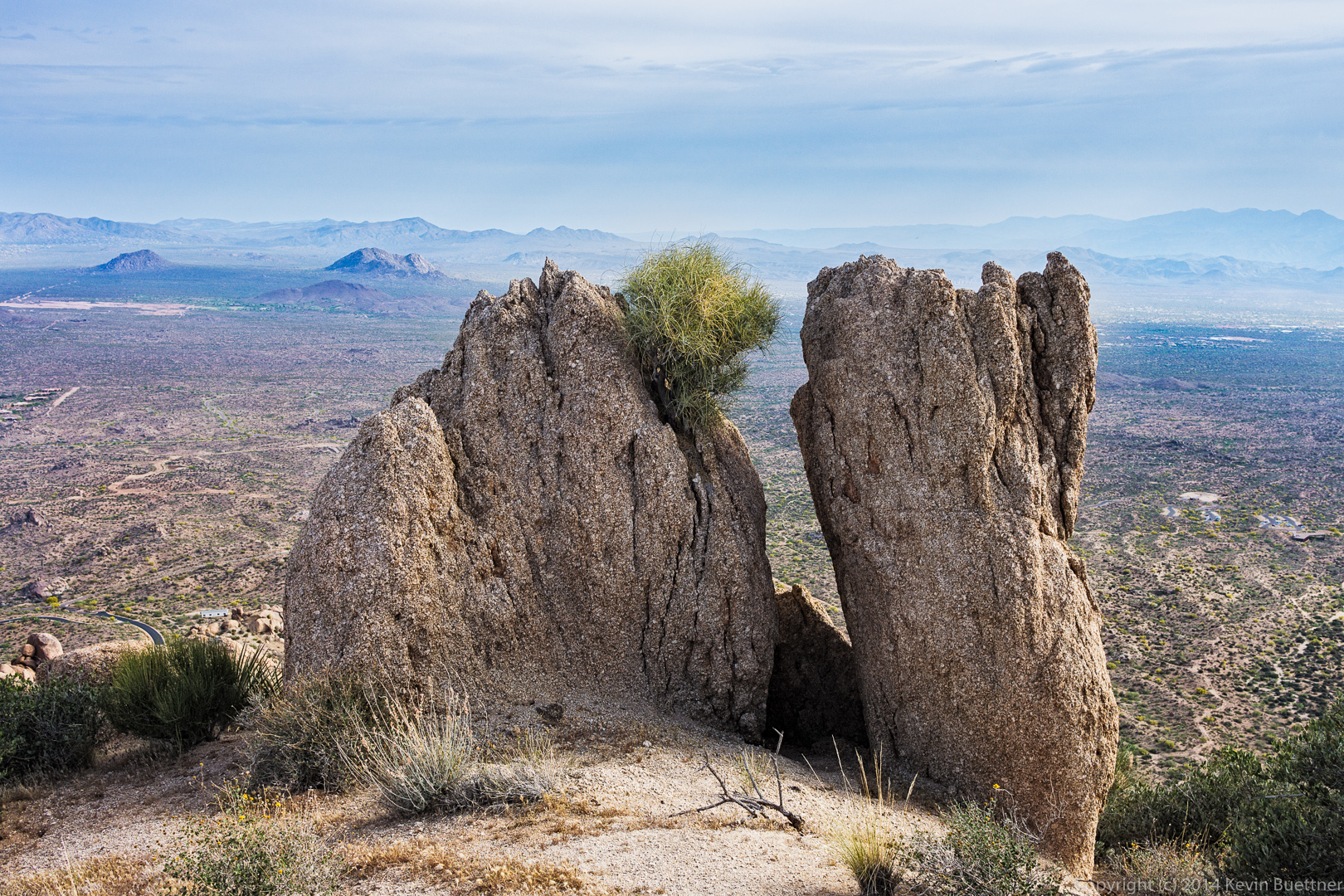
We had made it past the Sven Towers when I took this shot:
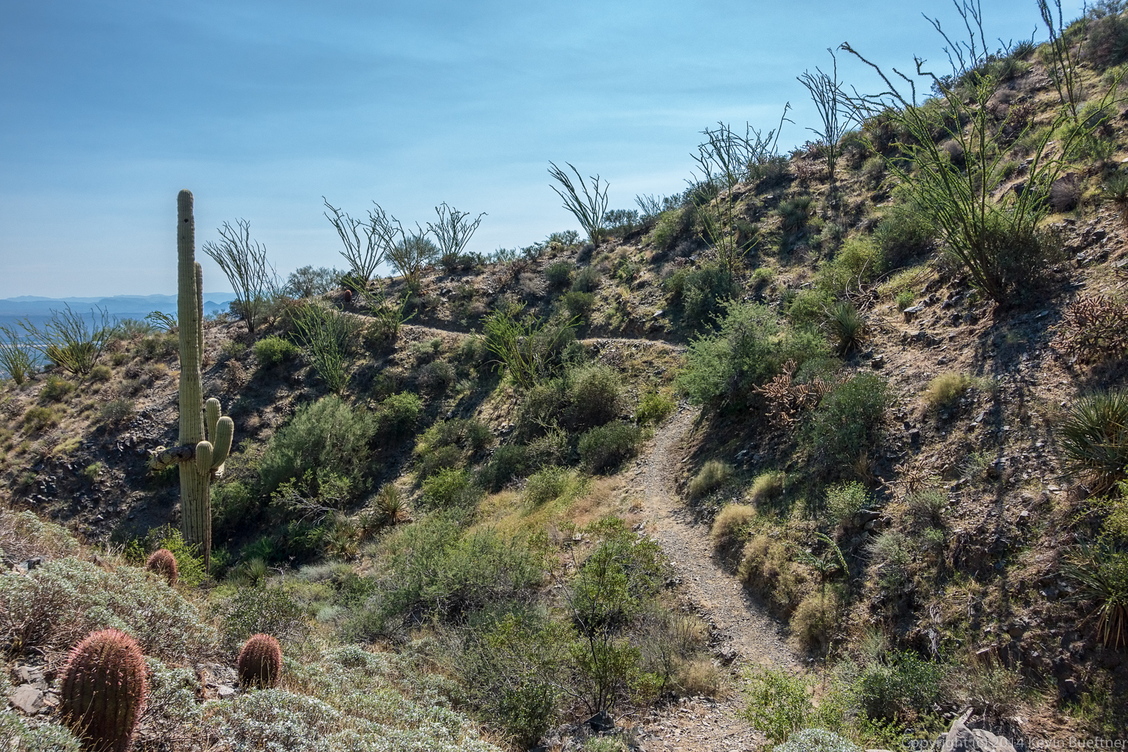
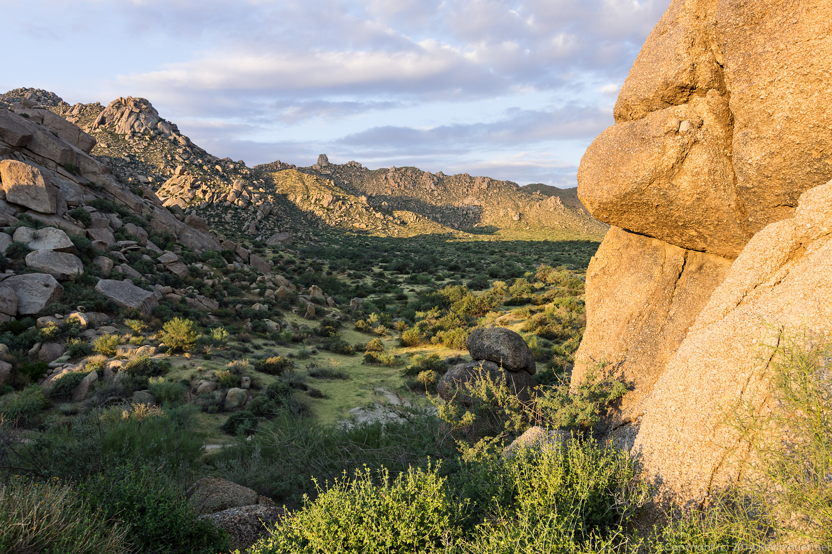
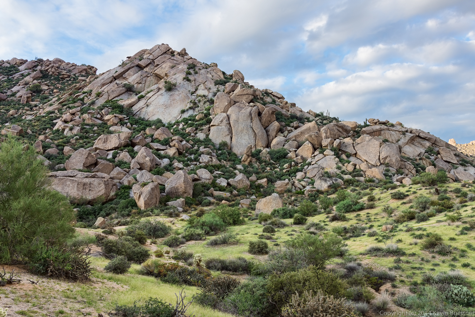
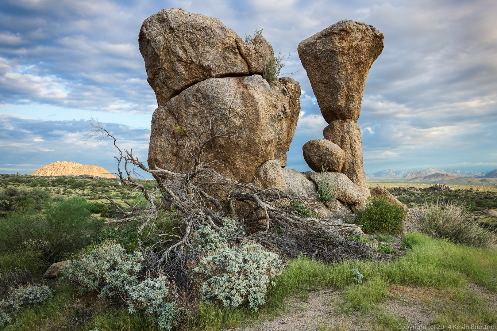
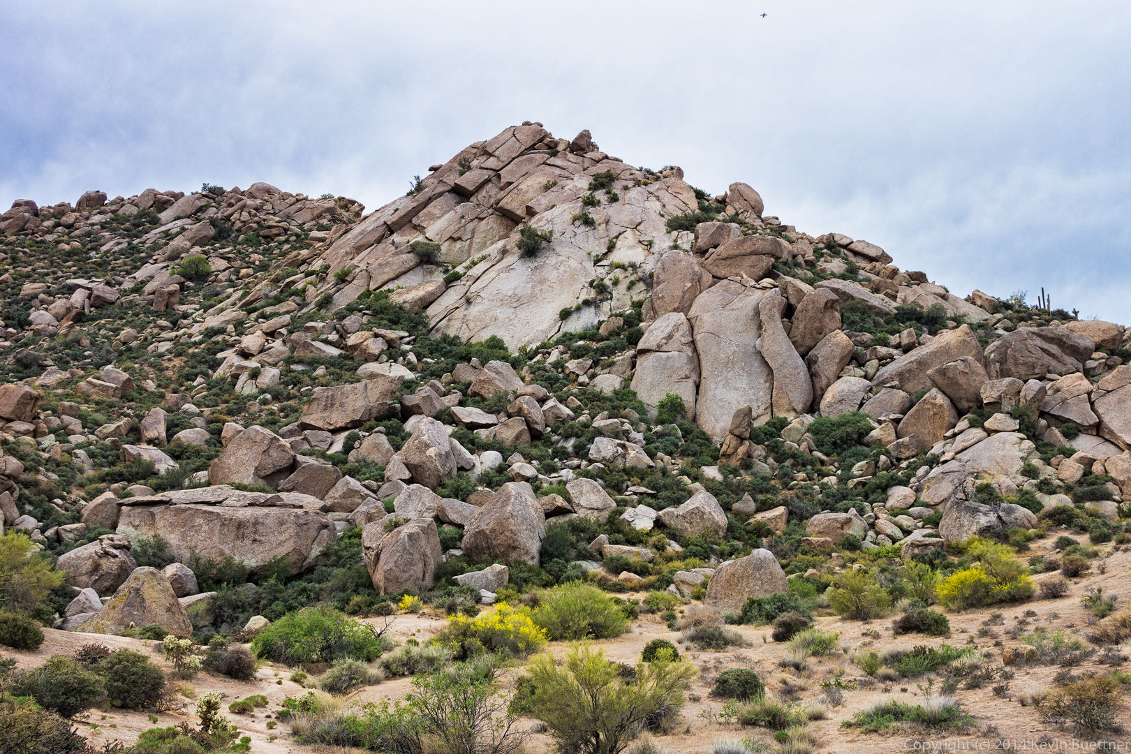
Hog Heaven is the collection of (very) large boulders down and to the left of the Thumbnail Pinnacle. The trail leads up to the base of Hog Heaven and then continues to the left and upwards. It eventually works its way back to the right, leading past the Thumbnail Pinnacle. From there, it continues up the ridge which leads to the East End, the highest point in the McDowells.
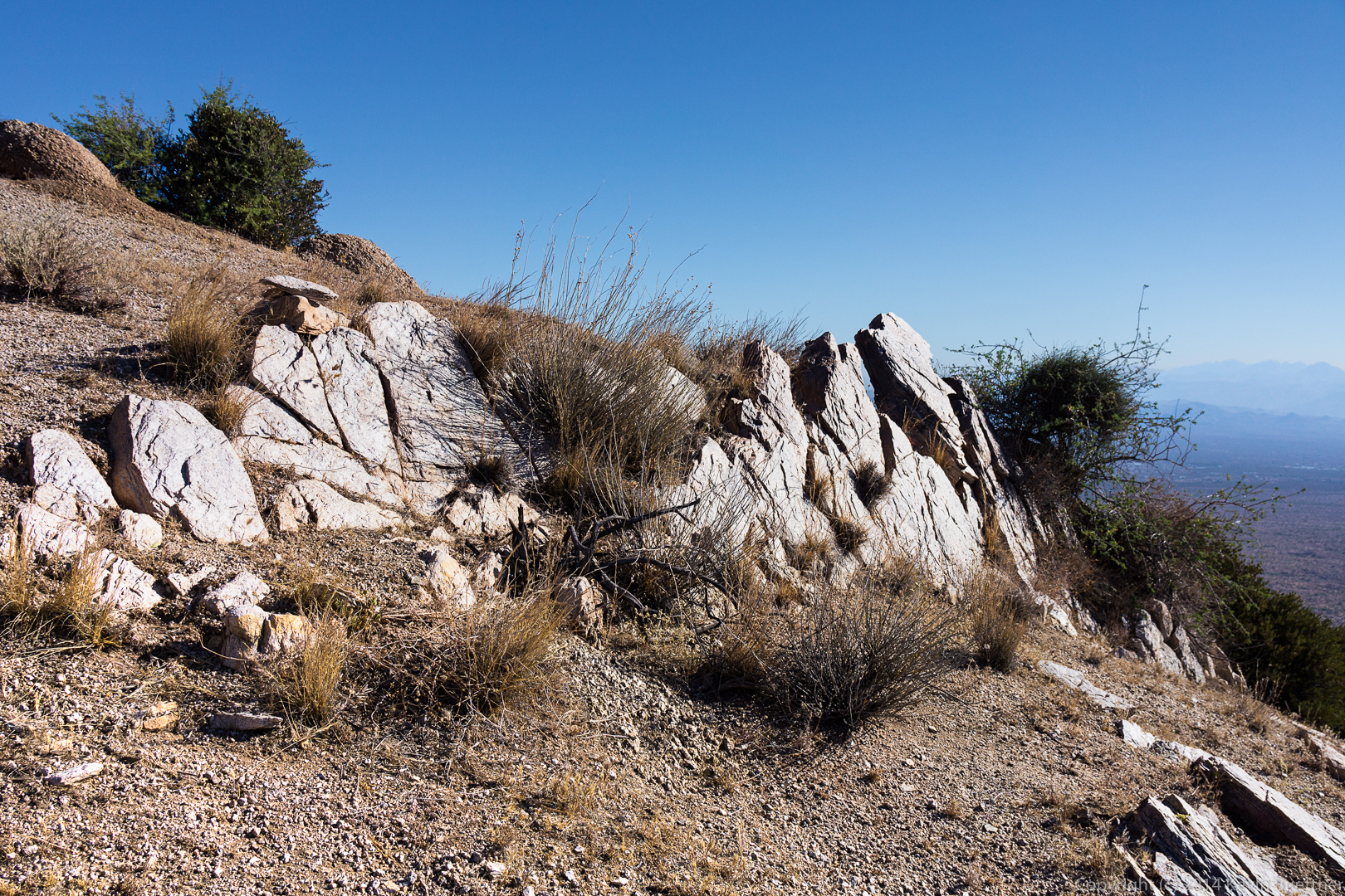
We passed some smaller rock formations on our way up to Hog Heaven…
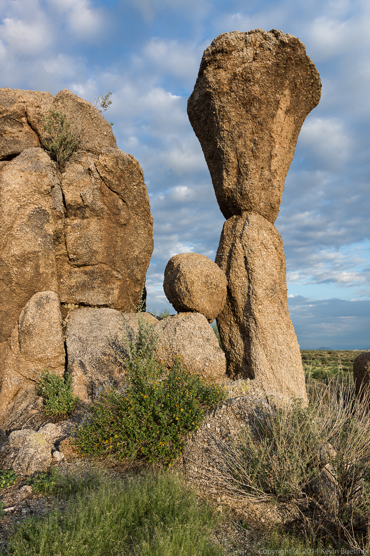
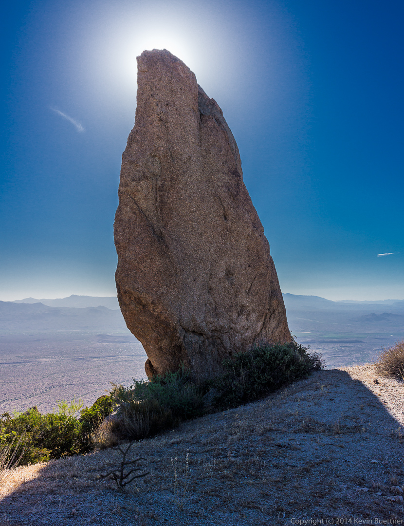
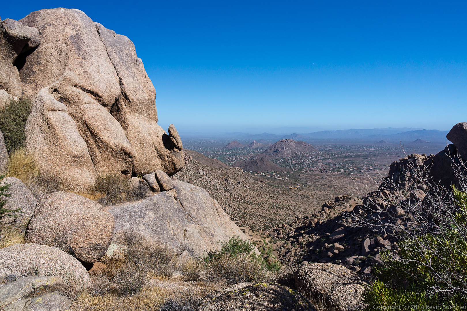
I got this shot from slightly below the Thumbnail Pinnacle. The Fountain is up!
I found a vantage point that I hadn’t noticed before to get this shot of the Thumbnail Pinnacle:

When I turned around, I saw that Bob had also found a rock from which to take in the views.

When viewed from the ridge above, the Thumbnail Pinnacle looks like an impressive spire.

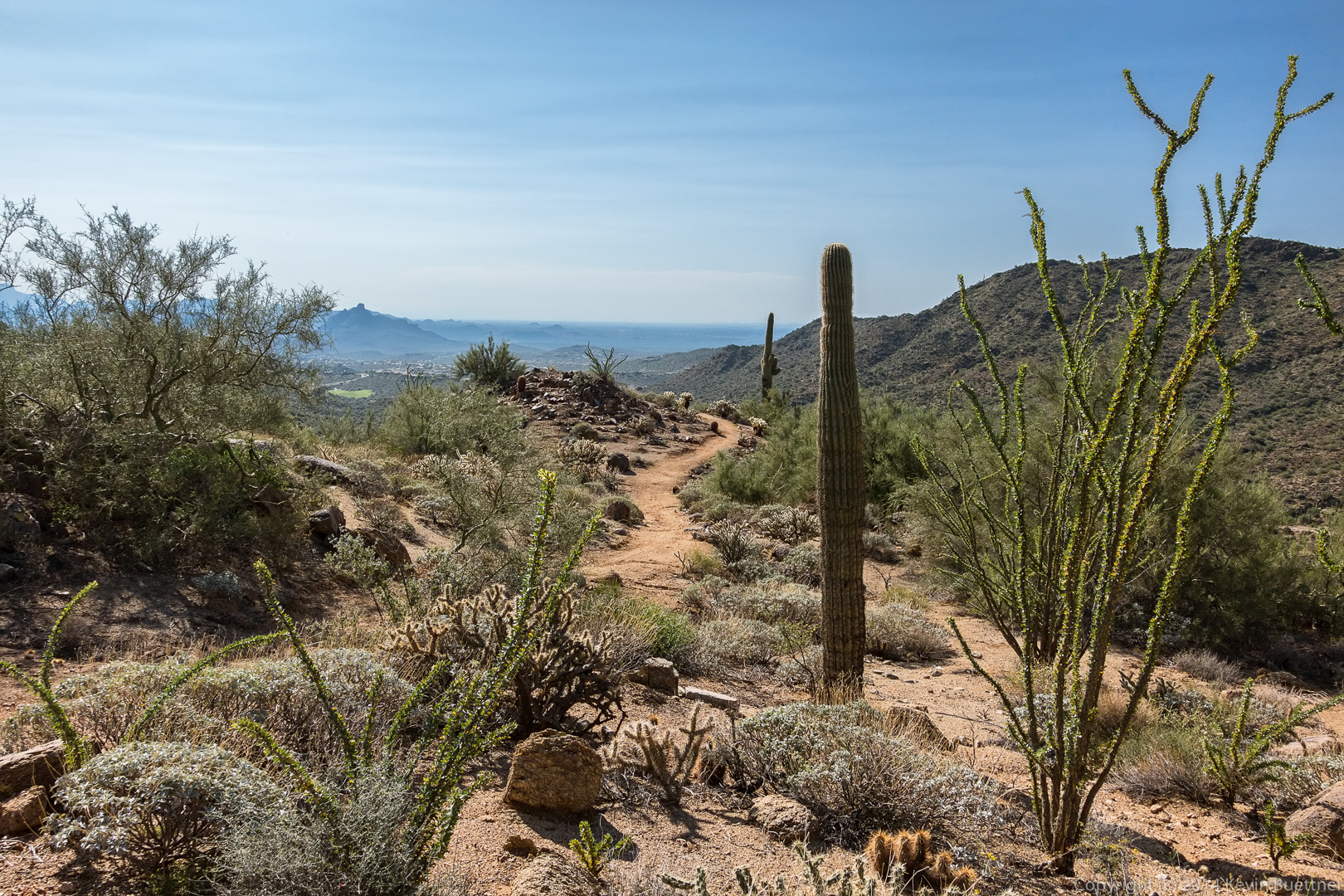
More views opened up as we worked our way up and along the ridge…
I got this shot as we started working our way down from the East End:

I got this shot of Tom’s Thumb, Gardener’s Wall, and Glass Dome from just beyond the rock upon which Bob is standing in the previous photo. I had never seen these formations from this angle before.
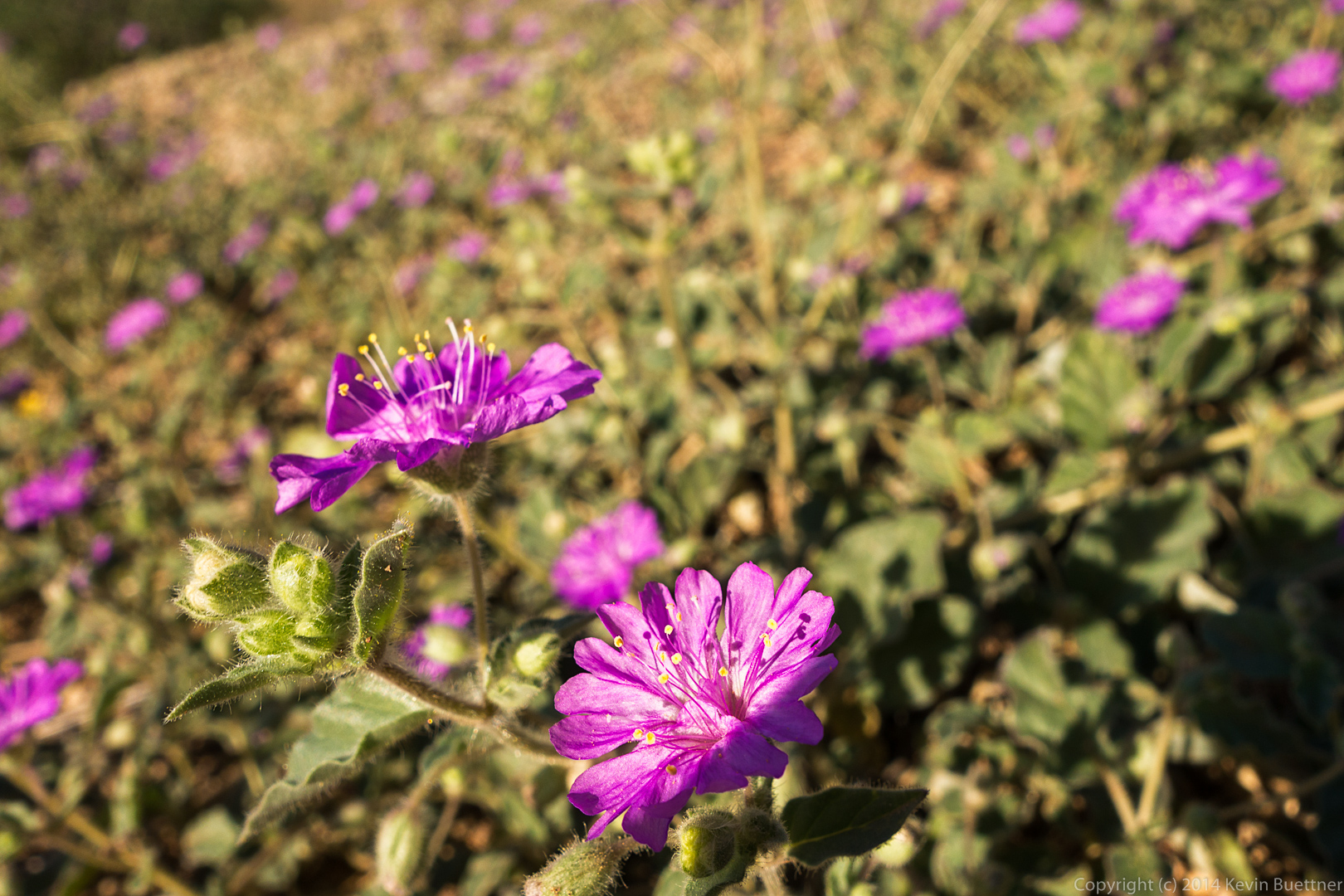
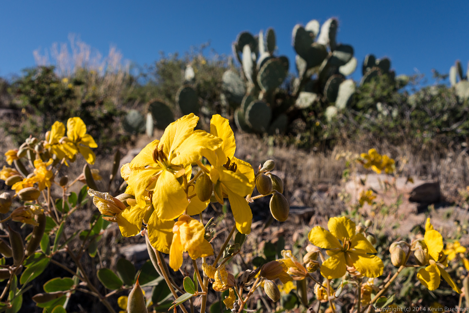
I don’t know what kind of flower this is, but we saw it on our way towards Gardener’s Wall.
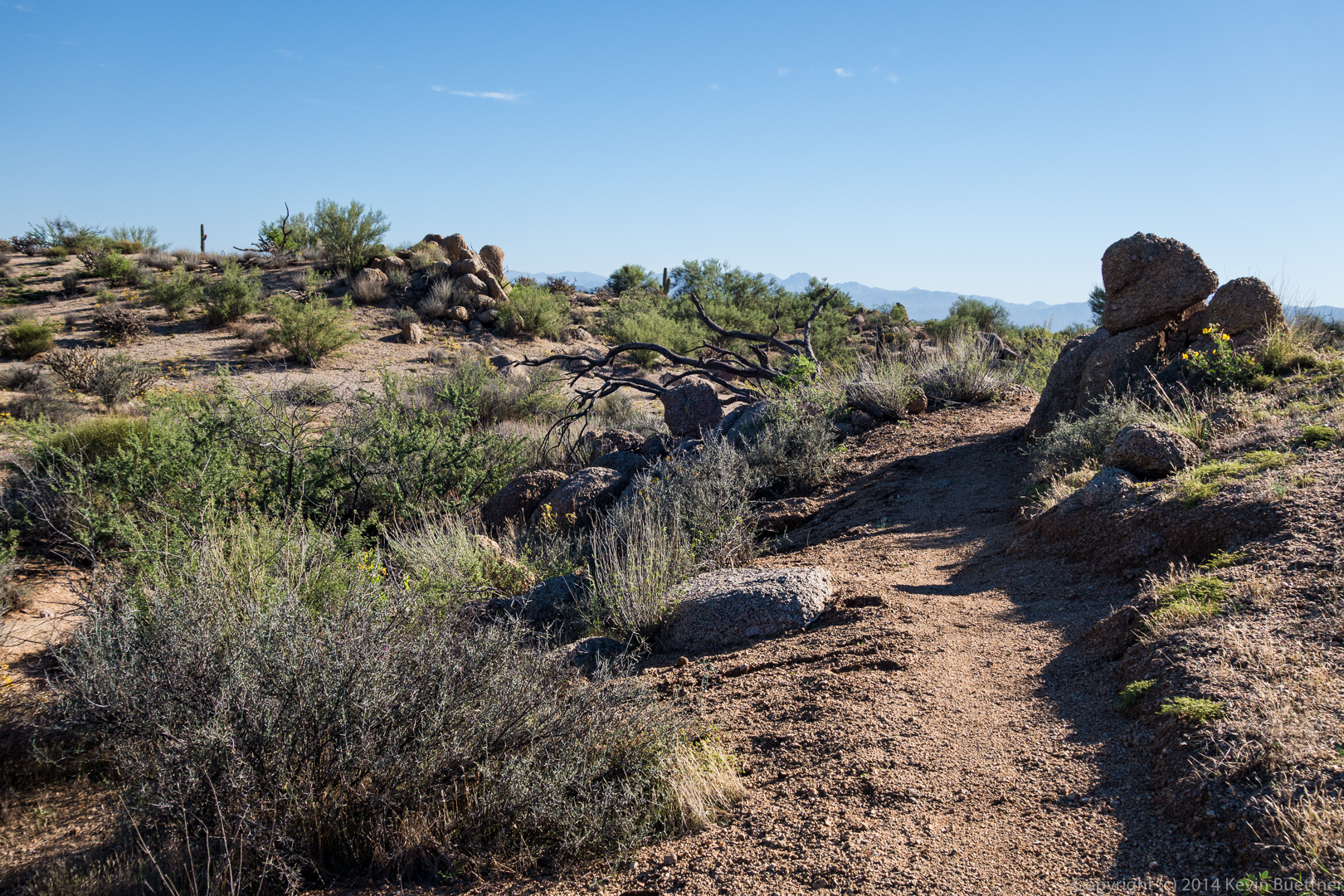
Bob and I hiked the Dixie Mine, Sonoran, Promenade, and Western Loop trails on Friday for a hike of about 10 miles with 2,000+ feet of total ascent.
I got this shot while walking through the Eagle’s Nest gated community. (A little over half a mile separates the parking area from the beginning of the Dixie Mine Trail.)
A view from the Dixie Mine Trail:
A view of the Fountain with Weaver’s Needle and the Flatiron far in the distance:
This is one of my favorite spots to photograph on the Sonoran Trail. I like it so much that I photographed it both on the way out (immediately below) and on the way back (further below). This photo was made from two exposures, one more or less as shown below, and another with my thumb placed between the lens and the sun. Blocking the light source with a thumb prevents lens flare which would either ruin the shot or (at best) make it extremely tedious to edit.
Views from the Western Loop Trail:

A view of part of the long uphill section on the return trip of the Sonoran Trail. Look for the trail in the wash at the bottom along with switchbacks at the bottom-right corner.
Another view of one of my favorite spots on the Sonoran Trail. The earlier shot was taking at 7:45am. This one was taken at around 10:30.
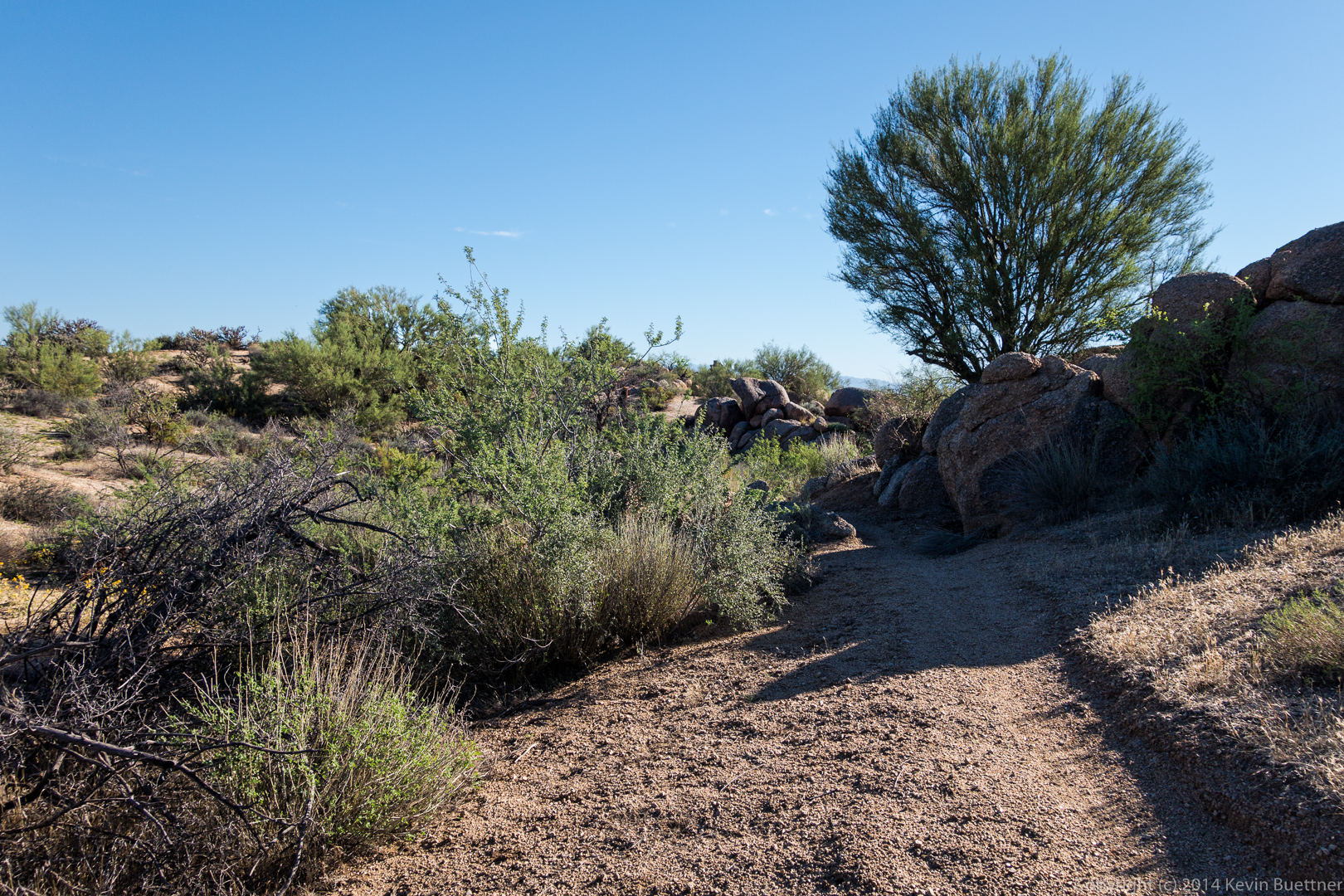
Back on the Dixie Mine Trail…
I think the flowering plant in front is Goldeneye with an ocotillo behind it.
I was taking close-ups of one of the flower clusters when this bee landed…
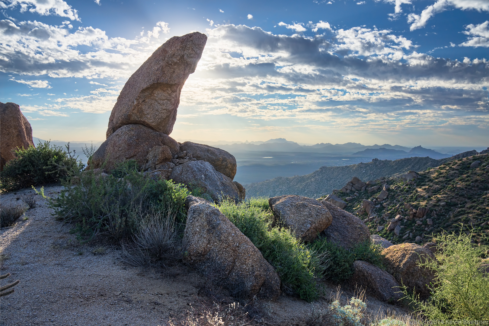
None of the fitness hike regulars could make it to last Friday’s hike, so I decided to bring my tripod and my NEX-7 with a heavy lens, a Sigma 18-35 f/1.8 which hasn’t gotten a lot of use (yet). I arrived at the Tom’s Thumb Trailhead early – too early as it turned out because I had to wait about ten minutes for the gate to open. Once I parked, I hustled over to a location near Sven’s Slab that I had scouted for a sunrise shot a bit over a year ago.
It took me a long time to process and finish this sunrise photo. I made several attempts to use Photoshop’s HDR Pro to merge some hand bracketed exposures, but I was not happy with the results. I even gave Photomatix a try, but wasn’t happy with those results either. I finally selected one exposure for the sky and another for the foreground, processed those in Lightroom, and then blended them by hand in Photoshop.
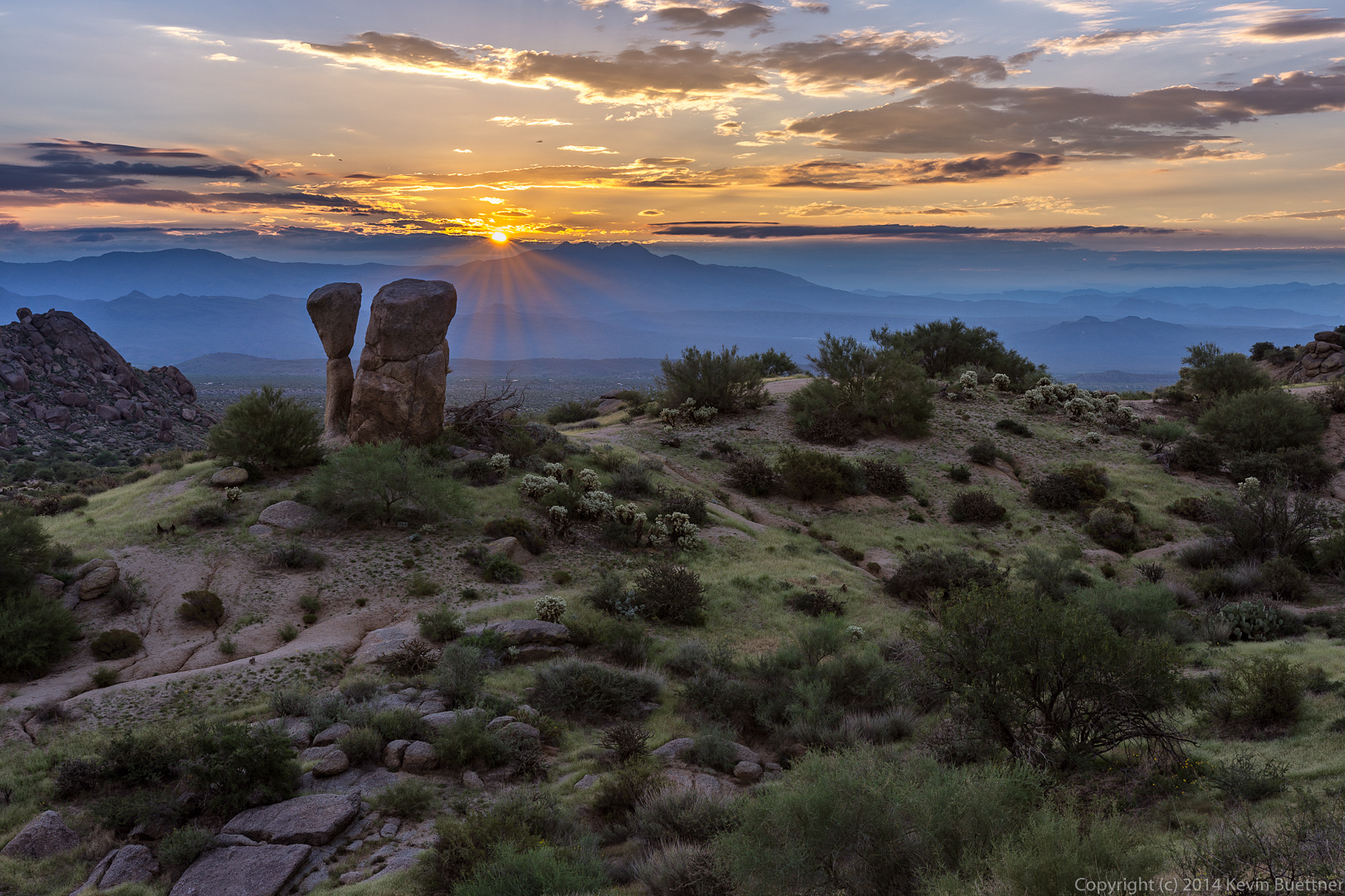
Tom’s Thumb is the prominent pinnacle towards the center of this photo. Morrell’s Wall can be seen in sunlight near the left edge.
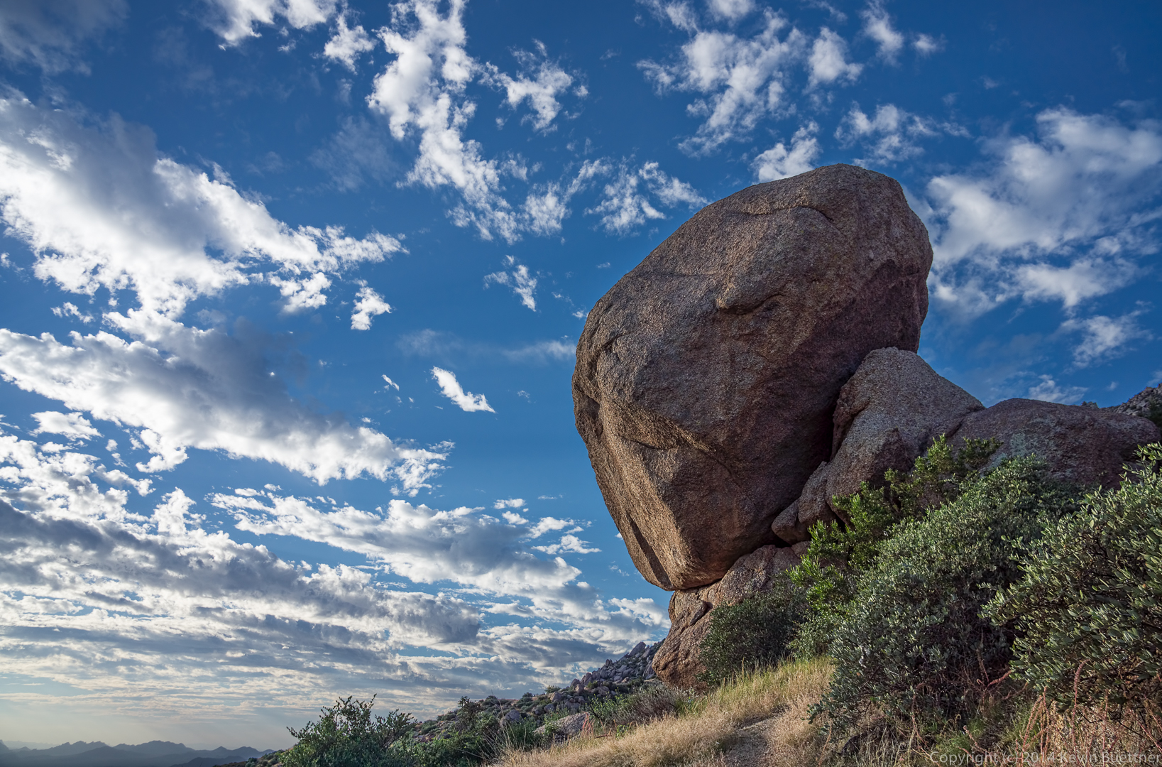
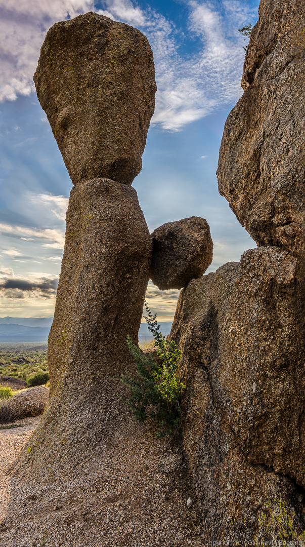
I took several photos of the tall “mushroom” rock featured in the sunrise photo. This one is taken from the east side, with the early morning sun on it.
This is Sven’s Slab.
Another shot of the tall mushroom rock and the boulder adjacent to it. Troon Mountain is lit up at the left. The brownish blob below it is the trailhead structure.
This was an interesting shot to process. Due to the fact that I was shooting towards the sun, even though it’s hidden behind one of these rocks, the sky was very bright and the rock in the photo was very dark. Also, I was unable to back up far enough to get the entire height of the mushroom rock in one frame. I took two sets of bracketed exposures, one of the upper part of the rock and an overlapping set for the bottom of the rock. When I shot this, I was careful to lock the exposure and focus prior to taking the shots. I processed each set of bracketed exposures in Photoshop’s HDR Pro, created a 32-bit TIFF file, and then processed that in Lightroom. I sync’d the edits between the image for the top part and the bottom part, so that they would (hopefully) match up. I then had photoshop blend these two pieces as a panorama. The result of the blending was somewhat misshapen, so I fixed it using Photoshop’s free transform tool, which is the first time I’ve used this particular photoshop facility. That left some missing areas of sky and rock along the edges. I tried filling these in with content aware fill. It looked sort of okay if you didn’t look very close, but it looked awful otherwise. I ended up using the clone stamp tool to make those areas look better. At that point, I was finally able to begin my normal editing.
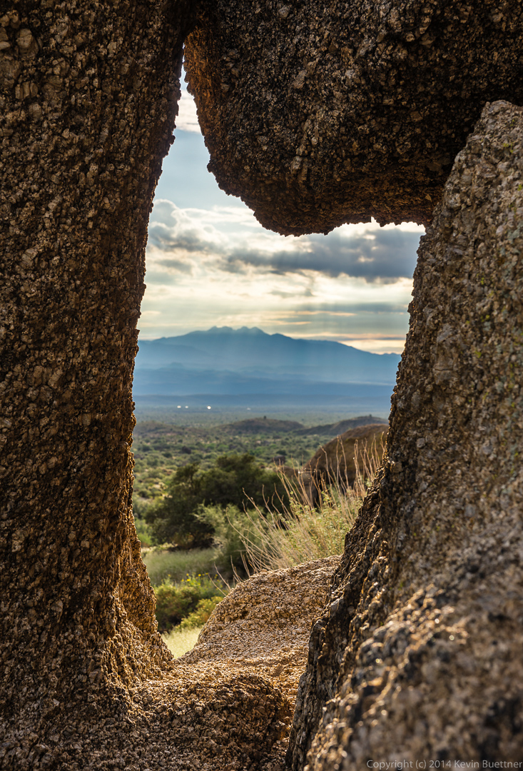
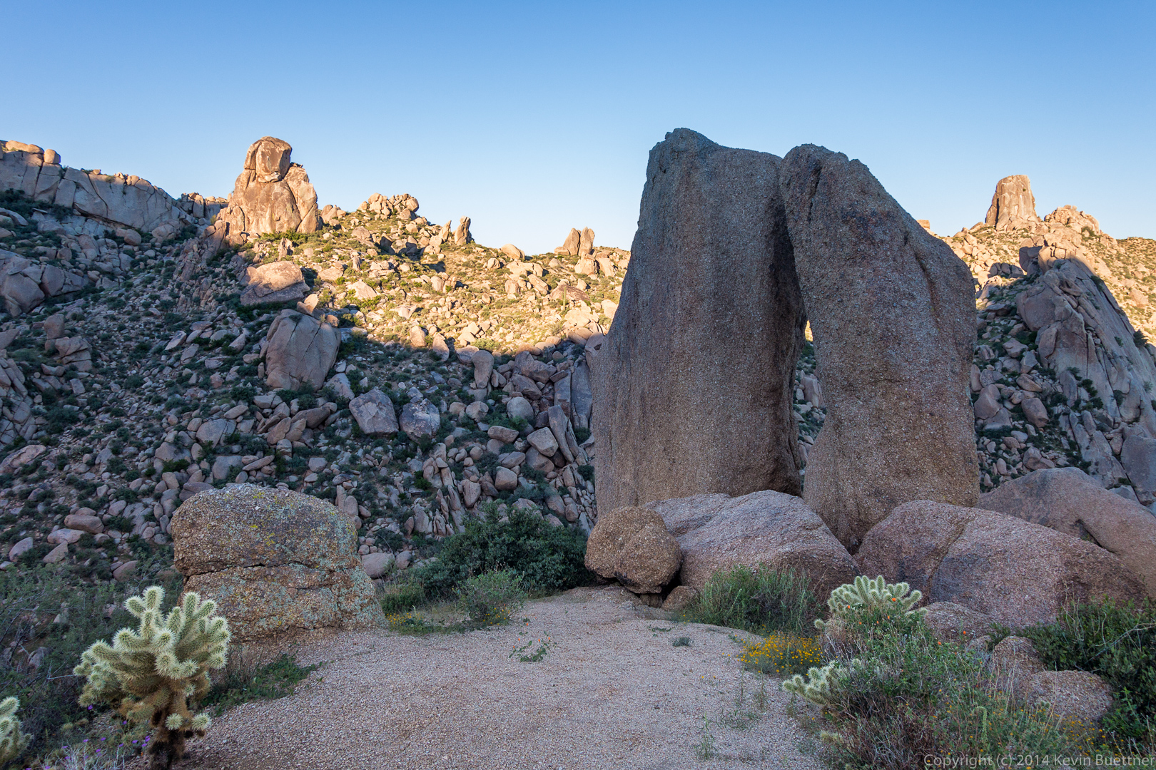
This is a shot looking through the “window” formed between the tall mushroom rock, the adjacent boulder, and the chockstone above. I couldn’t figure out how to use my tripod for this shot, which is a shame, because it would have been a good candidate for focus stacking. Note that there’s a section of granite at the bottom right that’s not in focus. Likewise for the sky and mountains in the distance. Had I been able to use my tripod, I could have taken a shot to get the foreground section in focus and another to get the background in focus. These could have then been blended to produce one image that’s entirely in focus. That would have been interesting because I built this shot out of bracketed exposures as well.
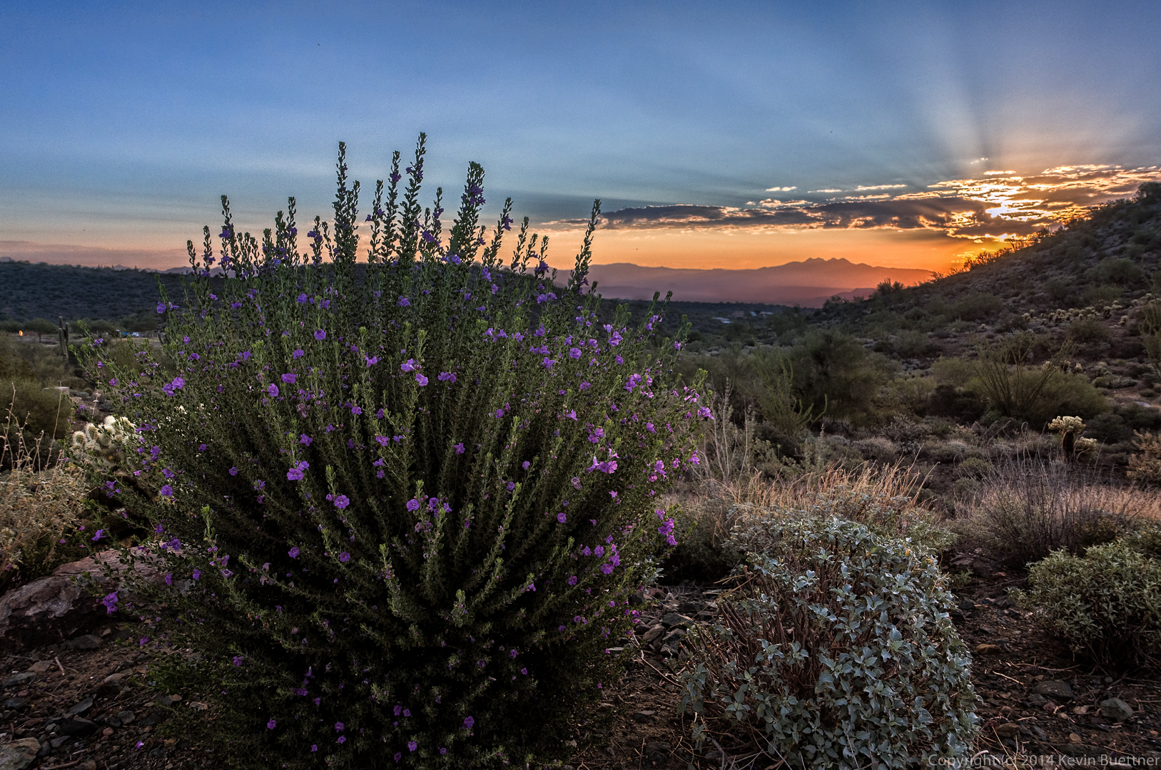
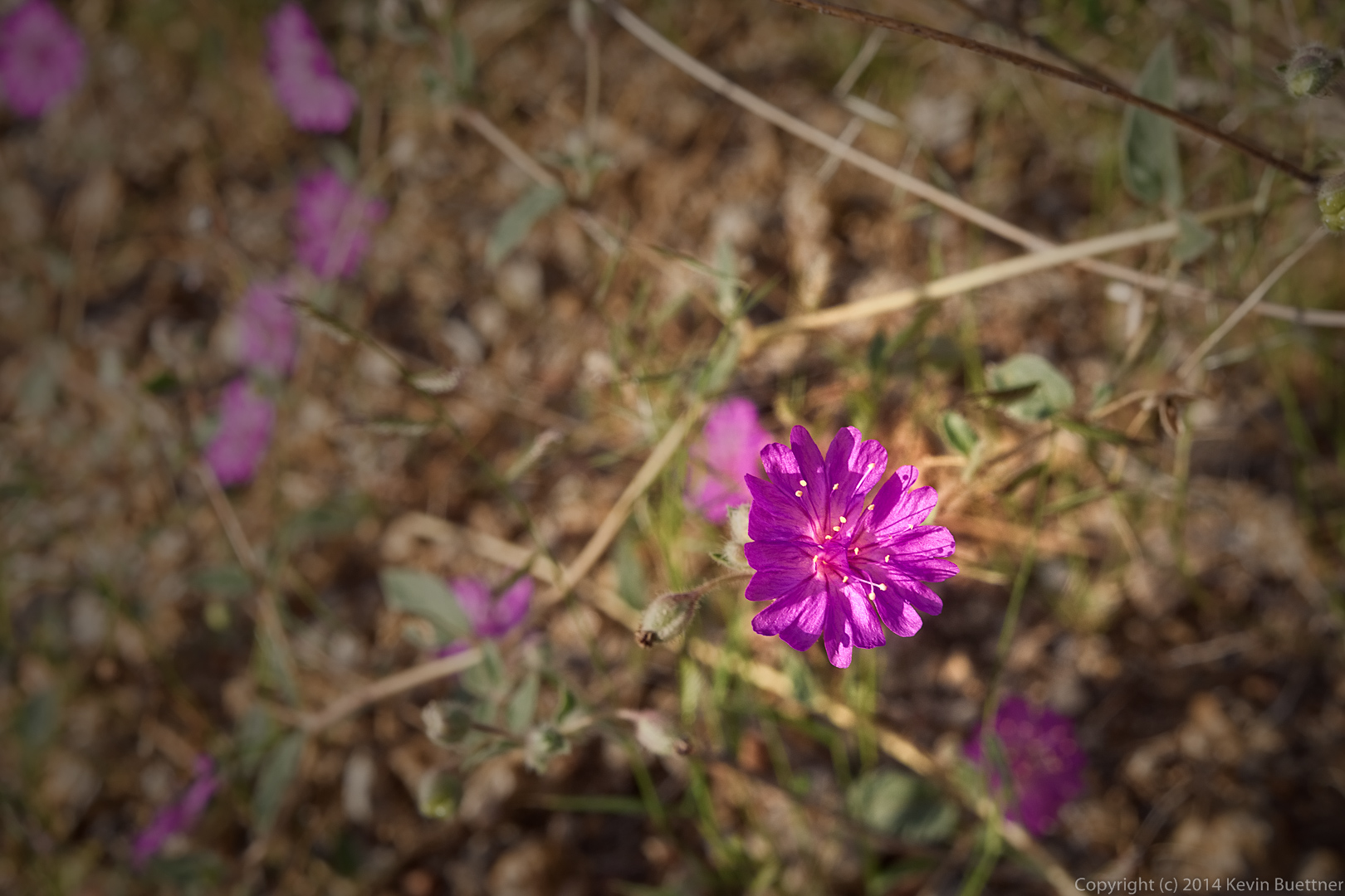
I think that Amy Burnett once told me what these purple flowers are, but I’ve forgotten. It doesn’t seem to be in my wildflower book for the McDowells either. They were fairly low to the ground and somewhat less saturated than shown in this photo.
I think this is a large Goldeneye bush.
Another view of Morrell’s Wall, about a third of the way over from the left edge of the photo. The large slab in the foreground is the Girlie Man Area. There are at least seven easy to moderate routes on that slab ranging in difficulty from 5.2 to 5.9+.
This boulder pile is in Mesquite Canyon, not far from the Girlie Man Area.
Morrell’s Wall looks much more impressive from this angle. I took this photo from the junction of the Feldspar Trail and the climber’s access trail that eventually leads to Morrell’s Wall.
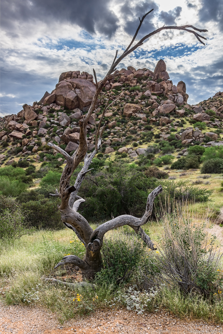
Another view of the dead tree in the photo above, this time looking east towards the Morrell Wall Parking Lot Area. (At one time, there was nearby parking.)
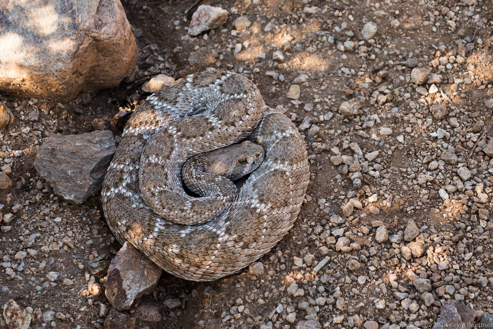
I encountered a rattlesnake as I turned to continue up the Feldspar Trail after taking the above shots. It rattled a lot for a moment and then slithered a short ways, stopping just short of a nearby bush. It felt like I had my camera three feet away from the snake in this photo, but it was probably at least four. The snake was very obliging in that it waited and gave me time to dig a different camera (with longer effective focal lengths) out of my pack.
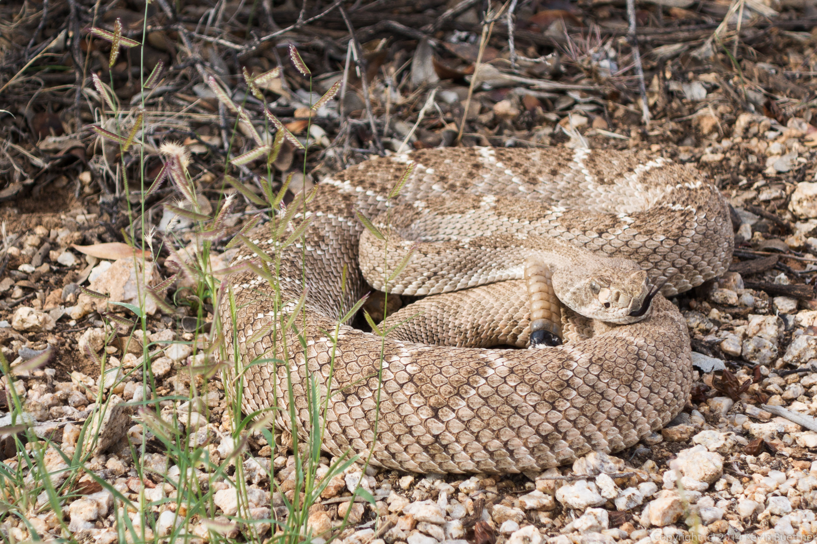
I used my Nex-7 (and Sigma lens) at 35mm to get this shot just before I continued on…
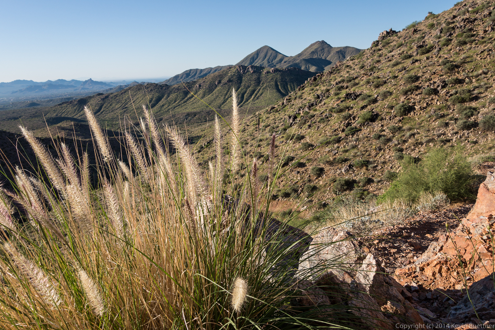
Two more views from the Feldspar Trail:
On Monday, Marilyn and I hiked from the Fraesfield Trailhead in the McDowell Sonoran Preserve to the Wagner Trailhead in McDowell Mountain Park, for a total distance of about nine miles. The (new) Gooseneck Trail connects Fraesfield Trailhead with McDowell Mountain Park at Granite Tank.
Shortly after starting our hike, we encountered this view from the Gooseneck Trail:
We saw a metal tank low on the side of a hill as we hiked westward on the Gooseneck Trail.
After crossing to the south side of Dynamite Blvd, we saw a number of small rock outcroppings near the trail.
 We encountered a water filled tank as we proceeded further south.
 Two views as we neared the boundary with McDowell Mountain Park:
 A view from the Delsie Trail:
Linda, Bob, and I hiked 9.5 miles on Friday starting from the Tom’s Thumb Trailhead. We took the shortest route using the following trails (in order): Tom’s Thumb Trail, East End Trail, Windmill Trail, Coachwhip Trail, Pemberton Trail, Boulder Trail, and Marcus Landslide Trail. Roughly half of our hike was in the Preserve; the rest was in McDowell Mountain Park. Our total accumulated ascent for this hike was a bit over 1,700 feet.
The rising sun created an interesting glow on one of the slopes as we started our hike.
 Tom’s Thumb and the upper ridge to the north had a similar glow.
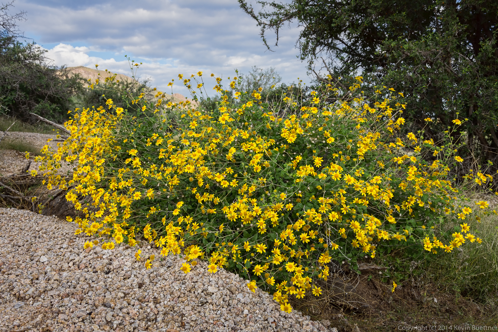
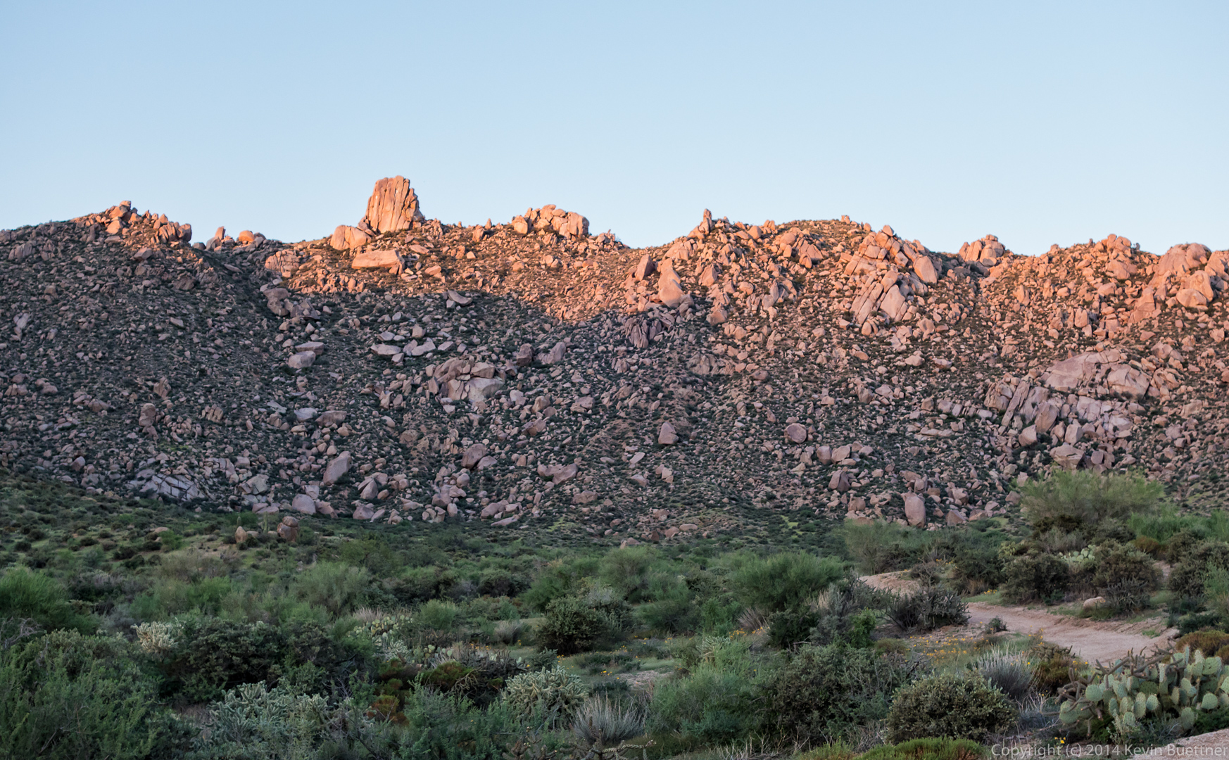 As the sun got slightly higher, we noticed the landscape behind us turning a brilliant yellow. It didn’t last long, however. When we looked a few minutes later, from somewhat higher on the trail, it was mostly gone.
 Glass Dome on the left and Tom’s Thumb on the right, both in the sun.
 Approaching the East End Trail:
 Another shot of Glass Dome and Tom’s Thumb:
 Views from the upper part of the East End Trail:
 I think these flowers might be Phacelia. We saw some Globemallow flowers too, but my photos of those weren’t in focus.
 A view from further down the East End Trail:
 Thompson Peak as seen from the lower portion of the East End Trail.
 A view from the Windmill Trail. There is a nearby windmill which is off to the right, but not visible in this photo.
 Senna flowers on the Coachwhip Trail:
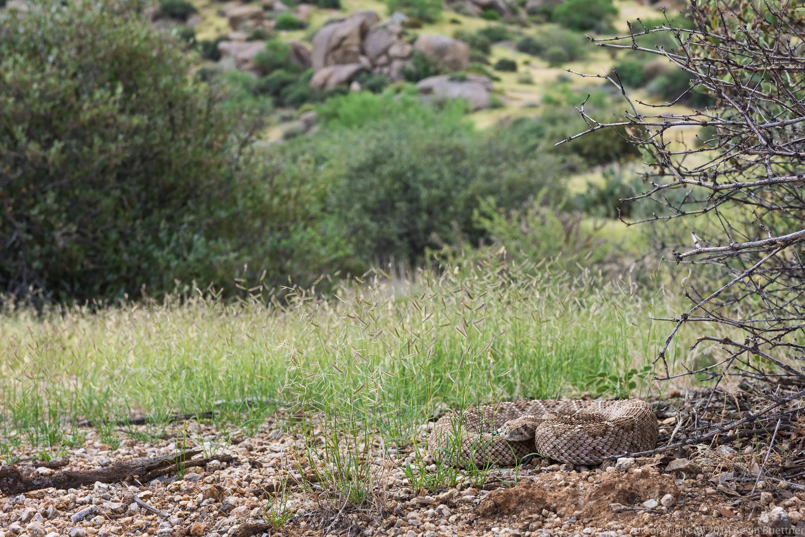
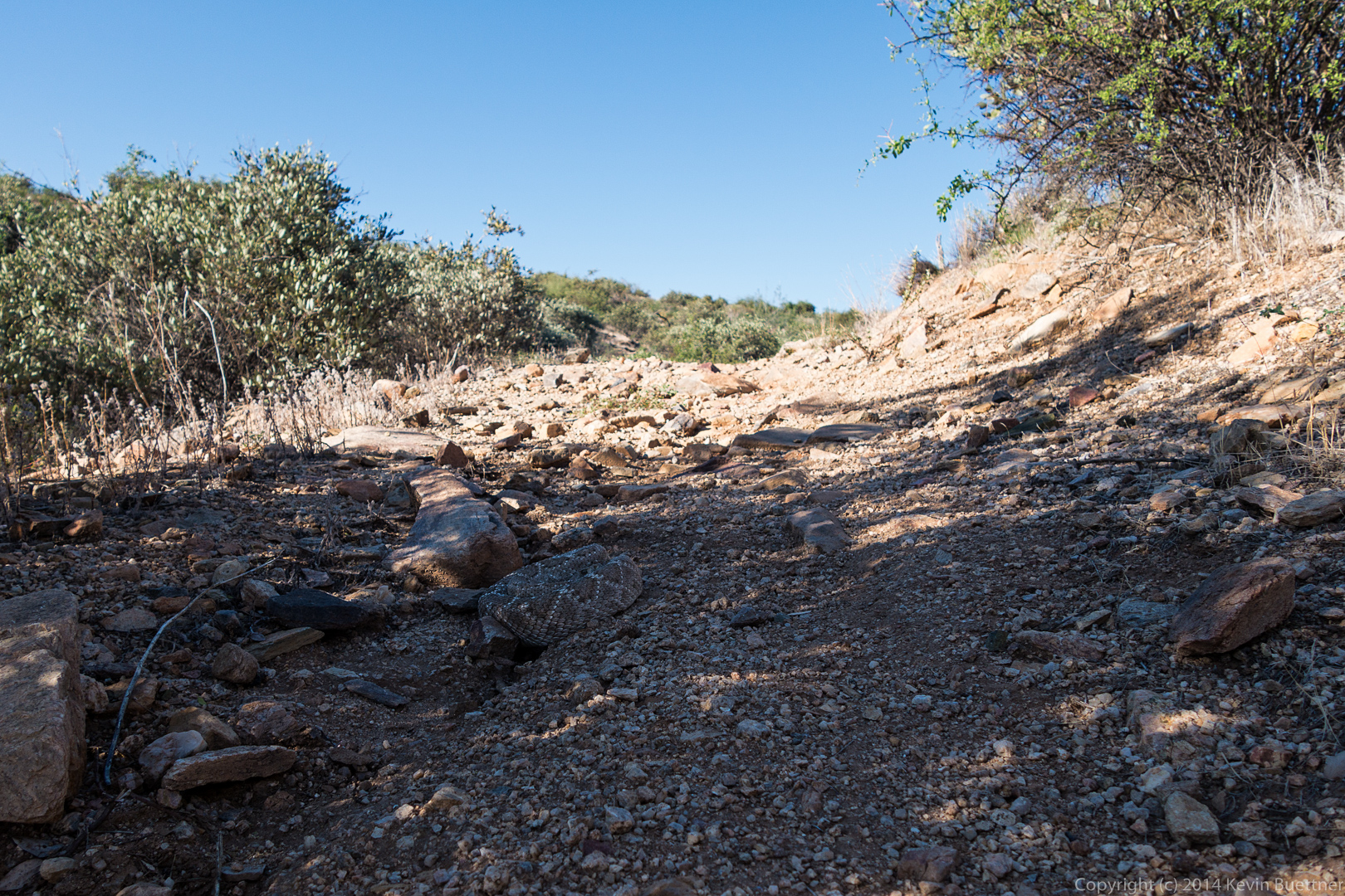
 We saw two rattlesnakes on the Coachwhip Trail. This was the second of the two. In both cases, we didn’t see them until Bob was right on top of them. I think I might have stepped on the first one, riling it up which, in turn, gave Bob a few moments of excitement. I’ve adjusted the contrast in this photo, making it much easier to see here than it was in real life.
 Here’s another photo of that snake, showing how difficult it is to see them.
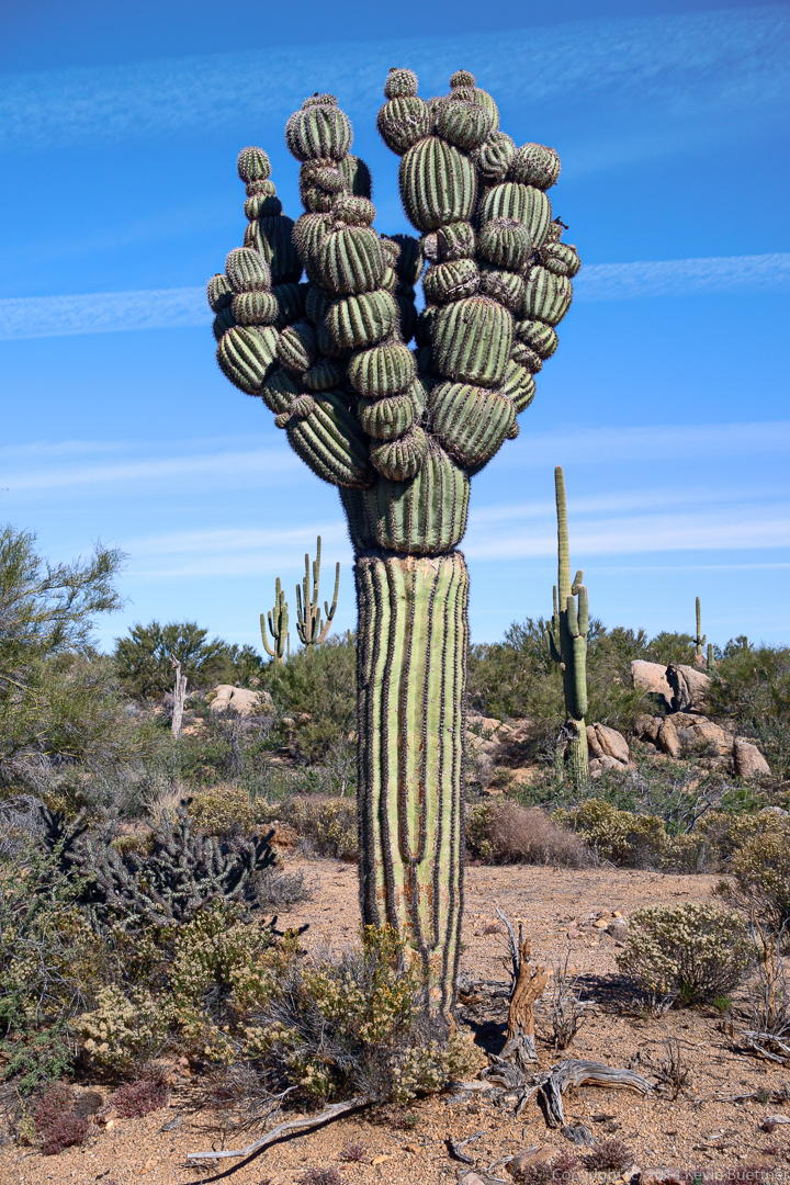
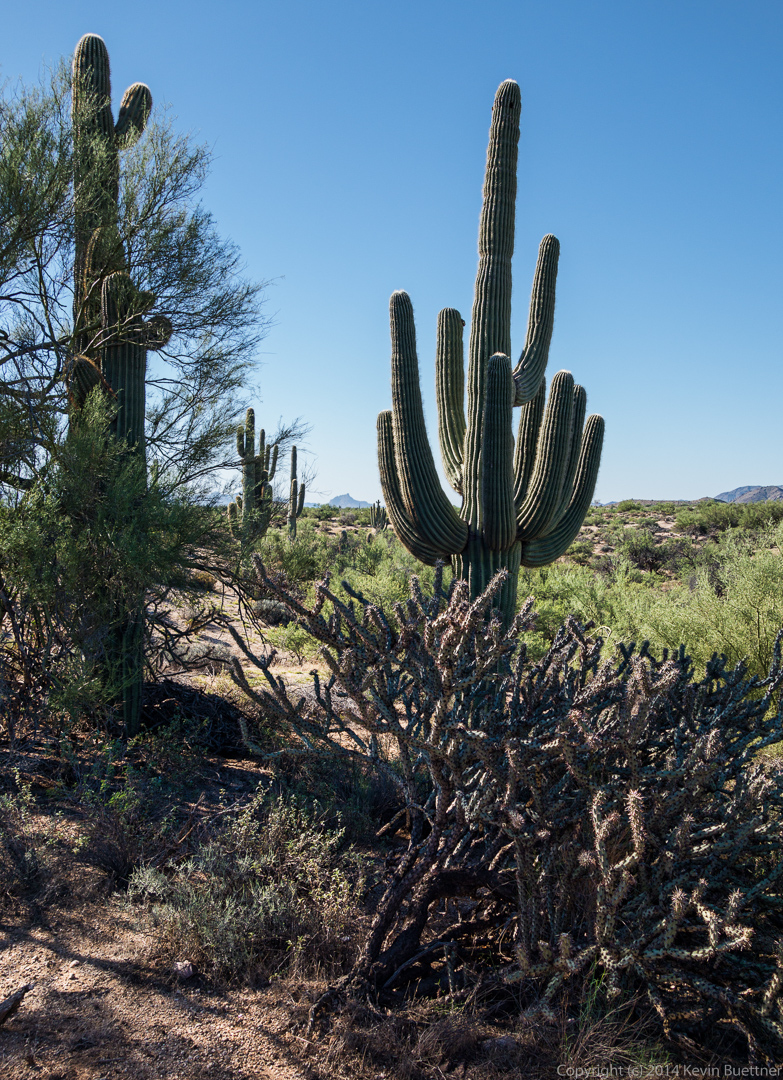
 A view of some saguaros from further along the Coachwhip Trail.
 The remains of a saguaro on the Coachwhip Trail:
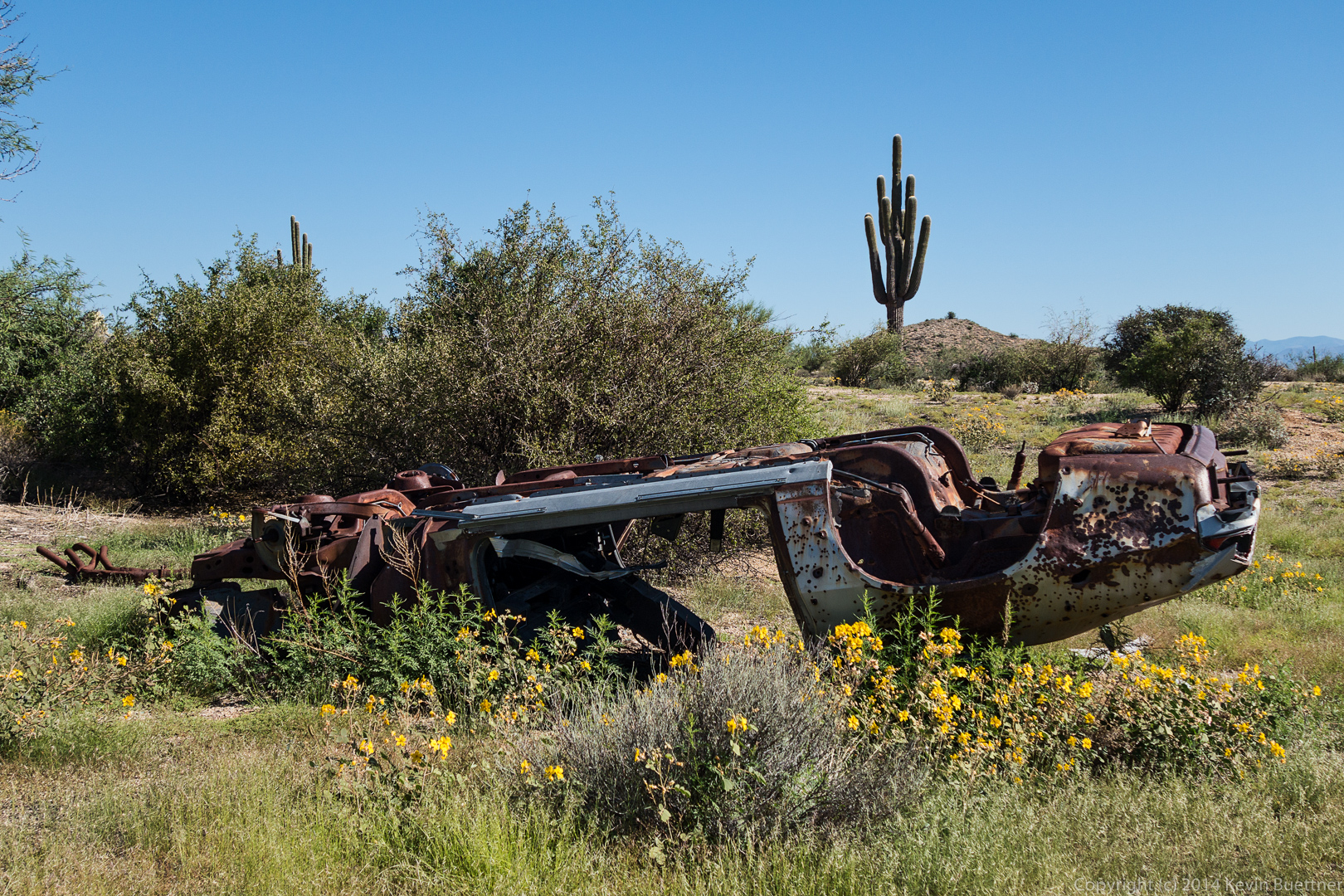
 An old, overturned car near the Boulder Trail:
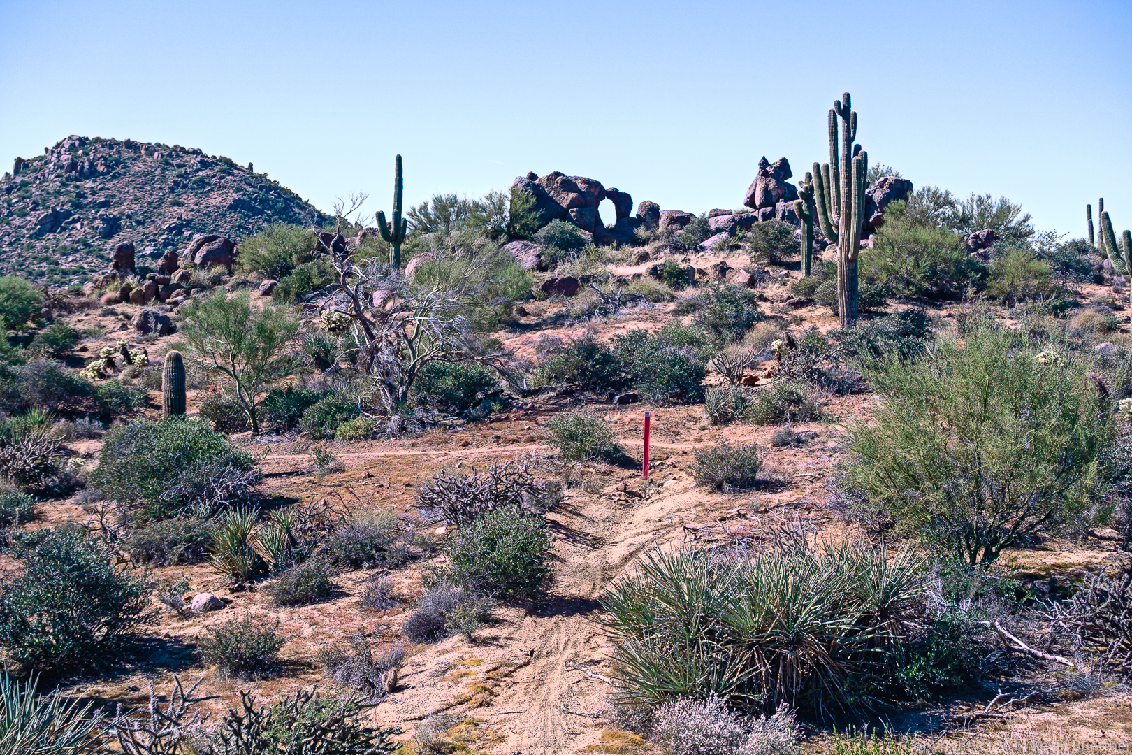
 Fallen pieces of cholla near the trail leading to the leaning mushroom rocks (on the Marcus Landslide Trail):
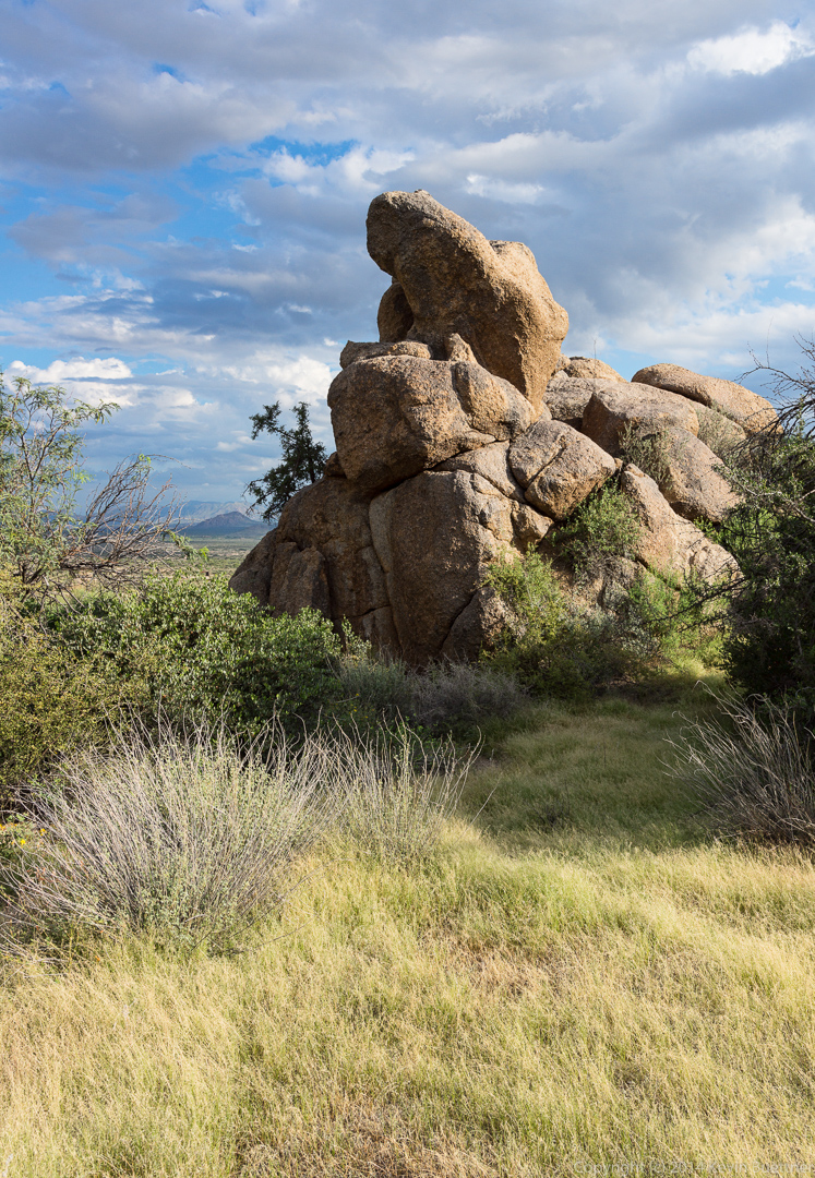
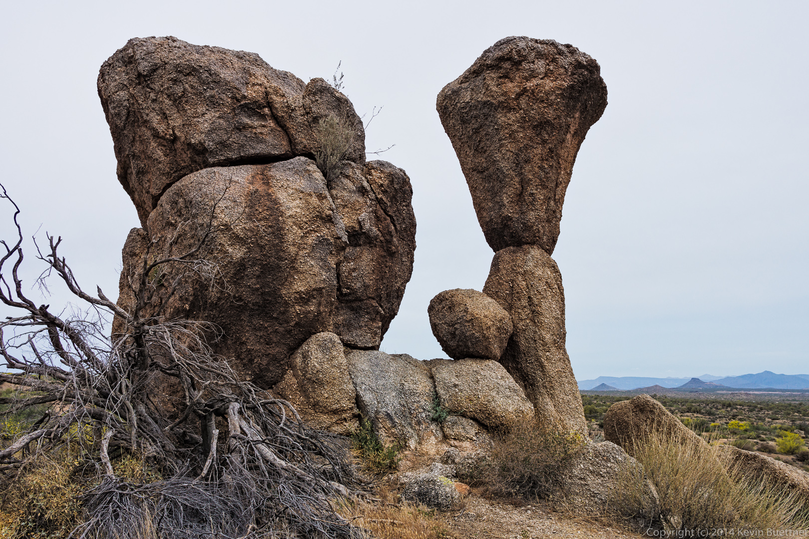
 I think the prominent pinnacle in the foreground of the picture below is Noah’s Ark, which is part of the Granite Ballroom climbing area. According to both Waugh’s and Opland’s books, there’s a 5.7 (Beam Me Up Scotty) on the back side and a 5.9 (Wattle ‘n Daub) on the front side. We’re viewing it from the side, so the 5.9 is on the left and the 5.7 is on the right. Opland’s book, which is newer, also lists a 5.10 TR. Bob and I are thinking about climbing this pinnacle. Linda said she’d carry the rope.
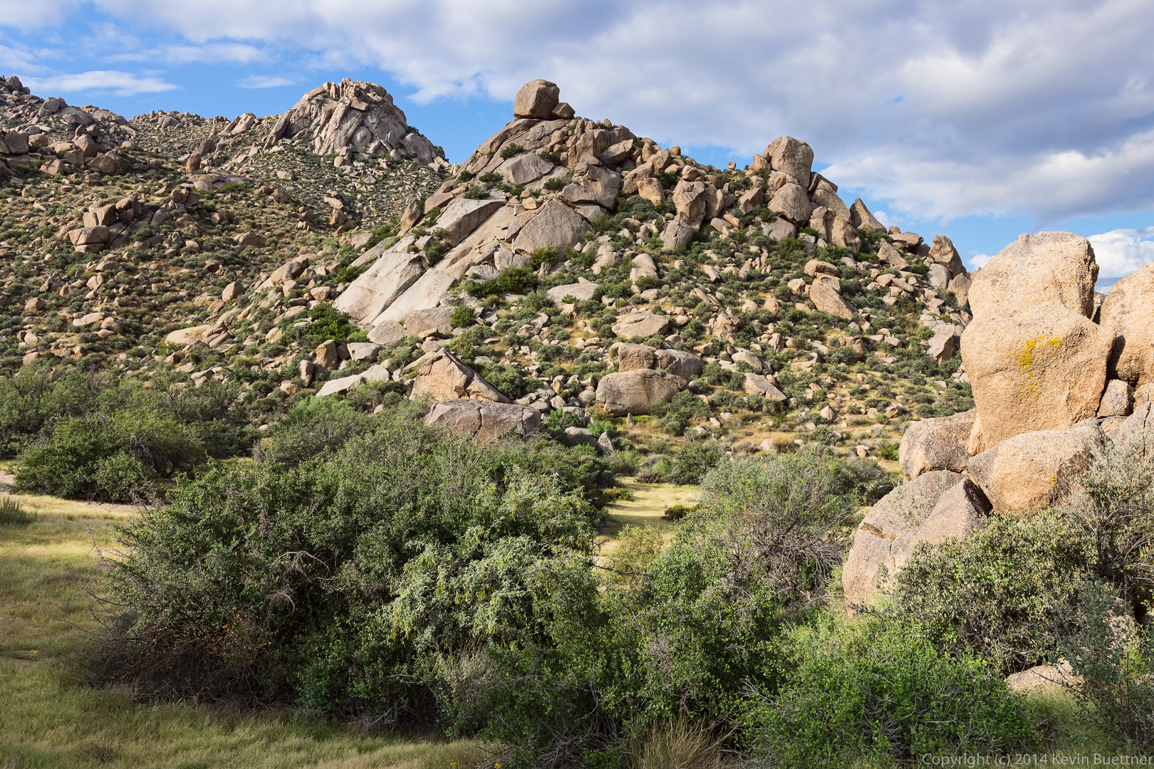
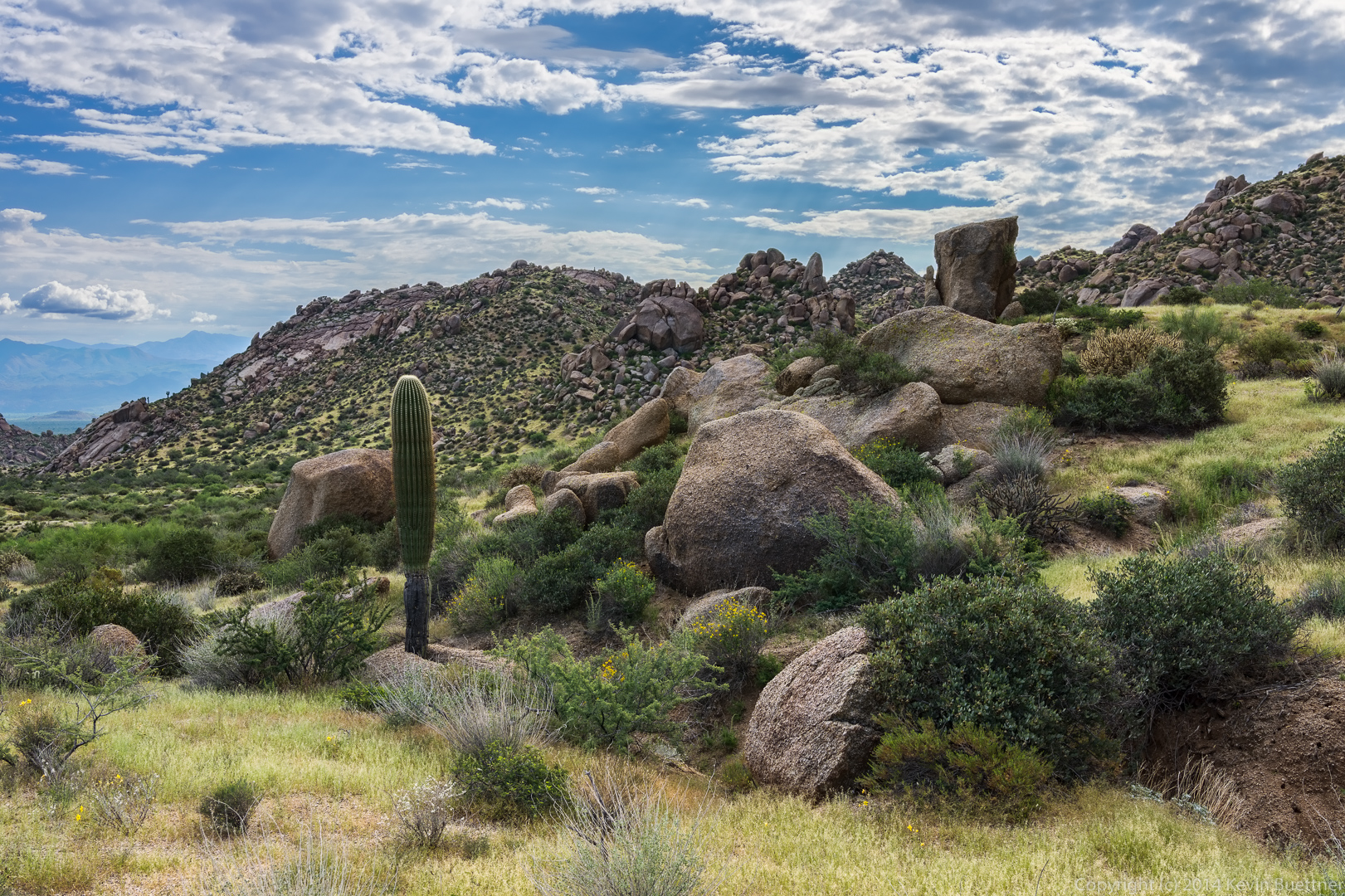
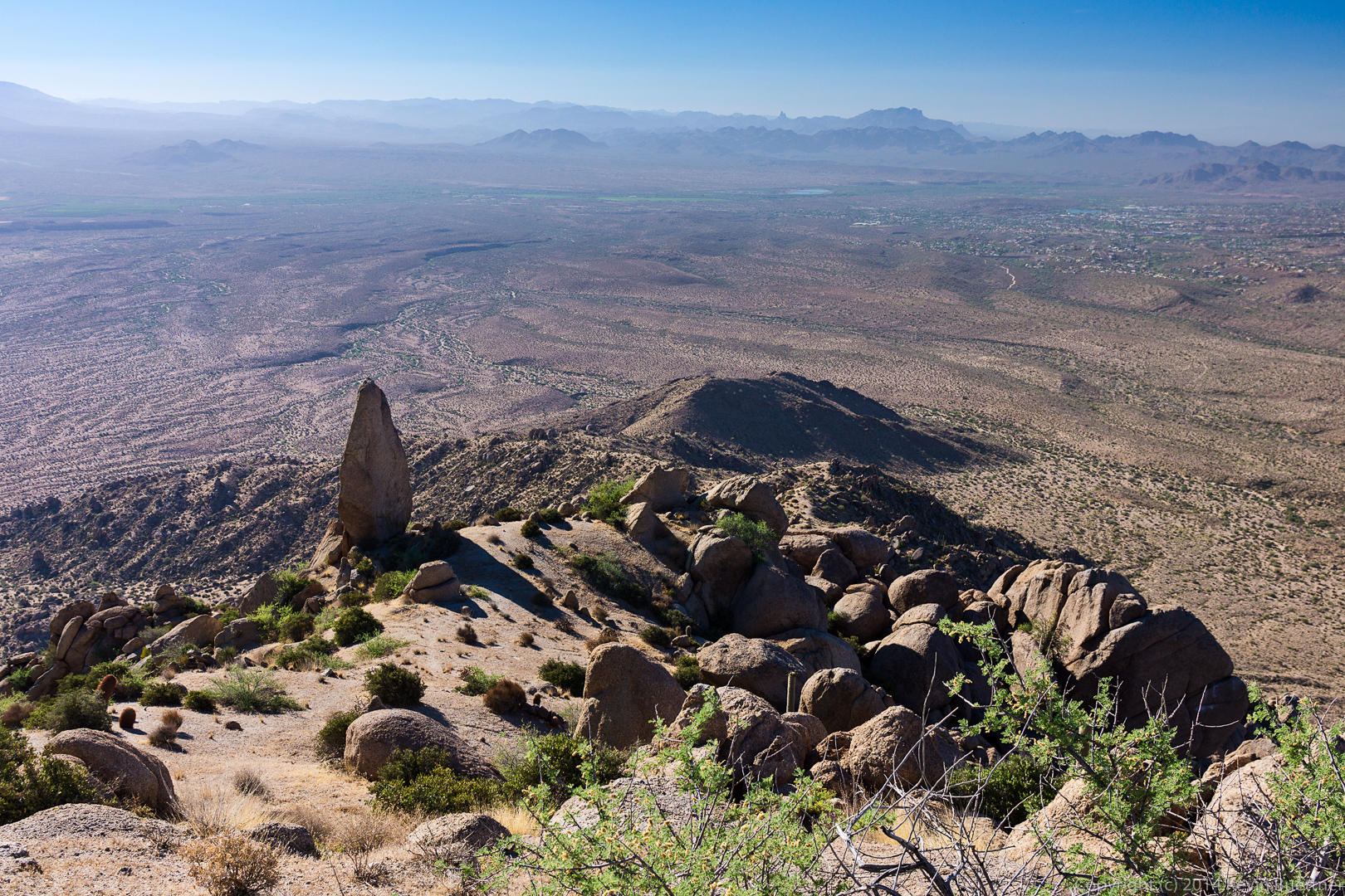
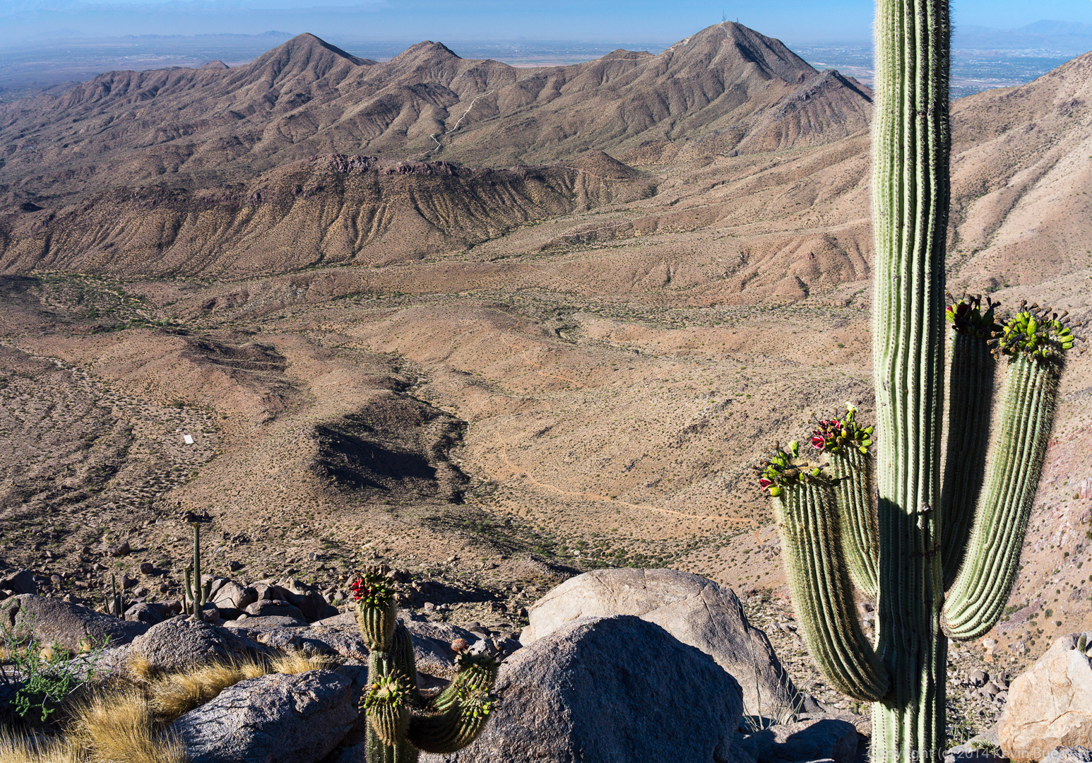
Hog Heaven and the Thumbnail Pinnacle can be seen on the ridge in the distance. We had considered going there for this hike, but decided to leave it for a day when Allen and Janet could join us.
 This is a view of the Sven Slab Climbing area.

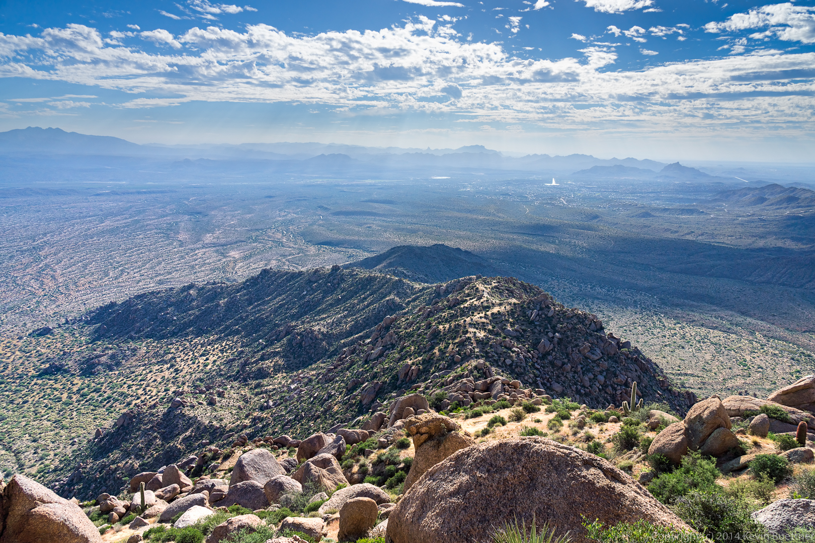
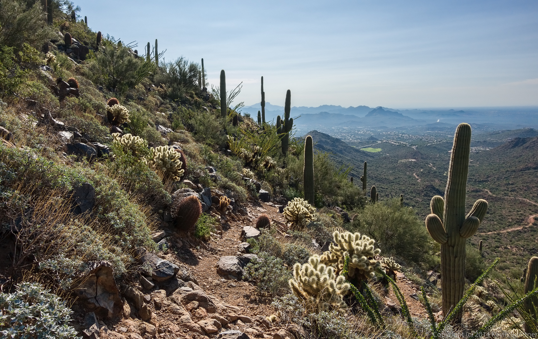
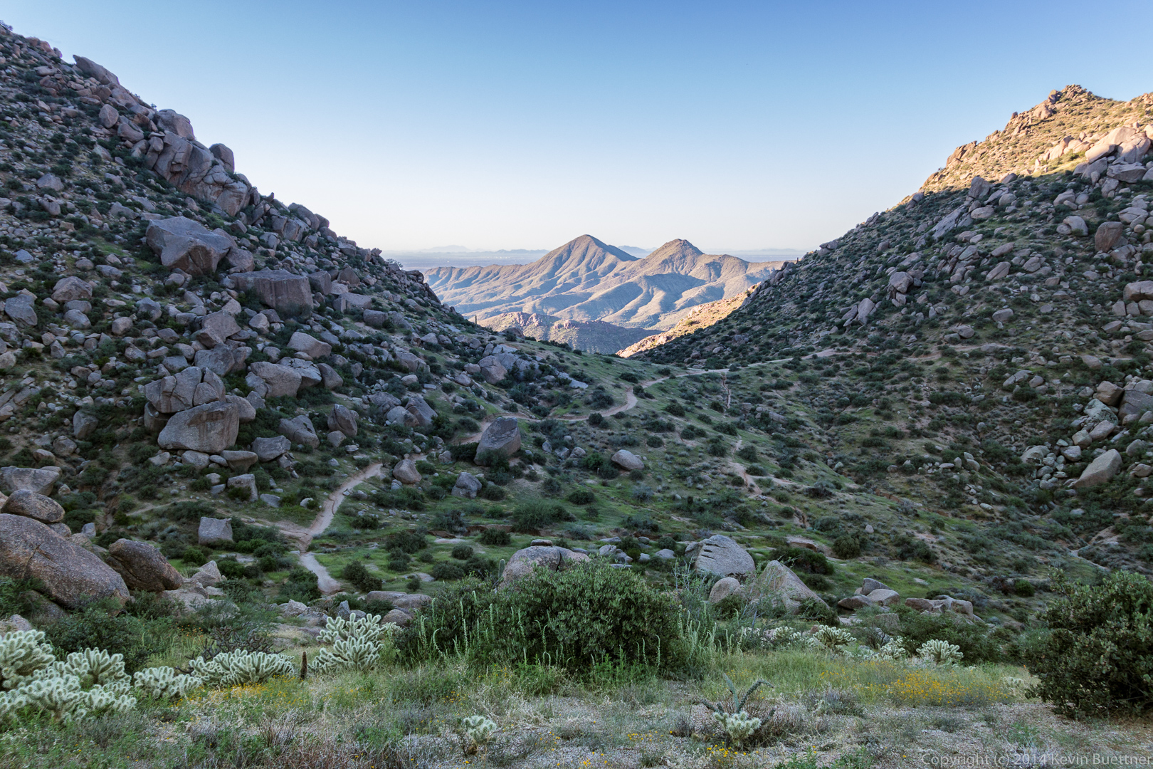
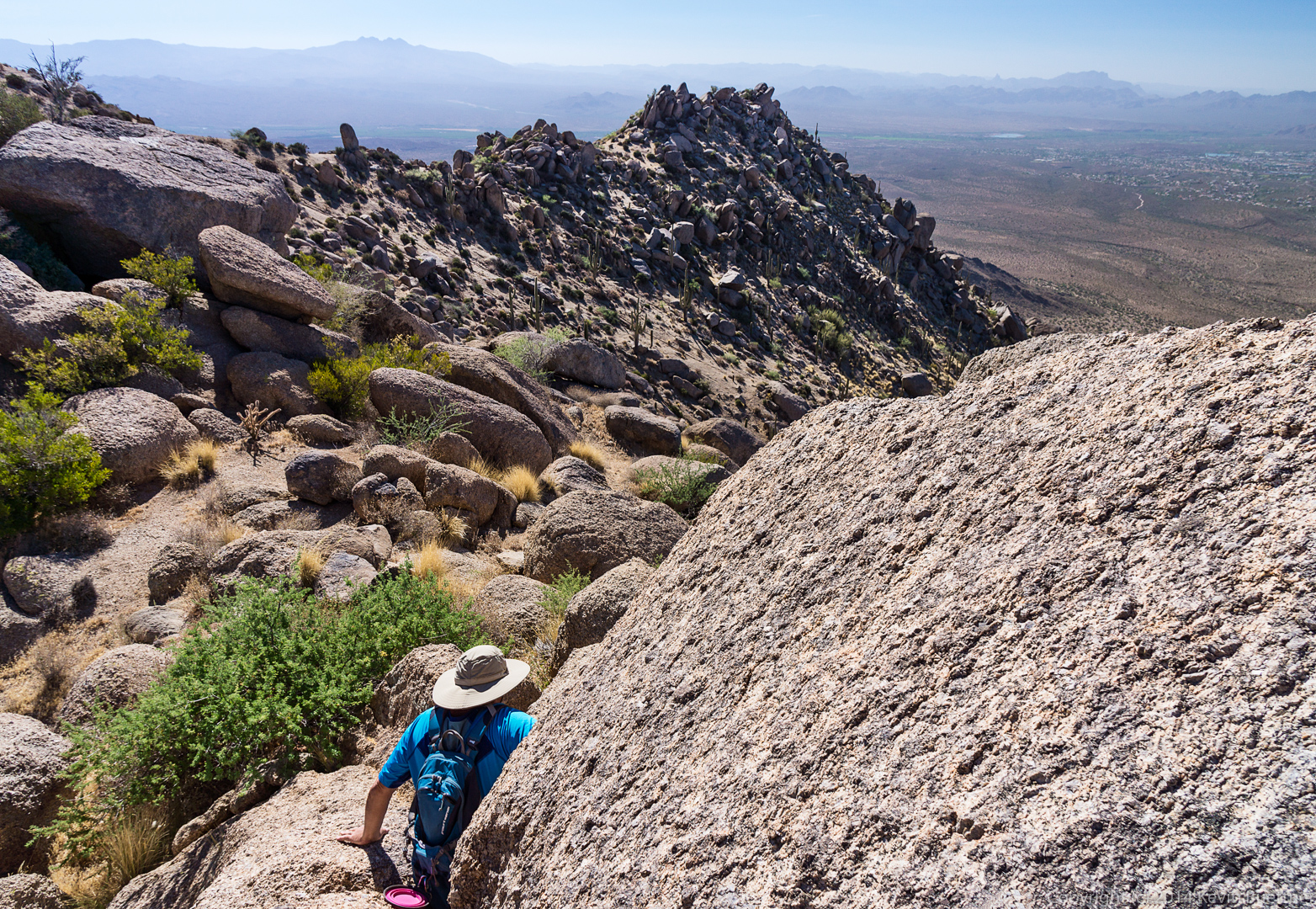
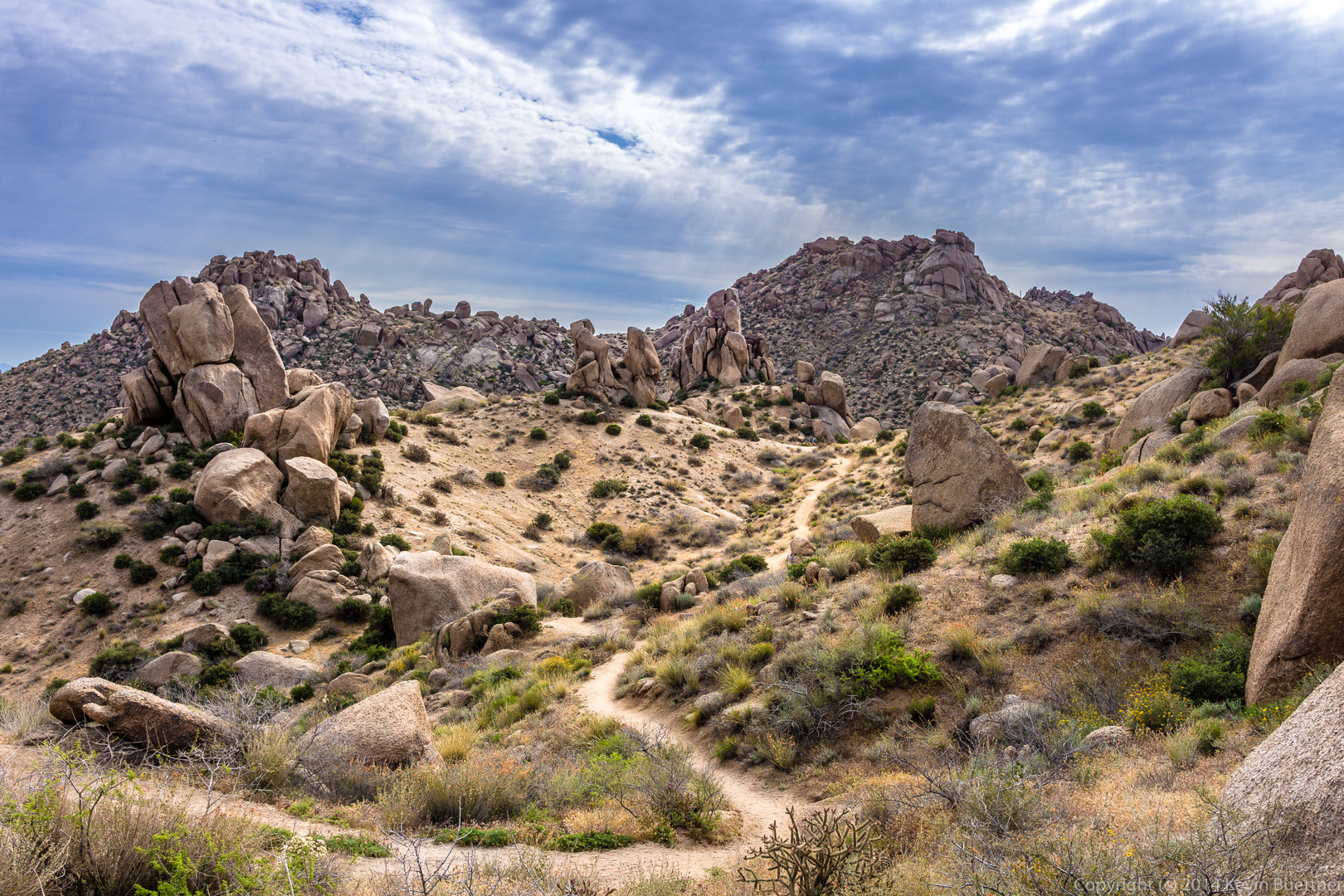
Bob and I hiked up past the Thumbnail Pinnacle to the East End on Friday. We hiked five miles in about five hours, with a total accumulated ascent of over 1800 feet.
 A look out towards Four Peaks. Submarine rock is just visible above the rock at the bottom-left of the photo.
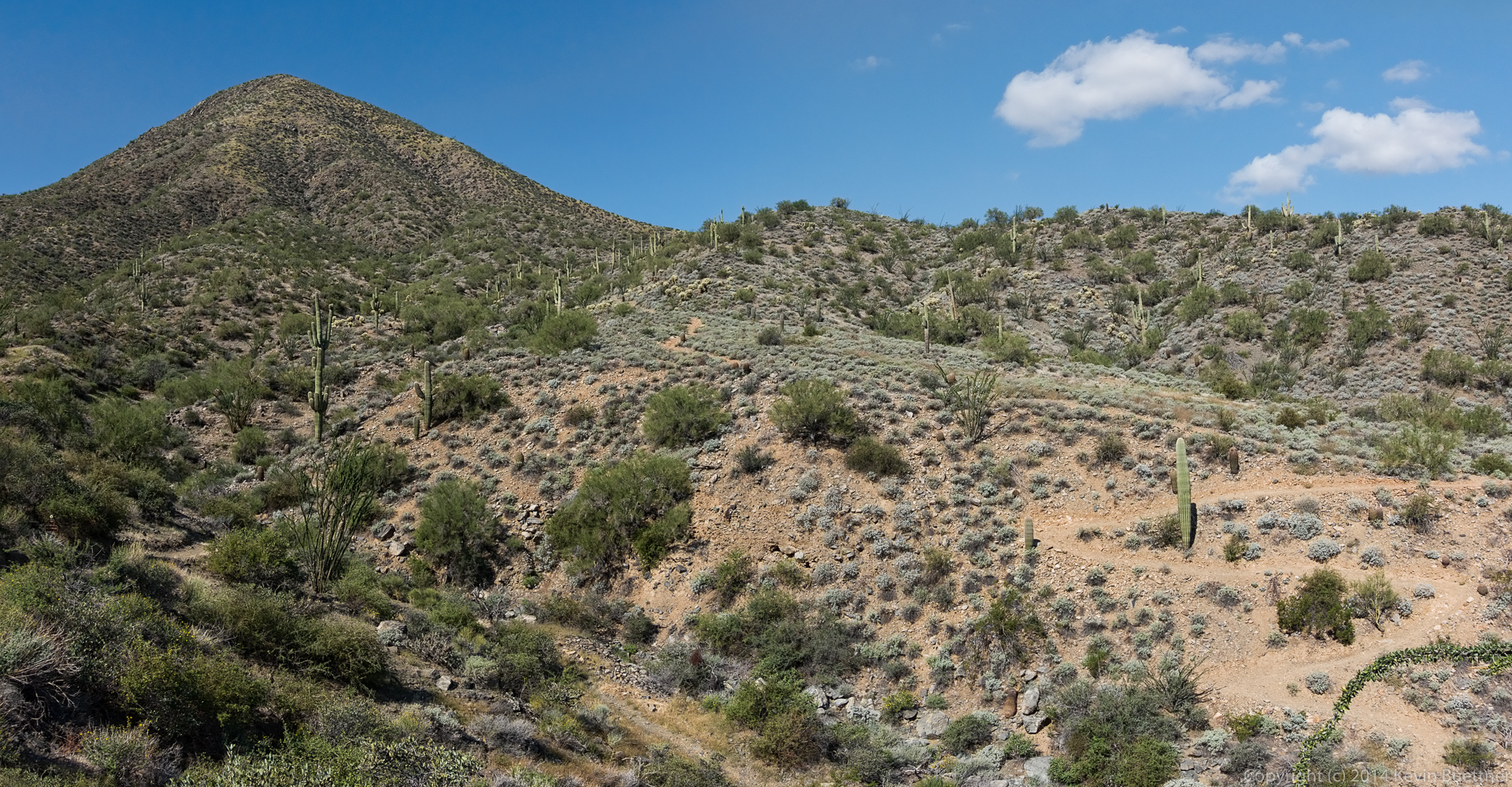
 Much of the hike followed trails on steep and loose terrain.
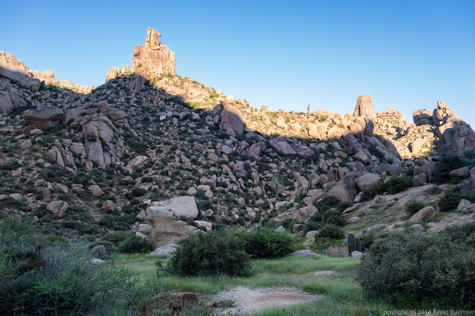
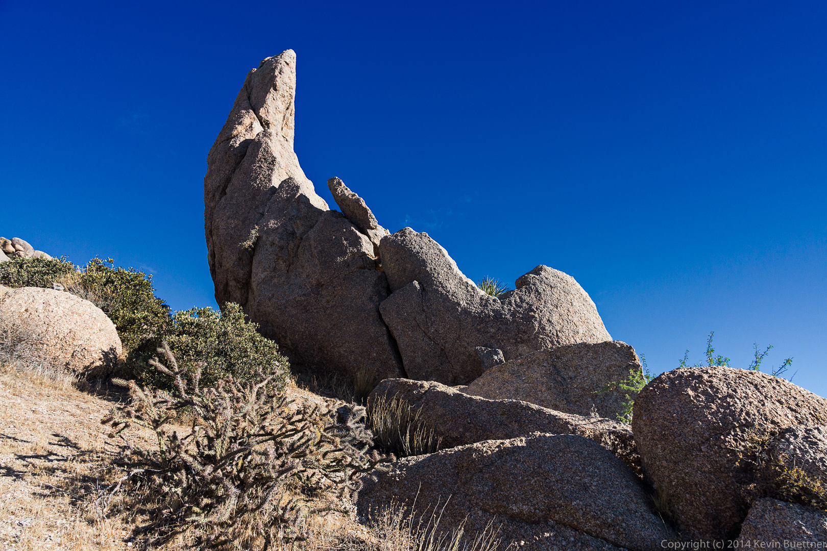
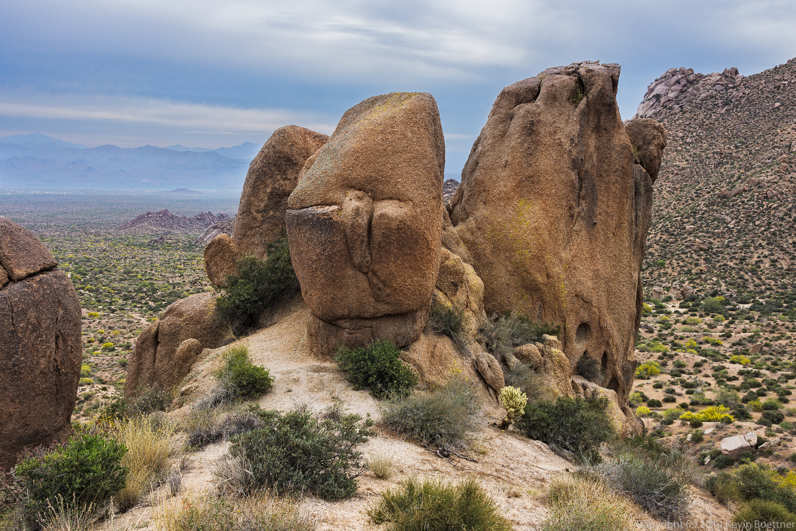
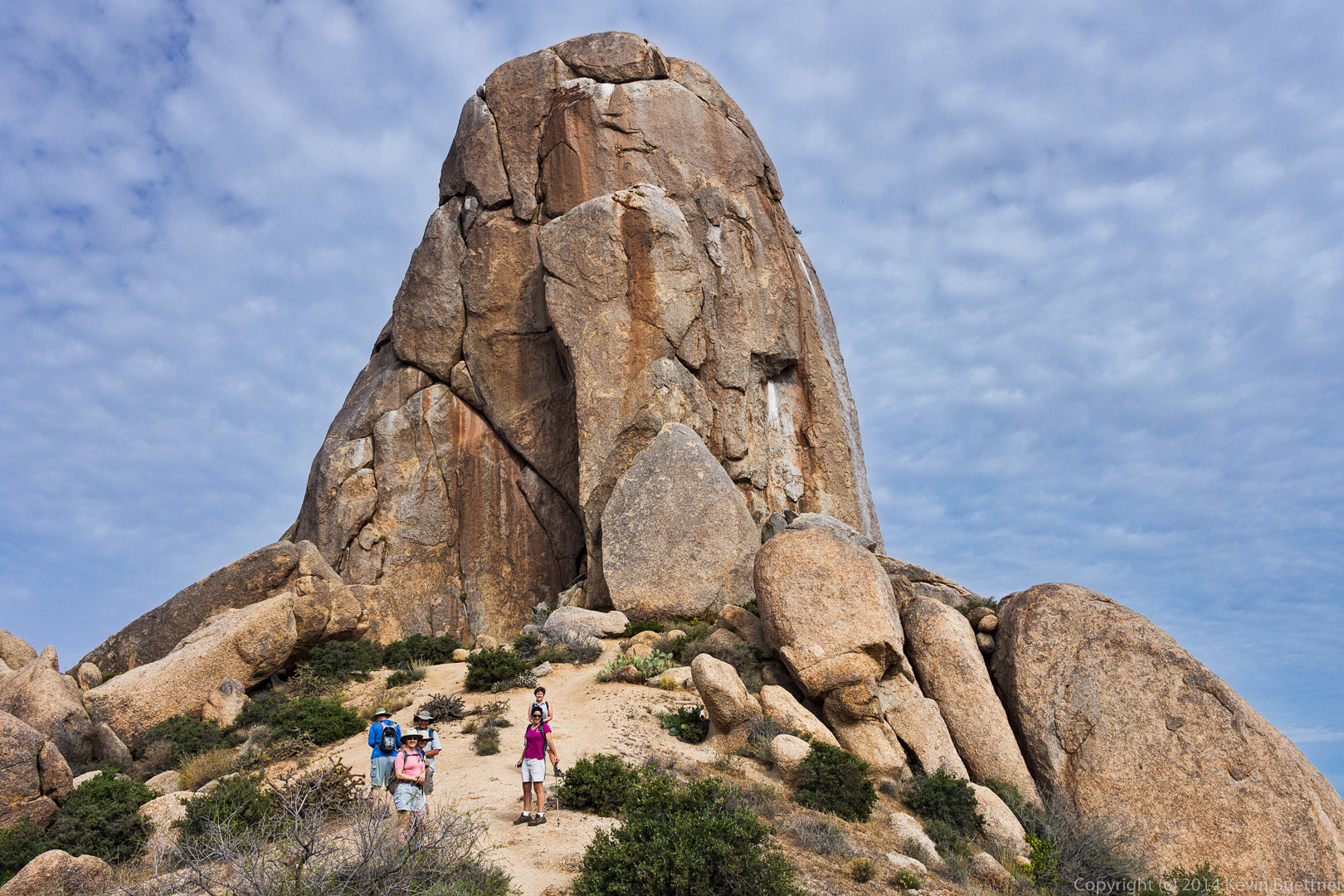
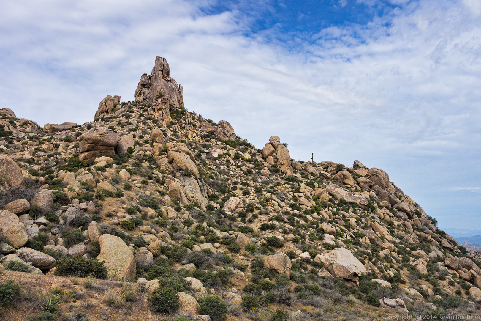
 Several views of the Thumbnail Pinnacle…
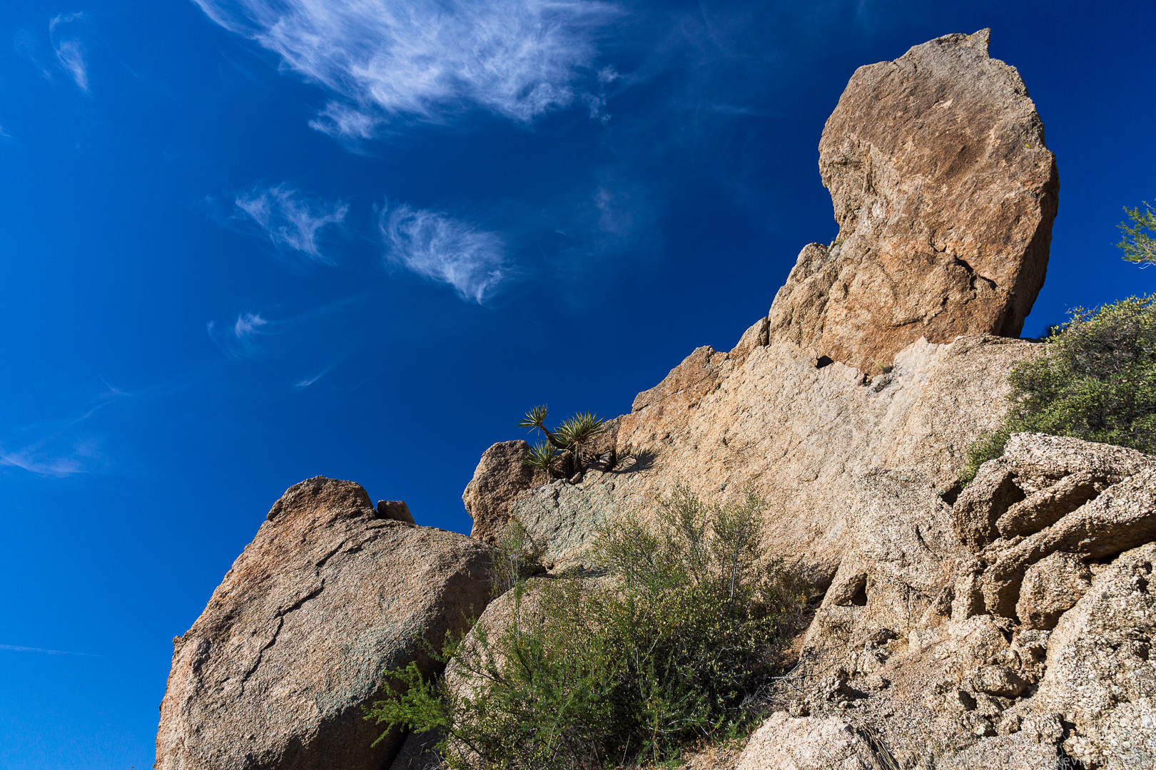
 A rock outcropping above the Thumbnail Pinnacle:
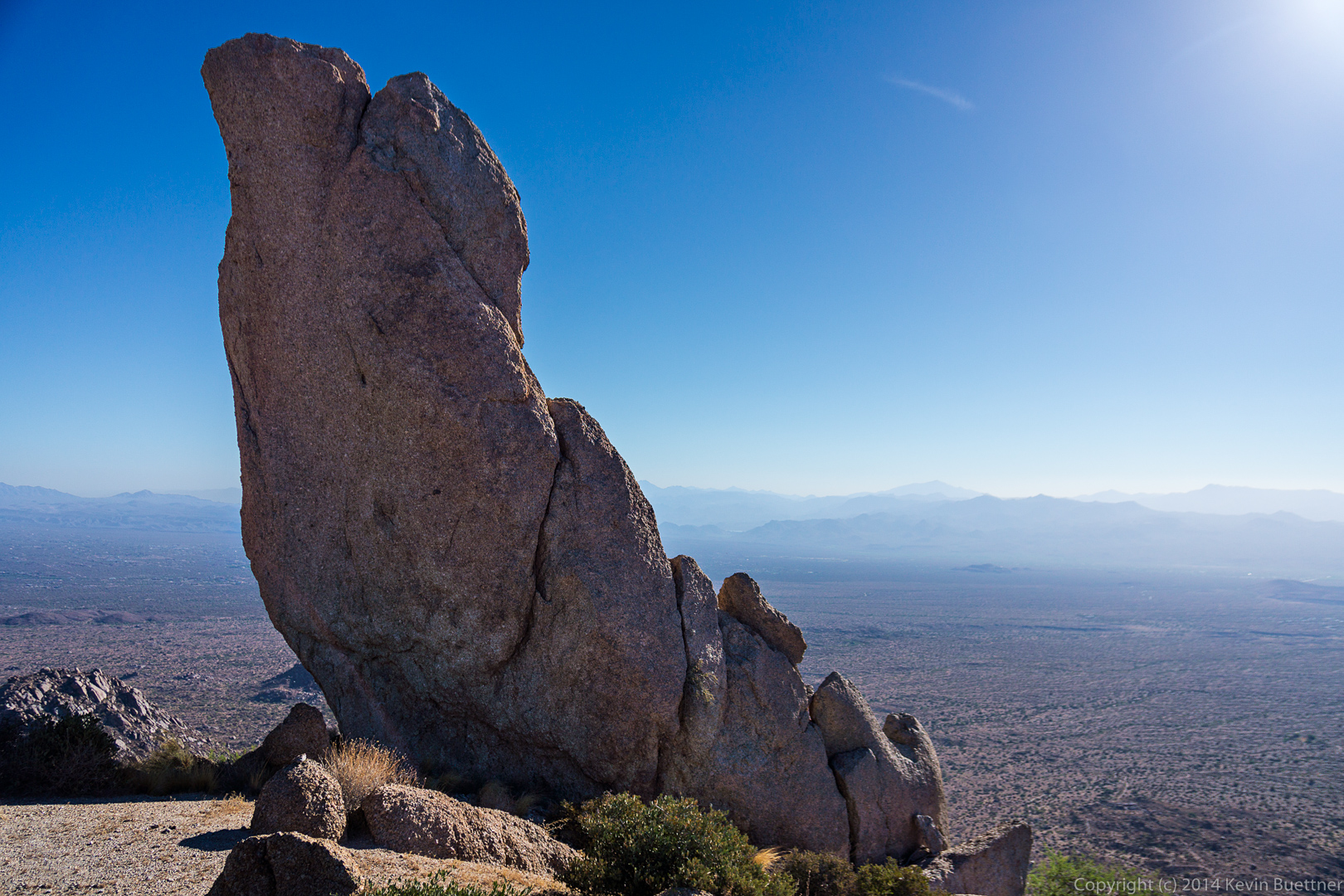
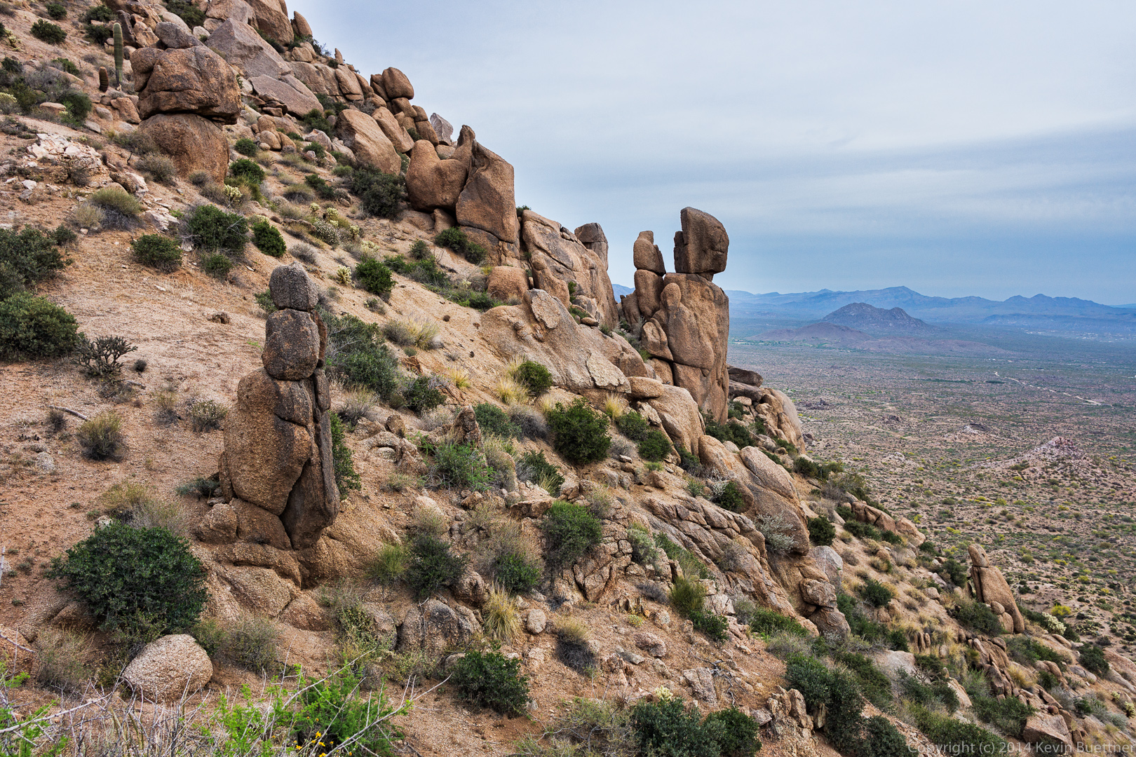
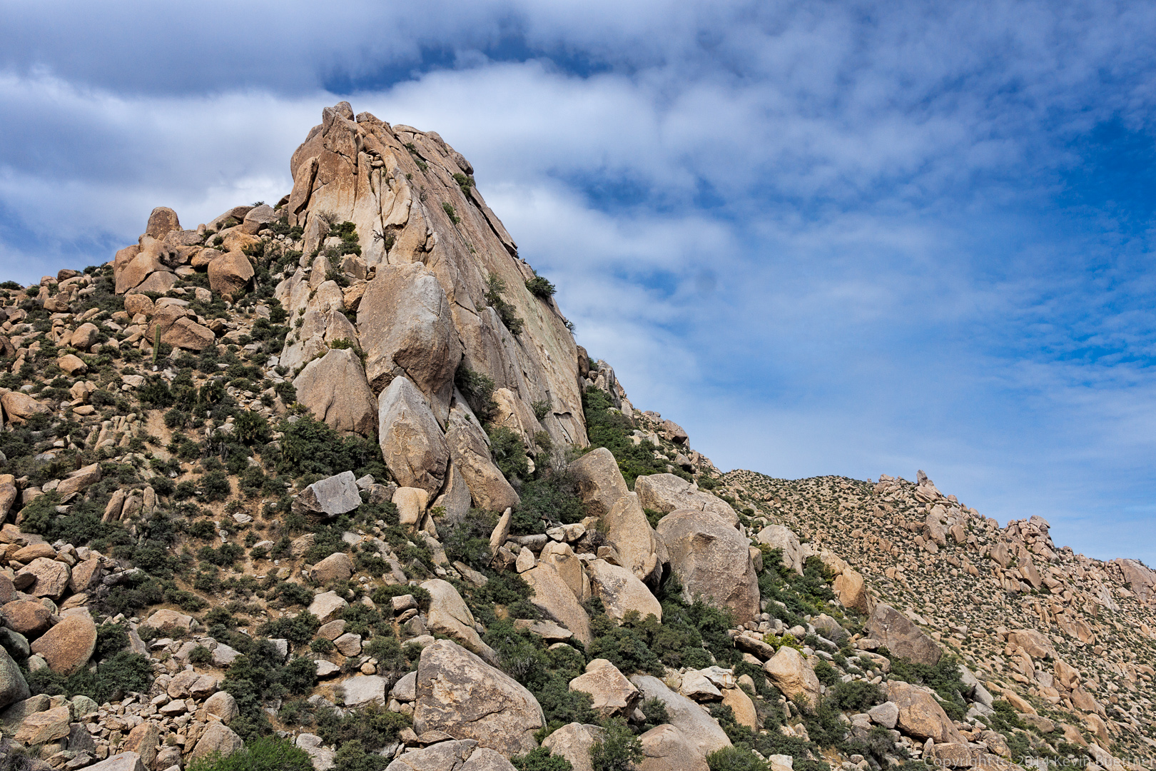
 Two more views of the Thumbnail Pinnacle from higher up. From this vantage point it sort of looks like a vertical spire (but it’s not).

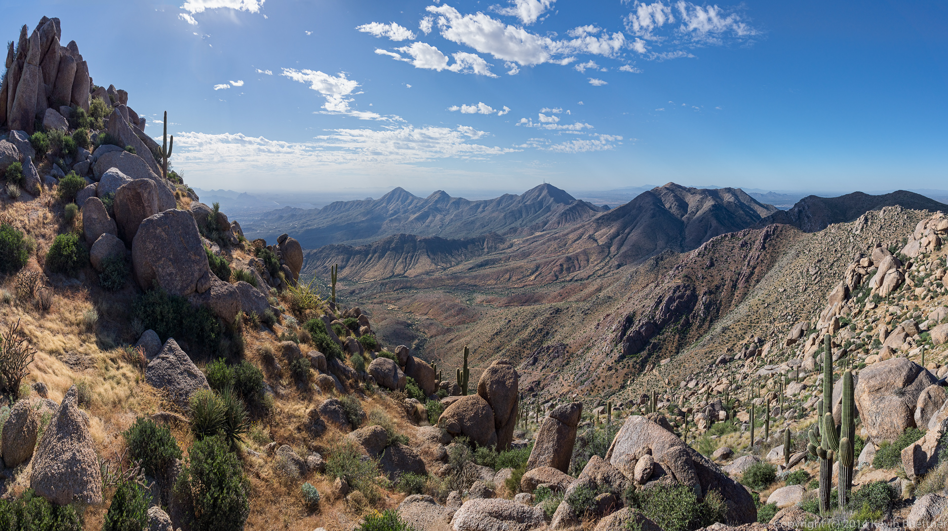
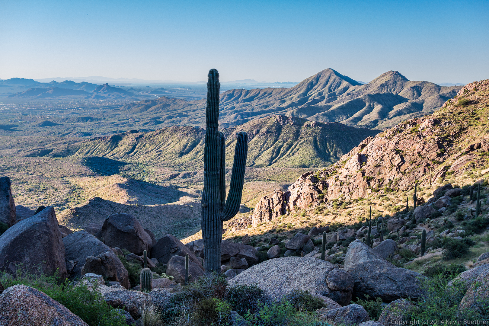
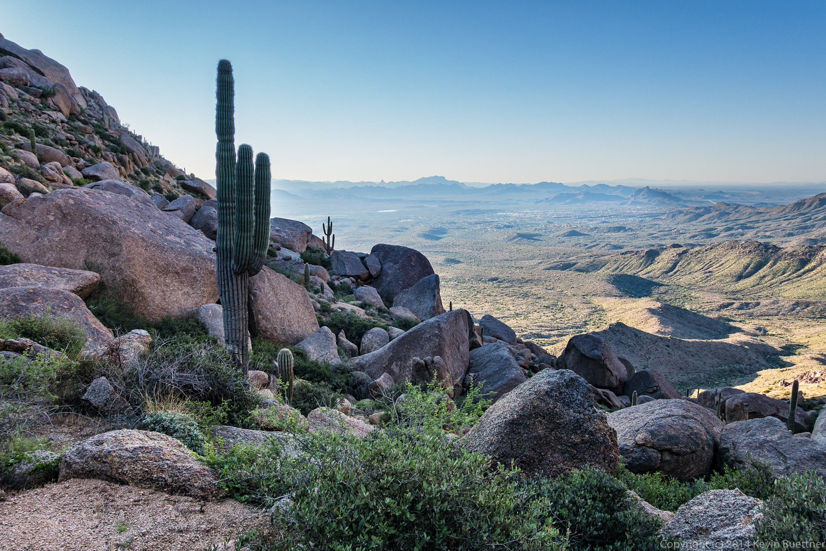
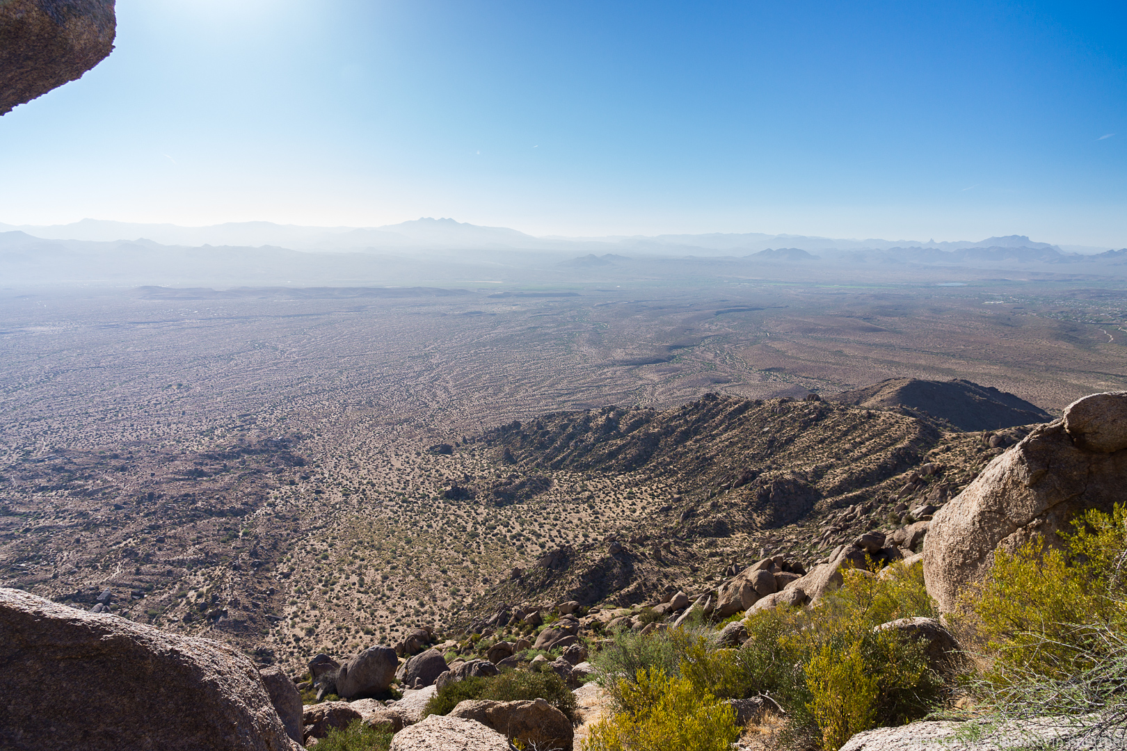
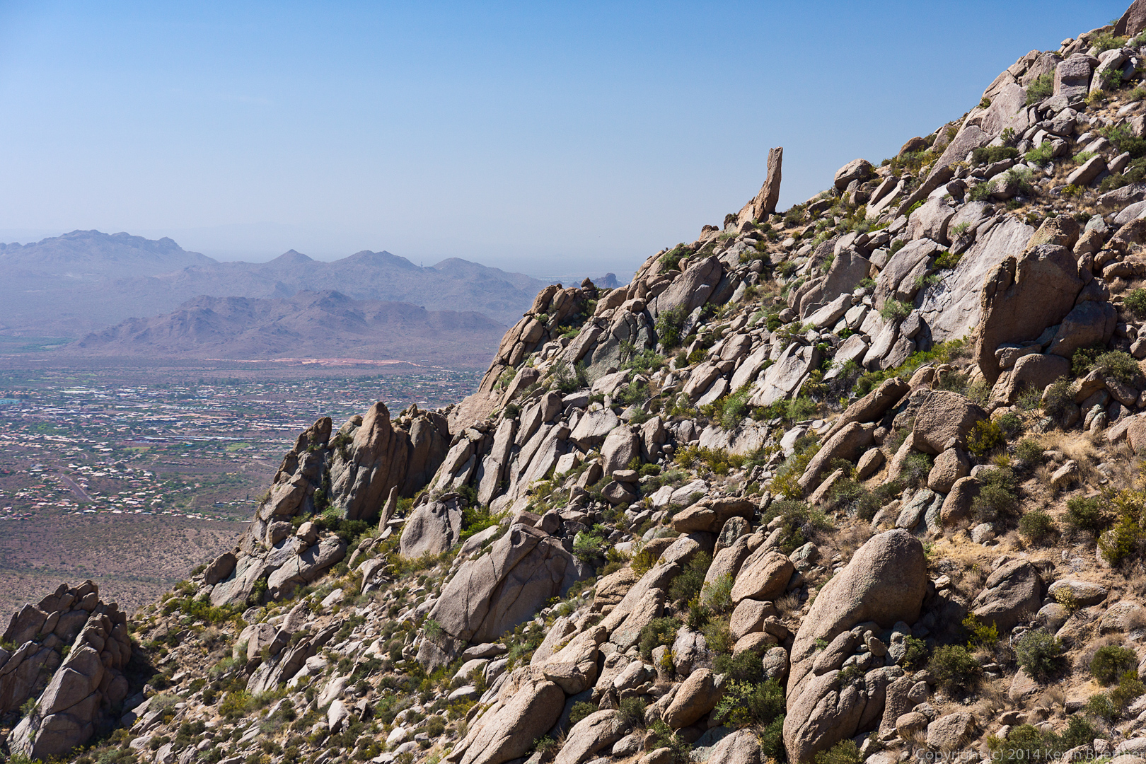
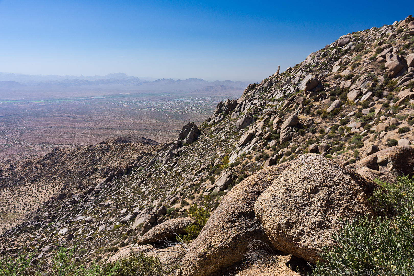
 Looking southwest from the end of the ridge above the Thumbnail Pinnacle…
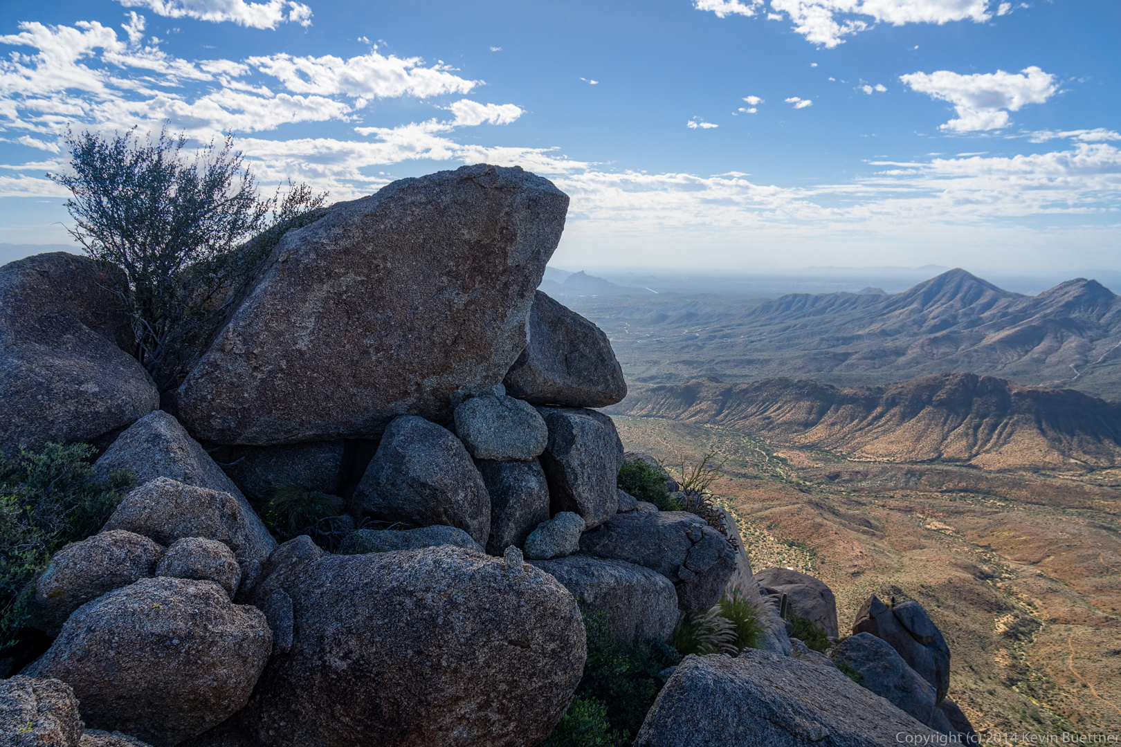
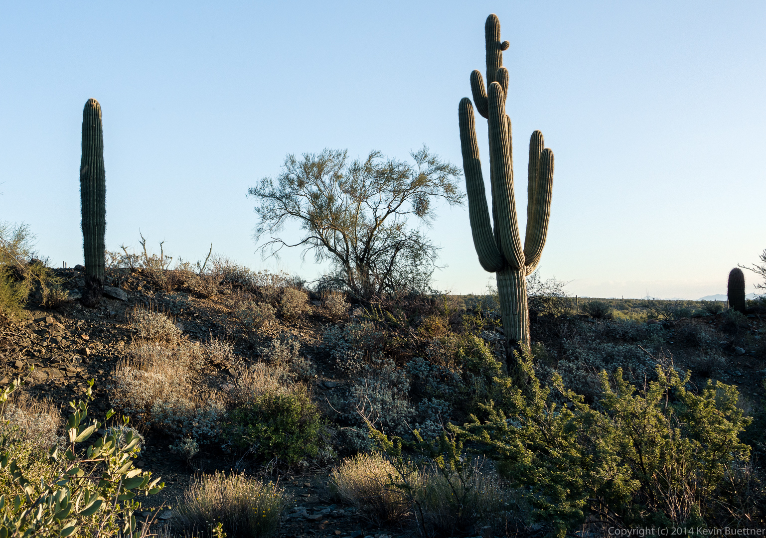
 Once atop the ridge, the East End is fairly close, but it takes quite a while to get there. The ridge is littered with large boulders and prickly vegetation. There is a trail along the top of the ridge, but following it is challenging. We came upon these two saguaros as we were making our way along one side of the ridge. We eventually climbed above the saguaros and then found it easier to go back to the other side of the ridge.
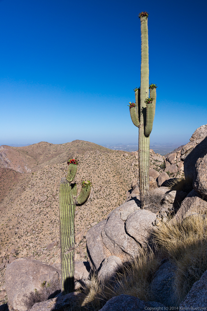 More views of the saguaros from somewhat higher up. I scrambled up a boulder that was well above the saguaro on the left. It was even with the upper part of the saguaro on the right.
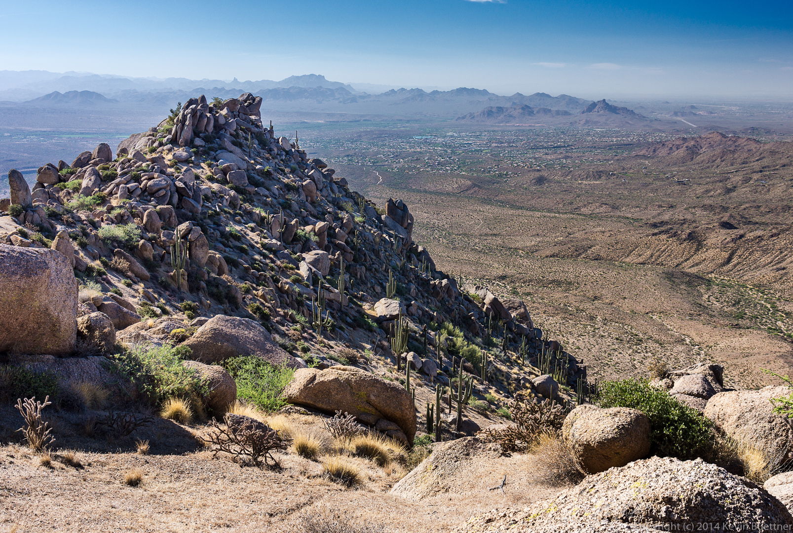
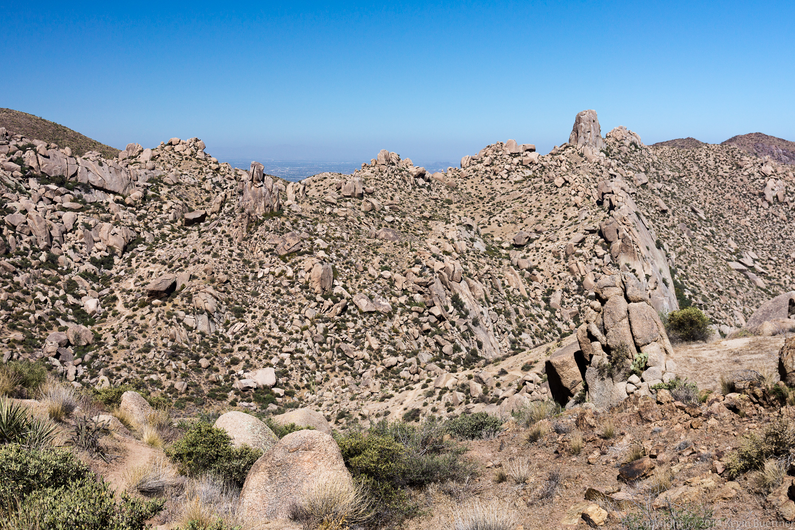
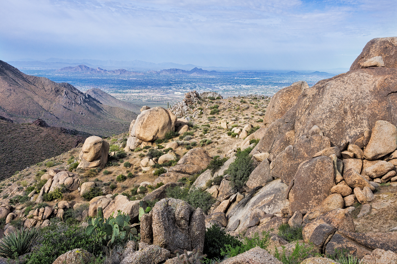
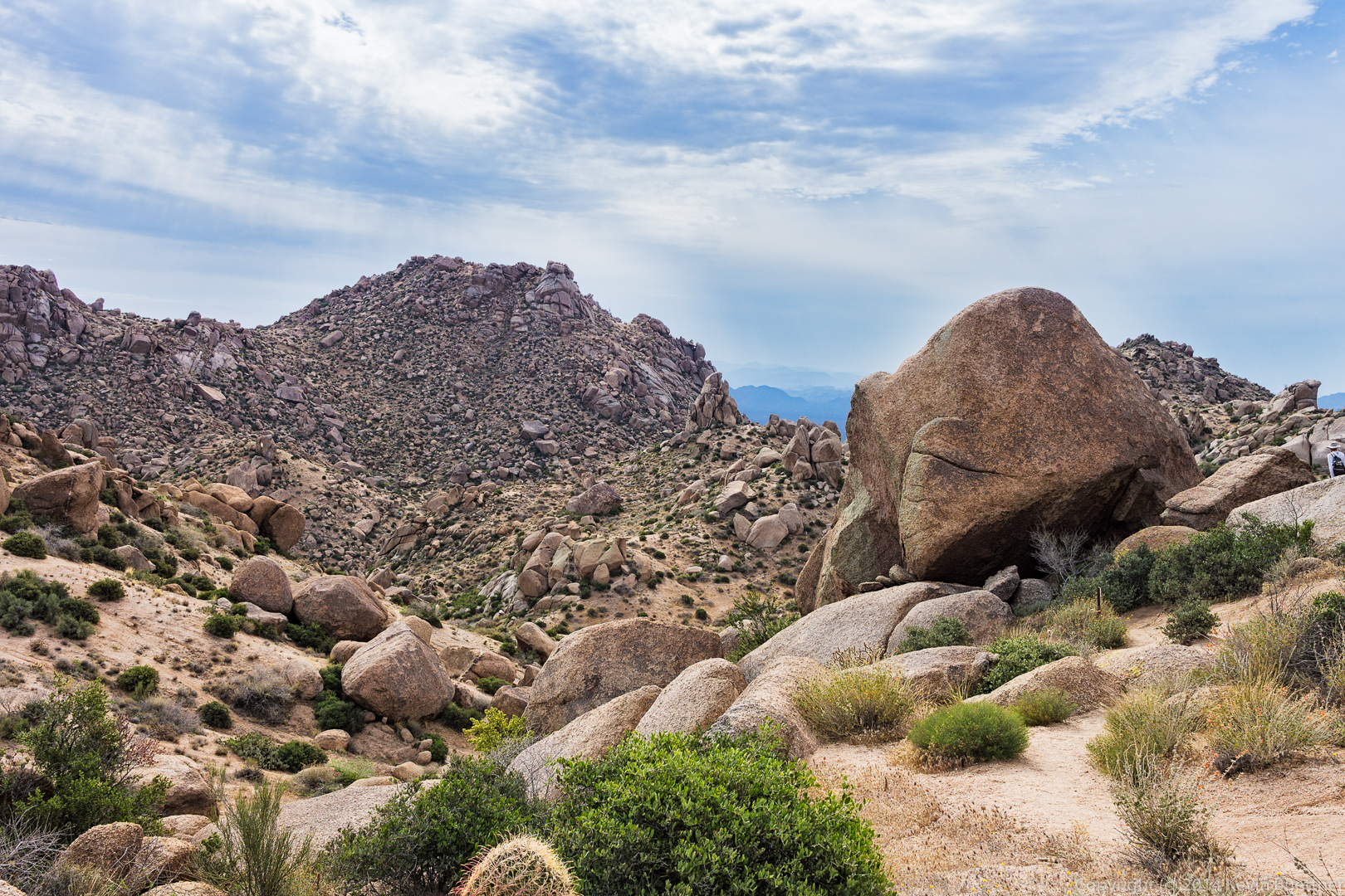
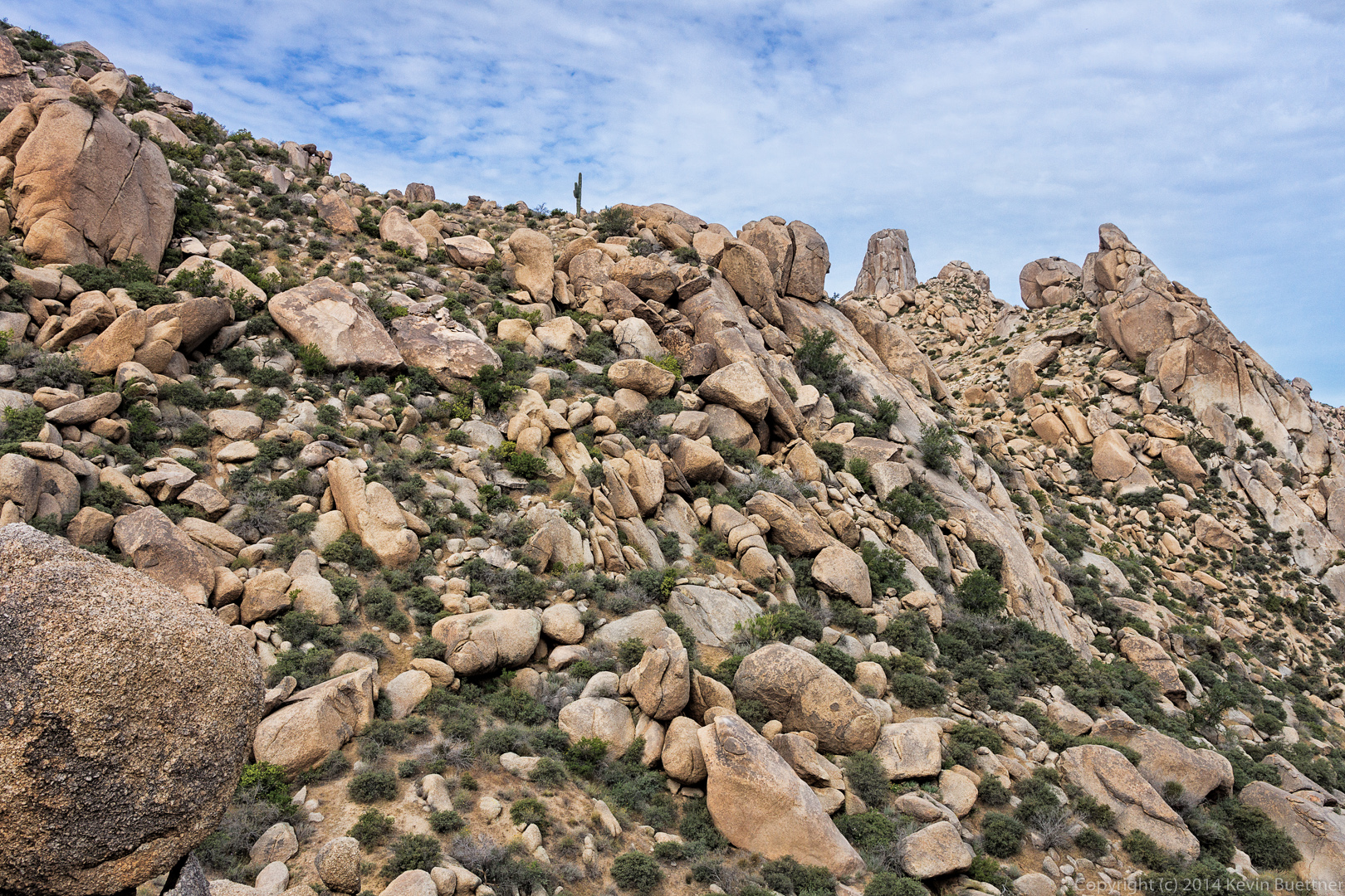
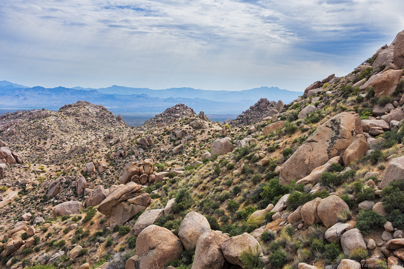
 A look back at the boulder-strewn ridge from where we came.
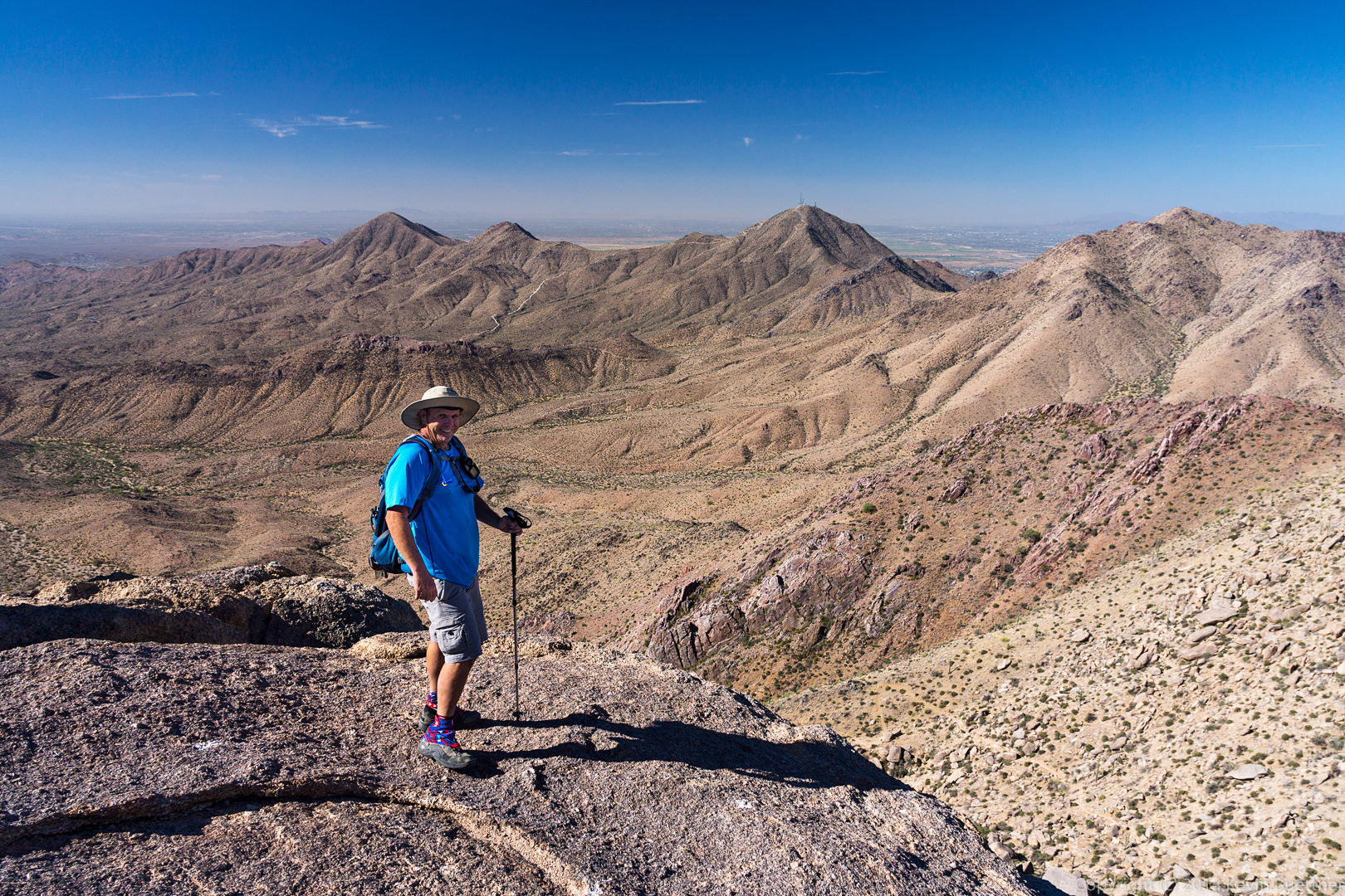
 Bob and I hiked over to a rock formation known as Goat Hill. This is a view from a rock pile somewhat east of Goat Hill.
 We made our way down that rock pile. I took this photo from the “low” area in between the two rock piles.
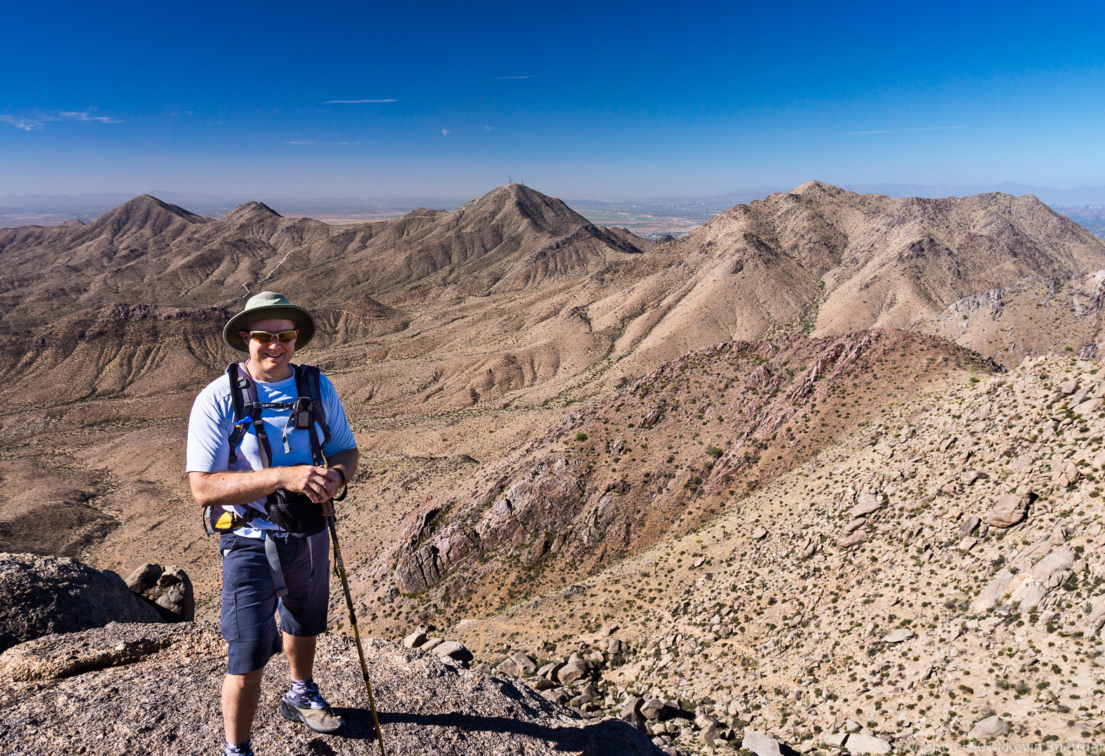
 Bob, standing at the edge (and the top) of Goat Hill.
 Bob took a photo of me in the same location.
 Descending Goat Hill…
 After leaving Goat Hill, we made our way over to the top of Morrell’s Wall (I think). On the way back, we noticed that we had another great view of the Thumbnail Pinnacle. In this shot, I zoomed my lens all the way to 70mm.
 A wide angle view from the same location.
 Views of Glass Dome, Tom’s Thumb, and Gardener’s Wall as we descended to rejoin the Tom’s Thumb Trail.
More Lightroom-only practice…
This is very similar to another shot already posted from last Friday’s hike, except that I used only Lightroom to process this one. The other one was processed using both Lightroom and Photoshop.
Last Friday’s hike started at the Tom’s Thumb Trailhead. Seven of us hiked up to Tom’s Thumb and back. On the way back, we visited the Sven Slab climbing area where we saw a Gila monster.
A Goldeneye bush with Gardener’s Wall in the background.

This is a cholla flower:
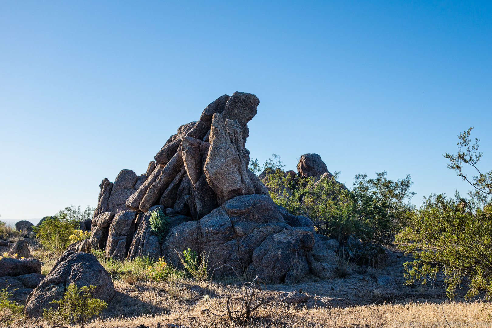
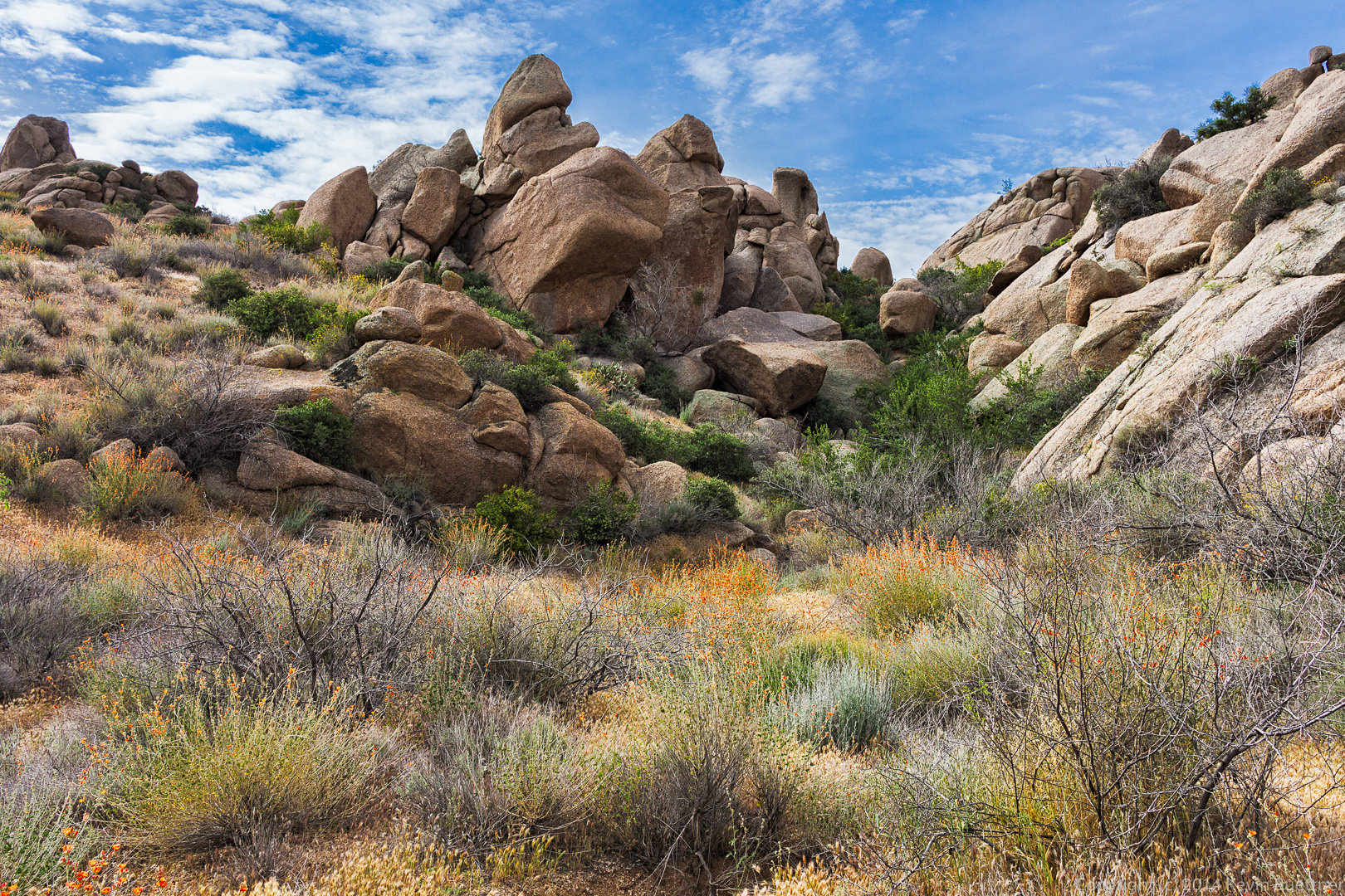
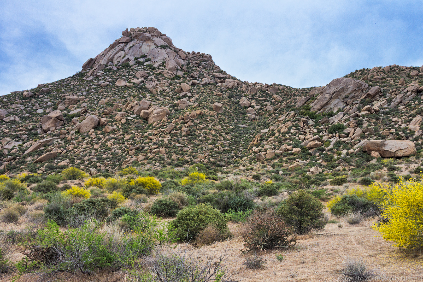
 We encountered this rock formation on the way up.
 California Buckwheat:
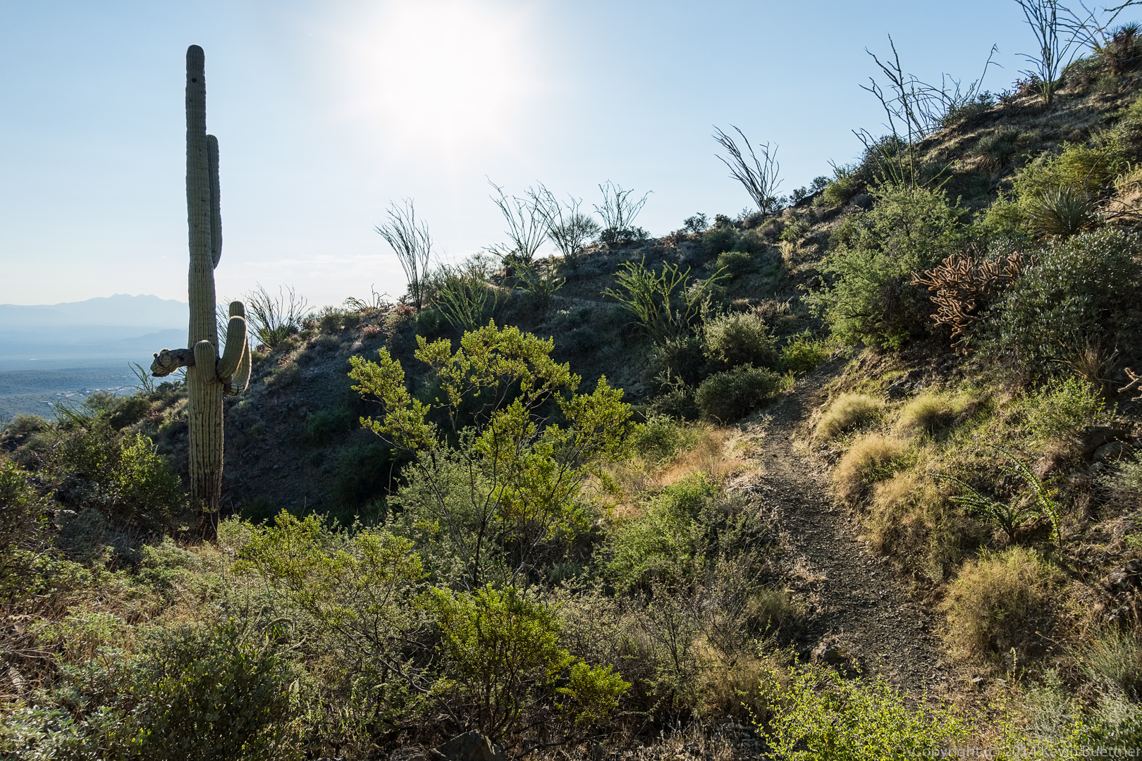
 A view to the west as we made our way up to the ridge leading over to Tom’s Thumb:
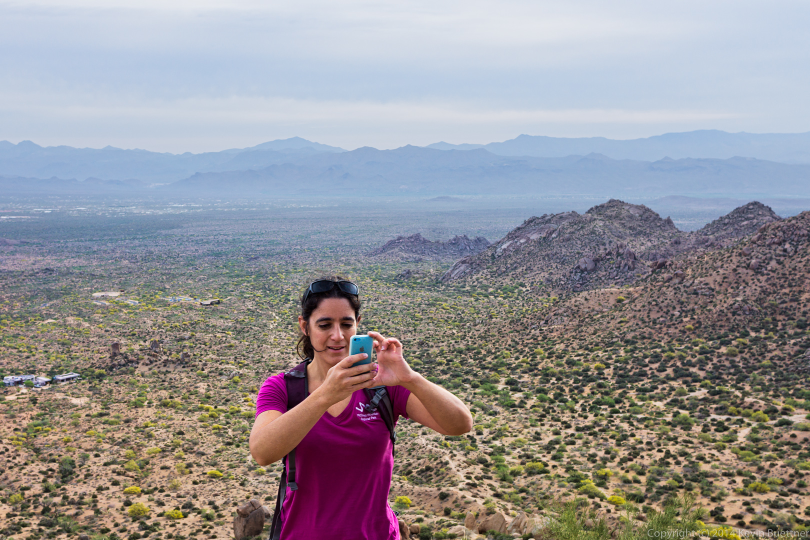
 Amy is instructing her iPhone to take a panoramic shot.
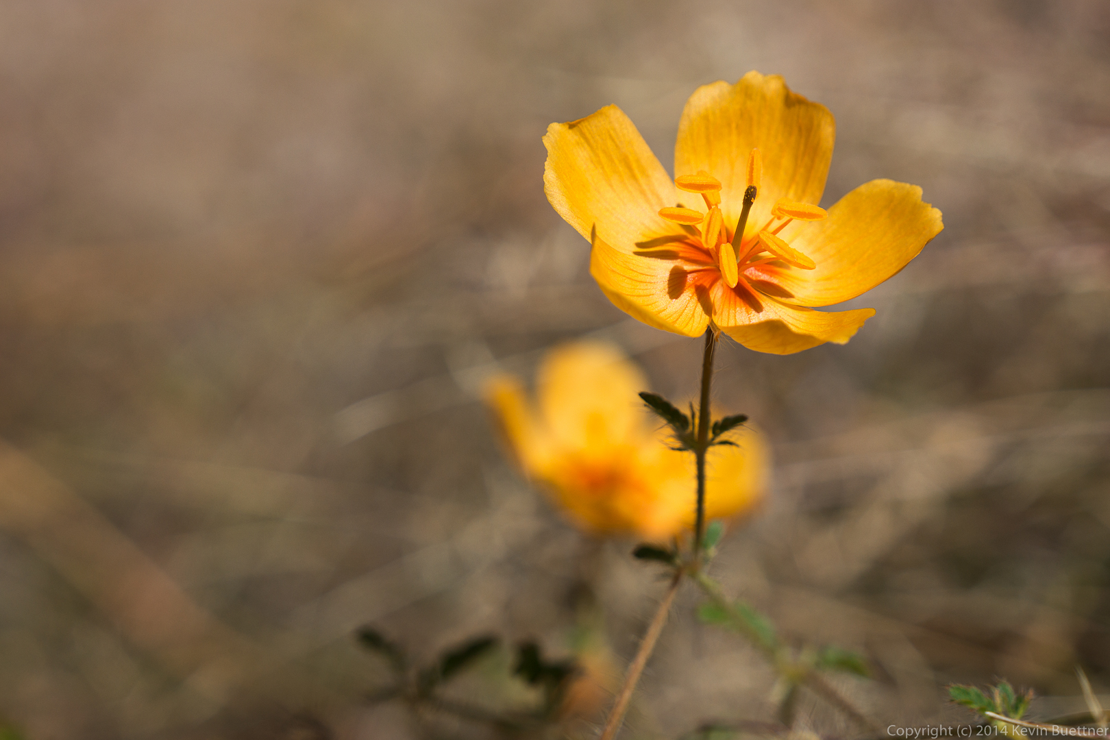
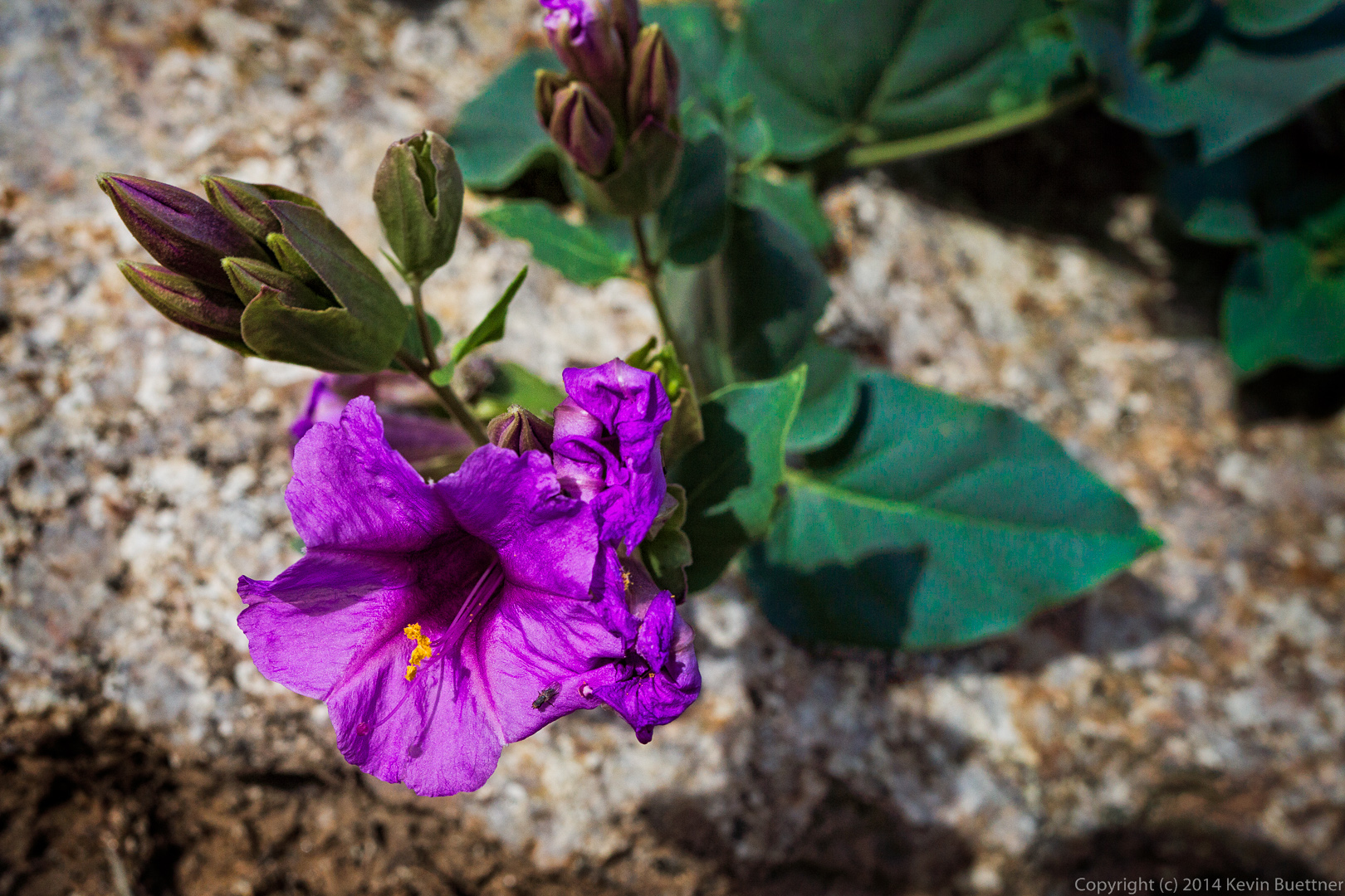
 Someone on the hike identified this purple flower, but I don’t remember its name. I can’t find it in my flower identification book either.
 A view of Pinnacle Peak and Troon:
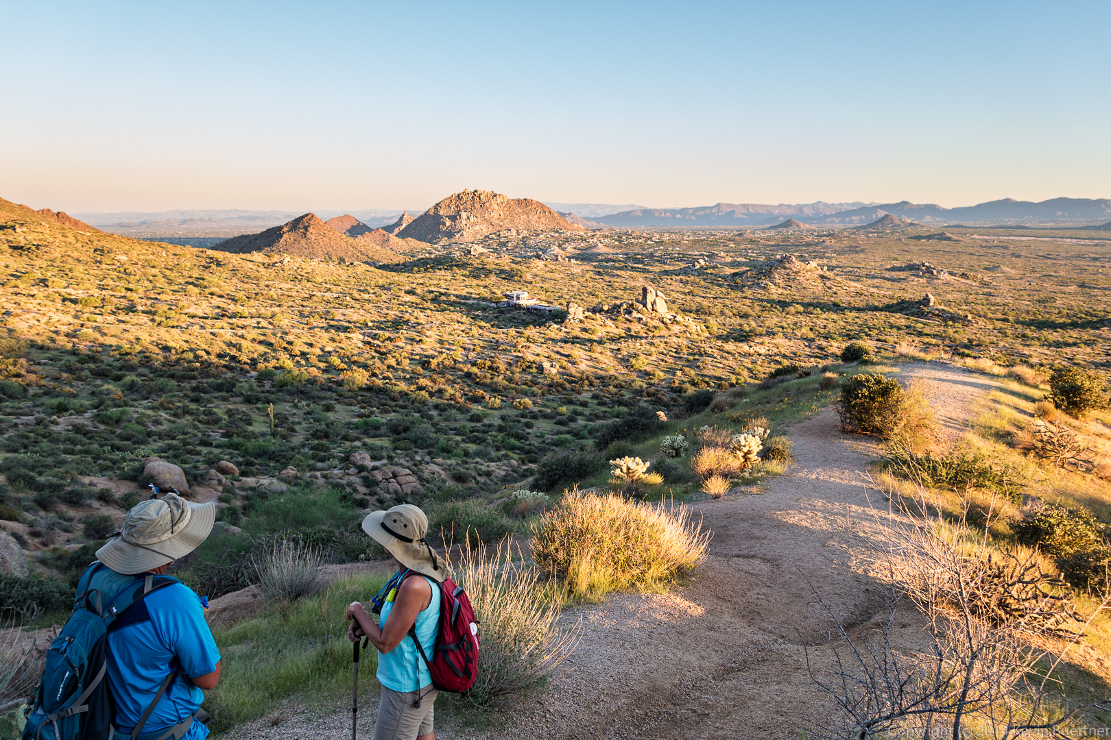
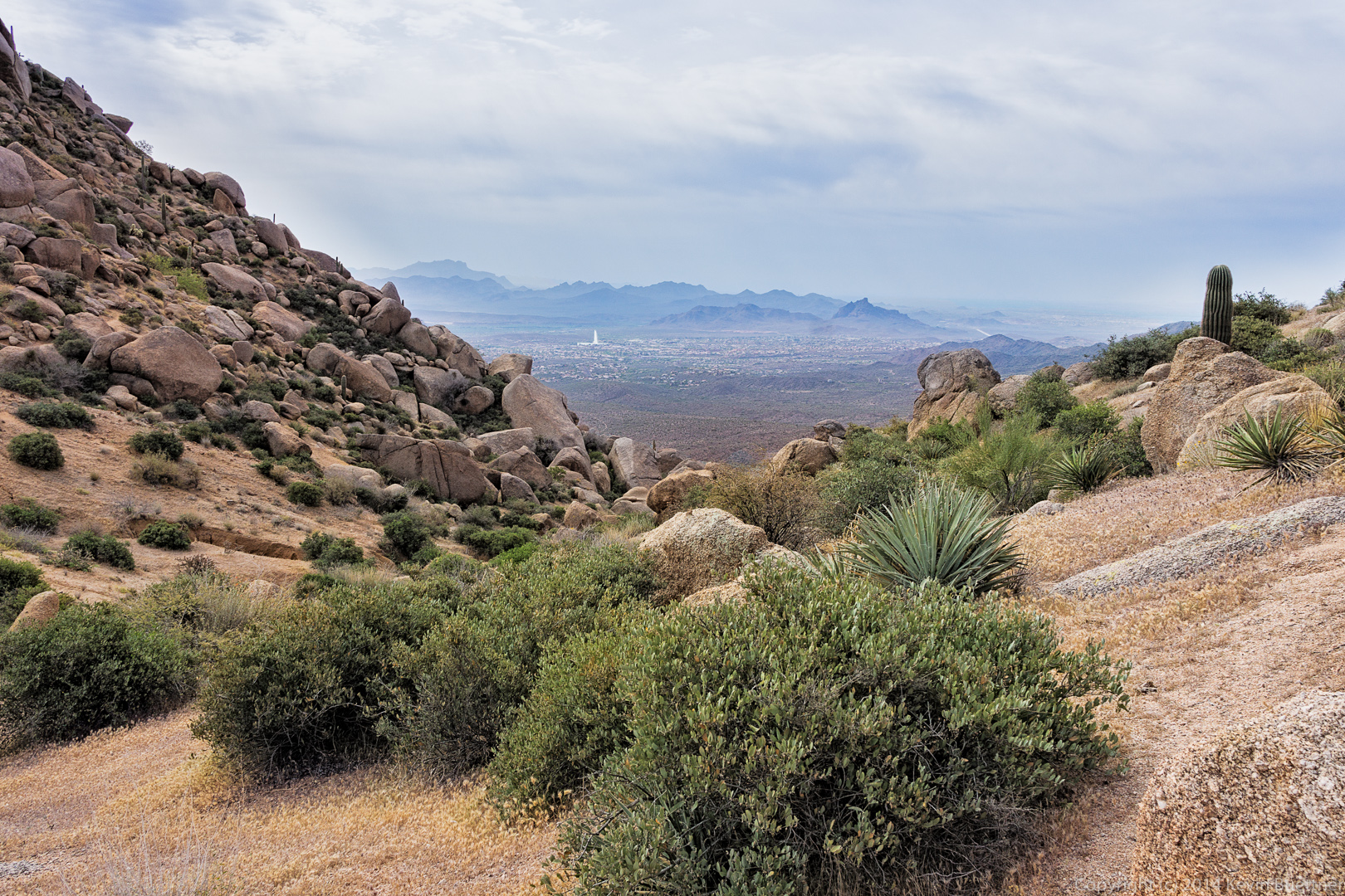
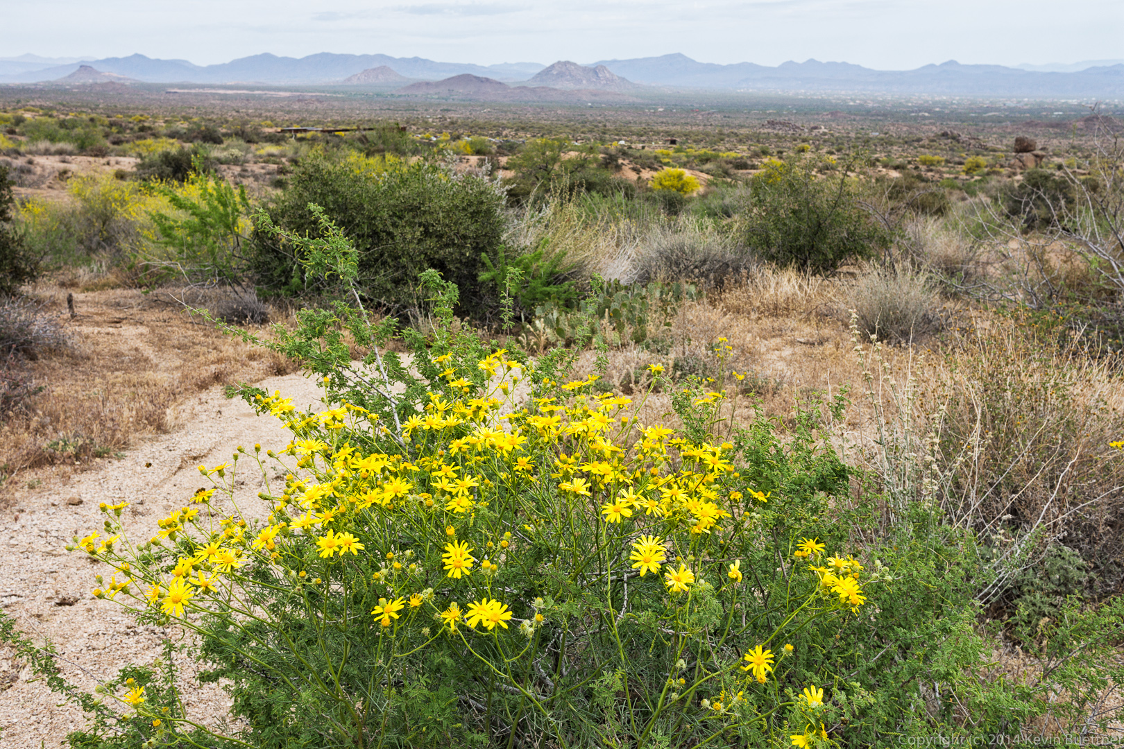
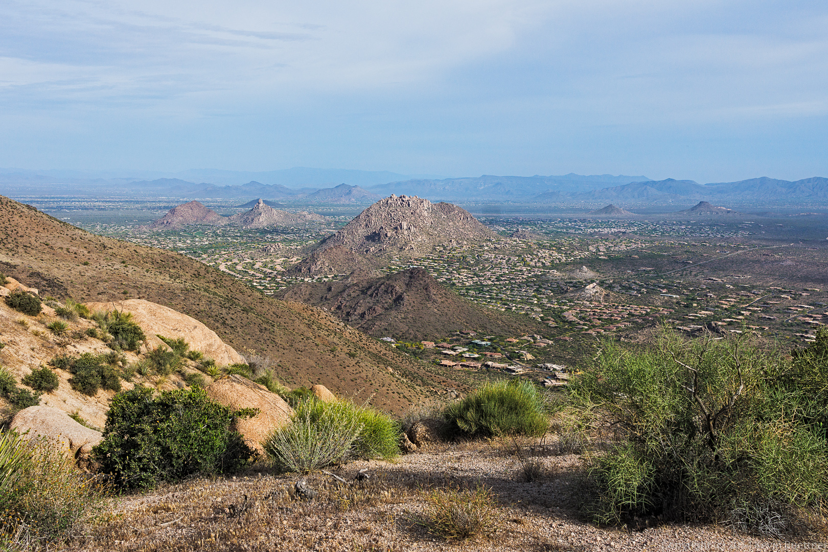 A view of Scottsdale and perhaps other nearby cities as well.
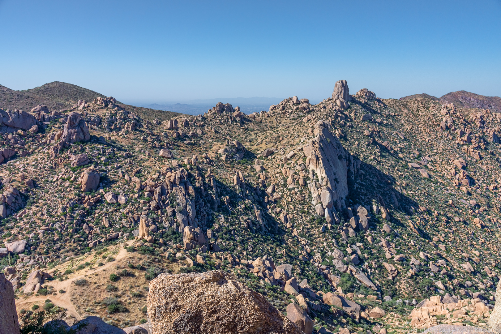
 A small rock formation on the ridge line. (I’ve photographed these rocks several times before.)
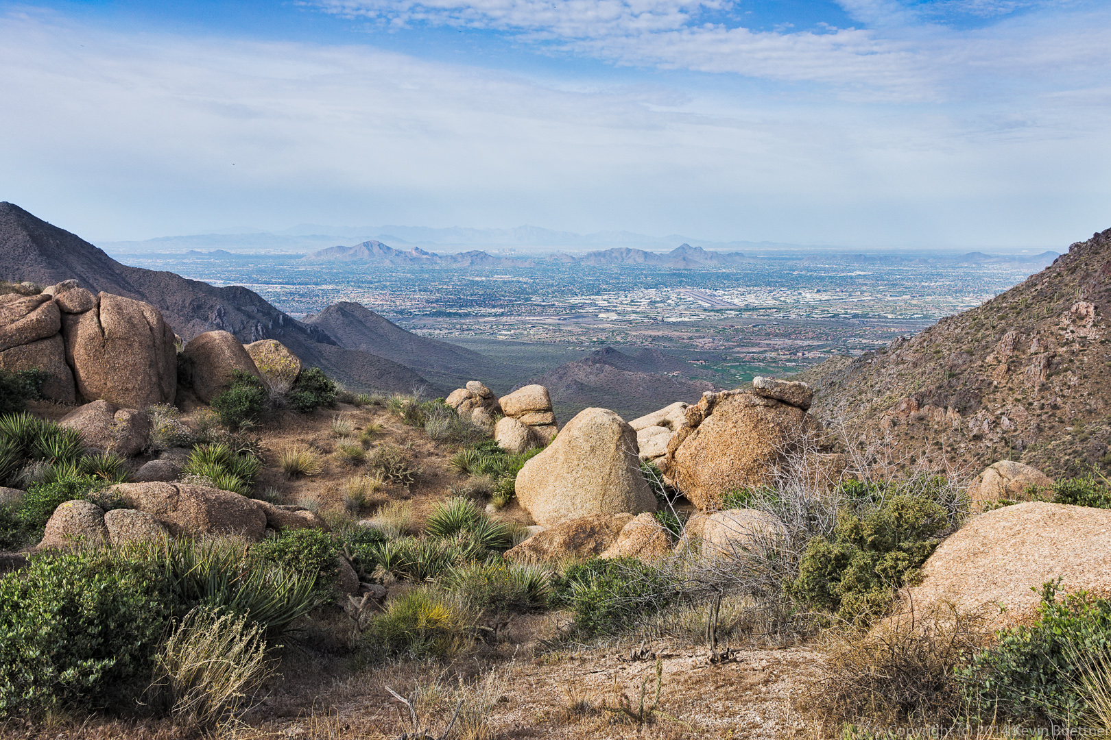
 Another view of Scottsdale.
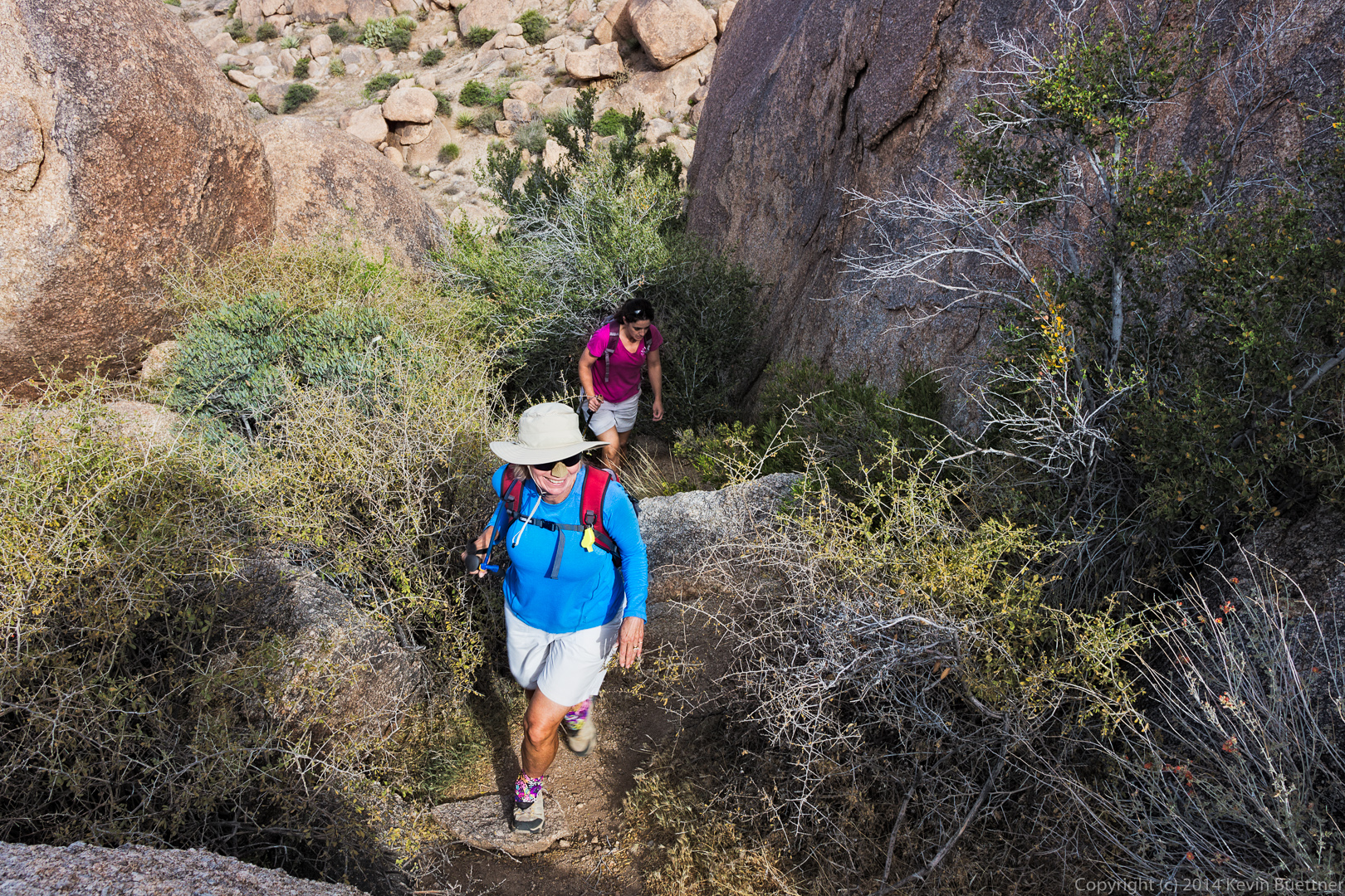
 Linda and Amy hike up a steep trail on their way to Tom’s Thumb.
 A view of the west side of Tom’s Thumb:
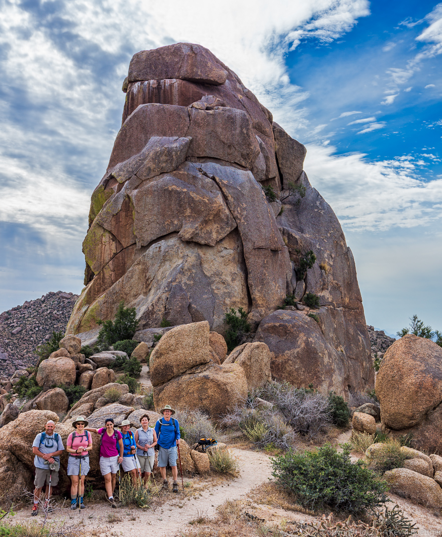
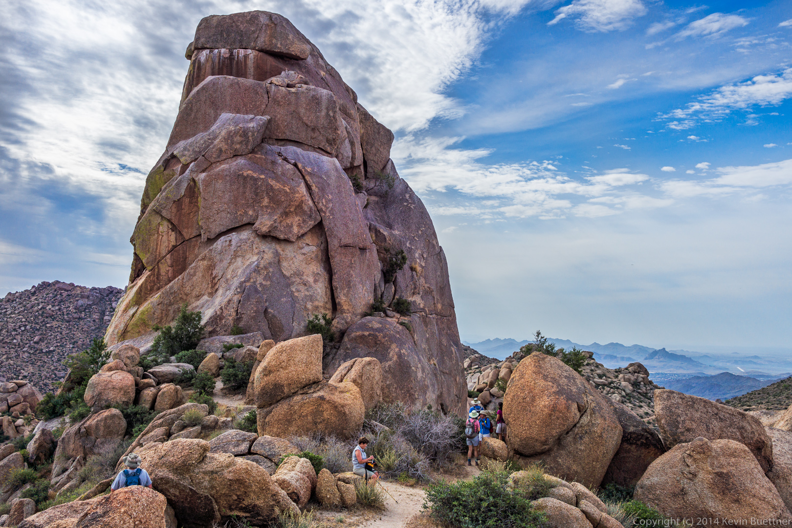 Bob, Marilyn, Amy, Linda, Cynthia, and Bill pose in front of Tom’s Thumb.
A view of the East End. Glass Dome is visible near the center of the photo.
 A view of the southeast side of Tom’s Thumb.
I think it was Bob who pointed out the numerous Globemallow flowers as we started our descent.
 A better view of Glass Dome as we continue back on the Tom’s Thumb Trail.
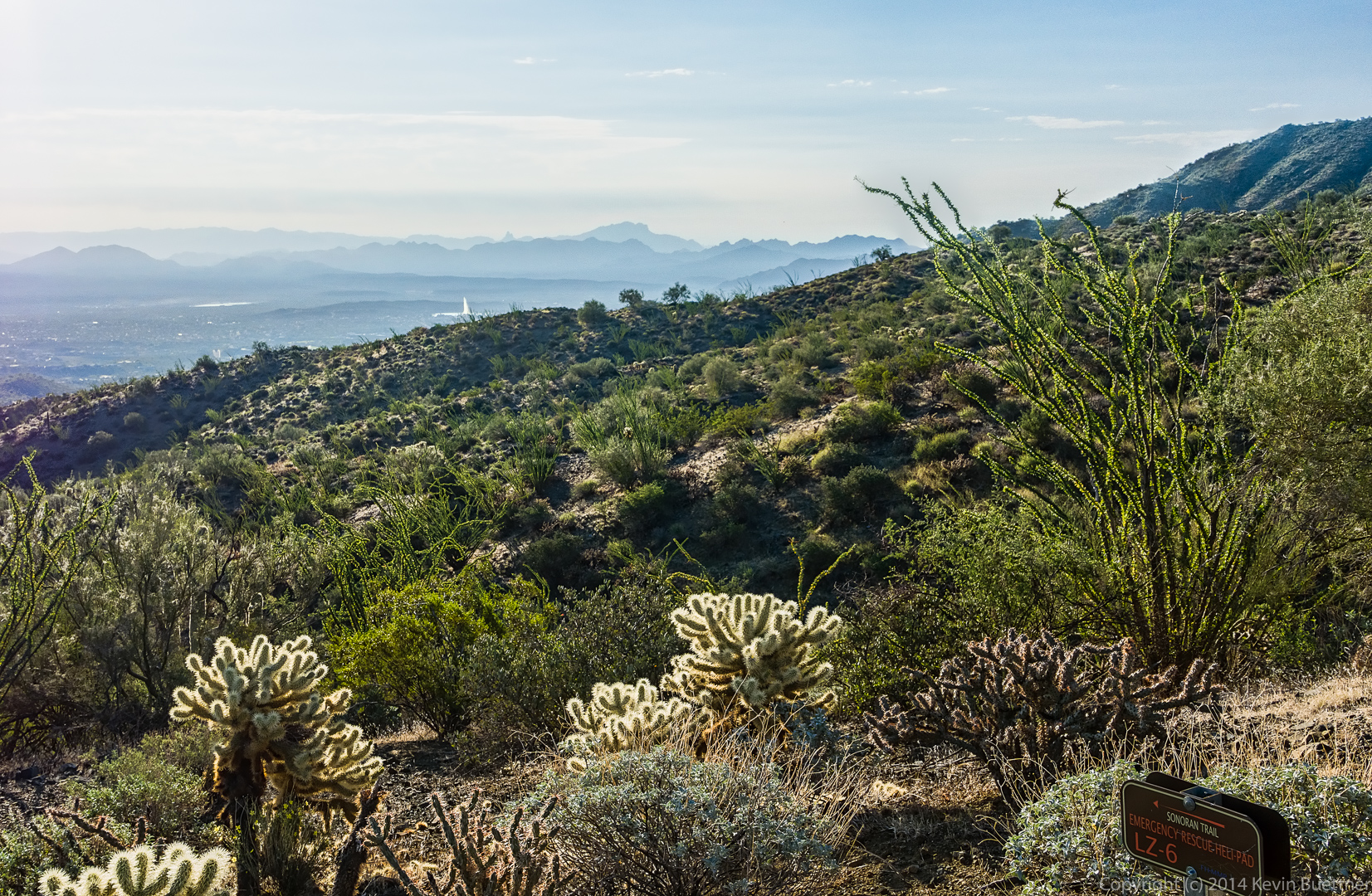
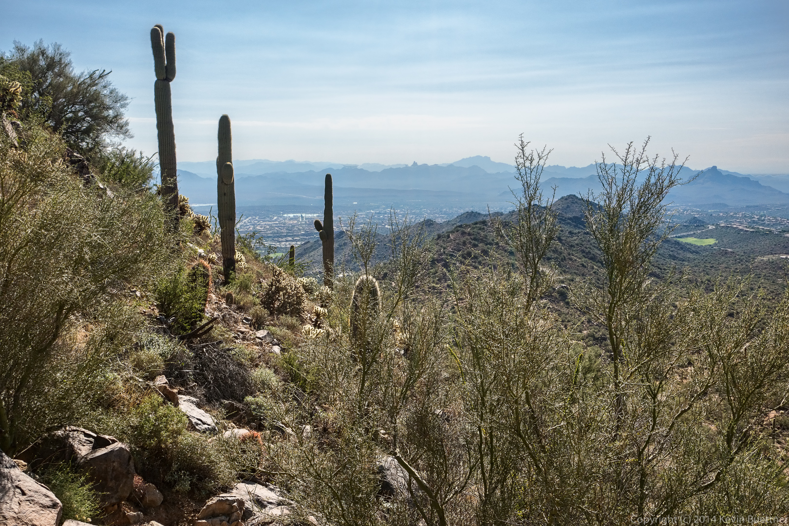
 This is a view of Fountain Hills from the intersection of the East End Trail and the Tom’s Thumb Trail.
 Another view of Glass Dome:
 Tom’s Thumb is still visible, though you do have to kind of look for it among all the other boulders in the area. The side of Gardener’s Wall can also be seen at the far right in this photo.
 Cynthia, Linda, Marilyn, Bill, and Amy do some scrambling on their way back.
 This large boulder reminded us of Barney (from the children’s television series) head. It’s in the sun in this photo, but often looks more purplish when it’s in the shade.
 Another view of Gardener’s Wall:
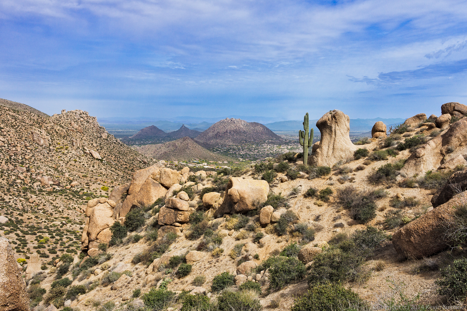
 The mushroom rock with the saguaro cuddled up next to it is another favorite on this part of the hike.
Four Peaks is visible in the distance as well as the back sides of the Sven Towers. They don’t look much like towers here; they’re more impressive looking from the other side.
 Morrell’s Wall:
 I think this is Sandwash Groundsel:
 Sven’s Slab:
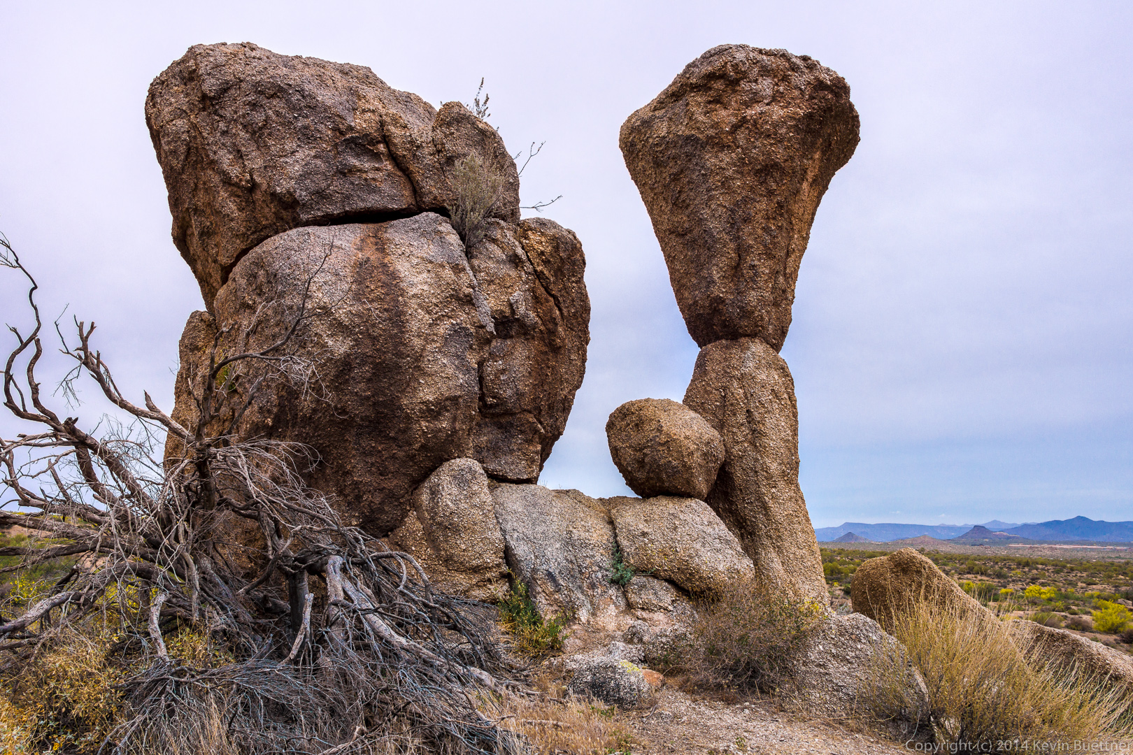
 A prominent mushroom rock near Sven Slab:
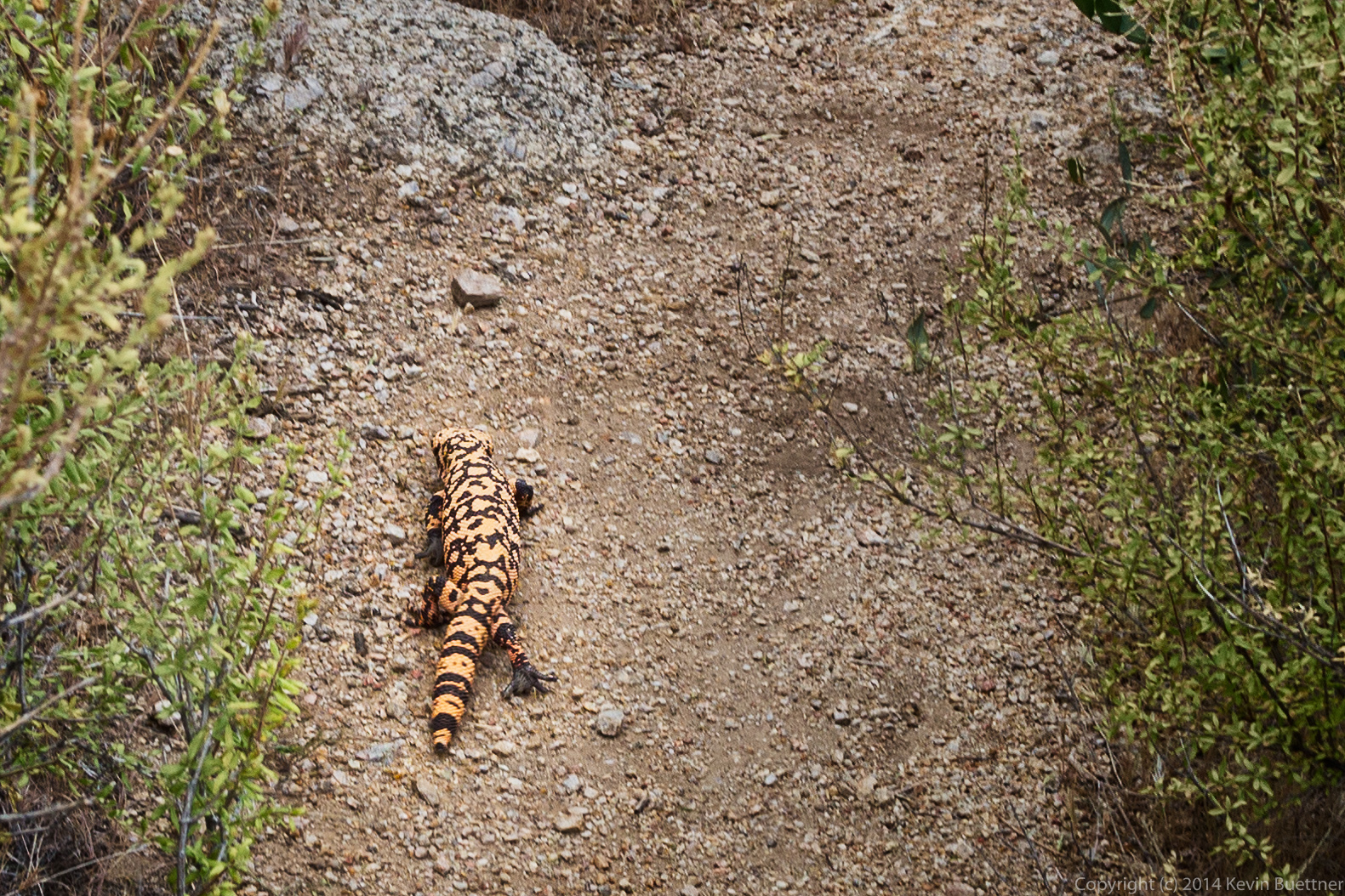
 We saw this Gila monster as we were leaving the Sven Slab area.
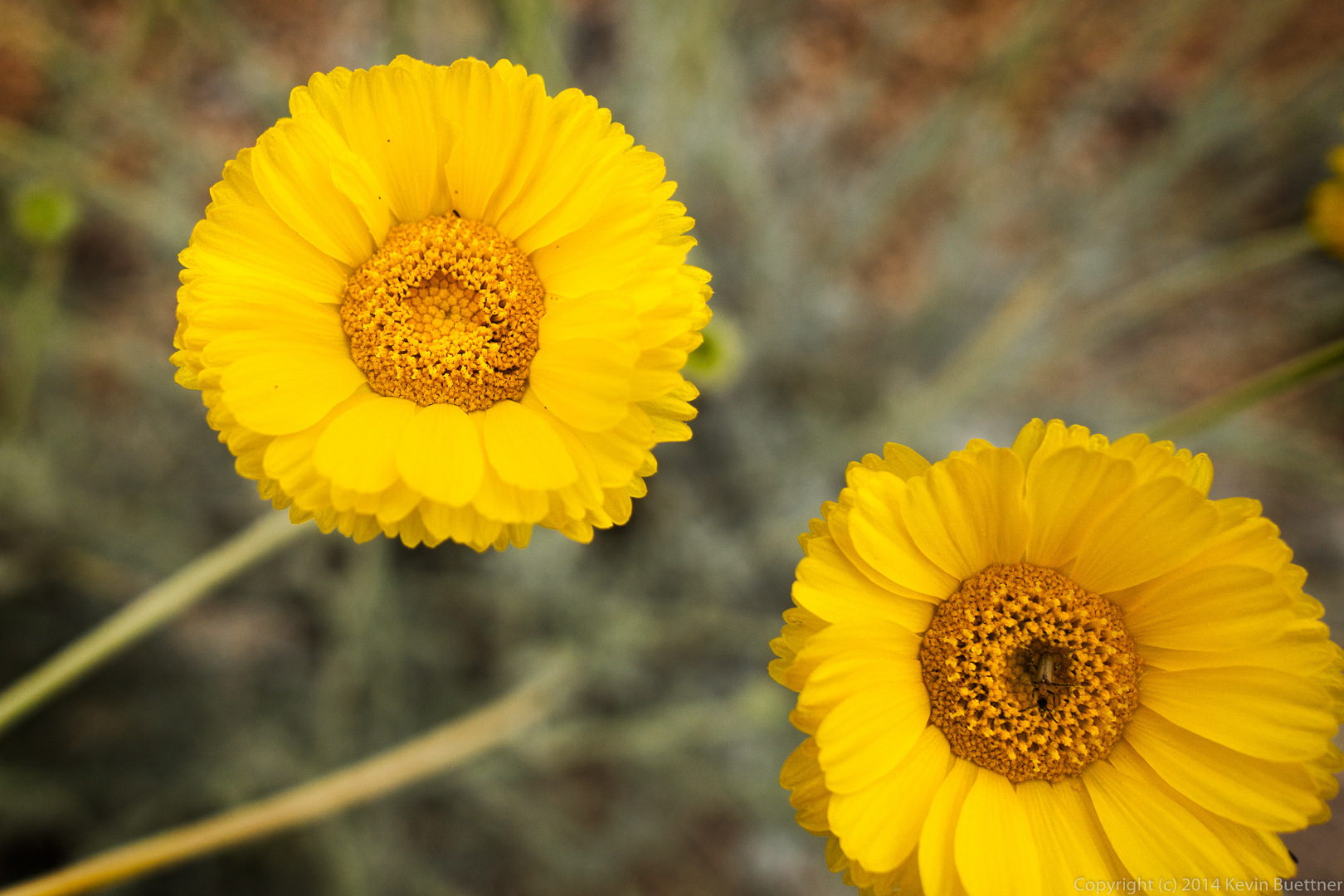
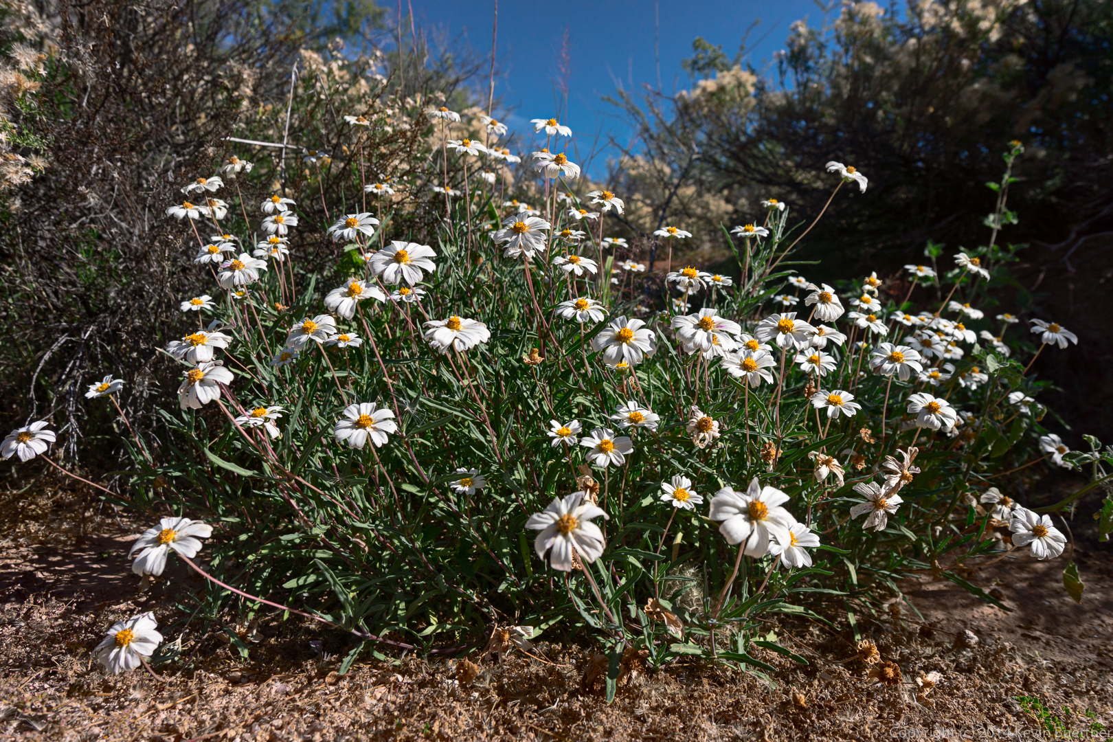
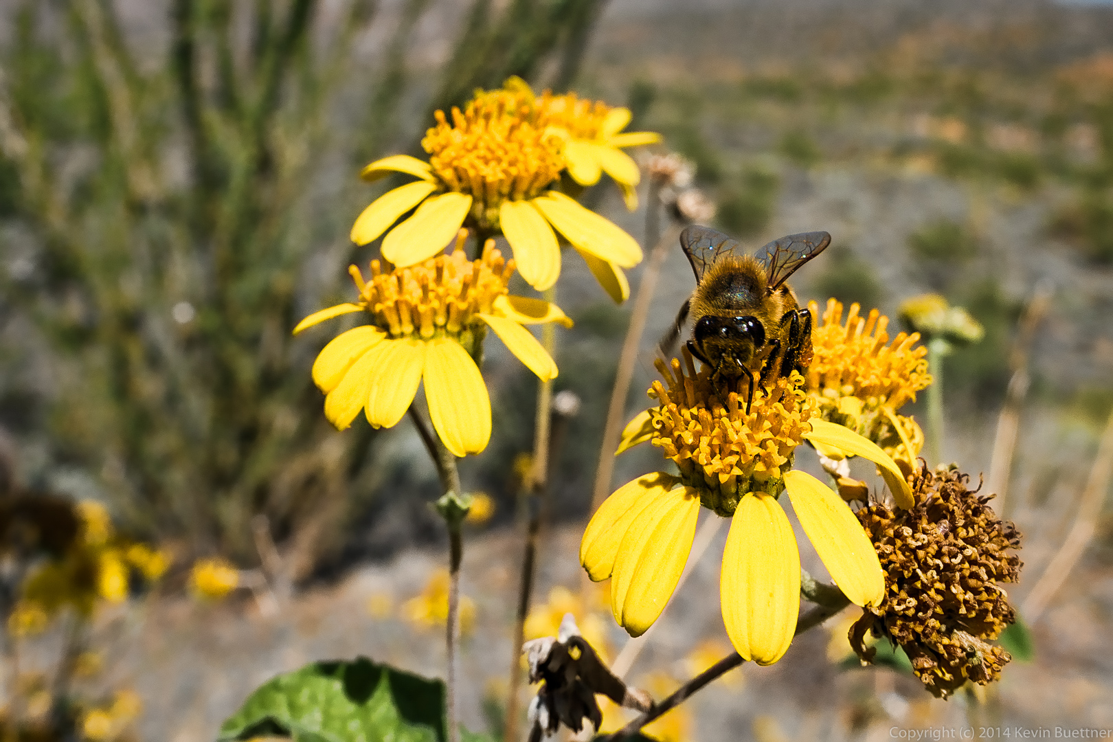
 Desert Marigold. If you look closely, you can see an insect at the center of the lower-right flower.