Tag: McDowell Mountain Park (page 32 of 46)

Friday Fitness Hike

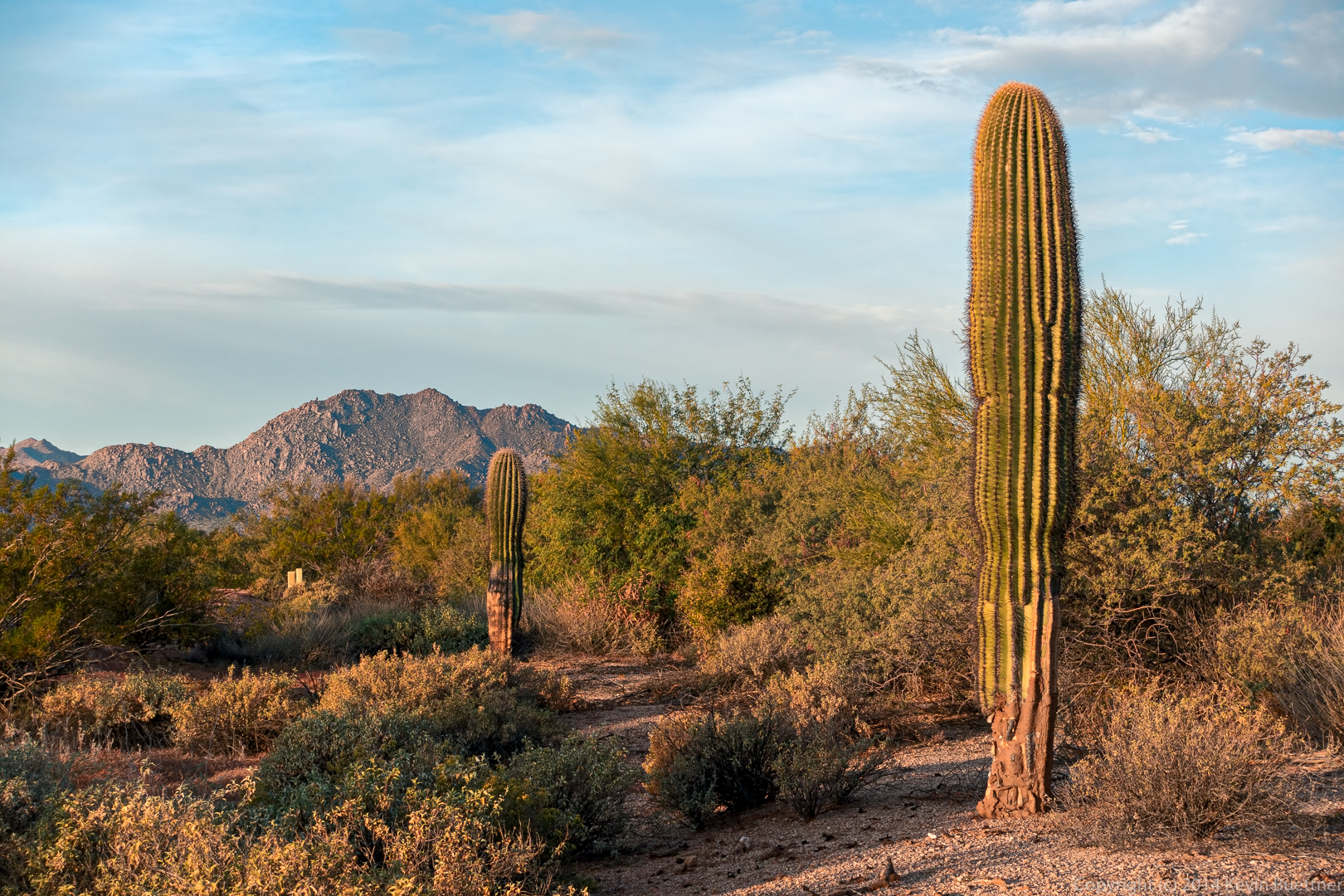
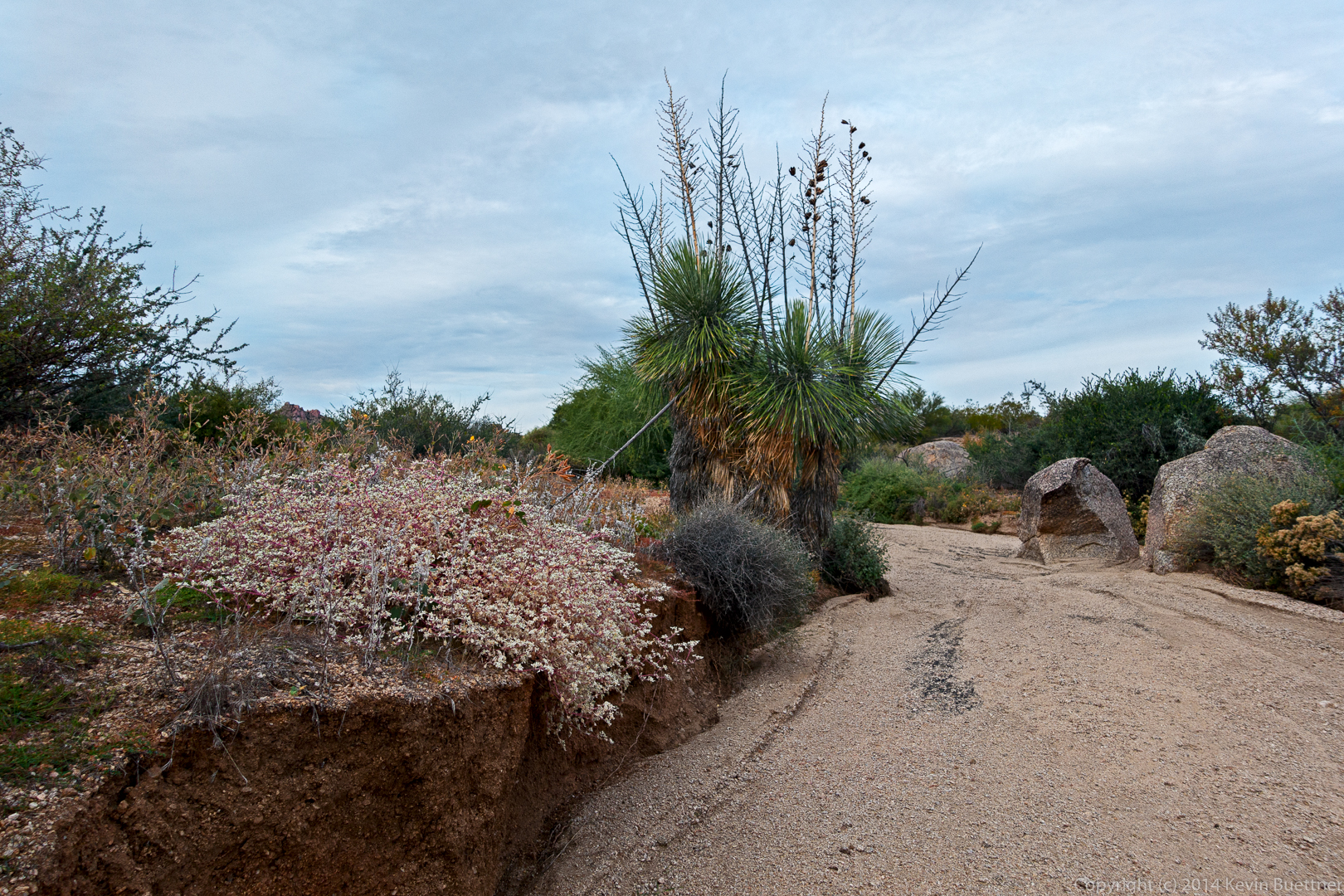
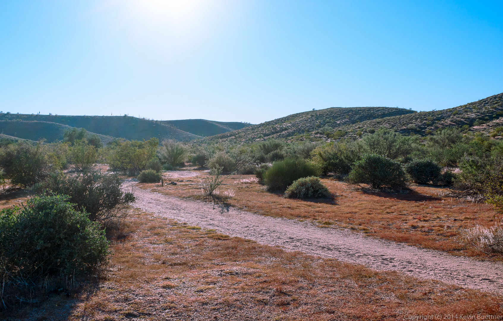
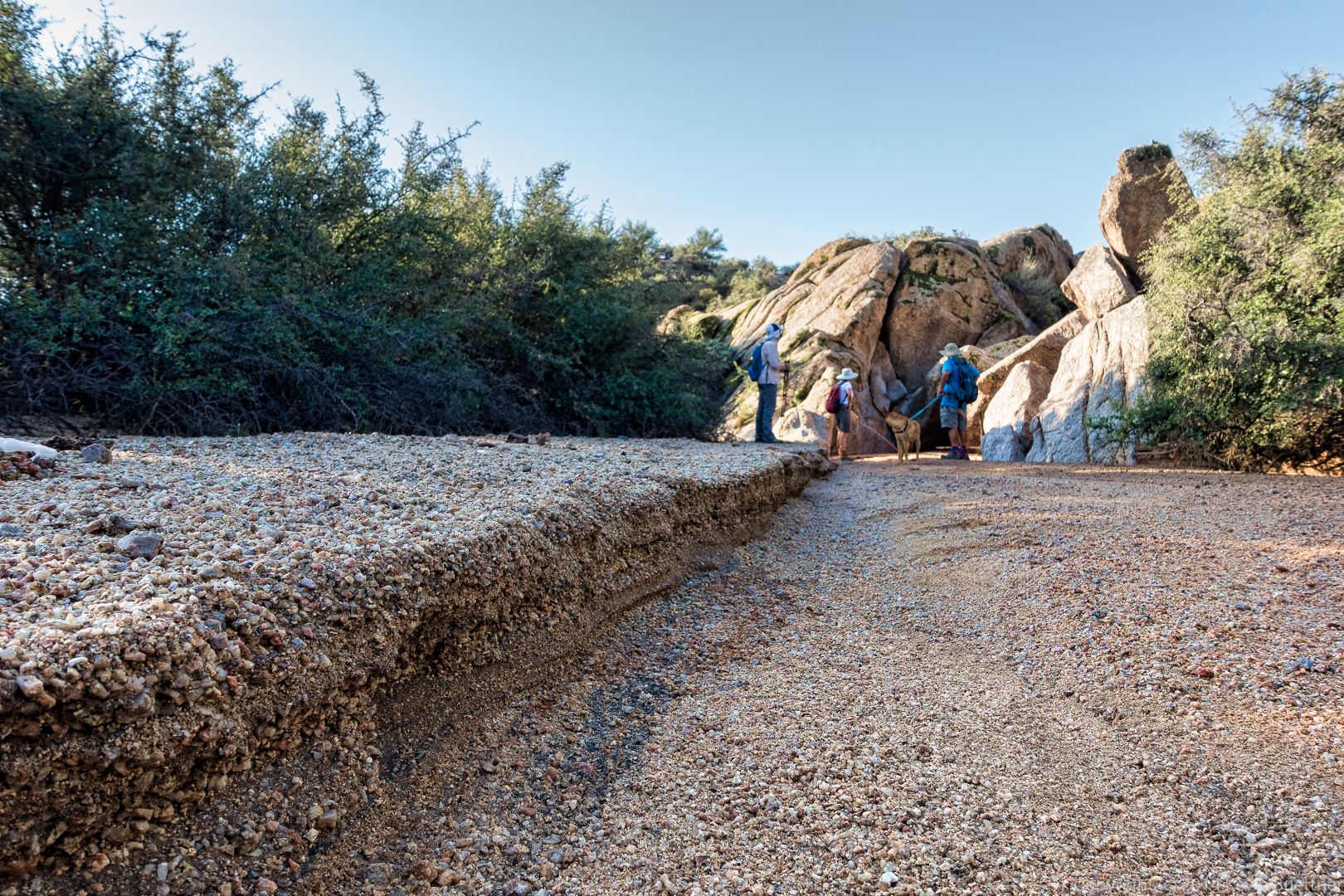
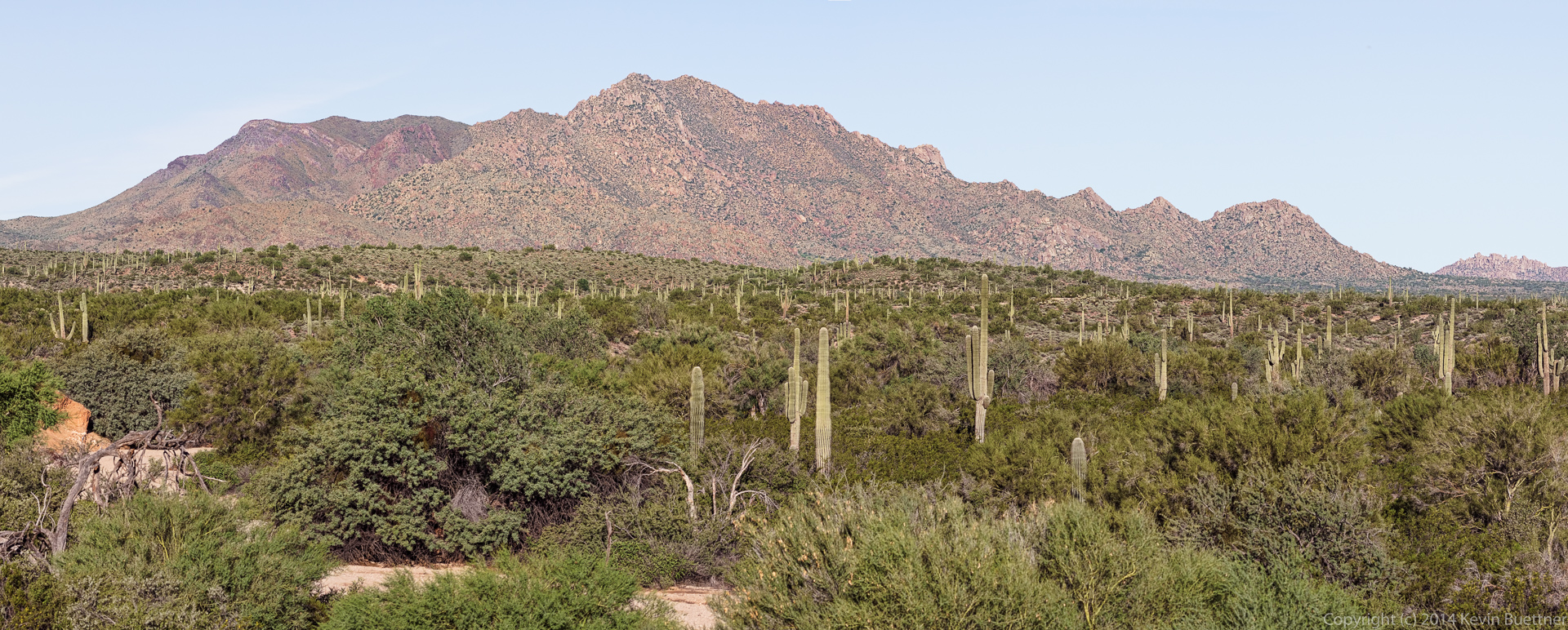
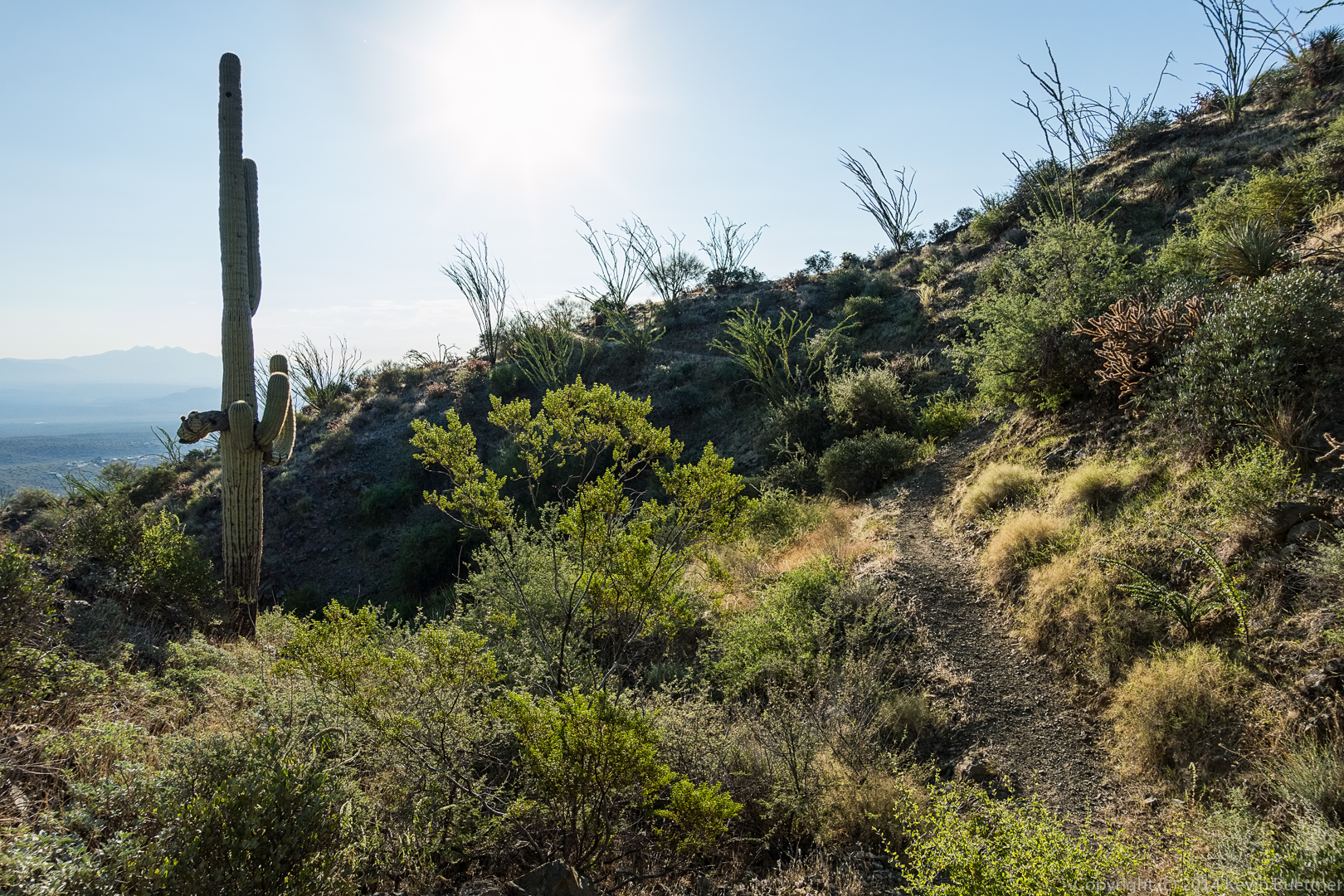
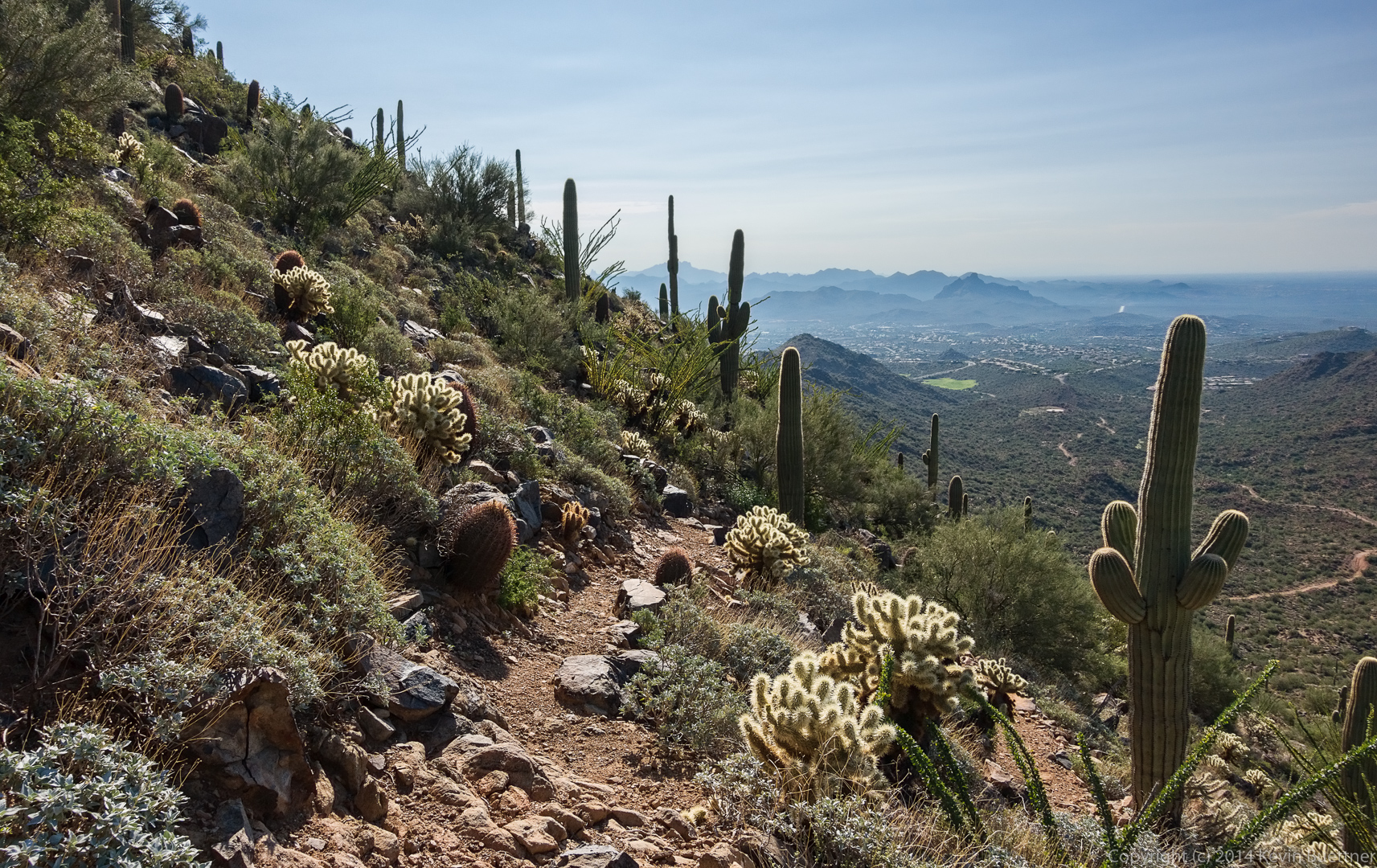
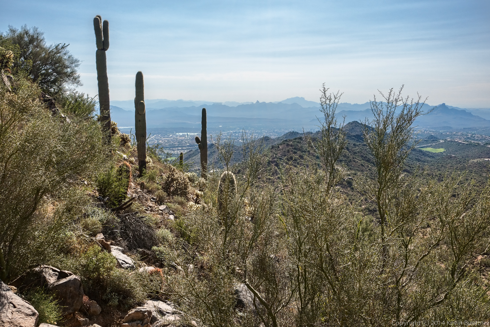
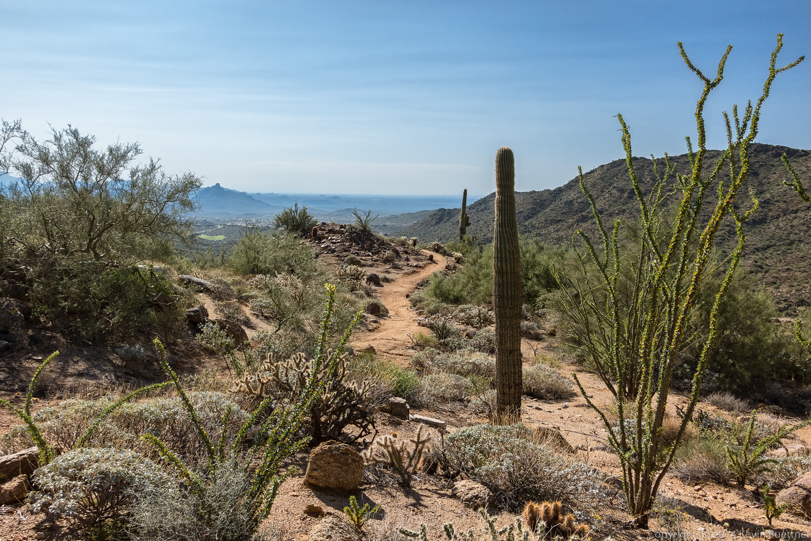
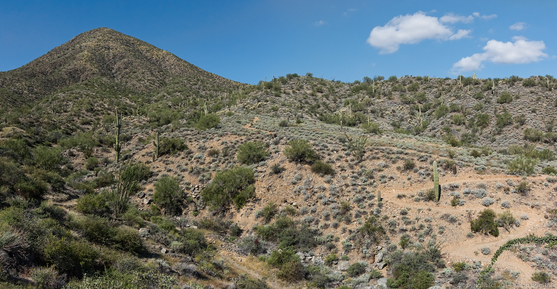
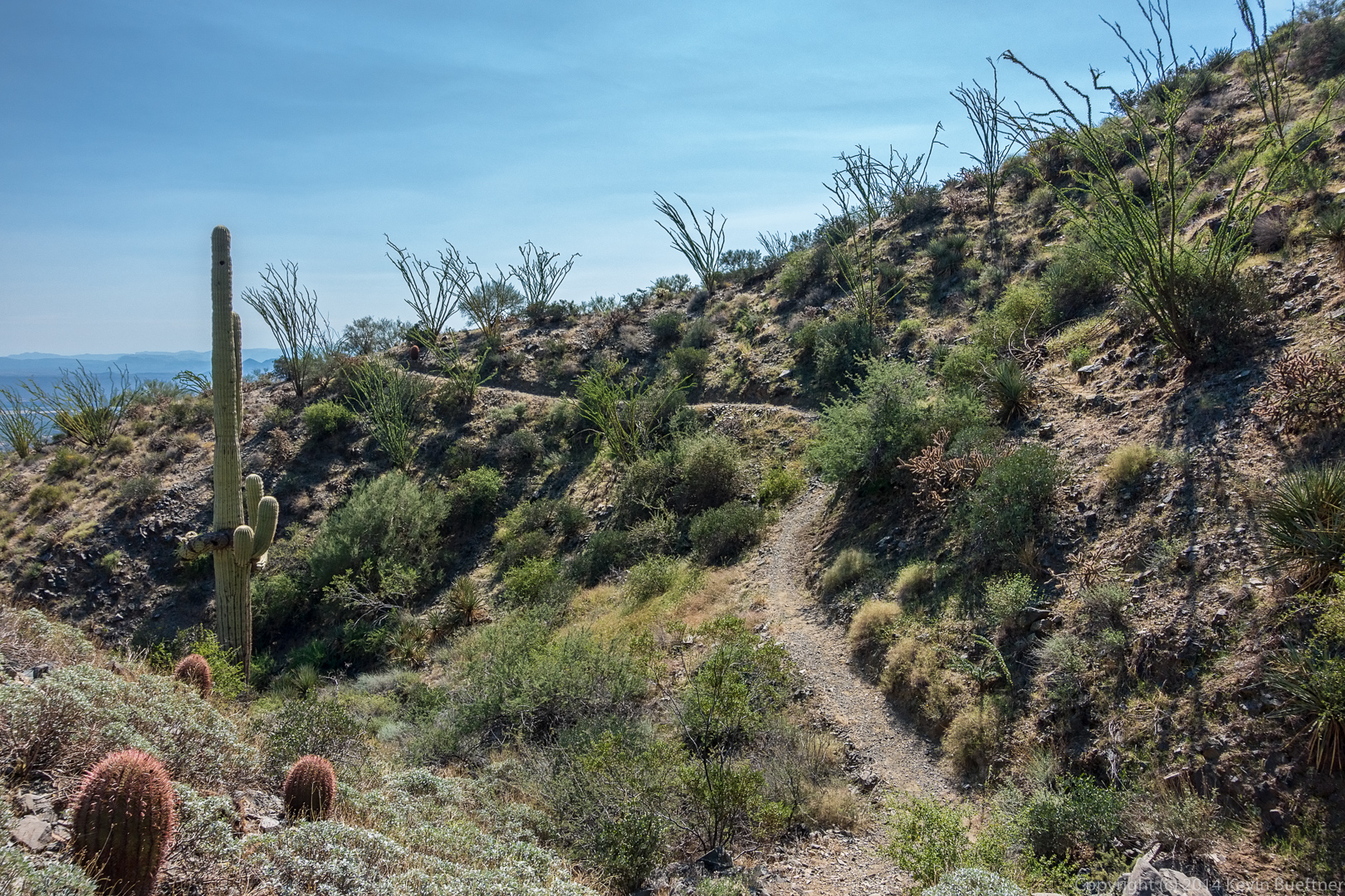
Last Friday’s hike started from the Tom’s Thumb Trailhead. We hiked a route that took us up to the East End, the highest point in the McDowells. When we finished, Bill and I hiked into the Rock Knob Trail into McDowell Mountain Park.

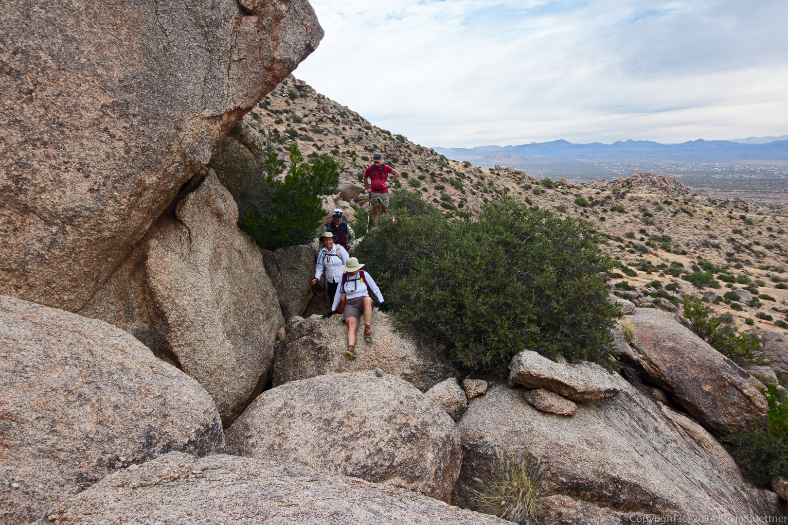
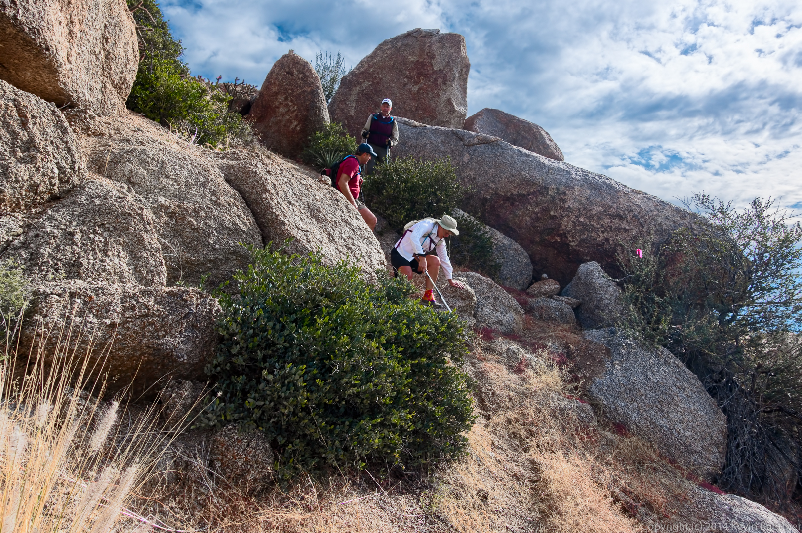
The trail crosses some large boulders. This was a difficult spot for Linda.

20141121-_DSC5794-Edit-medium


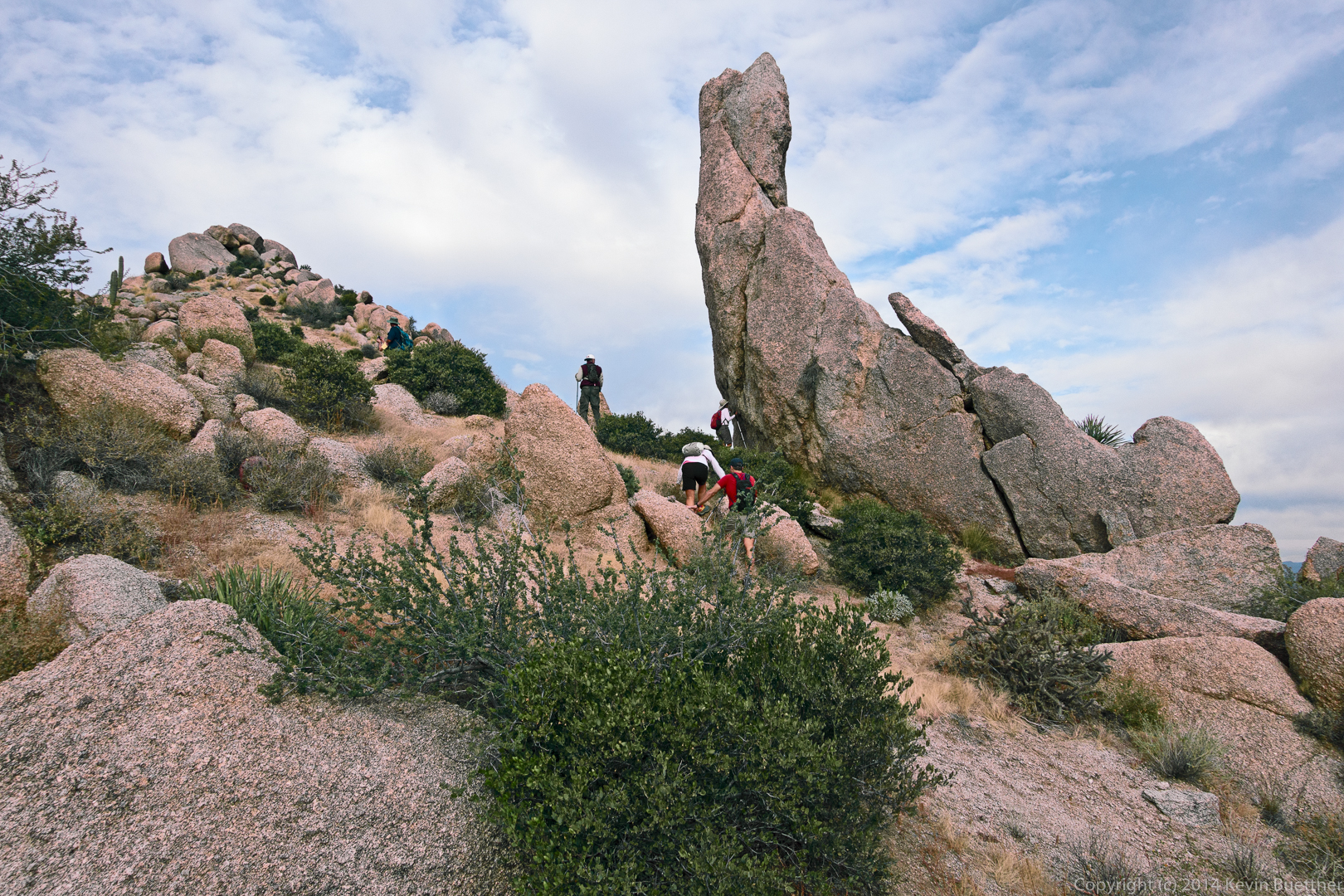
Frank scrambles up a steep section to take a look at the views.

20141121-_DSC5806-Edit-medium

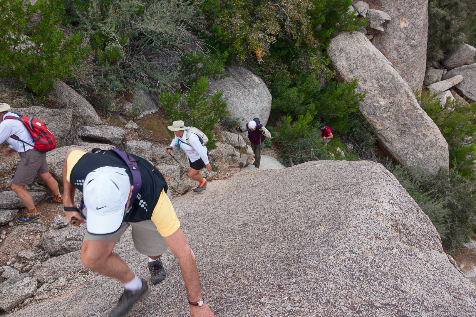
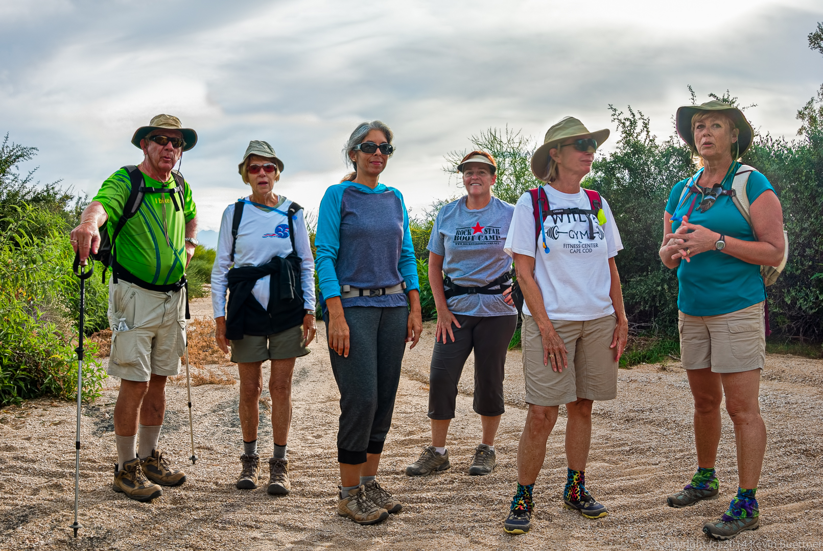
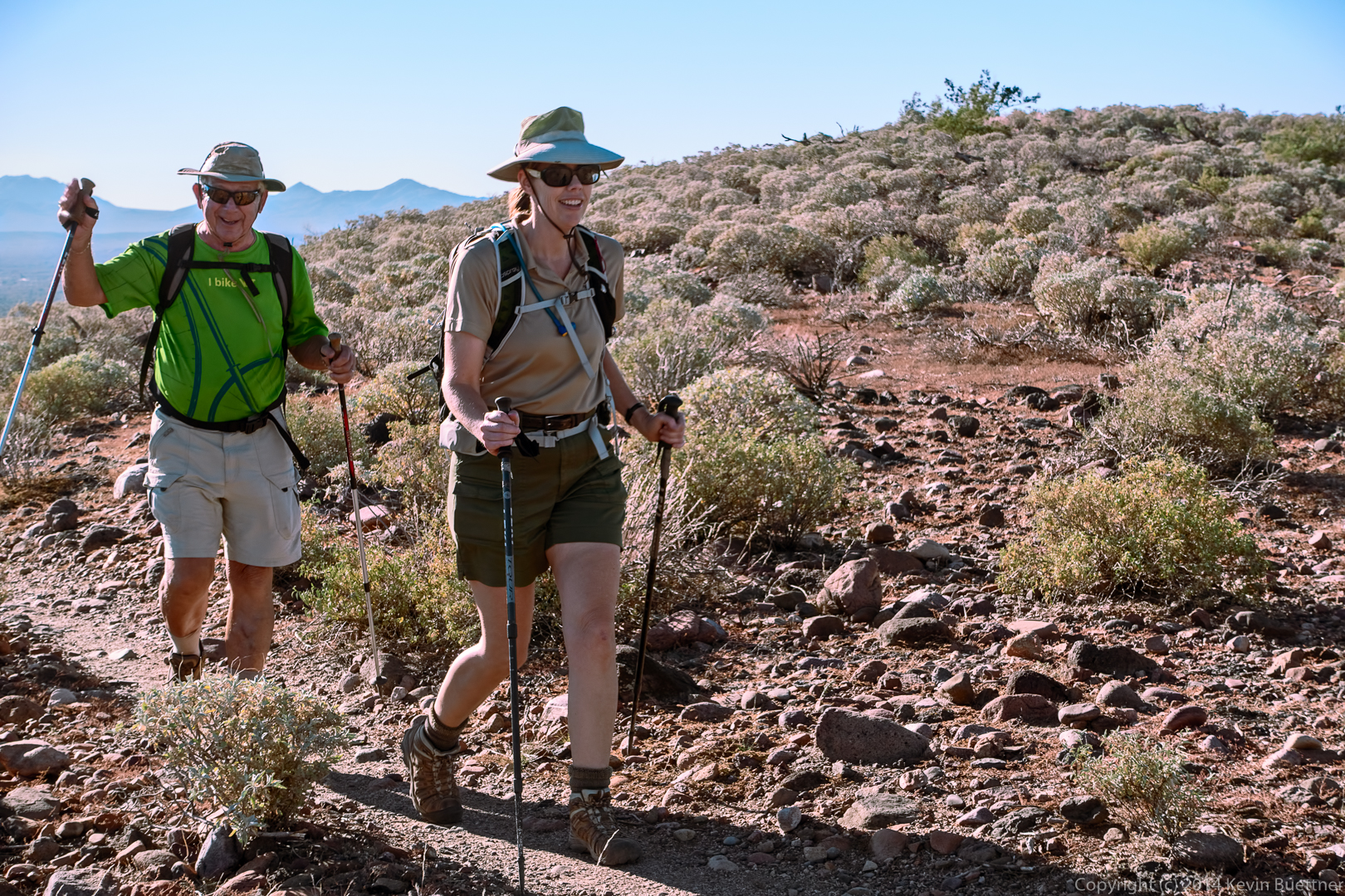
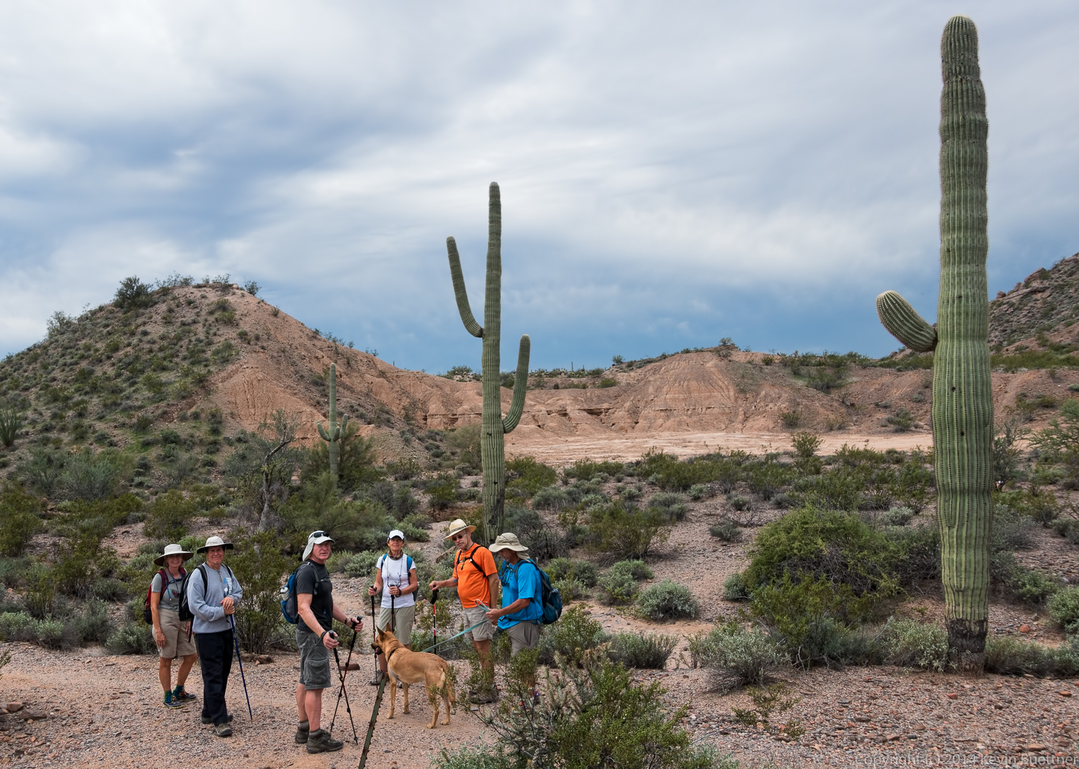
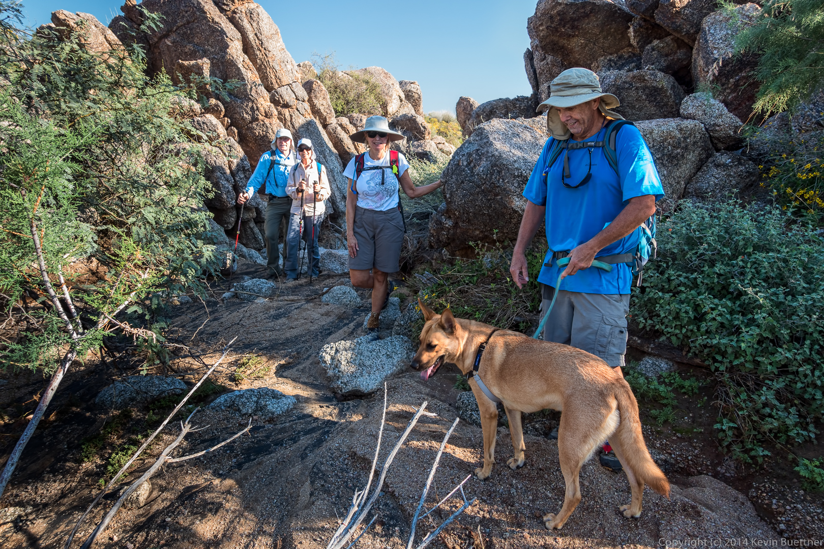
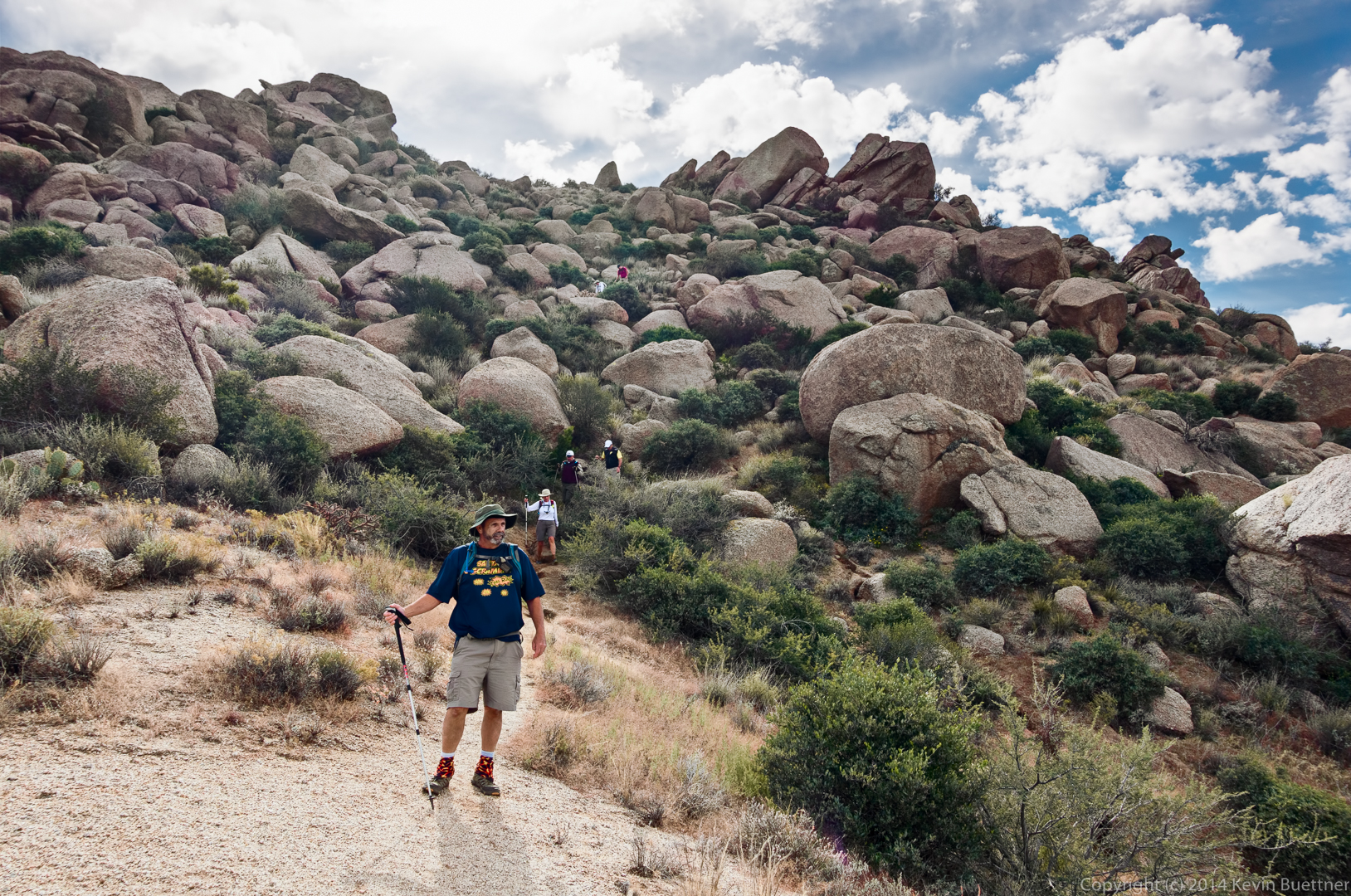
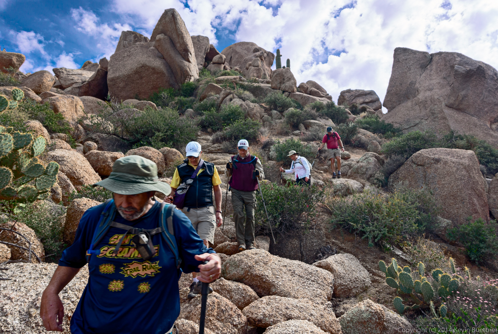
Frank, Allen, Bill, and Janet hike ahead of me. Bob and Linda are even further ahead!

20141121-_DSC5836-Edit-medium

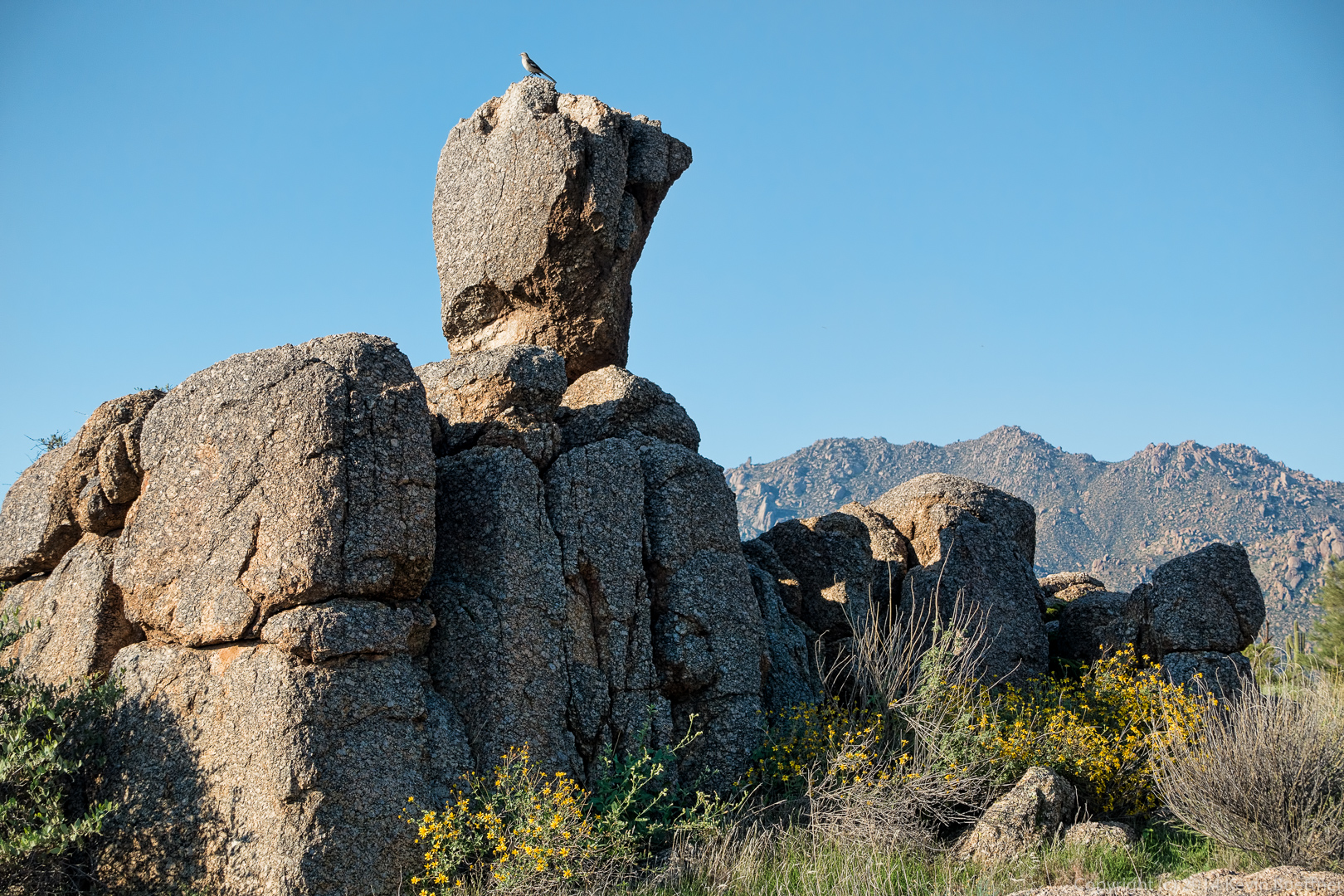
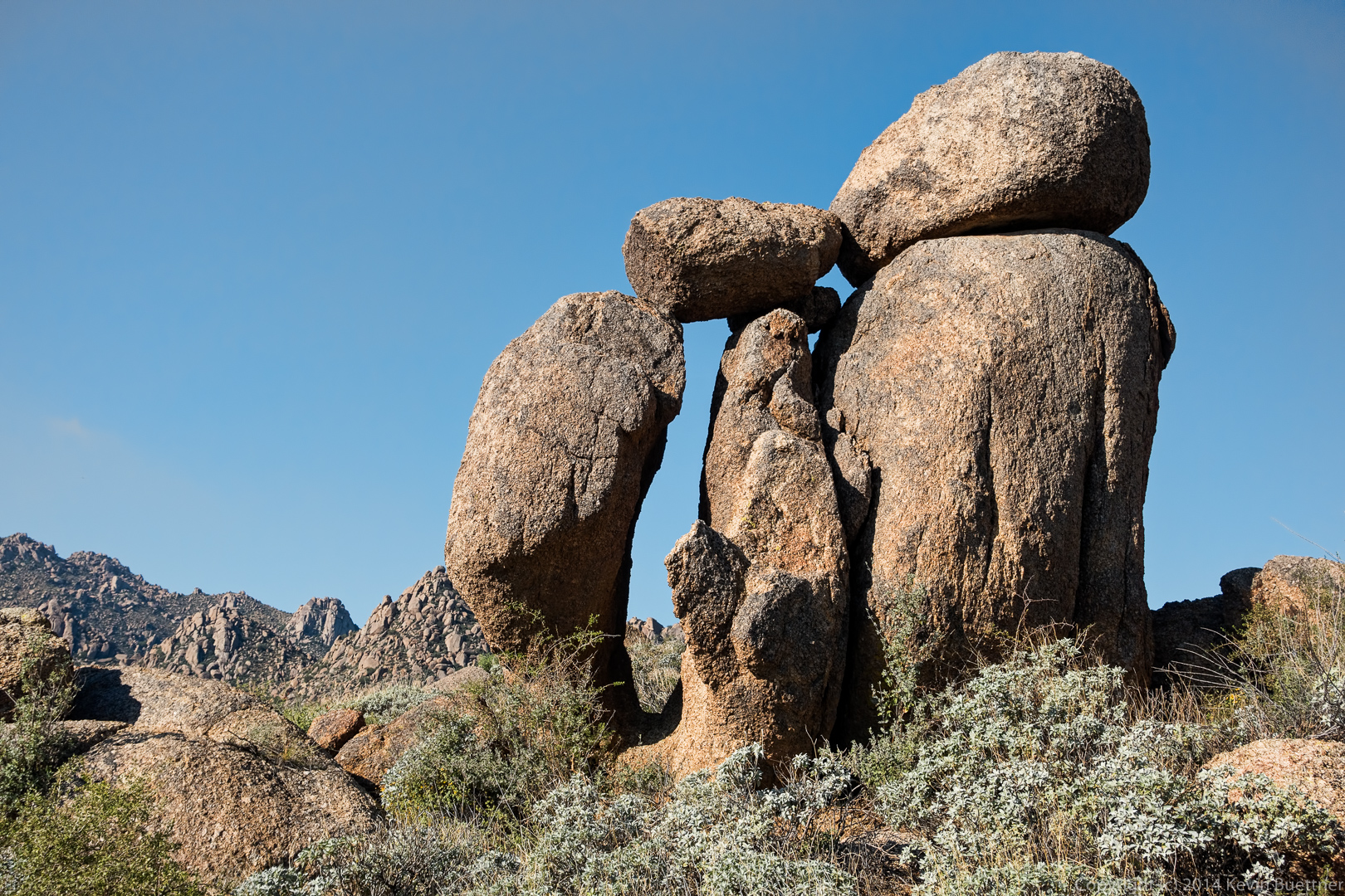
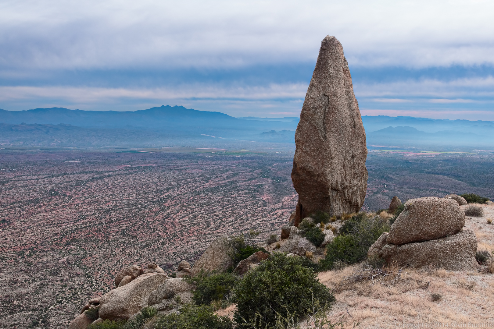
This is a view of the Thumbnail Pinnacle. Bill told me that some people call it Lizard Rock.

20141121-_DSC5851-Edit-medium

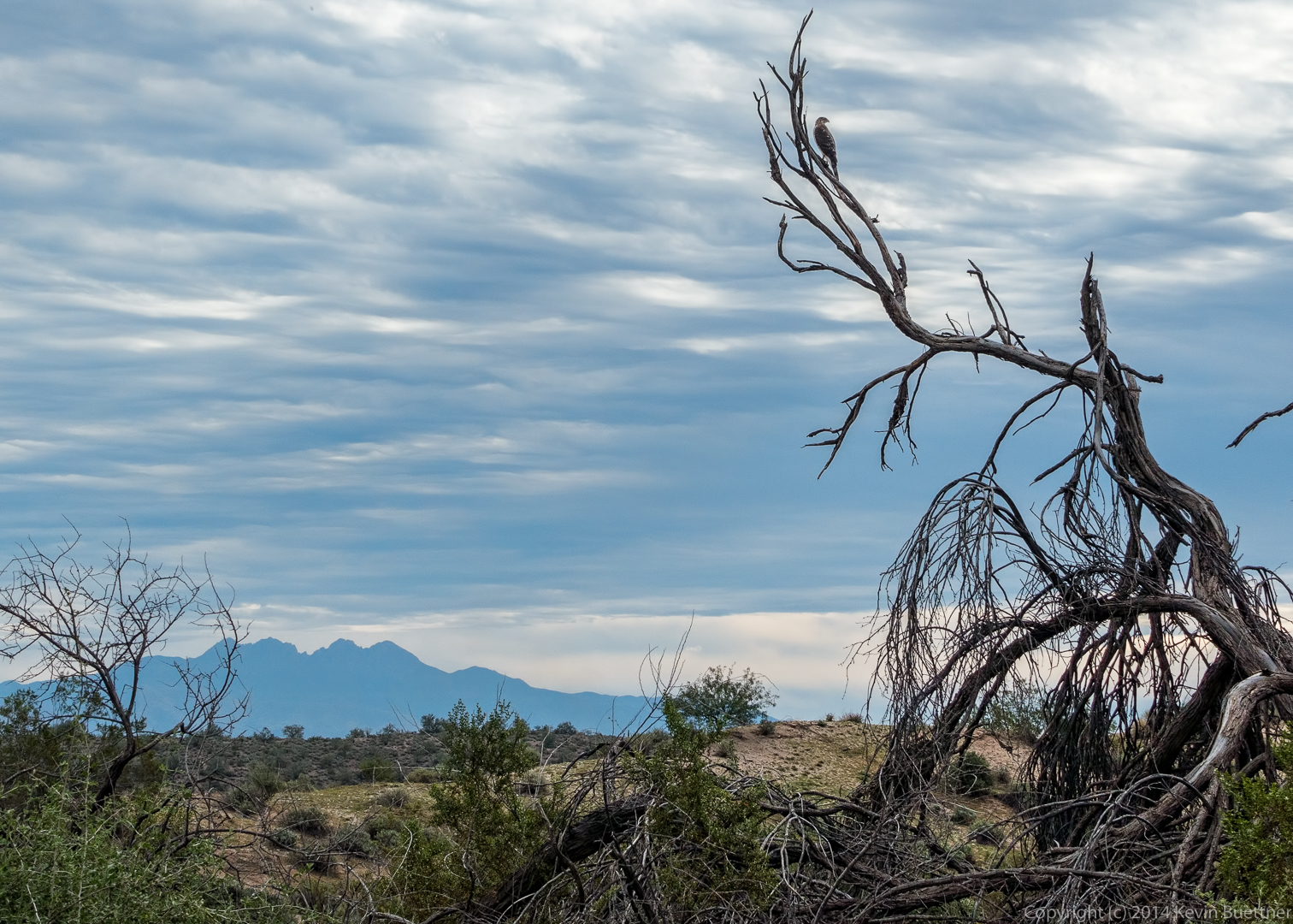
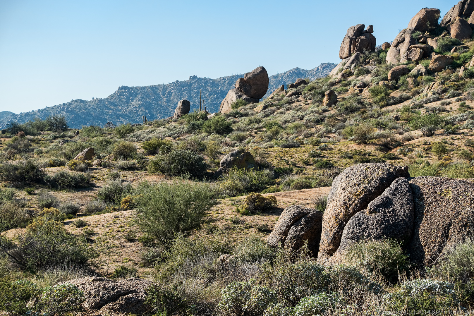
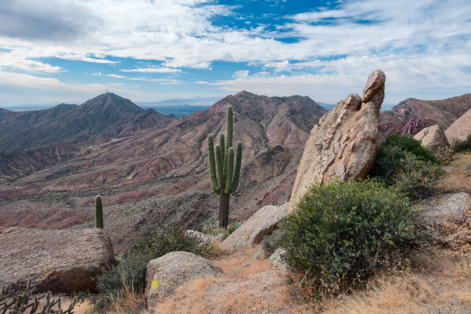
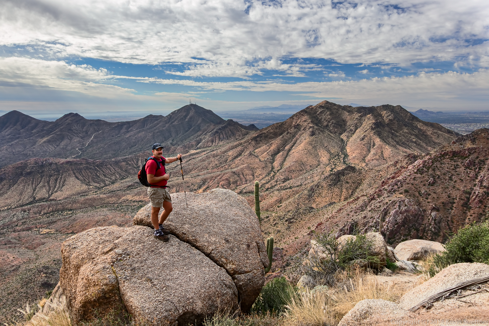
A view of Thompson Peak and another, closer, peak.

20141121-_DSC5869-Edit-medium
20141121-_DSC5893_4_5-Edit-medium


Yet another view of the Thumbnail Pinnacle. It looks very different from this vantage point.

20141121-_DSC5908-Edit-medium

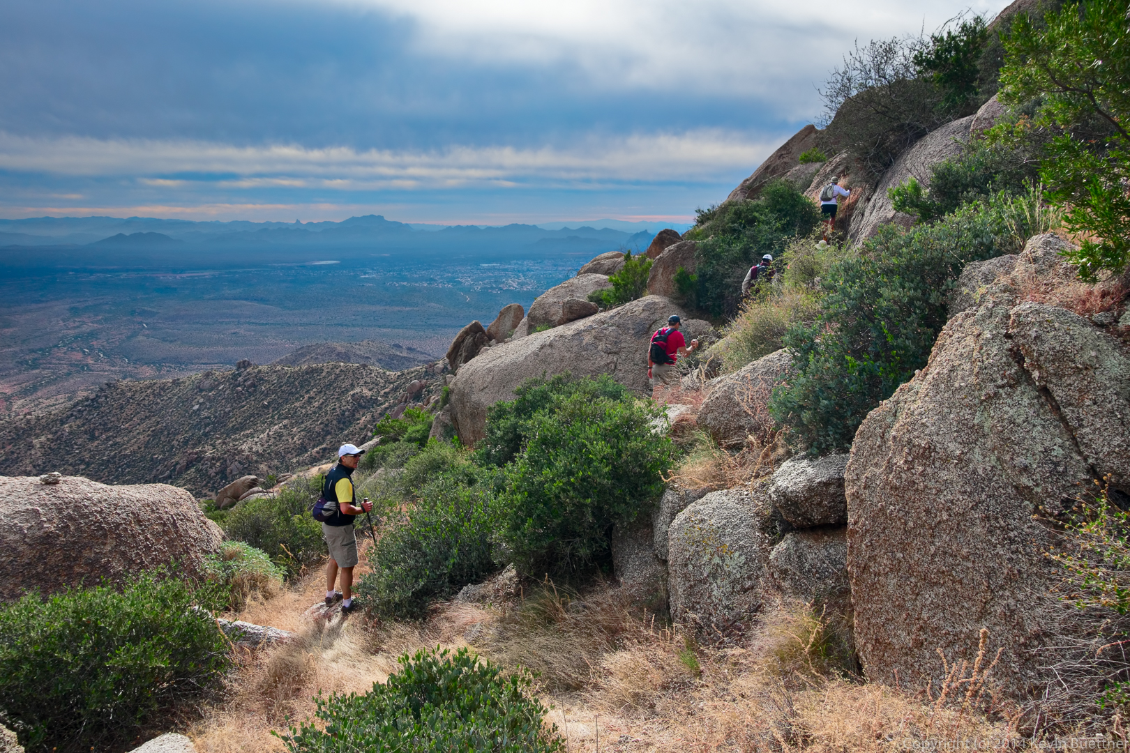
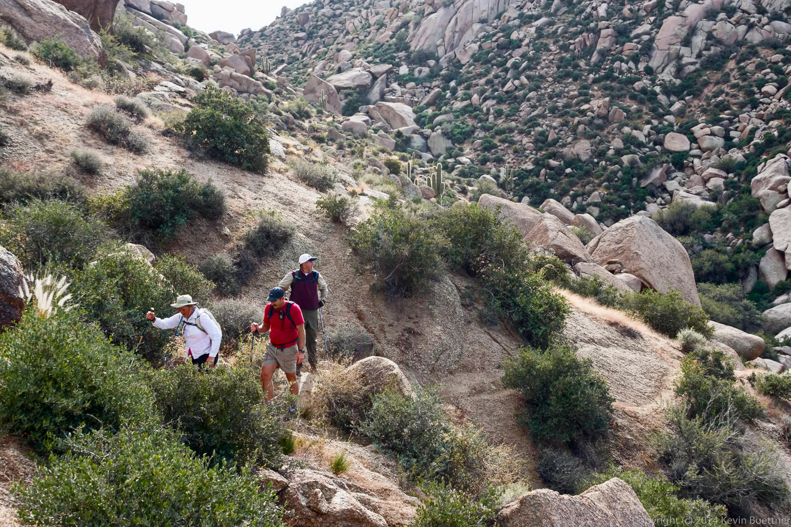
Janet and Allen on their way to the upper ridge that will lead us over to the East End.

20141121-_DSC5947-Edit-2-medium

Allen poses on a large boulder along the way.

20141121-_DSC5977-Edit-medium-2

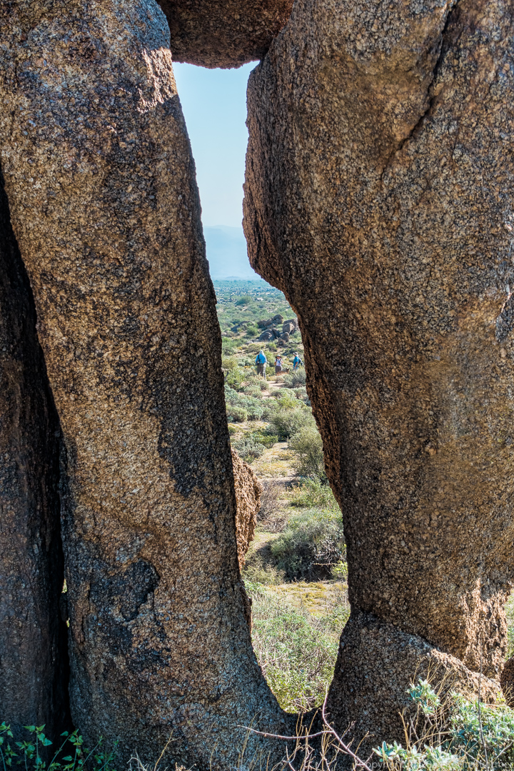
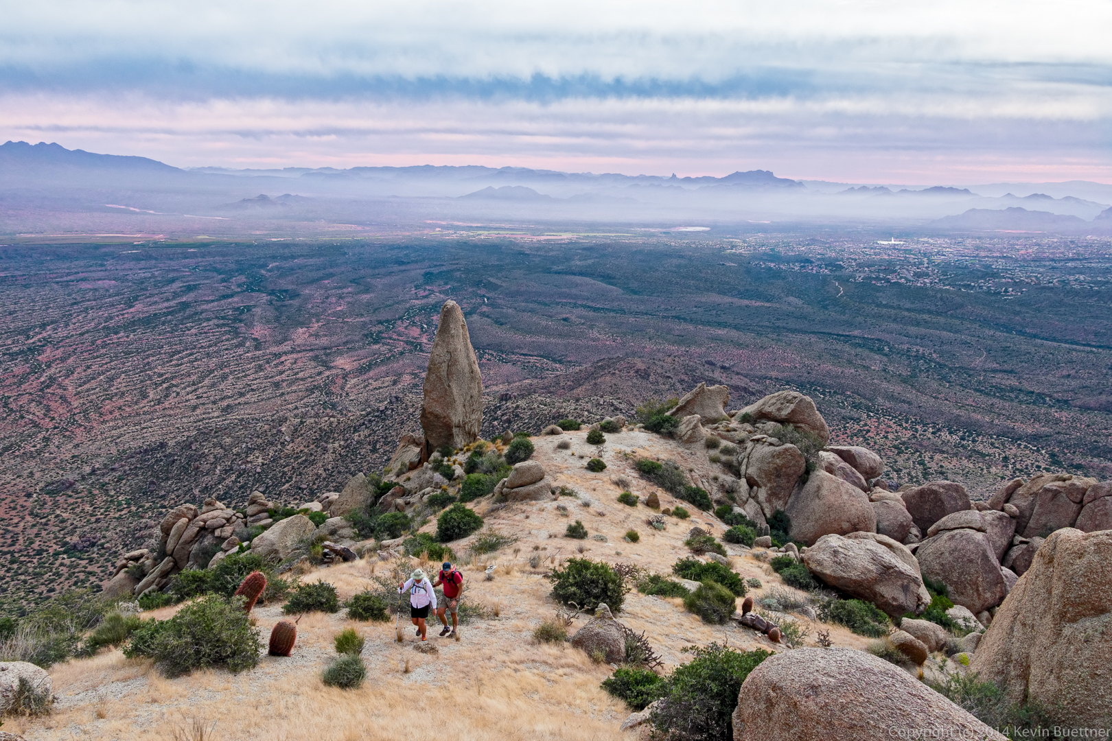
The Thumbnail was out of sight for a while after we gained the ridge. But I noticed that it was momentarily visible again as we made our way towards the East End.

20141121-_DSC5992-Edit-medium

Frank gets a good view from a boulder at the crest of the ridge.

20141121-_DSC6007-Edit_copy-medium-5

I think this is the most difficult part of the hike. A short but loose descent leads down to a good trail.

20141121-_DSC6037-Edit-medium

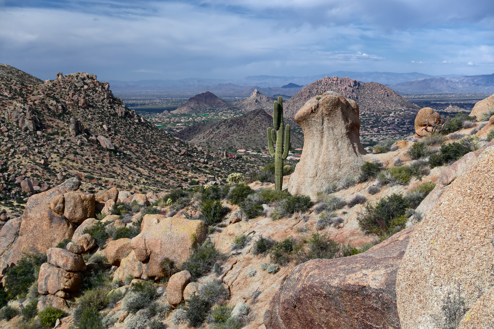
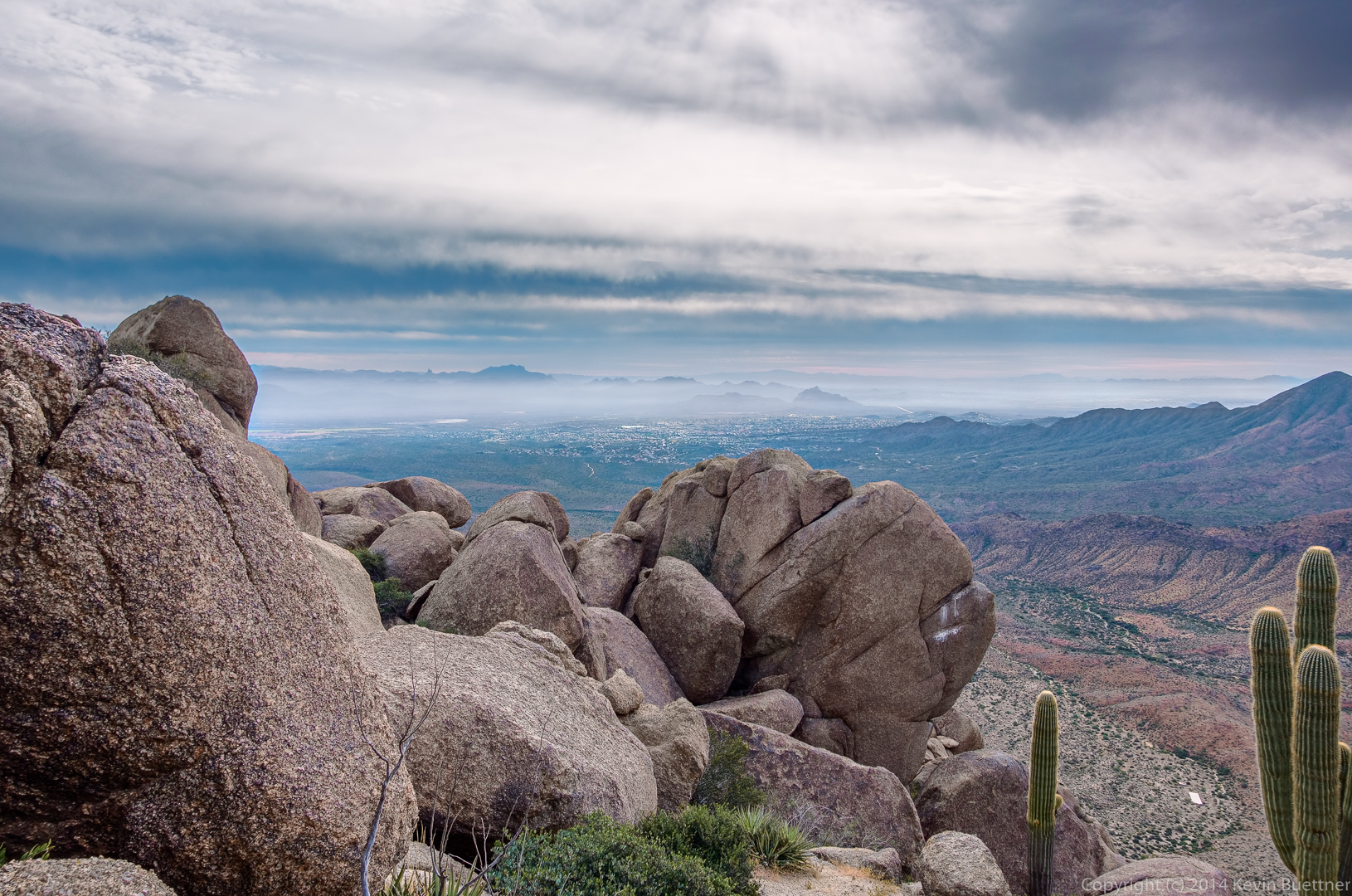
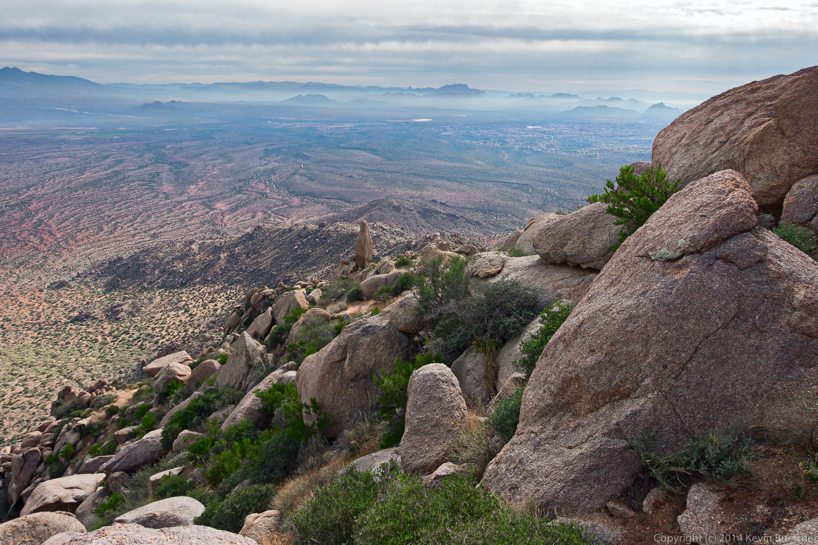
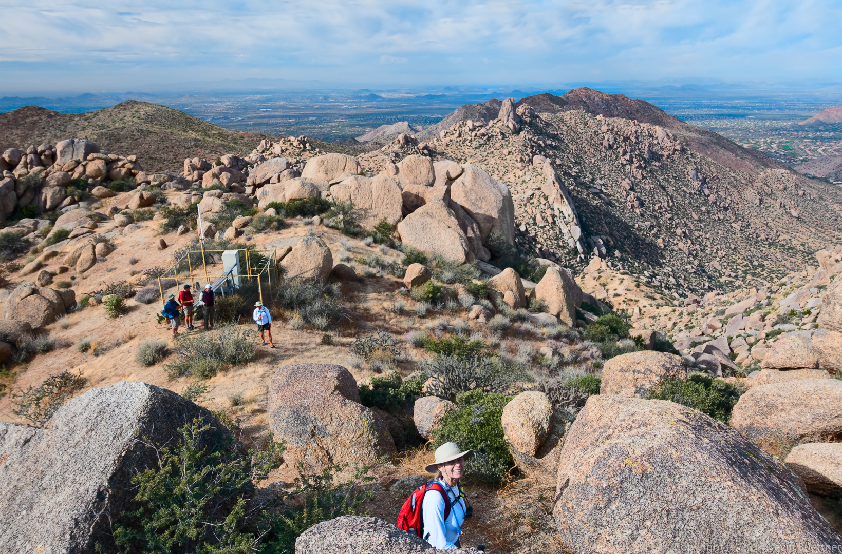
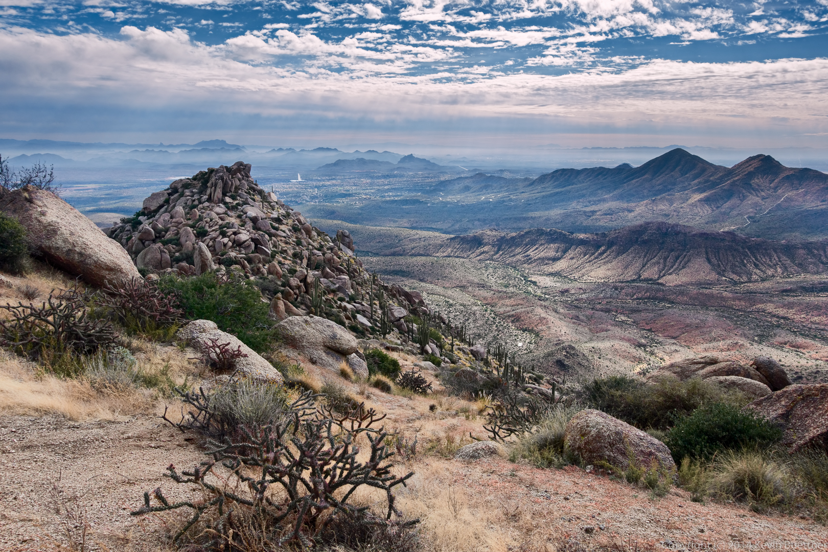
A view from the East End:

20141121-_DSC6073-Edit-medium

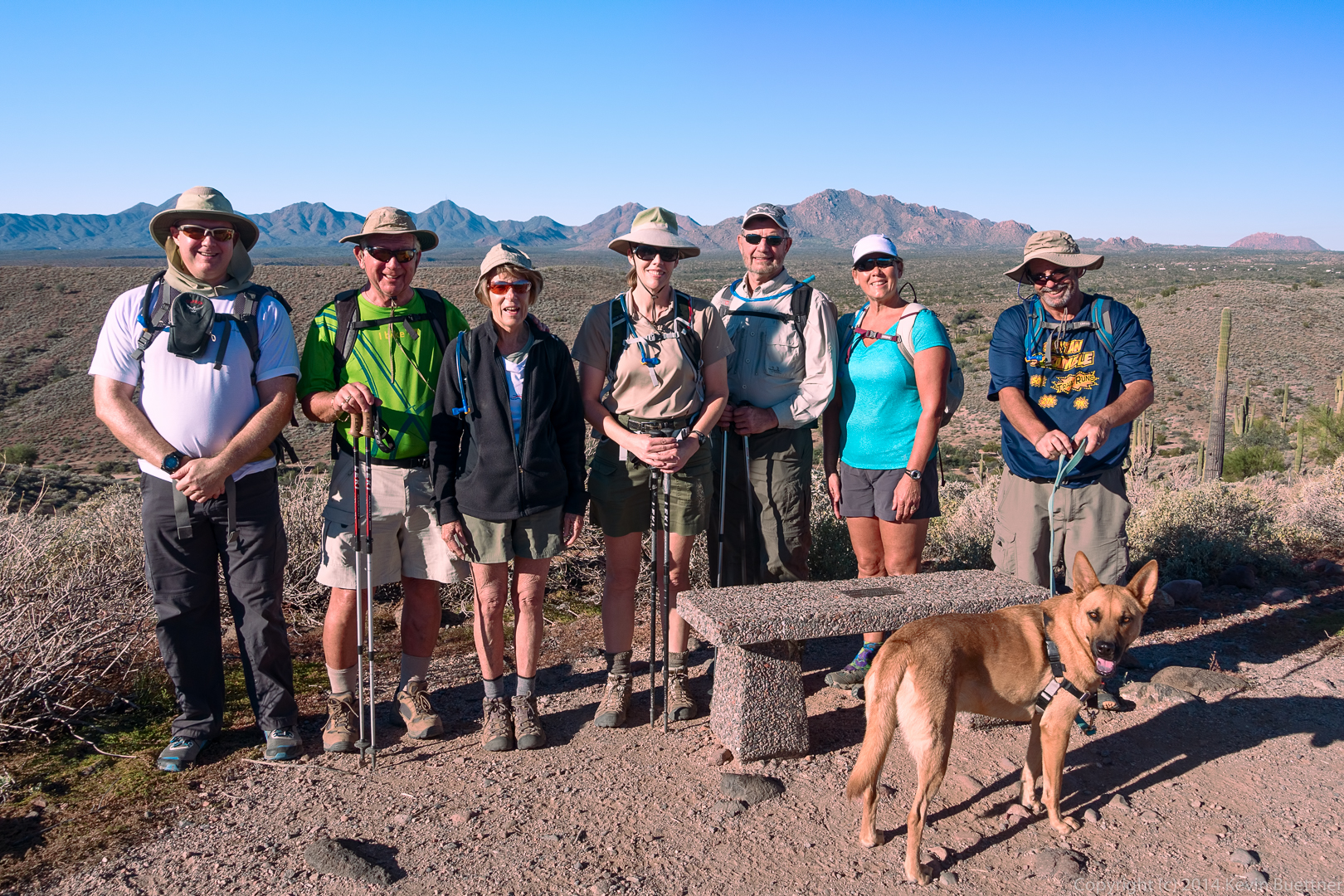
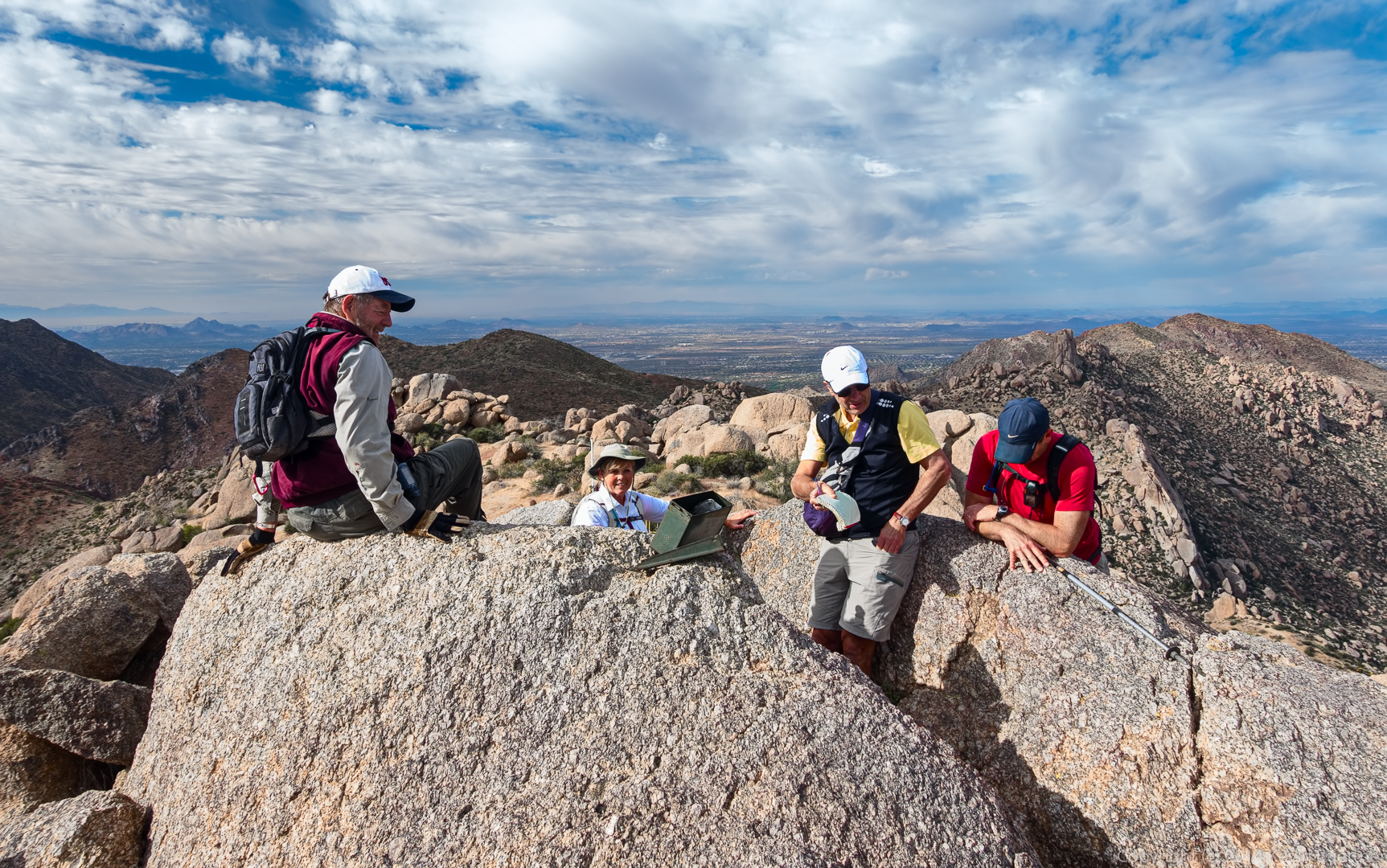
Bill, Janet, Frank, and Allen at the summit. Frank is signing the summit log.

20141121-_DSC6099-Edit-medium

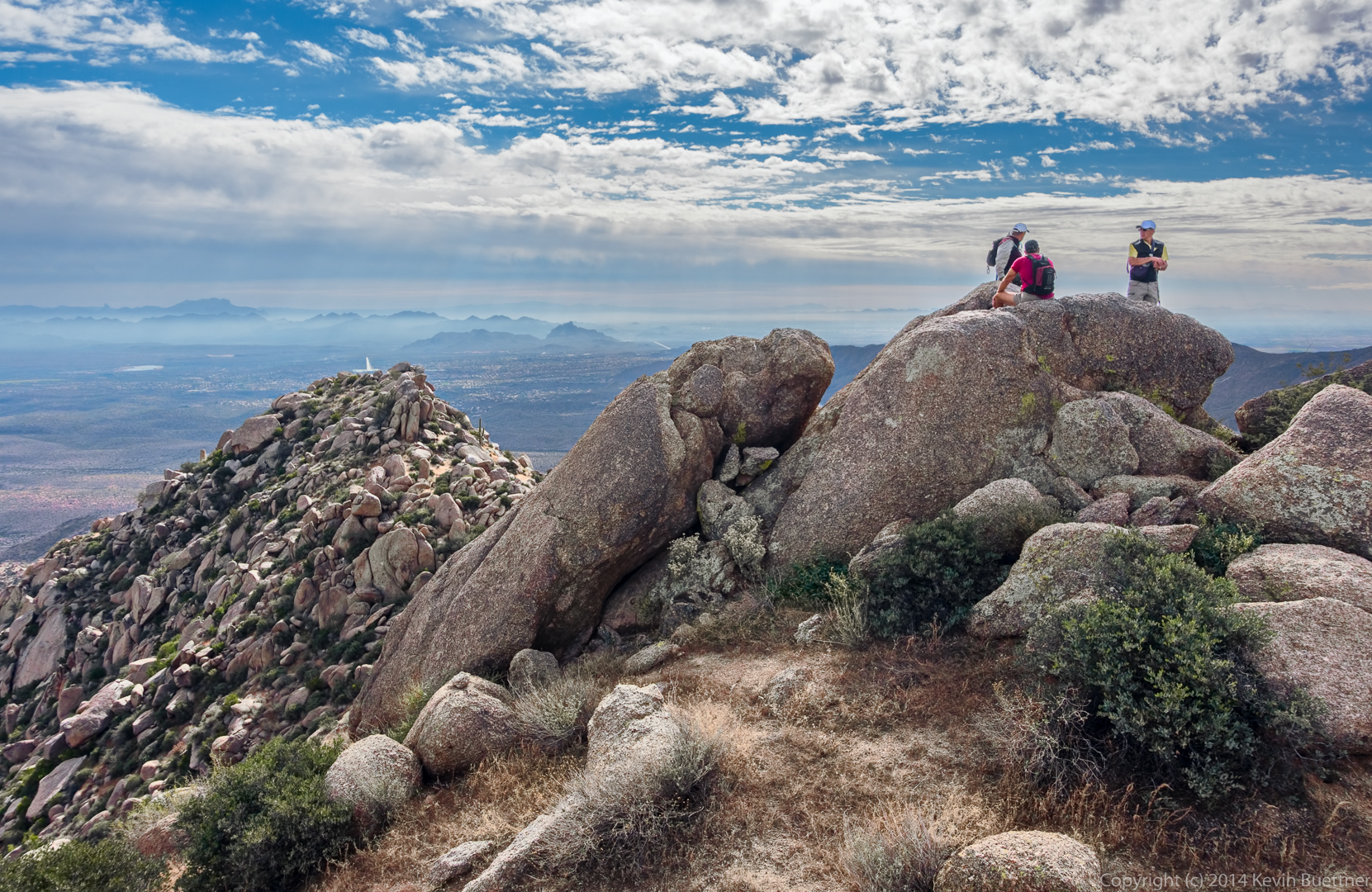
Another view of the summit. The fountain (in Fountain Hills) can be seen behind the rocky ridge that we had to hike to get over to the summit.

20141121-_DSC6184-Edit-medium

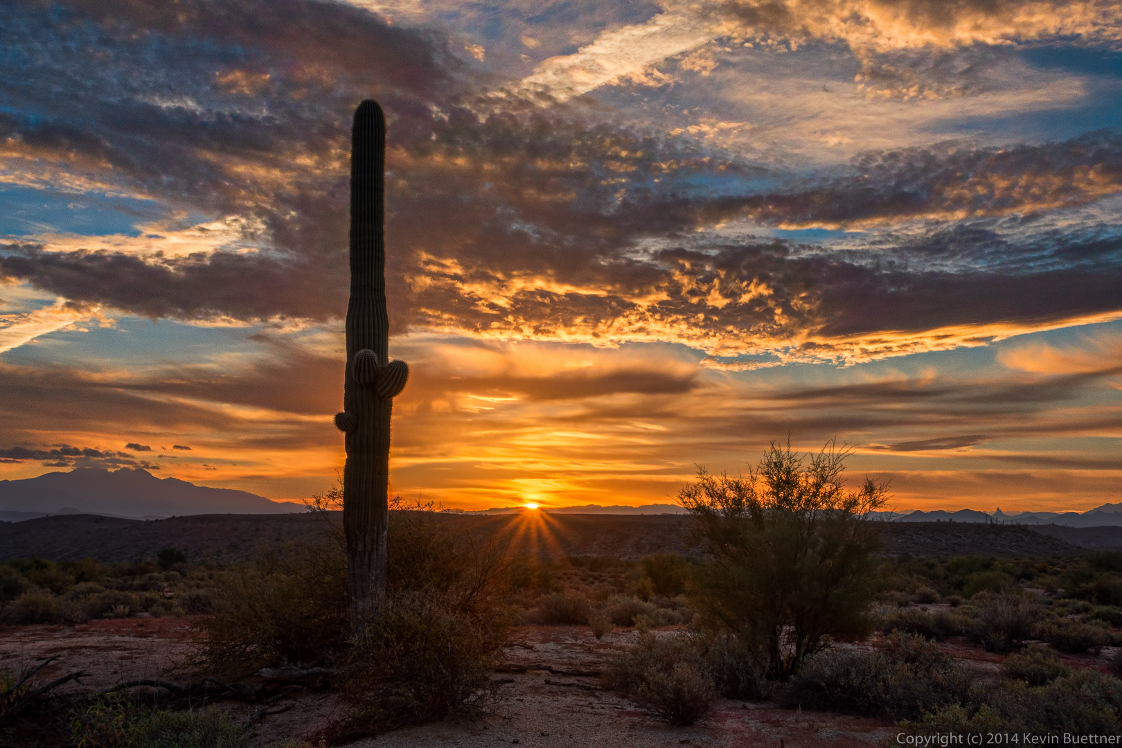
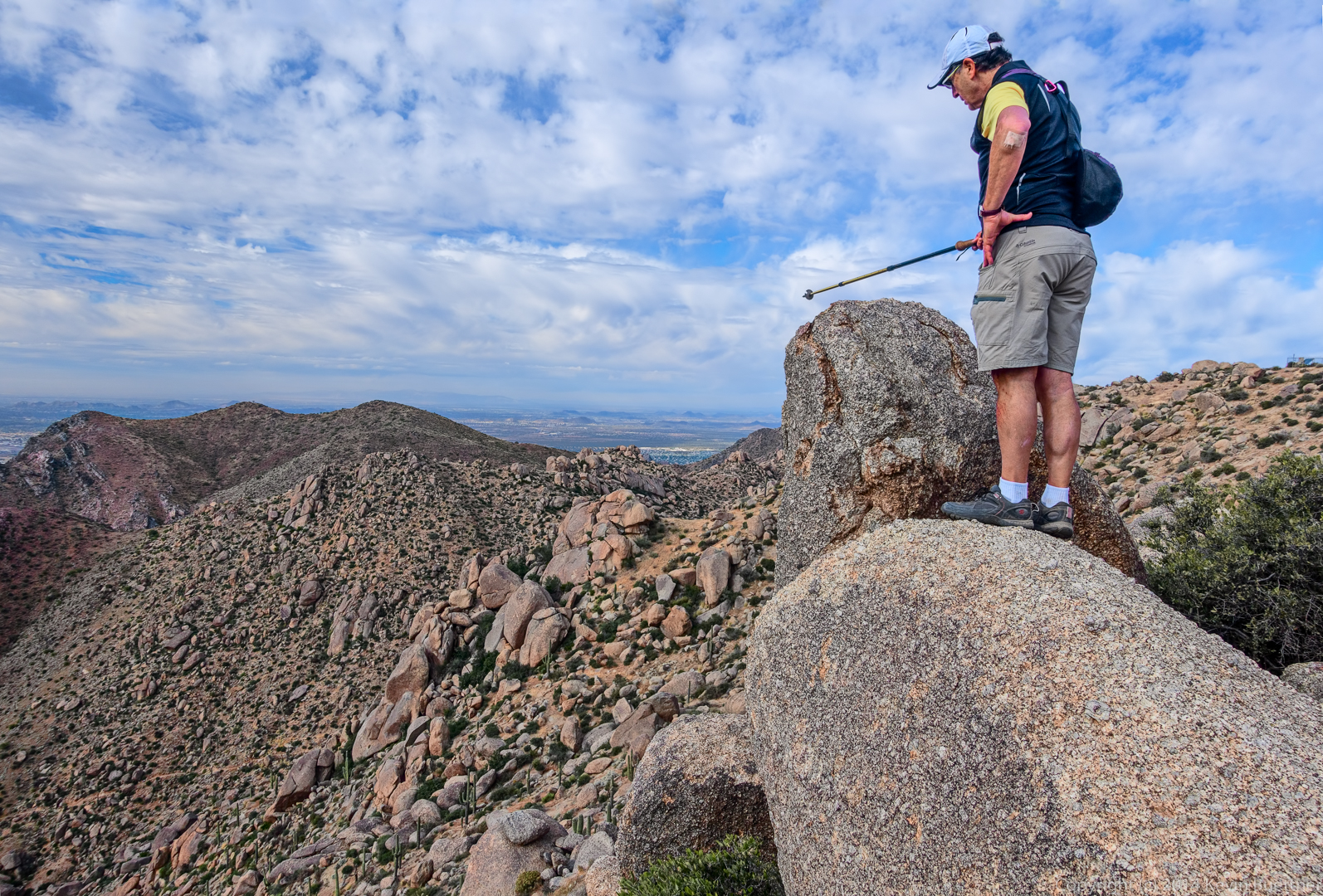
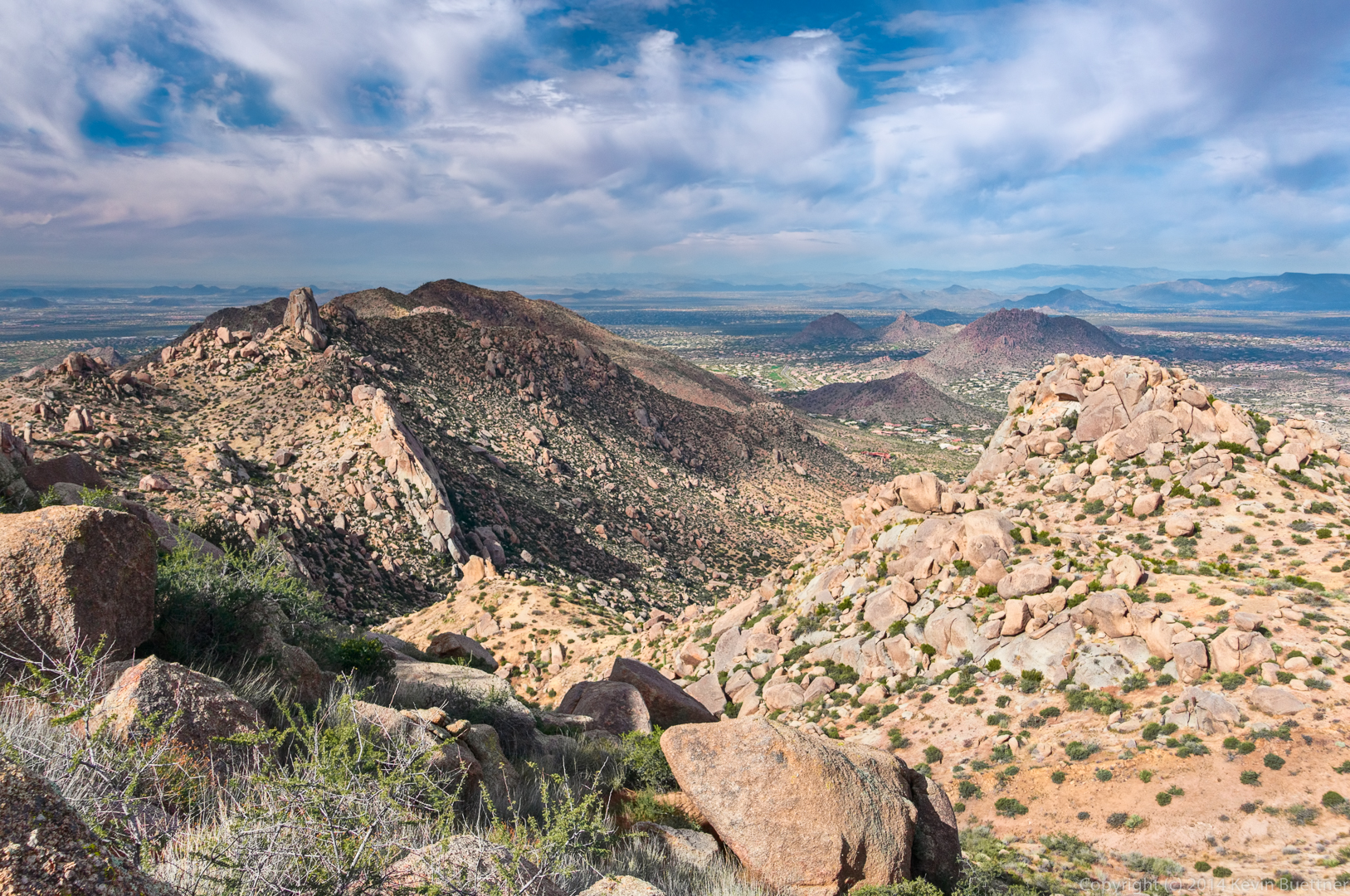
Another view in the same direction. I was off of the summit at this point and took a few more photos prior to descending to the Tom’s Thumb Trail.

20141121-_DSC6202-Edit-medium-4

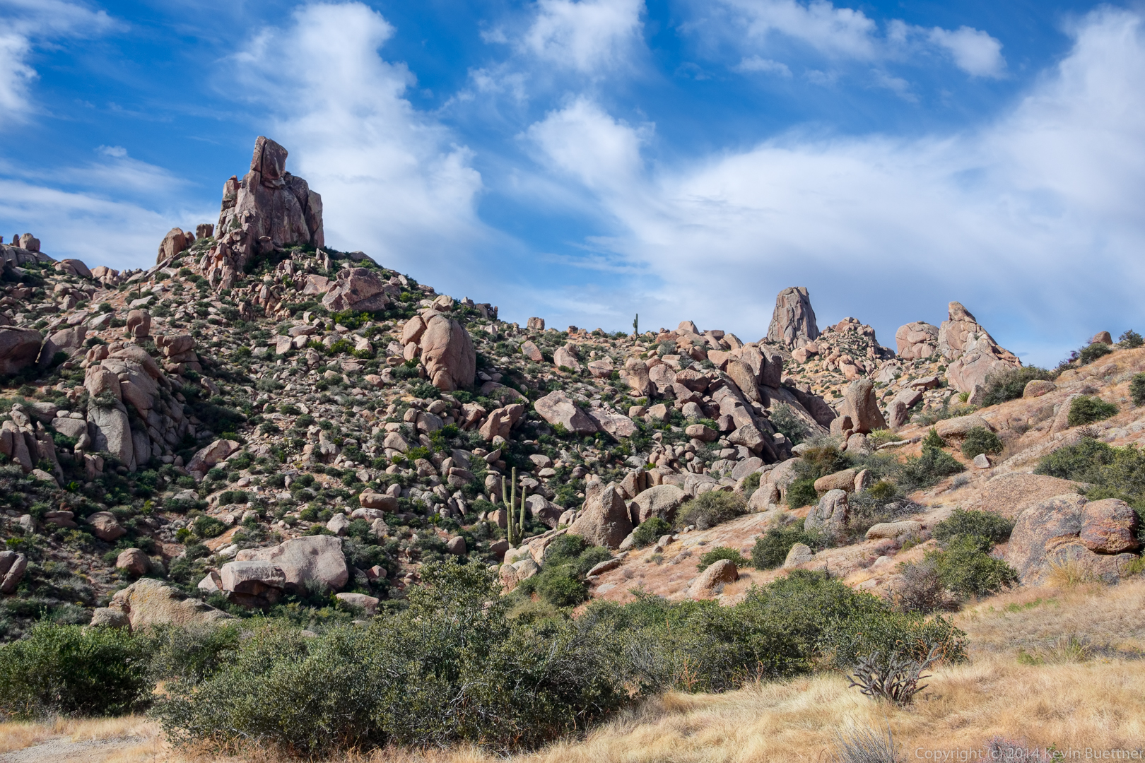
A view of Gardener’s Wall, Tom’s Thumb, Troon Mountain, and Pinnacle Peak:

20141121-_DSC6217-Edit-medium

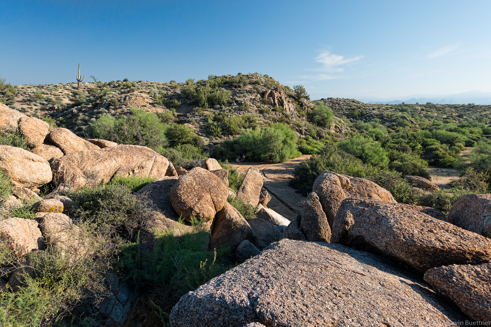
Descending from the East End:

20141121-_DSC6238-Edit-medium

A view of Glass Dome and Tom’s Thumb:

20141121-_DSC6256-Edit-medium

Bob, Frank, Bill, Janet, and Allen hike the trail which goes past Gardener’s Wall.

20141121-_DSC6292-Edit-medium

20141121-_DSC6352-Edit-medium

Another view from the Gardener’s Wall Access Trail:

20141121-_DSC6373-Edit-medium-2

Friday Fitness Hike


Friday’s hike started from the Wagner Trailhead. We did a ten mile hike using all or parts of the Wagner, Granite, Pemberton, and Delsie trails. We also hiked the wash adjacent to the Bluff Trail.

I arrived early so that I could get a shot of the sunrise.

20141114-_DSC4834-Edit-medium

Once the sun was up, I took several other photos using my tripod:

20141114-_DSC4900-Edit-medium

I think I did seven or eight edits of this image before I finally got one that I liked. I’m still learning to use Dan Margulis’ Picture Postcard Workflow (PPW). I learned a lot from working on this one.

20141114-_DSC4906-Edit-5-medium

20141114-_DSC4948-Edit-medium

These are the leaves and berries of a hackberry bush.

20141114-_DSC4954-Edit-2-medium

George, Jill, Deanne, Sandy, Linda, and Janet joined me for the hike. This photo below was taken at the point where George and Jill continued their hike on the Granite Trail while the rest of us headed up the Bluff Trail Wash.

20141114-_DSC4981-Edit-medium

A rock formation in the wash:
20141114-_DSC4996-Edit-2-medium-2

20141114-_DSC5023-Edit-medium

We saw two tarantulas on our hike. This is the first one, which was in the wash:

20141114-_DSC5035-Edit-medium

Our route took us through these large boulders:

20141114-_DSC5038_39_40-Edit-medium-2

This is a senna flower. The color is a more intense in this photo than it is in real life.

20141114-_DSC5053-Edit-medium

We saw a Queen of the Night plant along the Pemberton. We also saw two of them on the Delsie Trail, one of which we had never noticed before.

20141114-_DSC5056-Edit-medium-2

This is a globe mallow flower. I tried to be more accurate with the color on this one:

20141114-_DSC5074-Edit-medium

We saw the second tarantula on the Pemberton Trail. Sandy was worried that the tarantula would be run over by a mountain bike. In this shot she’s about to pick up the stick that she used to divert the tarantula off the trail. It took several tries; the tarantula was very stubborn.

20141114-_DSC5104-Edit-medium-2

Here’s a shot of the tarantula safely off the trail:

20141114-_DSC5125-Edit-medium

Friday Fitness Hike

Friday’s hike started from the Trailhead Staging Area. George, Jill, Bob, Sarge, Janet, Bill, Amy, and I hiked the Scenic Trail. When we got back to the Pemberton, George, Jill, and Amy returned to the trailhead for a 4.5 mile hike. Bill, Janet, Bob, Sarge, and I went the other way on the Pemberton, returning via the Lariat, Granite, Wagner, and Tortoise trails for an 11.2 mile hike.

I’ve added a new element to my photographic workflow for this week’s photos, but I’m not very good at it yet. I think that some of these have a reddish cast. I’ve decreased the saturation in areas of a few of them where it’s especially bad, but it’s still noticeable.

Our hike started at 8:00am, so the sun was well up when we started. I thought about getting out early for a sunrise shot, but I would’ve had to show up well over an hour before the hike began. This is a view from the Scenic Trail at the beginning of our hike.

20141107-_DSC4290_1_2-Edit-medium-3

George and Amy arrive at the top of the hill on the Scenic Trail.

20141107-_DSC4360-Edit-6-medium-3

Amy and I both took this shot. From left to right are Kevin, George, Jill, Amy, Bill, Janet, and Bob, with Sarge in front.

20141107-_DSC4363-Edit-medium

This is the small petroglyph along the Scenic Trail.
20141107-_DSC4387-Edit-medium

Brittlebush flowers:

20141107-_DSC4411-Edit-medium


Yet another view from the Scenic Trail. My camera battery died at around this point.

20141107-_DSC4423-Edit-medium

Friday Fitness Hike


An early morning view from the Dixie Mine Trail:

20141024-_DSC3662-Edit-medium

A “tunnel” through the vegetation leads to the mine.

20141024-_DSC3718_19_20_20-Edit-medium

Patty is working her way up the wash towards the petroglyphs.

20141024-_DSC3760-Edit-medium

The petroglyphs:

20141024-_DSC3745_6_6_6_7-2-Edit-medium

This is the view from further up the wash as we neared a short, but steep and slick section of rock.

20141024-_DSC3790-Edit-medium-2

Nick, Bob, and Patty pause at the top of the steep section. We saw a small pool of water on the way up. As usual, there were a lot of bees and other insects around this wet spot.

20141024-_DSC3805-Edit-medium

Saguaros on the Prospector Trail:

20141024-_DSC3820-Edit-medium

Richard, Nick, Linda, Bob, Patty, and (another) Linda hike up the Prospector Trail:

20141024-_DSC3865-Edit-medium

Hiking back…

20141024-_DSC3946-medium

20141024-_DSC3949-medium

20141024-_DSC4024-medium

Sunset on the Scenic Trail

20141019-_DSC3367_8_8_9_9-Edit-medium 20141019-_DSC3442_3_3_4_4-Edit-medium 20141019-_DSC3509_10_11_12_13-3-Edit-medium 20141019-_DSC3548-Edit-medium

Friday Fitness Hike

Friday’s hike started from the Trailhead Staging Area. We meandered around the park, seeing many things. When we were done, we found that we had hiked ten miles!

I stopped just outside of Fountain Hills on my way over to the park to get this shot of the sunrise. The color in the sky lasted for only a minute or two before fading. By the time I got to the park, only a few miles away, it was almost entirely gone.

20141017-_DSC2680-Edit-medium

I took the next two shots from the Hilltop Trail (prior to the start of the hike).

20141017-_DSC2730-Edit-medium-2

20141017-_DSC2750_1_2-Edit-medium

This is a view from the Pemberton, early in the hike:

20141017-_DSC2771_2-Edit-medium

Ranger Amy told us that this is Devil’s Claw:

20141017-_DSC2789-Edit-medium

We saw these formations on our way to hike some of the washes with high, steep banks:

20141017-_DSC2801-Edit-medium

20141017-_DSC2813-Edit-medium

20141017-_DSC2816-Edit-medium

These were some of the views from the washes that we hiked. We spent most of our time hiking through washes.

20141017-_DSC2825-Edit-medium

20141017-_DSC2846-Edit-medium

From left to right are Sarge, Bob, Nick, Linda, Richard, Gary, and Patty.

20141017-_DSC2855-Edit-medium

I think it was Gary who noticed this beehive. It was high above us – I had to crop the photo extensively to get this shot.

20141017-_DSC2875-medium

Richard hikes ahead in the wash. It was around this point that we saw some owls, but I didn’t get any good shots of them.

20141017-_DSC2891-Edit-medium

Another shot of the wash and its banks:

20141017-_DSC3035-Edit-medium

Gary took this group photo with me in it:

20141017-_DSC3044-Edit-medium

An ocotillo and a saguaro together; I think we were back on the Pemberton at this point.

20141017-_DSC3058_59_60-Edit-medium

This is one of the clay pits adjacent to the Pemberton Trail. If you look closely, you can see two cyclists on the Pemberton.

20141017-_DSC3076-Edit-medium

Three saguaros. I was surprised at how they seemed to line up.

20141017-_DSC3085-Edit-medium

Another wall, this time along one of the forks of the Stoneman Wash:

20141017-_DSC3091_2_3-Edit-medium

Datura flowers:

20141017-_DSC3115-Edit-medium

Someone on the hike told me that this is a small hawk. I tried to get closer, but it flew away.
20141017-_DSC3157-Edit-medium

This flowering bush might be Goldenhead (Acamptopappus sphaerocephalus). Whatever it is, the bees surely liked it. There were so many bees around this bush that I was a little nervous getting close for this shot.

20141017-_DSC3169-Edit-medium


A rocky hillside…

20141017-_DSC3220-Edit-medium-2

Three more saguaros that almost line up…

20141017-_DSC3241-Edit-medium

Another view, this time with the group:

20141017-_DSC3250-Edit-medium

Bob with Sarge, in Shallmo Wash:

20141017-_DSC3256-Edit-medium

Goldeneye:

20141017-_DSC3268-Edit-medium A gnarly piece of a tree in Shallmo Wash:

20141017-_DSC3292-Edit-medium

Richard spotted this piece of quartz with a low lying plant draped across it.

20141017-_DSC3295-Edit-medium

More foliage in Shallmo Wash; the gray plant to the left had a sort of blueish cast when I saw it in person.

20141017-_DSC3301-Edit-medium

Friday Fitness Hike

Friday’s hike started at the Wagner Trailhead. We hiked out to Rock Knob and back for a hike of about nine miles.

The sun rose as I was driving to the park. I found a safe place to pull over to get this sunrise shot…

20141010-_DSC1989_90_91_91-Edit-medium

When I got to the park, the sun was well up; I got this shot of the sun behind a palo verde tree.

20141010-_DSC1995-Edit-Edit-medium

Seed pods:

20141010-_DSC2109-Edit-medium

Something we rarely see in the park is dew. I think it was either Linda or Patty who pointed out the dew in this low lying plant.

20141010-_DSC2148-Edit-medium

Storms in recent months have eroded portions of the Bluff Wash. The photo below shows the previous level of the wash alongside the new channel created by running water.

We used to scramble up the notch in the rocks behind Sarge (the dog). Erosion has lowered the starting point so much that Linda was unable to reach the starting foothold. I was able to get to it, but only barely. We found a different way to get to the upper part of the wash.

20141010-_DSC2169-Edit-medium

We had a great view once we found a way to the top of the rocks lining the wash.

20141010-_DSC2187-Edit-medium

I saw a bird sitting atop this rock as we proceeded up the wash.

20141010-_DSC2244-Edit-medium

More color as we hiked up the wash; there were a surprising number of flowers for this time of year.

20141010-_DSC2250-Edit-medium

Gary pointed out several places where moss was growing.

20141010-_DSC2283-Edit-Edit-medium

I think this might be Tamarisk. (?) If so, it’s pretty, but it’s not especially good for it to be here.

20141010-_DSC2289-Edit-medium-2

Gary, Patty, Linda, Sarge, and Bob:

20141010-_DSC2304-Edit-medium-3

We saw this unusual rock formation on our way towards Rock Knob.

20141010-_DSC2361-Edit-medium

More rocks…

20141010-_DSC2370-Edit-medium

20141010-_DSC2382-Edit-medium

A look back through the hole in the rock in the previous photo. The rest of the group was patiently waiting for me to finish my photography.

20141010-_DSC2418-Edit-Edit-medium

A saguaro with a droopy arm.

20141010-_DSC2457-Edit-medium

Sarge!

20141010-_DSC2490-Edit-medium

Time for a water break…

20141010-_DSC2511-Edit-medium

Cyclists on the Wagner Trail:

20141010-_DSC2558-Edit-medium

Friday Fitness Hike

Last Friday’s hike started at the Horse Staging Area. We crossed the road and hiked one of the service roads through the competitive track area. We eventually ended up in Stoneman Wash, which led us back to the Pemberton. We returned via Shallmo Wash for an 8.2 mile hike.

A saguaro in front of Red Mountain:

20141003-_DSC8518-Edit-medium


Bob removes cactus needles from Sarge’s paw while Gary and Linda wait.
20141003-_DSC8536-Edit-2-medium-2

A view of the McDowells from the service road.

20141003-_DSC8551-Edit-2-medium

I think this is a creosote flower (and plant).

20141003-_DSC8635-Edit-medium

I brought a macro lens along on the hike. I managed to do a little bit of focus stacking with this shot, but the depth of field is still really shallow.

20141003-_DSC8723-Edit-medium

Sarge!

20141003-_DSC8849-medium

Another flower, though I don’t know what it is.

20141003-_DSC8855-medium

A bank of Stoneman Wash:

20141003-_DSC8861-Edit-medium


Bob and Sarge hike ahead in Stoneman Wash.

20141003-_DSC1518-Edit-medium

The view of Weaver’s Needle from the intersection of the main park road with the Pemberton:

20141003-_DSC8949-Edit-medium

Entering Shallmo Wash:

20141003-_DSC8952-Edit-medium

I think that this is a Goldeneye blossom:

20141003-_DSC8988-Edit-medium

Turkey Vulture?

20141003-_DSC9035-Edit-medium


Thursday Morning Hike

Bob, Sarge, and I hiked some trails in the competitive track area at McDowell Mountain Park on Thursday morning.

20141002-_DSC8275-Edit-medium

20141002-_DSC8305-Edit-medium

20141002-_DSC8344-medium

20141002-_DSC8398-Edit-medium

20141002-_DSC8410-Edit-medium

20141002-_DSC8425-Edit-medium

20141002-_DSC8434-Edit-medium

20141002-_DSC8449-Edit-medium

20141002-_DSC8493-Edit-medium


20141002-_DSC1478-Edit-medium

20141002-_DSC1484-Edit-medium


Friday Fitness Hike

Bob and I hiked the Dixie Mine, Sonoran, Promenade, and Western Loop trails on Friday for a hike of about 10 miles with 2,000+ feet of total ascent.

I got this shot while walking through the Eagle’s Nest gated community. (A little over half a mile separates the parking area from the beginning of the Dixie Mine Trail.)

20140926-_DSC1075_6_6_6_7_7-Edit-medium-3

A view from the Dixie Mine Trail:

20140926-_DSC1093_4_5-Edit-medium

A view of the Fountain with Weaver’s Needle and the Flatiron far in the distance:

20140926-_DSC1153_4_5-Edit-medium

This is one of my favorite spots to photograph on the Sonoran Trail. I like it so much that I photographed it both on the way out (immediately below) and on the way back (further below). This photo was made from two exposures, one more or less as shown below, and another with my thumb placed between the lens and the sun. Blocking the light source with a thumb prevents lens flare which would either ruin the shot or (at best) make it extremely tedious to edit.

20140926-_DSC1183-Edit-medium

Views from the Western Loop Trail:

20140926-_DSC1300-Edit-medium-2

20140926-_DSC1315-Edit-medium

20140926-_DSC1327-Edit-medium

20140926-_DSC1336-Edit-medium

A view of part of the long uphill section on the return trip of the Sonoran Trail. Look for the trail in the wash at the bottom along with switchbacks at the bottom-right corner.

20140926-_DSC1351-Edit-medium

Another view of one of my favorite spots on the Sonoran Trail. The earlier shot was taking at 7:45am. This one was taken at around 10:30.

20140926-_DSC1369-Edit-medium

Back on the Dixie Mine Trail…

20140926-_DSC1399-Edit-medium-2

I think the flowering plant in front is Goldeneye with an ocotillo behind it.

20140926-_DSC1411-Edit-medium

I was taking close-ups of one of the flower clusters when this bee landed…

20140926-_DSC1435-Edit-medium