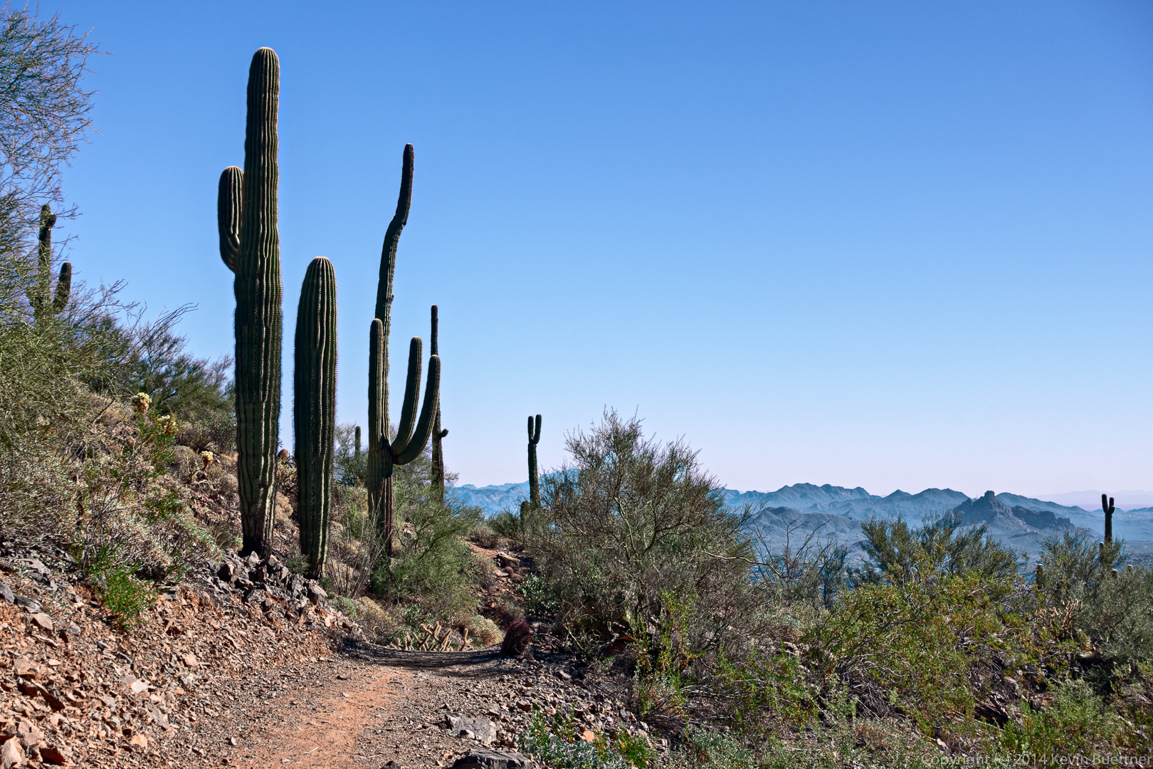
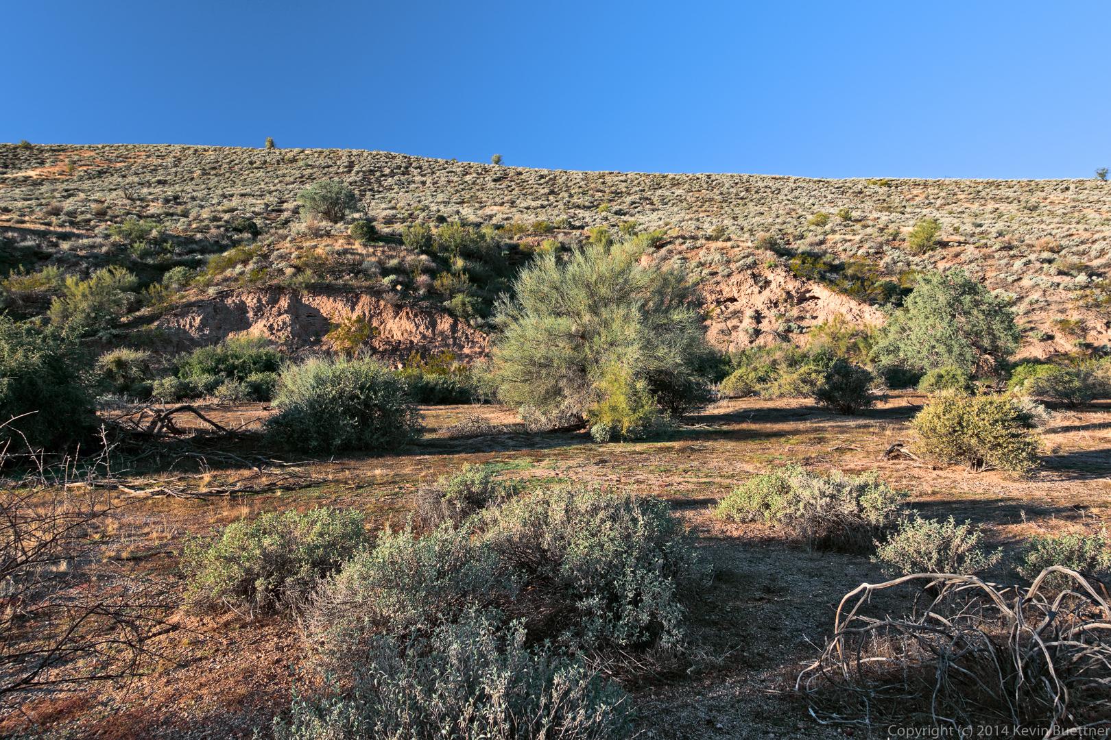
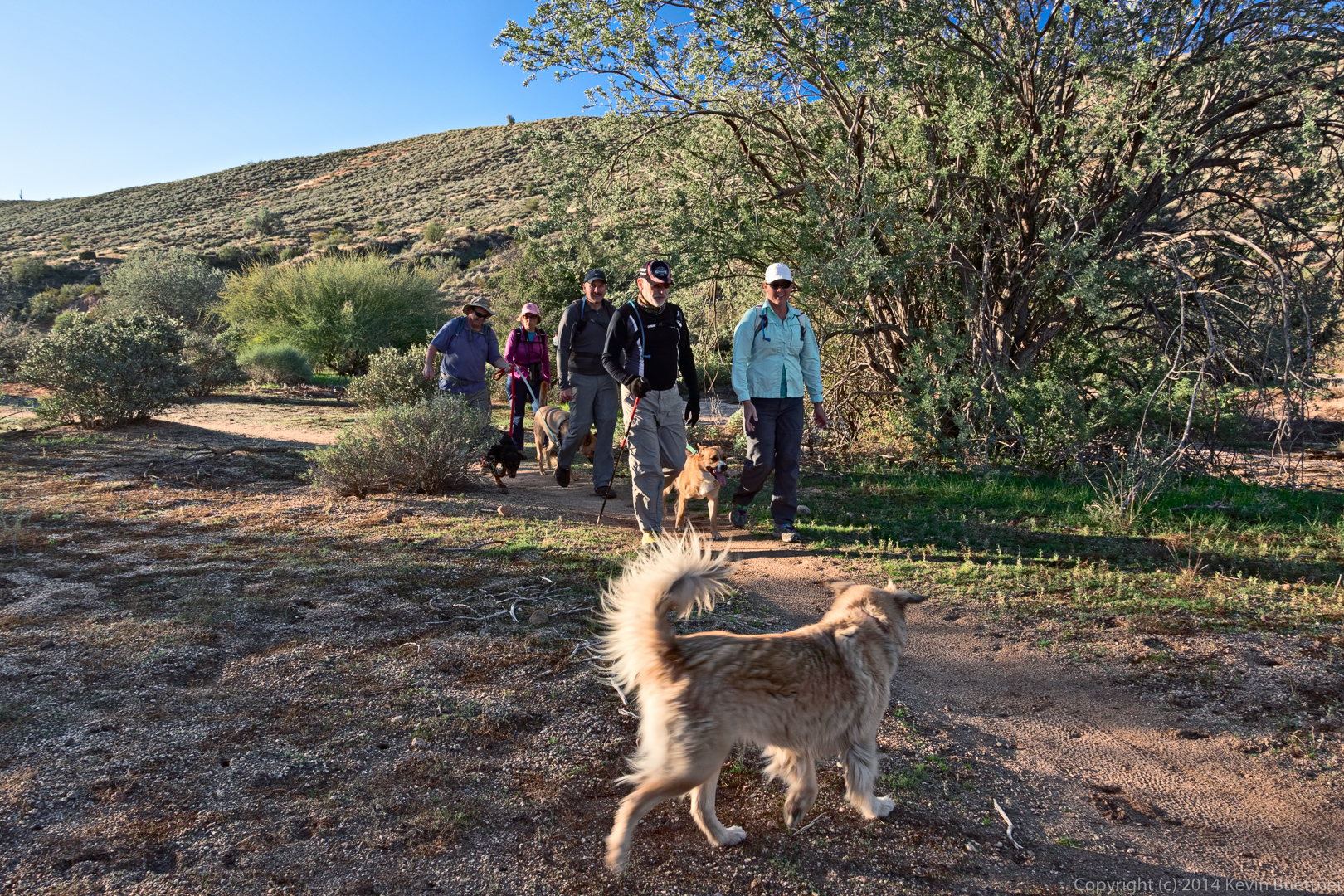
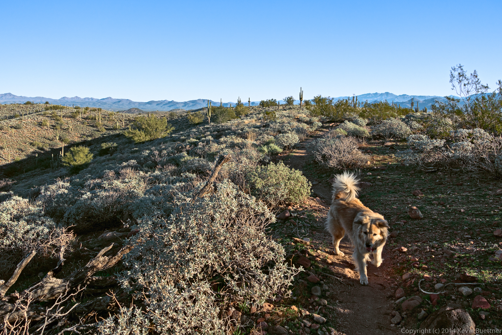
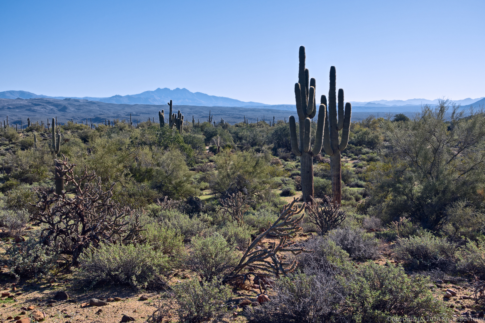
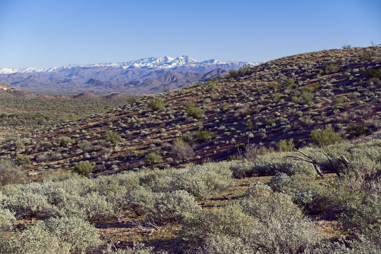
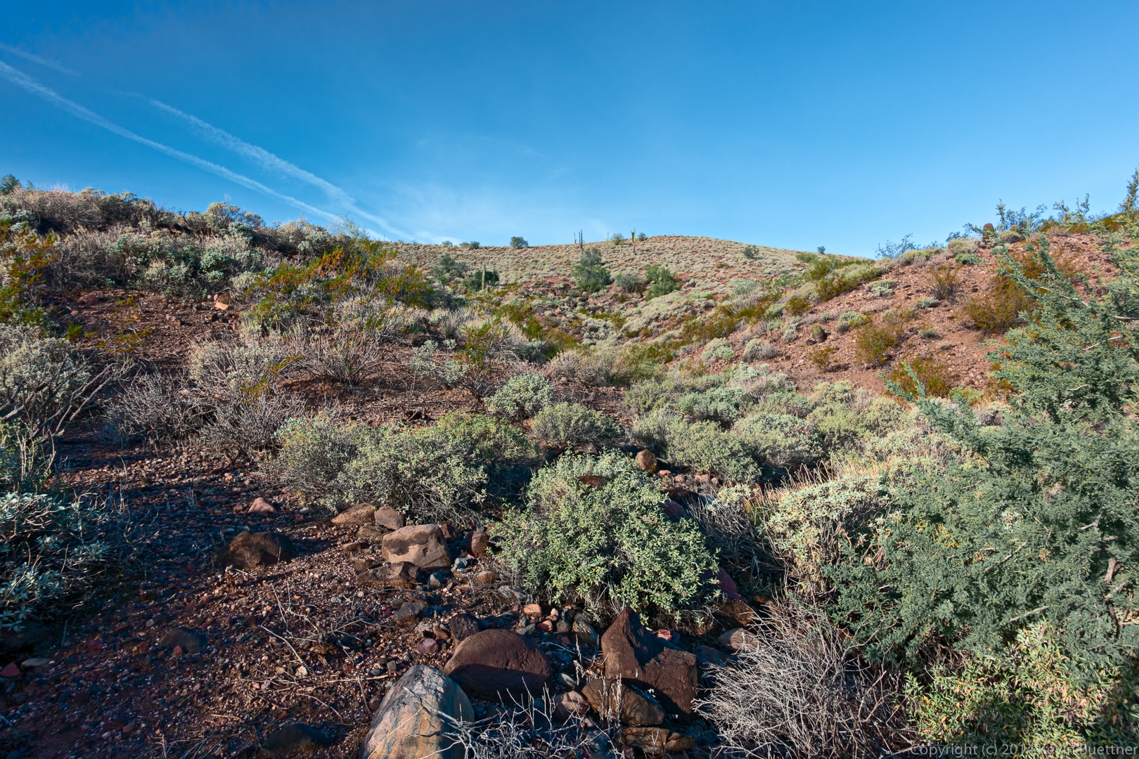
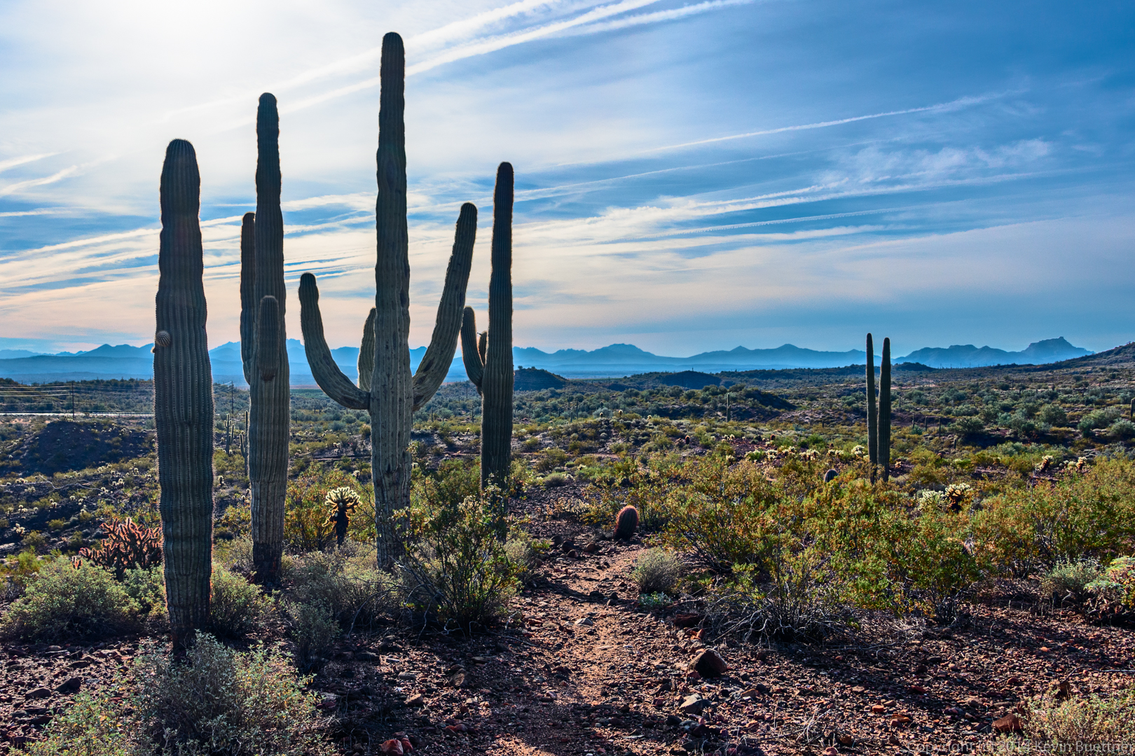
These photos are from last Friday’s hike of the Dixie Mine, Prospector, Bell Pass, Windmill, and Coachwhip trails. Linda and I hiked just over 10.7 miles. Bob, Janet, Allen, and the Bob’s dogs accompanied us as far as the Prospector Trail, at which point they took a different route back.
Tag: McDowell Mountain Park (page 31 of 46)
Below are photos from last week’s hike on the Dixie Mine, Sonoran, Promenade, Western Loop trails. (We also hiked a short section of the Andrews-Kinsey trail.) Linda and I hiked a little over 10 miles. The others turned back while still on the Sonoran Trail, hiking around seven miles total.
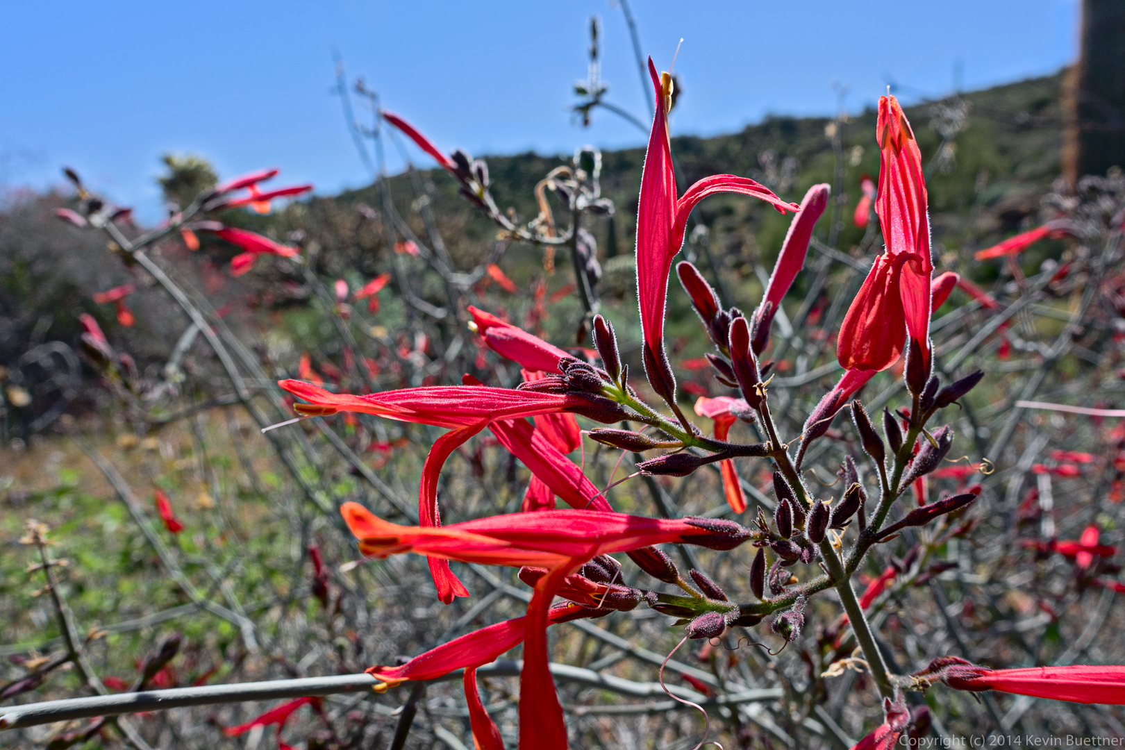
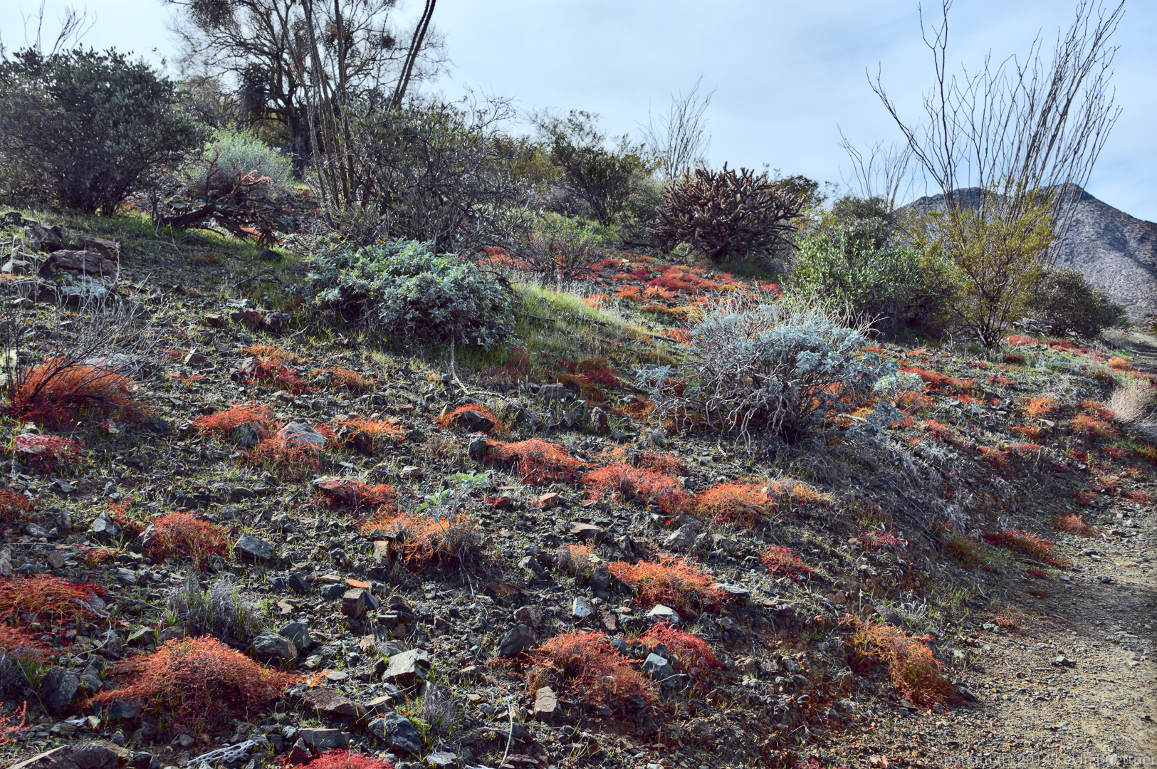
Linda suggested several of these shots. We both thought that the colors of the spurge (reddish ground cover) and brittlebush were interesting. (Note to Linda: When doing color correction on these photos, checking the values in Lab color space,I found that brittlebush leaves have a < 0 (green) and b > 0 (yellow) where b is roughly –a. This is why brittlebush looks “bluer” than a lot of other desert foliage, most of which have a b that’s significantly greater than that recommended for healthy foliage elsewhere. Note to others: Linda listened politely and patiently while I explained Lab color space.)
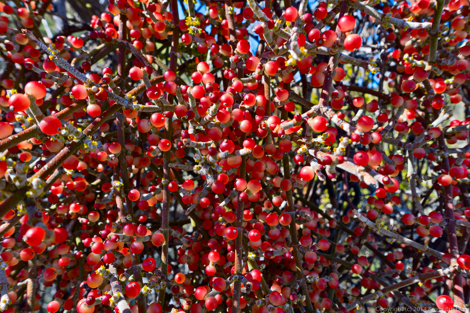
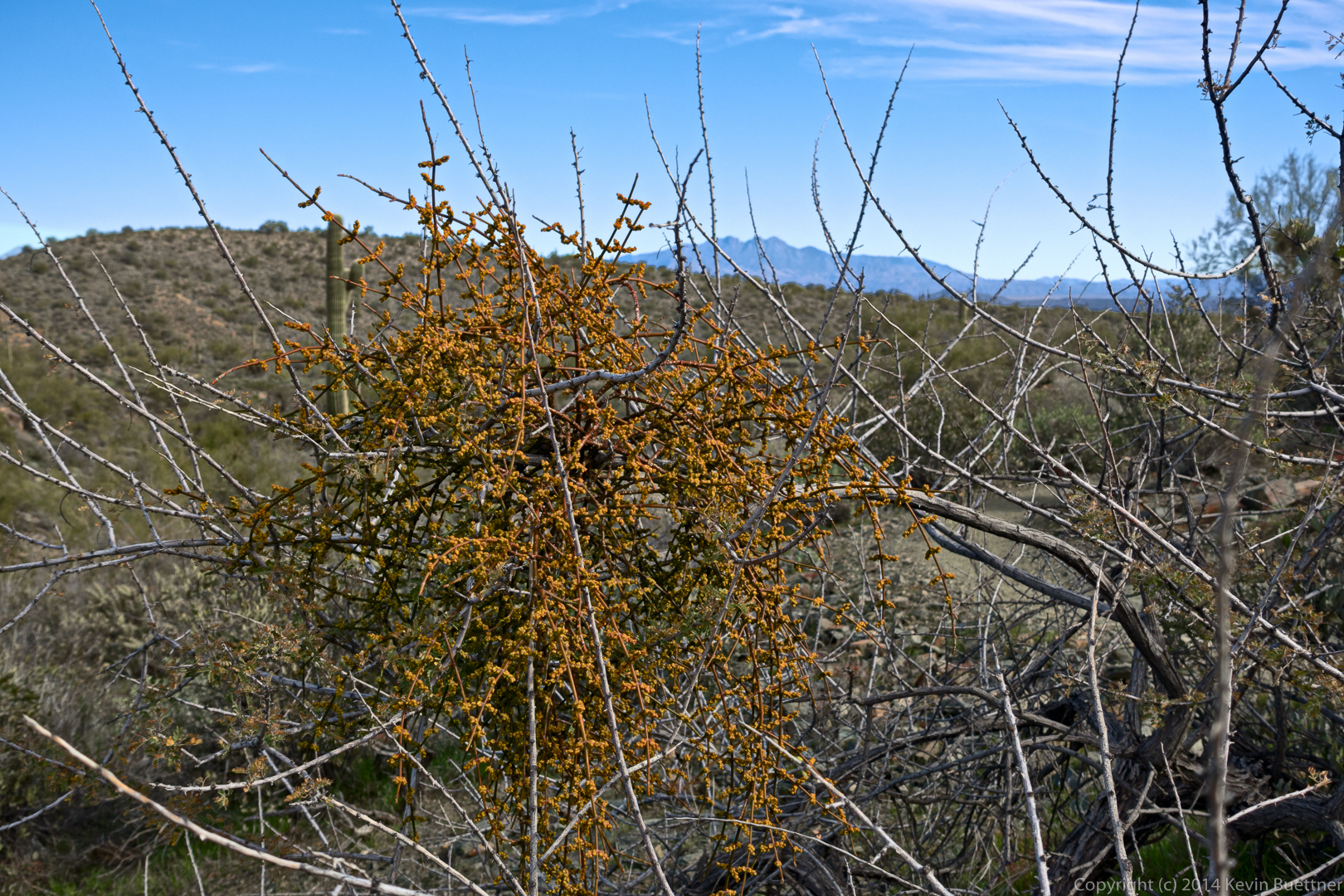
I think this is desert misletoe. Both Linda and I thought it was an unusual color, but it could be stressed either due to cold or perhaps death of the host plant.
Last Friday’s hike started at the Horse Staging Area. We hiked Escondido to Cinch, and then Cinch to Scenic. We turned right on Scenic, going up the hill and hiking atop the ridge. When we got to Pemberton, Nick and I turned right onto Pemberton and then right again onto Escondido. We finished the hike on Escondido. (We actually hiked a short ways up Shallmo Wash too; I wanted to get my distance for the day over 10 miles.) Bob, Allen, Janet, Mary Lou, and the four dogs turned the other way on Pemberton for a somewhat shorter hike.
According to my GPS watch, going right onto Scenic from Cinch only adds 0.2 miles compared with going left on Scenic. That being the case, there’s not much of a reason to go the “shorter” way. Hiking atop the ridge is a much nicer hike, in my opinion.

I hiked the North Trail and part of the Verde Trail with Ranger Amy on Thursday.
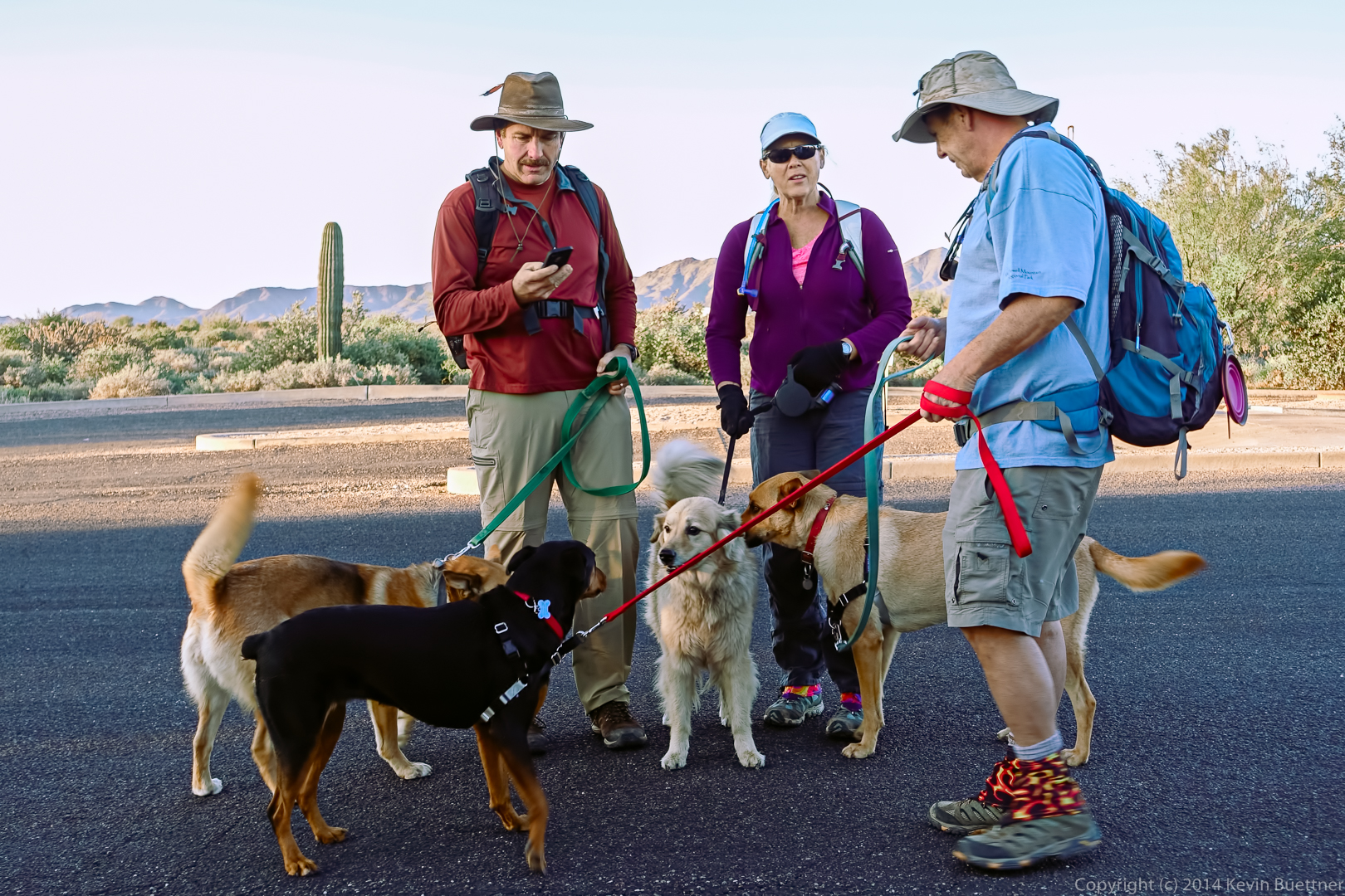
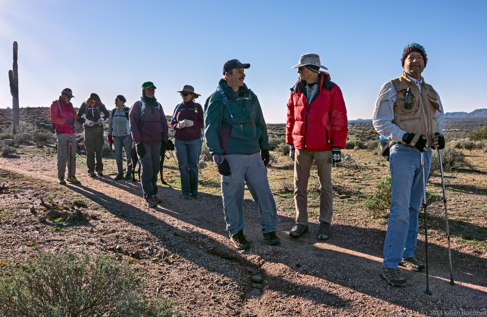
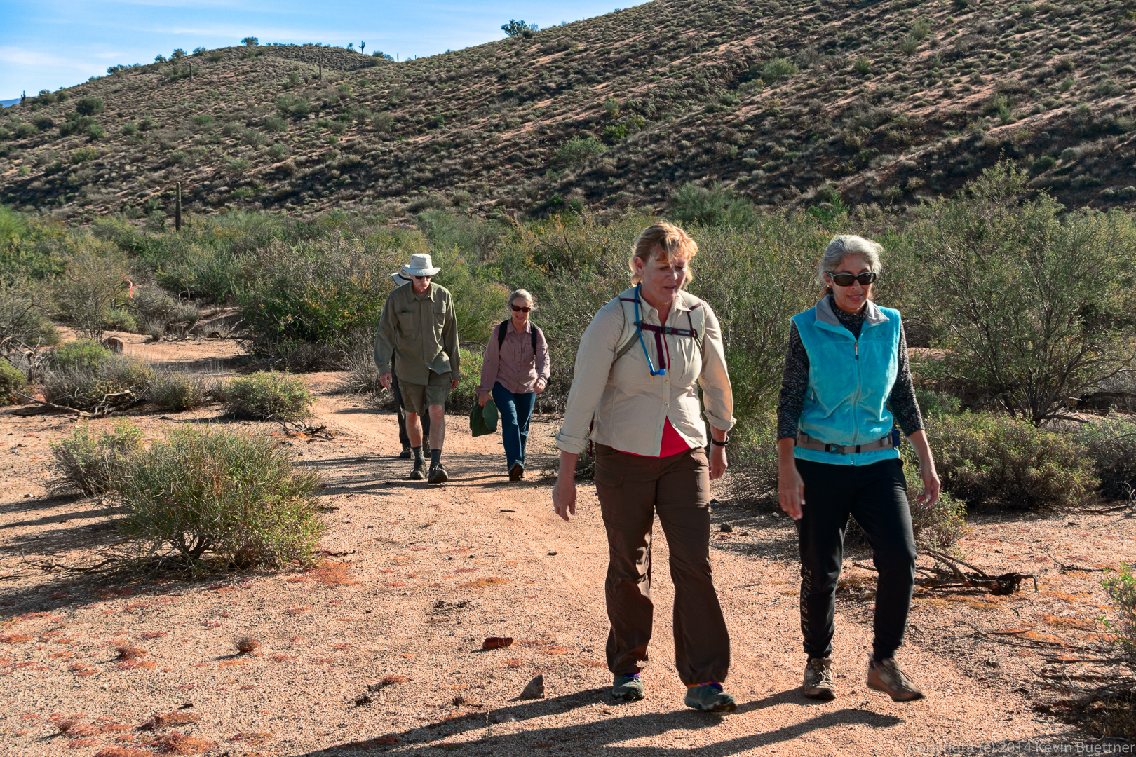
Friday’s hike started at the Wagner Trailhead. Bob brought his new dog, Keena, who is about two years old. Allen and Janet brought their dogs too. The dogs were happy to meet each other.
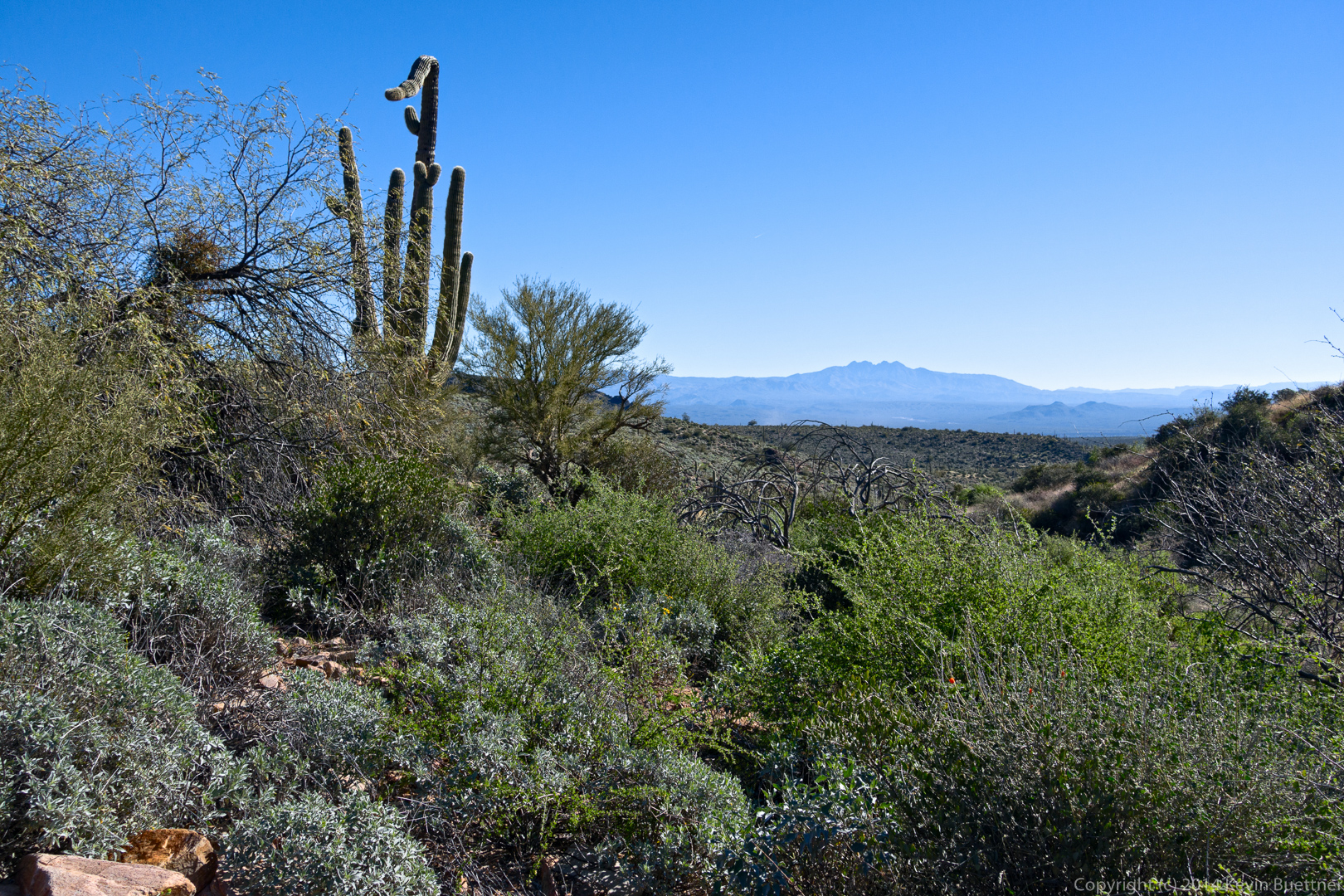
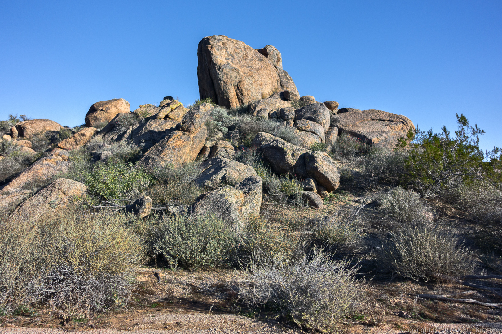
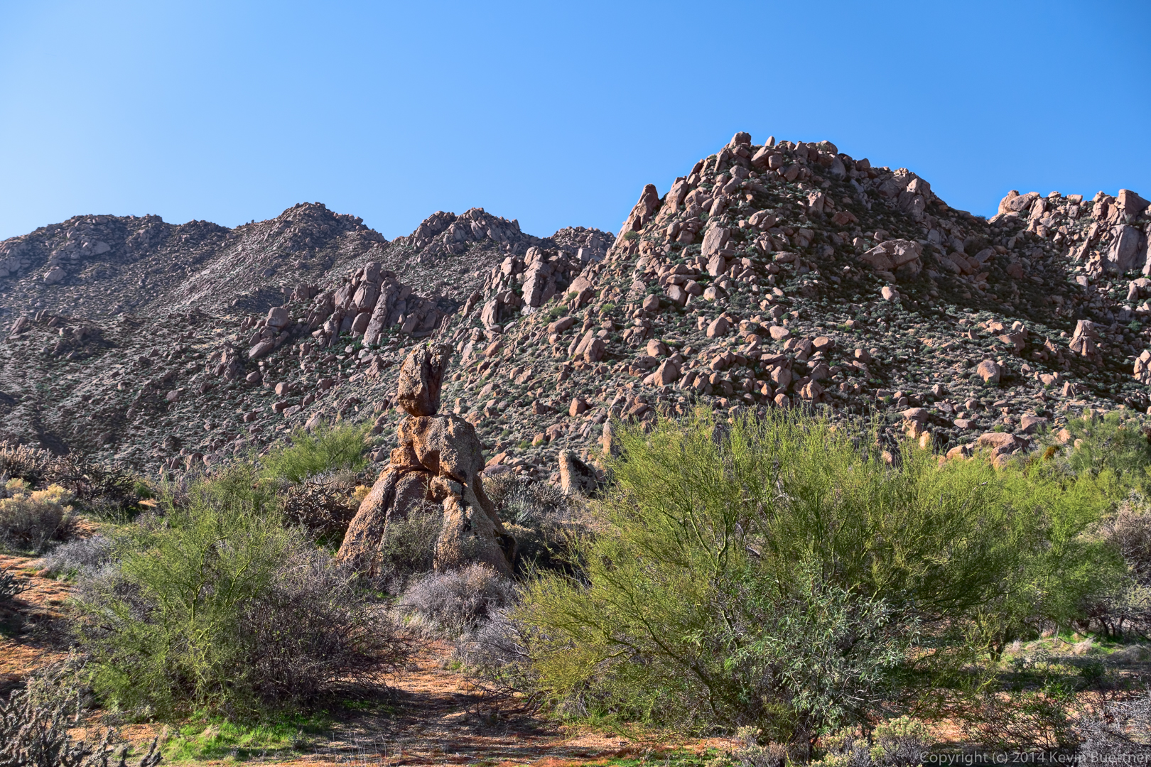
Views from the Granite Trail:
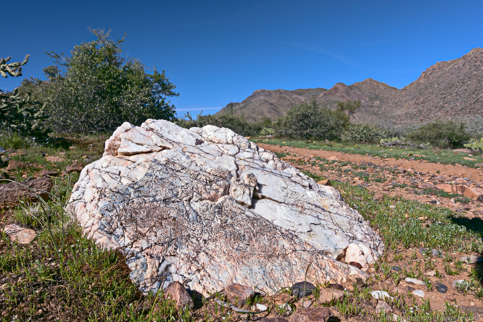
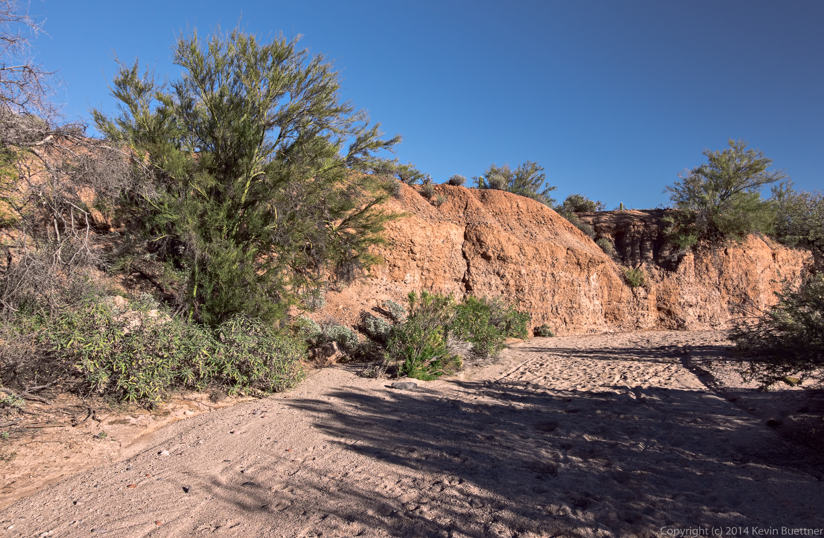
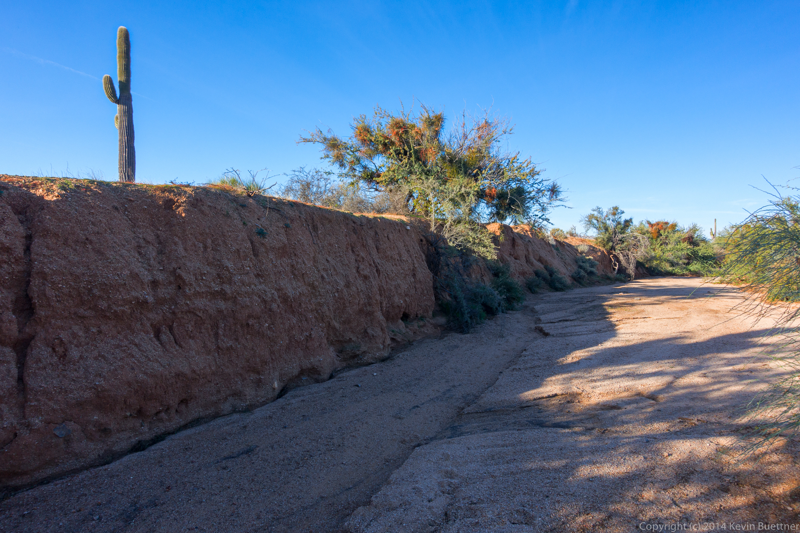
Rock formations on a bank of the wash:
 A view of the McDowells in the distance at the right. The small hill on the left is at the top of the Bluff Trail.
Rock Knob, on the right:
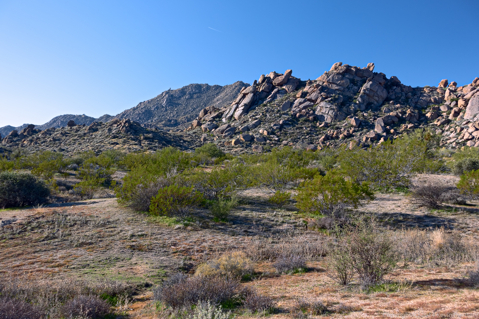
An interesting rock formation near Rock Knob:
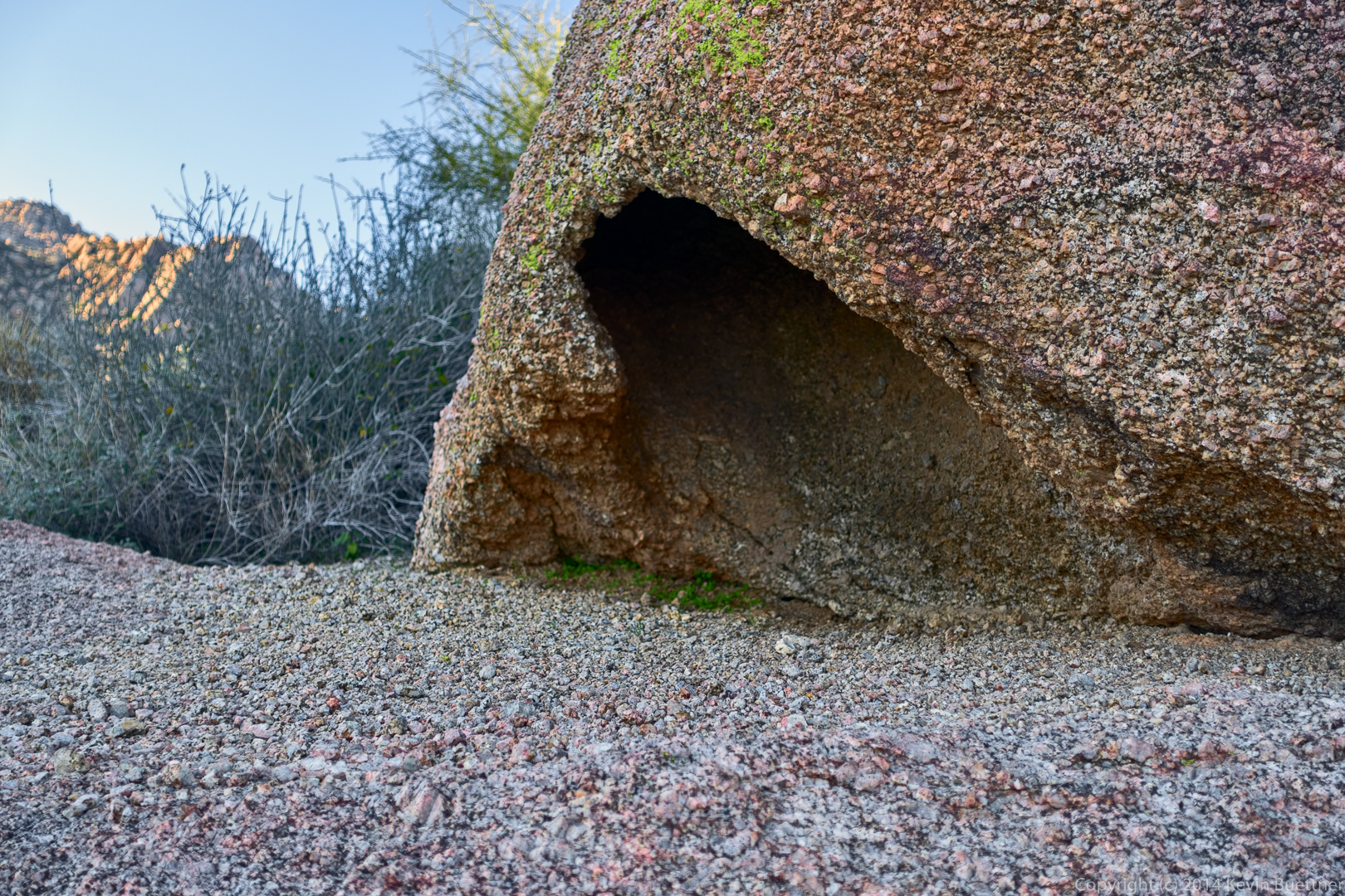
A balancing rock that we passed on our way back from Rock Knob:
A view from the Bluff Trail:
Last Friday’s hike started at the Trailhead Staging Area. We hiked the Scenic Trail for the first half of the hike. For the second half, we crossed the road and explored some arroyos.
Marilyn and I hiked 4.3 miles today in McDowell Mountain Park.

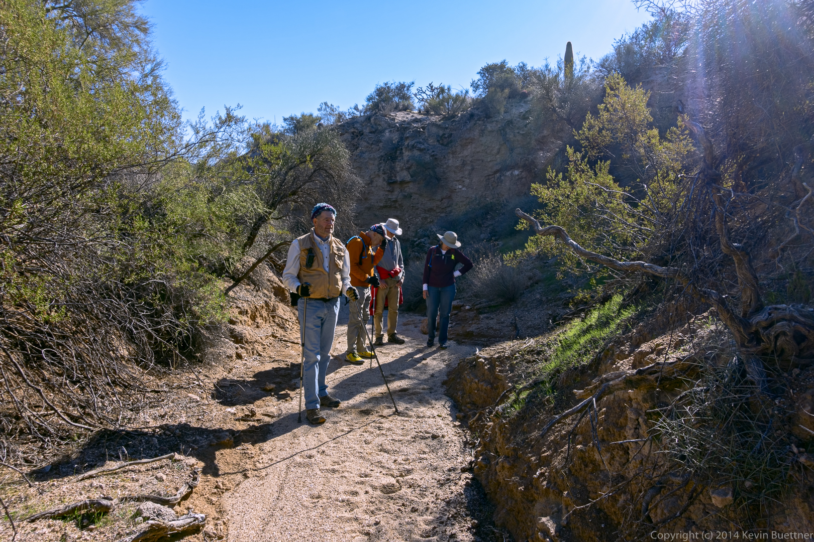
Friday’s hike started from the Wagner Trailhead. We hiked Wagner to Granite, Granite to Lariat, Lariat to Pemberton, Pemberton to Delsie, which brought us back to Granite. Then, instead of taking the shortest way back, we instead turned right on Granite and then took Stoneman Wash to Bluff, Bluff to Granite, Granite to Wagner, and Wagner back to the parking area. Total distance was 10.2 miles with minimal elevation gain.
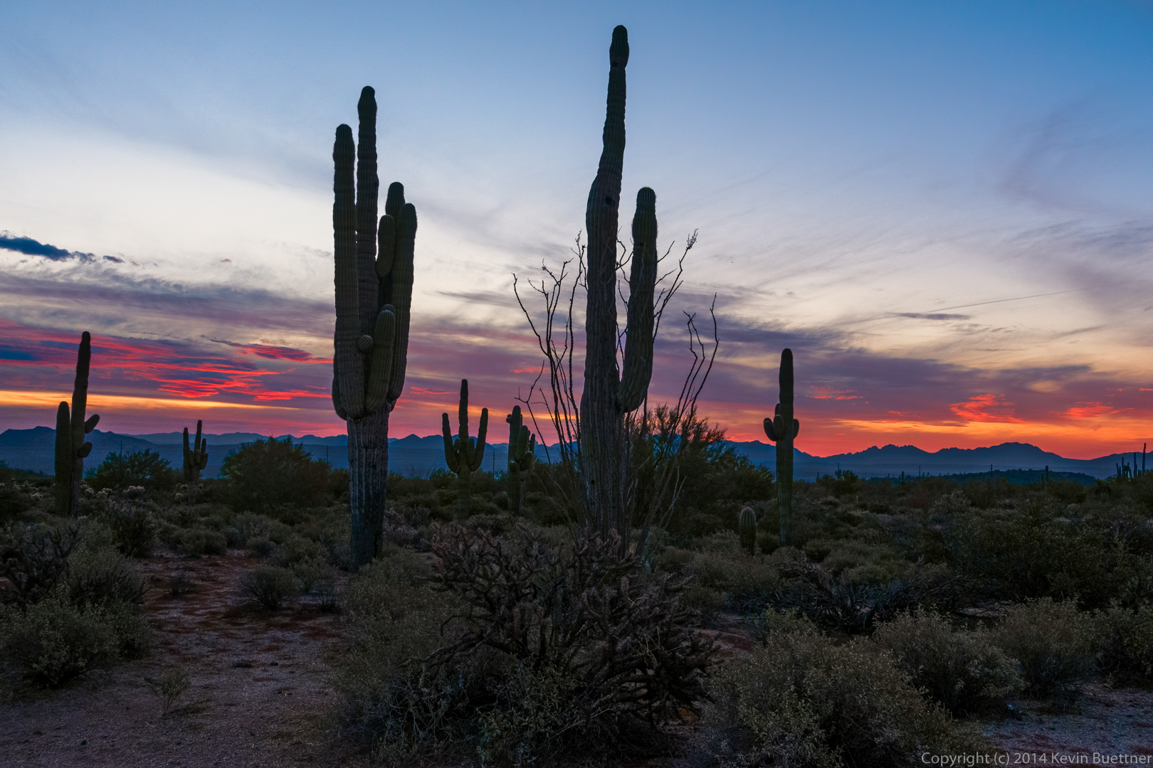
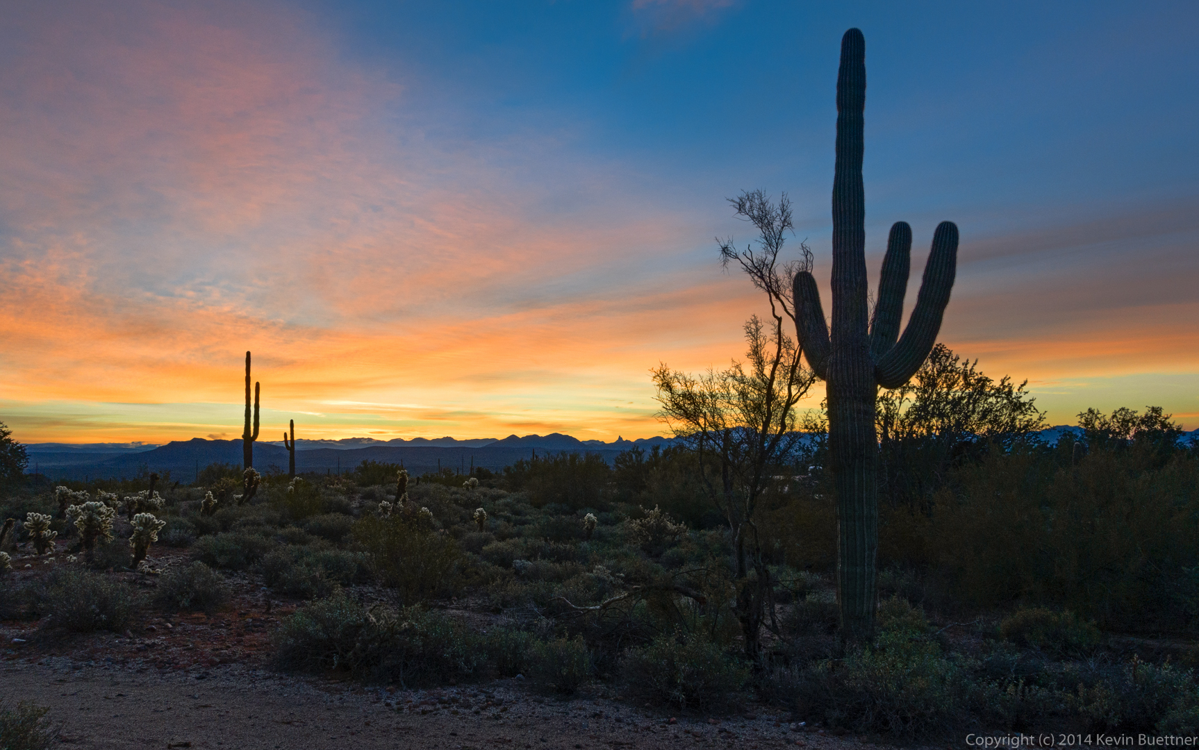
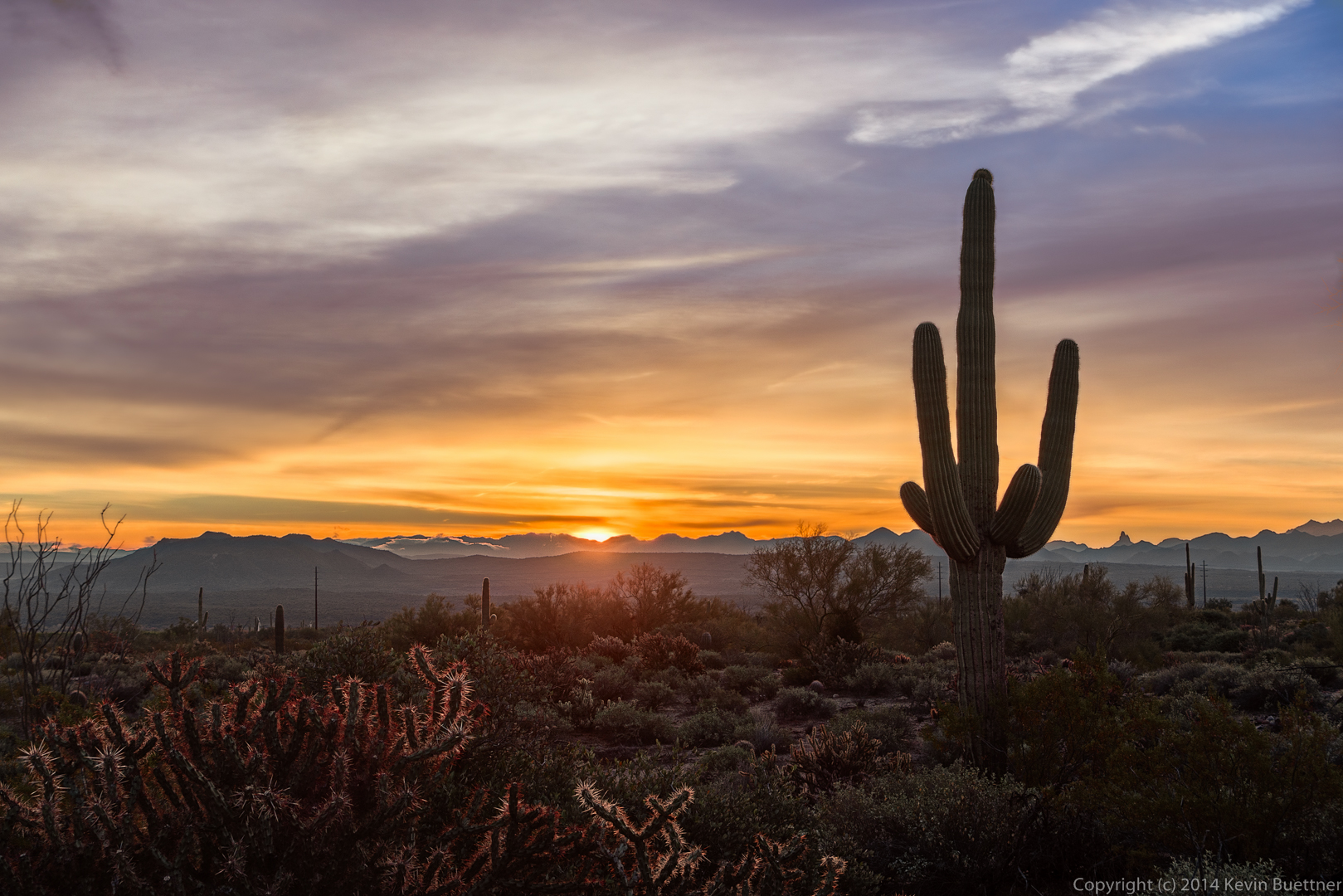
I arrived at the park early and got this photo from the Horse Staging Area prior to sunrise.
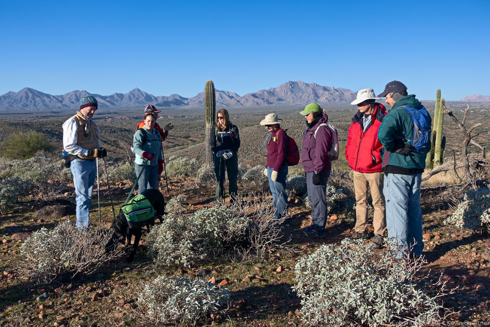
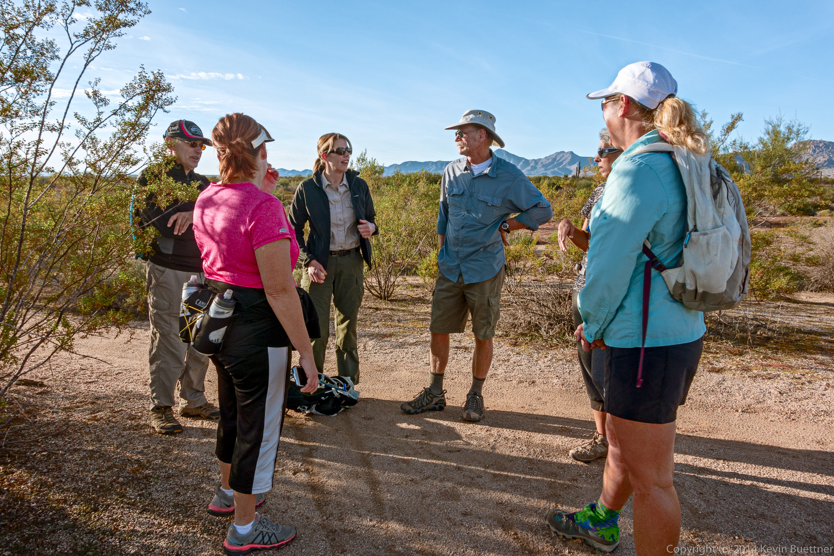
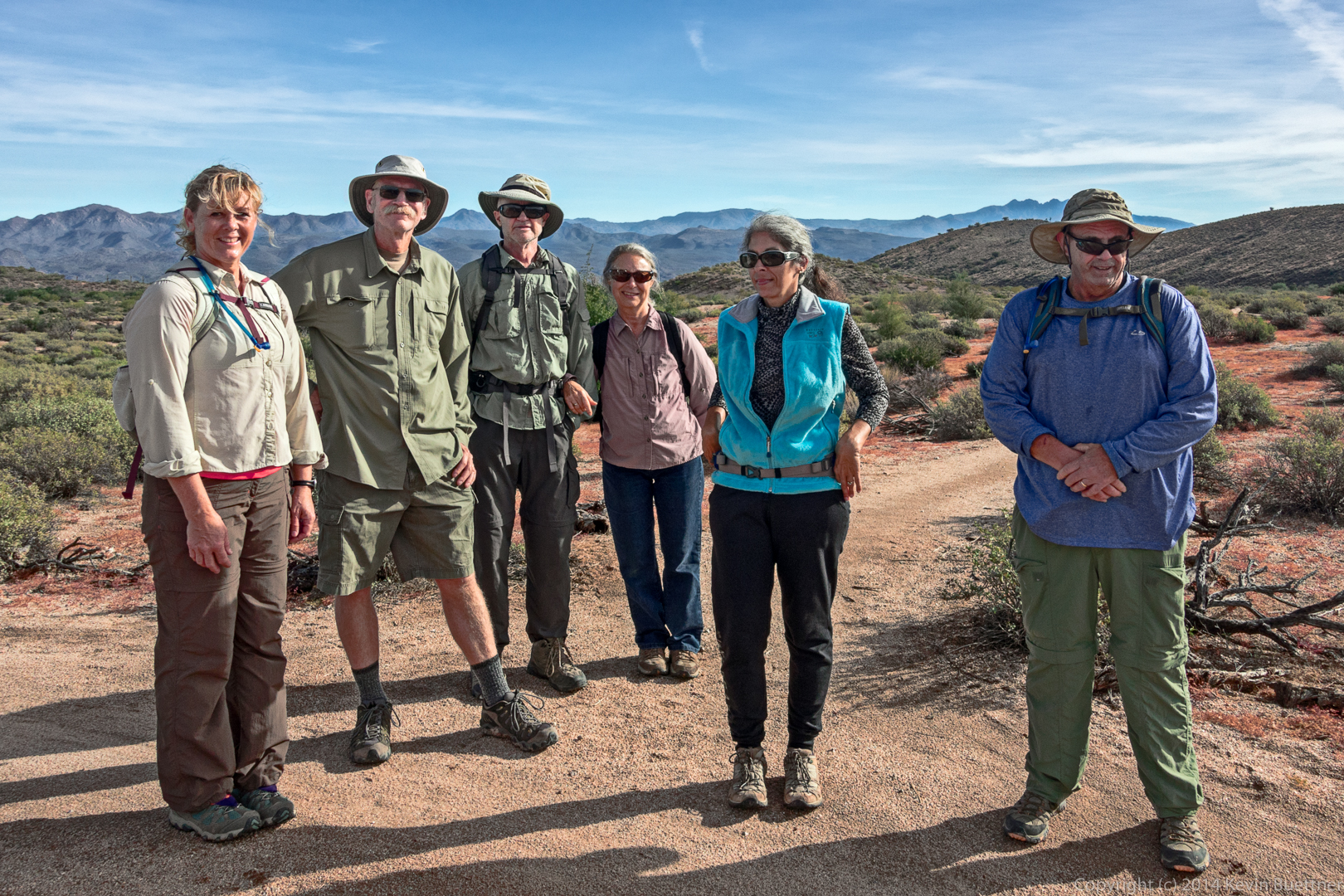
Taking a break at the intersection of Granite and Lariat. From left to right are Nick, Sandy, Amy, Doug, DeAnn, and Janet.
Amy took this photo of us:

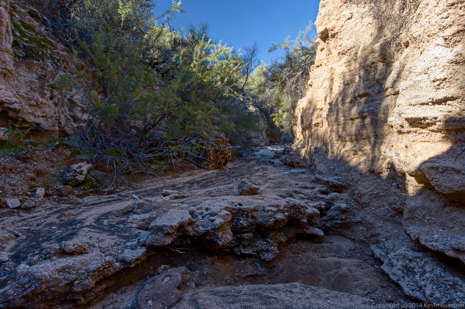
My hike description was inaccurate. This wash crosses Lariat; we hiked up this wash, which eventually brought us back to the Pemberton.
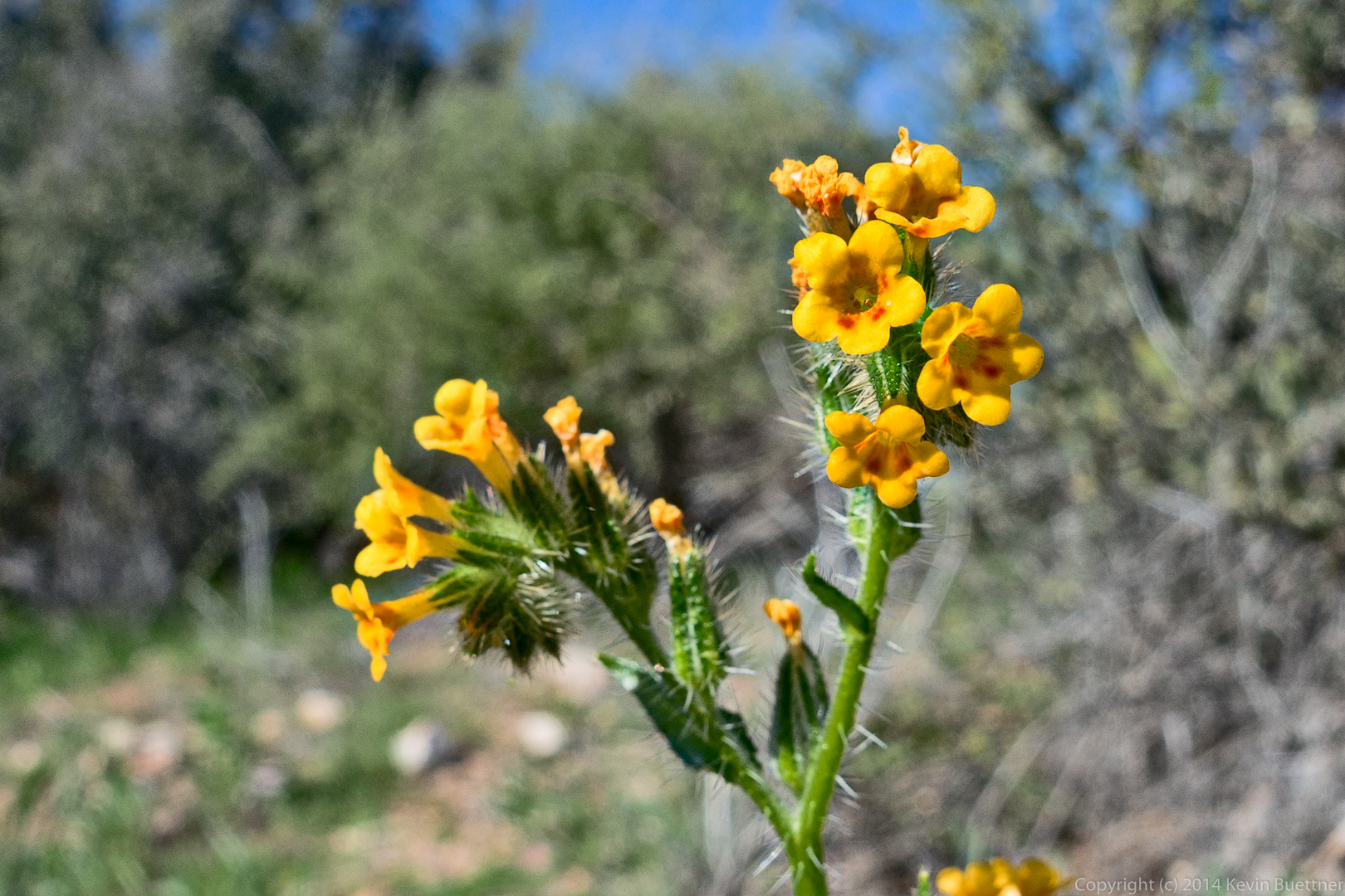
Nick spotted these colorful seed pods.

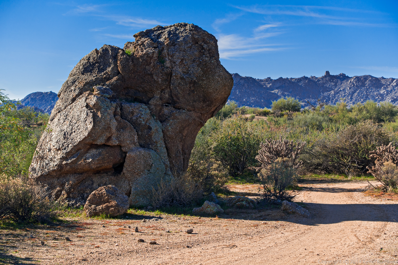
A large rock on the Pemberton Trail:
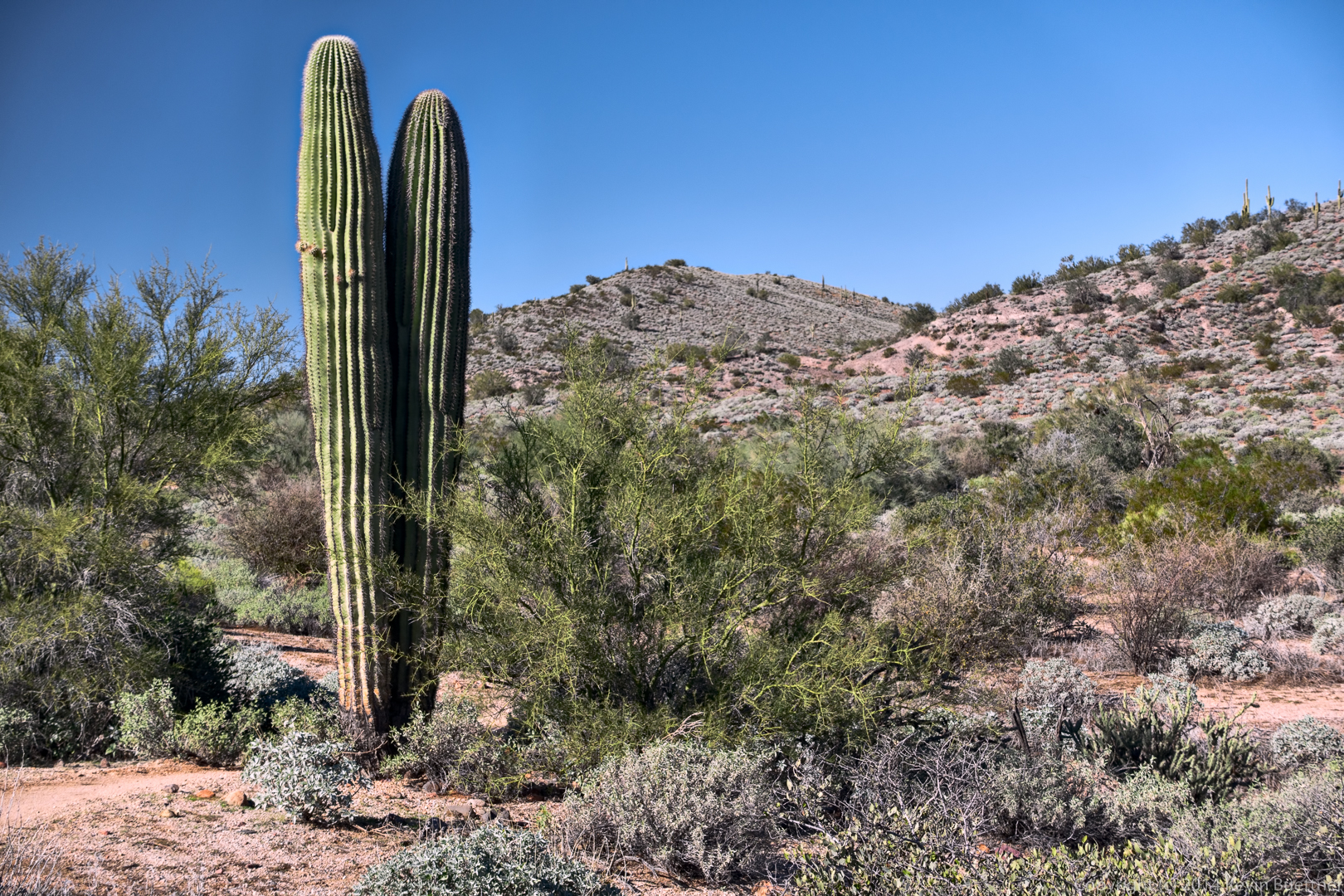
Saguaros on the Delsie Trail:

Friday’s hike started at the Horse Staging Area. We hiked a ten mile loop using the Escondido, Pemberton, and Shallmo Wash trails.
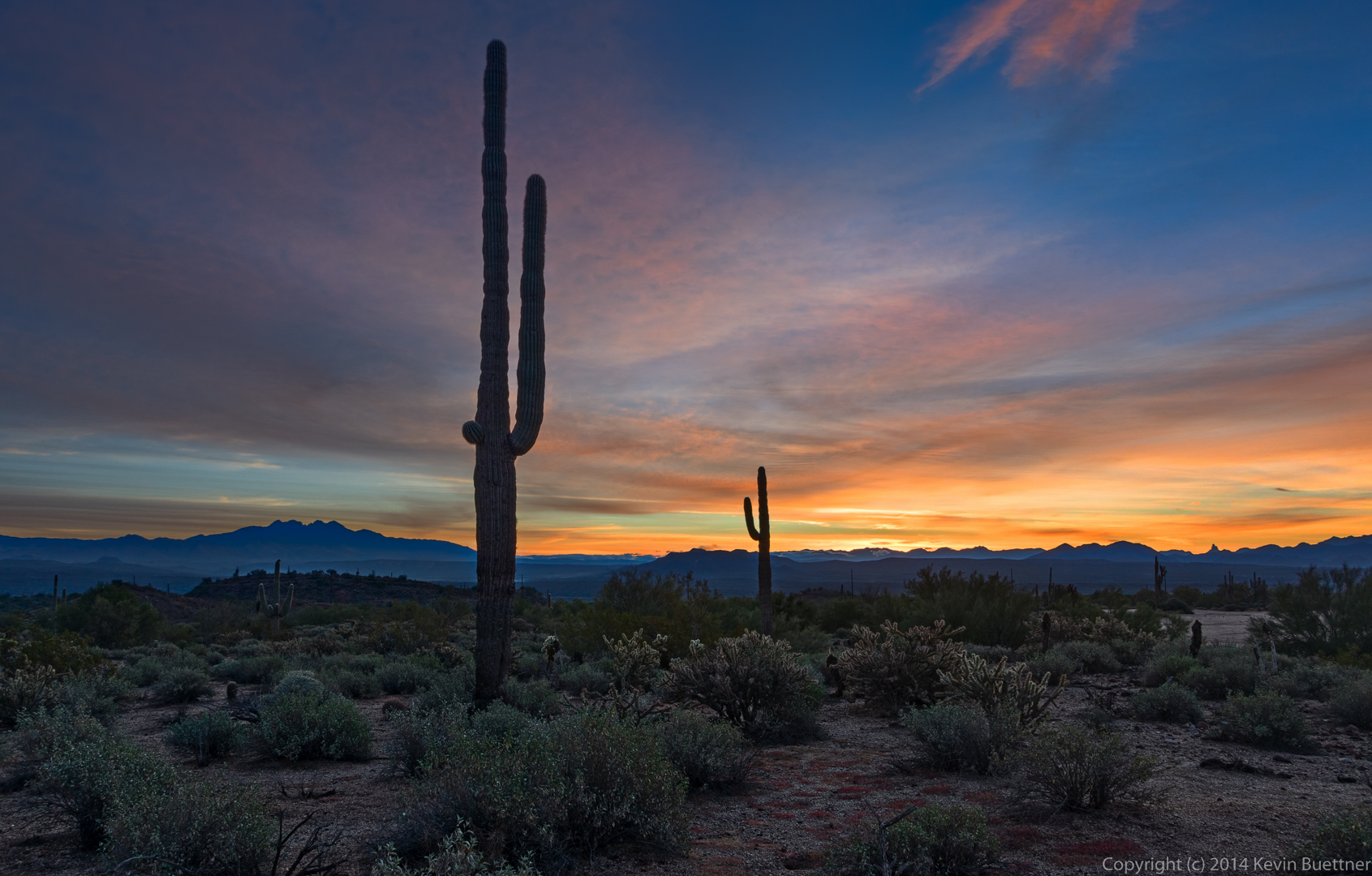
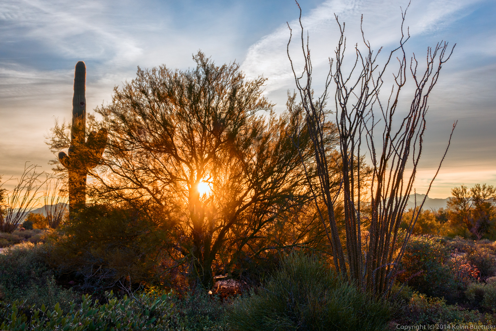
I arrived early to get a few shots with a tripod…

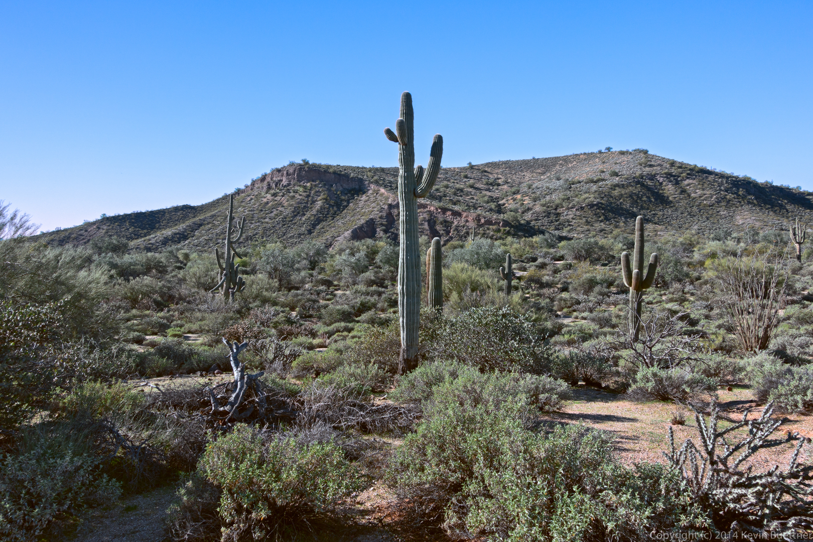
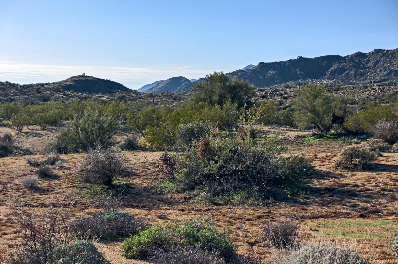
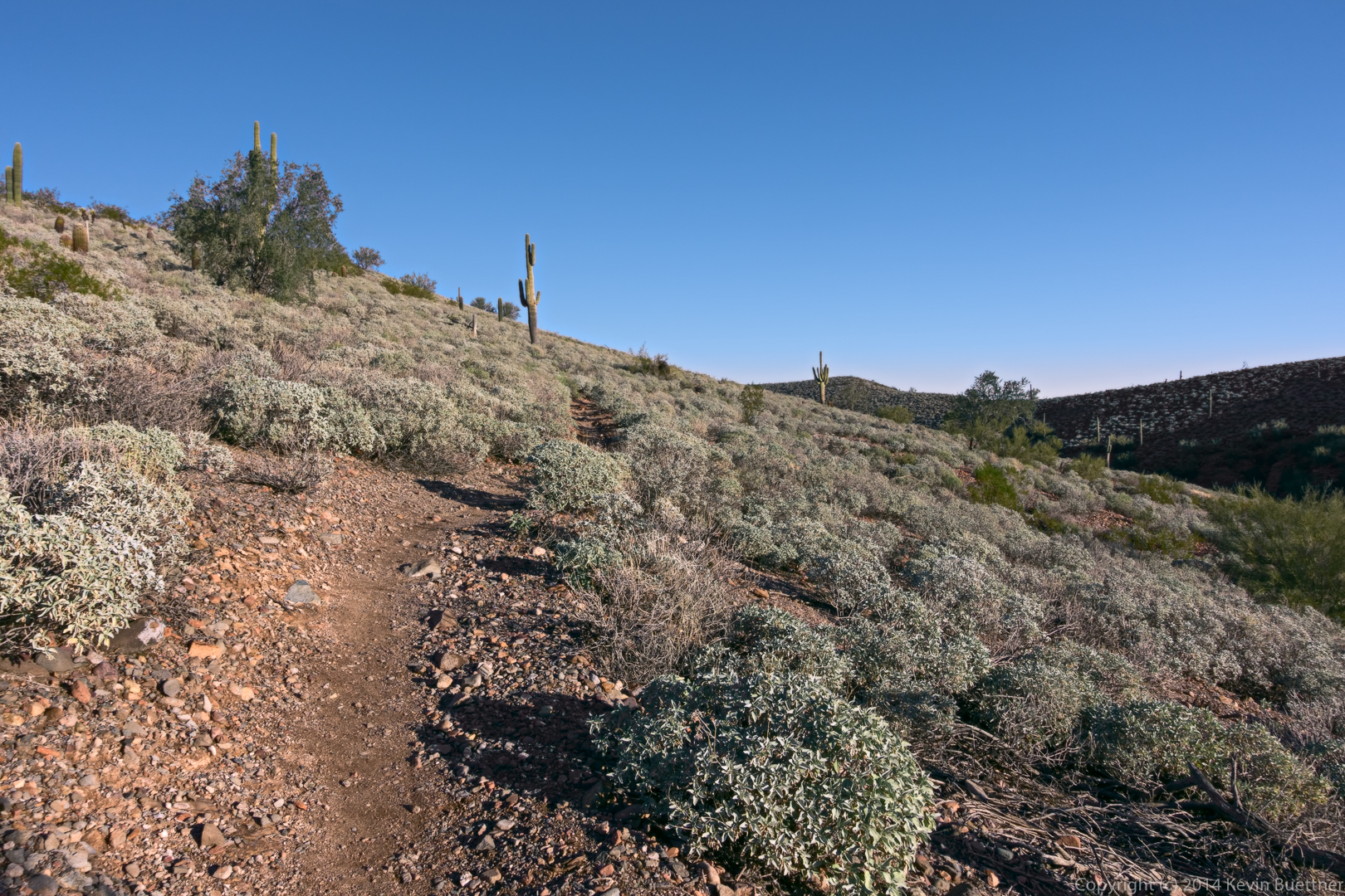
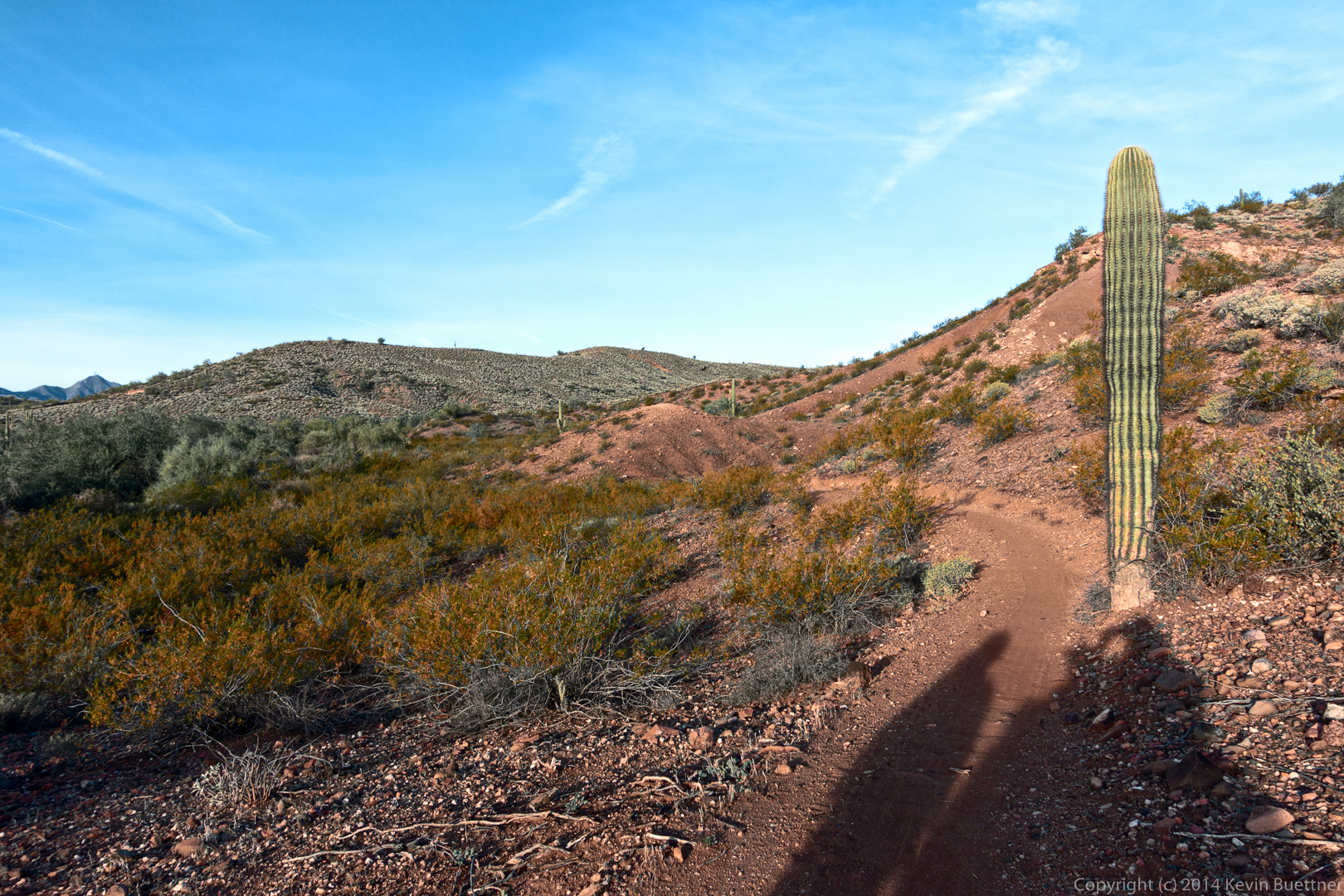
Some views from the Escondido Trail…
Janet, Doug, Alex, Ellen, Deanne, and Bob at the intersection of Escondido and Pemberton.
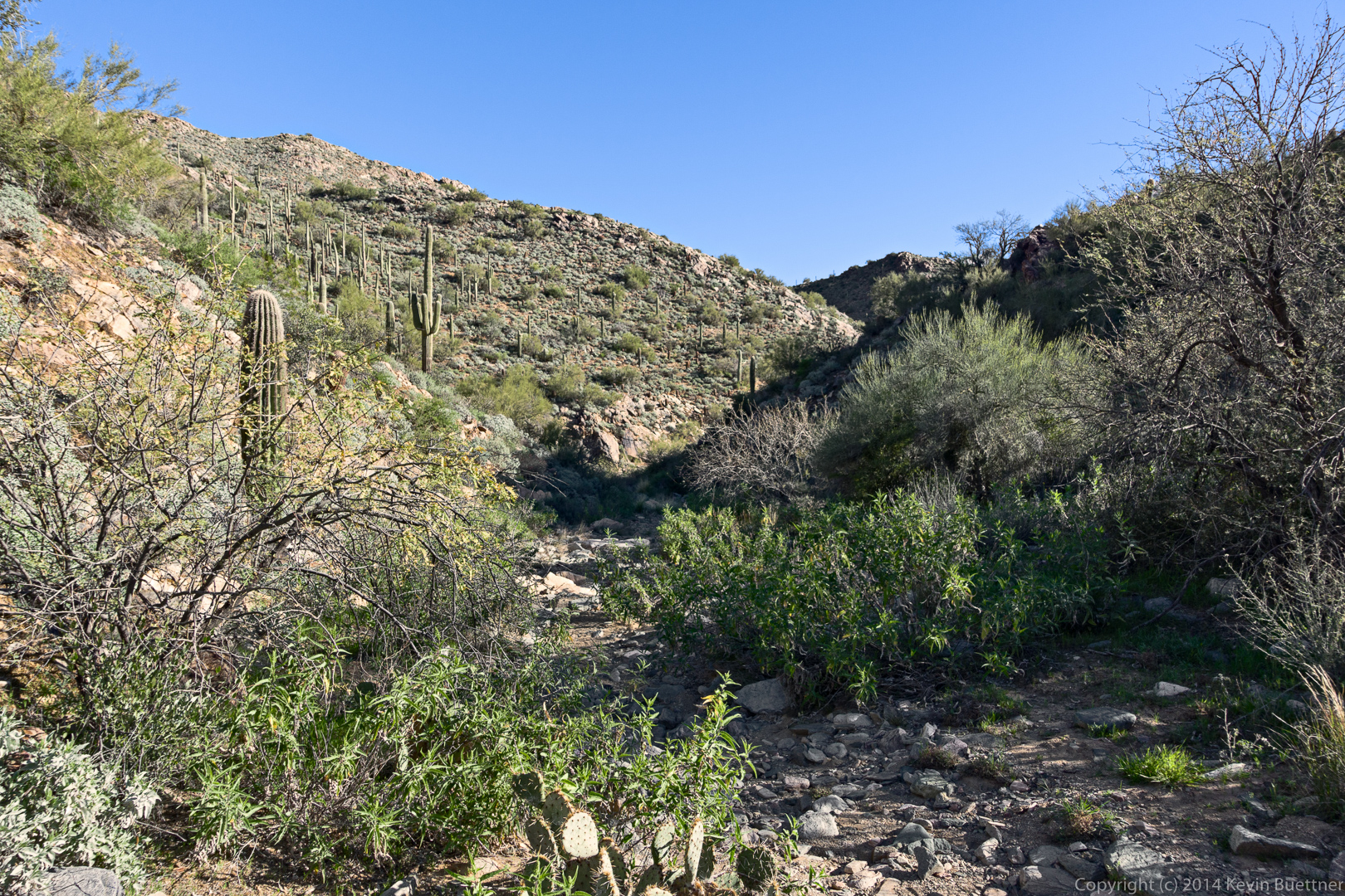
Views from the Shallmo Wash Trail…
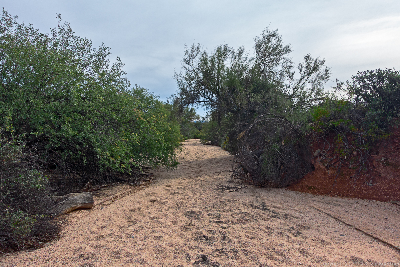
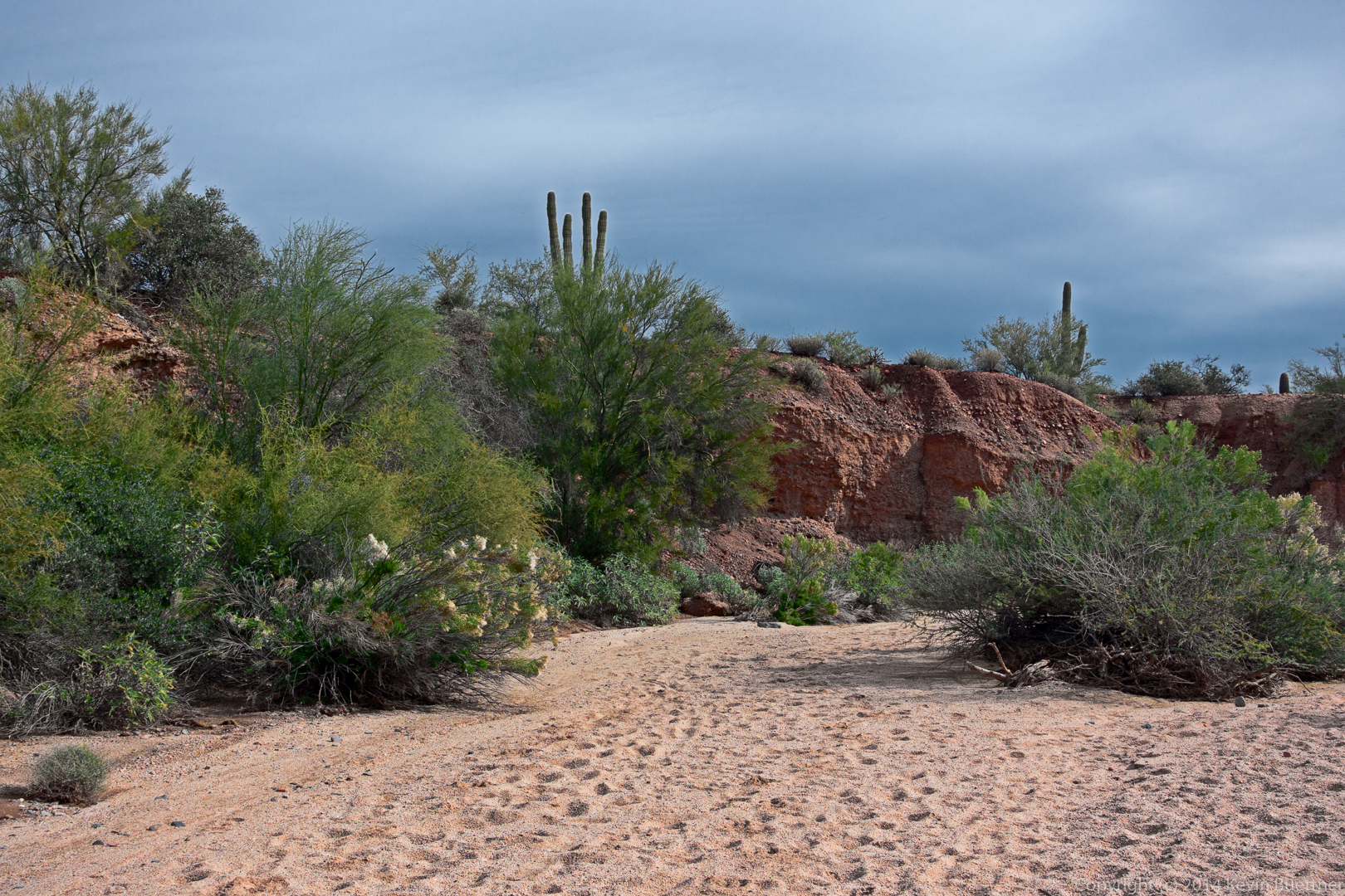
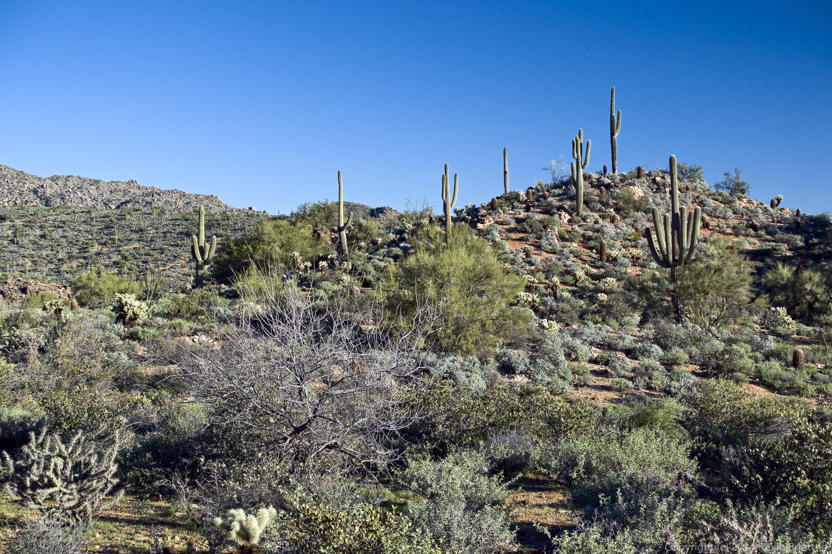
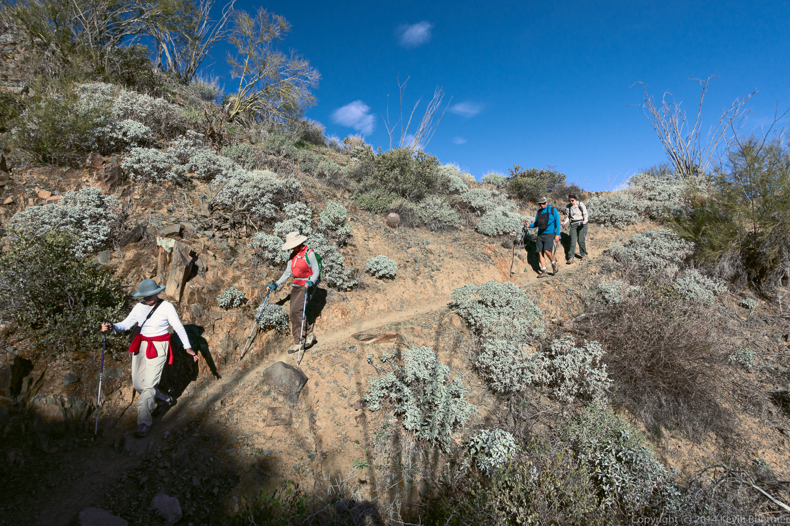
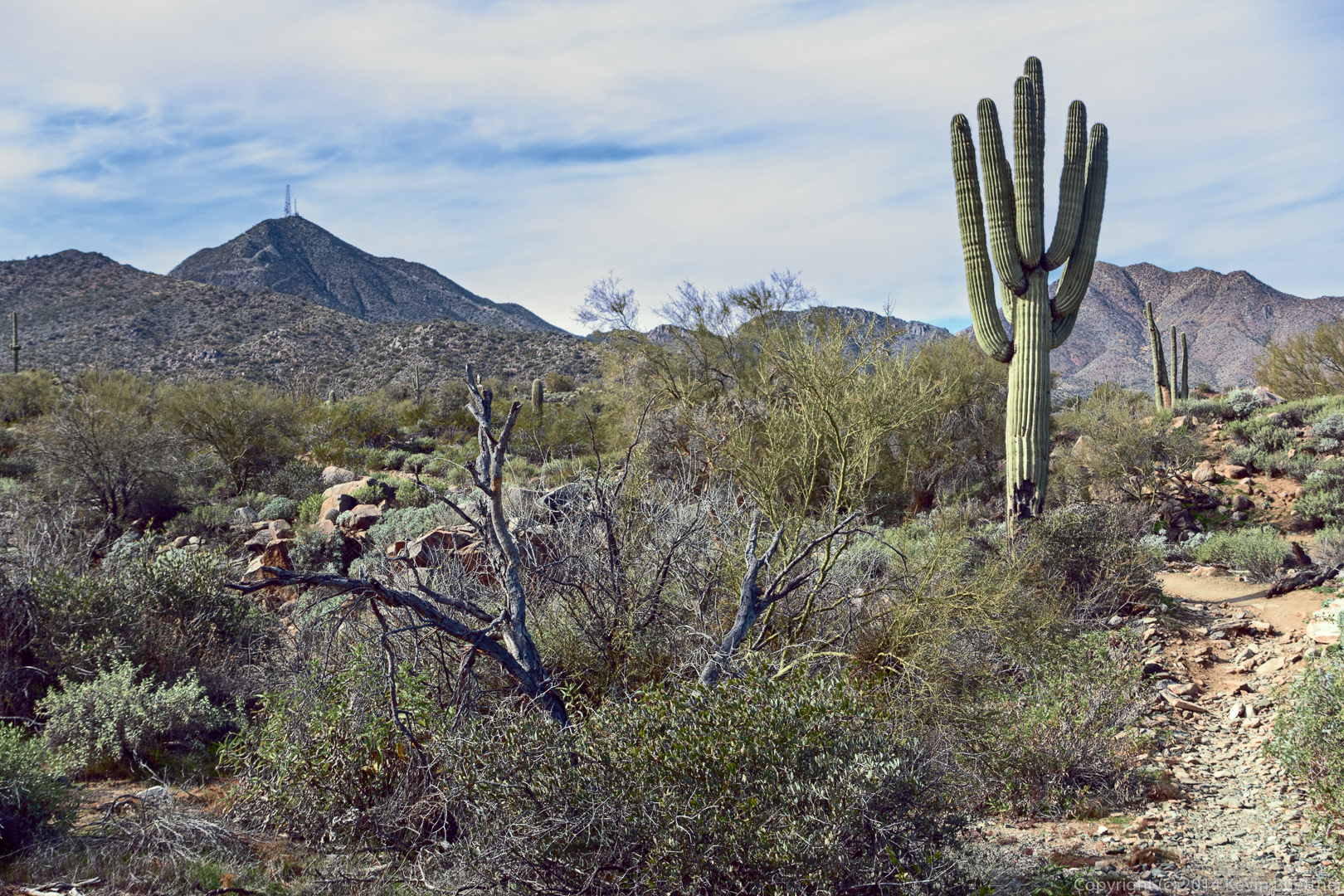
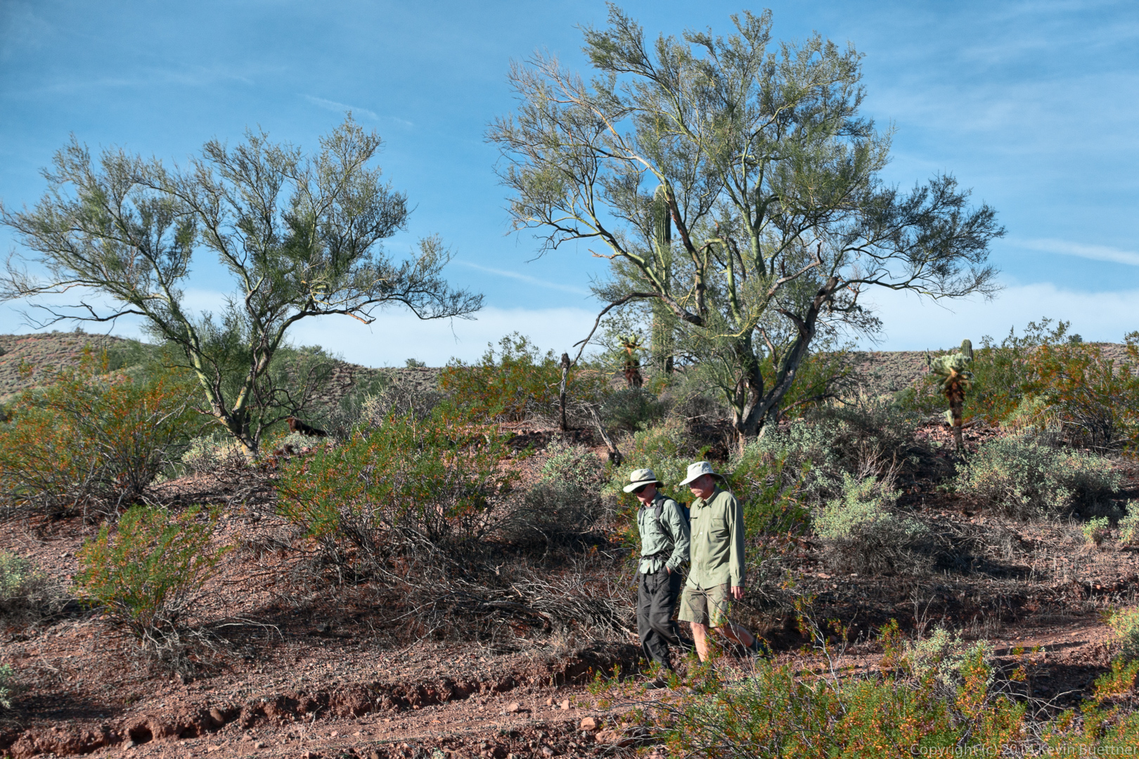
Last Friday’s hike started at the Dixie Mine Trailhead. We hiked Dixie Mine to Sonoran and took Sonoran until it joined with the Promenade Trail. At that point, Linda, Janet, Charles, Angel, and Marilyn turned back for a 7.8 mile hike. Bob and I continued on. We hiked up the Western Loop Trail, stopped briefly at the overlook and then continued on down the Western Loop Trail. We then took the recently constructed Andrews-Kinsey Trail to the Sunrise Trail. We hiked to the top of Sunrise Peak and then returned to the Fountain Hills side by retracing our steps on the Andrews-Kinsey Trail. Altogether, we hiked a little over 15 miles with 2800 feet of total ascent.
This is a view from the Sonoran Trail, somewhat before reaching the Preserve.
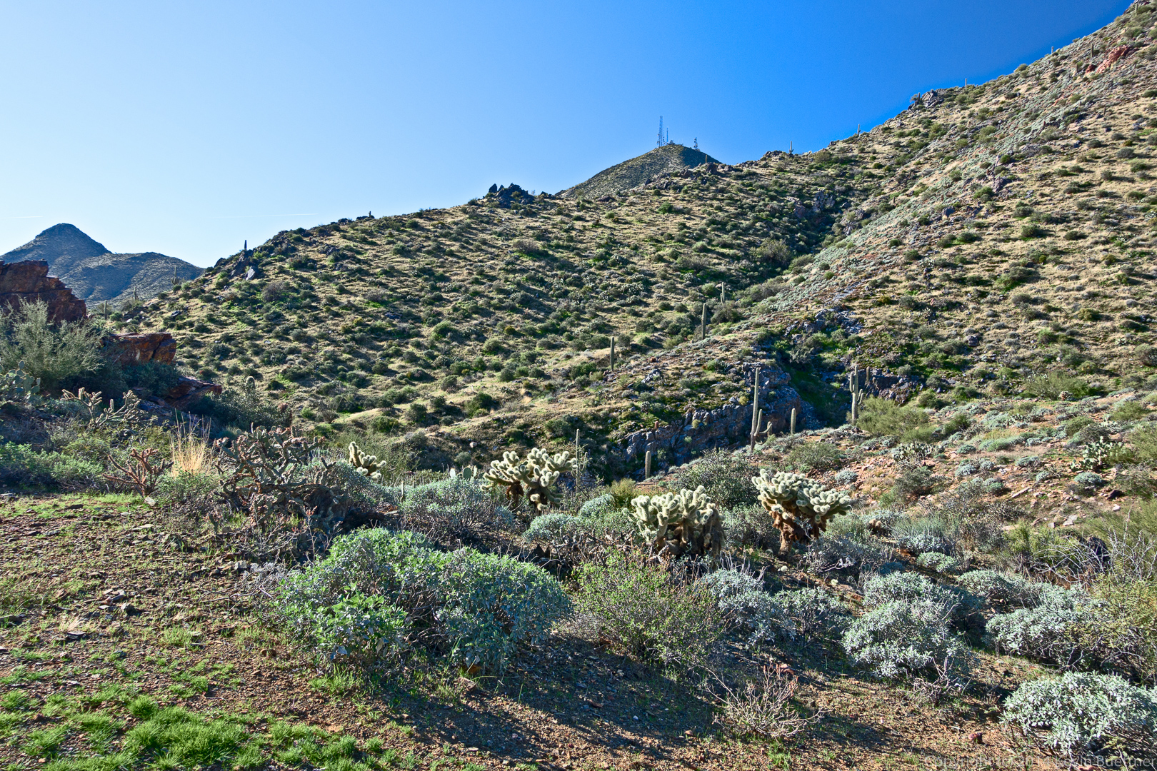
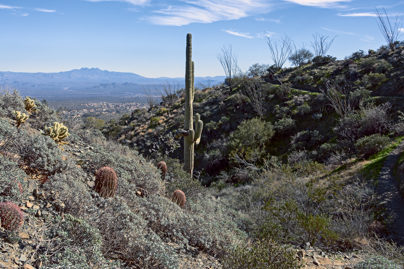
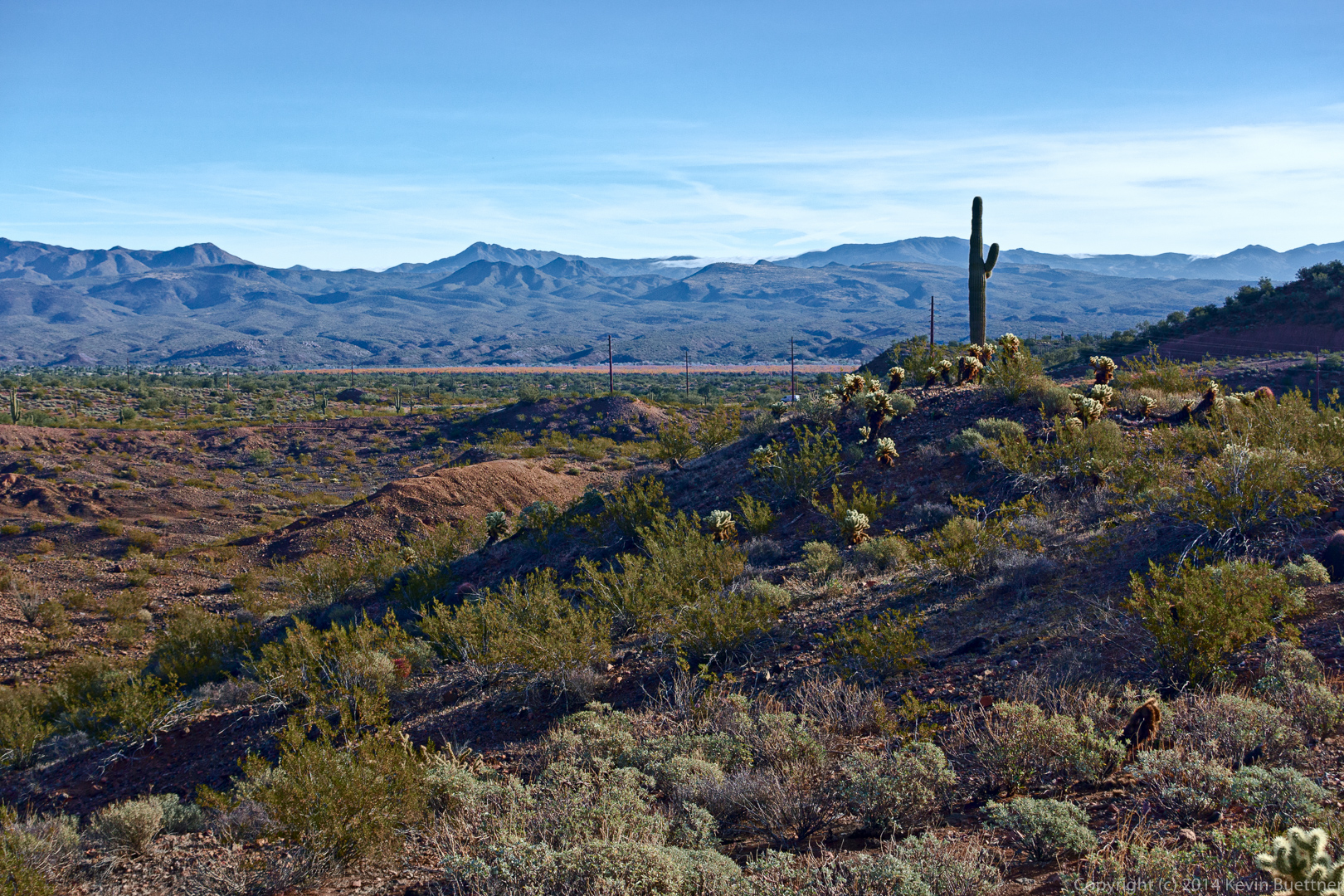
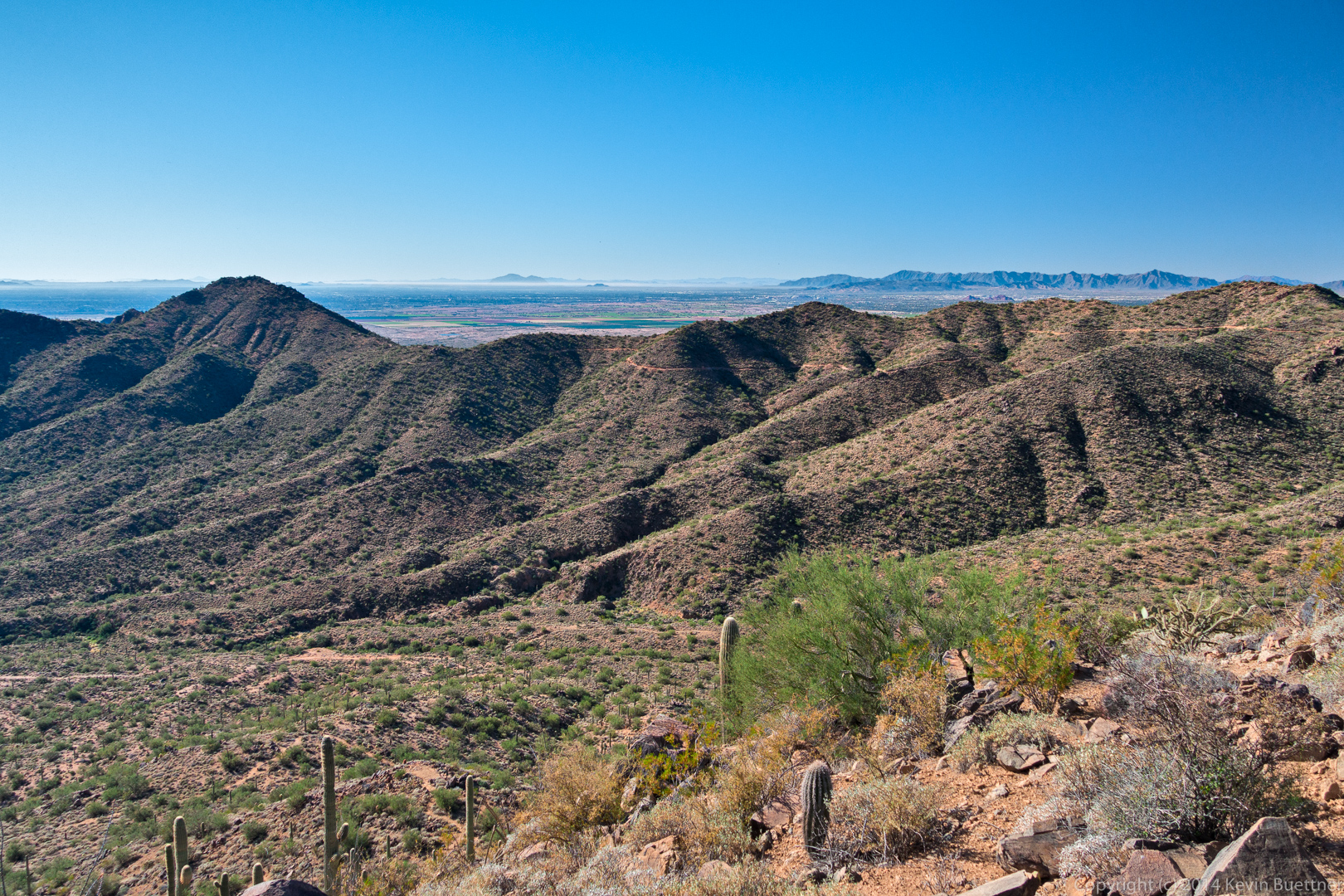
A view from the Western Loop Overlook:
This is another view from the Western Loop Overlook. The Andrews-Kinsey Trail is visible in this photo.
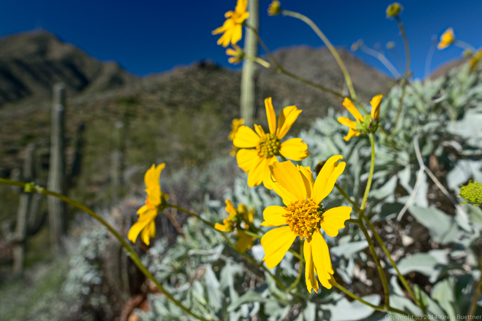
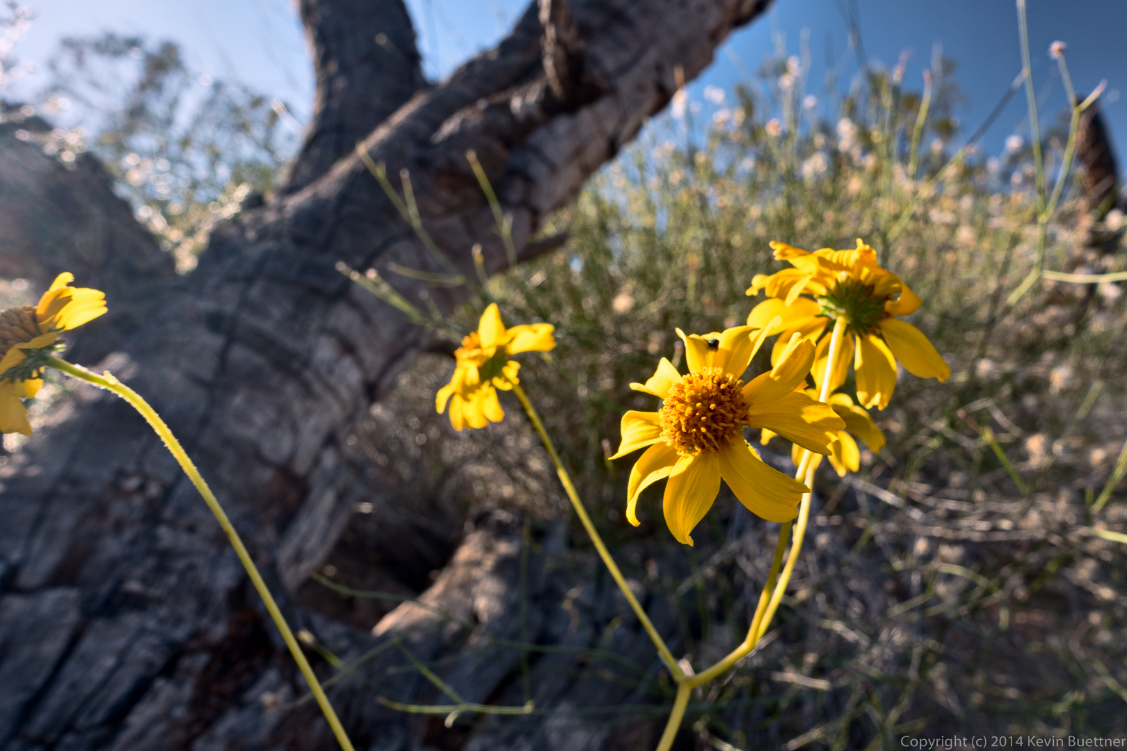
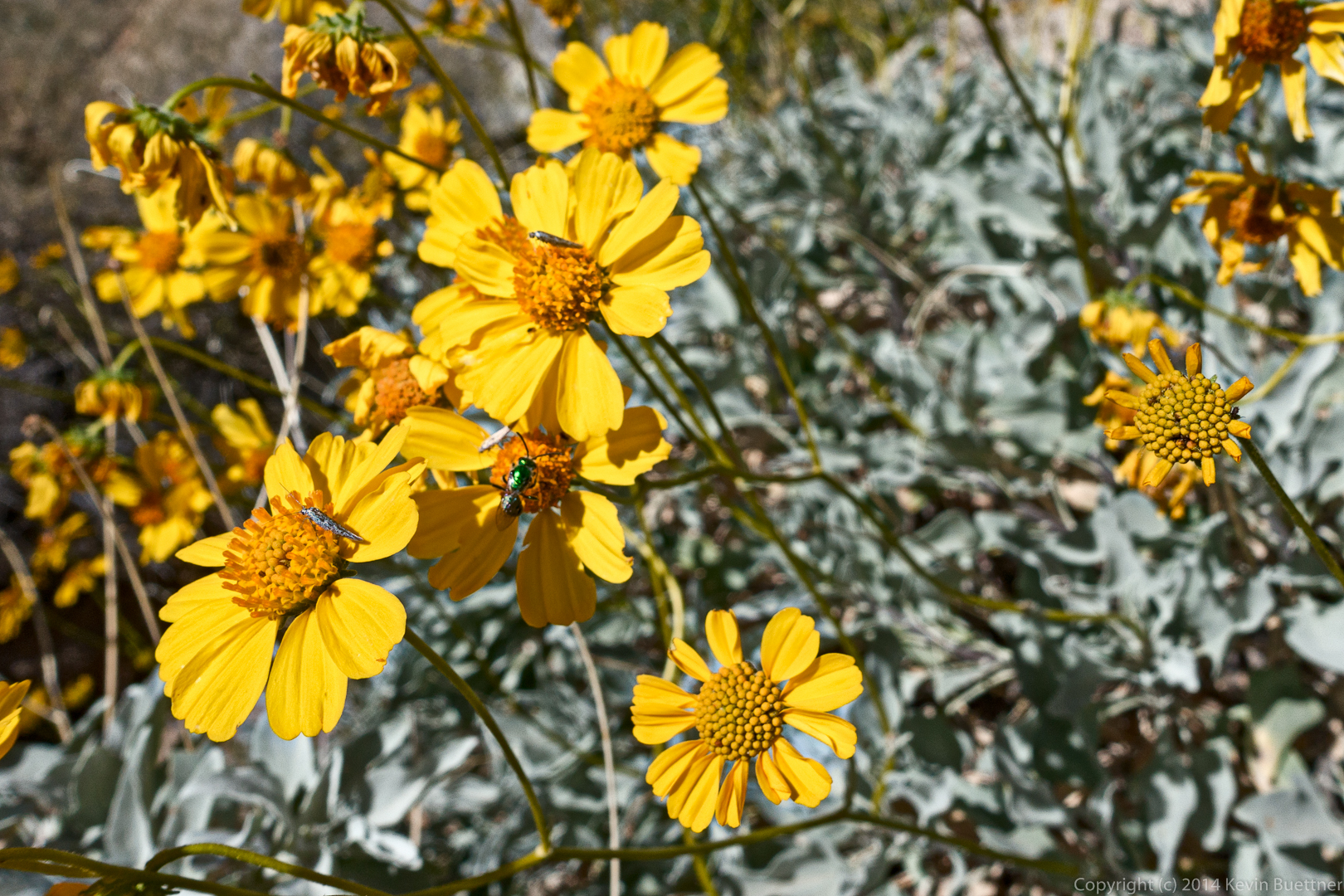
We saw some Brittlebush in bloom, which is kind of unusual for this time of the year.
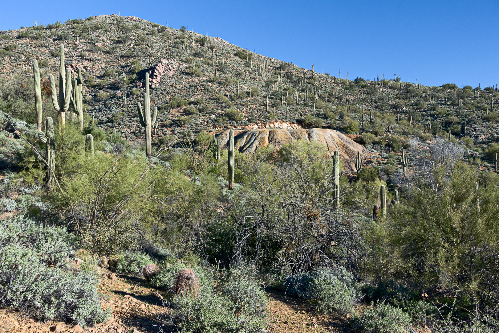
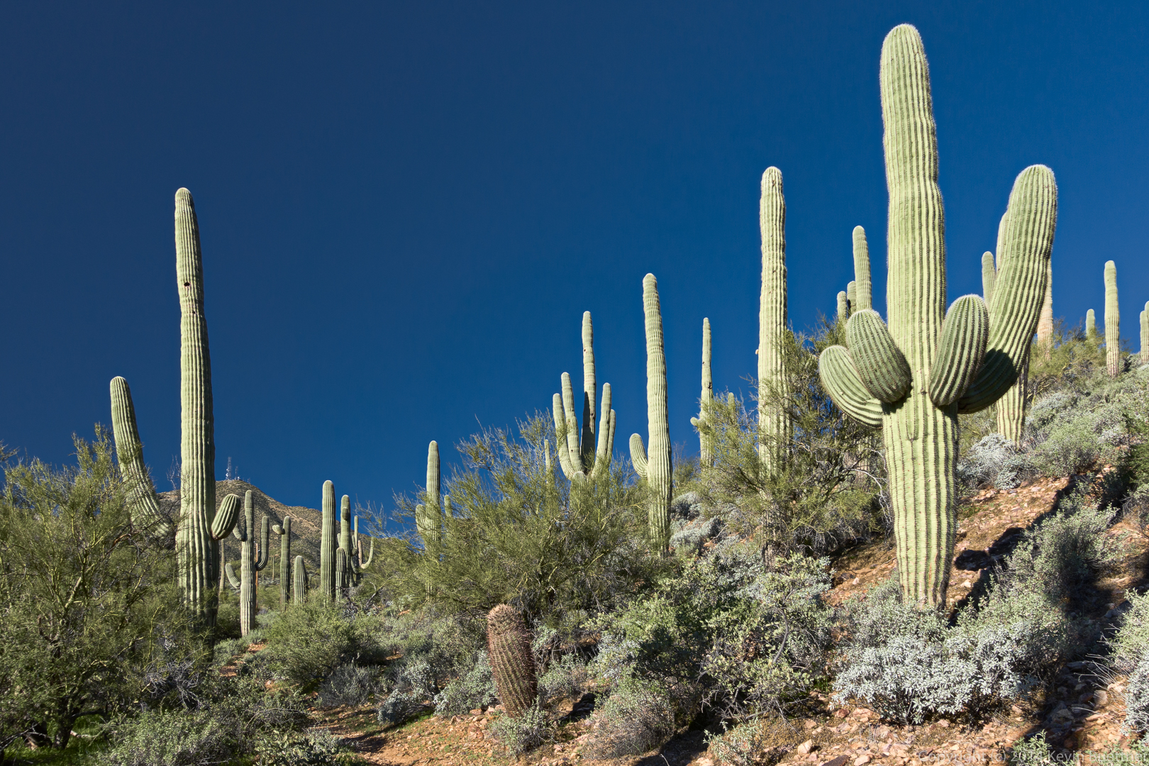
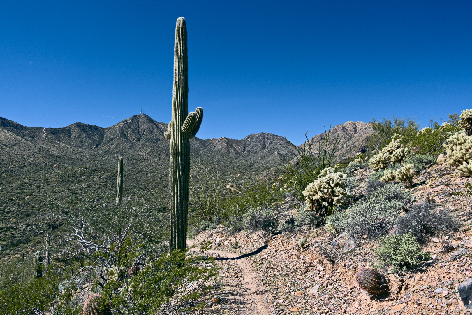
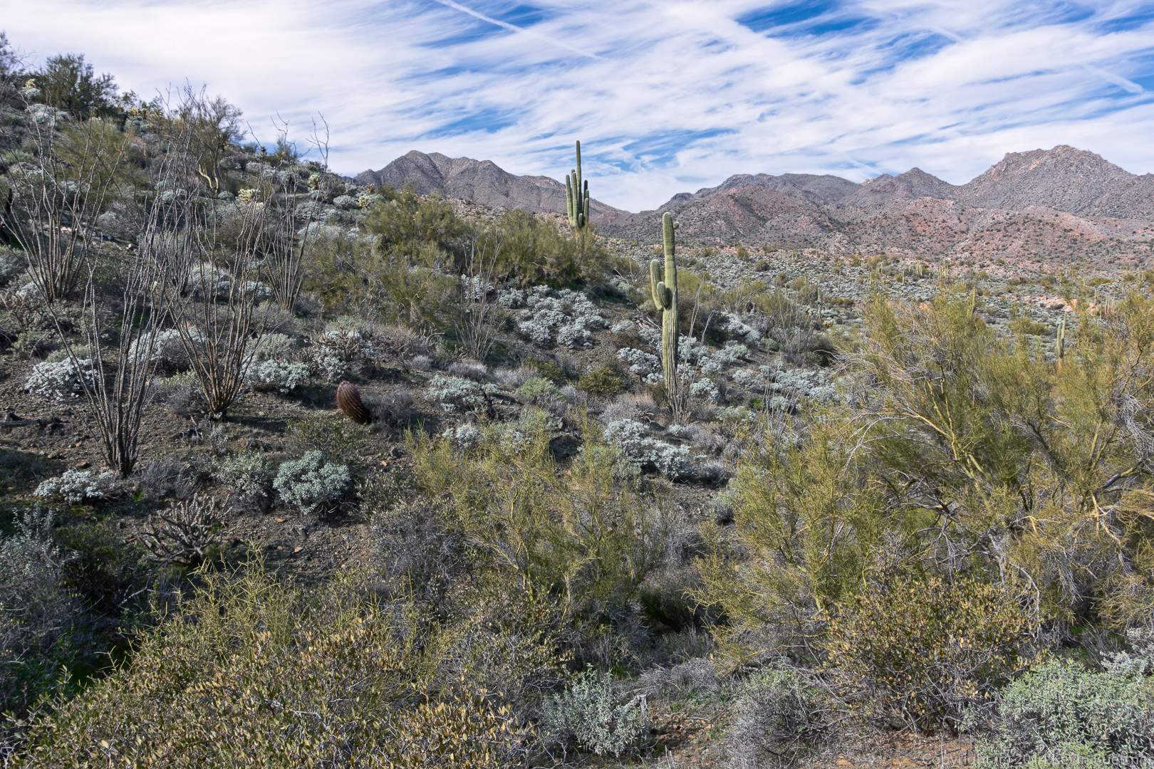
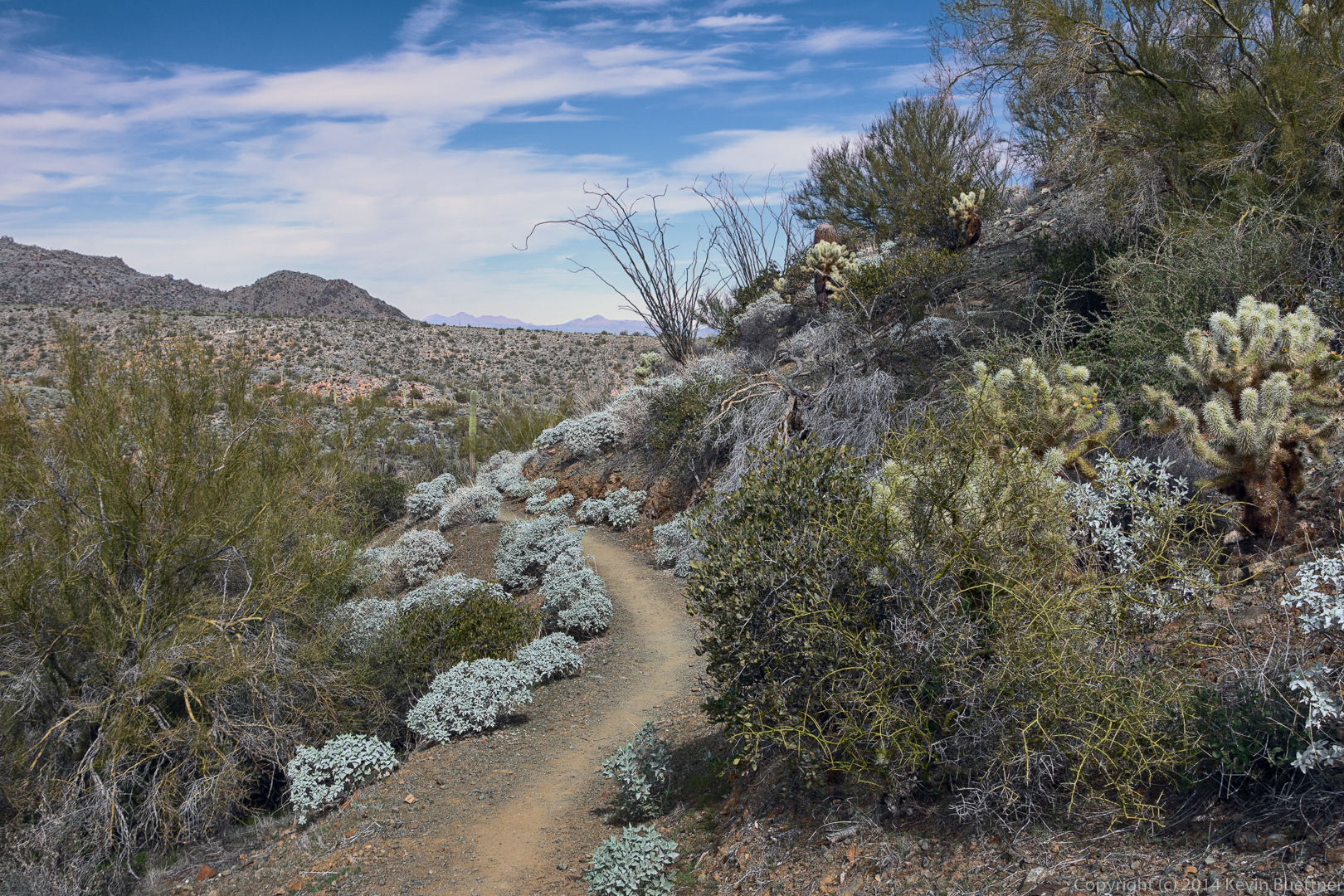
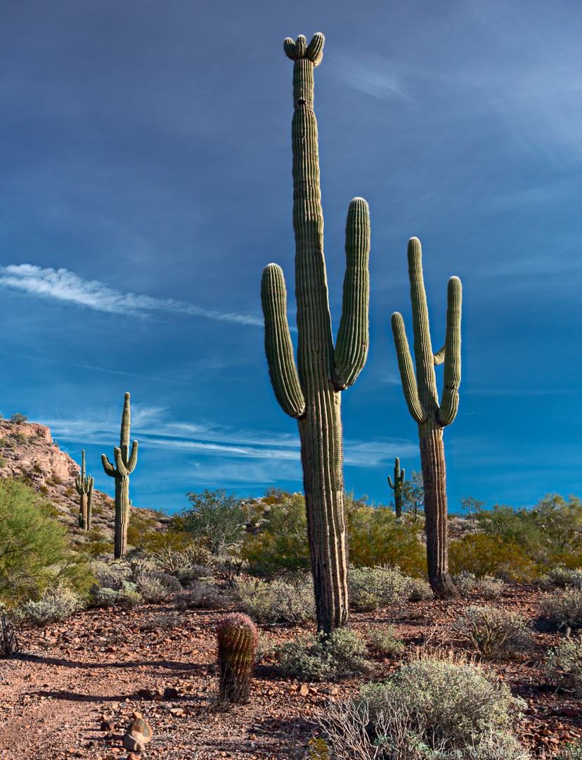
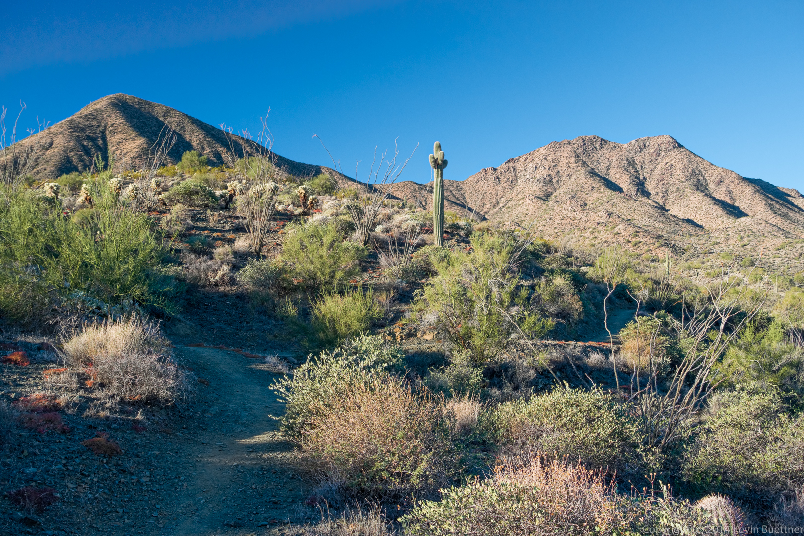
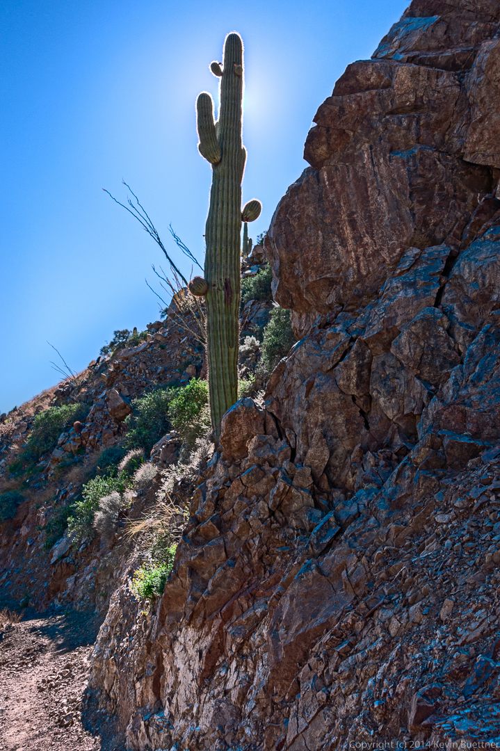
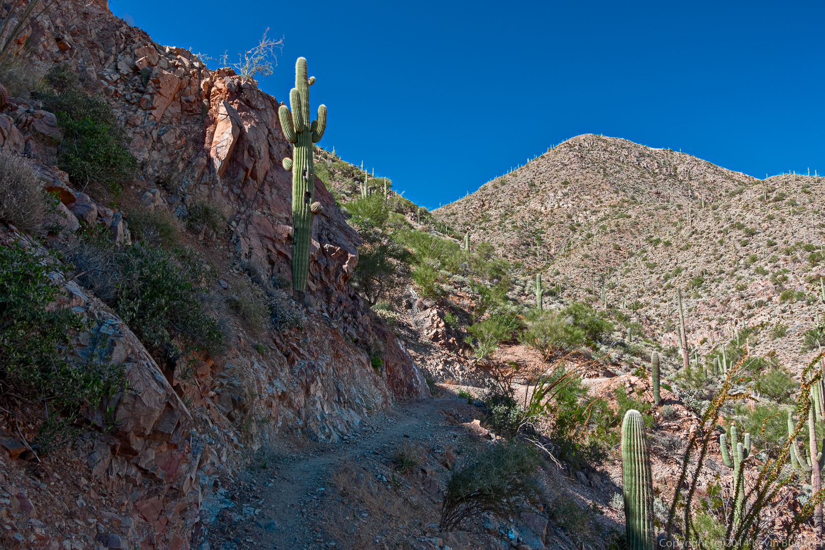
A saguaro on the Andrews-Kinsey Trail:
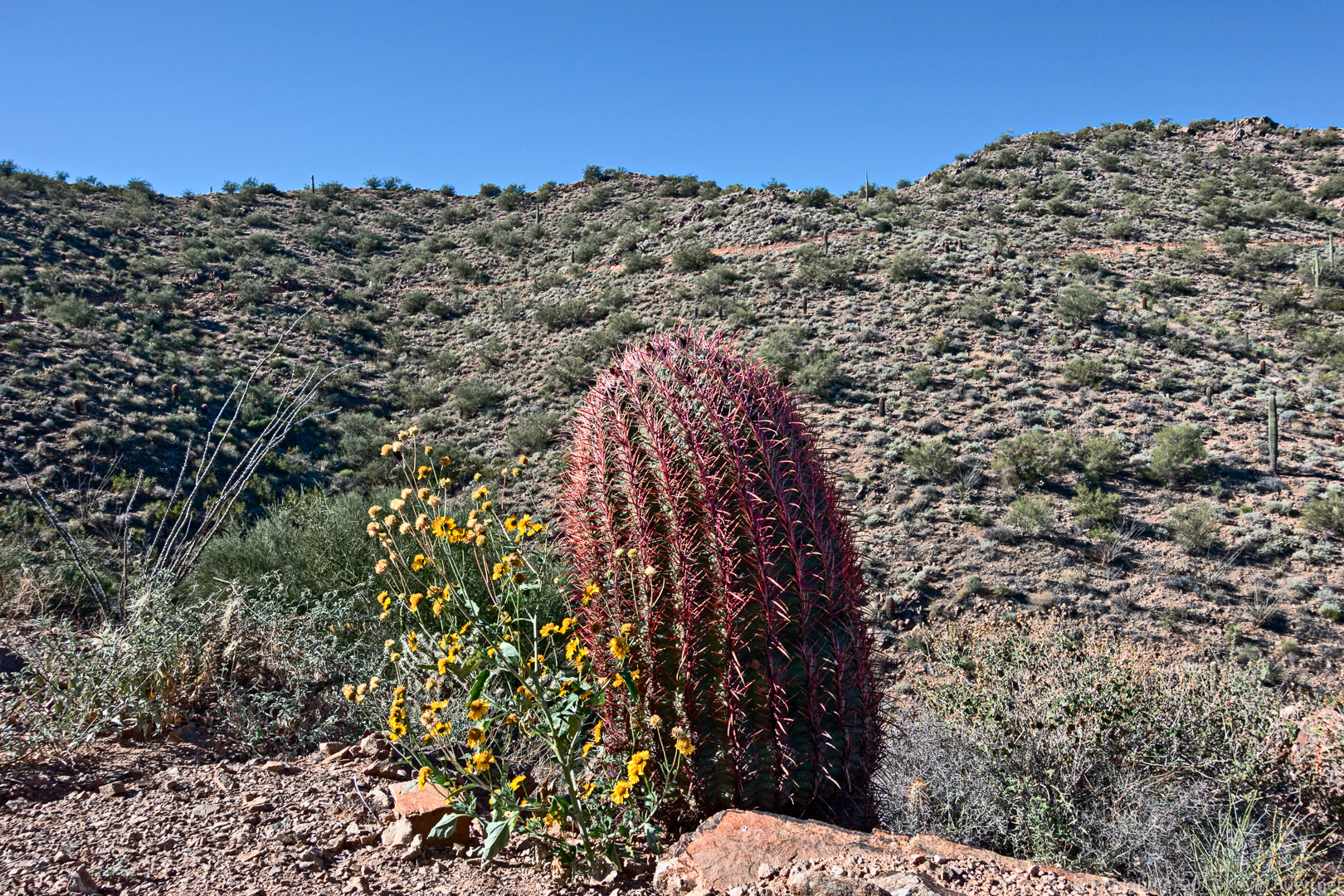
A barrel cactus on the Andrews-Kinsey Trail:
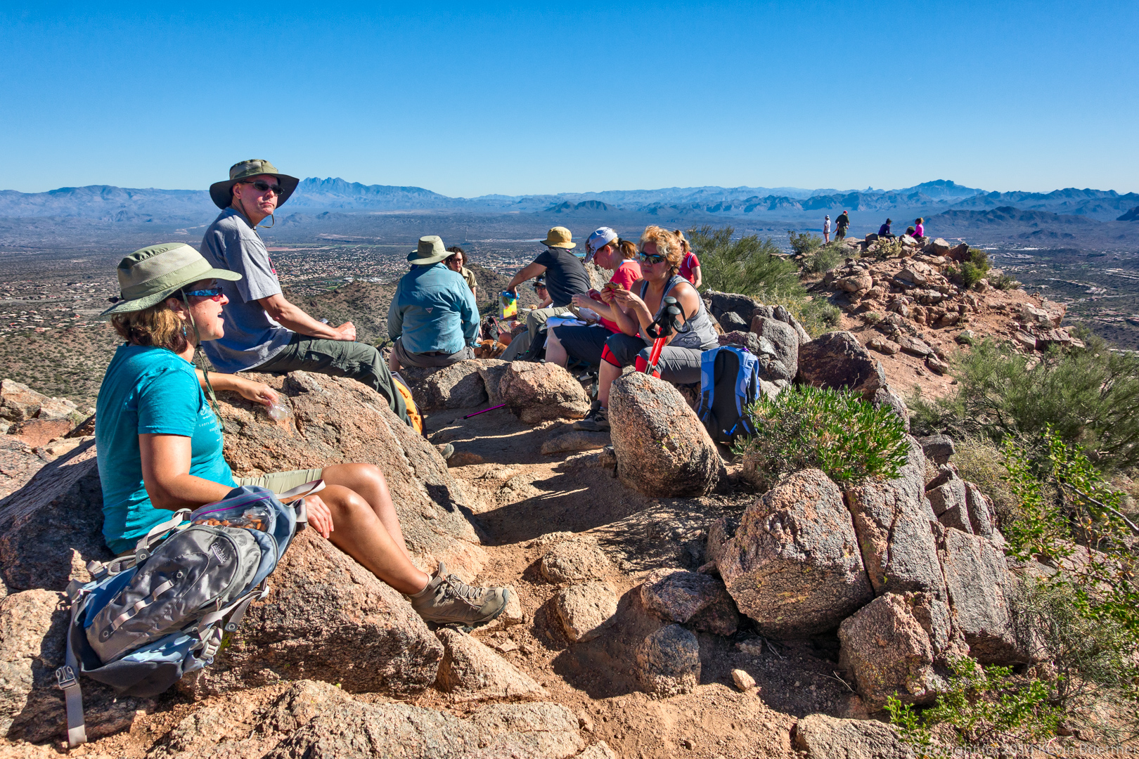
It was crowded on top of Sunrise Peak:
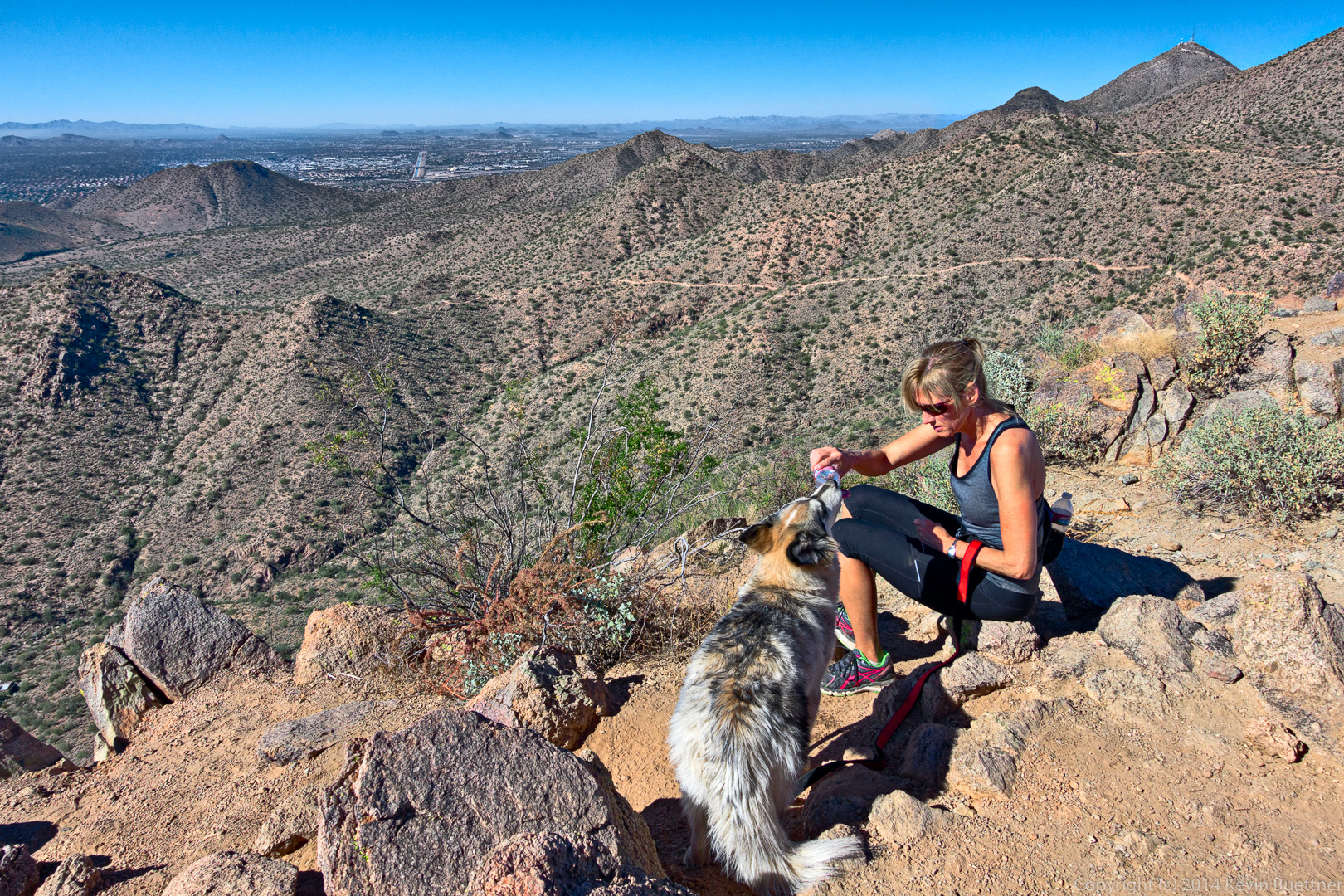
This dog was able to drink directly from a water bottle! It didn’t spill much either.
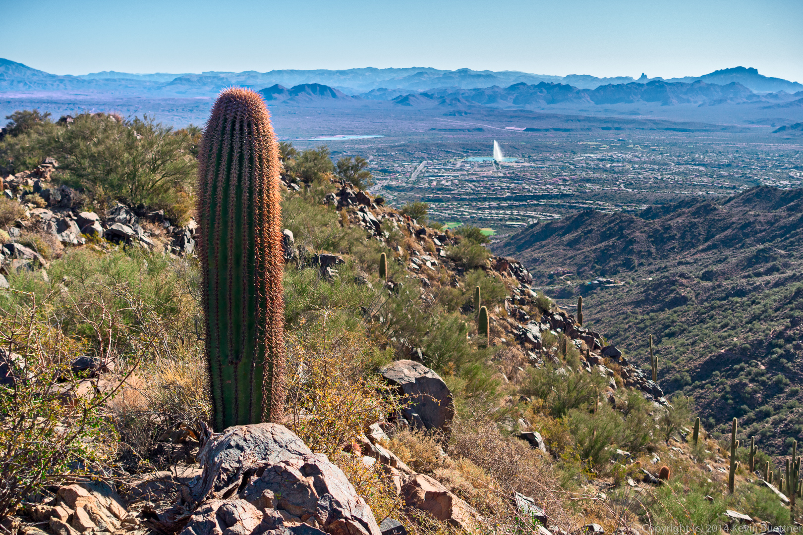
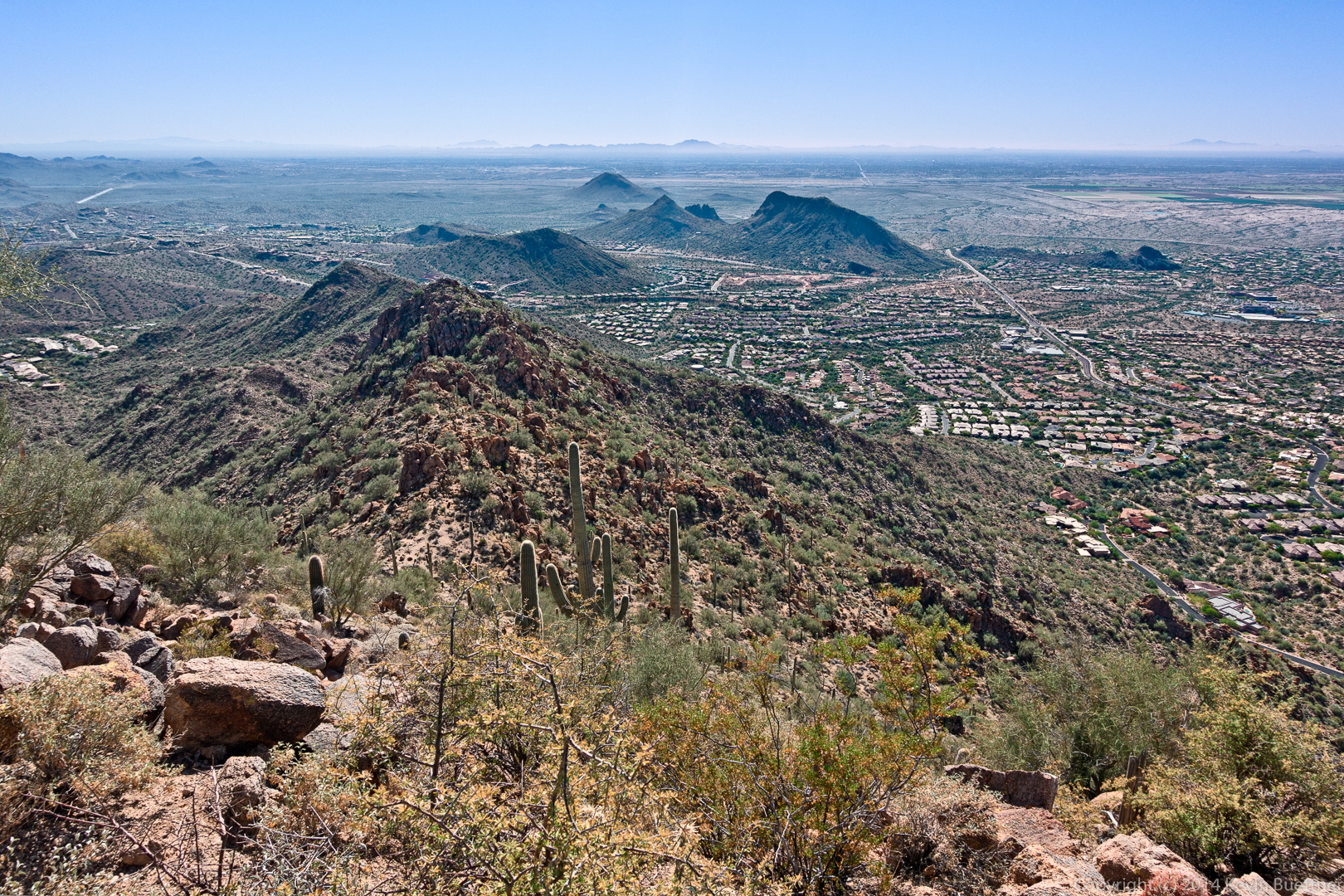
Yet another view from Sunrise Peak:
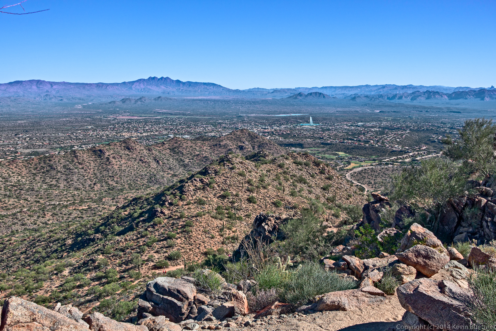
This is a view of Fountain Hills as we were descending Sunrise Peak.
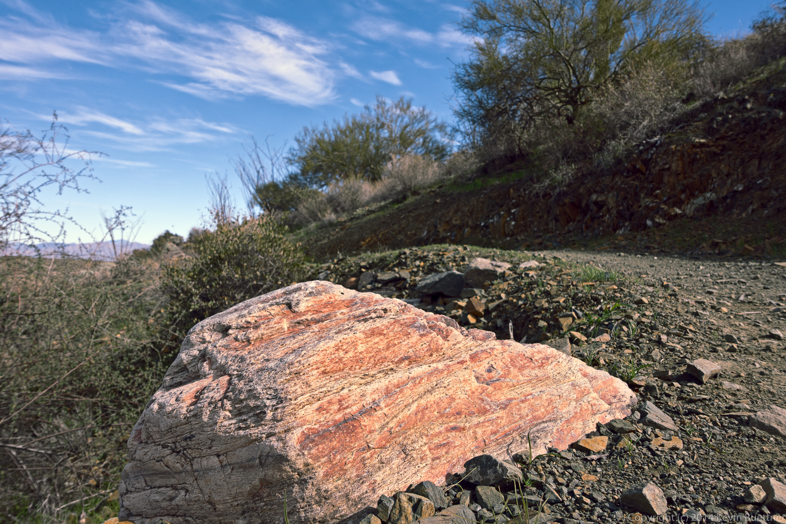
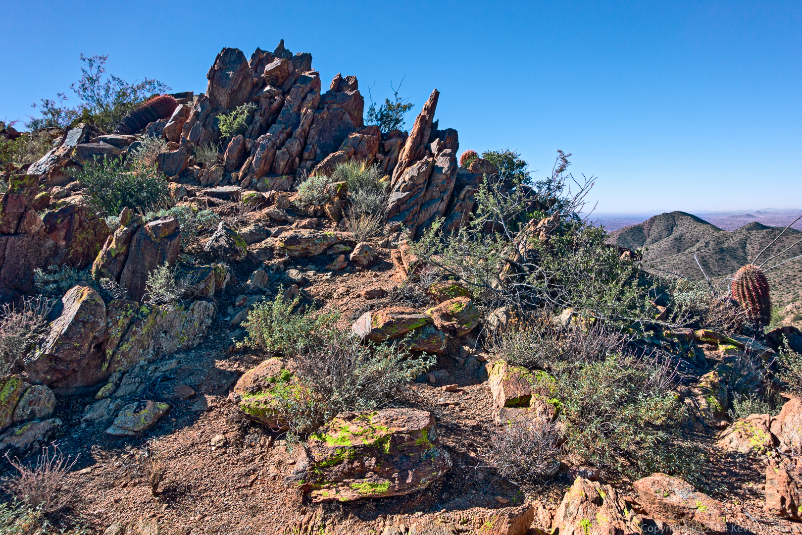
I noticed this rock outcropping on the way back.
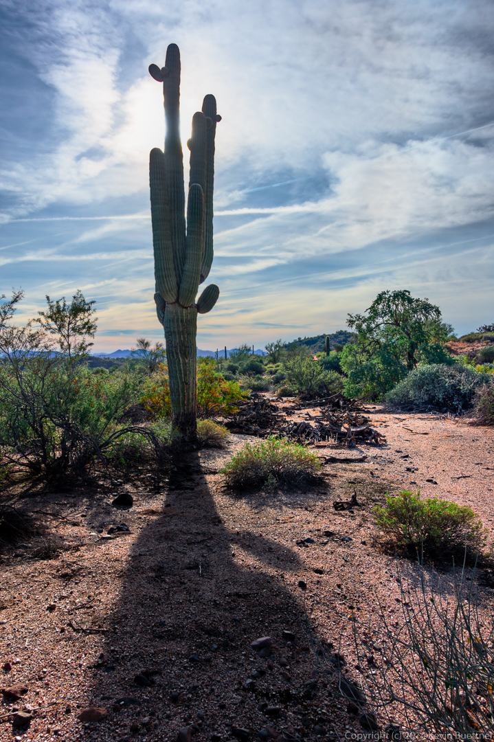
Another view, from the other side, of the saguaro that we saw earlier in the hike.
More saguaros on the Andrews-Kinsey Trail: