Tag: McDowell Mountain Park (page 30 of 46)

Friday Fitness Hike

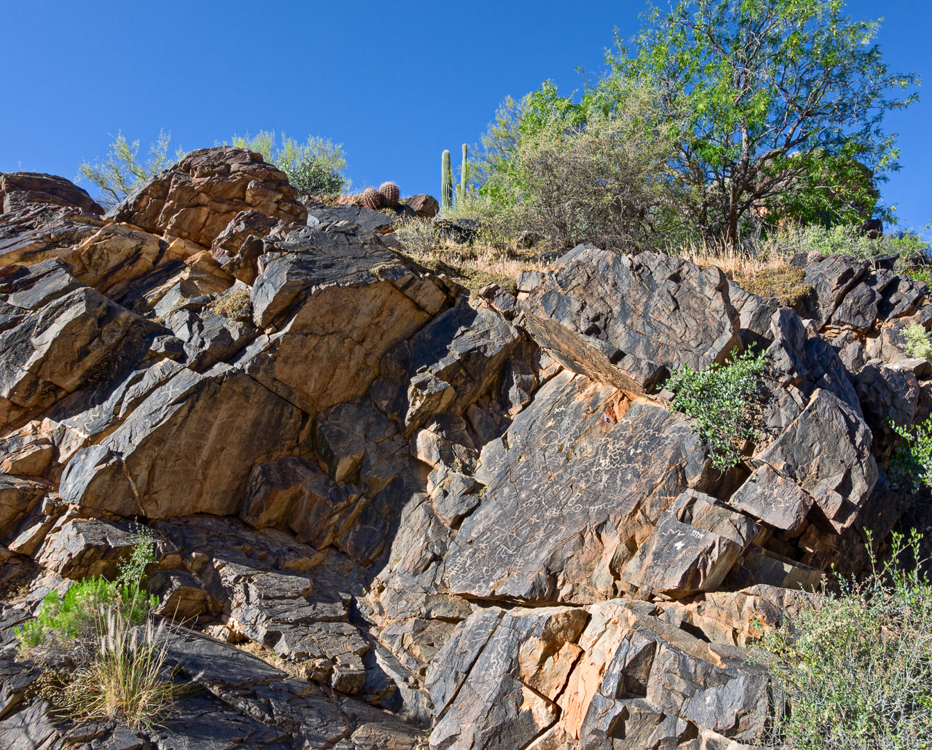
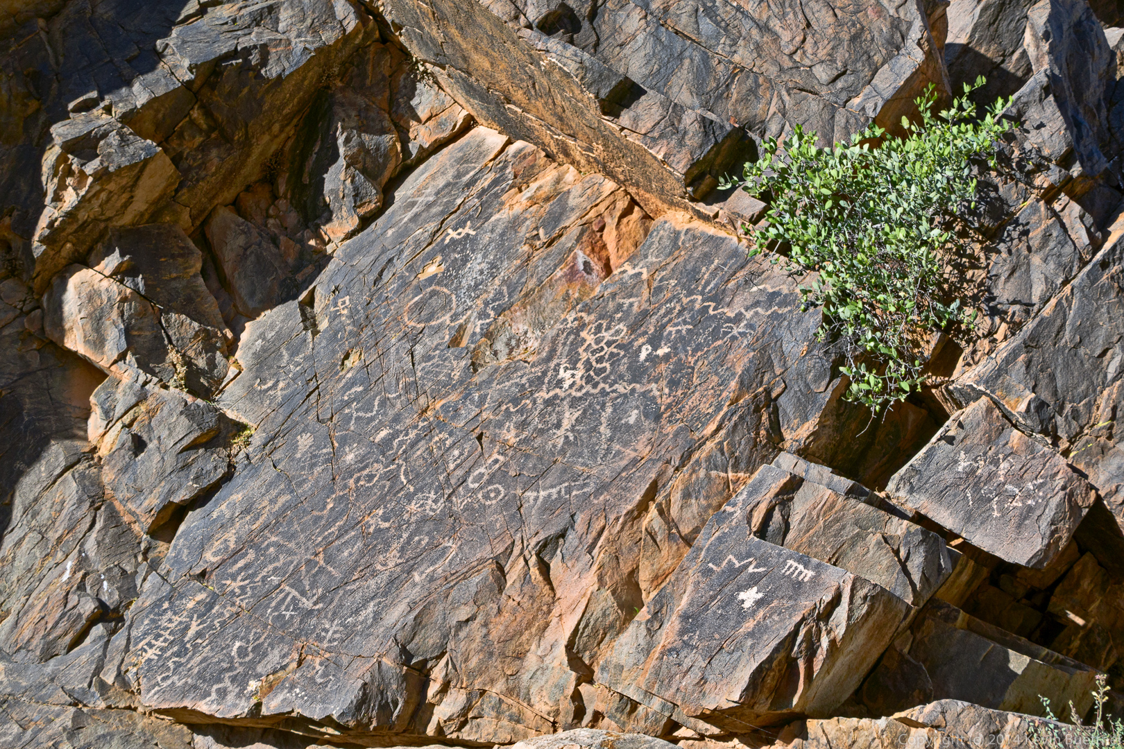
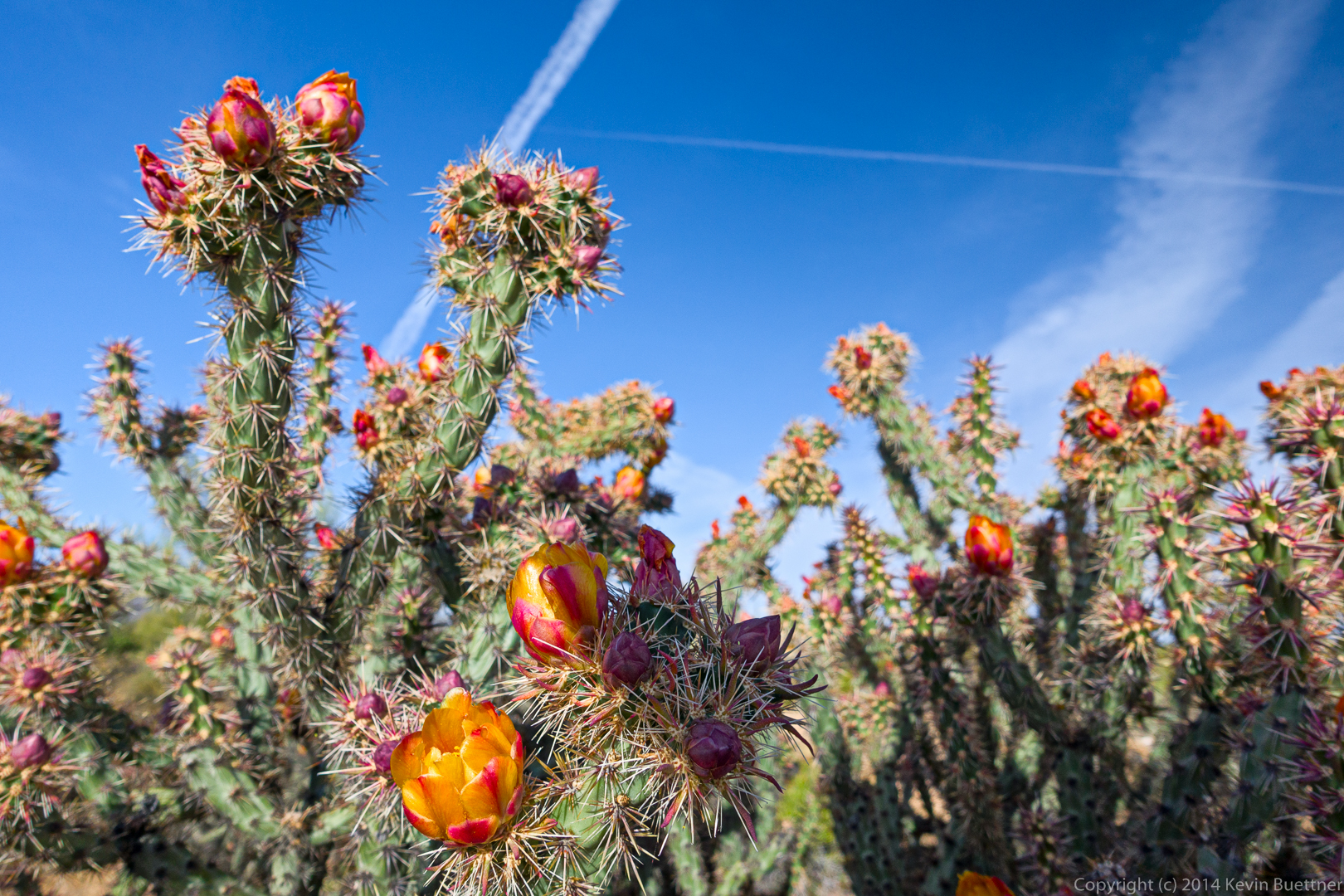
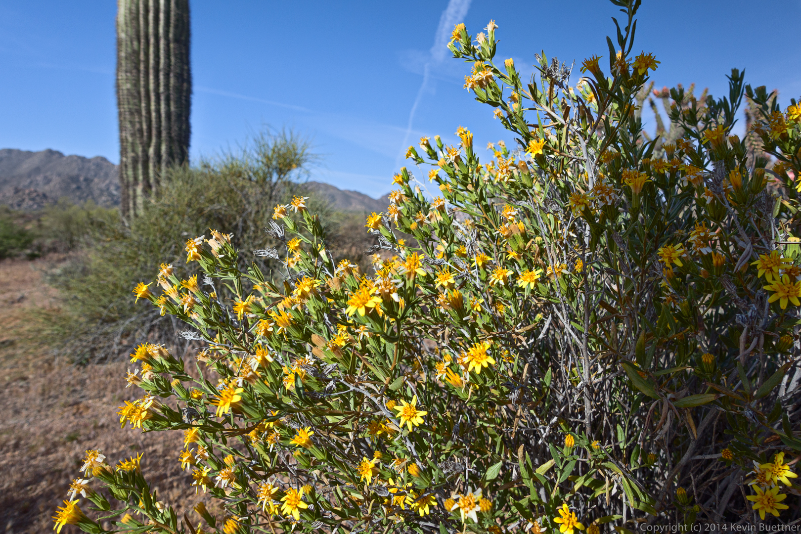
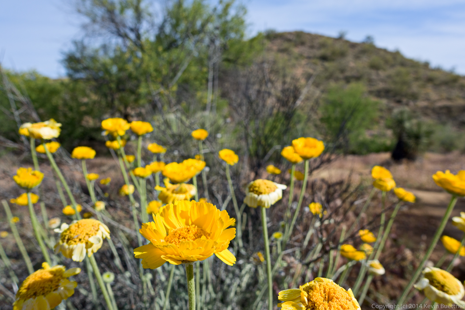
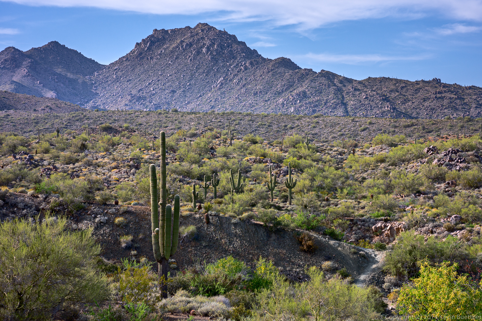
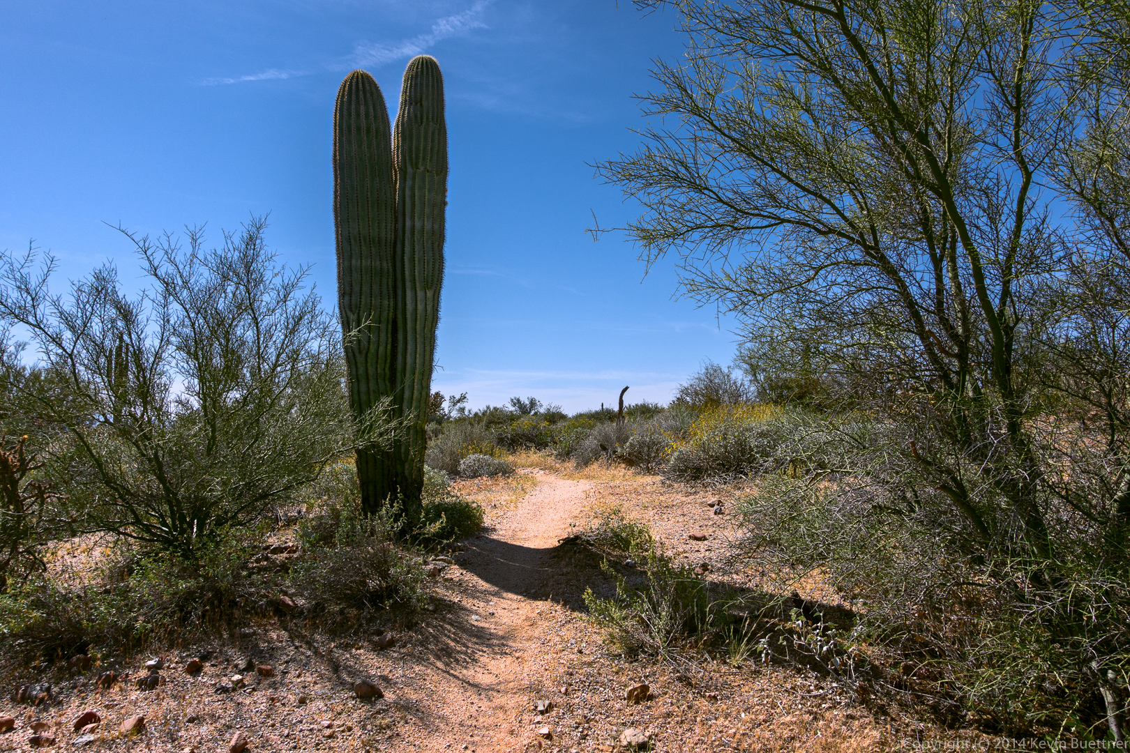
Friday’s hike started at the Dixie Mine Trailhead. We hiked out to the mine, past the petroglyphs, up the wash, and then turned left onto the Prospector Trail. That took us to the road where we bade goodbye to Steve and Laurie. Most of the rest of us hiked up the road to the summit of Thompson Peak. We returned via the road and the Dixie Mine Trail. Total distance was 10.8 miles with 2400 feet of total ascent.

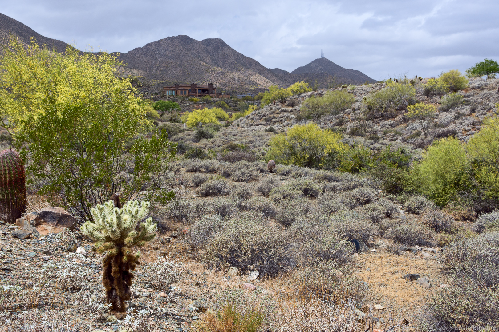
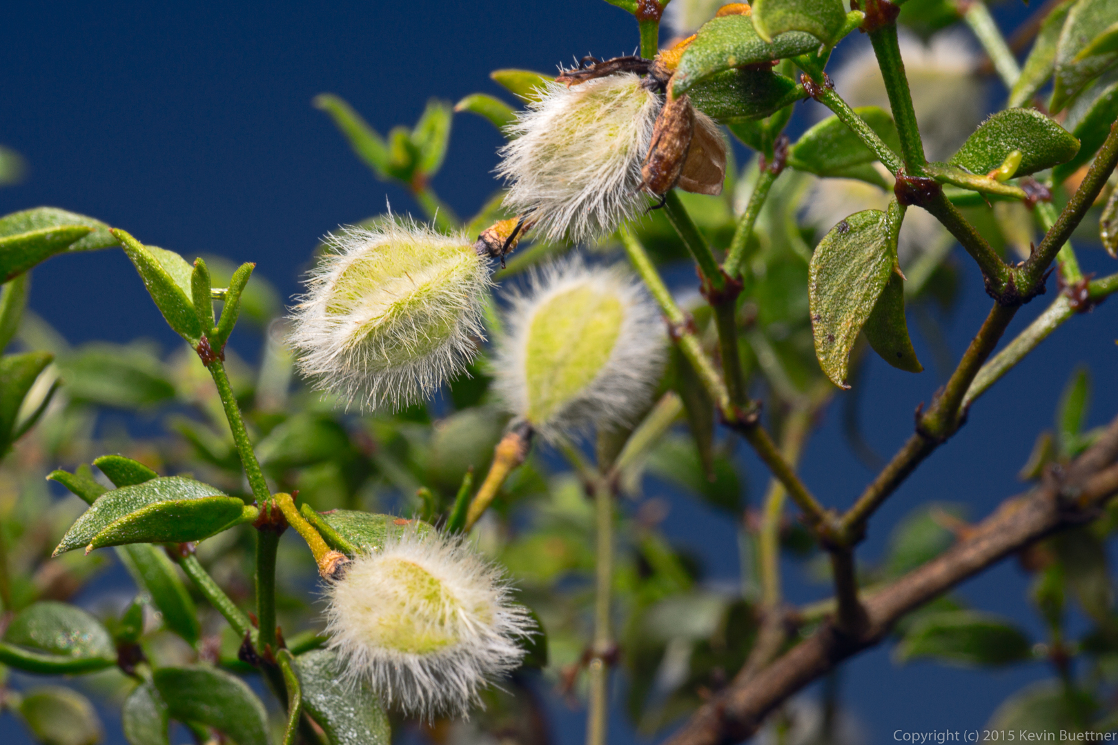
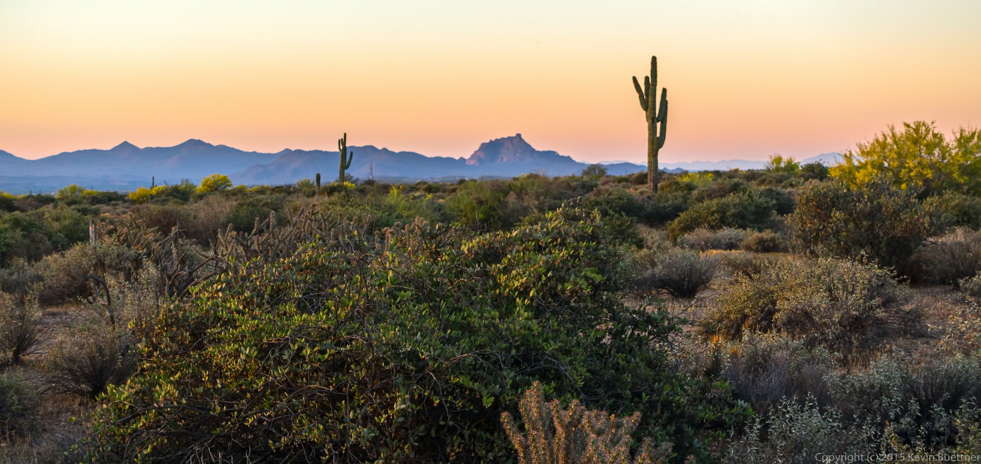
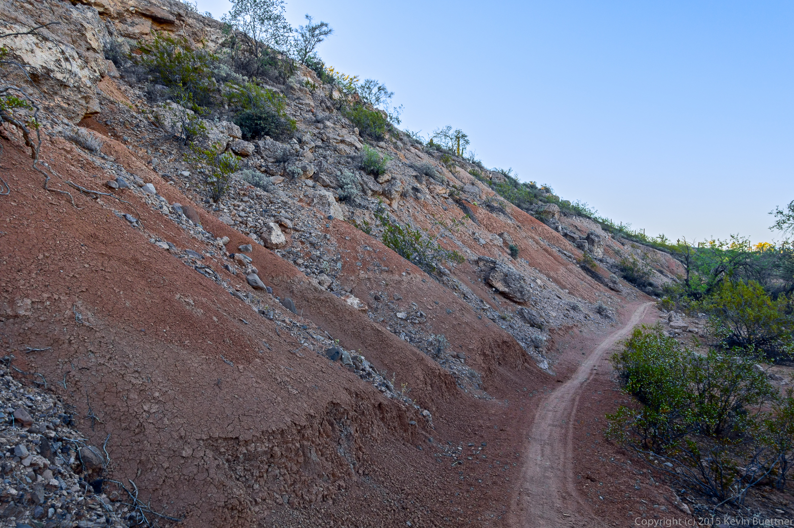
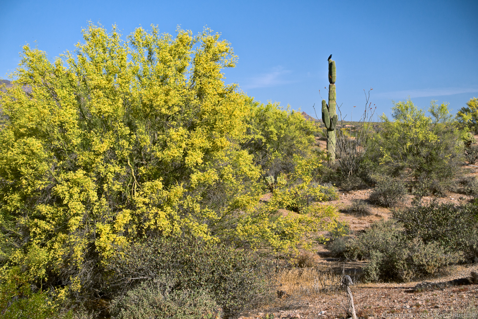
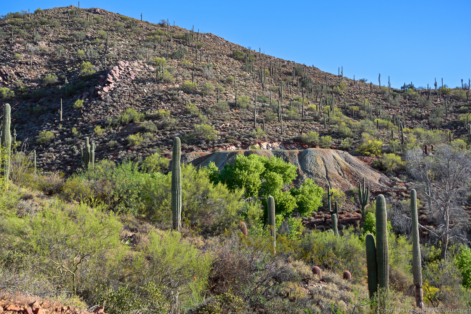
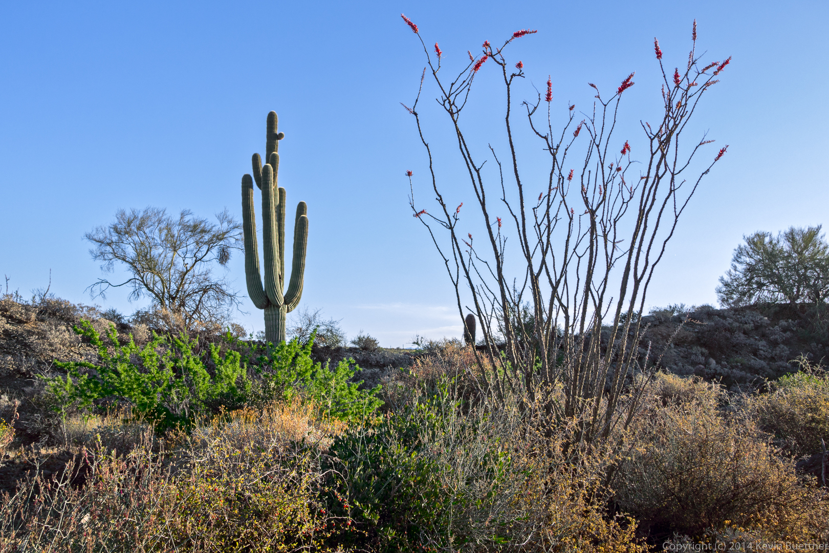
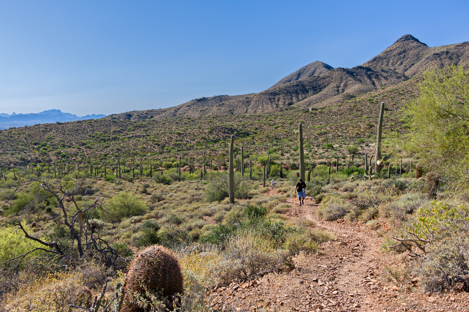
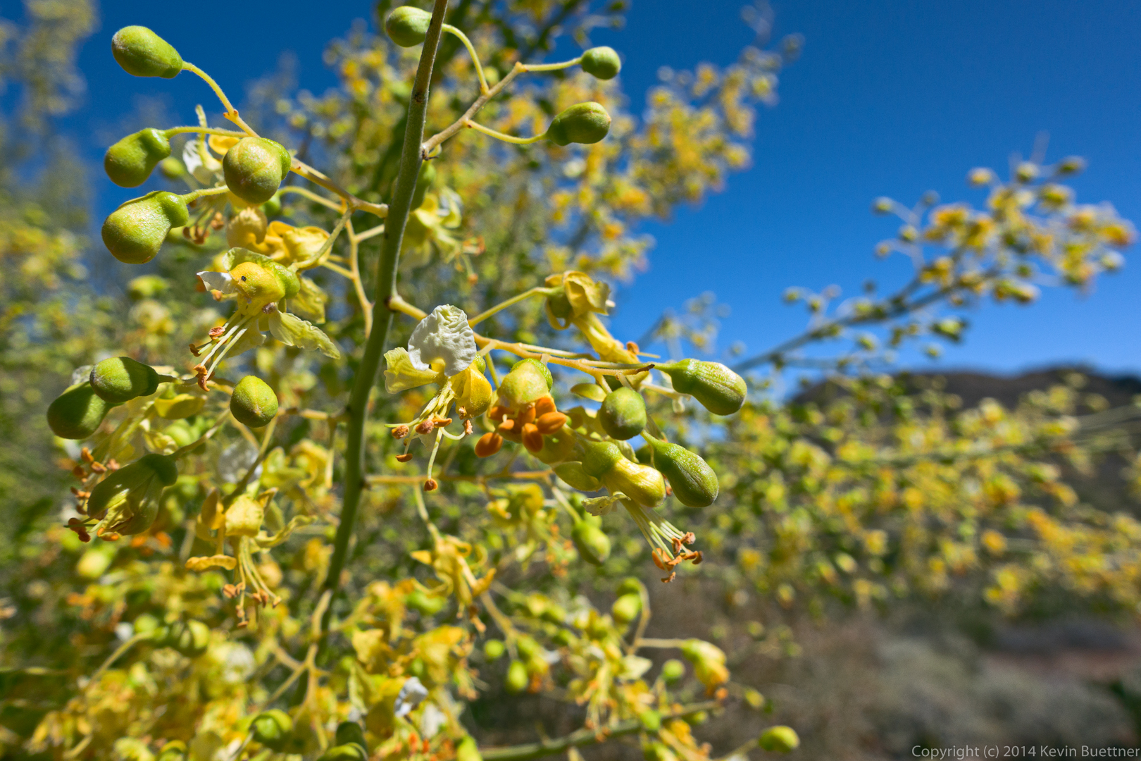
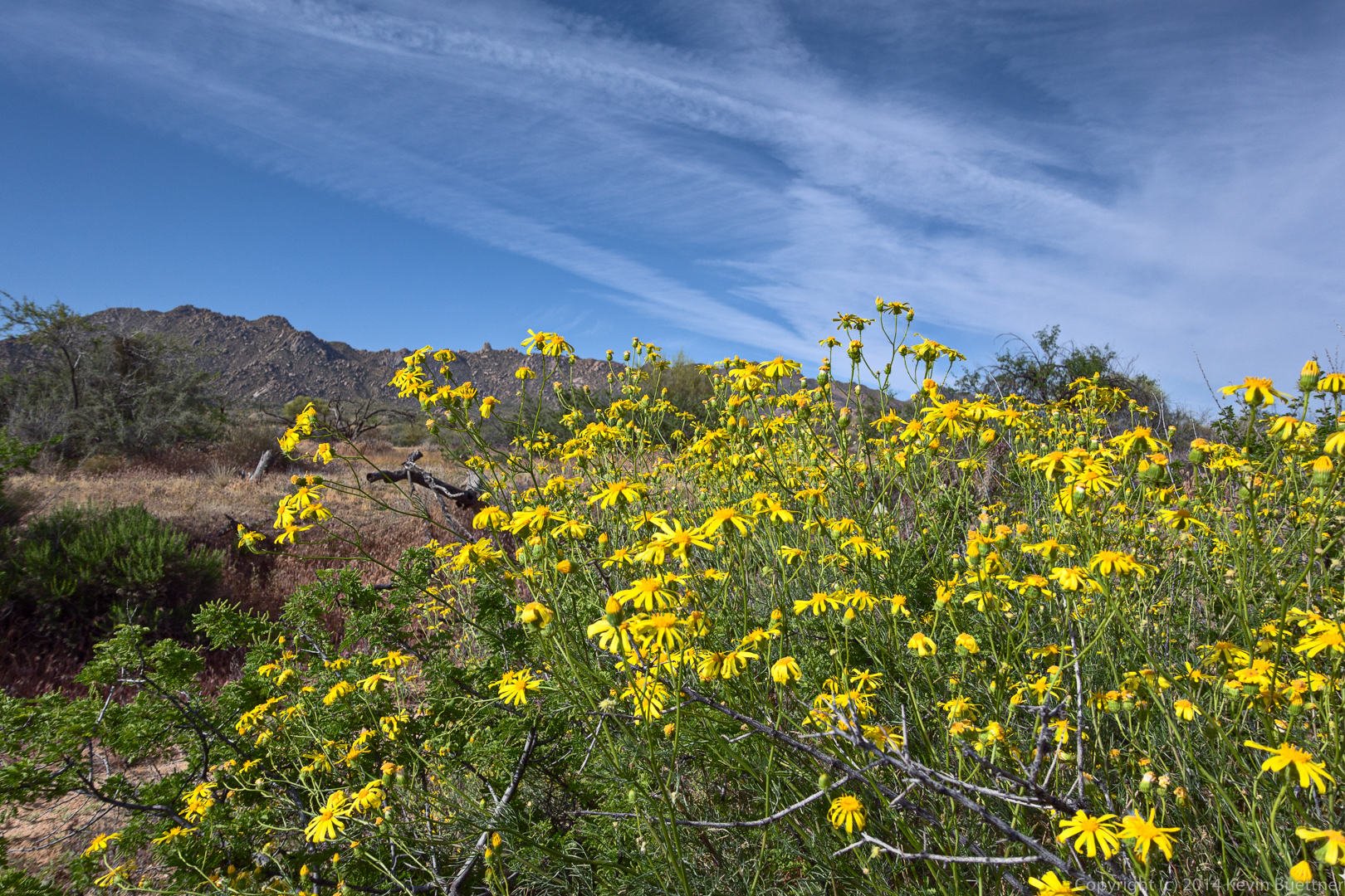
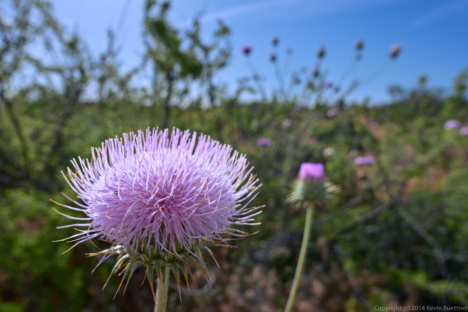
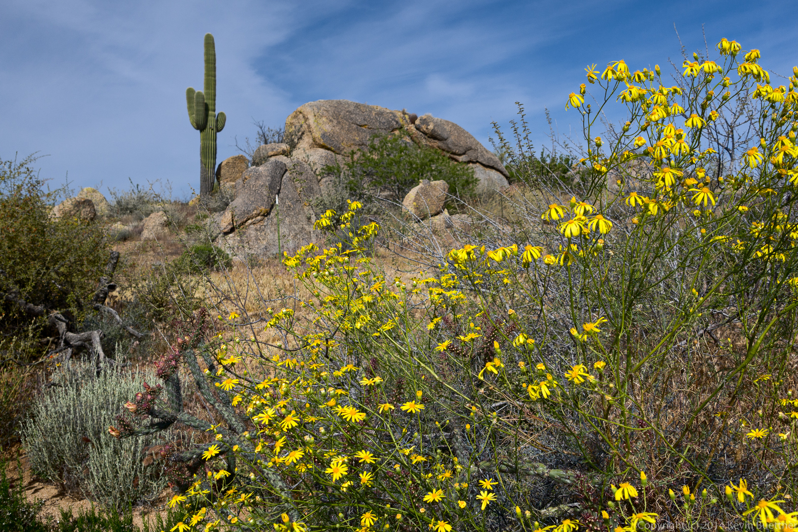
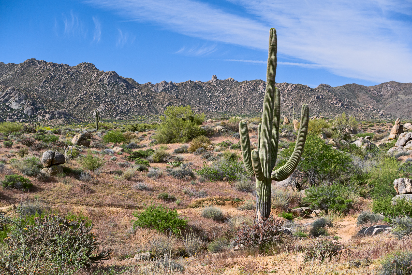
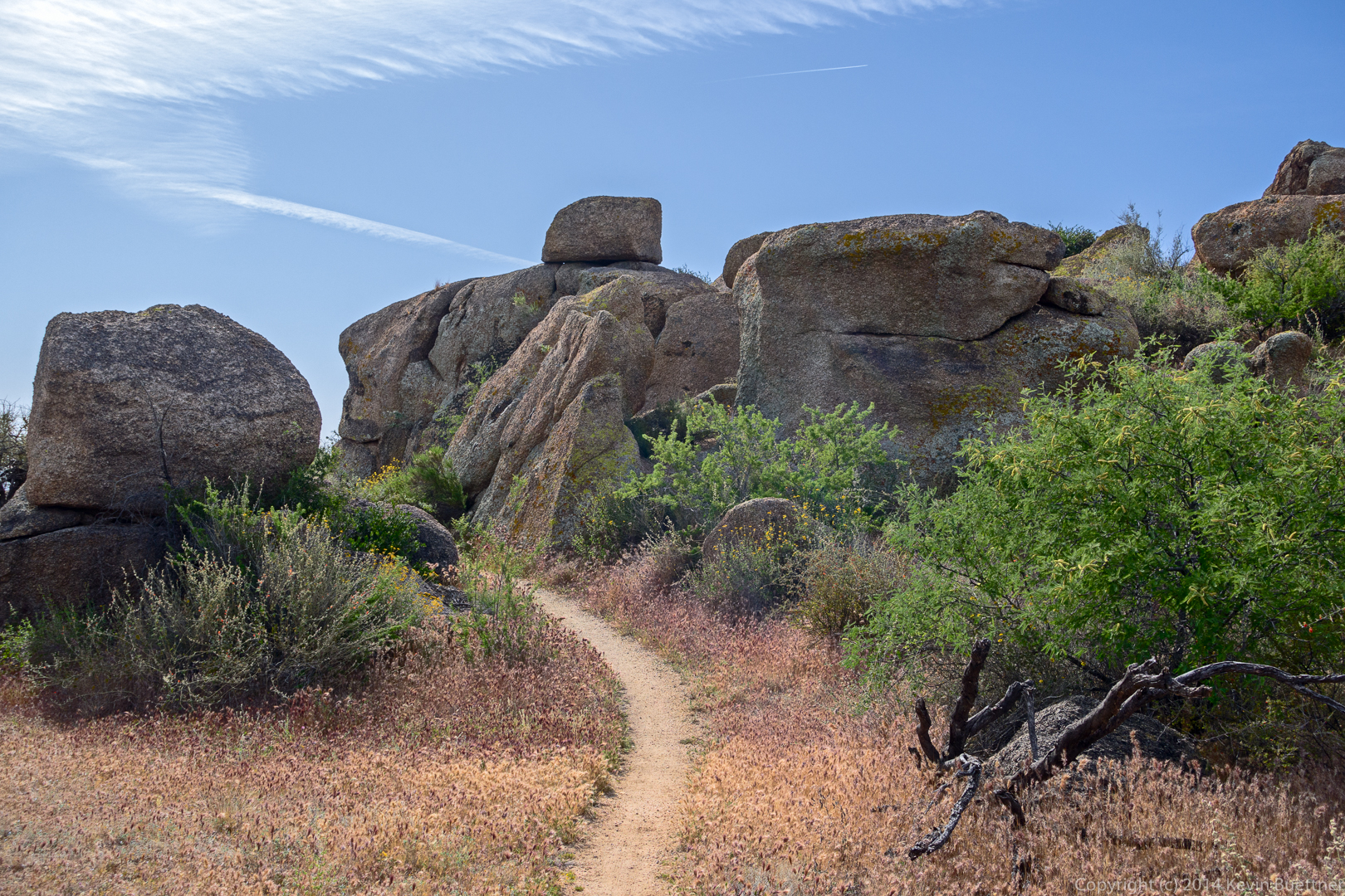
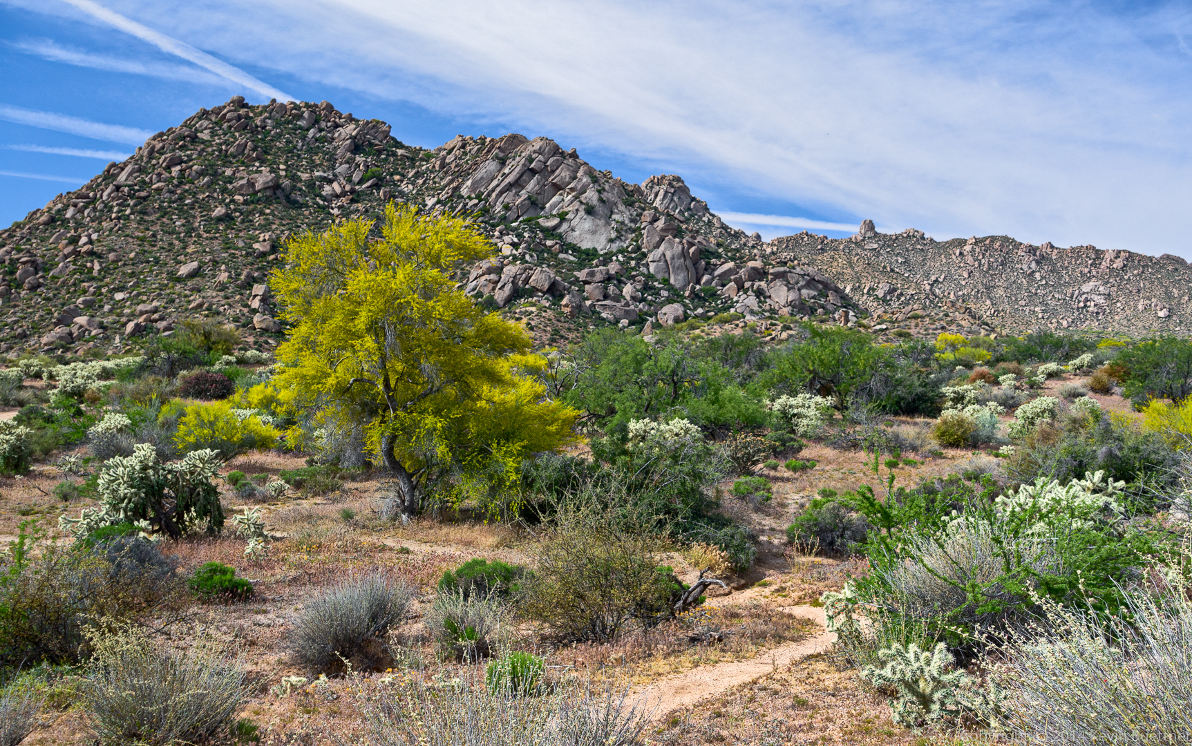
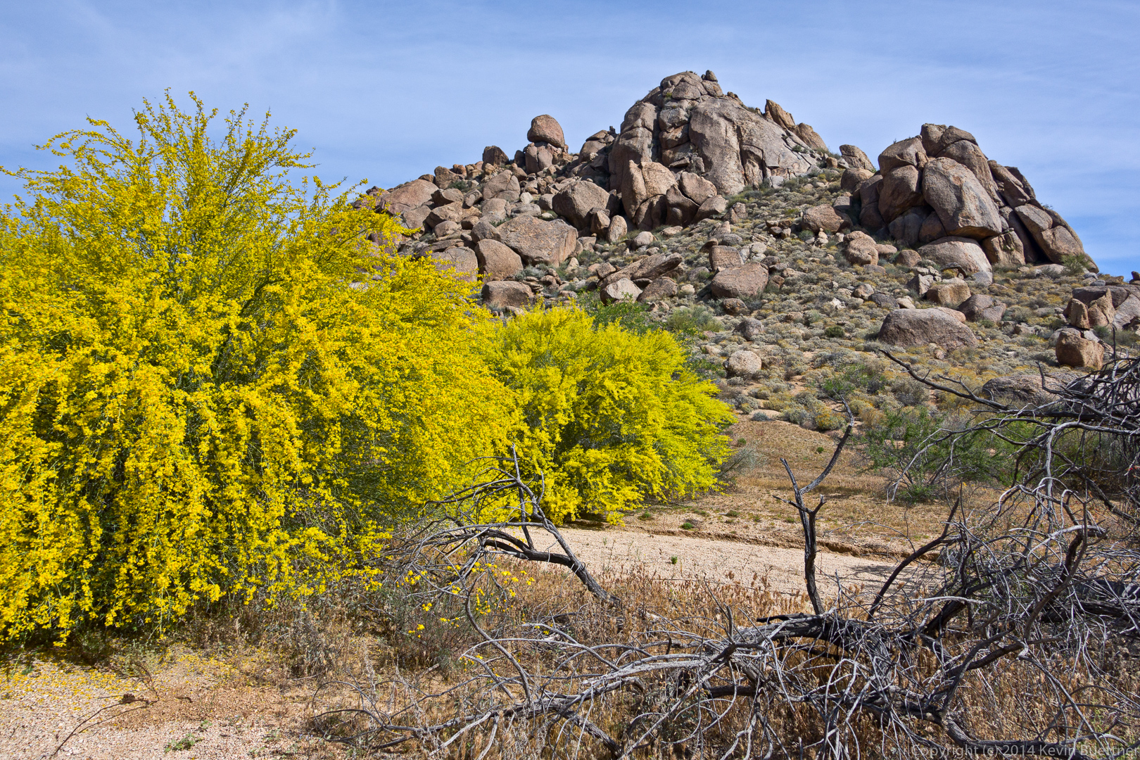
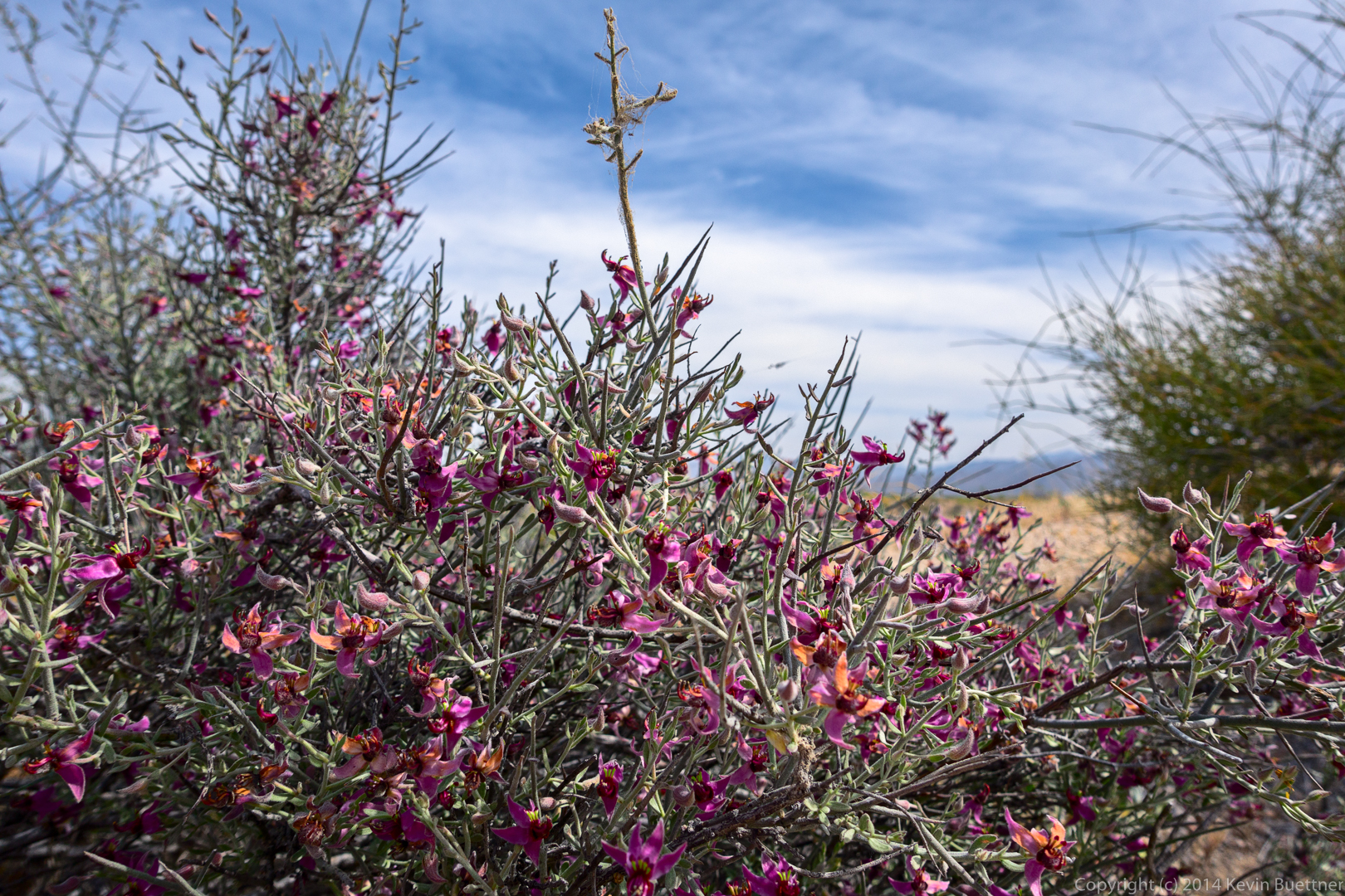
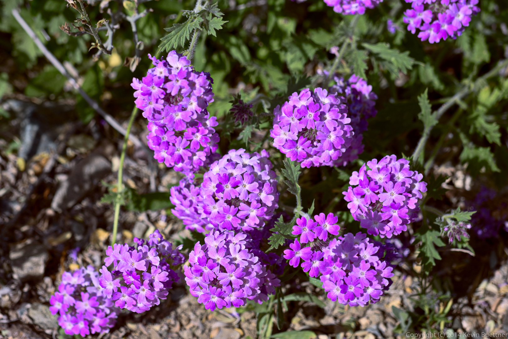
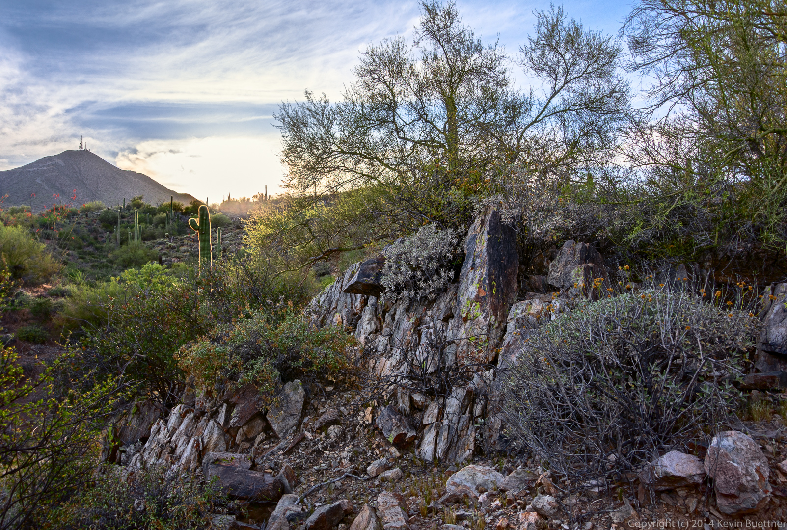
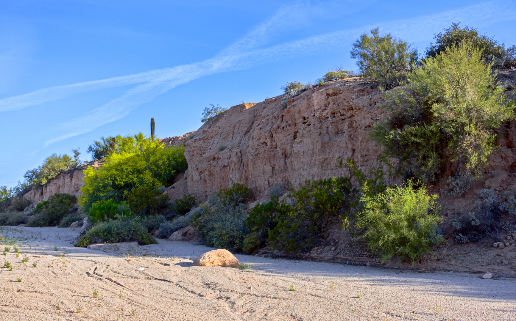
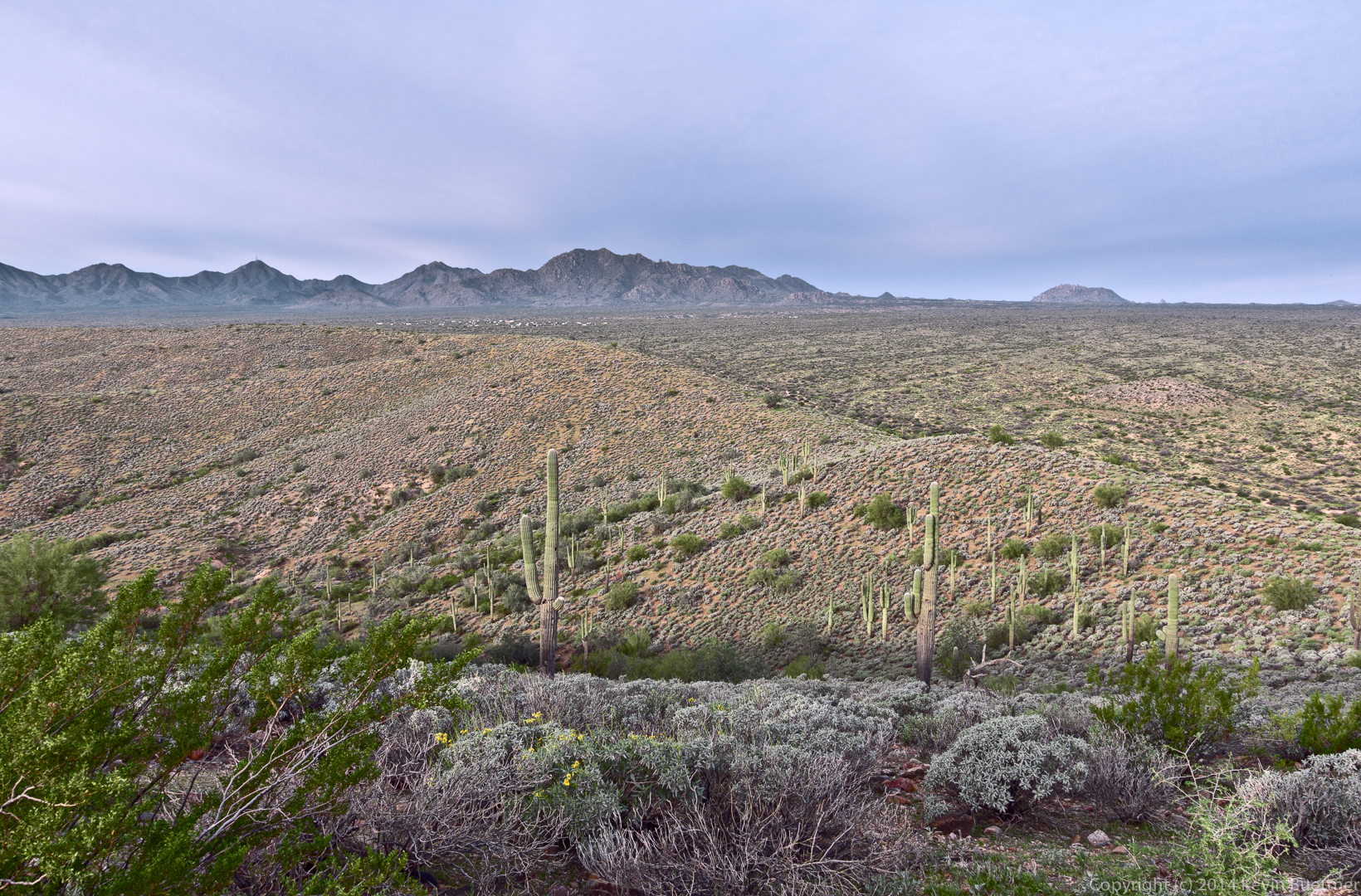
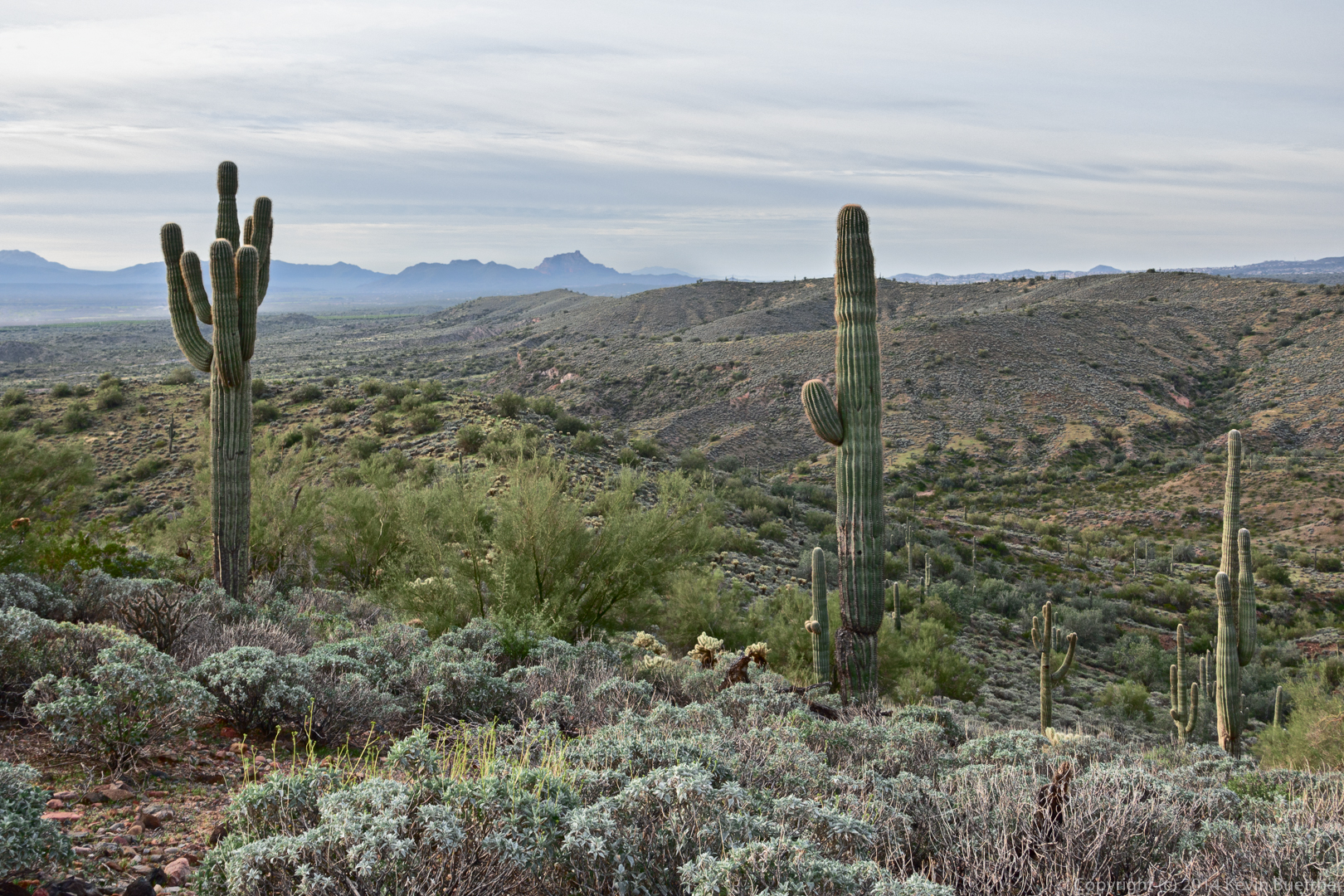
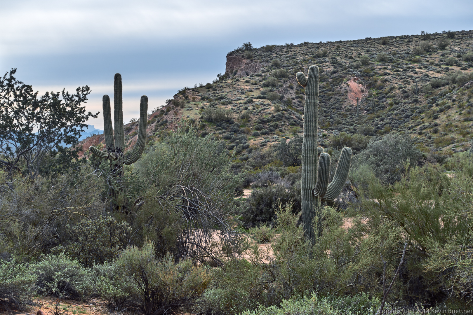
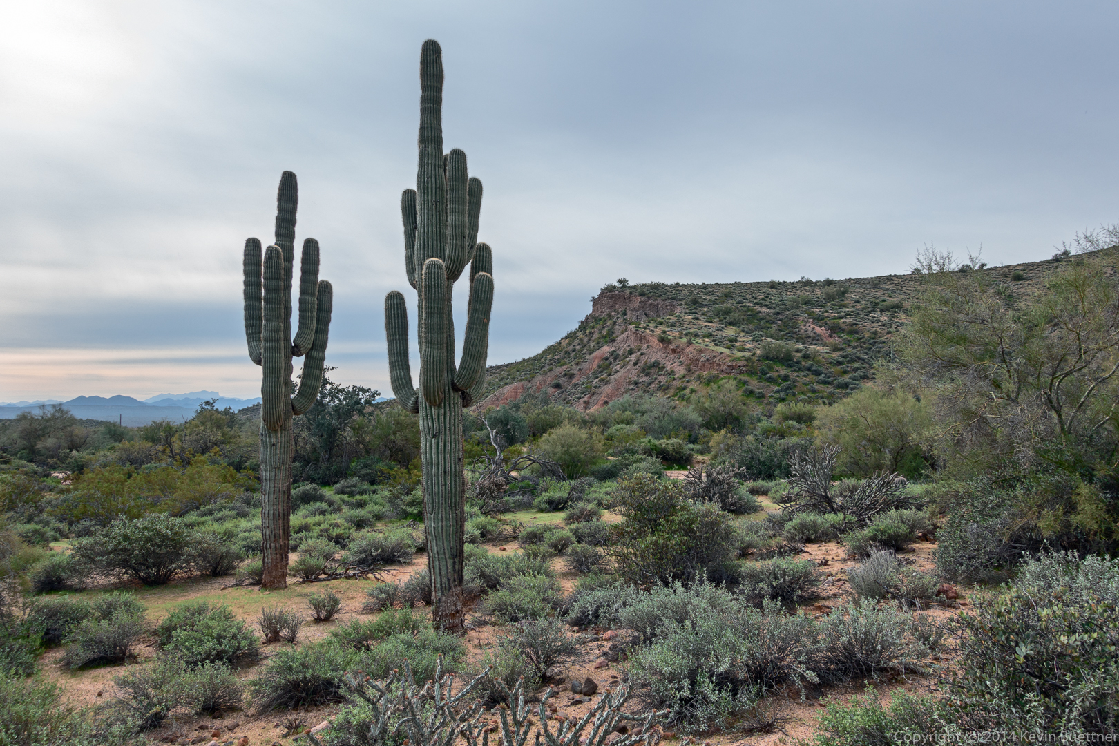
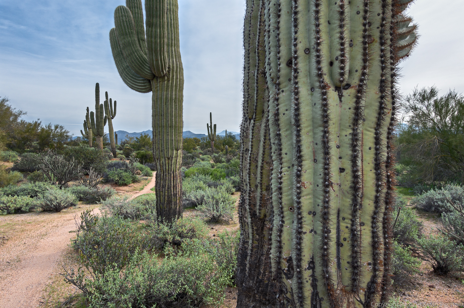
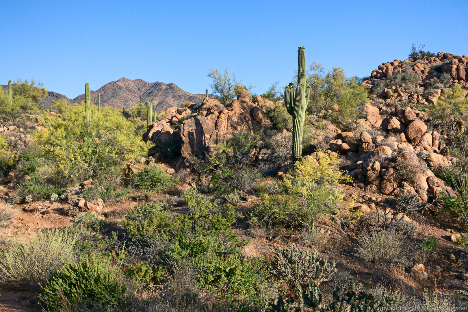
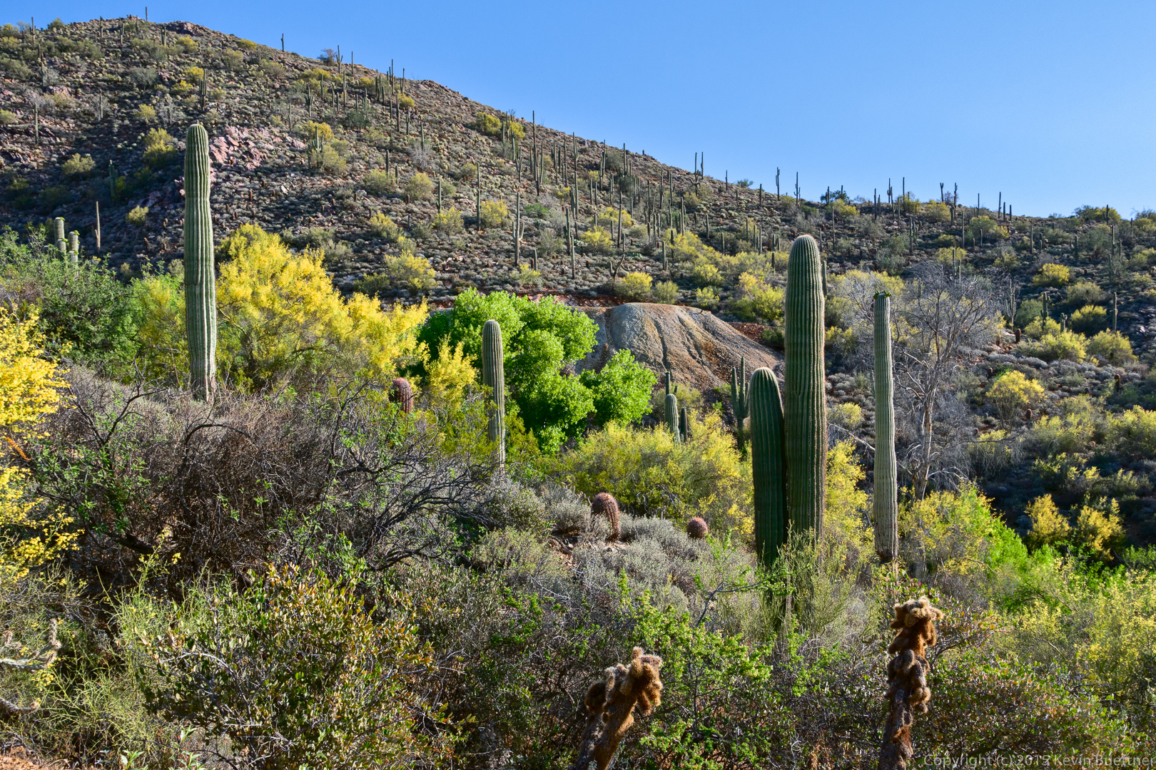
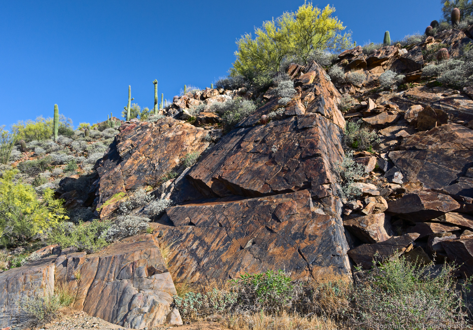
A view from the Dixie Mine Trail:

20150508-_DSC6142-Edit-medium

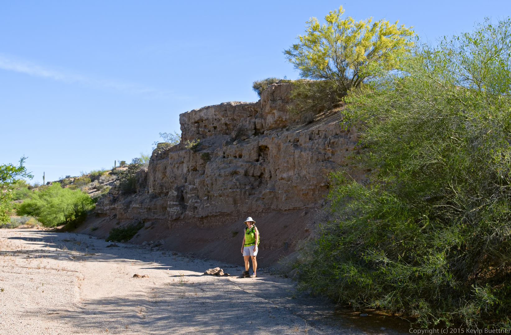
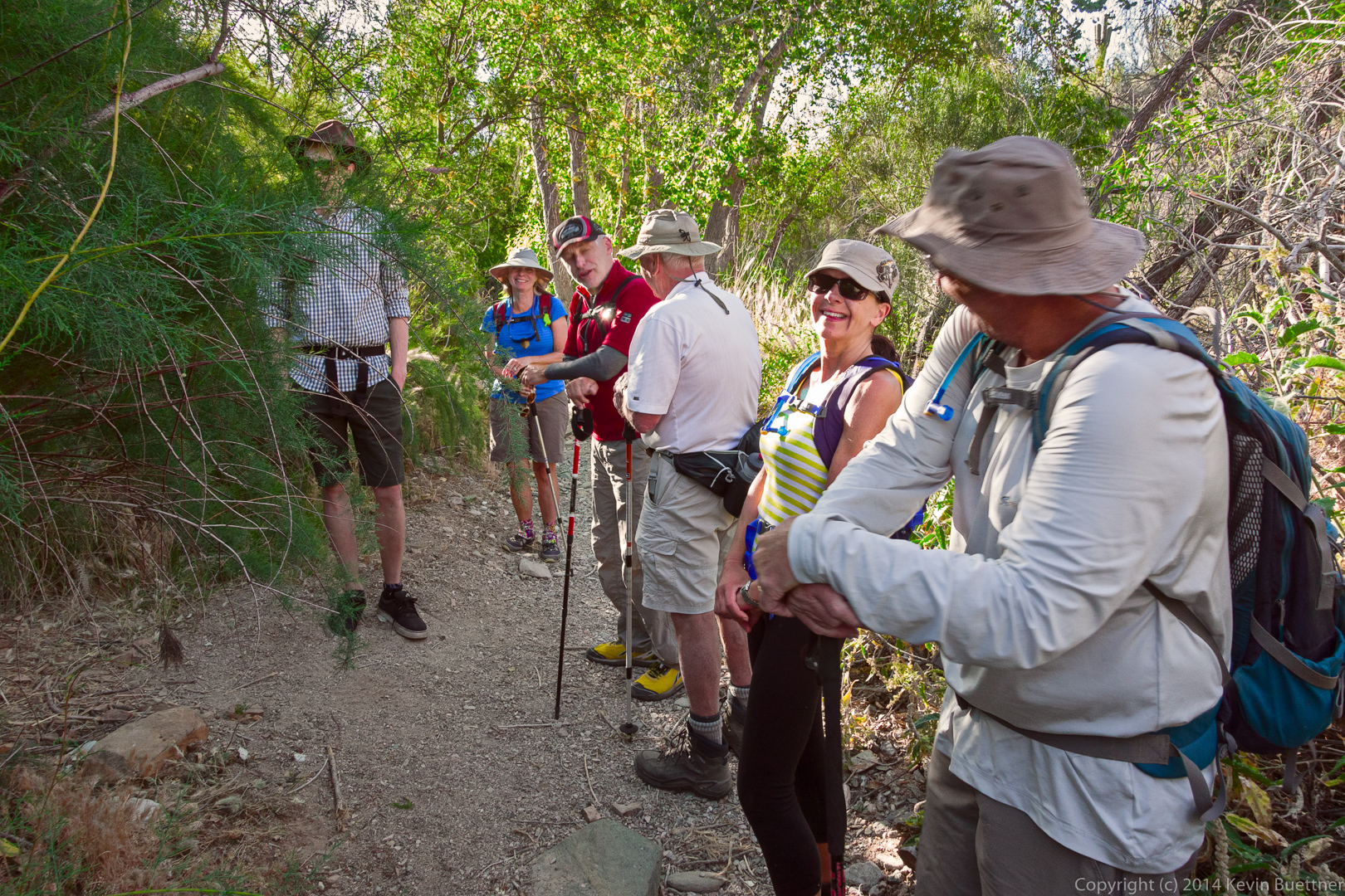
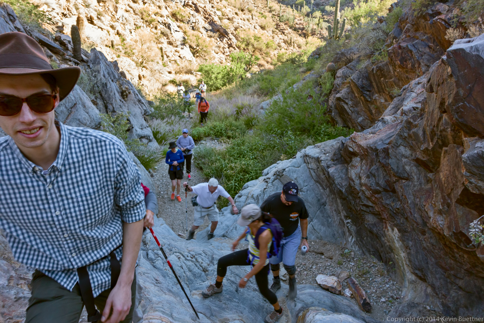
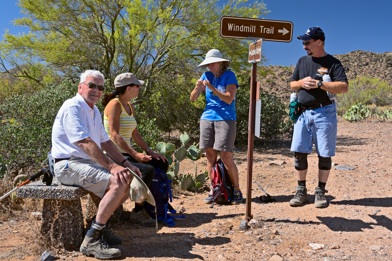
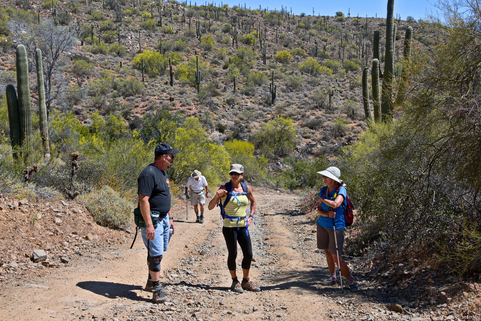
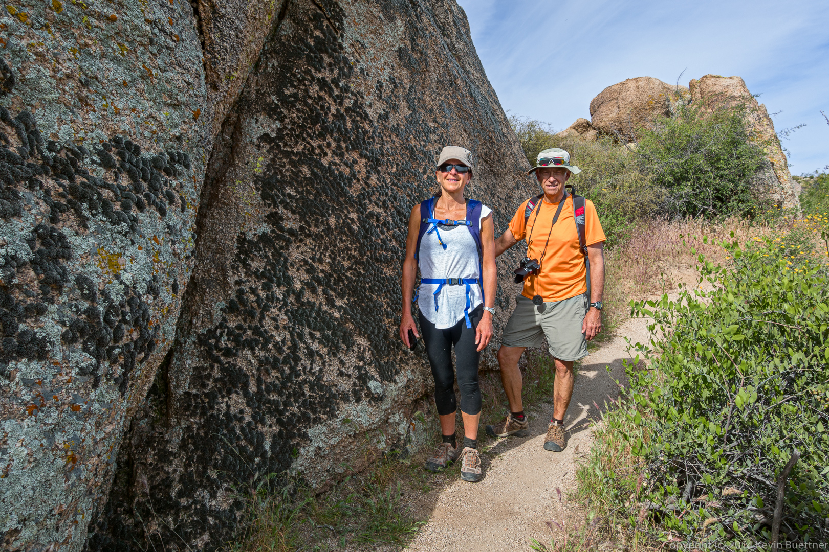
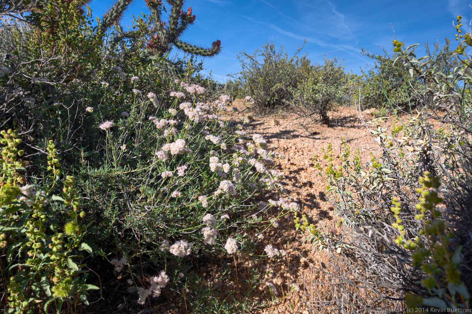
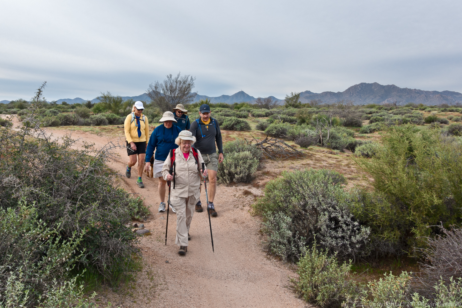
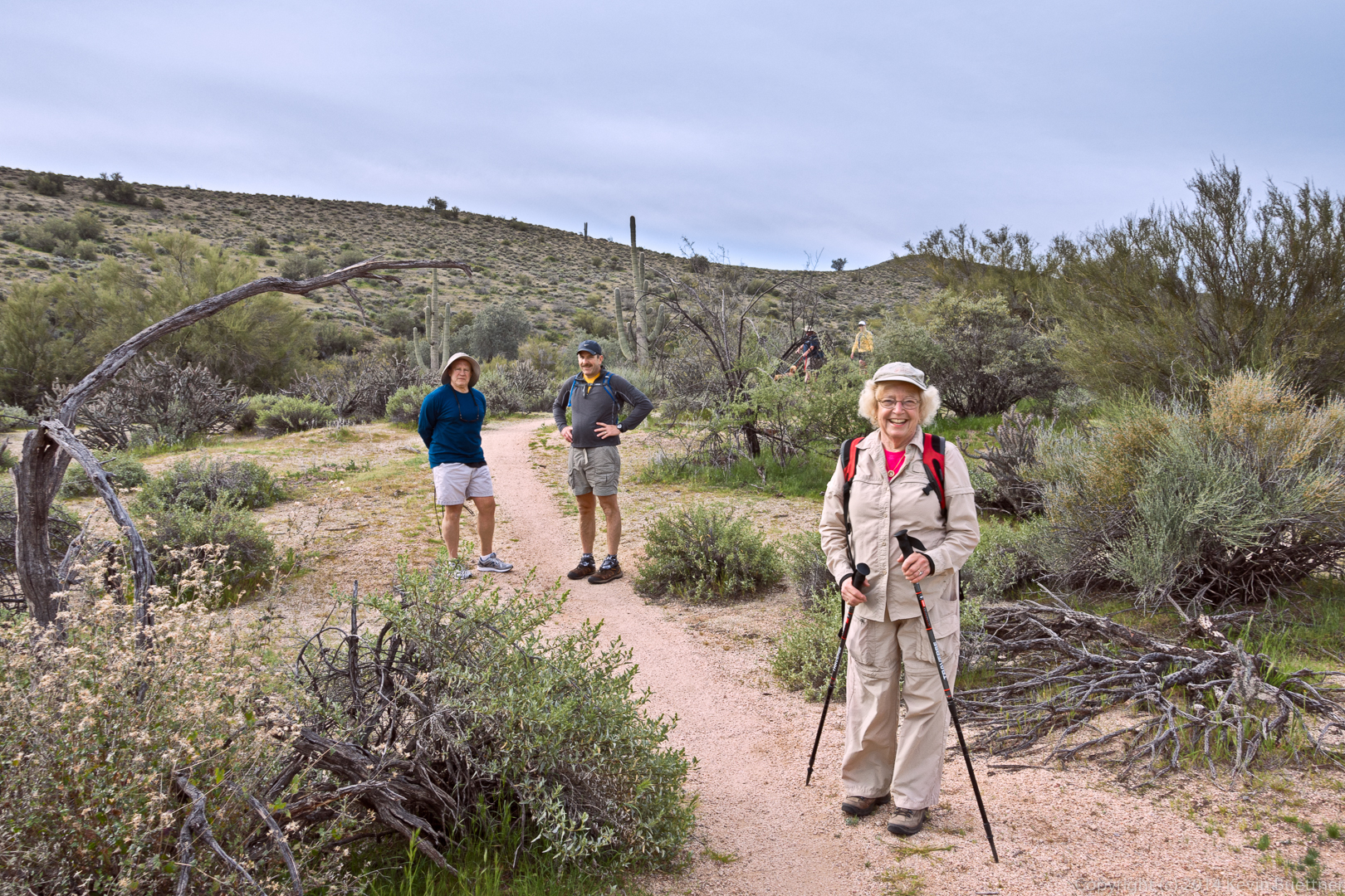
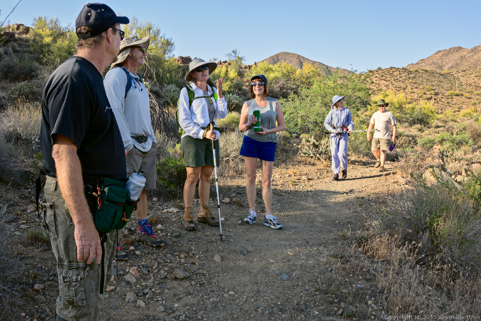
Taking a break on the Dixie Mine Trail.

20150508-_DSC6181-Edit-medium

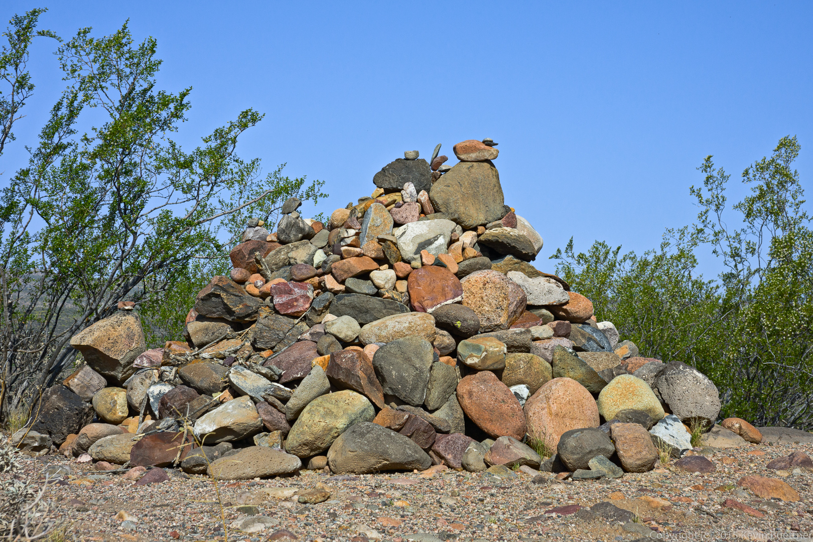
A view of the mine tailings.

20150508-_DSC6205-Edit-medium

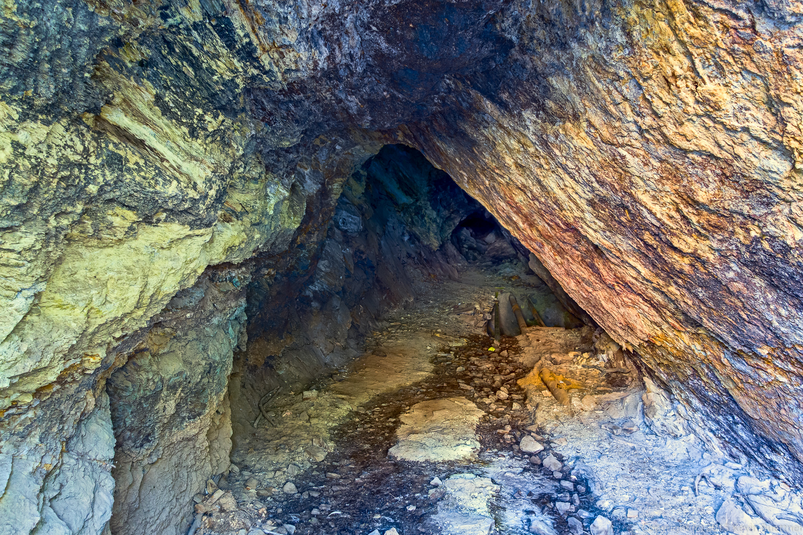
A view of the entrance to the mine. I blended three exposures to see as far into the mine as I could.

20150508-_DSC6217_8_8_9_9-Edit-medium

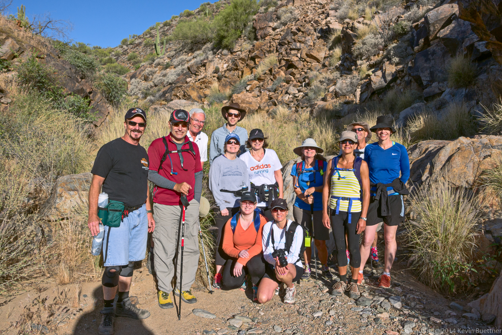
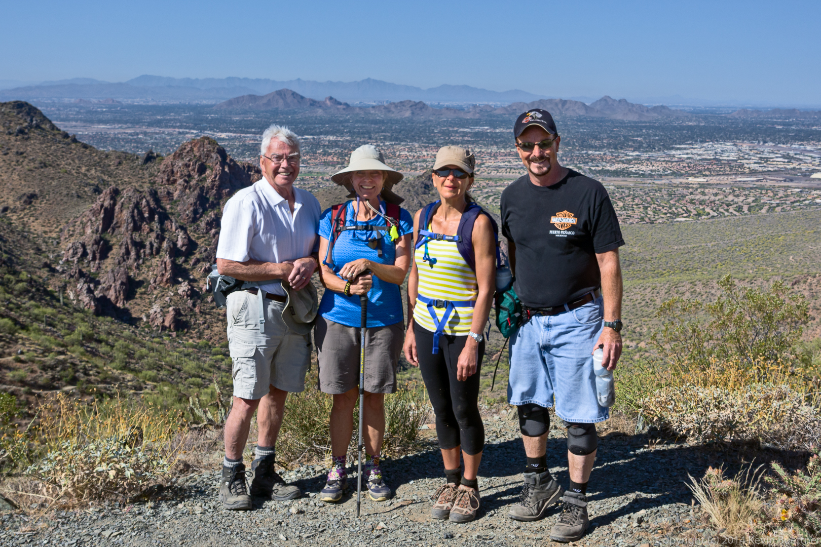
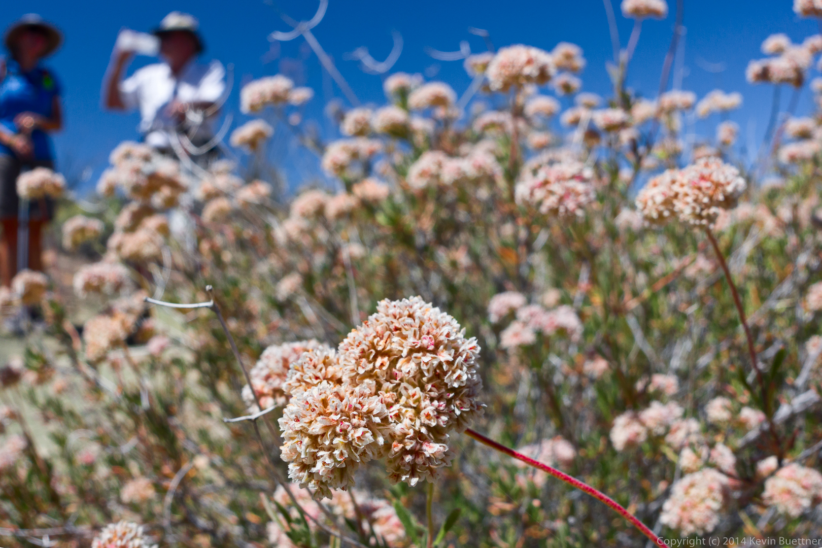
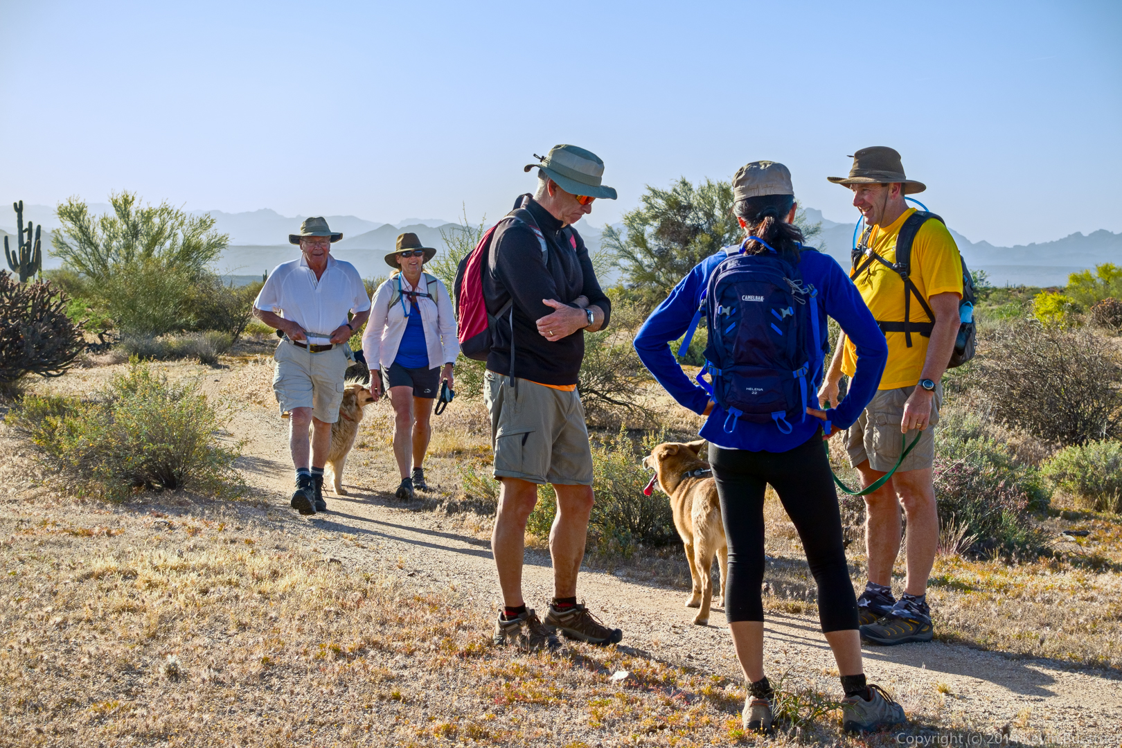
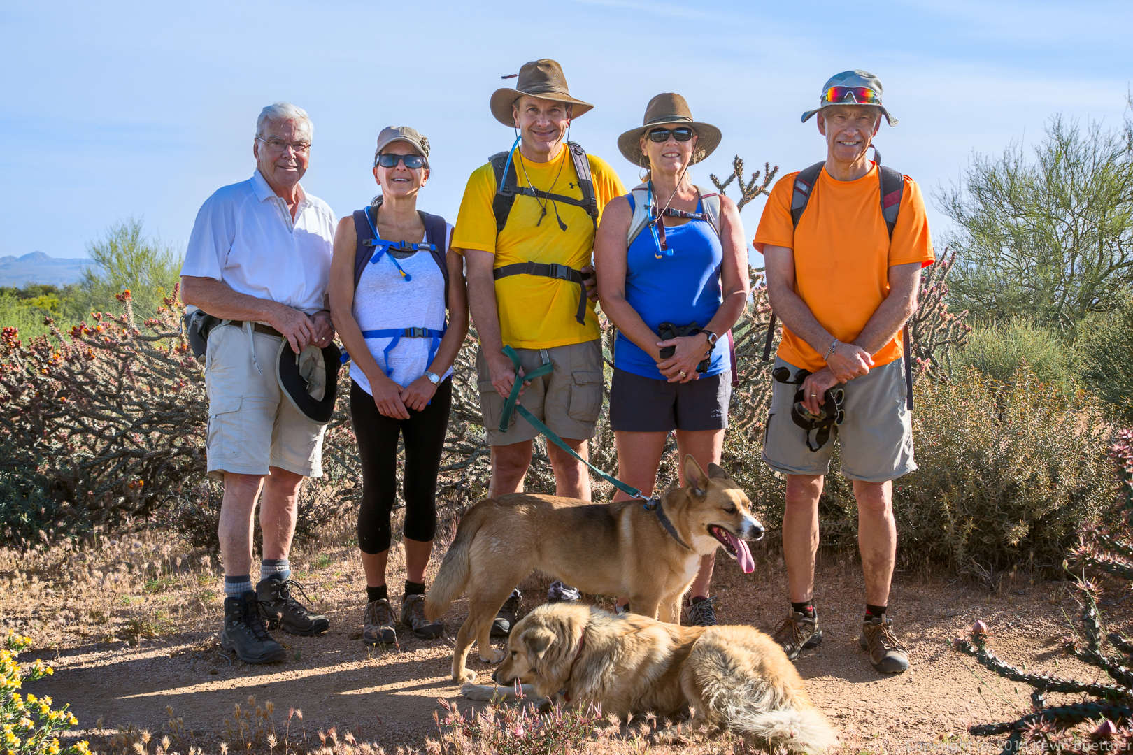
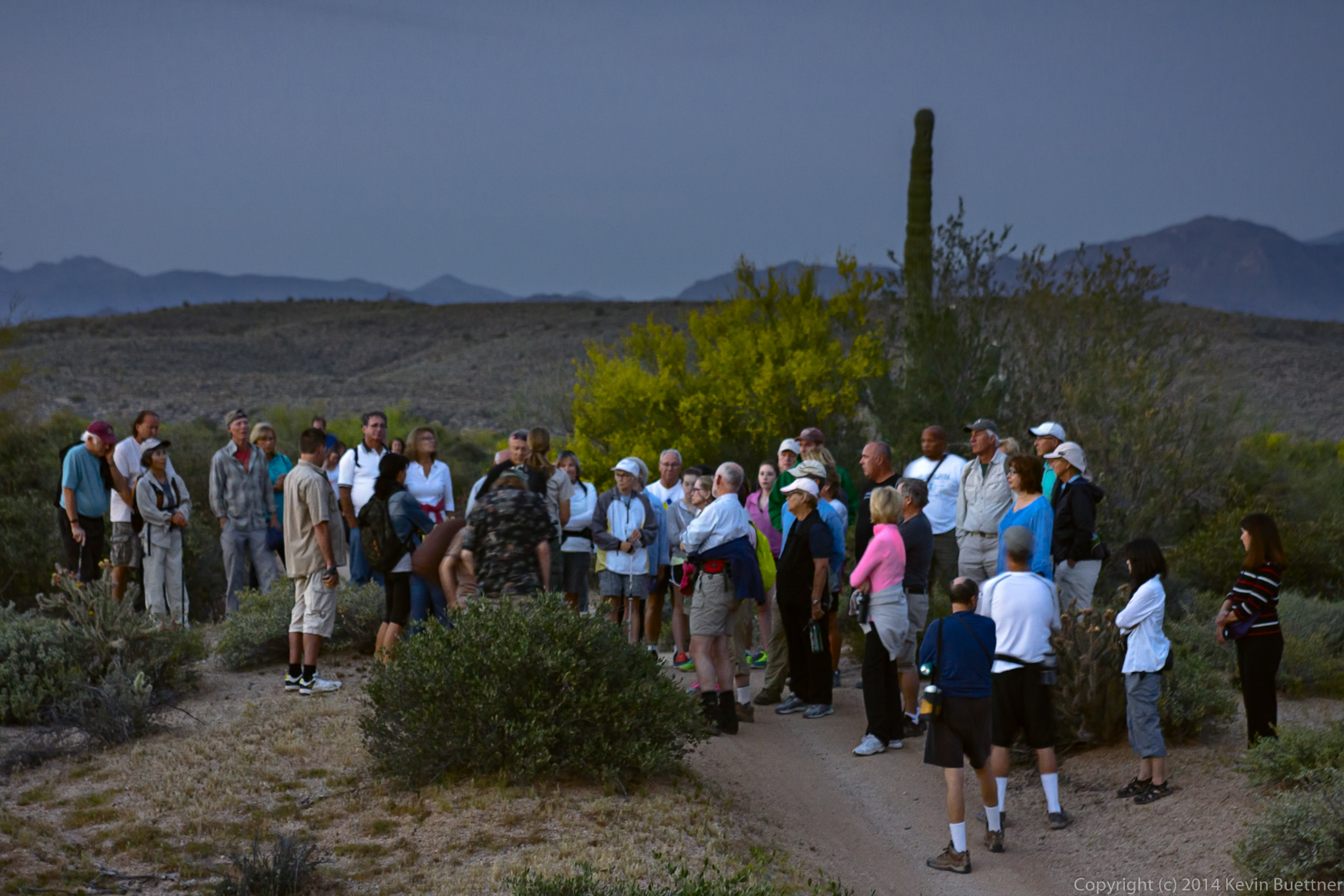
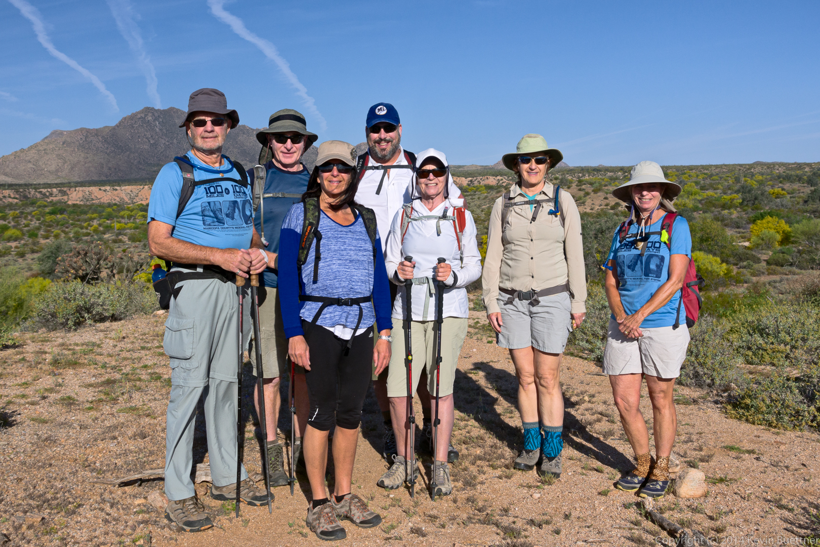
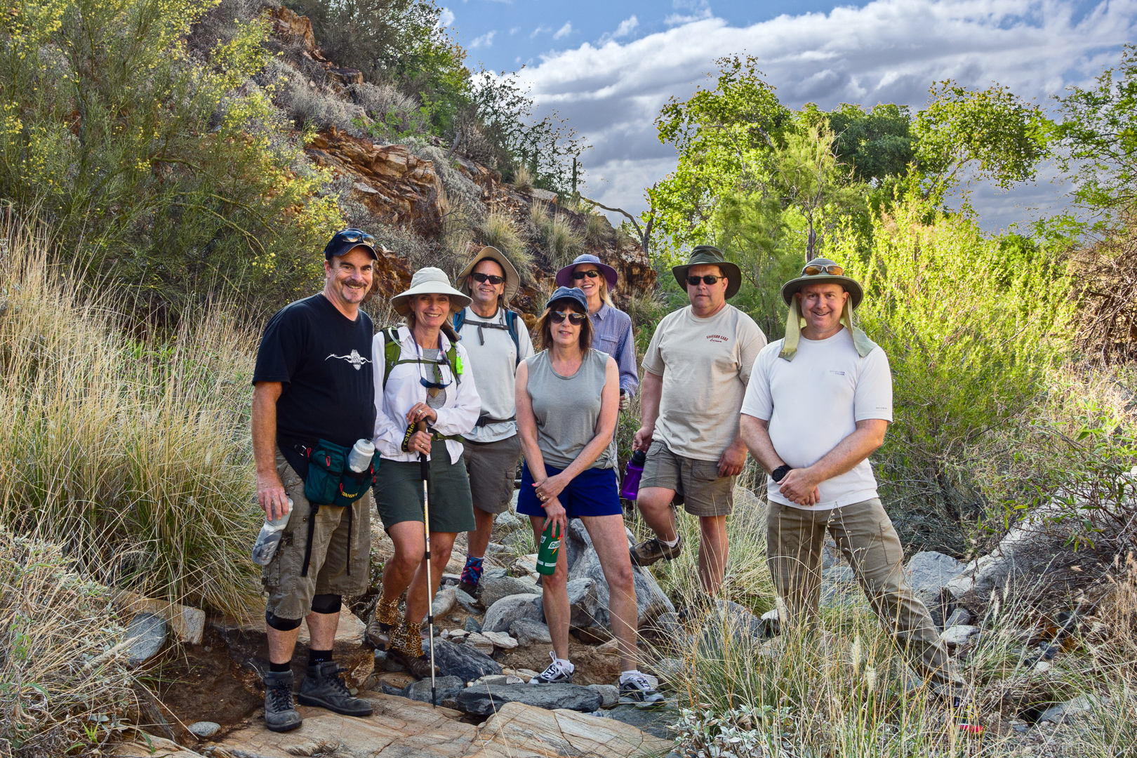
Jerry, Linda, Bob, Laurie, Denise, Steve, and Kevin:

20150508-_DSC6220-Edit-medium

The waterfall (when there’s water) from the bottom:

20150508-_DSC6246-Edit-medium

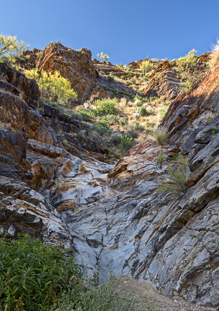
Hiking up the waterfall…

20150508-_DSC6268-Edit-medium

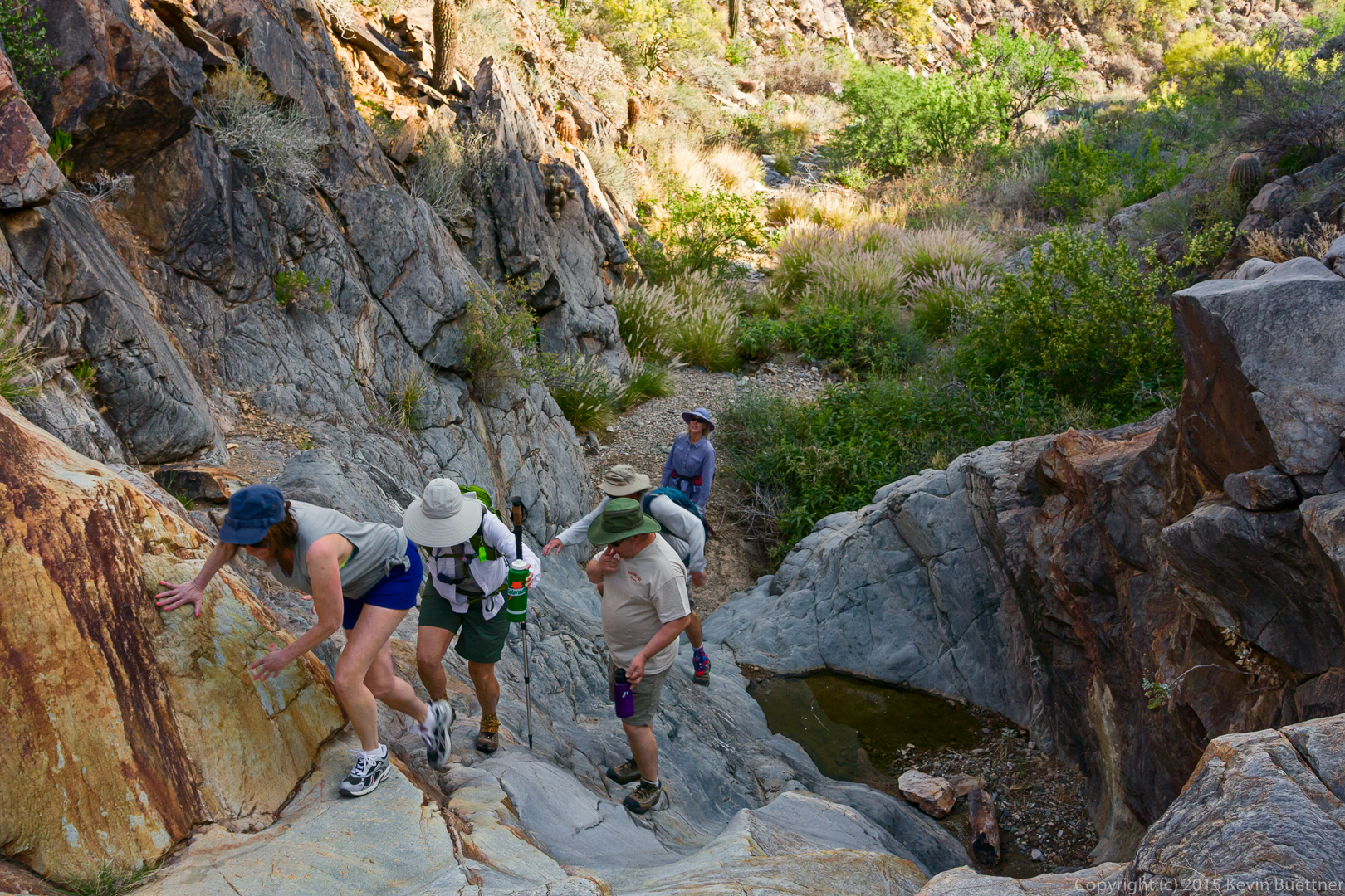
A fun slab for practicing smearing technique.

20150508-_DSC6276-Edit-medium

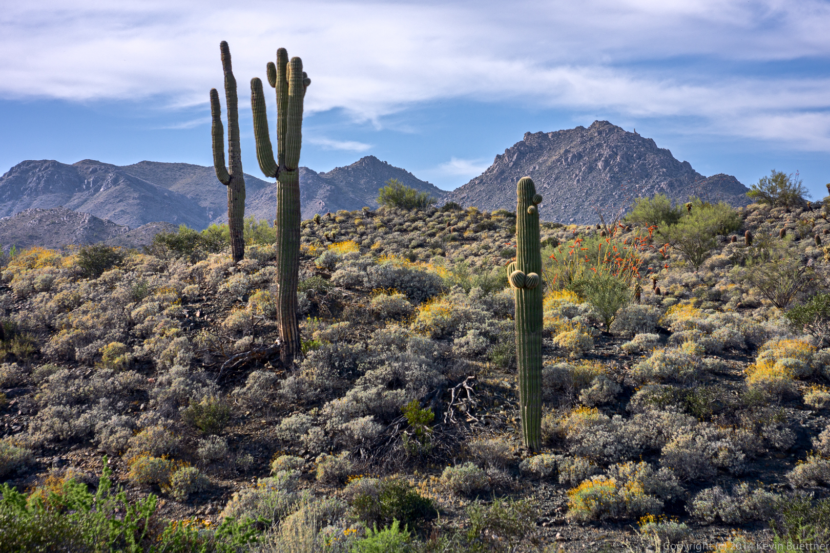
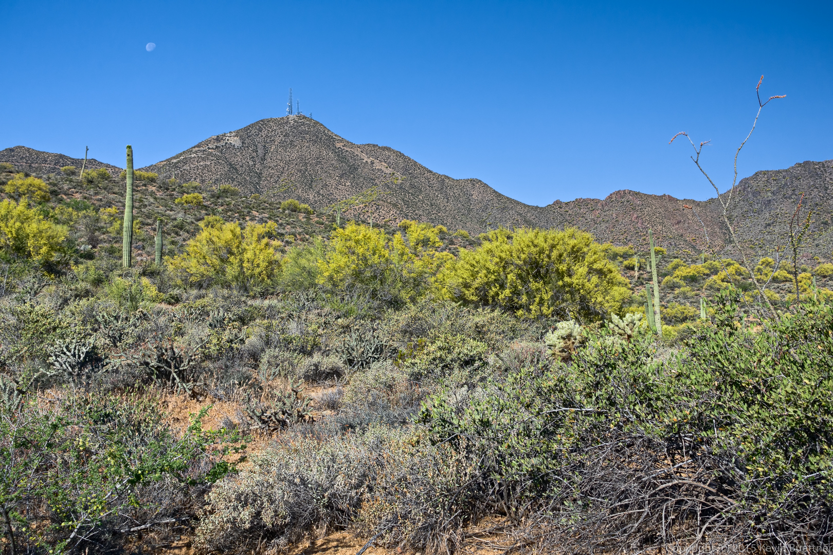
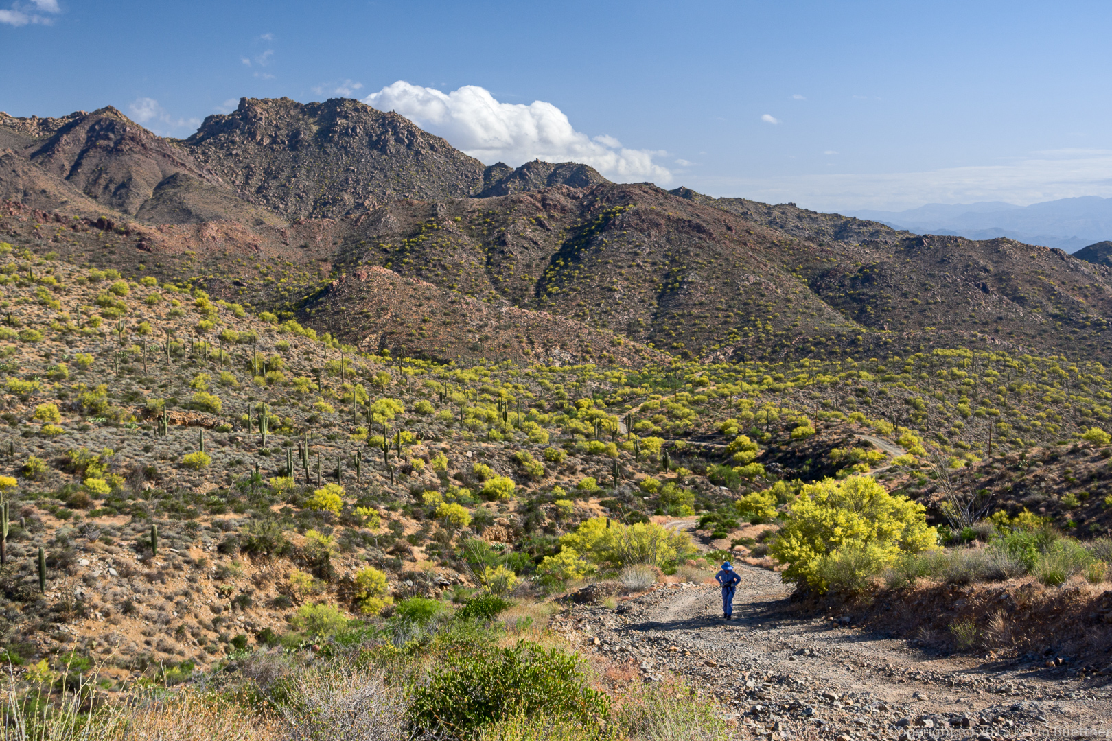
This peak with the towers is Thompson’s Peak. That’s where we’re going.

20150508-_DSC6279-Edit-medium

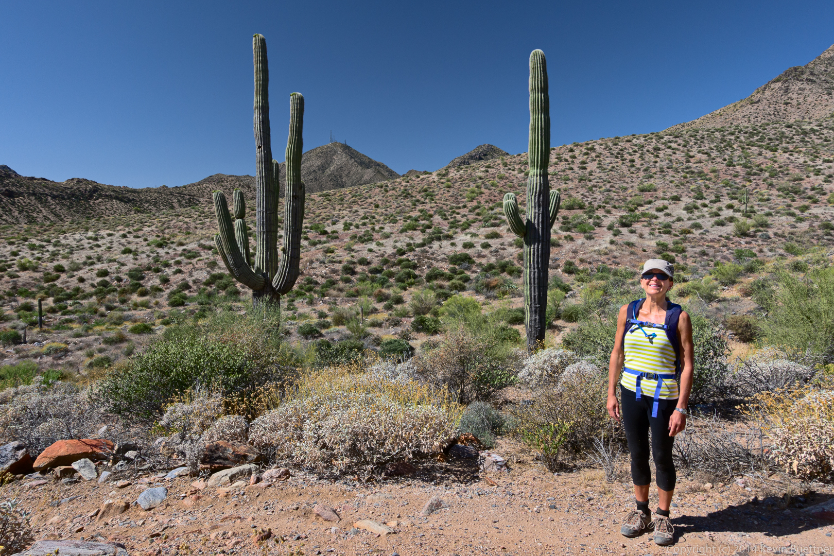
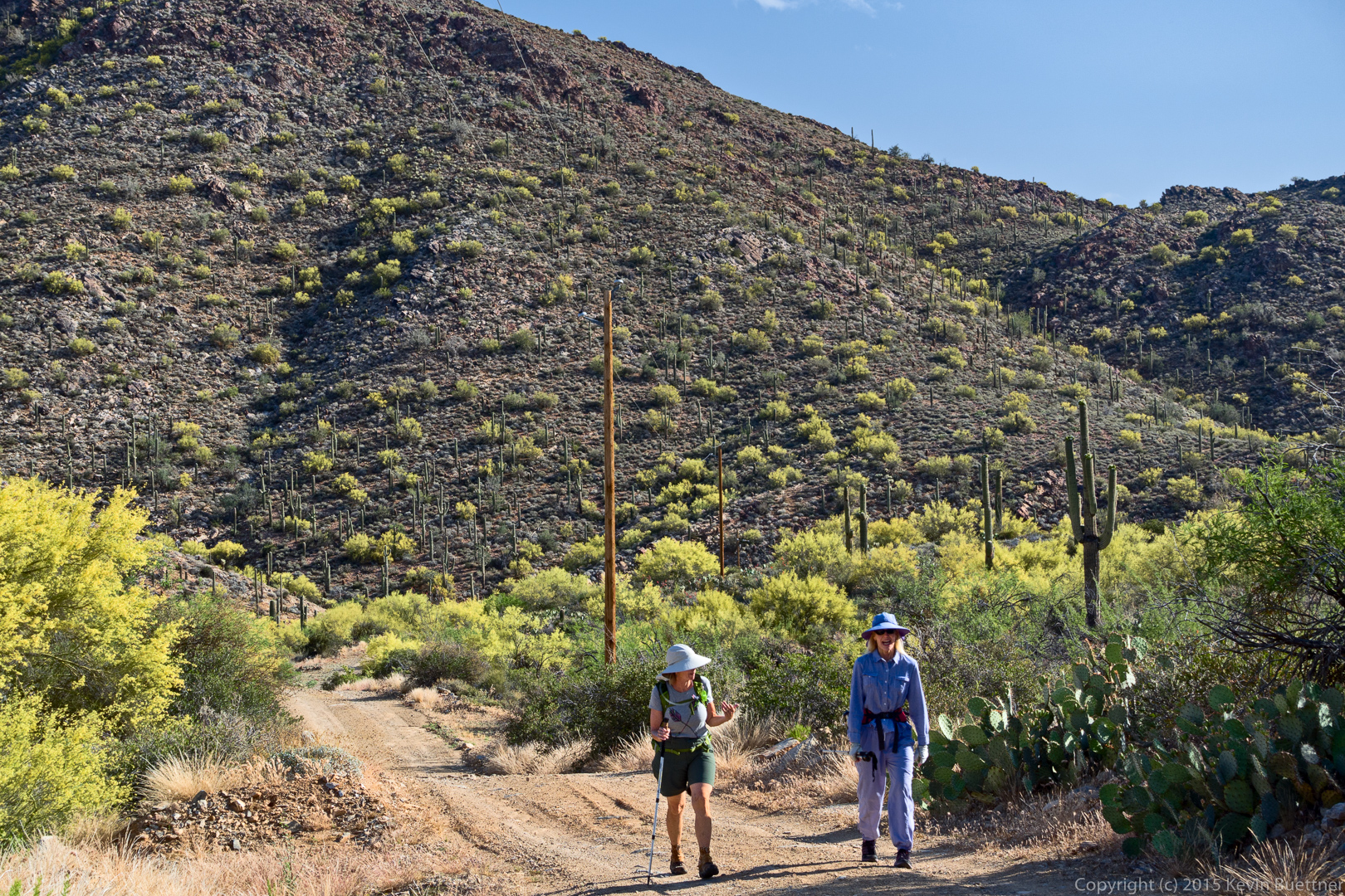
Linda and Denise on the lower section of road.

20150508-_DSC6288-Edit-medium

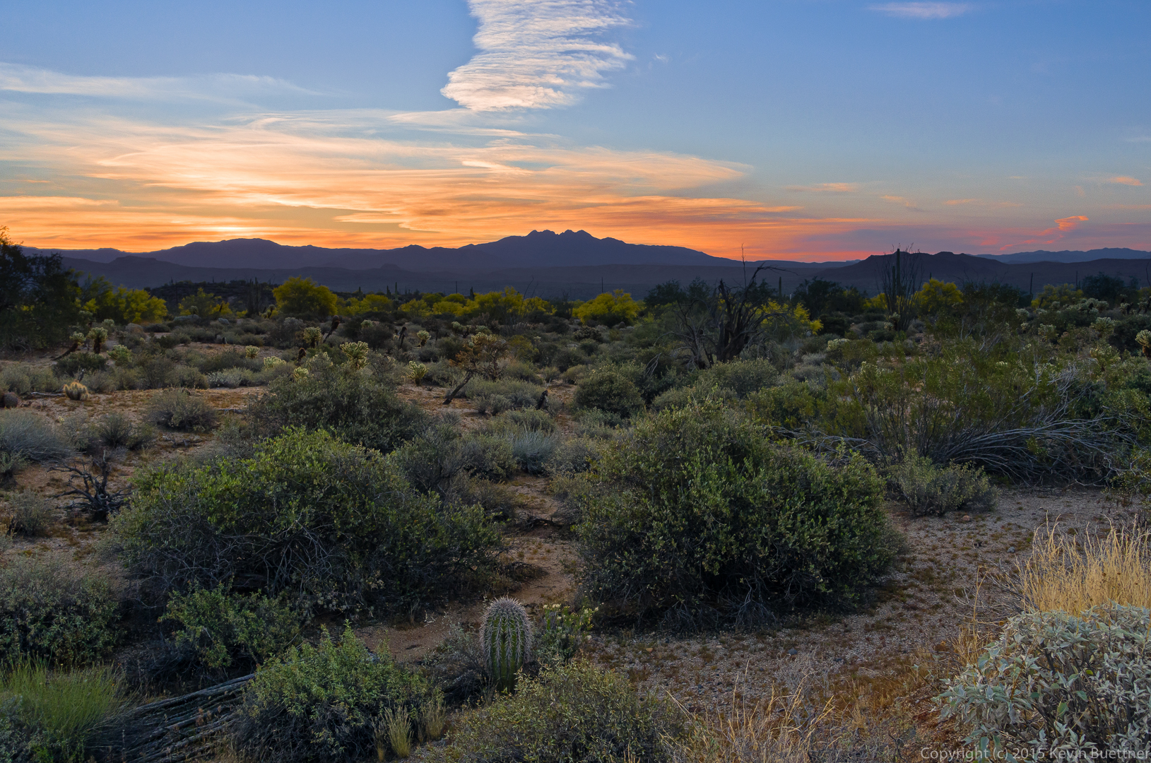
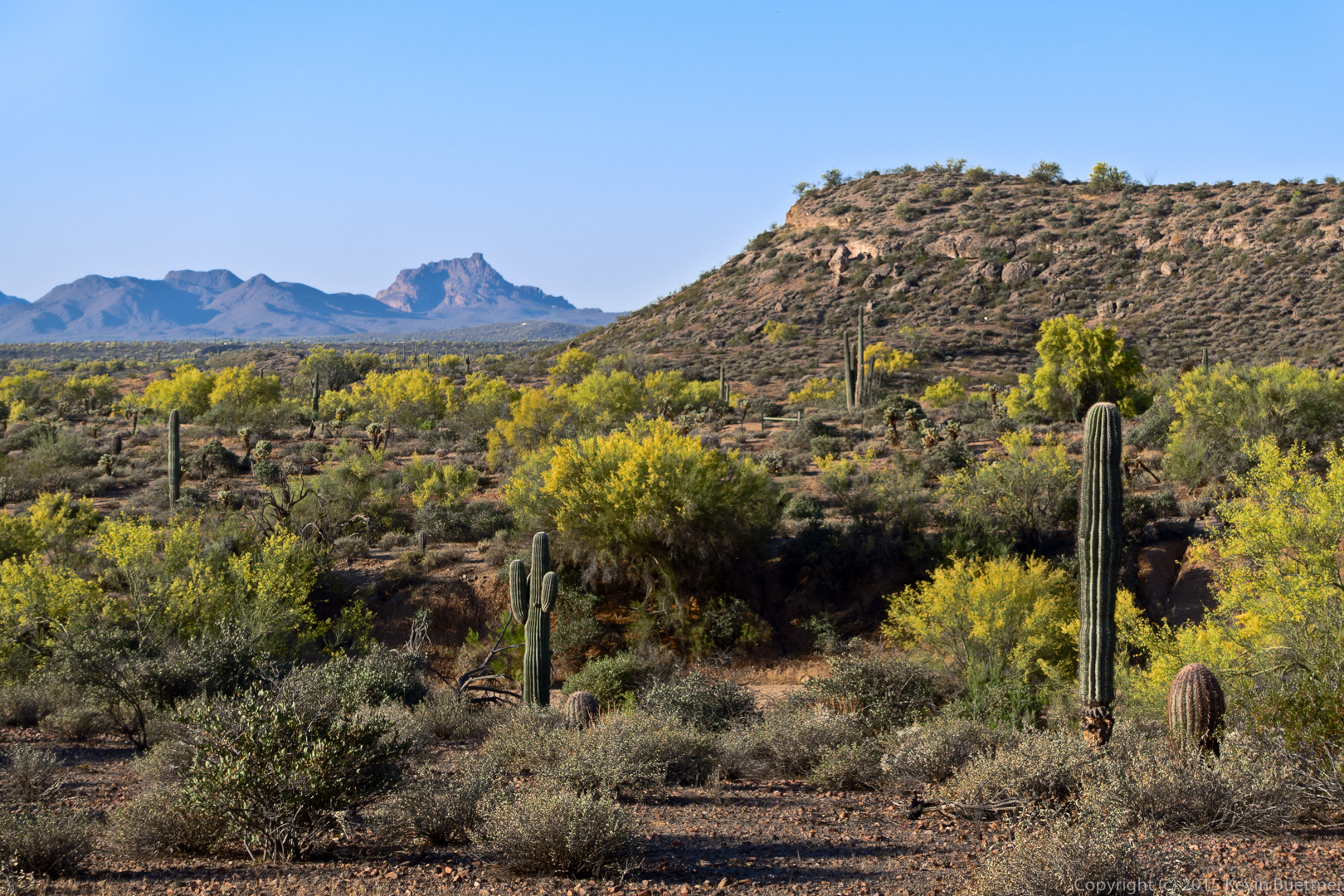
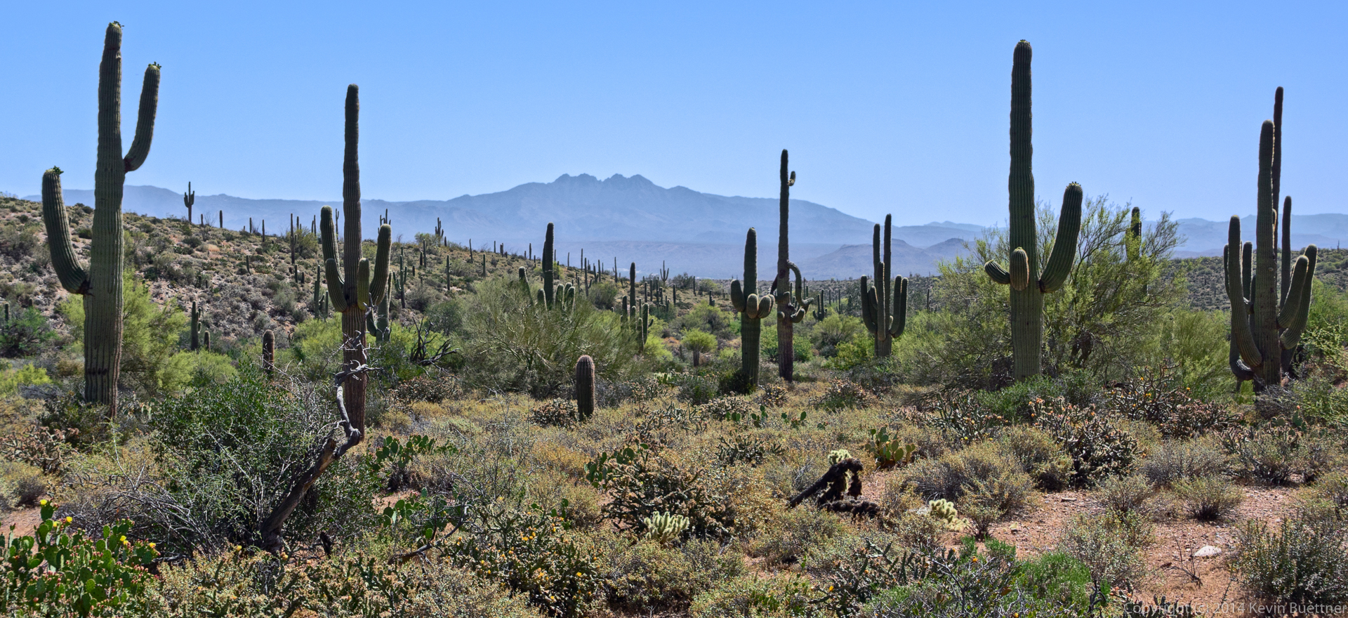
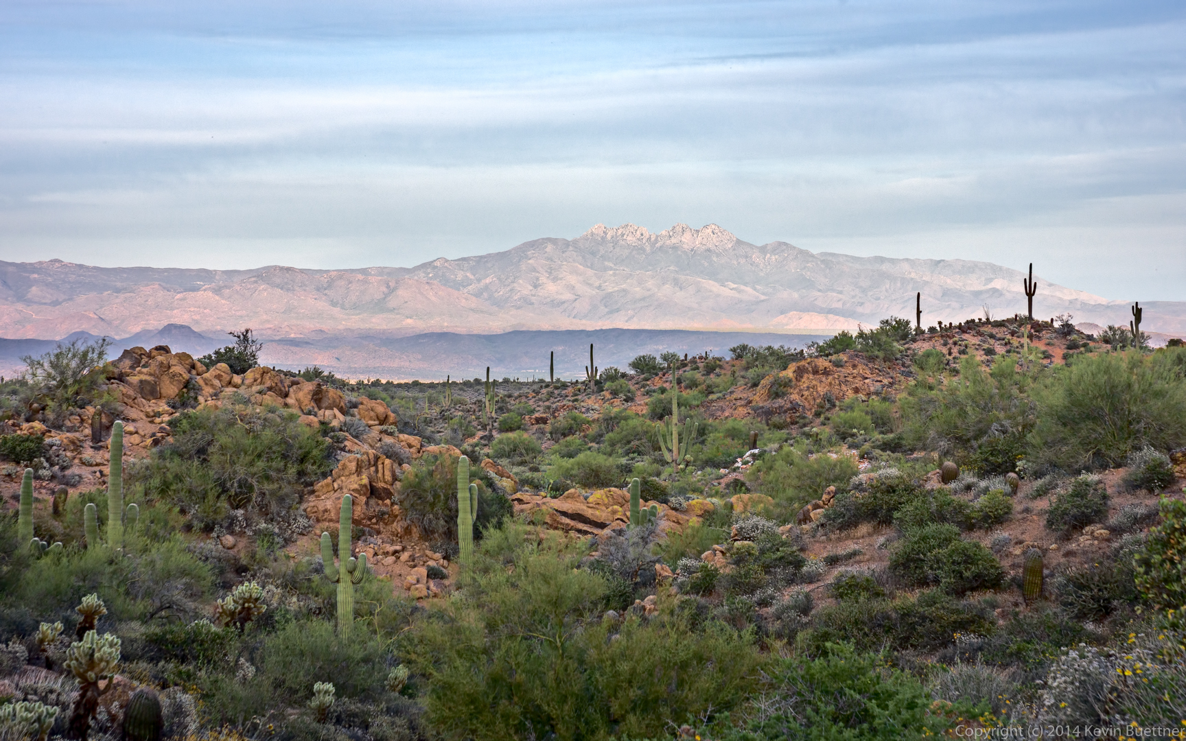
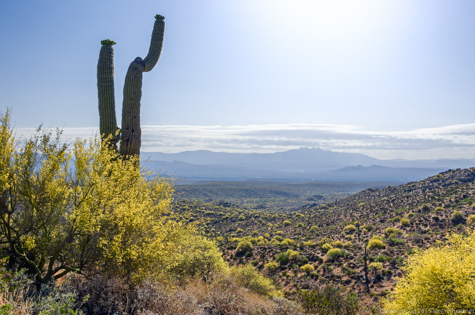
A view of Four Peaks.

20150508-_DSC6306_7_8-Edit-medium

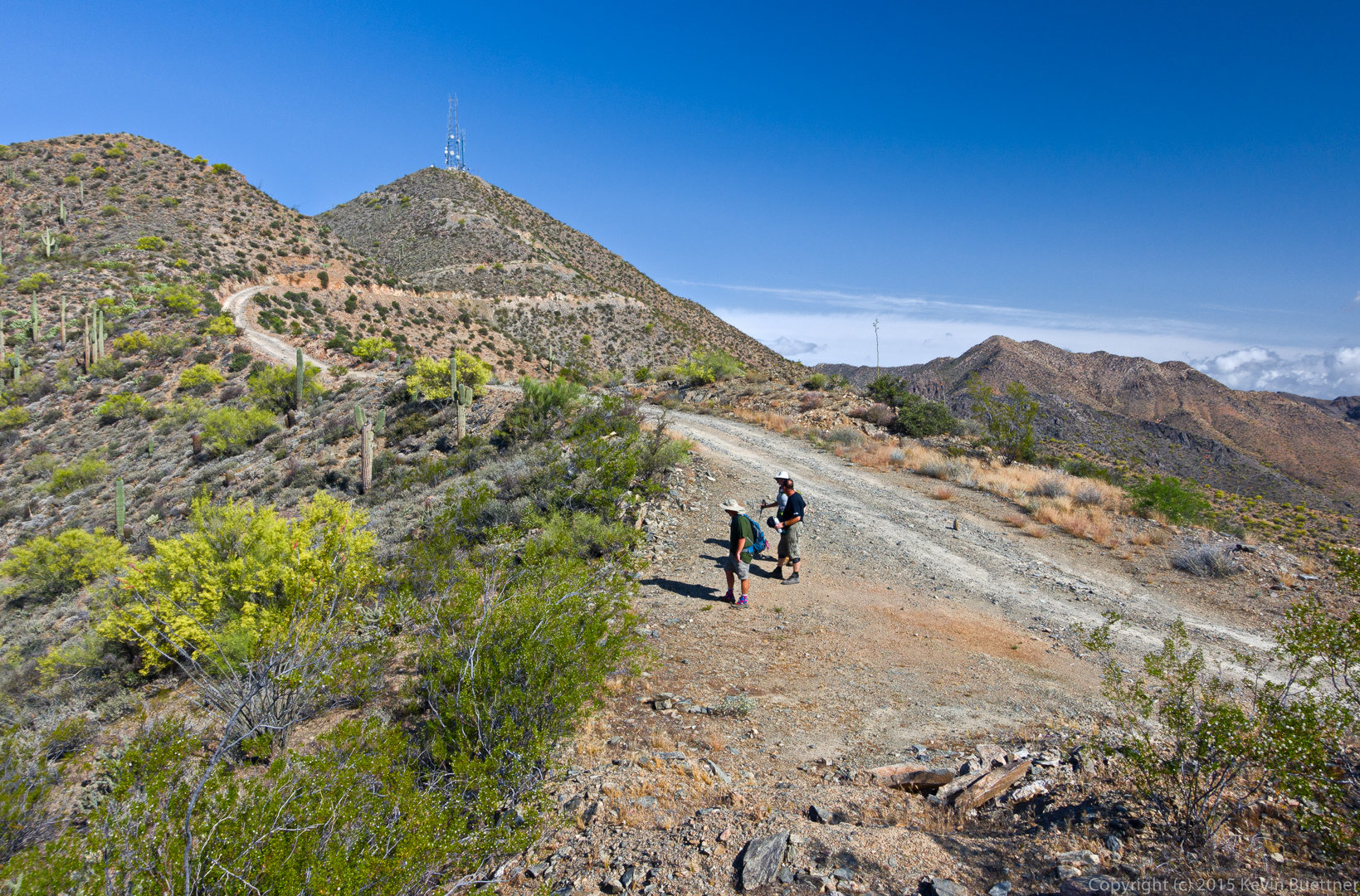
Denise continues up the road.

20150508-_DSC6312-Edit-medium

There’s a brief plateau after the first steep, paved section. But there’s still a good ways to go and it gets even steeper later on. (I had forgotten this.)
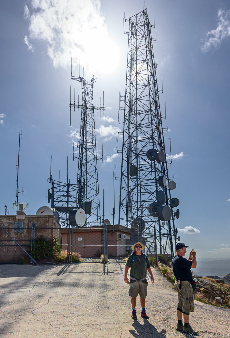
20150508-_DSC6339-Edit-medium

Up at the towers.

20150508-_DSC6429-Edit-medium

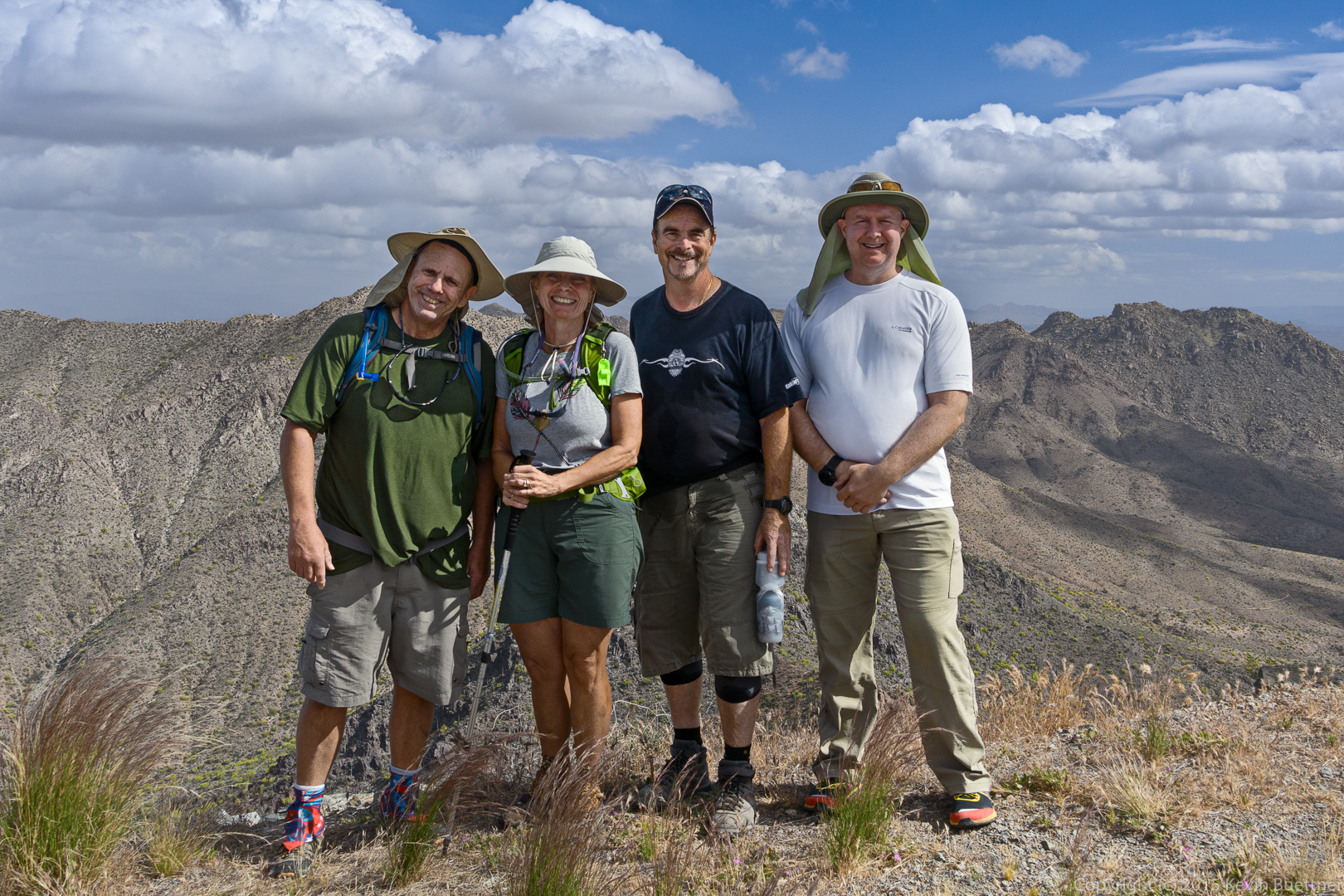
Bob, Linda, Jerry, and Kevin at the summit of Thompson Peak.

20150508-_DSC6445-Edit-medium

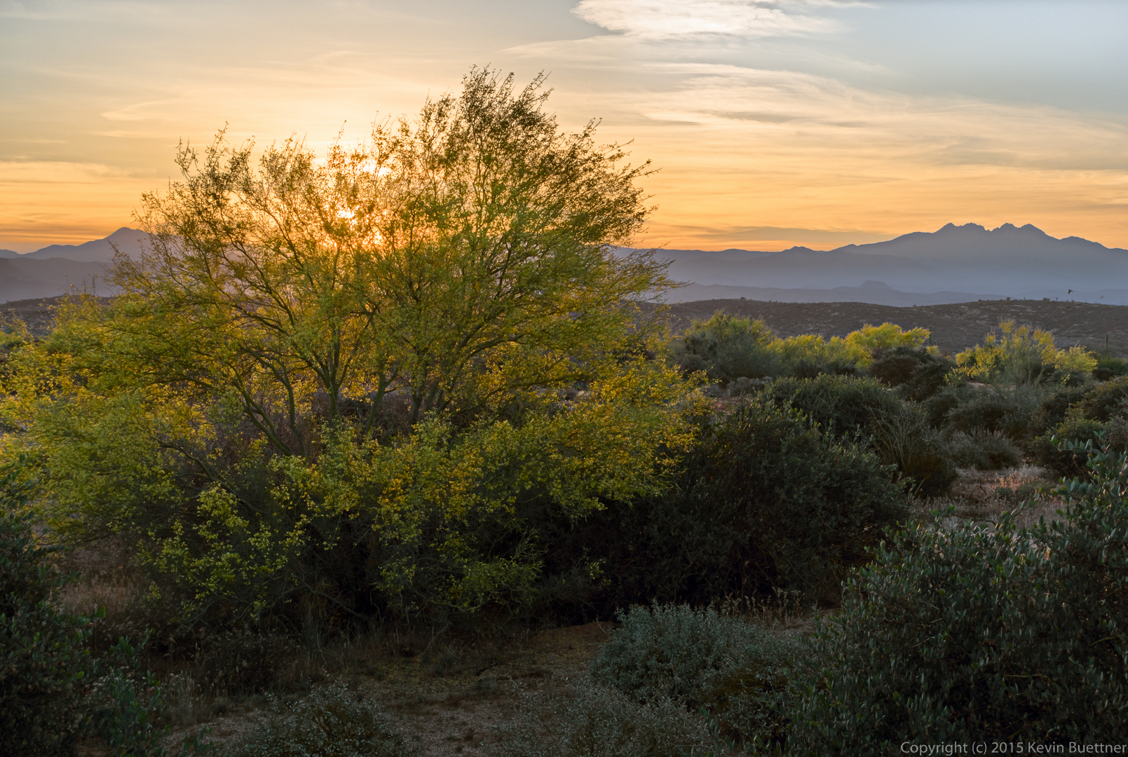
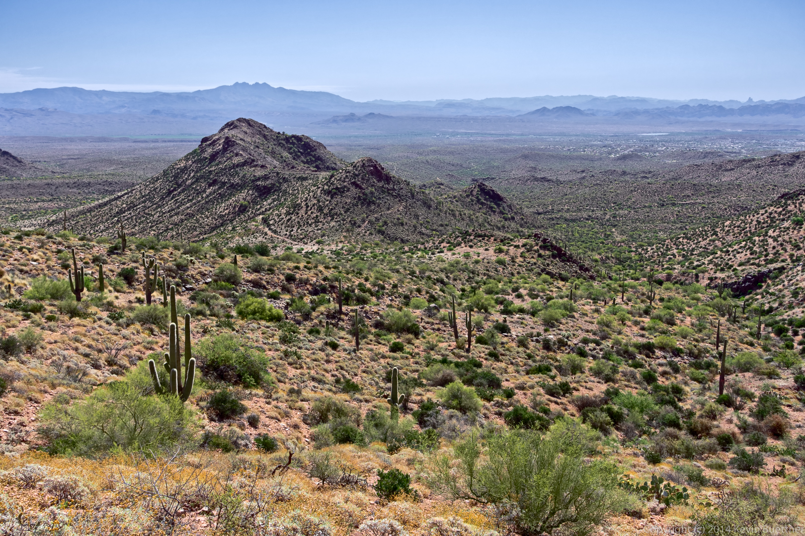
An interesting view that I noticed as we were descending:
20150508-_DSC6470-Edit-medium

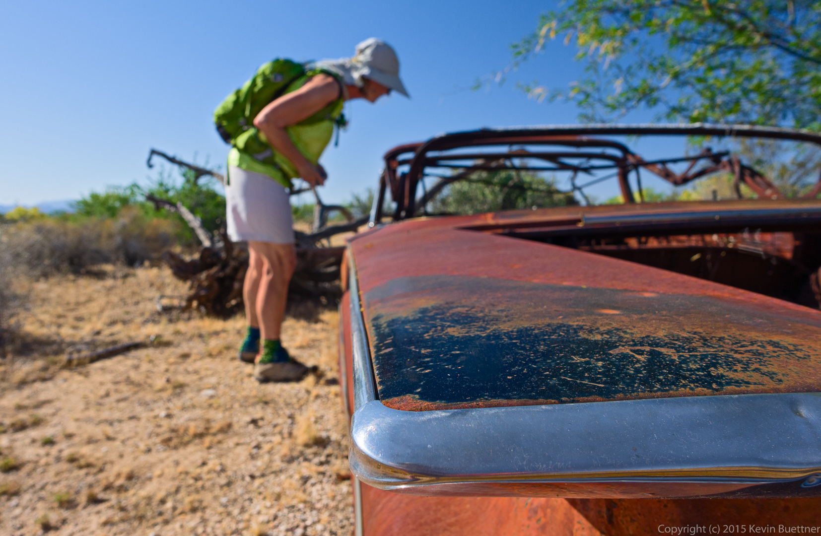
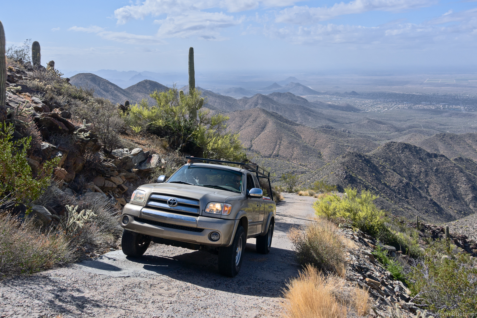
This is one of three vehicles that we encountered as we walked back down the road.

20150508-_DSC6488-Edit-2-medium

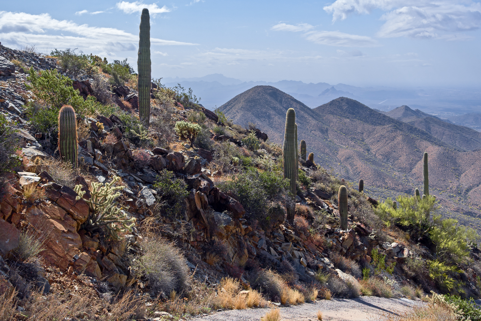
A view which helps to show how high and steep the road is.

20150508-_DSC6503-Edit-medium

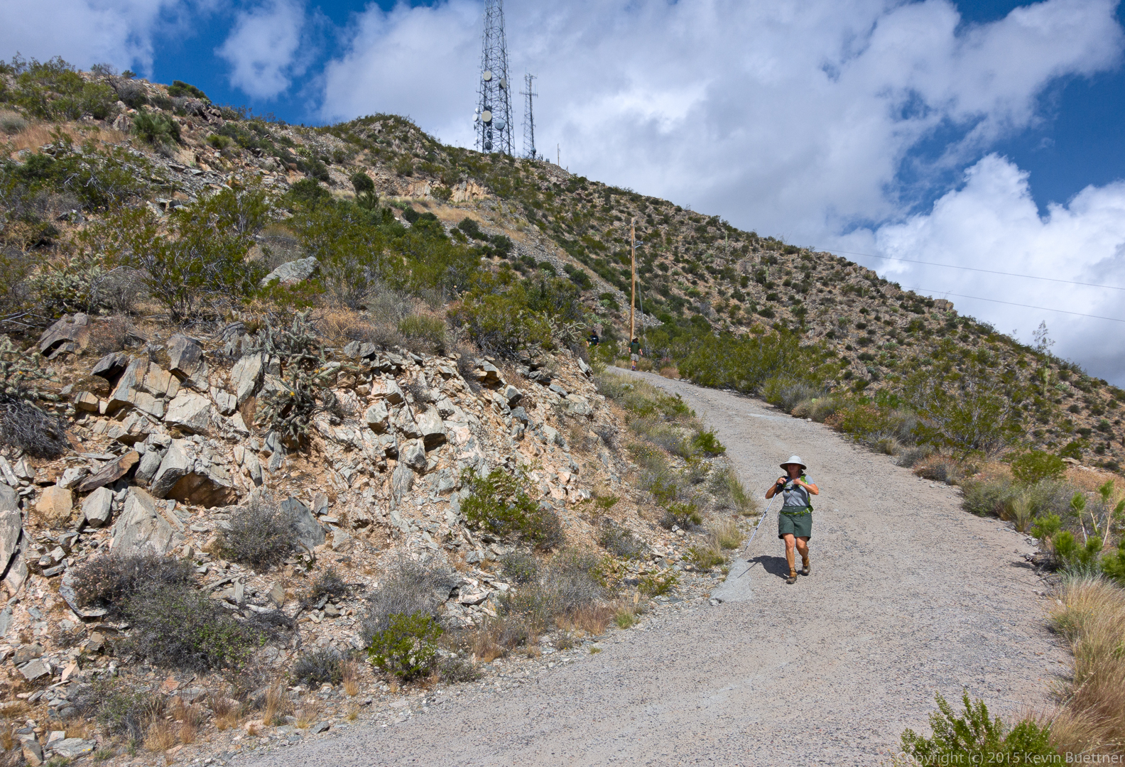
Linda descends a fairly steep section of road near the top.

20150508-_DSC6530-Edit-medium

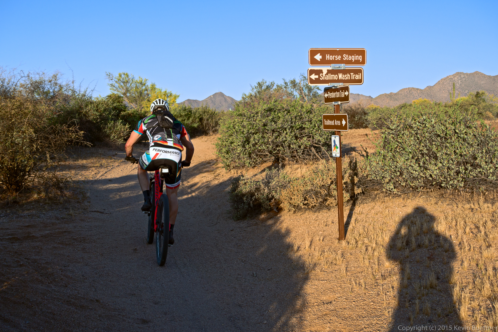
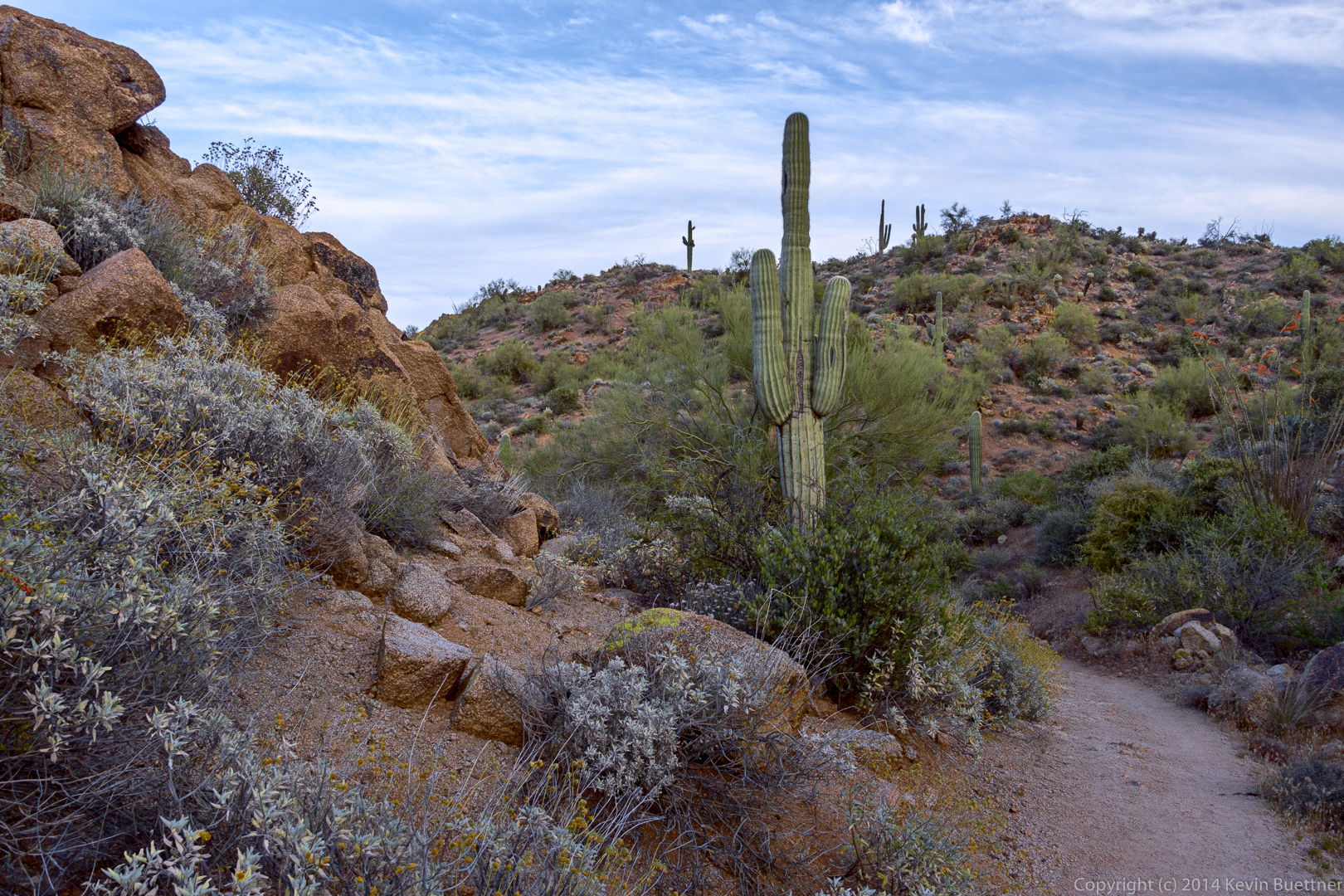
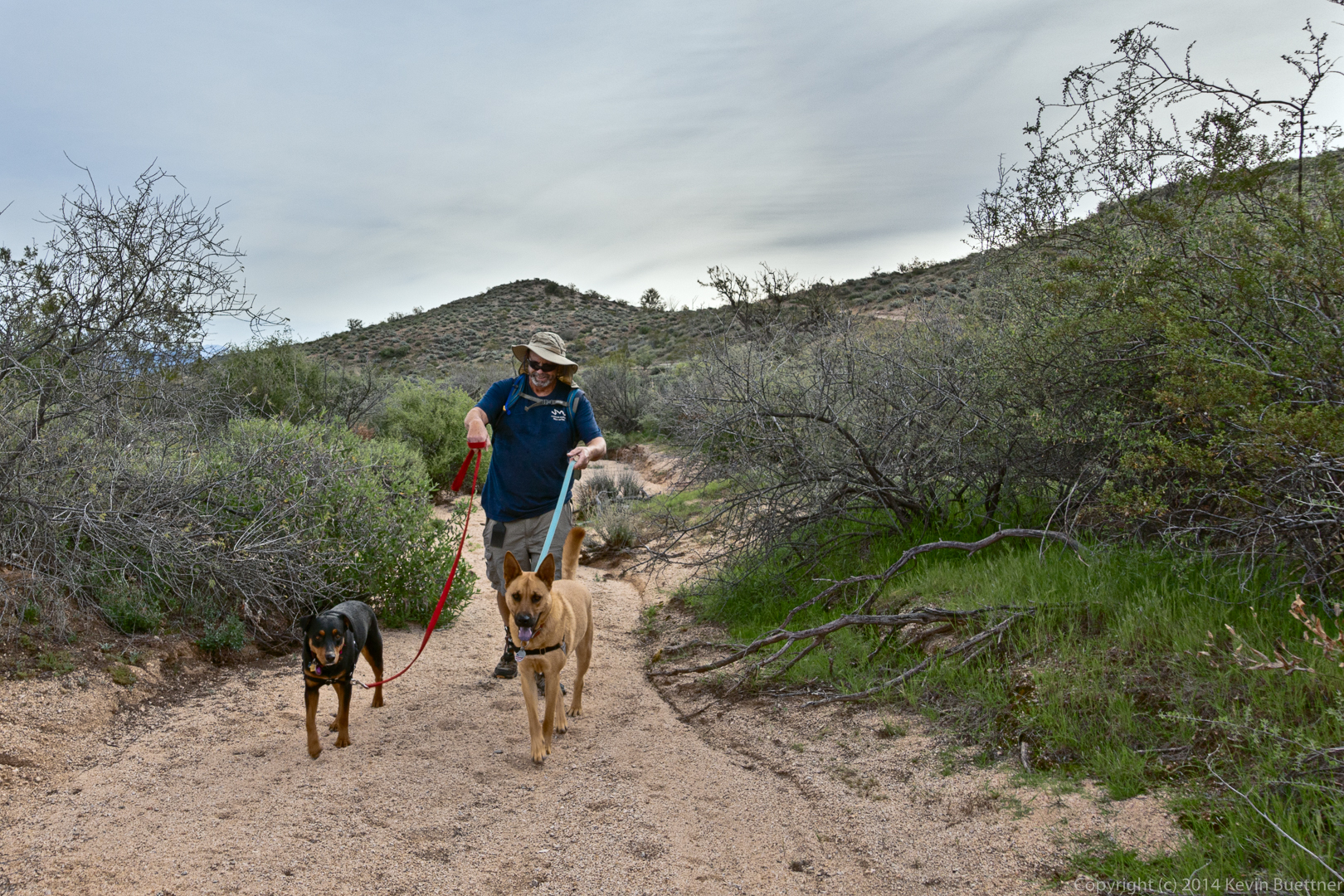
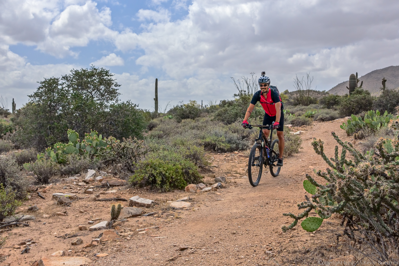
A cyclist on the Dixie Mine trail.

20150508-_DSC6621-Edit-medium

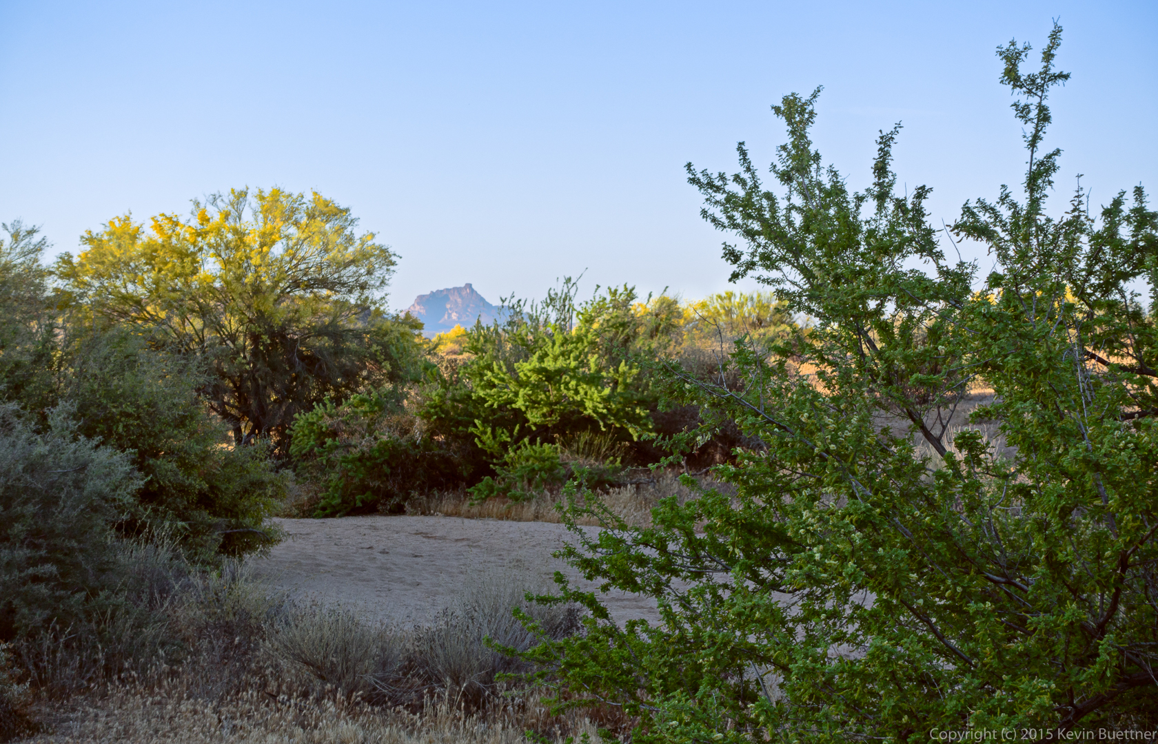
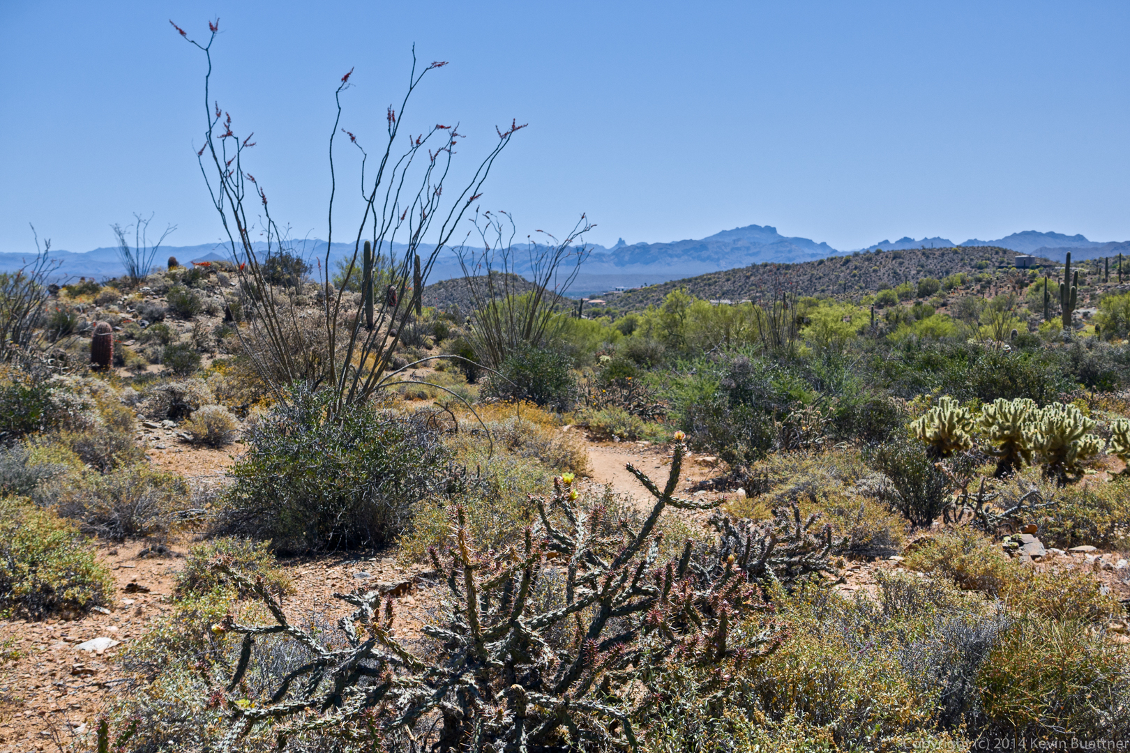
A view of Thompson’s peak from the Eagle’s Nest gated community. We had less than half a mile left to hike to get back to our vehicles at this point.

20150508-_DSC6623-Edit-medium

Lousley Hill Photos

20150507-_DSC3459-Edit-medium 20150507-_DSC3460-Edit-medium 20150507-_DSC3478-Edit-medium 20150507-_DSC3494-Edit-medium 20150507-_DSC3506-Edit-medium 20150507-_DSC3583-Edit-medium 20150507-_DSC3605-Edit-medium

Friday Fitness Hike

Linda and I hiked ten miles on Friday…

One nice thing about starting early is seeing the sun rise.
20150501-_DSC5767_8_8_9-Edit-medium-2

20150501-_DSC5784-Edit-medium

20150501-_DSC5794-Edit-medium

20150501-_DSC5797-Edit-medium

We started off on the Tortoise Trail. When we got to this point on the Pemberton, I remembered that the Shallmo Wash Trail had been rerouted and is now out of the wash. We decided to check out the new trail.

20150501-_DSC5800-Edit-medium

These are views from the Shallmo Wash Trail.

20150501-_DSC5811-Edit-medium

20150501-_DSC5821-Edit-medium

20150501-_DSC5824_5_5_6-Edit-medium

20150501-_DSC5872-Edit-medium

20150501-_DSC5878-Edit-medium

20150501-_DSC5881-Edit-medium

I think we were on a the Long Loop when I got this shot of the bird on the saguaro.

20150501-_DSC5926-Edit-medium

We hiked a long way in Stoneman Wash. Shortly after crossing the Pemberton, we came upon the car.

20150501-_DSC5998-Edit-medium

Linda in Stoneman Wash.

20150501-_DSC6013-Edit-medium

Senna.

20150501-_DSC6028-Edit-medium

Sandwash Groundsel.

20150501-_DSC6031-Edit-medium

20150501-_DSC6052-Edit-medium

Teddy Bear Cholla.

20150501-_DSC6070-Edit-medium

Desert Cottontail.

20150501-_DSC6089-Edit-medium

Palo verde blossom.

20150501-_DSC6097-Edit-medium

Friday Fitness Hike

Friday’s hike started from the parking area at the entrance to Eagle’s Nest. From there, we walked through the gated community to the trailhead for the Dixie Mine Trail in McDowell Mountain Park. We hiked Dixie Mine out to the mine and petroglyphs and continued up the wash to the Prospector Trail. At that point, Nick led a group of eight (counting himself) back to the trailhead for a 6+ mile hike. Jerry, Eva, Linda, and Jon hiked up the Prospector Trail with me (five of us) until we got to the Bell Pass Trail. We then hiked to the top of Bell Pass, enjoyed the views, and then hiked down the Prospector Trail to the Windmill Trail. That brought us over to Coachwhip, which took us back to the Dixie Mine Trail, which took us back to the gated community, and then back to the parking area for a 12.25 mile hike.

This is a view from the Dixie Mine Trail:

20150417-_DSC4708-Edit-medium

A view of the mine tailings, as seen from the road which crosses the Dixie Mine Trail – the trail follows the road for a short ways.

20150417-_DSC4775-Edit-medium

A group of five women from Canada joined us for a hike. (I’ve forgotten their names.) Here, Anton (who is Nick’s son), Linda, Nick, Jon, Eva, and Bob wait for Jerry and the women from Canada to finish examining the entrance to the mine.

20150417-_DSC4784-Edit-medium

This photo was taken in the wash near the petroglyphs.

20150417-_DSC4811-Edit-medium

A view of the main petroglyph panel. There are some additional petroglyphs further up the wash, but I did not photograph them on this hike.

20150417-_DSC4820-Edit-medium

A closer view of the main panel:

20150417-_DSC4823-Edit-medium

Hiking up the steep and smooth rocky area further up the wash:

20150417-_DSC4835-Edit-Edit-medium

A view from the Prospector Trail:

20150417-_DSC4889-Edit-medium

Jerry and Jon hike up the Prospector Trail:

20150417-_DSC4904-Edit-medium

Jon, Linda, Eva, and Jerry at the top of Bell Pass. Scottsdale, Camelback Mountain, and even a part of Phoenix can be seen behind them.

20150417-_DSC5018-Edit-medium

Another view -in the opposite direction – from near the top of Bell Pass.

20150417-_DSC5021-Edit-medium

Eva on the Windmill Trail. Thompson Peak is just visible in the background.

20150417-_DSC5051-Edit-medium

Prickly Pear blossom:

20150417-_DSC5084-Edit-medium

More Prickly Pear:

20150417-_DSC5090-Edit-medium

Taking a break at the intersection of the Windmill and Coachwhip trails. Linda is struggling with a recalcitrant snack bar wrapper.

20150417-_DSC5132-Edit-medium

Yet another Prickly Pear blossom:

20150417-_DSC5153-Edit-medium

Palo Verde blossoms:

20150417-_DSC5171-Edit-medium

A view of Four Peaks from the Coachwhip Trail:

20150417-_DSC5174-Edit-medium

This is the steep section of road connecting the two segments of the Dixie Mine Trail.  (Near the bottom of the road is a small trail which leads to the mine and petroglyphs.)

20150417-_DSC5188-Edit-medium

Returning on the Dixie Mine Trail…

20150417-_DSC5206-Edit-medium

Buckwheat:

20150417-_DSC5221-Edit-medium

This crested saguaro at the parking area has one bloom on the crest:

20150417-_DSC5227-Edit-medium

Here’s a full view of that saguaro:

20150417-_DSC5233-Edit-medium

Friday Fitness Hike

We hiked 11.7 miles on Friday, starting from the Wagner Trailhead. In order, we hiked the following trails: Wagner, Granite, Delsie, Gooseneck, Rock Knob, Pemberton, Bluff, Granite, Wagner.

Jon, Savannah, Janet, Ben, Bella, Eva, and Allen:

20150410-_DSC4403-Edit-medium

Buckhorn Cholla:

20150410-_DSC4421-Edit-medium

Bill Craig tells me that these yellow flowers are likely Trixis (Trixis Californica).

20150410-_DSC4427-Edit-medium

Jon, Eva, Allen, Janet, and Ben, with dogs Bella and Savannah in front:

20150410-_DSC4436-Edit-2-medium

Desert Marigold:

20150410-_DSC4481-Edit-medium

I think this might be Threadleaf Ragwort / Sandwash Groundsel:

20150410-_DSC4496-Edit-medium

New Mexico Thistle:

20150410-_DSC4511-Edit-medium

I think this is some more of the Sandwash Groundsel. We saw this small rock formation with the saguaro on the Gooseneck Trail.

20150410-_DSC4526-Edit-medium

A view of the McDowells from the Gooseneck Trail:

20150410-_DSC4547-Edit-medium

The Goosneck Trail went between some rocks.

20150410-_DSC4565-Edit-medium

Eva and Ben standing next to the lichen and moss covered rock.

20150410-_DSC4571-Edit-2-medium

A closer look at both the lichen and the moss.

20150410-_DSC4583-Edit-medium

I think these are wolfberries. I ate one earlier in the hike.

20150410-_DSC4616-Edit-medium

A good view of Sven Slab with Tom’s Thumb in the background:
20150410-_DSC4624-Edit-medium

Chain fruit cholla, along the Rock Knob Trail:

20150410-_DSC4639-Edit-medium

A view of Rock Knob:

20150410-_DSC4648-Edit-medium

This small rock formation can be seen from the Rock Knob Trail:

20150410-_DSC4675-Edit-medium

I think this is White Ratany:

20150410-_DSC4690-Edit-medium

Sunday Hike – Dixie Mine Trail

Marilyn and I hiked the Dixie Mine Trail on Sunday.

Most of these photos were taken using my Sony NEX-7 and a Venus 60mm Ultra-Macro lens.  I never got into the ultra range on this hike. For many of the photos, an ordinary 60mm would have worked just fine. The Venus lens is a fully manual lens – I had to set both aperture and focus via the rings on the lens.  Most of these were taken at f/8.0.

20150405-_DSC2385-Edit-medium

20150405-_DSC2391-Edit-2-medium

20150405-_DSC2401-Edit-medium

20150405-_DSC2403-Edit-medium

20150405-_DSC2408-Edit-2-medium

I had to process this one (and several others) a second time. I’ve gotten into the habit of using the H-K (Helmholtz-Kohlrasch effect) action from the PPW panel, but I’ve now learned that this does not produce pleasing looking flower photos. Dan Margulis says that it’s often not appropriate for portraits either as it can make skin look old. This is definitely what was happening in some of the flower shots.

20150405-_DSC2427-Edit-2-medium

20150405-_DSC2430-Edit-medium

A very young (and foolish) bunny. It let me get surprisingly close.

20150405-_DSC2506-Edit-medium

20150405-_DSC2512-Edit-medium

20150405-_DSC2529-Edit-medium

I’m happy with the way this one turned out. The cyclist was talking to Marilyn at the top of the hill. I walked a short ways up the hill and then prefocused to get the shot.

20150405-_DSC2540-Edit-Edit-medium

20150405-_DSC2551-Edit-medium

20150405-_DSC2555-Edit-medium

20150405-_DSC2577-Edit-medium

When I took this shot the sky looked very washed out even when viewed through polarized sunglasses. The peaks of Four Peaks looked bright white.

20150405-_DSC2584-Edit-medium

These photos, below, were taken with my Sony RX100 III. This first photo was taken midway on our way out. (We hiked to the road and back.)

20150405-_DSC4289_90_90-Edit-medium 20150405-_DSC4328_29_29_30-Edit-medium 20150405-_DSC4370-Edit-medium

Moonlight Hike

Range Amy led a moonlight hike out to the pond on Friday night. I took several photos, but the dark conditions made framing and focusing the camera a challenge.  I only ended up with a few shots worth showing.

Sunset:

20150403-_DSC2270-Edit-2-medium

The hike was well attended…

20150403-_DSC2304-Edit-medium

I couldn’t quite the moon into this photo of some cacti off of the Pemberton Trail. There are a number of cholla, two saguaros, and a barrel cacti in this photo. (See my Lunar Eclipse post for a better photo of the full moon that night. There’s also a fuzzy photo of the moon in eclipse.)

20150403-_DSC2316-Edit-medium

Friday Fitness Hike

Friday’s hike started from the Horse Staging Area. We made a loop utilizing a service road, Stoneman Wash, and the Pemberton, Scenic, Cinch, and Escondido trails. We hiked nearly nine miles with minimal elevation gain.

Marilyn and I arrived at the trailhead just in time to see the sunrise:

20150403-_DSC4064-Edit-2-medium

A view from the service road going through the competitive track area:

20150403-_DSC4070-Edit-medium

Views from Stoneman Wash:

20150403-_DSC4094-Edit-medium

20150403-_DSC4097-Edit-medium

20150403-_DSC4108-Edit-medium

20150403-_DSC4130-Edit-medium

Midway through our trek up Stoneman Wash, we hiked a short ways up to another service road which overlooks the wash. This provided us with a good view of the wash in the foreground and the McDowells in the background.

20150403-_DSC4139-Edit-2-medium

Bill, Gary, Eva, Mike, Patty, Marilyn, and Linda:

20150403-_DSC4142-Edit-medium

California Buckwheat:

20150403-_DSC4184-Edit-medium

Cholla blossom:

20150403-_DSC4193-Edit-medium

A view from the Scenic Trail:

20150403-_DSC4232-Edit-medium

A double saguaro on the Cinch Trail:

20150403-_DSC4286-Edit-medium

Monsoon Photo from September 7, 2012 – Three Edits

Here are three edits of a monsoon photo from a hike that we did on September 7, 2012.  We ended up hiking through monsoon rains a short time after the photo was taken.

This version, below, is my most recent attempt using techniques from the PPW, though I did some minor dodging and burning of the clouds through luminosity selections.

20120907-DSC04328-Edit-2-medium

This is my second edit where I used luminosity masks.  I think I blended two exposures using luminosity selections.  It produced a more dramatic result.

This photo, below, is my original edit.  I had just switched over to shooting RAW (from JPEG) at the time so this was one my early attempts at processing a RAW image. Looking at it now, it looks grainy to me (due to lack of noise reduction). It’s not as sharp as it could be either.

Friday Fitness Hike

For Friday’s hike, we hiked the loop on Lousley Hill in addition to the portions of the Escondido Trail and portions of the wash below Lousley Hill. Total distance was around 6.7 miles.

20150220-_DSC1073-Edit-medium

Bob, Keena, and Sarge:

20150220-_DSC1091-Edit-medium

Views from the top of Lousley Hill:

20150220-_DSC1094-Edit-medium

20150220-_DSC1097-Edit-medium

Keena, Bob, and Sarge:
20150220-_DSC1121-Edit-medium

Janet, Gene, Bob, Heather, and Allen:

20150220-_DSC1124-Edit-medium

The dogs needed to have some cholla removed from their paw during this hike. I got this photo of Gene, Allen, and Heather while waiting for Bob, Janet, and the dogs to catch up.

20150220-_DSC1139-Edit-medium

A view of Lousley Hill from the Escondido Trail.

20150220-_DSC1143-Edit-medium

20150220-_DSC1151-Edit-medium

20150220-_DSC1157-Edit-medium

Another view from the Escondido Trail:

20150220-_DSC1163_4_5-Edit-medium