Tag: McDowell Sonoran Preserve (page 5 of 11)

Friday Fitness Hike

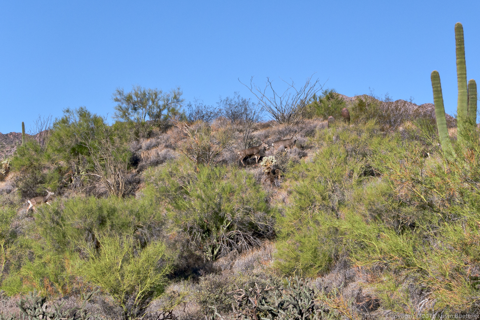
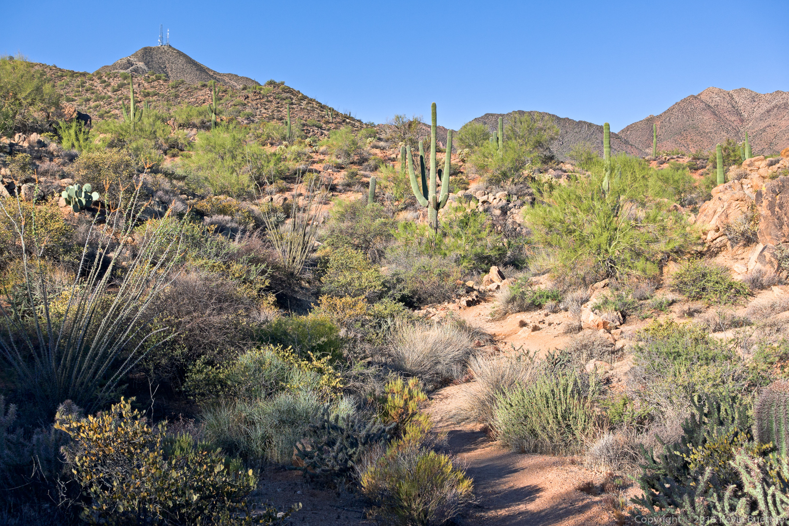
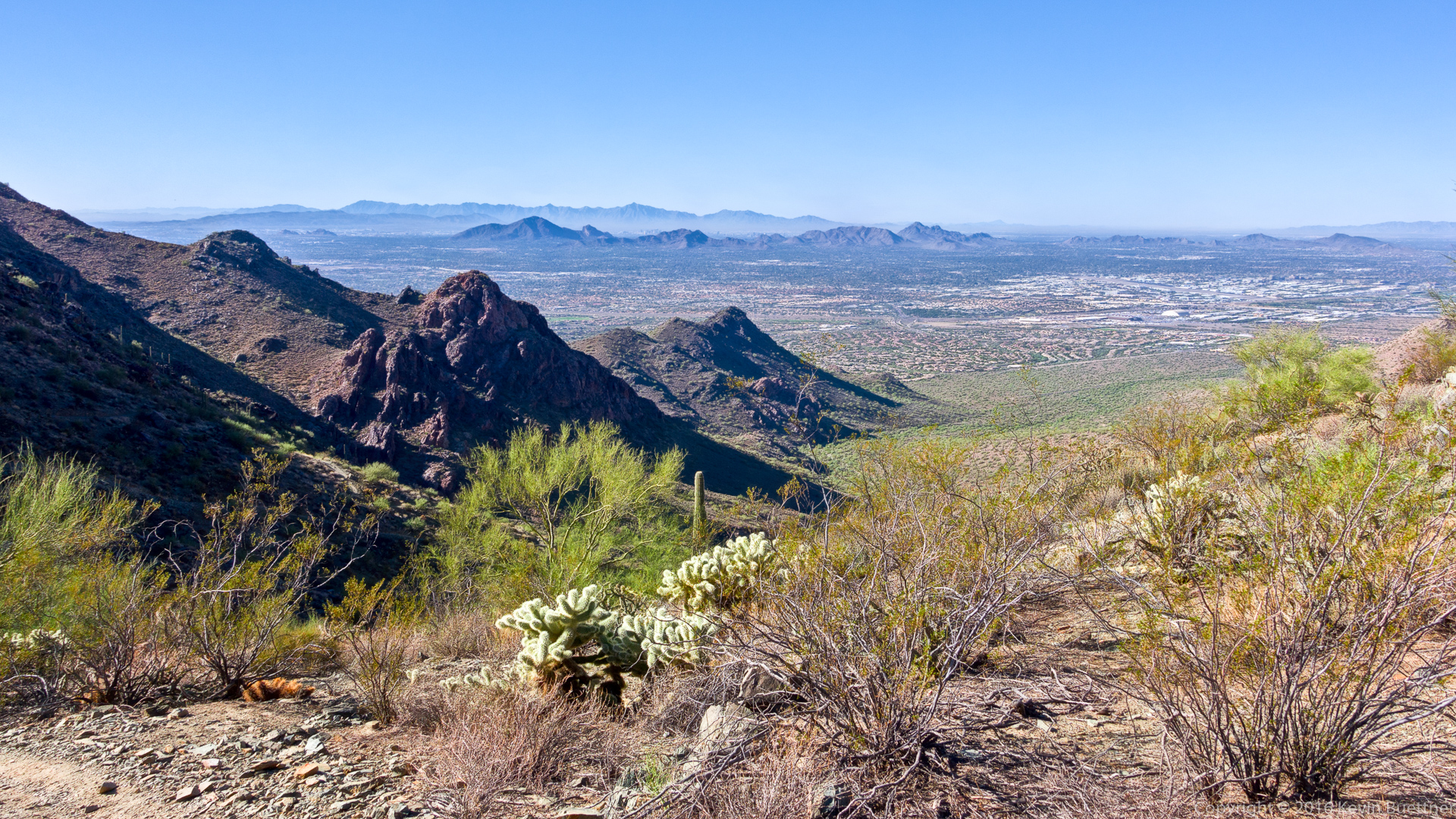
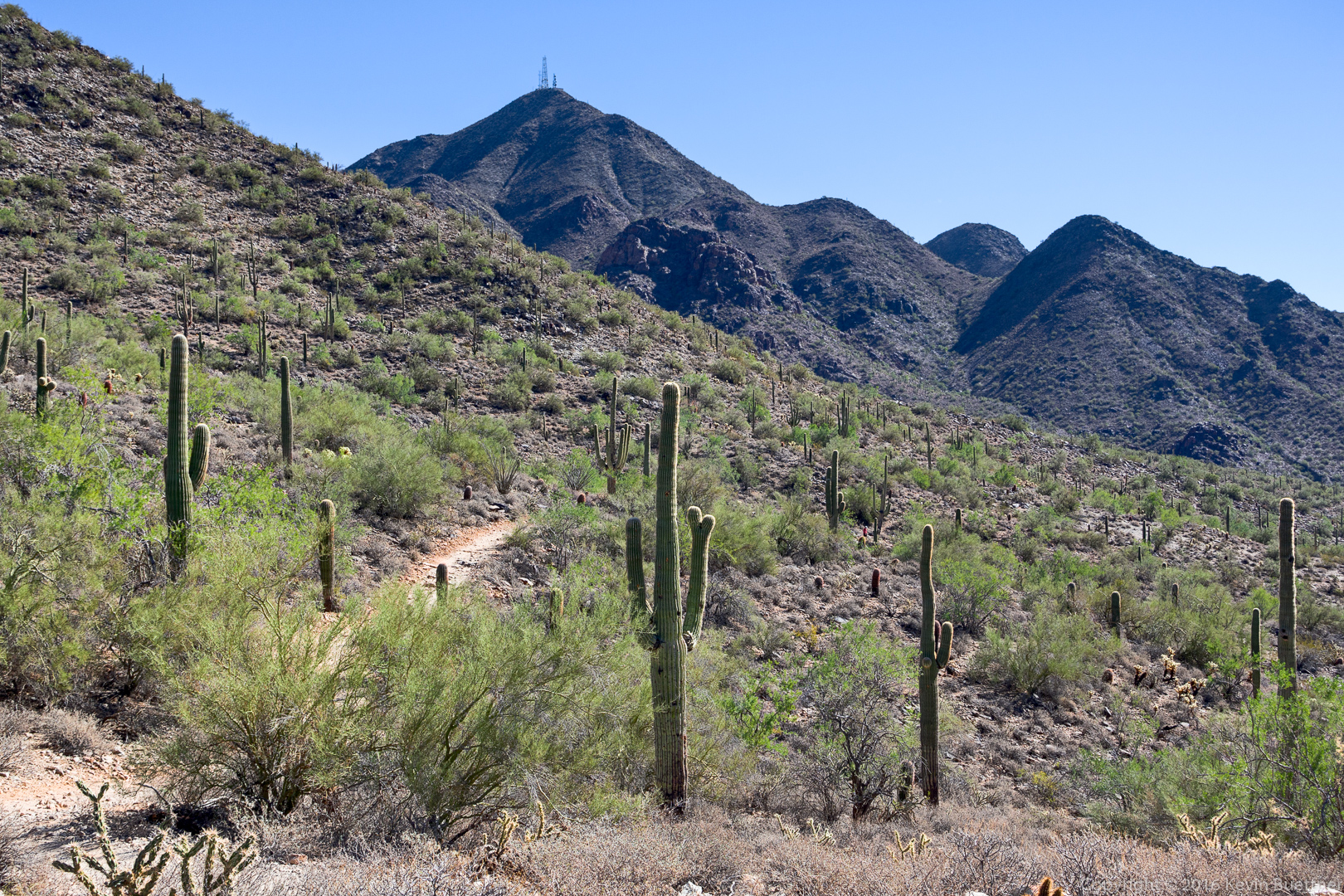
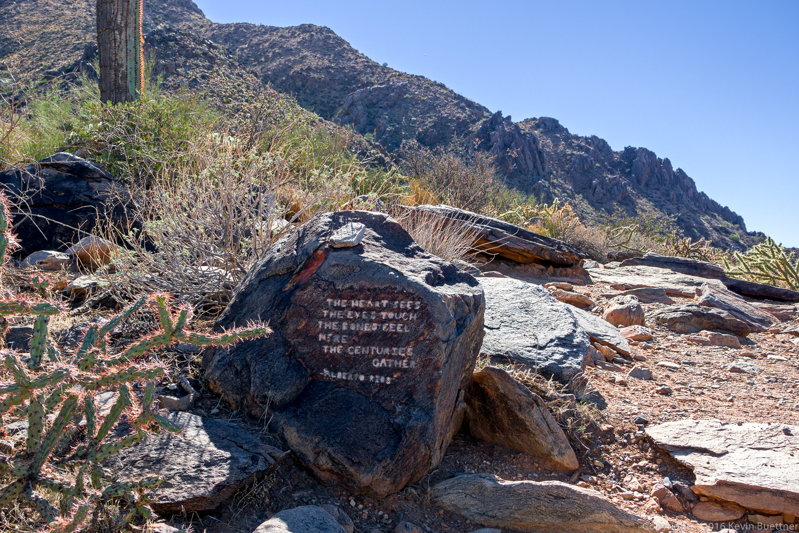
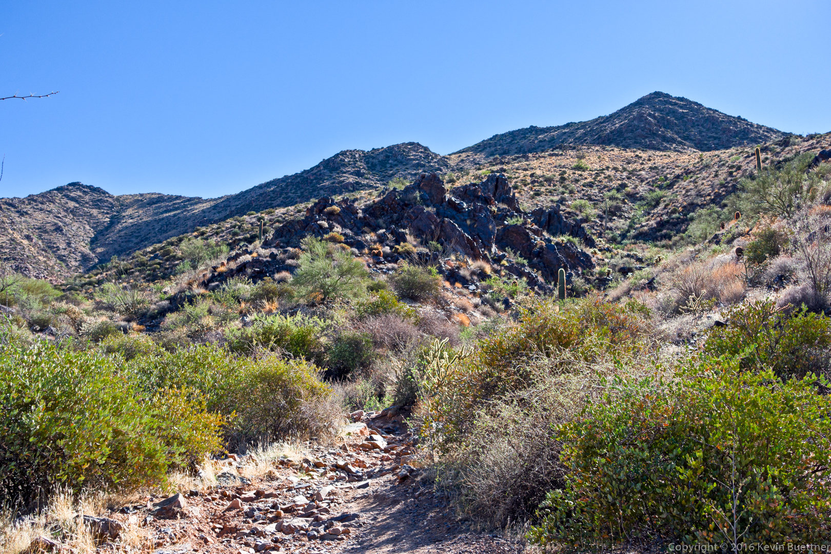
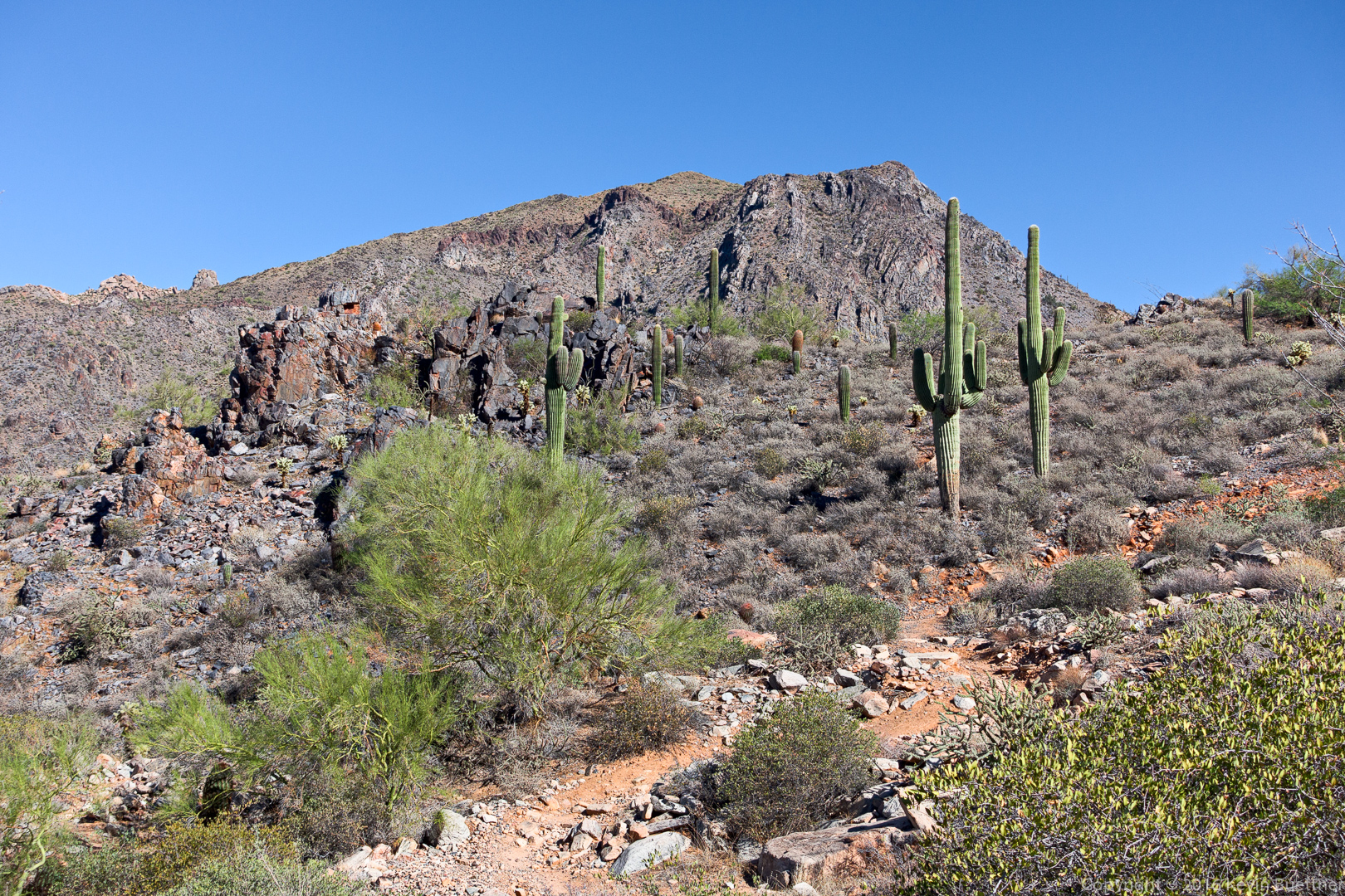
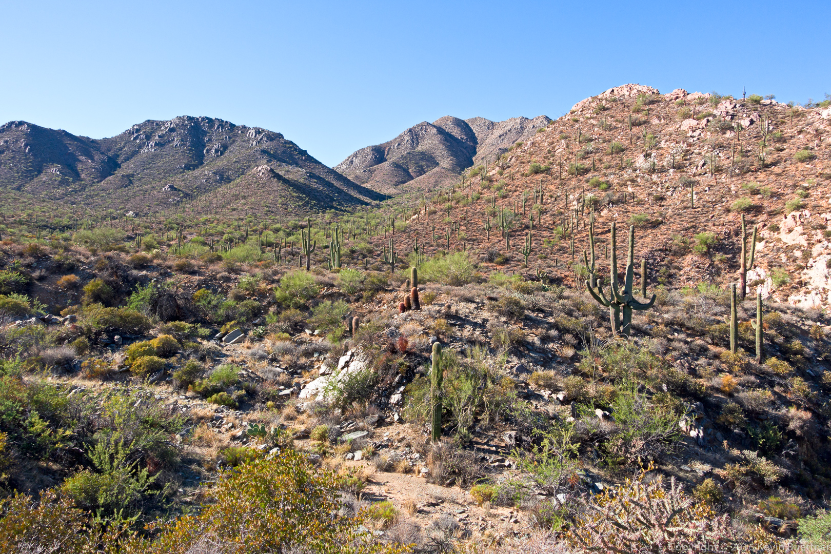
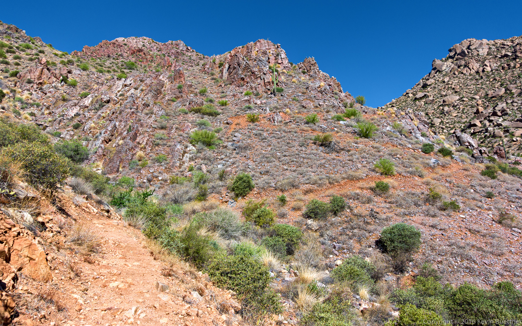
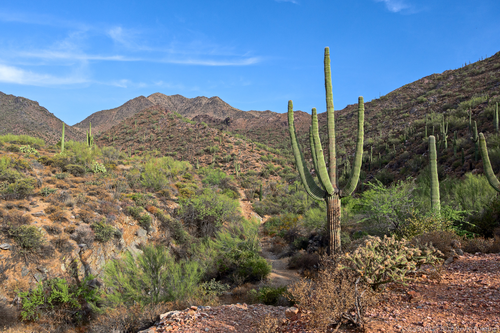
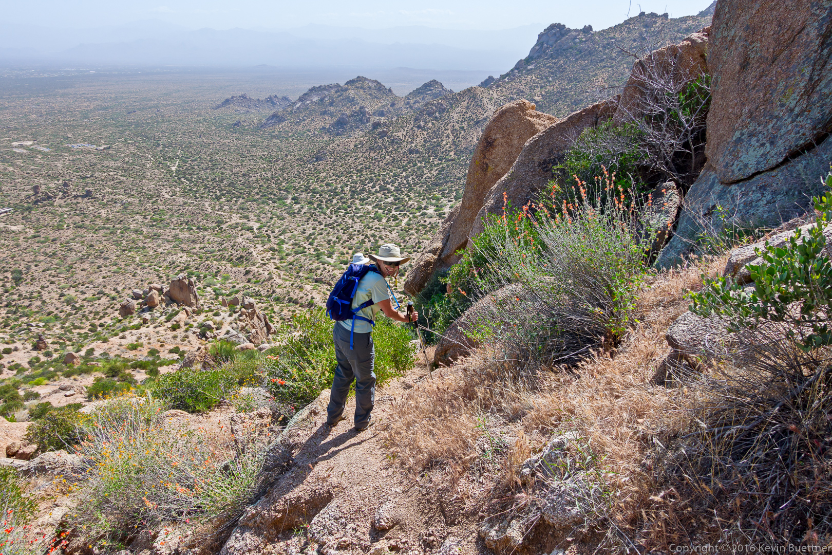
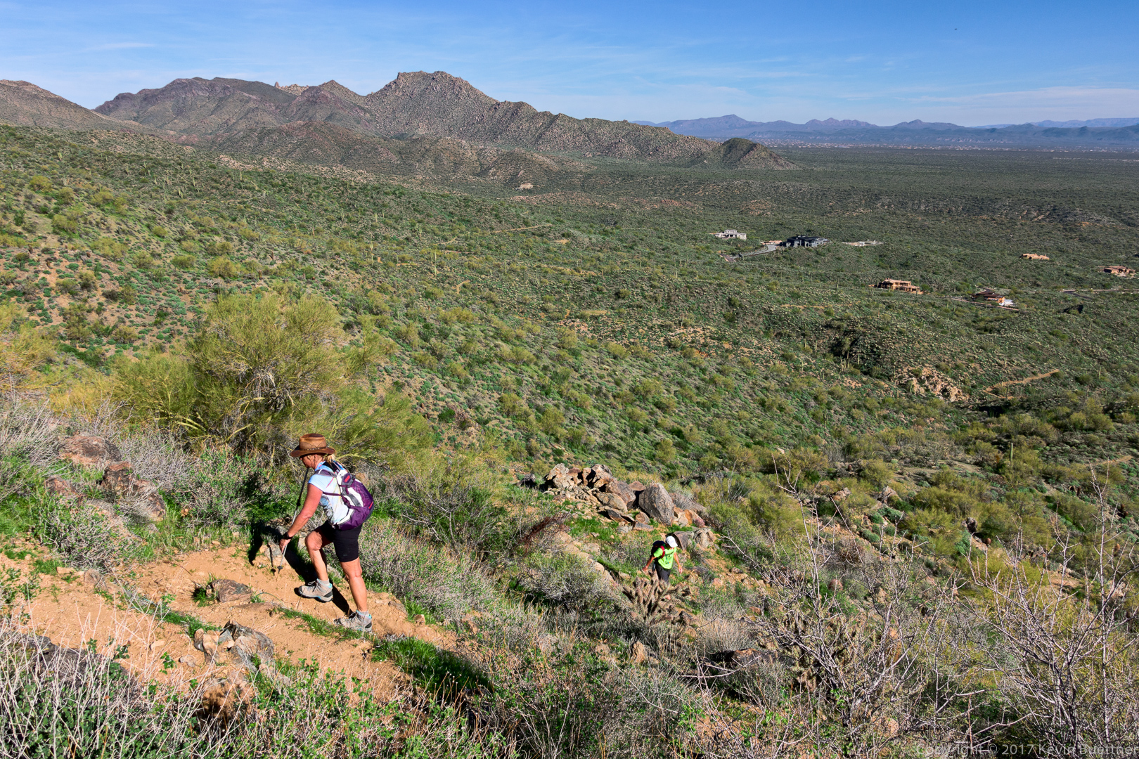
Kathy, Jerry, Mike, Nancy, Bill, Heather, Bob, and I did a 10.2 mile hike on Friday.  We hiked Dixie Mine to Sonoran and then did a loop on the Western Loop Trail.  On the way back, Bill showed us the trail that he and his crew have been building.  Tentatively called the Lower Sonoran Trail, it uses some of the lower portions of the slope below the current Sonoran Trail, running from the Promenade Trail to Sonoran Trail at the boundary between the park and the preserve.  Bill told me that the current Sonoran Trail between those two points is 1.8 miles in length; the new section of trail is 2.1 miles long. In most instances, I prefer hiking a loop instead of a pure out-and-back, so having a new and scenic option in the area is much appreciated.

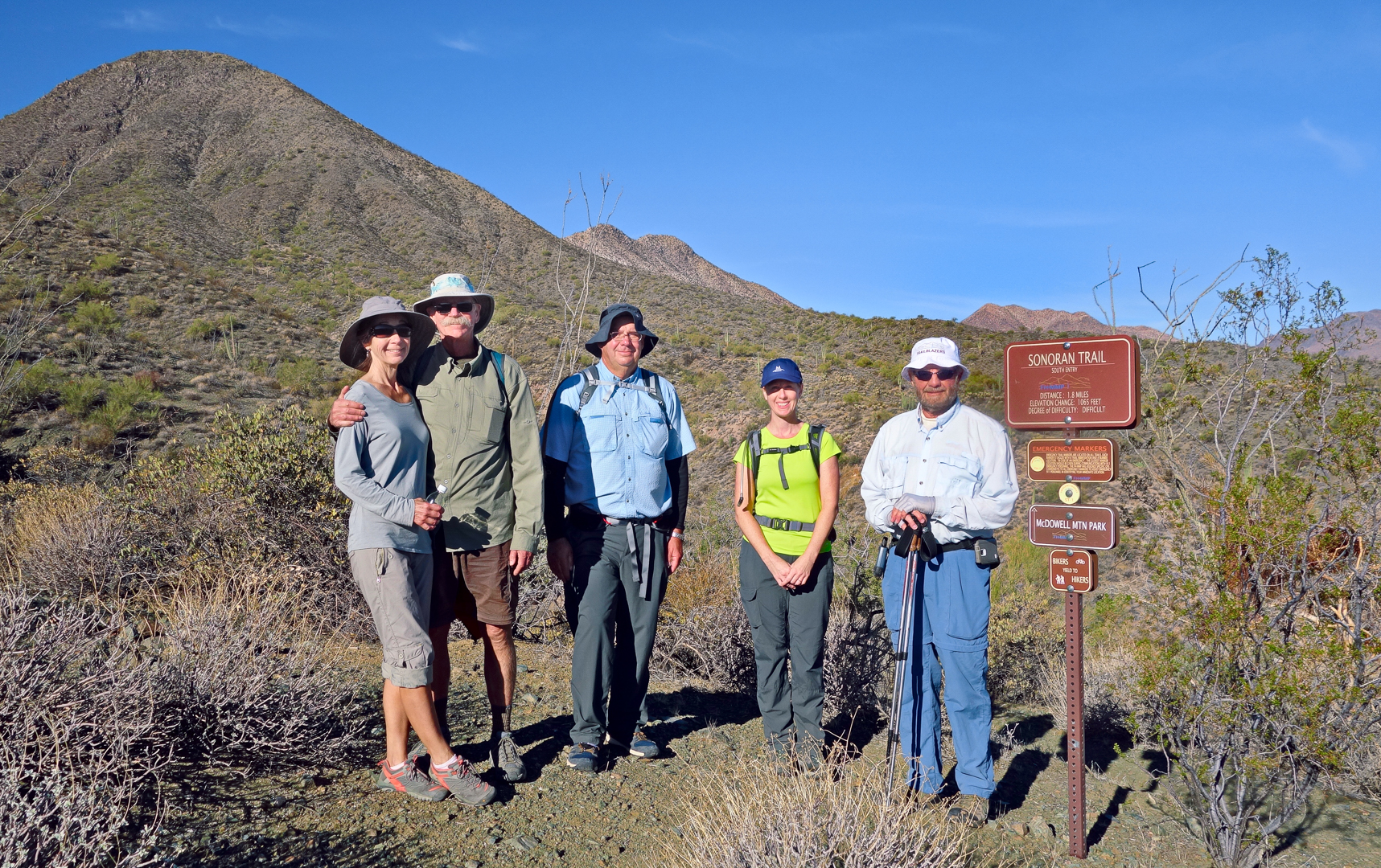
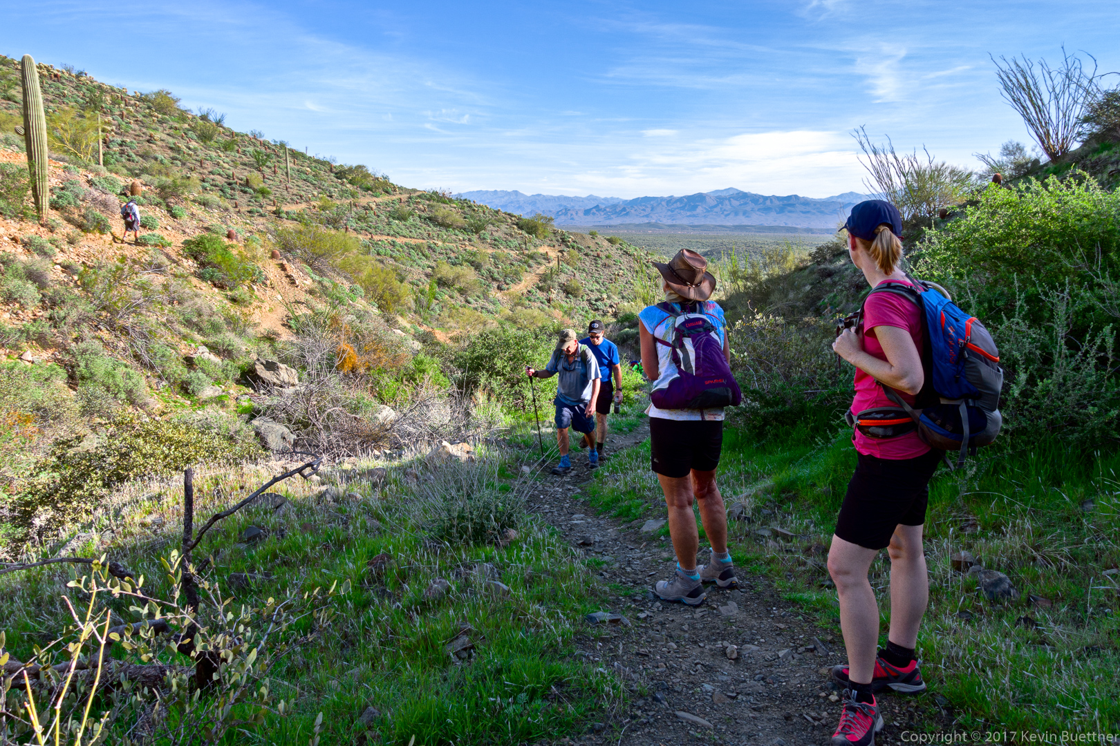
Mike (far left), Bob, Jerry, Nancy, and Heather on the Sonoran Trail:

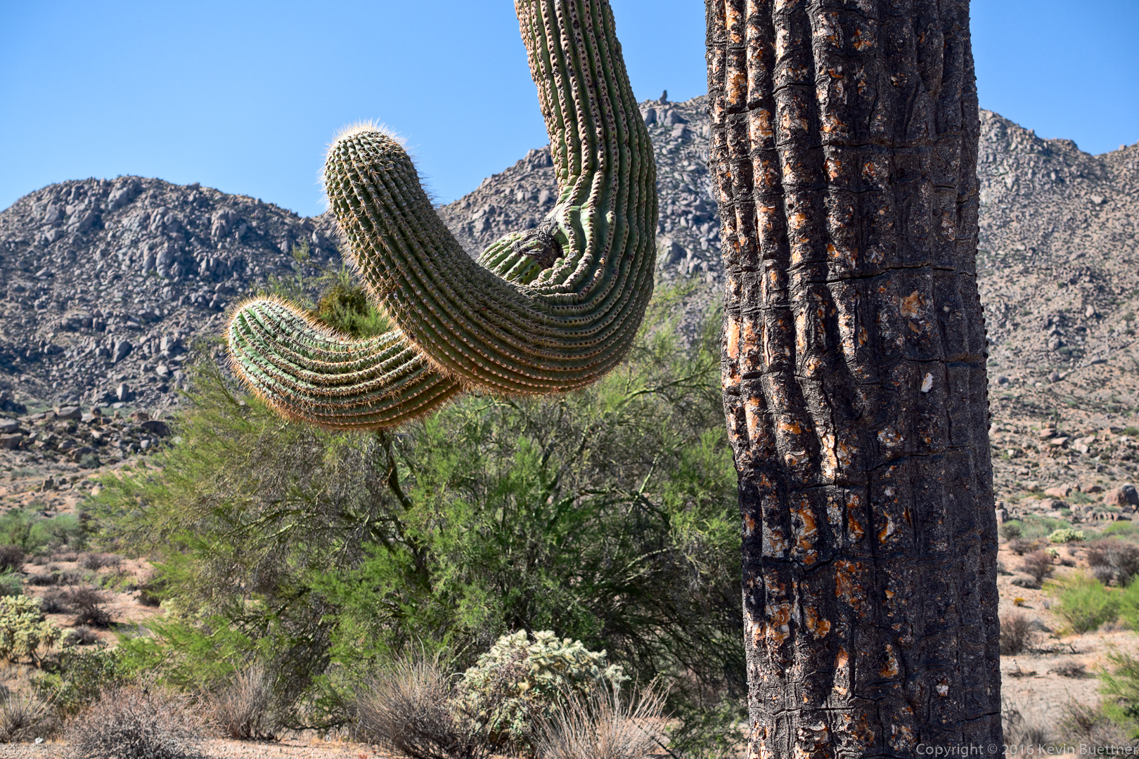
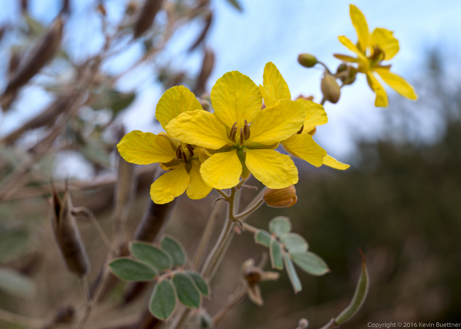
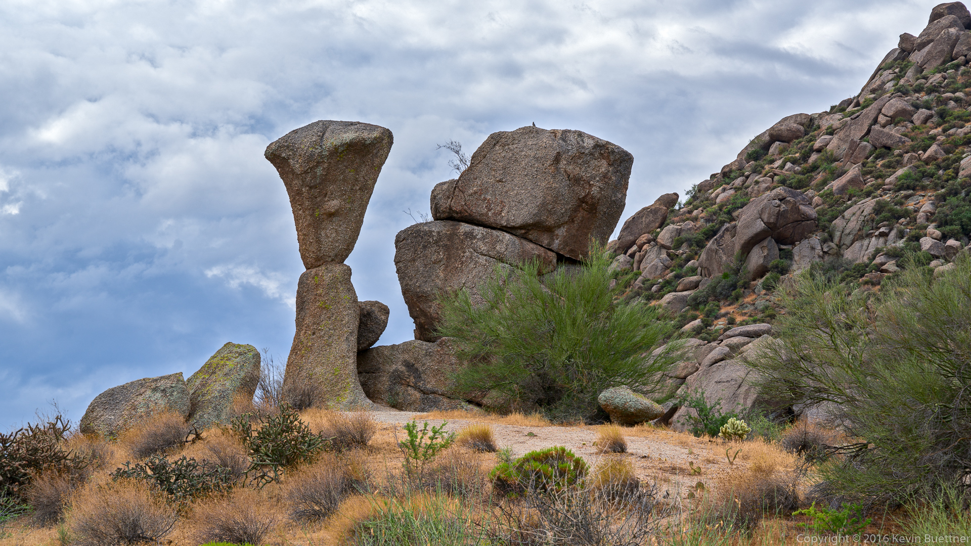
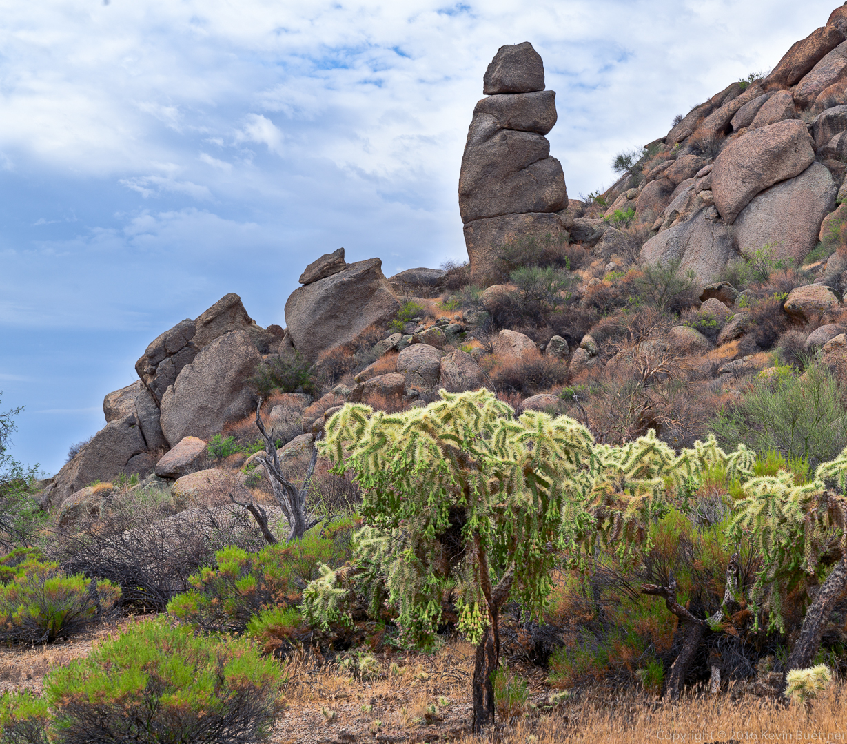
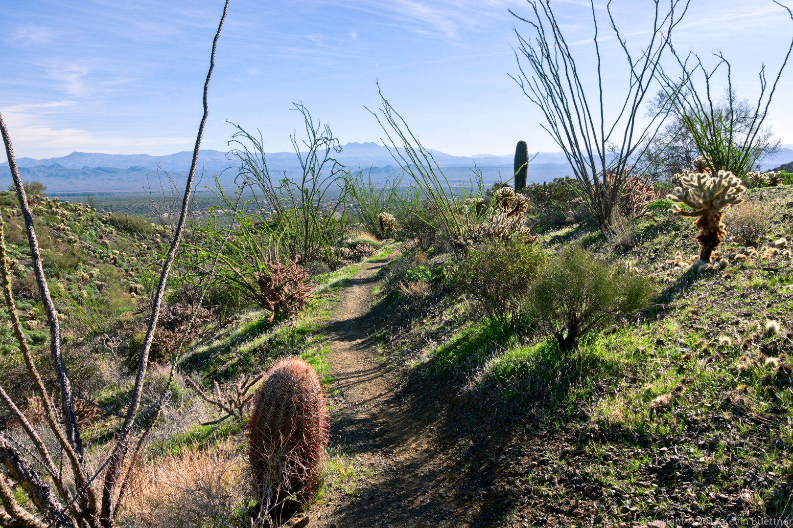
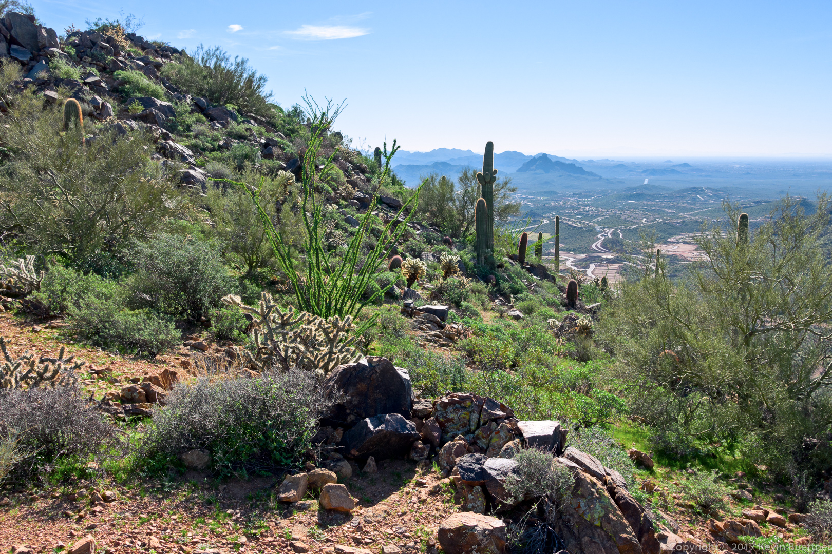
Ocotillos on the Sonoran Trail:

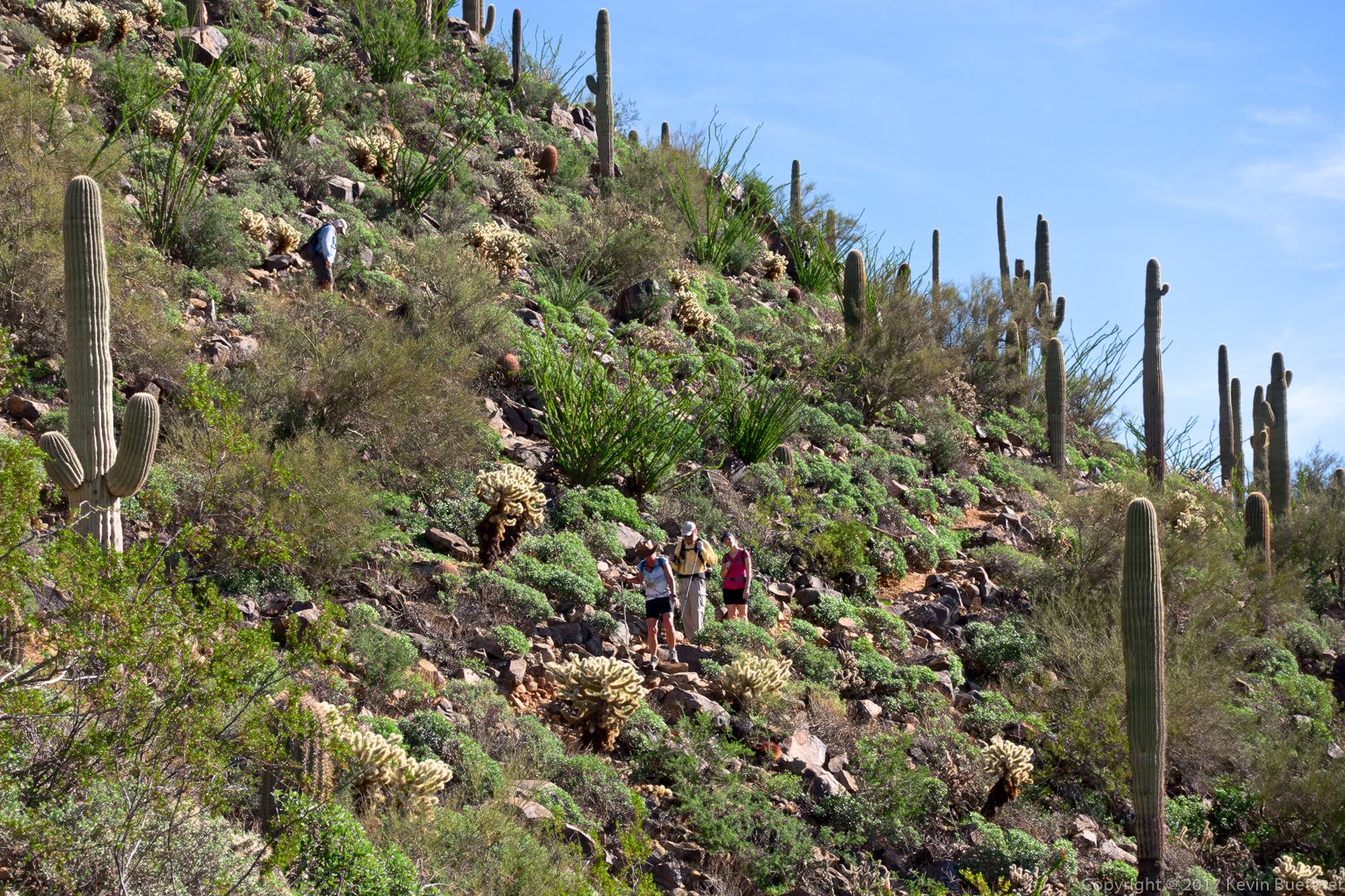
Nancy and Kathy hiking up the Western Loop Trail:

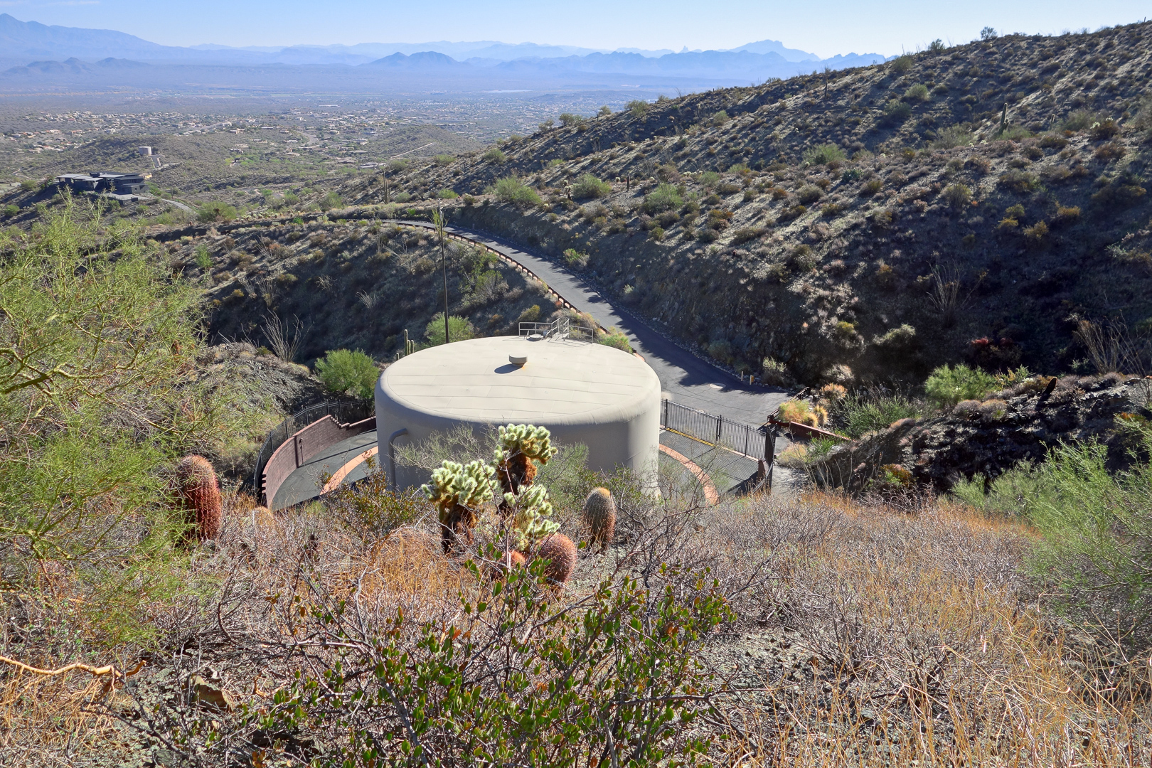
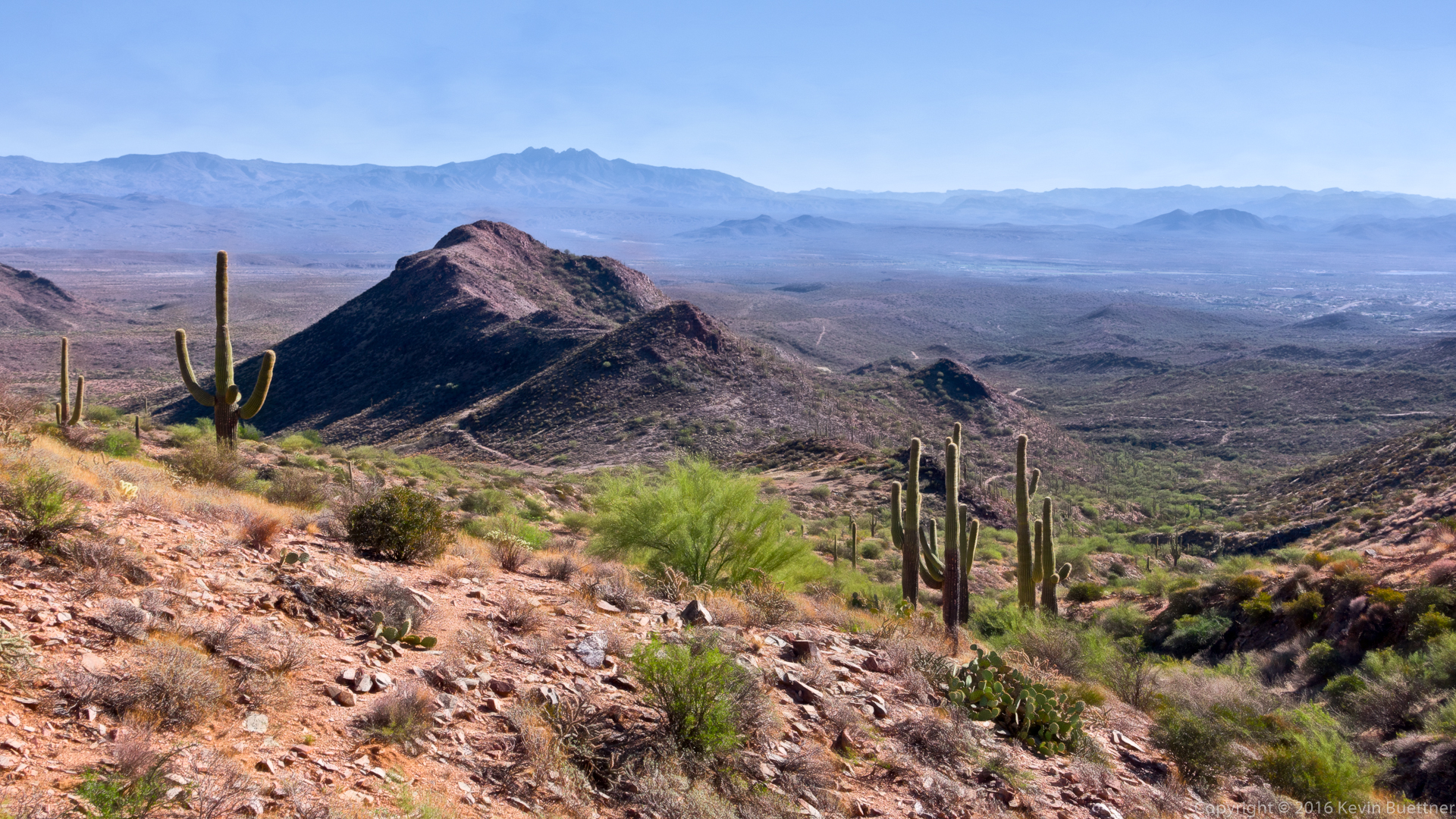
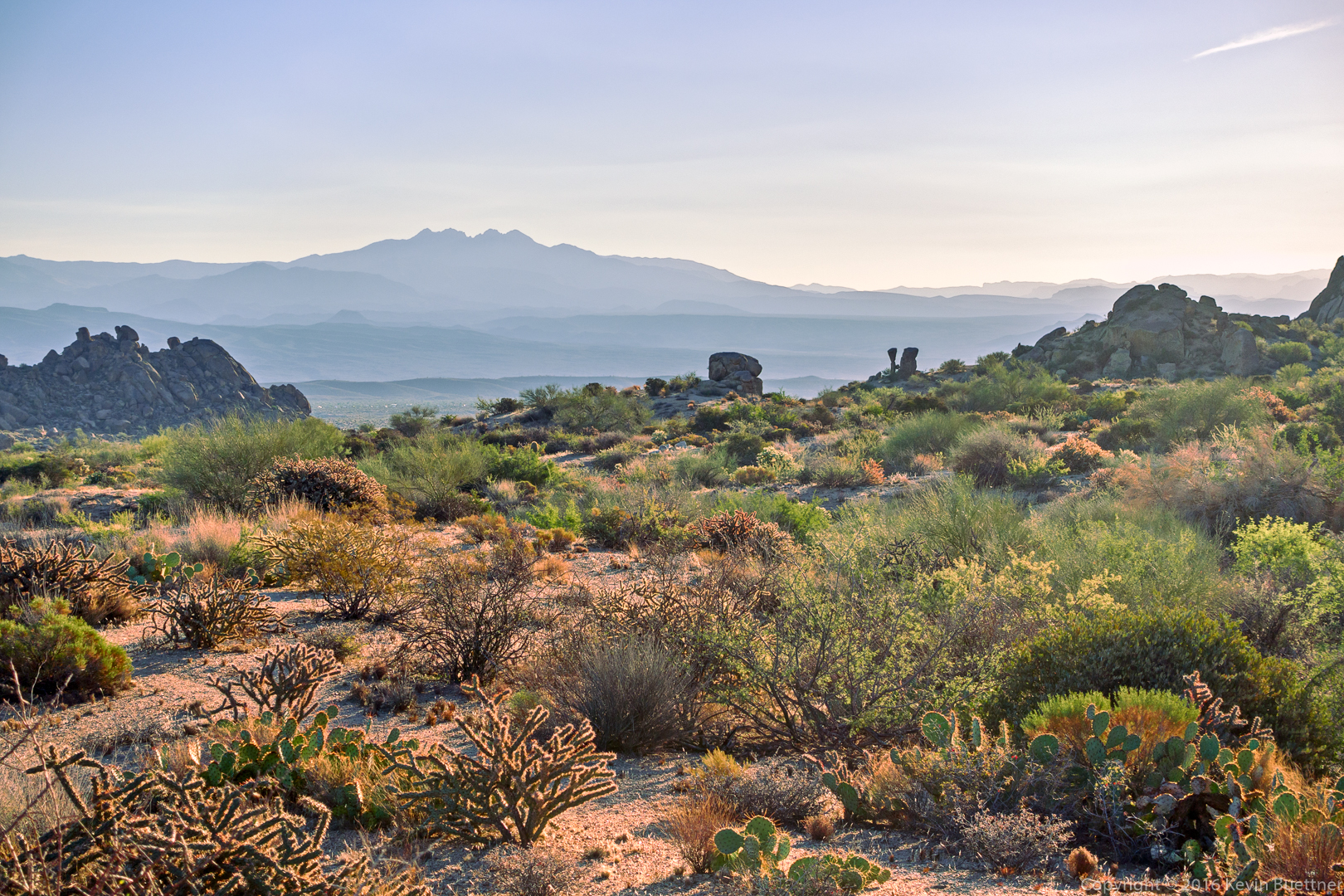
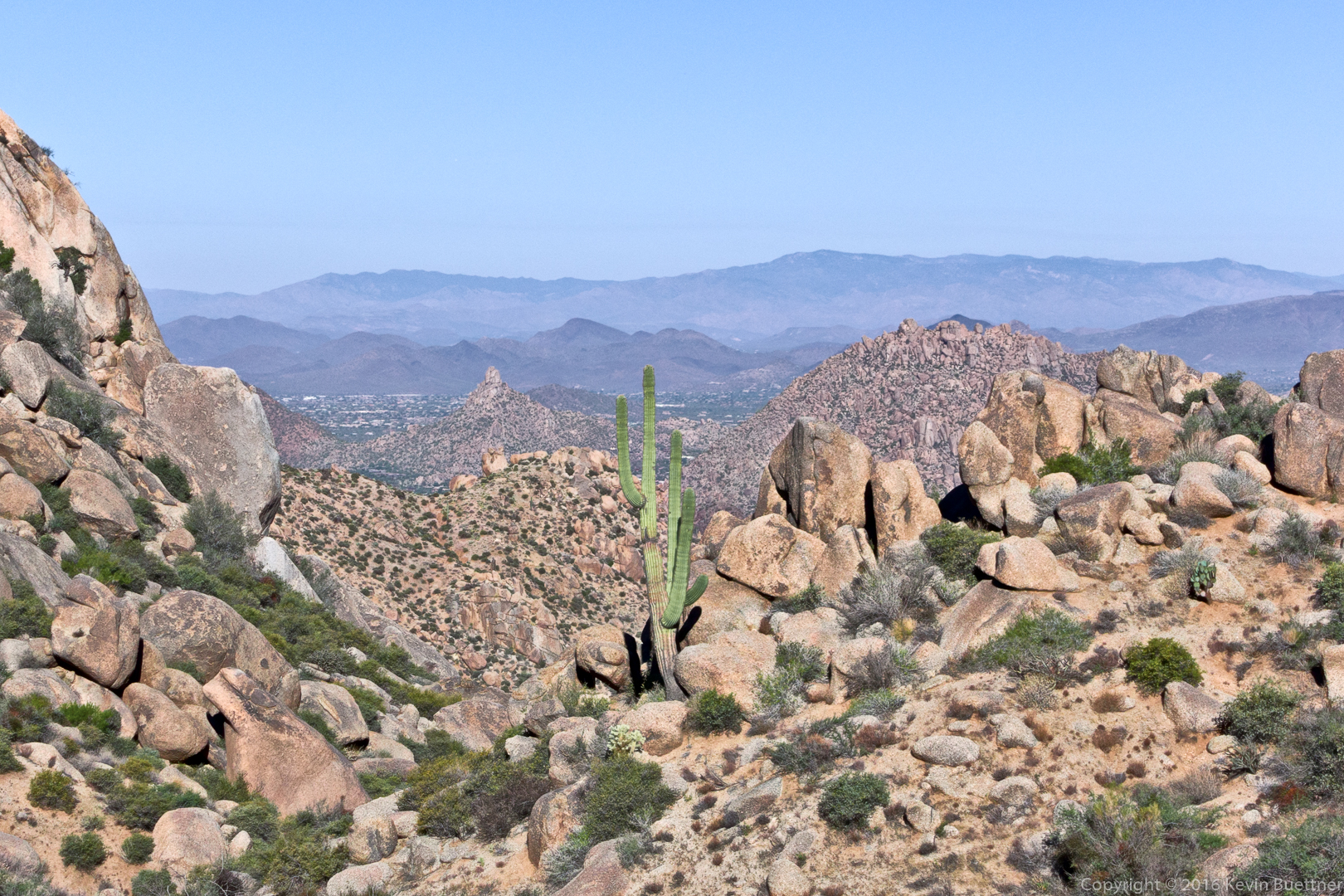
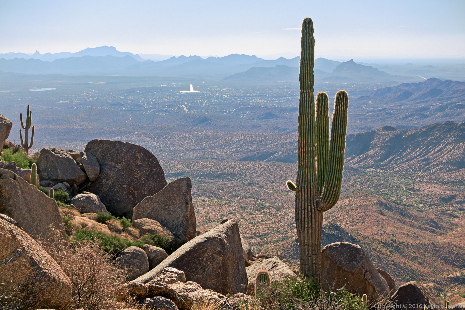
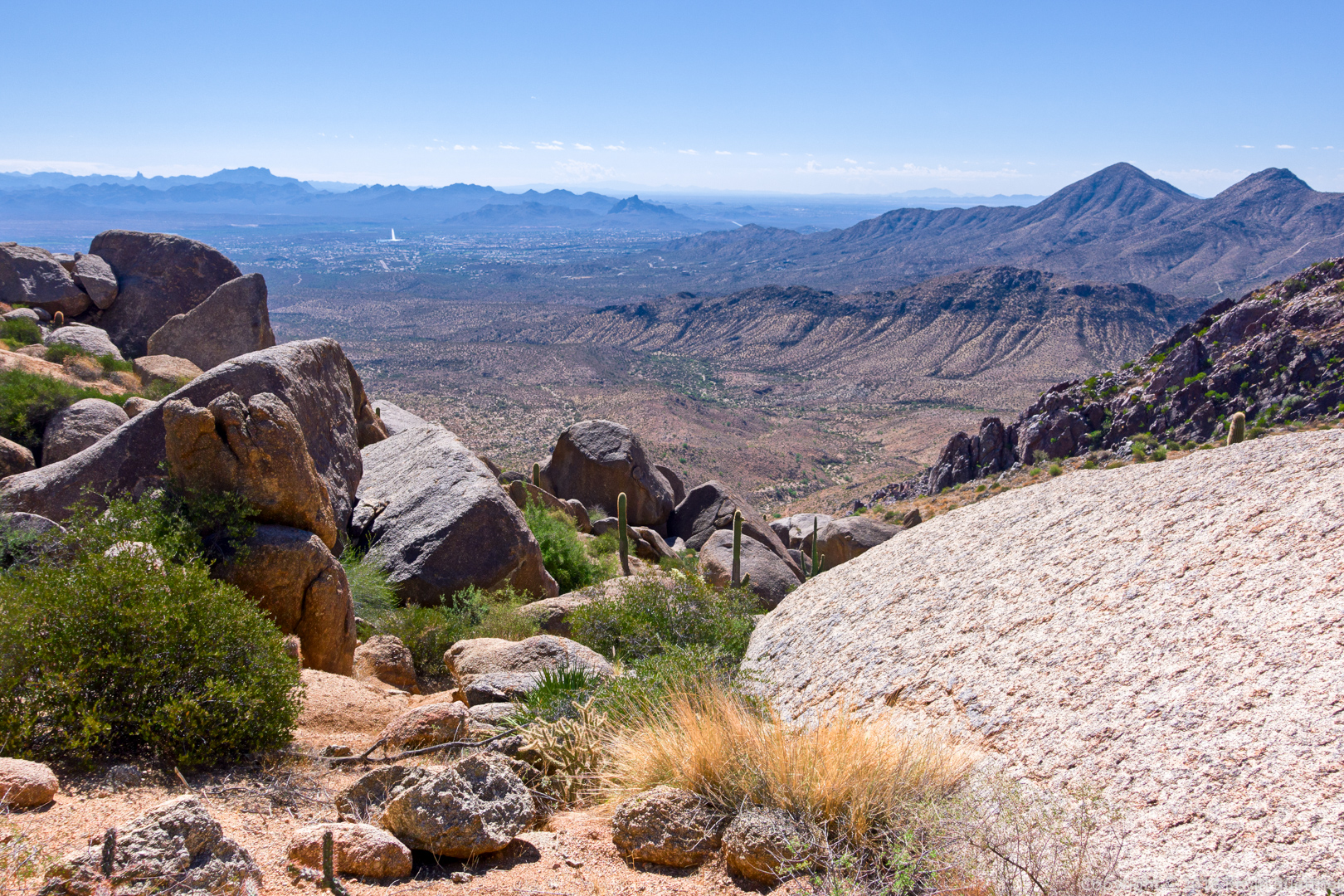
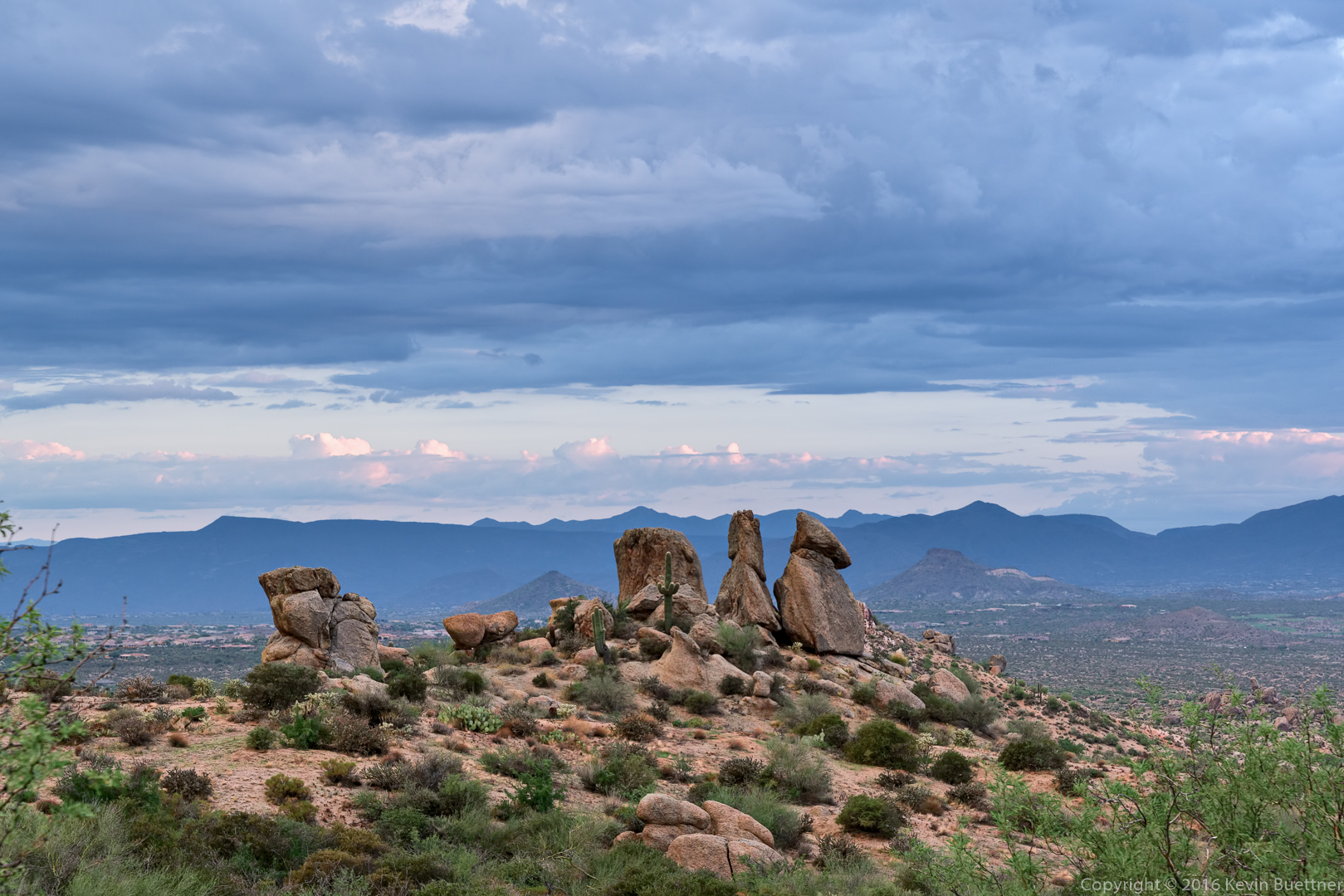
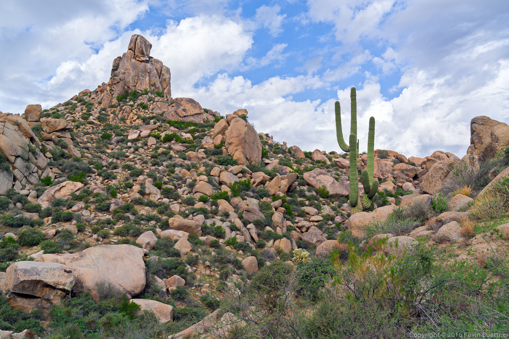
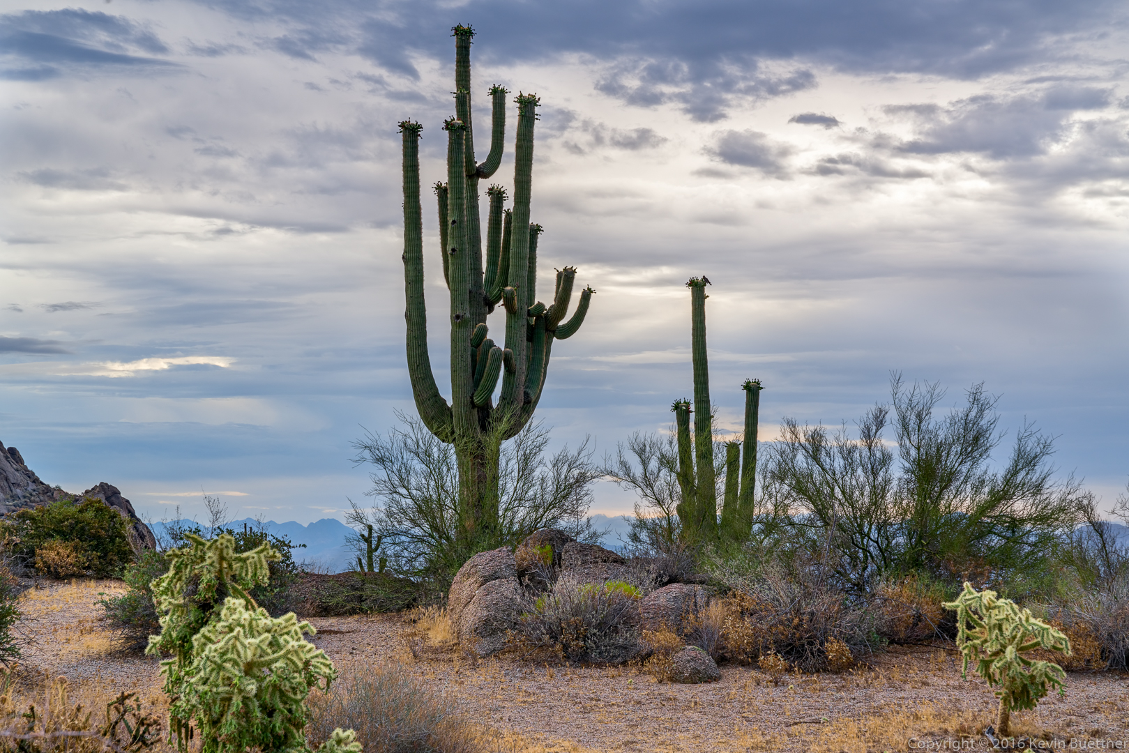
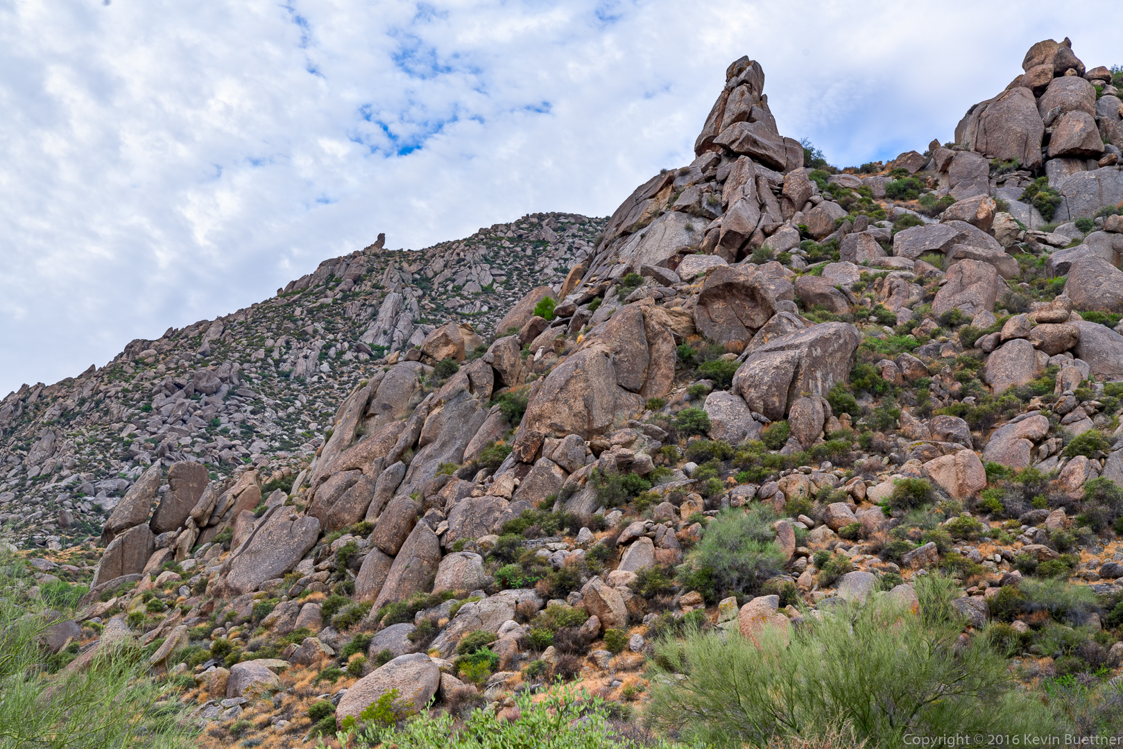
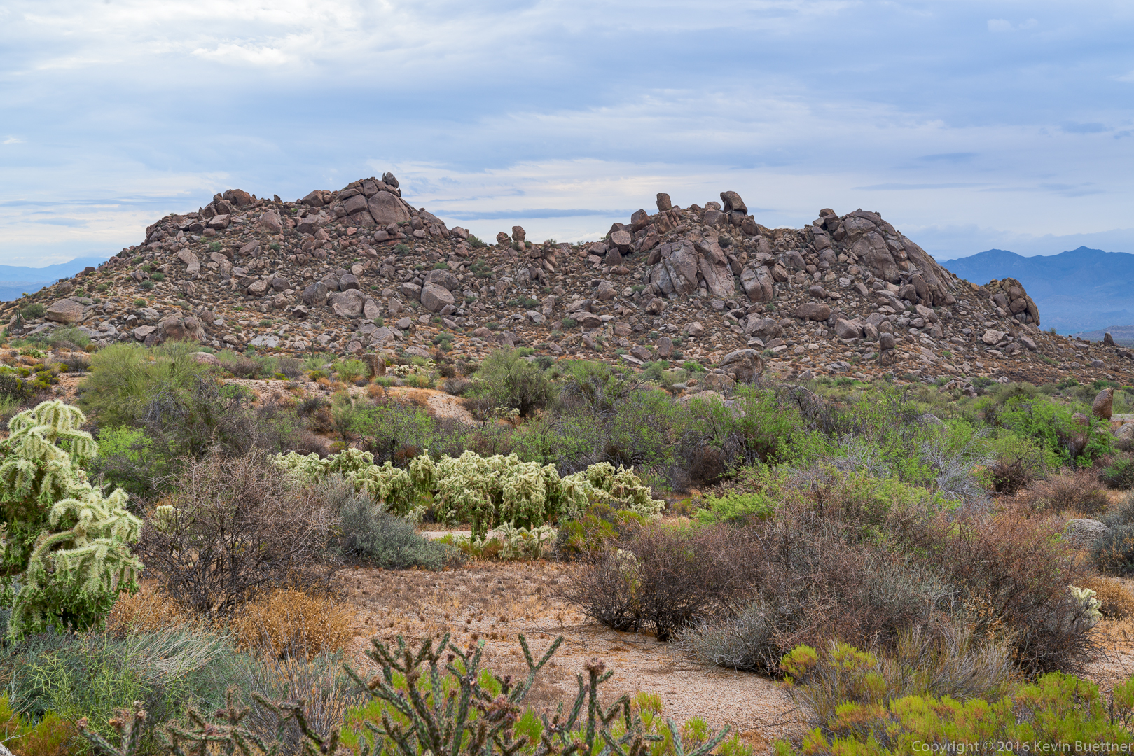
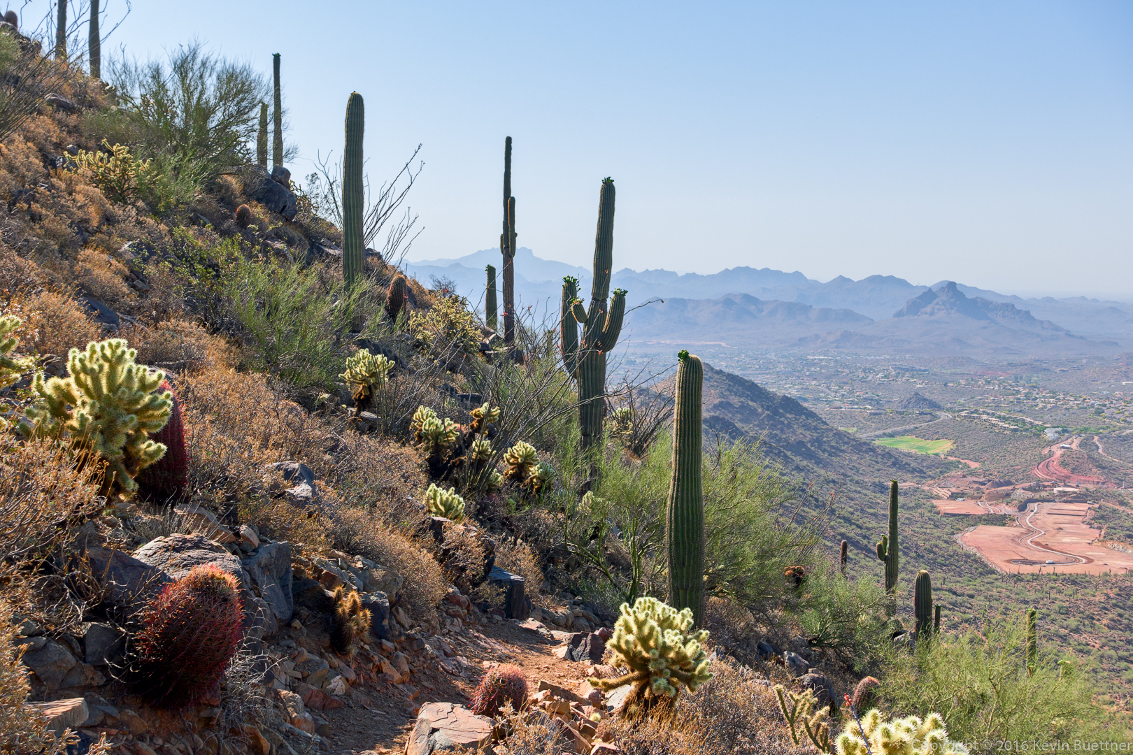
A view from just below the overlook:

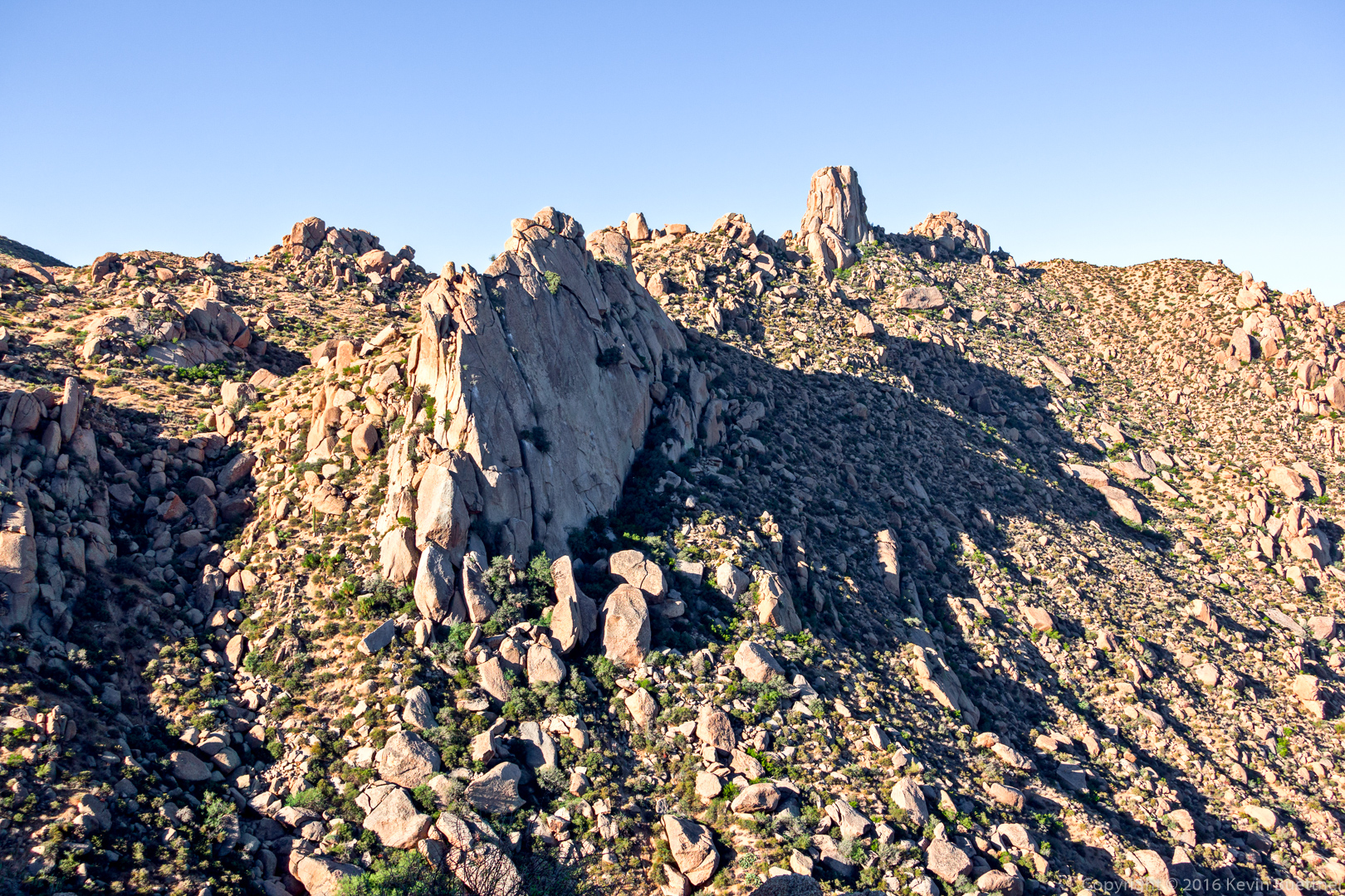
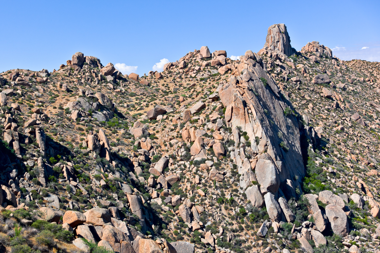
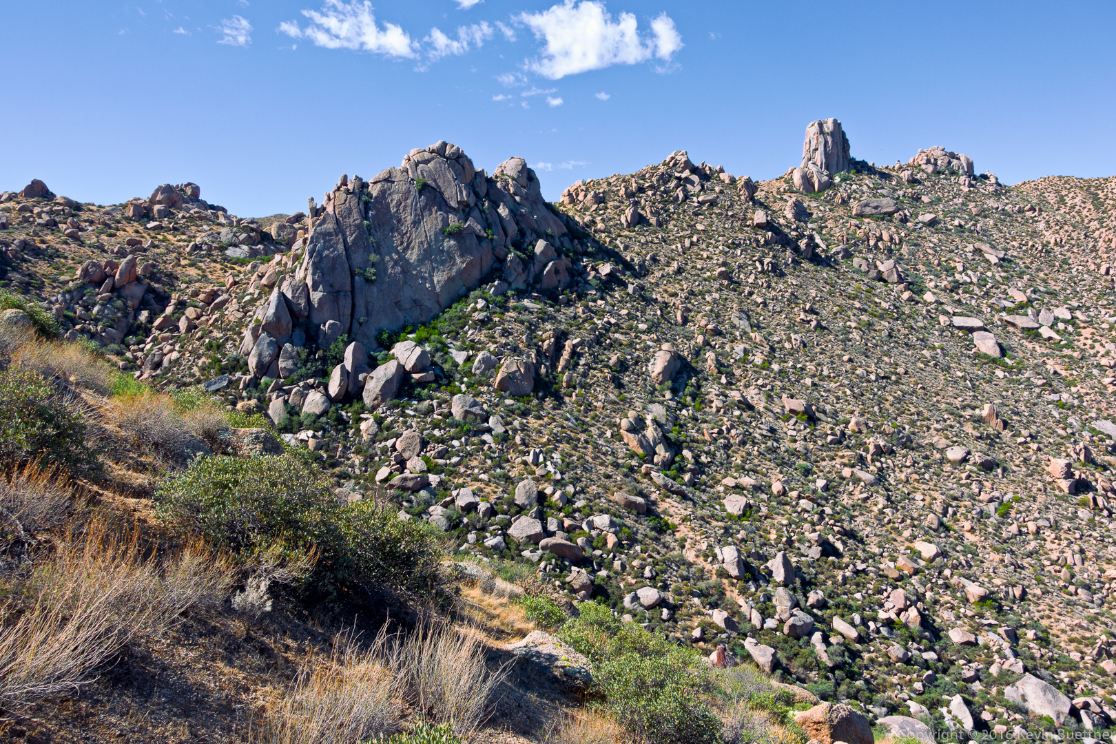
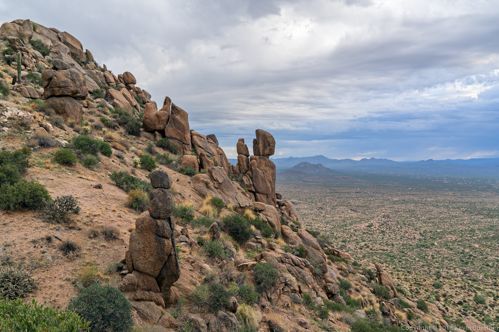
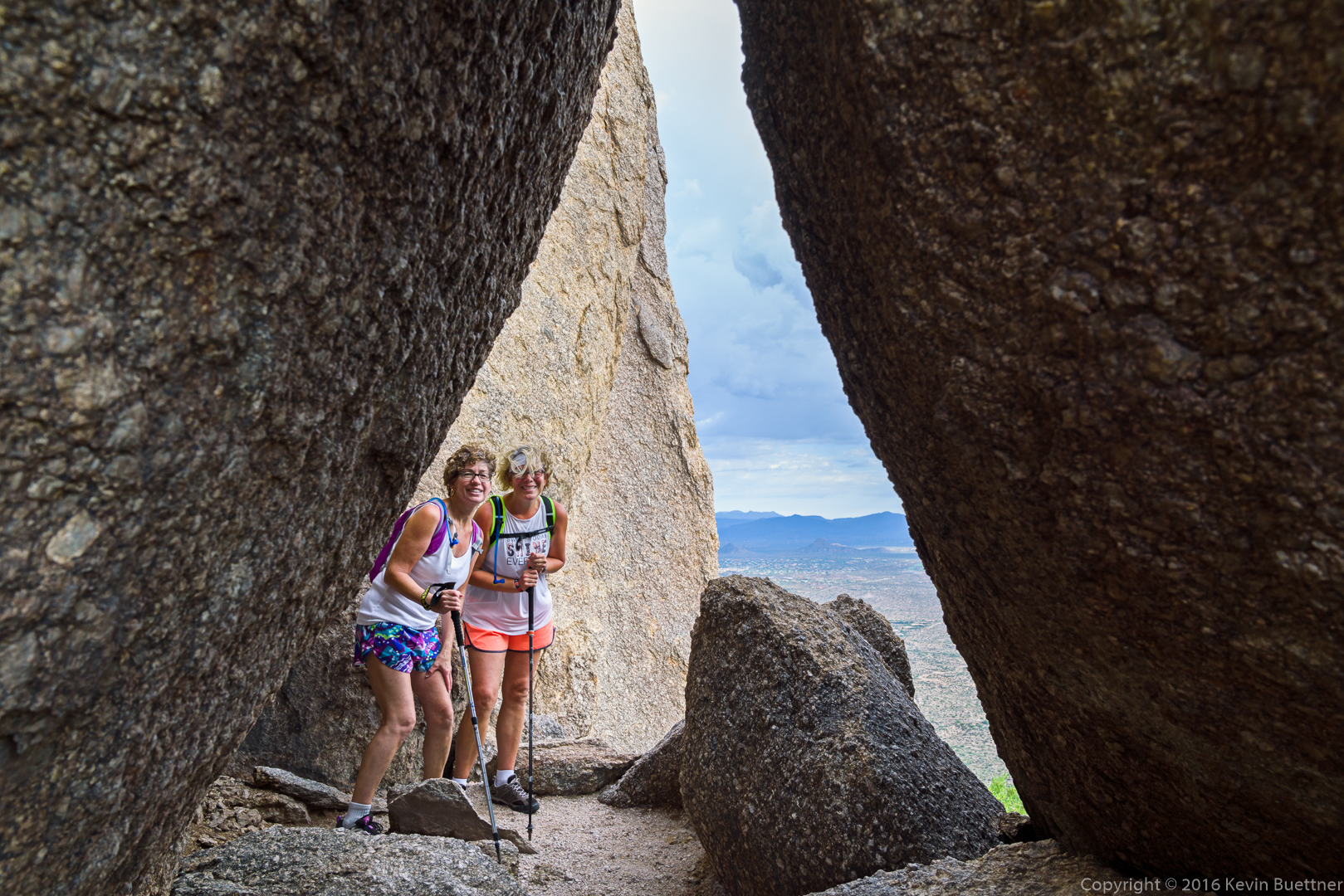
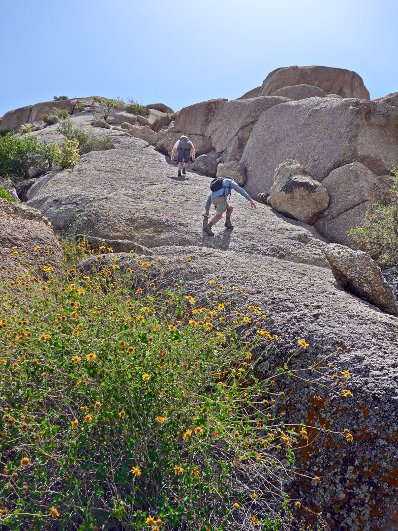
Heather at the top of the overlook just off the Western Loop Trail:

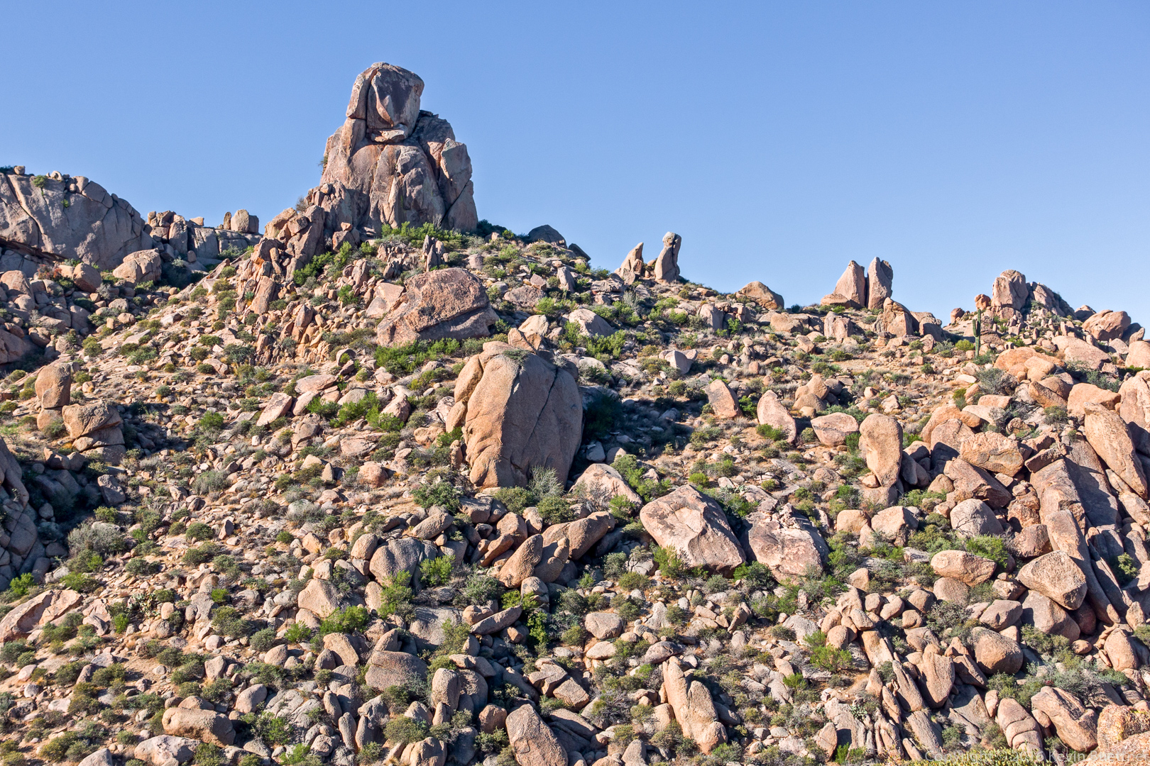
Mike (above left), Nancy, Bill, and Heather descending the Western Loop Trail:

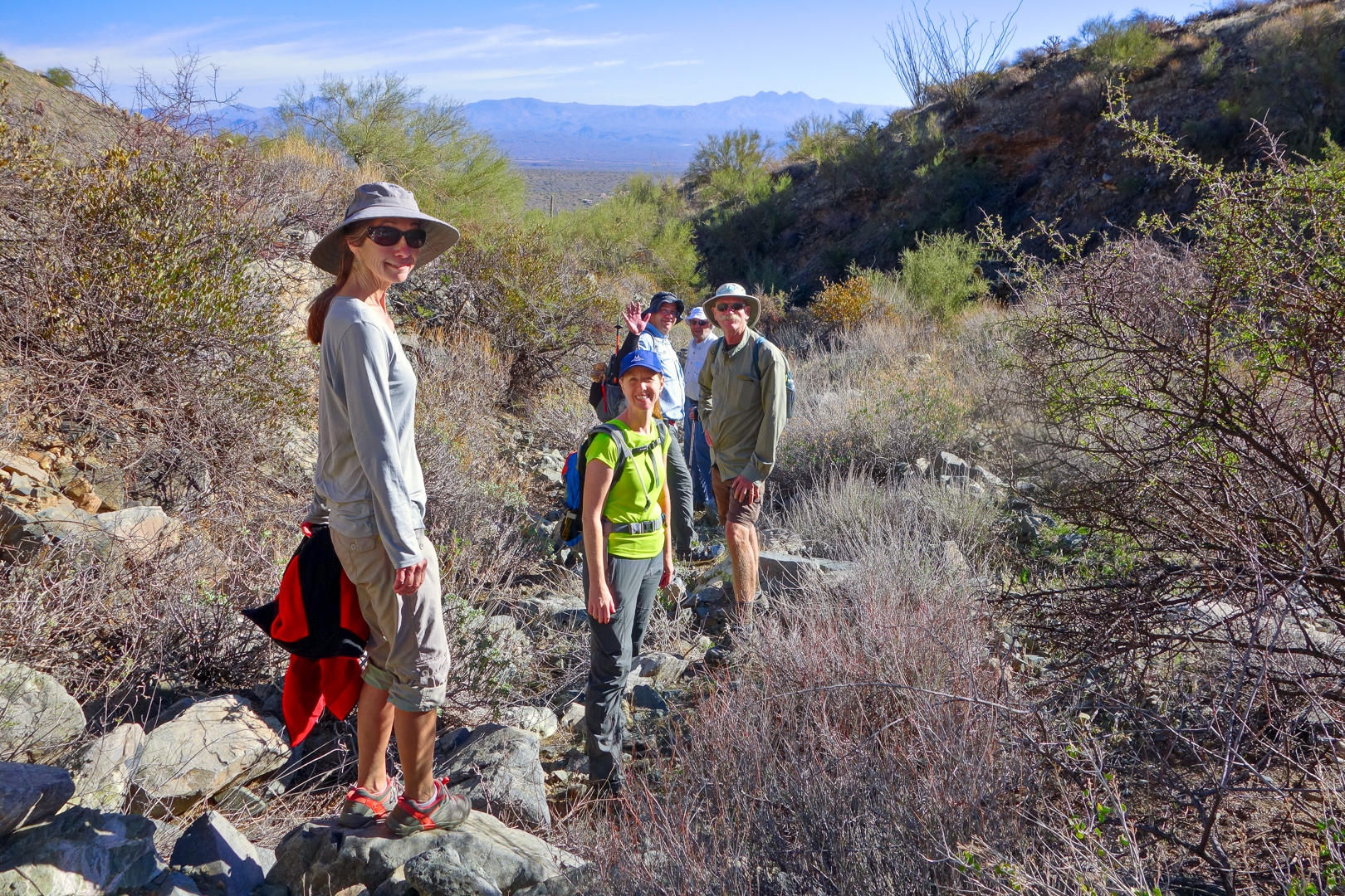
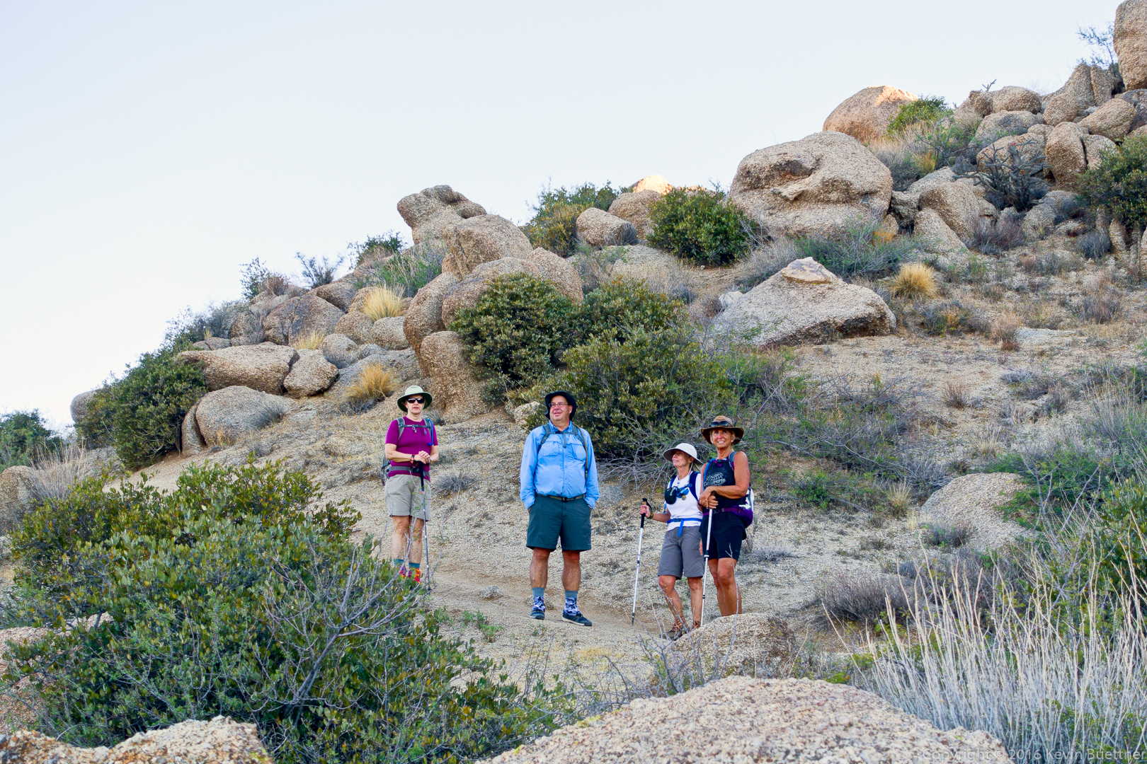
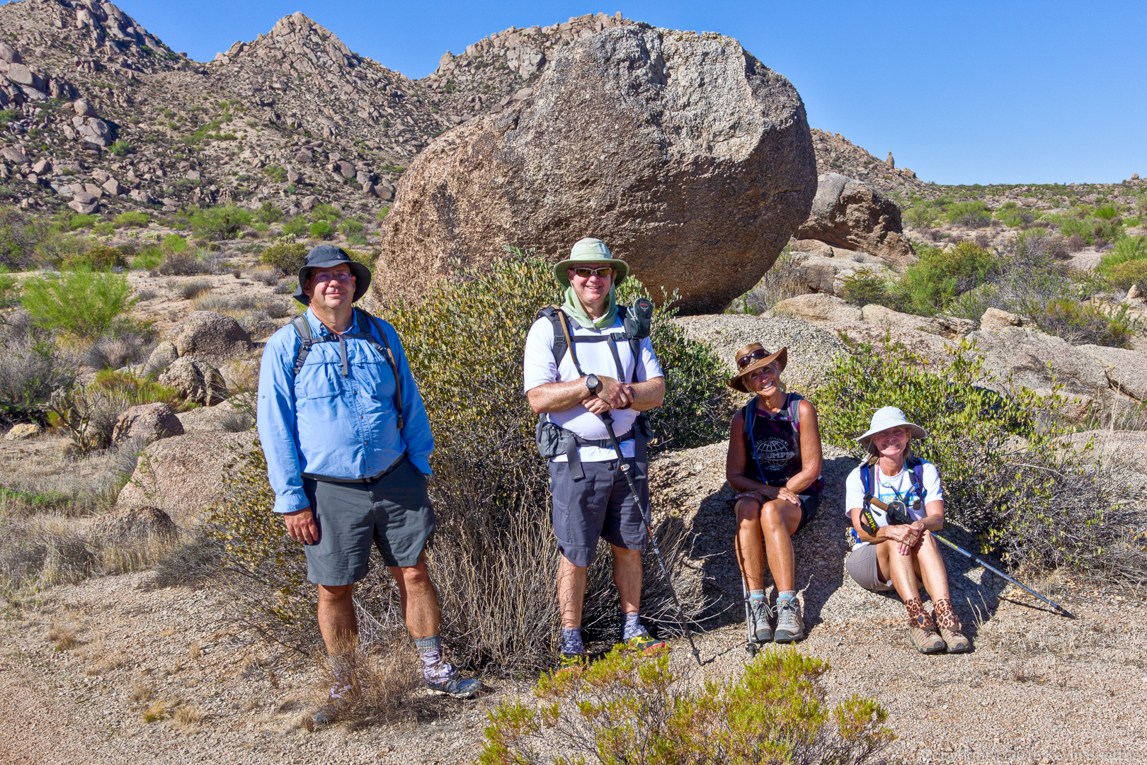
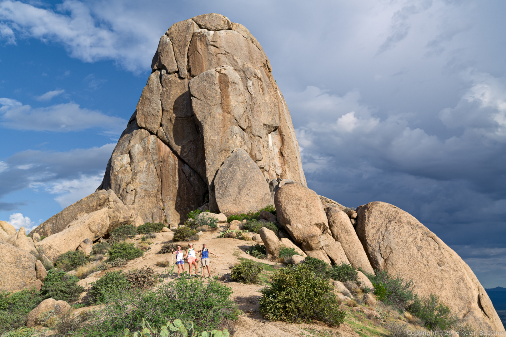
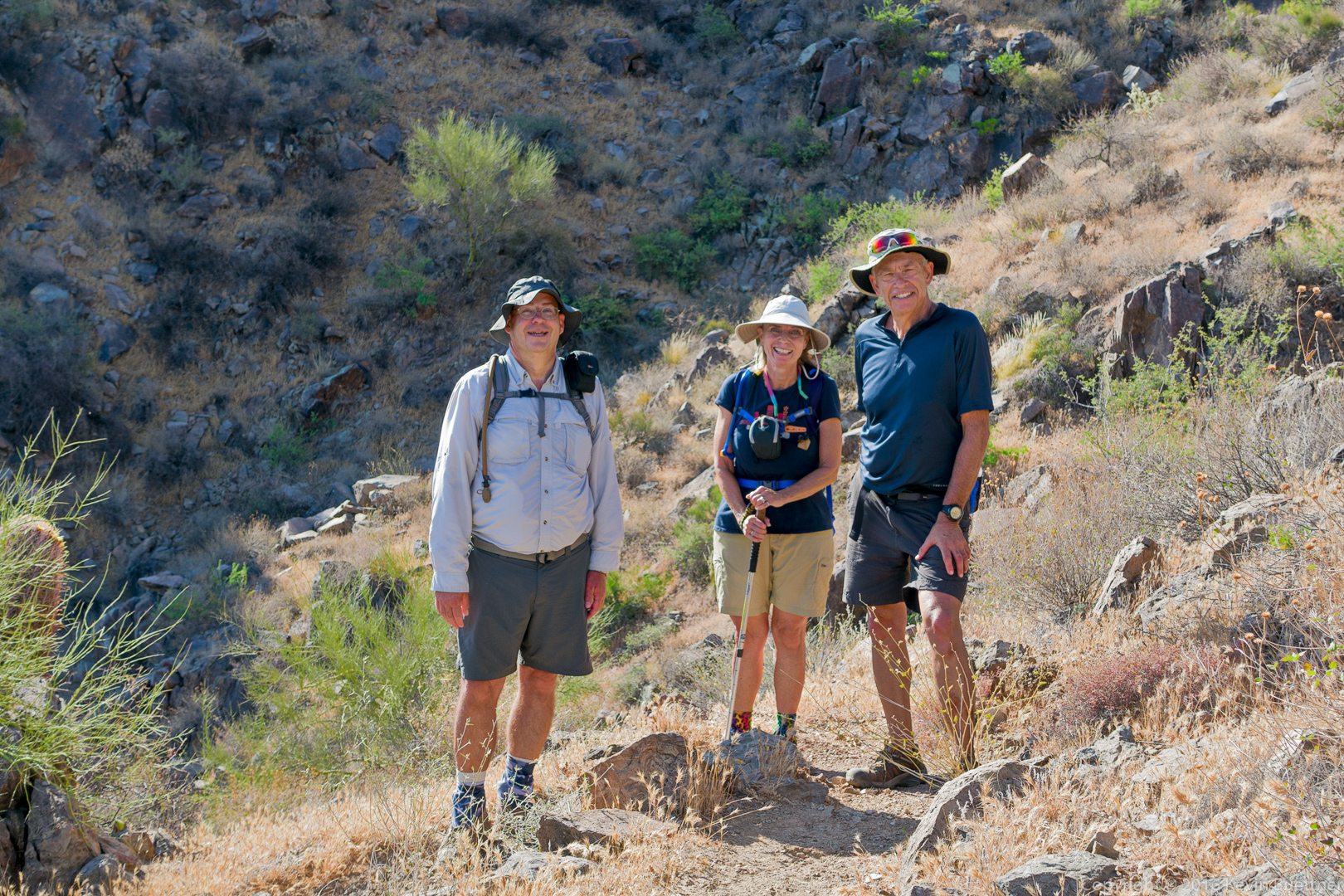
Nancy, Bill, and Heather:

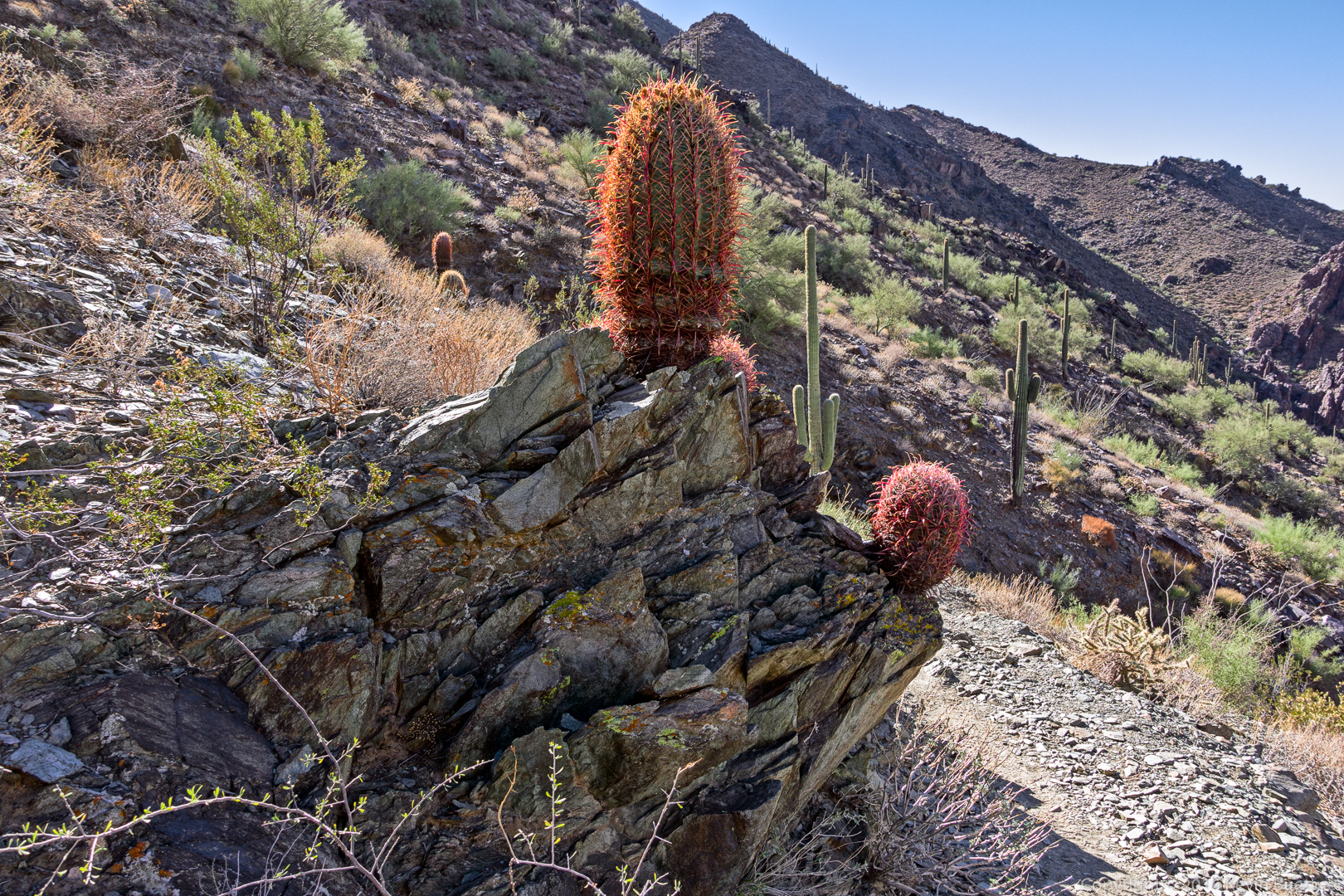
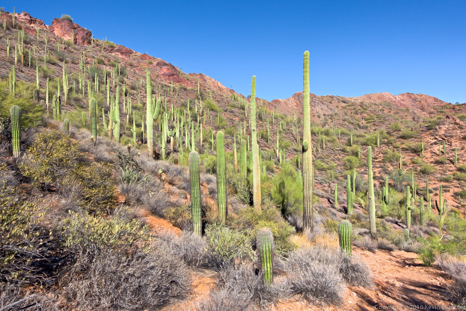
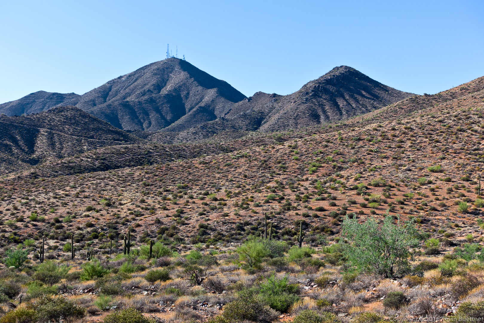
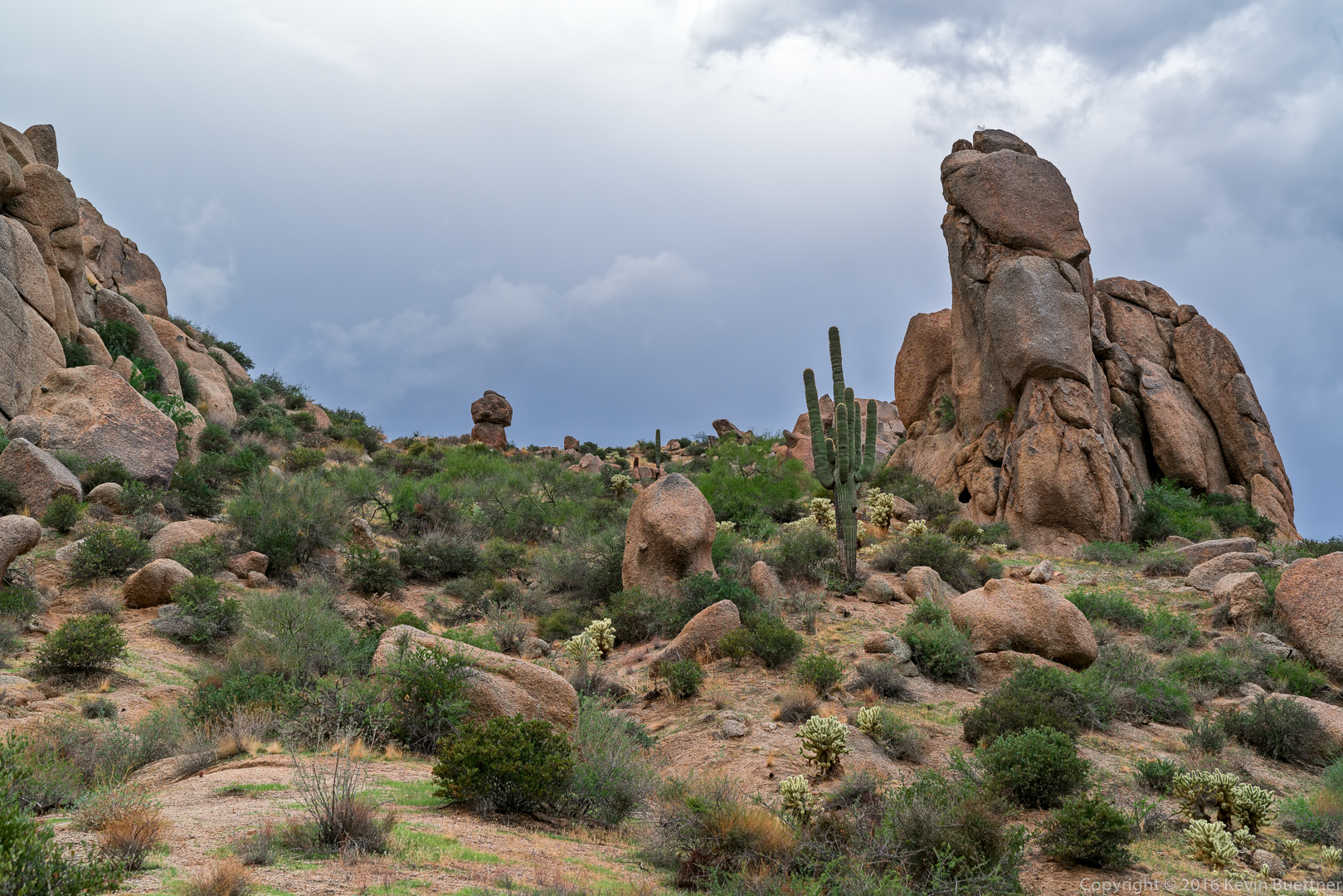
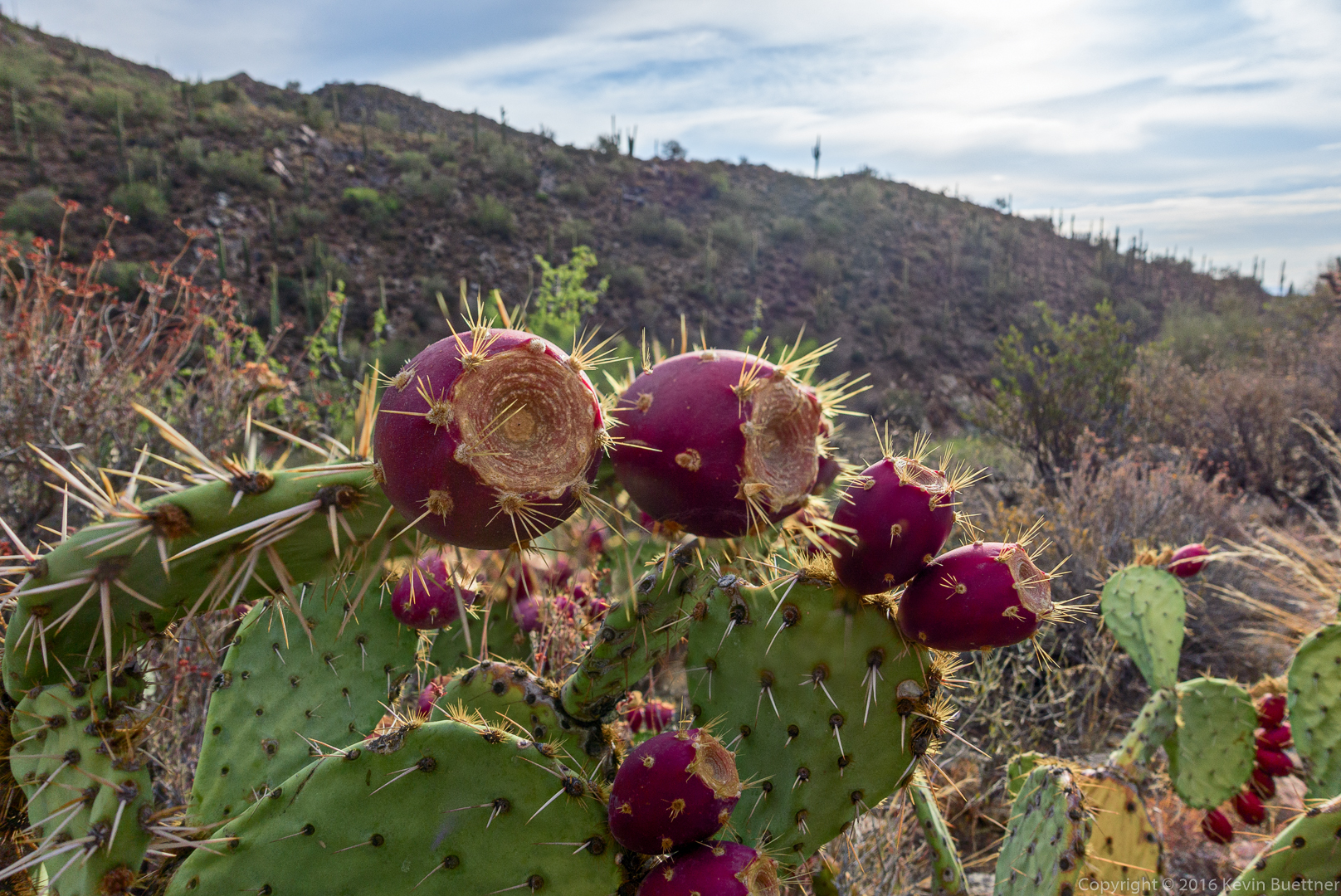
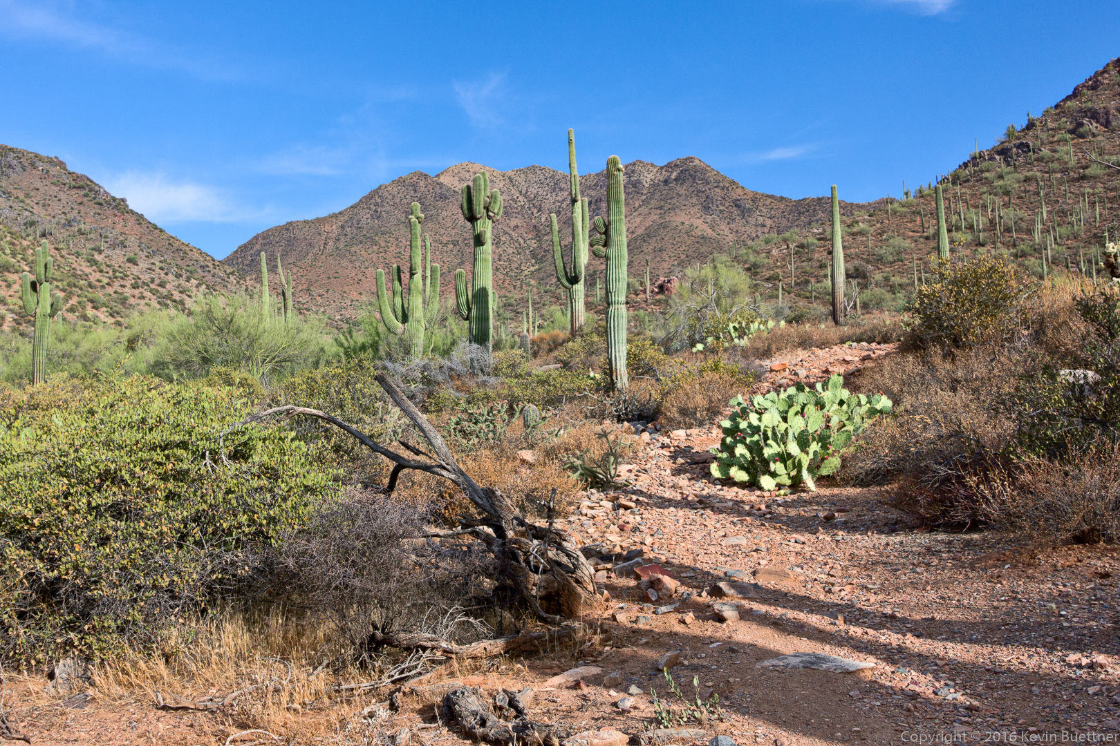
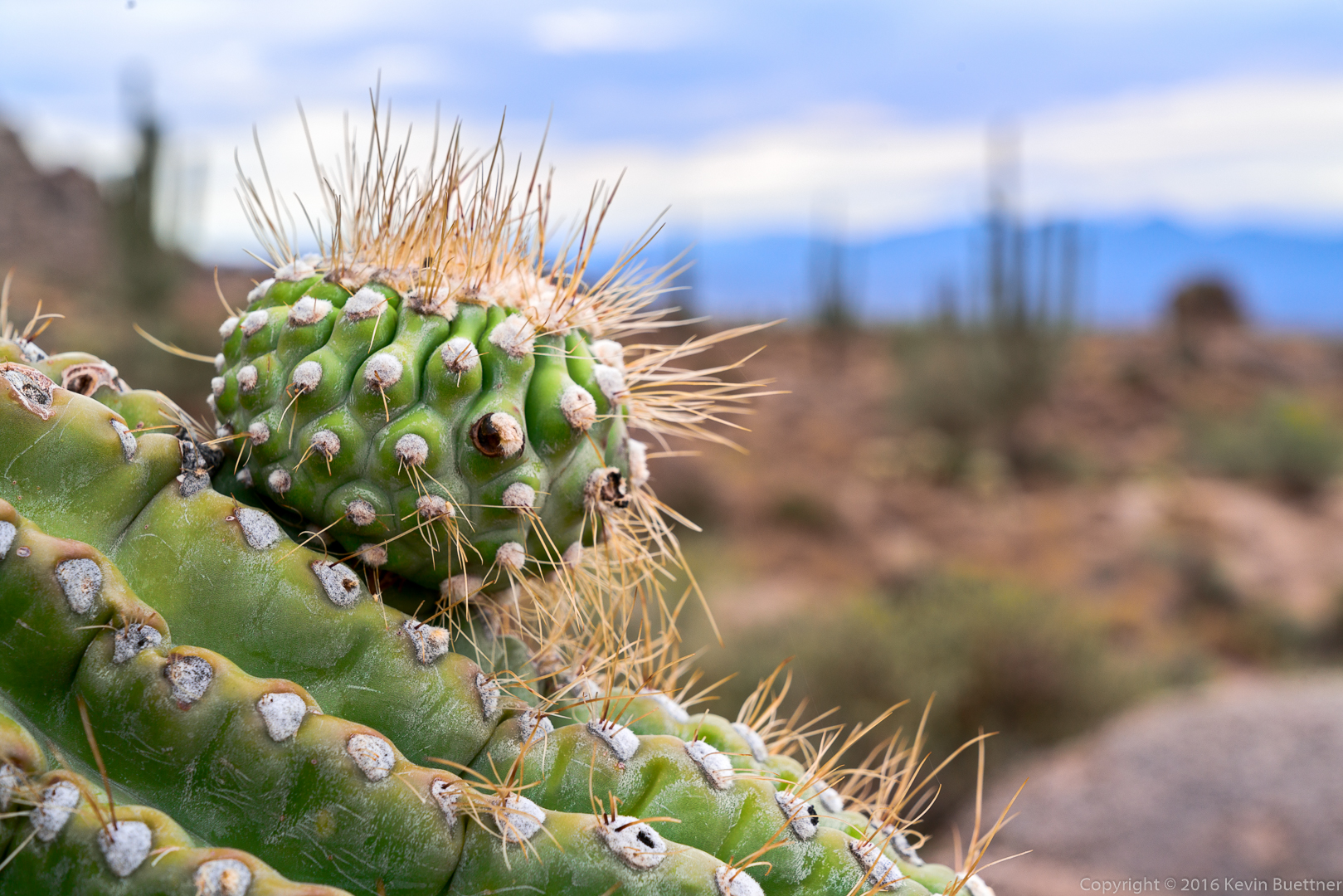
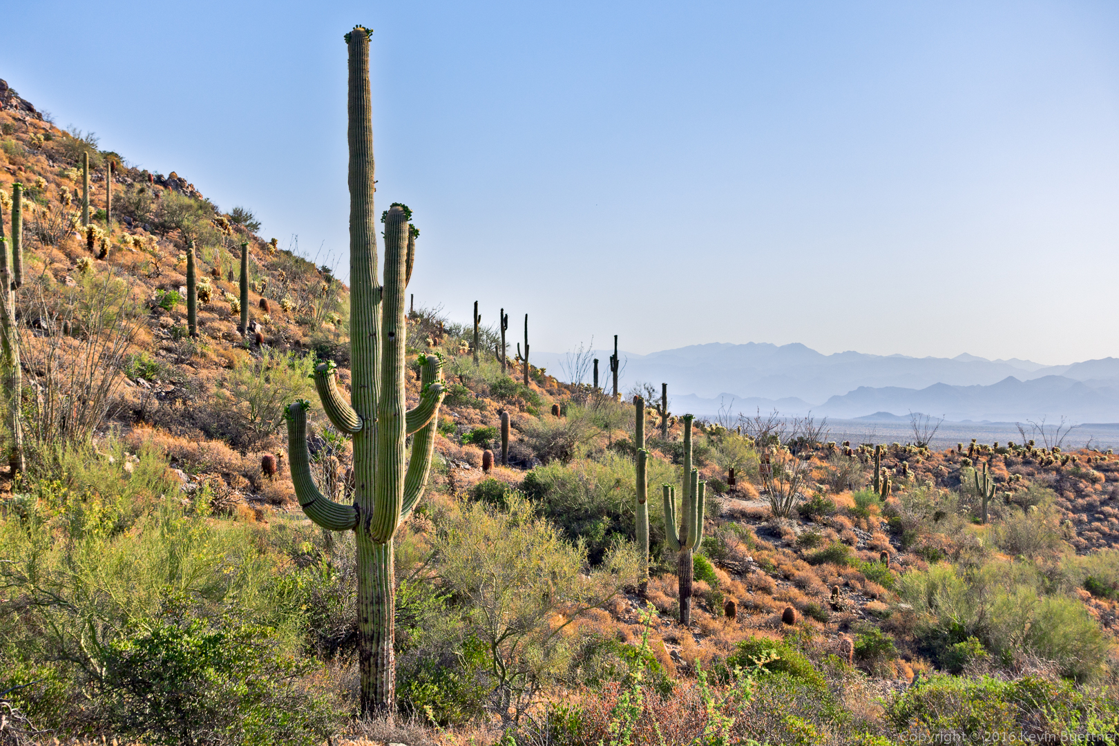
The new section of trail has lots of ocotillos too!

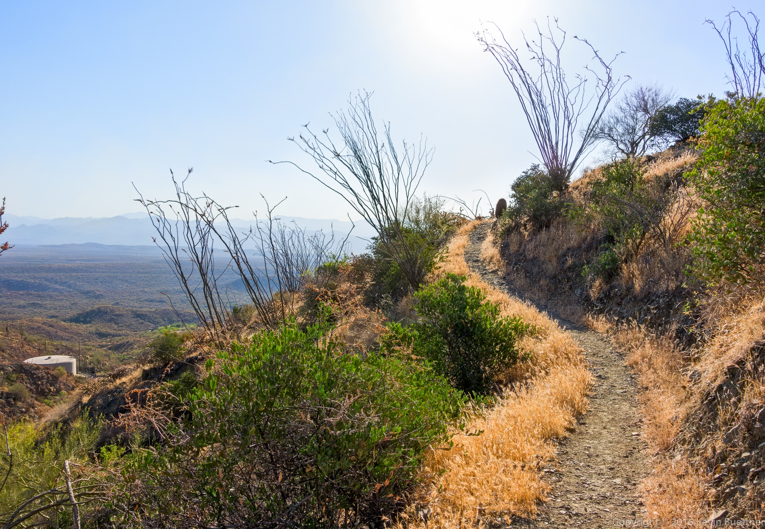
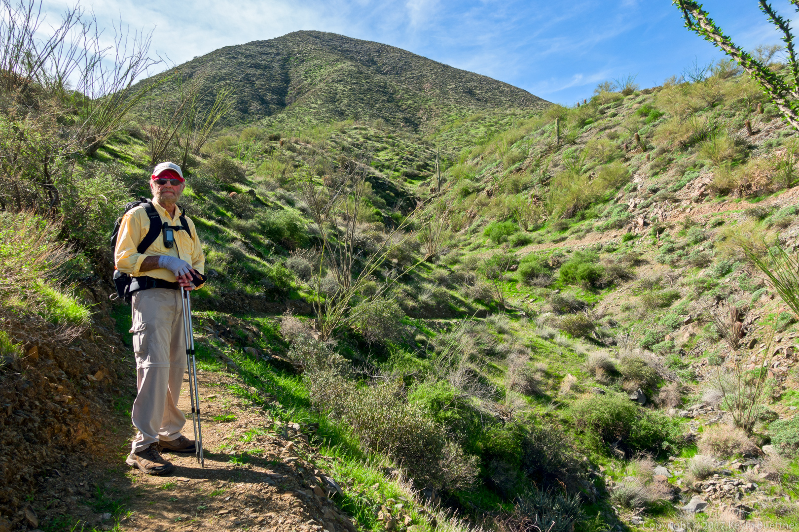
Bill on the new section of trail:

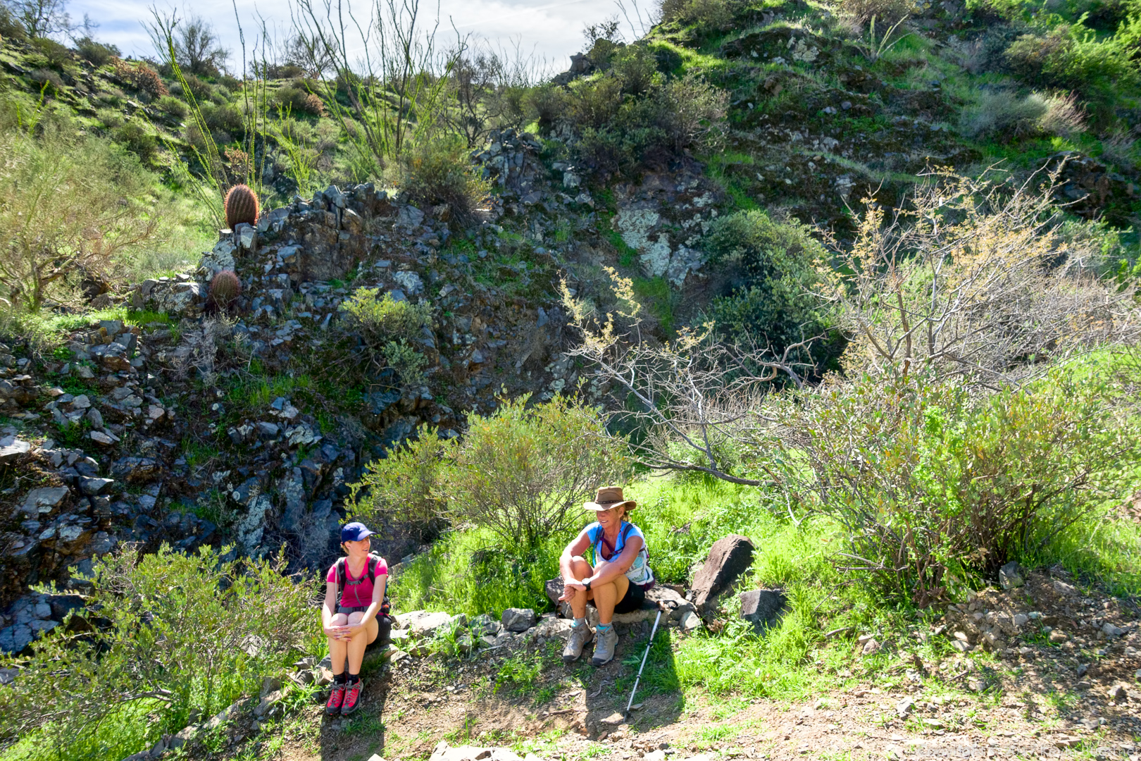
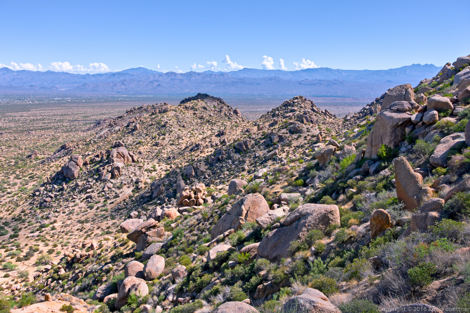
Heather and Nancy taking a break…


Friday Fitness Hike

Linda, Doug, Leslie, Heather, Bill, and Mike hiked Dixie Mine, Sonoran, and part of the Promenade Trail on Friday.  On the way back, Bill showed the group a new trail that he’s building in the area. Total hike distance was just over eight miles.

Thanks to Linda for leading the hike and for sending me photos!

20161209-dsc03090-edit-medium

Leslie, Doug, Mike, Heather, and Bill

20161209-dsc03094-edit-medium

Heading out to find the new trail…

20161209-dsc03097-edit-medium

The new trail comes close to a water tank.

Friday Fitness Hike

Mike and I hiked 15.9 miles starting from the parking area for the Dixie Mine Trail. We hiked Dixie Mine, Prospector, Bell Pass (up and over the Pass), Gateway Loop, Windgate (up and over Windgate Pass), Bell Pass, Prospector, Dixie Mine (back to parking lot).

We saw at least half a dozen deer crossing the Dixie Mine Trail early in our hike.

20161118-_dsc0195-edit-medium

A view of Thompson Peak (with the antennas) from early in the hike.

20161118-_dsc0216-edit-medium

Despite being a cool day, I began to get warm while hiking up the Prospector Trail. We stopped near the overlook so that I could remove a layer of clothing. When I picked up my backpack, I noticed this tarantula underneath pack’s hip belt.  I think I woke it up when I set my pack down near it.

20161118-_dsc0237-edit-medium

A view from the Prospector Trail:

20161118-_dsc0243-edit-medium

Looking at Scottsdale (and other Valley cities) from Bell Pass:

20161118-_dsc0249-edit-medium

Barrel Cacti growing out of rock outcropping on the Scottsdale side of the Bell Pass Trail:

20161118-_dsc0267-edit-medium

A view of Thompson Peak from Gateway Saddle:
20161118-_dsc0291-edit-medium

We saw this inscribed rock at the intersection of the Windgate Pass Trail and the trail leading to Inspiration Viewpoint:
20161118-_dsc0309-edit-medium

Two more views from the Windgate Pass Trail:

20161118-_dsc0315-edit-medium

20161118-_dsc0318-edit-medium

Saguaros on the Prospector Trail:
20161118-_dsc0360-edit-medium

Another view from the Prospector Trail:

20161118-_dsc0369-edit-medium

Friday Fitness Hike

Marilyn, Nancy, Linda, Mike, and I hiked a little over ten miles on Friday.  We did a loop which took us up the Tom’s Thumb Trail, down the East End Trail, and then into the park via the Windmill and Coachwhip Trails. We hiked the Pemberton to Boulder and then to Marcus Landslide.  Marilyn returned on the Marcus Landslide Trail, while the rest of us hiked Feldspar, returning on the Tom’s Thumb Trail.

20161111-_dsc9939-edit-medium

The view from the parking lot

20161111-_dsc9969-edit-medium

Gardener’s Wall and Tom’s Thumb

20161111-_dsc9975-edit-edit-medium

Marilyn, Mike, Linda, and Nancy on the Tom’s Thumb Trail

20161111-_dsc9990-edit-2-medium

Glass Dome

20161111-_dsc0012-edit-medium-2

A view of Pinnacle Peak in the distance

20161111-_dsc0030-edit-2-edit-medium

Weaver’s Needle, The Fountain, and Red Mountain, off in the distance

20161111-_dsc0039-edit-medium

Thompson Peak

20161111-_dsc0075-edit-medium

A “droopy armed” saguaro on the Boulder Trail

20161111-_dsc0087-edit-medium

Linda and Marilyn on the Boulder Trail

20161111-_dsc0099-edit-medium

Mike, Kevin, Nancy, and Linda

20161111-_dsc0144-edit-medium

Mushroom boulders on the Marcus Landslide Trail

Friday Fitness Hike

Linda and I hiked a 9.6 mile loop starting from the Tom’s Thumb Trailhead.  We hiked: Marcus Landslide, Boulder, Pemberton, Coachwhip, Windmill, East End, and returned on the Tom’s Thumb Trail.

20160930-_dsc8584_5_5_6_6-edit-2-edit-medium

Mushroom rock and adjoining pinnacle just off of the Marcus Landslide Trail


20160930-_dsc8590-edit-medium

View of McDowell Mountain Park and Four Peaks from the Marcus Landslide Trail

20160930-_dsc8668-edit-medium-4

East End Trail

20160930-_dsc8701-edit-medium

View of Fountain Hills (in distance) from the East End Trail

20160930-_dsc8716-edit-medium

Side view of Gardener’s Wall with Tom’s Thumb above and to the right.

20160930-_dsc8719-edit-medium

Gardener’s Wall (left) and Tom’s Thumb (right).

20160930-_dsc8728-edit-medium

View from Tom’s Thumb Trail


Friday Fitness Hike

Linda, Lisa, Shawn, and I hiked 4.8 miles starting from the Tom’s Thumb Trailhead. Our total elevation gain for the day was nearly 1700 feet.

This is Shawn, Lisa, and Linda at the start of the hike. This photo provides a good view of the ridge – just over their heads in this photo – that we hiked towards, and then past, Tom’s Thumb.

20160826-_DSC6955-Edit-medium-3

Views from early in the hike…
20160826-_DSC6964-Edit-medium-4

20160826-_DSC6979-Edit-medium

20160826-_DSC6982-Edit-medium

20160826-_DSC6988-Edit-medium

Light rain over Pinnacle Peak and Troon Mountain. The rain eventually made it over to us. The rain was not especially heavy, but the winds were strong, especially during our hike along the ridge as we approached Tom’s Thumb.
20160826-_DSC7000-Edit-medium

A view of the Rist (at the far right), Tom’s Thumb, and Glass Dome (lower left). Weaver’s Needle is also visible in the distance.20160826-_DSC7009-Edit-medium

Kevin, Lisa, Shawn, and Linda on the northwest side of Tom’s Thumb:

20160826-_DSC7074-Edit-medium

Shawn, Lisa, and Linda on the south side of Tom’s Thumb. It was very windy here.20160826-_DSC7098-Edit-medium

Shawn and Linda amid some large boulders near Tom’s Thumb.

20160826-_DSC7104-Edit-medium

Another view of Glass Dome. The Goat Hill climbing area is at the upper left in this photo.

20160826-_DSC7110-Edit-medium

Yest another view of Glass Dome…20160826-_DSC7140-Edit-medium

Lisa, Linda, and Shawn descend a canyon running below Glass Dome and Gardener’s Wall.

20160826-_DSC7173-Edit-medium

Looking towards Pinnacle Peak and Troon Mountain…
20160826-_DSC7233-Edit-medium

Friday Fitness Hike

Kevin and I (yes, another Kevin) hiked a little over eight miles on Friday. We hiked the Dixie Mine Trail to the mine, past the petroglyphs, to the Prospector Trail. We hiked up Prospector, nearly to the Bell Pass Trail. From there, we turned around, returning via Prospector, the Thompson Peak Service Road, and Dixie Mine Trail.  It was a warm day; I didn’t take many photos as we were more concerned with finishing before it got too hot.

Near the petroglyph panel…

20160722-_DSC7066-Edit-medium

Approaching the waterfall area:

20160722-_DSC7069-Edit-medium

A view from the Prospector Trail:

20160722-_DSC7075-Edit-medium

Prickly Pear on the Prospector Trail:

20160722-_DSC7079-Edit-medium

Another view from the Prospector Trail:

20160722-_DSC7084-Edit-medium

Friday Fitness Hike

Marilyn and I hiked the Marcus Landslide Trail on Friday.  I added on the Feldspar Trail and a little bit of the Tom’s Thumb Trail at the end to bring my mileage up to six miles.

20160701-_DSC6427-HDR-Edit-medium 20160701-_DSC6584-Edit-Edit-medium 20160701-_DSC6566-Edit-medium 20160701-_DSC6554-Edit-medium

20160701-_DSC6596-Edit-medium 20160701-_DSC6632-Edit-medium 20160701-_DSC6623-Edit-medium 20160701-_DSC6602-Edit-medium


Friday Fitness Hike

Mike, Ben, Linda, and I hiked 9.8 miles with a total elevation gain just shy of 2,000 feet.  Denise joined us for the early part of the hike, turning back shortly after entering the preserve.  We hiked these trails on the way out: Dixie Mine, Sonoran, Promenade, Western Loop (and Western Loop Overlook).  After finishing the Western Loop trail, we returned via the Promenade, Sonoran, and Dixie Mine trails.

Views from the Sonoran Trail…

20160527-_DSC6617-Edit-medium

20160527-_DSC6623-Edit-Edit-medium

Mike, Linda, and Ben on the Western Loop Trail:

20160527-_DSC6638-Edit-medium

This is a view from the Western Loop trail as we were descending. Development in Adero Canyon is quite the eyesore.
20160527-_DSC6674-Edit-medium

Saguaro Blossoms on the Sonoran Trail:

20160527-_DSC6722-Edit-medium

Cholla:

20160527-_DSC6737-Edit-medium

Friday Fitness Hike

Linda, Doug, and I hiked a little over five miles in the Tom’s Thumb area. (Denise accompanied us for part of the hike too.) We hiked to Gardener’s Wall and then up to Tom’s Thumb. We continued northwest along the ridge and descended past the Lost Wall and Fort McDowell climbing areas. We then hiked the Feldspar Trail, visited the Sven Slab climbing area and returned on the Caballo Trail.

Strong winds were forecast for the afternoon. We were surprised to see how hazy it already was when we started.

20160415-_DSC4839-Edit-medium

Hiking up to Gardener’s Wall…

20160415-_DSC4875-Edit-medium

The path up to Gardener’s Wall goes beneath some granite boulders.

20160415-_DSC4896-Edit-medium

This is an open air cave just below Gardener’s Wall.  An enormous granite boulder forms the roof of this “cave”.
20160415-_DSC4926-Edit-medium

After emerging from the “cave”, this large bird flew down from a location higher on the wall to the this perch. We speculated that the bird had a nest higher up and was defending its territory. Fortunately, our path took us away from this bird.

20160415-_DSC4941-Edit-medium

Hiking up past Gardener’s Wall…
20160415-_DSC4951-Edit-medium

Globemallow:

20160415-_DSC4978-Edit-medium

Fleabane:

20160415-_DSC4984-Edit-medium

We saw the rock formation known as Glass Dome after topping out at the top of Gardener’s Wall.

20160415-_DSC5011-Edit-medium

Tom’s Thumb:

20160415-_DSC5014-Edit-medium

Hedgehog cactus blossoms:

20160415-_DSC5038-Edit-medium

This is another view of Tom’s Thumb. The Superstitions are normally visible from this location, but not today.

20160415-_DSC5089-Edit-medium

Buckwheat:

20160415-_DSC5101-Edit-medium

Linda has a big grin on the descent.

20160415-_DSC5131-Edit-medium

New Mexico Thistle:

20160415-_DSC5134-Edit-medium

We saw these small pinnacles midway along our descent.
20160415-_DSC5149-Edit-medium

Prickly pear blossoms:

20160415-_DSC5197-Edit-medium

Sandwash Groundsel:

20160415-_DSC5209-Edit-medium

An impressive agave:
20160415-_DSC5224-Edit-medium

Desert mistletoe:

20160415-_DSC5263-Edit-medium

Low angle granite slabs above the Feldspar Trail.

20160415-_DSC5275-Edit-medium

A young tortoise:

20160415-_DSC5284-Edit-medium

Linda sent me this photo of me and Doug scrambling up one of the granite slabs above the Feldspar Trail:

20160415-DSC02087-Edit-medium

Chuparosa blossoms:
20160415-_DSC5305-Edit-medium

Some kind of beetle (I think):

20160415-_DSC5324-Edit-medium

A mushroom rock near the Sven Slab area:

20160415-_DSC5335-Edit-medium