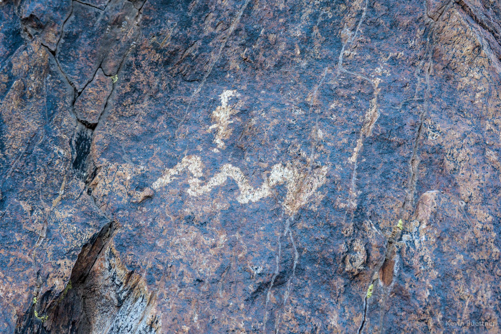
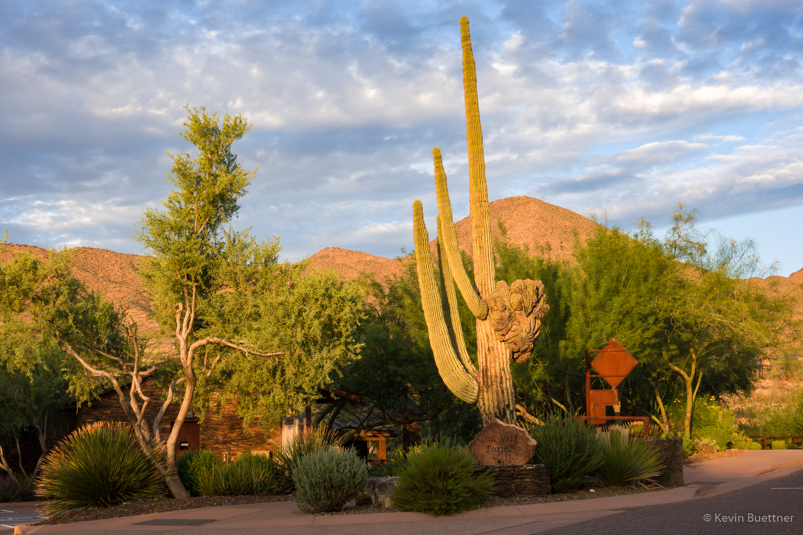
On Friday, Sept 20, I hiked a little over 13 miles starting from Four Peaks TH (in McDowell Mountain Regional Park). After hiking through the competitive track area, I wound up on Pemberton and then took Dixie Mine to the South Wash. I then hiked this wash back to the competitive track area, taking the Long Loop back to the parking lot.
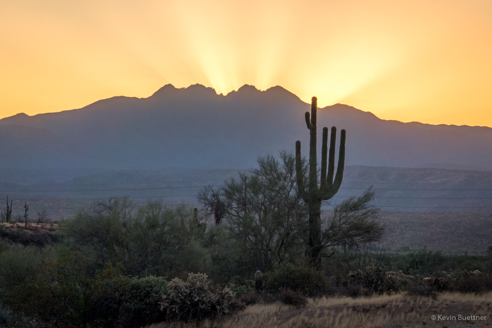
Four Peaks from the parking lot:
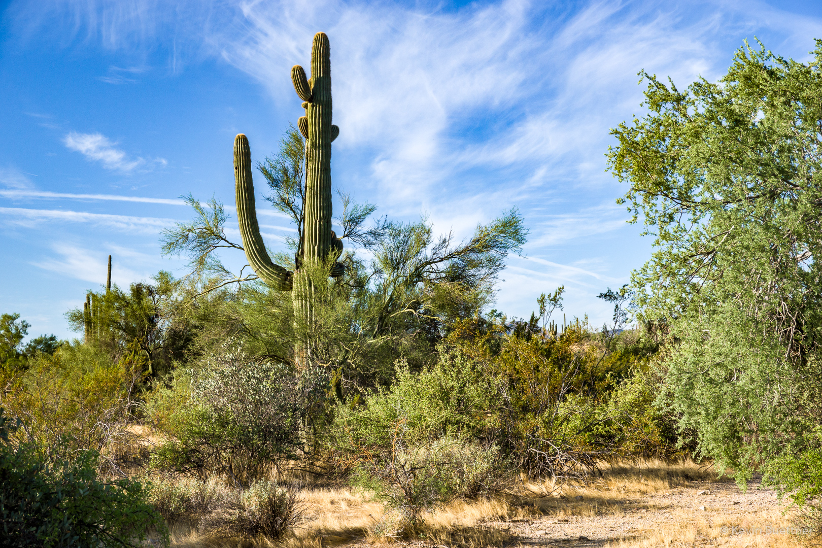
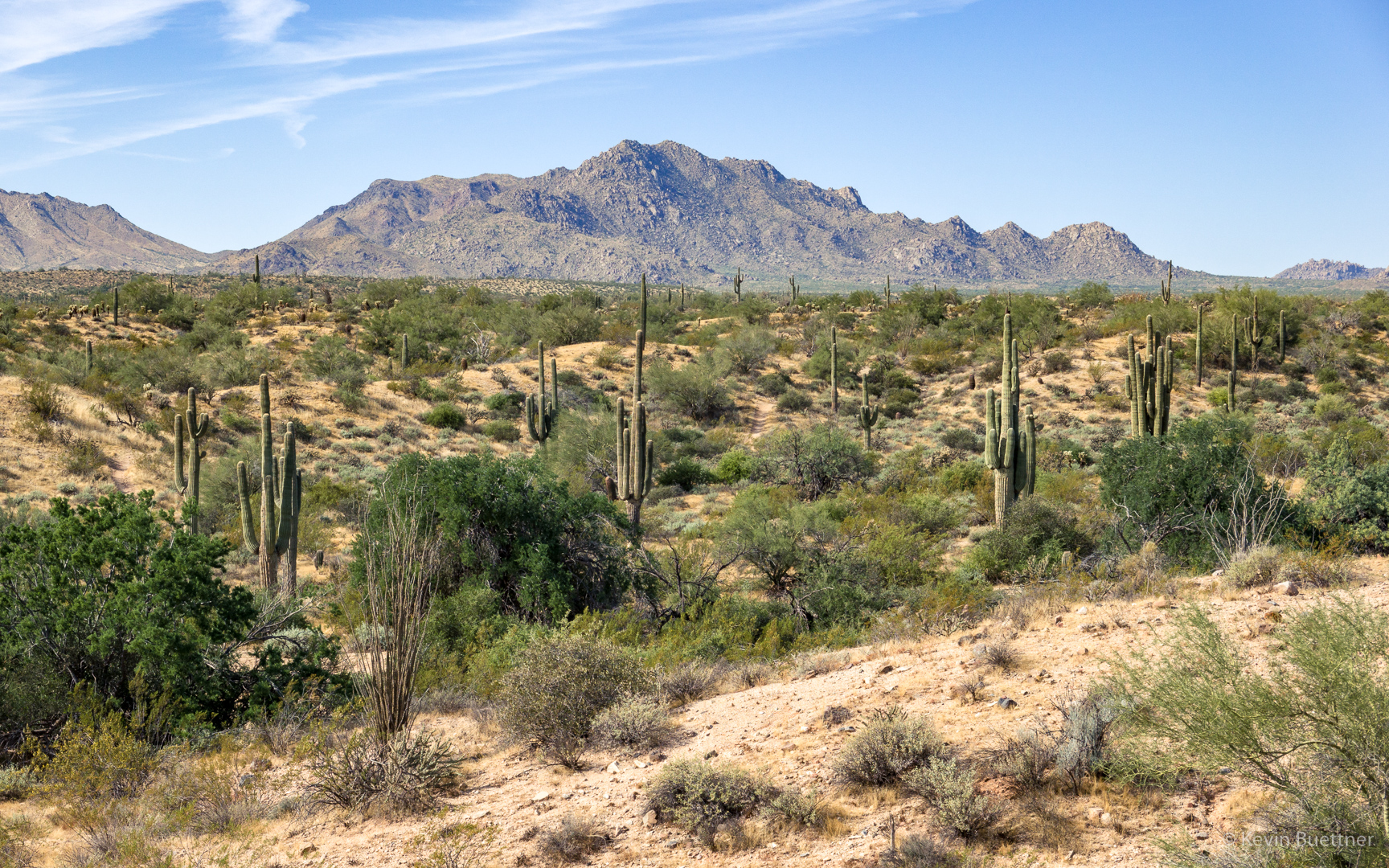
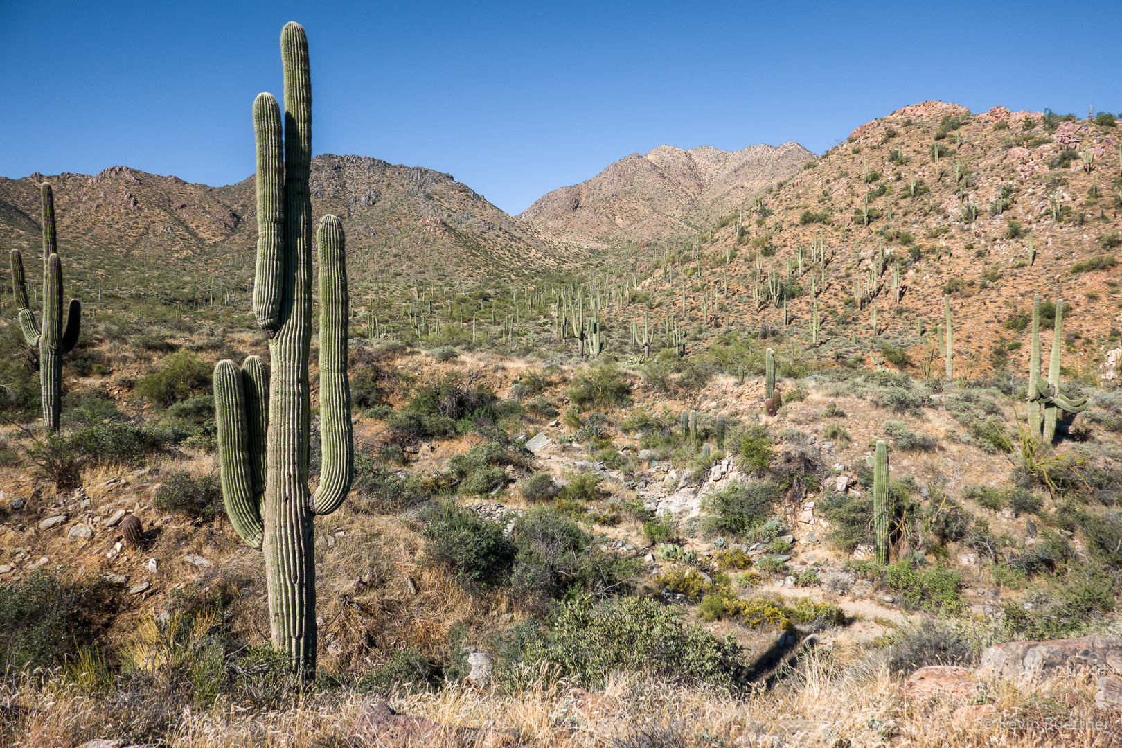
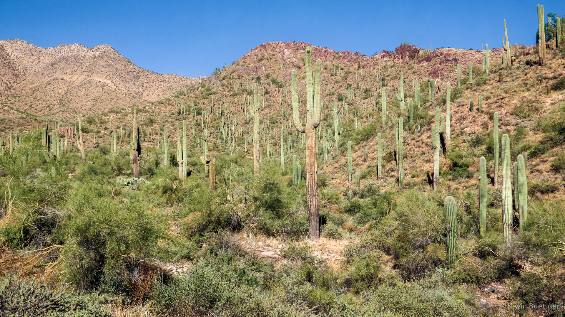
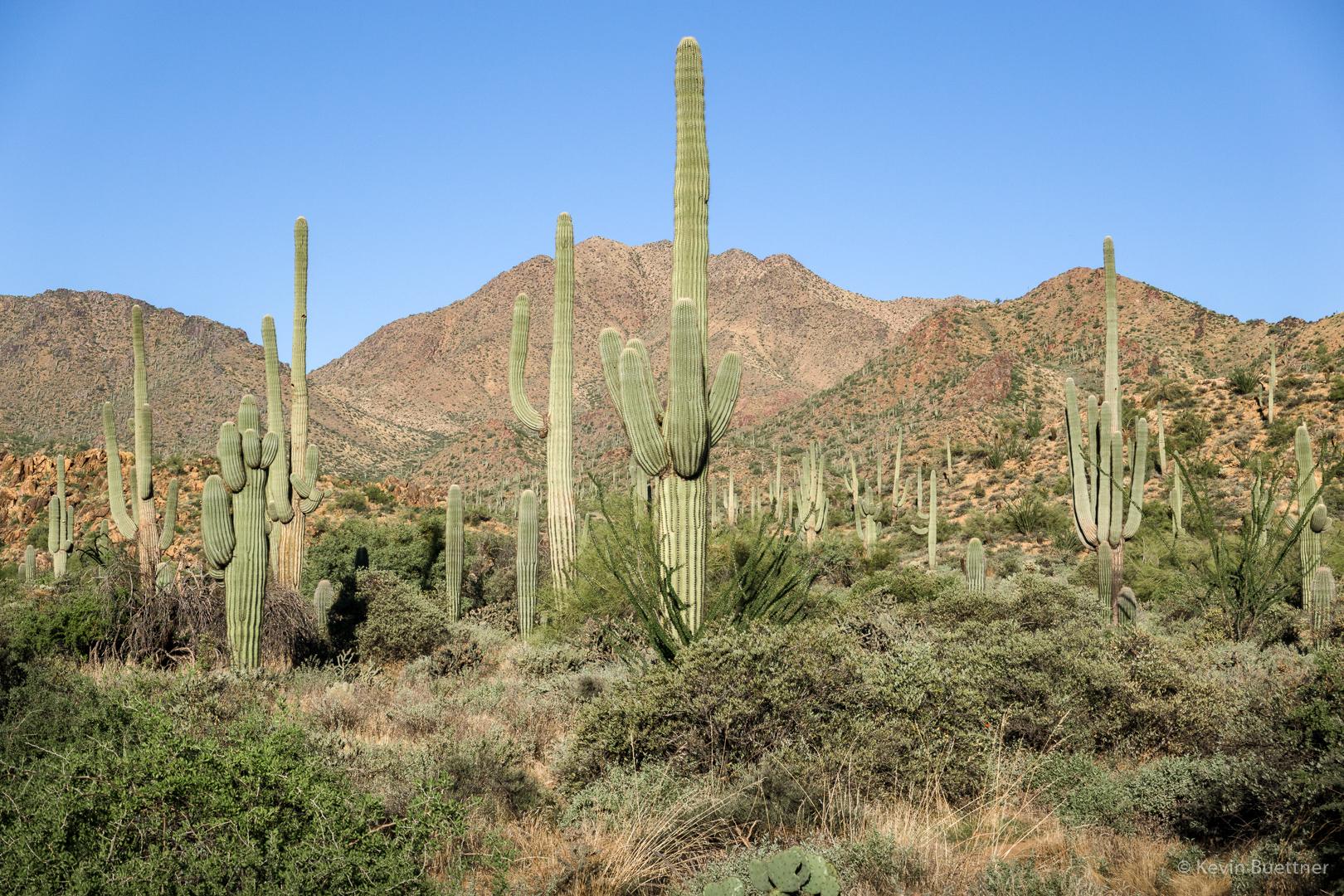
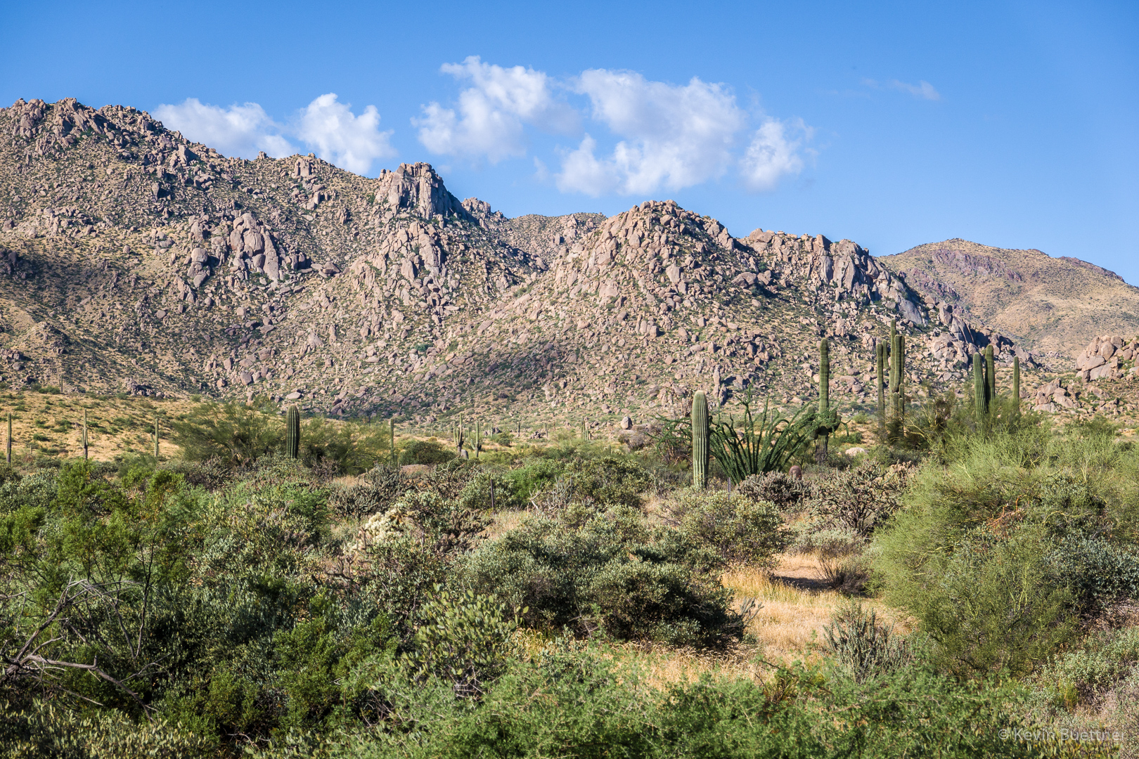
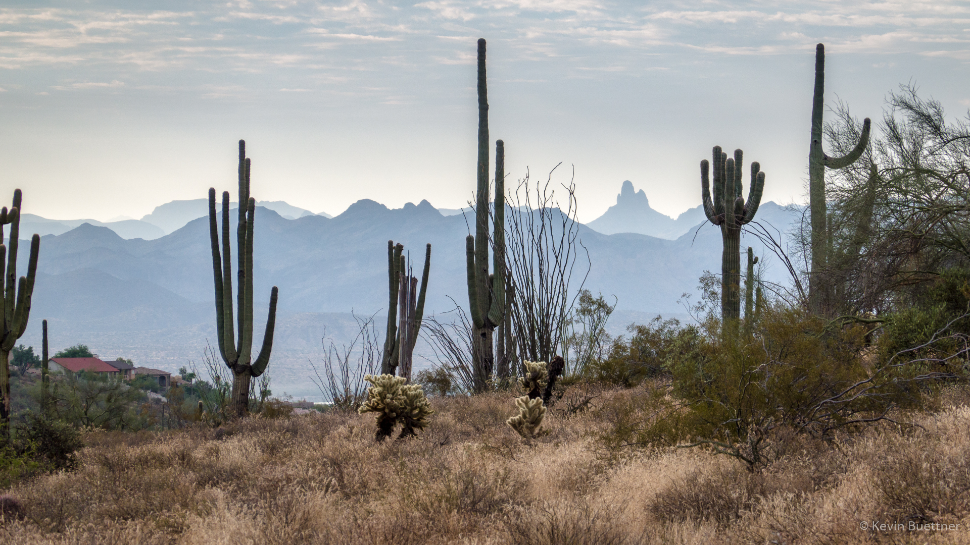
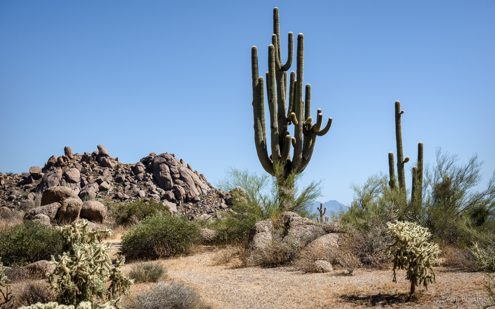
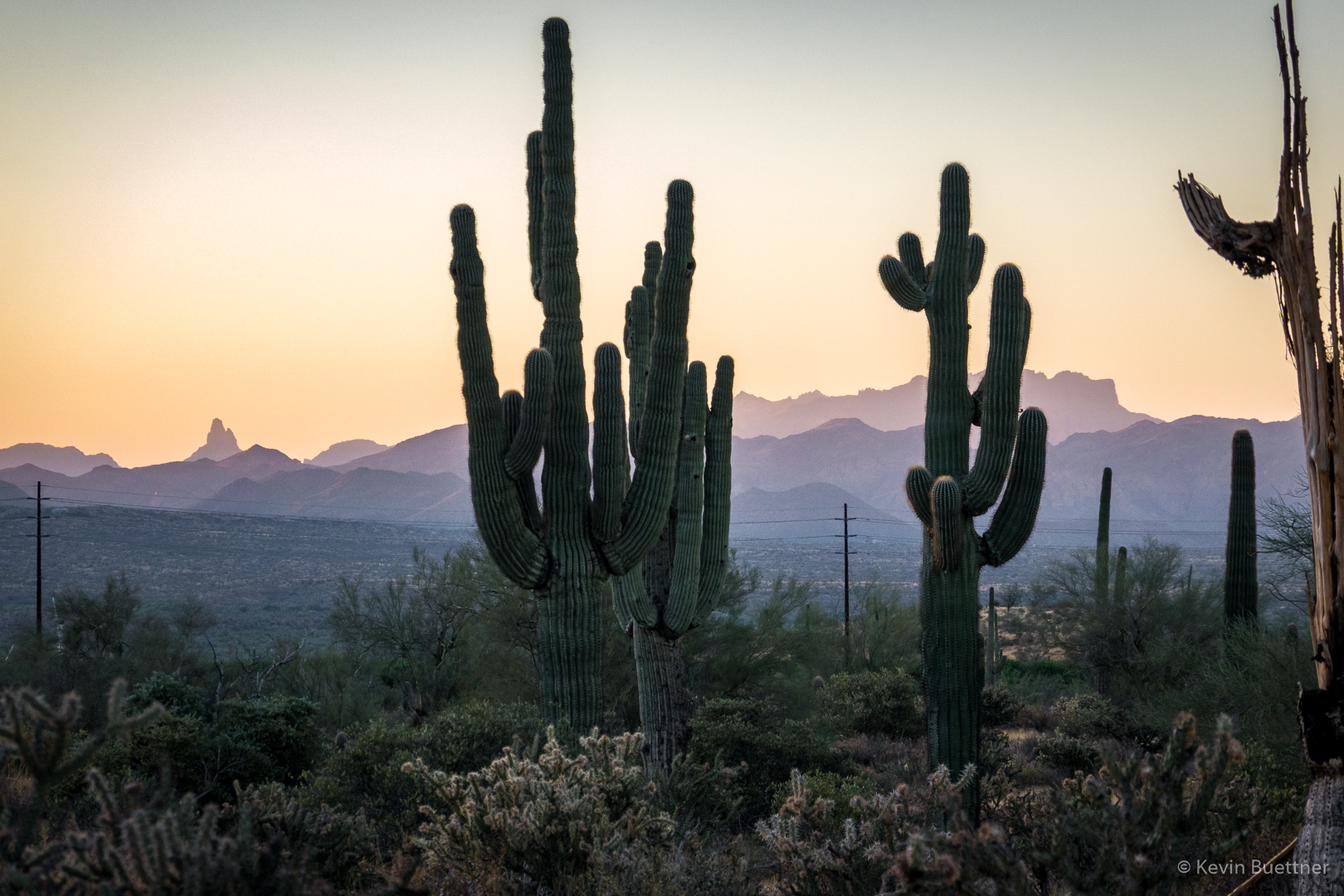
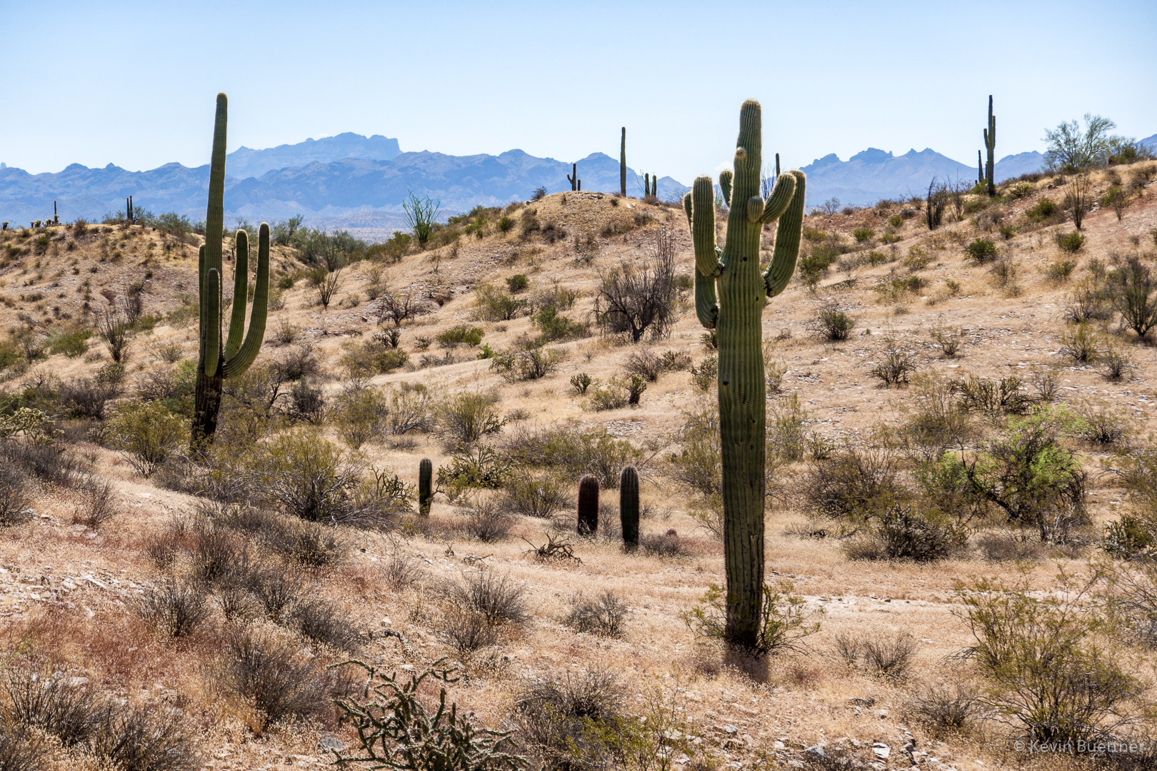
Another parking lot photo, this time of some saguaros with the Superstitions (including Weaver’s Needle and the Flatiron) as the background.
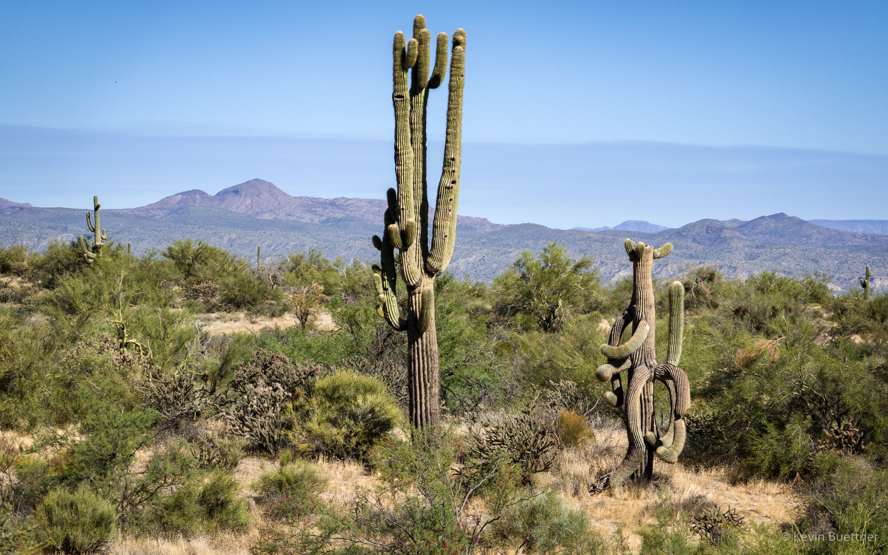
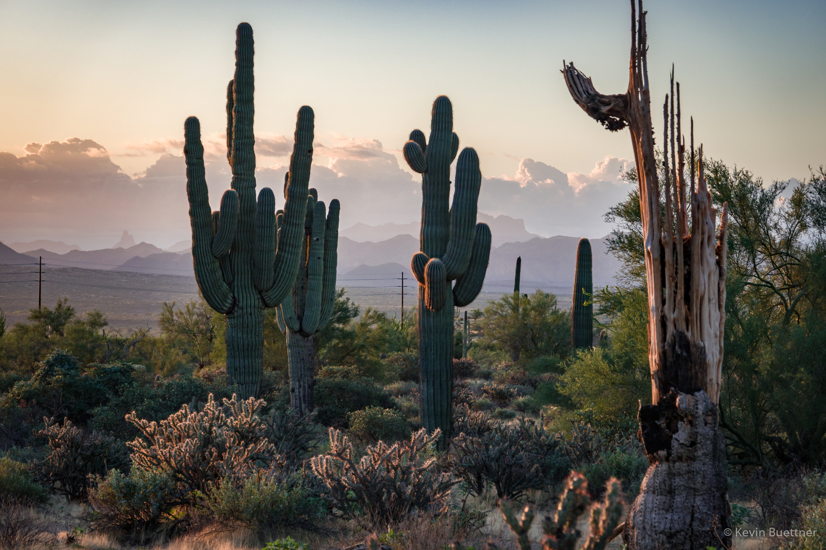
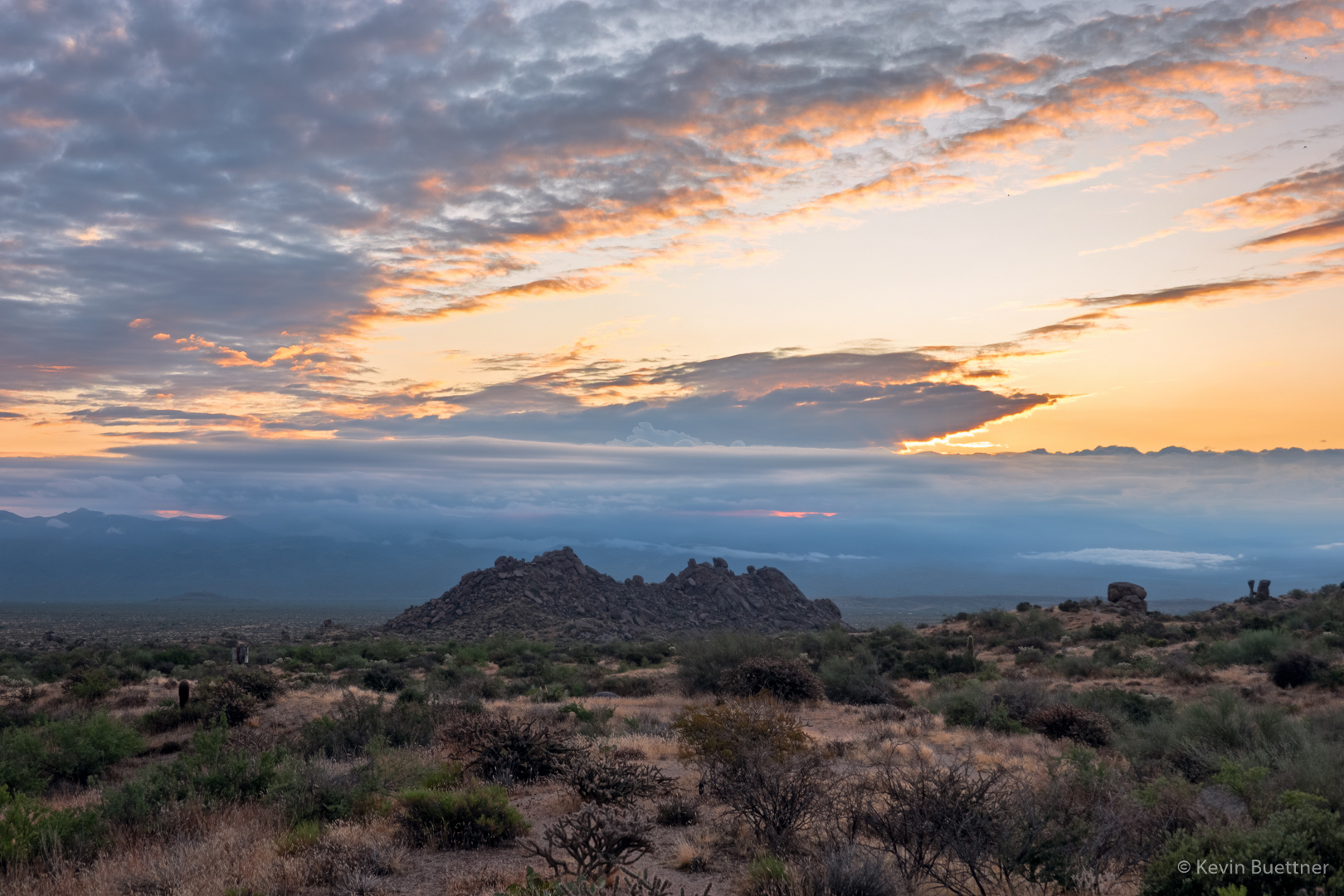
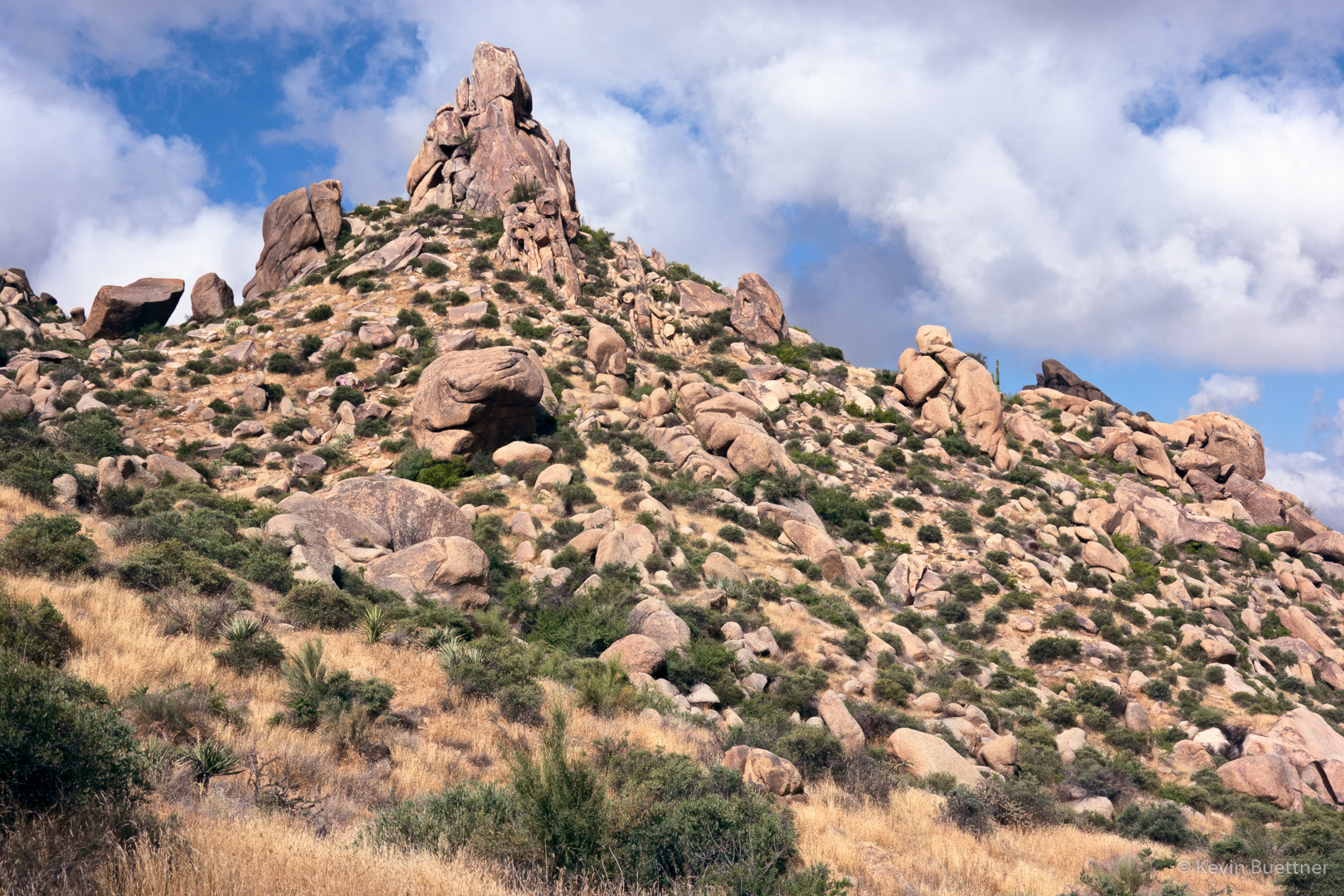
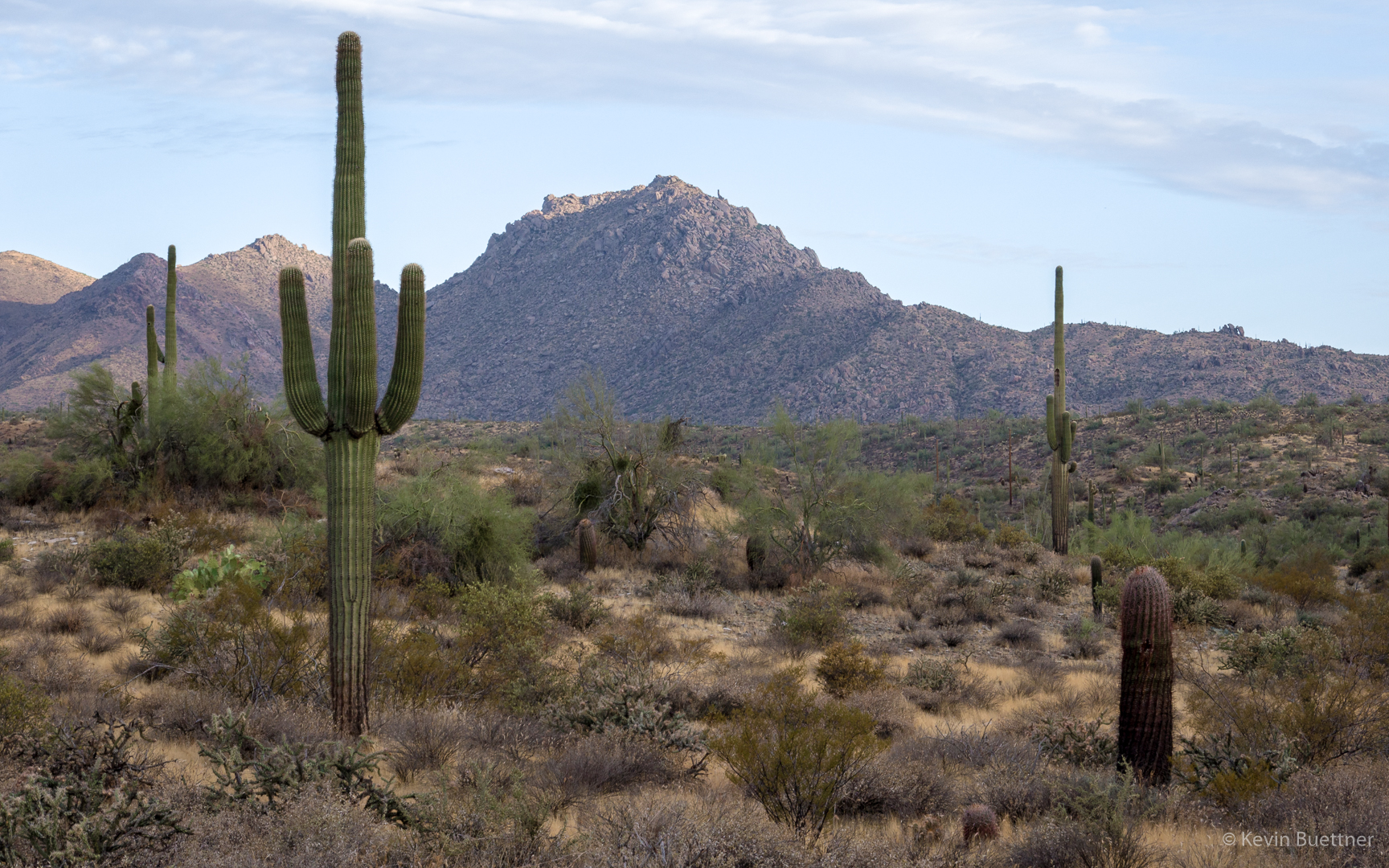
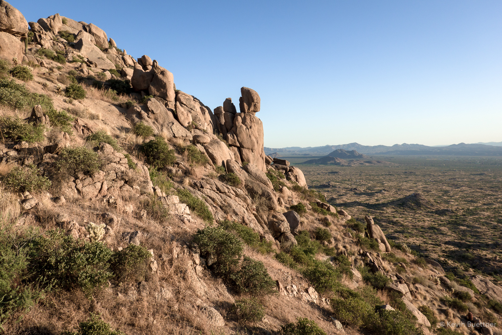
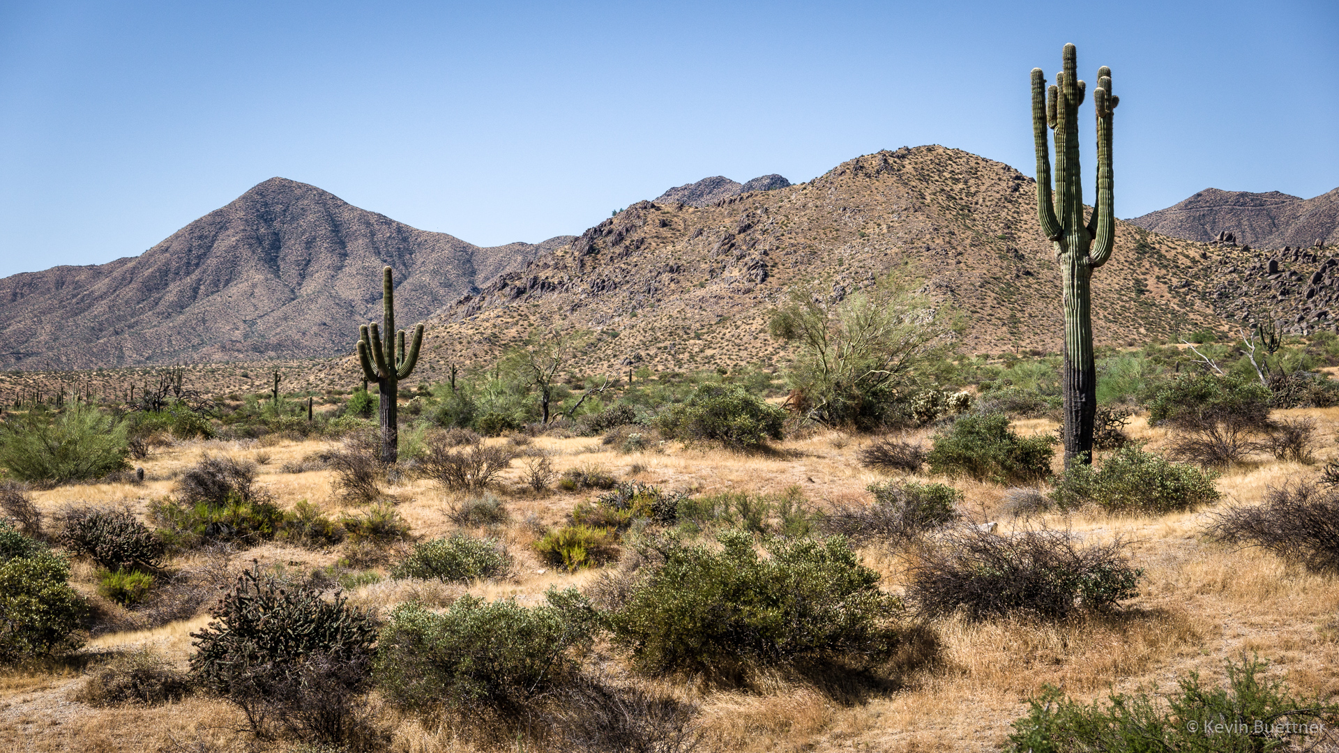
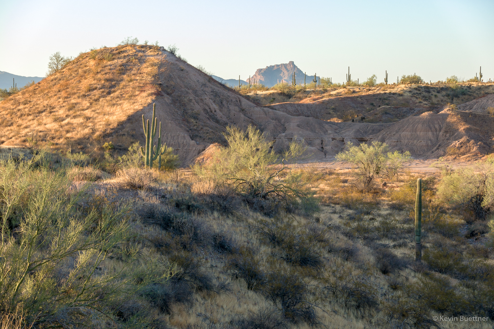
A view of Red Mountain from the Technical Loop:
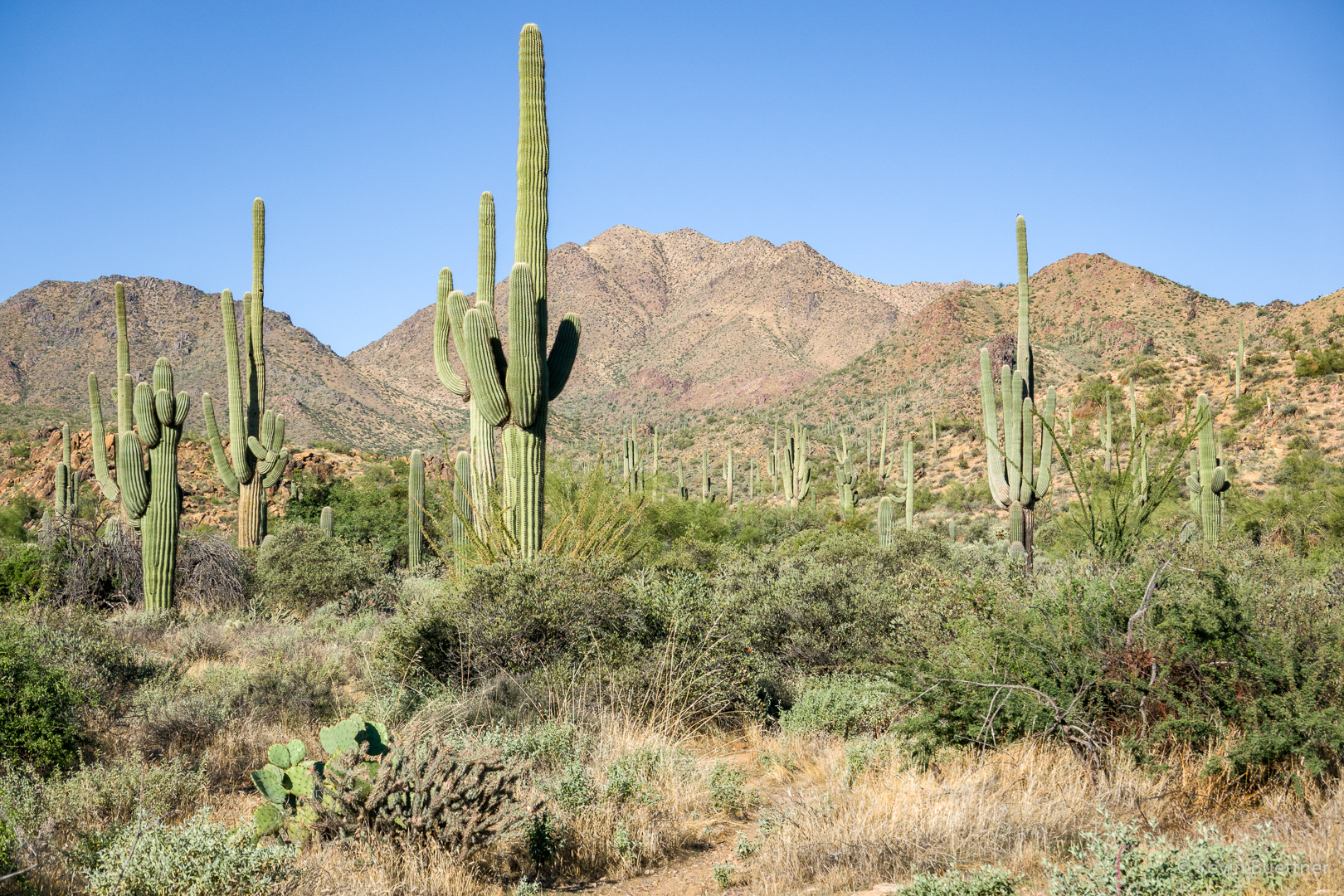
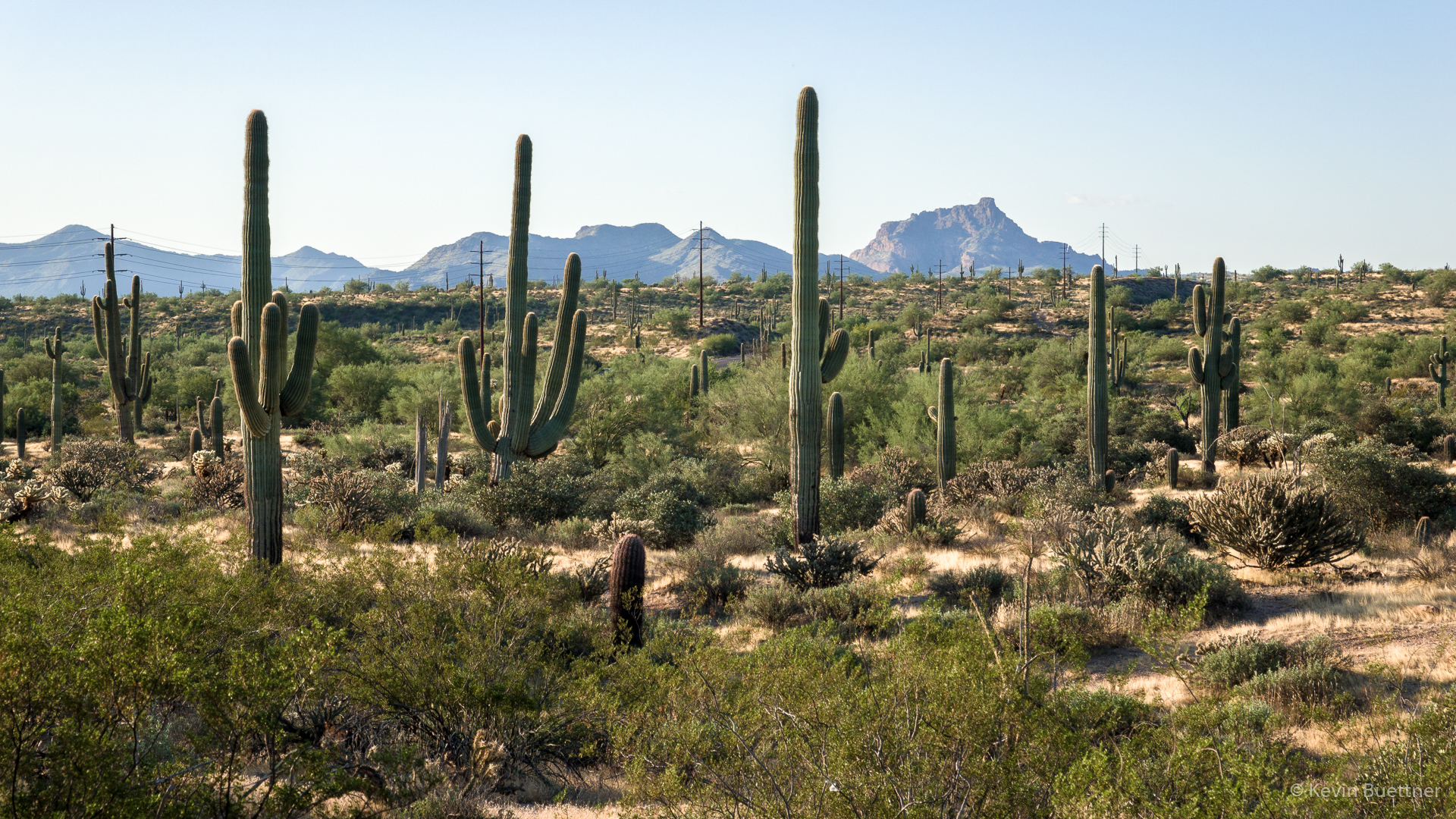
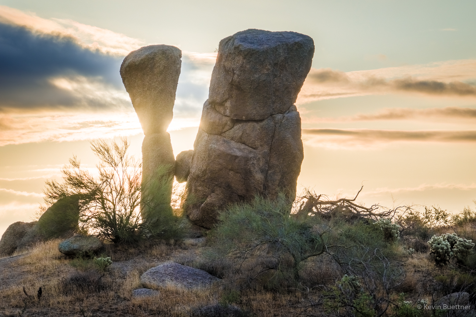
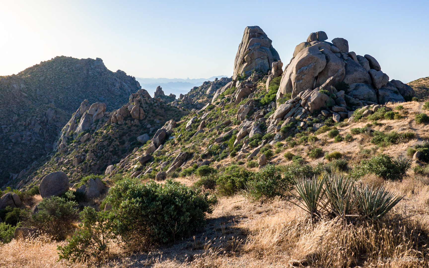
Looking back towards the Superstitions from my ascent of T-Bone Ridge (still on the Technical Loop):
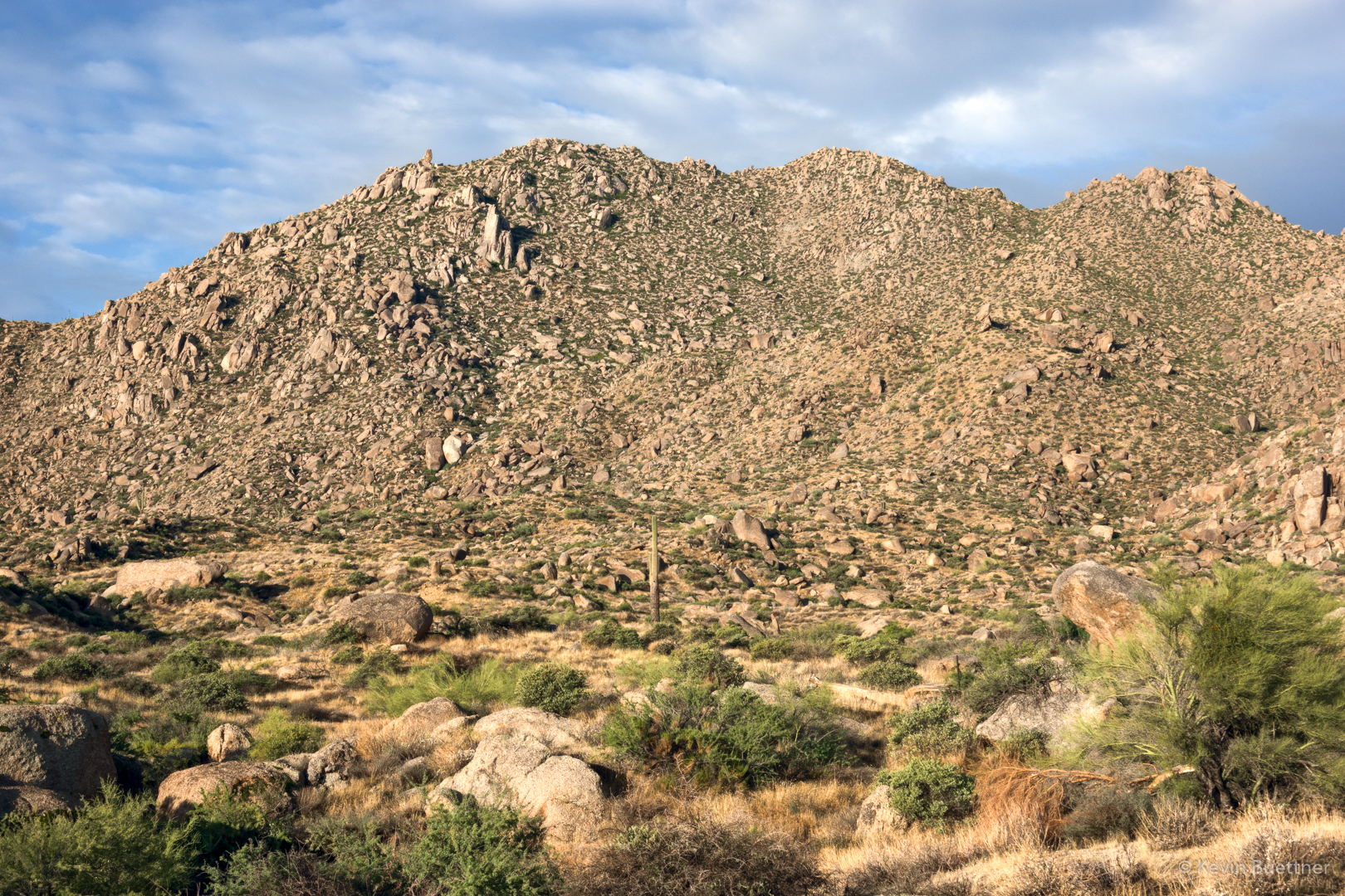
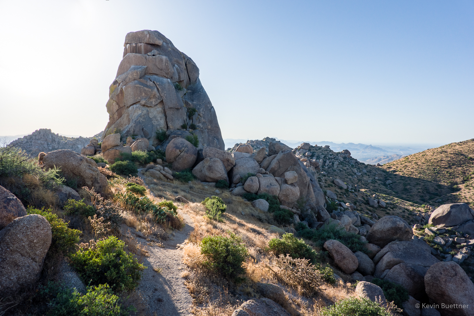
Another view of Red Mountain as I descend T-Bone Ridge on the west side:
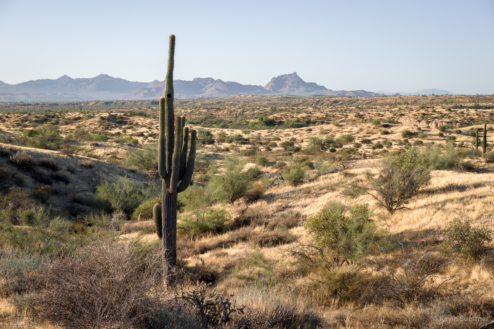
Red Mountain again, but this time I’m in Stoneman Wash:

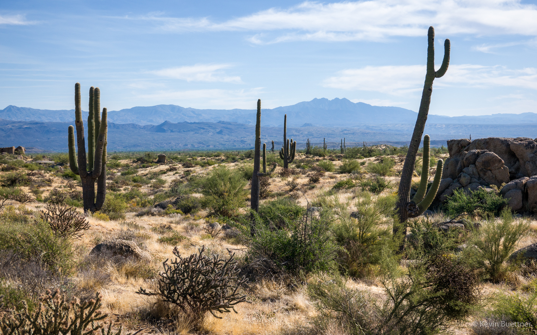
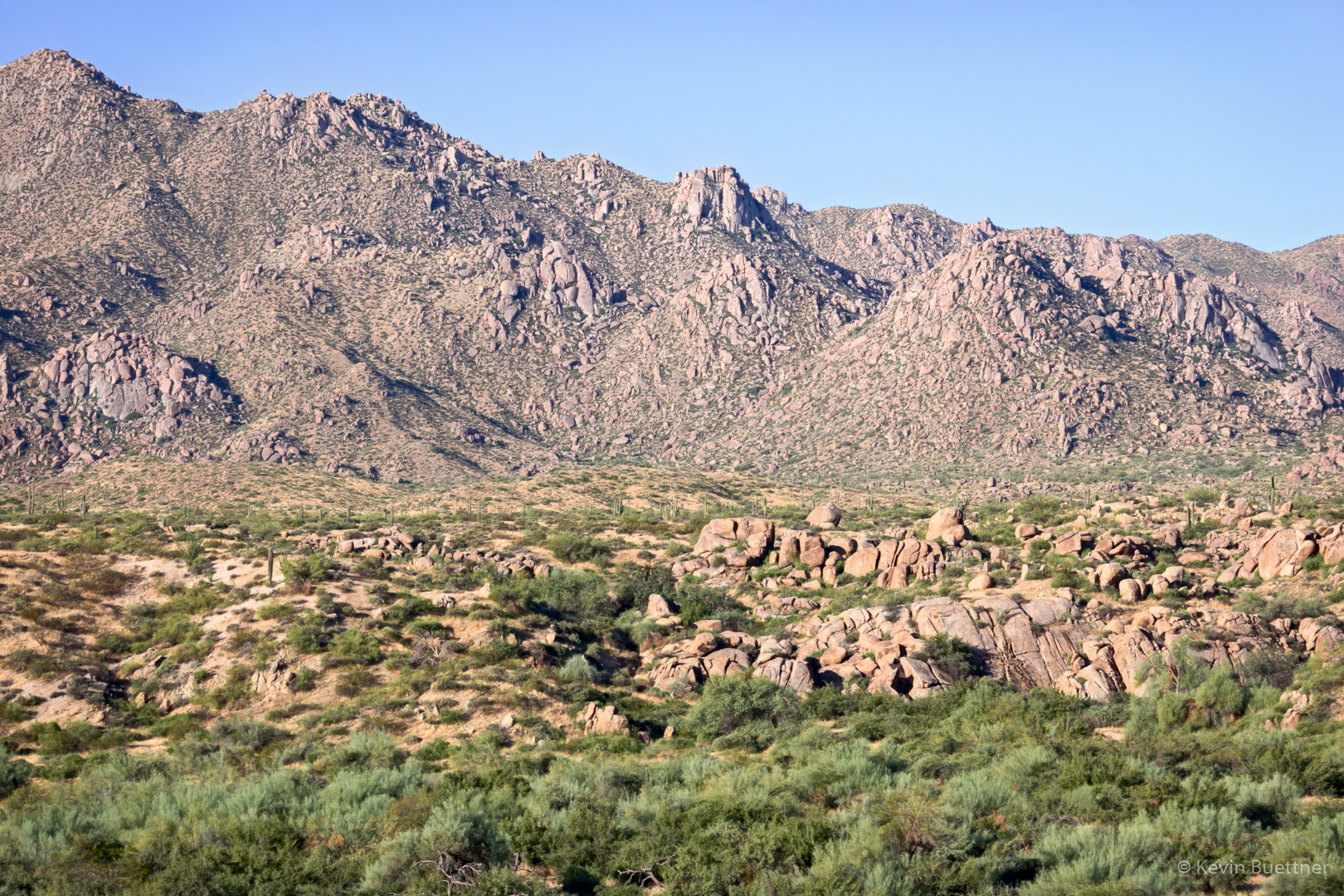
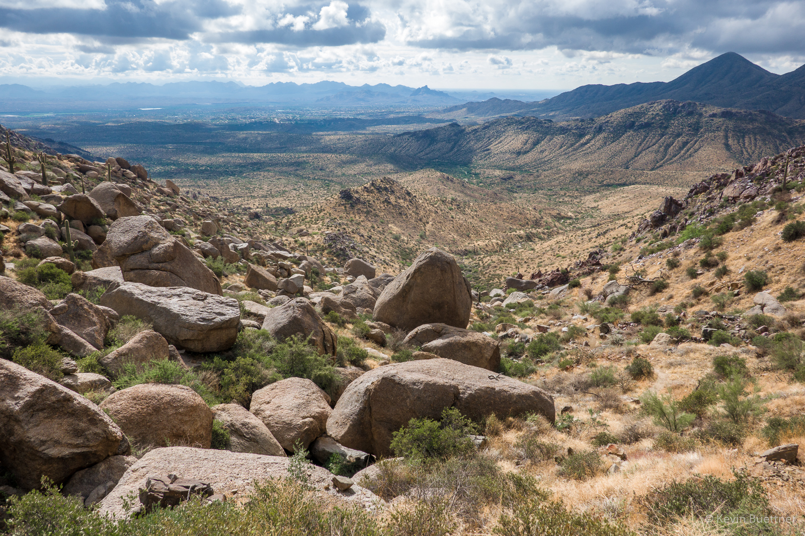
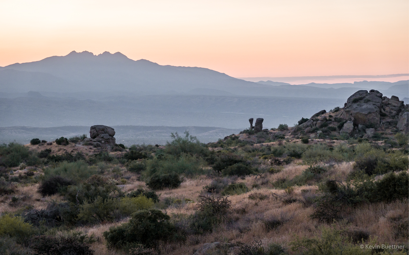
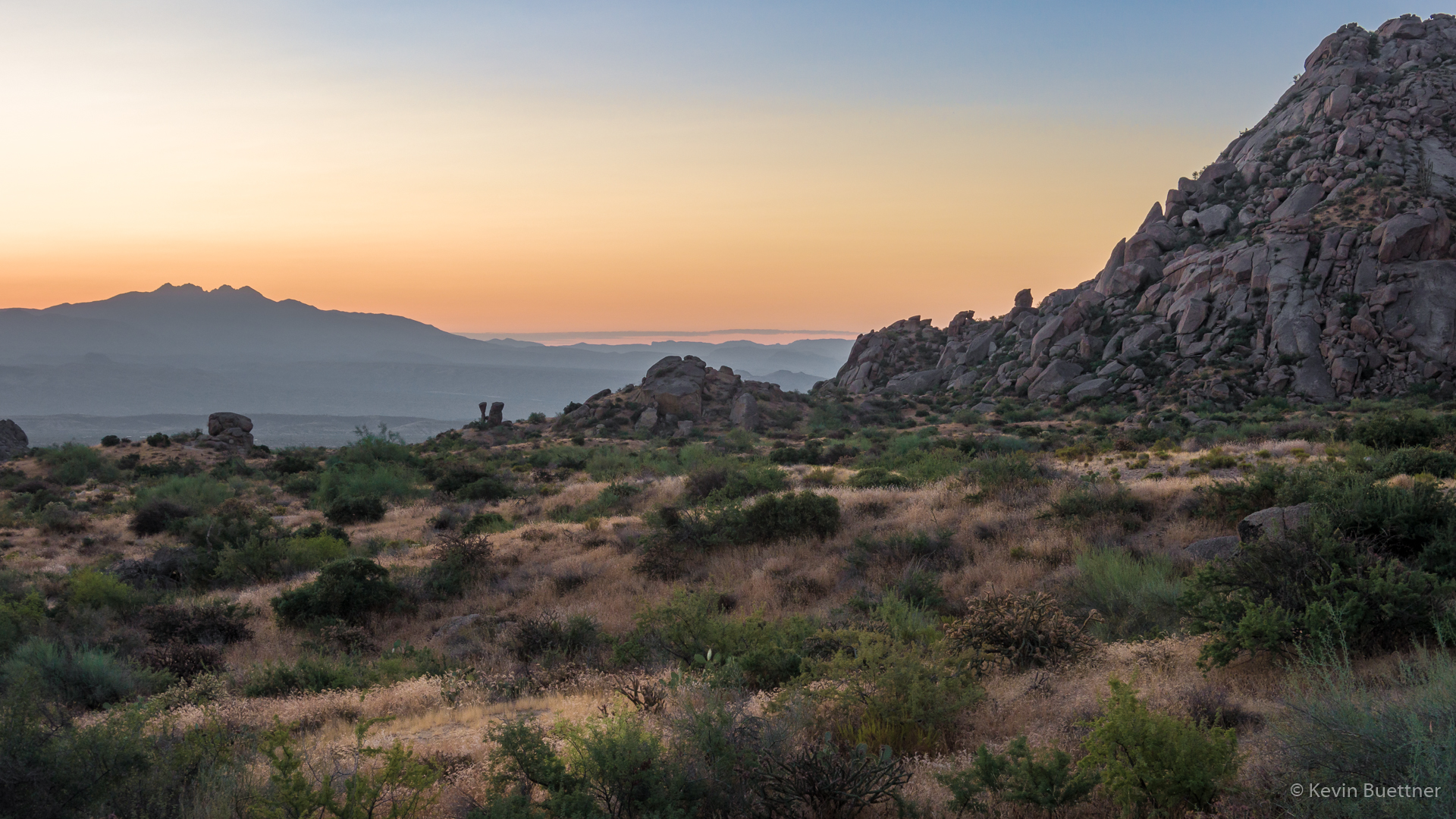
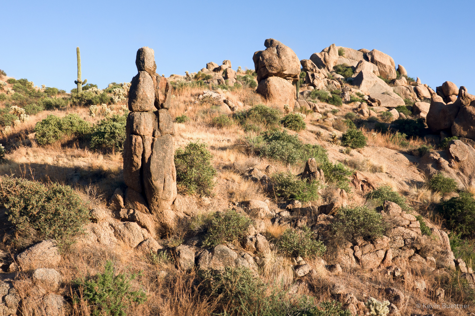
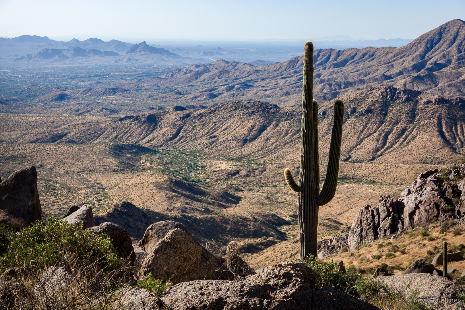
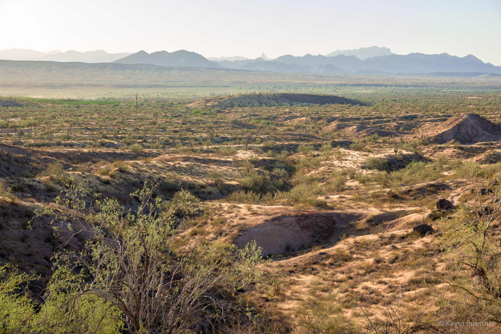
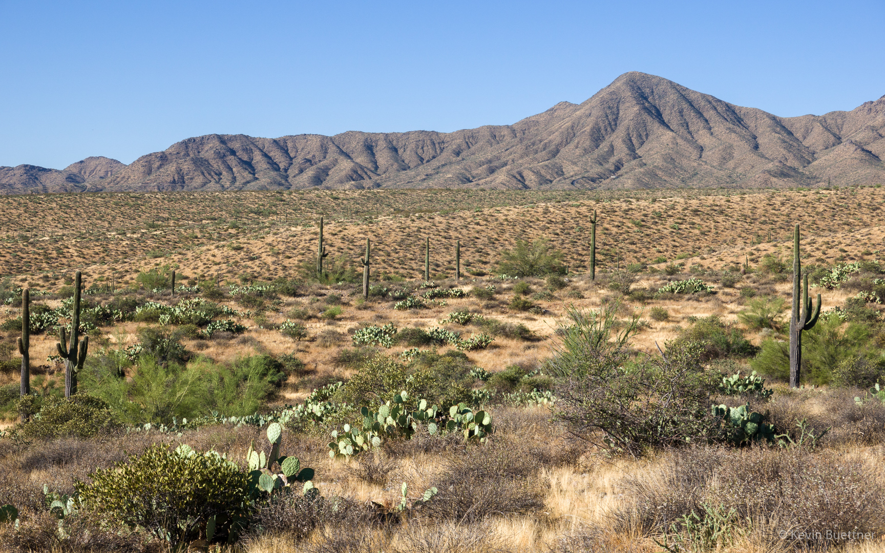
Looking toward the McDowells from one of Stoneman’s feeder washes:
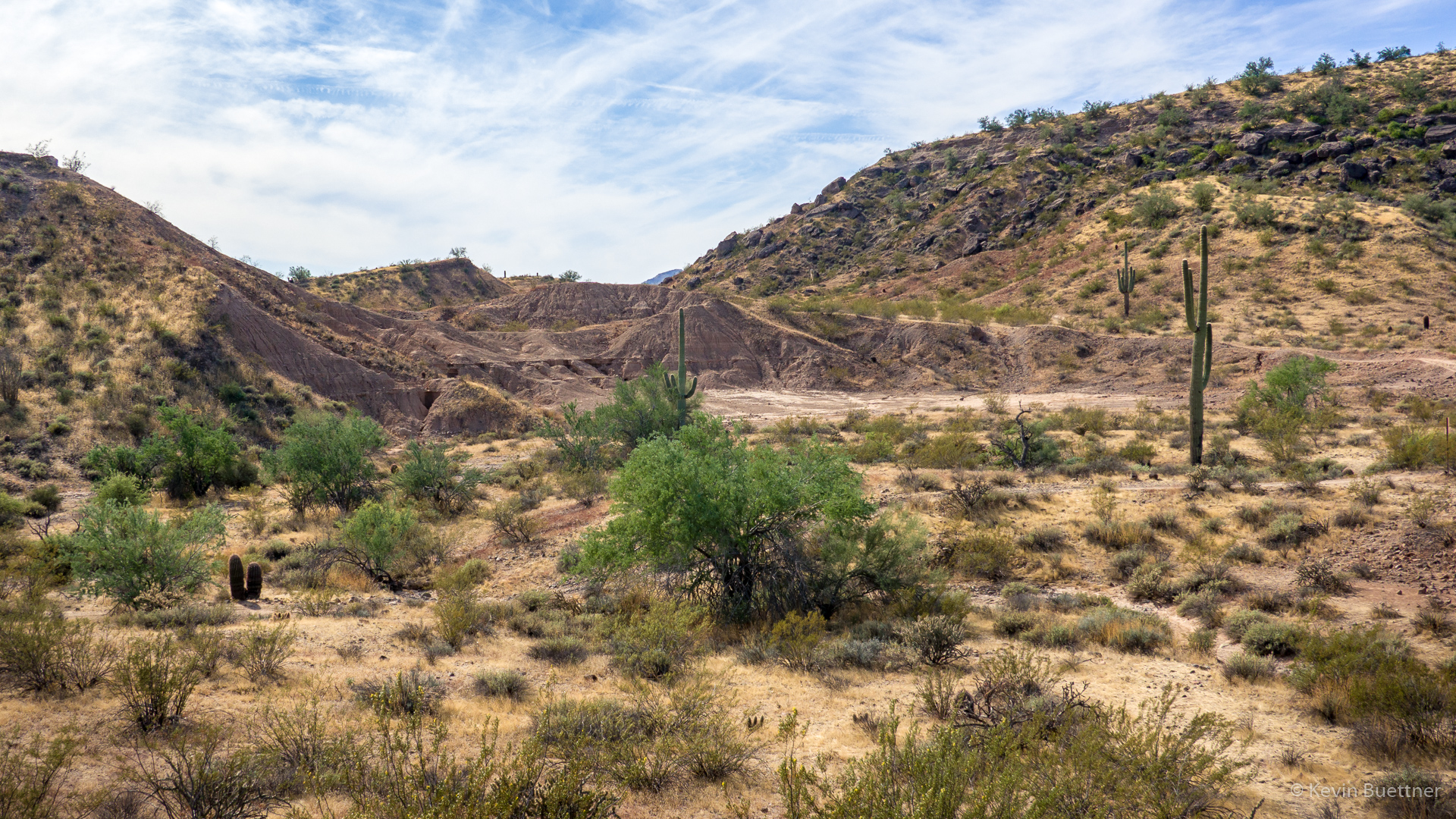
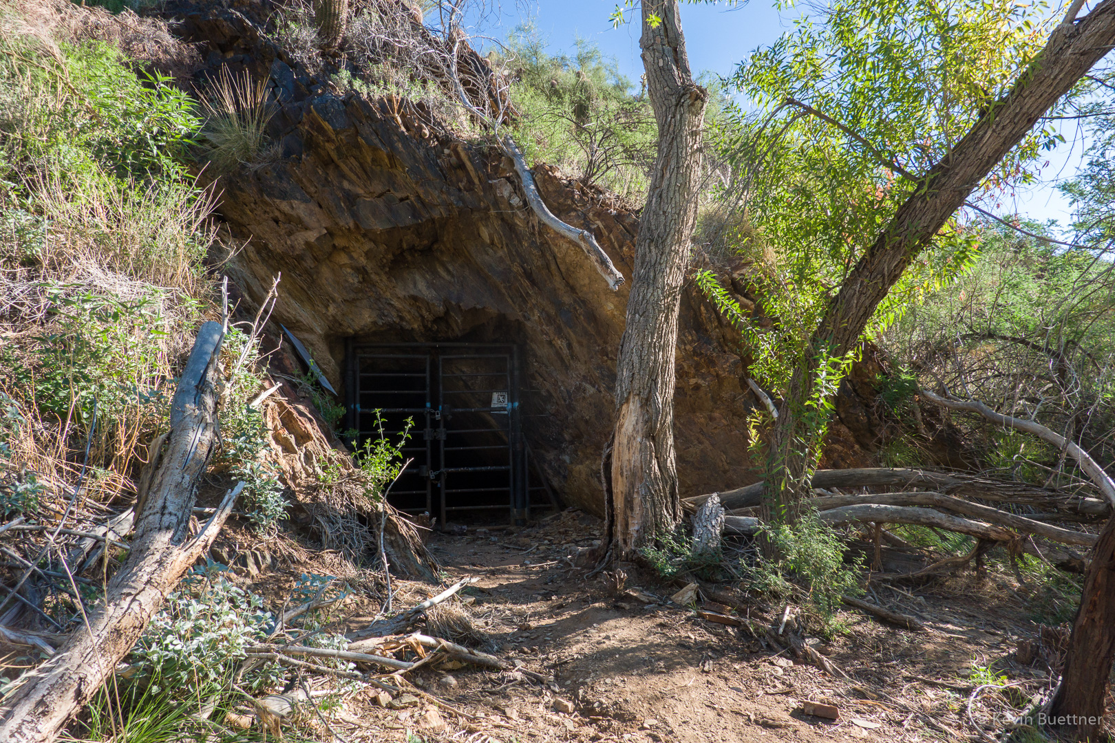
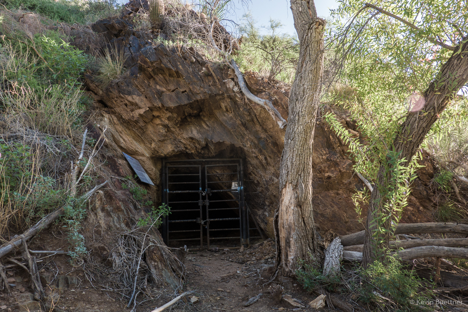
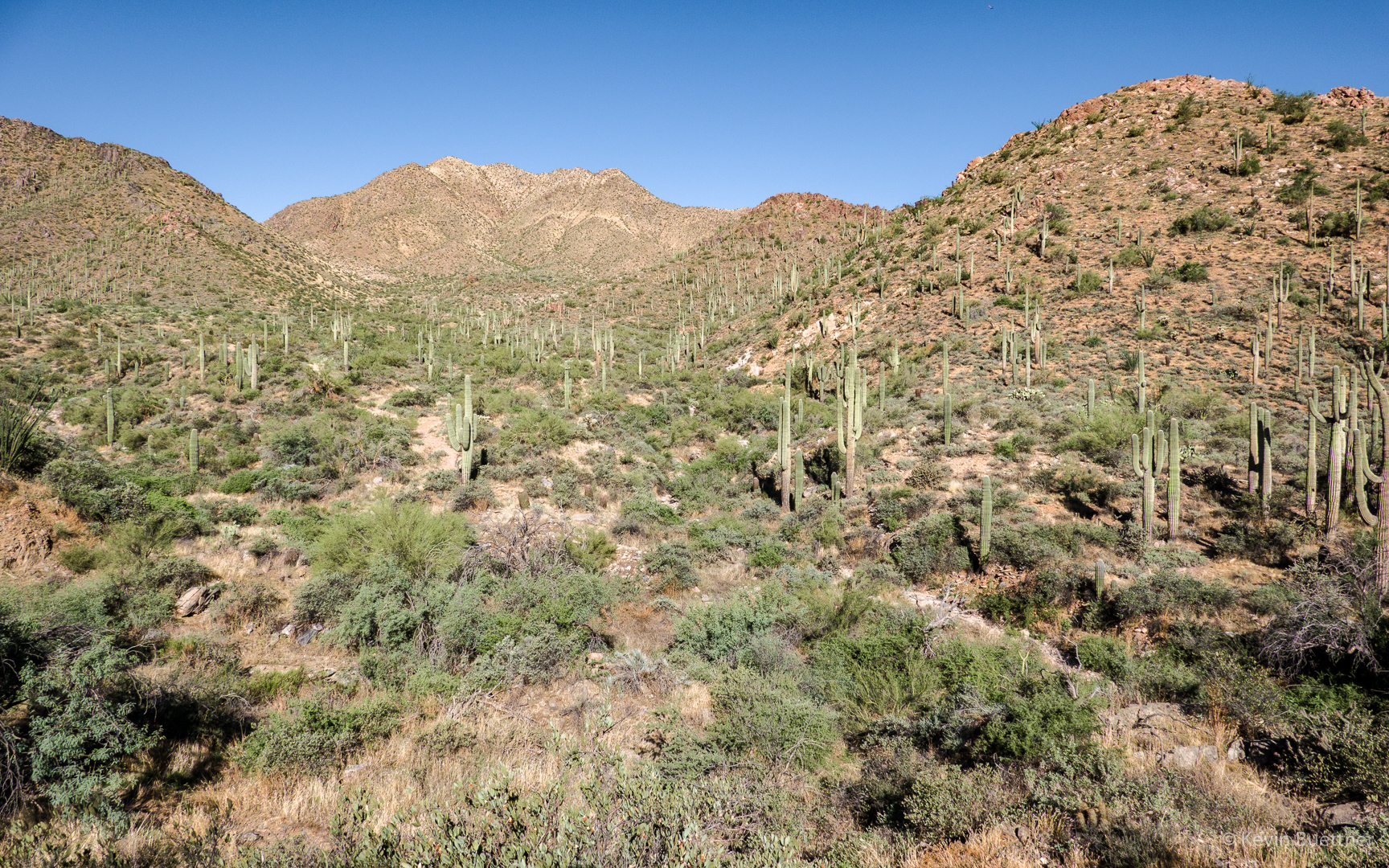
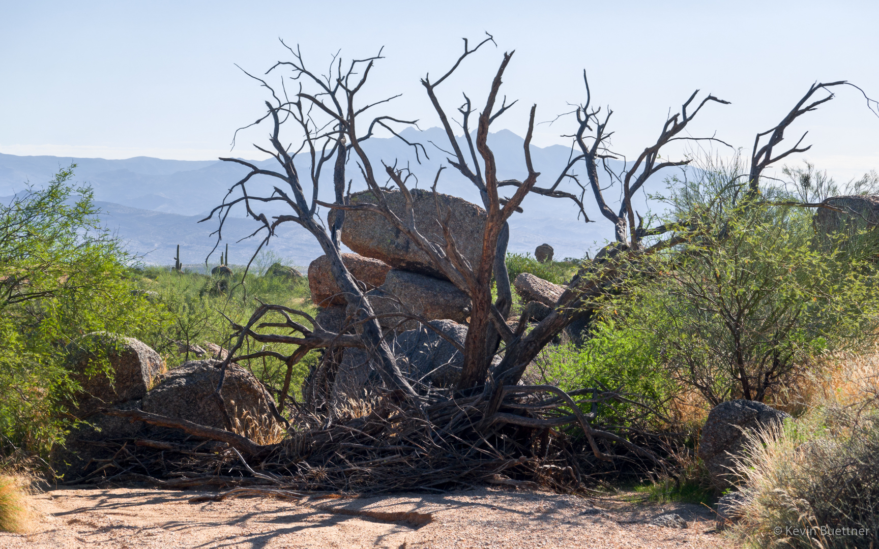
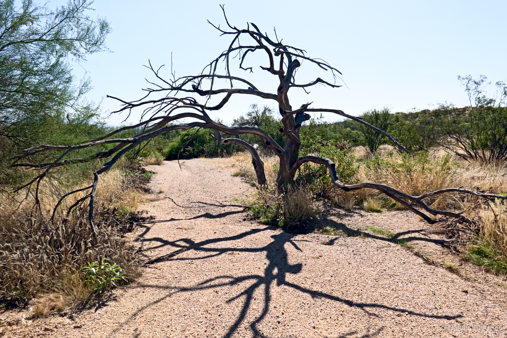
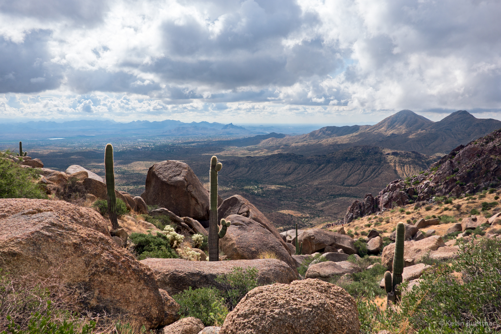
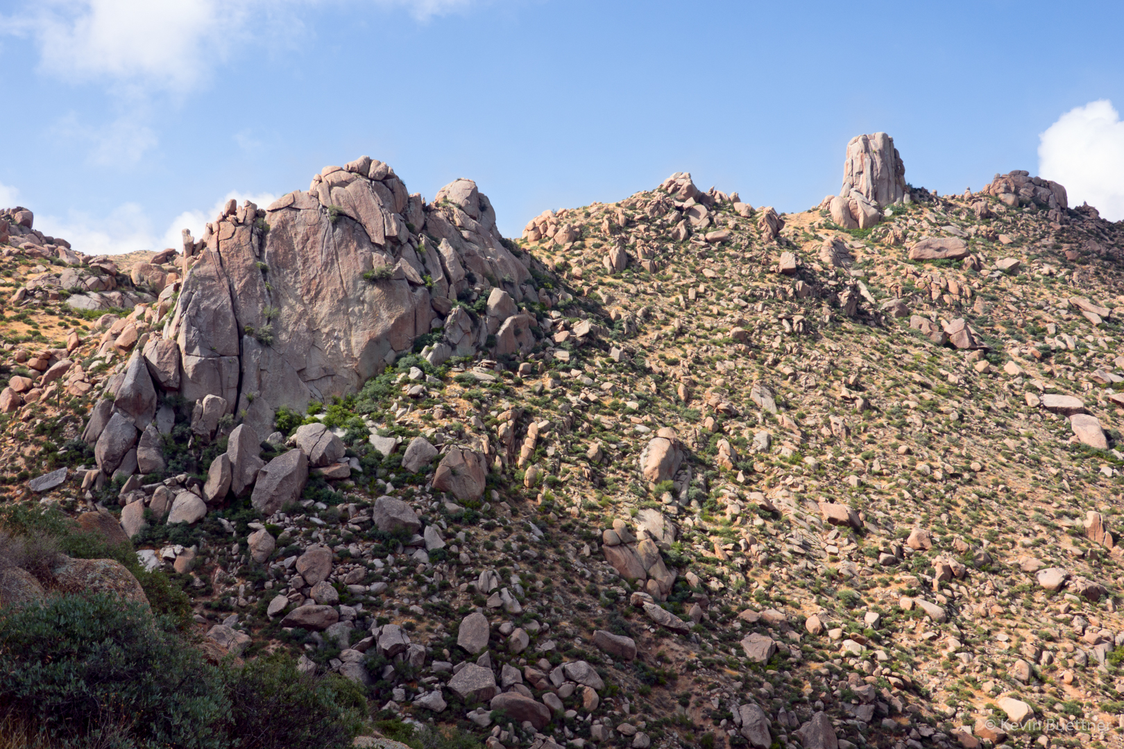
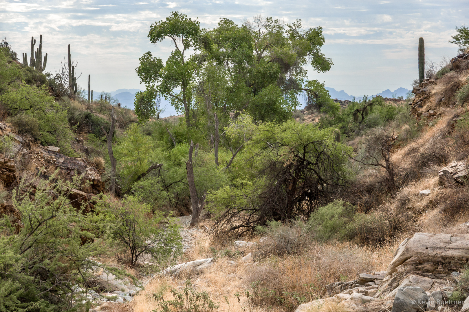
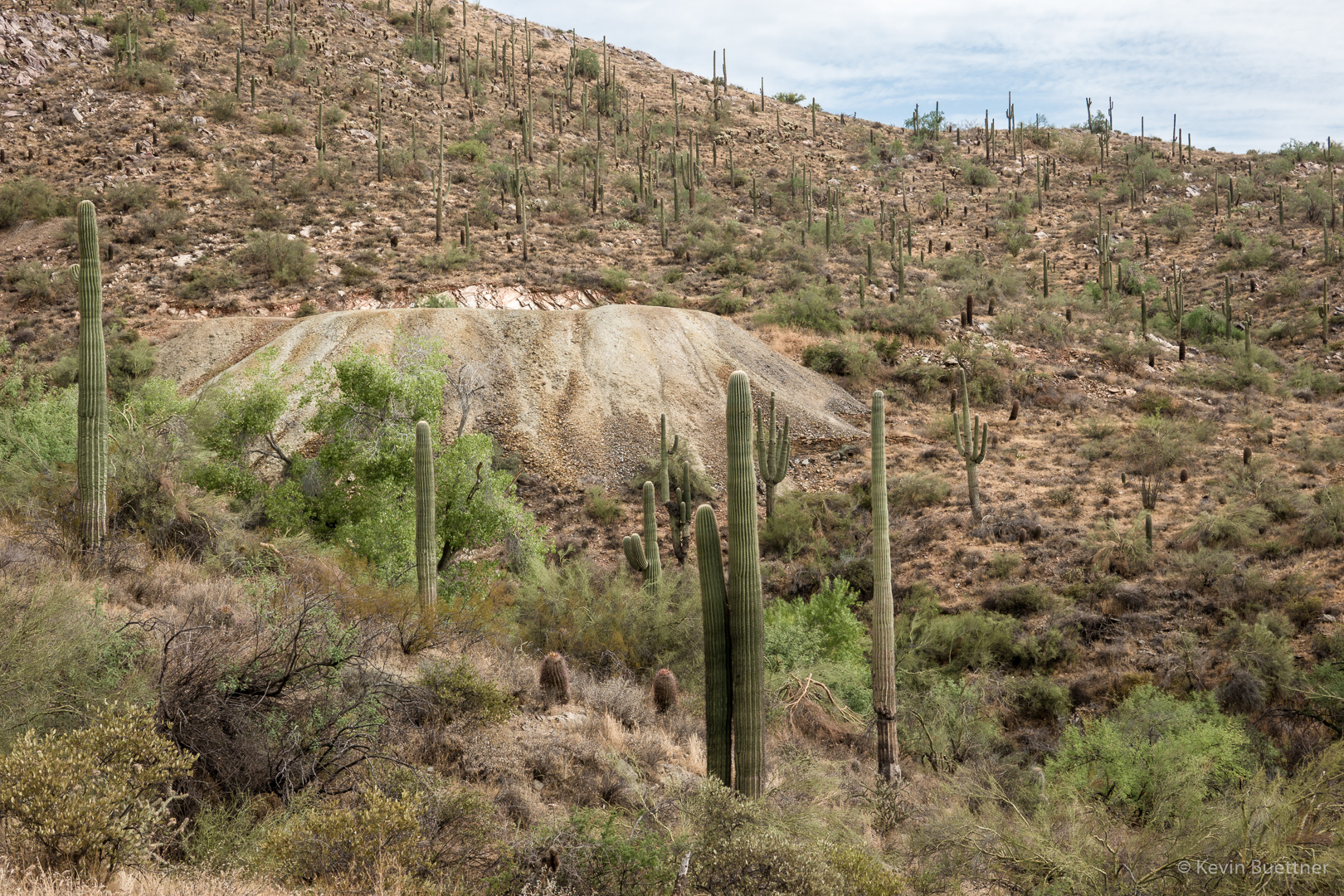
A view from the Dixie Mine Trail:
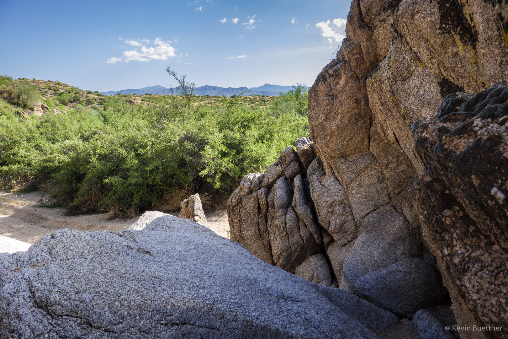
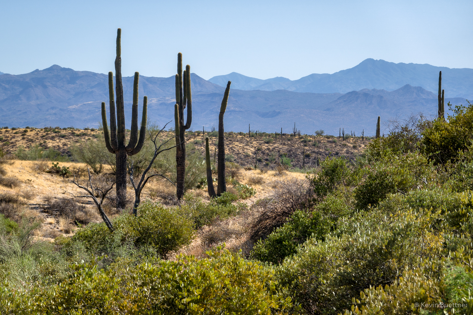
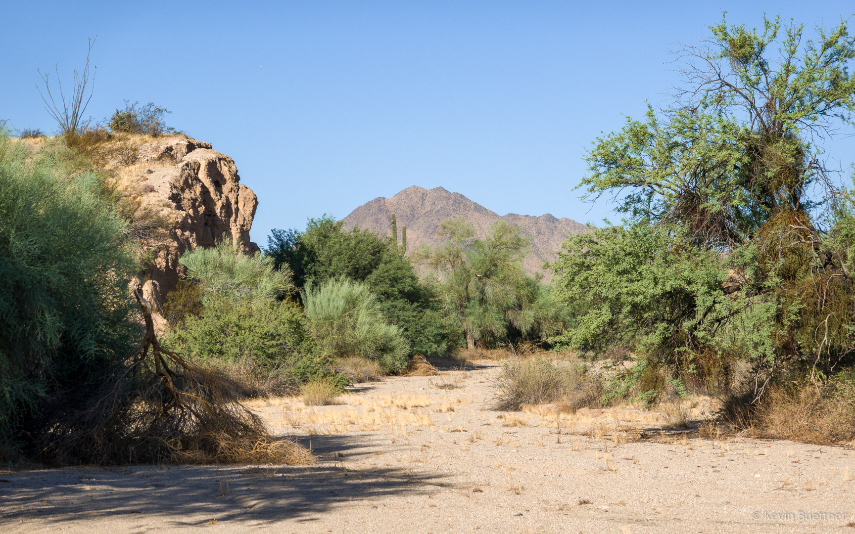
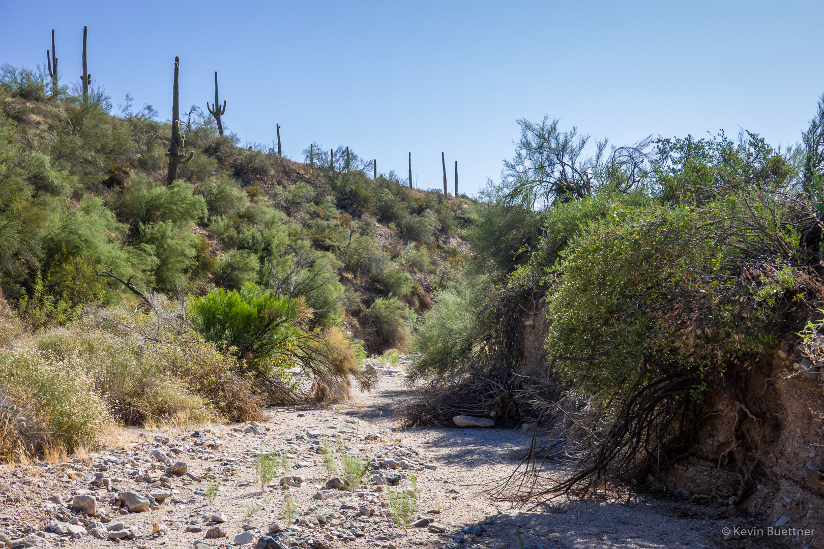
In the South Wash now…
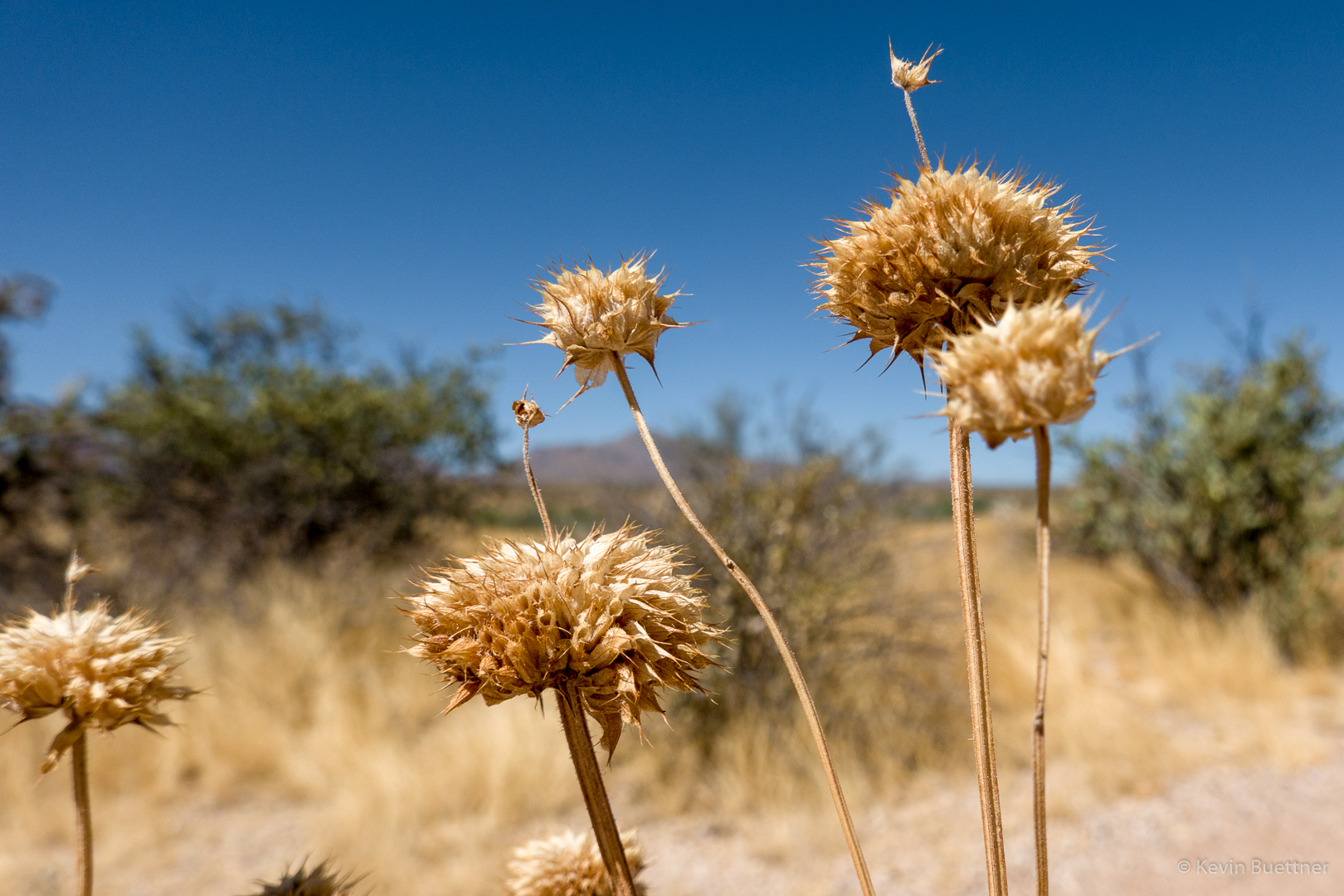
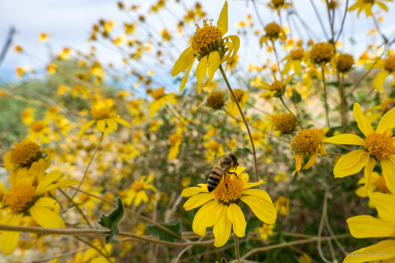
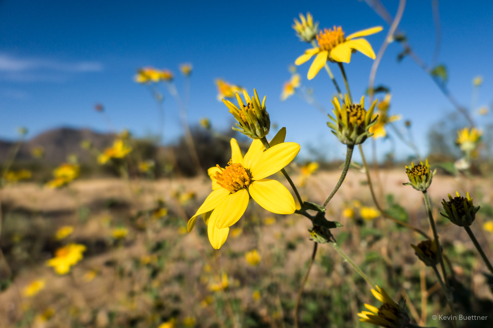
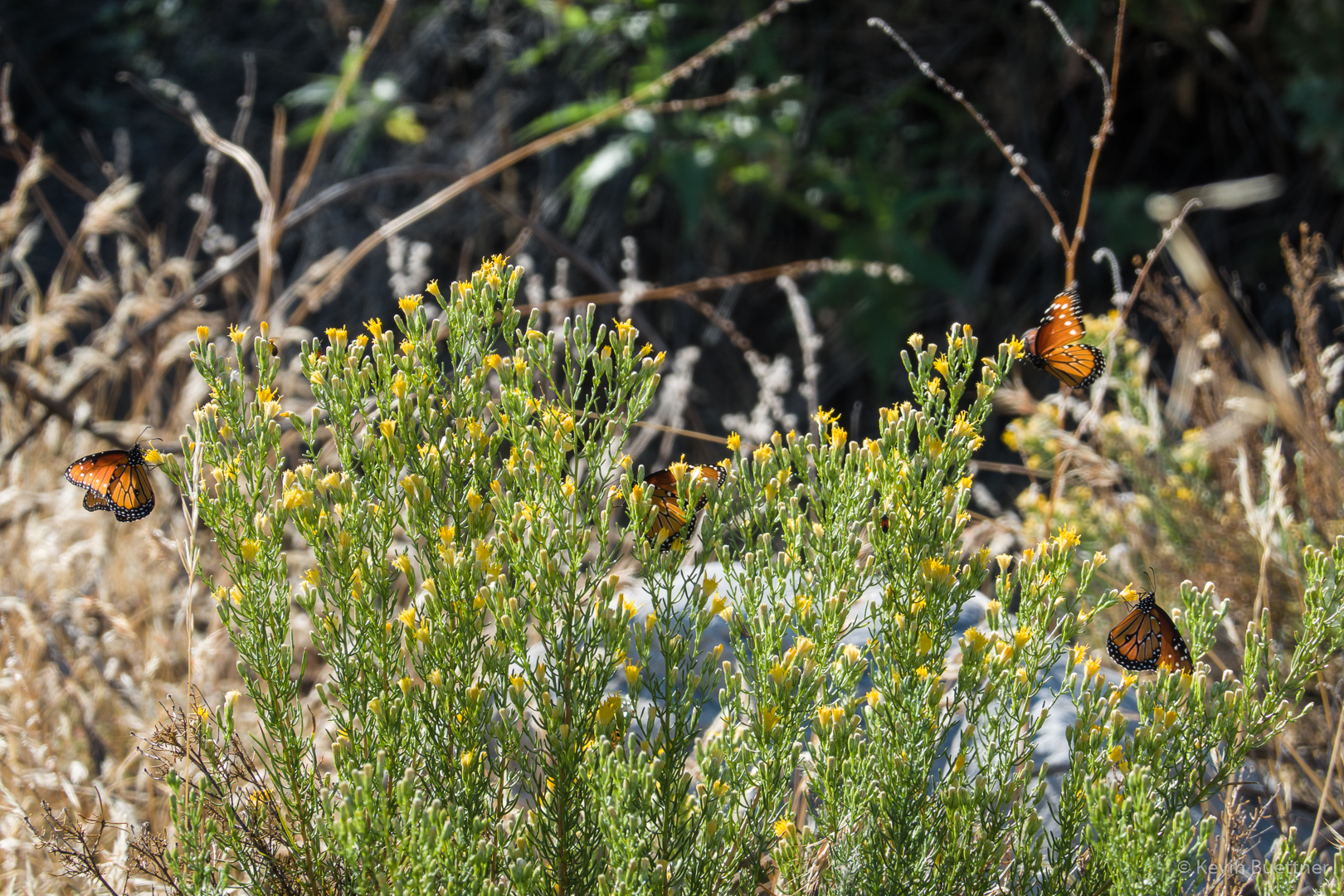
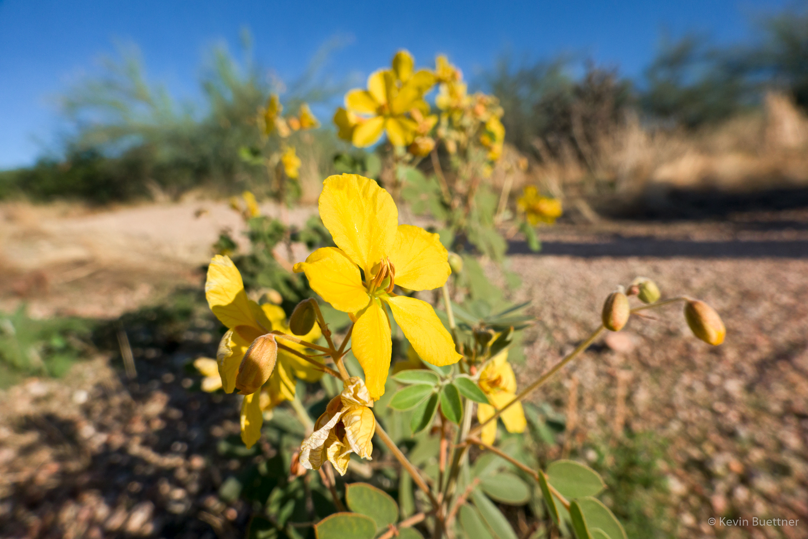
We’ve gotten quite a lot of rain since my hike on the 20th, but it has been very dry for a very long time before that. Thus, I was surprised to see these flowers in the wash.

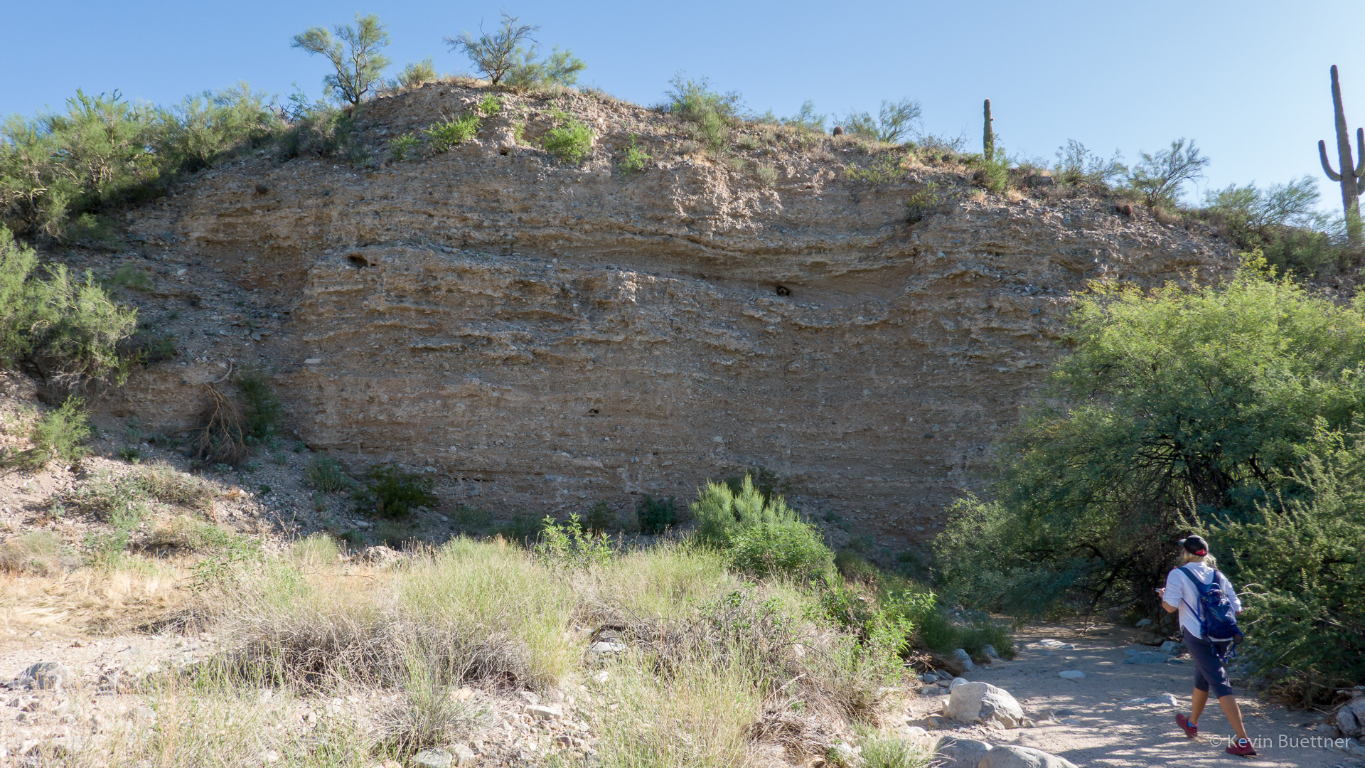
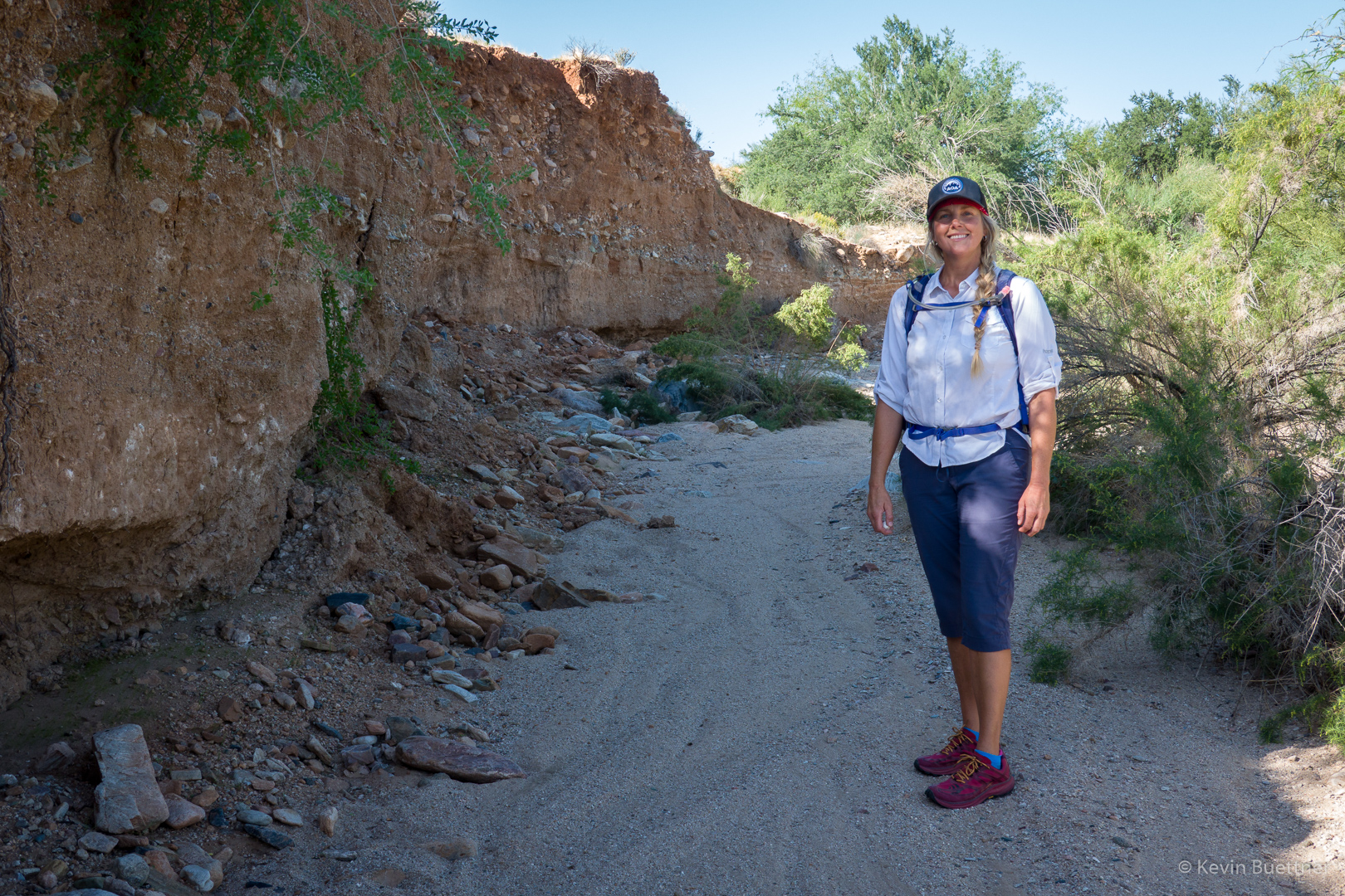
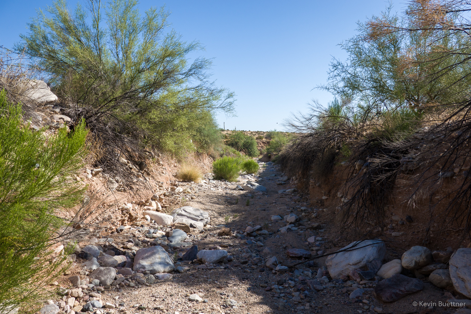
I like the high vertical banks of the South Wash.
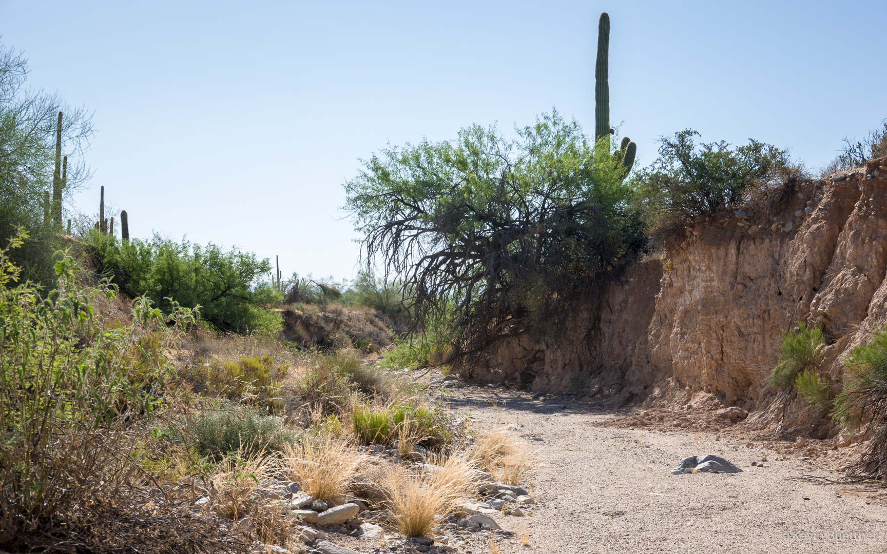
The wash goes on and on – perhaps a quarter of the hike takes place in the South Wash.
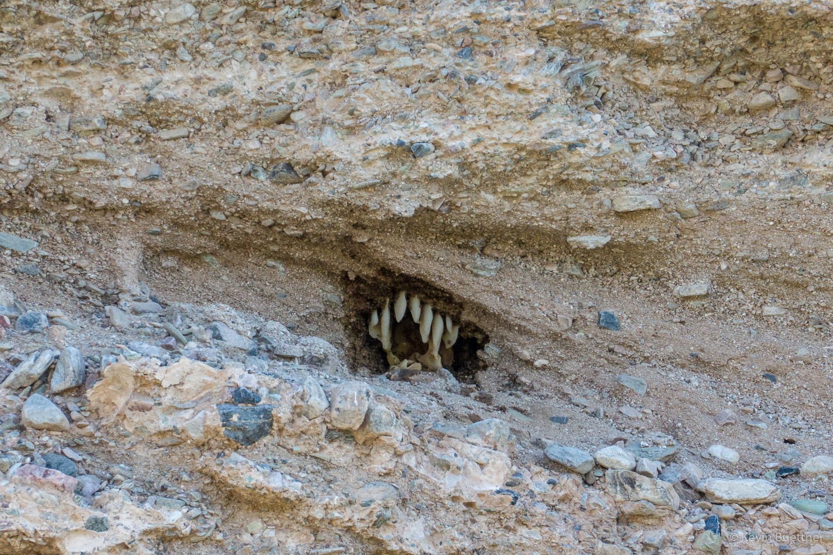
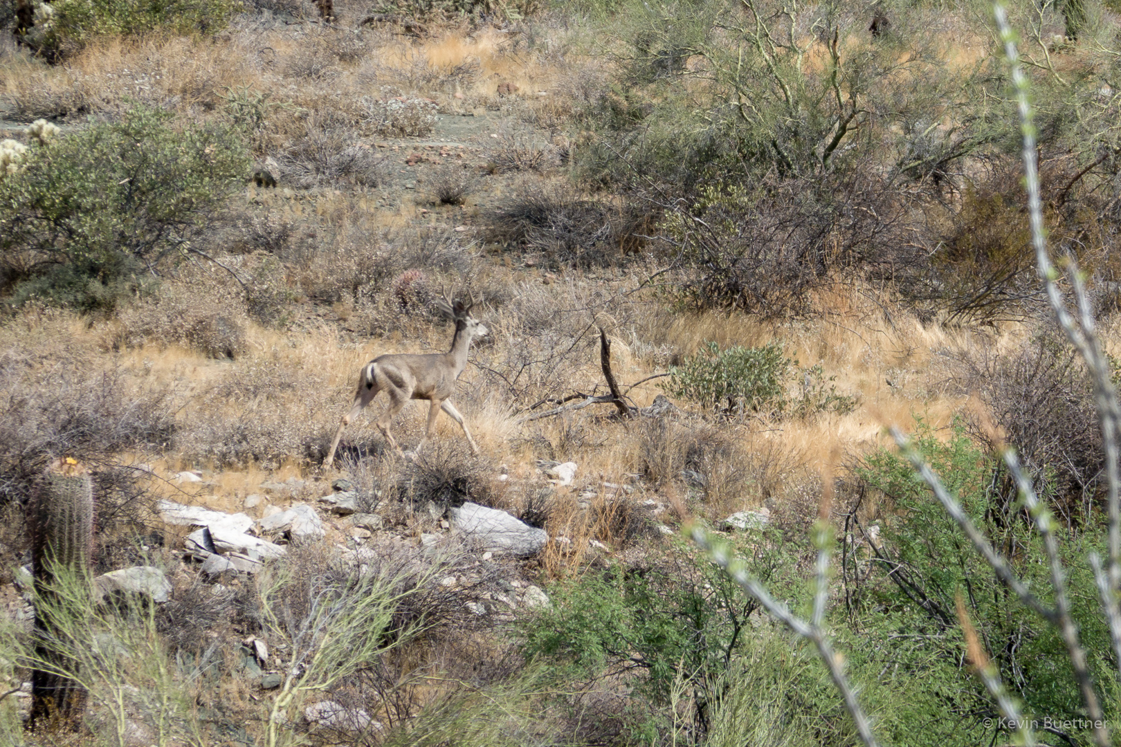
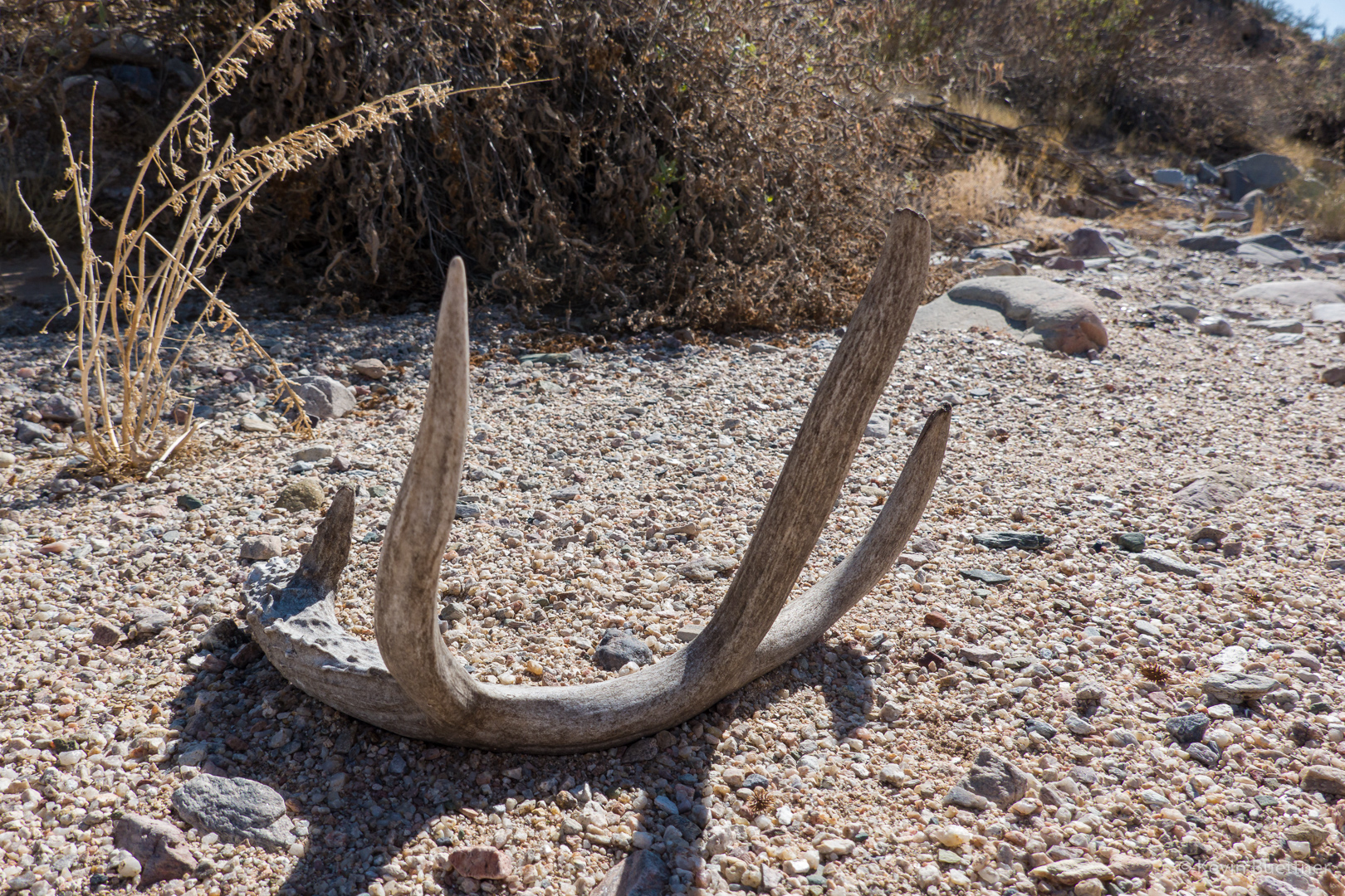
Mule deer antler:
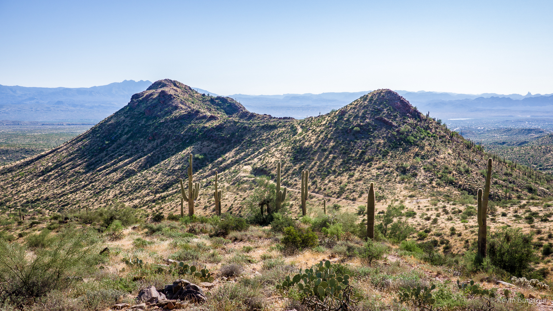
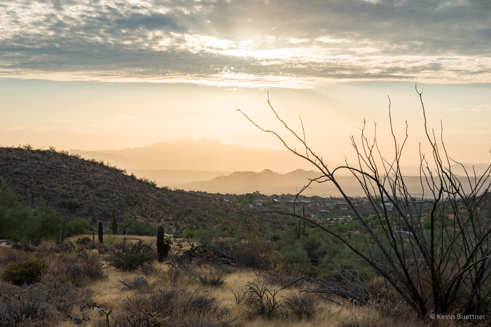
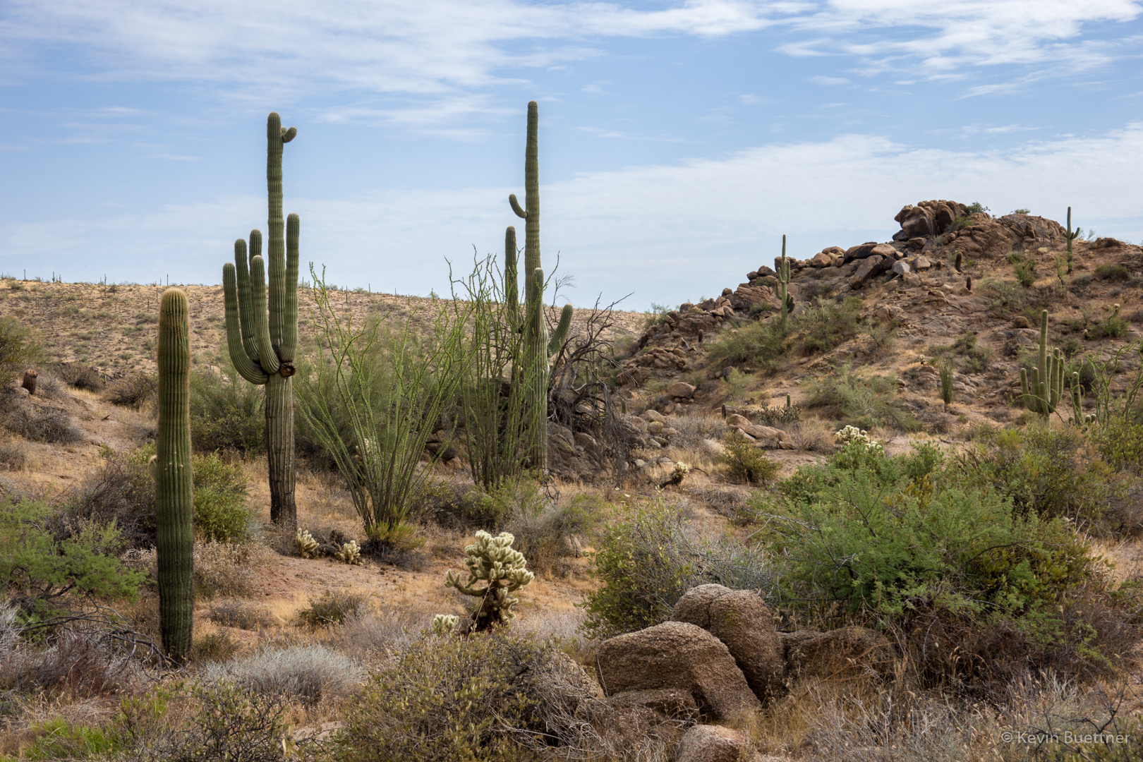
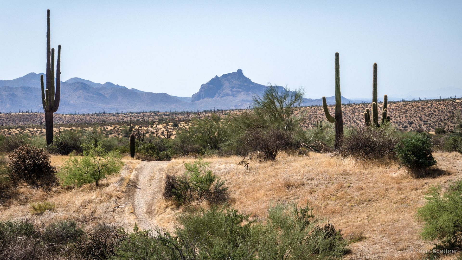
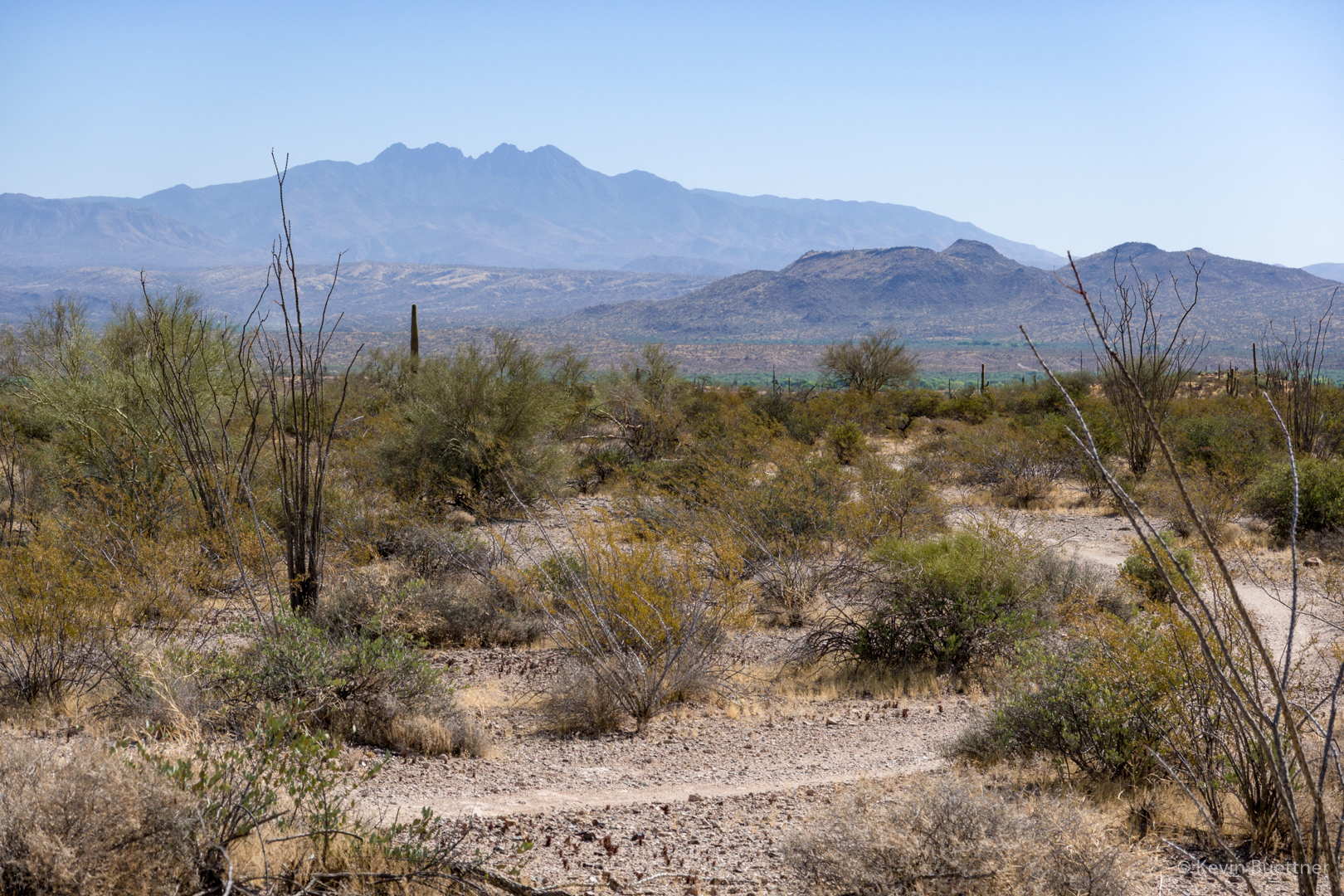
Looking toward Four Peaks from near the Long Loop:
Looking towards the Superstitions, again from the Long Loop:
Chia: