Tag: Friday Fitness Hike (page 35 of 36)

Sunrise Photos: New Edits

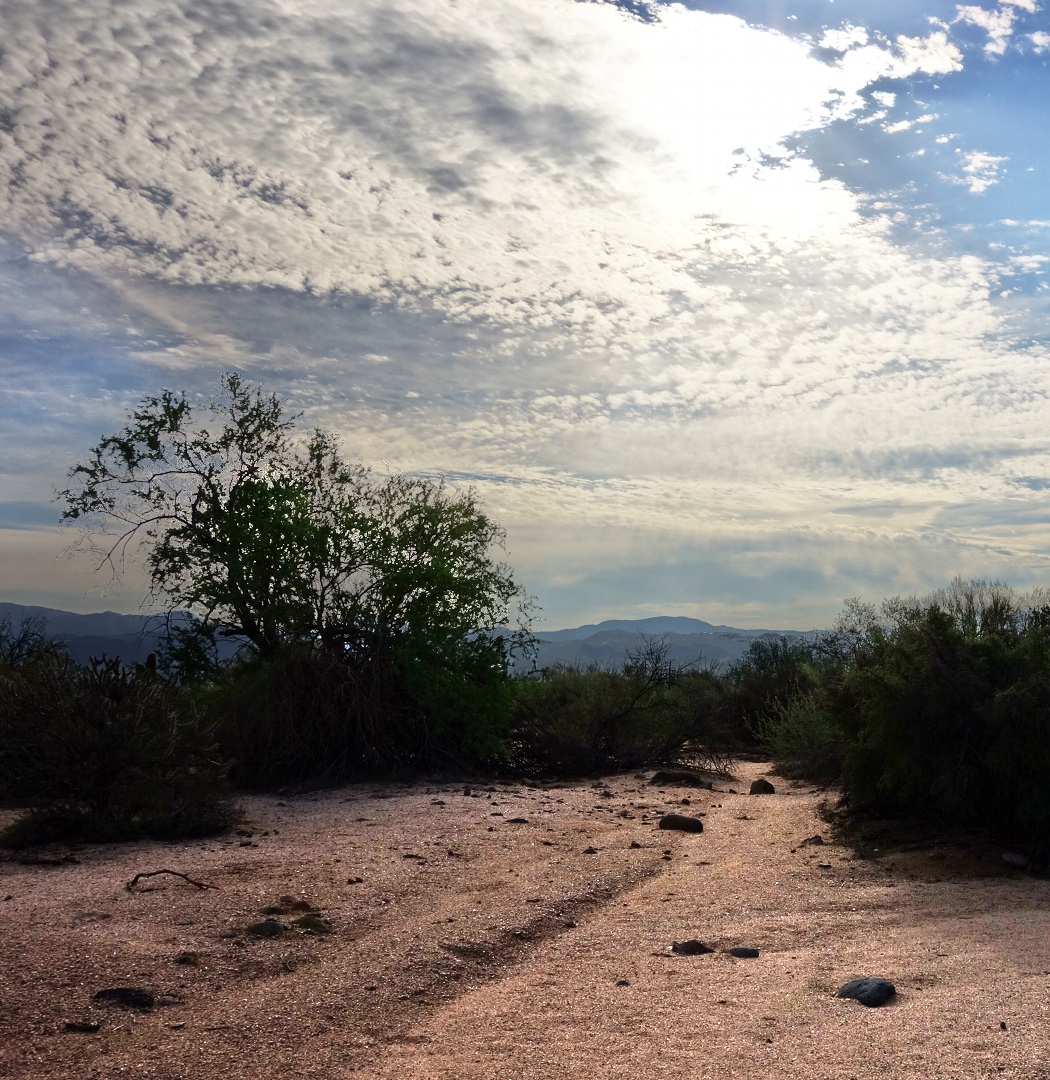
I’ve been trying the Mantiuk ’06 tone mapping operation on some of the photos that I’ve edited in the past to see what additional detail might be revealed.  In both of the photos below, the foreground was very dark and, in my original edits, I wasn’t able to do a satisfactory job of showing the foreground detail.

I first posted this one on August 31st.  Here’s a link to the original edit for comparison purposes.  The original was cropped somewhat, whereas this one is not.  The differences in the foreground detail between this version and the original are not that profound.  I think the color of the bare ground looks better in this one as does the detail in some of the foliage.

This one, below, was first posted on July 20.  Again, here’s a link to the original edit.  Again, the crop is different on the new edit – it’s uncropped.  The original showed the trees and the foreground as a silhouette.  This one shows considerably more detail.  Using the editor, GIMP, I zoomed in an looked at the area near the orange cones.  I could almost read the sign sitting along the fence just right of the cones.

While talking to my Mom about these photos, she thought it’d be interesting to see what the out-of-camera versions looked like with no edits (aside from being scaled for upload to this site).  Here they are:

August 31st original:

July 20th original:

Friday Fitness Hike

Today, Bob, Amy, and I hiked the North Trail.  Bob and I continued on up the Chuparosa Trail when we got half way around the loop.  Once we got to the Pemberton, we hiked up to the 150th street trail before turning back.

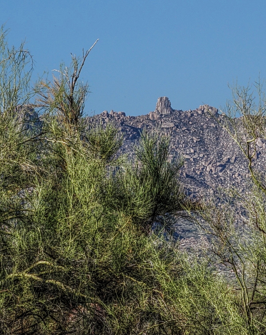
Here is a view of Tom’s Thumb through a tangle of Palo Verde trees.  We weren’t that close to the McDowells, but I used the limited zoom capability on my camera and then cropped the result to make it look closer than it really is.

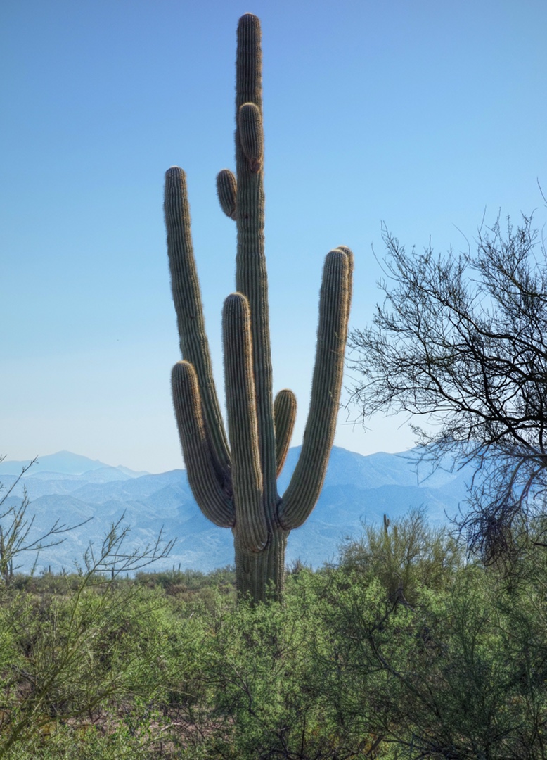
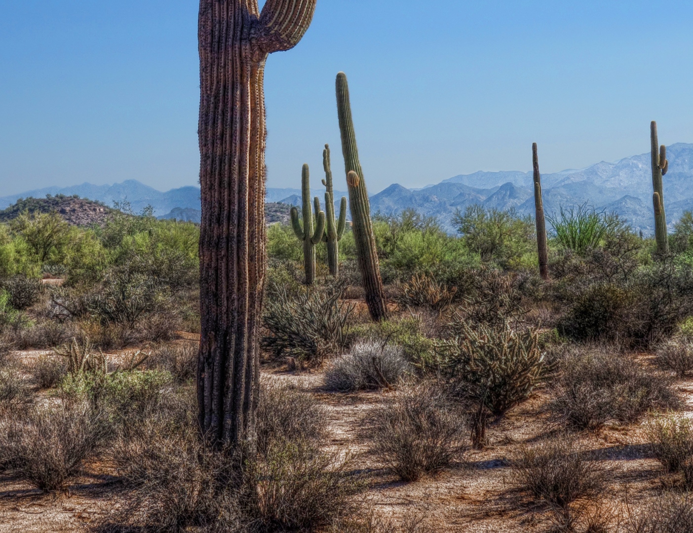
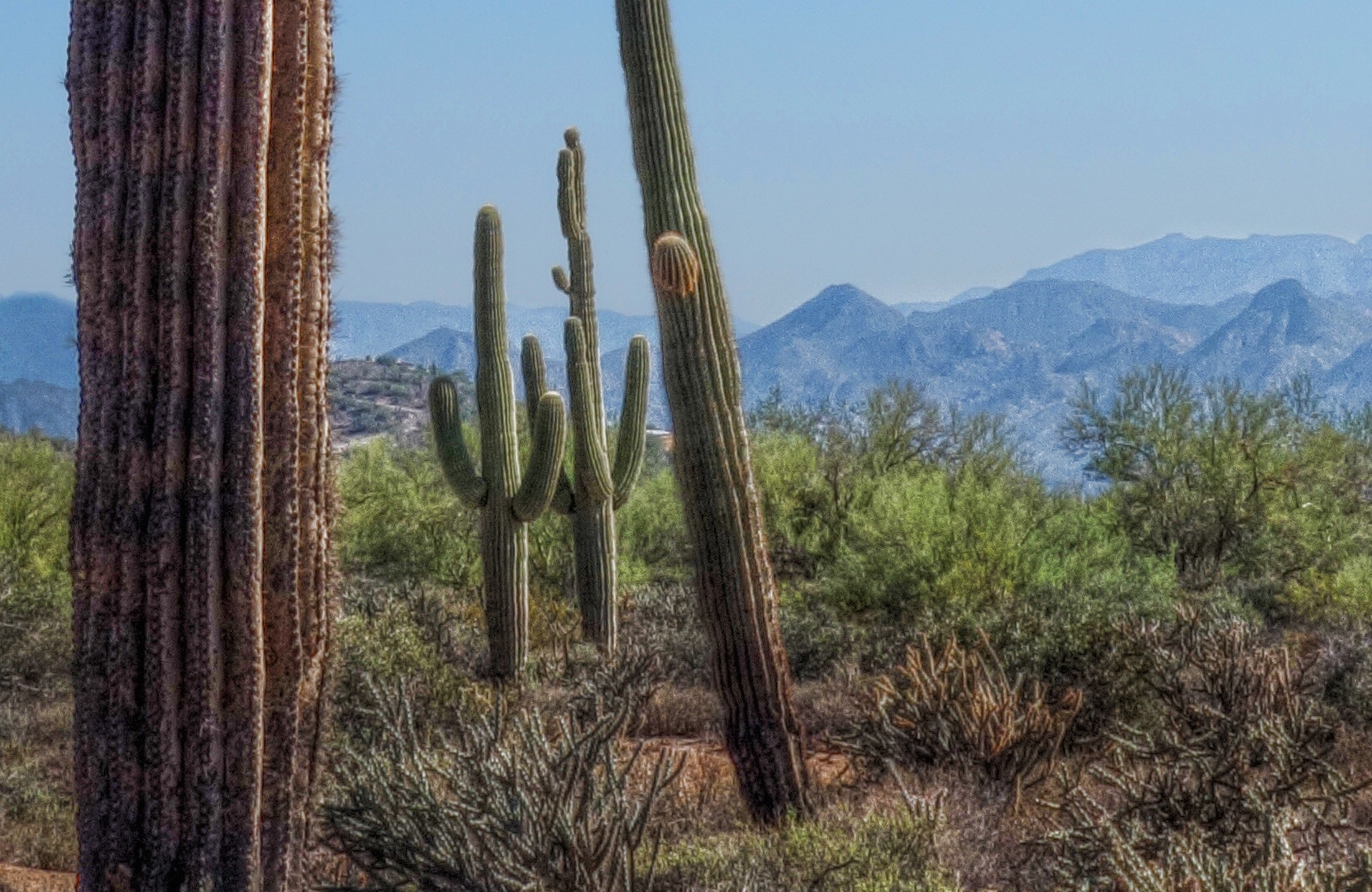
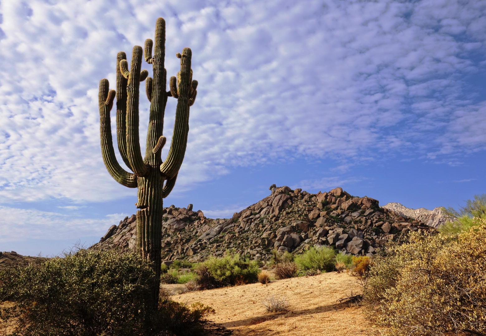
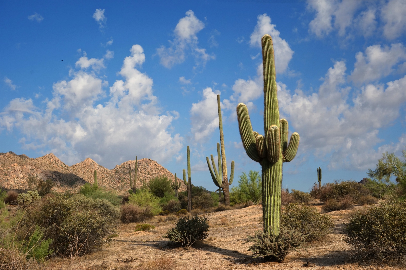
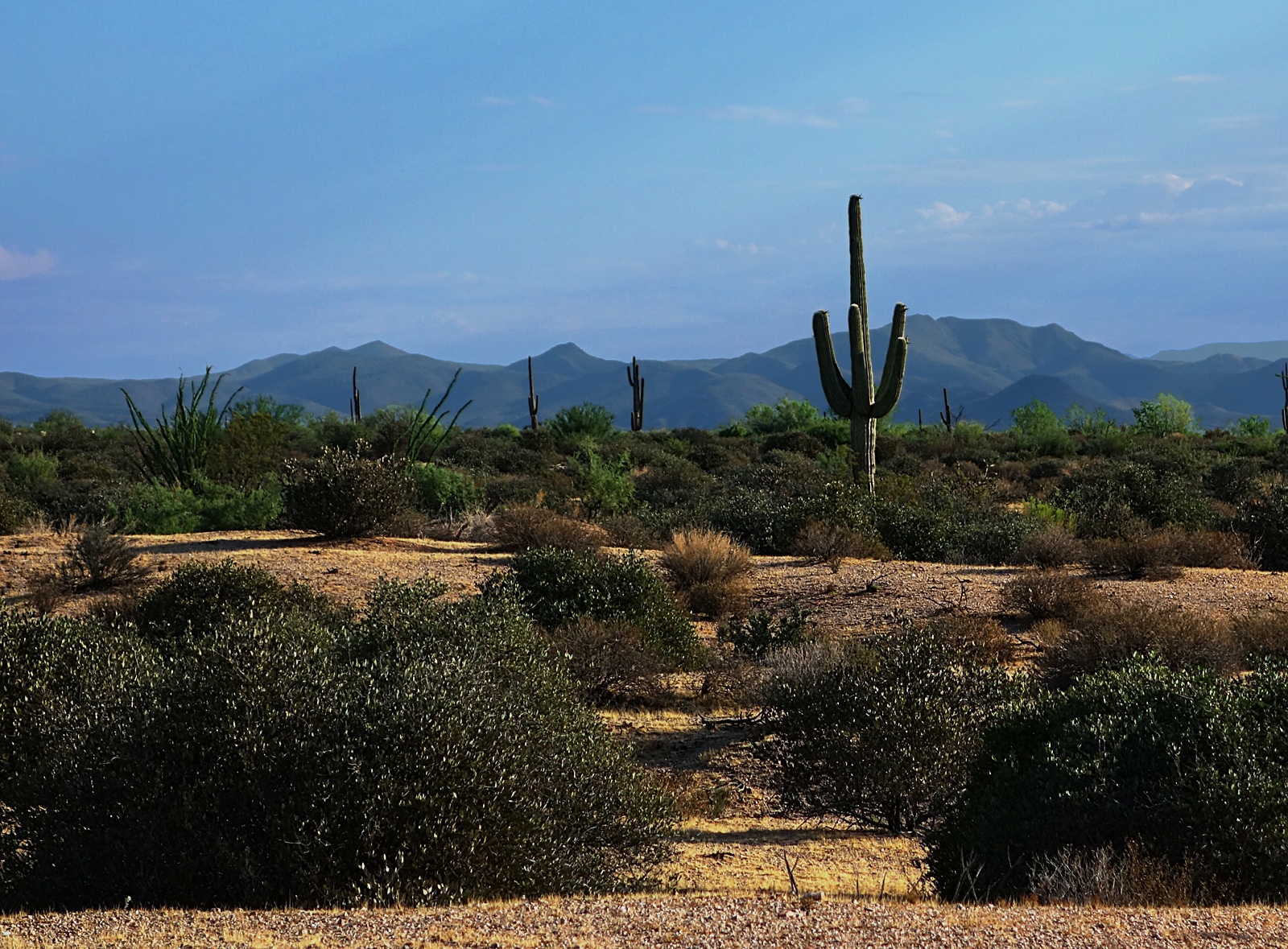
A saguaro:

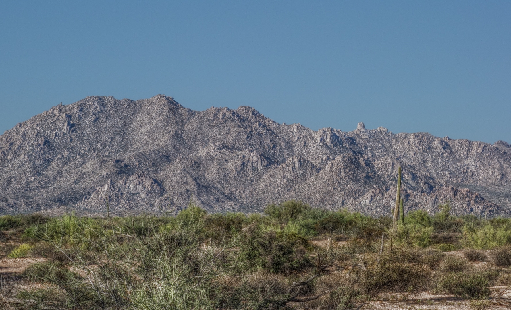
The McDowells.  Tom’s Thumb, Morrell’s Wall, The Granite Ballroom, Sven Tower I, II, and  III, and Rock Knob are all visible in this photo.

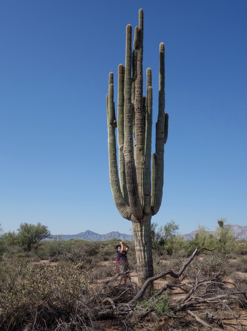
Bob taking a photo of a Saguaro near the Chuparosa Trail:

Another view of the Chuparosa Trail.

I found two other crops of the above scene that I found interesting…

Even closer:

I used a tone mapped layer (using the Mantuik ’06 algorithm) in most of the above edits.  I’m happy with the detail that it provides, particularly in the mountains in the background.  In past edits, I often end up with very dark looking mountains without much detail.


Friday Fitness Hike, Monsoon Edition

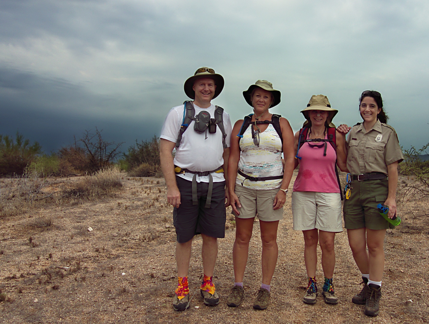
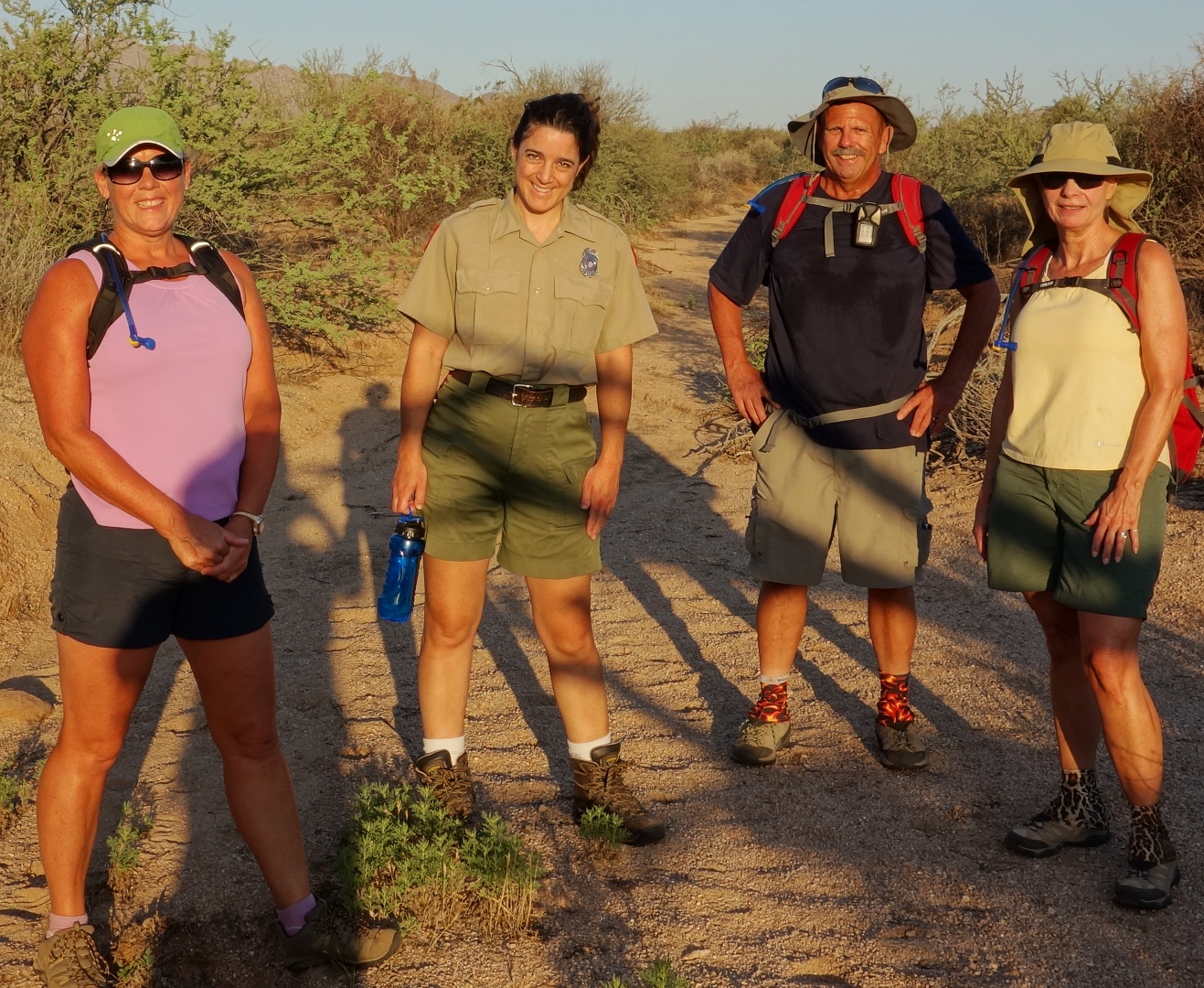
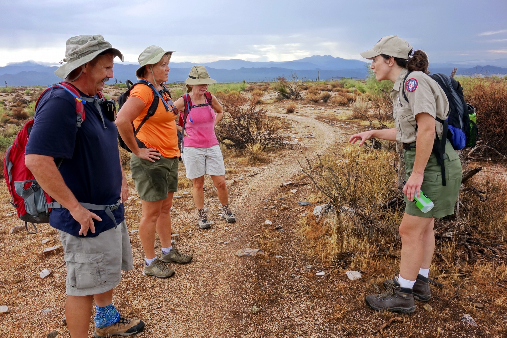
Today’s hike started at the Wagner Trailhead.  Bob, Janet, Linda, Amy, and I hiked the Wagner to the Granite, and turned onto a trail unofficially known as the “Cowboy” trail.  Ranger Amy hiked out perhaps halfway with us on the Cowboy Trail before turning back to open the visitor center.

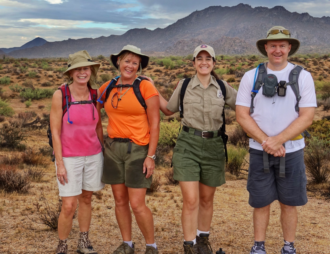
Bob took this photo of the four of us just prior to Amy turning back.  (The colors are a bit off today.  I haven’t quite gotten the knack of getting the white balance right when converting RAW files.  The skies often ended up more purple than I wanted them to be.)

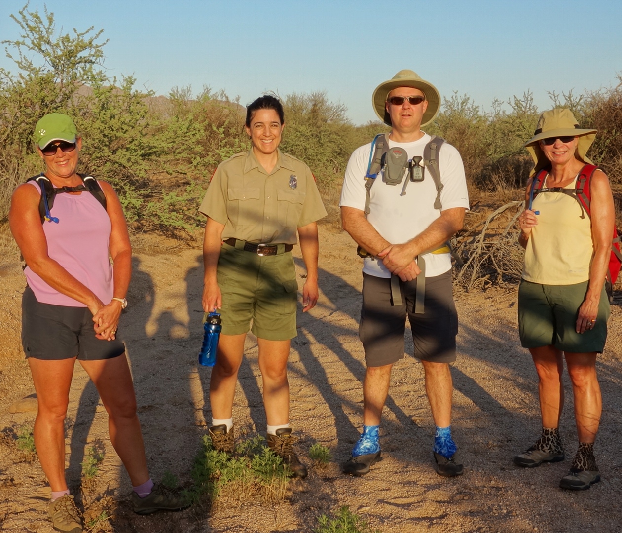
Here’s another version of the above photo with possibly more accurate colors.  (I might be starting to figure out some of the problems I was having with the RAW conversion.)  Marie tells me it’s better, but Marilyn likes the one above.  So I’m leaving them both here for those who’ve already looked at the one above and have decided they like it.

The Cowboy Trail eventually runs into the Pemberton at the north end of the park.  Linda mentioned that she had not seen that part of the Pemberton yet.  Below is a view of the McDowells from the portion of Pemberton that’s also a service road.

This photo was taken from the Pemberton perhaps less than a mile from the intersection with the Delsie Trail.

We saw this large buckhorn cholla at or around the time that we turned onto the Delsie Trail.

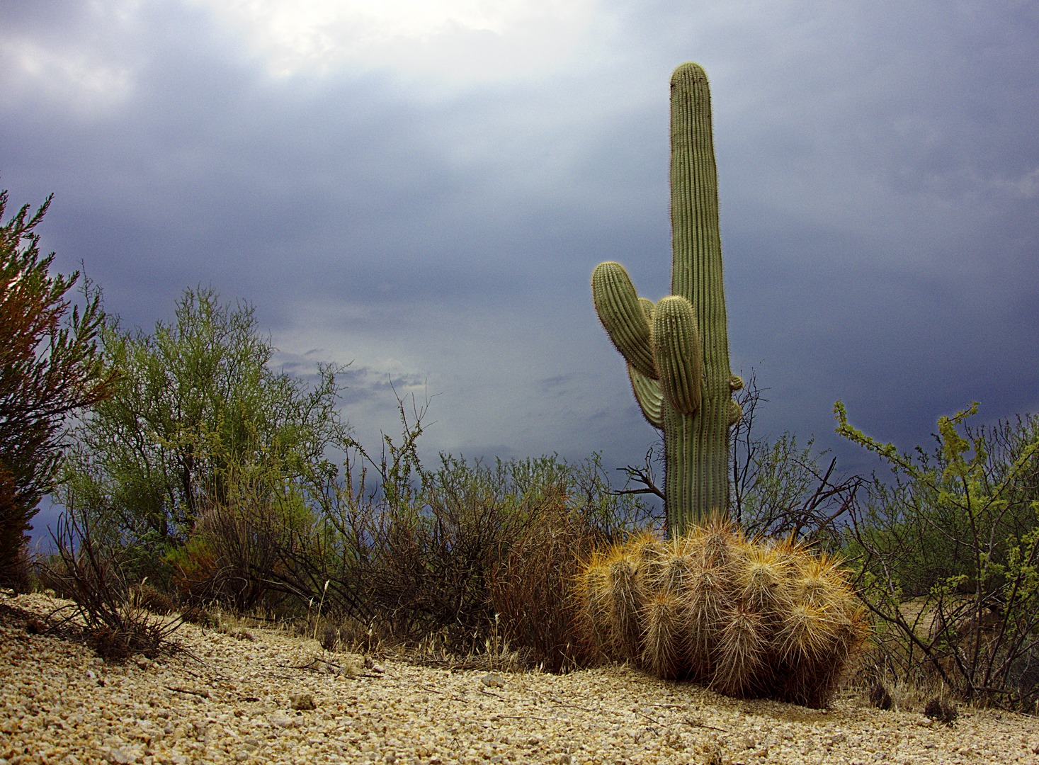
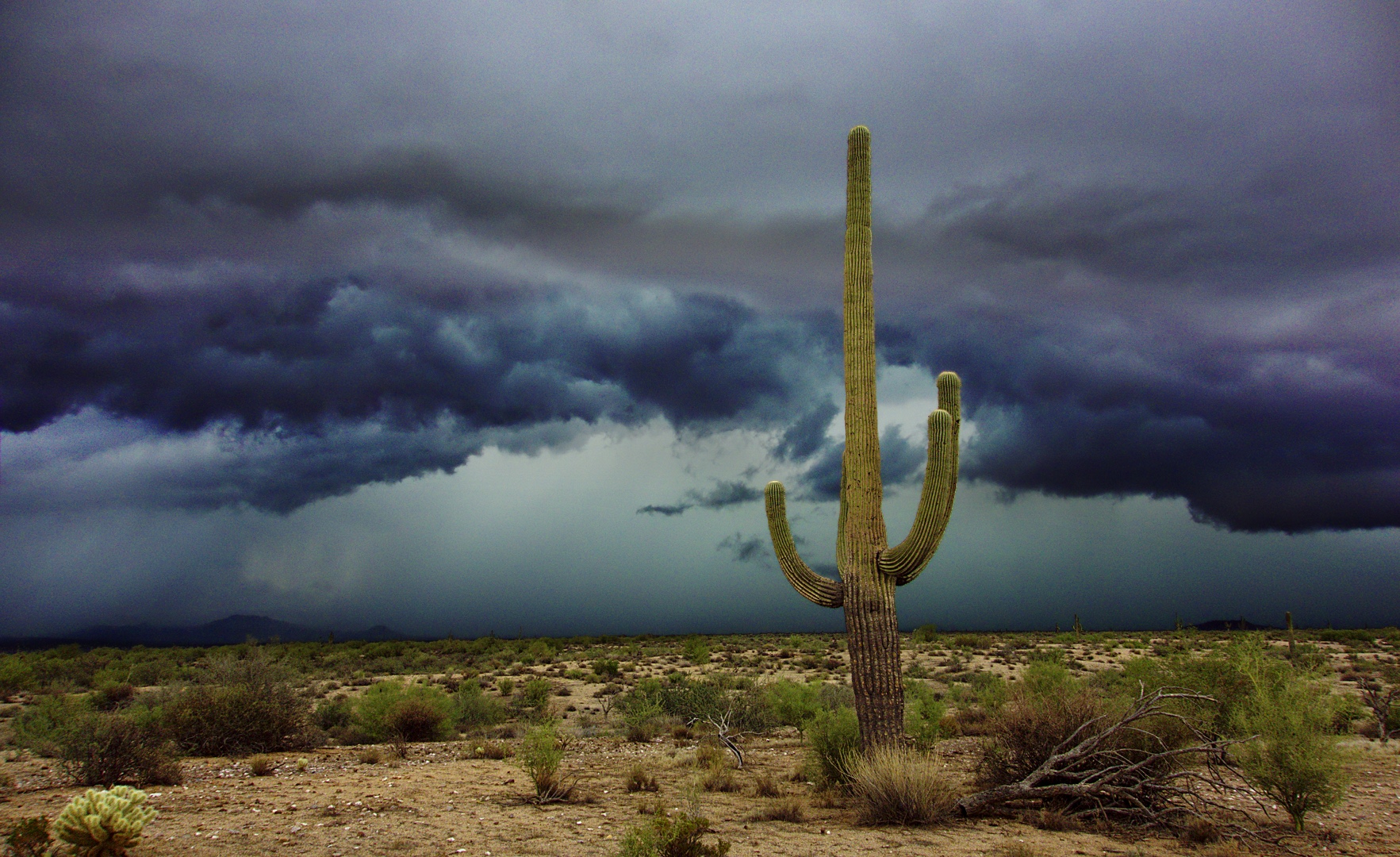
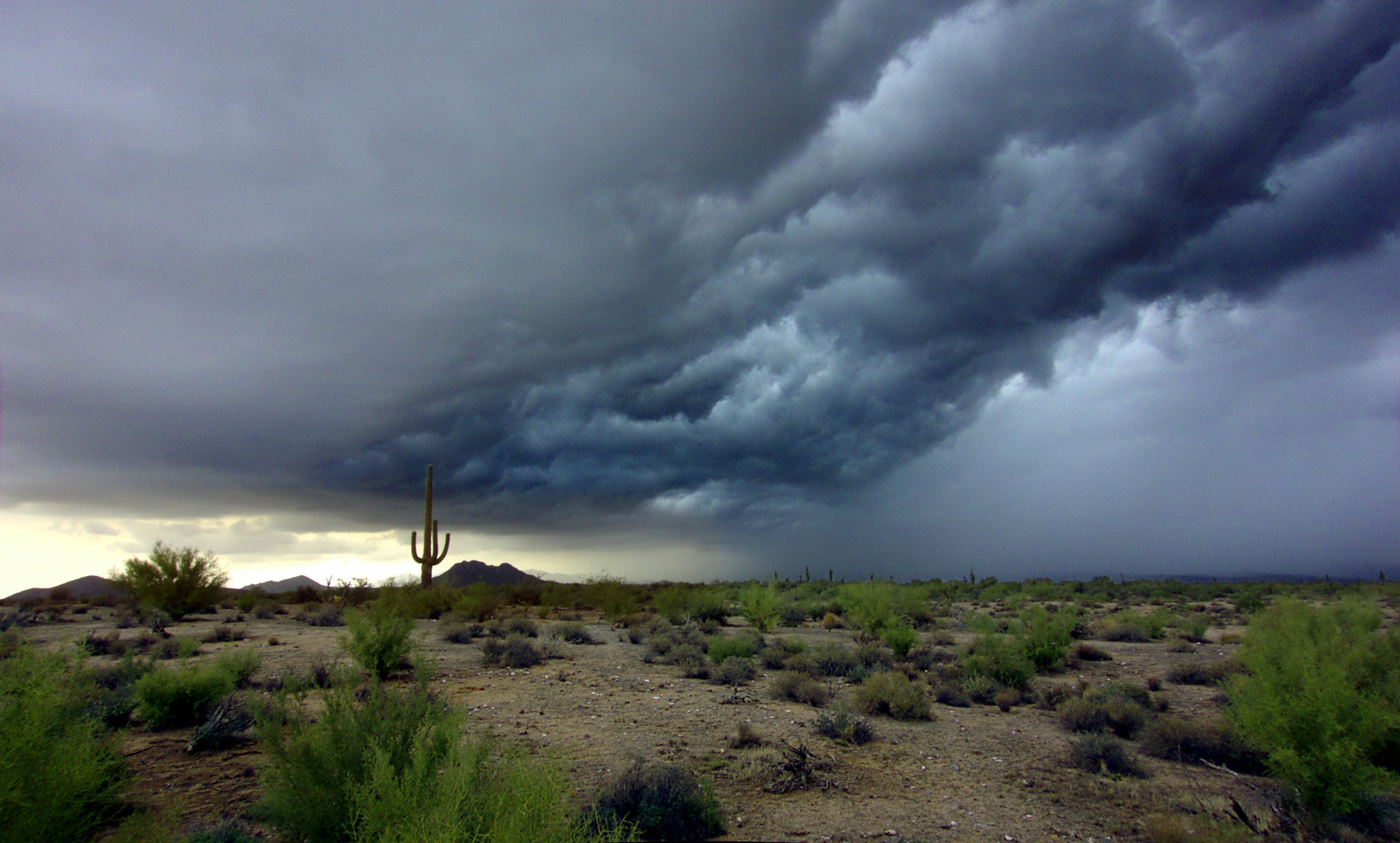
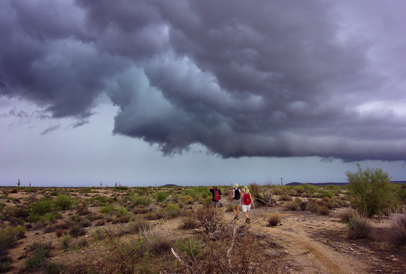
As we hiked the Delsie Trail, we saw interesting looking clouds off in the distance.  We had already been hearing distant thunder for much of the hike.  We could see rain off in the distance.

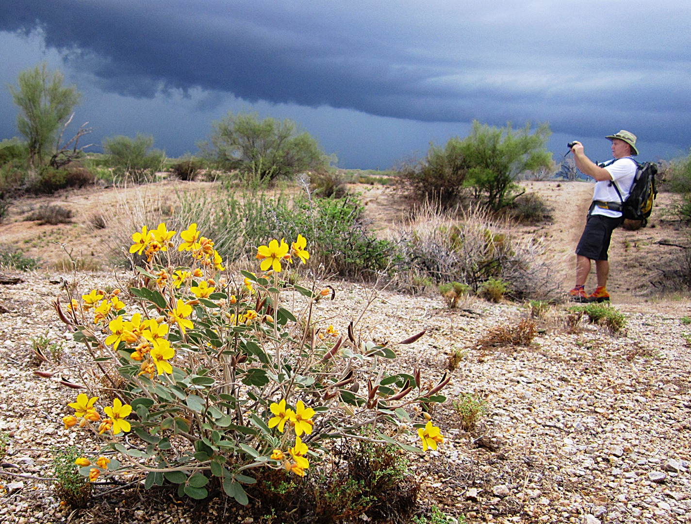
Linda took this photo of some yellow flowers and me taking pictures of the storms far off in the distance.

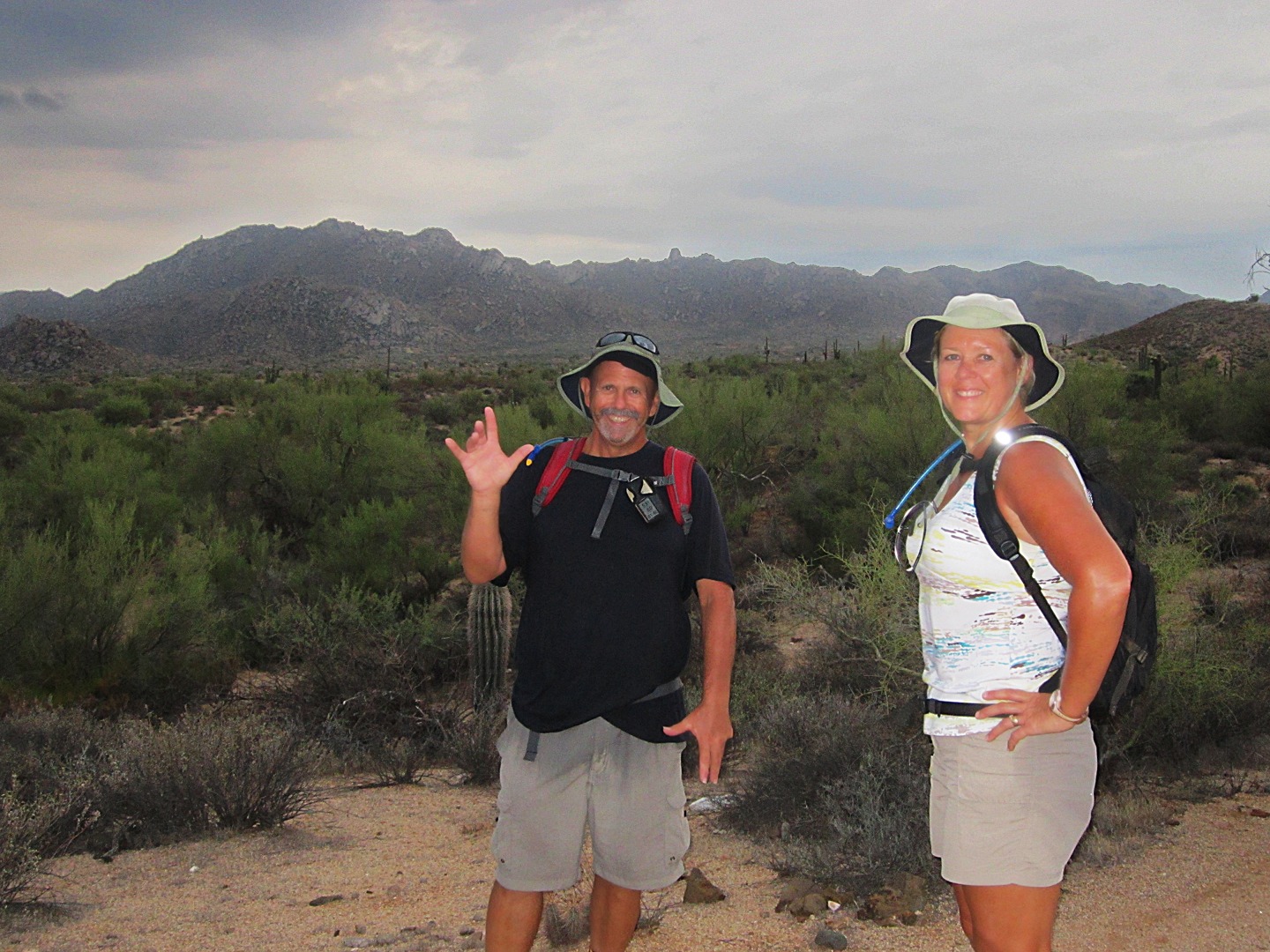
Linda also took this photo of Bob and Janet.  Tom’s Thumb is visible in the distance above and slightly to the (viewer’s) right of Bob’s hat.

I didn’t think we’d be hiking in the rain today, but I was wrong.  Here’s a photo of Bob, Linda, and Janet hiking fast once it became clear that heavy rain was on the way.

When it started to rain hard, I put my camera under my rain jacket that I had stuffed in the outer compartment of my pack.  Strong winds made the rain come down sideways.  My clothing was soaked in under than a minute.  We were hiking into the wind – I put my sunglasses on for a while in an attempt to keep the rain from getting in my eyes.

After a while of trudging through the rain, my eyes began to sting.  I think the rain dissolved the salt accumulated in my hat and was washing it into my eyes.  Eventually, the rain starting coming merely down instead of coming at us sideways too.  I was able to see again.

Bob and Janet got well ahead of us while I was hiking somewhat more slowly due to not being able to see very well.  Linda hiked with me.  We talked about the lightning and thunder we were seeing and hearing.

After what seemed like a very long time, we got to the Granite Trail and then the Wagner Trail.  During that time the rain abated, but did not completely stop.

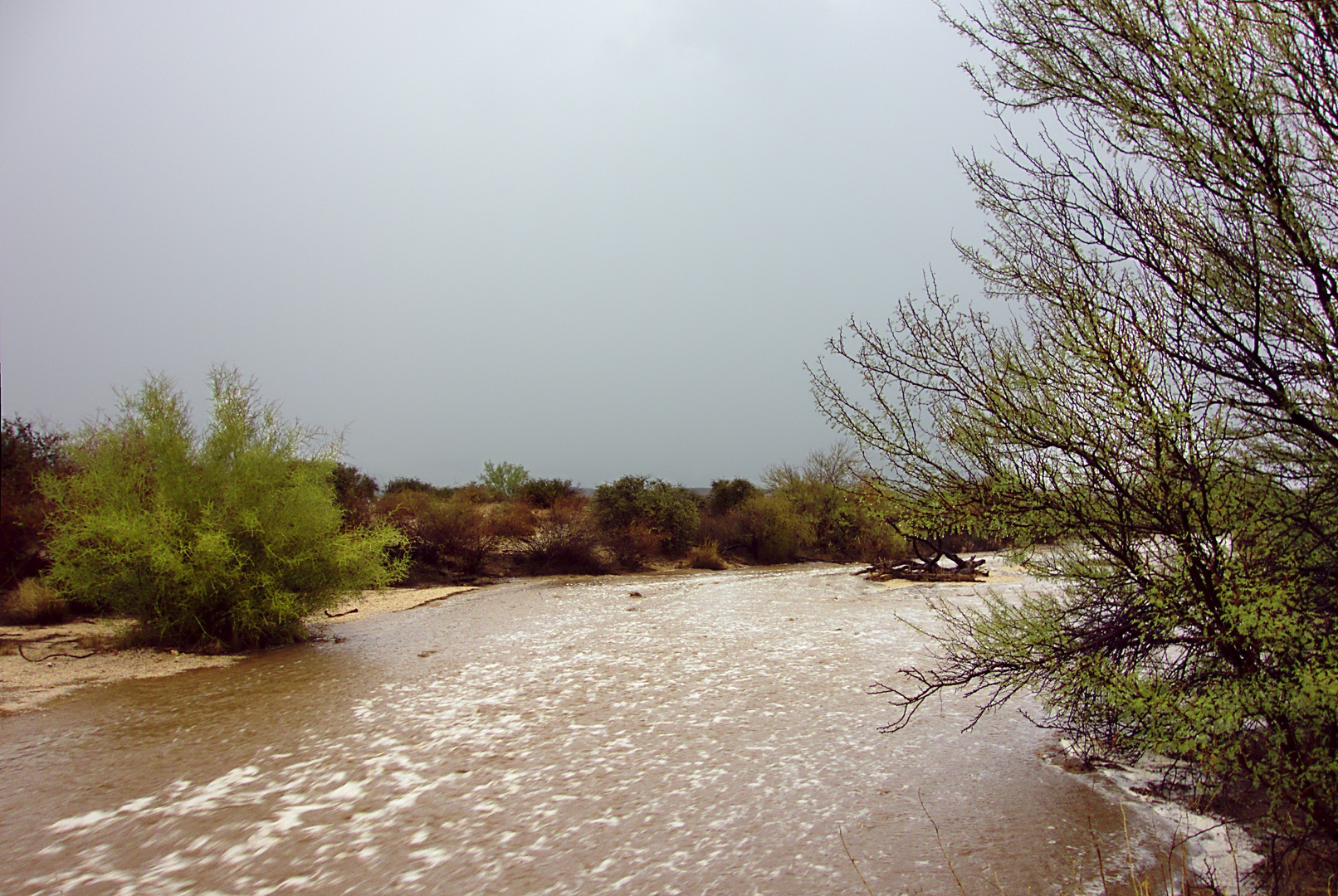
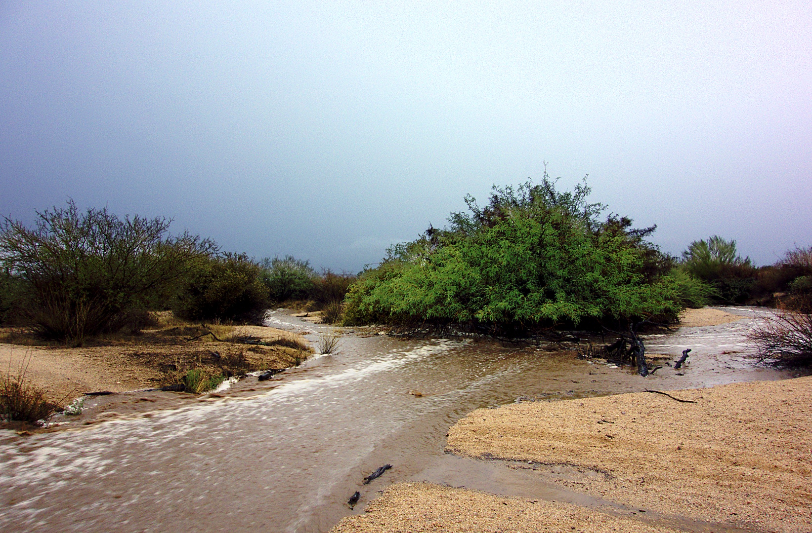
We frequently hike across washes and sometimes even through them on our hikes, but we almost never see them with any significant amount of water.  Today was different; there was enough water running in them that we nervous about fording them.

The photo below shows the last significant wash that we had to cross on the Wagner trail prior to getting back to our vehicles.

When we got back to the Trailhead, we were met by Ranger Amy and Mark, another park employee.  They had been concerned about us because we were out hiking during a monsoon.  We assured them we were okay and, after chatting a while, we got in our cars and drove home.

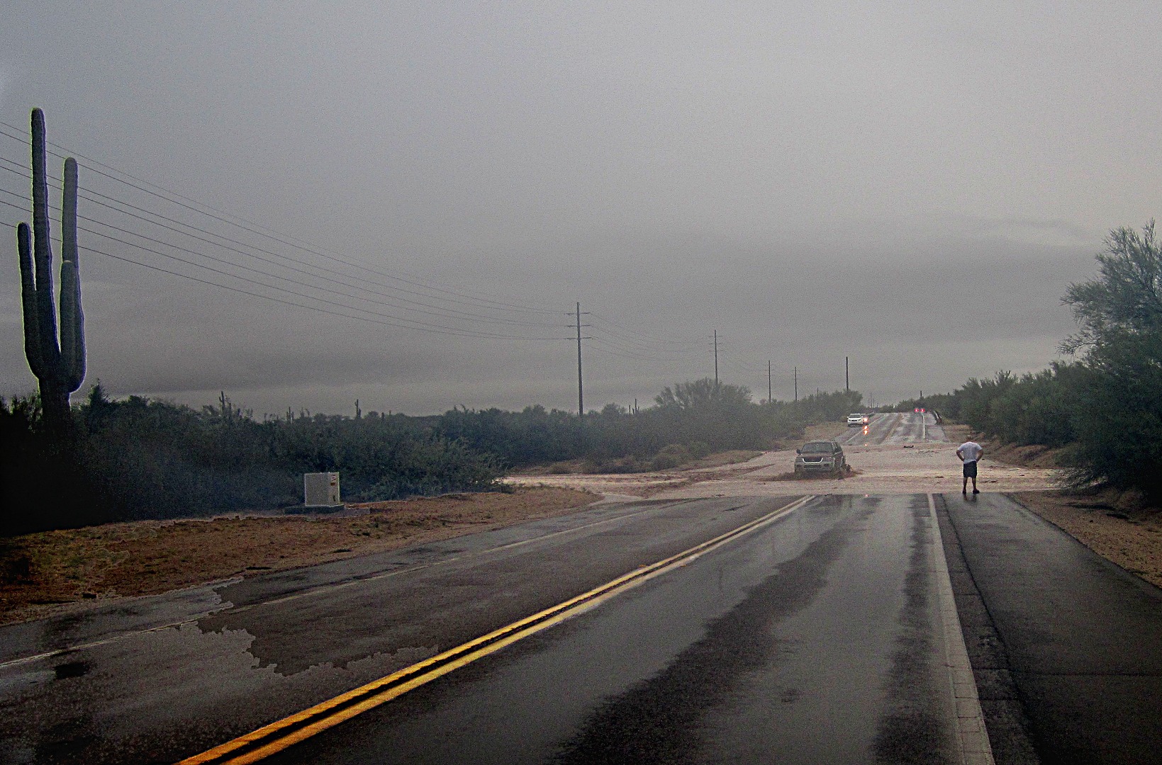
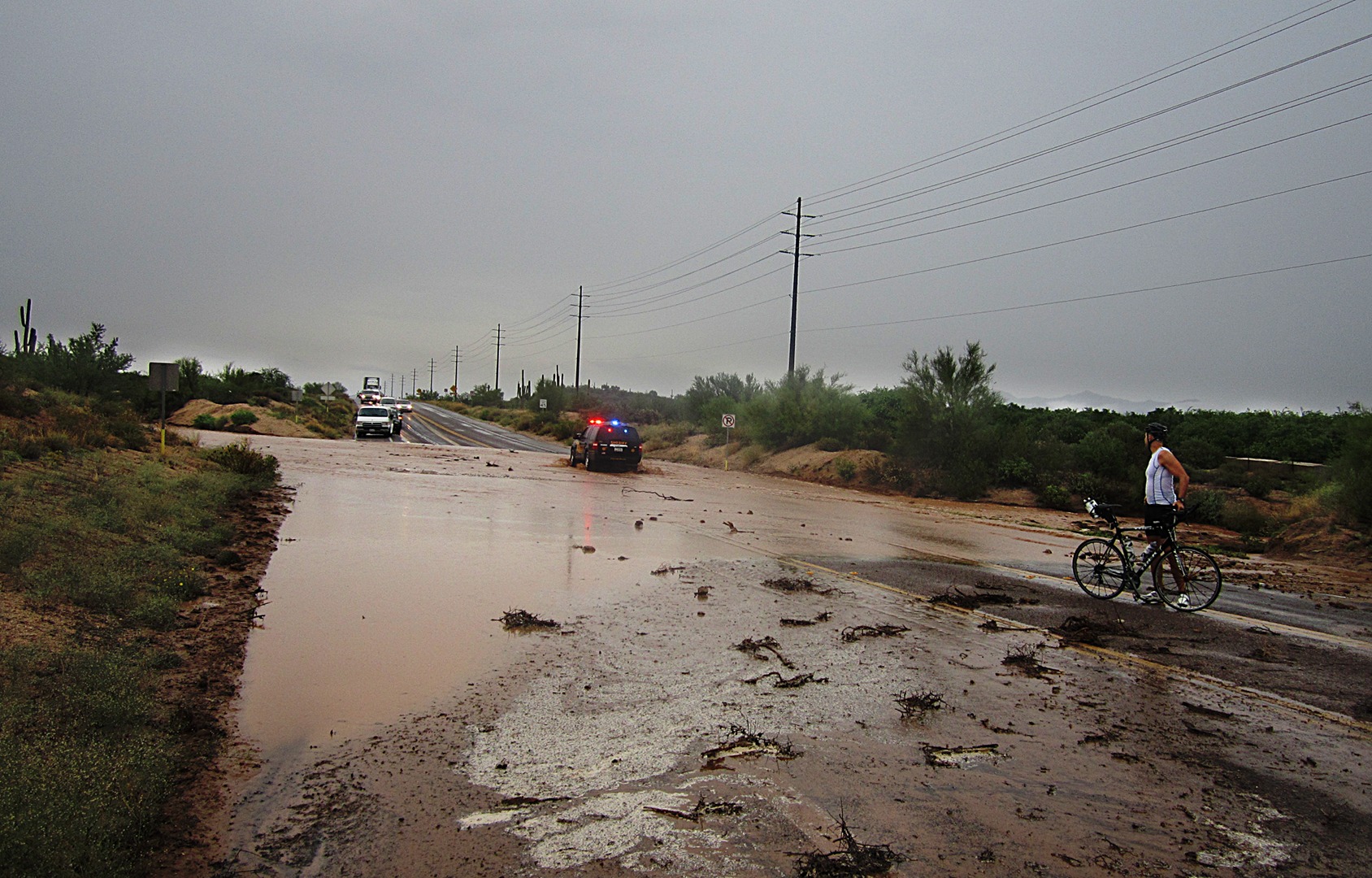
But driving home wasn’t as easy as normal.  As we were leaving the park, we saw that Sheriff’s deputies had stopped traffic on the road leading to Rio Verde.  Linda decided to return home by way of Fountain HIlls, but that proved to be a problem too because there’s a good sized wash between the park entrance and Fountain Hills.  Linda took this photo of me studying the wash to see if I could cross it.  A truck is crossing it there.  After seeing that truck and several other vehicles cross, I decided that I could cross too.  (And I did.)

Linda decided to turn around and wait for the deputies to reopen the section of road leading to Rio Verde.  She took this photo while she was waiting.


Friday Fitness Hike

Bob and I met at the Wagner Trailhead today for the Fitness Hike. Ranger Amy showed up briefly to tell us that she had a sore throat.

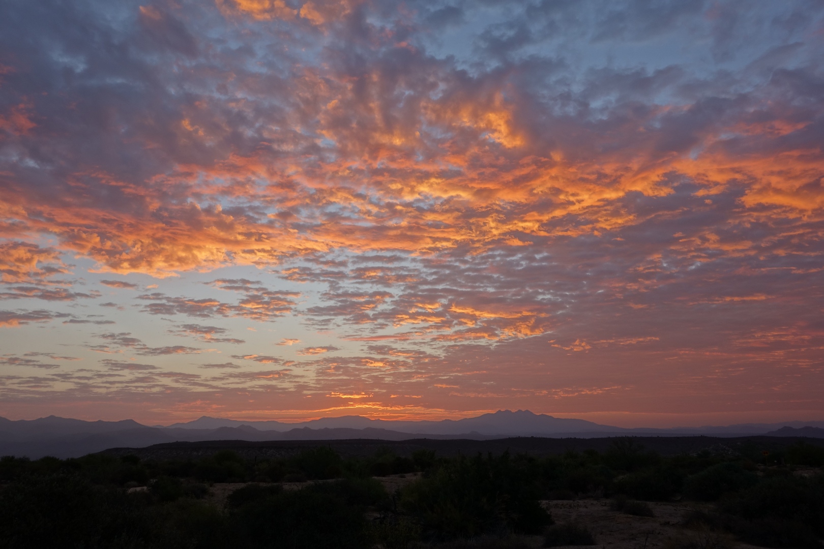
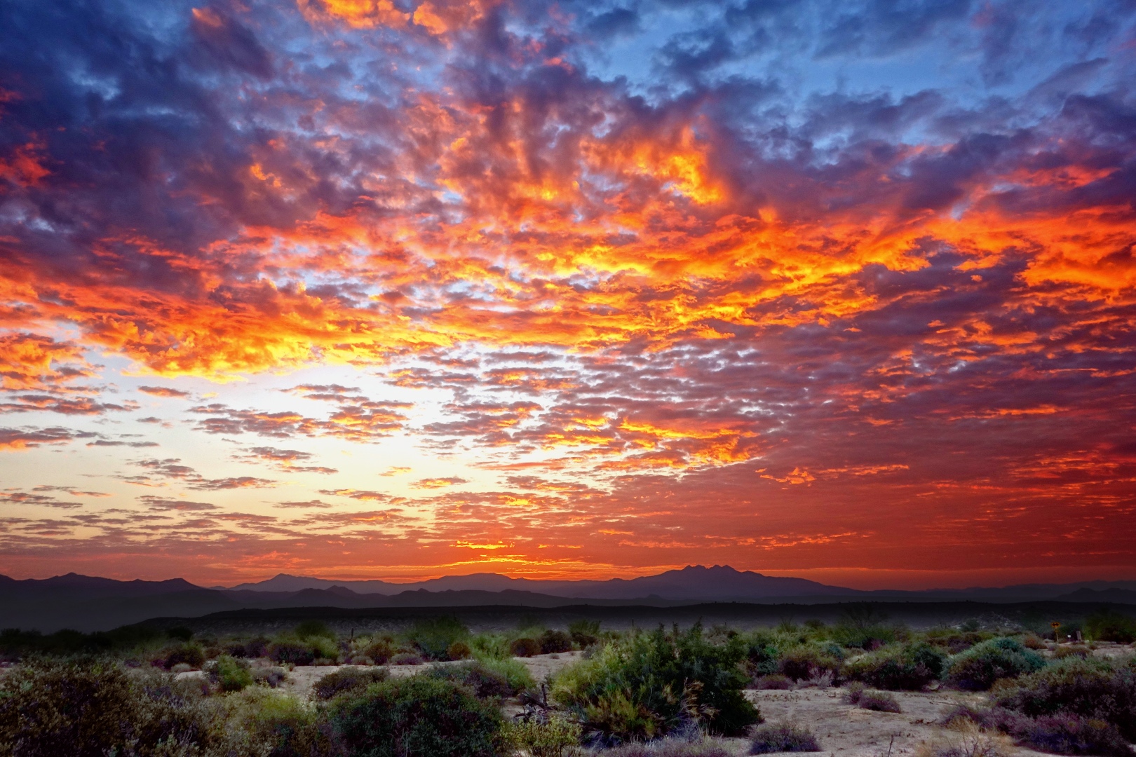
Textured clouds made for a brilliant sky just prior to sunrise.  I’ll admit to enhancing the sky in the photo below; the real thing was colorful too, but perhaps not quite as saturated.  I could easily dial it back a bit, but I happen to like this edit.  Marie is usually quite critical of such things, but she likes it too.

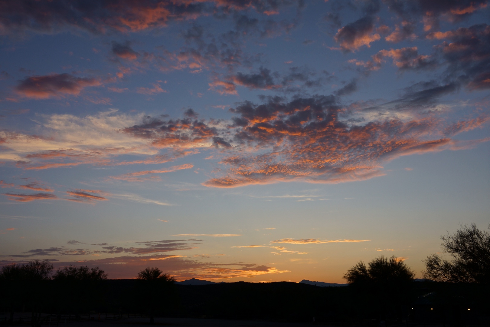
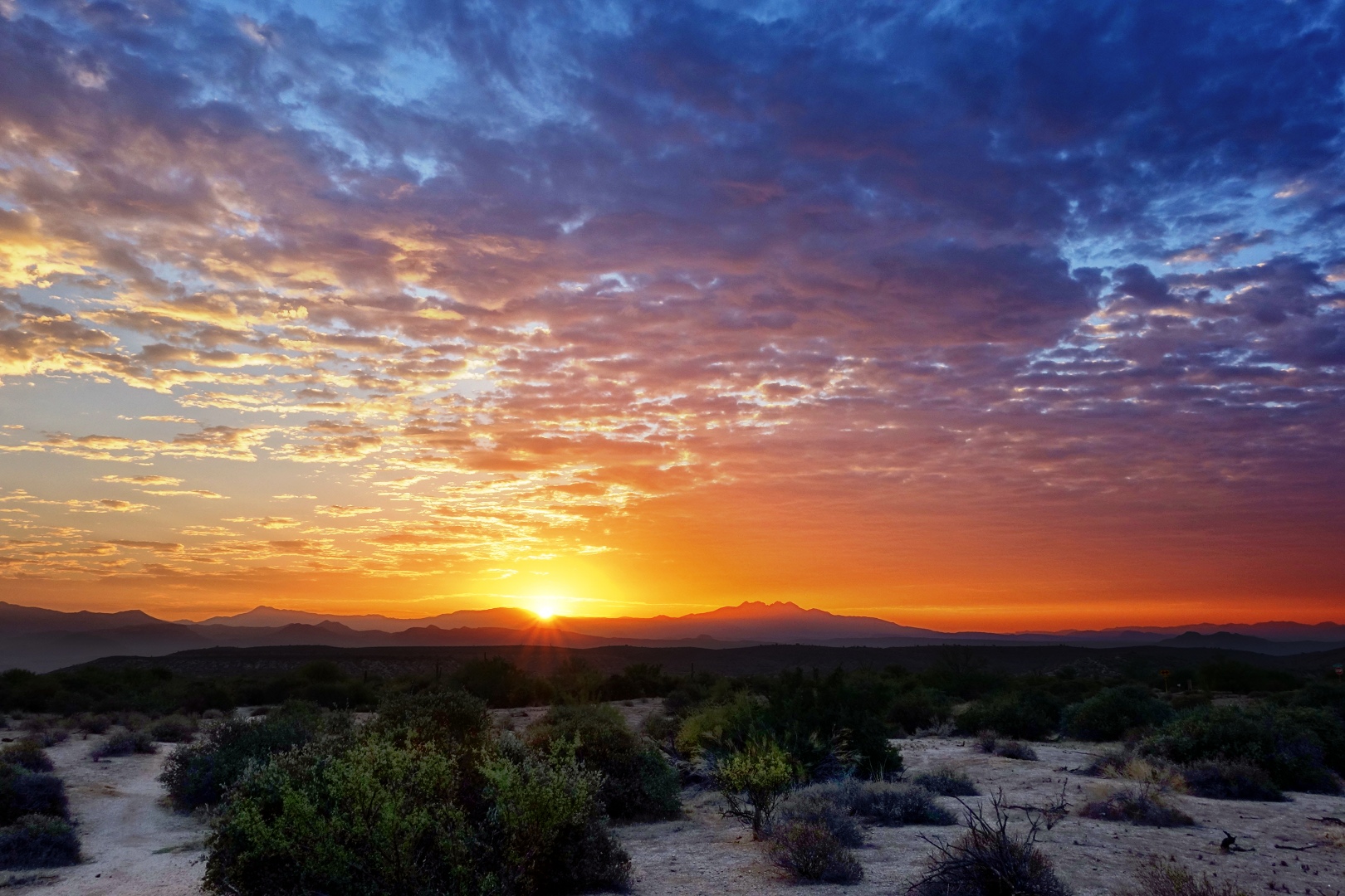
The sun rose while we were talking to Amy.  She pointed it out, so I turned around and snapped a few more photos.  Here’s one of them:

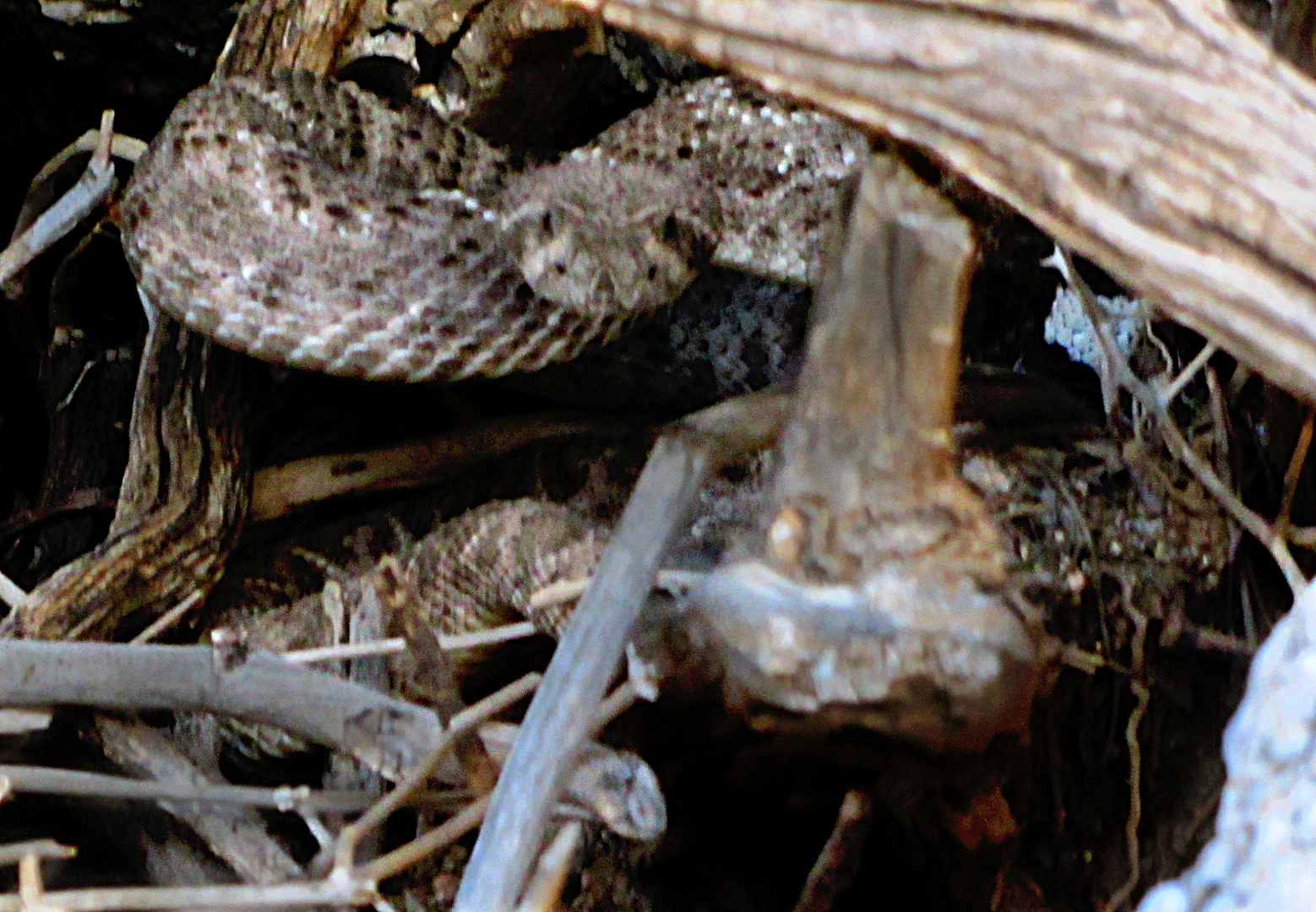
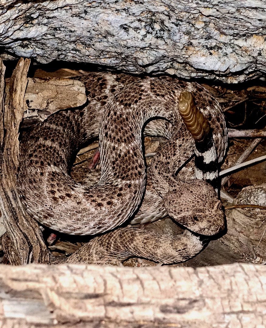
Our plan was to hike out to Rock Knob.  We took Wagner to Granite and the started up the wash that parallels Bluff.  Just after that first little scramble up some rocks, I encountered a Western Diamondback who promptly slithered into a nearby hole.  Bob and I could easily see into the hole though.  Here is one of Bob’s photos of the snake:

I wasn’t very quick on the draw as I had reassigned the button for setting the flash, but for me, being able to set the metering mode quickly is more important than the flash.  But I finally found the menu option for turning it on and managed to get this shot:

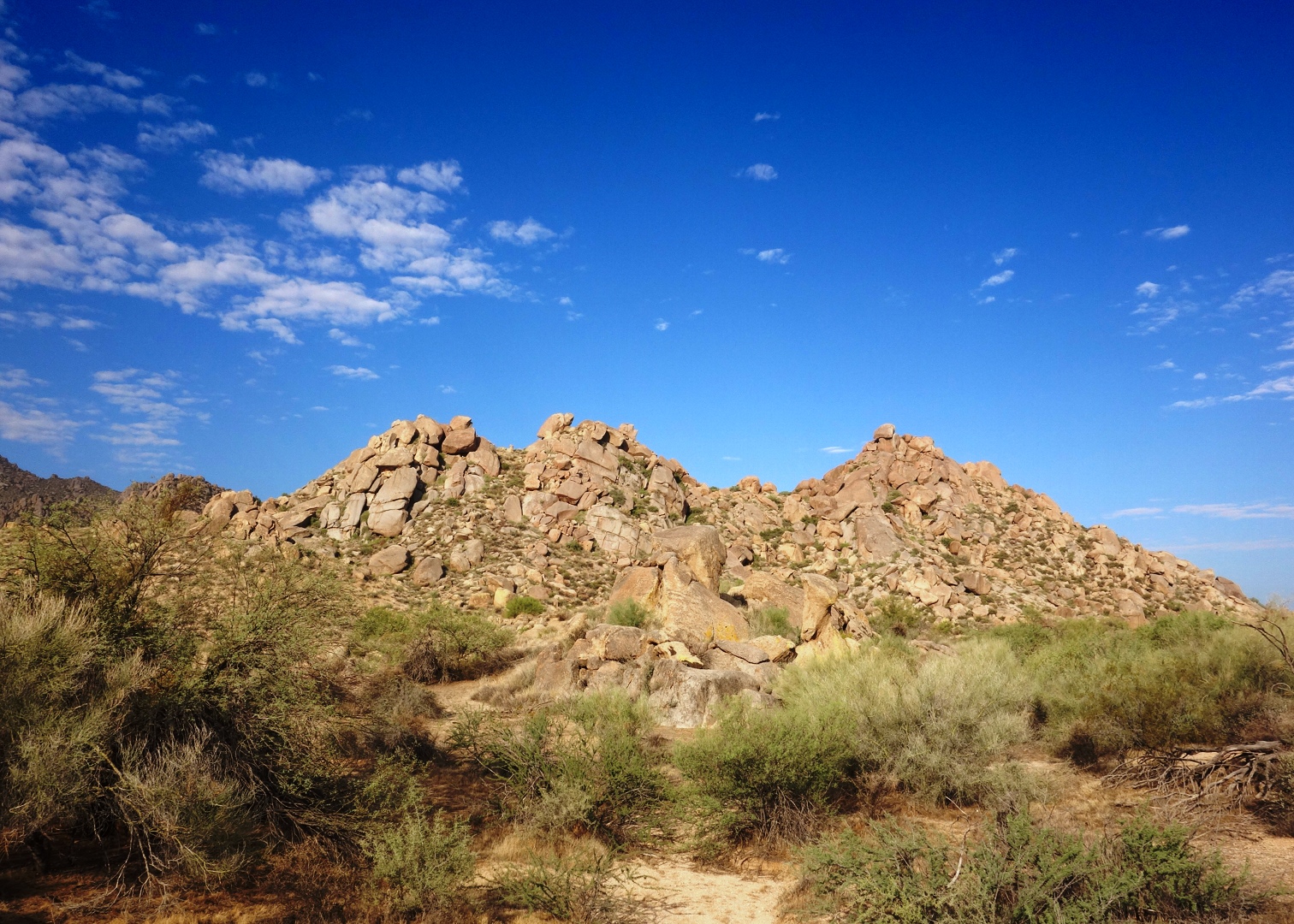
Bob climbed up and around the snake, avoiding its hole.  We proceeded on up the wash.  We crossed Pemberton, staying in the wash leading up to Rock Knob.  Below is a view of Rock Knob from that wash.

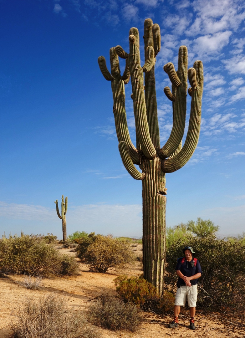
As we made our way northward to go around Rock Knob, we came upon a very impressive looking saguaro.  Bob and I spent perhaps ten minutes in the area taking photos of it from various angles.  Here’s one with Bob standing next to it.  You can get a good feel for the size of this saguaro from this shot.  Note, too, that each of the large arms have arms of their own!

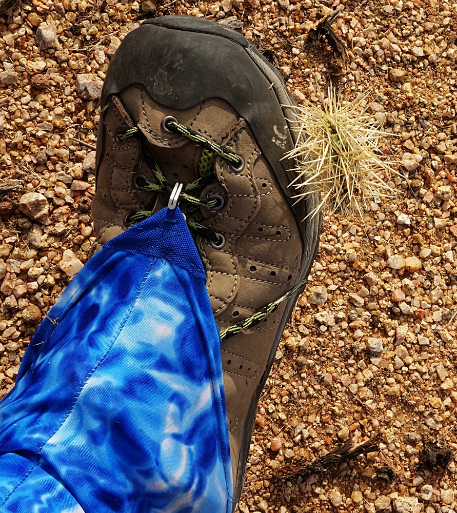
One of the hazards of walking in an area with lots of Teddy Bear Cholla is that, sometimes, one will stick to your shoe.  I got this one out with the aid of a stick.  One of the past rangers who worked at the park, Crash, told me that a pocket comb works great for removing cholla.

The blue and white gaiter I’m wearing helps to keep sand and other detritus out of my shoes.  Even so, a few grains of sand managed to work it’s way into my left shoe and found it’s way down between the first and second metatarsals.  I now have a small blister there.

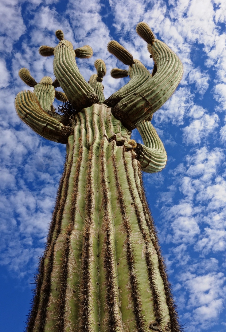
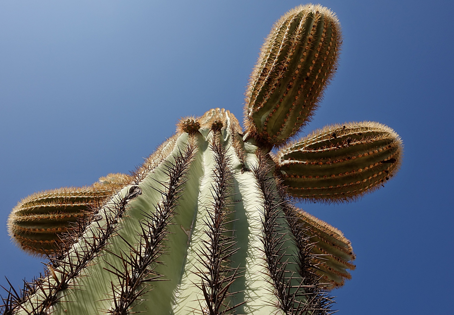
Here is a view looking up the saguaro.  If you look closely, you can see a large nest off to the left.

Here’s a view of that same saguaro with Rock Knob behind and off to the right.  I think we’re looking roughly southward here.

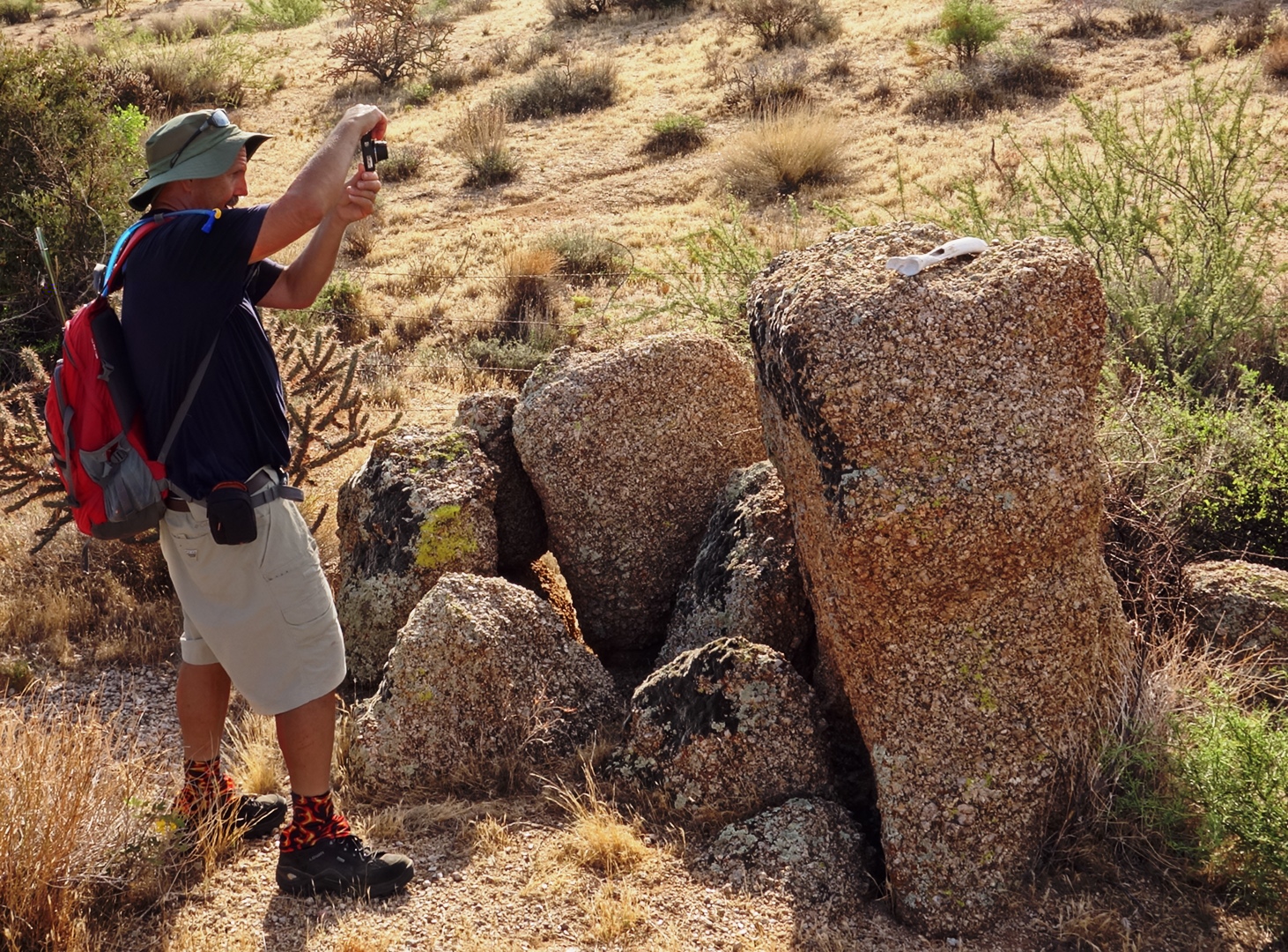
When we got to the Preserve side of the fence, we saw a very bleached bone sitting on a rock.  Here, Bob is taking a photo of it.

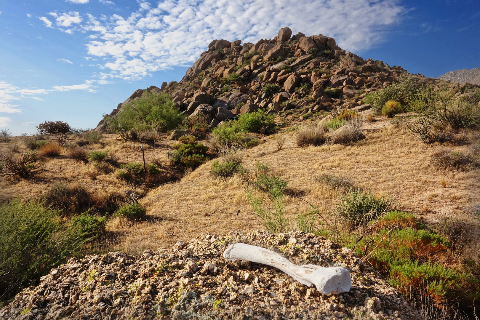
Here is a closer view of the bone:

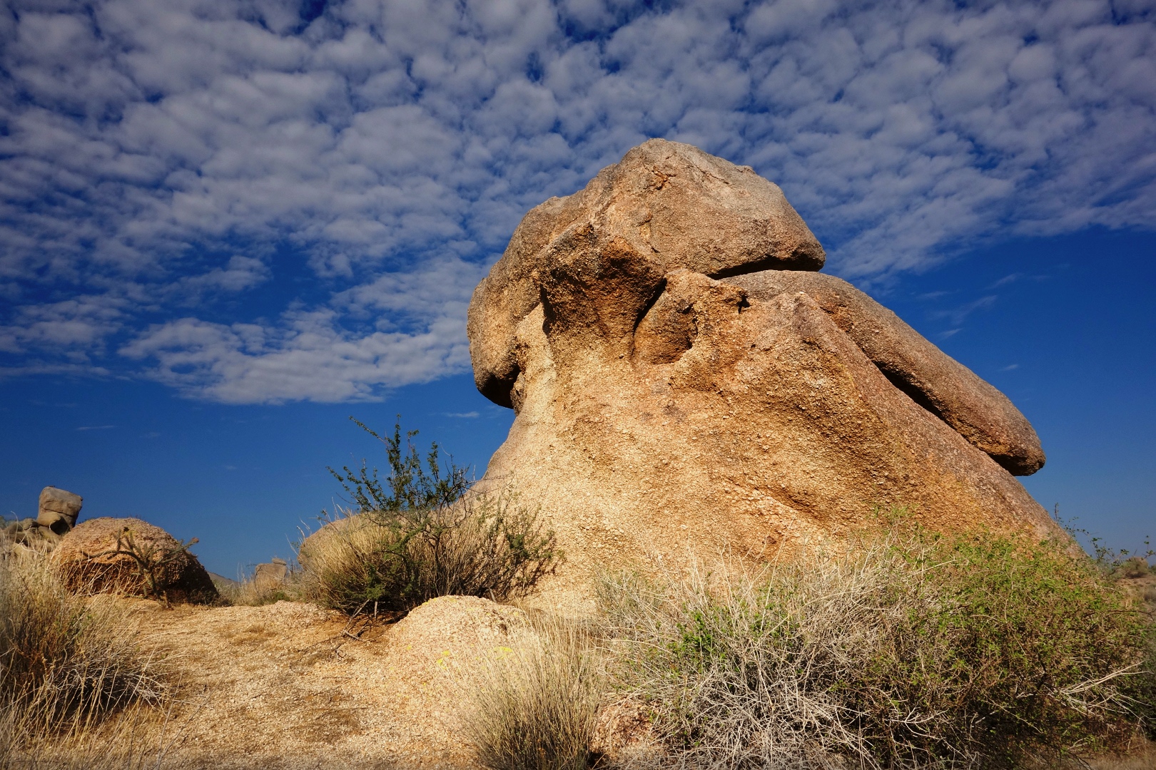
An interesting looking rock…

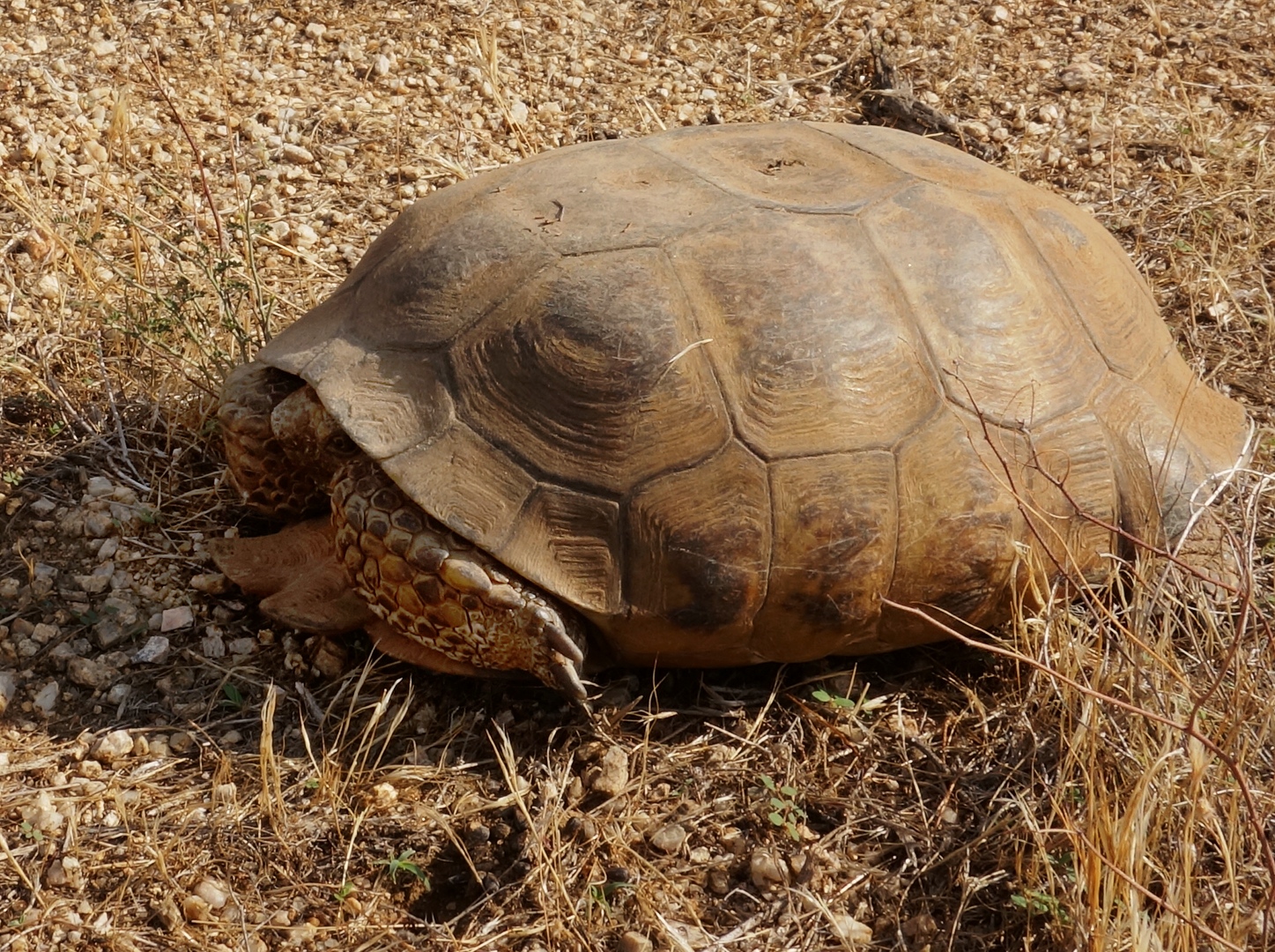
Bob noticed this tortoise along the way.  I would’ve walked by it without noticing it.  Bob said that he gave it some water and it perked right up.

Some flowers, thanks to the recent rain that we’ve gotten.


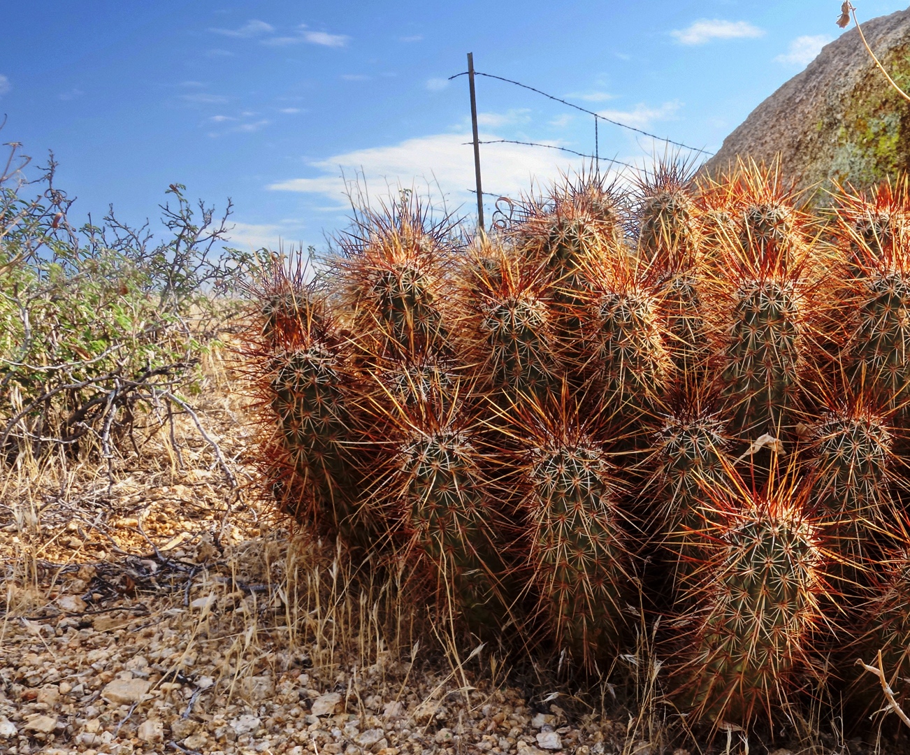
Hedgehog Cacti:

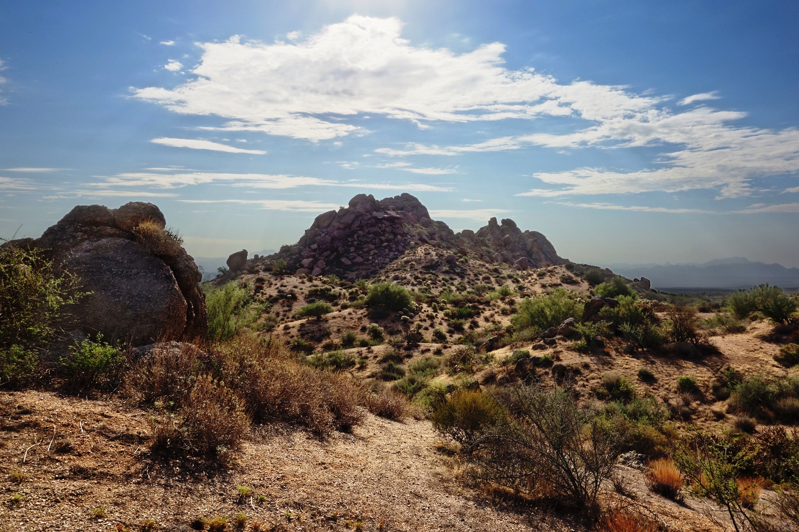
A view of Rock Knob from a vantage point to the west.  We’re looking east, towards the park (from the Preserve) here.

There used to be a pretty good road in the Preserve which lead back to the Rock Knob Trail.  The preserve managers churned it up so that it’s impassable by most vehicles now.  It was even hard walking on it.  It was easier to walk in nearby washes.

Once we got back to the park boundary and crossed the fence, we took the Rock Knob Trail to Pemberton.  We took the Bluff, Granite, and Wagner trails back to our vehicles.  We hiked exactly ten miles today.


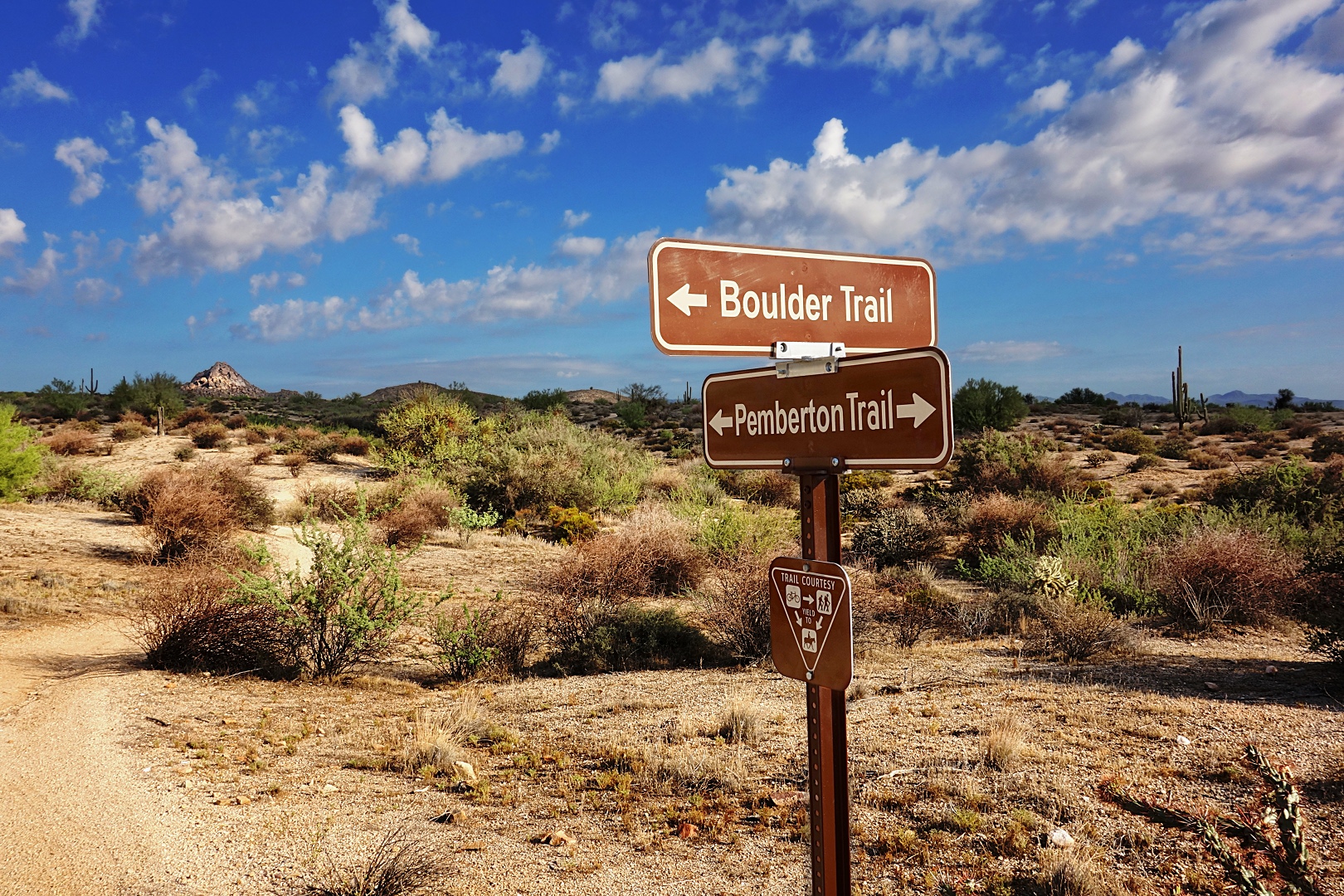
At the Intersection of Pemberton & Boulder…

Below is a photo taken during last Friday’s Fitness Hike.  It had been a while since I had been on that section of the Pemberton and that was the first time I saw this sign.  The Boulder Trail isn’t really new; people have been using it for years.  It’s even been on the Park’s master plan for some time, but up until about a month or so ago, was not an official park trail.  It leads up to the Marcus Landslide Trail in the McDowell Sonoran Preserve.

Friday Fitness Hike

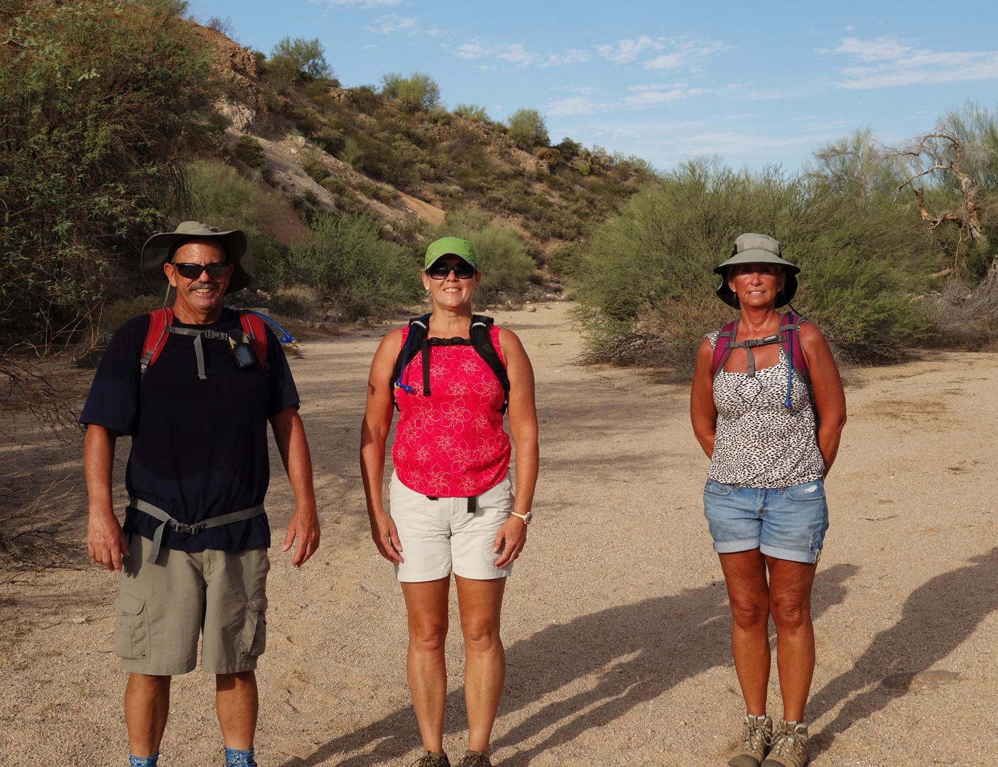
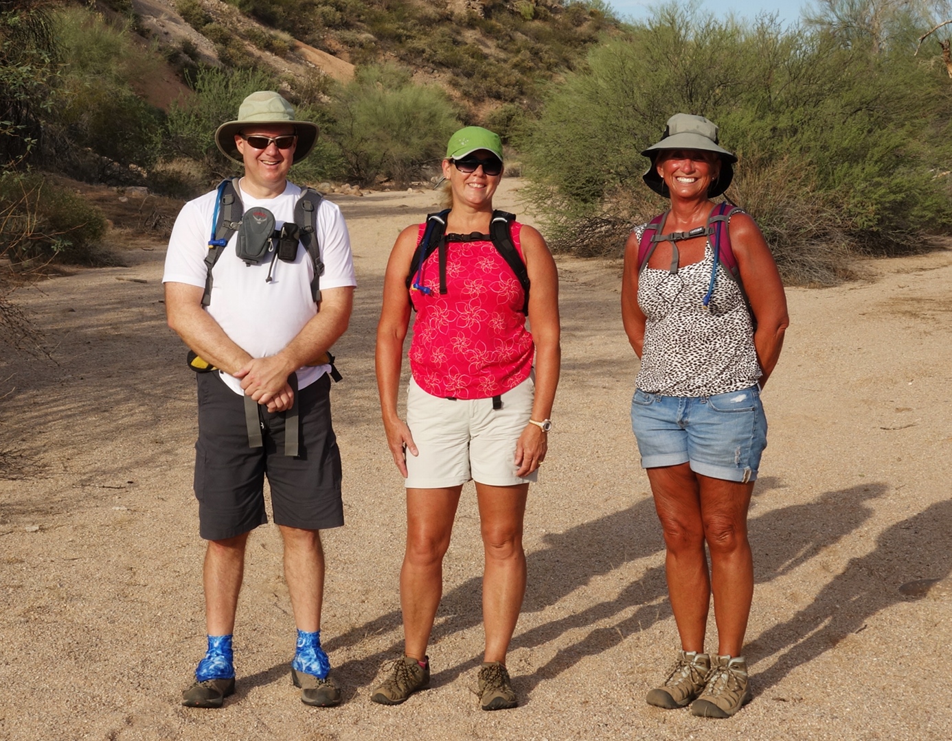
Today’s hike started at the Trailhead Staging Area in McDowell Mountain Park.  We had a small group today consisting of Bob, Janet, and myself.  It was humid and partly cloudy when we started.  We had cloud cover off and on during the hike.

We started by hiking clockwise on the Pemberton Trail.  We made a brief stop to look at the old homestead site and walked around the watering hole.  The water level was lower than I remember it being in the past.

Below is a view from the Pemberton, shortly after passing the intersection with the service road leading to the competitive track area.

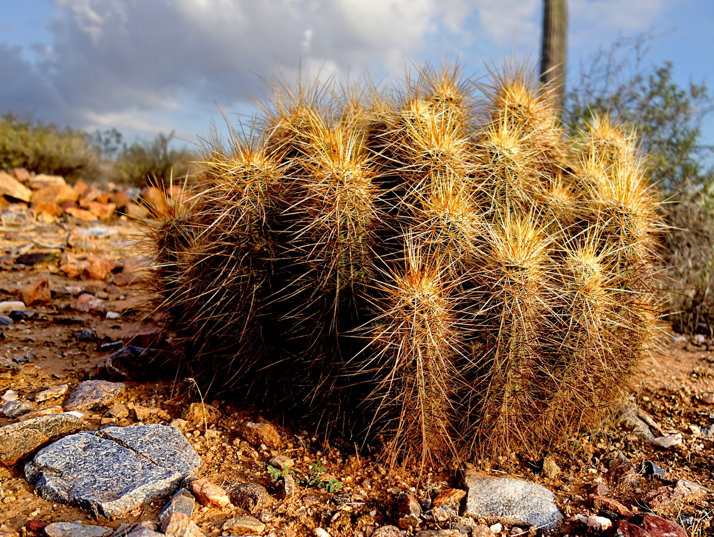
I think this is a group of Hedgehog cacti just a short ways further on along the Pemberton.

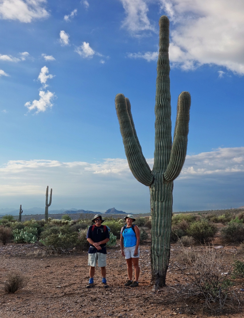
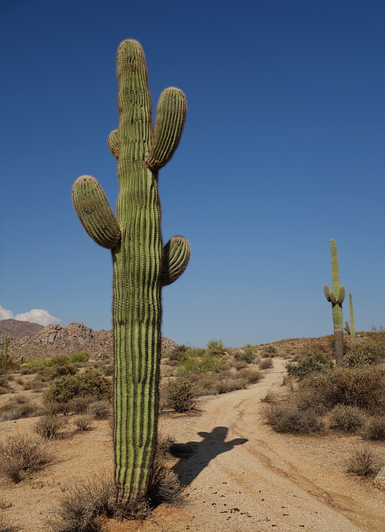
Bob and Janet beside a healthy looking saguaro:

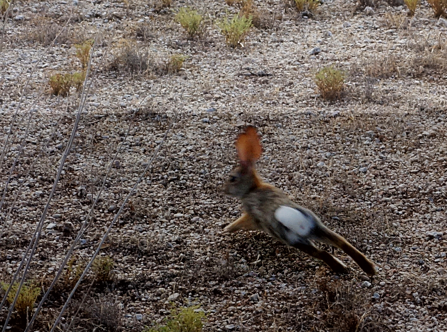
A scared bunny.

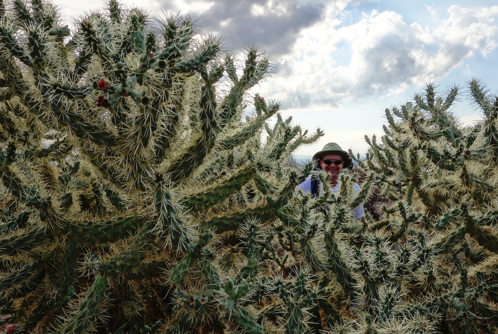
Me, looking through a stand of buckhorn cholla:

Another healthy looking saguaro, with the McDowells off to the left:

Bob and Janet, with Rock Knob behind and to the right.  We’ll be going to Rock Knob next week!

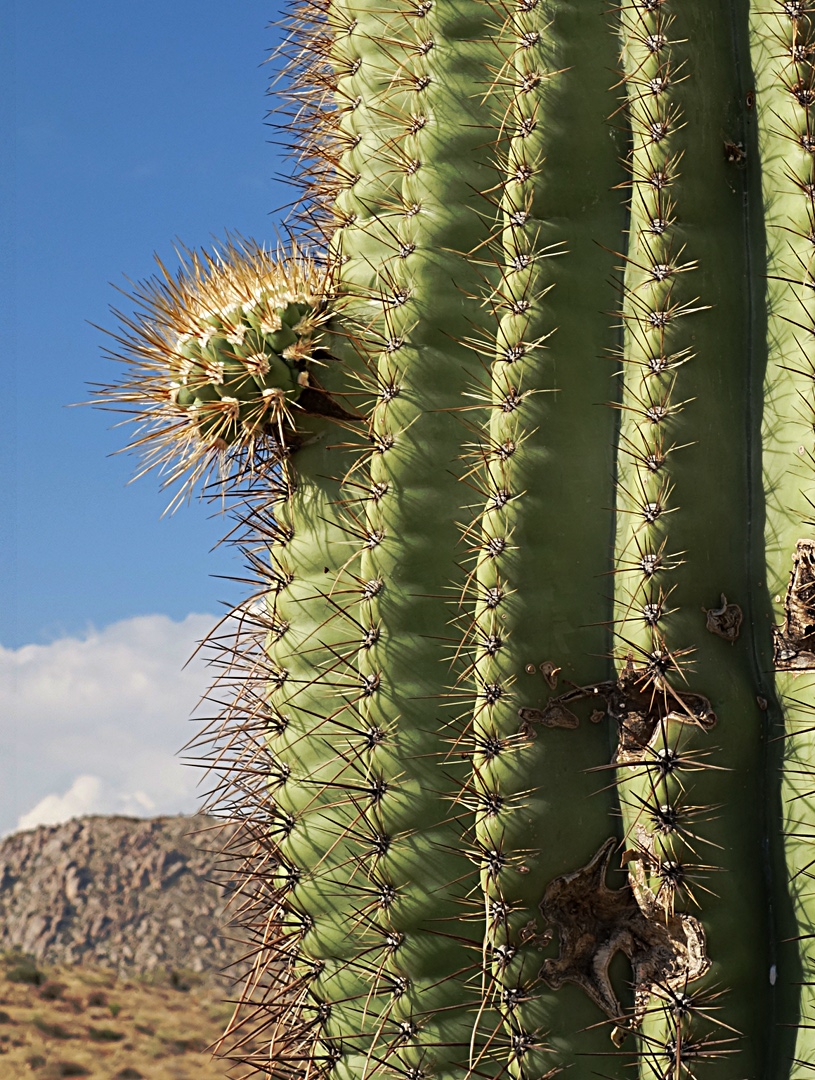
A baby saguaro arm:

At this point we had reached the Bluff Trail and proceeded to go down it.  Here’s a view looking back up the Bluff Trail.  Part of Rock Knob is visible just to the left of the big saguaro in front.

We turned right when we got to the Granite Trail.  Along the way, we saw another saguaro that’s growing a bunch of new arms, even more than are shown in the photo below.

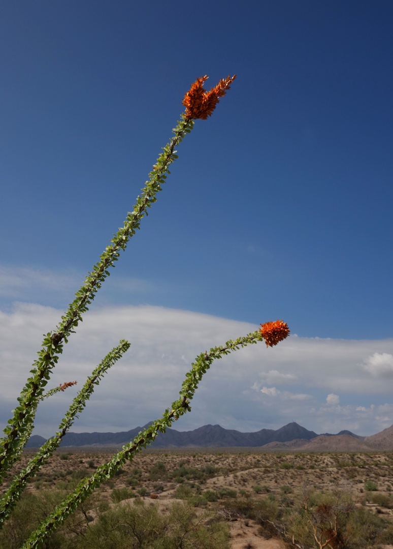
Right next to that saguaro was this ocotillo:

Granite took us back to Pemberton, which took us back to the Trailhead Staging Area.  We covered eleven miles total today!


Friday Fitness Hike

It was raining today as I drove out to the Friday Fitness Hike at McDowell Mountain Park.  It was still raining when I got there.  Linda had already arrived.  We rolled down our windows, said hello to each other and wondered whether anyone else would show up.  We didn’t have long to wait as Amy, Janet, and Bob all showed up within the next few minutes.   The rain wasn’t bad, just a light drizzle.

We hiked the Wagner Trail out to Granite, where we turned right.  Along the way, on Granite, I learned that the new trail which leads up to Granite Tank has been given a name; it’s now the “Delsie Trail.”  Apparently Delsie was one of the matrons of the old P-Bar Ranch.  Much, if not all of McDowell Mountain Park, and much of Fountain Hills too, was once part of the B-Bar Ranch.

According to the River of Time Museum,  the B-Bar ranch was operated by Henry Pemberton in the early 1900s.  Operation then passed to the Coles and then to Delsie’s husband Lee Barkdoll in 1935.  Lee died in a train accident a short while later.  Ranger Amy tells me that Delsie operated the ranch after Lee’s death, marrying Lee’s friend Dick Robbins in 1939.  She had a busy life, driving kids on the ranch and the nearby reservation into a school in Scottsdale.  She’d drop the kids off and then go to her job working at a cafeteria in Scottsdale.  Later in the day, she’d drive the kids home, and do whatever needed to be done for the ranch.  Delsie and Robbins ran the ranch until 1955.

We hiked the Delsie Trail today, taking it all the way to Granite Tank.  Along the way, Amy stopped to show us a plant known as The Queen of the Night.  It doesn’t look like much in the photos below, but Amy assures us that it has a very spectacular flower which only opens after dark.  In the photo below, Amy is telling us about this Night-blooming Cereus.
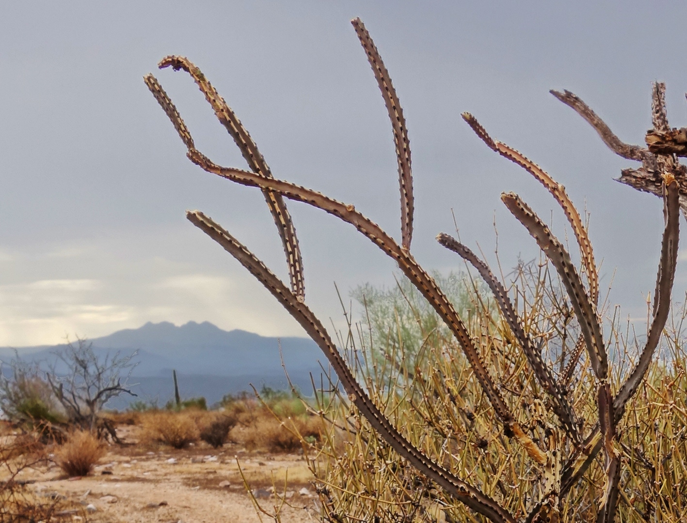
Here is a better view of this otherwise unremarkable plant with Four Peaks off to the left.
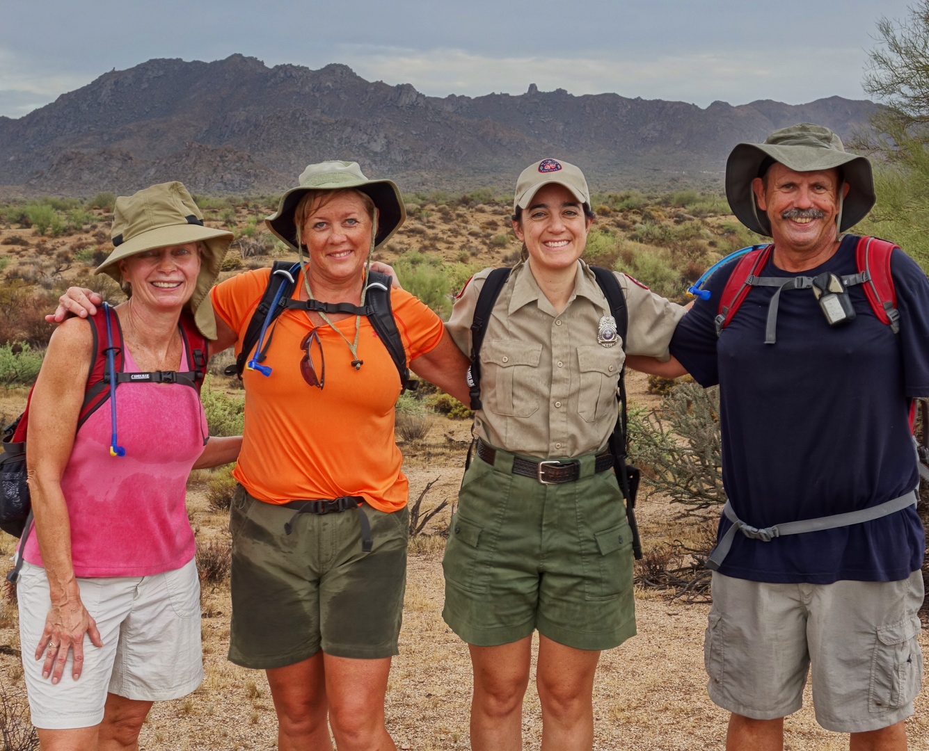
A bit further up the Delsie Trail, Amy turned around so that she could open the Nature Center on time.  It was still drizzling, but we stopped to take pictures before she turned back.
As we hiked further up the Delsie Trail, we noticed that some of the barrel cacti had bright red needles, perhaps due to the rain.

The Delsie Trail connects to the Pemberton Trail at Granite Tank.  We turned left and hiked a short way to where we could see this crested saguaro:
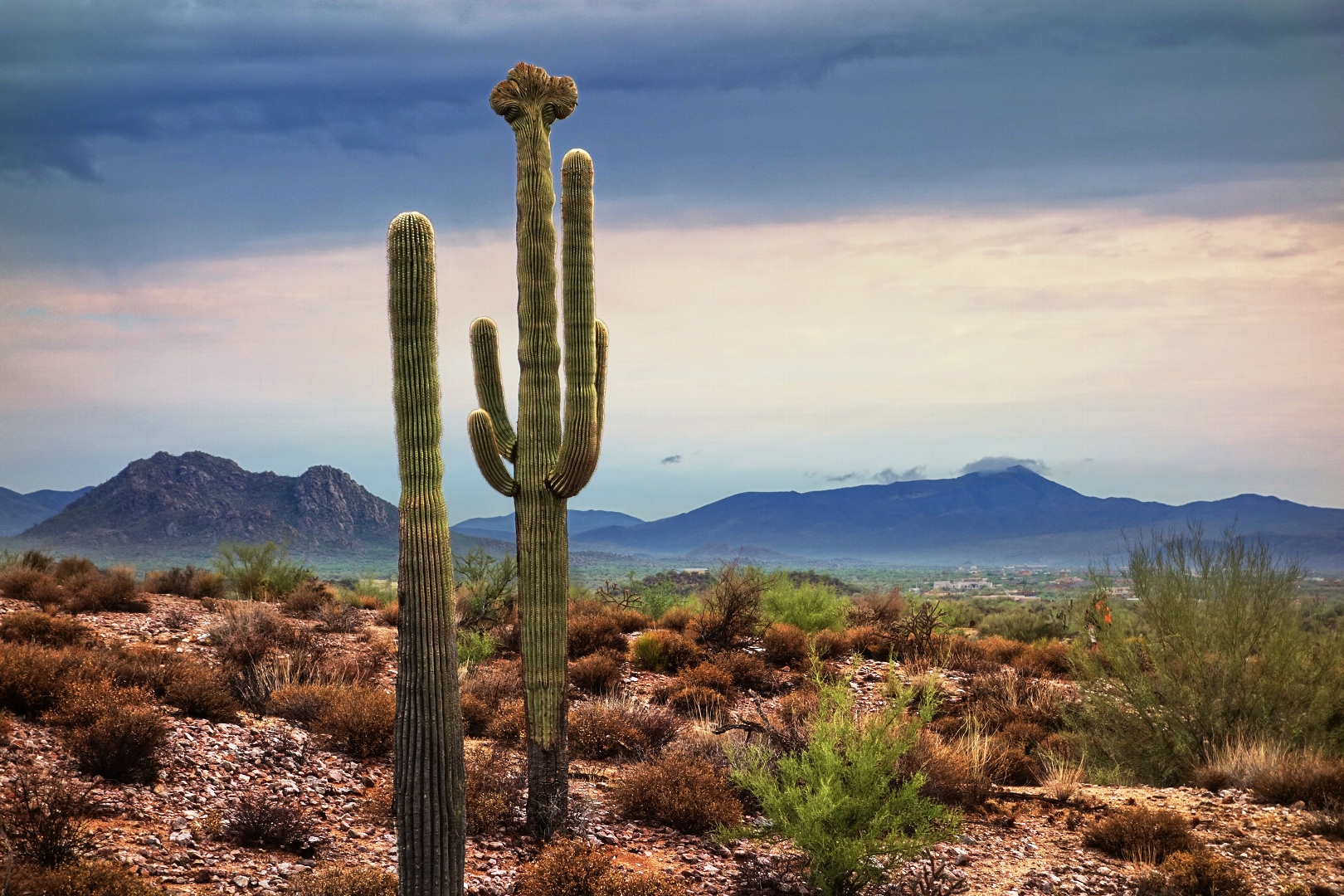
The rain brought out a lot of color that we don’t normally see when it’s dry – which is most of the time.  This photo is from a little ways further along the Pemberton.
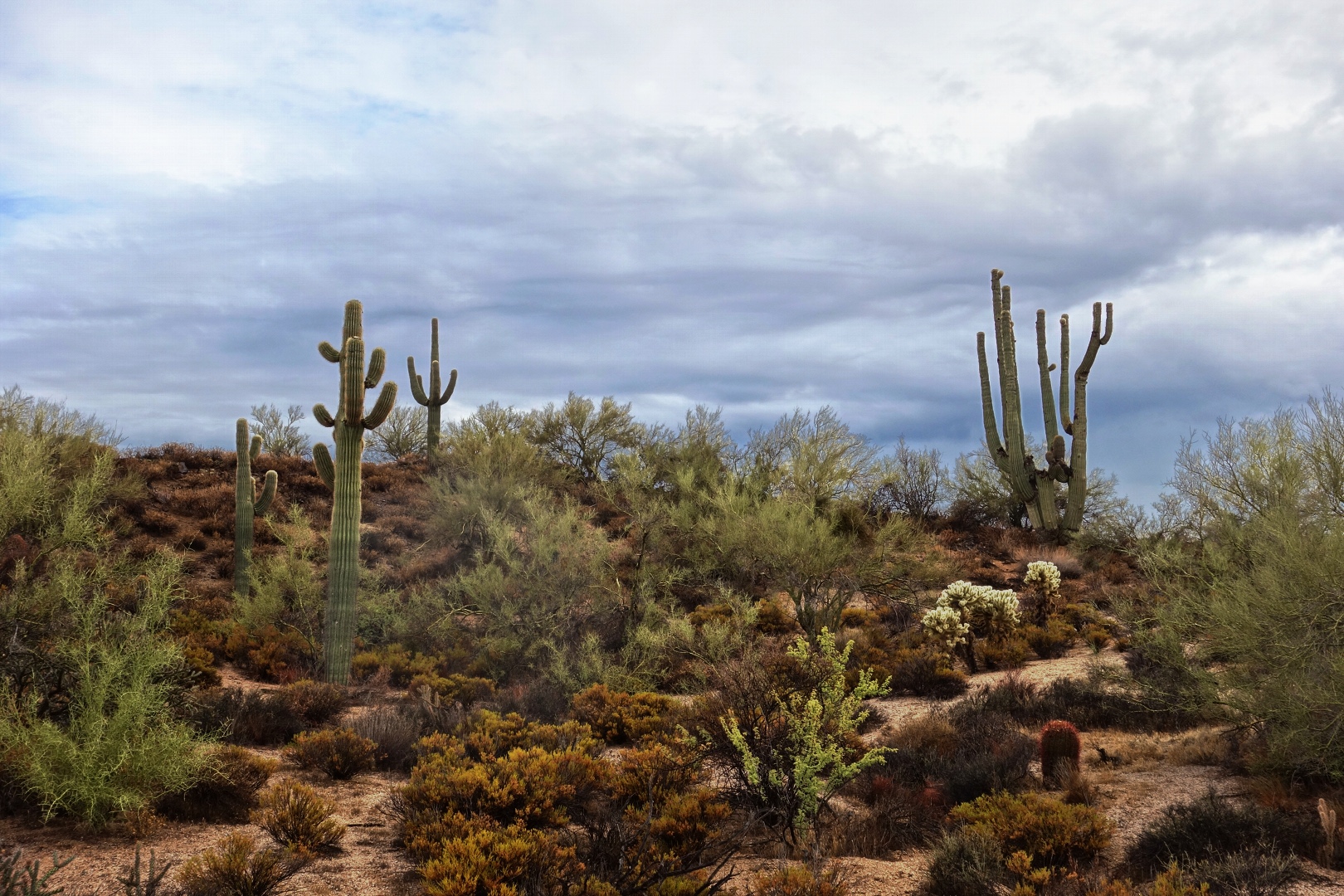
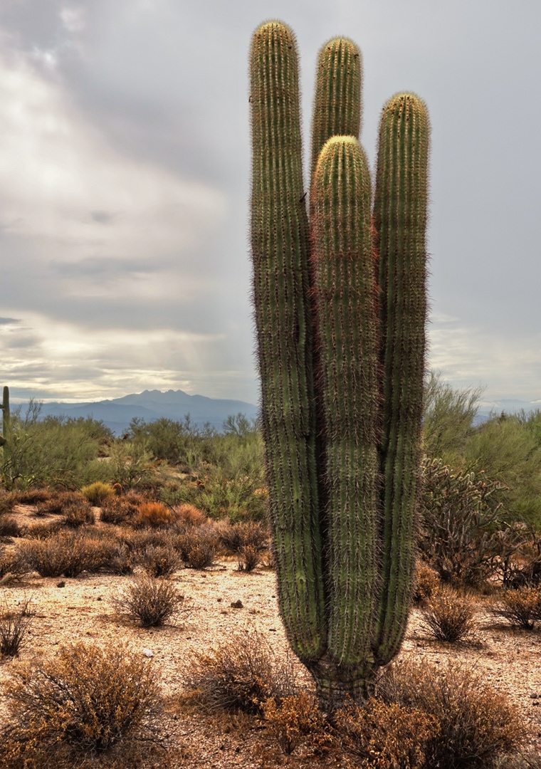
A short while later, we came upon this “quadruple” saguaro.  It’s one plant that appears to have split into four very long arms when the plant was quite young.
Bob noticed the sun starting to make its presence known and suggested that I get a photo.  Bob is good at spotting these shots.

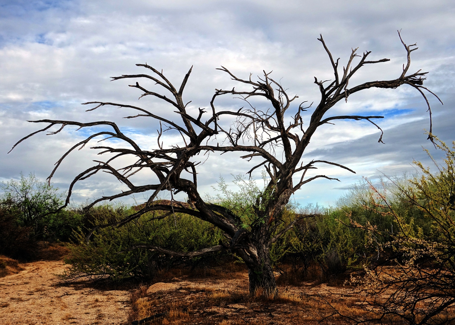
We saw this dead tree just as we came upon Stoneman Wash.  We decided to hike Stoneman Wash today.  If you’re going to hike this upper section of wash, the best time to do it is just after a rain because it firms up the sand.  It’s still a wash, but it’s not quite as loose as normal.  It can still be quite bad, however, if equestrians have been out with their horses.  Janet and Linda suggested this photo.
We came across this unusual Palo Verde tree as we were hiking Stoneman Wash.  I thought it odd that the tree had a dead looking spot above which were living branches.

Ranger Amy, who in turn double checked with Ranger Kevin Smith at Spur Cross, tells me that the colorful plant in front of the Palo Verde is a Turpentine Bush.  We saw many of them on the hike.  The rain seems to have brought out the color in them.  Amy tells me that they have yellow flowers when they bloom.

Here is my attempt at photographing water droplets on a Palo Verde branch.
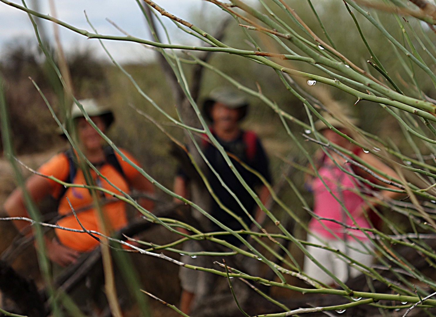
Linda had the idea for this shot.  She took the photo too.  I think it turned out very well.
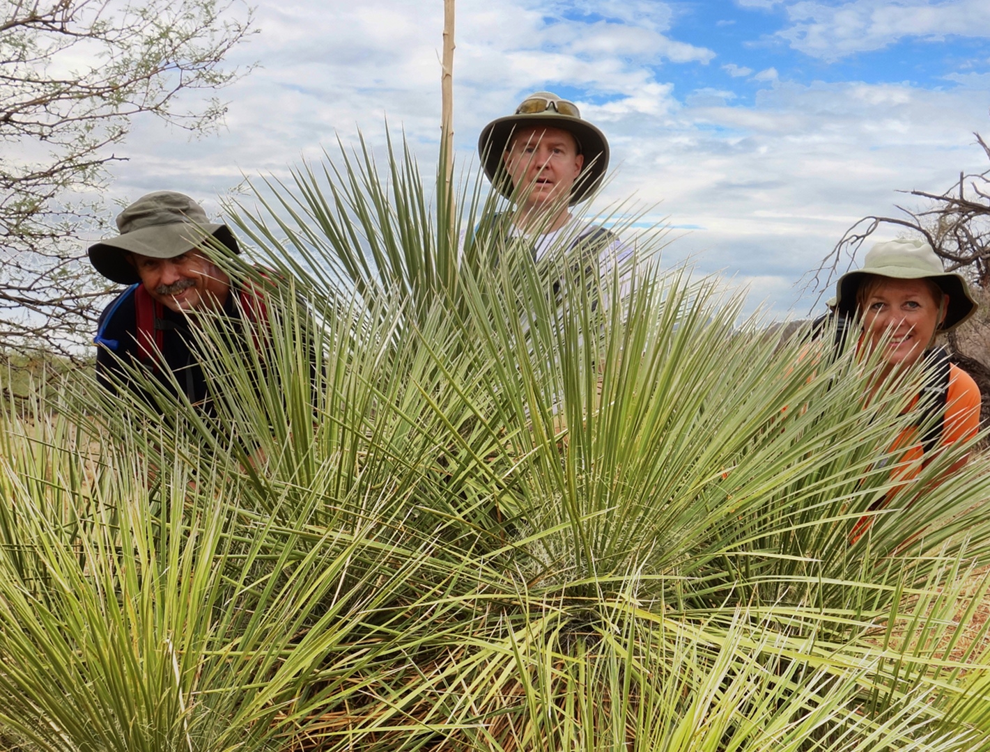
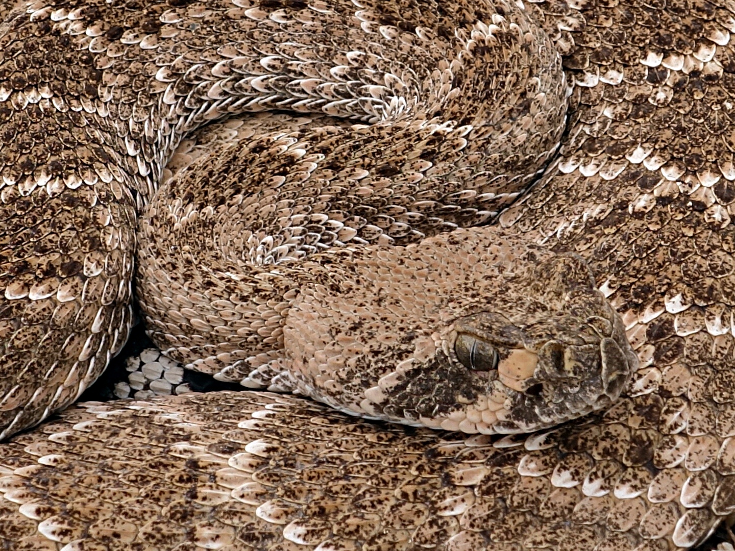
Bob and I walked right past this snake, a Western Diamondback, and had trouble seeing it even when Linda and Janet were pointing right at it.  I had a hard time photographing it too as I took one shot where I missed the snake completely!  This shot, however, came out fairly well.  Notice though how well the snake blends in with the gravel of the wash.
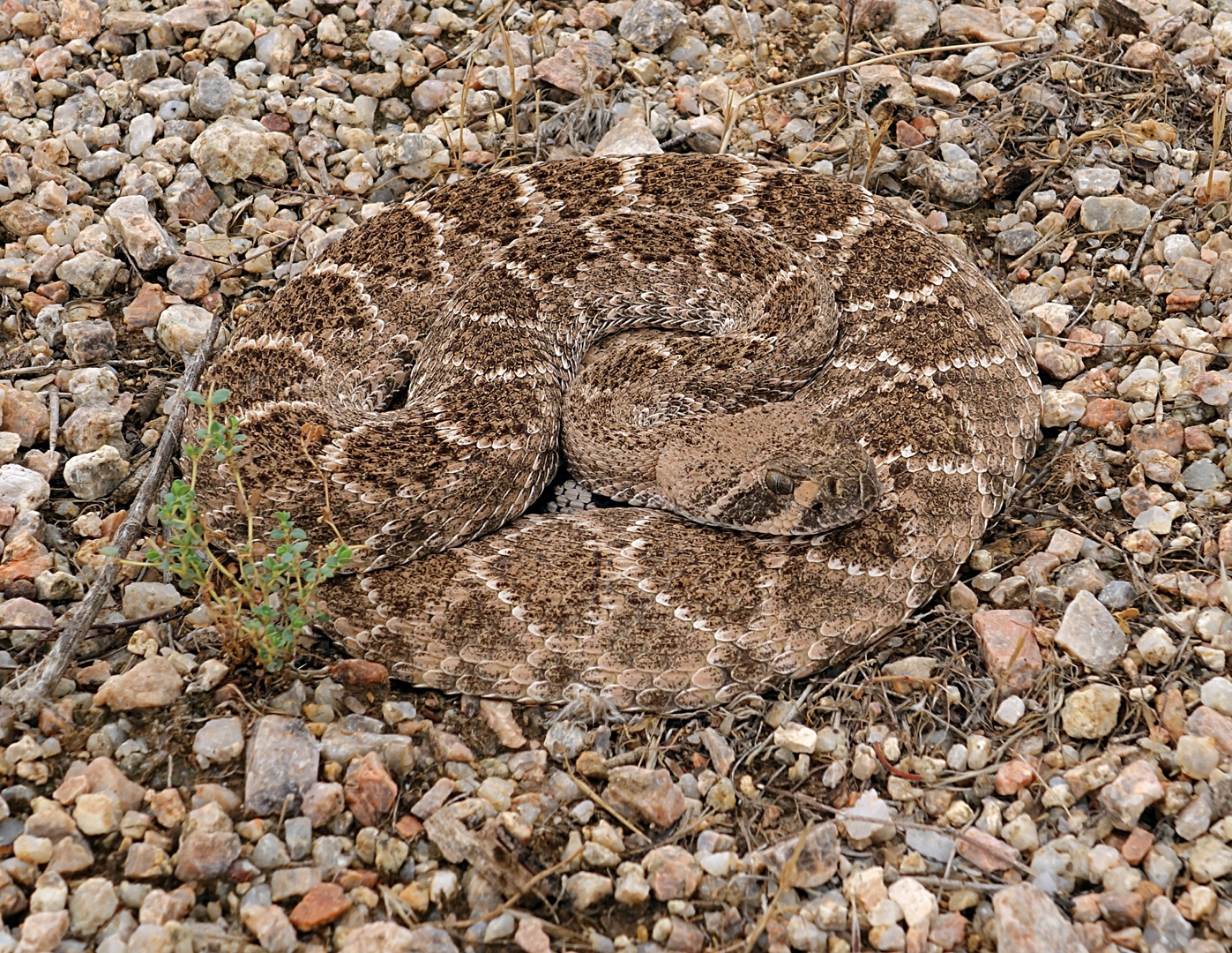
Here’s a 1:1 crop showing more detail:
We ended up hiking Stoneman Wash all the way to the Bluff Trail.  Once we got to Bluff, we turned left and headed back on the Wagner Trail.

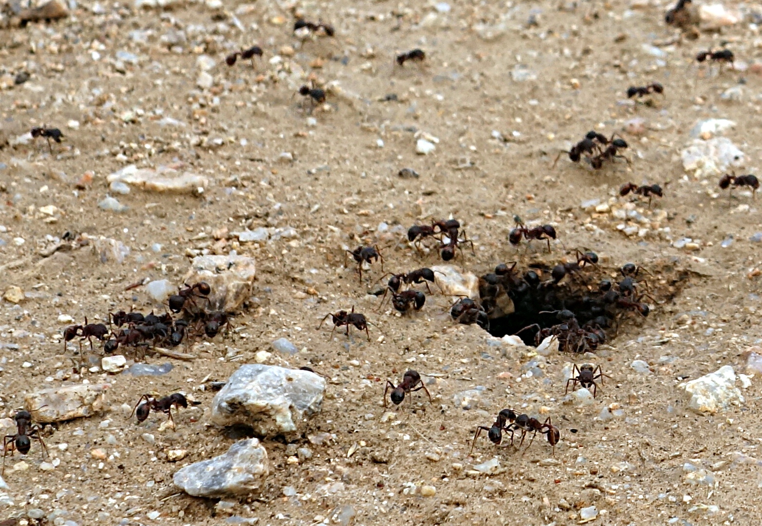
Large black ants were out in force today.  I guess they like the moisture too.  Bob had been bitten by some black ants earlier in the hike.
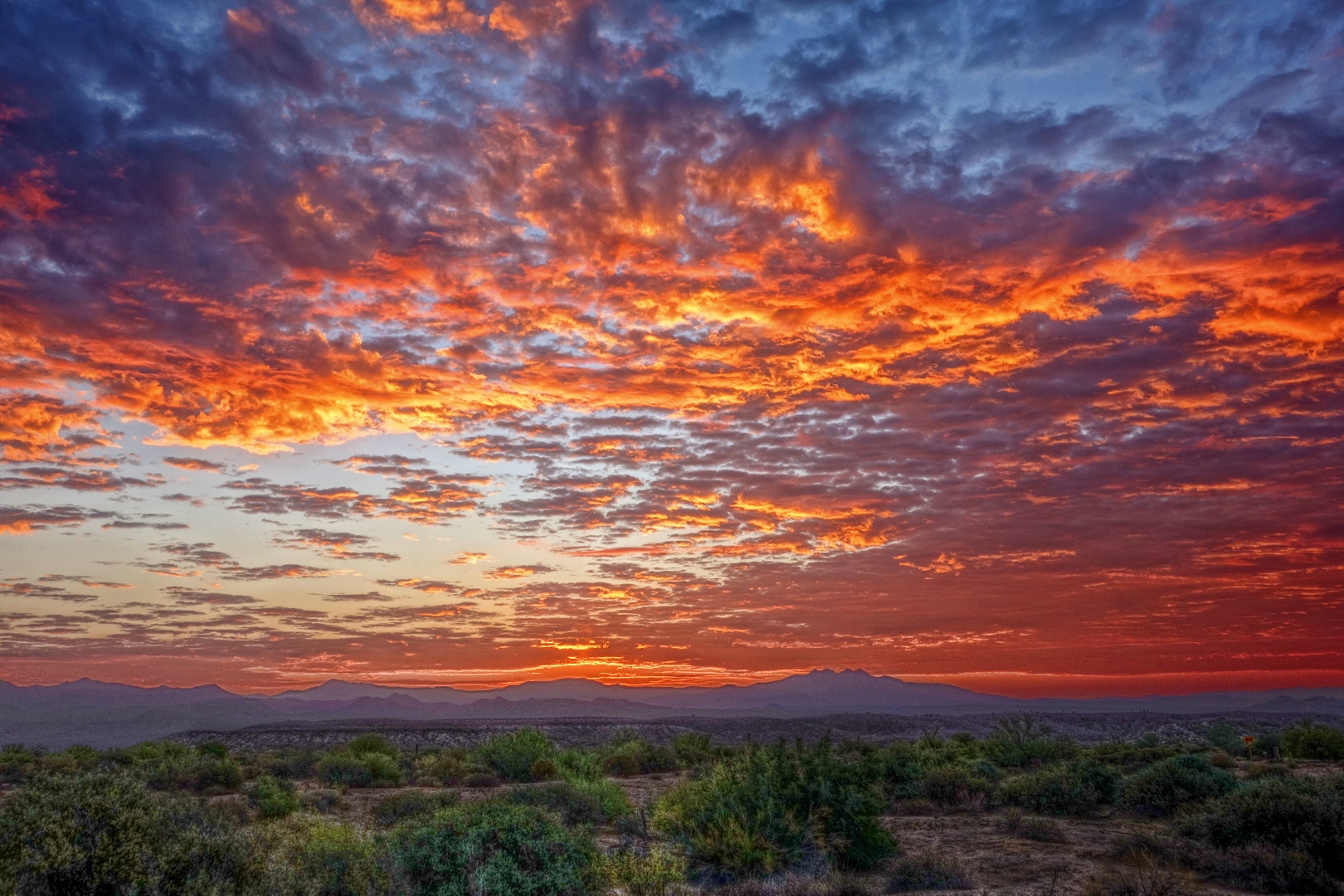
I got this photo just after taking a few shots of the ants.  I really like the clouds in this shot.

We hiked a little over nine and half miles today in only a little over three hours.


Friday Fitness Hike

Today’s hike started at the Lousley Hill Trailhead where Amy, Bob, Linda, Janet, and I started off.  We took Lousley Wash up towards Pemberton.  Amy turned around about a hundred yards shy of hitting the Pemberton.  The rest of us continued on, hiking the Scenic Trail and then stopping briefly at the Trailhead Staging Area.  From there we took Pemberton back to Lousley Wash which took as back to the Lousley Hill Trail, just a short distance from the parking lot.  Total distance at that point was just over seven miles.  Bob wanted to get in even more mileage – he’s been averaging over eight miles a day for the month so far – so I did one lap of Lousley Hill with him, bringing our total distance up to a bit over eight miles for the day.

I drank all of my water today, three liters worth.  It was warm out, with the temperature at 88 degrees when I checked it at 4:45am.

Janet, Amy, Bob, and Linda:

Janet, Amy, Kevin, and Linda:

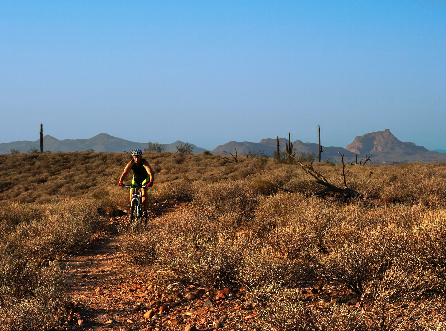
We saw a mountain biker while hiking the Scenic Trail.  He’s the only (other) person we saw during our entire hike.

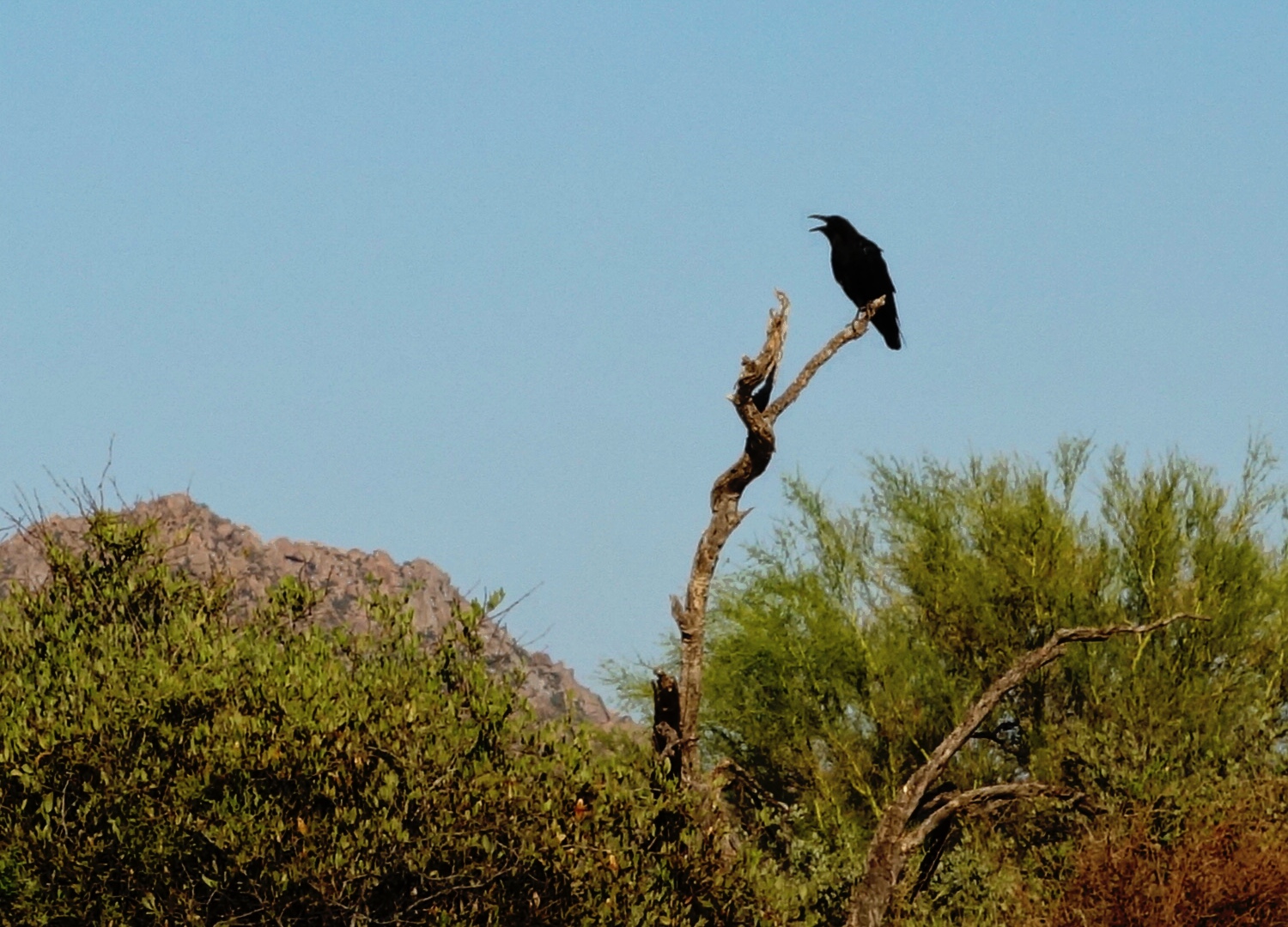
A raven perched on a dead tree branch near the Trailhead Staging Area:

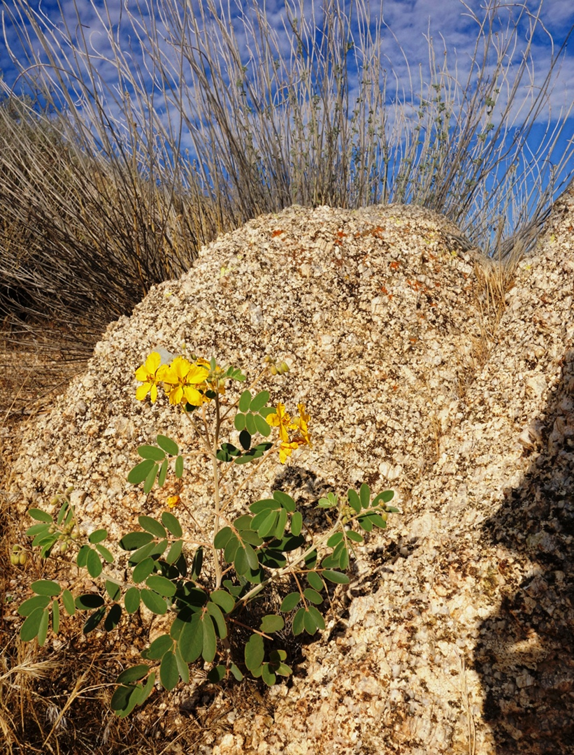
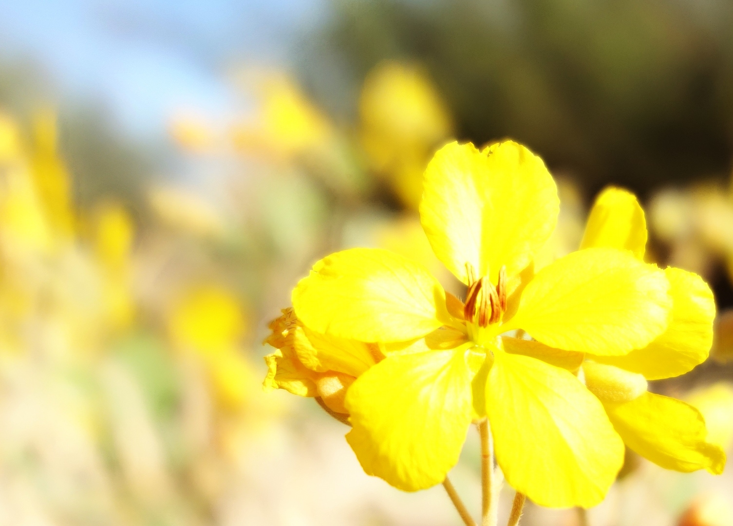
Ranger Amy says that this yellow flower, below, is a Desert Senna flower.  The Senna seedpod contains the active ingredient used in some over-the-counter laxatives, including Senokot.  (Thanks again to Ranger Amy for the flower identification!)

Friday Fitness Hike

Today’s hike took us half way around the North Trail to the Chuparosa.  At that point, Ranger Amy headed back so that she could open up the Visitor’s Center on time.  Bob, Janet, Nancy, and I continued on the Chuparosa to the Pemberton.  From there we made our way over to Lousley Hill and hiked to the top.  We then found our way over to the Verde Trail and then back to the North Trail and our vehicles.  Total distance today was 7.1 miles.

Sunrise at the North Trailhead:

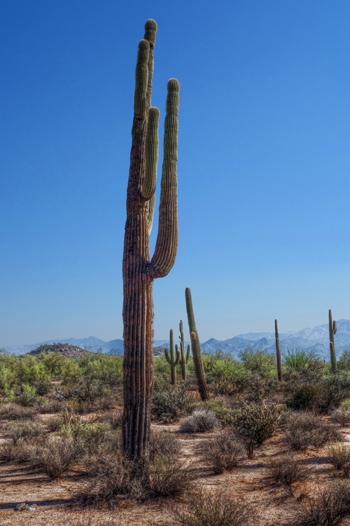
I think this is just one saguaro, below.  It’s kind of weird how it grew up a very short ways and immediately branched off with some very sizable arms.

Bob, Janet, and Nancy:

Kevin, Janet, and Nancy:

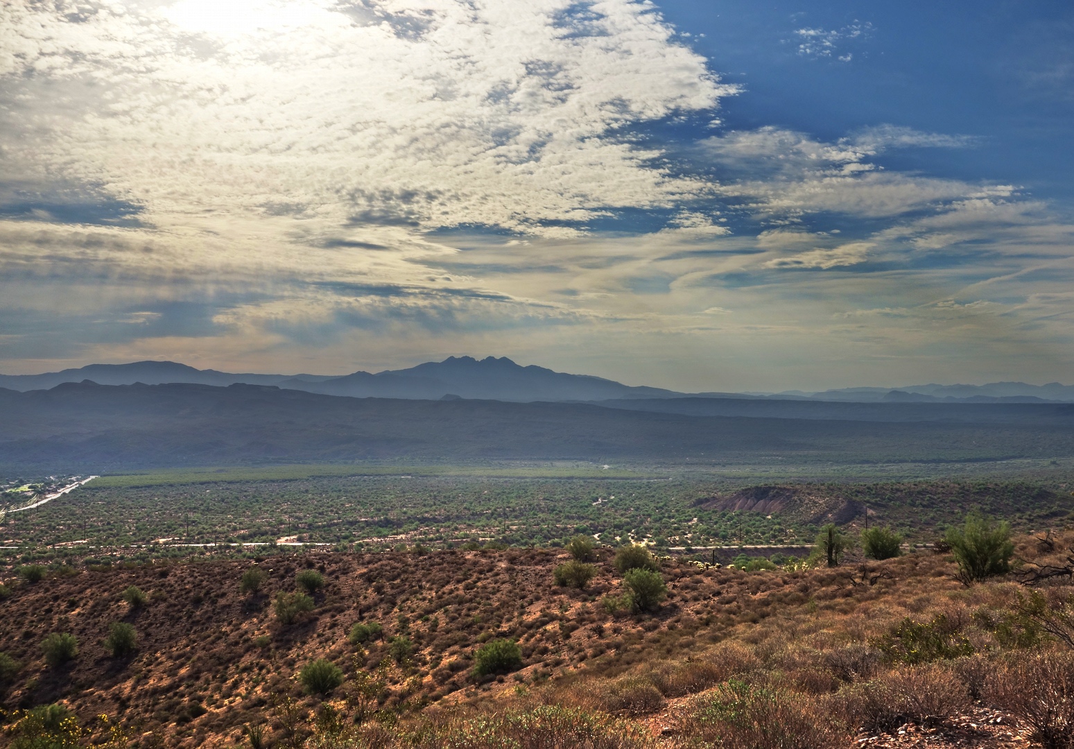
A view of Four Peaks from the top of Lousley Hill:

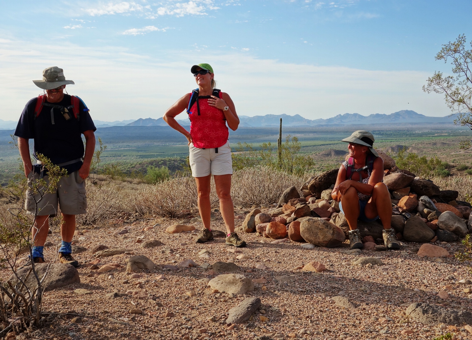
Resting at the top of Lousley Hill:

Lousley Wash:

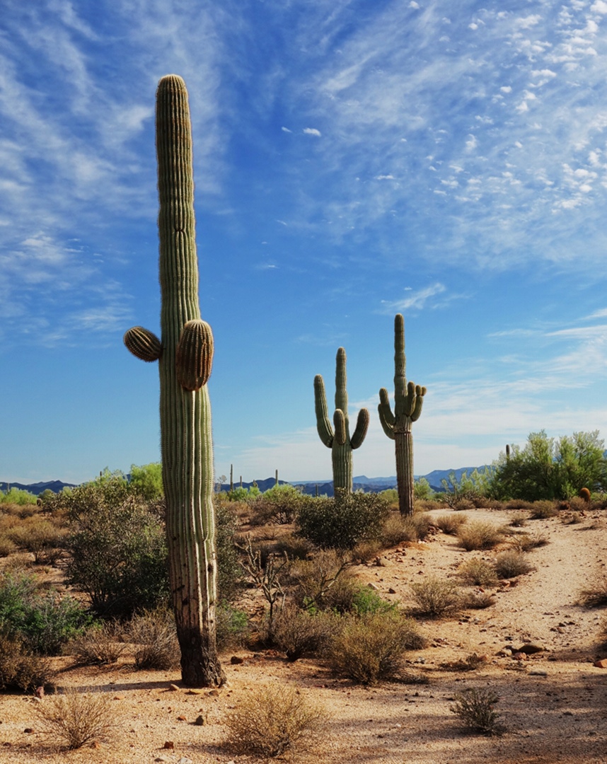
Three Saguaros that we came upon shortly after leaving Lousley Wash:

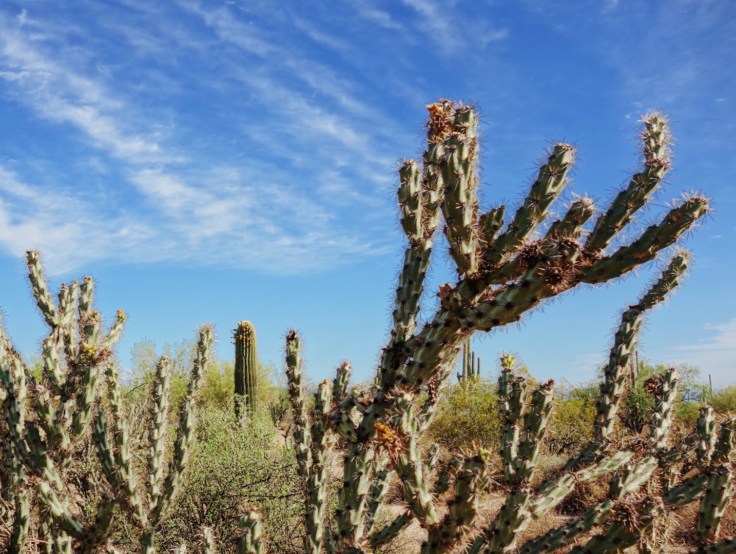
Buckhorn cholla with saguaros in the distance:

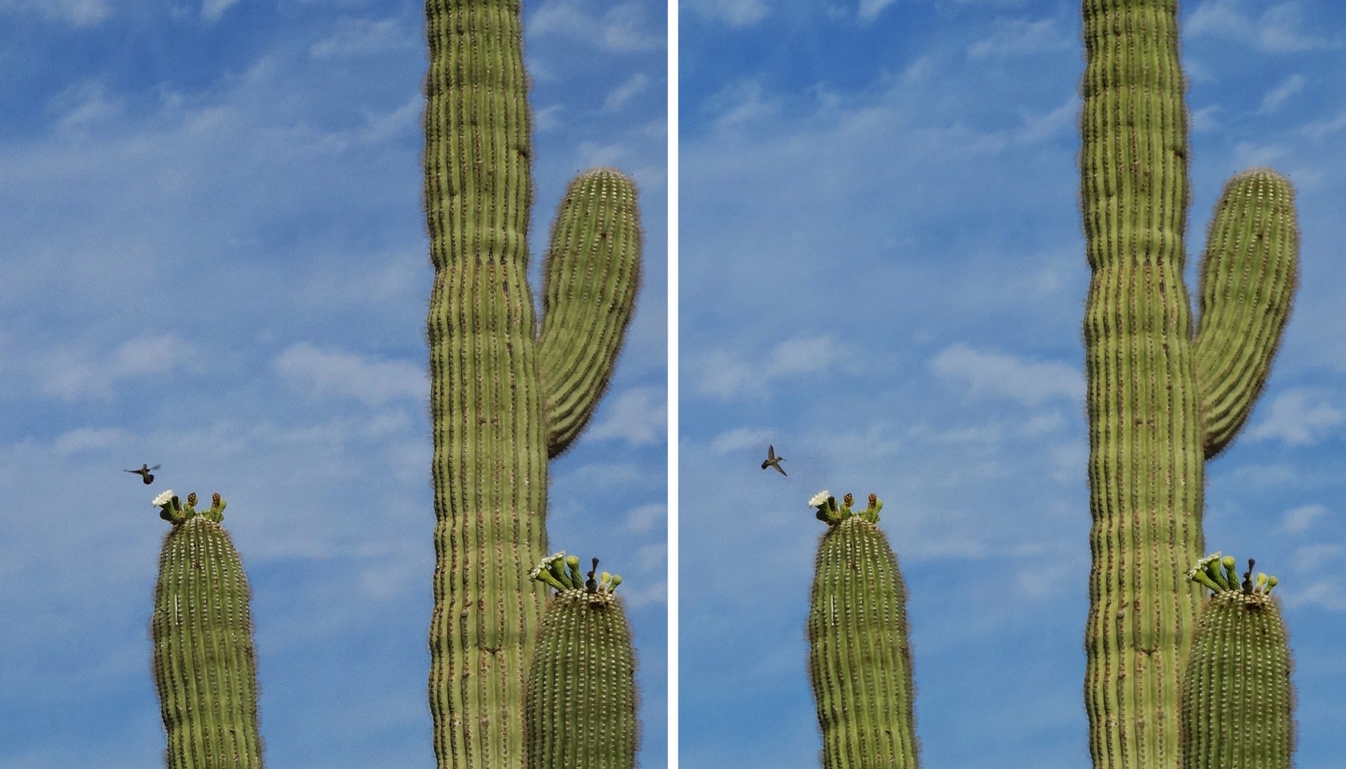
A hummingbird.  Unfortunately, the camera that I used today couldn’t zoom in very closely on it.  These shots were taken less than half a second apart.

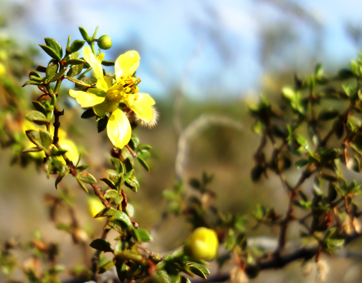
Recent rain has brought some of the flowers out again.  This one is on a creosote bush.  (Thanks to Ranger Amy for the identification.)  The Sony RX100‘s aperture was set to f/1.8 for this shot.  Note that it does a pretty good job of providing a short depth of field.


Friday Fitness Hike

There were five of us today for the Friday Fitness Hike, me, Marilyn, Bob, Janet, and Pat.  Bob did indeed get a new bird, but he says it’s loud and that he needed the solace of a hike for some peace and quiet – or something to that effect anyway.  Bob brought his friend Pat along this time.  Pat says he’ll be joining us next week too.

Today’s hike started at the Trailhead Staging Area.  We hiked a very short ways on Pemberton to the Tortoise Trail.  We hiked all of the Tortoise Trail, crossed the main park road and got on the Wagner.  We hiked all of the Wagner and then turned right on Granite. When we reached Stoneman Wash, we hiked the wash, downhill, back to Pemberton.  From there it was less than a mile back to our vehicles.  Total distance was just under six miles.

We had some nice cloud cover today which kept the hike somewhat cool for this time of year.  The clouds also made for some nice photos…

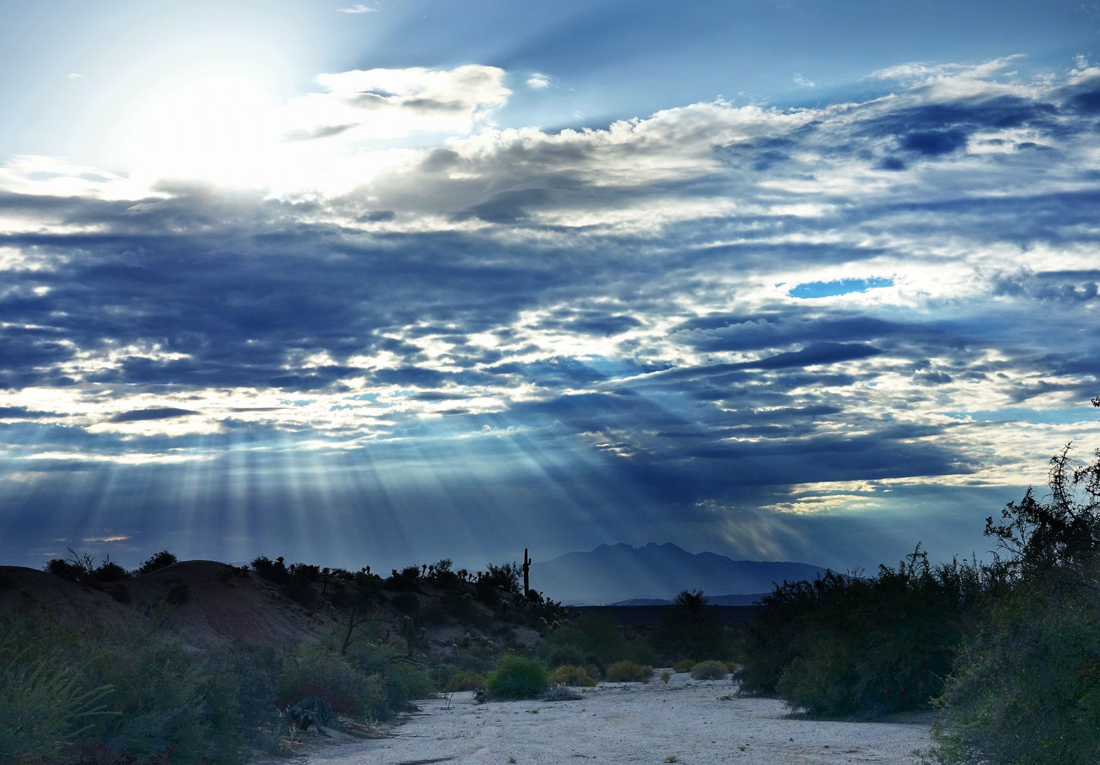
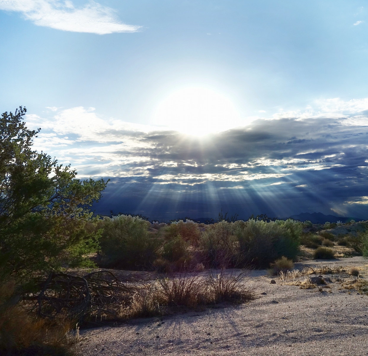
Bob, as he often does, spotted a good photo opportunity.  The sun was hiding behind some clouds showing some interesting rays of light.  We’re in Stoneman Wash here.  You can see Four Peaks off in the distance.

Another view of Stoneman Wash with the rest of the group hiking on ahead of me.  I had fallen behind while taking some photos.

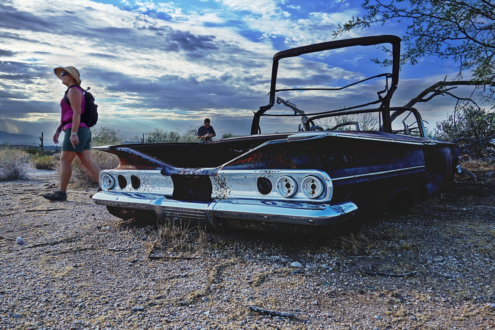
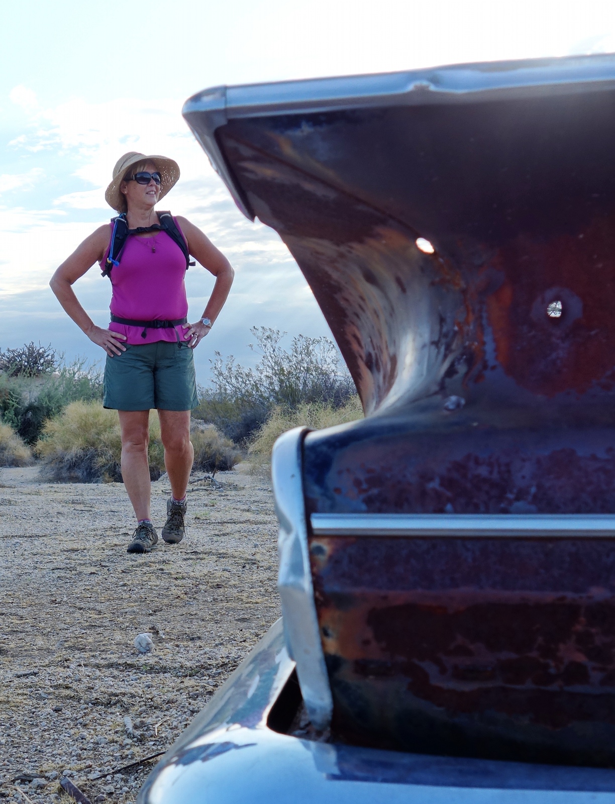
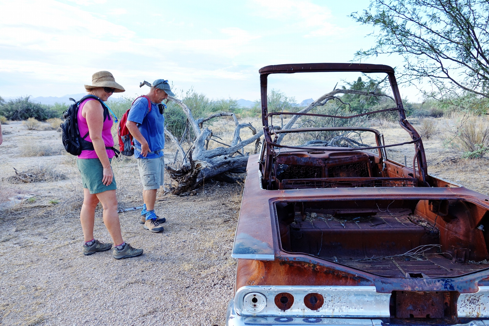
There’s the shell of an abandoned car from the late fifties or early sixties in the wash, but sometimes you have to look around to find it.  We found it easily today as I had a waypoint set for it on my GPS.  It’s amazing that the chrome is still very shiny after all of these years.  Sue looked at this photo and told me that she thinks it’s a Chevy.
Another photo of Janet near the car.

Bob and Janet examining the car.  They made them really big back in the day.  It looked to be as long and as wide as one of today’s full size vans.
Nearing the end of Stoneman Wash:

A view from the Pemberton Trail:

The photo below is a late addition.  I had worked on this one, but was not sure how well I liked it.  I took another look at it today and decided that it’s not too bad.  There was some bad lens flare off to the right in the photo.  I spent some time using the clone tool and the healing tool, trying to touch it up, but in the end I just cropped it away.  I think there are still a few lens flare spots in this photo that I did touch up, but I can’t tell where they are anymore.
The major problem with shooting into the sun without using some sort of filter (e.g. a graduated ND filter) is that the sun ends up blowing almost everything else out.  For this photo, I had clouds obscuring the sun, but the sun is very bright and that area is still blown out.  The foreground was very dark.  I took this shot using the RX100’s auto HDR mode, but the foreground was still very dark.  It took a bit of work to lighten it up – it doesn’t look great, but it’s acceptable.  (I had this same problem with the first photo posted for this entry too.)