Tag: Arizona (page 56 of 74)

Friday Fitness Hike

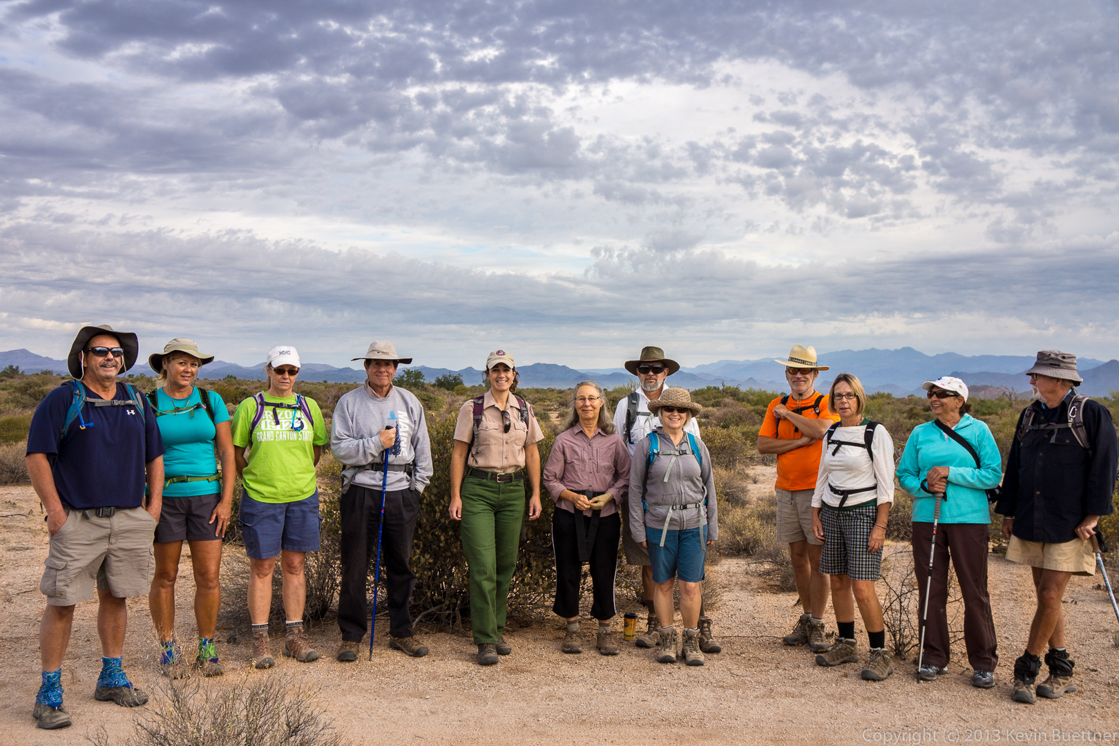
Ranger Amy had scheduled two consecutive Friday hikes at the North Trail.  She suggested that I and those wanting to do a longer hike take a look at the newly opened Escondido Trail.  We started our hike from the Lousely Trailhead while Ranger Amy lead the scheduled hike on the North Trail.

Bob, Sarge, Janet, Doug, and I did a 9.2 mile loop.  We started at Lousely Trailhead and made a left on the Escondido trail which now crosses the Lousely trail perhaps 200 yards from the Trailhead.  We followed Escondido to Cinch, took Cinch to Scenic, Scenic to Pemberton, Pemberton to Escondido, and Escondido back to the Lousely.  The Cinch Trail has been around for a while, but I didn’t know the name until recently.

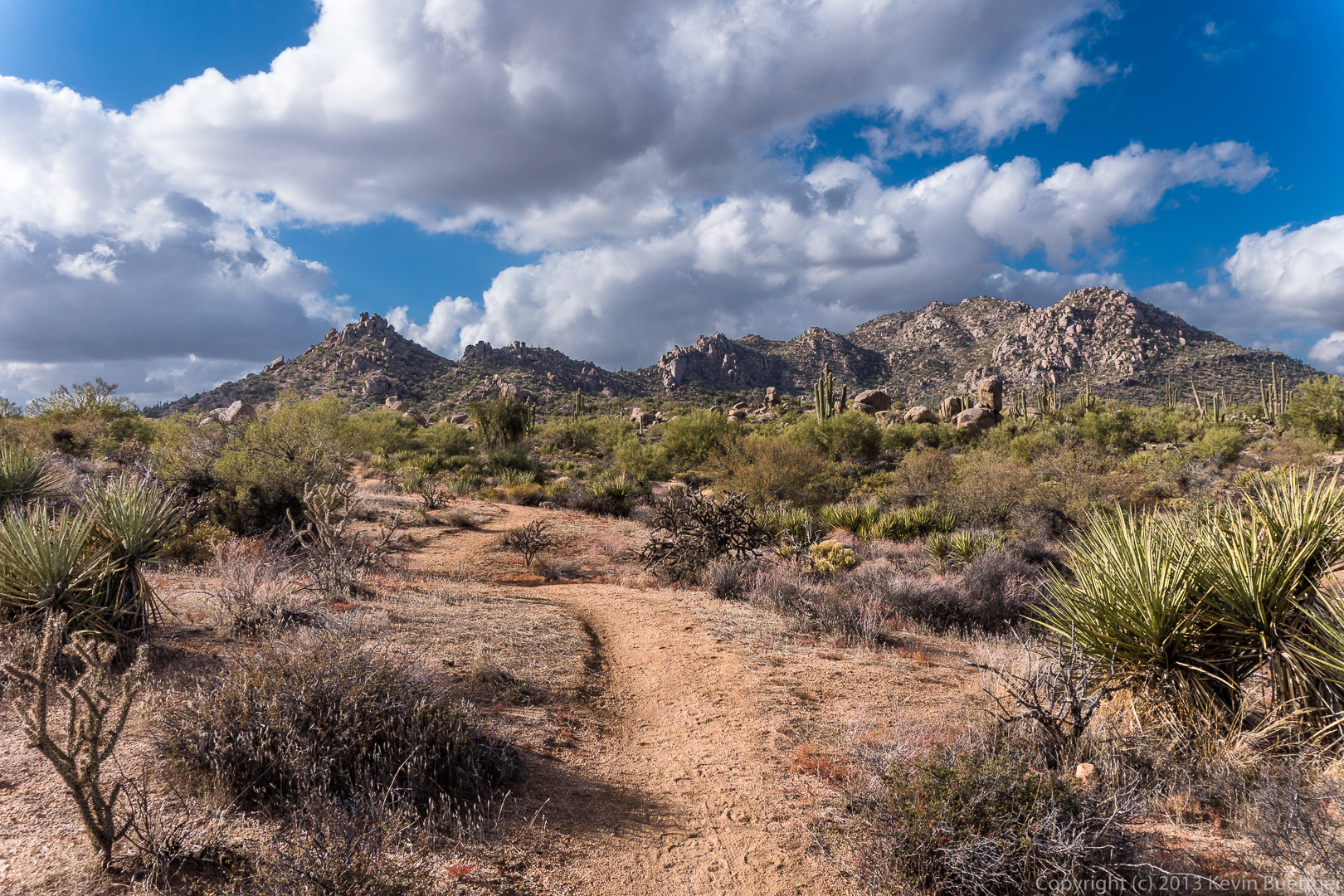
The map below shows our route.  If you look at the top (north) part of the map, you’ll make out a short spur coming off the loop; this is where we started.  The Escondido Trail zigs and zags a lot, but the first leg of our journey lead us generally southward.  The Cinch Trail heads northwest to join the Scenic Trail.  If you zoom the map, and you know what you’re looking for, it’s possible to see where Cinch intersects the Scenic.


View hike-131213-track-only.kml in a larger map

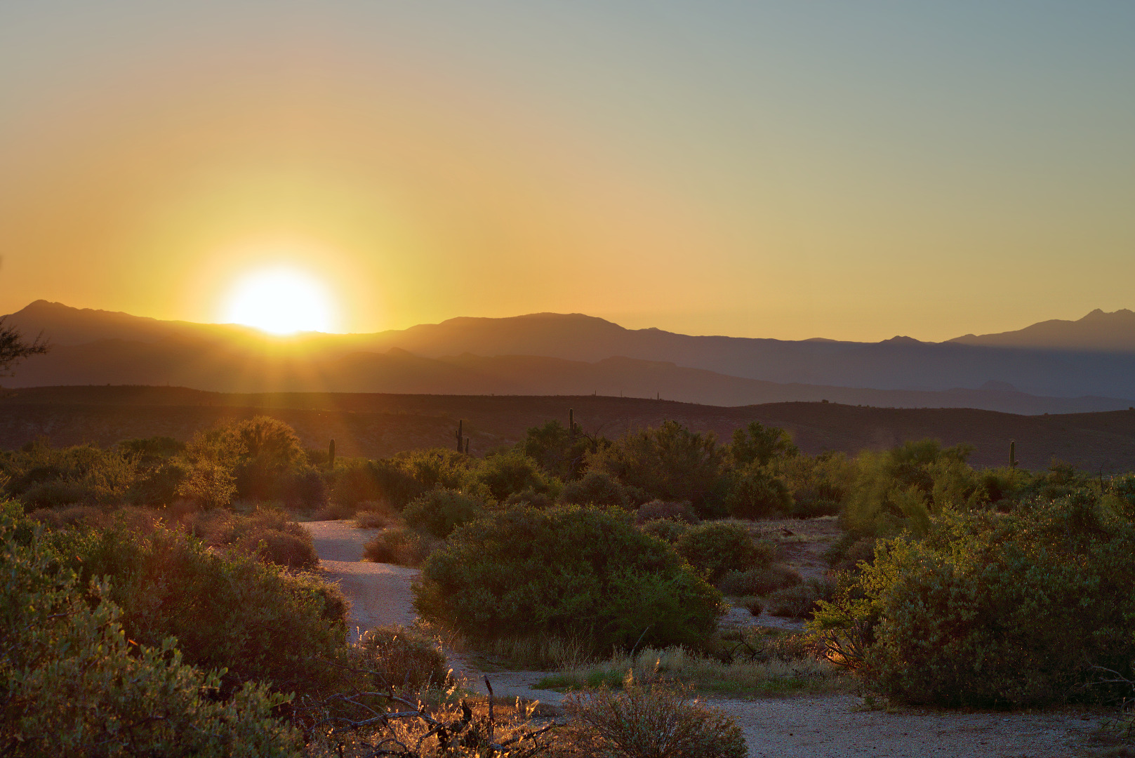
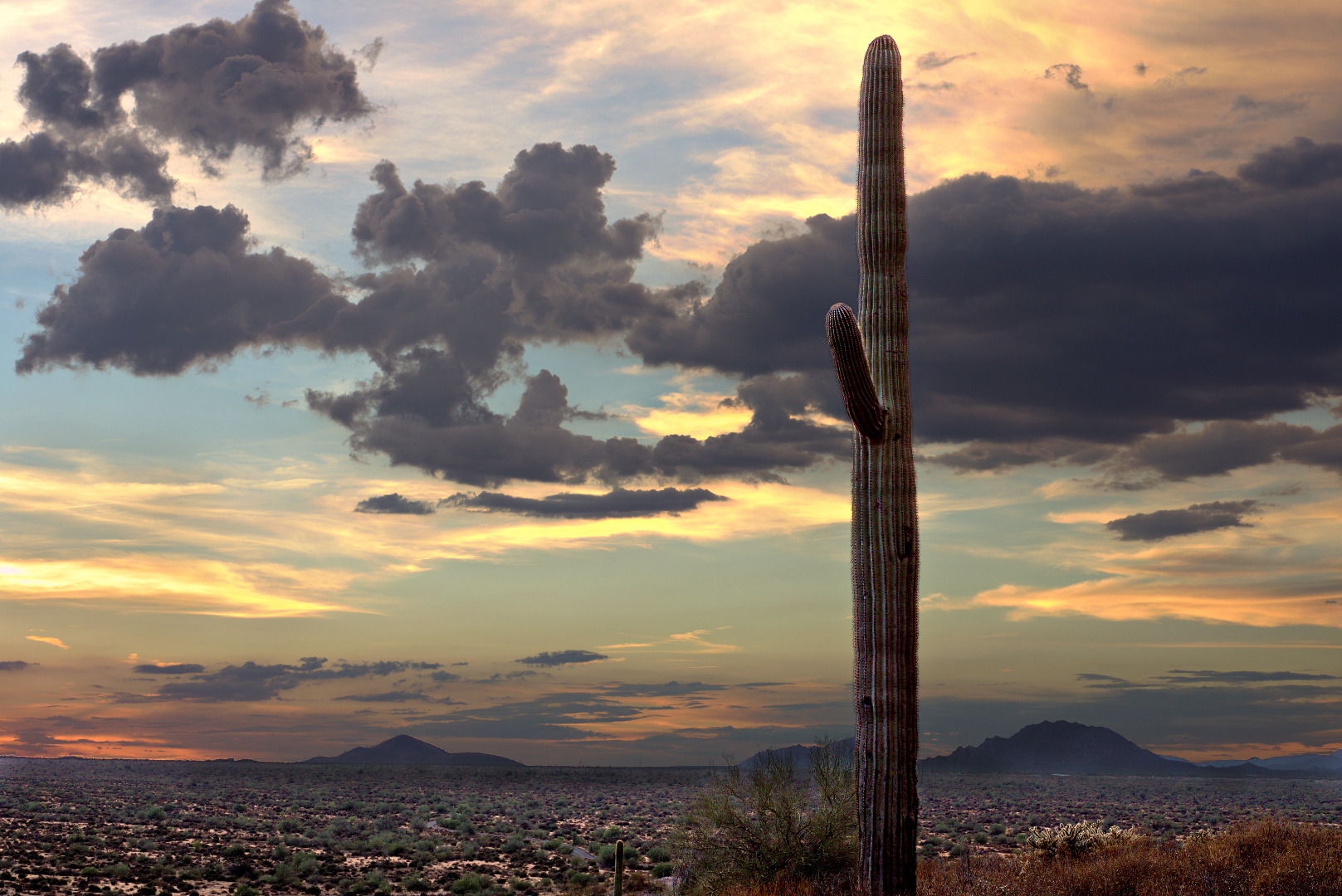
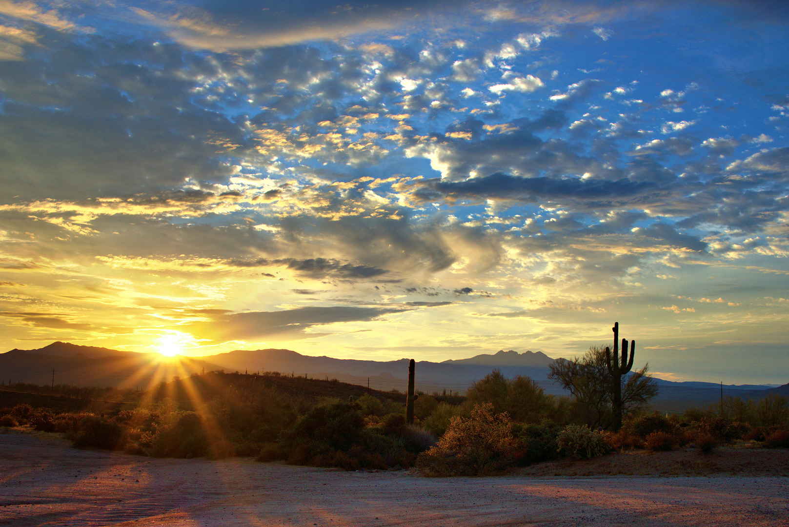
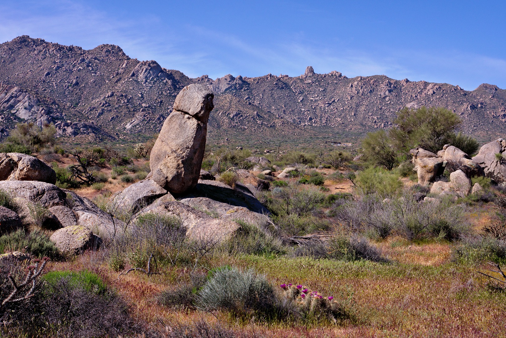
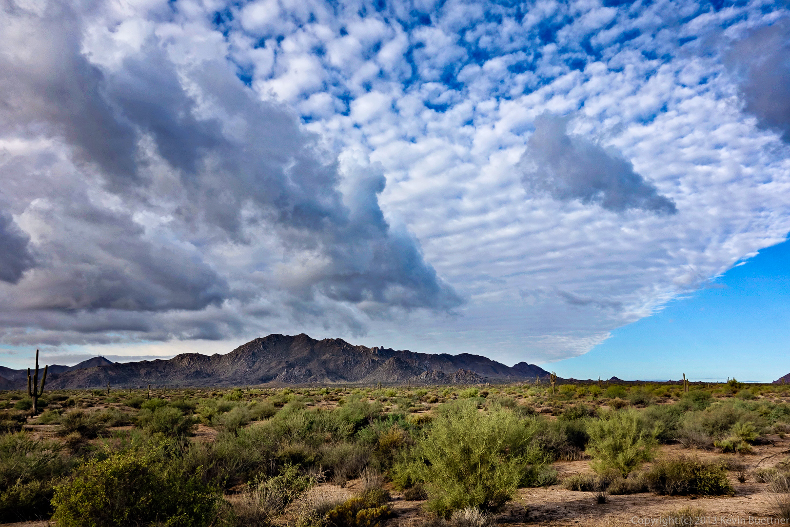
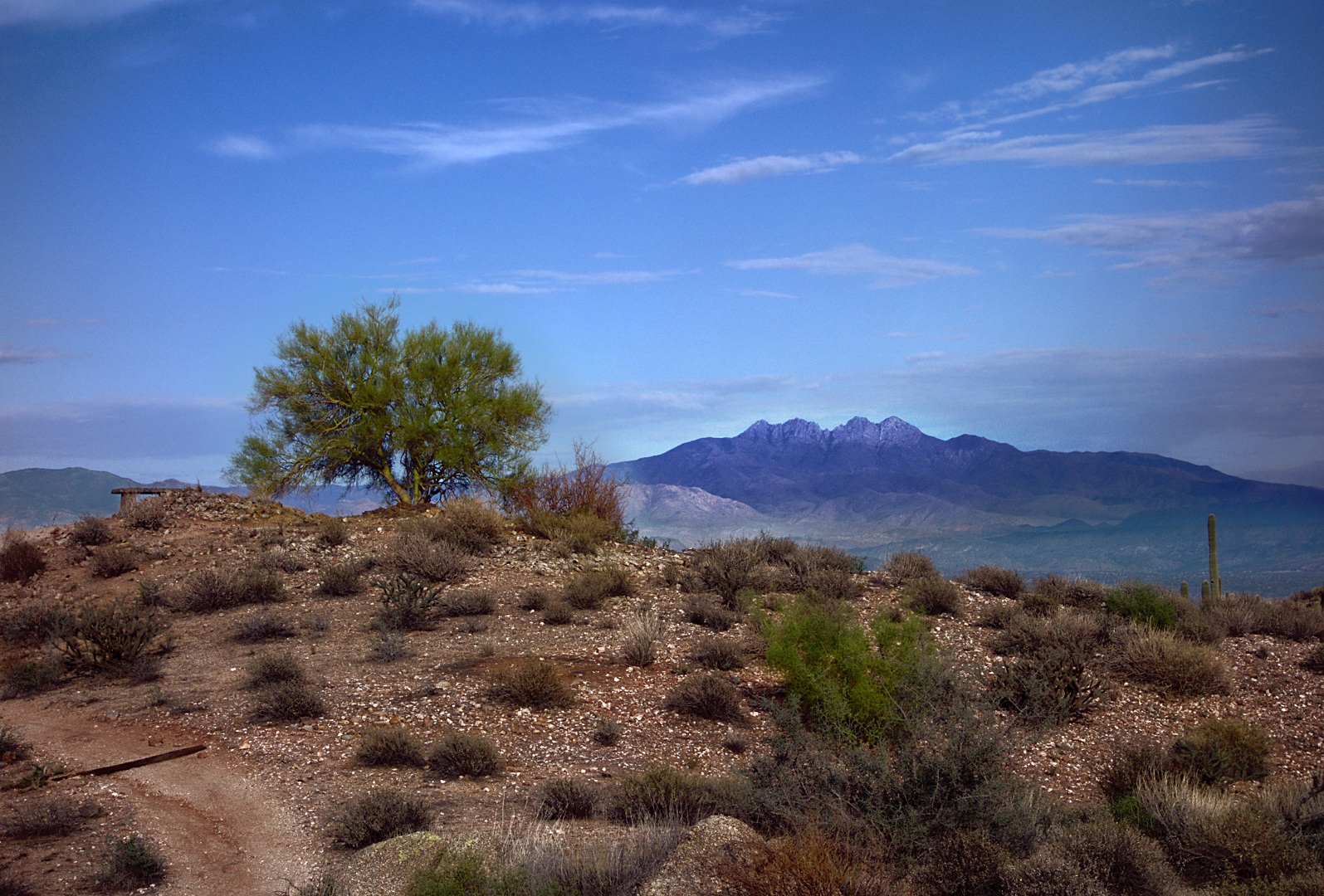
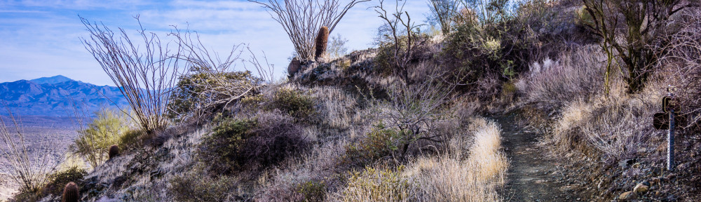
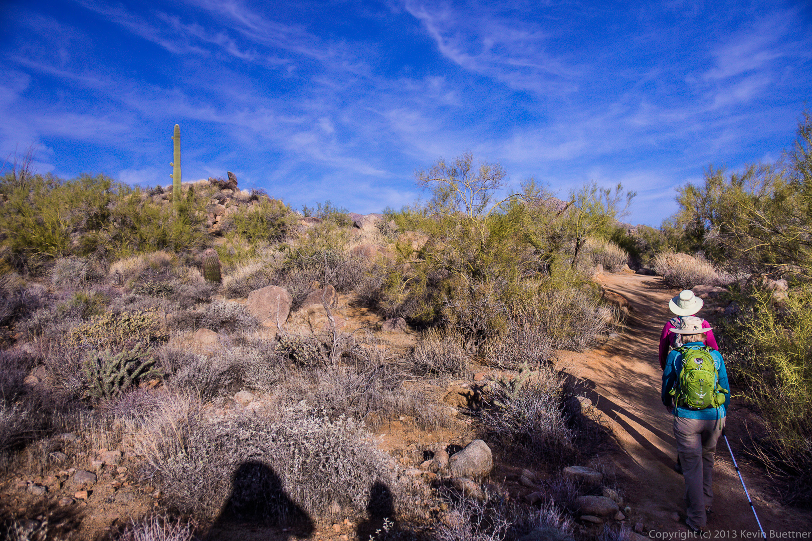
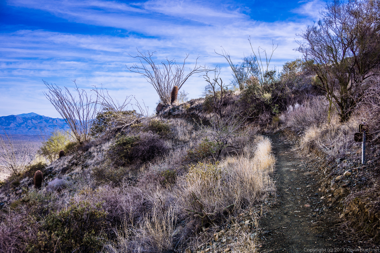
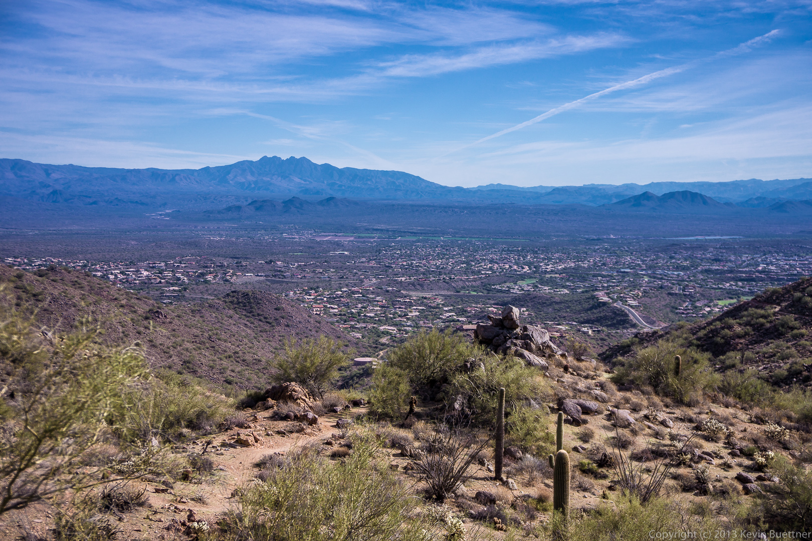
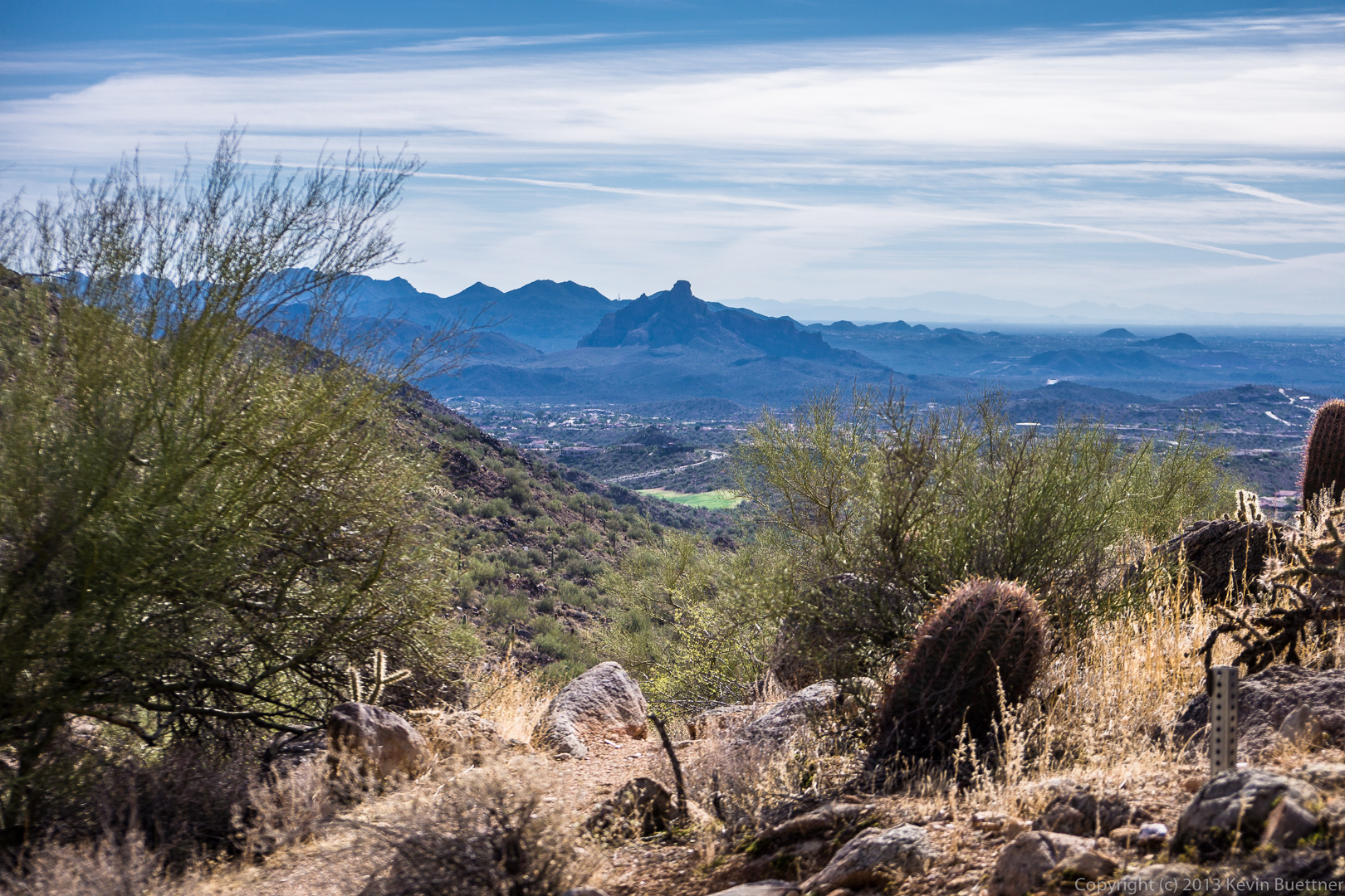
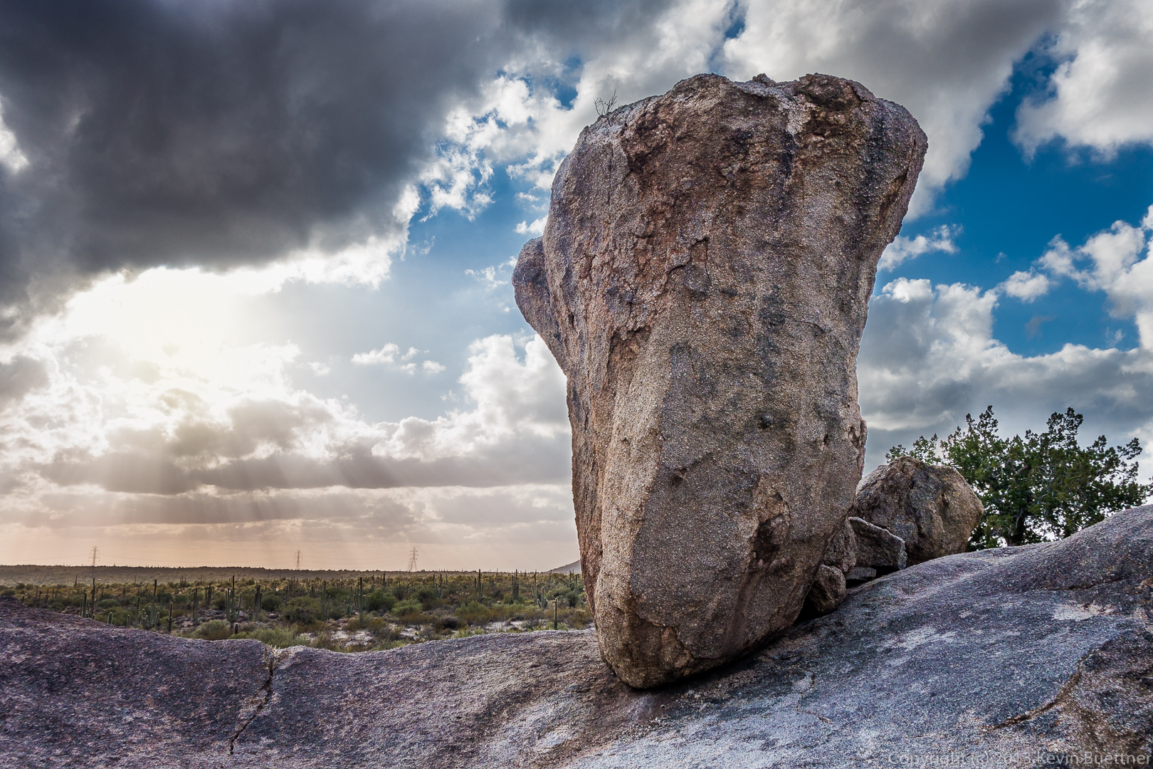
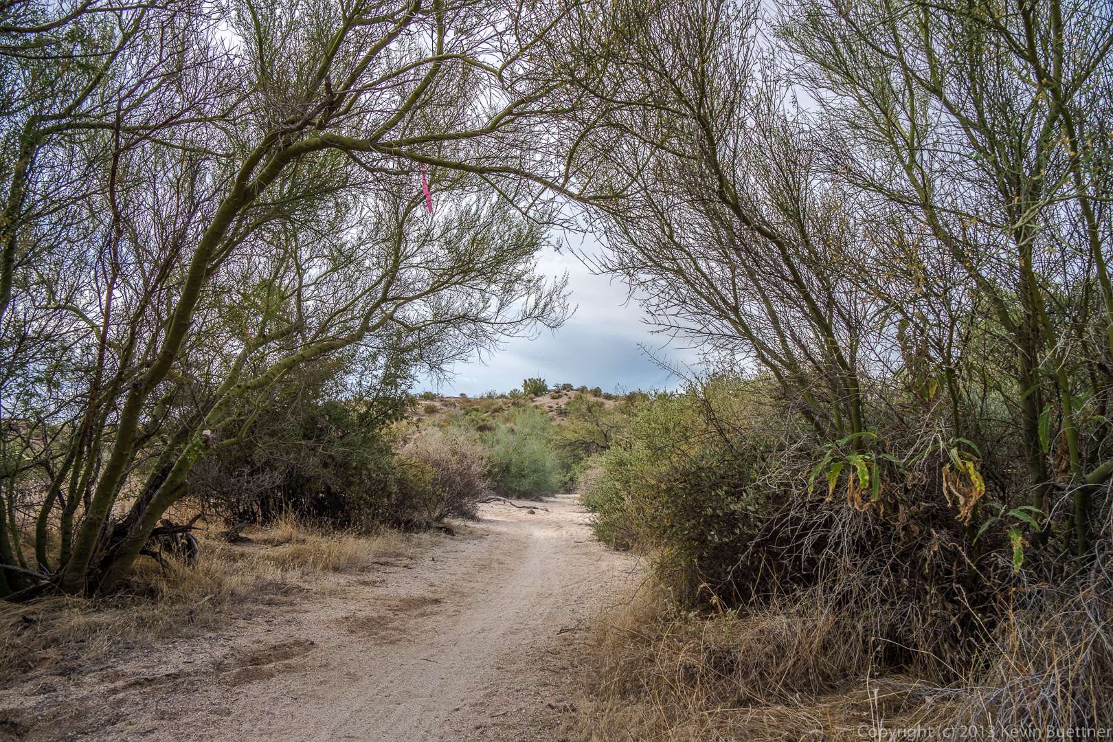
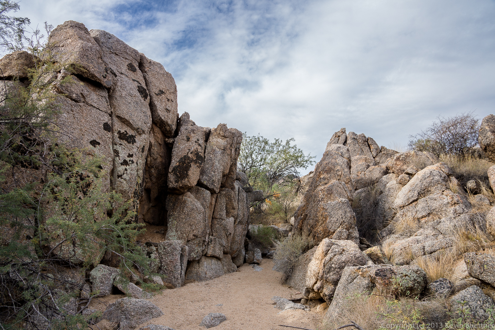
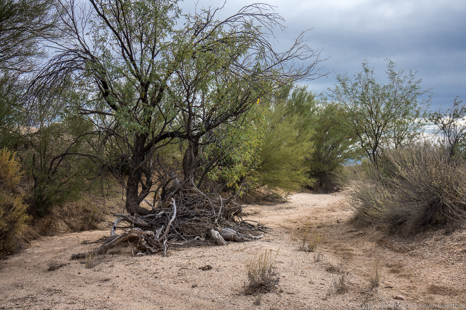
This is a view from the Escondido Trail, shortly after turning off of Lousely:

20131213-_DSC2163-Edit-2-medium 
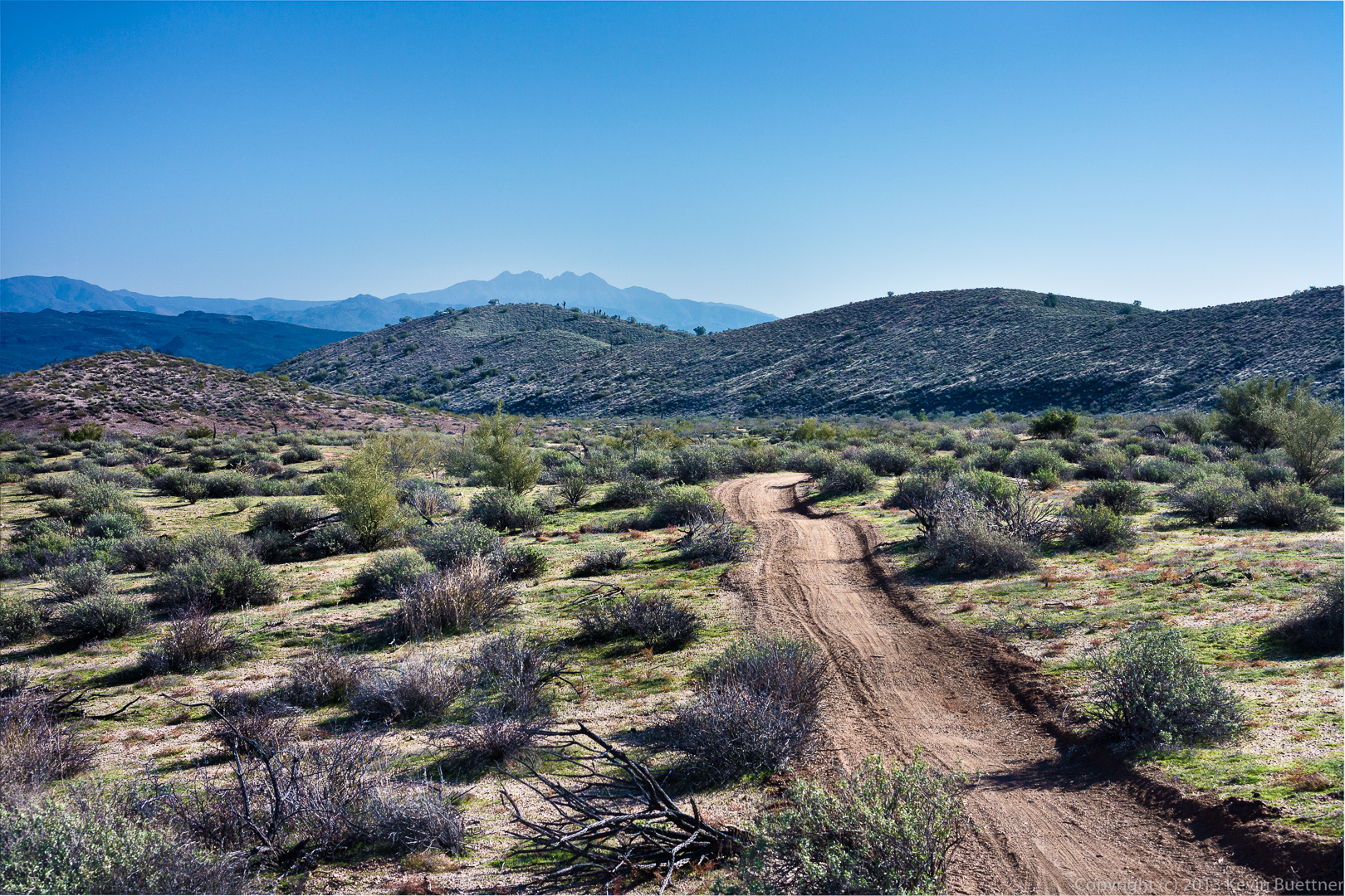
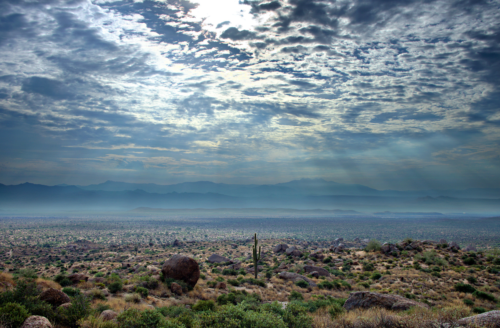
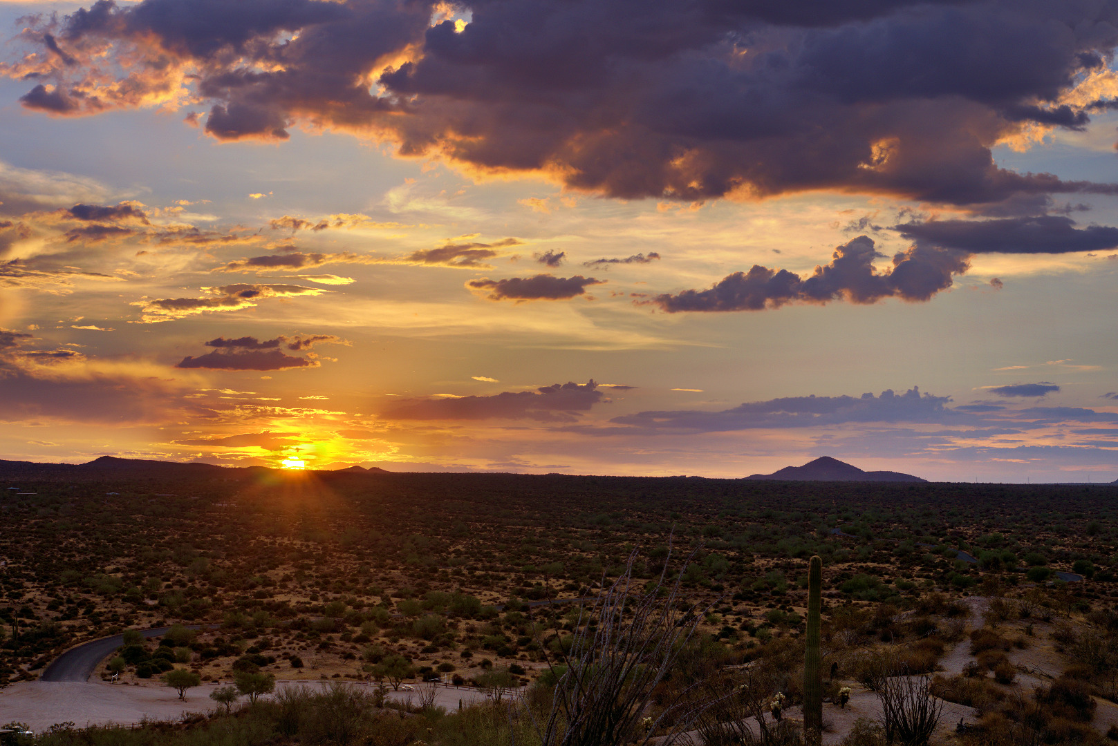
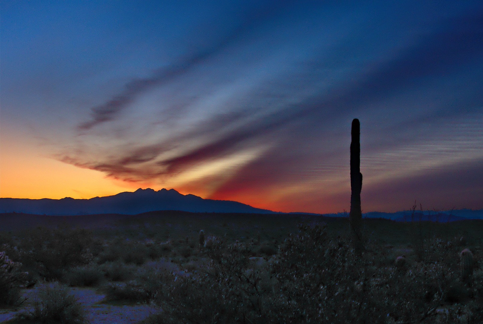
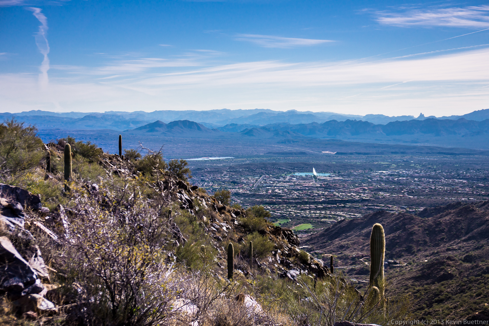
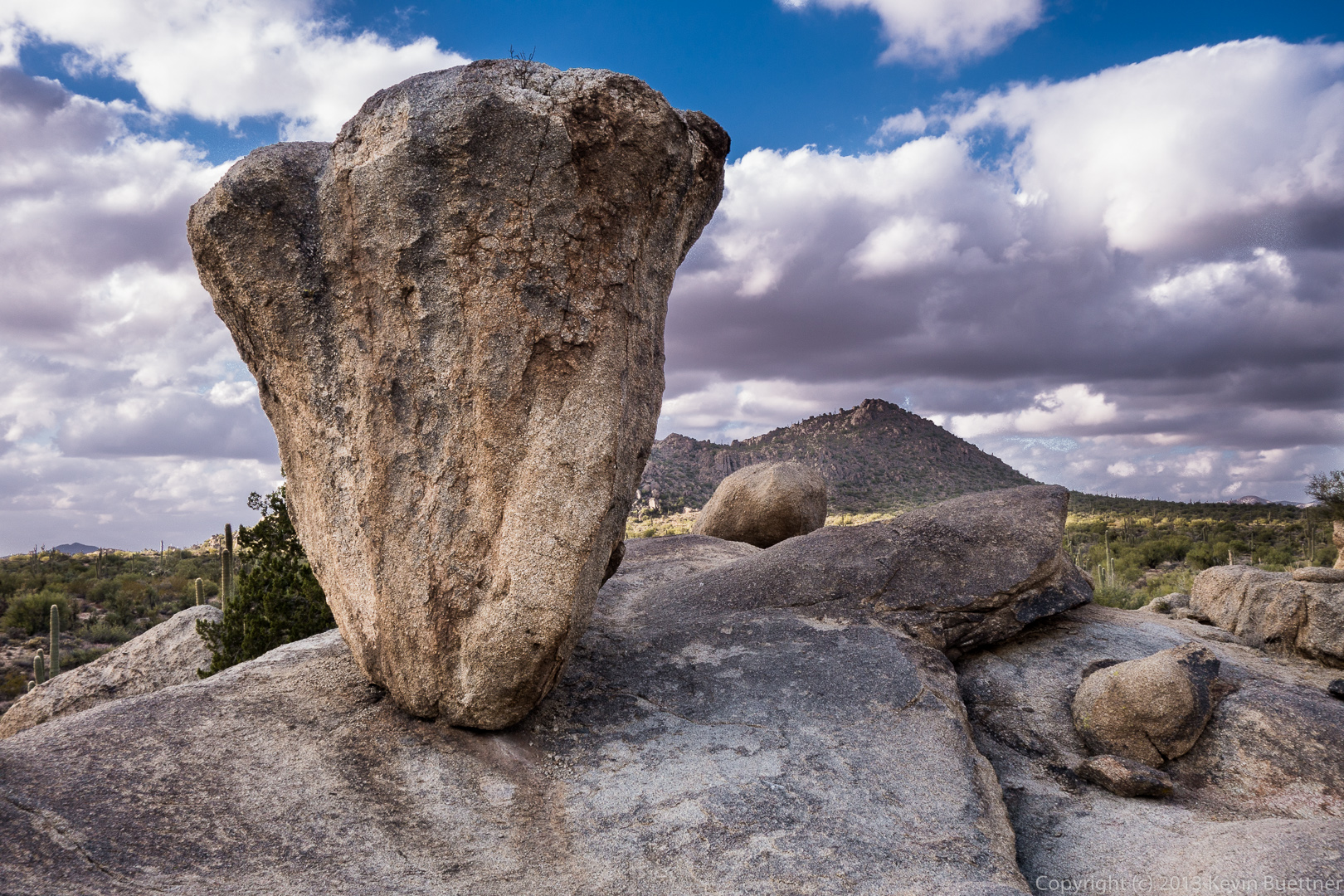
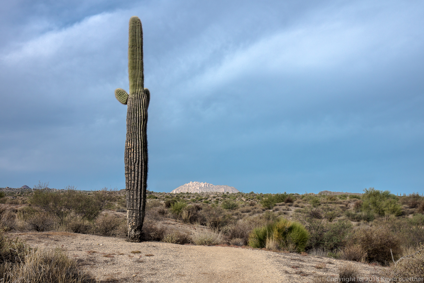
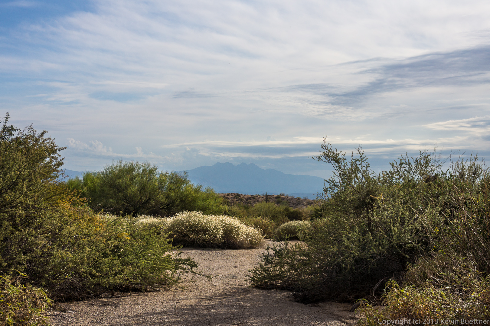
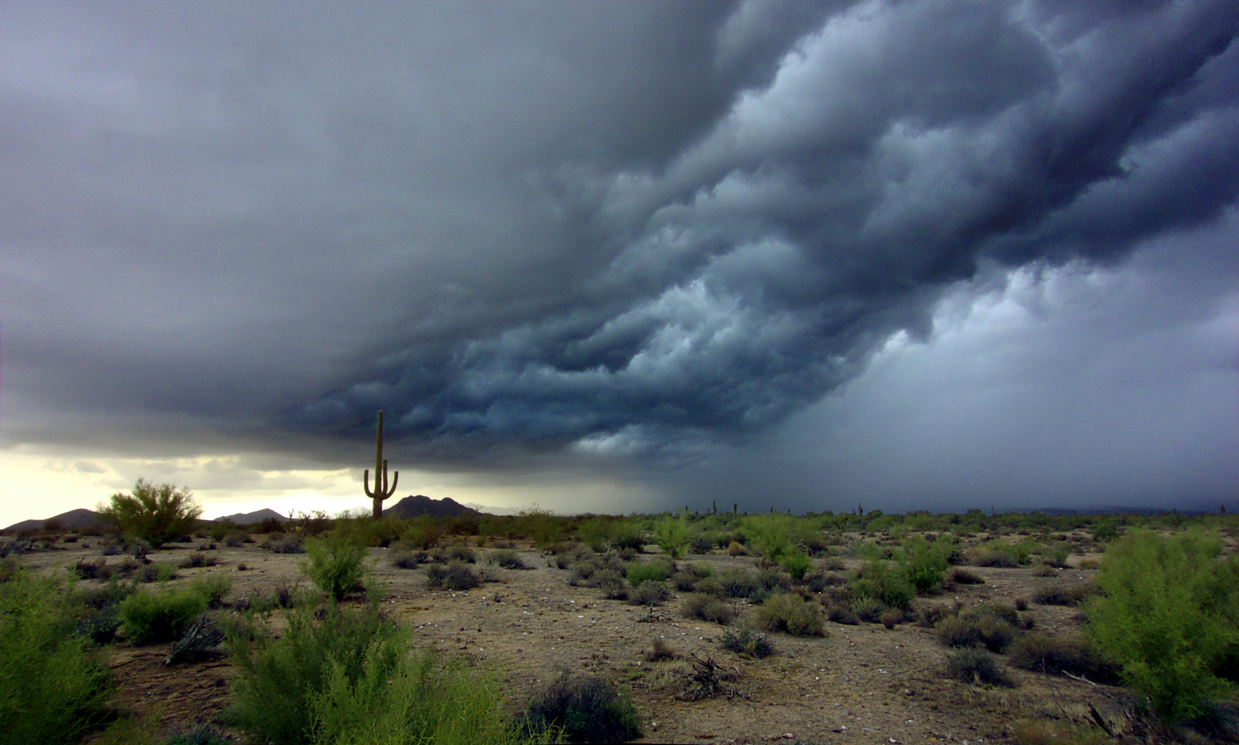
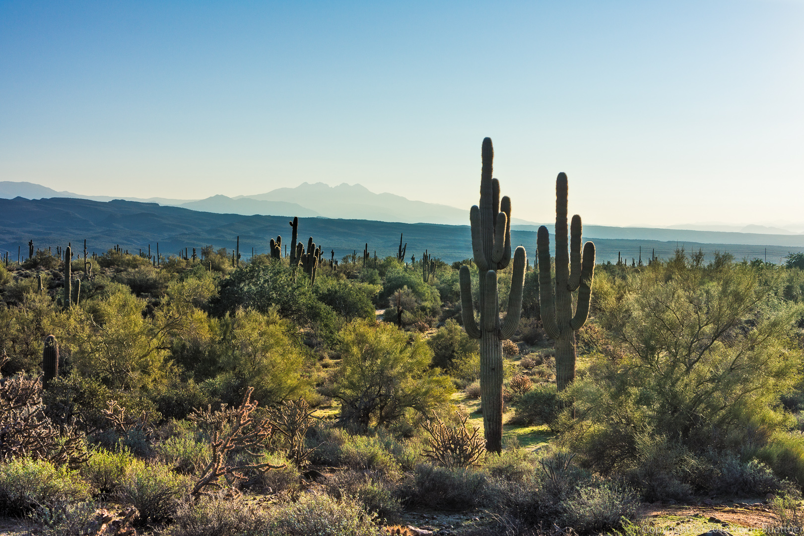
A view to the west (I think) while traveling south on Escondido:

20131213-_DSC2202-Edit-medium

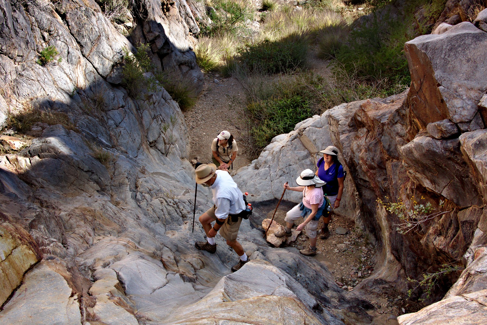
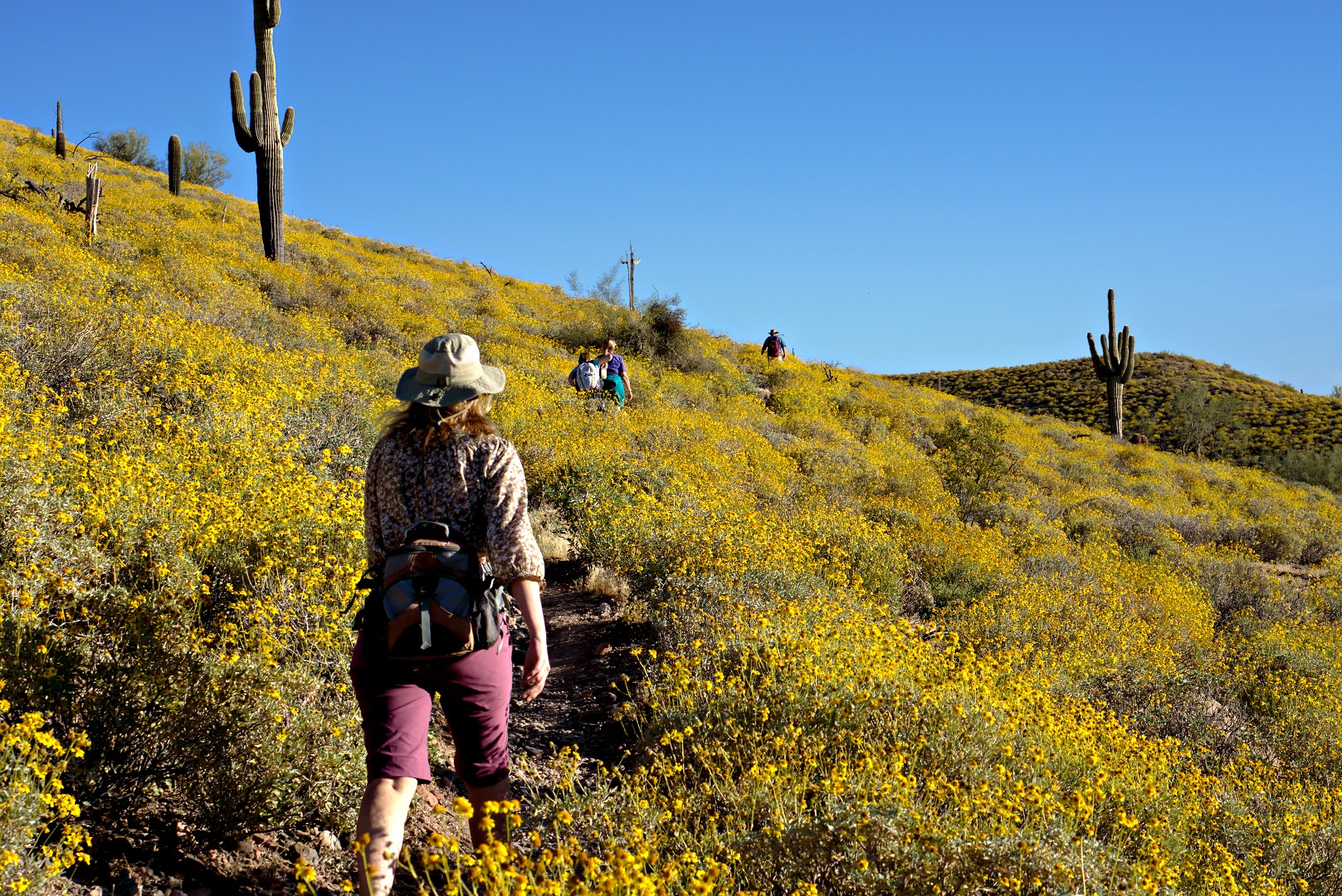
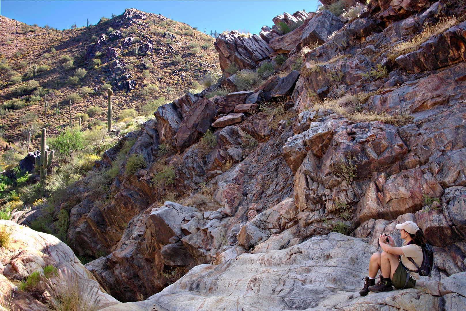
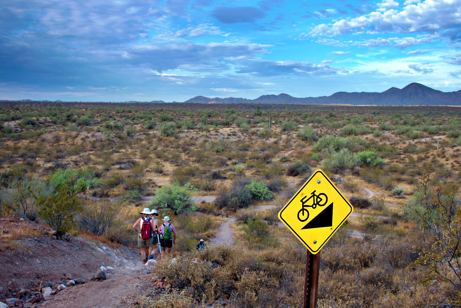
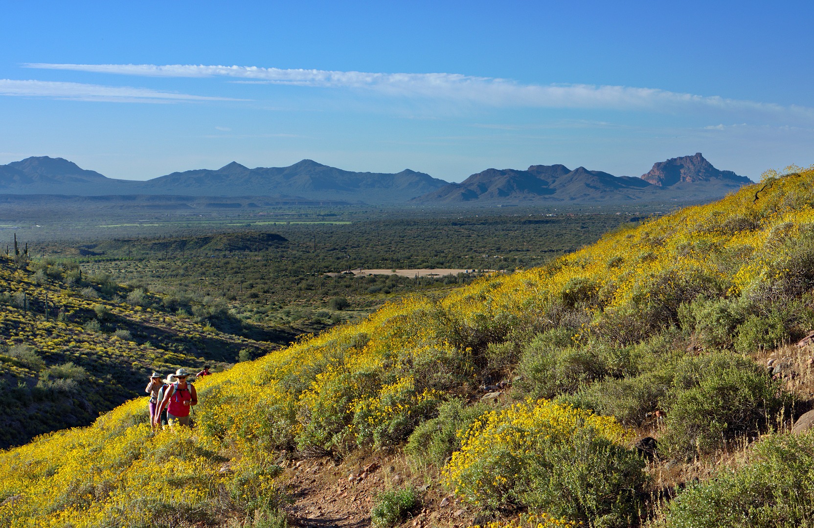
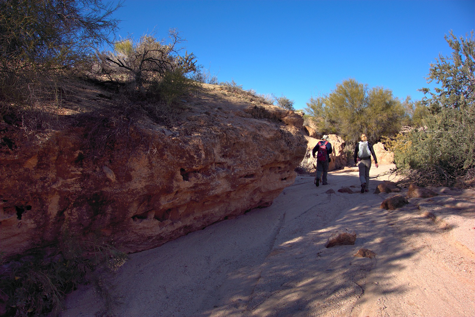
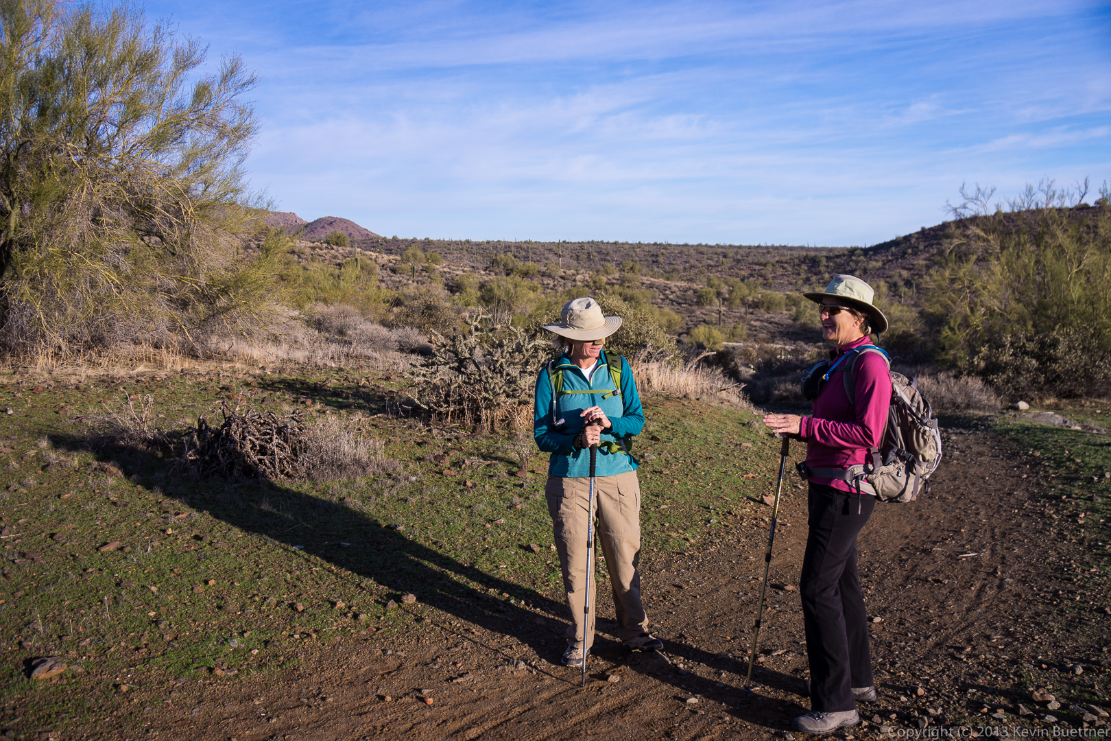
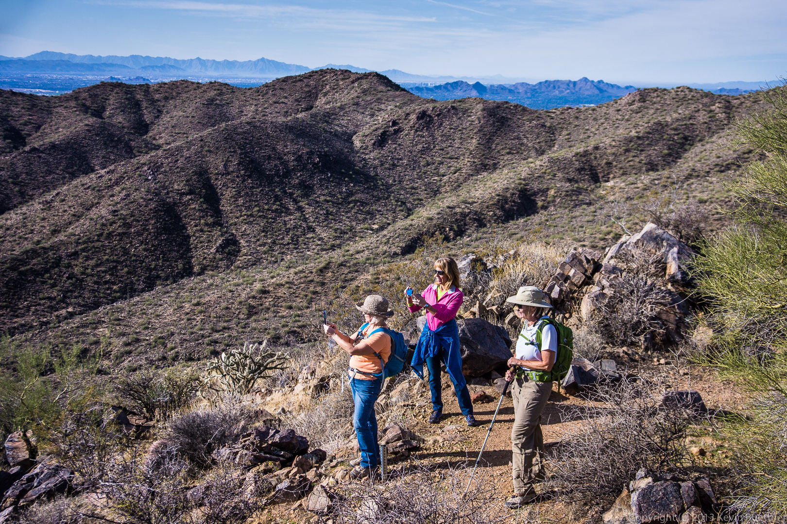
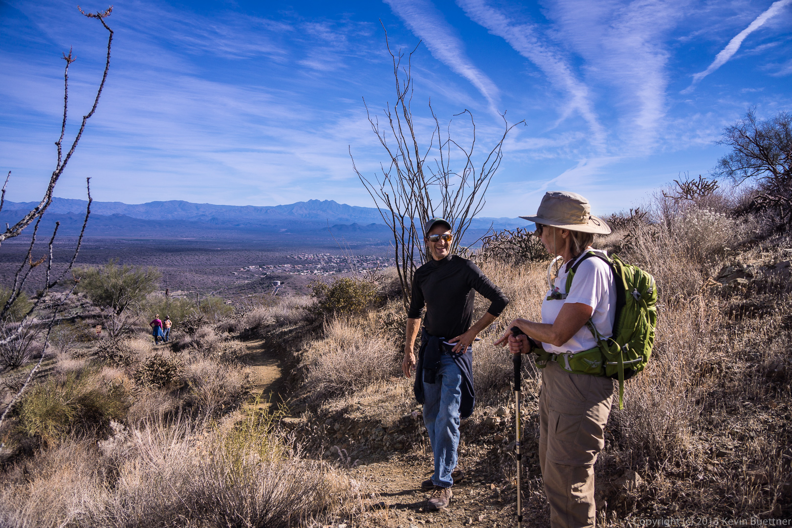
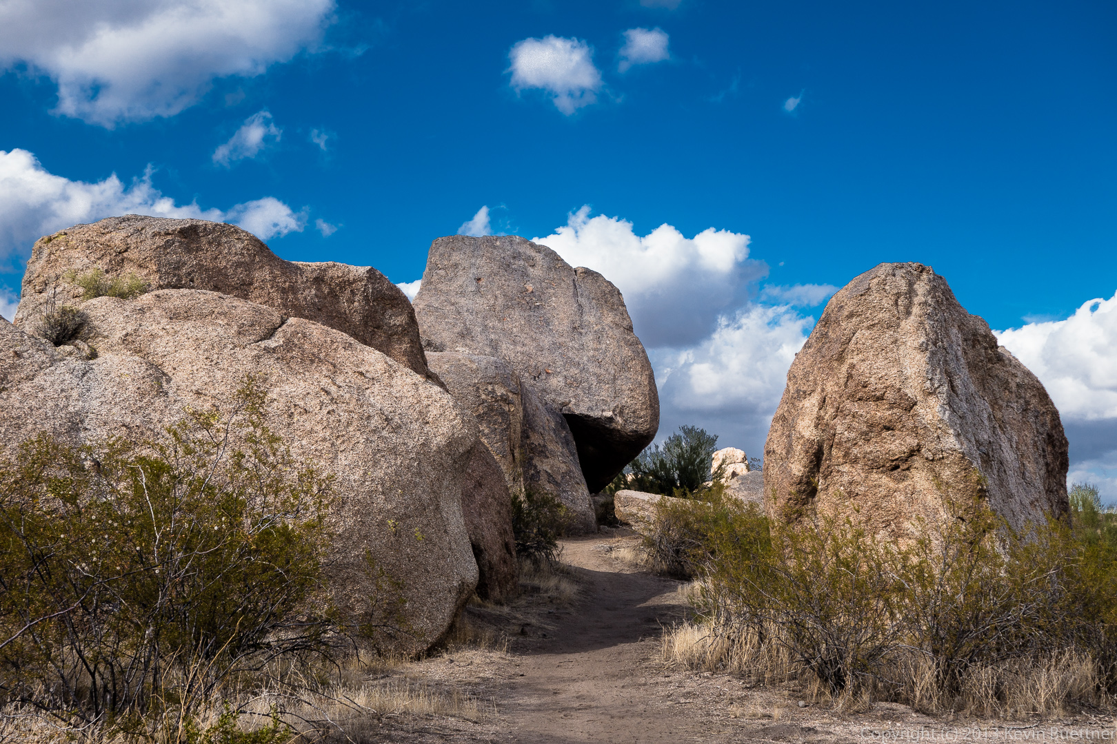
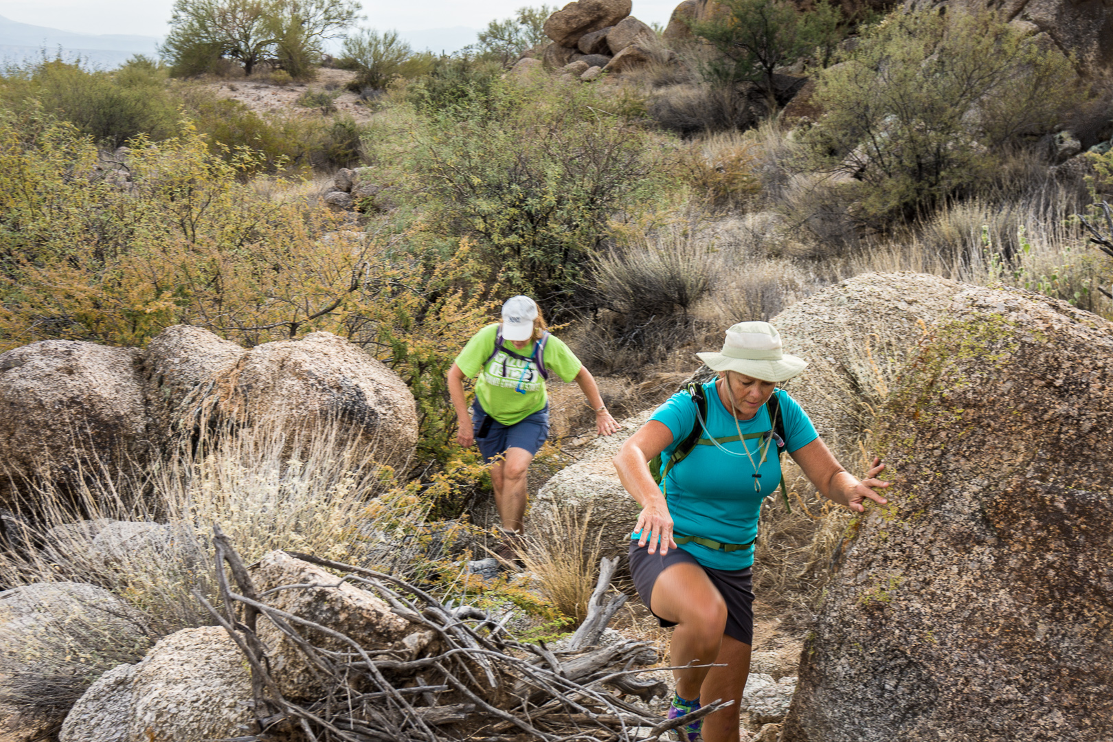
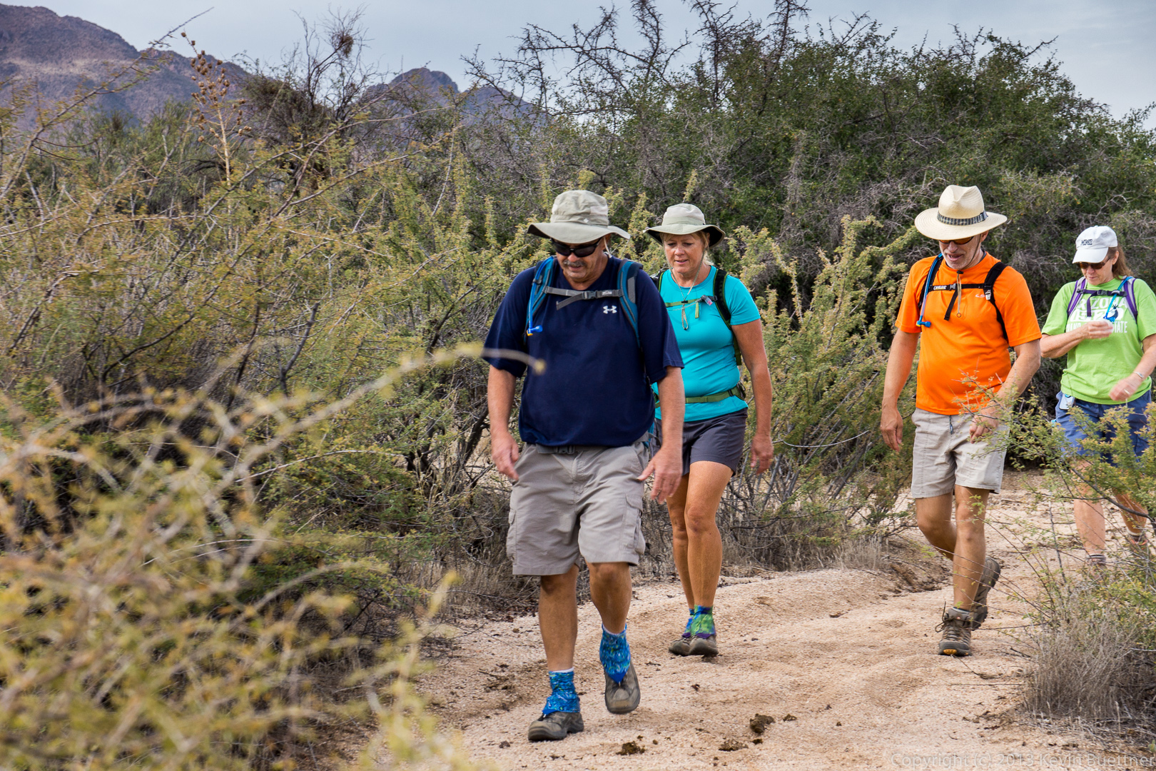
Bob, Sarge (the dog), and Janet on Escondido.  The trail is set in from the road somewhat, but has minimal elevation gain or loss.  In order to achieve this, the trail builders cut the trail into the sides of the many hills in the area.  There was an old road nearby which used to follow a much straighter path.  It, however, went fairly close to the McDowell Mountain Road.  Satellite photos show that this old road briefly crossing McDowell Mountain Road.  20131213-_DSC2232-Edit-medium 
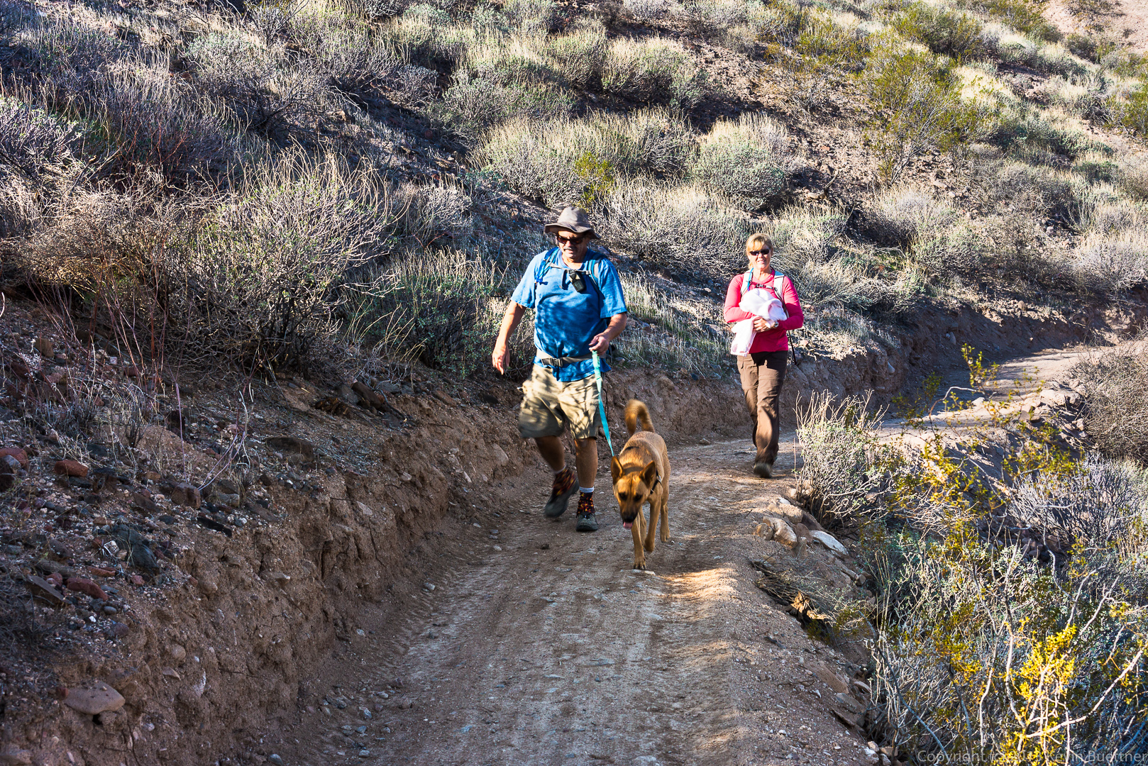
Janet, Doug, and Bob, at the intersection of the Cinch and Scenic Trails.20131213-_DSC2255-Edit-medium

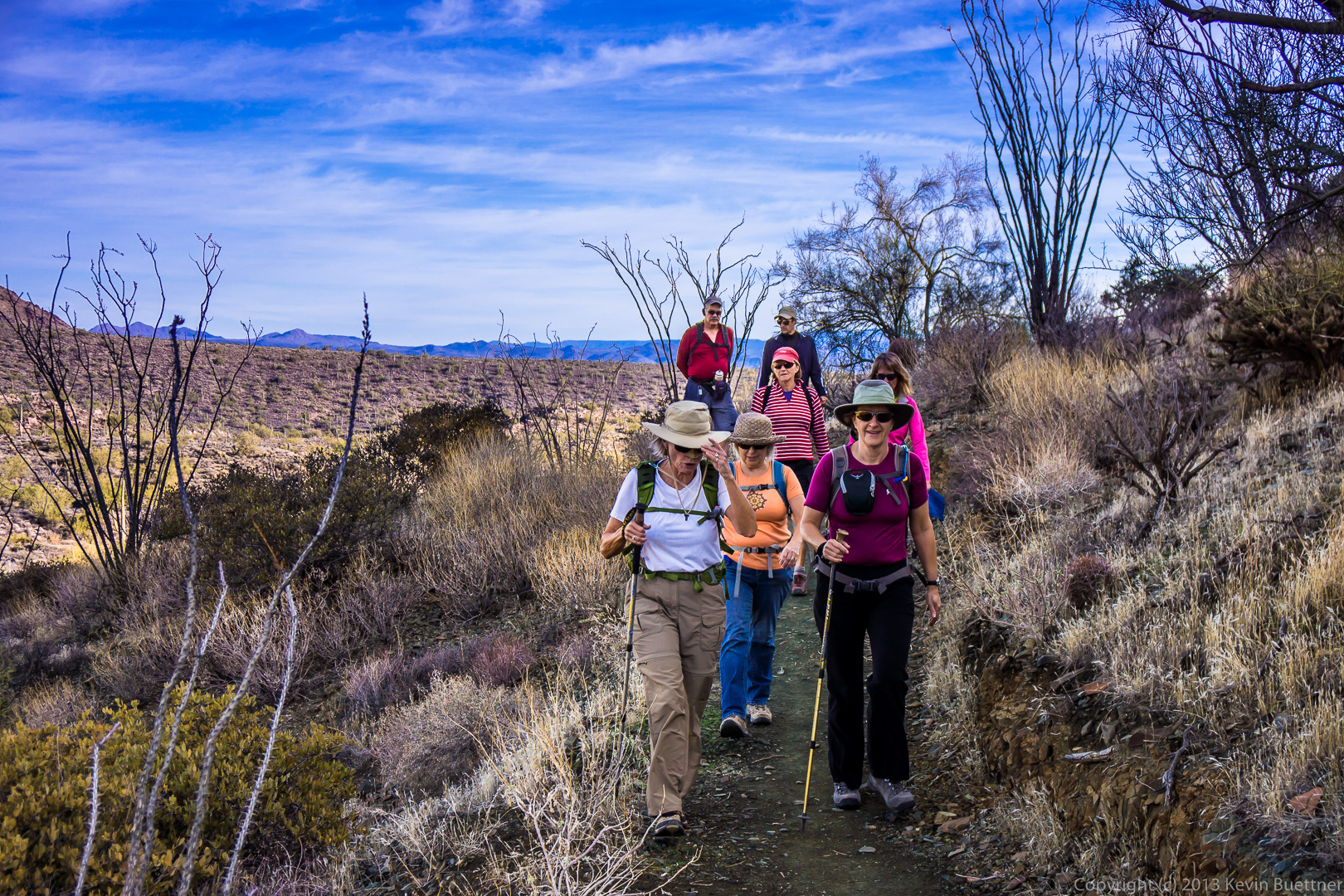
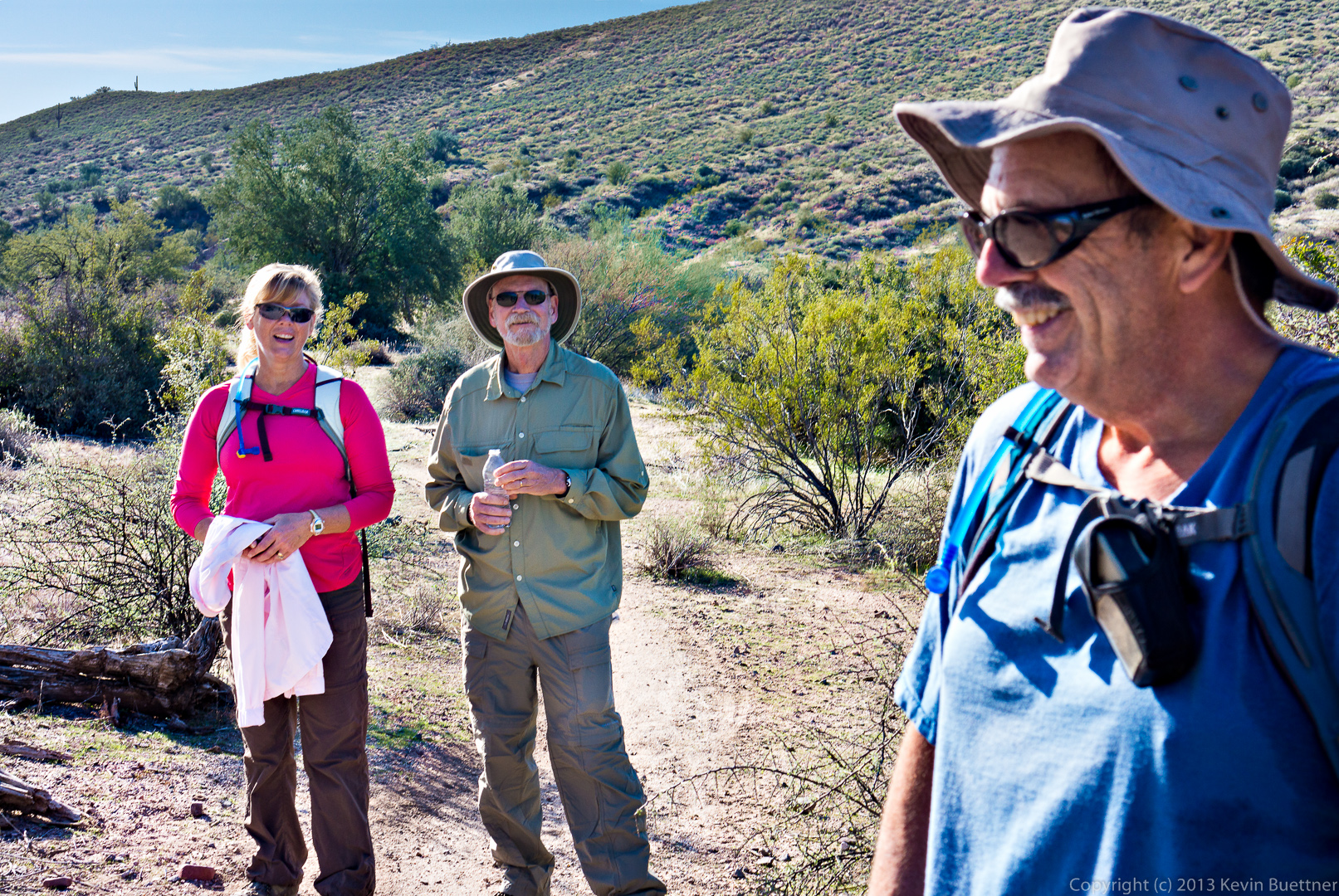
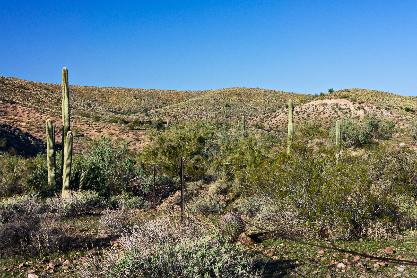
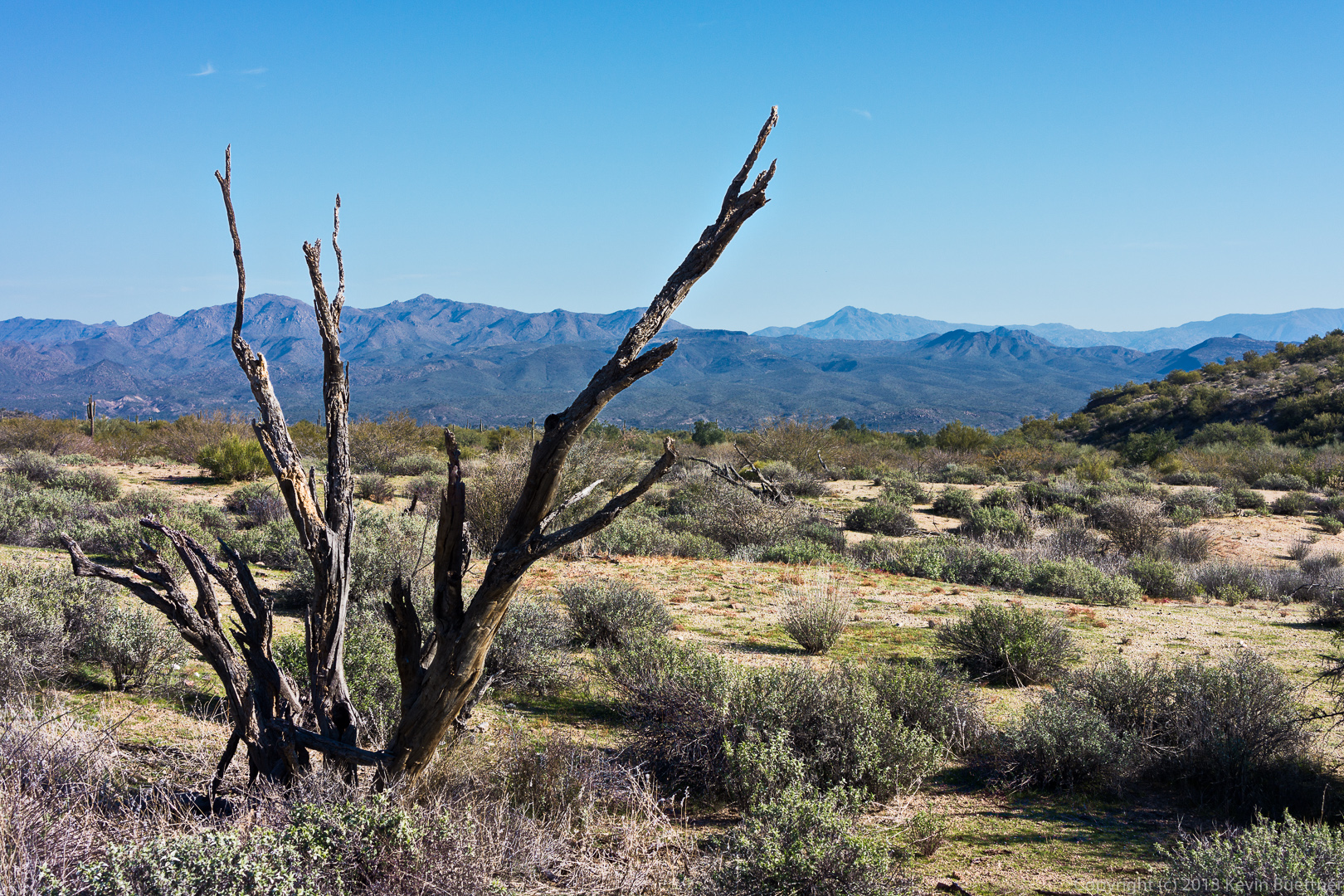
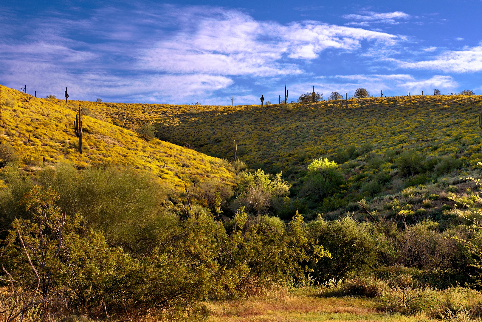
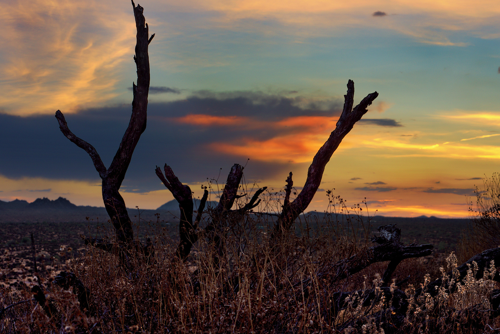
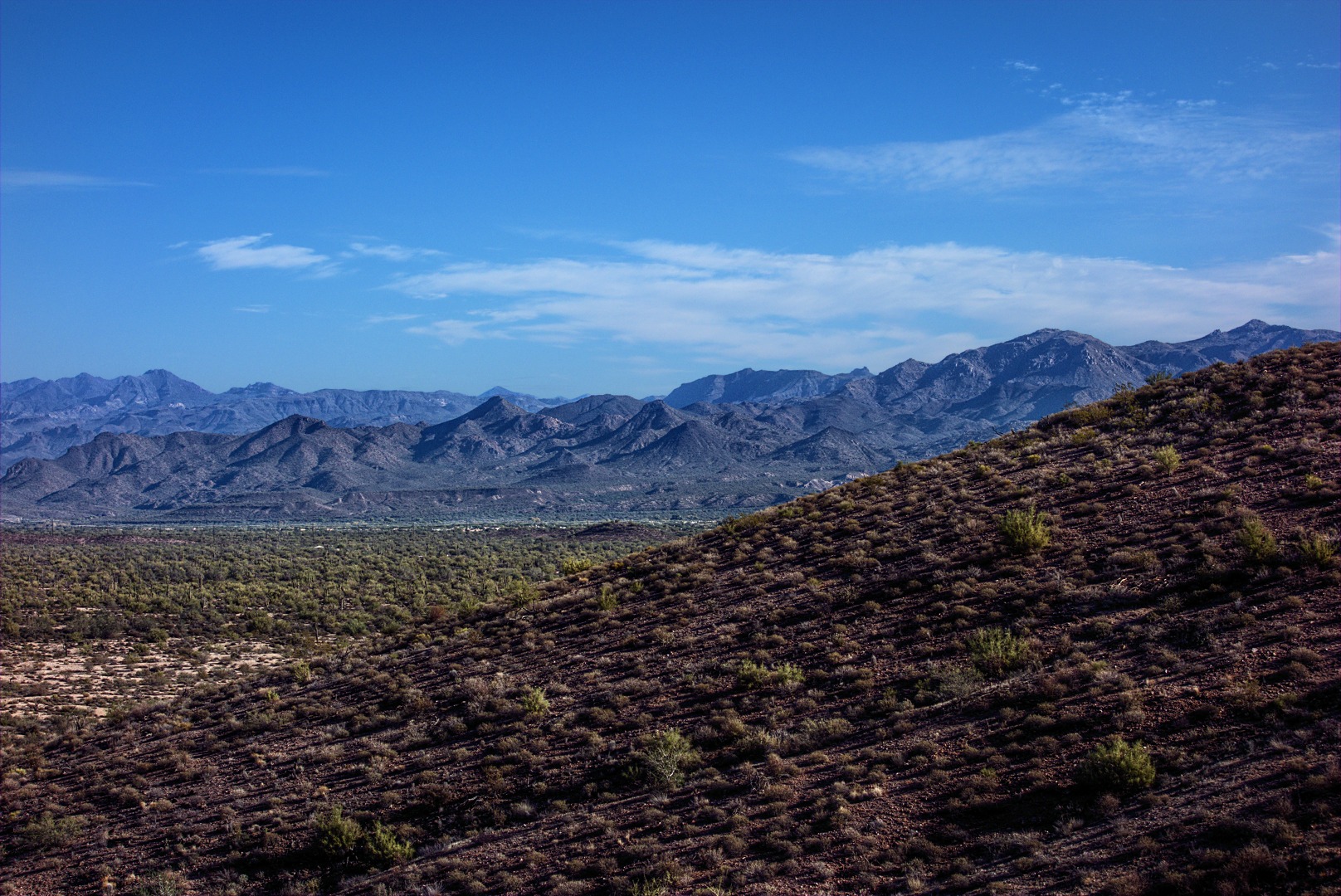
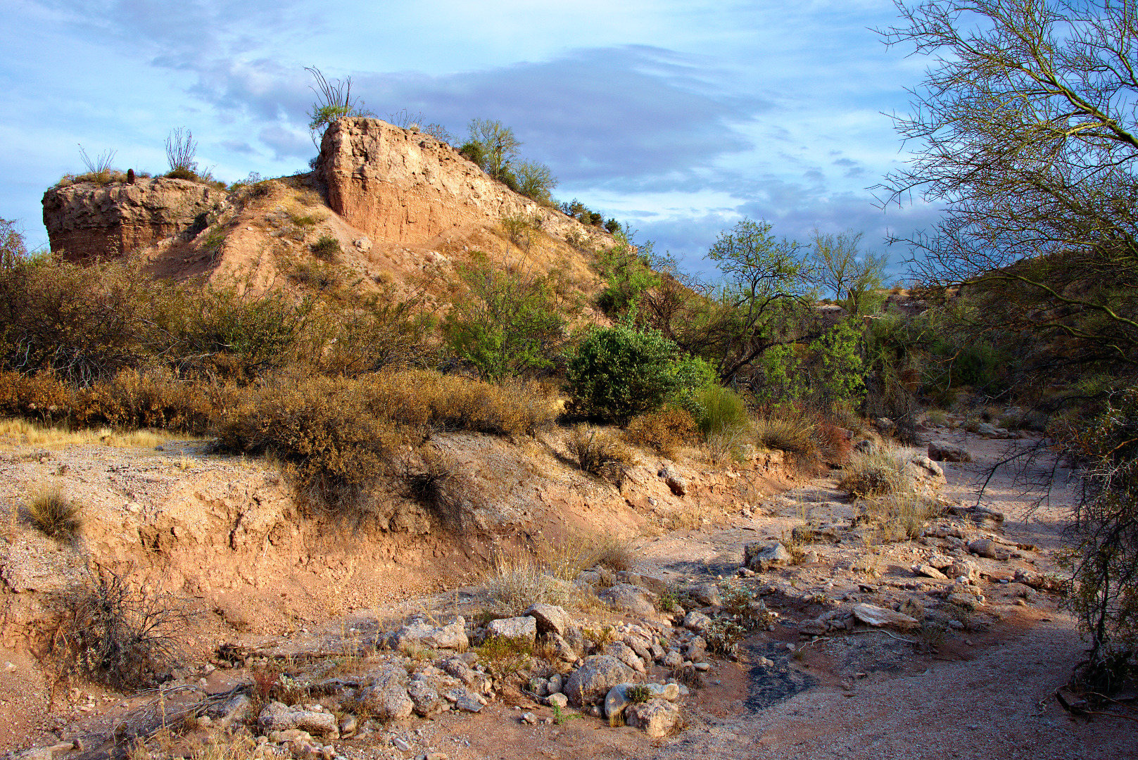
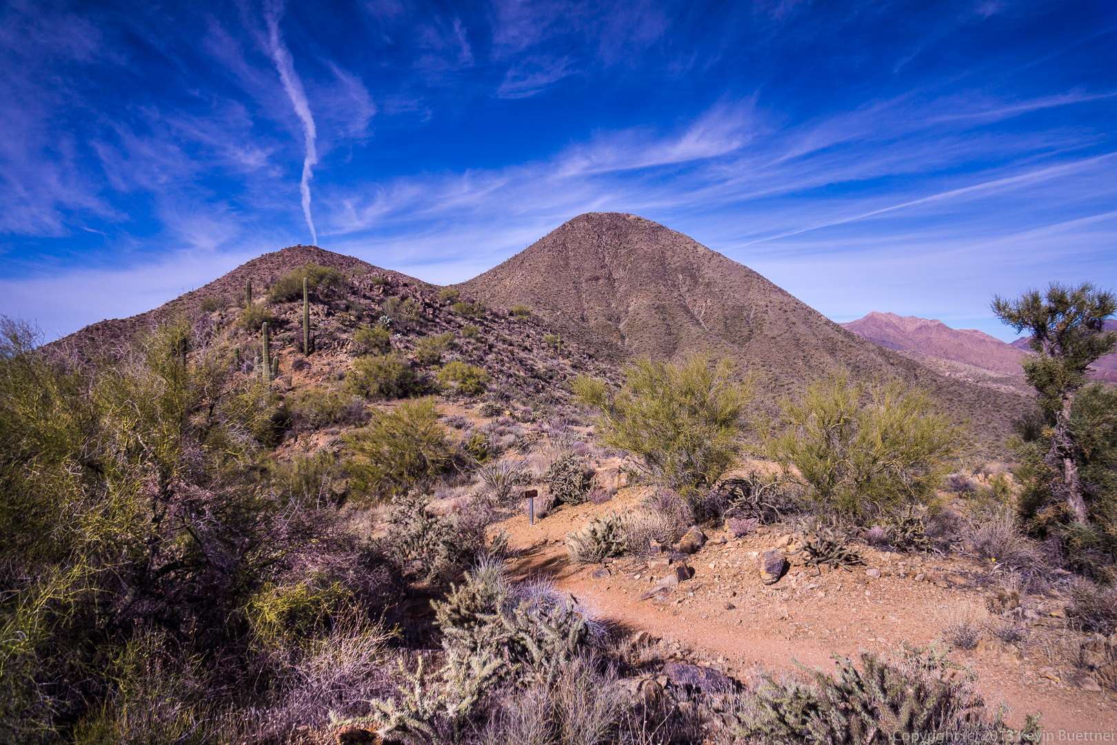
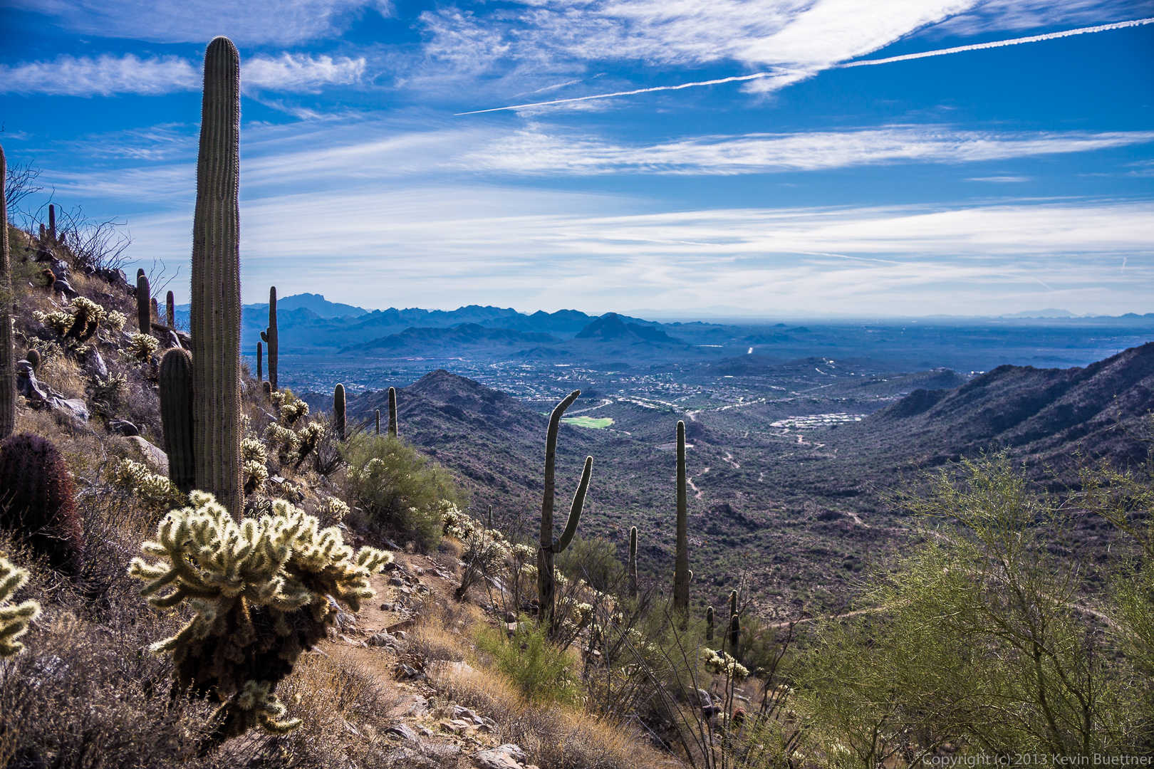
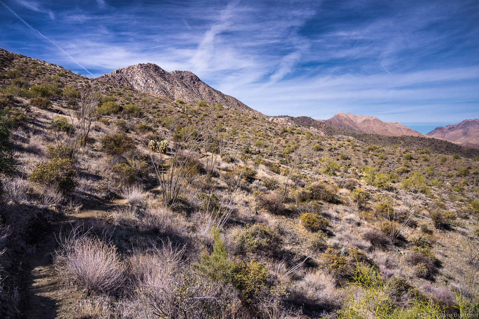
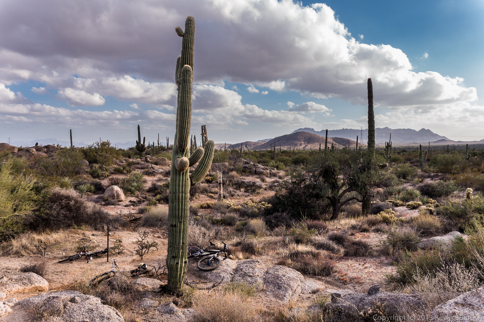
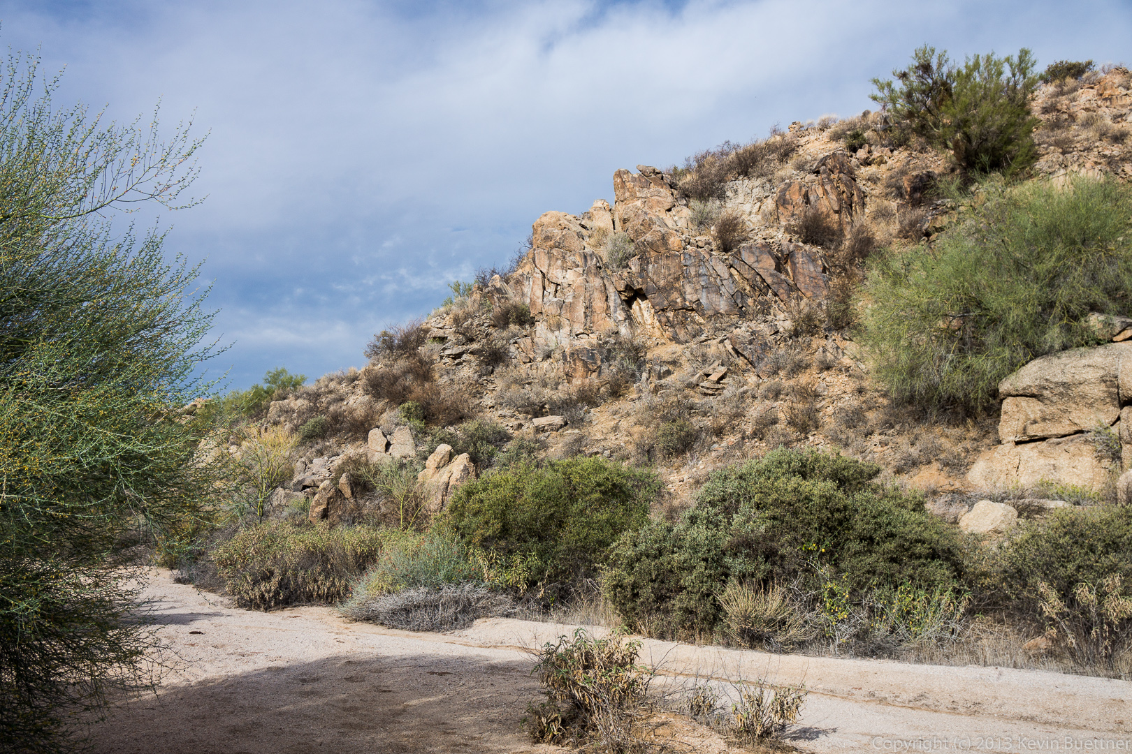
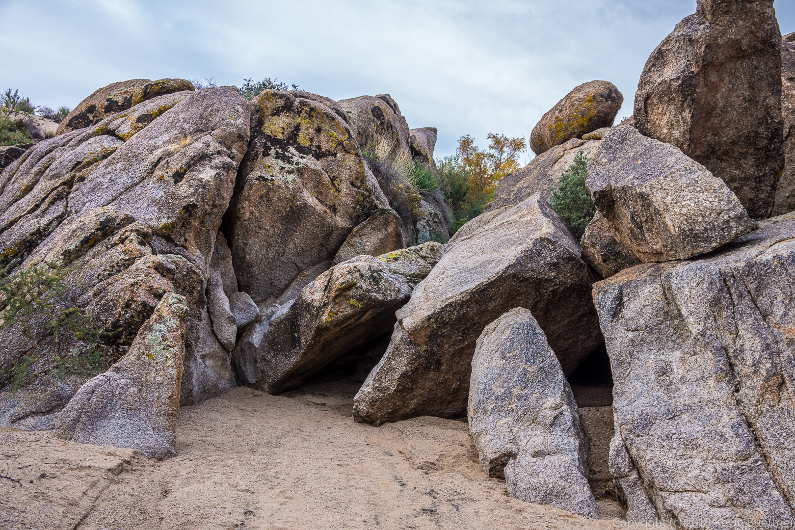
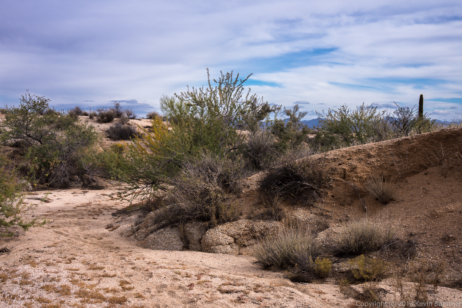
A view of the newly cut Escondido Trail near Pemberton.

20131213-_DSC2267-Edit-medium

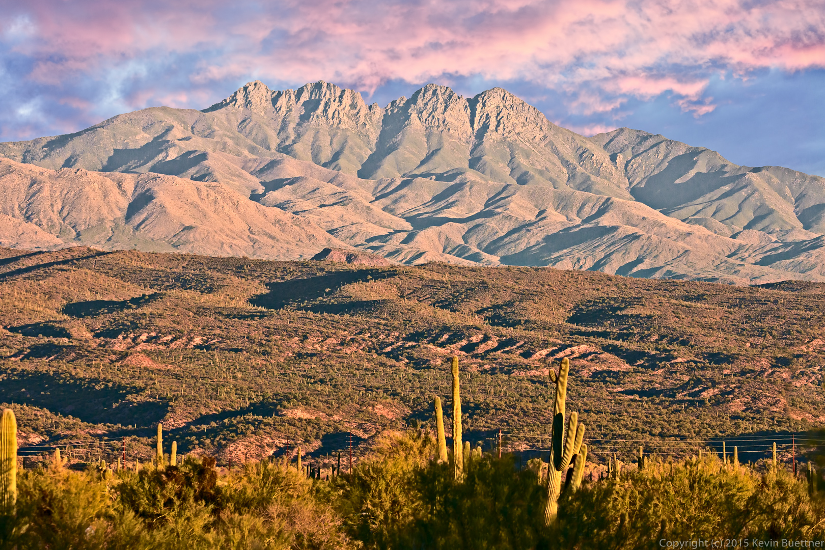
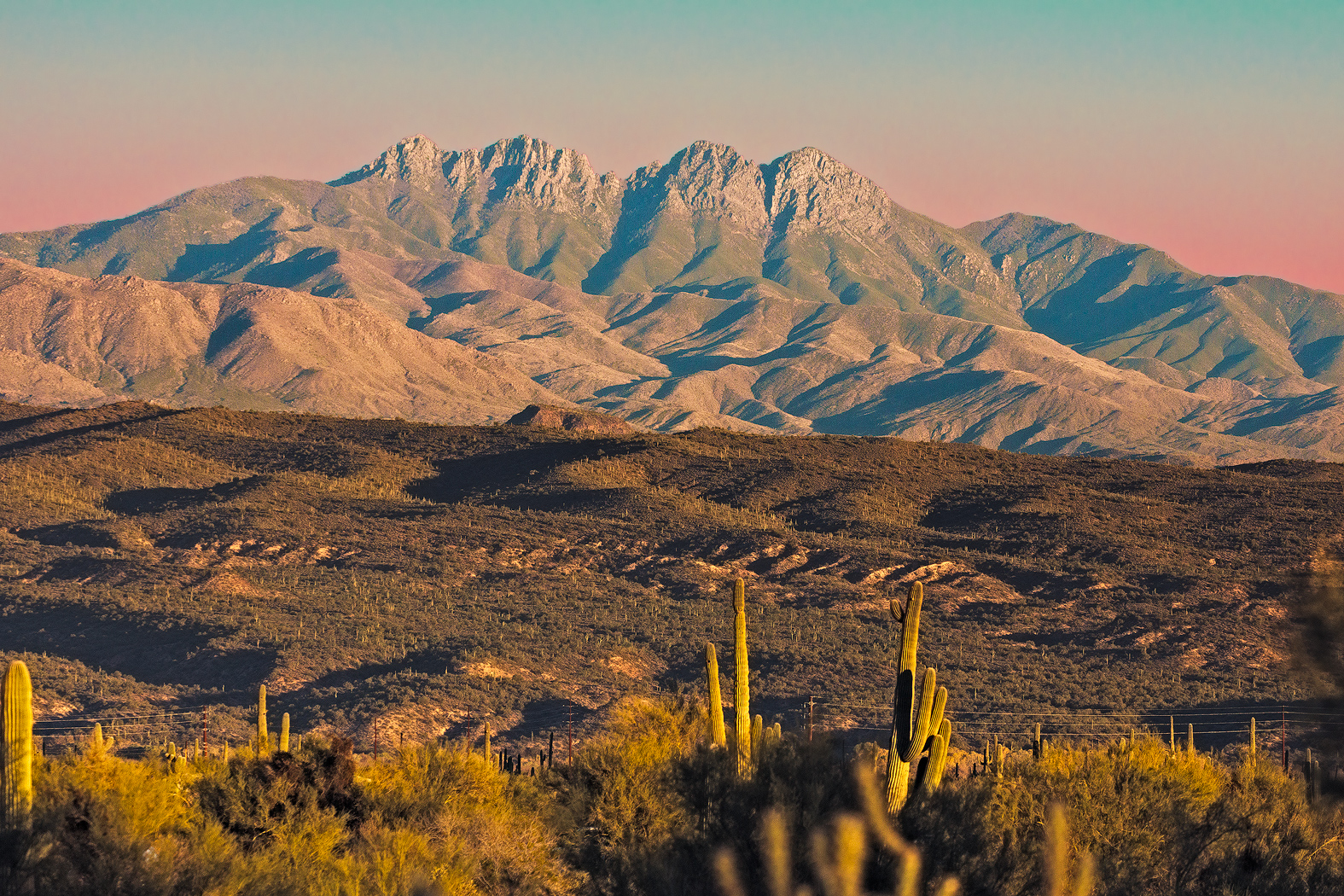
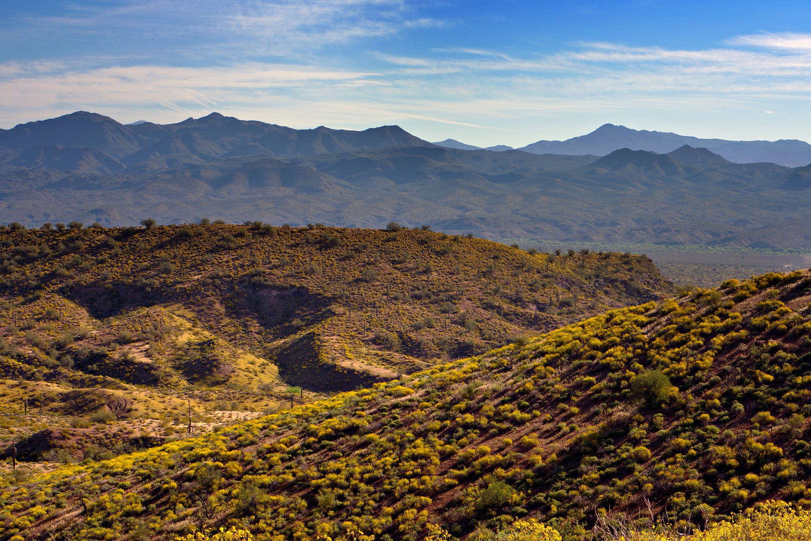
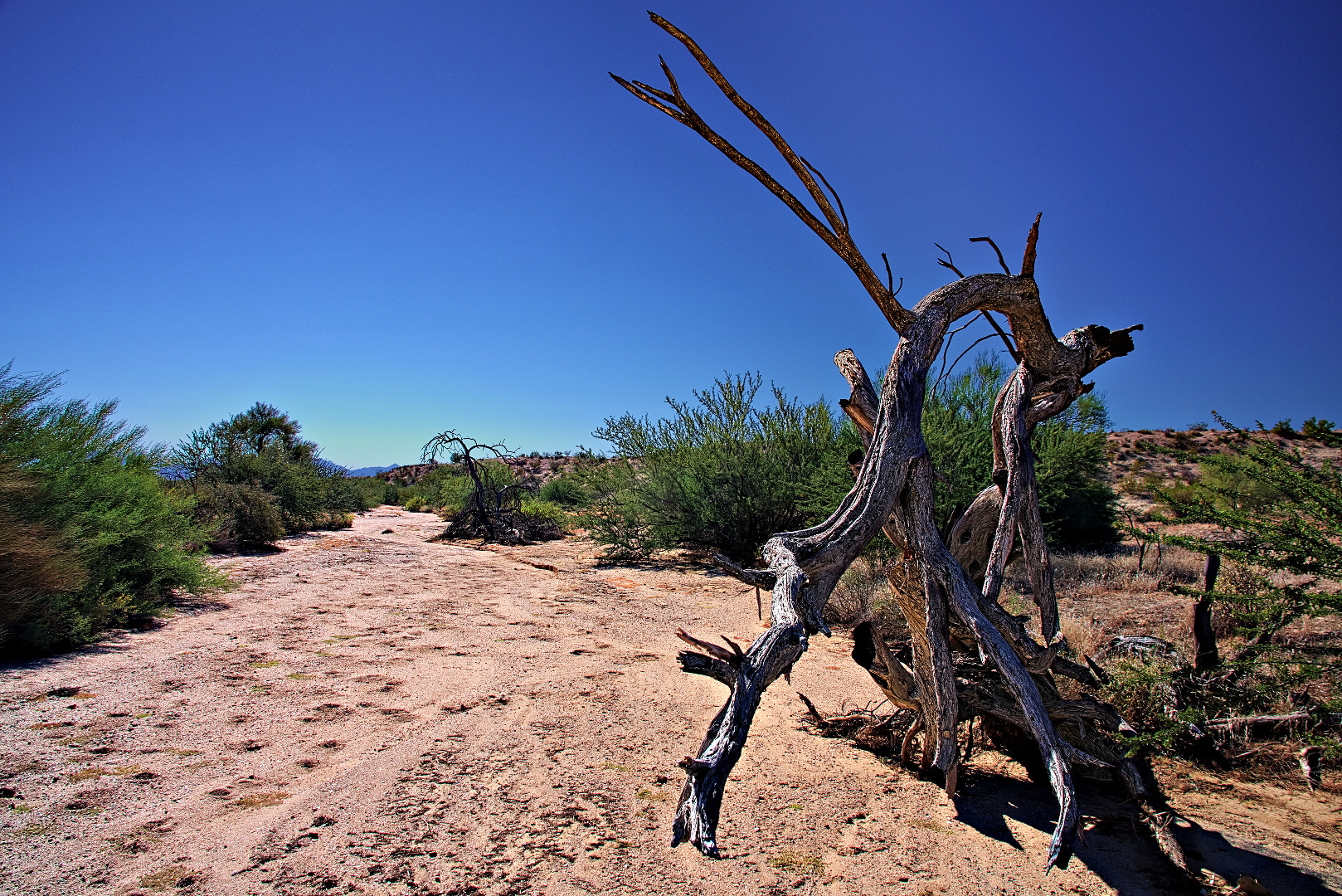
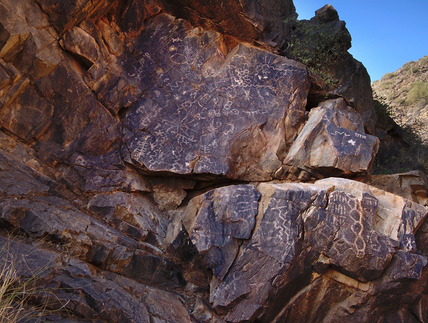
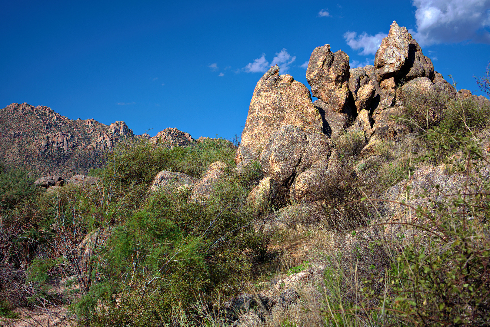
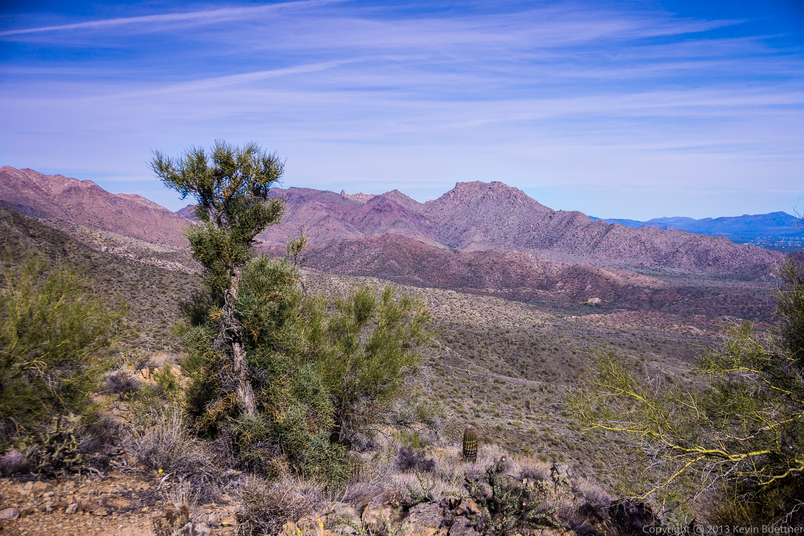
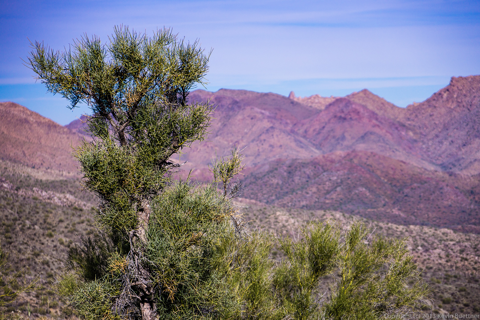
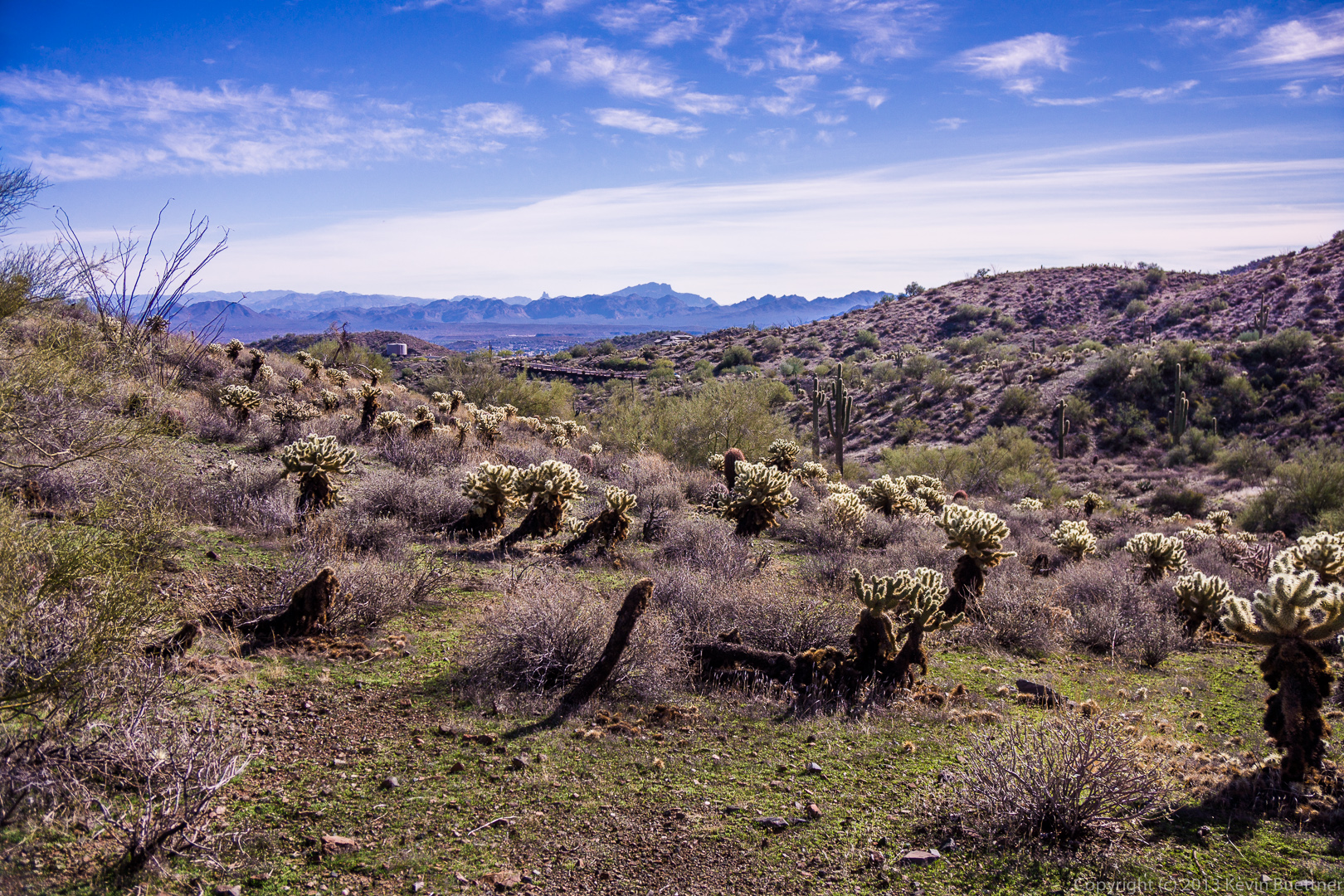
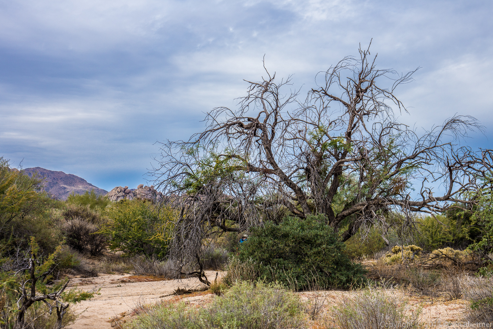
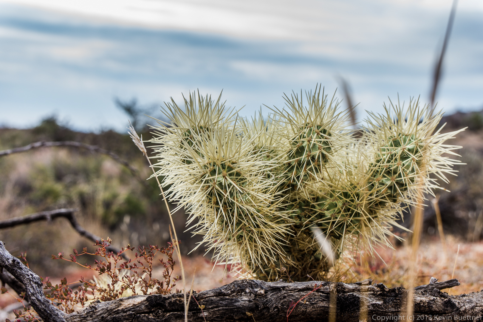
This area was ravaged by the Tonto Fire of the mid-90’s.

20131213-_DSC2284-Edit-medium

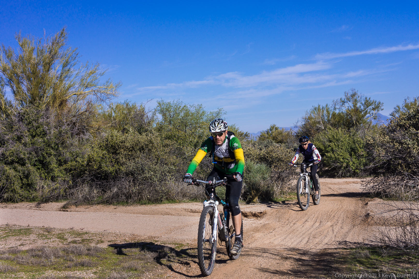
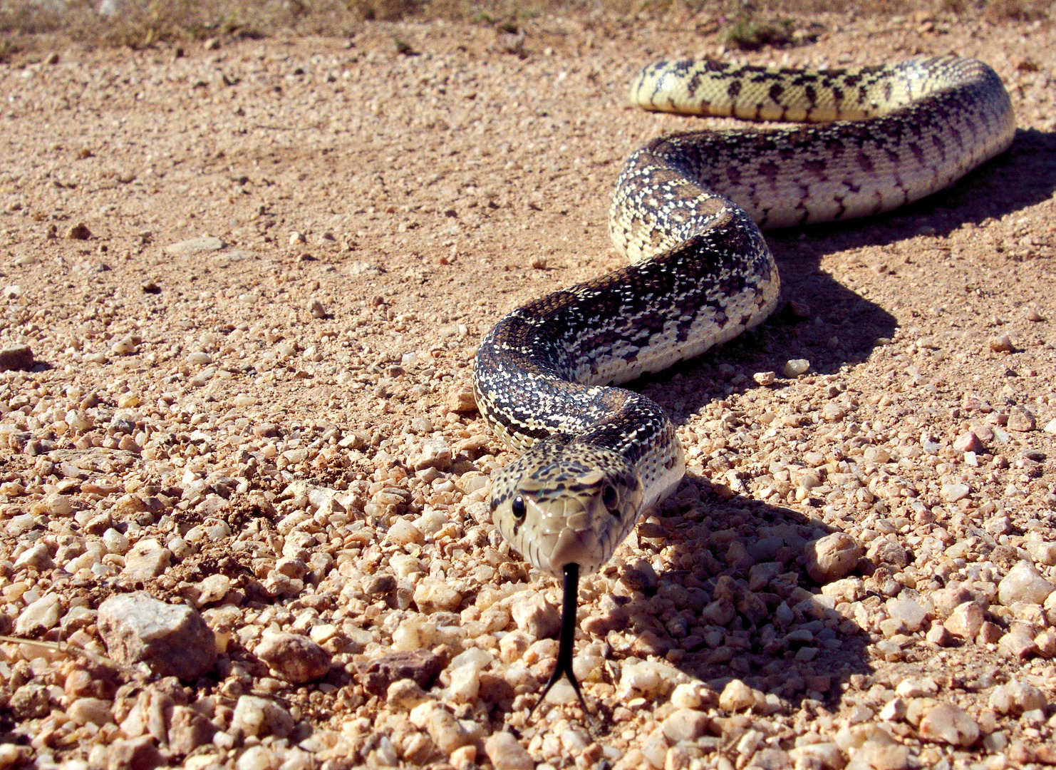
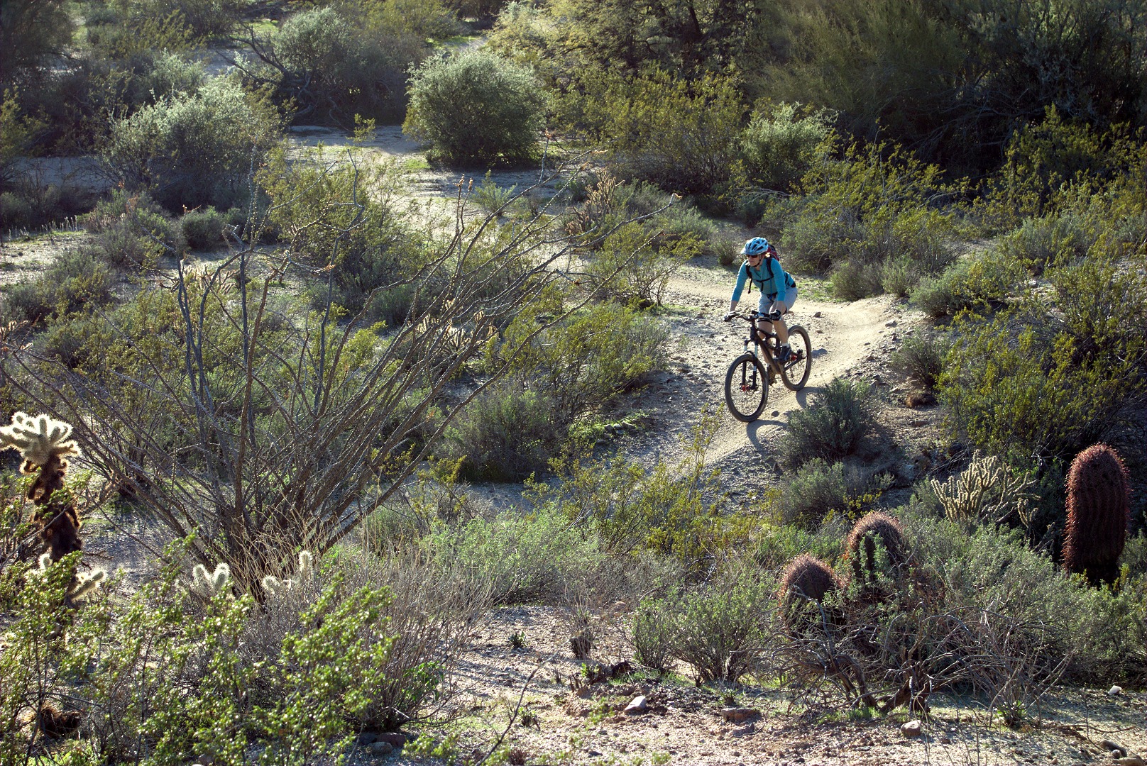
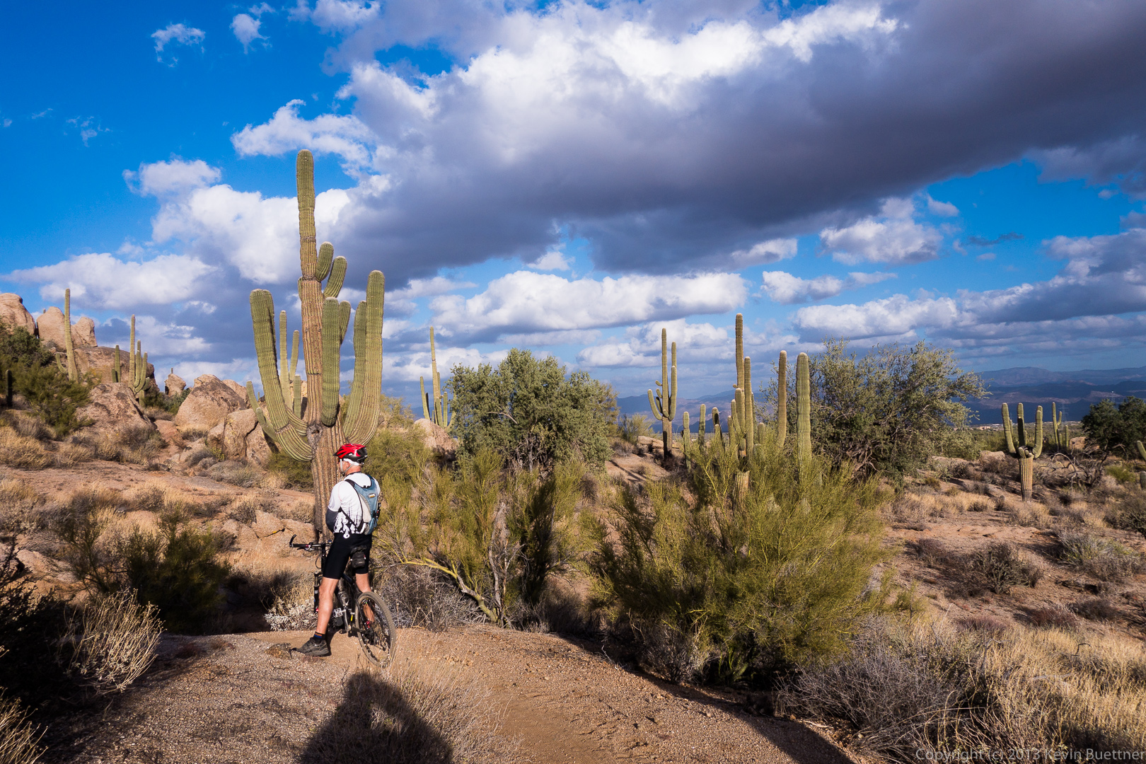
We encountered two cyclists on the Escondido Trail.

20131213-_DSC2297-medium

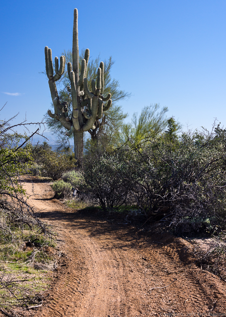
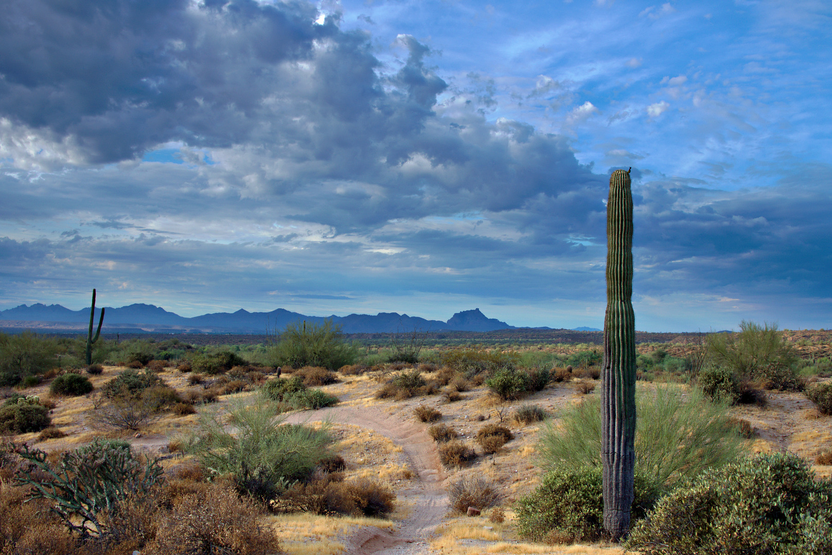
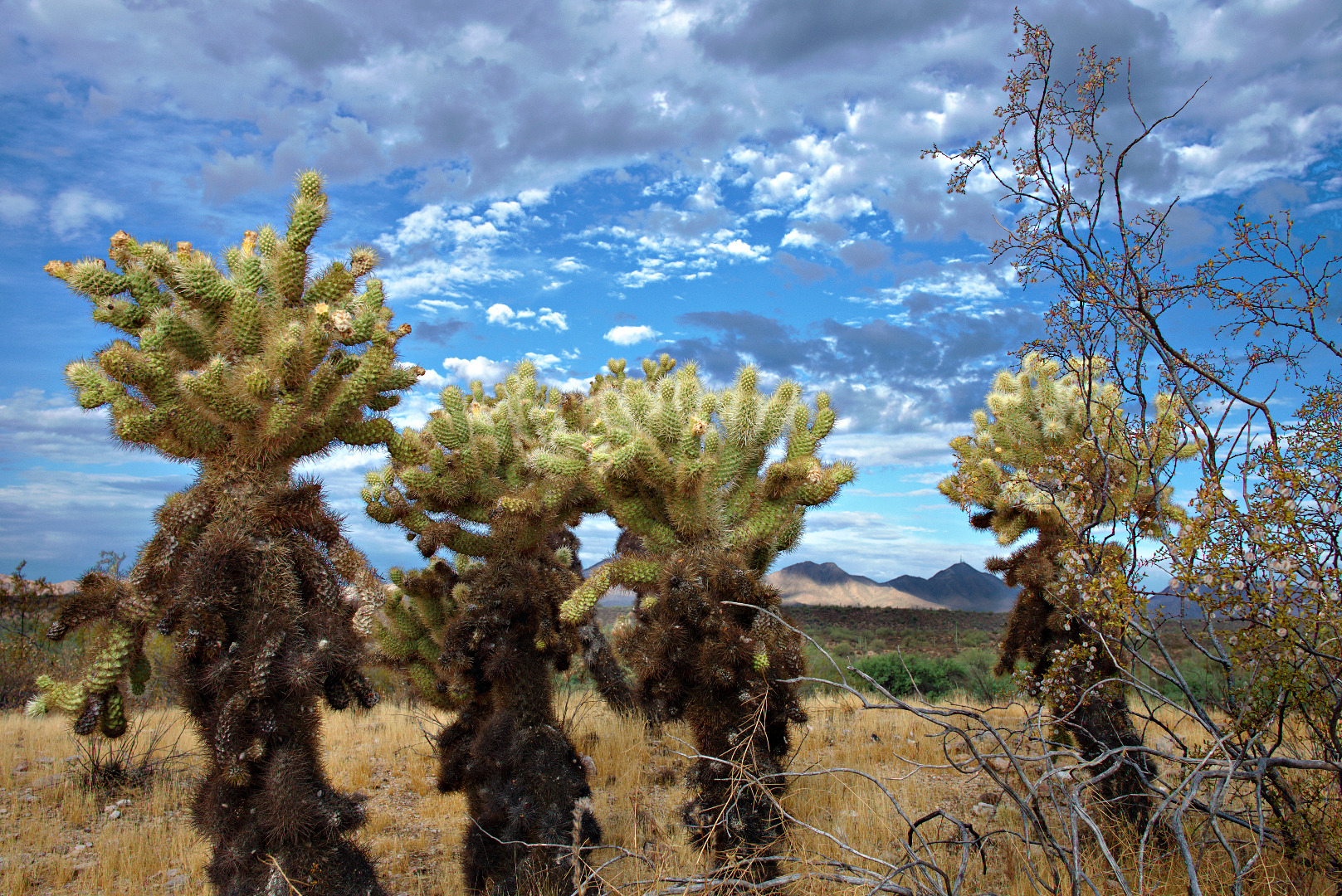
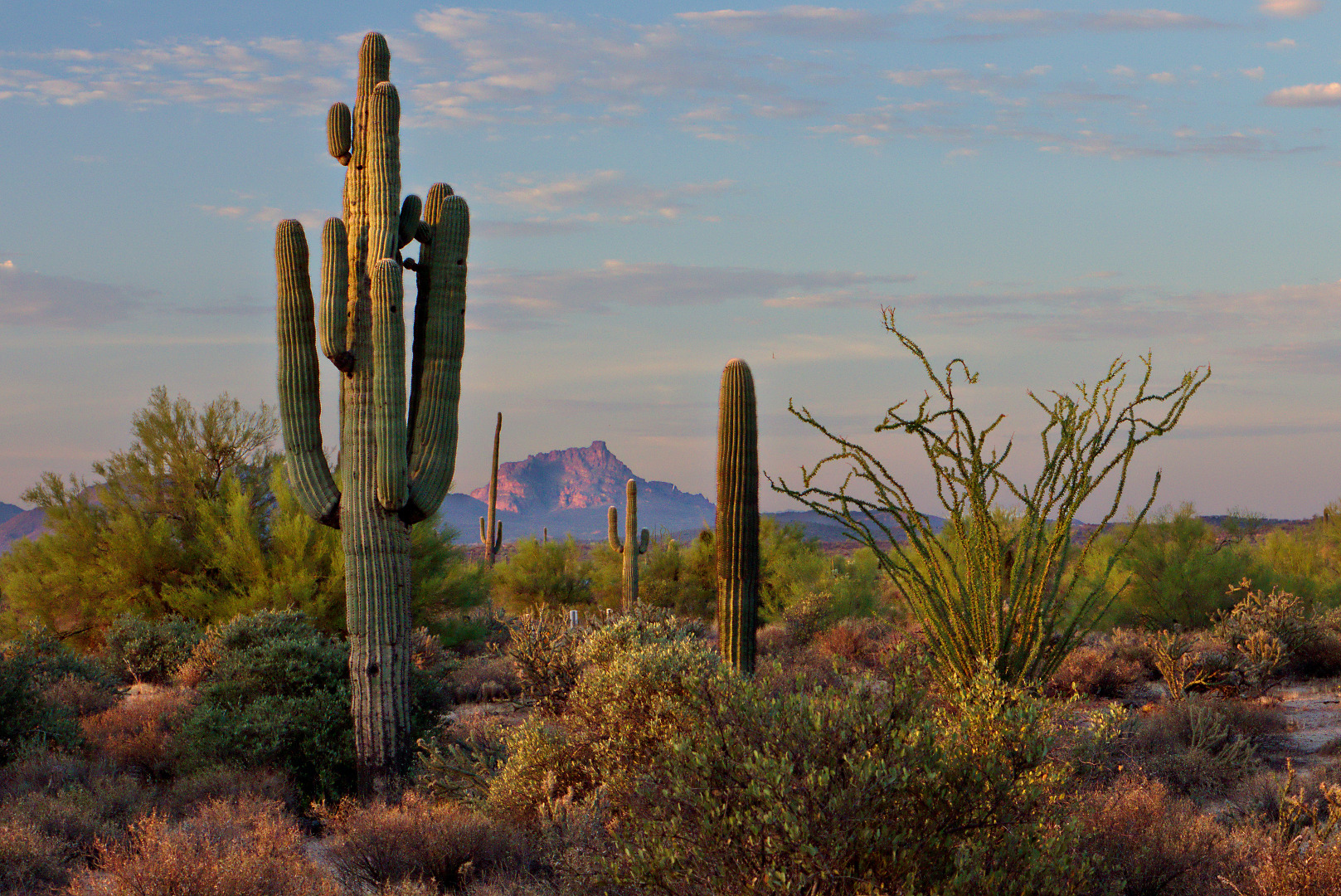
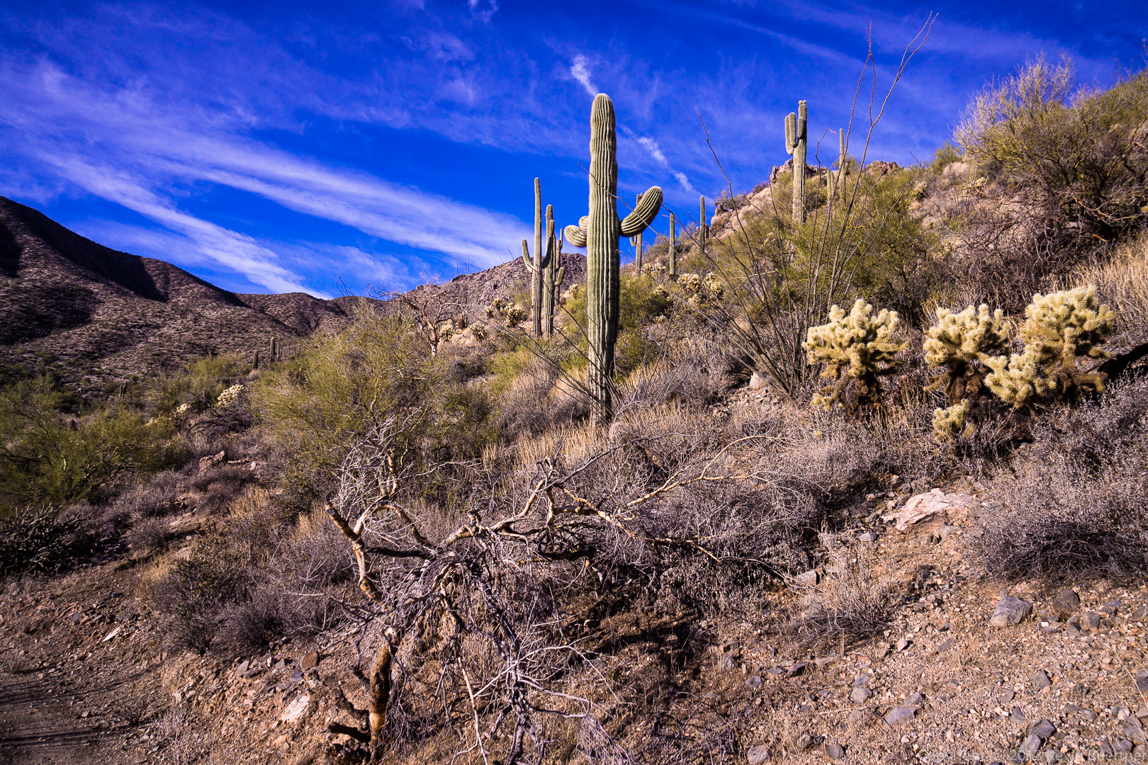
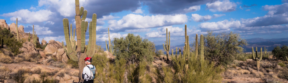
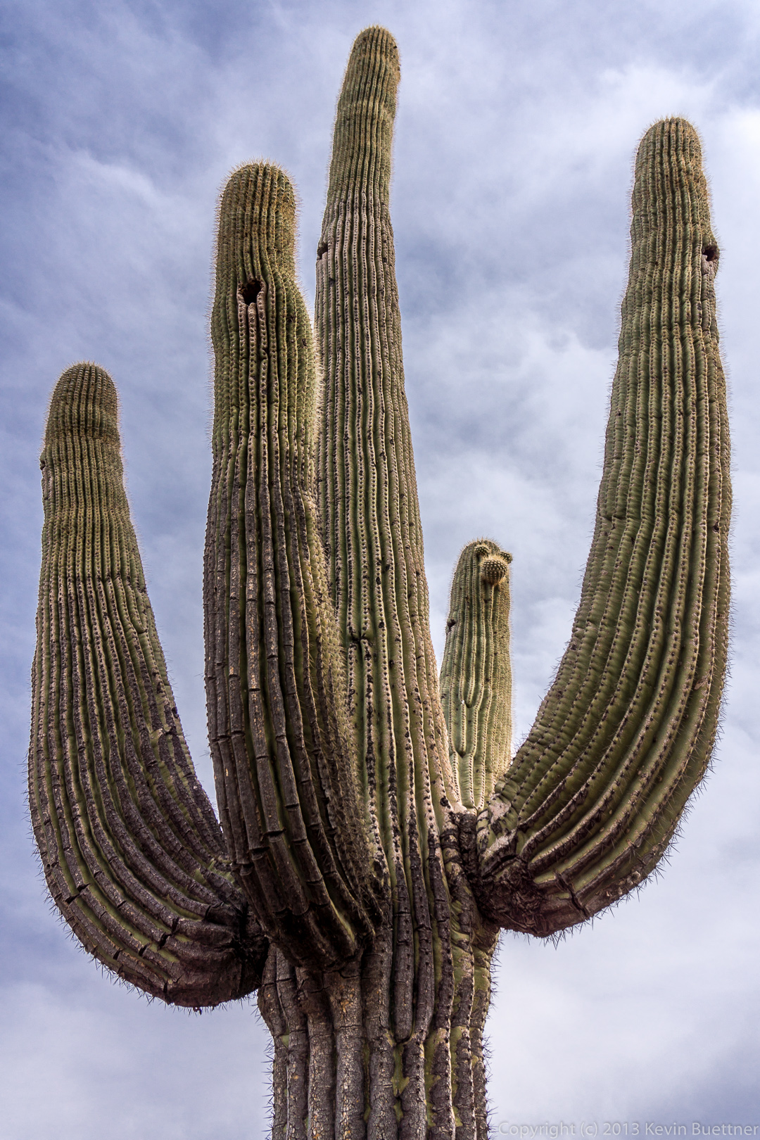
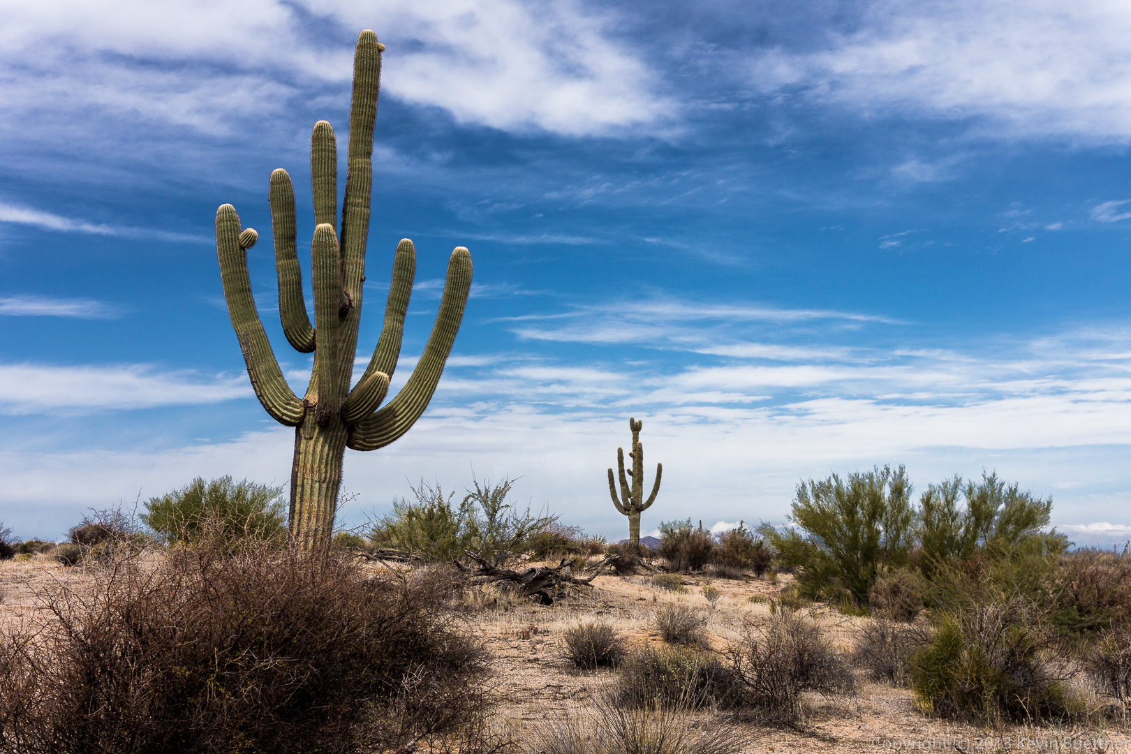
A glimpse of a saguaro with lots of arms:

20131213-_DSC2308-Edit-medium

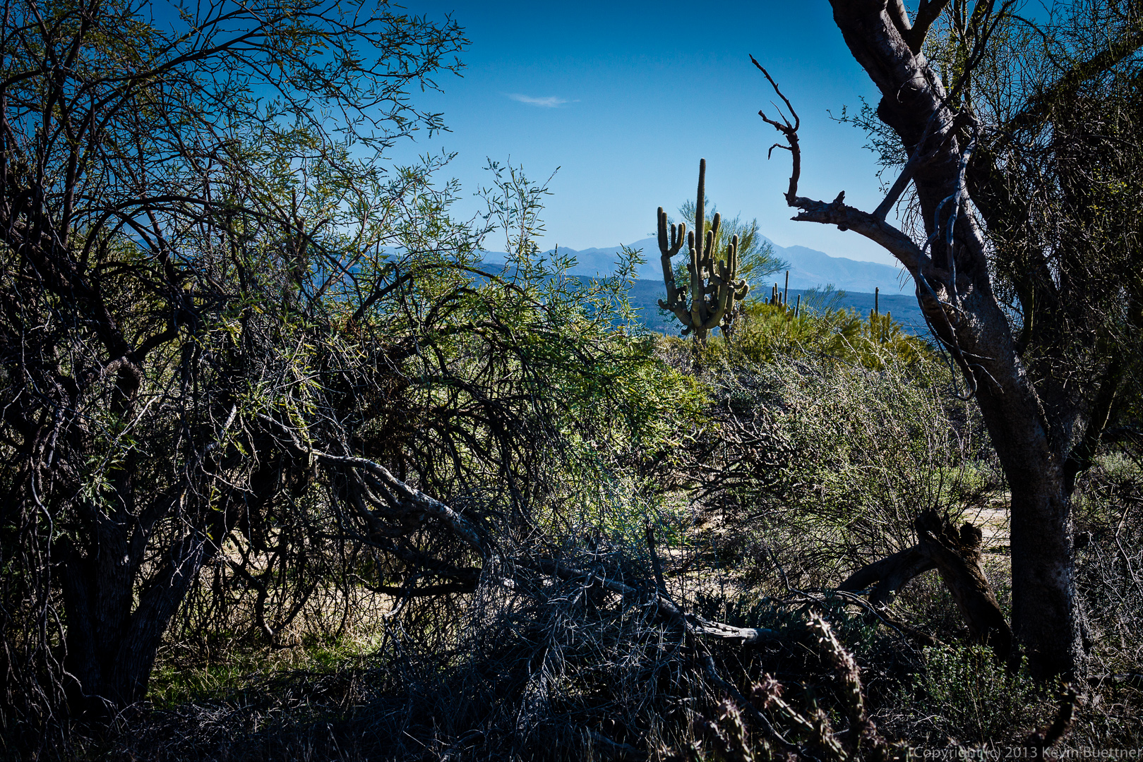
A closer view of this same saguaro:

20131213-_DSC2323-Edit-medium

Four Peaks: A View from the Nursery Tank


2015-05-06 Edit:

20131214-_DSC2411-with-clouds-medium

Original Edit:

20131214-_DSC2411-Edit-medium

Owl Release at McDowell Mountain Park


Amy released a pair of owls at the Nursery Tank on Saturday night.  These were young owls who had been either injured or abandoned.  Amy hopes that these owls will stay in the park, hopefully near the Nursery Tank.

This is Nick, the male owl.

20131214-_DSC2432-Edit-medium 20131214-_DSC2442-Edit-medium 20131214-_DSC2449-Edit-medium Holly, the female owl is bigger, though I didn’t get a shot of her spreading her wings.

20131214-_DSC2455-medium 20131214-_DSC2461-medium 20131214-_DSC2466-medium 20131214-_DSC2473-medium 20131214-_DSC2480-medium 20131214-_DSC2486-medium Holly was reluctant to leave.  Amy had to try a few times to get her to go.

20131214-_DSC2497-medium 20131214-_DSC2499-mediumThis shot was taken a moment or two before she flew away.

20131214-_DSC2510-medium

Updated Storm Photo from September 7, 2012

Below is a newly edited photo of the impending storm taken during a hike on September 7, 2012.  Those of us on the hike got very wet that day!  I was new to editing RAW files back then.  I don’t think my initial effort was very good.

20120907-DSC04328-1050

McDowell Mountain Park Favorites

2013-08-09-DSC04490-medium2013-04-26-DSC04720-medium2013-08-09-DSC04727-medium2013-05-12-DSC09881-crop-medium2013-04-05-DSC02727-medium20121214-DSC08073-Edit-medium2013-07-12-DSC02478-medium

2013-09-20-DSC09264-medium2013-09-20-DSC08932-medium2013-04-05-DSC02793-medium2013-07-14-DSC02911-medium2013-10-18-DSC01204-3-medium2012-11-09-DSC03053-medium2013-04-12-DSC03487-cropped2013-07-19-DSC03647-medium2013-02-16-DSC09135-medium2013-04-05-DSC02724-medium2013-09-13-DSC08497-cropped-medium2013-07-26-DSC04077-medium2012-09-09-DSC04630-medium2013-08-09-DSC04508-medium2013-08-12-DSC04867-medium2013-04-26-DSC04749-medium2013-07-14-DSC02779-medium2013-07-19-DSC03703-medium2013-07-19-DSC03439-medium2013-07-19-DSC03566-medium2013-07-14-DSC02941-medium2013-10-04-DSC00405-medium2013-04-12-DSC03269-medium2013-04-05-DSC02754-medium2013-08-16-DSC05128-medium2013-07-19-DSC03583-medium2013-02-15-DSC08951-medium2012-11-30-DSC06500-medium2013-04-05-DSC02751-medium2013-07-12-DSC02692-medium


20121012-DSC05957-medium2013-01-18-DSC08585-medium2012-09-09-DSC04553-medium2013-07-05-DSC03535-medium2012-11-16-DSC07150-medium2013-06-15-DSC03317-medium2013-01-11-DSC08564-medium2013-07-12-DSC02425-medium2013-08-02-DSC04238-medium20120907-DSC04328-10502013-09-13-DSC08485-medium

Avenue of the Fountains – Holiday Lights

The Christmas / Holiday lights are up now on the Avenue of the Fountains.

20131208-_DSC2063-Edit-medium 20131208-_DSC2070-Edit-medium The photo below is a quick edit of a photo that I took at a high ISO.  I used ISO 100 to 400 for the rest of them.  I only bumped the ISO up above 100 when I couldn’t get my exposures within the 30 second limit.  (I didn’t want to go to bulb mode.)

I’m holding up an 18% gray card so that I’d have something of a clue about how to set the color temperature while developing the images.  This is a quick edit in Lightroom.  Note that although the white balance is correct for me and perhaps some of the immediate foreground, it’s definitely not correct for the storefronts.  This is a problem with such scenes; there are a bunch of different light sources with different color temperatures.

I used the this color temperature found in this photo as starting point for several others.  I wasn’t happy with it, however, for some of the later ones that I developed.  (The order that I present them here are the order in which they were shot, not developed.)  For some of the images, I processed some of the layers twice with a different color temperature (and tint). I combined them after the fact to try to get the white balance correct (or at least not wildly incorrect) for various parts of the scene.  The photo above is a good example; I used one color temperature for the store front and another for most of the rest of the scene.

20131208-_DSC2087-medium 20131208-_DSC2089-Edit-medium 20131208-_DSC2103-Edit-medium 20131208-_DSC2109-Edit-medium 20131208-_DSC2131-Edit-medium

Friday Fitness Hike

Friday’s hike was nearly ten miles in length with over 2,000 feet of total ascent.  Eight of us hiked Dixie Mine out to the Sonoran Trail, followed the Sonoran Trail to its end, and then hiked a short ways out on the Promenade Trail.  From there we hiked up the Western Loop Trail, stopped briefly at the overlook at the top, and then continued on the Western Loop Trail until it intersected with Promenade.  We then hiked back along the shortest route using the Promenade, Sonoran, and Dixie Mine Trails.

Marilyn and Linda wait for everyone to pay up at the iron ranger at the start of the Dixie Mine Trail.

20131129-DSC01940-medium

Marilyn and Linda lead the way on the Dixie Mine Trail.

20131129-DSC01946-medium

Linda, Marilyn, Vinnie, Renee, Janet, Rob, and Michael on the Sonoran Trail.  (Someone correct me if I have any of the names wrong.)

20131129-DSC01964-medium A view from the Sonoran Trail.

20131129-DSC01970-medium Another view from the Sonoran Trail.  I did this one in Photomatix, but did not like it, so I redid it in Lightroom and Photoshop.

20131129-DSC01988-Edit-medium

I think this is still the Sonoran Trail.

20131129-DSC01991-medium

A view of Tom’s Thumb in the distance.

20131129-DSC01994-medium

This was supposed to be another view of Tom’s Thumb.  Unfortunately, I shot everything on Friday at f/4, so there was a significant amount of background blurring due to the focus being on the tree.

20131129-DSC01997-medium A view of Fountain Hills from the top of the Western Loop Trail.

20131129-DSC02000-medium Taking photos from the Western Loop Overlook…

20131129-DSC02003-medium

Several views while descending the Western Loop Trail:

20131129-DSC02015-medium 20131129-DSC02018-medium 20131129-DSC02021-medium 20131129-DSC02024-medium I think this was taken from the Promenade Trail.

20131129-DSC02030-medium Taking a break on the Sonoran Trail…20131129-DSC02036-mediumThe rain that we got last week is starting to make things green again:

20131129-DSC02042-medium

Lincoln

This sculpture of Lincoln was created by Mark Lundeen.  It was donated in 2012; see photo of plaque below for a complete donor list.

2013-11-11-DSC01603-medium 2013-11-20-DSC01188-small

Little Granite Mountain

I took these photos while riding with Nick and Marilyn and Little Granite Mountain.

A view from the Bootlegger Trail:

20131116-DSC01106-medium

The Bootlegger Trail wends its way in between some large rocks:

20131116-DSC01115-medium

This large boulder is called Balanced Rock.  (There’s a more famous rock formation also called Balanced Rock in Arches National Park.)20131116-DSC01127-medium Another view of Balanced Rock:

20131116-DSC01139-medium The view as we hiked back down to our bikes:

20131116-DSC01156-medium Nick enjoys the view from the Granite Mountain Loop Trail.20131116-DSC01169-medium Another view from the same location.  The prominent boulder at the top of the rocky hill is called the “Pasta Pinnacle”.  The “Lost Bandana Area” is behind that hill.

20131116-DSC01180-medium

Friday Fitness Hike

Thirteen of us started from the Wagner Trailhead for Friday’s hike, but over the course of the hike, we broke up into three groups.  Janet, Michelle, Nick, and Bob accompanied me through the Bluff Trail Wash to Pemberton and then down Stoneman Wash to Granite at which point we returned on Wagner and Granite.  (We took Wagner and Granite on the way out too.)

Group photo; unfortunately, I could not remember the names of everyone who joined the hike this week.

20131115-DSC01660-medium Troon Mountain is lit up off in the distance.

20131115-DSC01672-medium

A view of Four Peaks through vegetation along the trail.

20131115-DSC01679-medium

This is where Janet, Michelle, Bob, Nick, and I turned off the Granite Trail.

20131115-DSC01684-medium

We wait for a time for Robert to catch up with us.  While we waited I took this photo of the Granite Trail.  The rest of the group that was hiking with us went this way and perhaps those who followed later on did too.

20131115-DSC01708-medium

We scramble up these boulders to hike up the wash.  (I’ve posted similar photos in the past, but I processed all of this week’s photos with Adobe Lightroom 5 and wanted to see what it was like to edit this photo using LR5.)

20131115-DSC01717-medium

A dead tree in the wash…

20131115-DSC01735-medium Janet and Michelle scramble over boulders on their way up the wash.

20131115-DSC01741-medium

A narrow passageway through some rocks:

20131115-DSC01760-medium

Flowers…

20131115-DSC01766-medium 20131115-DSC01780-medium

This rock pile is visible from the Pemberton Trail somewhat north of the Bluff Trail intersection with Pemberton.

20131115-DSC01786-medium I saw this small cholla as we hiked the Pemberton over to Stoneman Wash.

20131115-DSC01795-medium

A large saguaro just off of the Pemberton Trail.  Michelle noticed that there were three buds on one of the arms that sort of looked like eyes and a nose.

20131115-DSC01822-medium

A rock formation in Stoneman Wash:

20131115-DSC01849-medium

Bob, Janet, Nick, and Michelle hiking Stoneman Wash:

20131115-DSC01867-medium

Views of Stoneman Wash…

20131115-DSC01871-medium 20131115-DSC01879-medium 20131115-DSC01885-medium 20131115-DSC01891-medium 20131115-DSC01904-medium