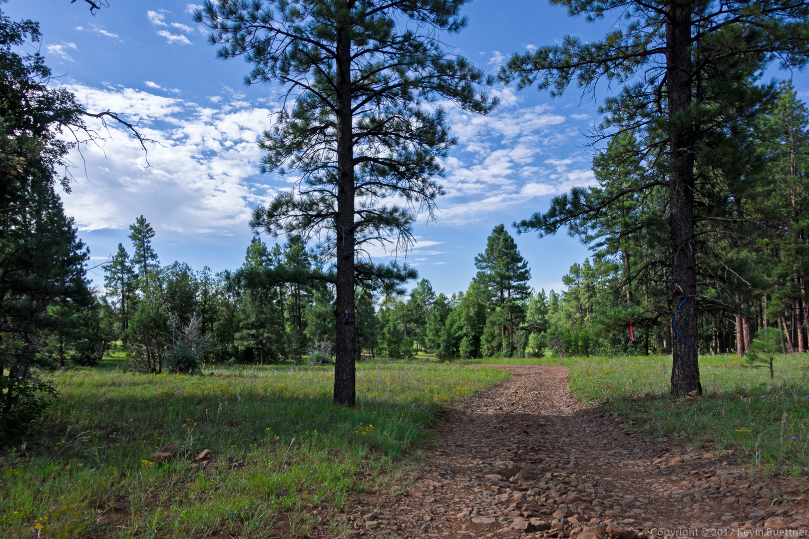
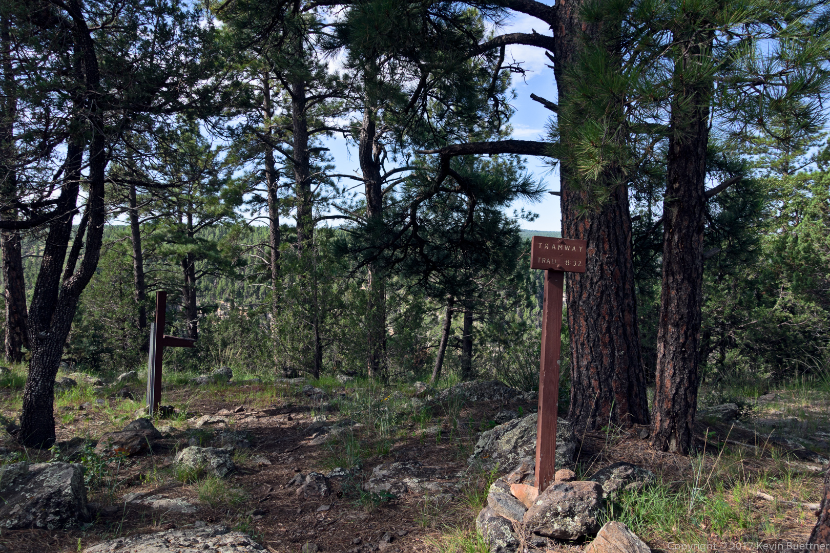
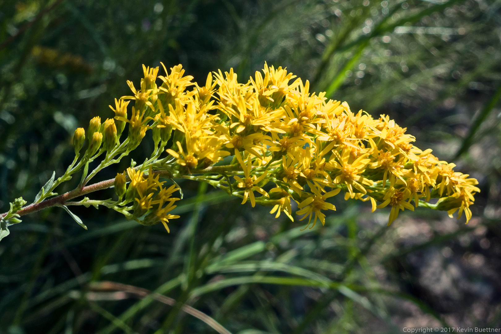
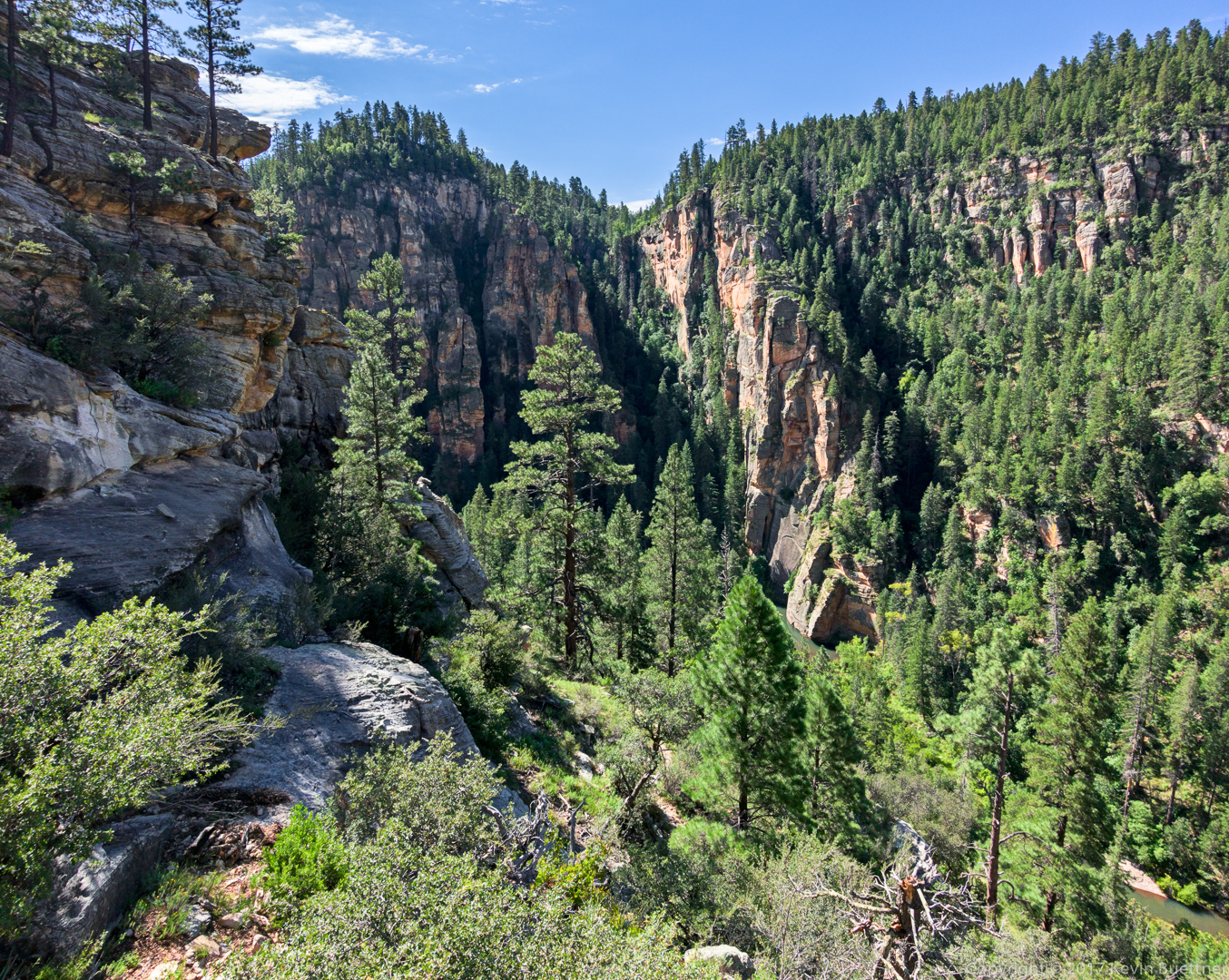
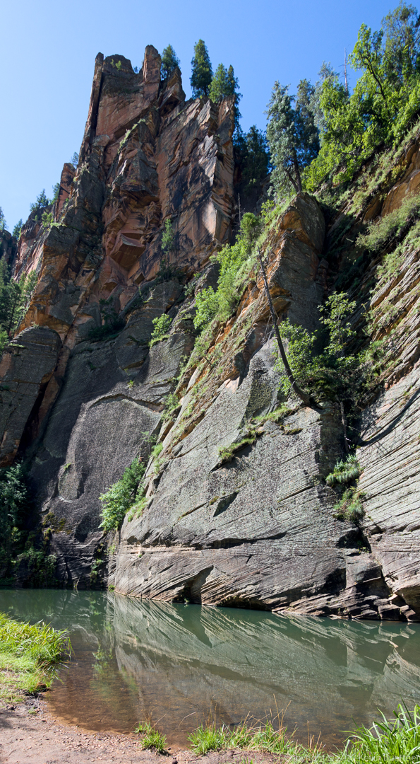
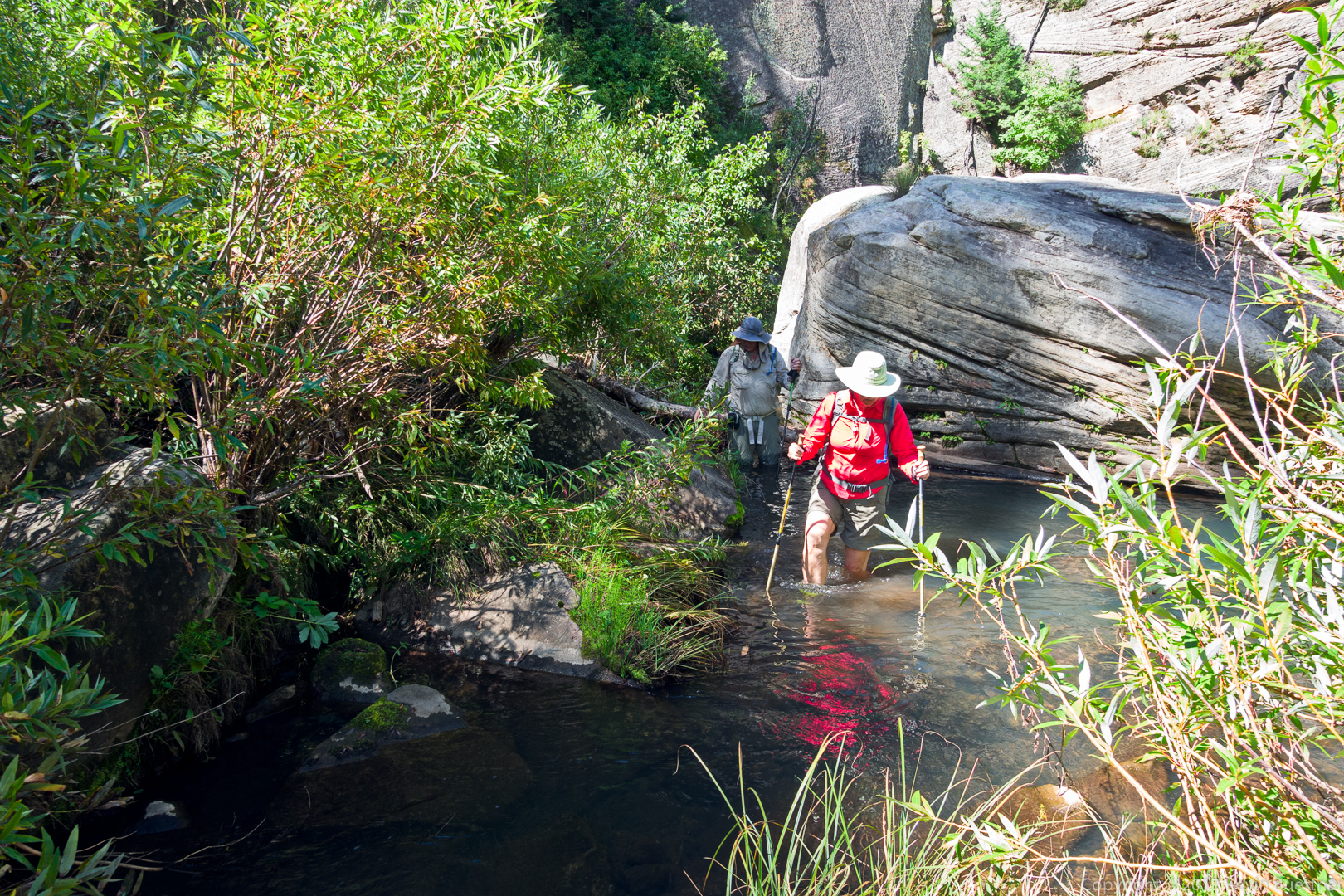
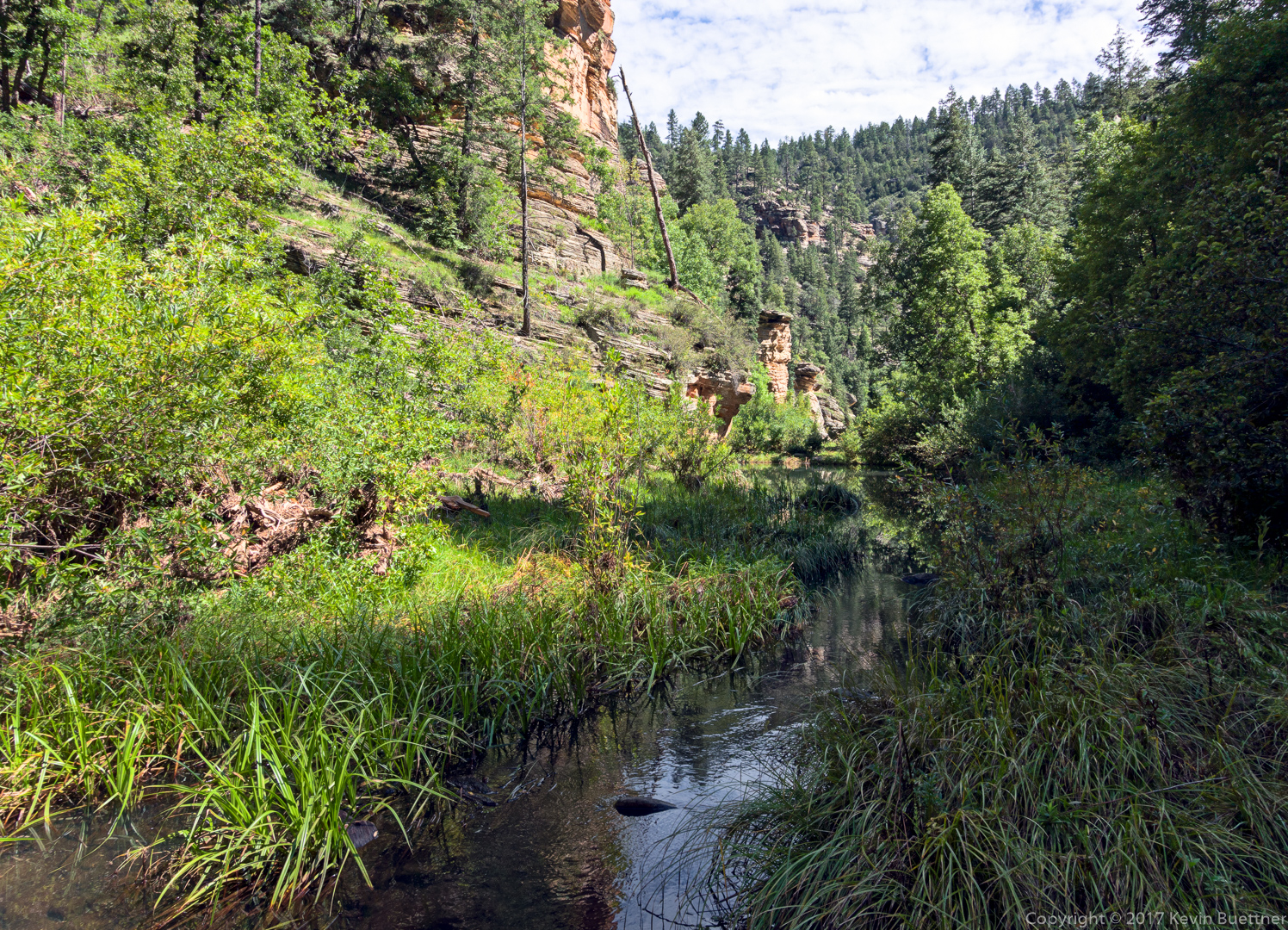
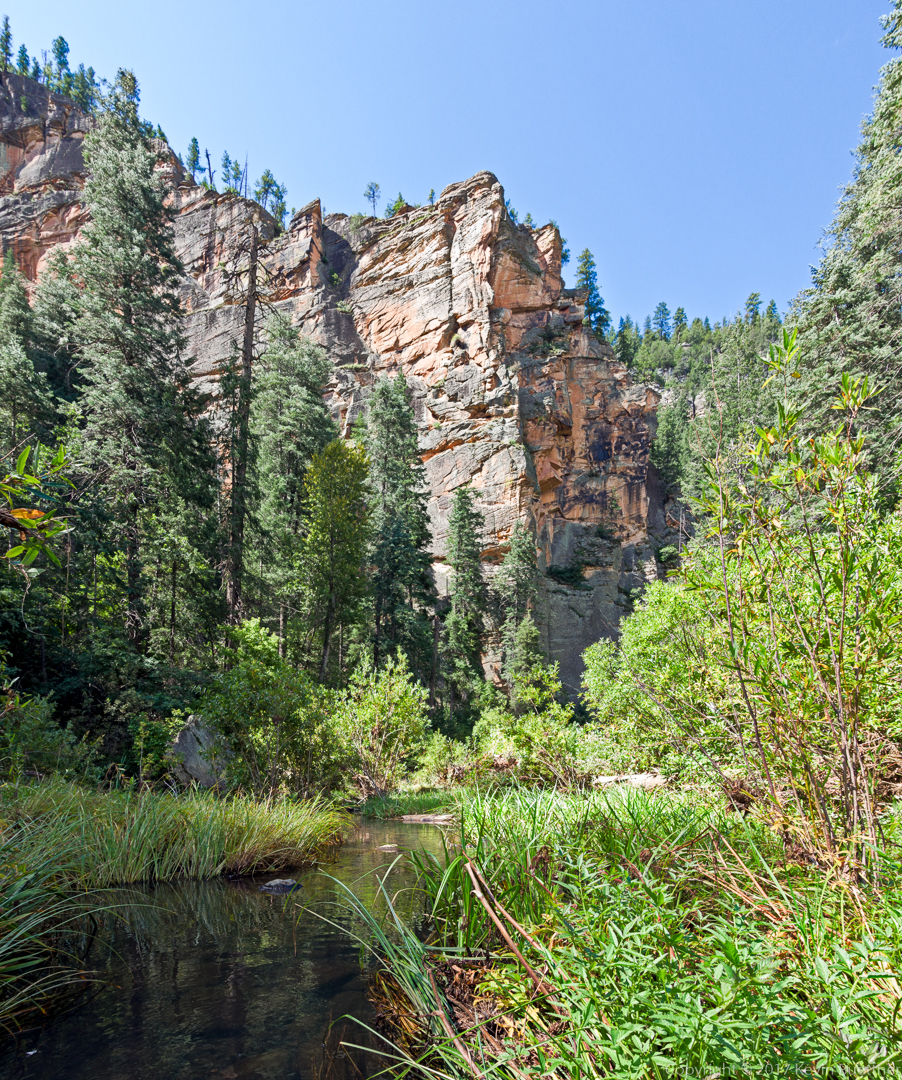
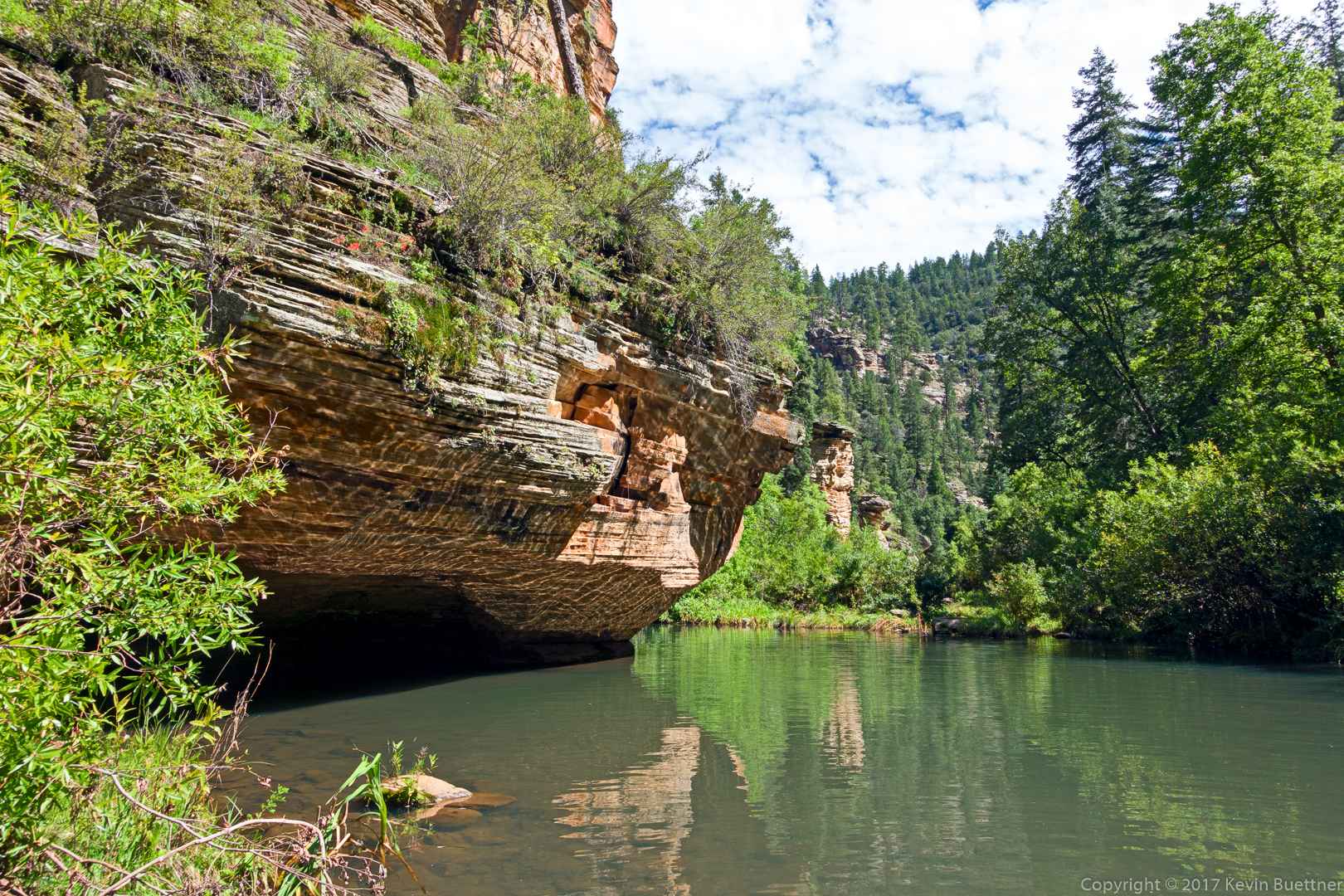
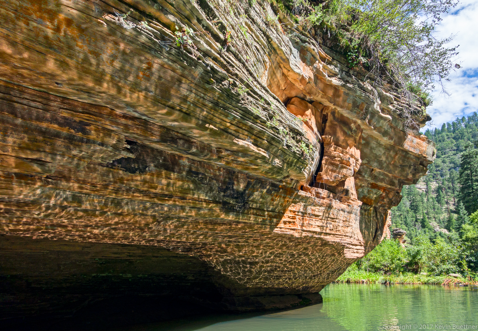
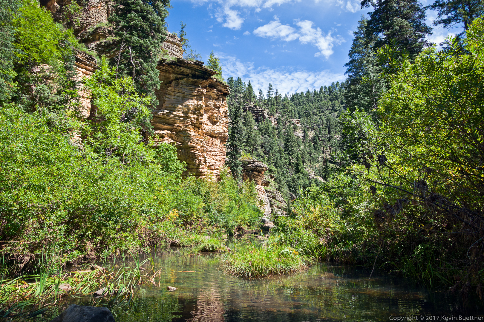
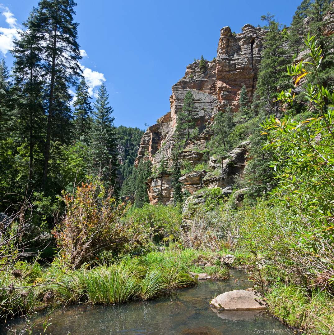
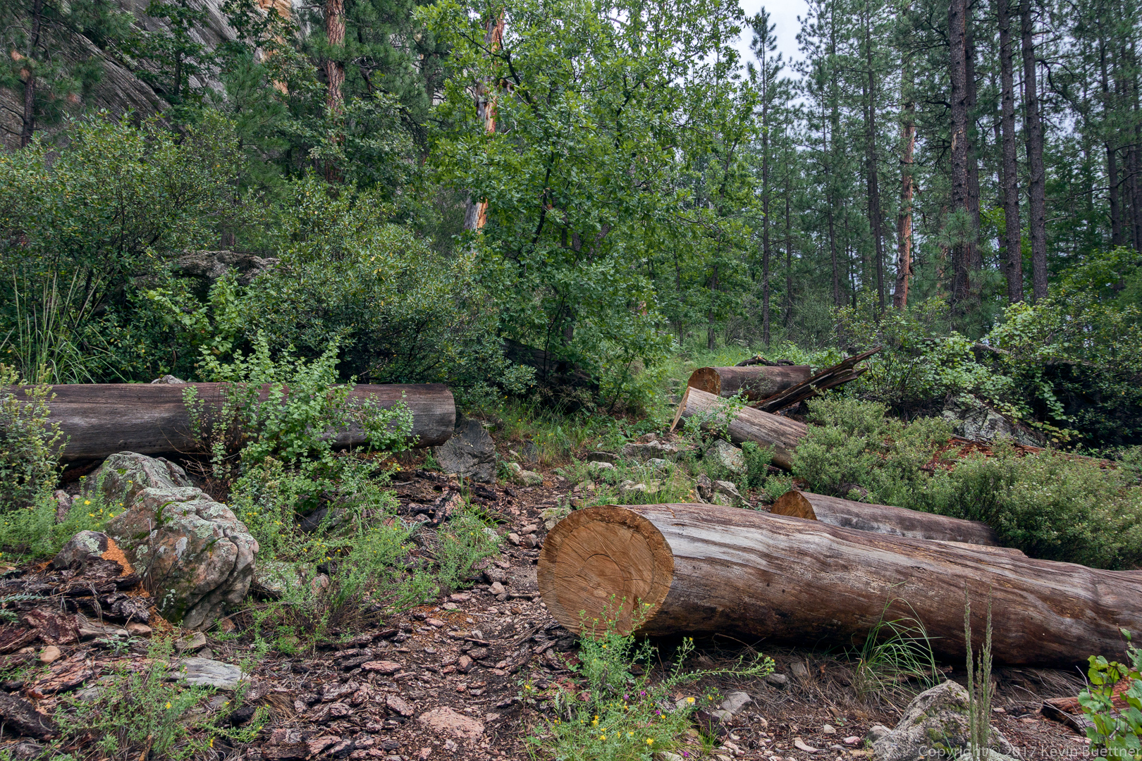
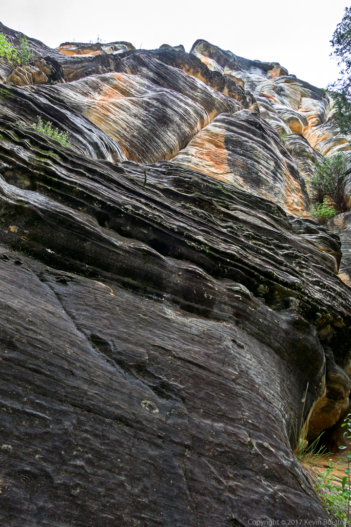
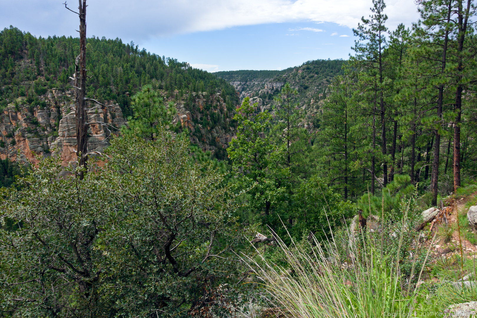
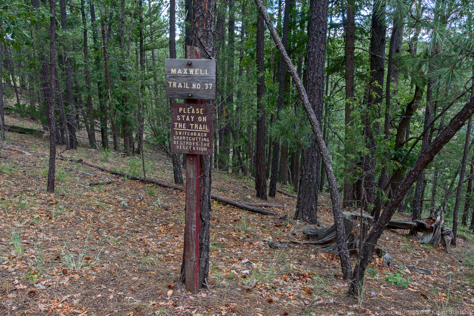
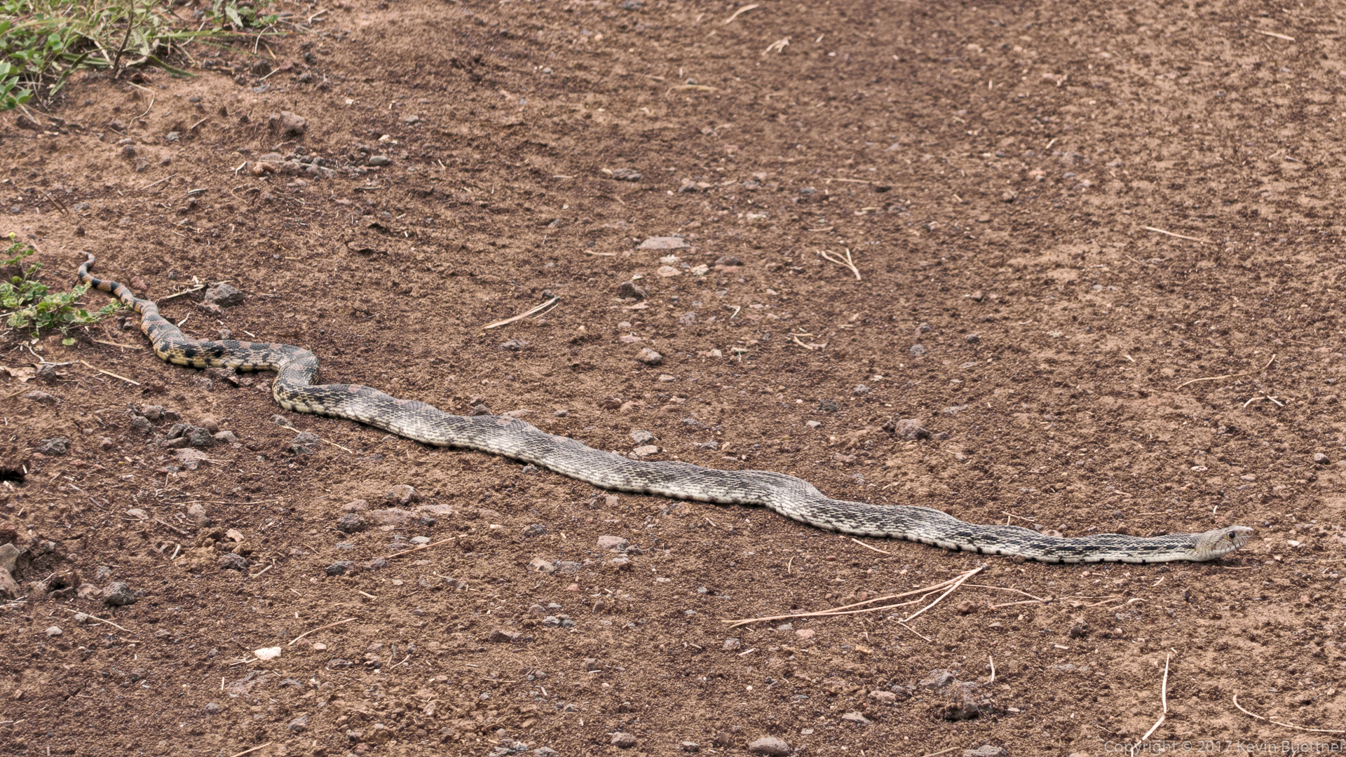
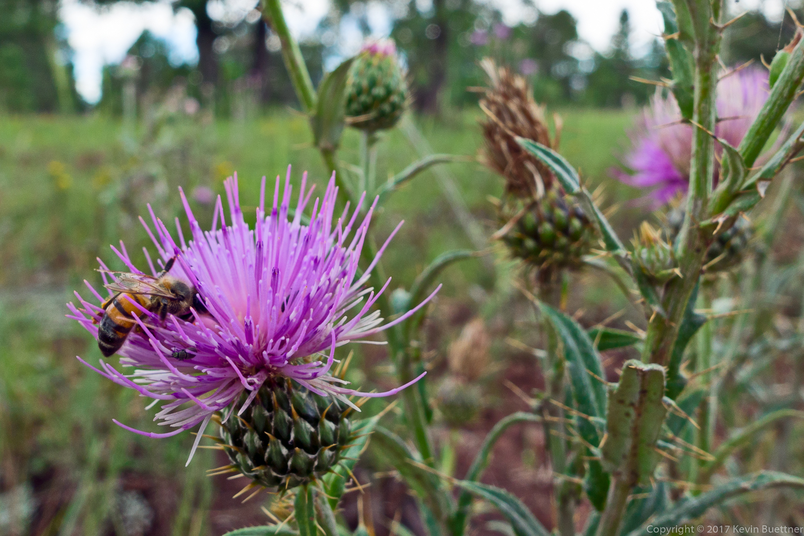
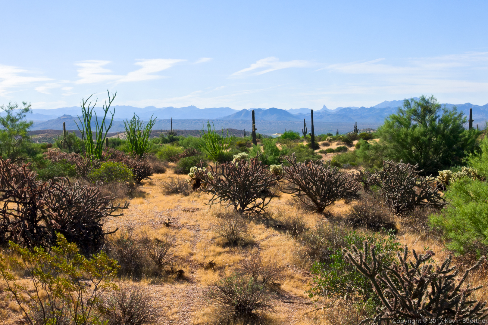
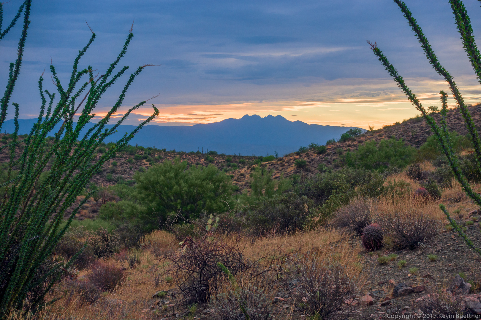
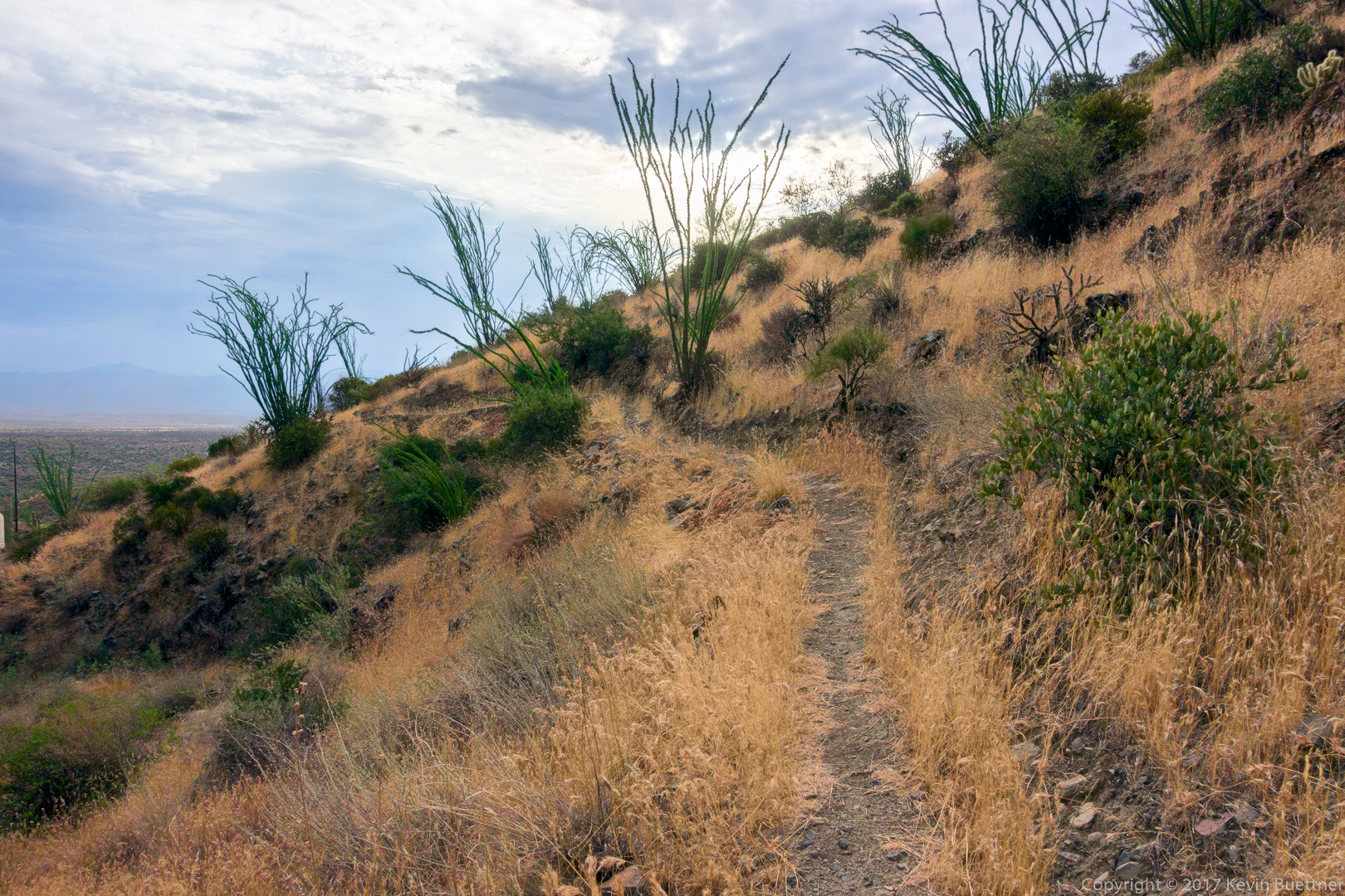
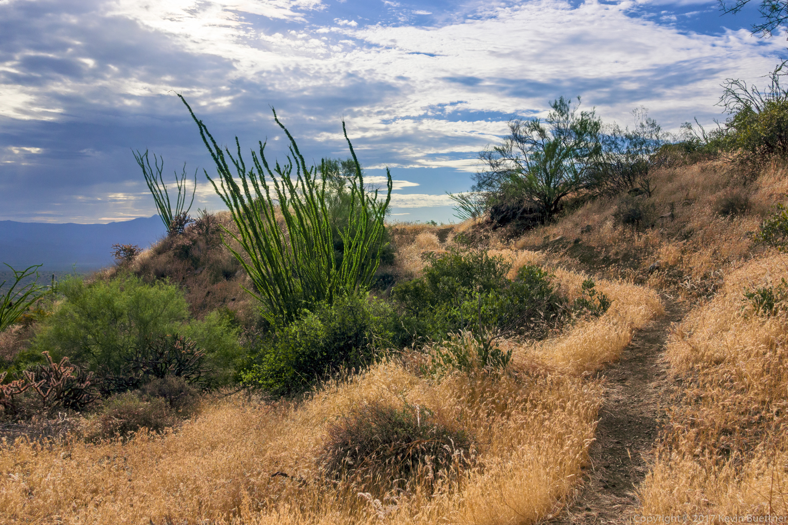
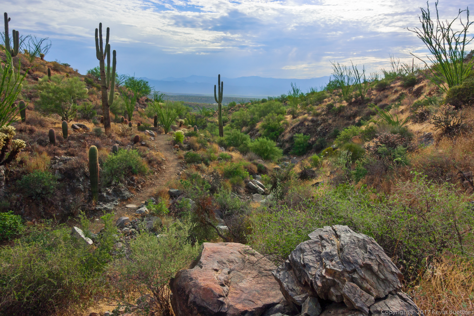
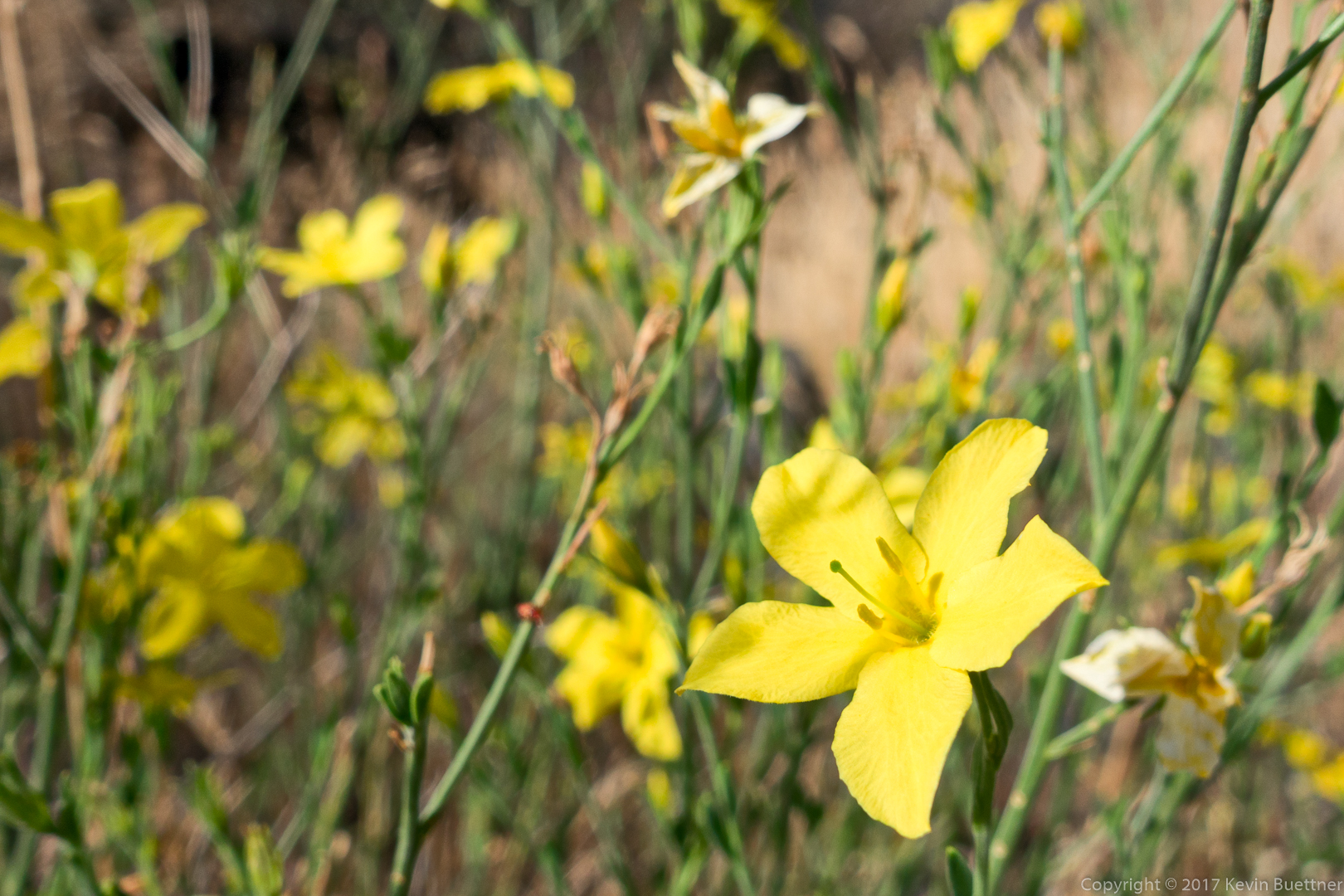
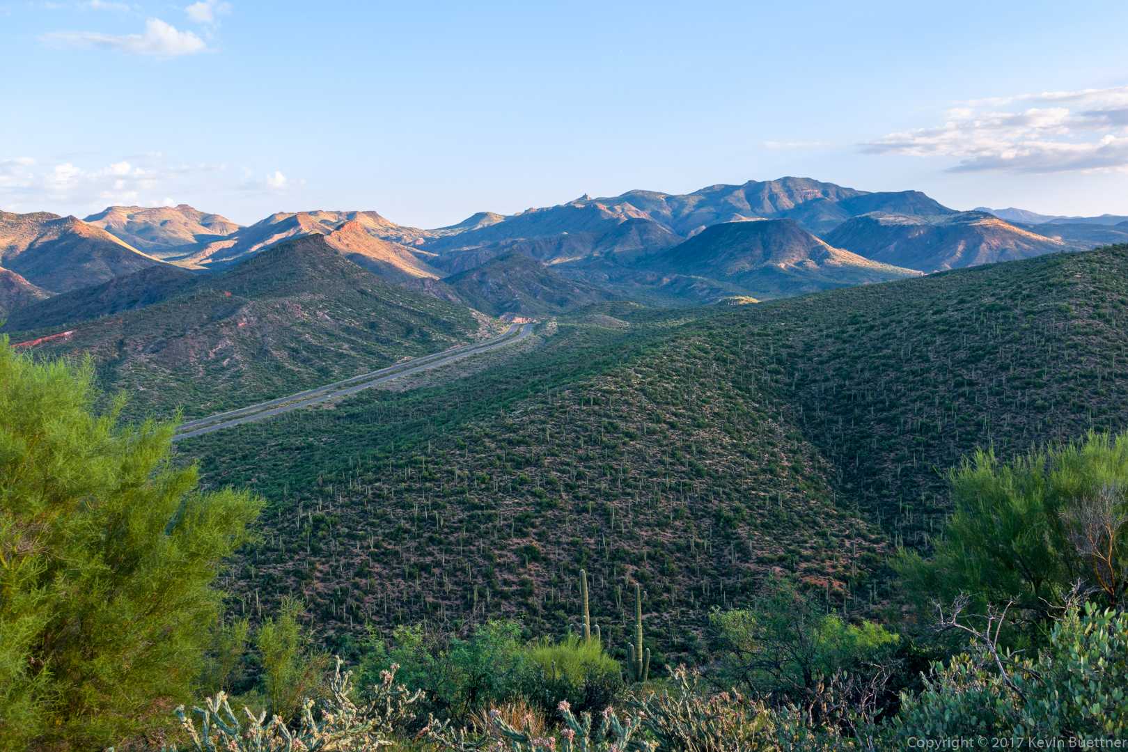
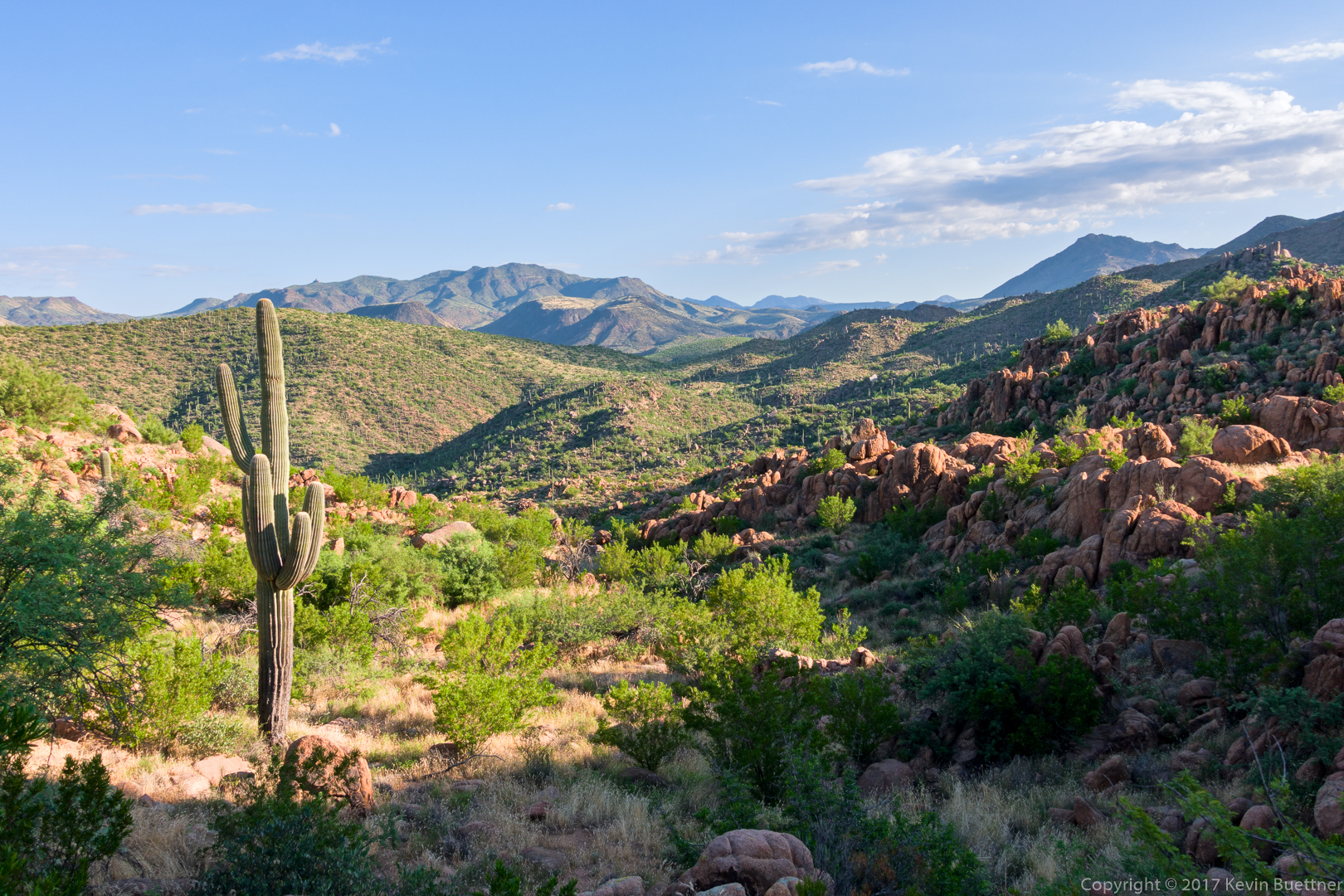
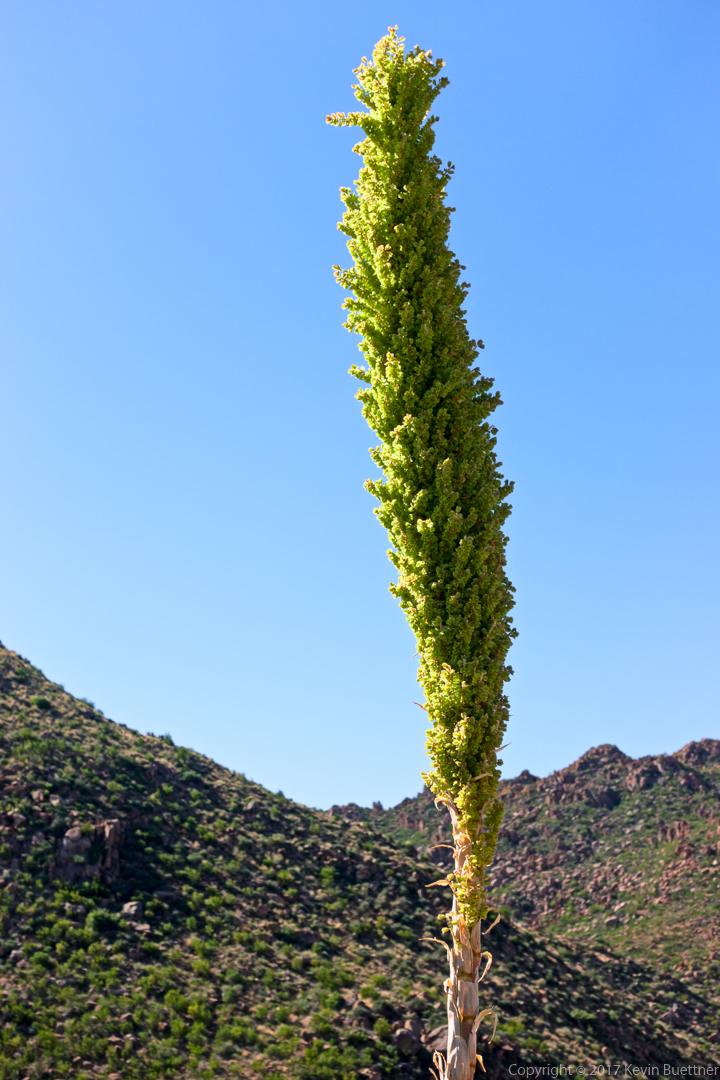
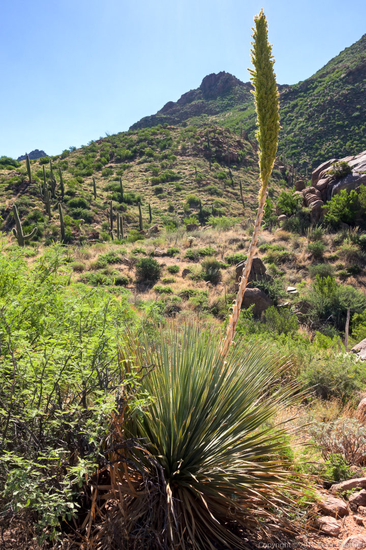
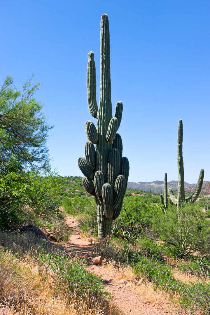
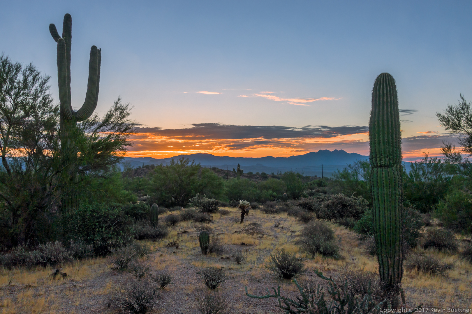
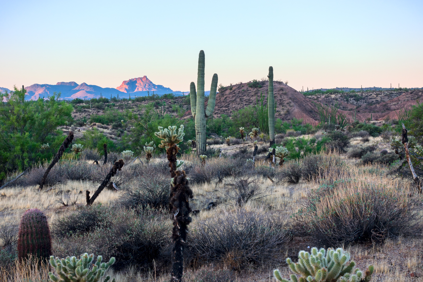
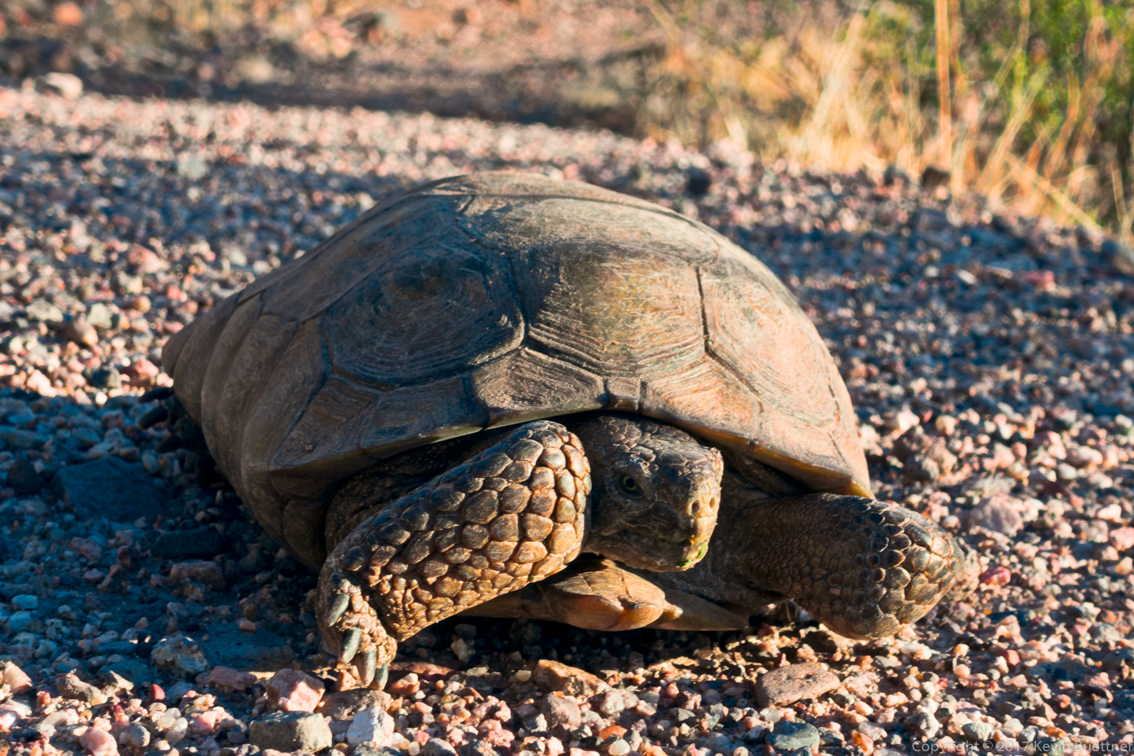
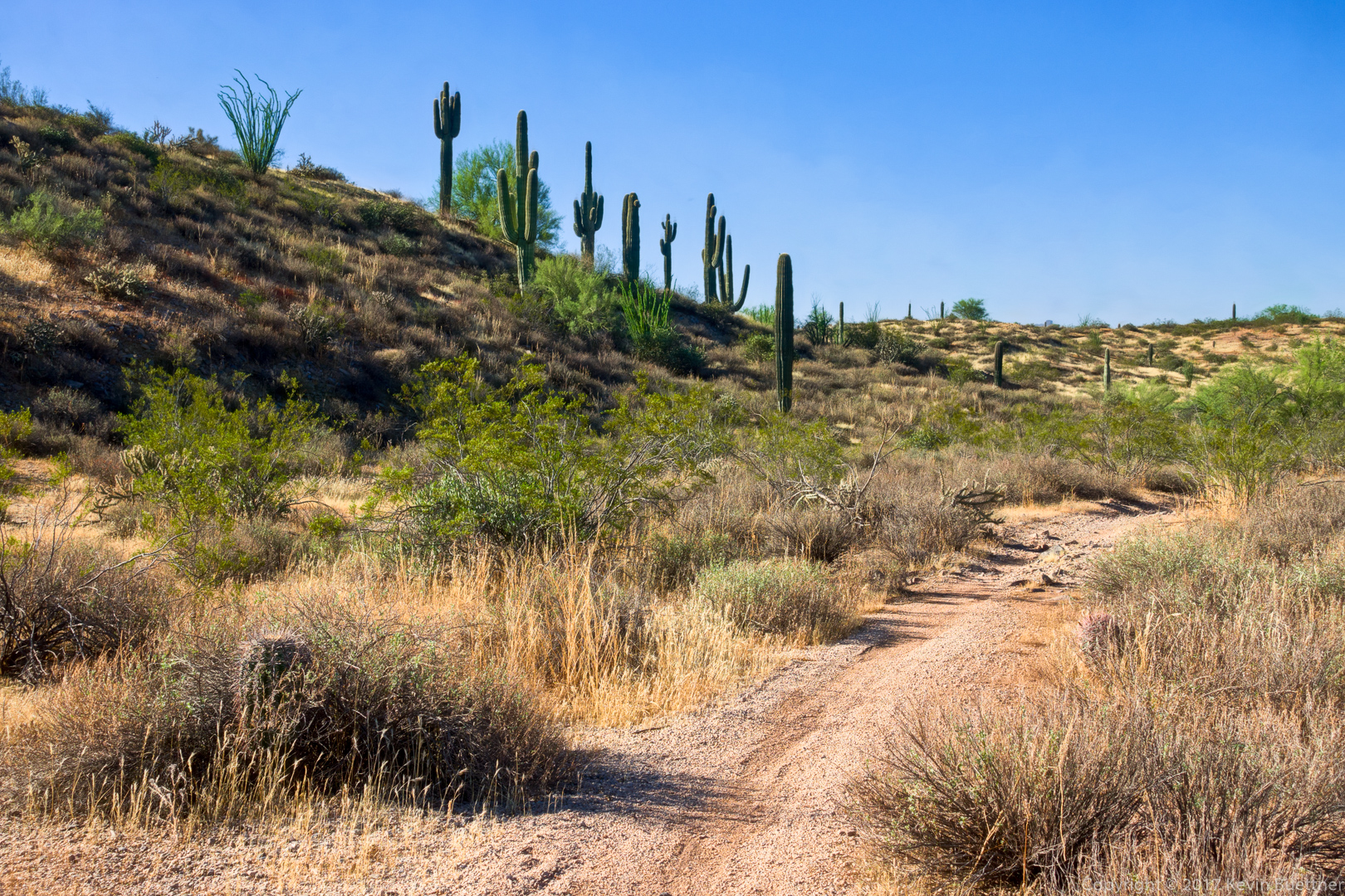
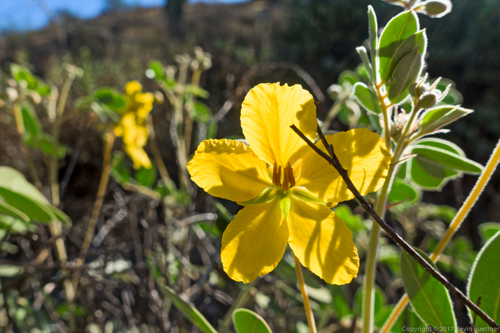
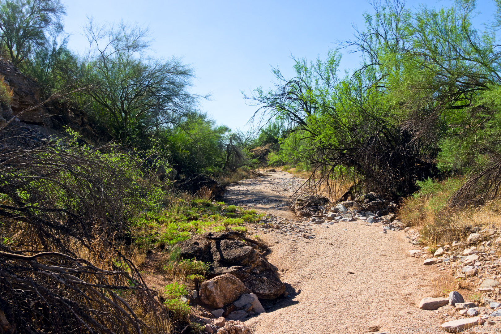
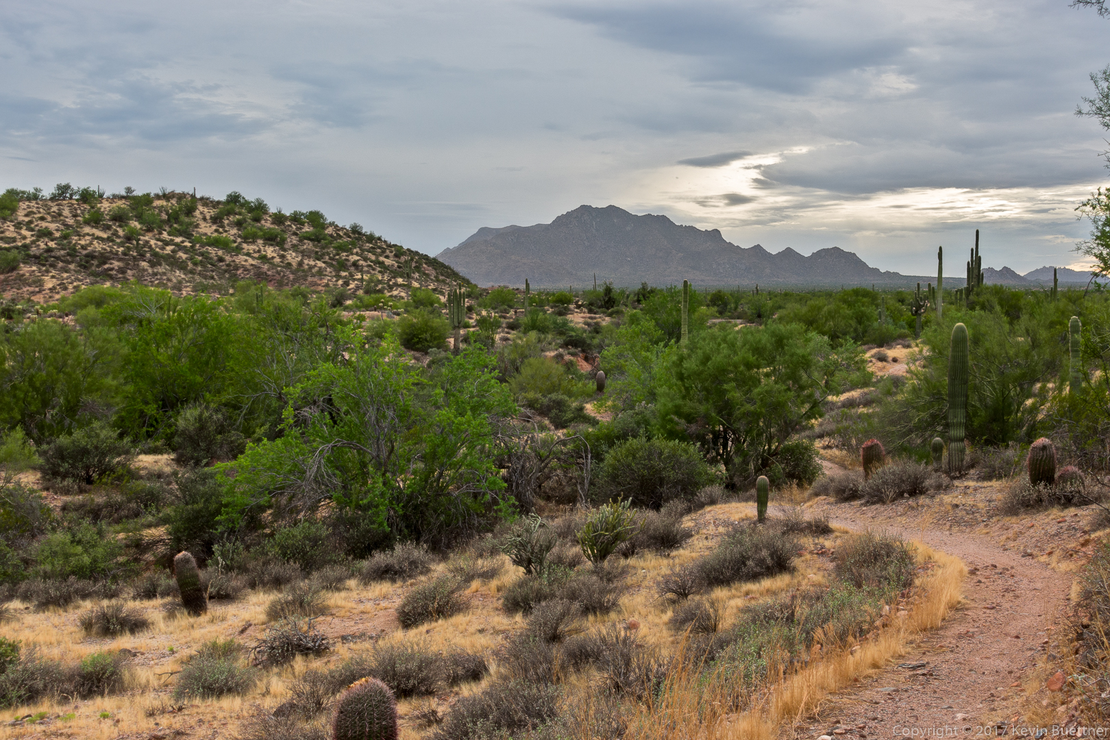
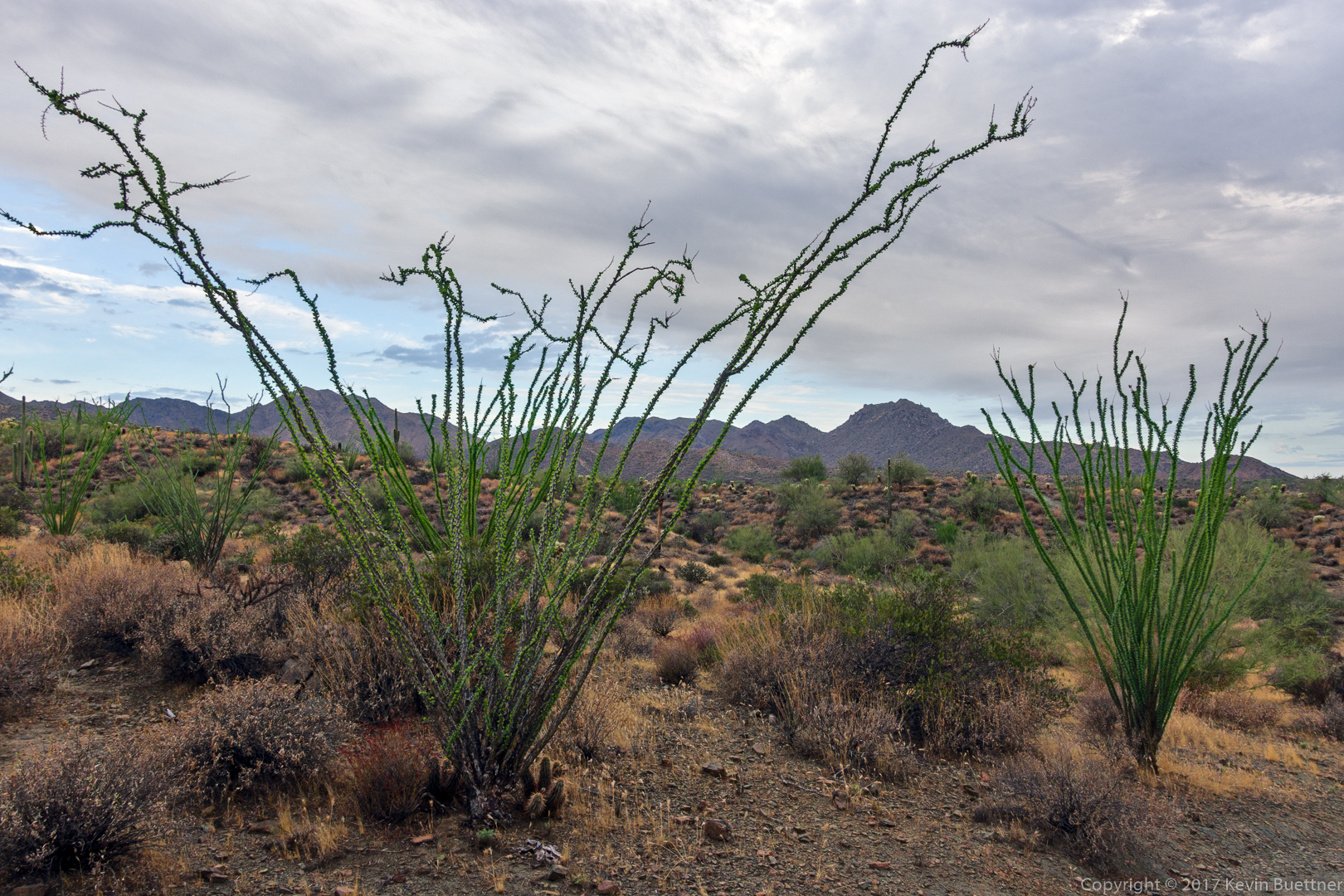
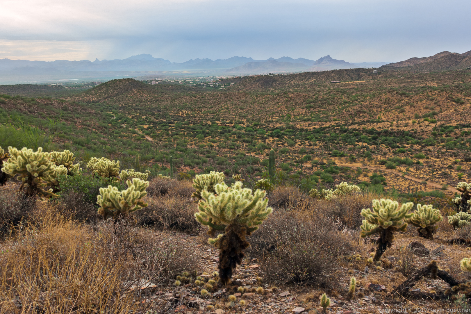
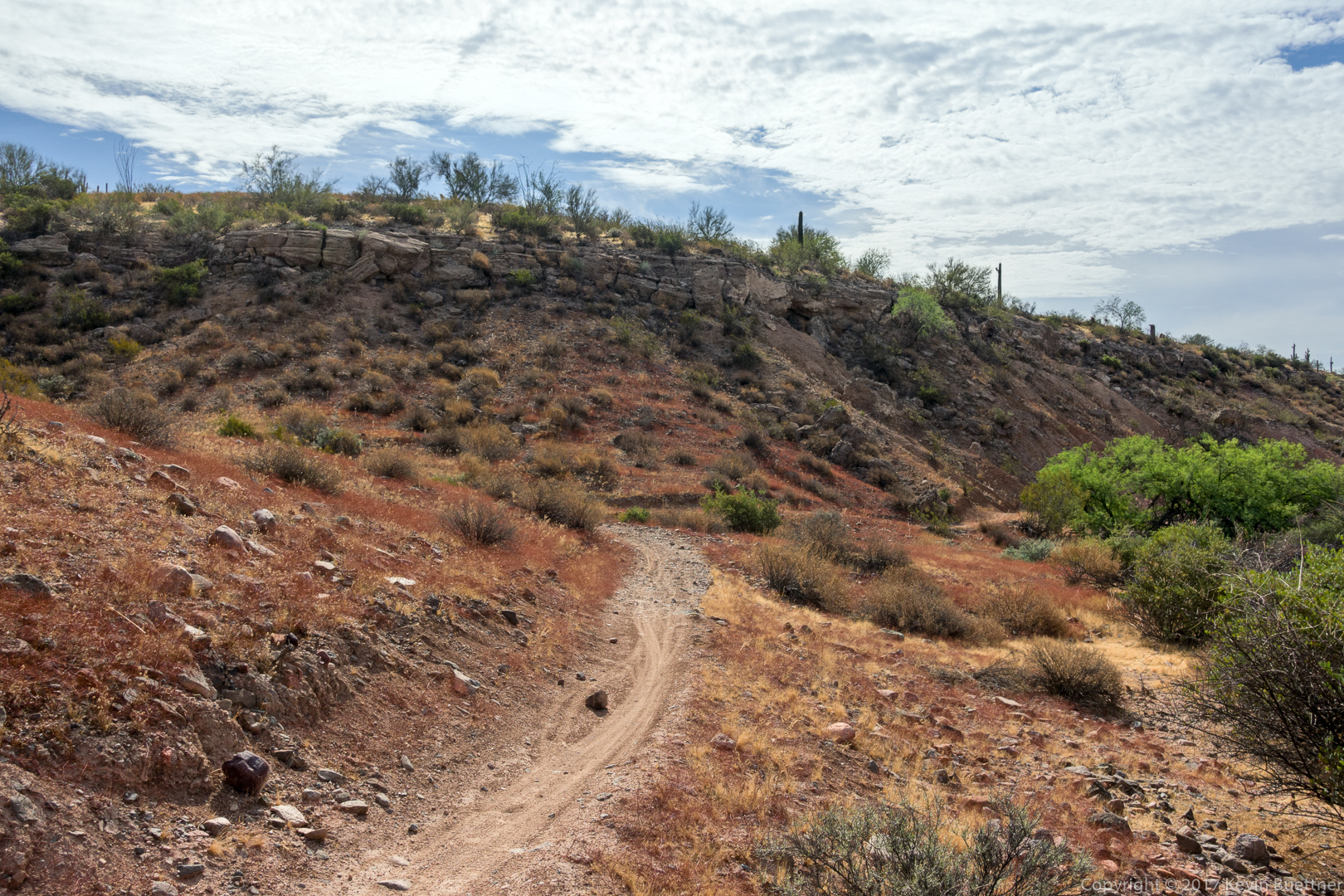
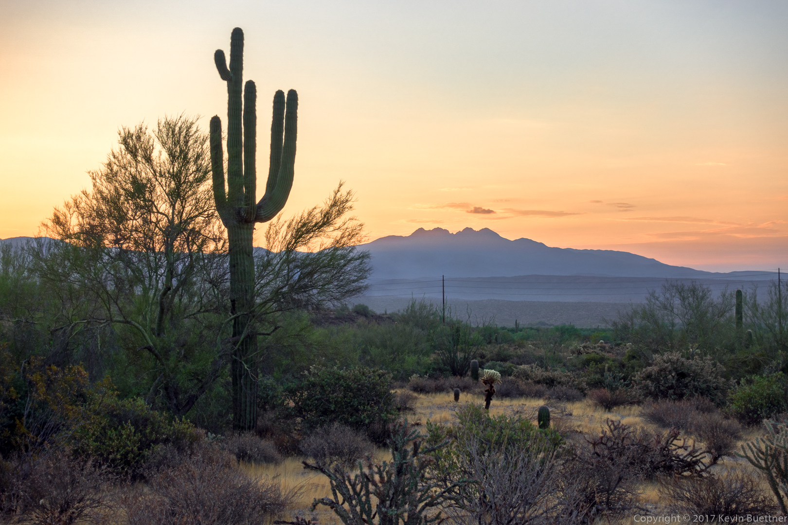
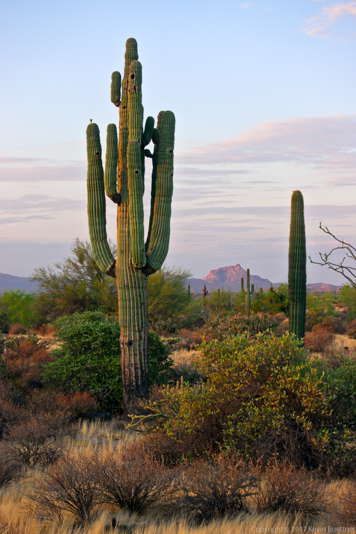
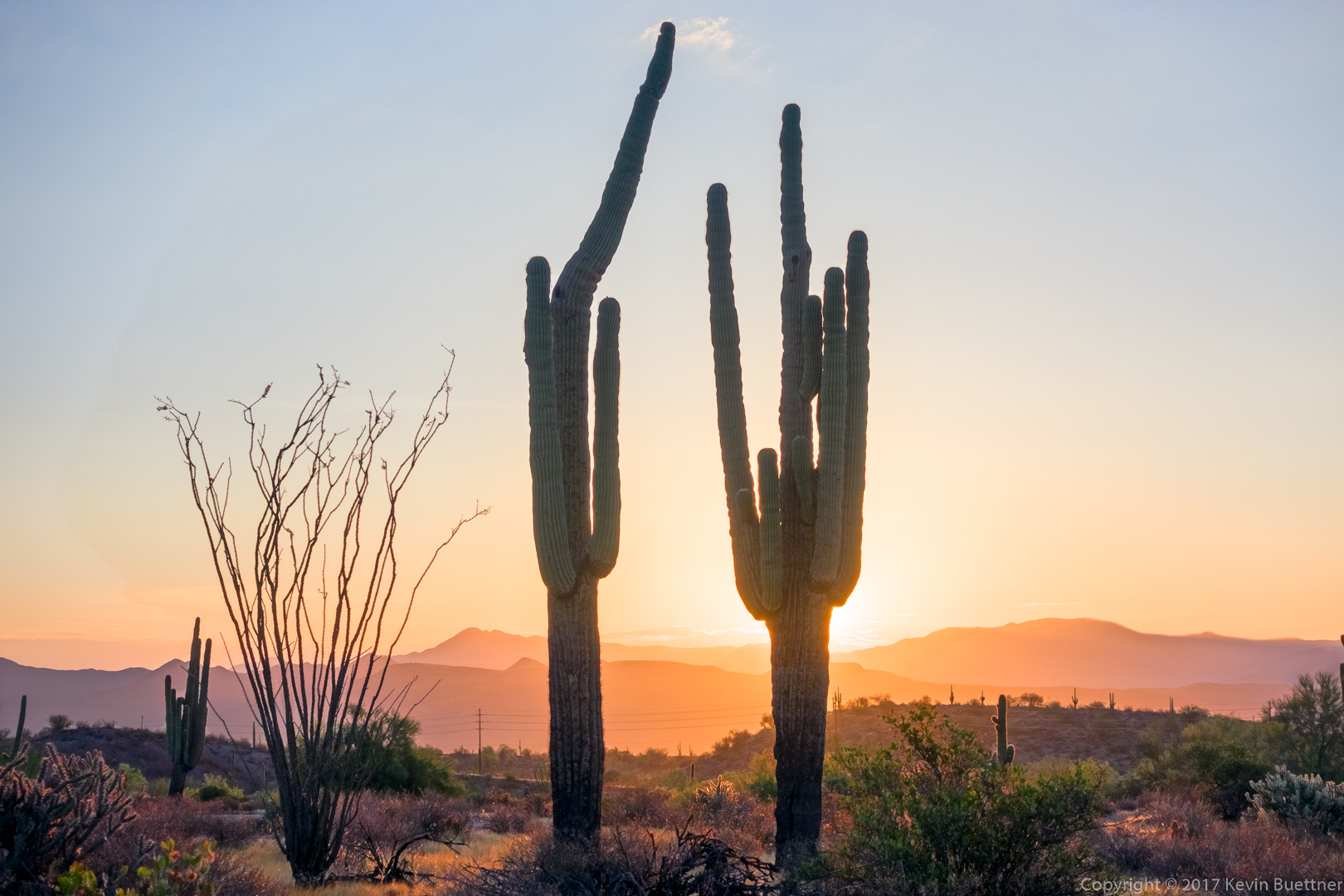
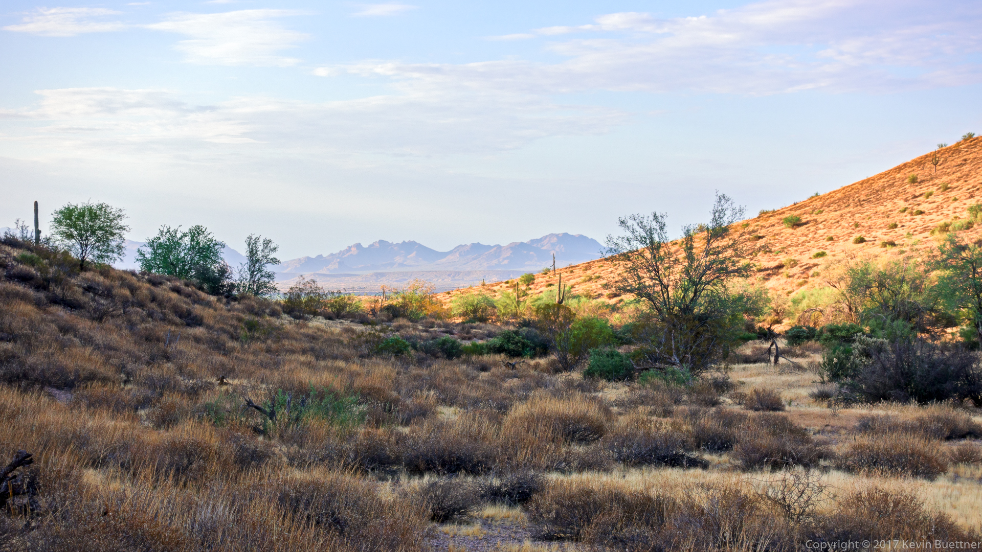
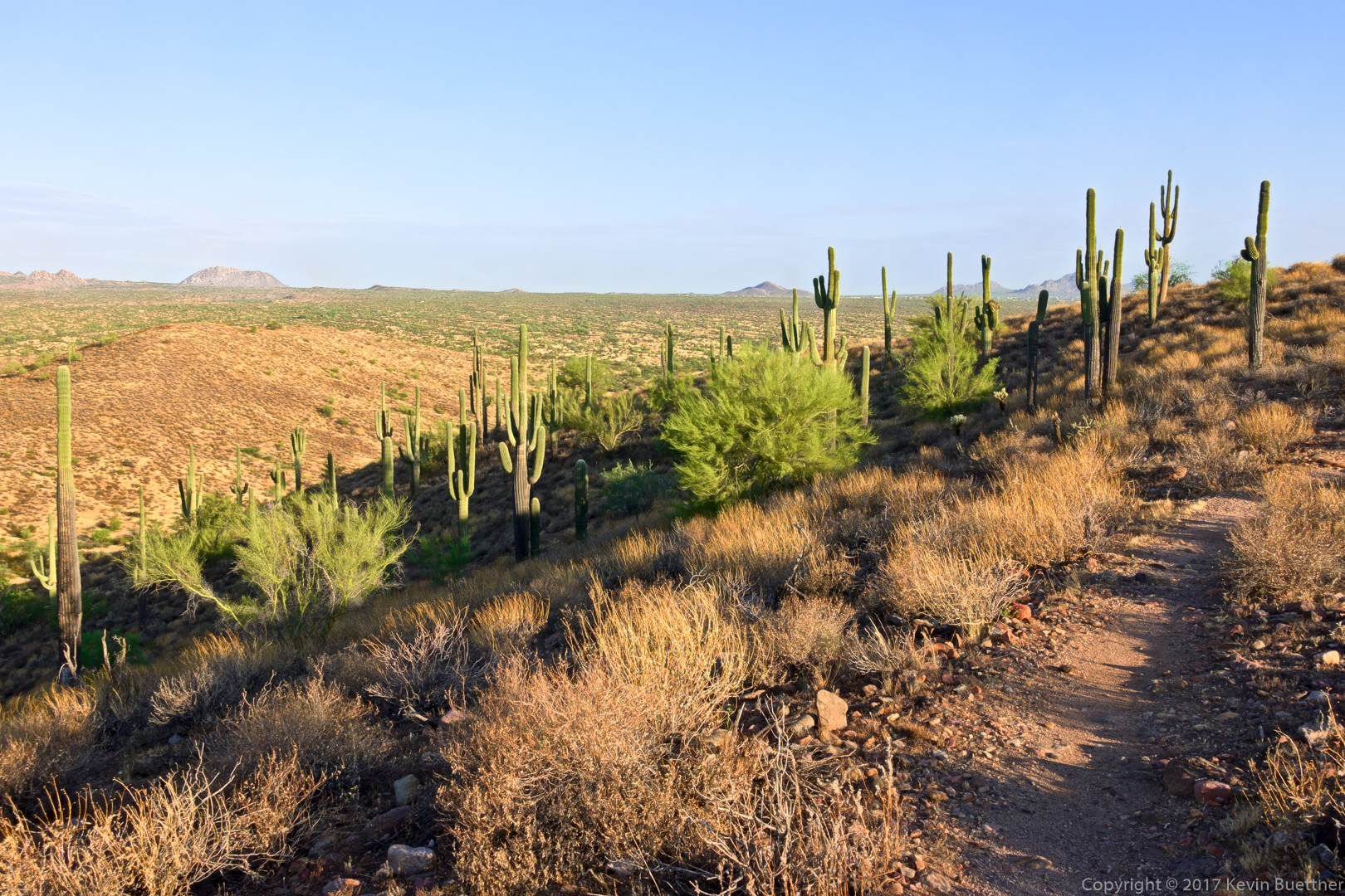
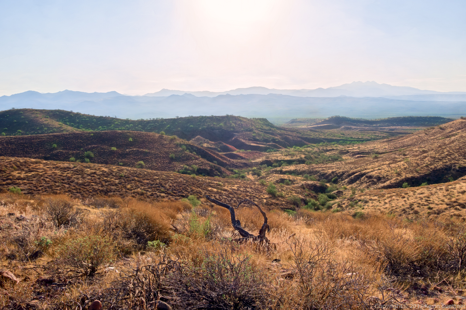
Marilyn, Bob, and I did a six mile loop in the West Clear Creek Canyon area.
Tag: Arizona (page 22 of 74)
I hiked 10.3 miles on Friday starting from the Tom’s Thumb Trailhead at the end of 128th St. I hiked up the Tom’s Thumb Trail to the East End Trail, then down East End, continuing on Windmill, Coachwhip, Pemberton, Boulder, Marcus Landslide, Feldspar, and finally finishing up on Tom’s Thumb. Linda accompanied me on the first bit of the hike up Tom’s Thumb. It was great hiking with Linda again – she had been out a while due to a knee injury.
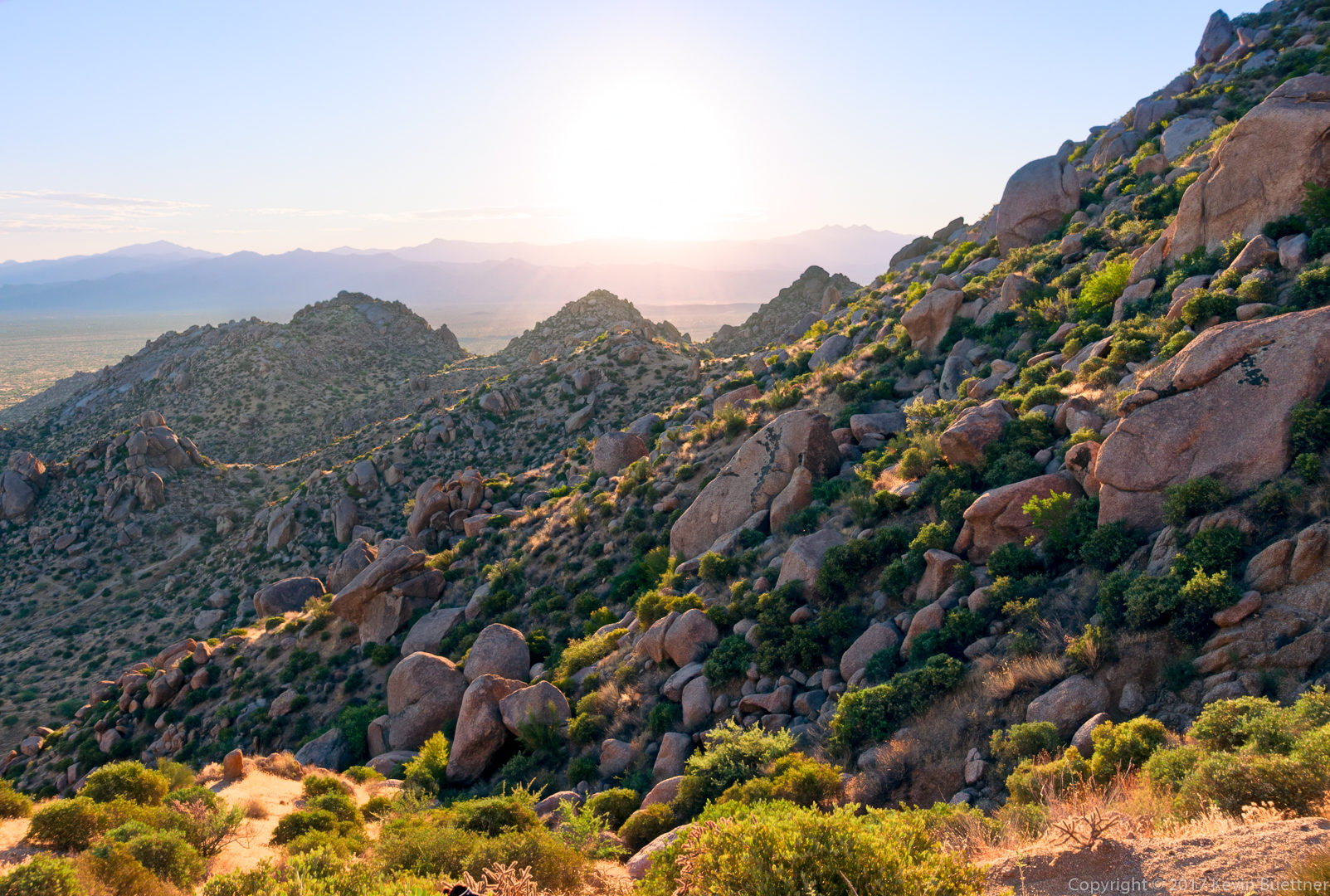
Early morning view from the Tom’s Thumb Trail:
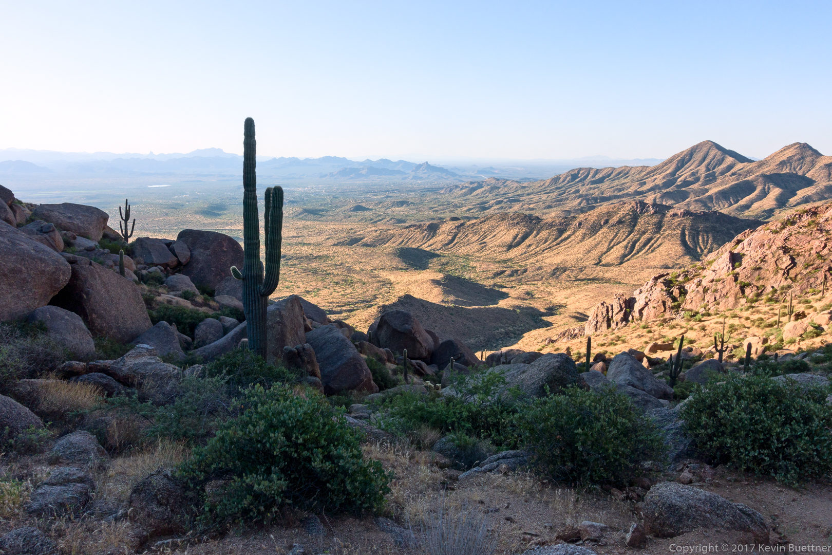
Looking ahead on the Tom’s Thumb Trail – at this point, the hard part of the day’s hike was pretty much done.
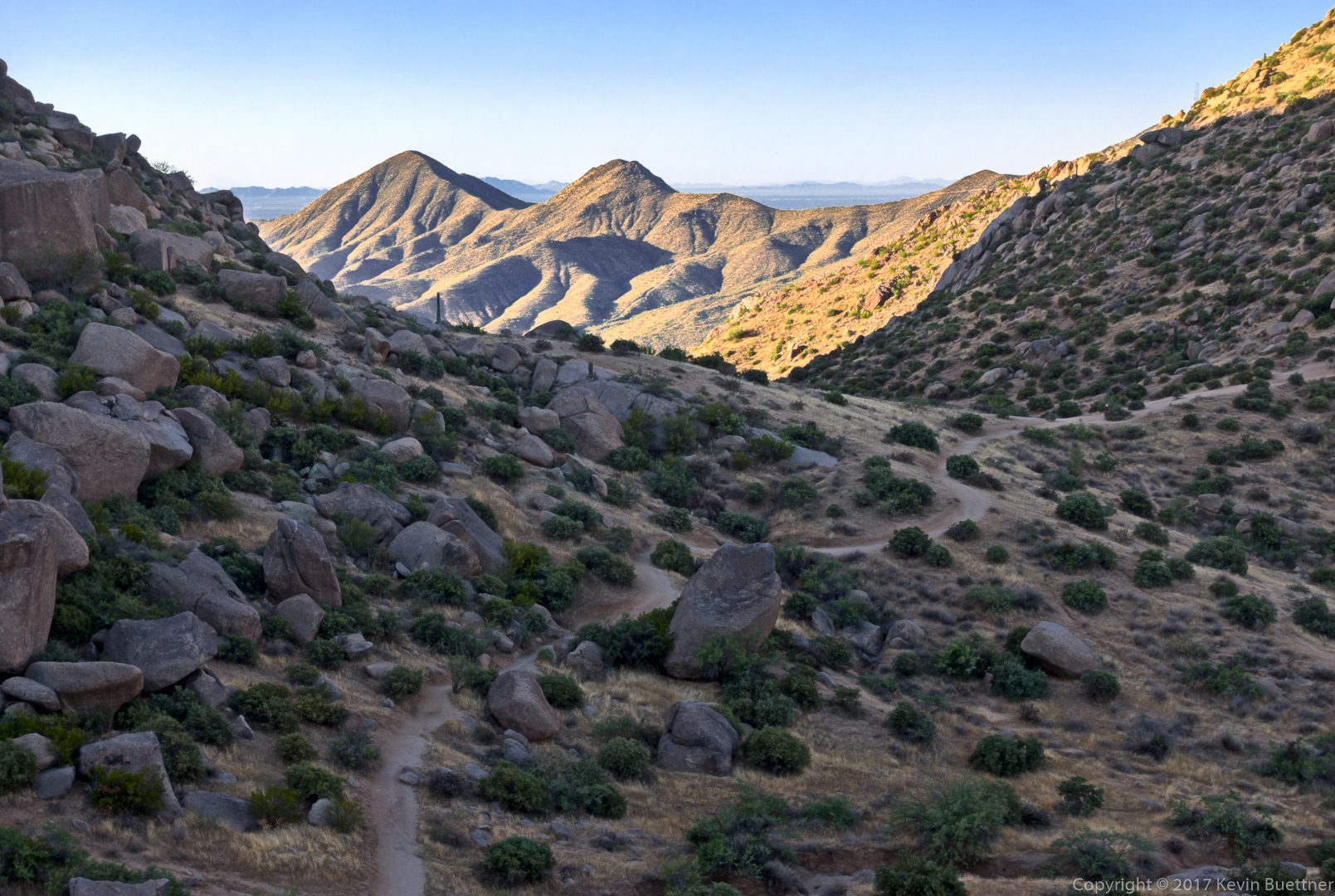 Linda sent me this photo of me taking the photo above. (I did some retouching on it – I like the color correction that I did for this one better than the one above.)
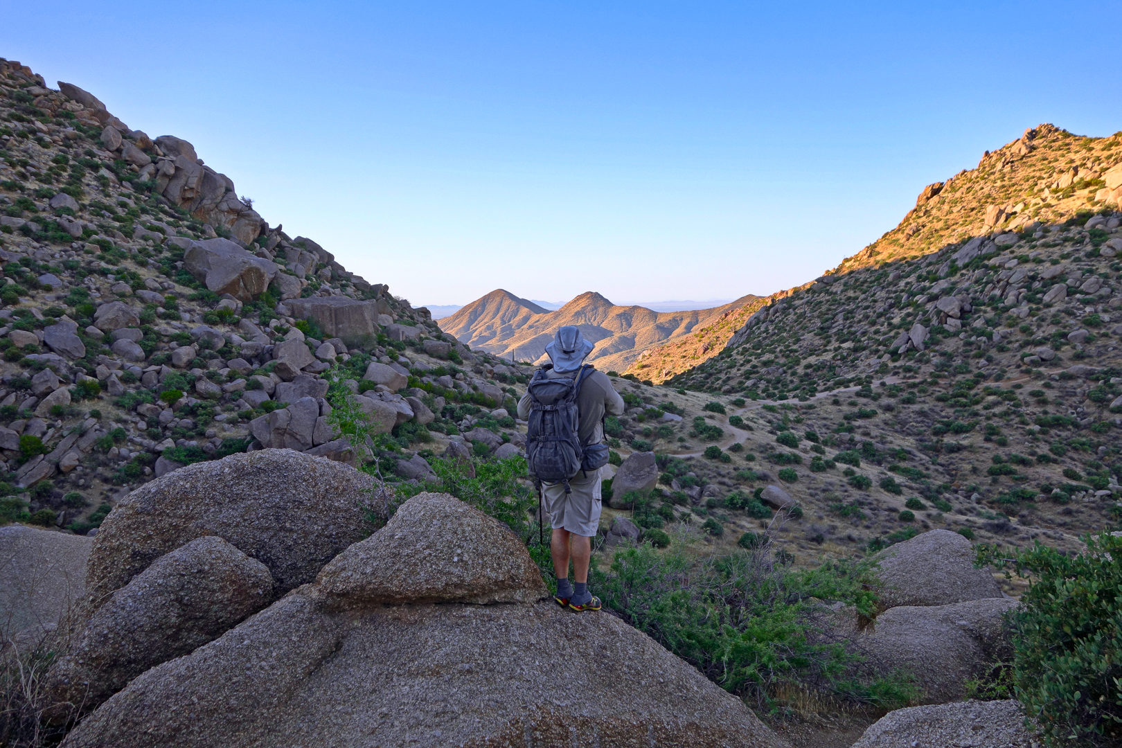
A view from the East End Trail:
Part way down the East End Trail is a small wall:
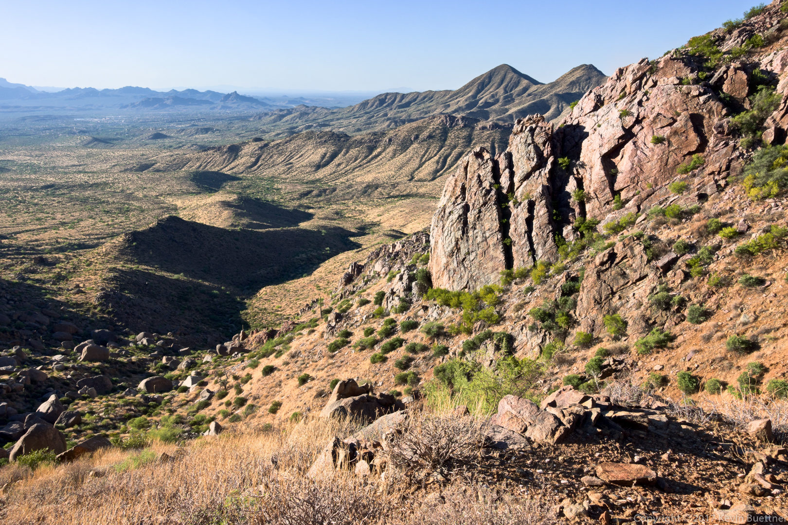 A view of Four Peaks from the Windmill Trail:
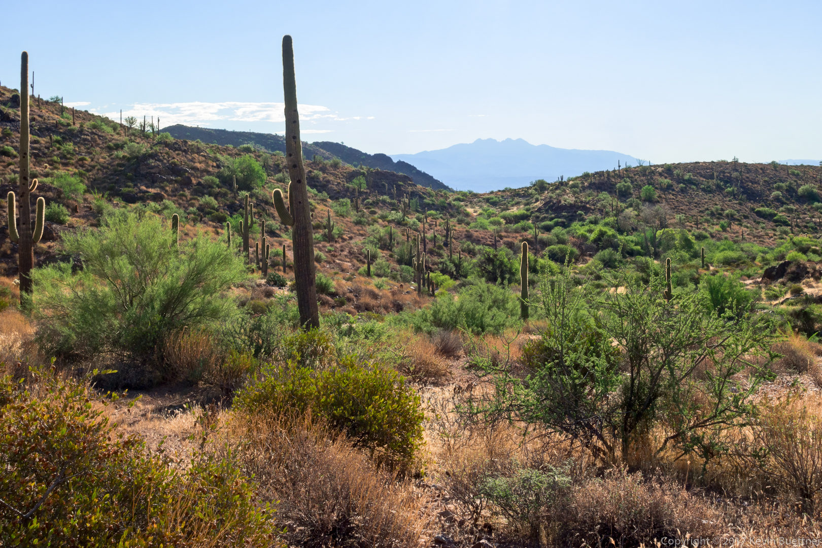 Looking at Thompson’s Peak from the Boulder Trail:
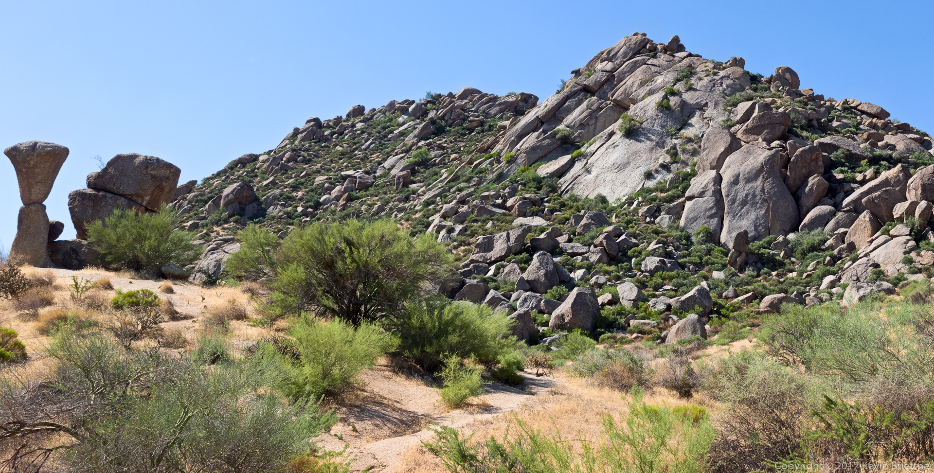
This is one of the mushroom rocks alongside the Marcus Landslide Trail:
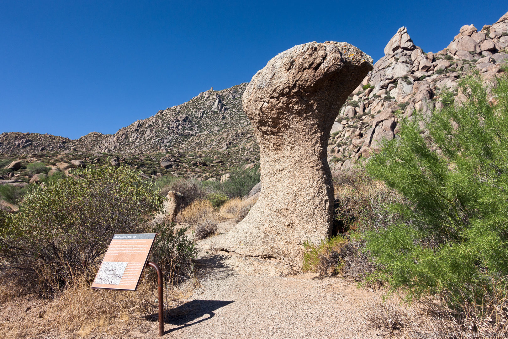 A short side trail leads to this broken mushroom rock:
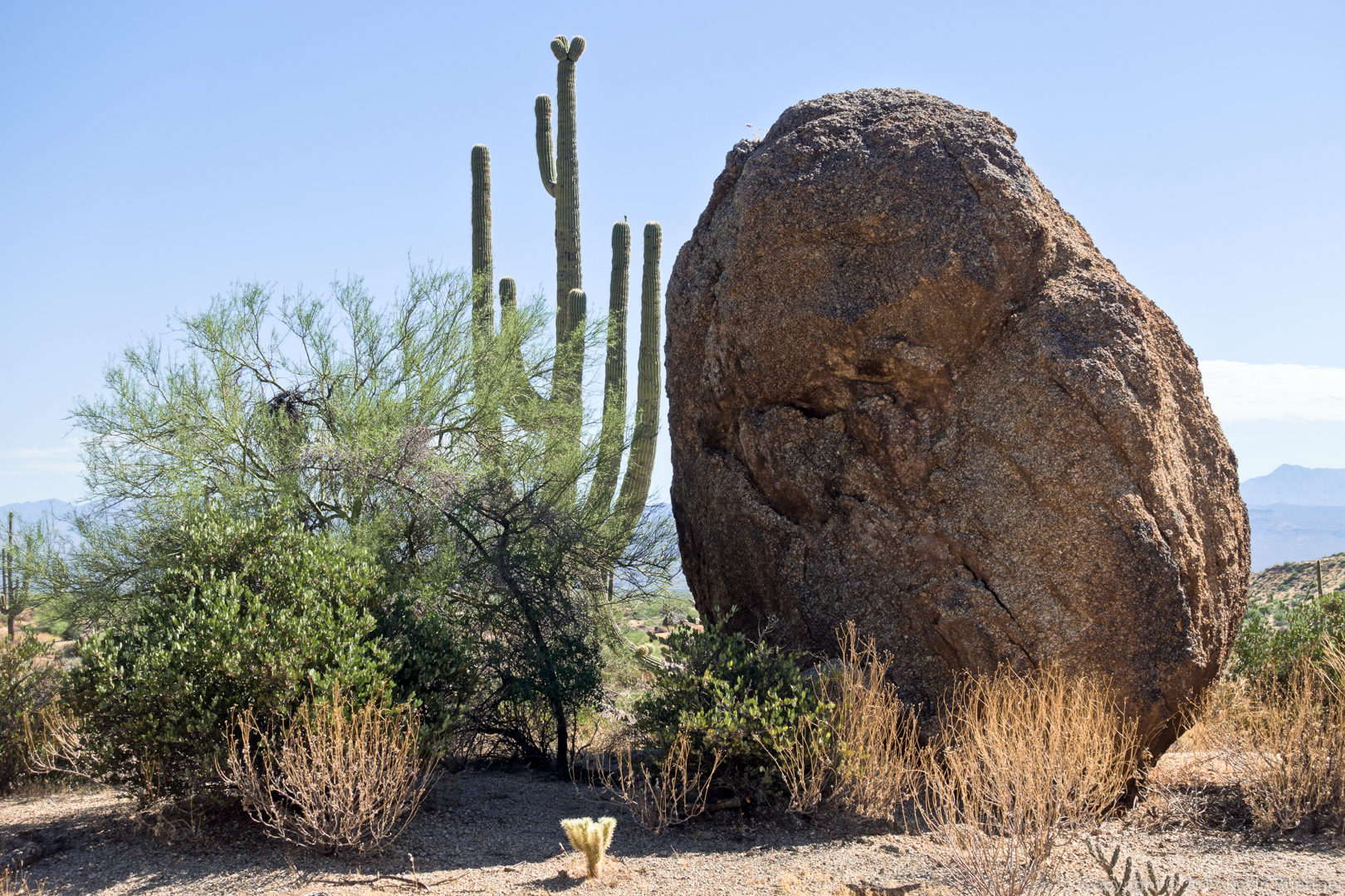
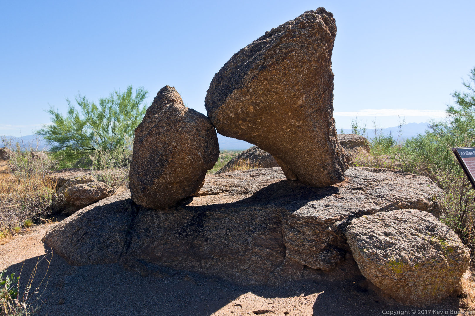 A large boulder along the Marcus Landslide Trail:
Sven’s slab (right) with another mushroom pinnacle at the far left:
Marilyn, Bob, and I hiked a little over eight miles on Friday. Starting from the Wagner Trailhead, we hiked Tortoise to Pemberton, then south down Stoneman Wash. We took a feeder wash west to the Pemberton, then went north on Pemberton back to Stoneman Wash. From there we went northwest on Stoneman Wash again, then to Granite, and back on Wagner.
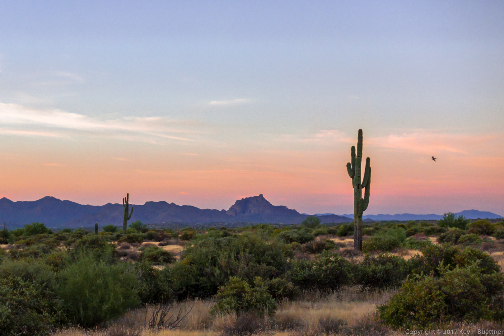
Just before sunrise at the Wagner Trailhead:
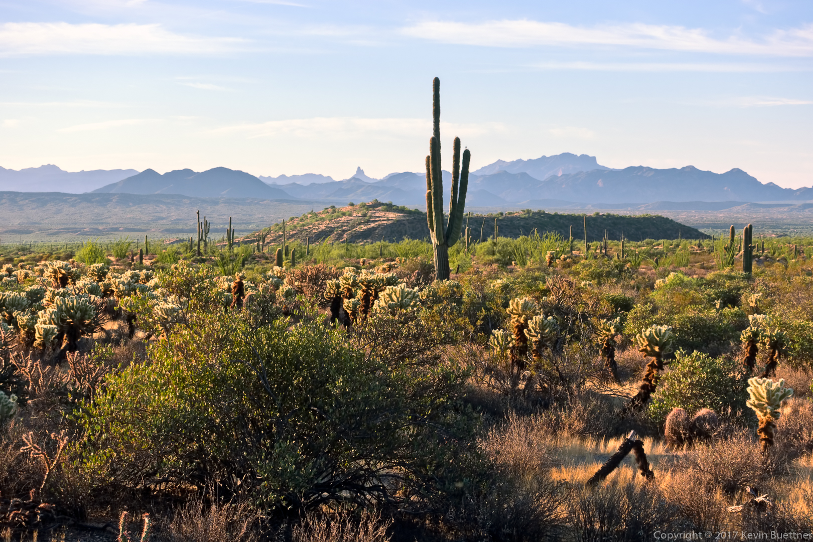
Looking toward the Superstitions from the Pemberton Trail:
Heading south in Stoneman Wash:
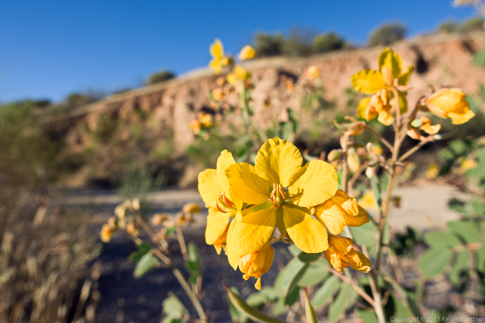
Senna blooms:
We’re in the feeder wash now, heading toward the Pemberton Trail:
Marilyn, making her way up the wash:
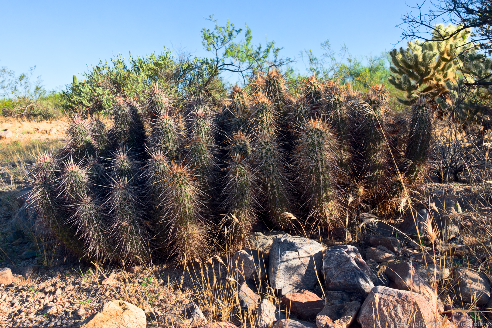
Hedgehog cacti:
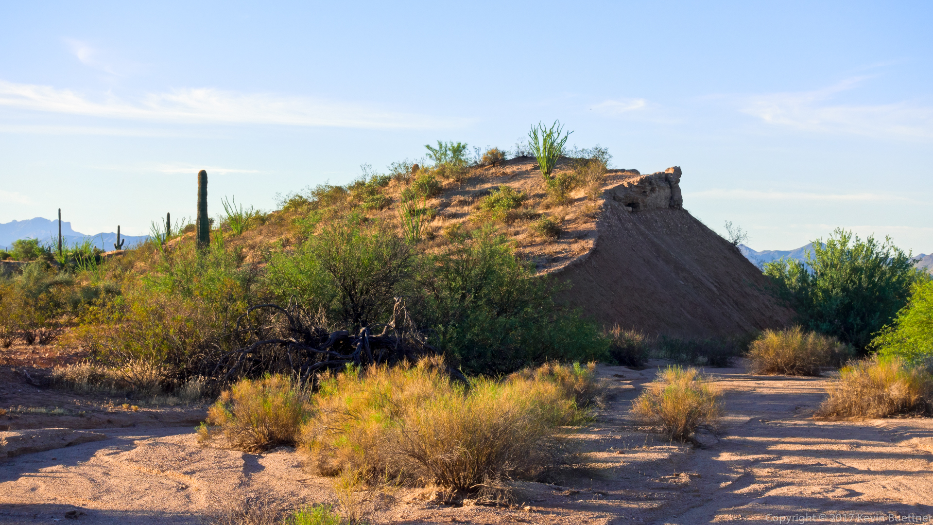
This is one of the clay pits along the Pemberton Trail: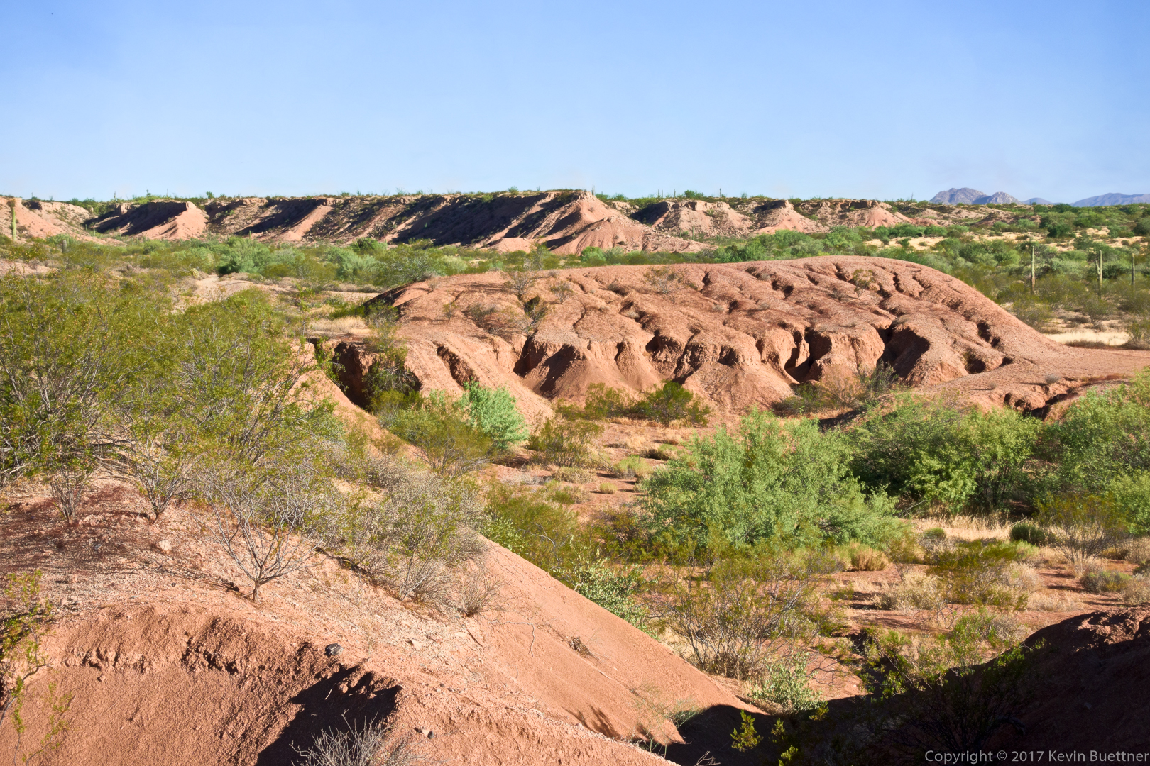
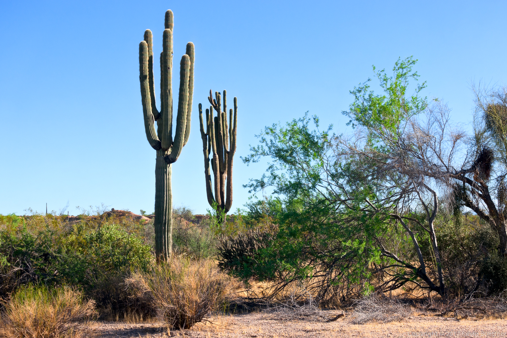
Saguaros in Stoneman Wash:
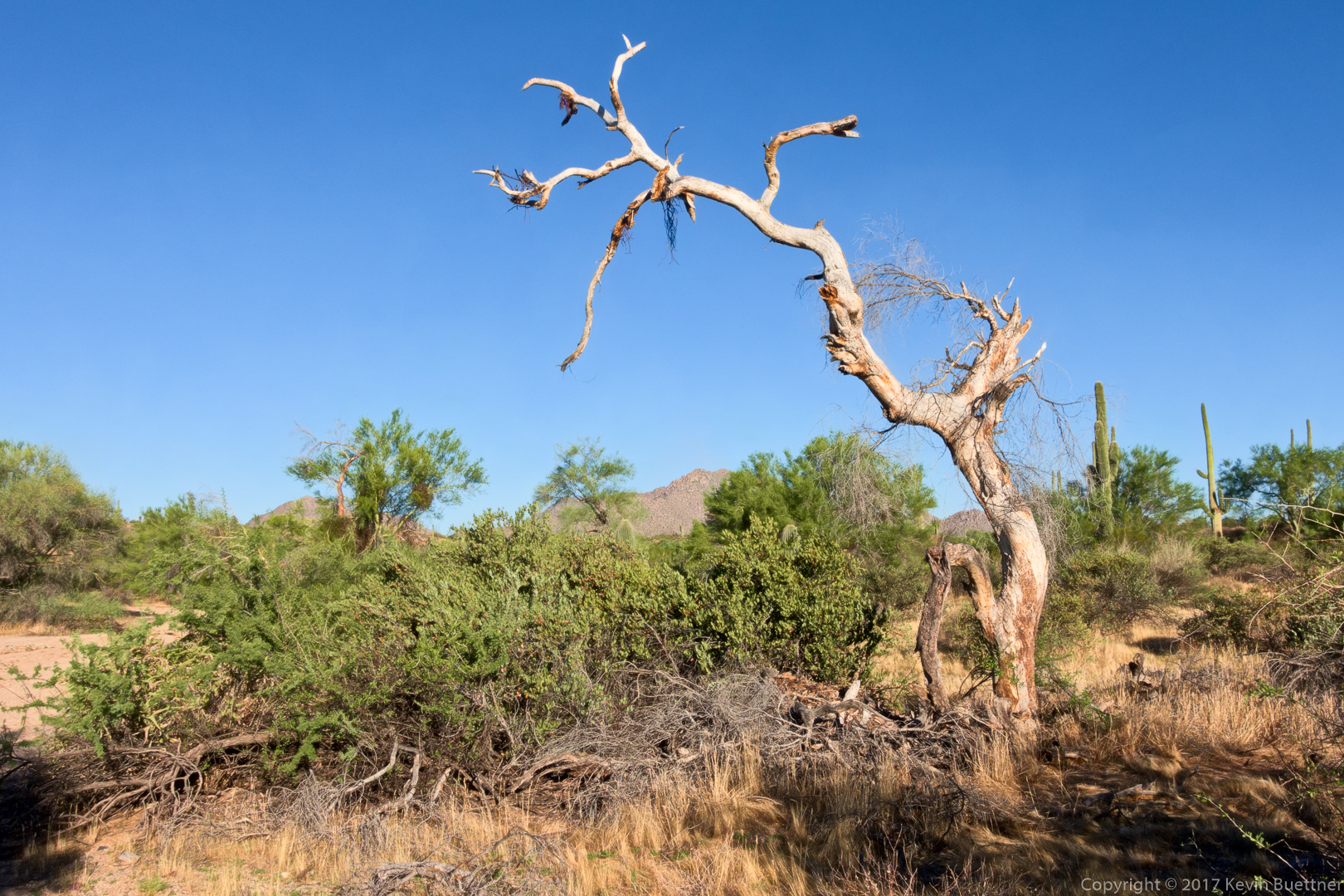
A view from the Wagner Trail:
I hiked 8.3 miles on Friday – Dixie Mine to Sonoran, and then a loop on the Sonoran after crossing into the Preserve. Temperatures were in the mid-eighties when I started, warming up to the mid-nineties when I finished. Once I got to the Promenade Trail, I considered adding the Western Loop, but decided that it was a little too warm and humid to do it comfortably. As it was, I drank all of one of my 3 liter reservoirs and had started on the second just before finishing.
An early morning view from the Dixie Mine Trail:
A look ahead from the Sonoran Trail in McDowell Mountain Park: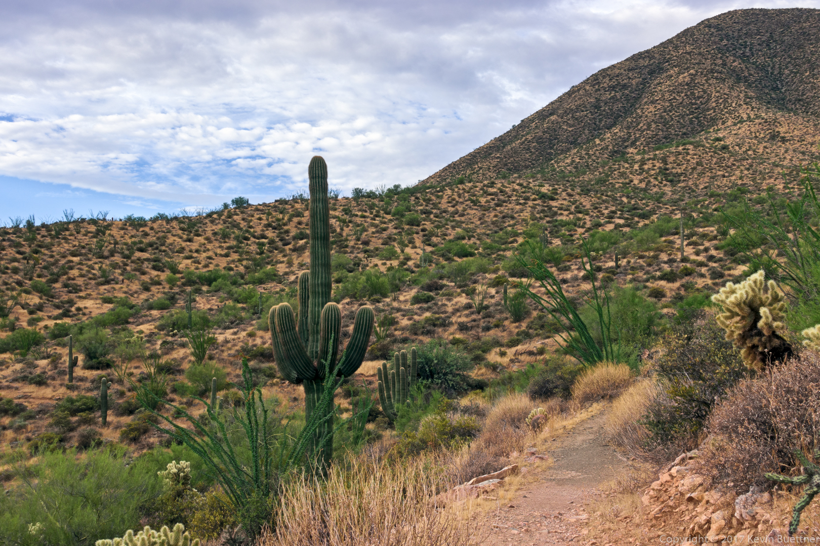
This was my first time hiking the new section of the Sonoran Trail since its completion. The left fork is the new section of trail. It leads to the same place – the Promenade Trail – but is almost a quarter of a mile longer than the original segment of the Sonoran Trail.
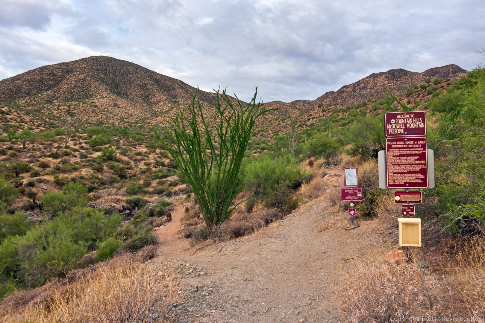
This trail was well laid out. It follows the contours nicely and, in spots, you forget that you’re near the town.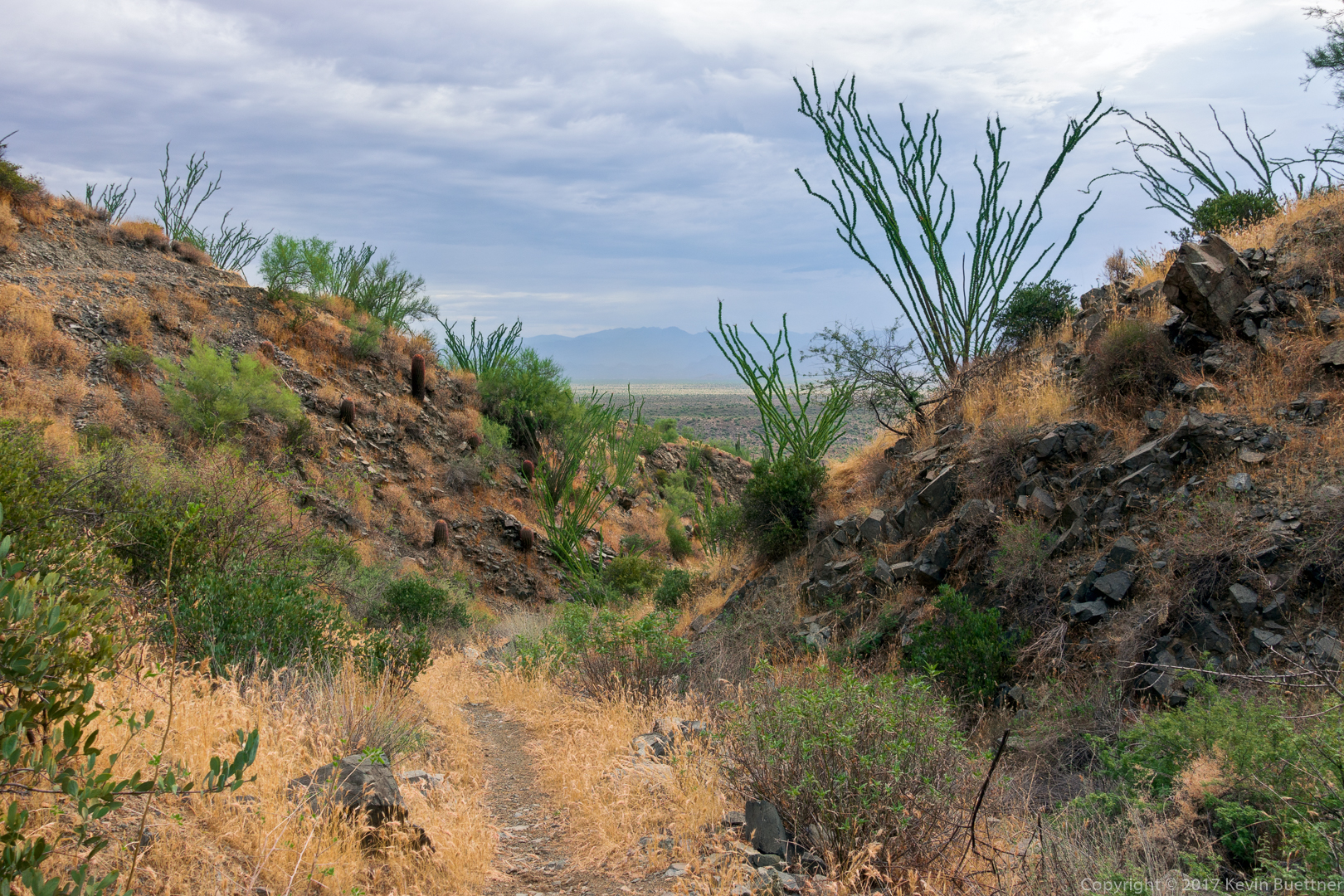
A view of the McDowells. Tom’s Thumb is visible in this photo. 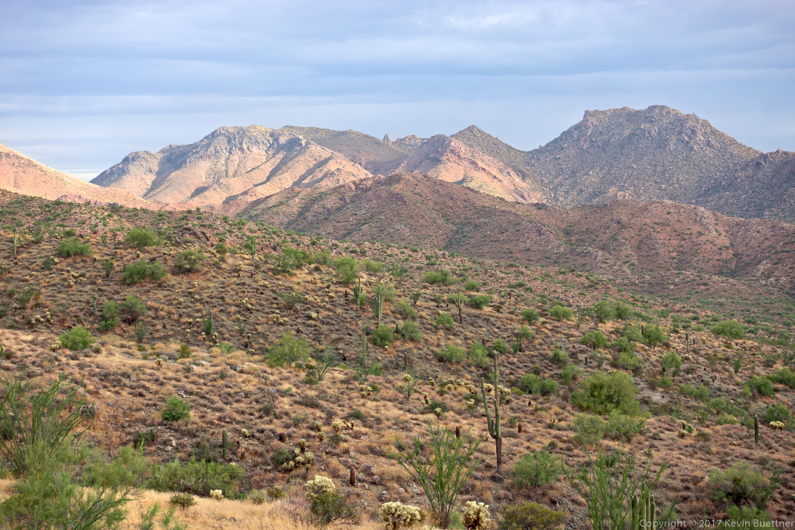
Nearing the end (where it intersects the Promenade Trail) of the new segment of the Sonoran Trail.
I encountered this Western Diamondback Rattlesnake on the way back while hiking the older segment of trail. 
Bob and I hiked a little over eight and half miles in the Competitive Track area. We started off on the Tech Loop, made our way into Stoneman Wash, went up a feeder wash to Pemberton, and then made our way over to the Long Loop via a wash that I had not yet visited. We then followed a minor, but passable wash to another segment of the Long Loop which we used for our return.
This is a view from the parking lot just before sunrise:
A view of Red Mountain from the Technical Loop:
We saw this tortoise as we were hiking up the hill leading to T-Bone Ridge on the Technical Loop. Linda and I saw a tortoise – possibly even this same tortoise – in pretty much the same location in 2014.
We made our way into this wash which we used to hike back to the Long Loop: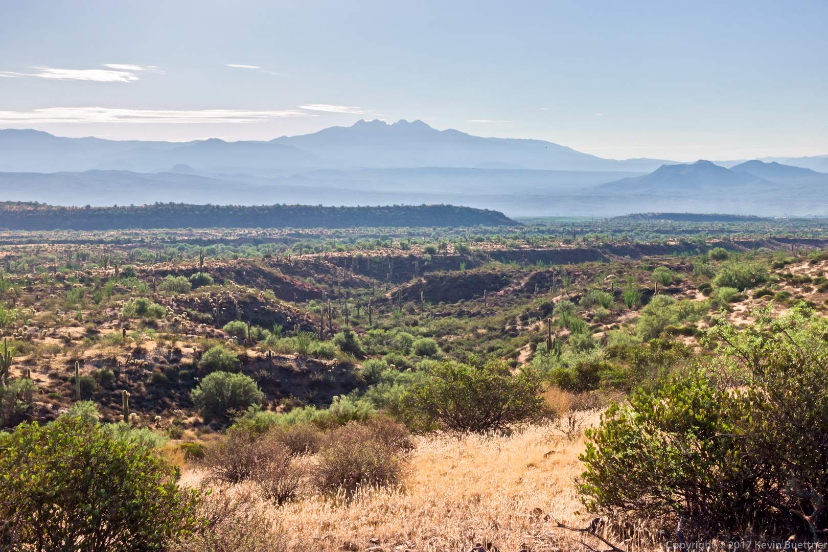
A view from the narrow and winding wash: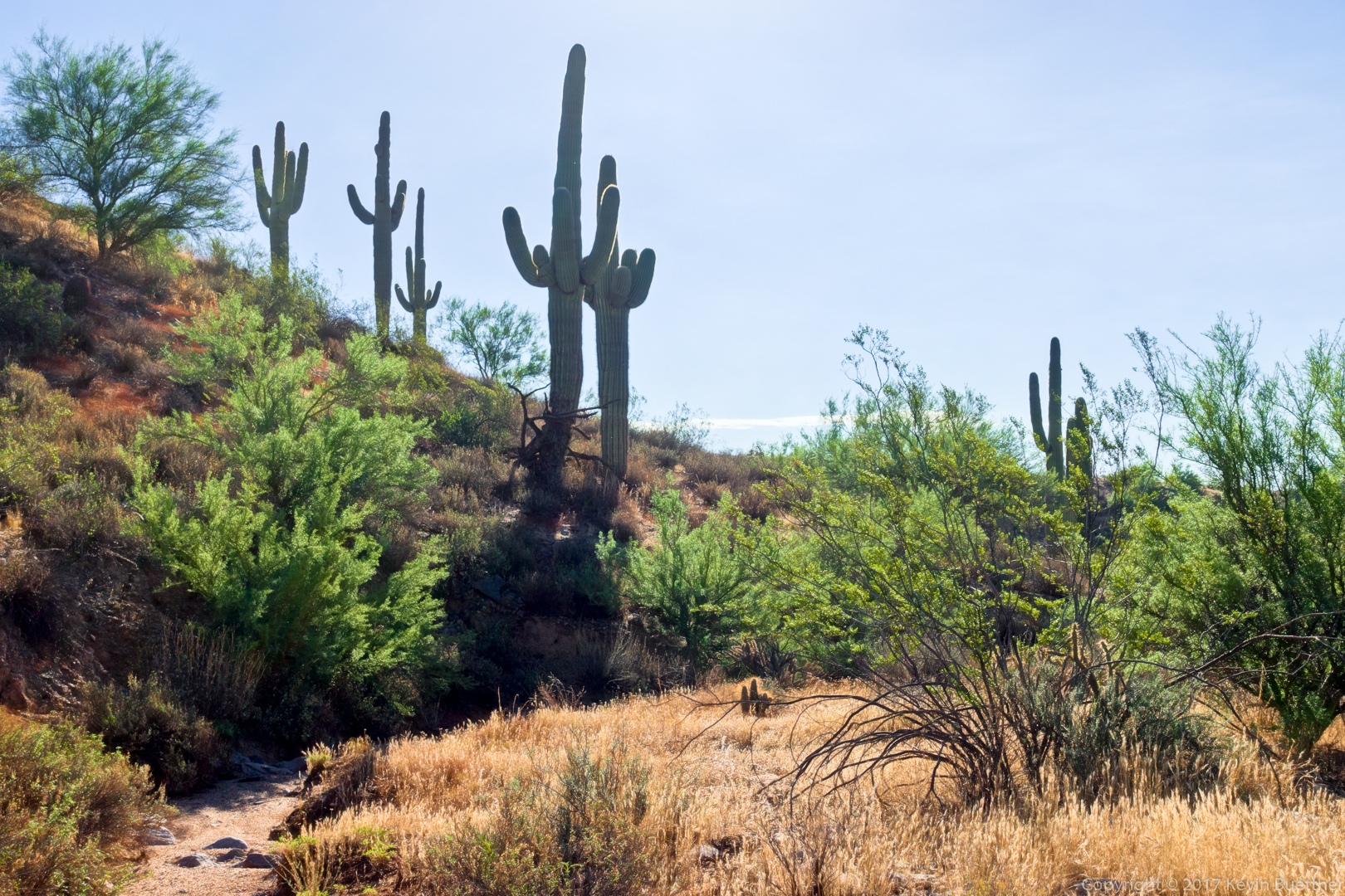
I hiked 10.3 miles on Friday starting from the parking lot for the Dixie Mine Trail at the end of Golden Eagle Blvd. I hiked Dixie Mine, Coachwhip, Windmill, Bell Pass, Prospector, service road, and then back on Dixie Mine.
It rained off and on, though never hard – often times, it was just some light sprinkles. The rain plus the cloud cover kept the temperature down in the low to mid eighties.
Ocotillos on the Dixie Mine Trail:
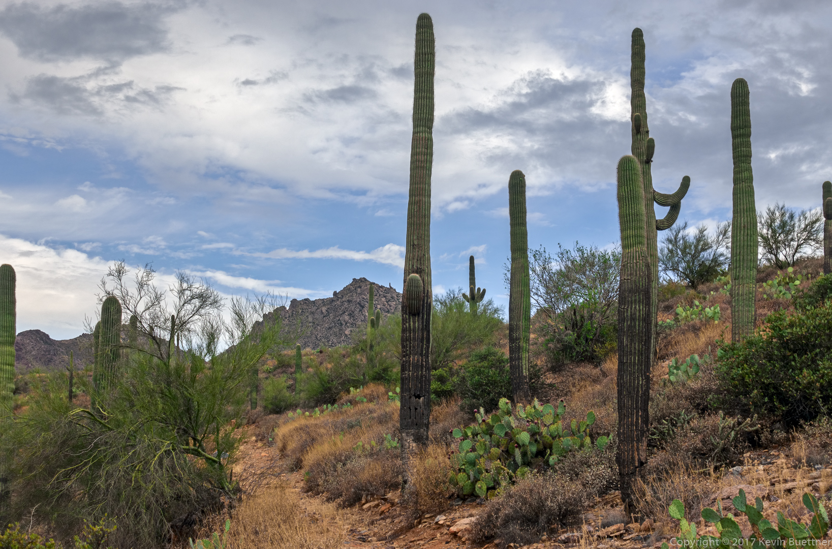
Past the spur which leads to the mine – which I did not do – the Dixie Mine Trail goes up a hill. This is a view from the top of that hill.
A view from the Coachwhip Trail:
At this point, I’m still within the boundaries of McDowell Mountain Park, at the intersection of Windmill & Coachwhip.
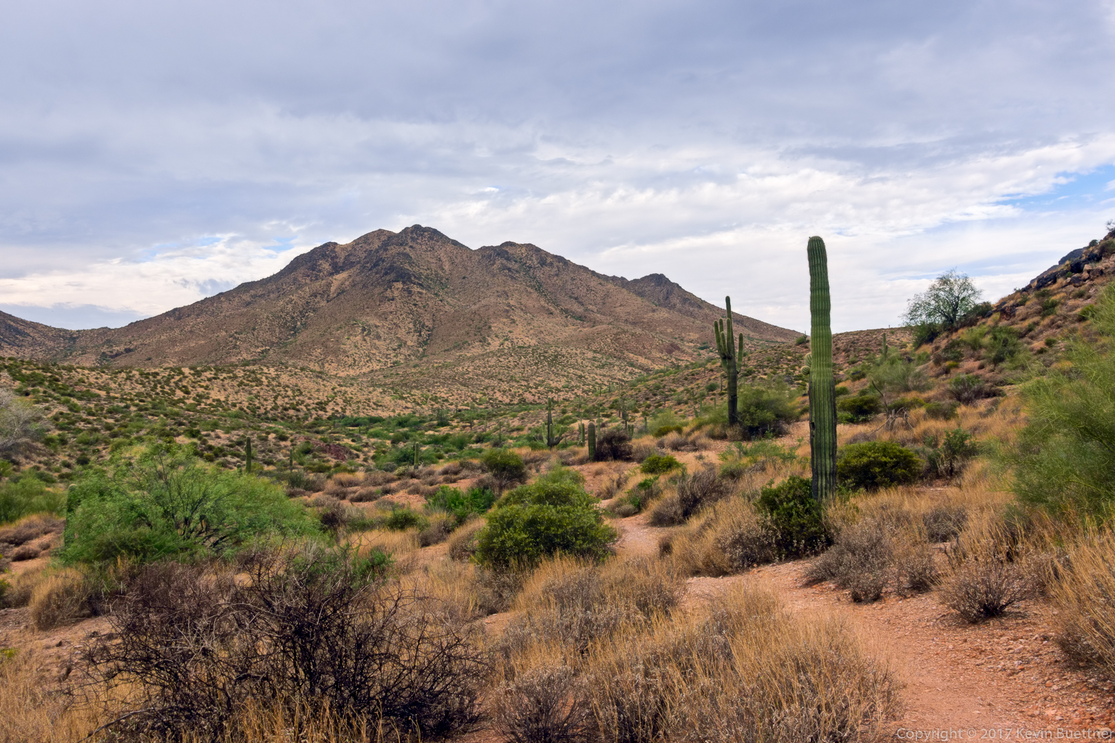
A view from the Windmill Trail. The windmill is out of frame to the left. (You can see a little bit of the nearby cottonwood tree at the edge at the far left.)
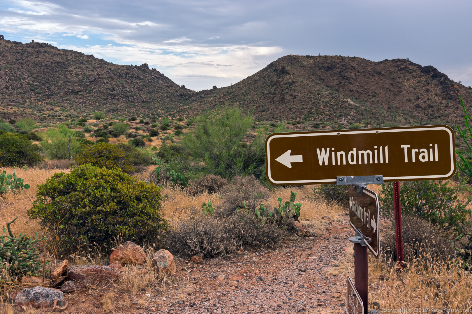
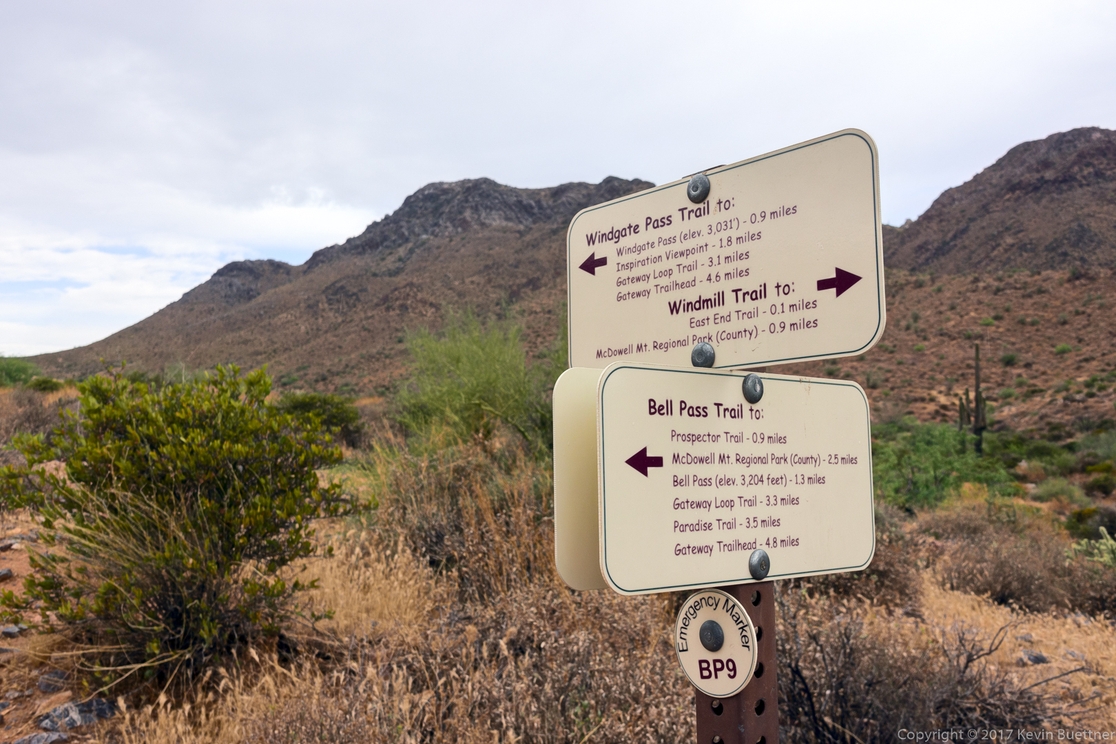
I’m in the McDowell Sonoran Preserve now. Notice the difference in signage between the Park and the Preserve. There’s no getting lost with these signs!
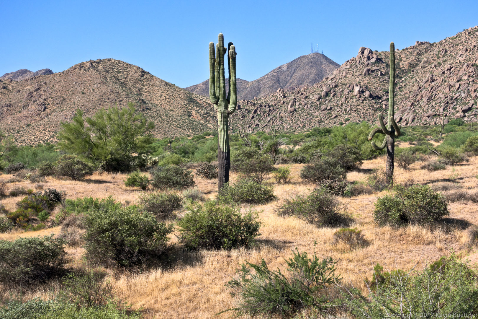
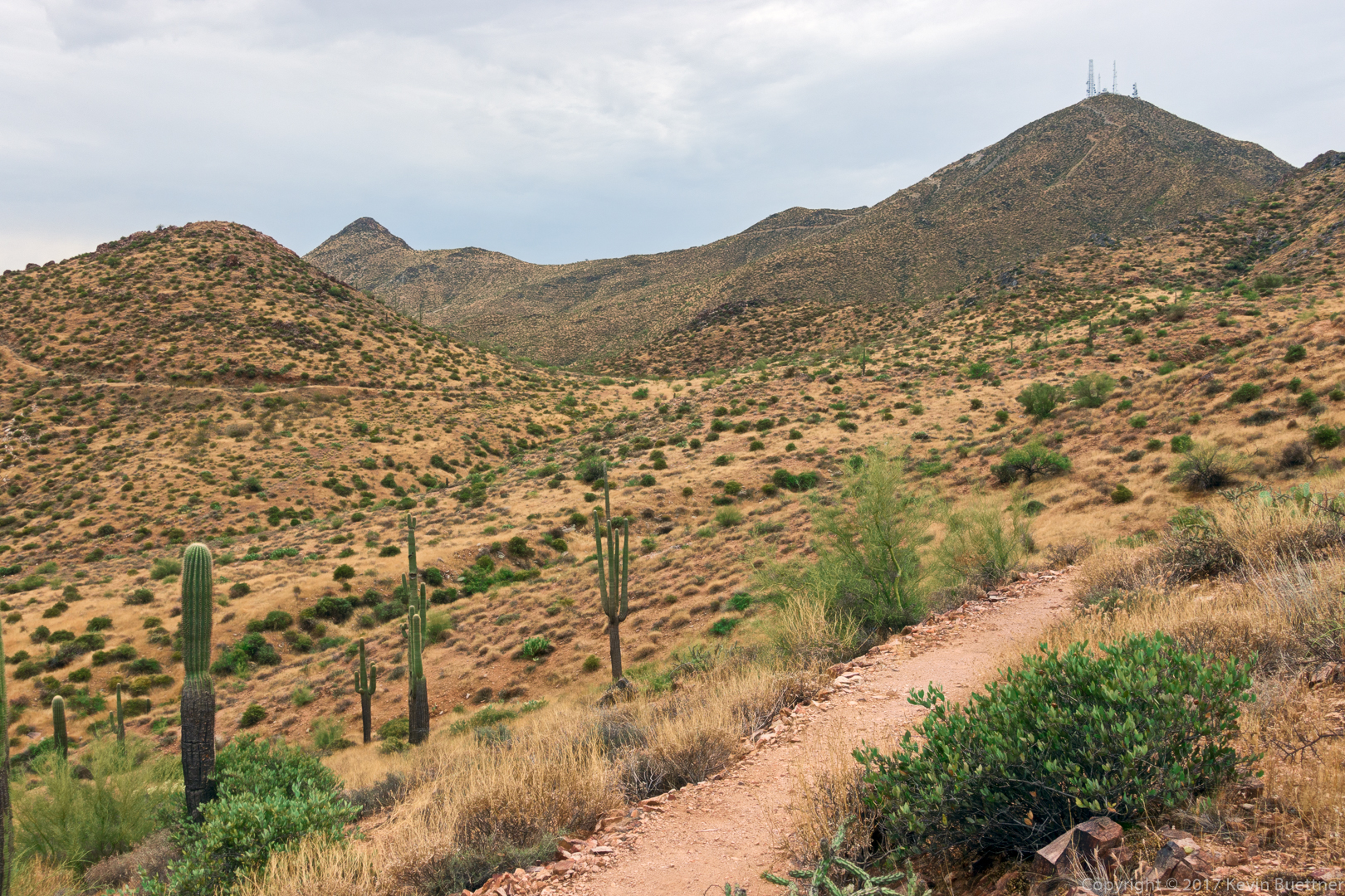
A view from the Bell Pass Trail. The mountain with the antenna towers is Thompson Peak.
Looking toward Four Peaks from the Bell Pass Trail: 
Saguaros on the Prospector Trail: 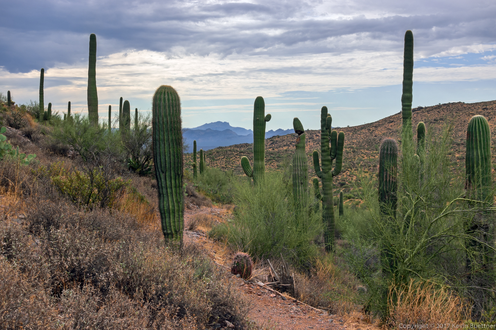
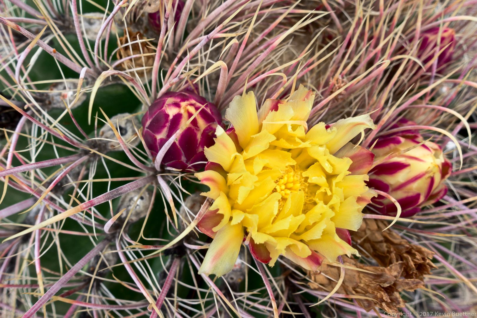
This is a barrel cactus blossom:
A mountain biker on the Dixie Mine Trail – one of only five people that I saw during the entire hike. 
Marilyn and I hiked the Scenic Trail on Sunday. Temperatures were in the mid-eighties with roughly fifty percent humidity. Marilyn saw a shiny snake as she hiked. I saw a small flowering cactus, which is, I think, kind of unusual for this time of year.
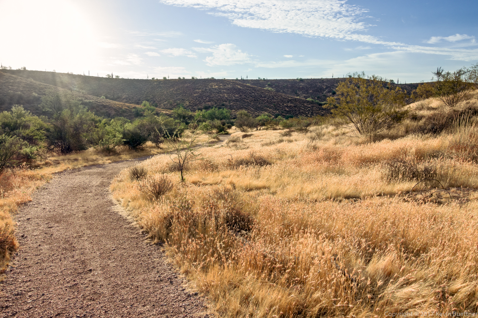
Early in the hike on the Scenic Trail. I didn’t realize that the sun was in frame – if I had, I would have taken measures to eliminate the lens flare.
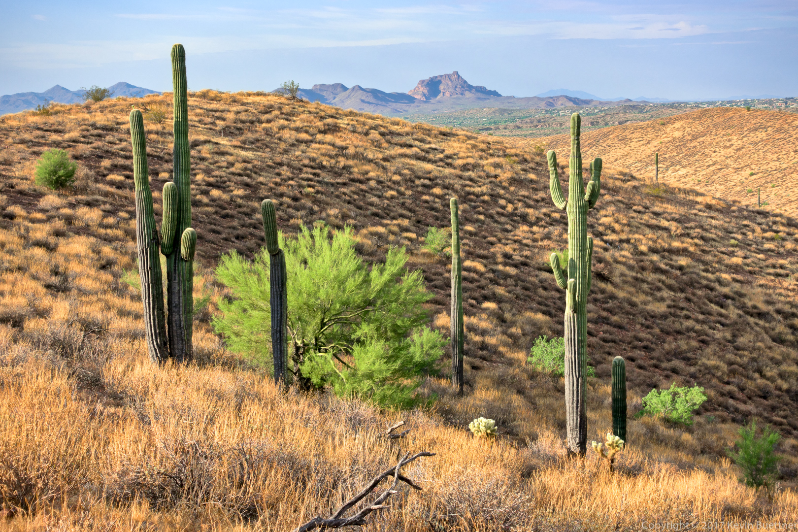
A view of the crested-arm saguaro with the McDowells in the background:
Another view from the Scenic Trail: Red Mountain is visible from most places where the trail follows the ridge.
This is a Graham’s Pincushion cactus: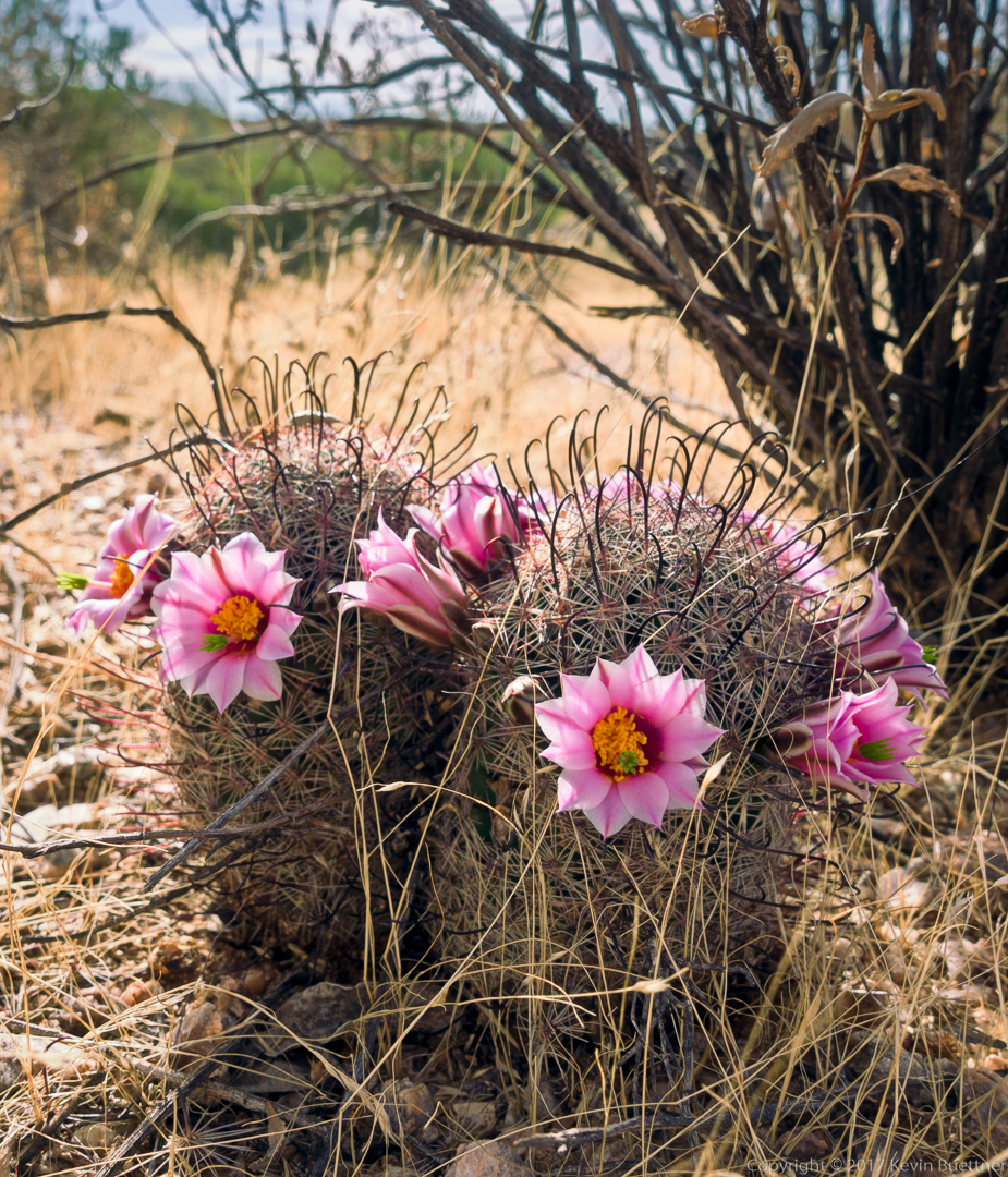
A view from the Shallmo Wash Trail:
