I hiked a little over seven miles on Tuesday night.

I hiked a little over seven miles on Tuesday night.
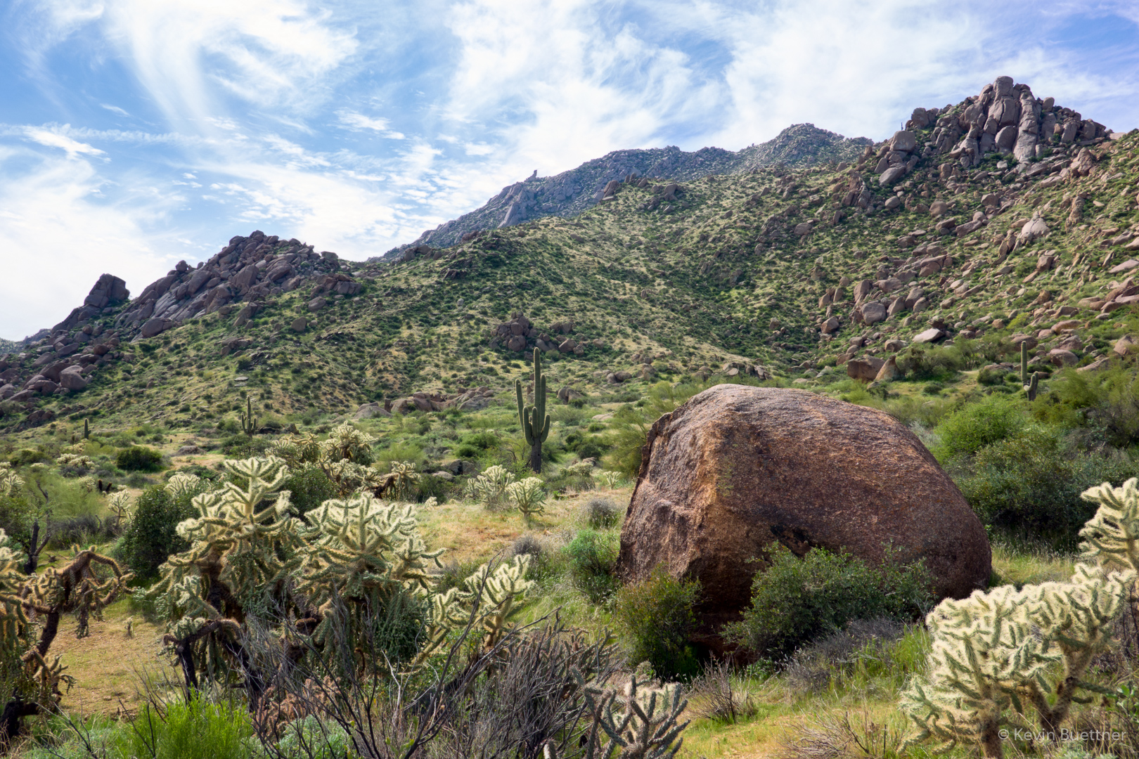
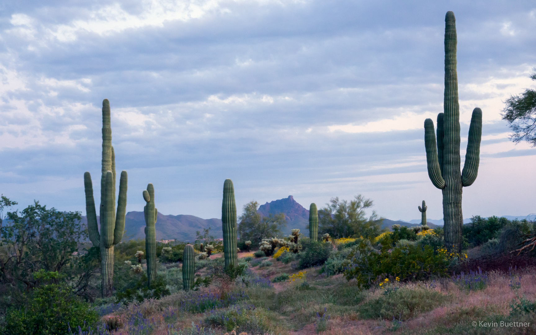
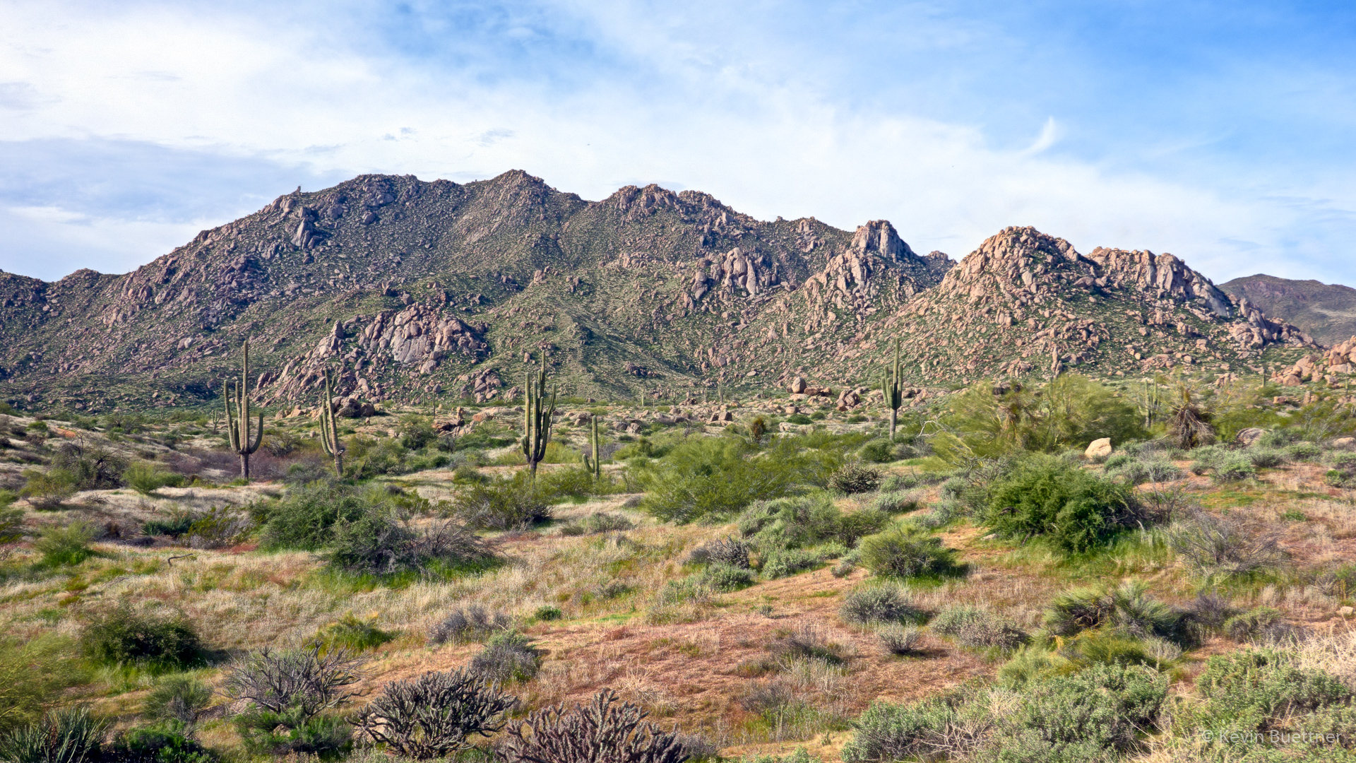
Marilyn and I hiked a little over seven miles through desert near our house.
Owl Clover:
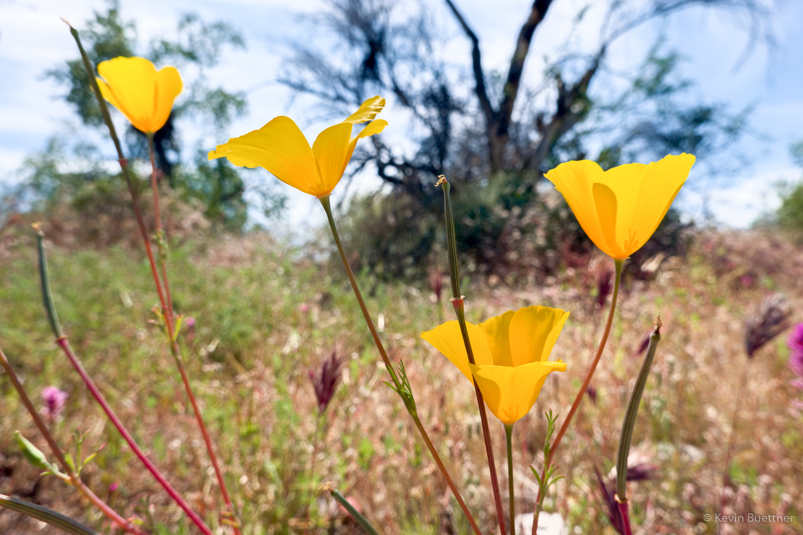
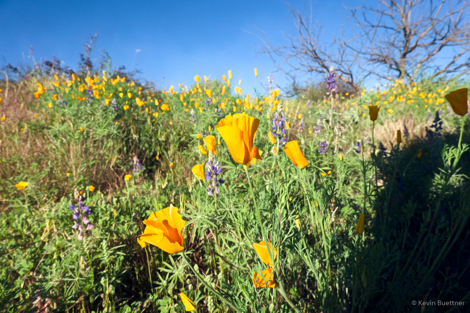
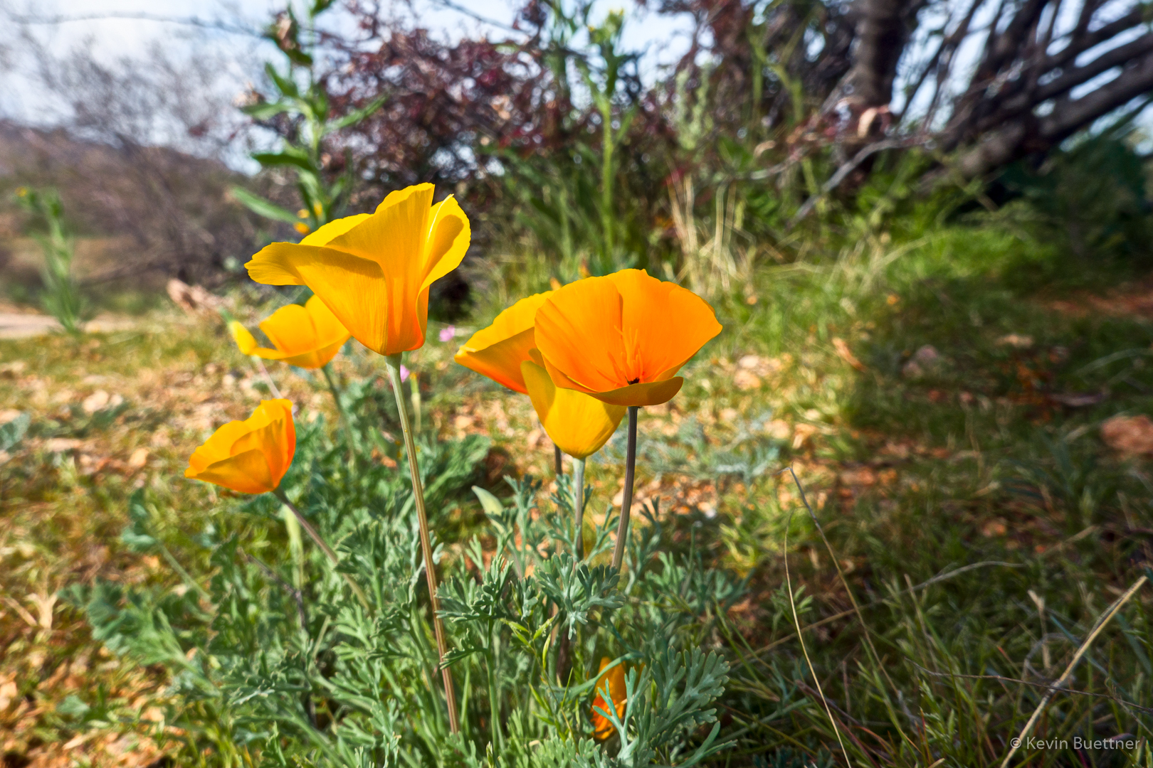
Poppies:
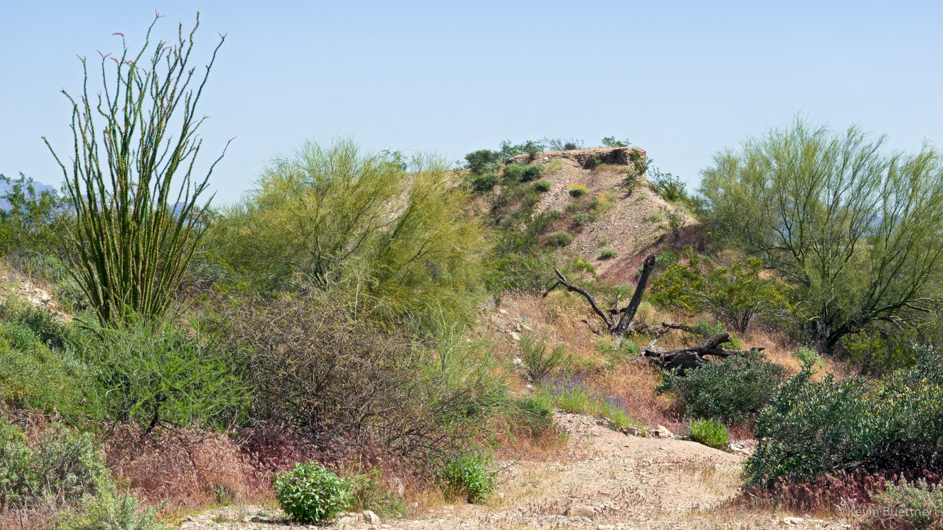
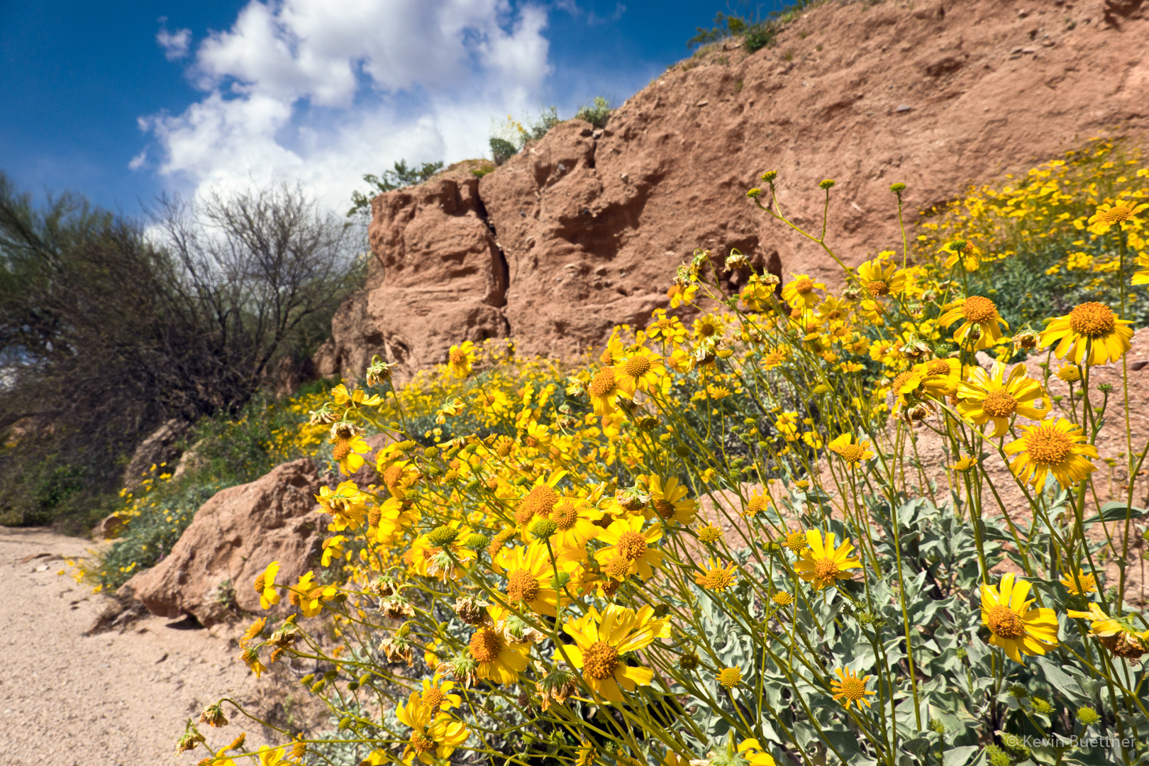
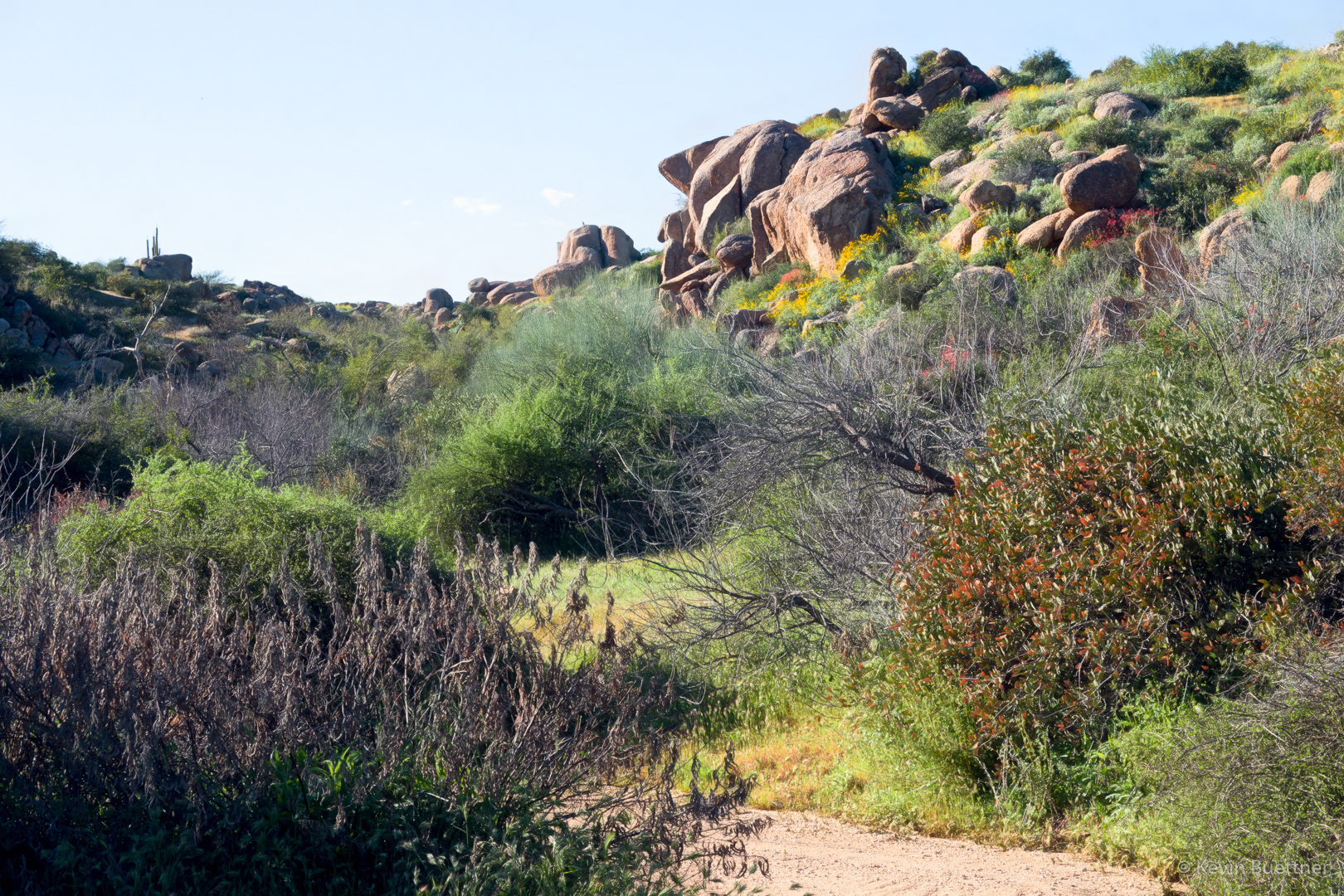
We were on State Trust Land; there’s a lot of junk near the road, but if you are selective about where you look, there’s certainly beauty in the area.
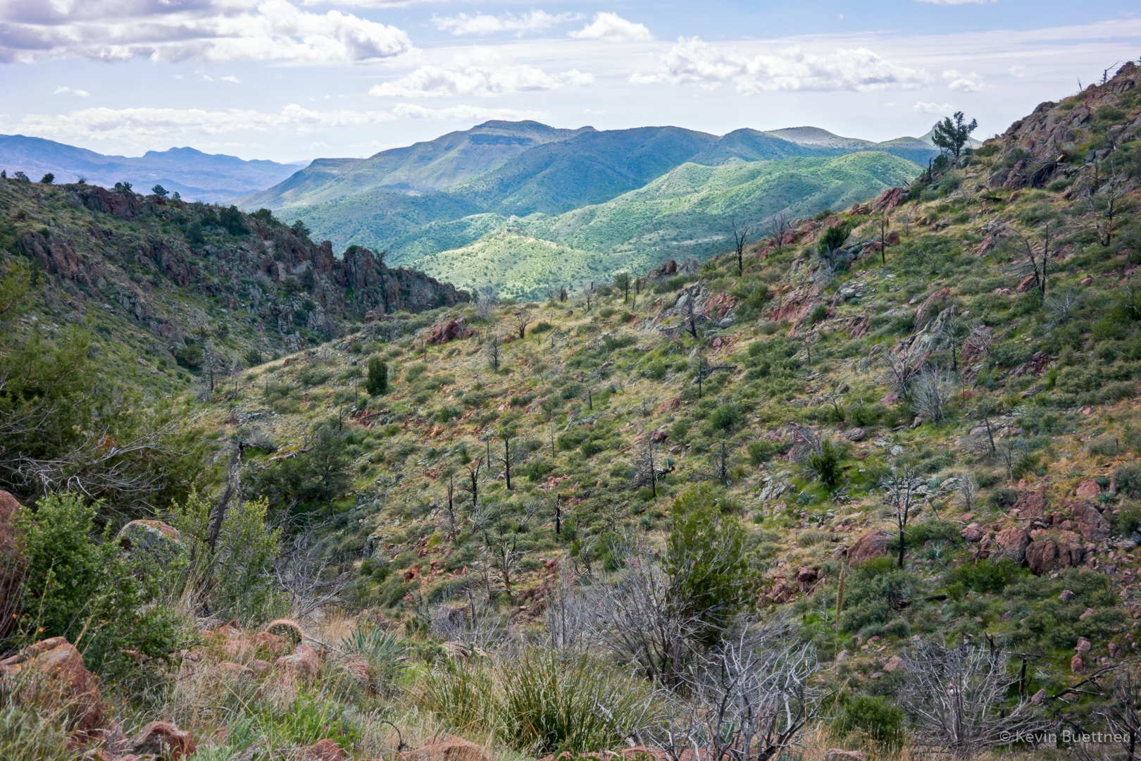
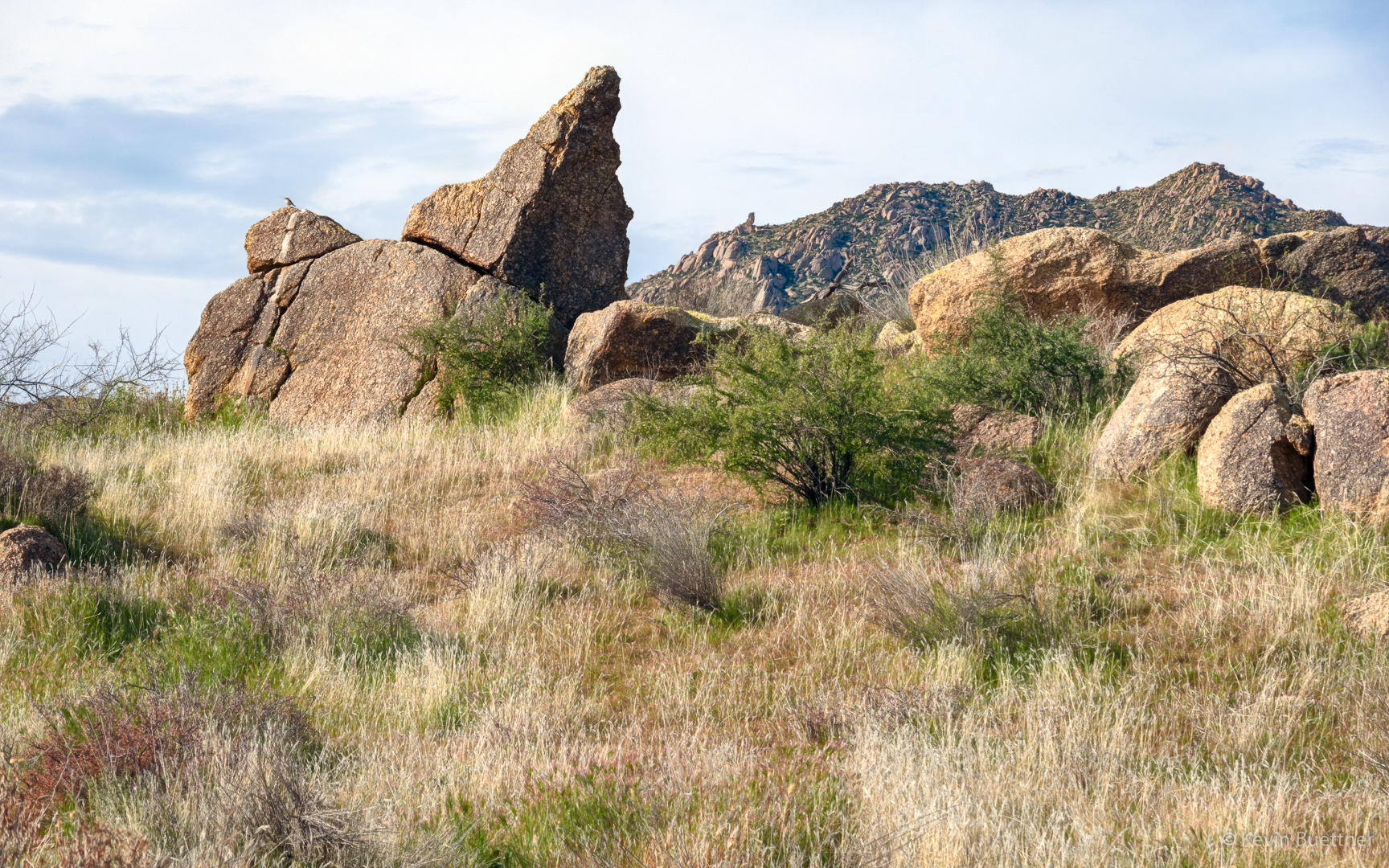
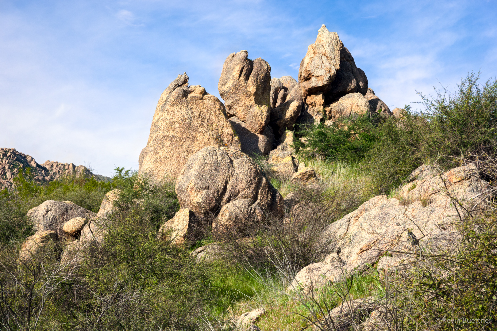
Looking toward the McDowells:
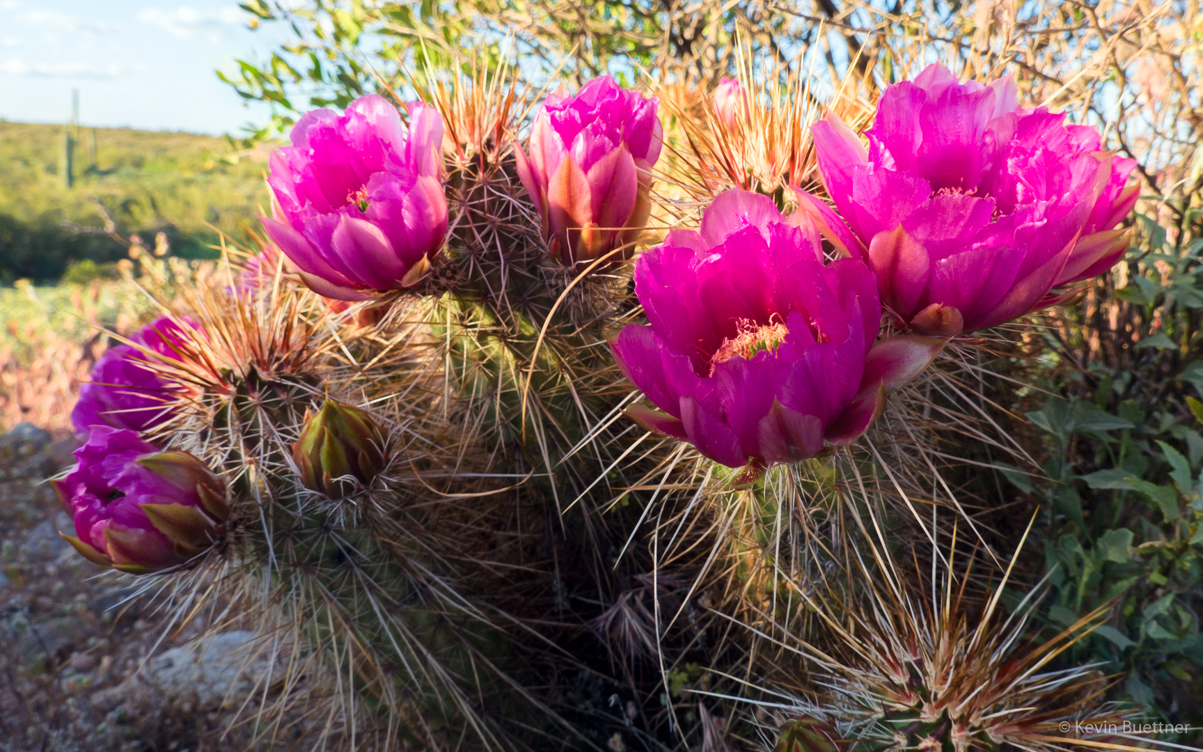
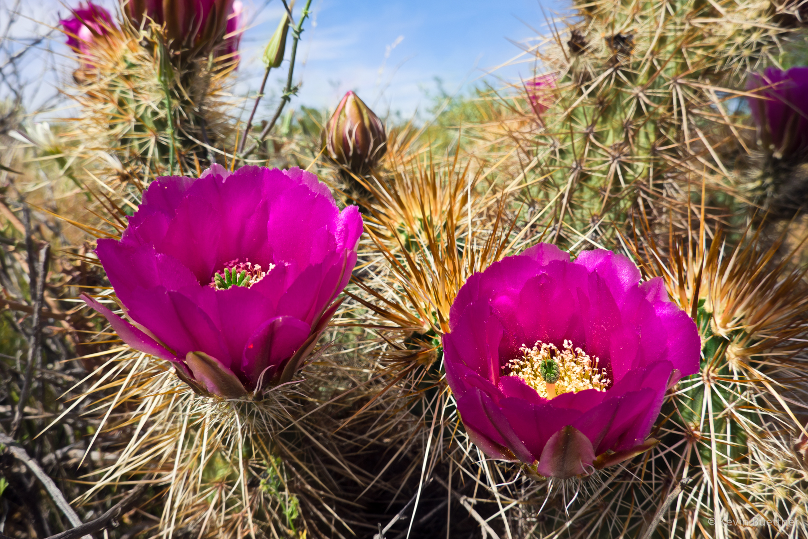
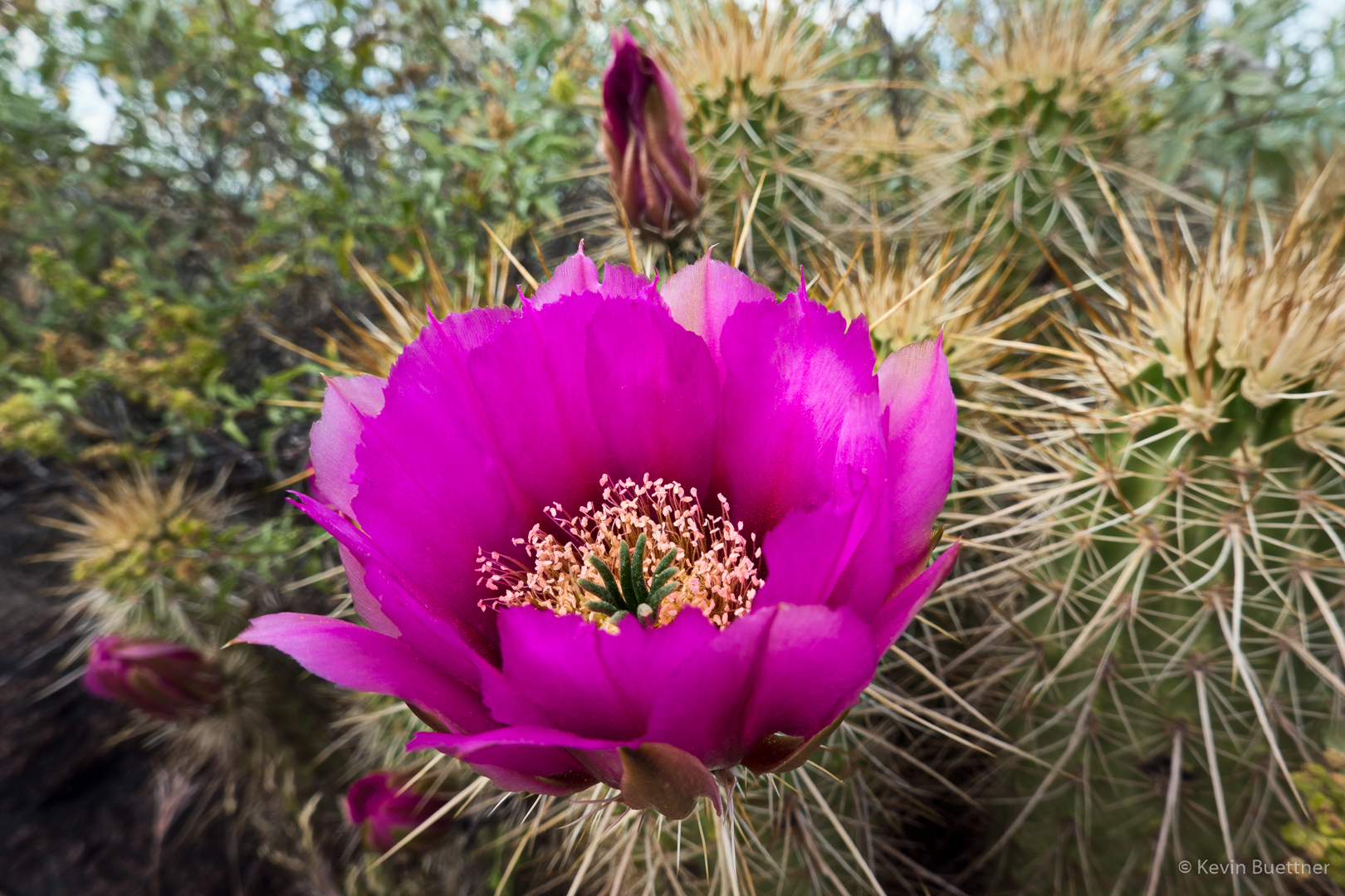
Hedgehog blossoms:
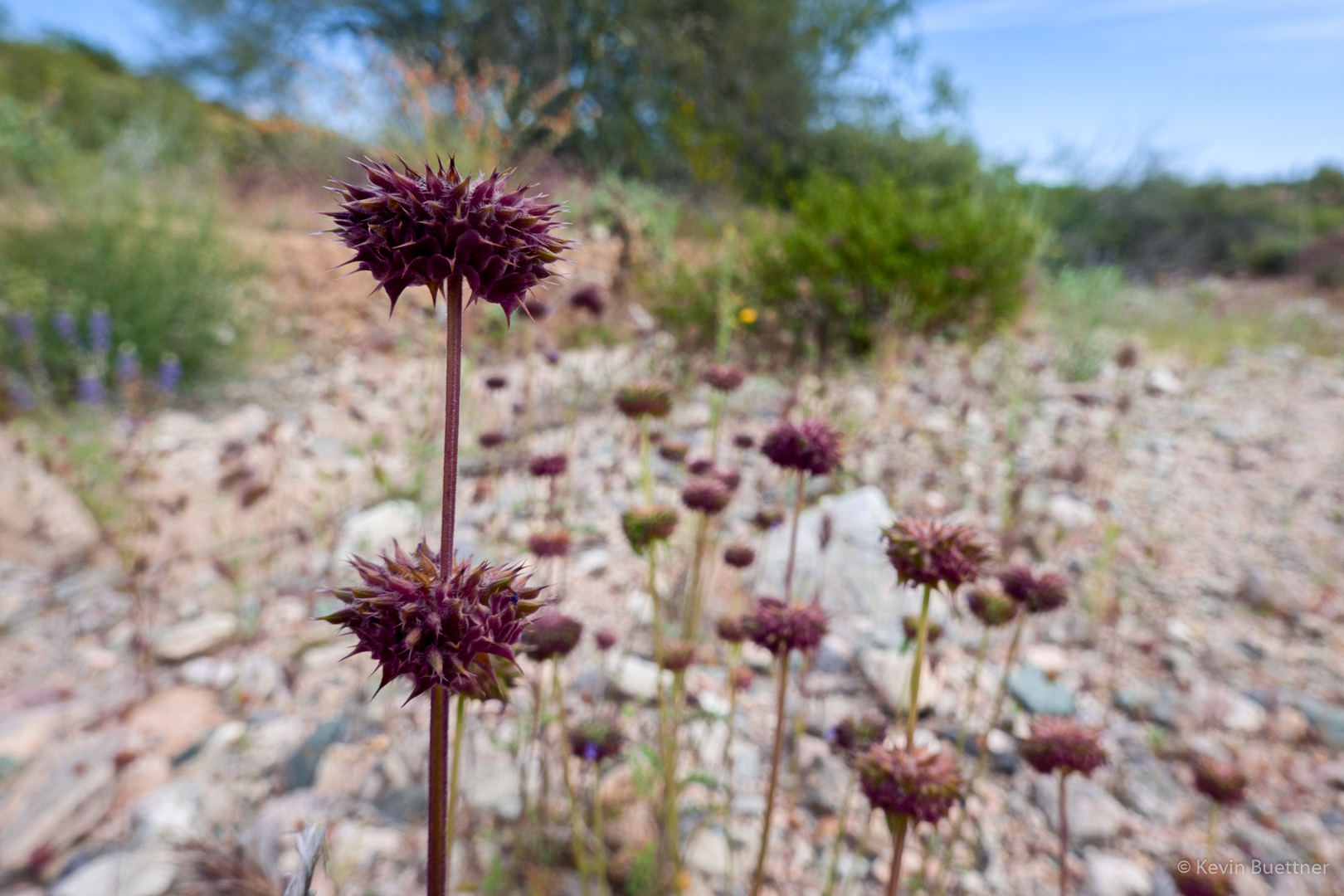
New Mexico Thistle:

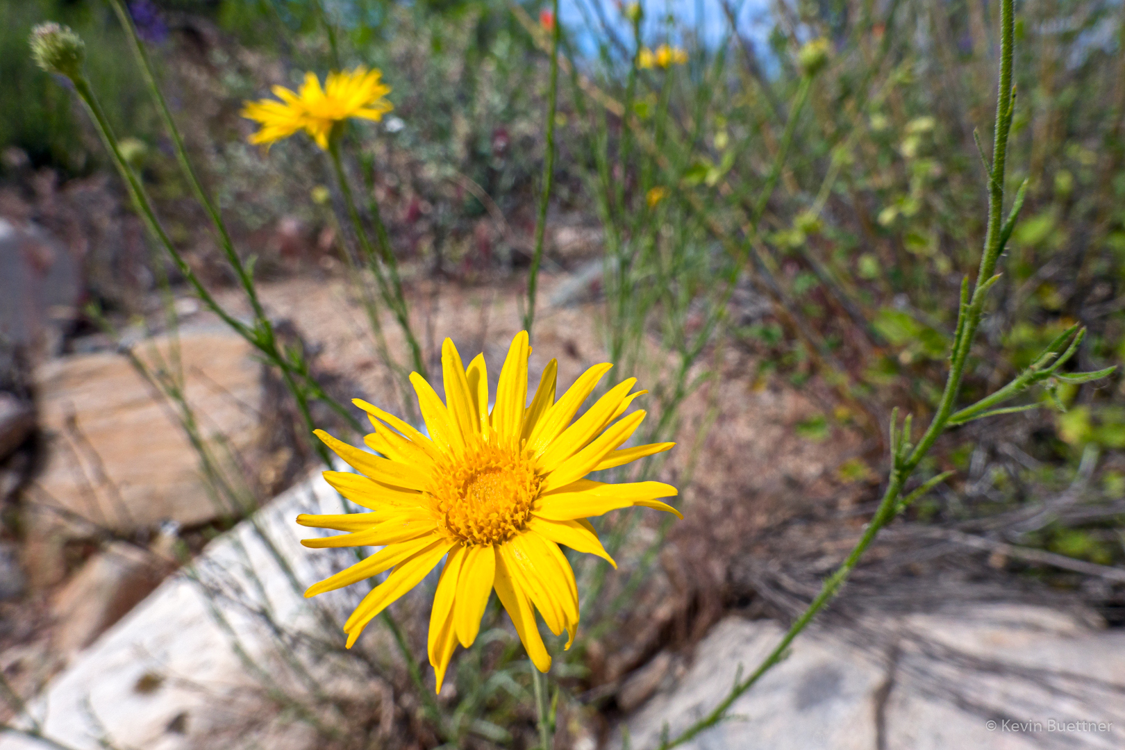
I think this is either Spiny Goldenweed or Slender Goldenweed, but I’m not sure which.
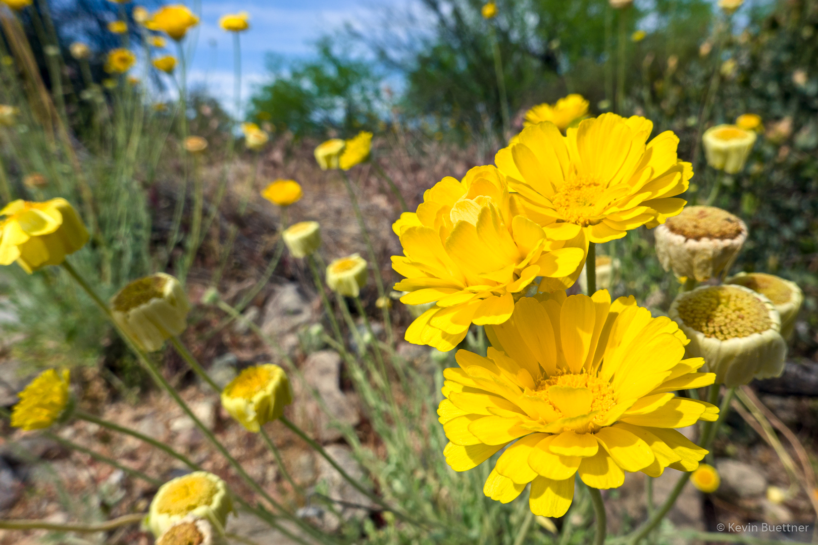
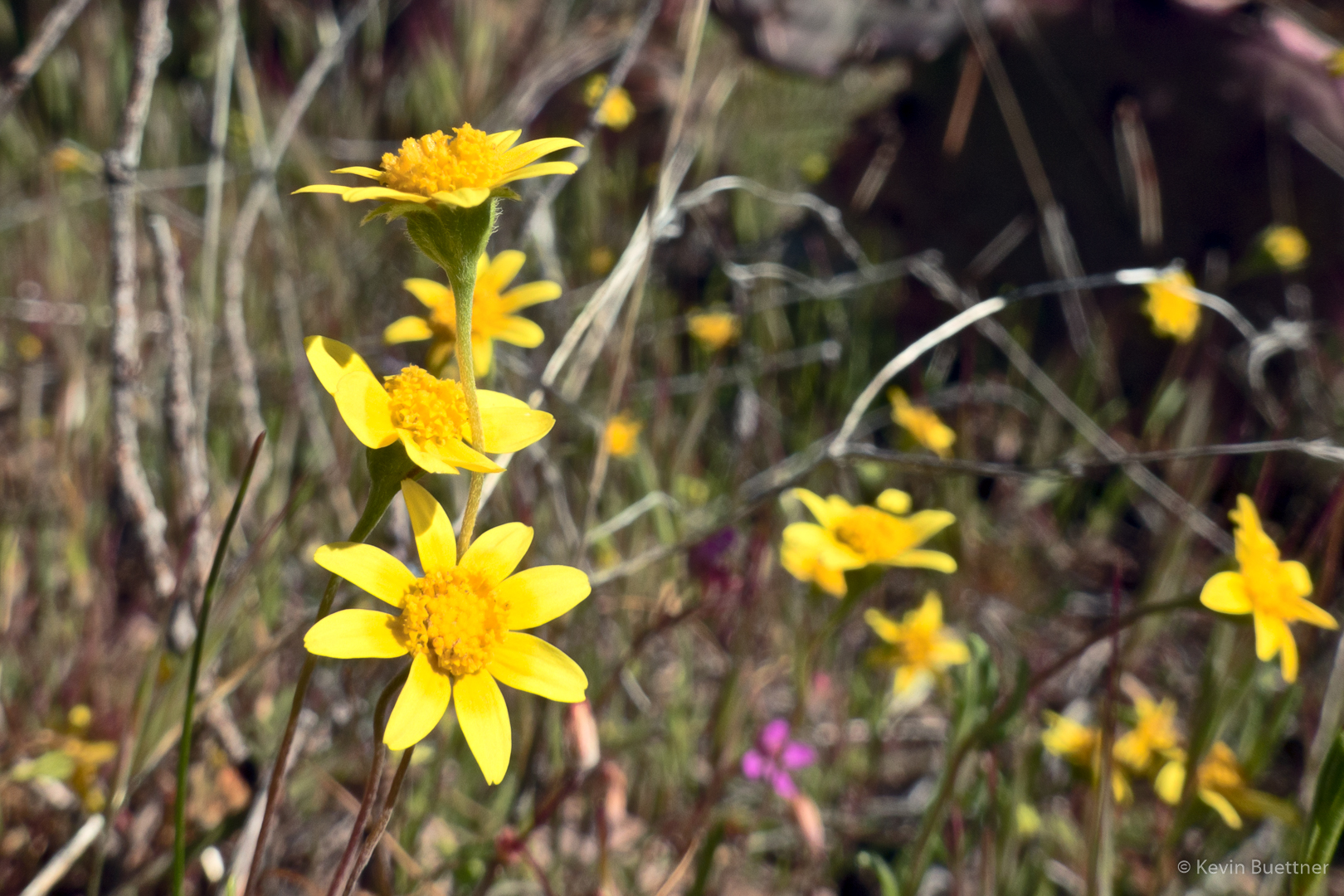
Desert Marigold:
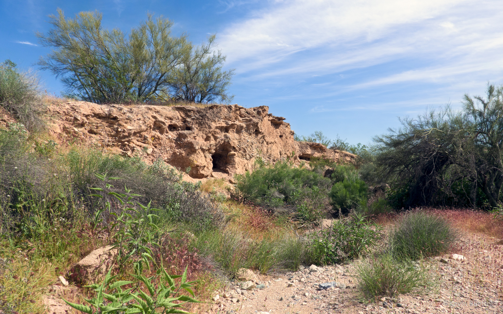
I was excited because we got to explore a wash that I hadn’t seen yet.
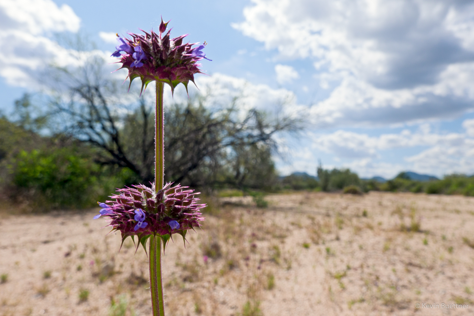
Chia:
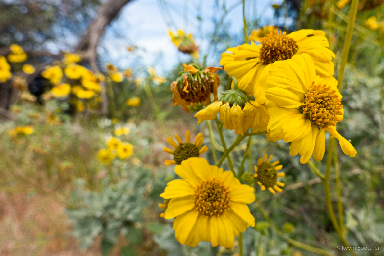
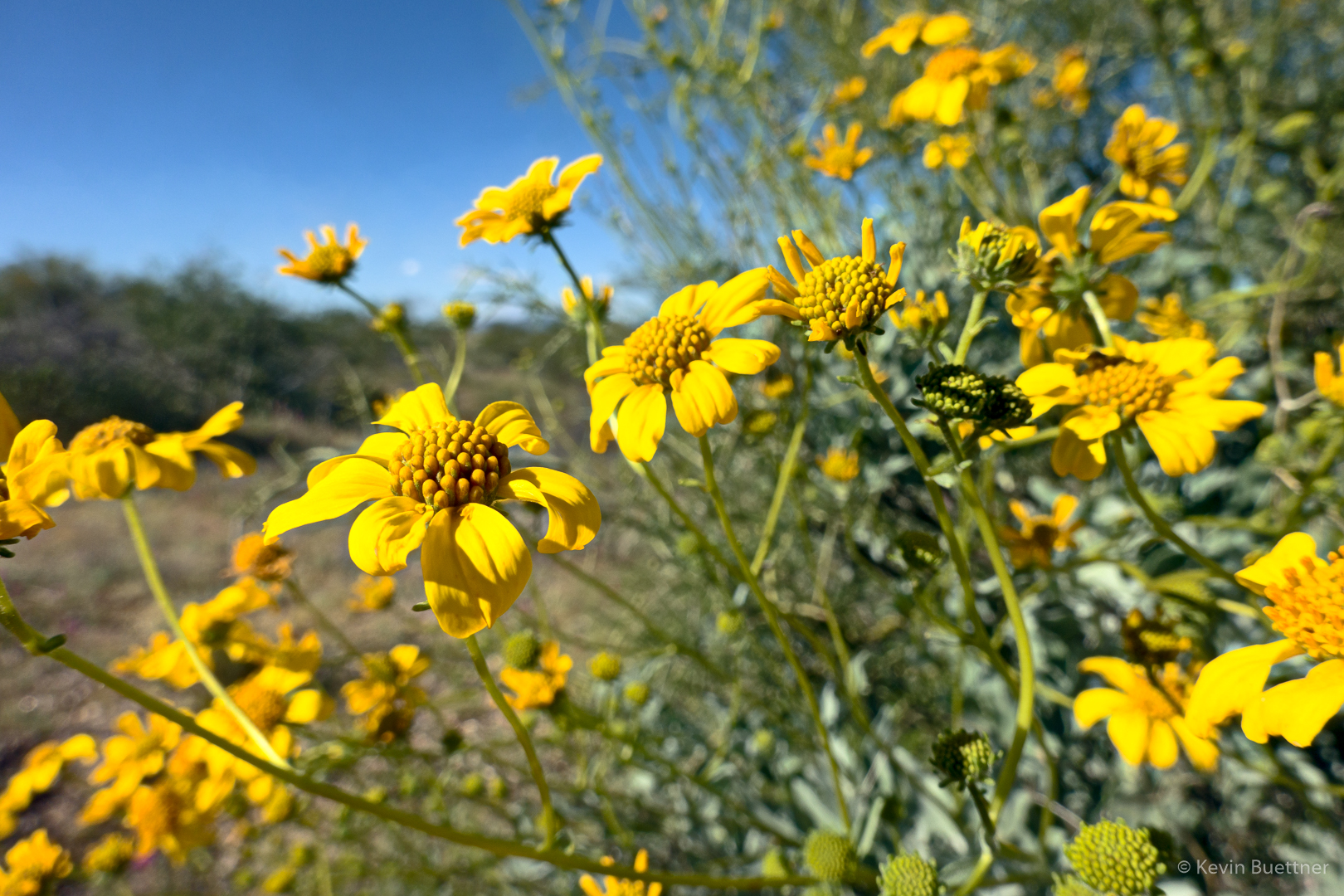
Brittlebush:
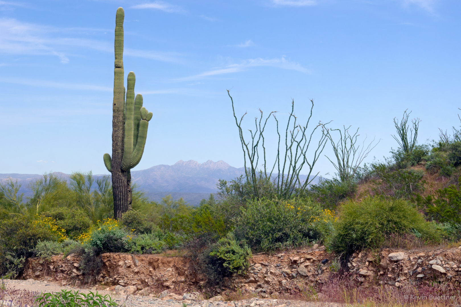
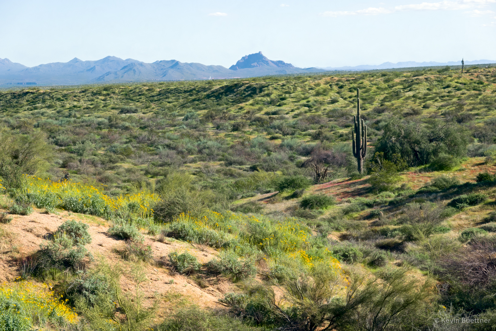
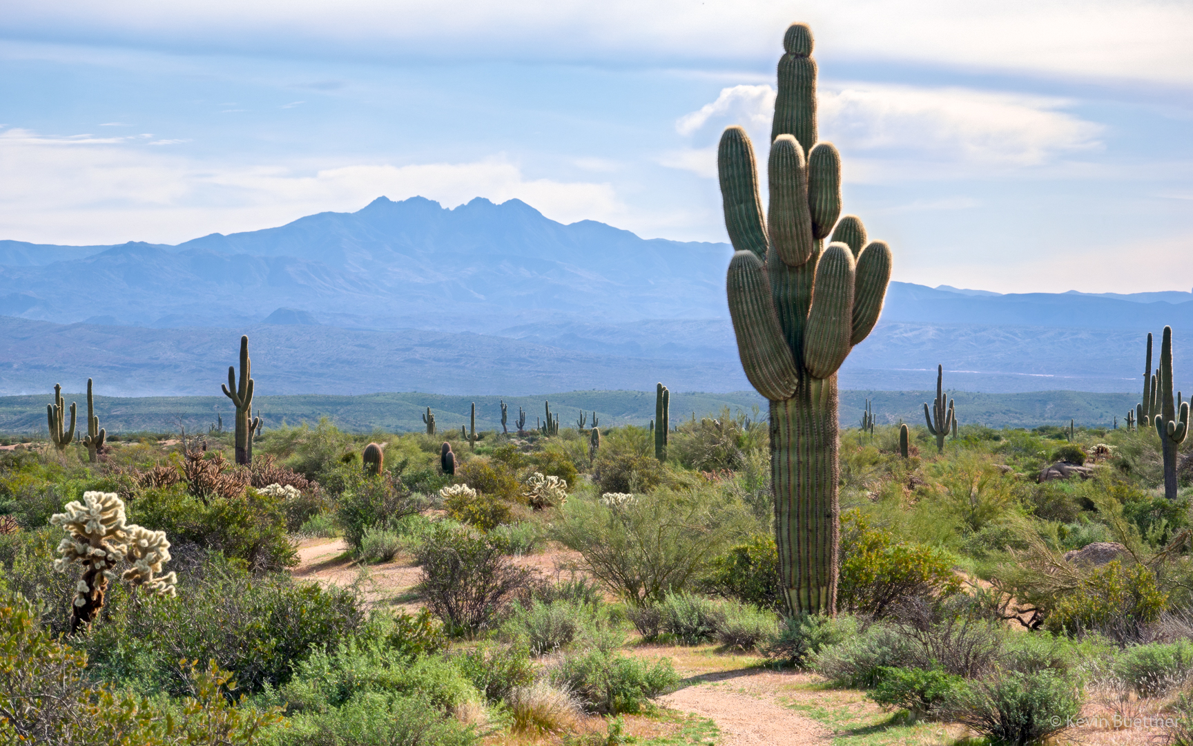
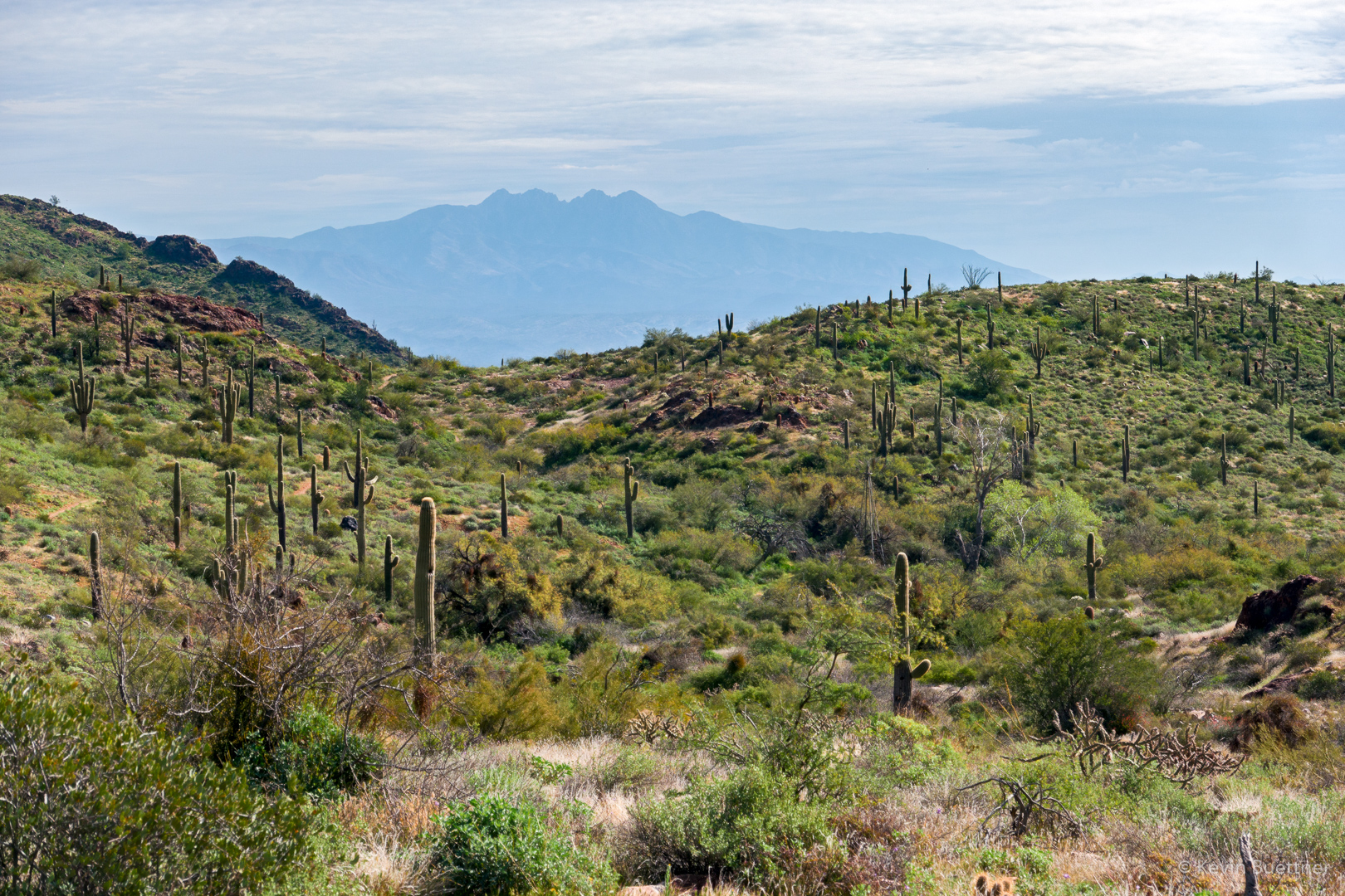
Looking toward Four Peaks:
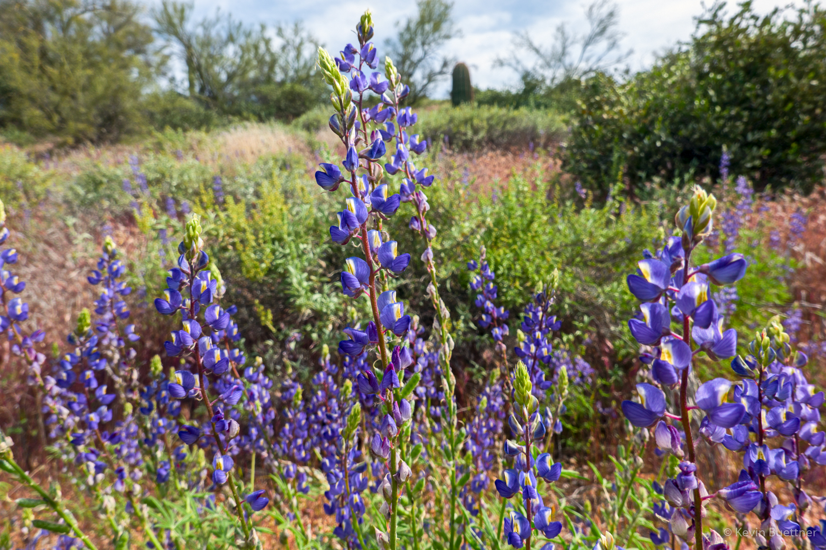
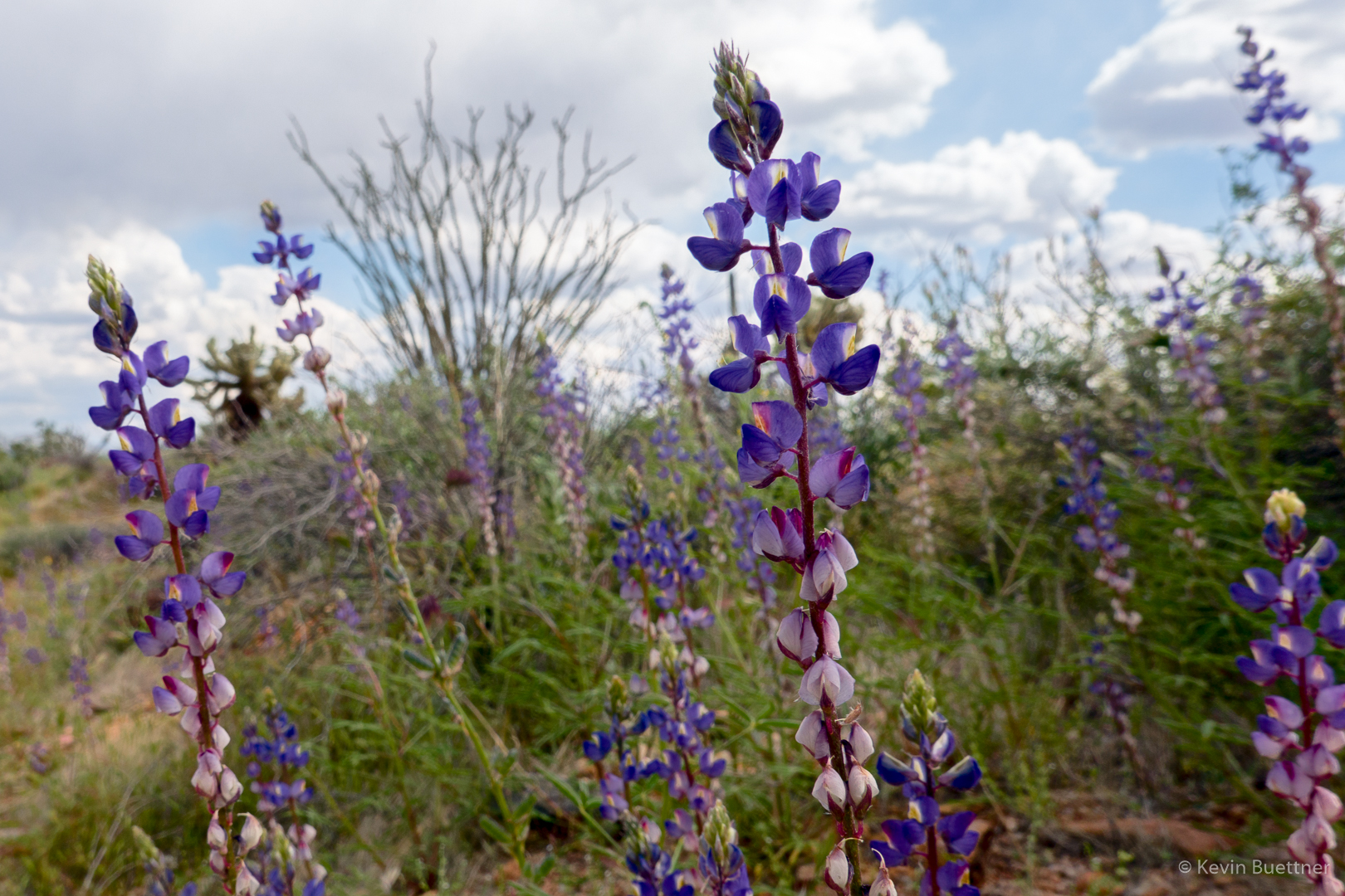
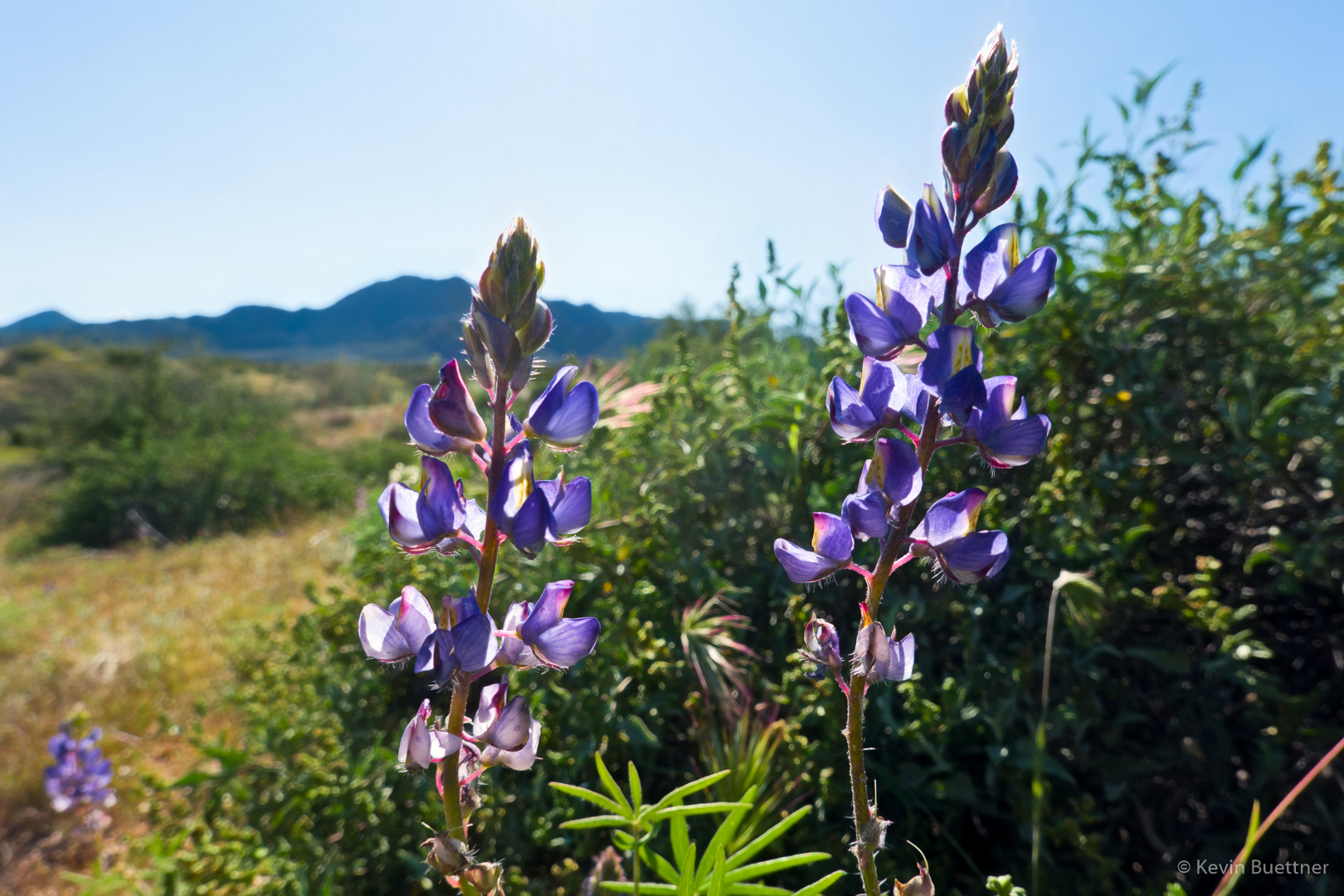
Lupine:
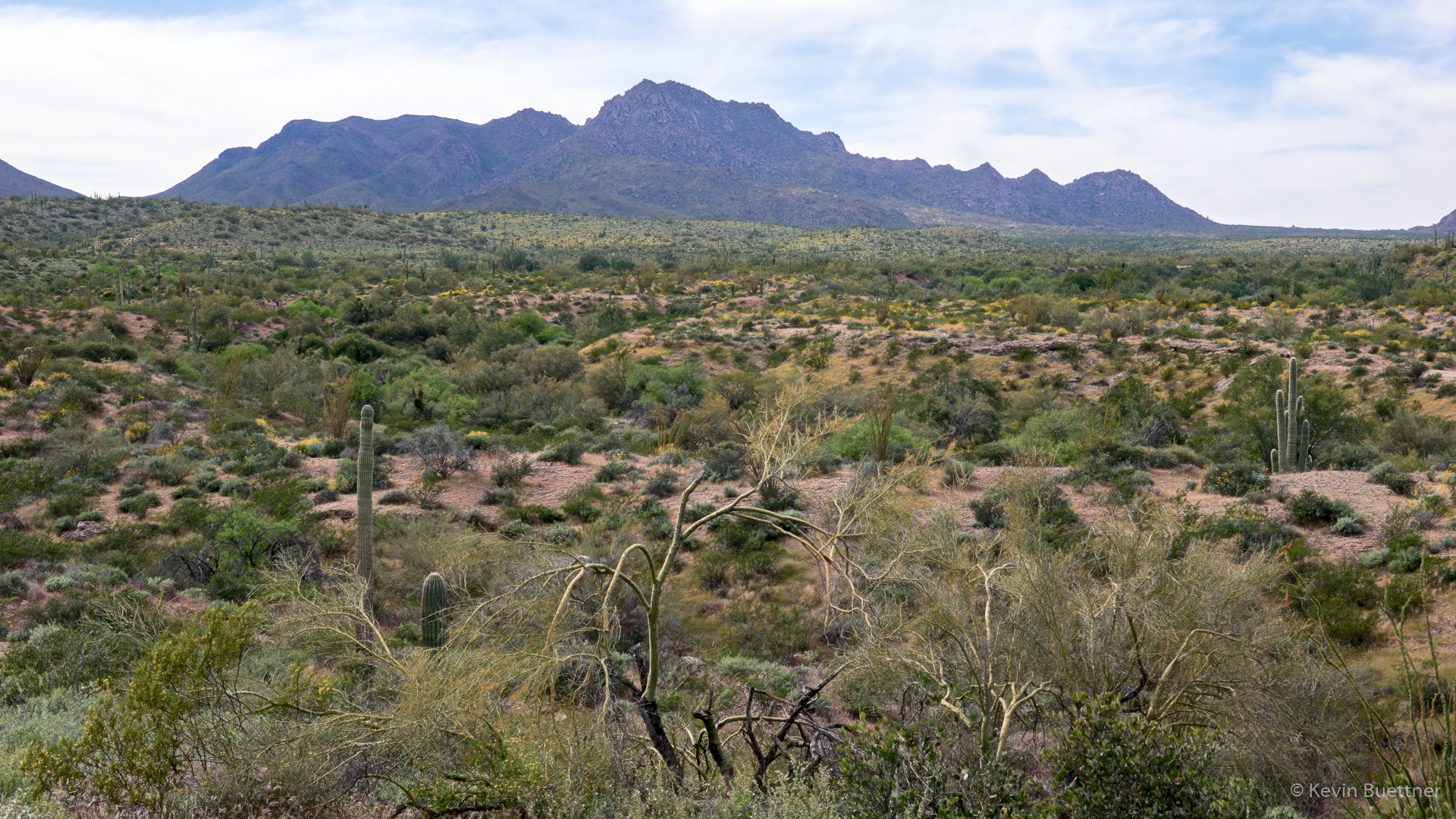
Looking toward the McDowells:
Hedgehog cactus blossom:
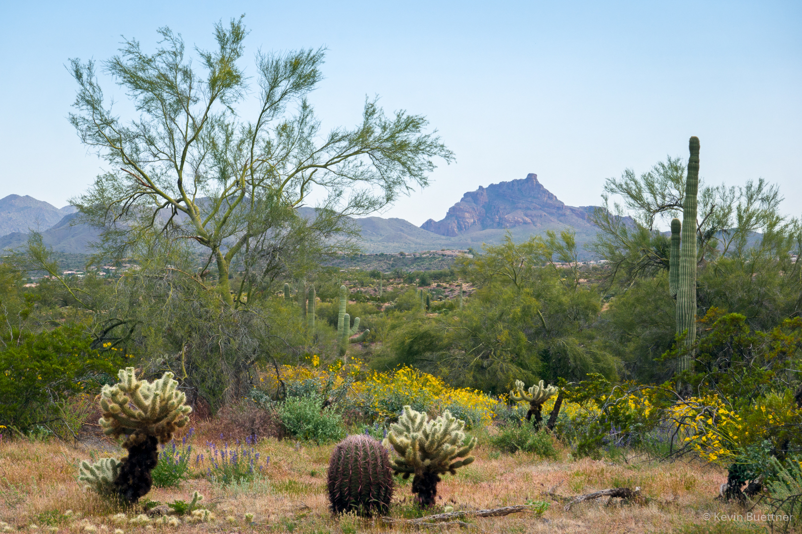
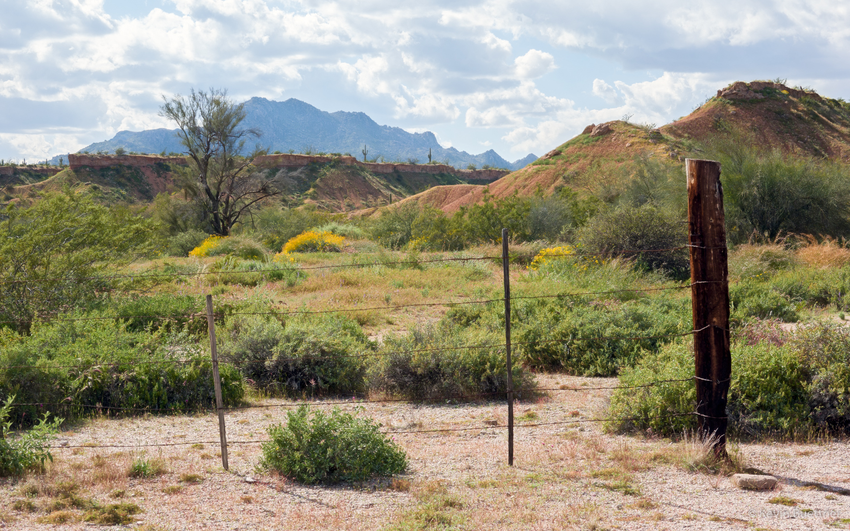
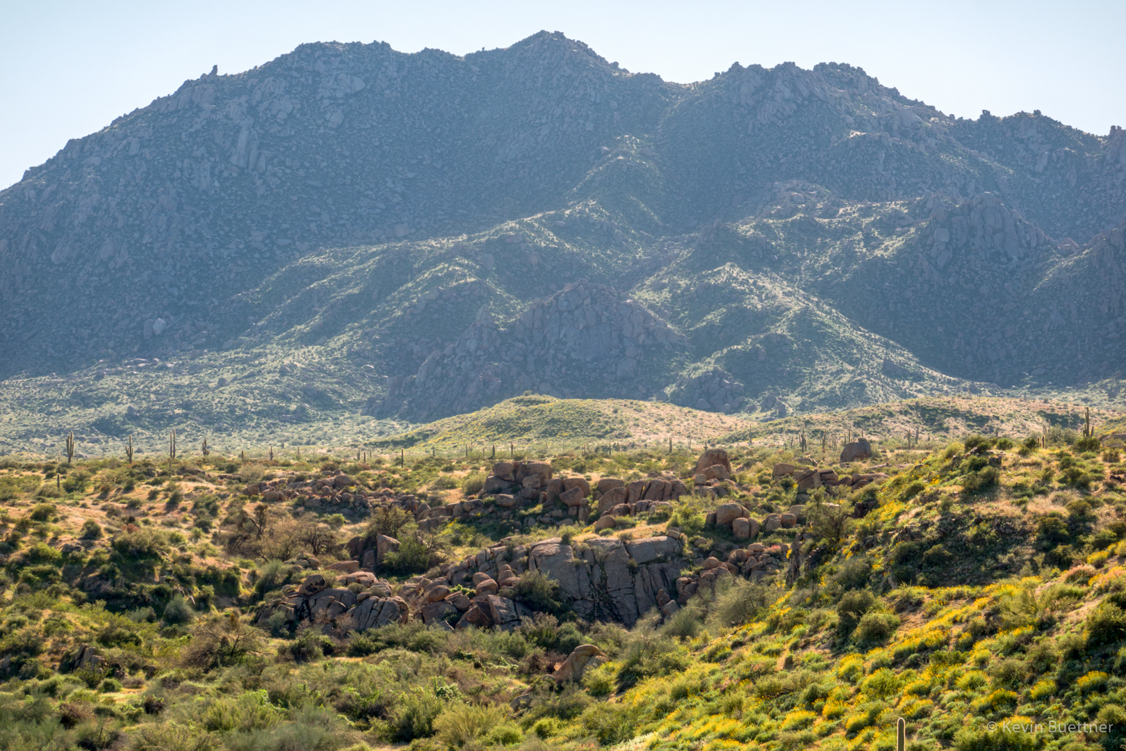
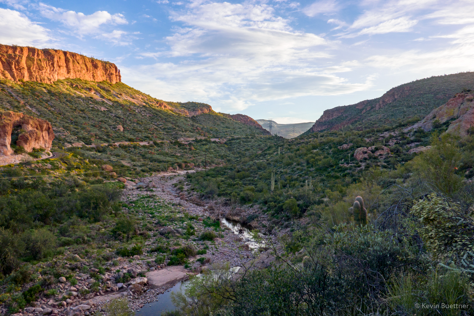
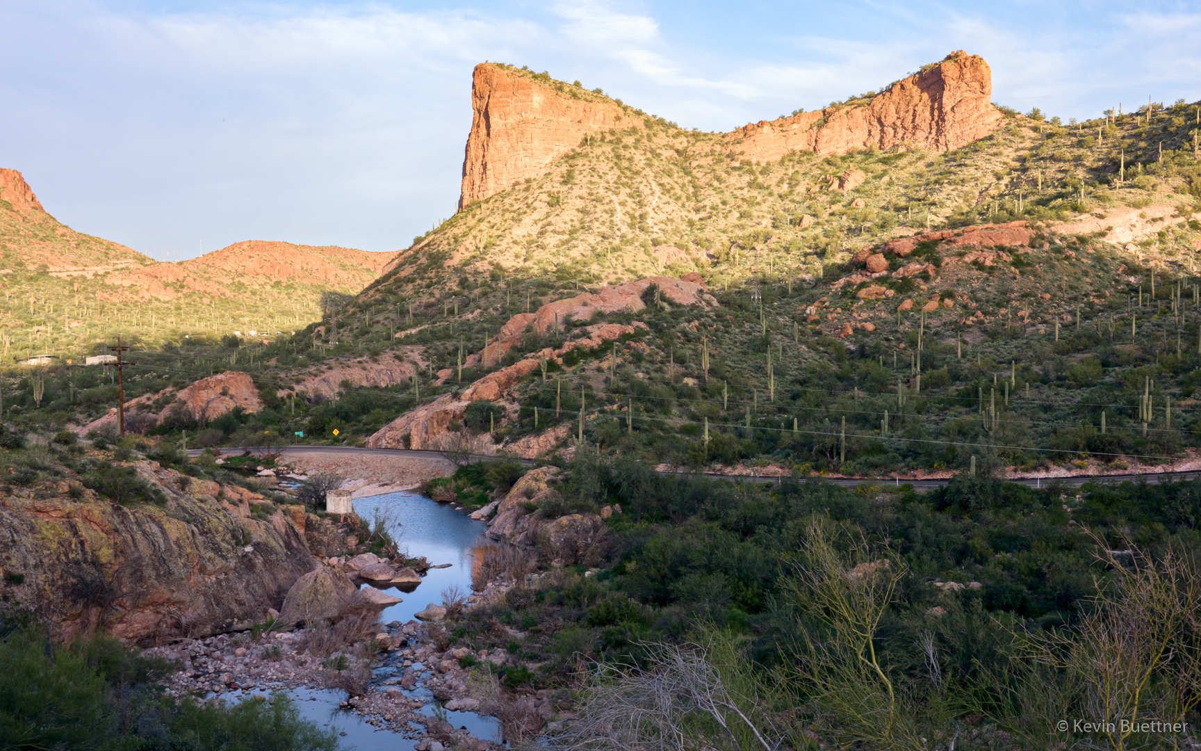
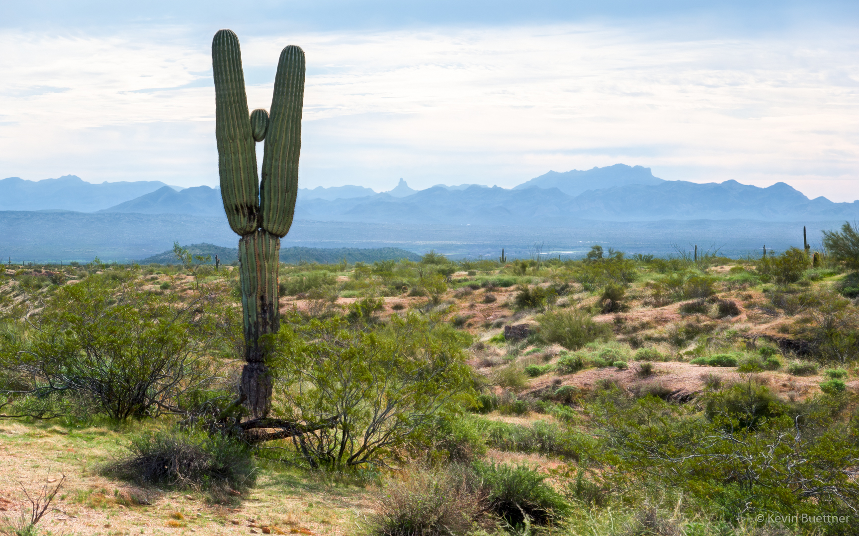
A view of Red Mountain:
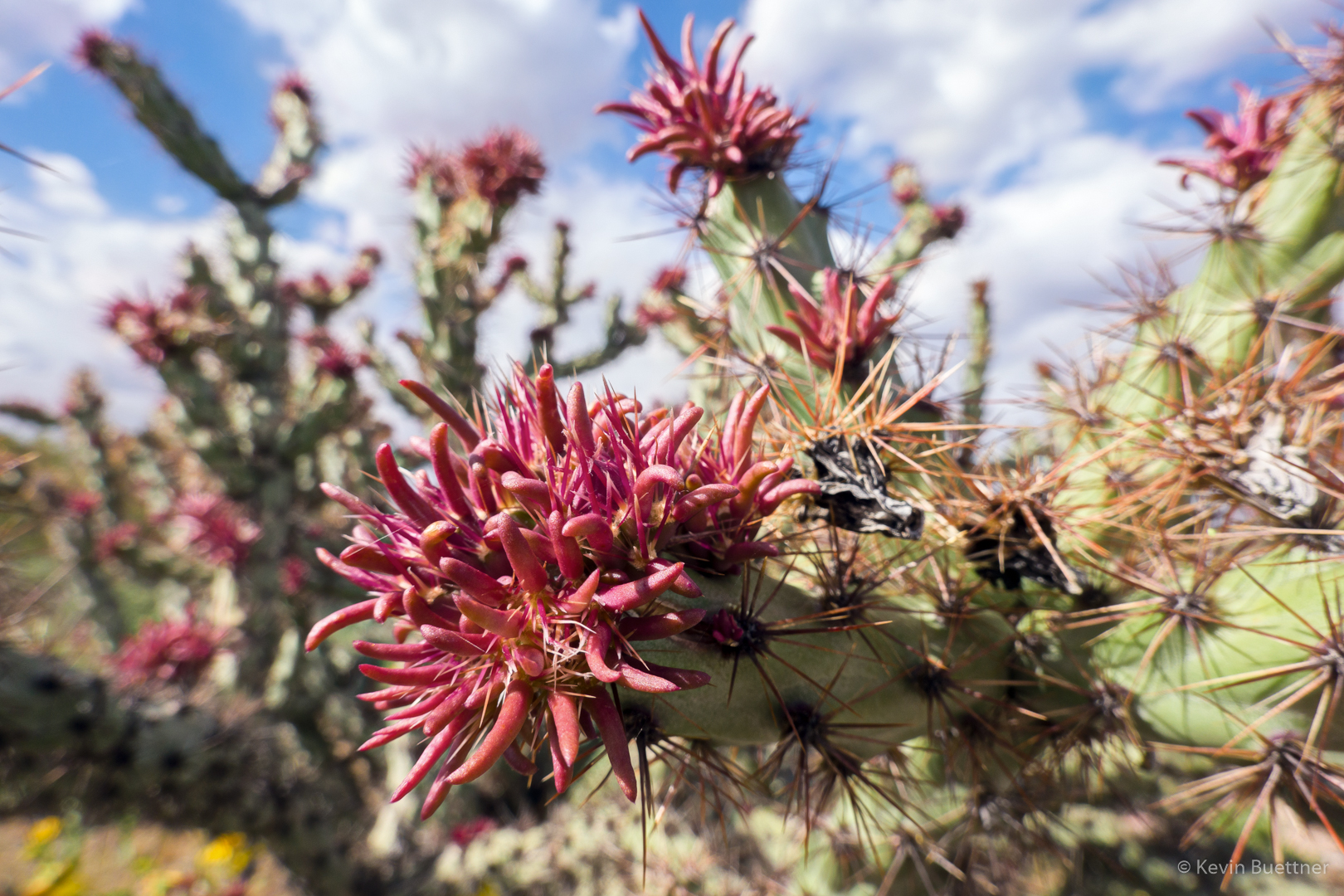
Cholla blossoms:

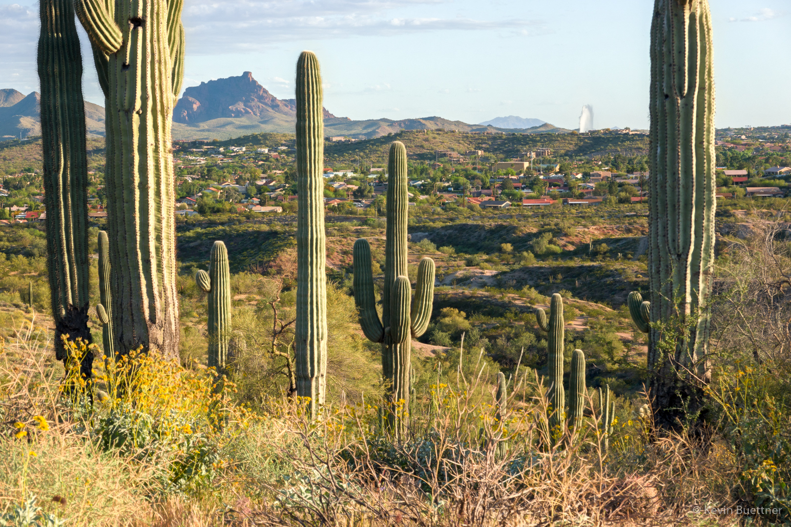
Red Mountain and Fountain:
Nearing sunset:

Looking toward Red Mountain as it’s getting dark:
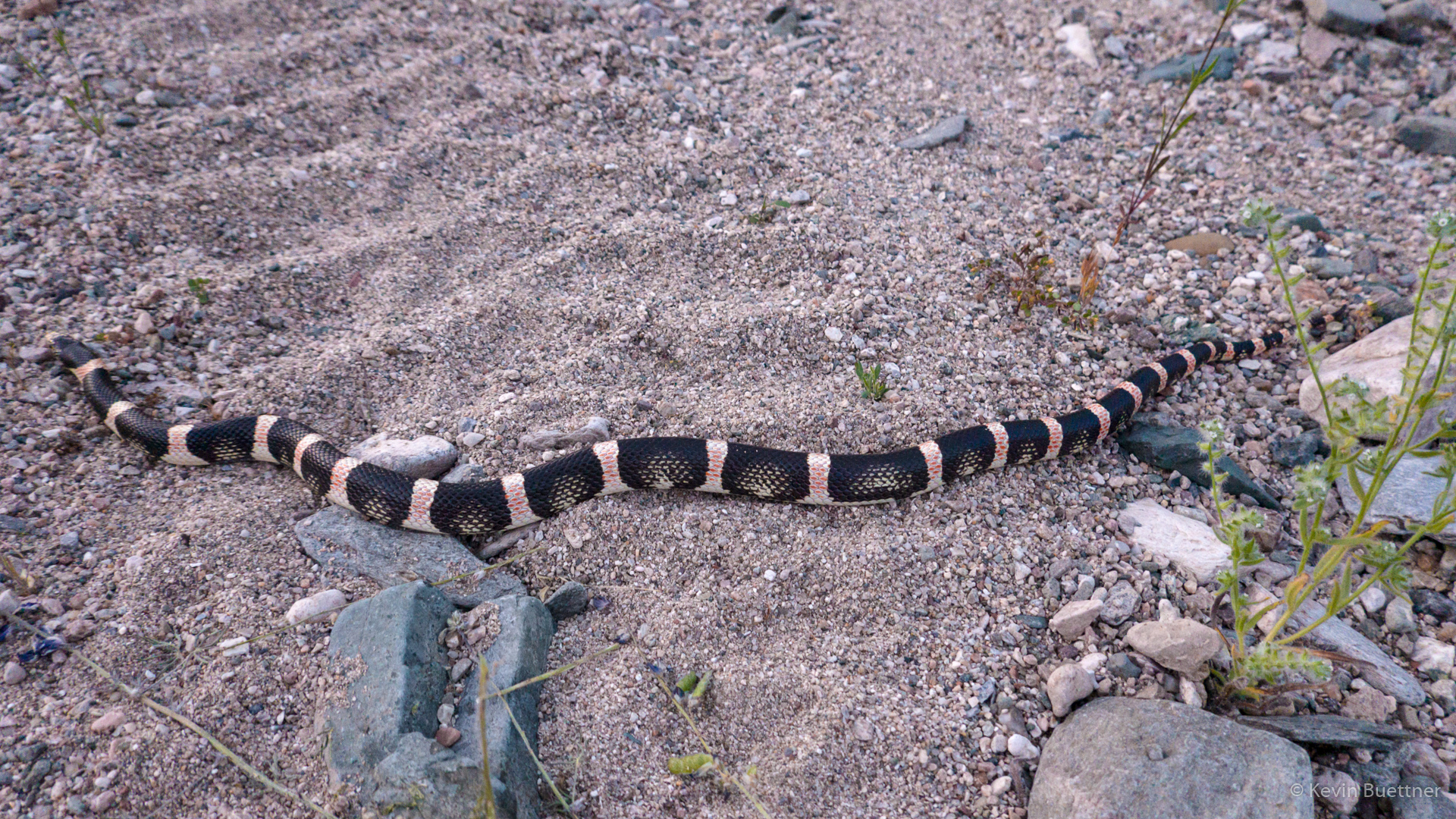
I saw this snake as I finishing my Monday night hike.
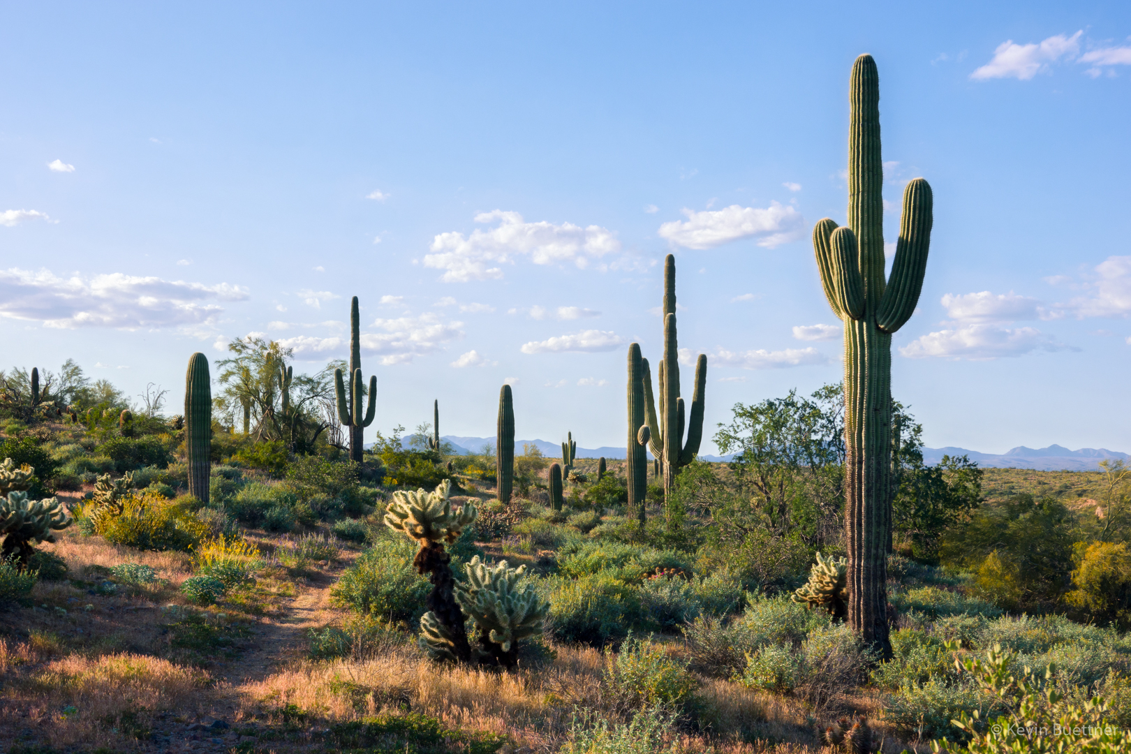
Marilyn and I hiked through many washes in McDowell Mountain Regional Park. We also hike a short section of the Pemberton Trail.
Poppies:

Lupine:
Chia:
Brittlebush:
More brittlebush:

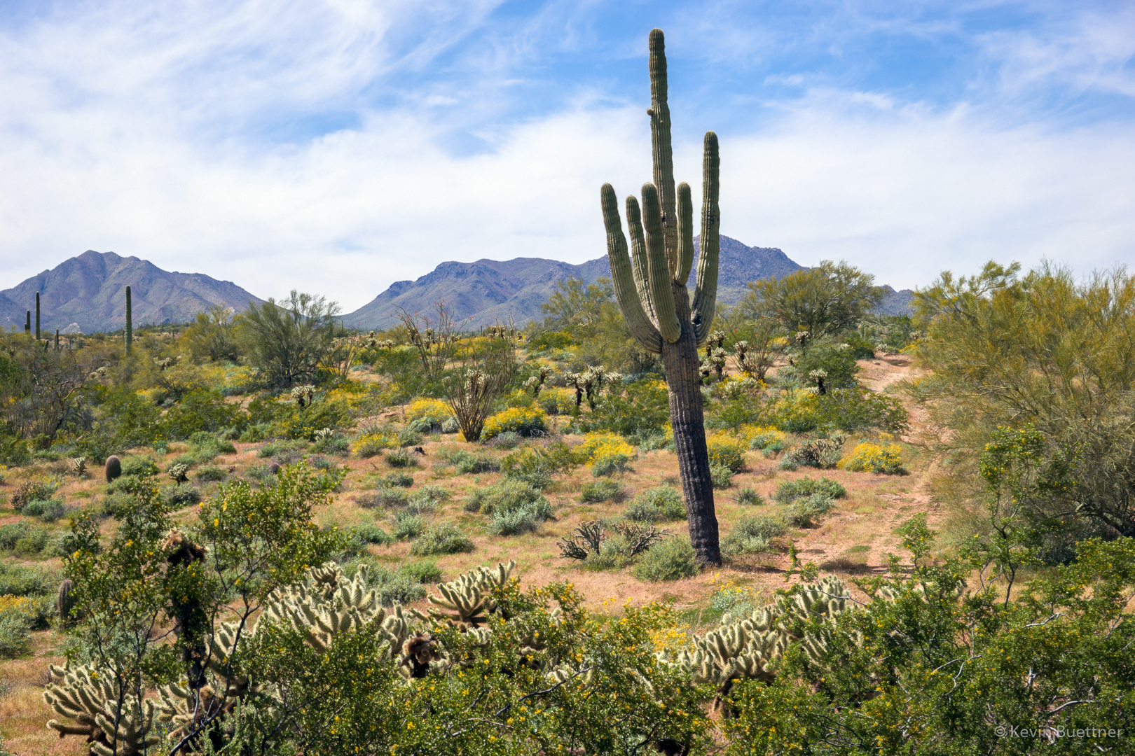
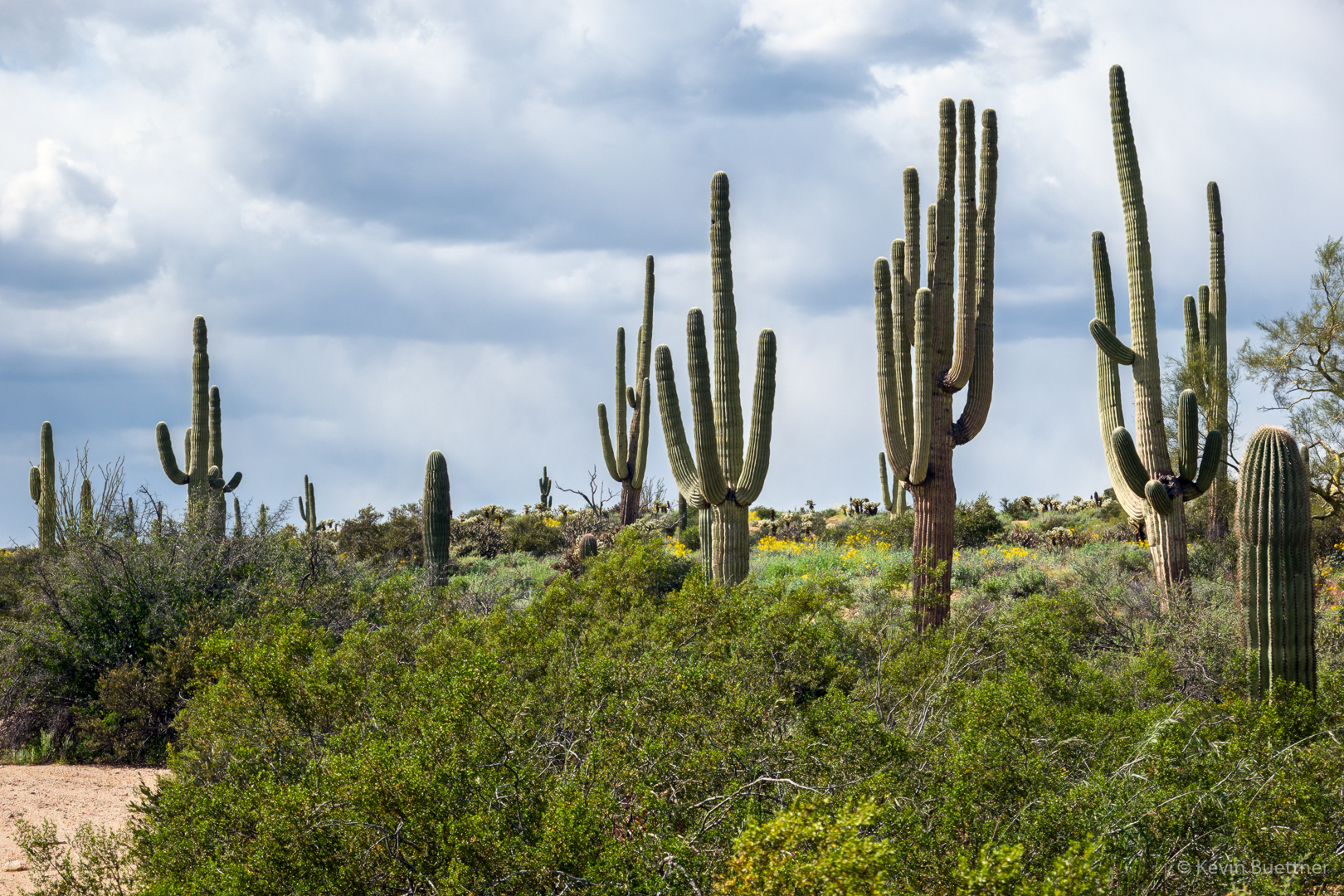
Saguaros:
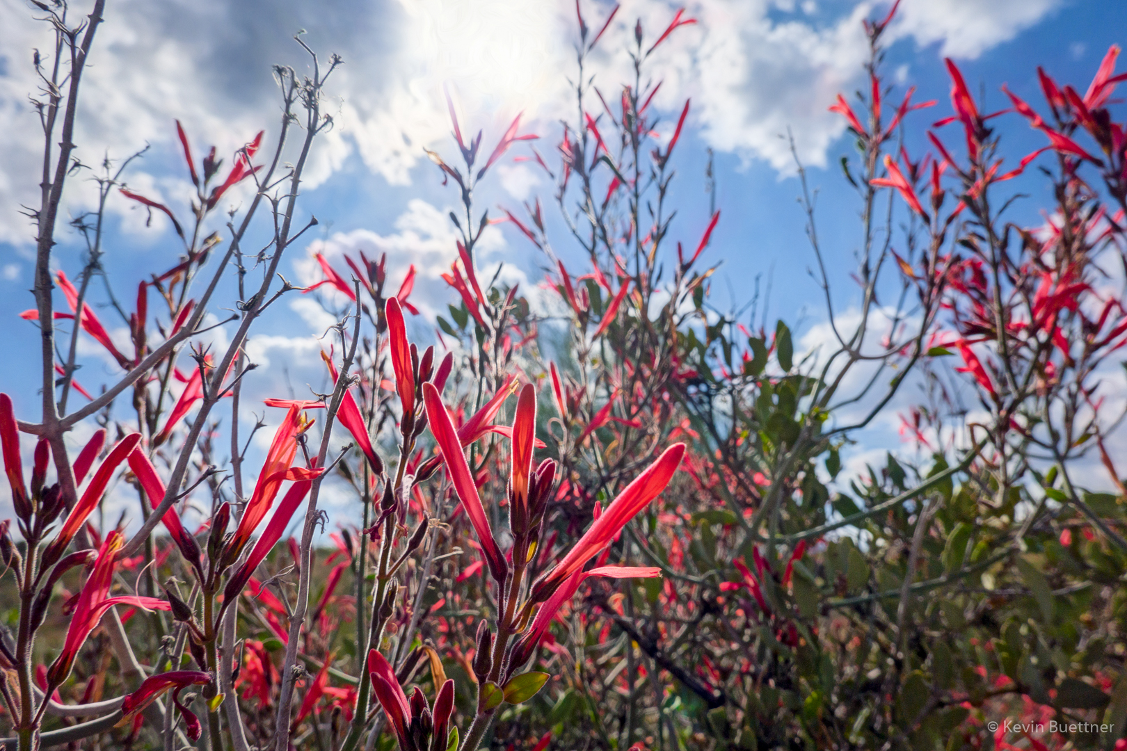
Chuparosa:
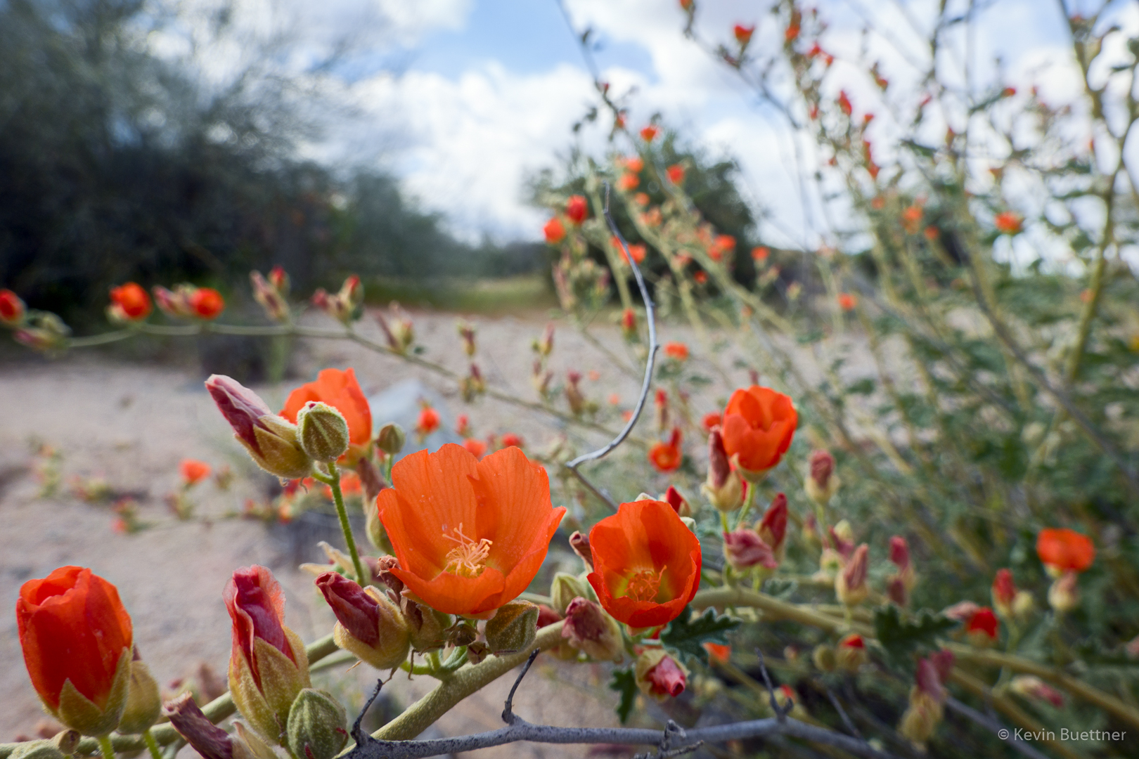
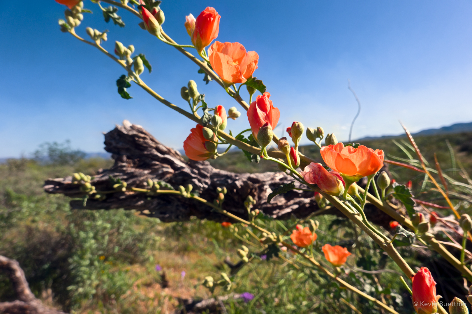
Globemallow:
New growth on a buckhorn cholla:
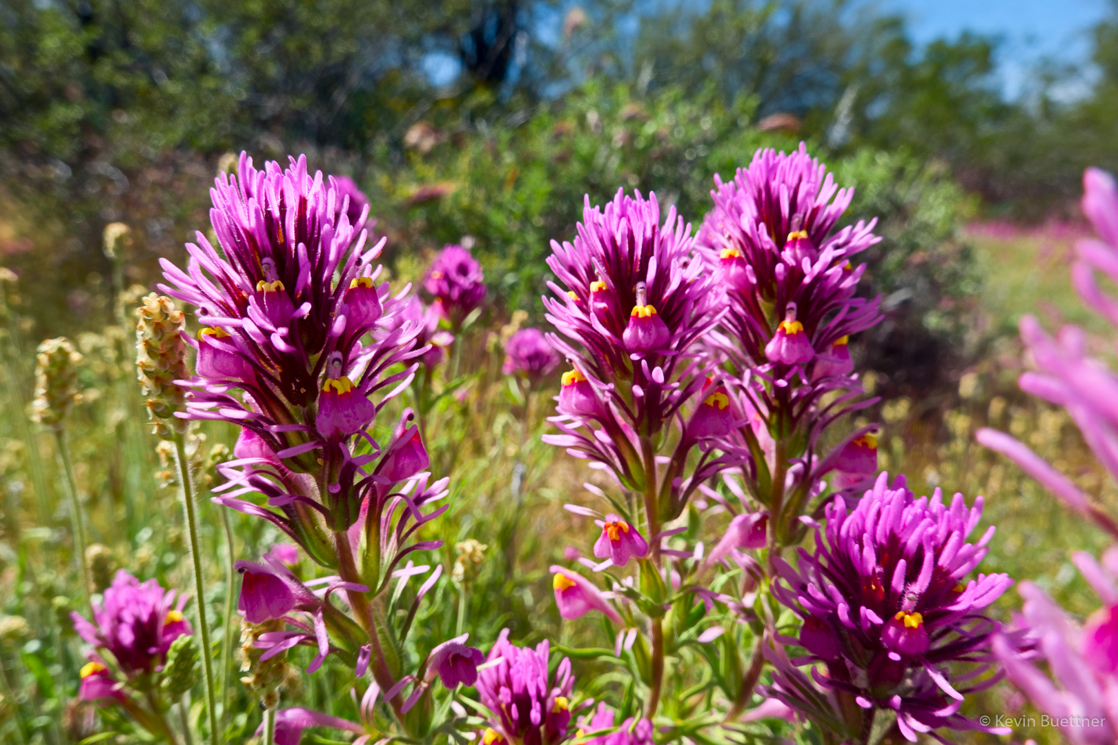
Owl clover:
Owl clover and brittlebush:

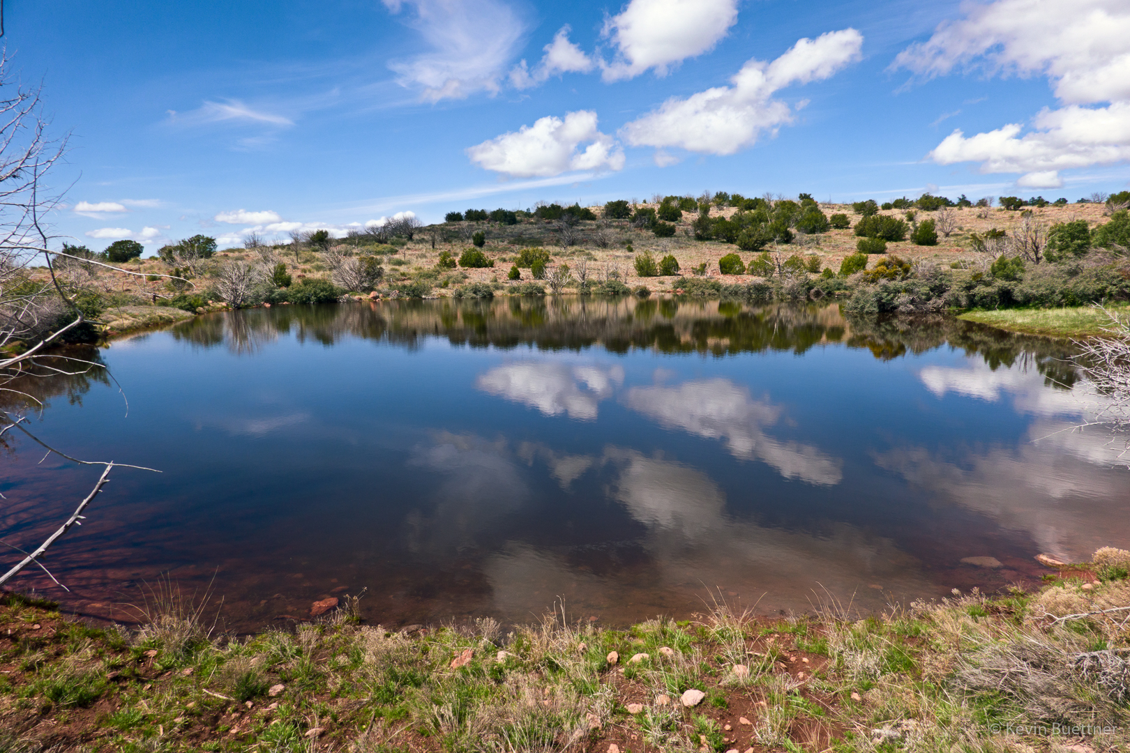
Pemberton Pond (which is more of a tank or watering hole):
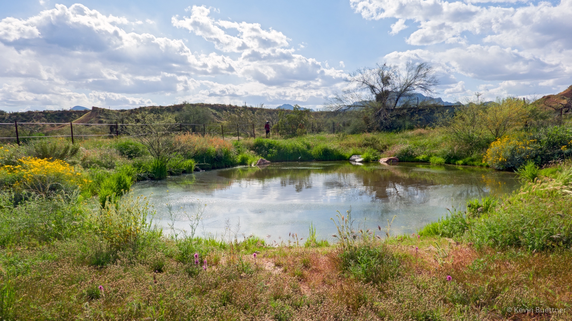
Looking across the Pemberton Trail after visiting the pond:
Weaver’s Needle and the Flatiron, which are both in the Superstition Wilderness, in the distance:

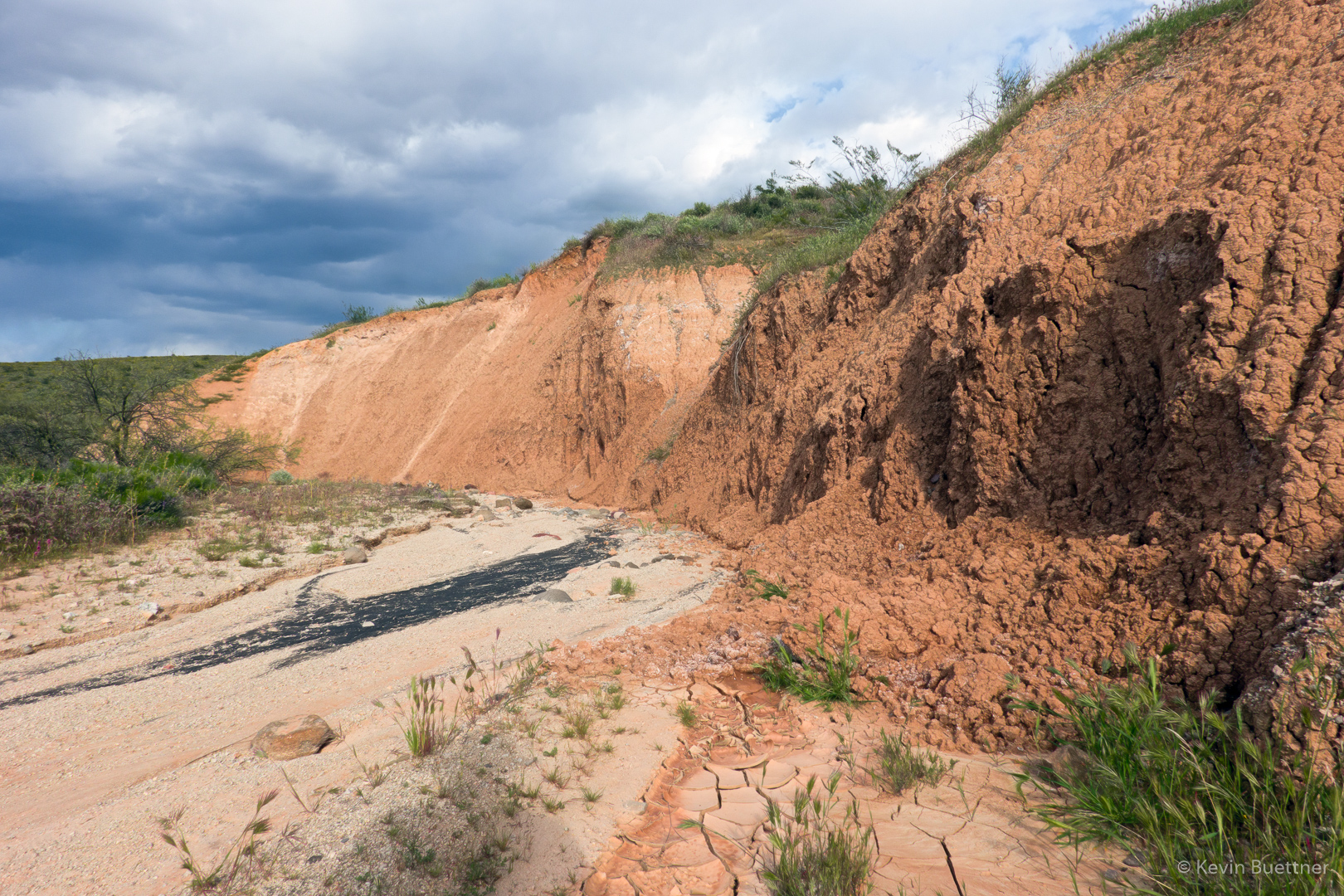
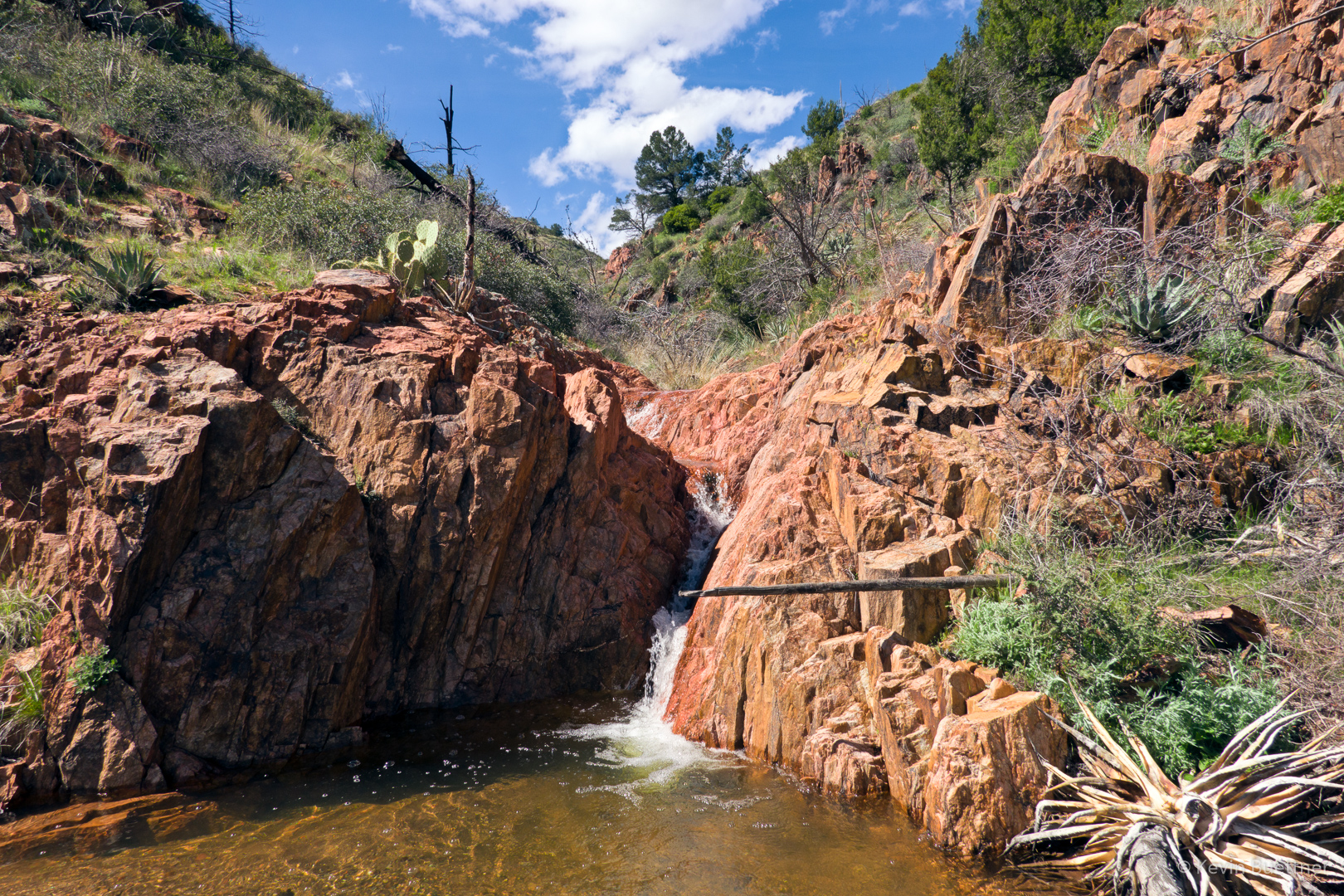
Interesting erosion along one of the washes:
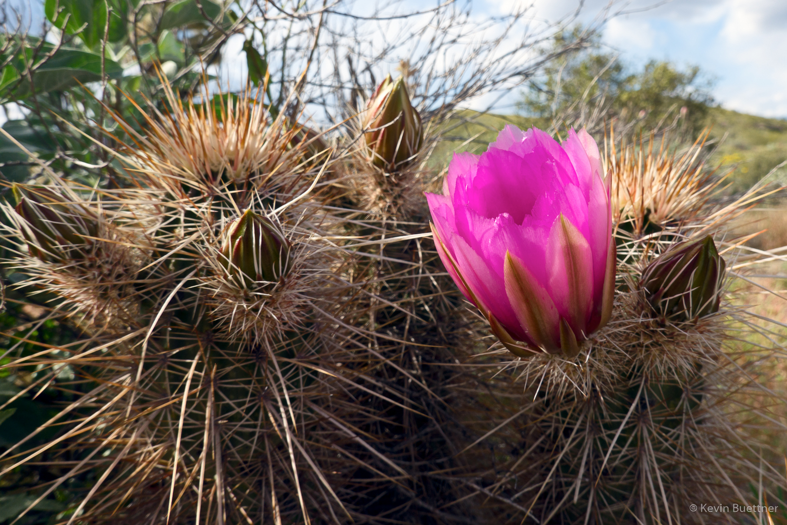
Hedgehog blossom – the first one I’ve seen this year:
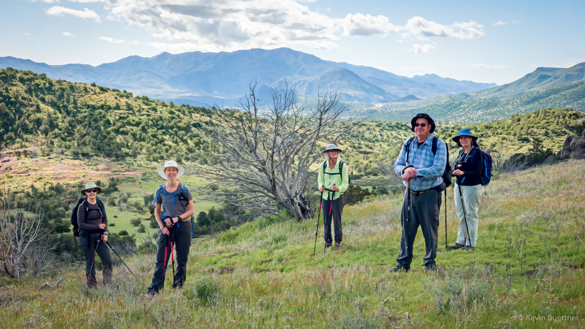
Marilyn, Linda, Heather, Sara, Mike, and I hiked eight miles on the Black Ridge Loop in the Mazatzal Wilderness.
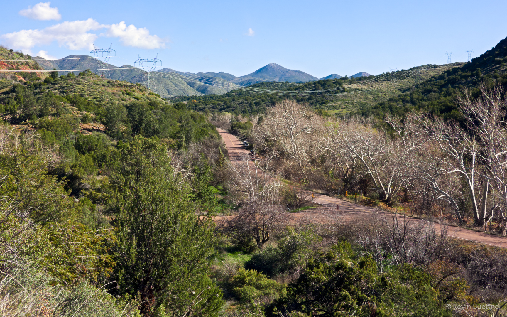
This is the view of old SR 87 at the start of the hike.
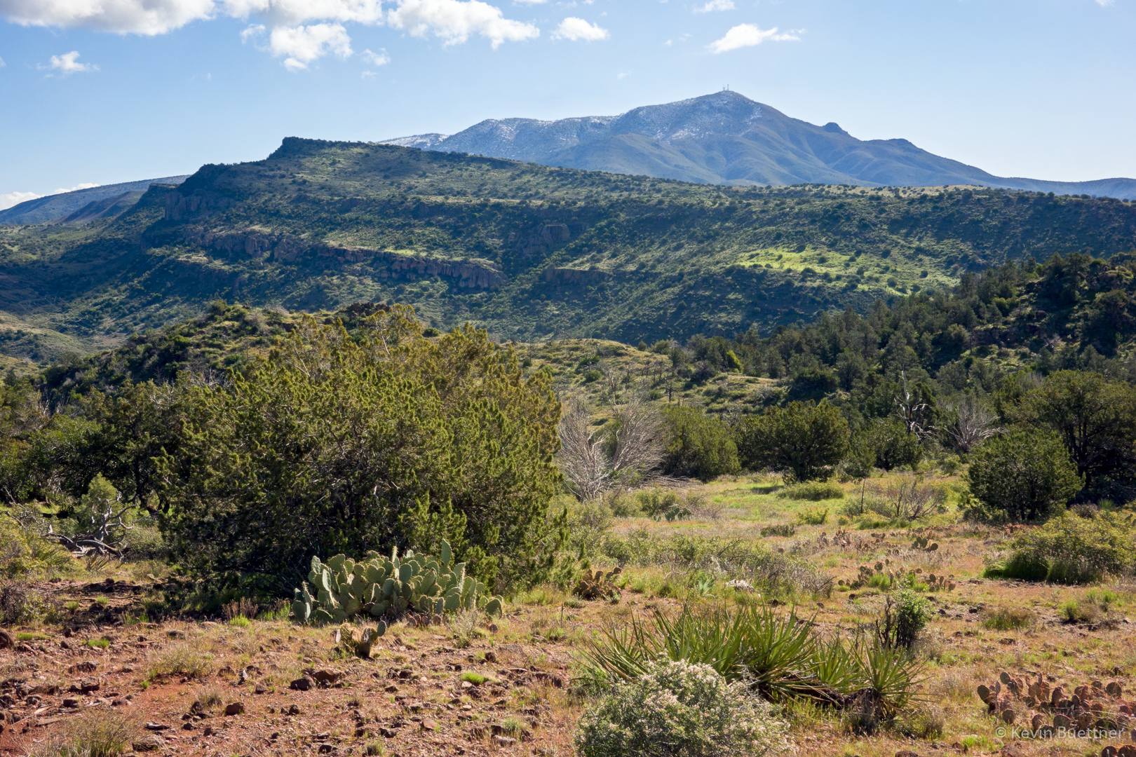
Mount Ord had patchy snow!
These might be Goldfields:
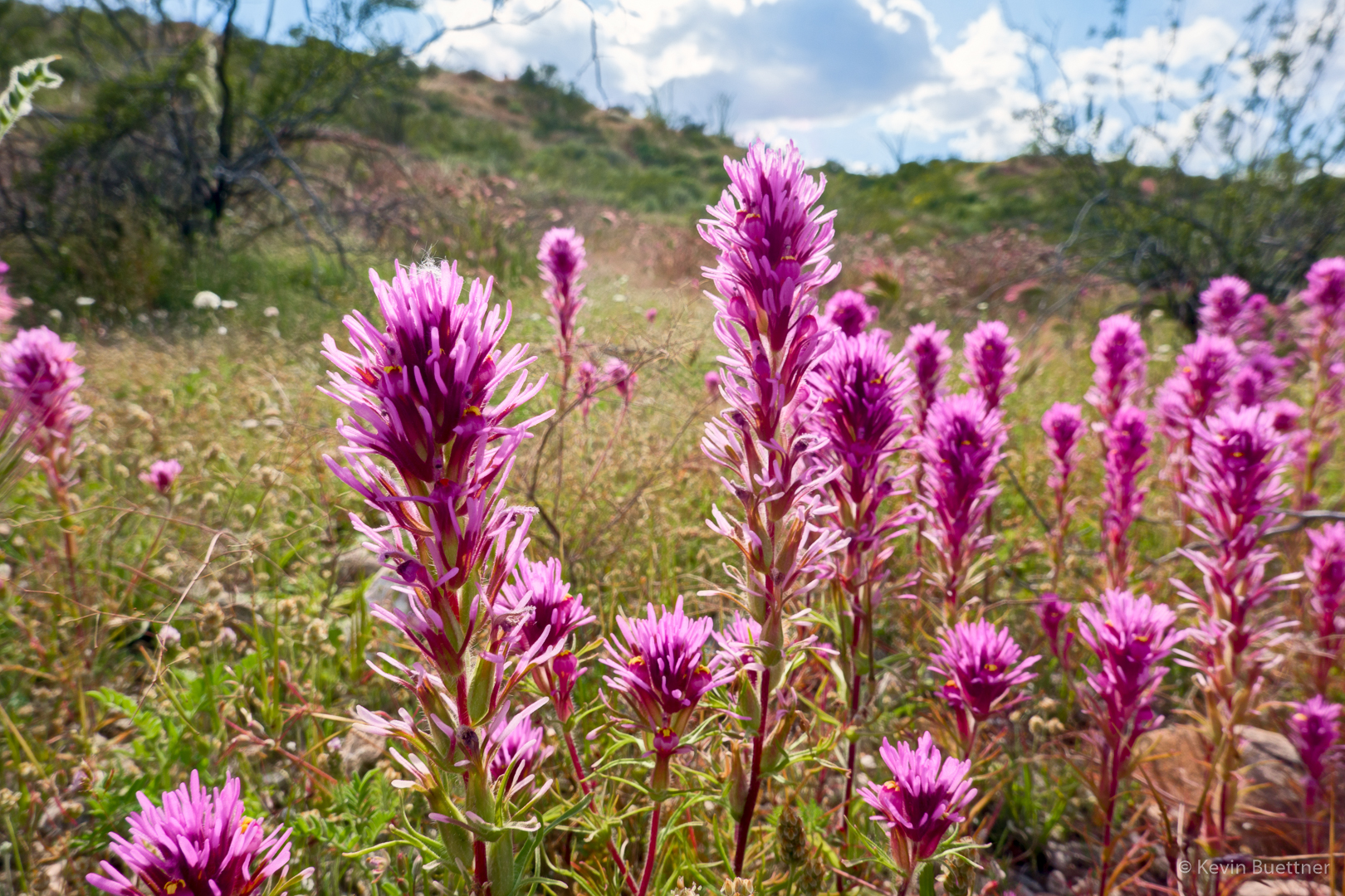
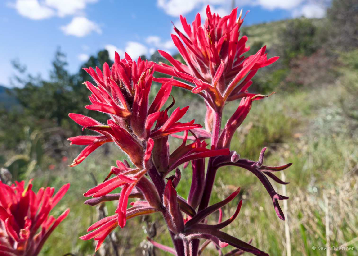
Indian Paintbrush:
Marilyn, Heather, Sara, Mike, and Linda – practicing “social distancing” while hiking!
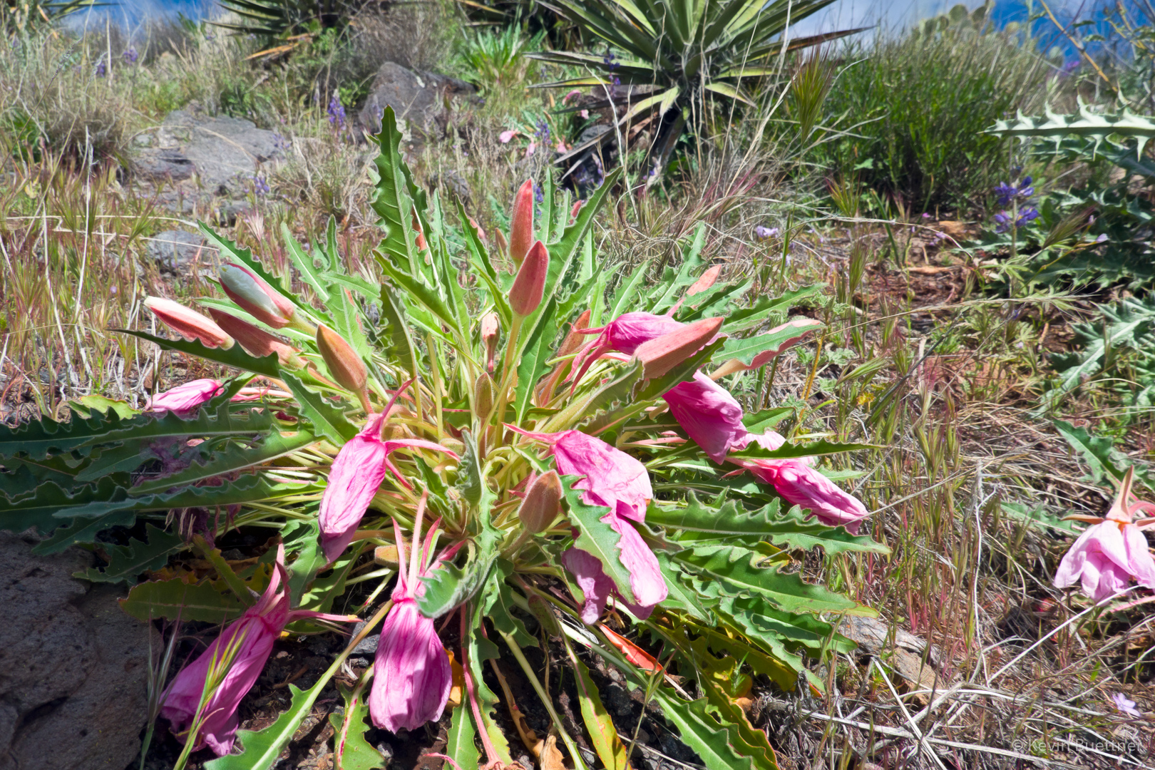
Linda tells me that these pink flowers are in the Evening Primrose family.
Mexican Poppy:

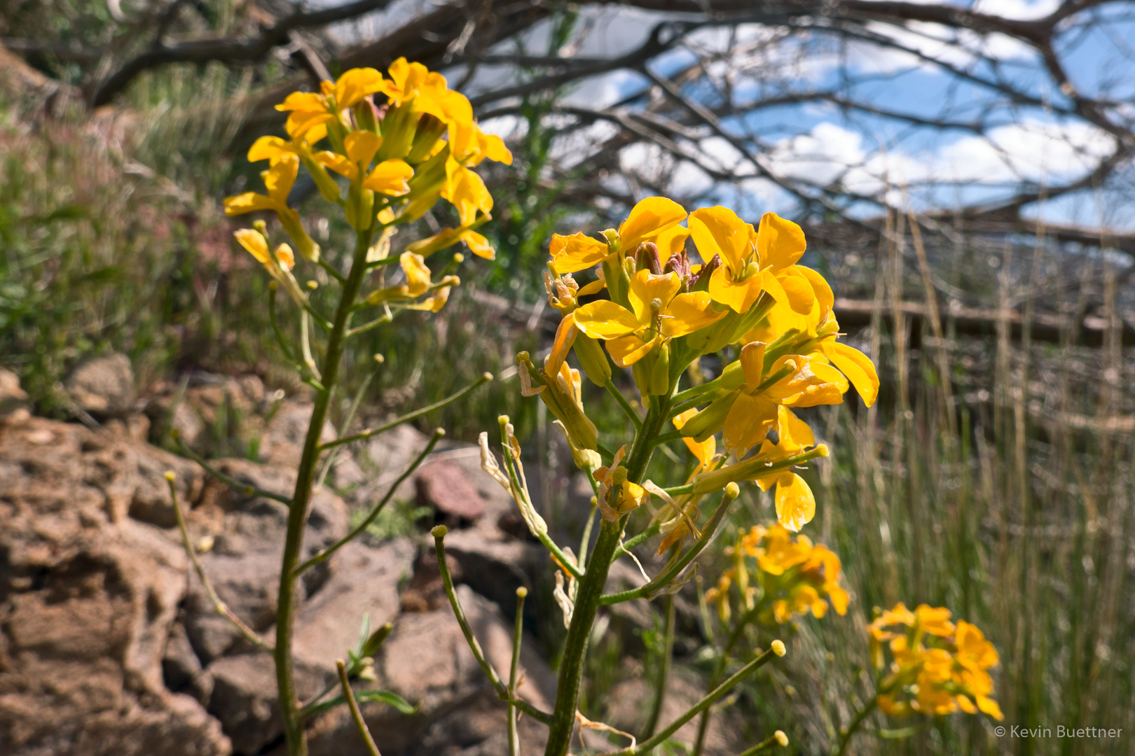
Linda thinks that these yellow flowers are Western Wallflowers.
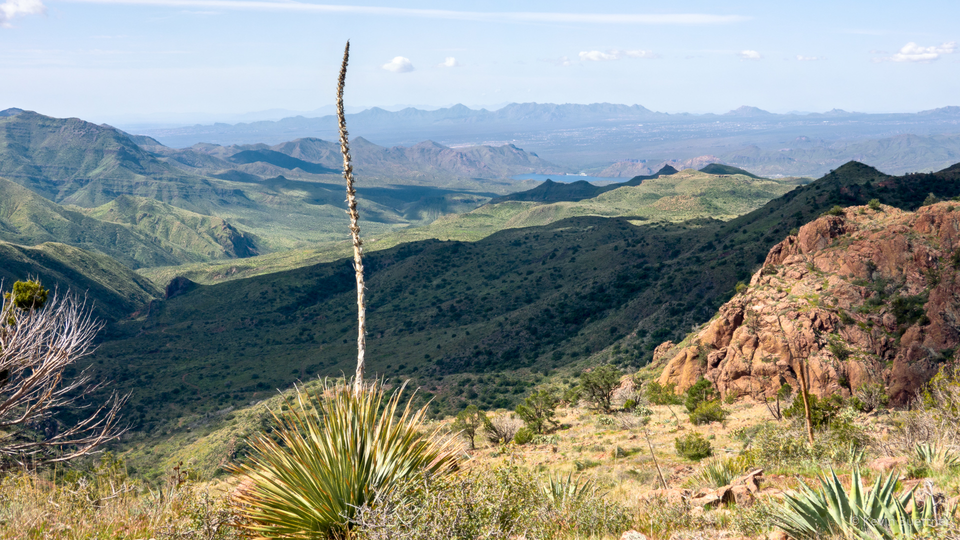
We think that’s Horseshoe Dam / Reservoir in the distance. (Thanks to Heather for looking this up.)
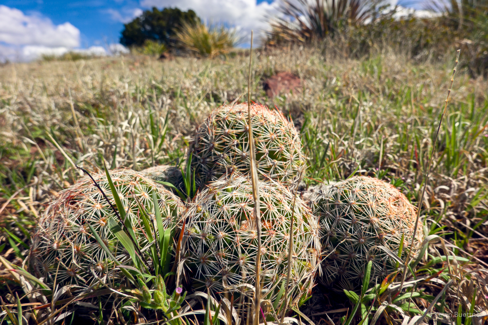
Small cacti – I don’t know what they are.
Other peaks in the area had a dusting of snow too.
You can see evidence here of the Sunflower Fire. There’s a lot of new growth though…
Brunson Tank – the fullest that I’ve seen it:
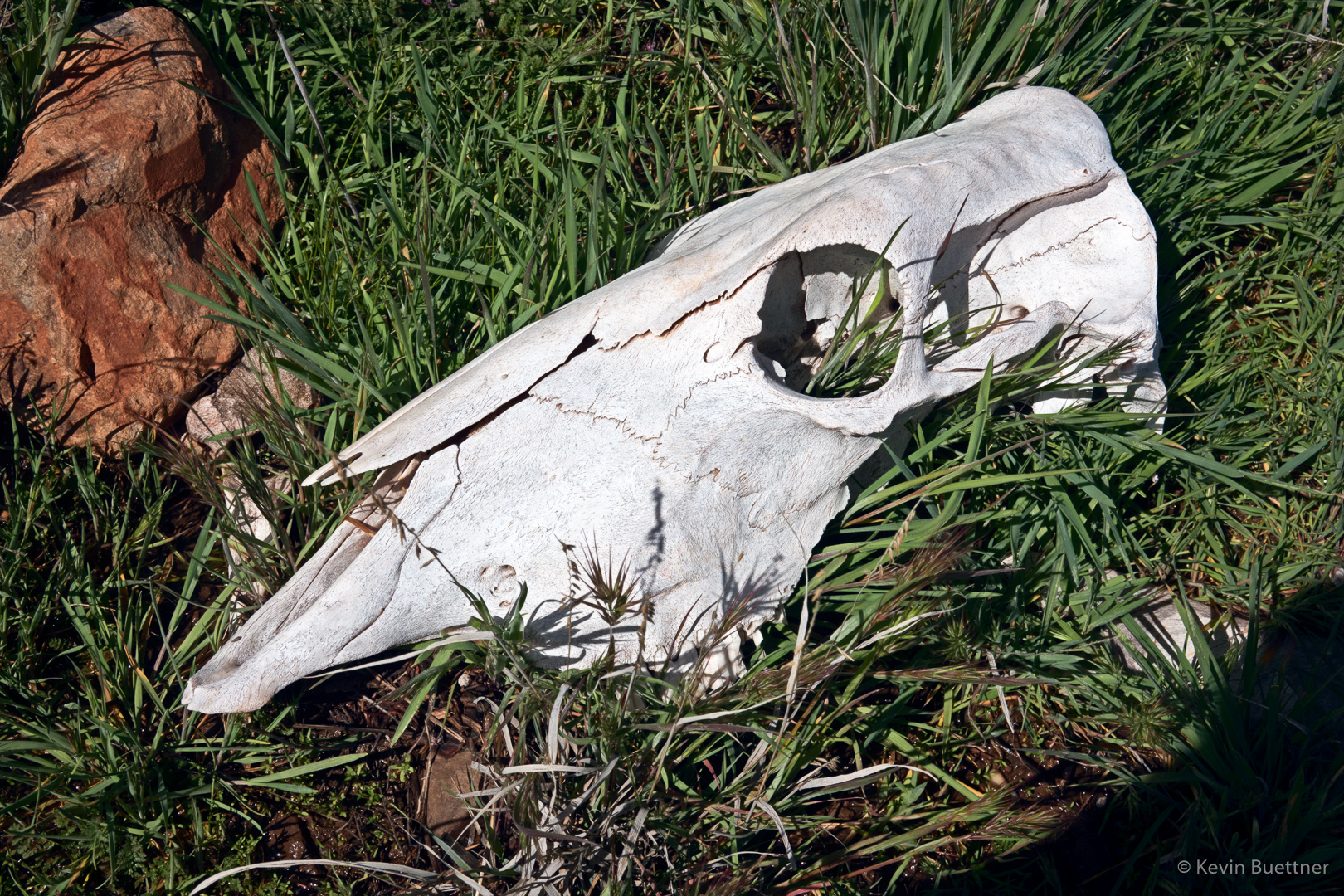
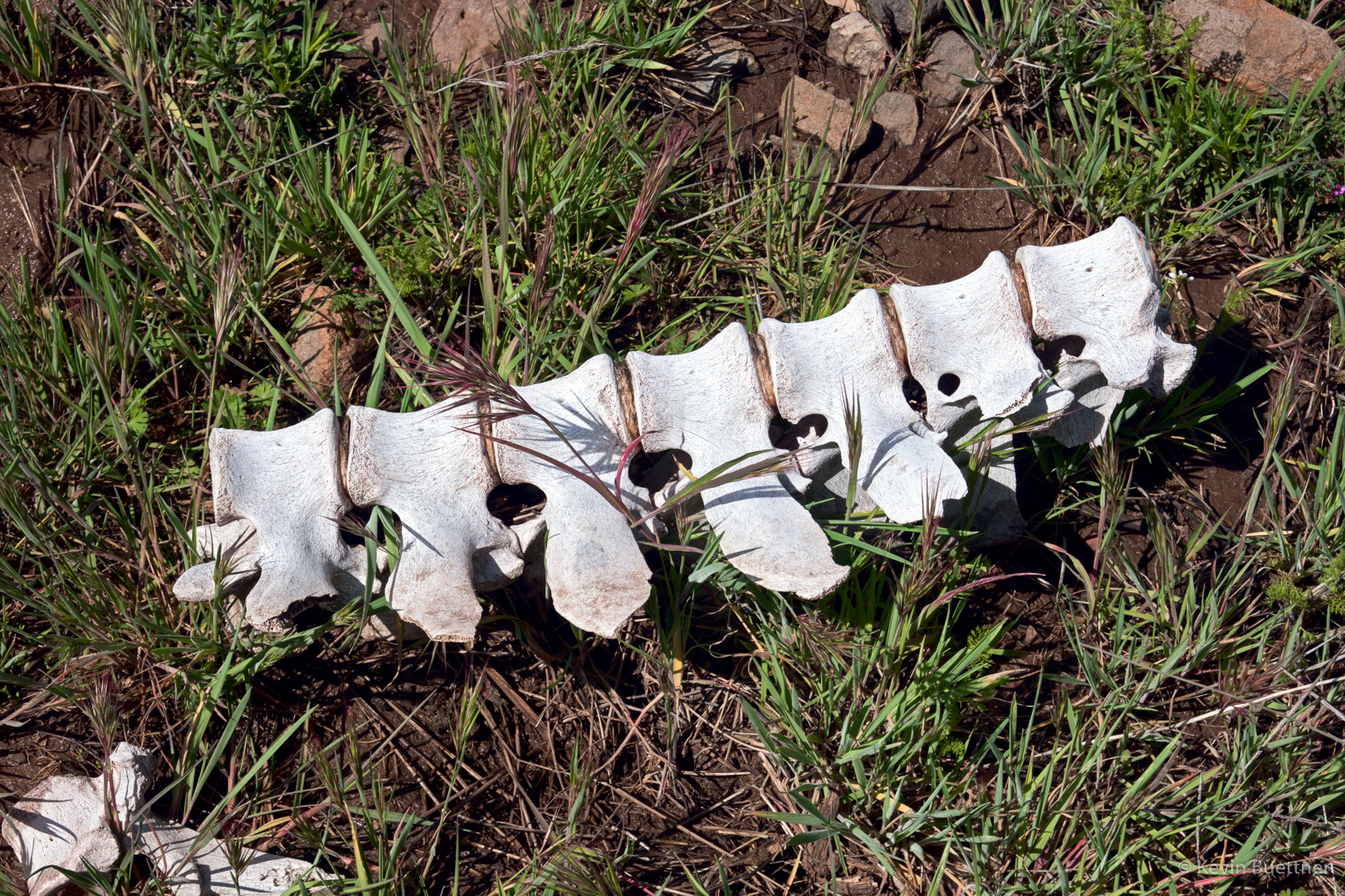
We saw these bones as we neared Upper Sheep Creek:
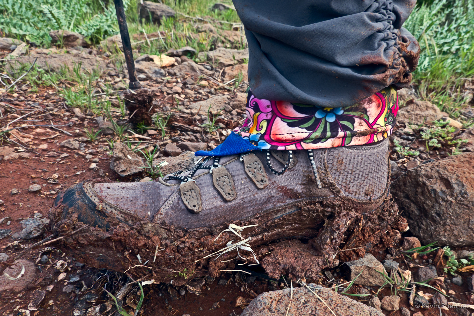
It was a muddy hike; this is Sara’s boot.
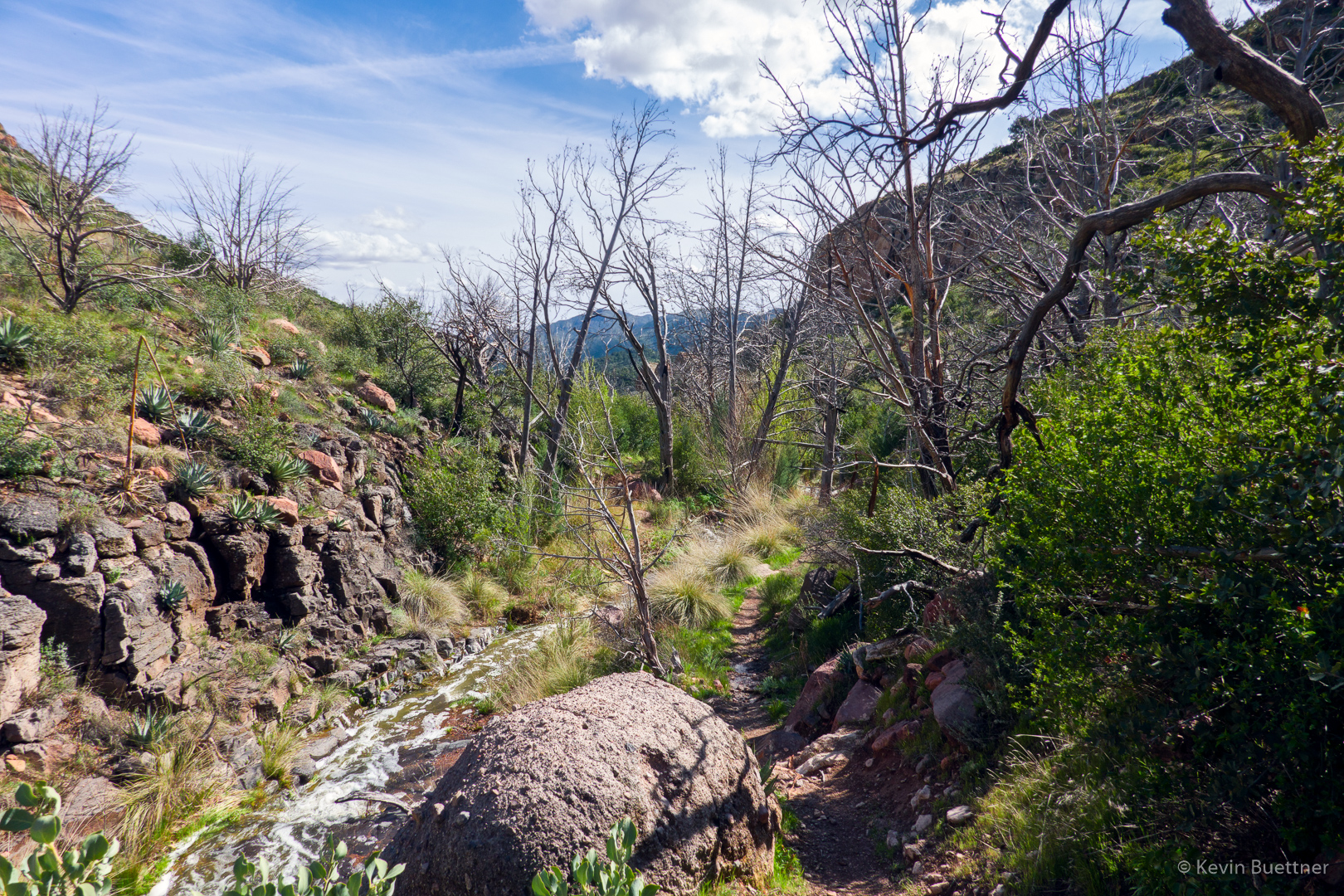
We’re on (or near) the Little Saddle Mountain Trail now. The creek / drainage next to the trail had more water in it than I had ever seen before. We had to cross it a number of times. On one occasion, the trail was in the stream; I think we all got our feet wet.
This was near one of the many crossings; it wasn’t the biggest crossing though.

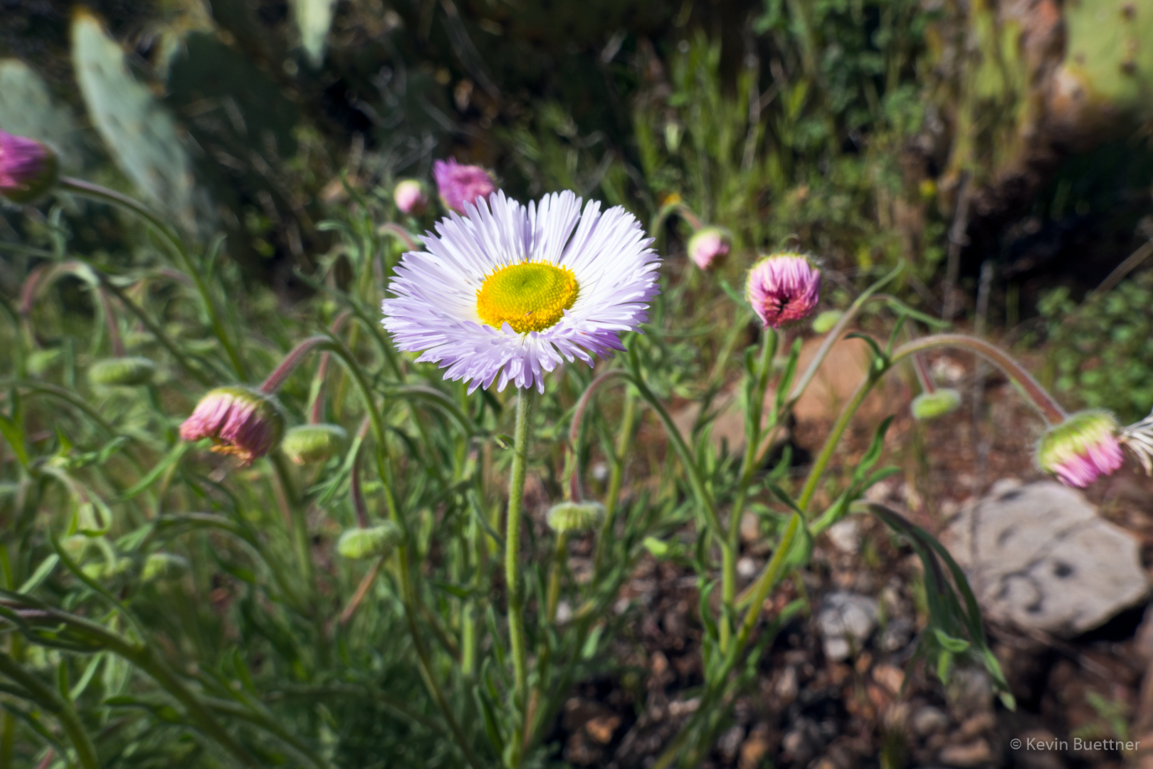
Fleabane:
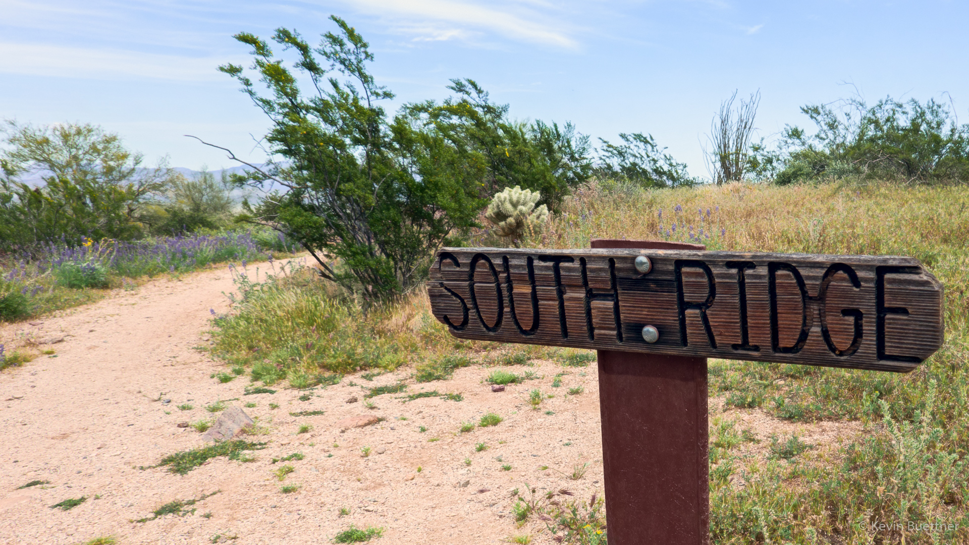
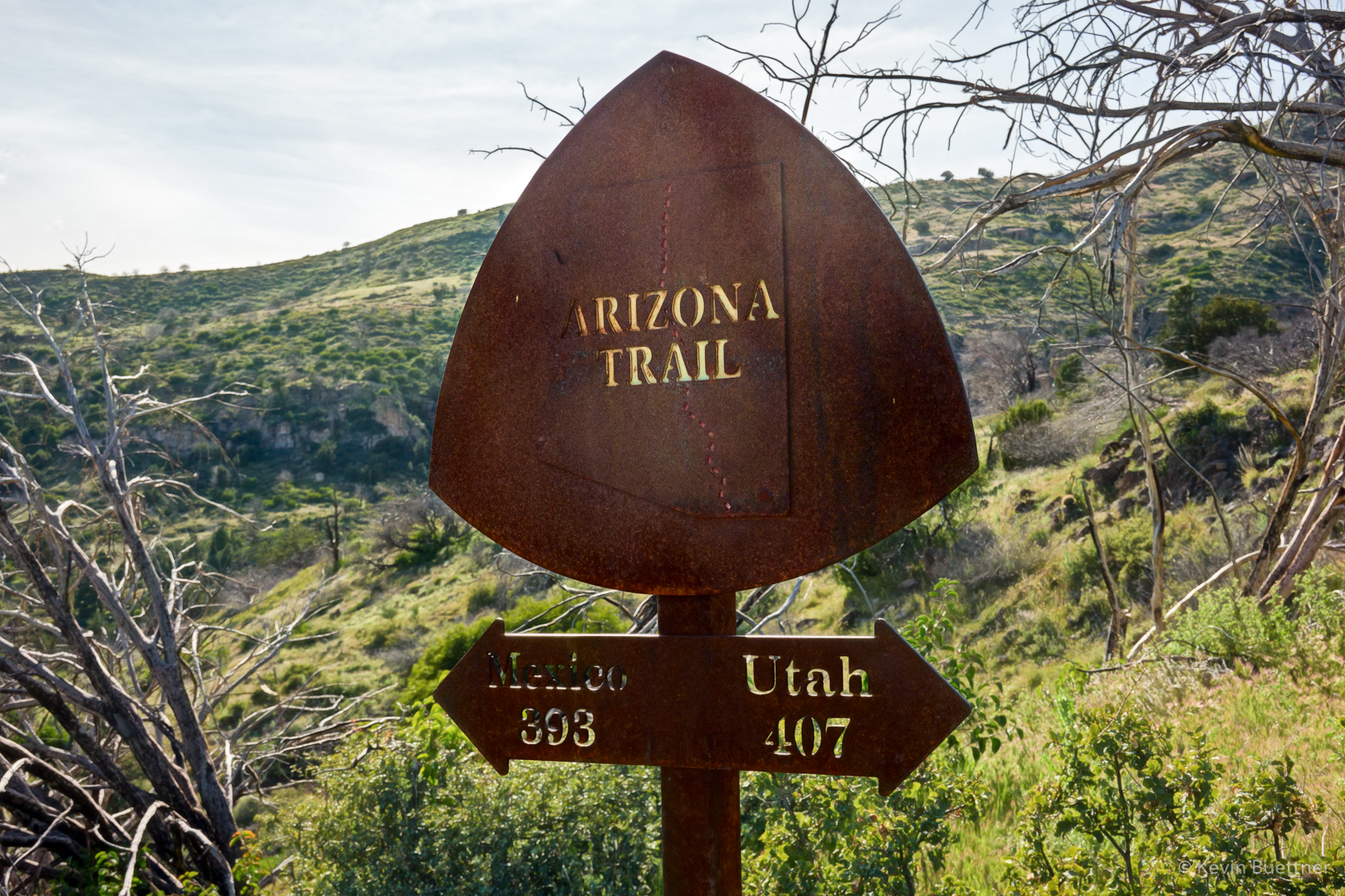
This sign is at the end of the connector trail coming from the Cross F Trailhead.
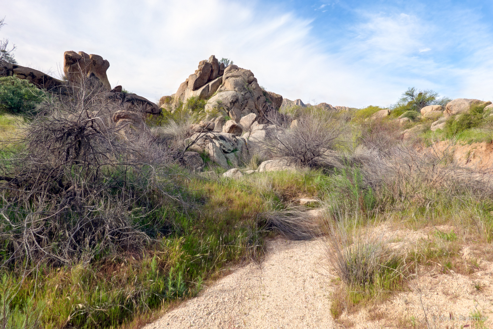
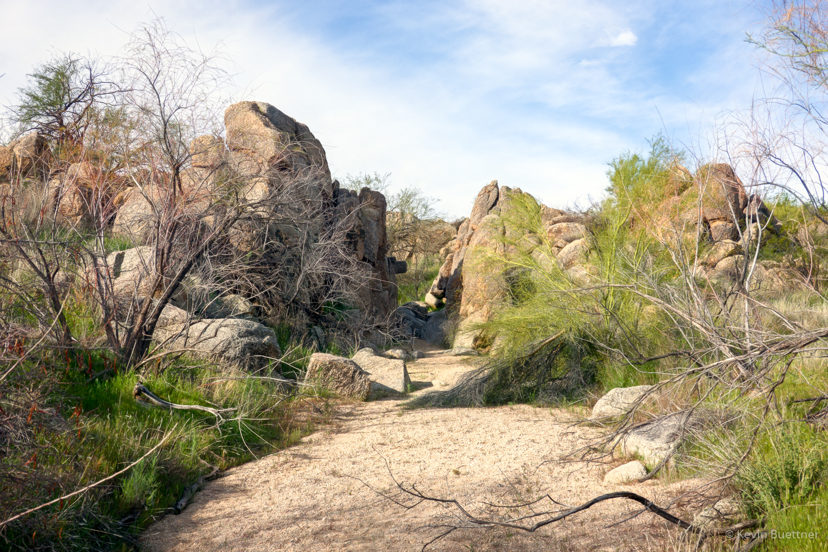
Marilyn and I hiked 5.5 miles in MMRP on Sunday. Flowers are blooming here, especially the owl clover.
Fiddleneck:

I don’t know what these are.

Globemallow:
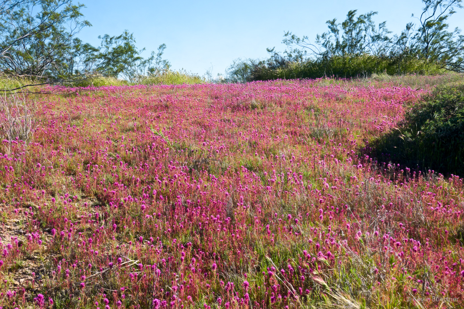
Owl clover:

We saw many large patches of owl clover along the Granite Trail.
Brittlebush; it’s blooming now, but not as much as I expected.
Lupine:
There’s a small patch of brittlebush in this photo of Red Mountain.
More brittlebush in the foreground. Our destination was the boulders near the bottom of the photo.
Brittlebush and chuparosa here…
Poppies along the Bluff Trail. Up until that point, we hadn’t seen many poppies on our hike.
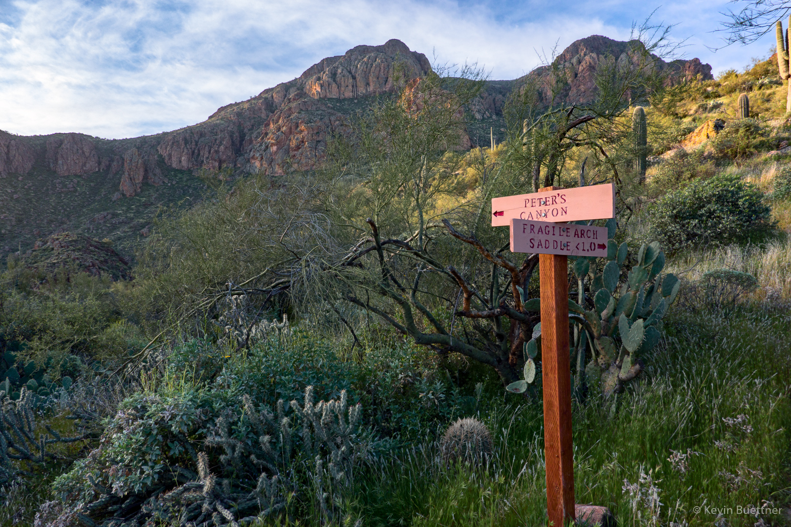
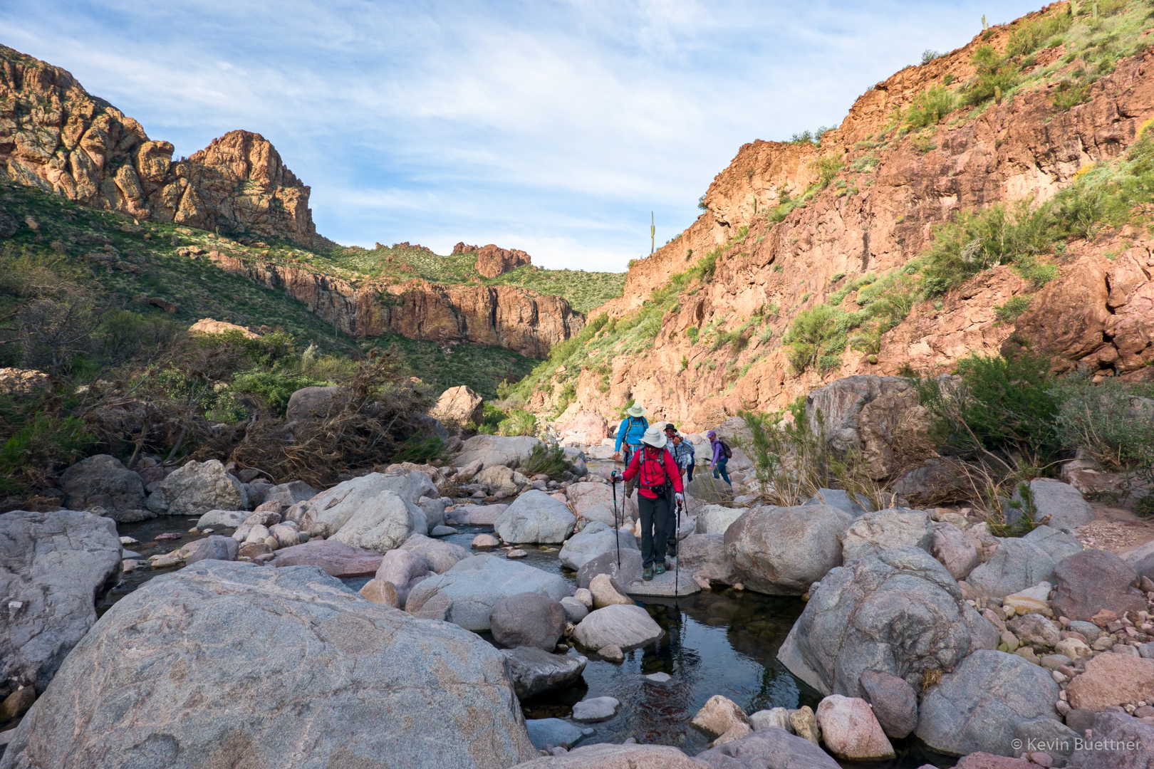
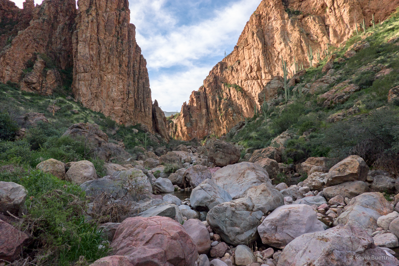
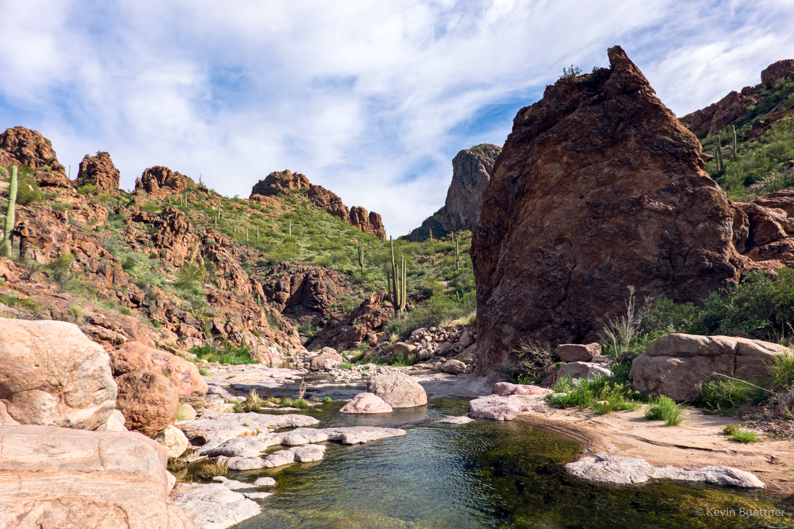
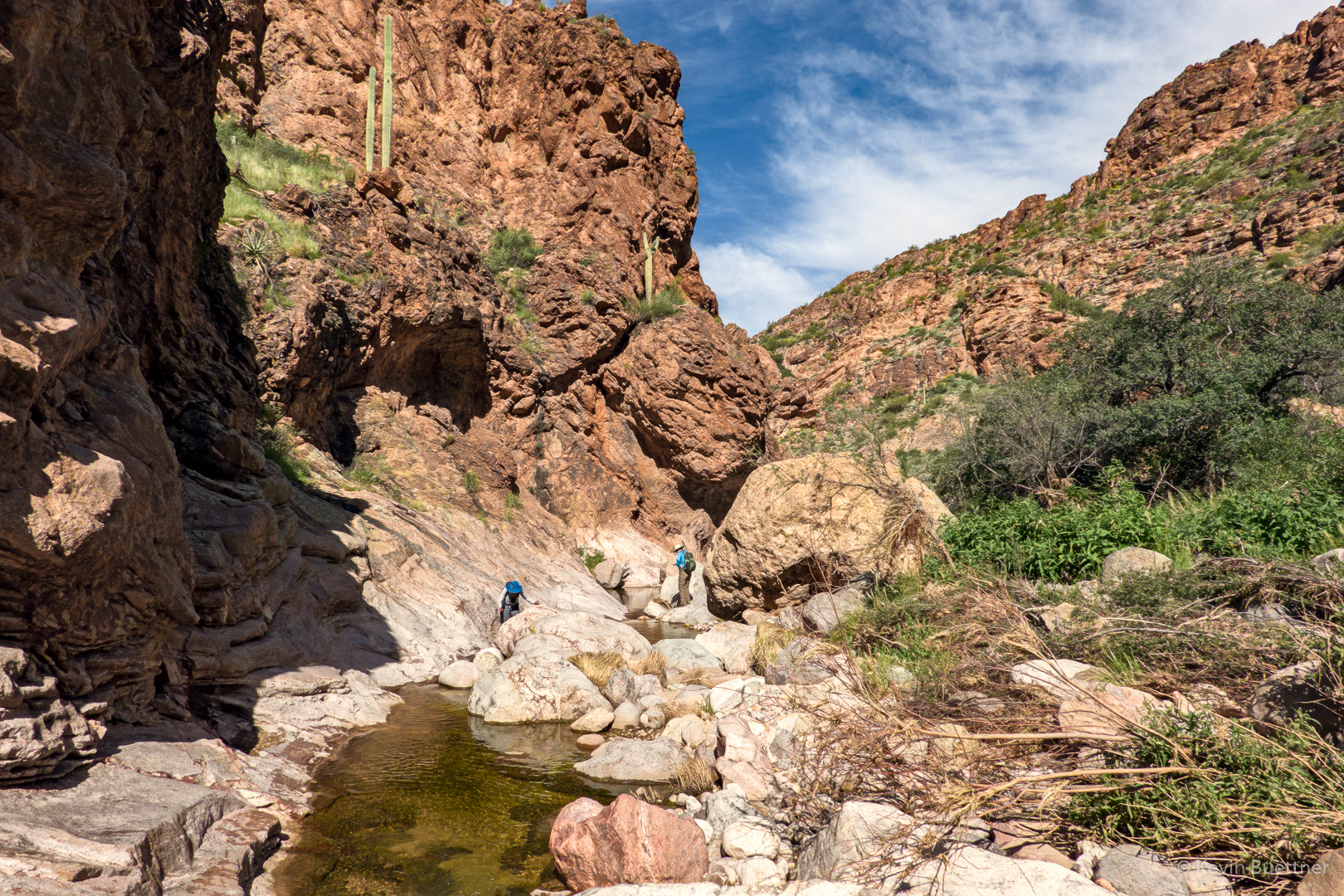
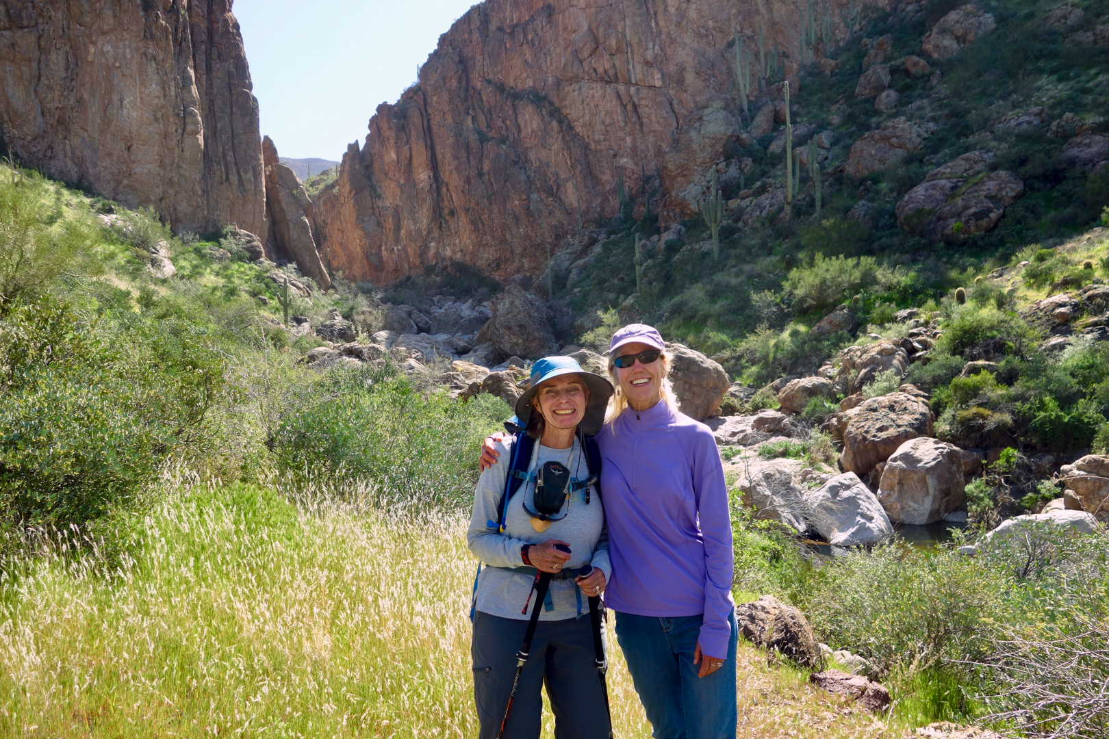
Mike, Ben, Marilyn, Linda, Denise, Laura, and Marilyn joined me for a hike of Tortilla Canyon and Peter’s Canyon.
Looking northeast after leaving Tortilla Flat. The road in the photo is the Apache Trail. The section seen here is now open to local traffic only. There is a section, further on, that was closed after last year’s fire.
Looking back in the other direction…
New signage; I haven’t hiked it yet, but it’s my understanding that Fragile Arch Saddle is on the way to Geronimo Head and Malapais Mountain.
Another view prior to descending into Tortilla Canyon:
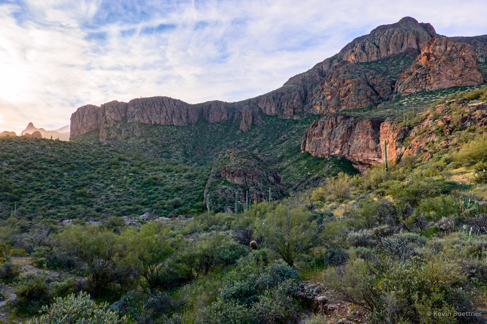
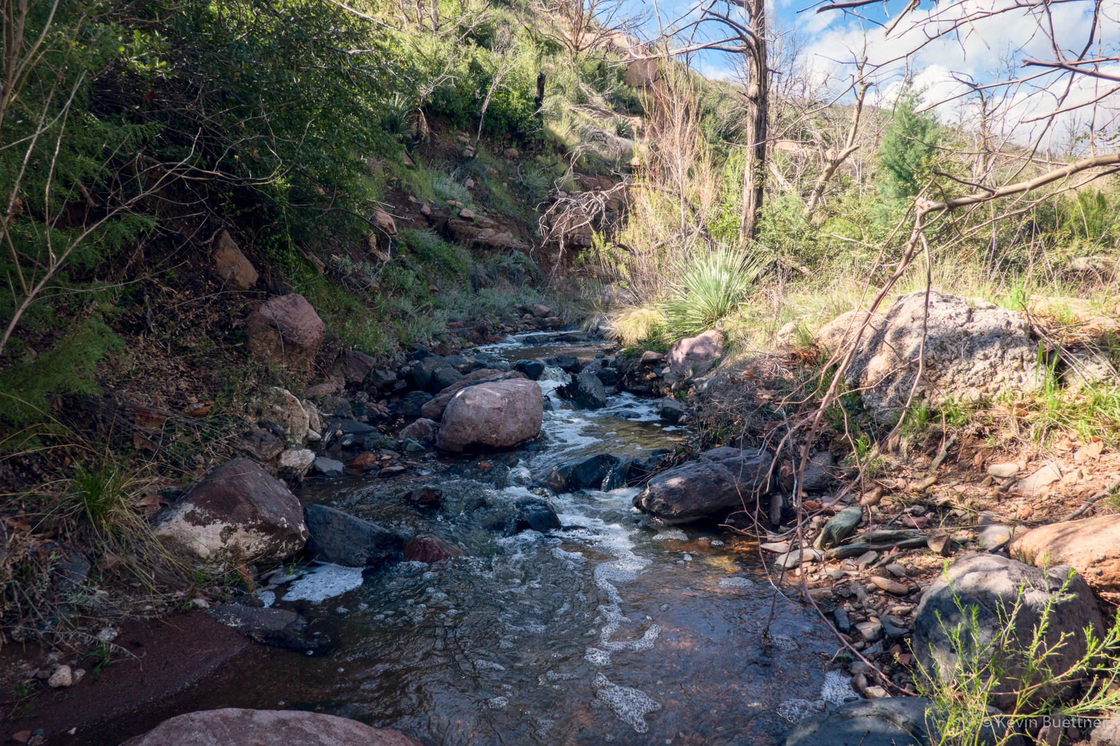
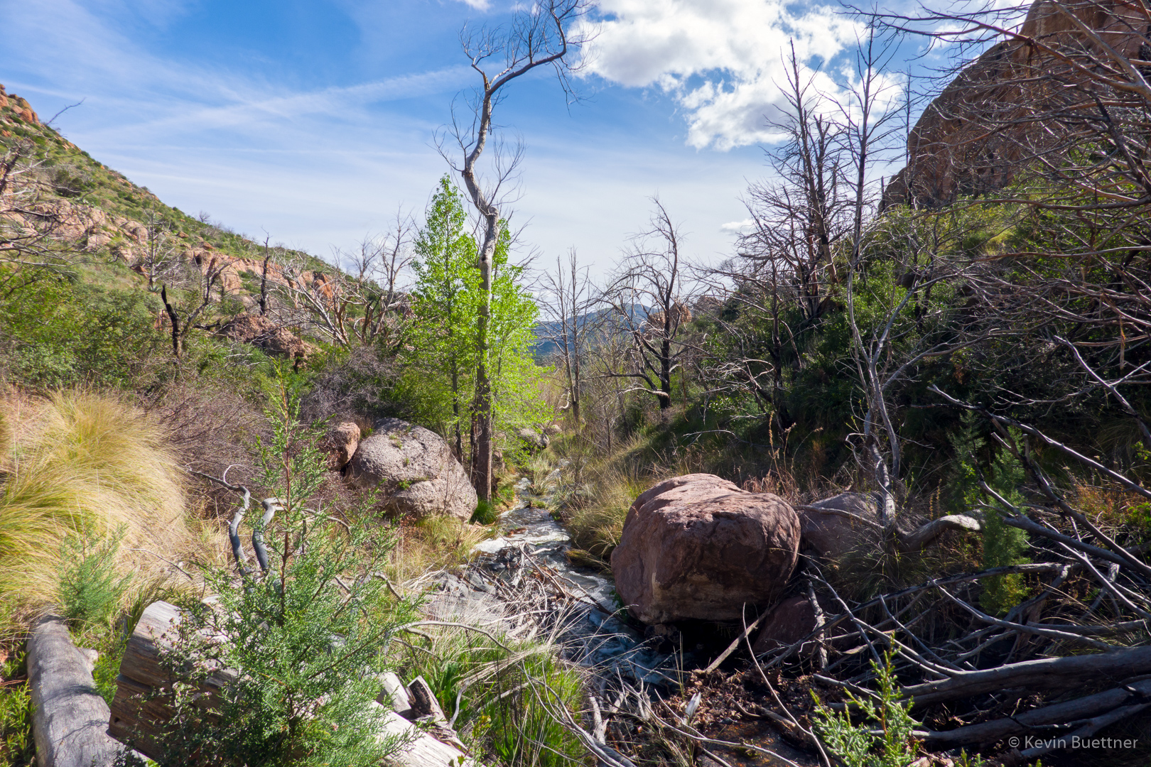
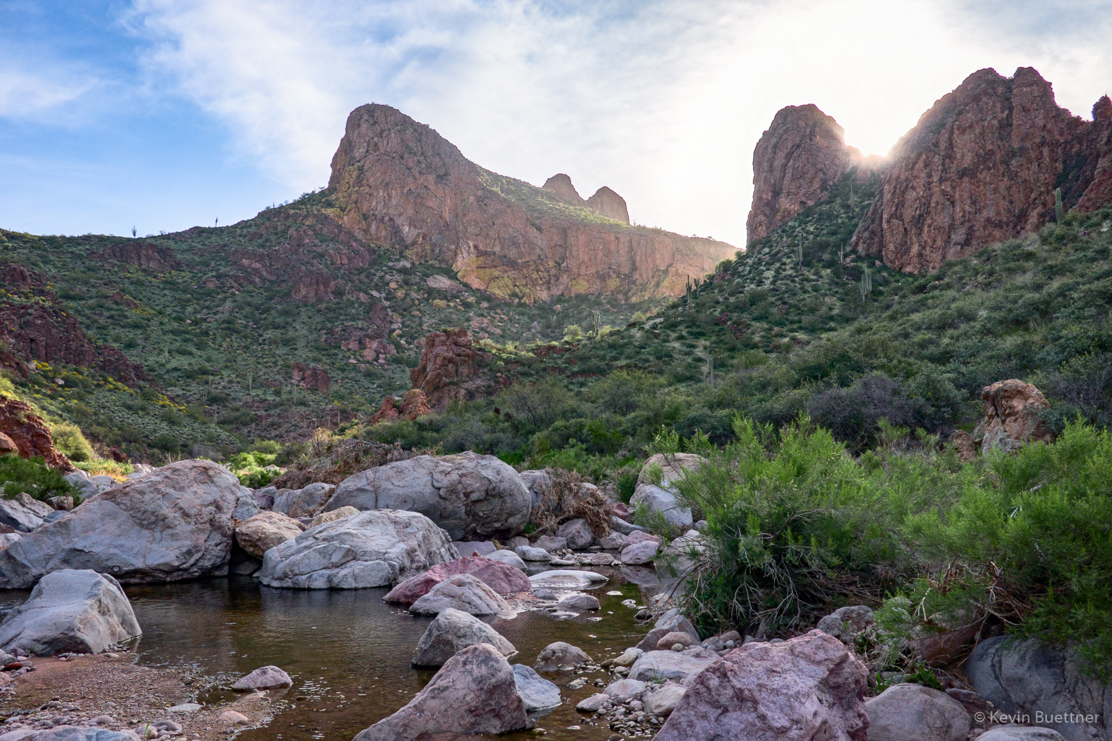
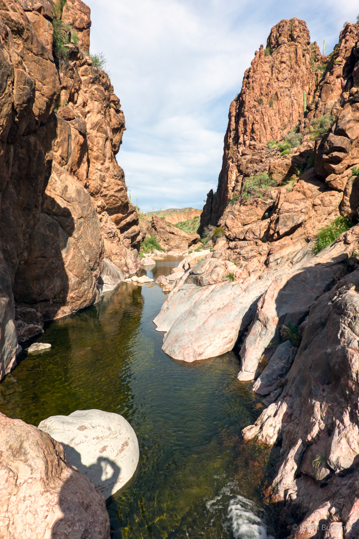
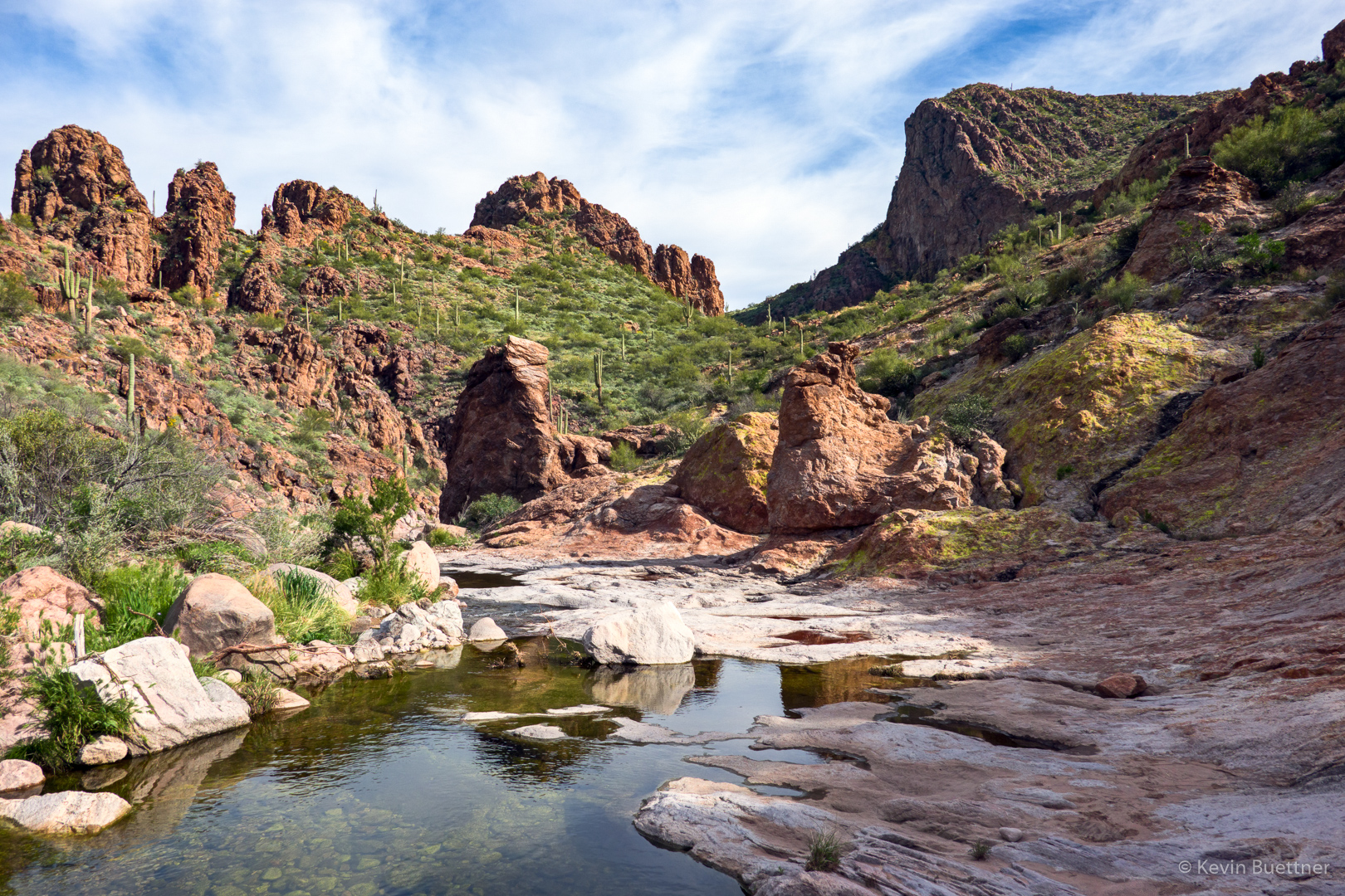
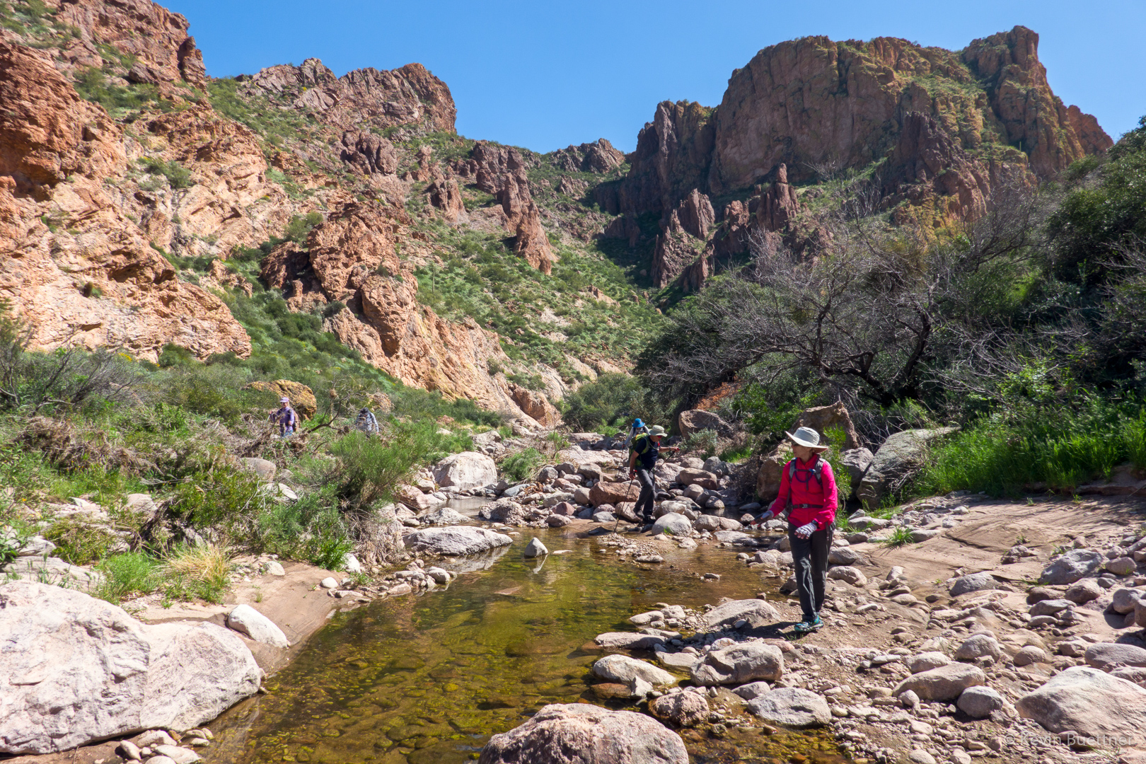
Both Tortilla and Peter’s Canyon had more water than I’d seen before. We encountered water as soon as we reached the canyon floor.
In this photo are Denise, Marilyn, Ben, Linda, Marilyn, and Mike. (Laura was standing next to me when I took this photo.)

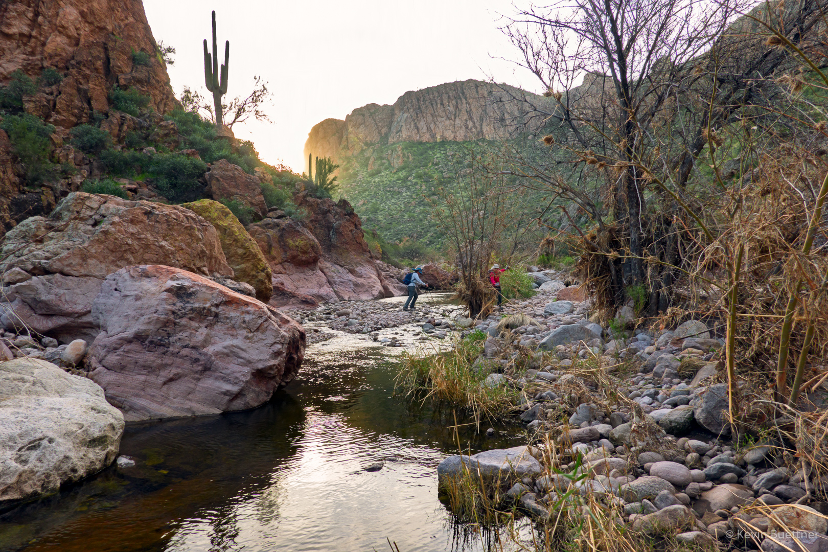
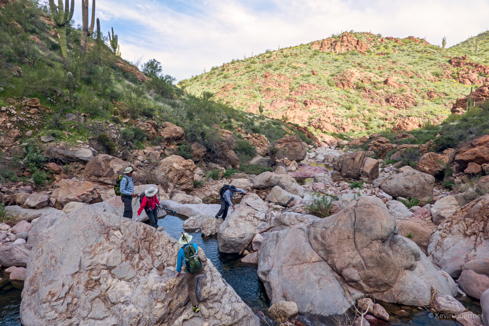
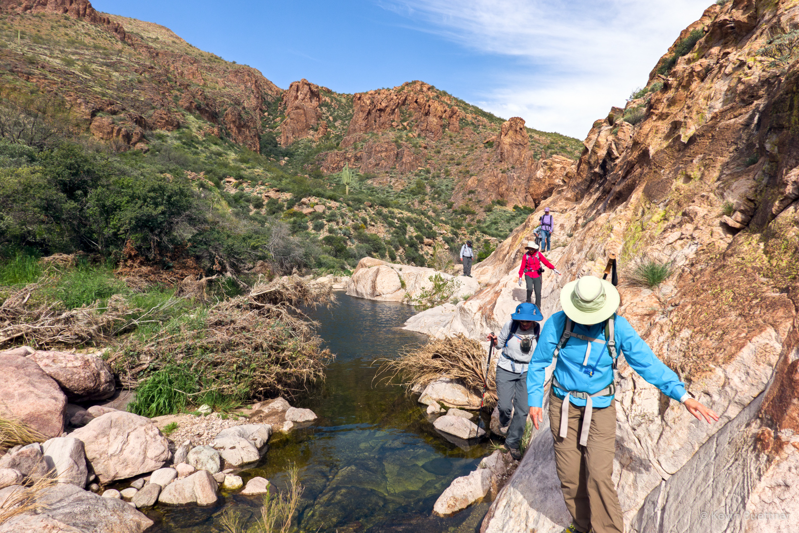
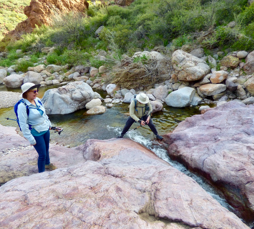
Linda and Marilyn H cross the water in Tortilla Canyon. Early on, most of us tried to keep our feet dry. I think most of us got our feet wet at some point during the day.
Denise in Tortilla Canyon:

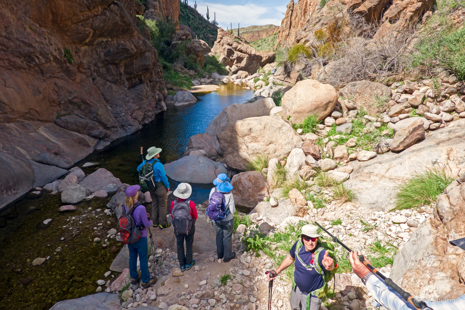
There were a few spots where we could walk along the bank, but much of the time we made our way up-canyon by hopping from boulder to boulder through the water.
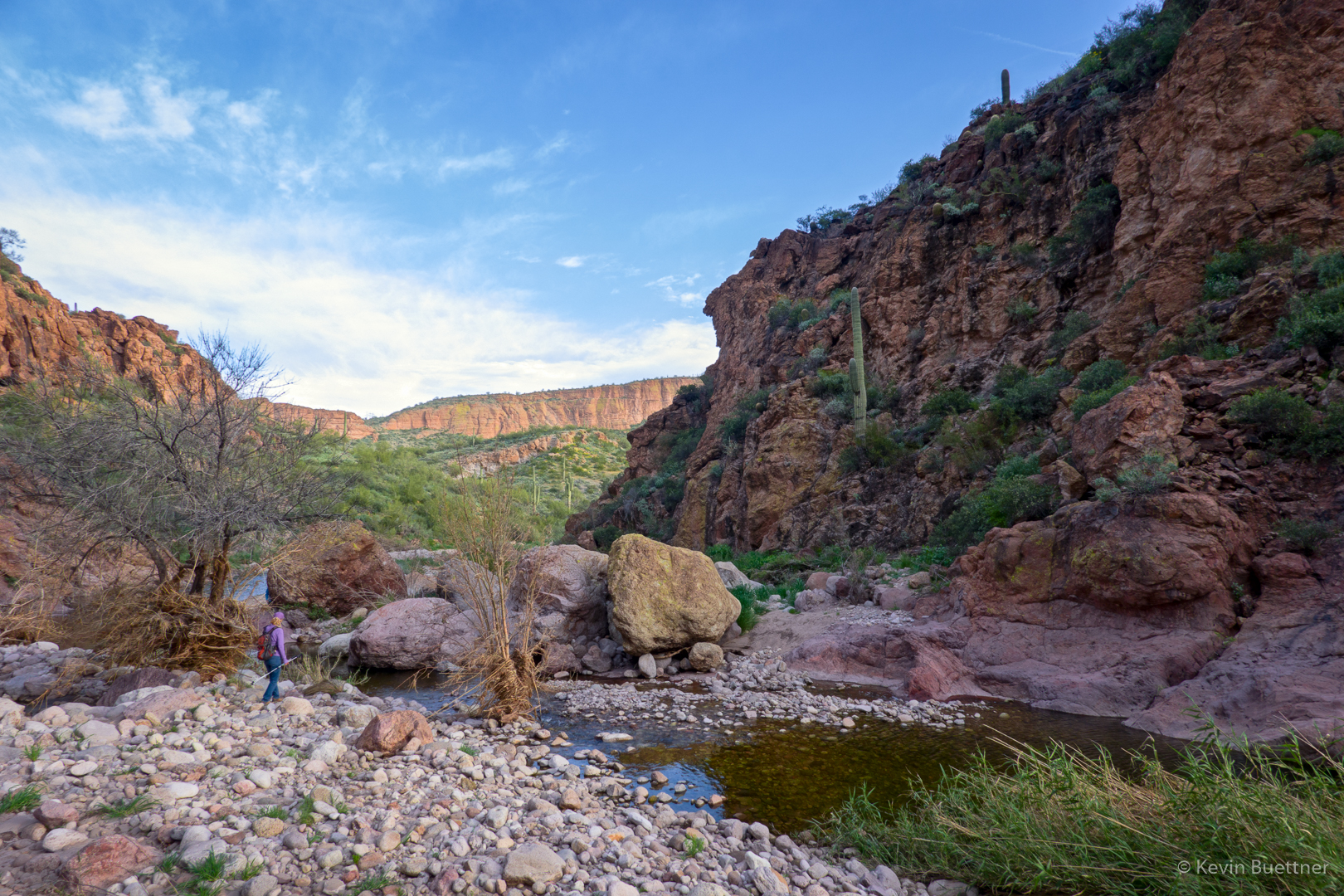
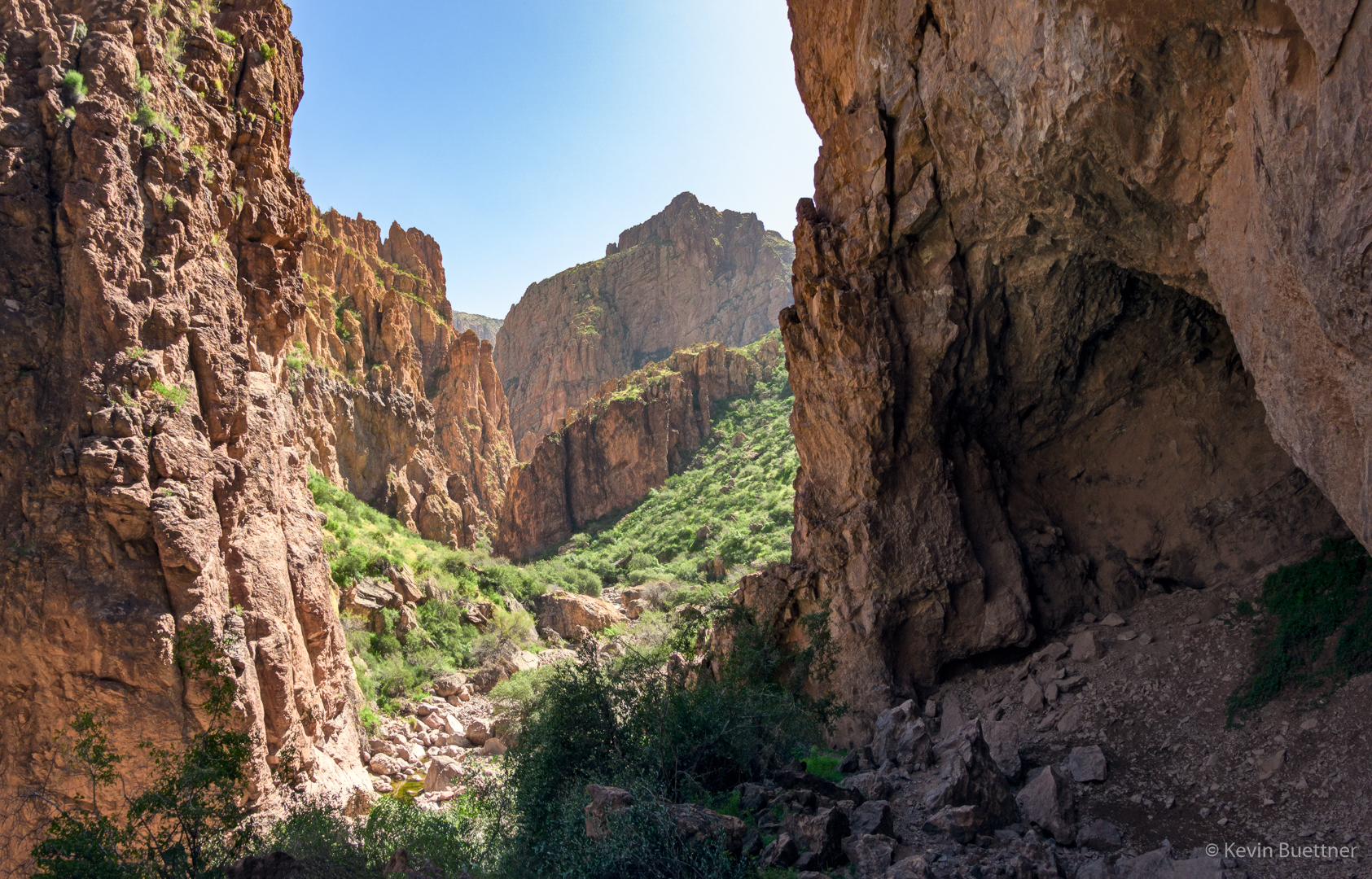
Nearing the entrance to Peter’s Canyon…
This is the entrance to Peter’s Canyon:
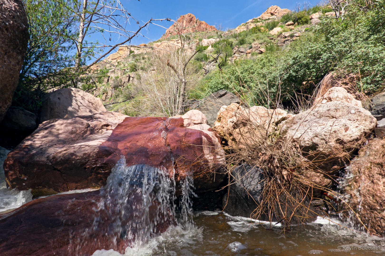
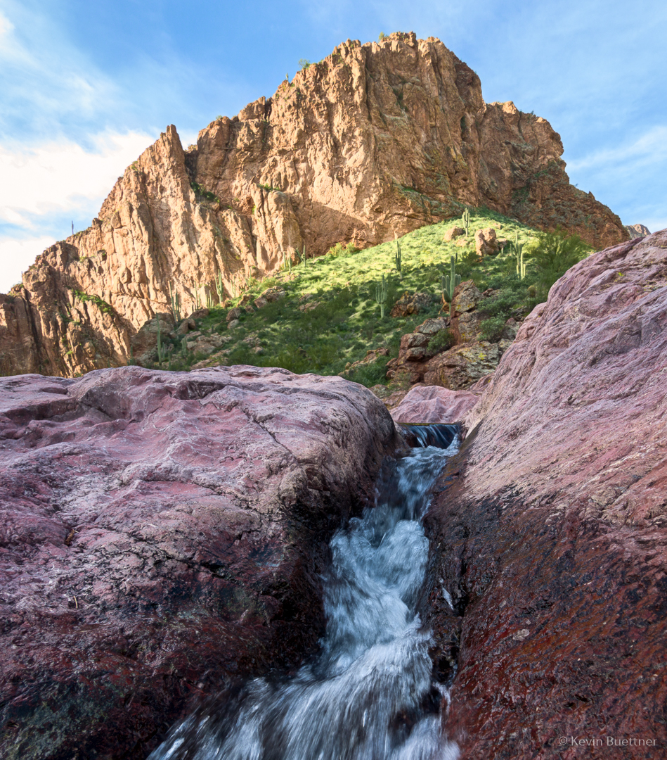
This was actually a small waterfall; my camera placement makes it look more impressive than it actually was.
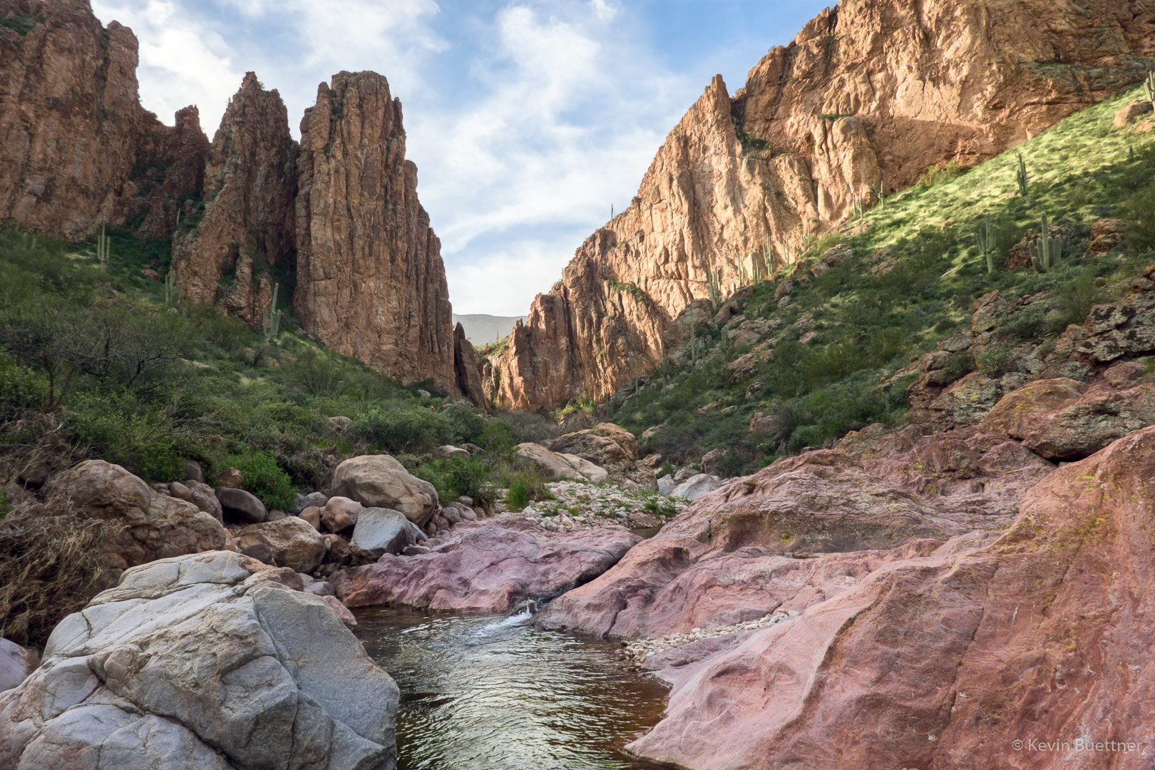
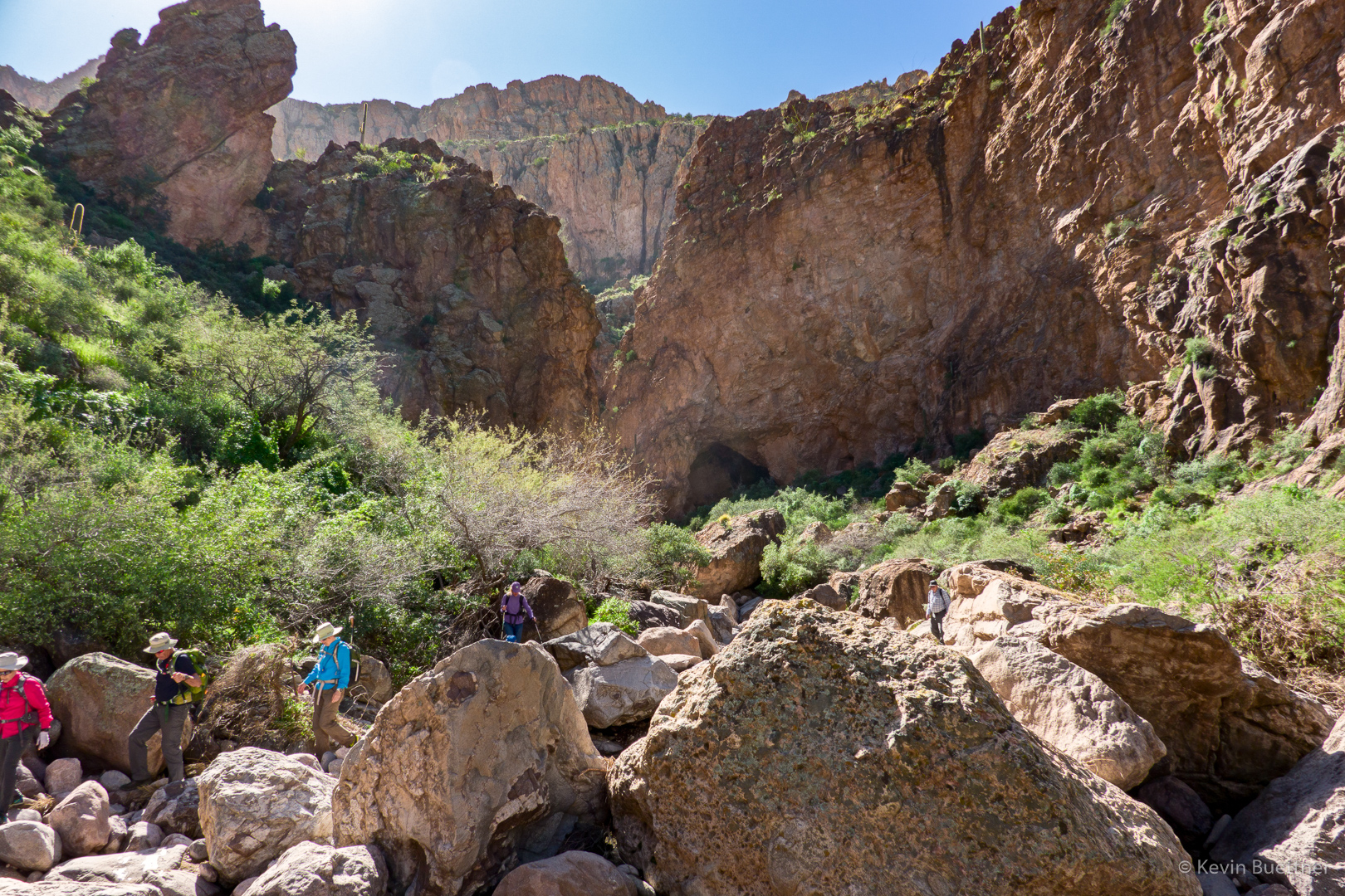
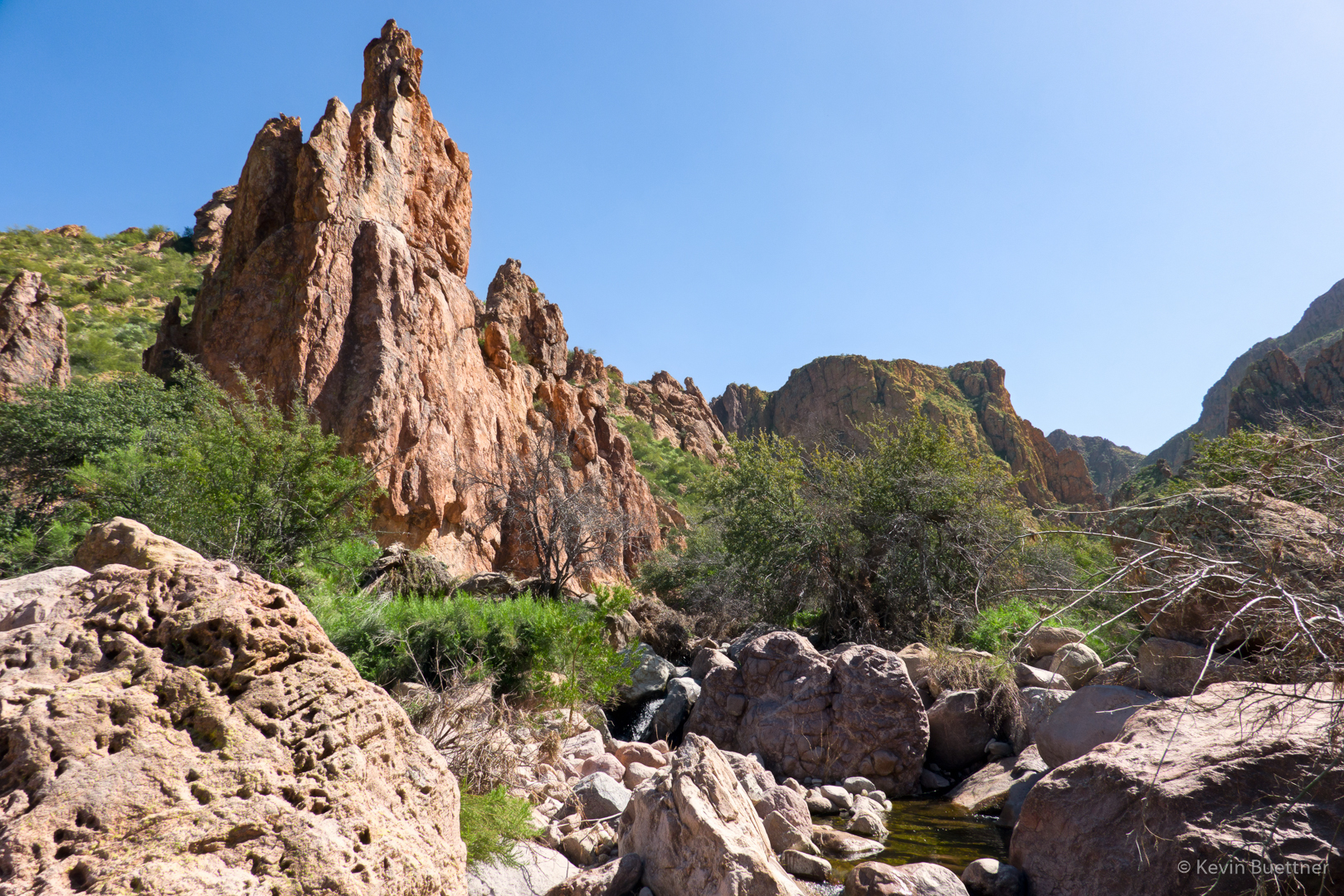
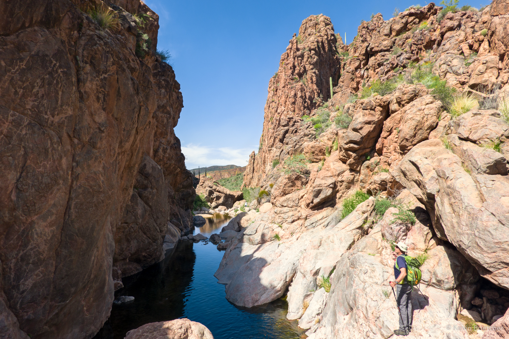
Peter’s Canyon had even more rocks than Tortilla Canyon:
There’s an early section of Peter’s Canyon which has really big boulders. Mike, Ben, Marilyn H, Marilyn B, and I scrambled up and down these boulders working our way up-canyon while Denise, Laura, and Linda bushwhacked along one side of the canyon.
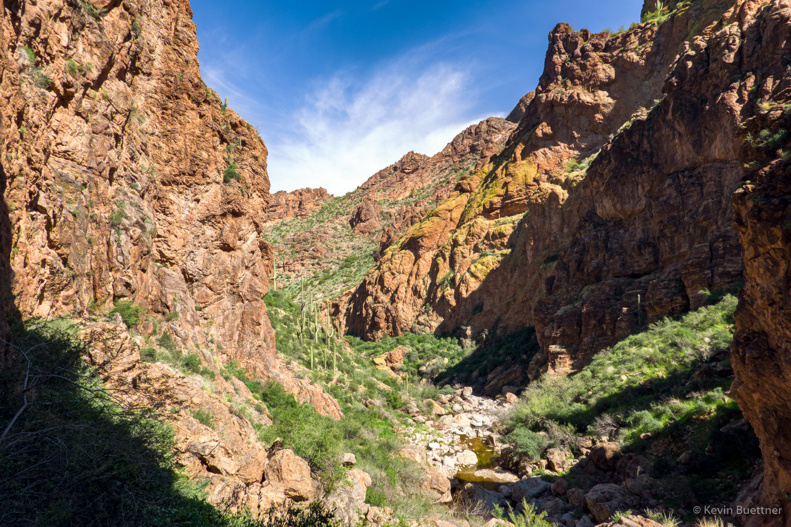
The canyon turns to the right here and then becomes much easier for a time.

Looking back the way we came…
This is the view just after turning the corner:
Looking back towards the corner:
We made our way along the rock of the right bank along this section of the canyon. This was an “easy” section; after this point, there was some bushwhacking to be done…
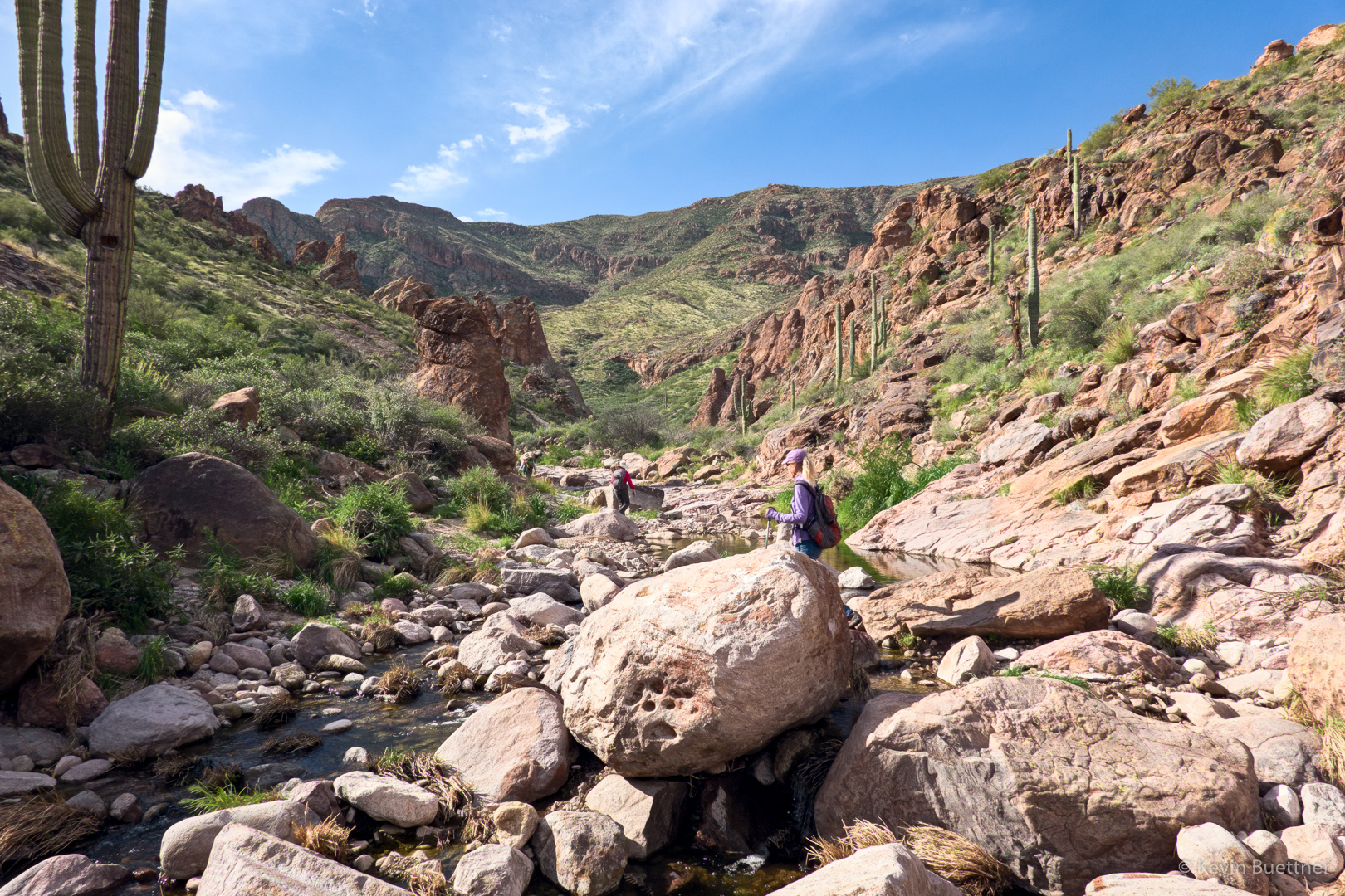
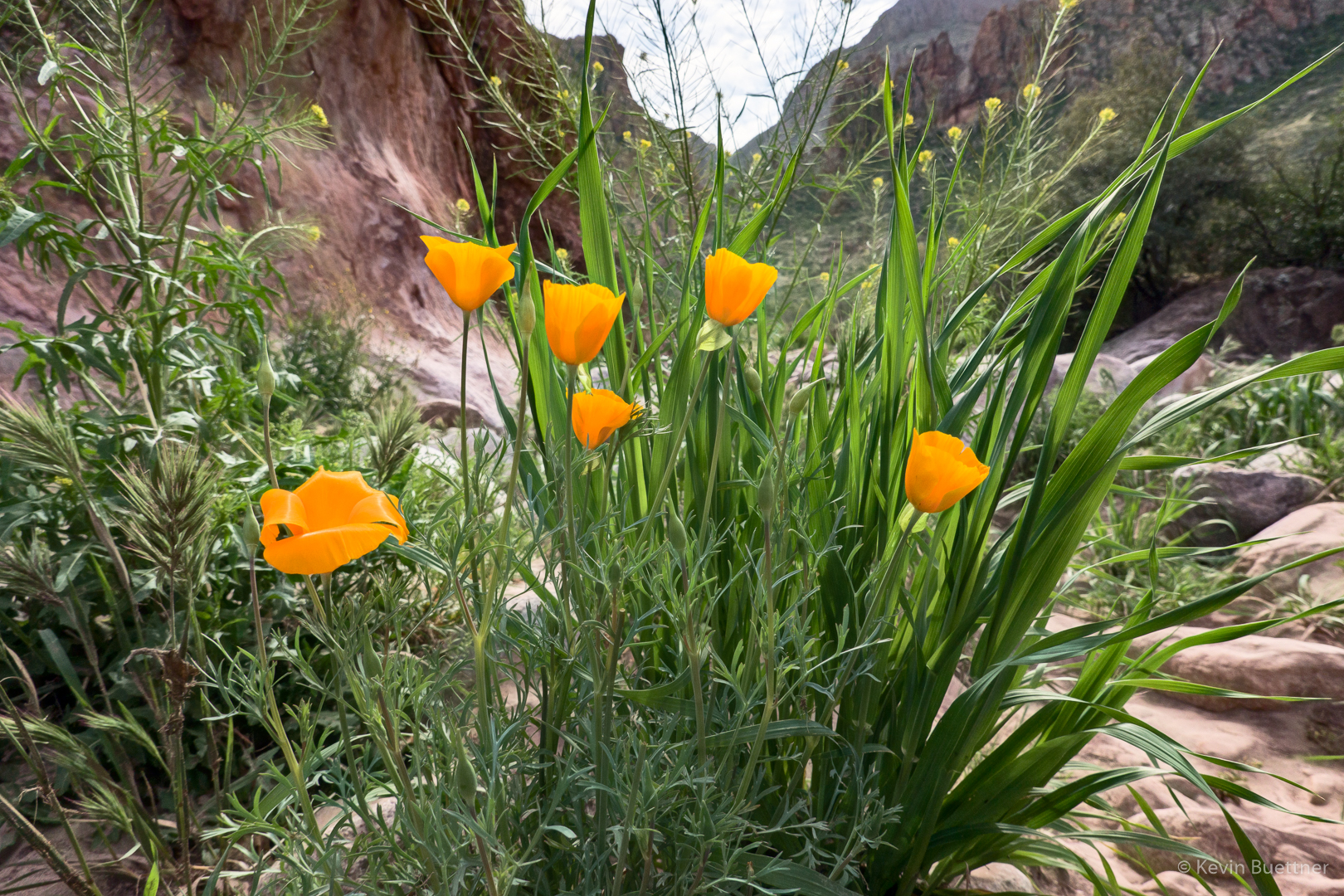
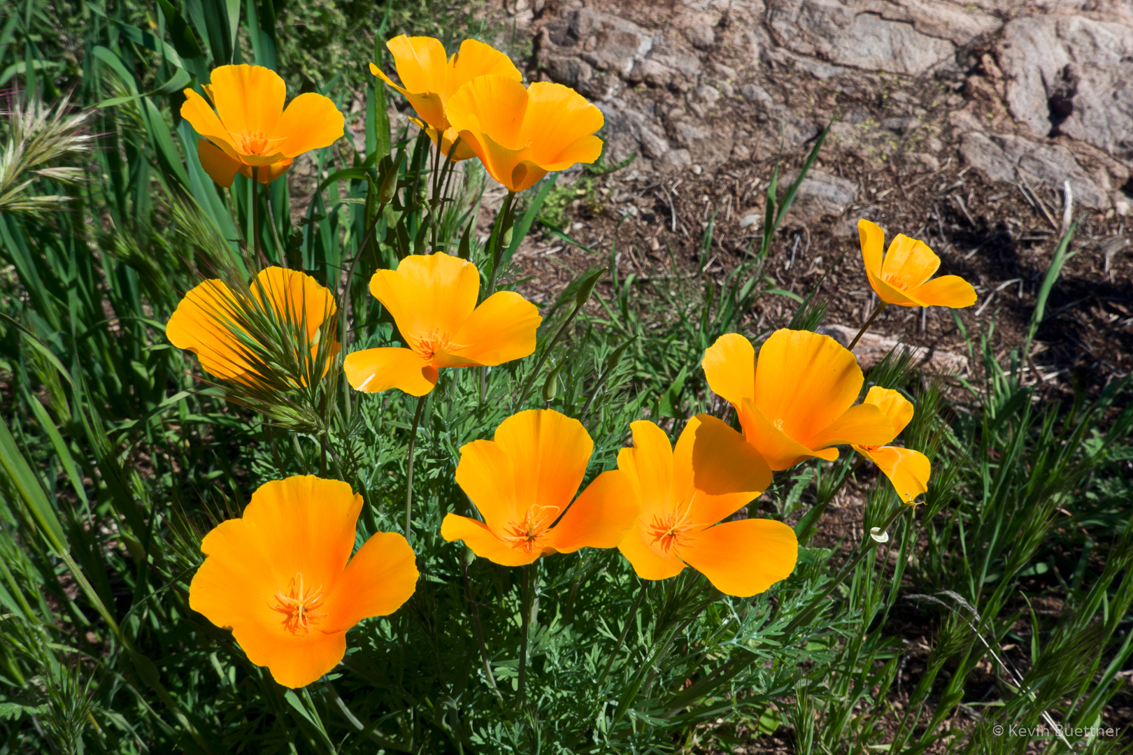
We saw poppies (and other flowers too) while bushwhacking along one of the banks.
Linda and Marilyn work their way up-canyon as we near Peter’s Cave:
Peter’s Cave, on the right.
Looking back (down-canyon) from near Peter’s Cave:
Heading back now; Peter’s Cave can be seen in the center of the photo. It doesn’t look like it here, but it’s actually a good ways up off the canyon floor, maybe 40 feet or so.
The group split somewhere around this point; Marilyn, Marilyn, and I had had enough bushwhacking and opted to hike through the water on the way back. It was slower, but it was also more fun.
This is a shot that I got while hiking through the water. I was happy that my camera was still working because I had taken a spill earlier, landing in the water.
More poppies:
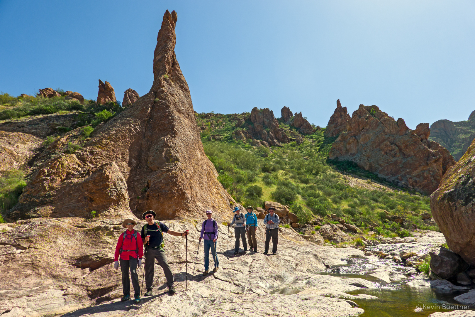
Marilyn, Ben, Denise, Linda, Marilyn, and Mike. (Laura had stayed behind just prior to turning the corner mentioned earlier; we’re probably about 15 minutes away from rejoining her at this spot.)
Ben and I have just turned the corner. If you look closely, you can see Laura further down the canyon. I’m not sure, but I think there might be some petroglyphs on the left wall. I didn’t notice these while I was there.
Looking down-canyon; Laura can be seen in the distance. In the foreground, from left to right are Denise, Marilyn, Marilyn, Linda, Ben, and Mike’s arm/hand.
Linda and Denise (photo credit Linda Kalbach):
Kevin, Marilyn, Laura, Mike, Linda, Ben, and Denise (photo credit: Marilyn Huot):

Laura and Kevin (photo credit: Marilyn Huot):
Mike, Marilyn, Diane, and Gayle joined me for a 7.5 mile hike starting from the Wagner Trailhead.
Views from Bluff Wash…
Looking toward the McDowells from the Pemberton Trail:
A very healthy saguaro along the Bluff Trail:
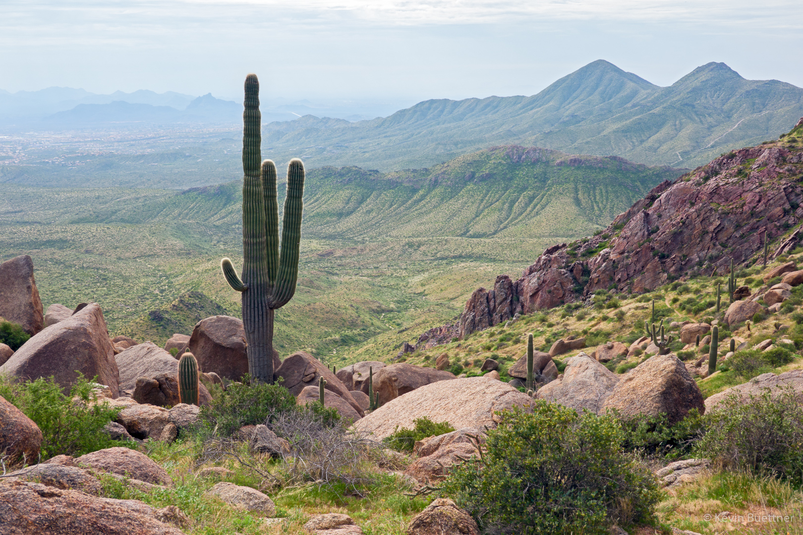
Looking toward the Superstitions from the Bluff Trail:
Some of the first poppies of the season…
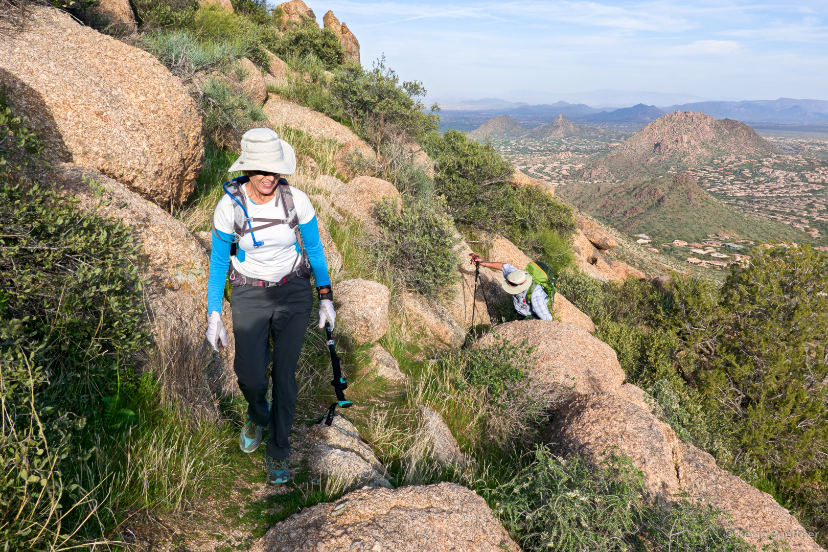
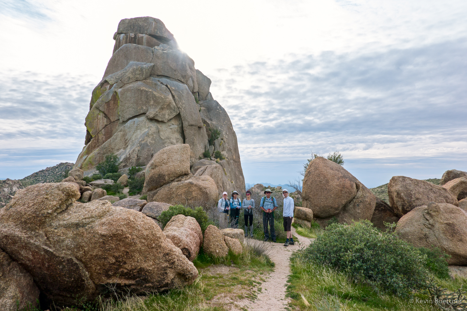
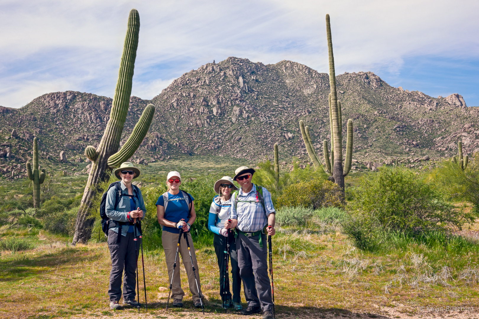
Tom, Cathy, Marilyn, Nora, Ben, and Marilyn joined me for a hike starting from Tom’s Thumb Trailhead. After visiting Tom’s Thumb, we hiked over to the intersection with the East End Trail, where Dan and Cathy returned via Tom’s Thumb Trail. The rest of us made a loop, going down East End, then returning via Windmill, Coachwhip, Pemberton, Boulder, and Marcus Landslide. We hiked 10.6 miles with over 2100 feet of elevation gain.
Marilyn and Ben hike up the trail to the ridge on which Tom’s Thumb is situated. Pinnacle Peak and Troon Mountain can be seen in the distance.
Nora, Marilyn, Cathy, Ben, and Tom in front of Tom’s Thumb:
A view from the East End Trail:
Approaching the Windmill Trail:
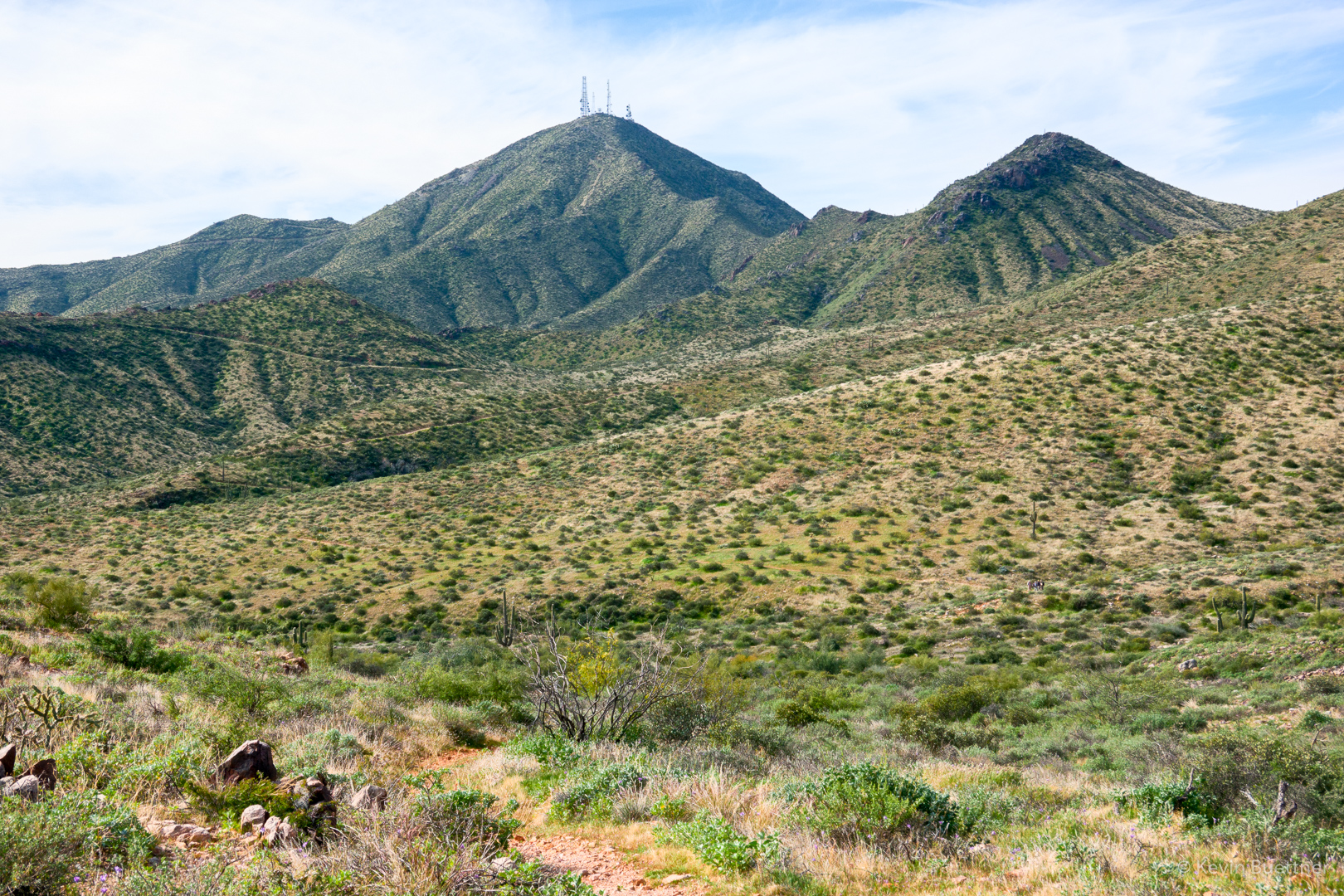
A view of Four Peaks from the Windmill Trail:
Fairy Duster along the Coachwhip Trail:

Marilyn, Nora, Marilyn, and Ben along the Pemberton Trail:
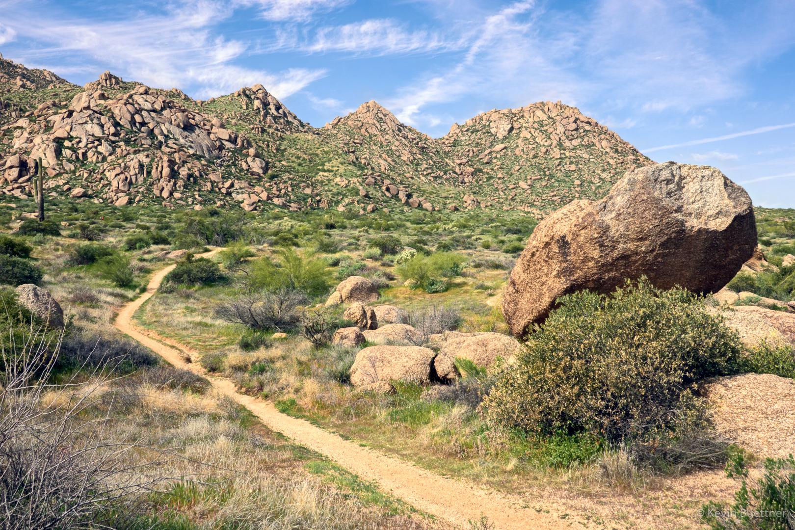
Looking toward the Granite Ballroom and the Sven Towers from the Boulder Trail:
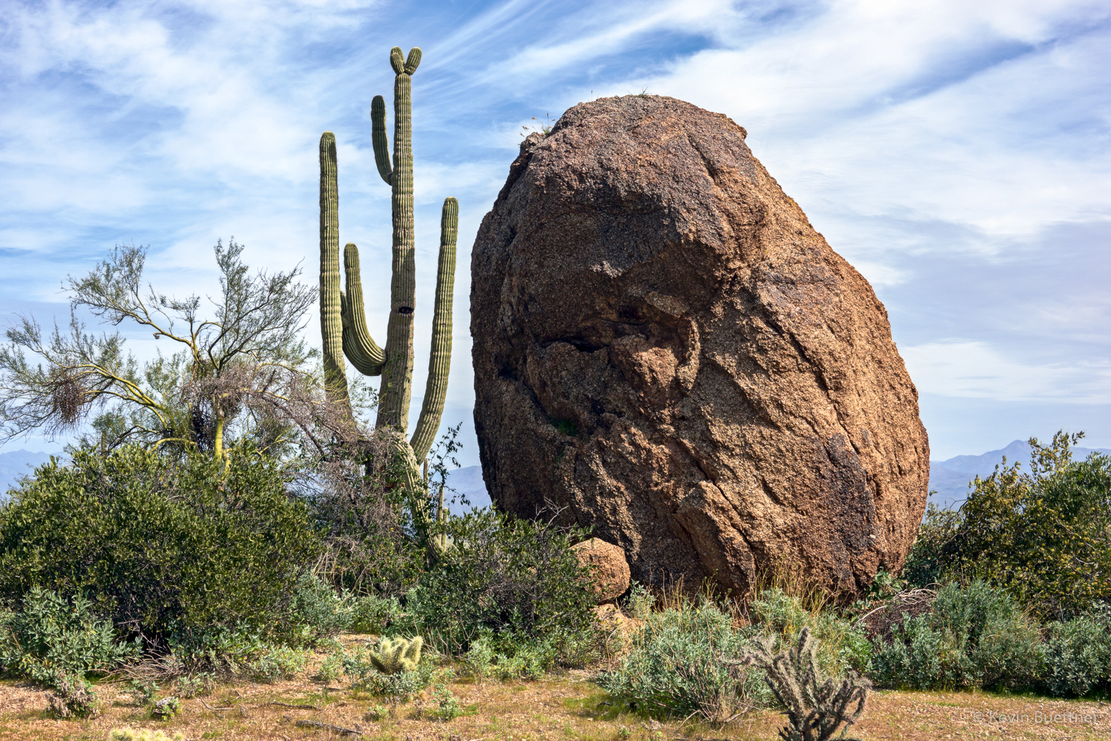
A very large boulder alongside the Marcus Landslide Trail:
Looking toward the Thumbnail Pinnacle from the Marcus Landslide Trail: