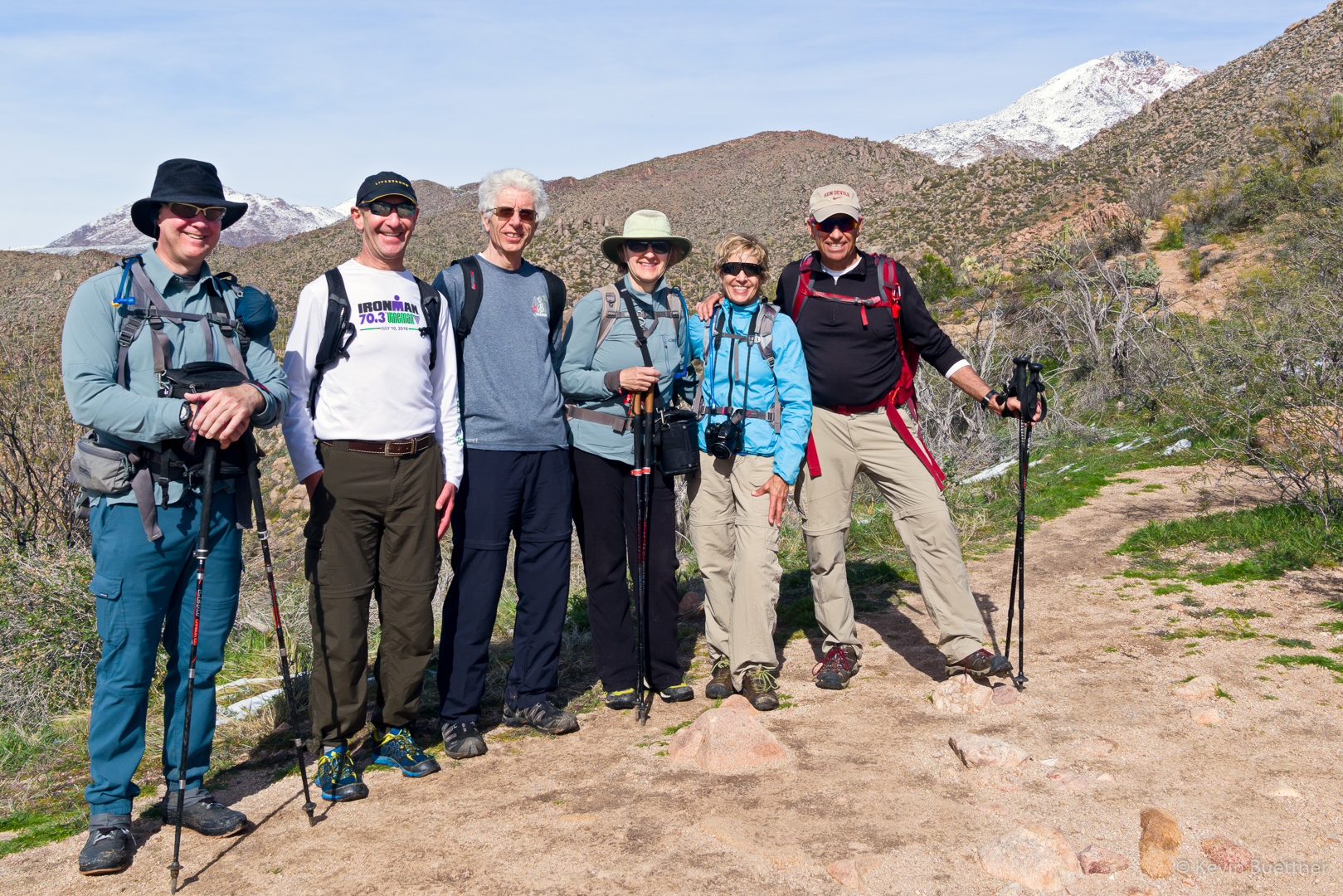
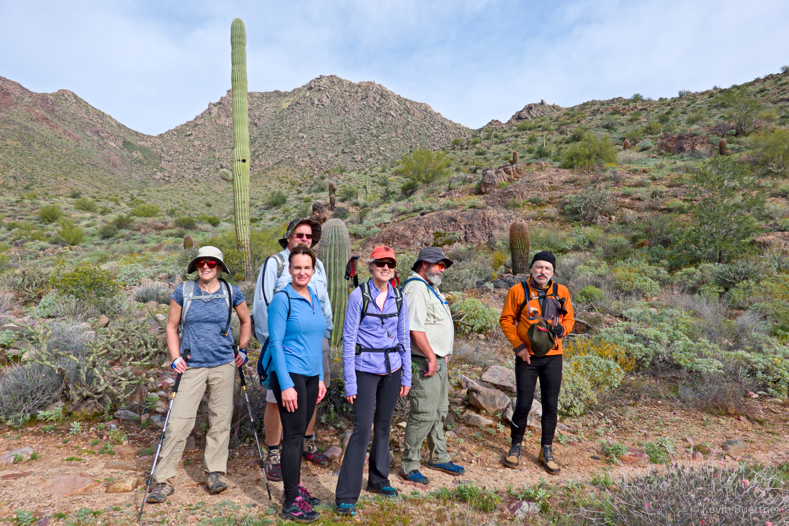
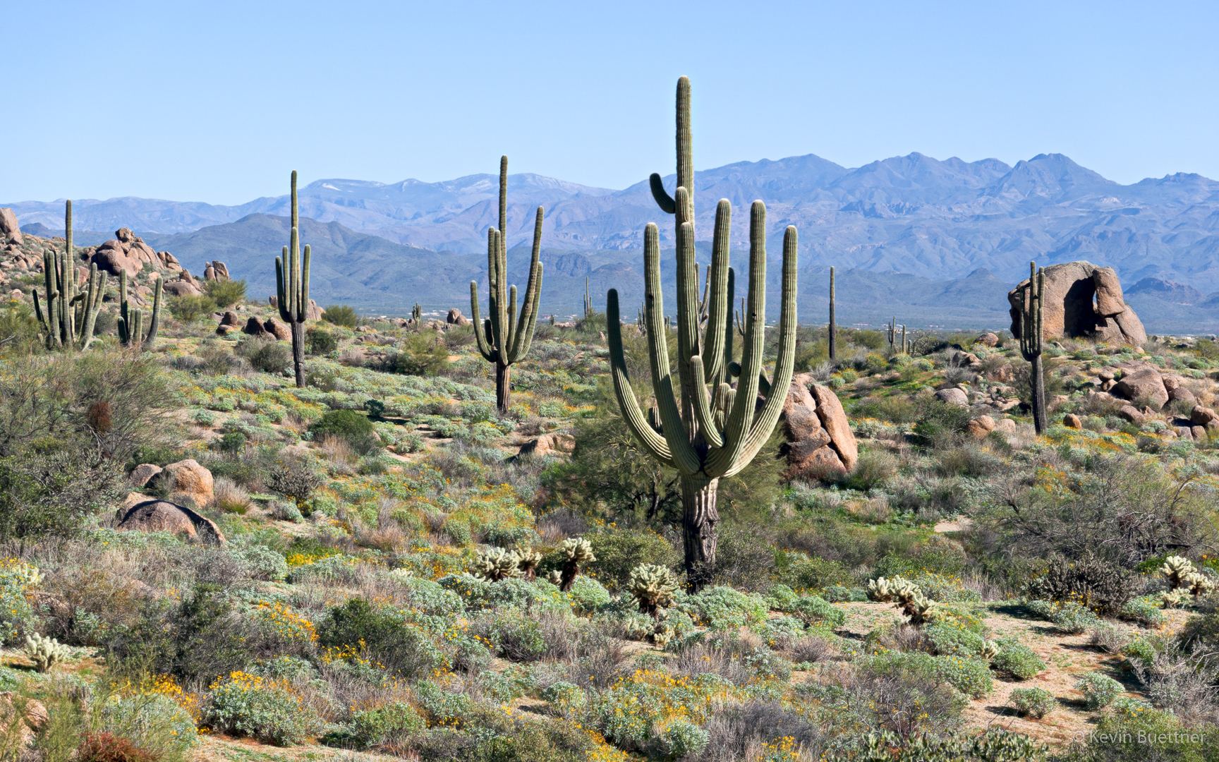
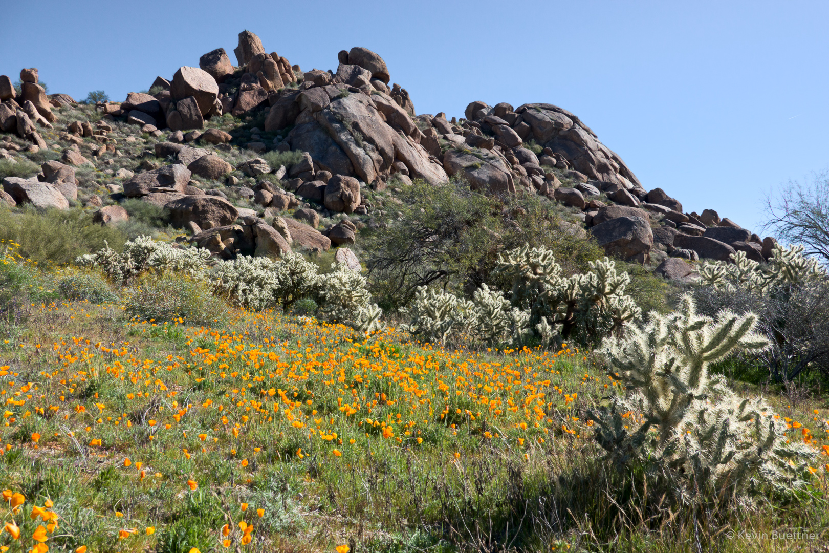
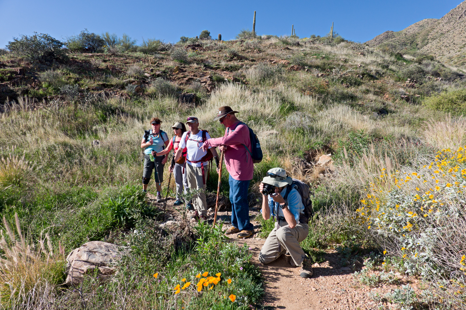
On Monday, the 21st, Kay, Diane, Diane, Nanci, Anne, Karin, Ben, Marilyn, and I hiked out to Battleship Mountain and back. Kay, Diane, Karin, and I went to the summit. According to my GPS watch, we hiked 12.75 miles with a little over 2900 feet of total ascent.
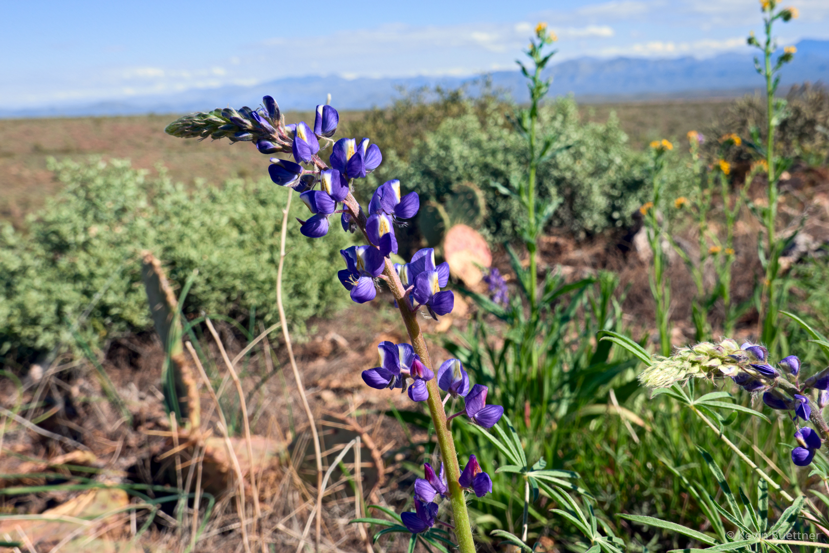
Early in the day on the Second Water Trail:
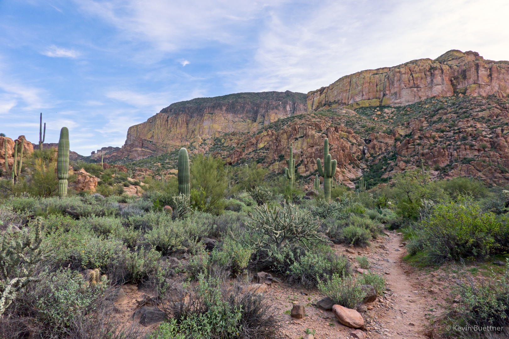
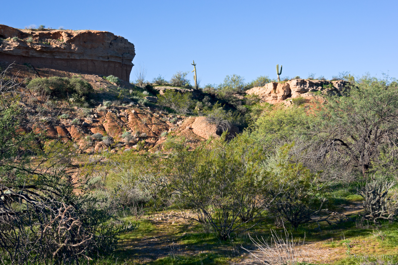
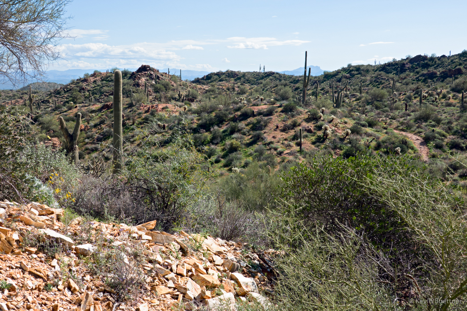
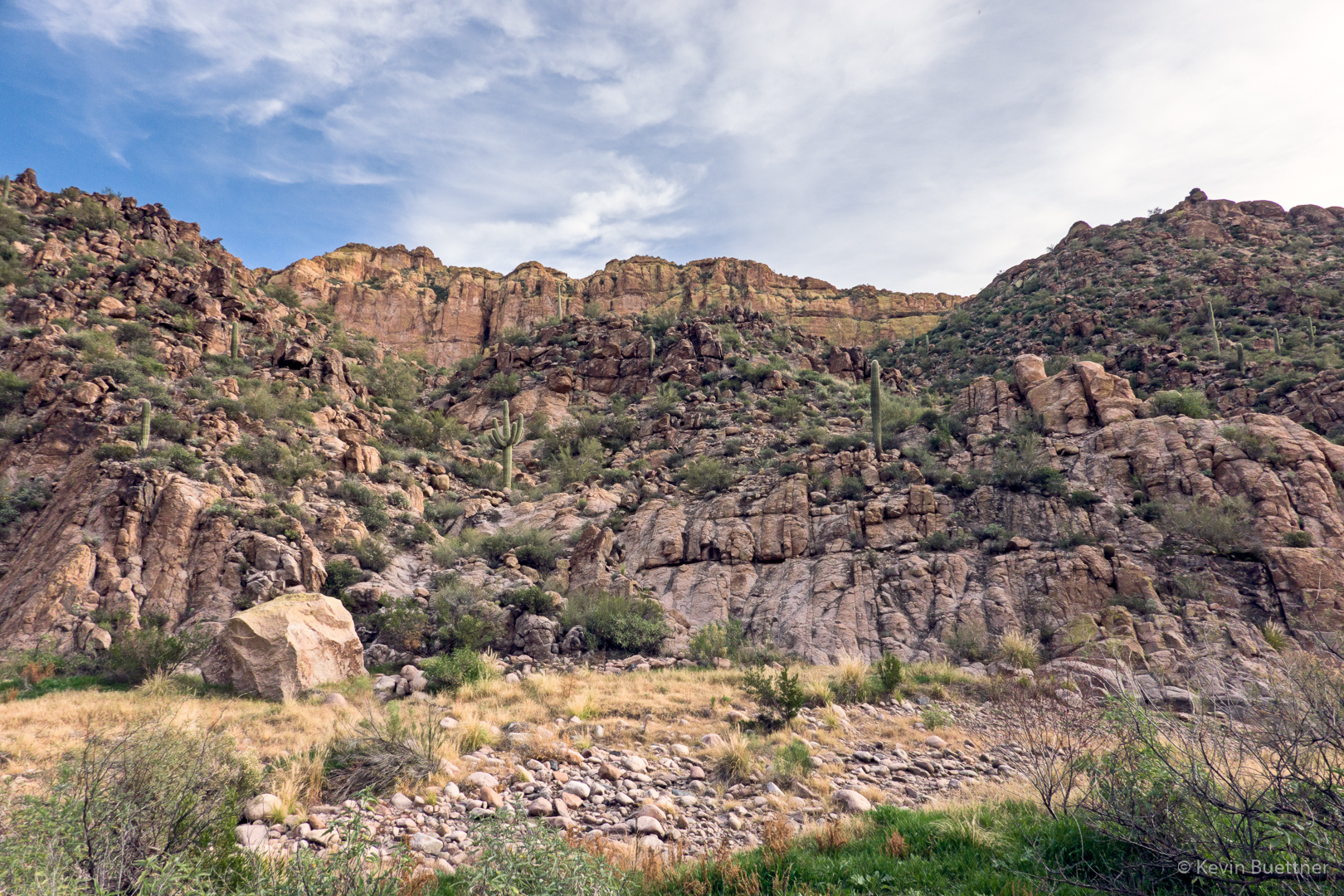
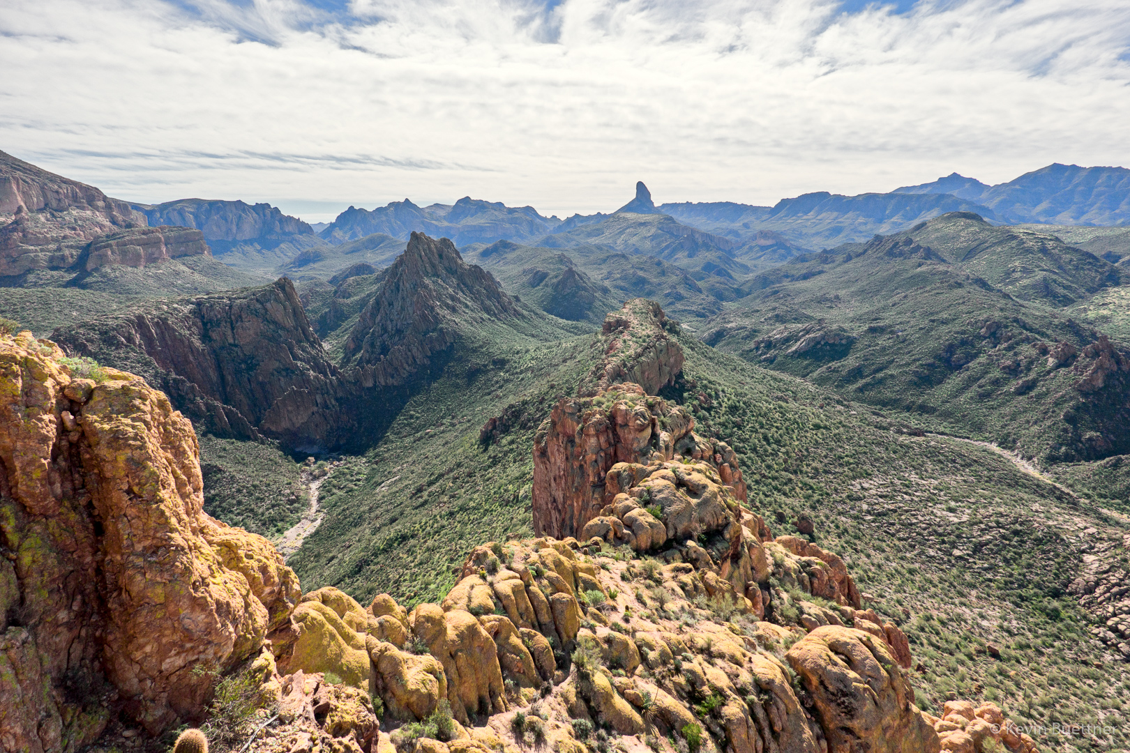
Looking toward Battleship Mountain from Boulder Canyon.
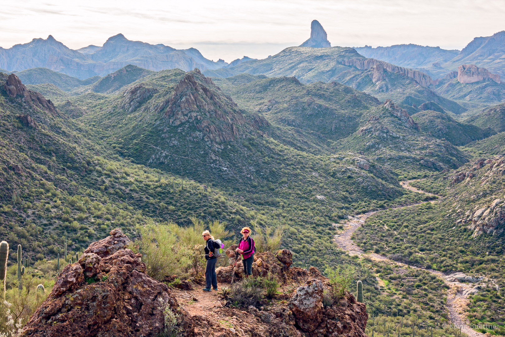
Diane and Nanci:
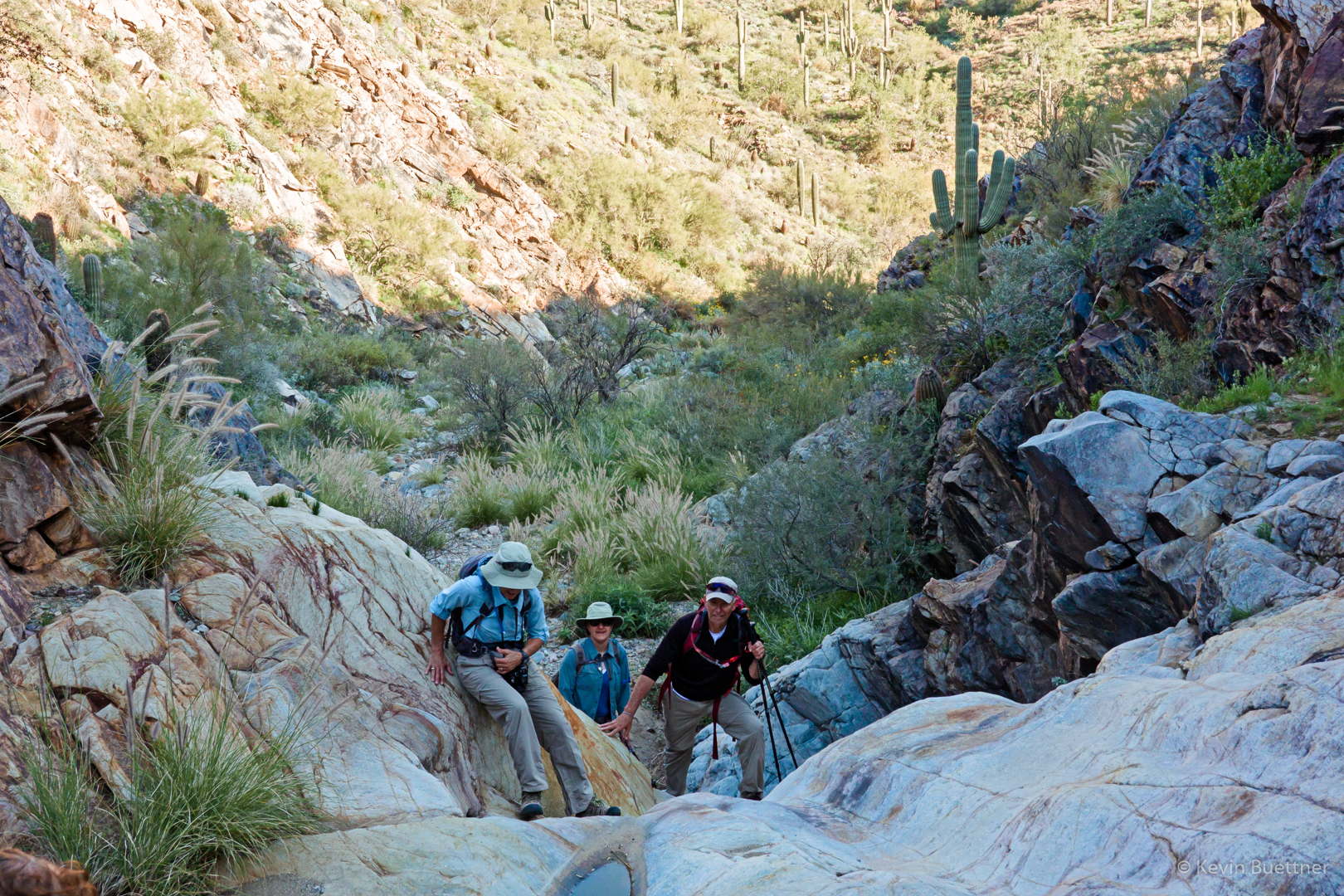
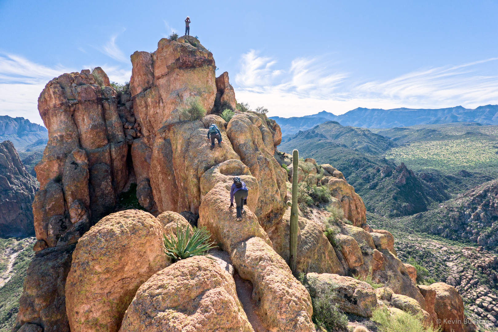
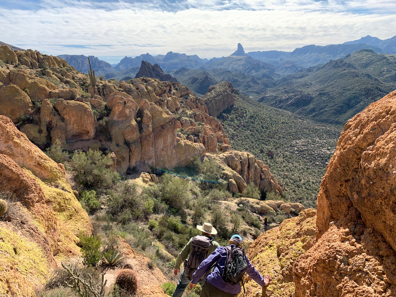
Kay, Karin, Diane and I are now on our way to the summit. There is a steep scramble required to get atop this ridge leading to the summit. The dark spot in the reddish-orange rock just left of center is another hiker making his way back (and down at that point) after visiting the summit.
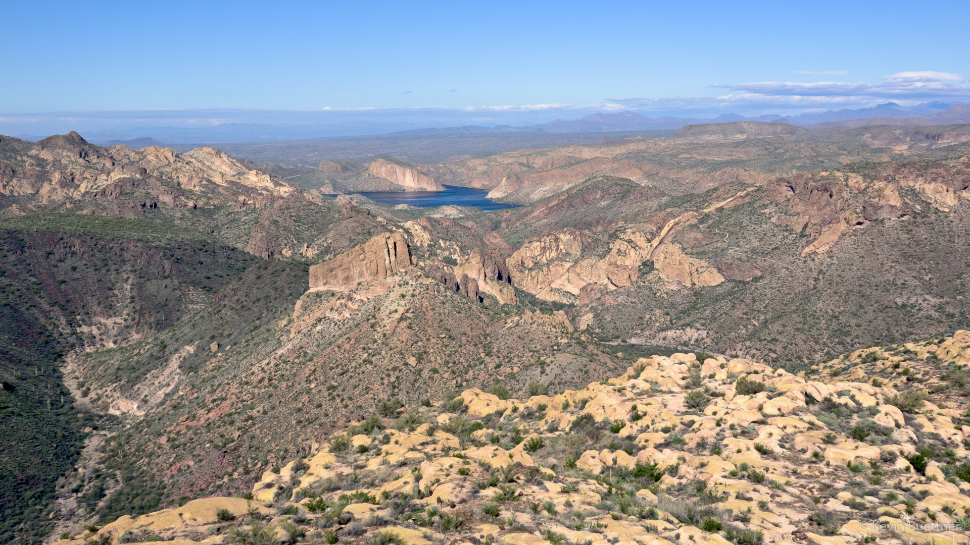
A view of Canyon Lake from the top:
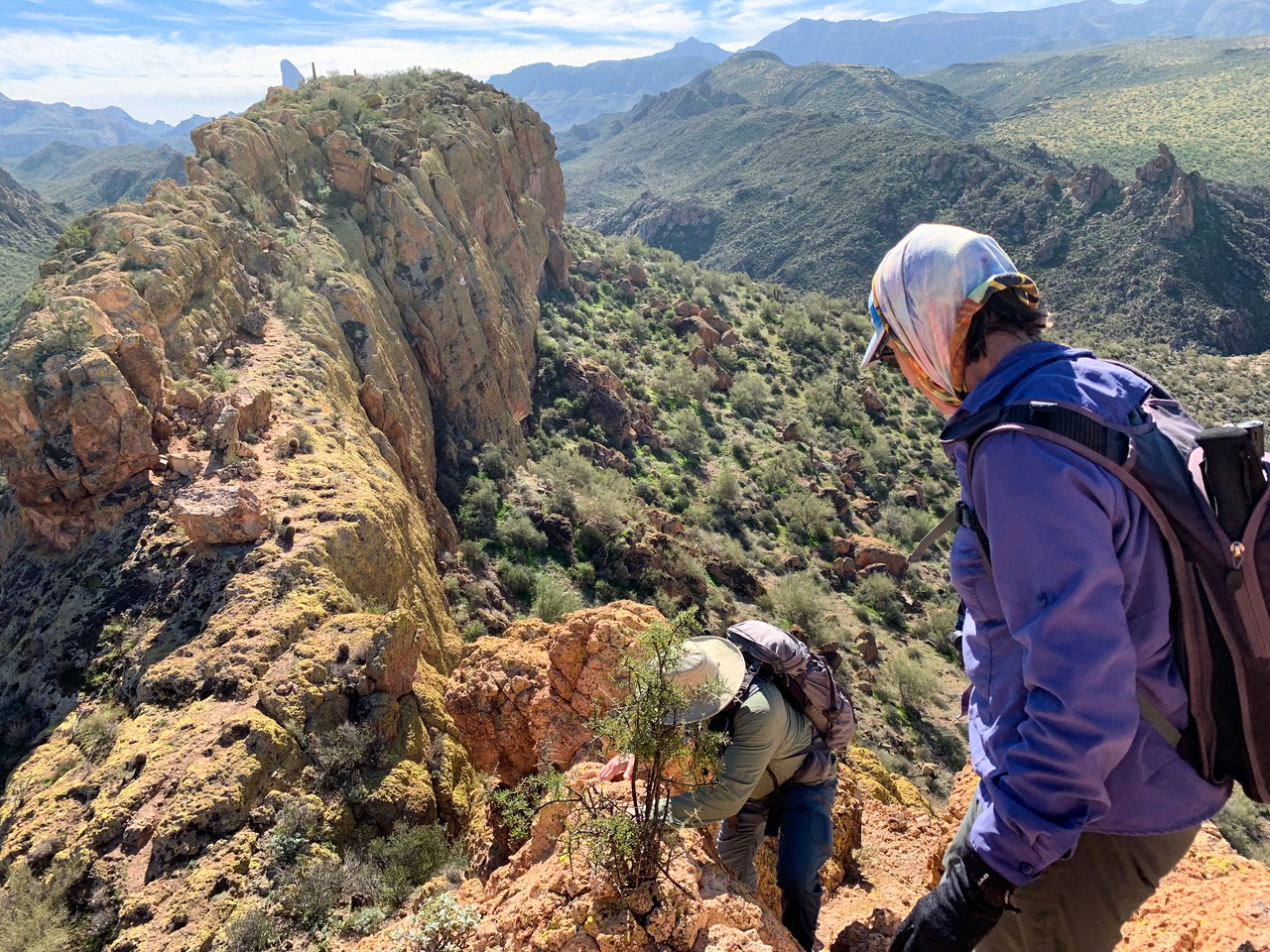
Near the summit – looking back along the ridge we hiked / scrambled to get to the top.
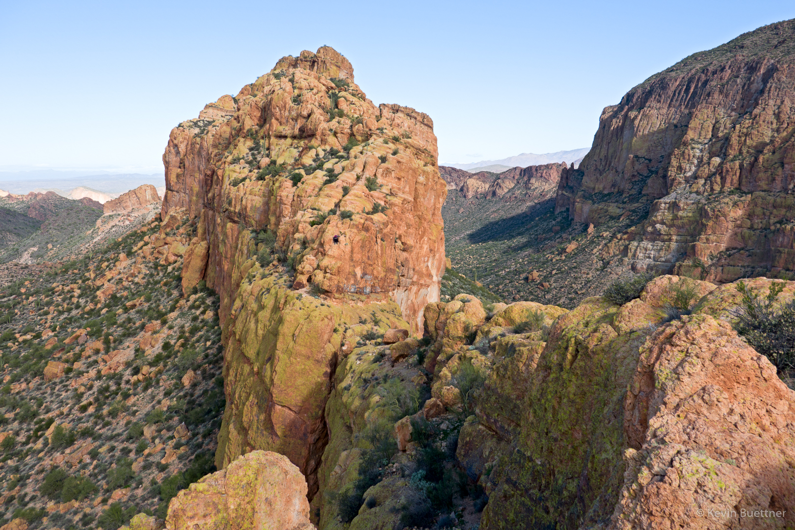
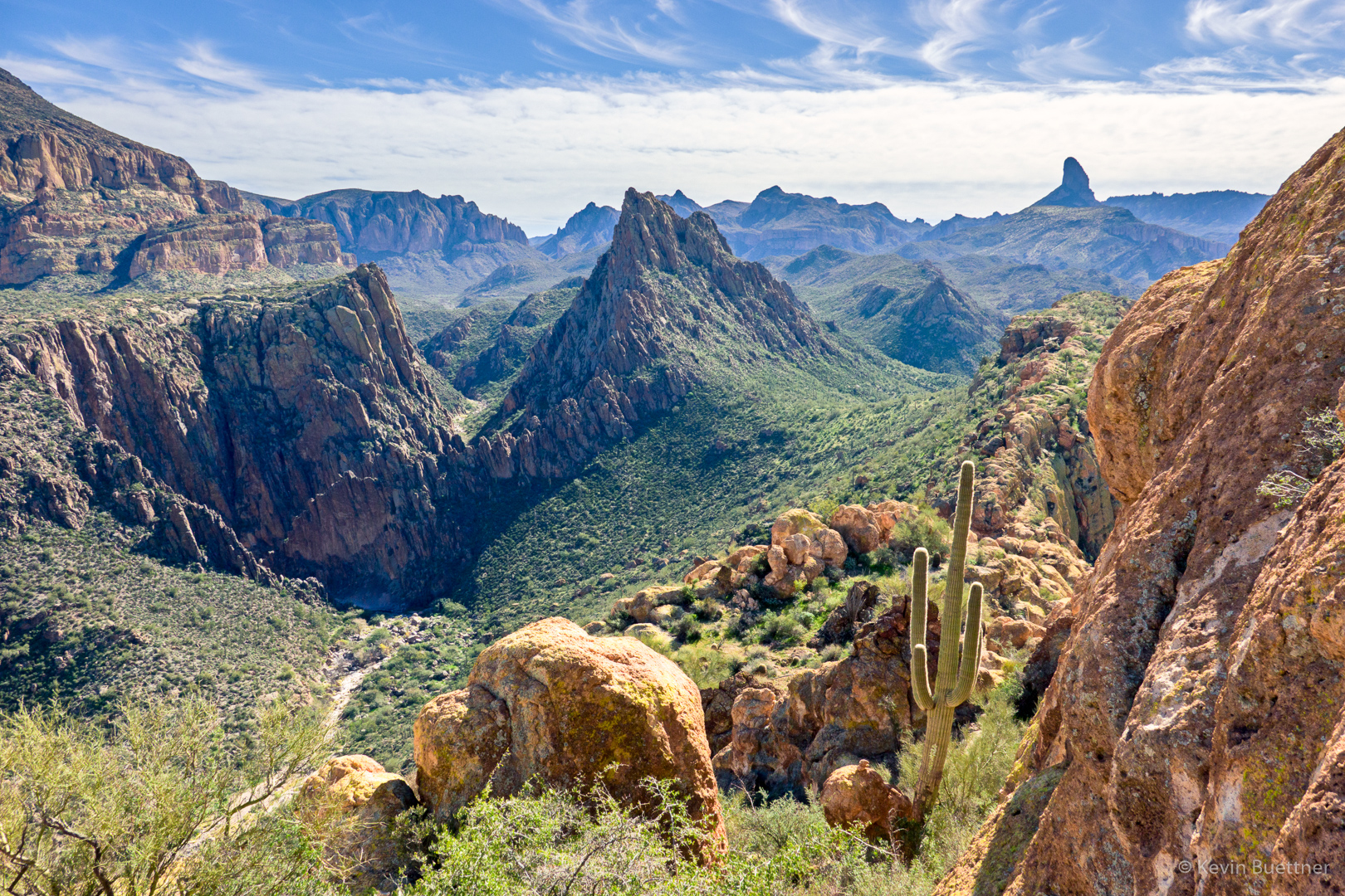
Another view of Weaver’s Needle as we started to make our way back…

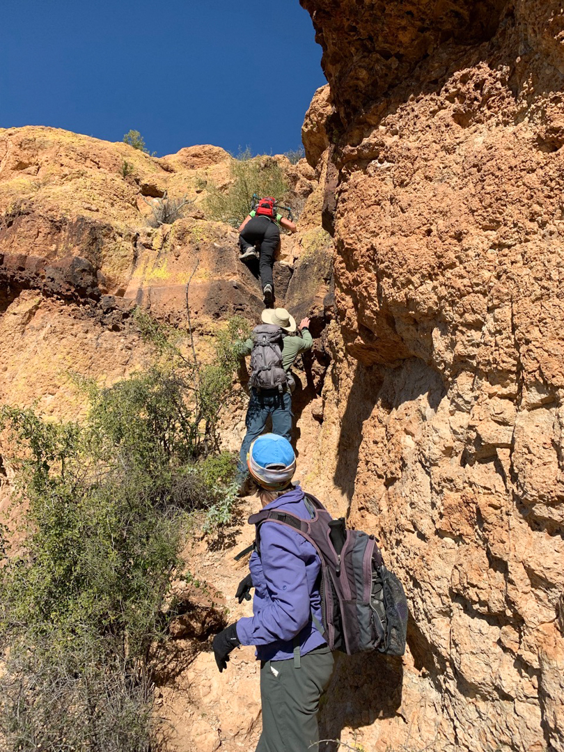
Kay and Karin make their way up one of the more exposed sections of the hike. The woman at the very top wasn’t in our group.
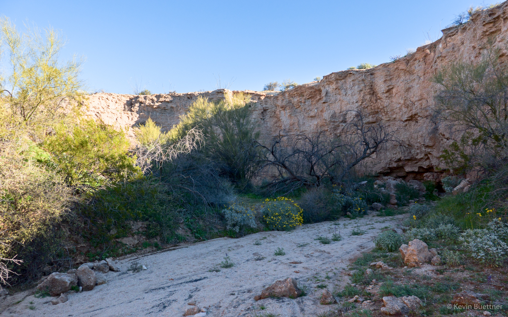
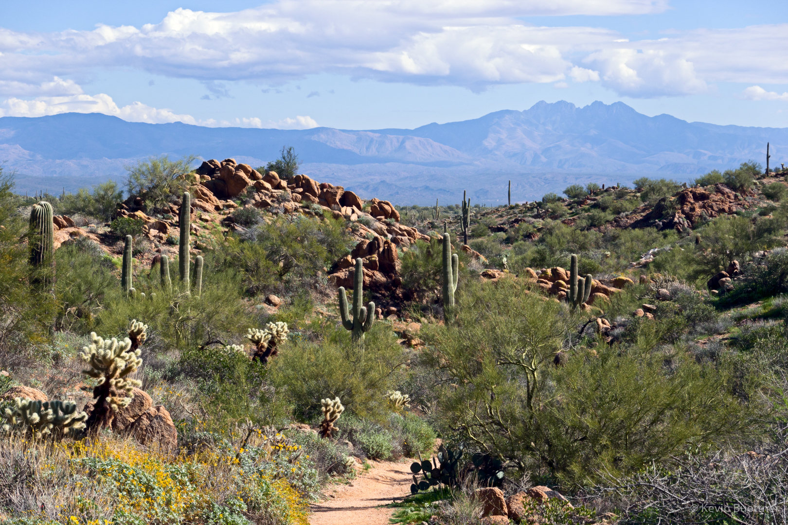
Looking down into La Barge Canyon on the left…
We saw this tarantula need the end of the hike.

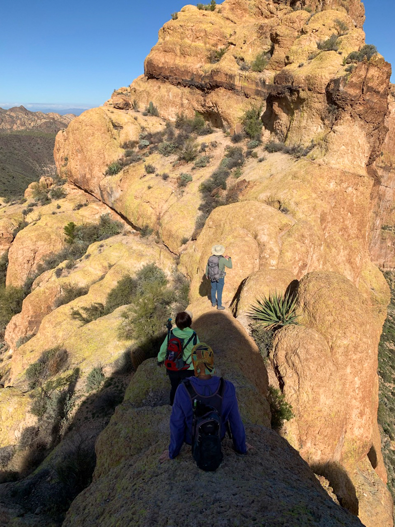
These are a few of Kay’s photos:
In this shot, we’re still on our way to the summit. I had just descended the exposed bridge and am trying to figure out where to go next. Diane and Karin are still making the descent.
We’re heading back in this shot; another good look at Weaver’s Needle…
In this shot, I’m spotting Diane as she descends what is probably the most difficult technical section of this adventure.
In this photo, Karin and I are making our way down some more steep stuff. I think this is near the point where I had pointed out the fellow descending in the fourth of my photos.
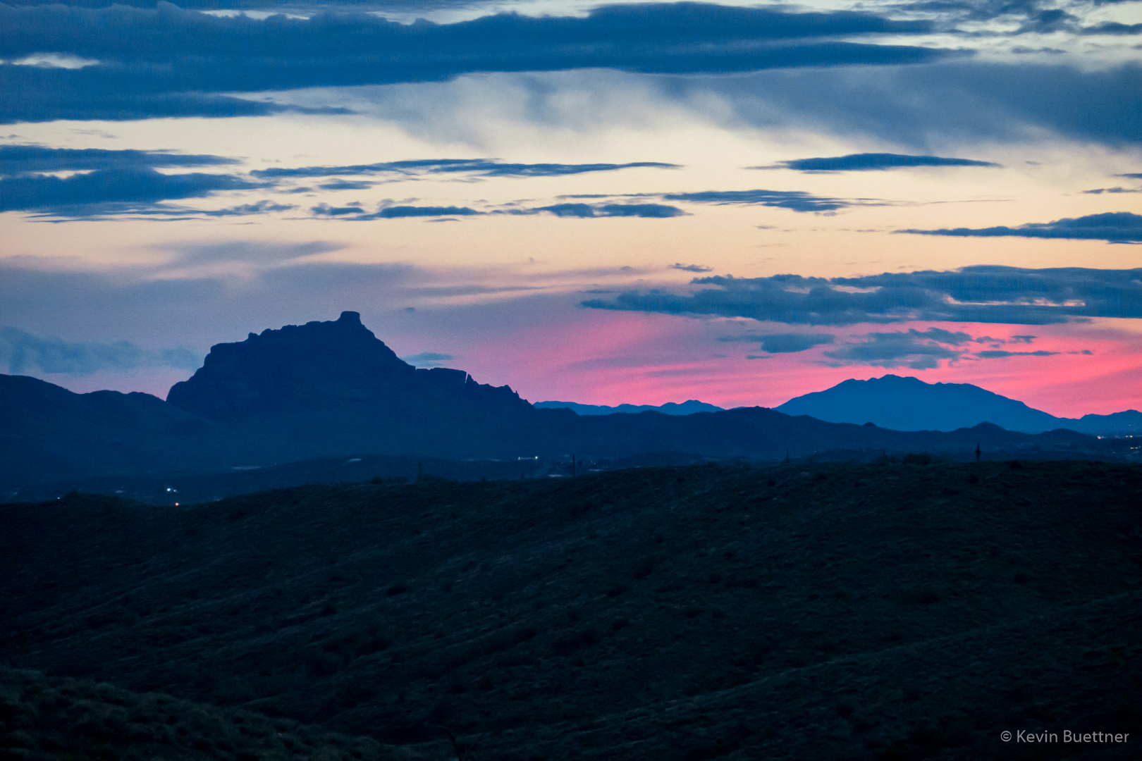
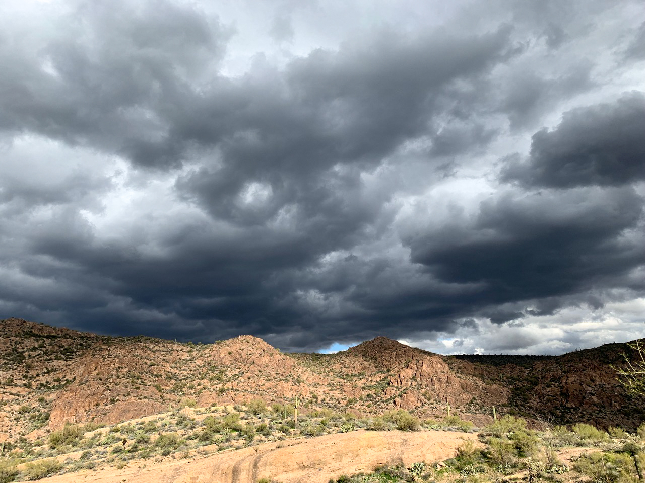
Kay got a good shot of the weather system that was moving in over the Superstitions as we finished our hike.
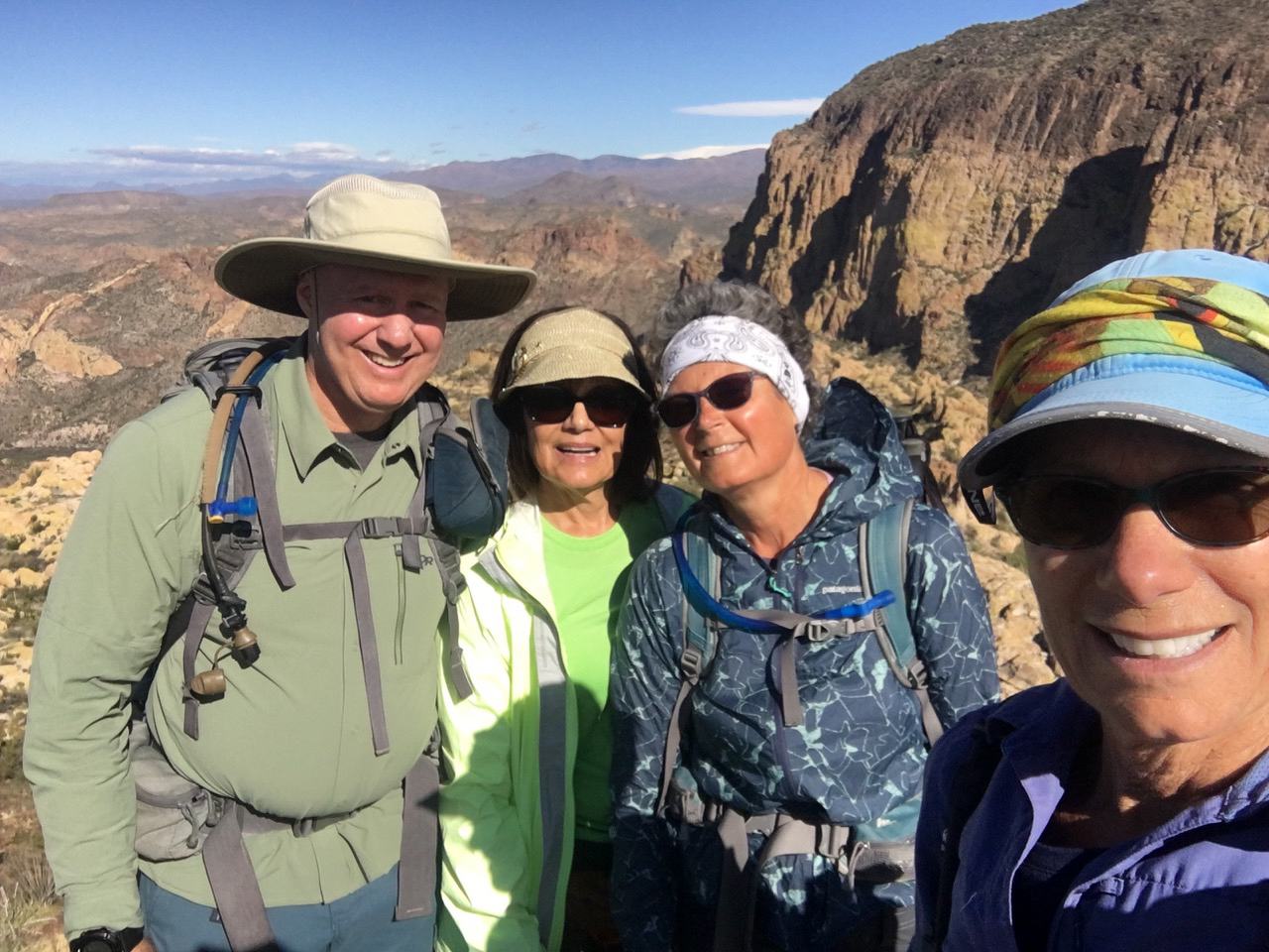
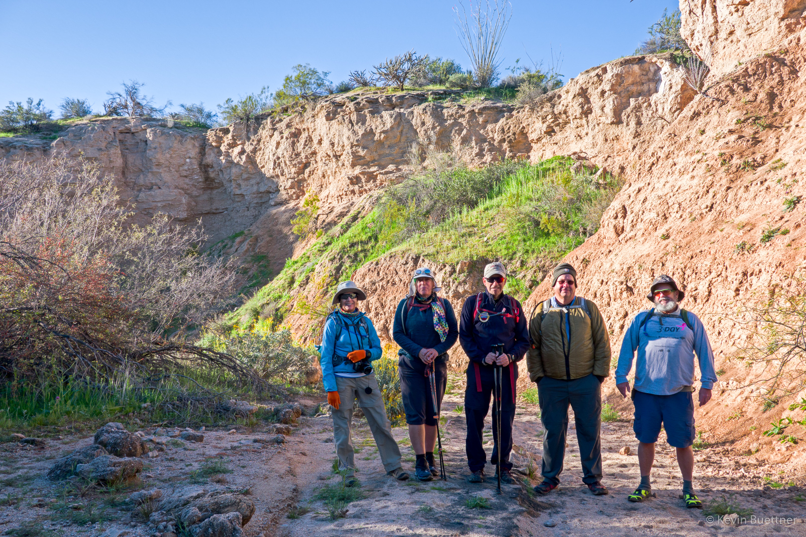
Karin took this photo of the four of us at the summit: