Hike descriptions and/or photos.
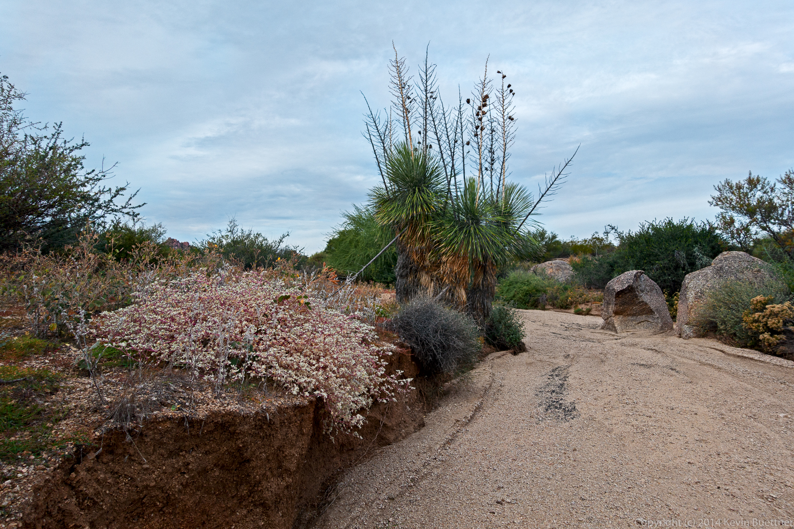
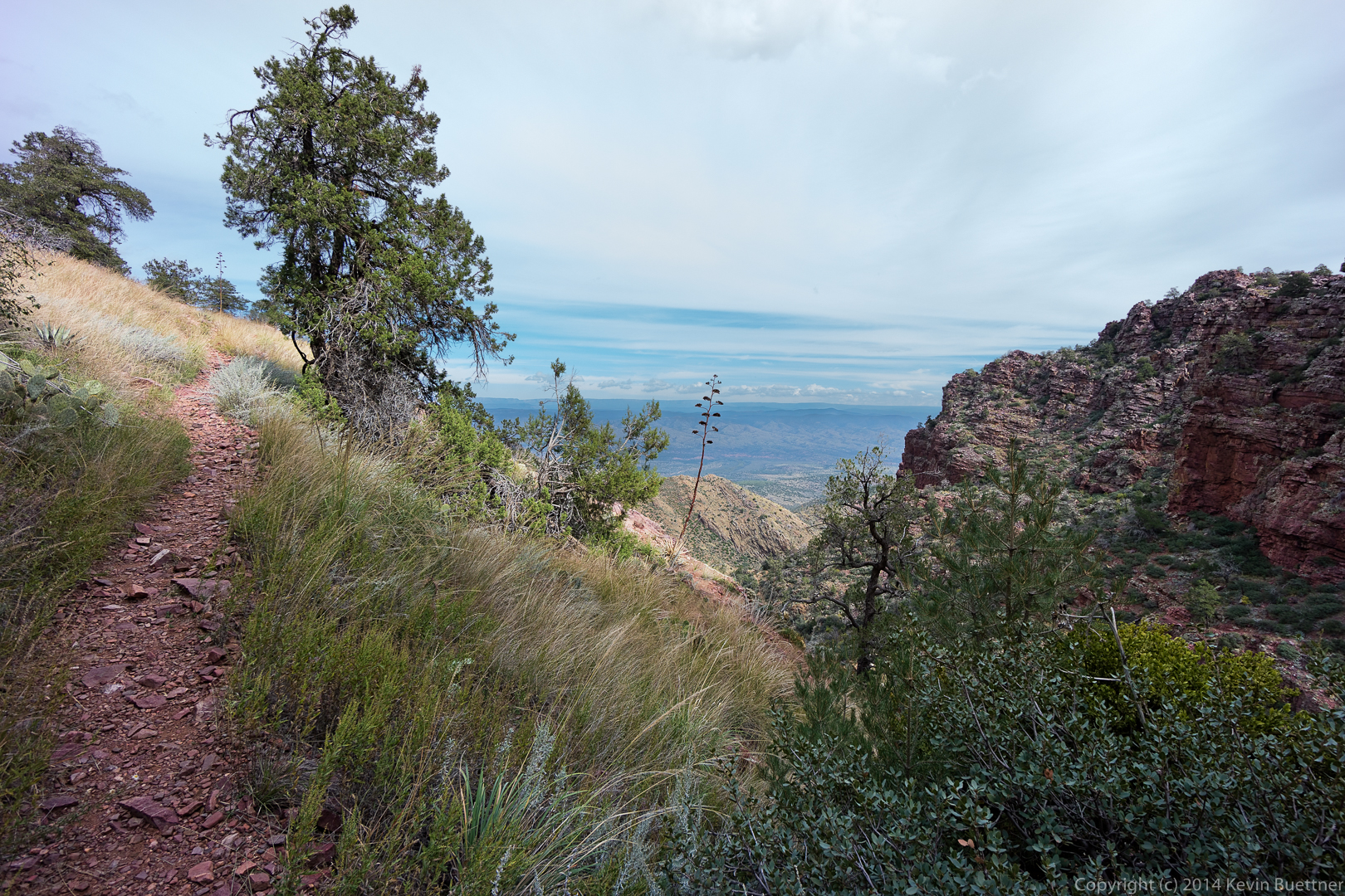
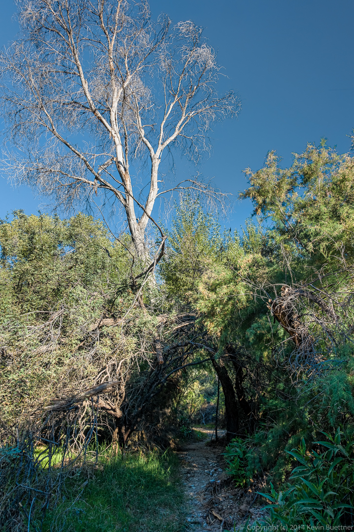
Friday’s hike started from the Wagner Trailhead. We did a ten mile hike using all or parts of the Wagner, Granite, Pemberton, and Delsie trails. We also hiked the wash adjacent to the Bluff Trail.
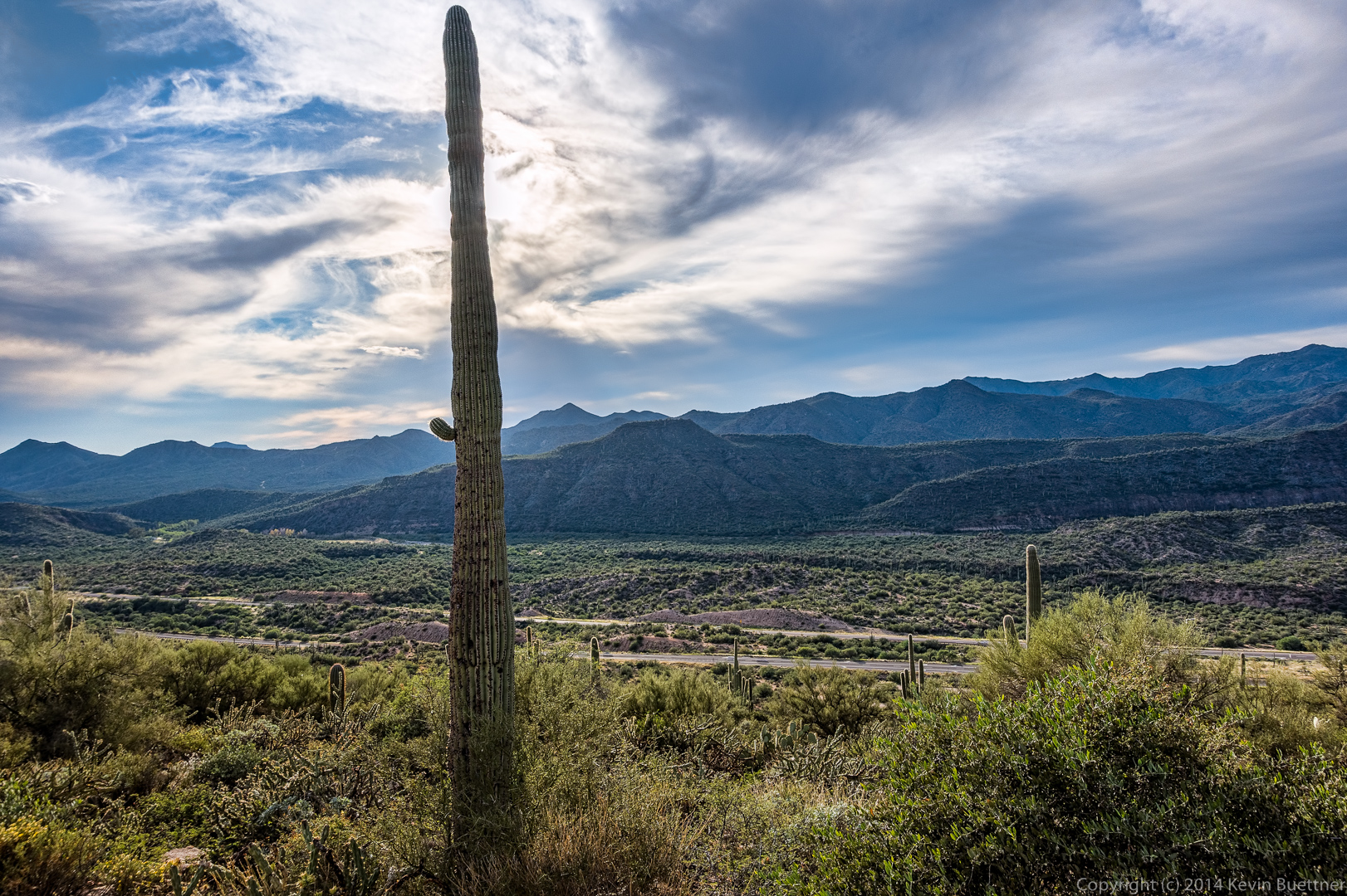
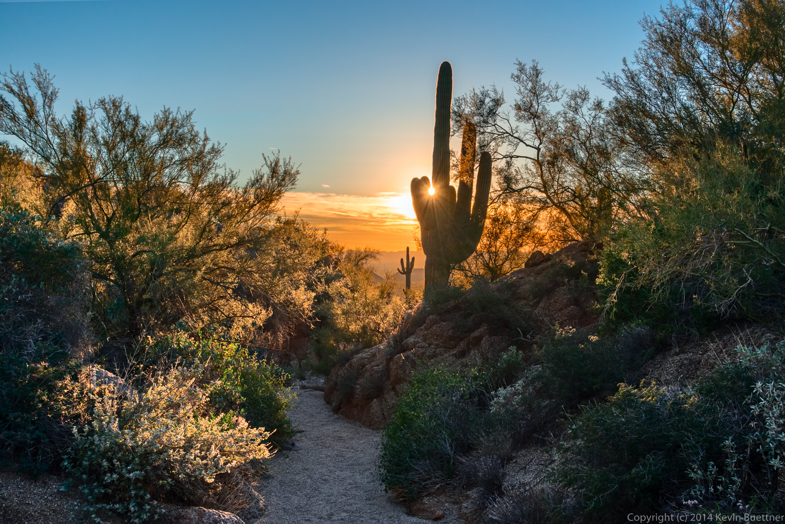
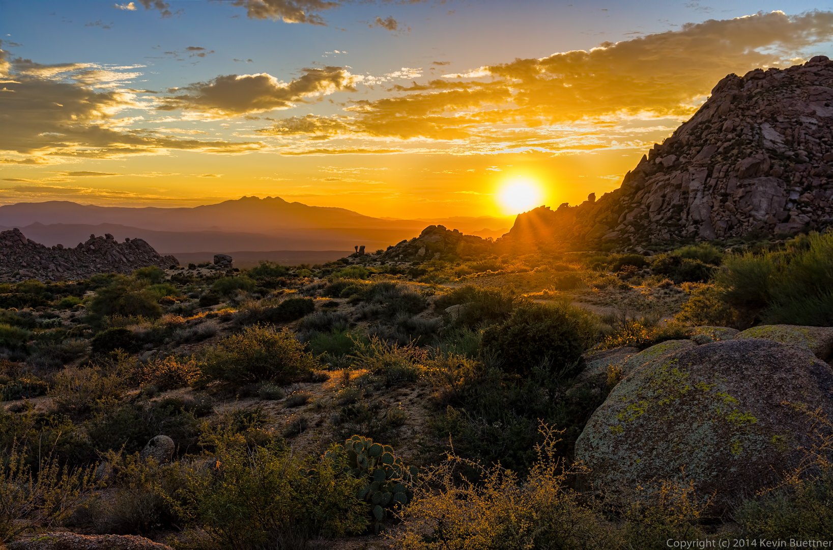
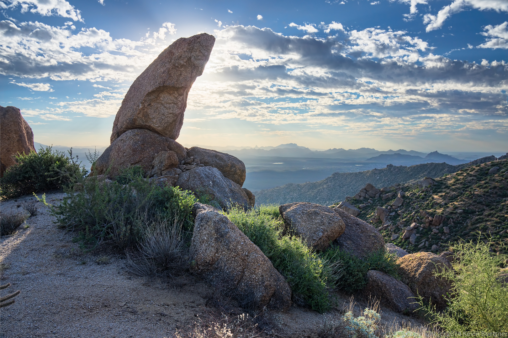
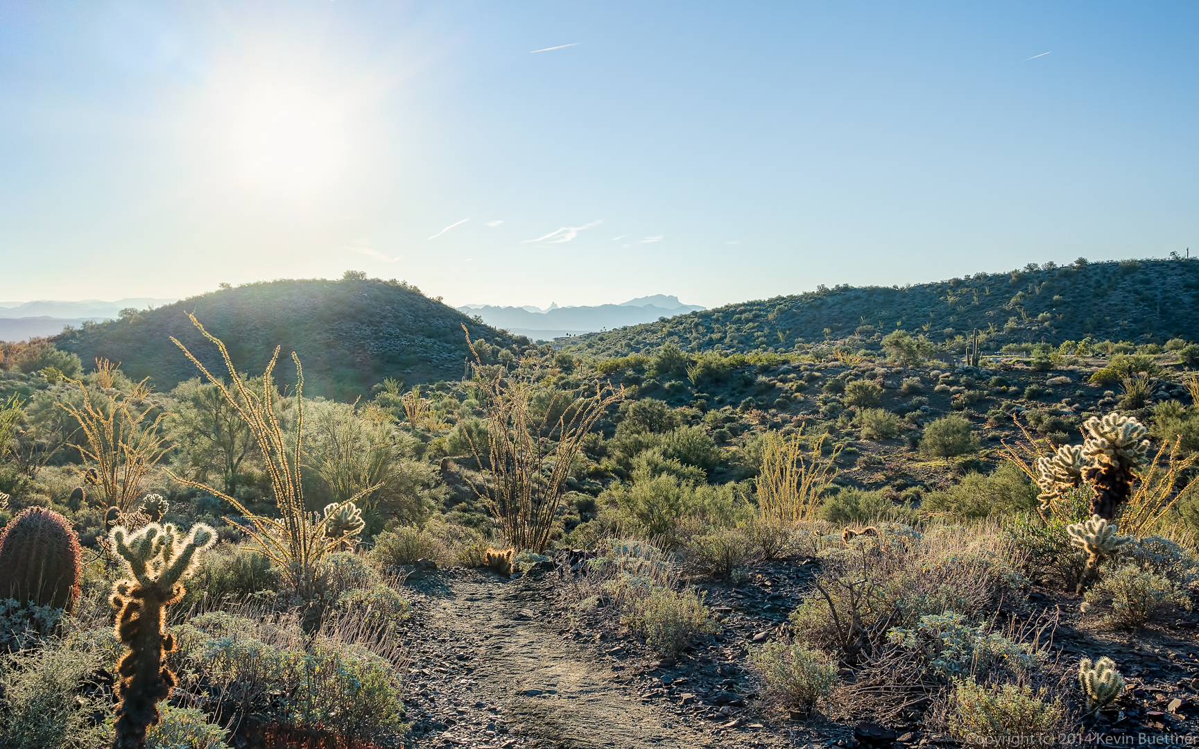
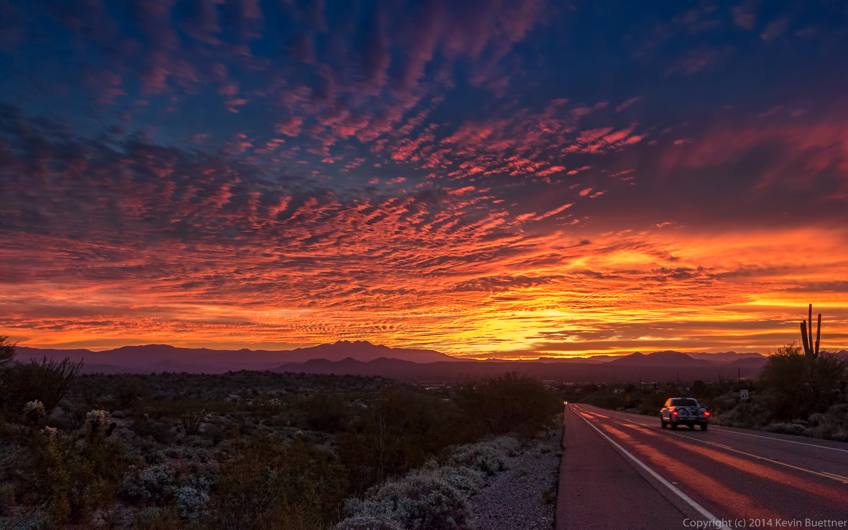
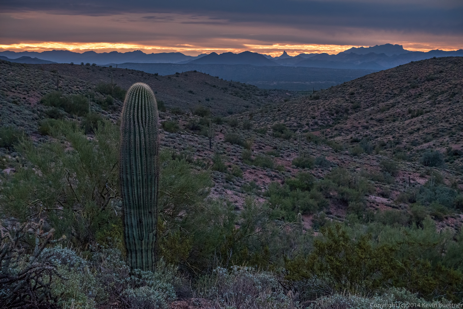
I arrived early so that I could get a shot of the sunrise.
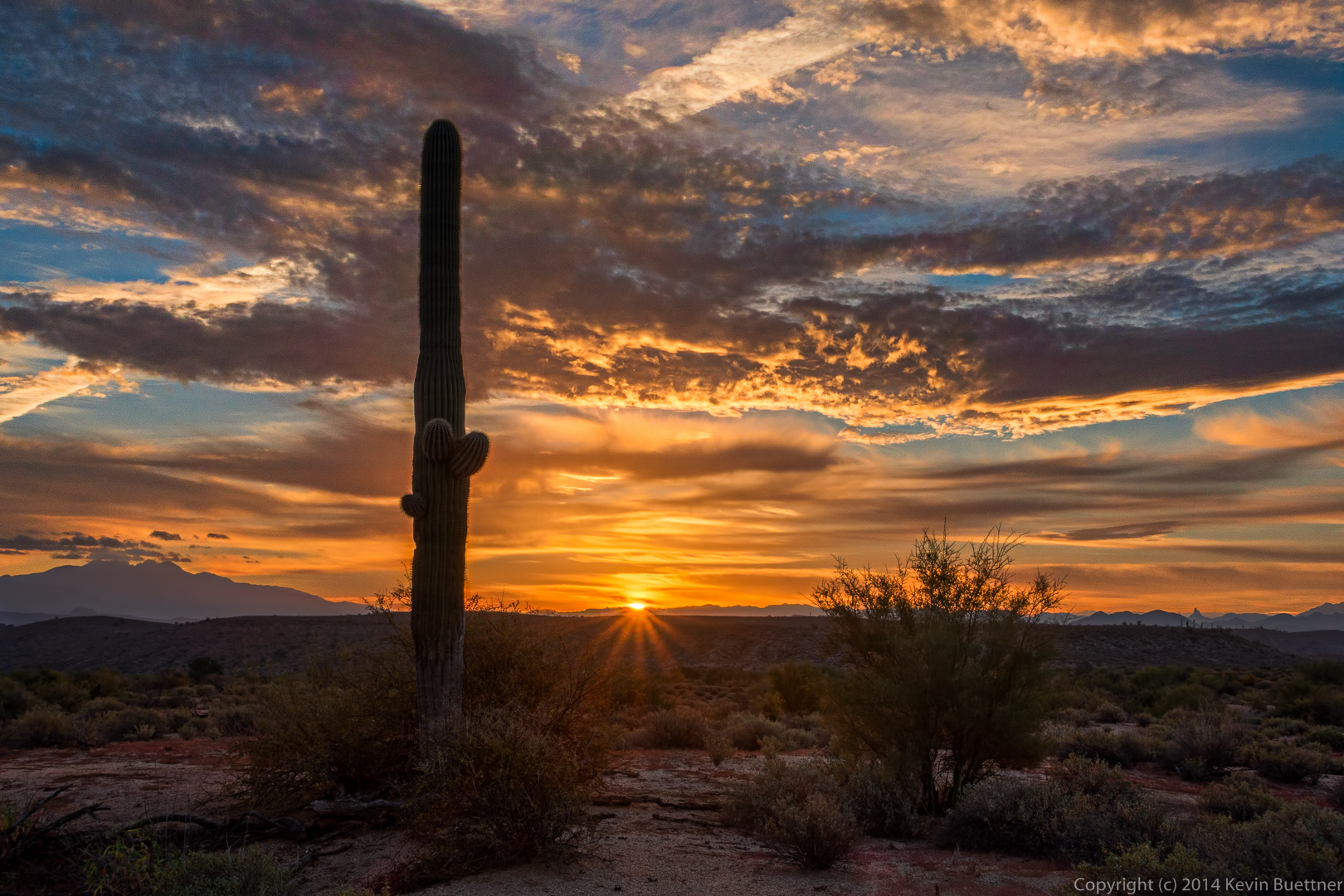
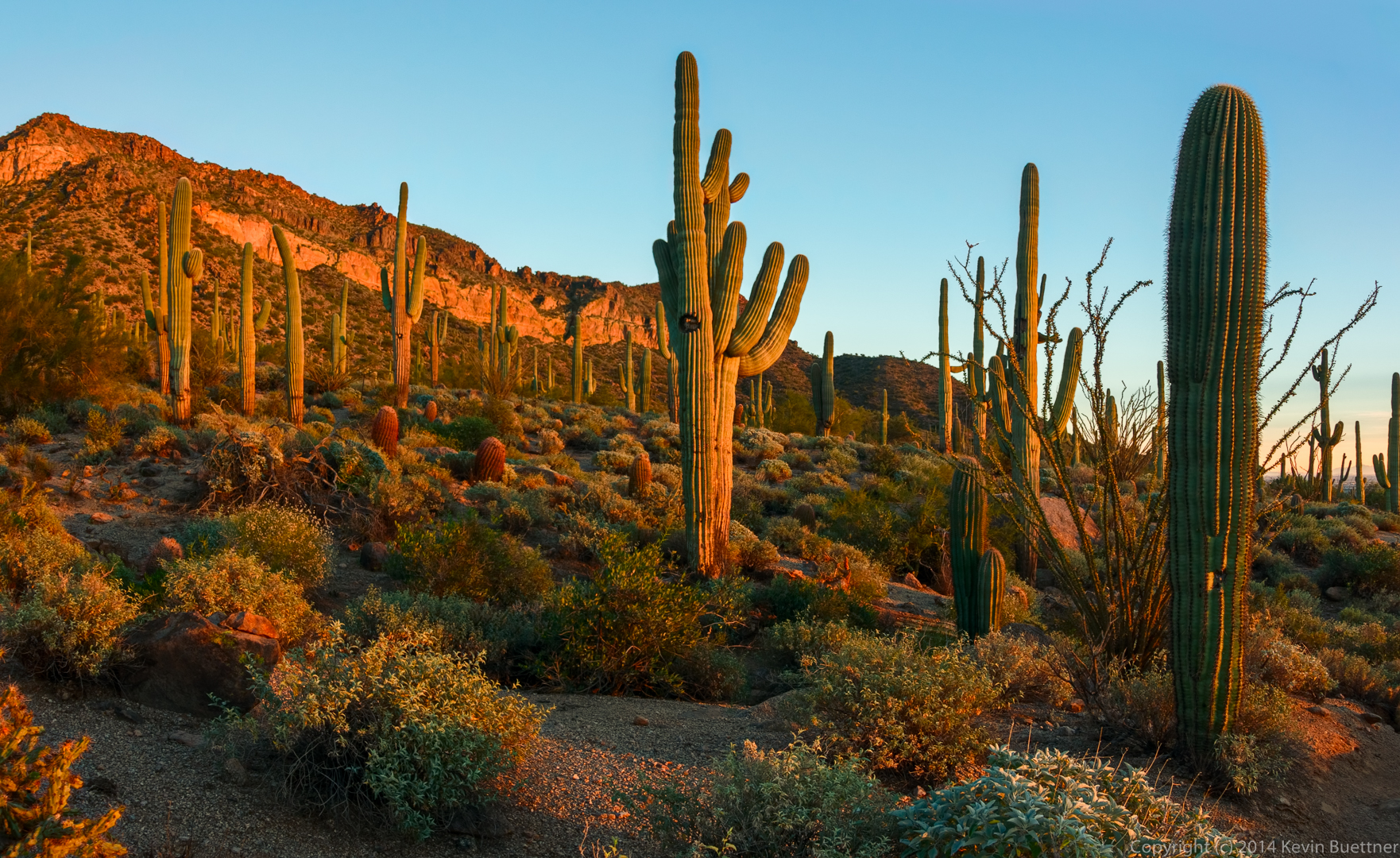
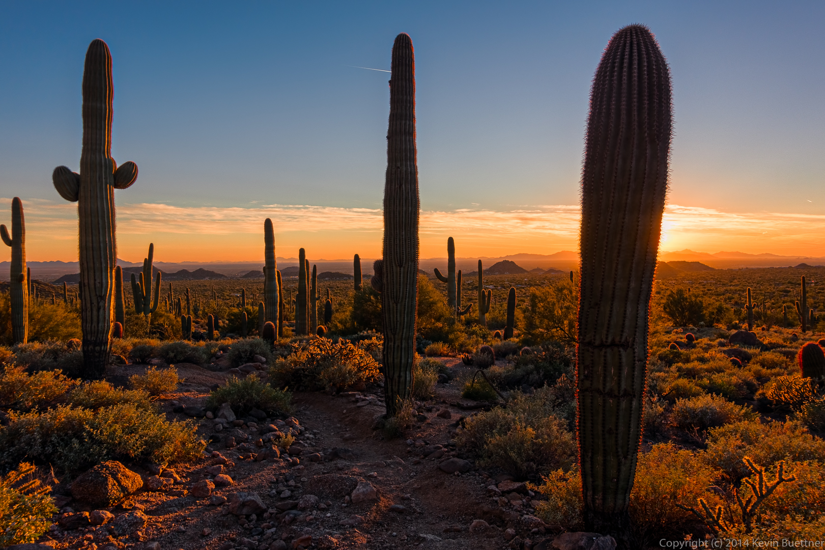
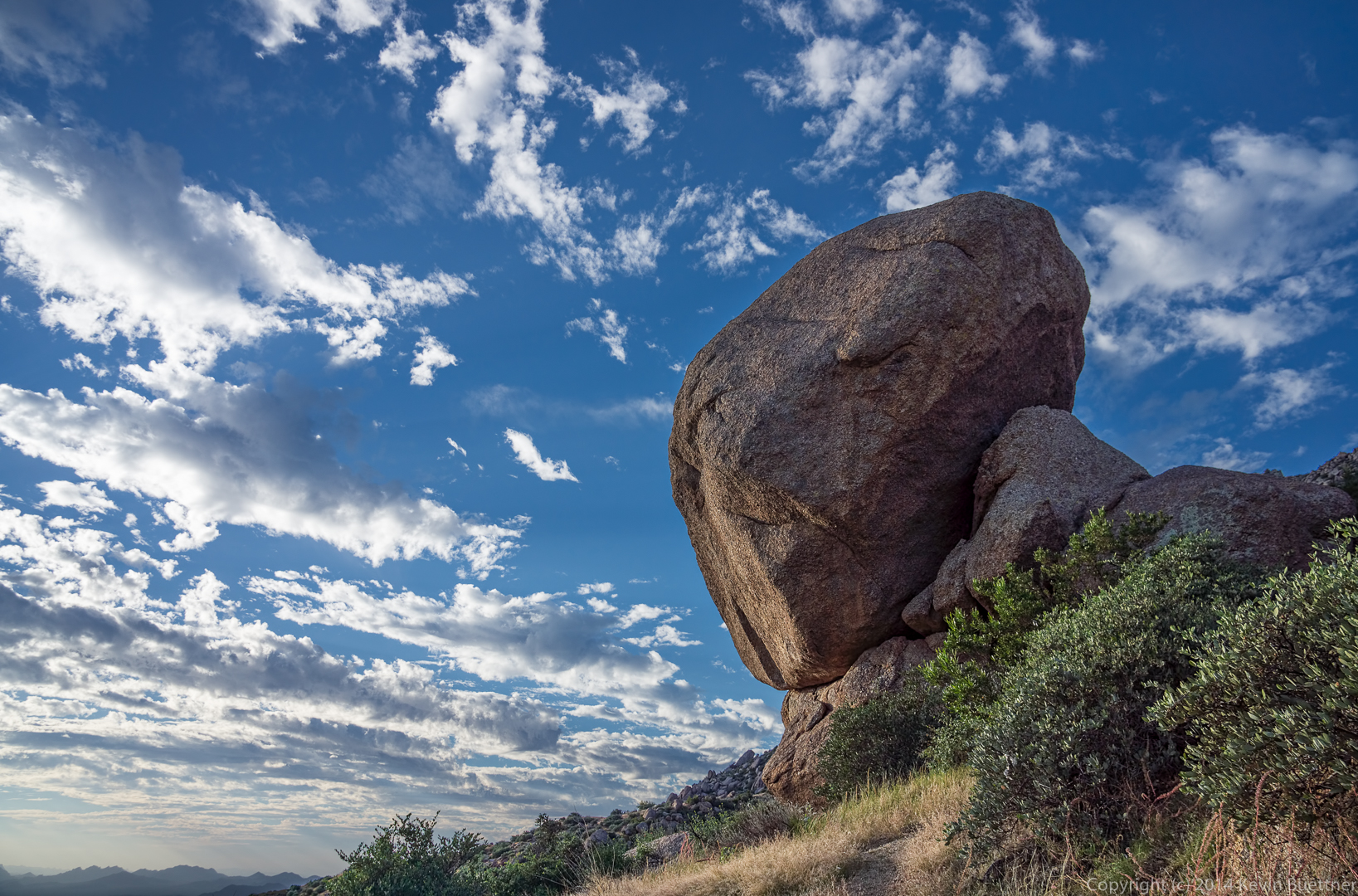
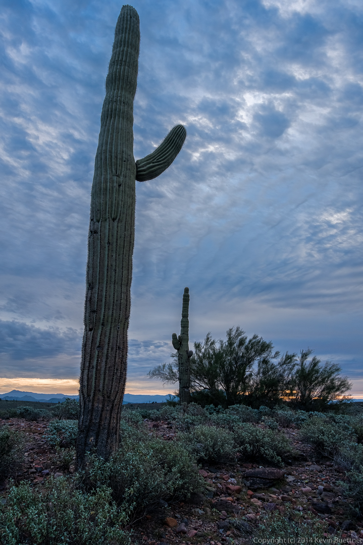
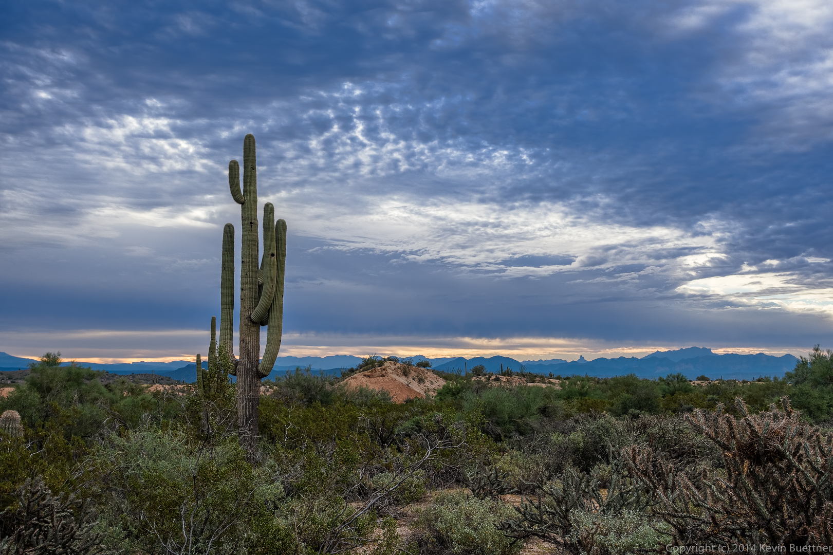
Once the sun was up, I took several other photos using my tripod:
I think I did seven or eight edits of this image before I finally got one that I liked. I’m still learning to use Dan Margulis’ Picture Postcard Workflow (PPW). I learned a lot from working on this one.
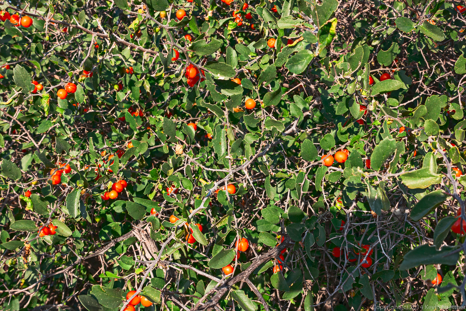
These are the leaves and berries of a hackberry bush.
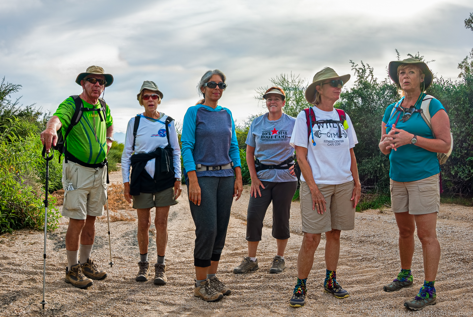
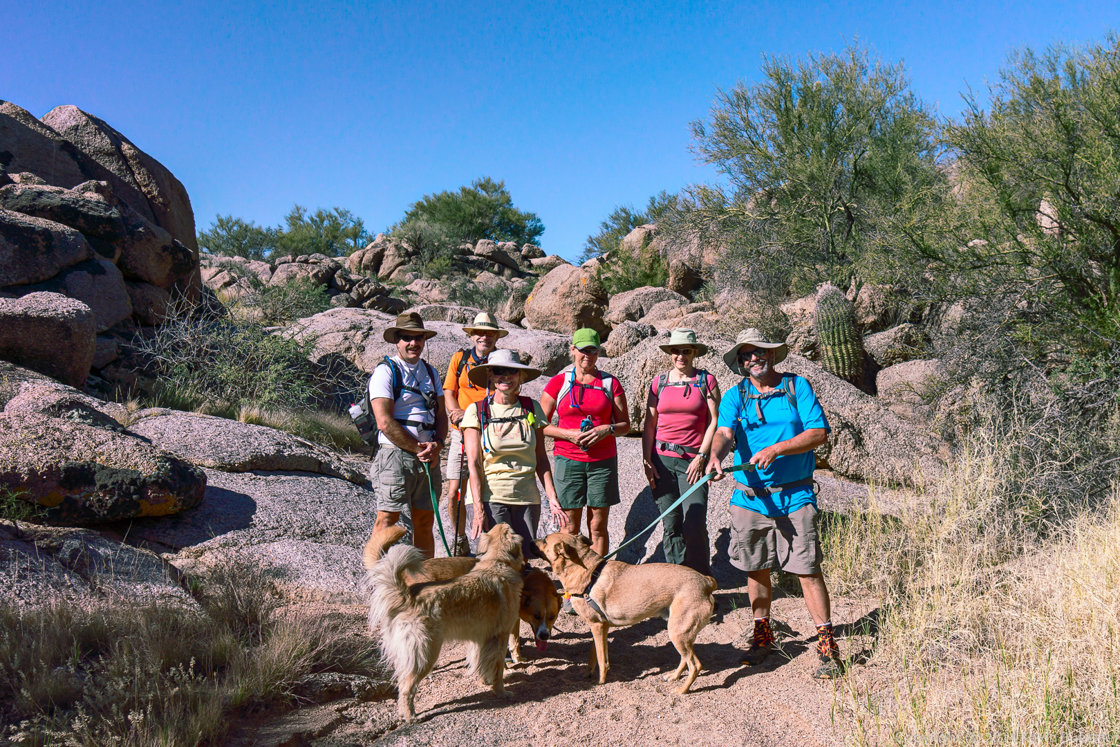
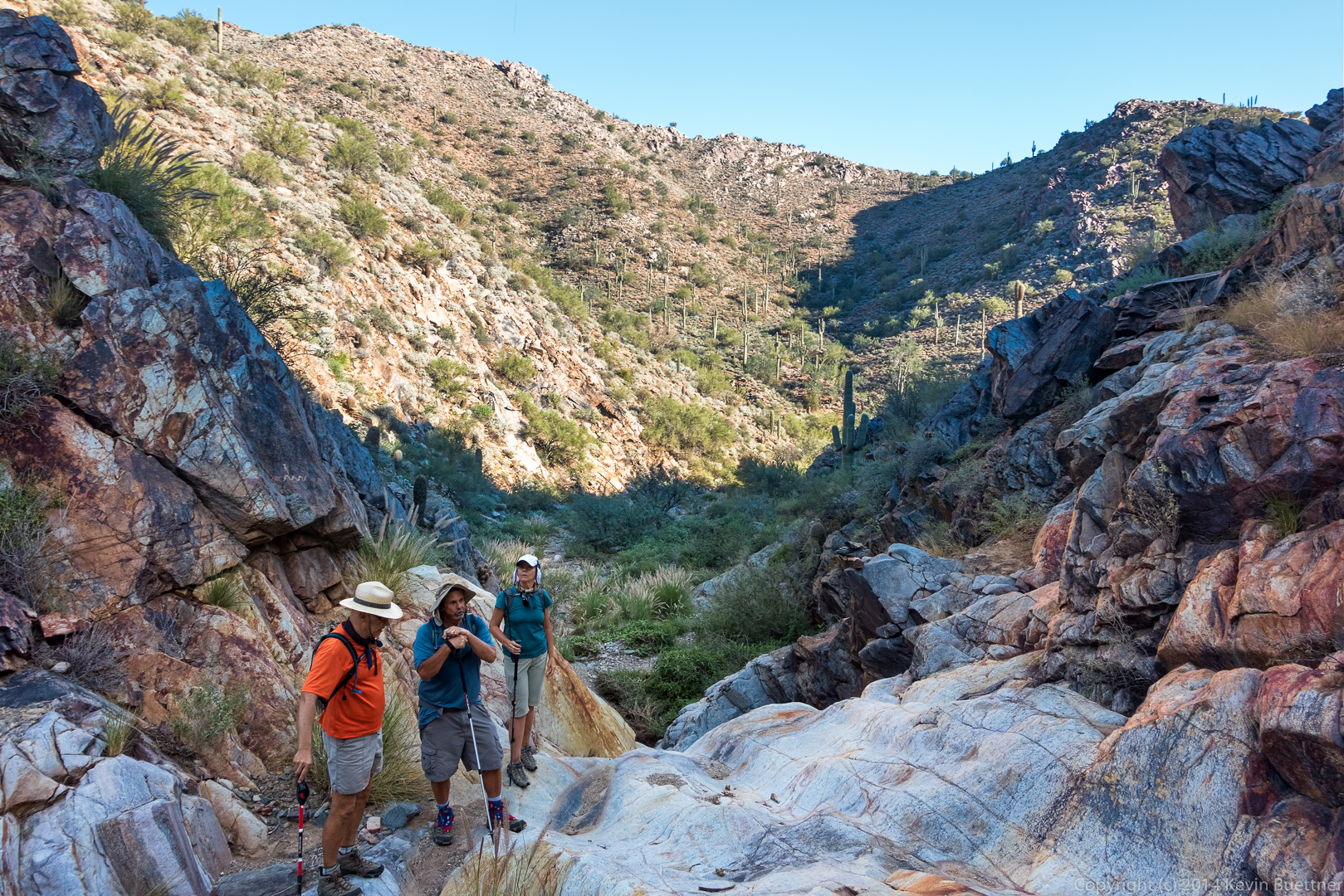
George, Jill, Deanne, Sandy, Linda, and Janet joined me for the hike. This photo below was taken at the point where George and Jill continued their hike on the Granite Trail while the rest of us headed up the Bluff Trail Wash.
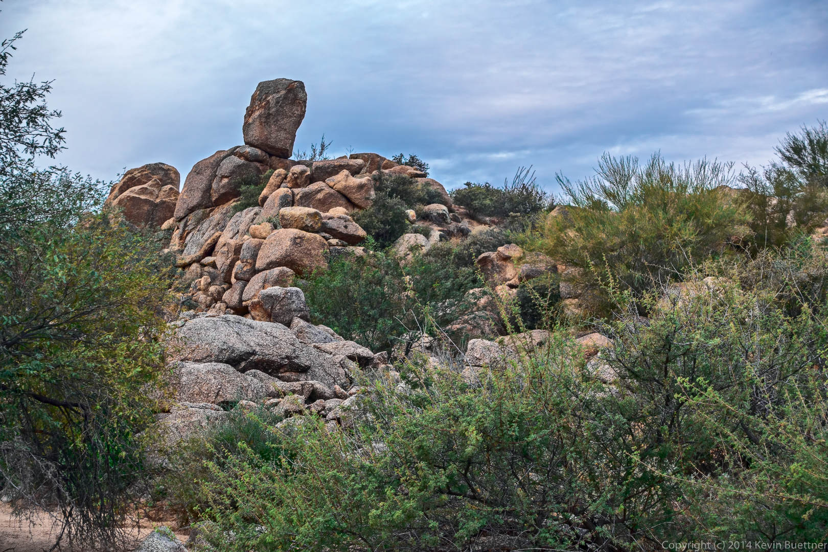
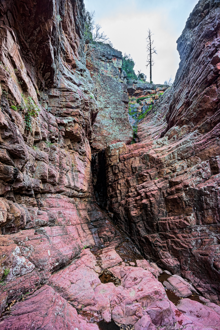
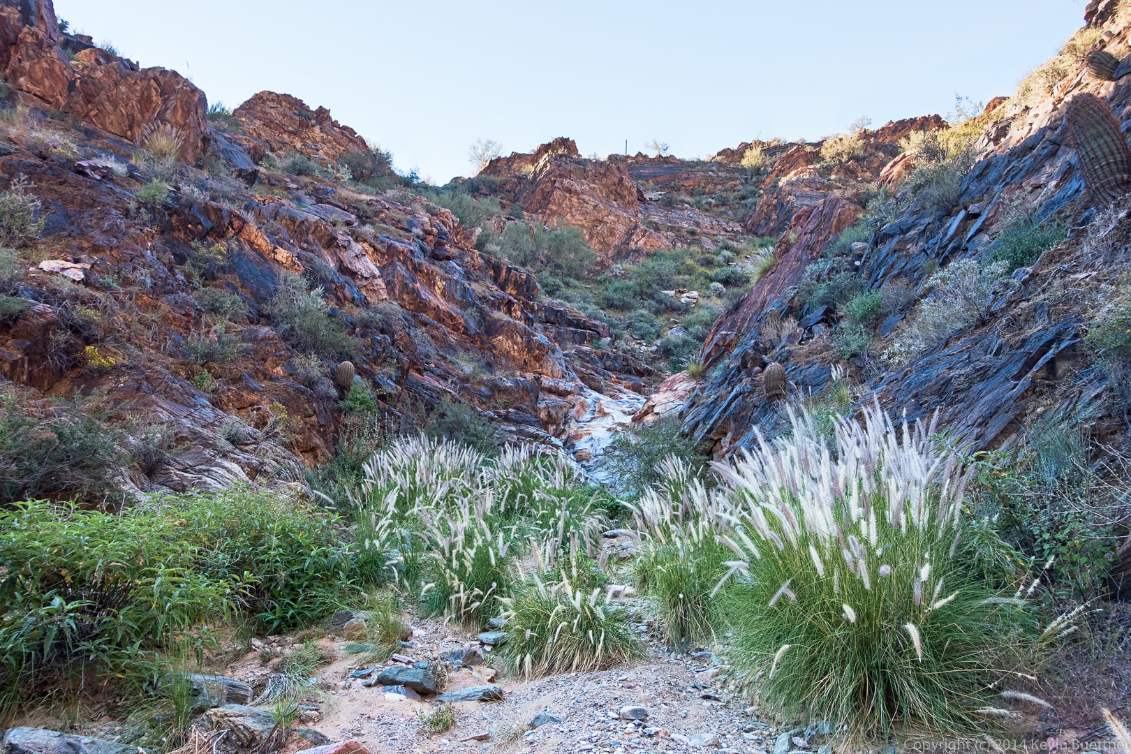
A rock formation in the wash:
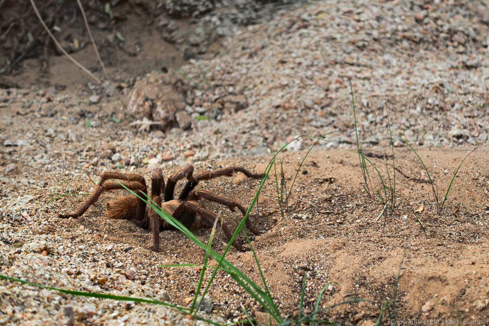
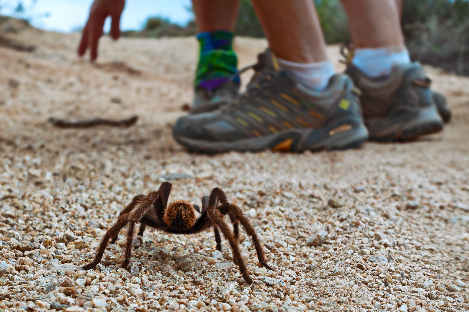
We saw two tarantulas on our hike. This is the first one, which was in the wash:
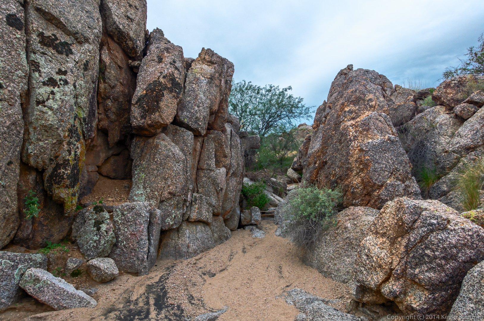
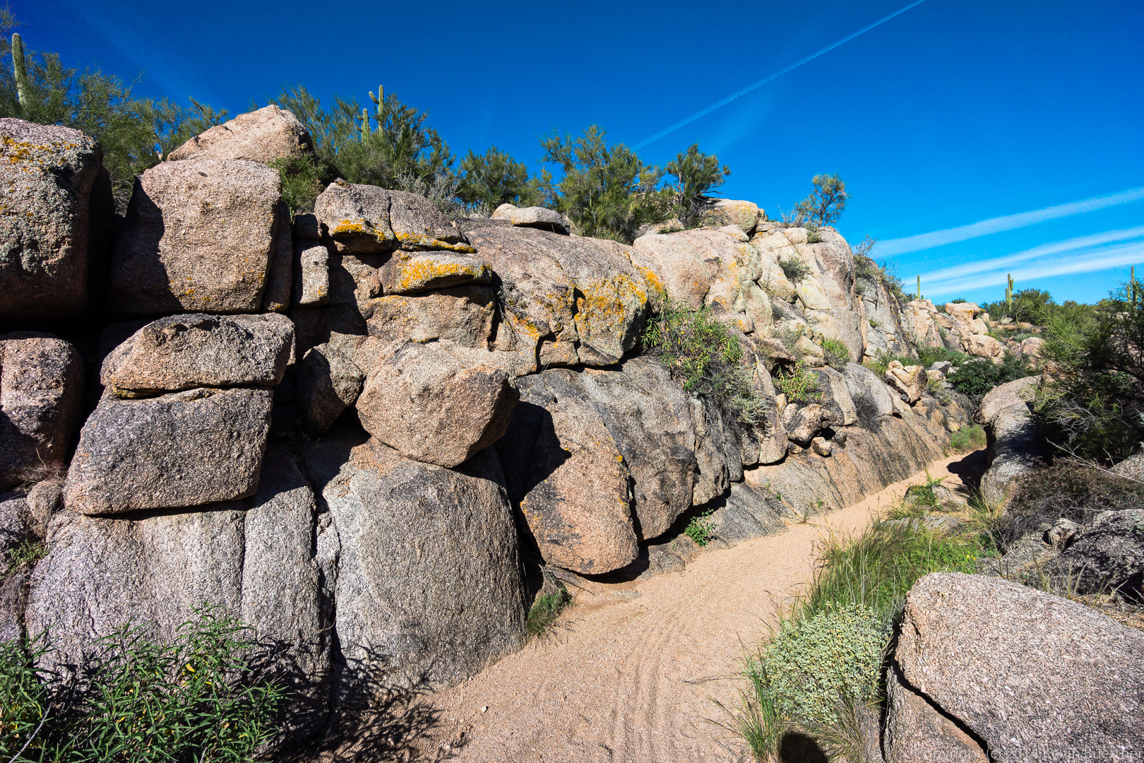
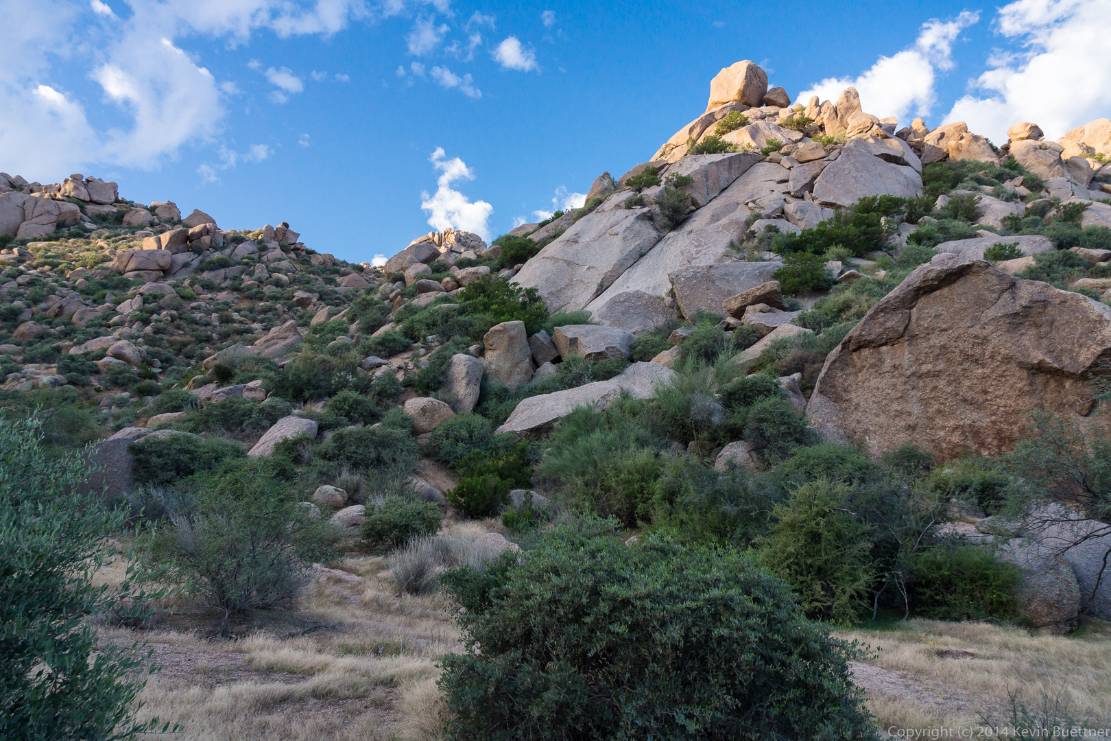
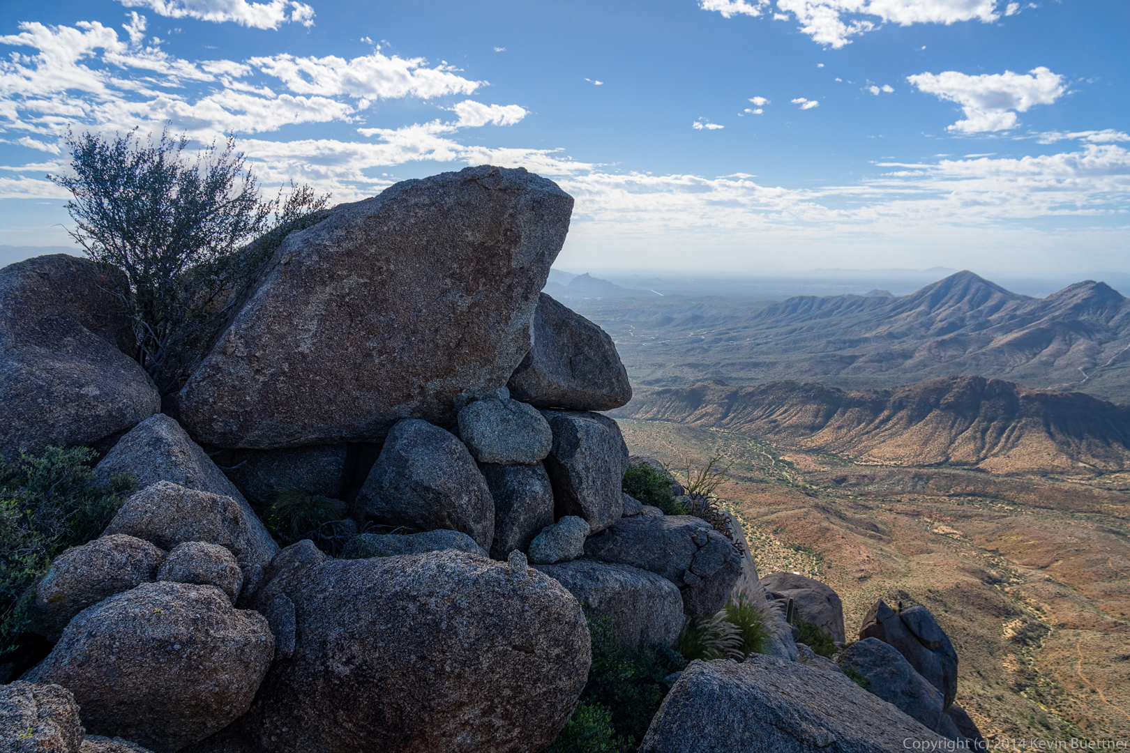
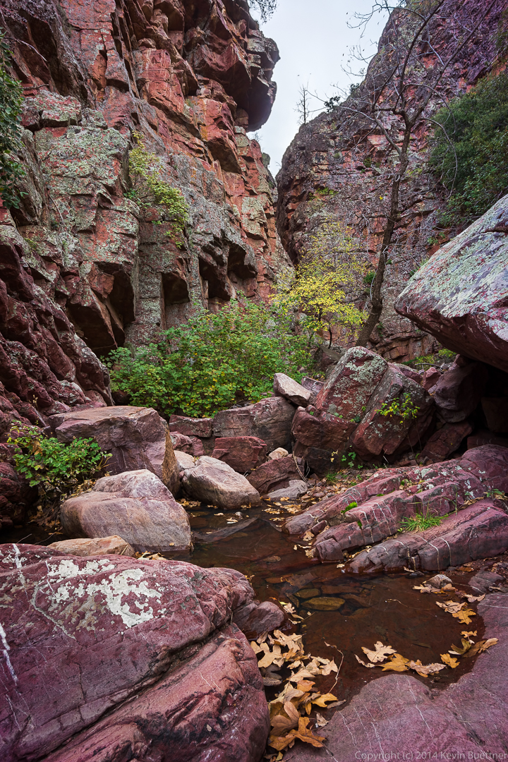
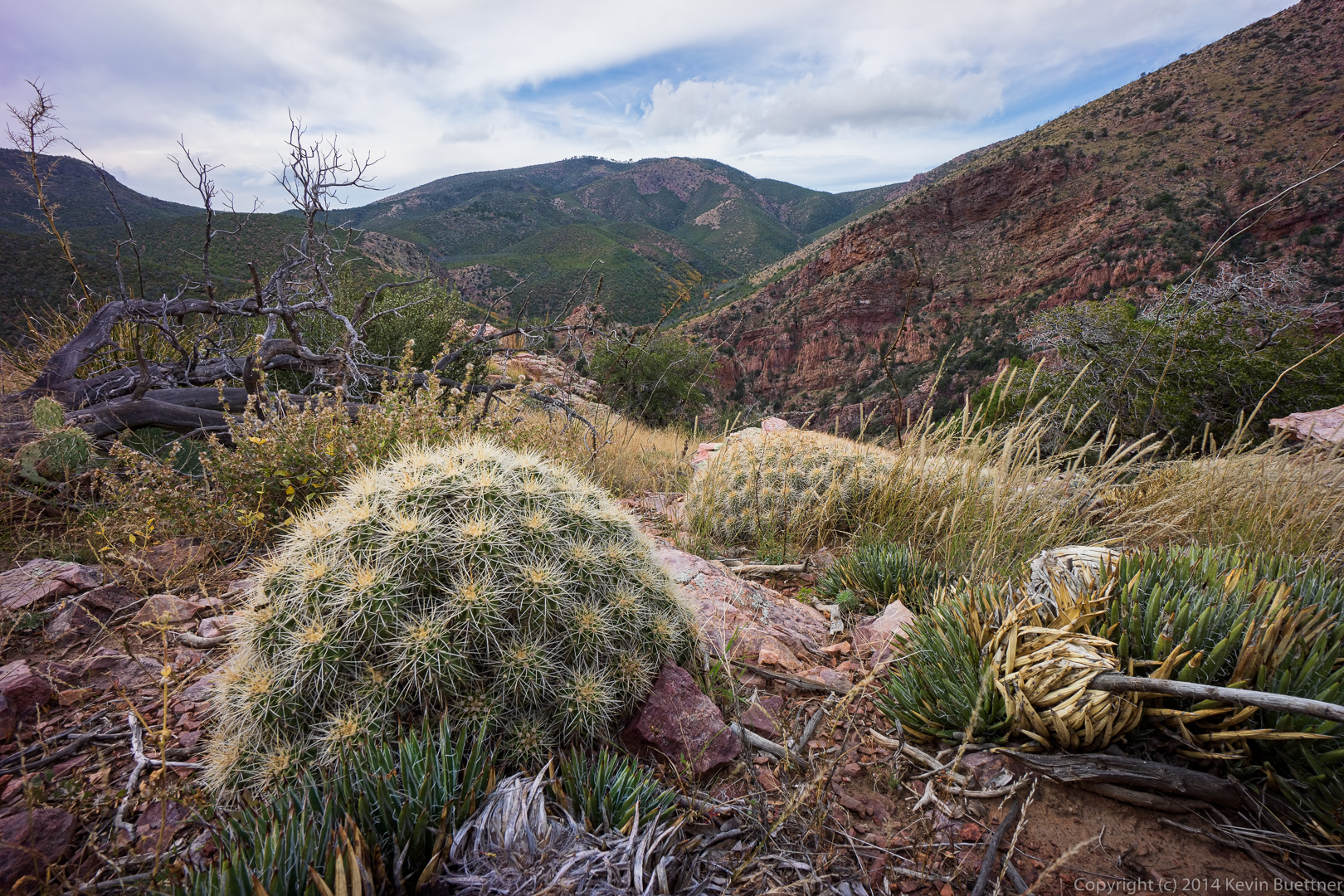
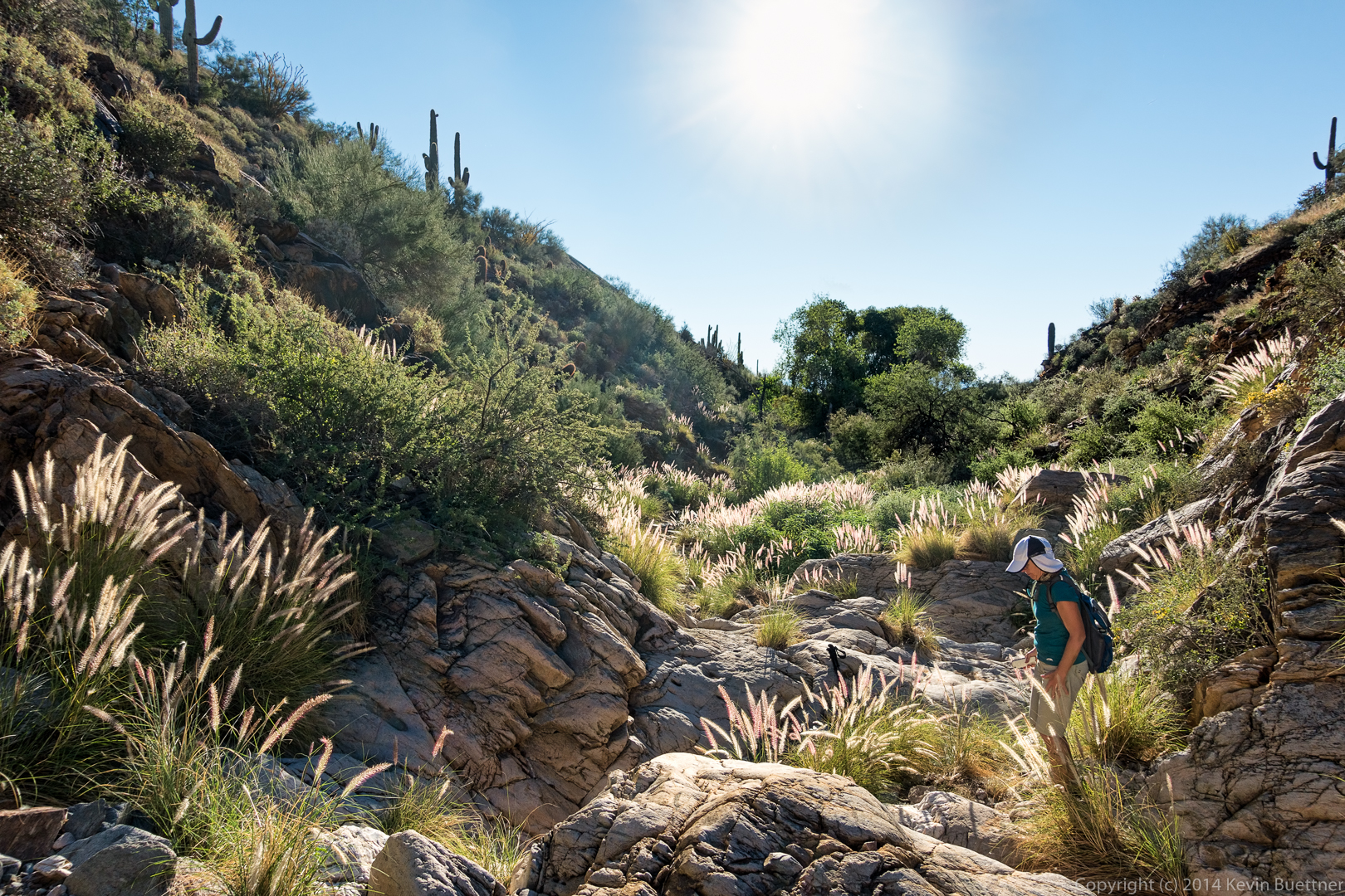
Our route took us through these large boulders:
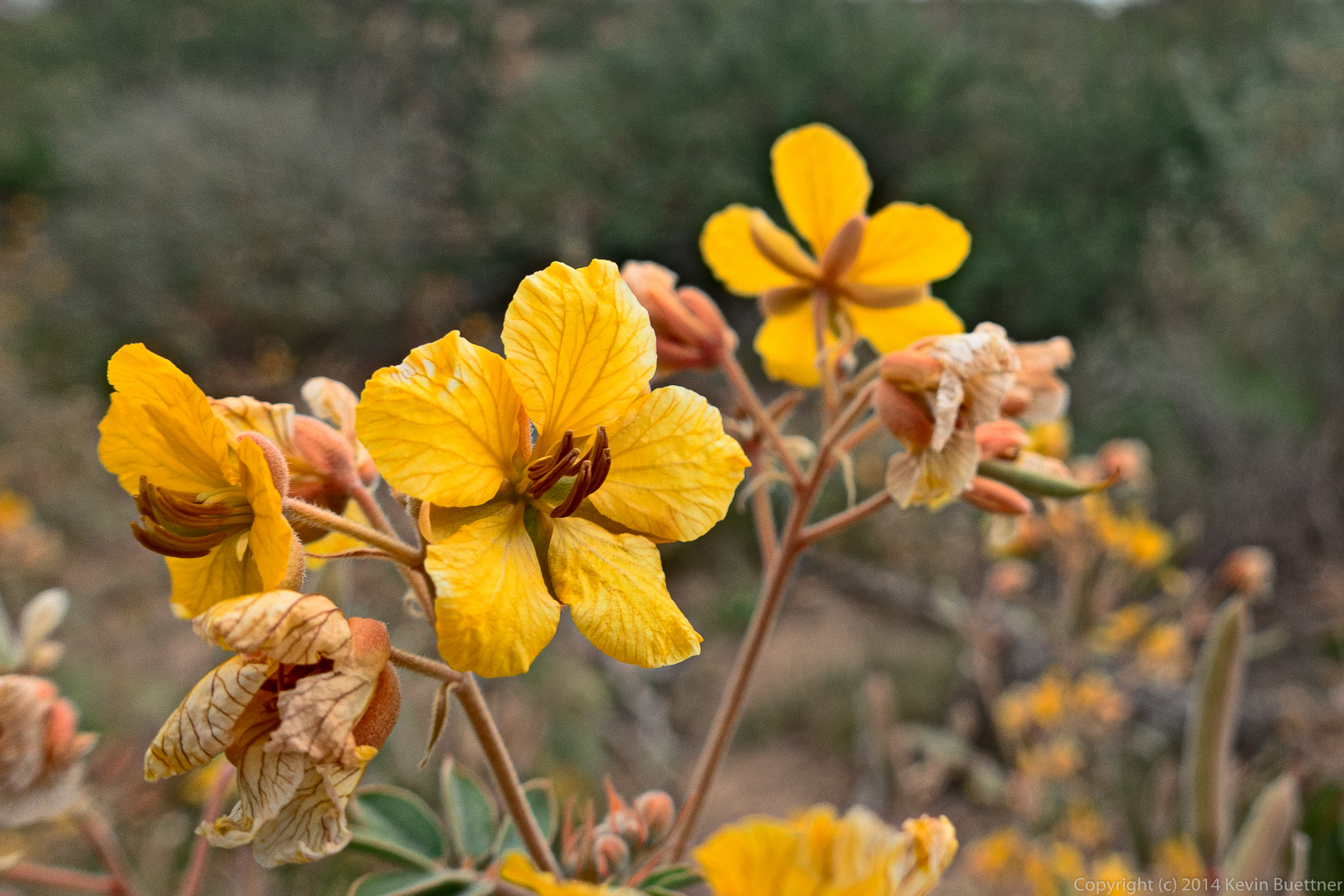
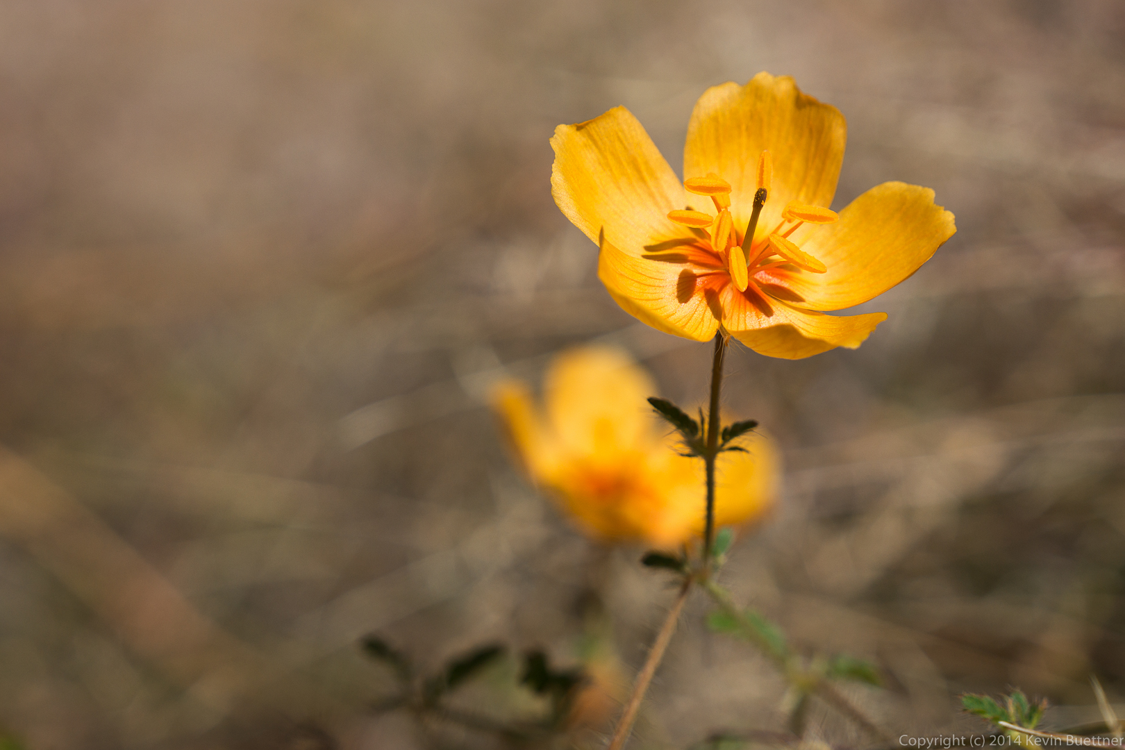
This is a senna flower. The color is a more intense in this photo than it is in real life.
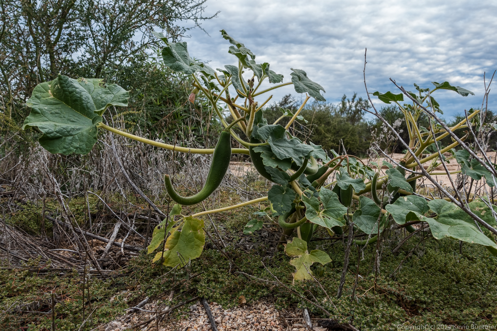
We saw a Queen of the Night plant along the Pemberton. We also saw two of them on the Delsie Trail, one of which we had never noticed before.
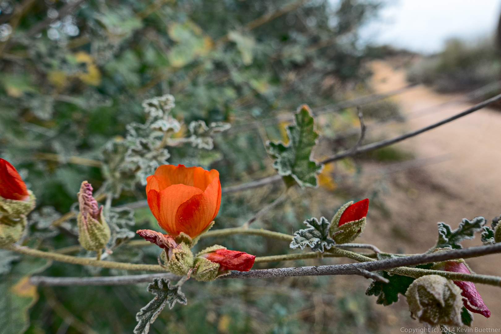
This is a globe mallow flower. I tried to be more accurate with the color on this one:
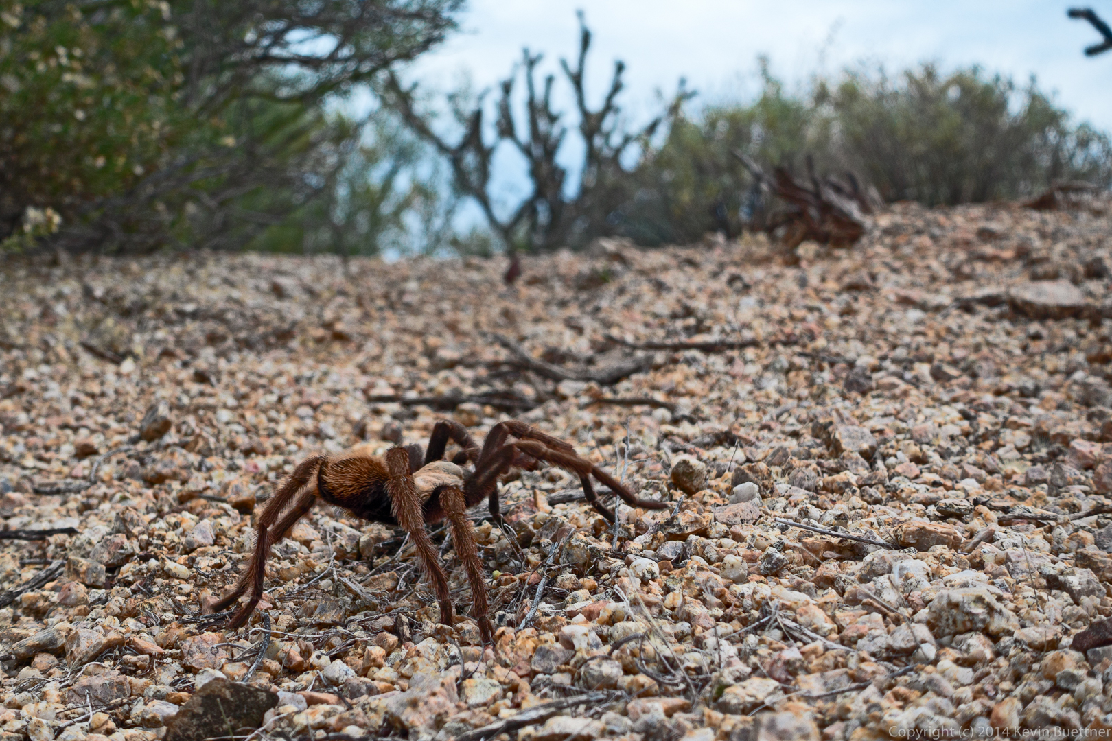
We saw the second tarantula on the Pemberton Trail. Sandy was worried that the tarantula would be run over by a mountain bike. In this shot she’s about to pick up the stick that she used to divert the tarantula off the trail. It took several tries; the tarantula was very stubborn.
Here’s a shot of the tarantula safely off the trail:
Photos from last Sunday’s hike of Coyote Canyon. Thanks to Linda for leading this hike!
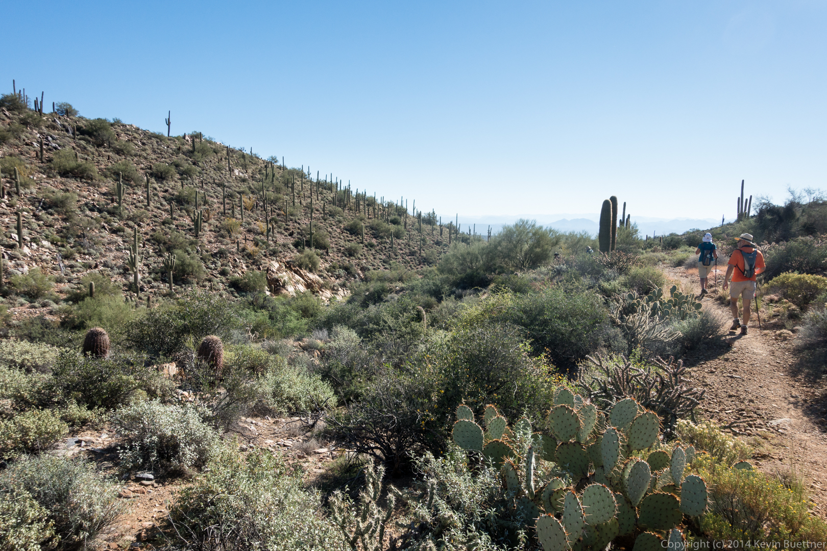
Friday’s hike started from the Trailhead Staging Area. George, Jill, Bob, Sarge, Janet, Bill, Amy, and I hiked the Scenic Trail. When we got back to the Pemberton, George, Jill, and Amy returned to the trailhead for a 4.5 mile hike. Bill, Janet, Bob, Sarge, and I went the other way on the Pemberton, returning via the Lariat, Granite, Wagner, and Tortoise trails for an 11.2 mile hike.
I’ve added a new element to my photographic workflow for this week’s photos, but I’m not very good at it yet. I think that some of these have a reddish cast. I’ve decreased the saturation in areas of a few of them where it’s especially bad, but it’s still noticeable.
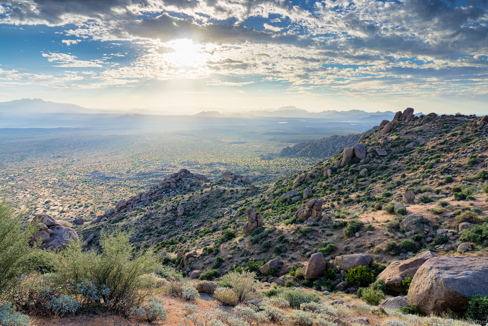
Our hike started at 8:00am, so the sun was well up when we started. I thought about getting out early for a sunrise shot, but I would’ve had to show up well over an hour before the hike began. This is a view from the Scenic Trail at the beginning of our hike.
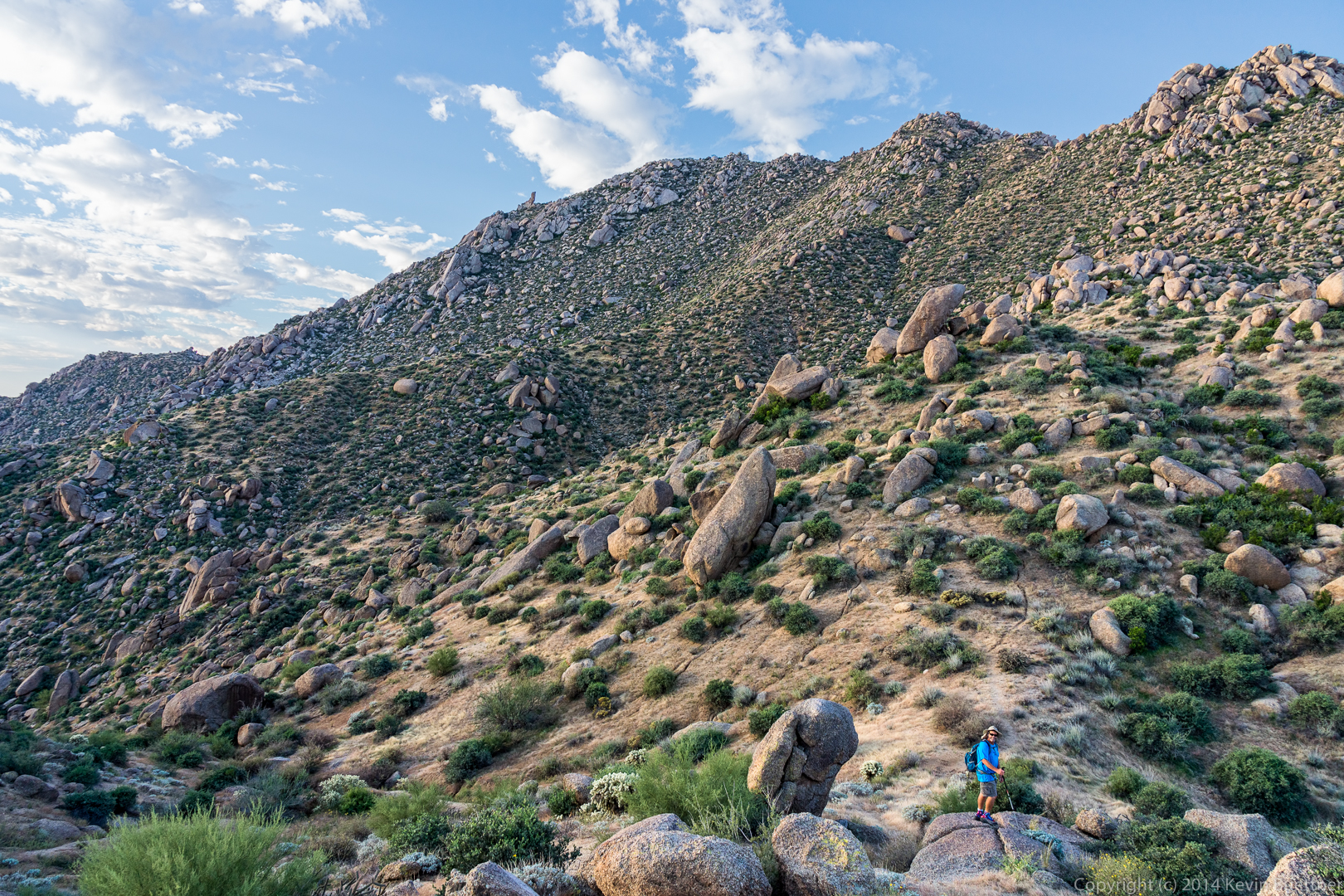
George and Amy arrive at the top of the hill on the Scenic Trail.
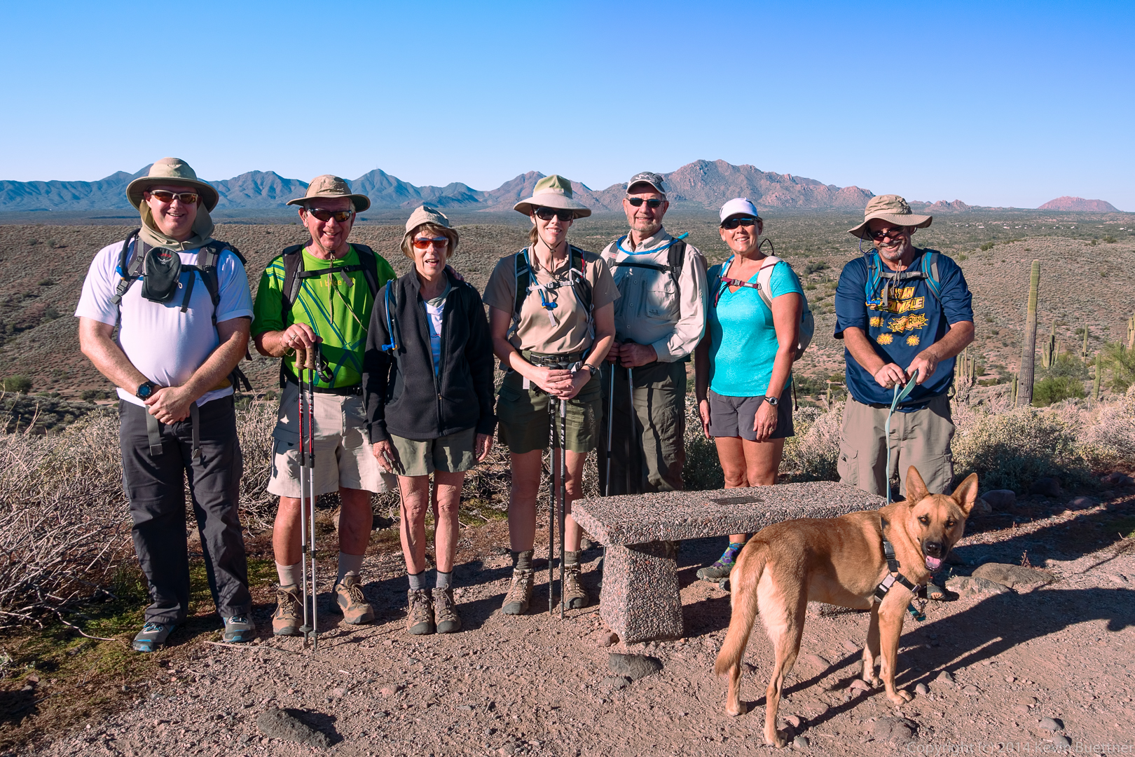
Amy and I both took this shot. From left to right are Kevin, George, Jill, Amy, Bill, Janet, and Bob, with Sarge in front.
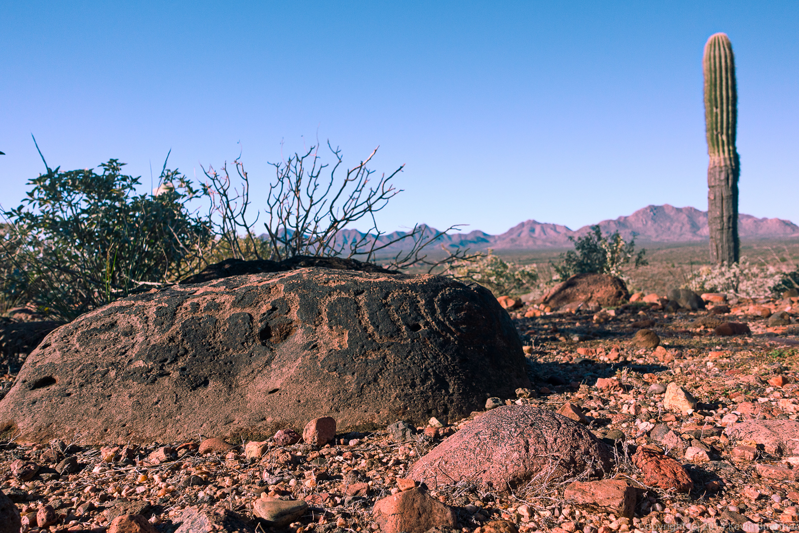
This is the small petroglyph along the Scenic Trail.
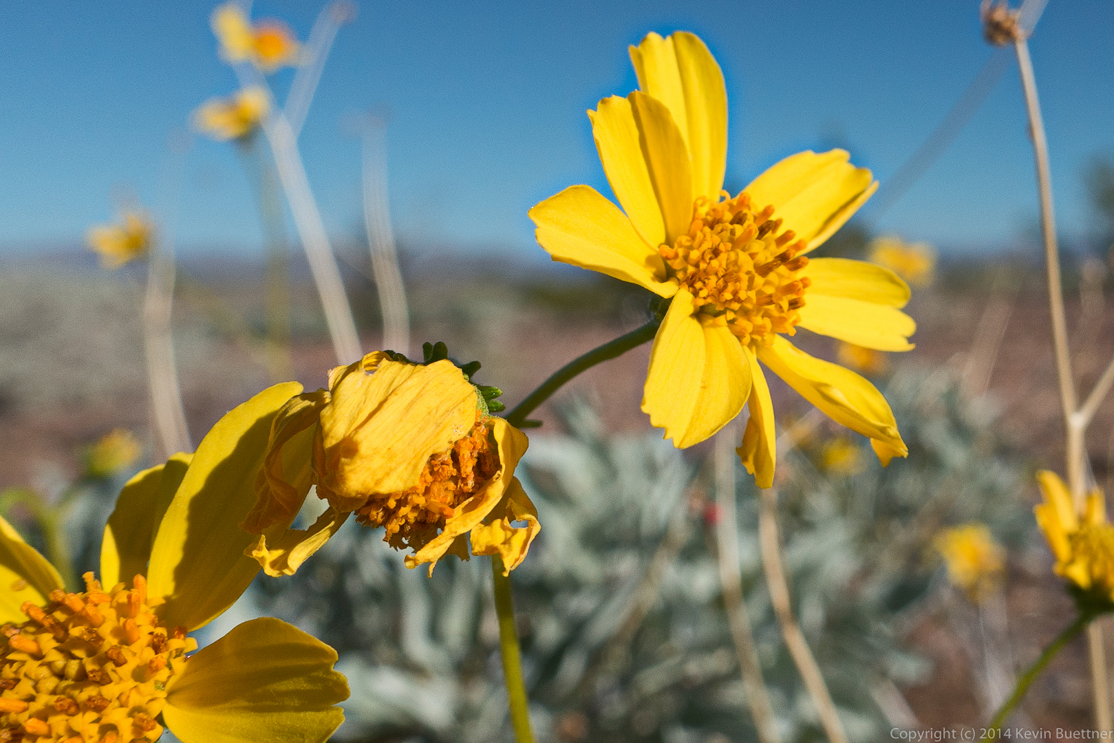
Brittlebush flowers:
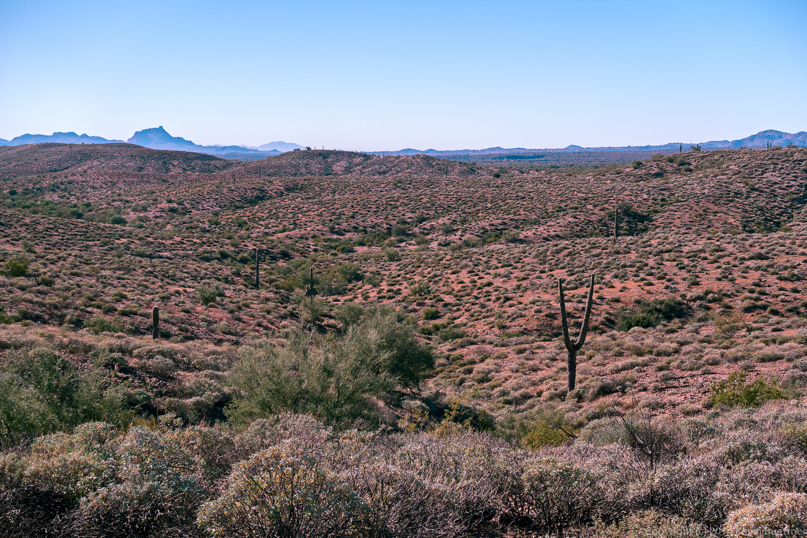
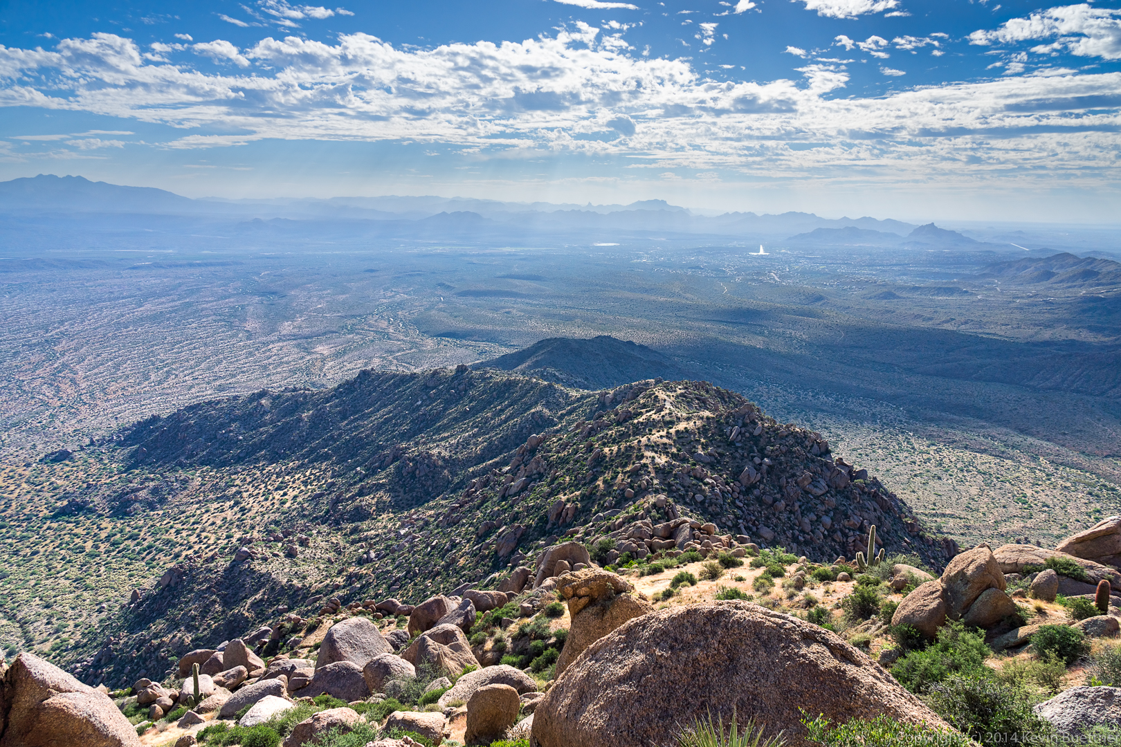
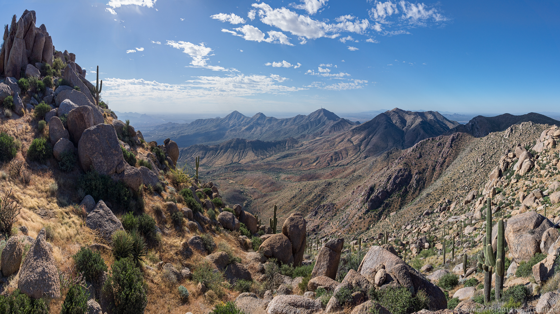
Yet another view from the Scenic Trail. My camera battery died at around this point.
Bob and I hiked up to the East End in the McDowells by way of Hog Heaven. We hiked past Gardener’s Wall on the way back. Total distance was only five miles with 1,971 feet of total ascent.
While we were at the East End, we encountered a fellow named Joel. He hikes the Tom’s Thumb Trail several times a week with a reclining lawn chair strapped to his back. When he gets to the top, he chills for a while at the top. He then runs back down the trail, again with his chair strapped to his back. He said it takes him about 50 minutes to get to the top and 20 minutes to get back down. I saw him running back down the trail; he goes a lot more quickly than I do!
I got this shot shortly after arriving. The sky color was more interesting perhaps ten minutes before we arrived.
This is where Bob and I climbed several weeks ago. We climbed the prominent crack on that slab in addition to a face climb to the left. Both of these climbs are easy, but it was good practice for me (who hadn’t done a lead in a while) and for Bob (who had never belayed a lead climber before).
We had made it past the Sven Towers when I took this shot:
Hog Heaven is the collection of (very) large boulders down and to the left of the Thumbnail Pinnacle. The trail leads up to the base of Hog Heaven and then continues to the left and upwards. It eventually works its way back to the right, leading past the Thumbnail Pinnacle. From there, it continues up the ridge which leads to the East End, the highest point in the McDowells.
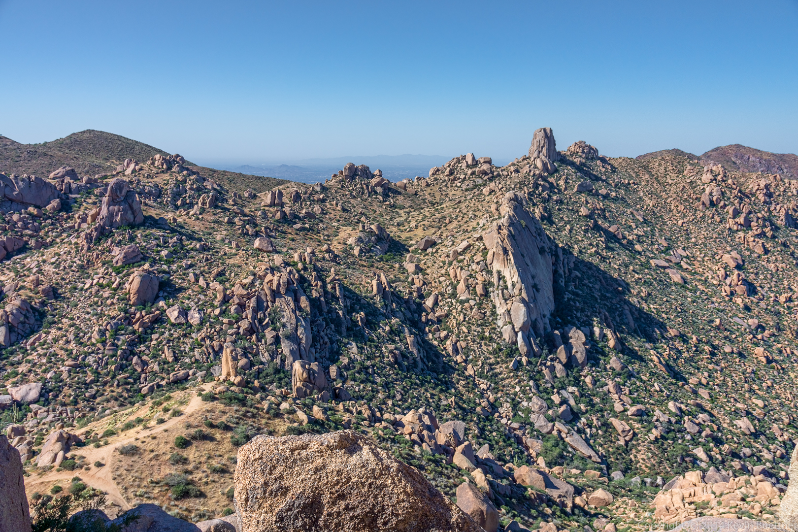
We passed some smaller rock formations on our way up to Hog Heaven…
I got this shot from slightly below the Thumbnail Pinnacle. The Fountain is up!
I found a vantage point that I hadn’t noticed before to get this shot of the Thumbnail Pinnacle:

When I turned around, I saw that Bob had also found a rock from which to take in the views.

When viewed from the ridge above, the Thumbnail Pinnacle looks like an impressive spire.

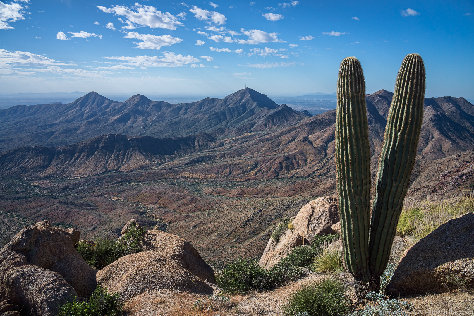
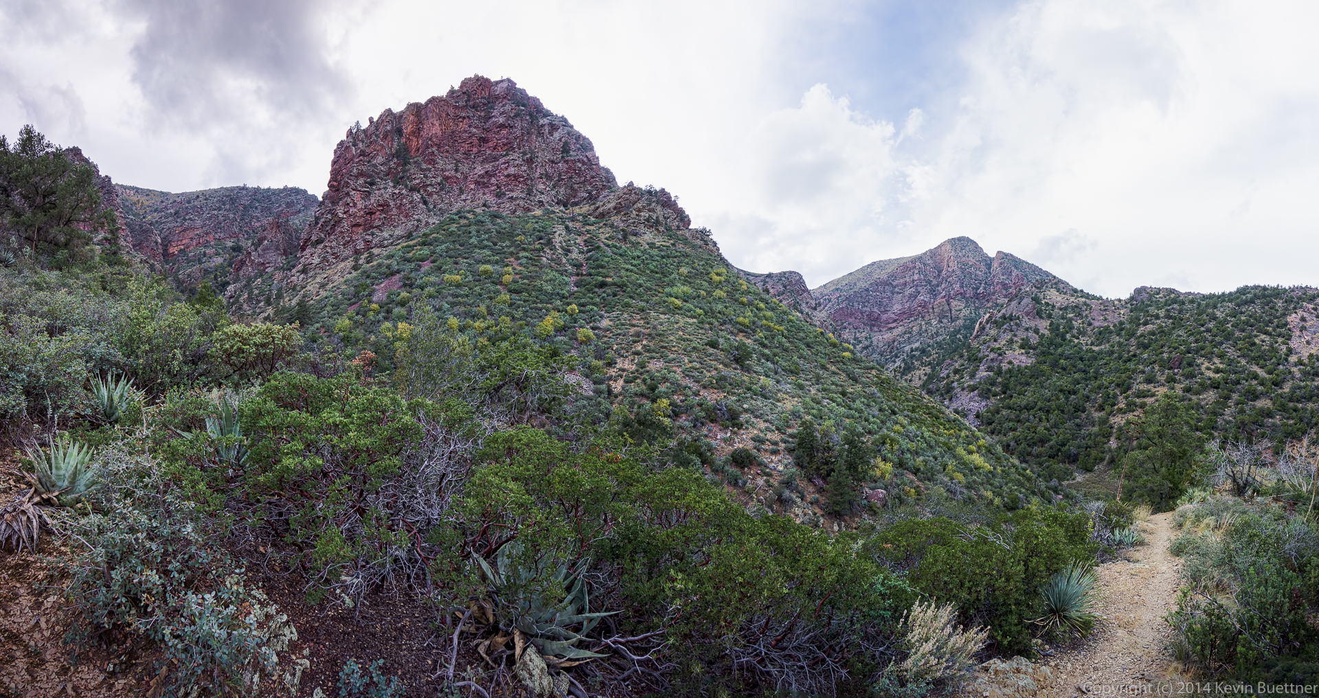
More views opened up as we worked our way up and along the ridge…
I got this shot as we started working our way down from the East End:

I got this shot of Tom’s Thumb, Gardener’s Wall, and Glass Dome from just beyond the rock upon which Bob is standing in the previous photo. I had never seen these formations from this angle before.
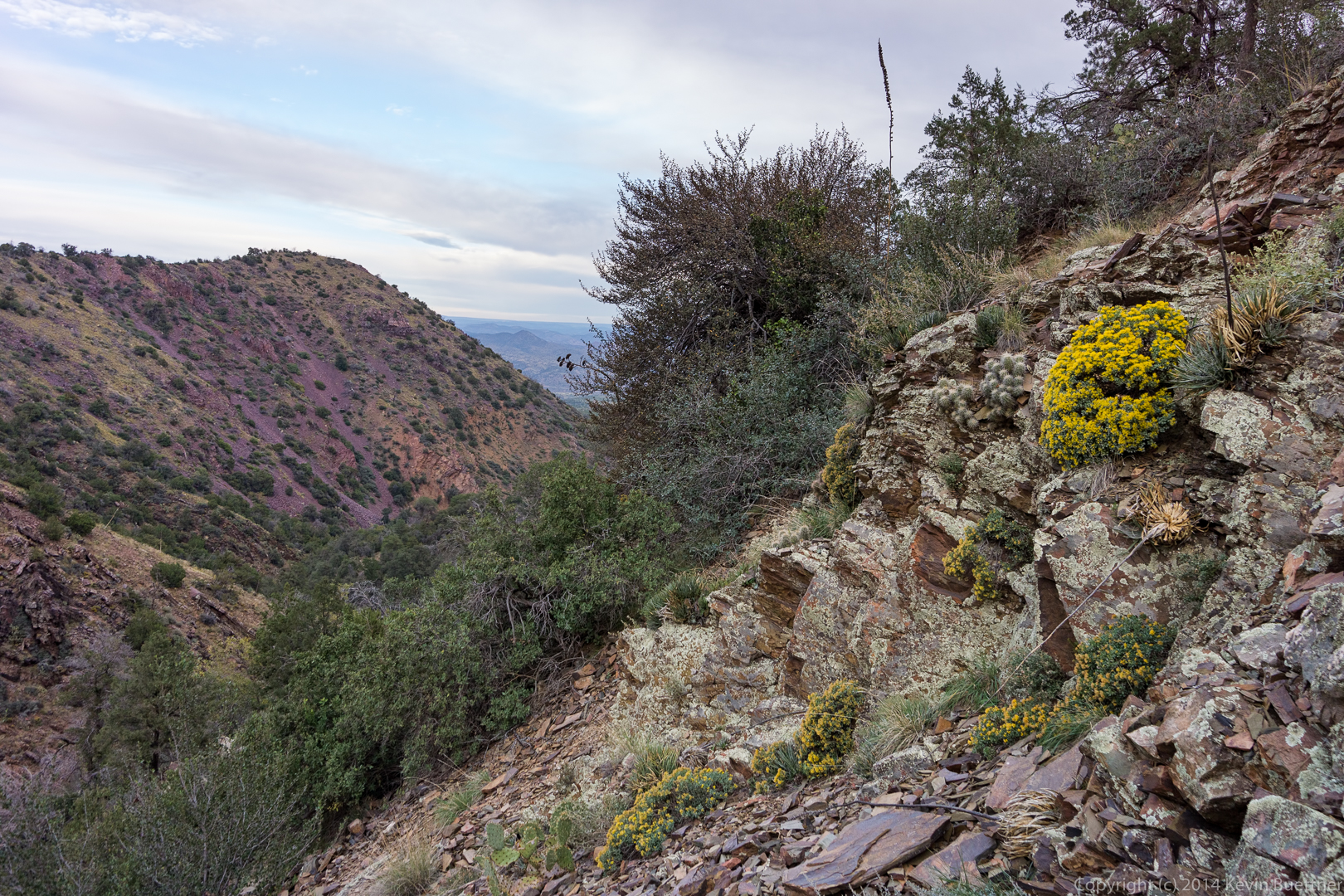
I don’t know what kind of flower this is, but we saw it on our way towards Gardener’s Wall.
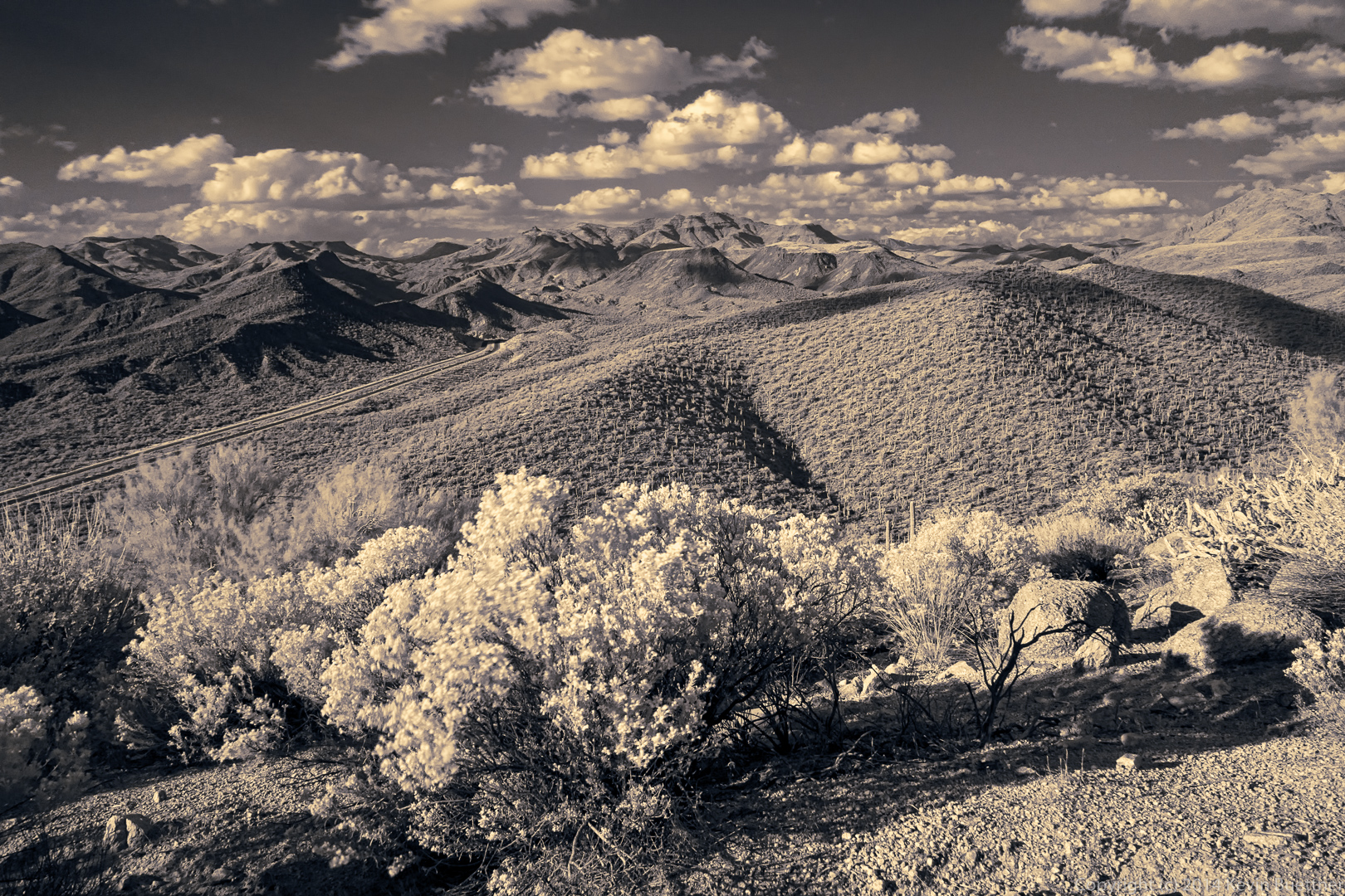
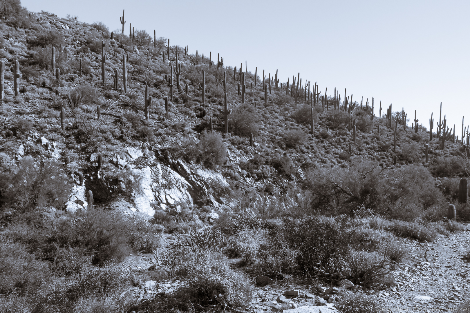
I took this shot using a Hoya R72 (infrared) filter on my RX100 III while hiking the Pine Creek Loop on Saturday:
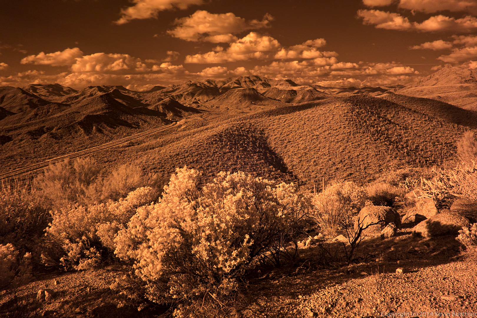
This is what it looks like without the filter:
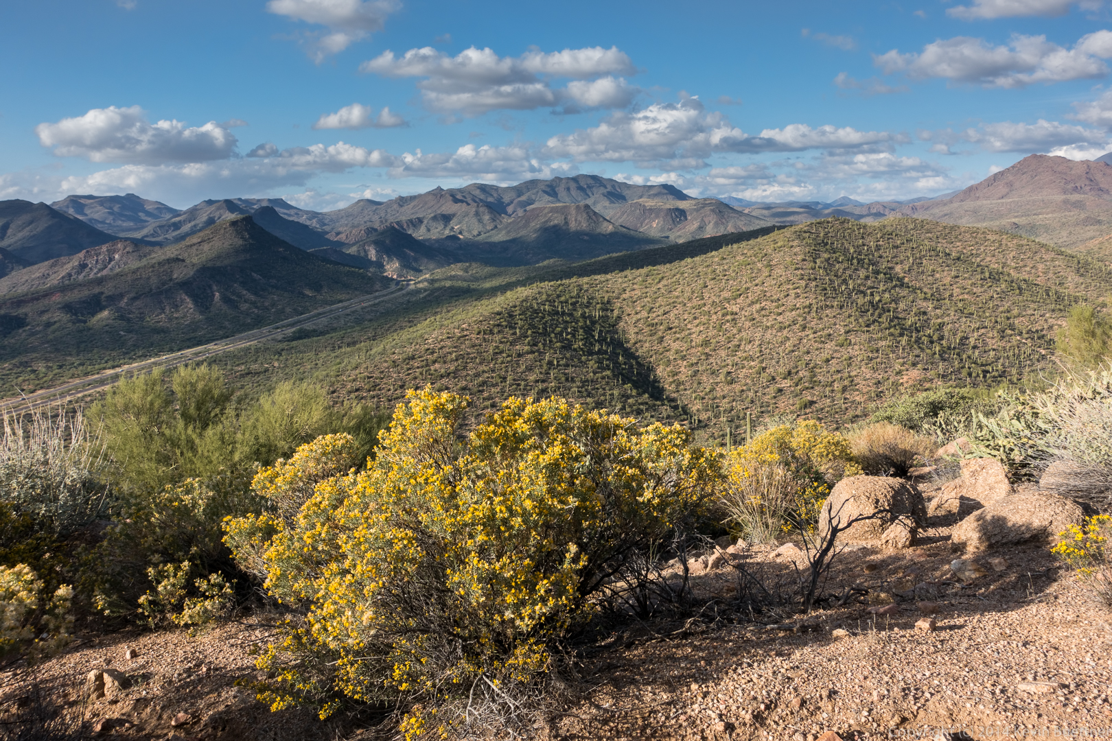
Update: It was suggested to me that the IR version be brightened…

I also tried processing it another way:
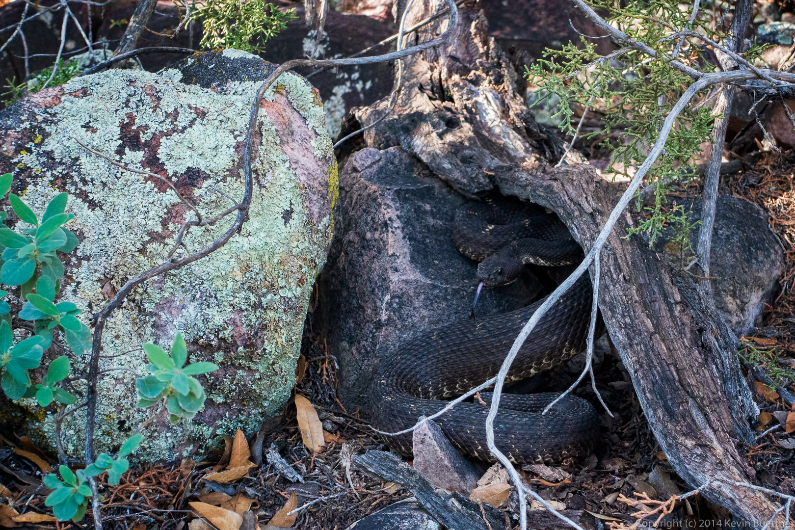
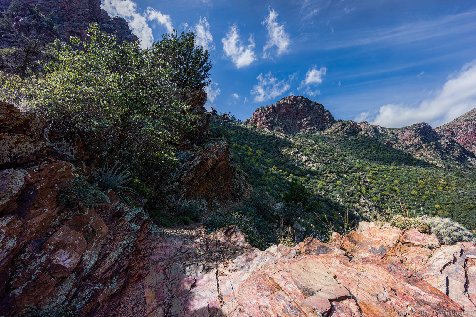
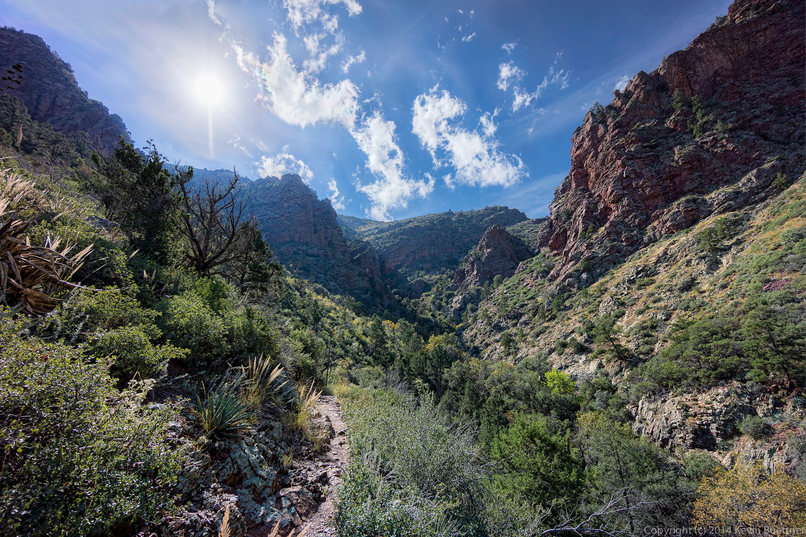
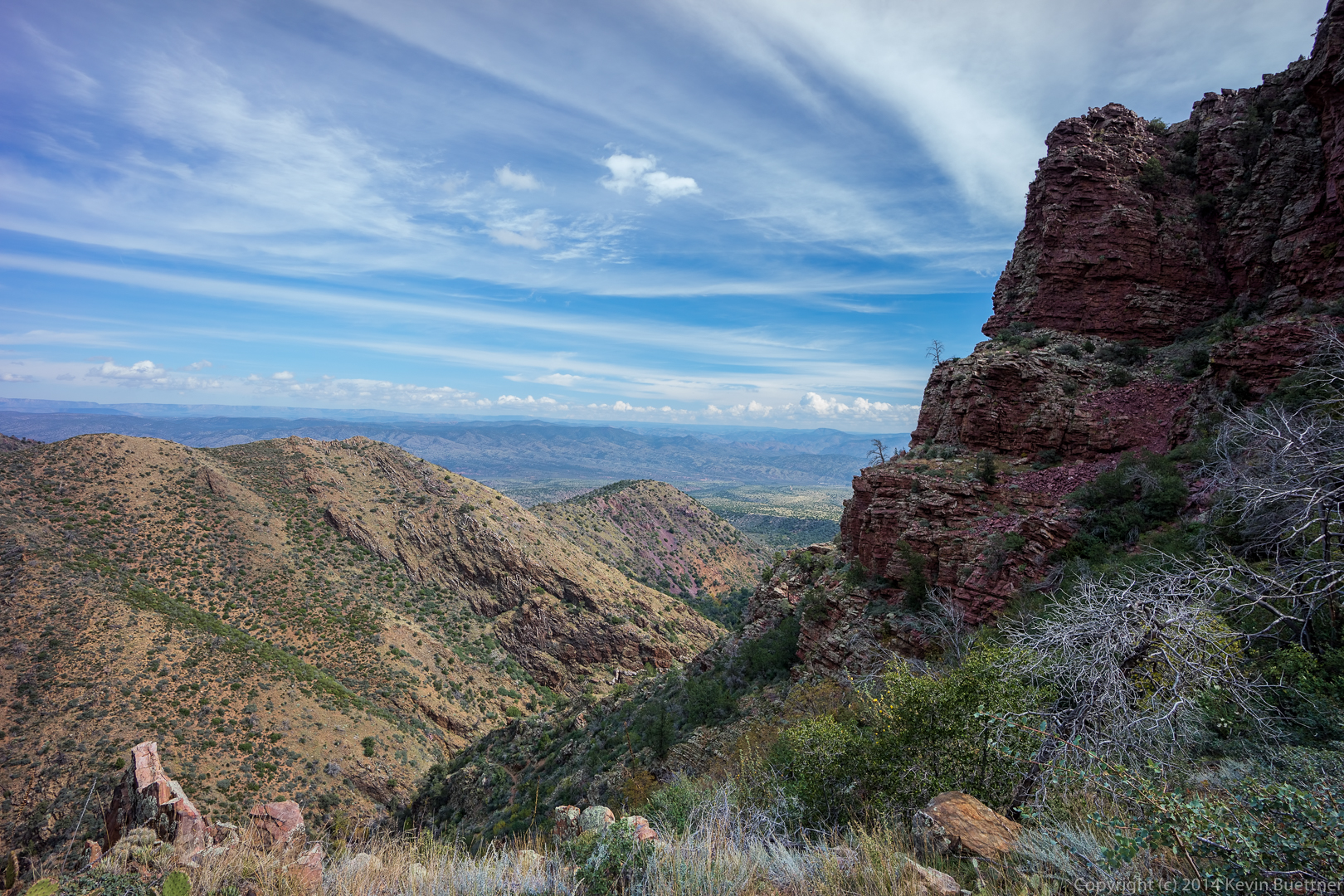
Bob, Nick, Marilyn, and I hiked five miles out (and five miles back) on the Barnhardt Trail on Sunday. Total ascent was over 2,000 feet.
We heard, and then saw, an Arizona Black Rattlesnake. I had never seen this type of rattlesnake before.
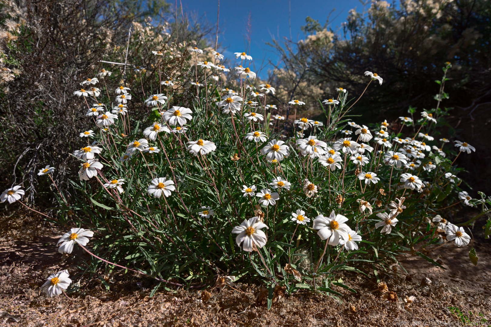
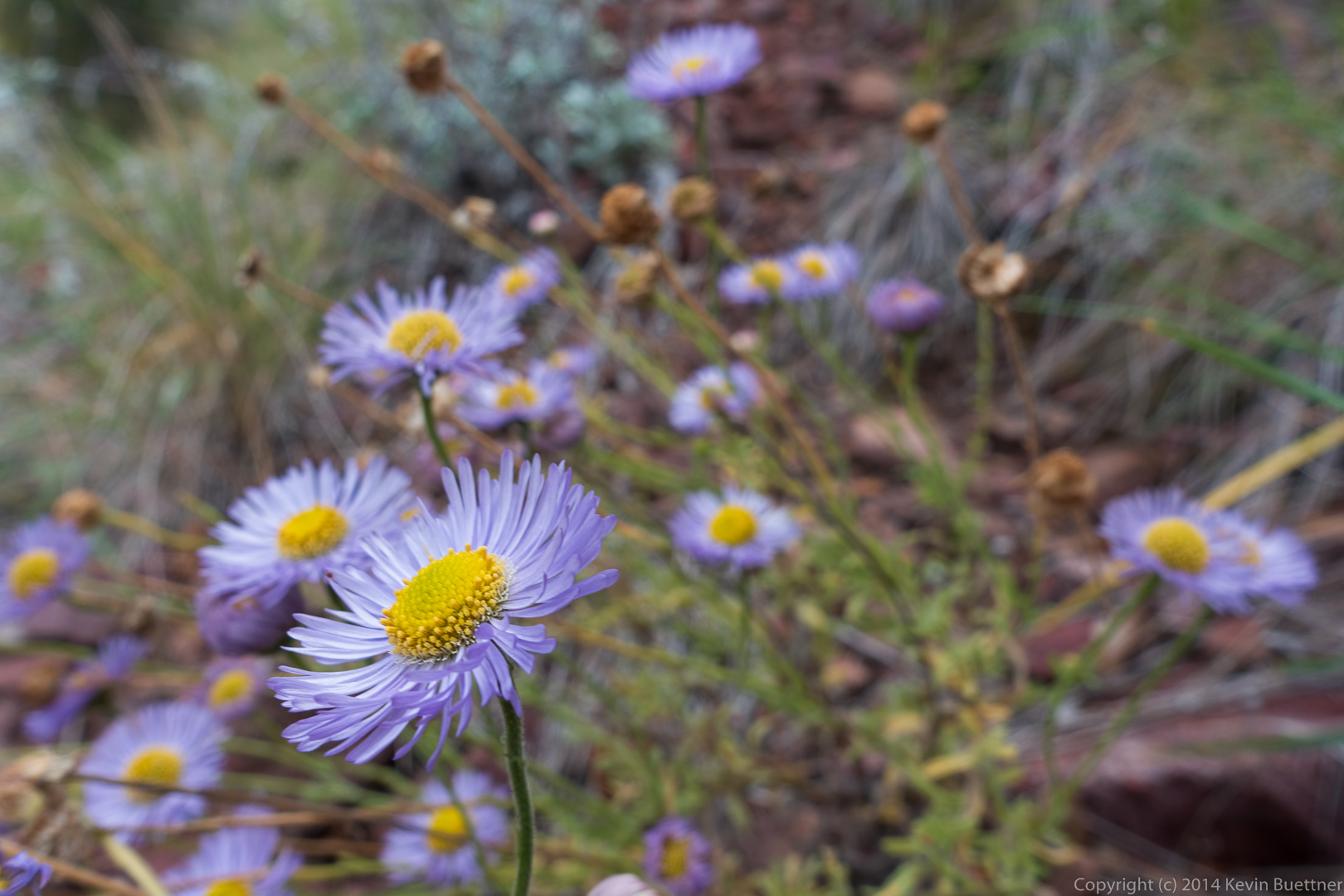
I think this might be fleabane:
A view of the waterfall; only a small trickle of water was flowing through it on our visit.
Just outside of the alcove leading into the waterfall:
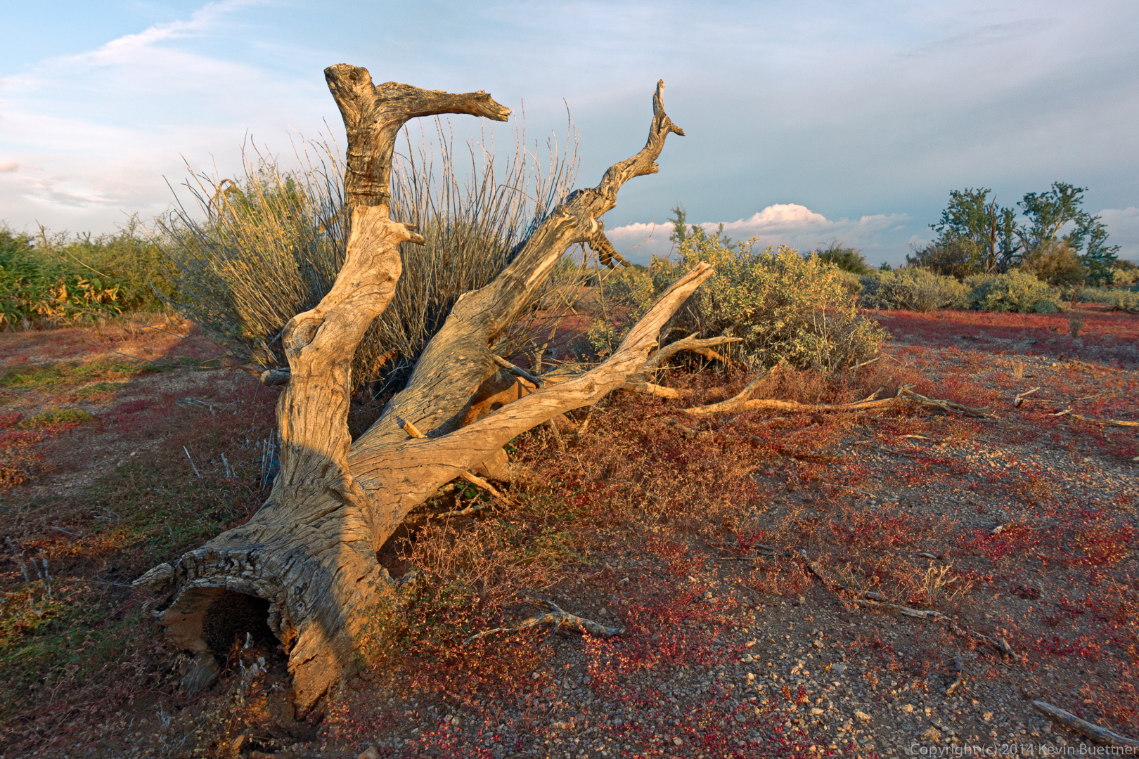
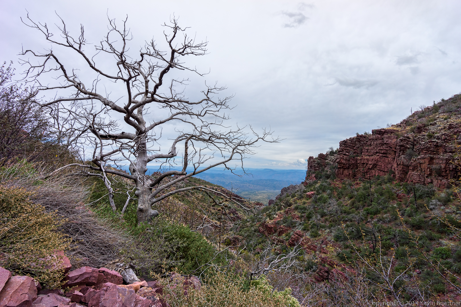
A dead tree – one of many – a short ways up the trail from the waterfall:
Bob scouted ahead while I was taking shots of the waterfall with my tripod. He recommended this shot of the pincushion (mammillaria) cacti.
This shot was taken near the intersection with the Sandy Saddle Trail.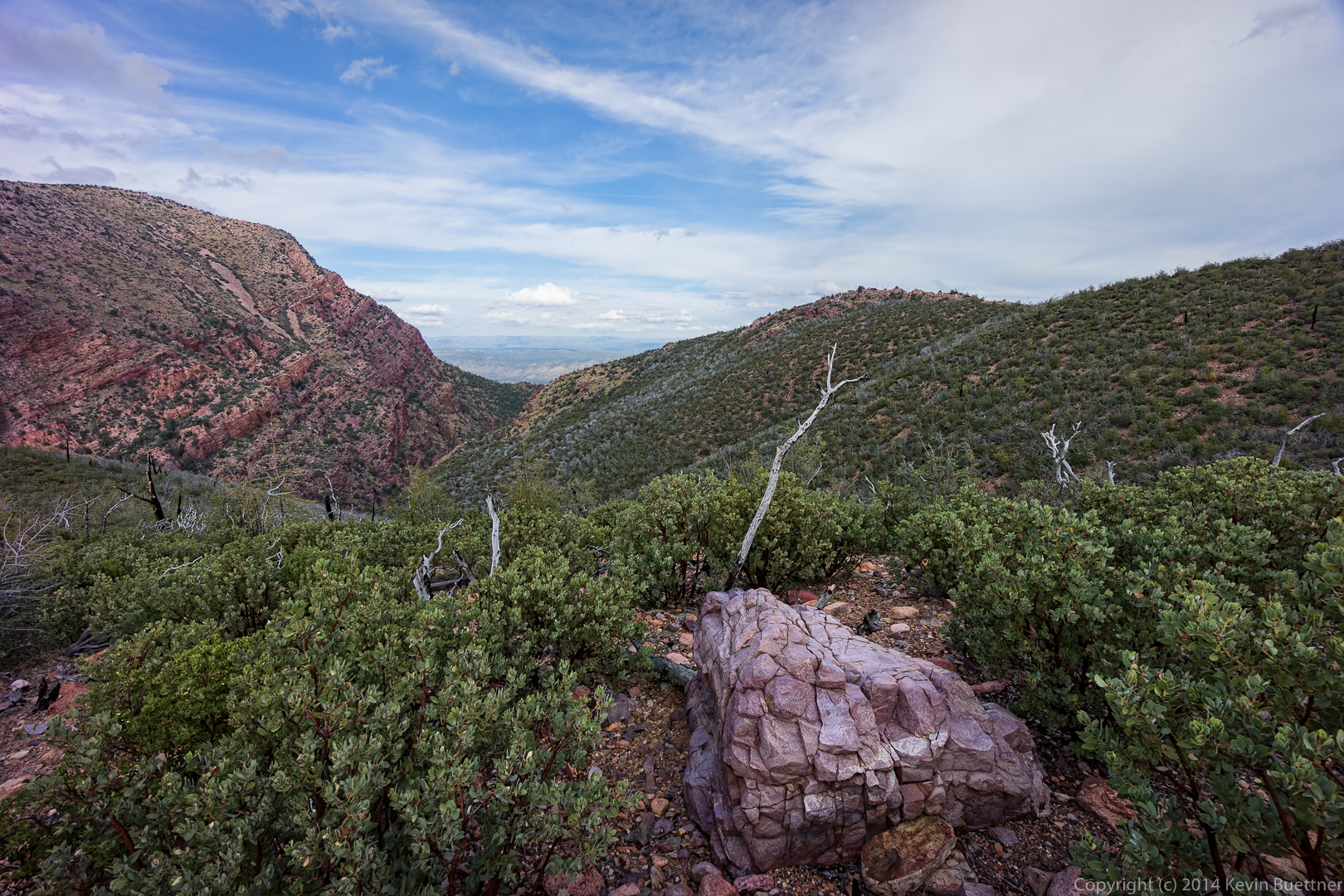
This panorama was constructed from 33 separate exposures. Eleven three shot brackets were processed individually to form eleven exposure merged files. These eleven files were edited in Lightroom and then combined into a panorama in Photoshop.

An early morning view from the Dixie Mine Trail:
A “tunnel” through the vegetation leads to the mine.
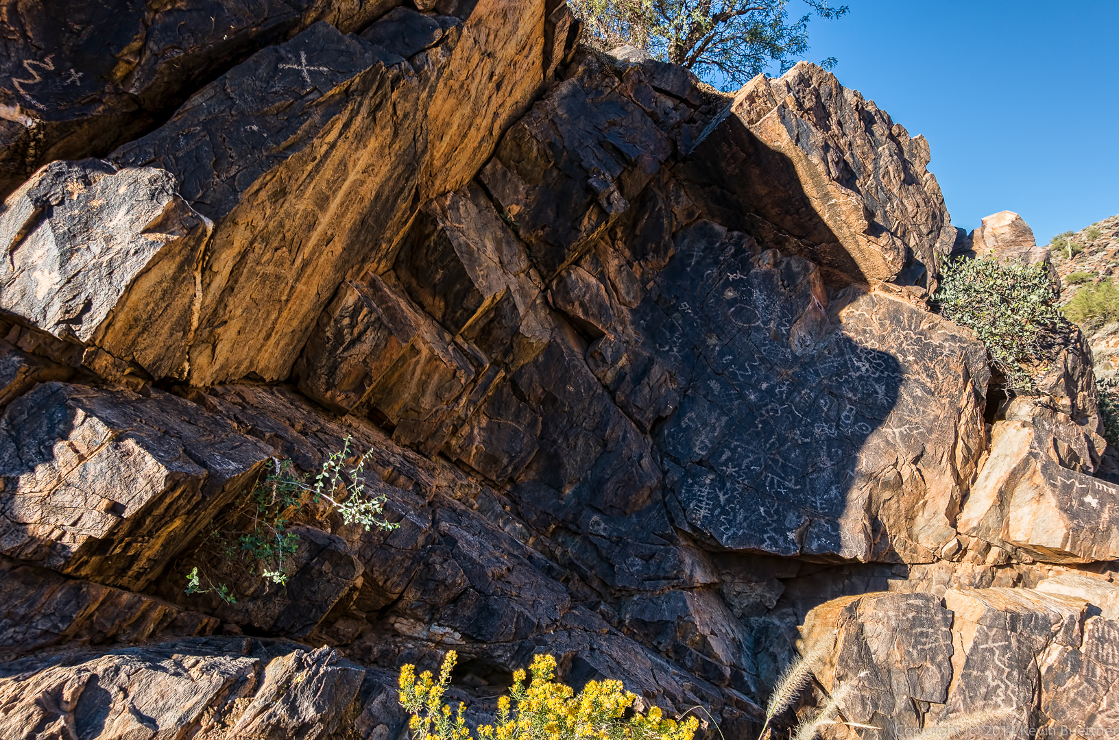
Patty is working her way up the wash towards the petroglyphs.
The petroglyphs:
This is the view from further up the wash as we neared a short, but steep and slick section of rock.
Nick, Bob, and Patty pause at the top of the steep section. We saw a small pool of water on the way up. As usual, there were a lot of bees and other insects around this wet spot.
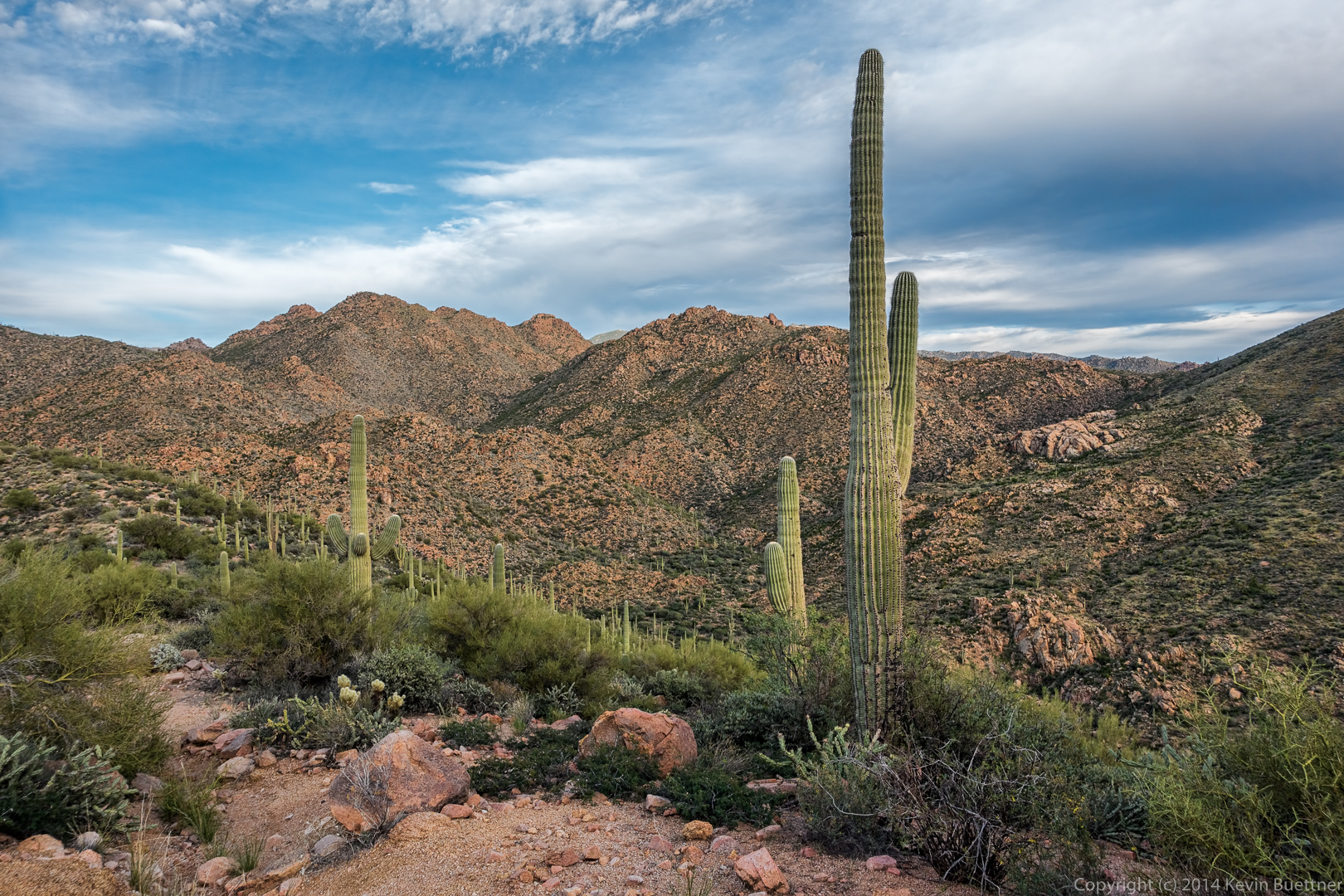
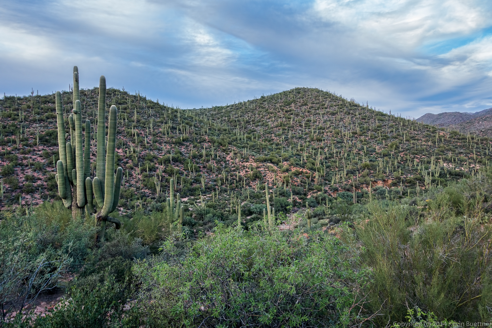
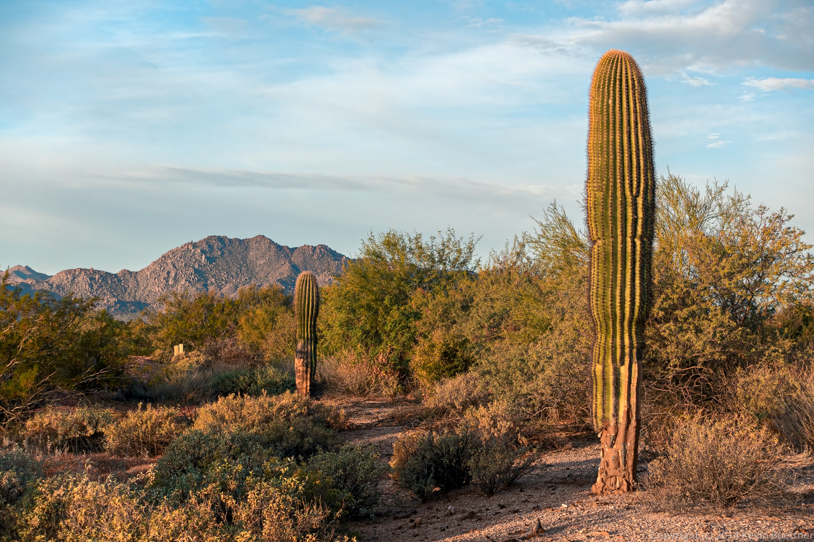
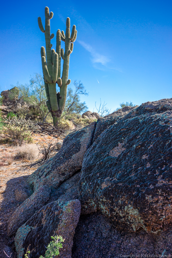
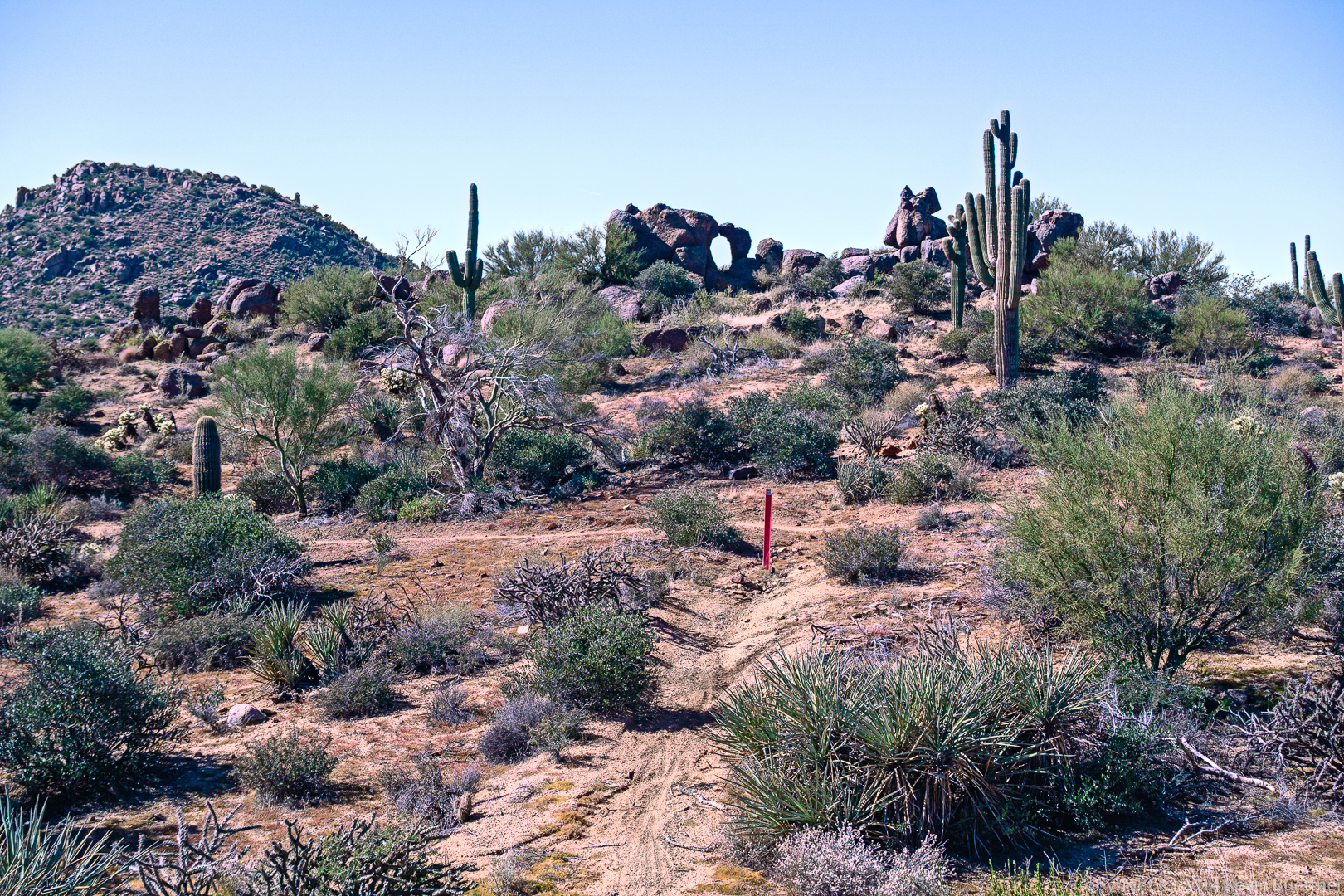
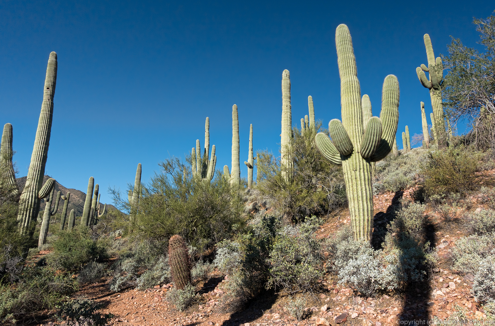
Saguaros on the Prospector Trail:
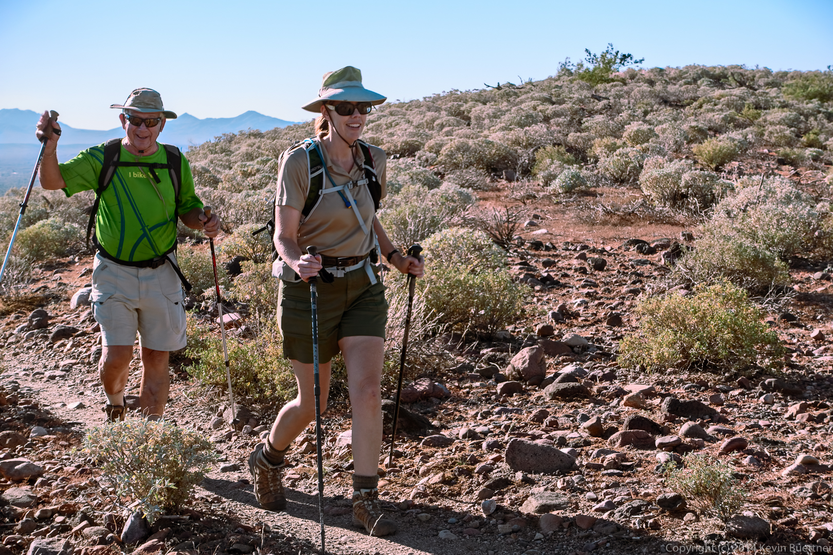
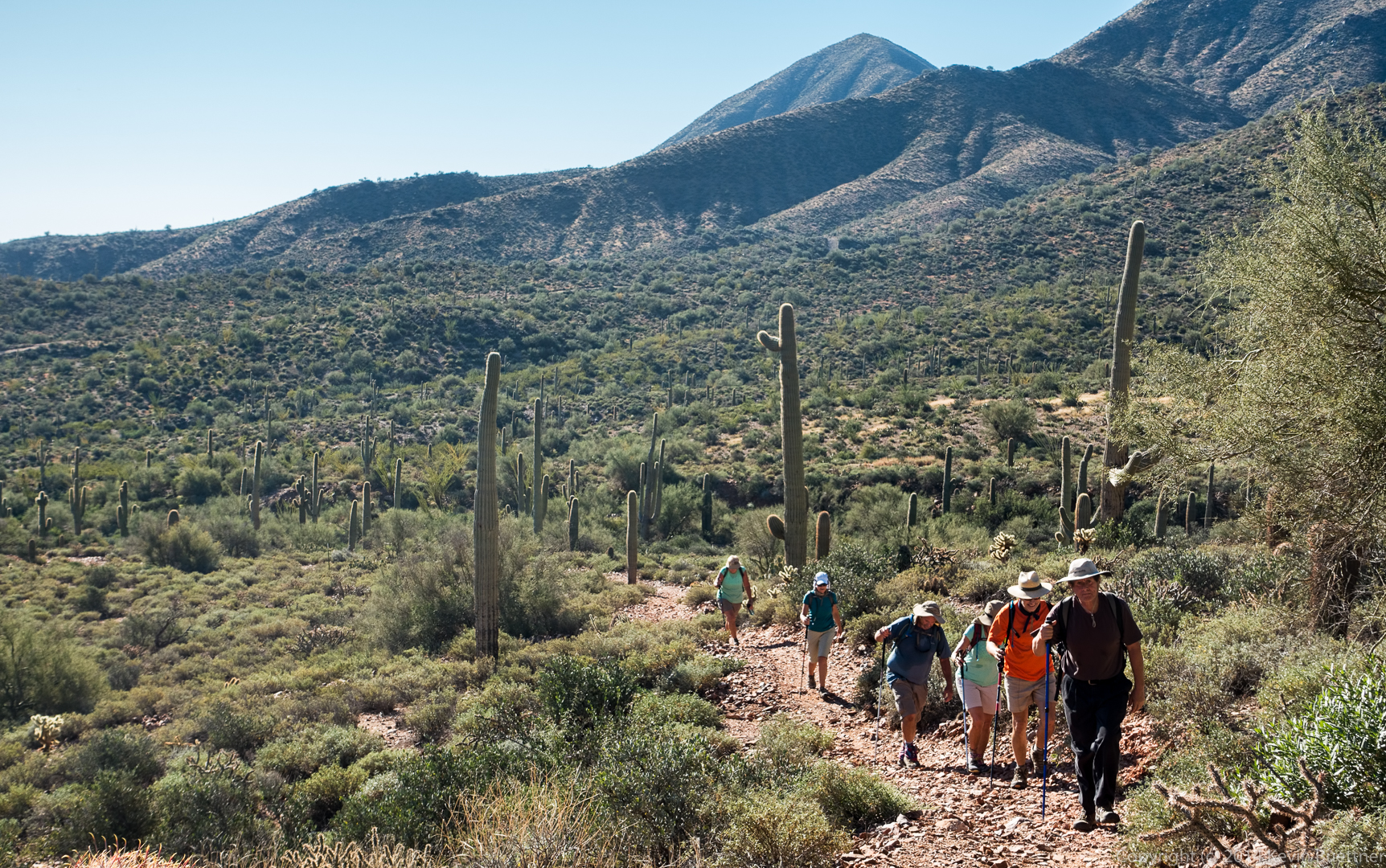
Richard, Nick, Linda, Bob, Patty, and (another) Linda hike up the Prospector Trail:
Hiking back…
Friday’s hike started from the Trailhead Staging Area. We meandered around the park, seeing many things. When we were done, we found that we had hiked ten miles!
I stopped just outside of Fountain Hills on my way over to the park to get this shot of the sunrise. The color in the sky lasted for only a minute or two before fading. By the time I got to the park, only a few miles away, it was almost entirely gone.
I took the next two shots from the Hilltop Trail (prior to the start of the hike).
This is a view from the Pemberton, early in the hike:
Ranger Amy told us that this is Devil’s Claw:
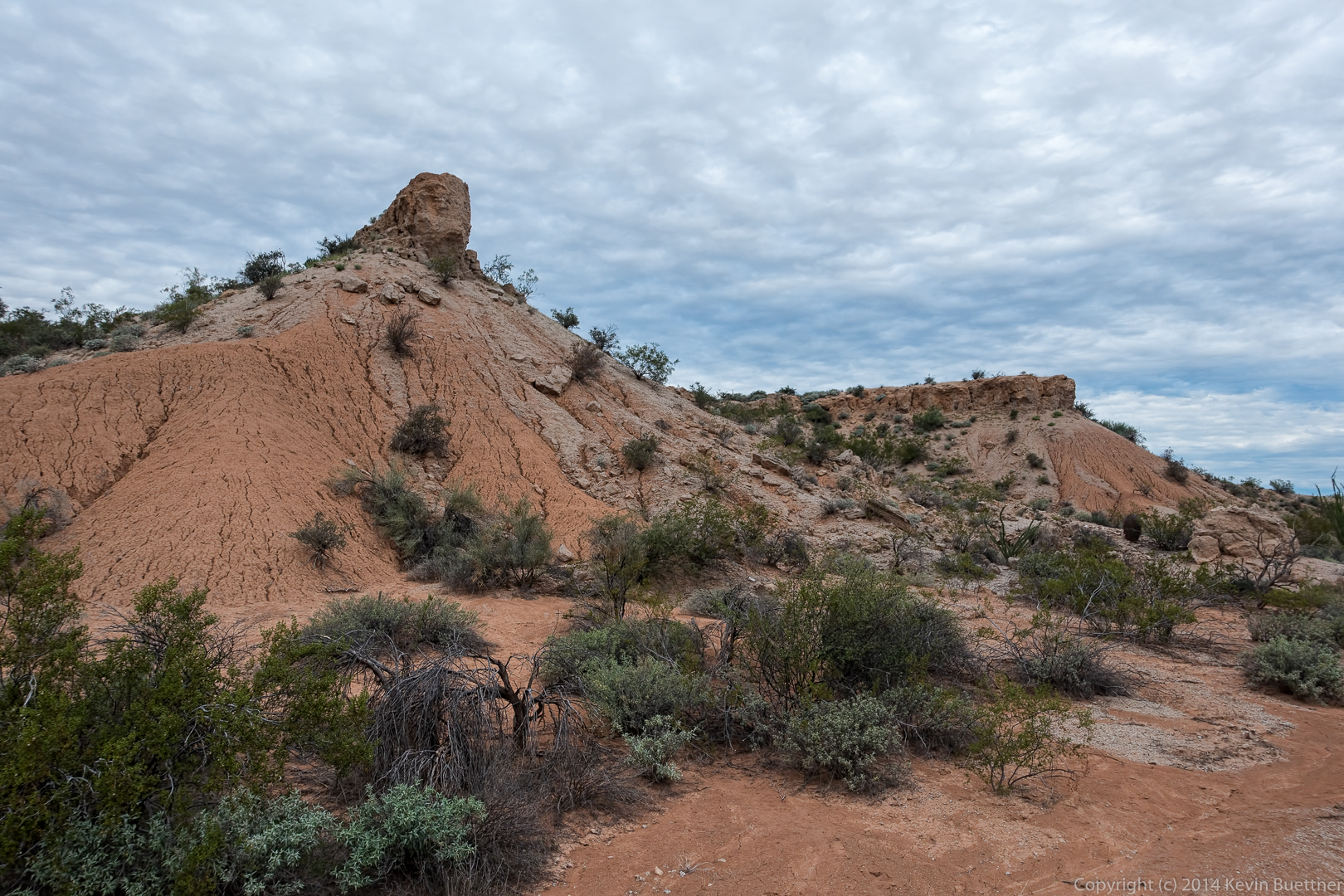
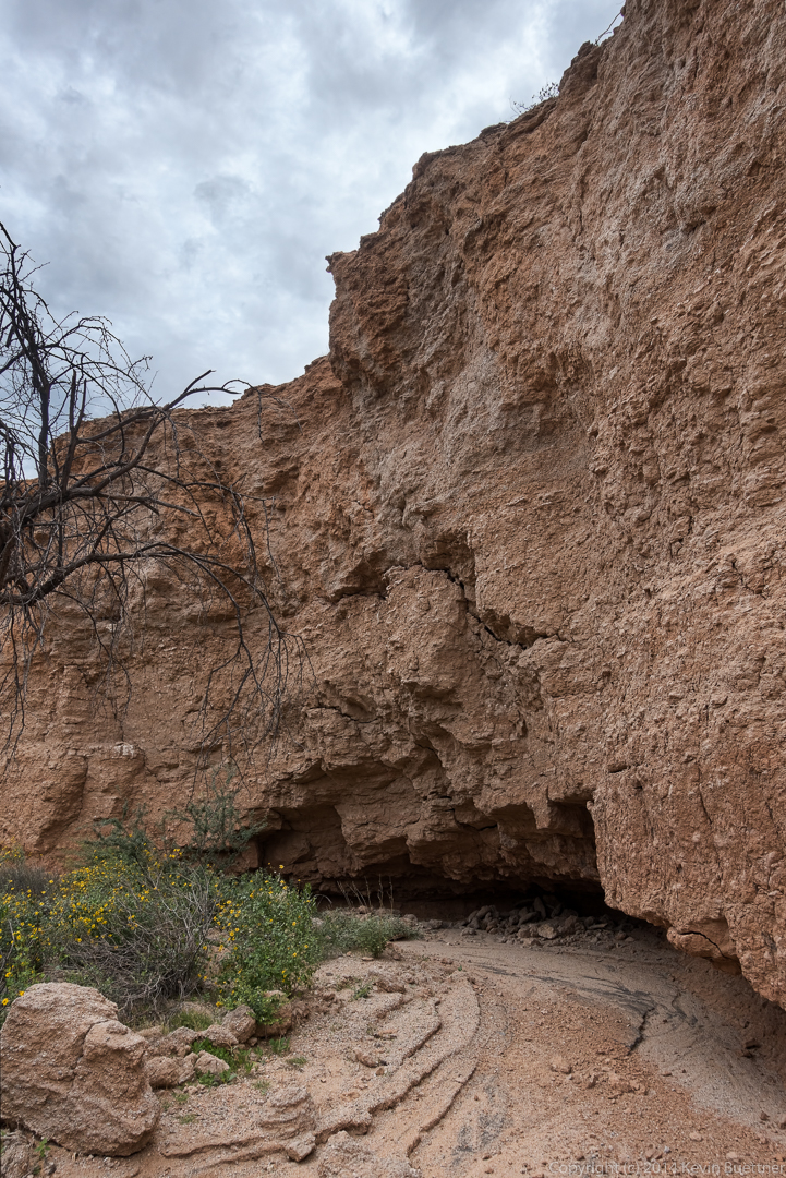
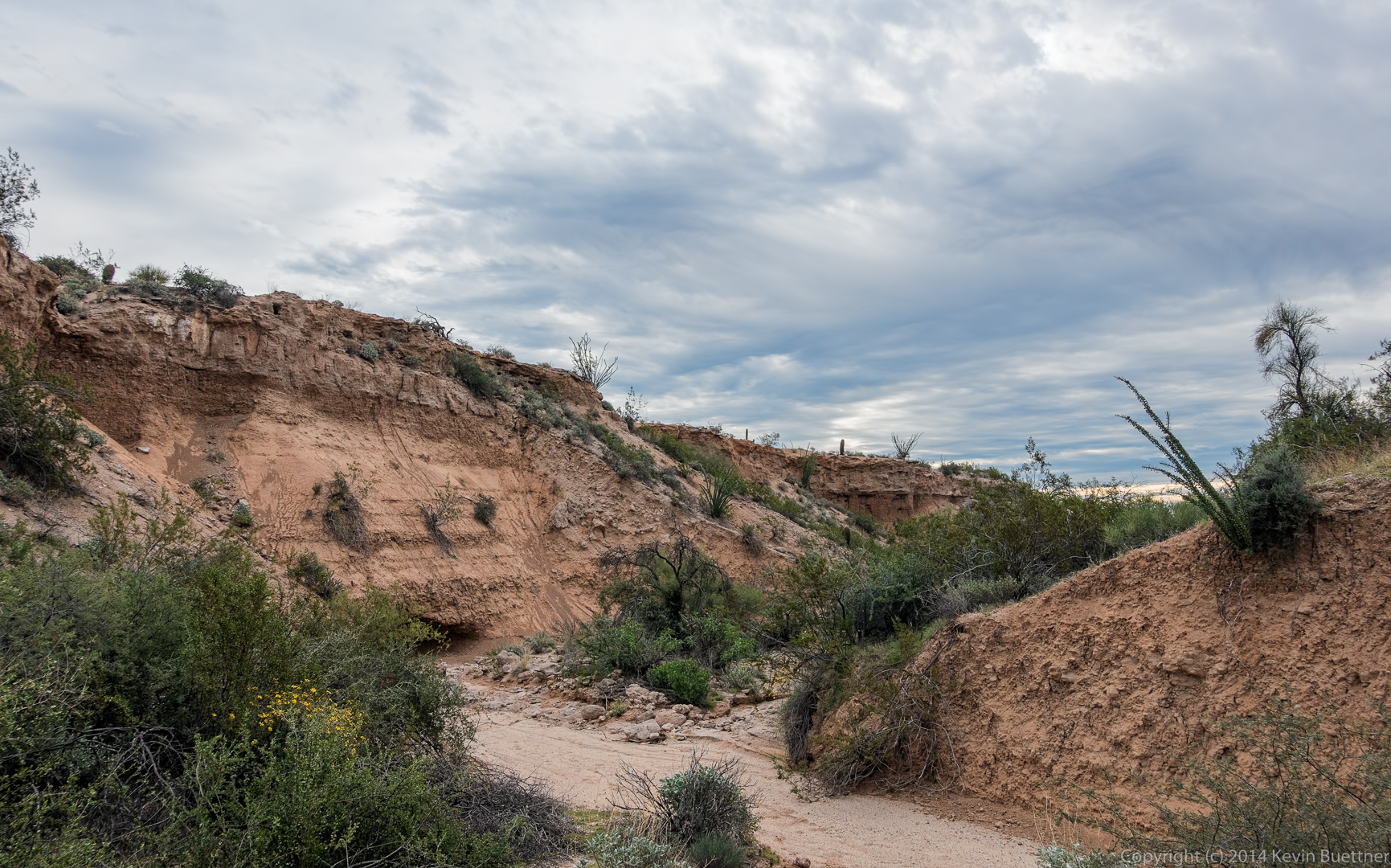
We saw these formations on our way to hike some of the washes with high, steep banks:
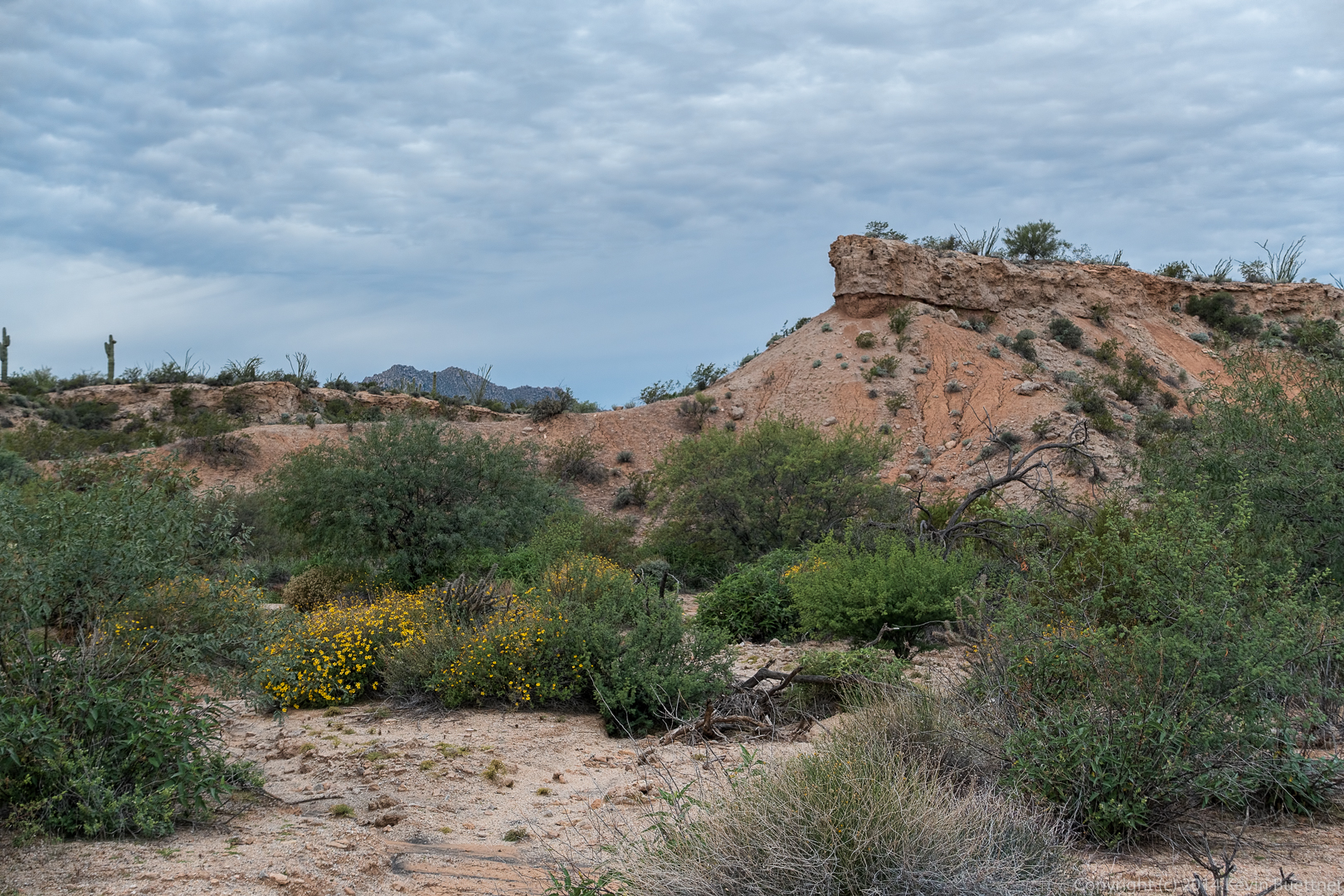
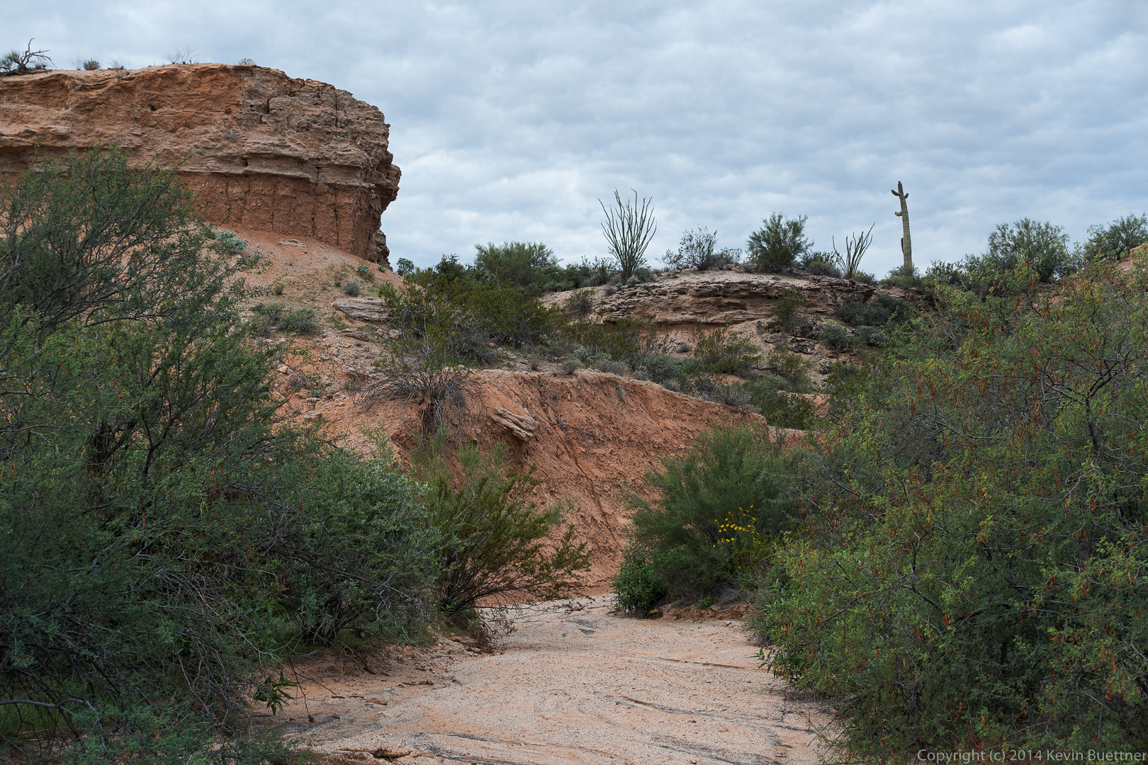
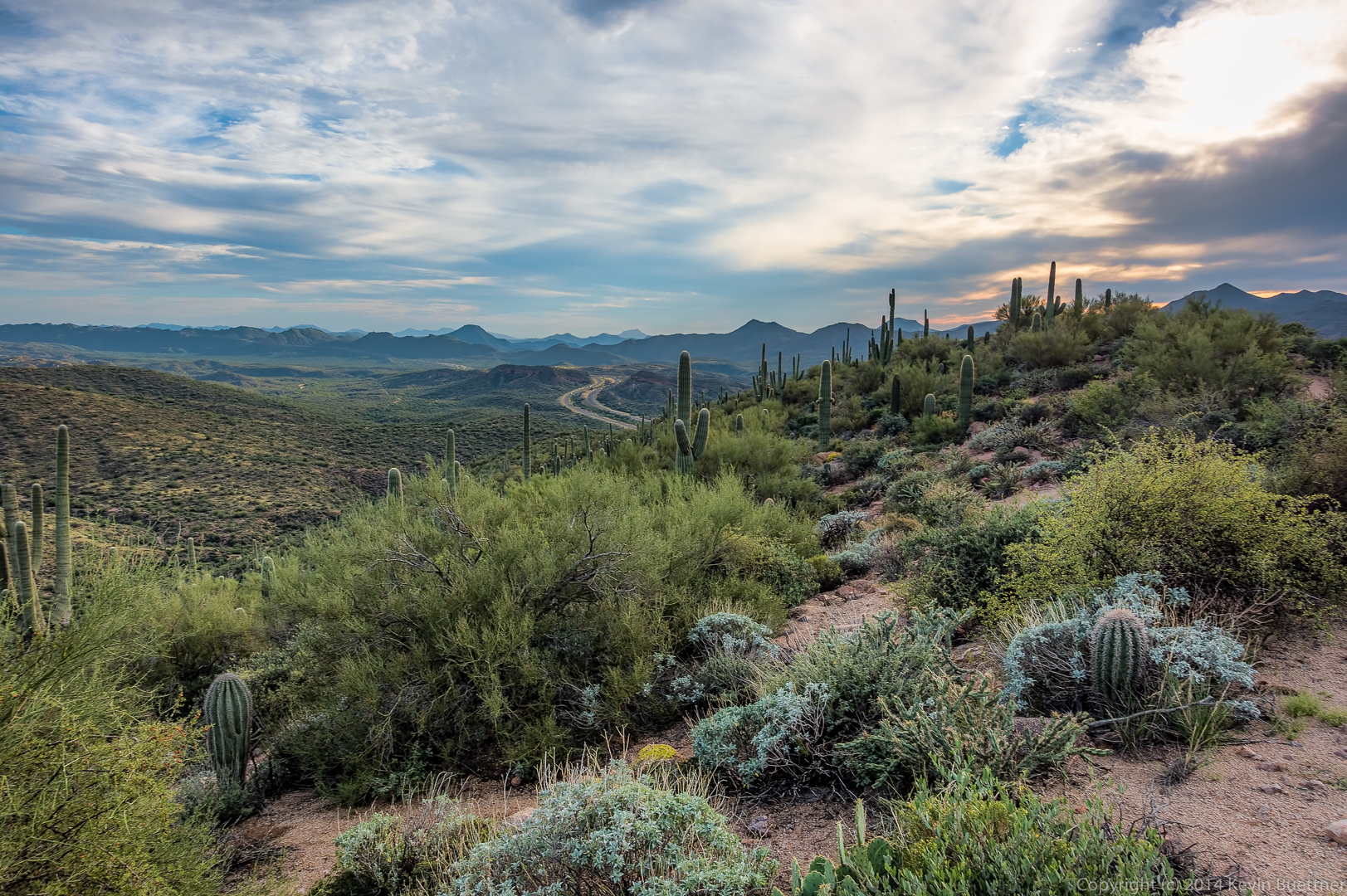
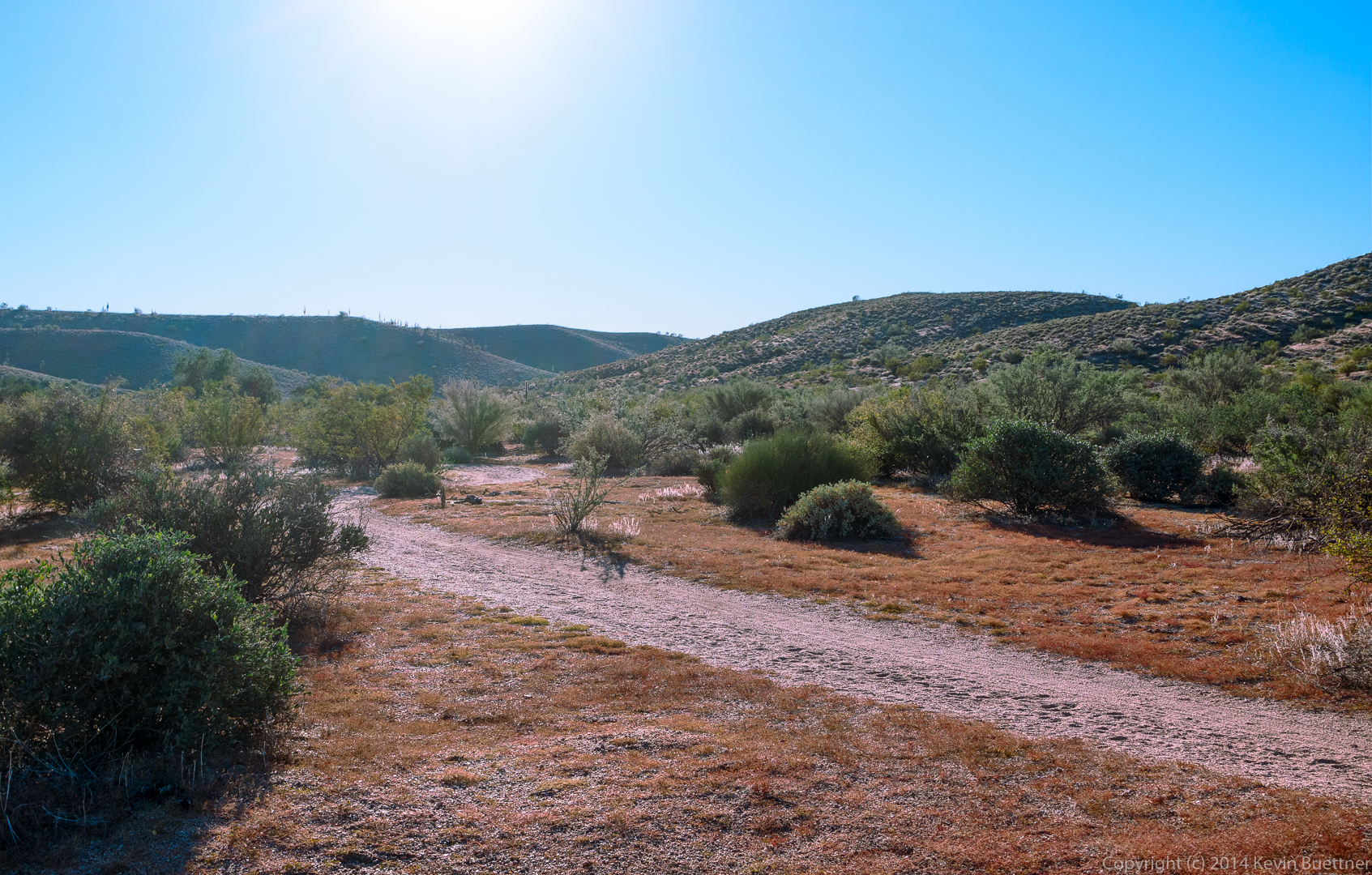
These were some of the views from the washes that we hiked. We spent most of our time hiking through washes.
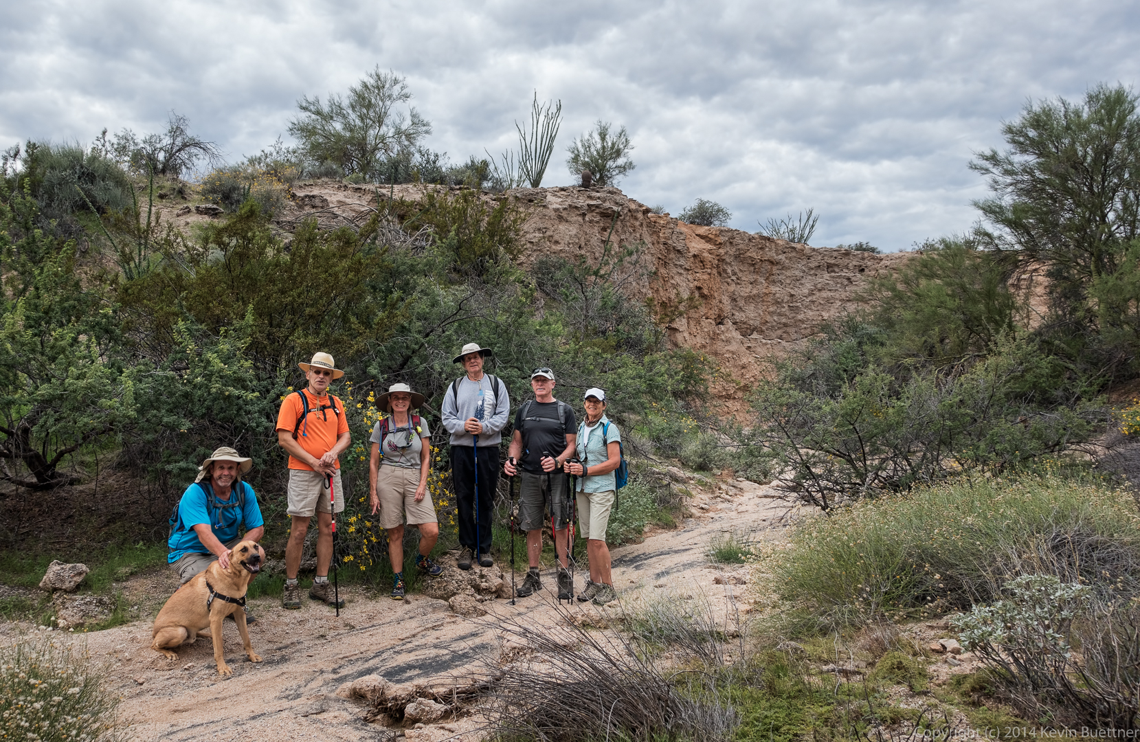
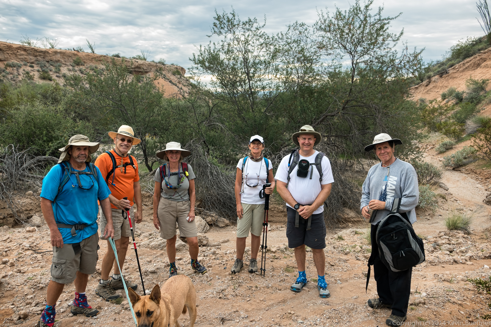
From left to right are Sarge, Bob, Nick, Linda, Richard, Gary, and Patty.
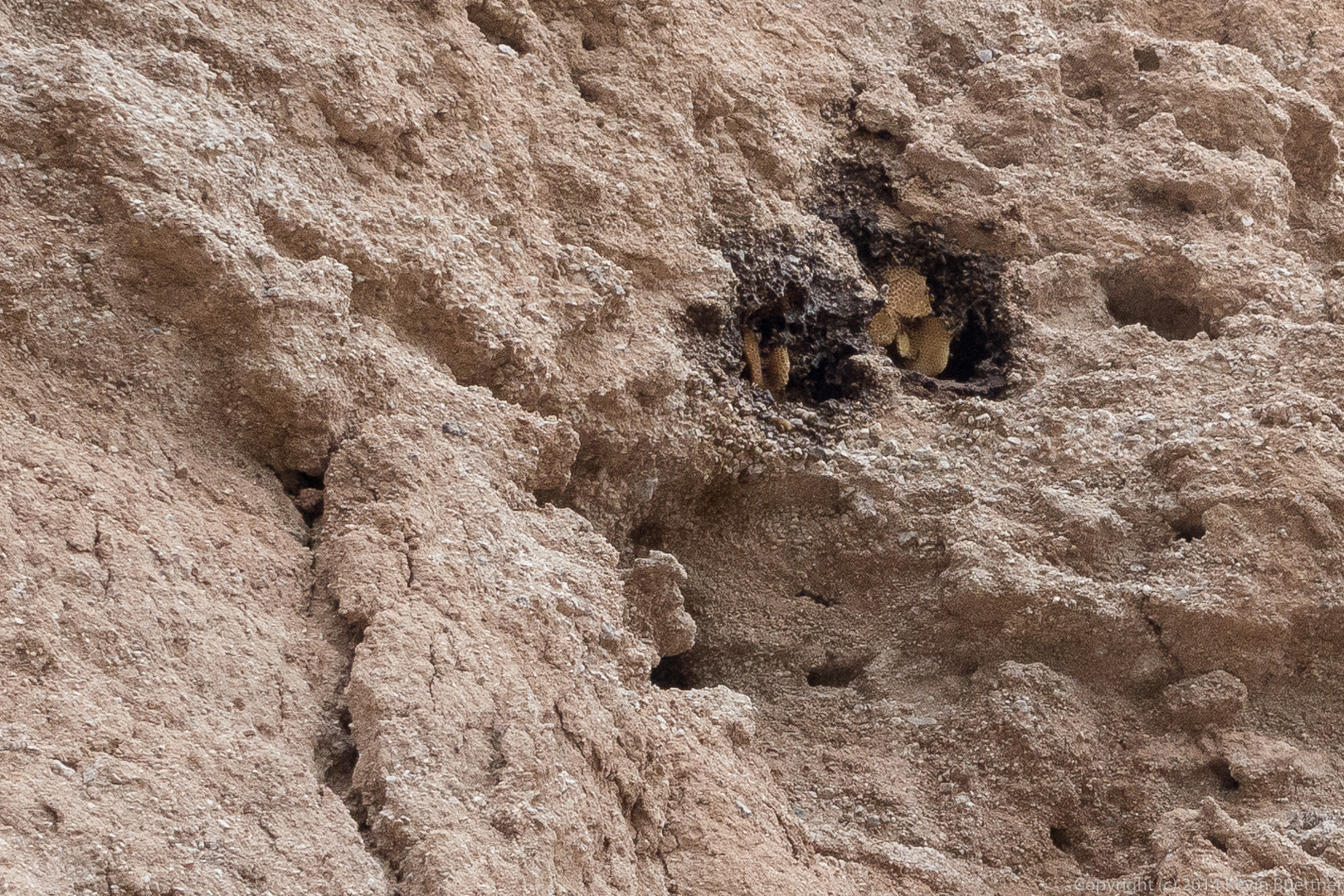
I think it was Gary who noticed this beehive. It was high above us – I had to crop the photo extensively to get this shot.
Richard hikes ahead in the wash. It was around this point that we saw some owls, but I didn’t get any good shots of them.
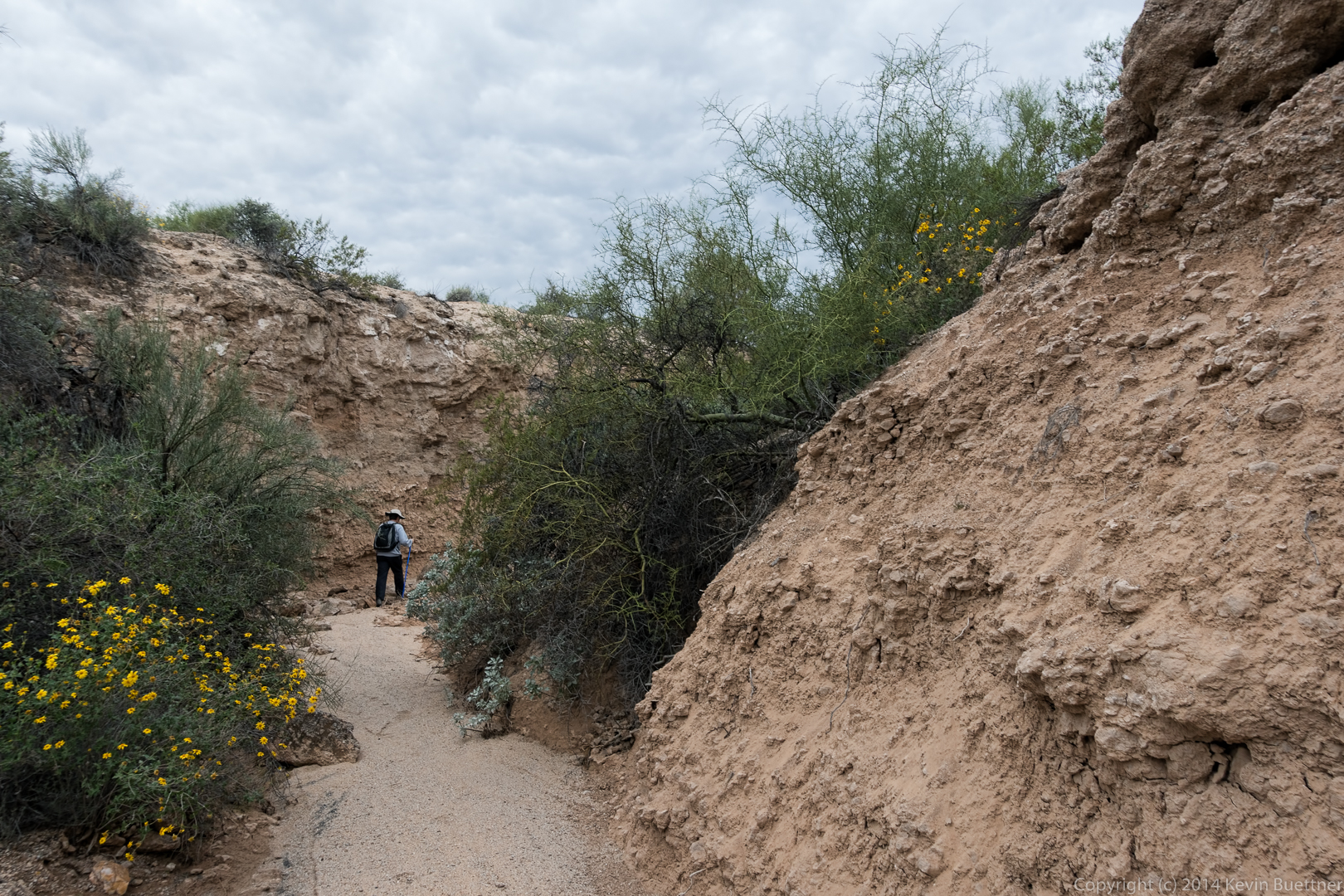
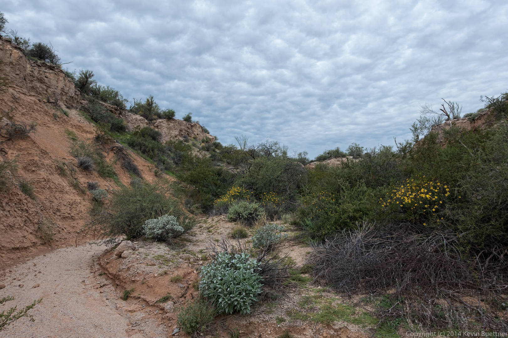
Another shot of the wash and its banks:
Gary took this group photo with me in it:
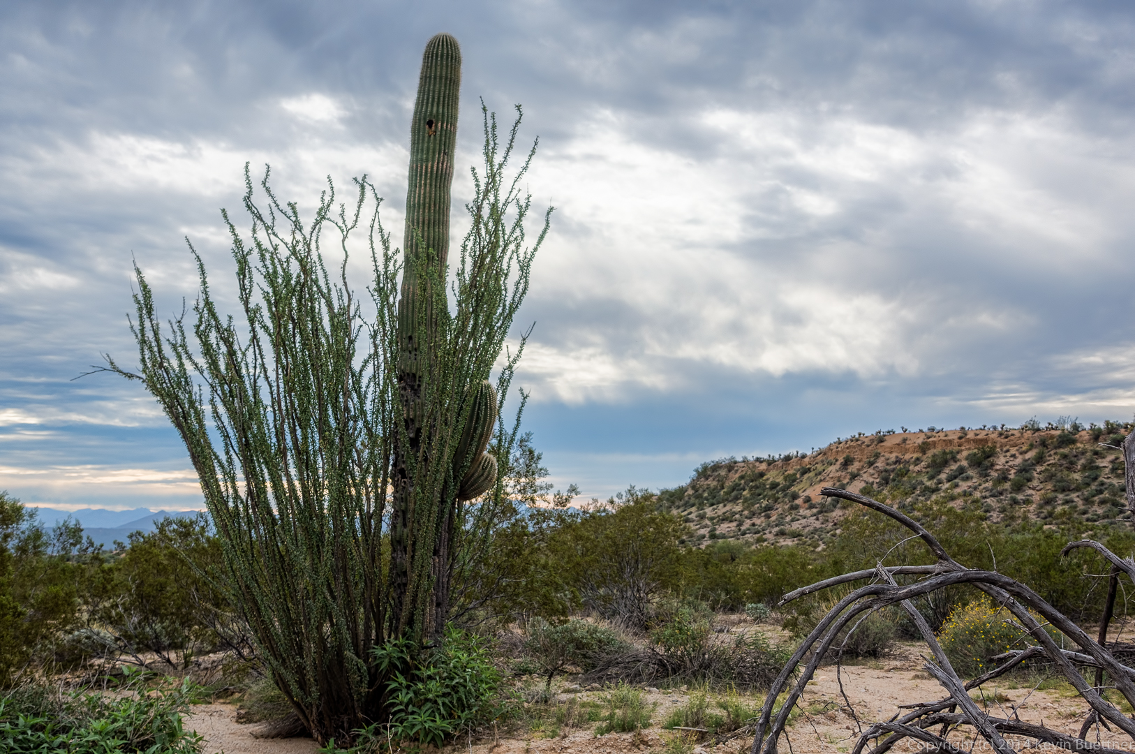
An ocotillo and a saguaro together; I think we were back on the Pemberton at this point.
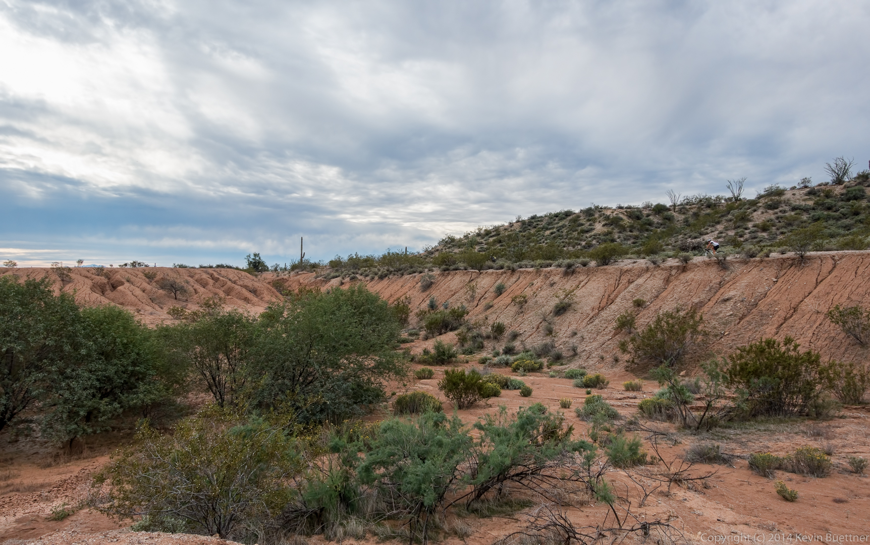
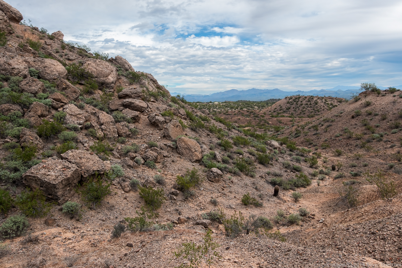
This is one of the clay pits adjacent to the Pemberton Trail. If you look closely, you can see two cyclists on the Pemberton.
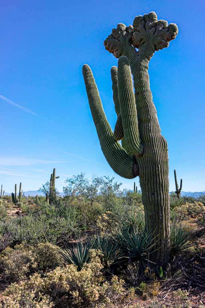
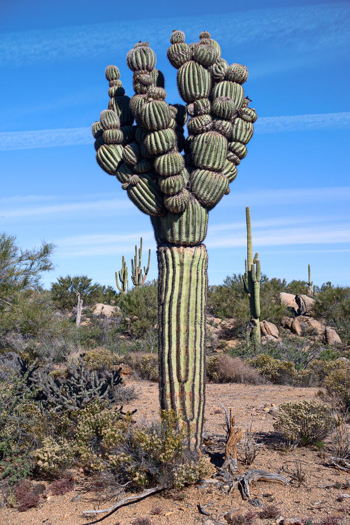
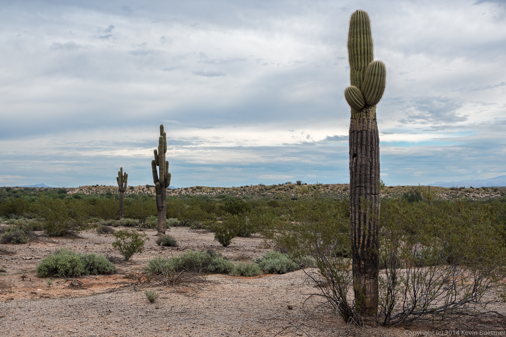
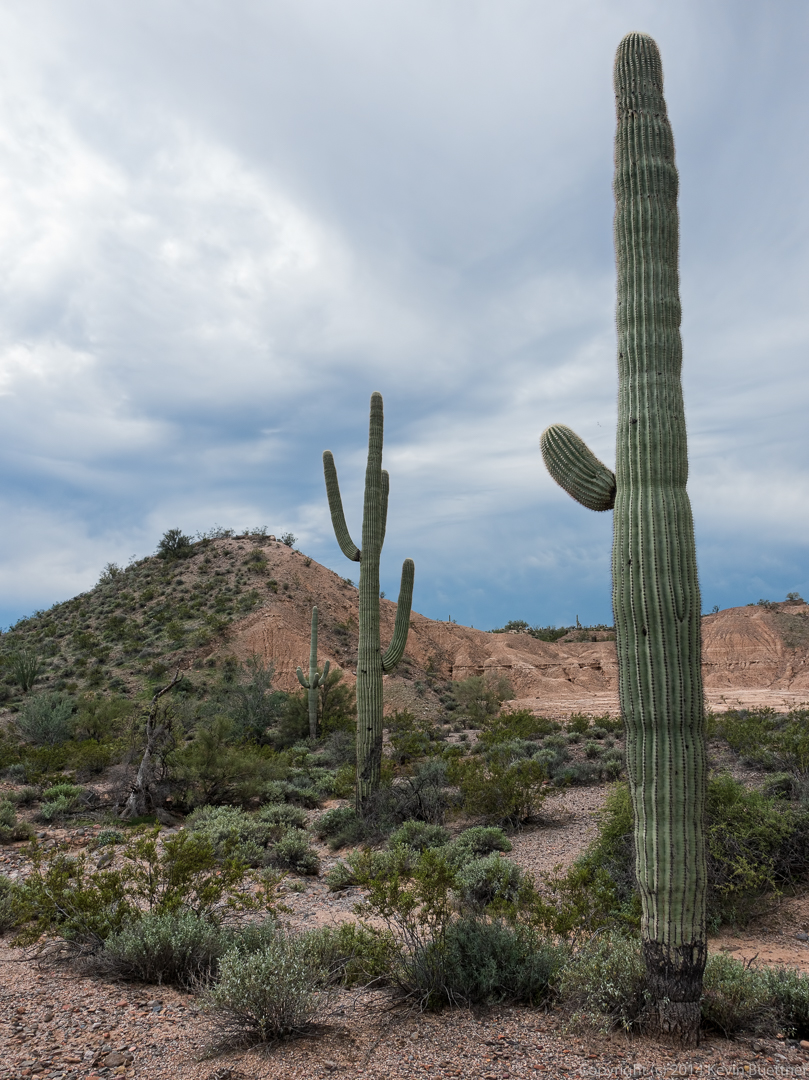
Three saguaros. I was surprised at how they seemed to line up.
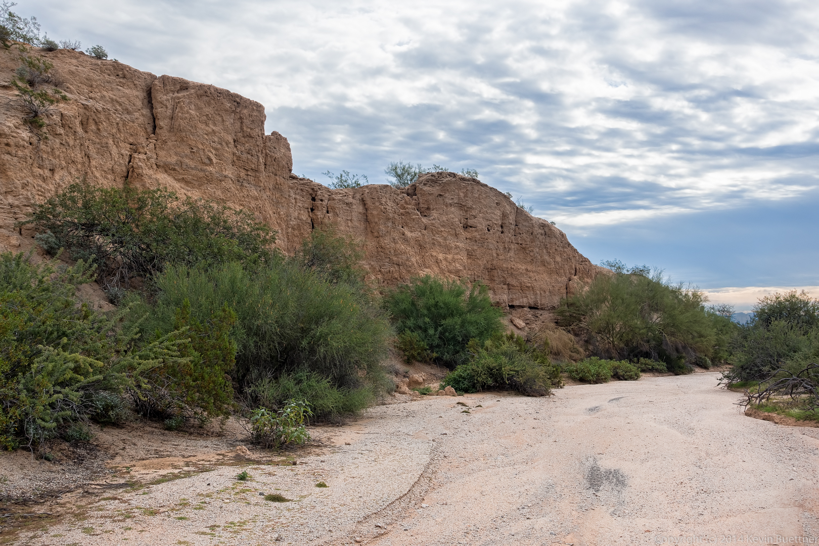
Another wall, this time along one of the forks of the Stoneman Wash:
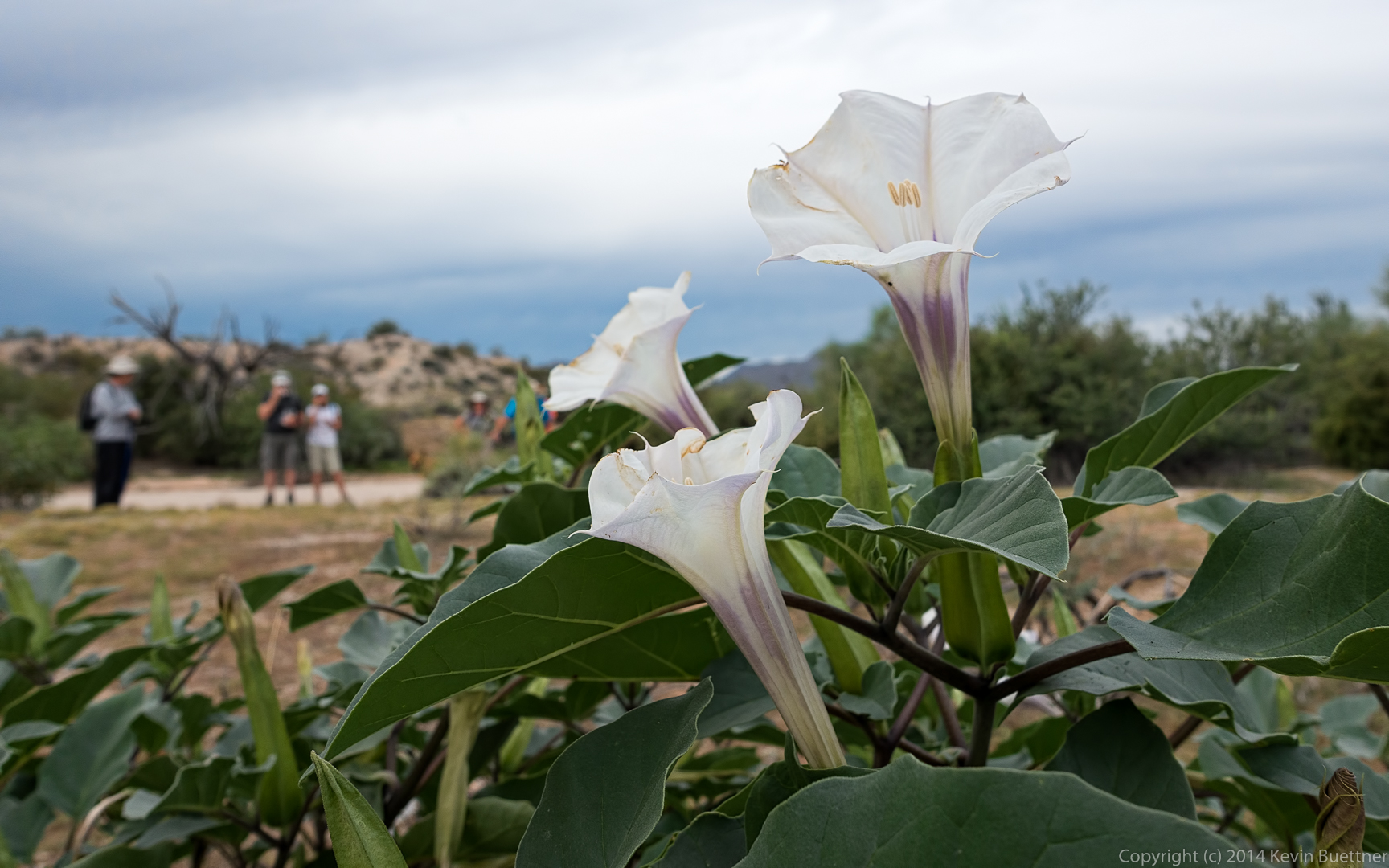
Datura flowers:
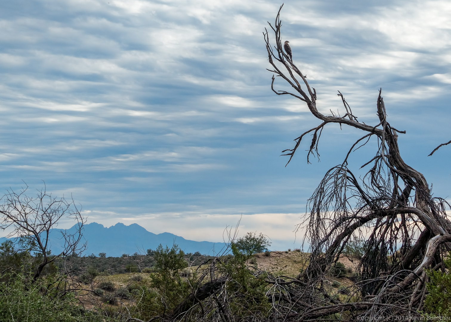
Someone on the hike told me that this is a small hawk. I tried to get closer, but it flew away.
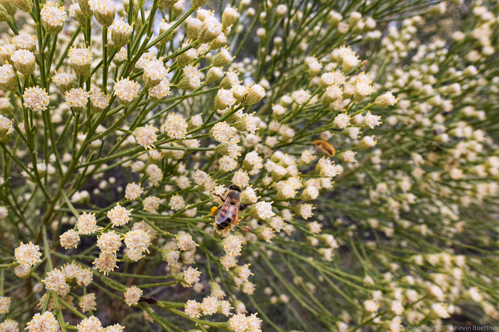
This flowering bush might be Goldenhead (Acamptopappus sphaerocephalus). Whatever it is, the bees surely liked it. There were so many bees around this bush that I was a little nervous getting close for this shot.
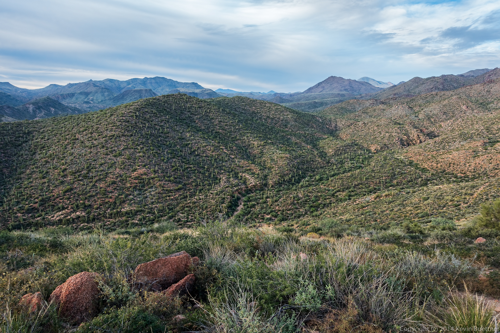
A rocky hillside…
Three more saguaros that almost line up…
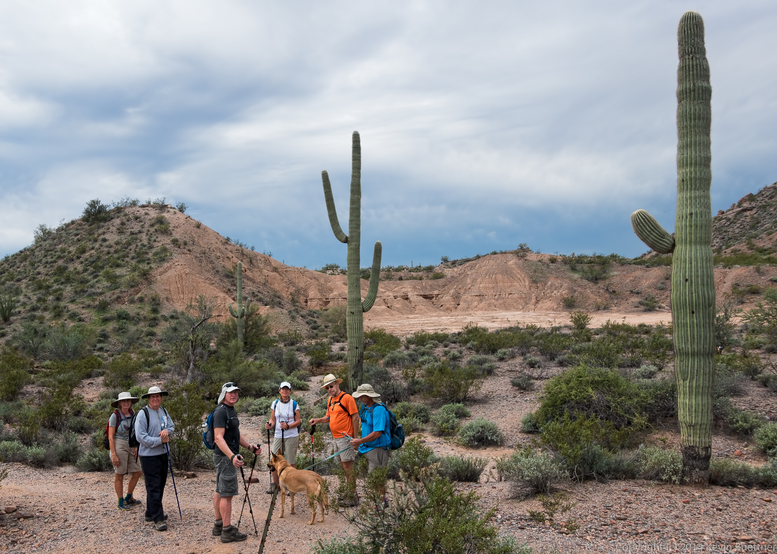
Another view, this time with the group:
Bob with Sarge, in Shallmo Wash:

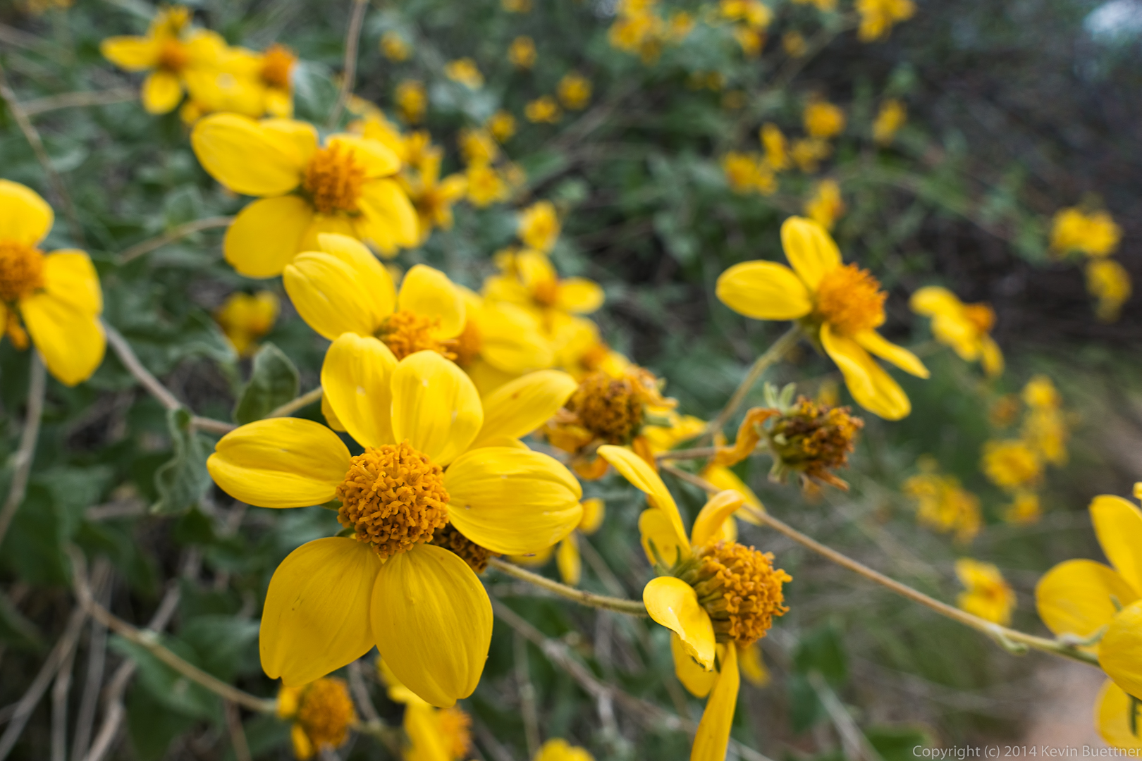
Goldeneye:
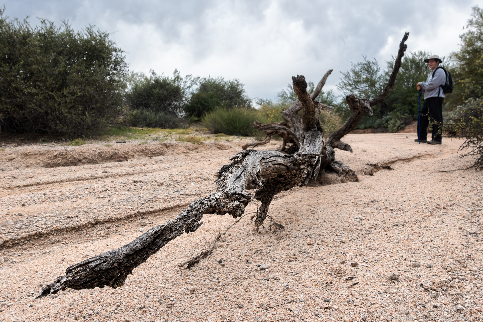
 A gnarly piece of a tree in Shallmo Wash:
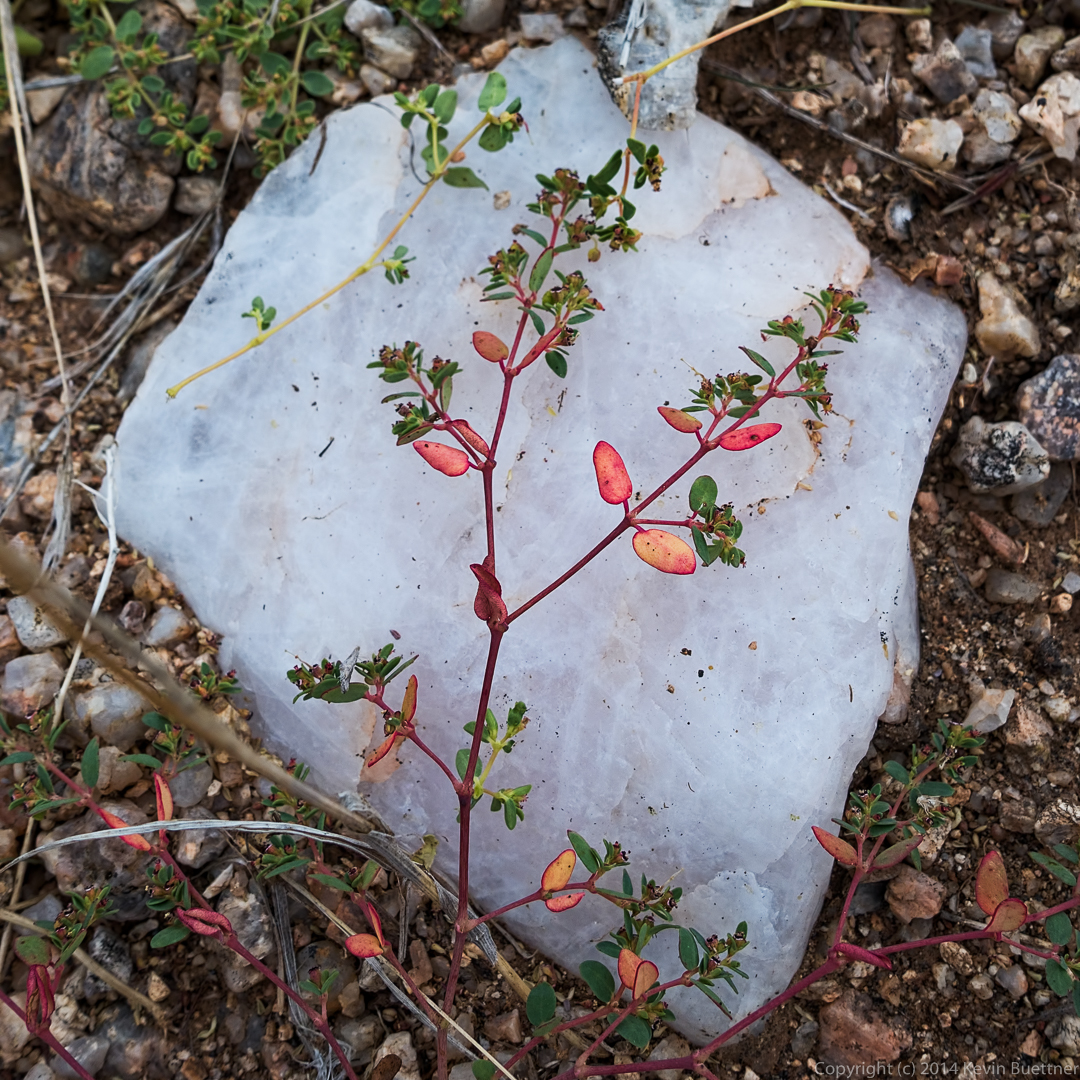
Richard spotted this piece of quartz with a low lying plant draped across it.
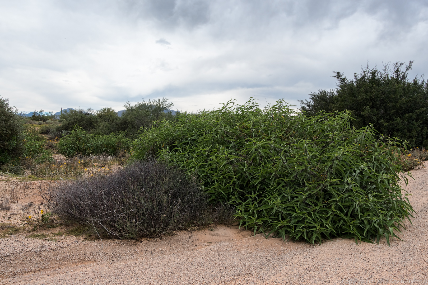
More foliage in Shallmo Wash; the gray plant to the left had a sort of blueish cast when I saw it in person.
I hiked the Pine Creek Loop late on Wednesday afternoon…