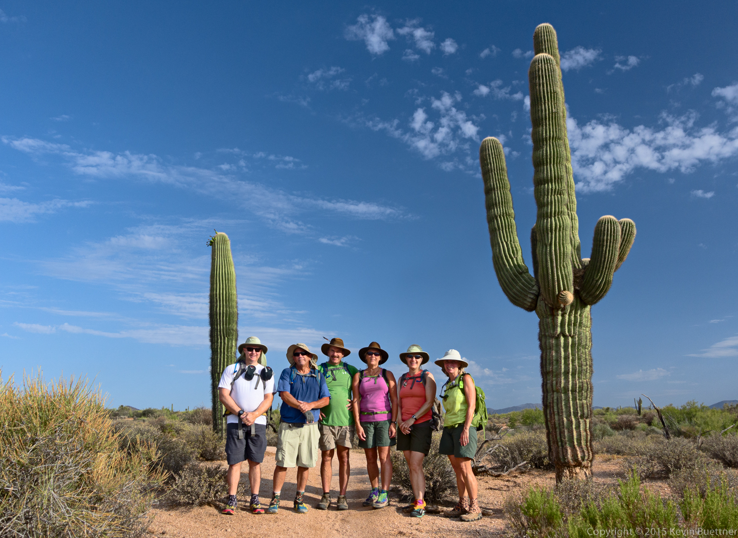
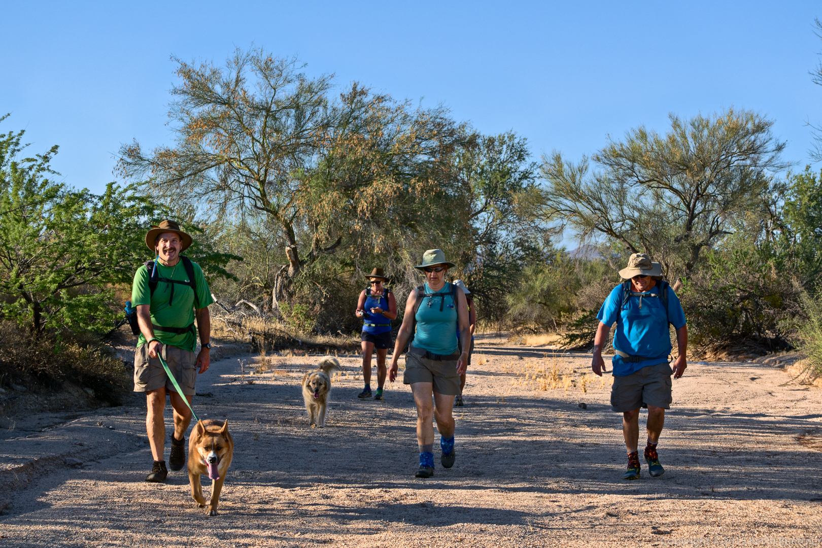
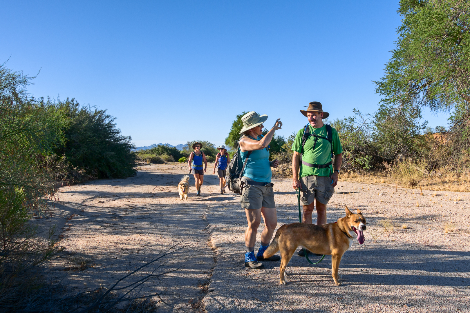
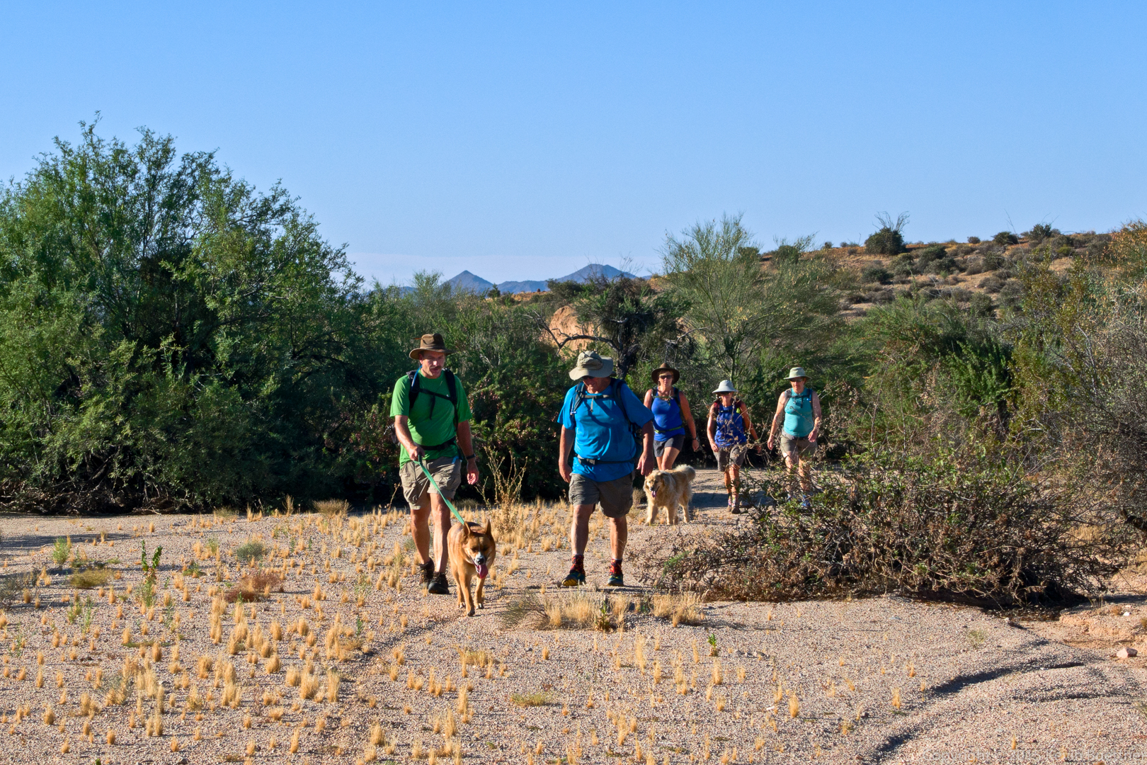
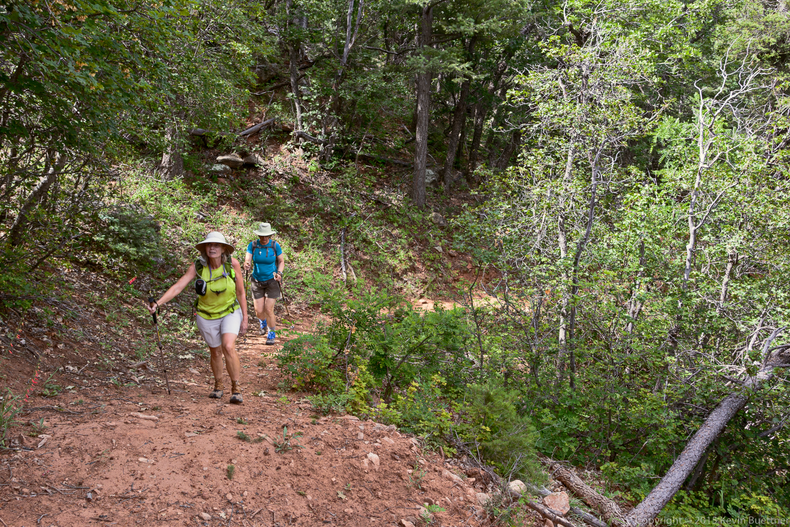
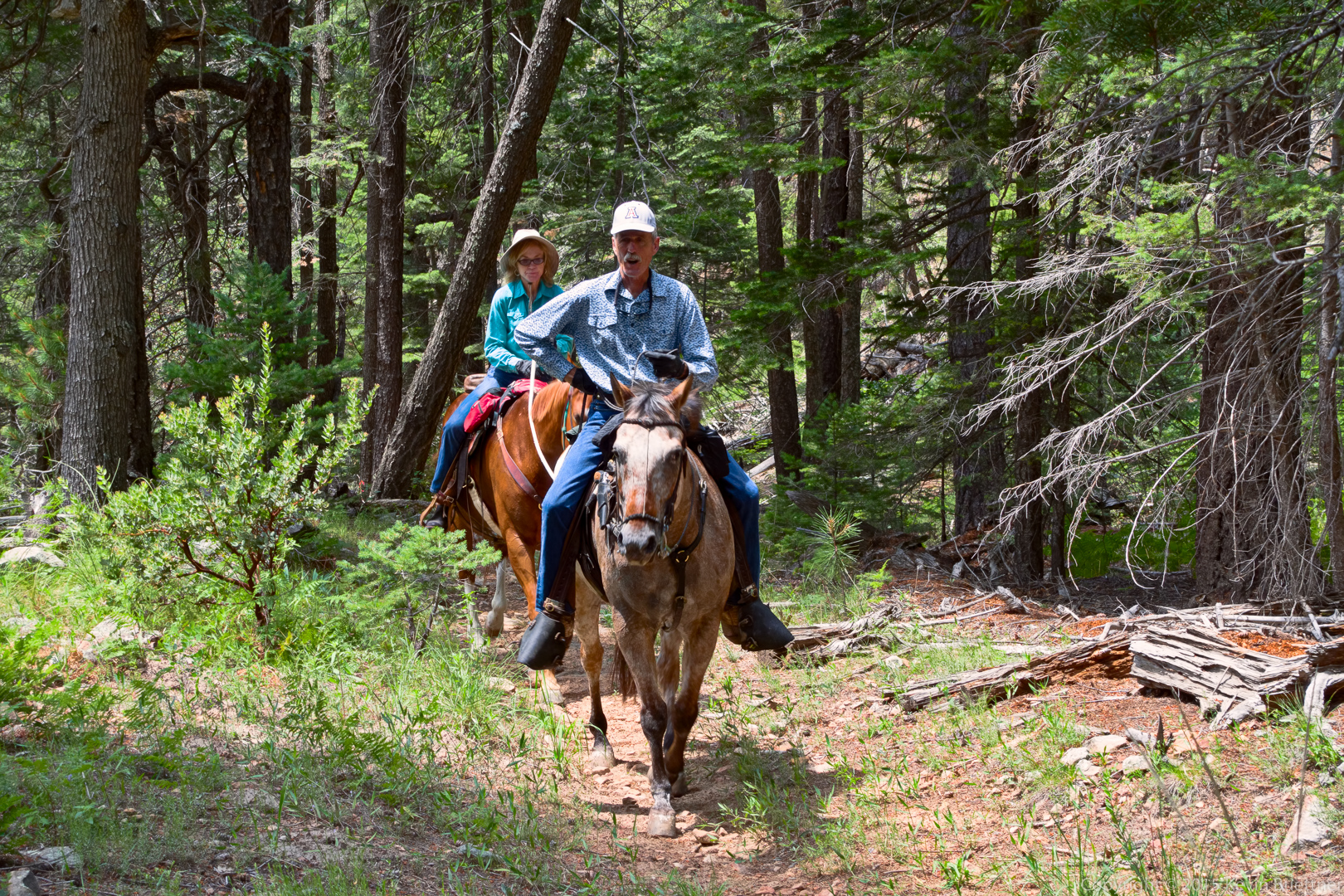
Marilyn, Linda, Denise, Bob, and I hiked out to the Dixie Mine and back on Friday. While in the area of the mine, we went to the top of the mine tailings. We hiked seven miles total.
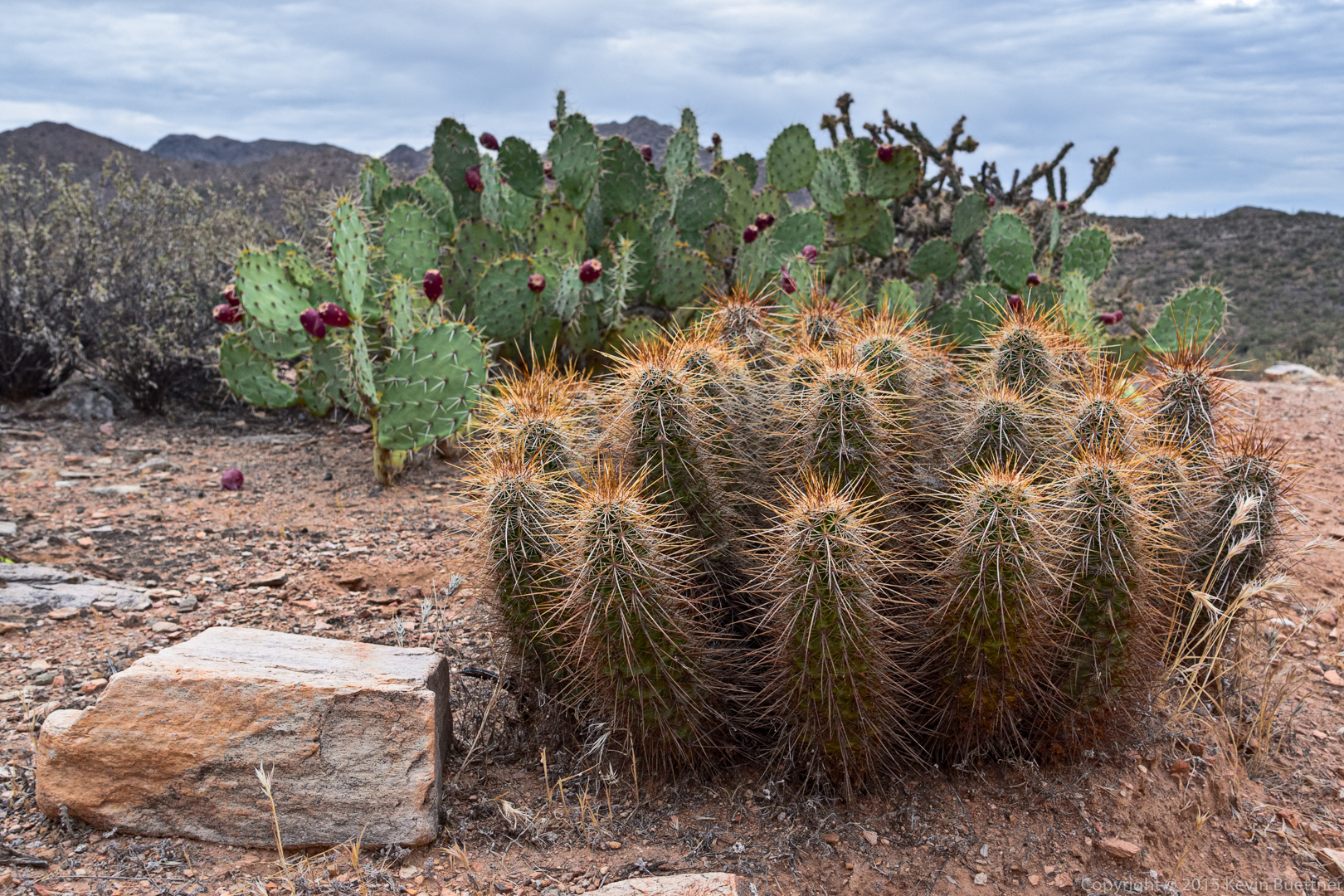
Hedgehog cacti on the Dixie Mine Trail:
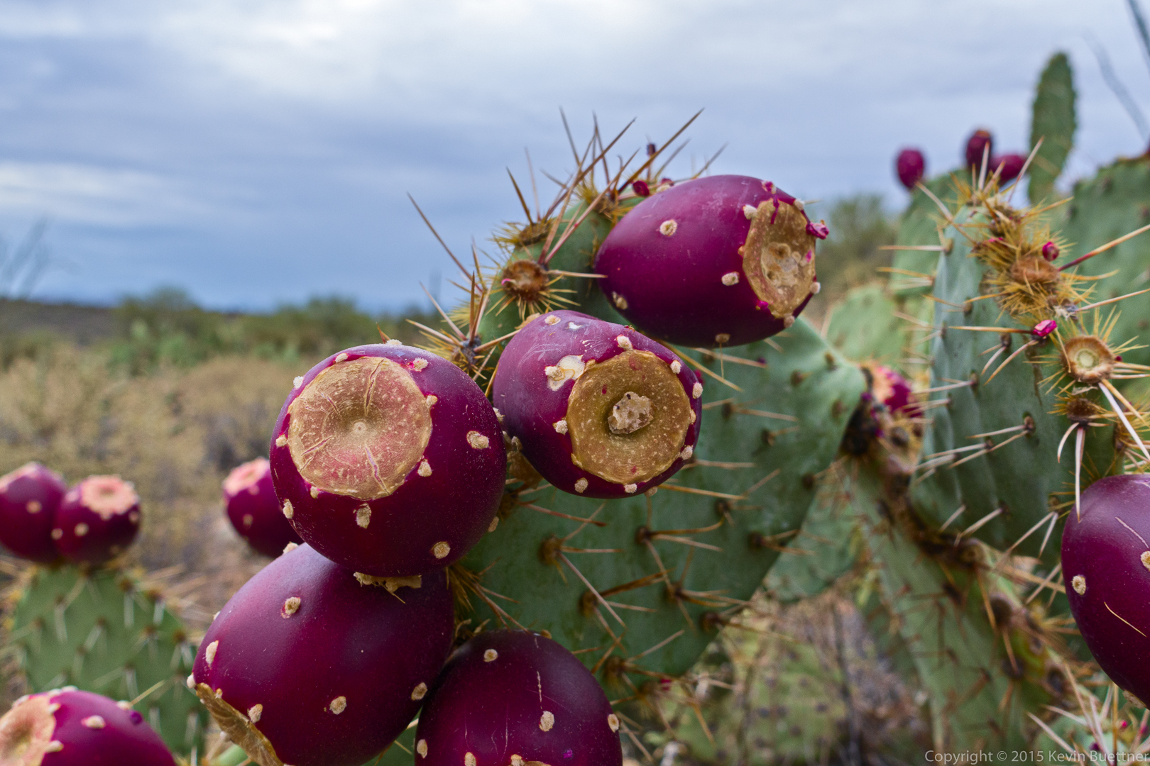
Prickly pear fruit:
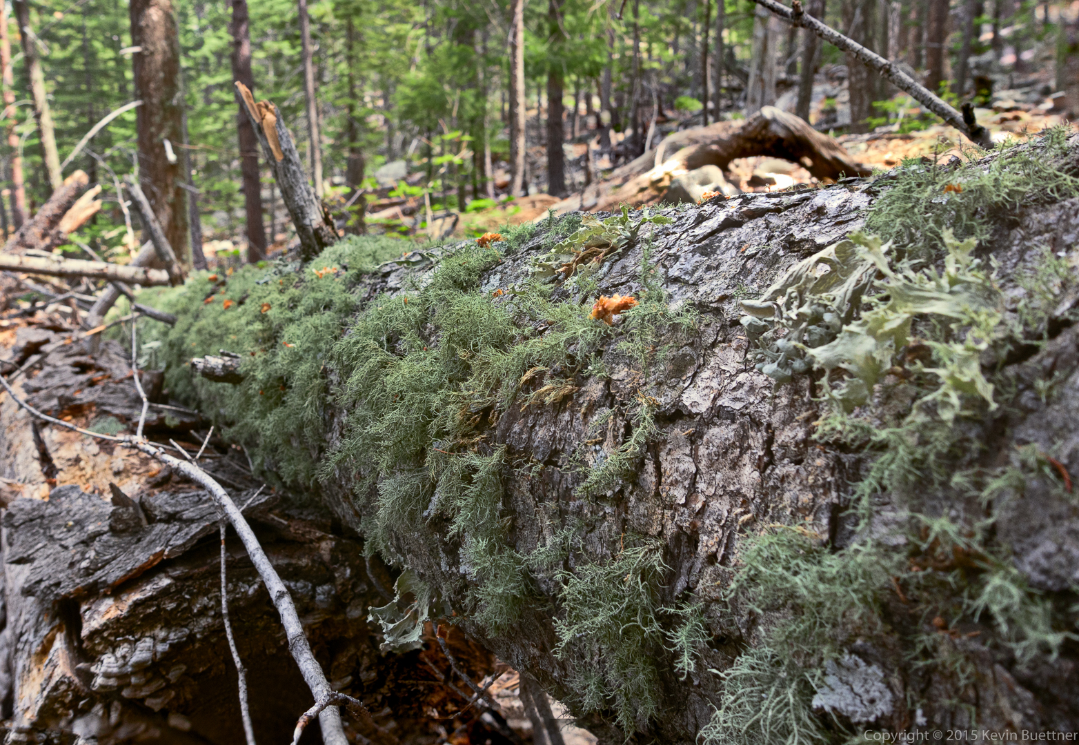
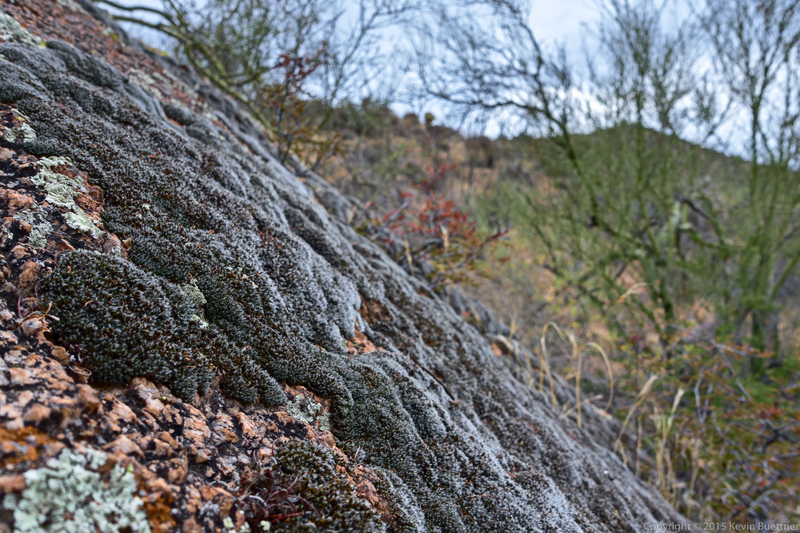
Moss:
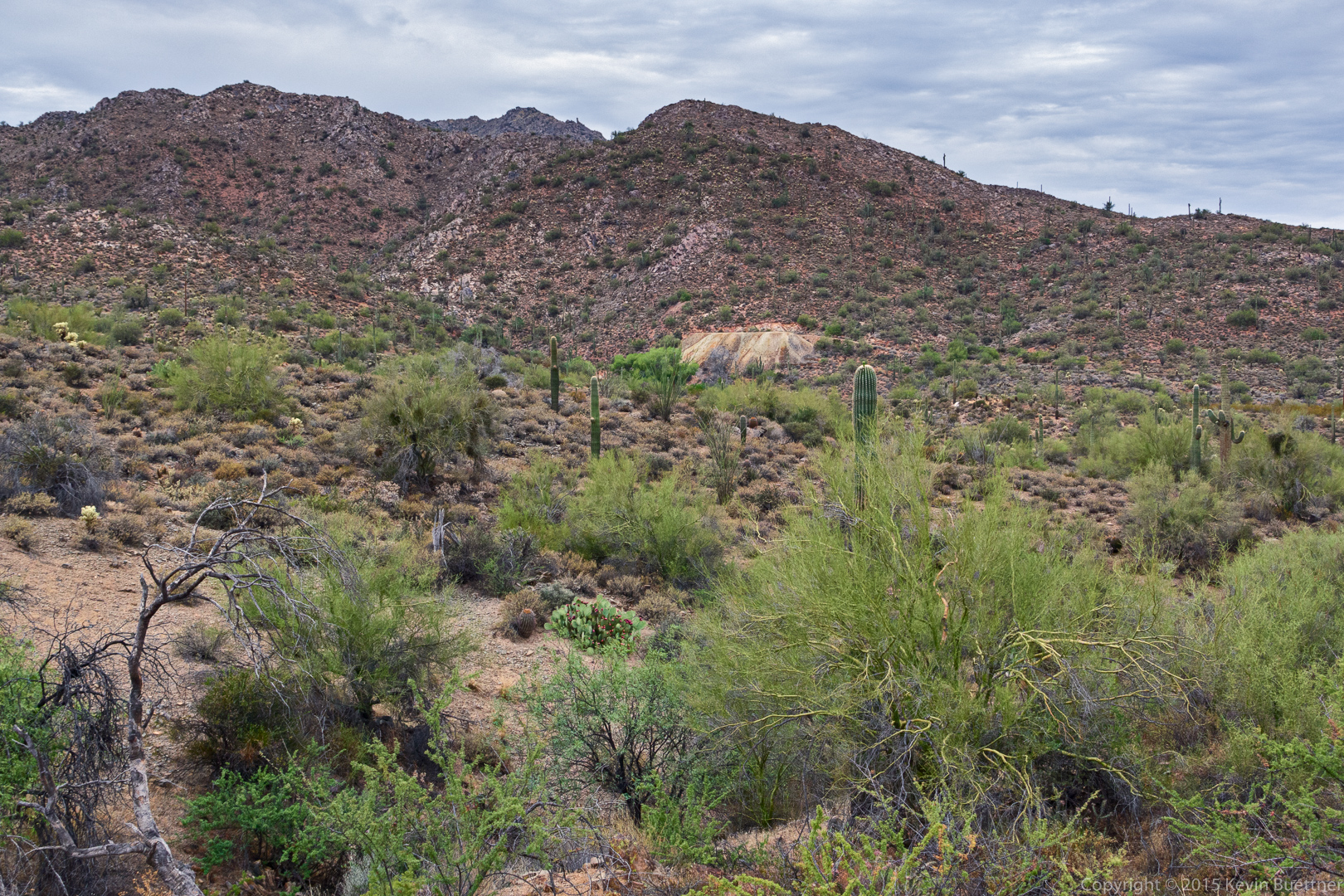
A view of the mine tailings from the Dixie Mine Trail. We hiked to the top of the tailings atop which is a vertical mine shaft covered by a protective grate.
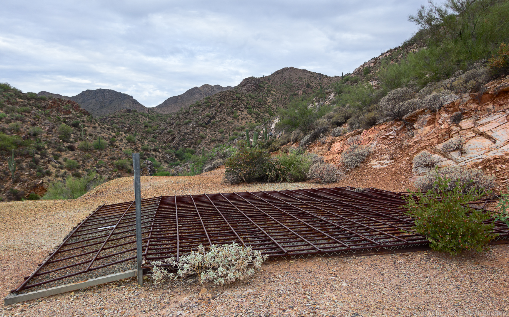
This is the grate which prevents helps to prevent people from falling down the shaft.
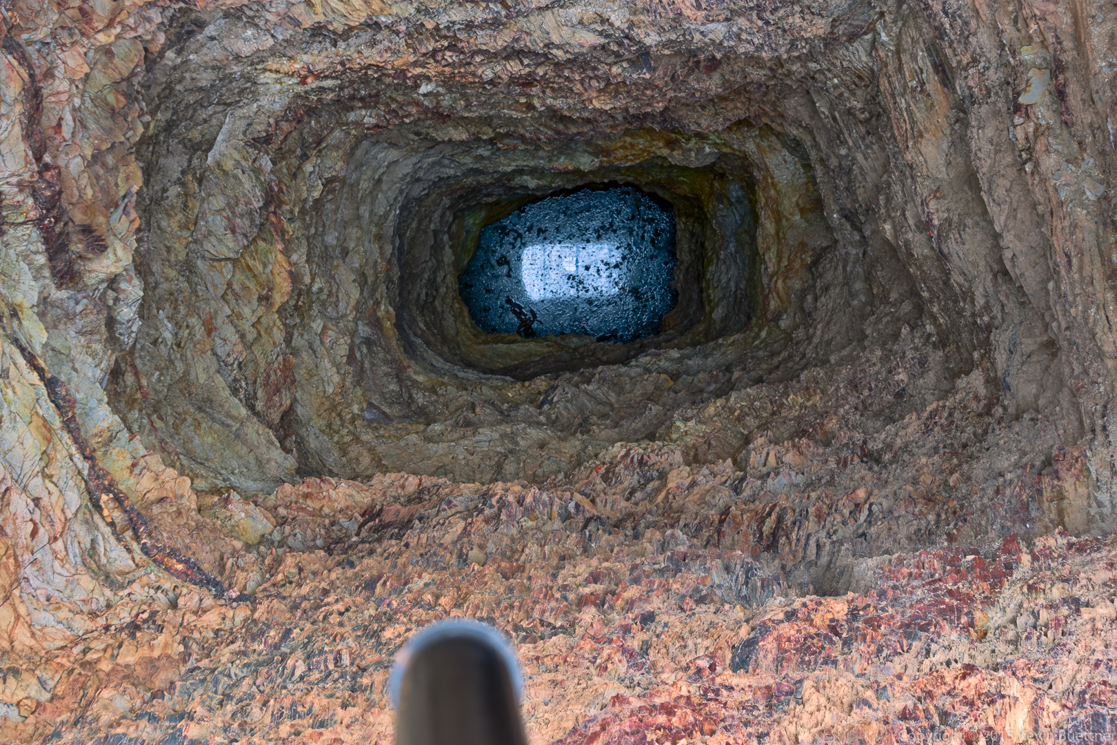
Looking down the mine shaft. It surprised me that there was water at the bottom. In the past when we’ve looked at it, we could never see water. It also seemed a lot deeper in the past.
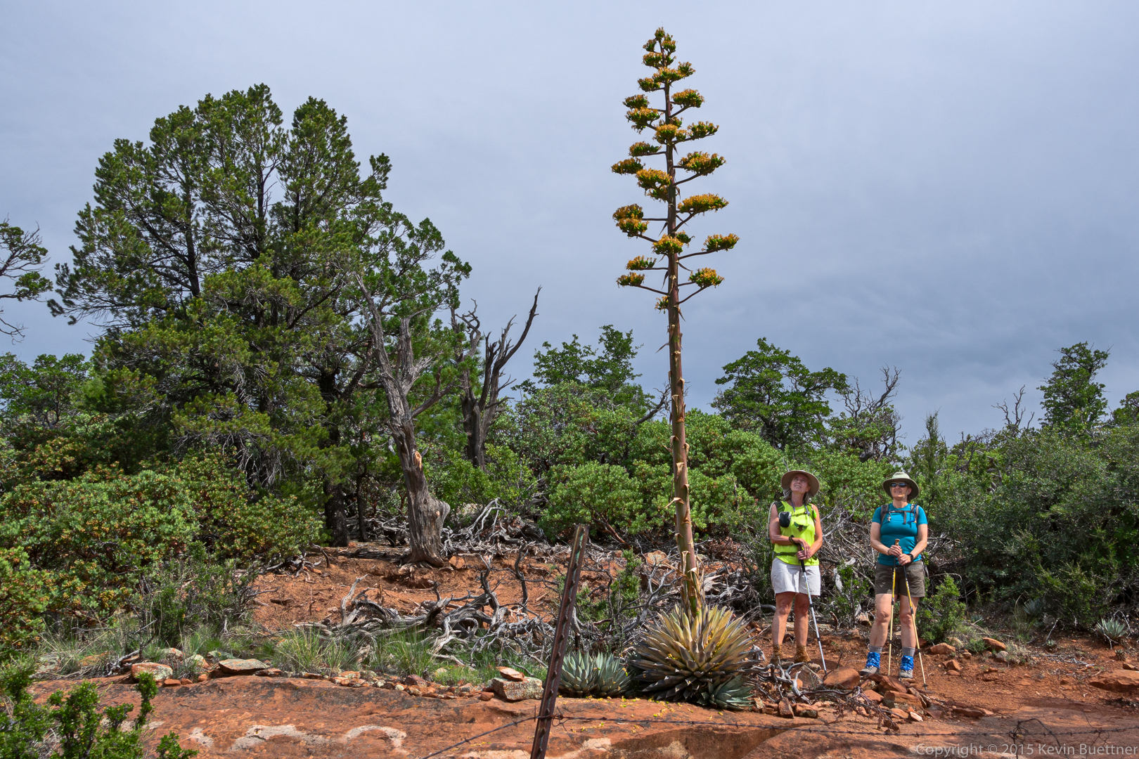
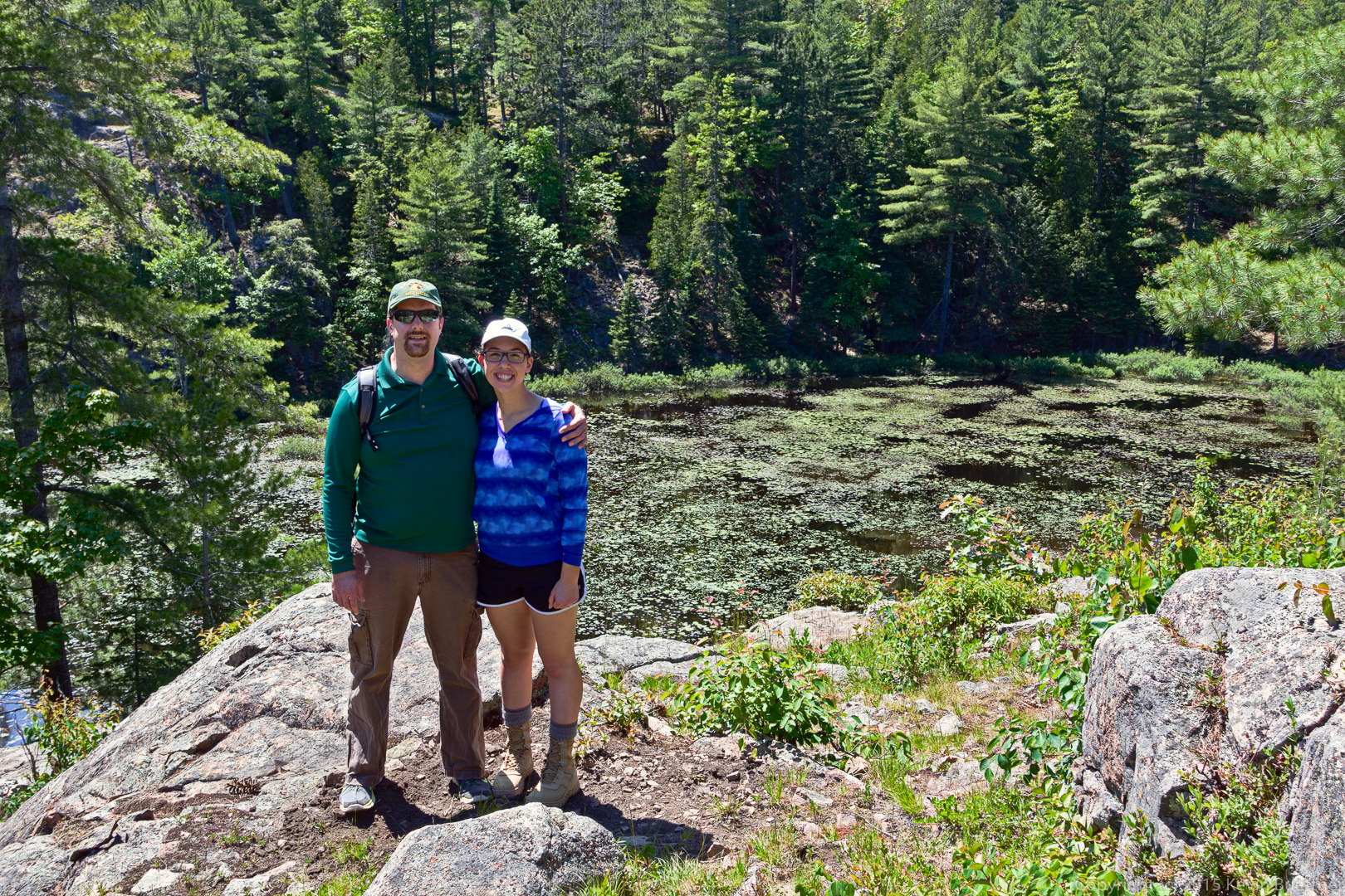
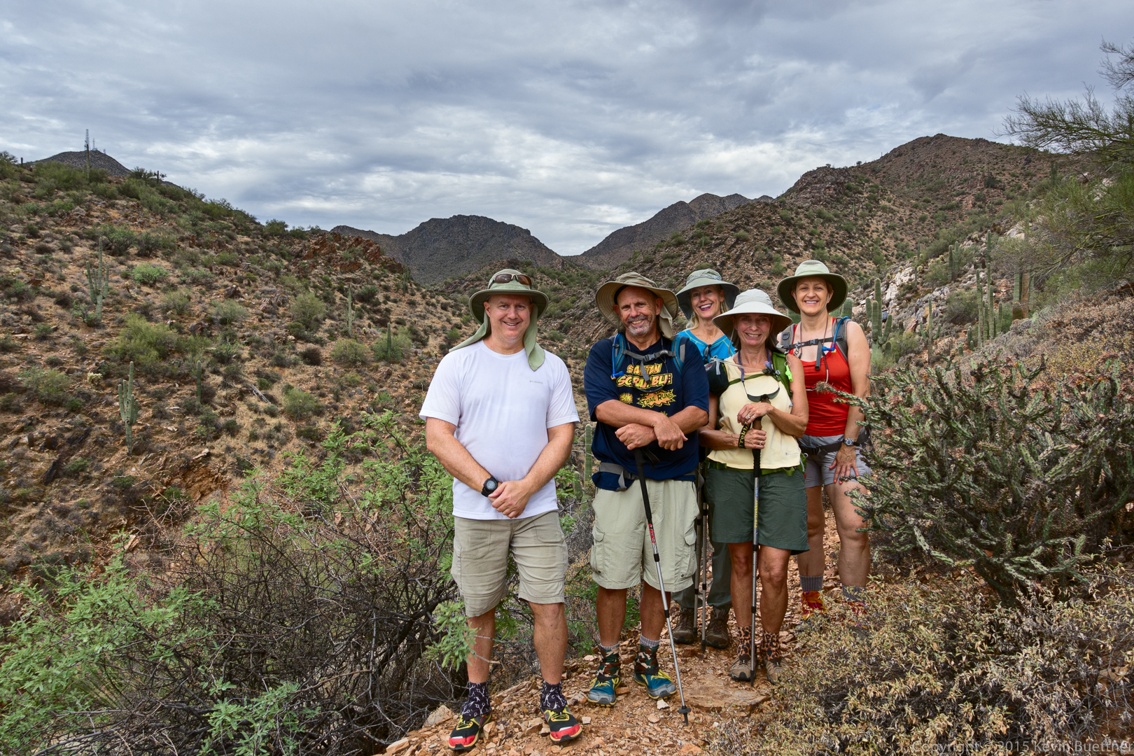
Kevin, Bob, Denise, Linda, and Marilyn:
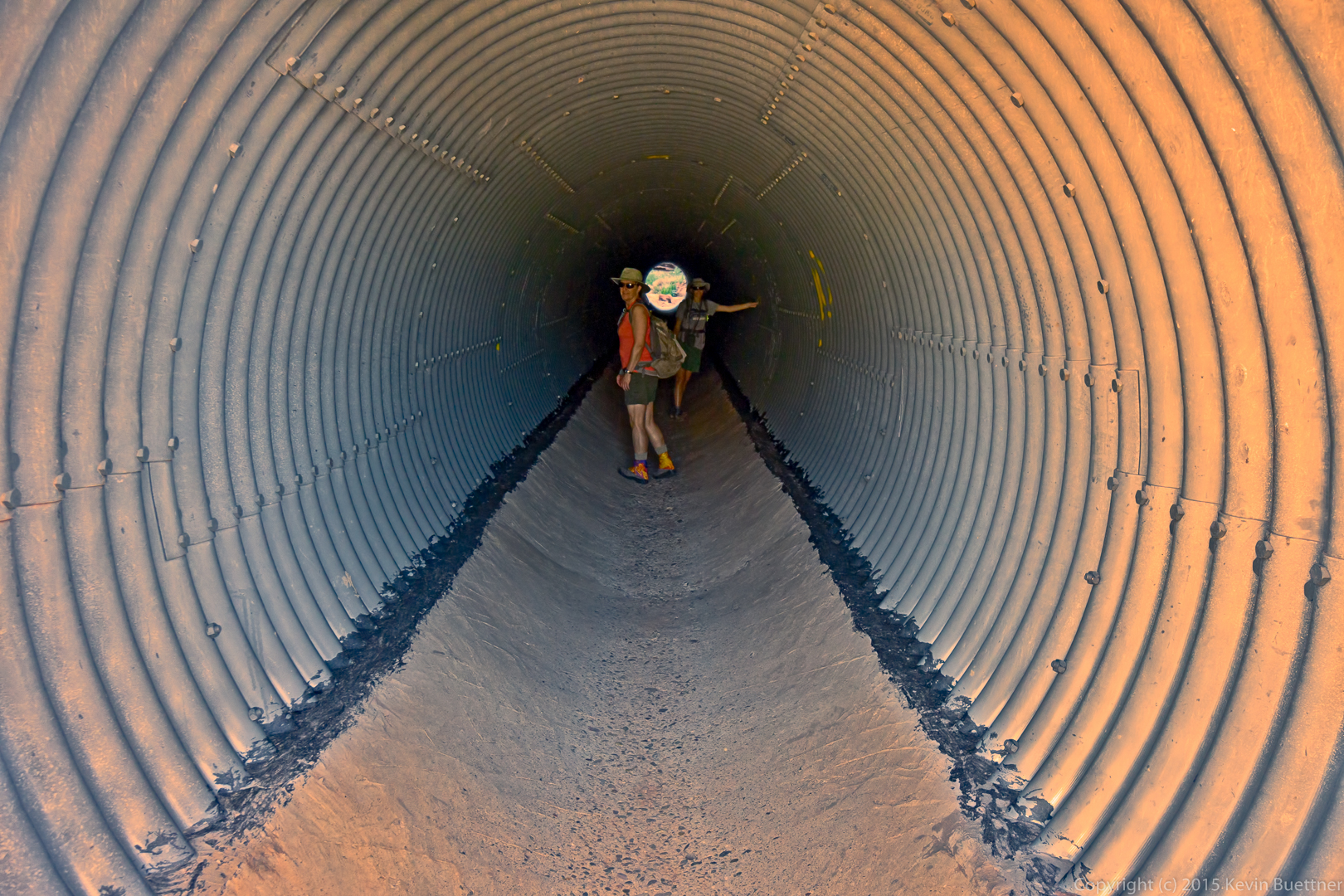
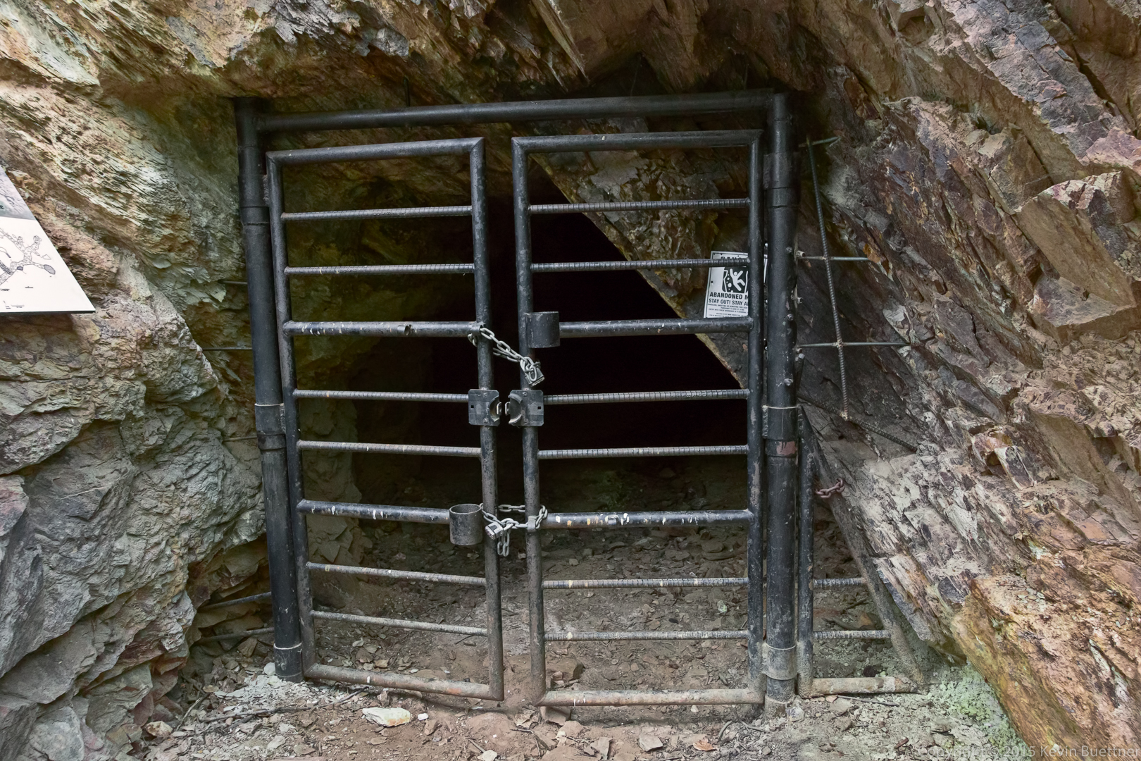
This is the entrance to the horizontal shaft.
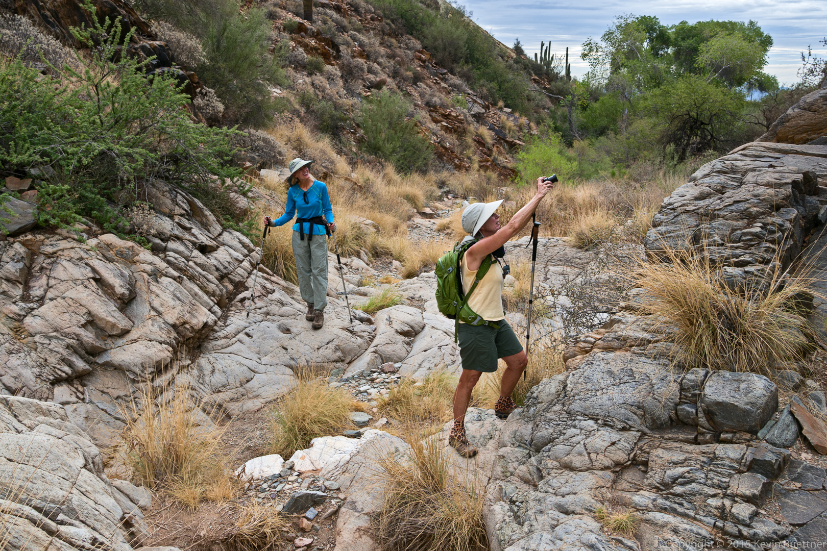
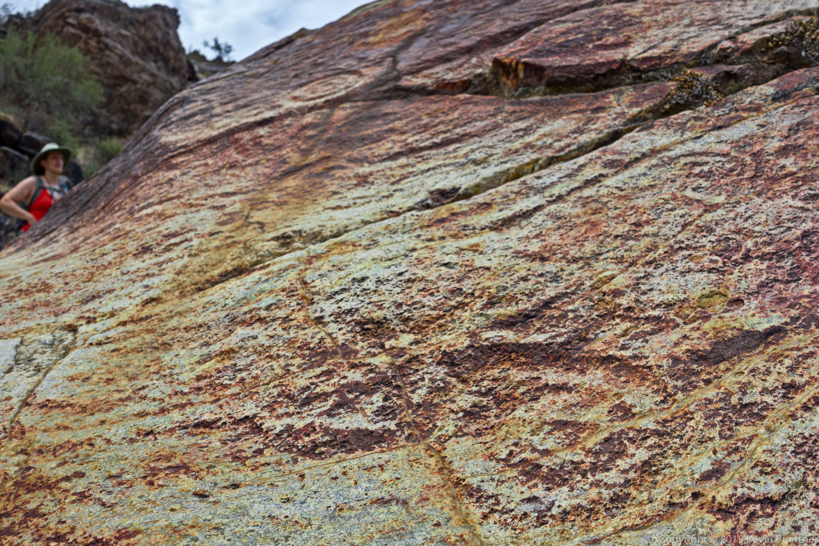
Linda, taking a picture of the main petroglyph panel. (Look at past Dixie Mine posts to see the main panel.)
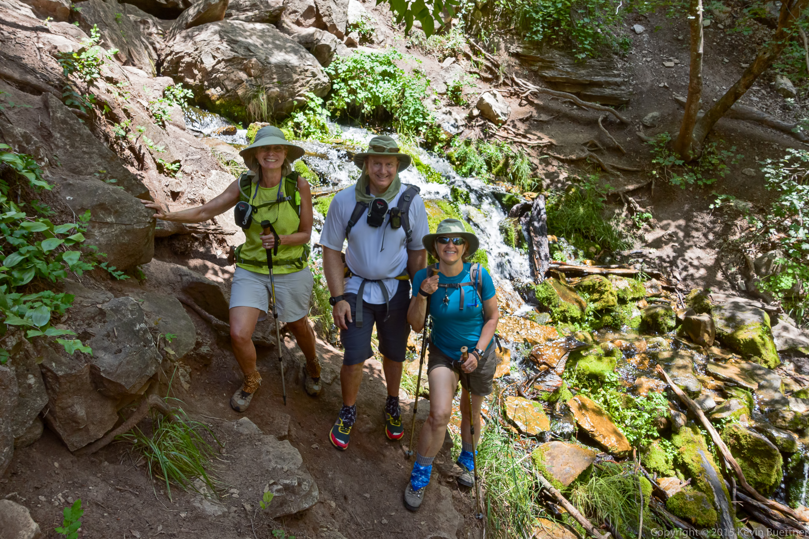
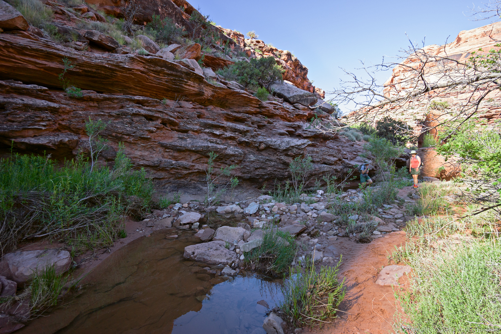
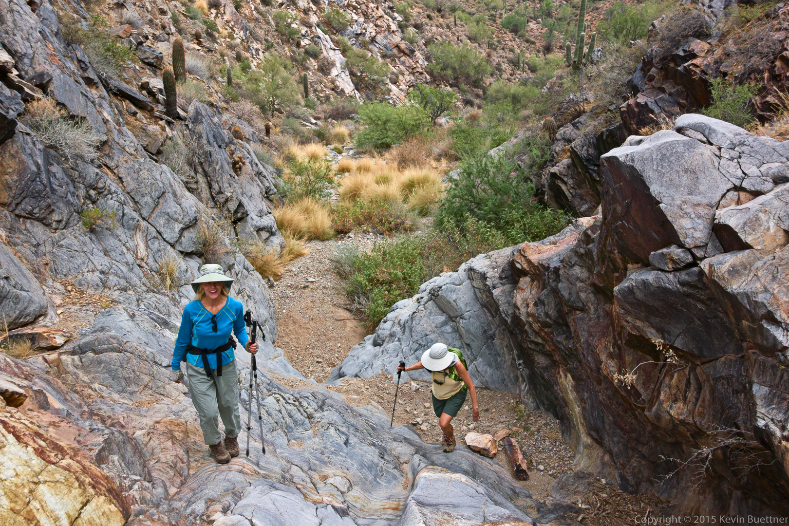
Denise and Linda, hiking up the waterfall.
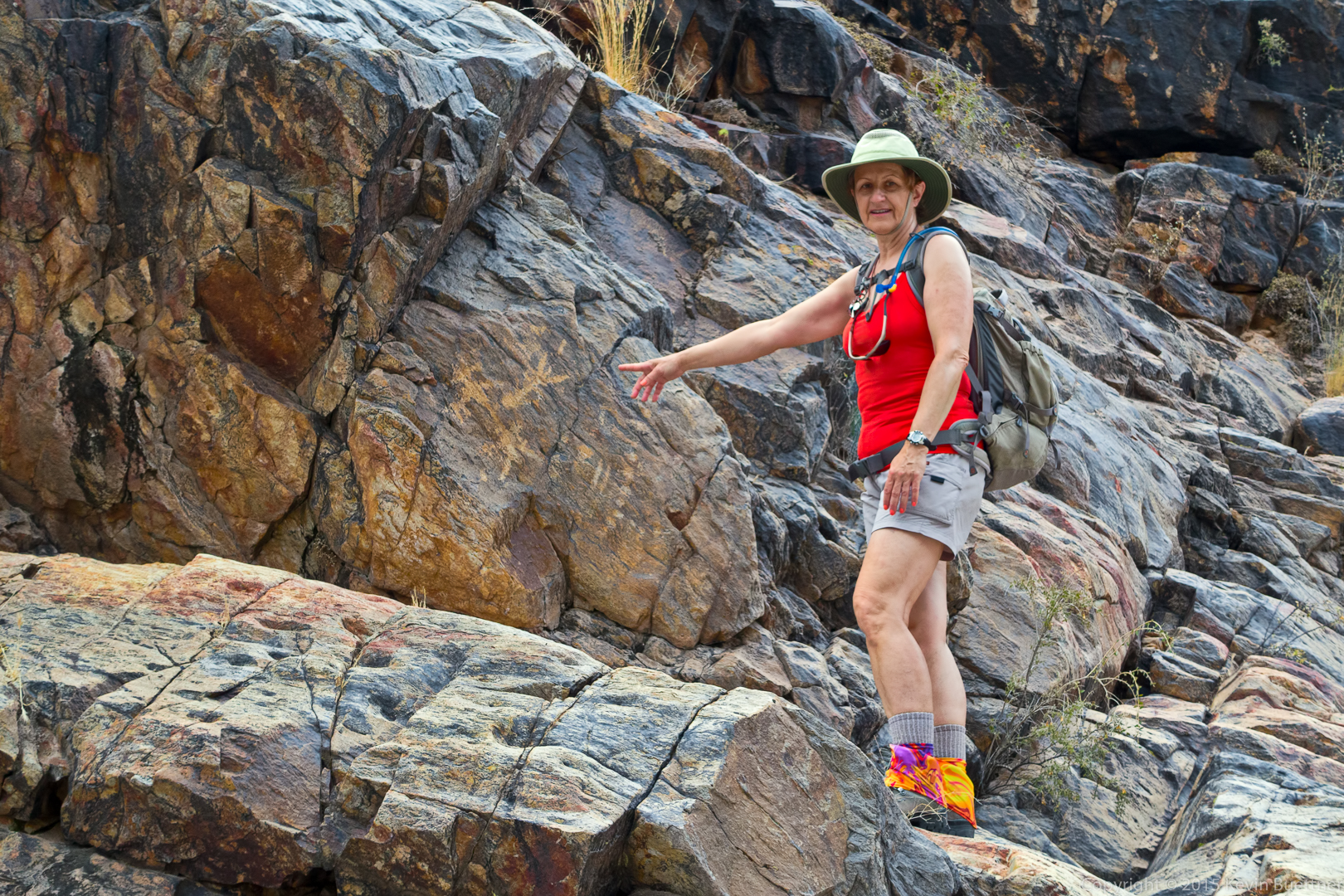
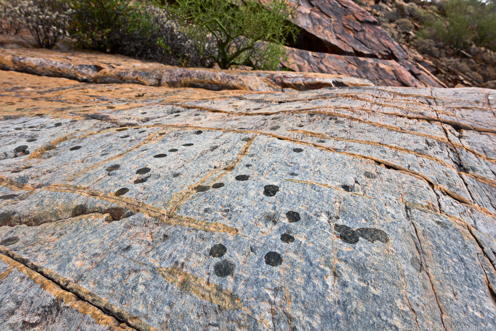
Marilyn points at some petroglyphs in that area. There are quite a few around here, but you need to look for them.
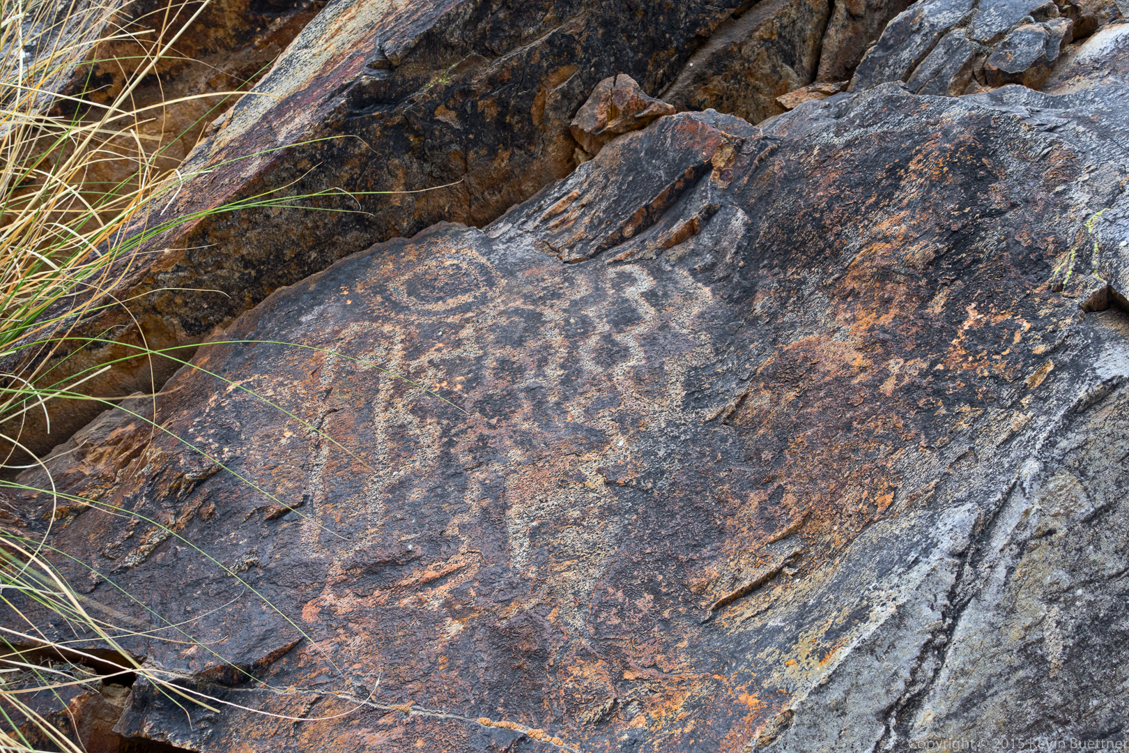
More petroglyphs…

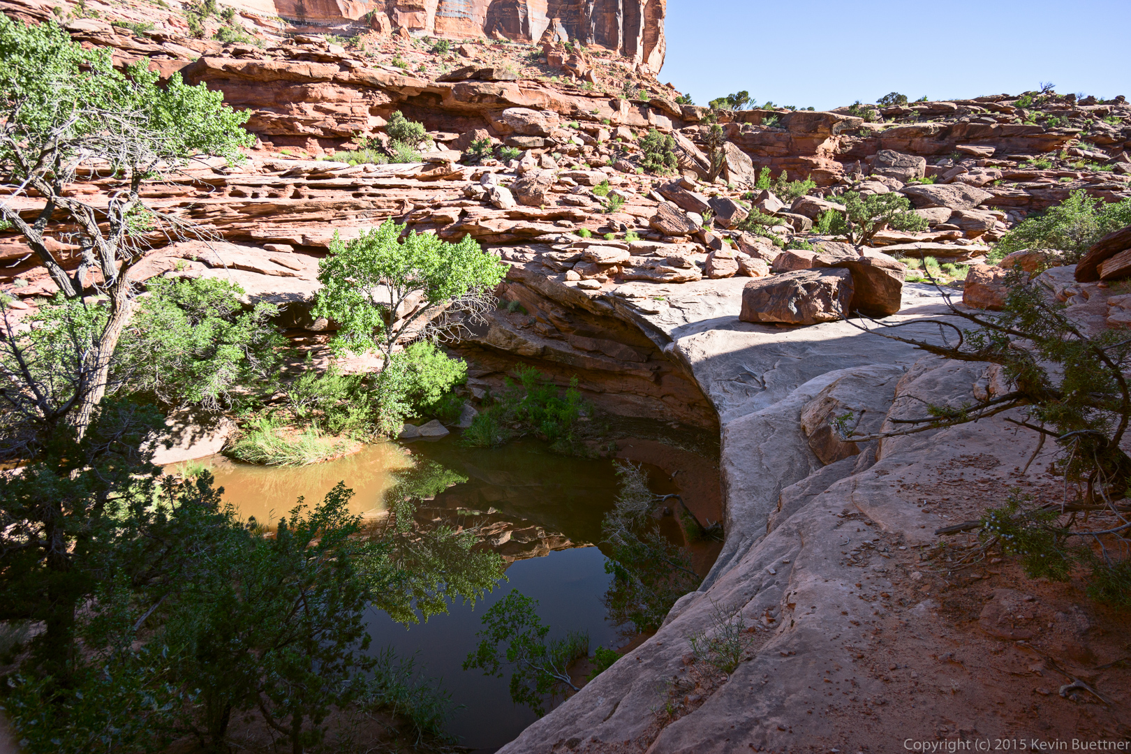
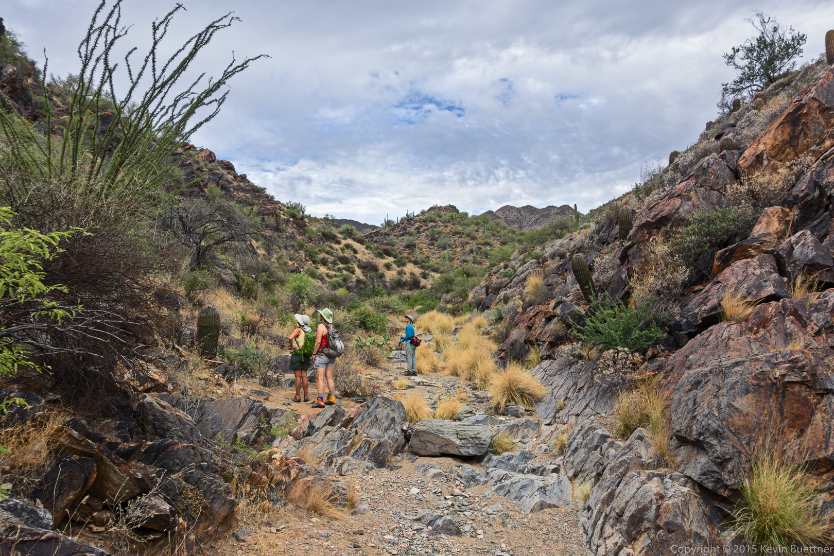
This is the wash past the waterfall.
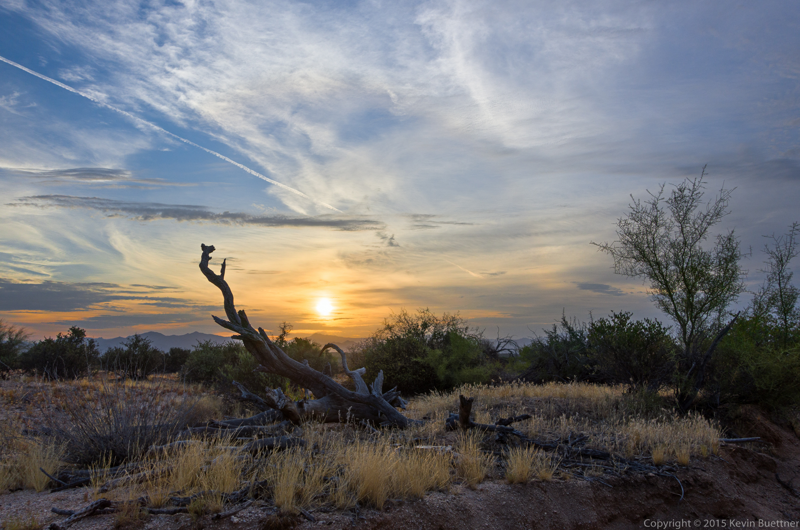
It started raining by the time we got to the Prospector Trail.
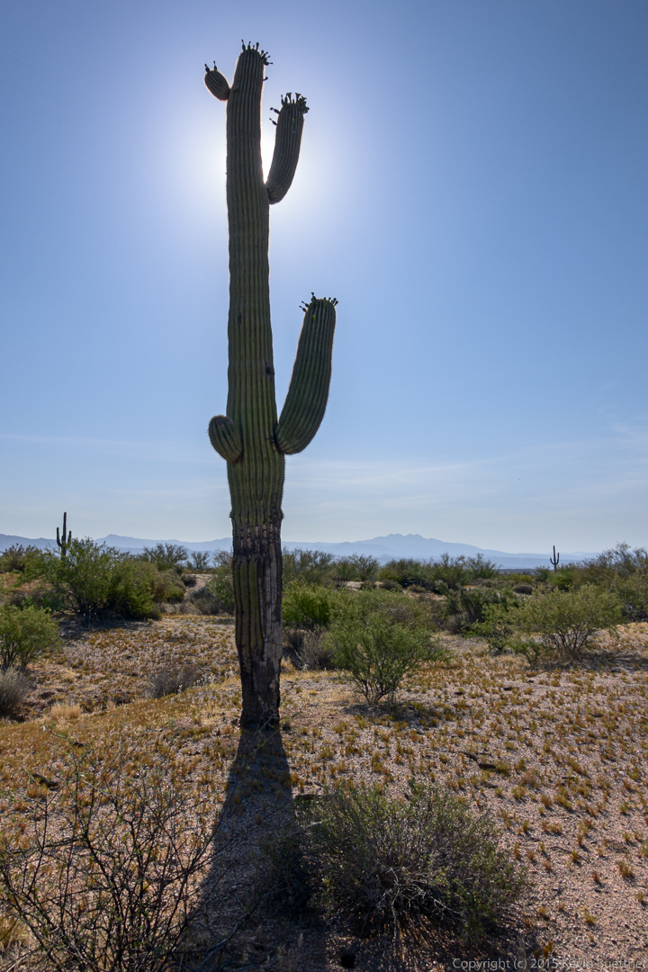
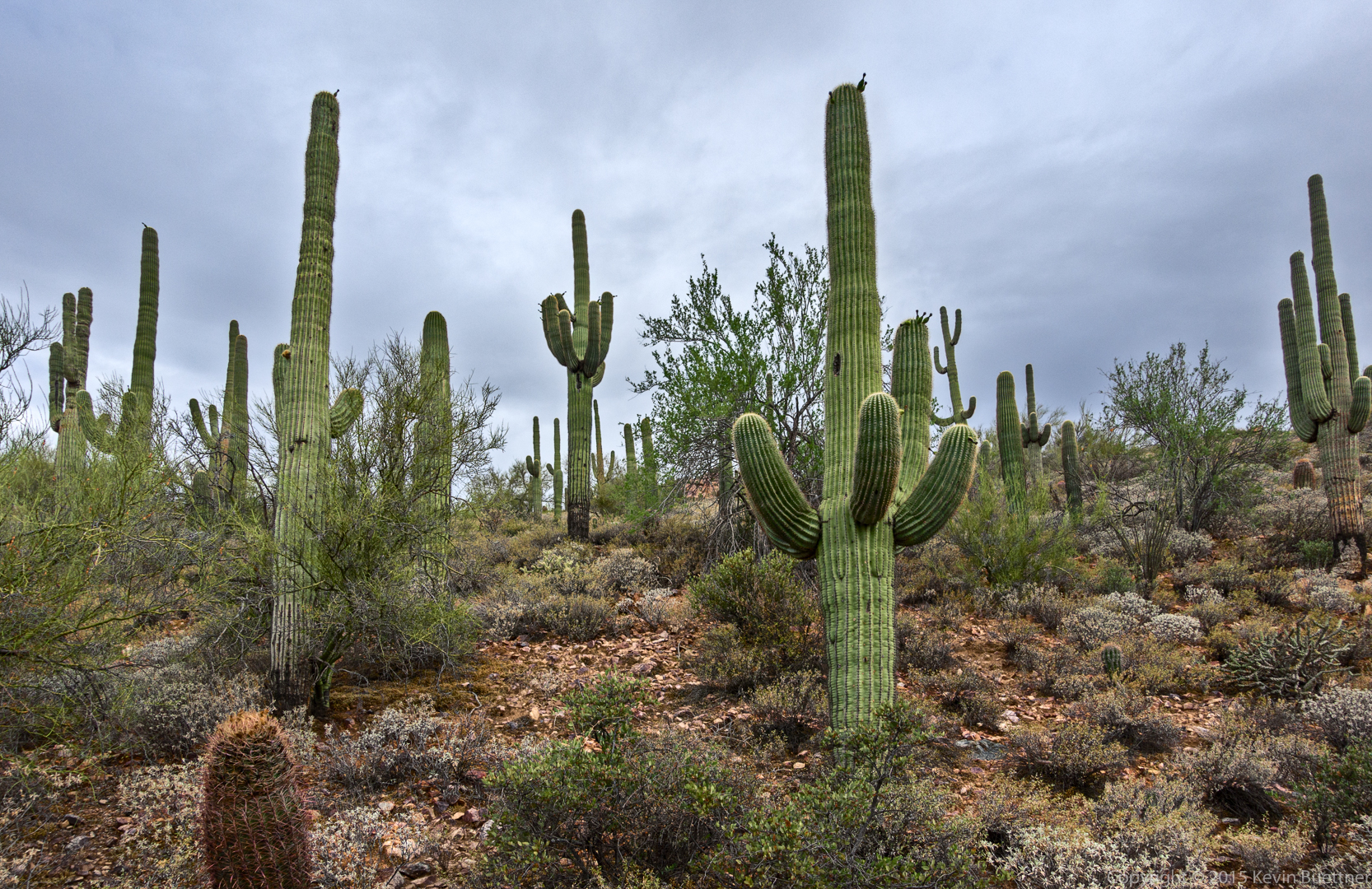
Saguaros on the Prospector Trail:
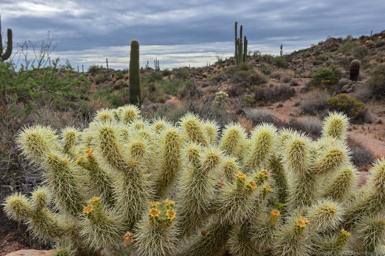
Cholla on the Dixie Mine Trail:
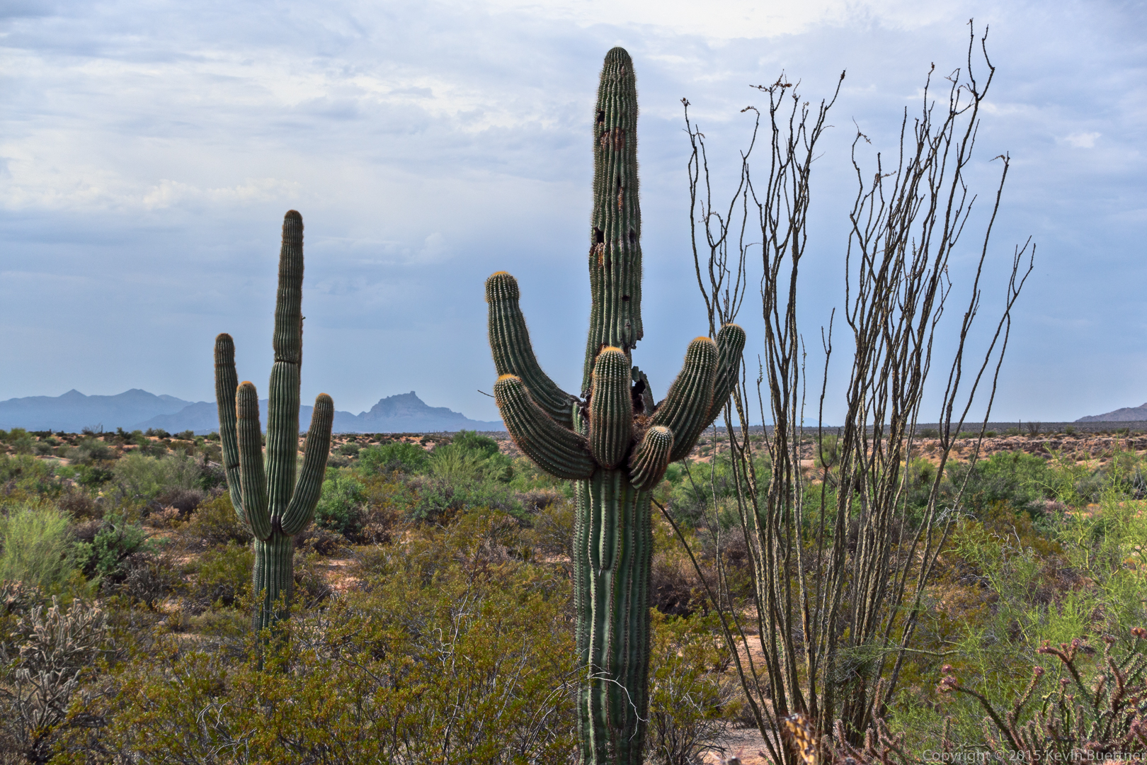
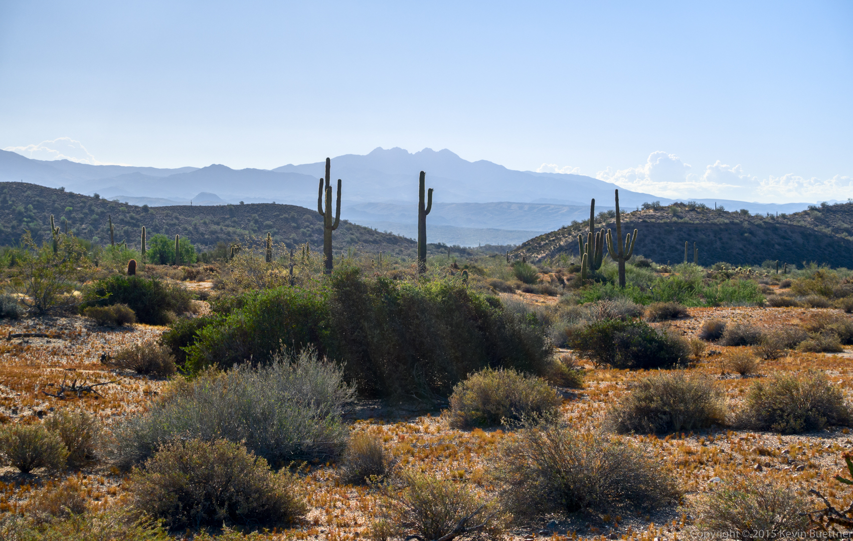
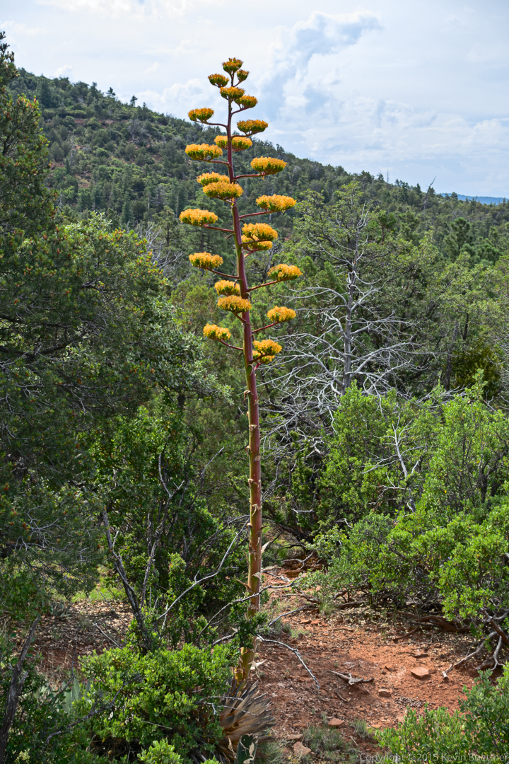
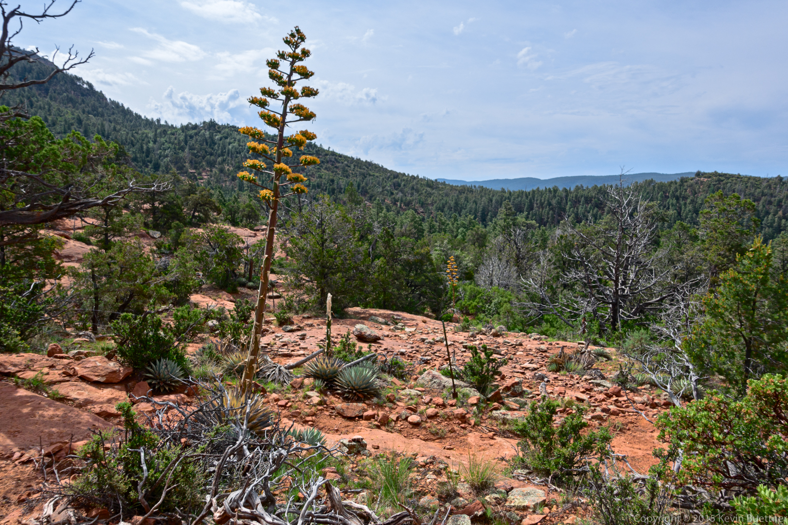
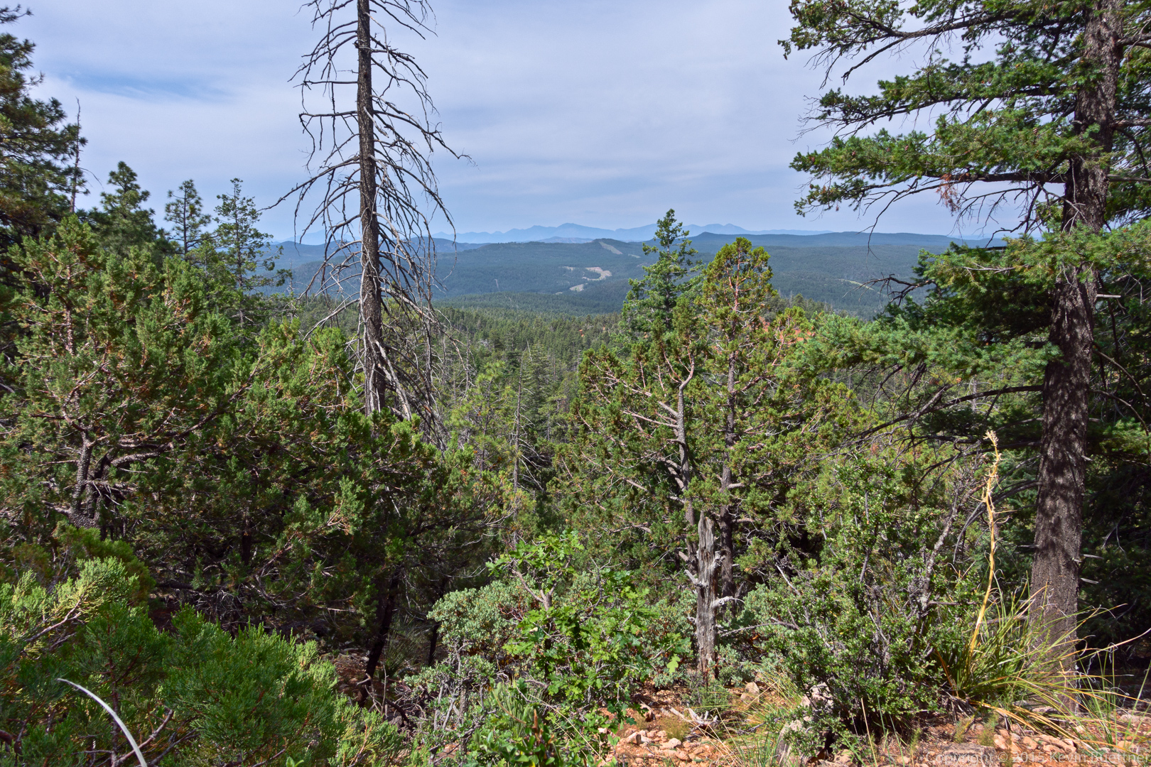
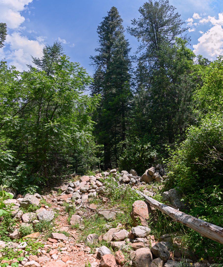
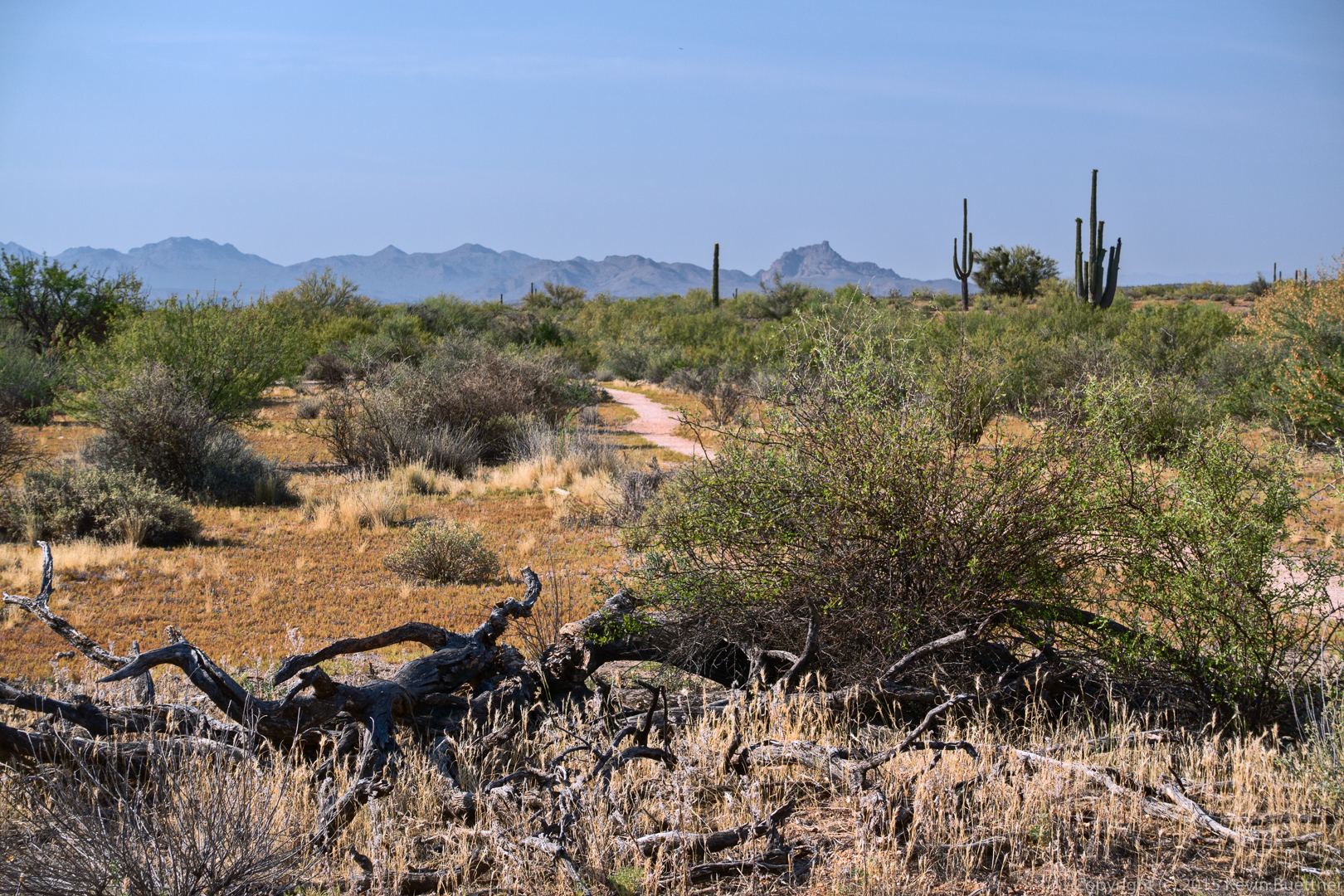
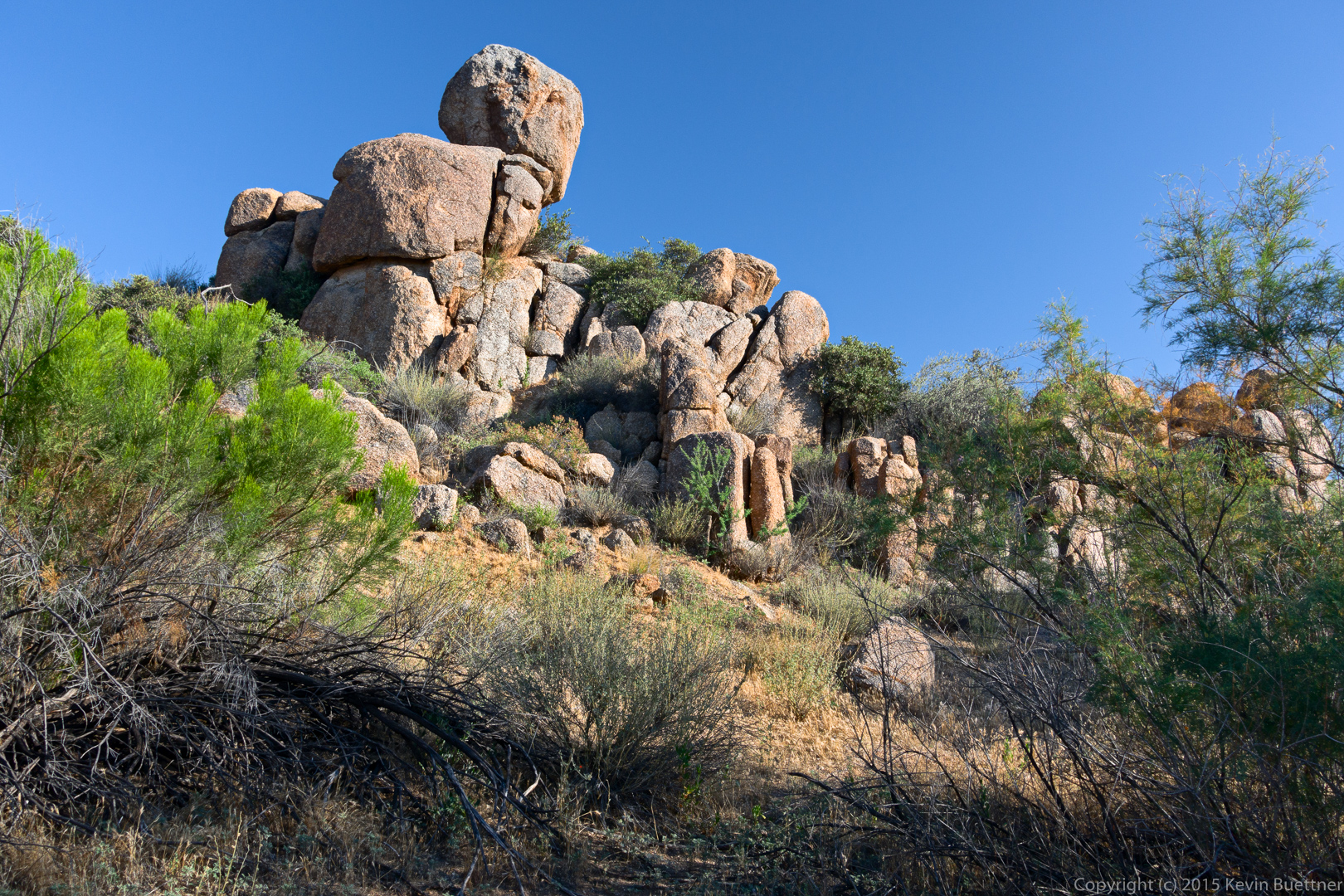
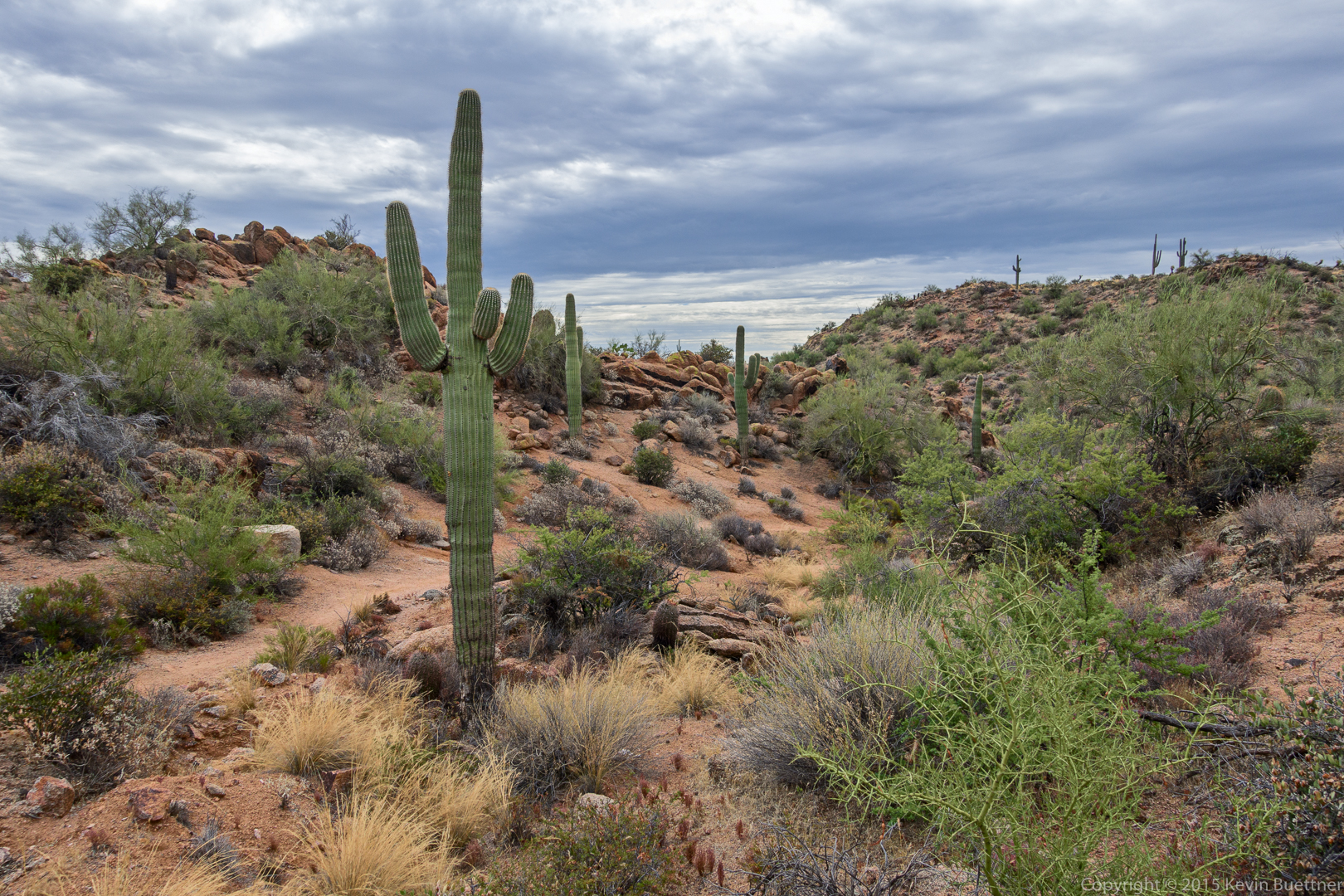
Another view from the Dixie Mine Trail:
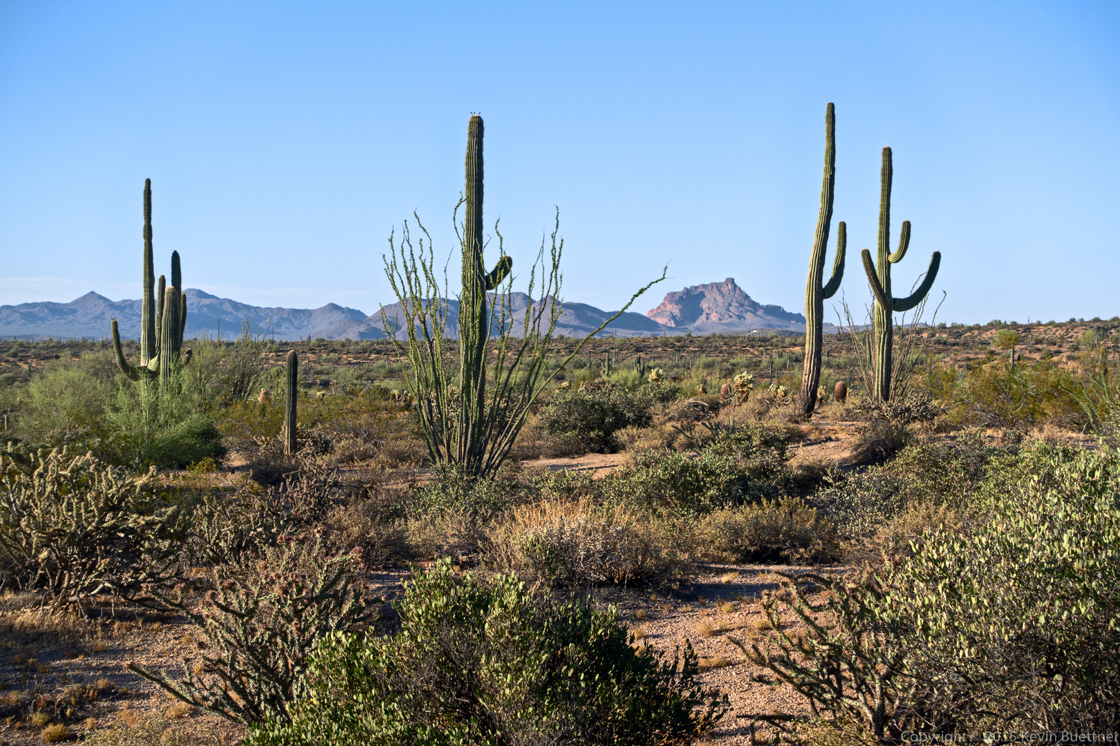
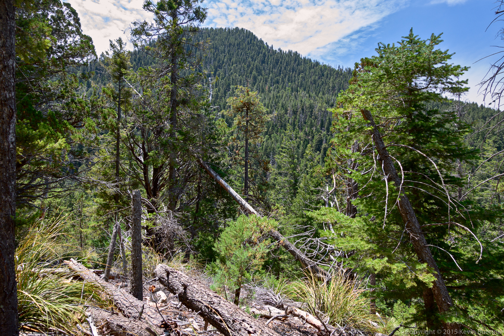
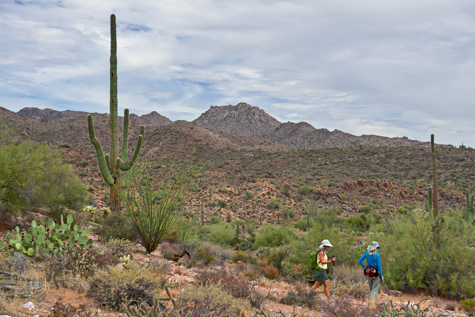
A view of the highest point in the McDowells, in the distance:
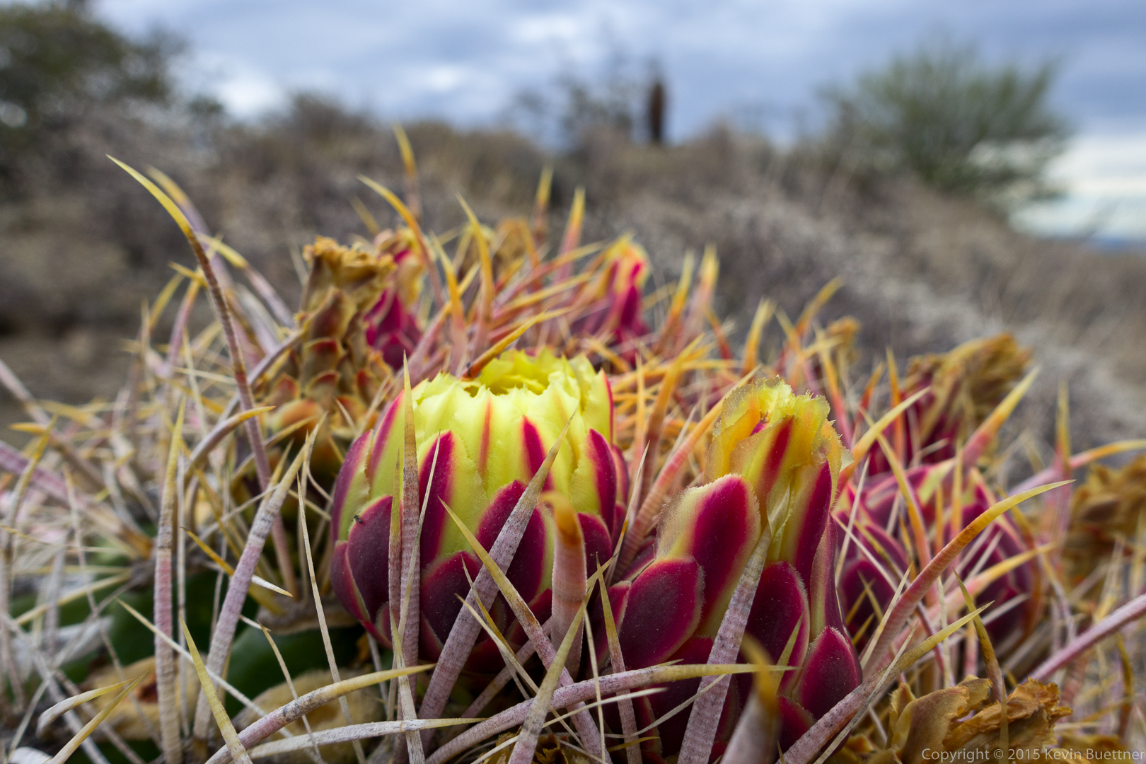
We found a flowering barrel cactus:
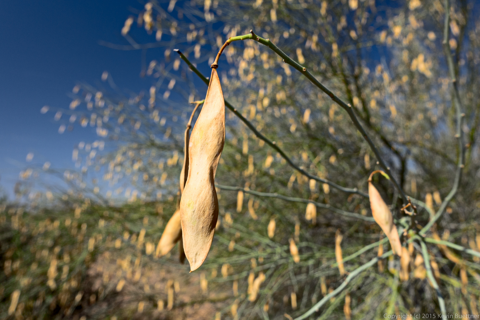
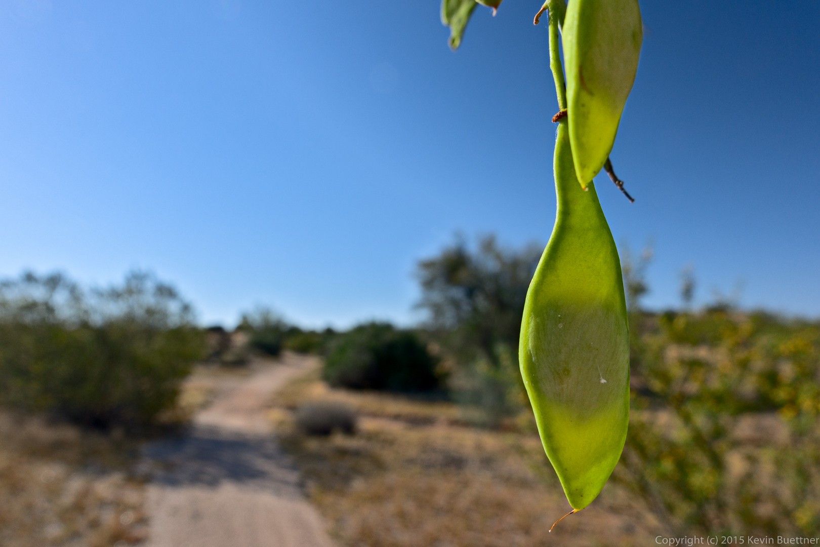
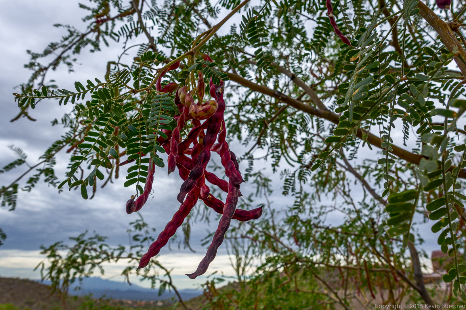
Seed pods on a mesquite tree:
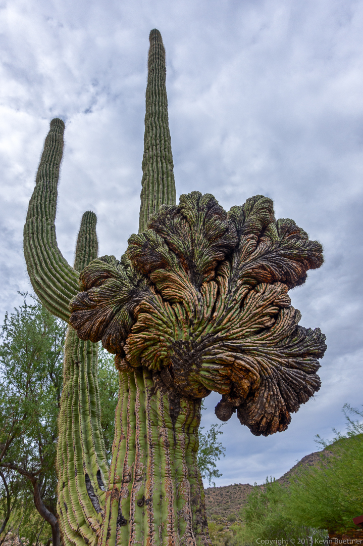
This is the crested saguaro at the parking area.