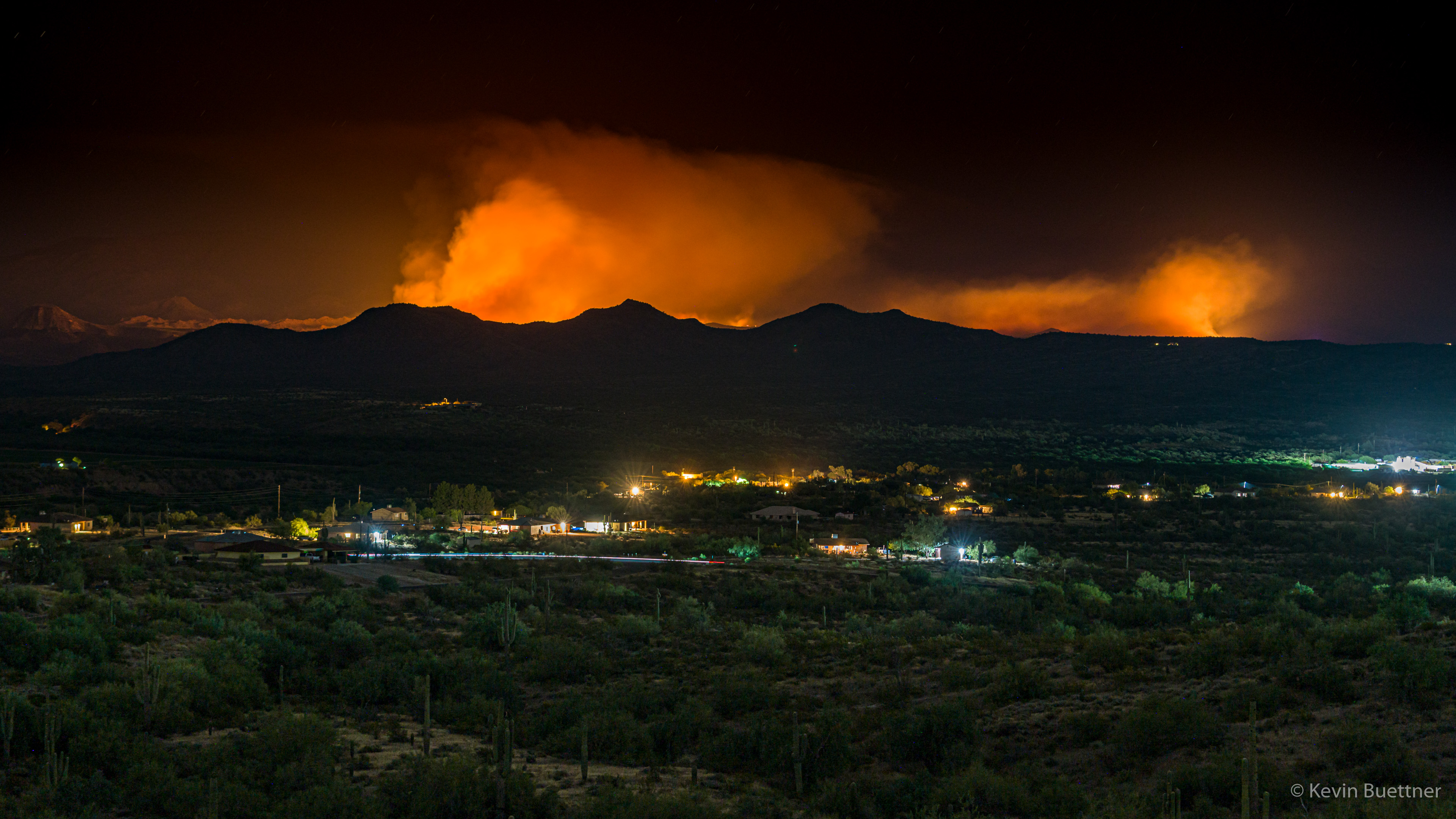
Marilyn, Marie, and I went for an evening walk on Saturday, the 13th. Marilyn noticed a reddish glow in the distance; we walked up a nearby hill to see better. We saw an orange glow in the distance, behind some hills. When we concluded our walk, I brought my camera out to get this photo. It was much less bright than shown in my photo below; actually, at the time we were there, it was less bright than earlier in the evening.
On the ten O’clock news we learned that it’s called the Bush Fire, it’s in the Tonto National Forest, and that traffic has been blocked of on SR 87 (Beeline Hwy).
Update – 2020-06-14:
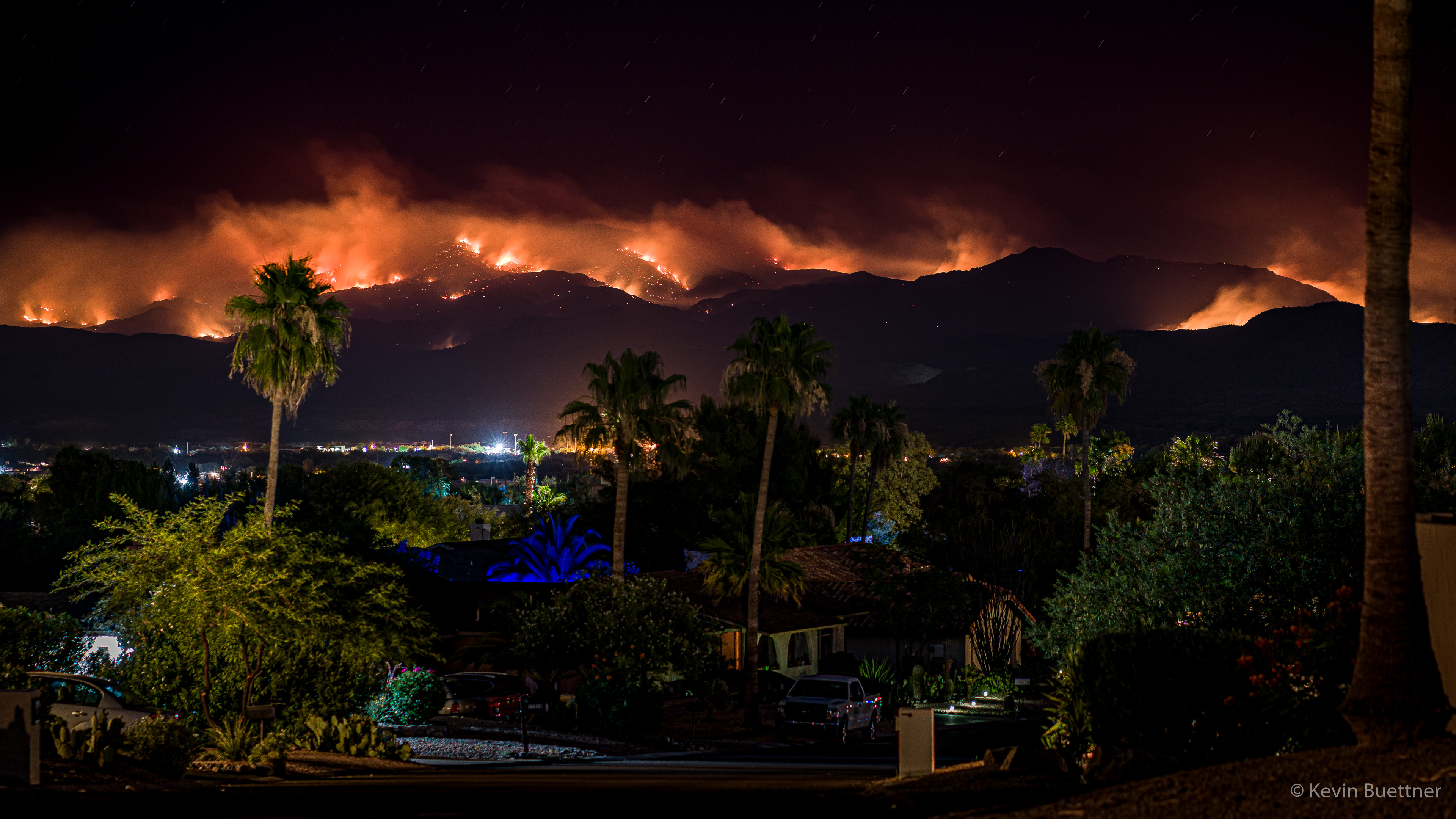
Marilyn and I went out for another walk, shortly after 8:00pm on Sunday, the 14th. We first walked up to the top of the hill where I had taken the earlier photo. We returned by walking down the street upon which we lived. At the top of the street (which is on a hill), we found quite a dramatic view…
Update – 2020-06-15:
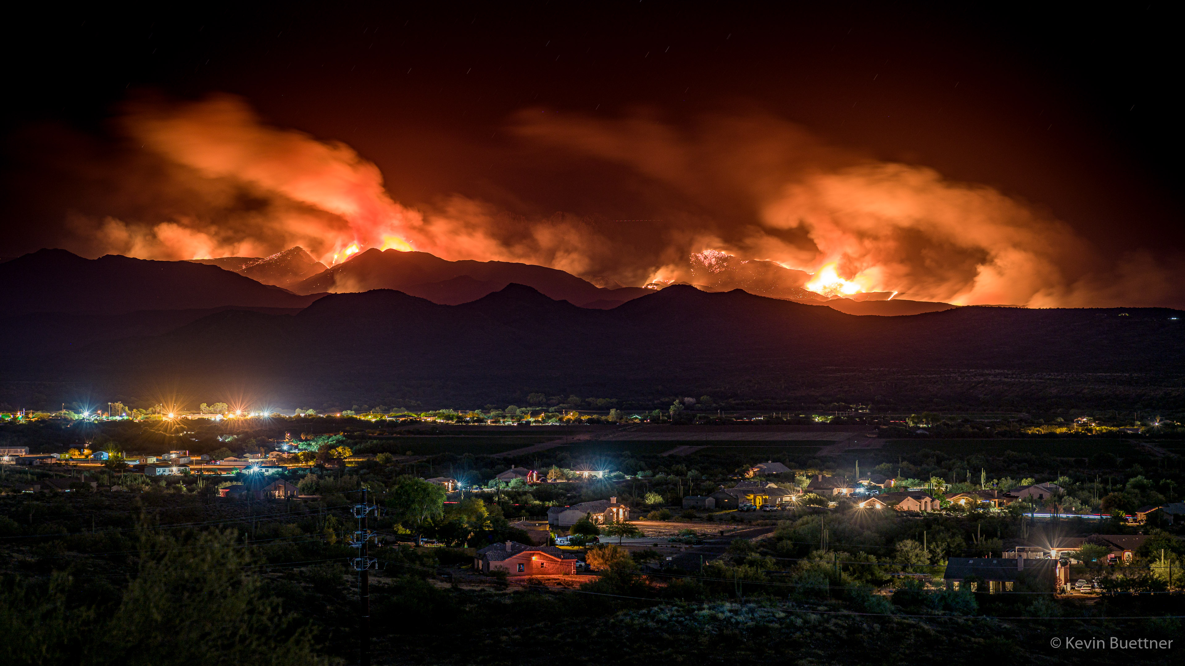
On the evening of Monday, the 15th, I walked across McDowell Mountain Road, hiked up one of the hills to the north, and took some more photos. According to InciWeb, on Monday evening, the Bush Fire is 37,900 acres in size and is still 0% contained.
Remember, this is a long exposure; this scene did not appear this bright while I was there. I was able to see some lights on the Fort McDowell Yavapai Nation, I certainly wasn’t able to see this community in the level of detail shown here – it was much too dark. Likewise, the smoke didn’t have much of the color or glow shown in this photo; that too is due to taking a long exposure.
Update – 2020-06-16:
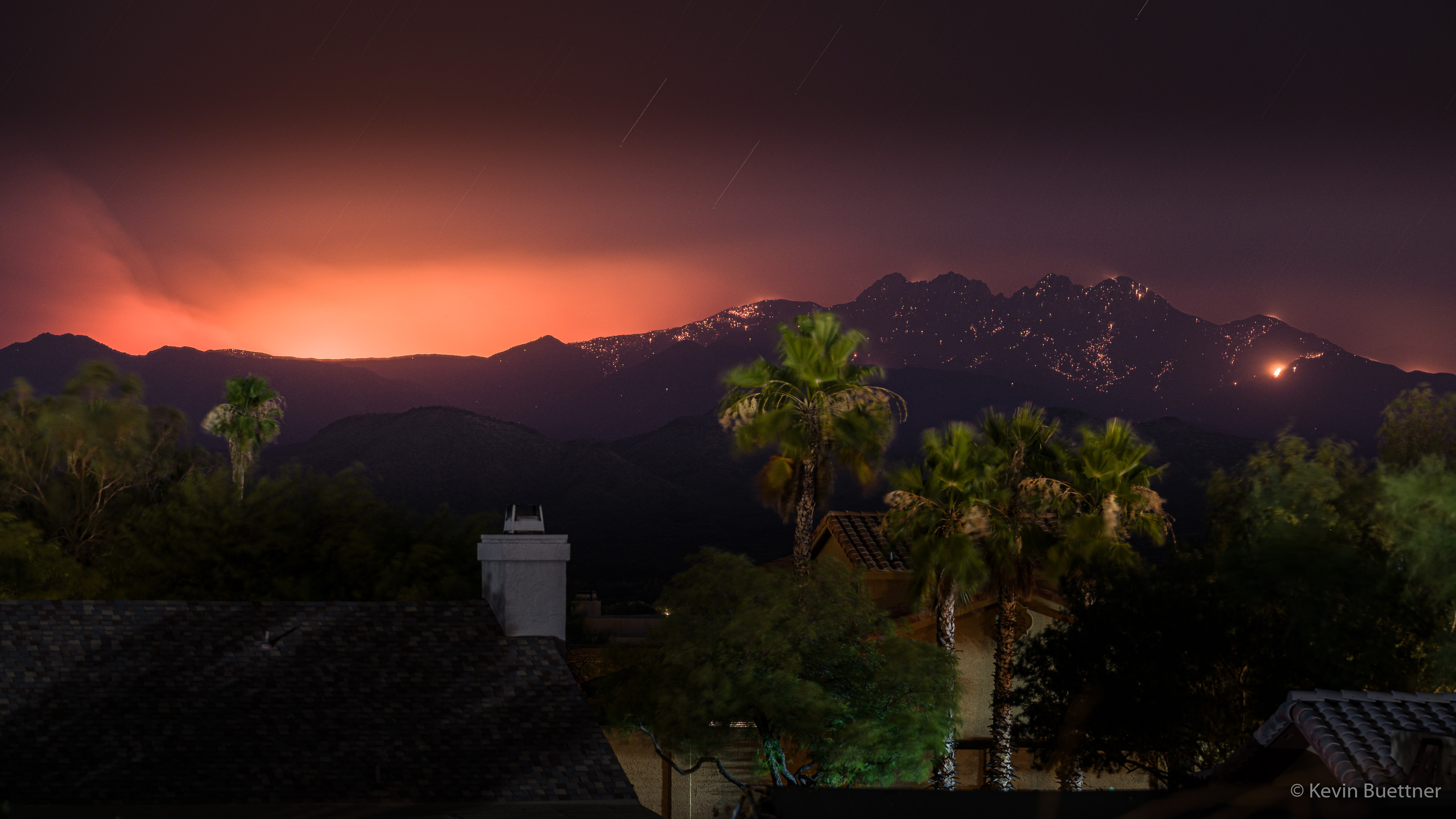
According to InciWeb, the Bush Fire grew to 64,513 acres in size, still with 0% containment. However, when I went out on my balcony in the evening to look, I saw only a faint glow in several areas. That being the case, I decided against going somewhere to take a photo and instead just took a shot from my balcony. Although my eyes couldn’t see much activity in the distance, a three and half minute exposure picked up a lot of hot spots on Four Peaks in addition to the usual glow in the smoke. I think that the long exposure smoothed out the smoke in addition to making the trees appear out of focus – they’re not out of focus; it’s just motion blur.


Mary says:
Looks like a serious fire. Approximately how far away would this be from your house?
June 14, 2020 — 10:27 am
Mary says:
This looks like a significant fire. Approximately how far is the fire from your house?
June 14, 2020 — 10:29 am
Kevin says:
I don’t know exactly. I’ve read that SR-87 (Beeline Hwy) is closed between Bush Highway and SR-188. Distance as the crow flies between my house and the intersection of Bush Highway & SR-188 is a little over eight miles. So, if the fire is close to Bush Highway, it’s much too close for comfort.
June 14, 2020 — 11:36 am
Gary Wietgrefe says:
You are amazing! Great fire photo!
We can’t wait to see more hikes upgraded by your photo technology.
June 14, 2020 — 10:52 am
Linda says:
This is an amazing photo of a scary thing! I can still see smoke from it from my house this evening. Let’s all hope monsoon comes early this year! Thank you for sharing this photo…….we all do miss the weekly blog as well as the hikes……but understand the hiatus.
June 14, 2020 — 12:45 pm
Anonymous says:
It is out, right????
June 14, 2020 — 4:33 pm
Kevin says:
Nope. 0% contained as of Monday morning.
June 15, 2020 — 1:35 am
Nick says:
Superb photos . Interesting to see the small localised blazes together with the overall effect
June 15, 2020 — 3:55 am
Anonymous says:
Tahnks.
June 16, 2020 — 7:32 am