On Friday, Sept 6, I hiked nine miles on the Dixie Mine and Sonoran trails.
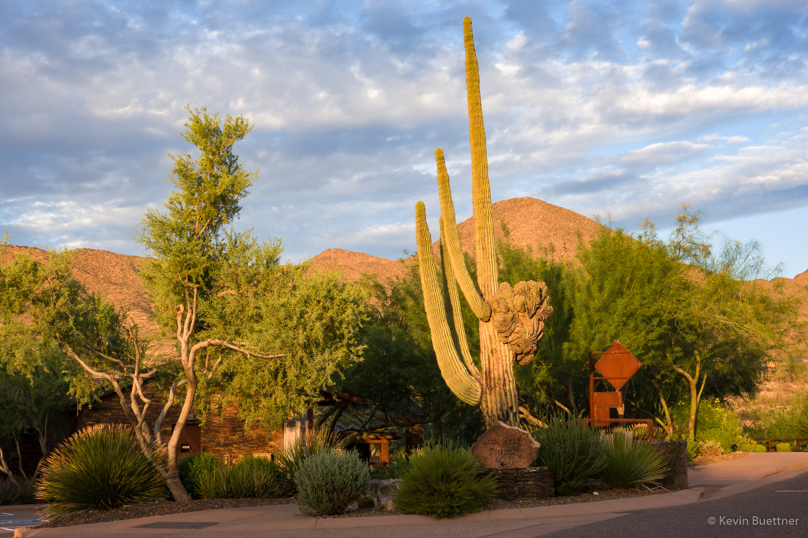
This is a view of the crested saguaro at the parking lot entrance.
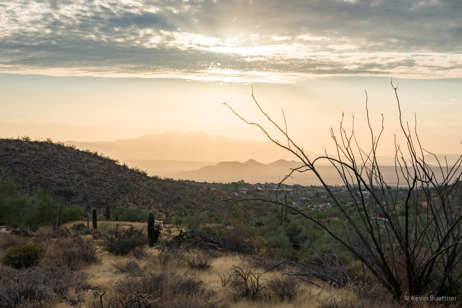
A view of Four Peaks on the way to the start of the Dixie Mine Trail. (There’s about 0.7 miles of residential sidewalks to walk between the parking lot and actual trailhead.)
A view of the McDowells:
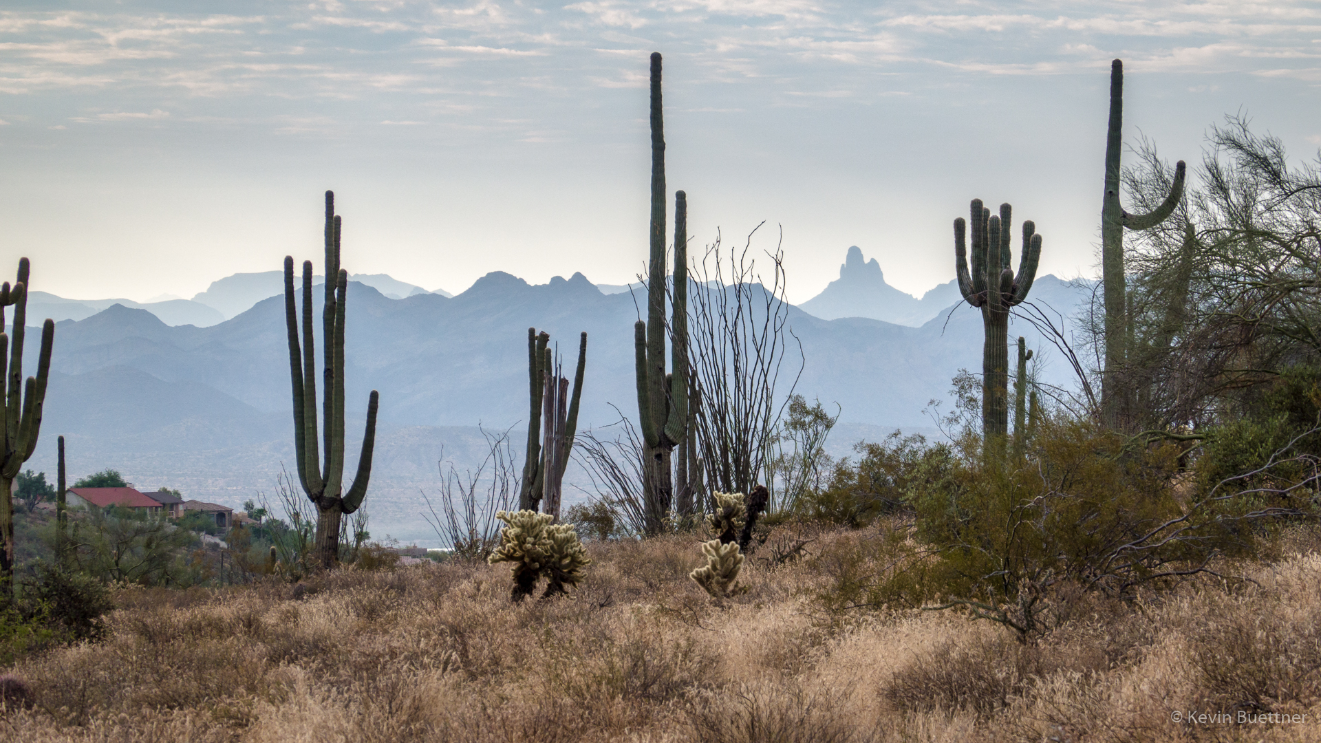
The route I took provided a good view of Weaver’s Needle!
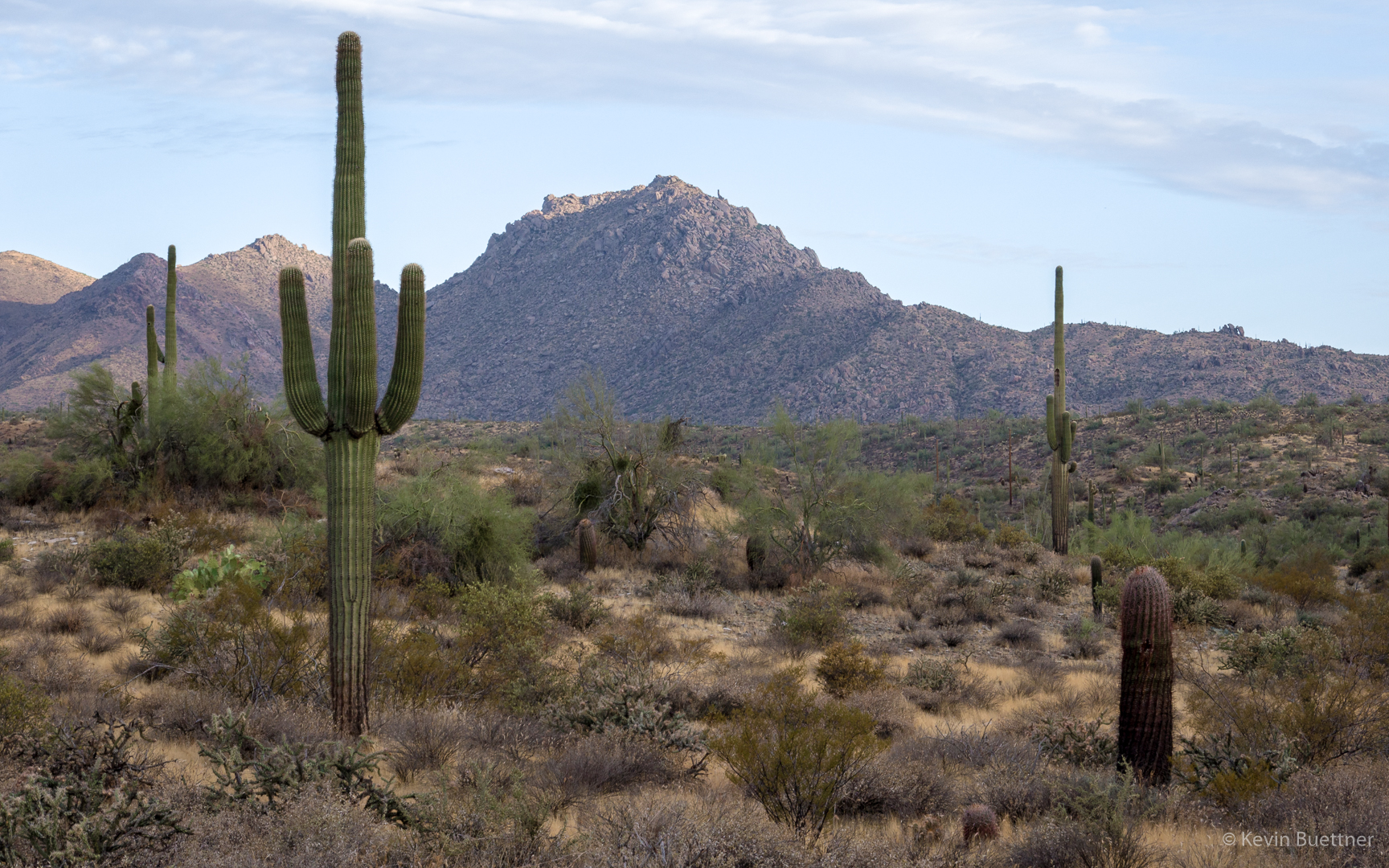
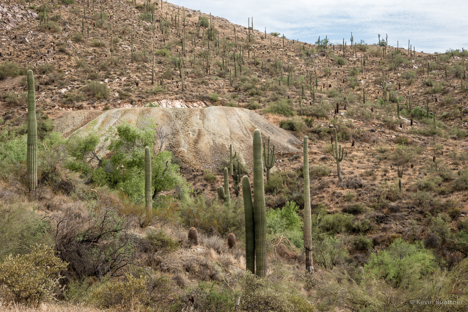
Saguaros were dense along this hillside.
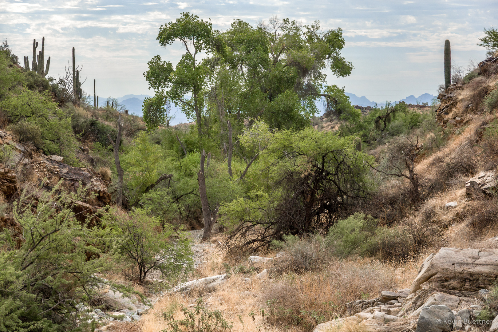
Looking back down the wash towards the road:
This is the “waterfall”. Seeing bees around one of the puddles at the first landing, I turned around at this point. If you look closely, a few petroglyphs are also visible in this photo.
There’s a cave (which was probably created from mining activity) at the left in this photo.
Mine tailings:
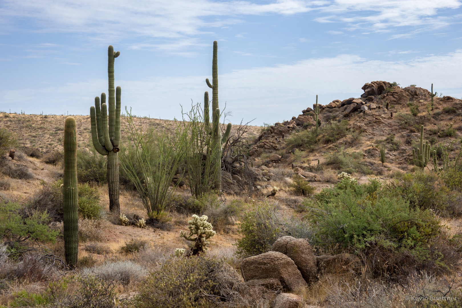
Views from along the Dixie Mine Trail:
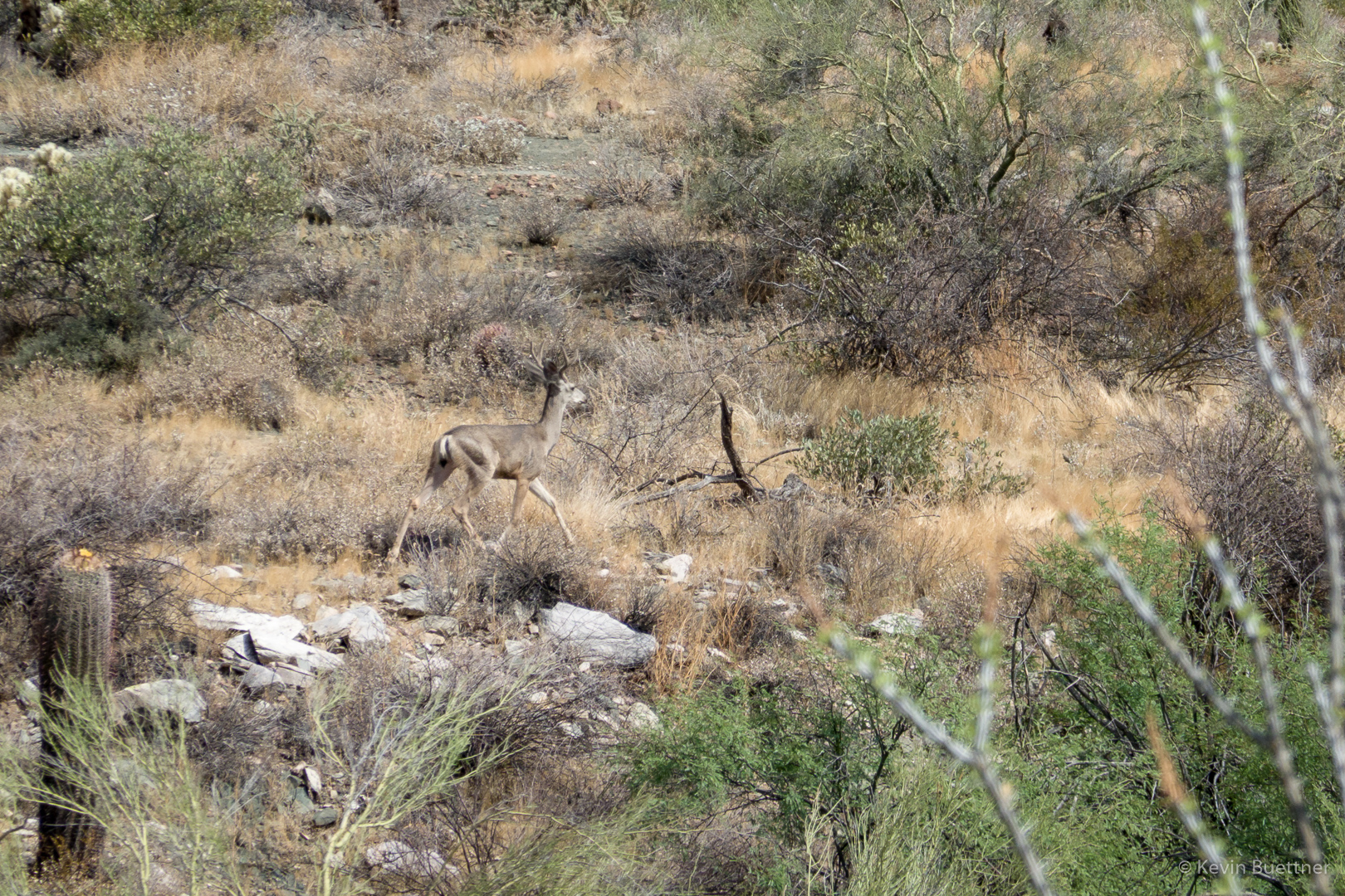
When I got to the intersection with the Sonoran Trail, I decided to hike it to the preserve boundary and then a short ways into the preserve. On the way back, I saw a deer!




Gary Wietgrefe says:
One of best photos I’ve seen of Weaver’s Needle!
September 11, 2019 — 6:19 am
Anonymous says:
Looks like it was hot. Brave.
September 12, 2019 — 5:55 am