Chris and Dan joined me for an 8 mile hike on Friday, the 16th. This was their first hike in the area, so we visited Dixie Mine. We looked through the gate into the adit. We also went to the top of the tailings and saw the vertical shaft. Dan, a geologist, noticed a lot of quartz in the area; he told me that those operating the mine were hoping to find gold. After looking at the petroglyphs, we continued to the Prospector Trail, but decided to turn back instead of continuing onto Bell Pass, Windmill, etc. for a much longer hike. When we got to the intersection with the Sonoran Trail, Chris said she was feeling well enough to hike to the Preserve boundary, so we did that too.
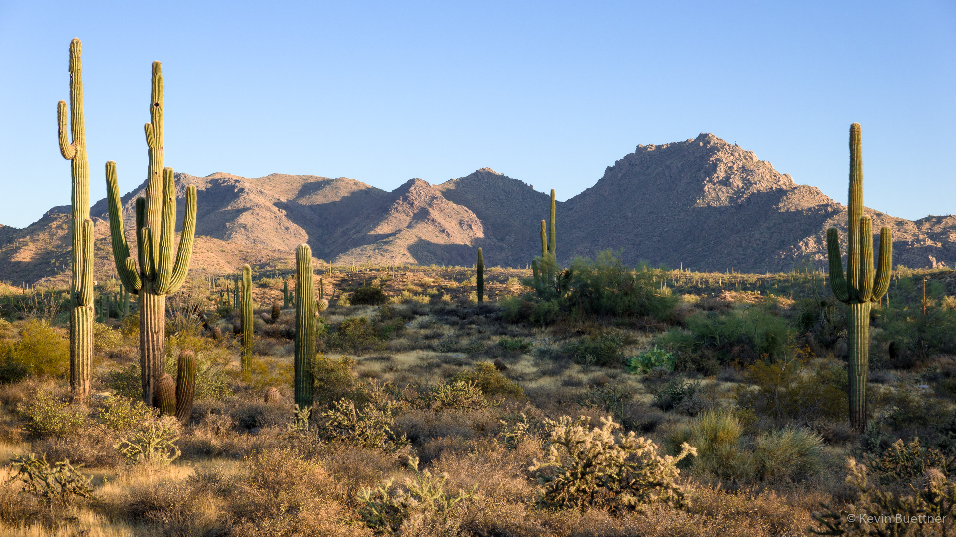
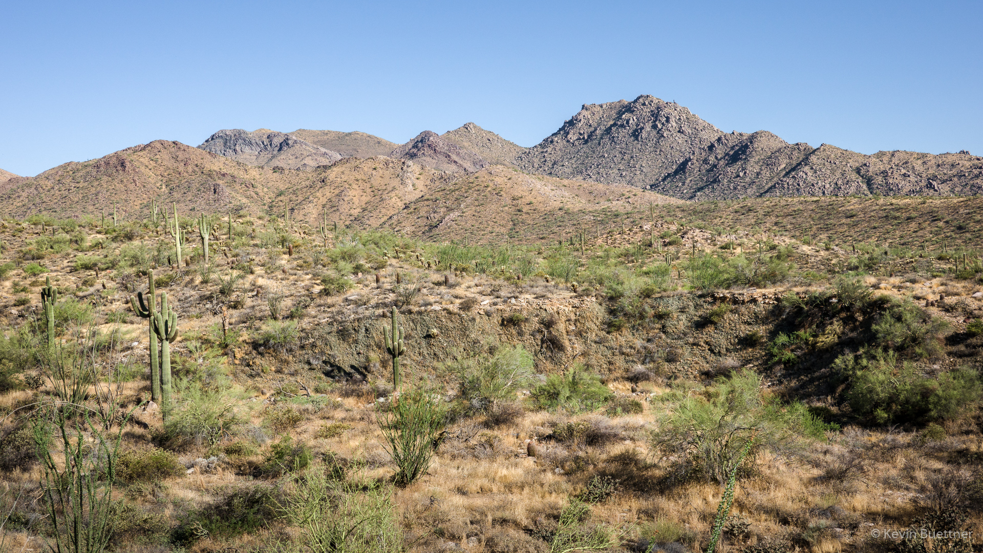
Early morning views of the McDowells…
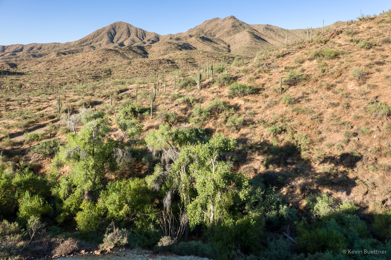
A view from the mine tailings:
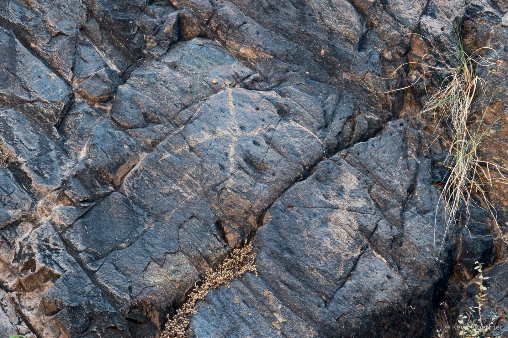
Petroglyphs…
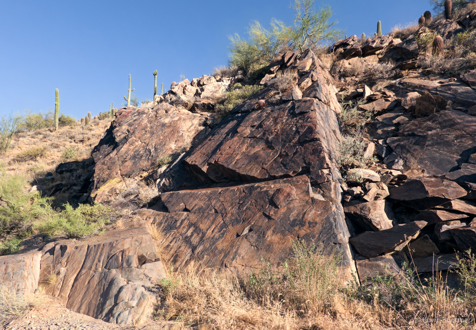
A triangular shaped formation further up-canyon:
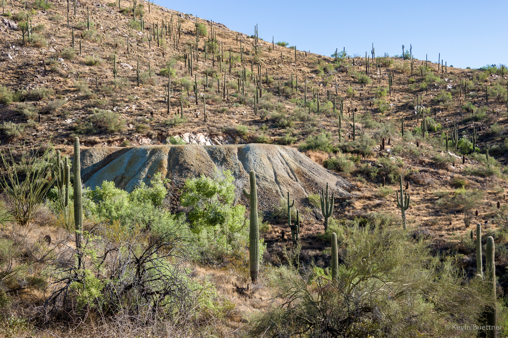
A view of the mine tailings; I stood on the edge of these tailings for one of the earlier photos, above.
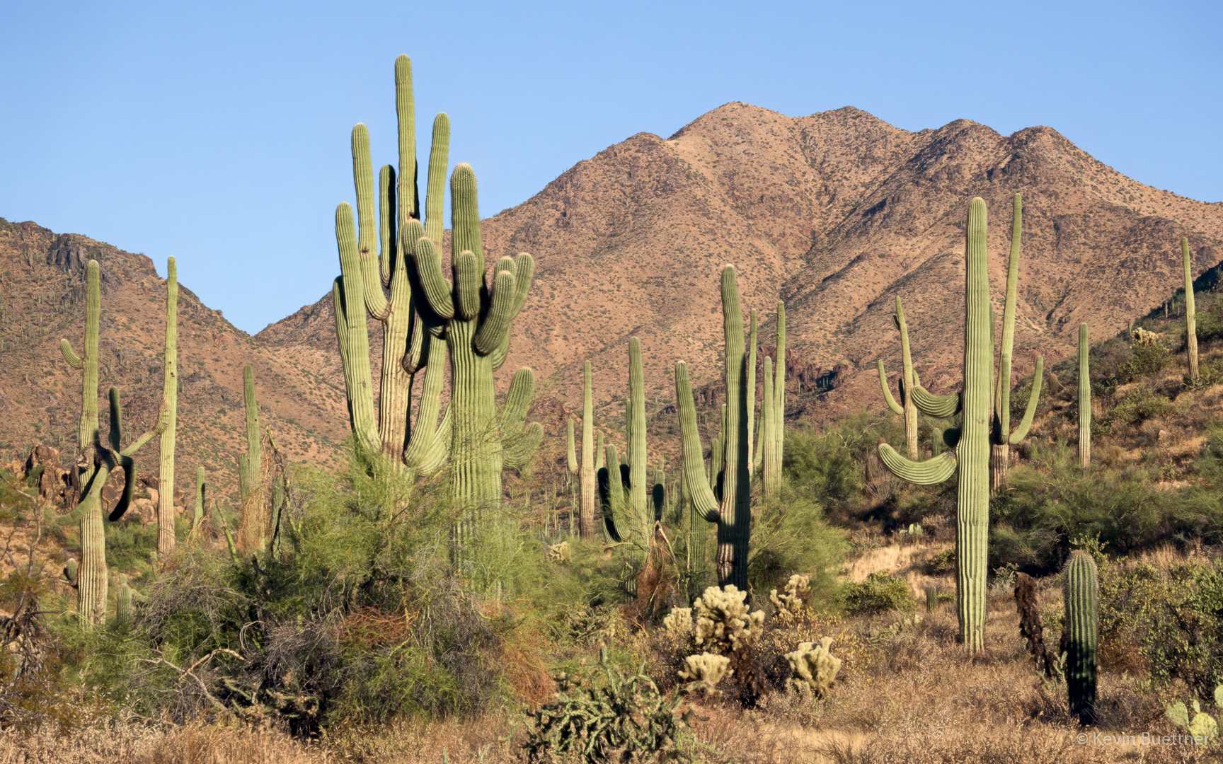
Another view of the McDowells, this time from the Sonoran Trail:
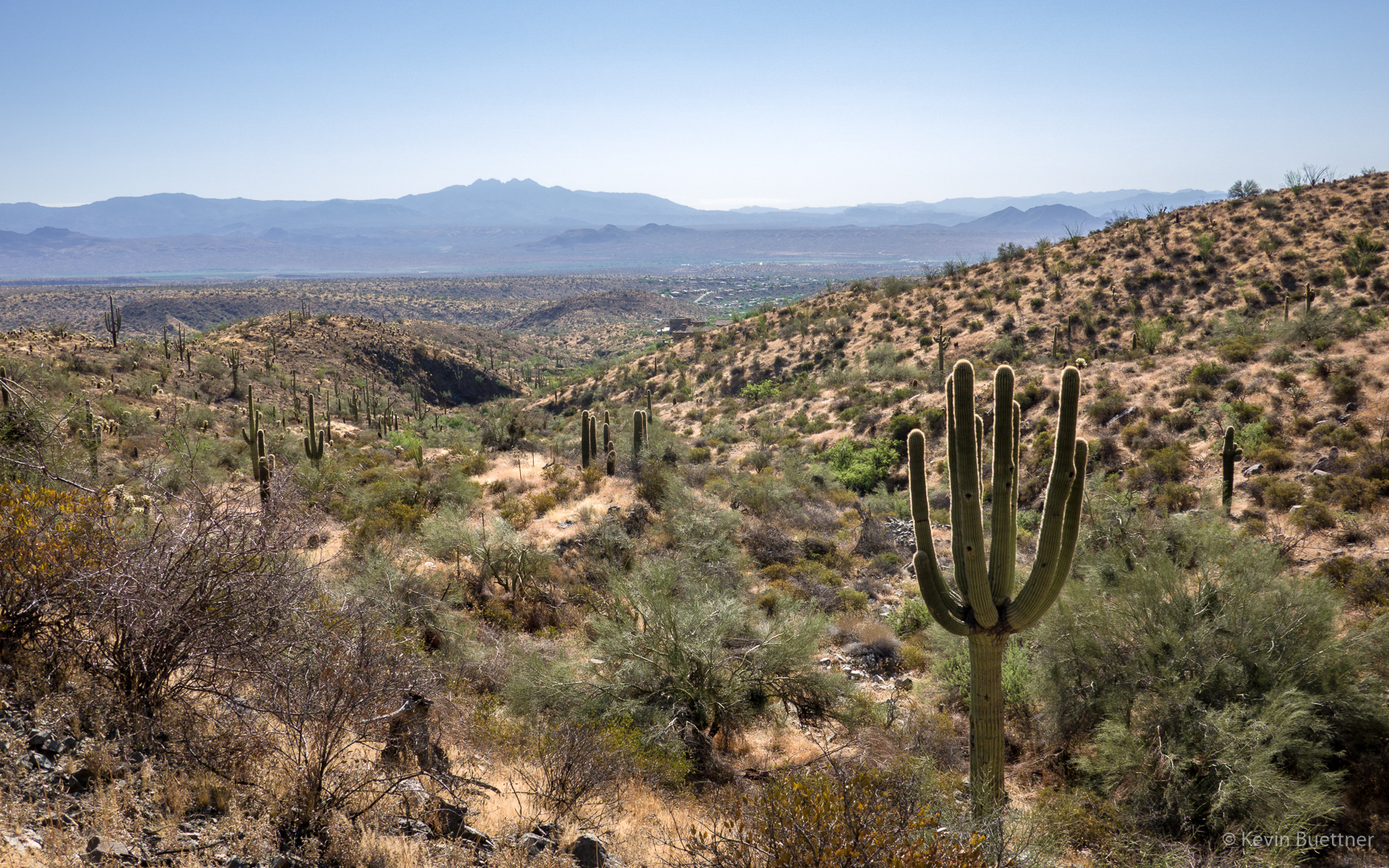
Looking toward Four Peaks from just within the Preserve (still on the Sonoran Trail):

Jon Leverenz says:
Good hike. Would like geologist, Dan, to add geology notes to your great pictures: Age of formations, where older meets younger rocks, types of rocks, etc. Thanks again for the photos. Old geologic, Jon.
August 20, 2019 — 5:28 am
Gary Wietgrefe says:
Thank you for your openness to host new hikers. You are the the gold hikers were looking for.
August 20, 2019 — 7:36 am