Ben, Marilyn, Kay, and Nora joined me for a hike of the Hog Heaven Loop starting from Tom’s Thumb Trailhead. After doing the interesting / fun part of the loop, I left the group, hiking down East End, left on Windmill, left on Coachwhip, left on Pemberton, left on Boulder, right on Marcus Landslide, and right on Caballo. My total distance ended up being 10.7 miles with nearly 2500 feet of total ascent.
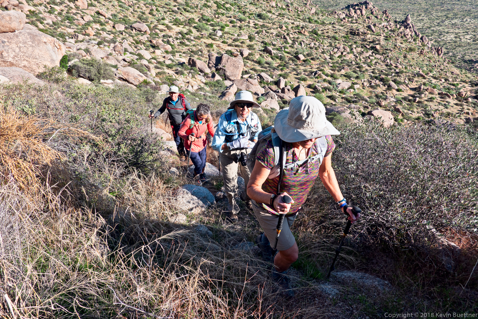
This is part of the trail leading to Hog Heaven.
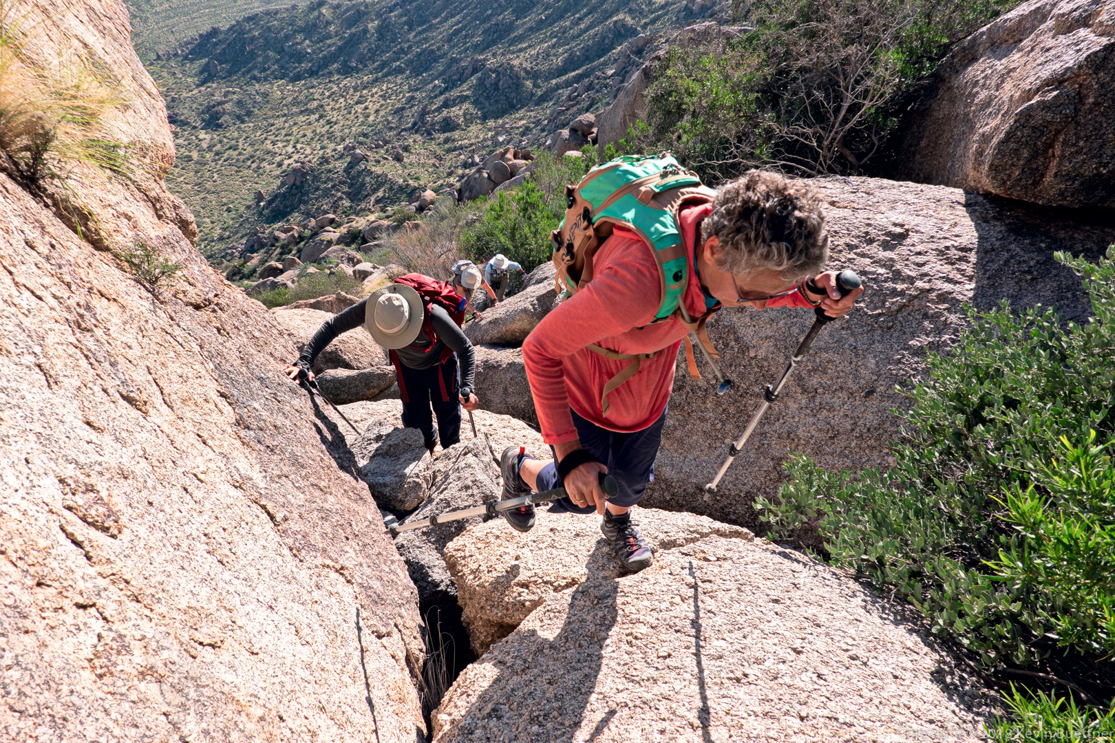
Kay leads the way up a steep section between the main wall of Hog Heaven and the Thumbnail Pinnacle.
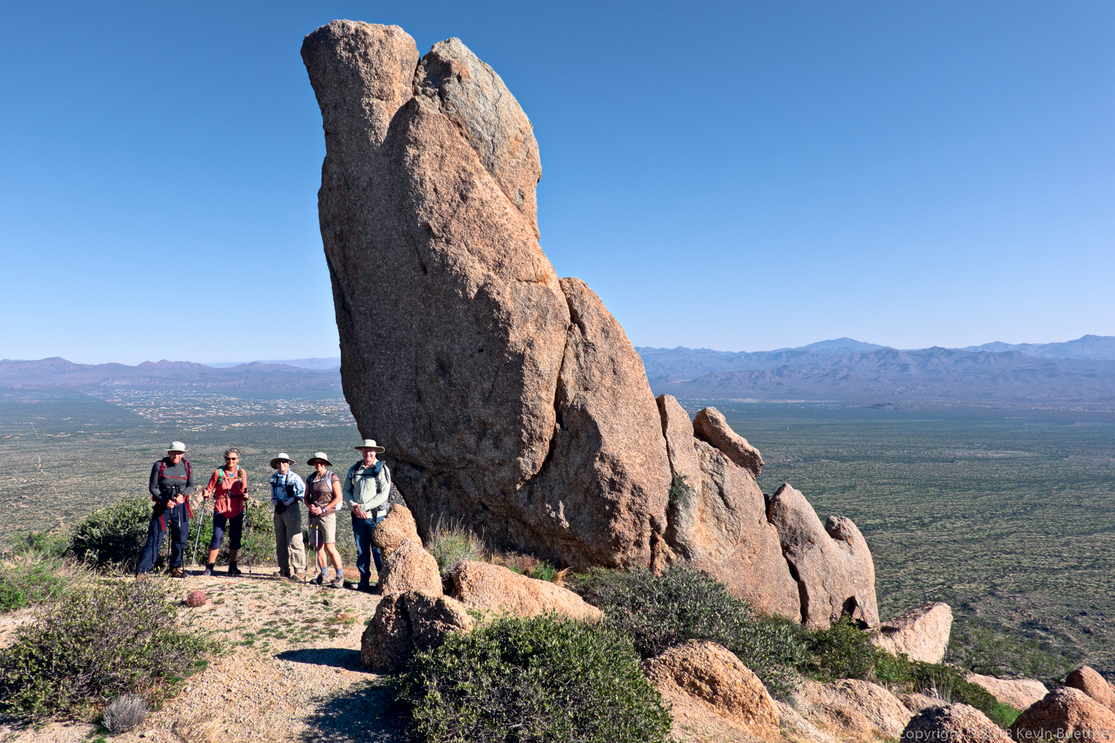
Ben, Kay, Marilyn, Nora, and Kevin at the Thumbnail Pinnacle.
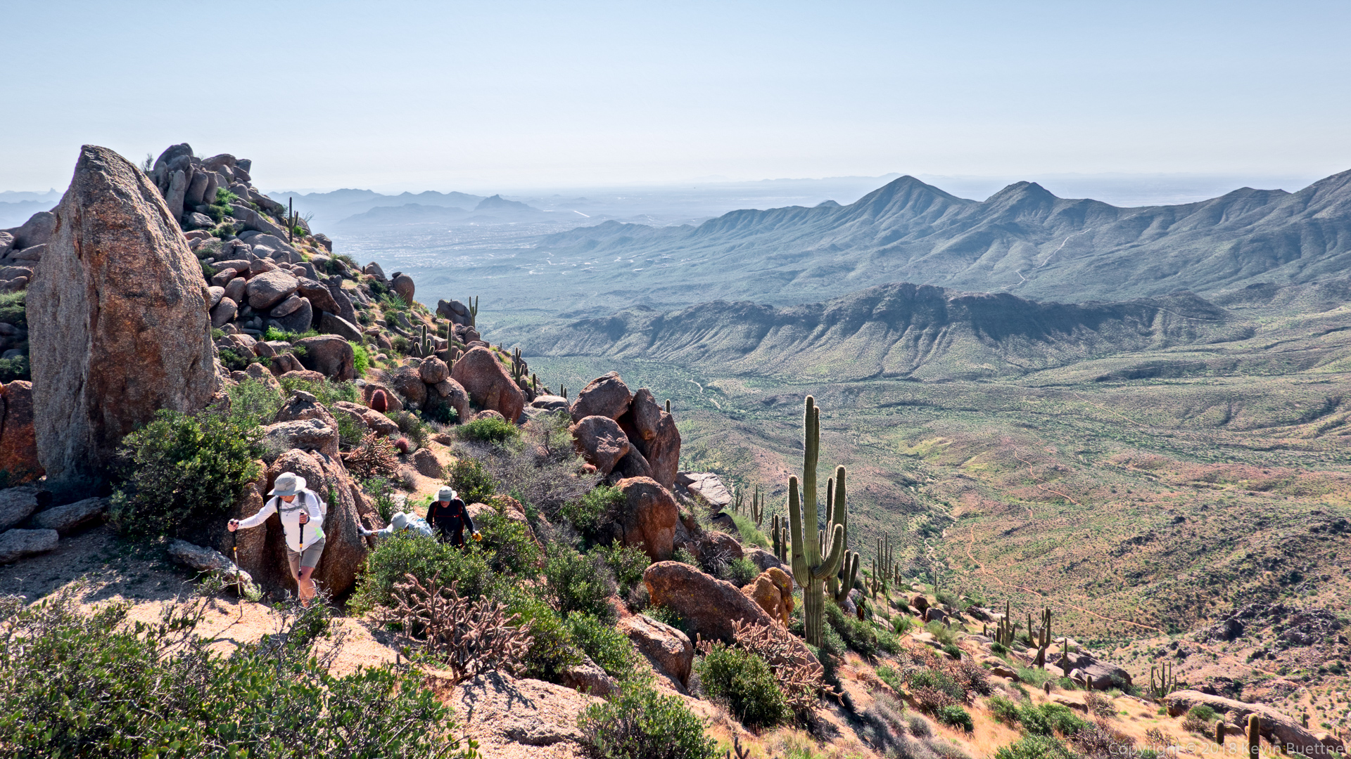
We’ve passed the Thumbnail Pinnacle and are now on the ridge leading to the East End, the highest point in the McDowells.
Ben, Marilyn, Kay, and Nora at the summit.
Glass dome on the left and Tom’s Thumb on the right.
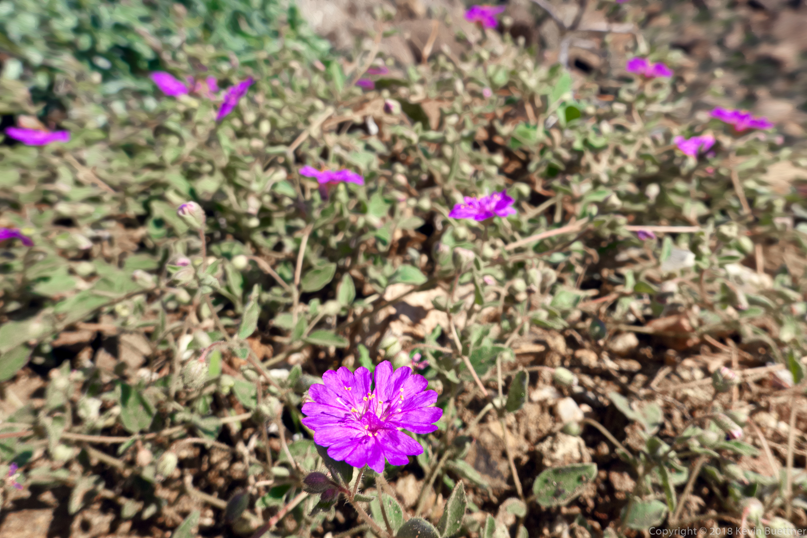
I think these purple flowers are Trailing Windmills.
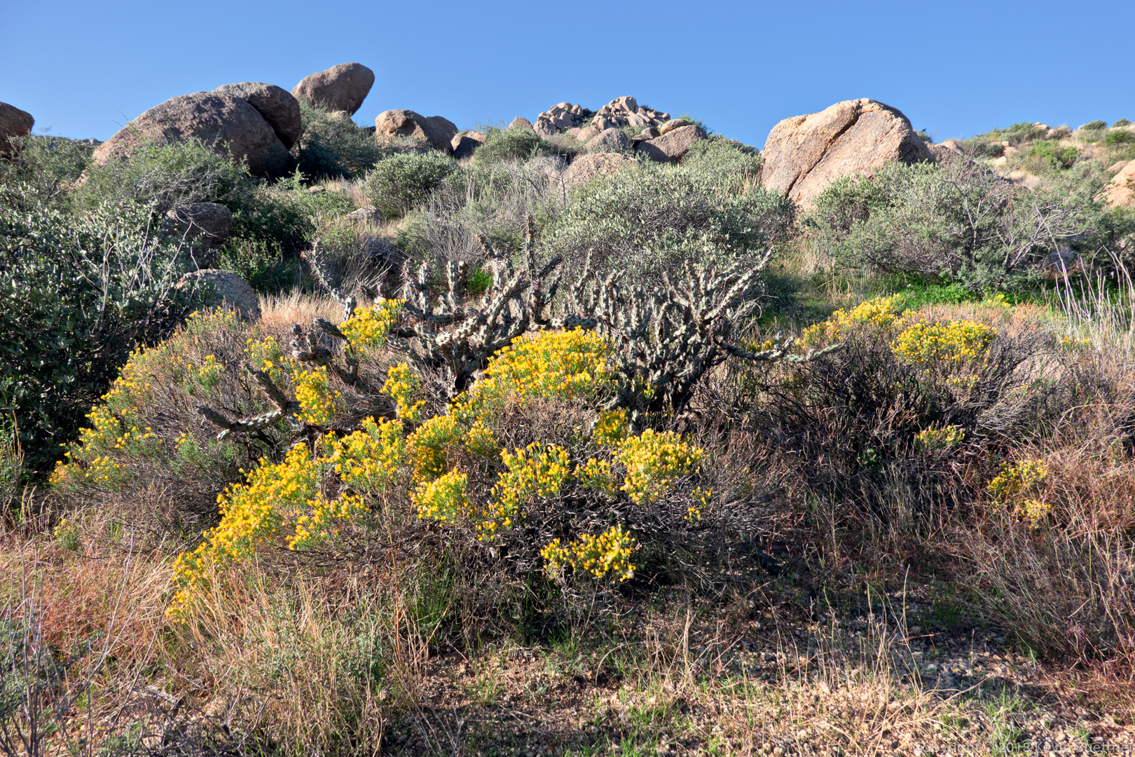
Fairy Duster on the East End Trail.
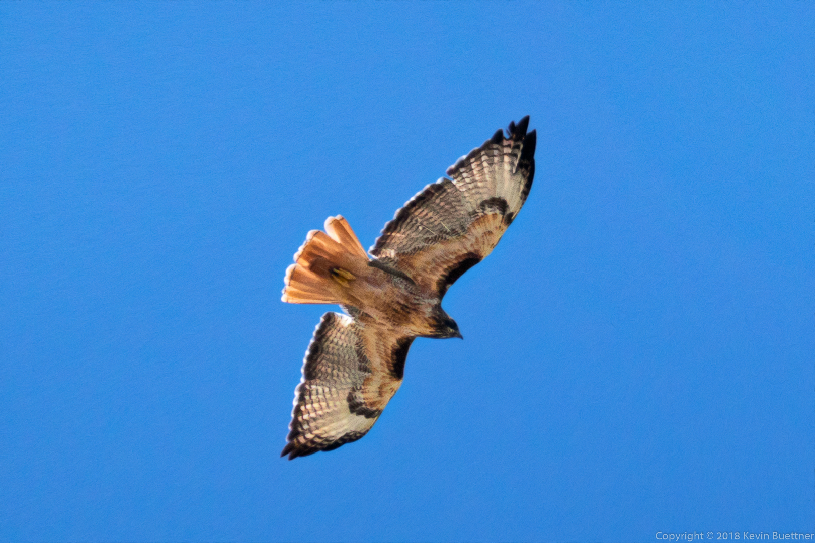
I think this is a hawk…
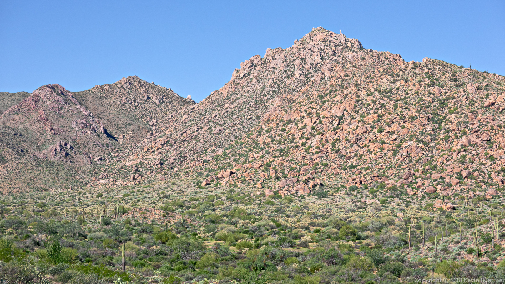
Look for the Thumbnail Pinnacle below and to the right of what appears to be the summit. We were there earlier in the day. (The actual summit is beyond the apparent high point in this photo.)
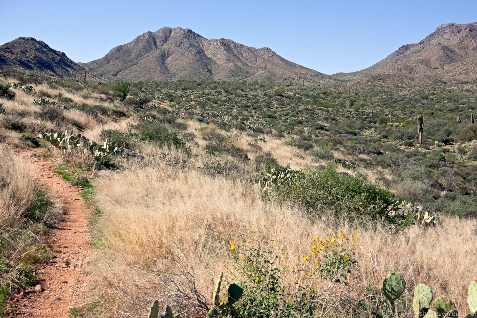
A view from the Coachwhip Trail.
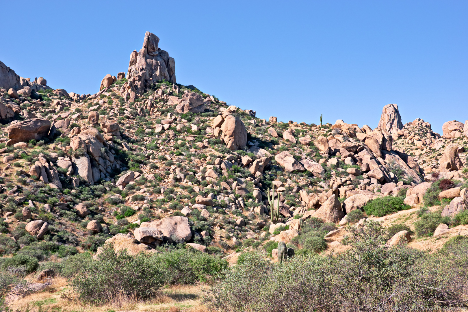
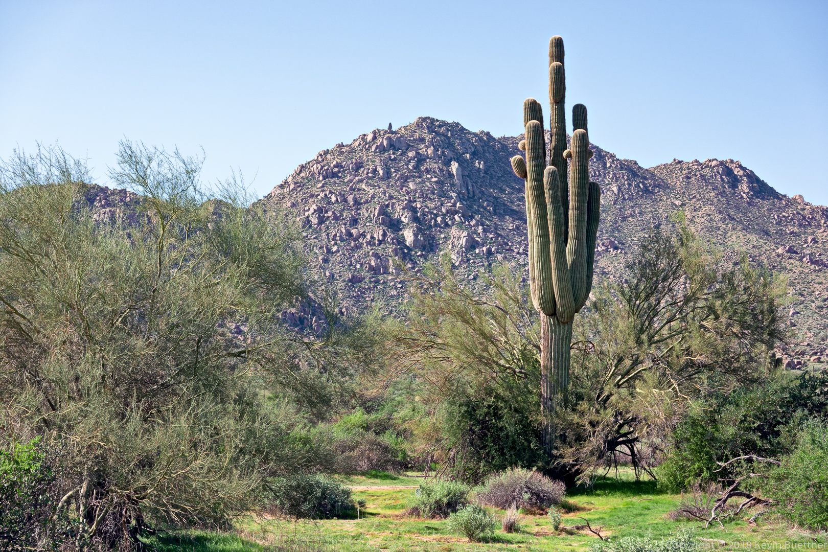
Another look at the Thumbnail Pinnacle, this time from the Pemberton Trail.



Linda says:
I thought of you all yesterday morning! Beautiful pictures especially the fairy duster on the side of the trail…..stunning! Views are pretty amazing up there too! Curious if you found those rock climber’s access trails at all deteriorated after all the rain this fall?
November 11, 2018 — 6:05 am