Dave and Heather joined Marilyn and me for a hike up and down the Mogollon Rim. Starting from the Geronimo Trailhead, we hiked Geronimo to the Turkey Trail, which took us to Milk Ranch Point, a Mogollon Rim peninsula. Atop the rim, we hiked FS 218 and then headed back down via the West Webber Trail. We returned to the trailhead via the Geronimo Trail.
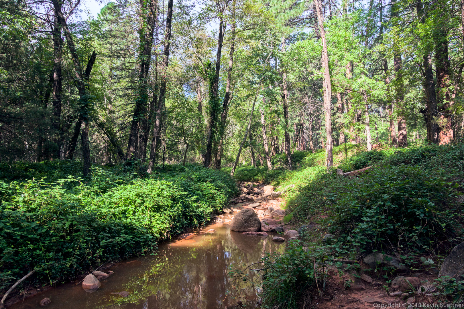
We crossed this small creek at the start:
A view from the Geronimo Trail:
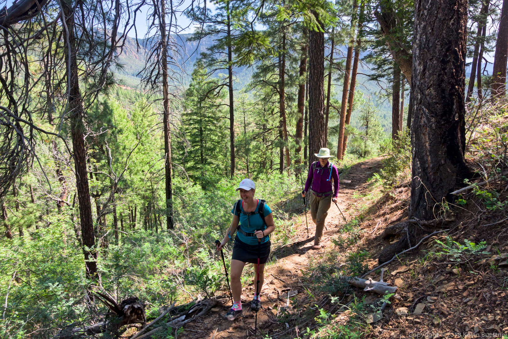
Heather and Marilyn, hiking up the Turkey Trail:
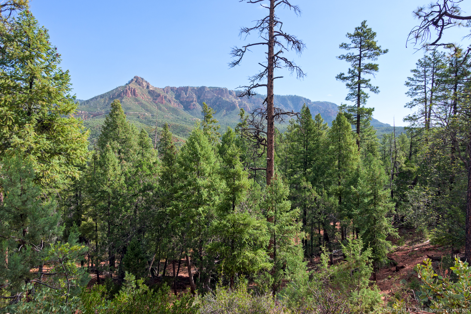
A view from the Turkey Trail:
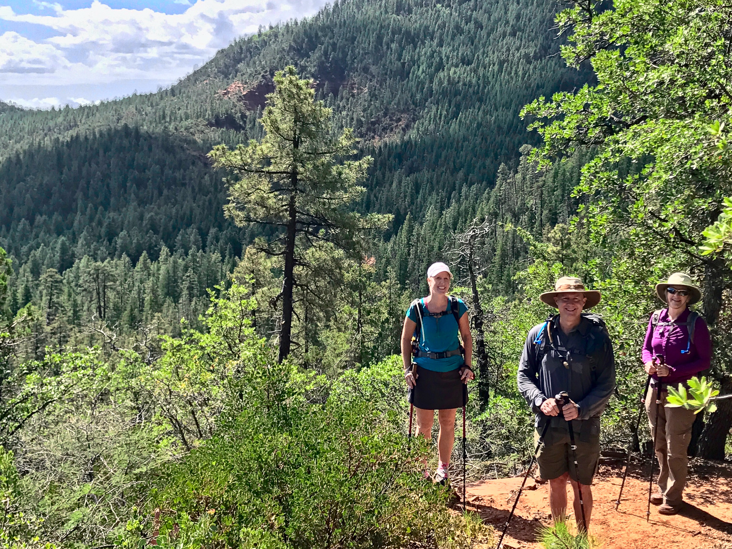
Dave took this photo of Heather, me, and Marilyn:
There were some expansive views from the Turkey Trail. We decided to go up this trail instead of West Webber because I had read that West Webber was shadier – I wanted the shade during the warmer parts of the day.
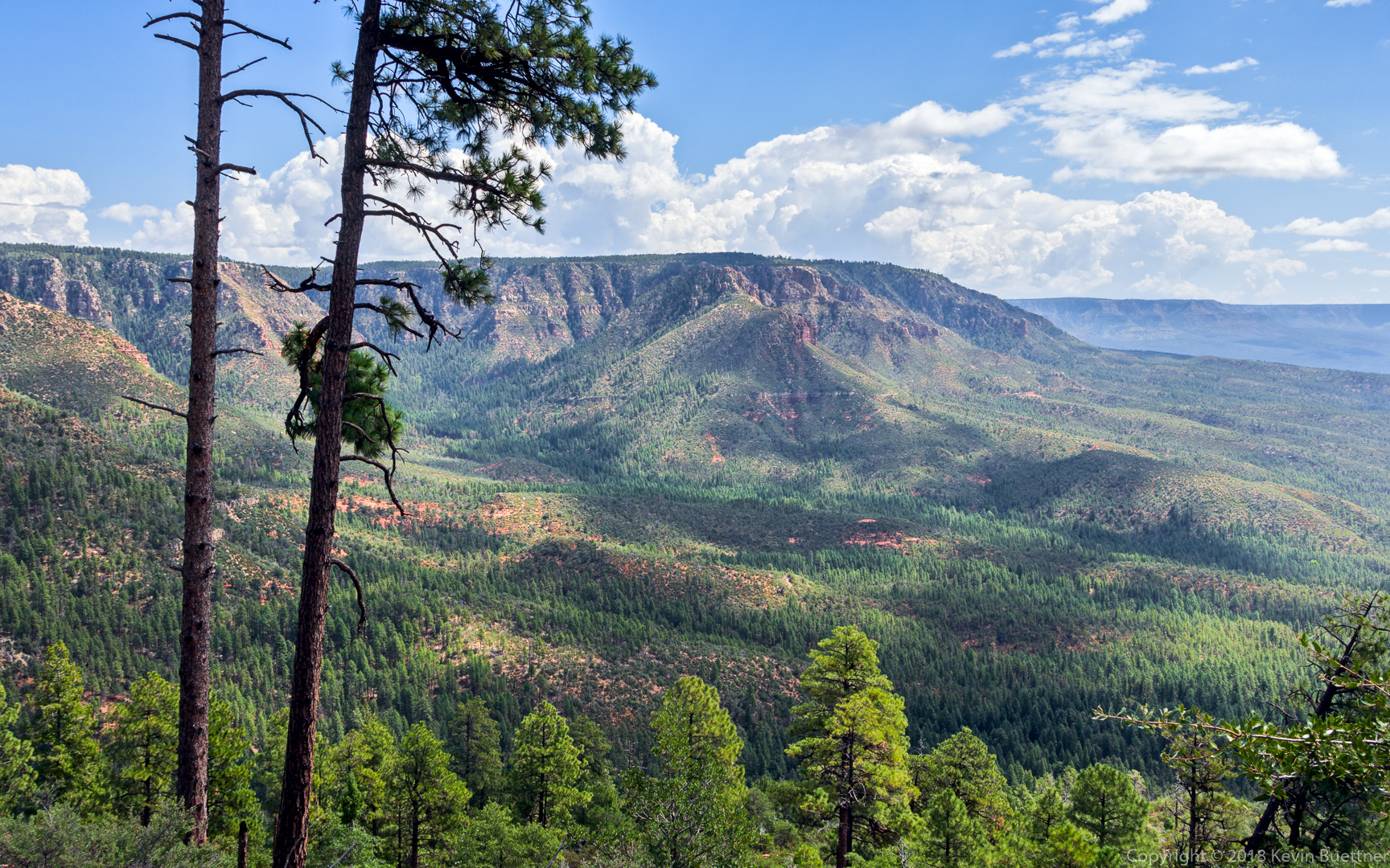
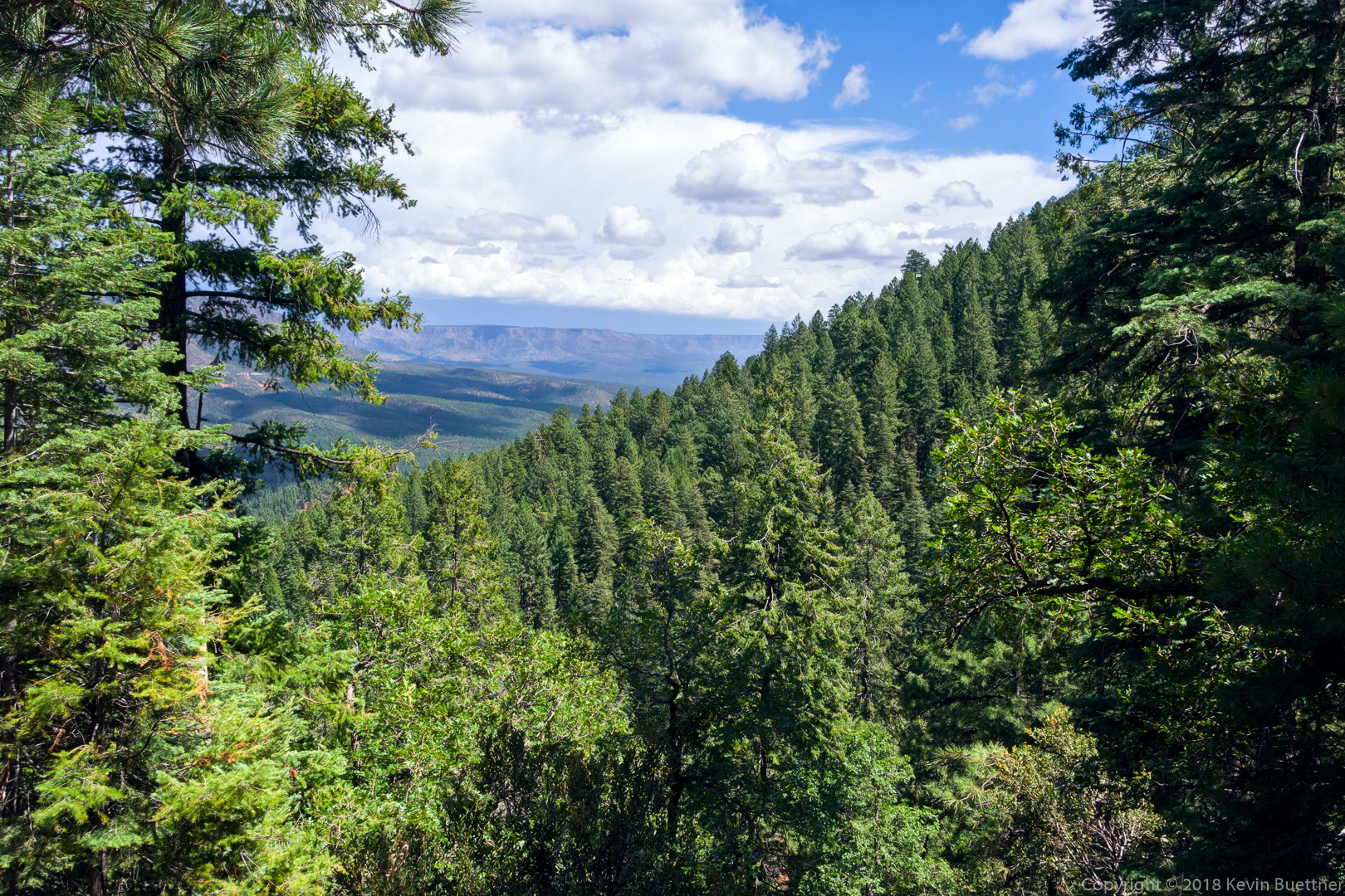
A view from the West Webber Trail. West Webber was mostly in forest. This was probably the most expansive view available from that trail.
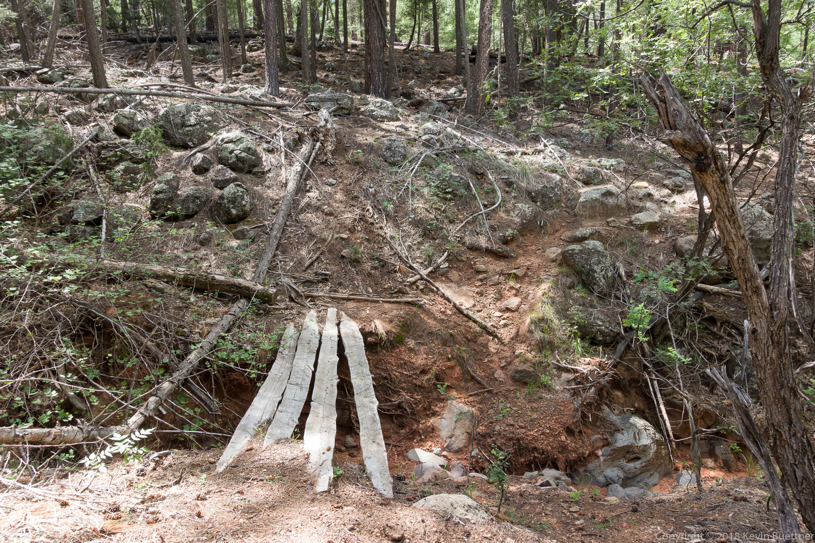
Marilyn and I crossed this “bridge” on our way back. Dave and Heather had hiked ahead of us and most likely took the left fork while descending the West Webber Trail. I enjoyed this stretch of trail – there was just enough growth to make me look twice in a few spots to see where to go next.
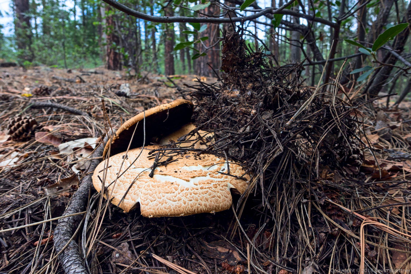
We saw this mushroom on the Geronimo Trail not long before arriving back at the trailhead.

Susan Davis says:
Must have been a lovely hike! The ‘room’ looks really exotic!
September 8, 2018 — 7:28 am
Gayle says:
Nice hike! What camera are you using now? We are in need of a new one.
September 8, 2018 — 8:56 am
Kevin says:
Hi Gayle – For those shots, I was using a Sony RX100 III. Most of my other photos prior to Aug 8 of this year were taken with a Sony RX100 V. I’m now using the older camera (III) due to the V being damaged while hiking during a monsoon. I plan to start using the Sony RX100 VI soon – I have one, but RAW support isn’t in Lightroom / Photoshop yet.
September 8, 2018 — 9:47 am
Anonymous says:
Spectacular views. Thank you.
September 9, 2018 — 5:17 pm
jon leverenz says:
Thanks so much, a great hike. Great shots. Hope I can get up there soon.
September 10, 2018 — 11:54 am
Stella says:
Hi,
I am trying to retrace the steps that my sister and I did there a couple of years ago. Your hike sounds very similar to our.
What is the best map I could use to see all the trails in that area, please?
Thanks!
July 10, 2019 — 10:50 am
Kevin says:
For that area, I use the FS2016 map at https://hikearizona.com/map.php .
July 11, 2019 — 6:09 pm