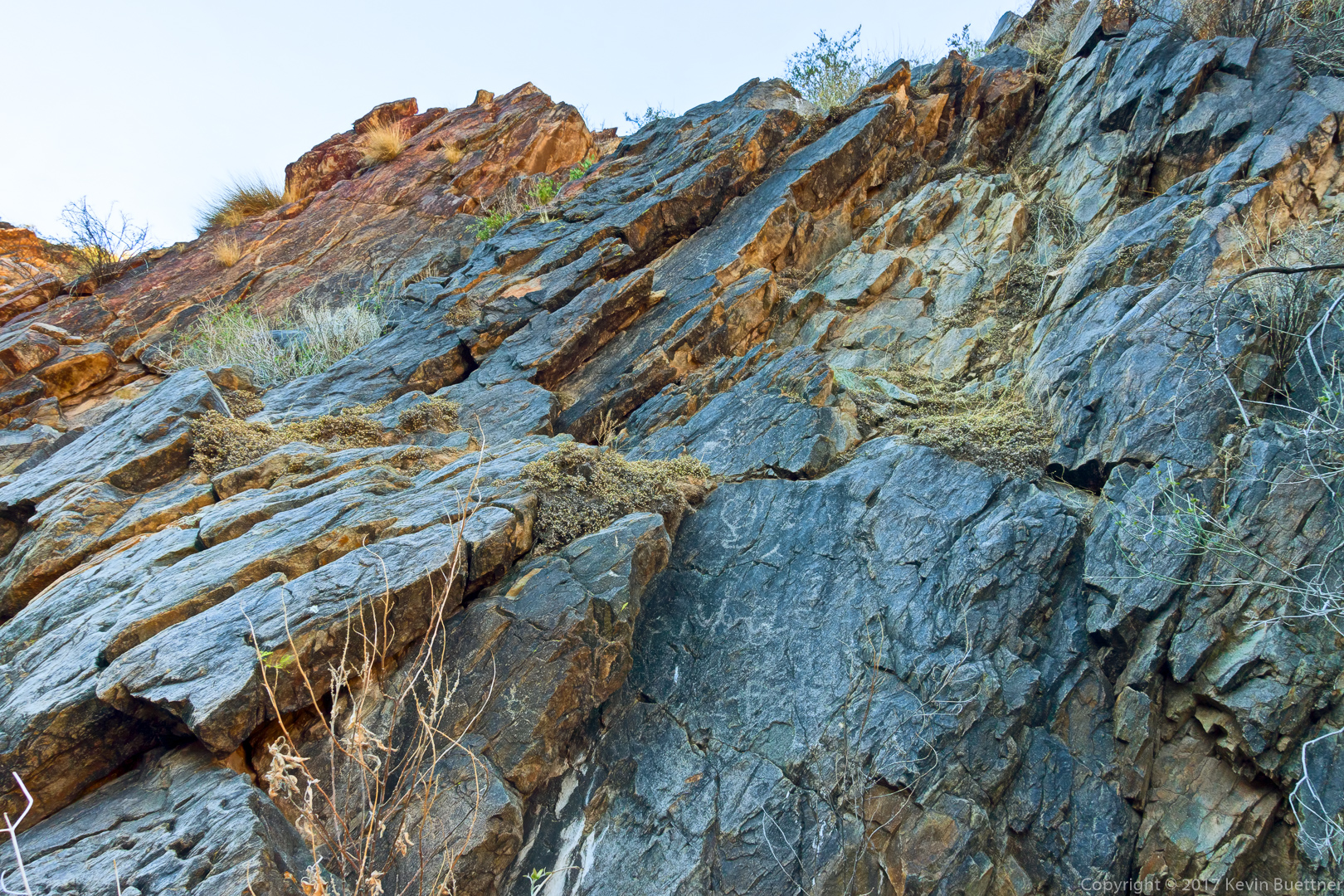
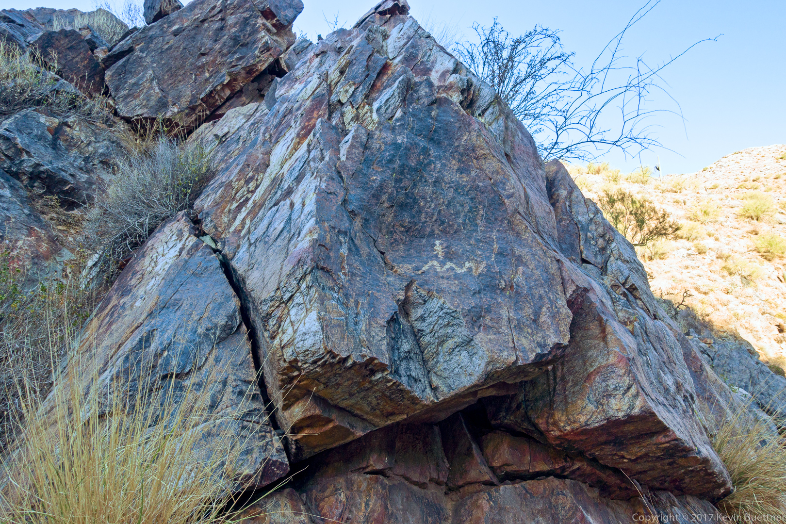
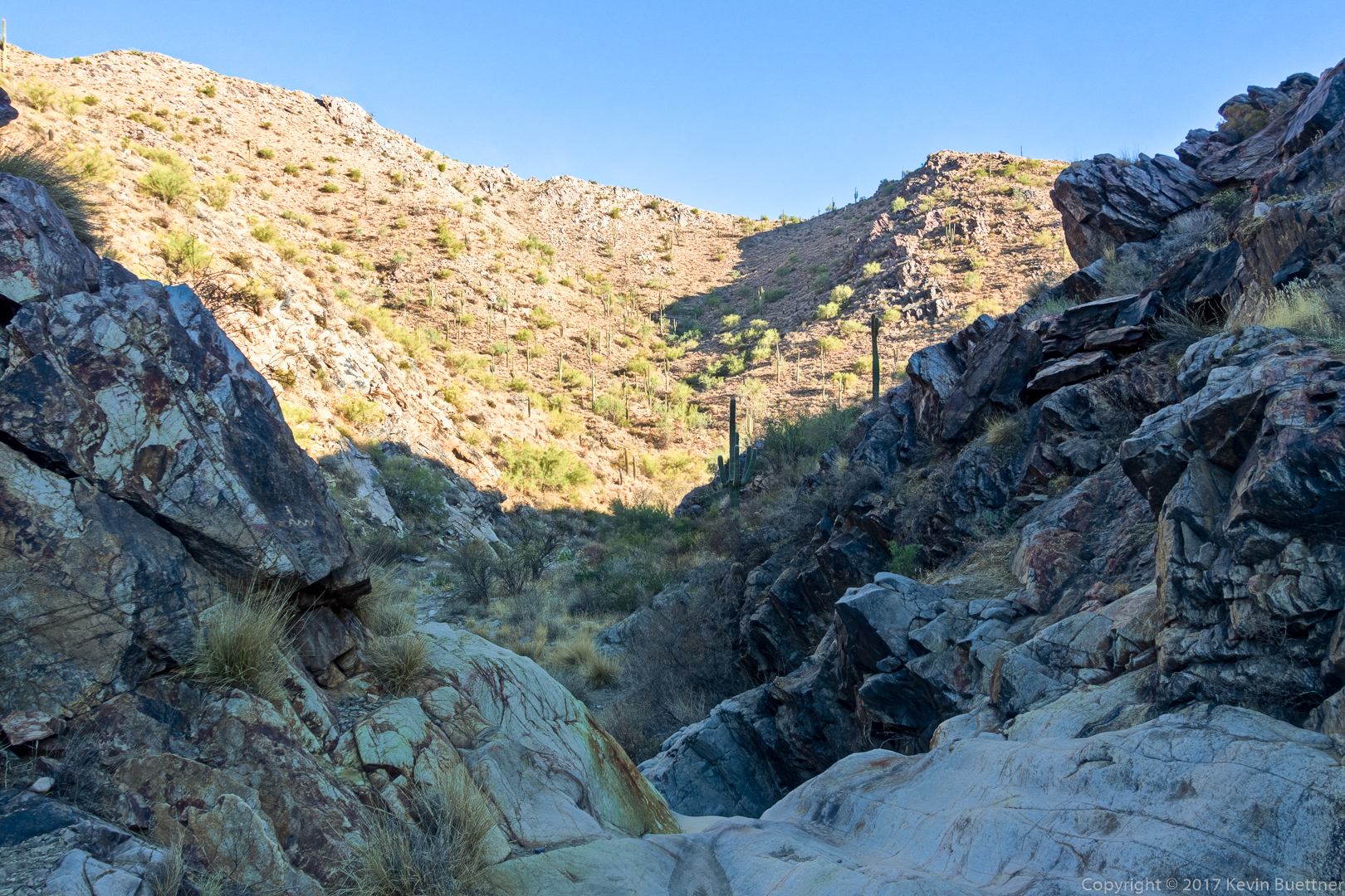
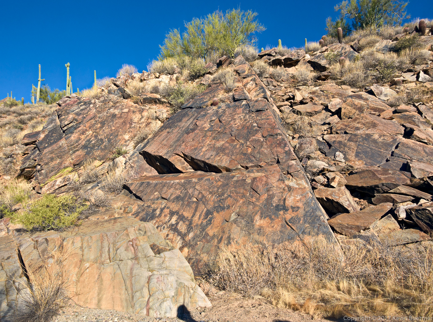
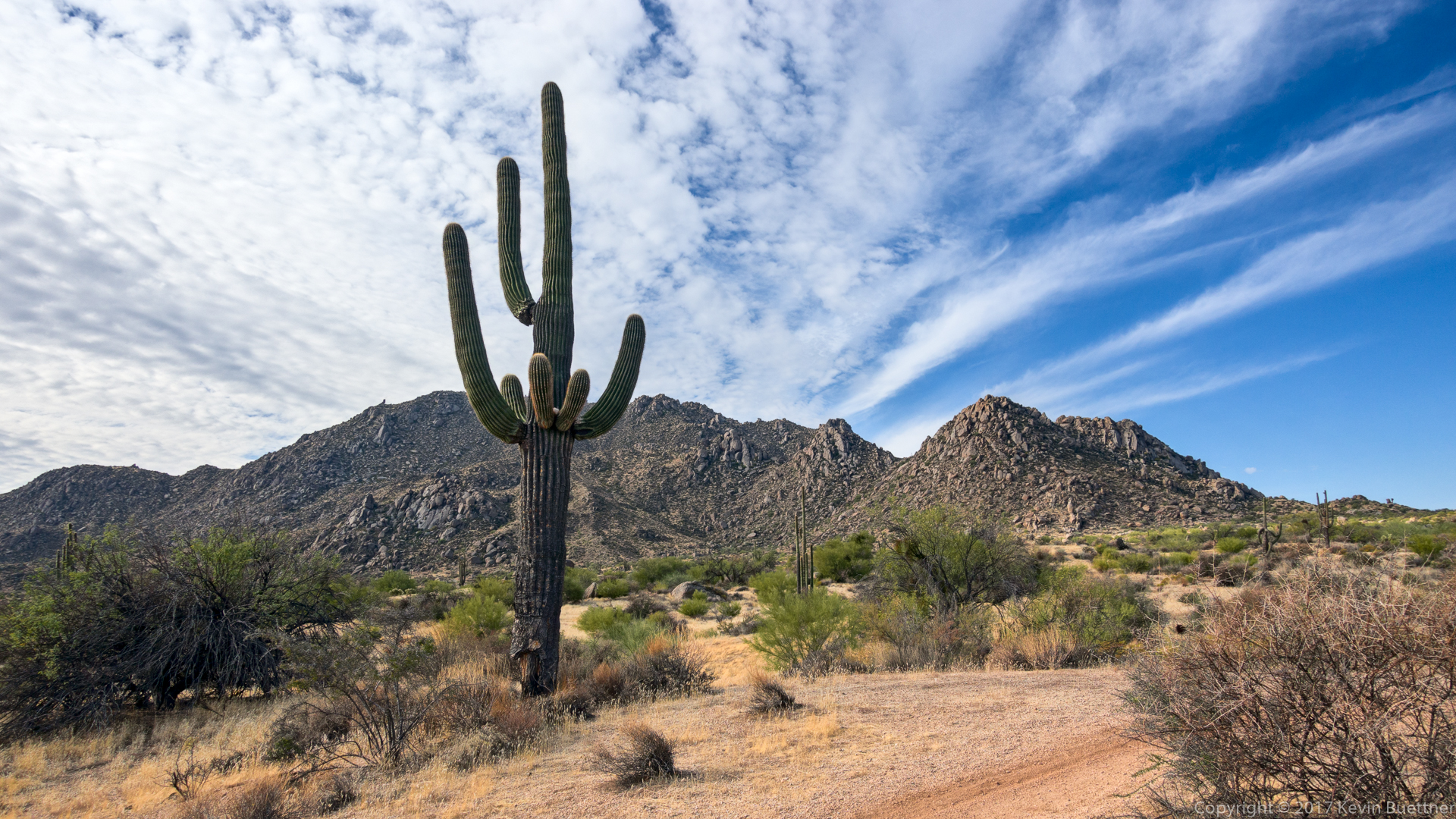
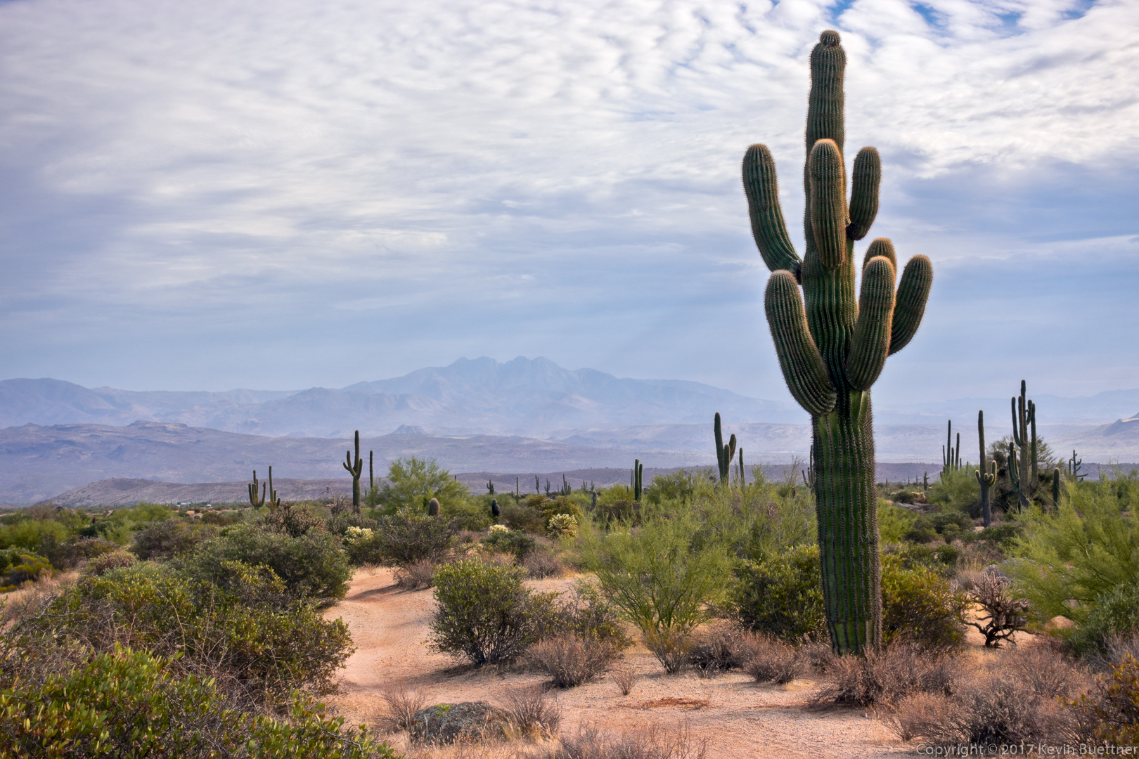
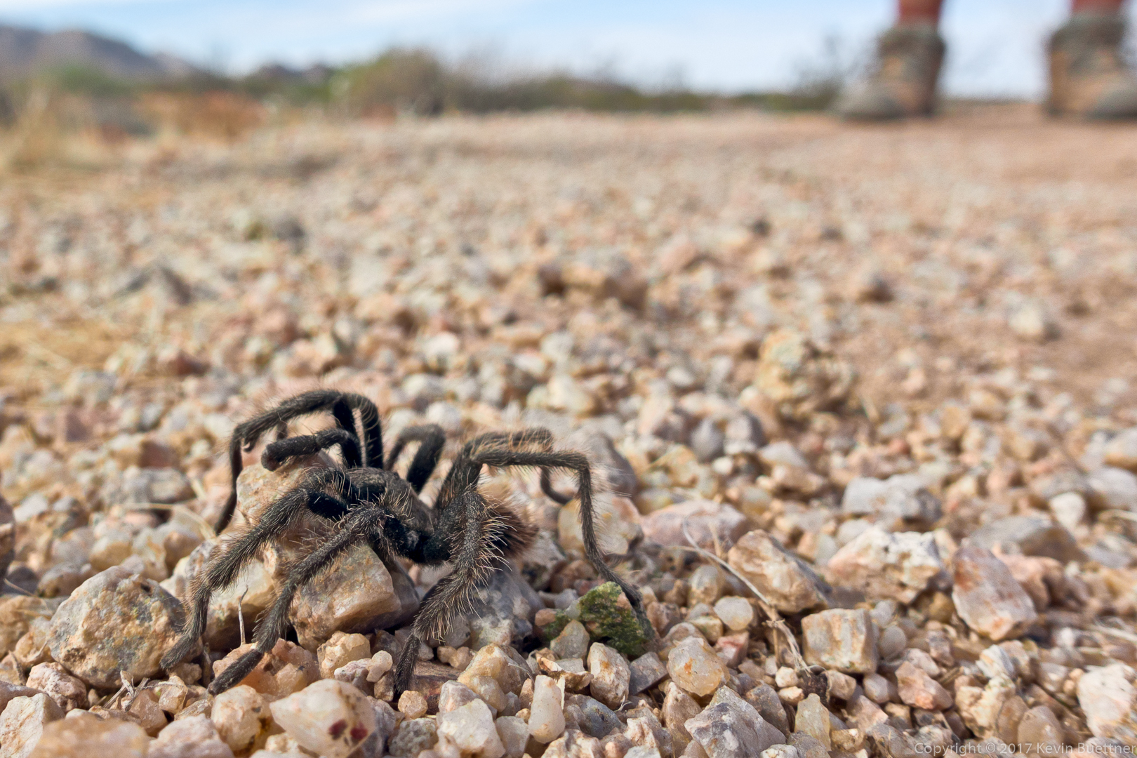
On Tuesday, Dec 19, I hiked a fifteen mile loop known as the Seven Springs Inner Loop.
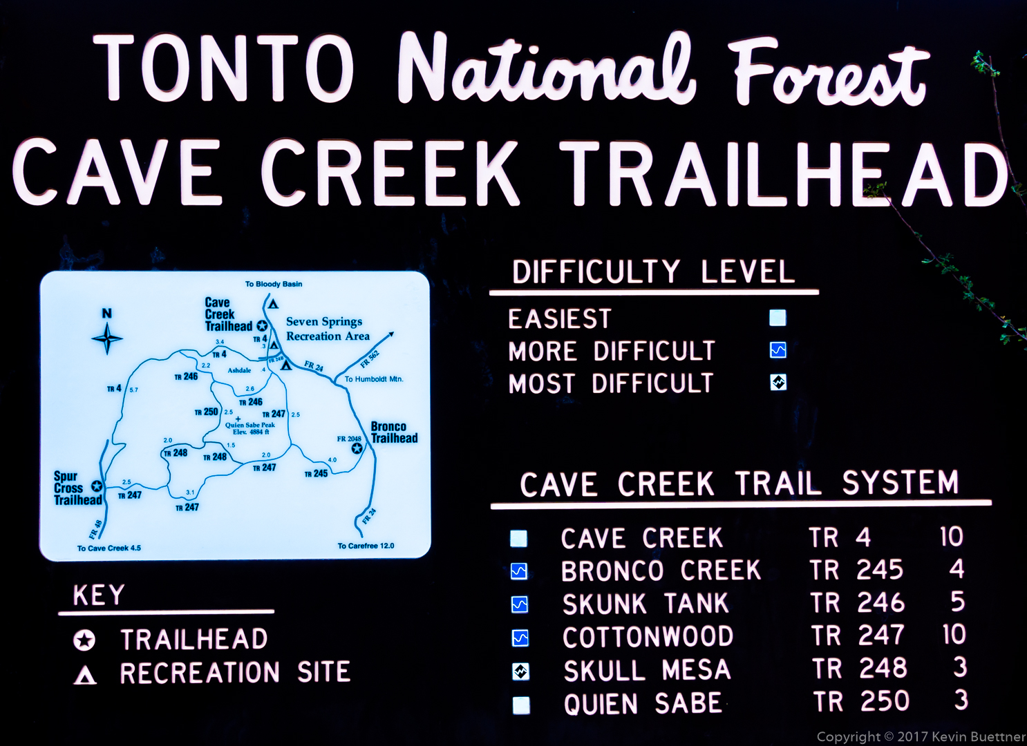
Starting at the Cave Creek Trailhead, I went south on Cave Creek #4, south on Cottonwood #247, south and then west on Skunk Tank #246, south on Quien Sabe #250, east and then south on Skull Mesa #248, east and then north on Cottonwood #247, and, finally, north on Cave Creek #4. It took about 9 hours to complete. There were a few route finding challenges along the way, mostly on the Skull Mesa Trail, but also near the end when I got off track on the Cottonwood Trail. These diversions added about a mile to what should have been only a fourteen mile loop.
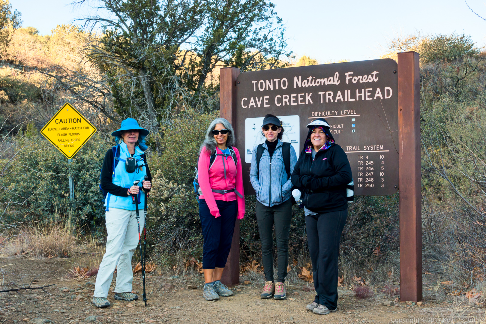
Here’s a photo of the sign at the trailhead. Some of the distances on the map are incorrect.
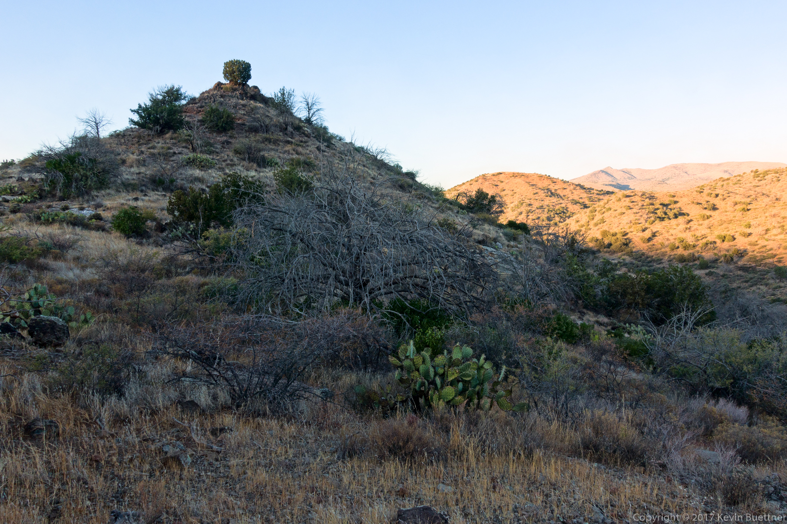
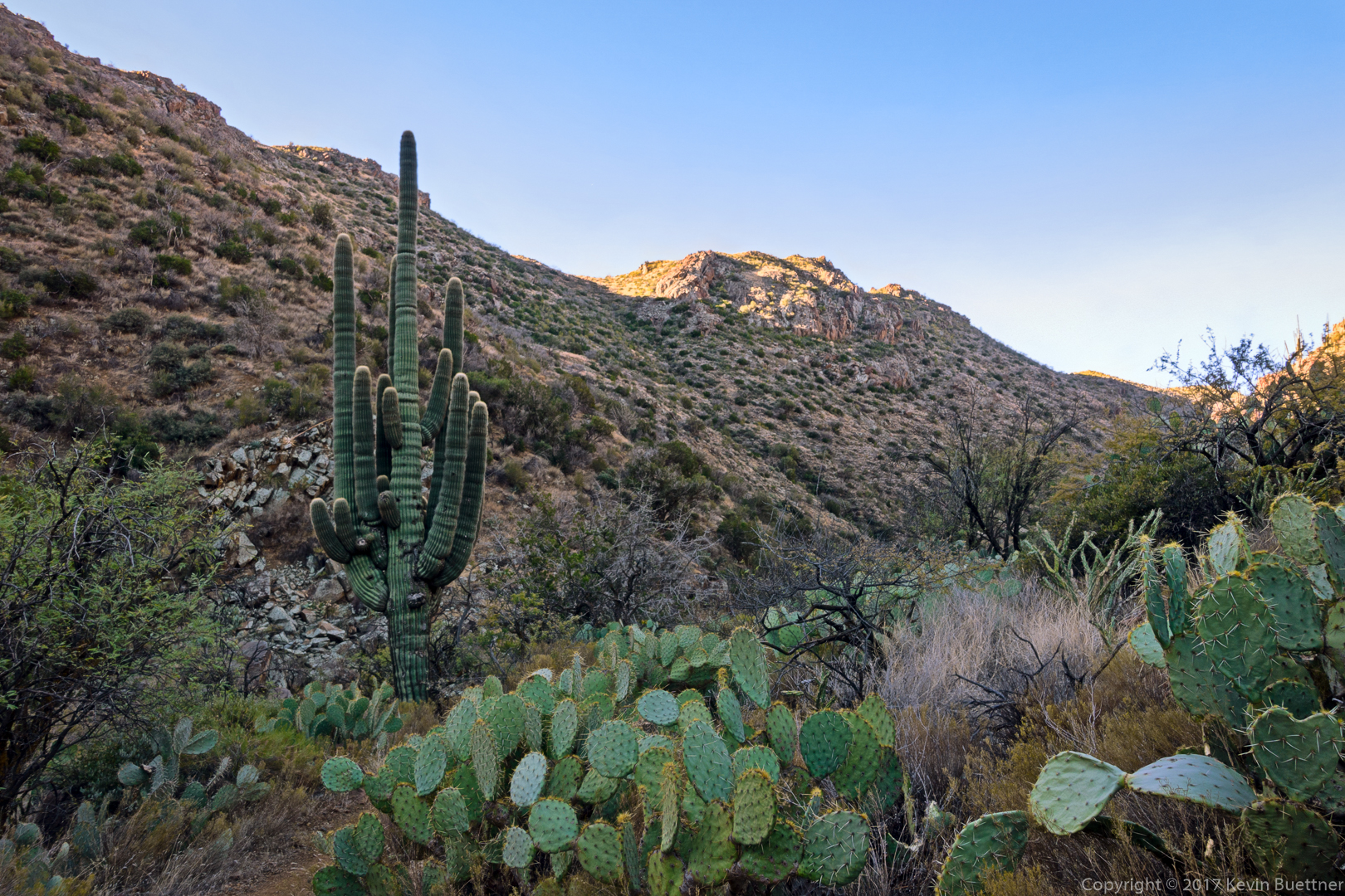
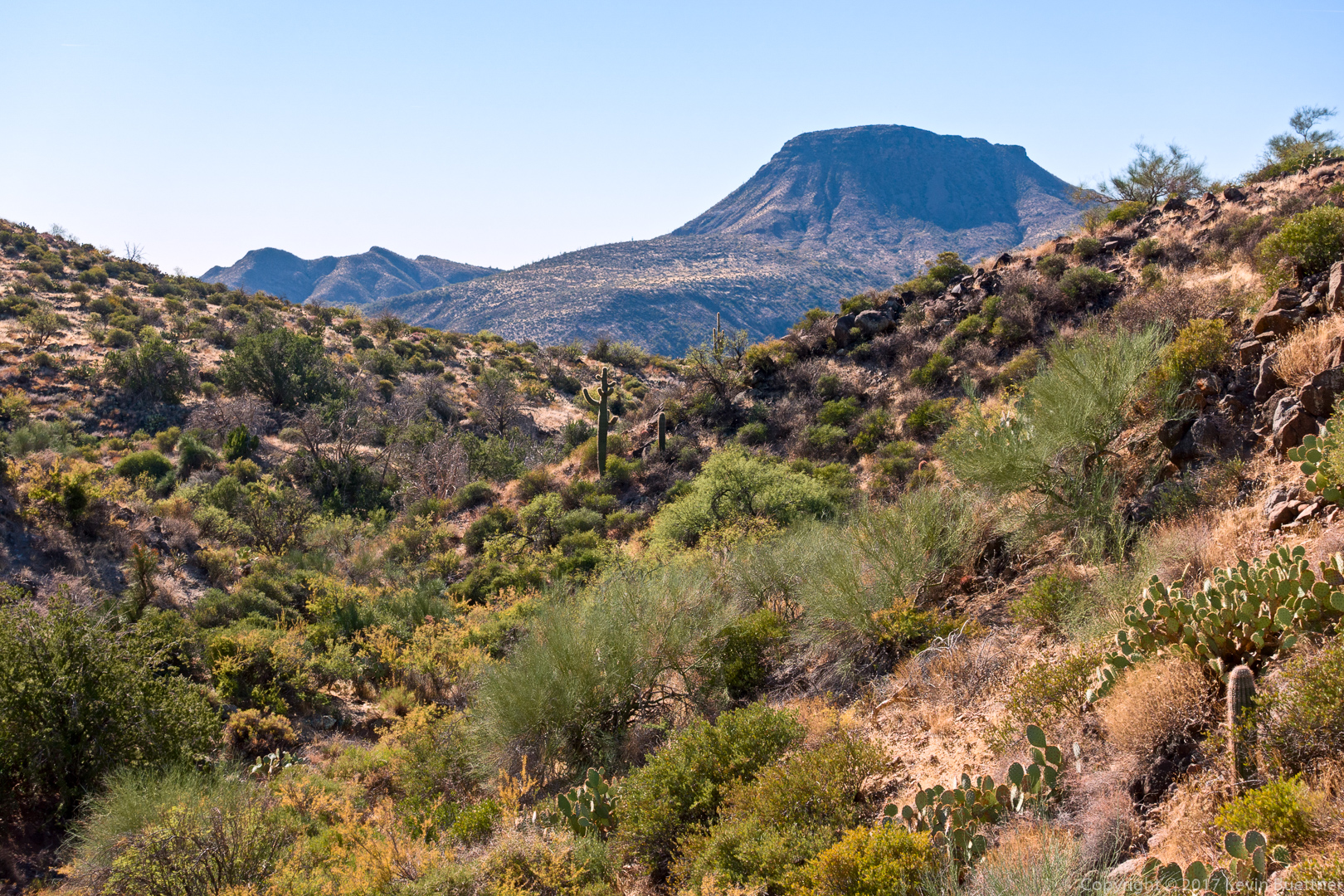
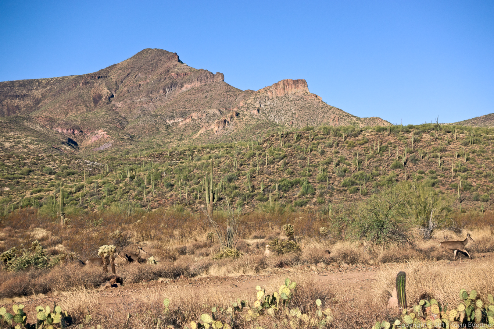
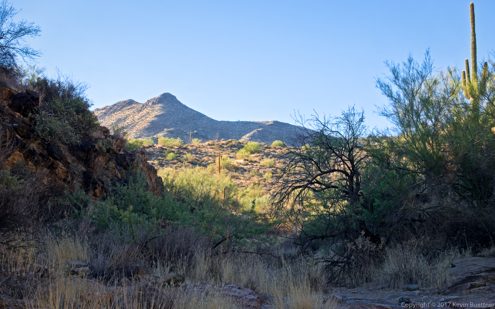
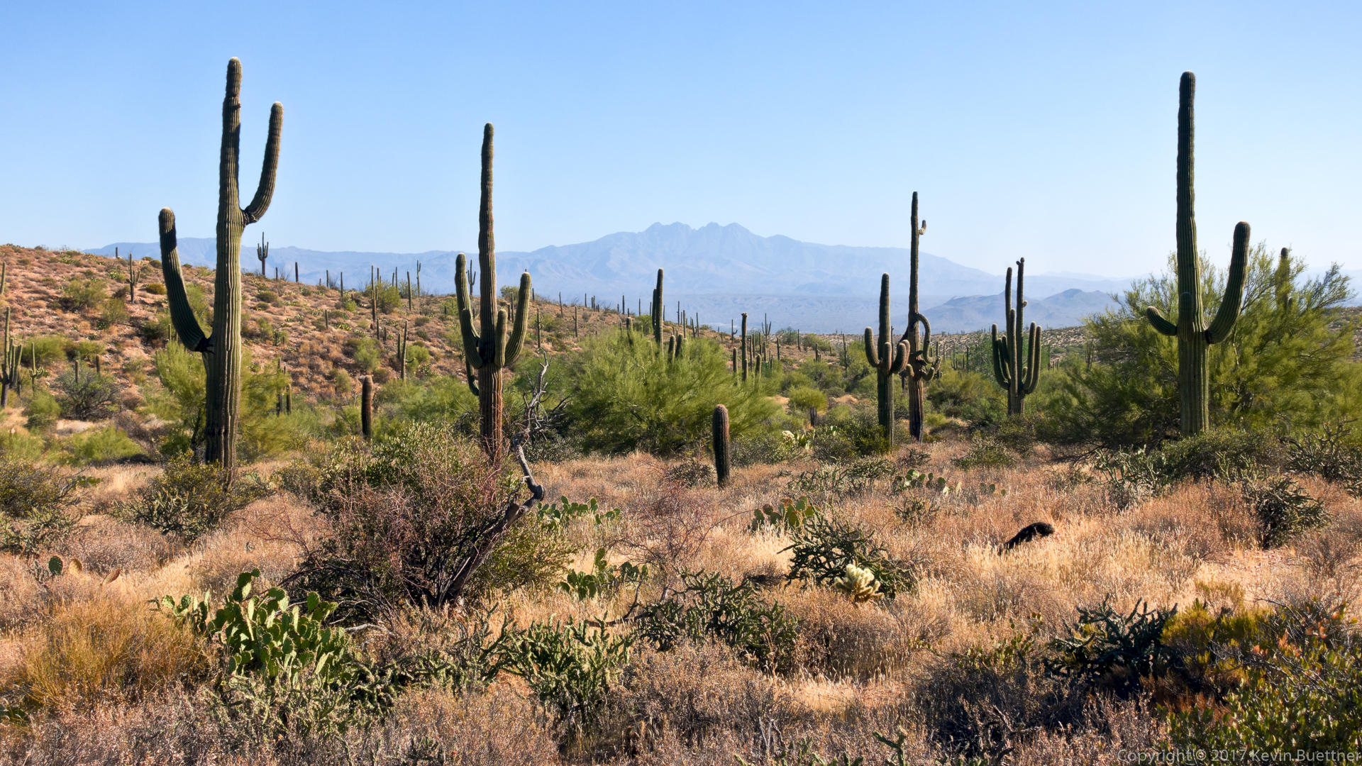
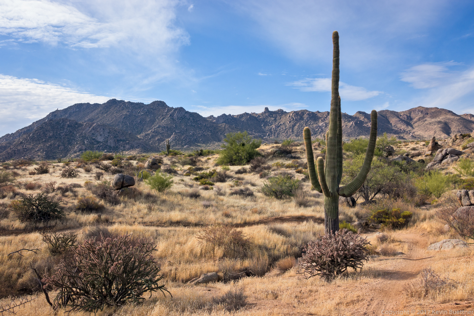
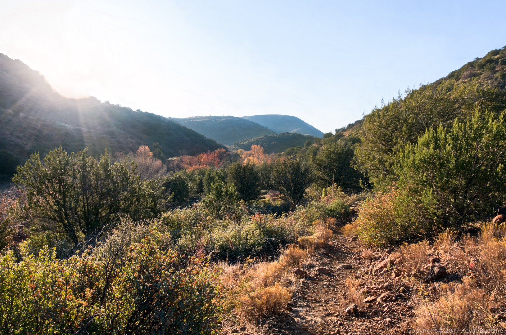
An early morning photo from Cave Creek #4:
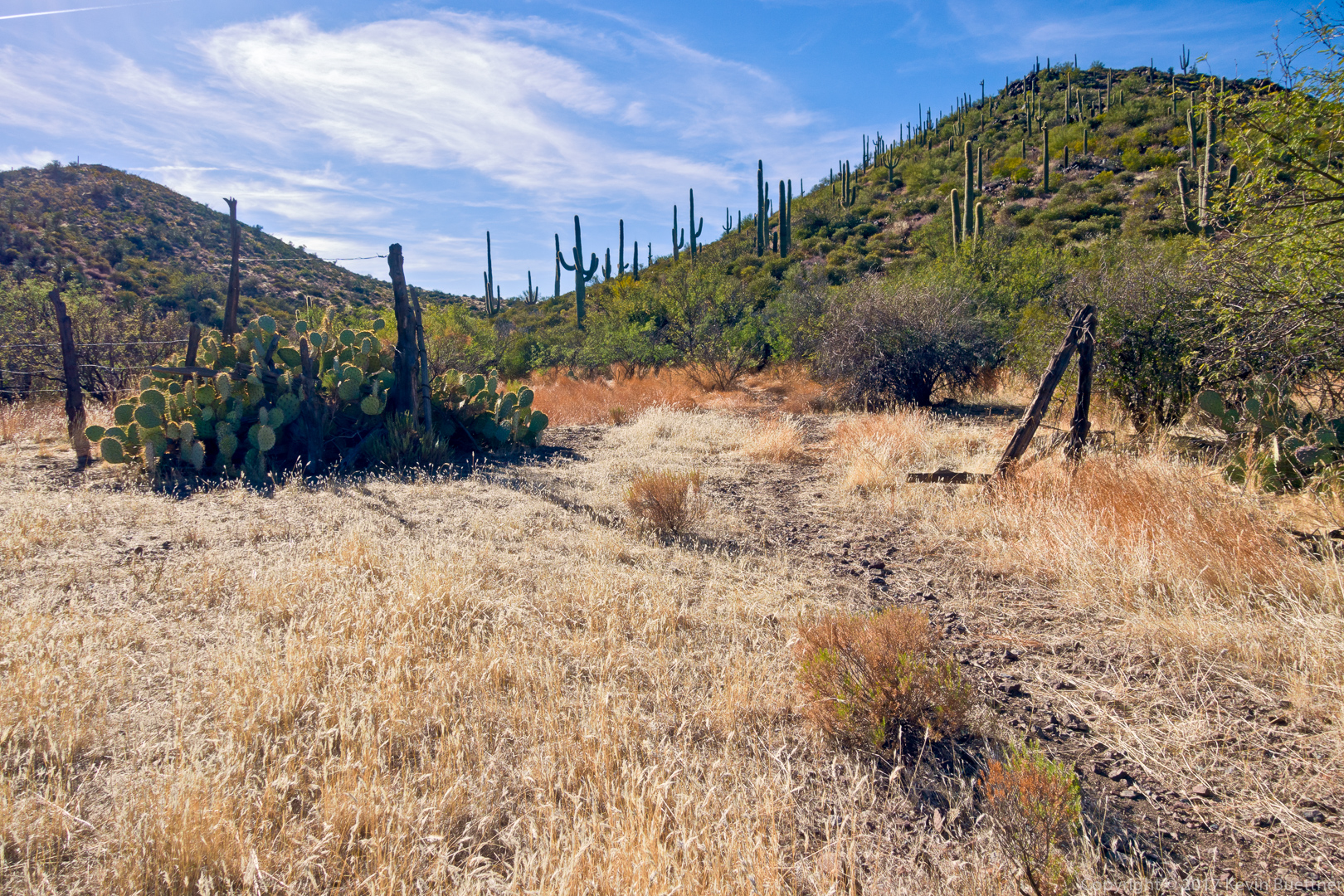
Horses and cows can’t go over, but hikers can…

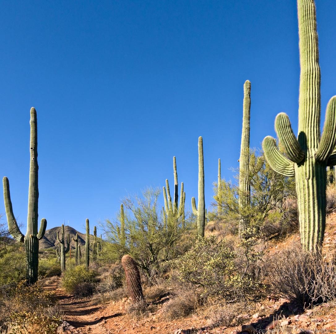
Starting on Cottonwood Trail #247…
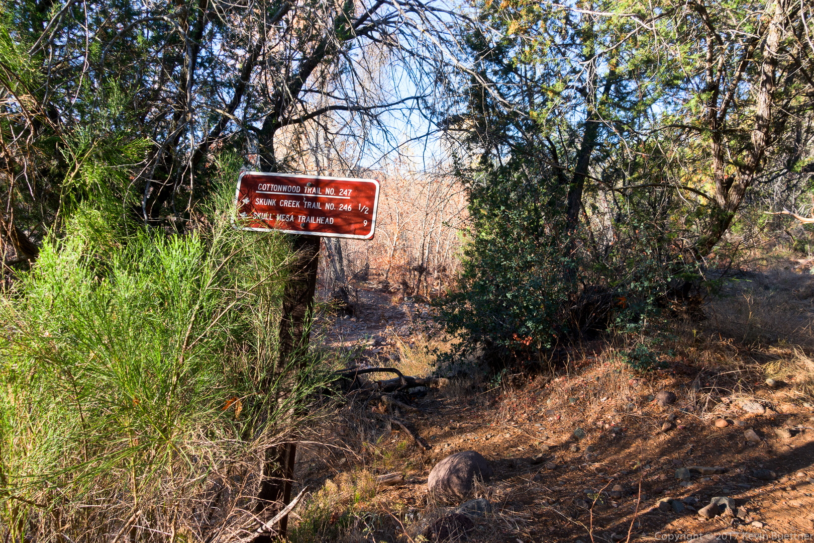
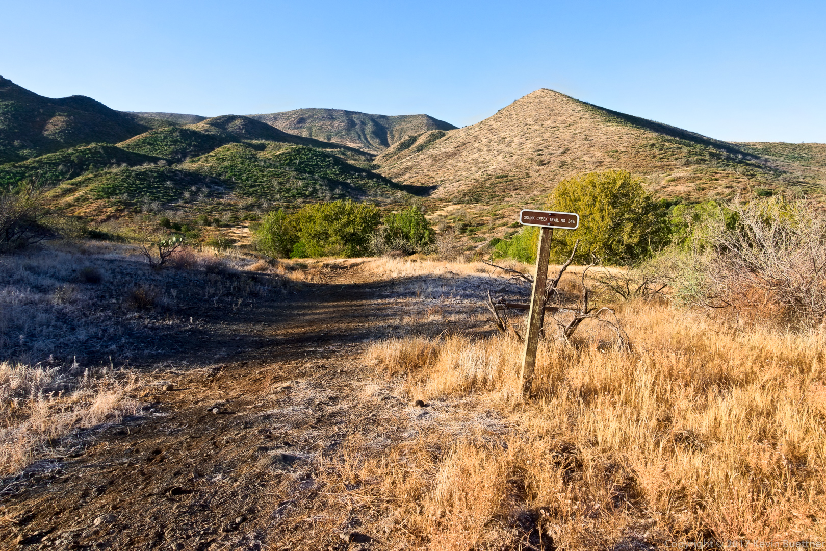
That stretch of #247 wasn’t very long; I soon arrived at the intersection with Skunk Tank #246:
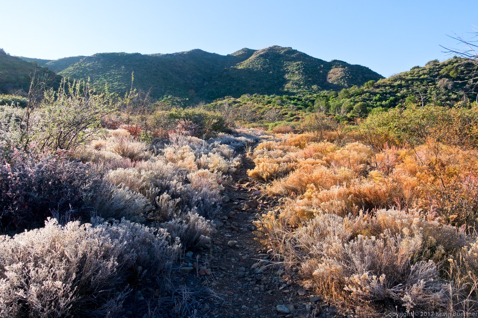
It was a cold morning. There was frost both on the ground and in some of the plants too…
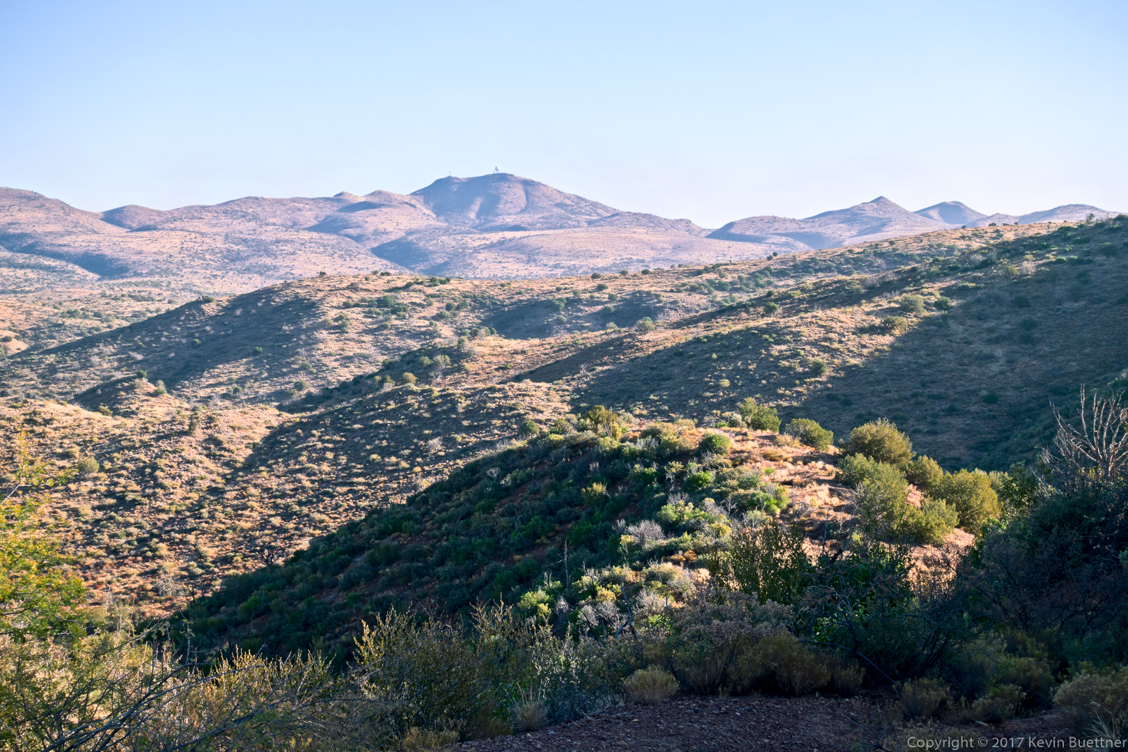

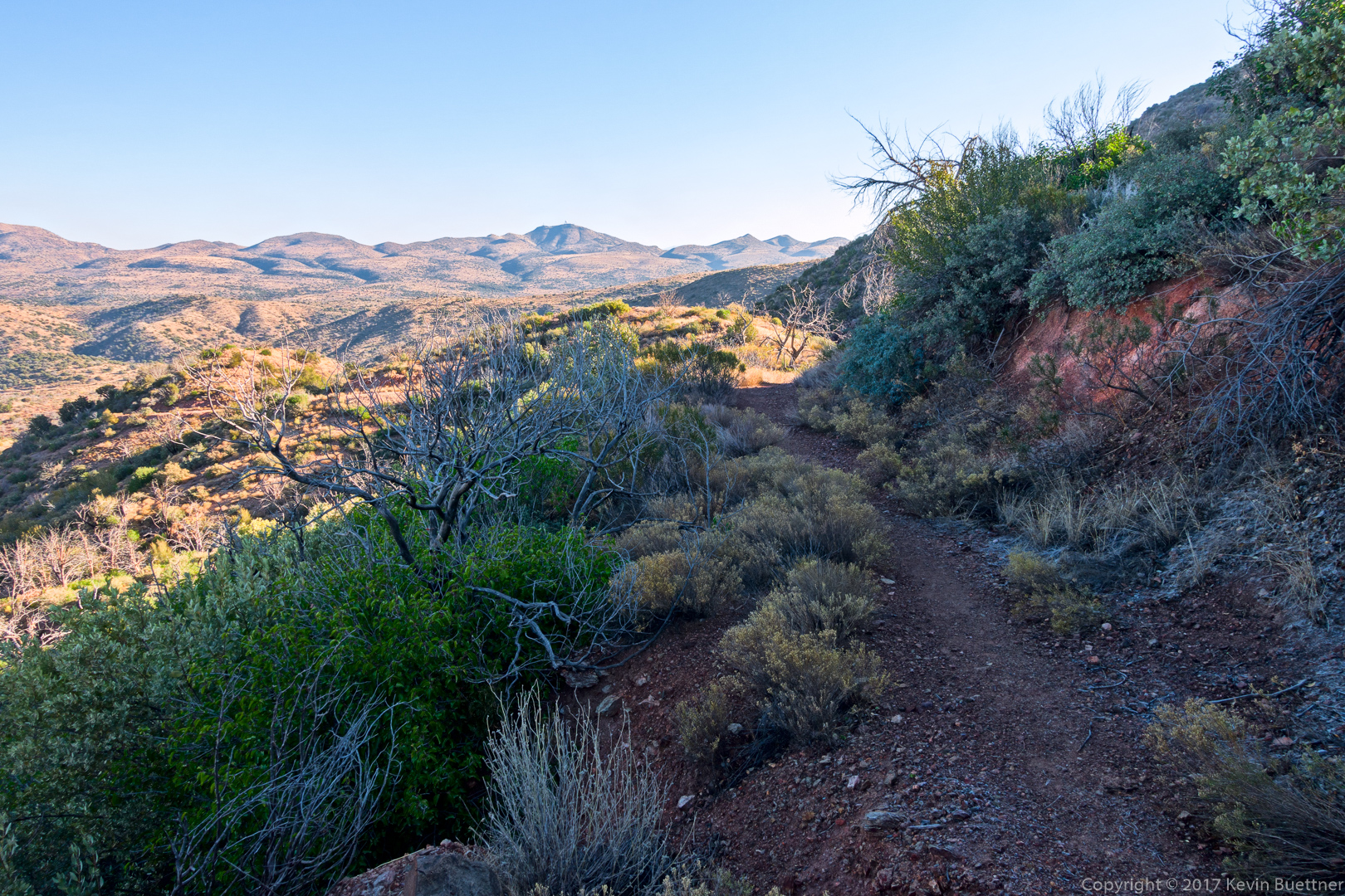
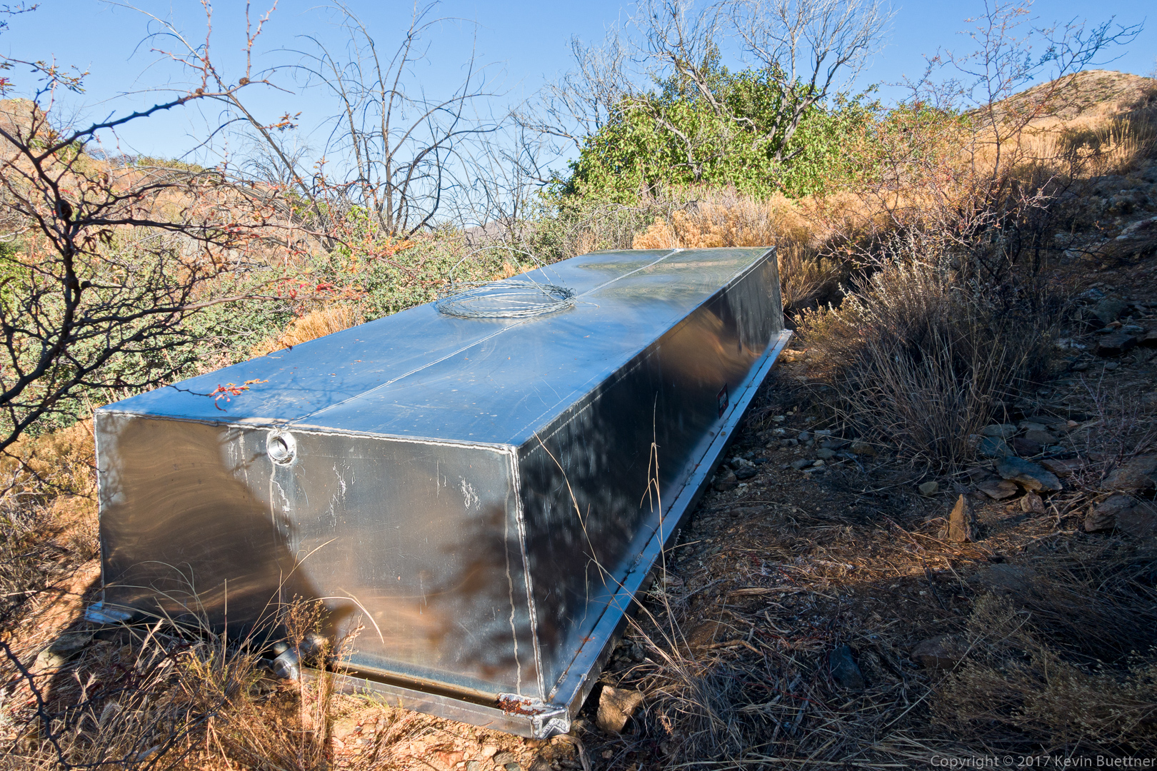
I was surprised to see this overturned stock tank. It looks new; I’d guess that the rancher who brought it here will place it and turn it over at some point.
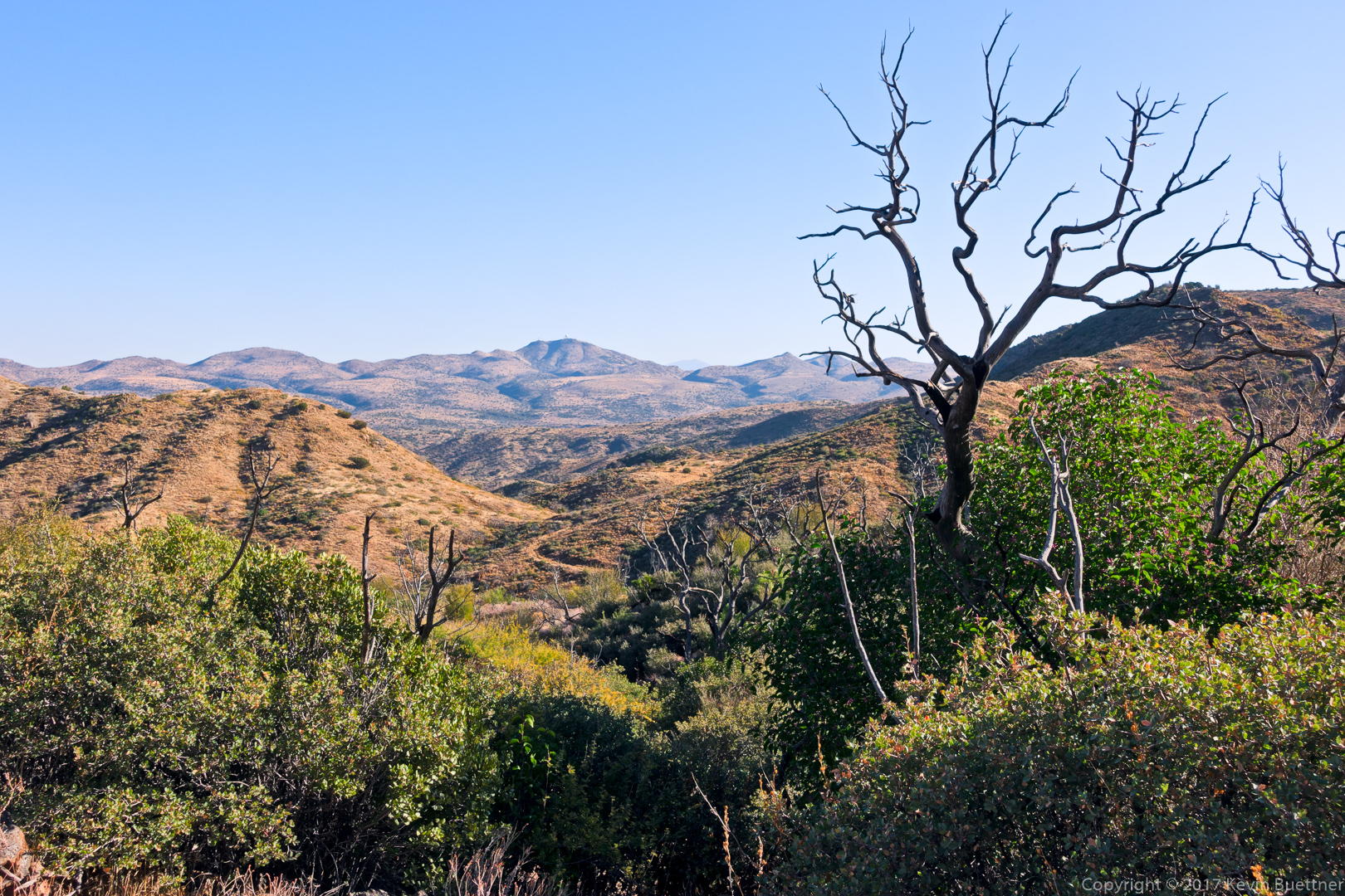
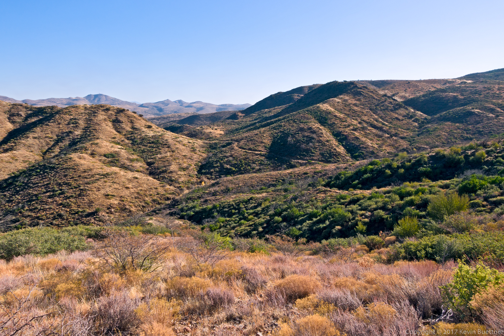
While hiking Skunk Tank #246, I realized that I had seen parts of it before while hiking with Nick one time. This is the intersection with Quien Sabe #250:

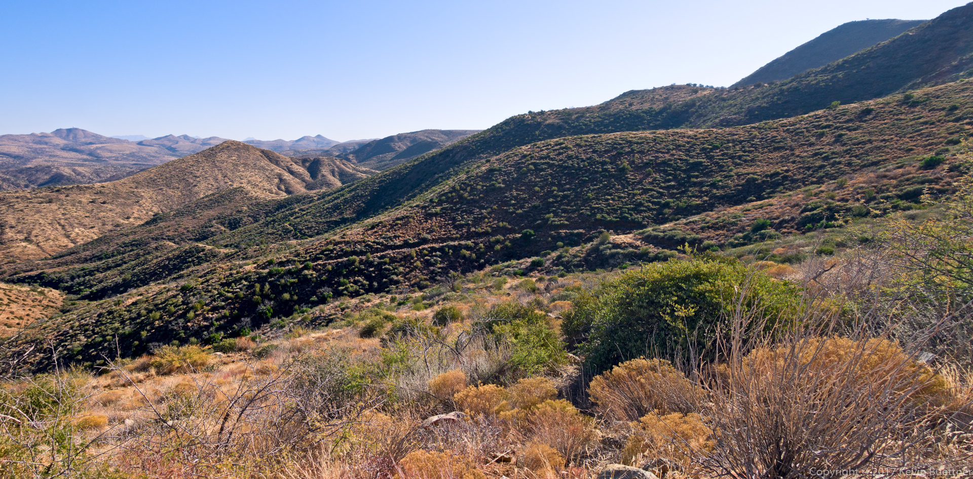
Quien Sabe #250 was fairly easy to follow. There was only one point later on when I got slightly off track and needed to refer to my GPS watch to figure out how to get back on track.


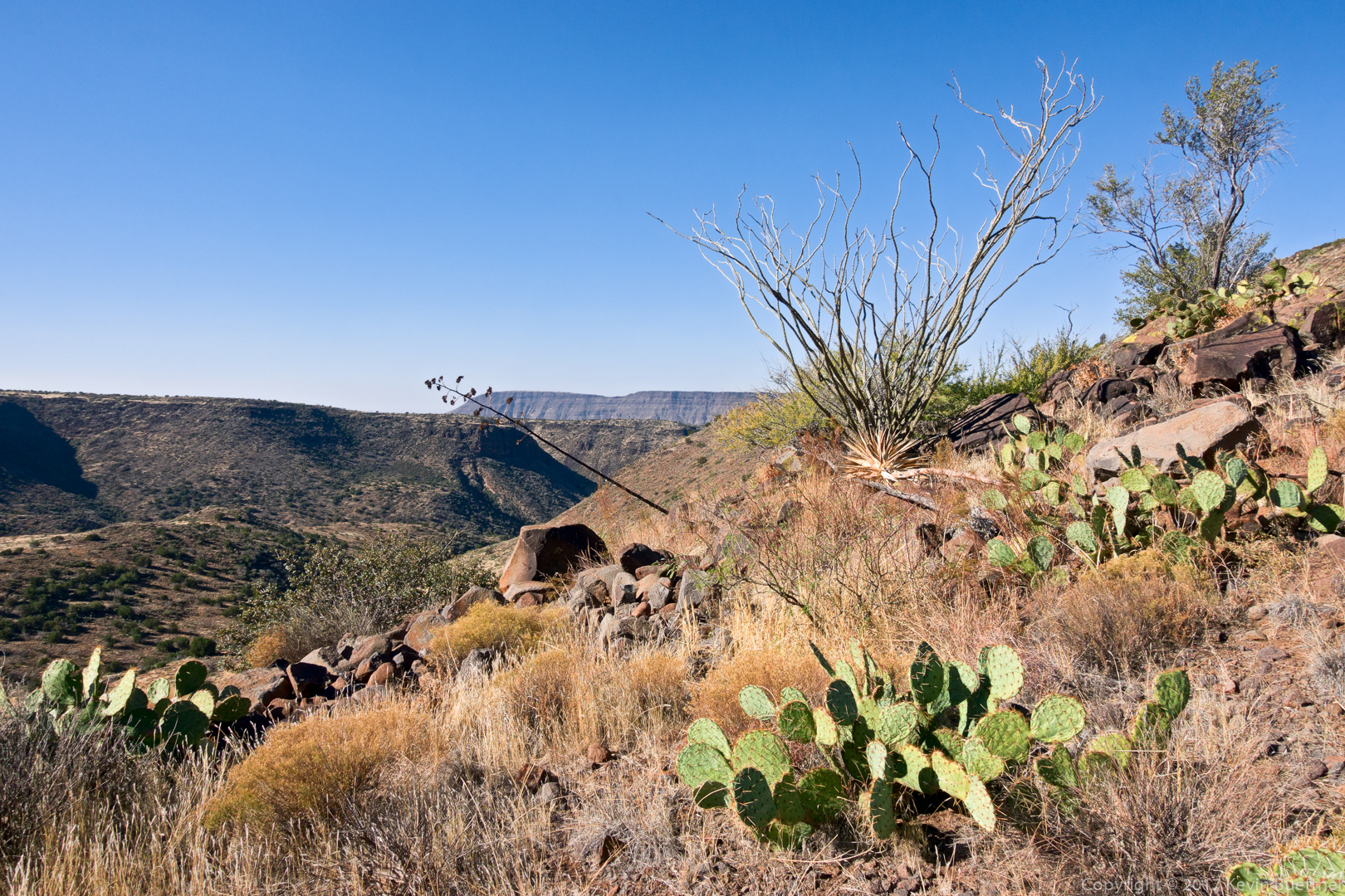

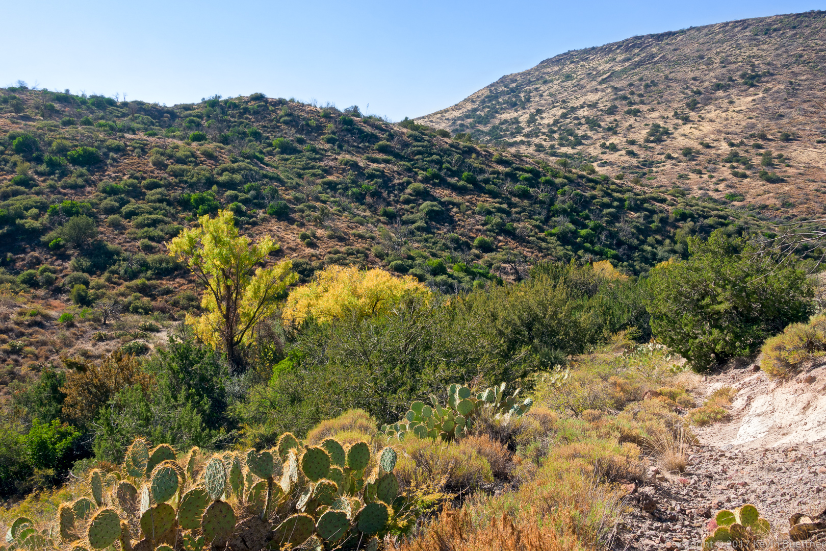
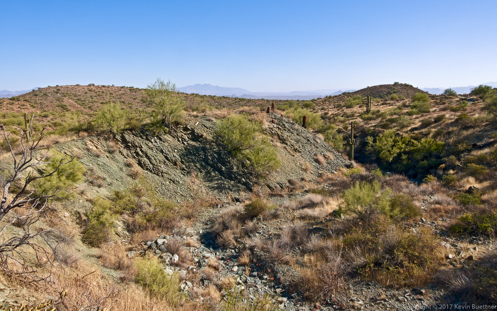
This is the intersection with the Skull Mesa Trail. I didn’t go to the top of the mesa. I found the route finding on this trail to be the most challenging of the day. Shortly after leaving this intersection, I would follow what appeared to be a path only to find that I’d somehow gotten off route twenty yards or so later. I’d consult my watch, get back on track, and would often find a cairn. I’d then proceed to get off track again, etc.
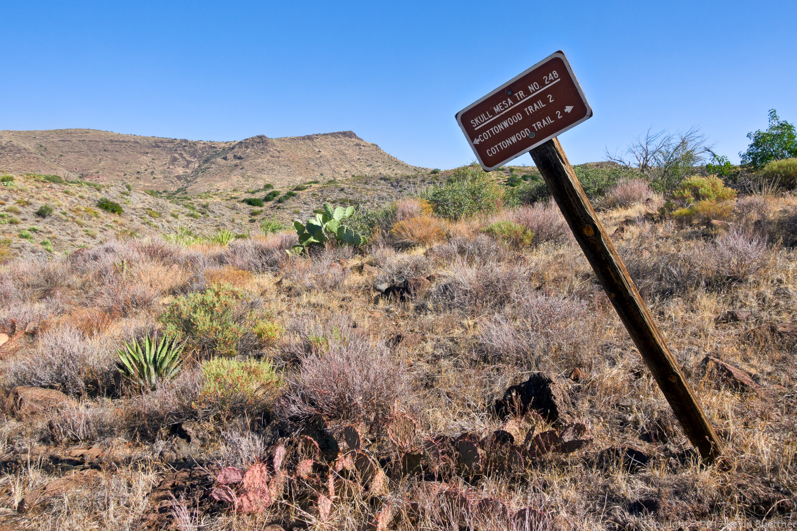
At one point, I found myself on the side of a hill wondering whether the trail followed the contour that I was on or whether it went downhill. The going was tough in that spot, so I consulted the map on my phone to find that I should go downhill. I found a well trodden path at the bottom and wondered how I managed to miss it.
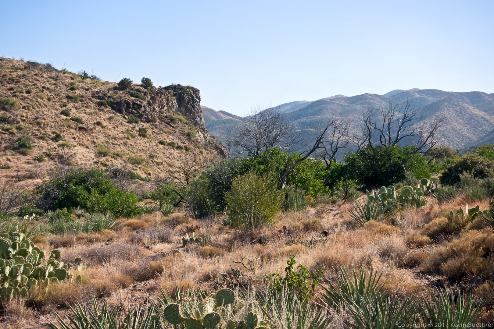
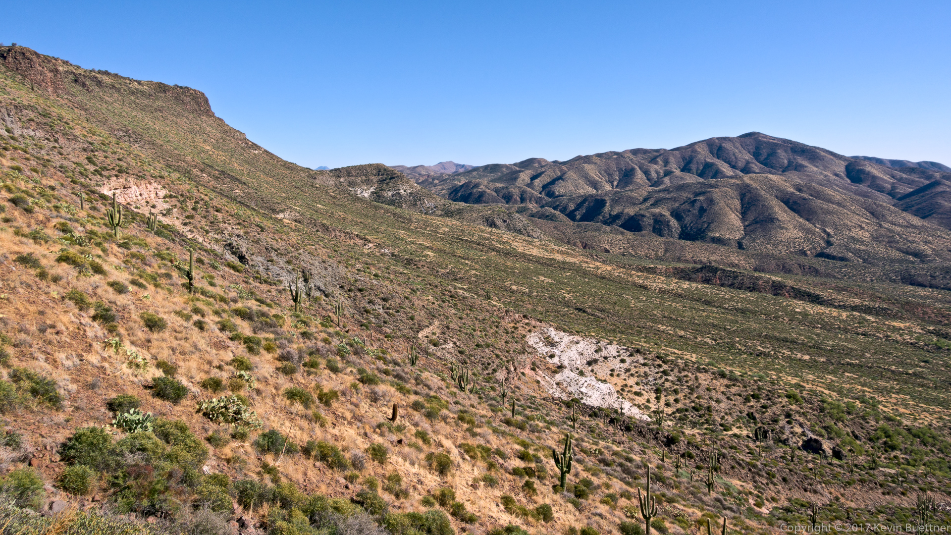
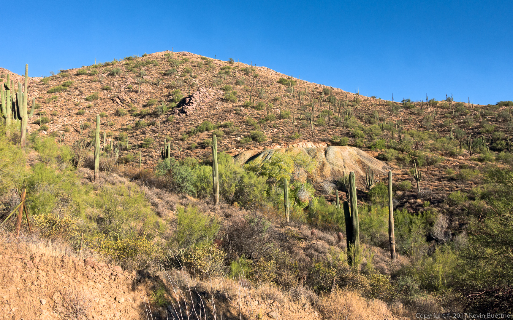
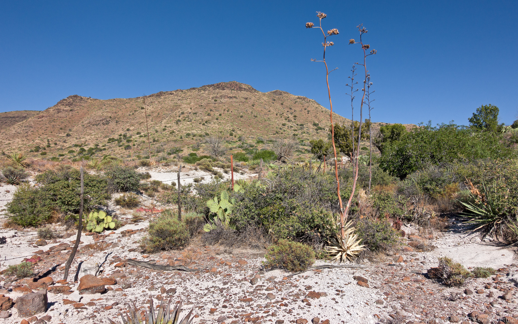
There was white rock in this area. This is one spot where I was able to make a short cut. According to the track shown on my GPS watch, the route went around this fence or through a gate or something. I found that there was a section of downed fence, so I simply walked over it and continued on.
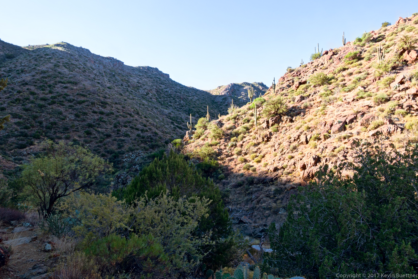
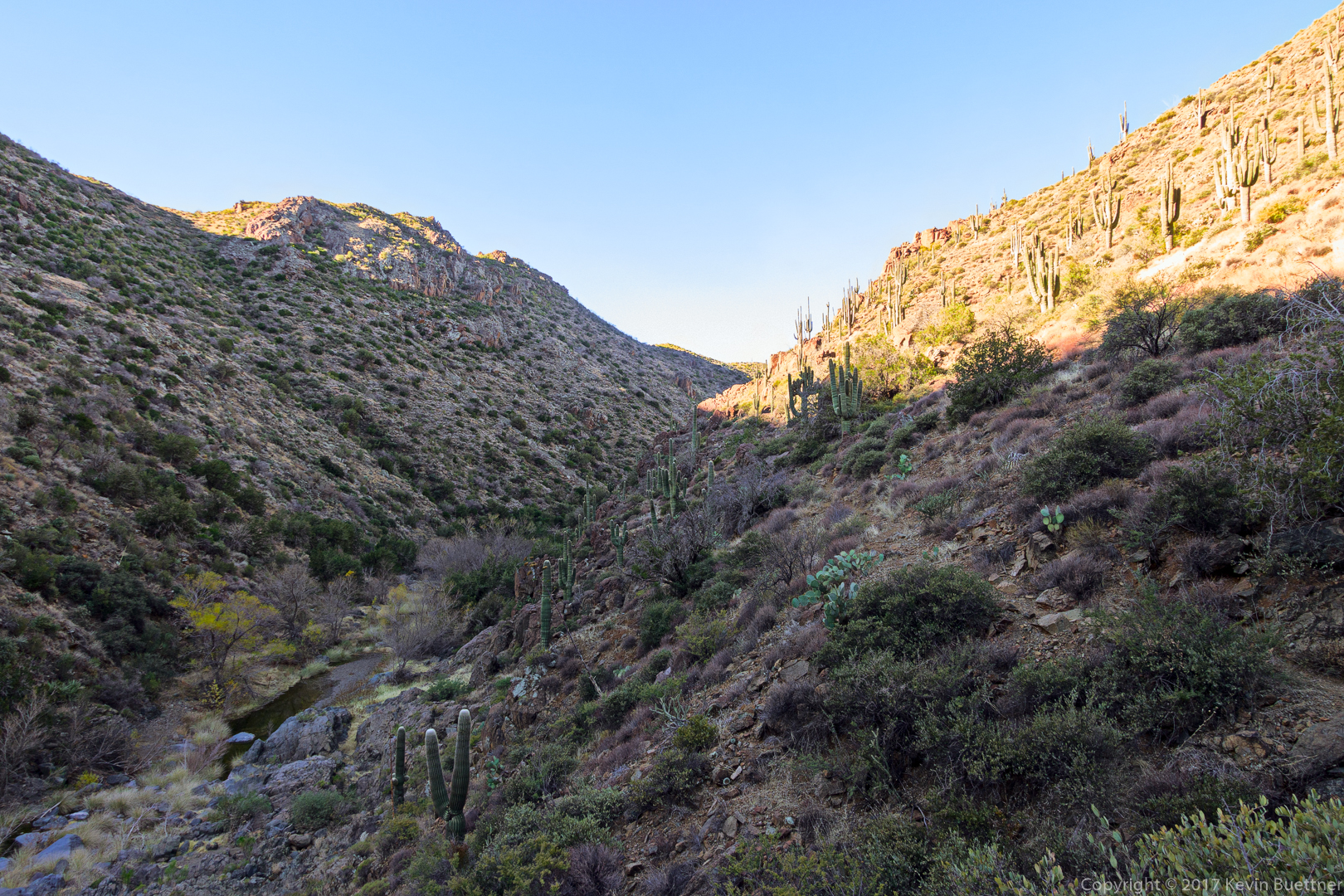
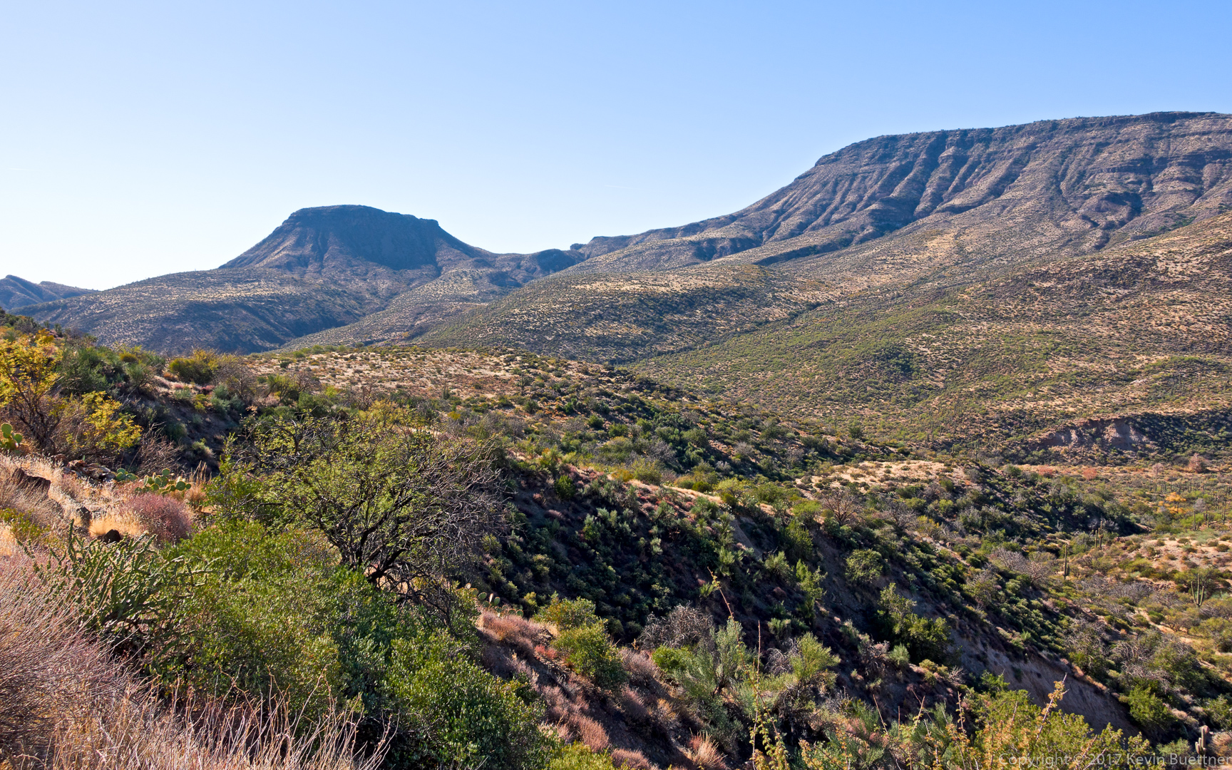
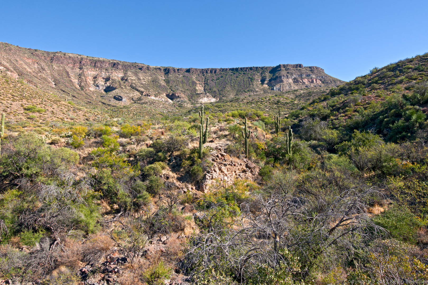
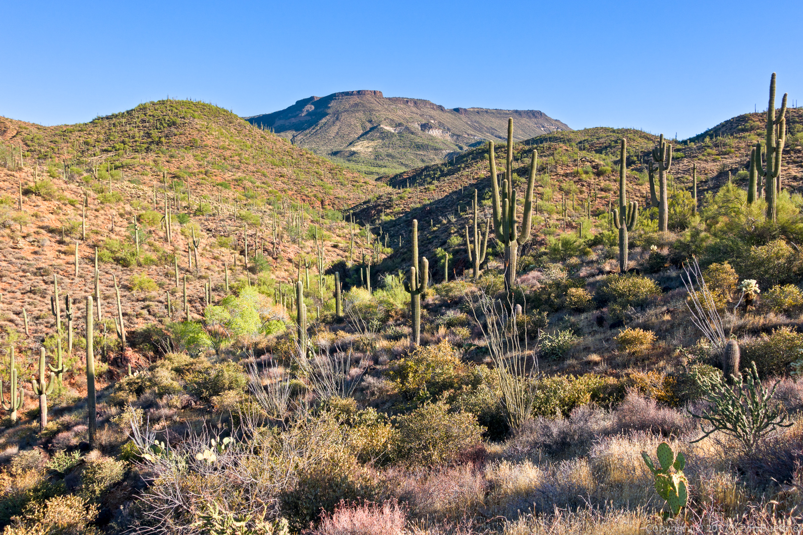
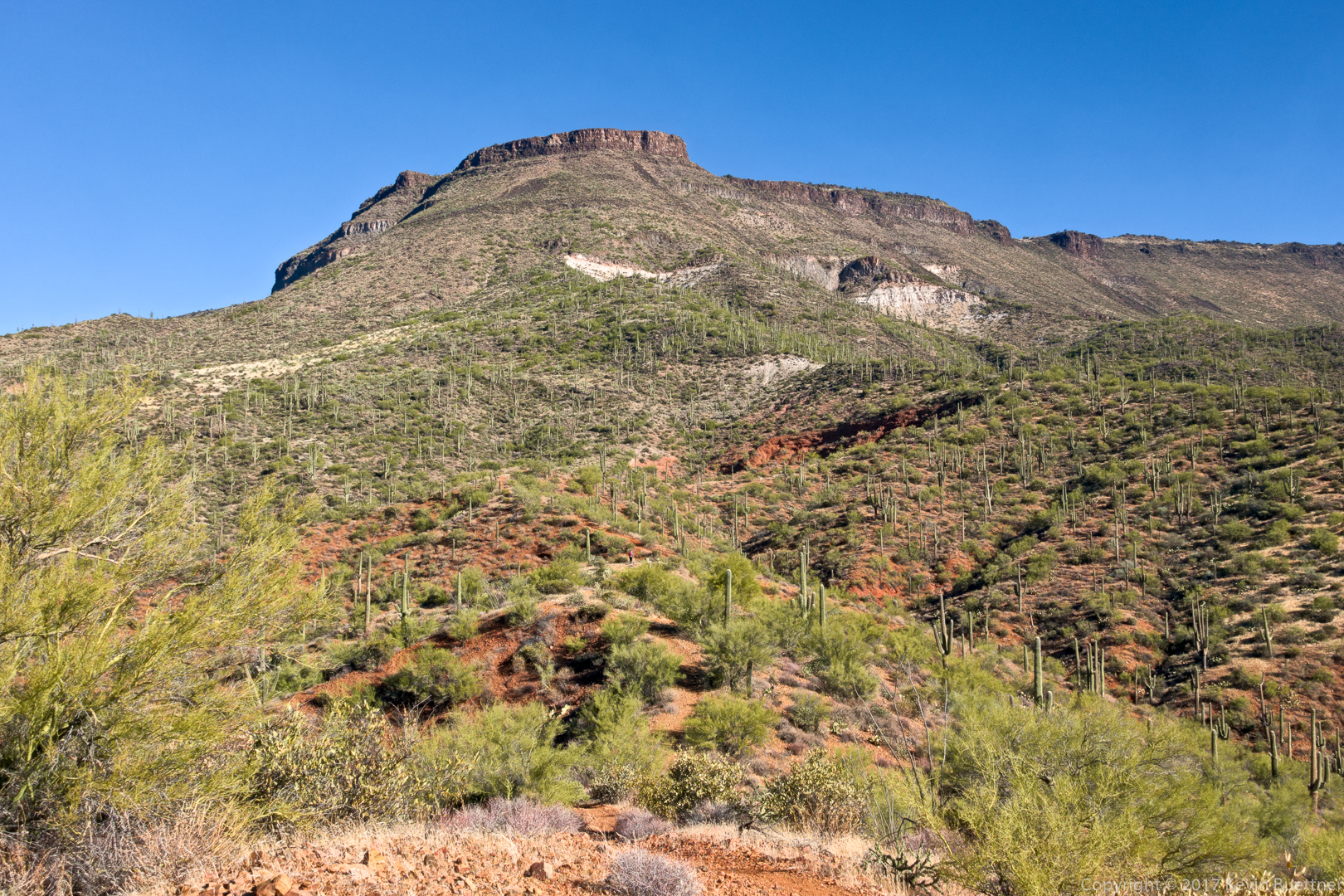
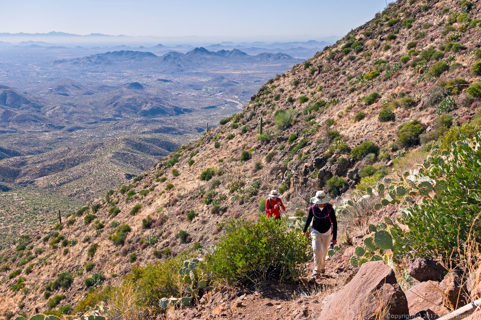
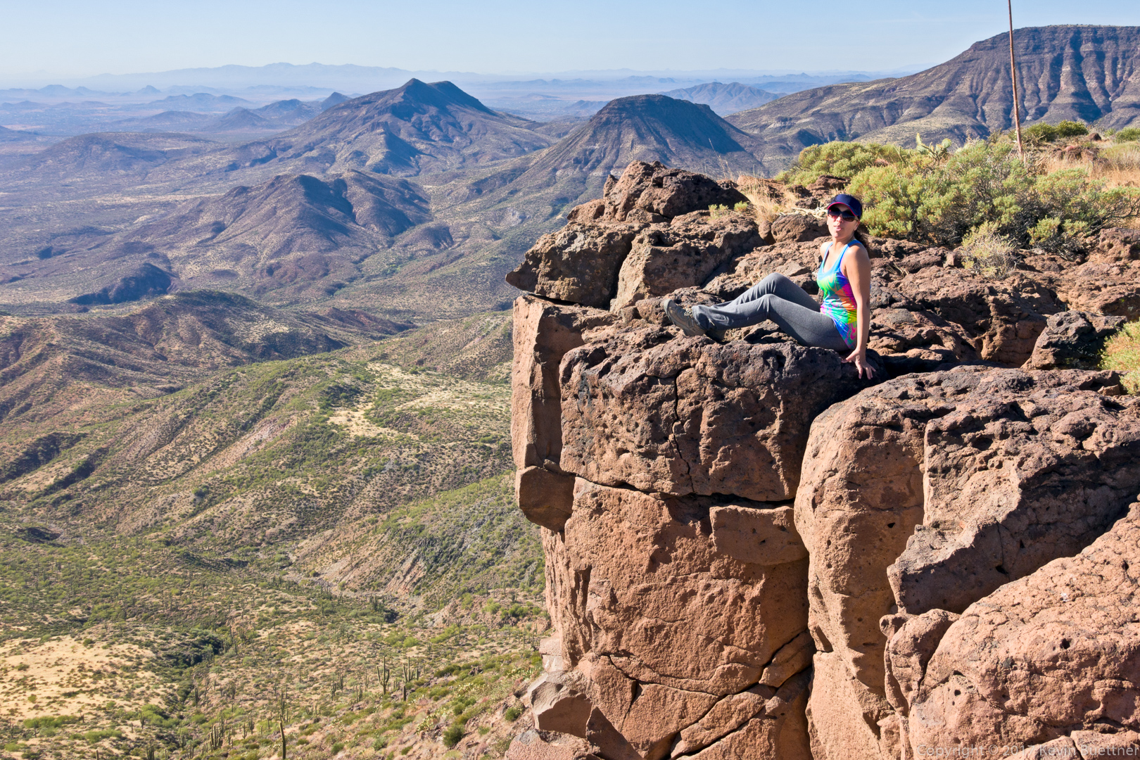
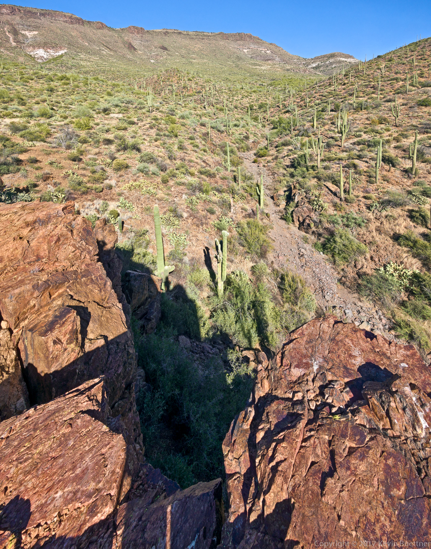
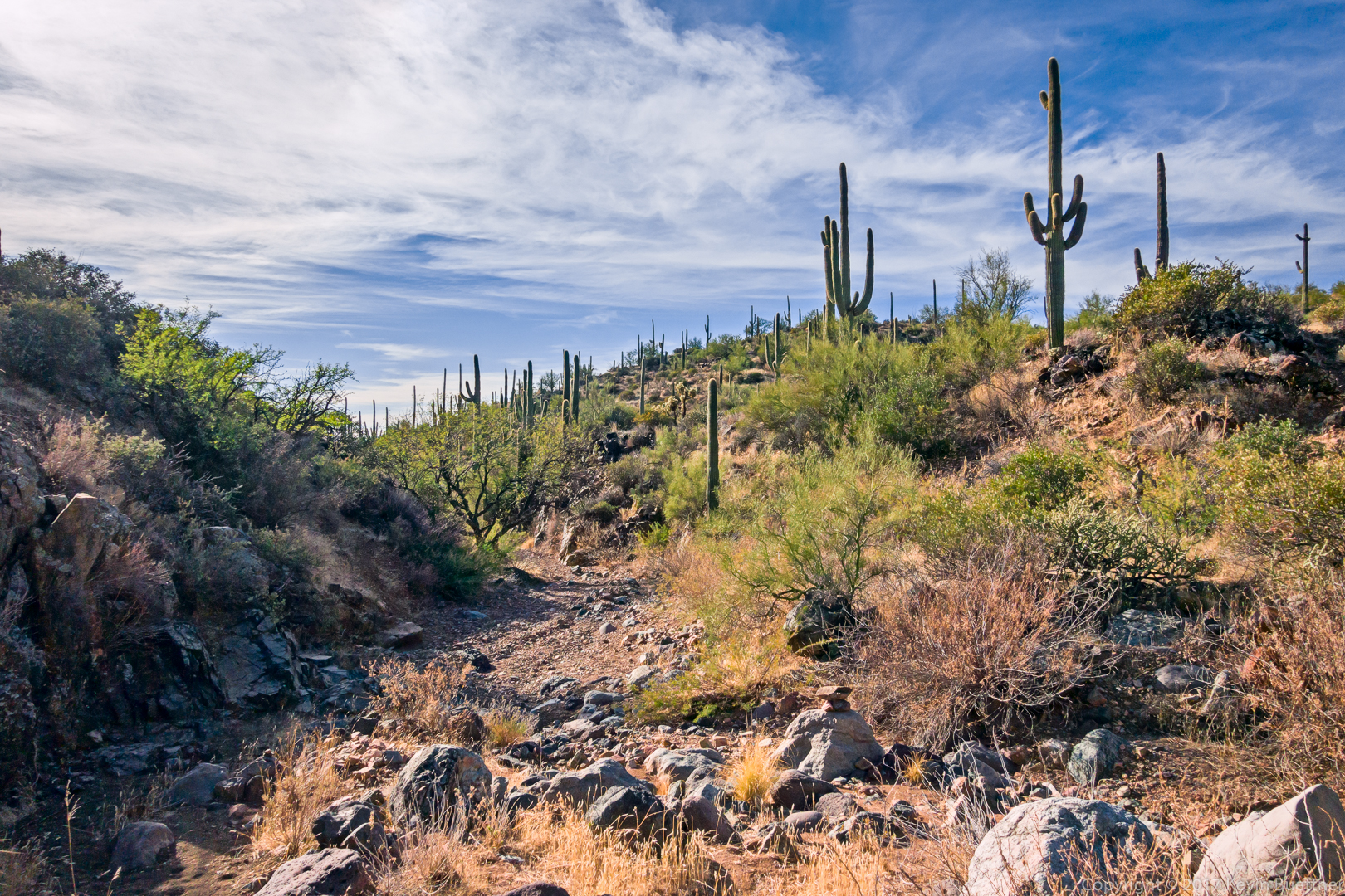
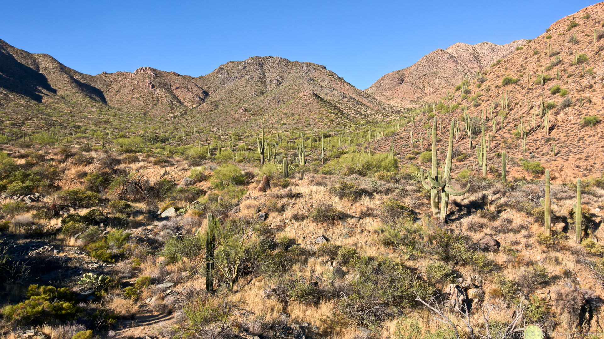
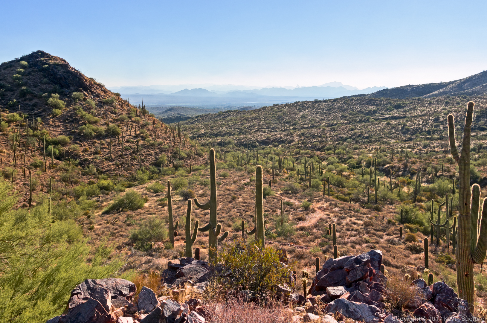
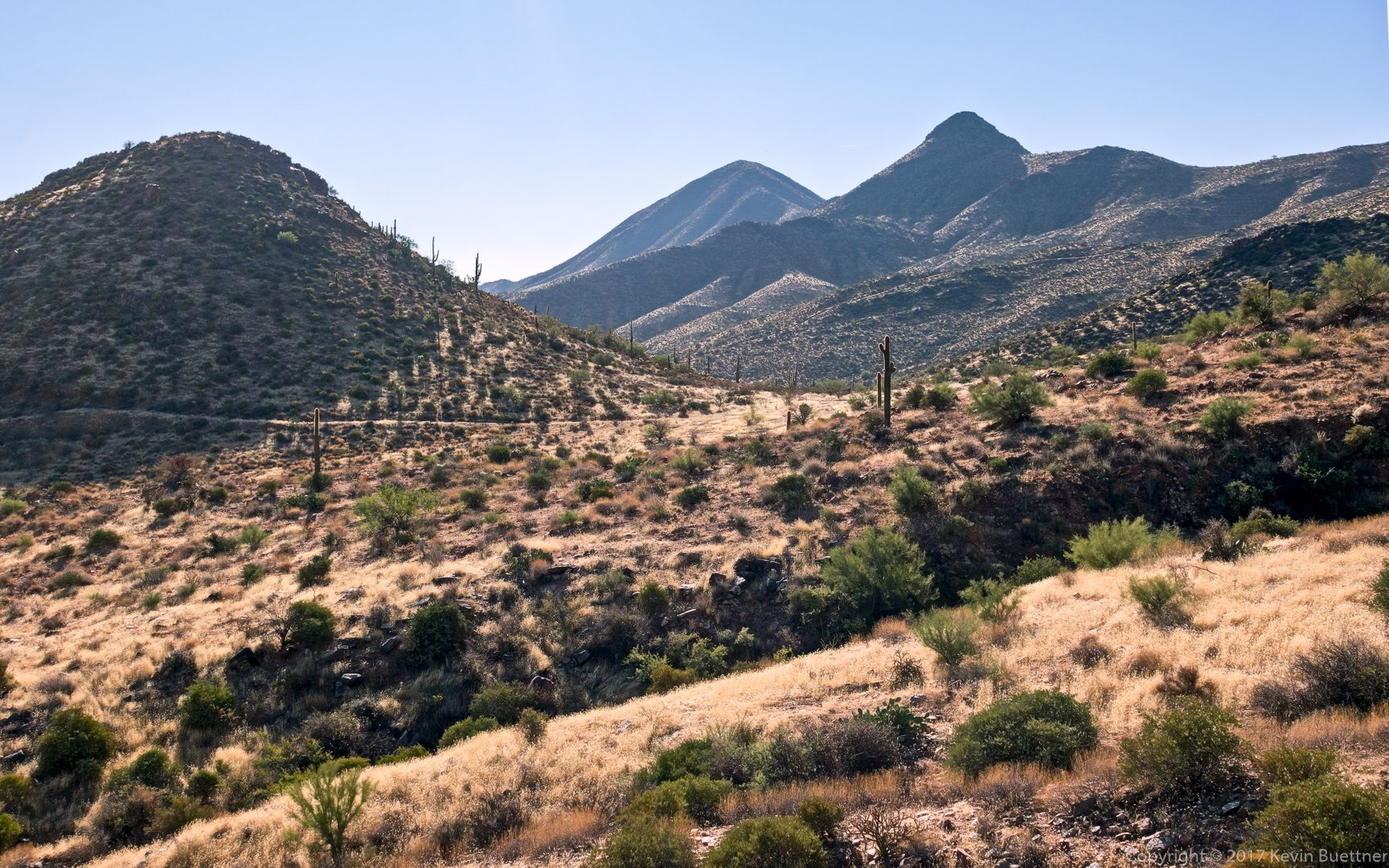
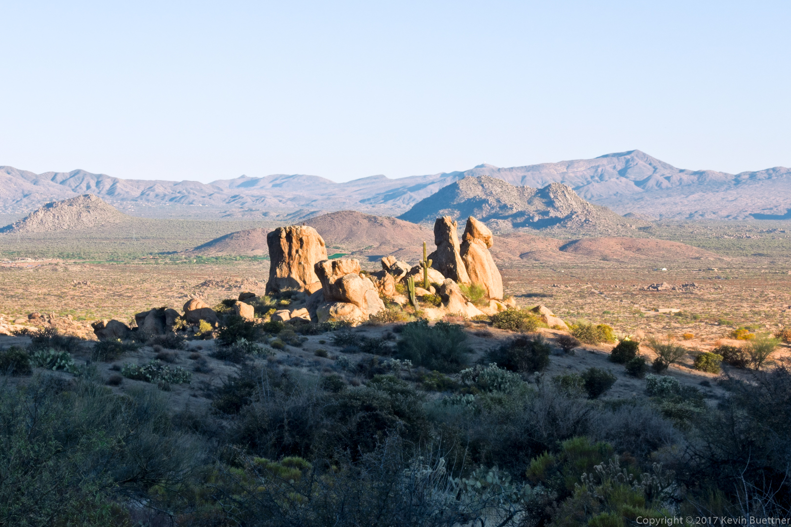
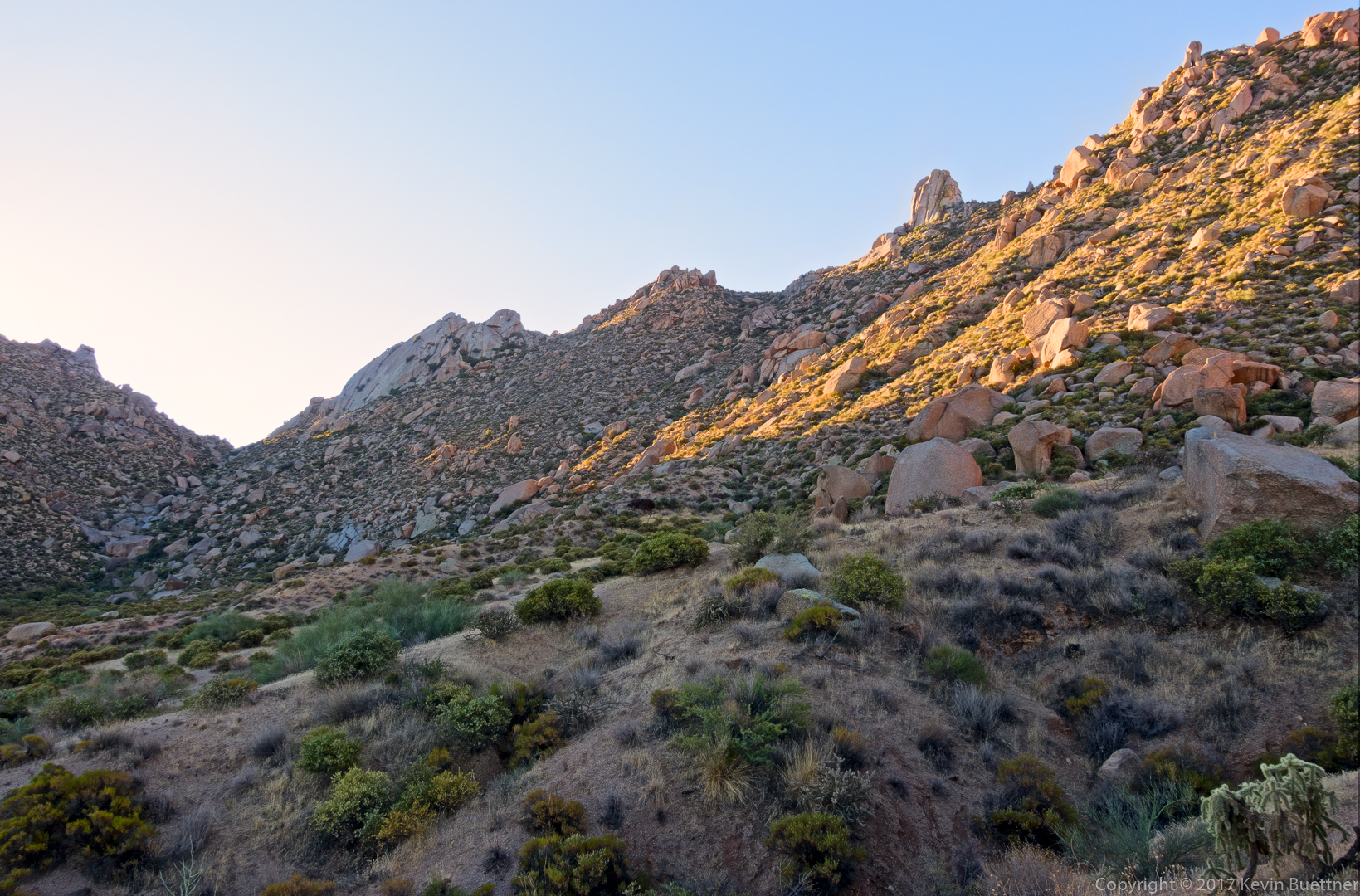
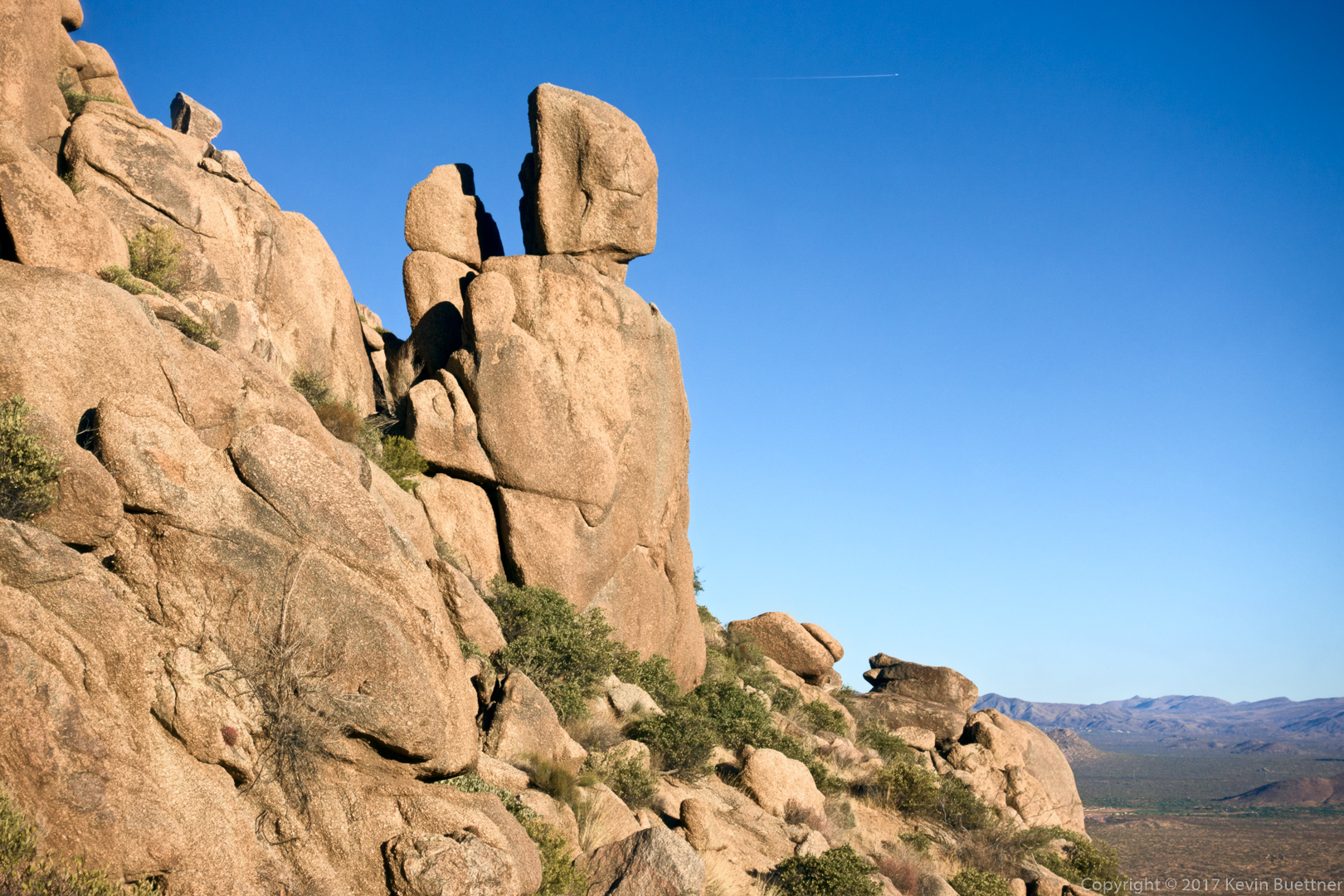
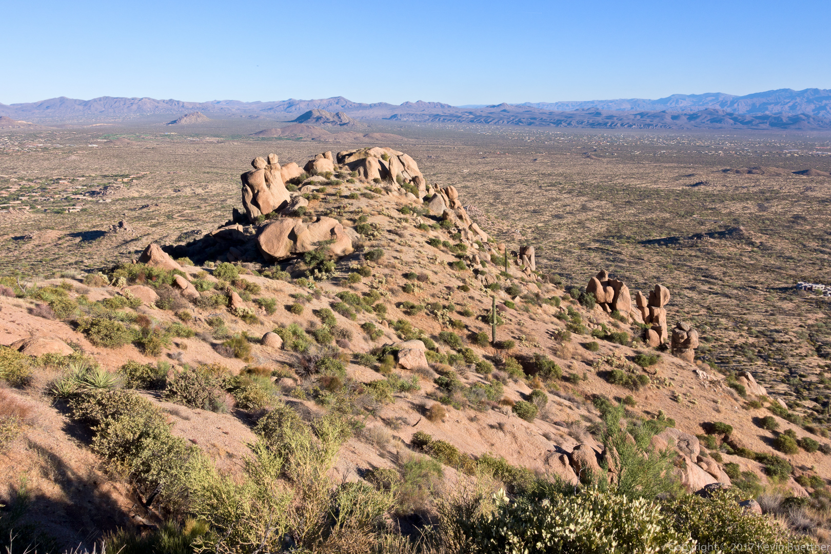
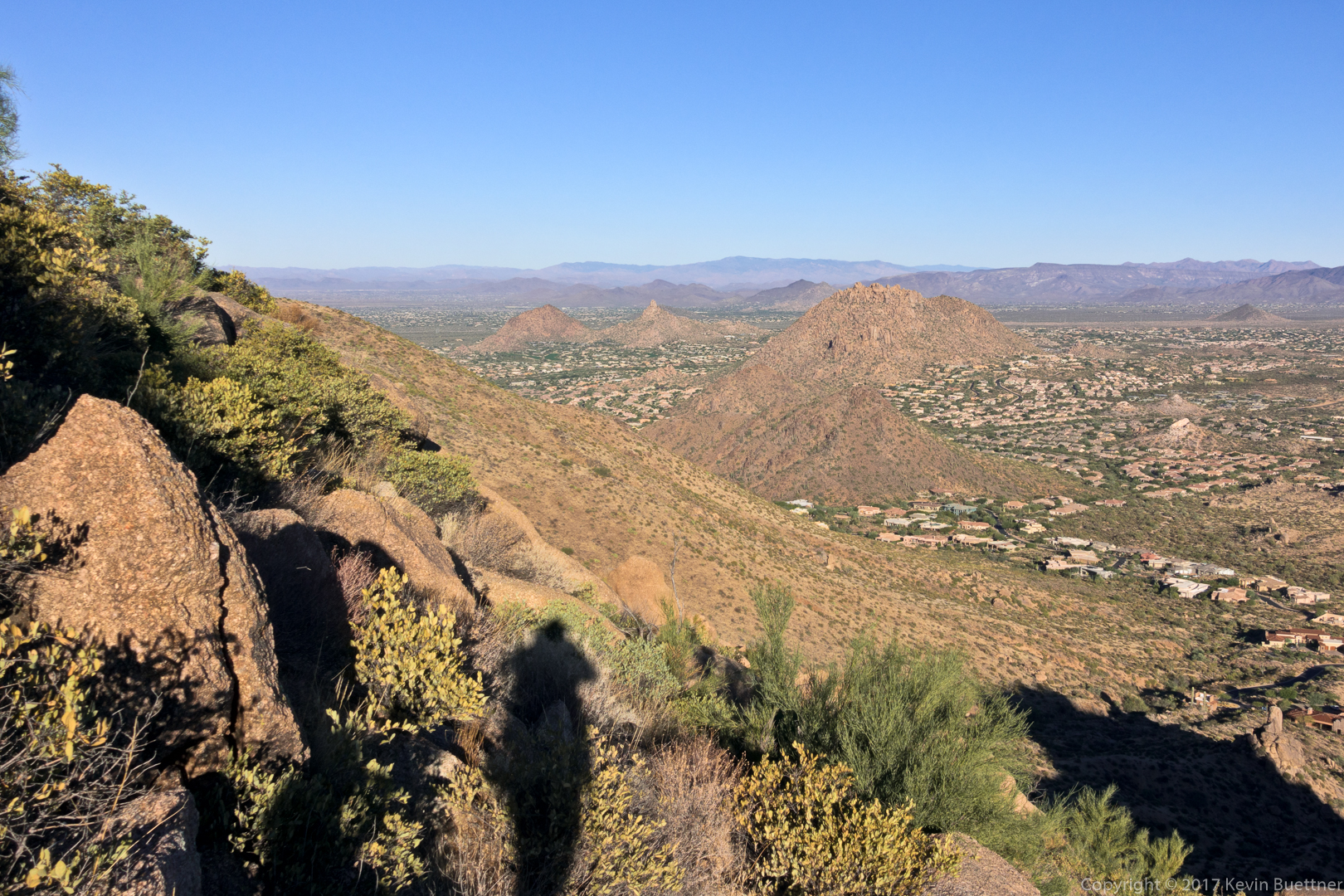
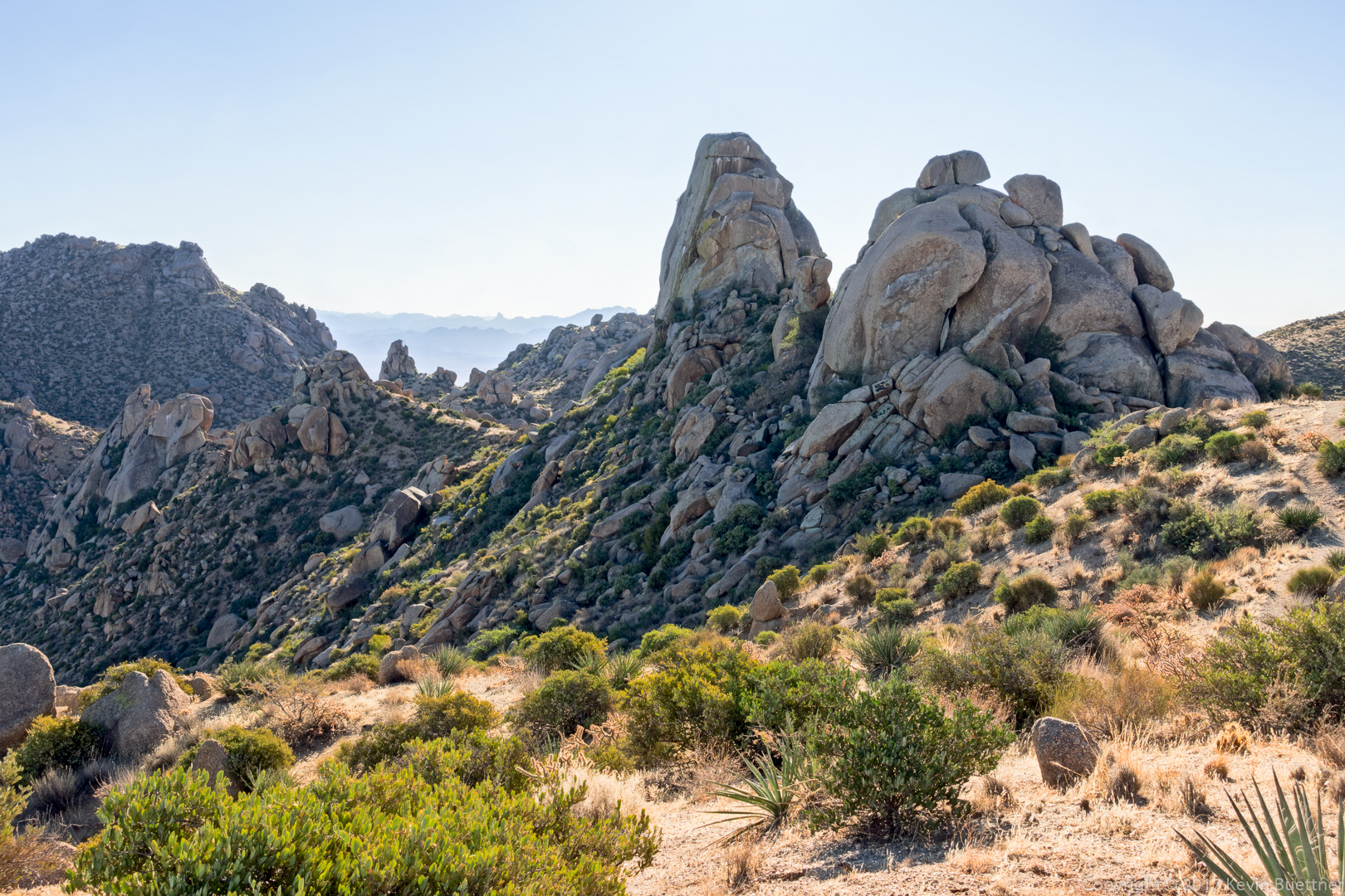
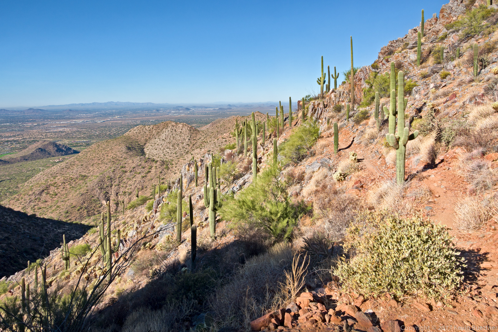
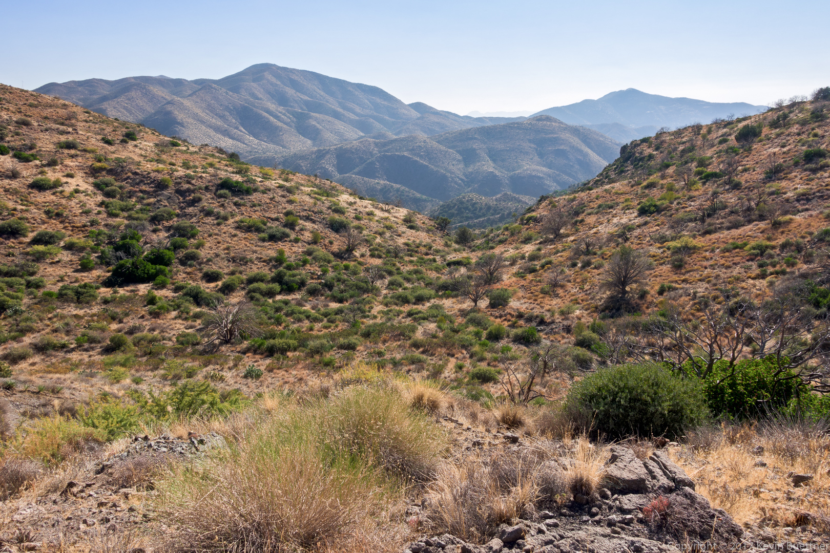
The Skull Mesa Trail started heading downhill. The trail was easier to see, but had become quite loose. I needed both of my poles through this stretch to make it down safely. I paused, looked up and found an utterly amazing view to my right…
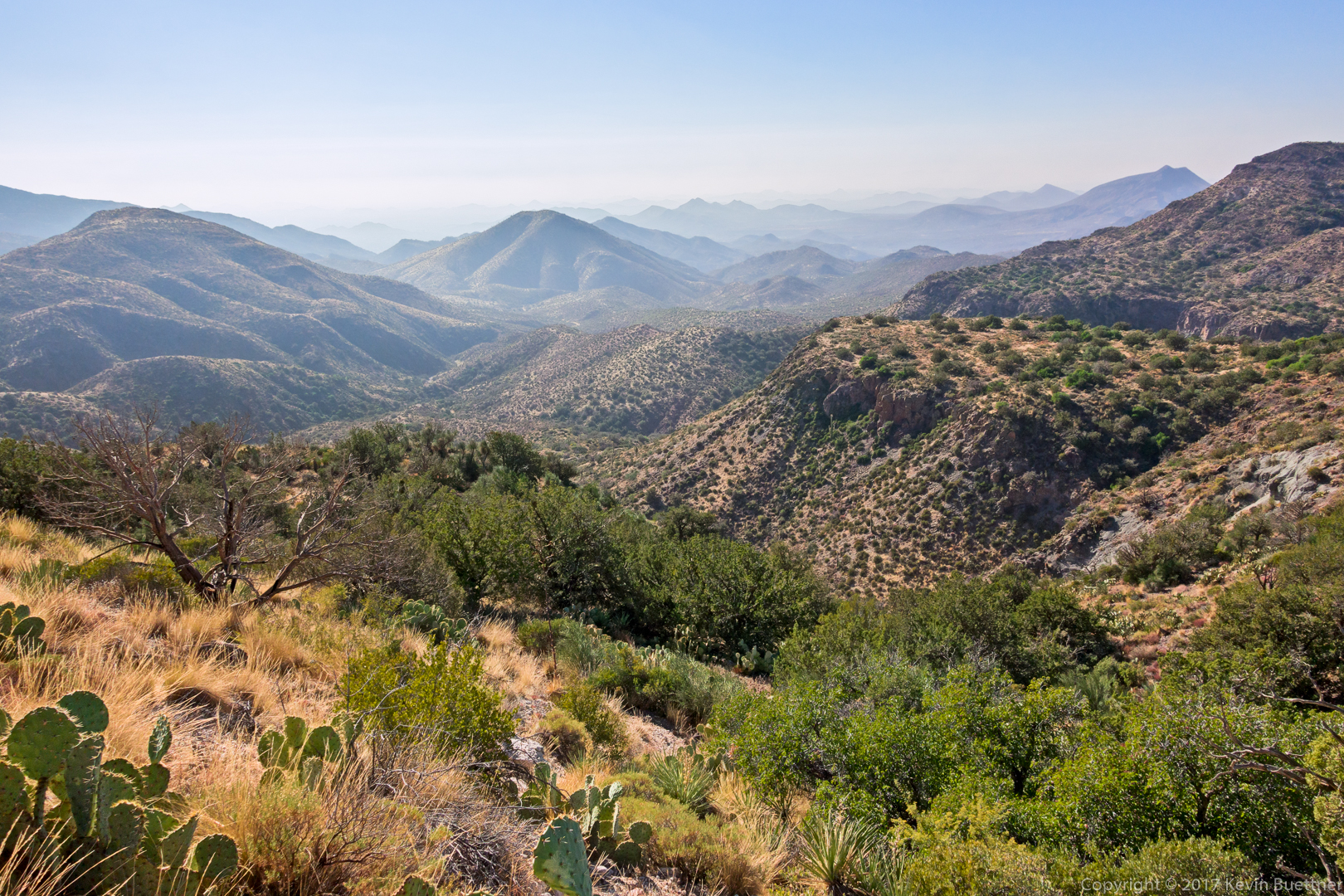

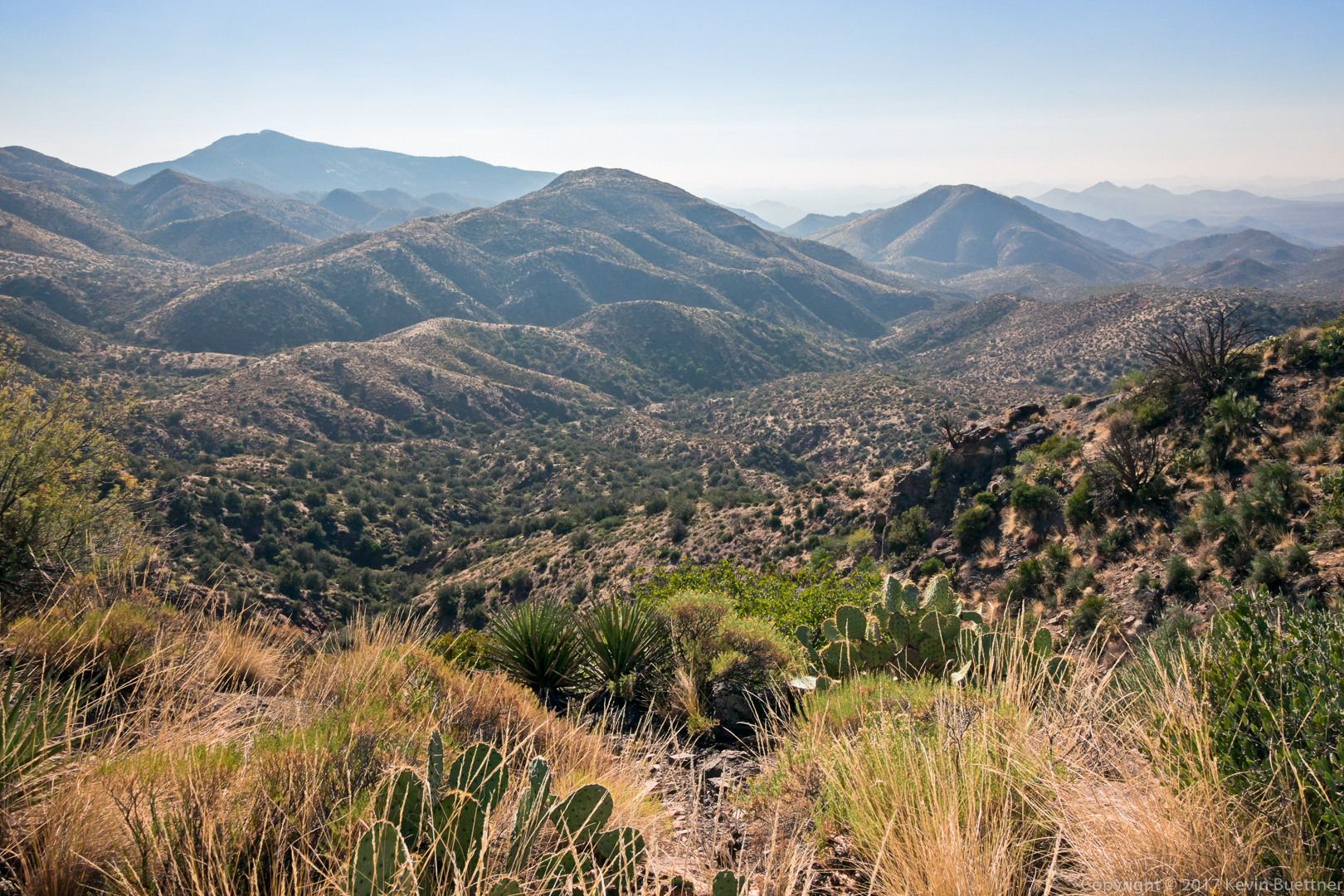
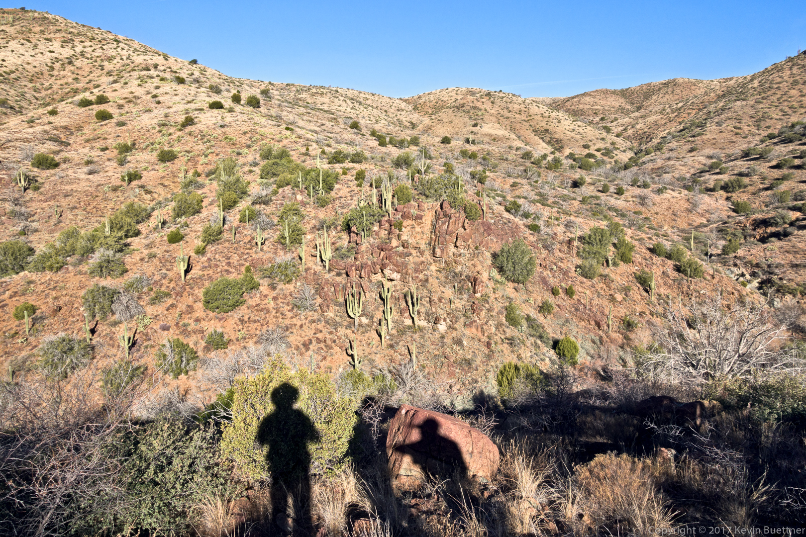
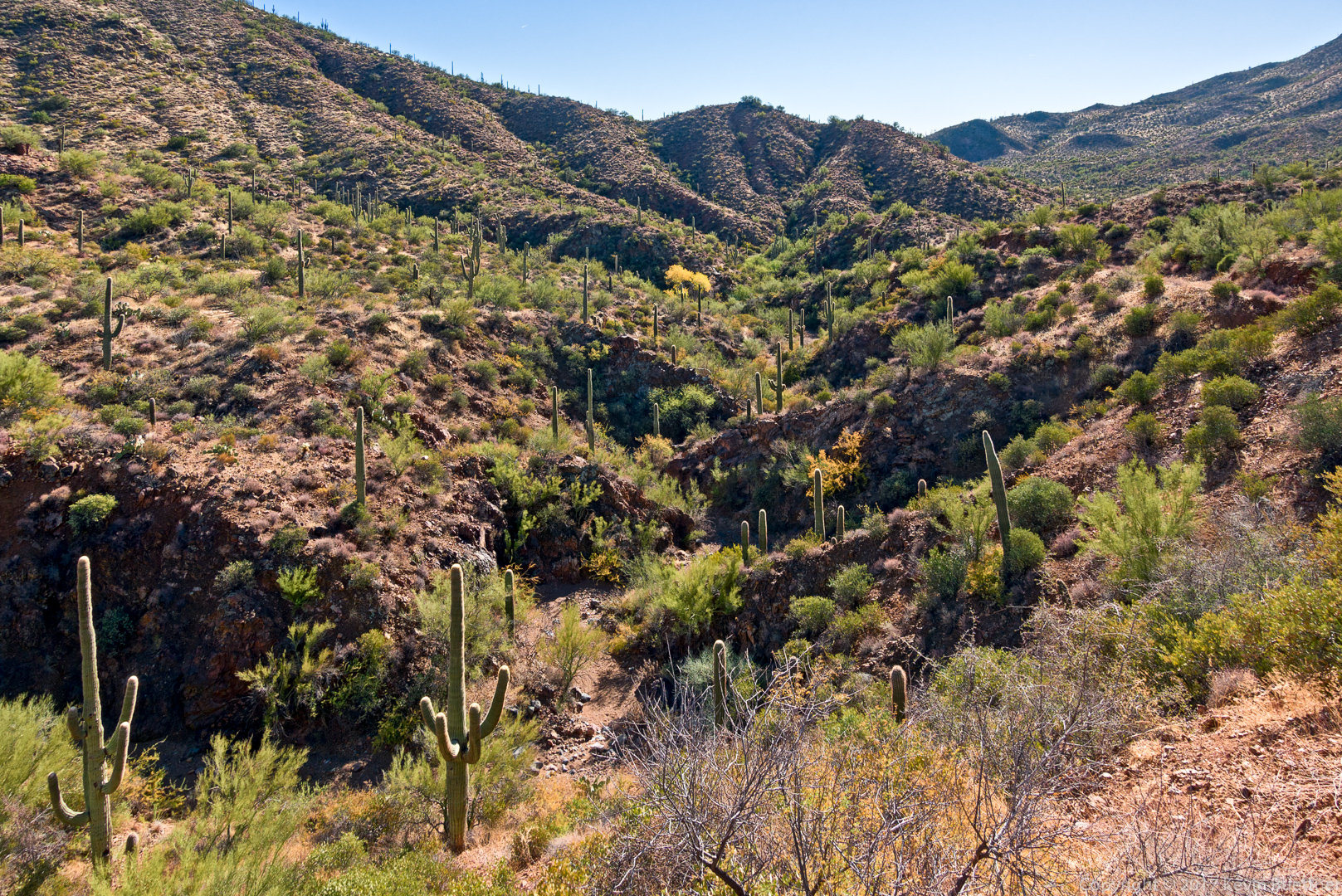
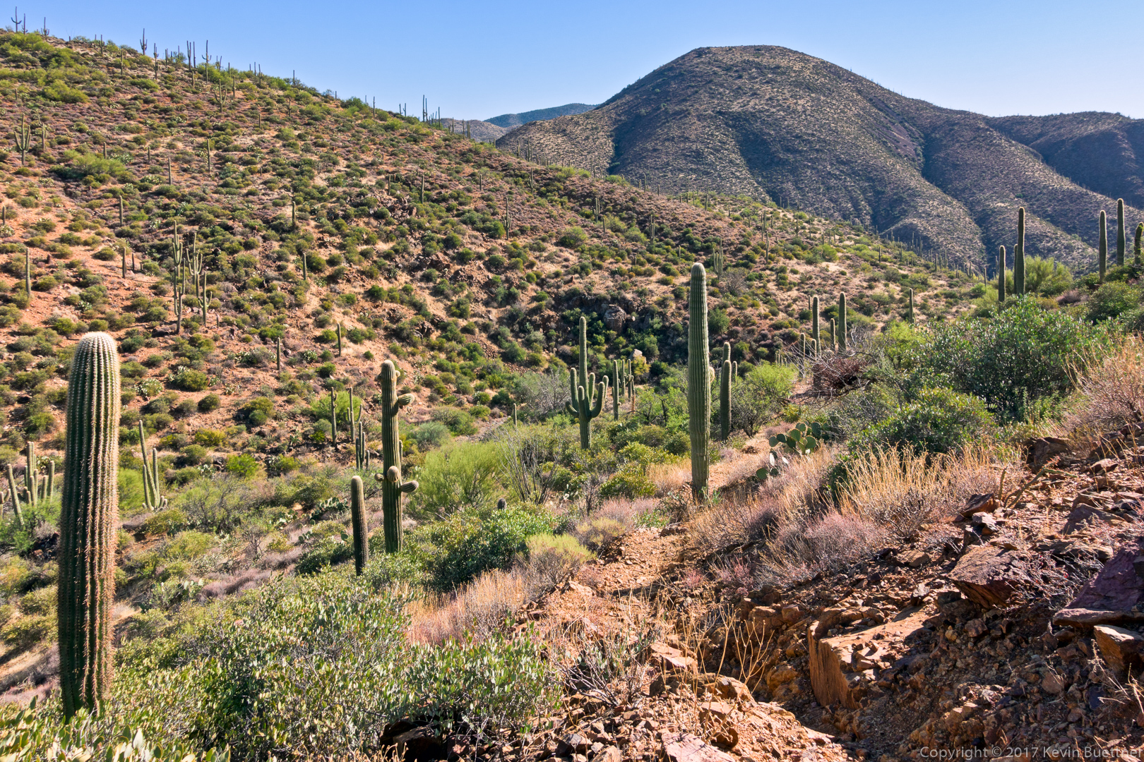
The views to the south were quite a lot different. Not as stunning, but certainly more colorful with red exposed soil…
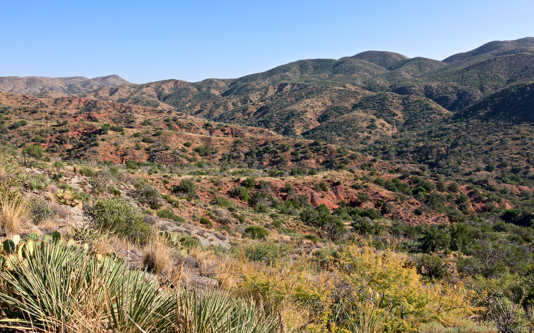
I finally got to the end of the Skull Mesa Trail…
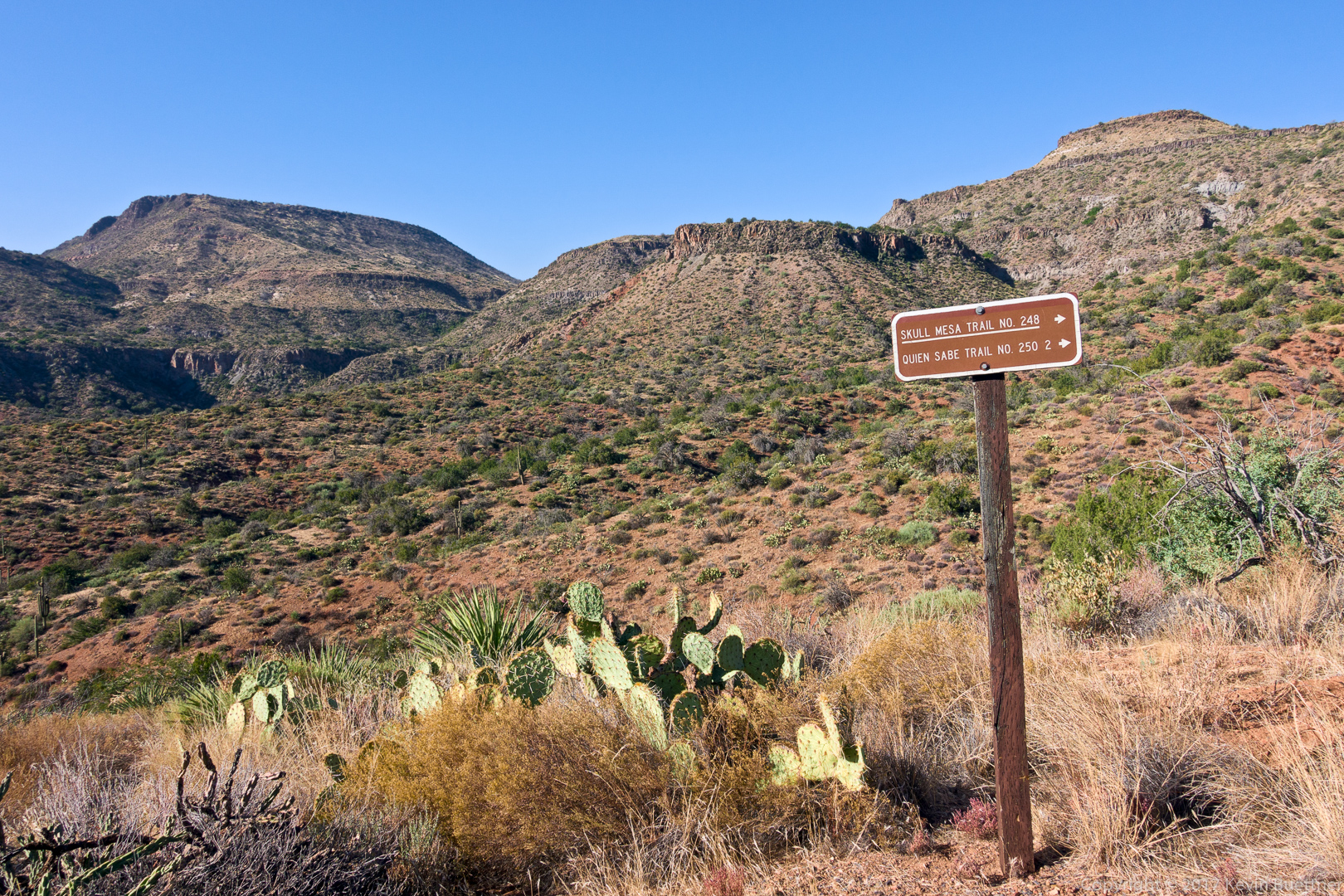
This section of the Cottonwood Trail is now part of the Maricopa Trail. As such, I thought that it would be easy sailing for a while…
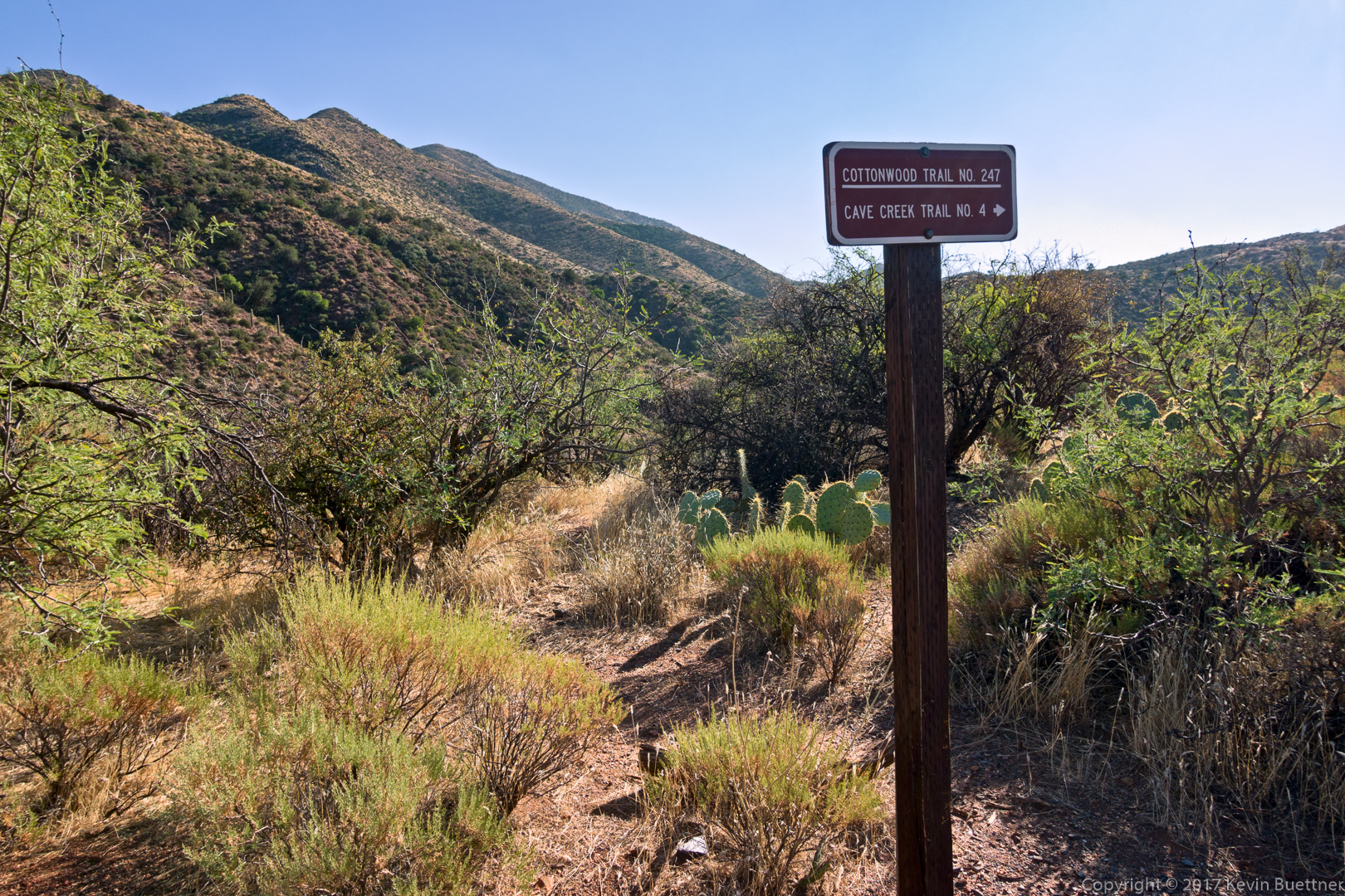
…but it wasn’t, at least not on the trail. The trail frequently crossed Cottonwood Creek and would then proceed in a fairly direct fashion through islands of brush and trees. This foliage clearly had no respect for those of us who want to use the trail, so there was a fair amount of bushwhacking required. Also, another clue was the pink ribbons attached to the trees and brush that needed pruning. I went bushwhacked through two of these islands of foliage when I came up with a better idea – I’d simply follow the creek/wash. That worked marvelously well. It added a bit of distance because it wasn’t as direct, but it was certainly a lot easier and quicker too.

The Cottonwood Trail eventually left Cottonwood creek, ascended to the top of a ridge and then made its way across Bronco Creek where I came across this intersection for the Bronco Creek Trail. I stayed on the Cottonwood Trail though…
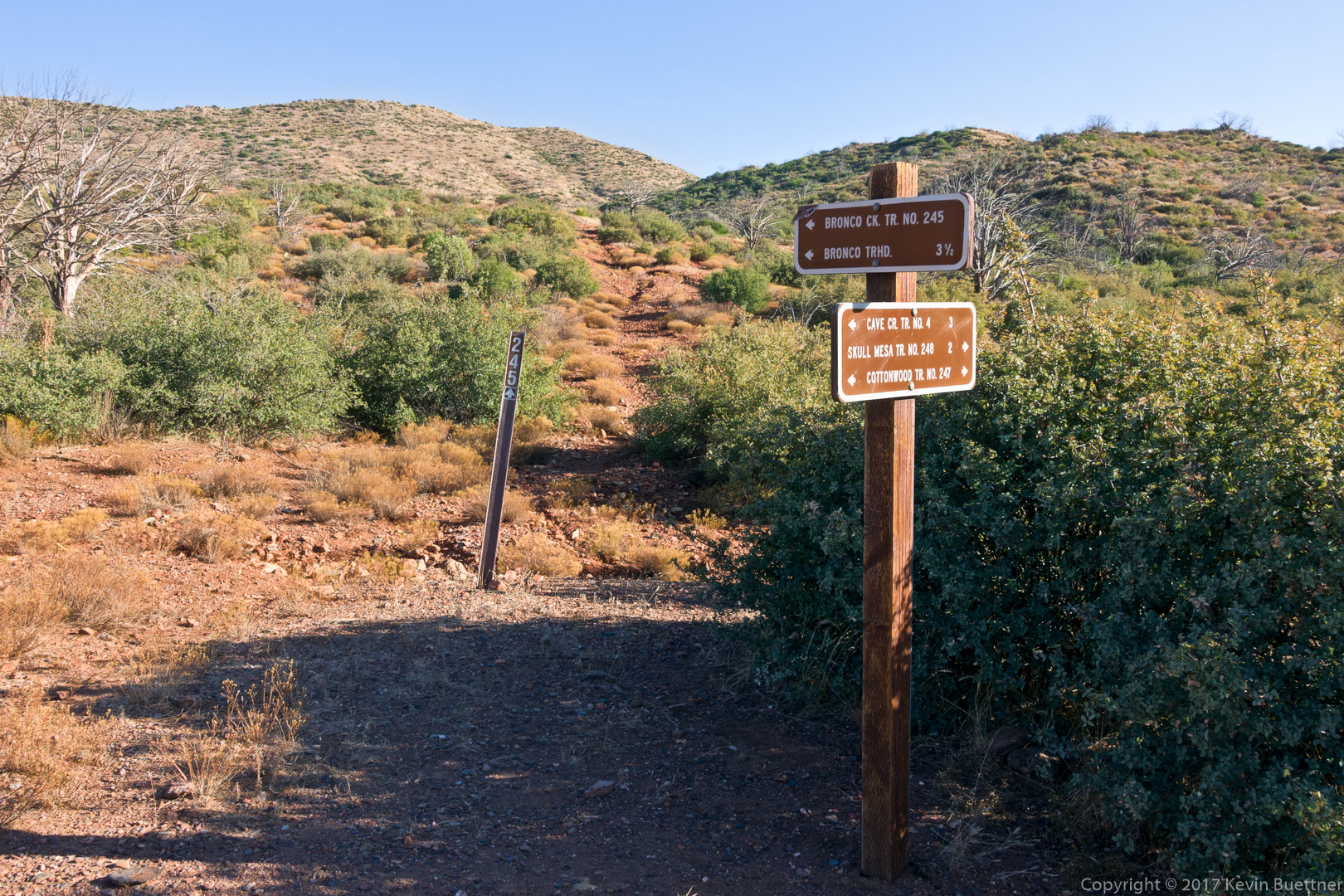
The Cottonwood Trail mostly stayed high on the right (east) bank of Bronco Creek. It eventually dumped me into the creek, but when it did so, checking my watch, I found that I should have somehow been high on the left (west) bank of the creek at that point. It was very steep and vegetated at that point, so I walked northward in the creek bed.
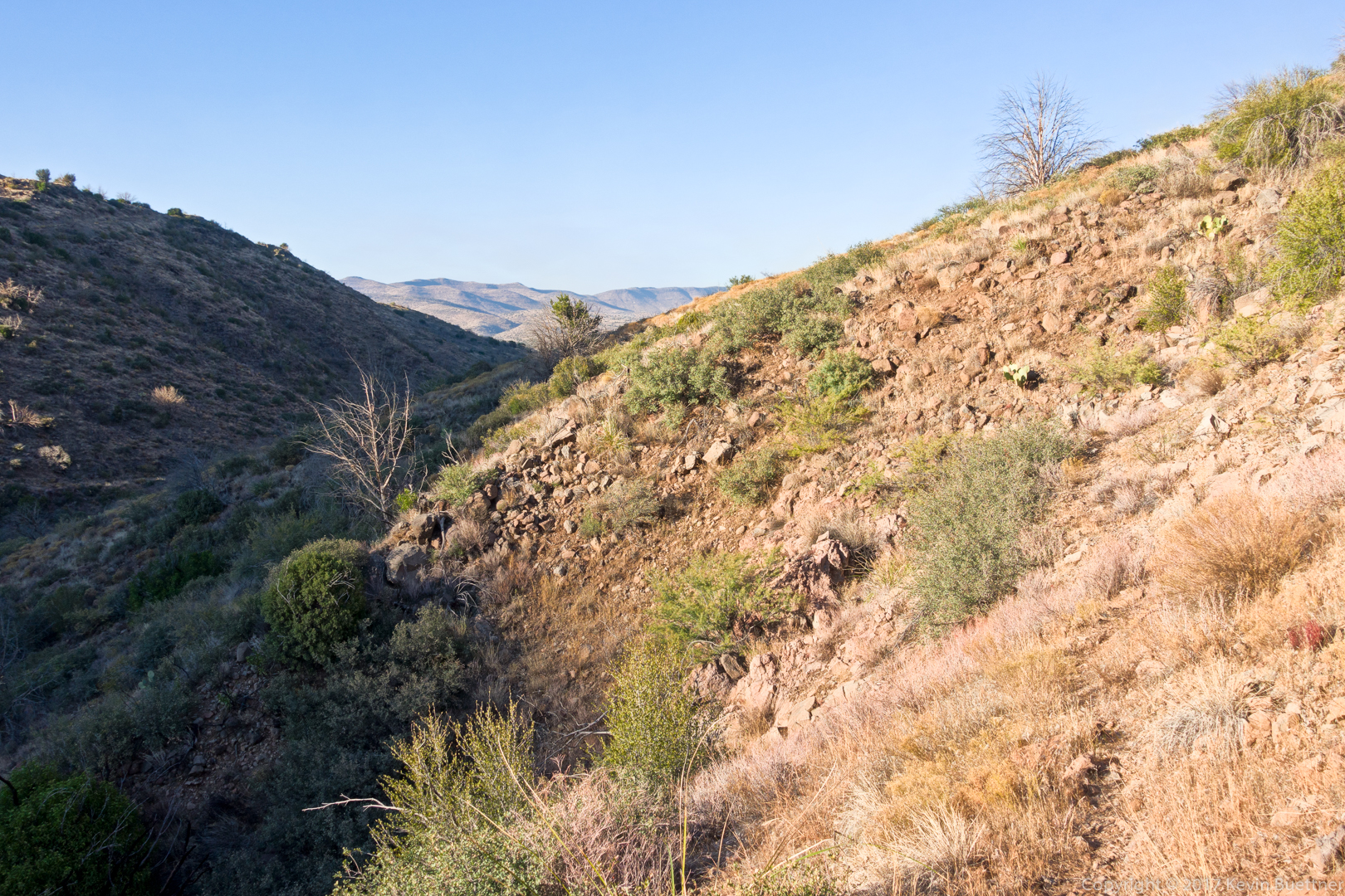
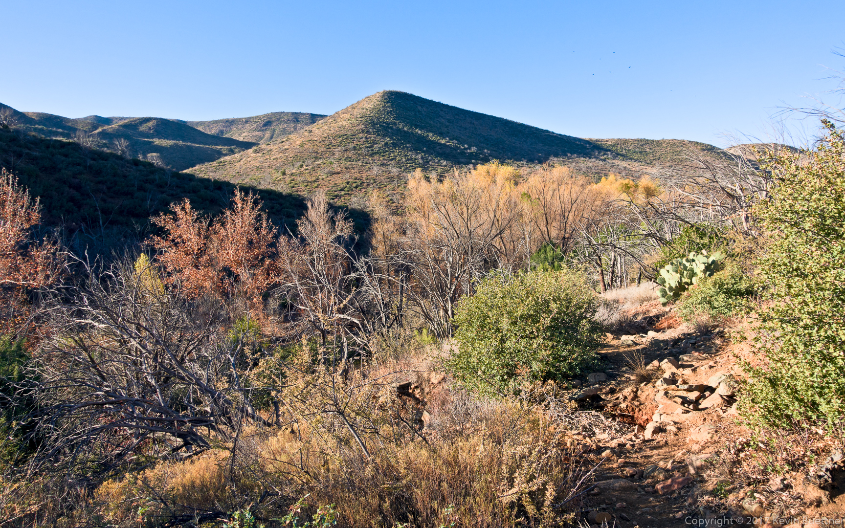
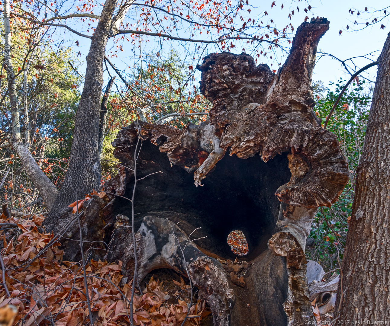
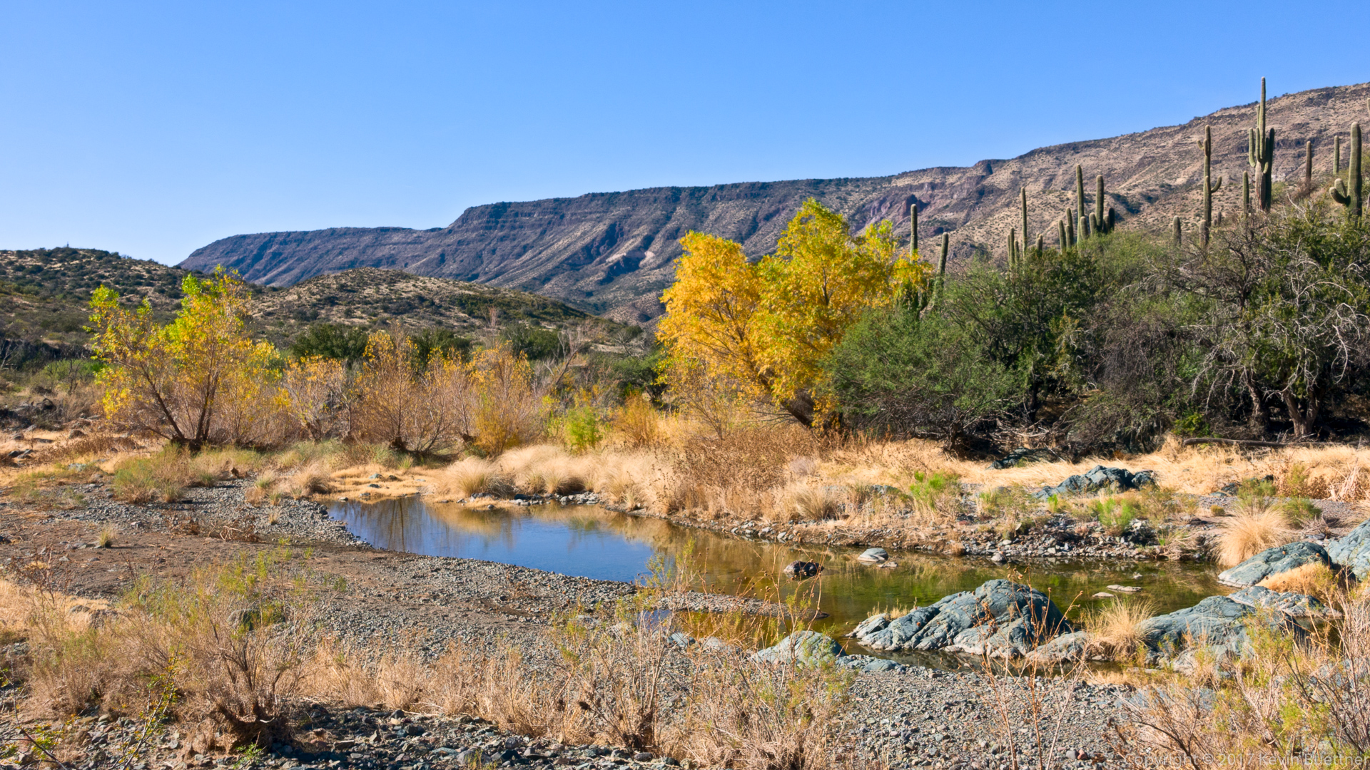
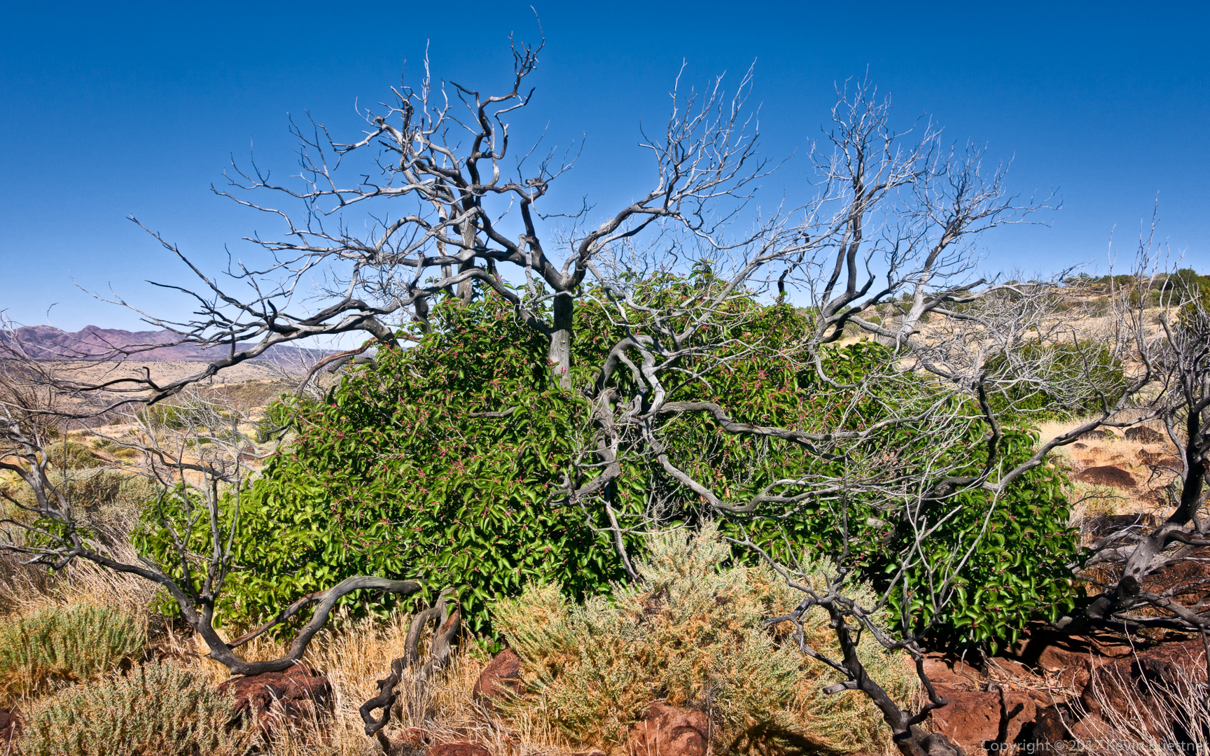
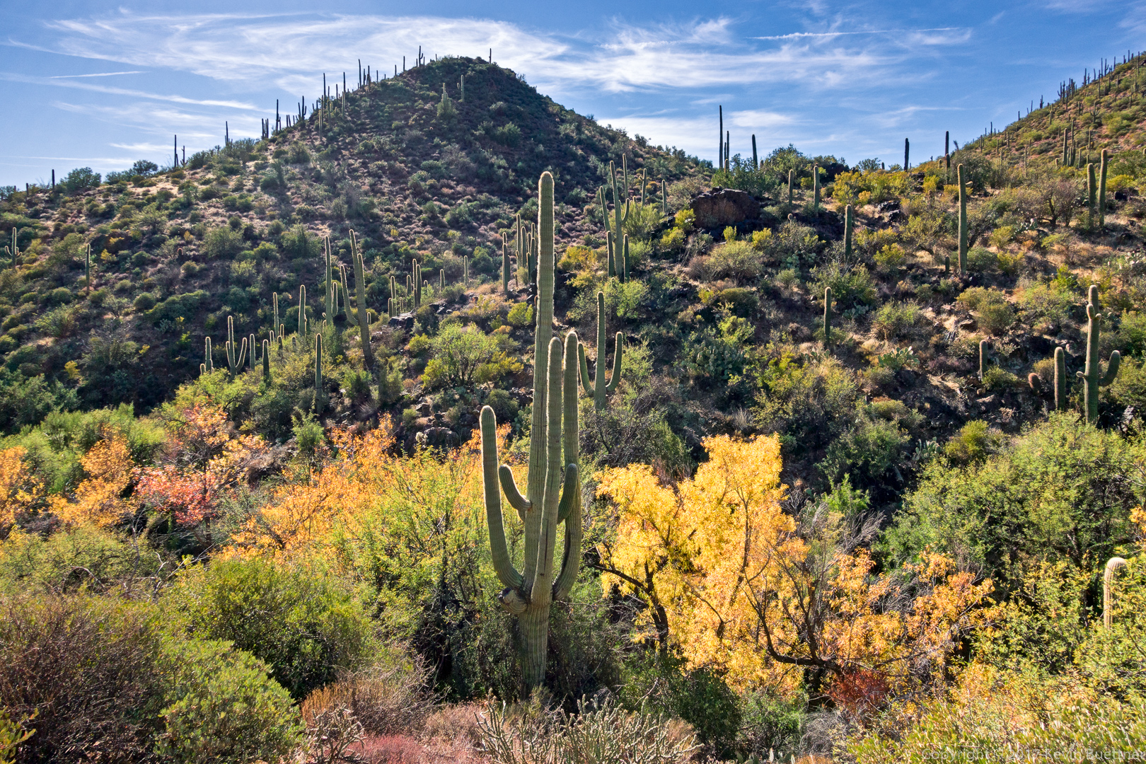
But the nice thing was that I came across some fall colors along the way…
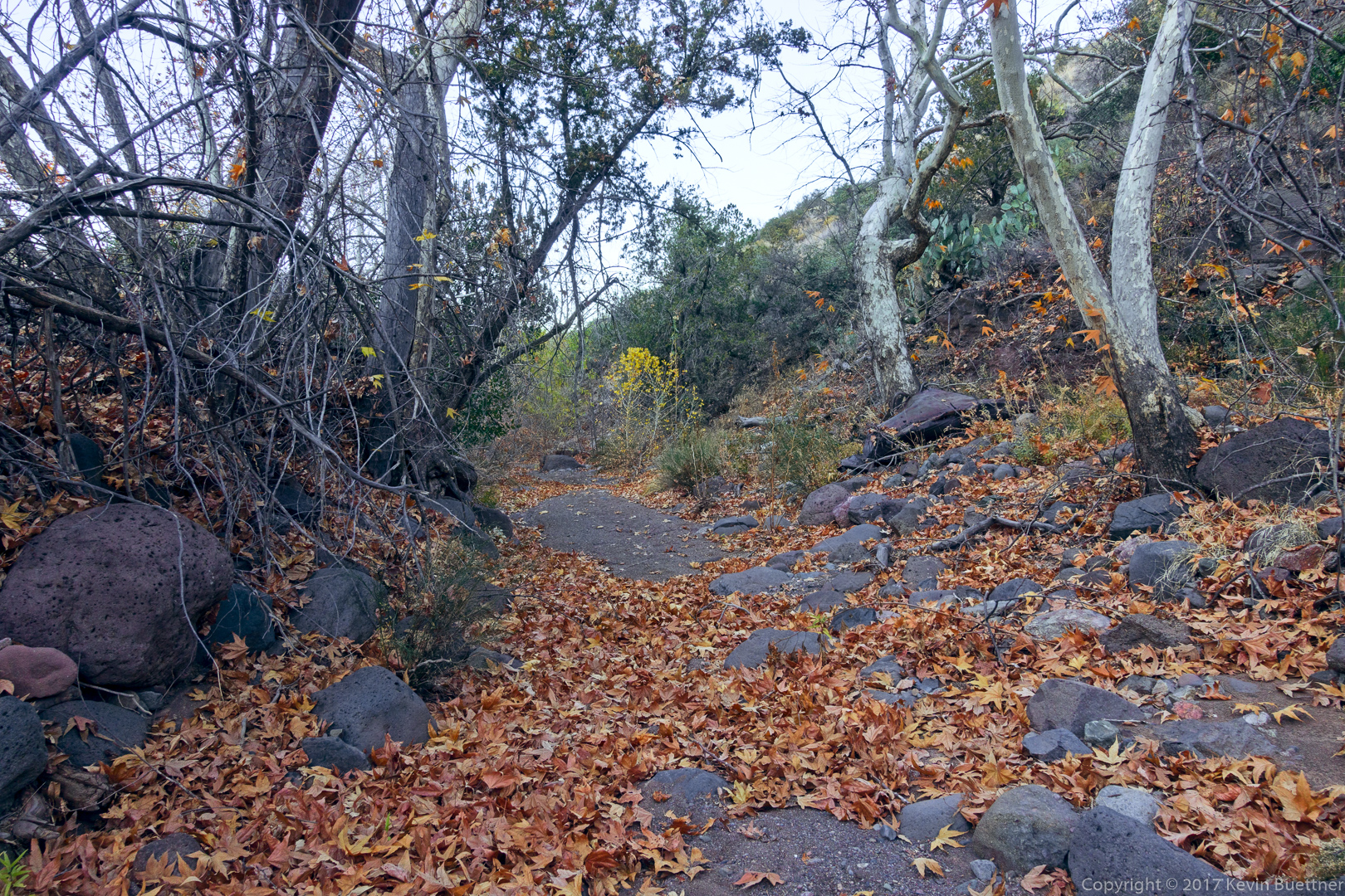
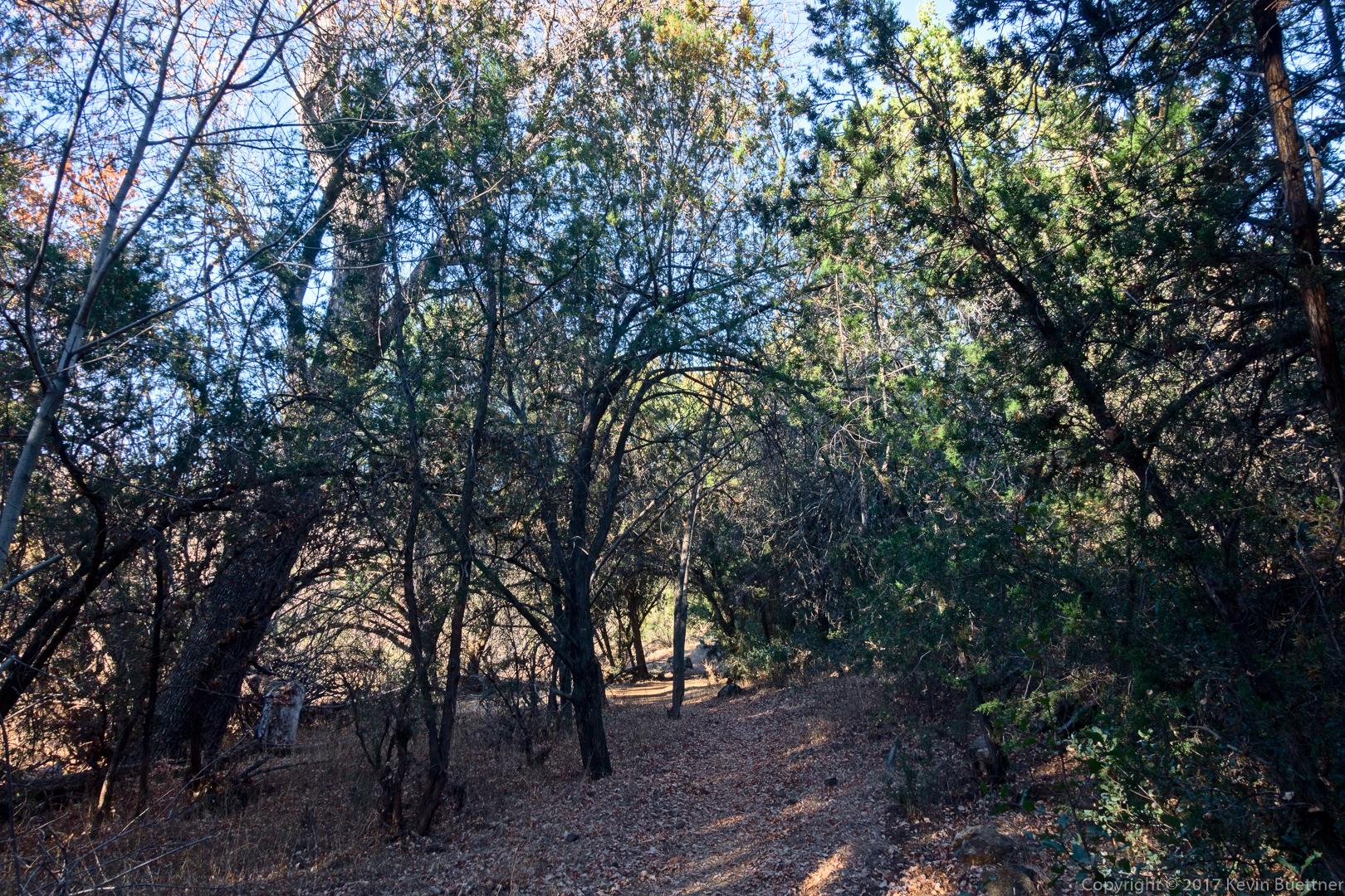
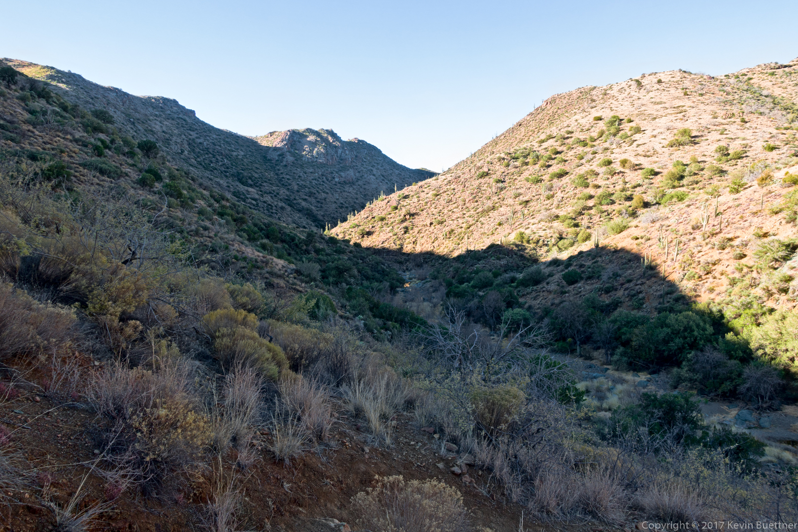
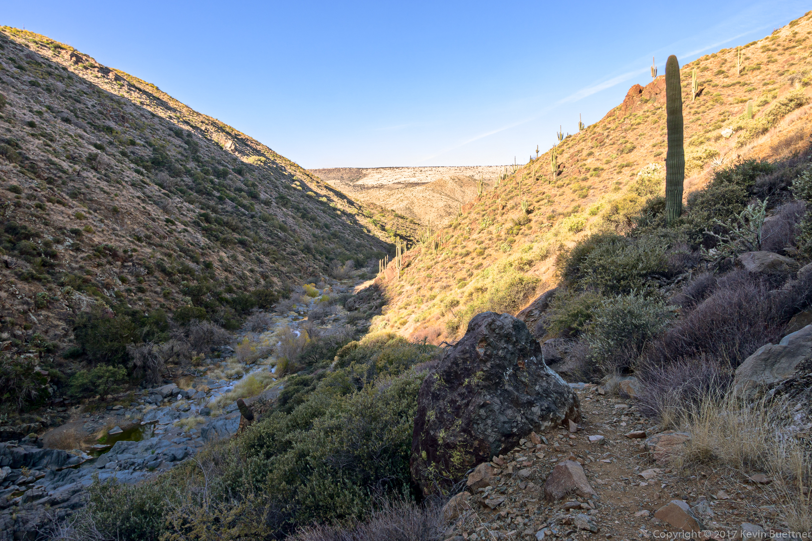
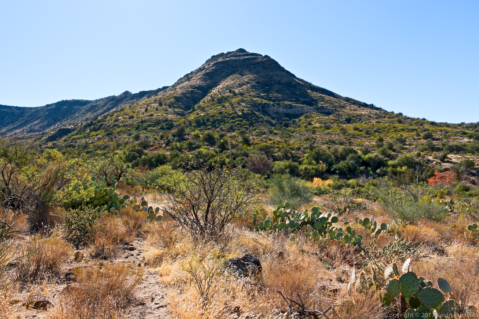
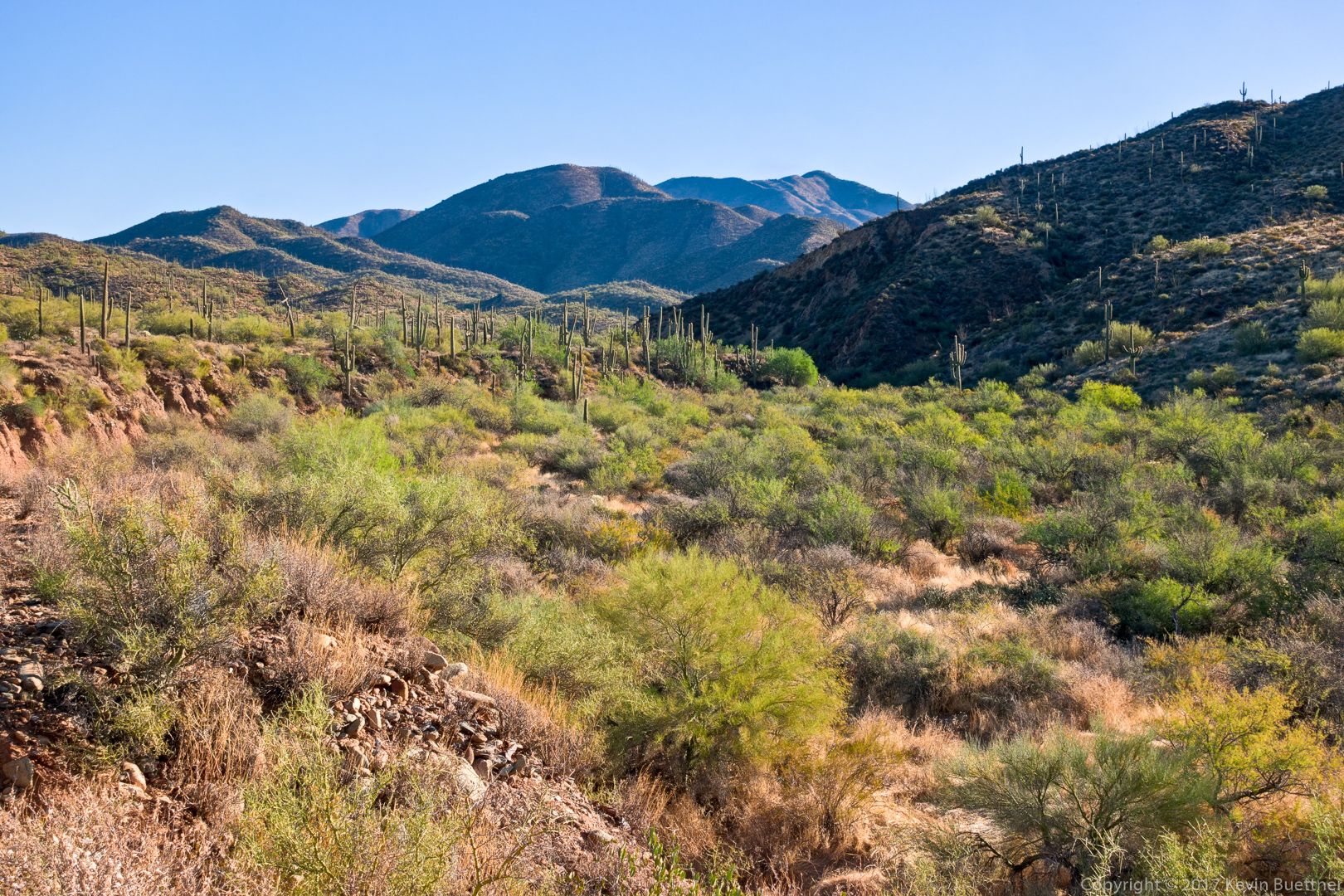
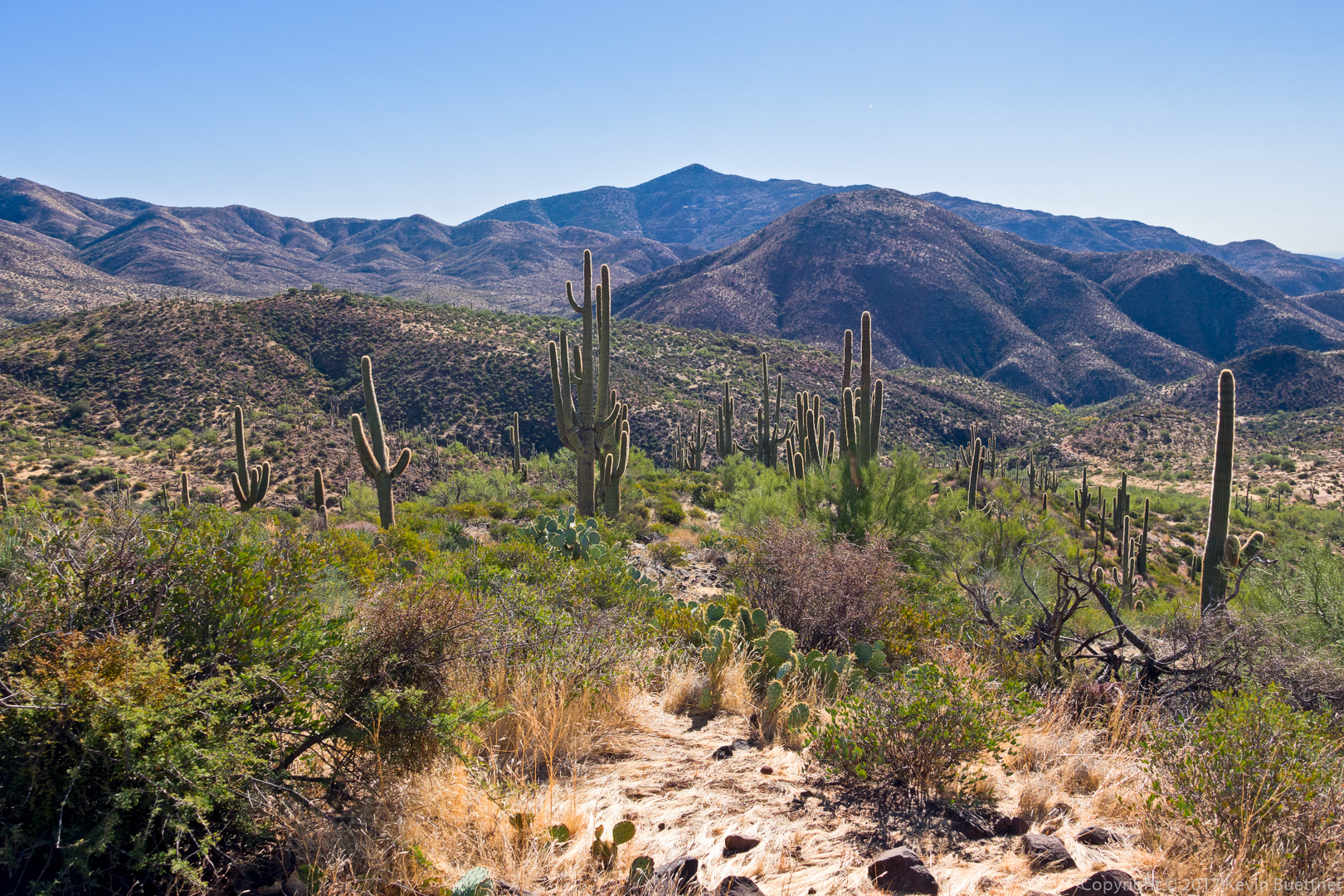
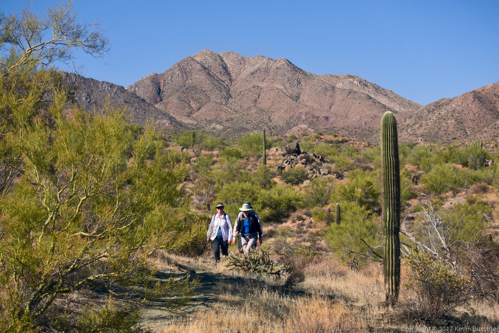
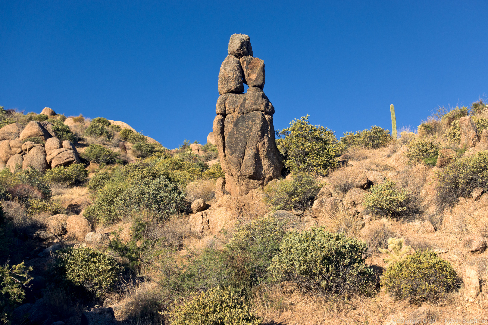
I stayed in the creek and eventually found a 247 marker on the bank. An indistinct trail led upwards. I followed it and eventually (with occasional bushwhacking) came to a much better trail which I assume is the rerouted trail #247. I took this photo, below, shortly after that. I didn’t take any other photos as it was getting dark and the light was not as good on the stretch that I had already traveled earlier in the day. I only had one other route finding hiccup on trail #4 on my return. The Cottonwood Trail #247 crosses Cave Creek just before intersecting Cave Creek Trail #4. I took a different path to get onto trail #4 than I had earlier in the day and subsequently went the wrong way for a short time.
