On Friday, the day after Thanksgiving, 18 of us hiked from the Trailhead Staging Area to the parking lot for the Dixie Mine Trail. The Sonoran Conservancy of Fountain Hills organized and provided volunteers for this hike. (They even had all of the participants sign waivers!) It was supposedly a 9.3 mile hike, but my GPS watch showed that we had hiked 11.1 miles at the end. Total ascent was over 1100 feet.
We hiked Pemberton, Tonto Tank, Pemberton, Coachwhip, and Dixie Mine. A few of us took a slight (0.2 mile) diversion near the end to visit the mine and the petroglyphs.
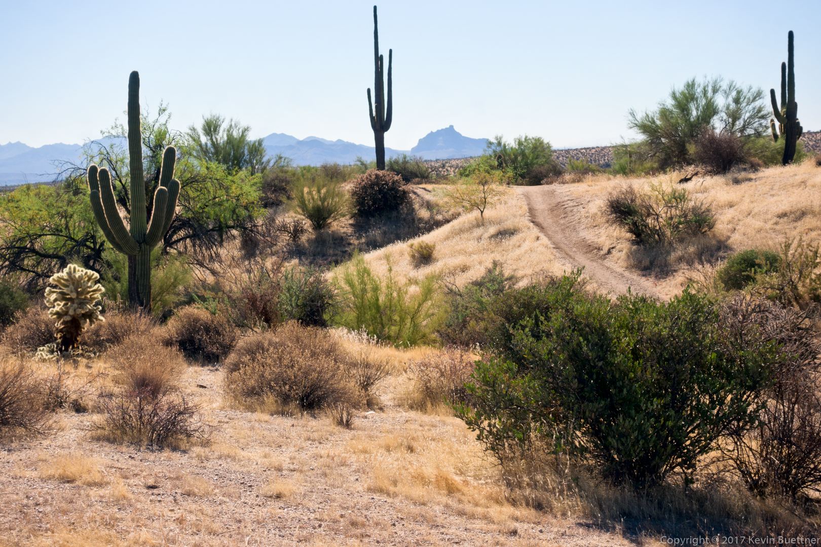
Hiking up the Tonto Tank Trail…
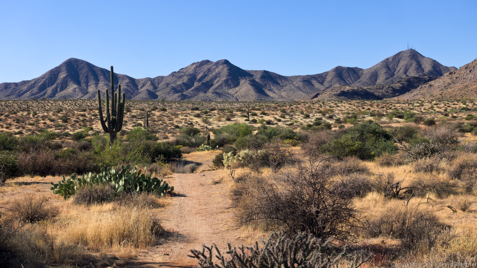
This is the short section of the Pemberton between the top of Tonto Tank and the bottom of Coachwhip:
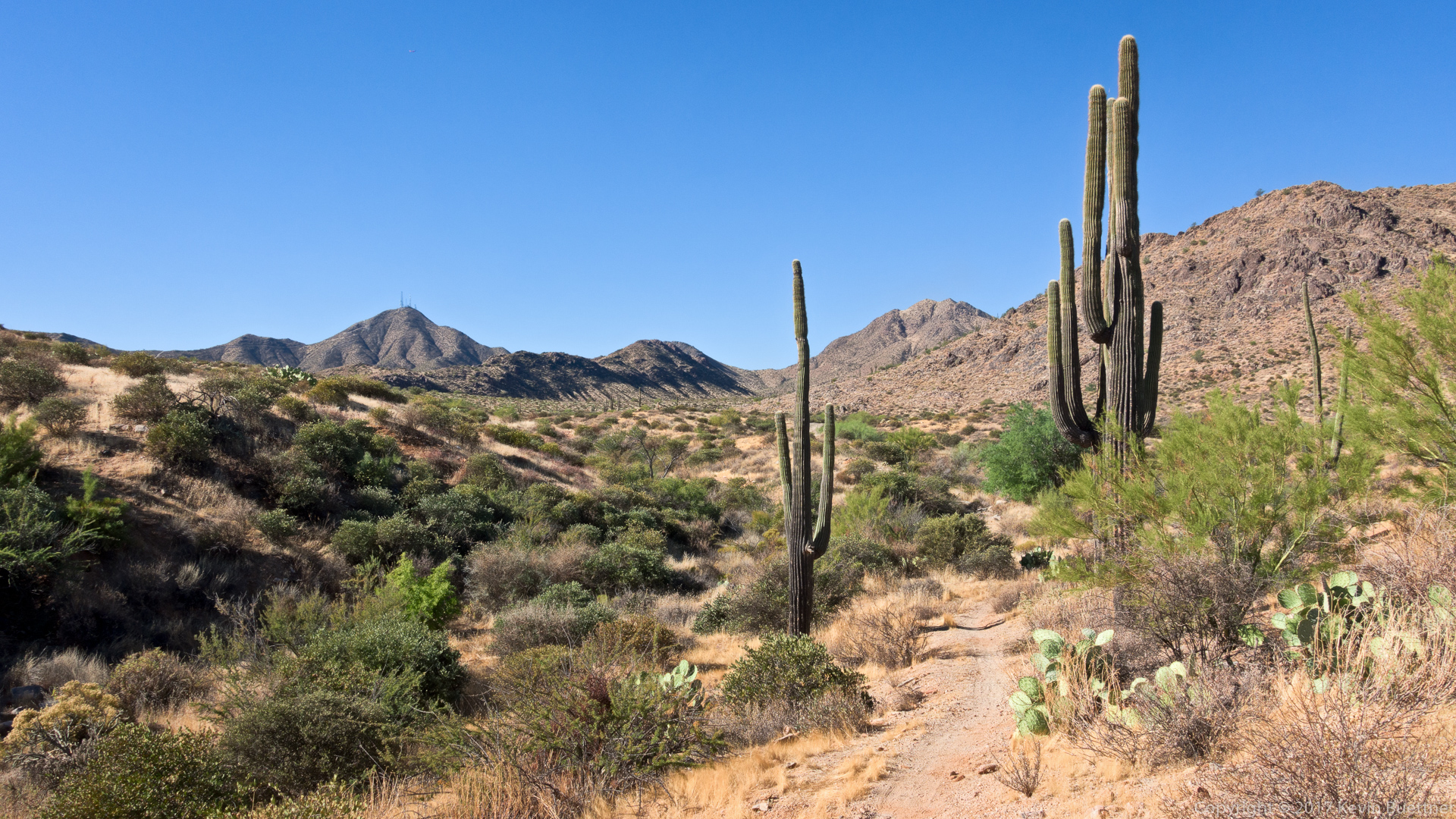
Starting on the Coachwhip Trail…
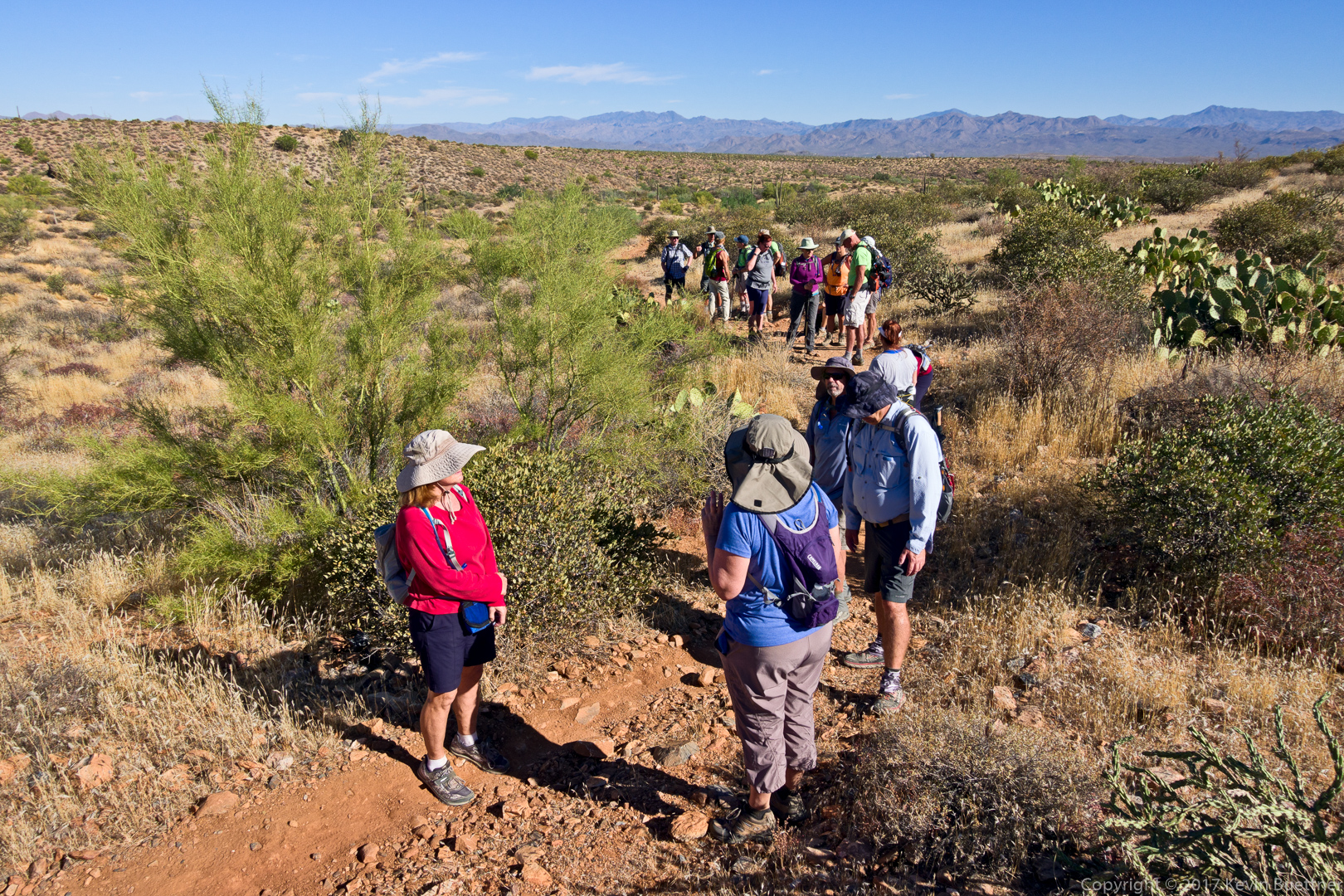
Taking a break on the Coachwhip Trail:
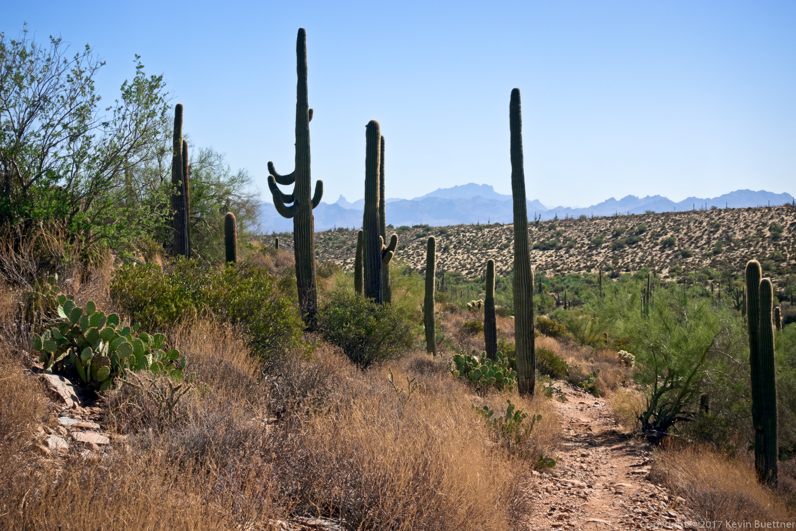
A view of Weaver’s Needle and the Flatiron from the Coachwhip Trail:
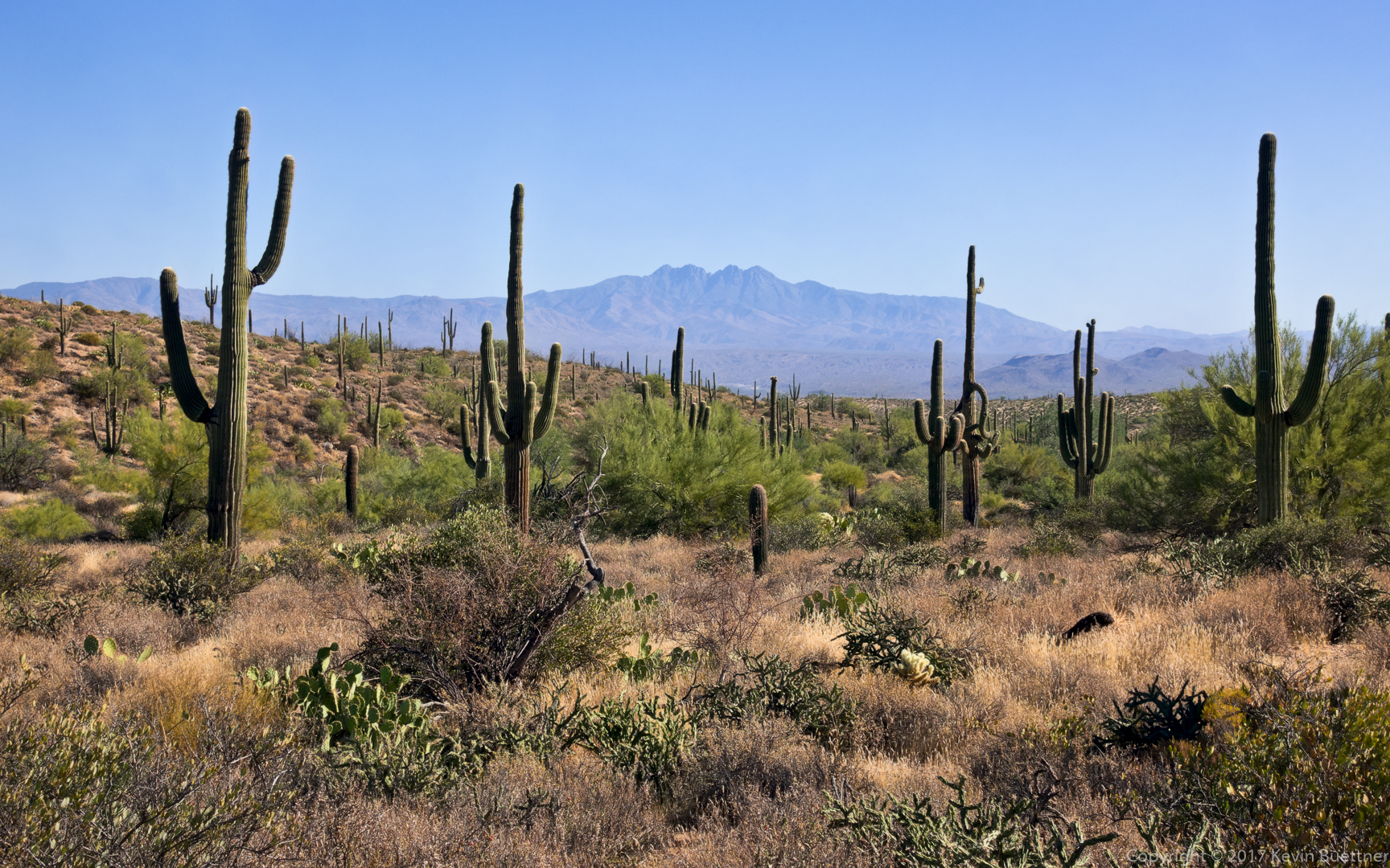
A view of Four Peaks from the Coachwhip Trail:
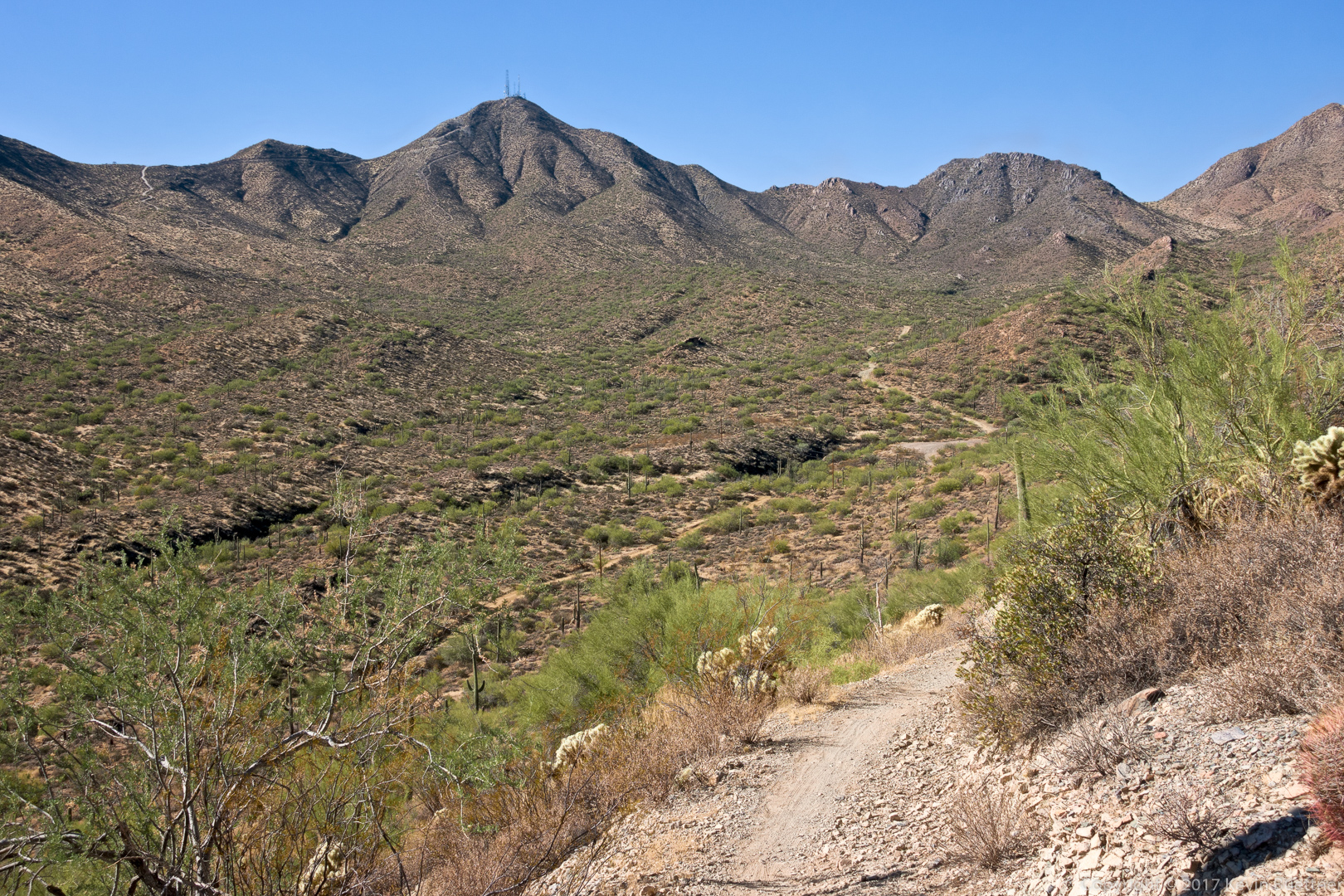
A view of Thompson Peak from the Dixie Mine Trail, just before passing the side trail to Dixie Mine and the petroglyphs:
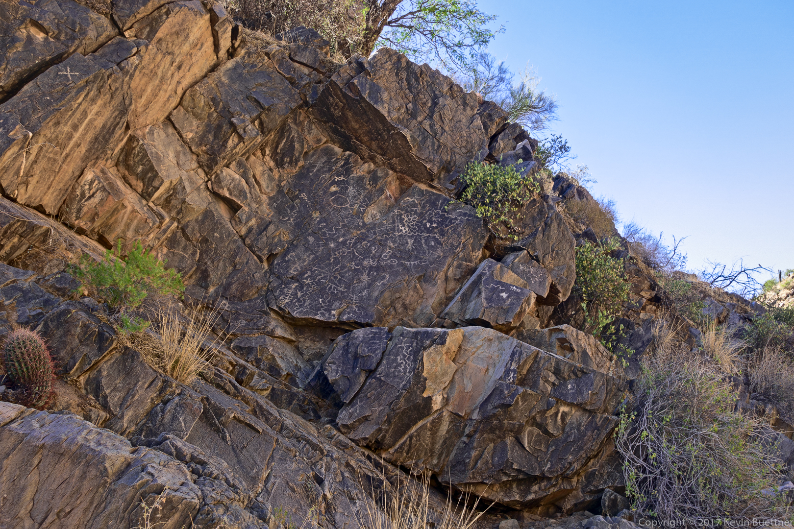
This is the main petroglyph panel:

Heather S says:
What a nice turn out! Pictures look inviting, and I hope to see you at the next hike! Thanks for all you do Kevin!
November 26, 2017 — 6:51 am
Gary says:
Big group! That long hike would have shed feast pounds.
November 26, 2017 — 9:57 am
Susan Davis says:
Love the petroglyph rock–somebody was taking a ‘breather’! Thanks, as always!
November 26, 2017 — 1:52 pm
Kevin says:
Yeah, I think that the photo of the petroglyph rock turned out okay.
November 26, 2017 — 6:12 pm
jon leverenz says:
Lovely, but no turkeys.
November 28, 2017 — 10:44 am
amy says:
Thanks for the great pictures!
November 29, 2017 — 9:32 am