On Friday, July 3, Linda, Marilyn, and I hiked a loop that took us to Horton Spring and back. We hiked the Derrick, Highline, and Horton Spring trails for a hike that was somewhat over nine miles in length.
Linda borrowed my RX100M2 for the hike. These are some of the photos that she took with that camera. I had set it to save the files as both RAW & JPEG. I processed the RAW files using my usual workflow. (I set it to save JPEG files just in case she wanted to bring the camera home and download the files herself.)
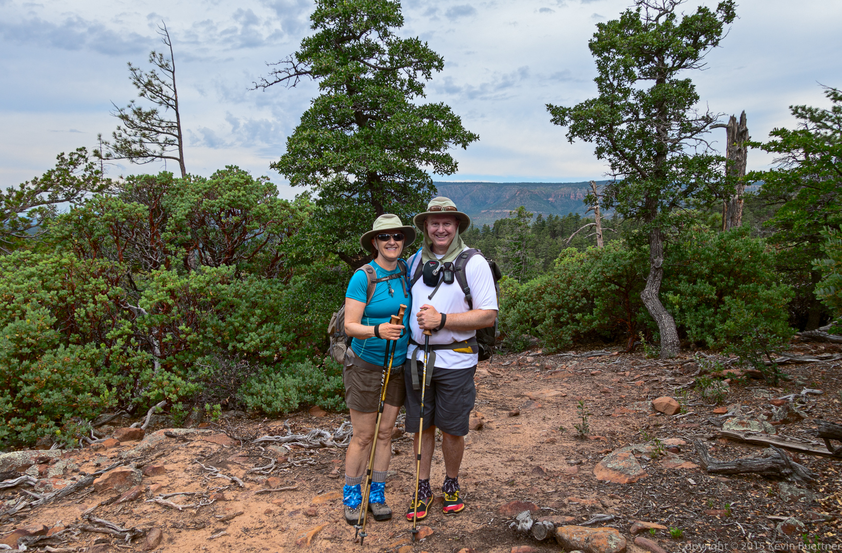
Marilyn and Kevin:
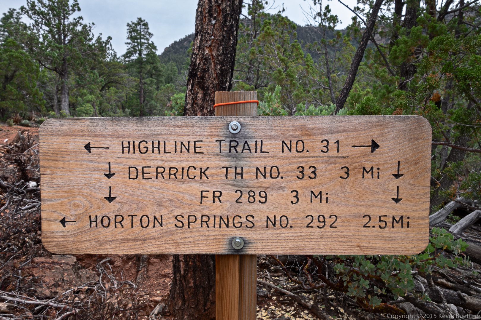
This is the sign at the intersection of the Highline and Derrick trails:
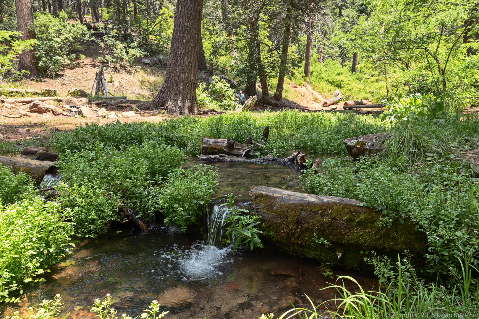
Horton creek, several hundred yards from the spring.
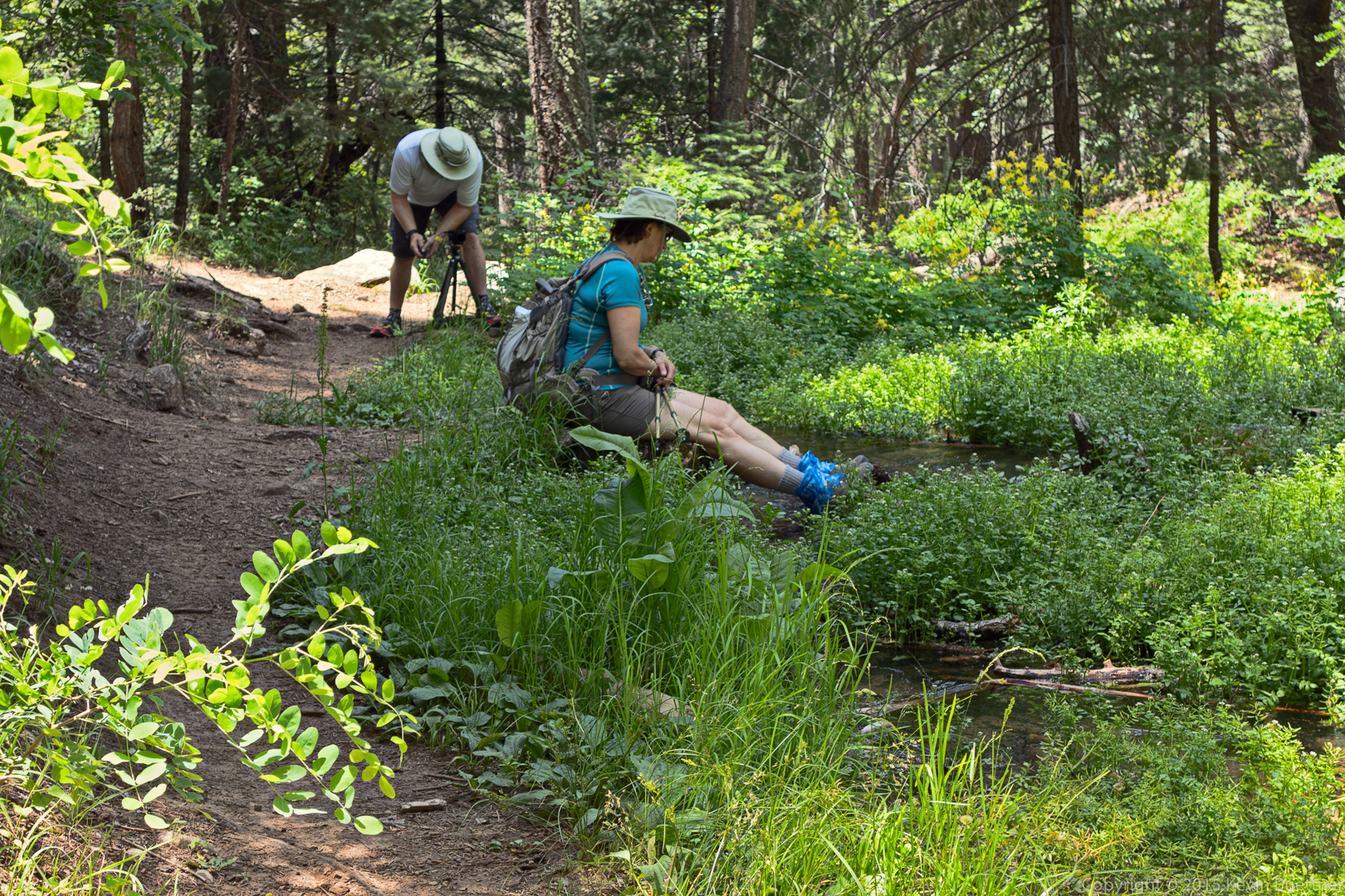
I’m setting up my tripod to take a picture of Marilyn next to the creek.
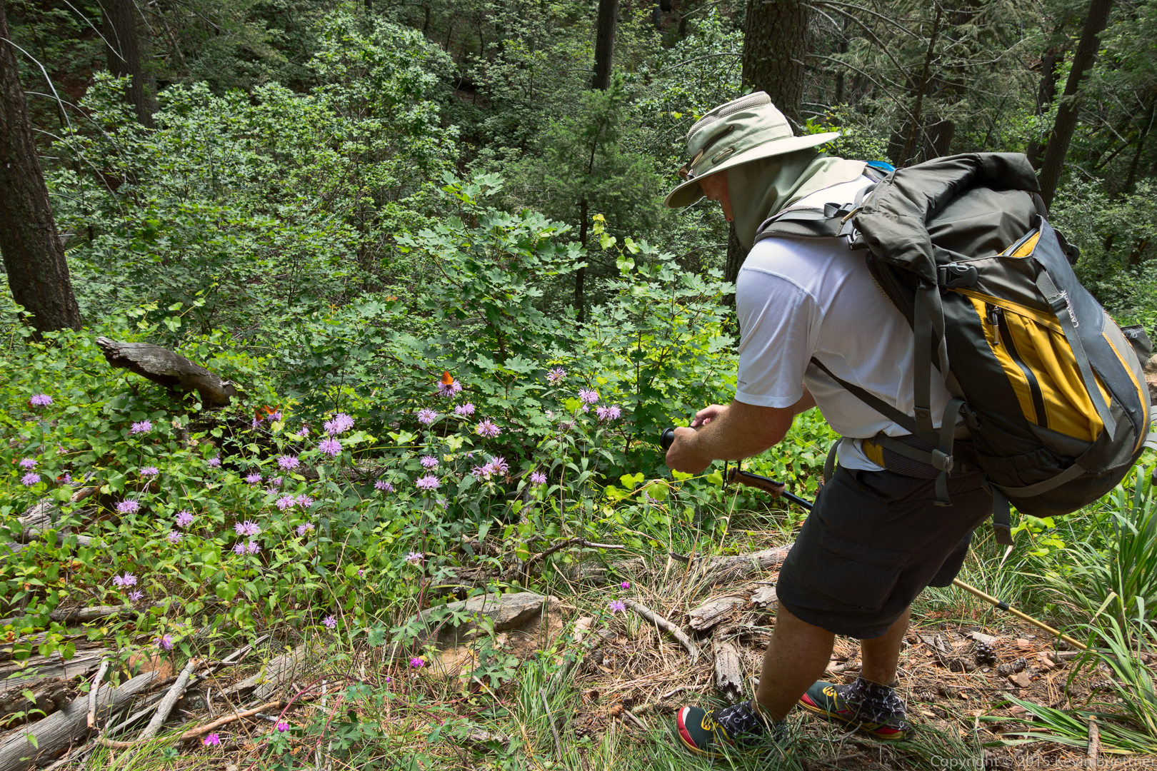
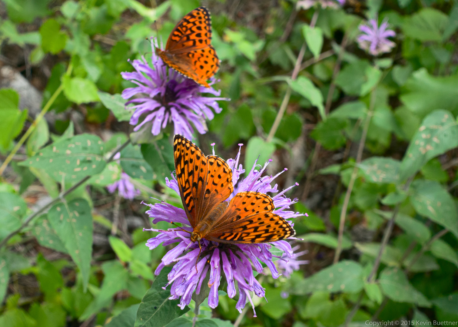
Here, I am taking photos of orange butterflies on lavender flowers.
These are the photos that I took with my RX100M3:
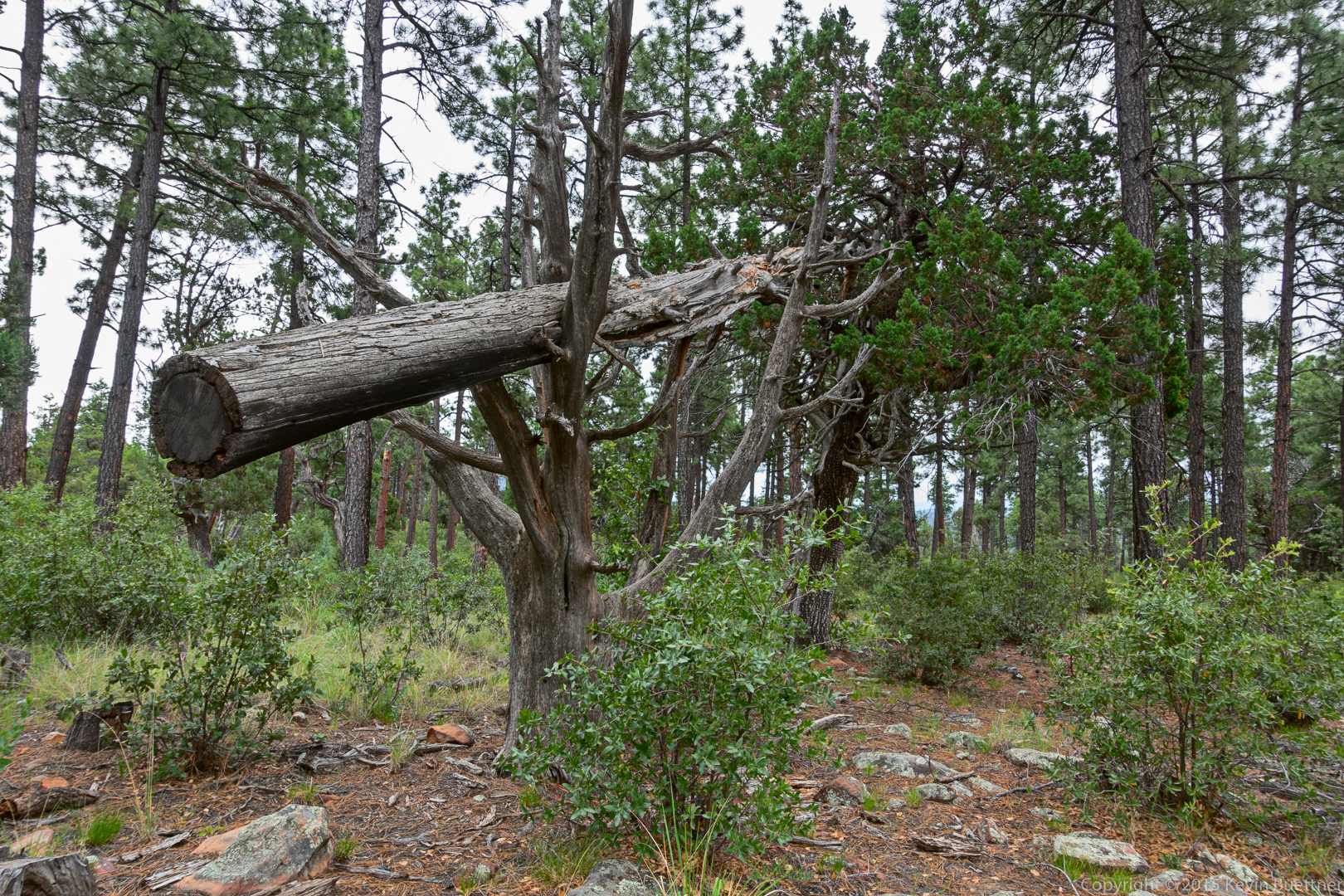
We saw a felled tree held up by other trees on the Derrick Trail.
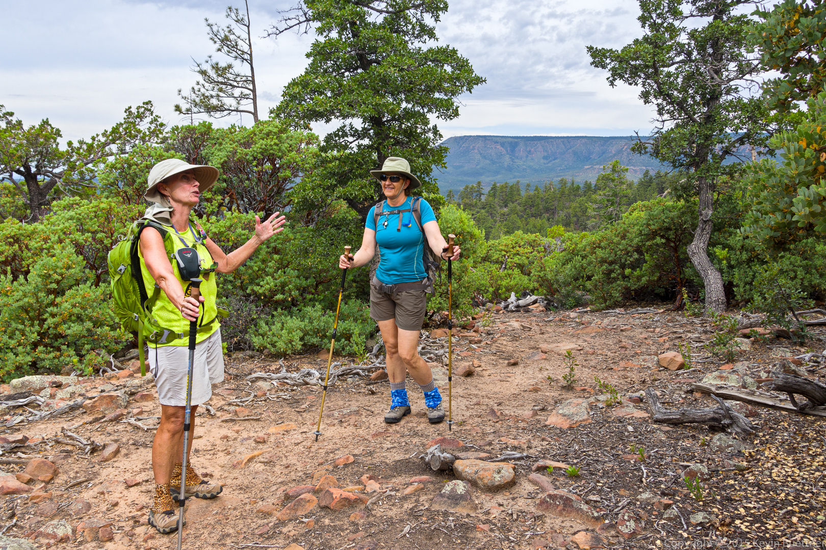
Animated discussions on the Derrick Trail.
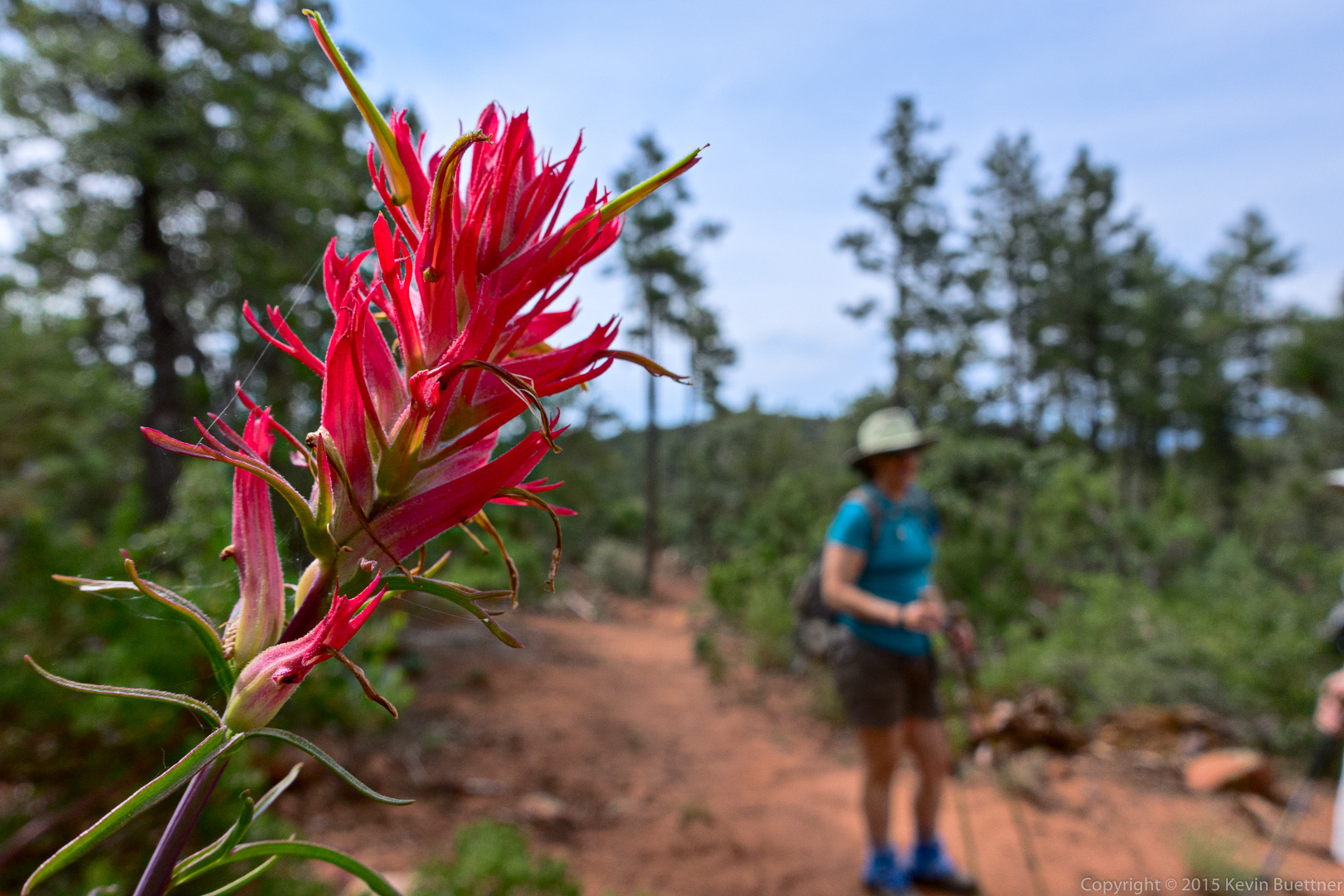
Linda guessed that this might be Indian Paintbrush.
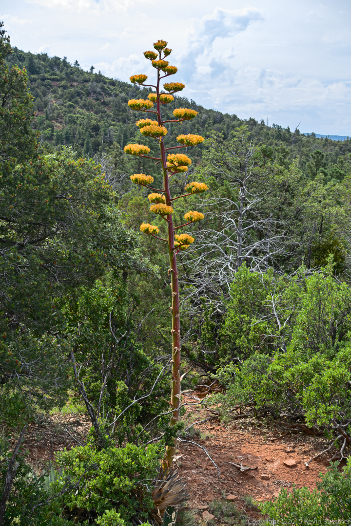
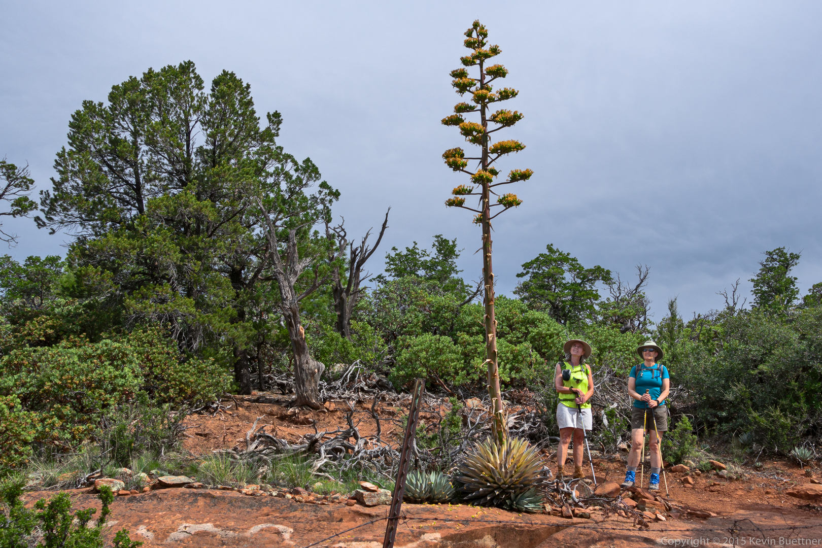
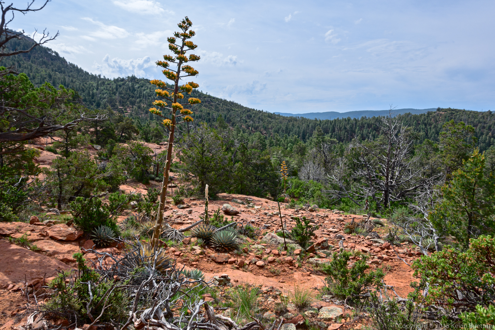
We saw many agaves in bloom. I think I saw more agaves of this type in bloom on this hike than I had in my entire time in Arizona.
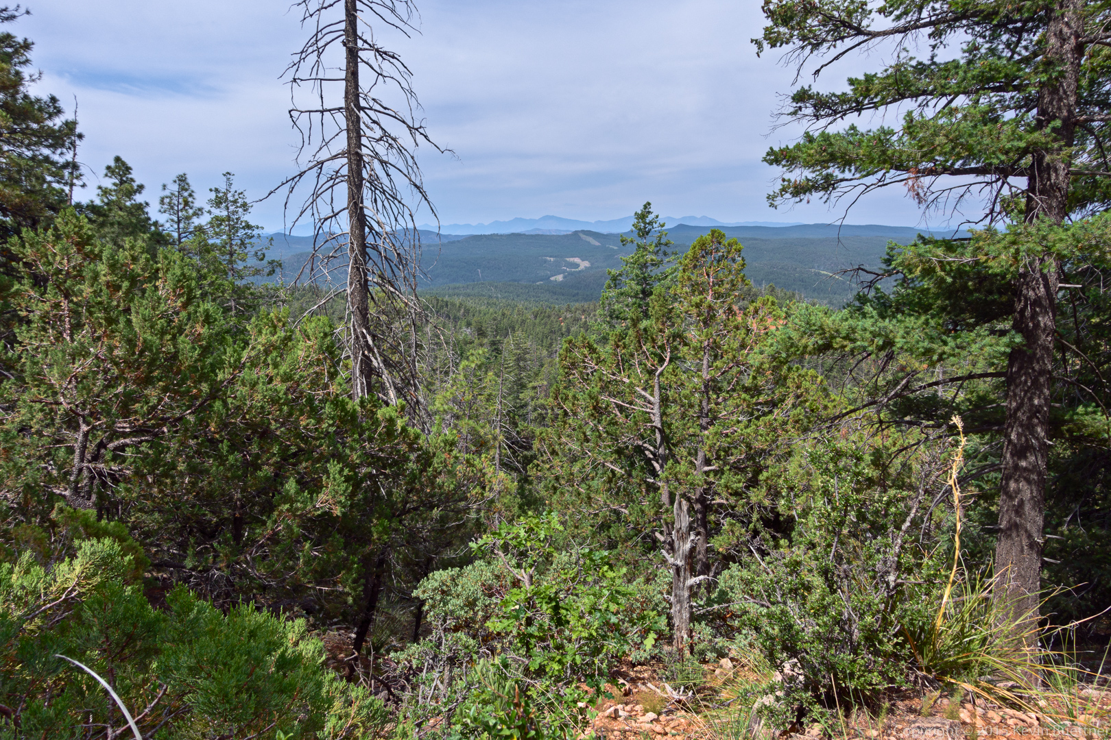
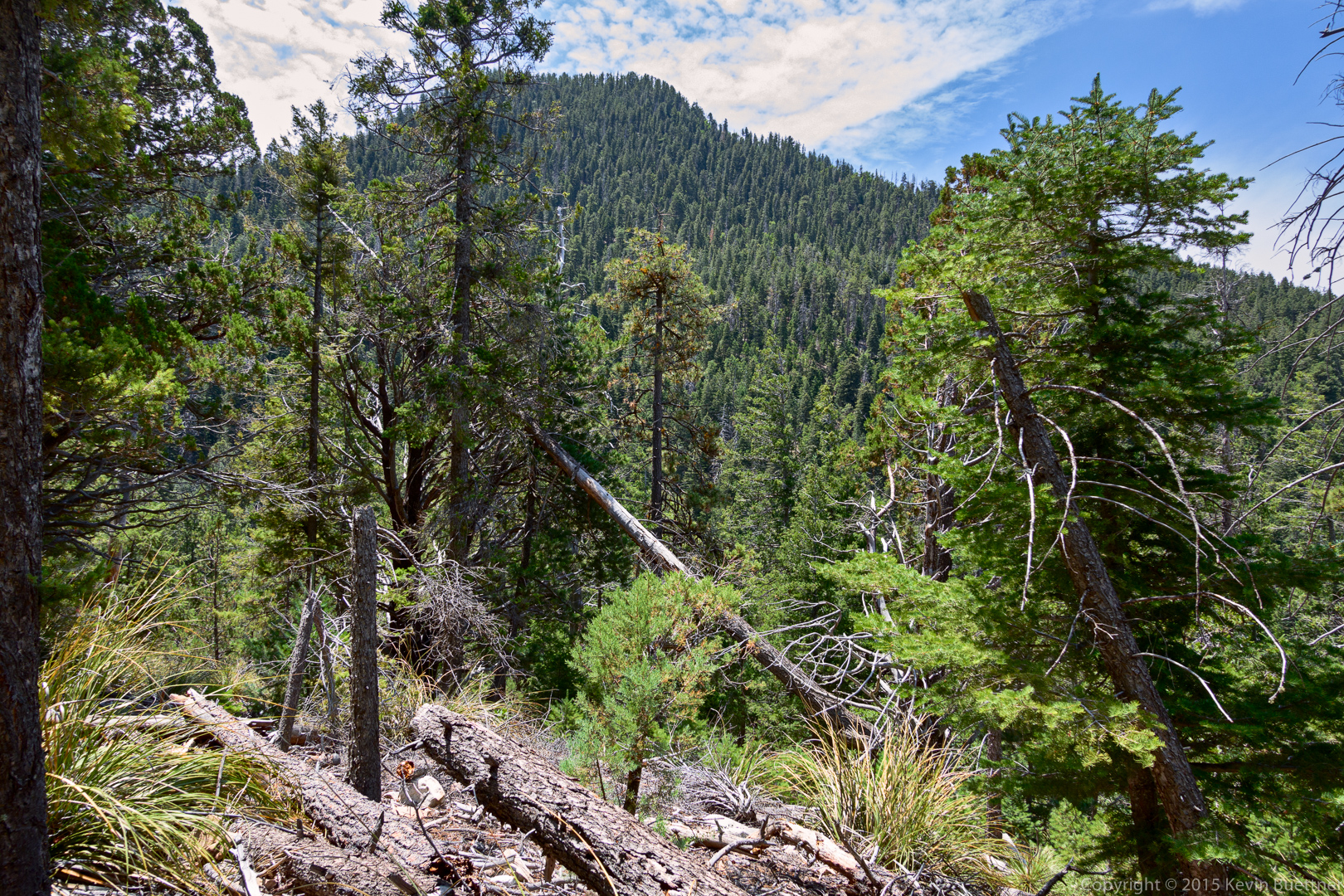
A view from a gap in the trees.
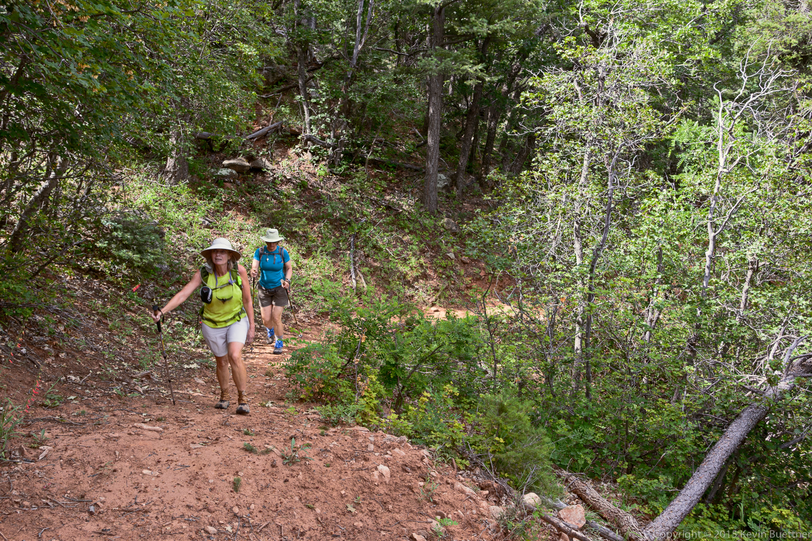
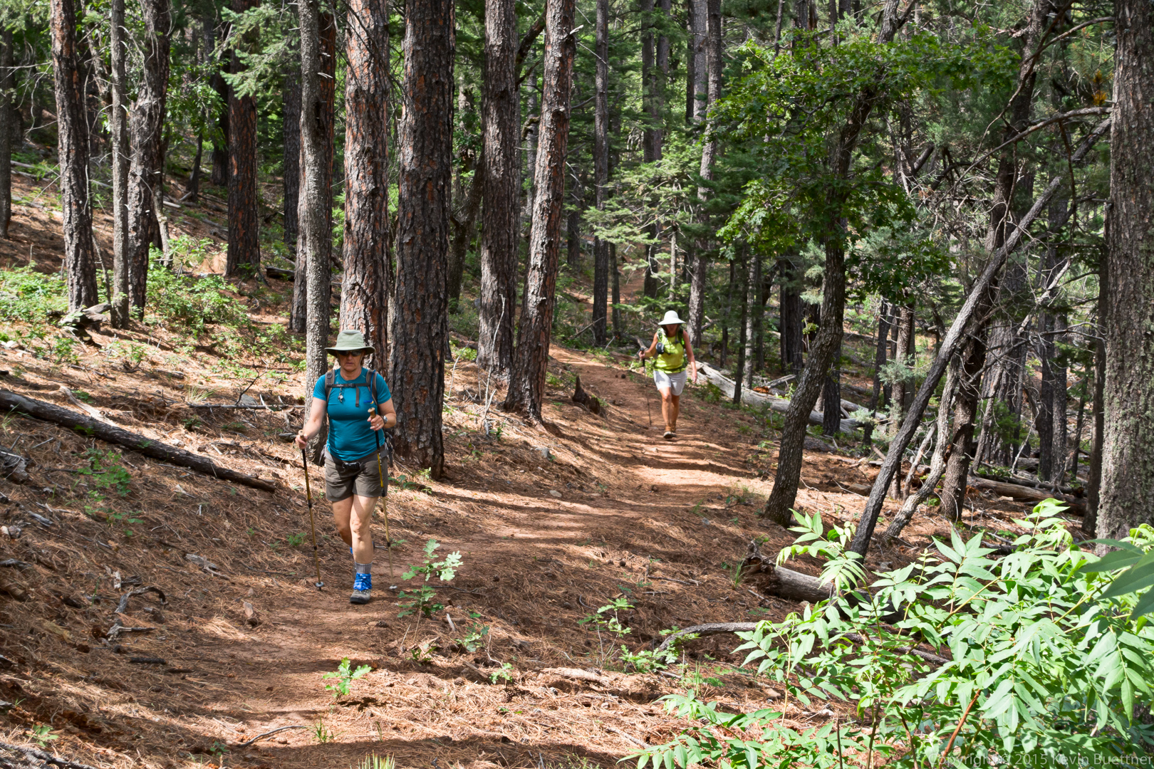
Marilyn and Linda hiking through even more trees.
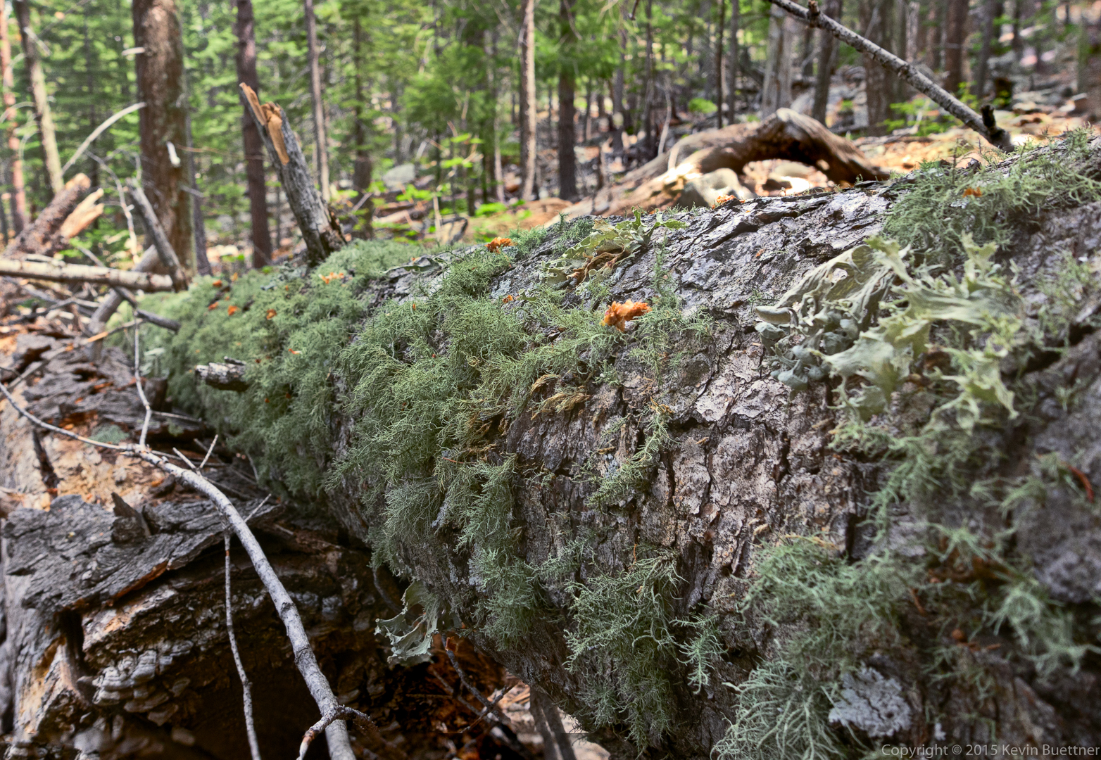
Moss on a fallen tree:
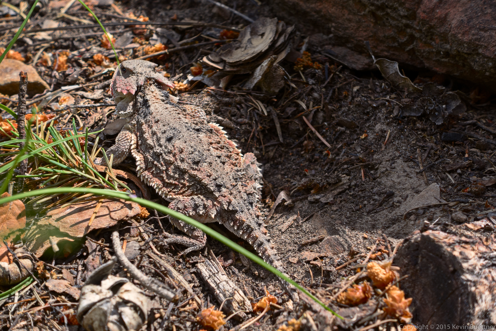
Two photos of a horned lizard:
I think this is a type of Penstemon:
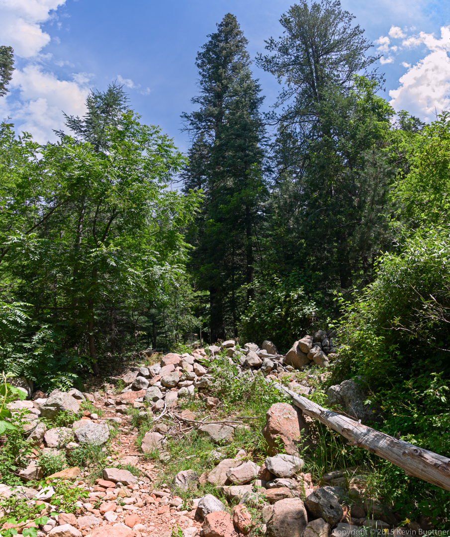
This is a wash that crosses the Highline Trail.
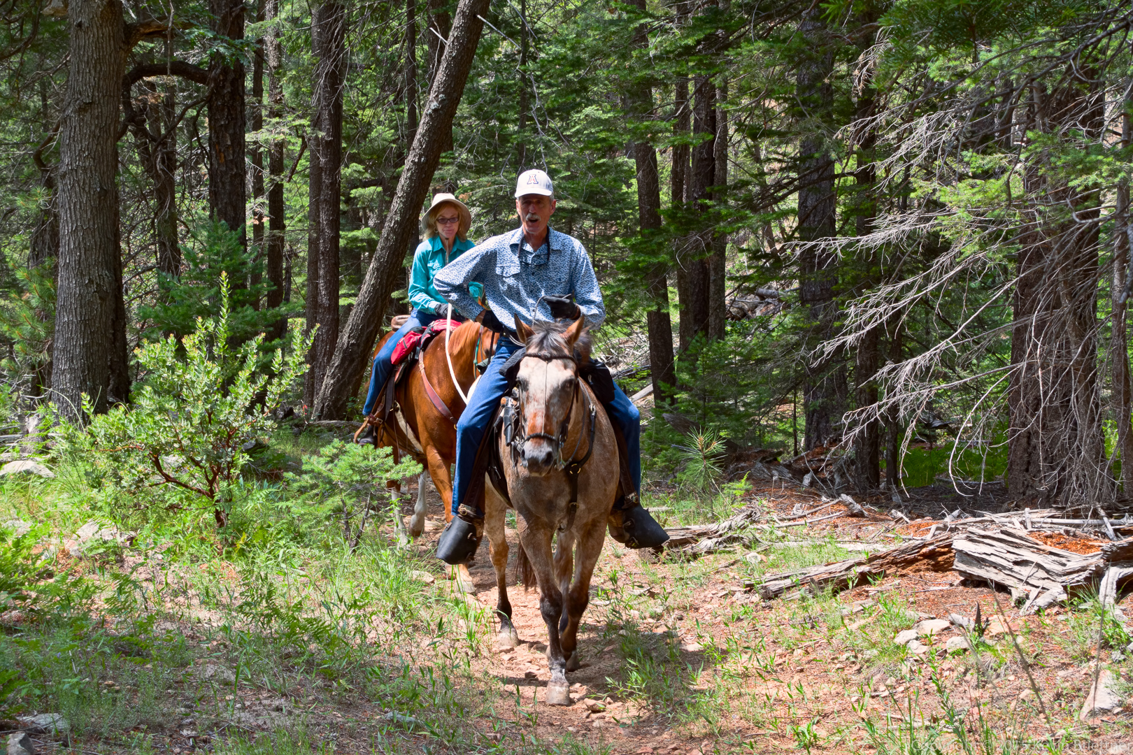
Equestrians:
Another gap in the trees…
Yellow columbine flowers were growing in Horton Creek.
This is Horton Spring.
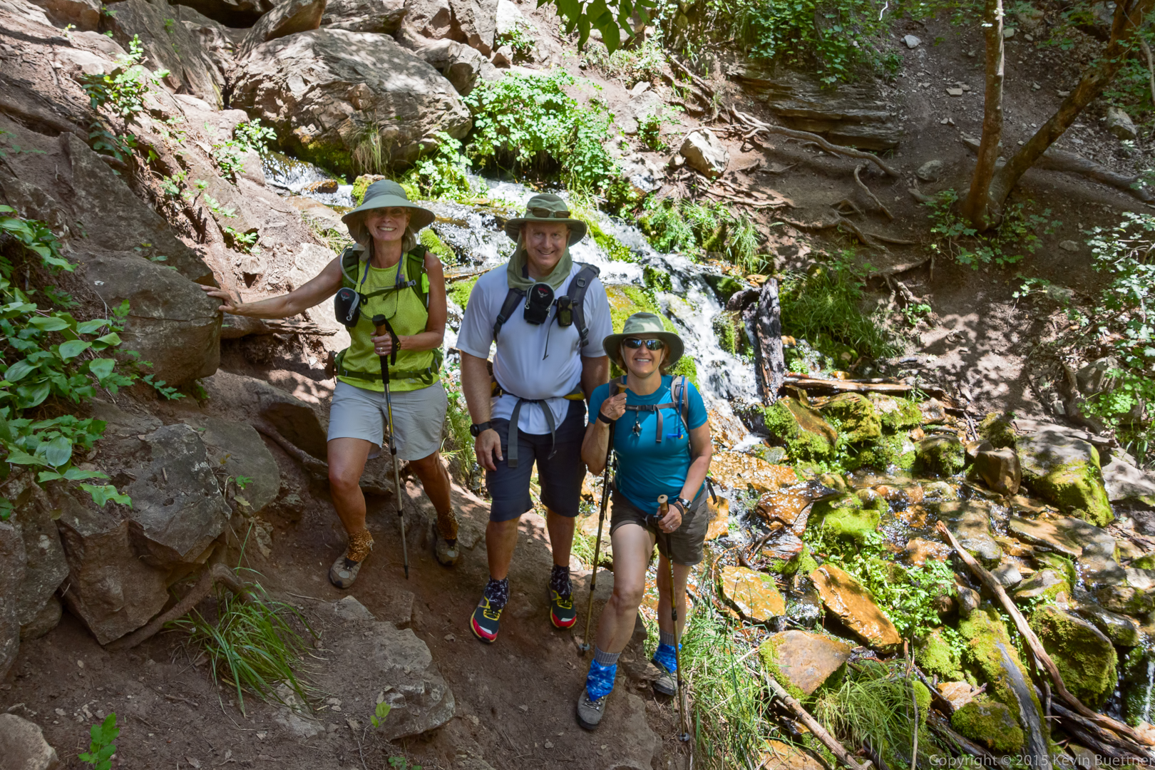
Linda, Kevin, and Marilyn at Horton Spring.
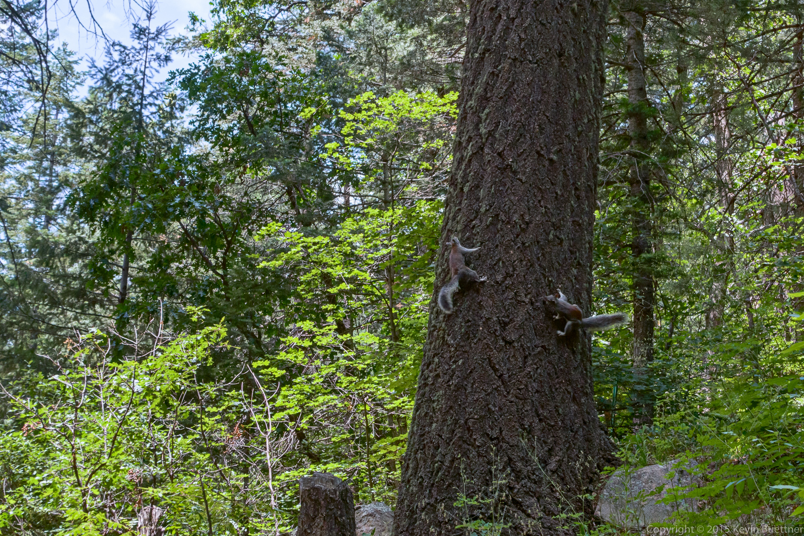
These squirrels were chasing each other. They would race around the tree spiraling upward each time around.
Orange butterflies on lavender flowers.




mary says:
Beautiful shots! The first one was priceless 🙂
July 8, 2015 — 3:29 pm
Sue says:
Resolution and subjects–just exquisite! I’ll have to see on a map where u were! The 2 poor century plants at the park have not flowered as well as those u saw. Thank you, again!
July 8, 2015 — 3:57 pm
Kevin says:
Hi Sue,
I’ve added a link to the HAZ page for the hike that we did. I even used the GPS route provided on that page. It turned out though that it was completely unnecessary since the trails were well marked and easy to follow.
July 8, 2015 — 4:58 pm
Linda says:
I really appreciate you letting me use your camera to try it out…..wow….I took those photos! lol Glad to be able to take some of you and Marilyn….those are hard to come by when you are the photographer…although the shot with the timer on the tripod was great! Great hiking spot especially the Derrick and the Spring! Many thanks!!!
July 8, 2015 — 4:19 pm
Jerry says:
Great photo’s Kevin. Just wish I was there!!
July 9, 2015 — 10:34 am
Gary Wietgrefe says:
Linda did a great job! Nice seeing pics of you and Marilyn. Enjoy your summer! Keep those photos and hiking notes coming….Gary & Patty
July 9, 2015 — 11:55 am
george and Jill Vogelgesang says:
Kevin, Again thanks for the beautiful pictures. Such beautiful scenery! Where was this hike?
July 9, 2015 — 2:31 pm
Kevin says:
The hike starts about 17 miles east of Payson, a short ways off of highway 260. Details are provided here:
http://hikearizona.com/decoder.php?ZTN=879
July 10, 2015 — 11:30 am
Wiey says:
Thanks for these beautiful pics.
July 16, 2015 — 7:36 am