Friday’s hike started from the parking area at the entrance to Eagle’s Nest. From there, we walked through the gated community to the trailhead for the Dixie Mine Trail in McDowell Mountain Park. We hiked Dixie Mine out to the mine and petroglyphs and continued up the wash to the Prospector Trail. At that point, Nick led a group of eight (counting himself) back to the trailhead for a 6+ mile hike. Jerry, Eva, Linda, and Jon hiked up the Prospector Trail with me (five of us) until we got to the Bell Pass Trail. We then hiked to the top of Bell Pass, enjoyed the views, and then hiked down the Prospector Trail to the Windmill Trail. That brought us over to Coachwhip, which took us back to the Dixie Mine Trail, which took us back to the gated community, and then back to the parking area for a 12.25 mile hike.
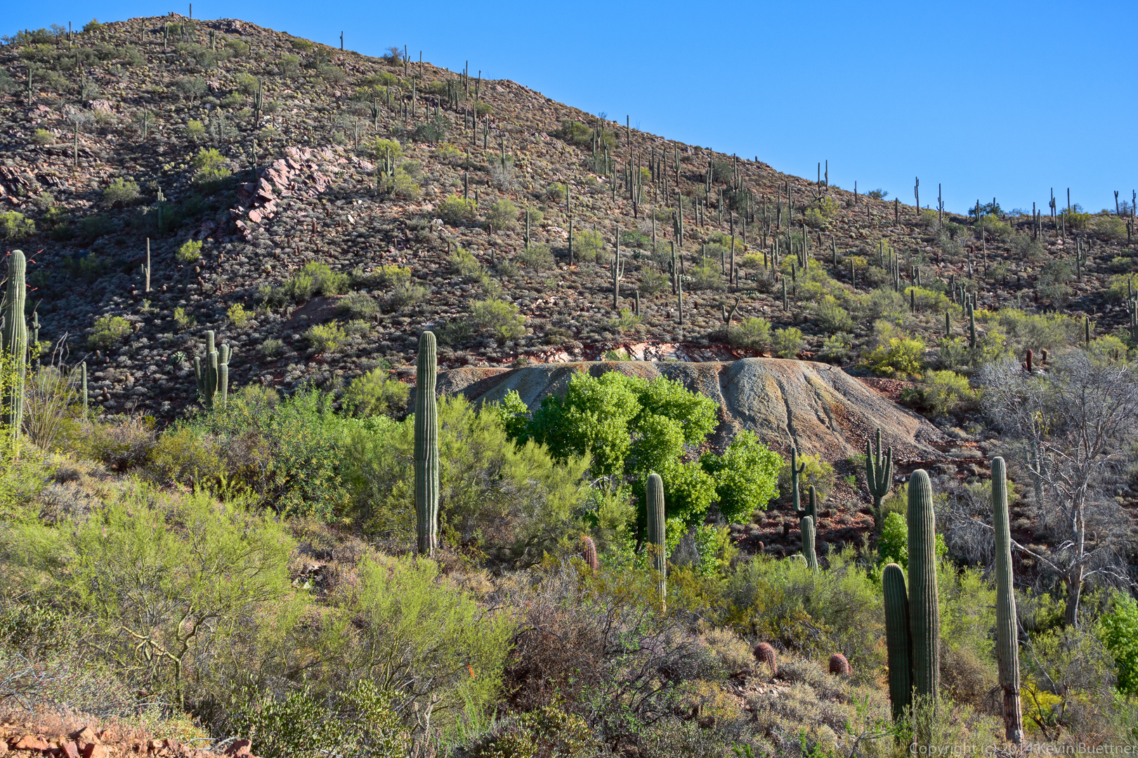
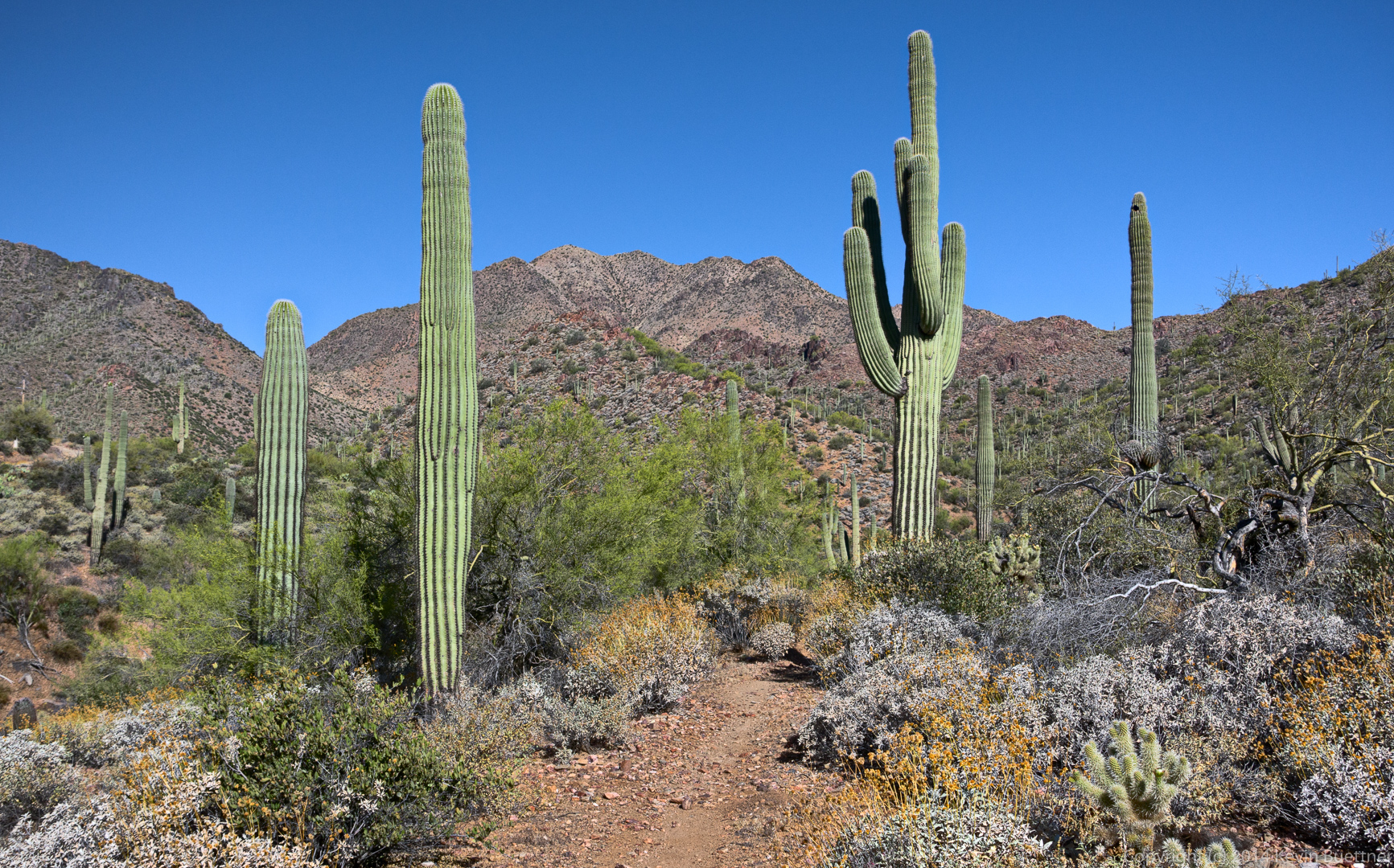
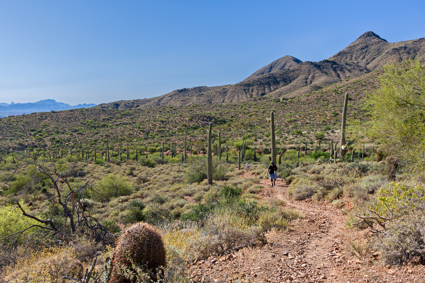
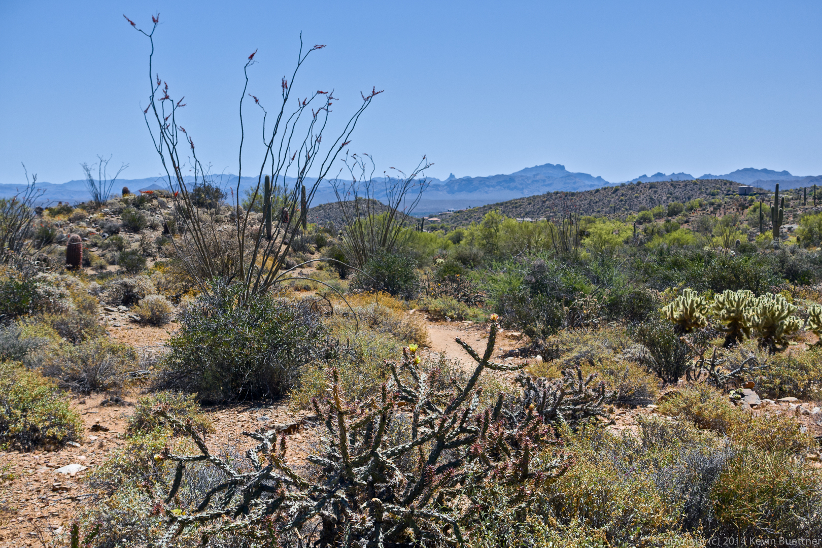
This is a view from the Dixie Mine Trail:
A view of the mine tailings, as seen from the road which crosses the Dixie Mine Trail – the trail follows the road for a short ways.
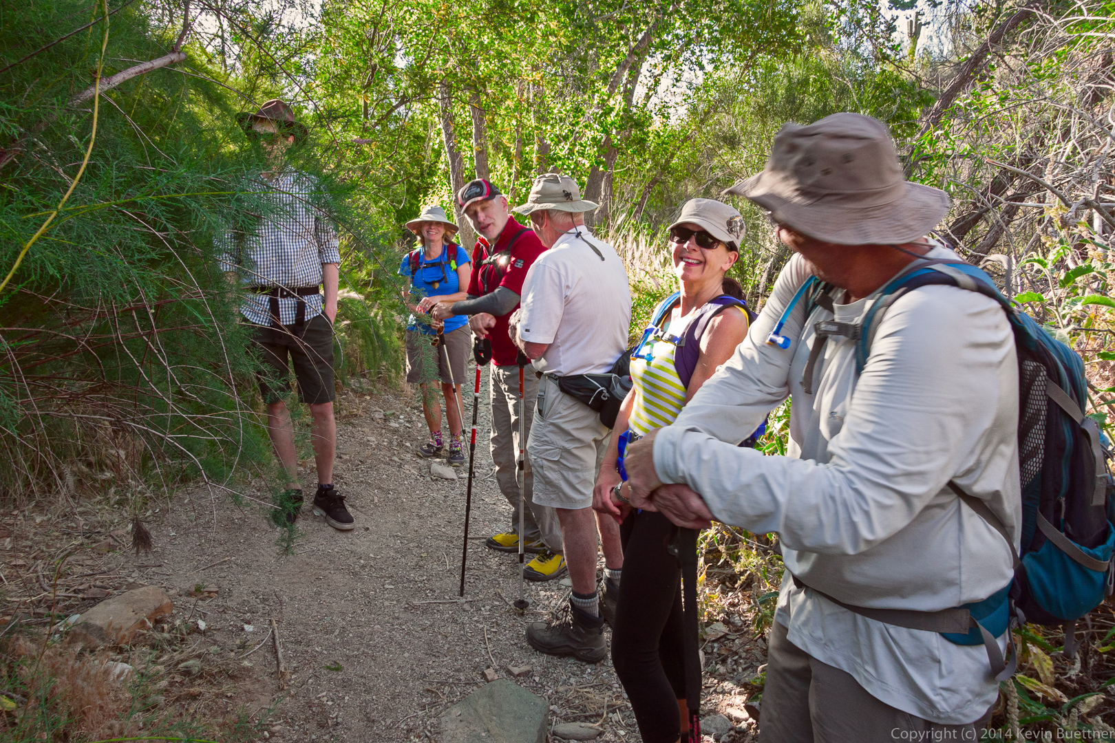
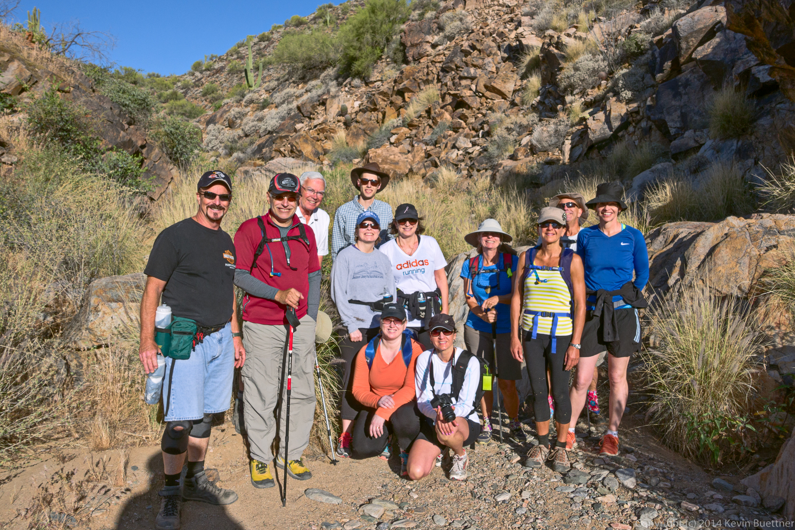
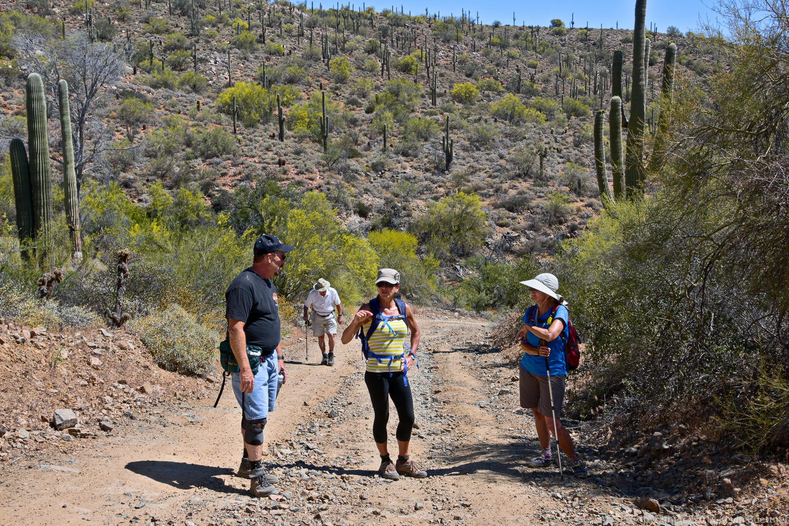
A group of five women from Canada joined us for a hike. (I’ve forgotten their names.) Here, Anton (who is Nick’s son), Linda, Nick, Jon, Eva, and Bob wait for Jerry and the women from Canada to finish examining the entrance to the mine.
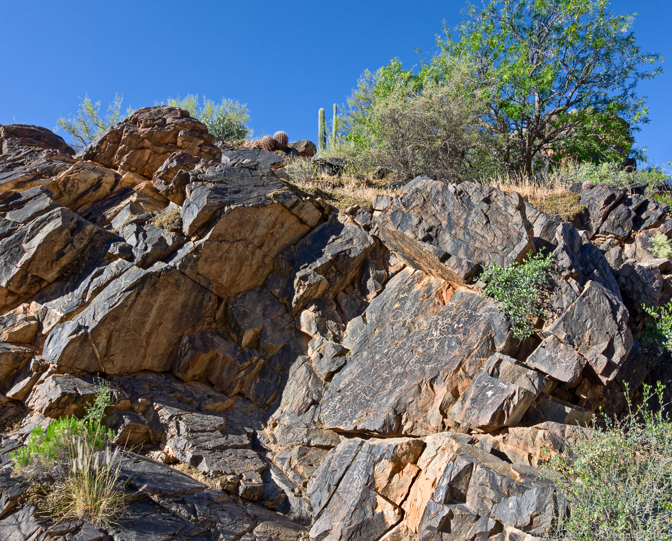
This photo was taken in the wash near the petroglyphs.
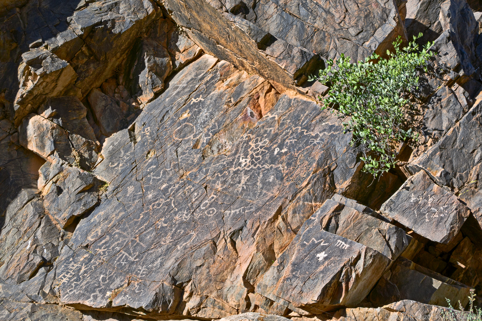
A view of the main petroglyph panel. There are some additional petroglyphs further up the wash, but I did not photograph them on this hike.
A closer view of the main panel:
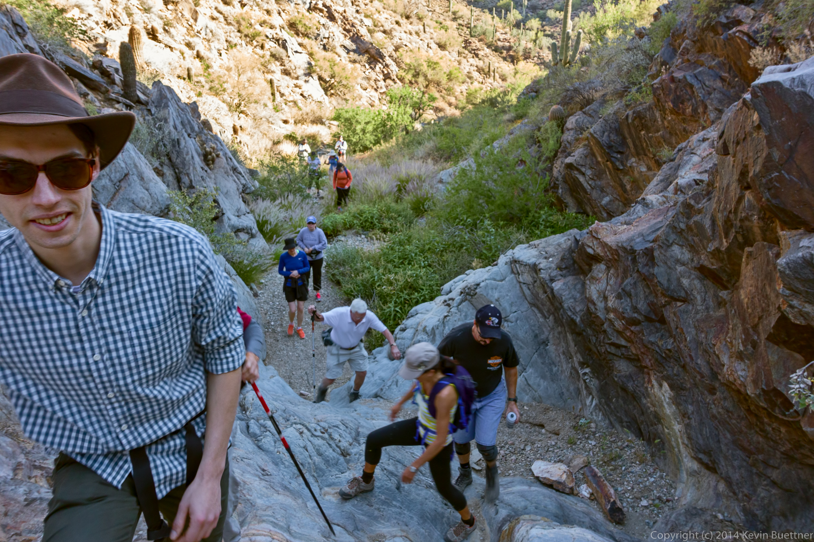
Hiking up the steep and smooth rocky area further up the wash:
A view from the Prospector Trail:
Jerry and Jon hike up the Prospector Trail:
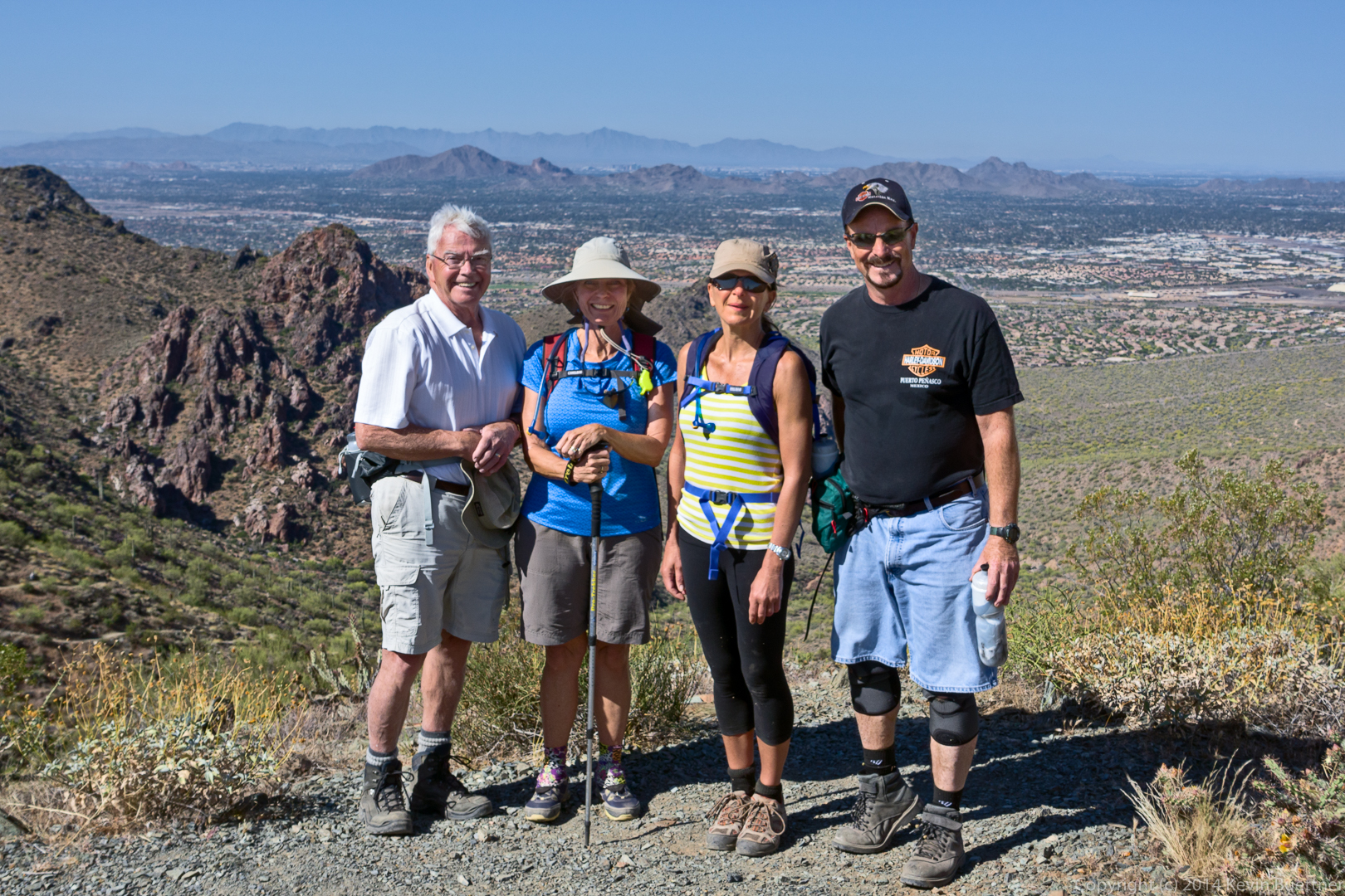
Jon, Linda, Eva, and Jerry at the top of Bell Pass. Scottsdale, Camelback Mountain, and even a part of Phoenix can be seen behind them.
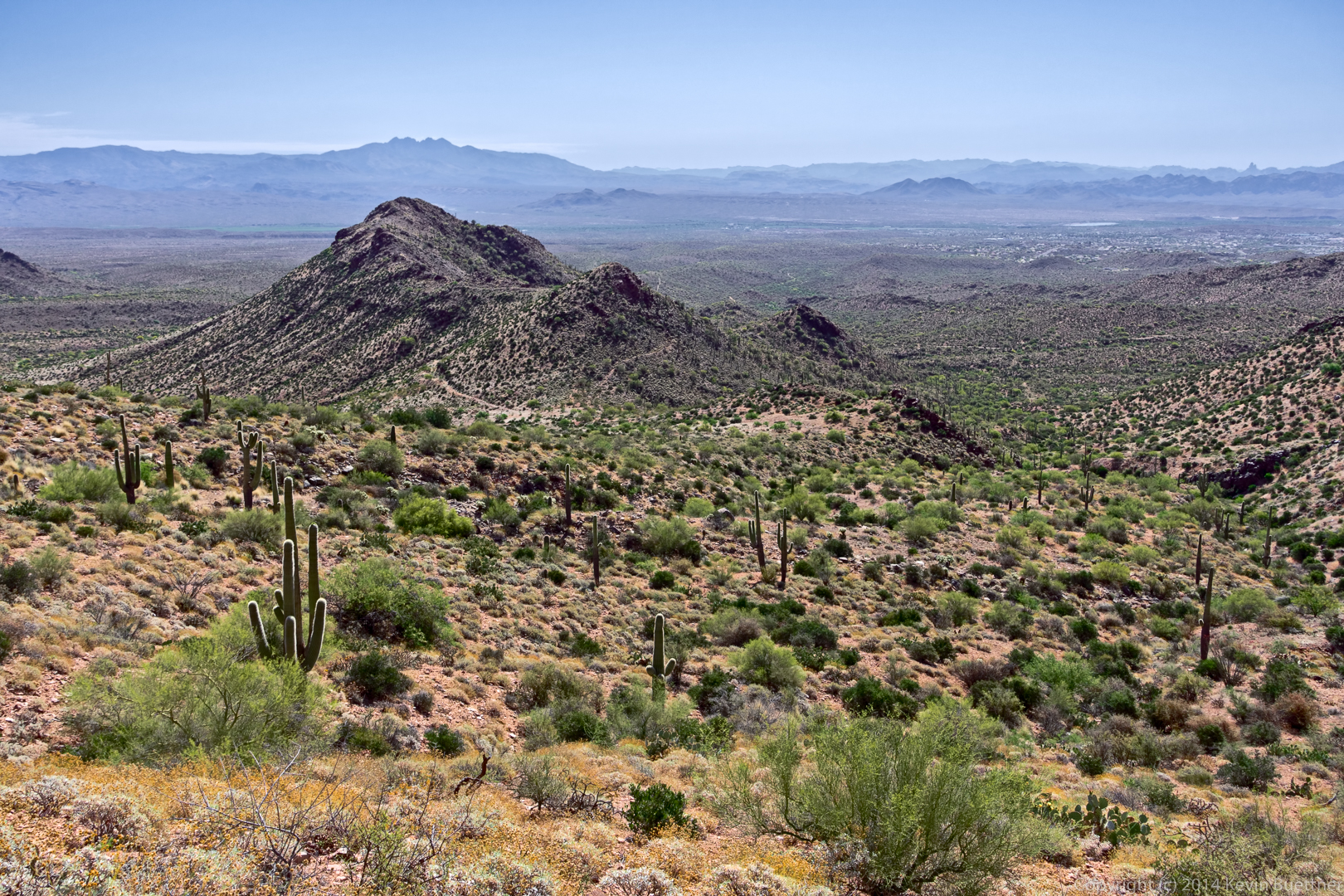
Another view -in the opposite direction – from near the top of Bell Pass.
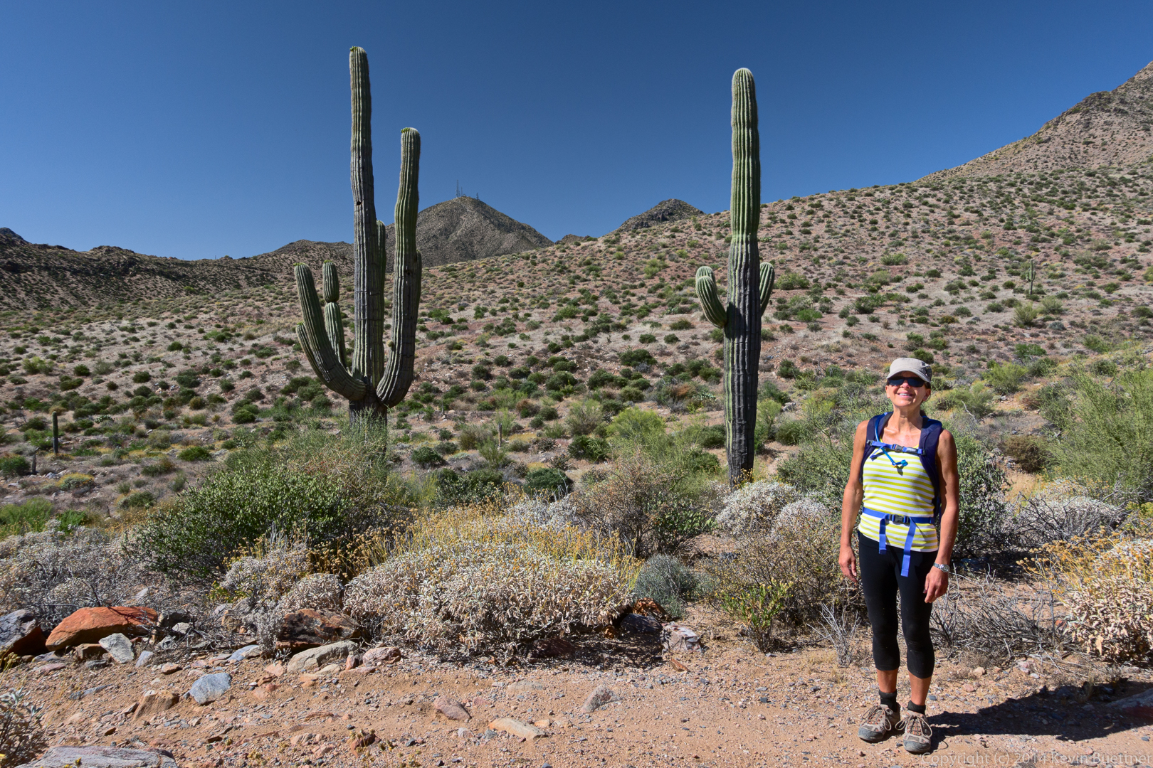
Eva on the Windmill Trail. Thompson Peak is just visible in the background.
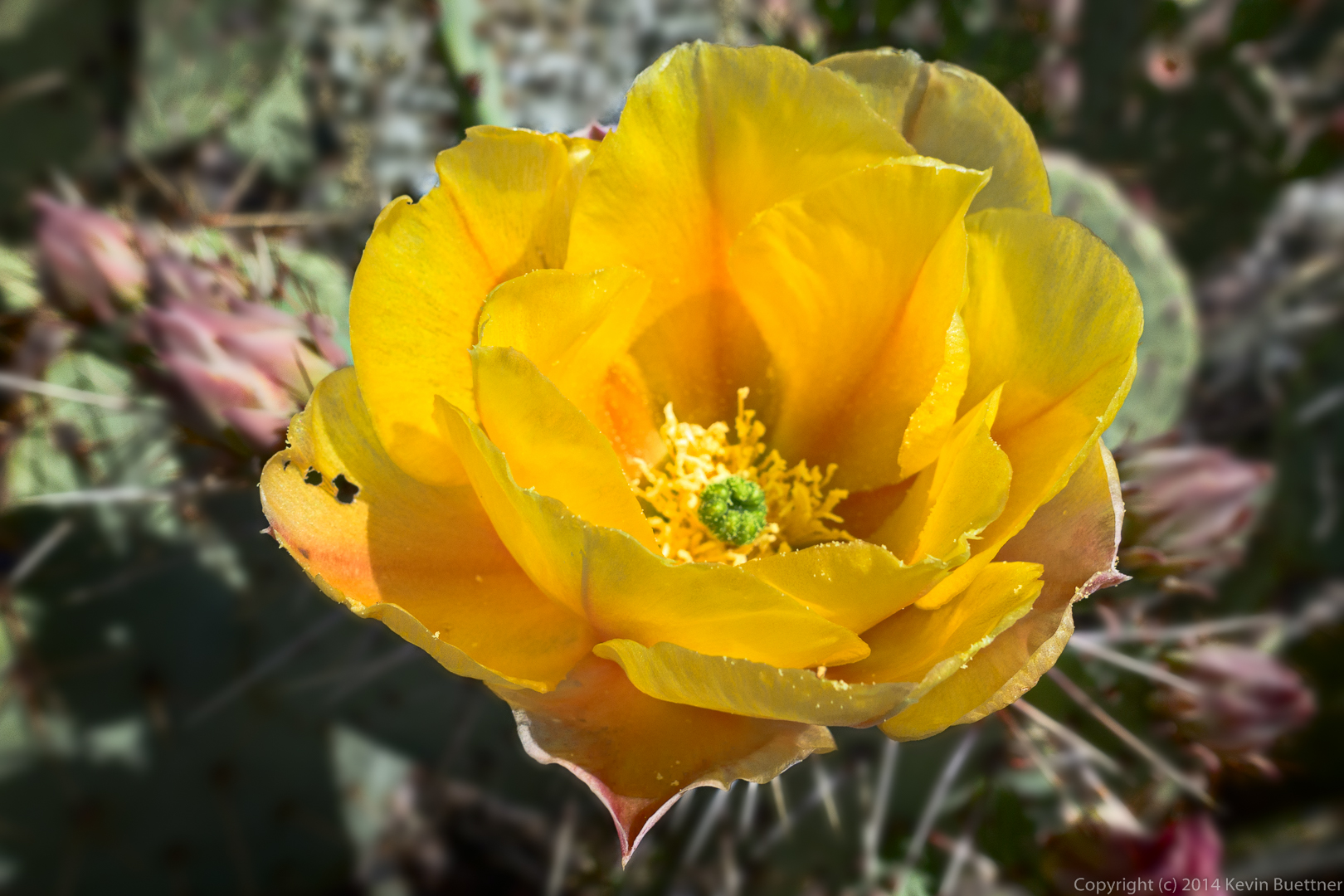
Prickly Pear blossom:
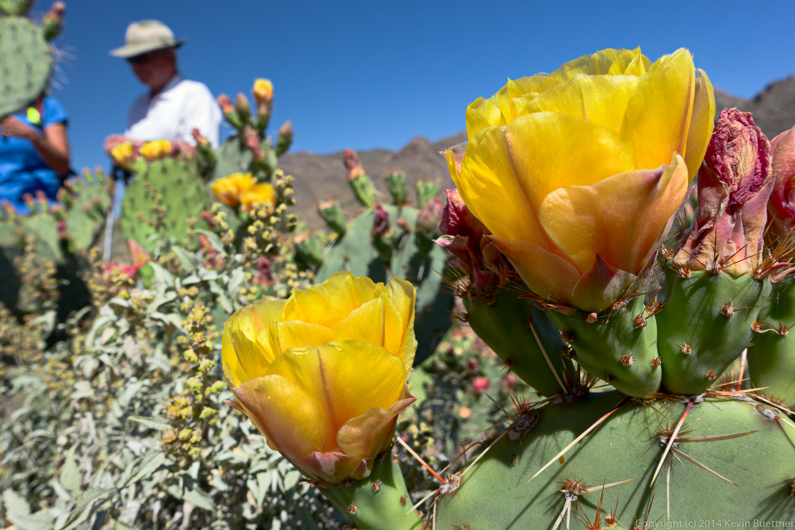
More Prickly Pear:
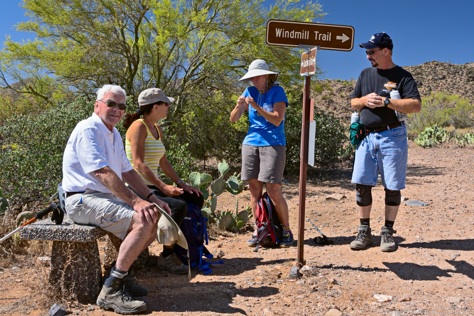
Taking a break at the intersection of the Windmill and Coachwhip trails. Linda is struggling with a recalcitrant snack bar wrapper.
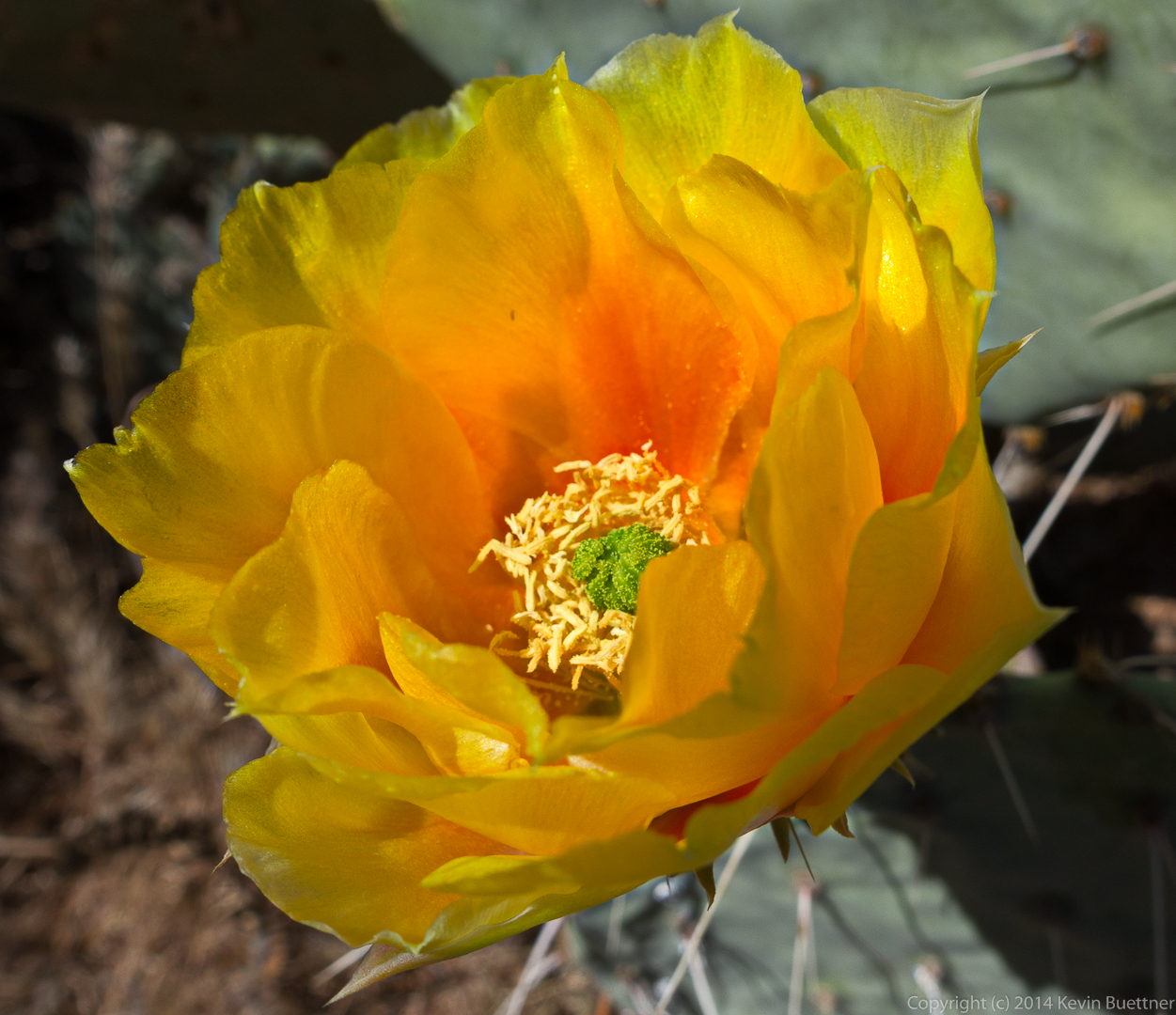
Yet another Prickly Pear blossom:
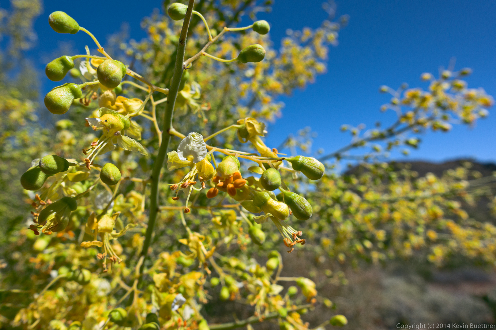
Palo Verde blossoms:
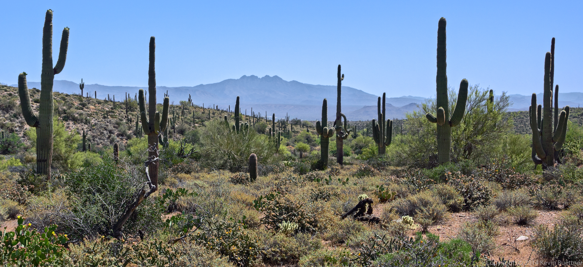
A view of Four Peaks from the Coachwhip Trail:
This is the steep section of road connecting the two segments of the Dixie Mine Trail. (Near the bottom of the road is a small trail which leads to the mine and petroglyphs.)
Returning on the Dixie Mine Trail…
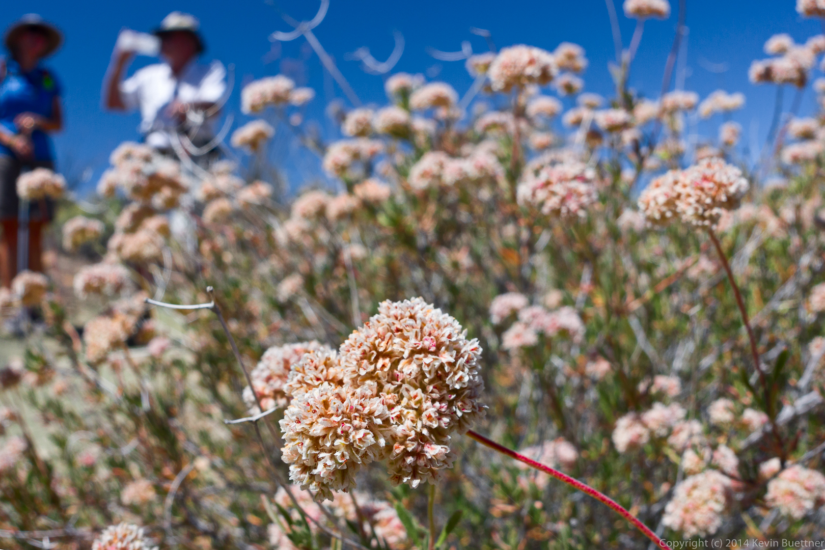
Buckwheat:
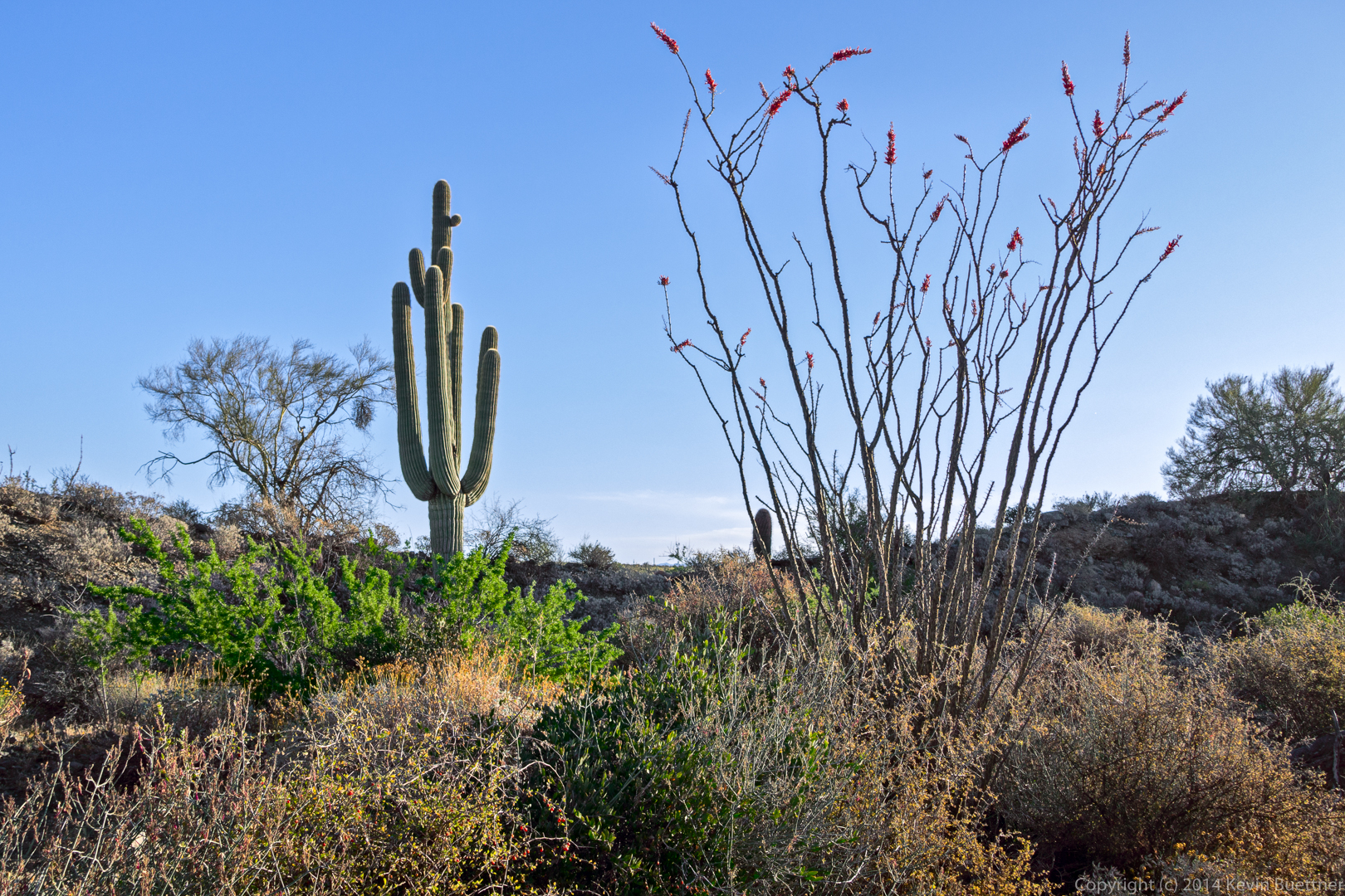
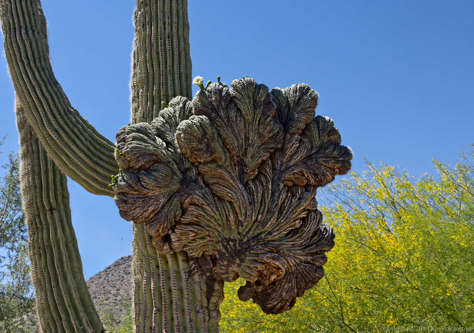
This crested saguaro at the parking area has one bloom on the crest:
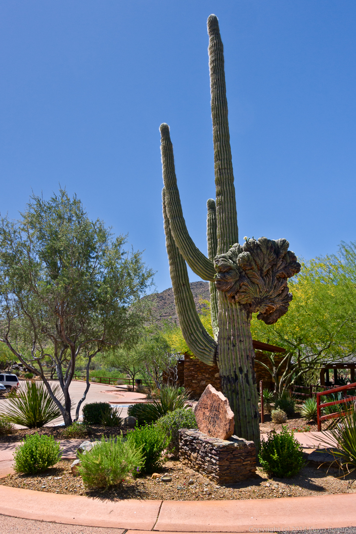
Here’s a full view of that saguaro:
Linda says:
Thank you for another wonderful hike! Great photos…..will be forwarded back east!
Linda
April 19, 2015 — 11:53 am
jon leverenz says:
Thank you, again, for the big hike. I am still aching, but satisfied. Thank you all for feeding me! and waiting for me! Great pictures, as usual.
April 19, 2015 — 12:12 pm
Sue says:
Looks like a very nice time was had by all:) Bud close-ups are lovely. Thanks.
April 19, 2015 — 2:03 pm
Anonymous says:
As always, a fantastic hike. What a great leader we have!! Thanks Kevin. What a great group of people!!
April 19, 2015 — 7:40 pm
Darrick says:
Hi Brother!
I really enjoy these. Sometime please have someone take a picture of you!
Darrick
April 20, 2015 — 10:14 am
Jerry says:
Thanks Kevin! Great Photos!! Wonderful Hike Great Company!!
May 11, 2015 — 10:38 am