Bob and I hiked the Dixie Mine Trail out to the service road for the antenna towers. We then hiked up to the Prospector Trail and took the first wash down towards the mine. There were a large number of bees around the pools of water at the waterfall, so we worked our way around the waterfall via a different path. We eventually did end up at the mine and the petroglyphs before hiking back. Total distance today was only 6.5 miles.
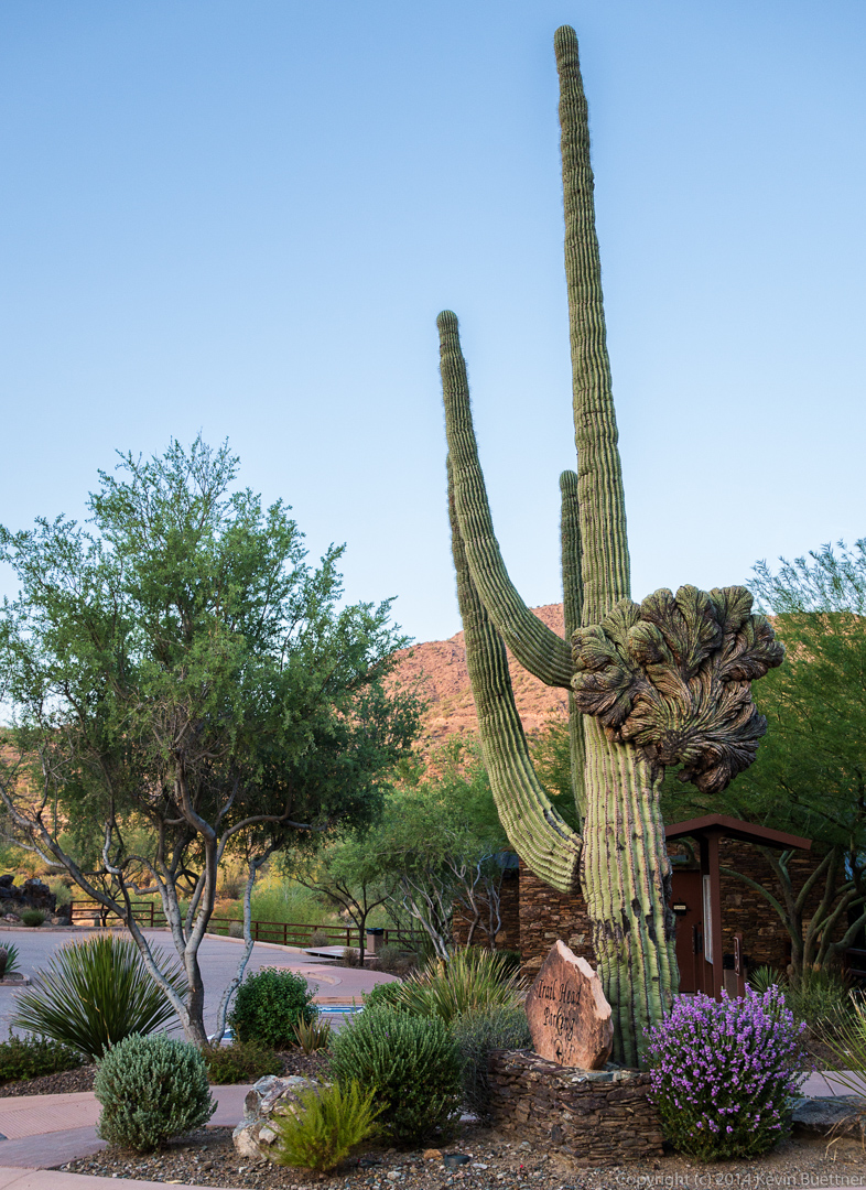
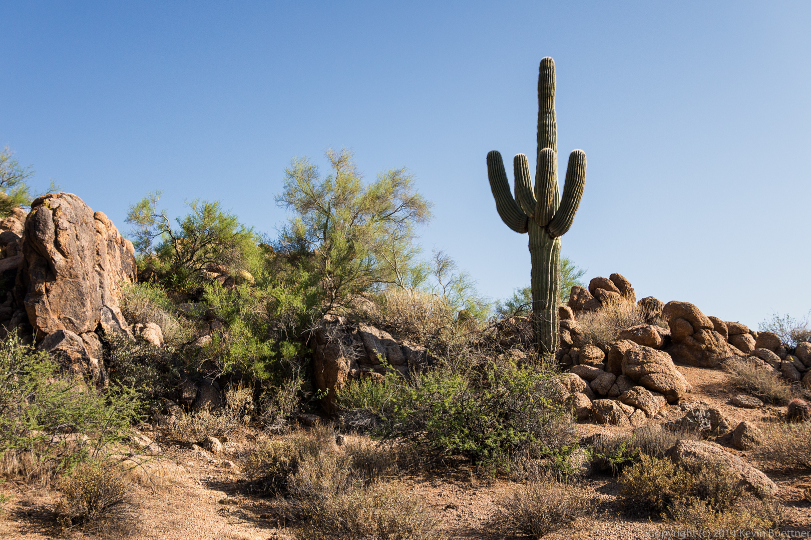
This is the crested saguaro at the trailhead parking lot.
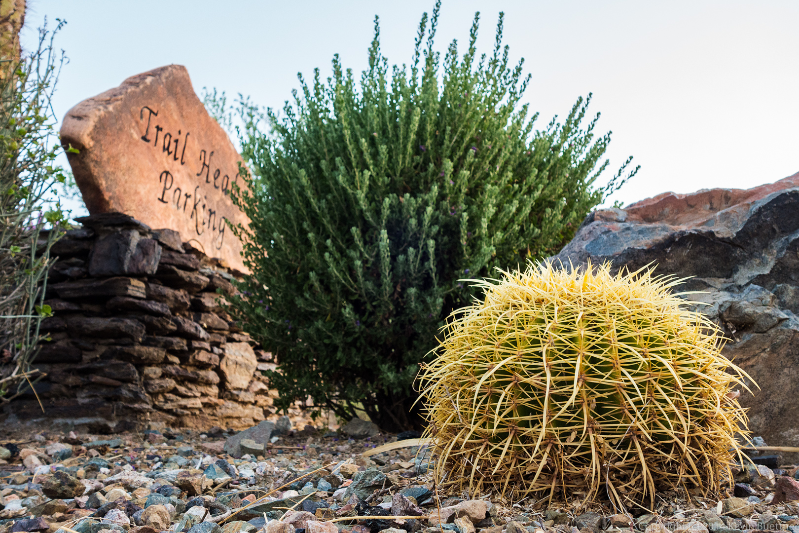
 Another photo at the trailhead:
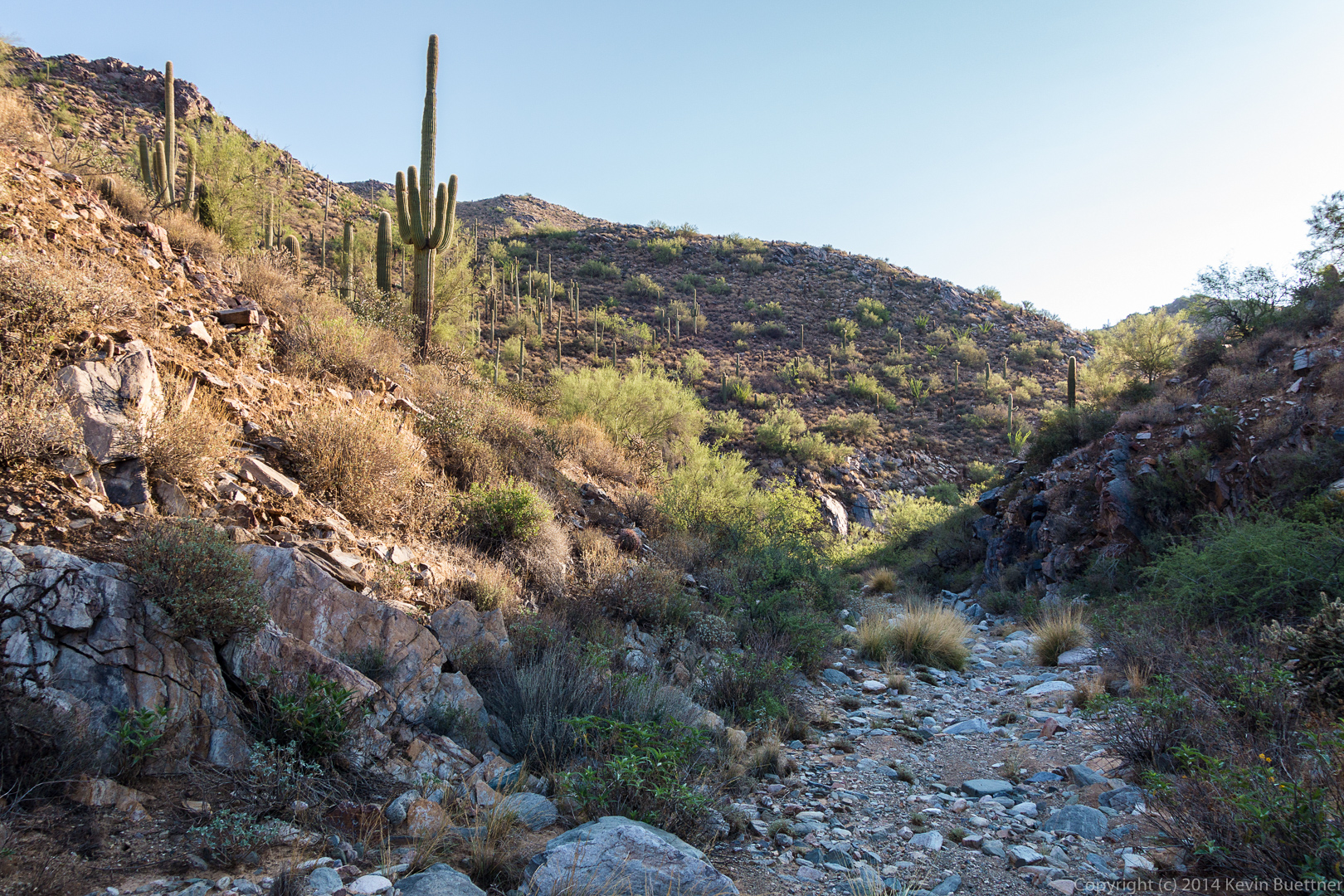
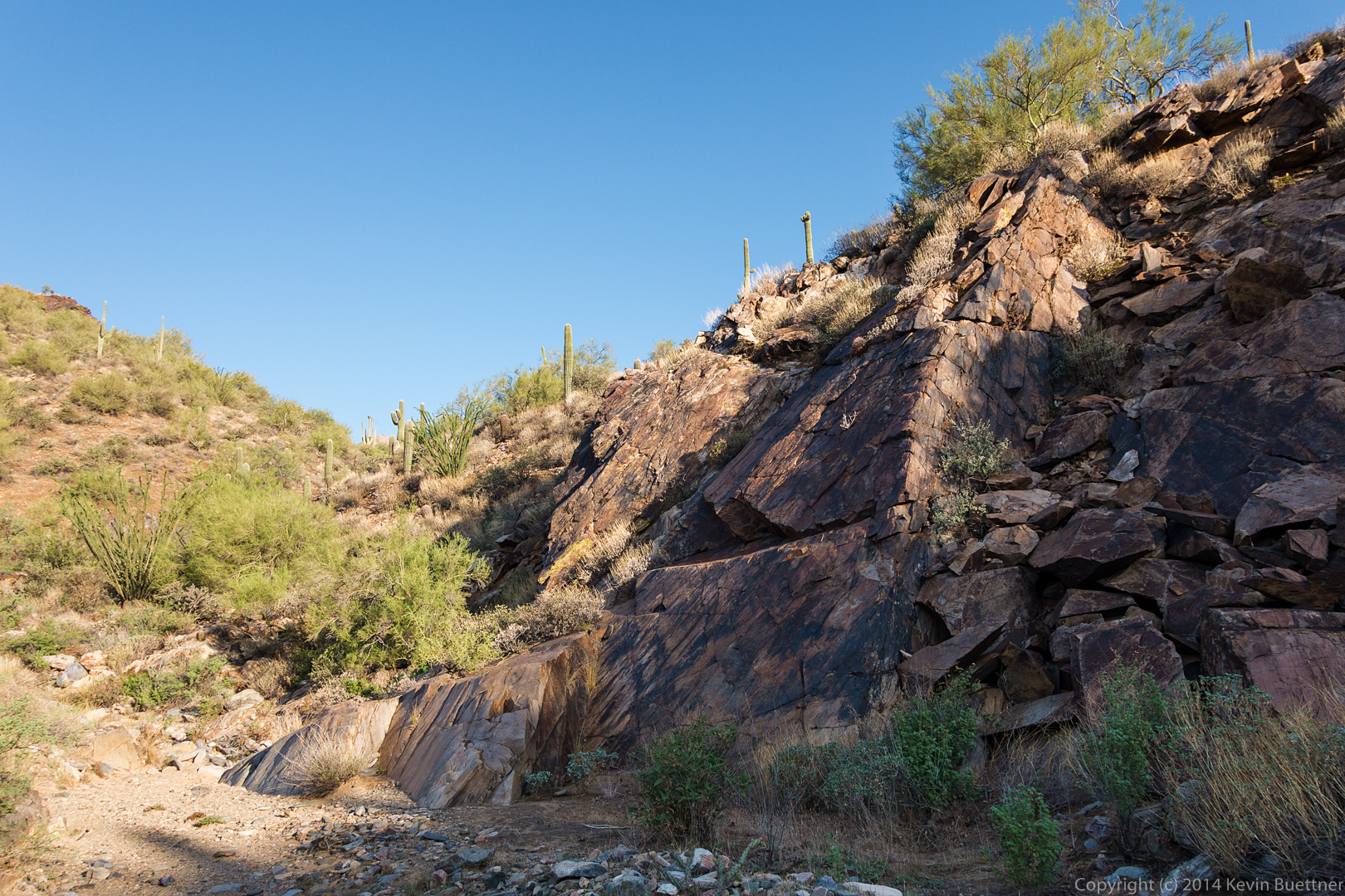
 This is the wash just off the Prospector Trail:
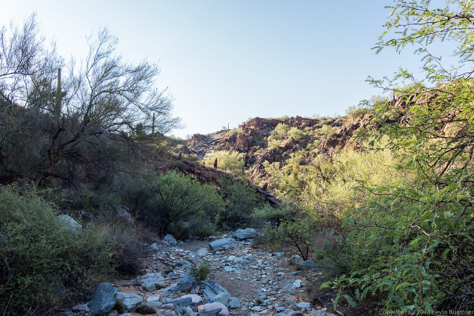
 A look back at a fun rock upon which to scramble:
 A view from the top of the (mostly dry) waterfall.
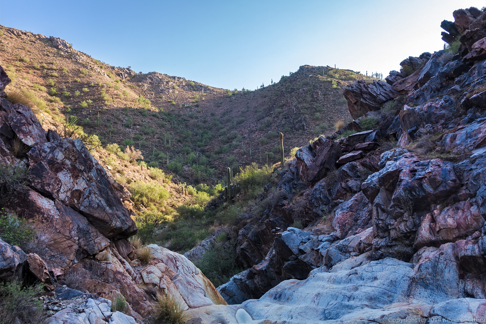 A view looking down upon the same area in the previous picture. We had gained quite a lot of elevation between the previous shot and this one.
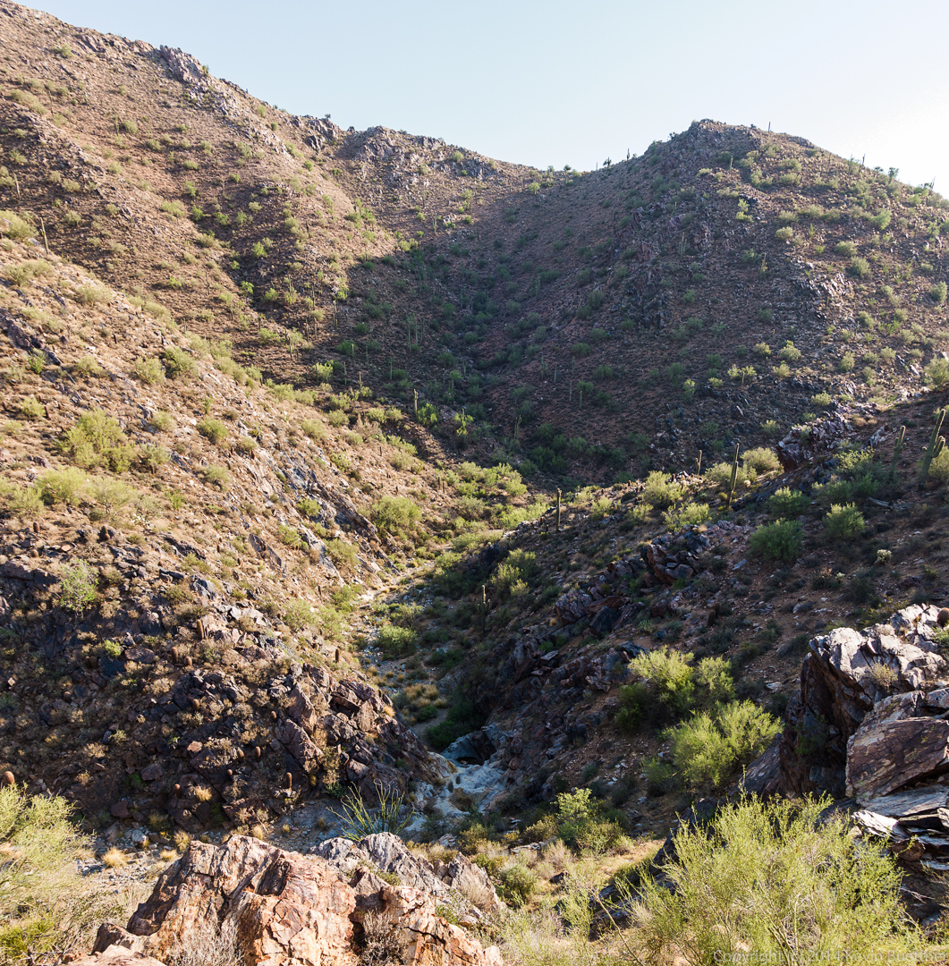 A view of the mine. If you look closely, you can see the metal protective grate over the mine shaft at the top of the tailings.
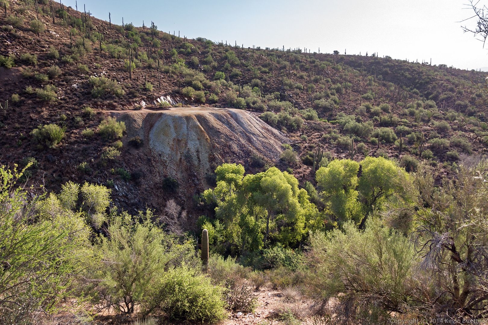 A photo of the main petroglyph panel:
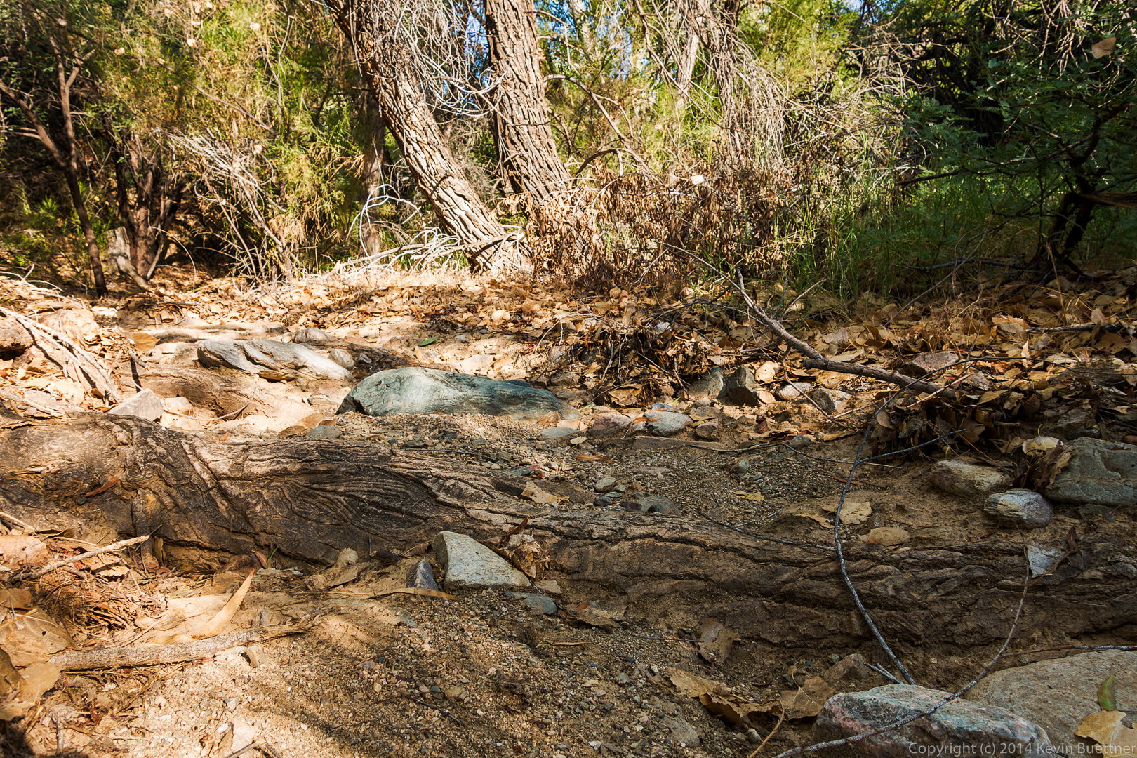
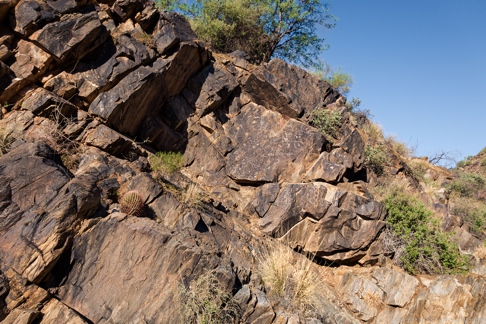 As I was leaving the mine area, I noticed what appeared to be a large, very textured root.
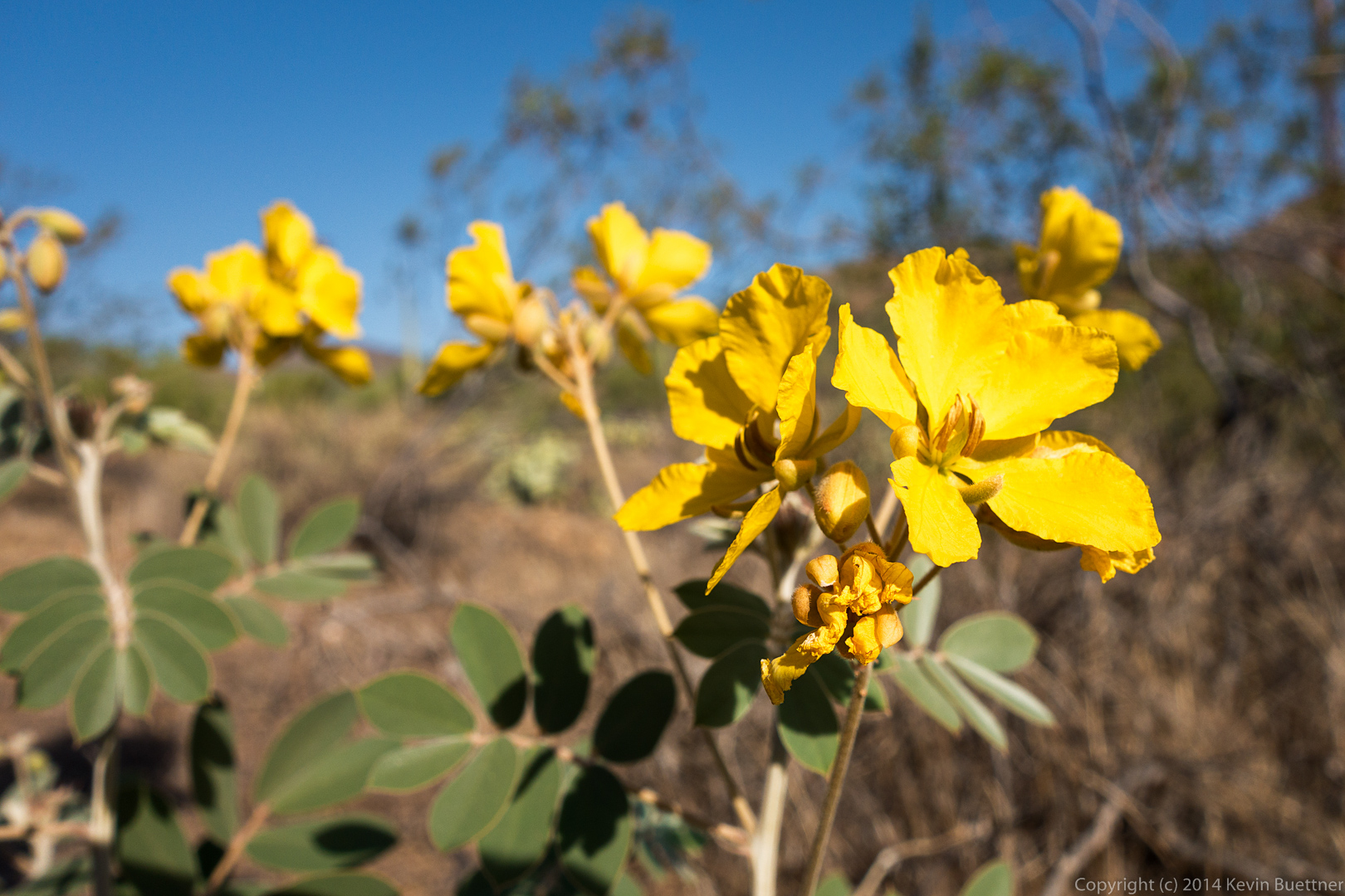
 We saw flowers on the way back. We were both surprised by this because, although we’ve gotten rain recently, the highs have been over 110 degrees. The flowers did look somewhat wilted.
Susan says:
Interesting pics of our tossed and tumbled desert. And that root system–so interesting. Even tho’ I’ve hiked the “normal” trail to the mine several times, these were very interesting perspectives. Thanks, as always.
July 26, 2014 — 6:51 am
george and Jill Vogelgesang says:
ALWAYS ENJOY SEEING YOUR BEAUTIFUL PICTURES, KEVIN
July 27, 2014 — 8:29 am
Kevin says:
Thanks!
July 29, 2014 — 10:20 am